|
The Cyclist's Christmas Party was last night, hosted by none other than Kenda Janet. The late notice (surprising since Jan-O is a dominant force in corporate communications) kept the turn-out light, 13-14 cyclists. Below, Janet poses with Steve O and John Day, aka, Jr. Muscle Dude. John had a tough back end of the year, crashing on the descent of Jack Run and then later, falling after touching tires. 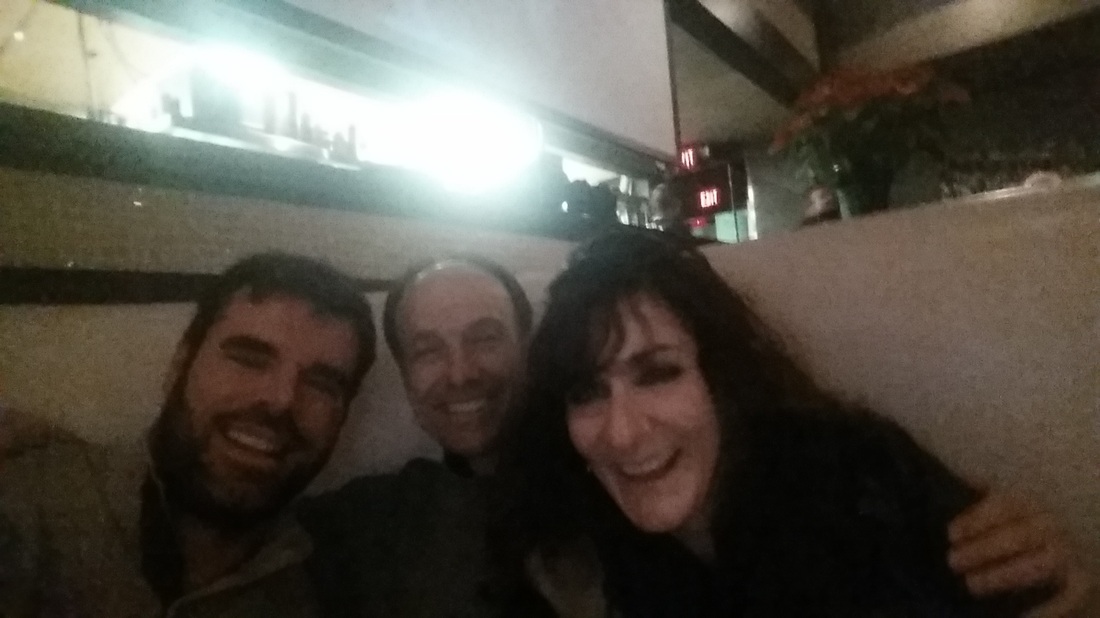
Below, Eve and Tim Faigly in the background with Corvair & Franz on the right. I was told Steve O came looking for a date but left disappointed. Next year, the event will move out of downtown Columbus to a more parking friendly location, probably New Albany. 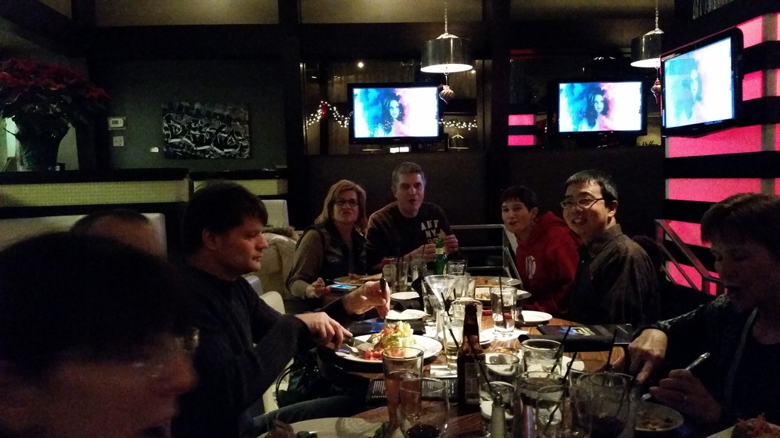
Quite a few rides tentatively scheduled for the next few days but the biggest is probably Veloscience Bike Works' New Year's Day Ride at 1:00pm (if start temp is above 28) and more info can be found here: http://velosciencebikeworks.com/word/2014/12/23/new-years-day-ride-kick-off-2015-right
Also, John Gorilla has invited the most hardy to an 8:00am New Year's Day Ride: This is an open invitation for a New Years ride with an 8:00 departure from downtown Granville in front of Whit’s/Village Coffee. Plan on 5 hours; road, gravel and maybe some dirt. Pace will be in the 15-17 mph range and a decent number of us will be on fat bikes.
1 Comment
 Kenda Janet has organized the annual cyclist Christmas party and you all should go. I mean, just for the opportunity to rub elbows with a high powered corporate executive, someone who in every day life, you could never get through her security cordon, let alone rub an elbow. Typically, this event attracts a couple dozen and with a central location, should bring in many more. For more info, read below and click on the link.
Janet Brumfield 6:15pm Dec 27 Please join us for a Cyclist Holiday Bash at the Level Dining Lounge in the Short North starting at 5:30 pm ET on Monday, Dec. 29. Friends/spouses/partners and all are welcome! See you there. www.levelcolumbus.com  Meredith is leading a ride out of Johnstown, at 11:00am, Friday, a day with guaranteed sunshine and mild temps. We'll park at the Johnstown high school parking lot or elsewhere if you want and meet at the city center. The route: http://ridewithgps.com/routes/5946875 is a bit hilly for us off season types and maybe a bit long for us off season types but check out those short cut options. I see one of about 23, 36 (to Utica and back), 42 or you can man up and just do the whole damn thing. We'll stop in Bladensburg to refuel at the market or gas station, probably pause in Utica too. All are welcome to join.
After a 300 mile week of cycling, an amount that seems low unless you were pedaling up the mountains of southern California, Kayla returned home today. However, she will be back in CA beginning January 5th for an extended stay of cycling and.... 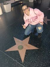
....some touristy visits and...... 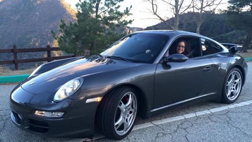
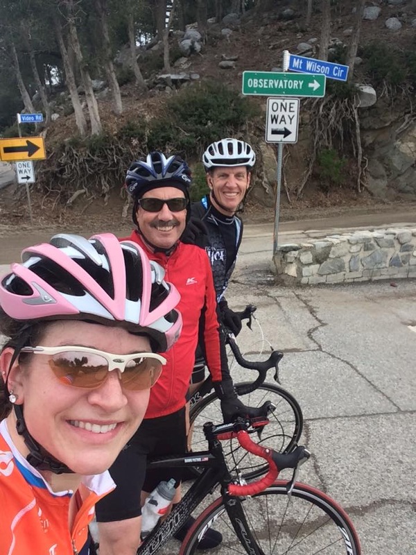
....driving around in sports cars. Kayla slotted in with the Team Hightide which included rides as part of the Dawn Patrol, a 5:00am start. Kayla claims this group is stronger than the Thursday New Albany group ride. The highlights of her visit included cycling around the Rose Bowl, an 80 mile ride to Long Beach and back and the 23 mile climb up Mount Wilson.
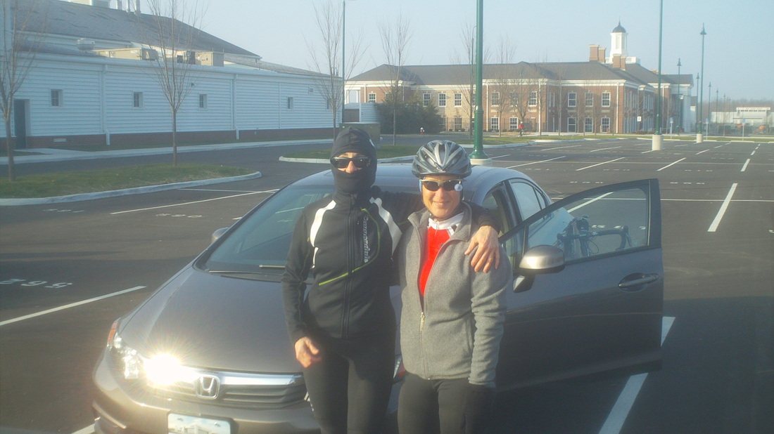
Kenda Janet poses in what was the only suitable clothing to ward off the cold of today's ride on December 21, the shortest day of the year. Just think, the daylight will increase for the next 6 months, ain't that grand! Unfortunately, there is a lag in temperature warming but that too will change and for the better. In the meantime, we eke out our ride opportunities when able and 10 of us shoved off into the frigid 28 degree start temp. 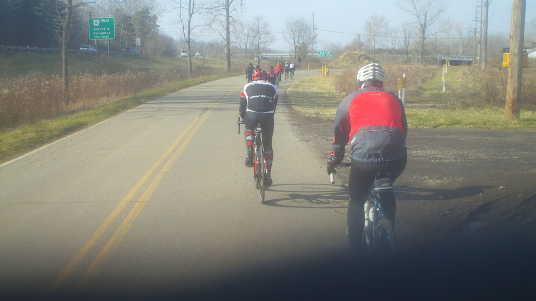
The 10, comprised of Steve Oxley, Kendas Janet & Paul, Flyin Tuna, Eva, Larry P, Lisa A, Andrew C and last but not least, Dirty Dan. As we closed on Granville, I could tell a couple of us were going to have a hard time with Stone Quarry Road so I checked with the weakest among us and concluded they would appreciate a workaround. Being somewhat skilled with workarounds/route modifications/shortcutting, I quickly came to the rescue of the weak and we came off Concorde Road to stay straight on Hardscrabble. We reached Granville with 25 miles and scrambled for the warmth of the coffee shop. Conversation turned, as it always does on winter rides, to the topic of our return route. I voiced strong support to stick to the planned route but was overruled by the Kendas, who wanted something more direct. 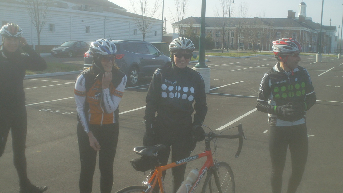
Upon reaching New Albany, it was all smiles as we concluded our ride with 42 miles. Hey, the forecast is looking good for Friday, 49 and sunny. I am recruiting someone to come up with a route for a post-Christmas ride. More to come.
Monday afternoon, I step off the plane in Columbus, OH and the first person I see is Lisa Tyler. Unfortunately, the positive effect of the cheery greeting was soon offset by 5 consecutive days of clouds and..... 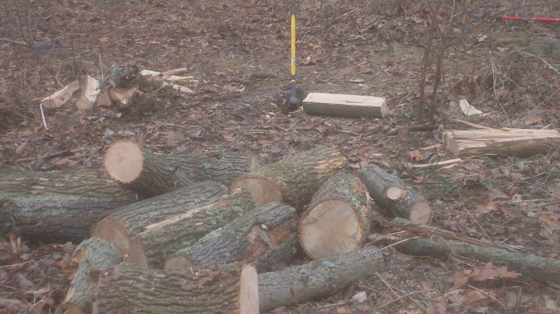
.....cutting, splitting, carrying and burning wood. Seems a strong wind came through while I was gone and snapped several brittle limbs off the dead ash trees. So many I have already cut down, so many yet to cut. The good news is I have enough wood to burn all day every day and.... 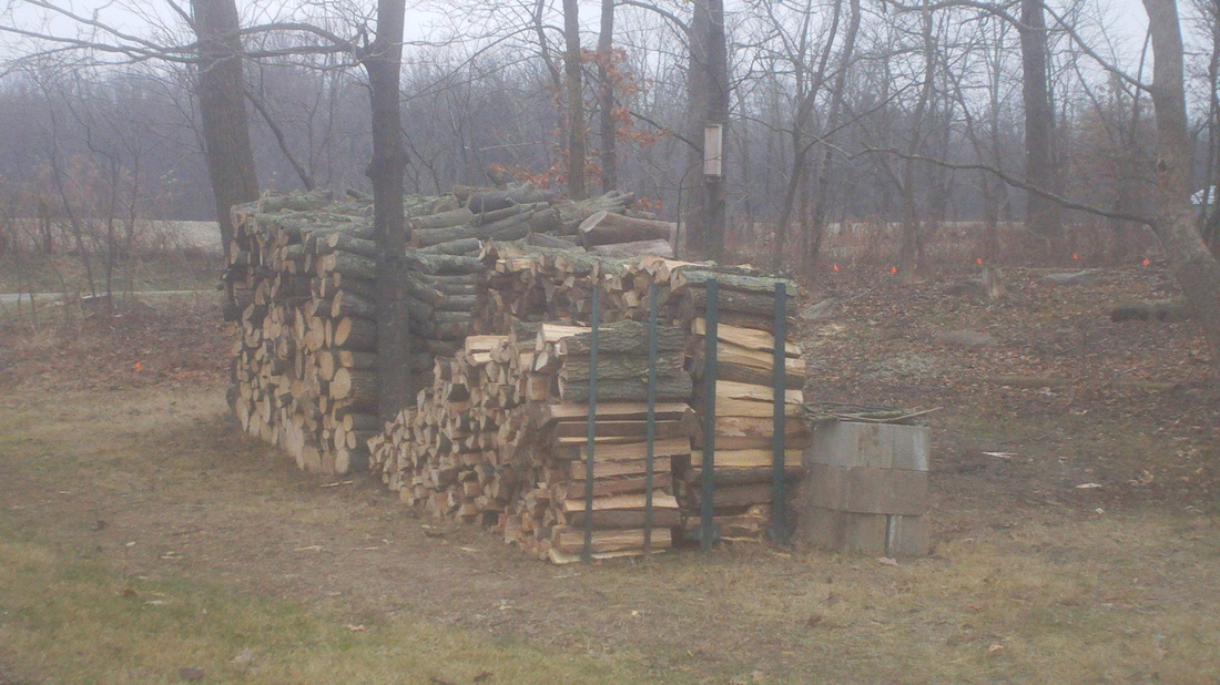
...so much I even am selling it, all split by hand. Now for the important stuff. There will be a ride out of New Albany, usual start location for the old Thursday evening COP rides at the school. Sunday, 10:00am going to Granville. The route is: http://ridewithgps.com/routes/3817914 Kind of off season pace but if you want to go faster, have at it. Probably stop in Granville at the River Road Coffee Shop for a warm beverage.
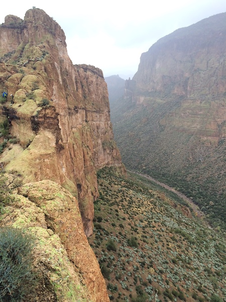
From Tara, the above image does a good job of illustrating the size of Battleship. Note the tiny figures on the left side as they down climb from the summit. Clearly I need a new camera as the clarity of the image far surpasses what my camera provides.
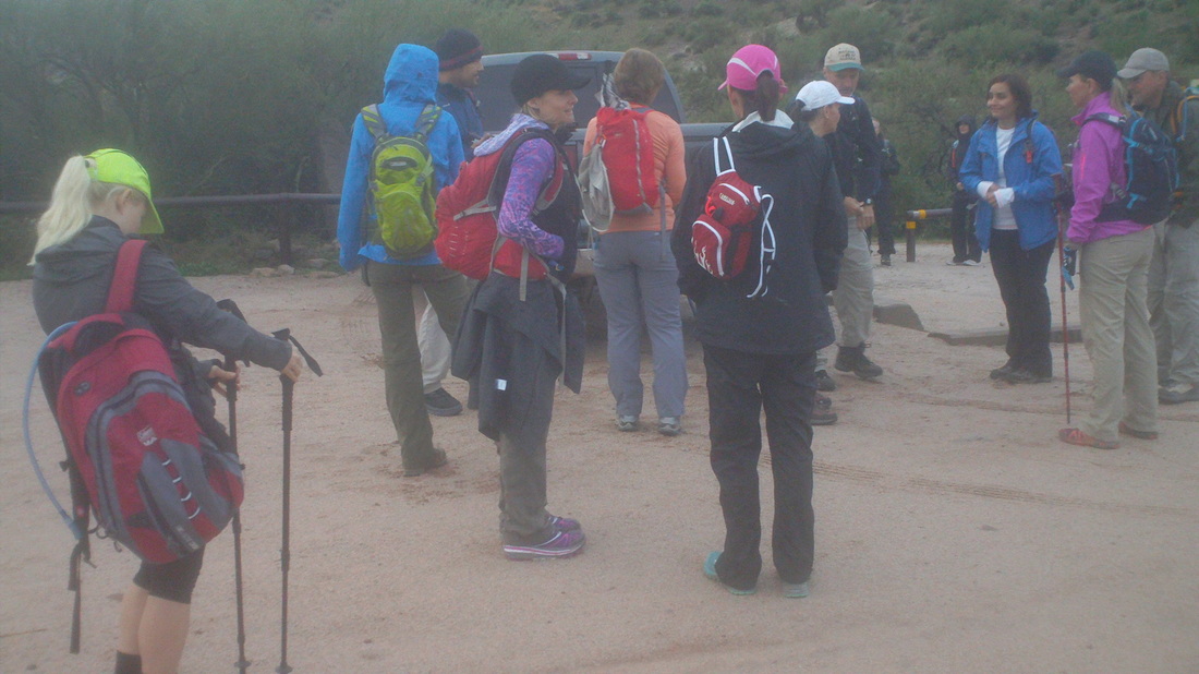
The forecast was atypical for AZ, rain moved through Friday night and was forecast to linger into Saturday morning, along with chilly temps in the 50's. Here I was, a guy from Ohio, having accumulated all that winter/wet technical gear required for winter cycling with nothing out here for this. A friend brought me a WalMart poncho ($.99 what a deal) and loaned me an umbrella so I was good to go with 18 others. On the drive from Oro Valley, it had rained the entire 90 minute trip but just as I entered the parking area, it stopped. We gathered, began walking and it began raining again, causing everyone to dive into their packs for appropriate clothing. Within a few minutes, the rain stopped and remained off the remainder of the day. 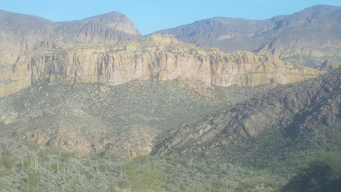
From a visit earlier this week, the above image is of the Battleship. Although difficult to find in front of a background of similar rock, the left side is vertical, rising to a point left center and then falling away to the right where the ridge(ship) disappears behind a foreground ridge. It is quite the sight and a rolling 5 mile hike where the ship is mounted on the right (south) side, which is too bad because the trail we follow emerges from a canyon opposite the left side. 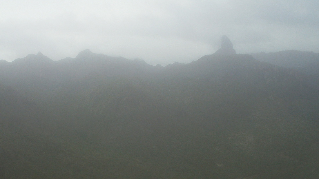
Today, low clouds clung to the high points in the Superstition Wilderness. A member of TLC, Peter Medal, spent the night at the base of Weaver's Needle, above protruding right center. He hooked up with us for the hike out. 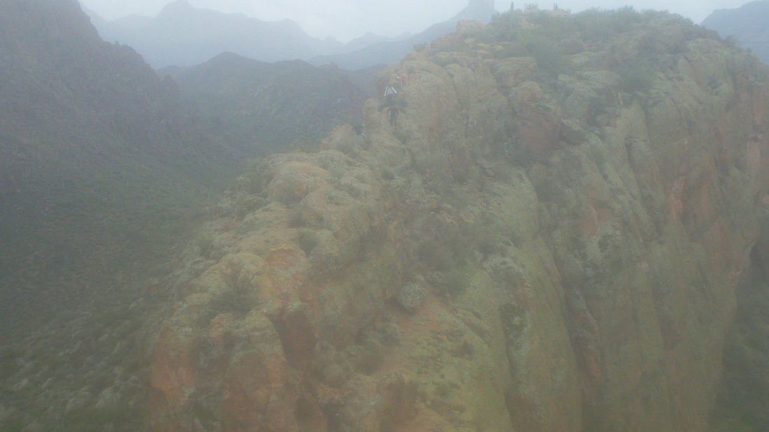
The group had become strung out prior to reaching the point where we leave the trail for a steep climb to the base of the ship. Five of us got away but looking back, you can see others carefully picking their way through what at times is.... 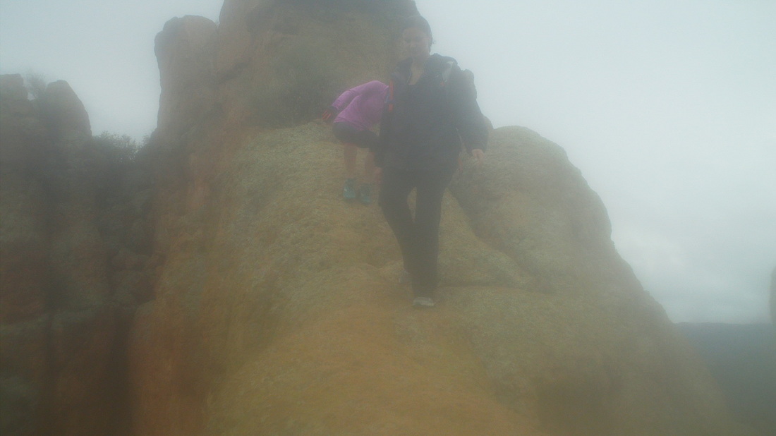
....kind of dangerous with death drops on either side. At the above bridge, I dropped to my rear end and scooted down but others stayed upright. 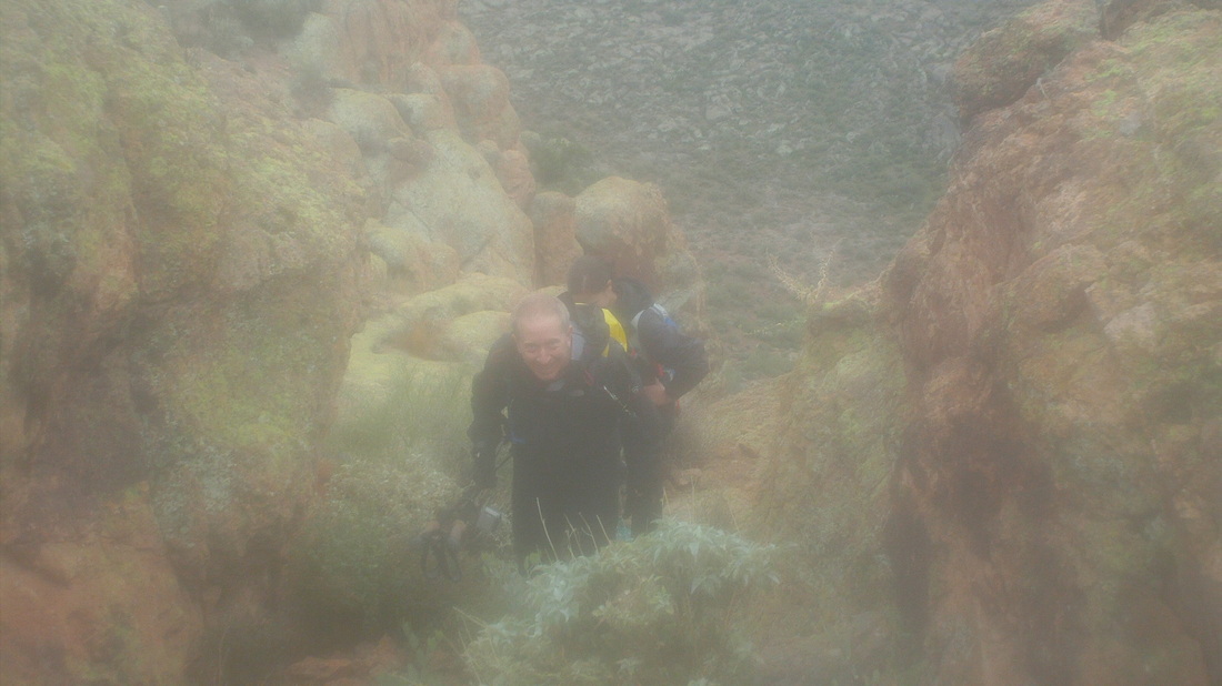
Richard was part of our group and came in very handy when.... 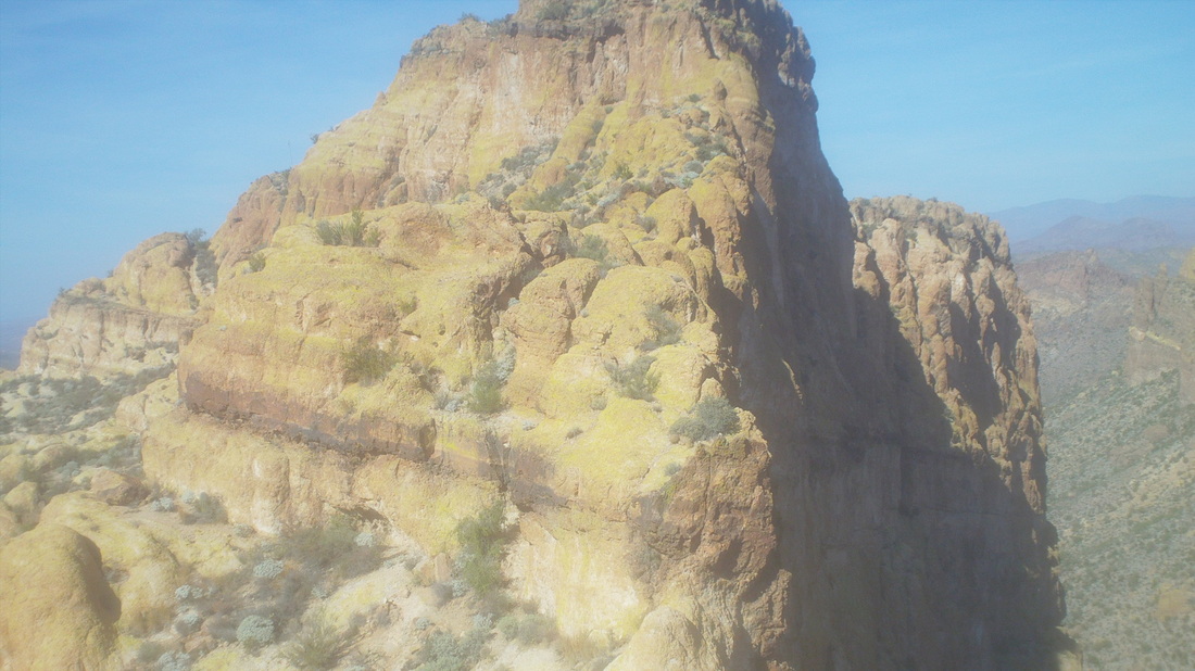
.....we reached the point where I turned around a few days previous. The above image taken then, I had stood here and assumed the trail went directly up the front but it does not. Richard led us to the left of the base of the final climb, then behind it and only then did we go up. It would have taken me a long time to route find that so it was good I had turned around 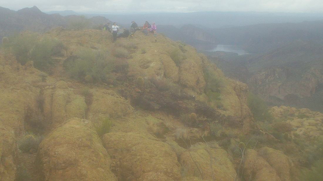
Reaching the summit, I walked a distance away and took the above image with Canyon Lake in the distance on the right. 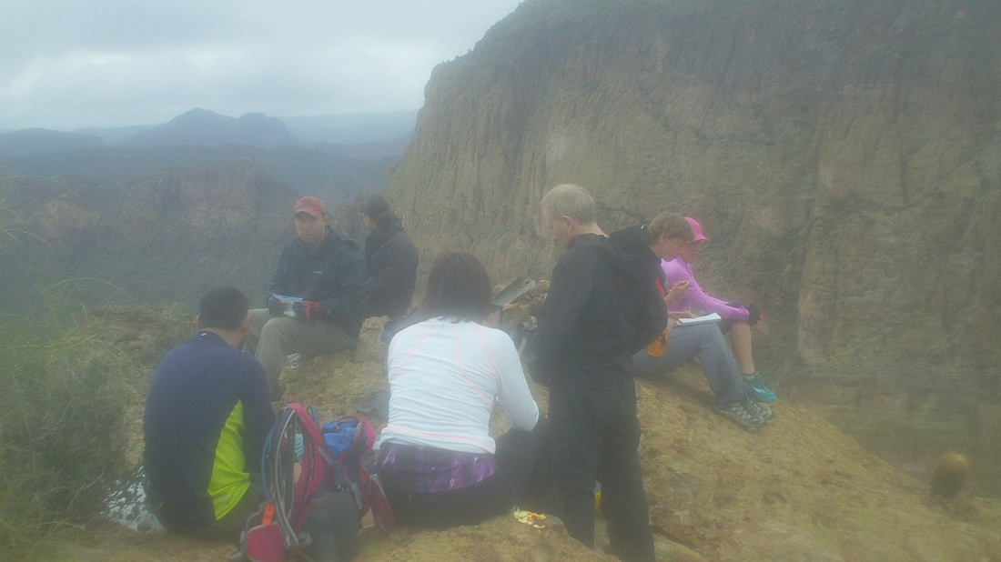
Others began joining us but I was wet, chilled and ready to go so recruited a few others to join in for the descent. 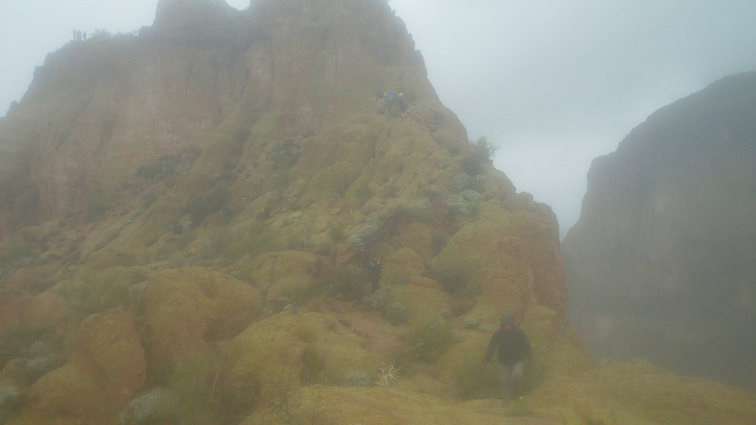
We work our way through the myriad obstacles, each presenting its own challenge.... 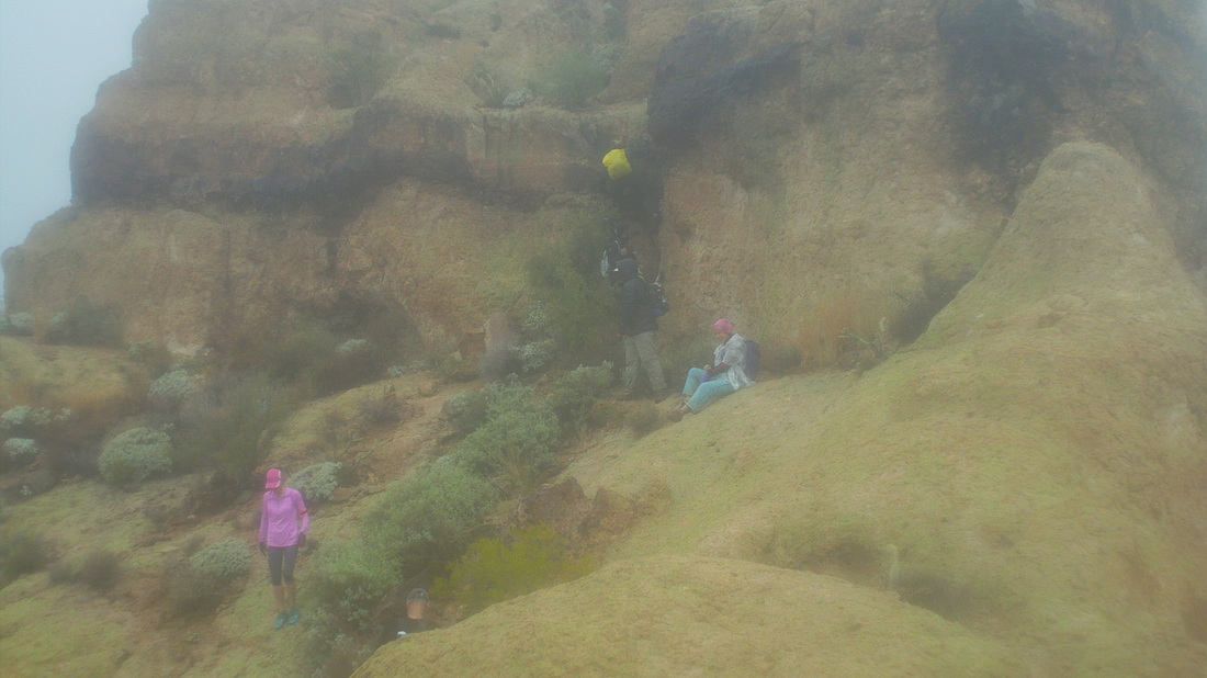
.....some of them very steep as you can see above. That drop, on which the yellow backed person is on, I found the most challenging, especially with a surface that was still wet. 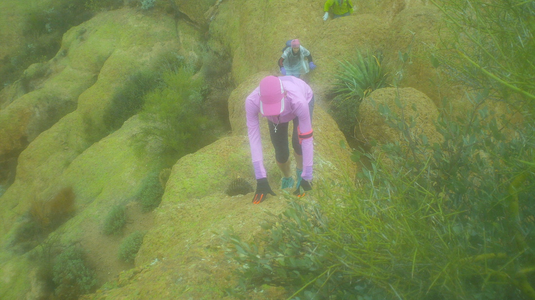
Oh boy, one of the narrow bridge climbs. I couldn't scoot on my rear up that so walked up, staring at the rock and not to either side. The image doesn't began to illustrate the drops or that the surface is not flat but curved. Gina shows the correct technique, feet and hands both used. 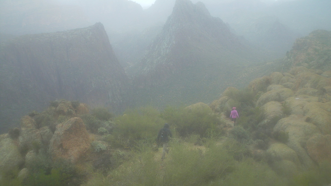
We continue to work our way back with dramatic views, low clouds, peaks, canyons, wow. 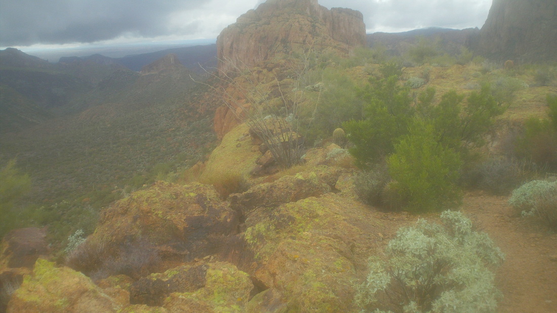
Looking back, we could see most were still at the summit but I was glad to be off of it as the clouds had begun to lower and it misted but did not resume raining. We bushwhacked off the ship to the creek bed below and began the long hike out.... 
....where the sun began to break through the clouds. Finished with 12 miles and 3000' of climbing. Took us about 5:30 to do the trip.
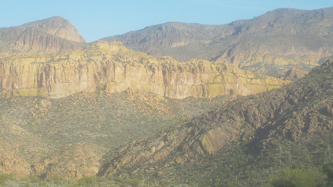
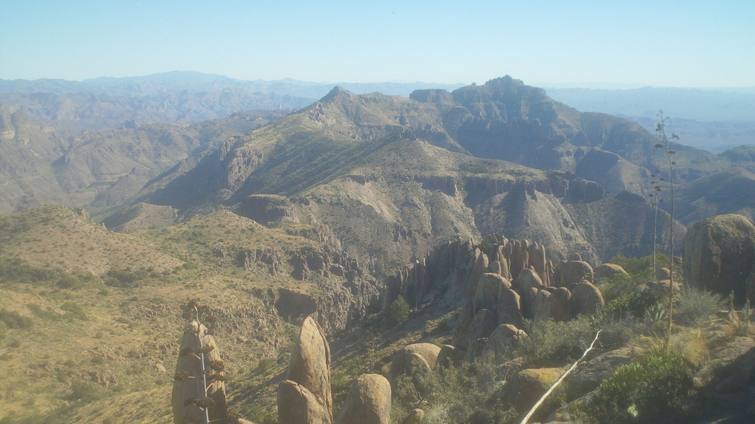
Probably 90% of the time I begin a hike, the objective, a mountain summit, is clearly visible in the distance but that is not the case with Battleship. Leaving St. Rt. 88 and following a dirt road for 2.6 miles, I arrived at the well marked trail head. Doing research for most hikes in AZ, one consults the www.hikearizona.com site which is a wealth of info but many of the reports are 10-12 years old and things change. More on that later. The above image was taken a few miles into the hike and Battleship is that yellowish rock in the middle. The mountain is accessed to the south (right) side and the 5 mile hike to it is unremarkable, if not boring. 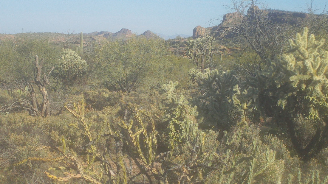
Thursday, the sun was out, as usual, the temps were in the low 70's, light winds, a great day for a hike. 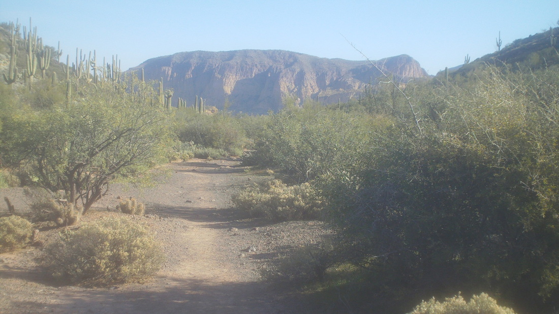
From the First Water trailhead, a short walk and a left put me on the Second Water trail and 1.5 miles later I reached a sign for the Black Mesa trail. Here, I made a left and then, confronted a fork in the trail that had not been described in any of the 5-6 reports I had read the night before. Hmmmmm, what to do, what to do, I stayed straight or right, which turned out to be the correct guess. The trail goes through "Garden Valley", and the trail was smooth and thus I made good time. 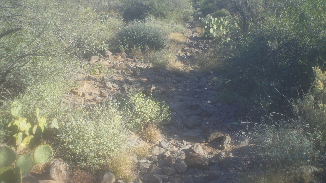
The trail began to descend and I was faced with this rocky road that kept my eyes glued to the trail. The grade steepened and soon I was walking along the edge of Boulder Canyon until I reached the bottom and a pleasant area with running water. Climbing out of the canyon, I came to another revelation, a "T" intersection. Turning right, the trail eventually dead ended back at the creek, more time wasted. Retracing my steps.... 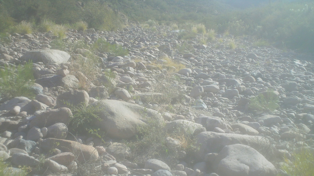
.....the canyon spilled out to this broad creek bed where cairns led me to the right. There were several stream crossings but steadily, the Battleship (unremarkable throughout) descended on the left until, I found a couple of spots left of the trail that were marked with cairns..... 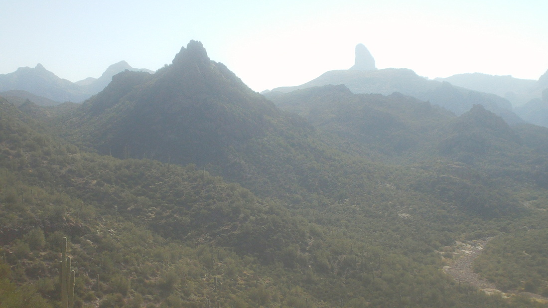
....and began climbing up towards a ridge. Dang, what incredible views, making it all worthwhile. To the bottom right, the creek bed from which I had emerged. That's Weavers Needle center right. 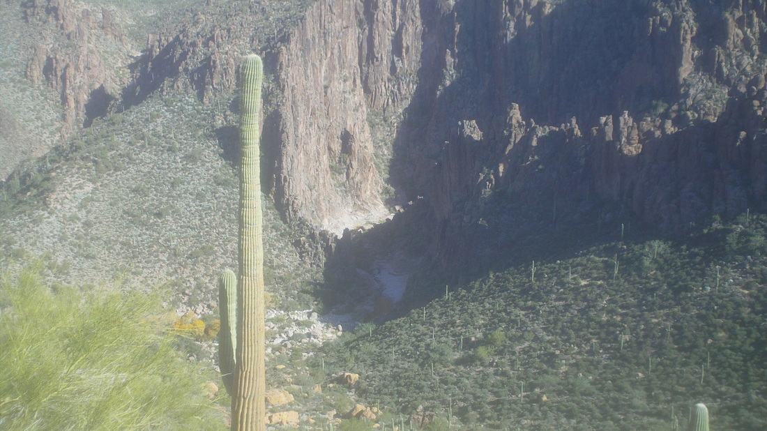
Reaching the top of a narrow ridge, I had grand views into LaBarge Canyon, where it enters a very cool "S" curve slot canyon. 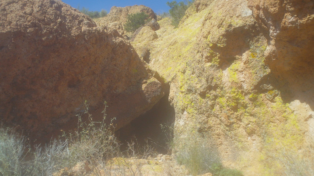
Hike reports described an "alcove" as the place to begin a steep climb but I did not initially recognize the above as being "that" alcove and continued to the left where...... 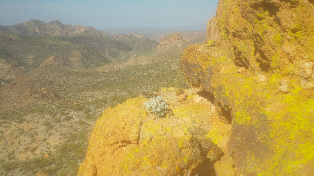
....the trail kind of cliffs out. Whoops, this can't be the way and so I again retraced my path and.... 
....stared at a 20' wall. Hmmm, then I spotted a couple of cairns and concluded, groan, this is the way. Three years ago, when I first began hiking out here I would have never attempted this but now, eh, wasn't difficult at all, just didn't look down. 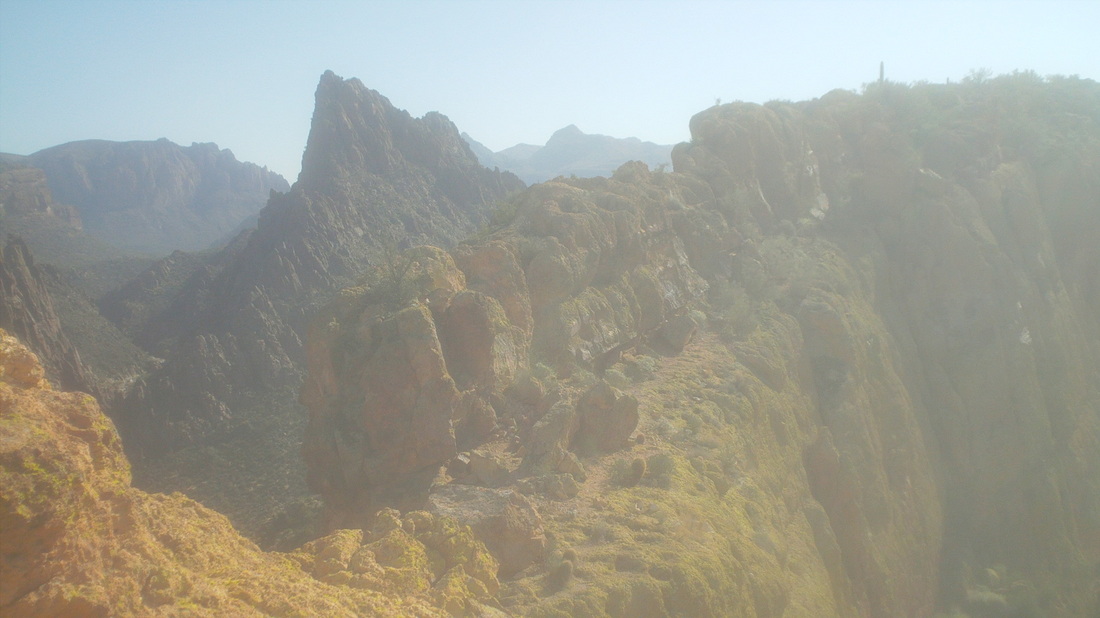
I can't articulate how much fun it was to follow the top of the "ship", very narrow in places with several hundred foot drops on either side. Exciting stuff. 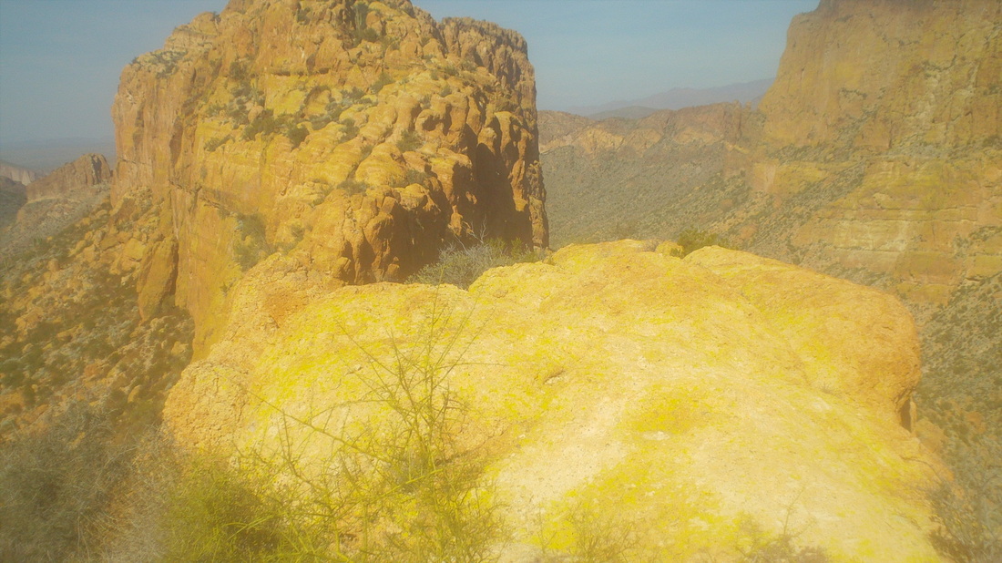
Oh, came to kind of a scary spot, there in the middle but I dropped to my rear and scooted across, not looking down again. OK, I did look down and whoa, don't look down again dummy. 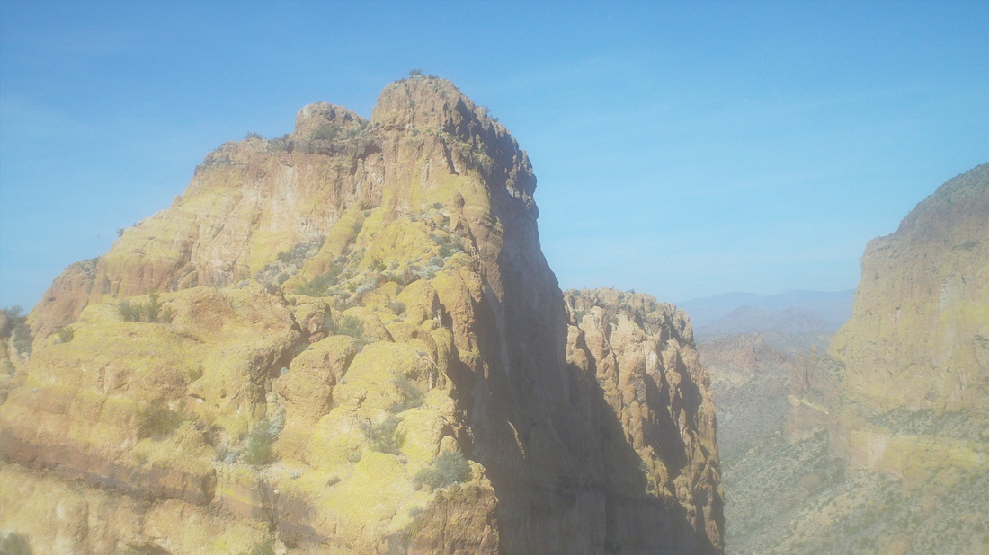
I missed a drop that dipped below the ridge on which I was walking and promptly walked to a dead end. Here, I looked at the final climb, looked at my watch and decided, I had to turn around. So close but finding my way through that could take another 30 minutes and I just could not risk getting stuck out here without a light. 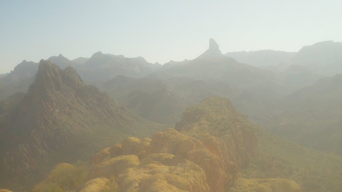
The way back was obvious since the "ship" was so narrow but it was not without some route finding, including.... 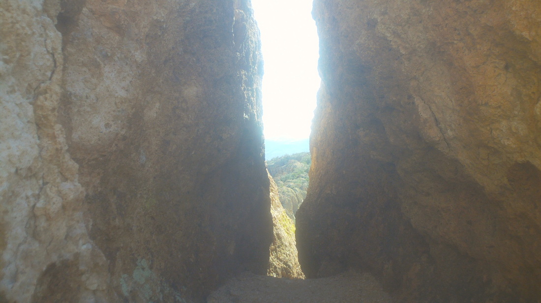
.....this very narrow slot. I have a 33" waist (ok, 34" probably now since all I do is eat out here) and I was scraping all the way through. A man or woman with maybe 36+" waist or a woman with....well, I can't guess, may have an issue with this passage. I made it back off the "ship" and began the long slog back. 
Walking back through Garden Valley I had a cool view of the top of Weavers Needle. Finished with 12 miles and beat sunset by over an hour so guess I could have made it to the summit. The good news is the prestigious "TLC" hiking club is doing this hike on Saturday and if the forecast rain moves through, I can reach the summit with witnesses.
This was a very fun hike, comparable to Flat Iron but with more exposure, thus a few nervous spots. At the start, the sun was at an angle that made pic taking impossible so I lifted the above image from someone's web site, with thanks. I usually start these hikes, look at the destination and try to figure how the trail will approach the summit. Rarely do I guess correctly because things change so dramatically as you climb into the mountains. 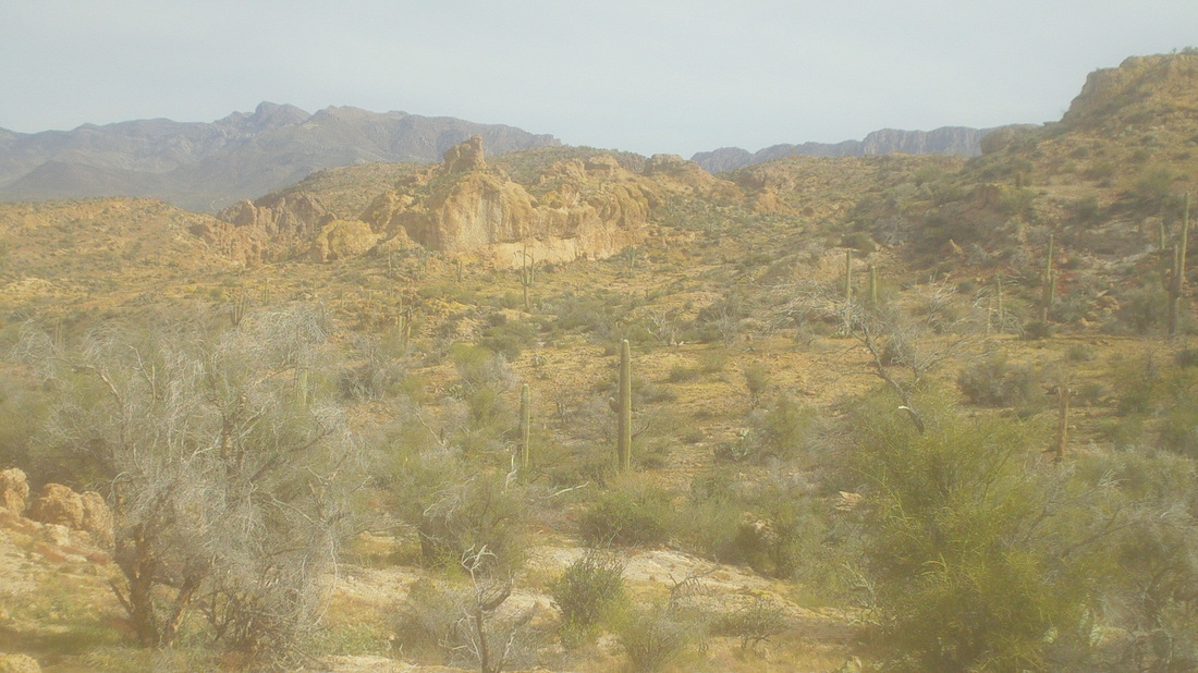
I was to make a left off the main trail at a cairn and did so. The walking was typical Sonoran Desert with nice views to the east. The trail was soft, loose all was going well until after 1/2 mile on this trail, I realized, hey, I have not seen any foot prints. I looked behind me and saw my prints were deep, defined, well defined. Dang, I had got on to a trail that circumvented the mountain so backtracked and got back on to the main trail. Soon..... 
....I came to this. Now this is a no brainer message for people like me who don't read on-line hike reports carefully enough and don't bring a gps device. So, I hung a left on this old road and the trail soon left the road and began climbing. 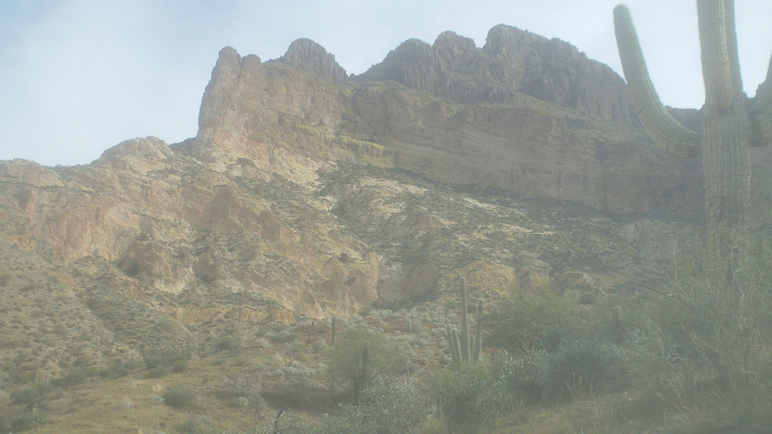
Lot of yellowish rock around here and the mountain drew closer. 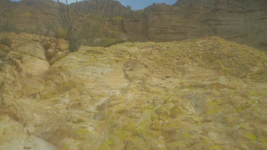
I came to a nice, steep rock wall and scrambled up. 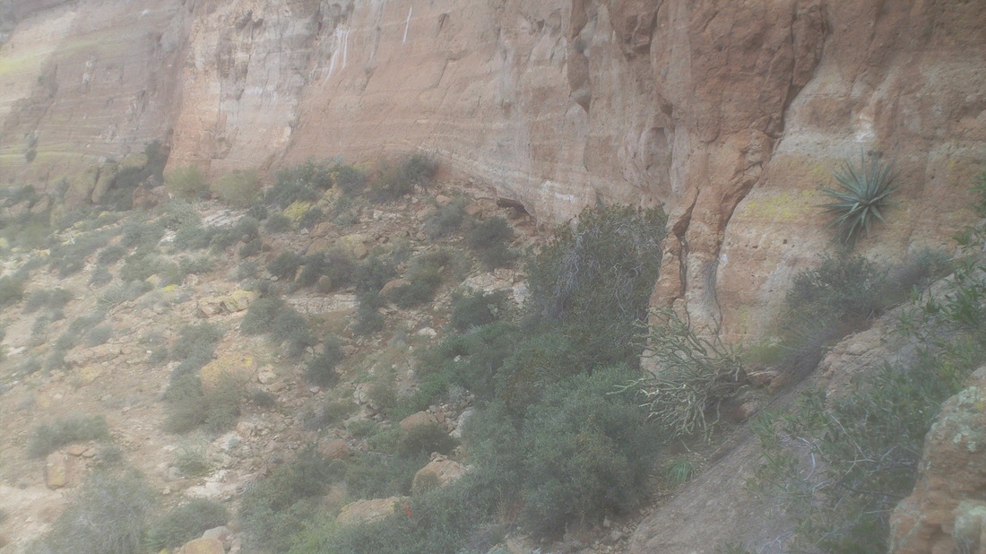
I reached a break in the stone face where the trail followed a side canyon. Looking along the base of the wall, there was a cave with a noticeable game trail leading into it. Would be fun to sit until nightfall and see what exited from it....not. 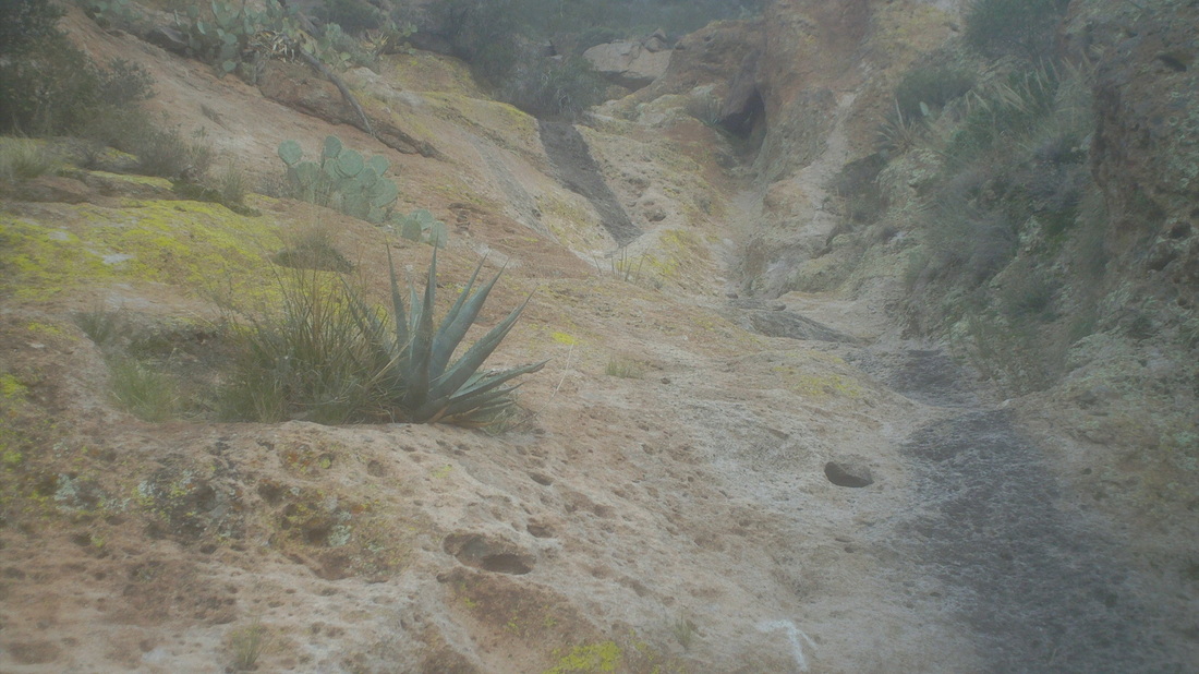
Whoa, a large and long expanse of slick rock not too much different from the Siphon Draw on the Flat Iron hike. I stood here for a minute, trying to figure how to climb it without tumbling back down. I got through that, through some other neat sections, reached the top of the canyon, crossed over the top of it with some serious exposure, climbed around large boulders and.... 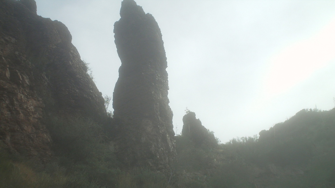
....began closing on the summit with these large hoodoos. 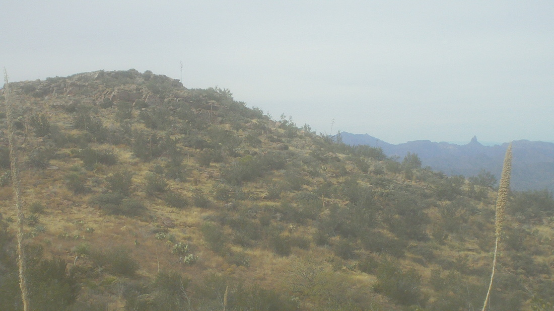
Unfortunately, what I thought was the summit was not. The trail kept going up, reached another false summit, went up again and..... 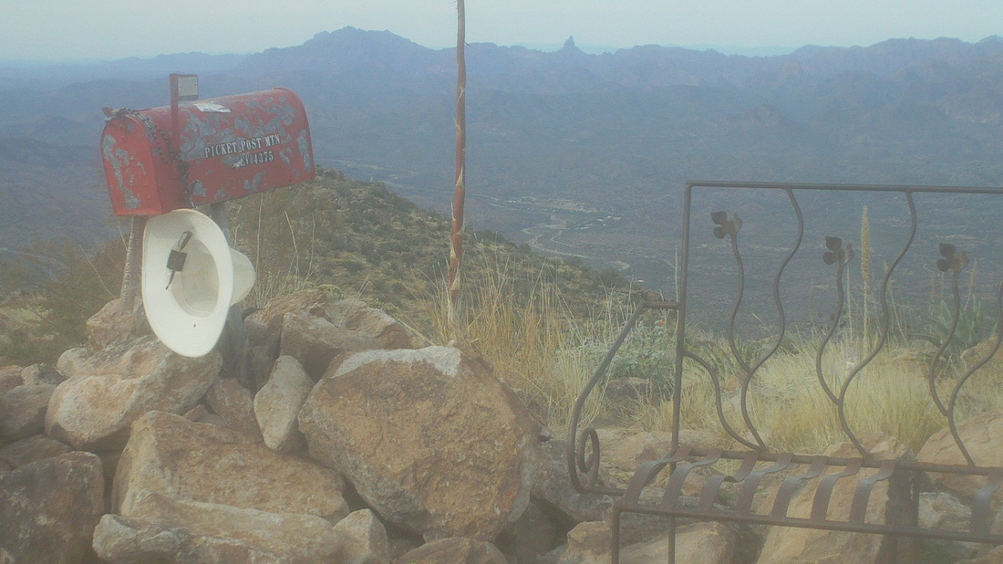
.....wow, what an incongruent sight. Amongst all this natural beauty and jaw dropping scenes was a red mail box, a bench some hikers carried up here several years ago and for some reason, someone tied a hat to the box. Inside, I found a notebook and pen and signed my name to it. 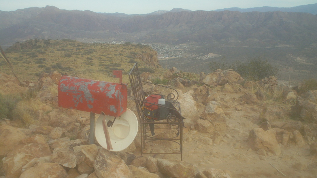
Looking to the east was the town of Superior, AZ. 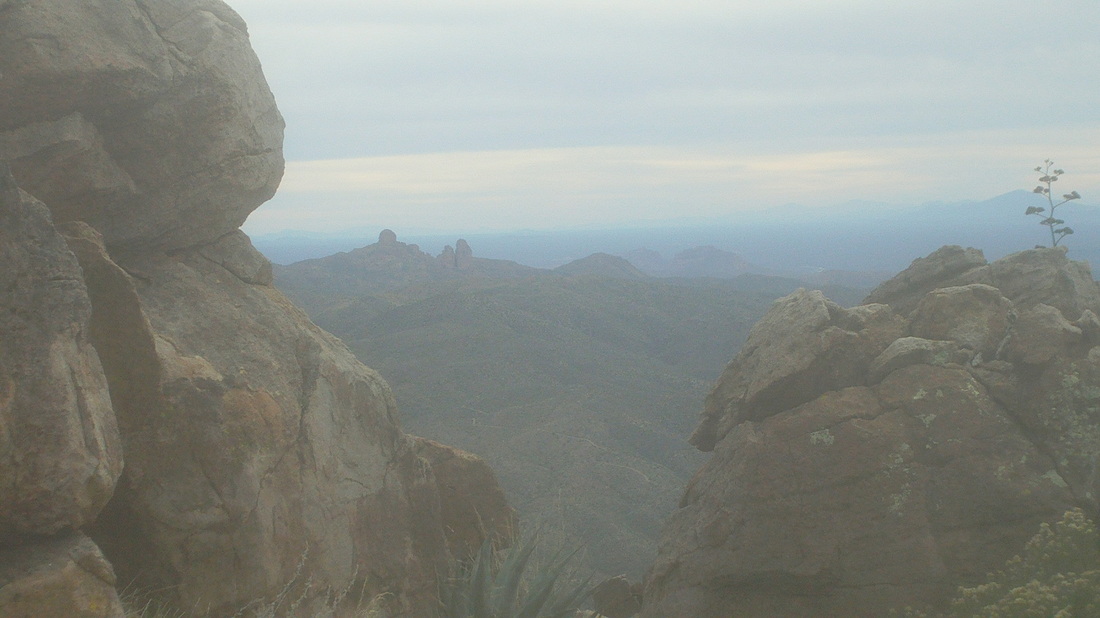
I began the long climb down but not finding this crack in the rocks that framed some dramatic views to the south. 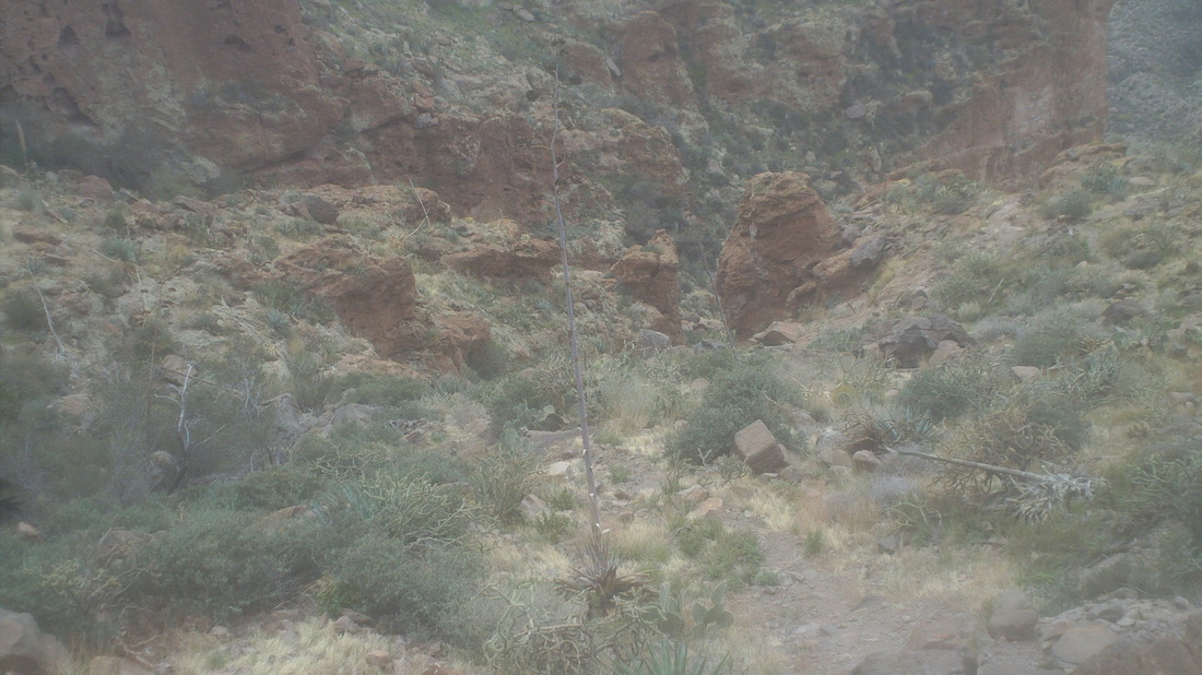
Down I went, eventually going through that notch between the rocks in the center. Officially, it is a 4 mile hike but with my mucking around at the beginning, I ended up with 6 miles, 2200' of climbing. A fun hike, this is not a fitness hike to see how quickly you can reach the summit because there are too many spots a fall would be fatal.
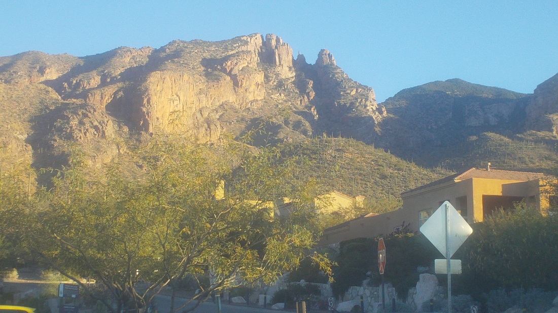
One of the prominent features, as you gaze at the Catalina Mountains, is Finger Rock, which you can barely see, a narrow spine of rock in the gap between the Rock Guard on the right and some unnamed feature on the left. So small, so distant and yet, that would be today's destination. I had been up there once before but upon arriving at the base of the Guard, found a wall that I could not believe was to be climbed and so turned around. The hump shaped mountain center right is Mount Kimball, a good hike with disappointing views as it is heavily covered in trees and brush. 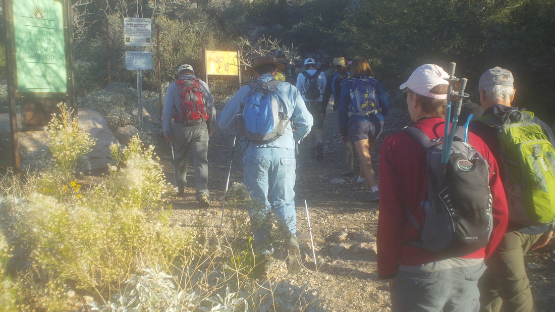
Although I had not hiked with Philip, our leader, he was nice enough to allow me to sign up with a group of 15, comprised of young and old, men and women, fit and not so much. Philip, like all good hike leaders, goes to great lengths to warn those who sign up via the "Tucson Hiking Meetup Group" what they will encounter (7.5 miles of steep hiking with exposure and scrambling). To their credit, all but 1 made it to the base of the Guard and 6 made it to the top. 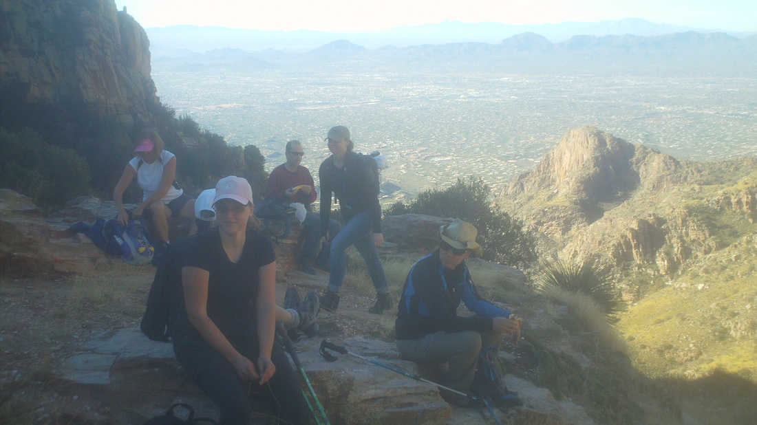
After 3 miles of steep walking over long stretches of slick rock at the edge of a gorge, we arrived at a saddle and waited for those who were unable to maintain the pace. Group hikes are like group rides. During a group ride the conversation is about bikes, gear and rides/routes/destinations. During hikes, the conversation is about shoes, gear and hikes/routes/destinations. The pace had been kind of slow but not unexpected for larger groups. 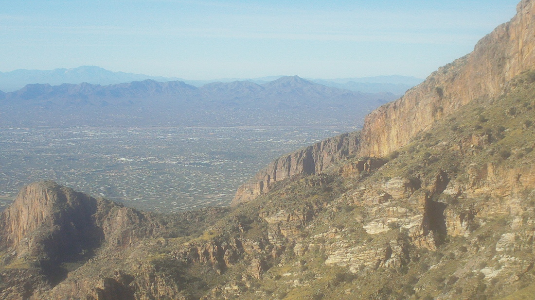
I was getting antsy as the pause lasted for awhile. I may like to linger during rest stops on our rides but when hiking, I like to keep going and not stop. However, there was nothing wrong with the views, to the south and southwest. Finally, Philip announced we were good to go, we had regrouped and the next 1.5 miles, after dipping into a side canyon, would be an average grade of 20% to a saddle below the Guard. He also invited those of us who wanted to pick up the pace to go ahead and I was glad to do so.. 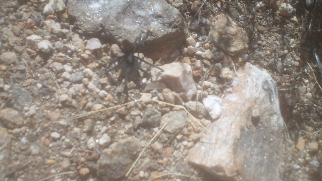
No one elected to come with me but that was ok and soon saw another tarantula spider. I'd hate to look down and find one crawling up my leg or on my shirt. He was aggressive and would walk toward me. I could almost sense his need to bite me. 
I reached the saddle, now with fine views to the north. I hung a left and continued up yet another steep slope, pausing once in awhile to see how the group was progressing below. During one such pause, just at the base of the Guard, I heard an obvious growl, yelled an expletive and turned to see what animal was preparing to attack. What the....it was some guy with a big grin on his face! I said, "Dude, speak something like hello but don't growl like an animal. You scared the sh*t out of me." As it turns out, he was a good guy and we got along well as we debated if, arriving again at a wall, that could really be the way forward. It had to be so I scaled the obstruction and he followed. 
Wow, Finger Rock from a different perspective. 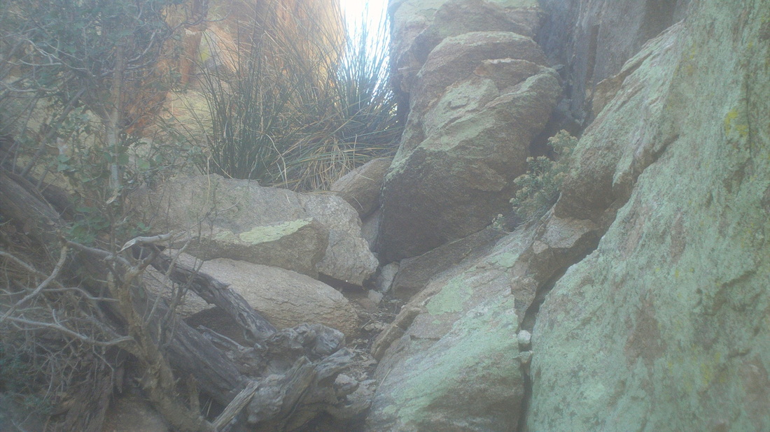
After climbing the wall, there were another couple of similar obstacles that required all hands and feet to scale. There were some cairns to mark the way but not a lot as we frequently paused to figure out where next to go 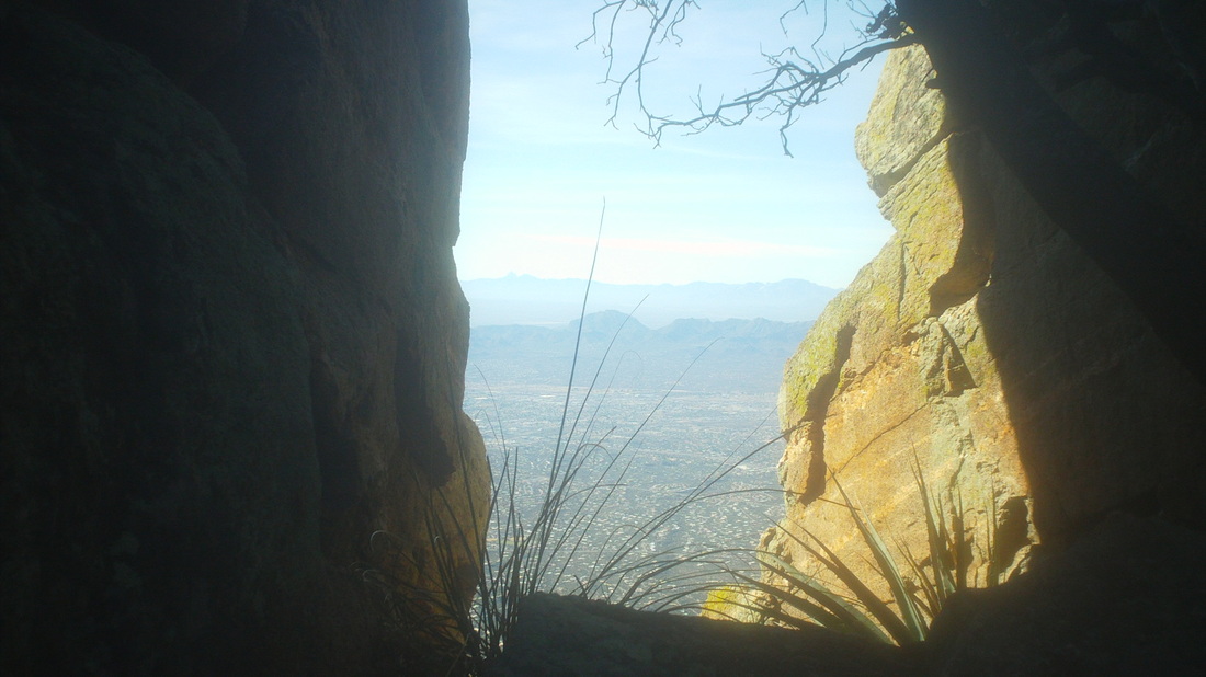
There were some narrow corridors you could walk through to sheer drops but with great views. 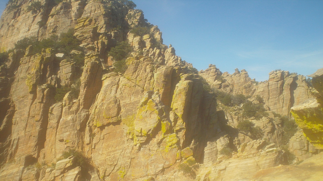
Finally, we reached the top of the Guard and could stare directly at Finger Rock but it blends in so well, it is difficult to discern its outline so..... 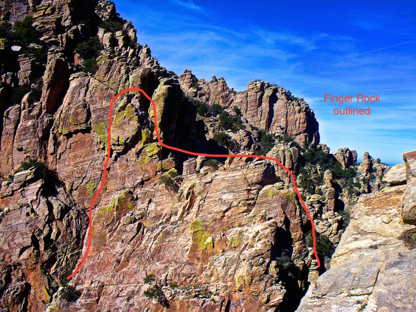
.....Ken, a fellow hiker from the Meetup group allowed me to borrow his image which allows you to see the Finger against the similar background. 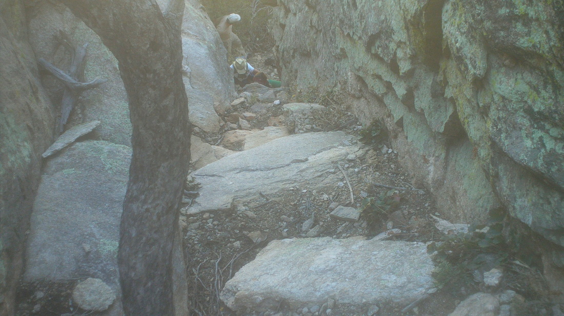
It was very neat to stand at the top, on a small space with several hundred foot drops all around. It's good my wife can not see what I do out here. I retreated a bit to find some of our group confused as to the way ahead and yelled down to climb this chute, which they did and soon joined me at the top. 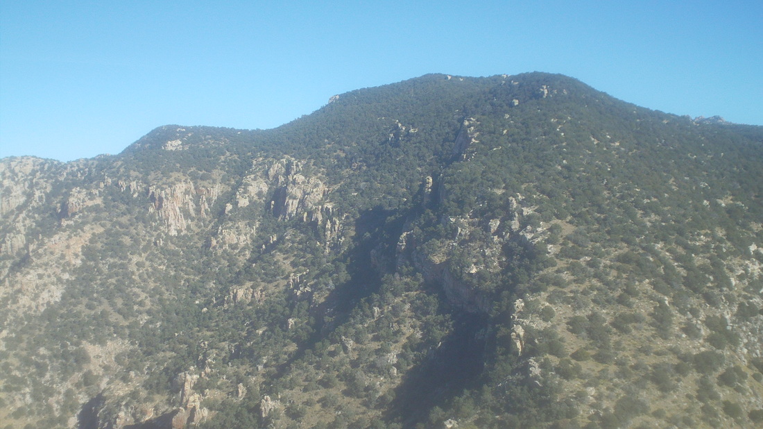
There to the east is Mount Kimball, or Kimball Mountain, whatever. It is a little higher than us. I still have a long list of hikes yet to do but I also have a list of hikes I have done, glad I did them but would not do again. Kimball is on the latter list, along with Mt Wrightson, last week's Rincon Peak climb for sure, Romero Pass, a few others. Then there are hikes I have done that I would do again and again, Flat Iron for sure, Weavers Needle, Sombrero Peak, Picketpost (I did that the day after Finger Rock, awesome), Pusch Peak, Blackett's Ridge, any hike in the Grand Canyon, etc.... 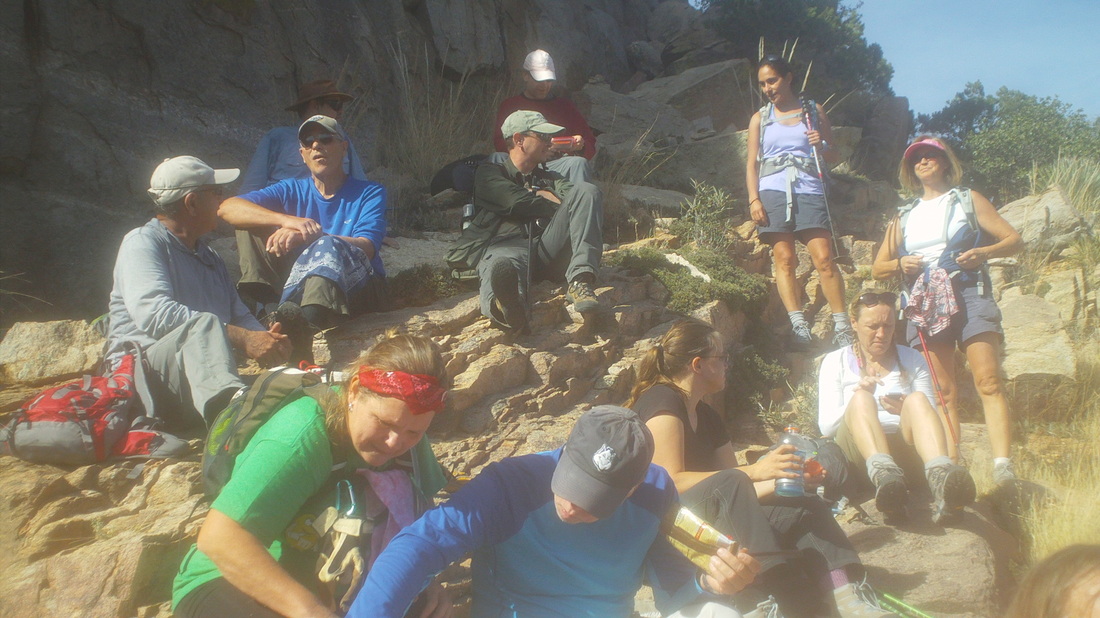
The six of us descended and found the balance of the group waiting. The wait lingered so I began edging down when abruptly someone said they had to keep going or their legs would cramp and so three of us took off, finishing with 7.5 miles and 3800' of climbing.
Known as "Ragged Top", this seldom visited peak is a very fun hike that is all bushwhacking, at least the route Jeff, Donna, Jerry and I took on Saturday. The day was cloudy and kind of cool, around 65 degrees but that is perfect for this type of hike. The dirt road is in good shape and easily driven in a passenger car. After parking, we followed a wash, got out of the wash and began ascending in earnest. 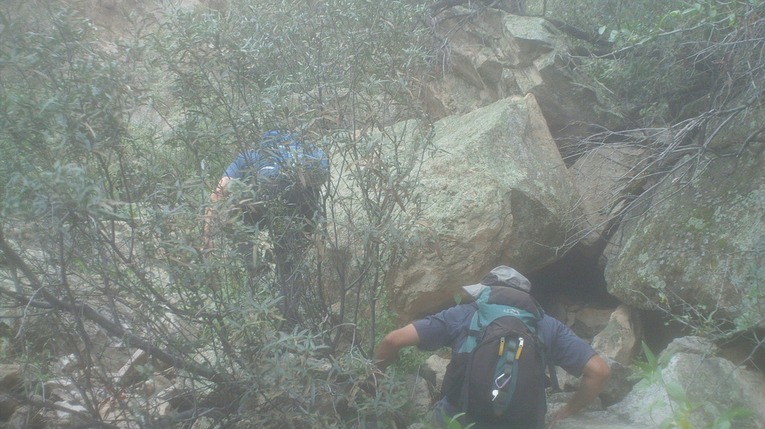
The going was difficult. Steep, bouldery, loose rocks, lot of fun navigating our way through the maze. 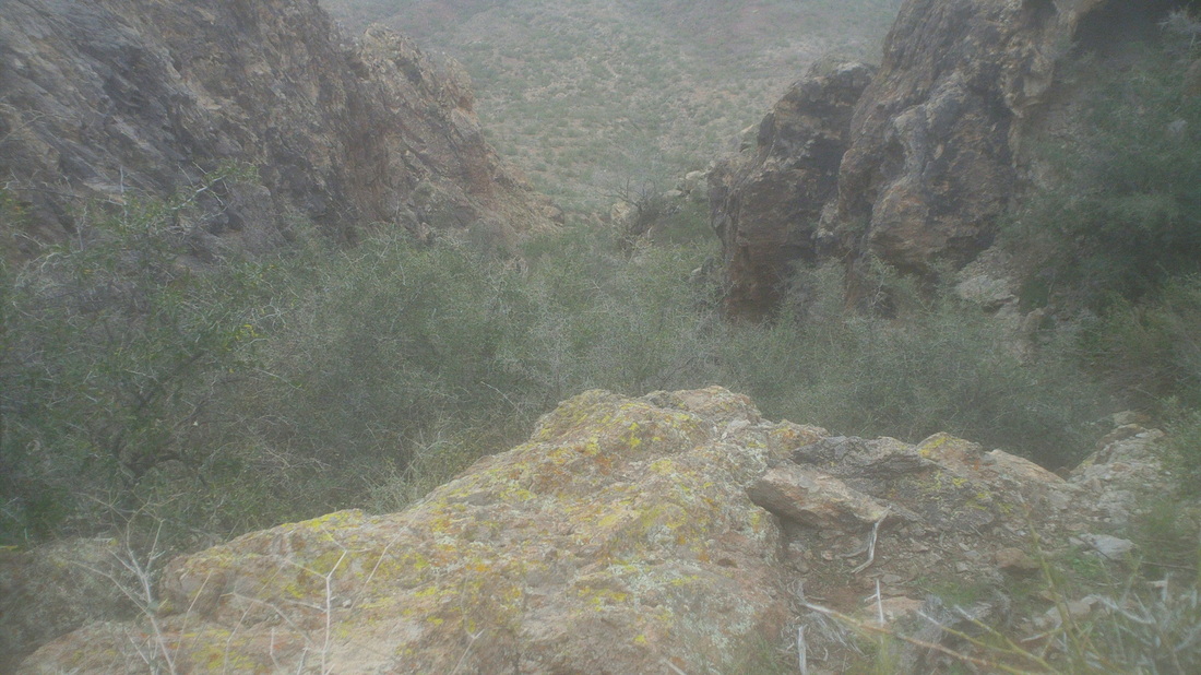
We came up through that but other than a few scratches, all was good. 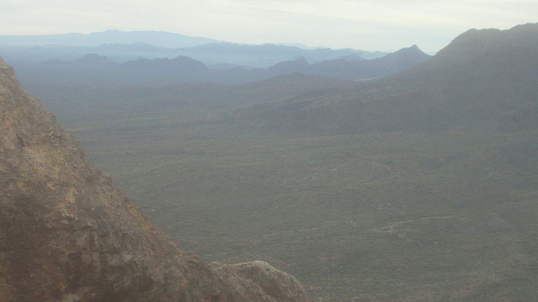
There seemed to be a mist that had settled between each valley and with the absence of sun, it stayed there for the duration of the hike. 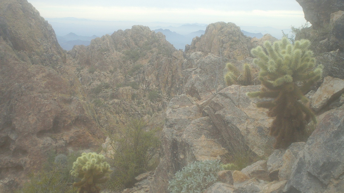
At a saddle, the views really opened up. Just fantastic. Then we turned to a stark stone landscape of steepness with some exposure. Yes, very exciting as we carefully plotted our way. A fall could be fatal so routine things like handholds, foot placement is selected carefully. 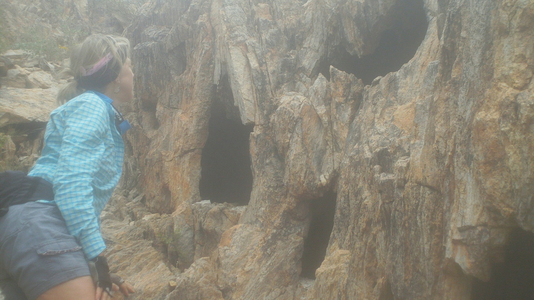
While I took lots of video at the top, I forgot to take images. Oh well. On the way down, we passed a series of deep caves with small openings. Hard to say what, if anything, lives in there when we are not around. I was glad for the limited miles, only 4 and only 2400' of climbing because I had a big hike for Sunday. More to come, later.
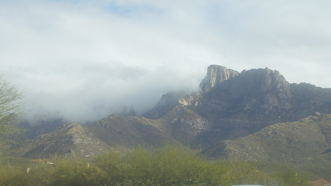
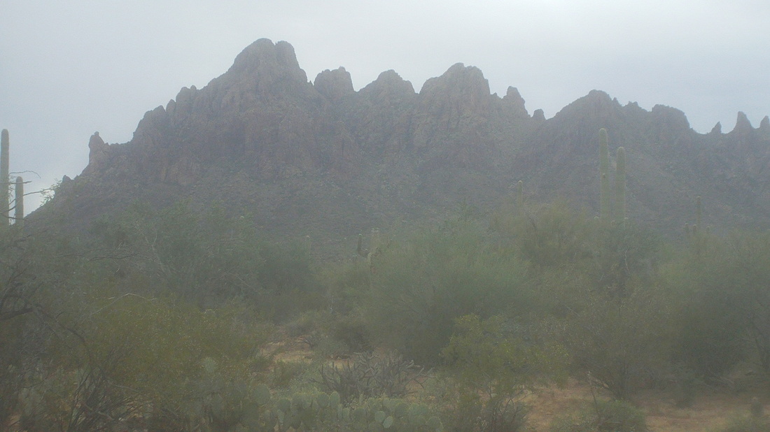
I jumped in with a short group ride on Tuesday, only 32 miles and then the rain moved in, dropped 3/4" of rain and left some clouds to linger in the mountains, above. 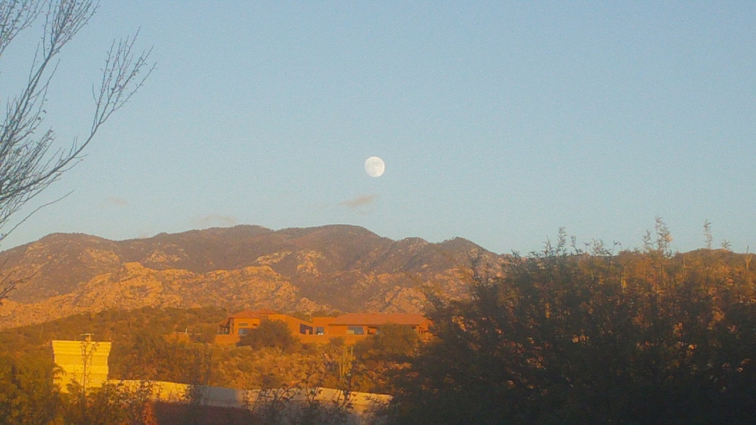
The clouds moved out quickly, the sky cleared, the moon rose and I watched the sun fade on the mountains. Hmmmm, looks like I have a couple more tree branches to trim. 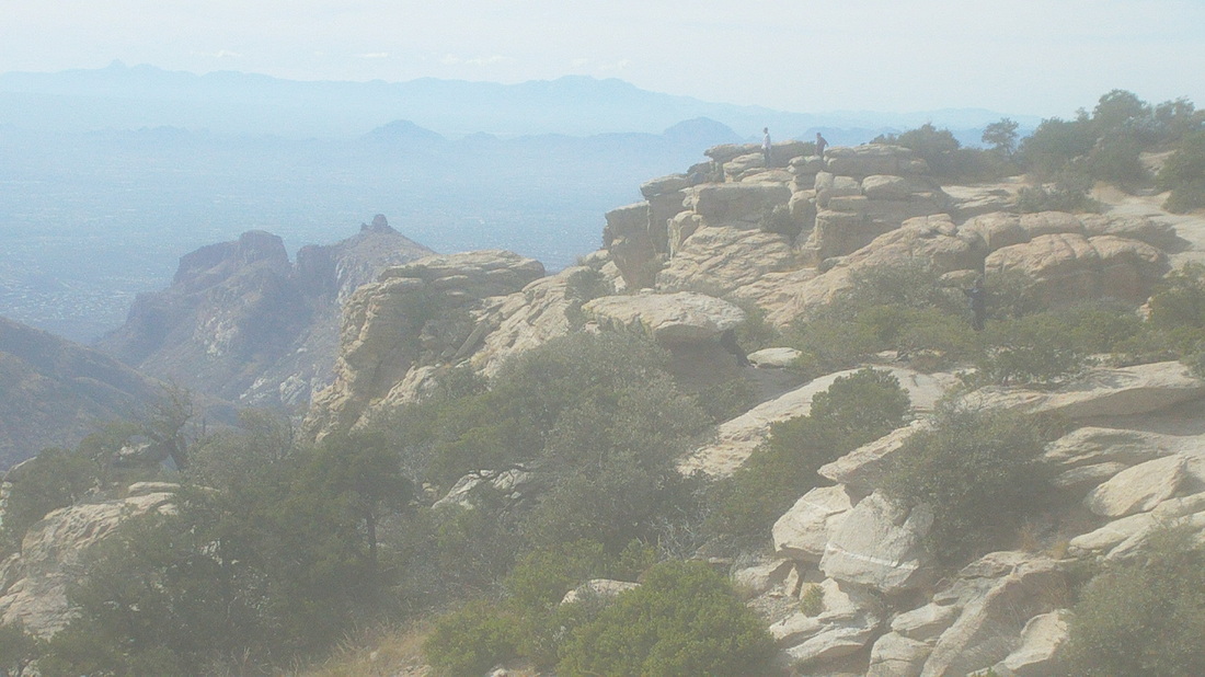
Thursday, I joined a group ride out of LaBuzz, a popular coffee shop and there were quite a few strong cyclists. Afterwards, because I was at the base of Mount Lemmon, I drove 11 miles to one of the overlooks, Windy Point. I hiked out to the end of what you see above and then hiked below it for a little while but not too far. 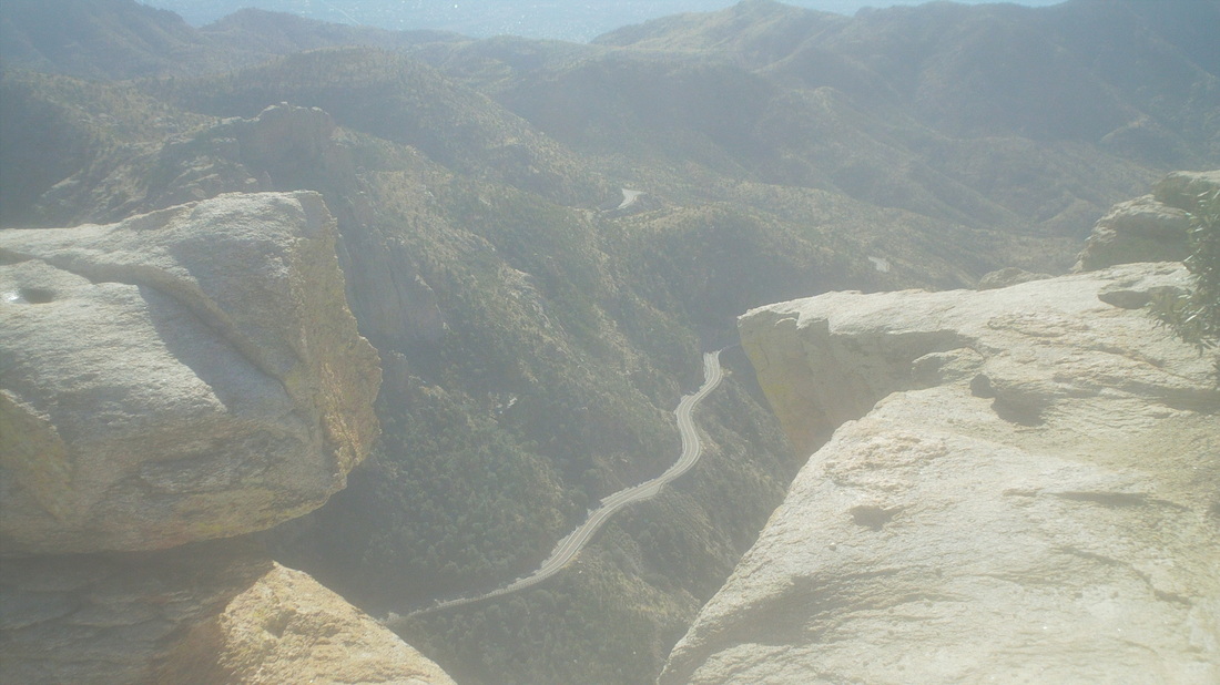
I arrived at a ledge with a neat look into the valley and the ribbon of road. I can't stand right at the edge as some can. I stand about a foot away and lean well away from the edge. 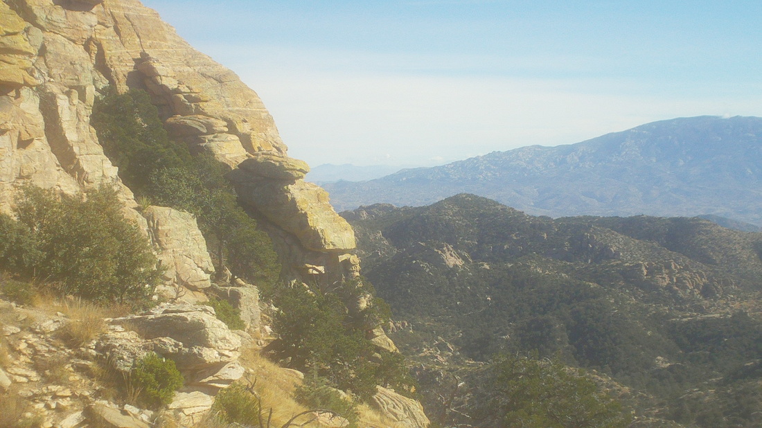
The views were impressive. 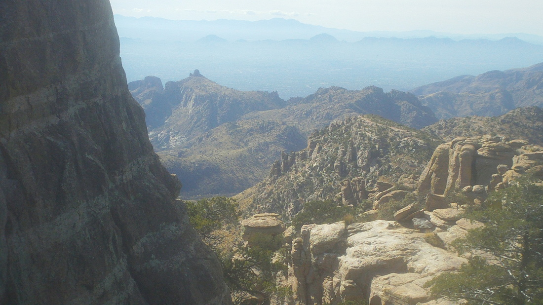
I down climbed past the wall and saw more great views, including Thimble Peak in the foreground. 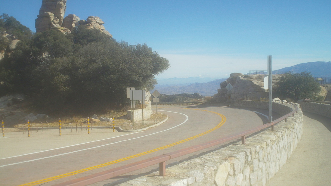
I came back to the road and had a fine view of the southeast but also noticed a couple preparing to rappel off a nearby cliff. The young woman was preparing for her first rappel but I thought it a bad idea to start at such an intimidating spot. I could tell, as her boyfriend explained the intricacies of lowering oneself on the rope, she was not comfortable and not comprehending everything he was explaining. Finally, she opted out. 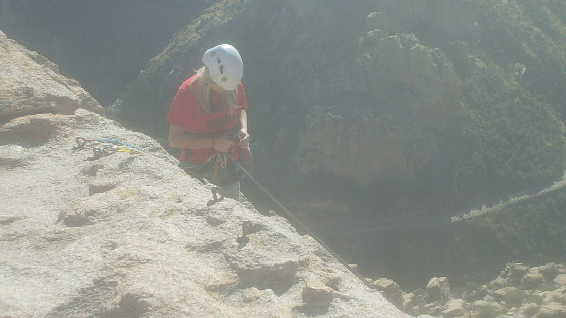
 Last week, Vagabond Jeff, as we stood high above the Flat Iron, told me the peak in the distance, Superstition Peak, was a good hiking destination from the south side of the Superstition Wilderness and so, I read the hiking reports, prepared and showed up on a cloudy Tuesday morning. The much needed rain that was soaking CA extended just west of here but the forecast said I'd be rain free for a few hours so I drove north, reached #60, turned right on Peralta Road and true to the descriptions, the trail head with ample parking on the left, is reached in 6.1 miles, 5 of that on smooth dirt road. 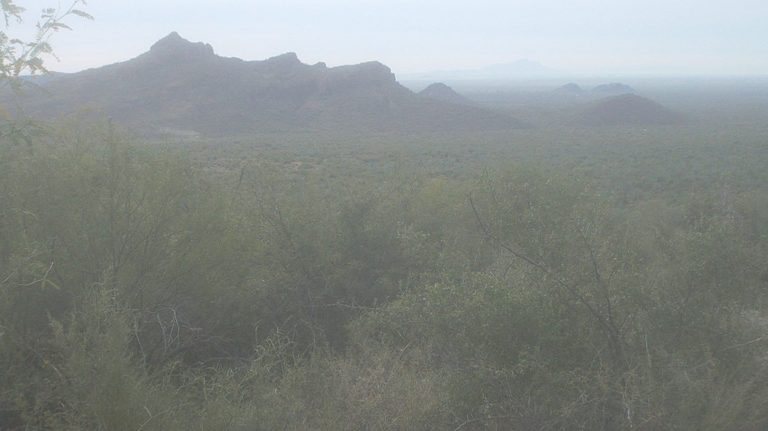 The start of the hike is non descript, just follow a wash until a fence is reached, go through it, make sure I take the right at the fork or else I'd end up at the Wave Cave, and then, begin the climb. Quickly the views, as usual, begin modestly but get more dramatic for every step higher.  The trail takes me below this giant boulder precariously perched on an eroding platform. Wouldn't want to be beneath that when some day it inevitably tumbles.  I got off trail one time on the initial climb, following footsteps left by others that went west before petering out. I backtracked, discovered my mistake, rounded a curve in the canyon and oh boy, going to be some serious climbing and boulder hopping to the saddle.  Fortunately, there are ample cairns (small piles of rocks) to guide me. Pretty cool as the route went over lots of steep slick rock.  At the saddle, the trail's only sign post indicates I have come a very slow 1.8 miles from the trail head. 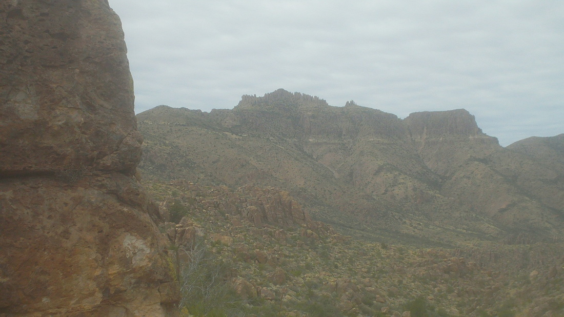 Coming around a wall, there it is, the peak, but such a long way. I began thinking maybe I should just call it a day and come back with a group but I pushed on, mentally setting up a go/no go turnaround time. I had to turnaround if I don't reach the peak by 12:30. The hiking is not free and easy but somewhat technical and slow, even when not climbing. 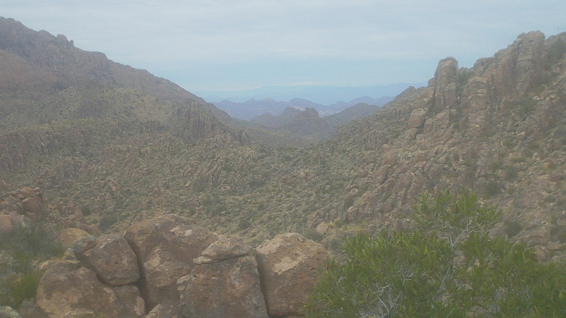 The higher I go, the views now start to open to the north. I stand and just gawk many times, shoot lots of video and pics. I'm not pushing myself too much, given what I have done the last few days. I need to get back on the bike for recuperation prior to a big weekend of hiking, BIG! 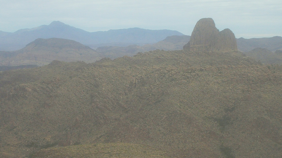 Weavers Needle checks in, at first just a nub above a ridge but then more and more of this awesome rock is exposed. You should see what it is like at the base, staring up at it. Geesh. 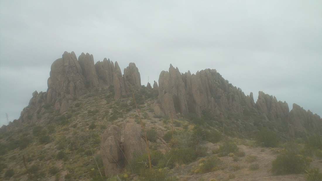 More climbing, cross a broad dry creek bed and look back to make sure I can find my way through it on the return, more climbing and then, there it is, the peak and close. Note for other hikers, trip reports describe a junction at about mile 3.5, where a left takes you to "Three Sisters", stay straight or right to stay on the current trail. What hike reports do not say is there is another trail that later comes in from the south to your left. Probably that is a return from the Sisters but ignore it and keep going straight. 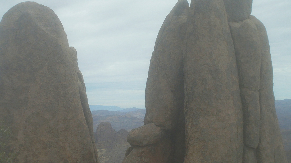 The climb in to the hoodoos is dramatic and there is the Needle, framed by a couple of them. 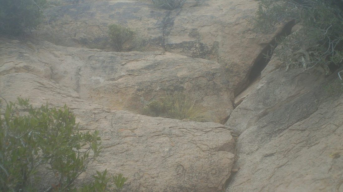 Trip reports say at mile 4, you reach a fork and to go off trail, straight, to reach the peak, rather than stay on the trail, which takes you to the right and below the peak and on to the Flat Iron. While it is true there is a fork at mile 4, the way to the peak is no longer "off trail" but is well defined by cairns and padded trail in the few spots where there is dirt rather than rock. Quickly, the Class IV scramble with exposure is reached. Exciting for sure. The image makes it appear that a couple of steps up and you are clear but that is a good 20' just in the image. I found starting on the right worked, reach that top ledge, walk carefully to the left using the bush to steady myself and then climb from there. Also, don't look down. 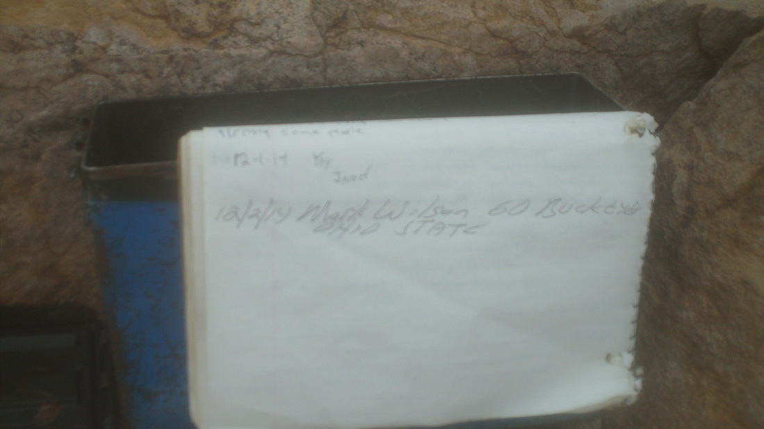 At the top, there is an old ammo can with paper and pen so I signed in as usual with a "GO BUCKEYES". 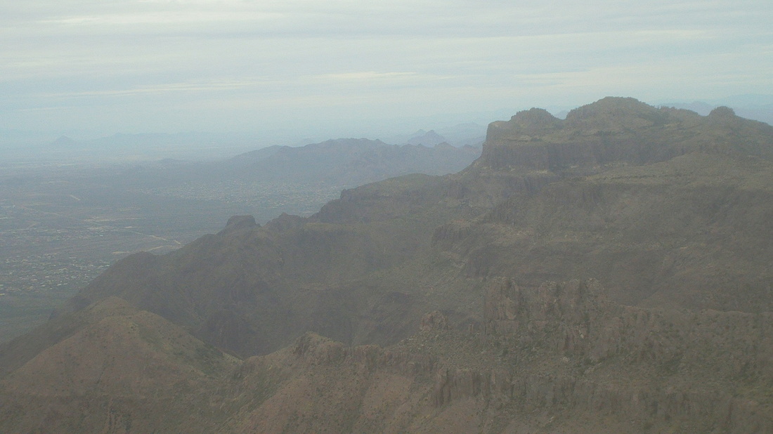 Center right is the Flat Iron. The clouds are thickening and obscuring the view a little but even so, the 360 degree view is stunning. So, so fulfilling to reach these spots. Makes the suffering worth it. 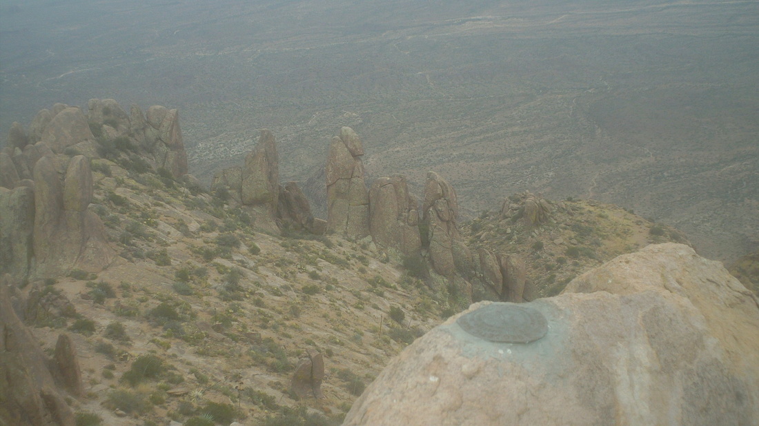 Many years ago, a surveying crew climbed here and inserted 3 plaques in the rock, one of them in the foreground above. Well, it took me almost 3 hours to climb the almost 5 miles , 3400' of elevation gain, to the peak. A slow time but indicative of the desired slower pace coupled with the many obstacles that one encounters along the way. It would take me almost as long on the downhill return. Below is a fork in the trail along a ridge that offers more great views. 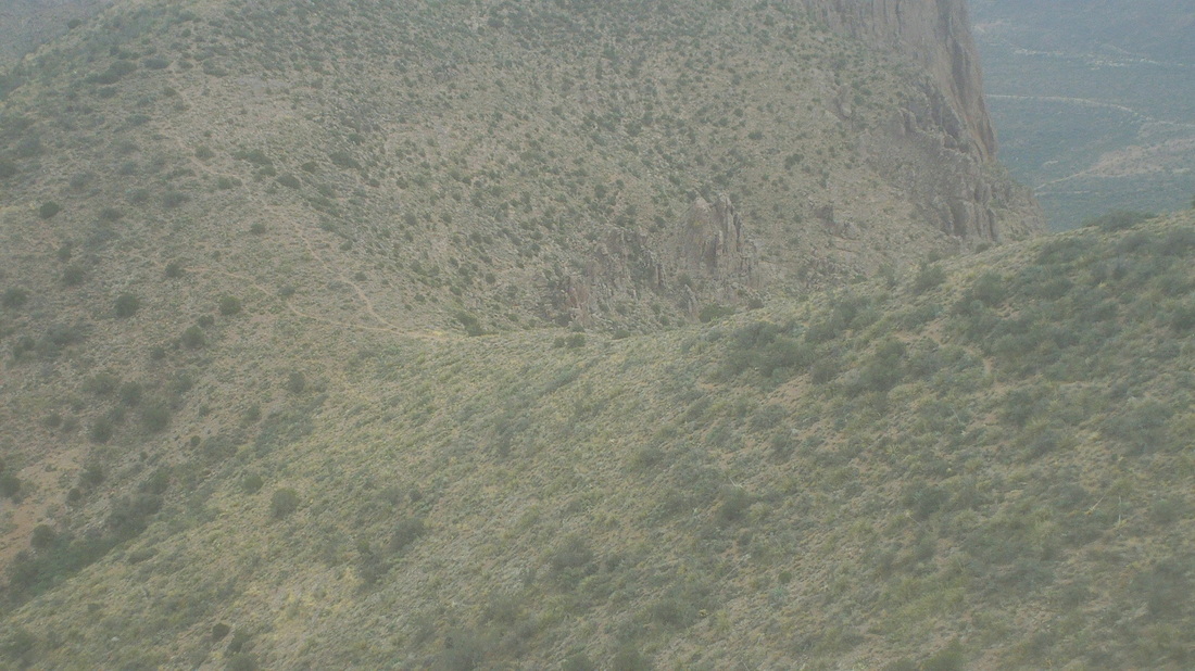 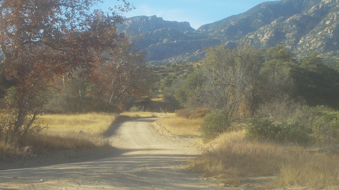 One of the local "Meet-up" groups scheduled a hike to the top of the remote Rincon Peak so I signed up. For me, it is comforting to know there are others on the same trail, just in case the unexpected happens such as a wild animal attack, fall, trail direction confusion, the usual stuff. The trail head is 16 miles from I-10, 13 of it dirt but the road is easily driven in a car and I saw a Prius at the trail head too. Although it has been several weeks since rain, there were 3 crossings of running or pooled water so hard to say how iffy would be the crossing after a recent rain. Lastly, once you make the turn left at the "Miller Creek Trail" sign, you have to make another immediate left turn to access a very small parking area (this is for those of you who have found this after doing a search for "Rincon Peak").  There were 7 of us at the start and early, we argued the peak in the distance could not be Rincon because it was too far. Unfortunately, that is it and as described in other on-line reports, that final 1/2 mile is as steep as anything I have climbed. The good news is, according to my Garmin, it is not 8 miles but instead 7.3. The bad news is the final 1/2 mile is, I found, little different from the previous 1.5 miles. Ridiculously steep, at least A 30% grade. 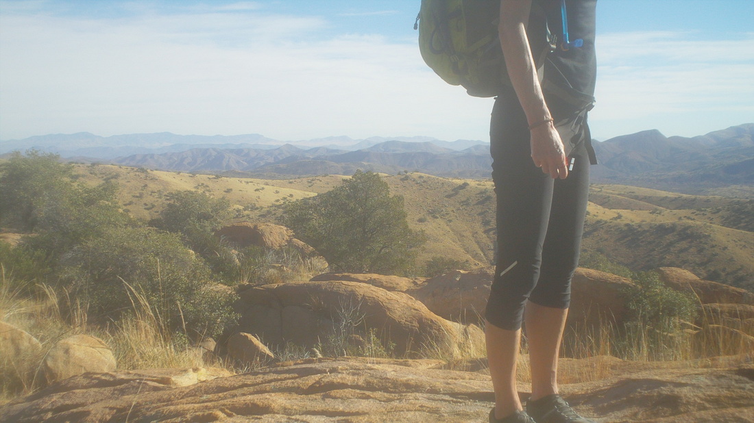 After following a creek bed with several crossings, we began to climb in earnest and so, soon, had nice views to the southeast. The partial of the woman above, I think her name Laura, kind of fits the M.O. of most hikers, fit, really fit. There was one exception though so we frequently had to regroup. For "Stan" our leader, it is his responsibility to shepherd the group but for the rest of us, we are free to keep going and so after another stop, I kept going.  After about 4 miles, I reached a signed junction that directed me left and then I quickly reached the Happy Valley campground and then there is another sign directing me again left, clearly going toward the peak I had earlier scoffed could not possibly be our destination. It actually dampened my mood a little to see how distant the peak was and the height....oh my.  The environment was unlike most out here, likely because this side of the canyon faced generally north. The brush was thick but the trail easy to follow and it was reassuring that small metal squares had been inserted periodically along the trail in trees.  And then there is that final 2 miles (the image doesn't do it justice)! So steep, it reminded me of the scene in "Close Encounters of the Third Kind" where Richard Dreyfus' character is frantically struggling to scramble up a slope toward a saddle prior to the arrival of a helicopter carrying a dust that will render him unconscious. In fact, I slid down a couple of times, unable to maintain my position. Most steep hikes require large step-ups to boulders, one after another but this was different, kind of like a ski slope with gentle "S" curves and not much to grab for leverage. 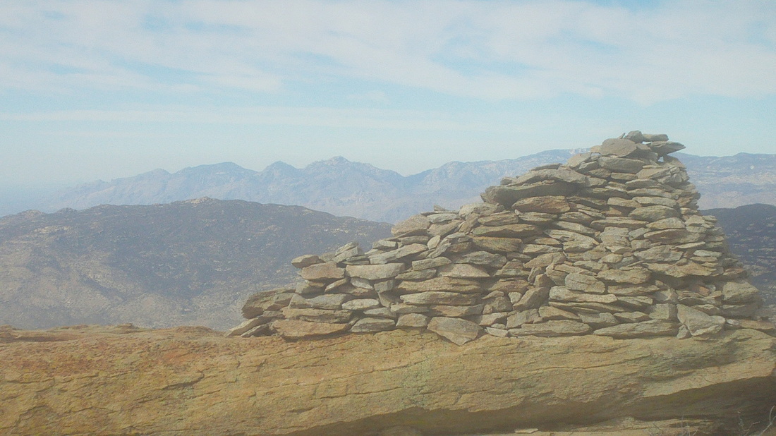 At last, there is a pole with a metal encased register where you are to sign in but wait, that's not the top. Noooo..... now you have arrived at a section where you climb over and around boulders, which I find much easier than what I had just experienced until, there it is, the famous 6'+ rock cairn. The 360 views were awesome but it was very windy and cold up there and I lacked adequate clothing. My perspiration soaked shirt in that wind and temp??? Whoa! 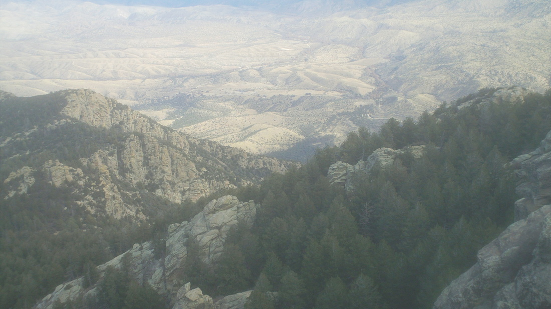 Somewhere down in one of those valleys is the trail head. 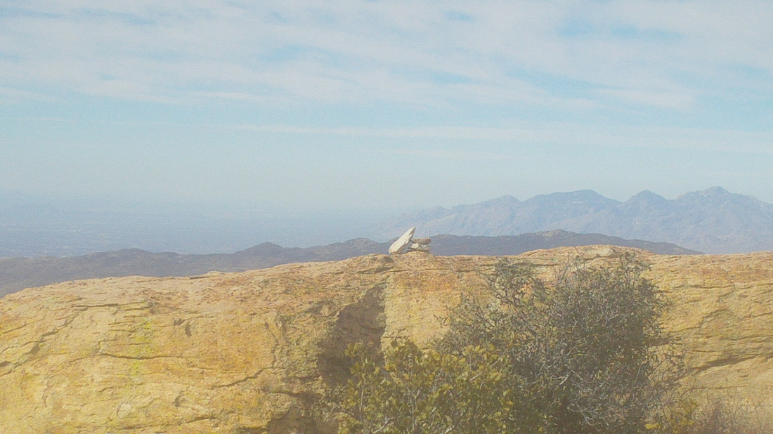 I discovered you could clearly make out Mount Wrightson, Bavoquari Peak, Kit Peak, and then, directly above that tilted rock is the western edge of the Catalinas and where I live and then again directly above the rock and beyond the Catalinas, I could just make out Picacho Peak but the image is not so clear. Well, time to get off this rock and I headed down, just then running into the group, two members of whom had dropped out farther down the trail. Probably a good idea.  On the way down, I noticed some ice so at night it must get pretty chilly. I welcomed the warmth as I descended and began to peel a shirt layer, removed arm warmers and began chugging fluids more frequently. The long and steep downhill began to take a toll on my knees and surrounding area. The jarring, over and over made me regret not bringing a hiking pole with me to absorb some of the impact. 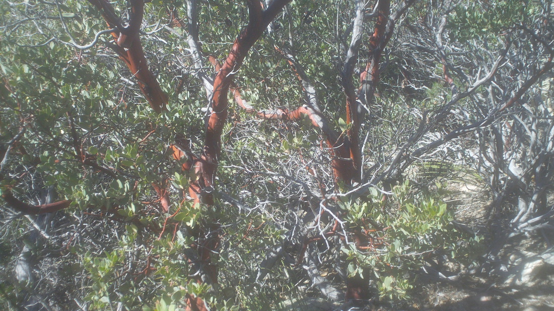 Check out this bush, of which they are in great abundance. I guess the living portion of the bush's branches are reddish and the areas that have died are the grey. Stunning as they lined the trail. 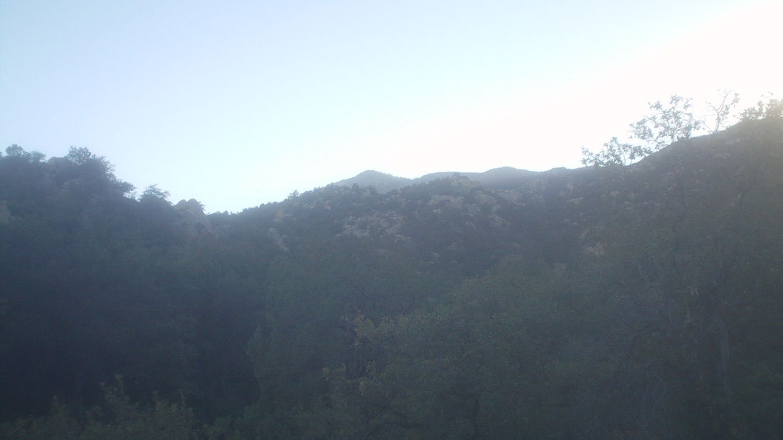 The sun disappeared over the mountains rather early, prior to 4:00pm, putting the valley in the shade. 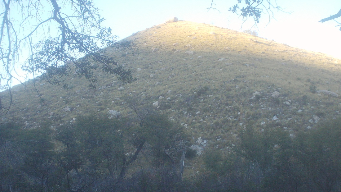 To the east, the sun cast a final shine on a hill before it too was in shadow. I passed a couple of large cows, recrossed the stream and finally, reached the parking area. Perhaps it is the lingering effect of having pushed myself up the Flat Iron but this hike had the feeling of certainly top 2-3 hardest. Cathedral Rock, longer and more climbing didn't feel as difficult, Mount Wrightson didn't whip me like this and at only 4500' elevation gain, that's not so much compared to others. Maybe it's because the final 2 miles is so steep but this is the real deal, just in case you are researching and planning to take the hike.
Recently, one of Ohio's premiere cyclists, Flyin Tuna, retired and has settled in to a routine that she describes below. As I read it, it reminded me of my 94 year-old mother's daily routine too.
Lets see; what do I do all day? I've been sleeping in until 8:00; have breakfast, watch TV and before I know it, it's lunch! What fun is that? Soon after lunch, it's snack time and then dinner! I then change out of my PJ's and consider if I should walk all the way to the mailbox or drive there. Usually, I wait until I go out to buy more food, and stop to pick up mail on the way back in. It's all I thought it would be and more. A Cyclist Christmas party is being planned with a date and location to be decided soon. Sounds like a downtown Columbus restaurant will be the location. |
