|
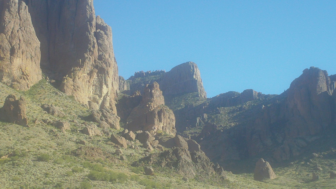
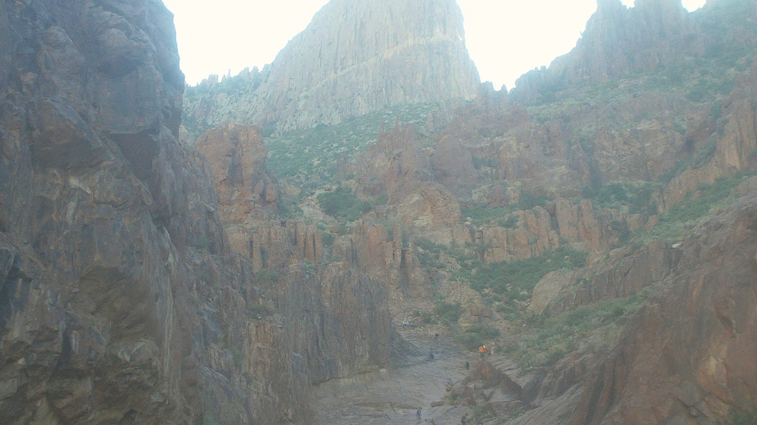
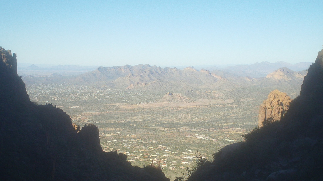
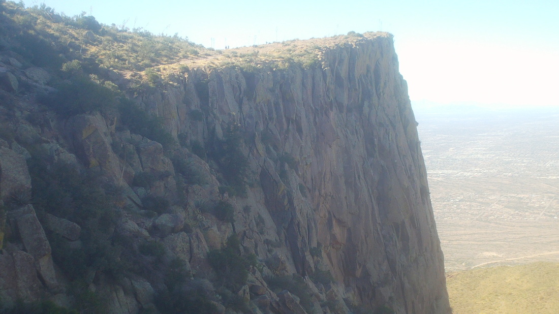
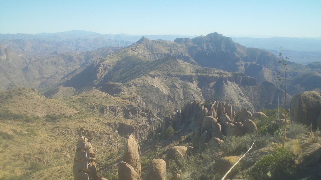
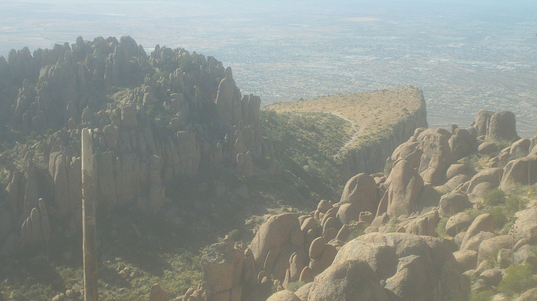
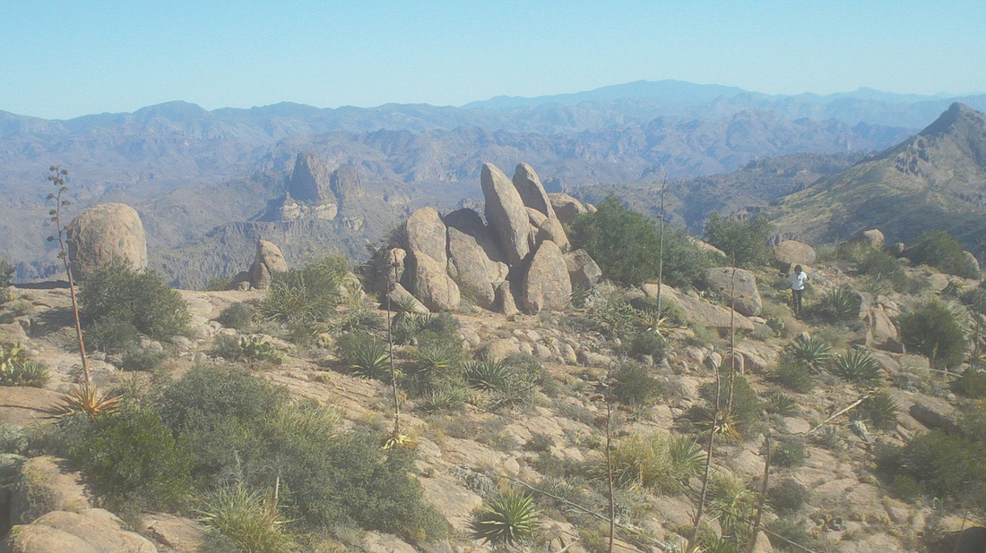
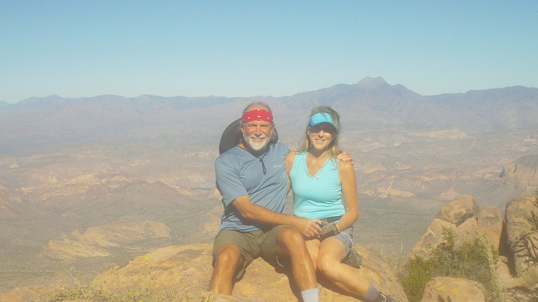
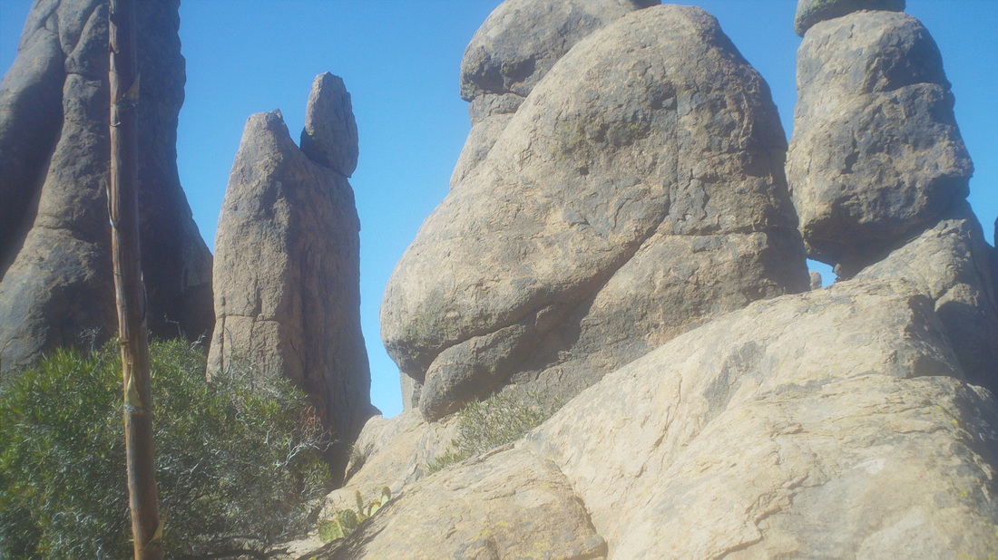
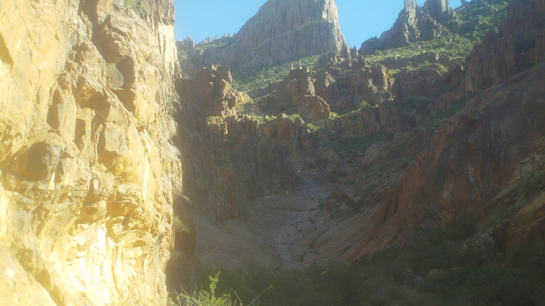
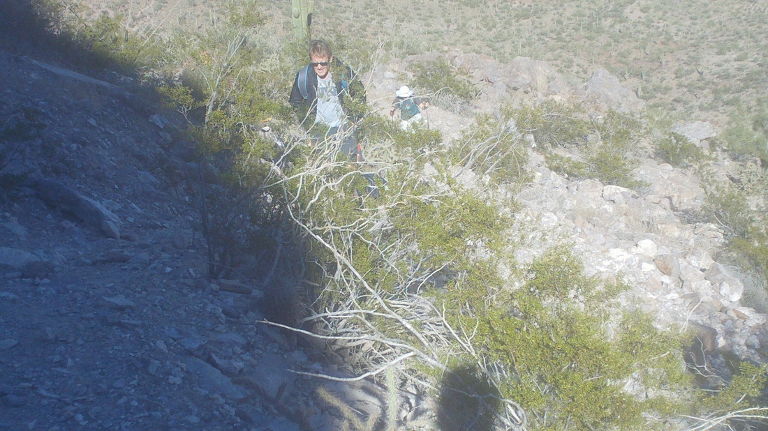
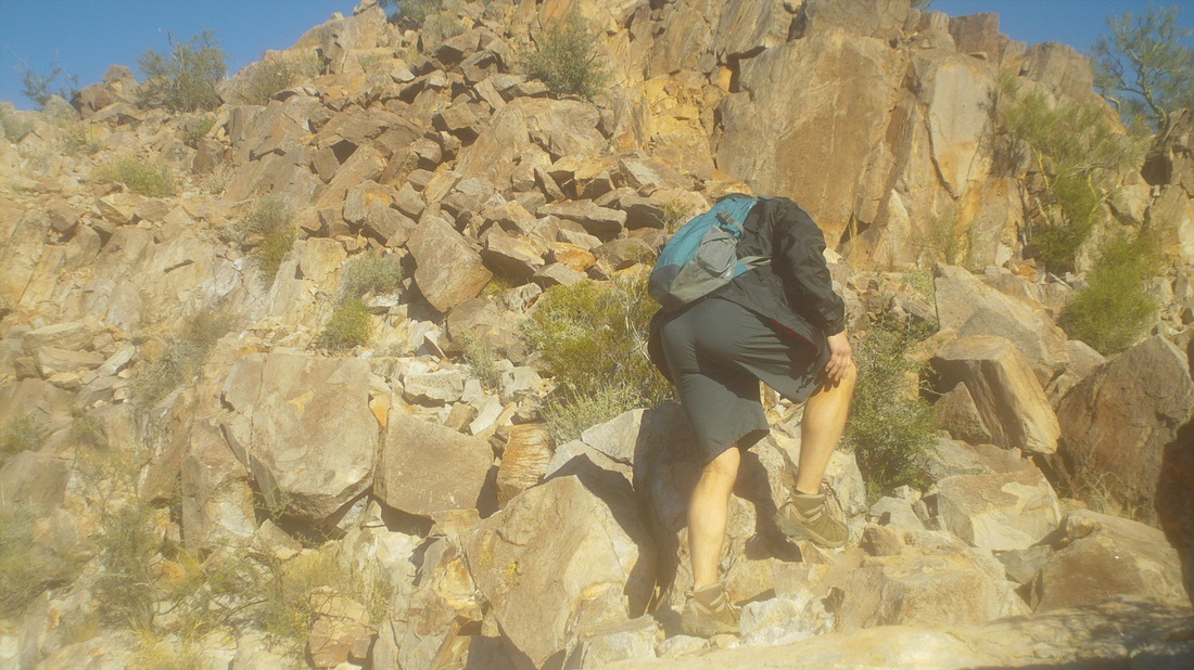
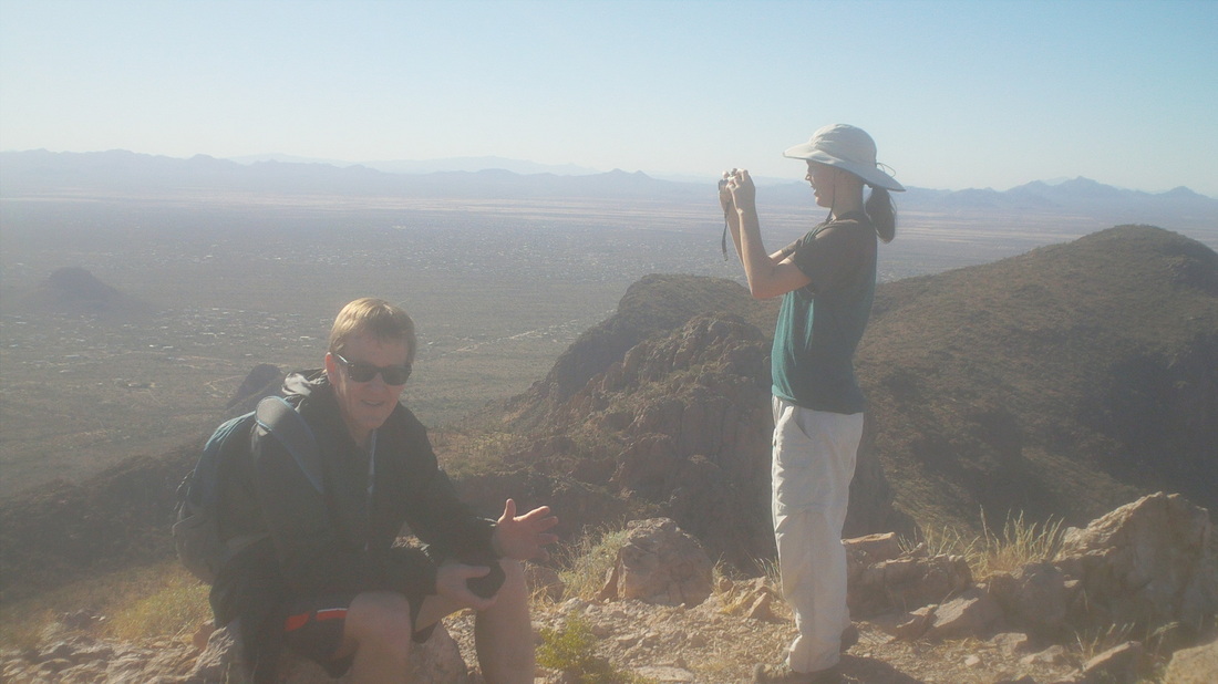
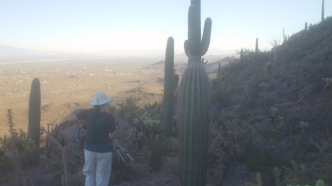
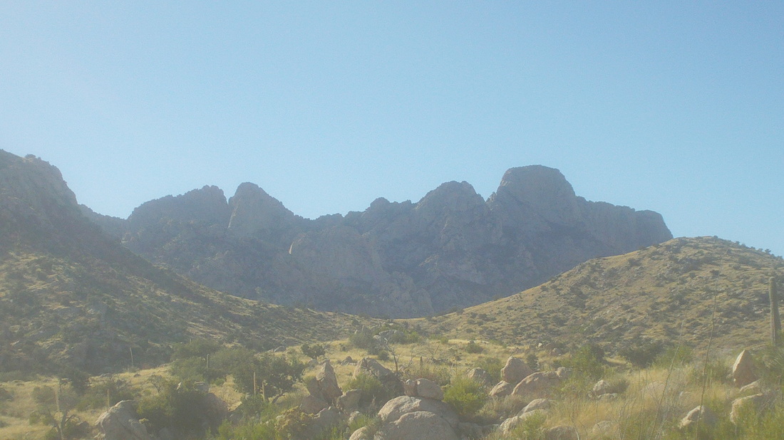
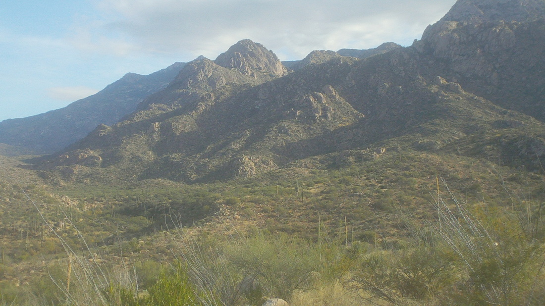
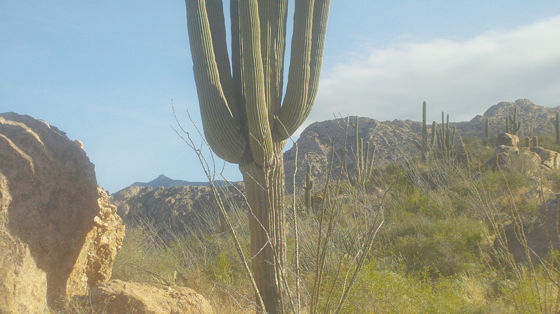
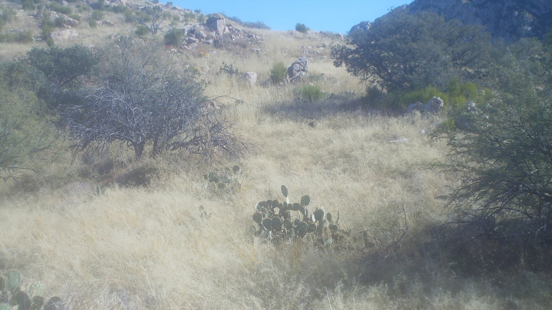
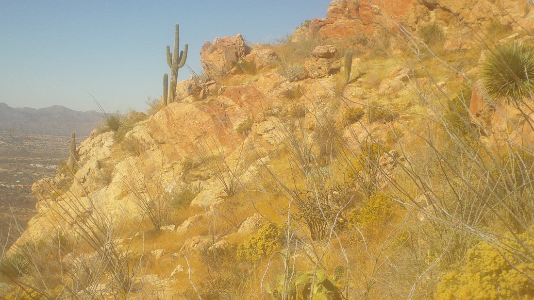
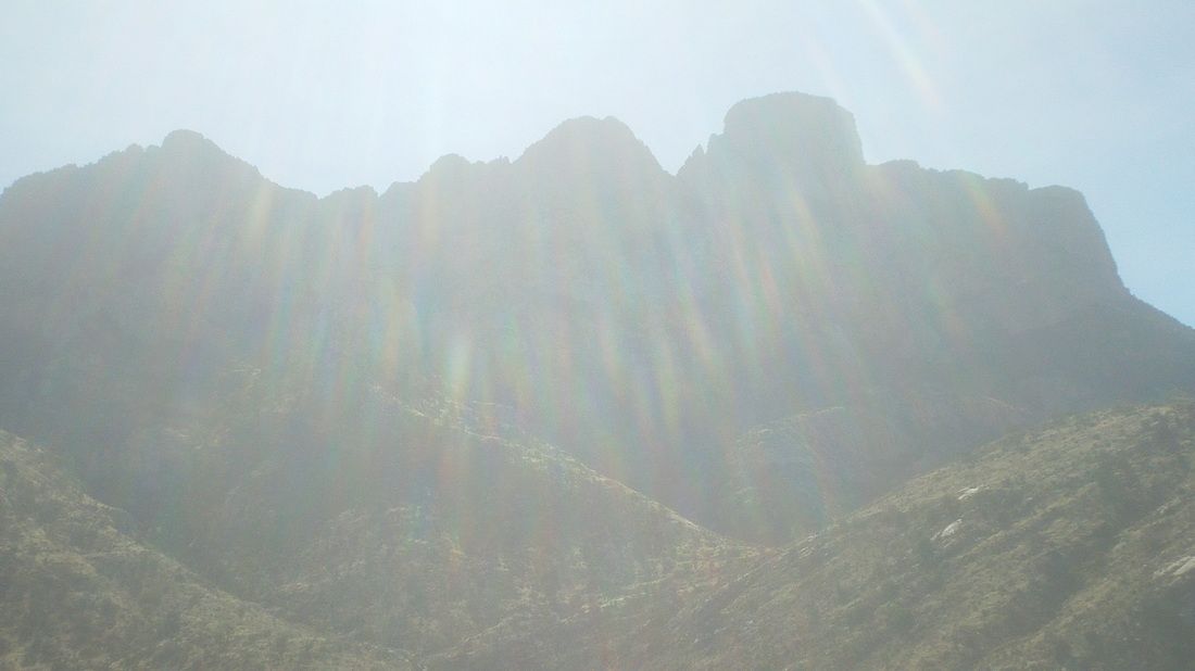
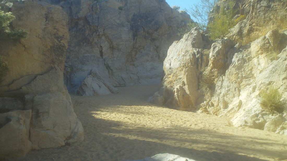
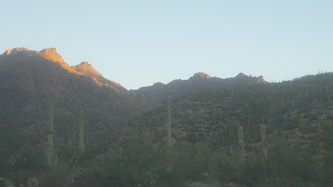
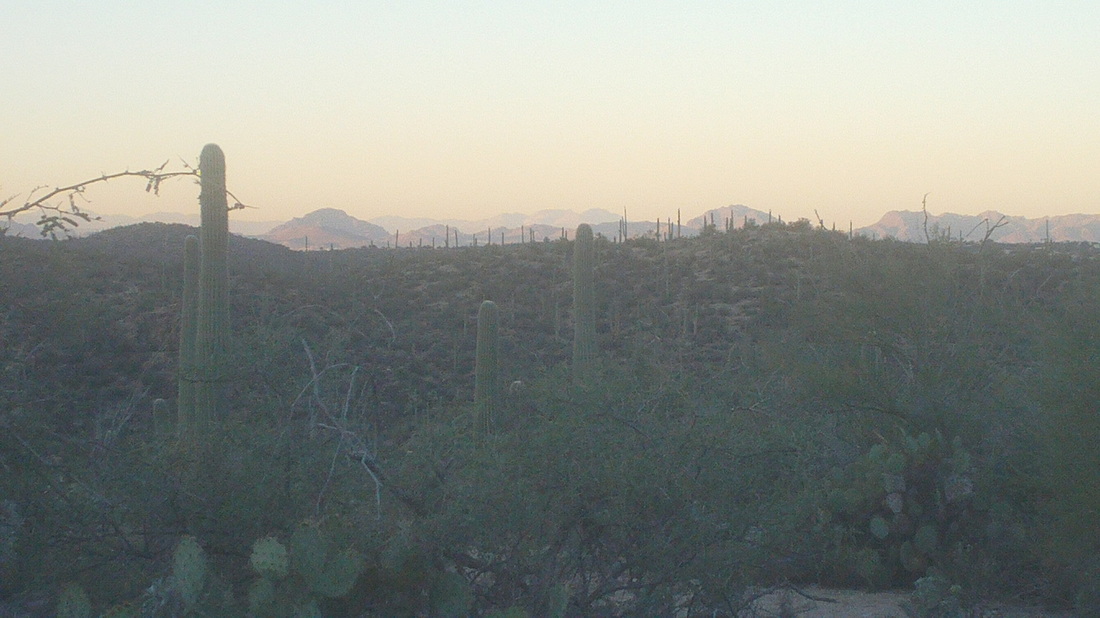
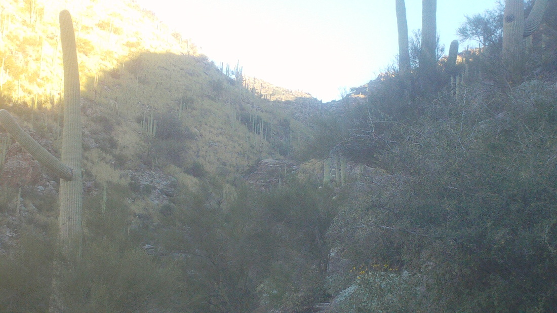
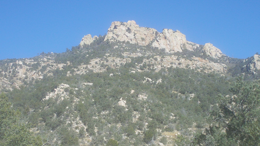
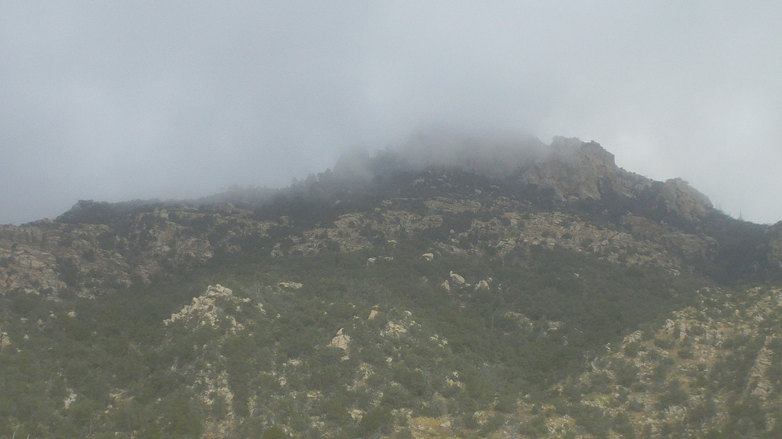
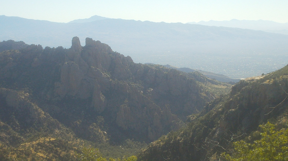
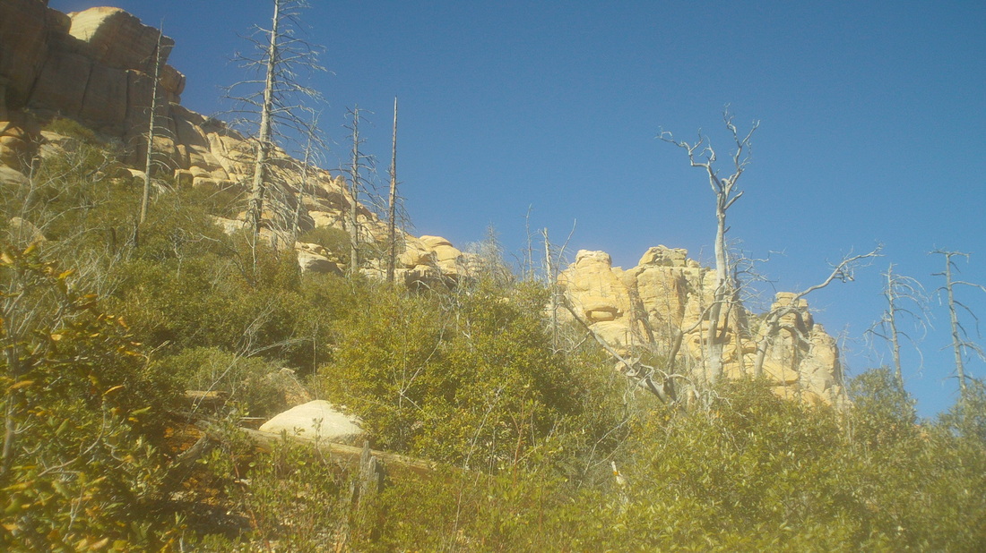
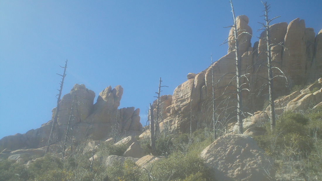
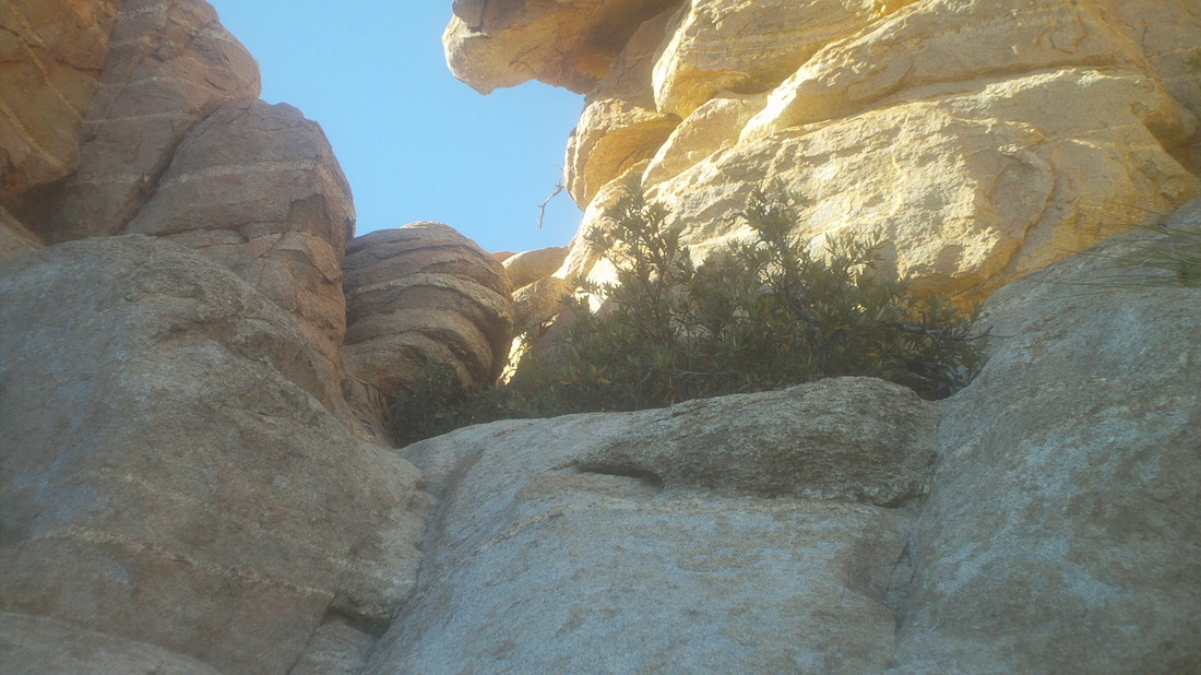
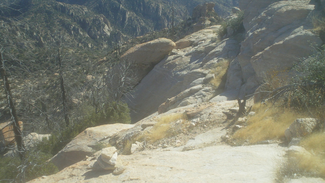
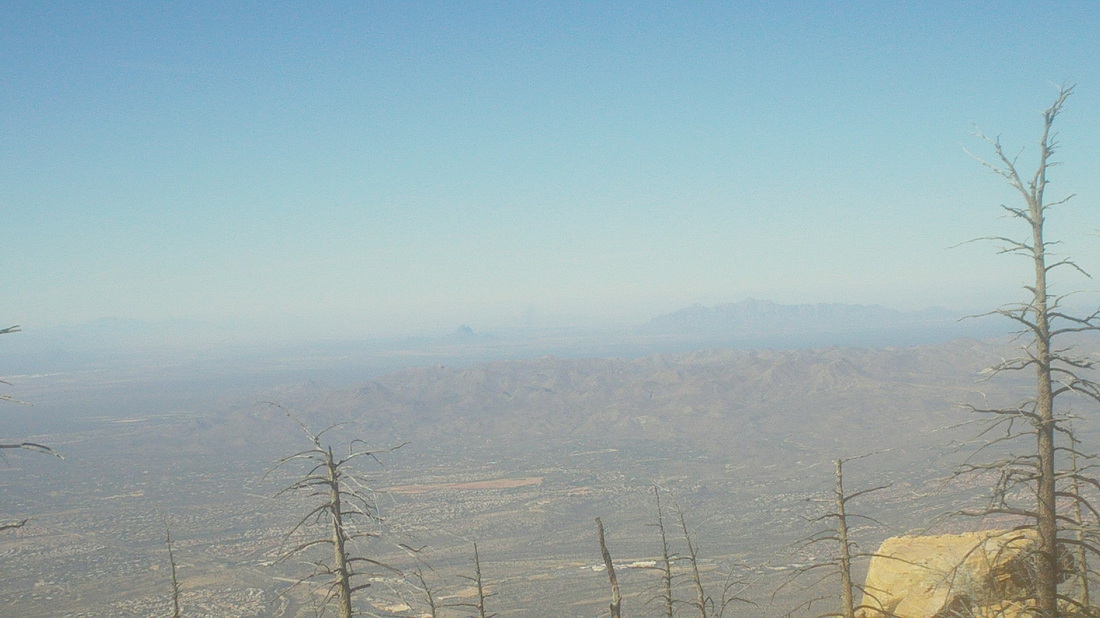
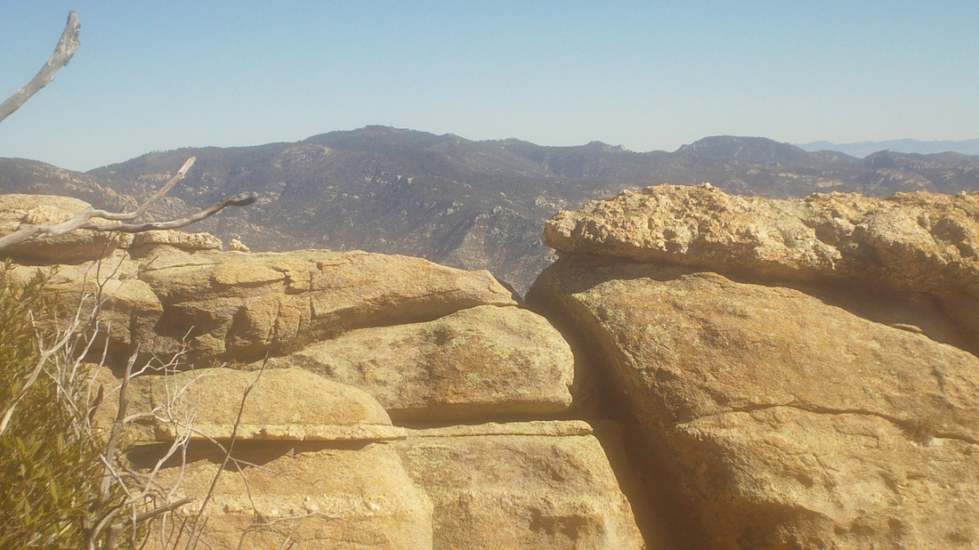
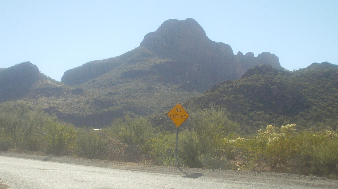
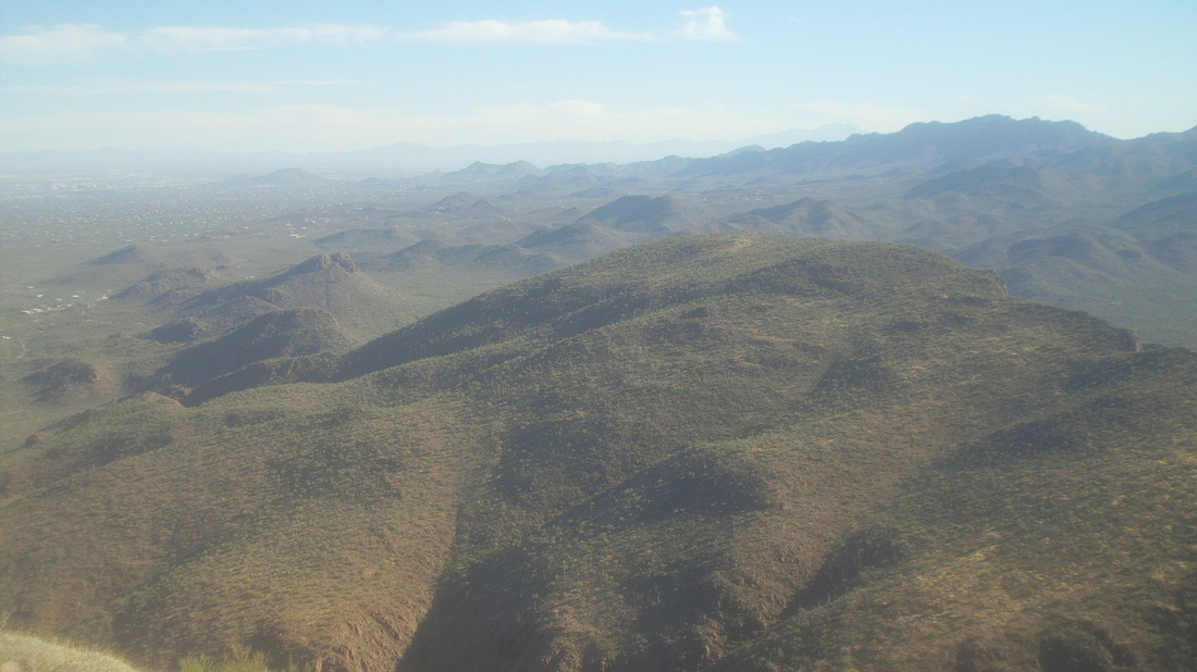
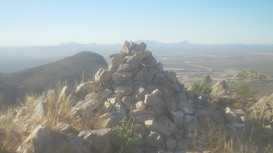
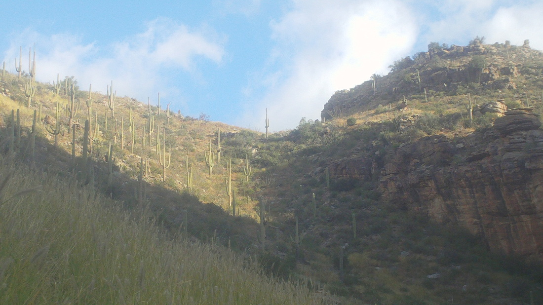
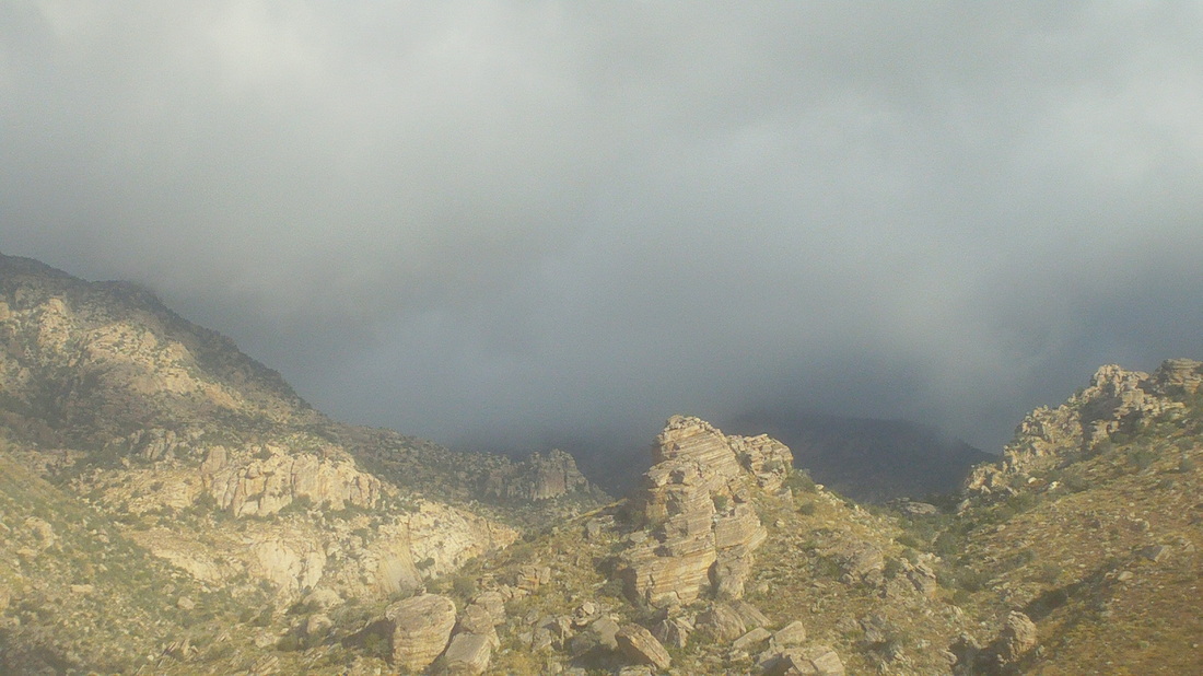
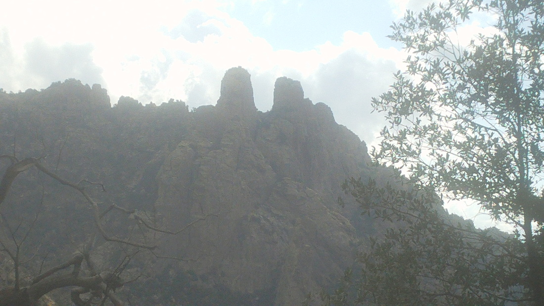
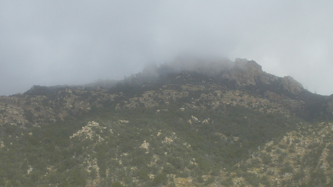
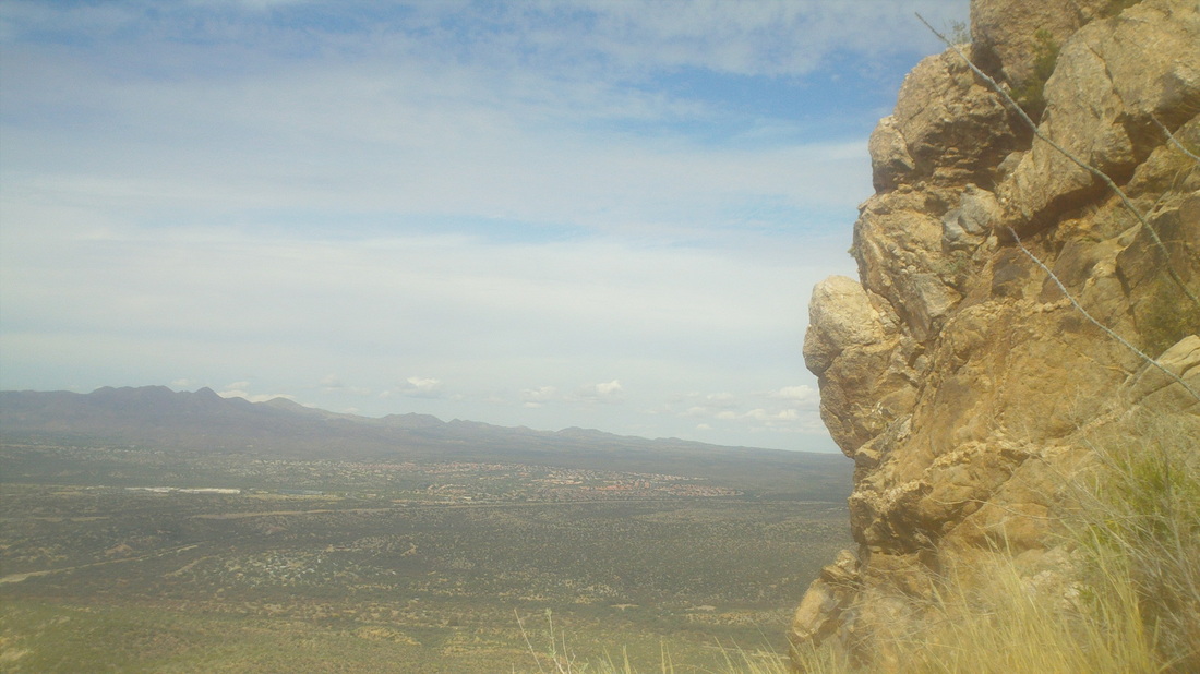
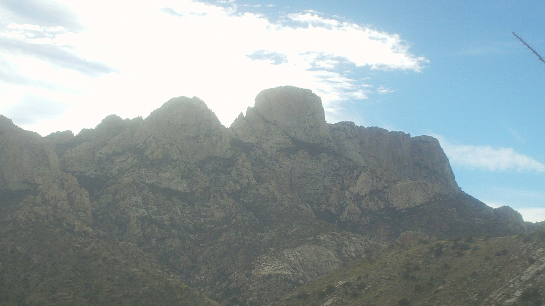
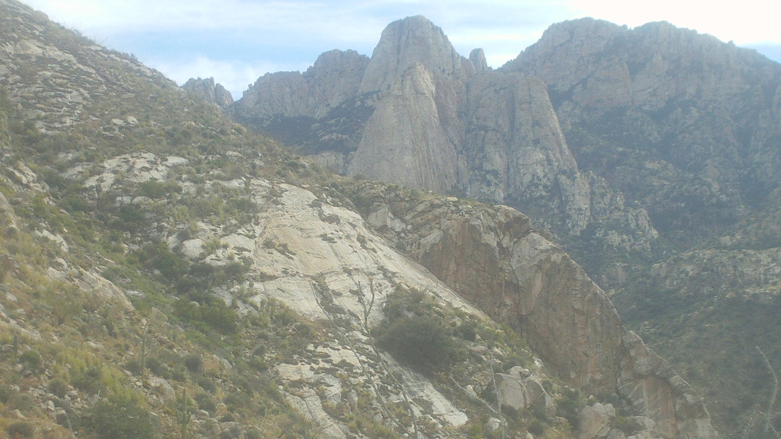
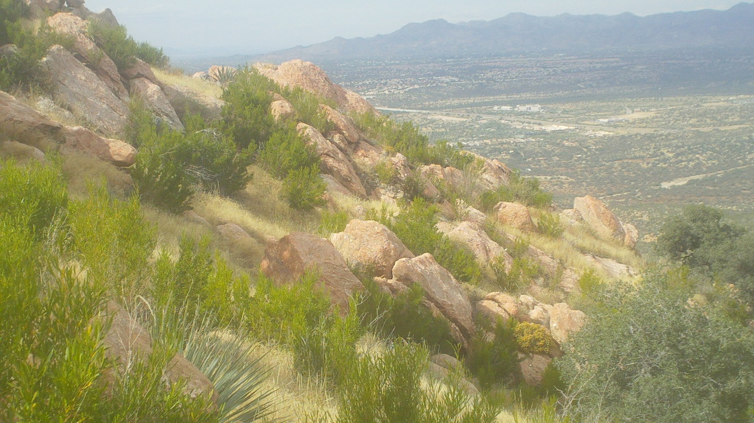
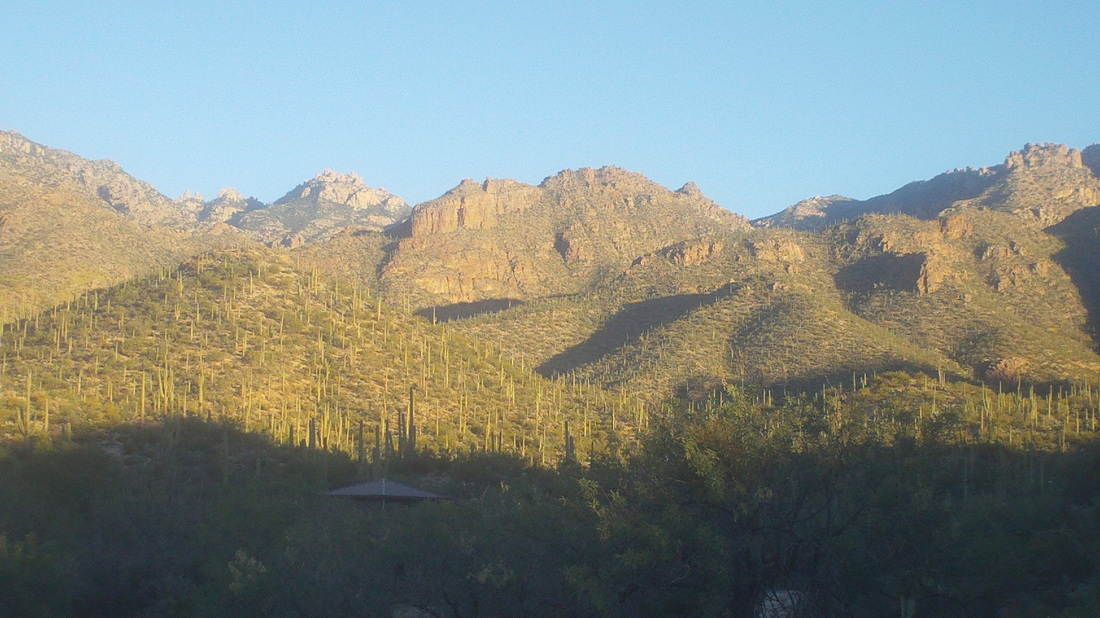
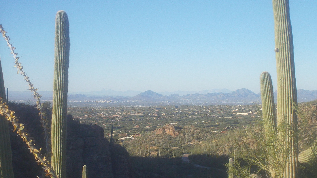
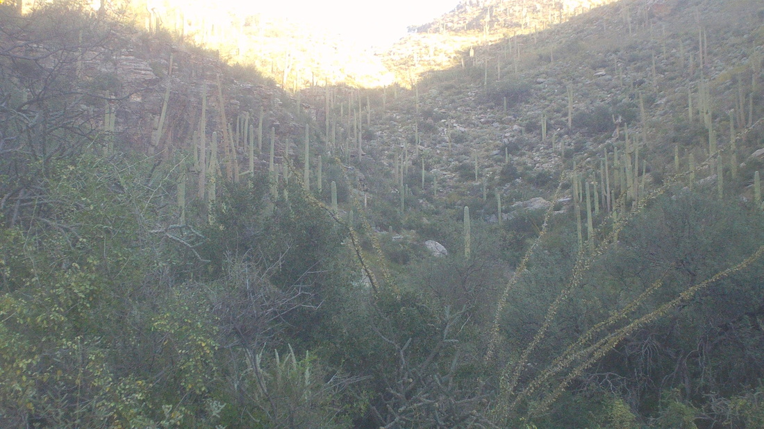
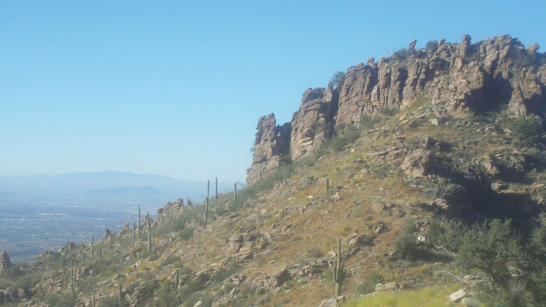
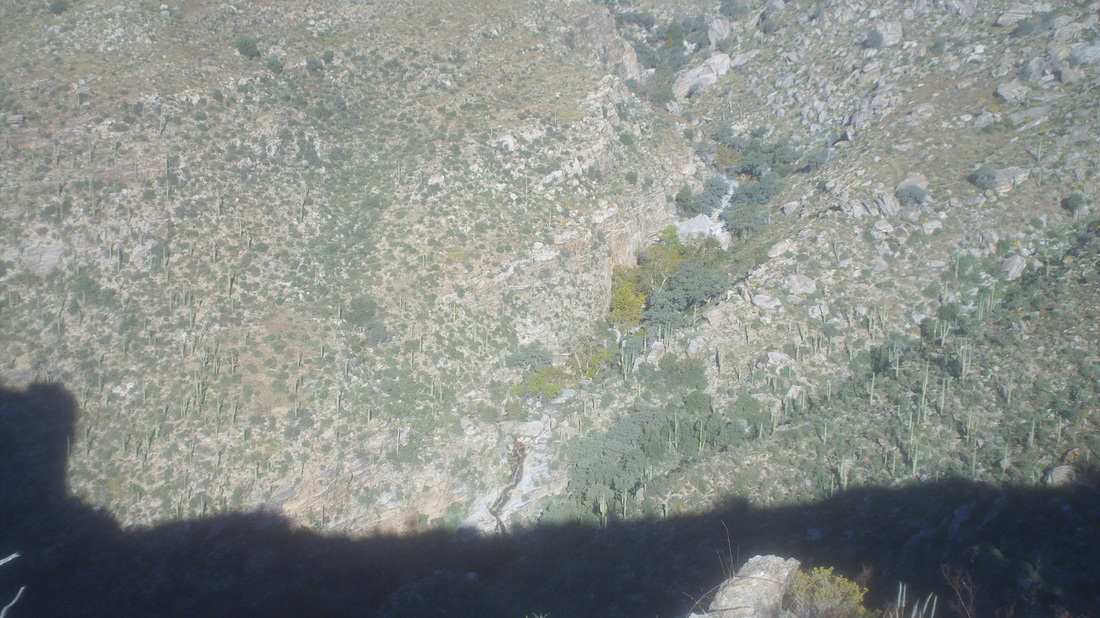
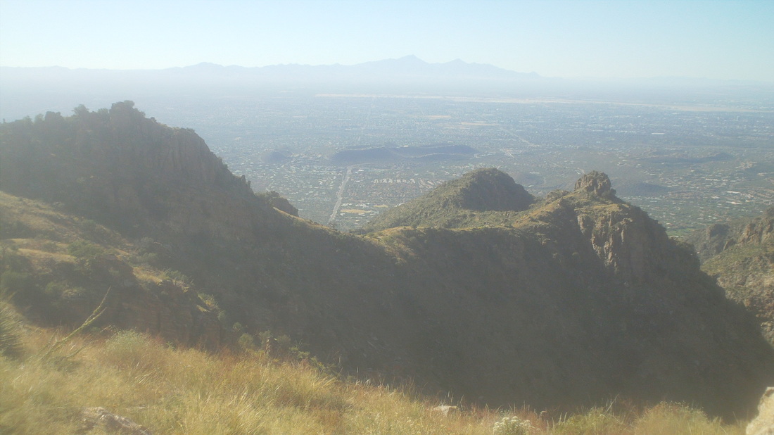
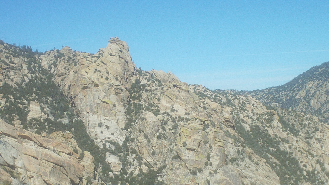
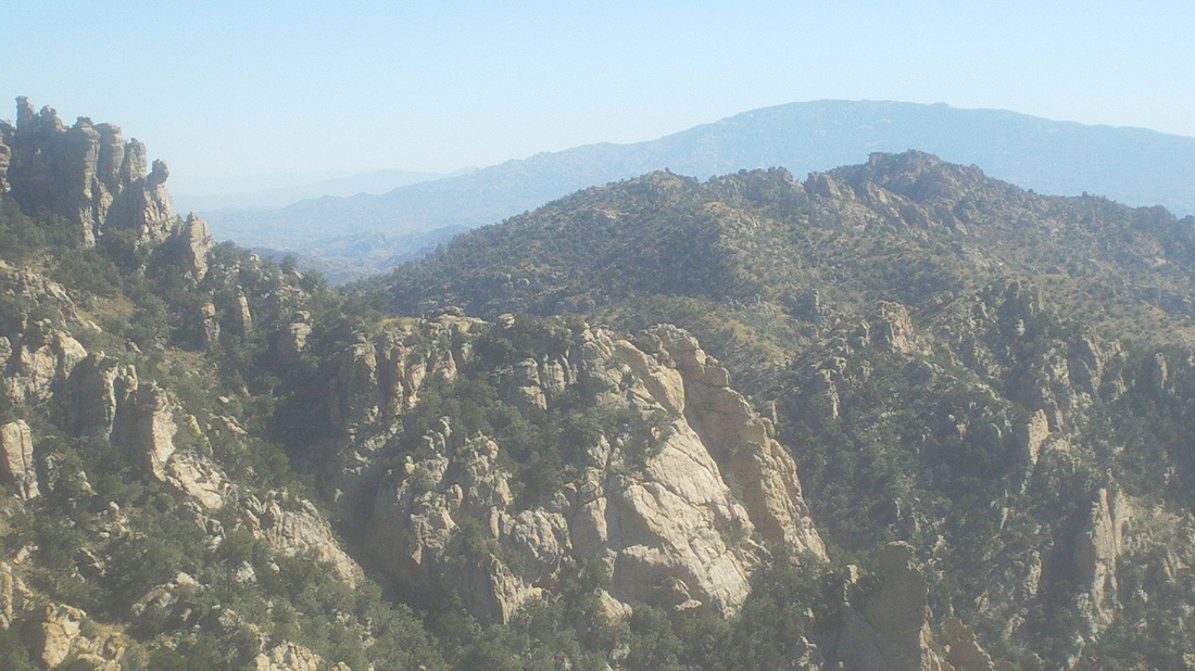
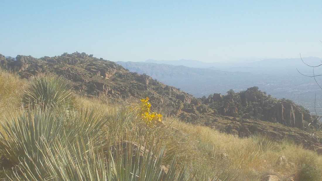
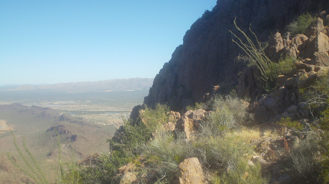
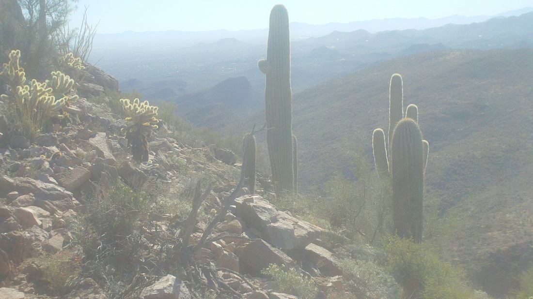
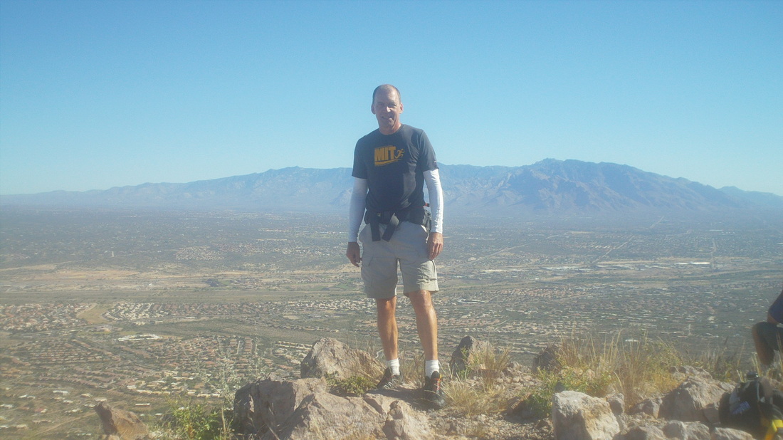
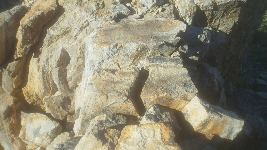
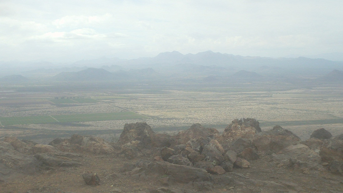
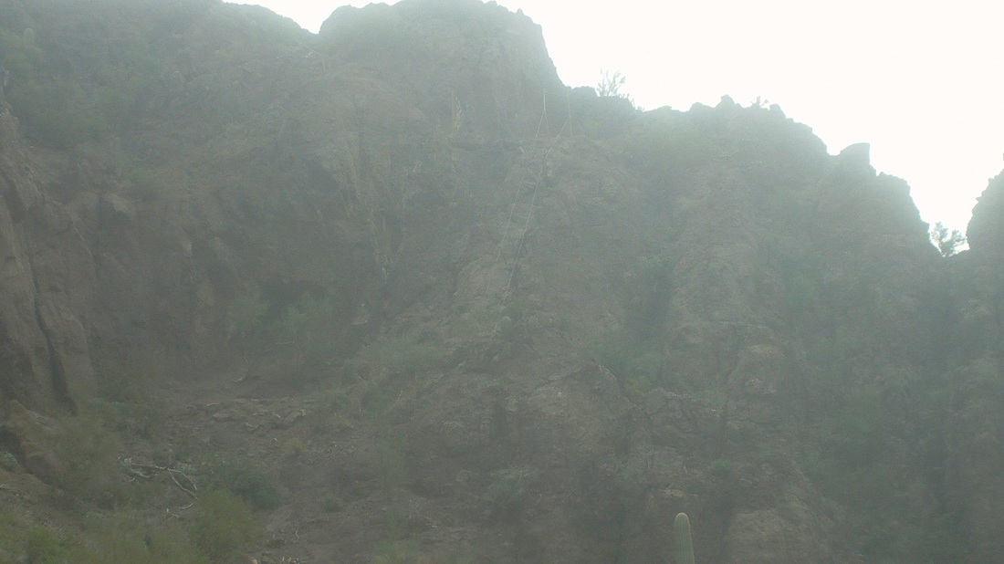
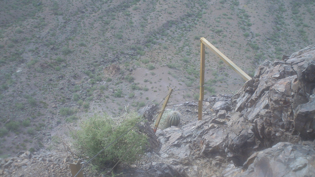
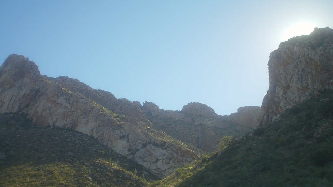
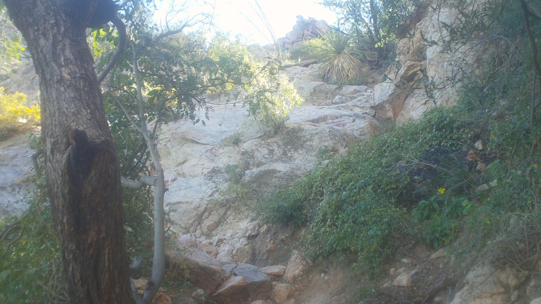
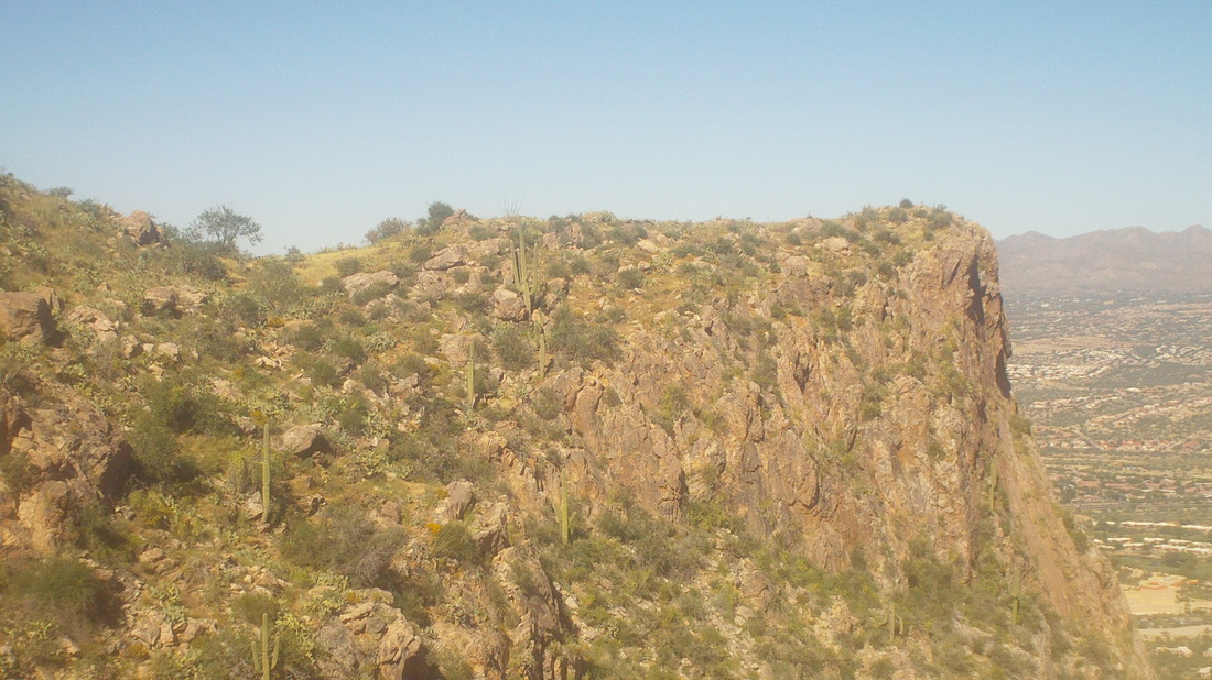
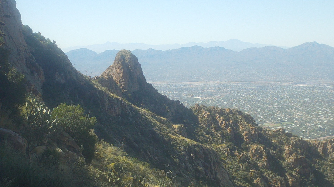
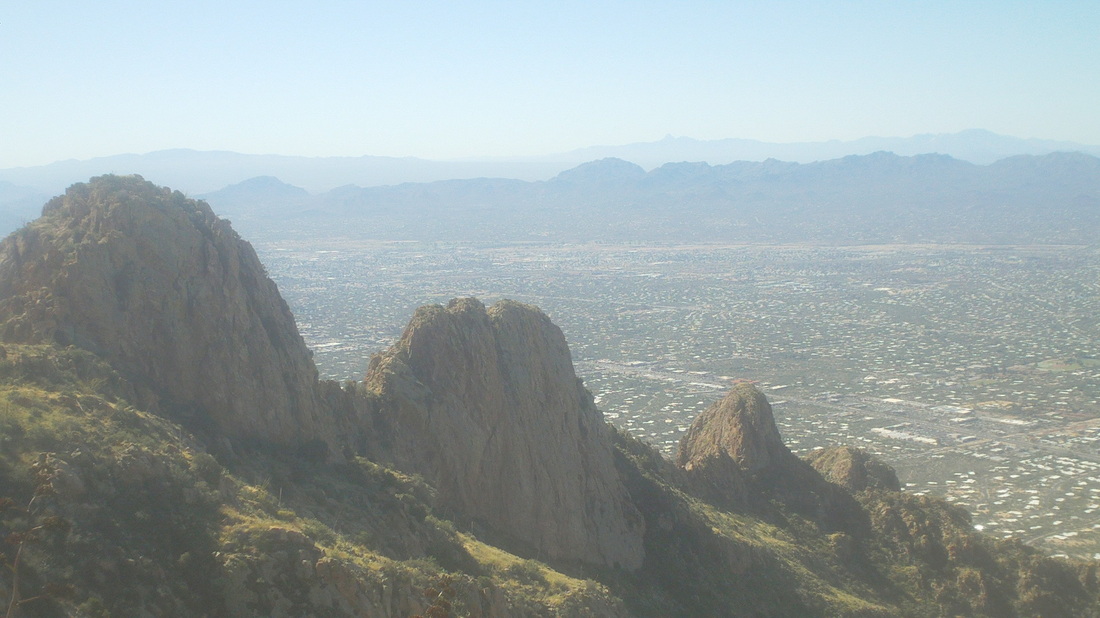
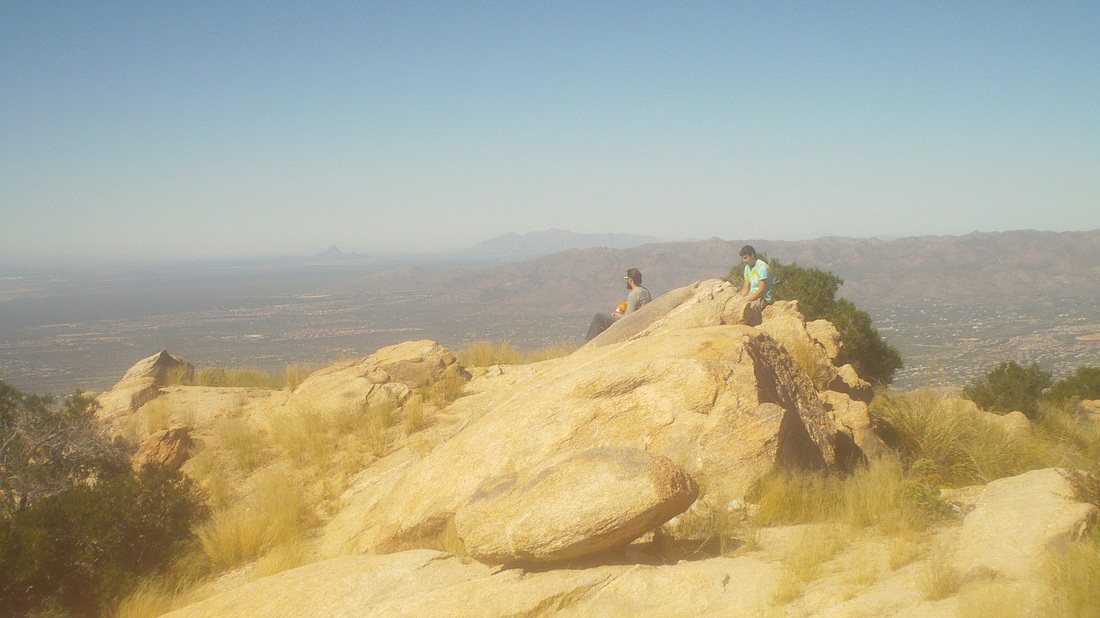
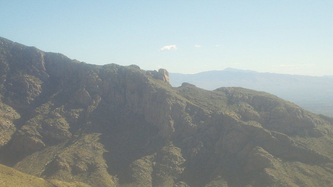
This would be my 6th time up to the Flat Iron, there in the upper middle but the group of 5 with whom I was hiking the 2.9 mile, 2900' elevation gain hike were not stopping there. We would hike to that raggedly looking area just to the left of the Flat Iron. I had not been there before and looked forward to it while hiking with Vagabond Jeff, Donna, Jody and Gary Tenen, famous for having discovered Kirchner Caverns. I marvel that someone, while bushwhacking with a friend in the wilderness and finding a hole in the ground, would choose to explore it. I would simply assume it was a den of rattlers, waiting for me to poke my head in. I was content to hang with the group but some young people caught us, someone said, "Let's let the kids go through." and that was that. I decided to turn it into a fitness hike and turned on the jets. Reaching the amazing start of an extended slick rock area with canyon walls soaring to the right and left, I paused to take this image, which understates the steepness of the hike, as usual. The Flat Iron begins to dominate the skyline and looks so far away and so high. The canyon narrows, the climb becomes very steep, bouldery, loose, hard to follow in places.....the trail has it all and the views, geesh. At last, I reached the top of the canyon and the infamous 12' wall. I climbed it, walked to the saddle there in the middle where there are a couple of fire rings and stopped my watch. Wow, 1:24 and a good 15 minutes better than my previous best time. I walked out to the point and marveled at the views to the north, west and south. Jeff and group arrived and led me higher, through a boulder field and ultimately, to the top, now with views 360 degrees. That is Superstition Mountain center/right. Jeff explained that is a good day hike destination from a different trail and so I think I will do that this week, prior to my return to the Motherland, also known as Ohio. Check out the hoodoos, the rock spires which frequent the area. The Flat Iron looks so small from this vantage point. In the forefront, the rocks frame "Weavers Needle" which looks so different from this perspective. I have stood at the base of that and it soars above me, a huge monolith and singular feature in the landscape but from here, it hardly stands out. The white shirted individual to the right is Jody, who earlier had a nasty fall and cut to her leg. Jeff, a retired Army helicopter pilot, proposed to long time girlfriend, Donna. A very neat scene and I was glad I was there to witness. Two very fun people with whom to hike. We began climbing down from the boulders and the above caught my eye, almost like the smiling face of an animal, looking to the left. Below, a better view of the slick rock area and people are still scaling the steeps as we descended. I forgot to restart my Garmin but should have had around 7 miles of strenuous hiking.
0 Comments
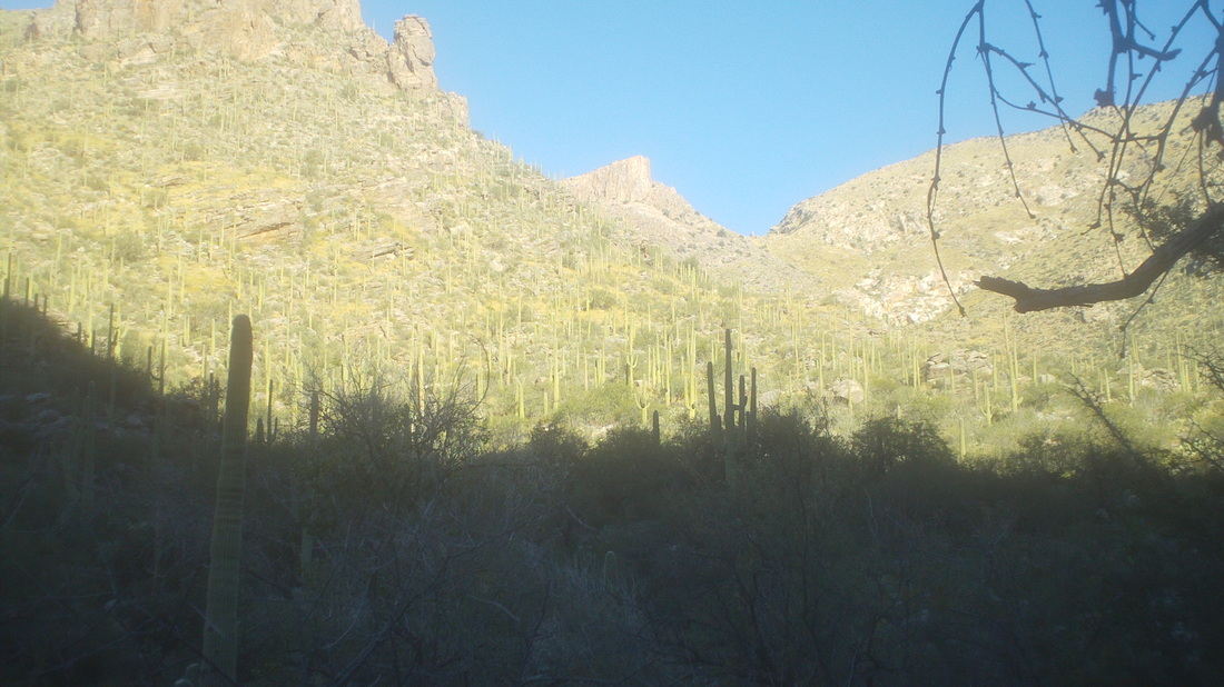
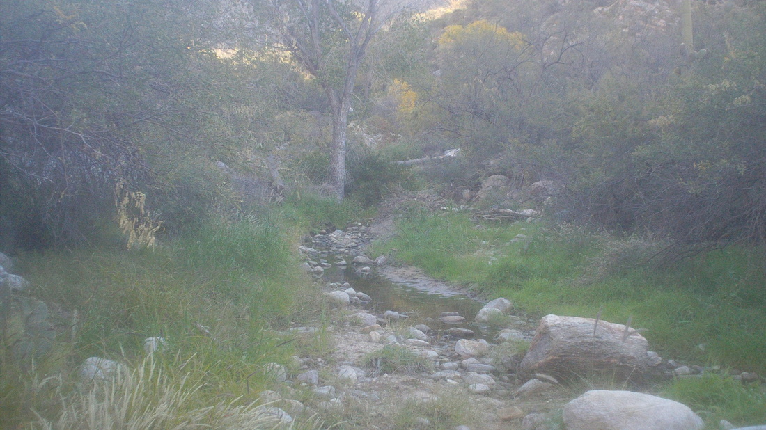
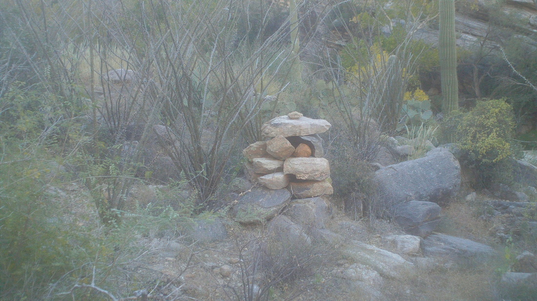
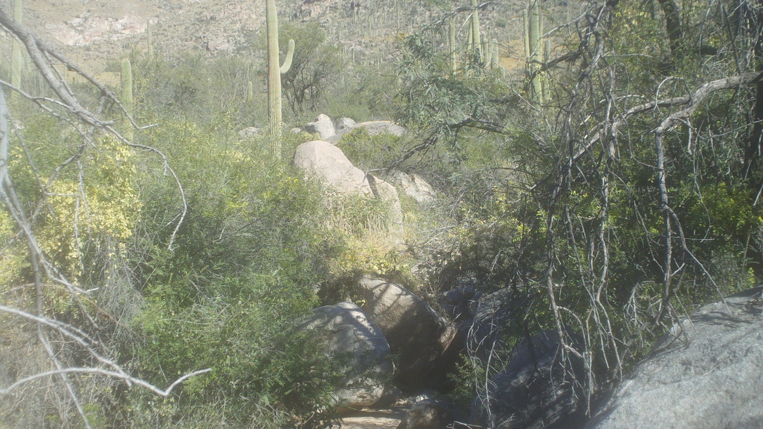
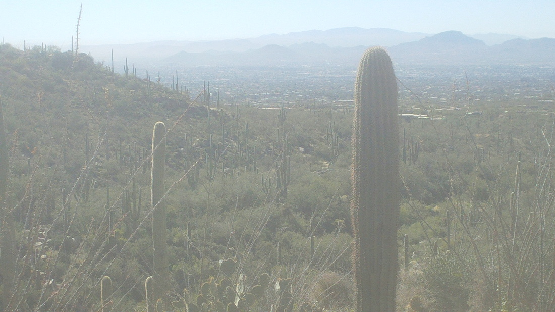
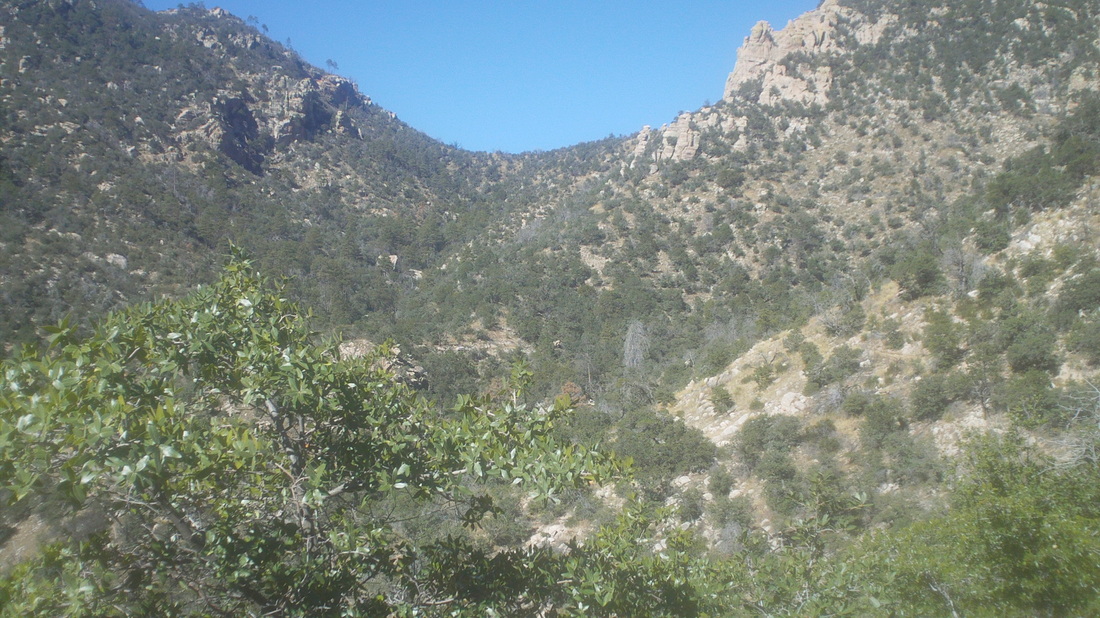
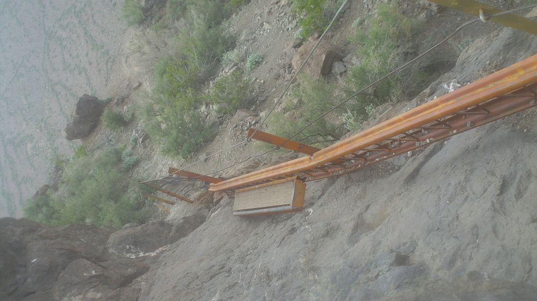
Prior to bellow's Thanksgiving Day ride, I led a hike to Sombrero Peak. Only 2 people showed up but they were fit and fun with whom to hike, Jerry and Krista. The trail, short at only 1.5 miles to the peak is very steep, rocky, lots of loose rock so a bit of a challenge. At the top. we spent a few minutes to rest and sign in to the trail register. Since the hike started at 1:00pm, the sun was low in the sky on the return, putting part of the trail in shade. The high today was only 67 so it was a relief when we emerged from the shade in to the sun. On Wednesday, I decided to hike to the Cleaver, above in the middle. At only 5.5 miles round trip, it's not the distance but something else that makes it tough. I follow the easy to follow Pima Canyon Trail for 1.6 miles, leave the trail up this creek bed with water flowing and.... ....at this cairn, leave the creek bed and..... ....into the wilderness I go. Every hike report I have read describes this as, "There will be blood." type hike. All off trail bushwhacking through dense brush. I am making progress but it is slow when I hear animals growling and fighting. Oh boy, not what I wanted to hear and so pack it in..... ....on the hike out, I call a fellow hiker, who also carries a lightweight Ruger pistol. A woman, Amy,29 and grad of FSU on a cross-country scholarship is all for the hike. I tell her she will be my bodyguard and to practice by target shooting. She says she is a crack shot but keeps the magazine separate from the gun and is a little shaky on quickly inserting the mag in to the gun in an emergency. Not sure if she could get it done while a bear is charging. Then Amy begins reading the hike reports, "Hey, have you read these reports?" (yes)..."Hey, I can't sleep thinking about this hike." (Amy, it's just a hike I reply), "Hey, I am freaking out thinking about this hike and am backing out." (Whatever, sissy). But, I have a back-up plan and boy is it a good one for a Friday hike.....
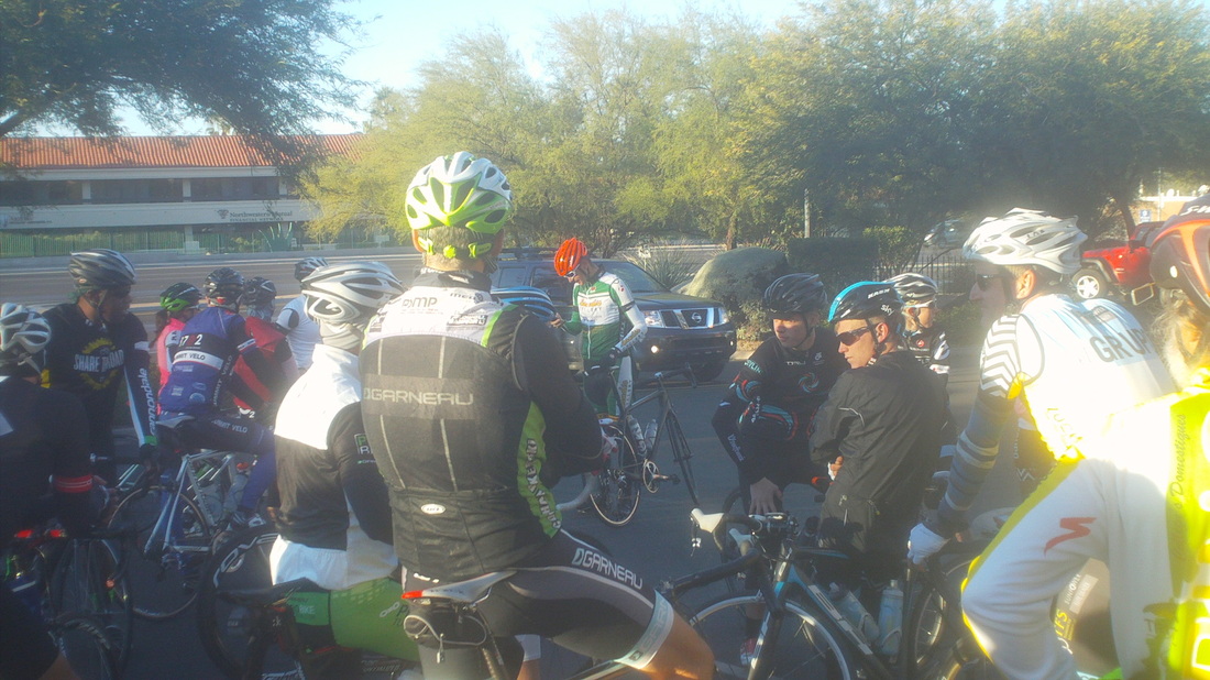
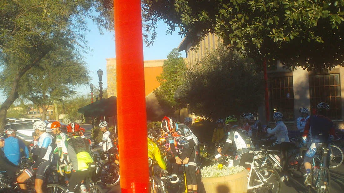
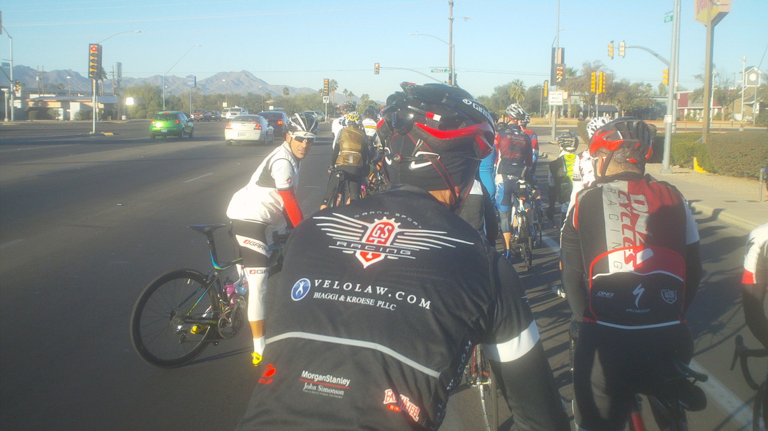
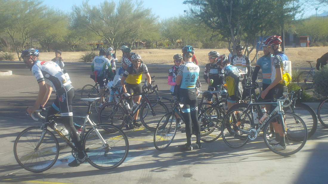
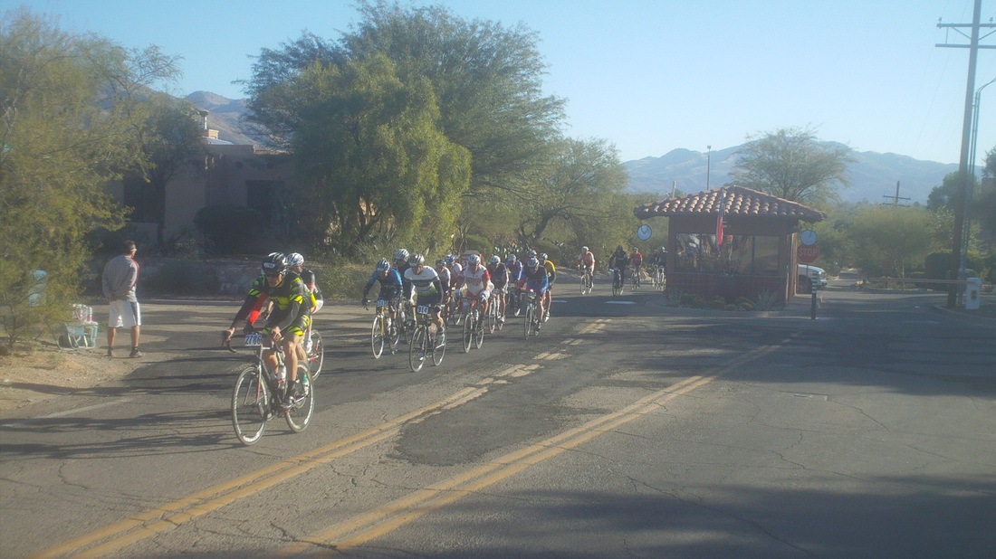
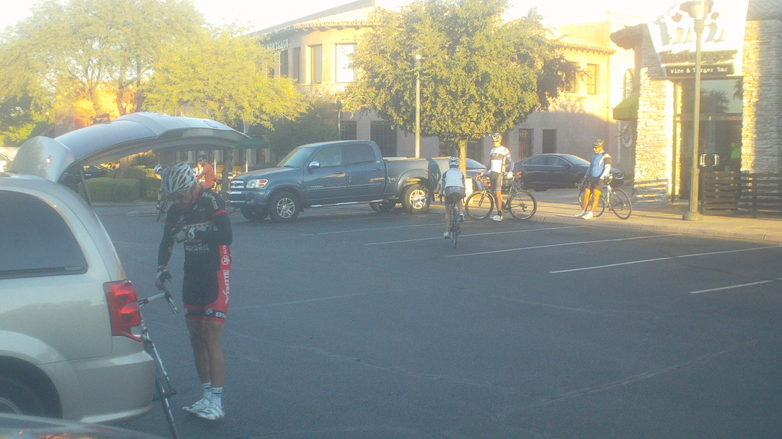
Tim Carolan organized a Thanksgiving morning ride and wow, did the cyclists come out, over 80. A lot of new faces I have not seen on previous "Tim's Rides" on Thursdays and many of the regulars were not here, traveling instead. It was 42 at the 8:00am start but would warm rapidly to 79 so clothing was a tough choice. The rising sun was blinding to the east but since we head west, toward I-10, it's not a problem. Note the guy furiously trying to fix a flat just as we prepare to roll out. Hate when that happens. The group was populated by a lot of racing types, including a continental pro or two. As usual, it was a tempo pace down Ina and through 5-6 lights that we were fortunate to hit just right, except for the above. The distance from the front to the back of the group was significant and we took over the bike lane and the right lane of traffic in most cases. I slotted in beside the owner of "Bicycle Ranch" bike shop and was glad I was wearing the jersey I had acquired there earlier in the week. He thanked me for showing the colors. We eventually reached Twin Peaks Drive and the long climb to Tangerine and then upon crossing Tangerine, the hammer got dropped and I had no chance to hang with the front group, they distanced themselves quickly. Geesh. I clung to a wheel or two, reached the top of the long climb, descended and since our route ends at a roundabout, could begin counting how many were in front of me....1, 2.... 10, 20, 30, 40....41, 42, 43rd. Better than I thought I would do but then I'm easily intimidated by anyone who weighs under 300 lbs, shows up with a matching kit and expensive bike. It also occurred to me that hardly anyone rides a Trek frame anymore. I think I had the only one, lots of Cervelos, Specialized, custom frames, I even see quite a few BH brands, like my Ohio bike.
For Thanksgiving, I went to an outdoor café, ordered Calamari and a cold beer, while sitting in the sun in a T-shirt. The quality of my life out here is good so it makes me less then anxious for the return to Ohio. Last Week, I headed off trail to summit Buster Mountain. After a couple of miles, I arrived at the saddle in the middle, looked into the canyon, wilderness, Isolation and mountain lion territory beyond and thought, probably not a good idea to do this alone. What I did not know is, see that rise to the right of the saddle, that's Buster Mountain. I was a couple hundred yards from the summit. What lay beyond was Wilderness Dome and Leviathan Dome. Oh well. Still oblivious to how close I was at the time, I talked "Vagabond Jeff" into joining me on the next attempt. He, I and his girlfriend Donna met on Sunday and shoved off. Jeff had downloaded a different route then what I had taken to his gps device so off we went. As always, nice views. His route was, to be charitable, rough. What trail there was soon disappeared in..... .....mile after mile of waist high grass and each of us was well aware of what could still be laying beneath or beside each step. Pretty much you just have to take an "oh well" approach although I was careful to put my foot in exactly the same spot as the person in front of me. We came through a couple of obvious animal dens, you can tell by the packed down grass, scat, prints, etc... but the animals were gone. One pile of animal poop had to be a bear, after examining its contents. Above, very cool threads of reddish rock on the face of yellow rock. We reached the summit of Buster, very disappointing as I looked wistfully at the Domes. I know there is a trail to one of them and am thinking about buying a gun (yes I know how to use and yes I own in Ohio). Hiking out here is a different feeling from hiking in Ohio. At times, the sense of isolation and vulnerability (there are lots of lions and bears up here and people have been attacked) both adds to the experience but also somewhat inhibits what I would otherwise do by myself. Anyway, finished the hike and put in a bike ride on Monday. Coming Tuesday, leading a group hike.
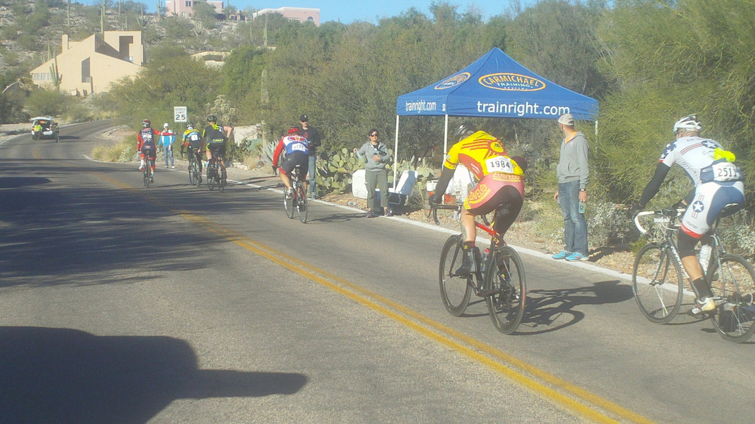
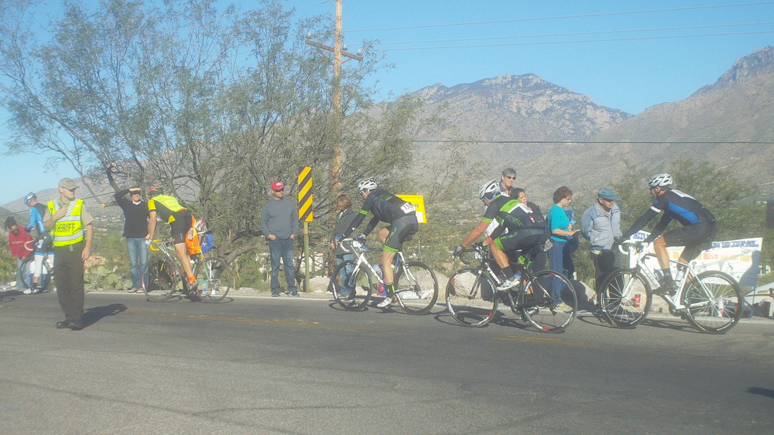
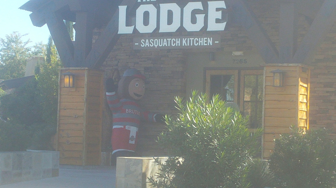
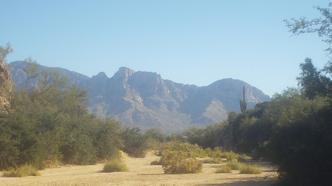
First the important stuff. Flyin Tuna and Jeff S are hosting a ride to which all are invited. Details are: Jeff and I are planning to ride from Wildwood Park (Granville) to Bladensburg on Sunday, 11/23. Ride will leave at 9:00 and should be around 55-60 miles, somewhat hilly, 15-16 mph average pace. If it is raining, consider it cancelled. Jeff has maps and we will plan to stay together. Today was the Tour de Tucson, an event that pulled in 7000+ cyclists. Here, they emerge from the Snyder Road wash, a nasty sand/stone/boulder crossing. Carmichael Training was passing out water bottles and Chris was riding the event. No Marty Sedluk this year and not sure if Tym & Lisa Tyler flew out for it. The fan support is impressive as thousands line the route. There are frequent radio reports as a car follows the leaders. Well, it's 10:00am so I stop at where OSU alumni and fans gather to watch our Buckeyes. After the fame, I do a short hike that includes this neat canyon and emerging from it..... .....I see tomorrow's destination, there in the middle, Buster Mountain. Really looking forward to that. It did not take me long to learn that if you stumble or begin to fall, do not instinctively reach out to catch yourself. 9 out of 10 times, heck, maybe 10 out of 10, the grab will be more painful than the fall.
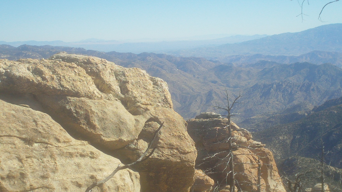
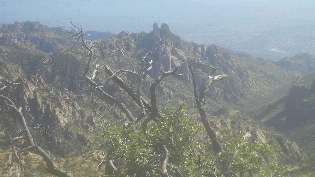
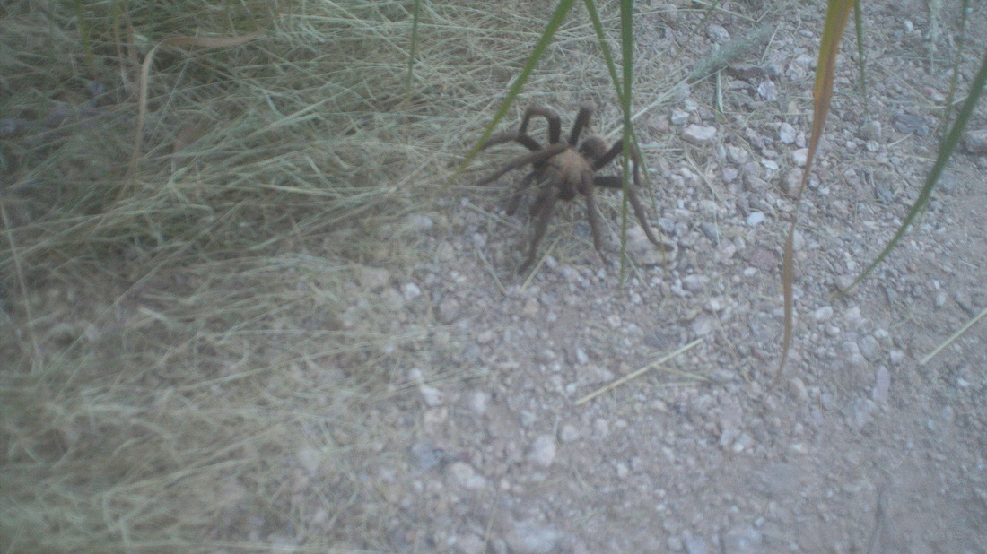
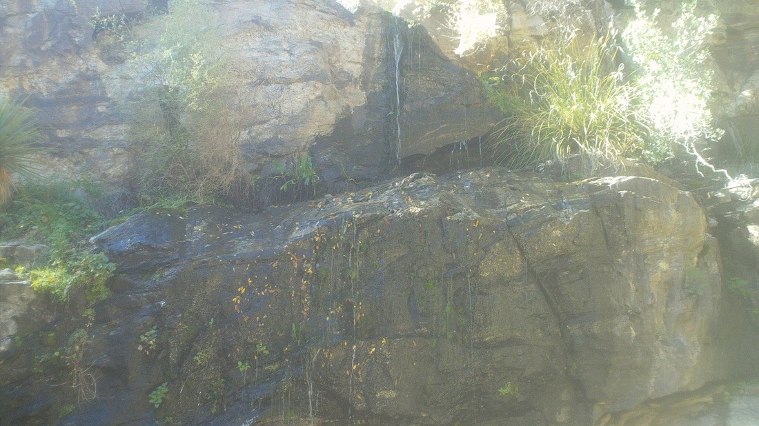
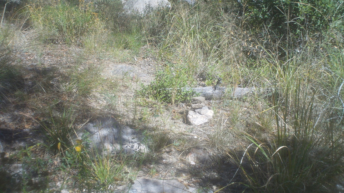
Having made two attempts recently, not making it to Cathedral Rock was gnawing at me and so, back to Sabino Canyon Park on Thursday to try again. I believe that is it, center/right, highlighted by the rising sun. CR is the highest point in the Catalina Mountains, which are a front range to Mount Lemmon. It was going to be a long day but enjoyable. Gaining a little in elevation, I looked to the southwest. Beautiful and glimmering in the sunshine was the observatory on top of Kitt Peak, way, way distant. My least favorite part of the hike, the mile long Cardiac Gap climb. I reached the top of the saddle in 1:30, total time from the parking lot, about the usual time. At mile 6.25, the trail, having emerged out of the canyon, rather steeply that contains Bridal Veil Falls arrives at a broad expanse of slick rock with a couple of large boulders. Here, I stash my backpack and in a waist pack, carry about a liter of fluids, snack, etc... for the final push to the top. Note the blue sky, which contrasts with..... ....what I saw on Sunday when I turned around. With 3000' of climbing, I have about that left which means, lots of climbing to go and about another 3 miles. The trail rises above Esperero spires with mountain ranges in the distance. I make a right off Esperero Trail on to Cathedral Rock trail. So far, the trail has been fairly easy to follow and since I have been on CR trail once before, I now know where not to become confused. After meandering beneath a rock face, the trail emerges on to another saddle. If you have read previous reports, you know here is where I missed the off trail route to Cathedral Rock and ended up walking down hill away from the objective. This time, I found the route, marked by cairns going steeply uphill but the cairns were spotty and I kept getting off the route. Once I realize I am off a route, I retreat to the last cairn, begin an arc of reconnoitering to try to find the next cairn but this really slows the pace. Frequently I would find a cairn, be encouraged and then, nothing. Looking at my watch, I grew very frustrated and begin shouting expletives. What the heck, maybe it would scare off a mountain lion. Finally.... .....I decided to pick a spot, in this case that obvious notch, and shoved my way through the brush, fallen trees, up scree slopes, nasty. I arrived at the notch and faced a 12' wall and nothing to suggest this was the route. Only later, coming back down did I find this was one way but that wall.... To the left was a hundred foot drop so scouted to the right. I was running out of time but did bring a head lamp so while it would be useless up here in this morass of scrub, down below on the more obvious trail the lamp would be an asset. I found a series of cairns that led me along this ledge and up and up. Exciting stuff to be sure. I finally made it. I could see there were some spires that could be climbed that I understand, sitting on top of is amazing but no time for that. I shot some very cool video, a few pics, wolfed down some food.... ...admired the few a little longer, that's Mount Lemmon beyond the rocks. It's actually mesmerizing and I didn't want to leave but I began entering an anxiety phase because as I climbed down with the absence of cairns, everything looked different. I'll admit to getting a little panicky. Getting lost up here, not good. I got off the trail but found a couple of cairns that led me to that notch I had bypassed earlier and it proved to be a shortcut too!!!! The down climb was a little dicey but made it ok, got off trail, began a sweep, then just plunged through the thicket toward what I thought was the saddle with the Cathedral Rock trail and, what luck, found it. The sense of relief was palatable. There are the Esperero spires way down there. I ran into a guy from Germany who was headed to "The Window" another great hike. I reminded him of sunset because I did not think he could get to the window and back prior to dark. On the way down, I ran into a Tarantula, below. Played with it for a moment and kept going, reaching the parking lot with an hour of daylight to spare, 6400' of climbing and 18+ miles. Fun day. Sombrero Peak. Been here a week ago but was led by Vagabond Jeff so thought, before I commit to leading a hike for a local group, I ought to make sure I can find the way to the top. It's a short hike, steep and fun with some exposure and treacherous footing. I came through that and that is typical on this hike..... ....and then I have to go through that. No trail, just pull yourself up through the morass of boulders to the narrow rock bridge, take a deep breath and walk across it. Dang, the views as usual are breath taking. Below, the official summit and I signed my name to the register again.
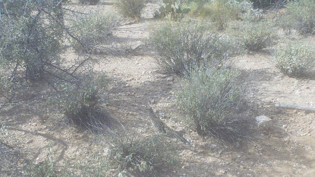
I took Saturday off to enjoy college football. In hindsight, I should have joined 3 guys who were making the climb to Cathedral Rock on a beautiful sunny day with highs in the mid 70's. One of them for sure (probably all 3) is the real deal, Gary, who discovered Kirchner Caverns and an experienced climber with appropriate gear. But, instead I decided to do the CR hike on Sunday. Yes, the same hike as last Sunday during which I missed a turn and thus missed CR. The more I read about the place, the more I want to visit. This Sunday morning, 6:30am, clouds still in the area at Sabino Canyon State Park. Although the clouds were forecast to depart from an overnight cold front, they always linger in the mountains for an extra day so I was not optimistic. It could very well be raining up there, making the rocks slick. I understand the final push to the top is over a class 4 scramble which has exposure so not a place to be if the rocks are slippery. I hoped the clouds would clear as I was going up and if not, it would just be a good workout. The clouds add to the usual beautiful views to the south and west. Climbing out of Cardiac Gap, I am encouraged by the patches of blue sky but.... ....still very ominous looking farther north where the trail goes. Esperero Spires to the southeast. There is a route up to them from Cardiac Gap but ropes are needed to ascend. Now at mile 6.5, at a spot where I can stash my backpack and proceed with a lighter dayhike pack for the final 3.5 stage but still not looking good. I sit and wait for awhile to see if conditions improve. I'm no more than a couple hundred feet from the cloud line and it's fascinating to watch the clouds so close, drifting up and down, obscuring and then revealing features. Other than the potential danger of hiking on wet rocks, it would suck to get to the "Inner Sanctum" of Cathedral Rock, stand in pea soup and not be able to see the views. So, I turn around and head back down. Reaching the bottom and looking back, the clouds still linger while elsewhere it is sunny. A roadrunner pauses long enough for me to snap an image.
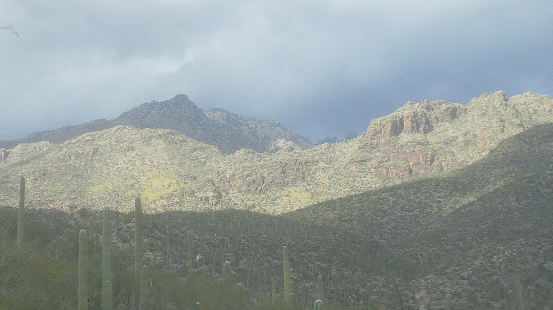
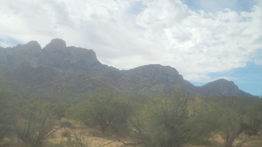
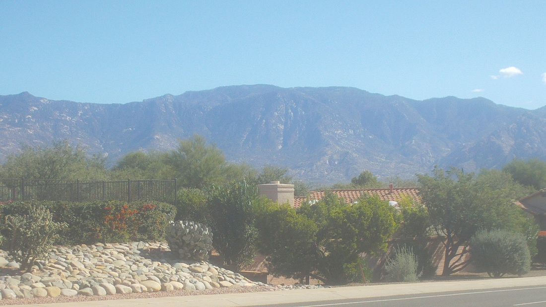
I drove the one mile to Catalina State Park, crossed a wash and began walking on a trail called the "Birding" trail. Pretty benign and a nice level walk until, a short climb to a bench, I walk behind the bench and begin going off trail. If you've been following my hiking reports, you know I've climbed Pusch Peak on the right a few times, wanted to go off trail and climb Bighorn Mountain (middle) but while doing some on-line research, found there is a route to the mountain on the left, Buster Mountain. After leaving the Birding Trail at the bench, I find cairns and a faint trail and begin..... ....going up and up. The mountain is named Buster because in the early 1900's Buster arrived with his family from Texas, family returned to Texas except for Buster, who worked odd jobs while working a still. Supposedly, somewhere around here you can see the remains of the still. Reaching a saddle after a pretty good climb, there is a canyon and then a steep climb that either takes you to the above or.... ...to the above. Not sure this close which is Buster. I've walked 2 miles and have another 2.5 to go. However, it's eerie up here and I'm going to lose cell service after I leave the saddle. From the saddle, I call Vagabond Jeff, local hiking legend and get him to agree to go the distance next weekend, so I'll be back. Also, one of the local hiking groups has designated me a hike organizer so if this goes well, I'll put it on the schedule. I belong to 4 hiking groups and for a variety of reasons, the hikes have been very lame so far so I'll try to add some spice. Turning back, I notice the rocks in the area appear to be pink. Very pretty.
I am now a regular at "Tim's Ride" a very enjoyable group ride, Thursday mornings, currently starting at 7:30 from in front of the PF Changs on River Road. It is a tempo ride for the first roughly 12 miles which serves to keep everyone together. Upon reaching the loooong climb on Twin Peaks, the tempo remains but the ascent takes its toll on a couple of the group, usually numbering 30-35. Then, upon crossing Tangerine Road, the hammer drops and the peloton explodes. It's a mad scramble to reach and then hang with the front group. Today, "Lou" a Cat 1 is riding a track bike.
Tim Carolan, a former Pro/1/2 racer, our ride leader and who works at "Miles Ahead" bike shop, can ride at the front but usually hangs back and pulls some of the splinter groups. Judging by the kits, many if not most of these people race on the weekend so they are content to follow the rules, ride with the group, ride hard when appropriate and then after we reach the roundabout at the end of Twin Peaks, we return to tempo riding. As we race to the roundabout we can see those returning from it and it allows us to see where we rank, let's see....1, 2,5, 6, 9......I'm still counting, 11 and I am 12th, second week in a row. I could move up a spot or two but I'm out here to hike so riding 1-2 times a week is enough. We finish with 48 miles and afterwards, someone tells me I should hang at Starbucks so people can get to know me. Next week I tell him. Getting to know me is not a good idea if you value your anonymity. Kayla Starr is headed to southern California, hooking up with a friend for 10 days of intense training. Not satisfied with her endurance during last season, the Cat 1 intends to focus on improvement in this area as she rides around the Santa Monica Mountains. Then, in early January, she will be in Phoenix and Sedona for mountain biking. Great way to kick off the new season.
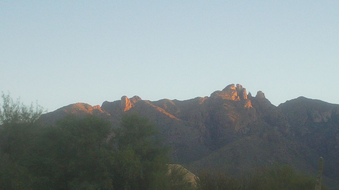
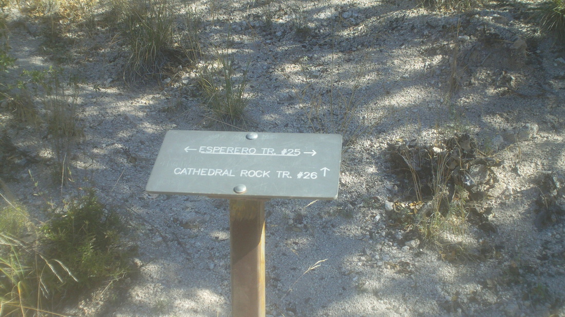
On Friday, while hiking Sombrero Peak with Vagabond Jeff, he described a hike that sounded very cool, Cathedral Rock. He described the environment at the top as "surreal" so while watching that great Buckeye game, I decided to do the hike and began searching the internet for hiking reports. Note to self: Don't read hiking reports while watching football, too distracted During the drive Sunday morning, the rising sun hits the top of the Catalina Mountains. Maybe you can see Finger Rock, shrouded in shade, center right. The hike originates in Sabino Canyon and somewhere up there, 9 miles distant and 6000' of climbing, is the destination. I shove off at 7:15, temperature is 55ish with a forecast high of mid 80's in the valley, ensuring it will not be too cold at the top; mid 60's. I figure worst case I can cover the 18 miles, with playing around time at the top, in 10 hours. After a couple of miles, the views to the southwest appear. Way, way out there on the last ridge is Baboquivari Peak and to the right, Kitt Peak. The trail, Esperero, reached a ravine that is climbed and described by the locals as "Cardiac Gap" Always a welcome sight, the end of a long climb that is kind of steep but many would be more deserving of the "Cardiac" designation. At the saddle, the views, already fantastic, become more so. Looking to the interior, water is heard gushing far below. The trail eventually crosses into the canyon but much farther upstream. The trail now circumvents the canyon, rising slightly as it skirts "Geronimo Meadows". I had brought about 4.5 liters of fluid, which was plenty. One bottle, frozen from an overnighter in the freezer, I hid at the above saddle at mile 3. Dang, did that taste great when I returned. The rains from the monsoon season have produced a bumper crop of various grasses, that obscure the trail and any reptile that may be lying in wait. I'd hate to have my skinny legs mistaken for a meal. Wearing hiking shorts was a big mistake. Walking so far, through so much of the above, took a toll on my legs. Upon descending a bit into the canyon, and then ascending along it's bottom for about a mile, one reaches a prominent spot, "Bridal Veil Falls" So named because the mist from it resembles a bride's veil, although it was not obvious to me. The water was running strong and would be a good source if one had a filter. Emerging from the canyon on to a ridge that parallels it, groan, I still have a long way to go, assuming the above is where I will find the Cathedral Rock Trail junction. But..... ....very soon I reach the trail marker as it is well short of where I expected it to be. My failure to carefully read hiking reports caused two big mistakes. One, Cathedral Rock Trail does not go to Cathedral Rock. I am going in to some detail because as soon as I arrived home, a notice popped in via email that a group was going to do this hike in a few days. They'll have an opportunity to read this so, ascending CR trail, I came to a rock cairn. Odd since there had been none other than at stream crossings. This must have some significance, right? I looked around and there was something similar to a cut-off golf shaft to the left, pointing uphill. Farther up, there was some litter but no trail that I could discern. I retreated to the cairn and proceeded forward, finding another cairn and so I kept going. The trail was very faint and with all the overgrown grass, skirting a wall to the left and sharp drop to the right, I began to wonder if I had gotten on to a game trail. Some large animal suddenly bolted from the underbrush but I could not identify it, so thick was the coverage of trees and brush. I was just giddy it was going the other direction. The trail ascended slightly, eventually reaching the saddle, center/right, above. Here was my 2nd big mistake. Reaching the saddle, there was a very faint trail going to the left but a row of stones and branches crossed it. That is a common marking to signify that you should not go that way but stay on the current path. Now I had great views into the interior of the wilderness. I was about at mile 8 and now plunged downward into what was a north facing slope and the vegetation changed dramatically. Down and down and with it my sense of confidence that I was headed in the right direction. I was not. I was headed toward a feature known as "Hutches Pools" and a 24 mile loop ending at Sabino Canyon. Yikes. I retreated to the saddle but now, it was too late and at the time, I was still oblivious that the side trail with stones crossing it was the way to go. My sense of some anxiety did not let up until I got back to that cairn and then the Esperero trail. Some of you are thinking, "Dude, you should have a GPS device." I have one but lack of proper preparation led me to think it was a straight forward march to my goal via a trail named for it. Oh well, finished with 17 miles and 5500' of climbing. Legs feel good other than the areas subjected to thousands of grass cuts.
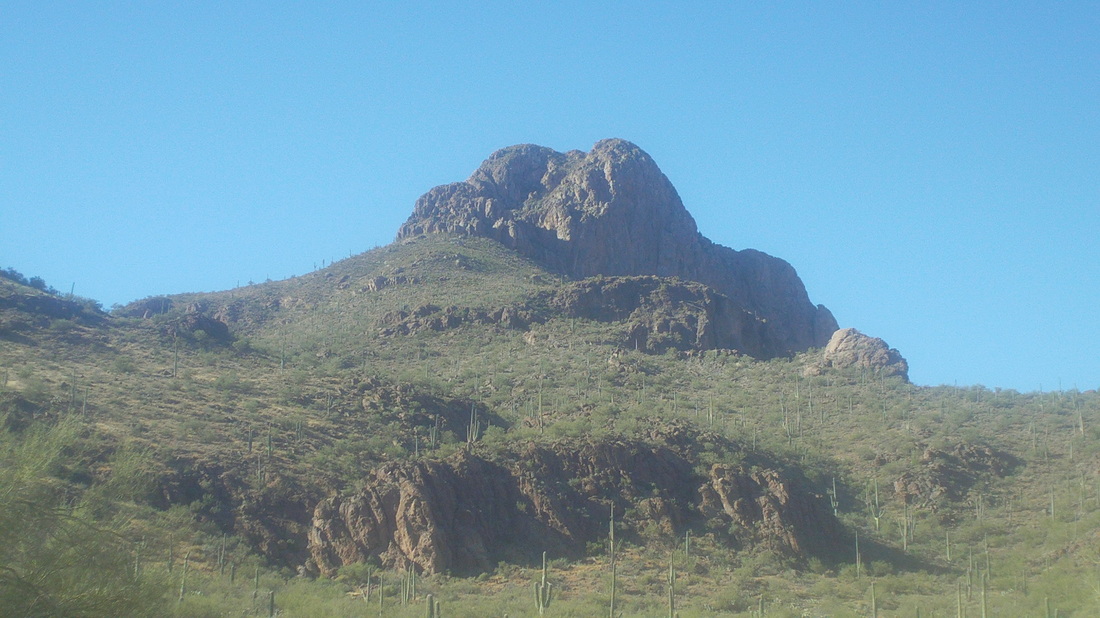
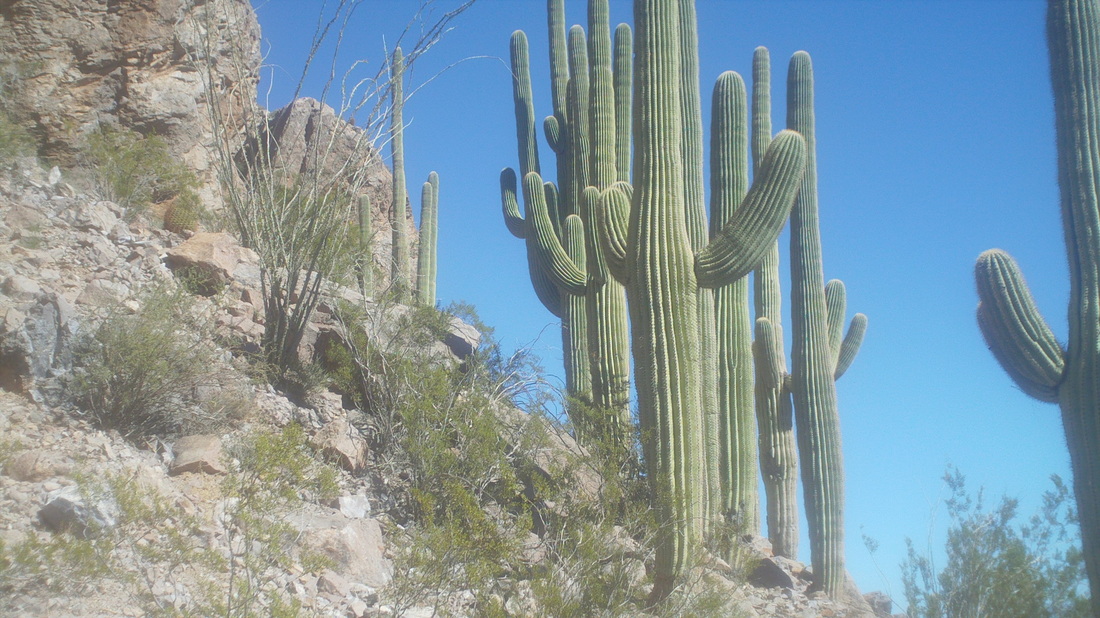
It does not appear like much from this image but when looking to the west/southwest, Sombrero Peak dominates the horizon. I have attempted this hike twice and so far stymied once I arrive at the walls. Mostly, I arrive at this point, the trail goes both left and right. Looking to the left (west) there is no way, right? Way too steep to get around that area but I talked a local hiking legend, Vagabond Jeff, to take me up here and yes, you do go left. Dang, as we walk toward the above, there is no obvious trail but there is enough of a ledge that one can get through there. Live and learn. Looking to the southeast, the views are just amazing. Almost mesmerizing. "the Vagabound" as he is known, leads me up a steep and very bouldery area. We reach a narrow rock bridge with sheer drops to both sides. I stop, gosh, I hate these areas with so much exposure. It is irrational. How often are you walking and suddenly trip and fall? Like never, right? I carefully walk across the bridge and then reach the summit. Yes, I am looking ancient. Great views. After a brief stop, we head back down. It took us an hour to reach the summit, about 1.5 miles from the bottom and 1700' of climbing. Here is that rocky bridge. I know, doesn't look like much but if you were there, wow. On the way down, we came through an odd concentration of saguaro cactus. Fun hike and now that I know how to get to the top, will do it more often. I rode with a Strava group on Saturday, watched my Buckeyes win Saturday evening and then......got a good one coming.
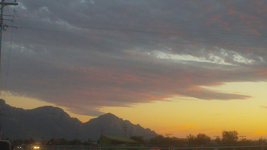
When clouds are in the area, which isn't often, there are spectacular sunsets. We had a cold snap early in the week with Monday's high of only 67, brrrrr. This was a 20 degree drop from the previous day but no rain came through with the cold front. Then on Tuesday, the temp bounced back up into the low 70's and in a day or two back in the 80's. Always a fun fitness hike and full body workout is the 1.9 mile hike, via the Hunter Trail to the top of Picacho Peak. It is a steep slog to the saddle, which I did in just under 22 min during which a woman told me she hated me. She said, "I hate you. I saw you start way down there and now you're way up here and passing me." I got through the various obstacles and reached the summit in just under 44 minutes. It was cloudy today so the views were muted. On the way down, I took time to take a couple of images of the parts of the trail that add interest, such as this bridge across a sheer rock face.
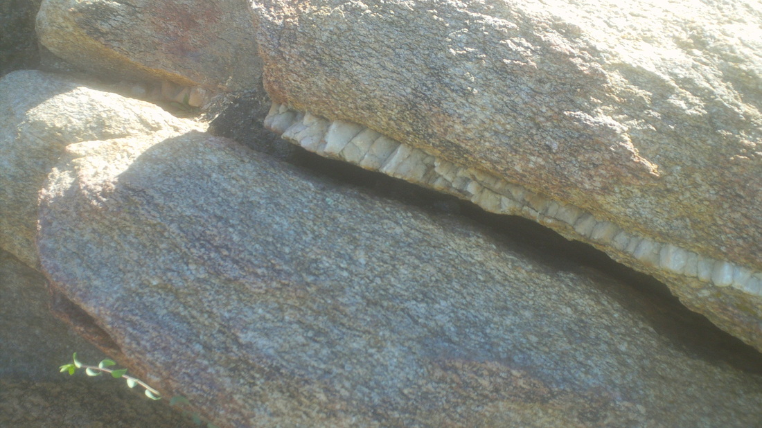
It appears so close but it is so far. The trail goes to the left of the rocky face to the right, goes way back and then up past those ribs in the background. Only 2.1 miles to the peak but 2600' of climbing and it is friggin steep. Like this section, scramble up to the right, cross over at the midpoint and then over the edge. At about the half way point there is a fork. Must take the left fork or else you will end up at the overlook in the distance. A couple of guys came down and asked if I had done this hike before, which I have and they asked how they had missed the fork....rookies. There are several "ribs" that are passed on the way up. More "ribs" as I head farther up with glorious views to the west. I reach the top and sign my name to the registration book which is under a rock. There are a couple of guys already up there. In the distance is Rosemont Peak, which I climbed about a year ago. Cool place. On the way down, I passed this rock with a line of I don't know, maybe crystal imbedded in there? Because I ride or hike every day but one, each week I can't post every day but put up the better hikes. Good news, Vagabond Jeff, a local legend, has agreed to lead me to the top of Sombrero Peak on Friday. Can't wait and more to come.
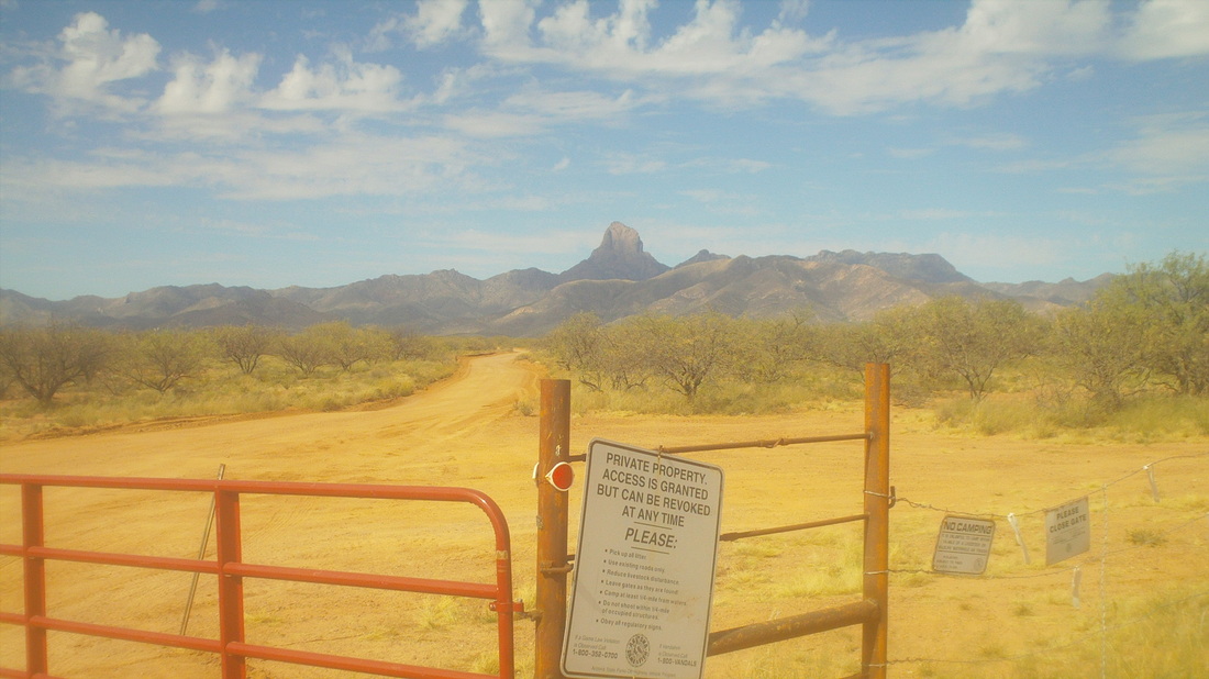
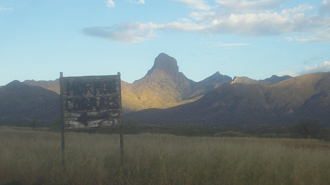
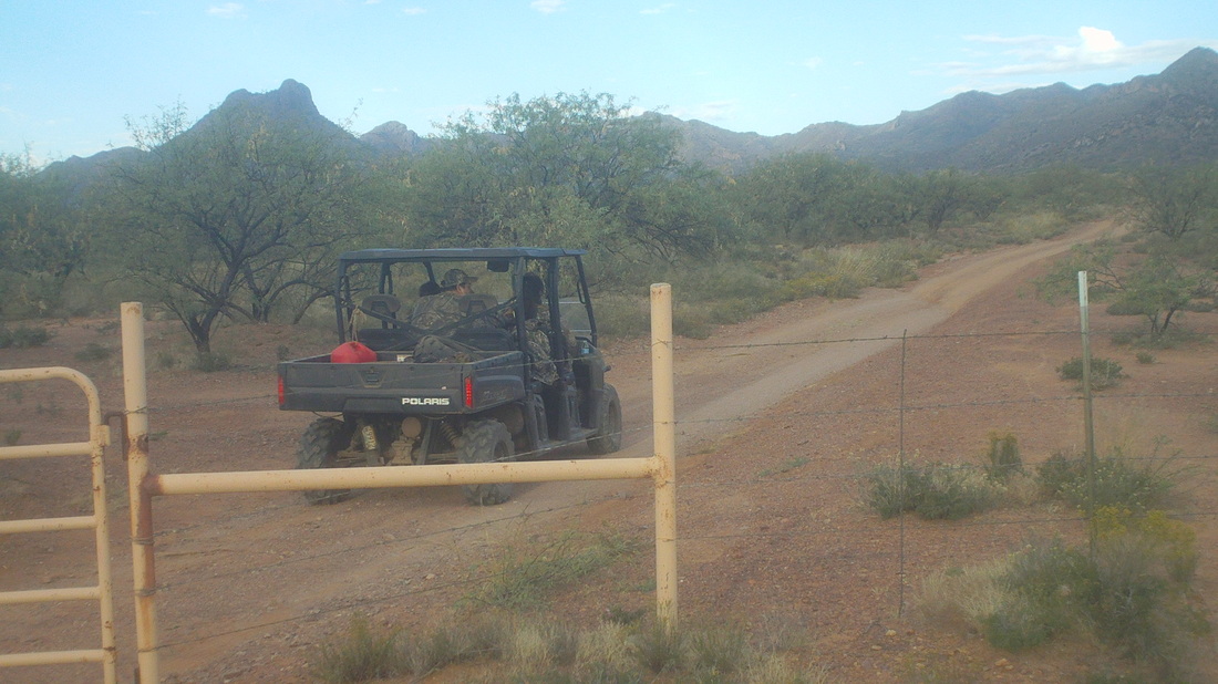
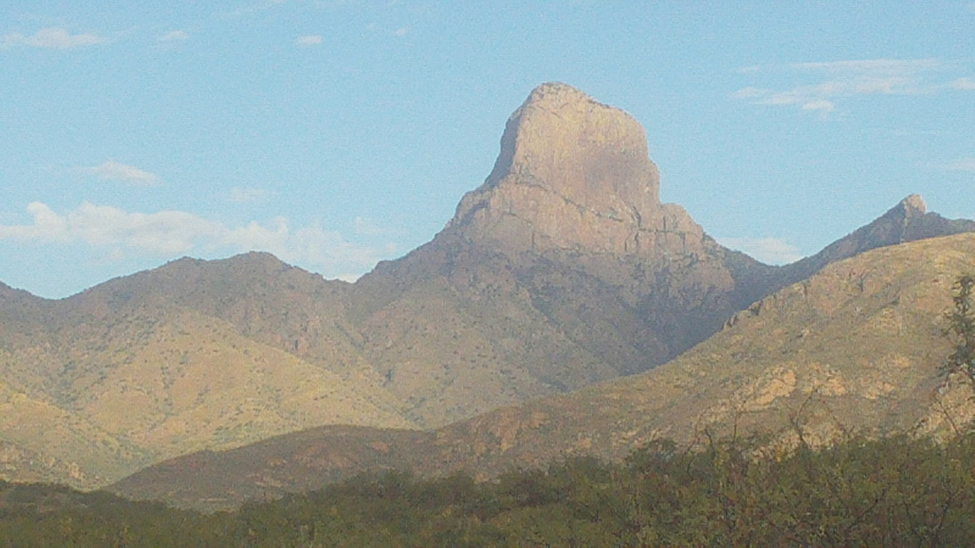
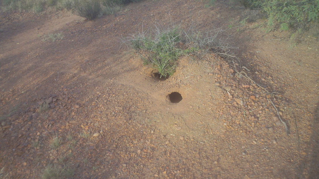
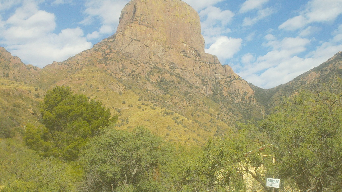
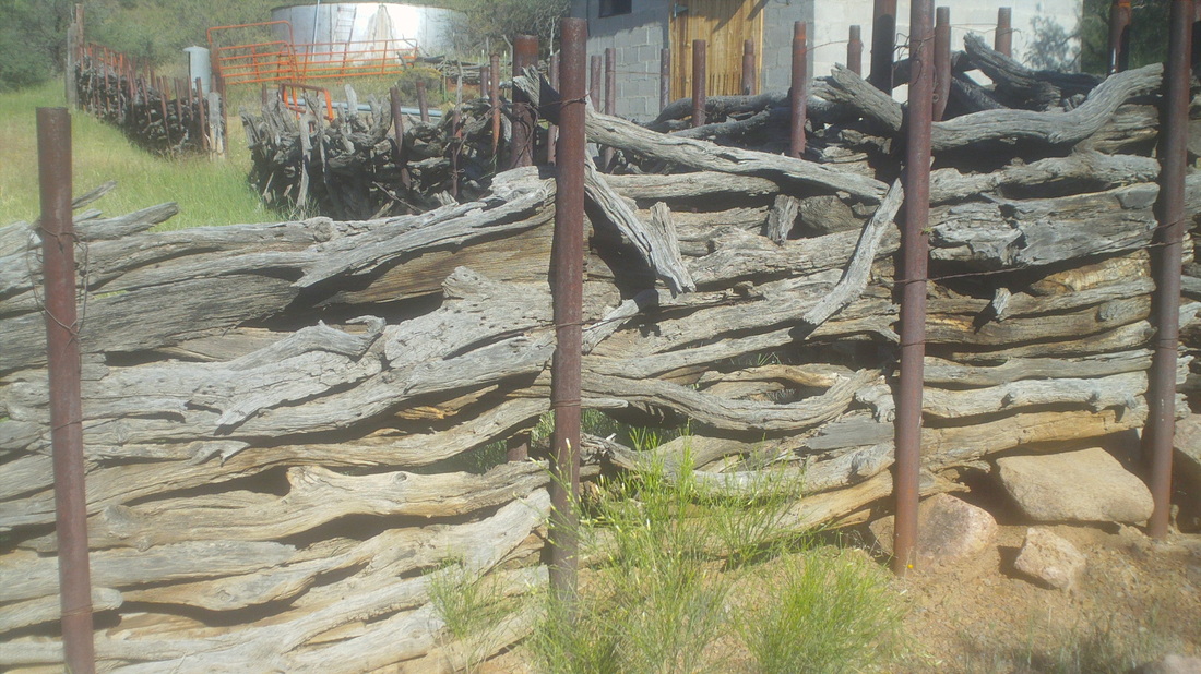
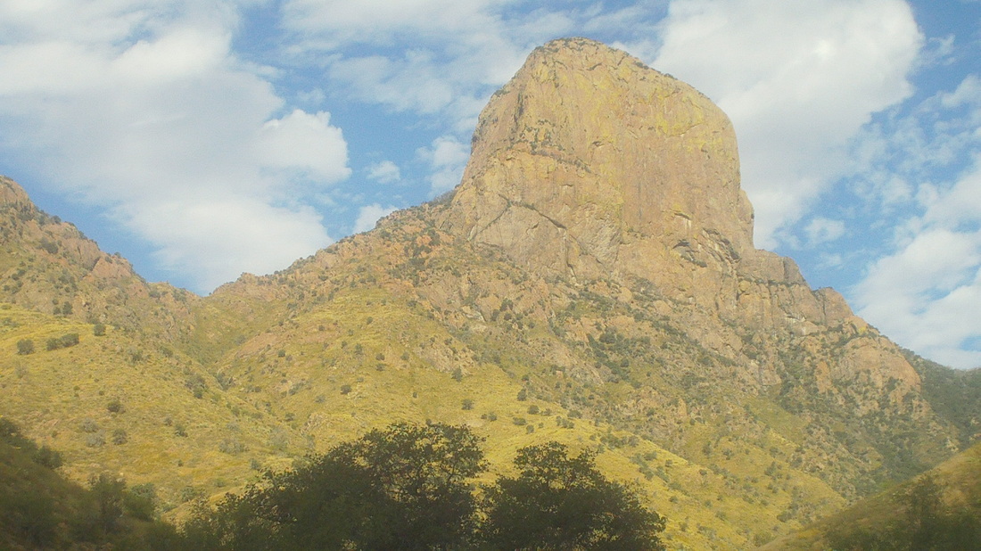
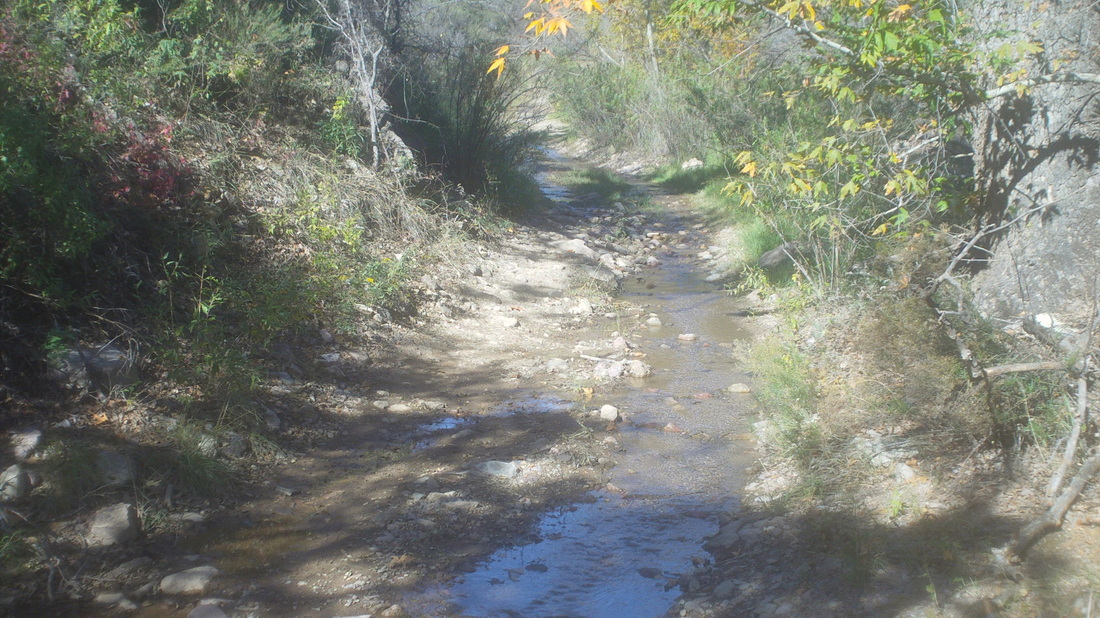
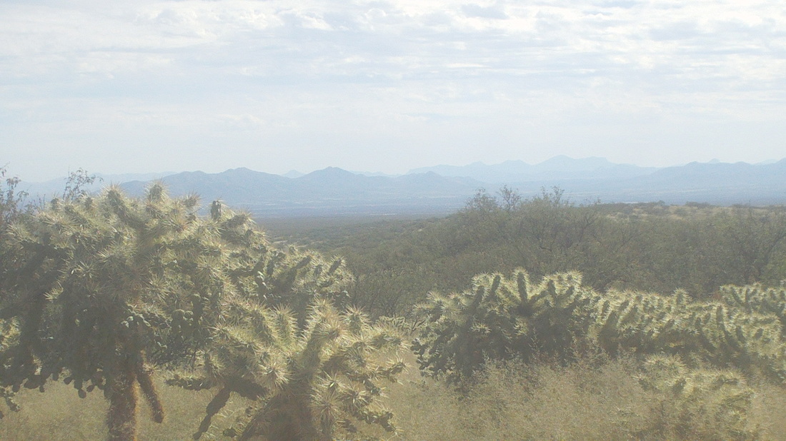
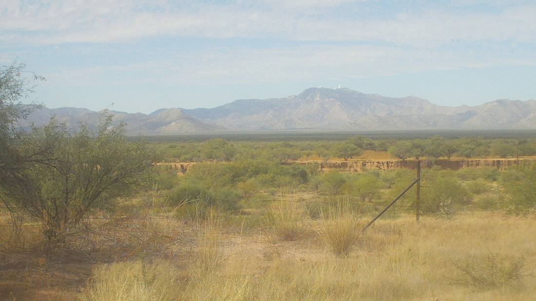
If you have driven to the top of Kitt Peak and the fabulous array of telescopes, you would have noticed to the south a very prominent peak a few miles distant, that is Baboquivari Peak and so, I drove an hour to this dirt road with the intent to hike as far up the peak as is possible, without the use of ropes, of which I have none. I read a couple of hiking reports and they said at mile 2.6, you would find a fork in the road with a sign for Mormon Corrales and you were to take a right. Note the peak is getting closer as clouds play across the face of it. From this point, the road became rougher but still passable via car. The reports said when you reached a white fence, park and begin walking the remaining 4.4 miles to the base of the steep part of the peak. OK, the fence was not white but at the time of the reports, written in the late 90's, it was probably white. This vehicle approached and the occupants told me to be careful because a mule deer hunt was under way. They said, "No one will shoot you but be careful." Also, a couple of years ago, two hikers were killed by illegals in the area. Well, nothing to do but push on so I got out of the car, gathered my gear and began walking. The base of the peak did not appear to be 4.4 miles away but what the heck. It was a beautiful day for a hike, low 80's and sunny. I followed a jeep track. Hmmmm, never seen this out here before and there were a lot of these formations. Note the faint path. I shoved a hiking pole way into one hole, thinking maybe a rattler would come out but nothing. Probably home to some furry varmint. After walking for 4.5 miles, I reached the real white fence where I was supposed to park but no way to do that without a very high clearance vehicle. The peak is getting closer. There was also a yellow ranch house, there in the lower right. How remote! The trail went to the right of the house and then.... ......through a portion of the ranch and note how the corral is constructed with pipes and wood scraps. I know, you're thinking, dude, you are off the route but no, this is correct, it goes through the perimeter of the house. After 5 miles, I reached this point and with 4 yet to go, I did not have enough fluids so I turned around. I planned on a 9 mile hike, not an 18 mile hike. So close yet so far. The image does not do justice to the size of the mountain. I'll be back but need a suv to get me closer before setting out on foot. On the hike back, I re-entered a stream through which the road went and it is kind of tight quarters so the suv ought to have high clearance and be narrow too. Lots of butterflies around this. A flock of cholla to the side of the road with a great view to the east. I walked and walked, passed a guy in camo fatigues with a gun, under a tree, watching. Reached my car and drove away. Above, ,maybe you can see the white telescopes on the top of Kitt Peak. I'll be back.
|
Categories
All
Archives
November 2023
|
