|
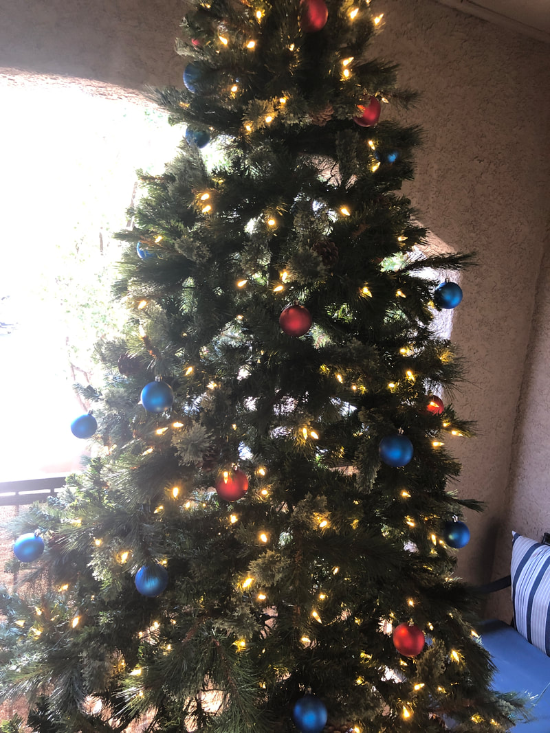
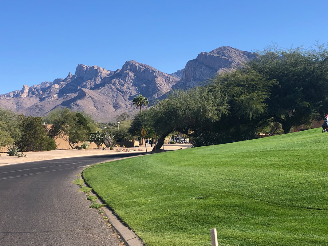
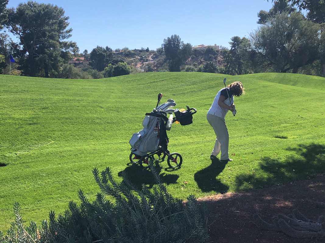
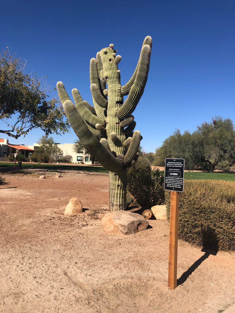
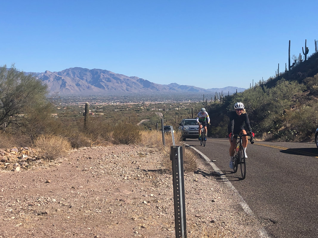
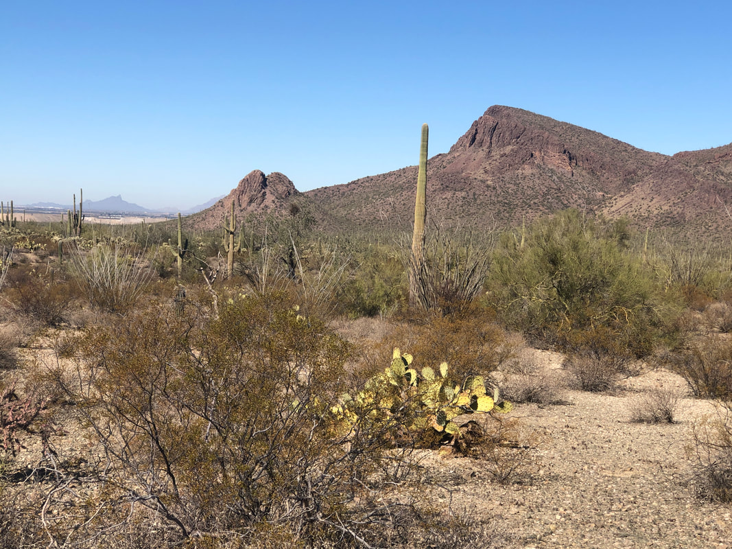
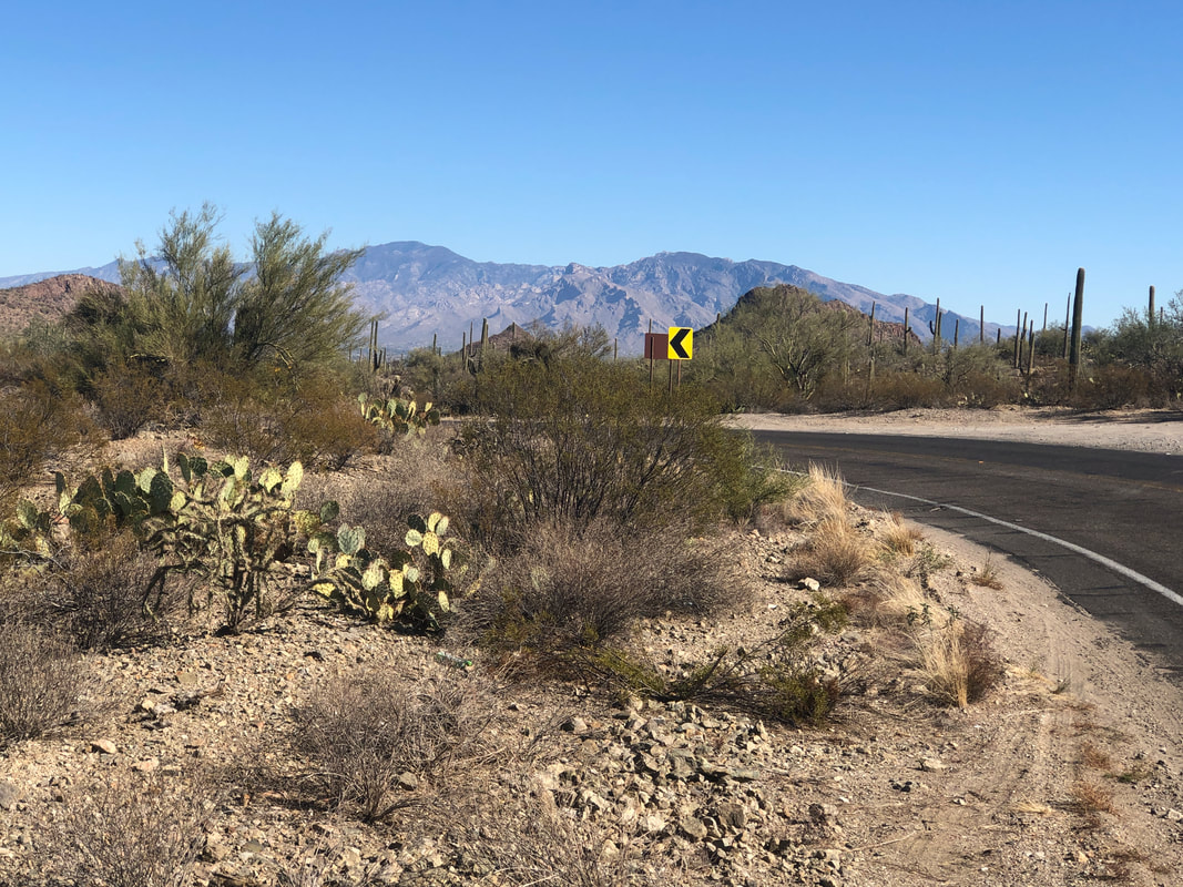
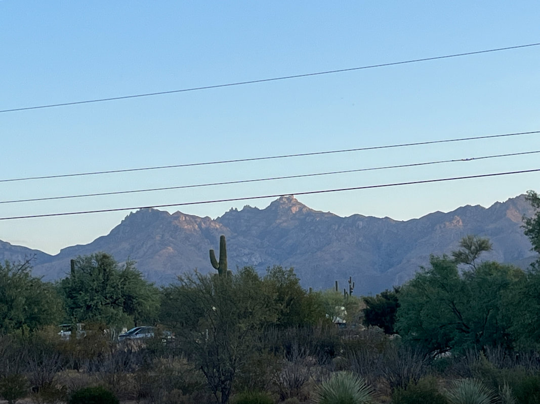
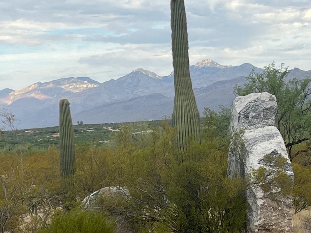
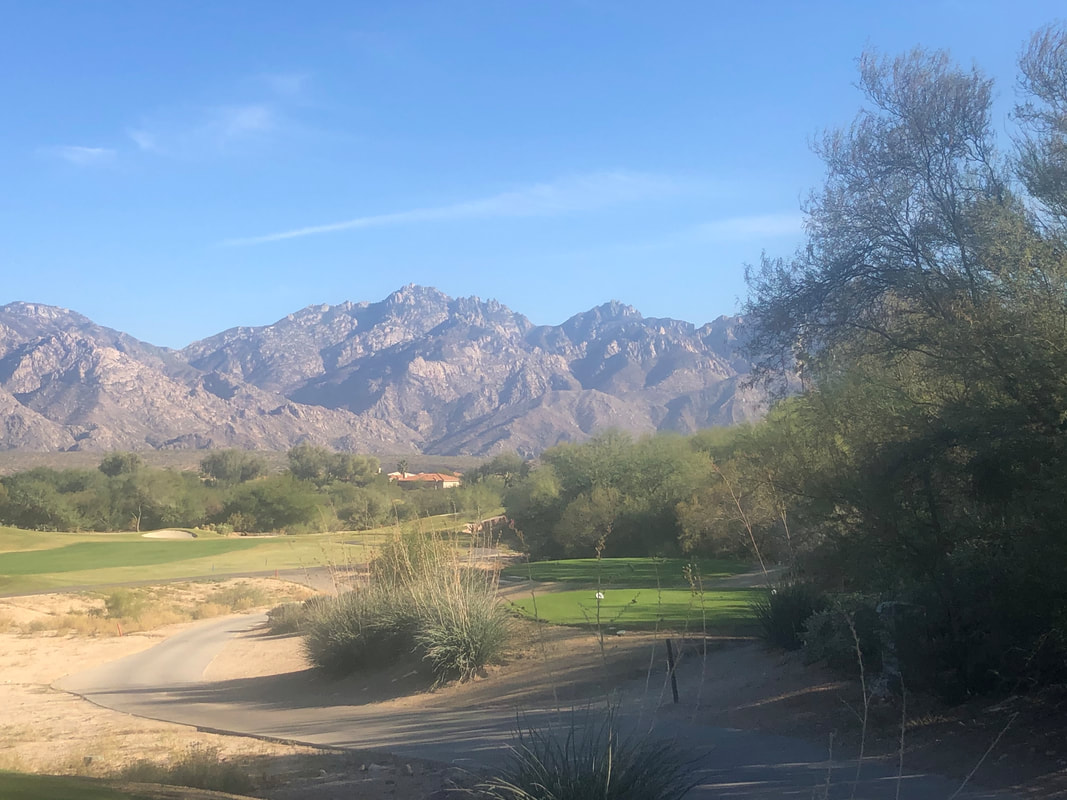
Put up the Christmas tree but on the patio so the mostly spiritless people living around me can enjoy it too. Very few Christmas decorations around me for some reason. I got reinvigorated to ride so ramped up to 51 miles last week but paused at a golf course. People were looking for a golf ball and I found it from the seat of my bike. Then, the woman who had lost the ball.... ...dropped it and prepared to hit another shot. Not real good form there but she and companions were having a good time. There was a huge but kind of squat saguaro. Amy and I went southwest and included Picture Rocks Road on another 50 miler, finishing with 2000' of climbing. Kind of cool at 68 degrees. For the name of the road I'd expect the scenery to be better but kind of bland. Ended the week with about 140 miles. Not a bunch but way more than normal.
0 Comments
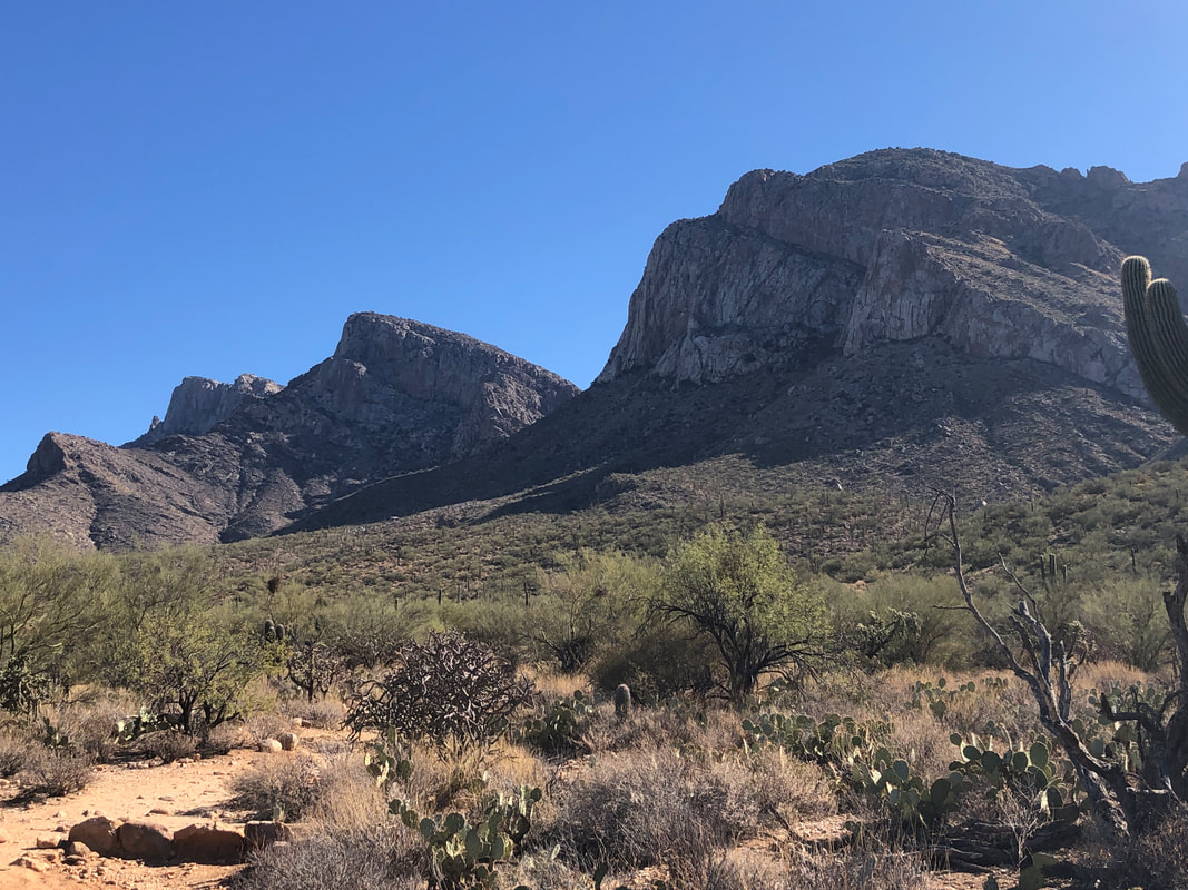
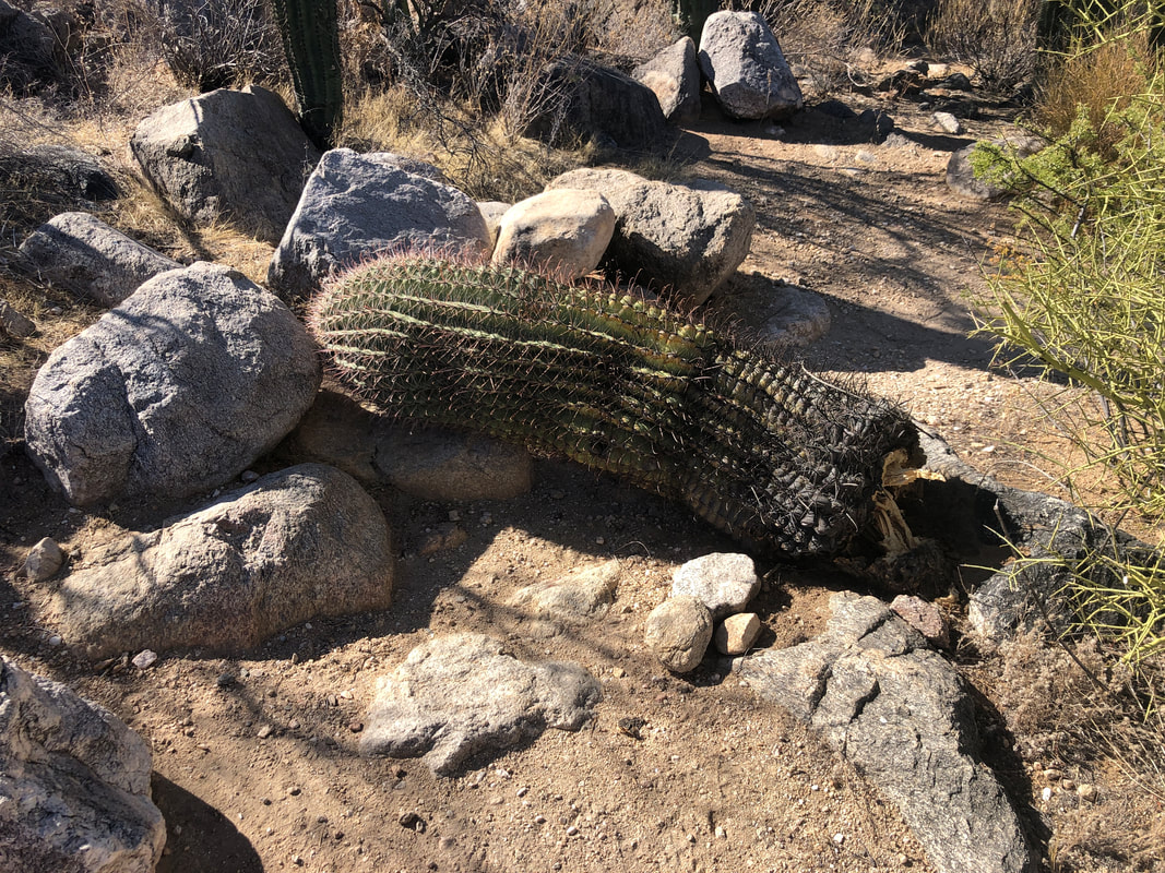
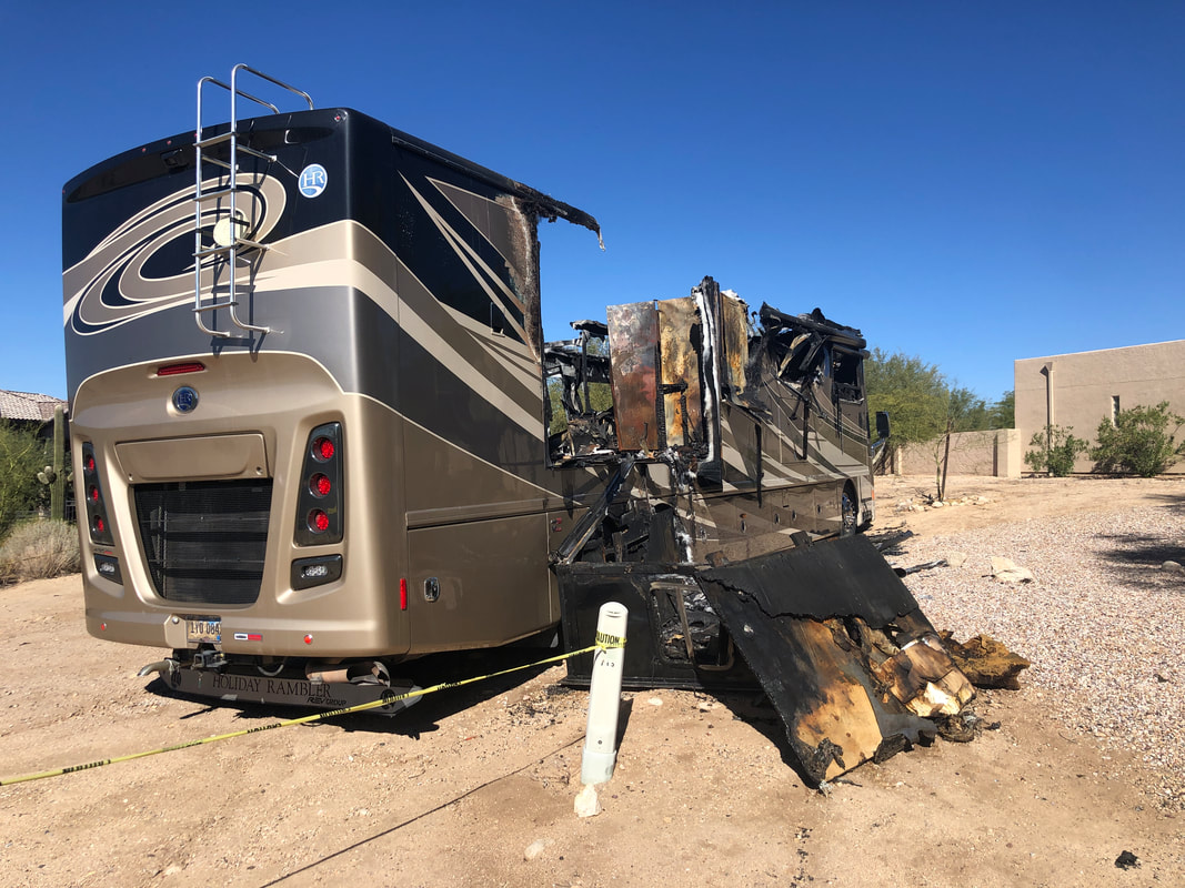
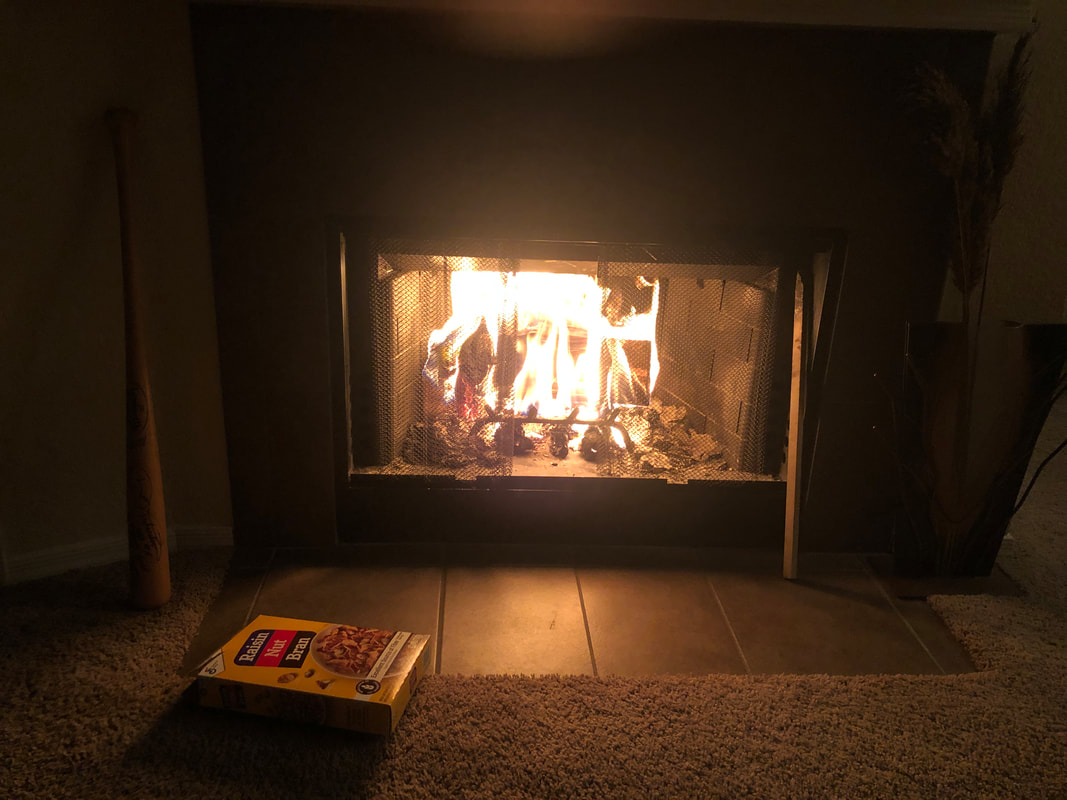
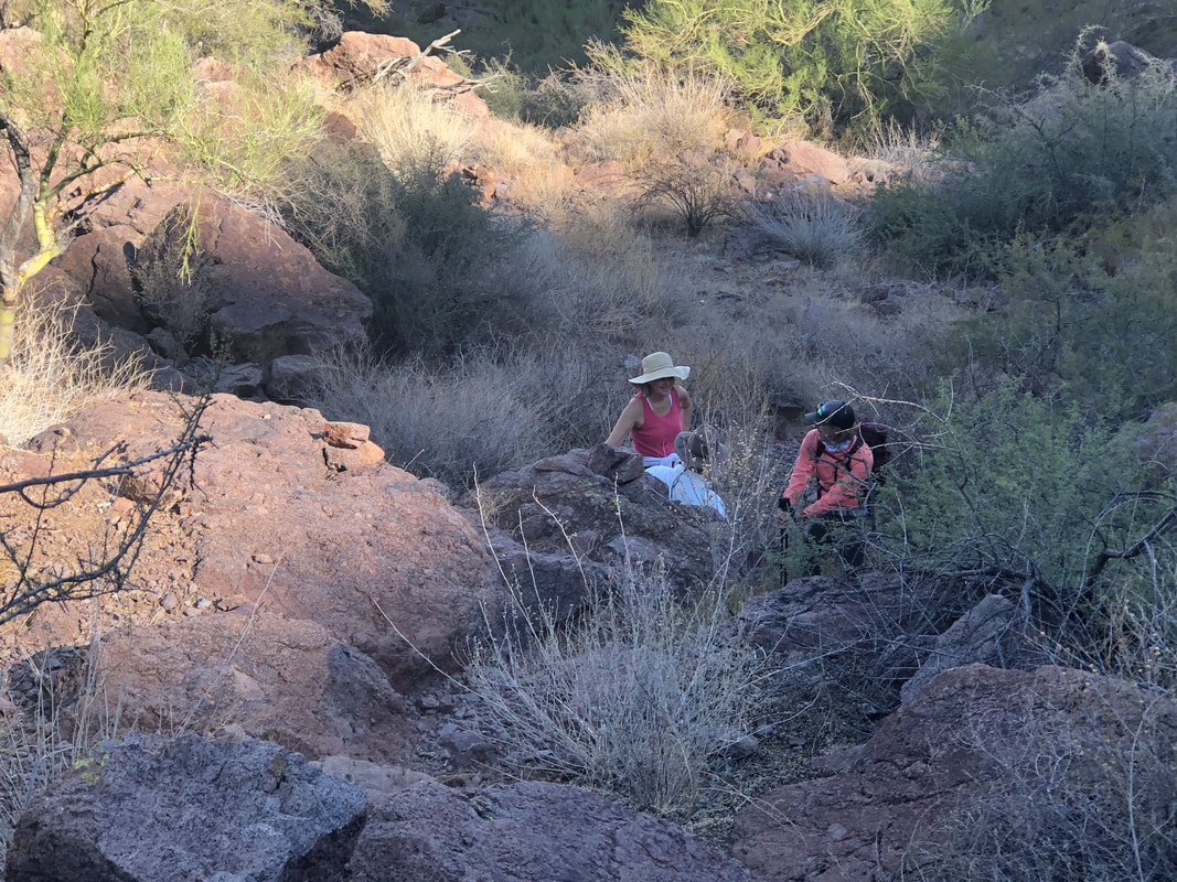
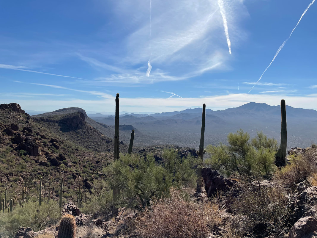
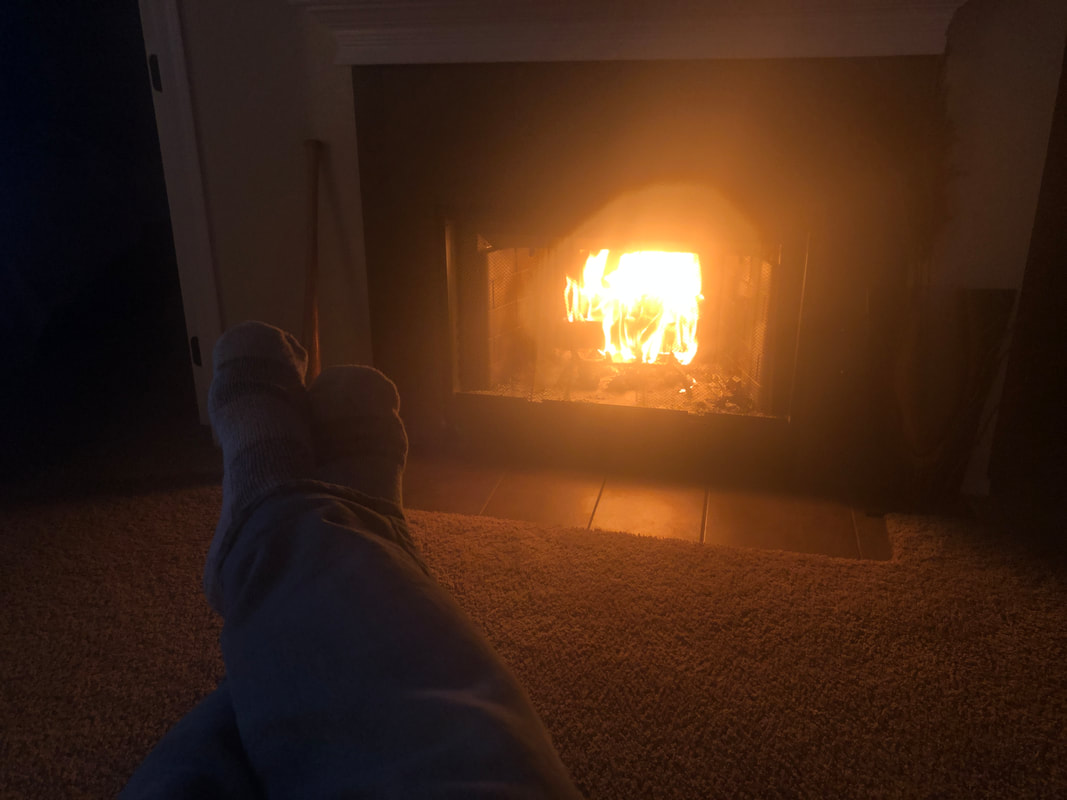
A short, 2.5 mile below the Catalinas on Wednesday where I encountered... ....a small saguaro that had fallen across the trail. Ending the hike I.... ...this across the parking lot. Yikes! The temperatures have finally returned to normal with daytime highs in the low 70's so finally able to.... ...get a fire going. How bout that! Yes, I use it to burn cardboard and yes, that's my fav cereal. Also a Louisville Slugger bat on the right that I swing like a golf club to keep my seriously atrophied golf muscles loose. The bat was signed by the great shortstop, Ozzie Smith. On Thanksgiving morning I..... .....got in a 52 mile bike ride. Rode 42 miles two days ago so cranking up the cycling but with the cooler temps, it opens up lots of opportunities for hiking and so I shall.
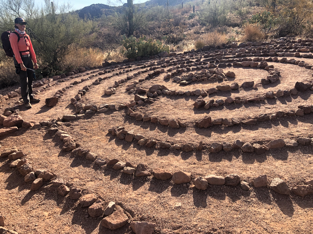
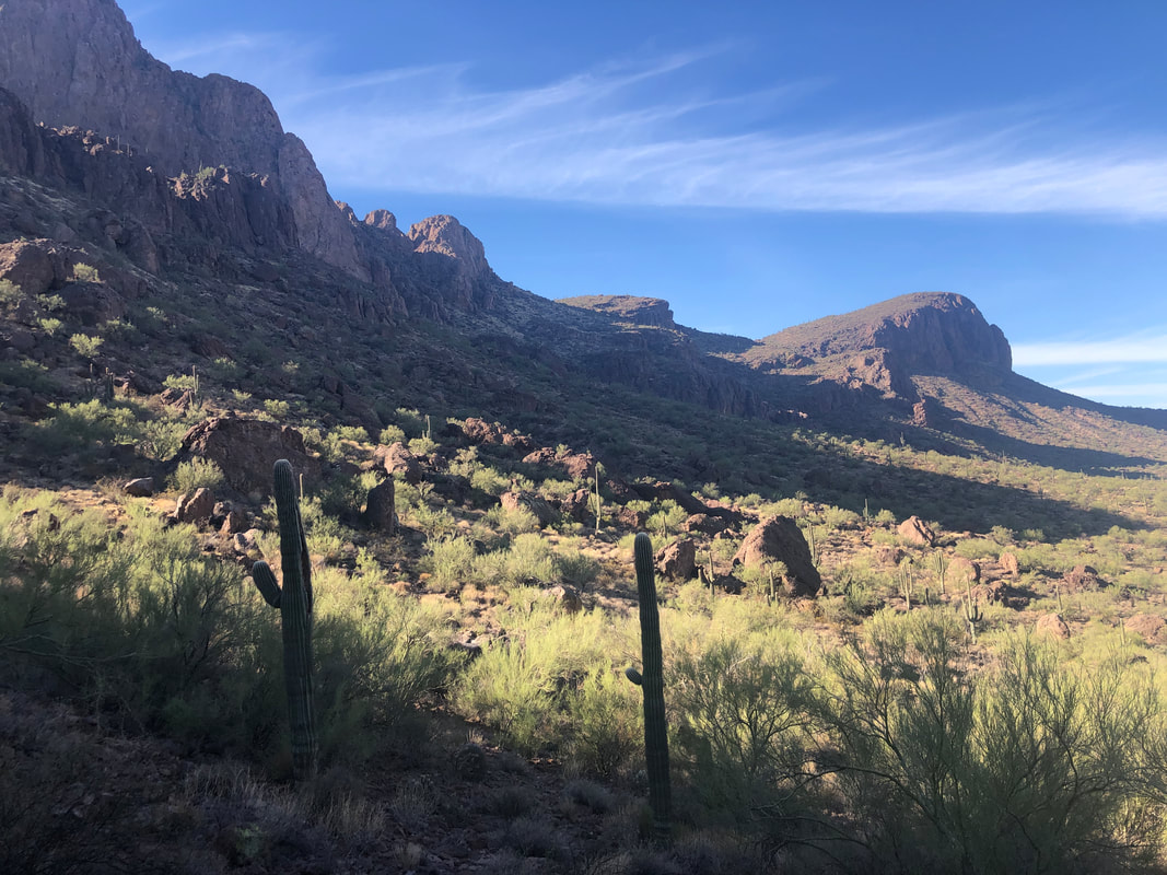
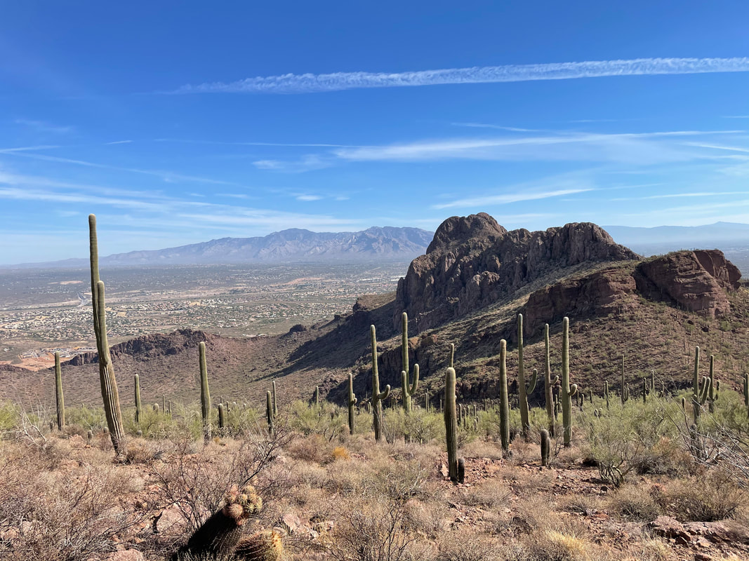
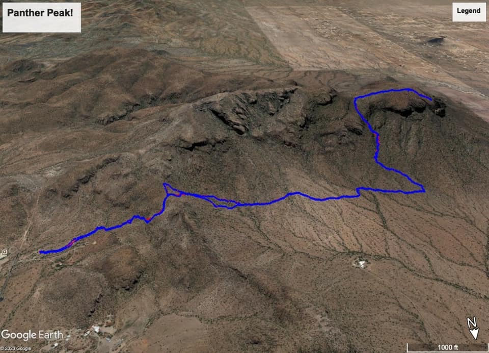
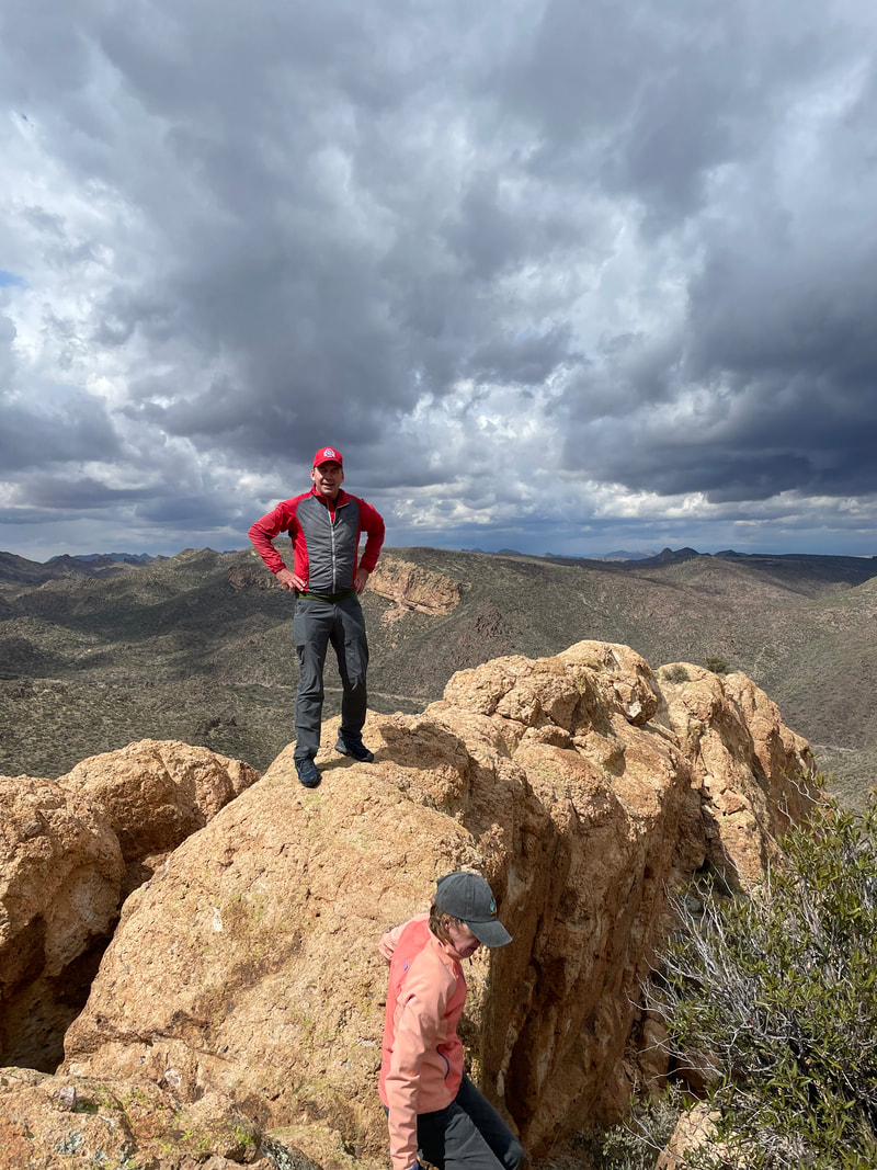
We arrive at Sanctuary Cove, an 80 acre preserve that borders Saguaro West National Park. Tracy, recently admitted to a SAR team, carries the same pack she would if on a search mission. It's rather heavy. We pause so everyone can get a look at the labyrinth then we take the preserve's main trail, ascend a steep slope and enter the Park. Only now, at a ridge, do we get a look at Panther Peak, there in the distance. Panther and its sister peak, Sombrero, are prominent features to the southwest of Oro Valley. We then descend a steep slope that is kind of treacherous with lots of loose gravel and rocks. No trail to follow, just head to the west of the White Stallion dude ranch where there is a fence and along it, a trail. I think the trail was put in by the ranch so guests can hike or ride it on horses. Another look at our destination. Doesn't look like much but it's a good hike with a fun ascent of a ravine. How about that? A horseshoe. I know to look for a cairn after about 1.6 miles from the parking lot and sure enough.... ....find it. Now we turn toward the peak and begin following a series of well placed cairns. The climb is gradual until it isn't. Then it becomes quite steep with fun bouldering up the final section. Two of our group are struggling and take a couple of breaks, which is fine. I was in my guide mode but I made a fluid mistake. I consider the distance, temperature and climbing and decide how many bottles to take so 2 for today's 5.5 mile hike. What I sometimes fail to do is consider the added time when leading a group who hike at a slower pace. At the last minute, I had added a 1/2 bottle to my pack. We gain on the saddle to the left of Panther and have enjoyed some hiking in the shade but the sun was gaining on us. Now we are in the steepest section. I'm leading the way when I'm told..... ....the two who had been struggling have decided to stop, for good. Since the hike is an out/back they urged us to continue and they sit and wait. Tracy, Amy and I continue and soon.... ....reach the aforementioned saddle. Great views to the south and west. Each of us felt a little guilty about leaving the other two behind. Knowing the next 1/2 mile to the peak was relatively easy to follow, I suggested they continue since they were first timers. I've visited the peak about 3 times so I would descend to the other two hikers, get them headed back and count on Tracy and Amy to overtake us before we reached the off trail ascent. to the first ridge we encountered coming out of the parking lot. I spend a few minutes, gawking and taking pictures. Once the ladies disappeared from view, I descended. The following images were taken by Amy.... ....as I am somewhere in the above image, watching them. Reaching the peak, they look back and can see Sombrero in the foreground, the Catalinas in the background. Meantime, I'm escorting my two hikers, taking an occasional break before reaching the end of the official trail and deciding to wait for Amy & Tracy to overtake. We sit on some comfortable boulders and wait and wait. Hmmmmm I'm running low on water and really glad I had that extra 1/2 bottle. The gals take their last picture, of a distant copper mine and head back. Where we are sitting, a slight ridge prevents us from seeing much more than a couple hundred yards. We begin to worry but both have gps devices to follow, both are experienced hikers so what could go wrong? Well, a fall or a snake bite but we'd know that when a helicopter came swooping in. Finally, we could see them approaching, let out a few whistles, regrouped, ascended the steep slope and returned to the parking lot. Above is our route, 5.5 miles and 1900' of climbing, well for two of our group. I had something a bit less but it was still a lot of fun.
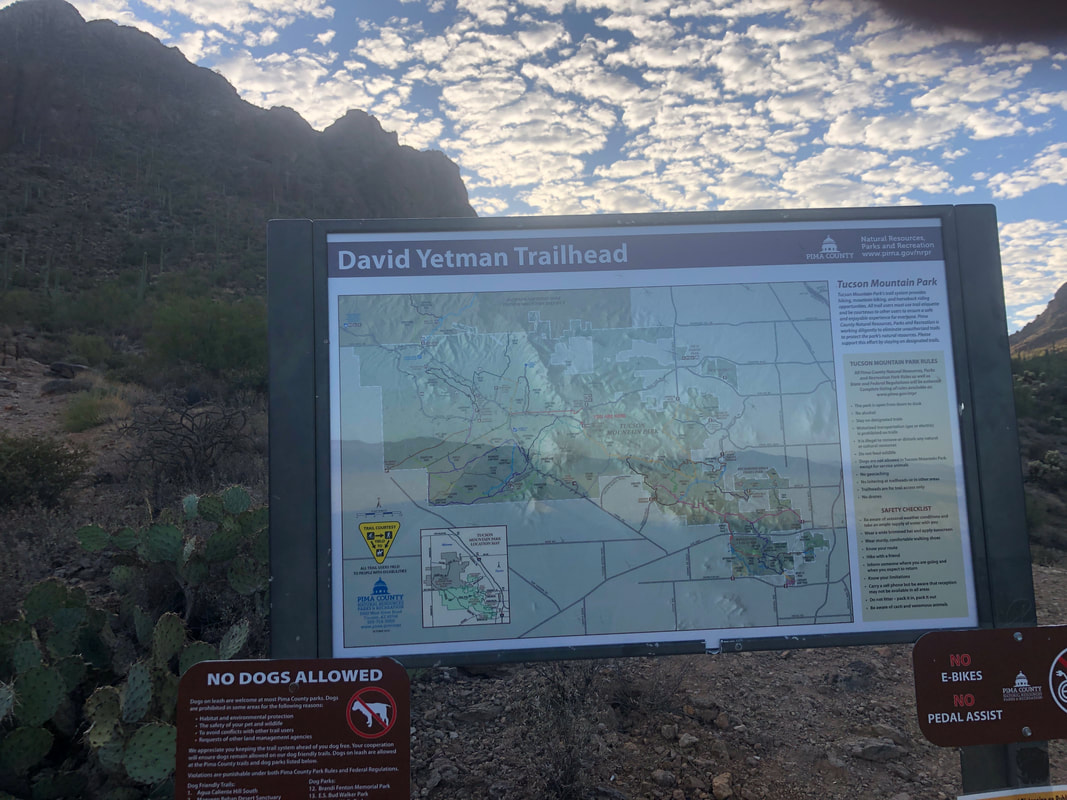
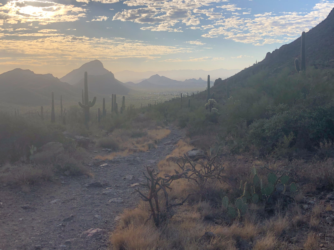
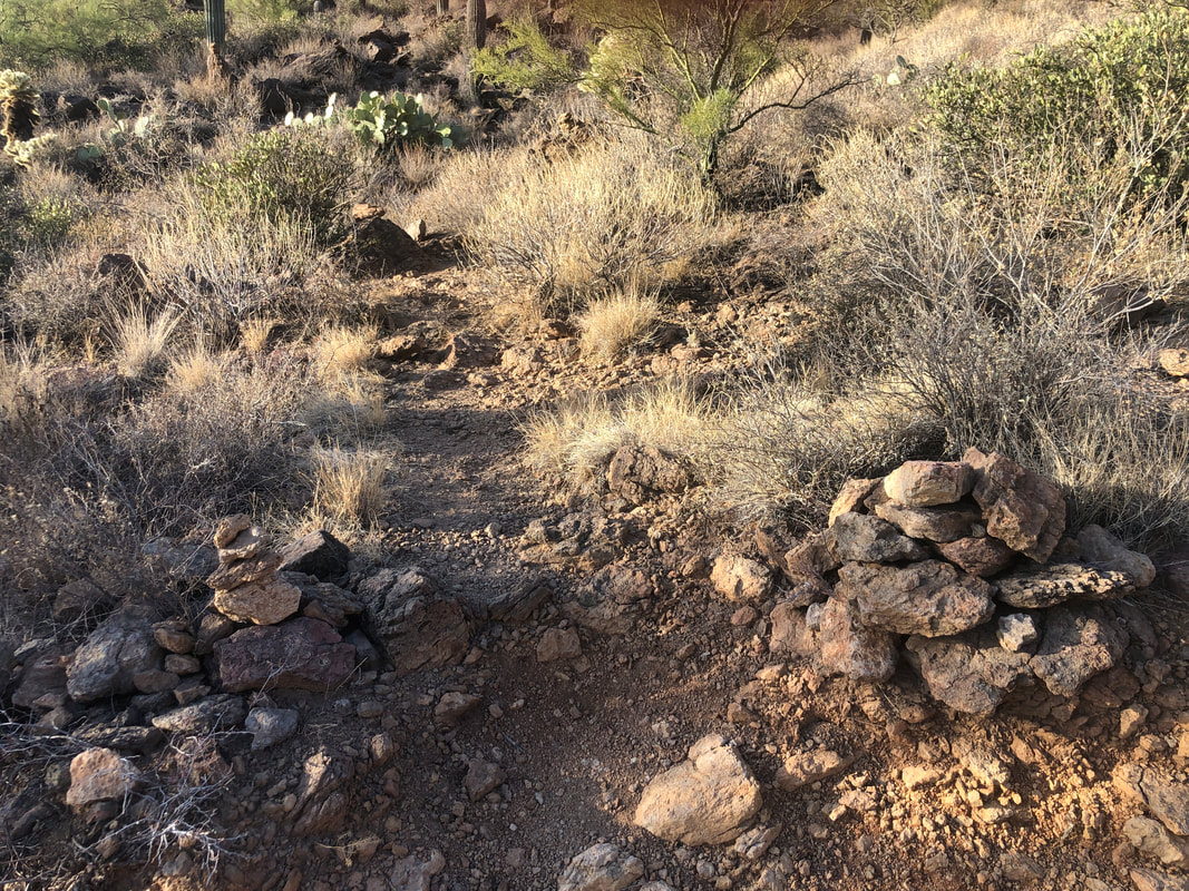
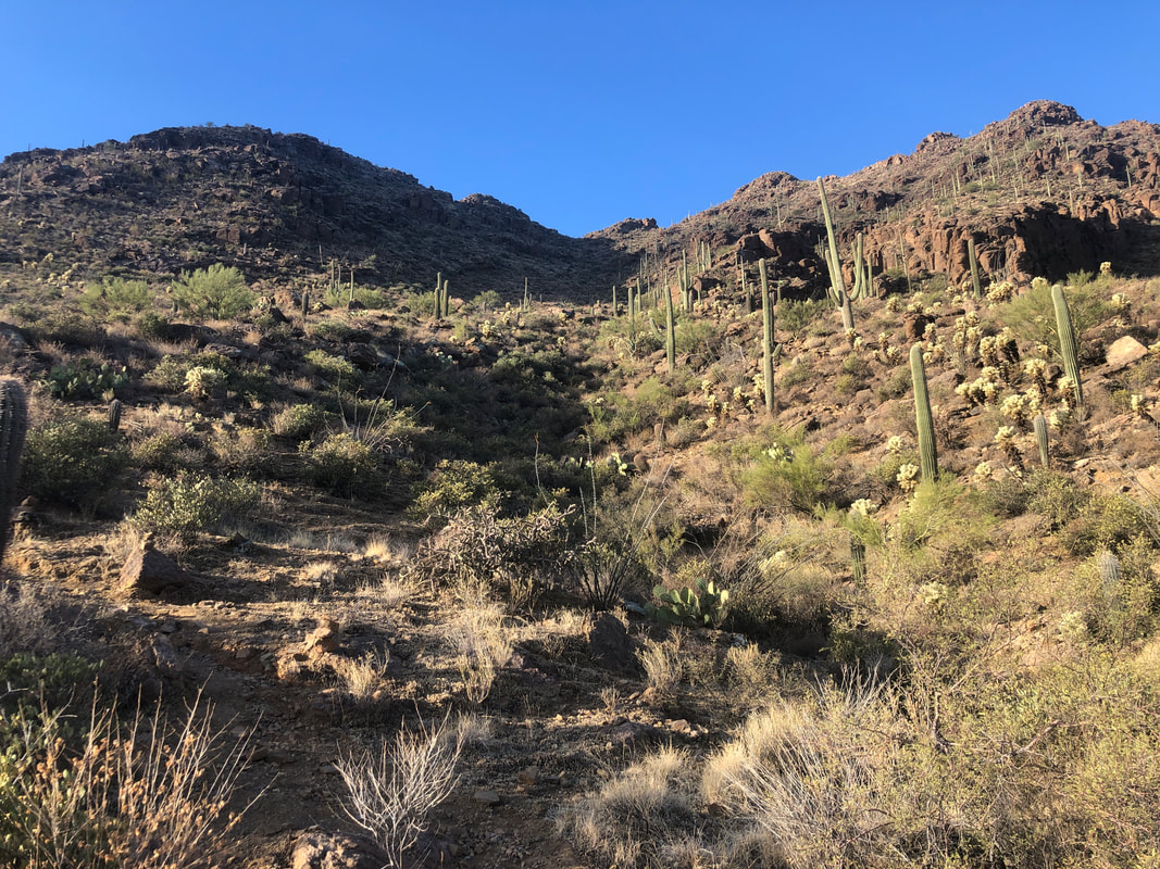
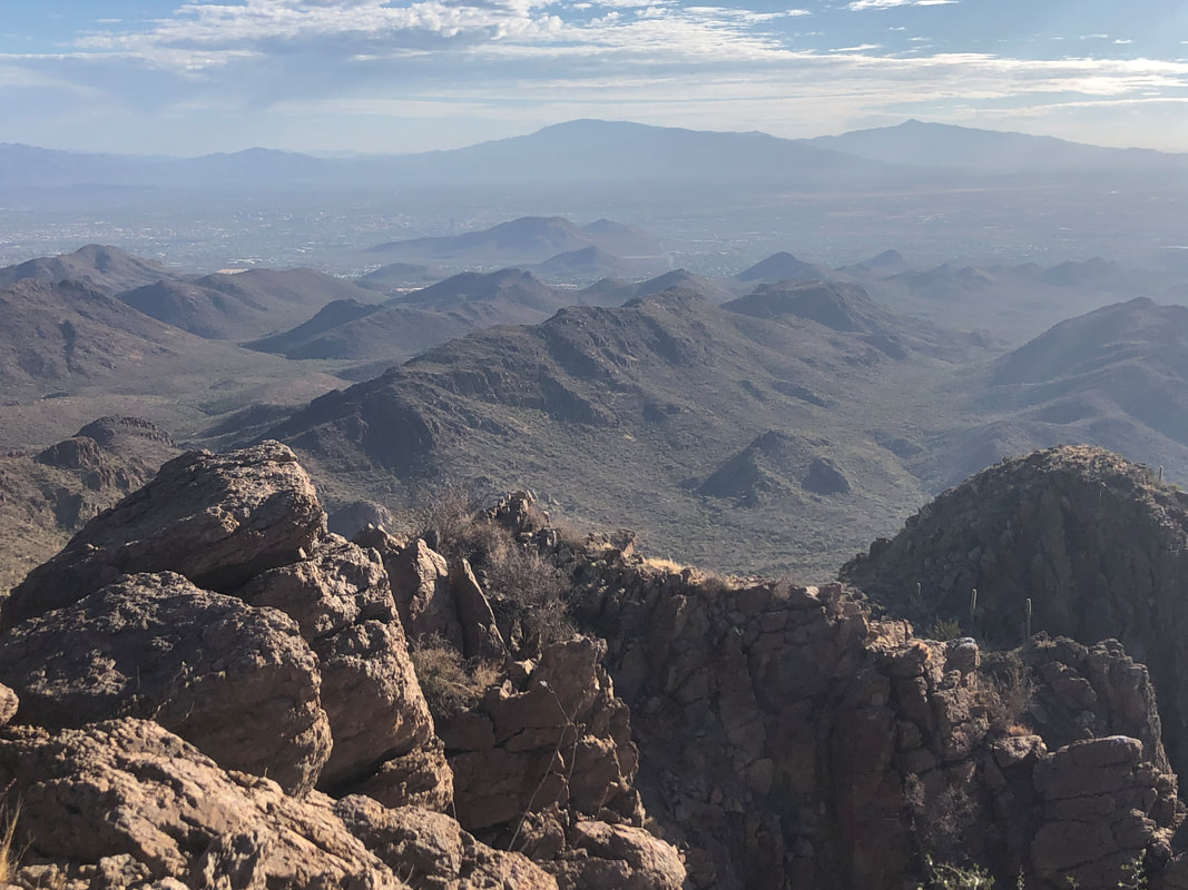
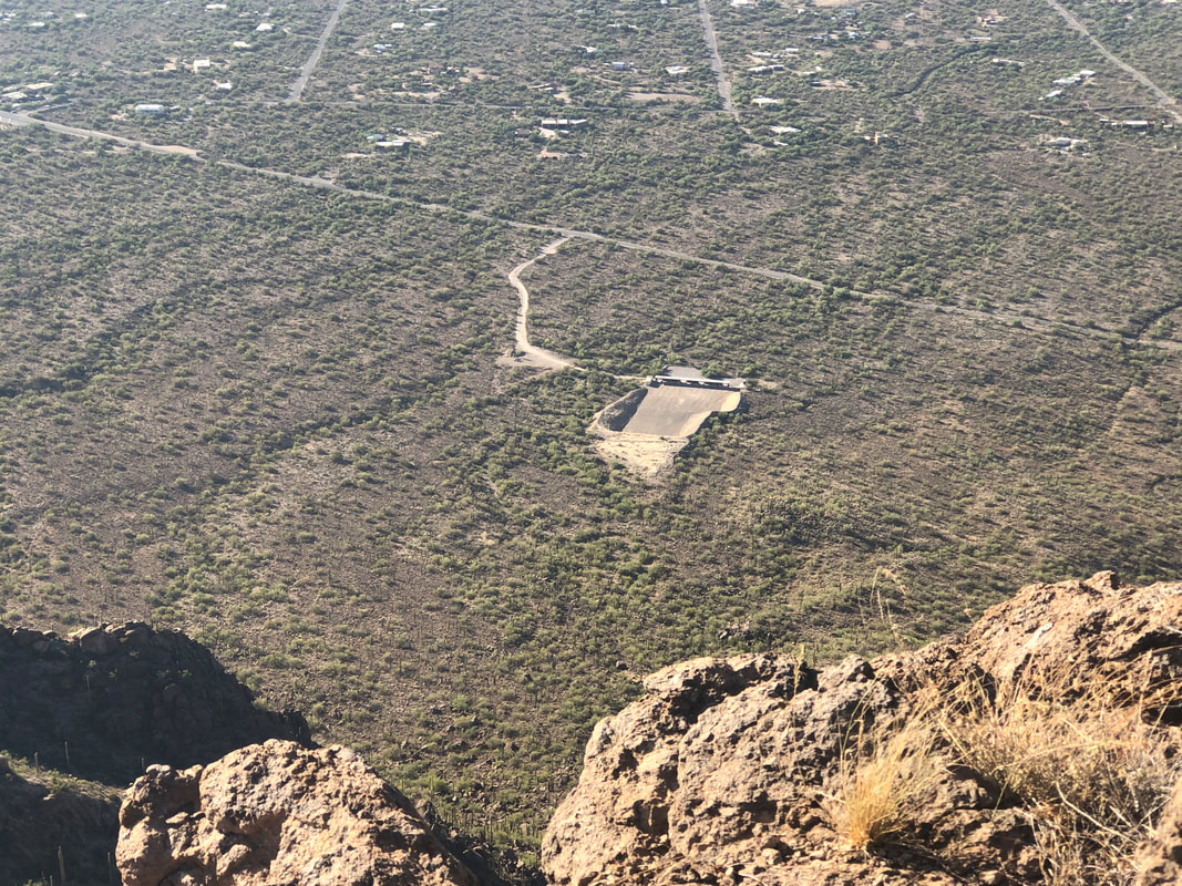
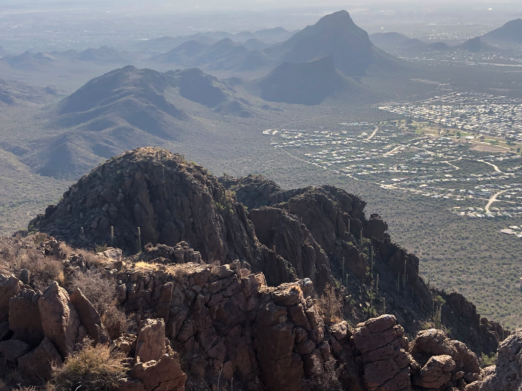
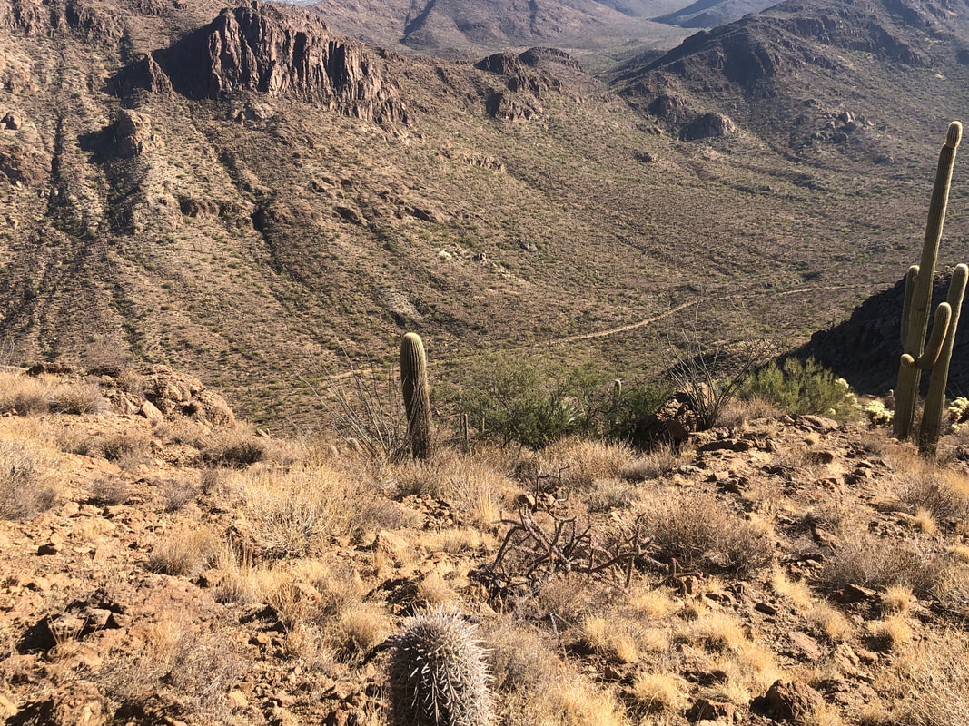
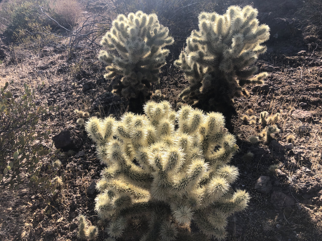
Reaching the top of Gates Pass, I descend the curving road, distracted by the views to the west, then turn into a small parking lot. Surprised mine is the only car there. My hike today is short at only 2.5 miles round trip but has a good, off trail climb to the top of Golden Gate Mountain. My hike begins at David Yetman trail. I ascend to a saddle and am greeted.... ....with this early morning view. Little Cat and behind it, Big Cat Mountains, in the distance. I begin a descent while watching for a..... ....cairn that marks where to begin the ascent of the mountain. The peak is not visible until you reach the low point in the above ridge. As always, the higher I go, the better the views. I reach the aforementioned ridge, go counterclockwise around it and reach.... ....a saddle and at last can see..... ....the peak. Throughout the off trail portion of this hike, cairns are plentiful and enough people have followed them that a well worn trail is visible in most places. Be careful when ascending the above. It is very rocky and balance is required as you hop across boulders. The visual reward.... .....is..... ....well worth the effort. Peering over the side opposite of the side you arrive.... ....there is a shooting range below. No action today but I have been up here once before when it was very active. Ha, ha, we all stayed away from that side for concern over ricochets. Bobcat Ridge in the distance with Little Cat and Big Cat mountains. The sprawling Tucson Estates on the right. I begin my descent and can see the Yetman trail winding its way through the valley. While only a 2.5 mile hike, I gained a good 1500'. Jumping Cholla. I keep a healthy distance from these plants. However, while helping a friend look for a lost golf ball, I emerged from the thicket, felt something on my back, reached back (big mistake) and brought my hand back with a clump of Cholla attached to it. Fortunately, someone had tweezers and I removed 5 spines from a finger.
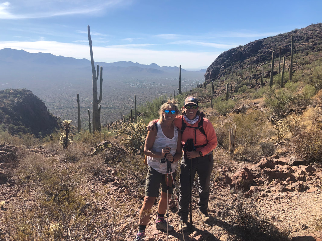
A relatively easy, go-to hike (following a more rigorous hike like the Ramsey hike) is the Brown Mountain loop off Kinney Road in Saguaro East National Park and part of the Tucson Mountains. The loop consists of a wonderful Ridgeline trail with nice views though once you drop off the ridge, the balance of the route is flat/rolling and kind of boring. Again, as a recovery hike it is fine. It being Amy's first visit, she enjoyed all parts of the route. Finished with 5 miles and 800' of climbing.
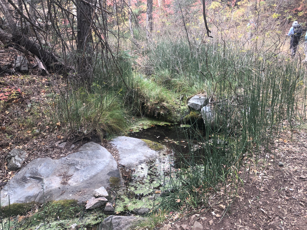
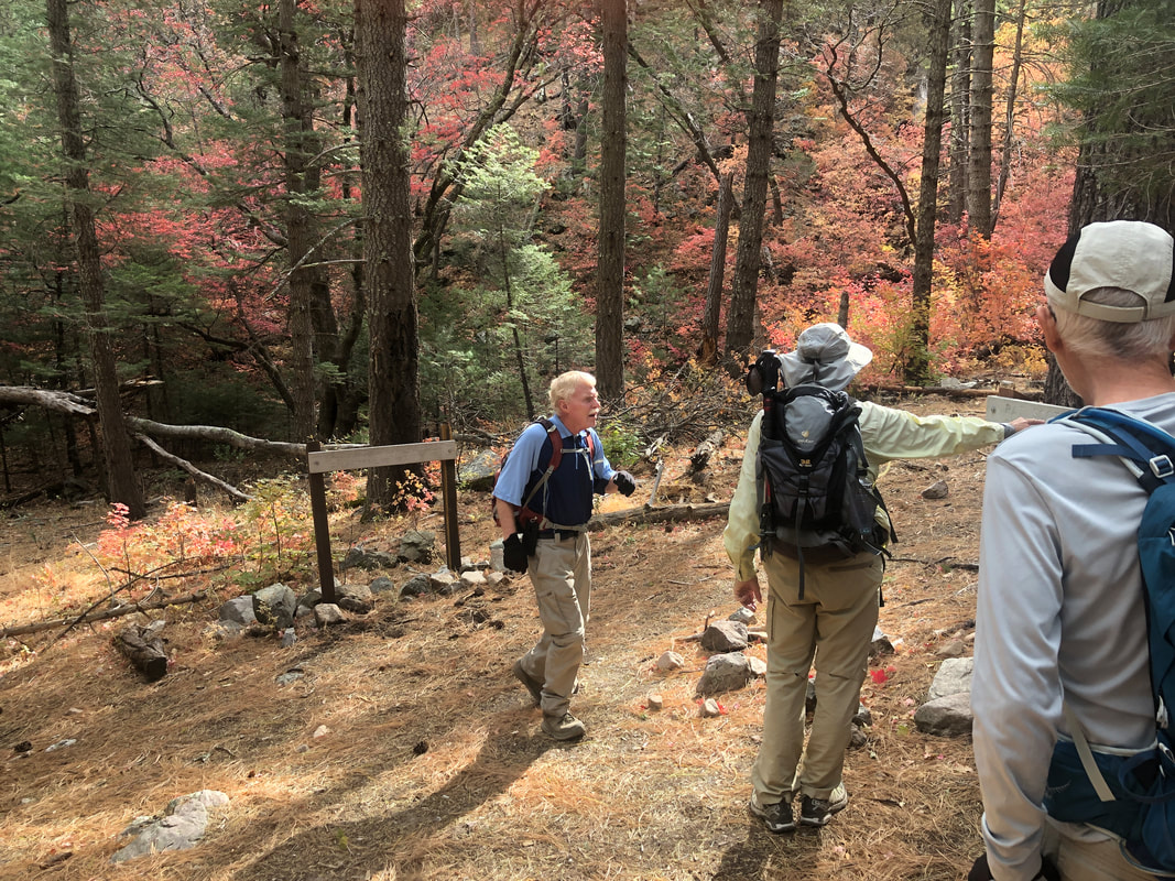
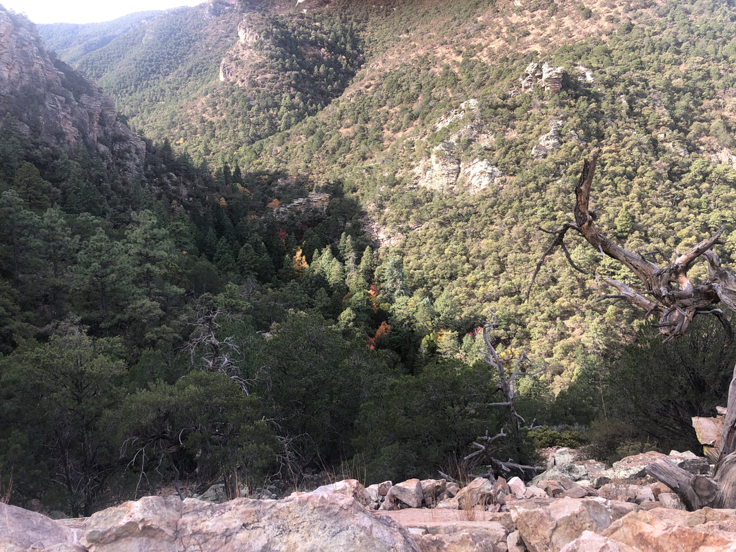
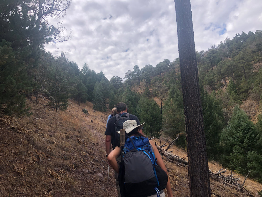
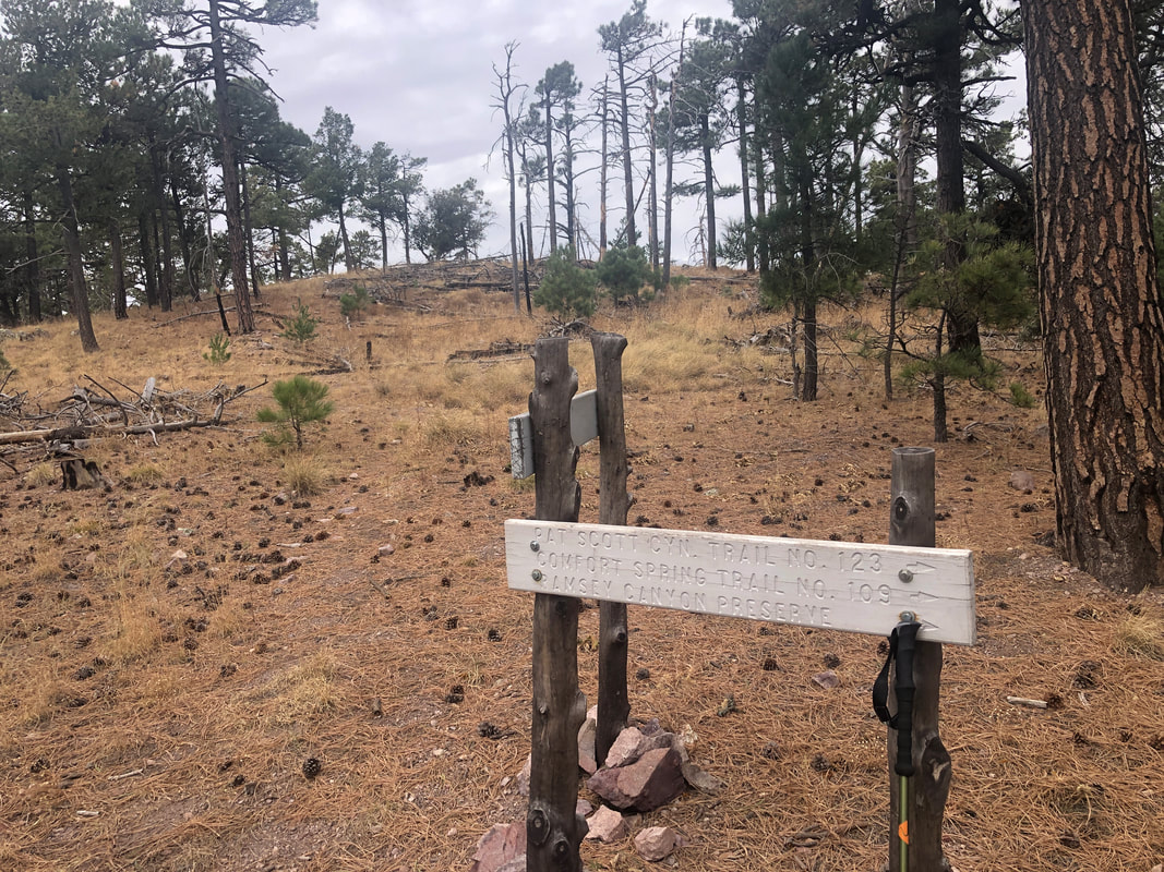
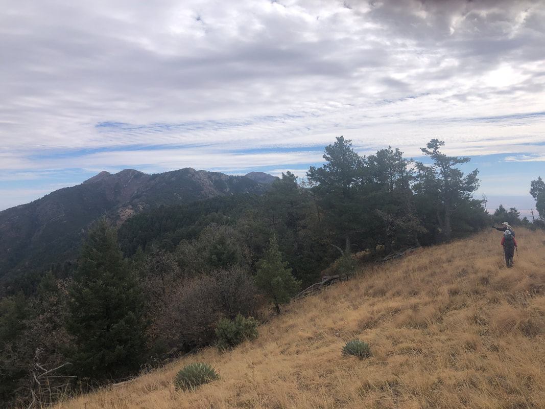
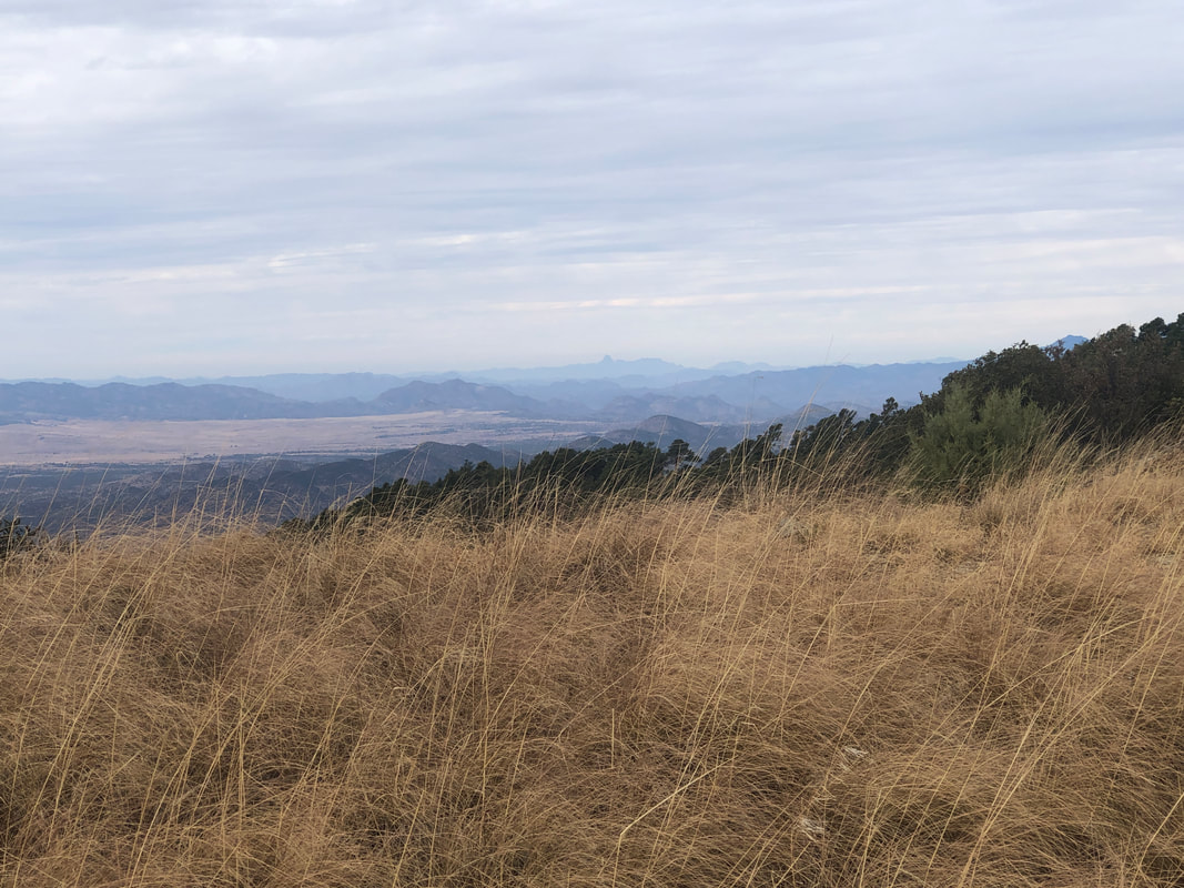
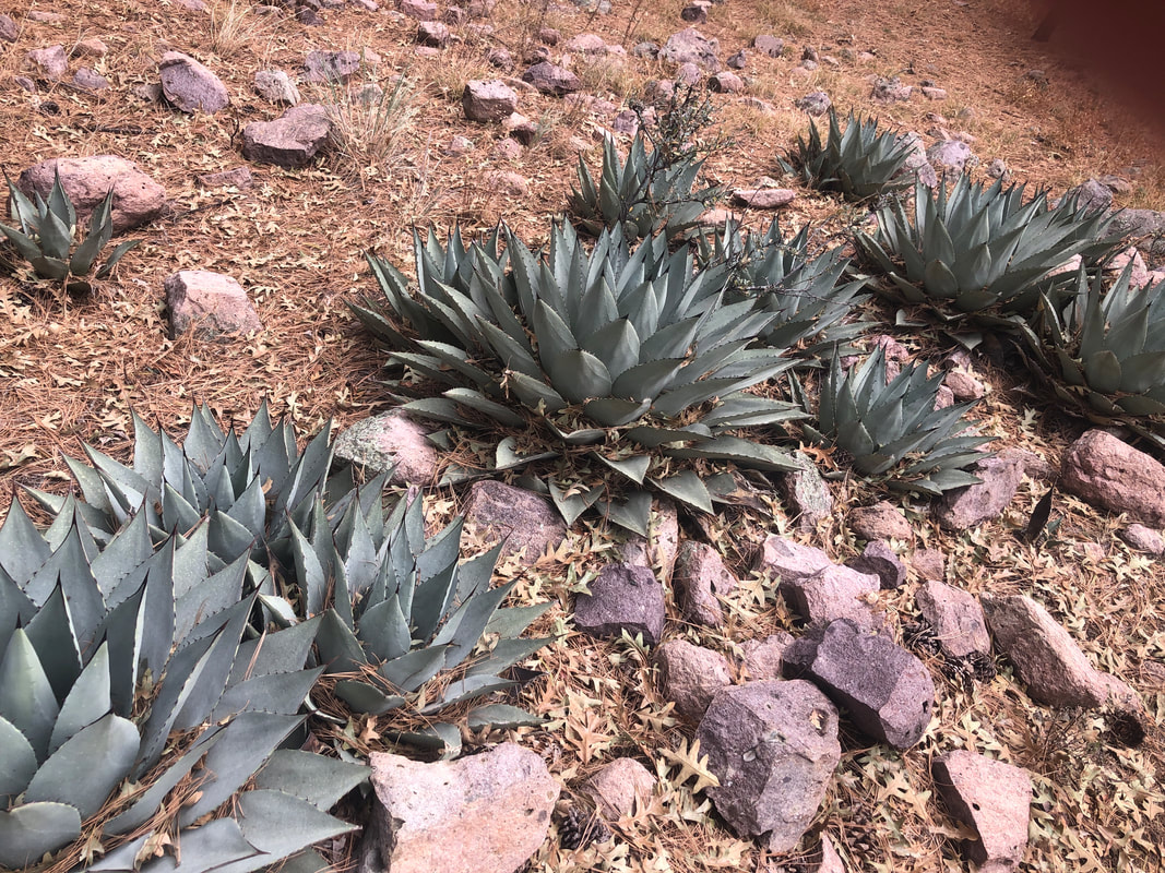
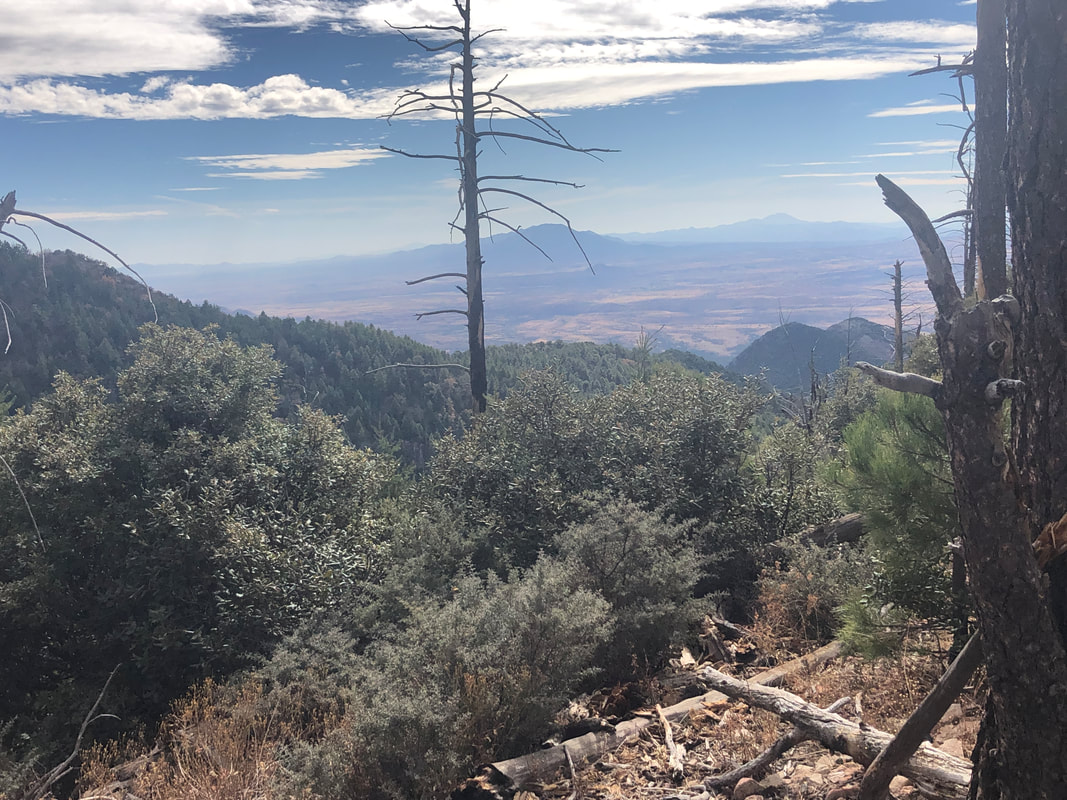
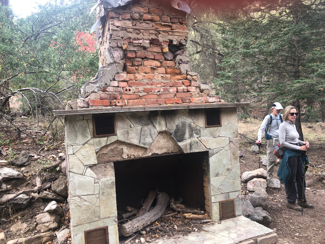
To my southeast lie the Huachuca Mountains, about a 2 hour drive from Oro Valley. The mountains tower over the city of Sierra Vista as I drive through, on my way to the Nature Conservancy Preserve which lies just outside the 1.75 million acre Coronado Wilderness of which the mountain range and the Miller Peak Wilderness is part. Our group has arrived for an awesome hike of 11.2 miles, 3300' of climbing but more importantly, the fall colors. We were not disappointed as the changing leaves were at peak. We began our hike at Ramsey Canyon trail head. I had underdressed and shivering even though the temperature at our elevation of 5500' was 54 degrees. My condition improved dramatically as we began our hike with a decent climb. The network of trails are well signed and easy to follow as we frequently pass small pools of water fed by, yes, a babbling brook. Today's hike was led by.... ....Bill Bens who has an encyclopedic knowledge of all trails throughout southern Arizona. OK, I happened to take this image the solitary moment he was slightly, directionally confused. He quickly recovered and we continued our upward trek. After crossing a stream, the climbing began in earnest as we passed densely forested slopes on either side but at one point we arrived at an overlook and got a great look into Ramsey Canyon. This section of our climb was 3.5 miles having an average grade of 12.5%. Seemed steeper to me but eventually a saddle came into view and we reached..... ....the Huachuca Crest Trail. I expected a spectacular view but not yet as we took a break having gained about 3000' in 5 miles. At an elevation of over 8000'....I was freezing in my long sleeve and perspiration dampened, shirt. Glad I thought to bring another shirt so not all my clothing choices were stupid ones. That helped but I was glad when Bill made the "2 minute" announcement and then.... ....off we went. Big thanks to Chris and I think Sid and perhaps one other who offered me excess clothing but I was in the mood for self flagellation, lol. I expected our pace would remedy things anyway and was correct. We followed the crest trail for about 2 miles and the views were.... ....awesome. One had to pay some attention to the trail as a fall to the left side of the trail would only be broken by a tree trunk. Rather steep in there. We passed a group of I think Agave in a sort of rock garden. We descended to Bear Saddle,..... ...where we caught a final view of the amazing vistas that included portions of Mexico. Thus began a long and steep descent. Regaining Ramsey Canyon where relief of the knee buckling descent portion of the trail ended, we saw the largest Alligator Juniper I have seen. Hiking buddy Lorna poses to give size perspective. I'm unsure of the history of this structure but a sizable fireplace remains which I think is still put to good use on some evenings. Regaining the parking lot, I was eager to get going so hustled up driving companion Kathy and began the long drive back home.
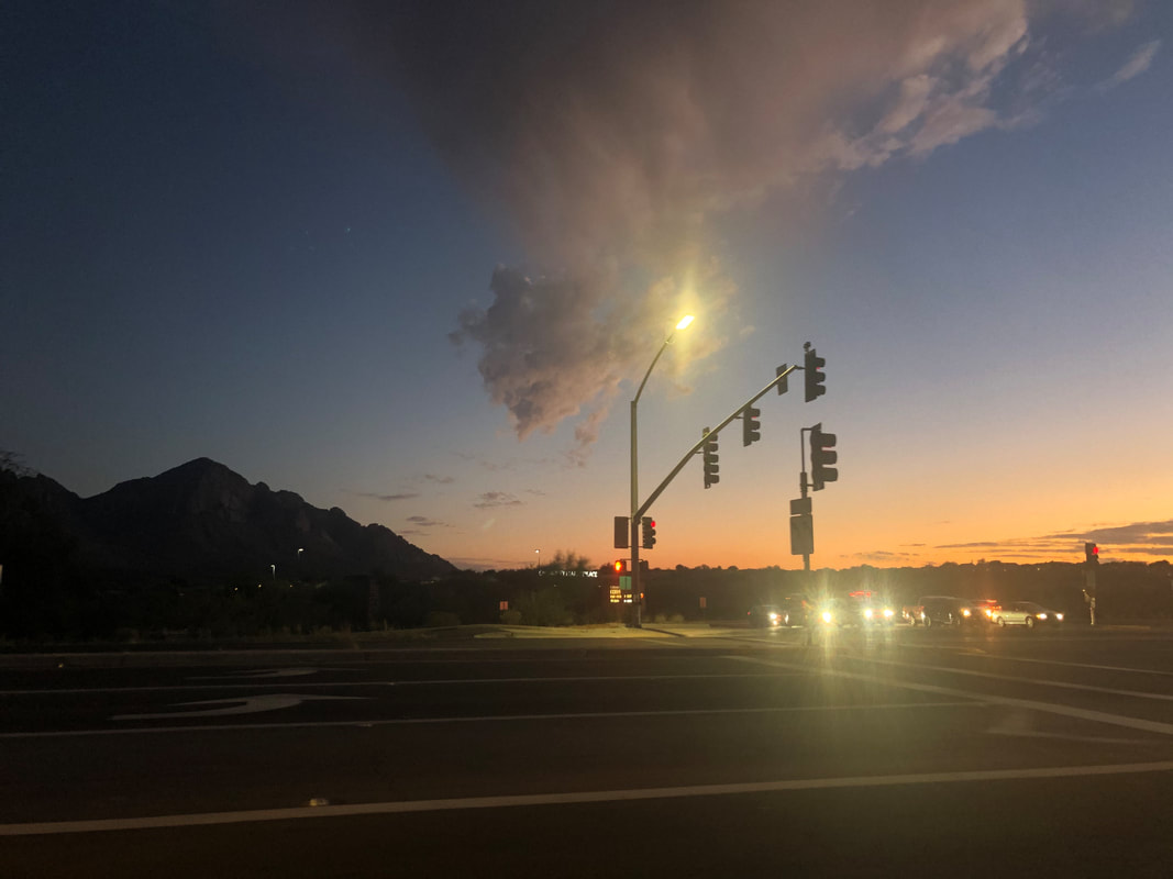
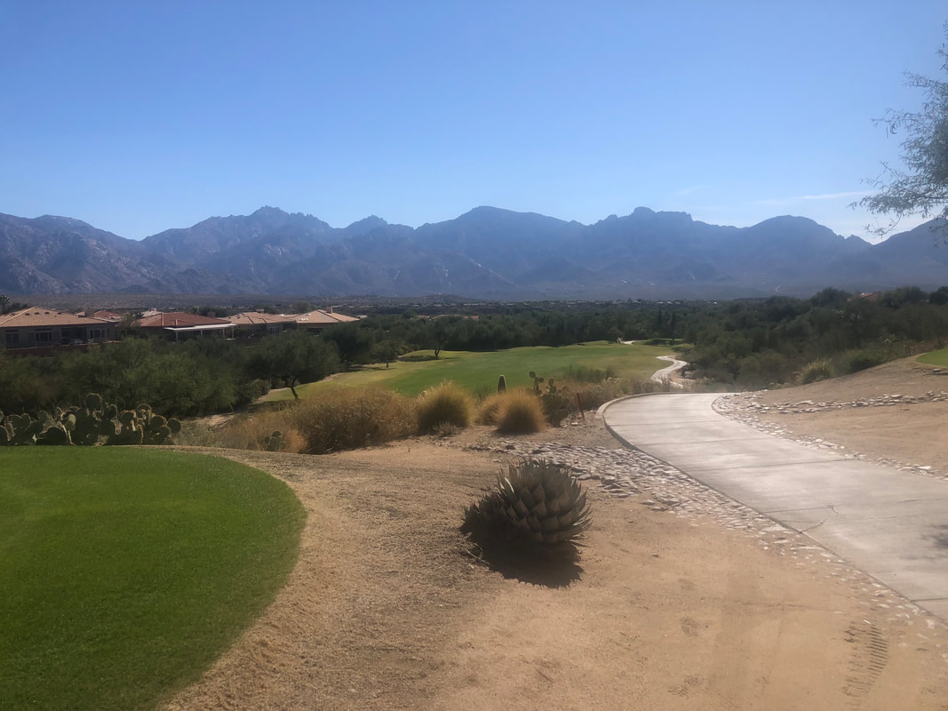
Amy acquired an iPhone 12 so gifted me her 8+. What an improvement over the image I was taking with my Galaxy (awful) and camera (average). The iPhone was taking images in a HEIC format which was not comparable with the blog so fixed that and here we go again. The sunsets have been magnificent and the above scene caught my eye. No rain this day but it was headed our way. While in Ohio I cracked a rib which didn't bother hiking/cycling but was a problem for golf. Almost fully healed, I hit the Views golf course for the first time. Such an aptly named course. I've made a couple of golfing friends and enjoy playing on rest days. Played badly on the front 9 with a 42 then had it one under through 7 holes on the back but was outside my comfort zone and choked, finishing 3 over for the final 2 holes for an 80. OK, back to hiking.
Hey gang. Having some trouble putting up images. Working on it.
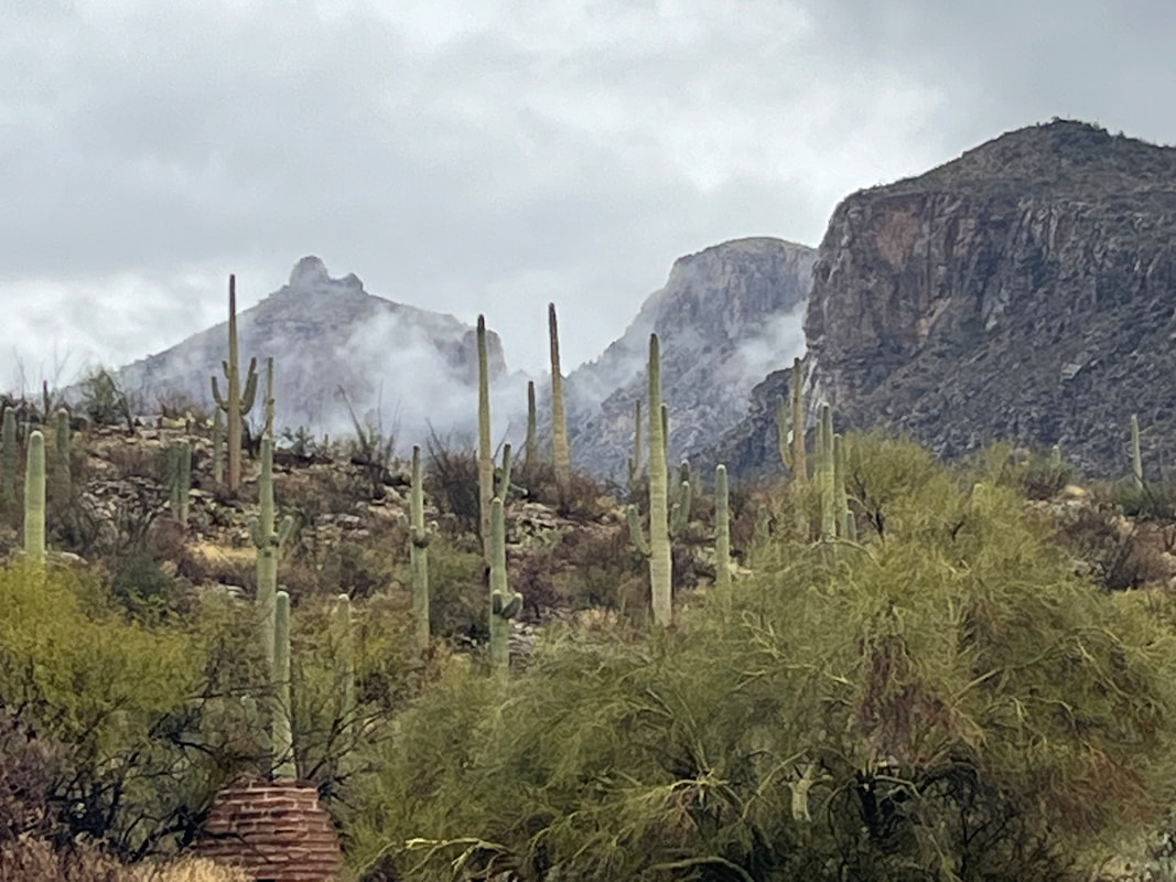
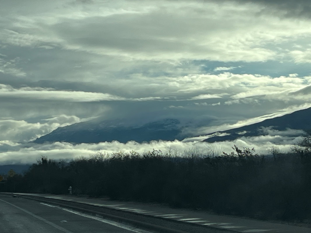
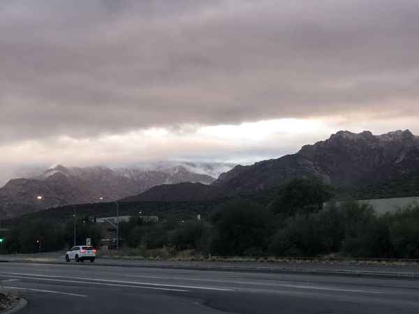
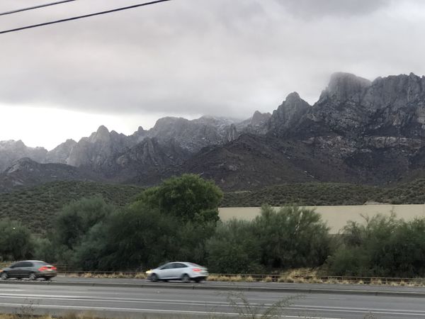
A cold front finally swooped in and with overnight lows (for a day or two only) in the upper 30's, I got a good fire going. Note, this is a real fire with wood. It was awesome. The next morning.... ....the clouds began to part and what the??? Snow at 6000' and higher. Kind of a dramatic scene with the clouds and mountains. Got a good hike to report in a few.
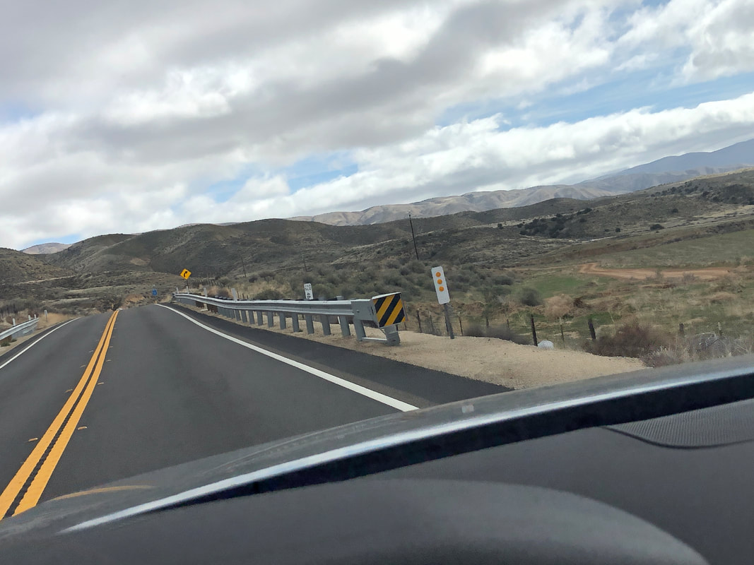
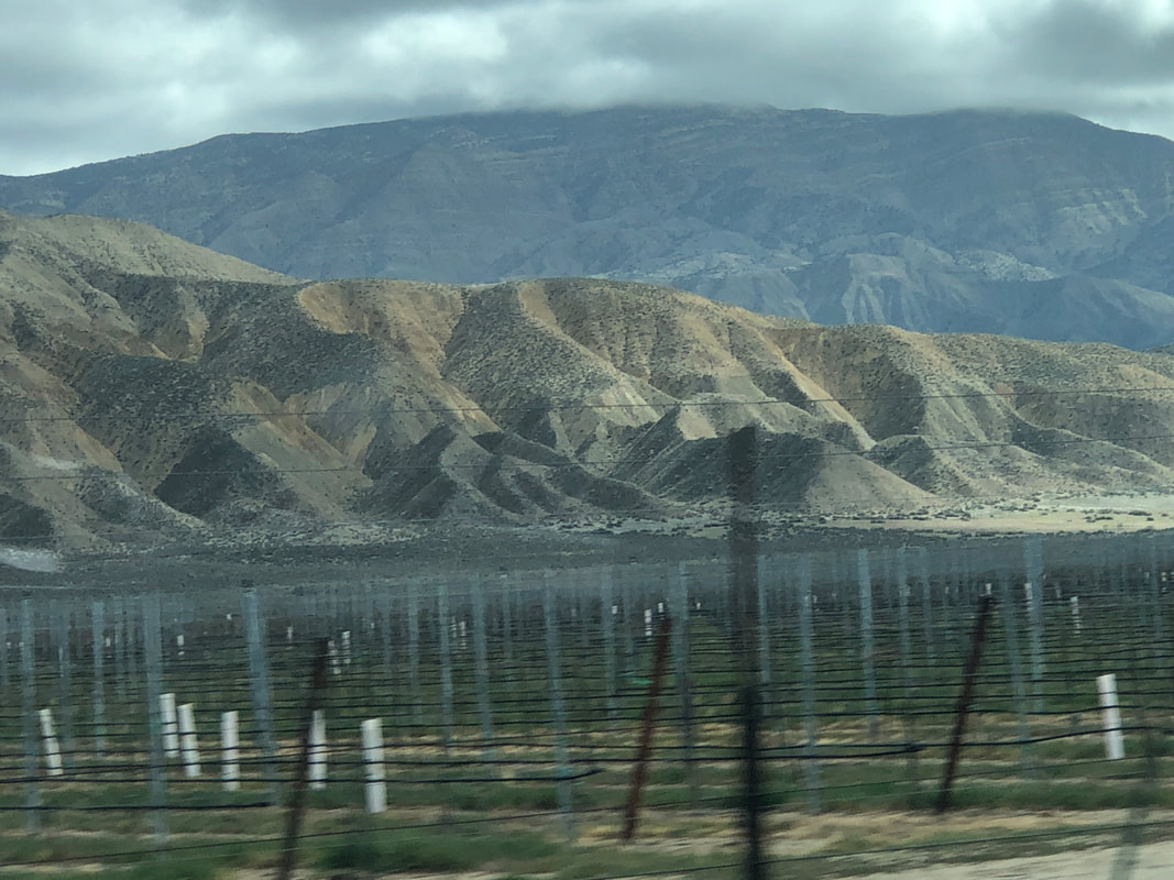
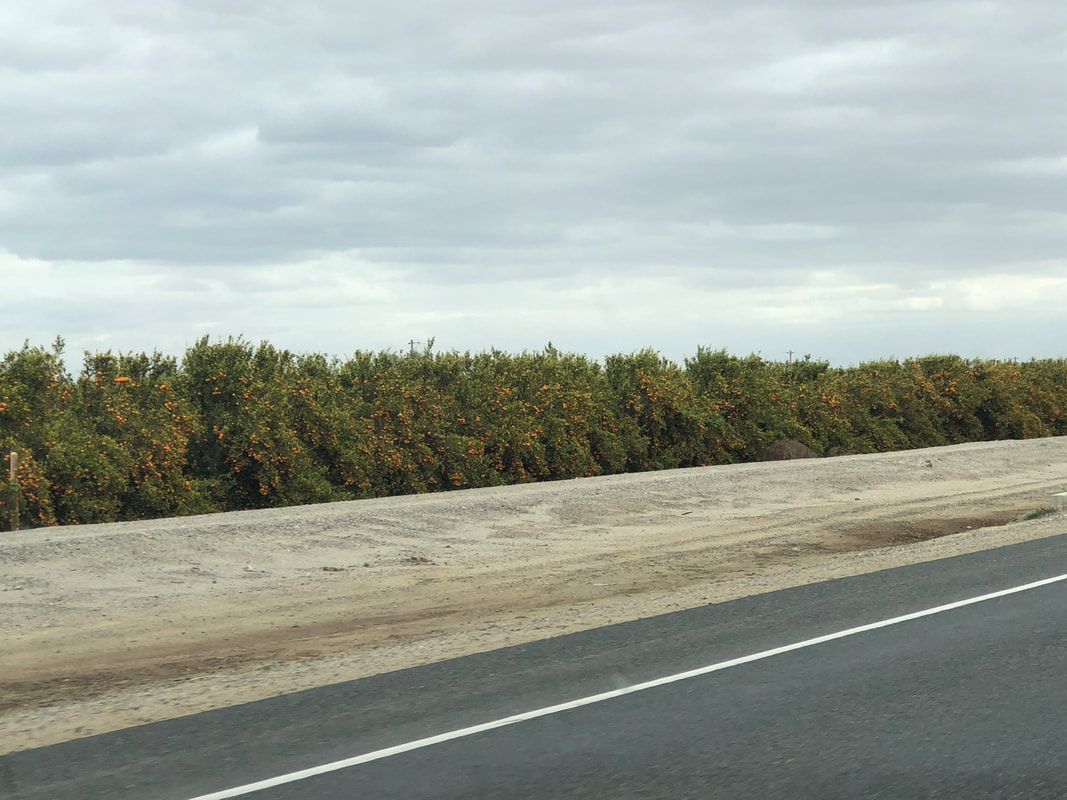
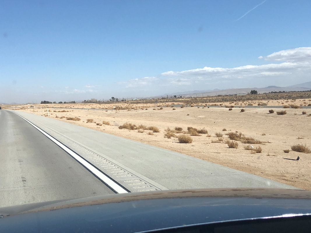
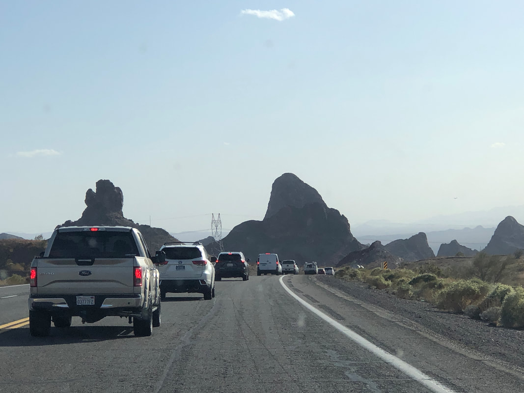
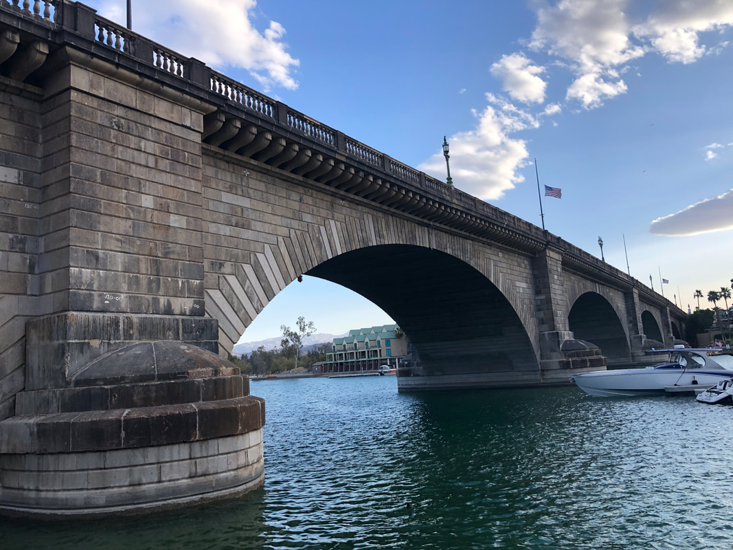
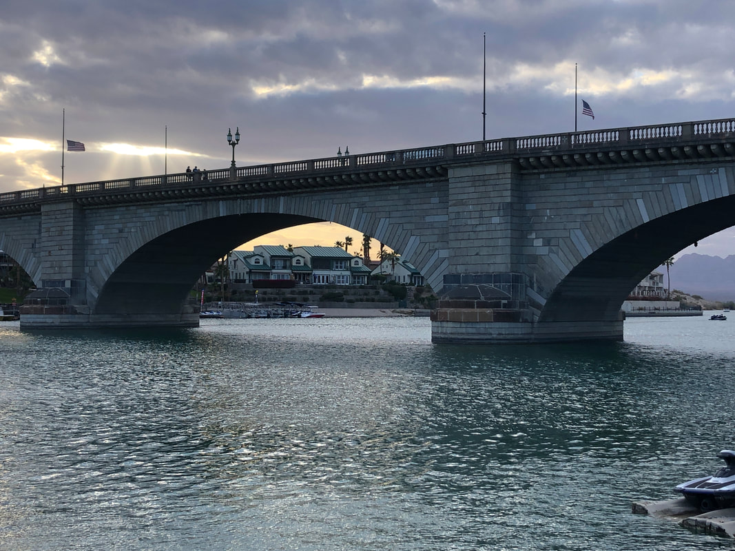
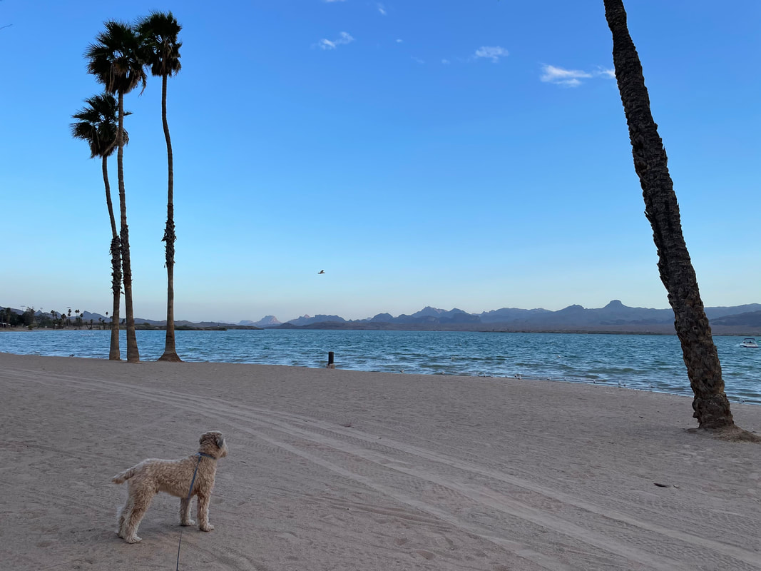
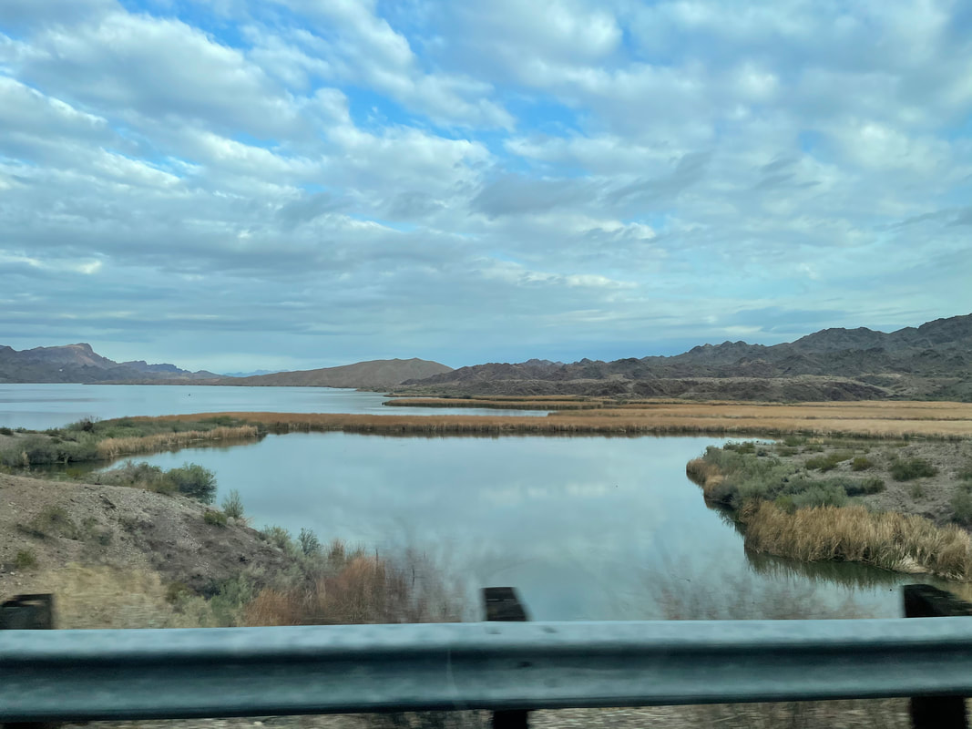
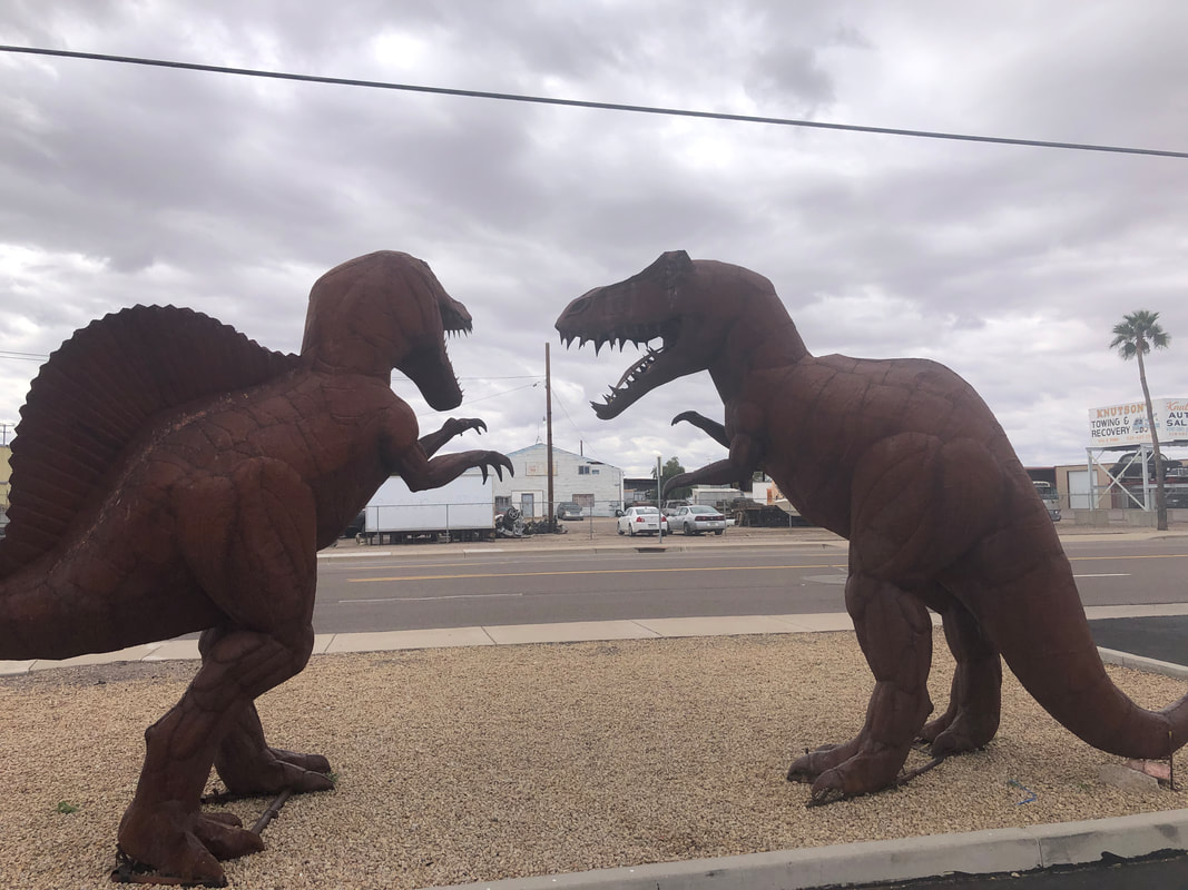
Rather than return via I-10 which was 5-7 lanes of bumper to bumper traffic from Palm Springs onward during our arrival, we choose a route that roughly paralleled the 10. It would take an extra 2 hours but it was worth it to see a part of CA we had not previously visited. The eastern side of the coastal mountains has few trees but many miles of industrial scale farm operations, including.... ...."Cuties" brand fruit. We went through Barstow and Needles, CA, two rather uninviting areas. Crossing into AZ, we head south to Lake Havasu where we will spend the night and check out.... ....London Bridge. Built in the 1830's, it spanned the River Thames until it was to be replaced so in 1967, London put it for sale. Chainsaw magnate Robert McCulloch acquired the 10,300 granite pieces for $2.4 million, shipping all to AZ. A steel structure was built then clad with the granite. Included in the purchase were all the lampposts that had been made from melted cannons captured from Napoleon's army after the Battle of Waterloo in 1815. The bridge is quite a sight and the 2nd most popular attraction in the state, behind only the Grand Canyon. There is also a beach and around the bridge a..... ....thriving retail/restaurant environment. The area is very beautiful and worth a visit. We exit the area and continue our drive through a variety of small and midsize towns that included a stop for gas at a station that had.... ....quite a collection of dinosaurs. It was good to be back in warmer temps although the strong winds we experienced in CA seem to have followed us for a couple of days. I signed up for the Saguaro Century which is in a couple of weeks. It's not the distance (100 miles) nor the climbing (8000') that concerns me it's going around the same 8 mile loop at Saguaro East NP, 13 times. That seems really boring after a couple of trips.
|
Categories
All
Archives
November 2023
|
