|
I completely failed at coercing someone to organize a ride for Saturday. OK, looking at the forecast, I can see why but if this were January, they'd be flocking to the parking lot. Don Novel is organizing a ride for Sunday and will have more on that soon.
0 Comments
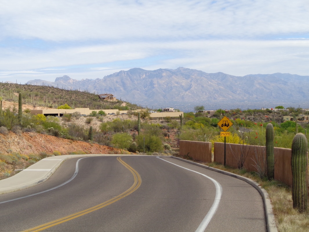
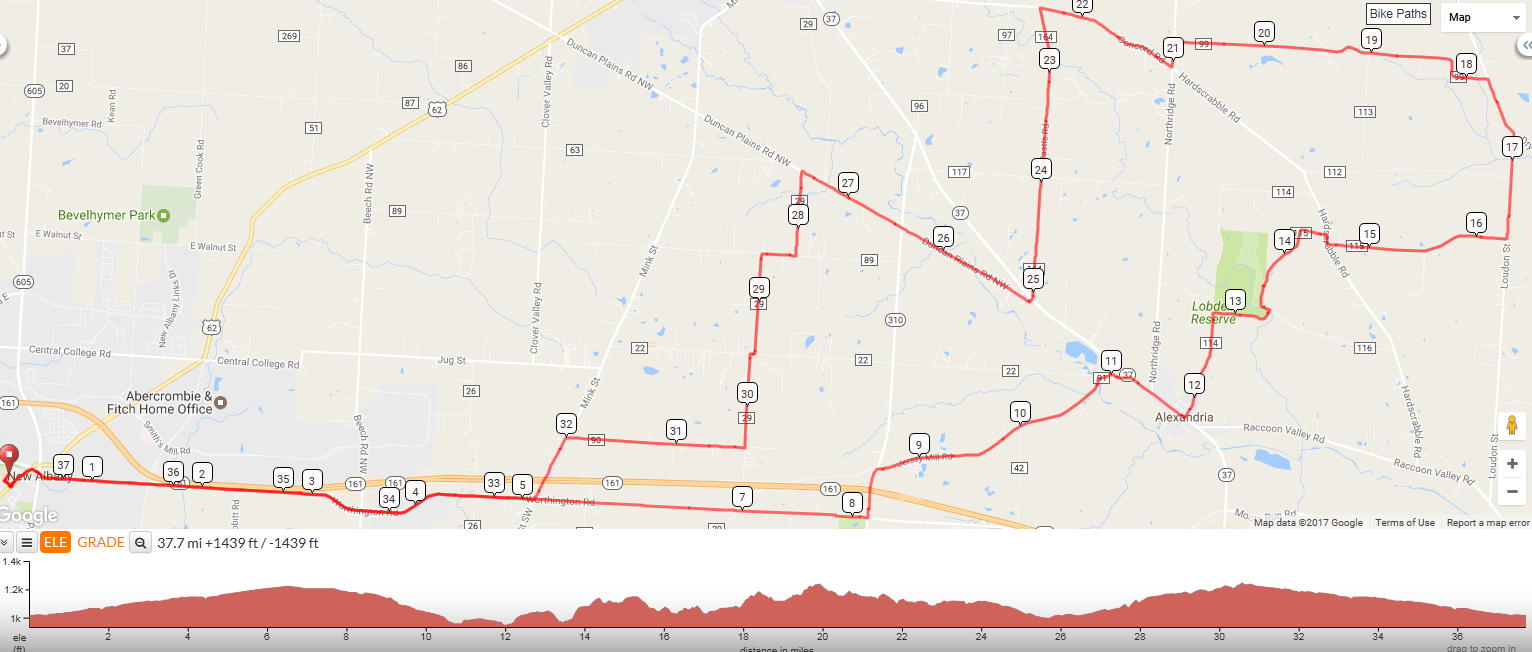
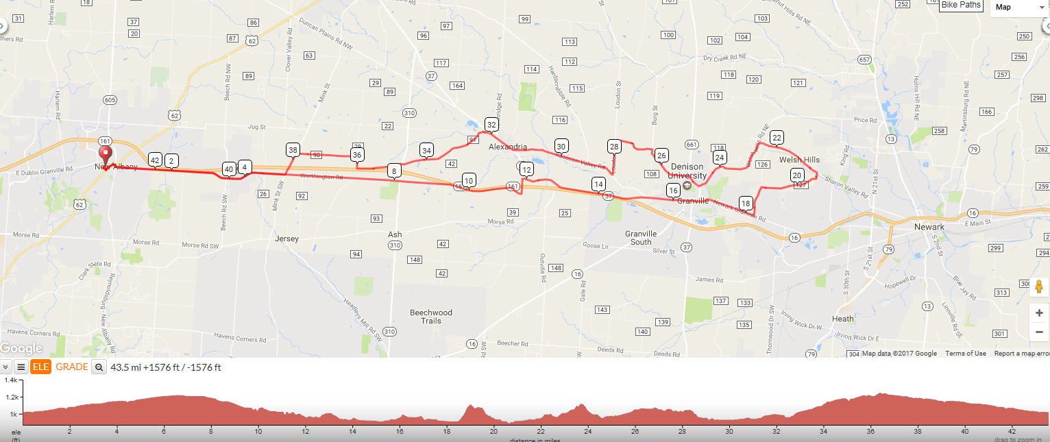
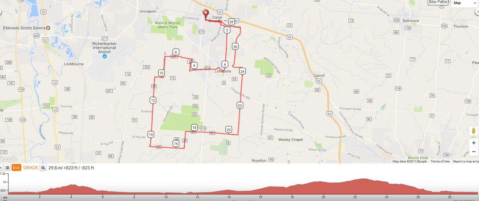
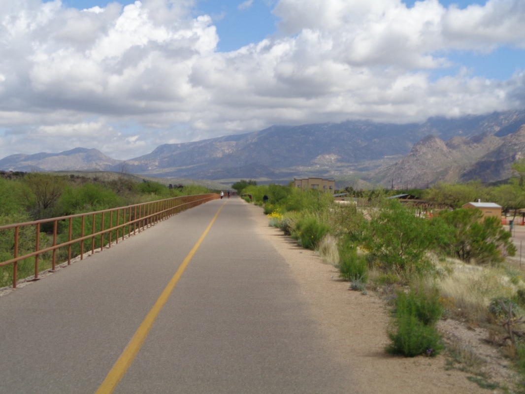
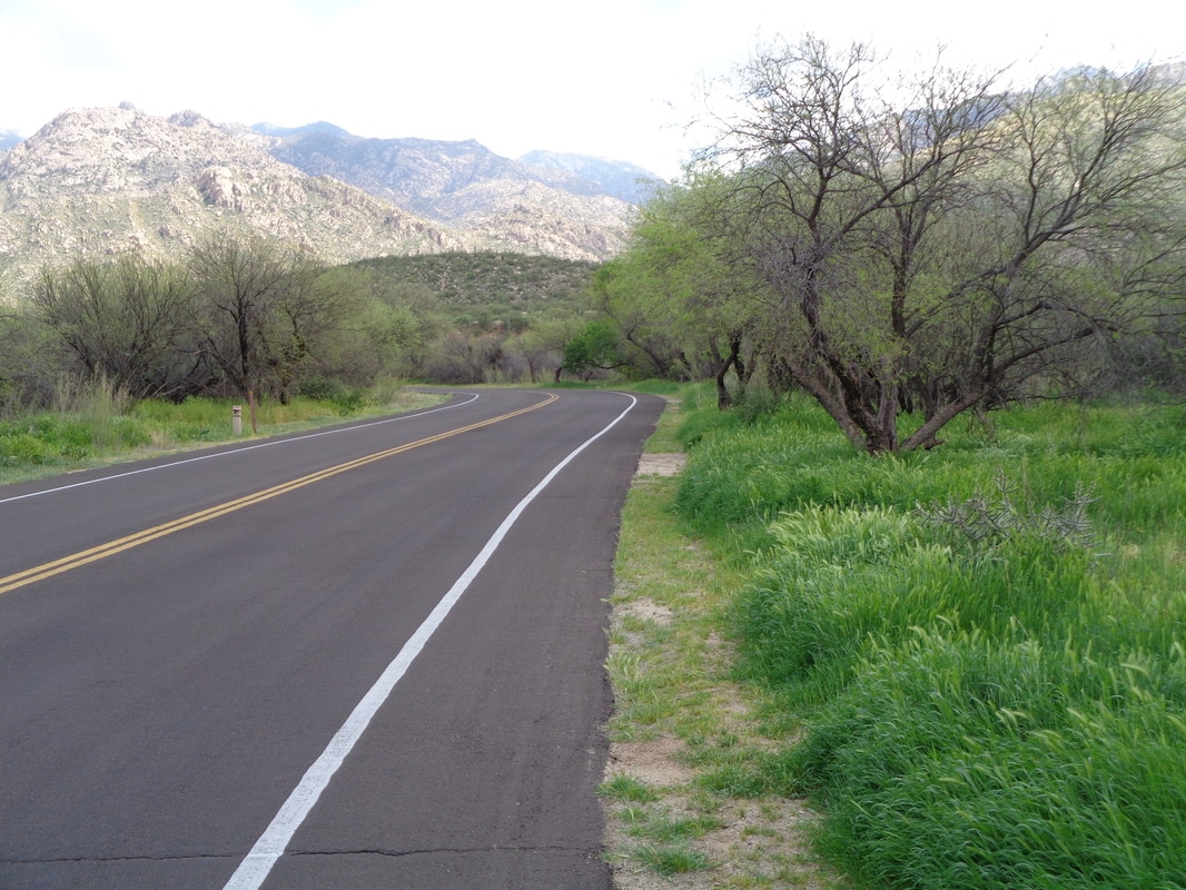
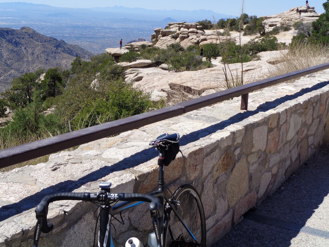
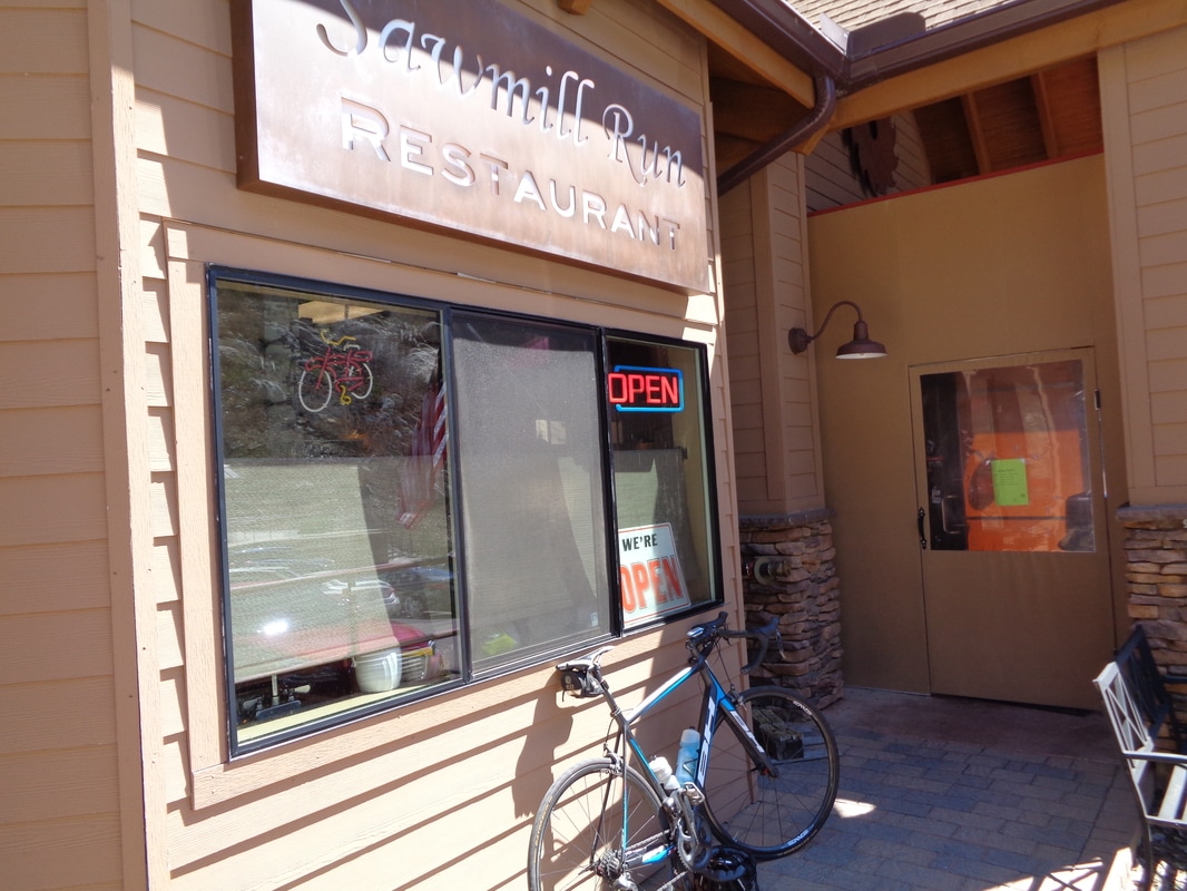
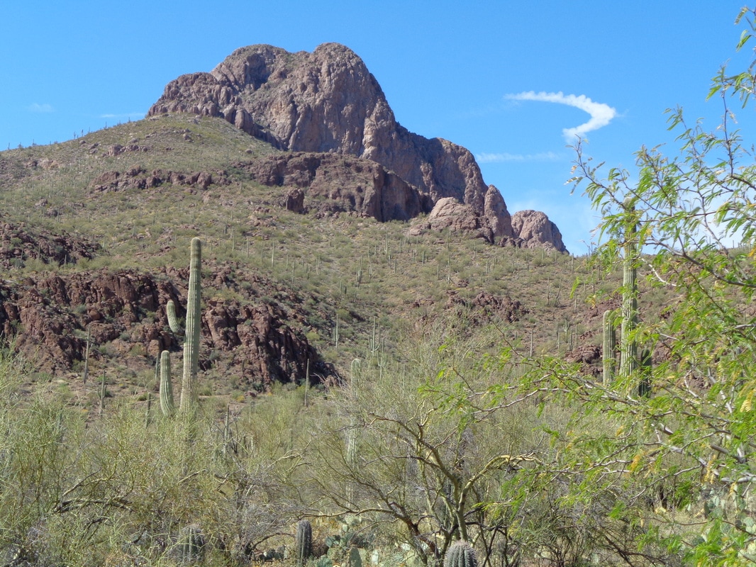
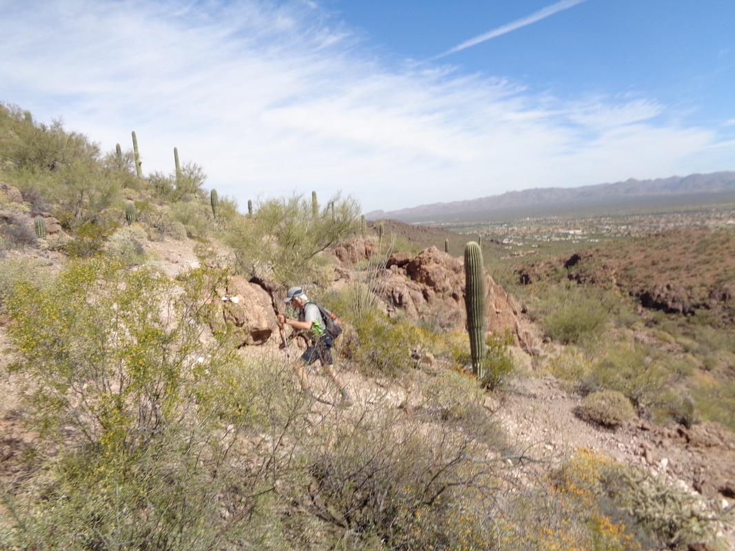
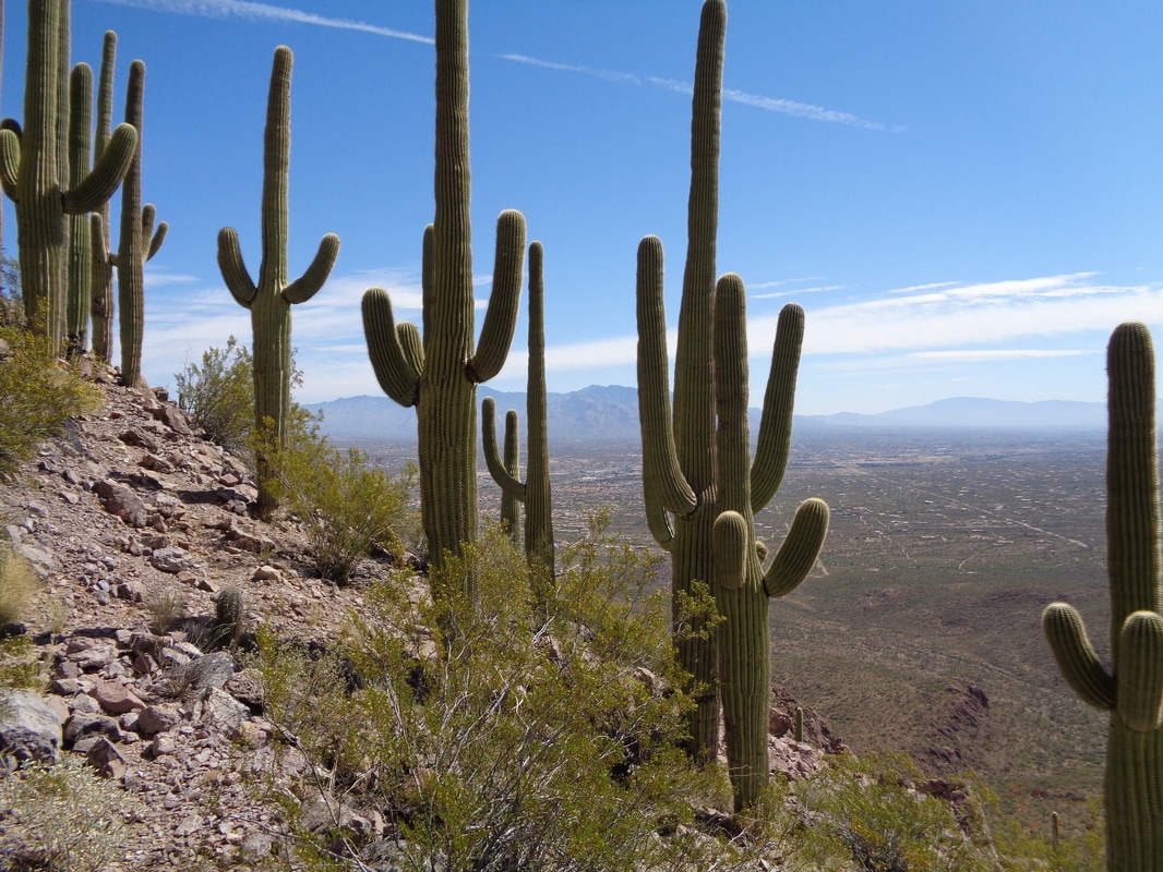
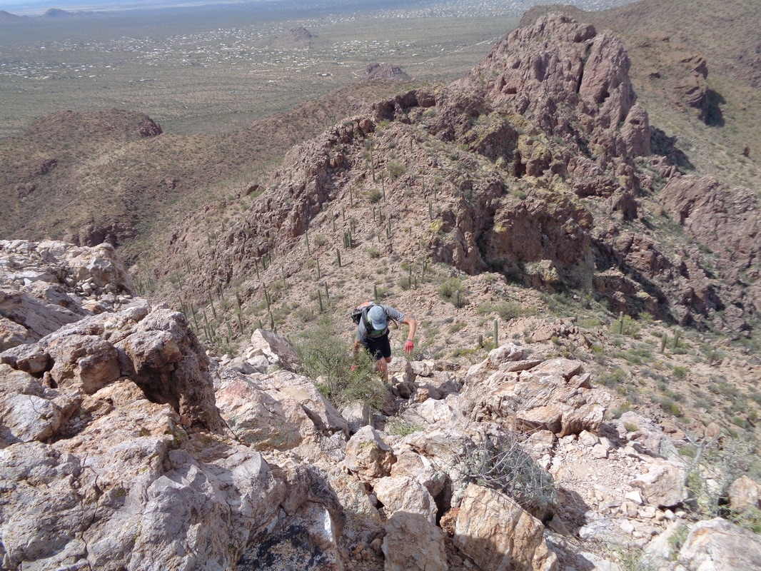
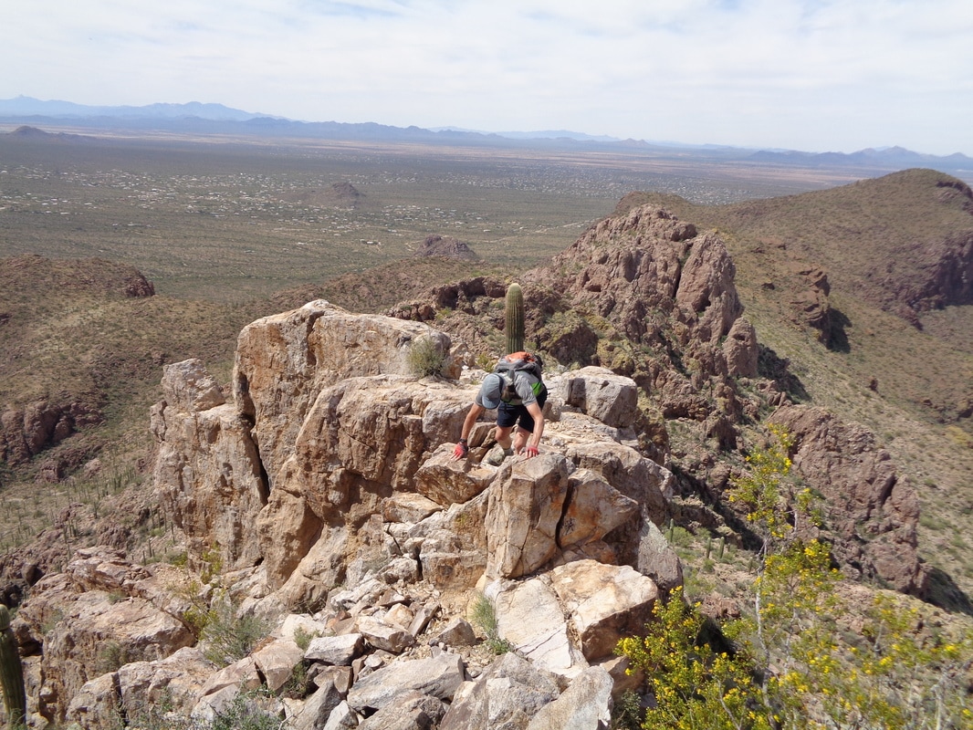
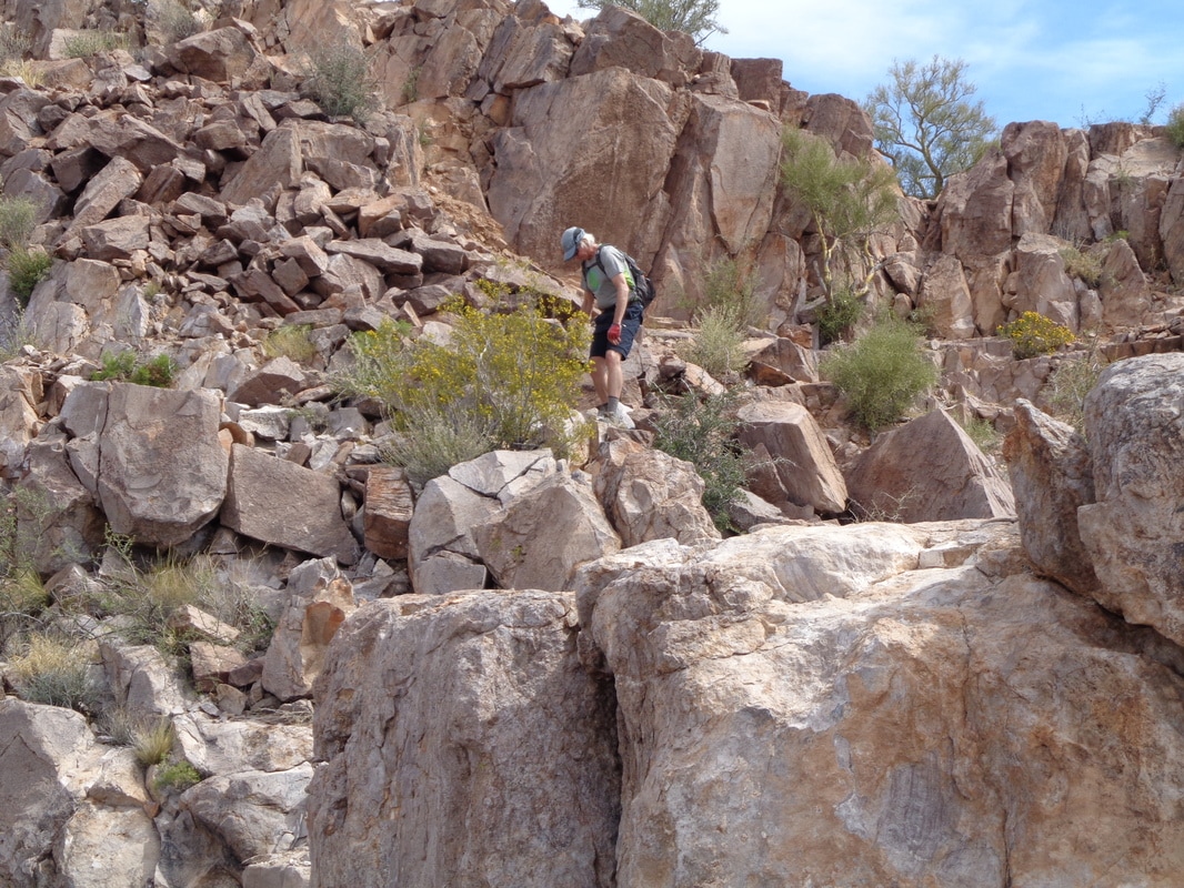
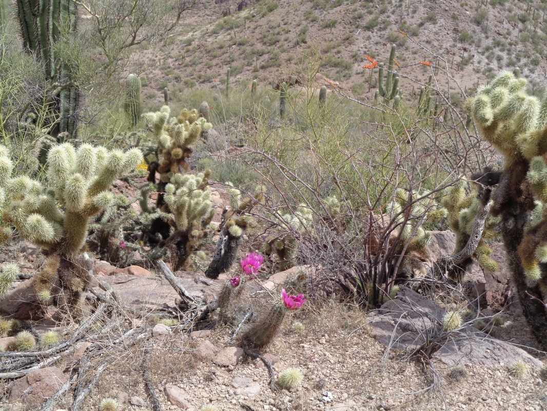
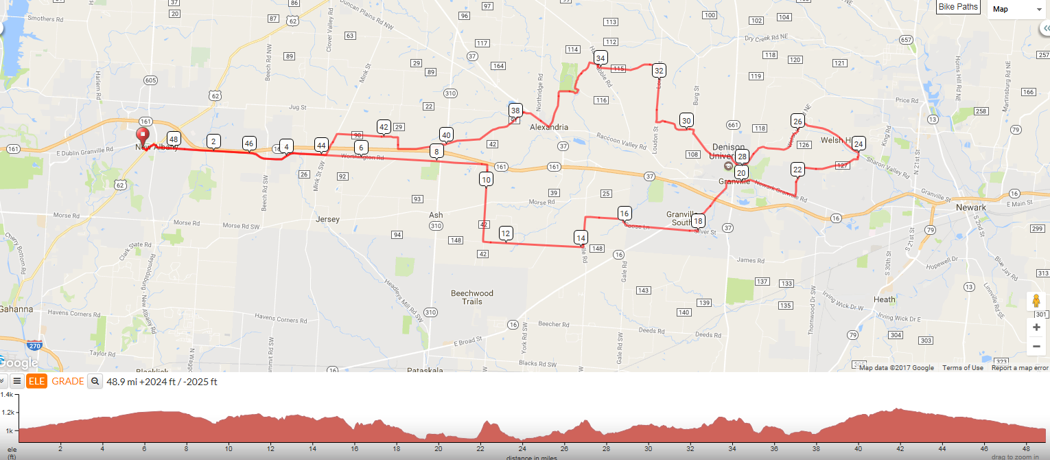
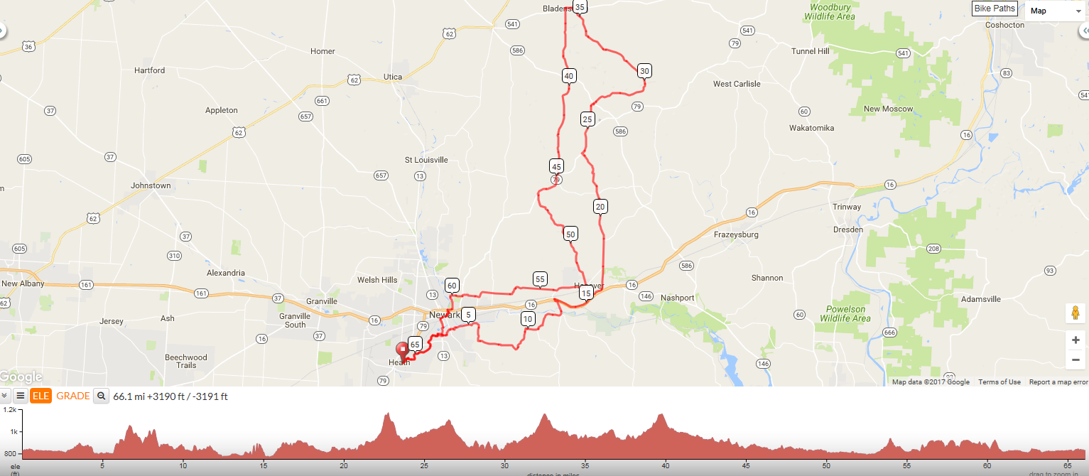
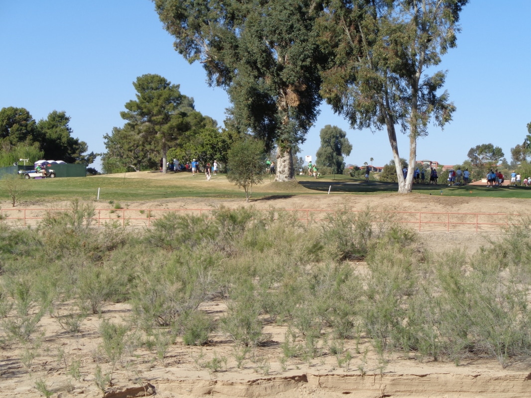
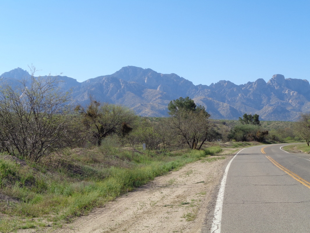
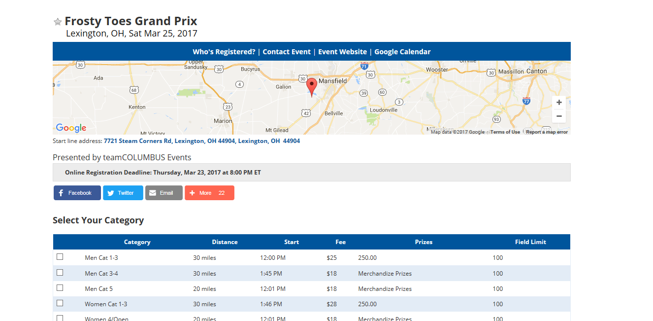
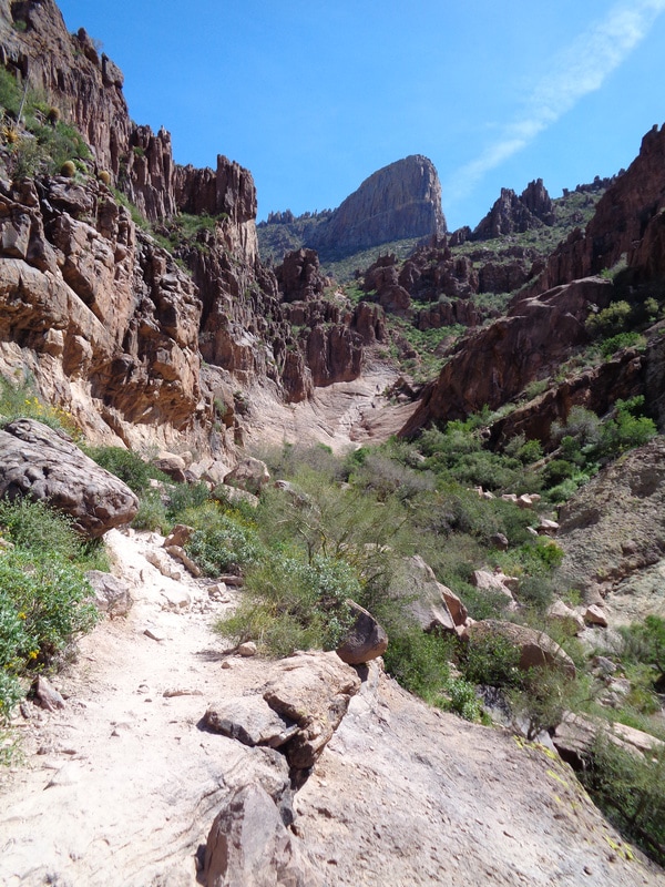
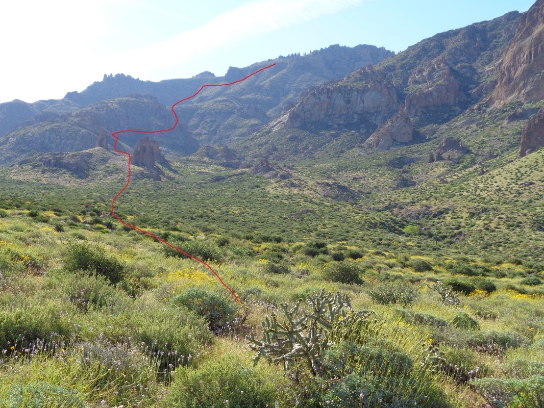
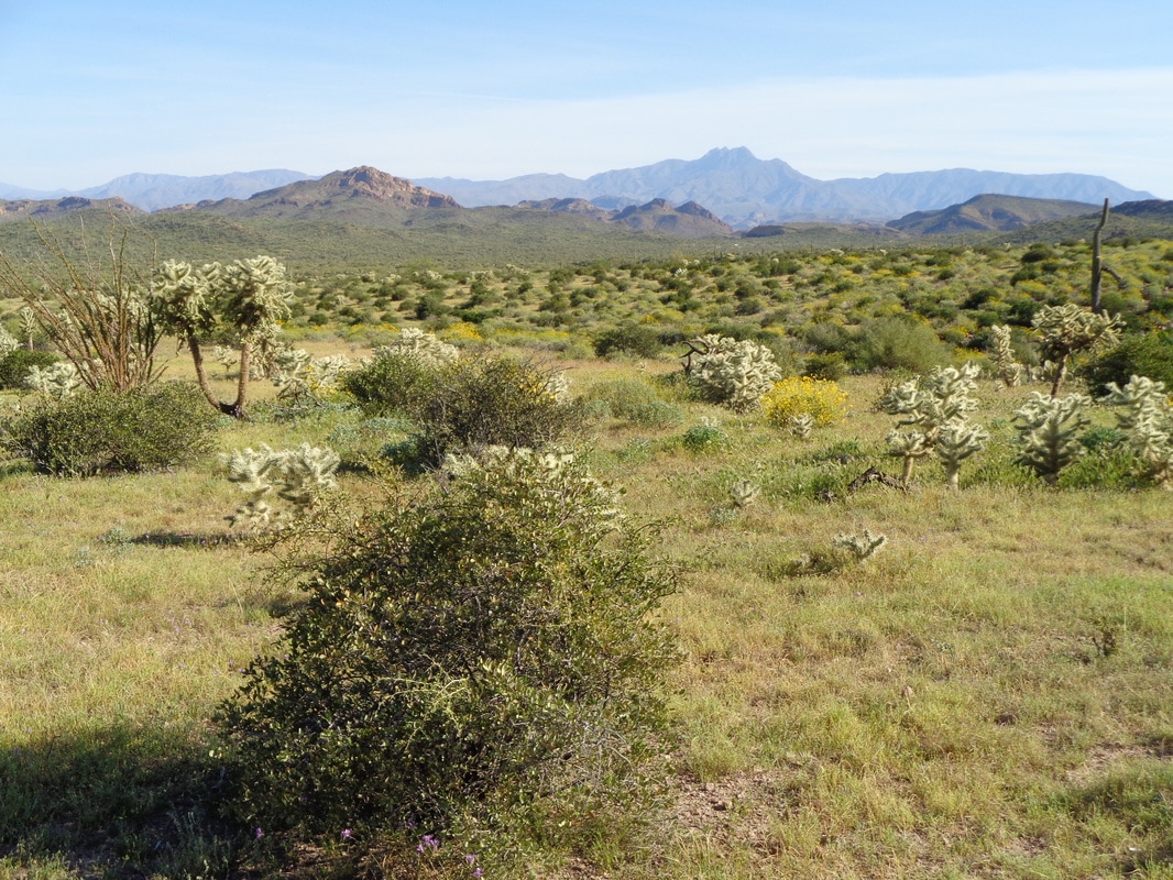
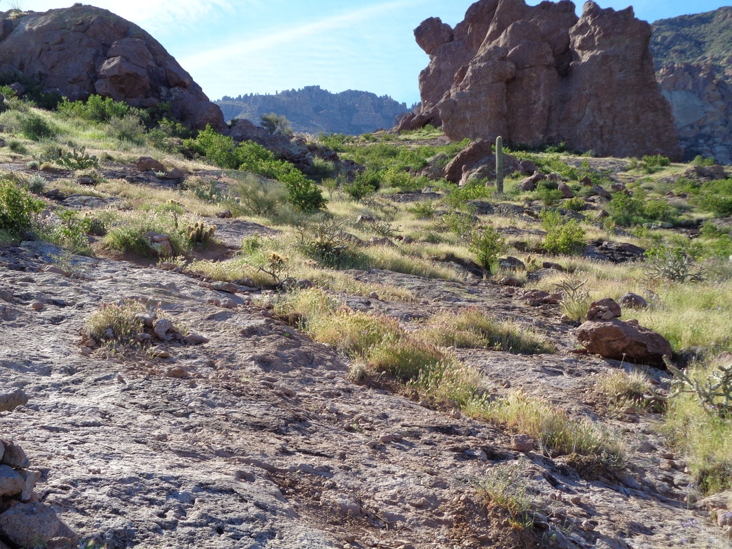
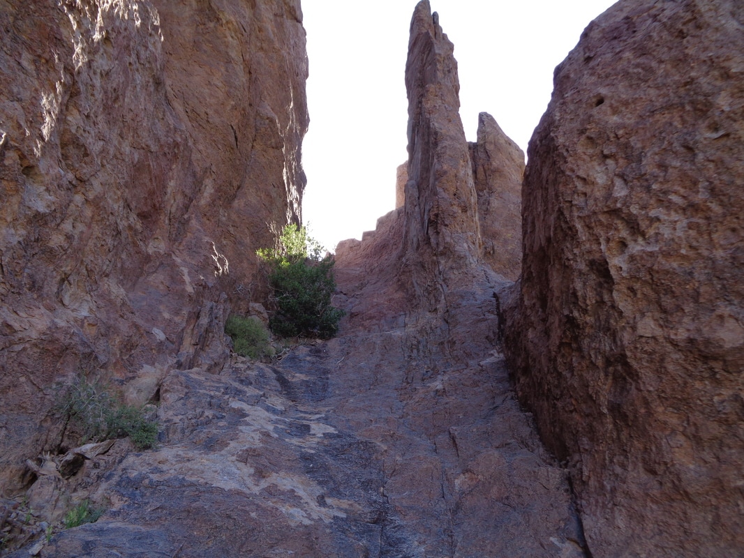
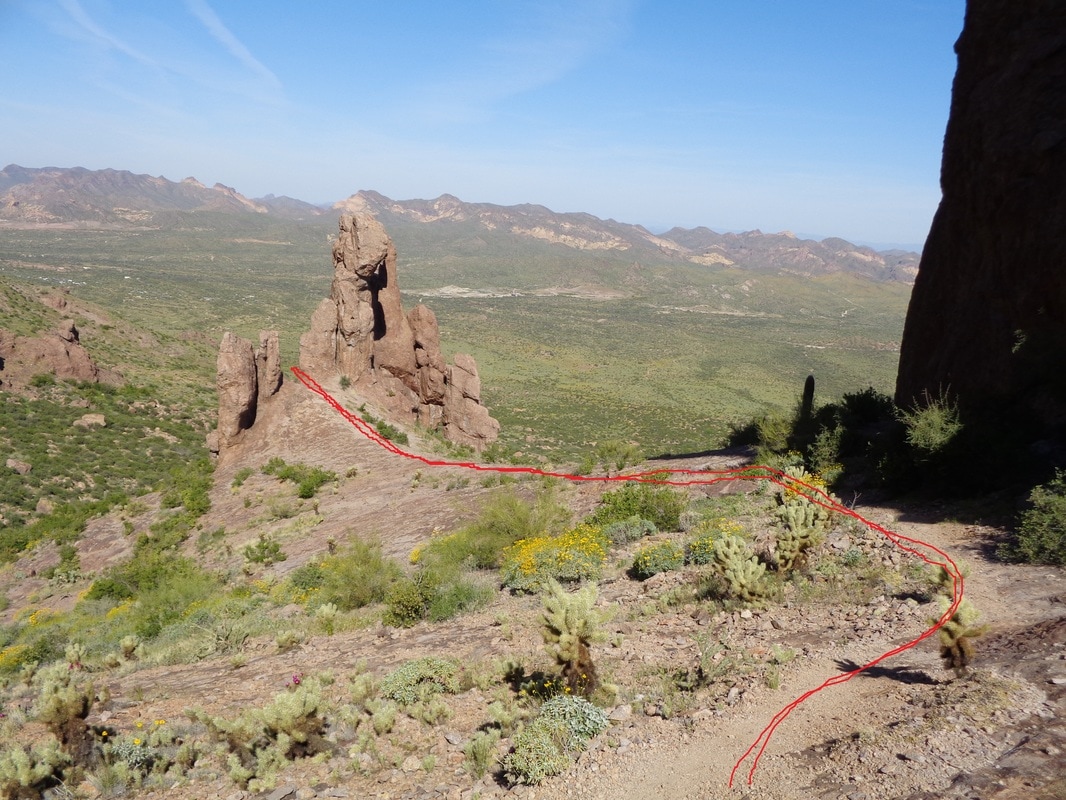
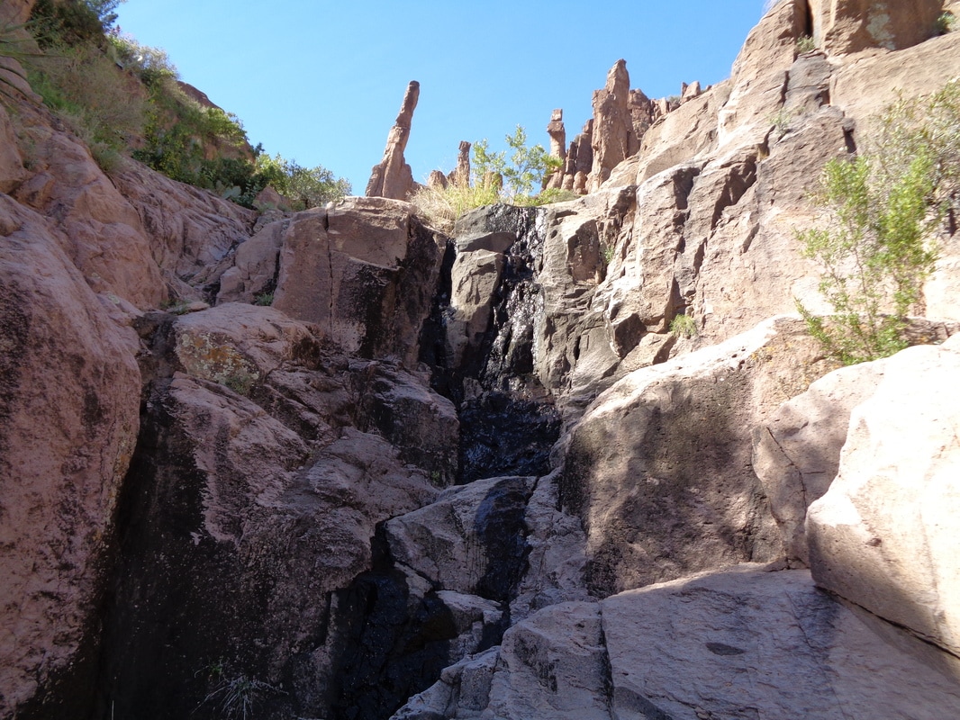
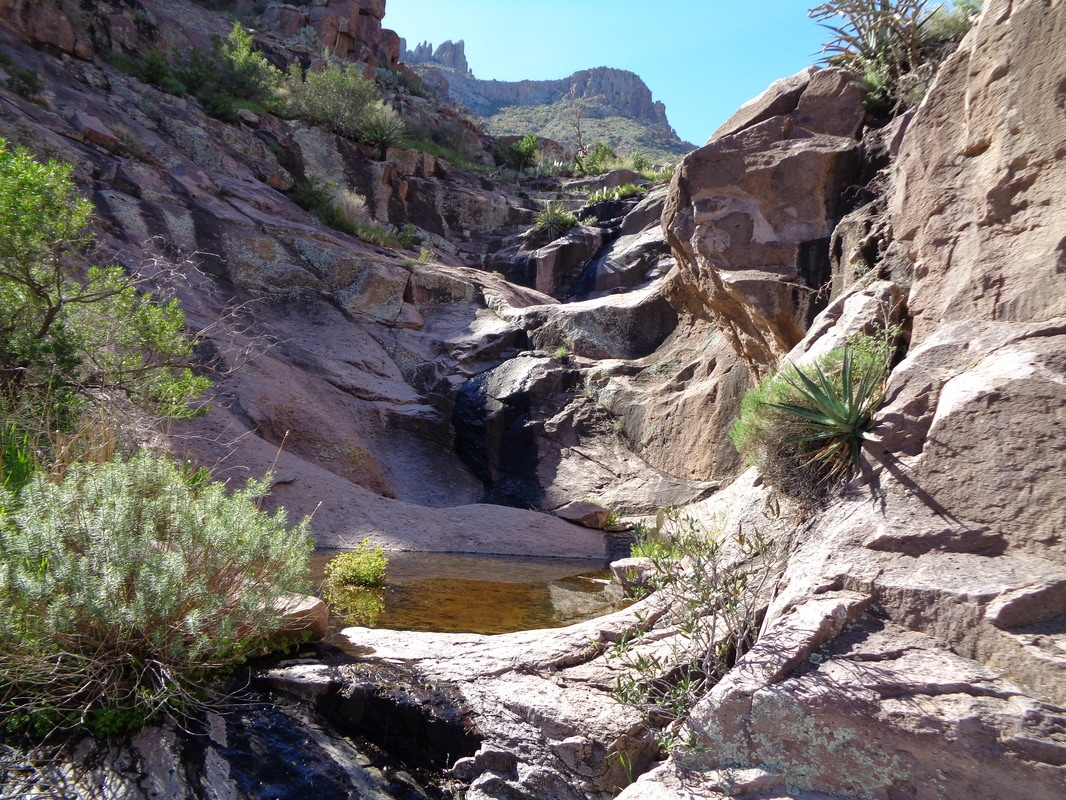
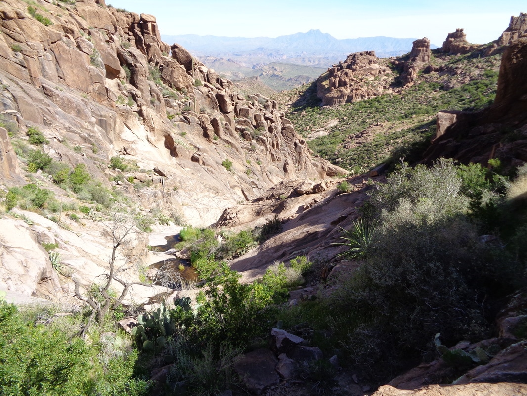
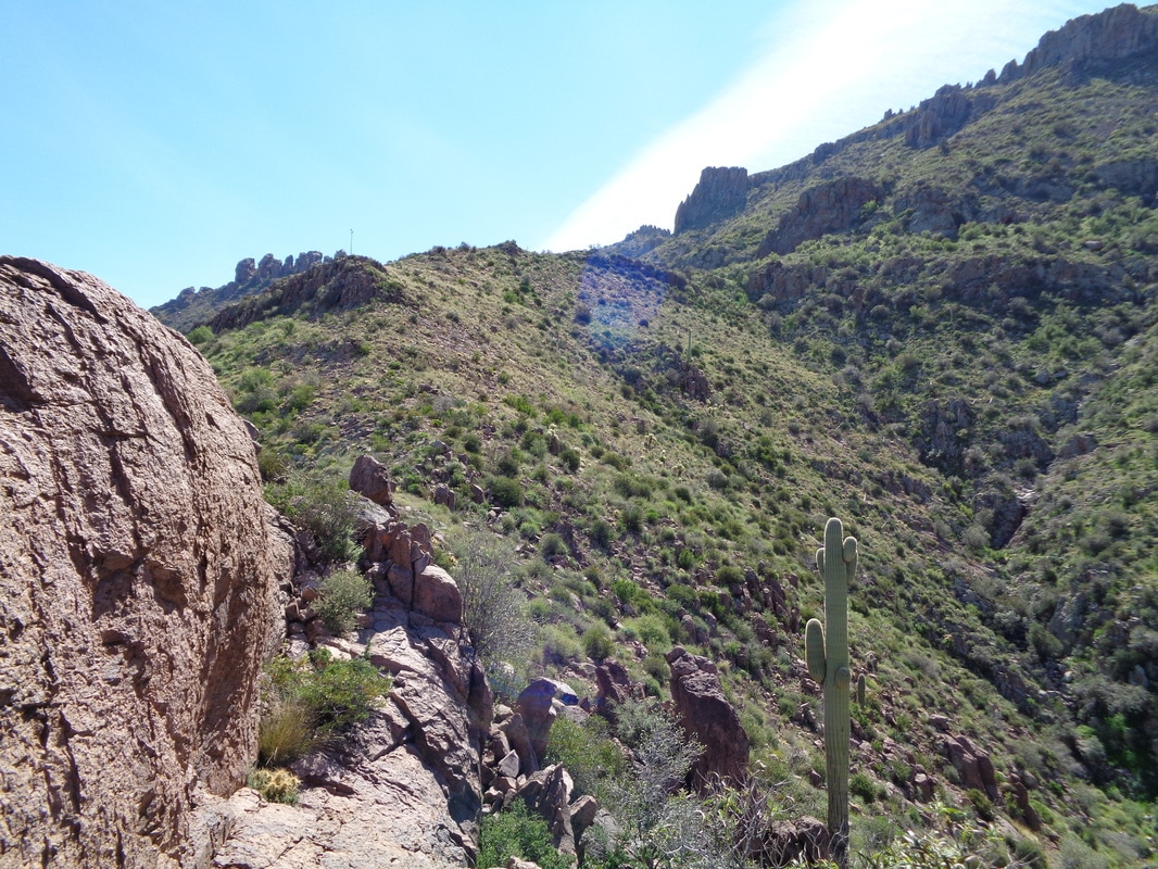
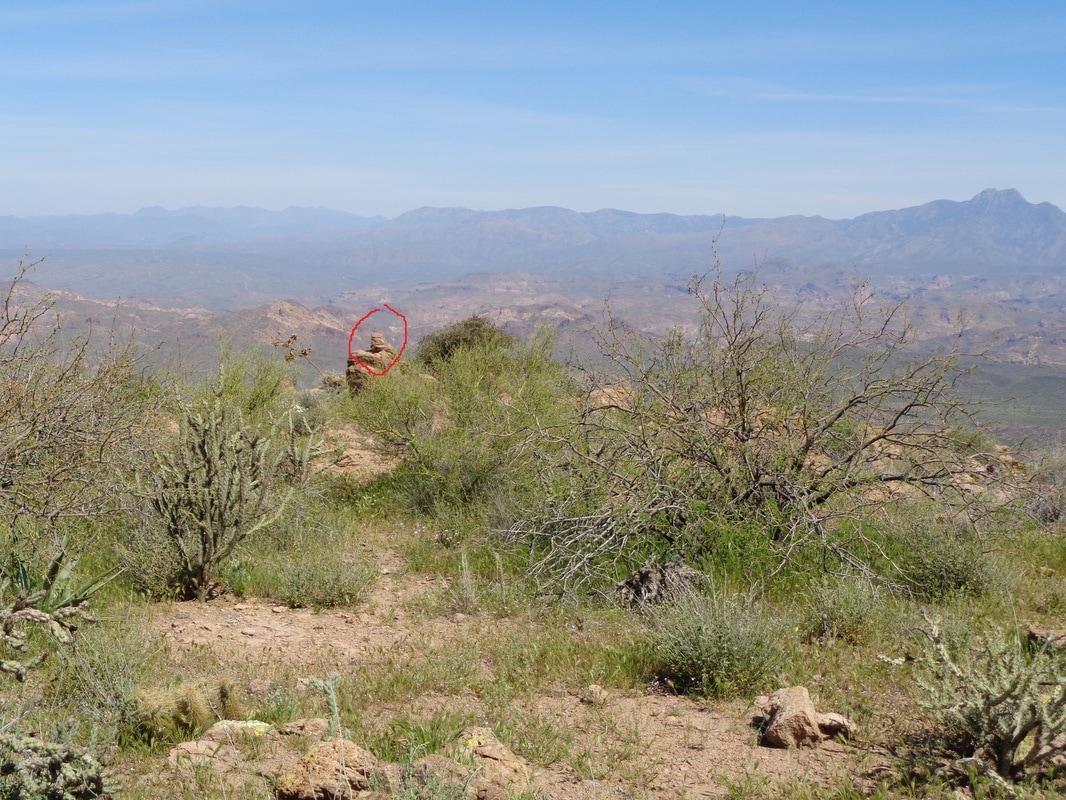
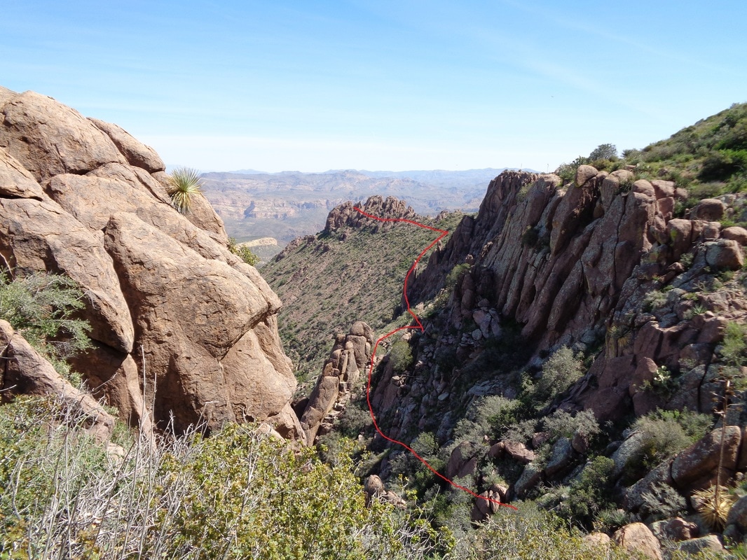
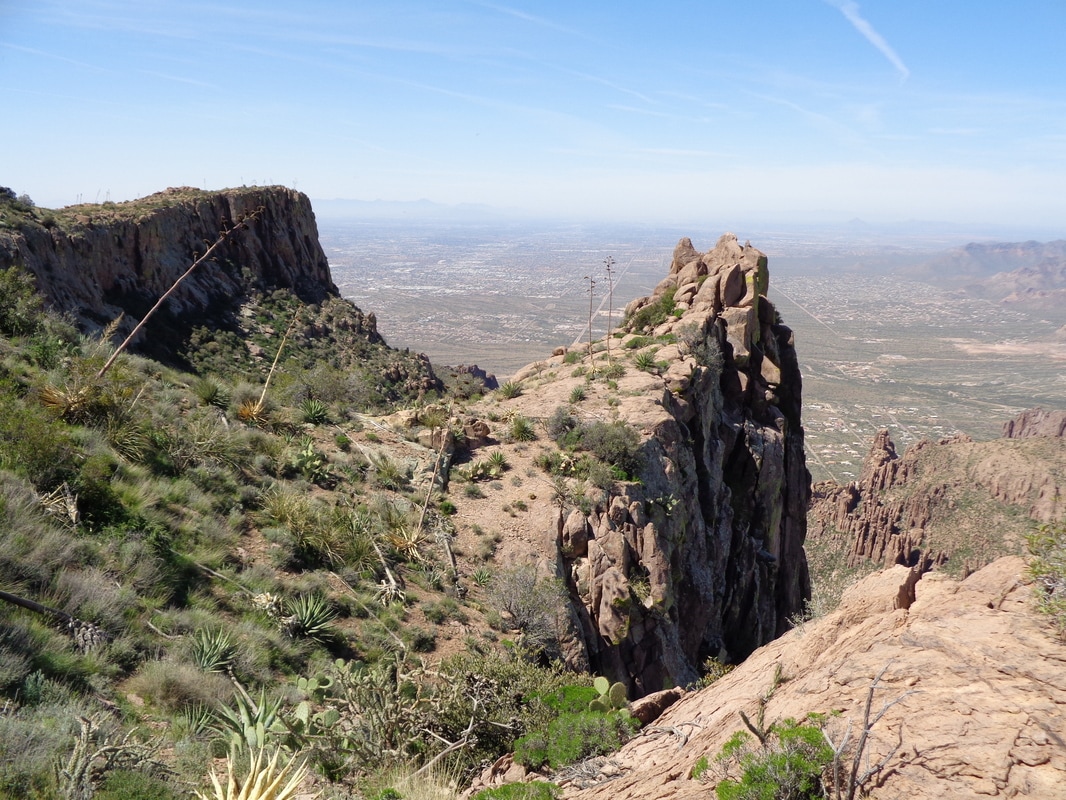
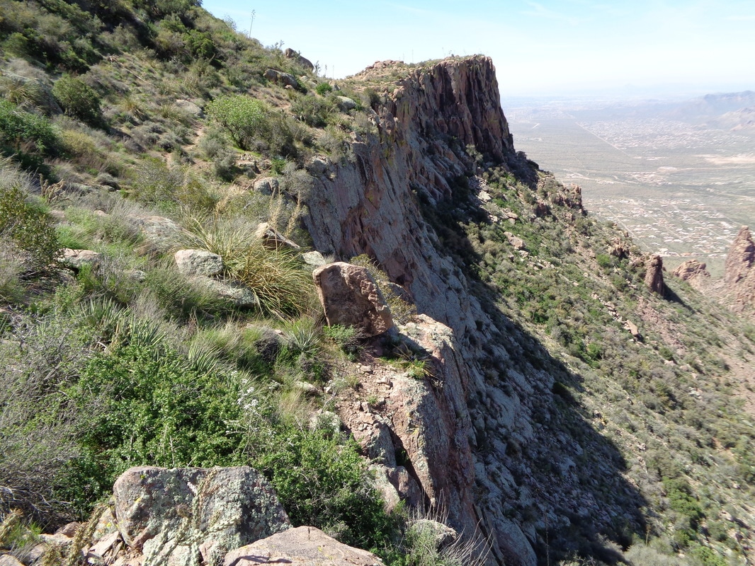
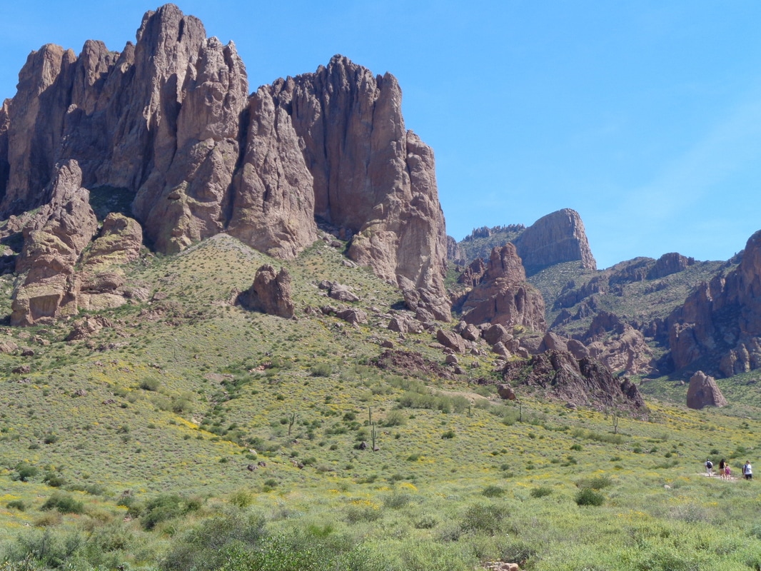
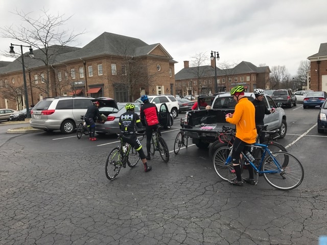
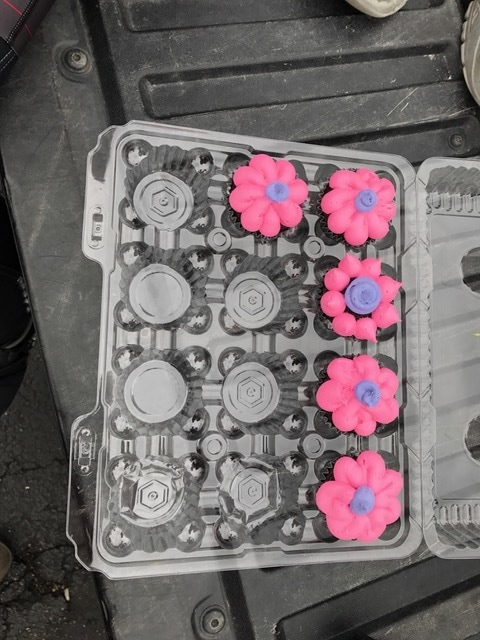
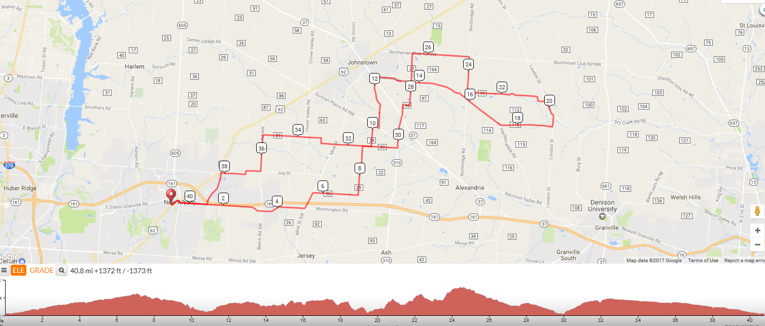
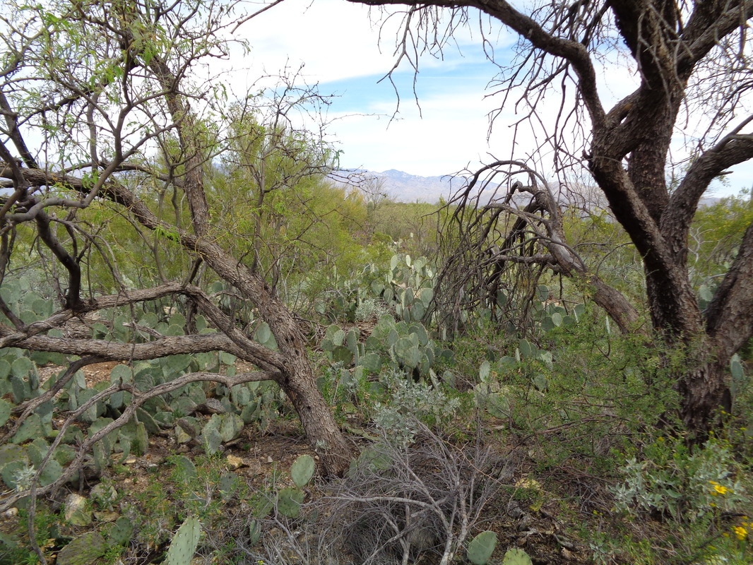
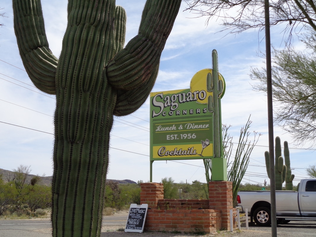
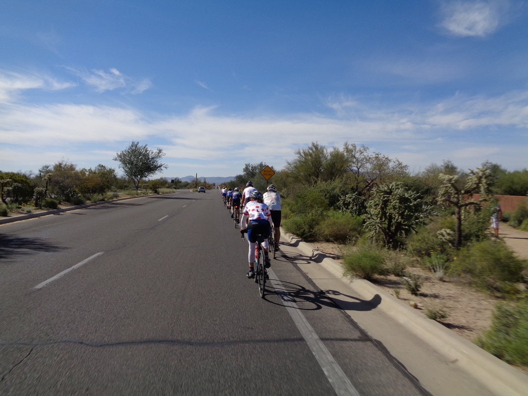
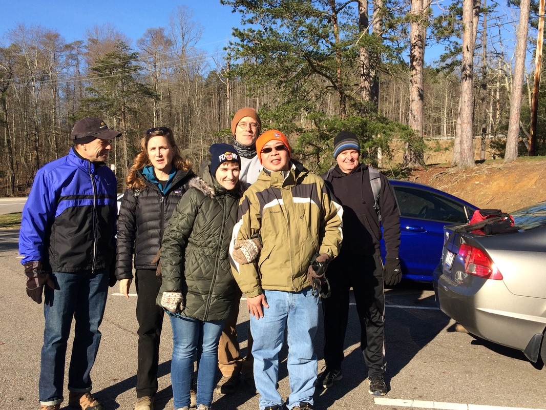
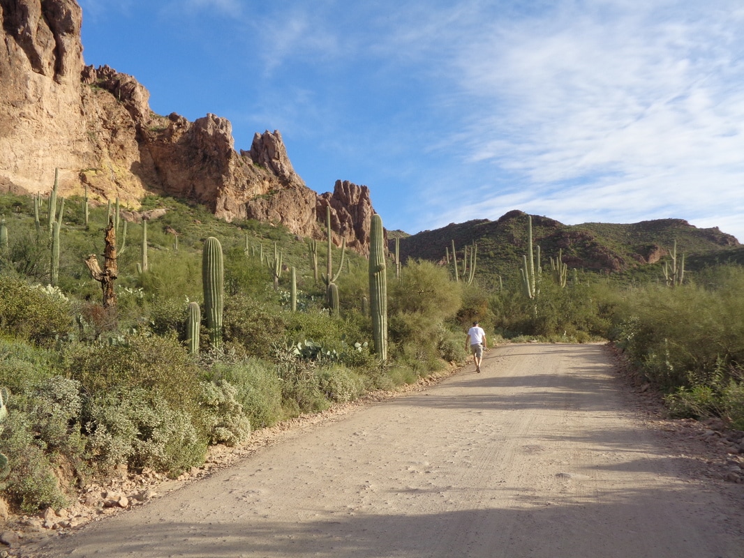
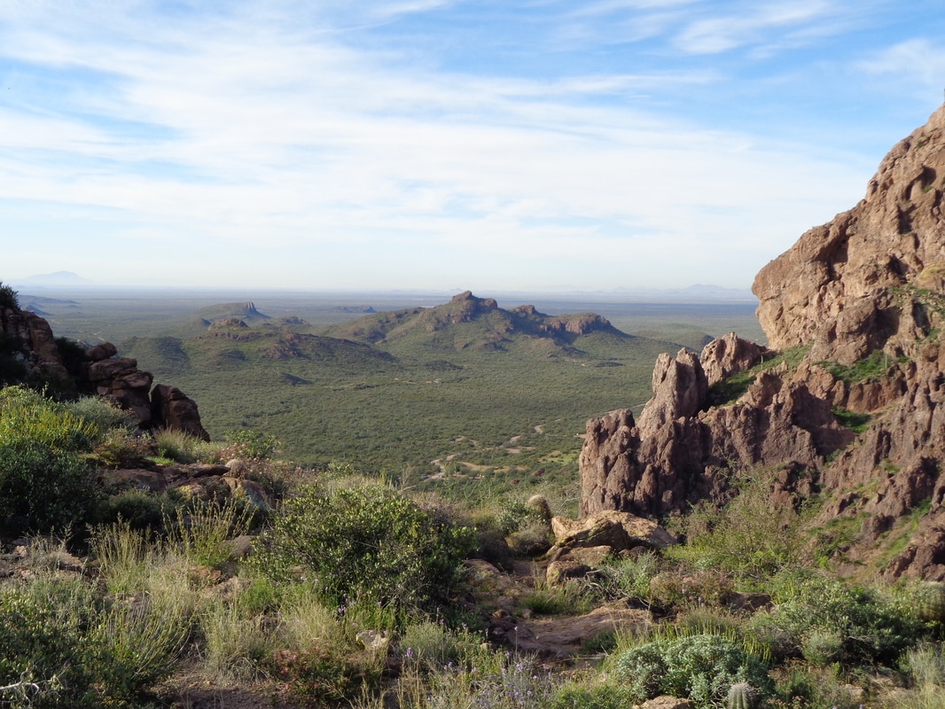
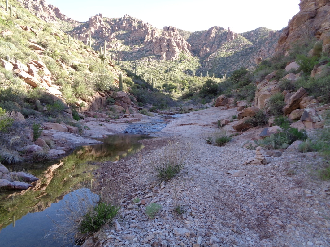
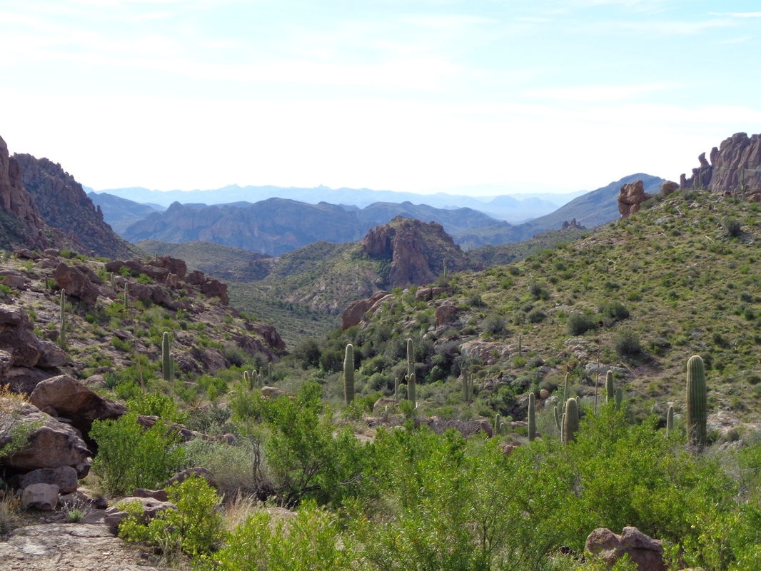
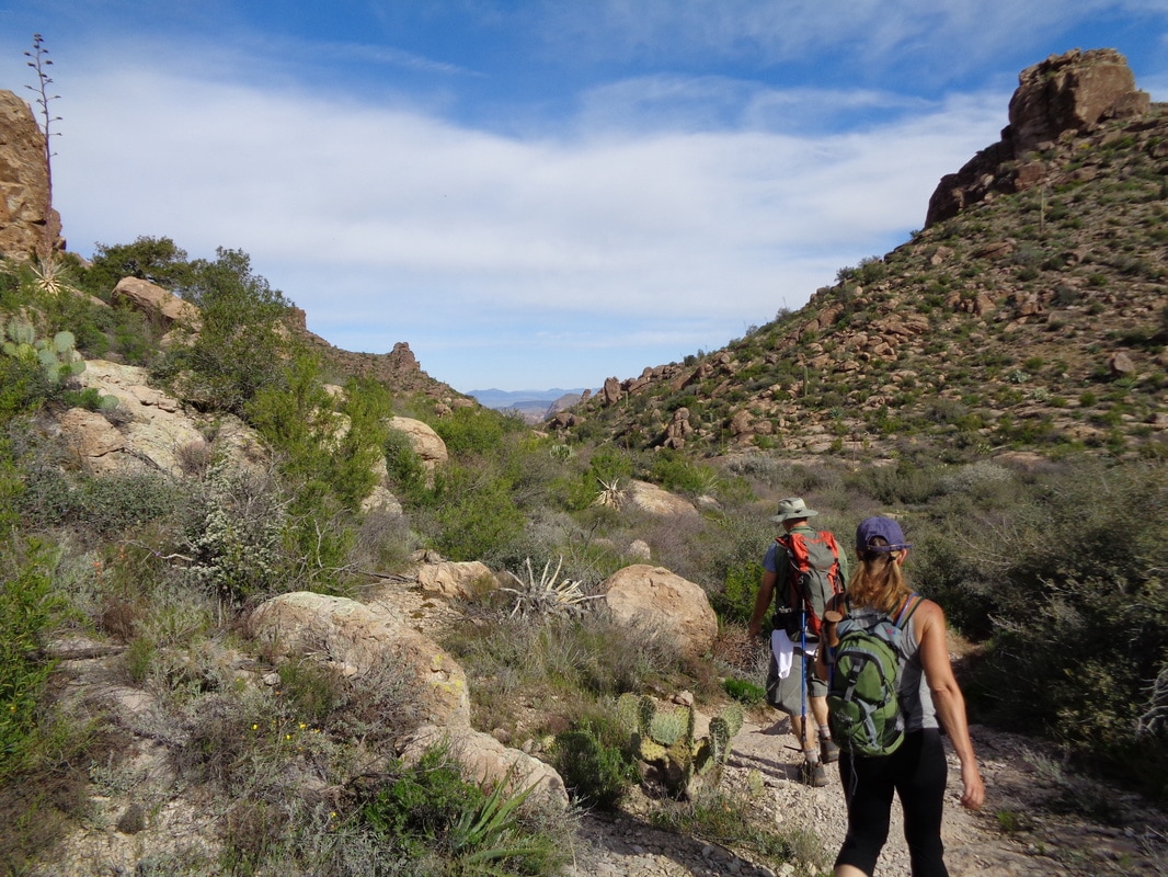
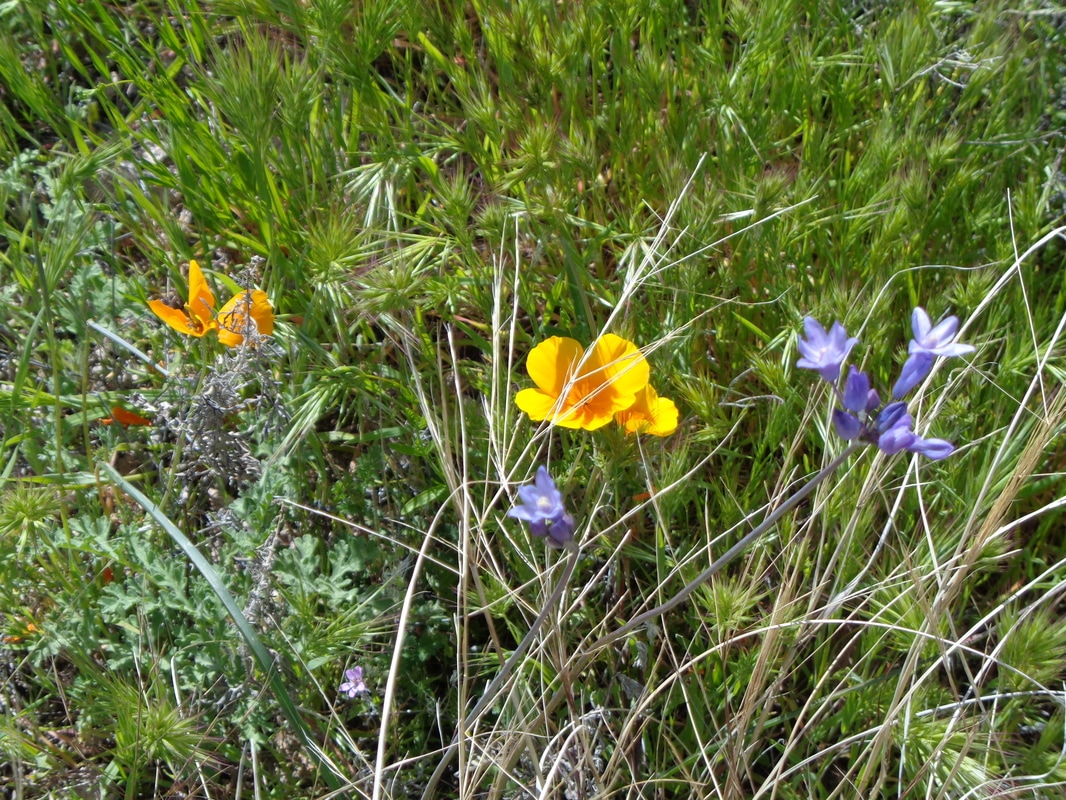
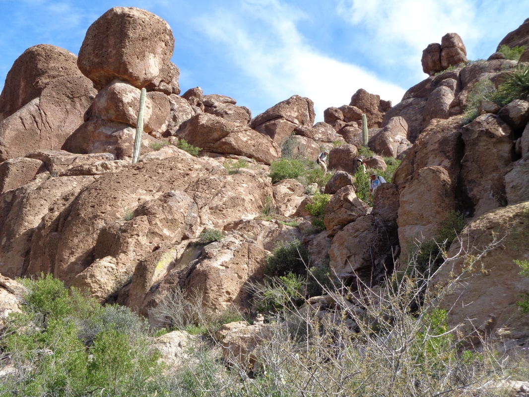
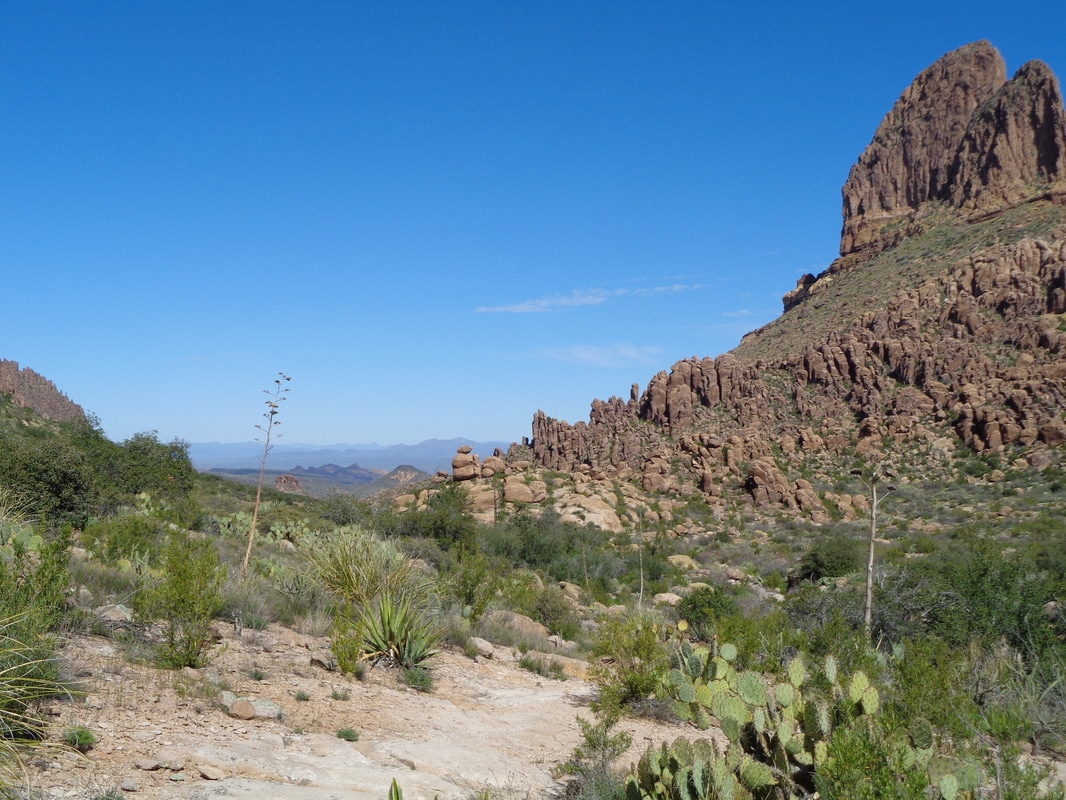
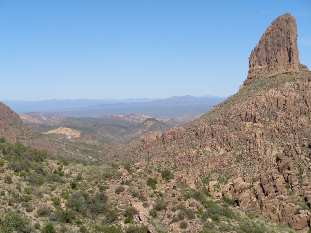
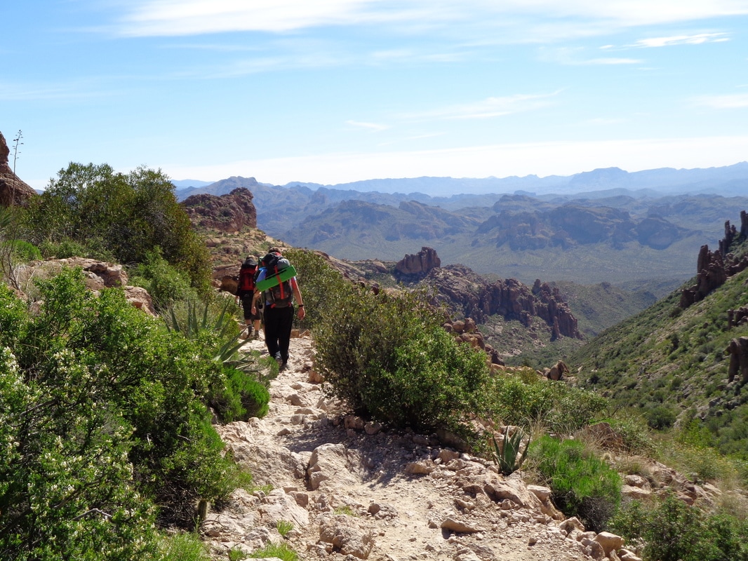
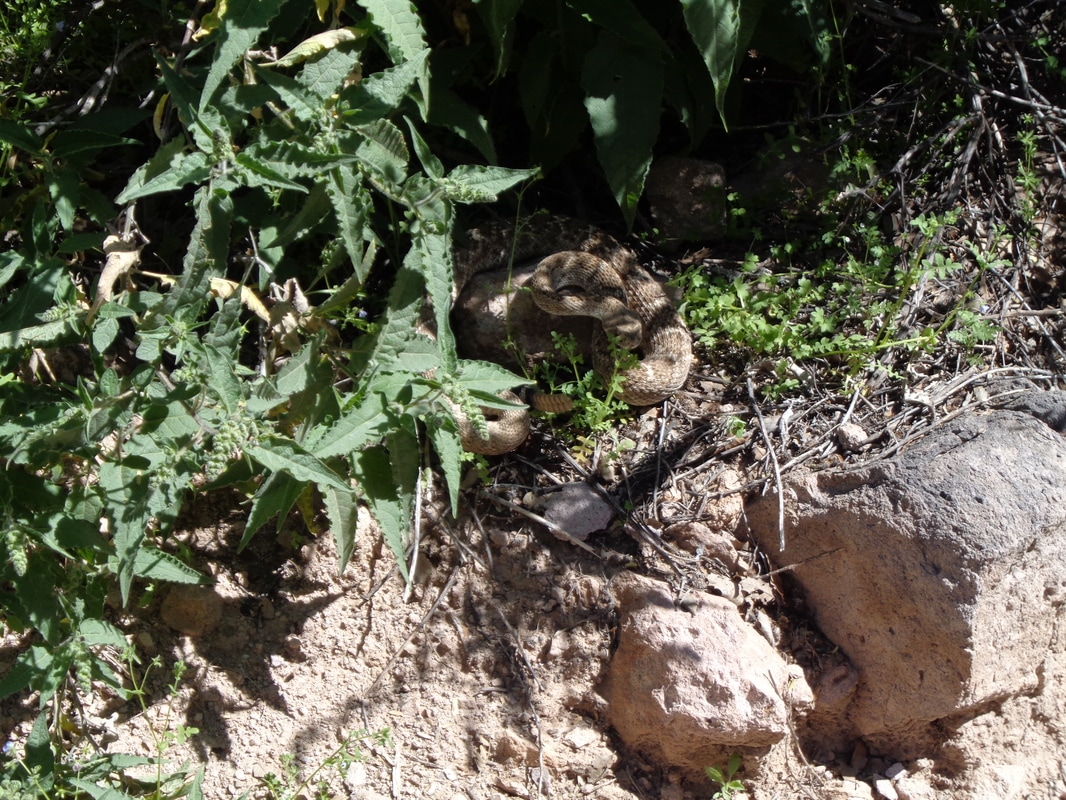
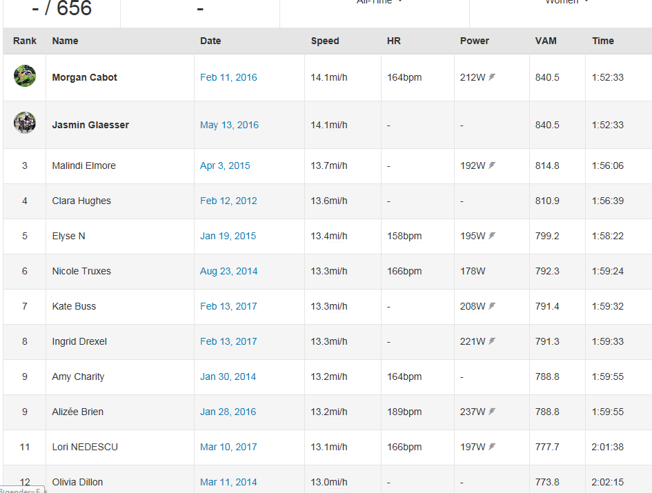
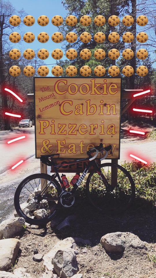
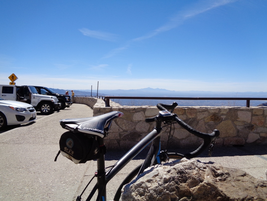
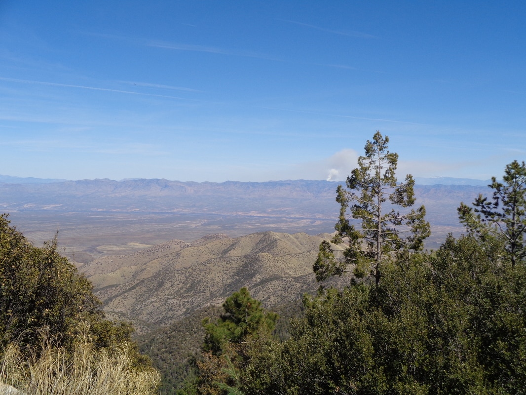
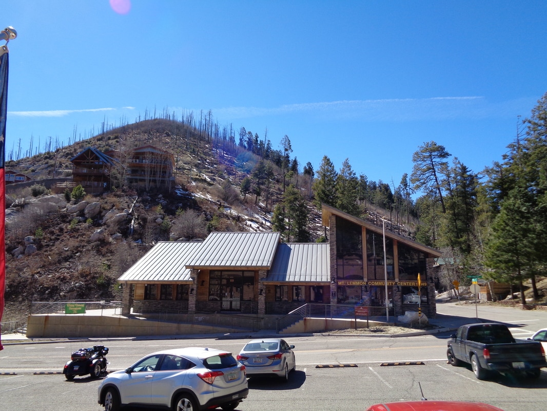
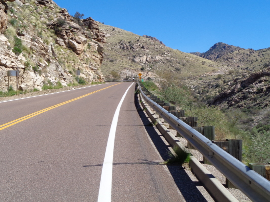
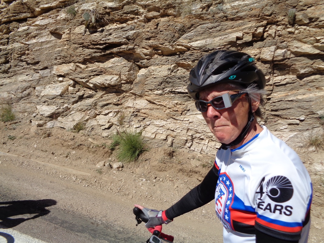
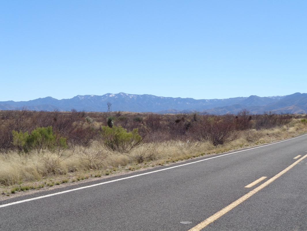
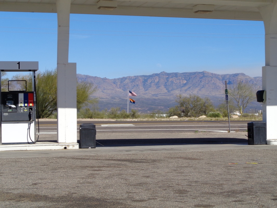
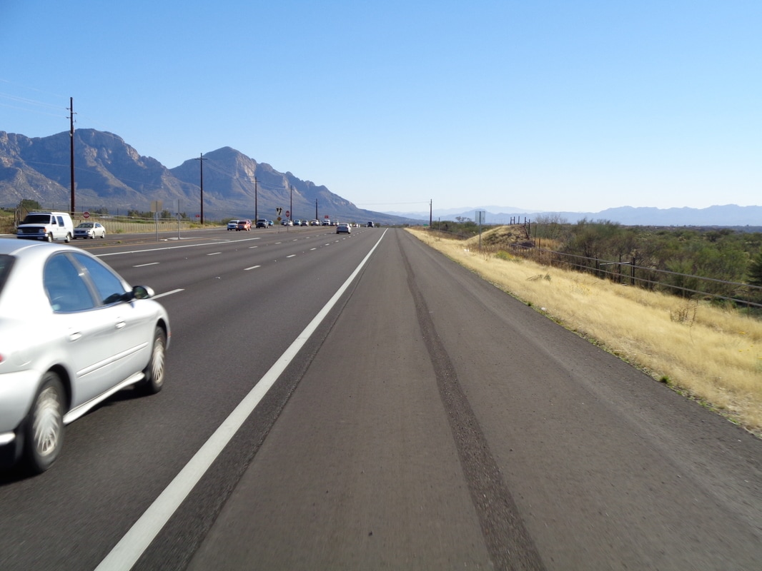
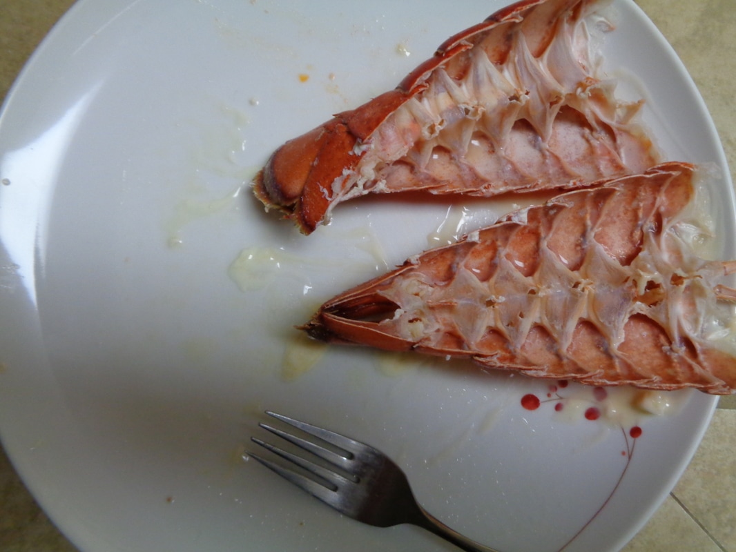
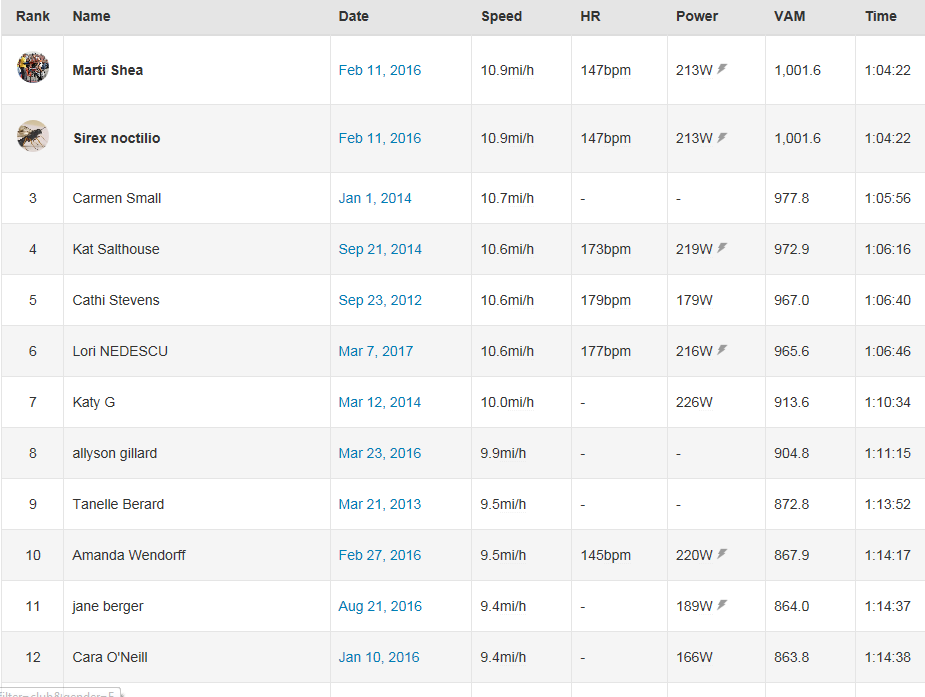
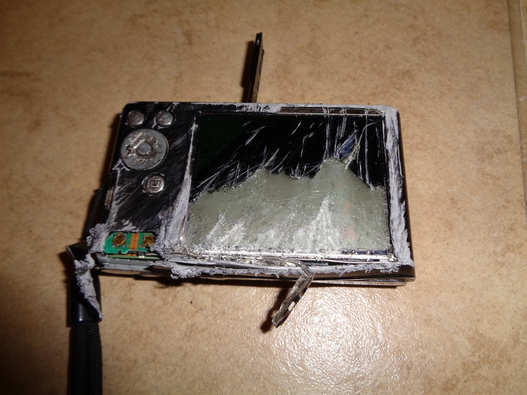
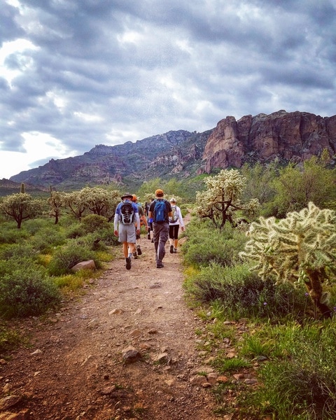
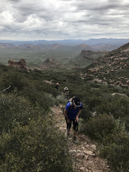
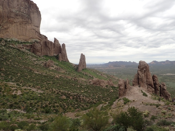
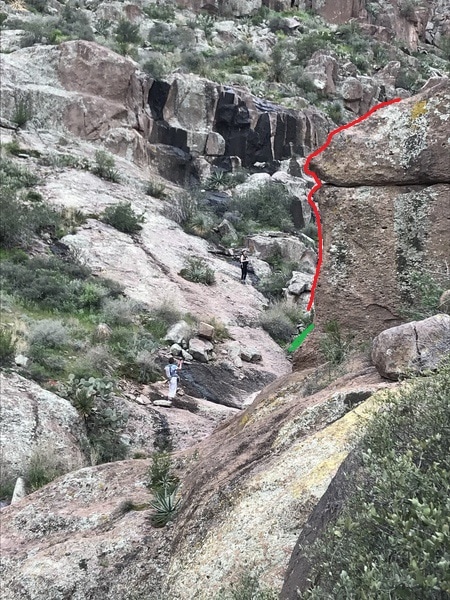
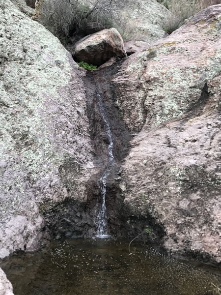
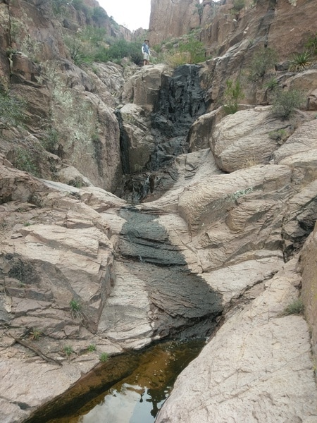
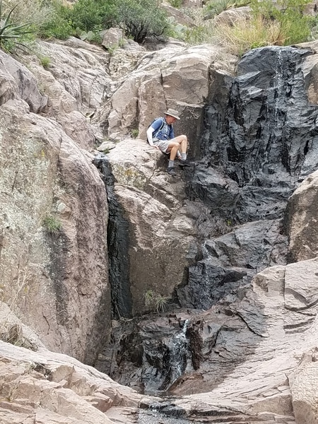
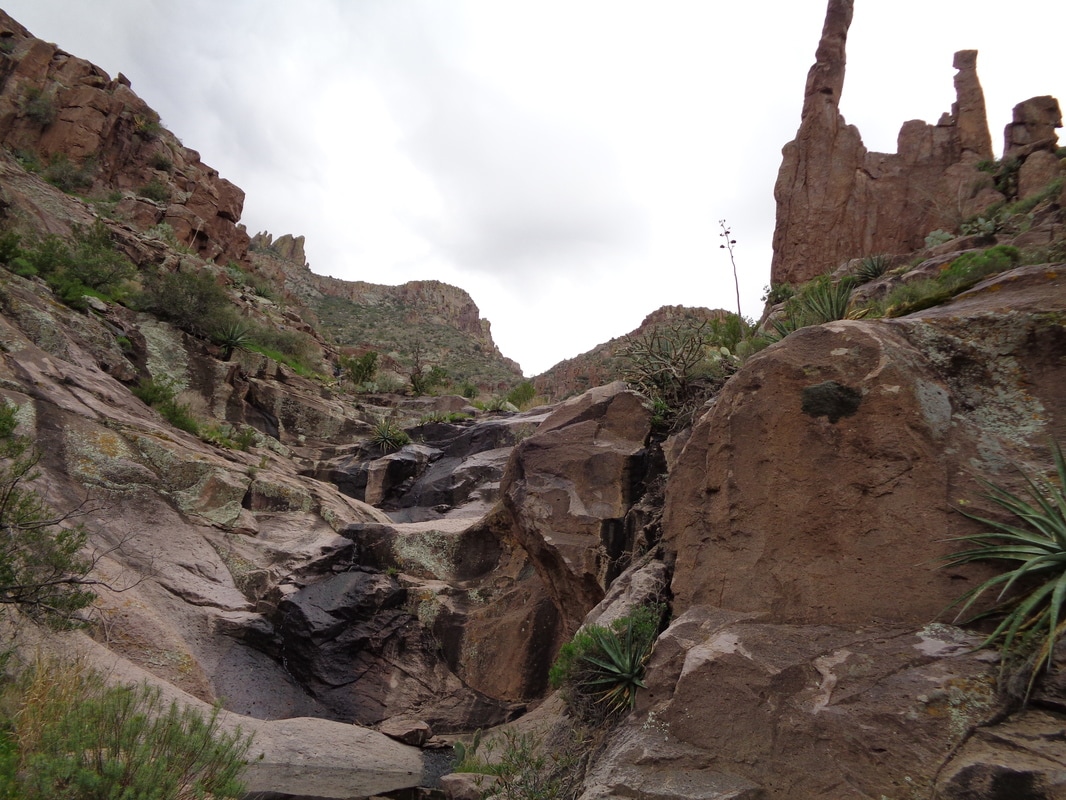
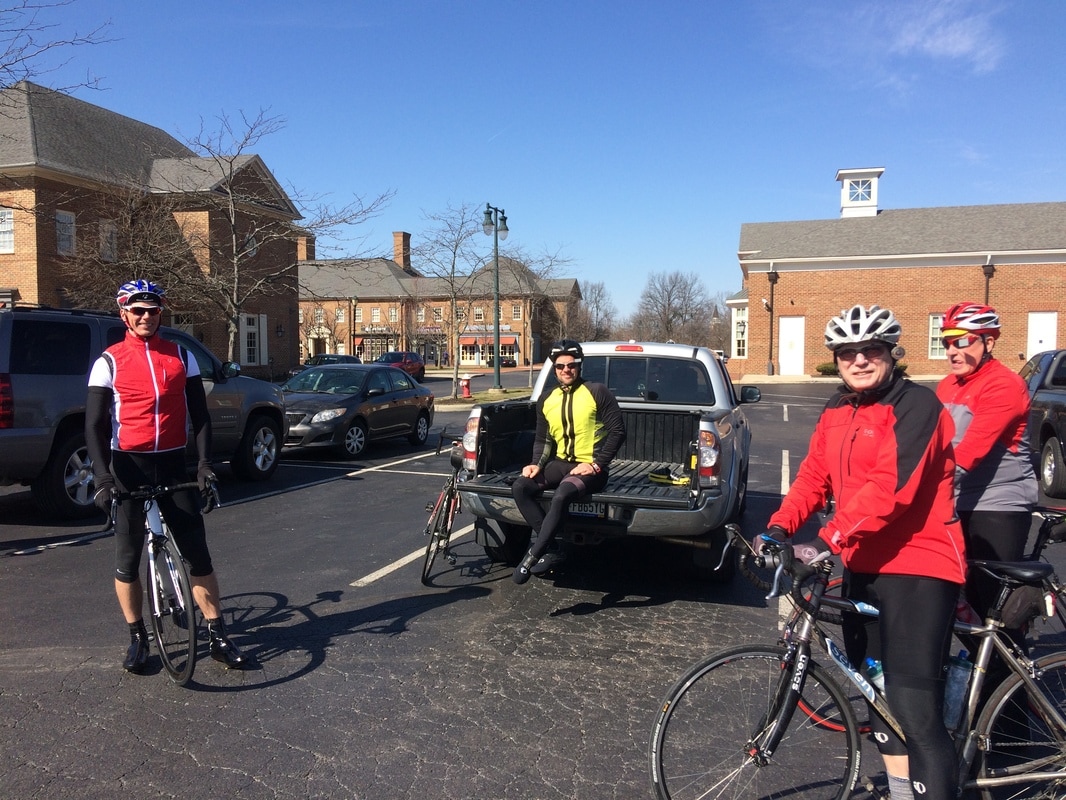
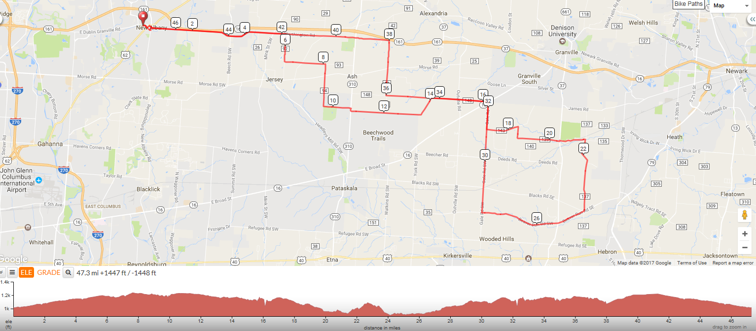
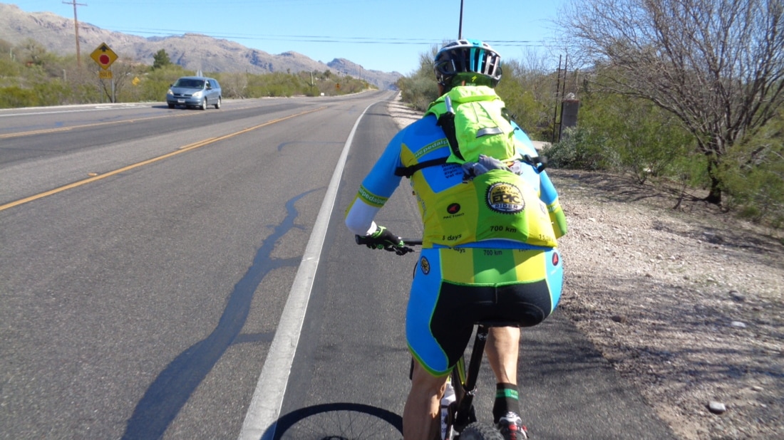
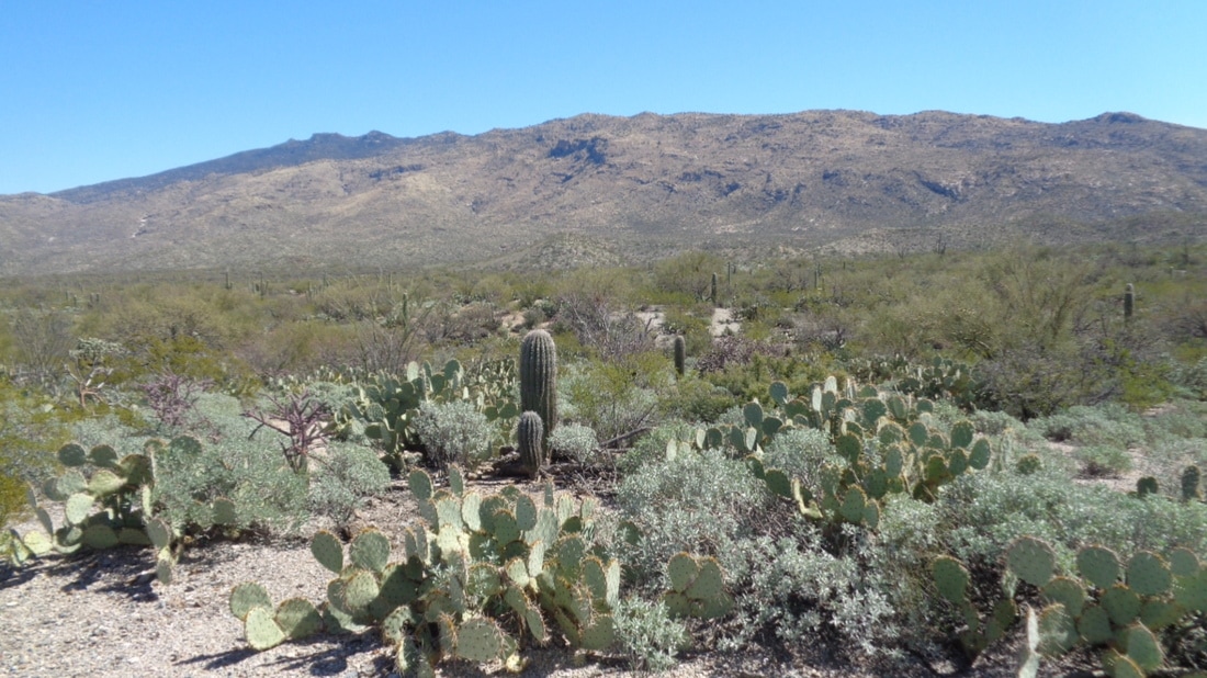
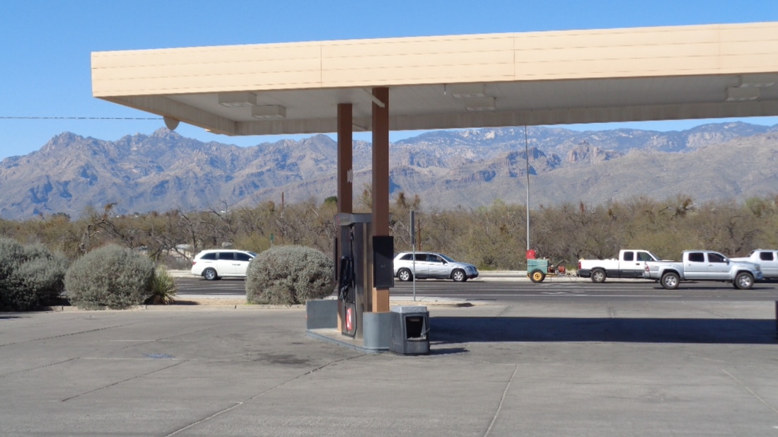
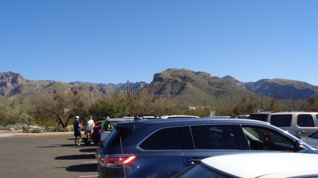
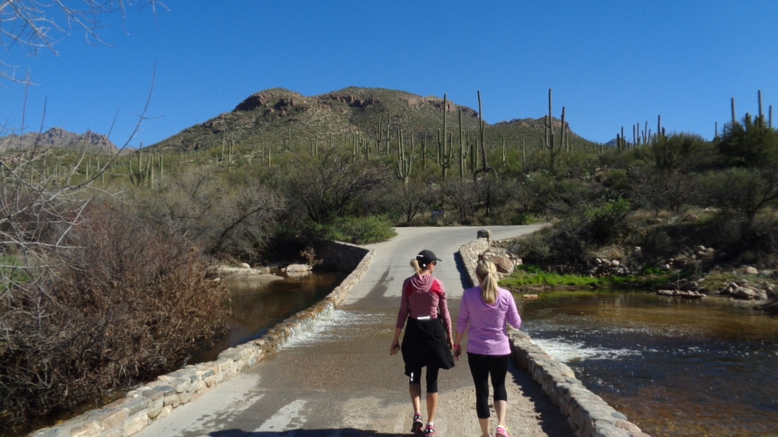
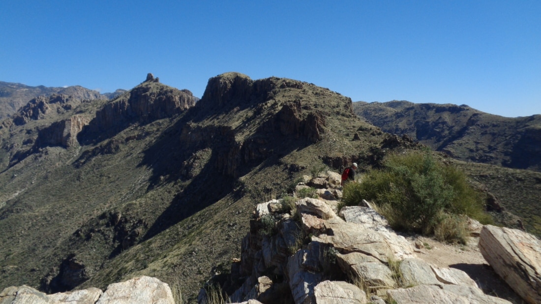
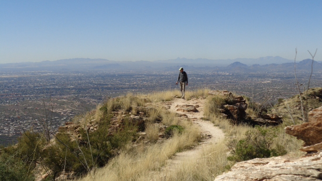
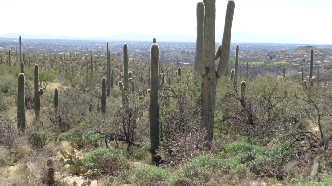
Some or many of you visit this site this time of the year for the hiking images. I regret it is my fall visits during which I hike a bunch that produce many images but mostly I ride during my spring visits. With about 10 days to go in the month I looked at my cycling total and thought, "Shazam, I could get to 1000 miles for the first time!" So, with one day to go, Friday, I sit at 938 miles. There is a group ride on Friday of 55 miles so with that and a couple laps around the parking lot, I would make it. Unfortunately, after a high today of 87, a front is coming through and tomorrow's high is an unbelievable 67 degrees!!!! OK, still not bad but winds will be ferocious as the system drifts north of us with no rain but these damn winds. More to come of course. And so we are on the cusp, the edge, the precipice, the beginning of yet another evening, central Ohio cycling season. Ain't life grand! As before, we have the deep south option (Canal Winchester) or the land where raw power resides (New Albany). Both 6:00pm starts but a different philosophy for the two Tuesday rides. For New Albany, this is the route we will follow: https://ridewithgps.com/routes/19828158 until light permits us to go longer with.... ....this one: https://ridewithgps.com/routes/19828105 We will then switch back and forth between the two routes. Officially, this is a B paced ride. We will attack some of the hills but regroup at the top. An "A" cyclist is welcome to join but respect the intent of the pace. Use it as a recovery ride or a ride to get the legs moving and ready for the Thursday New Albany ride. All "C" cyclists are welcome too. Know the route, hang in there as long as you can for the cardio benefit and then drop back and group with someone. The first ride is April 4th. Gus Cook is the master of ceremony. For more info, visit "The Cycling Club" web page: https://www.thecyclingclub.org/ Ric Noland of "The Cyclist Connection" is again volunteering to lead the Canal Winchester ride which has a new start location, "BrewDog". I'm not sure of the exact location but you can figure it out by zooming in the route: https://ridewithgps.com/routes/19832745 As before, there is the A route shown above with shorter B: https://ridewithgps.com/routes/19832806 and C: https://ridewithgps.com/routes/19832849 options. After the ride, quite the unfair advantage, free beer is available. On the other hand, frequently the Tuesday New Albany post ride experience includes free food from Kristie. I will, not that anyone cares of course, usually attend the NA ride while making the occasional visit to Canal to check out those troops. Have a safe and great season. A system blasted out of CA and deposited clouds to our area. Then somehow it reformed and brought a bunch of rain to the Midwest. I use this bike path to get out of a congested area and then into the wide.... ...open roads. Looking at the grass on the right, I had an urge to mow it. The smell of freshly mown grass is awesome. For the second time, my bike took me up Catalina Highway, pausing at Windy Point and then on to.... ...the Sawmill Run Restaurant. It was 58 degrees at the top so after eating a quick salad, I sit on the black bench in full sun and enjoy the warmth. Our destination but note the cloud on the right. Looks like a question mark. Two miles to the top with about 1500' elevation gain. Mark and his wife have been out here since Feb 1 and doing some hiking but this would be a bit different. Pretty rugged with some nice bouldering and rock climbing. There he is, making great progress. A small stand of saguaros with Oro Valley in the distance. Just prior to this section, hiking poles and any extra weight are stashed because it is now a 4 appendage activity. Then, near the top.... ....a narrow granite bridge is crossed. Not quite death on both sides, well ok, for sure on one side. After eating an apple, we began the descent. Note this would be a bad place to take a fall. This being his first experience, Mark was very cautious and for good reason. He made it through this and subsequent sketchy sections. Lots of color right now. Good hike and good time. Well, back to the bike. The first option, departing from behind New Albany's Starbucks/Velescience at 9:00am and led by The Gus Cook, promising a brisk B pace with regroups and 49 miles is: https://ridewithgps.com/routes/19771401 Another option, beginning from Heath's Hoback Park and led by The Cindy Berard, aka Flyin Tuna, at 9:00am, 66 miles and a relaxed B pace. Cindy is a QOM killer on Strava so expect the climbs to be brisk but plenty of regroups. With a bunch of road construction underway between our place and the roads to the west, it's best to hit the bike path for 9 miles to avoid heavier traffic on roads that were previously marginal for cyclists with light traffic. Prior to emerging onto the streets again, I pass by Tucson National where a senior PGA event is being held and soon thereafter..... ...I burst onto the roads, although the above image is looking east rather than west. I am at 610 miles for the month and thinking of going for 1000. Never hit the number for a month. Looks like great weather for Ohio on Saturday and should have at least one option for a ride. Podium opportunity here folks. Check this link: https://www.bikereg.com/frosty-toes-grand-prix then click on "Who's Registered". As of right now, I'd have 2nd place sewn up in the Masters 55-59 (Scott Young already registered so....). If you are a woman who has never had success previously racing, the women's categories are wide open. I'm thinking of Kenda Janet, Corvair, Flyin Tuna, Todd Lee, etc... Looks like a fun event with reasonable entry fee. The destination of dozens of hikers from Phoenix each day and a hike I have completed 7-8times, to the Flat Iron in the Superstition Wilderness. BUT.... recently I heard there was a back way from the north side, off trail and rugged so my kind of hike. I followed a dirt road, reached the 1st Water trail head and following a gpx route, struck out among a beautiful Sonoran landscape. Still so green but that will change soon. The red line above shows the route I was to take. To the north is 4 Peaks Mountain as I ascend and head toward the Canyon of the Waterfalls, the jumping off point to the off trail portion of the route. I really like these steep slick rock sections. The route goes to the left of that rock formation but I knew an alternative was.... ....a fun alternative through the middle. Enough toe and hand holds to climb through it and fun as usual. Having climbed through the notch, I continue up and enter the awesome.... ....Canyon of Waterfalls. Doesn't it appear the mountain is giving me a big "F**k You" with that hoodoo in the middle? Hah I climbed through this obstruction and .... ...through others, very fun stuff. I looked back and admired what I had come through. The gpx route took me into this jumble of huge rock slabs and I probed, reversed course, probed again but finally..... ....emerged onto this ridge, which I would mostly follow higher.... ....and how bout that!!!! I ran into some cairns, confirming others had been this way before. I decided that.... ....going through that jumble of rock (shown by the red line above) had just been a mistake. I doubt anyone had ever been through that mess and I just had not zoomed onto the route enough to see I had gotten off the route. But hey! At last I reached the top!!! I was so relieved. I headed along.... ....a rim, located the Flat Iron, descended that trail (cause I was not going to go back the way I had come), reached.... ....the Jacob's Crosscut Trail, reacquired cell phone reception so I could catch a call from a woman about a horse (it's comforting to see that cell signal light up), hiked for a while and with great relief, reached the parking area and jumped into my car. Nine miles, most very rugged and fun. Considering the weather, a good turnout for the 2:00pm New Albany ride, 12 people including Don N, Kristie, Mitch O, Michael, Christian, Jeff S, Mike M, etc... I understand it was a good ride but at the end.... ...everyone had access to a cupcake, which with Kristie in the group is pretty common but also, everyone received a...LOAF OF BREAD!?!?! And here I am, stuck in AZ and unable to receive such a bounty. Big thanks to Jeff S for the images. Sorry for the late notice but I was off the grid for most of the day. 2:00pm, Sunday, behind Starbucks in New Albany, B pace. Route is: https://ridewithgps.com/routes/19489498 Wow, what a thicket. You'd have a better chance of walking through a field of barbed wire. This is at Saguaro National Park East. Eight mile loop that is a tough route. Up and down with a 1 mile climb that gains 350' toward the end. With traffic one way, it's a very safe way to be on the road. After 3 times around the loop and failing to find a gas station..... .....around the corner from the Park is this. I walked in, sat at the bar, drank 3 ice teas, a salad and oddly, a side order of fries. Couple of biker dudes looked oddly at me but knowing nothing good ever happens to a guy clad in Lycra while in a men's room, I avoided that place and emerged safely back into the sun. OK, seriously, nice place with a good atmosphere. Finished with 71 miles and 4300' of climbing. I was invited to join a group ride on Sunday, one that starts 1/2 mile from our place. It's reoccurring so that's good and some fit people so the pace was good. When I bugged out to get some extra miles our average was over 20 so I was glad for the opportunity. Sun, light winds and around 85 degrees (don't hate me). Meantime, the day before..... ....in the sun, light winds and 30 degrees, from L to R, Steve O, Peggy, Amanda, Mitch, Franz & Mark C. Not in the image was Cindy B. They did about 9 miles, hiking from Old Man's Cave to Cedar Falls and Ash Cave. Hope the weather improves soon for the Midwesterners so they can get back on the bikes. It would be awful if I returned and discovered I had moved from the bottom of the peloton to the lower middle. That stinks. The main parking lot at Peralta trail head is already full at 8:00am. A park ranger has me park in an overflow lot and I begin the trudge to the trail head, hoping to catch the group who are doing the Weaver's Needle Crosscut hike. I'm..... ...in luck as I hear them ahead of me and quickly join. We begin climbing and as always, how bout those views. Yes, I am again in the southern end of the Superstition Wilderness. It mesmerizes me. We climb and descend and climb some more and then descend into this canyon where the slick rock bottom provides a flow of water. Beautiful isn't it? We climb out of the canyon and upon reaching a ridge, looking to the southeast...awesome. The group with whom I am hiking are fit and the pace is good, led by frequent hike organizer Phil. At 70, he is one of the most fit hikers with whom I hike. He is the equivalent of central Ohio's "Farmer Mike". Not only does he hike quickly, he throws out a lot of interesting information about the surroundings. Murders, treasure, explorers, etc... There is our leader out front as usual with Doreen, from Globe, AZ behind. OK, yes I much prefer the long range vistas but hard to ignore all the wild flowers in bloom after the abundant spring rains...well I guess the winter rains but with many days now in the 80's, it's hard to think of this as winter but officially it still is! I thought the route would lead us through to the south of Weaver's Needle but alas it took us one ravine too far to the south so the views of the Needle were not so great. Above, the group navigated carefully through a rocky descent toward the Peralta Trail. I had gotten ahead of them a bit here and decided to keep going cause I had to talk to a woman about a horse...something like that. Once I gained the Peralta Trail, I made a left and headed toward Freemont Saddle. As I rose, views got better and..... ...better. I reached the saddle and.... ...now the views to the southeast were incredible. Many were on the trail from this point back to the trail head. Lot of good people including a guy who told me his uncle found a baby rattler and kept it for a pet until it bit him. Not long after that.... YOWZA! or something like that but a real, live, very pissed of rattlesnake. My 14th encounter but still no fang marks on my legs!!!!! A crowd gathered and no one wanted to walk by it but I knew, even as long as it was, the strike distance did not reach across the trail so I walked by, stopped, took images and video. A park ranger came by and asked us all to leave to the snake could calm down and slither off and so it did. When I reached the parking lot, another ranger told me there was another rattler sighting on a trail we started earlier in the day. Yep, they are officially out. Finished with 9 miles of hiking. I remember the first time Lori dropped me on a ride......the first time I rode with her and every single time thereafter. No great revelation there of course. Today she hit the slopes of Mount Lemmon, a climb with which I am very familiar. Many thousands of cyclists have ridden up that mountain, recently featured in a cycling magazine as one of the top 10 climbs in the world. Lori's effort today put her at #11 among women but only about 50 minutes ahead of my best time...ha, ha. Among all cyclists, she is #332 among 4461 cyclists (I'm #2824). Way to go Lori. There's her bike, parked in front of temptation city. The cookies there are enormous. I finally bought a memory card for my fabulous new camera, which is identical to the twisted mess that died a slow death on Gates Pass earlier this week. Unfortunately, I bought the card after this ride so again limited to 3-4 images. On previous trips to AZ, I wait until later in my visit to do this climb, after I've gained some fitness, but decided to take advantage of the 85 degrees, sun and light SW winds. My pace was so slow, even I realized it especially whenever someone in a team kit flew by. I paused at Windy Point Vista, mile 12 of the 21 mile climb to the Pallisades. Great view. I stopped a few more times including at San Pedro Vista, about 3 miles from the Pallisades, the point at which the pavement bends down for about 2 miles before a 1 mile climb and a rolling finish into the town of Summerhaven. A man asks me if there is a bike rally going on and I tell him it's like this every day, usually even more cyclists. I counted only 60-70 on my ride up. A fire has been burning for a few days, looks like on Mount Graham. Euphoric, I coast into town. I hit snow at about 7000' but very patchy and even here at 8200' it is visible only on the north facing slopes. At Ski Valley, about 1.5 miles higher up and 9000', they were still skiing but I did not have the energy to check it out on this ride. I sat at the Sawmill Restaurant bar (place was busy and too long to wait for a table)and ate a salad with a side order of fires. I know, odd combination. Finished with 58 miles and 6400' of climbing. After yesterday's 71 mile ride, I made a mistake to attempt climbing Mount Lemmon today. After all, it is only early March and I've been sitting on the barcalounger with the hidden fridge stocked with beer for 3 months. I reached mile 4 of the climb, spit the bit and began coasting back down. This is where it gets interesting. I reached a point where traffic was backed up due to a rock slide clean-up. There were about 10 cars with 3 cyclists sandwiched in between so.... ....I joined those 3. I struck up a conversation, the woman next to me asked where In Ohio I was from and when I said Granville, she replied, "Mark?". It was Barb Parker with whom I used to ride when; REVELATION:::: for awhile I actually rode with "The Others"!!!!! Usually, she rides a tandem with Dave but today they were on singles and Dave was farther up the mountain. Now it gets even more unusual. Last Tuesday, when I was stuck by the sand storm (see below), Barb and a group from Ohio were also stuck but unfortunately they got detoured back to NM while I got fortunate and was escorted west through the storm. Small, small world. Well, it's 9:30pm and tomorrow I'm either going to go back and ride the mountain or go hike the back side of the Flat Iron. What to do, what to do..... Webb Road, a fun, 9 mile descent during which 1500' of elevation is lost (but regained later of course) and having great views of the back of the Coronado National Forest, Catalina Mountains and the snow capped Mount Lemmon. They are still skiing up there although the upper lift has not been working because during a wind storm, 50 trees were toppled on and around the lift. My plan is to visit on Wednesday, via the bike. I take a break at the lone gas station/market in San Manuel. In the distance are the Galiuro Mountains. Well, no sense avoiding the climb out any longer so I struggle through the return. Actually, I thought I made pretty good time up the 9 mile climb, despite getting stung by a bee. It got my upper back and when I turned my head, saw it was diving for another go at me. I scanned the area for a swarm but whew, did not see one. Later, a sobering and depressing piece of information. My effort is 537th on Strava. The final 21 miles is a 1-3% descent. The wind is not favorable so I have to pedal more than I would like but also enjoy the views. Later, I made a big step in my cooking skills.... ....lobster tails. Wow, that was restaurant quality. Mount Lemmon tomorrow and then that evening, having dinner with March Mark, his wife and my daughter Olivia. I must keep my mind on that 537th place when staring at the menu. FOTB (Friend of the Blog) Lori Nedescu is in Tucson, riding with and lecturing at the USMES (United States Military Endurance Sports) camp this week. Today, she led a group to tackle Kitt Peak, a 12 mile climb that gains 3400' of elevation. Note where she stands (below) for the entire climb while also pocketing a QOM for a segment of the climb. To put it in perspective, among the group in that top 10 are Olympians and/or professional cyclists. Way to go and the world watches as she hits Mount Lemmon on Friday (well, a portion of the world). During a 67 mile ride over the Picture Rocks climb, down and through Saguaro National Park West and then up and over Gates Pass, I was enjoying the long descent when I entered a dip in the road and there was a rattlesnake. I swerved a bit to avoid it and looking straight down, confirmed, yep, a rattler for sure. I braked, turned and while coasting back into the dip, reached into back pocket, removed camera, fumbled camera and camera pitches forward bouncing on the pavement. My front wheel hits the camera but rather than roll over, it pinches it beneath the tire and now I am skidding as friction begins to work on camera. Weird. My wheel turns to the left and bike begins to fall. I am preparing to brace for impact when suddenly, camera ejects and I bring the bike upright. Whew. Camera though, not good. I visit to "Best Buy" and I am good to go for tomorrow's (Sunday) hike. Unfortunately, my new camera keeps telling me I have no memory after I take 4 pics so I have copied images from a fellow hiker. There I am, back left, talking to a guy who participates in an interesting bike race. There is a train that runs from Williams, AZ to the Grand Canyon. The event is called the "Man vs. Machine". Sounds like you have to average about 23mph to beat the train. Last year, a head wind prevented anyone from beating the train. A steady but not steep climb bring us out of the valley and the "1st Water" trail head. A rare cloudy day but comfortable for a hike. Now it gets steep as we climb away from that prominent rock on the right and reach.... ....this point, the entrance to the "Canyon of the Waterfalls". One has to walk around the rock outlined in red along the green slope. Some brief exposure prevents some from doing anything other than peering around the rock. Multiple waterfalls and a beautiful spot. Later I learn this is the back way up to the Flat Iron, a rarely traveled route. That got me thinking for sure. I climb up the right side, cross the stream and then continue up the left side. Unfortunately, the way back.... ...caused me to pause as the rock was slick from the water and above I am backing up. The odds of my foot sliding and me sliding into the pool is too good. Our hike leader tells me to wait and he'll help but I assure him it is ok. Now I have the unwanted attention of 12 people. I poke around to the left and the hike leader yells, "Be careful!" I look at him and ask, "Is there an option?" Everyone laughs as I find a may down. One last look before heading back down. I think I'll come back to do a solo up through there and beyond to the Flat Iron. I found a gpx file to follow so what could go wrong? Finished with about 6 miles. Well, this weather disturbance that produced no rain is ushering in warm temps and sun as a high pressure ridge will take over. Mid 80's and light winds for this week. Time to head to the mountain where they are still skiing at the top. I hired a "Stringer" to take some pics in my absence but she was too shy to take many and so all I have to share is the above. Brad on the left, Jeff S and Rick on the right in red. Hard to say who is sitting in their truck as distance and clothing makes the ID too difficult for me. About 25 came out for a good, 47 mile ride. Big thanks to Don Novel for sharing the route with the many. Don Novel has put out this route for 11:30am, Sunday from behind the New Albany Starbucks. Generally it is a "B" paced ride but know the route in case you get dropped. There is a brief regroup or two and of course if you want to ride at an "A" pace that is good too. The route: https://ridewithgps.com/routes/19349740 I drove to the corner of Catalina Highway and Tanque Verde Road where there is a large parking lot and the popular hangout, "Labuzz". This is the shoving off point for the 100+ who each day tackle Mount Lemmon although that was not yet my destination. A guy passed me riding a mountain bike and he was headed to the top so I, naturally, pulled in behind and drafted for a couple miles until my turn. The 8 mile loop around Saguaro East National Park is rolling with a nice 1+ mile climb which has 300'+ of elevation gain. On my 3rd time around my legs were getting kind of wobbly so I stopped to take a pic of the distant Tanque Verde peak. I left the park and.... ...even though at this point I had only 5 miles to go, I stopped to sit in front of a gas station and enjoy the view. Finished with 47 miles and almost 3000' of climbing. A good first effort with lots more to come. Sabino Canyon on the northeast side of Tucson. Very popular place with paved roads for the walkers/joggers, trails for hikers and miles of off trail routes. The two most popular destinations are "Seven Falls" and "Blackett's Ridge". That's the Ridge in the distance. Doesn't look like much but it's 300' taller than the Empire State Building. Being curious, I looked on Strava and out of 217 efforts, I have the 9th fastest time from the base of the climb to the top. The first 1.6 miles is flat to rolling and then the final 1.5 is steep, gaining 1800'. I reach this river crossing and get my left foot soaked walking on the left wall. Nice. My expectations were low, just hopping to get under 1 hour from the parking lot to the top. Quickly, my chest was heaving, legs ached but I kept plodding along. I reached the top of the ridge where there is a post, stopped the Garmin and was thrilled to see a time of 56:20, all walking. I think that is my 2nd best time but was disappointed to later discover I could not find the file to upload to Strava. Soon others arrived at the end of the trail. Beautiful views to the west of the Tucson Mountains. With lots of rain in recent weeks, the Sonoran Desert is green. The forecast is looking good so lots of cycling and hiking to come. Weekend in OH not looking too good on Saturday but should be a ride for Sunday. |
Categories
All
Archives
November 2023
|
