|
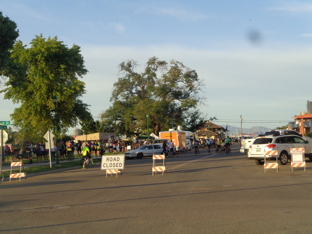
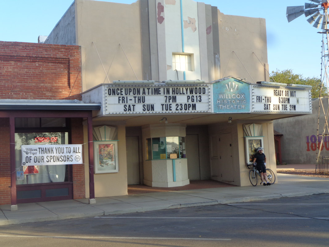
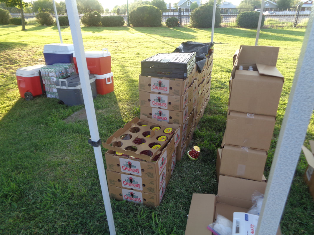
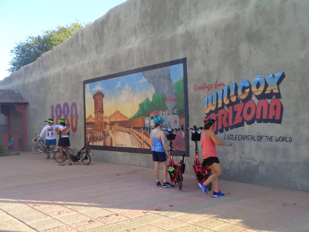
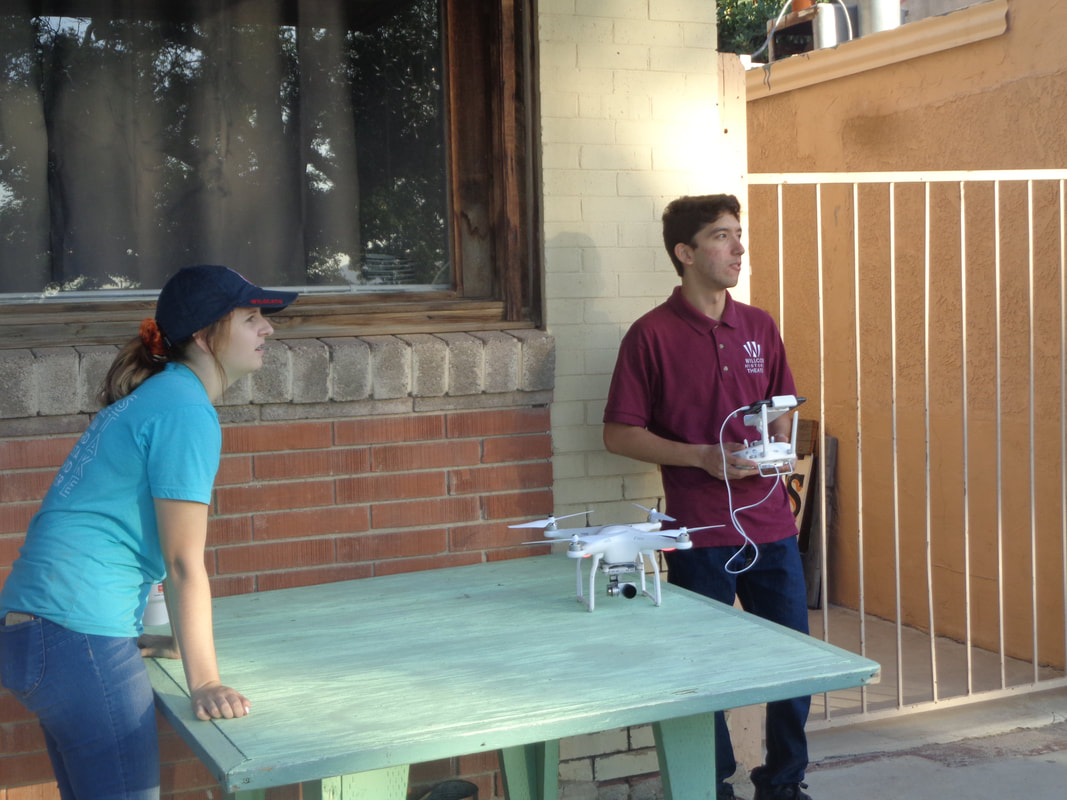
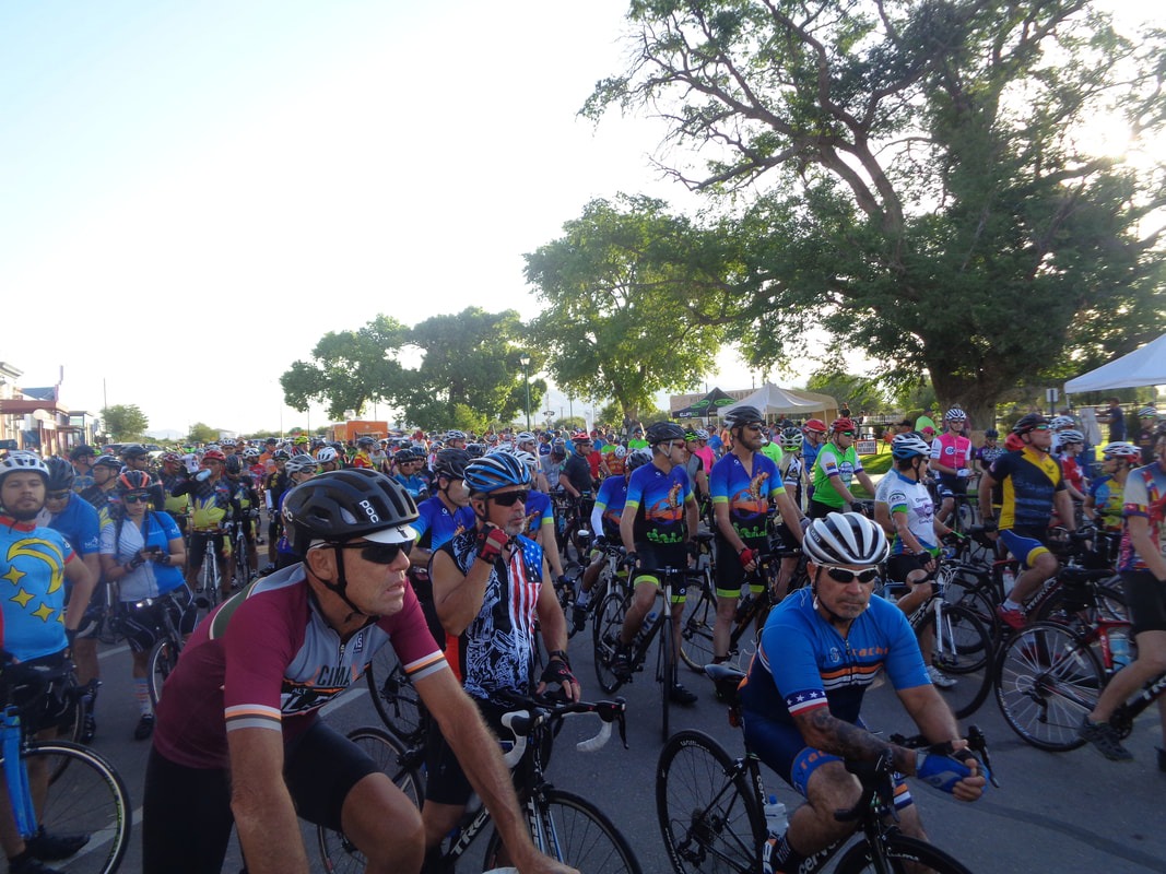
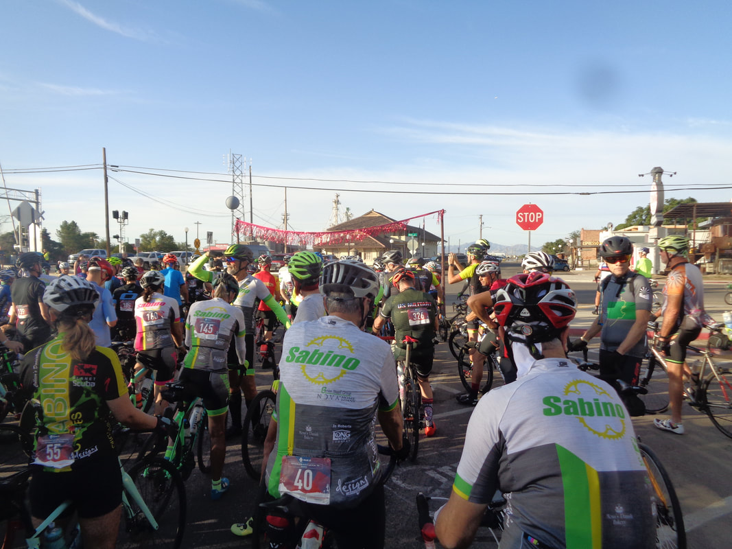
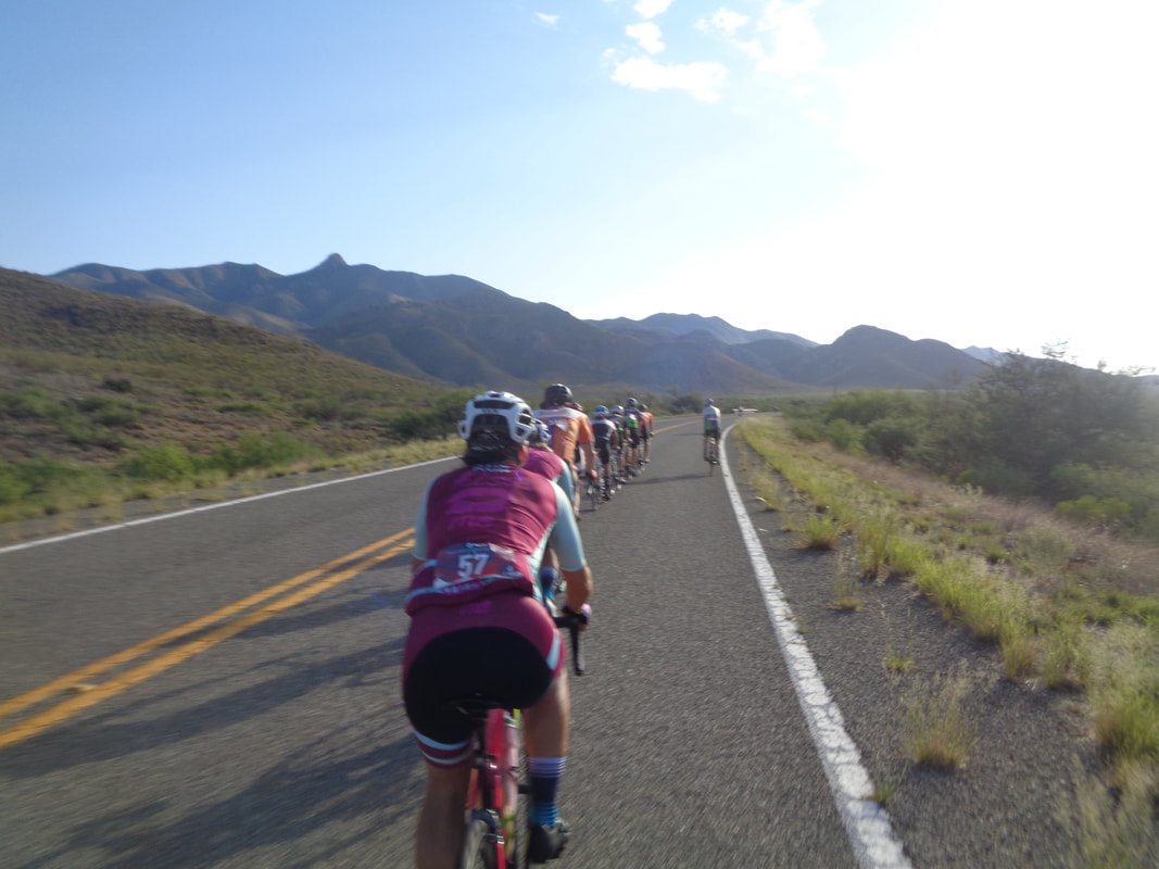
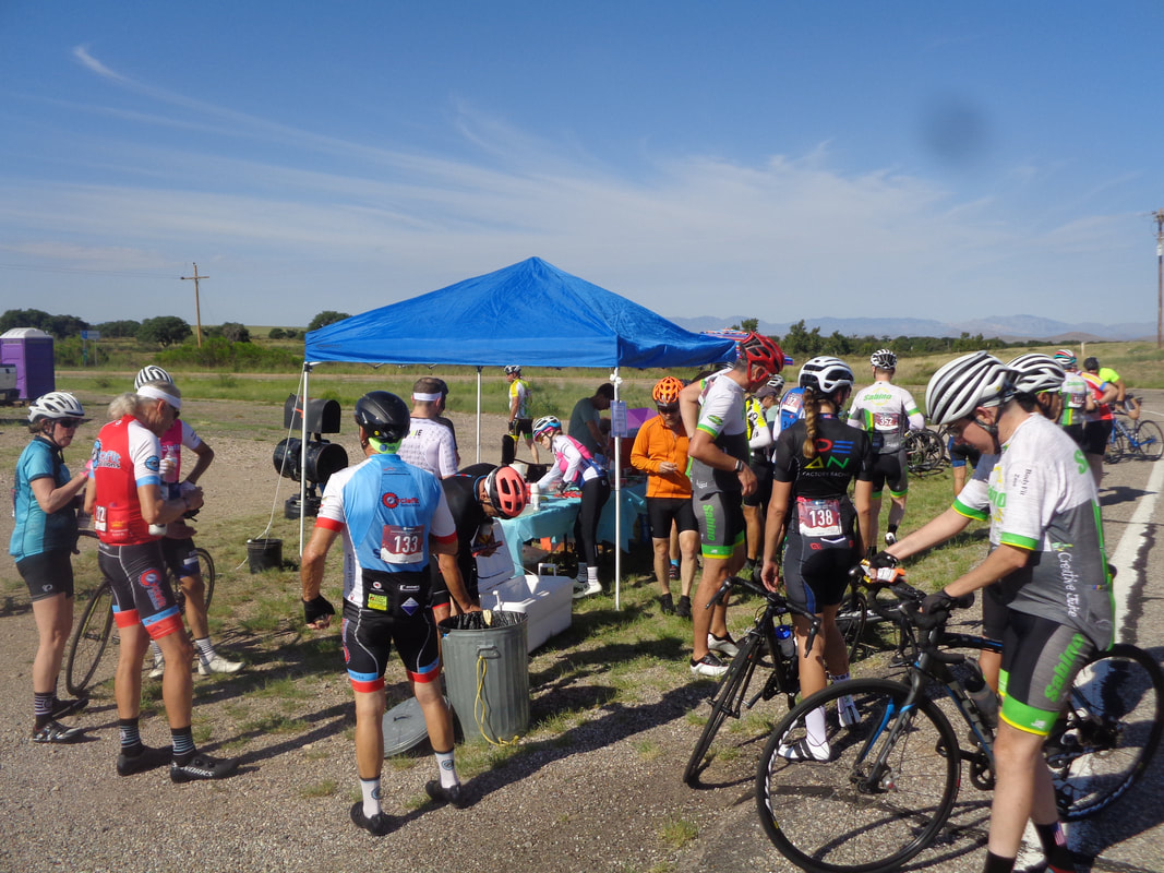
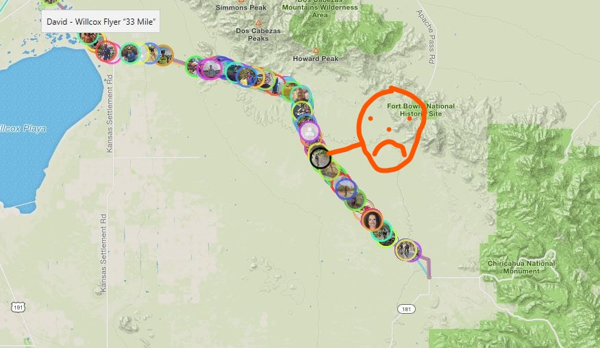
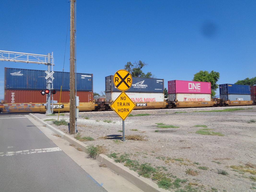
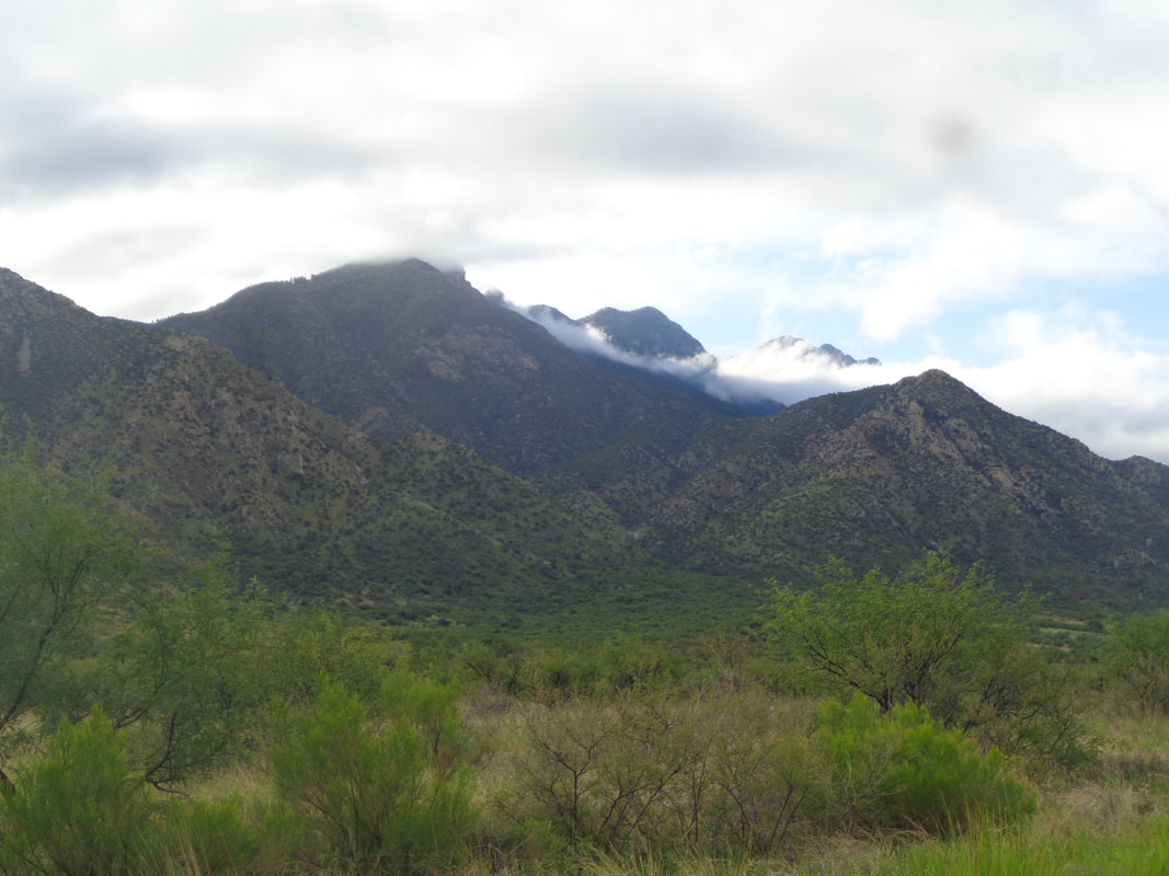
Willcox, AZ and the location for the 7th annual Willcox Flyer, a cycling event that is not officially a race but like all events of this kind, if there is someone in front of you, it's a race. I stayed at a near by hotel so ride the 2 miles to "Railroad Ave." and down town Willcox for the 7am start time. Wow. A working theater that plays recent releases. Willcox is an agricultural area and one of the top producers of tomatoes. We were offered free samples. The area is also home to several wineries and with packet pickup for the event being at one the day before, well, I had to sample the wine if not the tomatoes. The event added 100 more cyclists compared to last year so the quantity of cyclists was 600, including some outdoor elliptical riders. The fee to attend the event was a very reasonable $55 and all the money raised stays local. The drone guy was ready to go as..... ….we lined up for the start. Following an inspirational "Star-Spangled Banner" we were led out by a police cruiser. The start was not chaotic like some can be and the 600 cyclists quickly stretched into a line. A tandem couple, Cliff & Jan, who I know from Tucson rides came by, shouted my name so I jumped on for a glorious few miles of drafting. We caught what I think.... ...was the 2nd or 3rd large group and settled in. At about mile 5, the road bends and we head toward Chiricahua National Monument. The next 10 miles is all climbing, gradually at first but steeper later. I hang onto the above group until mile 10 where, with an average speed of 24mph, I sadly spit the bit and drift back. The average speed plummets of course. I reach the high point of the route at roughly mile 16, enjoy a rolling descent and then a final ascent to..... ...the turnaround point at mile 31.5 where we are filled with a delightful variety of snacks and drinks. Having ridden no ride longer than 40ish miles for quite awhile, my expectations were low and..... …...Strava confirmed it, lol. Actually, my legs felt pretty good but the return was a different story. I reached the aforementioned high point and while beginning the long descent, a cramp began in my right leg.....damn!! Meantime, a Cat 1, Stephen Pedone, broke from his group on a climb and soloed for approximately 20 miles, finishing first with an average speed of 25mph! I, on the other hand,...... ….limped back into Willcox with an 18mph average, Then, 20 yards from the finish, a long freight train stops me and the slowing and restarting dropped my average to 17.9. Dang it, that 0.1 is important, ha, ha. Finished with 63 miles and 2050' of climbing. Good event and well organized. Probably do it next year but come a bit better prepared.
0 Comments
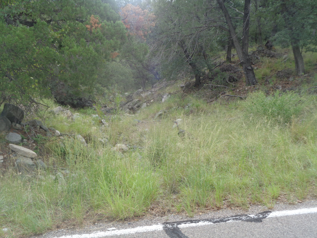
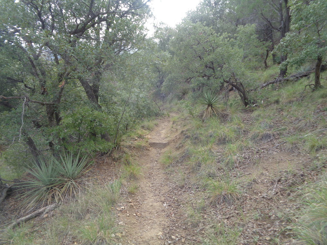
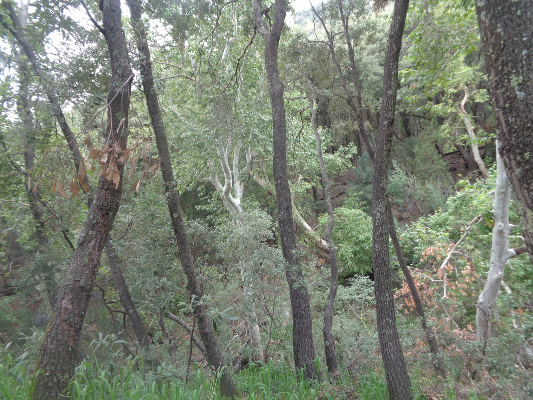
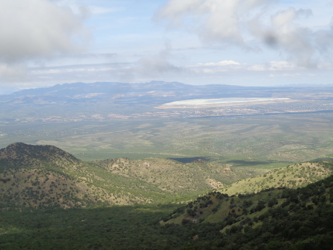
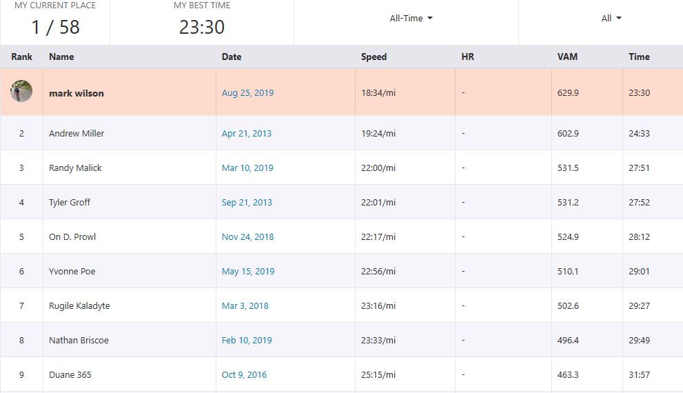
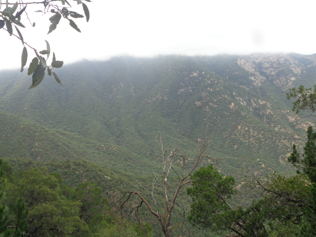
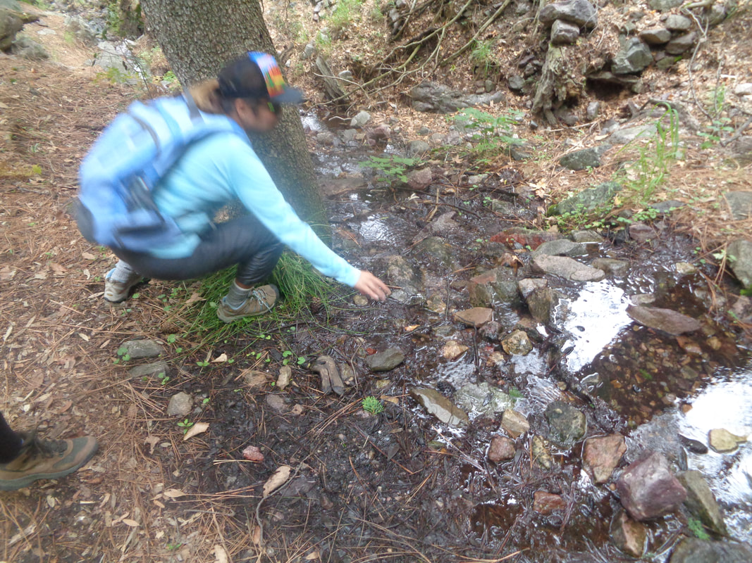
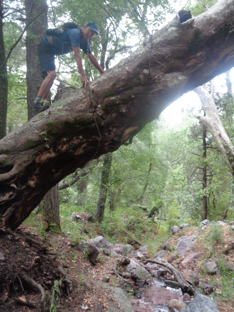
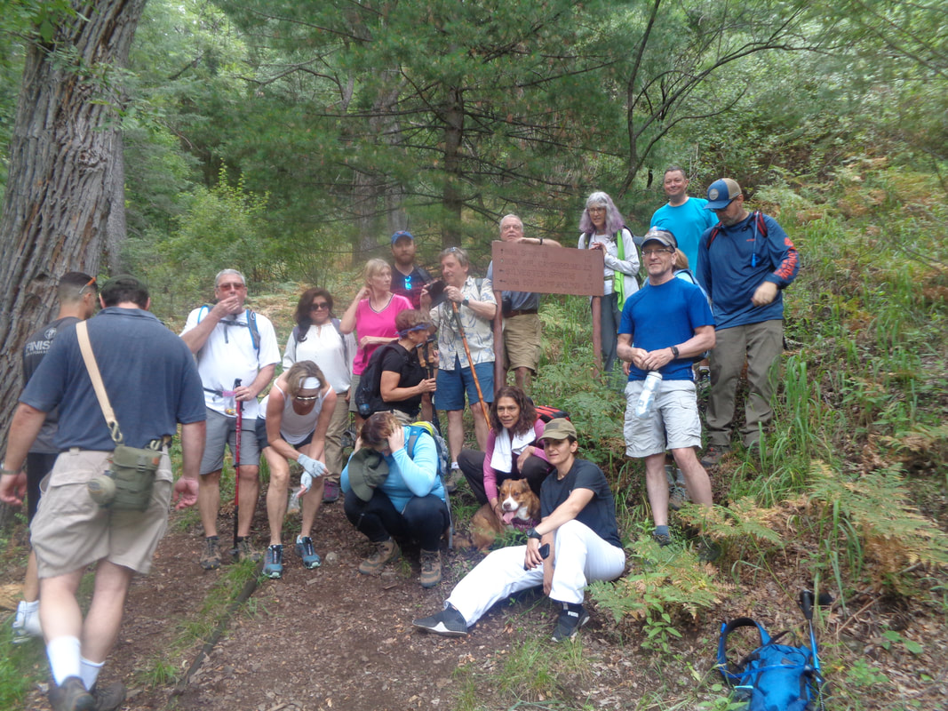
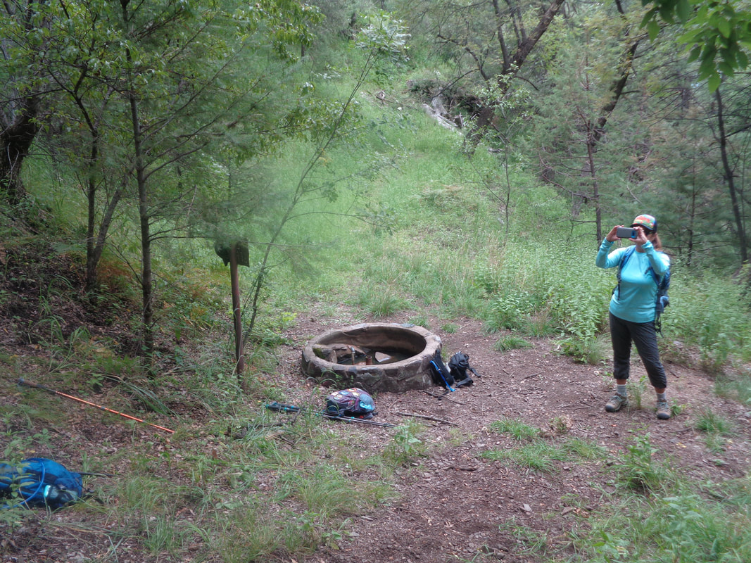
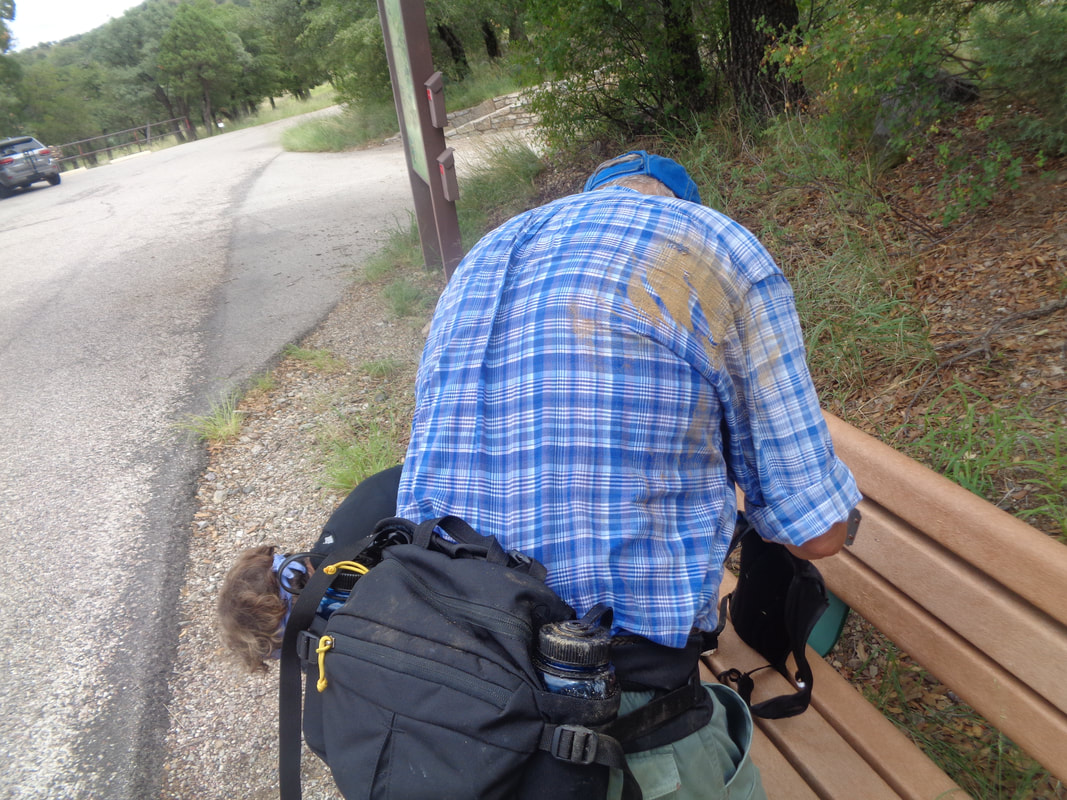
Some rain moved through the Santa Ritas during the night and clouds still linger as I pick up a hiking friend and we proceed to the Bog Springs trail head where we are to meet approximately 20 other hikers. Wow!!! A turkey!!! Hard to see but in there it is, along with two baby turkeys. Because we are considerate hikers, we made the effort to arrive on time. By 8am, there are 8-9 of us....tick, tock.... By 8:30 a car load arrives then another and we are hiking by 8:55. So annoying. I'll never understand why, fortunately, a very few hike organizers give so much consideration to the late arrivers while those of us who made the effort to be on time are inconvenienced. Most organizers, I being one of them, don't enable the lazy people who can't get their act together. For most, at 8:05am, we are hiking, not waiting. It is a new trail for me and I was glad it was not the typical, boulder/rock strewn trail but instead a relatively smooth one. We were headed first to Bog Springs then on to Kent Springs and returning back to complete a nice loop. The forest is thick with trees which provide good cover on this day where the highs would reach 100 degrees in the valley but much cooler here in the Santa Ritas. The climbing would be steady for most of the roughly 3 miles to Kent Springs with the aforementioned Bog Springs thrown in there too. I had intended to hike with the group but then a large guy passed me and then I began wondering if there was a Strava segment on this climb so with the bit now firmly in the horse's mouth, off I went and..... ….how about that for the 1.25 mile climb to Bog Springs where I paused my efforts and regrouped. I turned off the after burners and happily jumped in with the others. The climbing...... ….continued. So much so that it appeared we would be climbing in the clouds but with around only a few hundred of vertical feet to reach the clouds, the trail flattened and we dropped..... ...to Kent Springs where some of us had to touch the running water. It felt great then someone found a huge tree angled over the gorge and so.... ...some of us climbed that too. Note the shirt hanging so far from my core makes me look really fat...well...it's not an illusion. I'll be so glad when the heat subsides and I can emerge from the early morning and too brief hiking/cycling periods. It could be a whole bunch worse, it could be winter in the Midwest. This is the off season and what a wonderous off season it is. The group gathers for the obligatory group photo in front of..... ….Kent Springs which has a cement tank full of water as well. From this point, the trail descends steeply at times and very rocky to the trail head. Several hikers slipped including..... ….John who may have ruined a good shirt. Other than scratches, all were fine. Finished with 5.3 miles and 1700' of climbing. Well, got in a couple of rides following this hike and tomorrow, I drive to Wilcox for the Wilcox Flyer bike event. More to come.
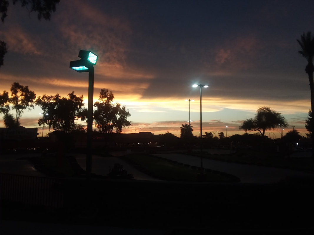
The only forecast you will ever need so take heed: "When it is evening, ye say, It will be fair weather: for the sky is red. And in the morning, It will be foul weather to day: for the sky is red and louring." Note Rick's valuable observation below regarding the routes:
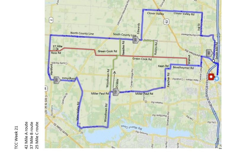
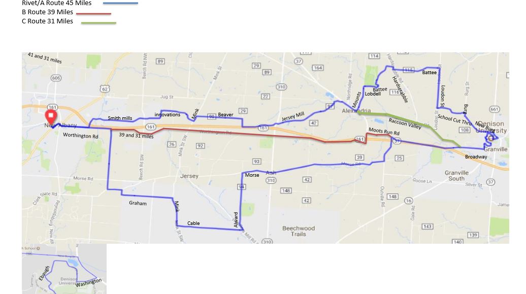
https://ridewithgps.com/routes/19489194 https://ridewithgps.com/routes/19489236 https://ridewithgps.com/routes/19489264 Thursday Night Aug. 22 Route Construction Notice: Only the Rivet/A Route is impacted. County Line Road about ¼ mile south of Rt. 37 (about the 28 mile mark) is closed to bridge/culvert work, with the bridge removed this morning Aug 21). A suggested detour is to follow the B Route from Hartford Road south onto Ross Road then continuing south to Green Cook then east on Needles to County Line Road and the balance via the designated Rivet/A route. I have copied this story from the Superstition Mountains Facebook page. So many mistakes made by both parties. I have been in a similar situation but we did not text the lost hiker and wish him luck, we went back out and looked while having called Search & Rescue, stayed for the duration until the hiker was found. What happened to the woman in the tale below is unconscionable. On the other hand, hiking on a day with a forecast high of 108 (yes of course I have done that and on part of the route she describes but I am stupid) is unwise. Set aside the poor grammar and spelling as you do when you read my posts.
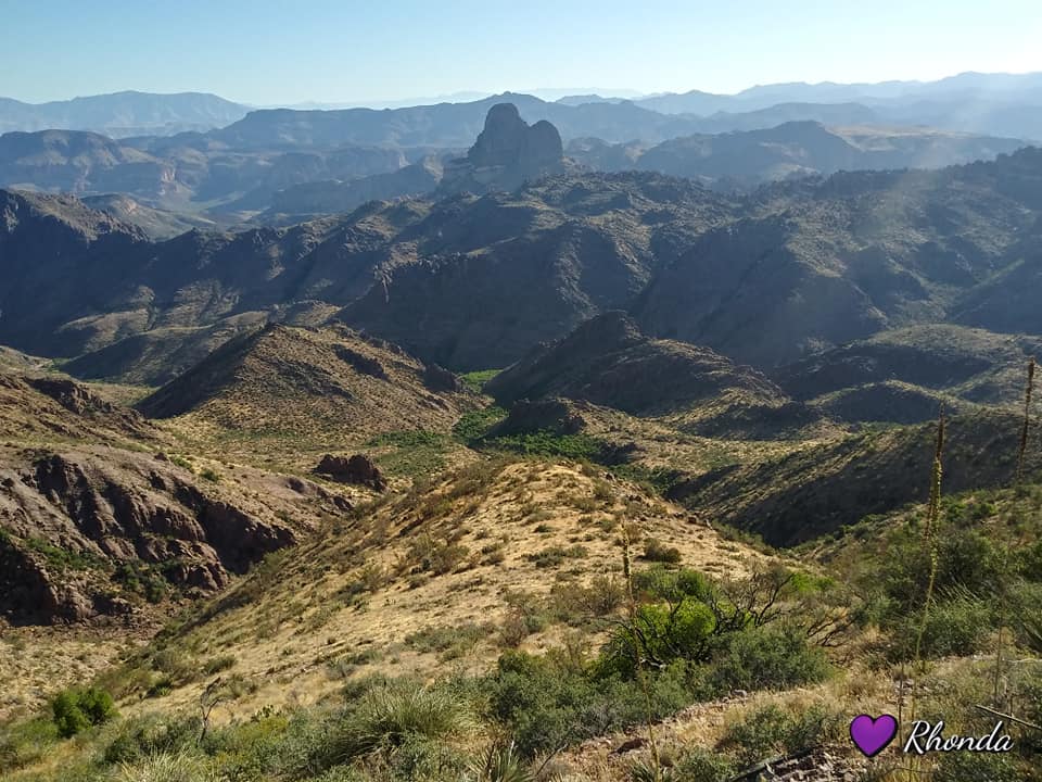
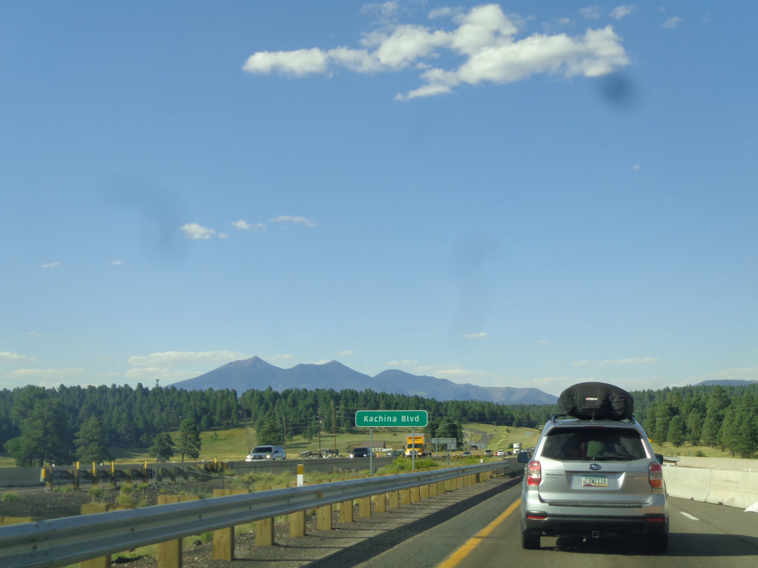
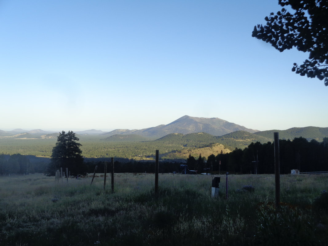
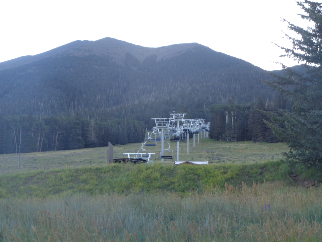
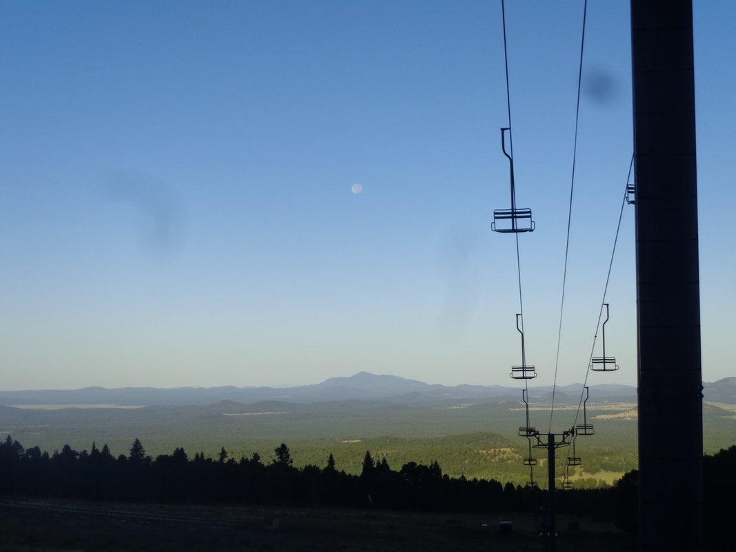
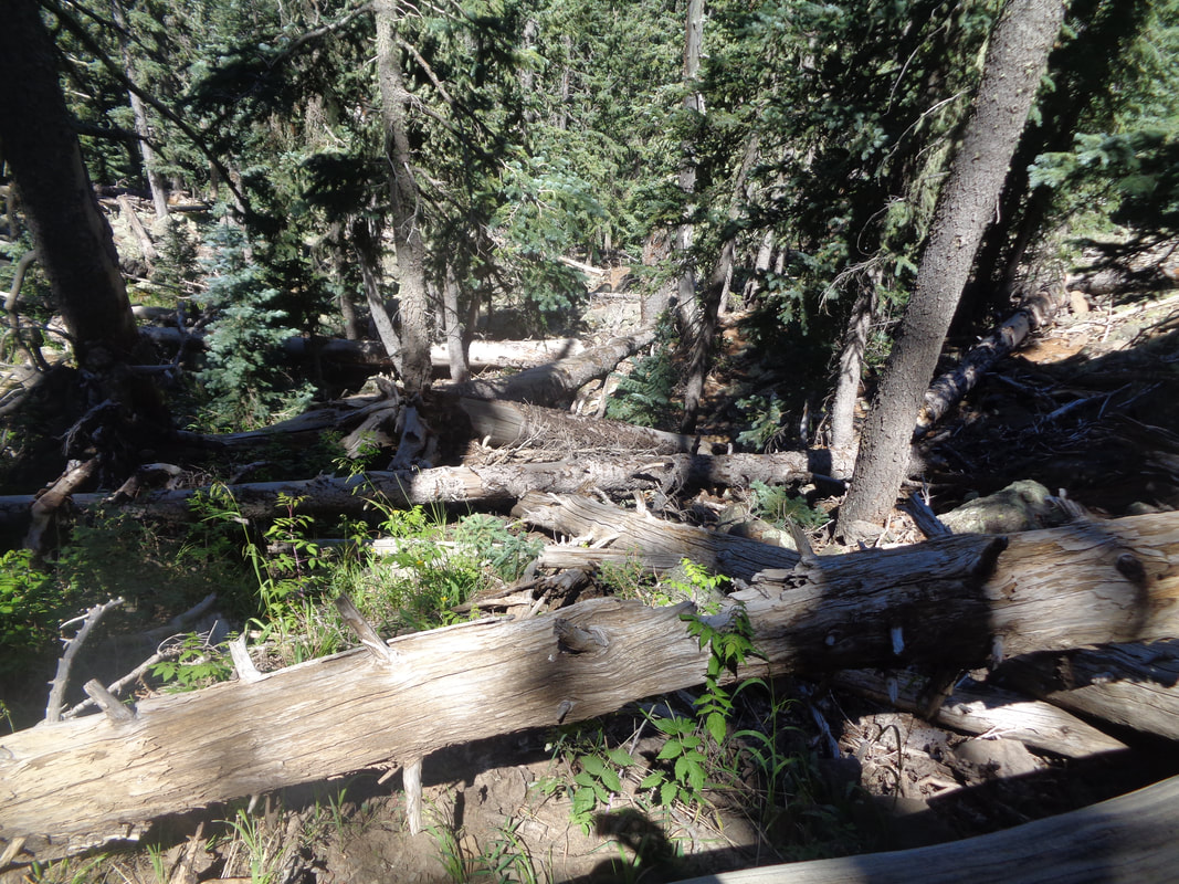
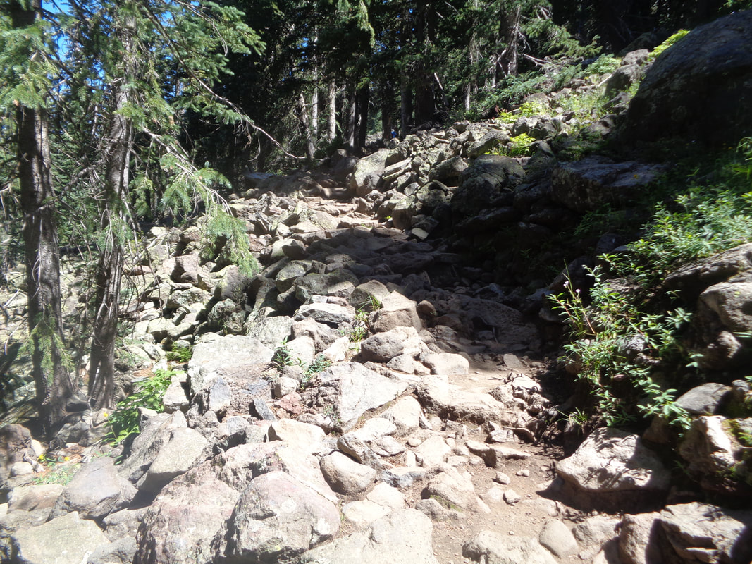
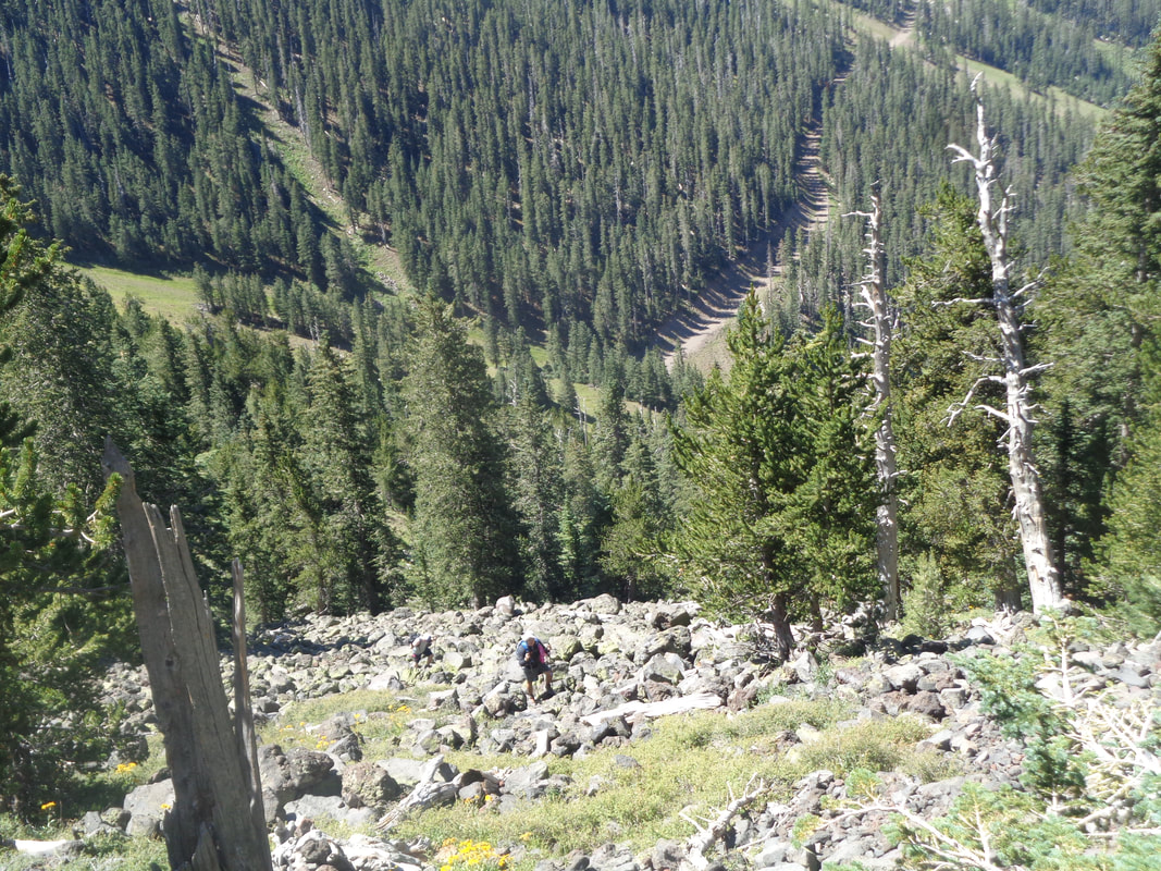
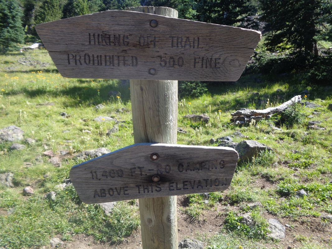
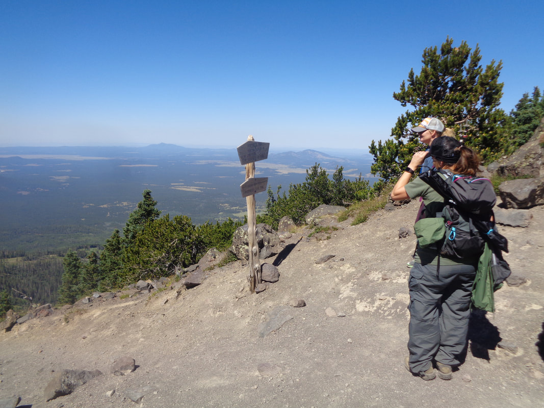
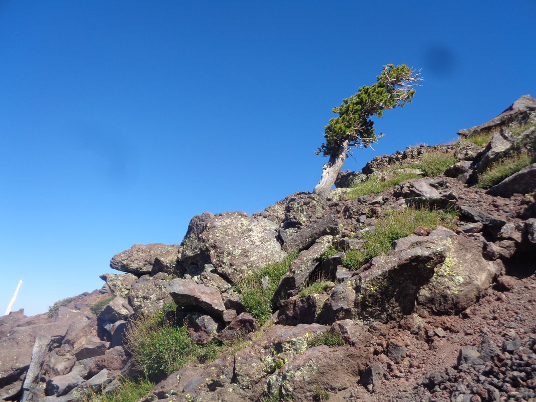
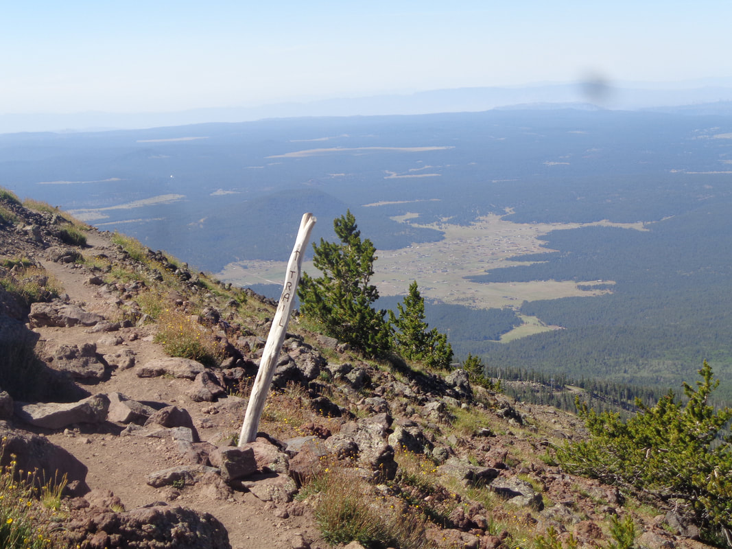
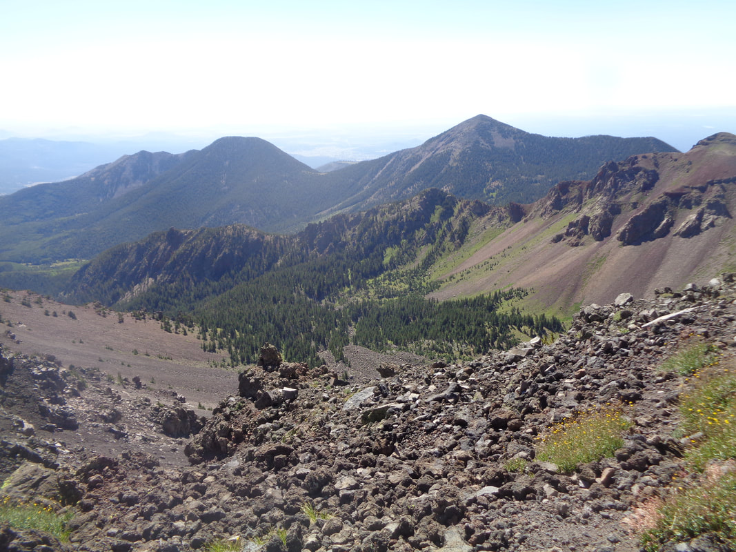
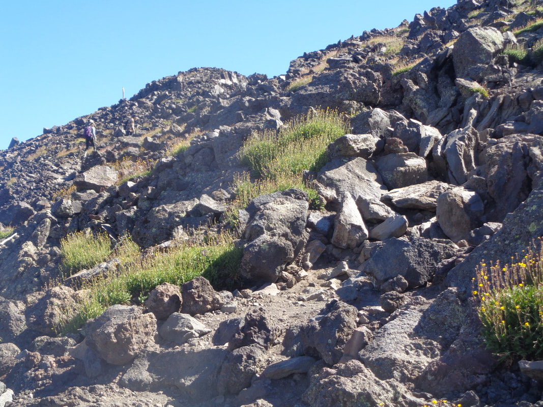
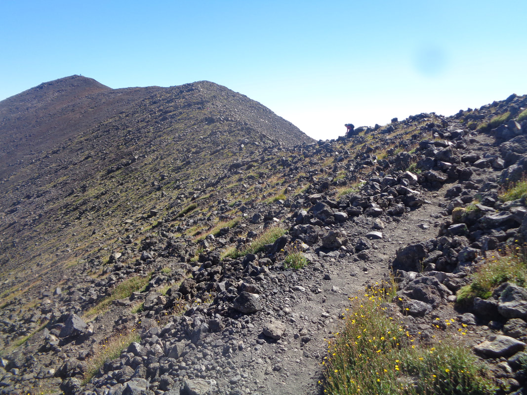
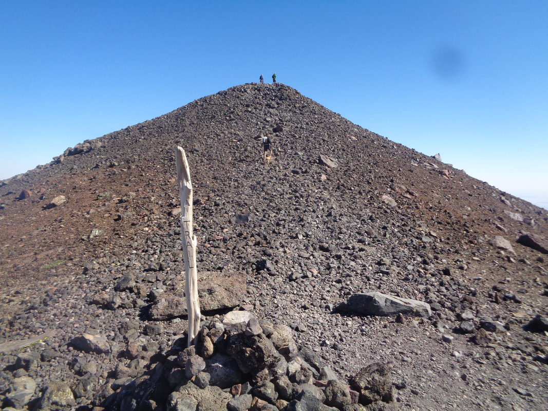
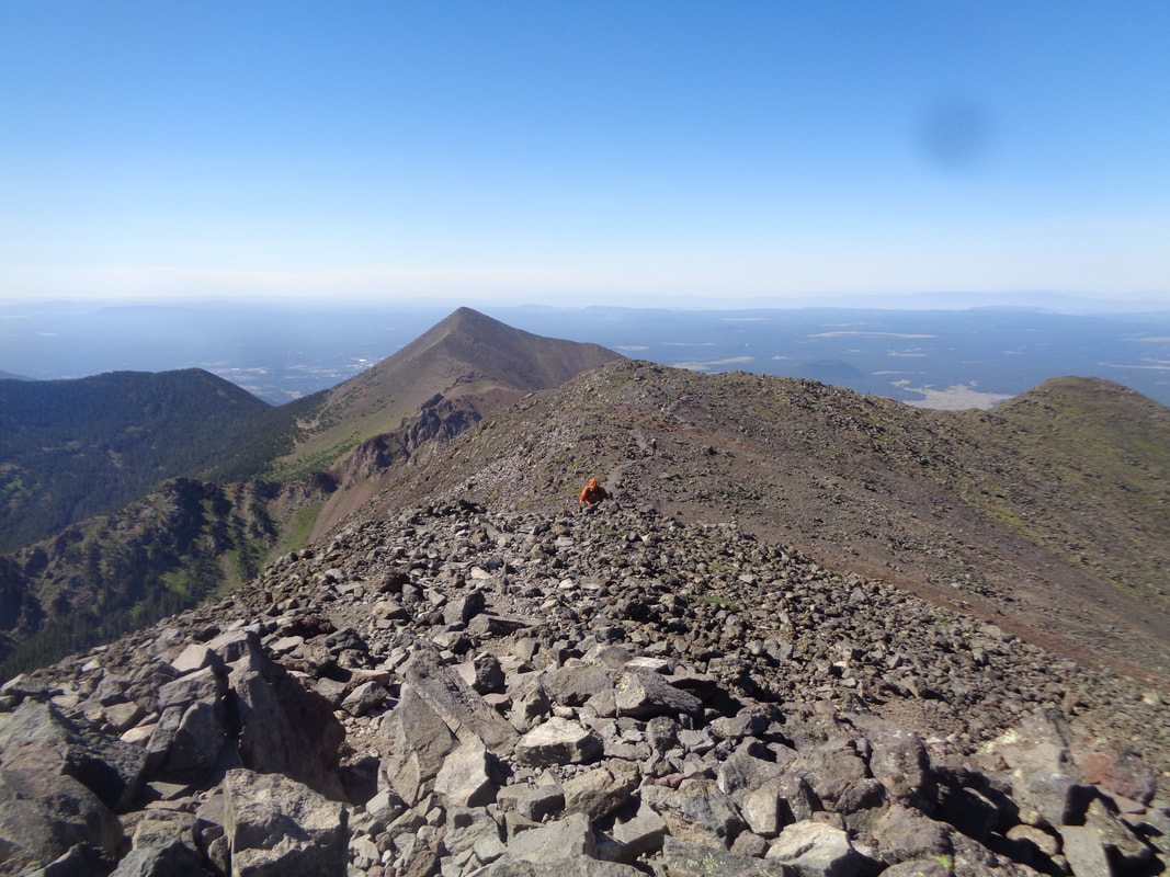
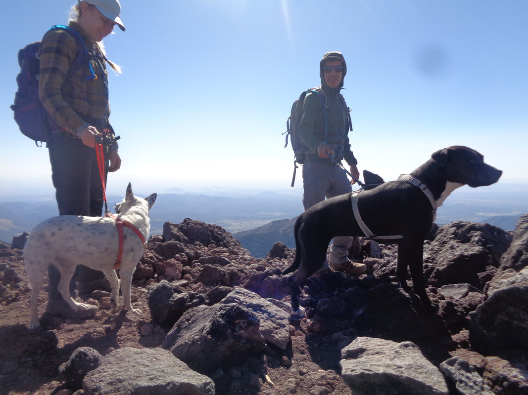
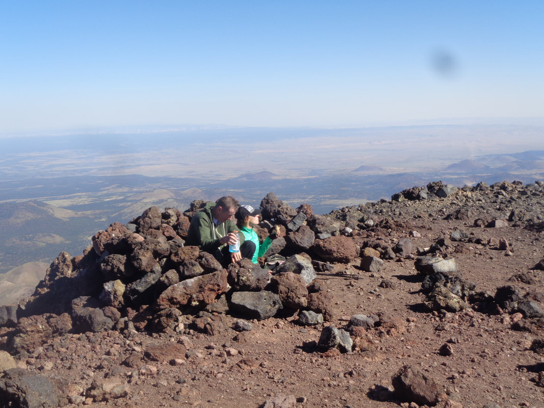
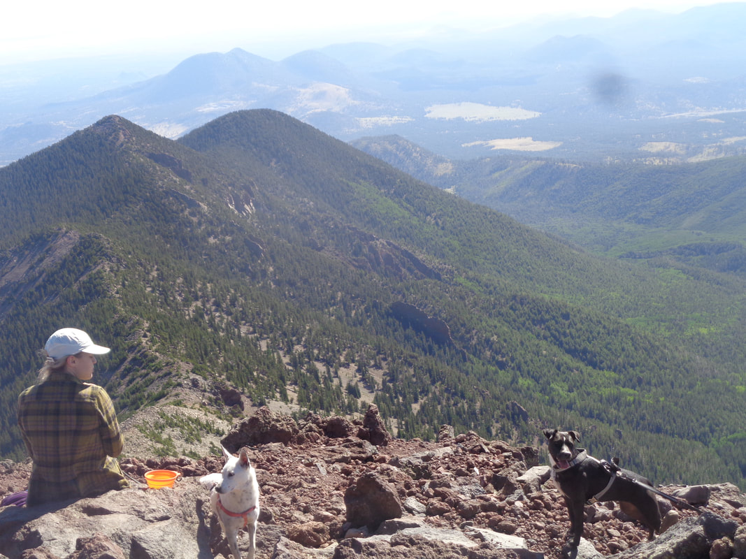
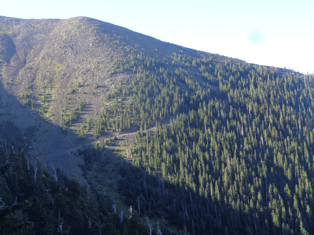
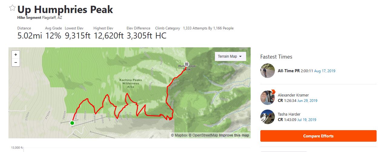
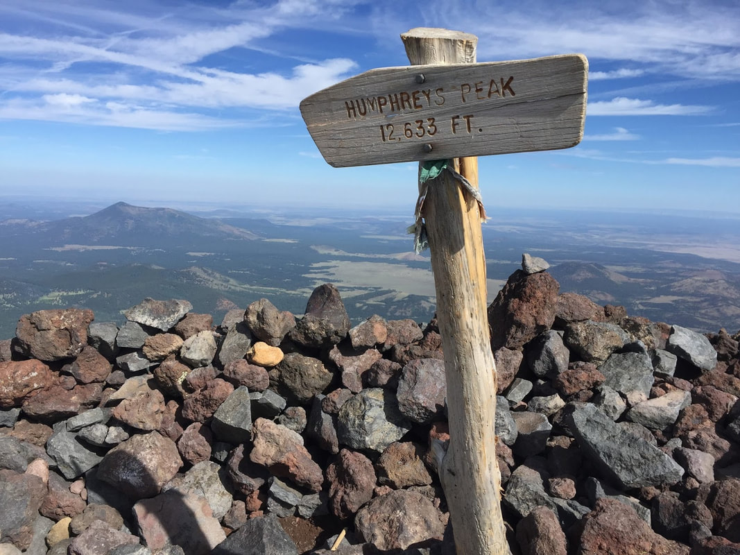
Here is my tale of hiking the superstition ridgeline in all of its full glory. Blood sweat tears tumbles water getting lost and a helicopter rescue. My intent is to tell the story not to blast anybody as I am going to name first names. One post for my personal page and same goes to my hiking groups. Its may get looong. Last week I accepted a shout out for anybody to follow Annie along the ridgeline trail. This is a big big hike for some. As I quickly learned..it is a walk in the park for some as well. We had many warnings about the heat and sun. As I am well acclimated to the heat that was not my threat. It was getting lost as I was placing myself in unfamiliar territory. And get lost at the end is exactly what I did. I woke up early and picked up a member of our group Jessy and met Annie and Jared at the Carney Springs Trailhead. Annie left her car at Lost Dutchman. We started walking in the dark at 4:10. Trying to keep up with the awesome fast hikers I was following up Carney trail with a full days pack in the dark was difficult but I knew that the hardest part was first. Then I found a tarantula. By the time we got to 5057 the group was already getting frustrated that I was slower. Mind you I did the research on this hike and it said to expect 10 hours. 8 for a badass and 12 for a pokey. In the parking lot I thought we all agreed that goal was to be off the mountain around 2pm. But I just couldnt keep up with their pace even though I felt fine. Slow and steady wins the race. Or conserves your energy and gets you off the mountain. But omg this was an epic beautiful hike the entire way. I was feeling very good even if I was a loose caboose. At one point when I was actually caught up to the group, our leader took a stumble and rolled into a fully graceful executed somersault down a rocky incline and jumped up on her feet and got a few bandaids from someone and said lets go. Never seen anything like it. At my estimation, we were about 7 miles into the hike when I met up again with the group and asked how much water they had drank and learned that Jessy was out and Jared was almost out. This was the last time I talked to any of them. They said they drink less on the down. I thought we were far from the down and asked where that was. For the first half of the hike. They would hike really fast for awhile then stop for a break and wait for me. I would catch up and as soon as that they were off again. And I quickly fell behind. But they never slowed thier pace. I assessed my water situation and was going to offer a liter but I never talked to them again. They just booked it out of there. For awhile I could see them ahead as there are a few ups and downs. If I could see them and the way they were going then I had an idea of where to look for the cairns which are the guide to this trail. I was feeling so good and accomplished and tough and learning to follow this trail.But by the time I was behind flat iron I hadn't seen them for a while and could not find my way onto the siphon draw trail. I followed a few cairns too far to the east and stopped under a shade tree. This was my first real break of the whole day. We had a short group break at 5057 but every other time the group took a break to wait for me we just quickly started again and no stopping for me. Just more moving. Which was fine. I was happy. Smiling. Beautiful sups. Everything was just as I had expected. Until I got lost and couldnt find one person to show me the way. Once I realized that nobody was around I went down in to the wash and found some shade and rested. At this point I had to tell myself to relax and stop. Remember all of your training. You are prepared. But dont go making bad decisions that put yourself in jeopardy. I could see water in the bottom of the wash and that was comforting even though I still wasnt out of water. After a rest and assessment of my situation I decided to climb back up and not try to take the wash out. I had considered just spending the night and then hike out at sunrise as I kept thinking that I could see a trail but every way I went was a dead end. I really wanted to walk out. But I was worried that people were looking for me. I didnt want to worry the rangers or my hiking partners or my family. So I found myself on the flat mountain rock across the wash from the flatiron. Forgive me that I dont know the names of the canyons and peaks. I could see the city in the break of the mountains before me. I knew that if I could get across this one last mountain that the LDSP was on the other side. But alas the sun was setting. I thought that this was my last chance for help. So I yelled help out over towards flat iron hoping that somebody was sunset hiking and would hear me. And someone shouted back. I yelled. Im ok. Im lost. Im stuck on this rock. They yelled back that they were going to try to find me. I was standing up there waving my white shirt.. Do you see me? Then I saw their light descending flat iron and that is the first time the tears came. I yelled I see your light and just broke down. I wasn't really scared for my safety. I really just needed a guide. But I didnt want to put myself in a situation that I wasnt ok anymore. At this point the sun has set and the city lights are shining and the stars are coming out. It was so beautiful..better for different circumstances. I really wanted to bunker down for the night but I just couldnt do that to my bf and kids. Go hiking in the superstitions and not come home. So I shouted for help. And I kept yelling my name 'Rhonda. Im ok' bc I thought maybe by this point people knew I was still out there and were looking for me but I guess it doesnt work that way. The couple who responded to my distress call called 911 I suppose and yelled back that the helicopter was coming in 10 minutes. Oh shit! I ran back over to the premade fire pit I had seen and quickly filled it with grass. My thinking was that as soon as I saw the helicoper I would send them a signal. Then I waited. Then I saw it coming from the city. I was filled with so many emotions. Gratitude and shame. The first pass they lit up flat iron and went in a circle and missed me. Fuck that was all my grass signal. So as they looped around I ran around and collected more grass. Then wait for them to return. Lit my signal until they shined their spotlight on me. Jumping up and down waving my white shirt. I stomped out the mini fire and as they were circling me they said through the speaker that they had to go burn off fuel and to wait at the first spot they saw me. So I buckled on my pack and watched them fly around and then they came back and landed and the door opened and a man came and got me. We ran hunched over to the helicopter and he helped my climb in and I took off my pack and he buckled me in. 2 minutes and we were on the ground. Waiting for me were about 5 sheriff's deputies and a firetruck with about 5 emts and 2 ranger ladies in their comfy clothes. And everybody was so super kind and concerned and not mad at me for getting a helicopter ride. I dont know all their names but from the helicopter crew to the sherrif and his deputies and emts and rangers I can not express enough of all of it. Thank you to every single unnamed person out there helping me so much! So the emts checked my vitals and everyone wanted to hear my story. And no..the rangers did not know that I was still out there. Nobody was looking for me. I thought maybe my hiking group was down there worried but no. they had just gone home and texted me that they hoped I made it out. One of the deputies said to me that this was the 3rd weekend in a row for a rescue and asked me to do him a favor: dont go hiking when its 108 and I just hung my head and said ok even though it wasnt the heat that got me. I actually didnt finish my water until they said the helicopter was on it way. After the emts cleared me then a nice deputy drove me to my mazda at the carney trailhead. I asked him the time and he said 945 And yeah the other group members car was gone so they left me behind and shuttled without me. Didnt even leave a note on my car. So I plugged in my cell phone and called my family. Then I called Cristina which was the woman who answerd my cry for help and asked the sheriff to give me her number. And that was it. Slept until 2pm and am a little sore but no worse for the wear. Woke up this morning and plucked a few glochids out of my thighs. Today the group I was with said they were faced with a difficult decision as they ran out of water waiting for me so much and had expected to be off trail by 12 even though in the parking lot we said 2pm. But truth be told I never agreed to a marathon hike and I thought that I made it very clear that I didnt know my way. They shouldnt have left me. Ive never been in a simular situation as I am usually the midgrade hiker of the bunch. I have so many questions on where we all went wrong. Lots of people driving out of Phoenix via I-17 and headed towards the much cooler temps in the 7000' area around Flagstaff. In the distance are the San Francisco Peaks, the tallest of which is Humphrey's Peak, the highest point in this magnificent state. I arrive Friday afternoon, check into a Hampton Inn (my go-to national chain) and am out the door the following morning by 6am. No temperature pressure to start early (54 degrees at the start) but there is some urgency to arrive prior to the masses. While making the 30 minute drive to the Snowbowl and the trail head for Humphrey's, I pass an electric sign that state Snowbowl Road is closed from 7am to noon for a charity run. Arriving at 6:30am, a woman directs me to turn around and come back after noon to start my hike!!! I explain the sign states otherwise, she checks with someone and waves me through. The trail begins with a walk through a meadow where wild flowers are abundant. While I am shaded by the peaks, the sun lights farther west and check out the full moon, high in the sky. My drive from Flagstaff has gained more elevation and I start the hike at about 9300'. To put this in perspective, today's hike starts at the height of Mount Lemmon's peak in Tucson and then gains another 3000'. The trail enters a forest largely of Aspen and Ponderosa pine. Hard to believe that during my hike, I will climb above the tree line into a barren landscape of volcanic rock. The forest floor is full of fallen trees. The trail is rocky, frequently having small diameter roots crossing it, loose gravel and rare is the surface flat for your feet. It's a good thing the first 4 miles of the hike has rare views because you dare not take your attention from the trail unless coming to a stop. Of course, I've got Strava segments to think about and walk fast. I gain elevation and looking at a rock slide, see a couple of guys picking their way through. They some how missed the trail and instead walked up beneath the ski lift. Finding no trail, they see people walking this east facing slope and head up. They did manage to take about .3 off the route. The trail has not been terribly steep yet, maybe an average of 9% but just before I reach this sign, the trail steepens and from this point forward, there are some brutal slopes. Having not done a hike of this magnitude for a long time, I assumed my legs would be in good shape for the first 3-4 miles of climbing and they were but the next 1.5 miles to the peak....ugh, just ugh. I reach a saddle that directs me to make a left while a right takes one to Locket's Meadow, an alternative approach via the Waterford Trail. I'll probably come back and try this route as it is longer and not as steep, at least to this point. A hiking group to which I belong, TLC, approached from Locket's but it was quite a bit longer and I certainly didn't have the legs for that alternative, today. The landscape is barren as I pass the last pine tree, bent from the constant wind. The forecast wind for today was 30mph but that was for later in the day. For now, maybe 20ish. Periodically, these poles identify the route because there often is snow obscuring the trail even into June. Of course, the views are spectacular in all directions. This trail is noted for a variety of false peaks so as I..... ….pick my way through this mess, I know the high point above is not "the" peak but a false one. But having reached the peak in the prior image, I can now clearly see the destination. The average grade of the final 1 mile is 12% so doesn't seem like much but the grade is skewed by some down climbs and false flats. At last, the final approach. Not much of a trail can be seen but there is one, faint as it winds through the rocks. Yeehaw, I reach the peak. I walk around the limited area that comprises the peak and then take shelter behind one of the many walls that over time, people have built to shield from the wind. The temperature is probably low 50s but out of the wind and with the shining sun, it feels ok. I am wearing long pants and a long sleeve shirt. I enjoy chatting with the few others who have made it, including a couple with dogs. I also meet a couple of guys who are here for a wine tasting event that is to be held at the bottom, tomorrow. No, no free samples came with them. Another couple sit in one of the shelters. Everyone is in a good mood and why would they not? You can see far, far into the distance, including the marble cliffs up in the Grand Canyon area. So awesome it is hard to tear oneself away from gawking. Yep, hard to muster the motivation to being the long climb down. But of course, I begin the hike while enjoying the views until the forest obscures them once again. Once finished with the 10 mile, 3300' climbing effort I was eager to check where I stood relative to others who posted their effort on Srava and.... ….well that sucks, 49th place out of 1333 people. For the Strava segment from the aforementioned saddle to the peak I was around 150th place so I clearly suffered in there but still....49th? Get in better shape and head back, I guess.
Driving to Flagstaff on Friday for an early Saturday morning assault of Humphrey's Peak, the high point in the state of AZ. Been trying to get up there for about a month but weather forecast for the area has not been favorable. Humphrey's creates its own weather but an early to bed and early to rise will keep me healthy, wealthy and wise. Winds up there in the 30+ range which I think is normal. More to come.
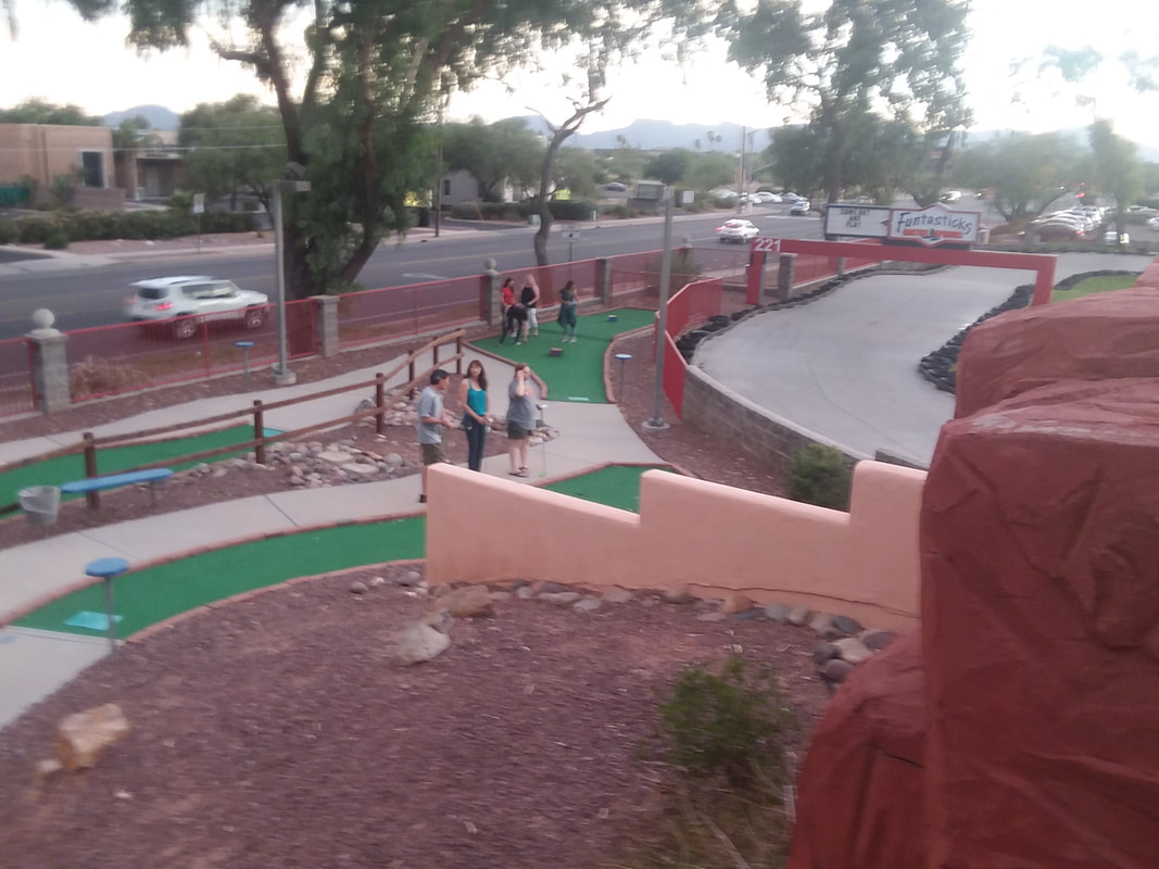
I organized a group for mini golf (putt-putt golf) at Funtasticks in northern Tucson. I promised cash prizes but with no guarantee of payment, fantastic views from the high point of the facility and a really fun time. Seventeen people arrived and I sent them out in teams of 4 on this kind of hot, August evening. I was in the last group and had arrived on the 12th hole when I heard someone yelling my name a couple of times. A woman comes trotting on the path and states that a man had collapsed. Arriving at the scene, a man had collapsed to the ground but sitting upright with someone supporting his back. The man's chin was buried on his chest and breathing was labored. At one point, his breathing stopped and I thought he had passed but then resumed breathing. I called 911 and soon could hear sirens in the distance. Throughout, the operator had me explaining the situation and eventually asked if she could talk to the man. He had revived a bit so I gave him my phone. He explained that he had the flu...…..and was now holding and talking into my phone. I wondered why a person having the flu would participate and potentially expose us? The medics arrived and we dispersed to continue our game. As my group came through to where the man was treated, he had fainted again so they wheeled him into the parking lot and took him to a hospital. He was discharged the following morning, dehydration being the cause of the collapse. Never a dull moment and yes, I cleaned my phone thoroughly before using. Hey, my team won the group score and I had the low individual score. Ok, being a former avid golfer gave me an advantage but the weirdness of the hole designs seems to reward luck more than skill. Back to hiking and cycling.
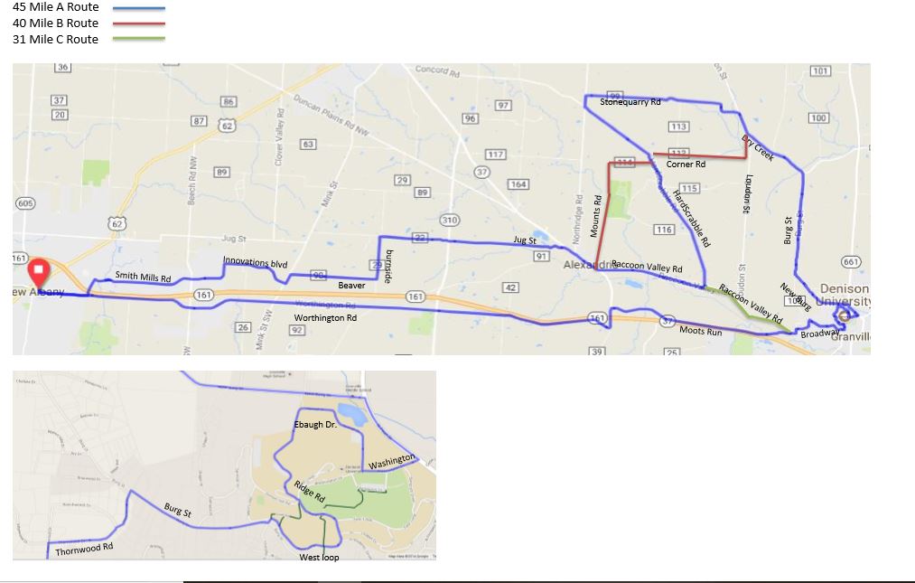
Ebaugh Climb Again!! Here are the Rivet/A, B and C routes. Chance of rain for Thursday. Maybe Steve Nelson, Weatherman Emeritus can bring some clarity to the forecast. Ha, ha, that's like asking a blind man to assemble a bomb.
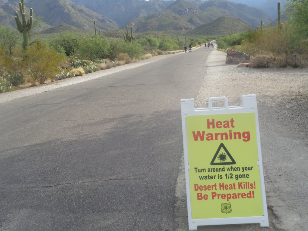
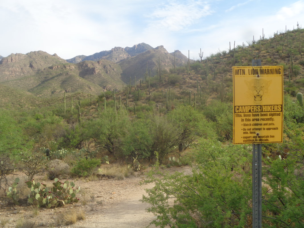
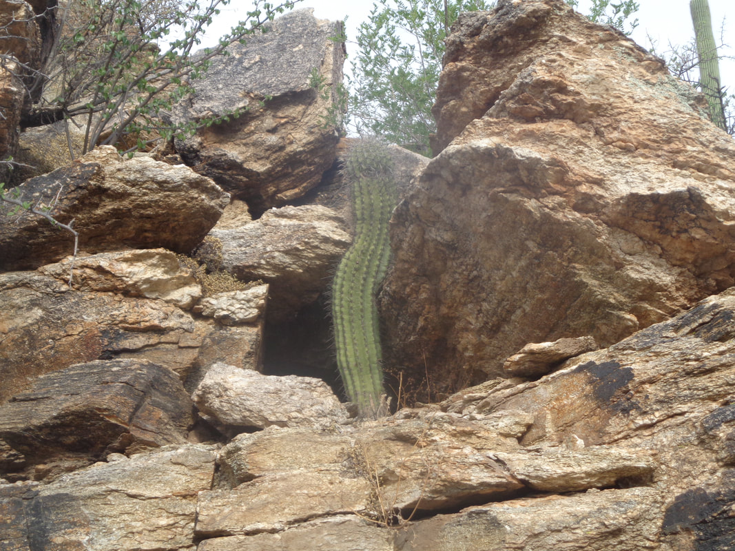
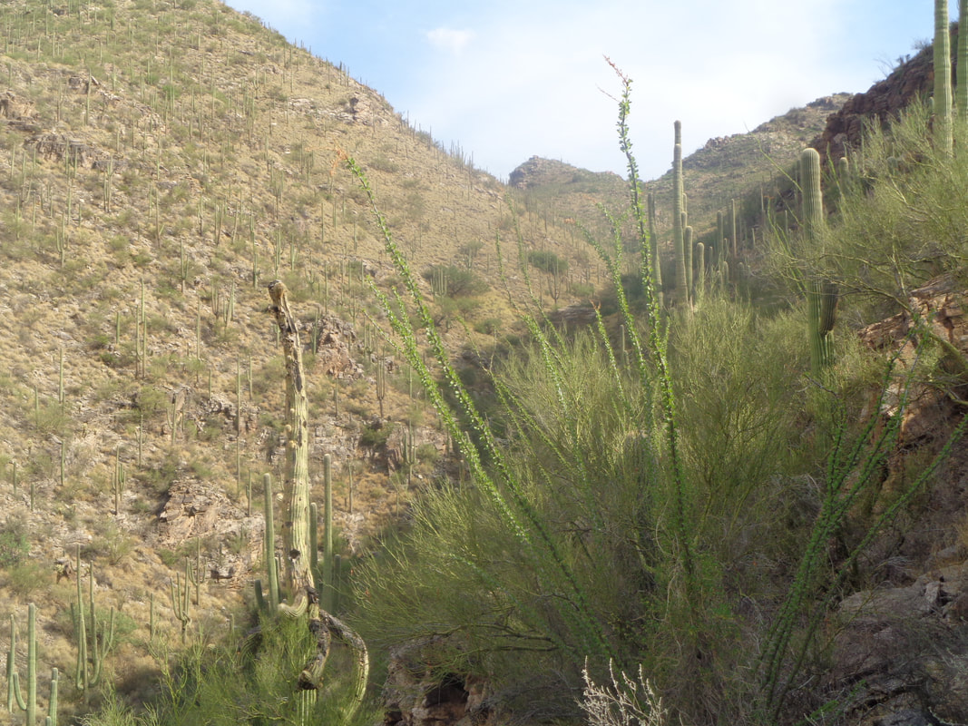
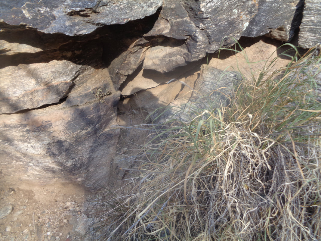
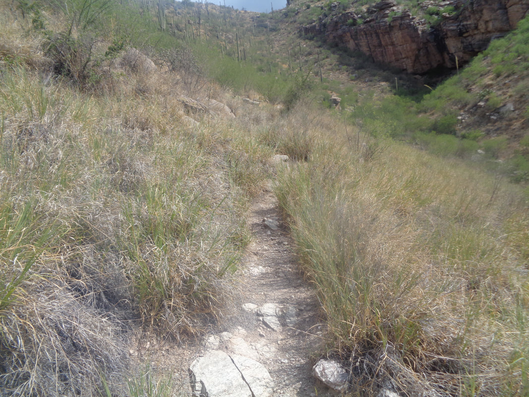
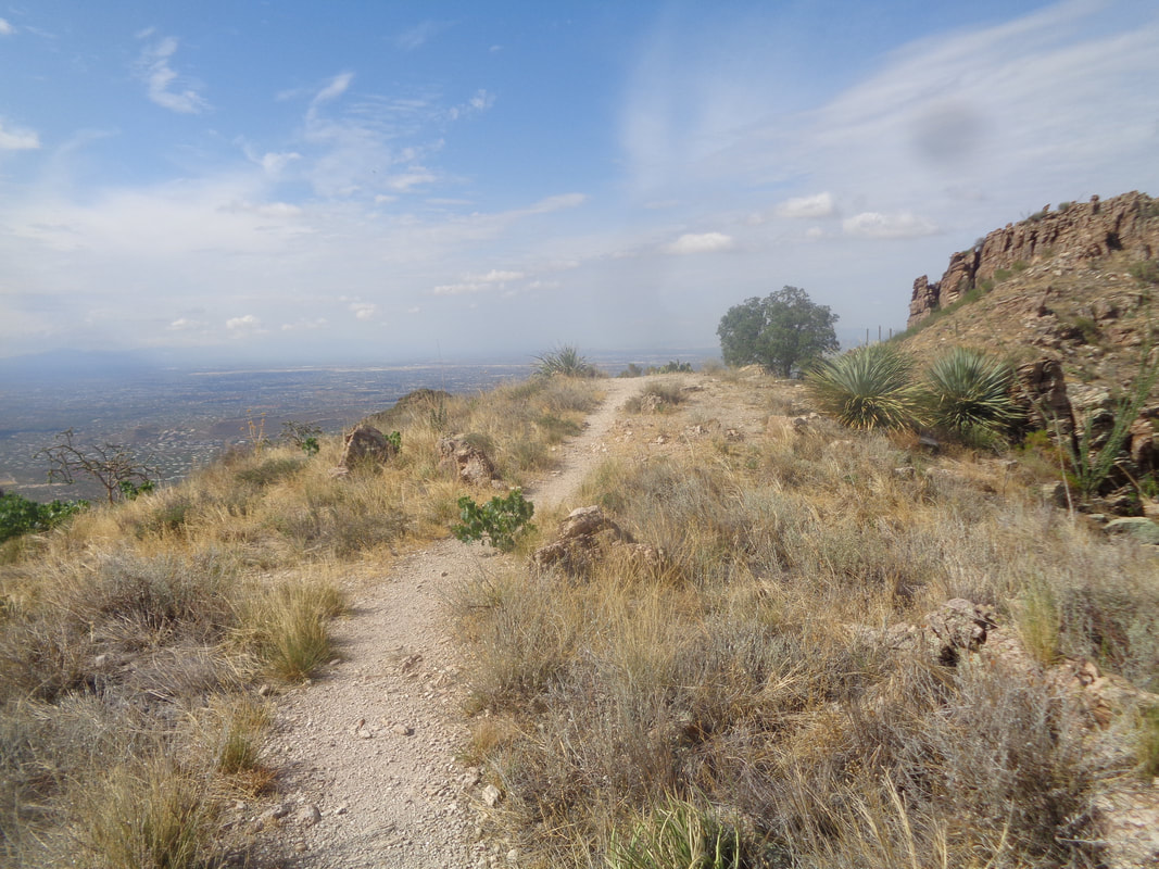
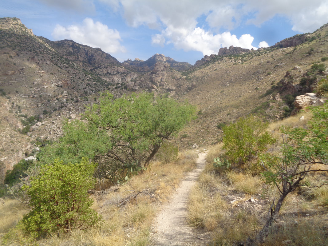
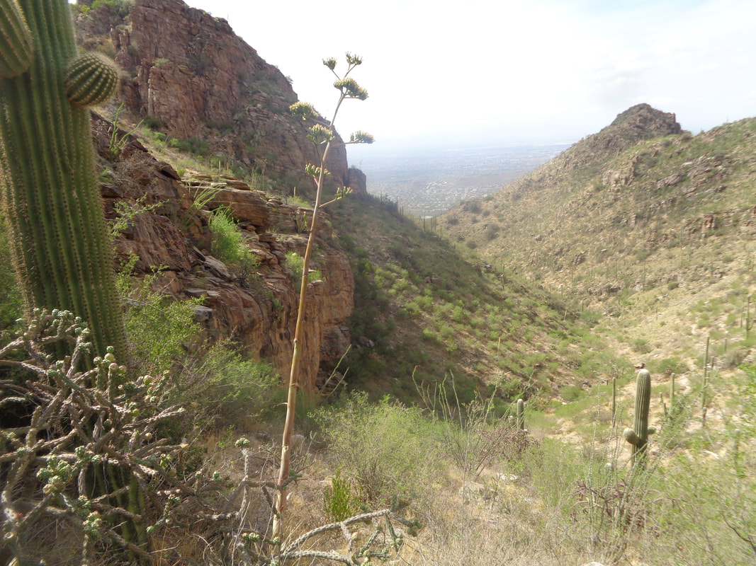
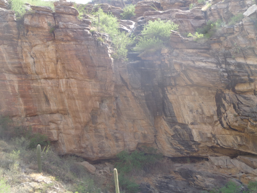
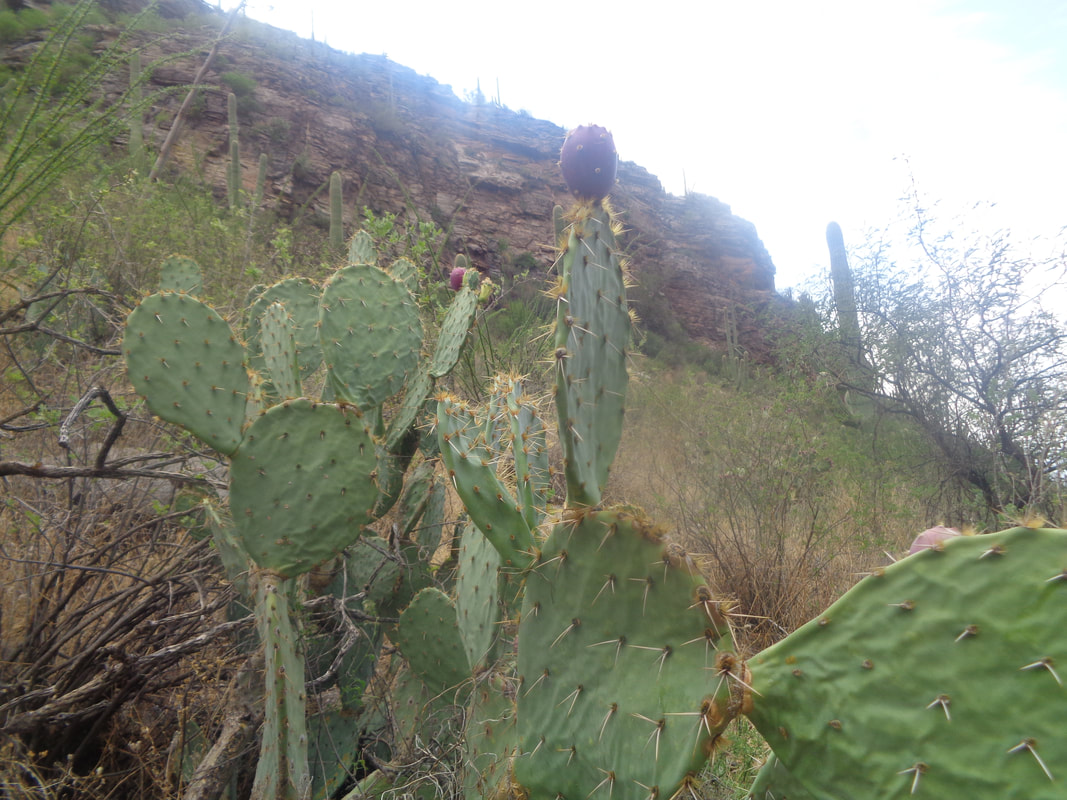
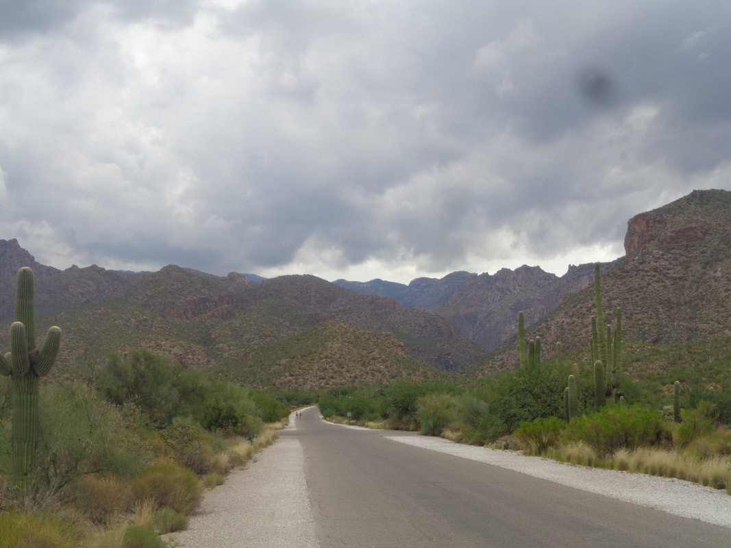
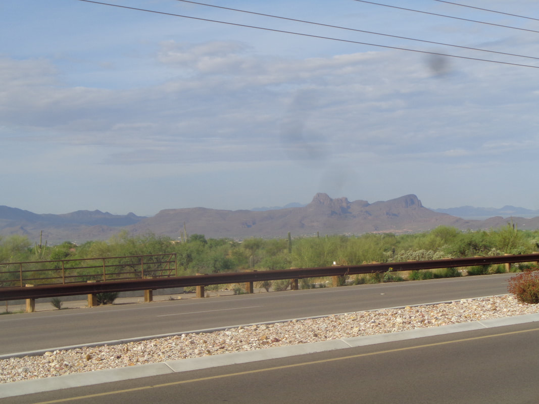
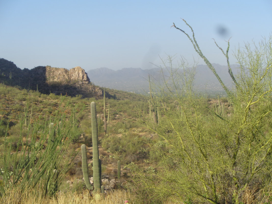
https://ridewithgps.com/routes/19489006 https://ridewithgps.com/routes/28086457 https://ridewithgps.com/routes/19489159 It was not all that hot this particular morning so I did a valley level hike out of Sabino Canyon, rather than drive to a higher elevation for a hike. The warning signs were out as I strode up Sabino Canyon Road. At roughly mile .8, I...... ….turned left onto the Esperero Trail and headed toward a saddle that is the entrance to Geronimo Meadows. Here, I read a warning about mountain lion activity. Check out how the saguaro cactus, over a long time, has snaked its way through an available portal. I hiked into Rattlesnake canyon followed by Bird Canyon and began a fairly long climb up "Cardiac Gap" to Geronimo Meadows. I was motivated to go for a Strava KOM but just after the climb began I..... ….heard the distinct buzzing of a rattlesnake. At first I thought it was in a clump of grass but then began exploring the adjoining ledges and figured out it was somewhere in there. I was curious why it even bothered to warn me. I poked around for awhile but could not coax it out so returned to the hike. The time I lost took away the motivation to hike fast and then..... ….grass and brush encroached on the trail and I had to slow as I went into snake scanning mode. Those critters love to lay alongside a trail and wait for mice or hiker ankles to bite. I reached the saddle after about 2000' of climbing and 3.8 miles. A flash flood warning had been issued for later in the day so I kept a keen eye to the southeast and could see clouds building. The canyon being kind of narrow, wouldn't want to get caught in there during a deluge. The Esperero trail continues of course, circumventing Geronimo Meadows (doesn't look like a meadow and doubt Geronimo ever visited) before dropping down into the ravine on the left, passing Bridal Wreath Falls and then on to Cathedral Rock, there in the distance, middle. Awesome place that. Wow, so humid this morning as I head back. During which I.... ….pass a break on a rock wall and wonder if any creature has taken that as a home. Probably not a good idea to bushwhack over to check it out! A popular drink in the area is Prickly Pear Margaritas. Above, you can see the fruit is ripe and ready to be consumed. Reaching Sabino Canyon Road, the road is mostly vacant as people have heeded the storm warnings and in fact, one of the nearby canyons received 3" of rain later in the day. Tucson got a good soaking of 1". I finished with 7.6 miles and really glad I had a change of clothes. Yikes, I was soaked but not from rain.
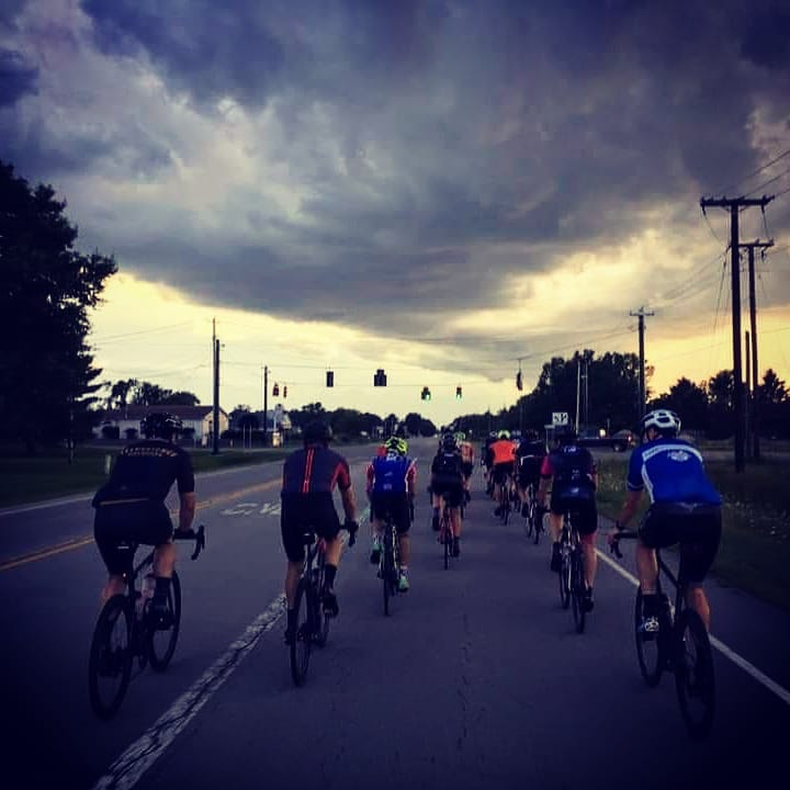
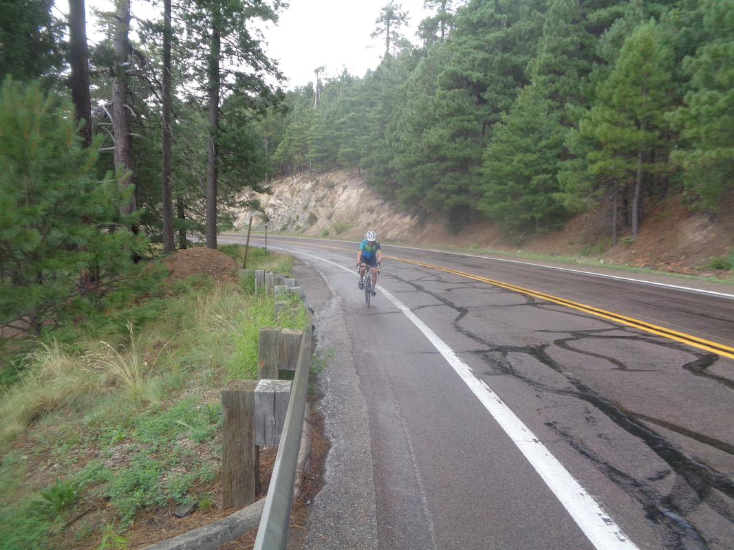
An Ohio cycling friend, Amanda, produced the above image from the Thursday evening, New Albany, Ohio group ride. Most made it back just before the storm began. Its odd that I can identify almost all of the above cyclist from their backs. Meantime, in.... ….Oro Valley, AZ I have gone out for a couple of rides but still solo. Plenty of morning group rides but either they are C groups and kind of slow or faster groups and I am too slow. It's the cycling off season here so I enjoy the 35-40 mile rides a couple of times each week. Things will ramp but soon. I've also gotten out for a couple of shortish hikes, not worthy of blog posts. Yet, the beauty of the mountains mesmerizes me. I love it here even in the summer. Be back to Ohio soon for a good visit to torment my Ohio cyclists.
Evil Ebaugh Drive climb. That will separate the ladies from the girls. Threat of rain but it wouldn't be a Thursday ride otherwise. The Rivet/A, B & C routes:
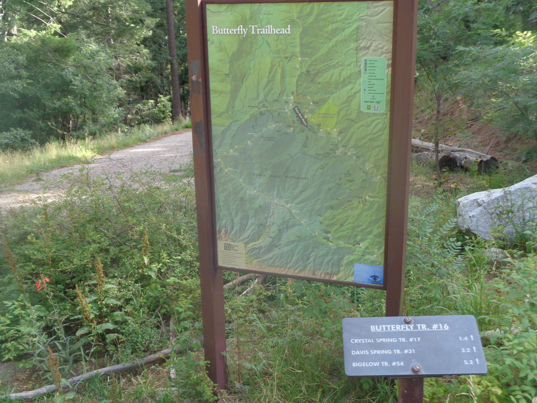
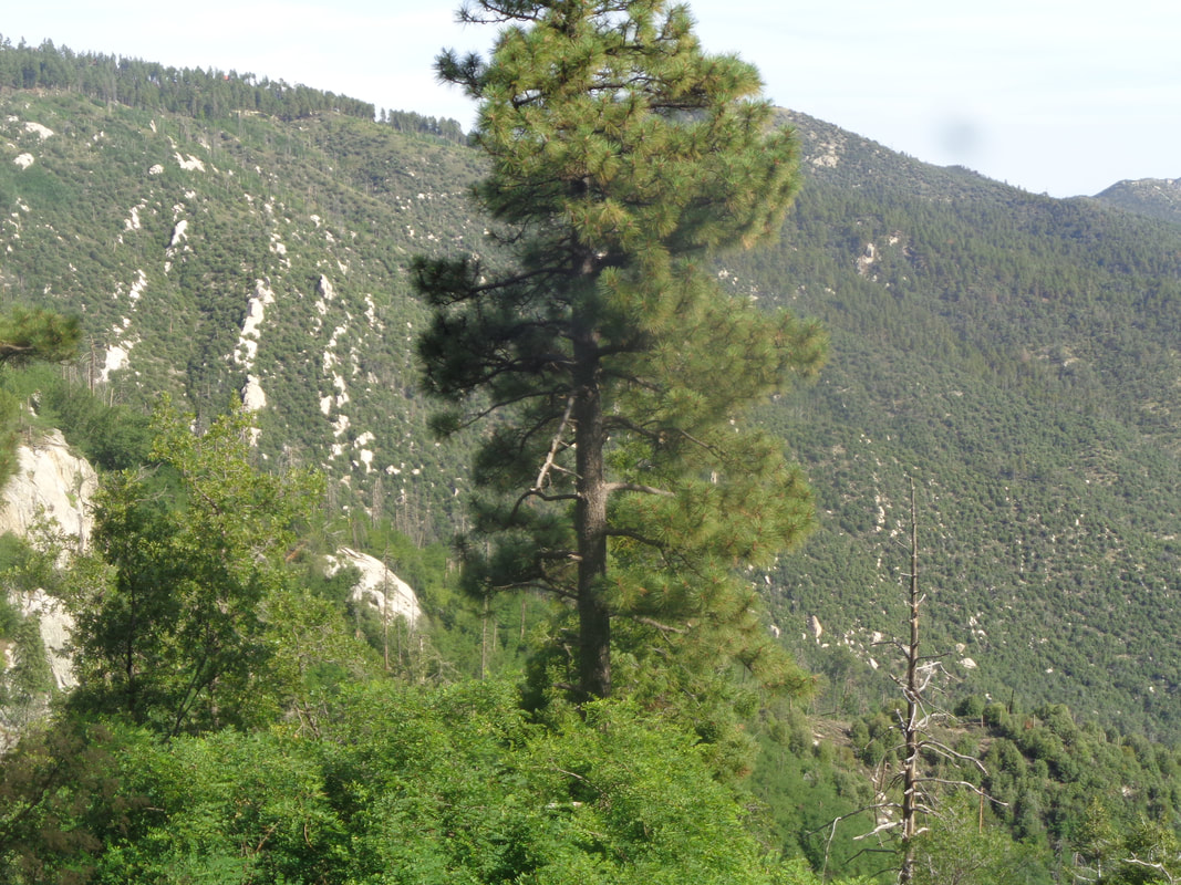
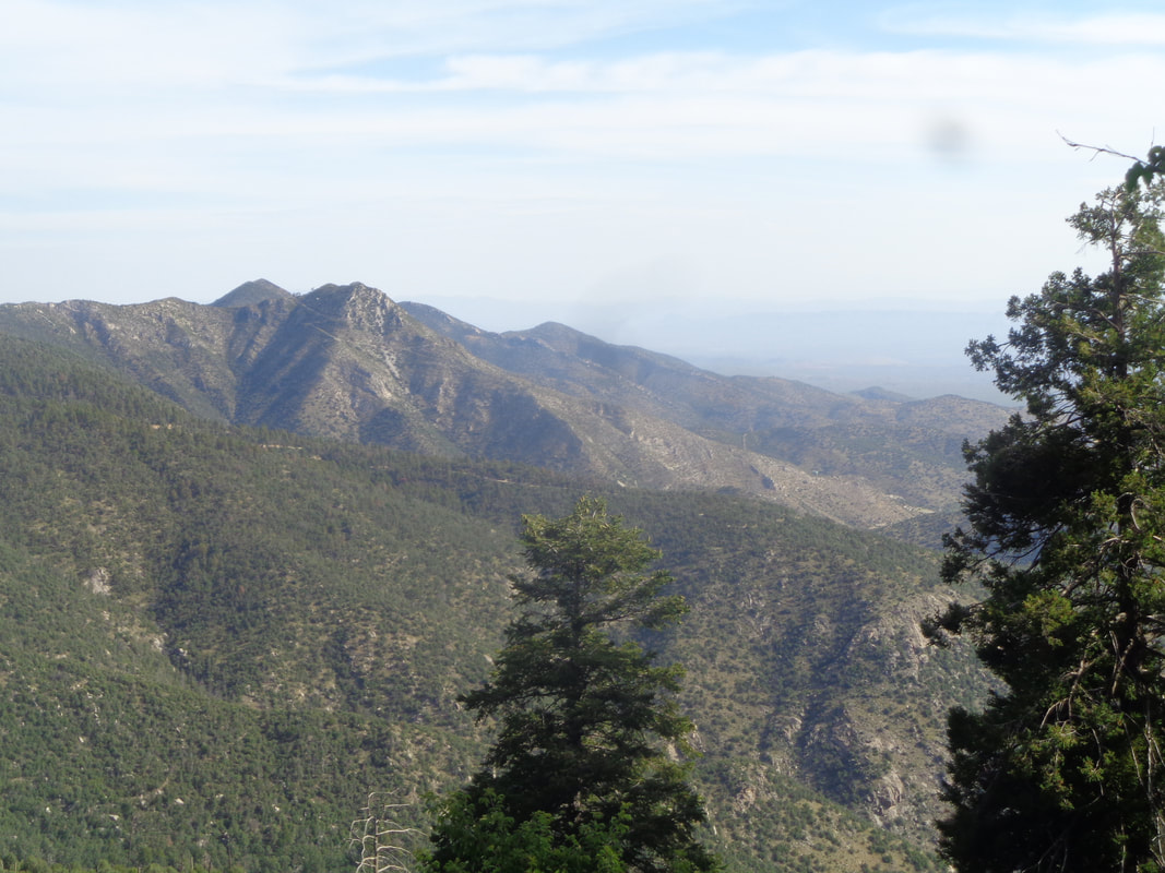
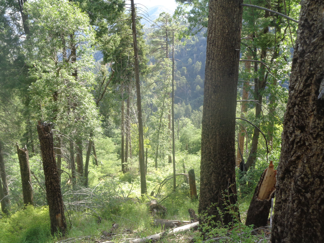
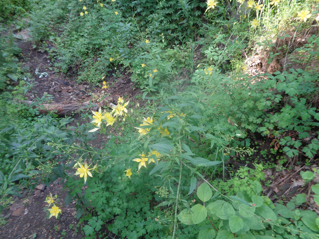
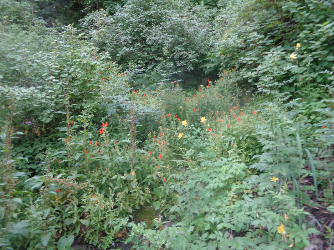
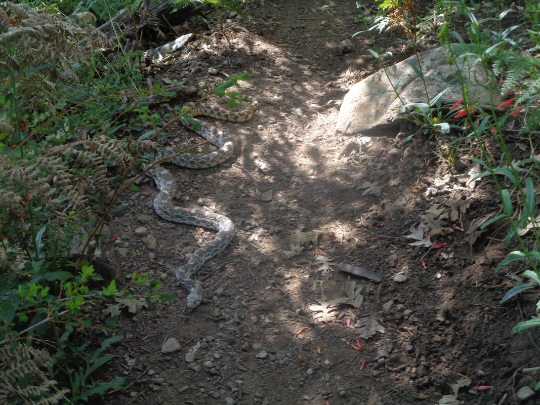
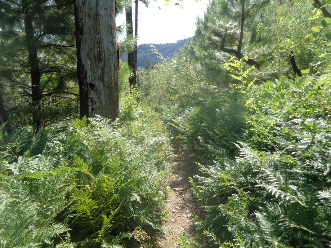
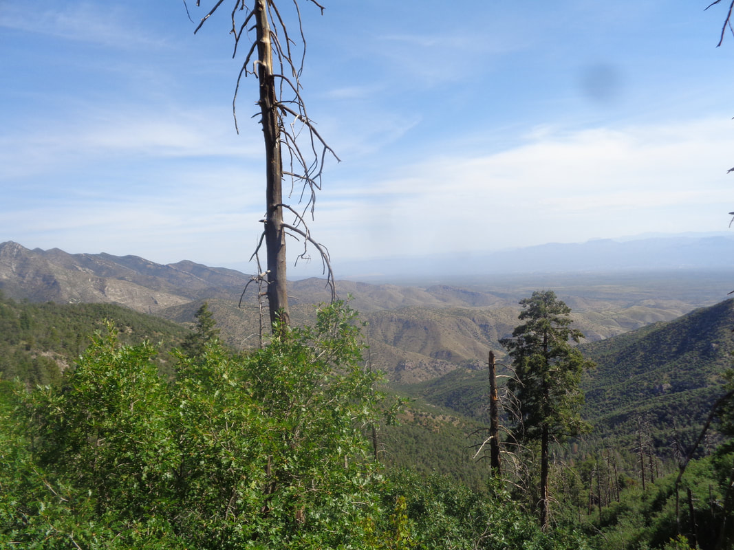
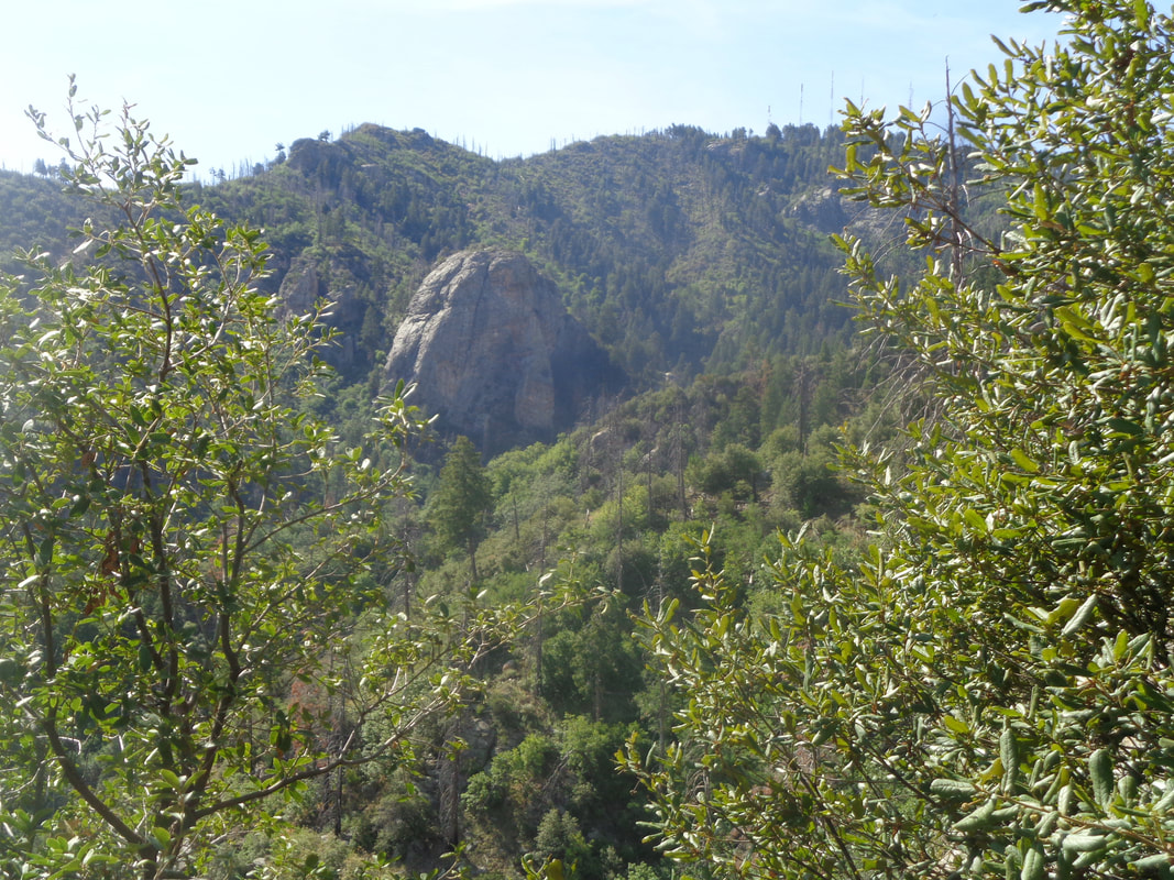
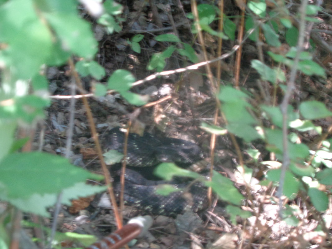
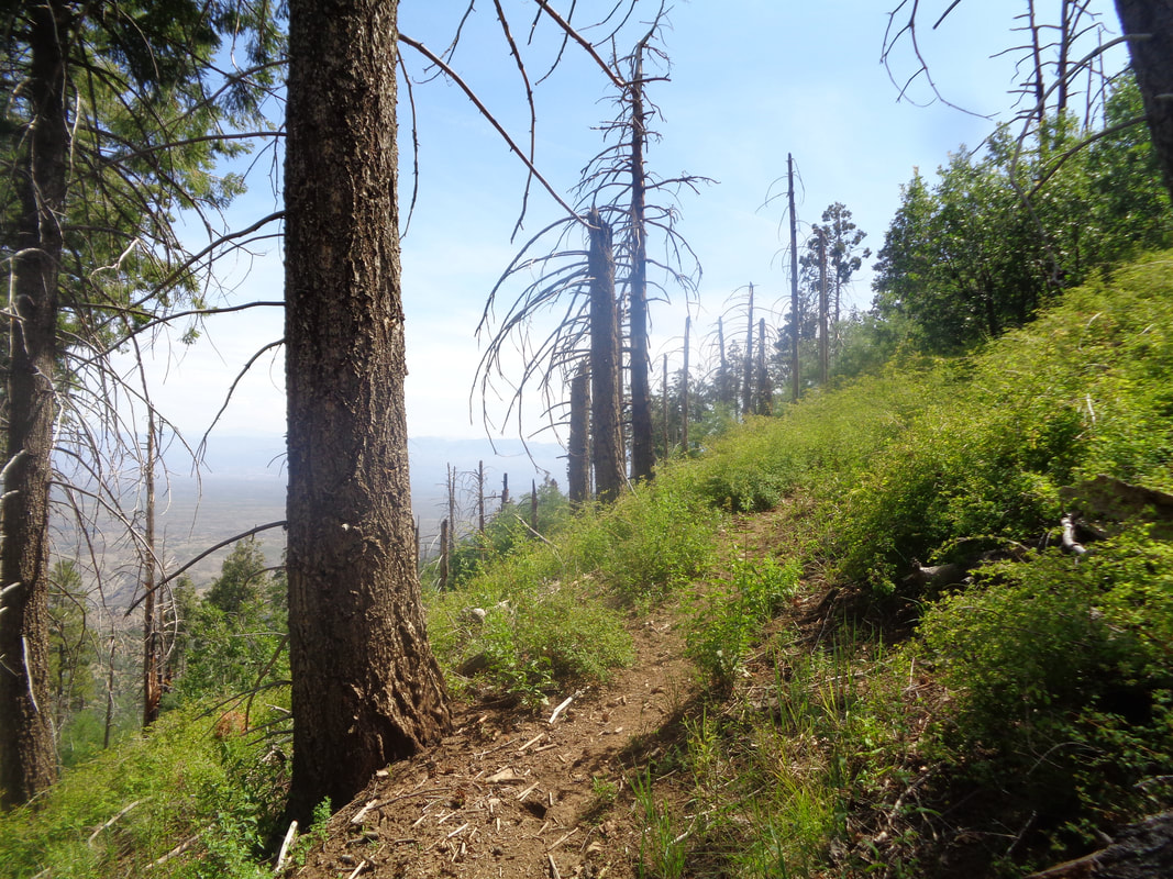
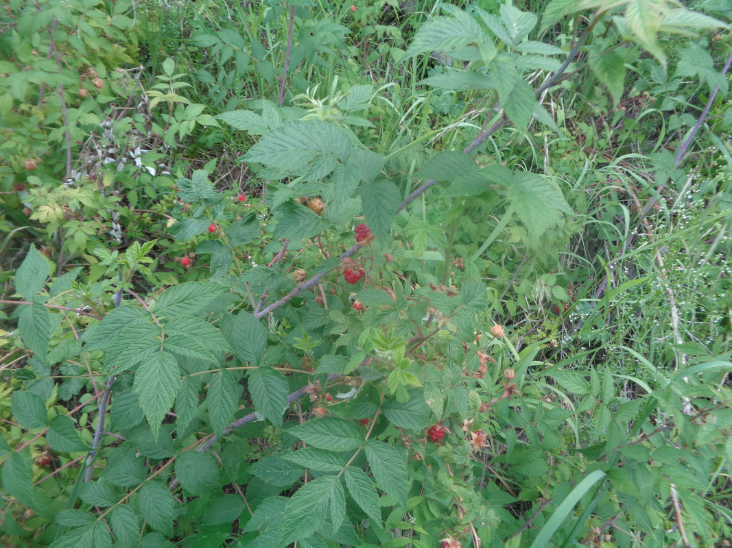
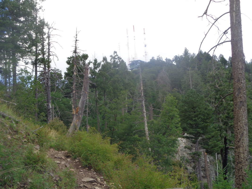
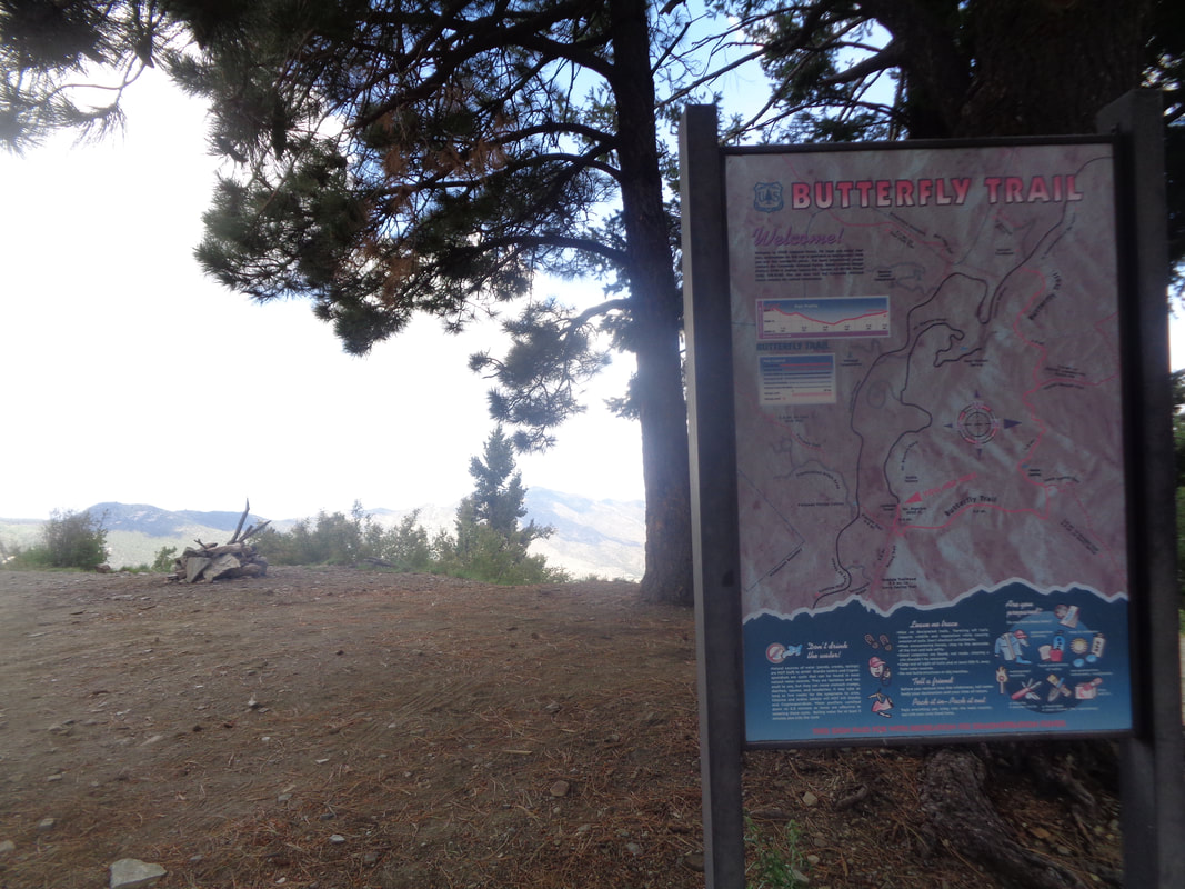
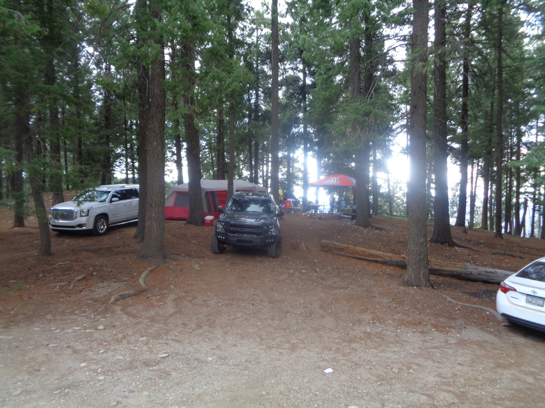
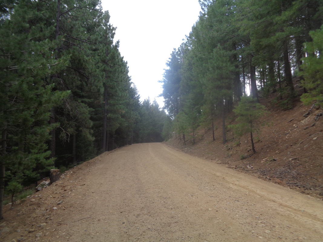
https://ridewithgps.com/routes/19449353 https://ridewithgps.com/routes/19449368 https://ridewithgps.com/routes/19449449 About an hour drive from home are the many trails and peaks of the Santa Catalina Mountains. Mount Lemmon receives most of the attention but also in the vicinity are other peaks, including Bigelow, at a height of 8500'. I park at the Butterfly trailhead and begin a 5.9 mile hike to the aforementioned peak. The trail is paved for a short section, then becomes a wide dirt path which quickly narrows as I begin a long descent. Nice views to I guess the northwest. In there some where is an area called "Reef of Rocks", a popular rock climbers destination. I'll check it out soon. More grand views as I continue my descent on this north facing slope which..... ….was untouched by the 2003 Aspen Fire. Steep down there but the trail is well constructed and not too steep as many switchbacks take me past vegetation that is far different from what I see on the mountain's other side. OK, there are...... ….plenty of Columbines which are found elsewhere in seemingly moist surroundings but here there are..... …..lots of other types as the plants have closed on the trail making it narrow. I catch a man and two kids and he asked if I had seen an AZ black rattlesnake just a little ways back. Nope, had walked right by it and it must not have felt threatened as it did not rattle. I took a few steps forward, now in front and..... ….whoa! This was enormous, at least 5' long and a gopher snake. They eat rattlesnakes so we talked about capturing it and taking back up trail to meet the black rattlesnake but of course, we did not. OK, now I was becoming concerned as I waded through lush vegetation with 2 snake sightings in the first 2 miles. Some where in here, as I lost visual of my feet (which I hate) I decided I was not going to return this way. I knew there was an option other than out and back, my original plan. I had dropped 1000+ feet. I was also wearing long pants which was a good idea but dang, the heat and unusual humidity would soon have my shirt soaked with perspiration. So there I was, walking a narrow, overgrown path, looking ahead at a neat rock formation and wondering if that was Bigelow Peak when...…. ….the silence is interrupted by the distinctive sound of a rattlesnake's buzzing. I immediately stop and look around me to first locate the snake (another AZ black rattlesnake) and then decide to faint, continue forward, back (usually the best option) or to one side or the other. There it is ahead and to my right, at the edge of the trail. My heart is beating rapidly but I extend my hiking pole, insert it into the brush to try to coax it out so I can get a clear image. It was having none of that and slithered farther into the brush. I kept poking it while depressing the branches but the above is the best image I could take. Holding the camera with one hand while simultaneously pressing the brush with the pole just didn't make for a steady platform. And yes, there was some hand shake involved too. I continued on now that I was out of strike range. I reached Bigelow and circled clockwise while stopping to chat with a couple of trail volunteers who admitted some portions of the trail were in need of maintenance. Here though the trail was wider and I picked up the pace, less worried about reptiles. How about that! Raspberries ready for picking. I continued up and soon.... ….saw a building indicating I was almost to the top. That is a hard hike folks. 5.9 miles of down and then mostly up with 2700' of elevation gain. I studied the above map, talked to some mountain bikers and headed..... down Bigelow Road where I passed many camp sites, full of people who had escaped the valley heat. Hmmmmm, I hear thunder and my hike is accompanied with..... …..rain....nice! I am already soaked from sweat so I didn't notice the rain much. Although the temperature was now 61 degrees as I continued my march. I turned down an offer for a ride as I did not want to sit in someone's car in my current state. I reached..... ….Catalina Highway and was greeted by numerous cyclists riding from Summerhaven in the same conditions as I. Reached my car at mile 9.8, changed into dry clothes and enjoyed the drive down the mountain. I'll wait for winter before trying the Butterfly trail again.
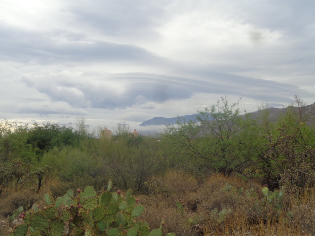
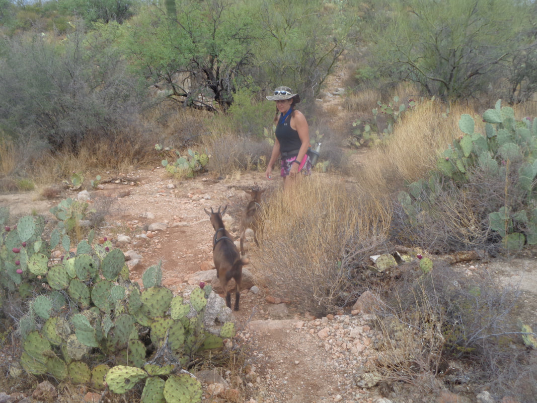
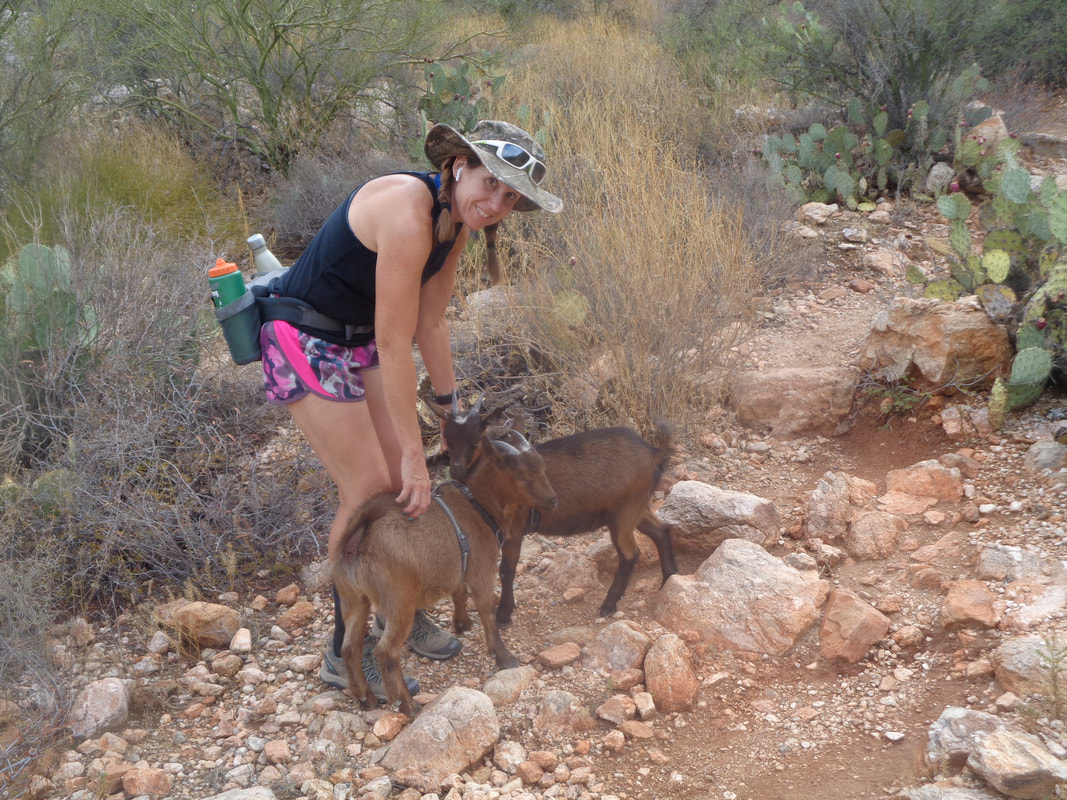
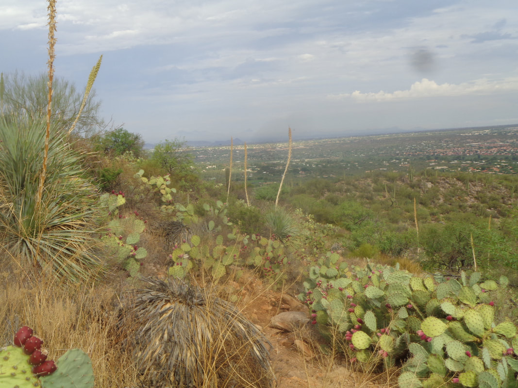
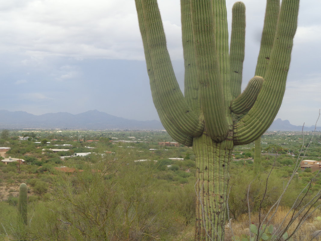
Beautiful cloud formation as the "nonsoon" season has turned into a late arriving monsoon season. The mornings and early afternoons are dry but a couple of times a week the clouds build to the south and weather radar comes alive. The lightning displays, especially in the mountains, is awesome. I went for a short hike via the Linda Vista trail, which is about 1/2 mile from home and a good workout. From a distance, I saw someone with two dogs trailing but as I came closer.... …...Norwegian Dwarf goats rather than dogs. She gathered them cause maybe rather than a bite they could gore me. The trail rises above Oro Valley. The morning sky was still kind of dark as some remnants of the previous night's system had not completely dissipated but it would and there would be no rain on this day, like most. Finished with 2.5 miles.
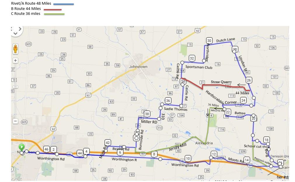
A wise man once said, "Better to have a day start wet then end wet". Late afternoon on this first day of August looks fantastic. Below the routes:
https://ridewithgps.com/routes/19449259 https://ridewithgps.com/routes/19449277 https://ridewithgps.com/routes/19449217 |
Categories
All
Archives
November 2023
|
