|
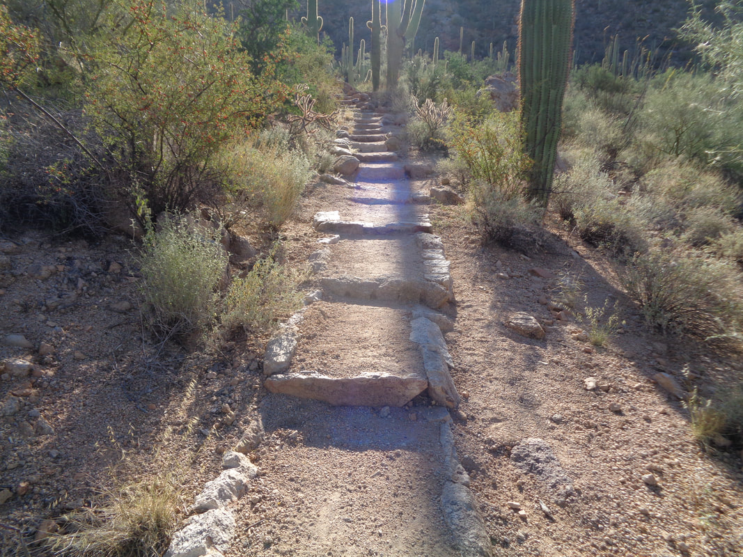
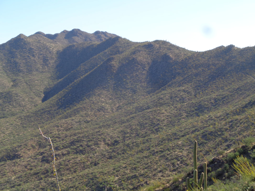
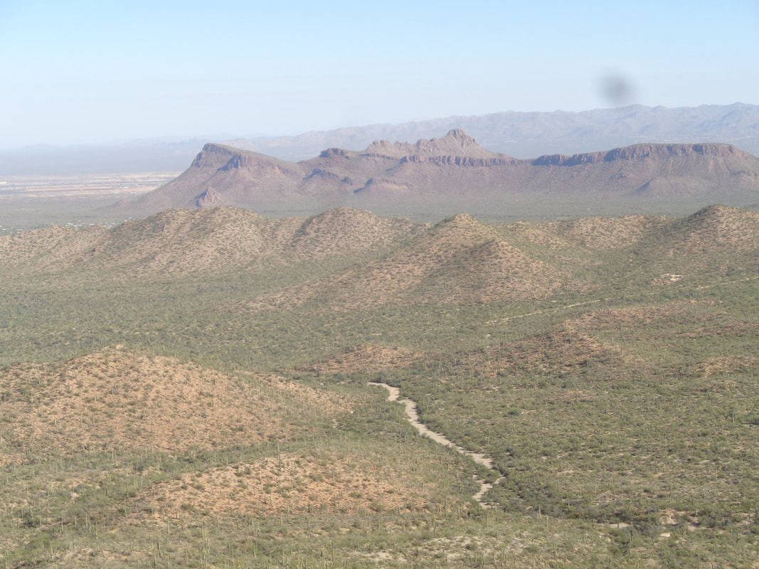
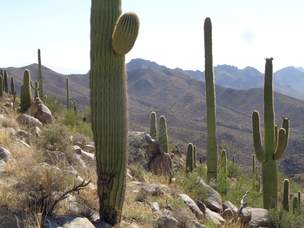
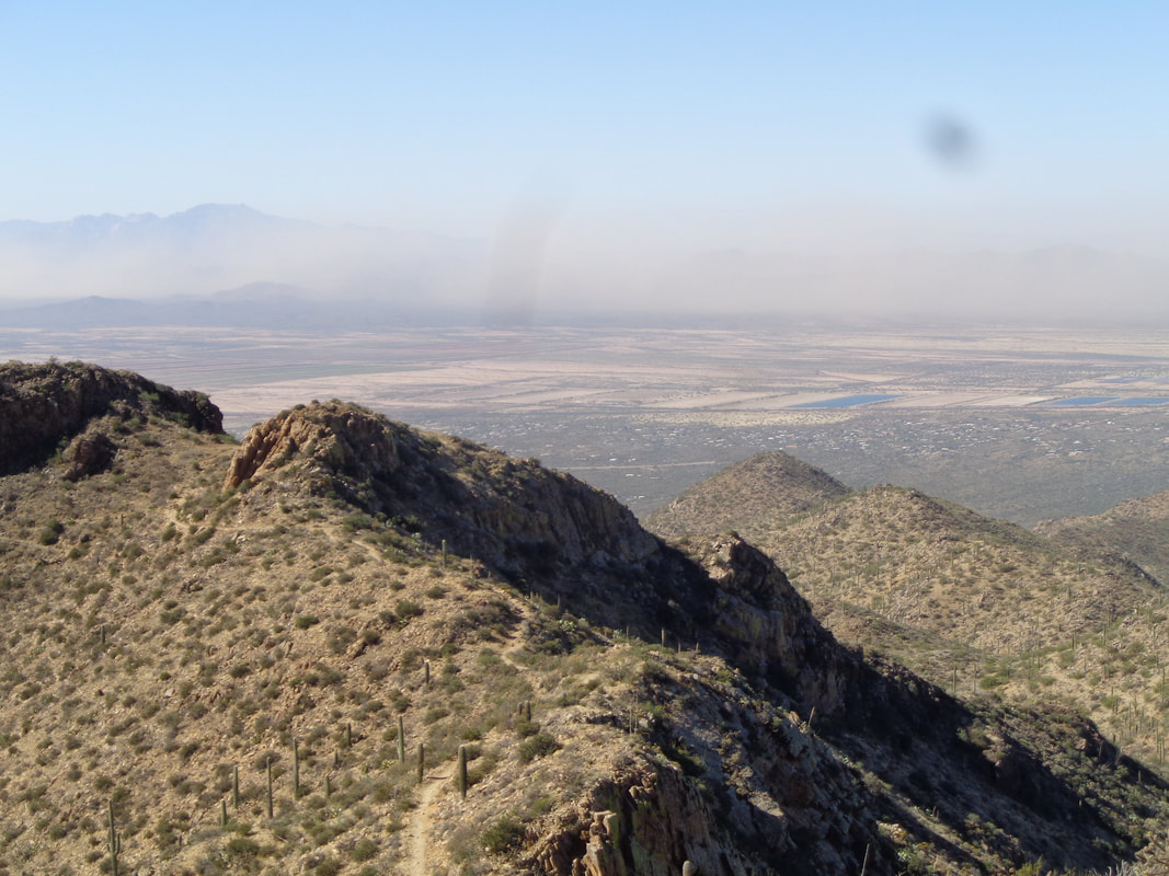
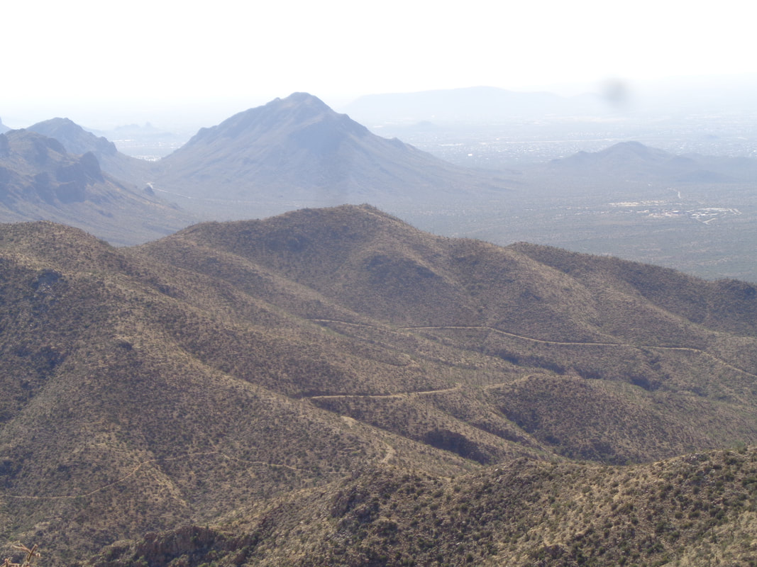
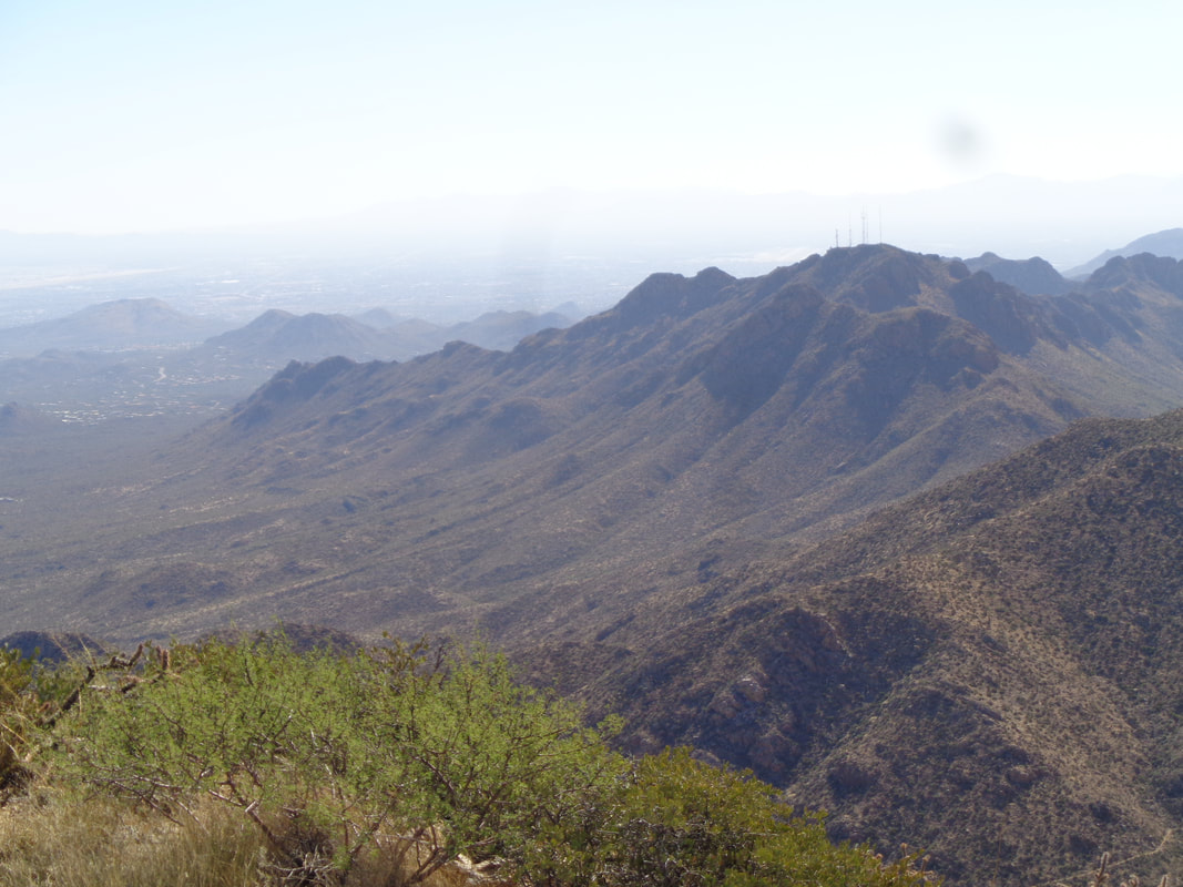
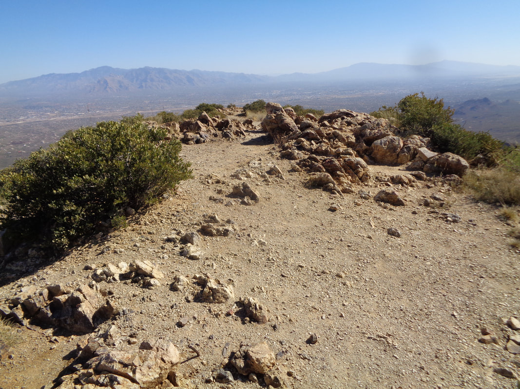
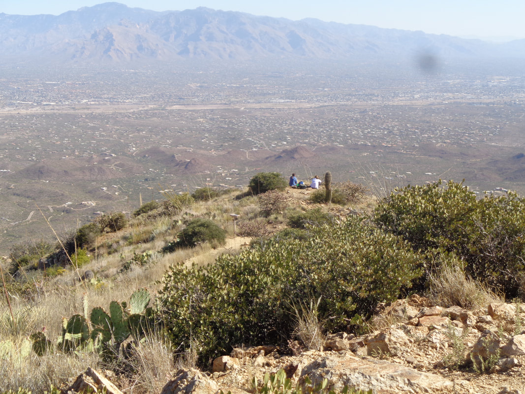
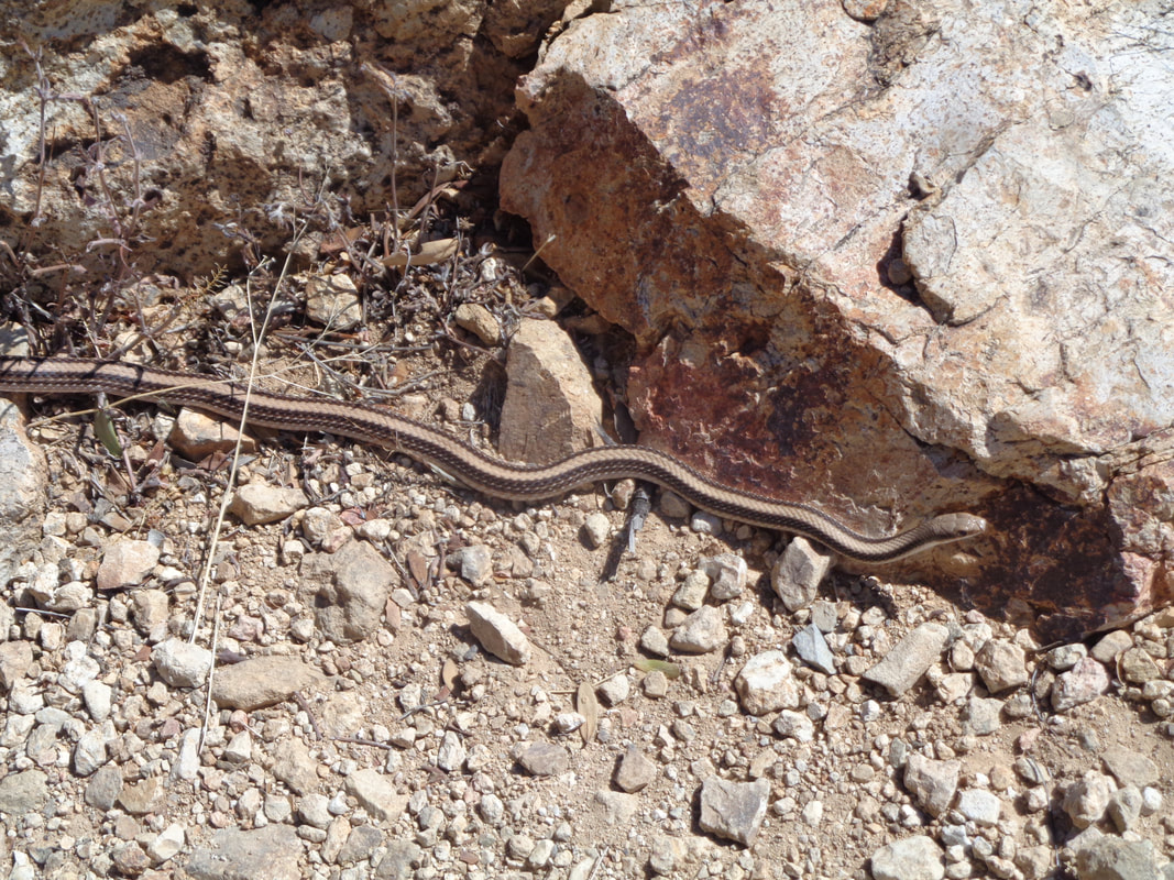
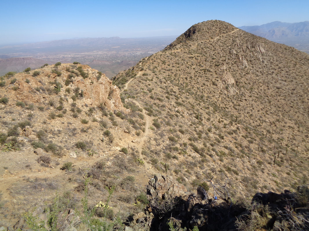
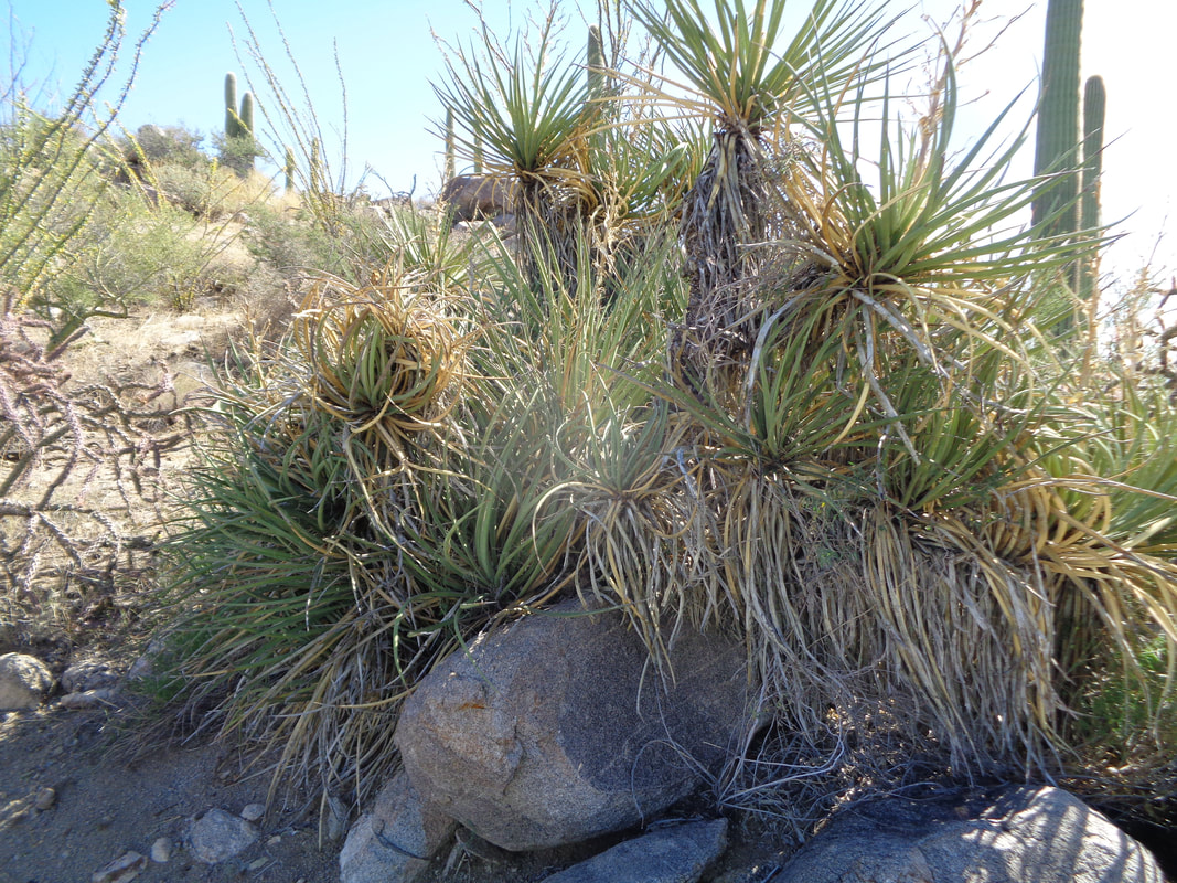
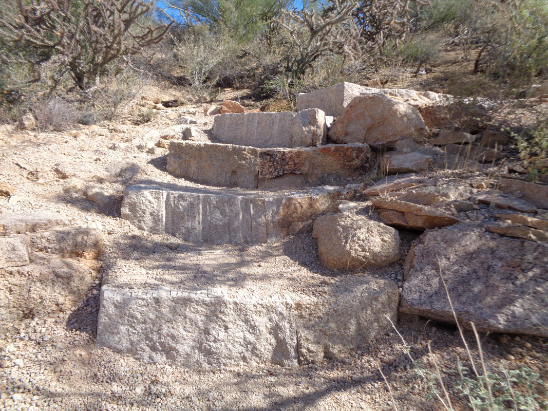
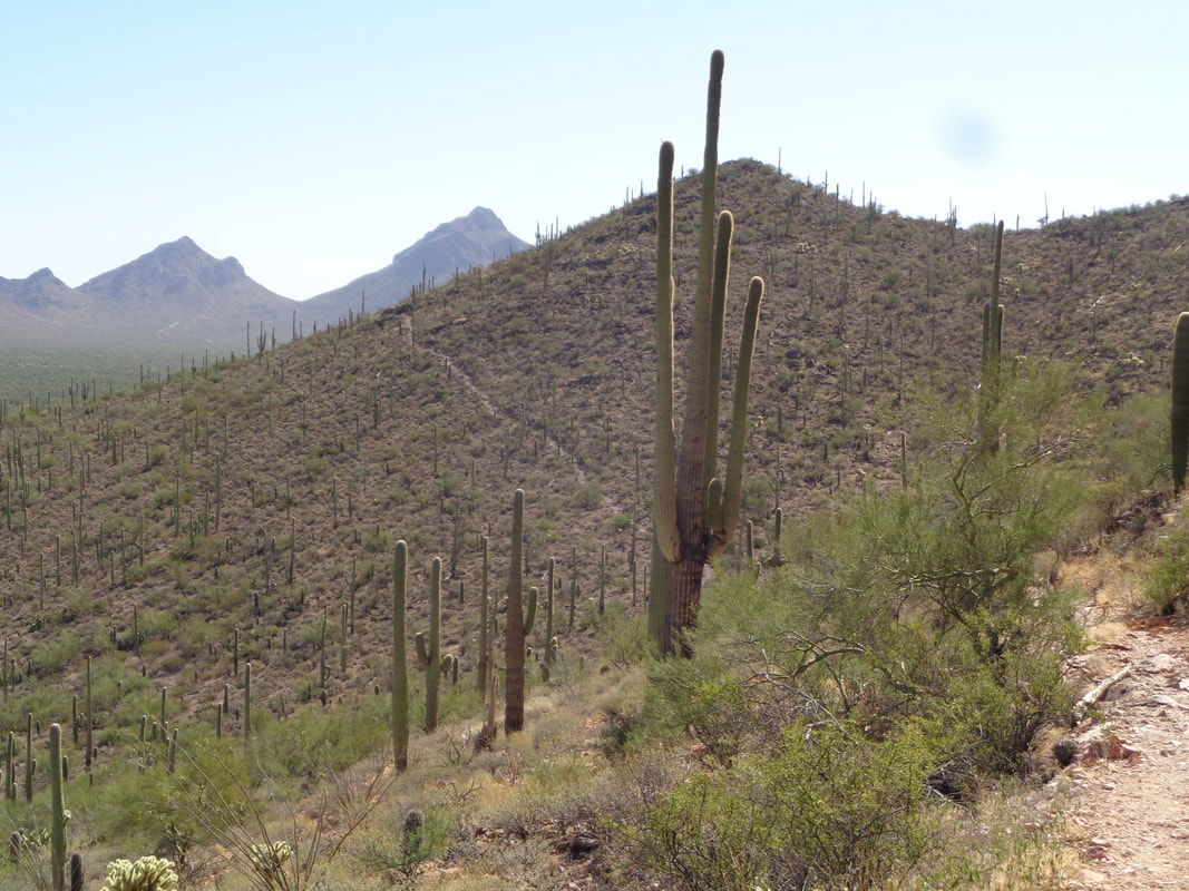
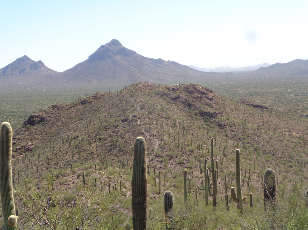
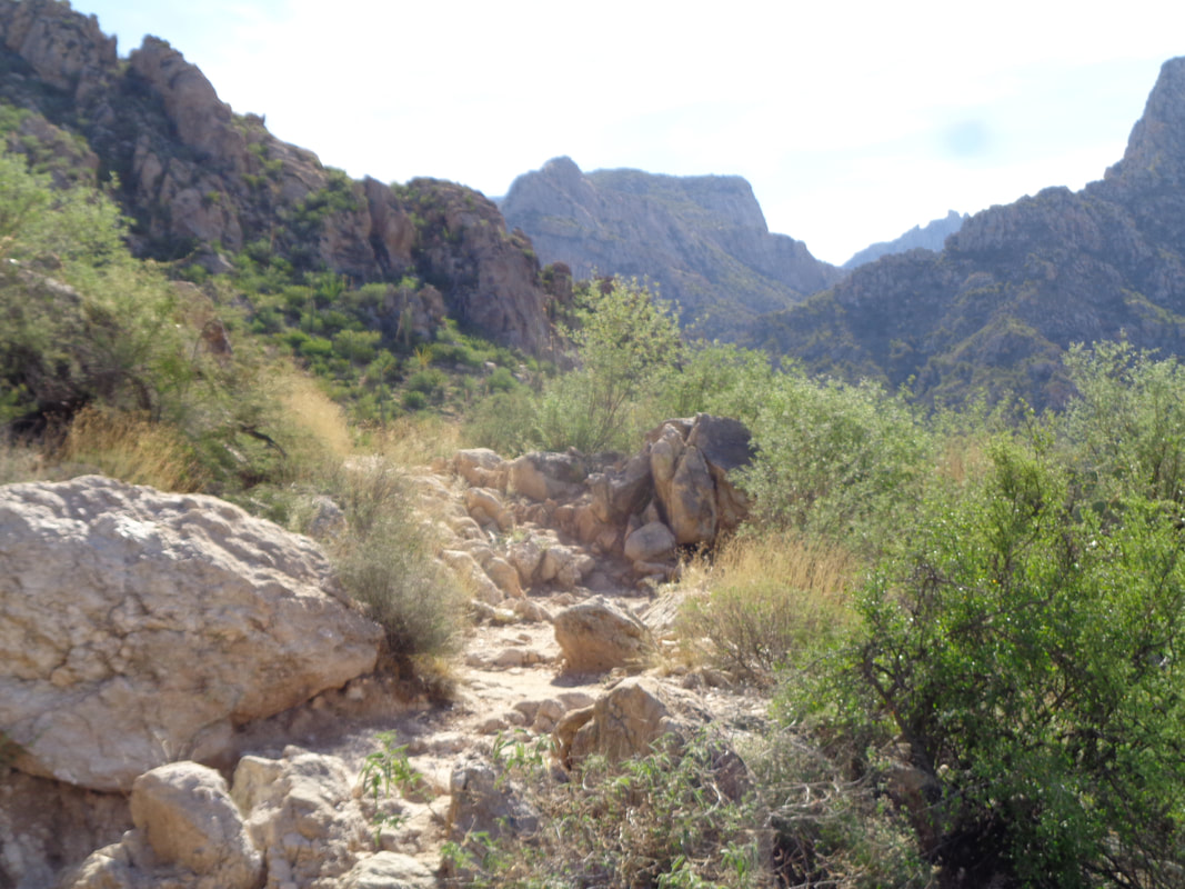
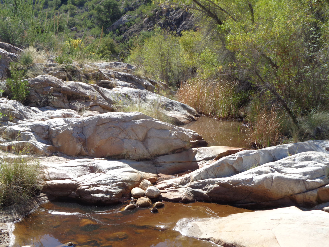
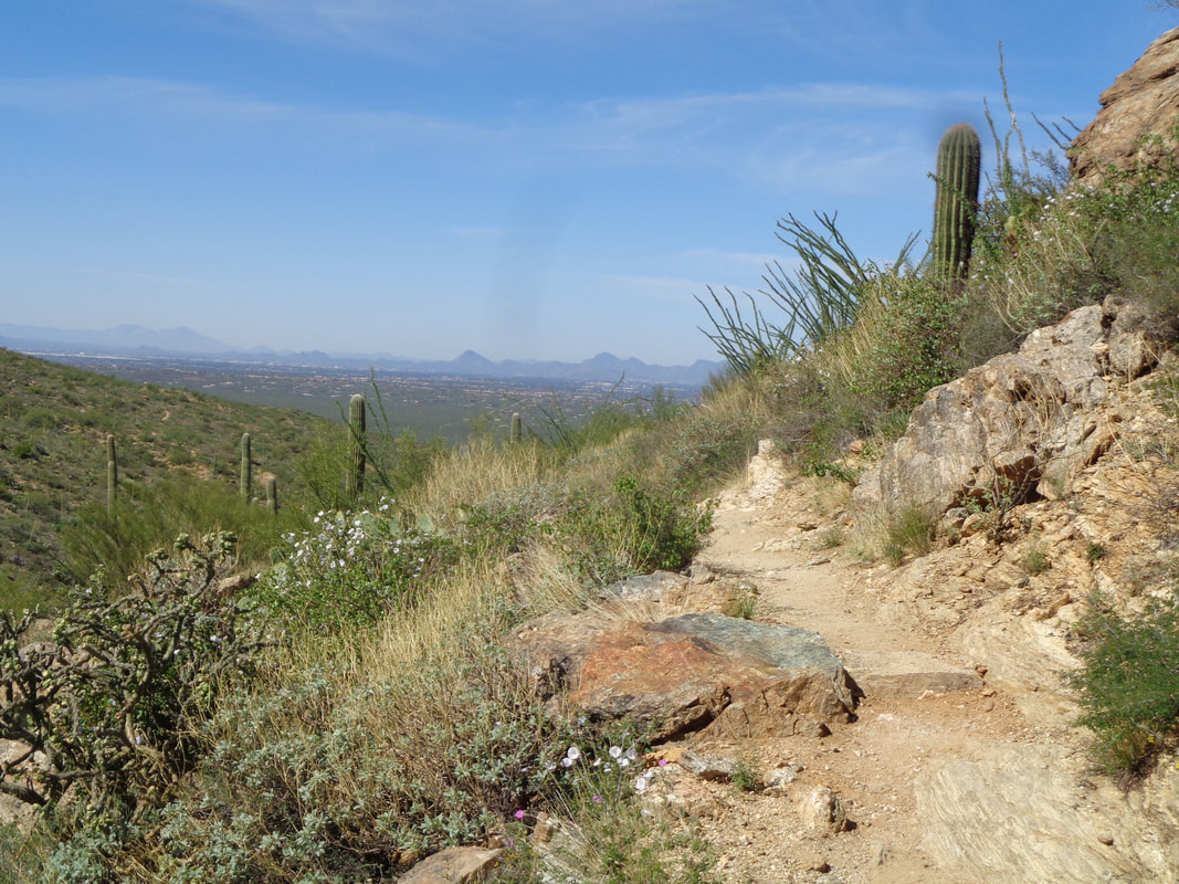
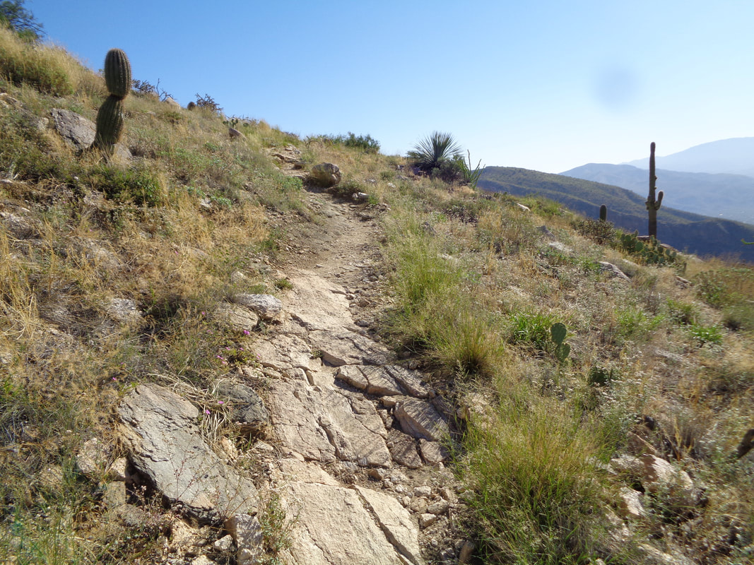
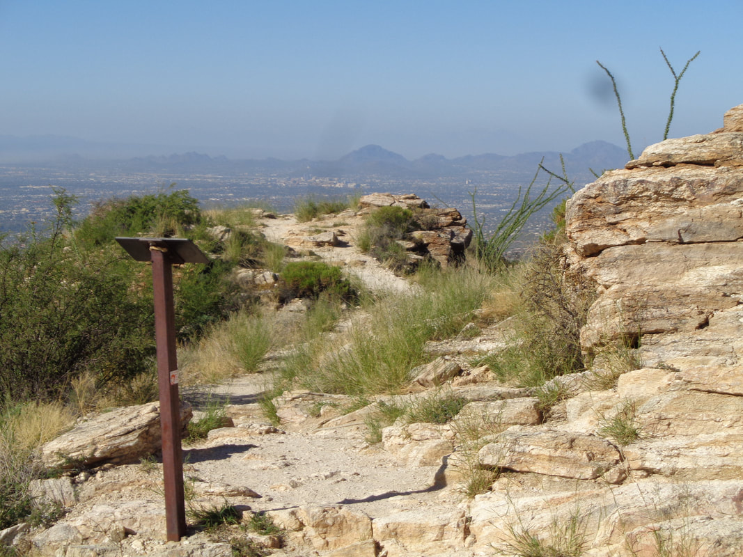
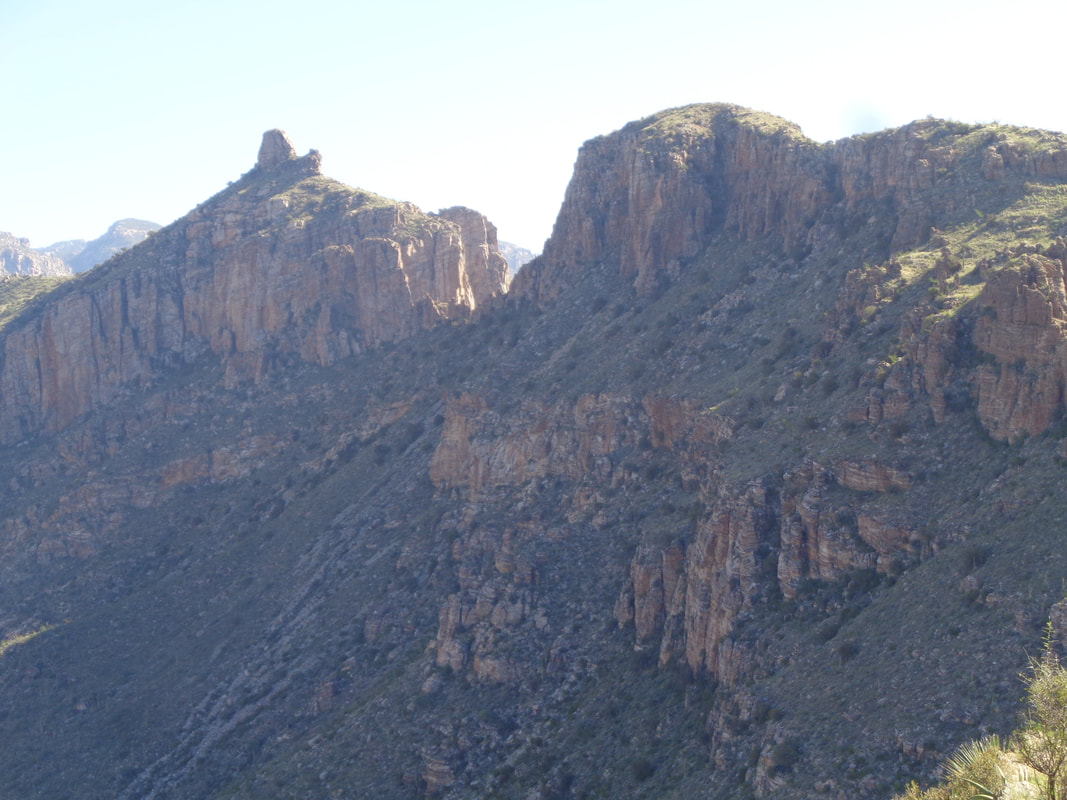
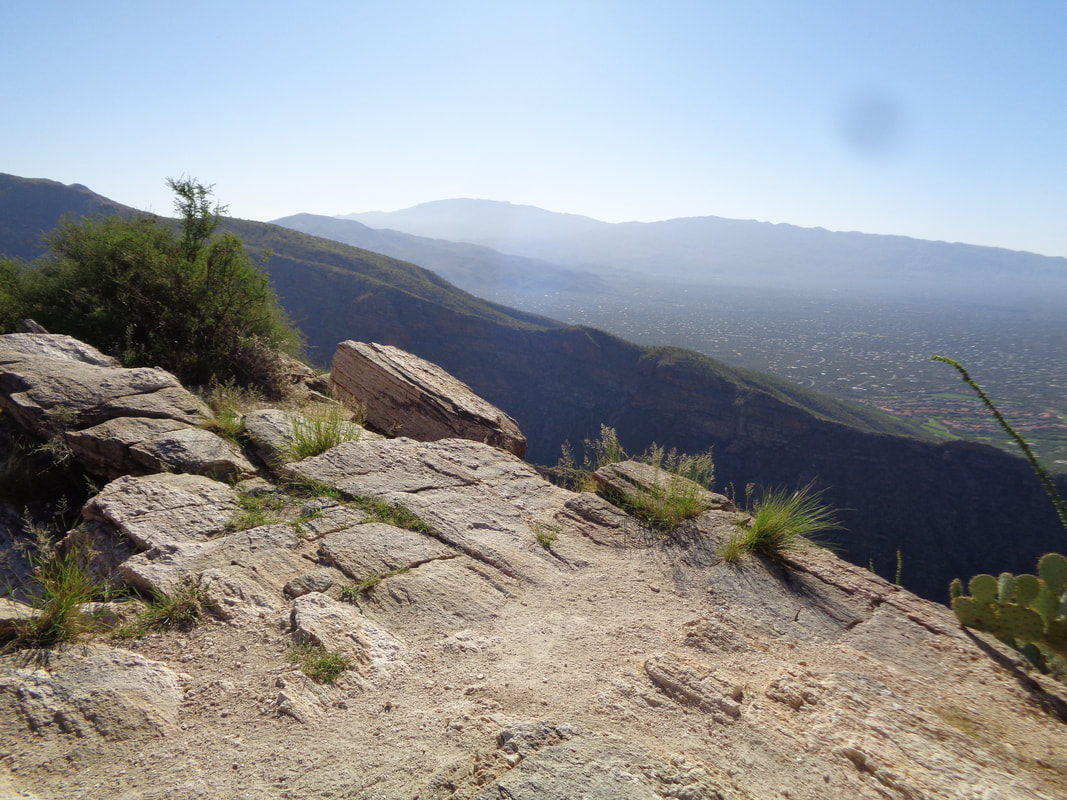
I have lost count of the quantity of cold (but dry) fronts that have moved through the area, each dropping the temperature and bringing winds in which I'd rather not ride. Of course, while driving to hiking trails I see plenty of cyclists but since I have hiking as a back-up, that's what I do. So.... ….to the Tucson Mountains I go to ascend to Wasson Peak, the high point in the mountain range. The granite stone work always (my 2nd visit) amazes me. The initial climb, all of it with the granite steps, is .9 miles having an average grade of 13%. That is misleading because the area between steps is flat but the step up, yikes. Upon reaching a saddle, I look east and the peaks I see hide Wasson Peak. Still a long way to go, almost 6 miles in total. What follows is some rolling to slight ascending with grand views to the north where I spot Panther and Sombrero Peaks. Going to organize a group hike to Panther soon. Ascending additional slopes and some meandering around other peaks, I eventually spot, in the distance, a little known alternative to the main trail to Wasson coming out of King Canyon. The King Canyon trail condition is really rough compared to the one I see and of course the trail on which I am walking. I emerge between the two protrusions on the left and merge with the King Canyon trail for the short distance remaining to Wasson. I put in a good effort and gain the peak 1:33 but later saw that effort is 10 minutes behind my best time. This always produces the, "Well, see there, age has finally caught up with you". But then I see I set the 1:23 time just 6 months ago, the strong east wind was always in my face, etc... I can rationalize pretty much anything given the scantest of evidence:) Oh! Look in the distance and note a dust storm has formed out around I-10. Another look at the alternative trail to King Canyon of which few people know. The King Canyon trail is on slopes facing away from me. The views..... ….are awesome but I am surprised to be the only person at the peak. Typically the place is loaded but maybe the high wind forecast has deterred some from the ascent. As I began my descent I noticed a couple somewhat below the peak, looking at the Catalina Mountains. I rounded a corner and..... …..wow, a nonvenomous snake!!! I have heard that high winds do something to the ability of rattlesnakes to detect vibration and so they stay under ground. Not wishing to put that theory to the test, I am always watchful. I exit King Canyon trail, left at the aforementioned place and see the serpentine trail ahead of me. An odd growth of shin daggers. At least I think that is what this is as the plant has the scary points. I have always encountered them at higher elevation like this but growing as a field not a clump like this. I just have to become better at identifying native plants. I descend the stairs toward the end of the trail and again marvel and the workmanship. Finished with 11.4 miles and 2400' of climbing. A good workout!
0 Comments
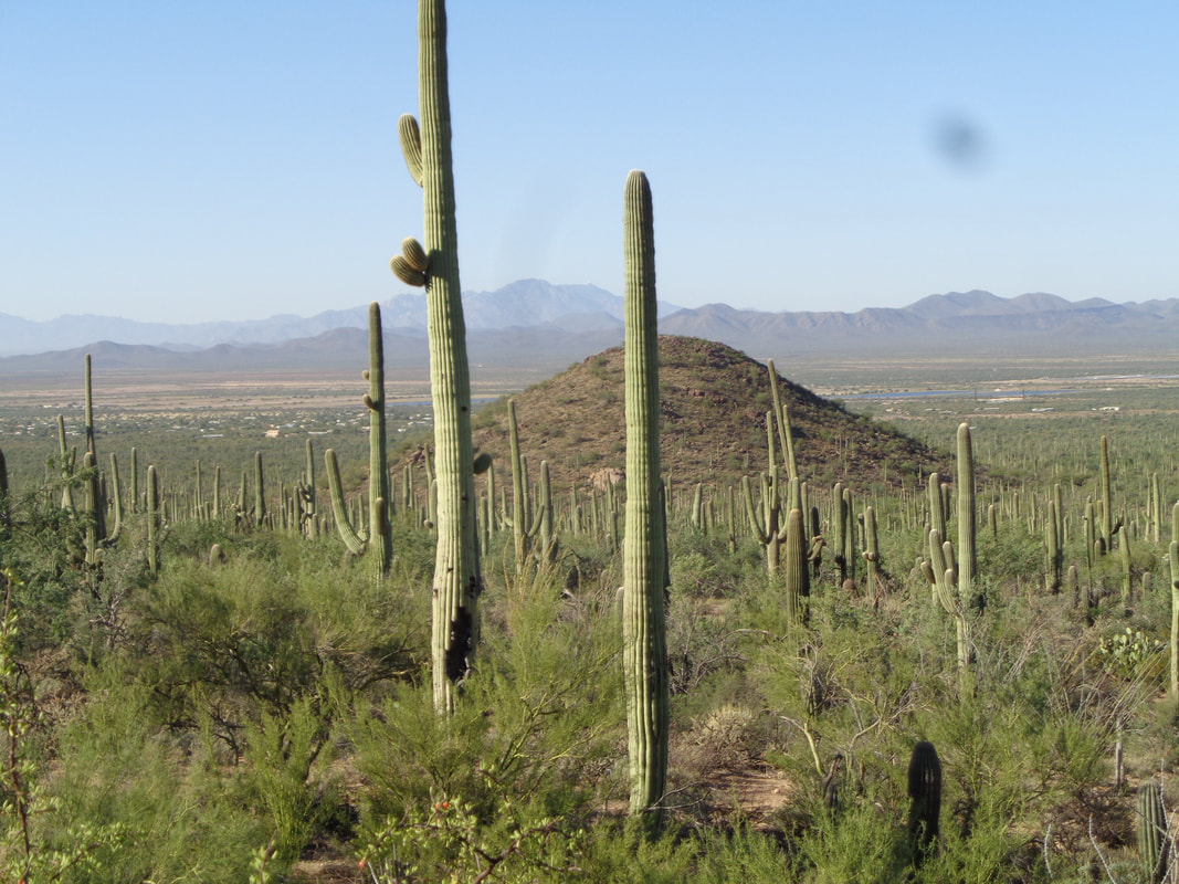
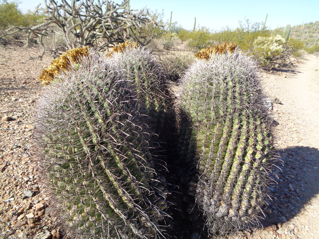
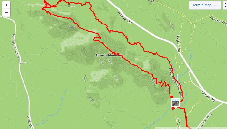
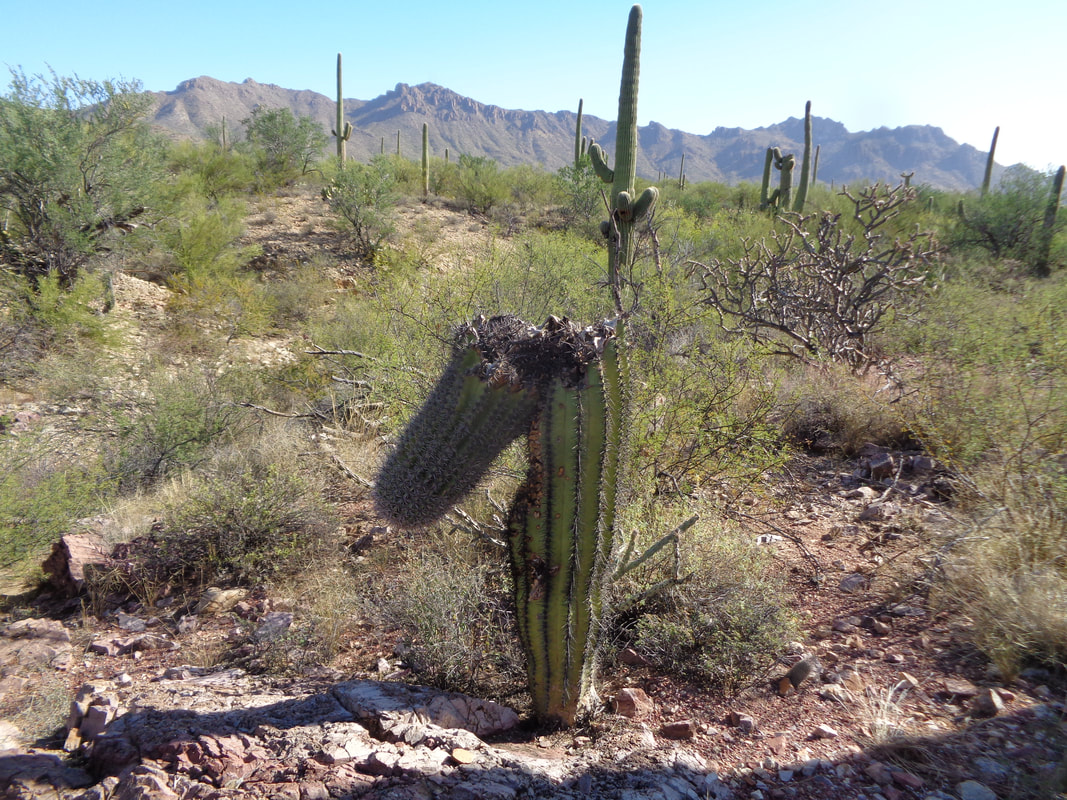
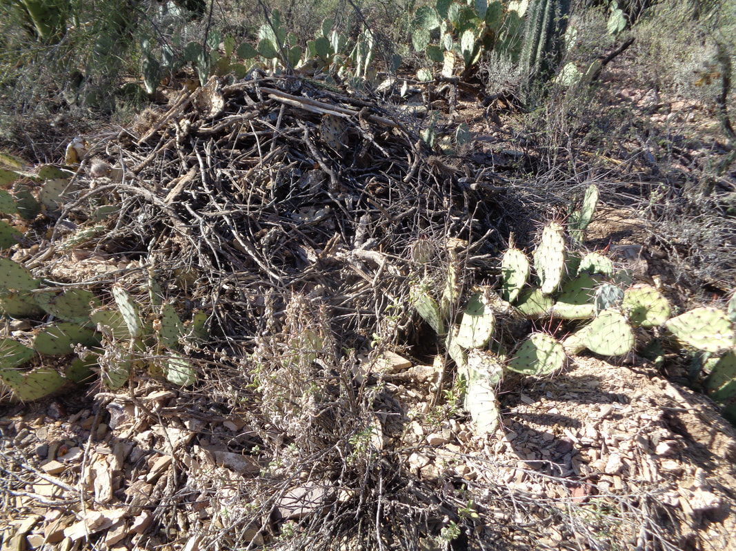
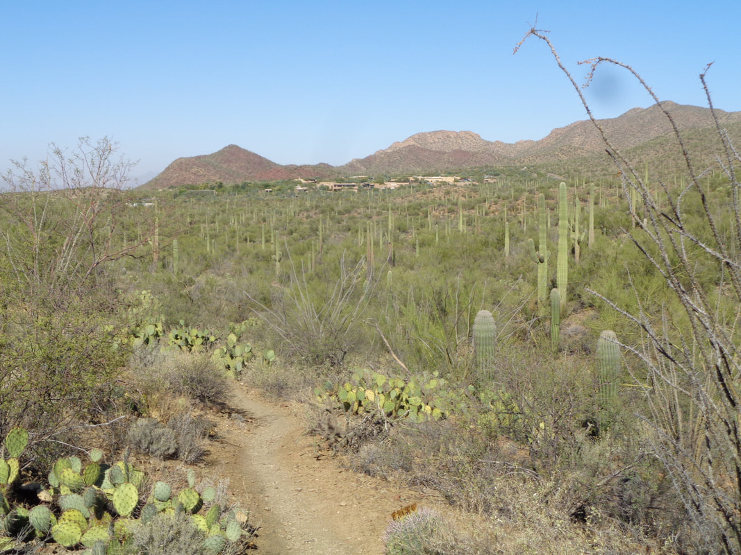
This is a very enjoyable and fun hike. I've done it once before but clockwise so today I wanted to do it in the counter clockwise direction so I'd climb the mountain and subsequent ridgeline from the back side. Brown Mountain is hardly imposing but the several ups and downs beyond what you see makes for a challenging hike. An unusual sight, 3 barrel cactus and all producing fruit. Not sure when the fruit is eatable. I usually see the cactus growing as a single. Above is my route so the first half is a nice, rolling hike. I'm not an expert but I suspect the future is dim for this saguaro. Can't help but wonder how it became like this. On the left side of the trail I see this hump shaped cluster of debris. There is an obvious entry/exit path and I wonder what has made a home here. Clearly much of the mound has been created by dragging pieces of cactus, leaves, branches....maybe a Gila Monster? No, I don't stick my hand or pole in and poke around to find out. The first half of the hike ends at a picnic area and close by is the Desert Museum. A must see for any visitors to the area. I take a short break and then head up..... ….where I top out at one peak and can see the trail before me which circumvents a higher peak. Upon reaching that.... ….it's a walk along the balance of the ridge and down to the desert floor. Finished with 5.8 miles and 900' of climbing. Just a fun time to be outdoors, warm temperatures and brilliant sun. The odd weather year continues with several approaching cold fronts that are dry but will bring wind and cooler temps that will keep me off the bike and on the hike.
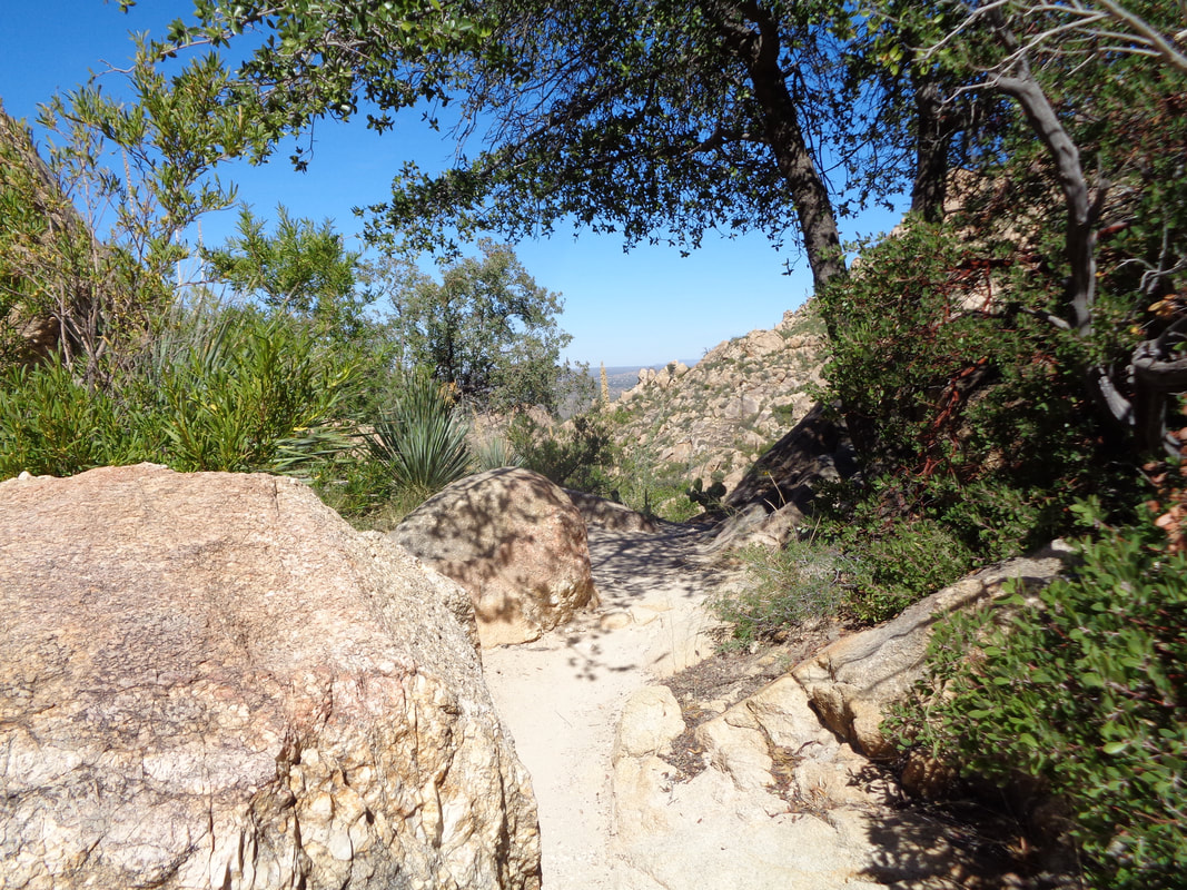
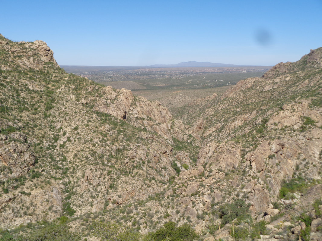
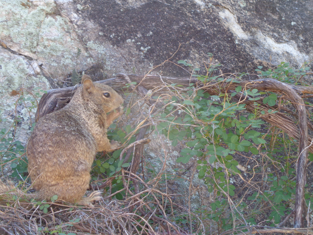
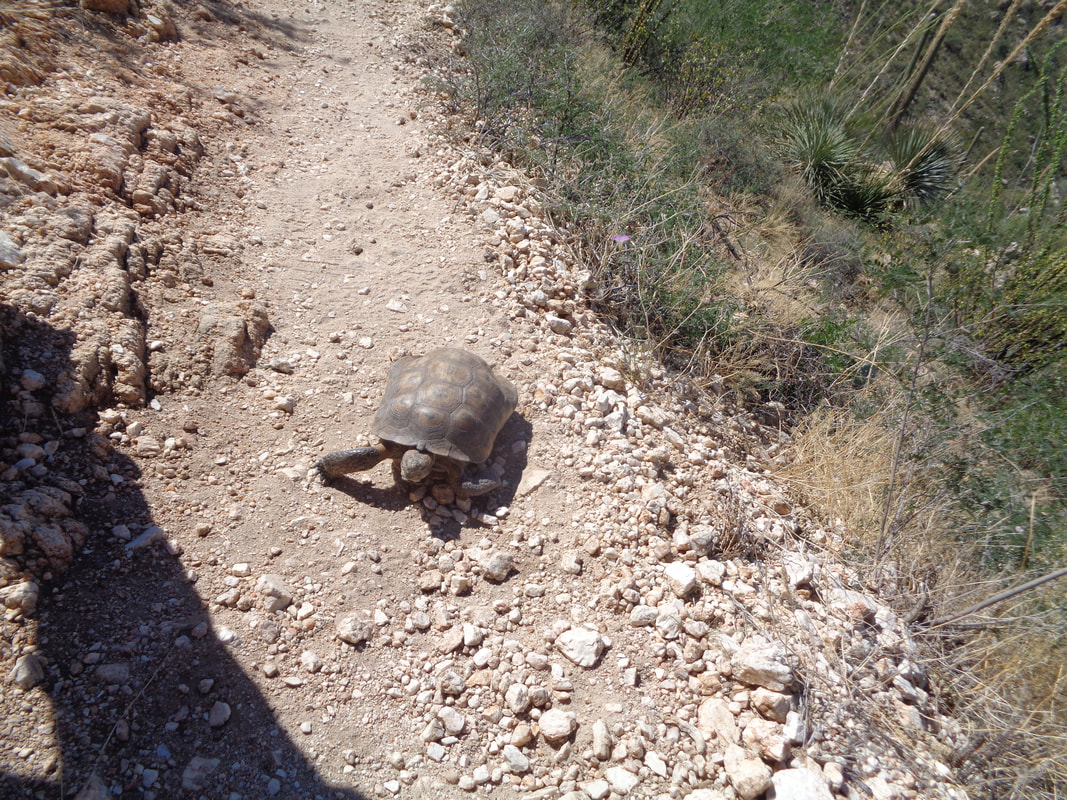
So I'm off. Activated the Strava app and going for a new personal best time on the hike to Romero Pools. While the first mile is flatish, once you hit the slopes, it's a tough hike to the pools. I arrive at the pools which are full of stagnant water but still a beautiful setting. I hiked as fast as I could, checked the Strava app and.....NOOOOOOO! I had forgotten to push the start button. That just sucks to put in that effort and discover that. Oh well, some time under 60 minutes. I started the app for the return and took my time to..... ….take many pics. The wilderness frames civilization in the distance. A squirrel allows me to approach within arm's reach as it feeds on leaves and later.... …..a desert tortoise! I finish the hike, jump in the car and upon reaching home about a mile away, discover I had forgotten to stop Strava. Oh well, tomorrow is another day.
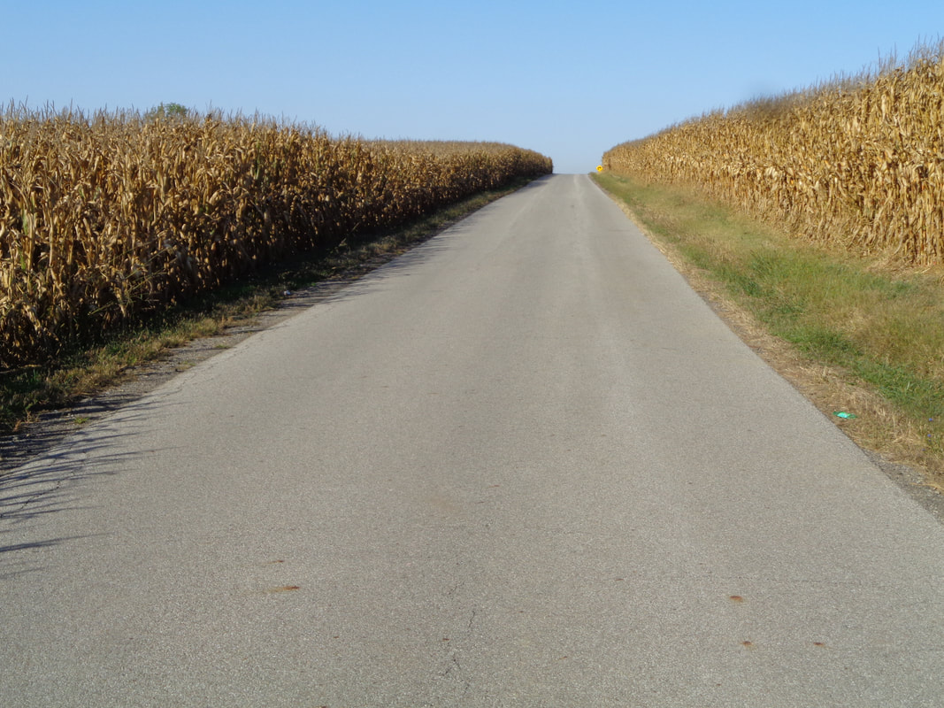
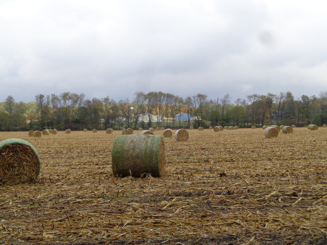
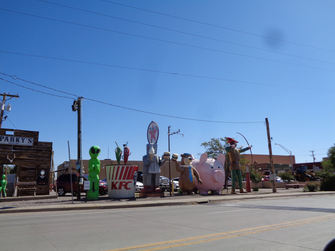
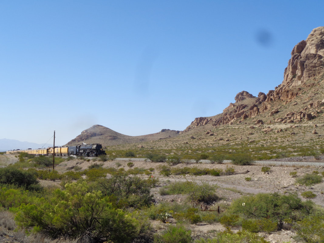
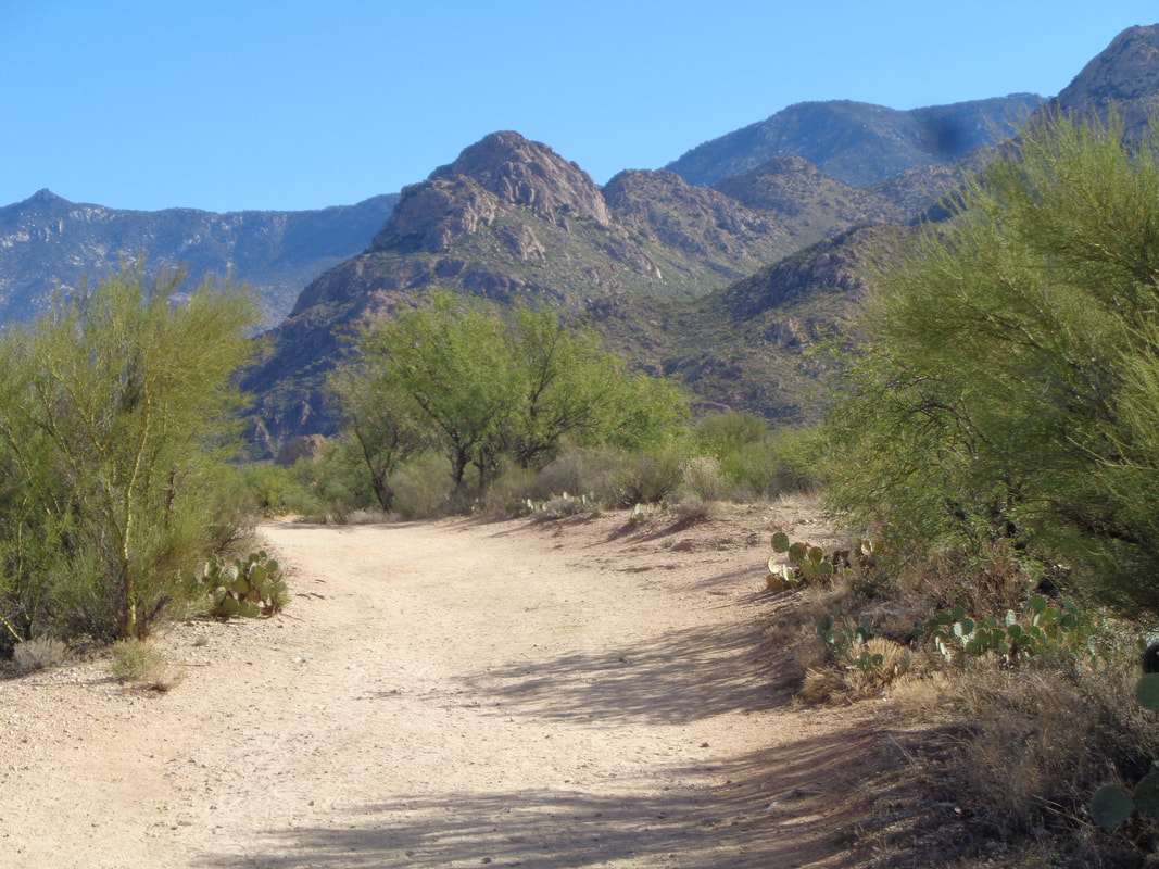
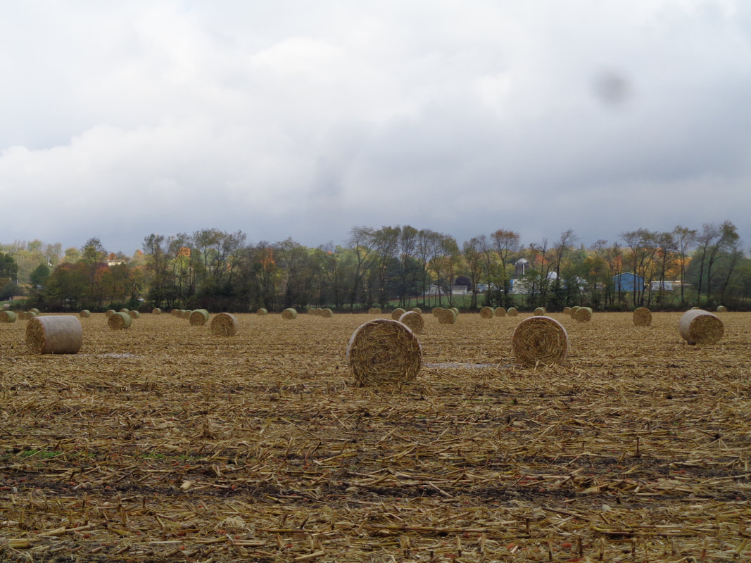
Not an atypical scene in the fall while driving around east, central Ohio. I spent a few days continuing to work in my mini forest and then.... …..a front came through and dropped the high daytime highs into the mid 50's. I spent one more day in the woods with a nice fire going, burning stumps I had left over from my chainsaw use and then..... …...drove west. I arrived in Hatch, NM the Chile world capital and then on the final day of driving, something odd occurred.... ….Nearing the AZ border I noticed around 100 people standing north of I-10 in a field, all staring to the west. Weird like a scene out of a sci-fi movie. I leaned forward in my seat to see if there was something in the sky but no. Then a few cars had pulled off the interstate so I too pulled over. A couple was standing nearby and I asked what was happening. The world's largest, restored steam engine had just crossed the border and was 2-3 minutes out and sure enough!!! Known as "Big Boy" it was making a tour of the southwest and many people have been following it or seeing where they can station themselves for the rare sighting. And then, back to the beautiful mountains and AZ sun and warm temperatures.
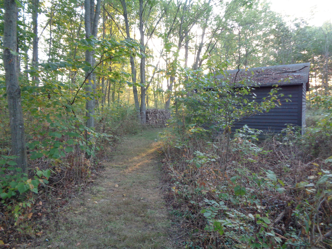
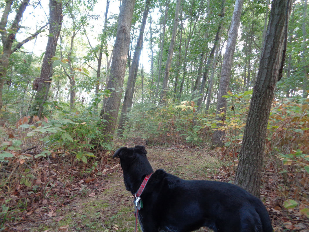
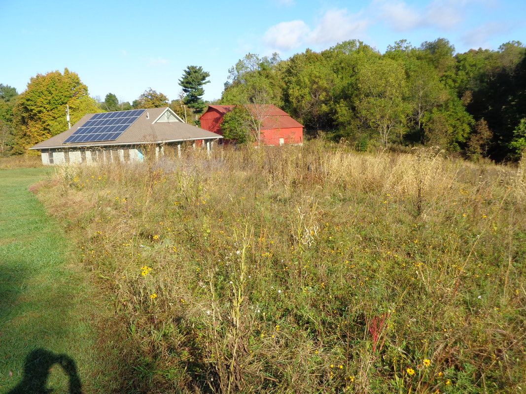
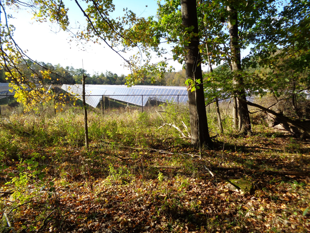
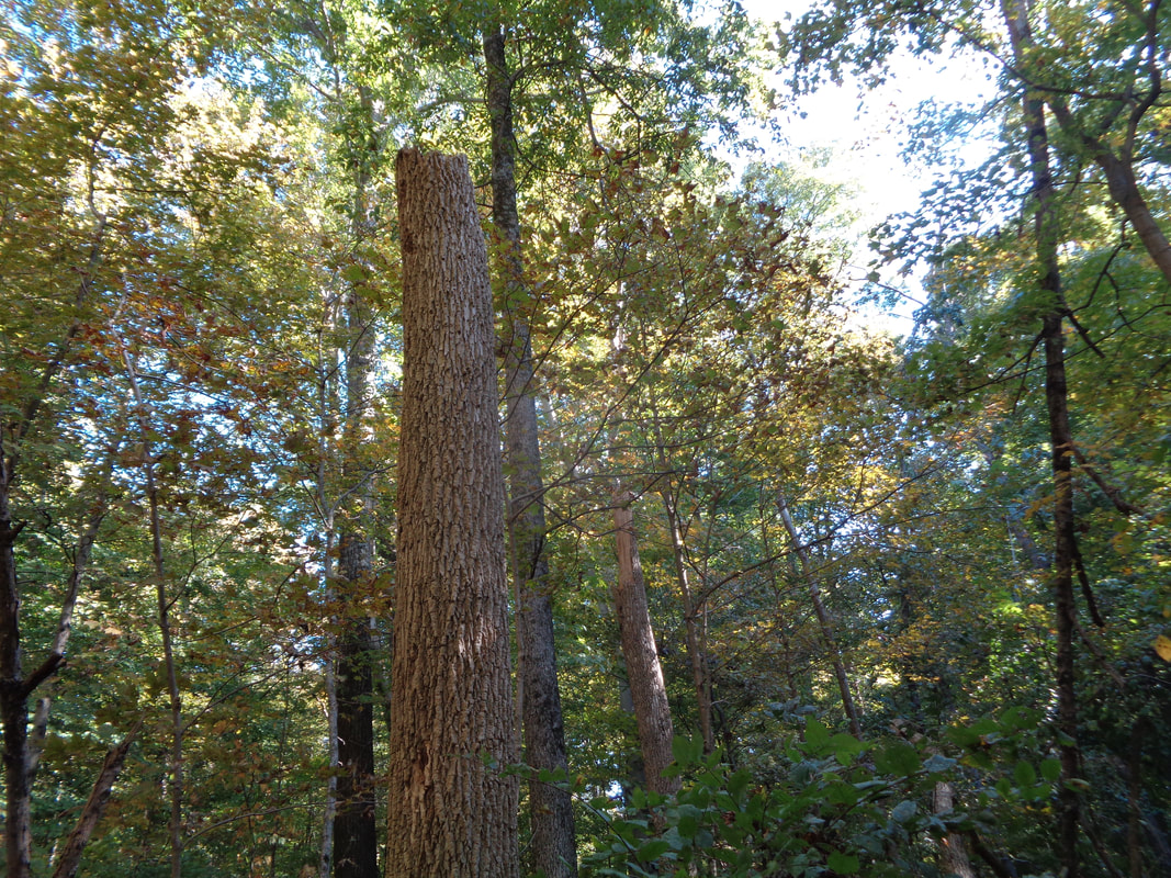
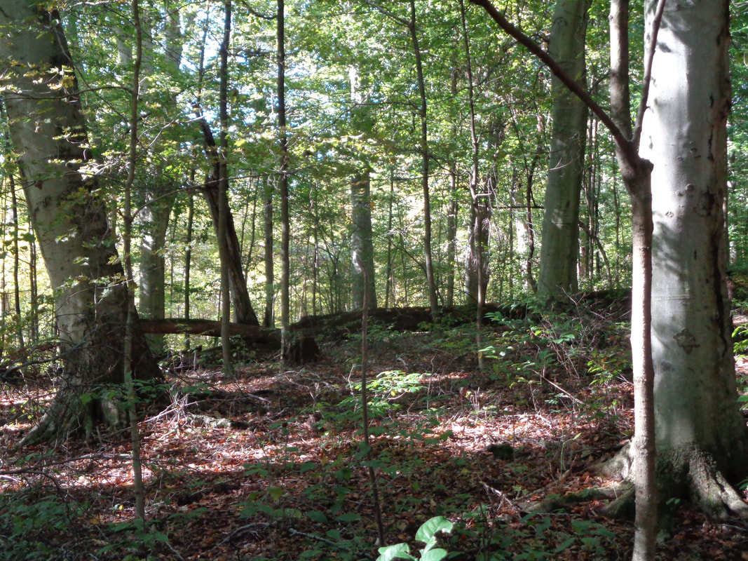
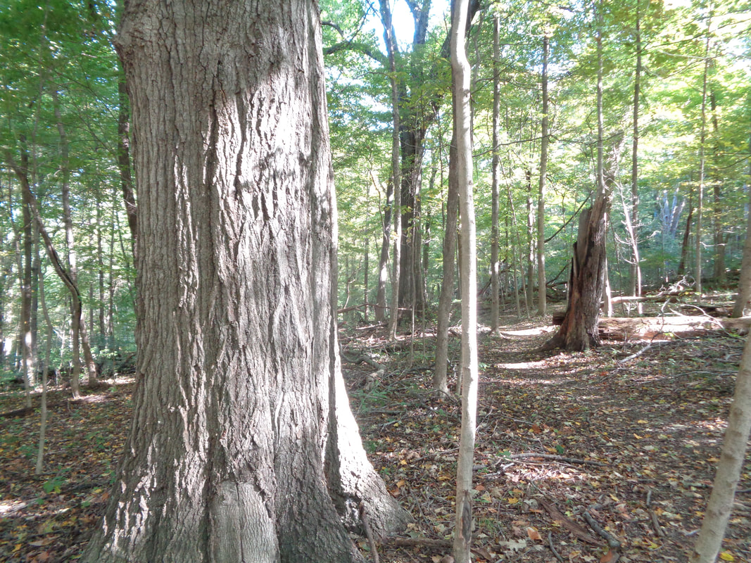
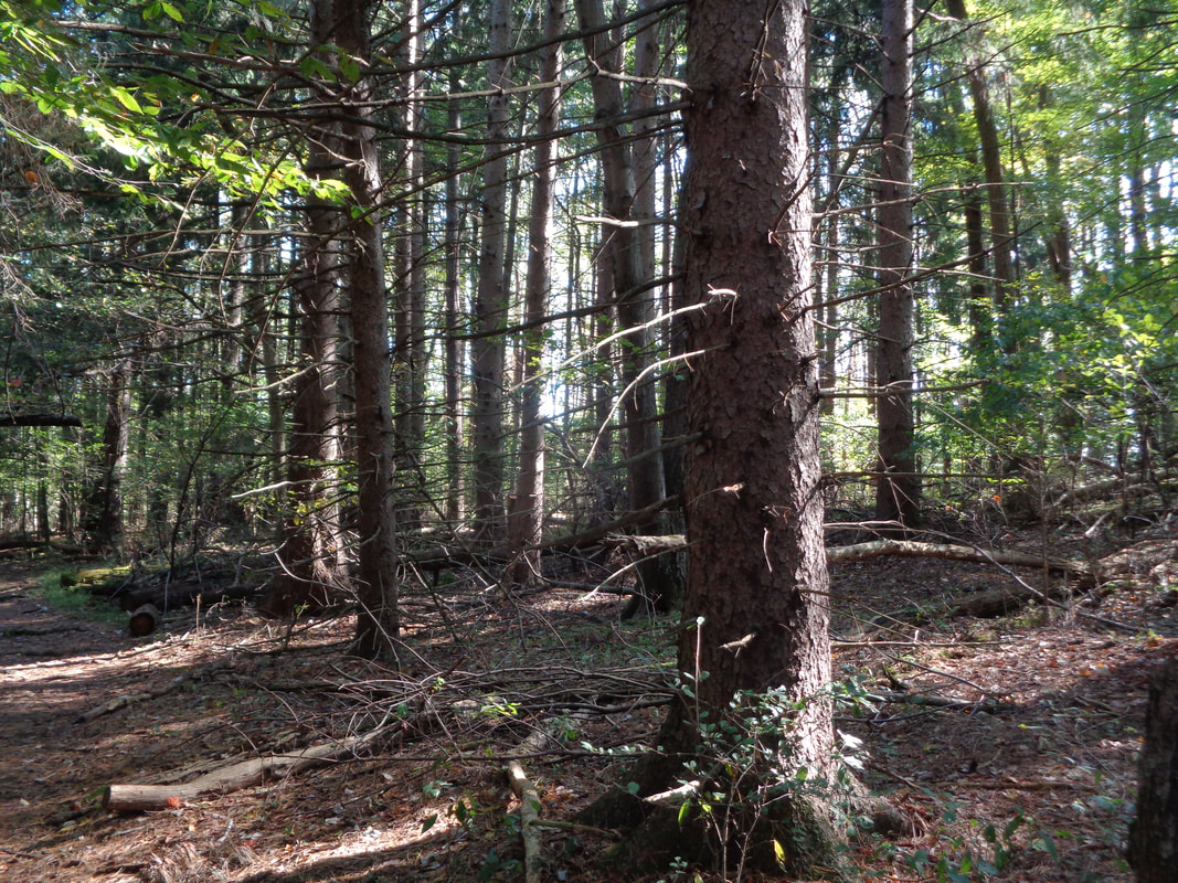
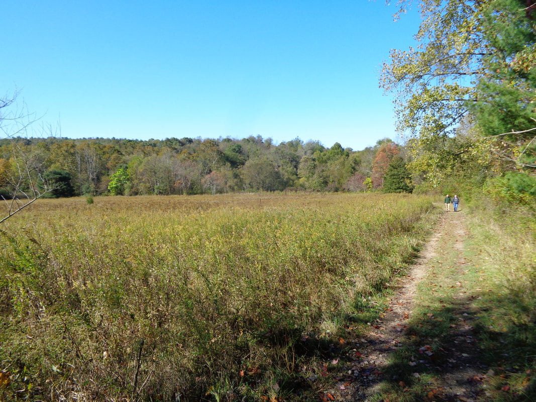
After Thursday's ride, I met a few long time cycling friends in Dublin on Friday evening. Prior to that, I spent the day in my woods. 20+ years ago this was a field before I planted 500 trees, mostly red oaks. I have an emotional attachment to the land and enjoy cutting dead trees, splitting and stacking the wood to be burned by others in the winter. Vegetation grows rapidly during the summer so it is also fun to clear the paths and burn the brush. Stella is alerted to the sound of something scurrying in the brush. On Saturday, I made a couple of visits to..... ….the Denison University Bio Reserve. On these acres are many miles of trails through mature stands of various trees. At the edge of a field, a few years ago...... ….over 70 (I was sickened by it and counted them several times) very mature trees, some over 200 years old, were cut down to make room for a solar farm. Had a fracking platform gone in the college students would have staked themselves to the trees but for a solar farm, just trees, no big deal. The invasion of the Emerald Ash Borer, originally arrived from China in wooden pallets, has moved east and in its wake, practically every ash tree has died. Plenty of evidence of what once was but fortunately..... ….the woods are full of other species like wonderful, old Beech and some of the.... …..largest red oaks I have seen. There are also sections of pines and so the variety of the place is amazing. It's easy to put in a 6 mile hike without repeating any trails while the hills will quicken your heart rate. It was odd to hike or better yet, trail run, without having to look for rattlesnakes. Granville, OH, check it out.
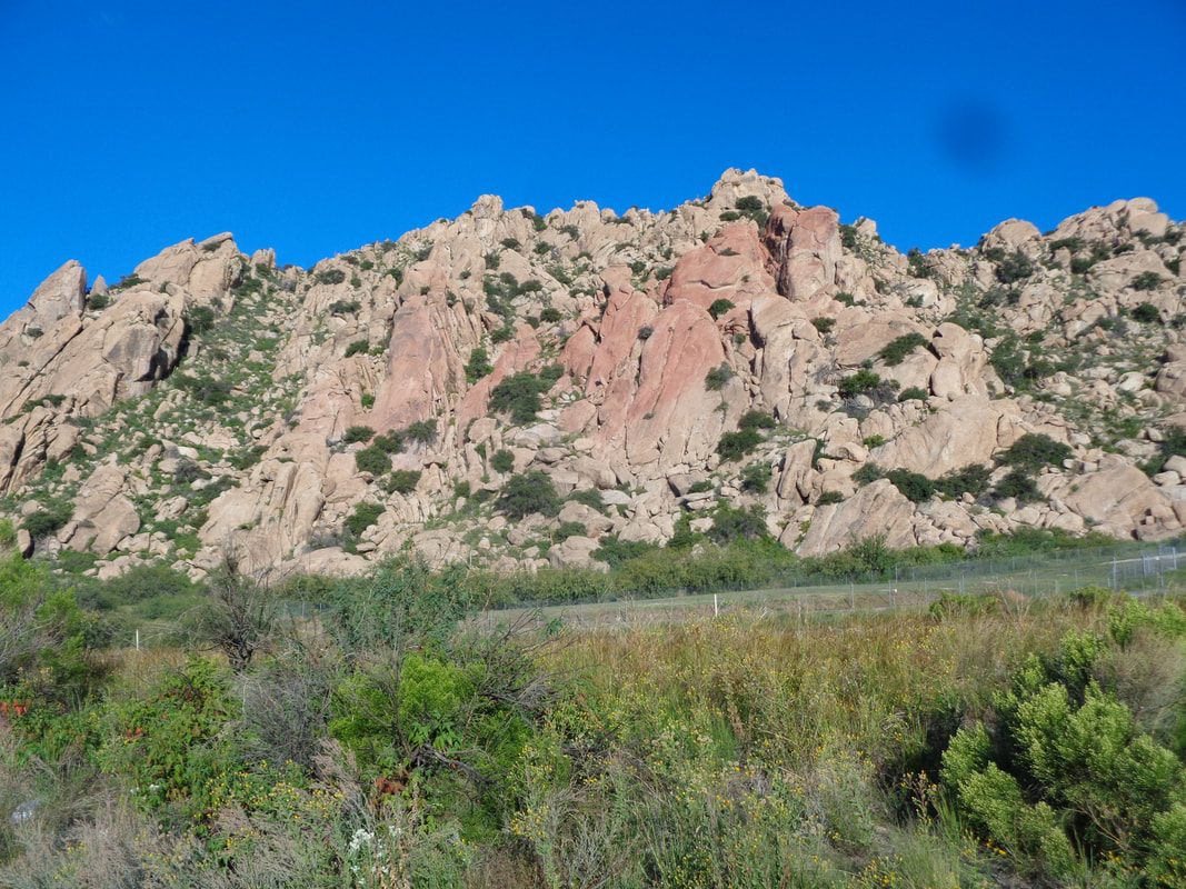
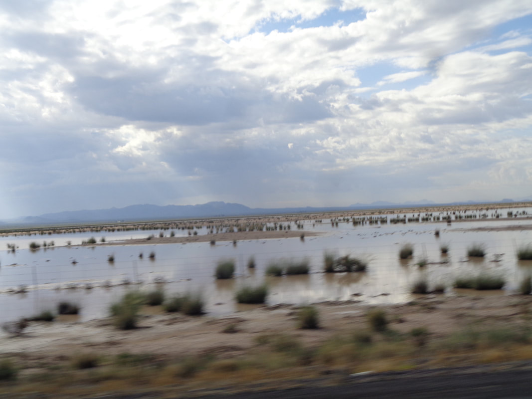
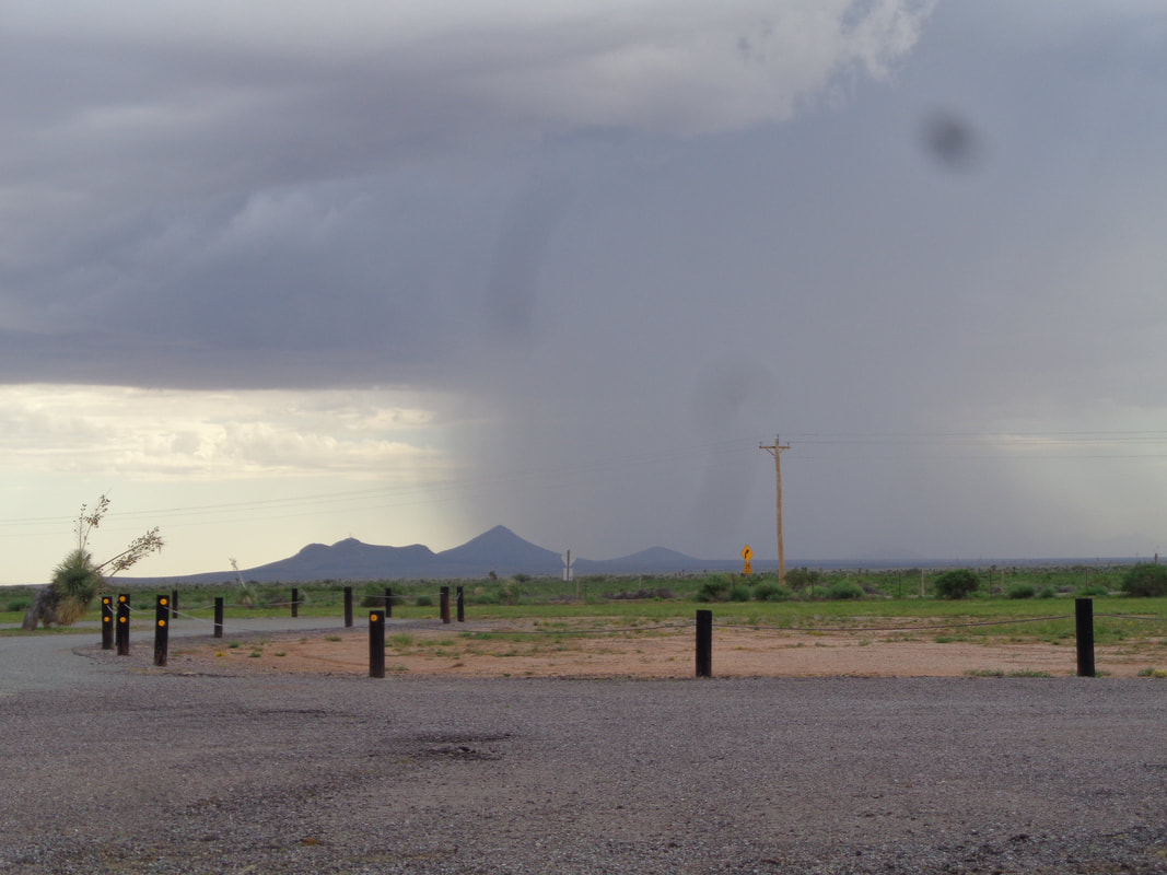
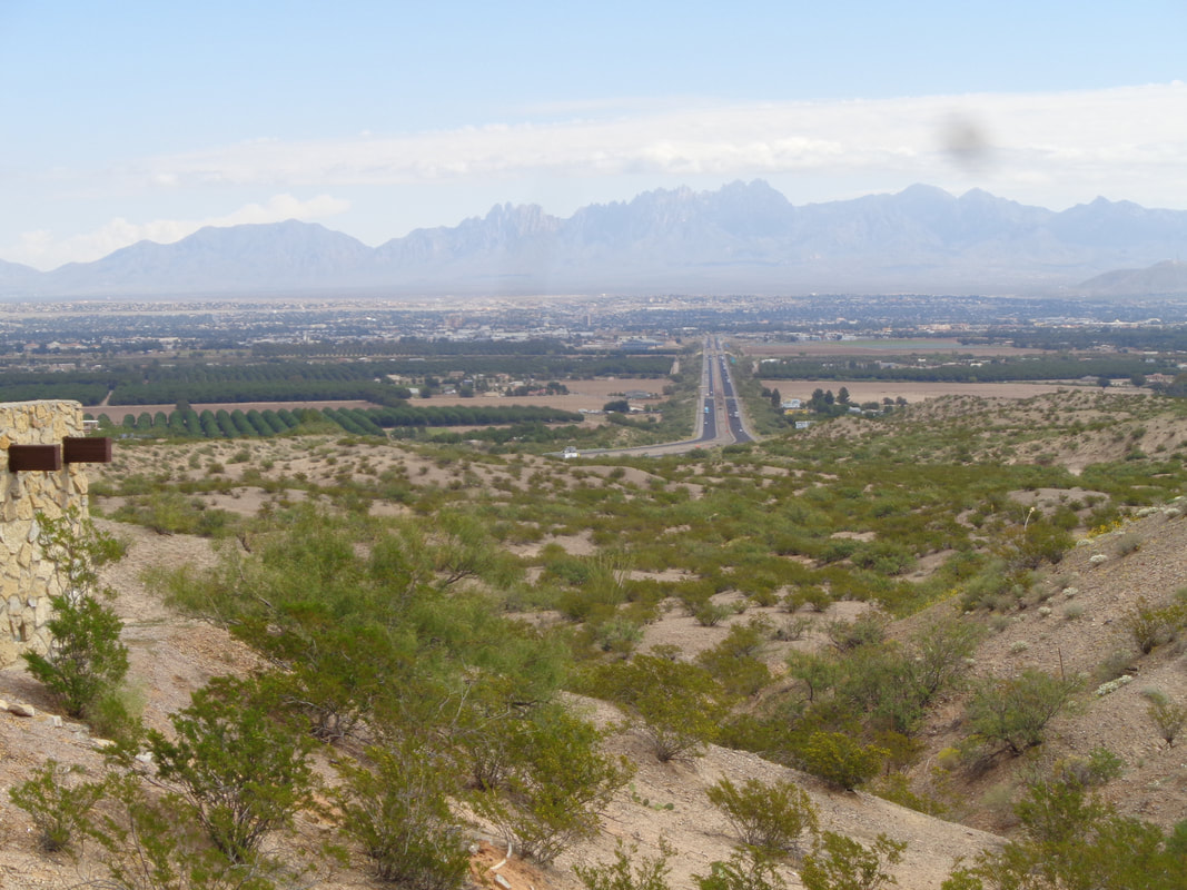
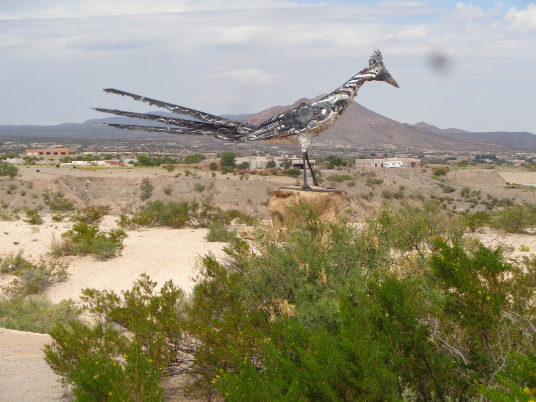
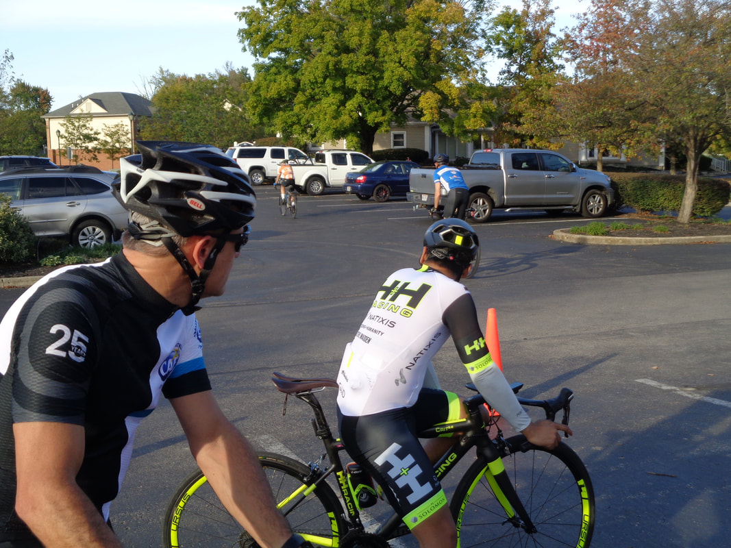
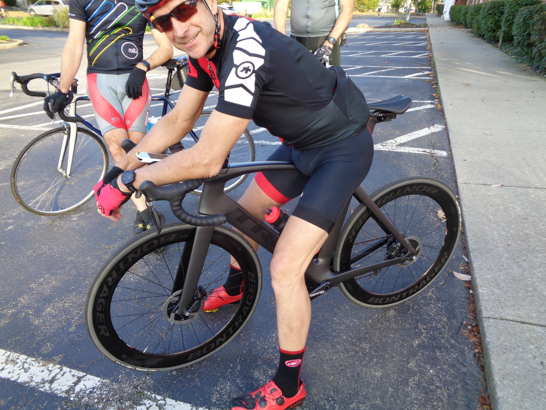
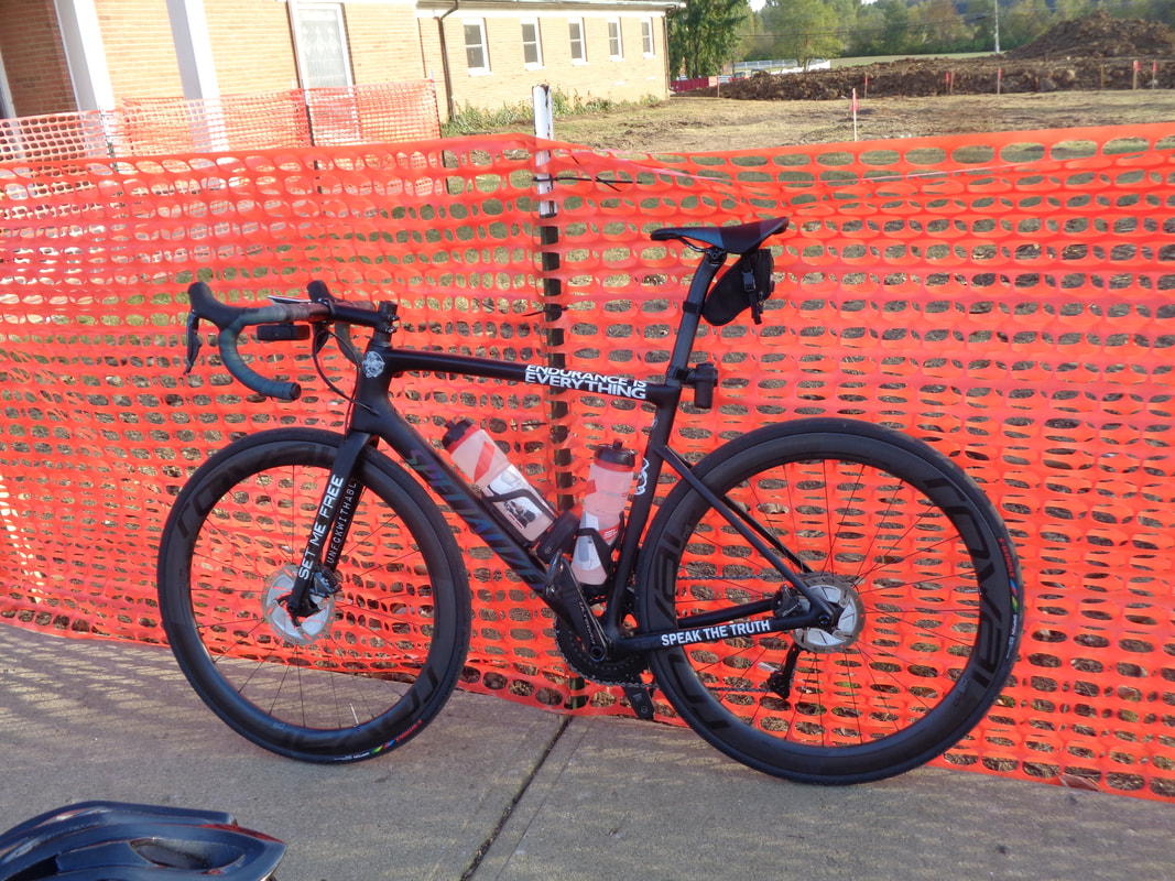
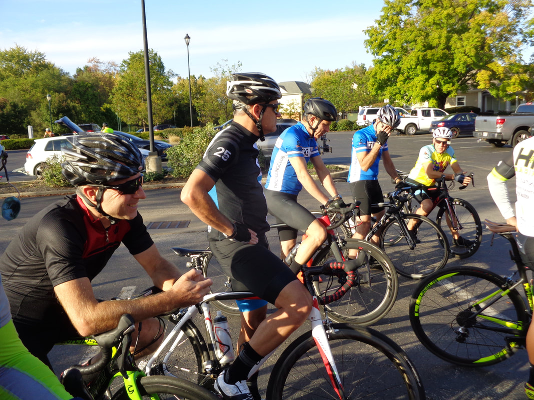
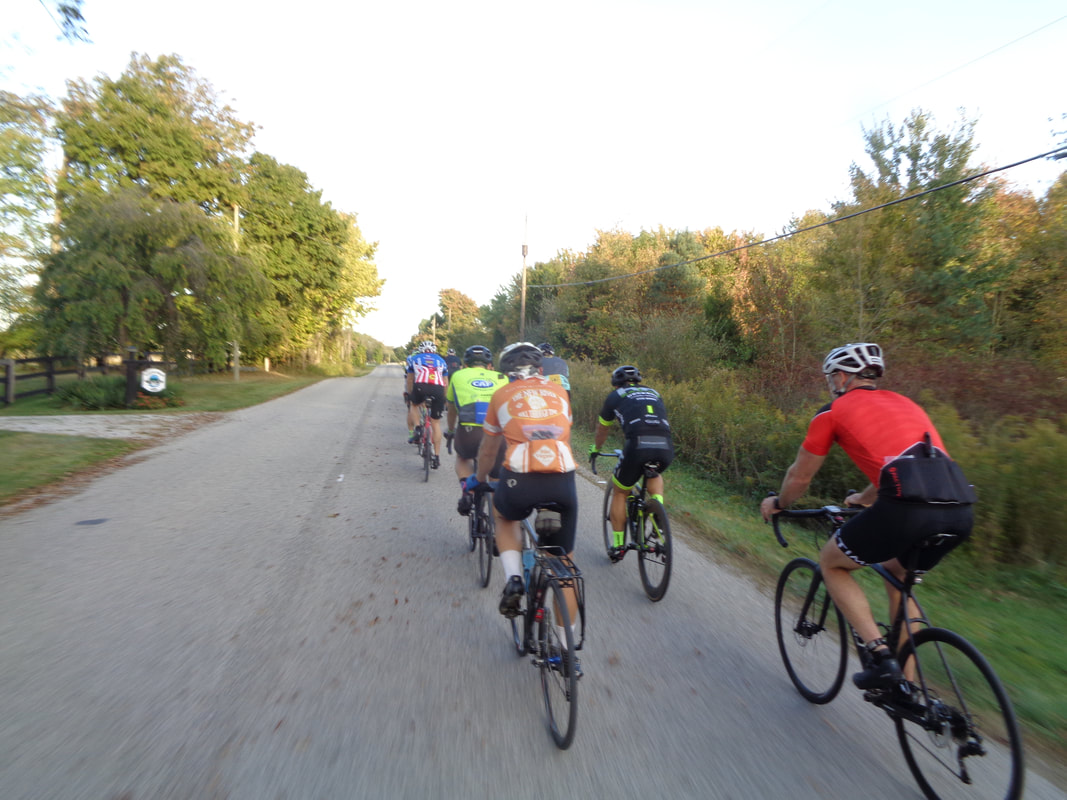
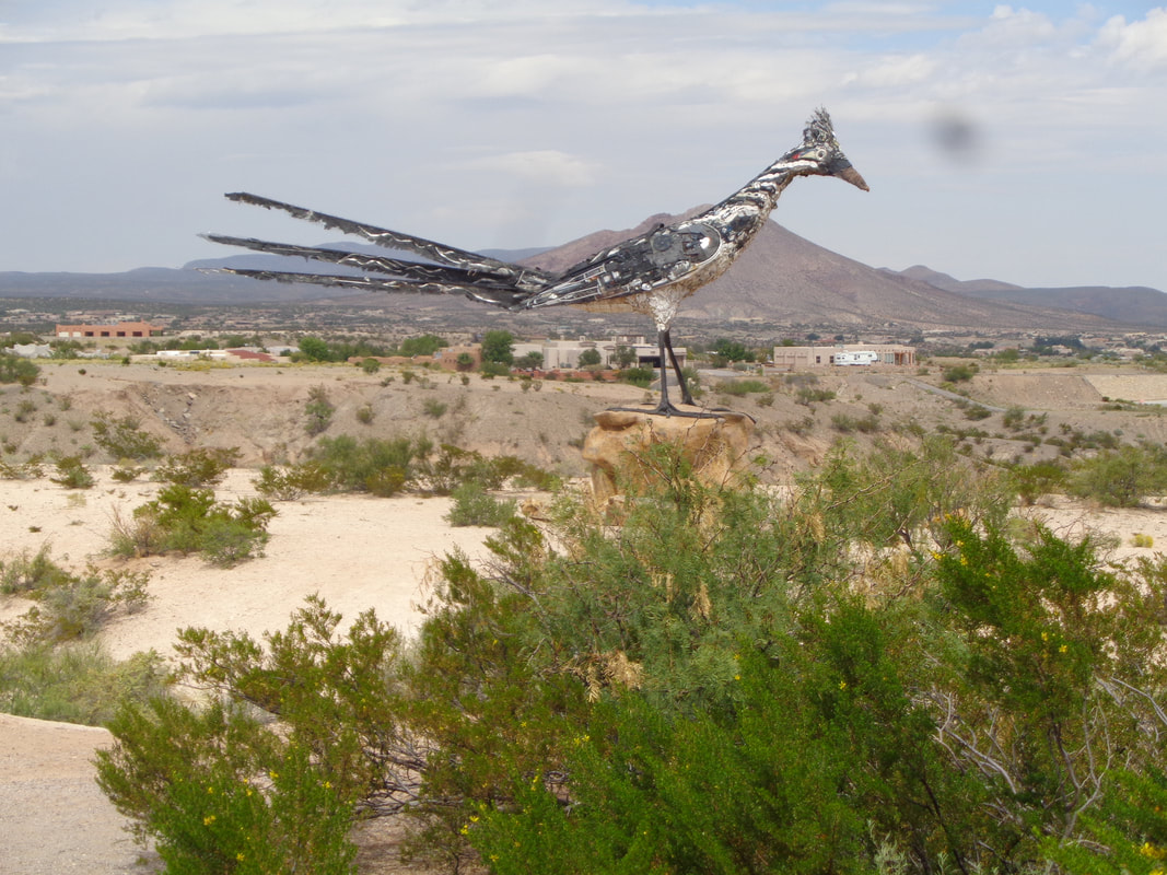
The sun lights the sky behind my beloved Catalina mountains. It is 6am and I have jettisoned reason so I have flexibility. I am driving to Ohio, all 29 hours of it, with my bike, taking it to Rick Miller so he can fix what two Tucson bike shops could not. An interesting rock formation as I head east on I-10. Farther east, lot of standing water indicates this area, famous for spawning dust storms, won't be active for awhile. A rain cloud in the distance but it avoided me as I enter.... …..NM and take a pic of this neat view and also of..... ….a large Roadrunner statue. I'm cutting it close but I arrive..... ….in Ohio on Thursday late afternoon to jump in for the final Cycling Club evening group ride. Only 27 come out, down from the 70-90 cyclists during the peak of the season. Central Ohio has a very strong cycling community. Hundreds and hundreds of lonely country roads that stitch together small communities and farms. The route variety is awesome with steep, punchy hills to the northeast, east and southeast, flat land to the west. If only the weather wasn't so awful but there is the trade-off. The race for a better bike is constant among all of us and Scott Billman has an especially nice one. So too does Chris I, who had a variety of custom decals made for his. Cycling buddy Larry P in the foreground with John and Jon next to him. Only two groups head out, a Rivet/A mix and then.... …..an A/B mix. My fitness being less than ideal since I am coming out of my "off season" I hoped to hang on and did, finishing the 28 miles with a 19.9 average. Always amazed at how much a difference group riding has on the cycling average. A combination of drafting and motivation to stay in the group. Andrew Clayton on the left, counting down the days until he heads south to FL for the winter. There is another trade-off, great winter weather, a much closer drive but the roads are, for me, flat and boring. I decided to ship my spare road bike to Ohio where I friend will store it so I can fly rather than drive. Will never make that drive again, honest.
I drove rather than flew to Ohio for a visit to check on family, friends and property. Each time I drive I swear I will never do it again yet here I go again. Taking my road bike with me so the guy who build it could do what two shops in Tucson failed to do (he did it!). The diagnosis really makes you wonder how lacking in skill are the mechanics at the shops. Anyway, left the sun and warmth of AZ for..... ….the sun and warmth of Ohio until a front came through and left clouds and cold. More to come.
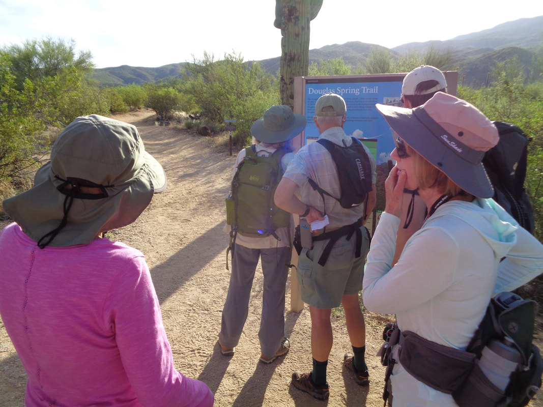
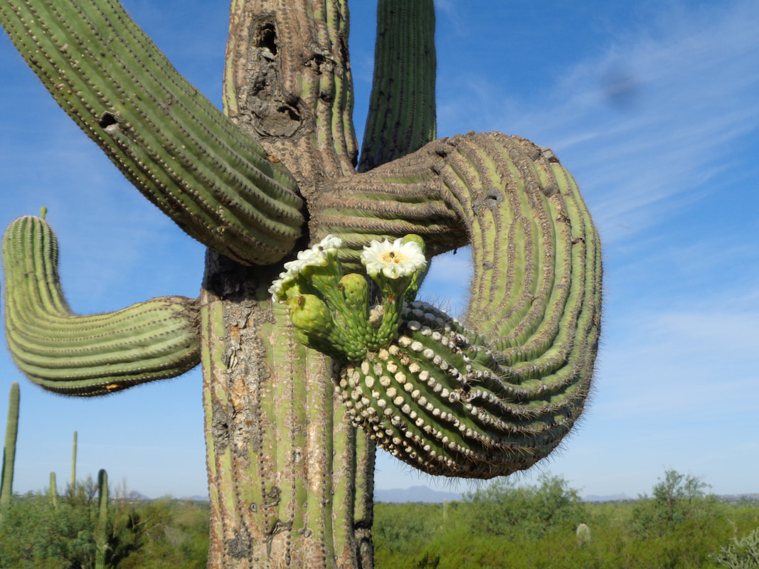
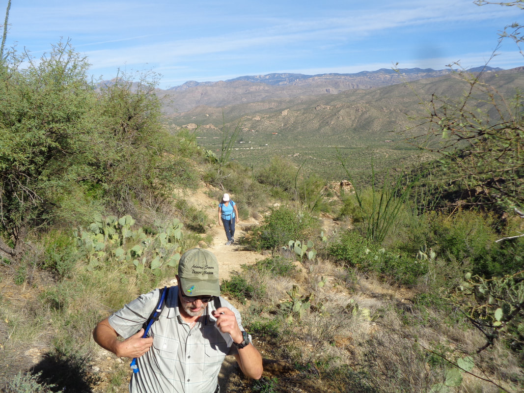
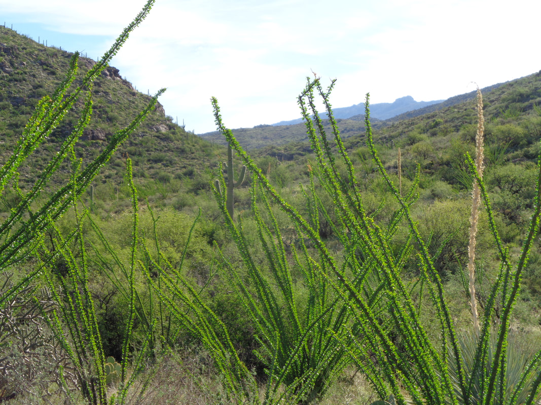
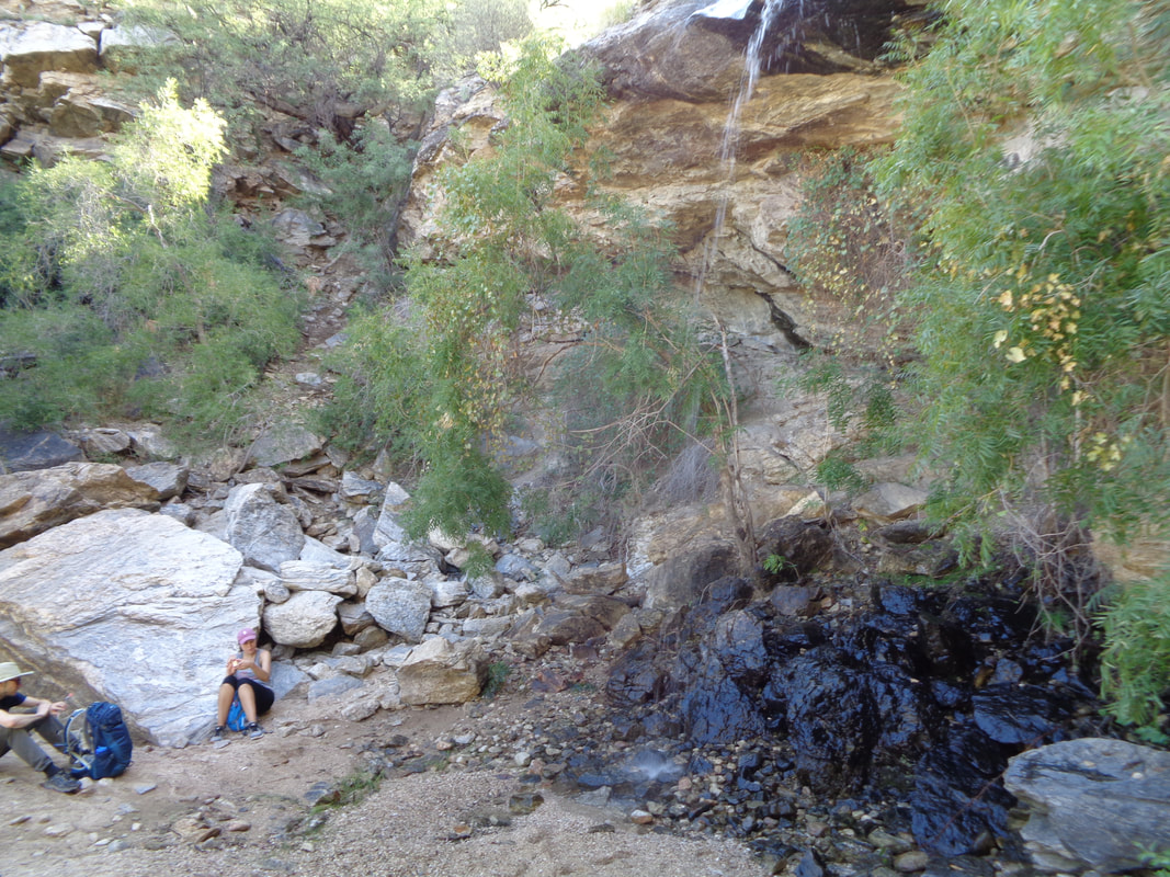
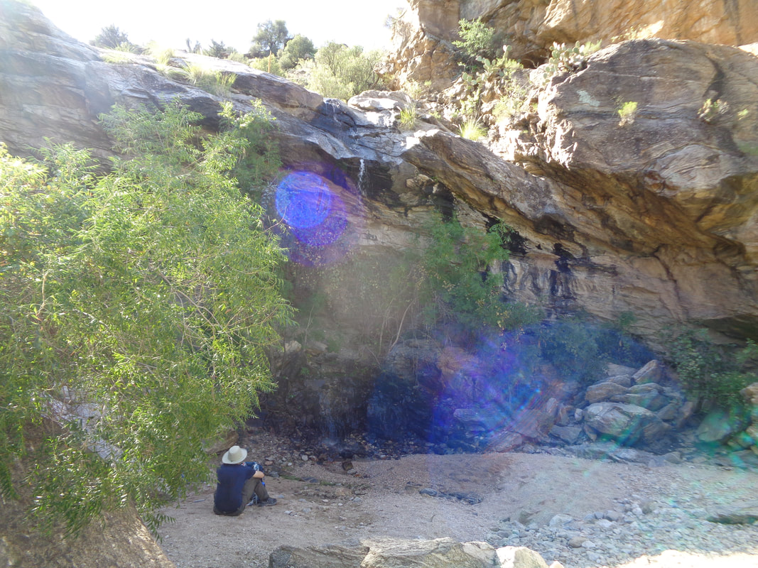
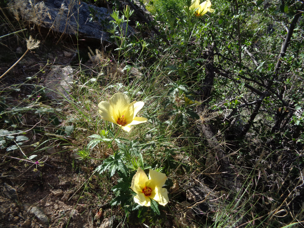
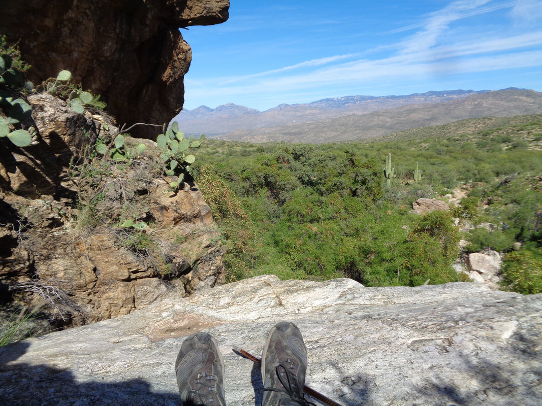
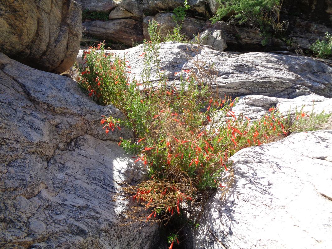
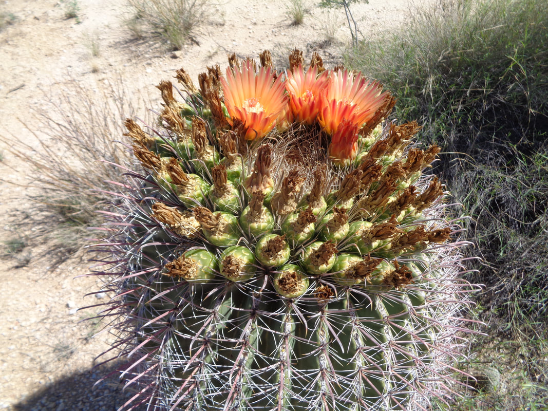
The day after the Sky Island ride, I joined a group of hikers at the Douglas Springs trail head on the far east side of Tucson, part of Saguaro East National Park. The pace was promoted as being medium slow so I knew what to expect and that would be ok after the previous day's ride. Early on our 3.5 mile hike to the falls, we passed this saguaro in bloom. We began rising above the valley. Since Tucson is surrounded by 4 major mountain ranges and a number of smaller, I'd be hard pressed to think of a hike that does not require an ascent. The Ocotillo have gained their green petals and it won't be long before red flowers adorn the ends of these whip like canes. OK, so the pace got to me after awhile and I took off, arriving at the falls where there were only two other hikers. Prior to the start of the hike dozens of people had entered the trail system and I assumed most had this as their destination but nope. The flow of water was small but still a pretty spot. I climbed above the falls via a faint trail on the left side and above..... ….there were some flowers in bloom as I.... ….sat in the shade, ate, drank and watched for a sign of my hiking companions. They soon arrived and rested at the foot of the falls. I explored some more.... ...found some more flowers, climbed down and rejoined the group After a short break, we began the return..... …...passing this barrel cactus, among many others, also blooming. The fall in AZ is spectacular.
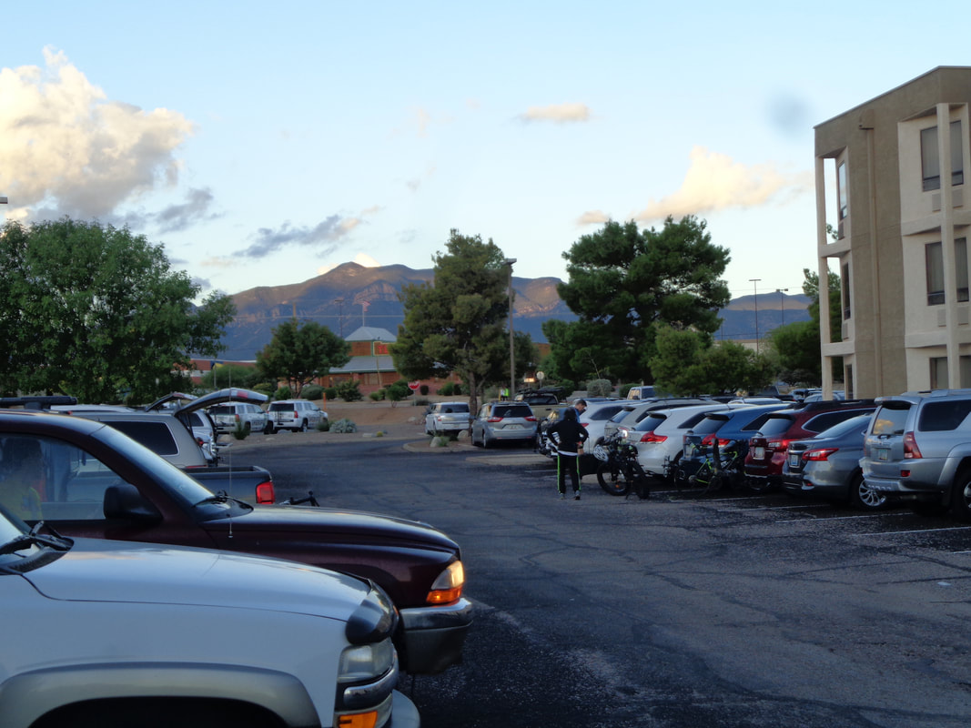
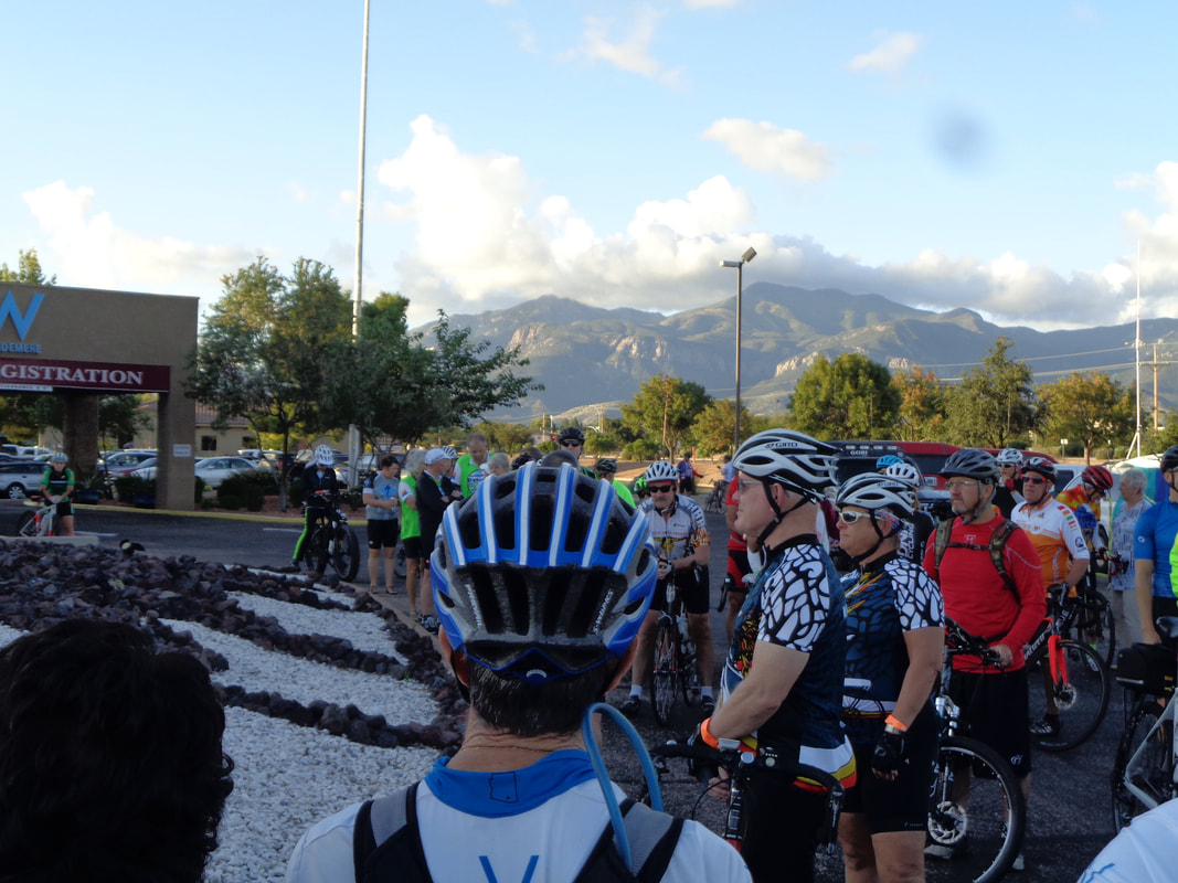
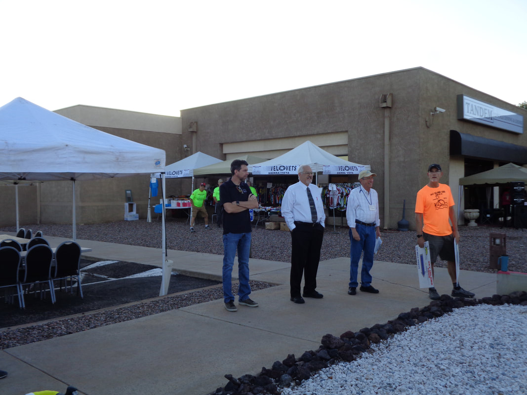
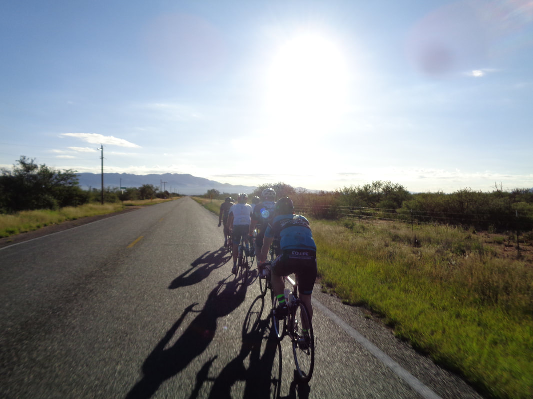
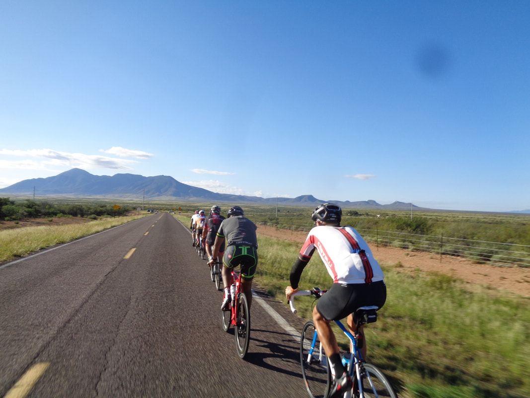
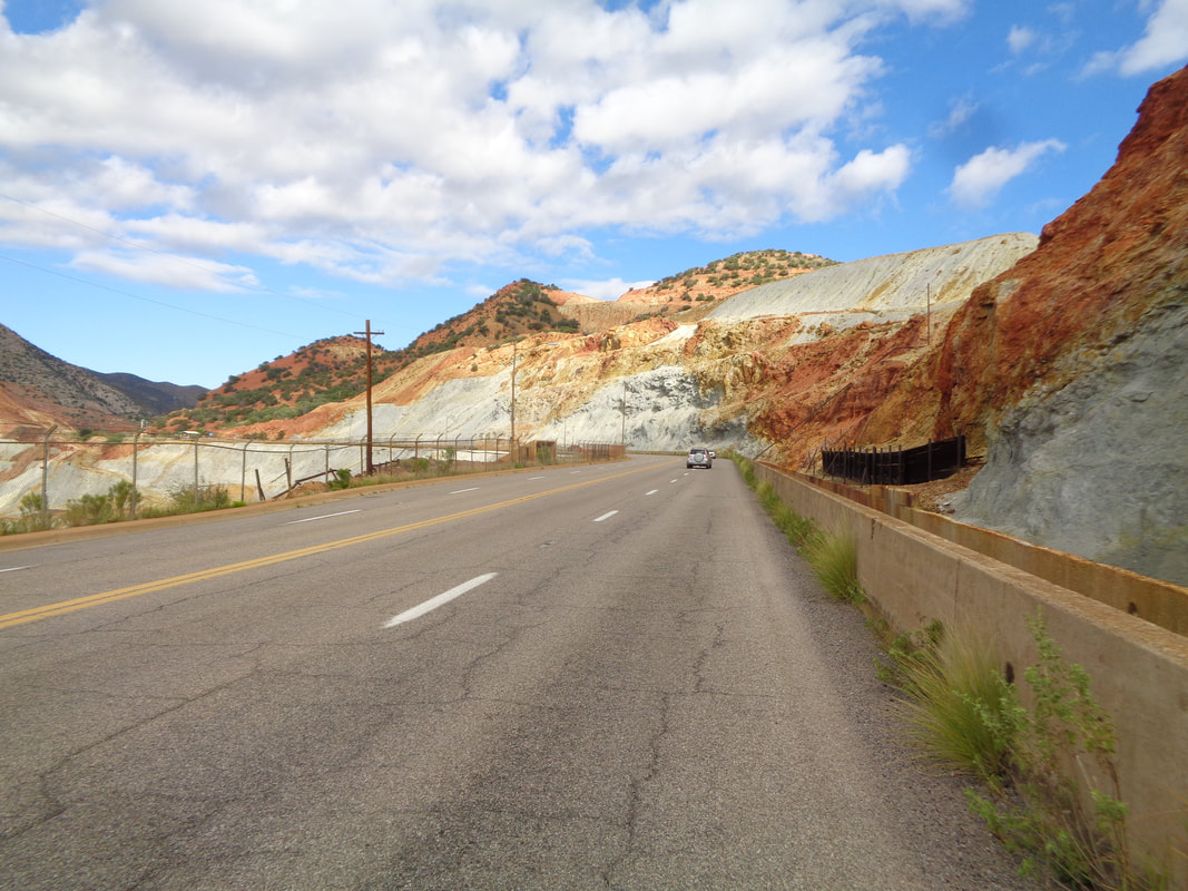
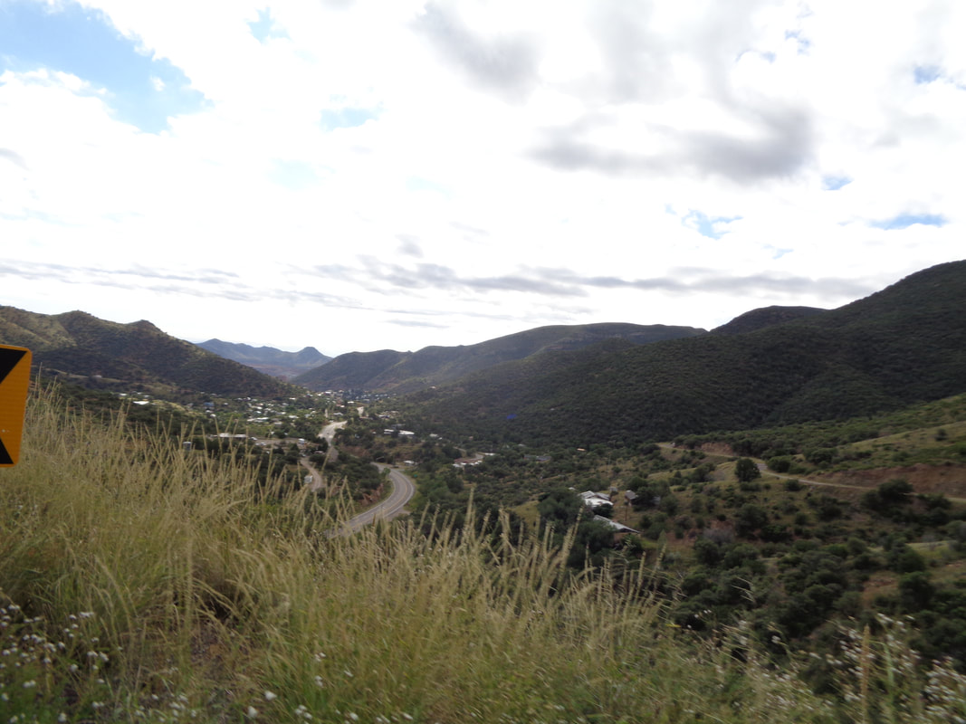
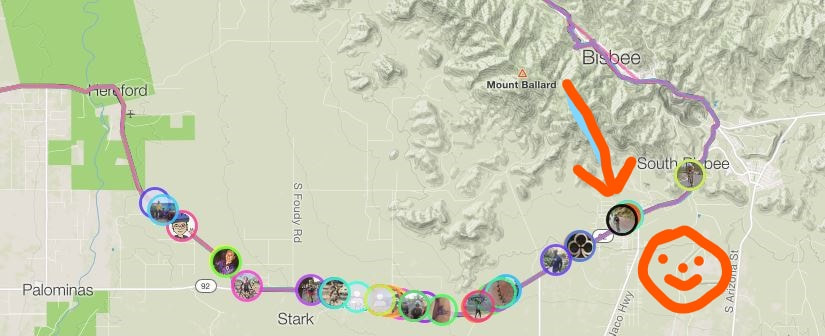
Although Sierra Vista is only about a 90 minute drive from Oro Valley, the 7am start kind of required me to stay at a hotel. The sun has just risen as participants gather in the parking lot of the host hotel. A much smaller turnout then what I witnessed for the Wilcox Flyer about a month ago. This is the 4th annual event and should grow because they have a good route, which is a loop rather than the out/back in Wilcox. Approximately 200 cyclists came out. Check this out! The mayor of Sierra Vista (guy wearing the tie) made a few comments to the group. Also check out the ghastly orange T-shirt. That is what we received in our bag of goodies when I checked in on Friday. And we're off. We start on a bike path which was too narrow to safely improve one's position so I missed the front group. Emerging from the path and then navigating a neighborhood with too many speed bumps, I get in with a group of 9 which included a cycling friend from Oro Valley, Tricia. I almost got dropped on the first, modest climb of the day as the road headed toward a mountain but just before spitting the bit, I saw we were to make a turn away from the mountain which I correctly interpreted as the end of the climb. I...... ….recovered on the descent, barely survived another climb and then we experienced a glorious, 8 mile descent...yeehaw! Arriving at a bridge spanning the San Pedro River, I knew the gig was up and work would begin anew. The road rolled for a bit and then we began a 14 mile climb. I was going well until I wasn't and at mile 31, with a 21mph average, I had to drop anchor from the 4 who remained from the original group. The road finally stopped rising, dropped a little, rolled through a roundabout with plenty of volunteers to direct me onto the main road through Bisbee which has a large copper mine at its entrance. Thus began a really hard climb of about 5 miles. I was lulled into a false sense of relief when I reached an exit and descended, assuming the climbing was finished but noooooo!!! The steepest was to come as the final mile via Old Divide Road averaged 7%. I wonder if the copper color or the month of October was the inspiration for the shirt giveaway? I reach the top of the climb and pause at a refueling station. Nice views into the valley and the town of Bisbee. Having upped my cycling miles for the month to over 600, my legs were in much better shape than what I had for the Wilcox ride. That I had stayed in the group for as long as I did shocked me but of course, leaving the group the average speed plummeted. But.... ….my position relative to my peers wasn't bad. I enjoyed a long descent prior to teaming up with another straggler for the final few miles, finishing with 62 miles, 3000' of climb and a 17.7 average speed. Well, back to hiking.
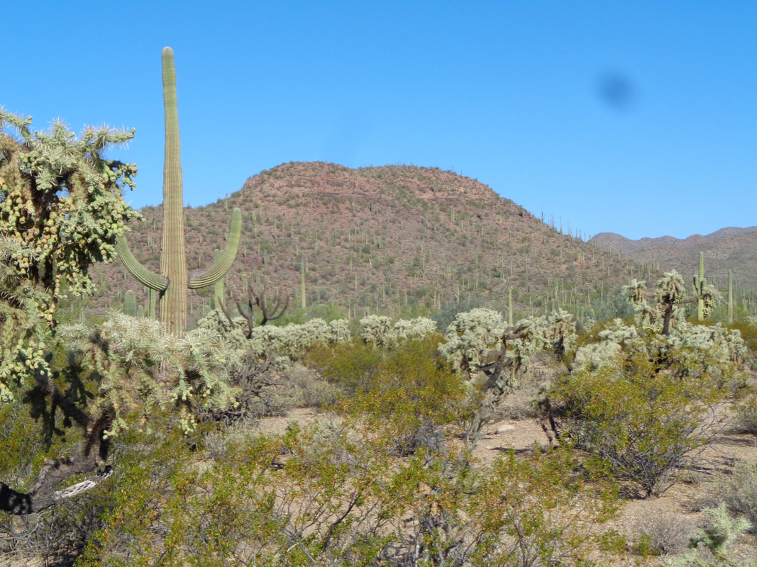
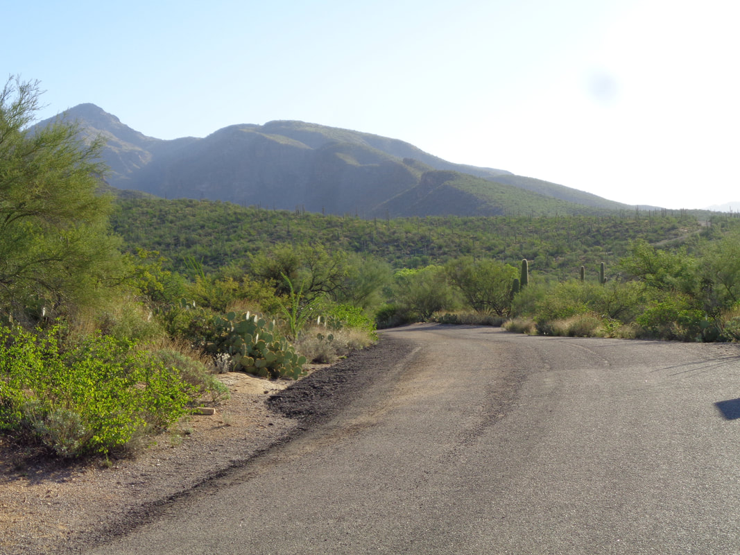
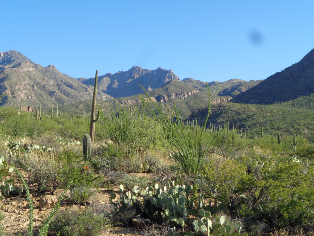
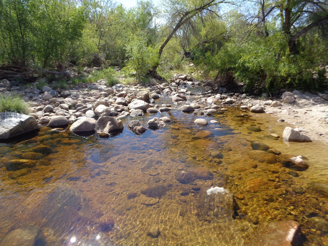
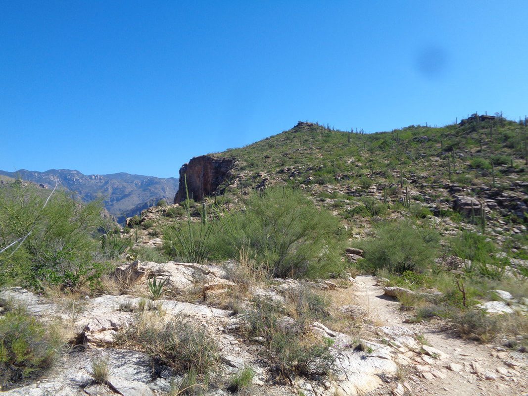
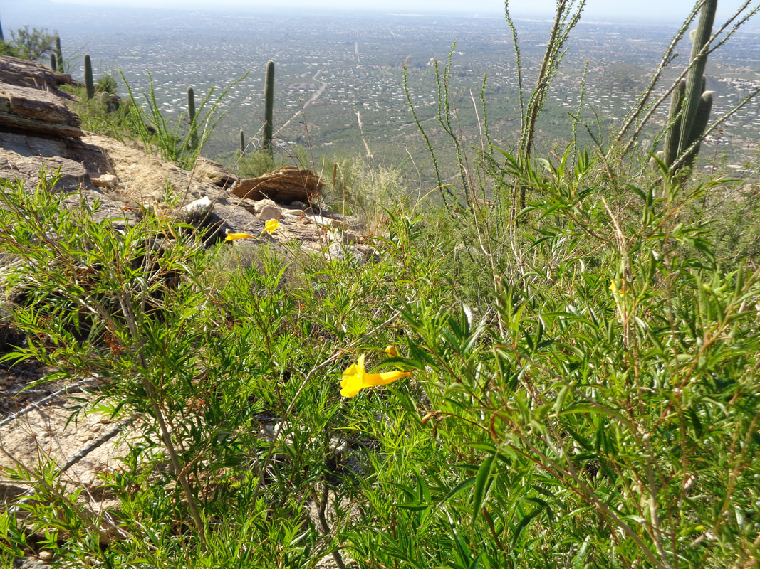
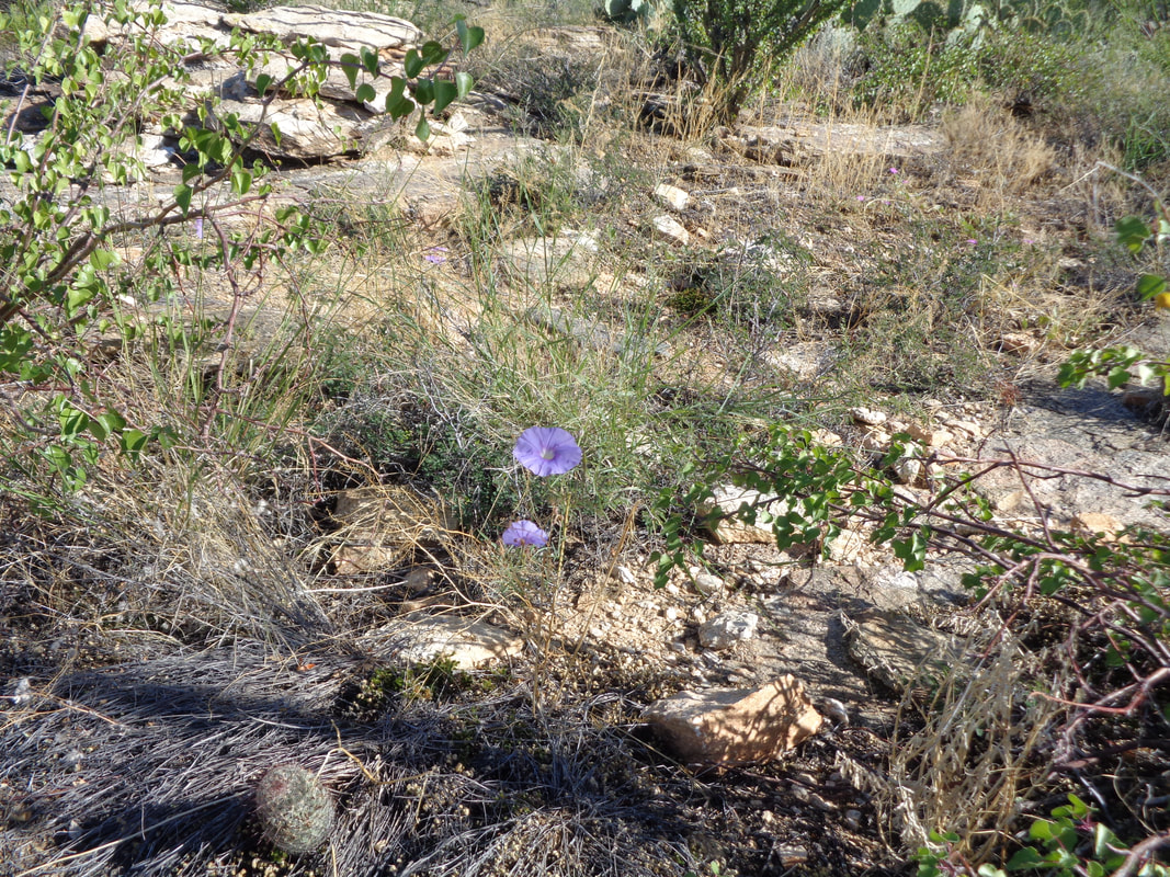
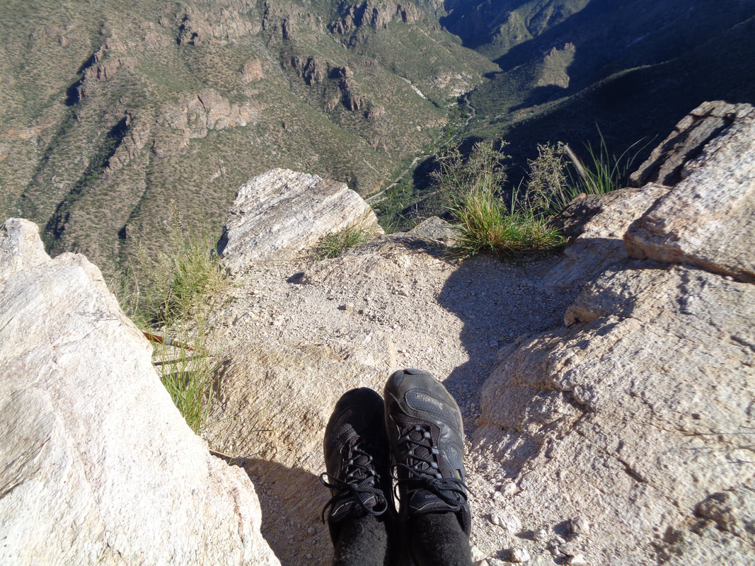
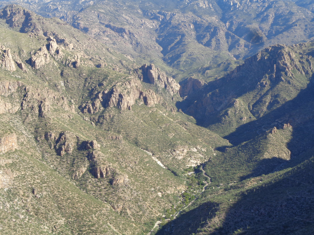
Whoa, too many activities backed up and I have gotten behind. Plus headed to the land of the Buckeyes, a week later than planned. Got to make this a quick report and hope the images satisfy as I need to drop more reports in short order. What is up with that little smudge in the upper right corner. Beautiful morning for the fitness hike to the top of Blackett's Ridge. From the parking lot, anything under an hour is a good time. My fastest is 51 minutes. The water is flowing from the recent rains as I cross the bridge and take the Phoneline Trail until it breaks left and then I pick up the very steep BR trail. The first mile is flat to rolling but once that aforementioned bridge is crossed, the next 2 miles has an average grade of 16% but seems much steeper. Flowers blooming...... …...in many places. Nearing the top..... ….yippee! What a great workout. Make it in 57:09. How did I ever get 51:06, which is 5th all time on Strava? The trail abruptly ends with a good view of Thimble Peak. Good views all around including looking..... ….into Sabino Canyon as I sit and rest. A better look of Sabino Canyon where I can see the new, electric shuttle buses taking lots of people to the end of the road. As I said, much more to come.
|
Categories
All
Archives
November 2023
|
