|
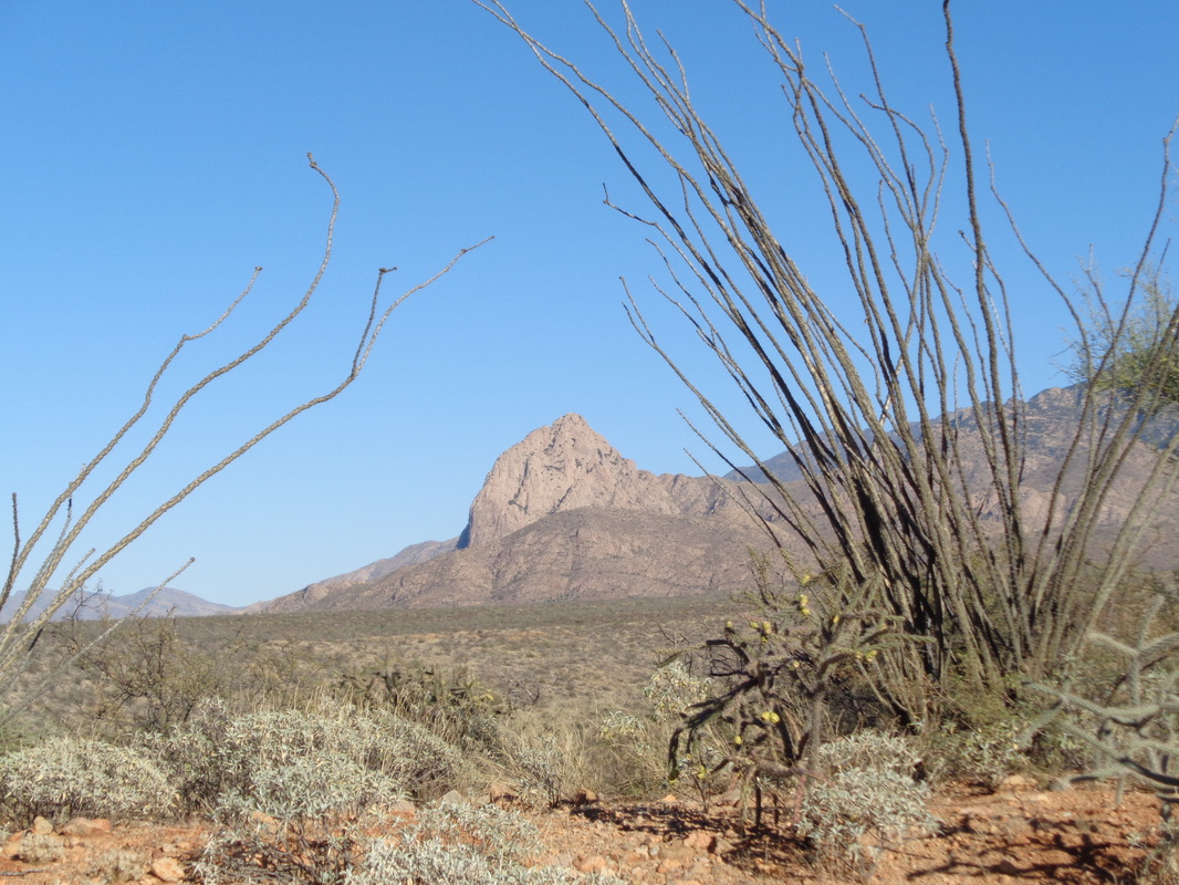
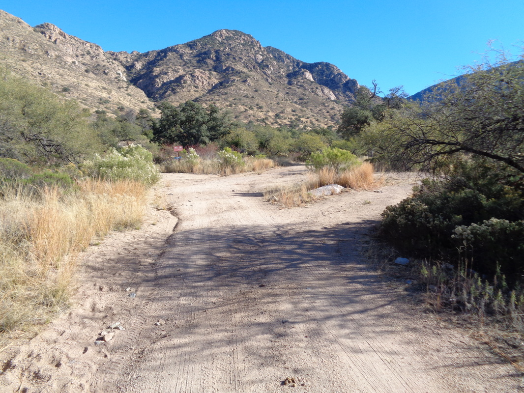
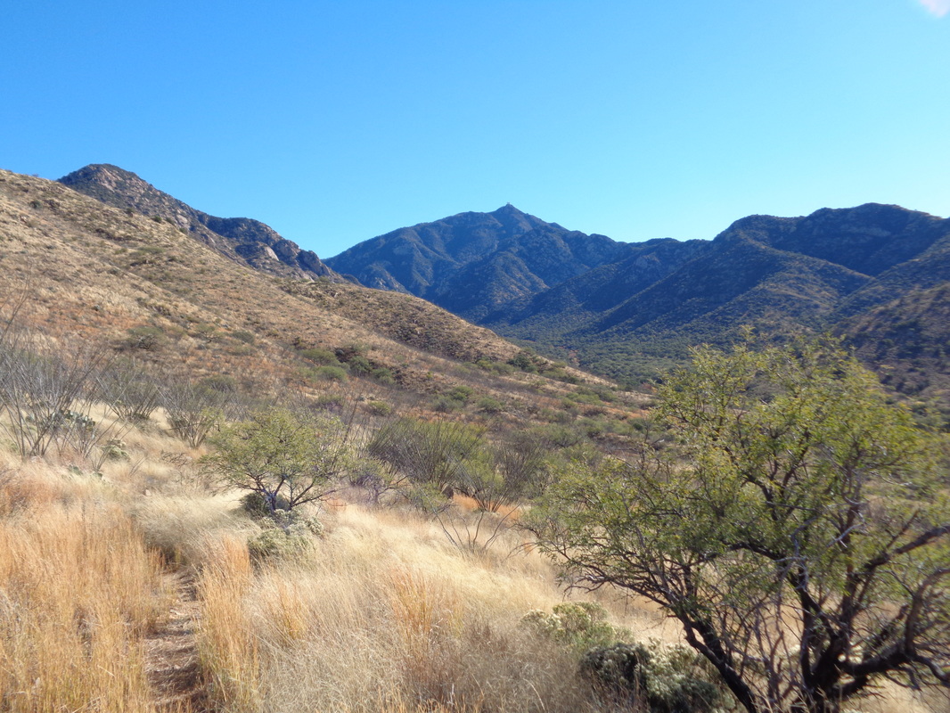
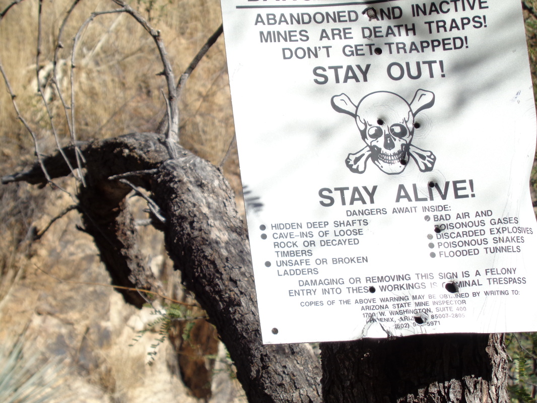
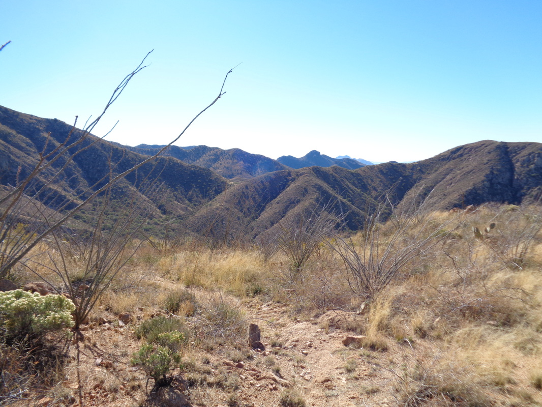
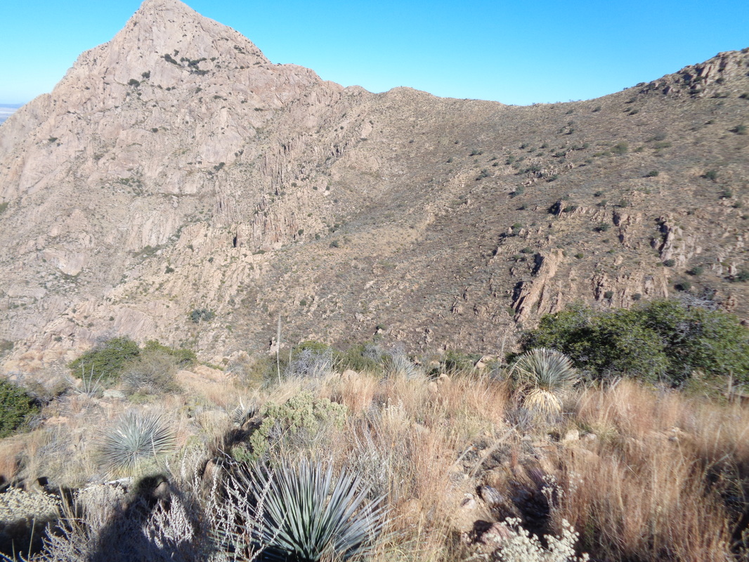
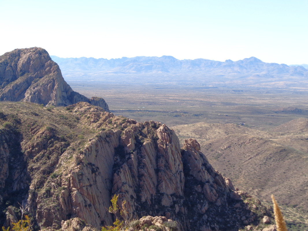
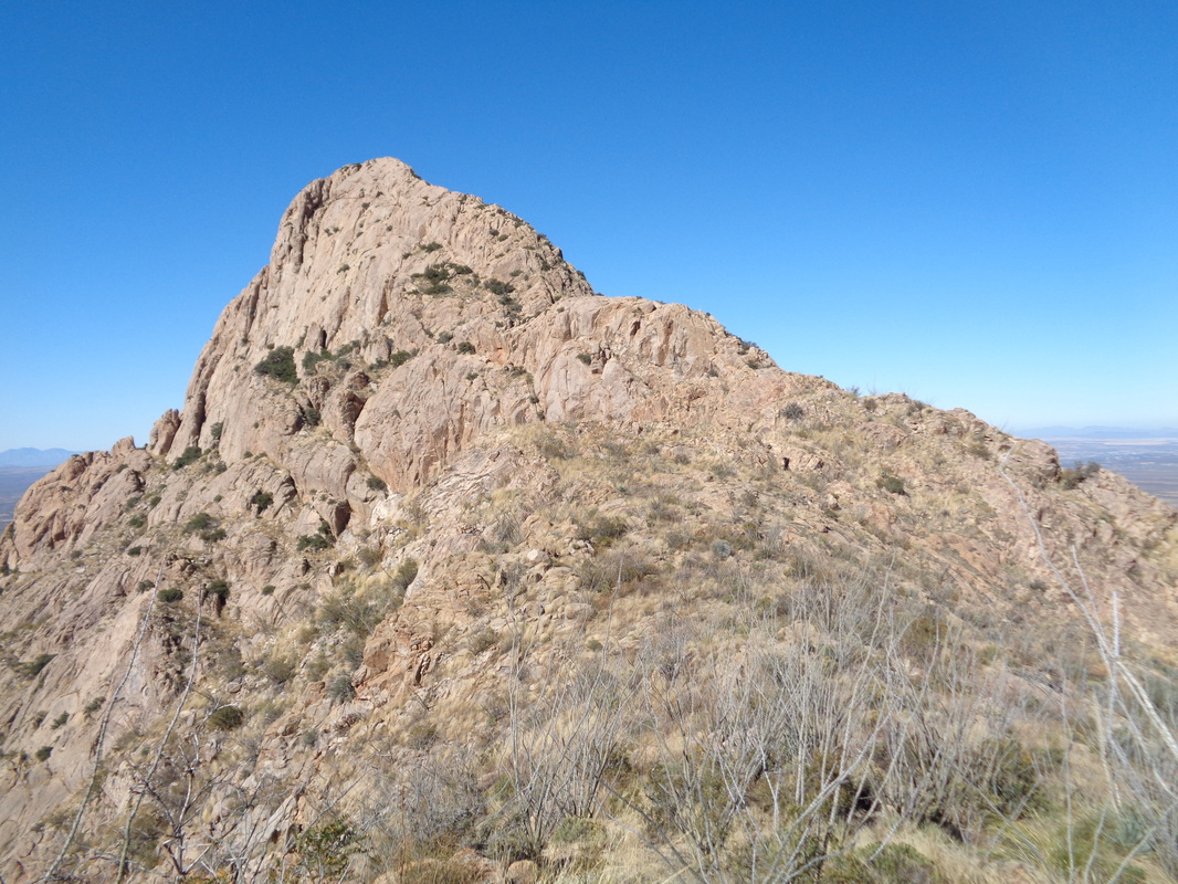
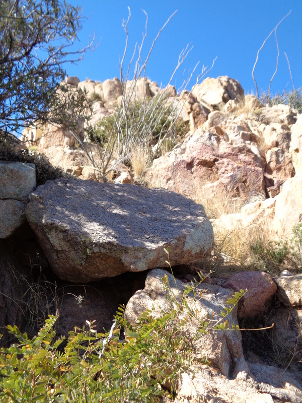
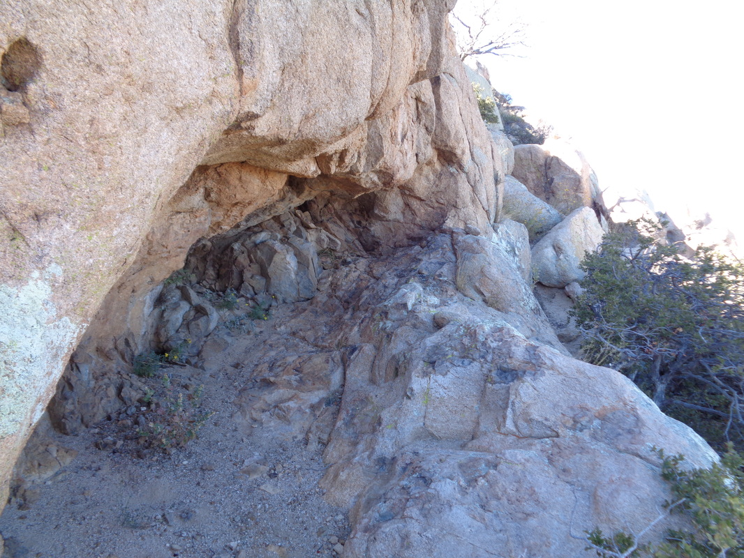
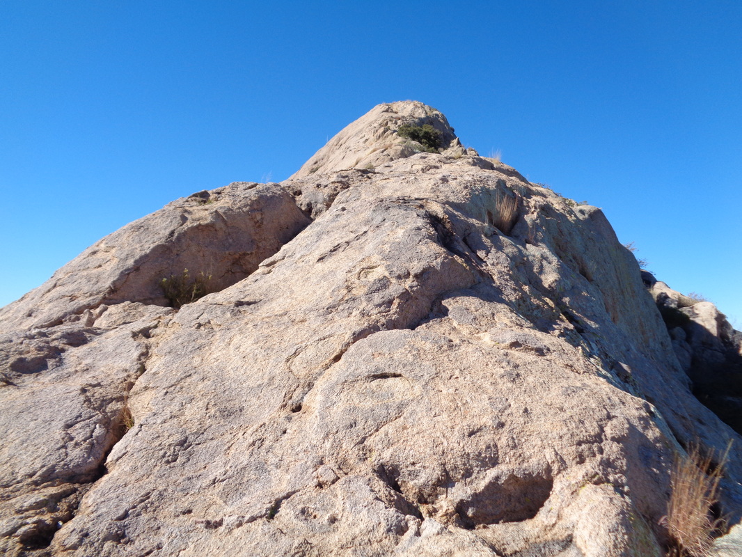
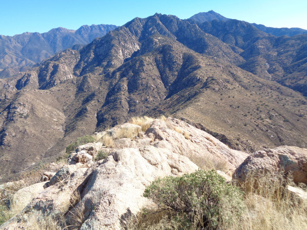
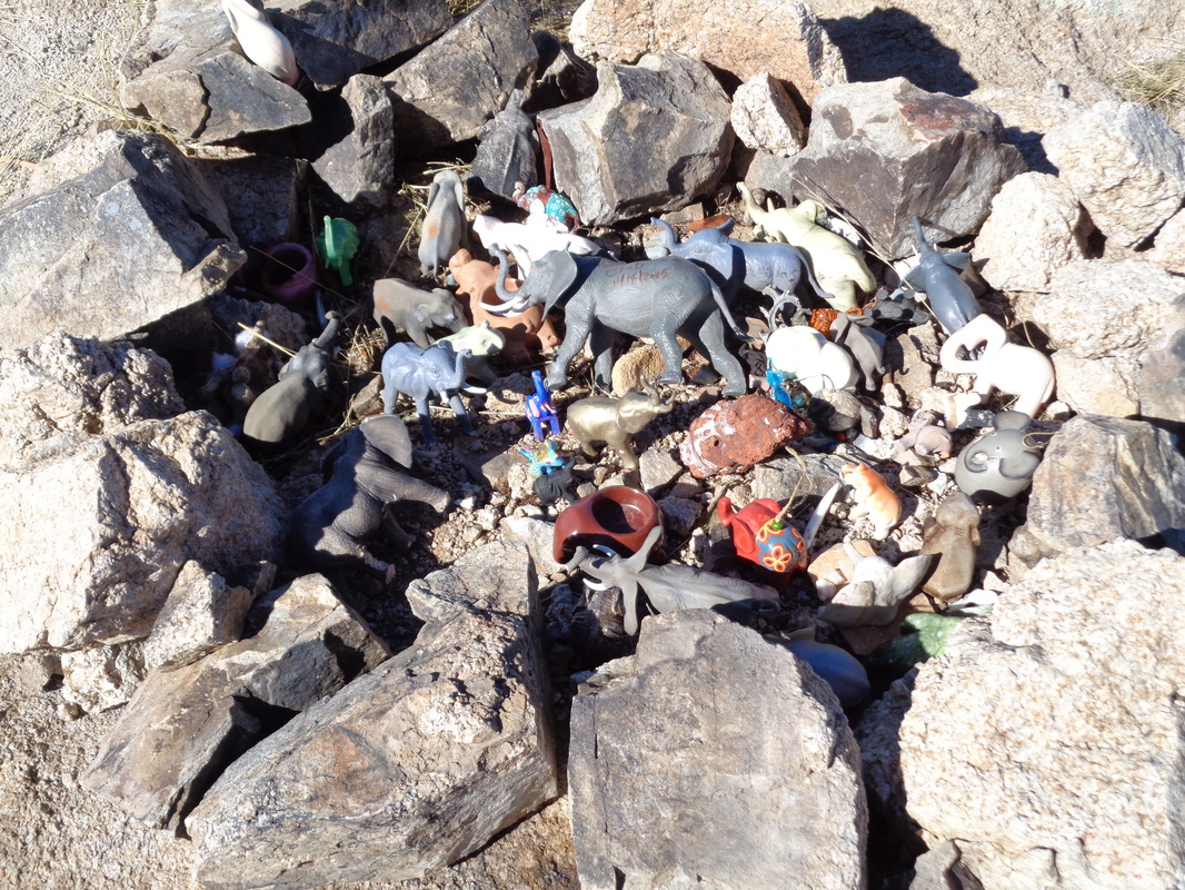
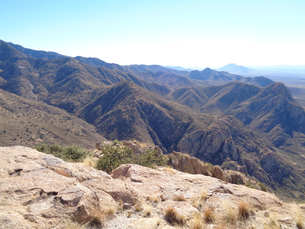
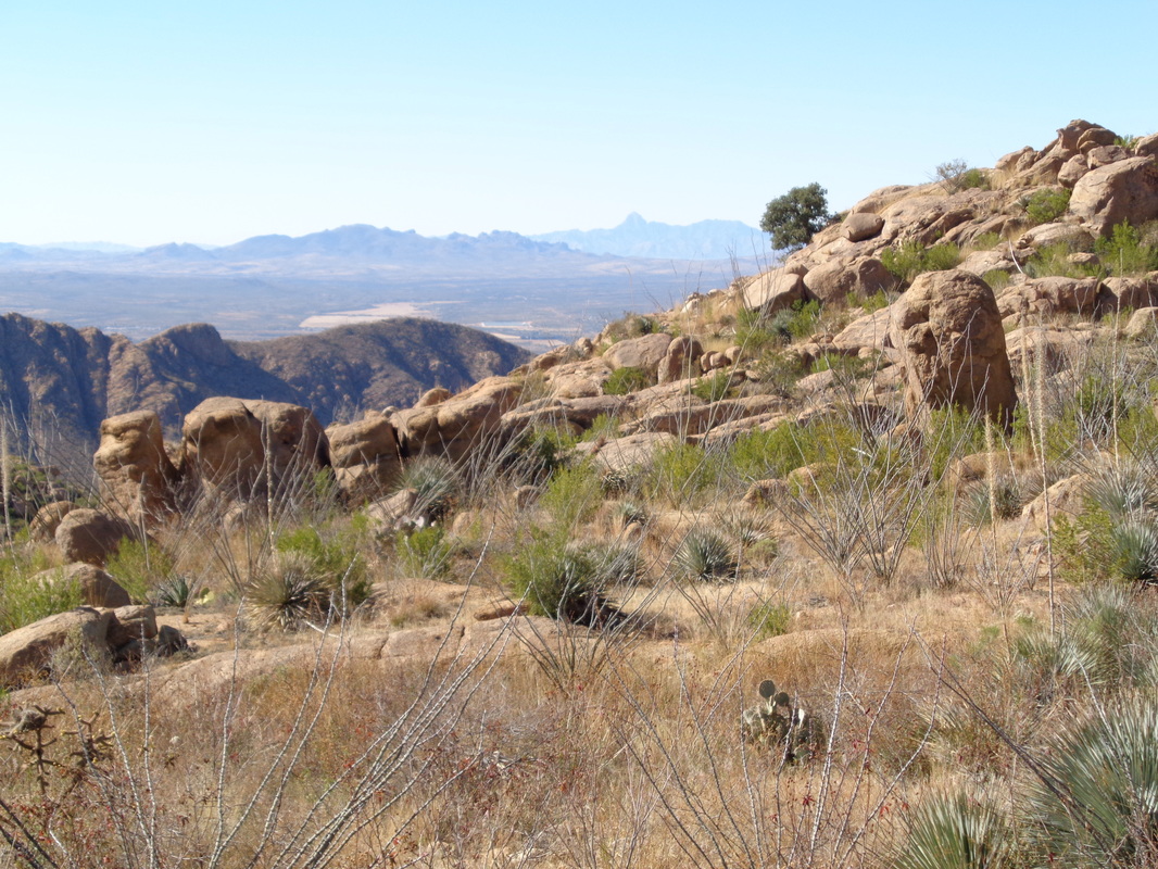
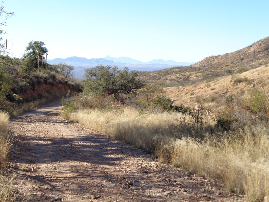
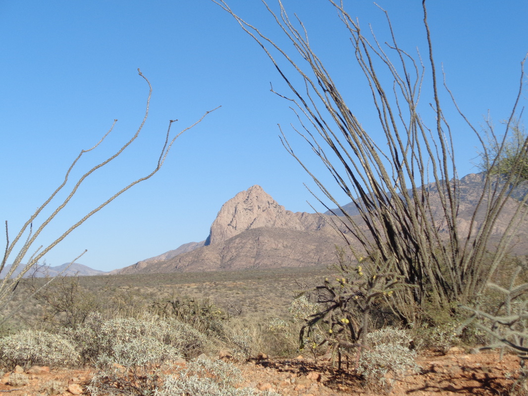
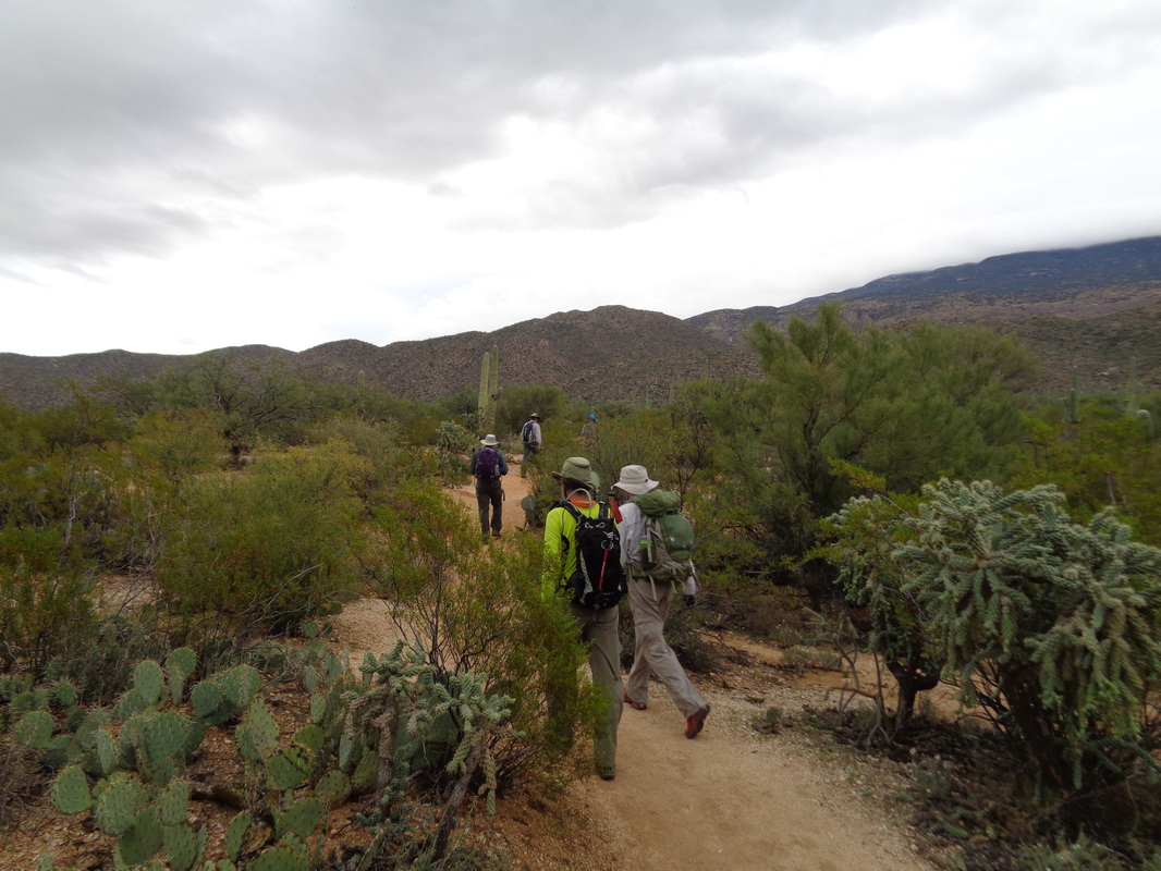
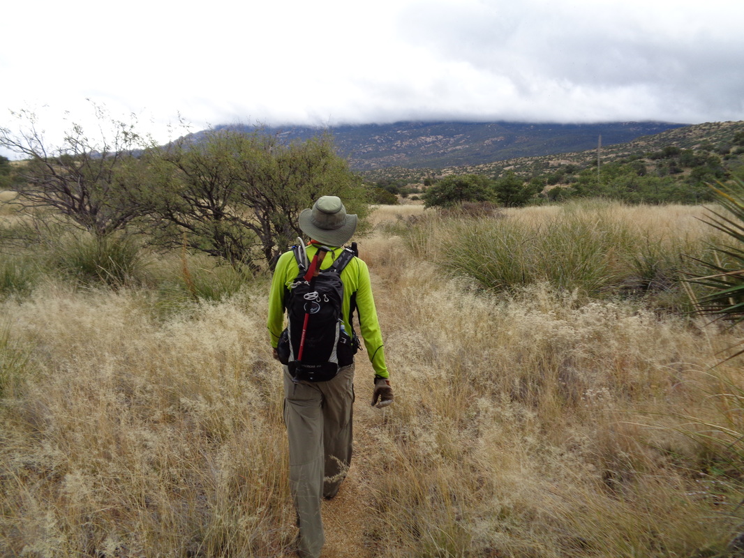
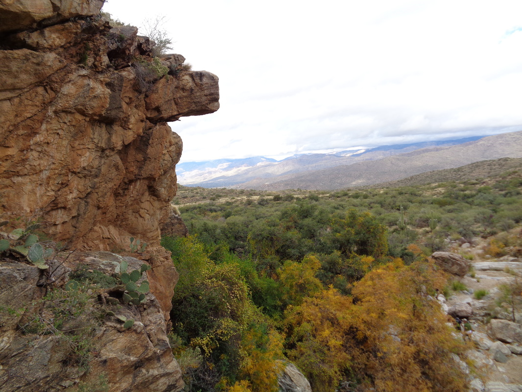
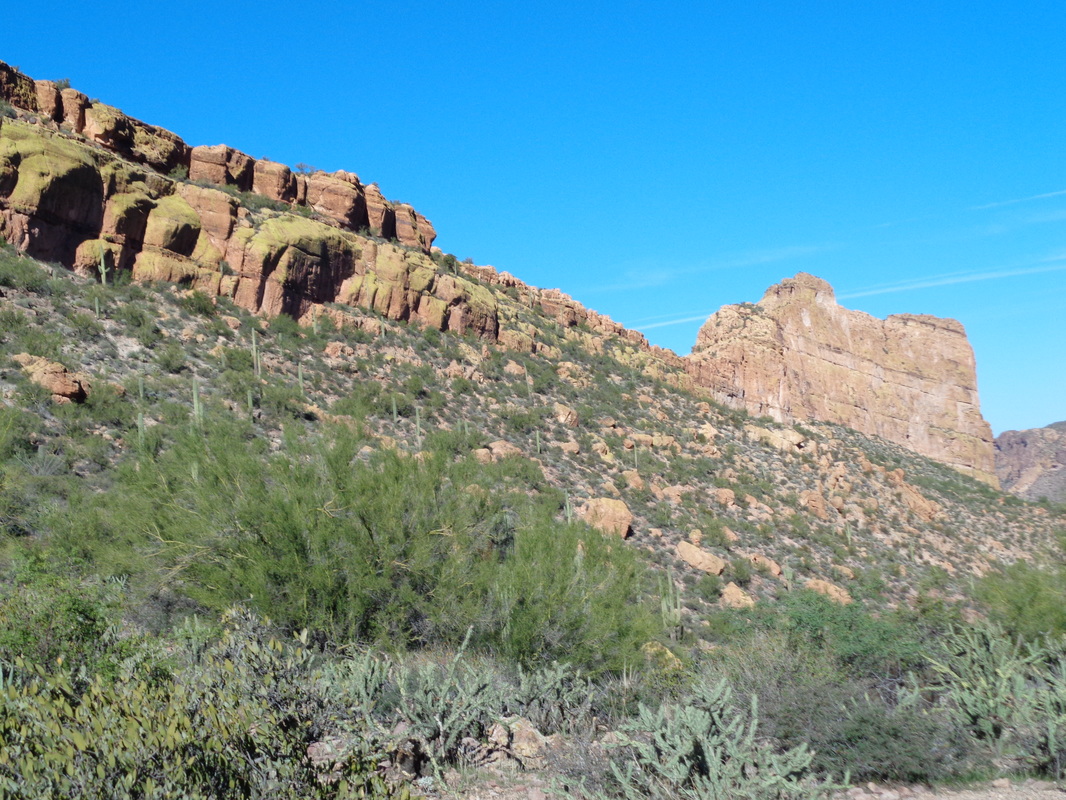
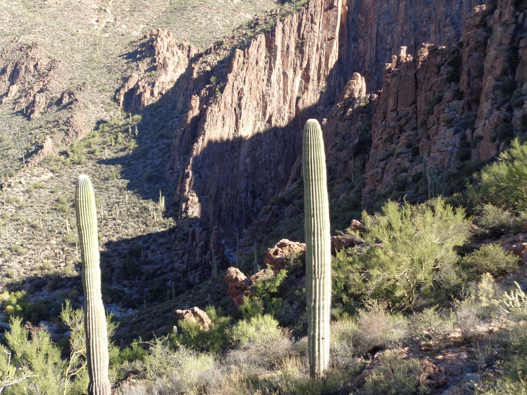
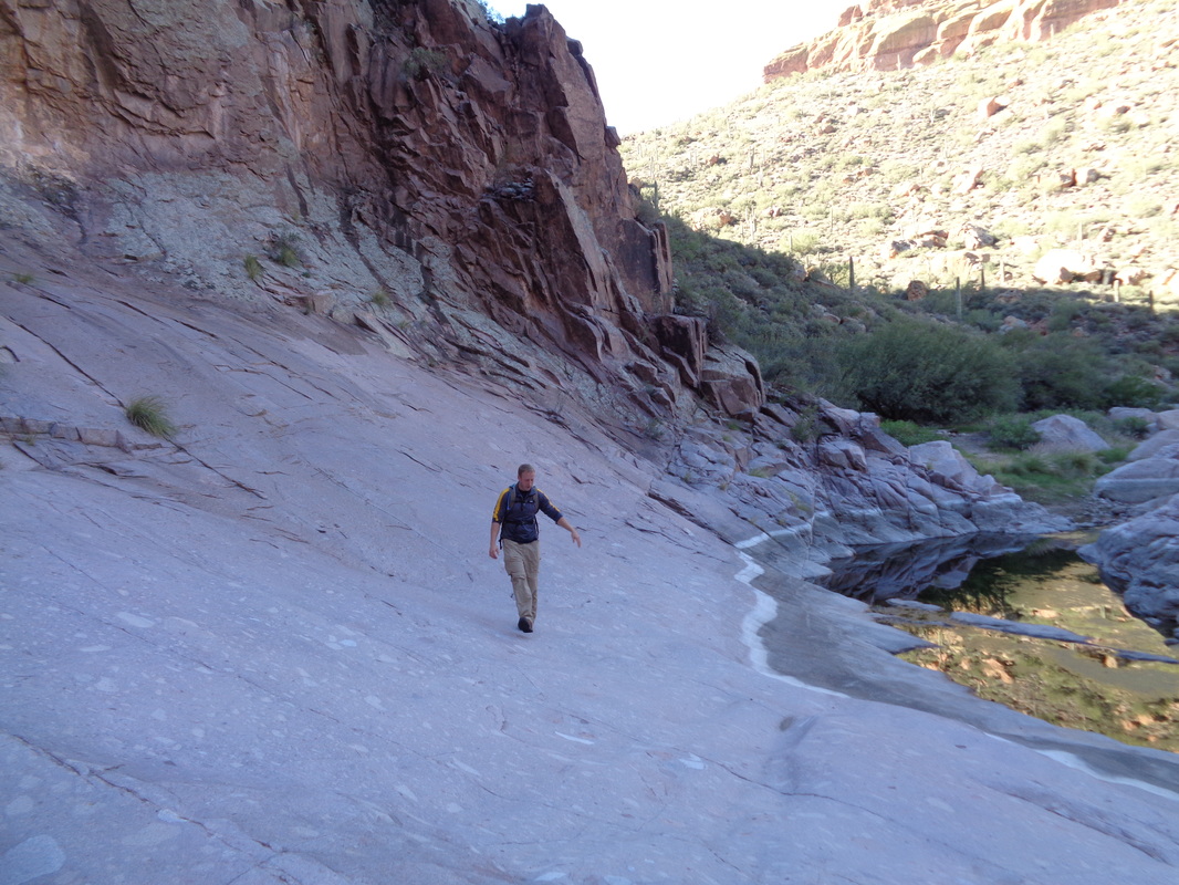
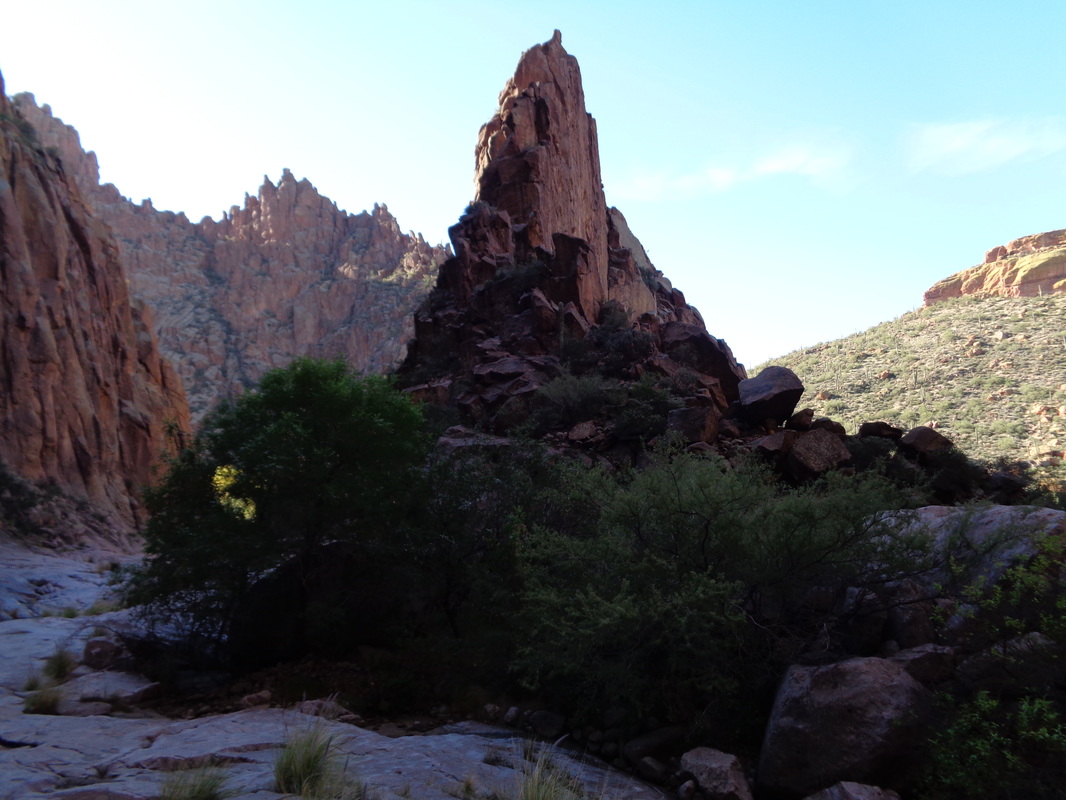
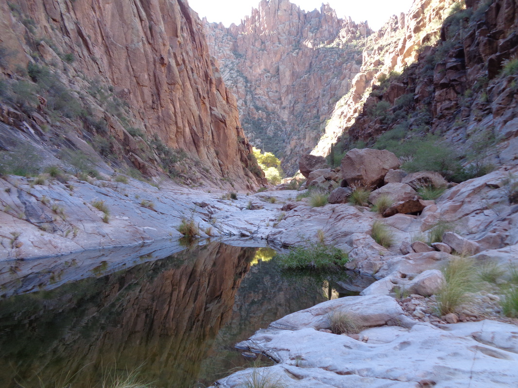
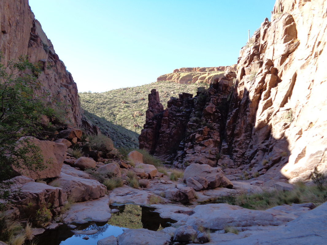
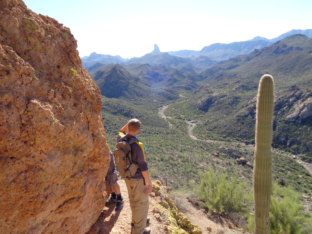
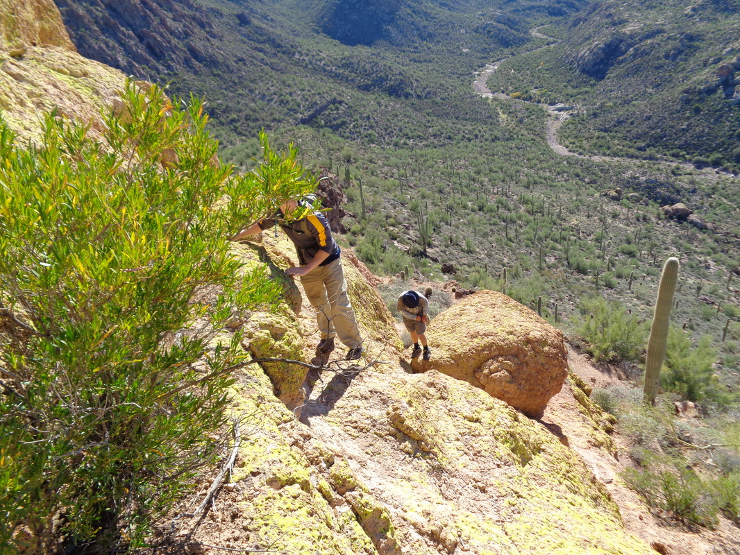
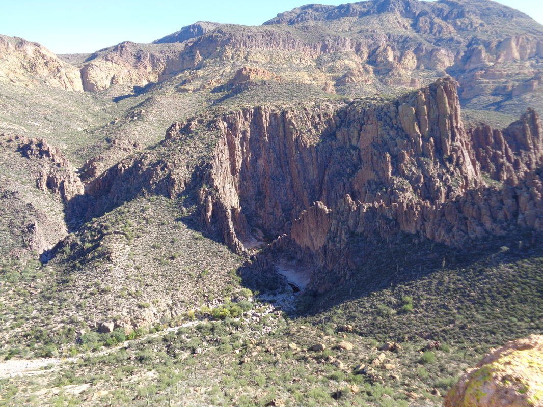
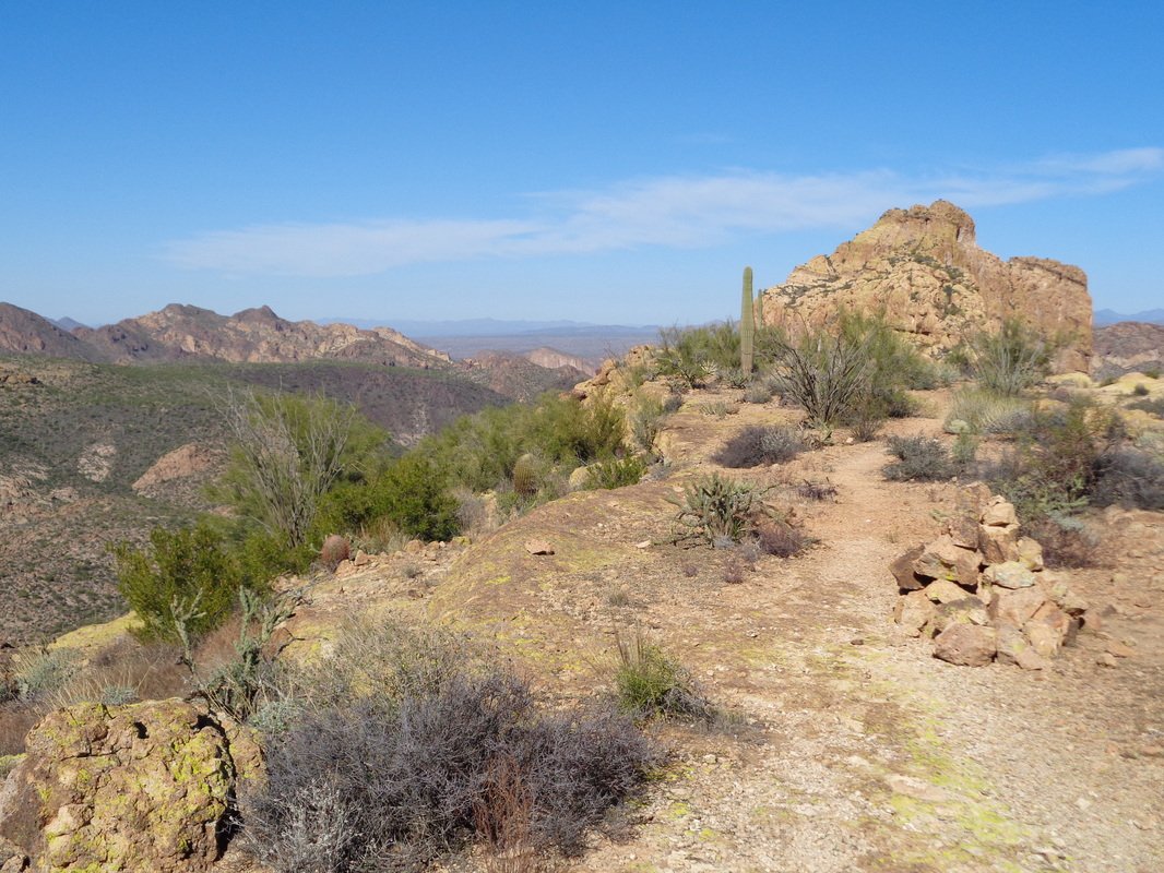
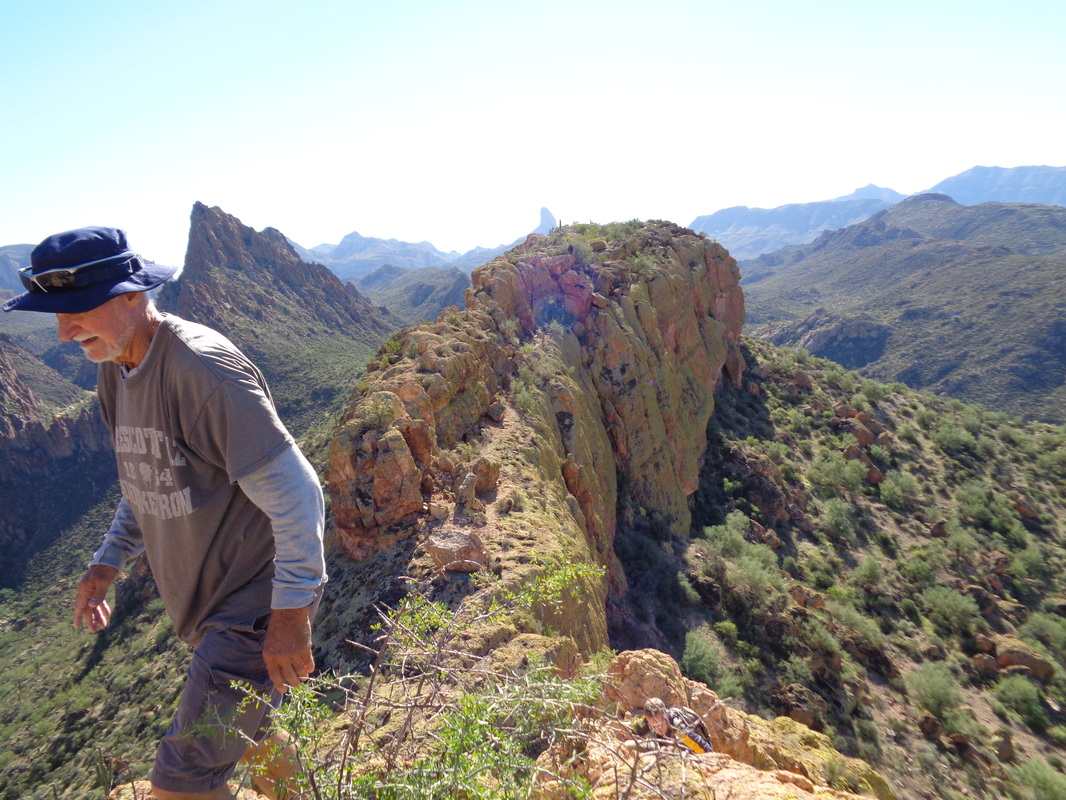
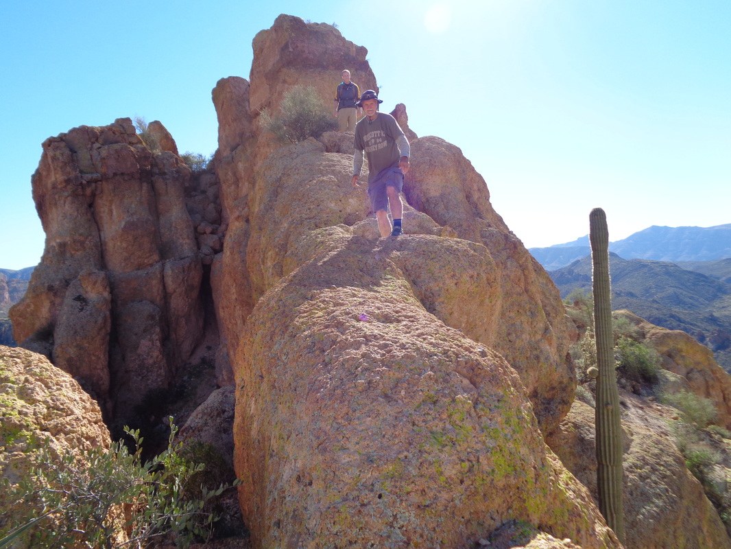
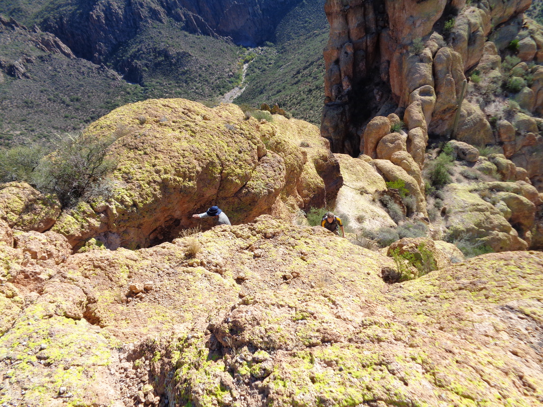
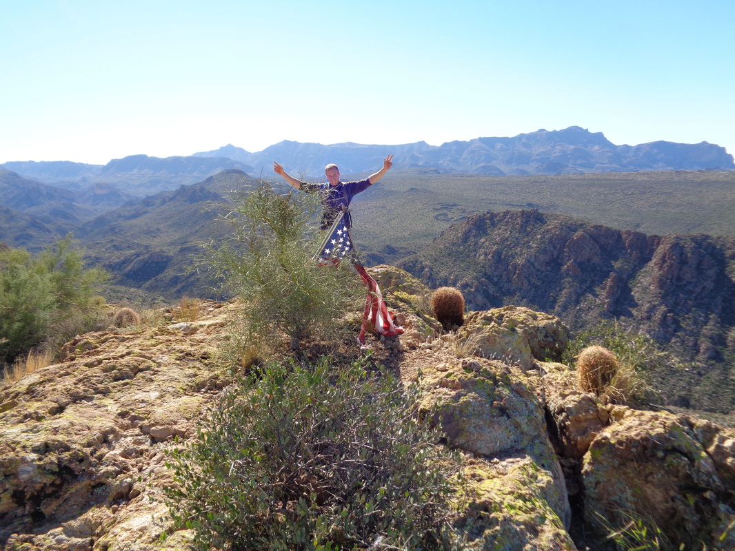
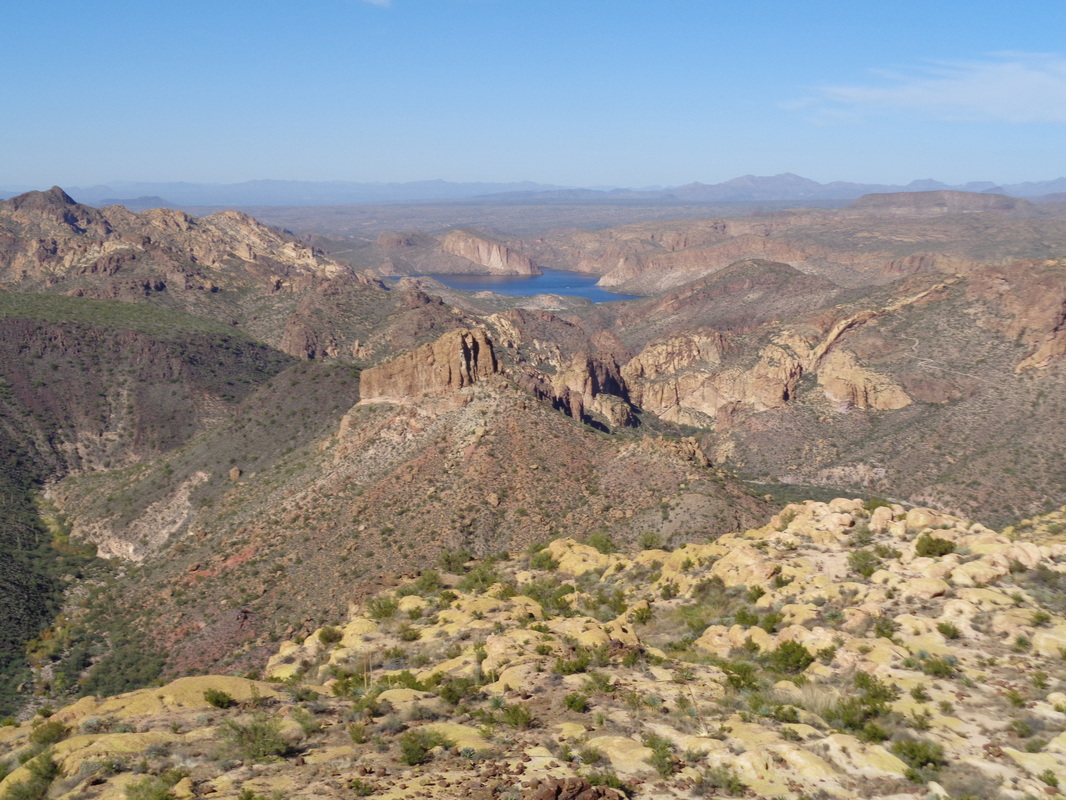
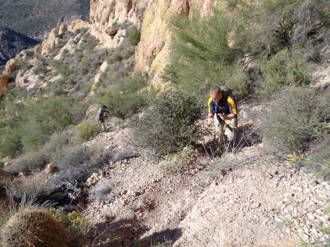
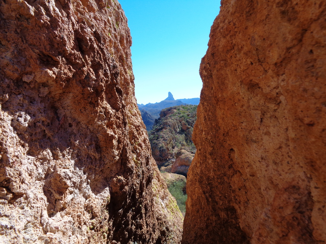
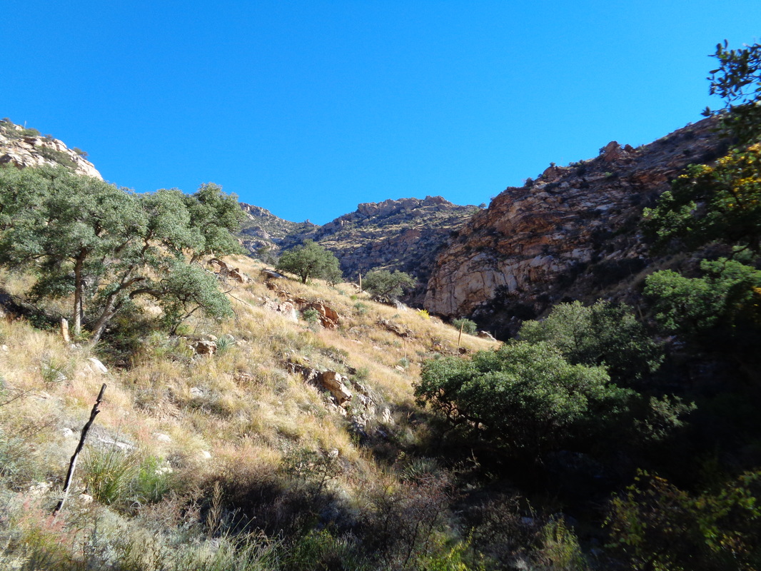
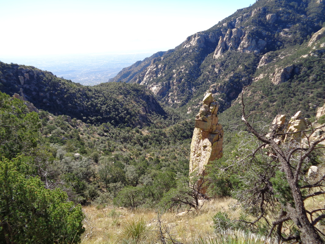
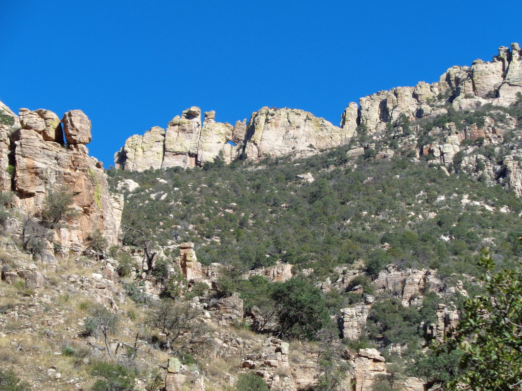
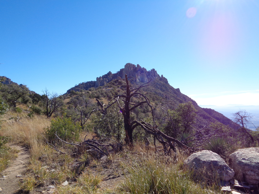
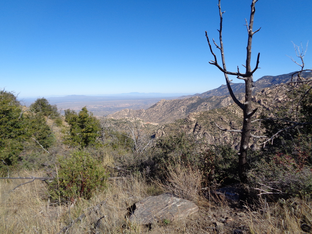
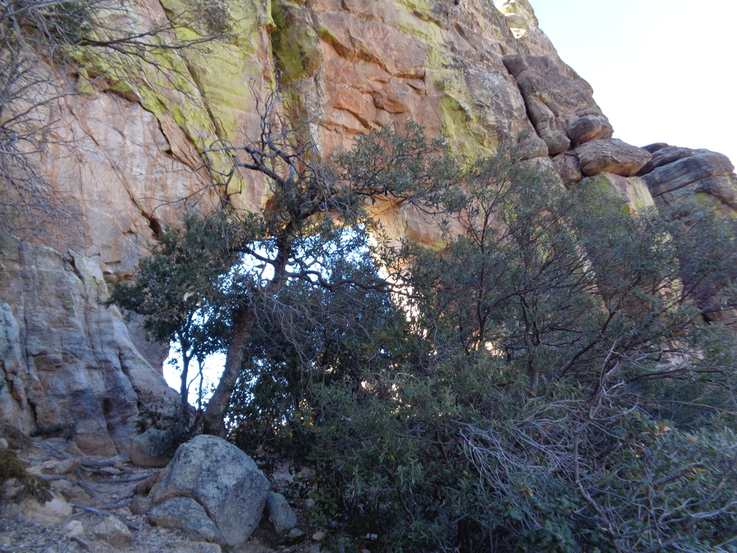
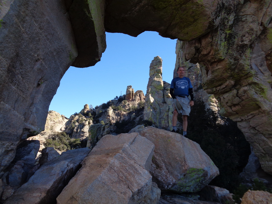
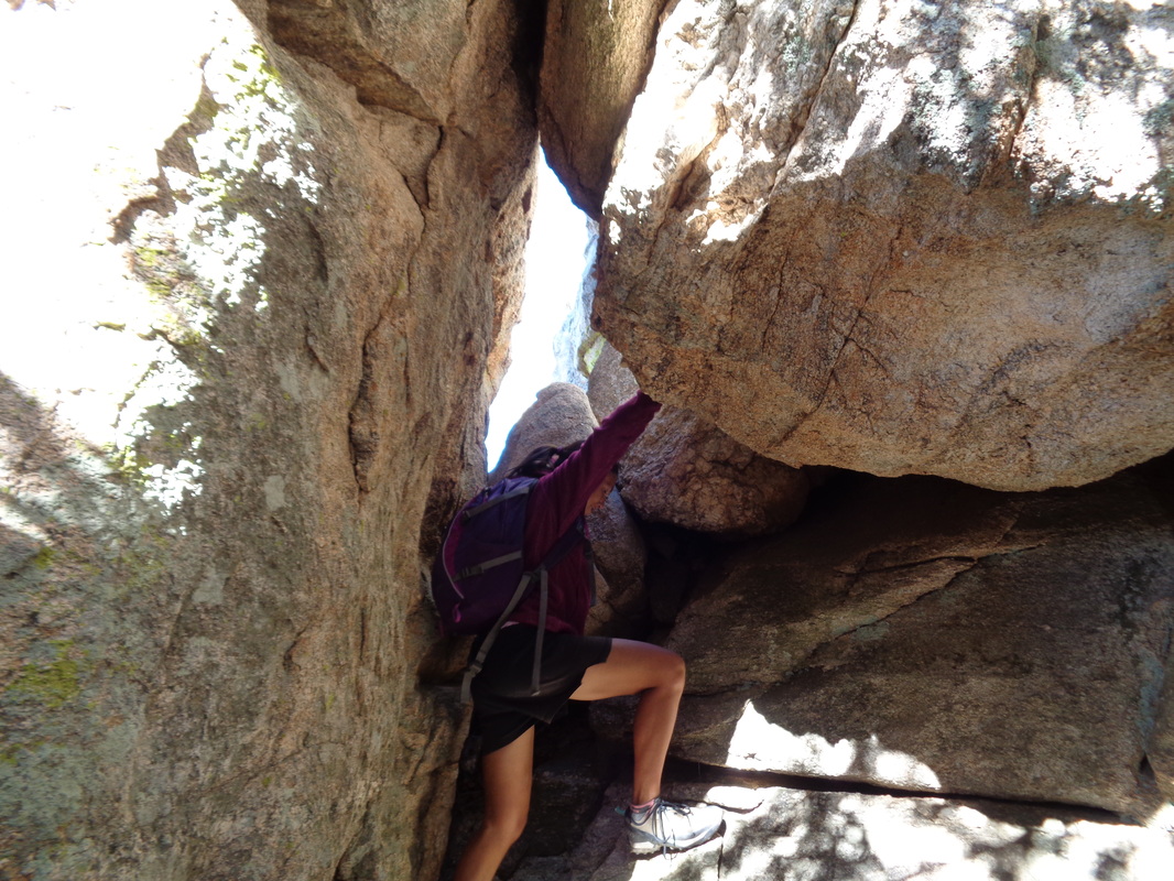
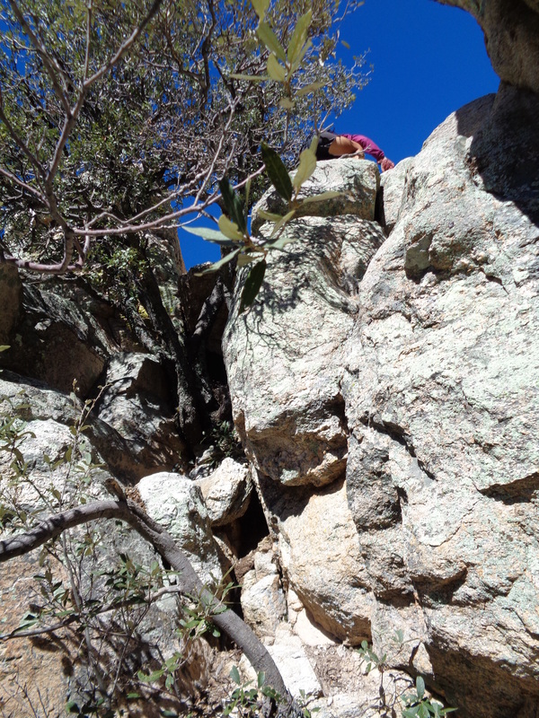
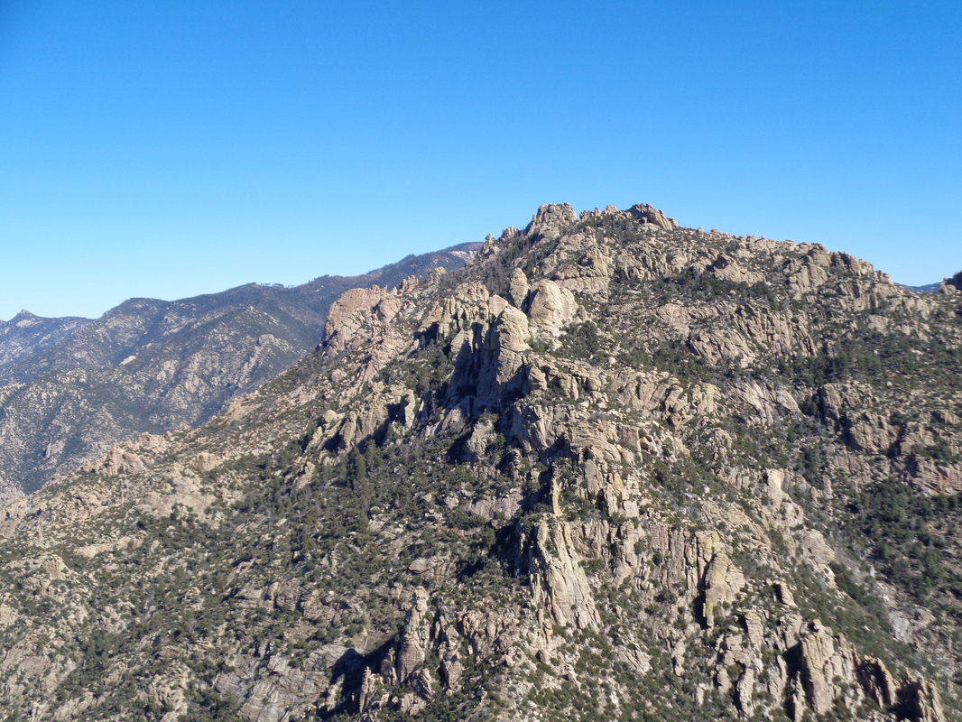
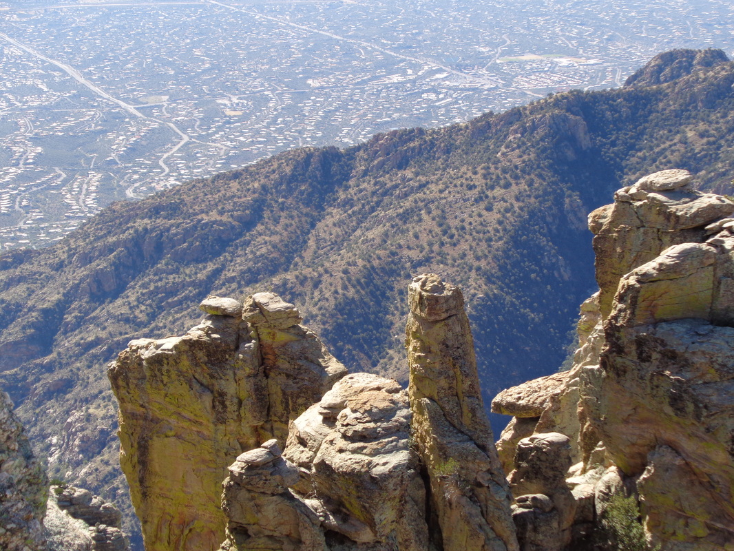
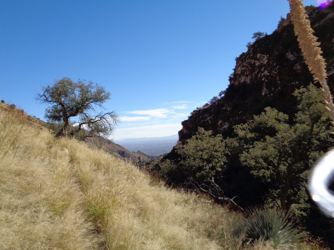
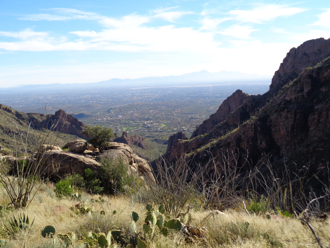
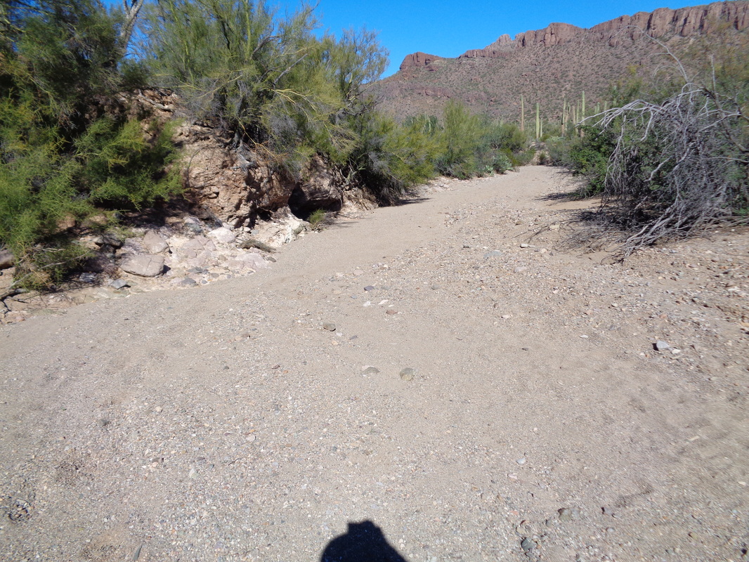
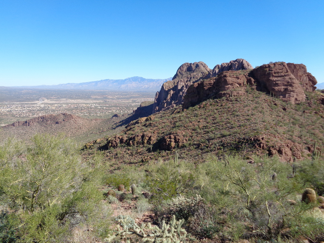
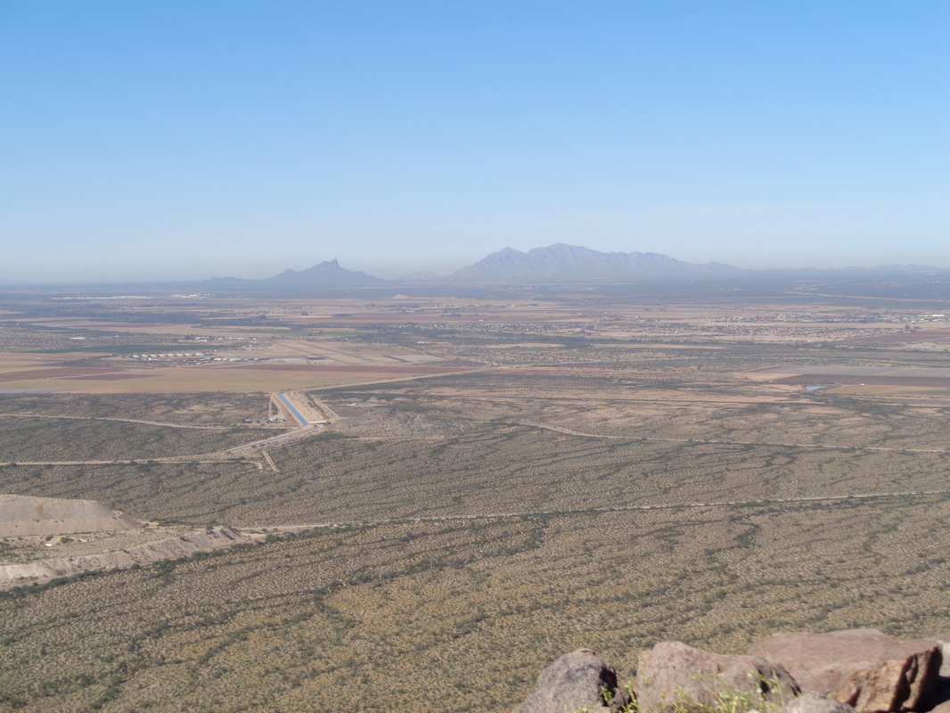
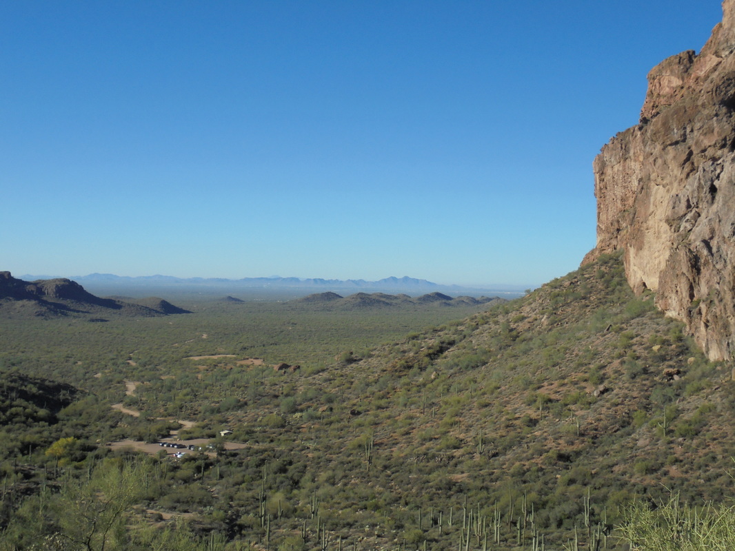
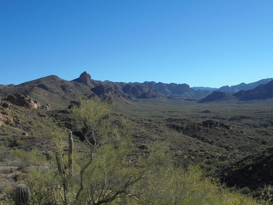
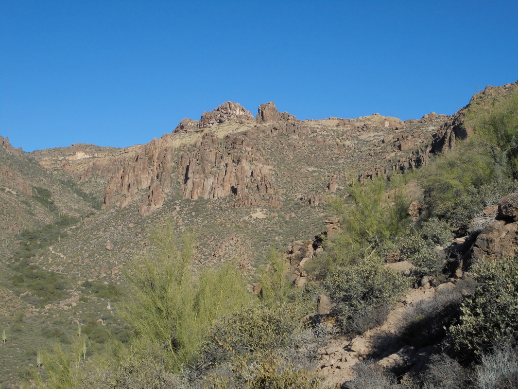
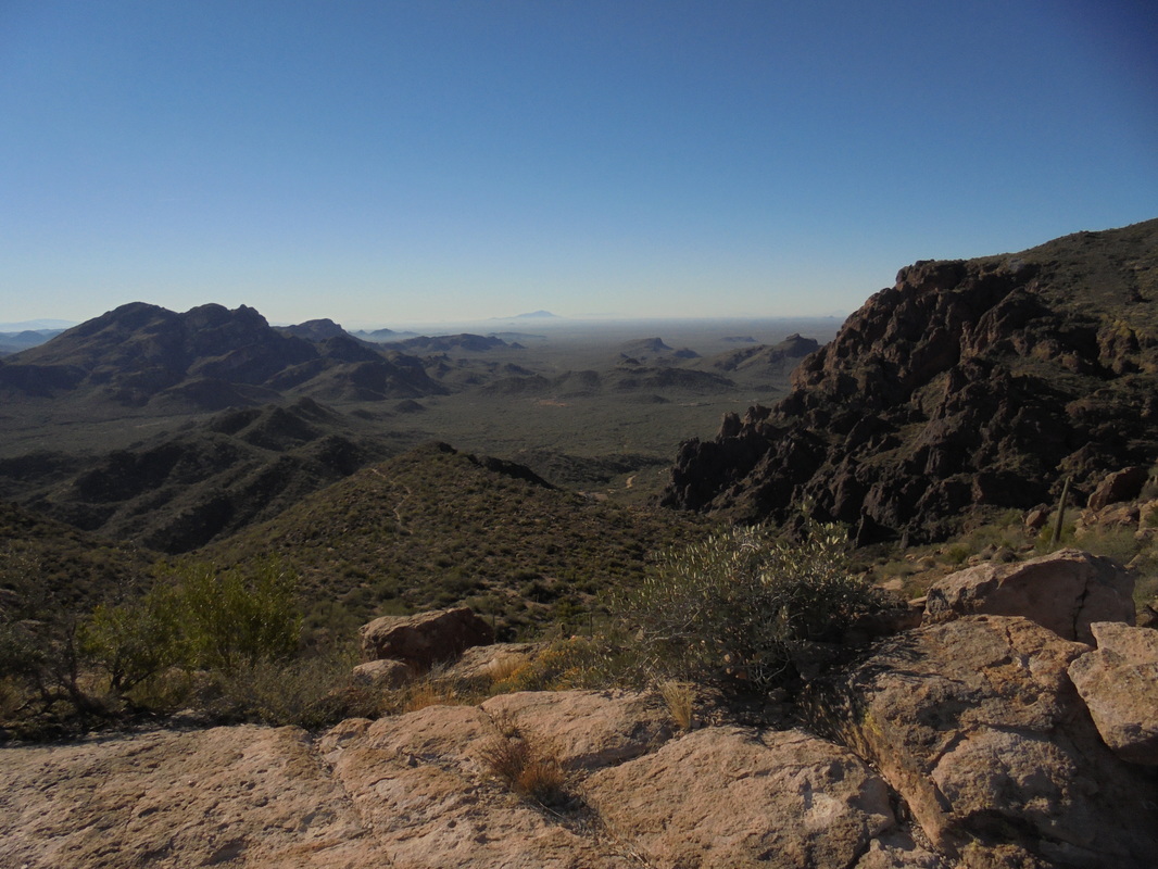
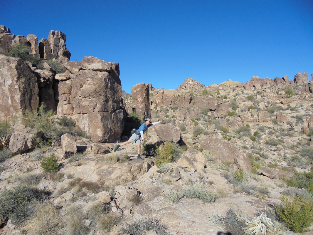
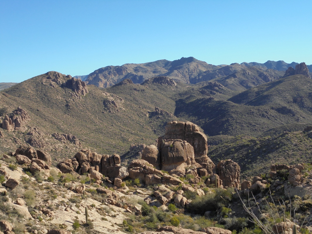
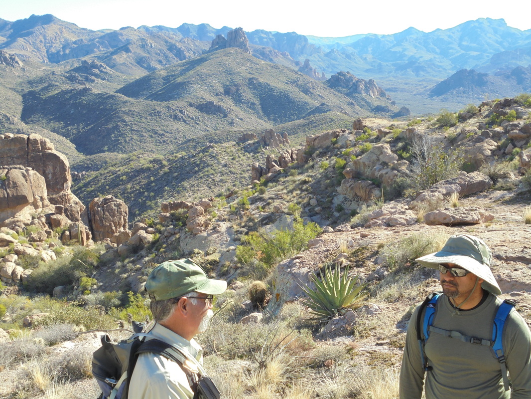
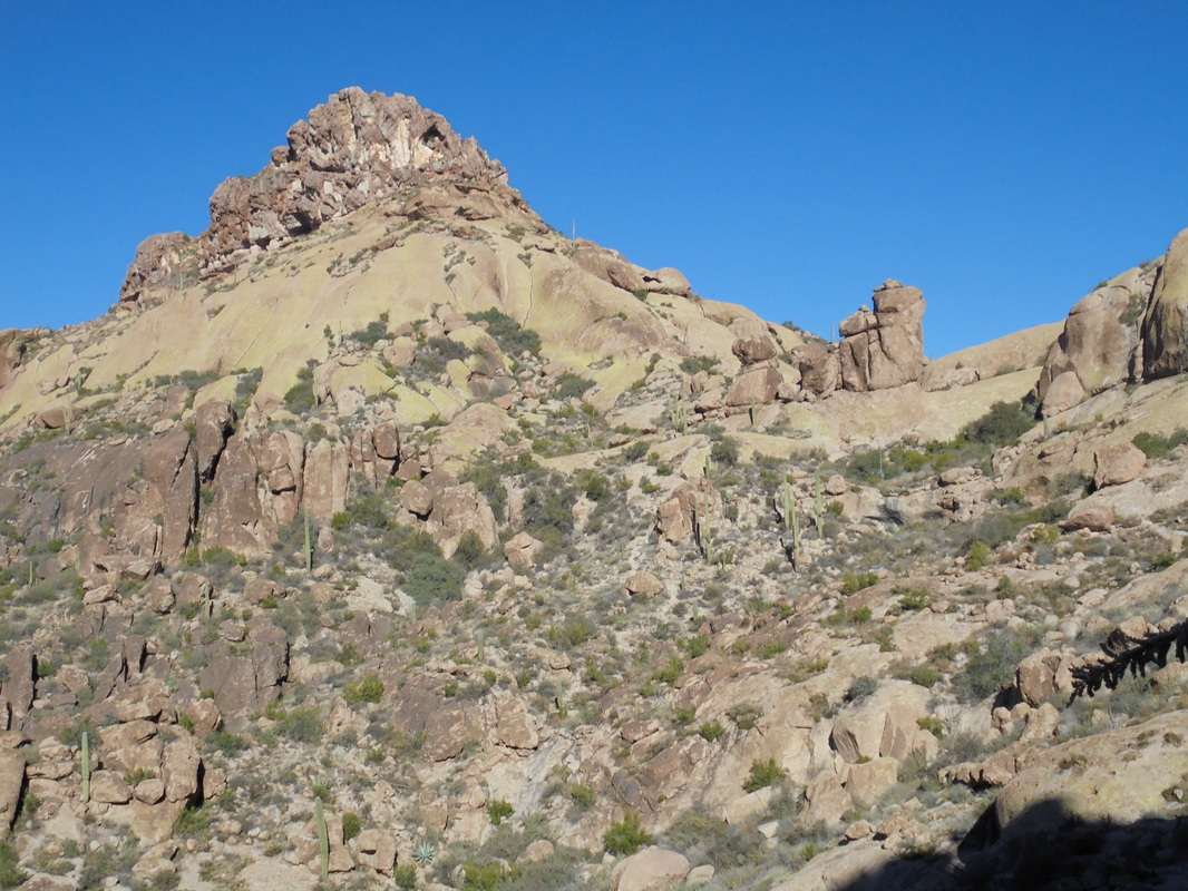
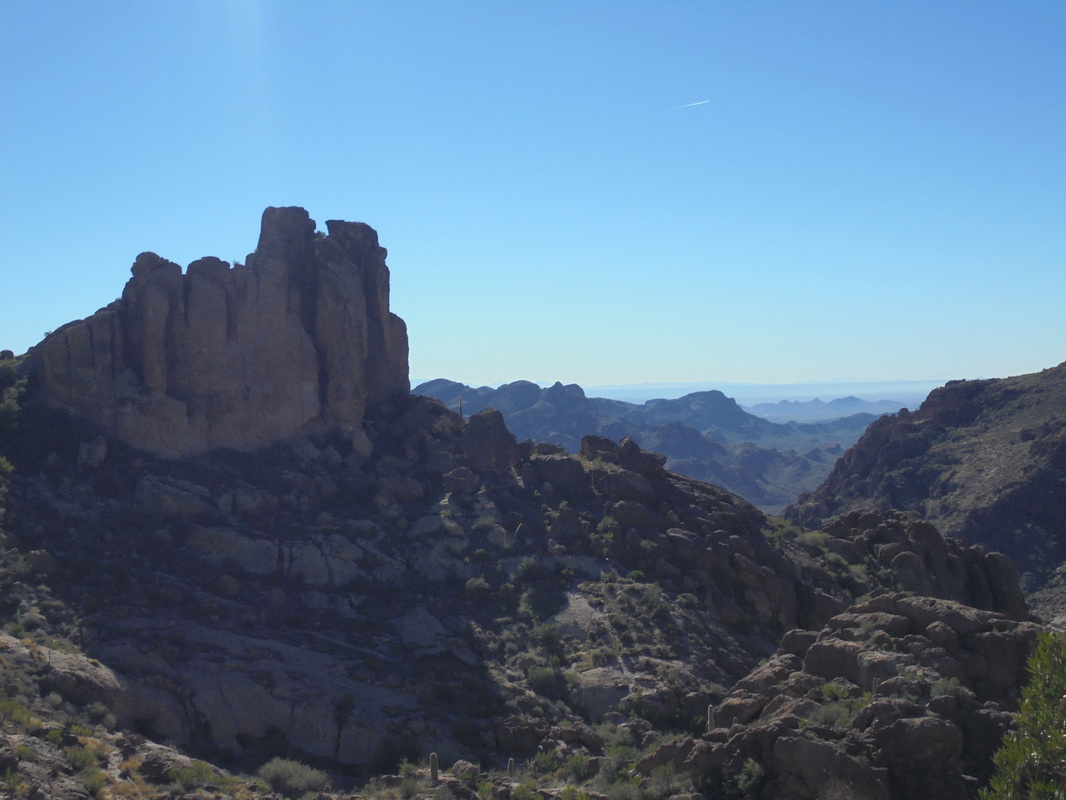
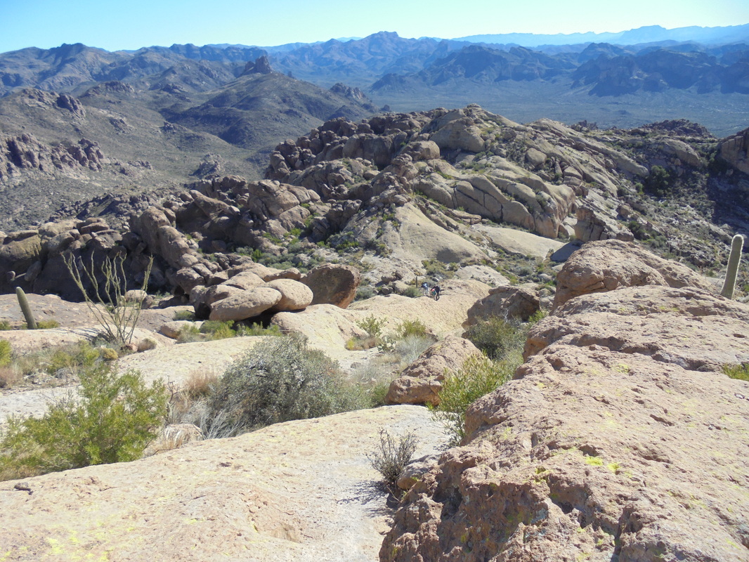
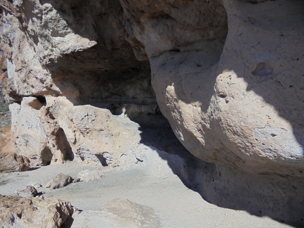
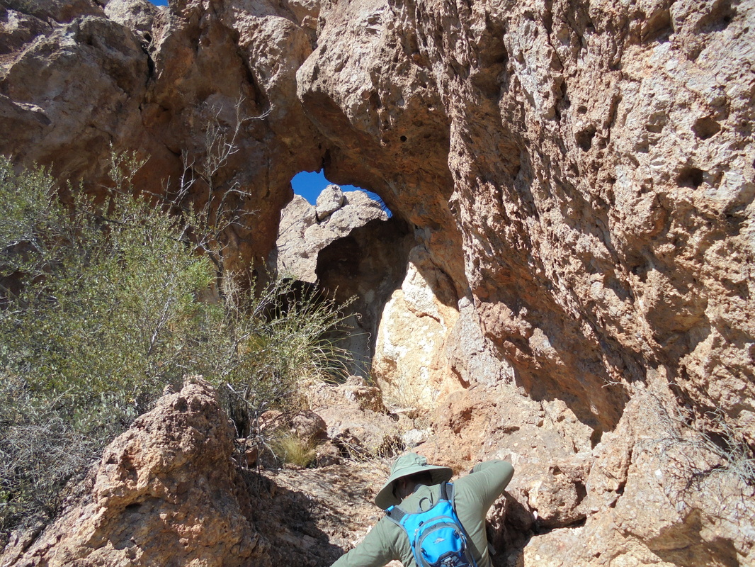
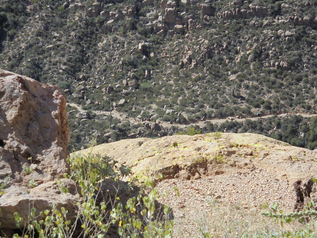
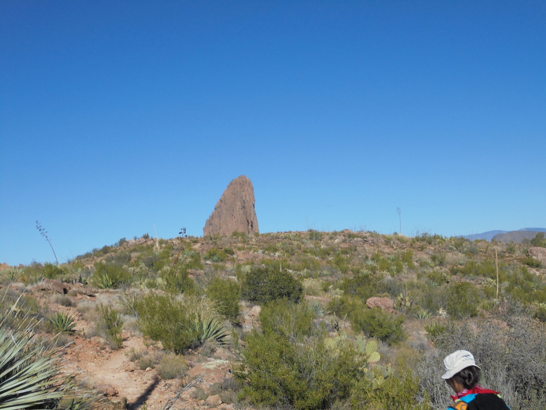
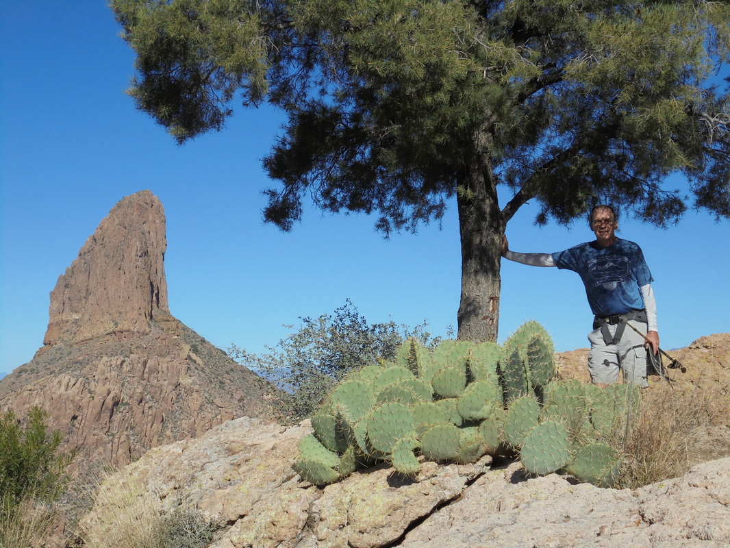
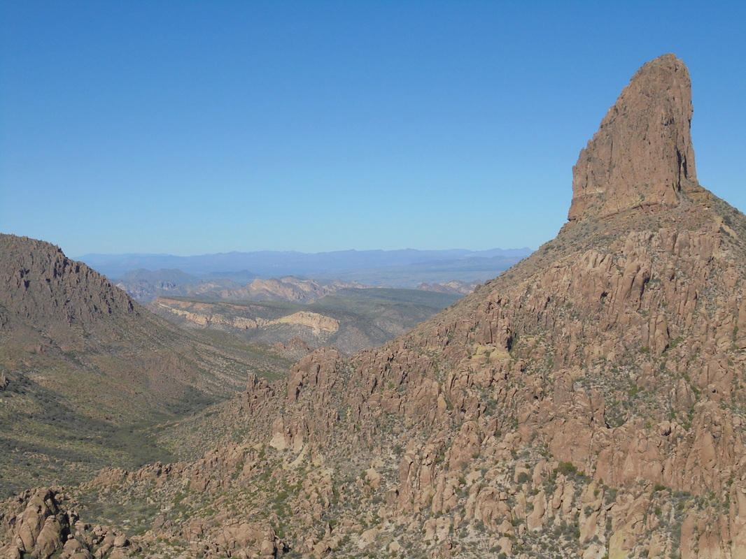
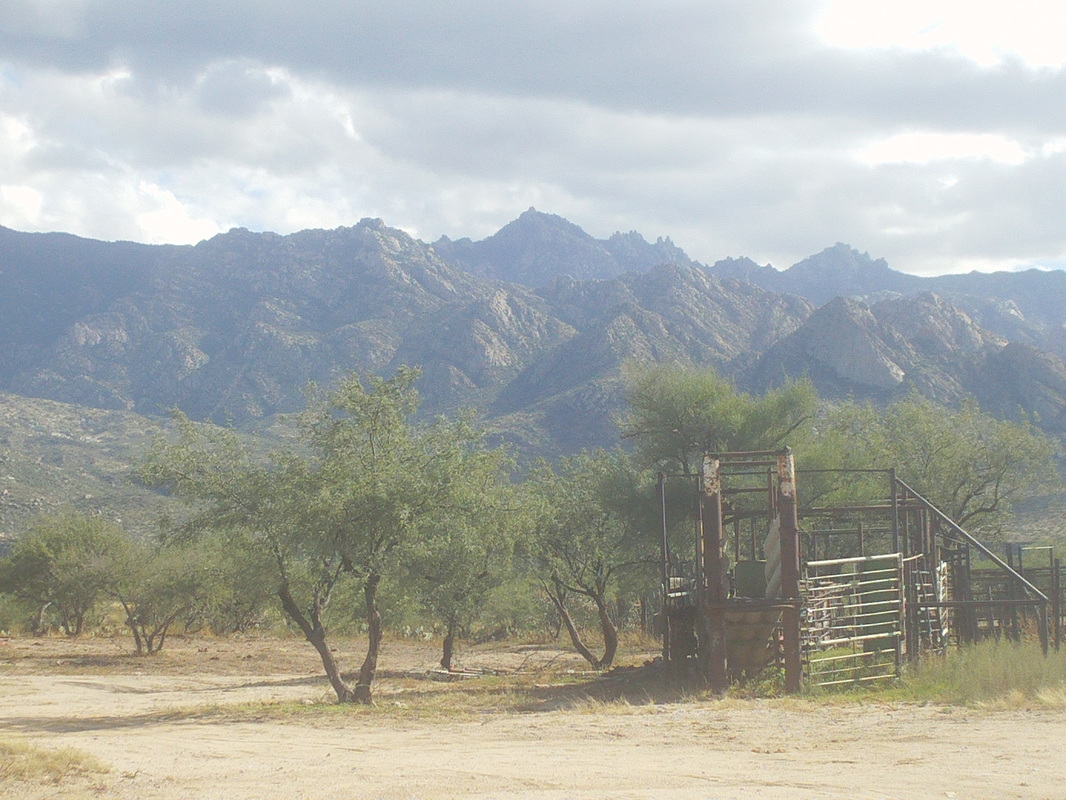
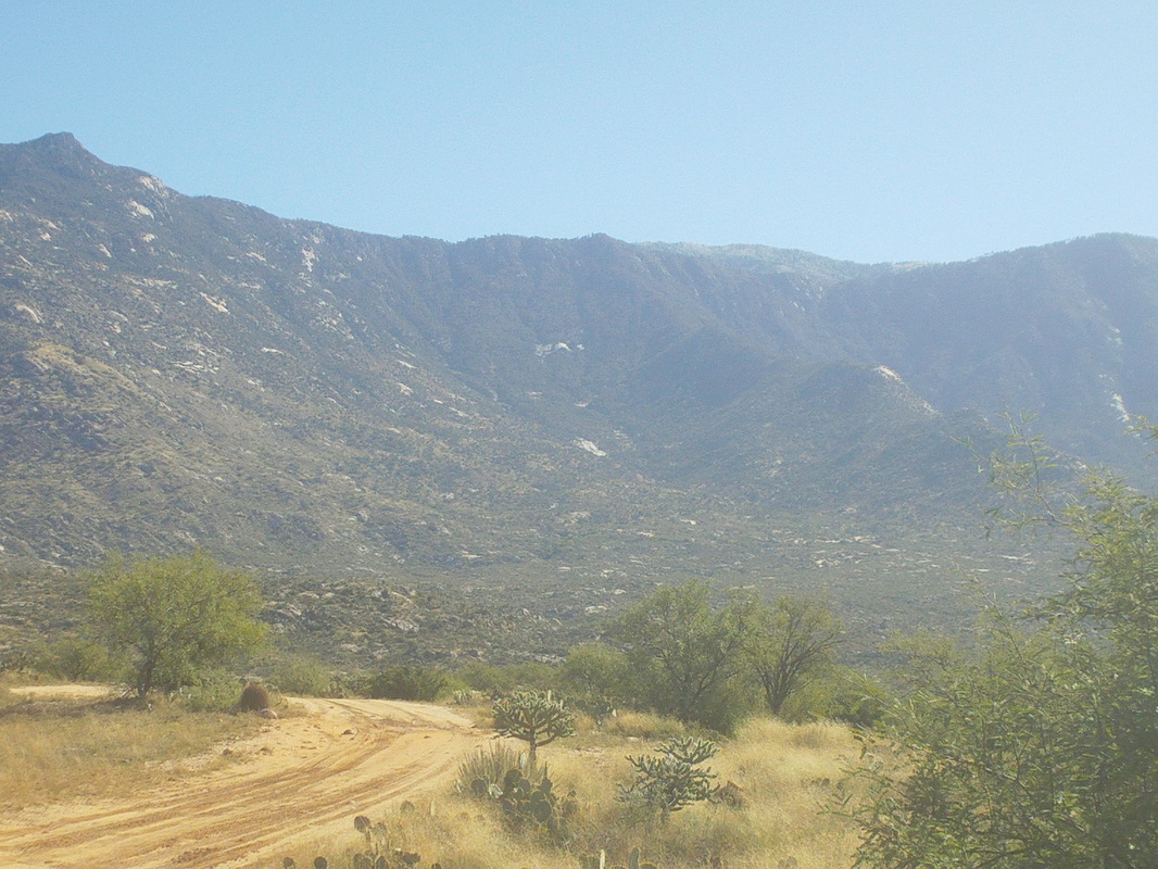
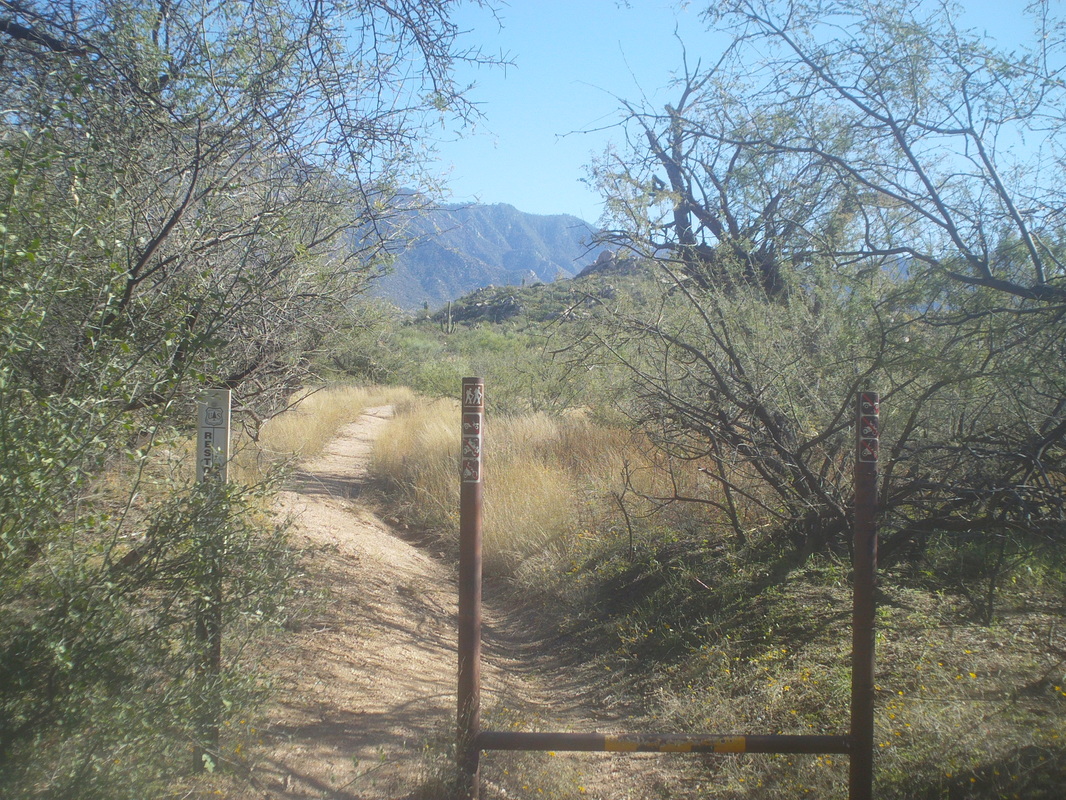
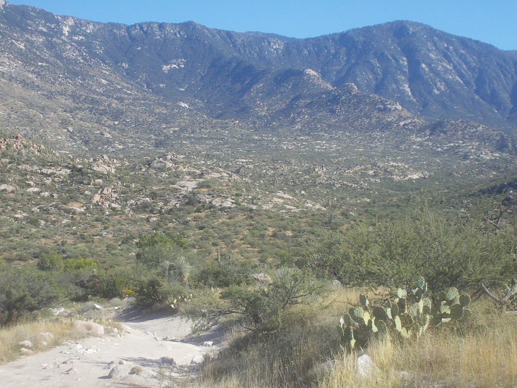
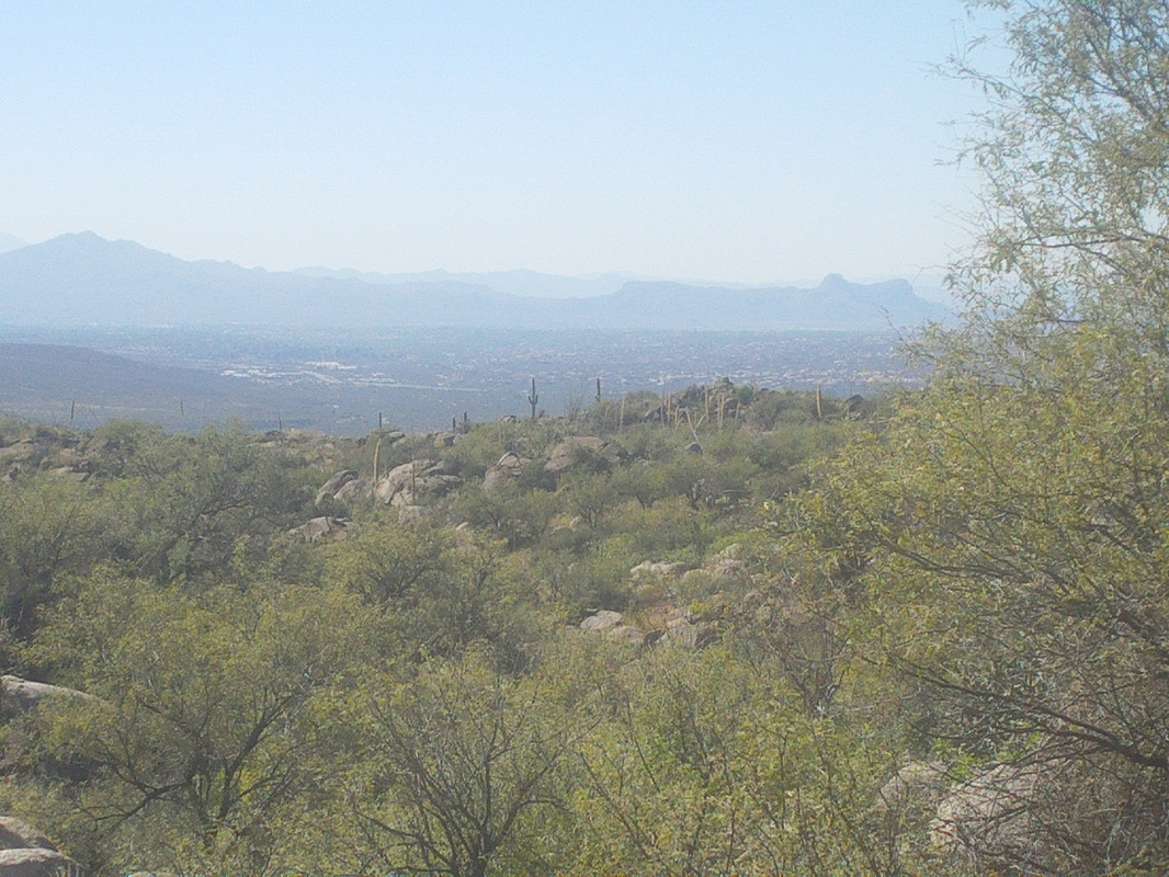
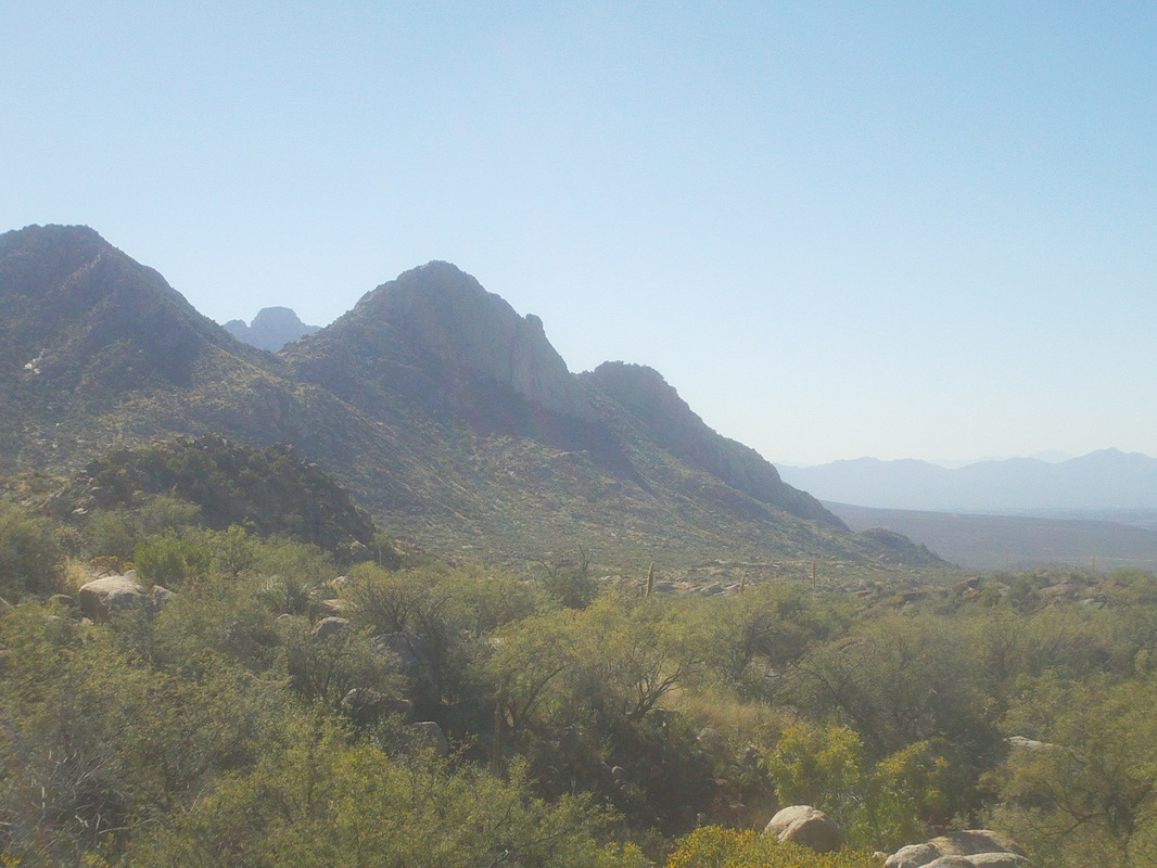
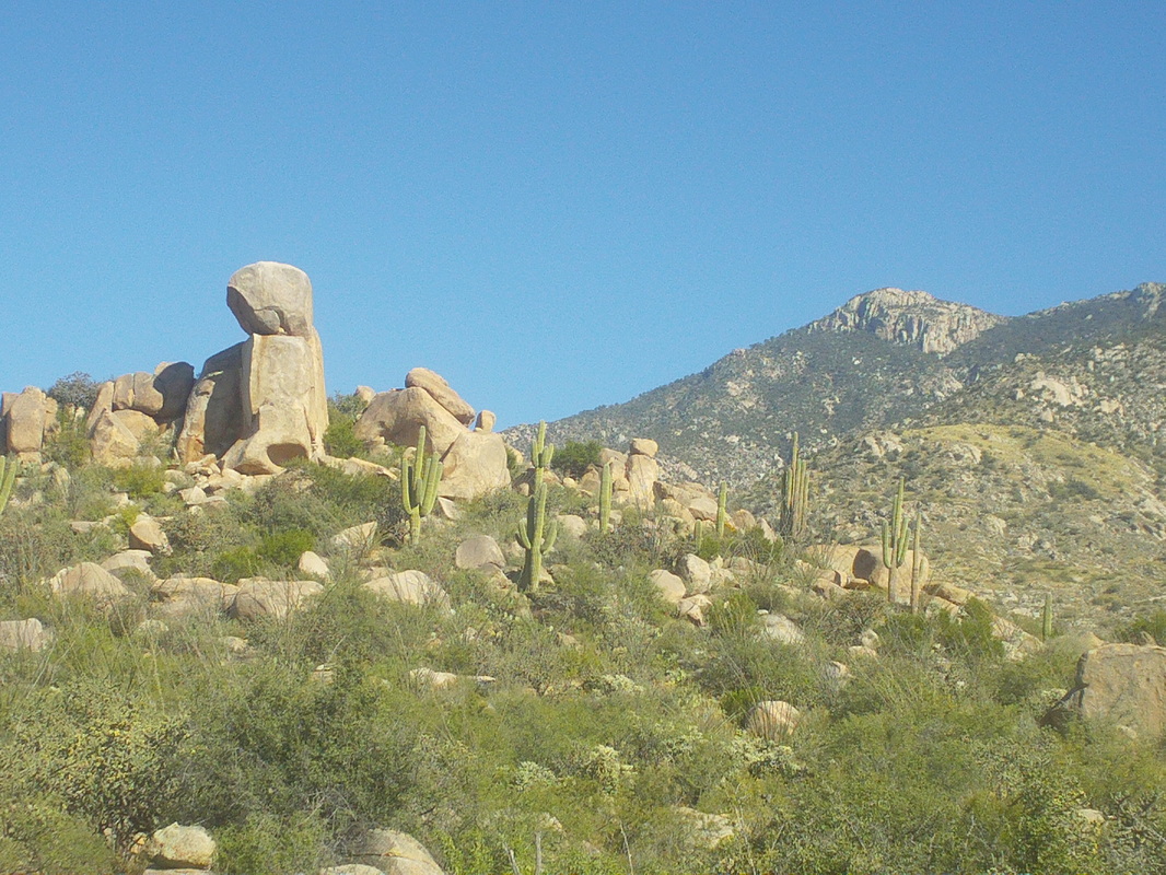
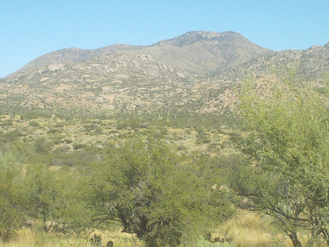
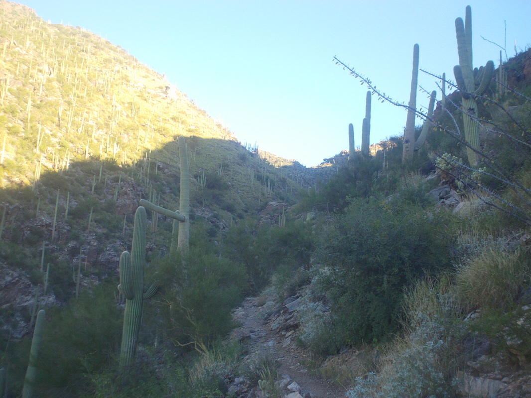
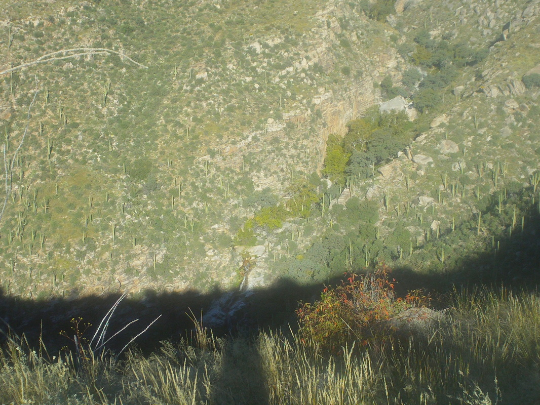
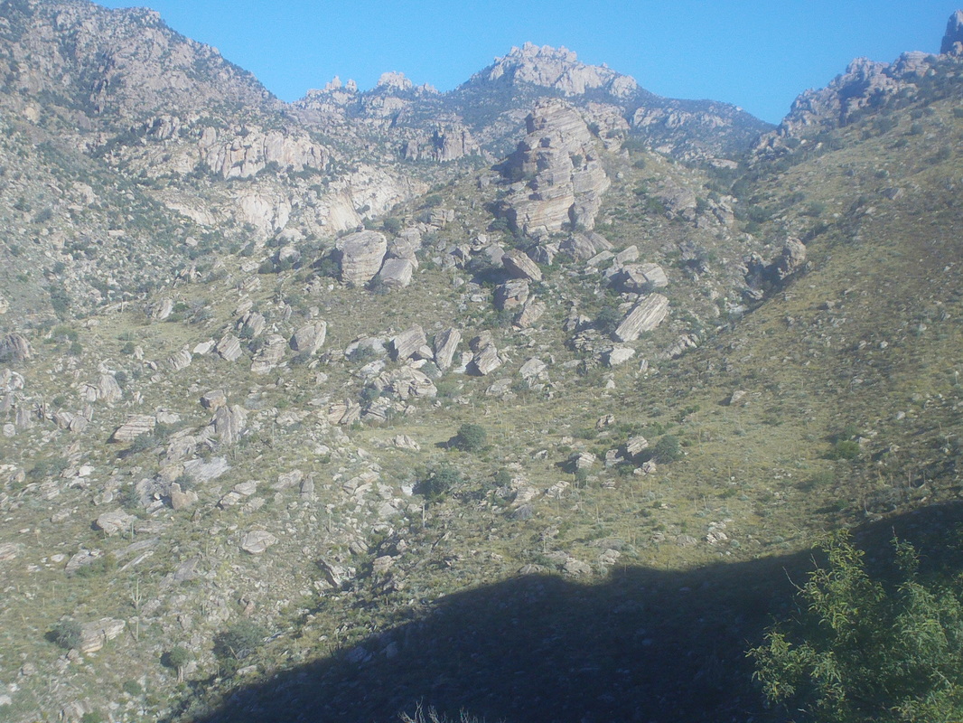
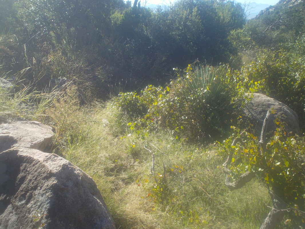
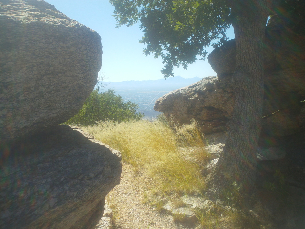
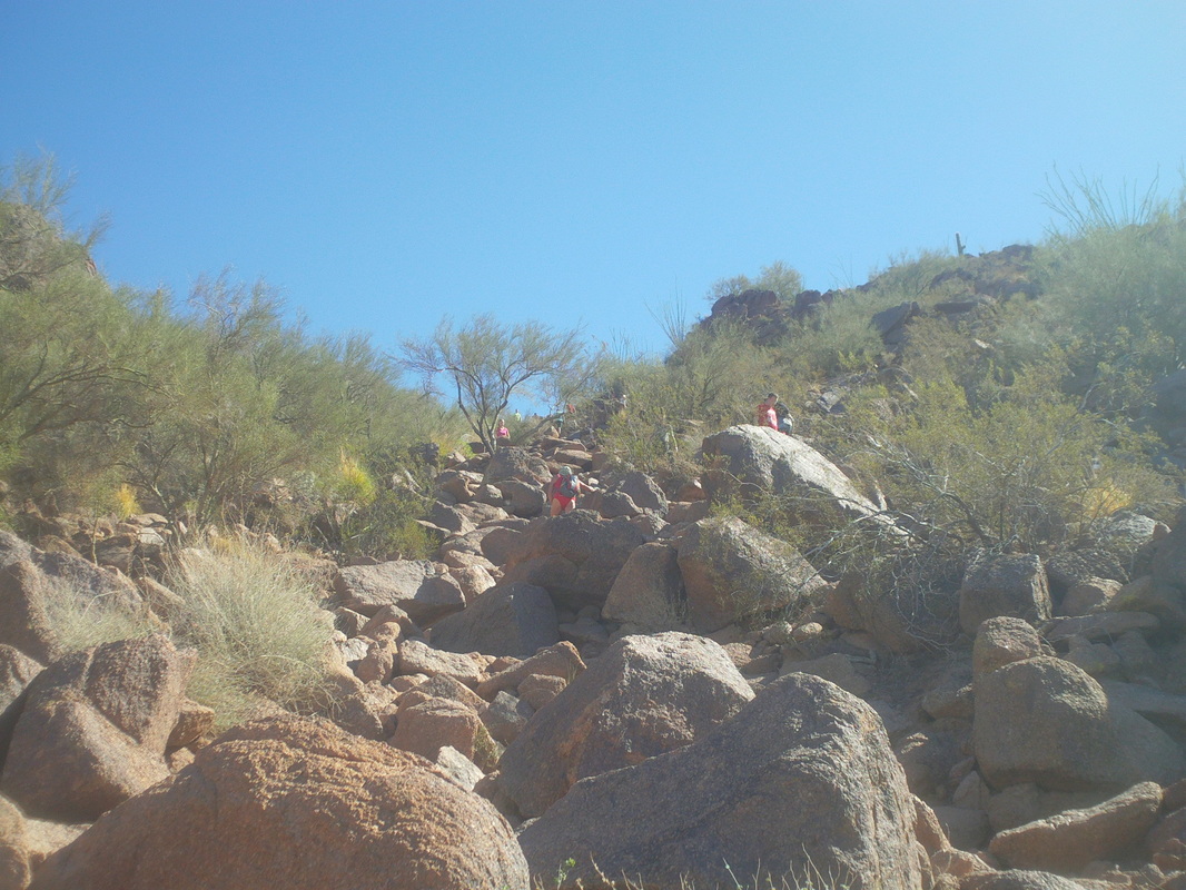
At the western end of the Santa Rita mountain range lies an odd rock formation called, "Elephant Head". Use your imagination...you can see it can't you? It is south of Tucson, opposite Green Valley, AZ. I have been there once on a group hike 3 years ago but wanted to do it again. Once you leave Mt Hopkins Road, there is a ungroomed forest service road. I had to pull off to the side after half a mile, rats. Too many boulders, ruts, etc... I was unsure how far I would have to walk on the road so grabbed a waist pack that holds a couple of bottles, shouldered a small day pack with several fluid bottles and trudged into the wilderness. I reached the above roundabout thingy and found a trail to the left after 2 miles of road walking. I followed a trail for about a mile before it dead ended at a really crummy forest service road where I made a right. The crude road more or less ended at..... ....an abandoned mine that had ample warning that you should not explore. The road petered out but a trail remained and I continued to follow it as it climbed higher into.... ....the mountains. Beautiful for sure. So far, Elephants Head had been hidden but eventually..... ....it sprang into view after rounding a curve. So close but one must leave the trail to drop 500' into the canyon shown above and then, oh boy, climb 600' to the saddle slightly right of center. So steep and the surface so crummy. About 3/4 of the way up the other side I turned and enjoyed the view. Reaching the aforementioned saddle, I turned left and headed up. Drives me crazy that images make it all look so benign and easy. The way forward is confusing and many times I had to stop to calculate, "OK, which way now" as there is no trail at this point. How about that. a shallow cave as I skirted it to the right and continued..... .....on up, often via fairly steep slick rock that is fun to climb. There above is the summit. I reached the top and looked back the way I had come. Sure hope I can navigate that back to the trail. It ain't as easy as it looks and I did get cliffed out a couple of times and had to back track but did get back down. At the top, a circle of rocks with many elephants that people have left. Odd but odder yet, I never came across another hiker. Perfect weather, a weekend day and no one. Weird. I ate an apple, drank lots of fluids and headed back down the slick rock and the saddle and then ugh, that freakin canyon. At least he views are terrific. I was relieved to reach the forest service road and to know I only had 2 miles to go. Finished with 10.5 and 3500' of climbing. I have watched the movie "Deliverance" too many times but out here in the middle of nowhere, a guy in a truck approaches. He has Maine license plates and stops alongside. Good guy and have a nice conversation. He is reconnoitering, looking for good hunting spots. Oh, by the way, I saw a car this week with plates from......Hawaii. How bout that? Haven't see that plate since I was on the island of Molokai, several years ago.
0 Comments
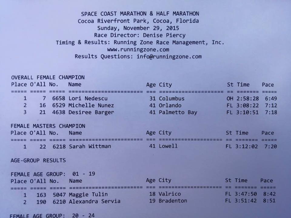
FOB (friend of blog), Lori Nedescu was the fastest female at the Space Coast Marathon with a time under 3 hours. Wow! And of course, TOB (team of blog) won a big game at the outhouse in MI. And then on Sunday, I hiked to and climbed Elephant Head. More to come on that soon.
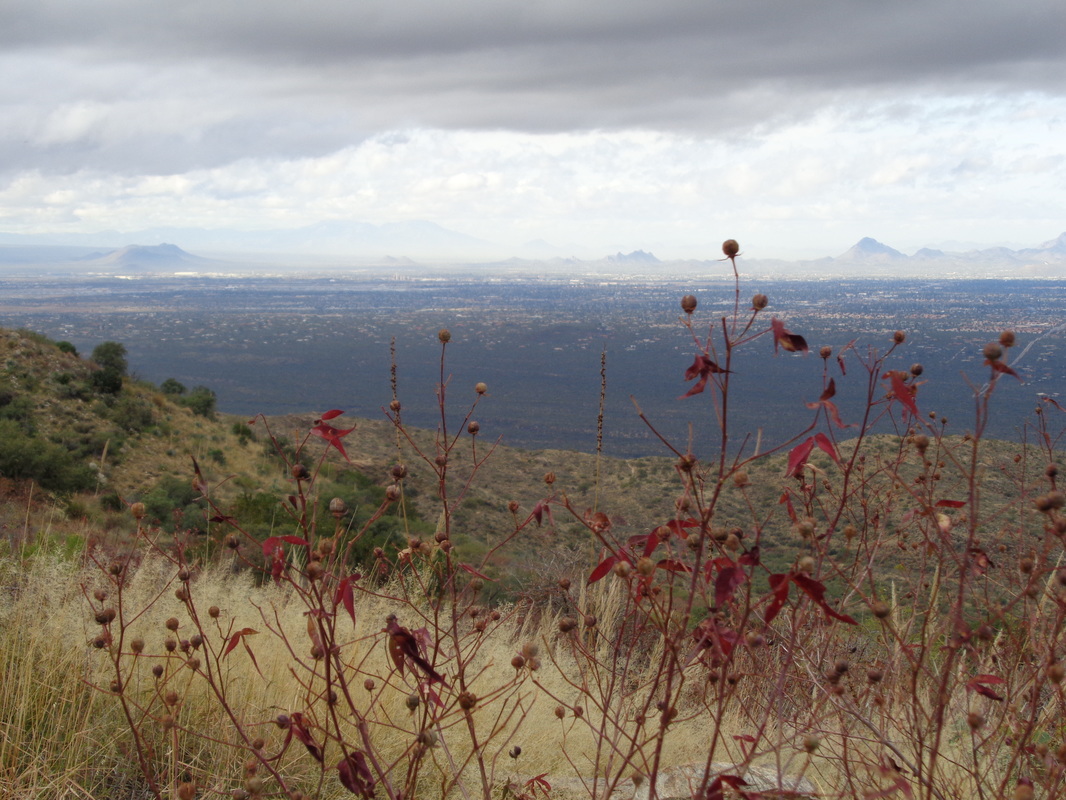
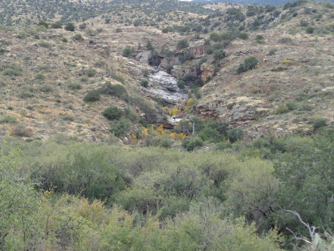
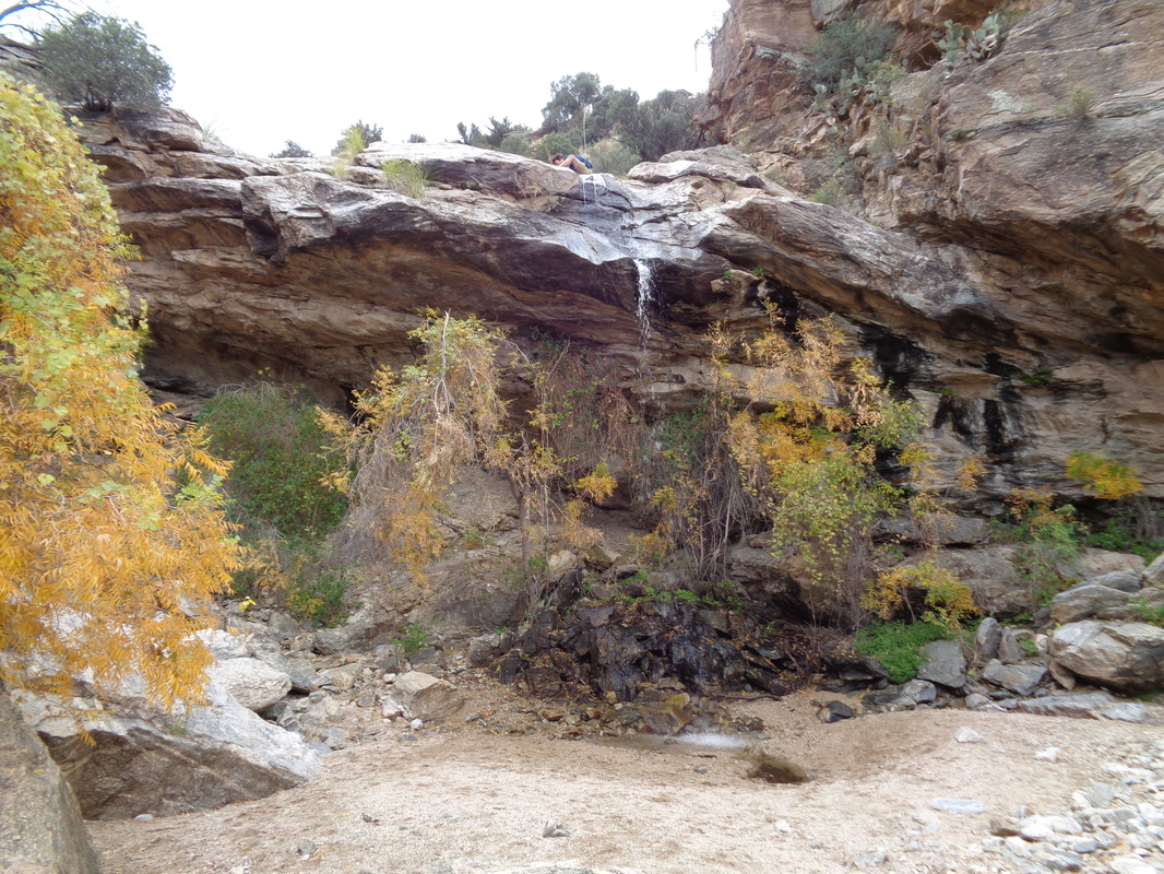
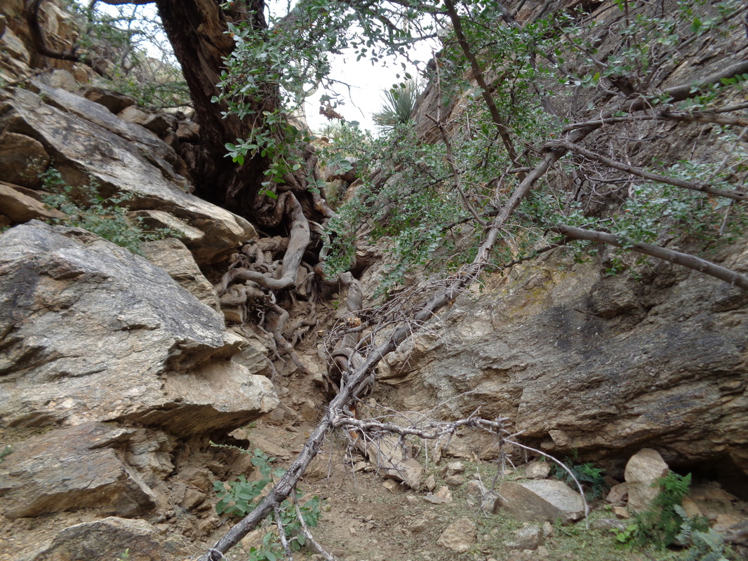
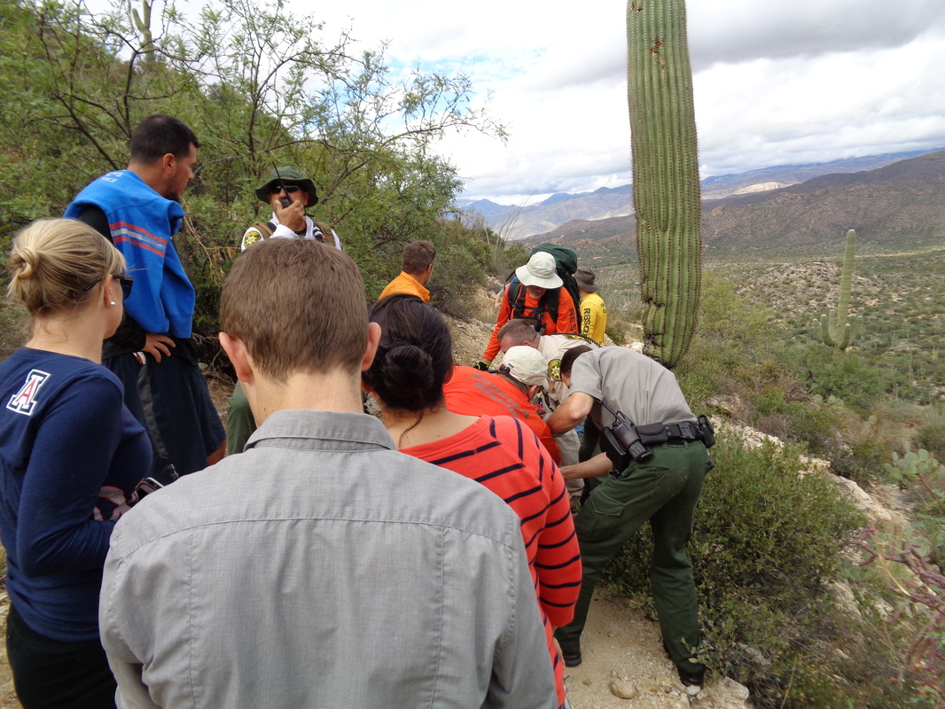
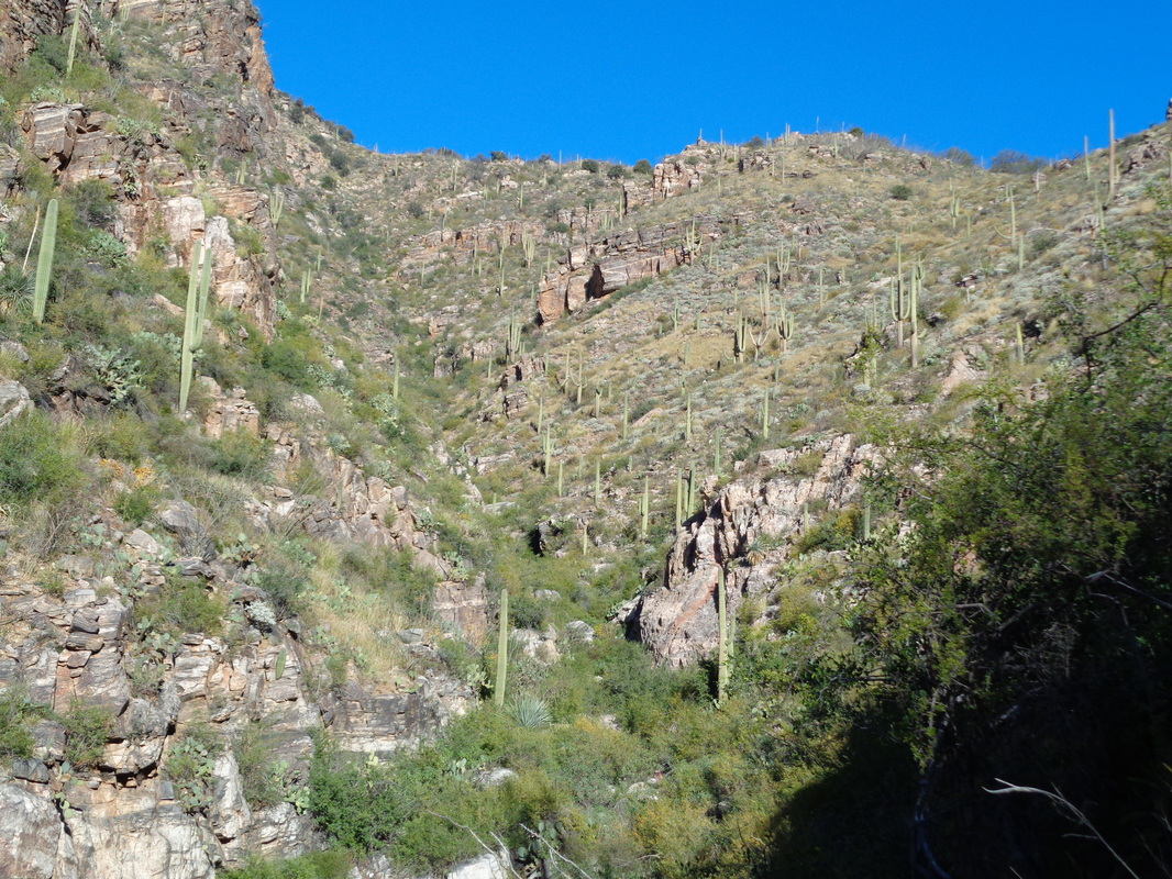
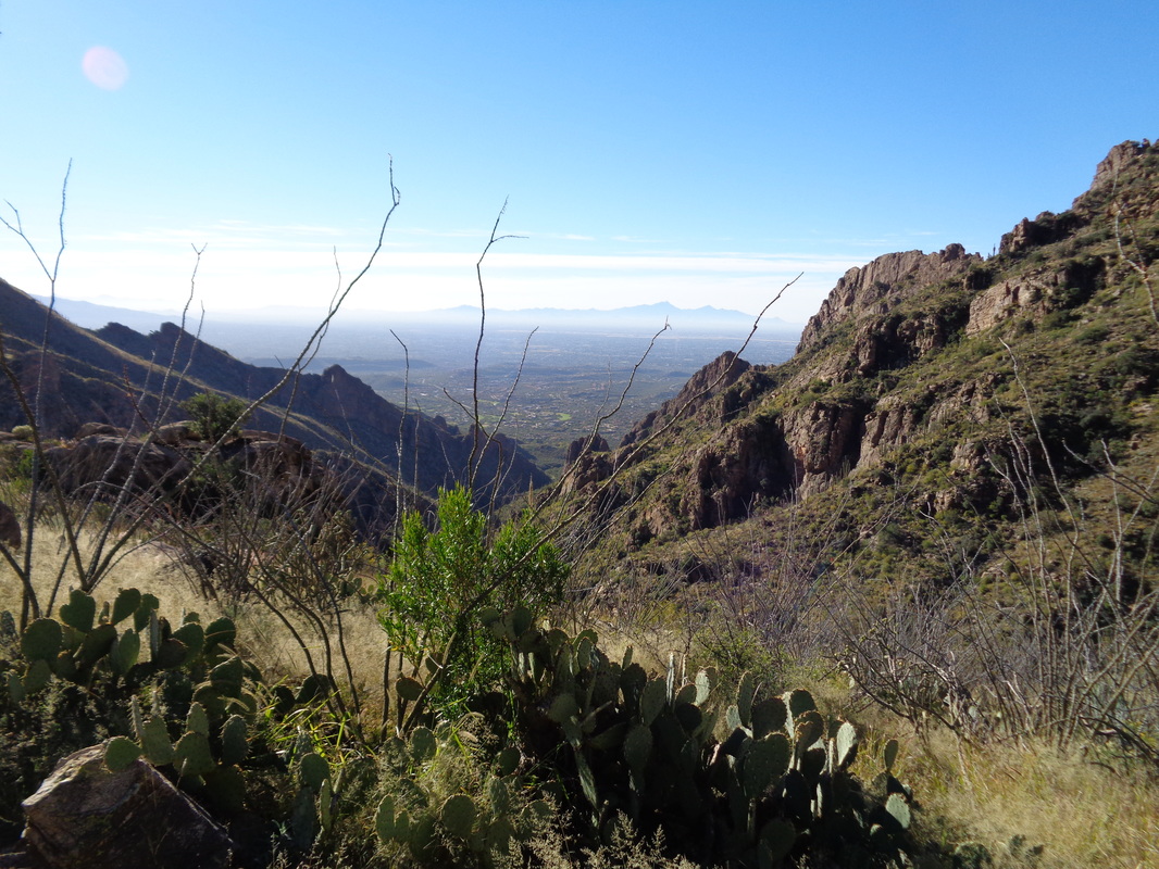
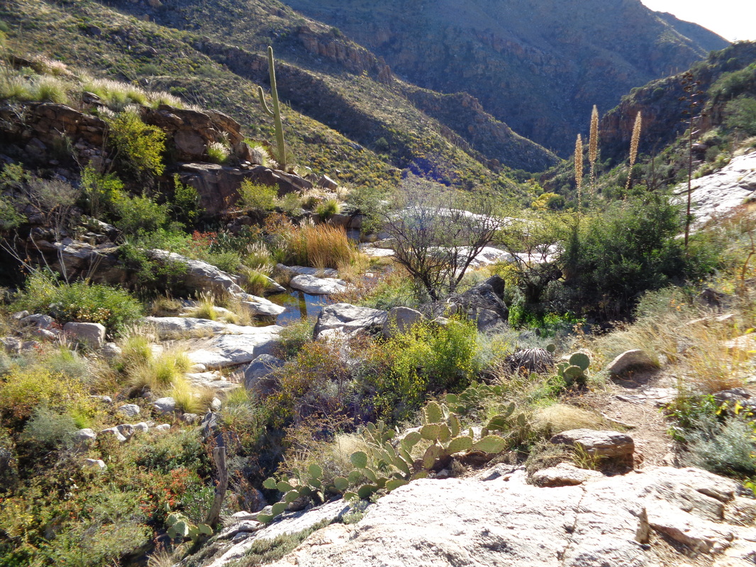
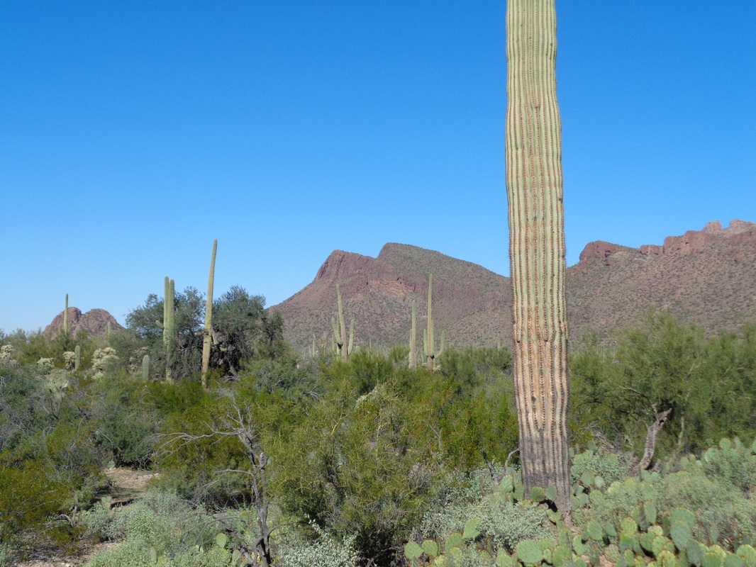
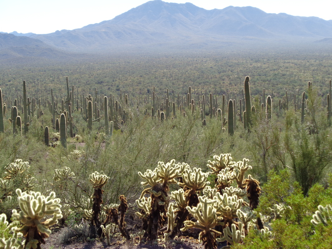
Thanksgiving morning. Lots of options this morning, probably the best being "Tim's Thanksgiving Ride" at which around 100 cyclists showed up but it was too early and too cold (relatively speaking of course) so I headed south and east to the Douglas Spring Trail. There were two groups scheduled to depart from the trail head, a social group of around 12 hikers headed for a 5 mile hike to Bridal Wreath Falls and a fitness group of 6 headed beyond for 17 miles. It was a different experience. Our group of 6 got going but after a mile, two dropped off a very fast pace set by leader "Mark". Soon another dropped back and I mentioned to Mark and Joel, the other remaining hiker, that we were down to three. We hit some climbs and Joel dropped back and I told Mark we were down to two. He said it was a fitness hike, the trail easy to follow and he wasn't waiting. We kept going. While the route was 17 miles round trip, it was only 2500' of climbing and the scenery was mile after mile of what you see above. At mile 5, with 2000' of elevation already gained, I turned around. There wasn't any reason to keep going, no cool destination, just more of the same and nothing but mostly flat hiking to come. At the turn around point, our average was 3.2mph, which is very fast and on the way back, I enjoyed the views to the west where the clouds were parting. On the return, I saw what was likely the Bridal Wreath Falls area so when I reached the trail junction, I headed for....... ....the falls. The water was a trickle though but still, kind of a neat place and after poking around, I found..... ....a climb to the top of the falls via the above notch having some conveniently placed tree roots for hand holds. A nice view while standing at the top of the falls. A lot of cottonwoods in the ravine with leaves that are changing colors. With only about a mile until the parking lot..... ...I came across a SAR team in action. A woman was being transferred to a stretcher but was very agitated. Not sure what was the problem but eventually they allowed us to pass and I finished with 10.5 miles.
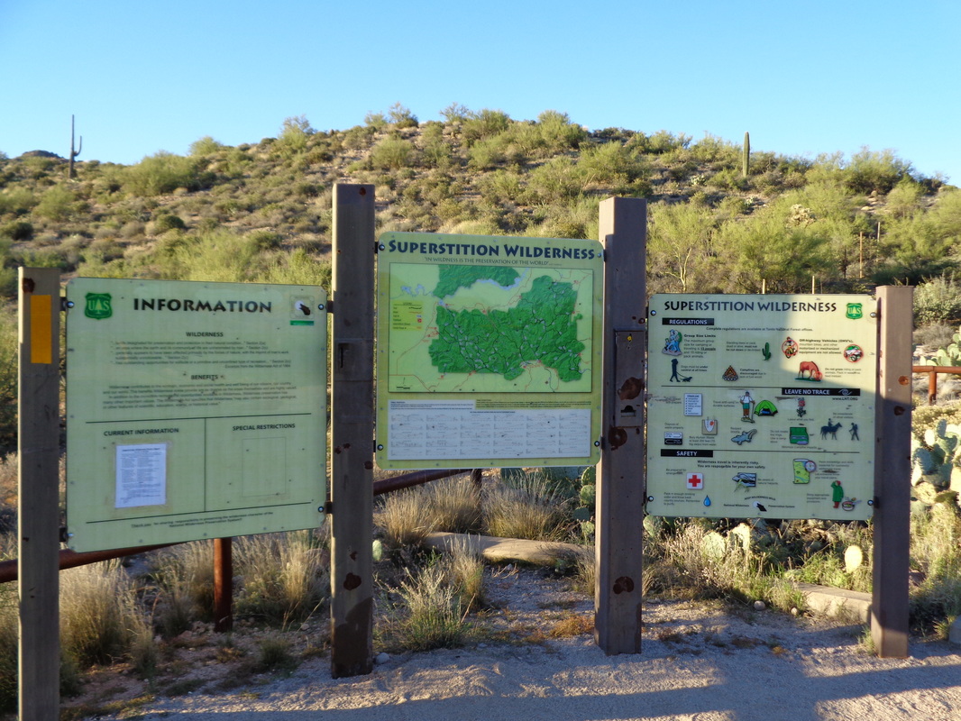
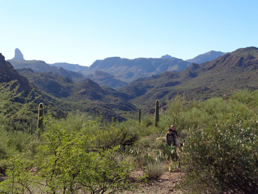
The First Water trailhead with an assortment of good information on trails, conditions, risks, etc... From this point there are many cool features that can be reached but none better than LaBarge Box Canyon and although not on today's official itinerary, Battleship Mountain, a favorite of mine. Our route to Labarge would go by the approach to Battleship and privately, I was plotting how to include a visit to it too. We took the usual route that I have previously described, First Water, Second Water, through Garden Valley prior to descending that nasty rock trail where you can walk for a mile and never touch dirt, into Boulder Canyon, turning right there and crossing the creek bed multiple times before reaching the south end of the Battleship and then after one final creek crossing, watch for the cairn that signaled the crossover to LaBarge. Above, with Weaver's Needle in the background-left, Phil and Jeremy are almost finished with their climb out of the creek to the saddle. We began our descent and looking back, there was Battleship, waiting for our return. The prominent point on the right is the trail's end. Looks so easy. First though, we descended toward LaBarge. Above is the opening to the "box". An incredible place. We enter the canyon with granite walls soaring above us on all sides but the entrance. Funny how the image does not accurately show the steepness of the slick rock on which Jeremy is walking. Walking deeper into the canyon, we pass a narrow wall where the canyon makes a 180 degree turn. Looking forward it appears the canyon ends at another wall but no, with one more turn, this time to the left.... ...we could exit into the desert beyond but our way today is to reverse course, climb back to the saddle and with Battleship now on our right, we decide..... ....LET'S DO IT! It's a fairly steep, 1/2 mile climb to the "ship's hull" where we stash unnecessary weight and.... ....climb aboard the ship. Yes, a wall but with enough of a gritty surface and hand holds so we can scale it. Now on the ship, we can look once again at LaBarge but from a different vantage point and then..... ...looking ahead, we can see our destination, about 3/4 of a mile away. The obstacles are, as I look back about half way into our visit with our able leader Phil passing..... ...many. Although this is my 5th or 6th visit, I still have to butt hike down this section. A fall would be fatal. Another wall to ascend, about 14' with fewer handholds. I noted that many of the cairns {man-made rock piles to show the way) have been swept away so we had to endure a few dead ends prior to finding the way as it is not obvious and frequently counter intuitive but finally, at about mile 7..... ....we reach the summit where we find an American flag and an ammo can with the trail register so we sign it, of course. The views, 360 degrees, are fantastic, including this one with Canyon Lake in the distance. We head back which includes a too long section on ball bearing slope. Nasty conditions but worse yet.... ....squeezing through this slit that had we sucking in my stomach. A 34"+ waist would have to find an alternate way. We finished with 13 miles and about 2600' of climbing. Between the Window hike and this, the pounding from the trails has really taken it out of me. It's not the climbing, it's the descents and accumulated impact that caused me to soak in the spa and did that feel great.
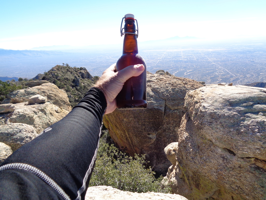
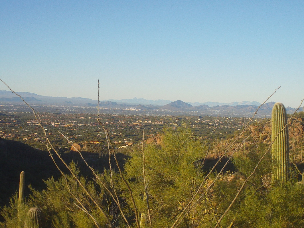
One of my favorite hiking buddies, Amy, has been injured but she finally came off the "injured reserve" list and as always, when able, up for any hike. We met at the trail head in Ventana Canyon at 8:00am and struck out for not only the Window but also Window Peak, a spot I had not yet visited. The trail, rolling at first, winds toward the ridge line above but bypasses it for another ridge, much higher and much more distant. The rolling nature of the trail, into and out of a running creek, soon begins the inevitable rise as views begin to open to the southwest. The day was sunny with a high of 79 so as we rose, the temps would stay moderate. I carried 4 bottles which turned out to be jusssstttttt enough. After about 3 miles, which included some steep climbing, we arrived at the Maiden Pools at the 1:06 mark. A fit looking couple had started about 15 minutes ahead of us and both Amy and I wondered why we had not caught them. Both of us set a fairly quick pace and being somewhat competitive, that there is someone ahead is always in the back of the mind. Ahhh, there it is, our destination although at this point there is little to differentiate it from a number of other high rocky ridges. Still going up we begin to pass some rock spires which from past experience, signaled that the saddle from where you turn right for the final assault on the Window, is near. Amy yelled that she could see the Window and I yelled back, "Great but I ain't coming down to take a pic." so did so later, on the return. At that point, the climb was steep and going back a couple of switchbacks was not an option. For a variety of reasons, I have not done a hike so long and so steep on this visit so adding one length or climbing was undesirable. We caught and passed the twosome...hurray....and reached the saddle at 2:45 and yet the rocky crag still looked so distant and so, so high. Groan. For a few hundred yards, the way is level with fantastic views both to the southwest but now also to the northeast. In the distance is the community of Saddlebrook. Then the trail turns up, rocky with climbing difficult as usual (I never find it undifficult). The sun is on the other side of the rocks, there is snow on the ground, it is kind of cold, I think about picking up golf again, being played down in the valley where it is 79. At last, at 3:10, we reach the back of the window, somewhat obscured by this tree but the views from inside the window looking at the front, superb. Amy convinces me to climb a boulder for a pic out the back of the window. Off my shoulder, to the left and unseen, higher yet, is Window Peak. The Peak is not far, about .4 of a mile but at the base of the peak, it is kind of confusing how best to reach the rock spire. As a veteran hiker, I have learned never to waste energy so when Amy thought this was the way to go, I encouraged her to go and yell back if correct. It was and then another wall like barrier to be climbed and at last.... ....we reached the small space that defined the peak with grand views of Cathedral Rock, slightly higher, in the distance. We thought there would be a can or something that would contain a notebook to register the fact that we had made it so we looked around. Actually, Amy did most of the looking as I did most of the pic taking. A rock spire, similar to that on which we were standing, was slightly below us with the valley way down, 7 miles distant. How about that? No register to be found but we did dig a bottle of something, maybe a Belgium beer, from a crevice, well hidden. We returned it to the hiding place so it would be there if/when the owner returned. We headed back down. Walked through some grassy sections but I thought it unlikely the rattlers would be out so did not slow too much out of concern for that. About 3 more miles to go, finally reaching our cars at just under 8 hours, 14 miles and around 4500' of climbing. Time for a glass of wine....or two.
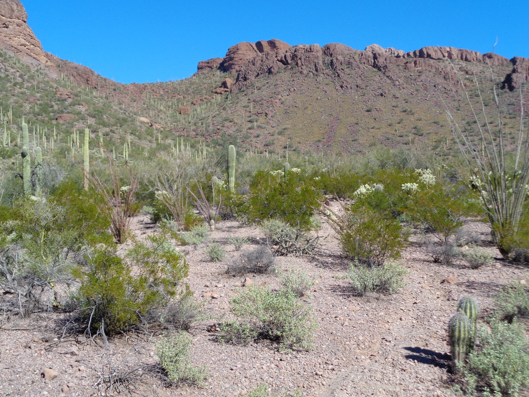
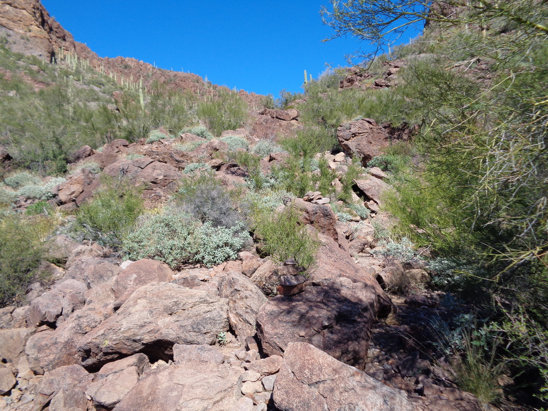
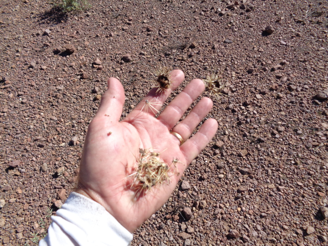
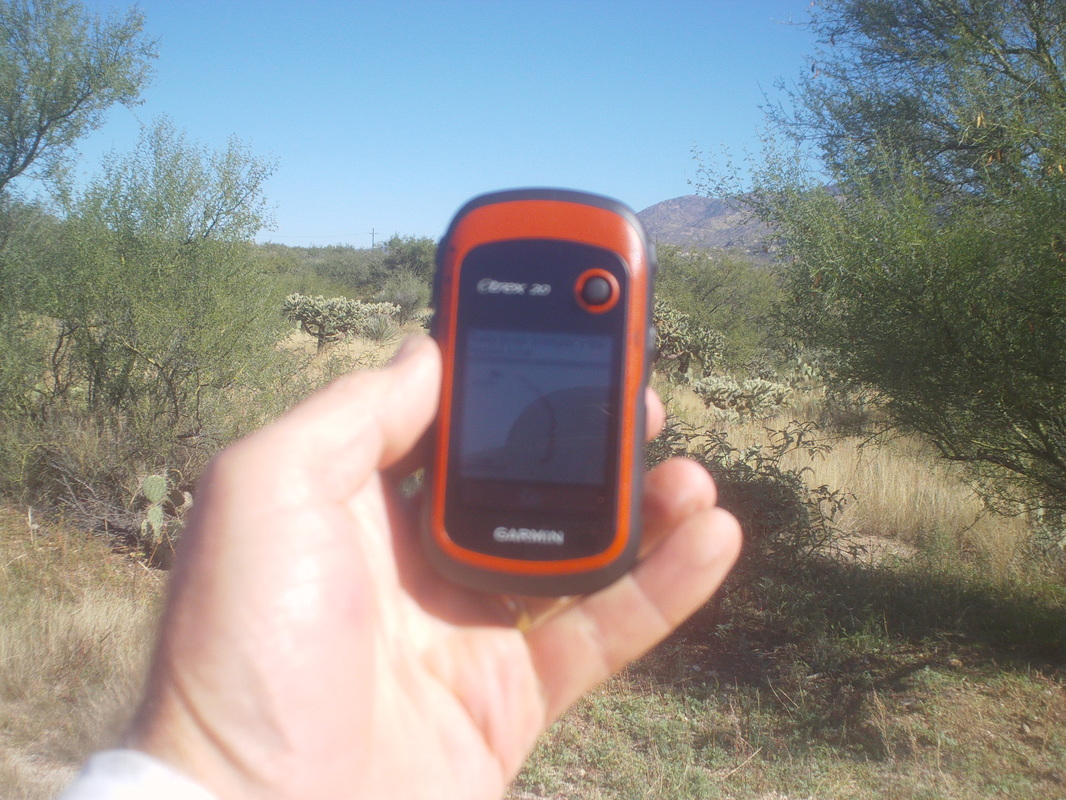
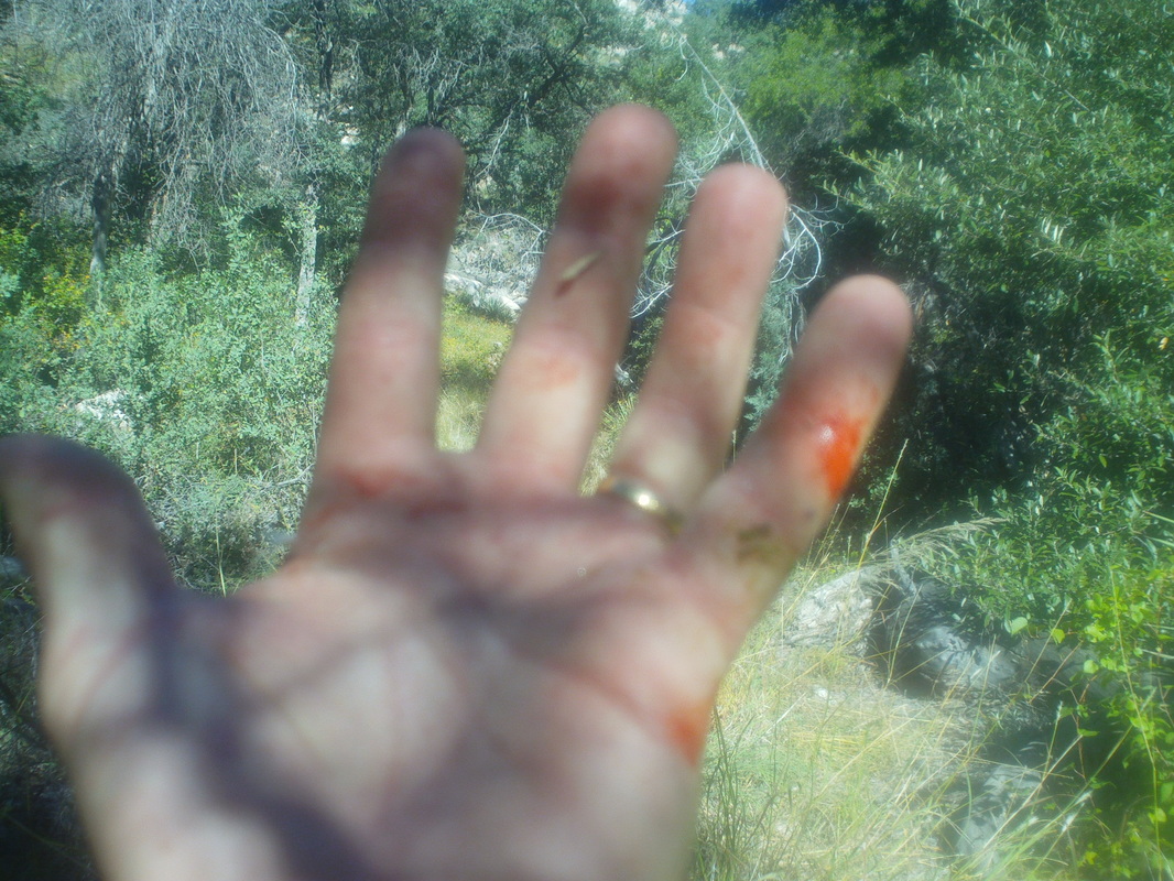
Having climbed to the summit of Sombrero Peak many times, I decided to find a route to it's neighbor, Panther Peak. Not a lot of hike reports can be found on the internet but one had a gpx file of the mostly off trail route and with my Garmin trex-20 in hand, I was good to go. There are a couple of ways to access the route but I chose to start from a turn-out off Picture Rocks Road where Panther Wash Trail crosses. Almost immediately, the trail drops into a wide, sandy wash, which is followed for 1.5 miles. I walked past the point at which I should have gone off trail but my new, trusty Garmin showed me I was off route so I turned around and found a faint trail headed up and out of the wash. Classic Sonoran landscape. Not overgrown and that made for easy hiking. The route, while officially off trail, enough people have walked it that there is a worn path that is fairly easy to follow. The route enters a drainage/ravine and soon I rise out of the valley with good views. However, the ravine closes in around me and..... ....becomes very boulder but the cairns are plentiful and show the way (if you look closely, you can see at least one cairn/pile of rocks center-right). The climbing is steep but not too challenging. Close to a saddle, I have risen high enough that many peaks populate the horizon. At the saddle, looking to the east, I can see Sombrero Peak as I follow cairns and the faint trail to the summit. As always, the views are good, I find and sign the trail registry and then head back down. I have gained only about 1200' so not a difficult hike. Just good to knock out a peak. As I had the advantage of height, I could see that the route went away from the trail head and if I went really off trail, I could strike out for the sandy wash and cut the trip a little short. I entered a narrow wash and arrived at a narrow, horizontal slit in a wall where a lot of cholla clusters had been pulled together. There were no cholla cactus nearby so I thought that odd as I stepped up to begin the climb out of the wash, my foot slipped and...... ...dang it!!!!! I brought my hand to the ground to catch my fall and picked up several partial clusters in my hand. Fortunately, I always carry a pair of tweezers and once I reached the Panther Wash Trail, I would stop every 10 minutes, yank a piece from my palm and by the time I reached my car, they were all removed. Well, this being Friday, I was jacked for the Buckeye game and for an epic Sunday hike. More to come.
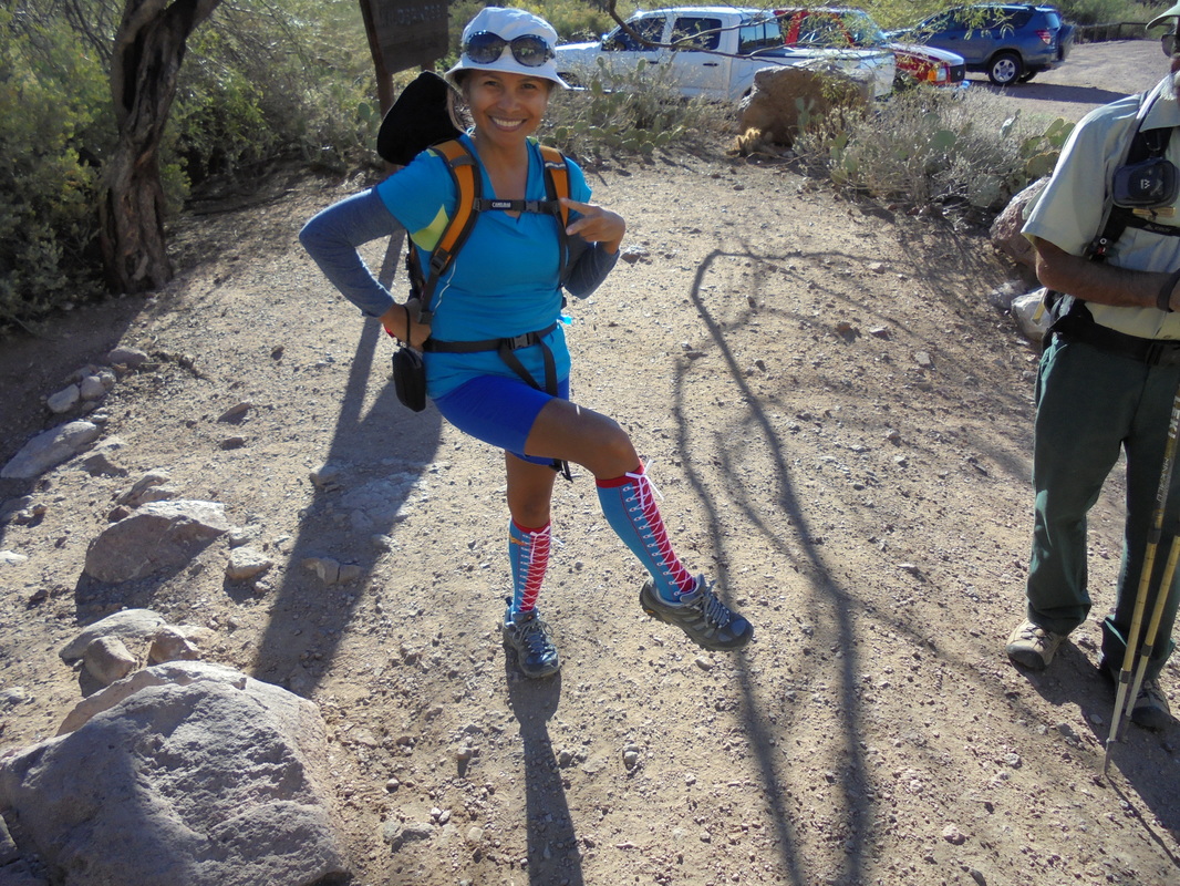
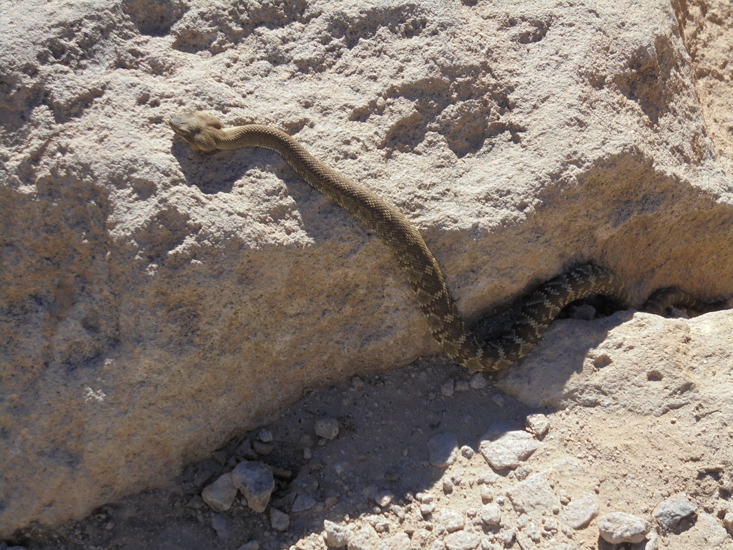
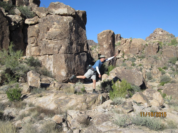
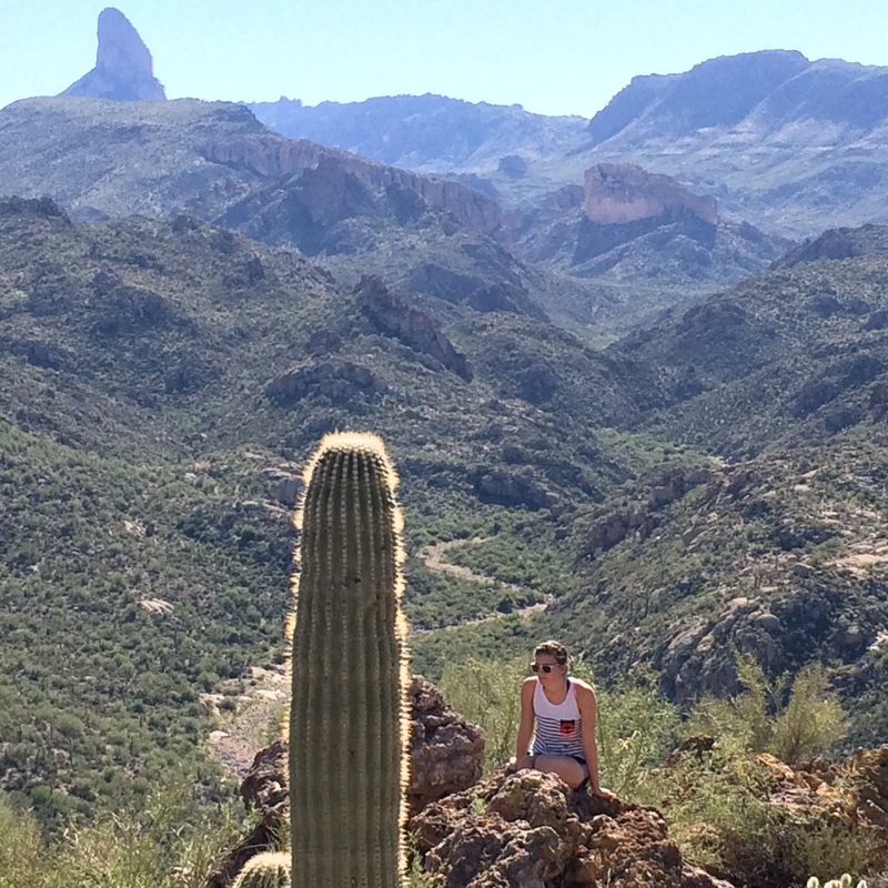
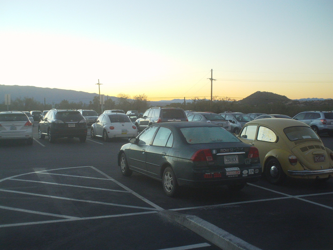
I belong to several hiking groups but either because of an aging leader base, disinterest, injury, the group hikes have been lame at best. Then, last week, someone put me onto a Phoenix hiking group, "Hikers Hiking Hikers" that is a prolific scheduler and so I signed up for a hike and drove to Apache Junction and the fabulous Superstition Wilderness. Even though it was a Thursday morning, seven of us showed up including Letlet, showing off a color coordinated hiking outfit that included a wild pair of socks. She and husband David lead lots of hikes and are good people with whom to hike on this beautiful day with highs in the mid 70's. We hike, steeply at times, from the desert floor where we paused to regroup and I took this image, which includes the parking lot with our vehicles. Gaining more elevation, views open to the southeast. I took around 50 images and had to abandon so many good ones to fit into this space. How about that? Our destination, the left peak and the approach from the right looks kind of steepish, no? Actuallym the cave is just below the peak but still a quality climb. Higher yet, still looking southeast, a distant mountain rises above the mist...look closely. We pause to regroup and I show my amazing sense of balance, with the aid of a hiking pole, to show the way.....actually, that is not the way but somewhat close to the way as we head straight over my head. Note too the unfashionable hat, necessary with the cloudless day. More great views, this time to the east. We passed a small pool of water and found a tortoise shell nearby. I announced that the tortoise removes the shell prior to crawling into the water for a bath. One person in the group believed me. We had the privilege of having a park ranger, Mike, come along for the hike with Armando on the right listening to Mike comment about something. Mike was a great asset and it was fun to hear him talk about various features and plant life. Oh geesh, almost to the ascent up the right side. Like always, the image does not do justice to how freakin steep is that grade. We passed and rose above the "Fortress" on the left, named by rock climbers. We arrived at the aforementioned slope and began a climb so steep that whatever is the grade at which ropes are needed, we were 1% just under that. Again, the images do nothing to show how challenging was the climb. In the distance, you can make out a couple of my fellow hikers beginning the climb. We reach the cave, a neat spot with a fire ring and cover from the elements. We also saw and arch above so Armando and I..... .....scrambled around until we were able to reach the arch. A huge rock slab prevented us from getting all the way into it. While we were off trail but following a faint use path. we could hear voices below and spotted 5 horses on the Peralta Trail as we shoved off for the next destination on our trip...... ......the awesome...... .....Weaver's Needle as I stand next to the Lone Pine. Stepping as far out as I could just prior to plunging into the abyss, I took this image. I then left the group as I wanted to get back as soon as I could and while briskly walking down..... ...I almost stepped on a baby rattler. Isn't he/she cute? No? I prodded it off the trail so no one would accidently step on it. The youngsters bite and then just inject all the available venom rather than conserve the poison. Nasty. Well, finished with 7 miles and another good hike tomorrow.
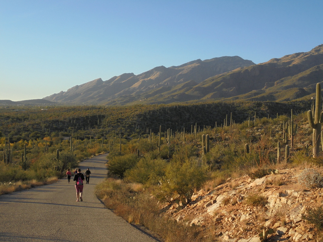
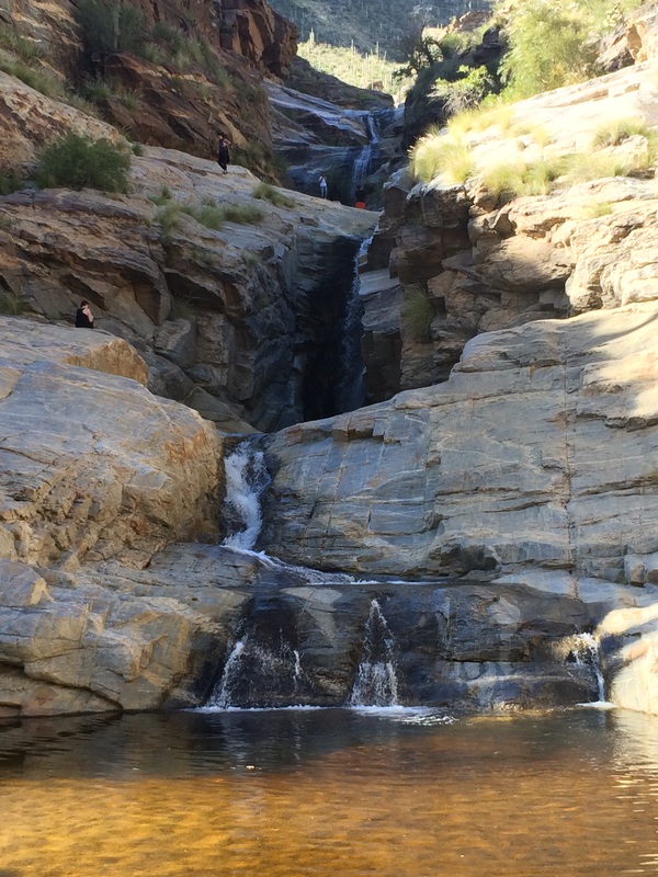
My daughter departed on Sunday and with her went her iphone and the clearly superior images it produces. So, even though I live a life of penury, I splurged on a new camera and check out those colors!!!! Monday was a day of raw temps (55 degree high) and rain, followed by Tuesday and brilliant sunshine (above).so I escorted my wife to..... ....7 Falls, again. We finished with 7 miles and on Wednesday, the morning group ride cancelled because of cold but.... ....I got out for a 38 mile ride in the afternoon as temps reached the high 60's and then..... ....Thursday arrived and temps jumped into the high 70's where it appears it will remain that way for a few days. What a grand hike I have to describe with marvelous high quality images! Coming soon.
The details are sketchy but I have learned George's new climbing machine, which he unleashed on the peloton in very late September, has a crack and he has returned to riding the ancient Serotta. Apparently the new bike began to fall and while attempting to stop the fall, George fell on the bike and cracked one of the seat stays. It may be awhile before the frame is repaired/replaced but that is what winter is for.
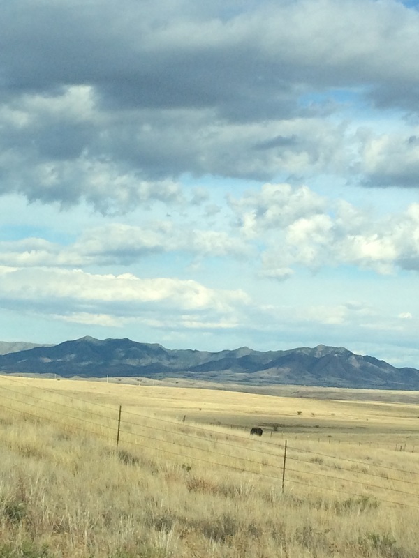
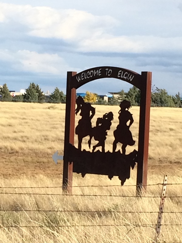
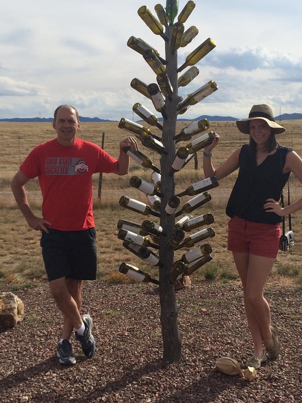
It is a 90 minute drive south and then east to the area of Elgin with large grassy plains and mountains in the distance. We knew we were close when we reached this copper sign of three women stomping on grapes. It being a Saturday and it being a day the Buckeyes play, I wore an OSU shirt as it being a warm day in the upper 70's permitted such attire. The wine scene is kind of laid back but among the 6 wineries we visited we were dressed appropriately. My wife was the designated driver as Olivia and I were the designated drinkers. Actually, I drank little and drove the entire route, honest. Our final stop at a winery name I forget but check out that background of roughly 1500 corks as Olivia poses with the manager. Almost without exception, the wine was in the $28-$40 range and too expensive for the taste. However, most of the wineries had a great deal on the tastings, around $10 for 5 wines with a logoed glass I could keep. I added a few glasses to the AZ collection. At this winery, we bought this neat wall hanging, a mini wine barrel shaped out of wire and into it you can deposit around 100 corks. I hung it right away and have begun the arduous task of filling it. Well, our daughter hopped on a plane Sunday and is now back in the land of milk and honey, Ohio.
I talked my wife and daughter into the 12 mile Battleship Mountain hike in the Superstition Wilderness. Five miles of kind of boring hiking but the last one mile, just awesome. The question, could they make it to the mountain and if so, could they pass the gauntlet of challenges on top of the mountain? We shove off from First Water trail head, kind of rolling, enter "Garden Valley" which is flat, descend a very rocky trail to.... ...a point where we get almost a full view of Battleship. Not the distant ridge but the shape in front of it. We entered.... ....this boulder strewn wash and boulder hopped to the point where you exit the wash, walk off trail up a steep slope, gain a ridge and walk up to the base of the mountain where..... ...my daughter and wife poop out on me! They complained it was boring and it is, to that point. It's analogous to walking all the stairs to the top of the Empire State building and just before opening the door to the observatory platform, turning around and walking back down and complaining the view sucked. I pleaded with them but all they wanted to do was head back and get ready to visit the new shopping mall. Defeated, I got permission to scramble the wall to get on top of the stern of the "ship" where.... ....I could see the summit, about 1/2 a mile away. So close and even this high quality image doesn't touch the magnitude of the view and what lies ahead. To the right is the magnificent view of Labarge Canyon. It too is awesome. I carefully scrambled back down the wall, rejoined my family and headed back, finishing with 10.3 miles. Groan.....
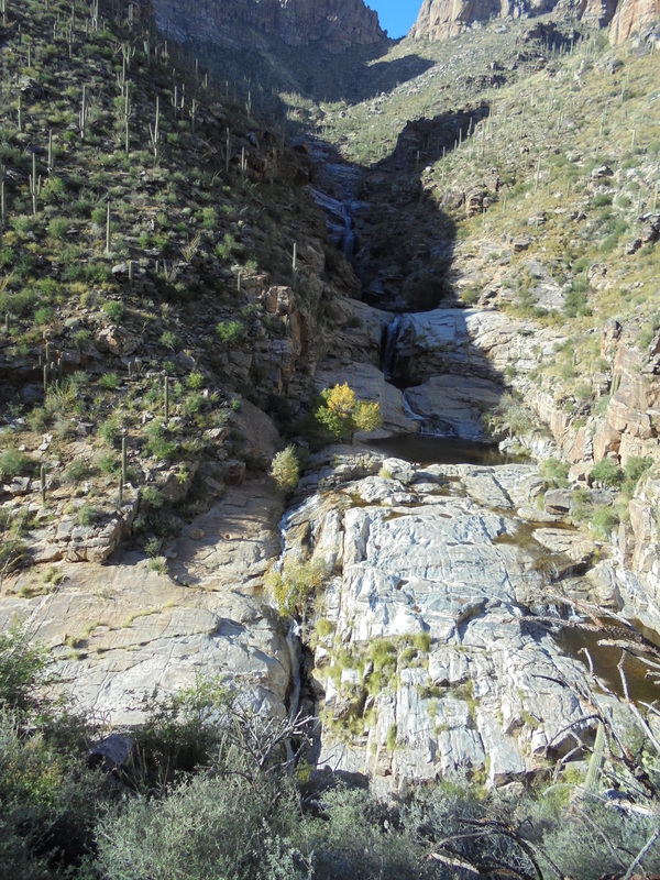
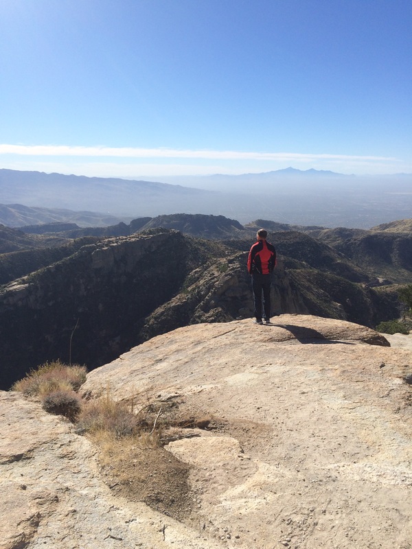
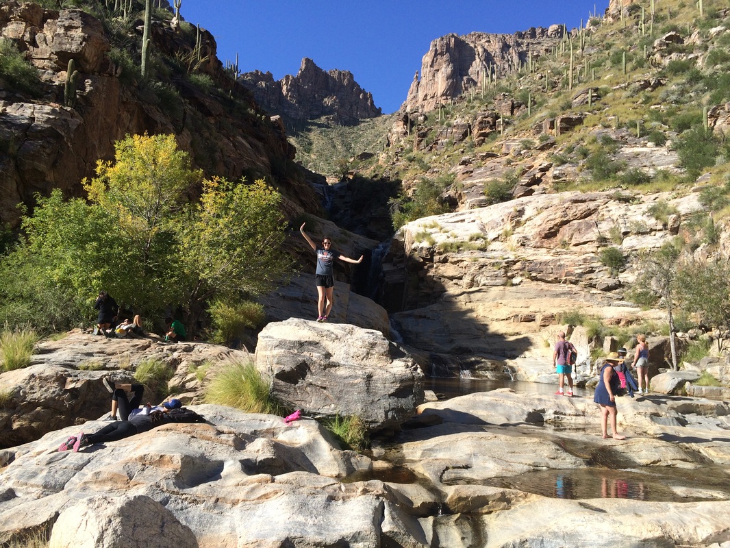
One of the activities that all first time visitors want to do is drive to the top of Mount Lemmon, a 26 mile drive that is the biological equivalent of driving from Mexico to Canada. We stopped at Windy Point Vista where yours truly was captured looking to the southwest. We ate at the Sawmill restaurant in Summerhaven, visited the ski area and with temps in the mid 30's, drove back down..... ...where temps were in the upper 70's to do the 5 mile hike to 7 Falls. Very neat place. Olivia poses on a boulder before we headed back.
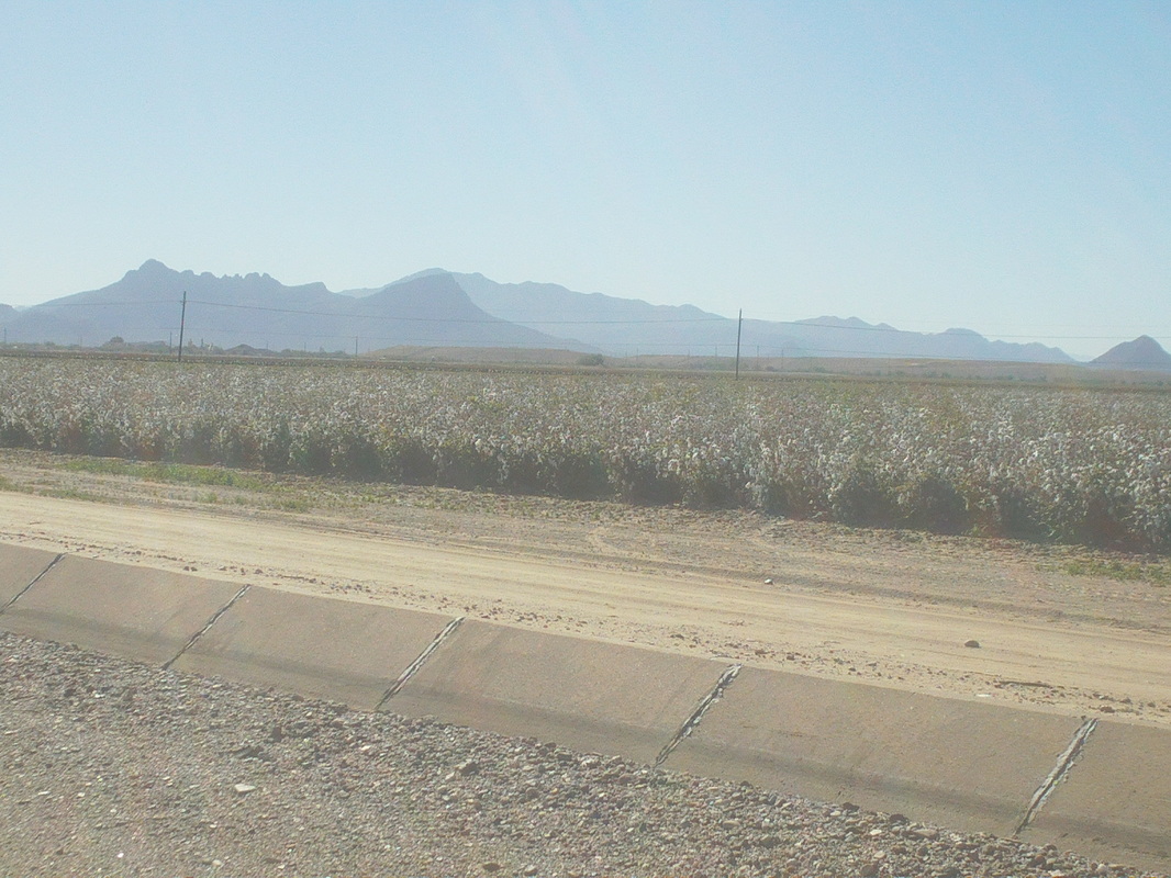
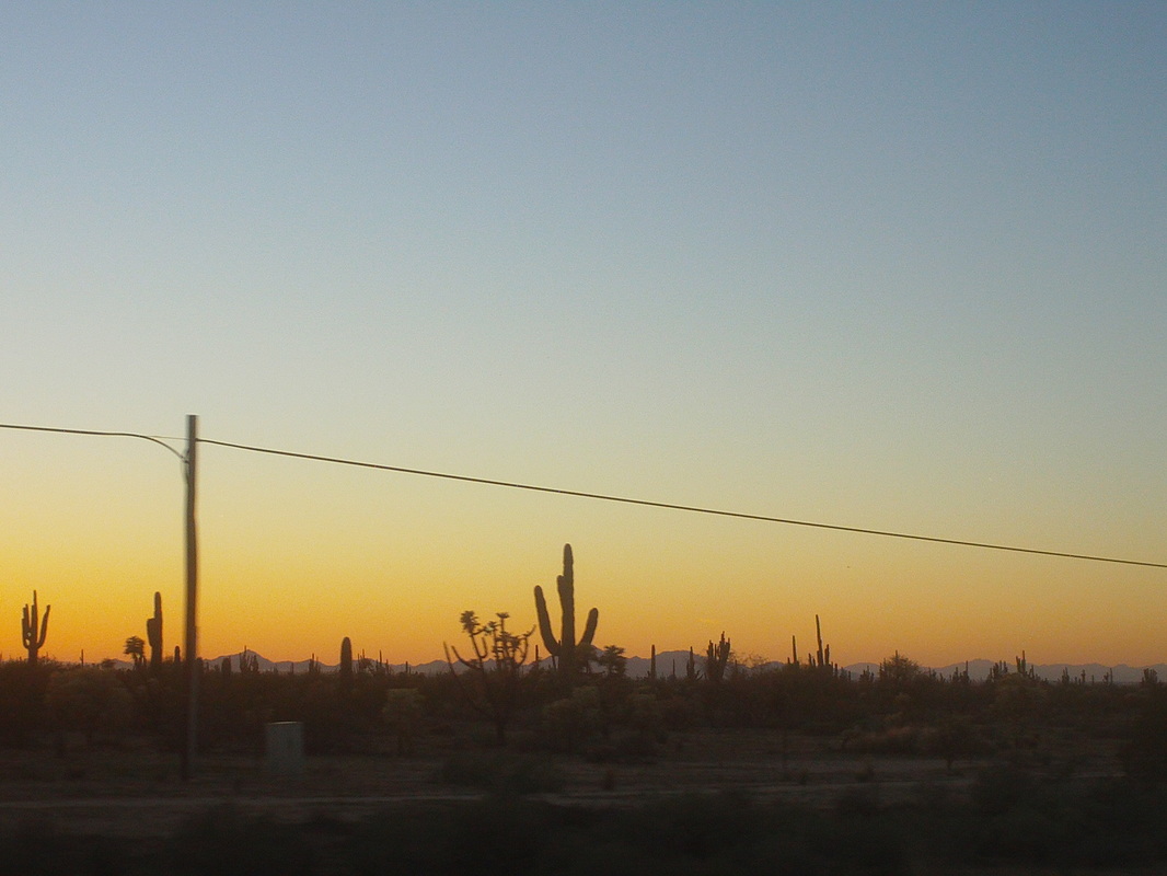
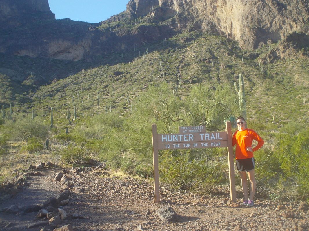
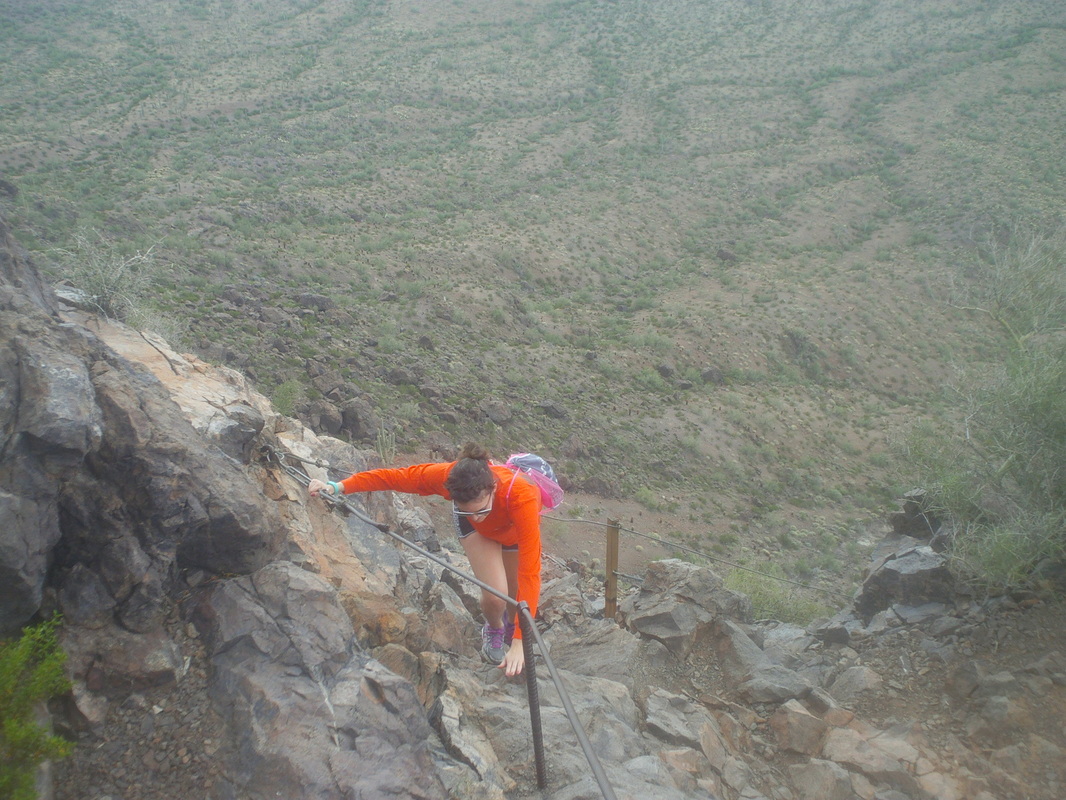
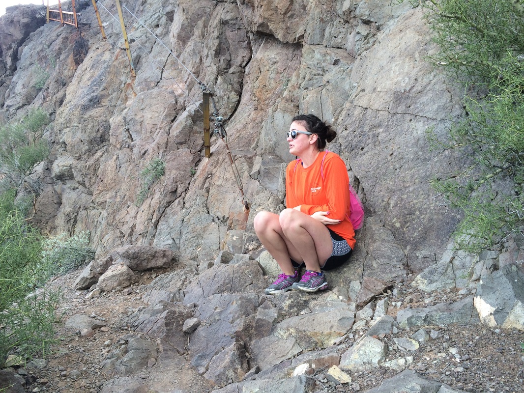
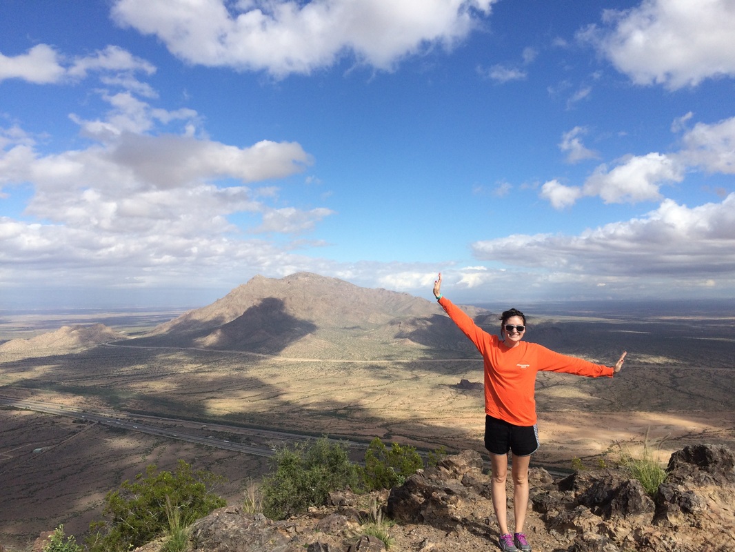
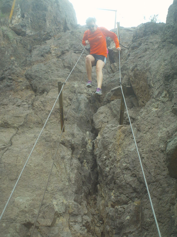
Sunday I jumped in with a few hundred cyclists to do the Silverbell Century, one of the primary training rides prior to the Tour de Tucson, which is in two weeks. I rode 45 miles which included a fun descent of Tangerine Road and.... ....upon reaching the town of Marana, I left the route to head back towards Twin Peaks Rd and a return home. Lots of acres devoted to growing cotton, not what one would expect out here. Monday I had to hang around to await the arrival of more furniture and then headed to Phoenix to pick up my daughter Olivia. I enjoy driving the back way via #77/79/60 which includes going through Florence and wide open views to the west. After the sun drops below the horizon, there is 35-40 minutes of a beautiful glow. Olivia wanted to get in a couple of hikes and I was more than happy to oblige, with shortish, fun hikes. We began with Picacho Peak via the Hunter Trail, a very steep slog. The saddle at the top of the image is the midpoint goal. Olivia is somewhat afraid of heights so the sections that required climbing with exposure and handholds were a challenge. OK, the last cabled section that is a sheer rock face with a few poles and two cables connecting them was the most challenging for her. She took a break, talking to herself and then with shaking hands, made it through. She was pumped when she reached the top. A 1500' elevation gain in a little over a mile. A cold front moved through the evening before so the temps never got out of the 60's today and it was kind of windy but warmer weather arriving soon. Emboldened by her success, Olivia leaped through the obstacles that had caused so much consternation an hour before.
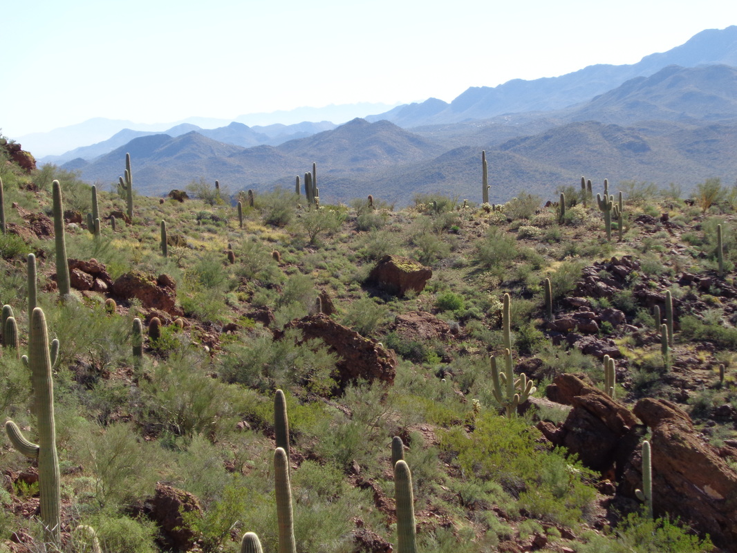
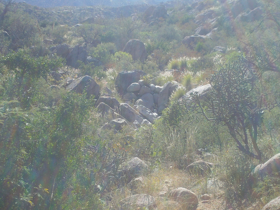
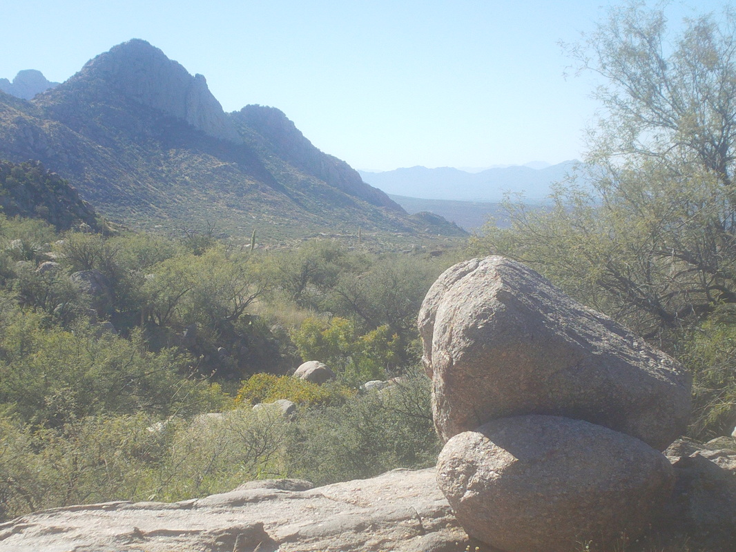
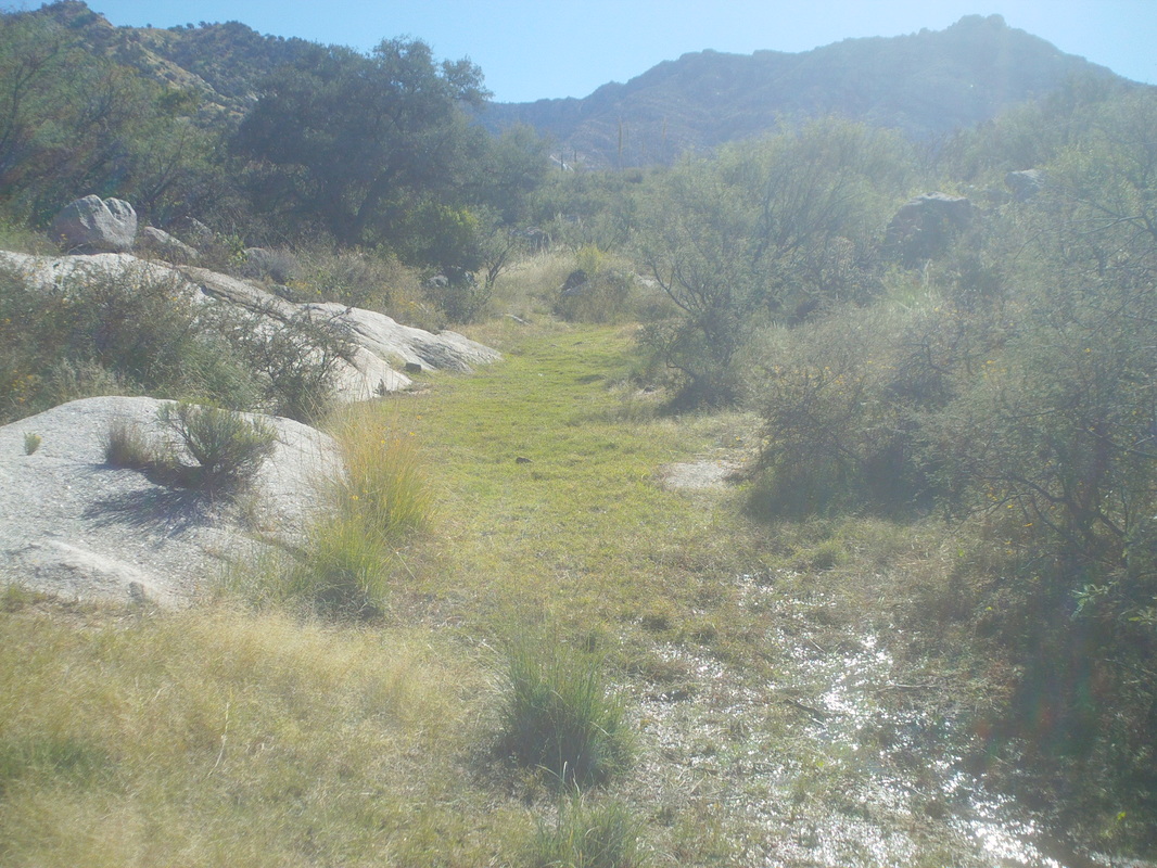
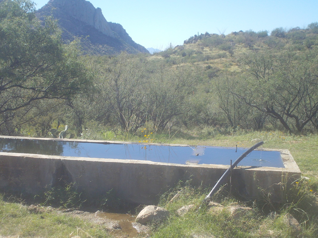
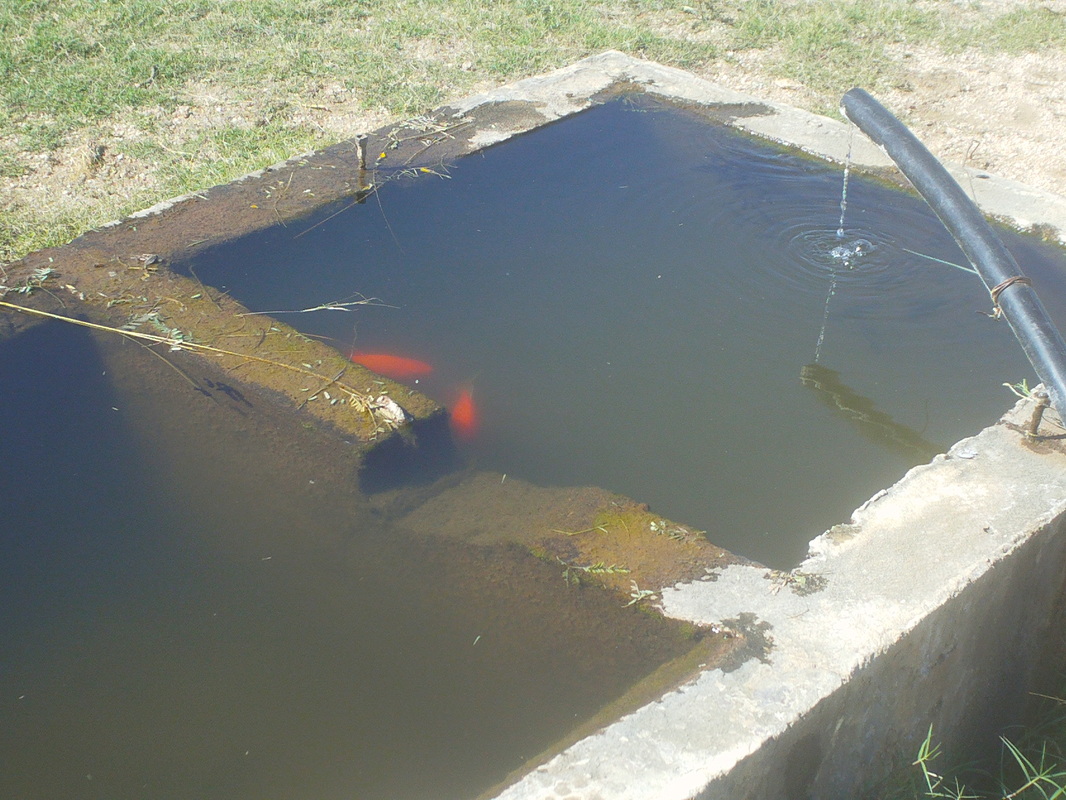
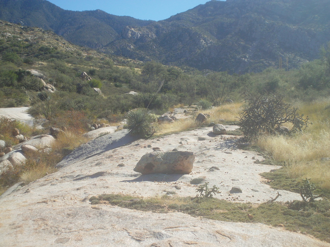
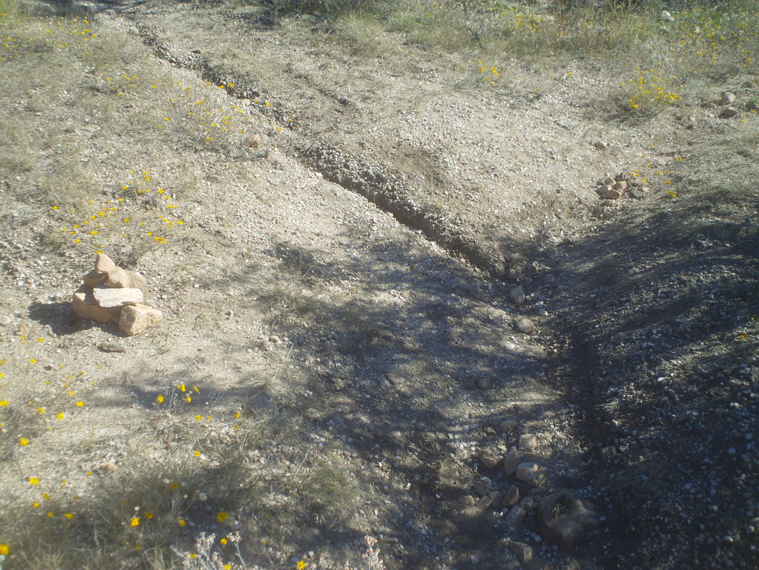
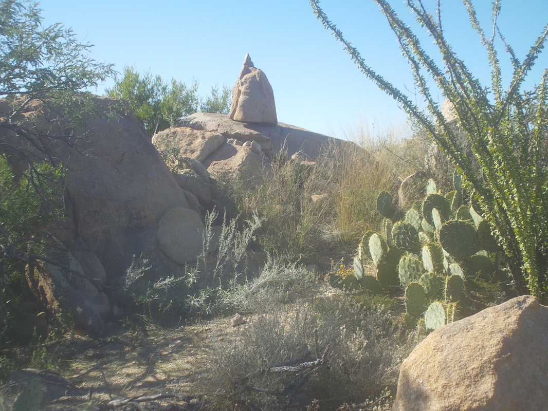
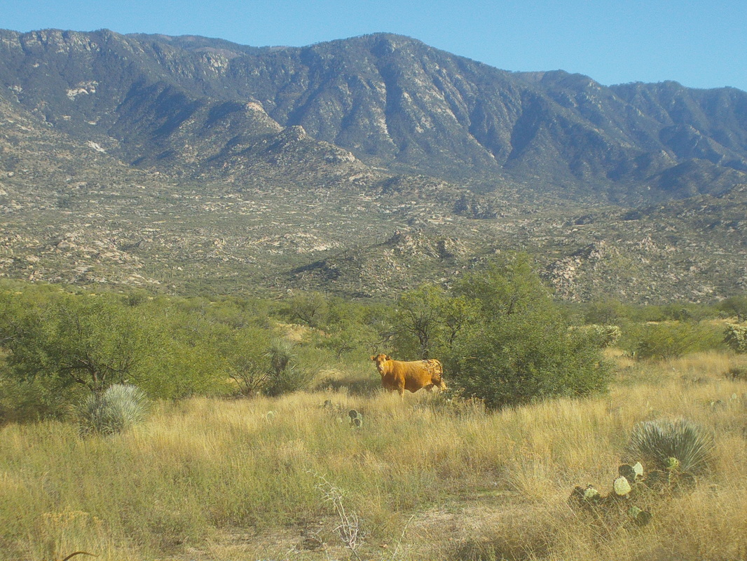
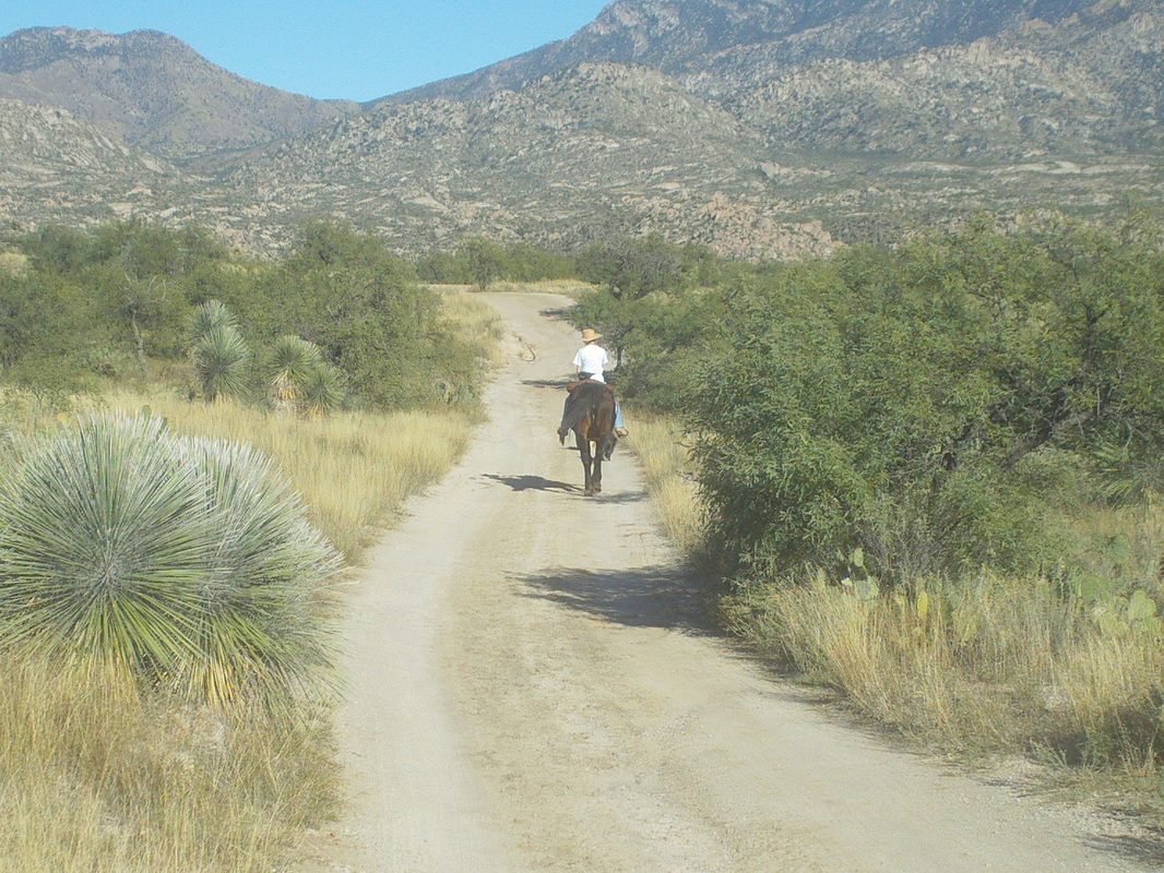
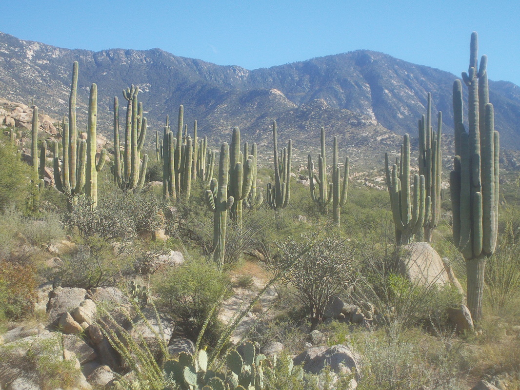
Getting off trail during Thursday's hike and getting mixed signals from the Garmin left me aggravated and motivated. So, after riding the bike on Friday, a mere 36 miles, I was ready to go on Saturday. I downloaded a different route to the Garmin and hoped it would show the way. I'll forego the images from the beginning of the hike as they can be found below but could no pass up another image of these giant saguaros with the sun rising behind them. The trail enters and exits a couple of ravines which support a colorful variety of plants. The revelation today was, after thinking I had gotten off trail on Thursday, I discovered I was on the trail after all. It is very reassuring to look at the Garmin screen and see the triangle icon that represents my position is exactly on the red line representing the route. How bout that!? The trail emerges onto a rock ledge..... ....opening up amazing views to the south. One of my favorites to be sure. Soon thereafter, I arrive at another ravine to cross but this one has a broad bottom with a thin layer of water which supports grass. very cool. Then I reach this trough that supports some cattle in the area and likely lots of other animals. Would be great to see a video clip of what arrives at this each evening. I passed a couple of hunters who had spent the night, scouting for a future hunting trip. They saw lots of deer and other animals but not a lion. Had they seen one they were going to shoot it. I think it is always open season on them but not sure. Gold fish, which are there to eat mosquito larvae were present, along with maybe minnows, of which there were many. Near the end of the trail, I entered something known as "Rock Meadows" which is an expanse of slick rock. I could not find the trail out of it but hey, I've got a Garmin and so whipped it out, looked at the red trail line, looked at where I was and used it to find the FREAKIN TRAIL!!!!! HOW BOUT THAT!!!!!!! This has to be comparable to the feeling Neil Armstrong had when he stepped on the moon, when women were given the right to vote, when the Buckeyes counted down the end to the national championship game, etc... The end of the trail is very anticlimactic. 99% of my hikes end at the top of a mountain but this ends at a rocky forest service road, the above not being it. Instead, the above, for those who find this during an internet search for this trail, is where I screwed up on Thursday. I went slightly to the right, arrived at a ravine and thought the trail ended, came back and took the left fork and that just keeps going and going. As it turns out, going slightly to the right is the correct direction. On the hike back, I passed this among many interesting rock formations. Thinking it has not been named, I named it "The Kaiser". A cow stares at me. I stop and stare back, playing the "eye blink" game. It blinks first so I won. The final mile is along a very rough dirt road but it affords great views of the area. A woman passes me riding her horse with two well behaved dogs in the lead. I finish with just under 12 miles.
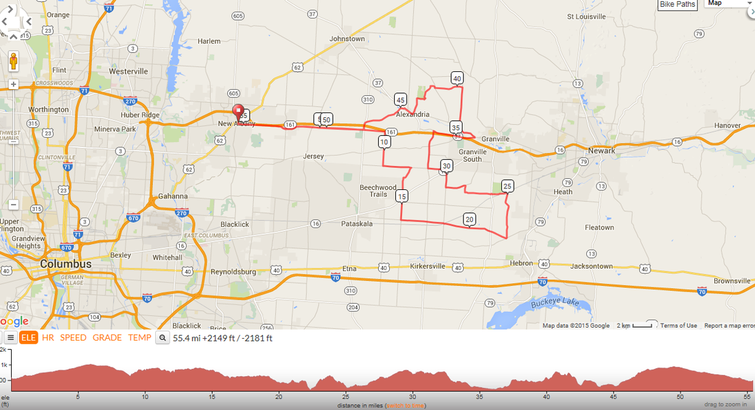
Check out this route for Sunday: http://ridewithgps.com/trips/7017722. Hosted by Luke Russell, the Aussie (or is it New Zealand or maybe the UK. All those accents sound the same to me) will depart at 8:00am from in front of Starbucks. All are welcome and I have heard that Flying Tuna and her bum shoulder may use this as her comeback ride. She has spent many days in Hocking Hills training so it is possible she will be there.
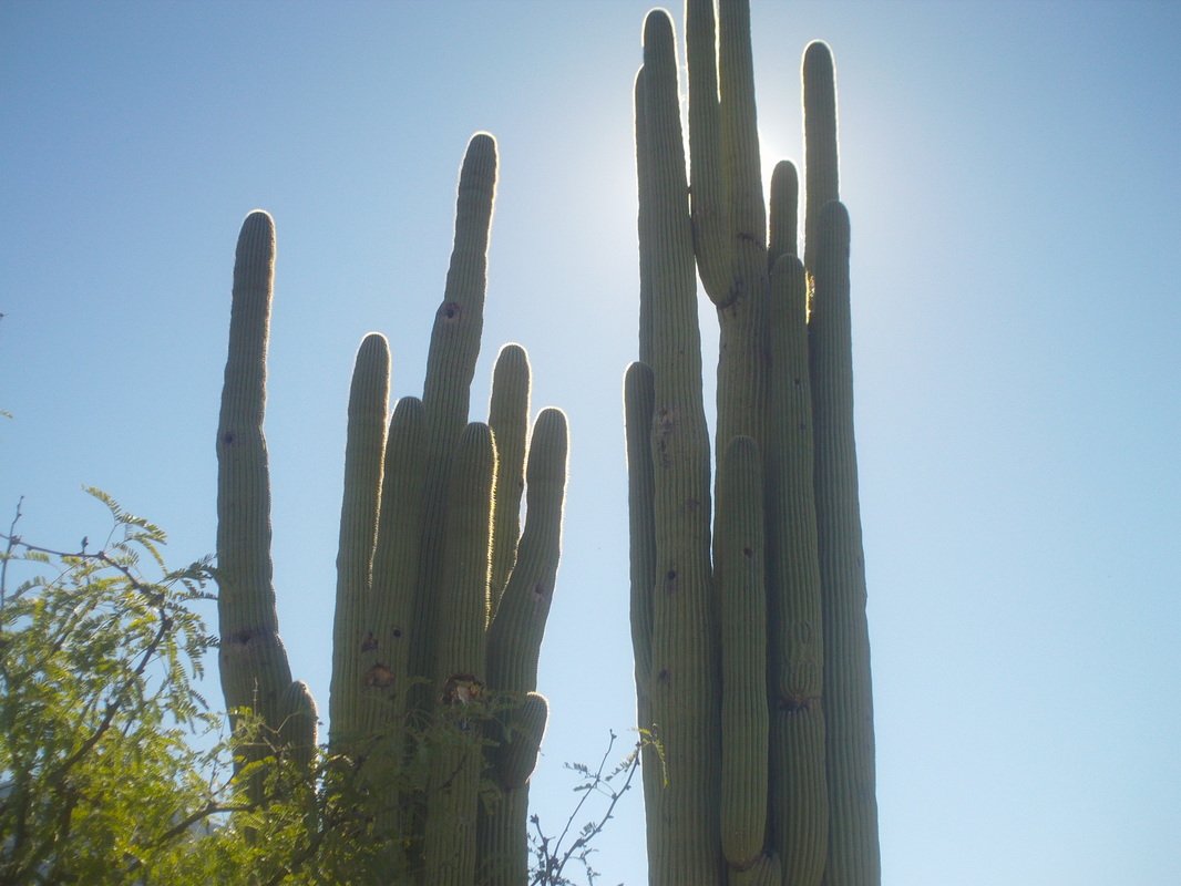
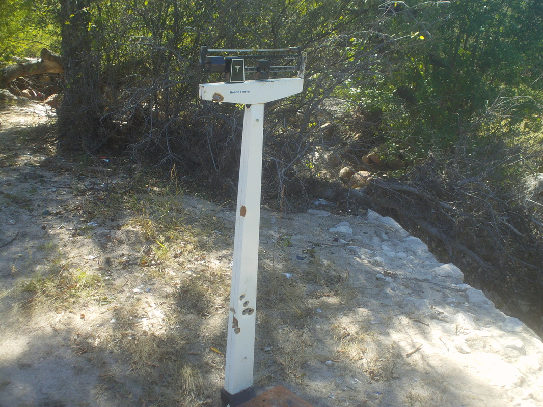
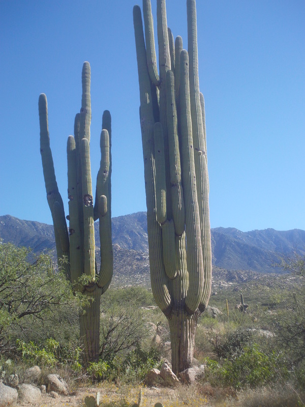
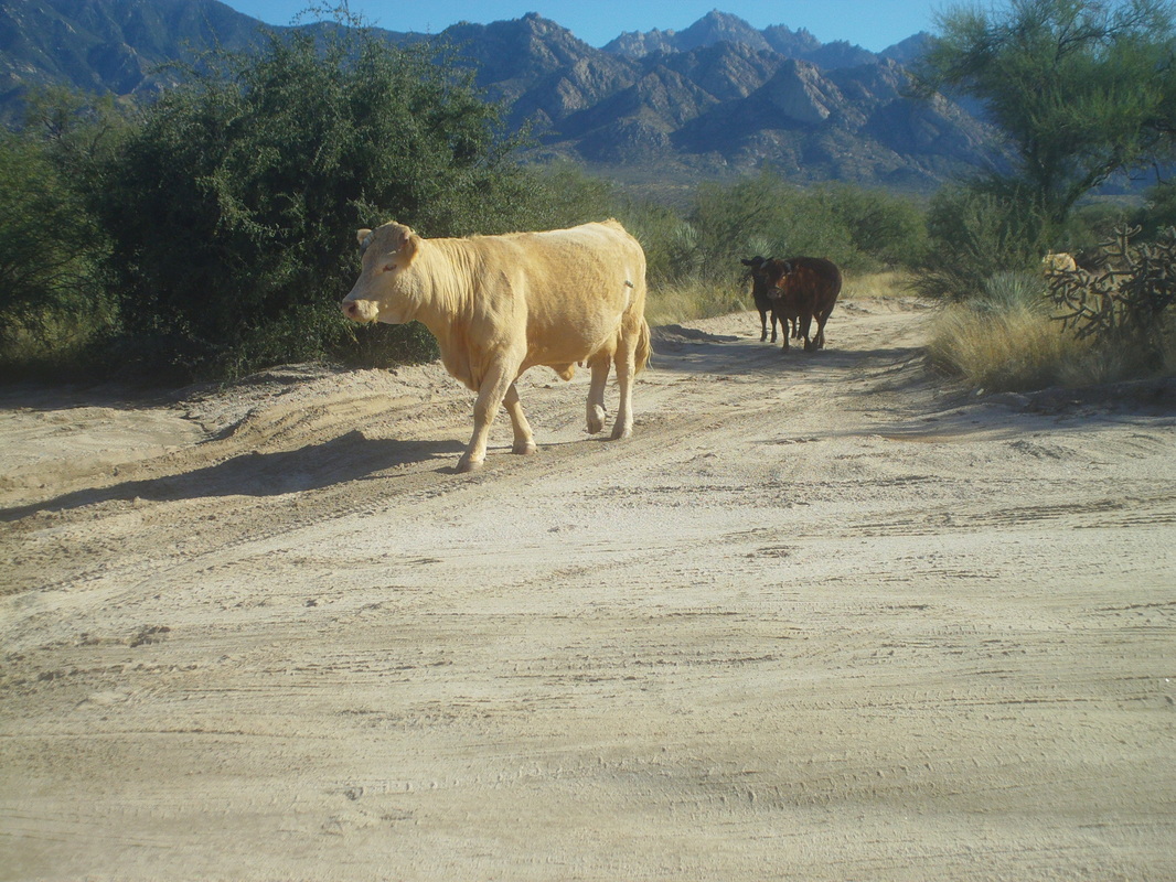
I finally figured out how to download gpx files of routes so when I go off on these remote hikes I am not relying solely on what I can remember of hike reports off the internet. If I stray off the route the Garmin will show me and presumably I can no longer become lost. The best laid plans of mice and men. It rained overnight on Tuesday and lingered into Wednesday morning so I came out for a scouting mission, without the Garmin. Of course I got off on some side trail and finally figured it out when rather than climbing a ridge I just kept going away from it. The clouds created an ominous view as I returned to the parking lot but the next day..... ...the clouds were gone as I and my Garmin followed a forest service road for about a mile before dropping into a circular wash where I stumbled upon a..... .....scale. I've seen some weird stuff on hikes but this may top them all. Hike reports, few that there are for this trail, were sketchy about exiting this circular wash as there are some alternatives but.... ....find this and you are good to go. The ridge running down hill and perpendicular to the mountains is what I think is the destination. I check my Garmin and the triangle icon is right on the blue line that indicates the trail. I am full of confidence. The trail, not overgrown and in good shape enters a small grove of saguaro cactus and while passing through, I was astounded by..... ....this specimen and its brother. Easily the largest single cactus I have seen and the largest pair I have seen. I can't guess how old they are but it takes about 70 years for an arm to sprout. The trail exits this grove, climbs a hill and soon I walk off the main trail, following a game or a spur trail. Understand, I'm not bush whacking. There is a fairly obvious trail but I just missed a 90 degree turn to the left. I was somewhat troubled by the fact that I no longer saw foot prints but figured those who had come before had turned around. The trail emerges onto a large boulder that offered fantastic views to the southwest and .... ...south. Just awesome and I wish you could all have been standing there to soak it in. I checked the Garmin and the icon showed I was still on the trail so I kept going although concerned that the ridge was now behind me and I was walking away from it. I began thinking, "This can't be right.", stopped and turned around. About half a mile later I found where I had missed the turn and got back on route. Check out that roundish rock balanced on a support. I kept walking and checked the Garmin and it still showed me on trail. What the heck. How could it show me on the trail both when I was off and now on it? Arraggghhhhh!!!! At mile 5 and short of the destination, I turned around. Too late in the day to complete the hike and sure, my confidence in the Garmin was shot. I was almost back to the car when these guys came stampeding toward me. Terrified I ran to the car. OK, that is an exaggeration. They were plodding toward dinner I suppose. This was a great route and I'll be back soon to complete it.
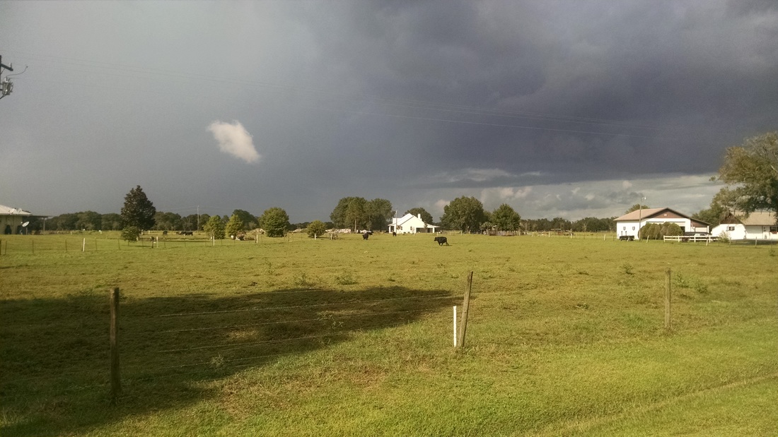
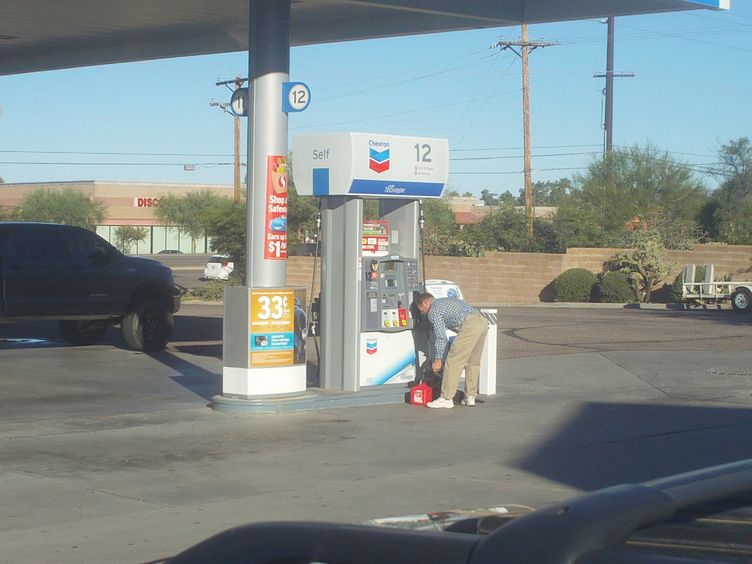
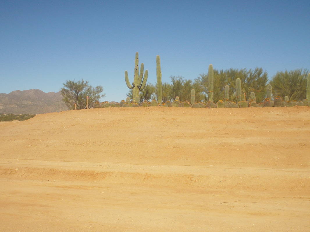
Andrew Clayton arrived in FL on the 1st for a very extended stay. During a ride today, he rode into and then turned around and rode out of an approaching storm. Cool image. Most of you know me to be a kind, considerate guy who looks out for his fellow cyclists but on Monday, as I was inside a gas station buying something I should not be eating, a guy came in and asked to buy a gas can. I asked if he needed a ride back to his car and he accepted. So after he filled the can, I drove him south on Oracle Road to his car. He offered cash but of course my payment is knowing I have helped my fellow man. I am a great guy. So then I jumped on the bike and headed out for a ride. I find riding the bike kind of therapeutic for the pounding my knees and joints take on the steep descents from the peaks around here. A new development is being prepared on Moore Road and I note the first thing they do is carefully remove all the cactus in the affected area and plant them to the side. When you look at the above it is analogous to looking at century old oak trees but rather than bulldoze them, they are saved and replanted after development of the site. I finished with 32 miles and since I only ride once a week, my legs are fatigued at even that short distance.
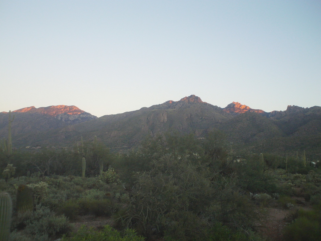
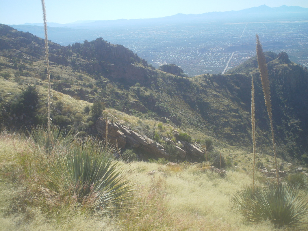
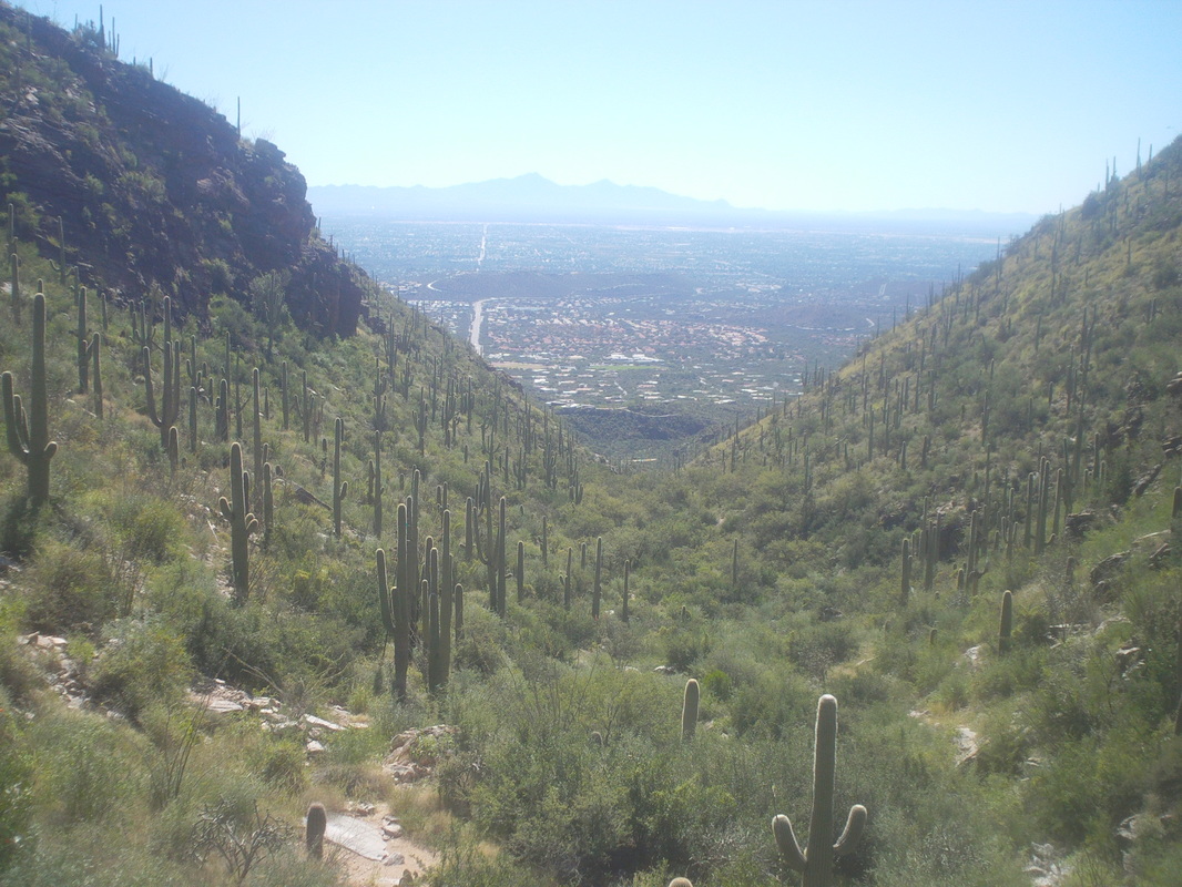
I arrive a bit before 6:30am at Sabino Canyon and already the parking lot is about half full this Sunday morning. Sunny and a high of 82 forecast for today although the current temperature of 54 had me with arm warmers, t-shirt and long pants because portions of the trail were bound to have leg cutters. The pink highlighted peak on the right is Cathedral Rock, the 4th highest in the mountain range and a way cool place with the "inner sanctum", scrambling with exposure, rope climb and awesome views. It's about 9 miles to the peak with the last 1 mile an off trail bush whack. Oh, also gaining close to 6000' of elevation. To make it to there and back in the allotted daylight, I have to hike at a good pace with few breaks. After a half mile walk along the tram road, I enter Esperero trail on the left and soon rise above the valley. I have a waist pack and a book bag I found works great as a water carrier. I should be good with 4 liters of fluid. Oh boy, I enter Cardiac Gap, an aptly named steep climb of around 2 miles. Reaching the saddle, now 2 hours into the hike, I can see into the inner canyon through which water is flowing. Eventually the trail will enter and cross the creek several times. Looking up, I am closing on Cathedral Rock but first have to hike counterclockwise through the grass land known as Geronimo Meadows. I expected the monsoon and recent rains to have worked their magic on the plants and geesh.... ....was I correct. What I thought odd though was not only was the grass tall and laying over the trail but grass was growing out of the middle of the trail. It was then I realized that the days of summer 100 degree temps had probably limited traffic and few had passed this way since April/May. I kept losing the trail and began to pull grass in places so on my way back I would not have too much trouble staying on the route. After awhile, both hands were bleeding a little from breaking bush branches and pulling grass from the trail. The trail dropped into the aforementioned canyon and I began crossing the stream several times but again, if the trail would make a sharp turn to the right or left, I would lose it, walking into the brush which was not much different from the trail. My progress was really slow as I had to repeatedly stop and look, ok, where do I go now? Aggravating. At Bridal Veil Falls at about mile 6, the trail entered this thick growth of bushes and no visible trail. From previous experience, I knew the most over grown section of the trail was in front of me, a mile+ section along the base of Cathedral Rock, along with the off trail final push to the peak. You guessed it, with several shouts of four letter words (in the wilderness, no one can hear you scream) I turned around. No way would I make it up and back before dark. Eventually, I found my way back out of the canyon and entered.... ....Geronimo Meadows headed toward the distant ridge where I would descend.... Cardiac Gap and back to the parking lot with 12 miles and 3000' of climbing. Oh well, still a good hike.
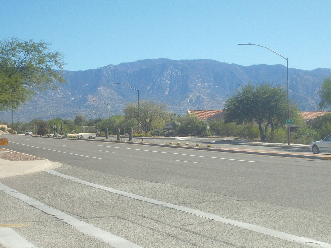
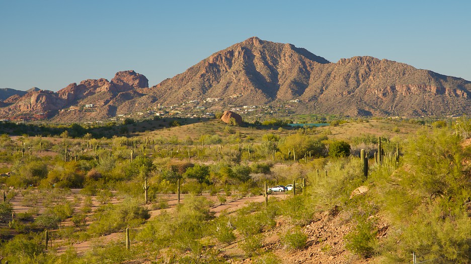
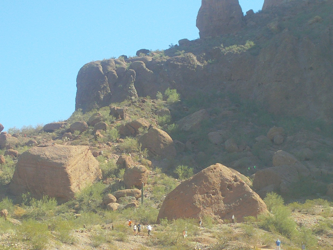
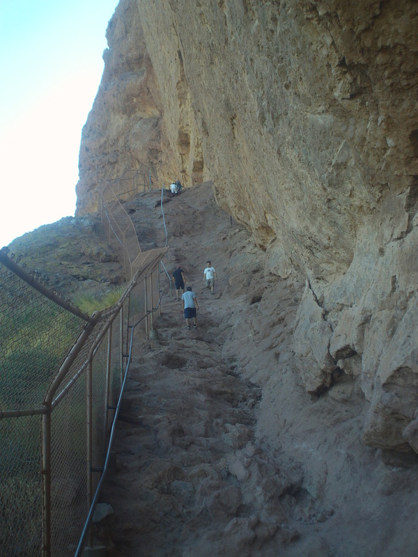
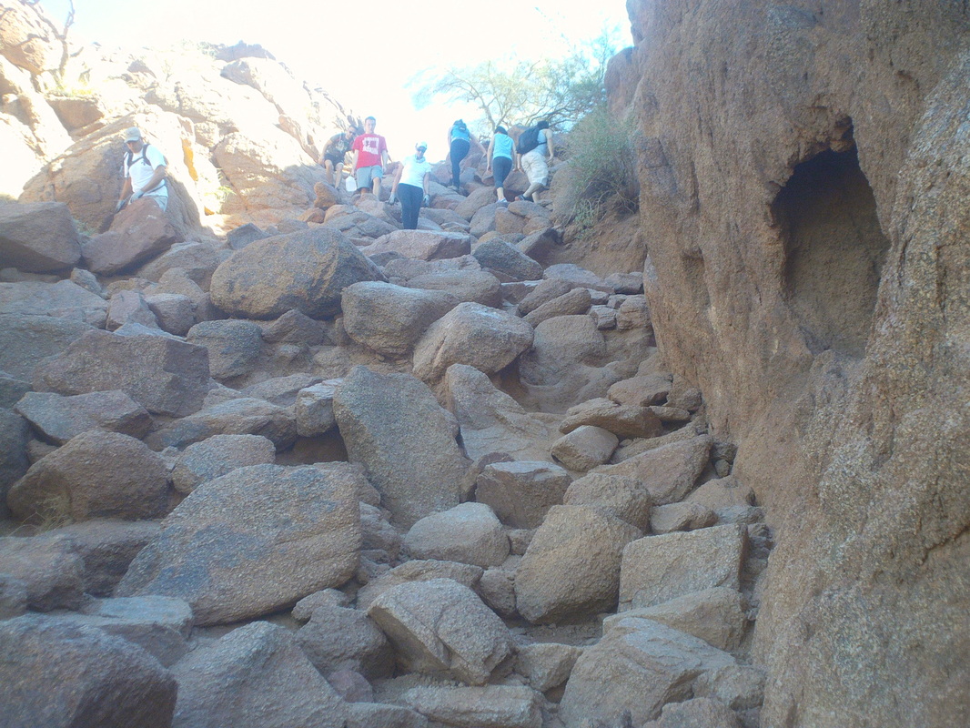
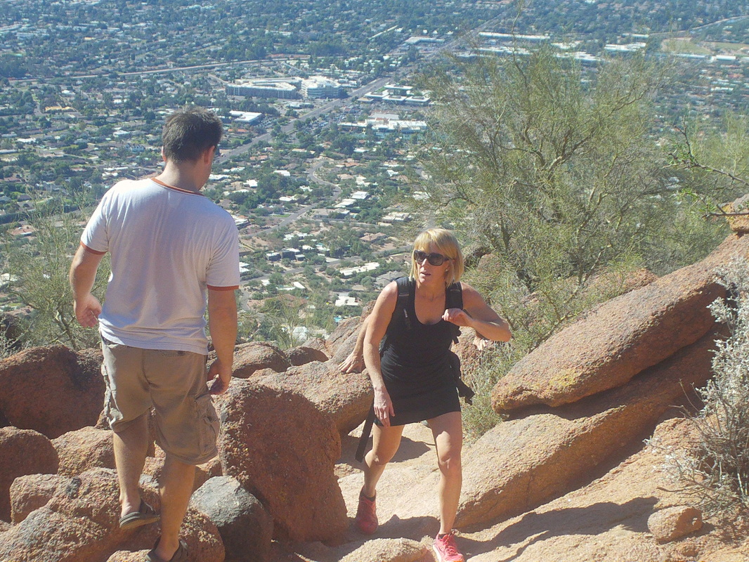
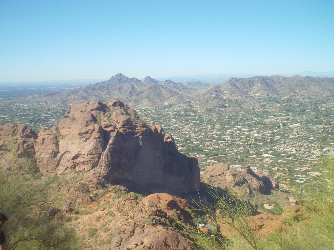
The classic hike in Phoenix, Camelback Mountain. I can't guess how many people hike it each day but at least a hundred. I drove my wife and daughter from Oro Valley to Phoenix so they could catch a flight back to Ohio and so, while up there, why not do Camelback? Although I have not hiked it in probably 10 years, I have hiked it around 15 times (I used to come out here on business frequently). From the parking lot, I could see many people streaming up or down the opening ascent. I found a web site where people post their hike times and it looked like 17 minutes was tops for this slightly over one mile hike. I hoped to break 30 minutes and shoved off on the very steep hike that gains around 1300'. After slogging up a series of railroad ties, you reach what is called the "first rail". Maybe a 40% grade that requires most to use the piping to pull oneself up this. Then there are several..... ....steep boulder fields so it takes some orienting to pick oneself through the obstacles. The route is usually obvious but rarely is there a packed trail to follow, just hopping among the rocks. Finally, I reached..... ....the top in 31:46. Rats although had the trail not been so crowded, I think I could have been in the 29 minute range. Others reaching the top looked kind of frazzled like me. I took a few minutes to..... ...enjoy the view before...... ....heading back down. I took many images on the way down and can say with certainty, this is where Phoenix's hard bodies go for a good outdoor workout. Phoenix is a city of 6 million and the 9th most populated city in the US. A very vibrant vibe. However, after the hike I jump in the car and drive south to the very sleepy..... ....Tucson area although here in Oro Valley and Marana, just northwest of Tucson, business is booming while the mountains look on and beckon to me. Hmmmmm, what to do on Sunday?
|
Categories
All
Archives
November 2023
|
