|
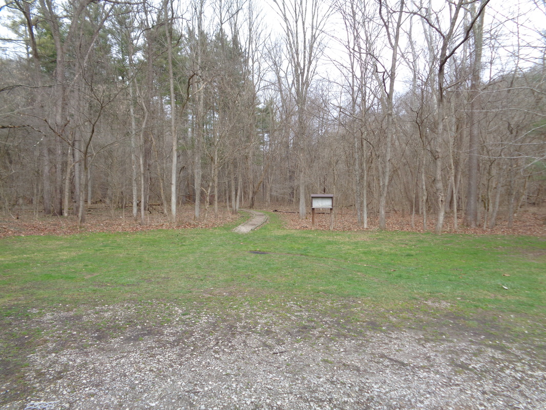
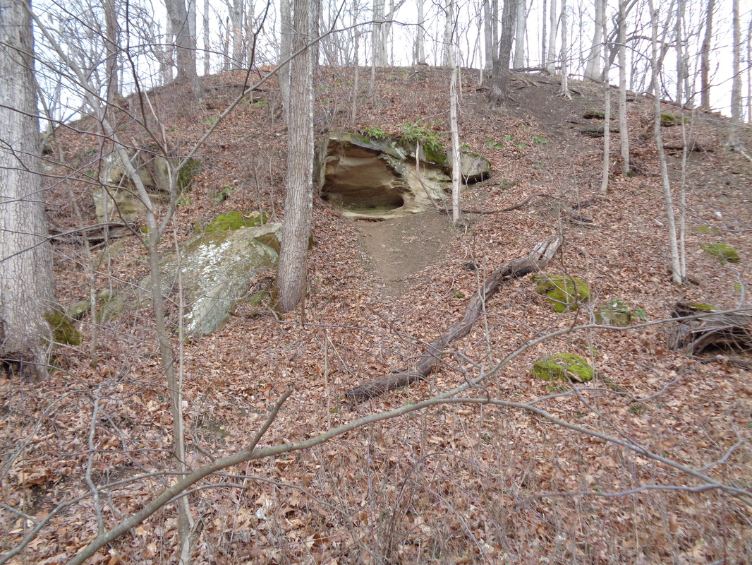
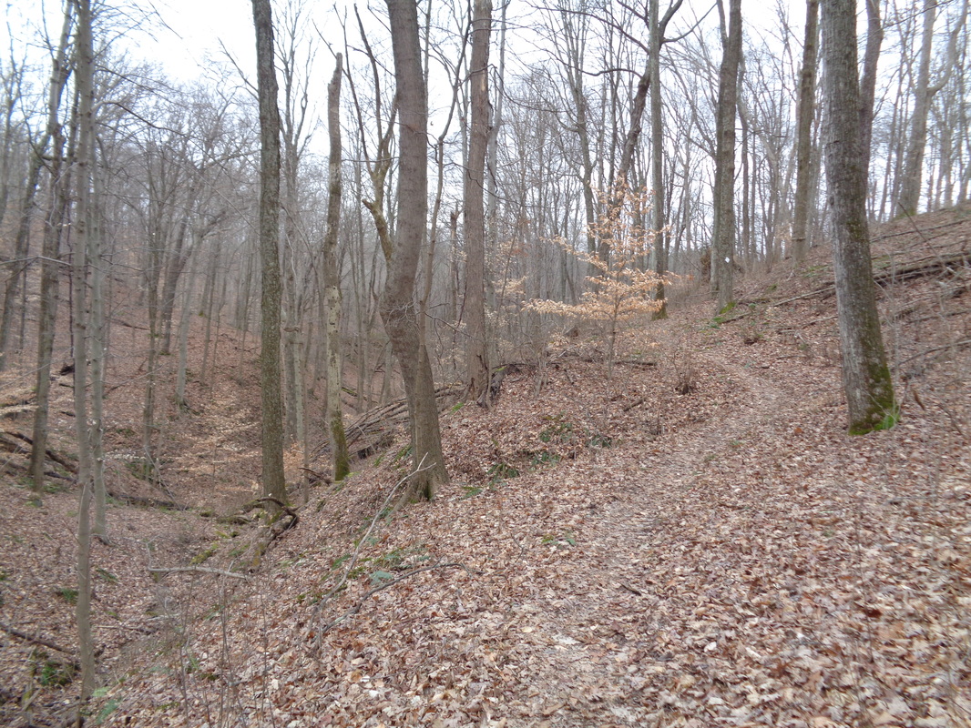
I used to hike frequently, back in the mid 90's at Wildcat Hollow, Zaleski State Park, Shawnee and Tar Hollow but have not since 2001. Partly cycling encroached on the time I otherwise would have hiked and partly because I clearly remember taking a long hike on one of these trails and was struck by how they were all pretty much the same. One mile of staring at tree trunks after another, rarely interrupted by a nice view. Someone hiked this last week and kind of put it back on my radar. I found an old map of the 15 mile trail, saw I had recorded all my past times and decided to see if I could cover the route in a similar time. The first 2 miles there are numerous stream crossings that one must pause and decide how best to cross without soaking a foot. The streams were running kind of high from the recent rain so crossing where the trail entered the streams was usually not possible. Got past them all and passed some interesting rock formations and small caves. The trail is easy to follow with white diamond shaped markings on tree trunks to also guide the way. I passed a couple of back packing groups but otherwise saw no one else. I had gotten off to a late start, not hitting the trail until a little after 11:30 so I was a little concerned about getting back prior to darkness but arrived back at the car prior to 4:00pm so all was good. Along with the 15 miles there was just over 2000' of climbing. Given the area, it surprised me there was not more climbing but the people that developed the trail did a good job routing it along ridge lines and valleys, rather than an up and down over every hill.
0 Comments
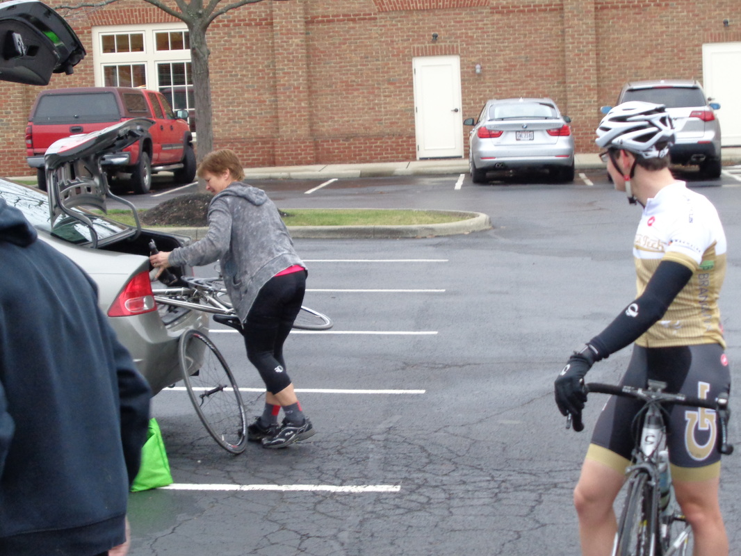
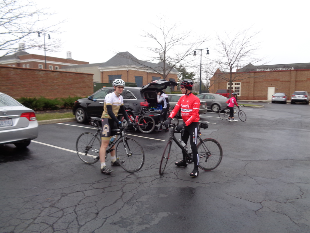
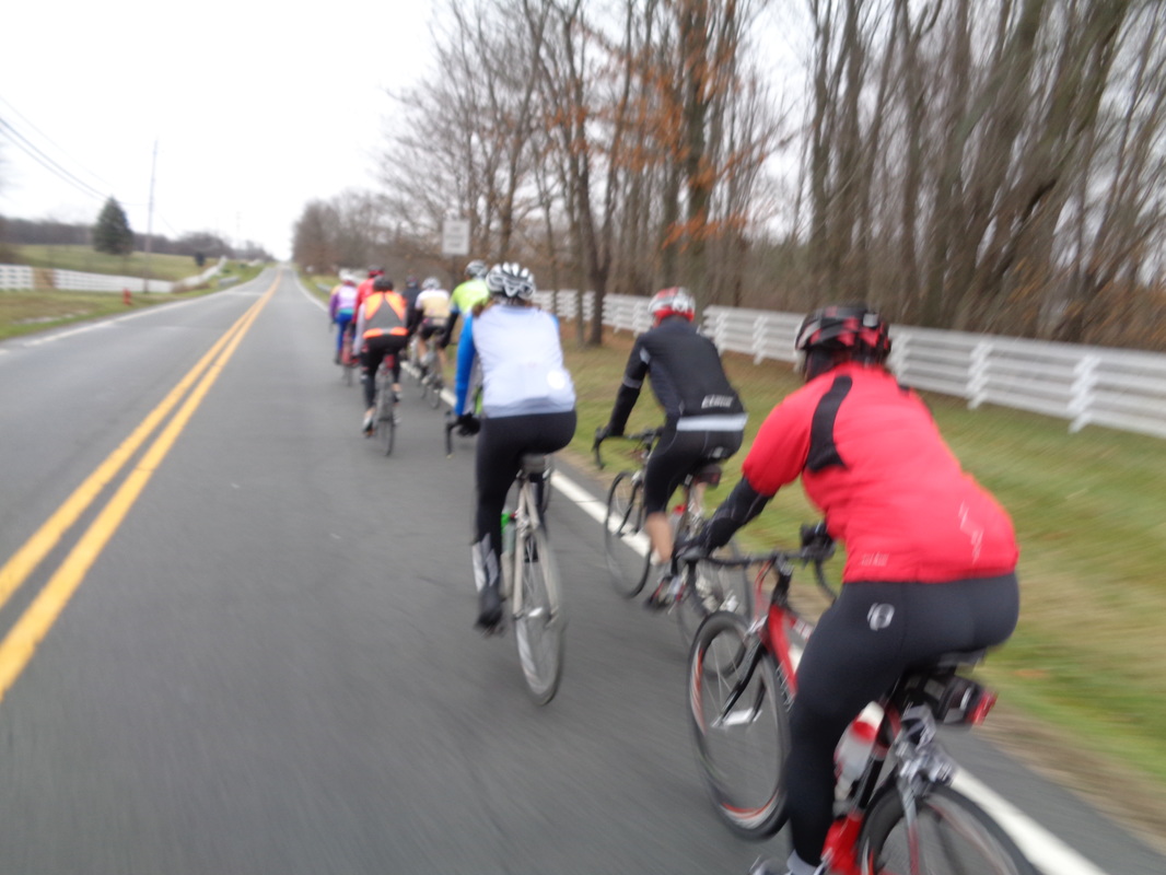
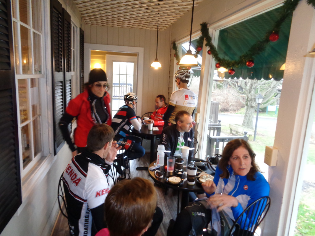
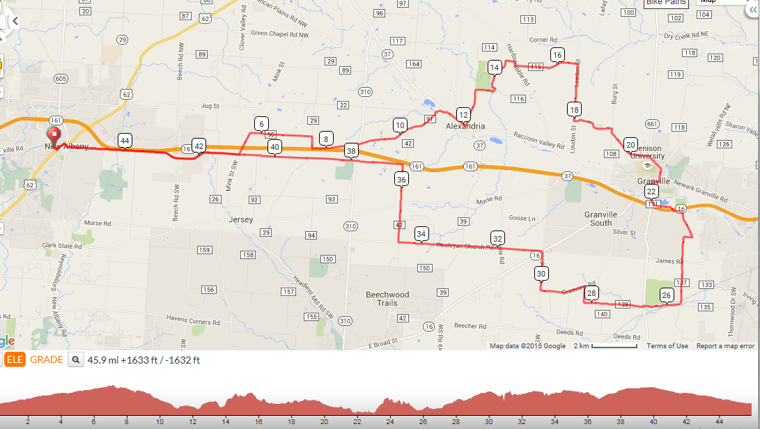
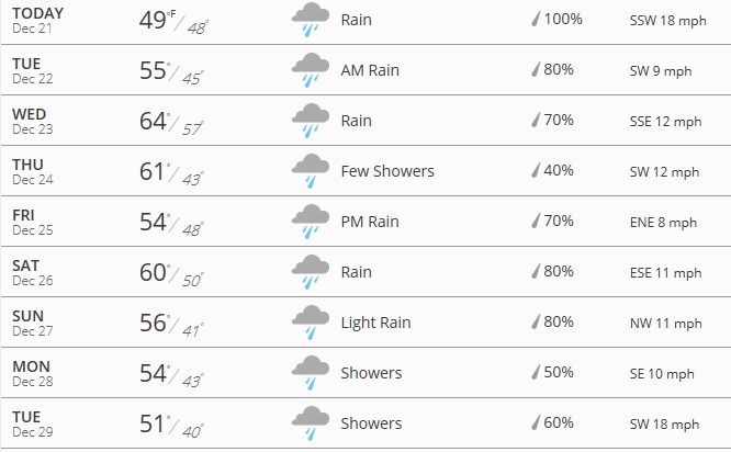
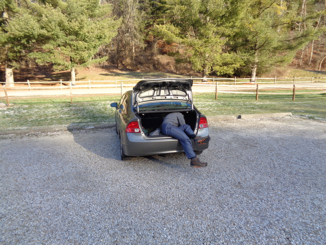
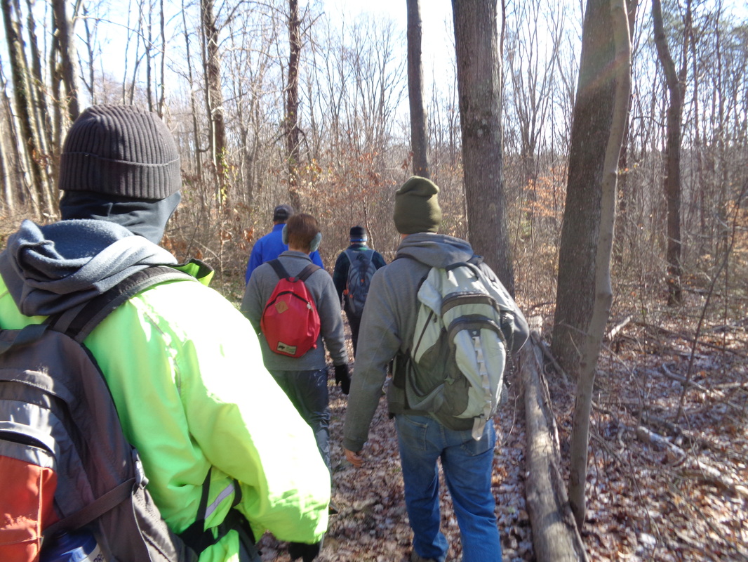
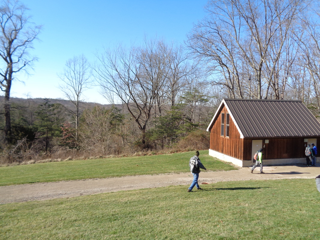
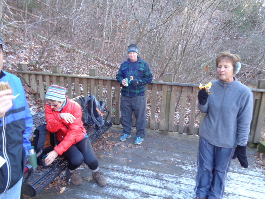
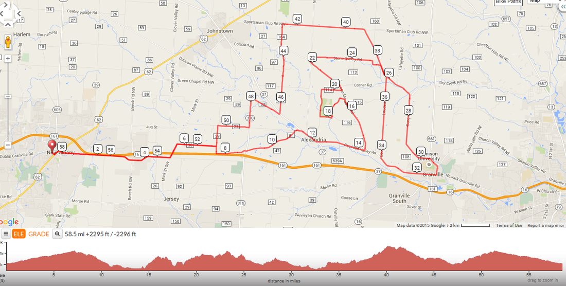
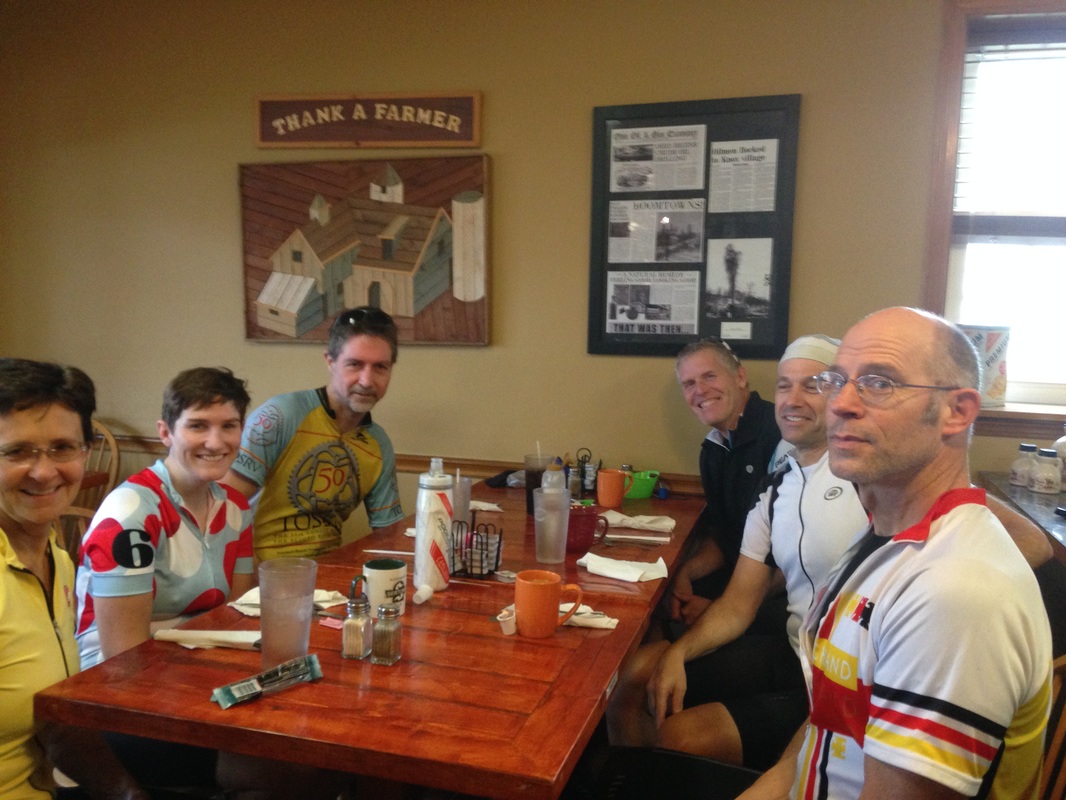
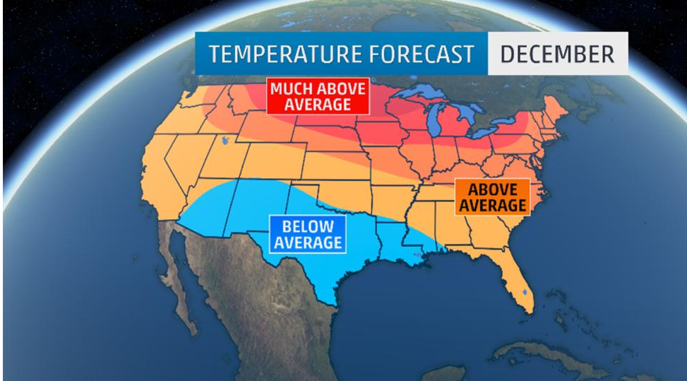
My oldest daughter, Stephanie, in the hospital to deliver her first child...opps....well that glass of wine is the celebratory glass, after the fact..... ....of the arrival of the little dude there on the right, with a lot of hair. Mom and son are doing great and yes, if you are wondering, I am now officially a grandfather. I think that grants me certain privileges within the peloton. Conner, a visitor from Atlanta, 18 years old and a member of the Georgia Tech bike team swivels his head to watch Flyin Tuna remove her bike. No doubt he was thinking, "how did I get myself into this group?" This week he has ridden to Utica, Granville, Lancaster but wanted to check out a group ride. I put the word out to attract the area's limelight's but many were out of town so Conner was left with the remnants. Scott Billman rolled in so that was good and so too did Mike Cauley, to join schleps like me, The Kendaistas, Larry P and Lisa A, Aaron C, Meredith and Kim. The twelve of us rolled out old 161 but soon made a left on Mink, worked our way to Alexandria then the small hill on Moots, right on Lobdell then through the Granville high school parking lot and on into Granville. We discovered Village Coffee was closed so rolled down to River Road where they run out of bagels by 9:00am and service is slow but what are you going to do? I was the first to arrive and found Jon Morgan waiting for us, how bout that?!?! While waiting to order, Jon bought my drink, a hot chocolate and I wished I had ordered an expensive glass of wine instead. Then we settled for the window views, consumed our consumables, chatted a bit and headed back. Kim, Meredith and Aaron had shoved off long before us so our group was diminished a bit. We crossed #16 and hit the rollers on Canyon, which produced a natural selection of an "A" and "B" group. The A group waited a couple of times for the B group but we urged them to go on without us so we had about 5 in the A and 5 in the B and finished with 46 miles and no rain, although it soon hit. Yuck. The current forecast for Saturday shows rain holding off until 2:00pm so a group will depart behind Veloscience in New Albany at 9:30am, bound for Granville, following the route below. Off season pace but if you want to ride faster, more power to ya. Given the forecast for the balance of the year, this may be our last chance for an outdoor ride. Rain at the start cancels the ride. Here is the gps file: http://ridewithgps.com/routes/11583128 And so, another Christmas has arrived. A bit different in that I rode 40 miles today, Christmas Eve, with a good buddy and rode 30 a couple of days ago which contrasts with bitter cold of the last couple of years. Saturday is looking good for a morning ride but we shall see. I have someone planning a ride and more on that soon. Meantime, Merry Christmas to you all!!!!! One of my favorite days on the calendar, December 21st. Is it because it is the first day of winter? Good heavens no! Is it because whatever is my age, today I am officially 1/2 a year older (birthday is 6/21)? Not a chance. It is because the relentless march of expanding darkness has come to an end. Daylight begins to regain what has been lost. The sun will begin to rise and begin to set at about the same time tomorrow but then a minute at one end and a minute at the other and soon, those minutes will begin to add up. At some point soon, after multiple cloudy days, a day of sun will arrive and we'll notice the sun is setting later. Hooray!!! In time we'll notice the sun sets after 5:30pm! Then 6:00pm, then there will be a time change and it will be 7:00 freakin PM!!! Then we'll begin to think about evening rides and way later, Ric Noland and Rick Miller will begin to post a ride schedule!!!!!! THEN GET THIS! The creeper will return to the area parking lots to take unflattering images of you and put them on the blog and you will flock by the tens of thousands to see if you can be seen while you ignore the poorly written reports. Yes, it is all about to happen again but..... ....in the meantime, there are a lot of cloudy, rainy/snowy days ahead. Stay strong my friends. What are you going to do when the high is 35, go hiking of course. We got off to a rough start when Flyin Tuna locked her keys in the car but fortunately had the trunk open so was able to crawl in. That Flyin Tuna. We finally got organized and headed off with sunny skies and strong winds out of the Artic Circle. Tuna, Steve O, Engineer Mitch, Eva, The Donald, Mark V and me. An interesting dynamic, Tuna would lead up the hills and then on the down hills, The Donald would surge to the front like a bowling ball on a down hill lane. Pretty strong pace, 3-3.3mph most of the way on the hilly route out of Clear Creek Metro Park. At 5 miles, we reached our destination, an overlook with fine views of the restroom. However, the wind was so strong. it was suggested we head down hill to a lake. Each of us produced our snacks and drinks. Eva, on the left brought out a bag of Reese Cups and we all eagerly accepted at least one except for The Donald, who was content to drink a Mountain Dew and other unhealthy snacks (who carries a Dew with them on a hike?). We headed back but Mitch opted for a flatter return via Clearcreek Road and I had to be back home by 2:30 so at some point I too took a more direct route and finished with 10.5 miles and around 2400' of climbing.
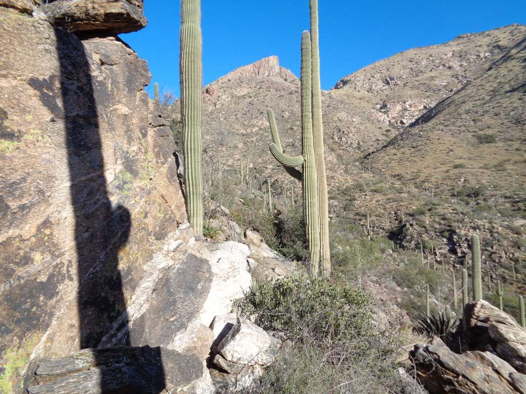
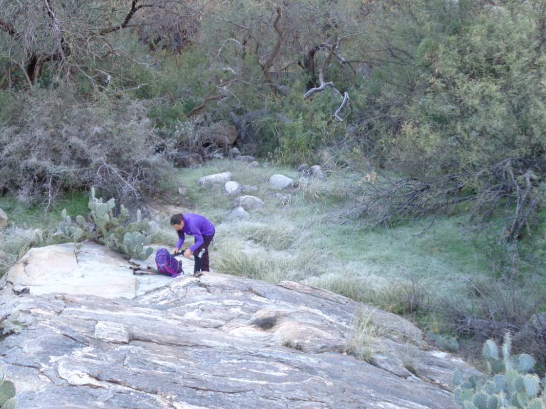
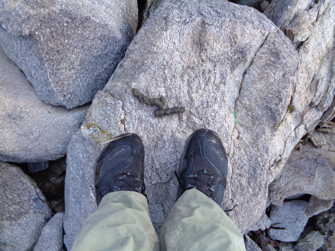
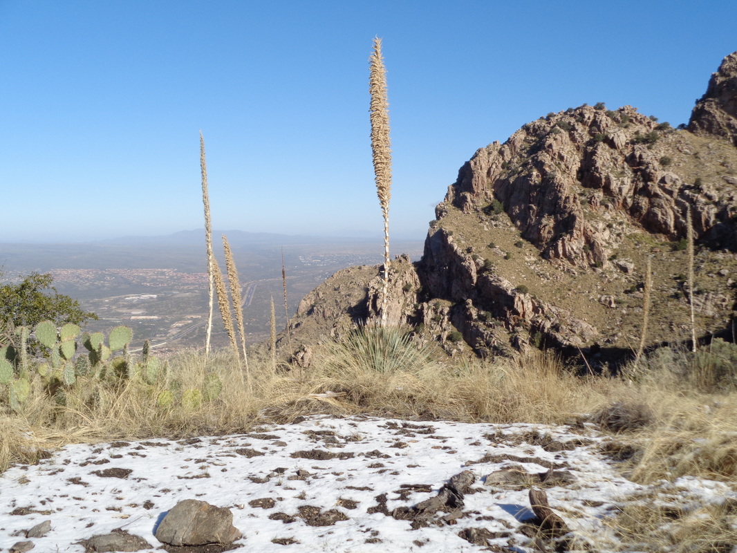
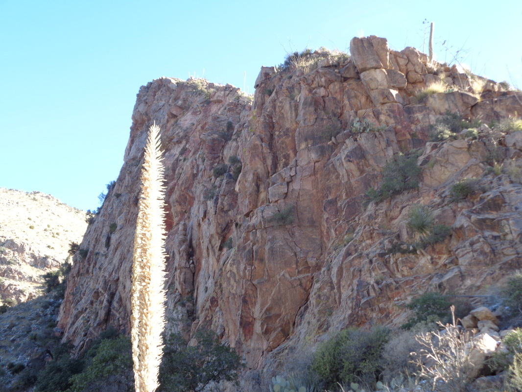
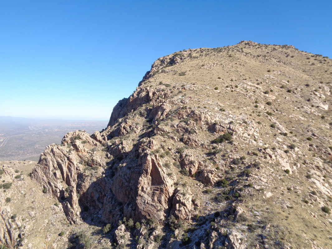
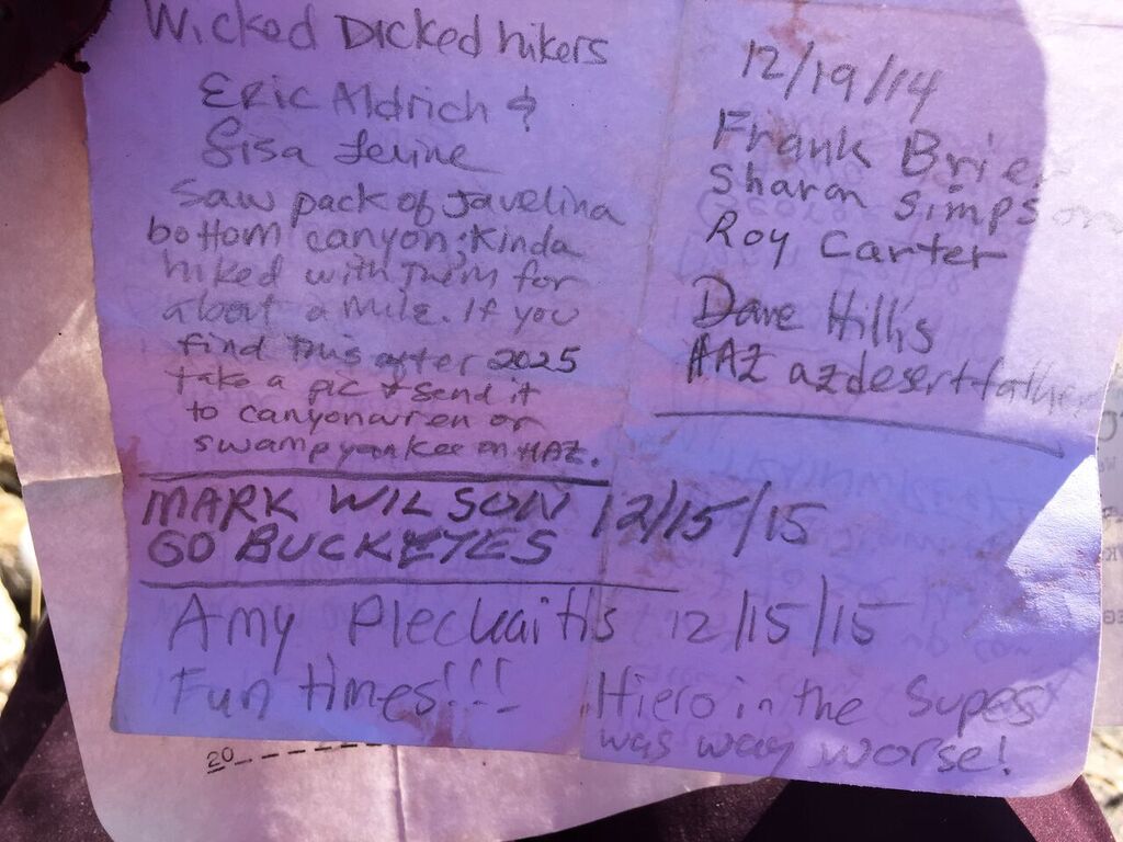
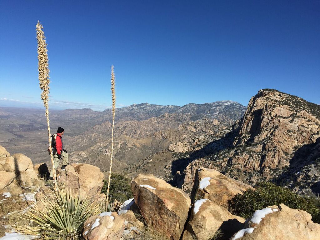
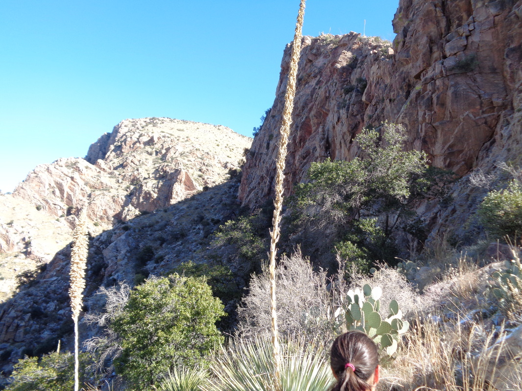
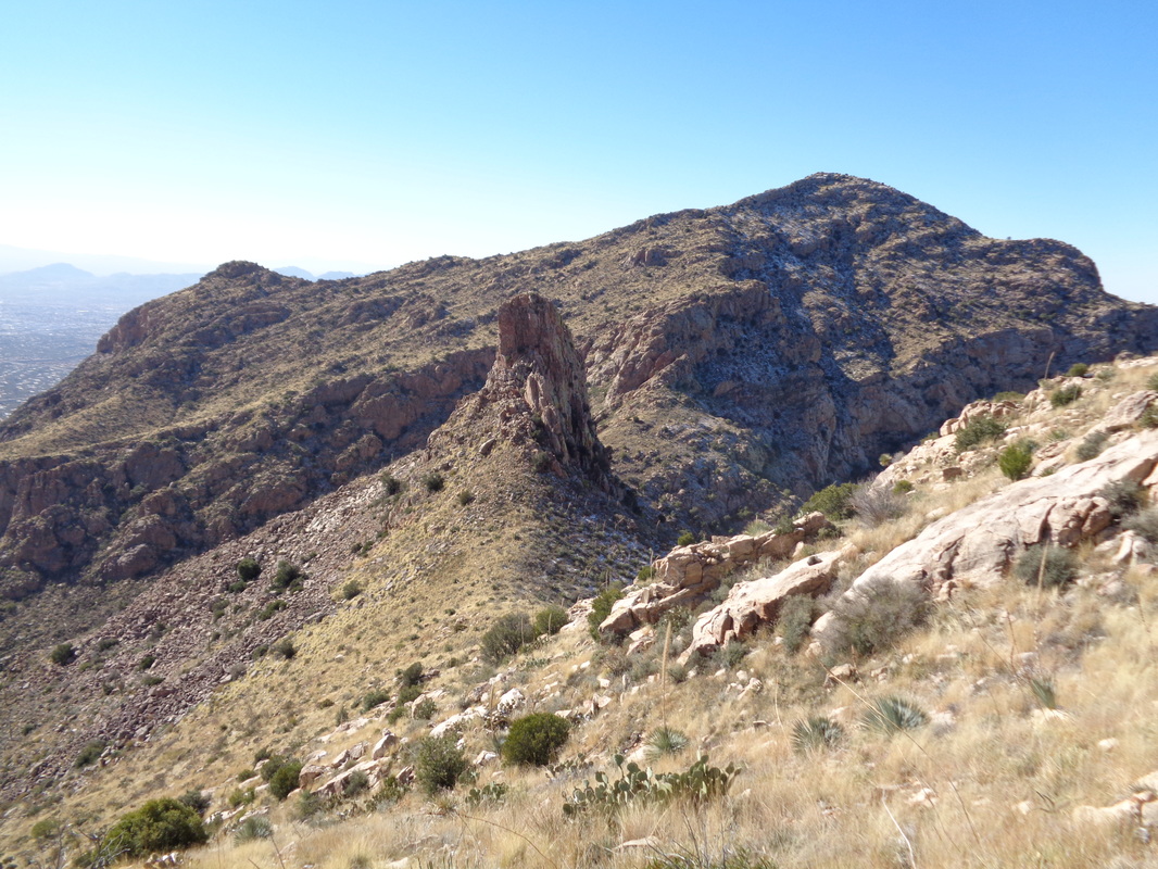
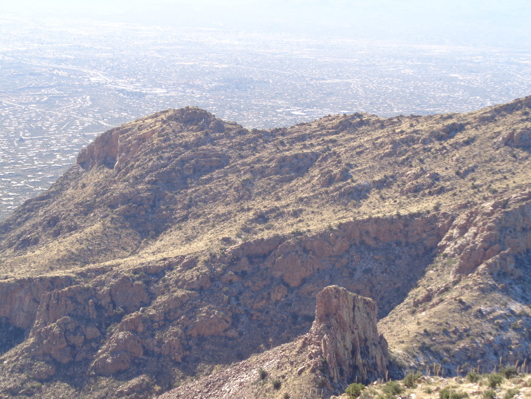
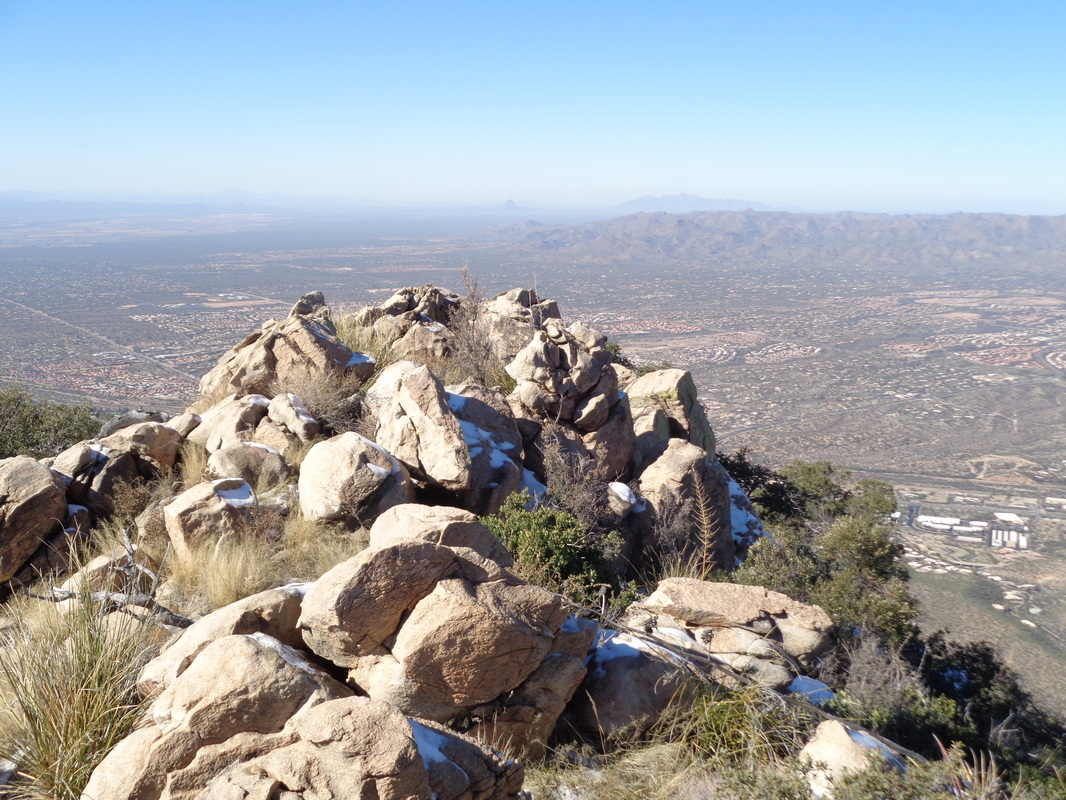
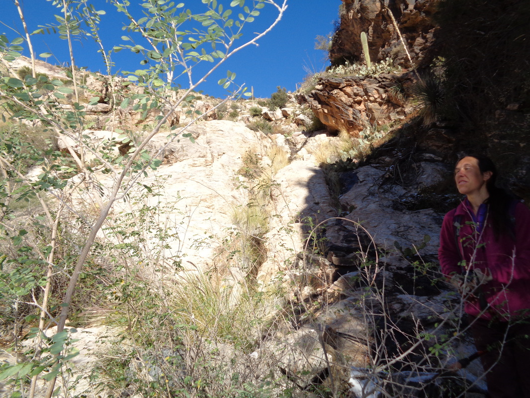
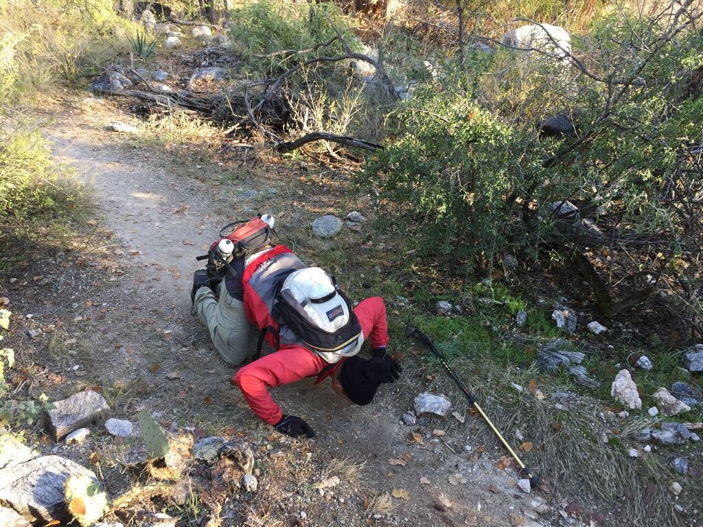
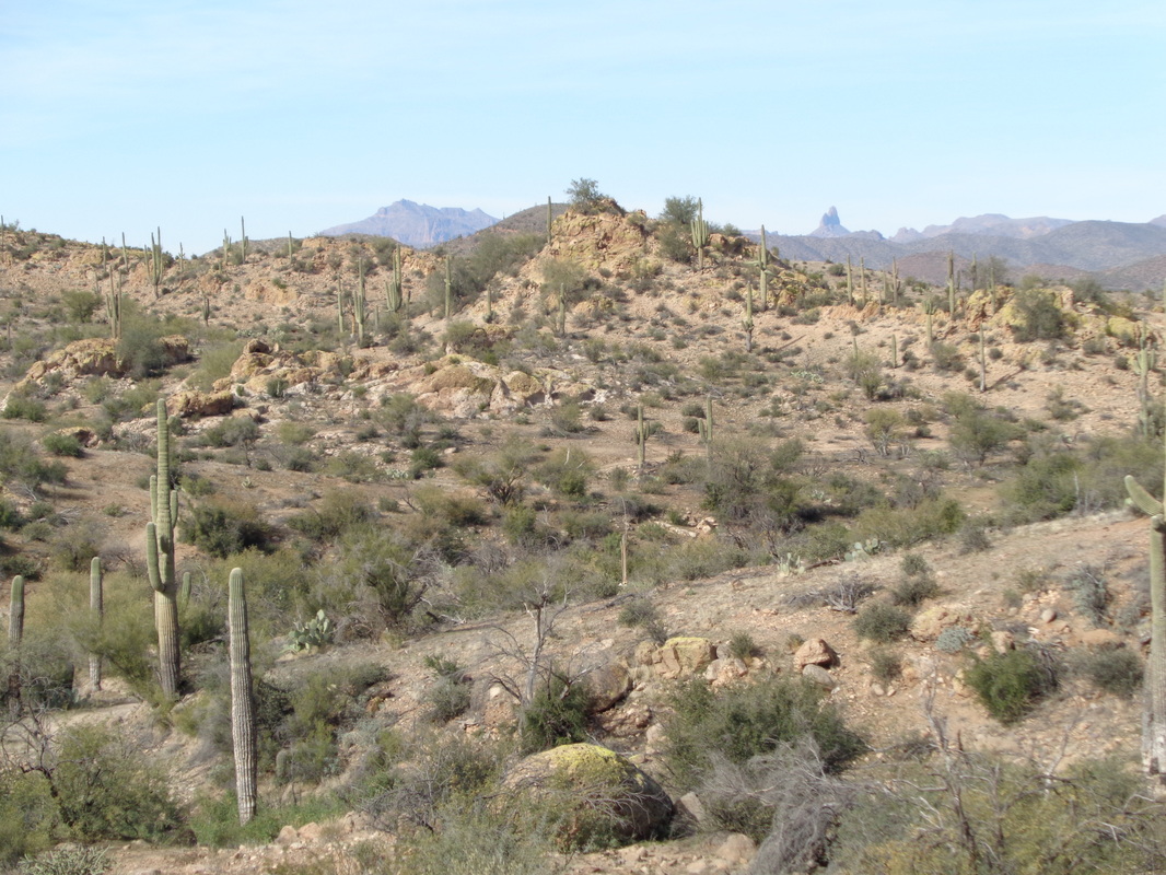
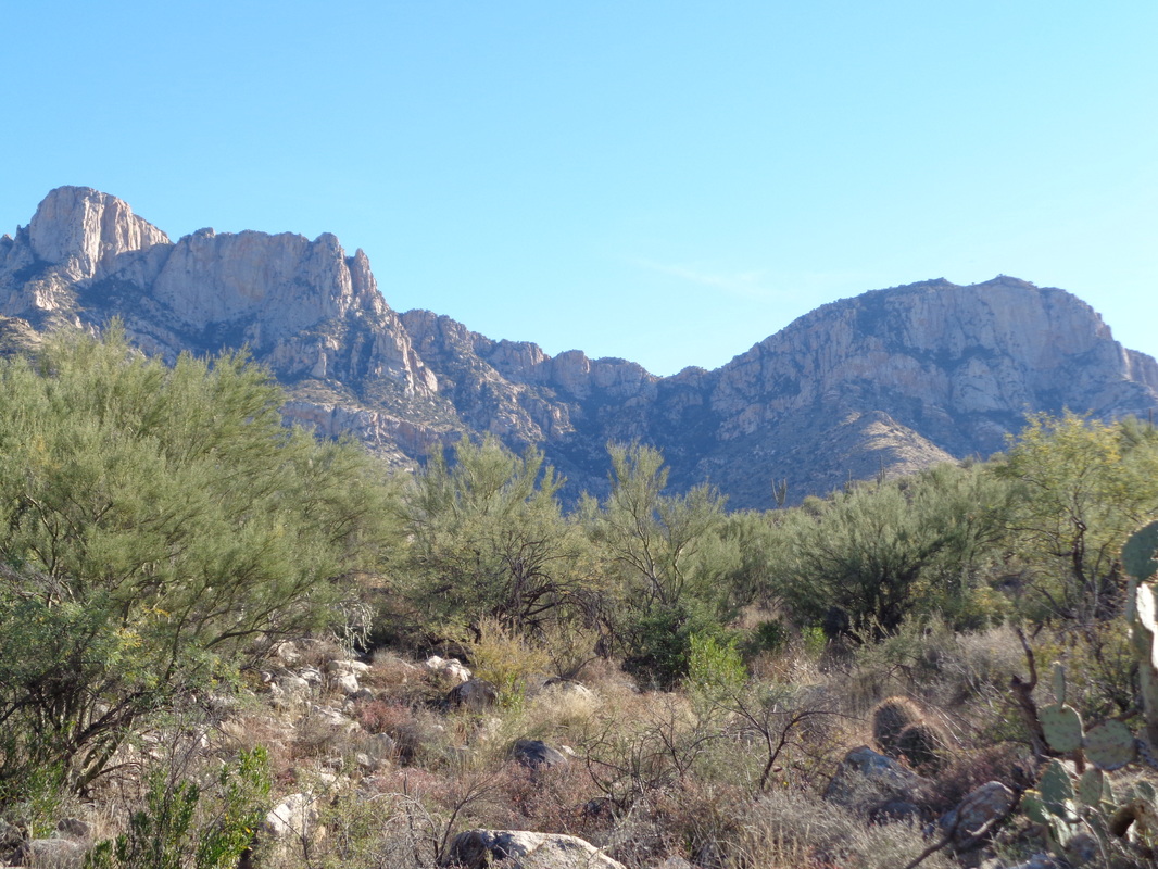
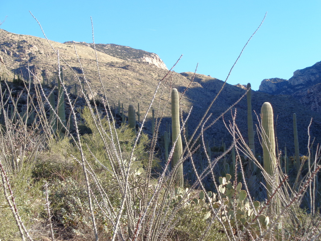
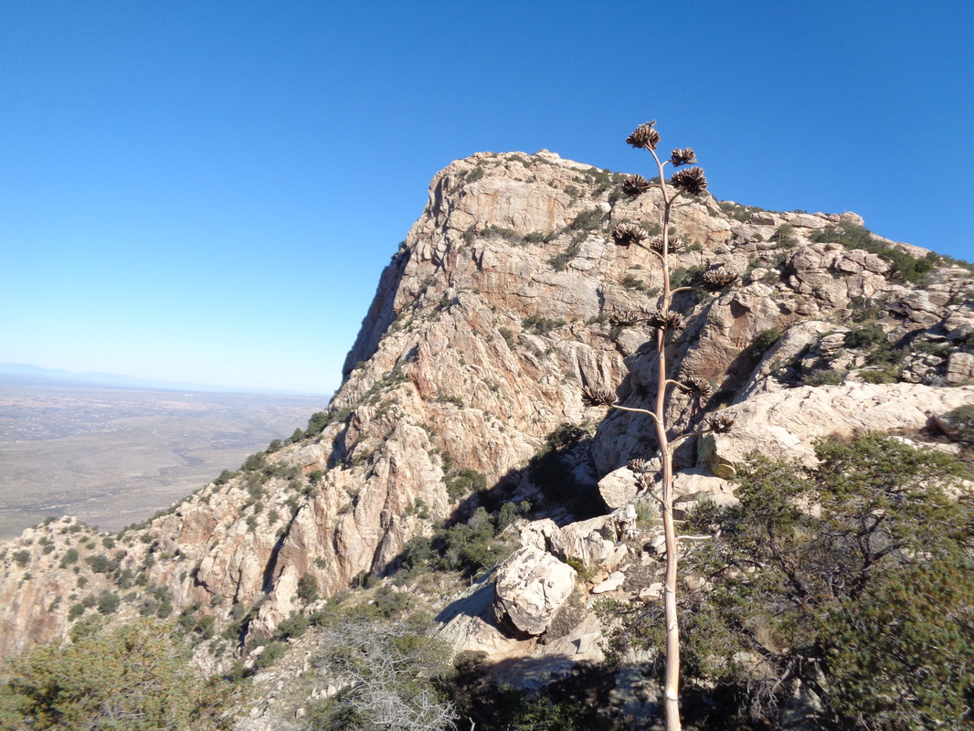
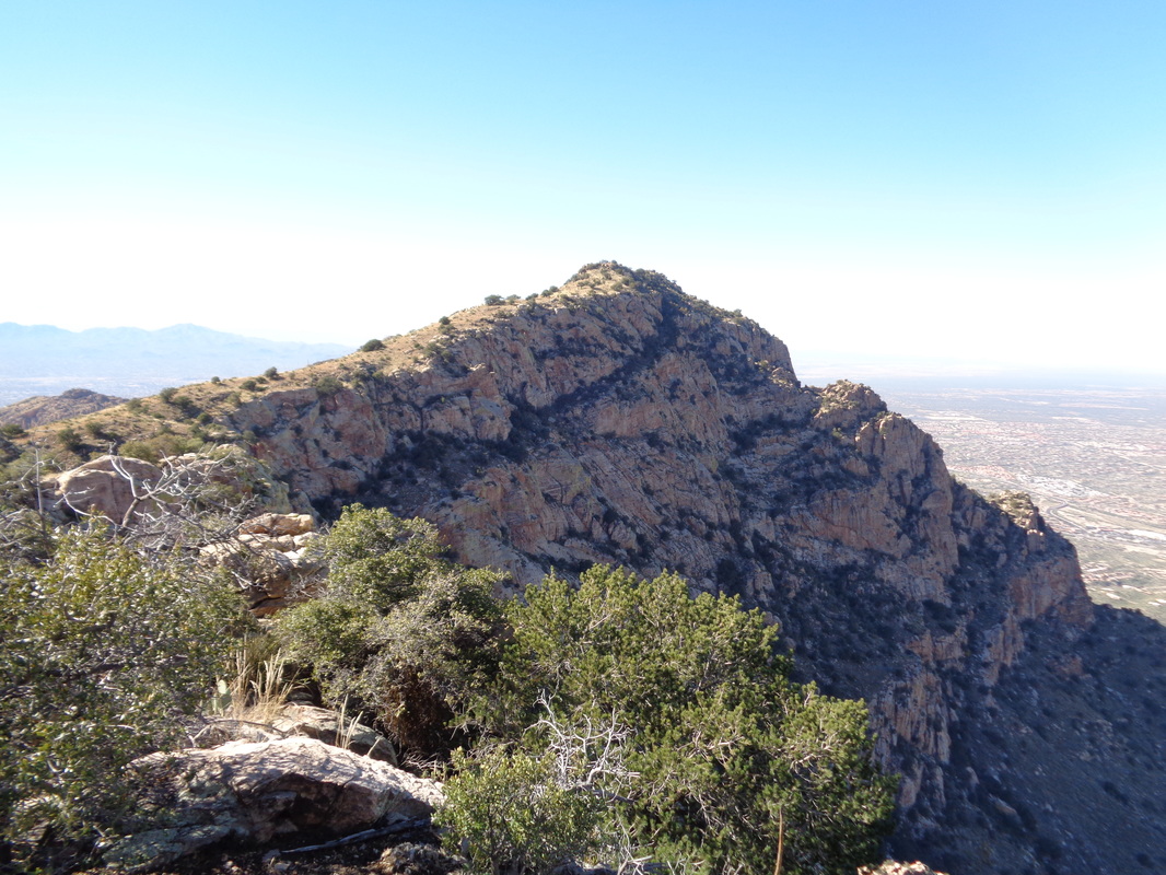
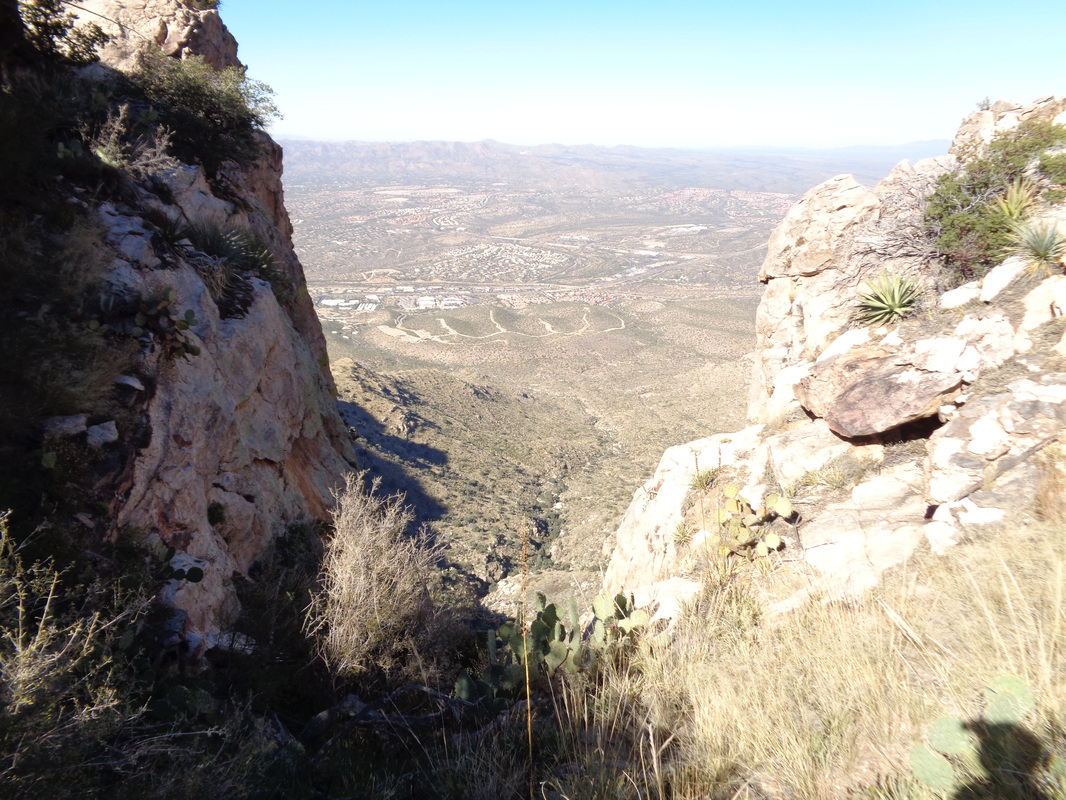
Clear Creek Metro Park at the parking lot off Starner Road, 10:00am, 9-11 mile hike. Kind of a hilly route with one stop for refueling. Bring appropriate fluids and a snack. Head south on #33 then make a right on Clear Creek Road at the gas station. Follow the winding road until you reach Starner on the left, That is where a group comprised of old and young, fit and unfit, sober and drunk, will be gathered. I've always said I am a warm weather, active guy and to that I should add, a mountain guy too. I love the mountains. I stare at them whenever they are in sight. A day out here never goes by where I don't say at least once, "Wow, look at that." and usually, what causes that reaction has something to do with the mountains. So, I was giddy when Tuesday arrived and I was set to hike not only to the Cleaver (shown above through the saguaros) but also Bighorn Mt. Neither of the two have I previously summited and it would require mostly an off trail bush whack to reach. After 1.5 miles of trail hiking on Pima Canyon trail, today's hiking buddy, Amy, paused to place a pair of shin guards over her shins in anticipation of encountering various thorny plants including the dreaded "shin daggers" of which there would be thousands ahead of us. Amy is a heck of a hiking partner because she can more then keep up and she packs. With her, suddenly no destination is off limits. While I waited for her wardrobe change, I stood on a boulder and wondered what animal deposited this. I see animal scat all the time so no big deal. This pair of shoes, "Trek" brand have been good and I'll acquire another pair when they wear out, which likely coincides with the end of this hike. Originally, two others were going to join us on this hike but they opted out the night before, concerned about the rocks being wet from an overnight rain/snow event. After slogging steeply up a gorge, working around and through thick brush, we reached a saddle to the right of the Cleaver. The views were awesome. It took us two hours to reach this point which was only a little over 2 miles from the parking lot. Then we climbed the above. The Cleaver is a narrow wedge of rock but other than the opening 30', not difficultm just friggin steep. At the top, we could see our next destination, Bighorn Mountain. Unfortunately the way forward was blocked by a several hundred foot drop so we would have to retrace our route to the base of the Cleaver prior to proceeding on our journey. We found and signed the summit register. Probably this peak receives fewer than a visit a month. Not being able to see the expression on my face, it could best be described as a cross between dread and anticipation for what was coming. We reached the bottom of the Cleaver and hiked to the west of the obstruction before going to the right and reaching another saddle, before heading up. Amazing how quickly the Cleaver stopped being a prominent feature to.... ...practically insignificant on the landscape. Hard to believe we stood on the top of that about an hour ago. The top of Bighorn was very rocky. We could not find a summit register here although some where under the smaller rocks I have read one is located. We snacked, drank and decided not to attempt to reach Table Mountain, at least an hour away. Instead, we looked at the terrain below us and decided to hike to a ravine and follow it to another prior to reaching the Pima Canyon trail. While I am a tiny bit stronger on the climbs, Amy is a goat on the descents and I struggled to keep up. I have learned that if she says a section is "probably doable" I have learned to interpret that as "suicidal". On the slick rock above, having no viable safe option, I simply sat on my butt and shoved off, hoping I could slide down and not break an ankle on the impact below. Made it. The route continued to be a series of obstacles that we either shoved through, sought a way around or plunged down a slide. I began to doubt we would make it out prior to dark and suddenly..... ....we stumbled onto the trail. I kid you not, I was so overcome with relief I knelt and kissed the trail. We had about an hour to cover the 1.5 remaining miles so made is safely to our cars. 8.5 miles and 8.5 hours to cover the distance with around 4500" of climbing. Awesome and am glad I can cross those peaks off the bucket list. This is one of those hikes I am glad I completed but not sure I would do it again. It took a long time to pull all the spines out of my legs and arms. Well, this brings me to a close of another very fun time in Arizona. Looking forward to participating and reporting on a series of rides/hikes in Ohio but in the back of my mind, the clock is ticking towards the return to AZ, late February, 2016.
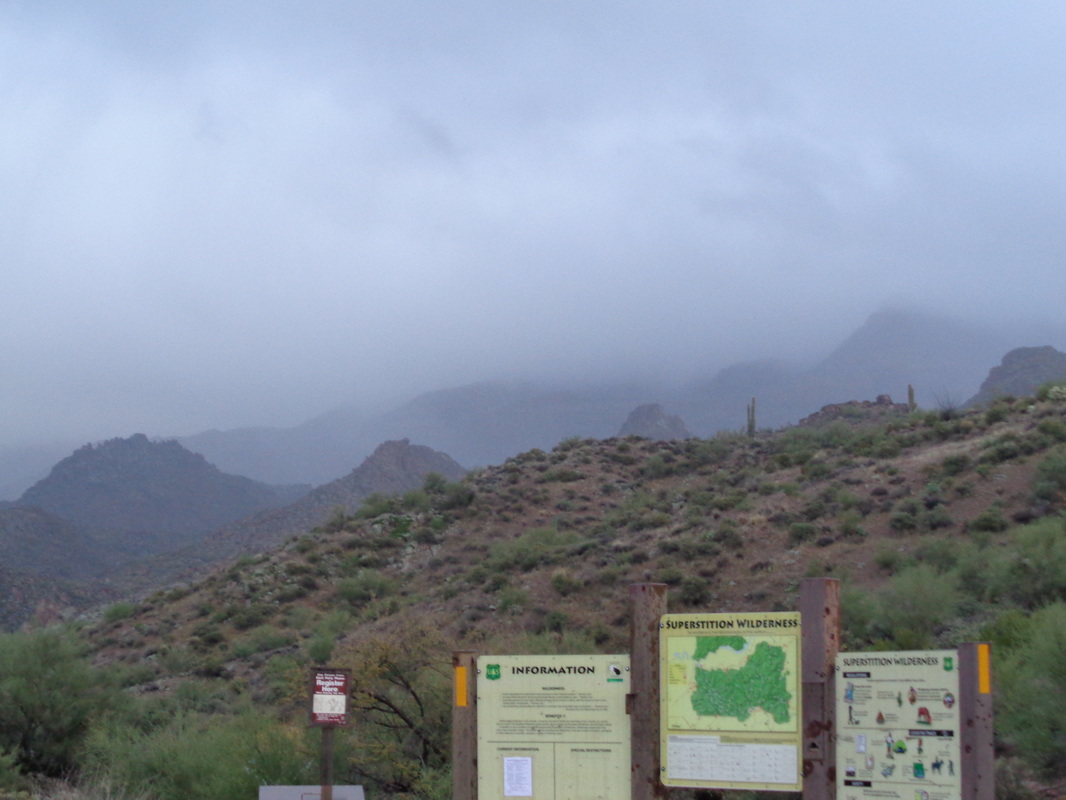
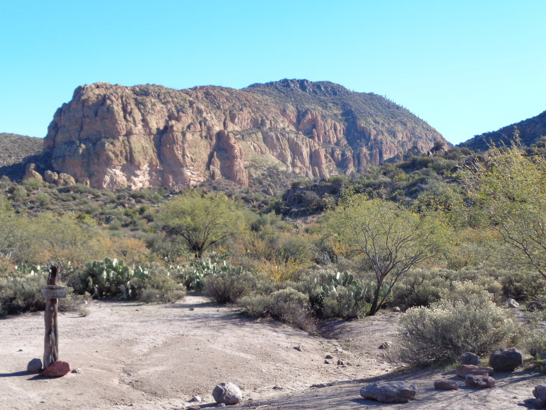
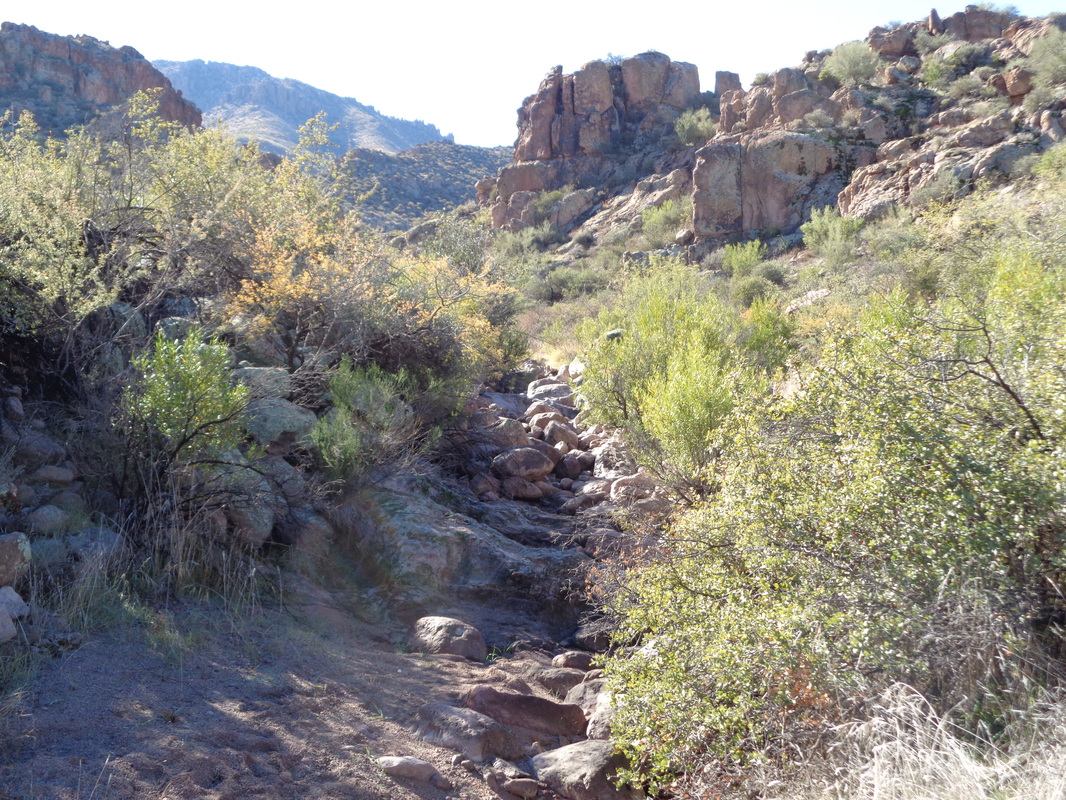
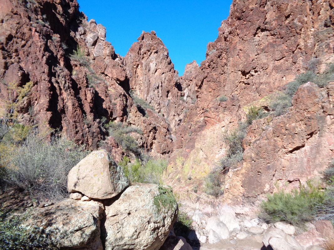
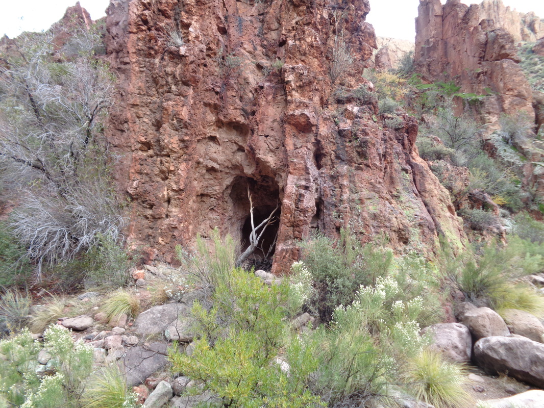
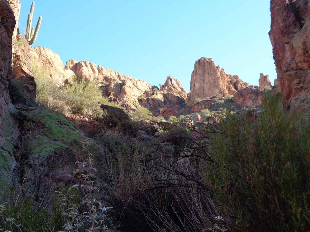
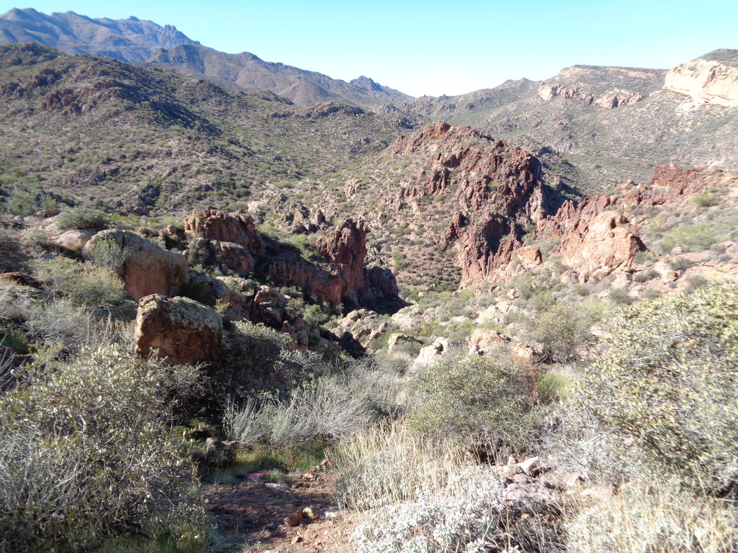
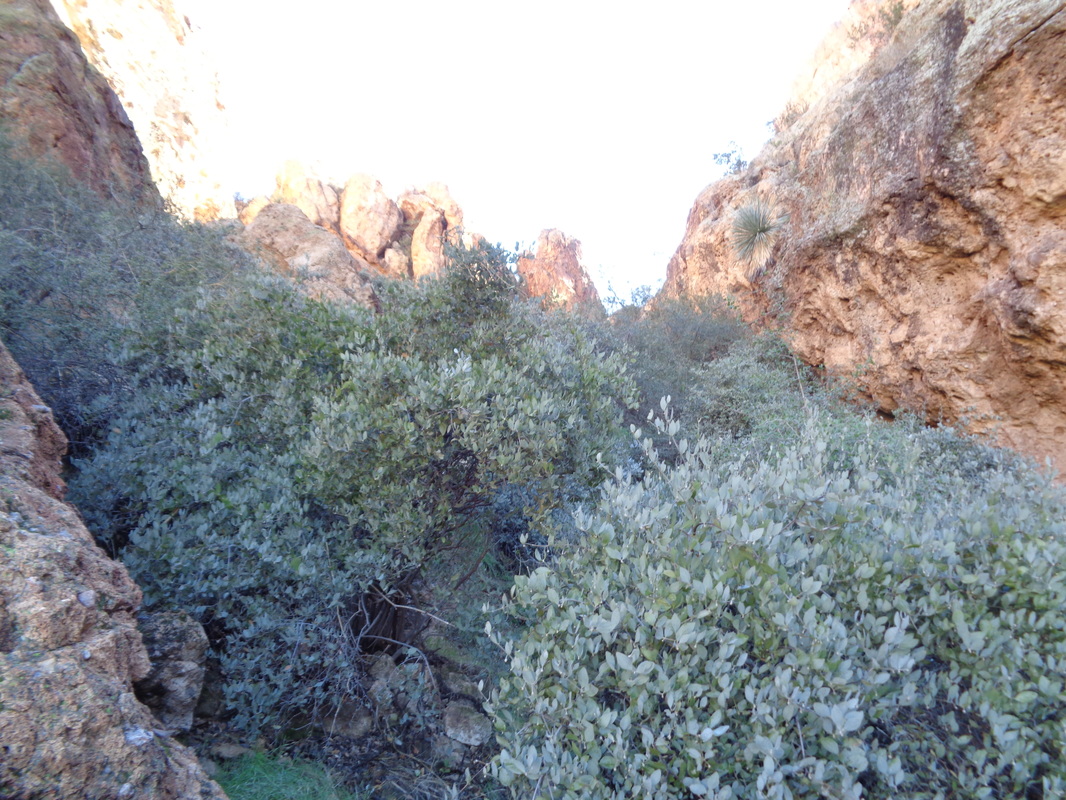
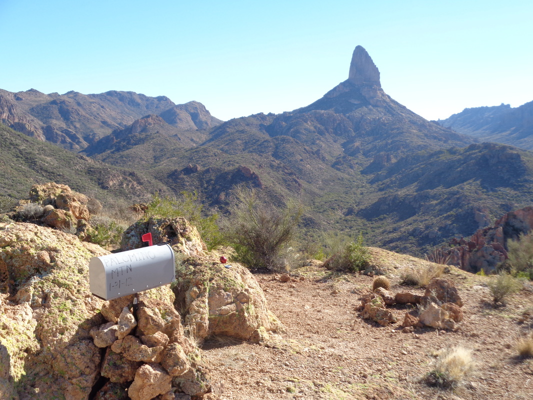
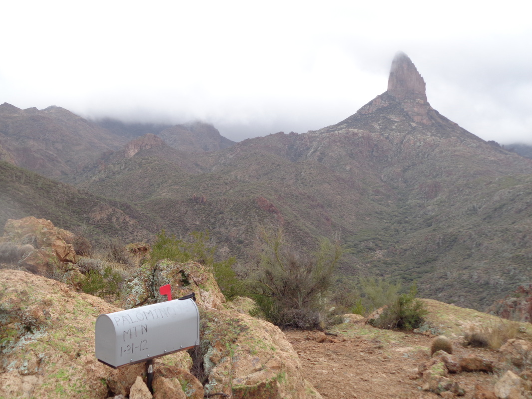
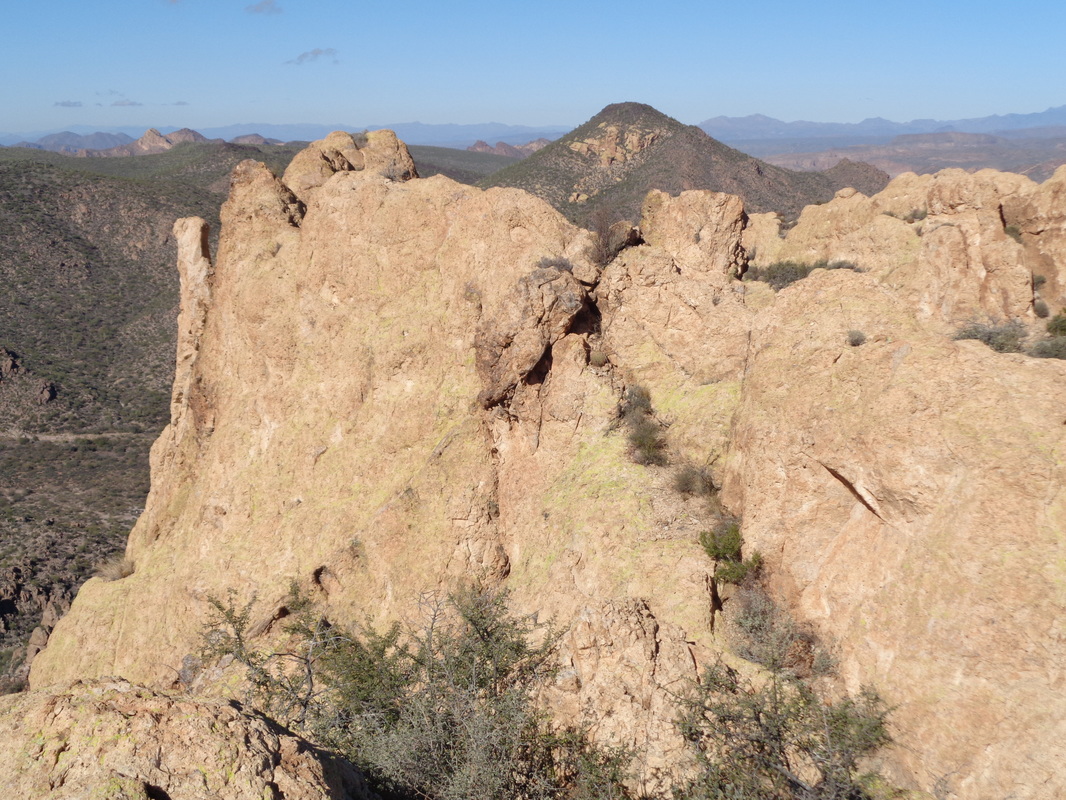
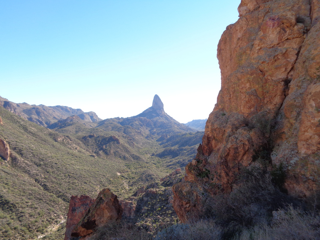
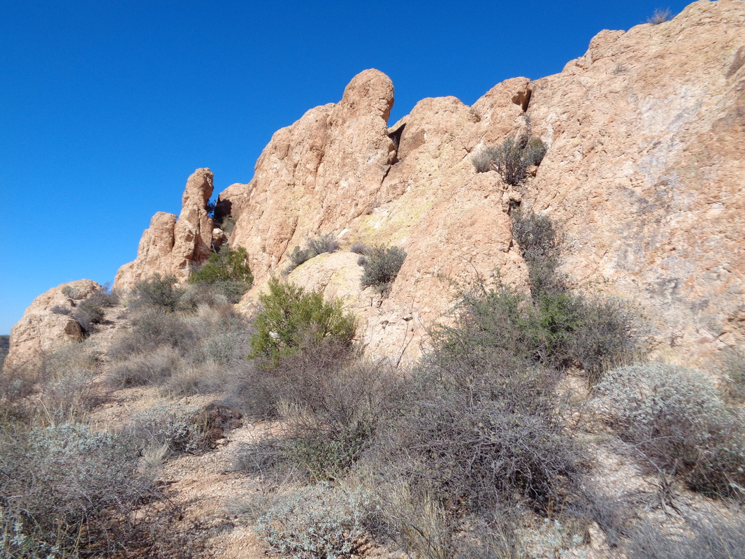
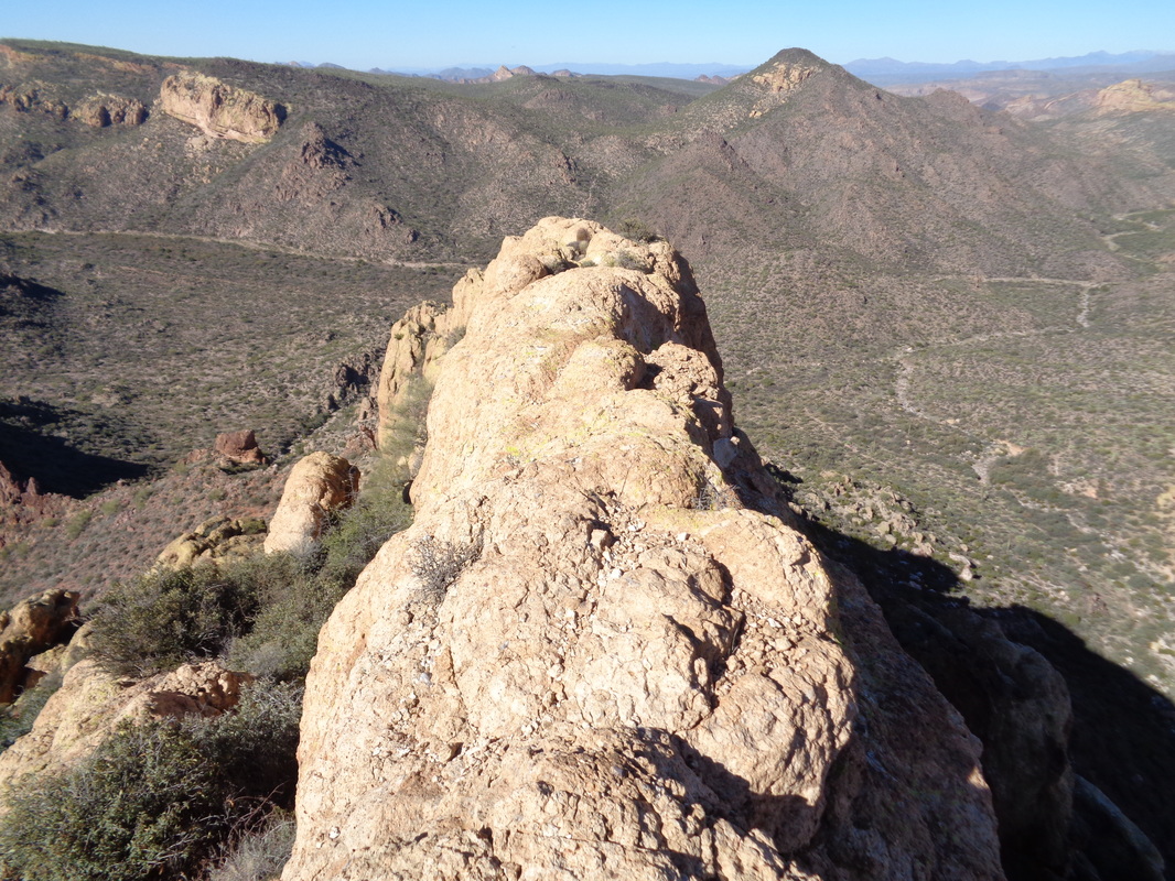
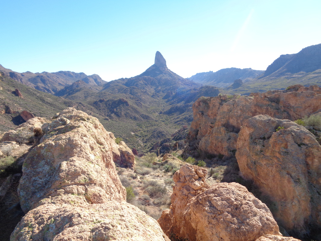
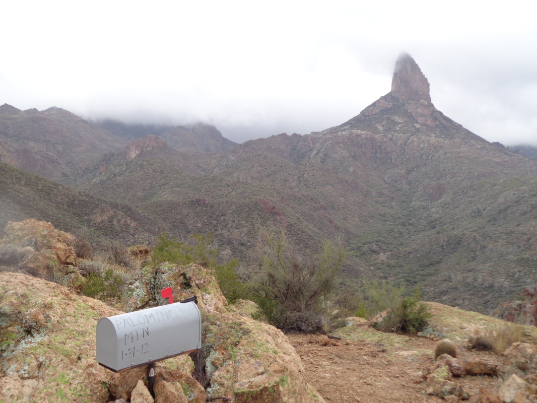
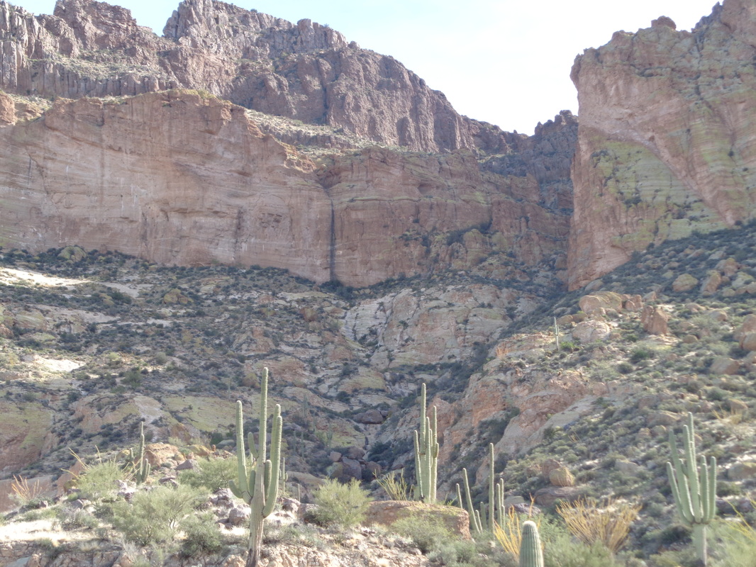
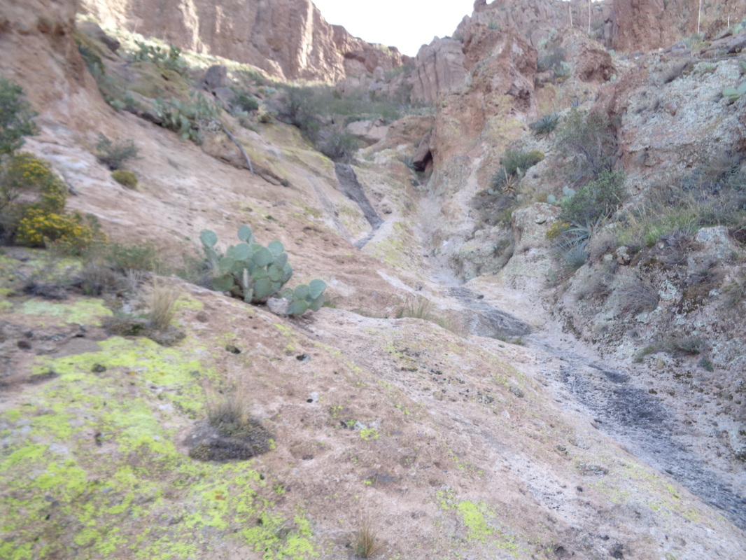
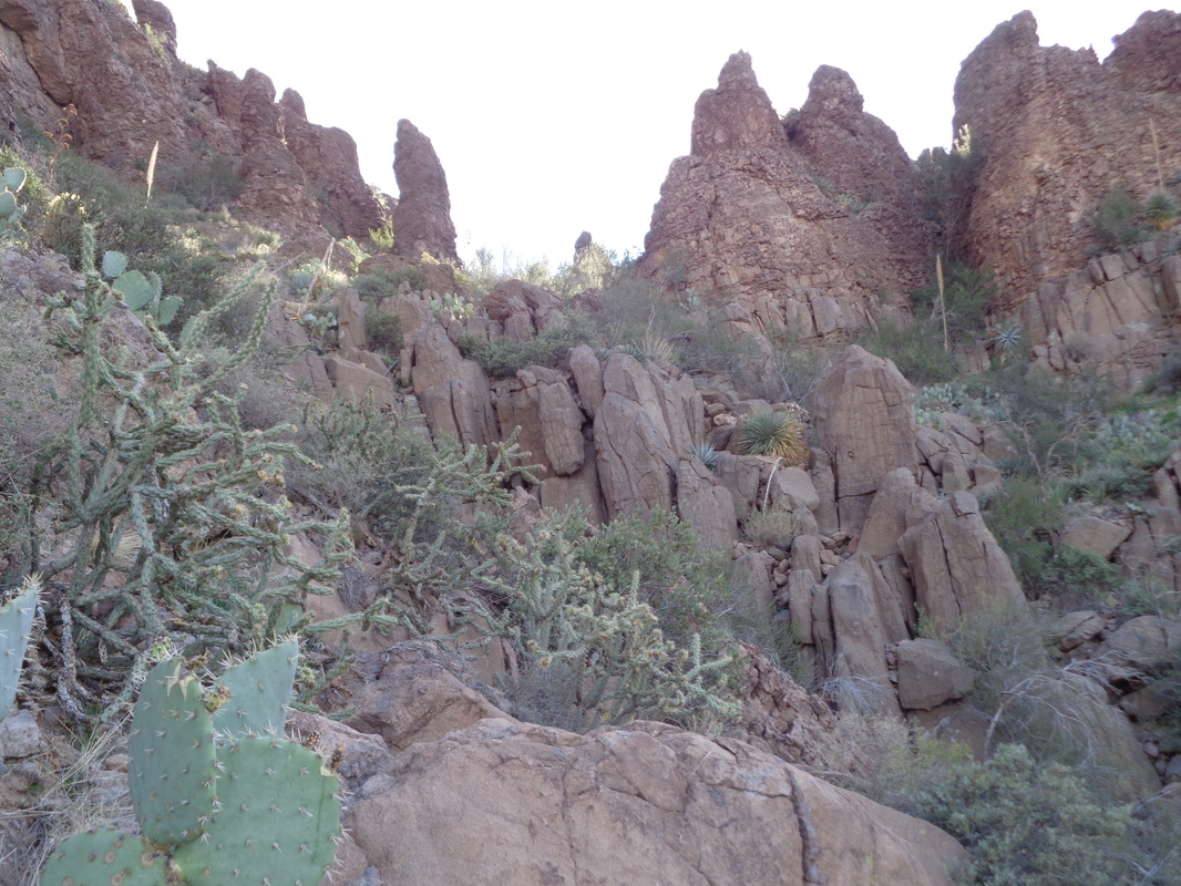
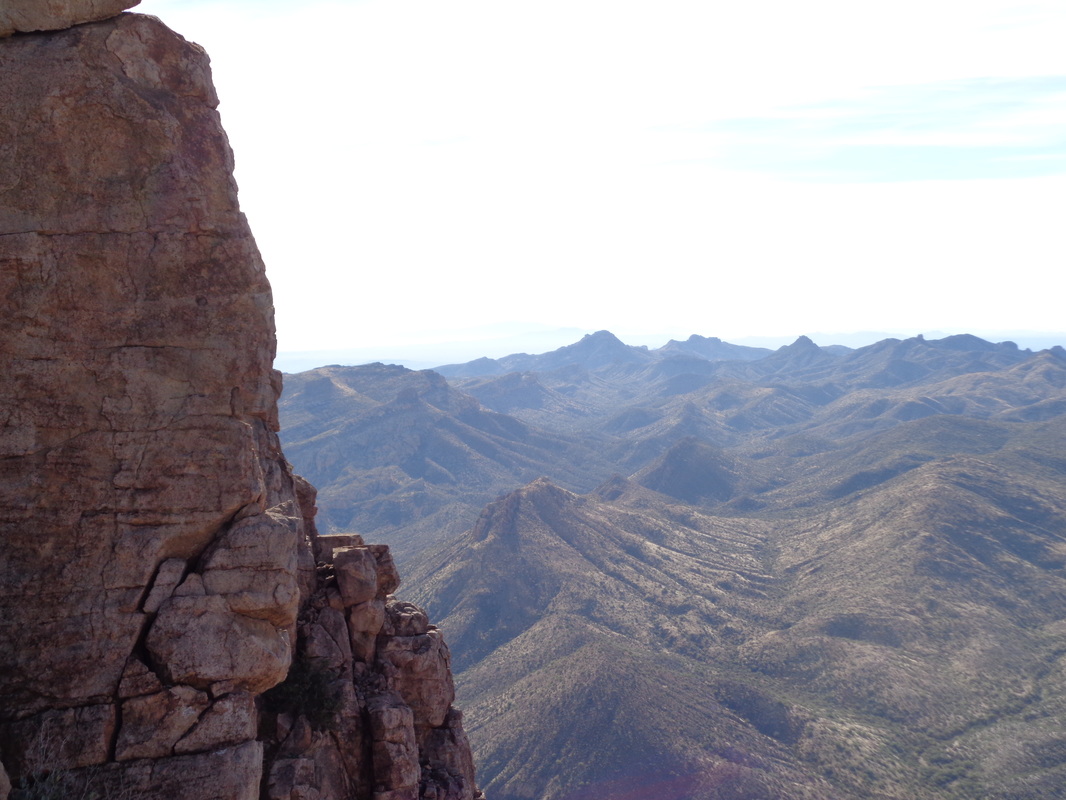
The beginning of a fantastic hike but this was taken on Saturday, following an overnight rain. Thick, low clouds remained and I completed the 10 mile hike but was intrigued by what I did not see so wanted to do it again. The above is taken from the First Water trail head and to it I returned on Sunday when the day was sunny. There is not a lot of information on this hike so I'm describing this partly for those who find this site and may find it of interest. From the parking lot, walking a short distance via First Water and then making a right at Dutchman's Trail, you will hike to where Dutchman's ends at the Black Mesa trail, the intersection shown above. To the right there is a low saddle. Head toward the low point in the saddle as you are now officially off trail. Somewhere in the walk up you will probably find a faint trail or a few cairns. That will give you comfort but all you want to do is reach the saddle and then drop into..... ....the creek bed. Pay close attention to where you enter as it will be here you will want to exit on your return. On your return, you will be boulder hopping and it would be easy to miss the exit point. Turning to your right, begin hiking, staying in the creek bed. According to my Garmin, I entered the creek at mile 4.4. The creek enters what is called "The Fortress". rock spires tower over you as the creek curves through the formation. You may notice an old mine on the left. Prospectors searched for gold in many places within the Superstitions. This opening was dynamited years ago. After 0.20 miles, you reach a narrow canyon on the left. Exit the creek where there should be a cairn. There slightly left of center is Aylor's Arch and Palomino Mountain. your destination. The "trail" is on the left but each time I hiked, I had to climb the rock slope on the left and then slide to the right side to access the trail. Once on the trail, cairns will show the way and depending on use, a faint trail can also be followed. The ascent is about .5 miles and gains 600' so kind of steep. Looking back, you discover you gain elevation quickly. Toward the top, the brush is thick but no cactus so not too difficult to push through. The people who blazed this route were trying to get to their destination by the most direct way possible. As such, the route is not made of switchbacks to lessen the pain of the ascent. Take care going up and down some very steep sections with gravel and poor footing. The route emerges from the canyon at the edge of an abyss with great views but the summit is up a short section to the left where you will find a mailbox placed in 2012. I counted 12 visits in the registry for 2015 so an average of one a month. The view of Weaver's Needle, something that mesmerizes me, are awesome. The only access to the summit is via the drainage you fought through and now are surrounded on 3 sides by vertical. Be careful walking around. Same spot on Saturday with the clouds. You will lose sight of Aylor's Arch about half way up the climb and you can not see it from the area of the mailbox. You can not reach the arch without climbing gear but it is possible to get a closer view. This site:http://hikearizona.com/decoder.php?ZTN=226 does a great job describing that option. Looking from the area of the mailbox, you will see a spine of rock with a sloped ledge. Like me, you probably will think that is the way forward but it is a dead end. Instead, if you wish to explore farther, you will work your way to the base of the above and then hike to the right and down. BE CAREFUL! after working your way down the slope, more great views but turn.... ...to the base of the next ridge. See that narrow opening on the left, that is your destination. Climb up towards and through the opening where at that point, you scramble to..... ....the top of the ridge. Beyond, sloping away and a shortish walk away is the top of Aylor's Arch. The area above the arch is narrow and you SHOULD NOT WALK OVER THE ARCH!!!! It is about the diameter of a midsize tree trunk so I doubt it would hold the weight of a walk over. Slowly I stood and walked forward but the exposure got to me. Turning at a glacial pace..... ....I looked back from where I came. I walk every day and I can't recall ever tripping and falling but put me on this narrow, uneven ridge of rock with hundreds of feet of vertical on either side and suddenly I question putting one foot in front of another. It is exhilarating standing up there, no doubt. I looked down at the Peralta Trail and saw some people watching me. They waved, I waved and yelled "Come on up." They laughed. Again, the views are freakin incredible and may be the best in the Supes. I clambered down, returned to the mailbox, gathered my stuff and headed back. It took me exactly 2 hours to travel the 5 miles to the summit. More than that on the return. The descent is sketchy. Fortunately, the Dutchman's Trail is in good shape and while a few sections are like the above, crummy, many are flat and can be jogged. When you can lift your head, the views, geesh. The Superstitions are a treasure trove of sights and destinations. Amazing. Ya know, hardly a day goes by when I don't think or say out loud, "Wow, look at that." Those days are coming to a close but I have one day left and an absolute gem of a hike coming on Tuesday. Not done it before and not one on which I will freak out and turn around. I'm in with a hard core group for this one.
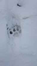
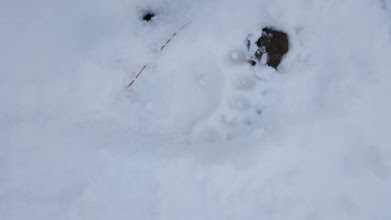
On Saturday, I had the option of joining a group hiking to Apache Peak. It required a 20 mile drive on a rough dirt road so I decided not to subject my car to that. It rained overnight but at higher elevations, it snowed so here is the group of 6 at the peak. Very windy, temp around 20, snow squalls, nasty but also they saw.... ....mountain lion tracks and..... ....bear tracks. I ran into a camp on a hike yesterday, the base camp for an archeological dig. A guy was there keeping an eye on supplies while the others were working. He is a local who owns a farm in a nearby valley. The forest service told him there are 20 different lions that transit his property yet the guy has never seen one. They are very elusive.
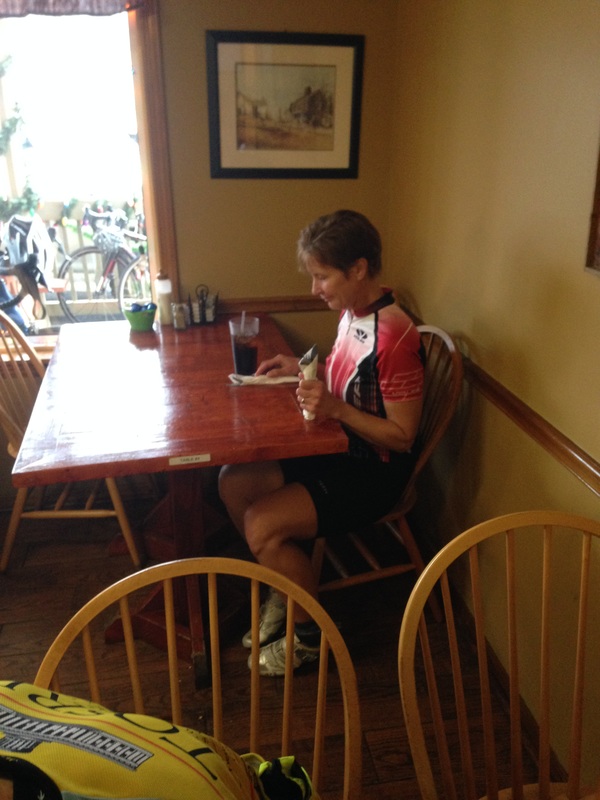
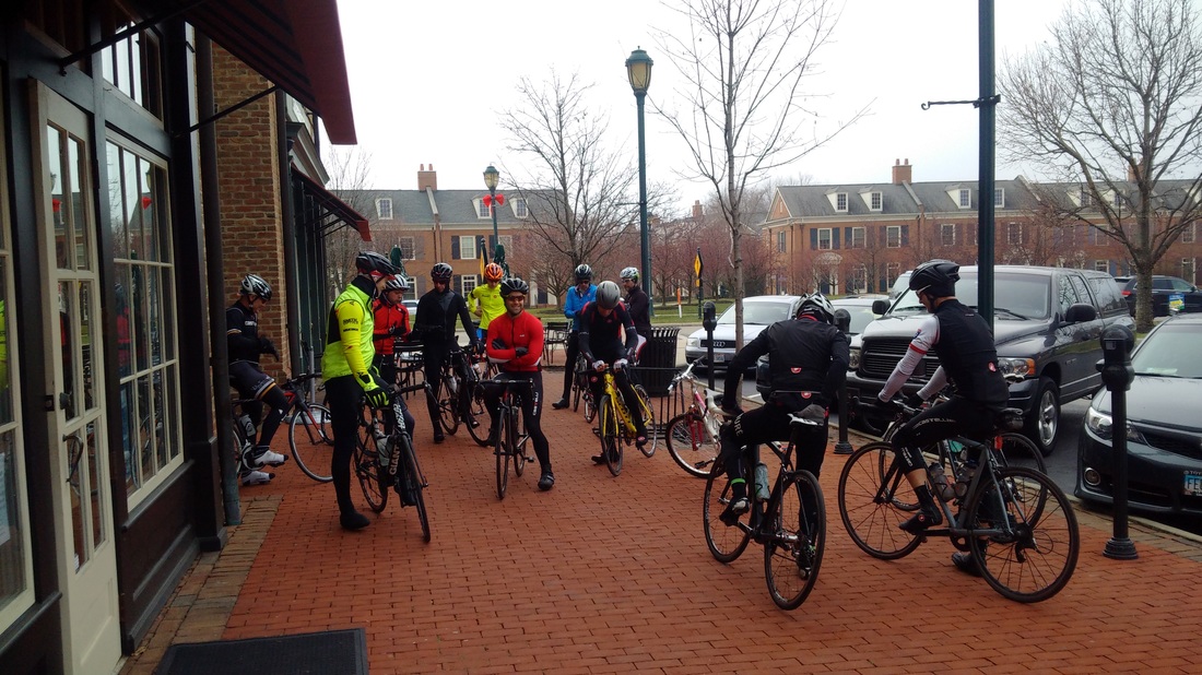
Check out this route for a group departing from Starbucks in New Albany at noon. If you attended today's ride out of Newark and found the pace lacking, this is the one for you! Reportedly, some of those attending are peloton stars like Ken Buddell, Lori N, Luke Russell, Travis, Porter R, Scott B, Kim, Geoff Clark, etc... There is also a ride led by Larry P and Lisa A, departing McNamara Park at 10:00am, headed to Granville and back but I don't have the route. Today's ride out of the Newark YMCA to Bladensburg was attended by the above as well as a couple others who did not stop for pancakes. Notably missing from the above image was the birthday girl. none other than Flyin Tuna but..... ....Flyin was there, seated alone because she goes after food like NBA centers go after rebounds, elbows flying and lots of motion so it was best to give her room. Enjoyed an epic hike today with awesome views and rain! More to come, later.
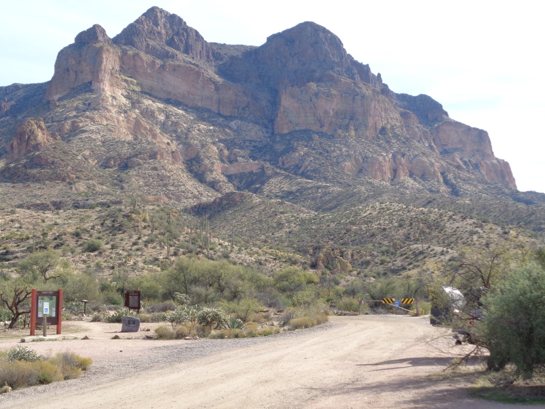
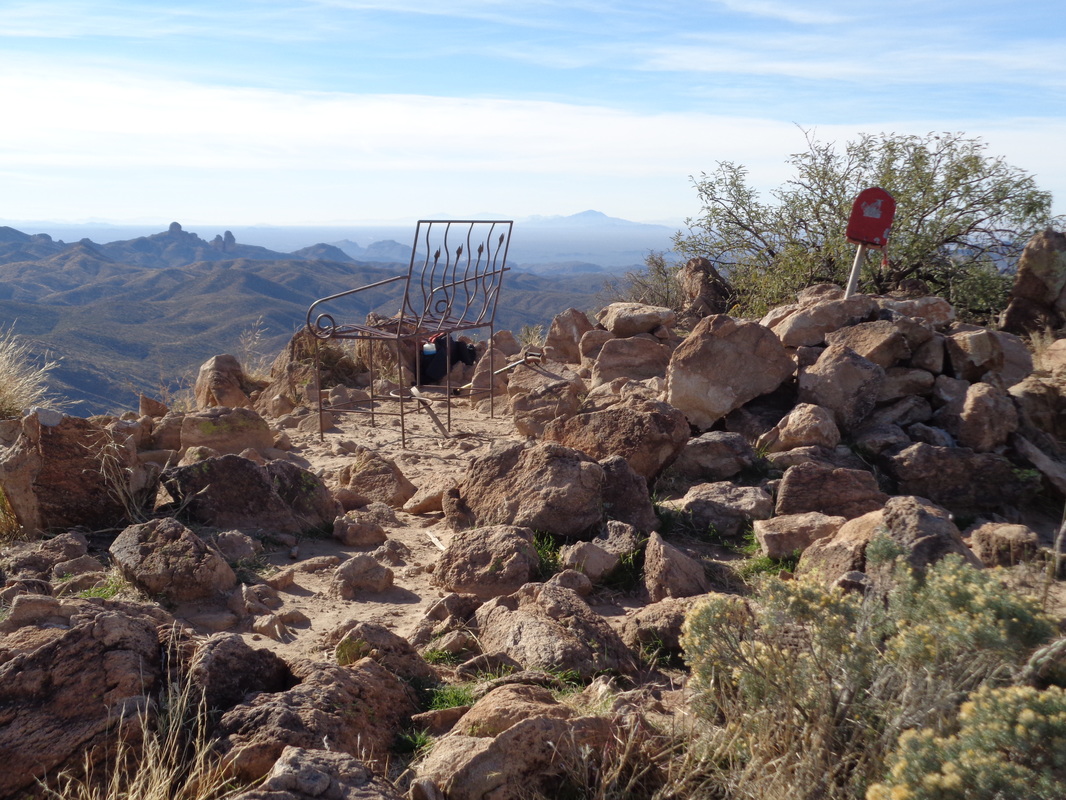
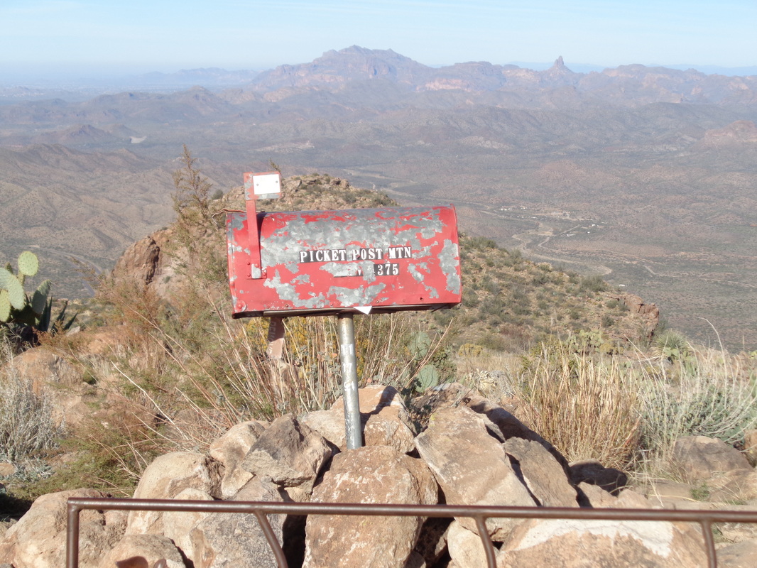
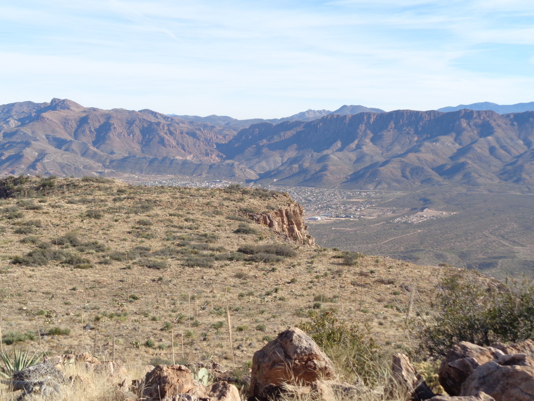
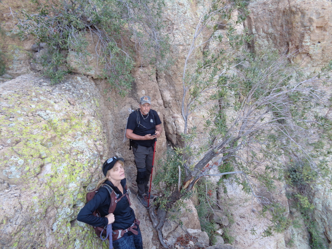
Picket Post Mountain, a fun assed hike. Steep, exposure, scrambling and maybe the best views in the area. Neither of the two prominent points above is the actual summit, it lies higher and beyond. However, the route does go between those two peaks and what fun it is. Very soon after departing the trail head, the views open to the north and there is the awesome Superstition Peak on the left and Weaver's Needle on the right. Both such great hikes. Huffing and puffing and a mile later, I reach a ridge with the way forward kind of obvious, that cleft, slightly right of center. One of the highlights is this scramble, which requires some negotiating of the slope. Yeah, I know, via the image it looks so simple but it is not. Higher I climb and the rock formations are fascinating and after clearing the gorge.... ....oh geeez, the views now open to the south. So beautiful I pause to admire. Then I climb a final switchback and reach..... .....the peak, which is not just a rocky platform but also home to a mail box and a metal bench. Look to the horizon, amazing. I sign the book inside the mail box and in there is a grey tee shirt and I sign that too. The usual, my name, state and "GO BUCKEYES". Someone told me if you bring an envelope and place it in the box, someone collects them and puts them in the postal system. Takes on average 35 days. To the east is the small town of Superior, AZ. After taking many images and videos, I head back down. I got off the route but at that point, a couple are coming up and they guide me back. Enjoyed talking to them and they told me about a cave up there. My eyes lit up and got the details about the off route scramble. However, they saw 4 rattlers up there and showed me the images to prove the point. Dang, one was enormous. Yes, the point at which we stopped was on the edge of a cliff. I descended and laughed when I discovered my up climb was 1:07 but down climb was almost 2 hours. Well, I return to Ohio next week so got to cram more hiking in the schedule. The weather has been warm and sunny with today's high at 80 but a front is coming through Friday night and the temps...ohhhhhh nooooooo.
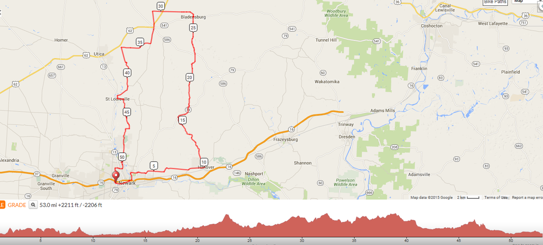
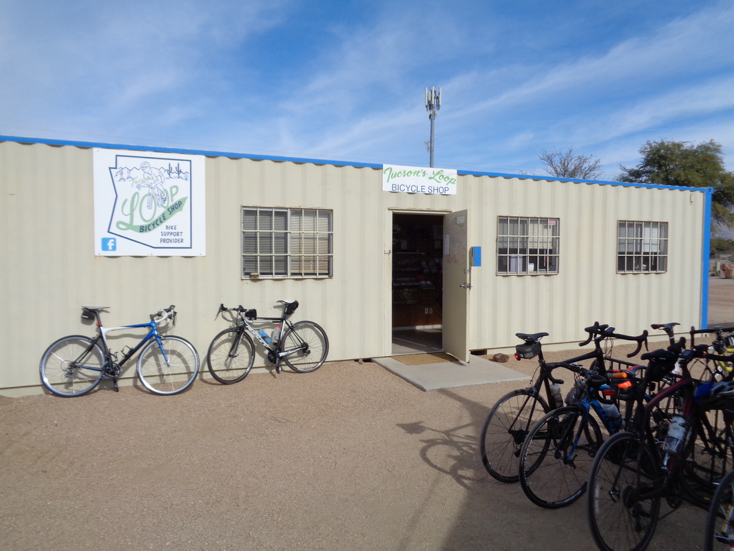
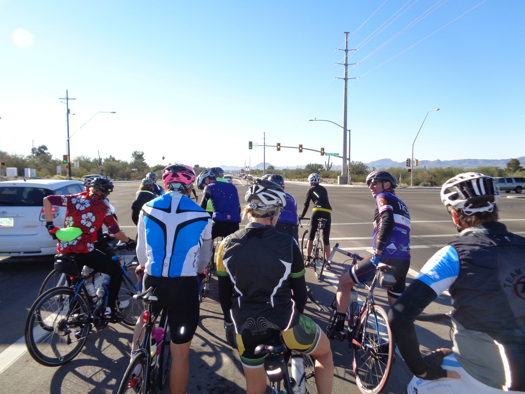
Have I got one for you! This Saturday, at 9:30am, Flyin Tuna is organizing a ride departing from the Newark YMCA. She says it will be an off season pace of 53 miles to Bladensburg where you will have the option of dining with her (leave a seat empty on both sides to avoid flying elbows while she attacks the pancakes) or hitting the gas station and riding back to Newark. Here is the link to the route: http://ridewithgps.com/routes/11384570 Well, take a look at that Ohioans. Could it be true, will it be true, who knows but at least the forecast is promising. A group of us rode to the top of Gates Pass today, a 2 mile climb with a nasty kick at the top. We regrouped and stopped at.... .....at a shipping container housing a bike shop. Nice selection of drinks and snacks, along with shirts, gloves, etc... Ended with 50 miles, my longest ride of this visit.
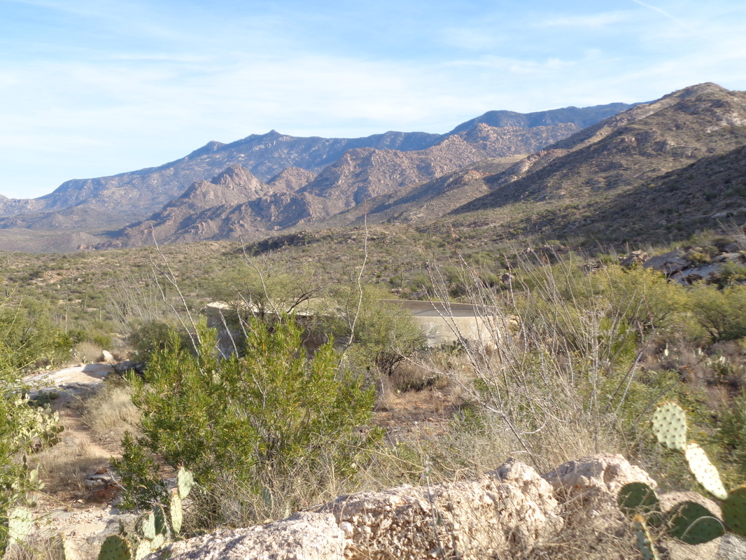
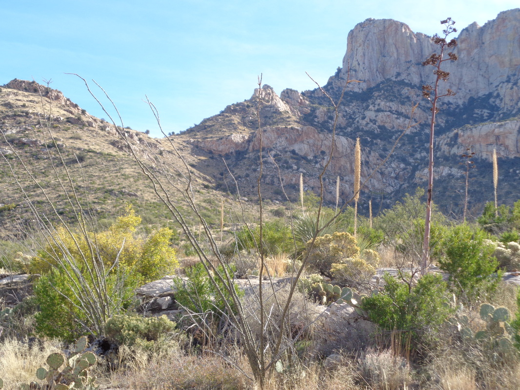
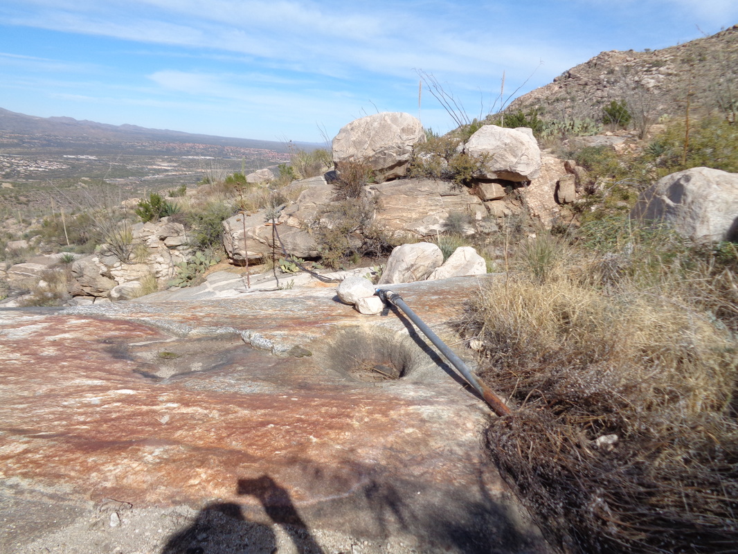
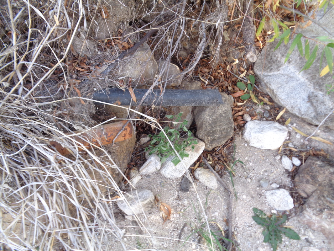
Had a fun ride on Sunday with 29 people. a mix of young and old, fit and mostly fit. At the start, the ride organizer announced the end of ride average would be 17-ish. 43 miles later, with a burning pace up Twin Peaks and 2000' of climbing, I had a 20.1 average. That I finished with the front group was a shock. Then got back to the really fun stuff..... ....hiking. I have found one report of a route from the northwest, out of Oro Valley, to Bighorn Mountain on the right. It's a 4 mile hike entirely off trail bush whacking. The route was posted on the "hikearizona" web site but curiously, although the route was posted only a few months ago, there is actually a fairly easy to follow trail for about 2 miles. The trail exits the cleft in the valley on the right, climbs steadily but not steeply. Soon after crossing through a fence, you can see brief views of a water tank to the north. I backtracked a bit and took a side trail to get a closer look. It is dry but a pipe travels about half a mile, entering a canyon. After reaching where the pipe enters the canyon or gorge, the trail continued to the north but then petered out. In its place was a series of cairns (small piles of rock) but they appeared to be headed well away from the gorge which according to my gps track is where I needed to be. Probably the route headed up the slope to the left and then on to the left of Table Mt? Something to check out in the future. I retraced my steps and entered the gorge where the pipe ended.... ,,,so when water rushes down the gorge, some of it enters the pipe and then is carried to the water tank about a 1/2 mile away. cool system but I doubt the tank is full very often. I climbed through this chaotic mess of boulders and kind of thick plants for about half a mile. At some point, the gps track exits the gorge but I did not make it that far. I turned around, satisfied I knew what it would take to complete the hike, finishing with 6 miles.
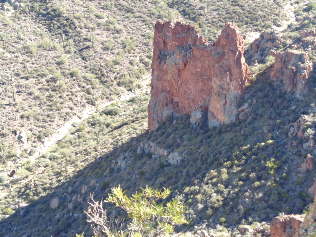
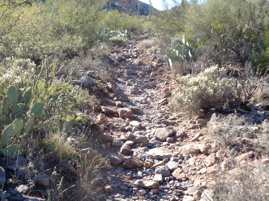
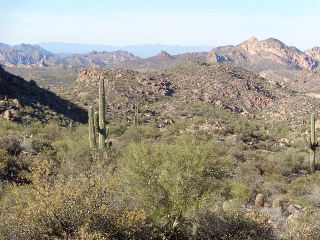
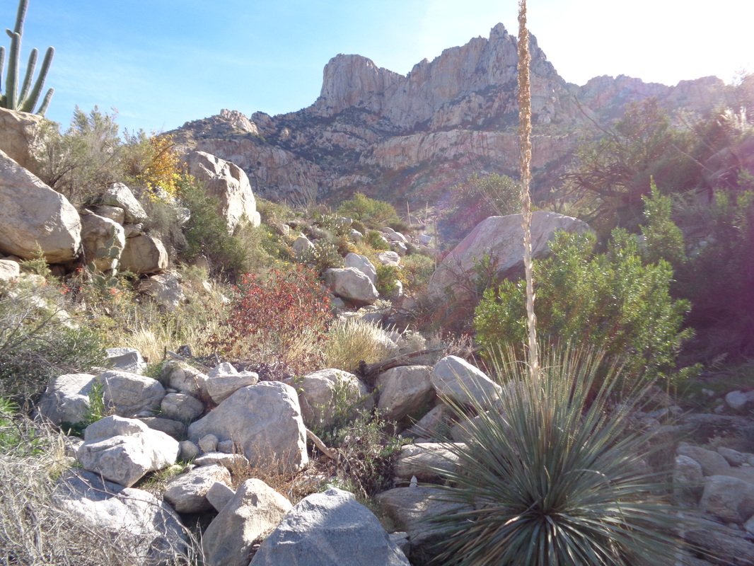
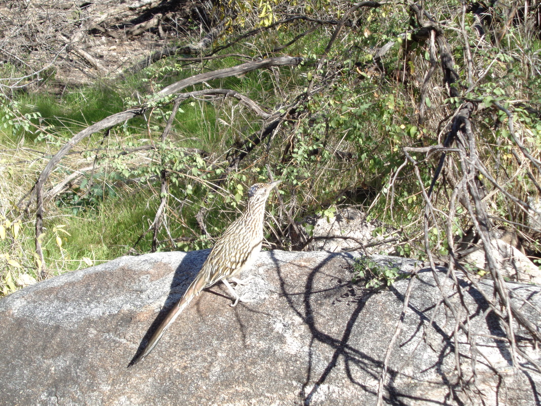
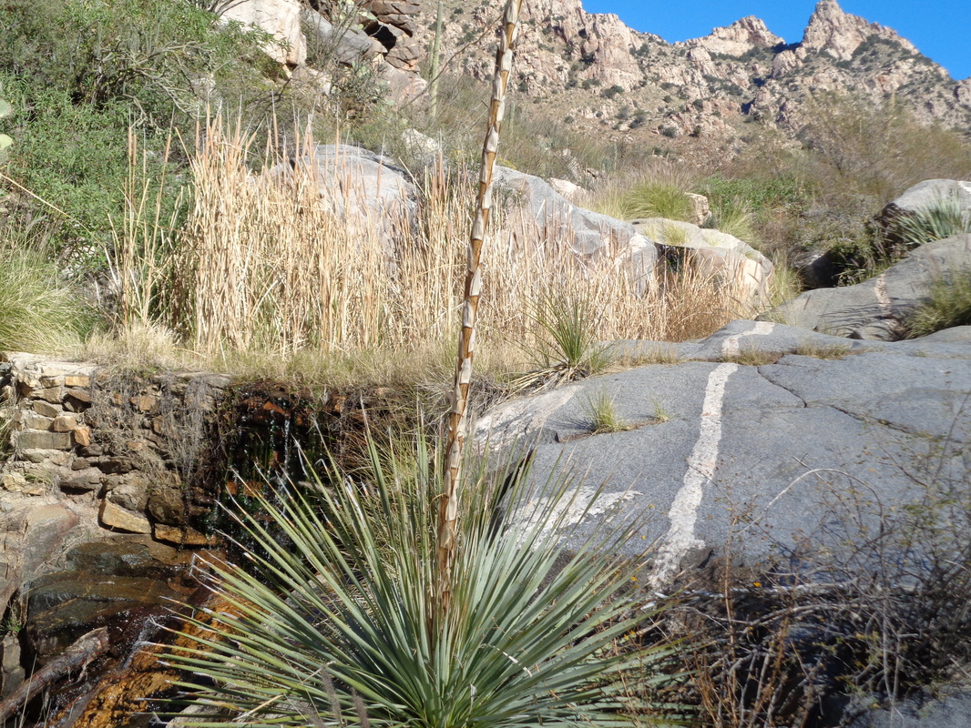
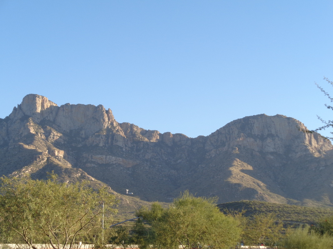
Table Mountain is a unique formation that is best viewed from the south. Rather than a pointed peak, the top is a gentle slope that ends at a sheer rock wall that is several hundred feet tall (see final image below for the perspective from he west view). I started on my least favorite trail, Pima Canyon and soon the table emerged above a ridge. Unusual that a Road Runner pauses so I have time to take a pic. They are true to their stereotype of a fleet bird. At almost the 3 mile point on this rocky, rough surfaced trail, I reach "Maiden Pools". Note the distinctive white line running through the rock. Just beyond this point..... ....I reached a side canyon where I left the trail to begin a fun bushwhack. Note the short, flat grassy line at the top. That is the base of Table Mountain. Rising out of the canyon, scrambling over and around boulders, cactus, etc... I paused to look from where I had come. Three hikers had been resting there when I passed and I could hear them talking as they watched me climb. They had encouraged me not to go off trail but the snakes are in their dens, coming out rarely and I figured I'd make enough noise to scare the four legged creatures away. Higher yet, taking another look down canyon and then a relief.... ....an extended boulder field. The travel is still slow but at least no pointy things stabbing me. How about that, a large pile of rocks to indicate that point at which I should leave the canyon. Looking back, I had a steep way on my return and it would not be quick. I had gotten off to a late start (laundry to clean hiking clothes) so was 90 minutes behind schedule. Threefore, rather than curve to my right to hike the recommended east side of Table, I struck straight ahead for what I thought would be a ridge that would overlook to the west and Oro Valley. The views were great and the slope moderated but in that grass were an abundant supply of shin daggers, a stiff and sharp pointed plant that digs into your ankles. Looking across the Pima Canyon to the southeast. While walking through the grass, I came upon a small area where the grass was flattened. I wondered how recently something had been laying there. Finally, I reached the ridge and to my right was Table and to my left was.... ....Bighorn Mountain. A summer fire had burned the slope of Bighorn and it would have been an easy hike to the summit but it was too late in the day to attempt. Being out here after dark is just a terrible idea, alone. At the ridge, I found a break that perhaps could be exploited to hike down the other side. The above is looking at the mountain range from the west in Oro Valley. I was standing left of center between Table on the left and Bighorn on the right. I finished with 8 miles and around 3500' of climbing. Good day.
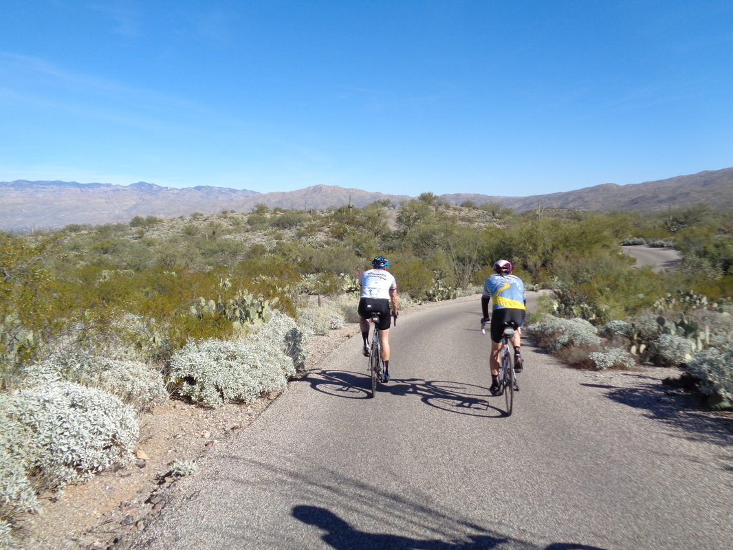
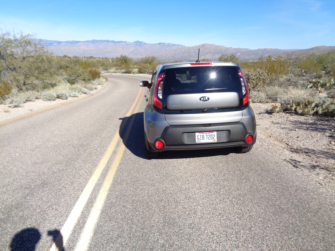
While picking cactus spines out of my legs, the above image arrived of some of Saturday's participants in the New Albany ride. Ken Buddel (that guy needs a nickname in the worst way), Travis I., Dave Chesrown, Doug McConahe, Philippe the French Climbing Machine, Mike Miclinchie...17 in all on a 45 mile ride, finishing with a 20mph avg. The day before, alarmed that the weather in Ohio will be warmer than normal upon my return and I am in absolute sucky, suckiest cycling condition, I decided I better start riding again so joined 22 others on a good group ride and then..... ....pulled along side this vehicle with Ohio plates. I said, "OH" and they replied, "IO". Turns out they have a son-in-law who lives in Granville, OH. Cycling seems to be therapeutic after a couple days of hiking and it was good to get out.
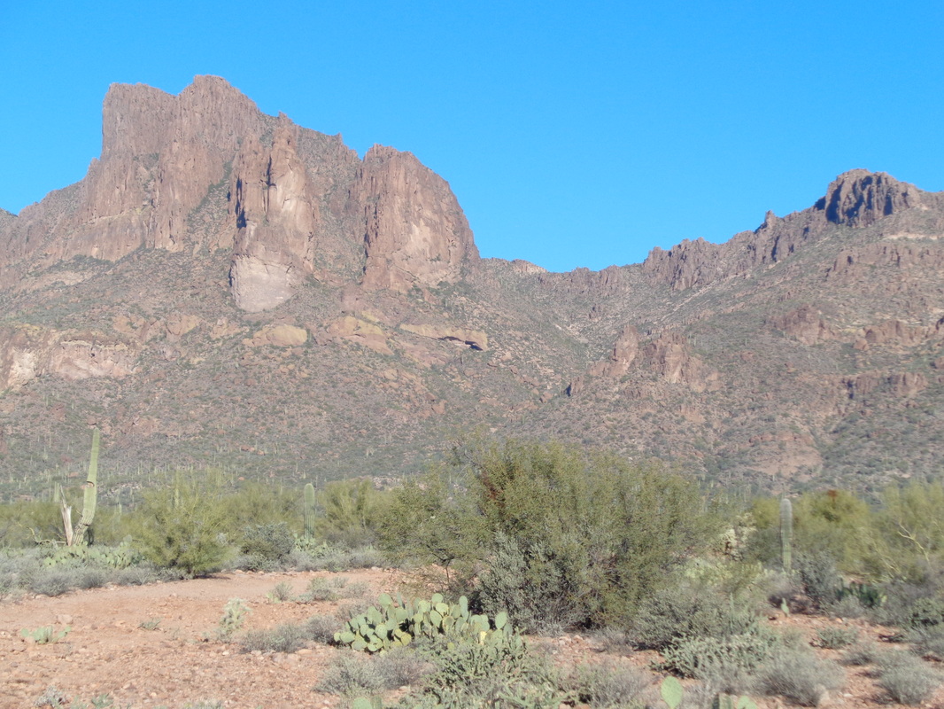
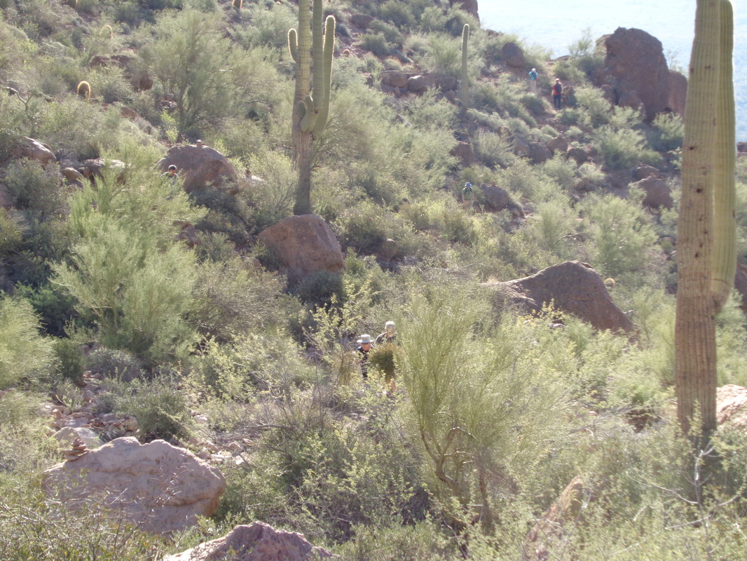
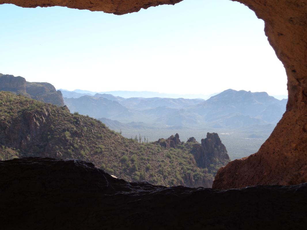
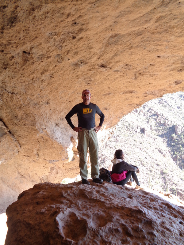
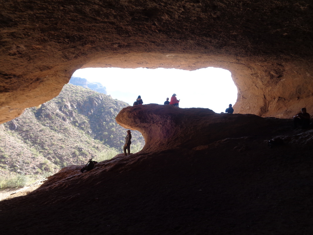
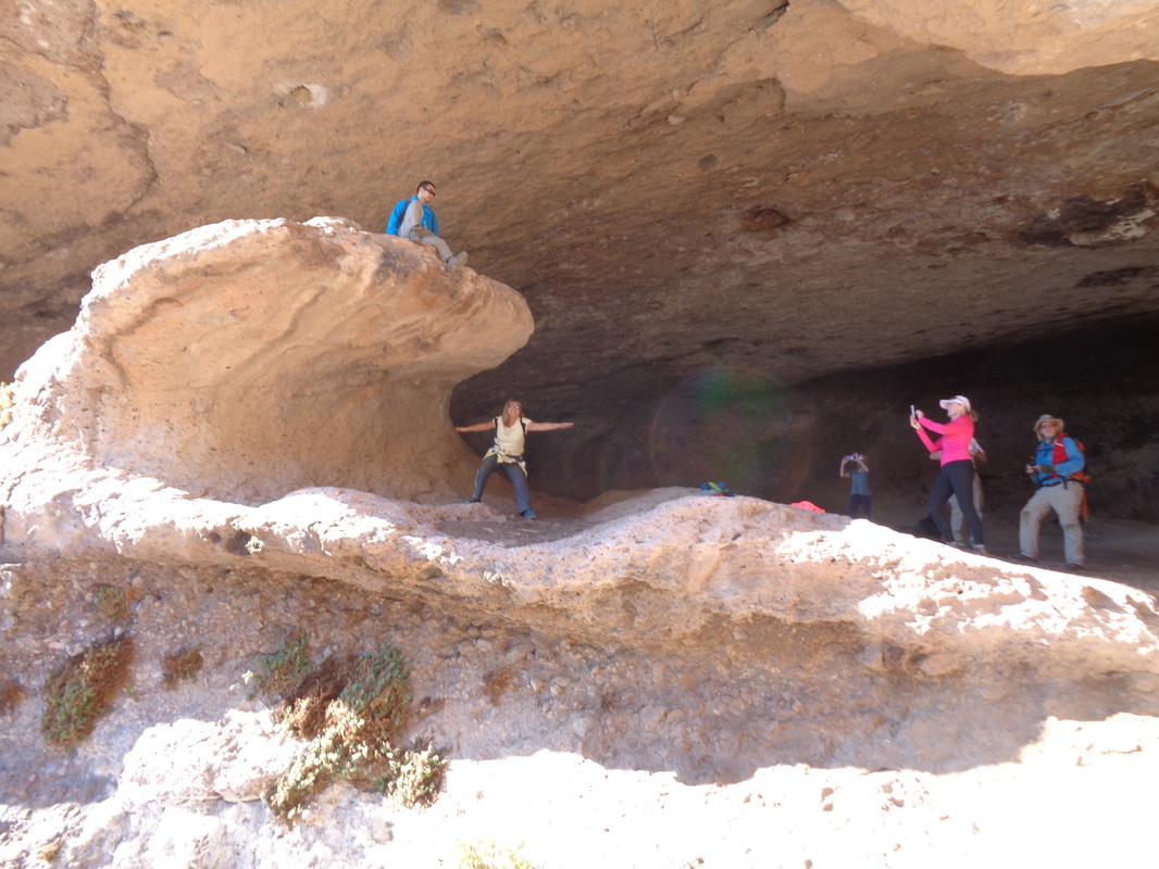
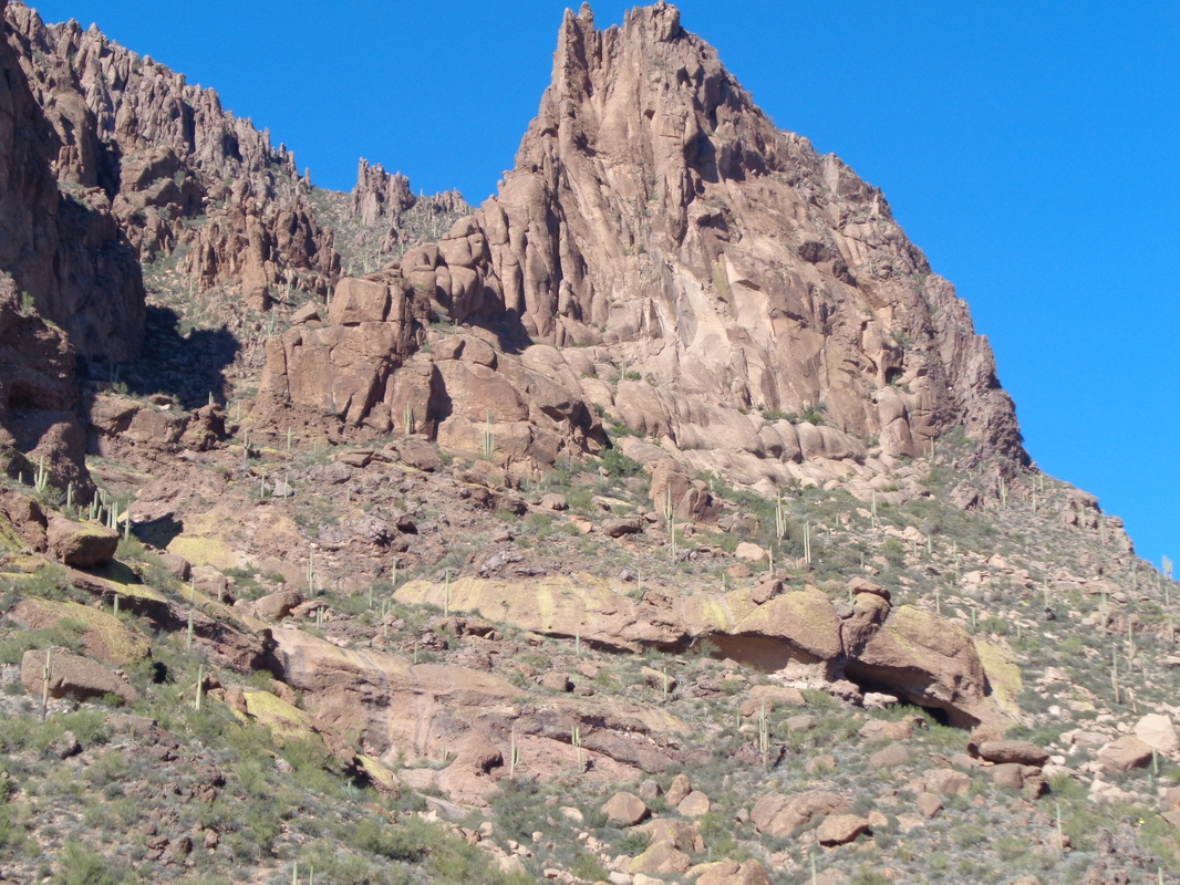
Once again I am drawn north to the Supes. a 90 minute drive but always so worth it. I have only scratched the surface of this wondrous wilderness. I had heard people talk of the Wave Cave and although only a 4 mile round trip hike, still worth a one time visit. I slotted in with the "HHH" group and 14 participants. We gazed to the north and there, barely visible, is the narrow, horizontal slit, our destination. With a group of this size, there are bound to be a broad range of fitness levels and of course there were. The slowest were very slow (but always welcome) but after stopping to regroup a couple of times, I decided that was enough and kept going. About 3/4 of the way there, I looked back and decided not to be a complete Richard Cranium so waited for a few to catch up. Then we shoved off for the final assault...soon reaching.... ....the wave cave with very cool views to the east. Others began to arrive and I volunteered to take pics just to make myself useful and someone took an image of..... ....me! One woman did not figure out that everyone wanted to have their image taken at this point and she was kind of in the way but oh well. I walked deeper into the cave and now you can see how it got its name as more people arrived. Soon, everyone wanted to have their picture taken, surfing the wave. I ran out of patience, thanked the organizer and headed back down. I figured they would be there another 30 minutes and that is too long for me. Descending, I looked back. Definitely a destination one time but doubt I do the hike again unless it is paired with another destination. The trail, well defined, is easy to follow but there are at least 4 junctions that need to be navigated so having a gps file is needed unless hiking with someone who has previously completed the hike.
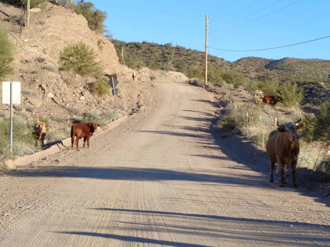
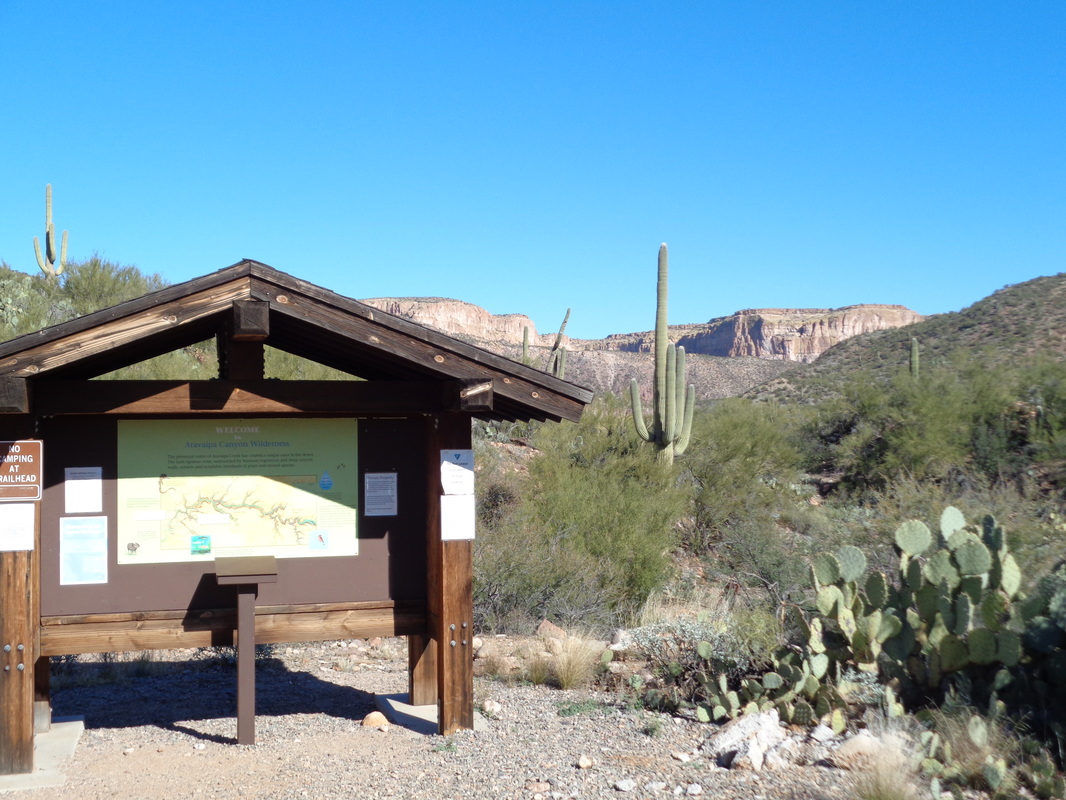
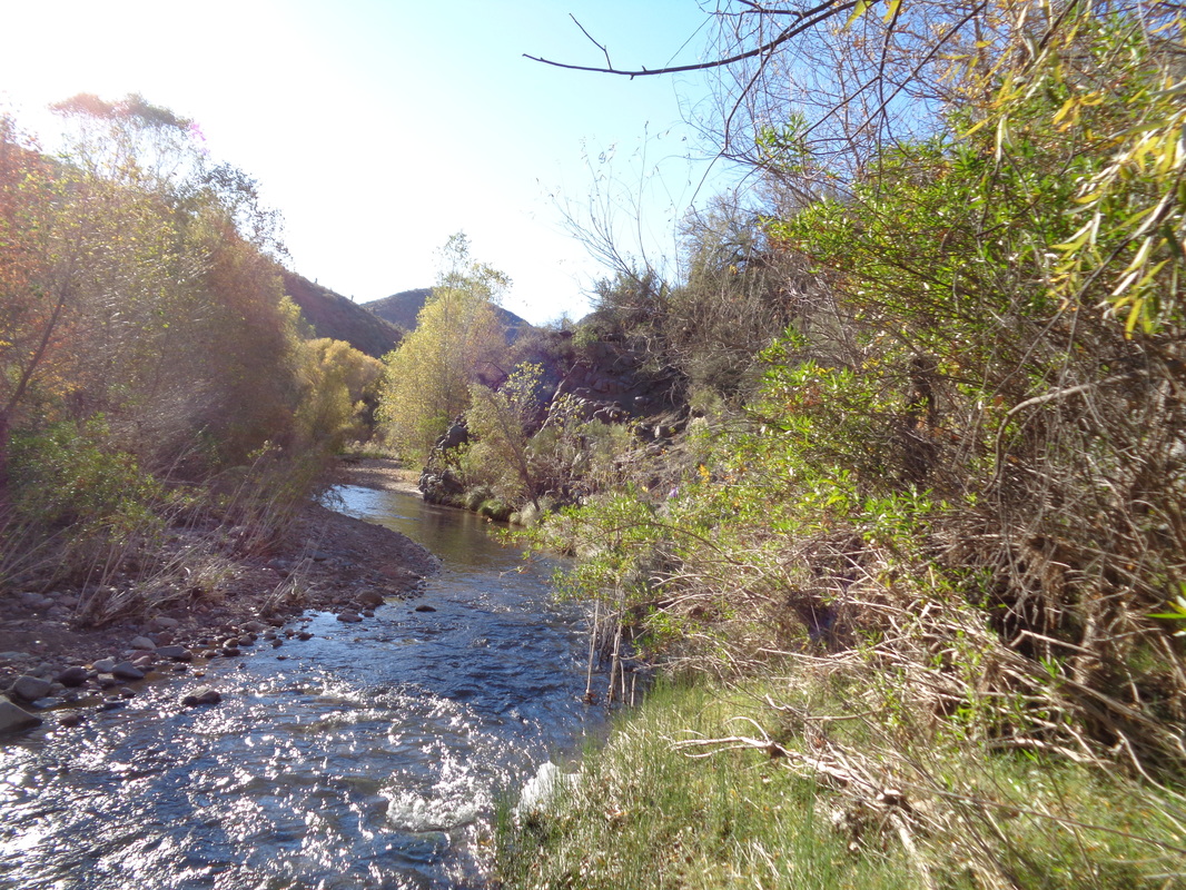
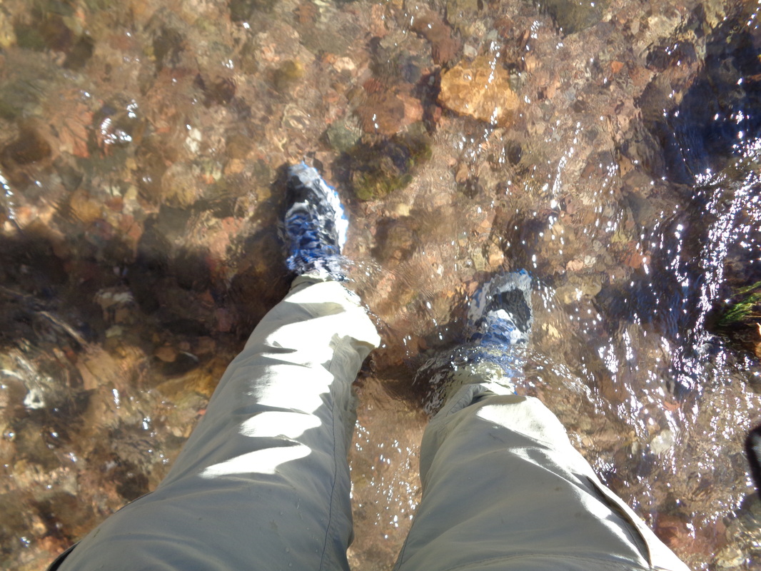
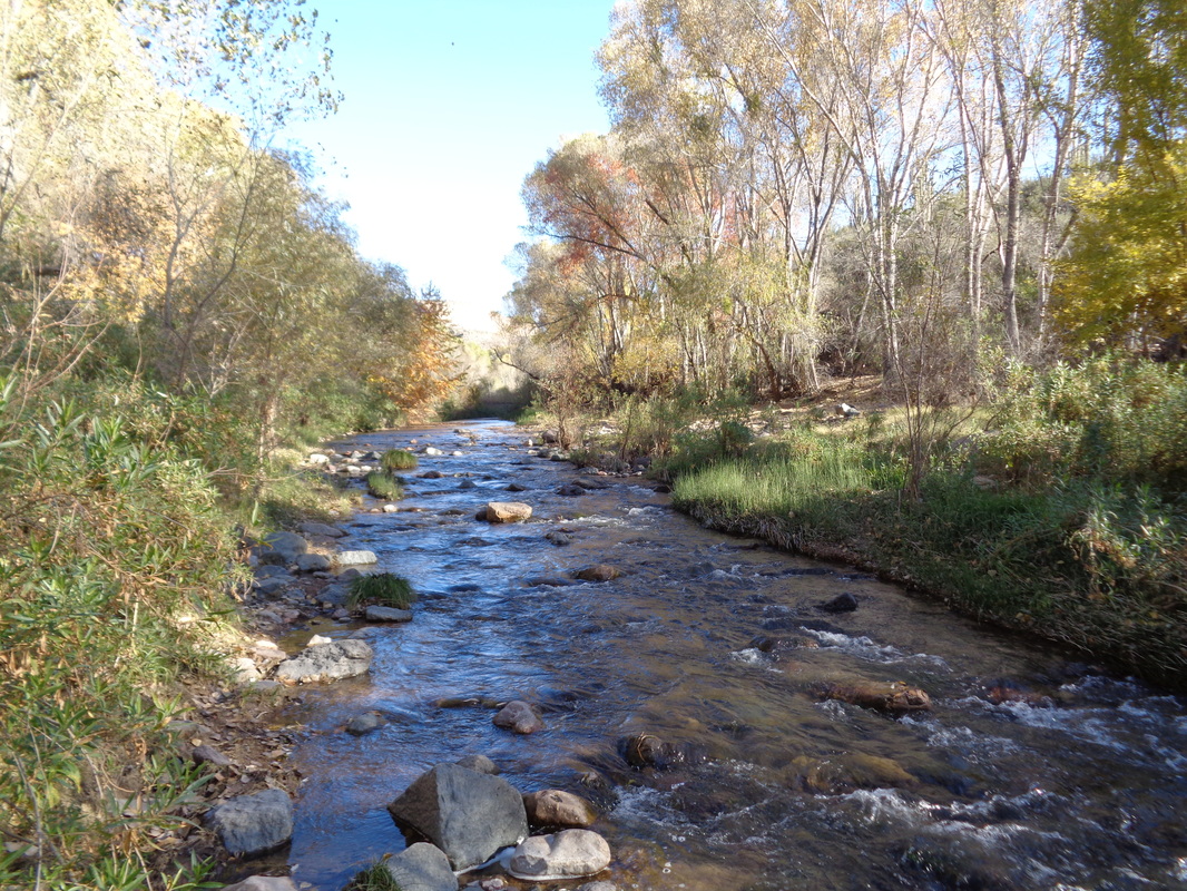
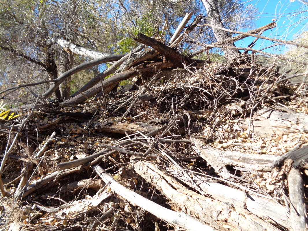
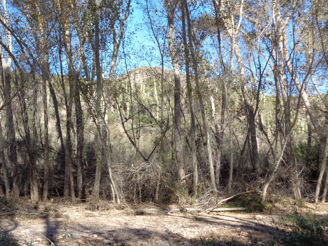
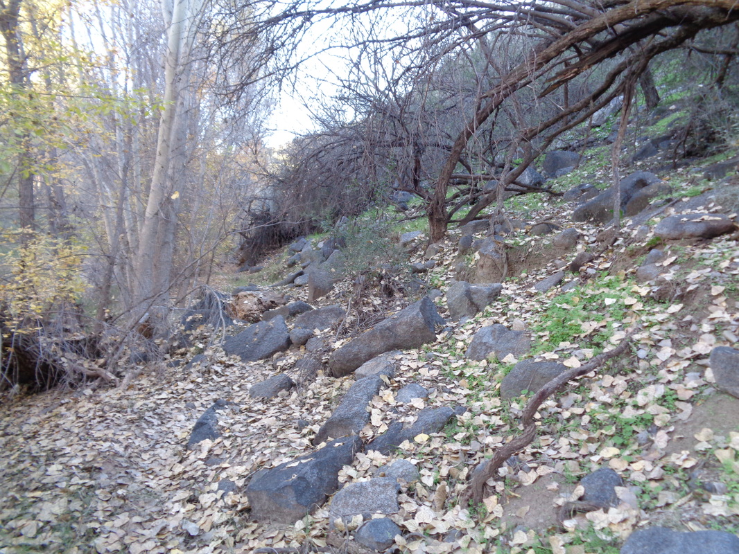
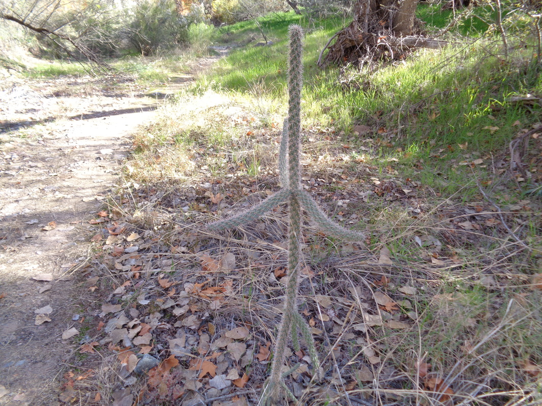
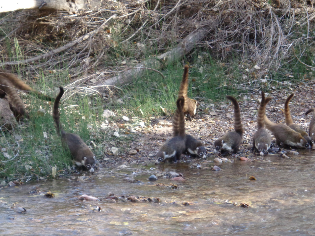
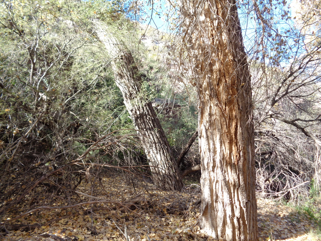
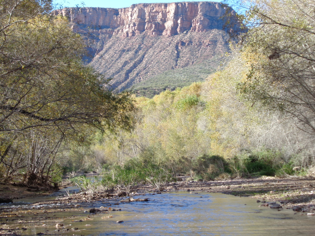
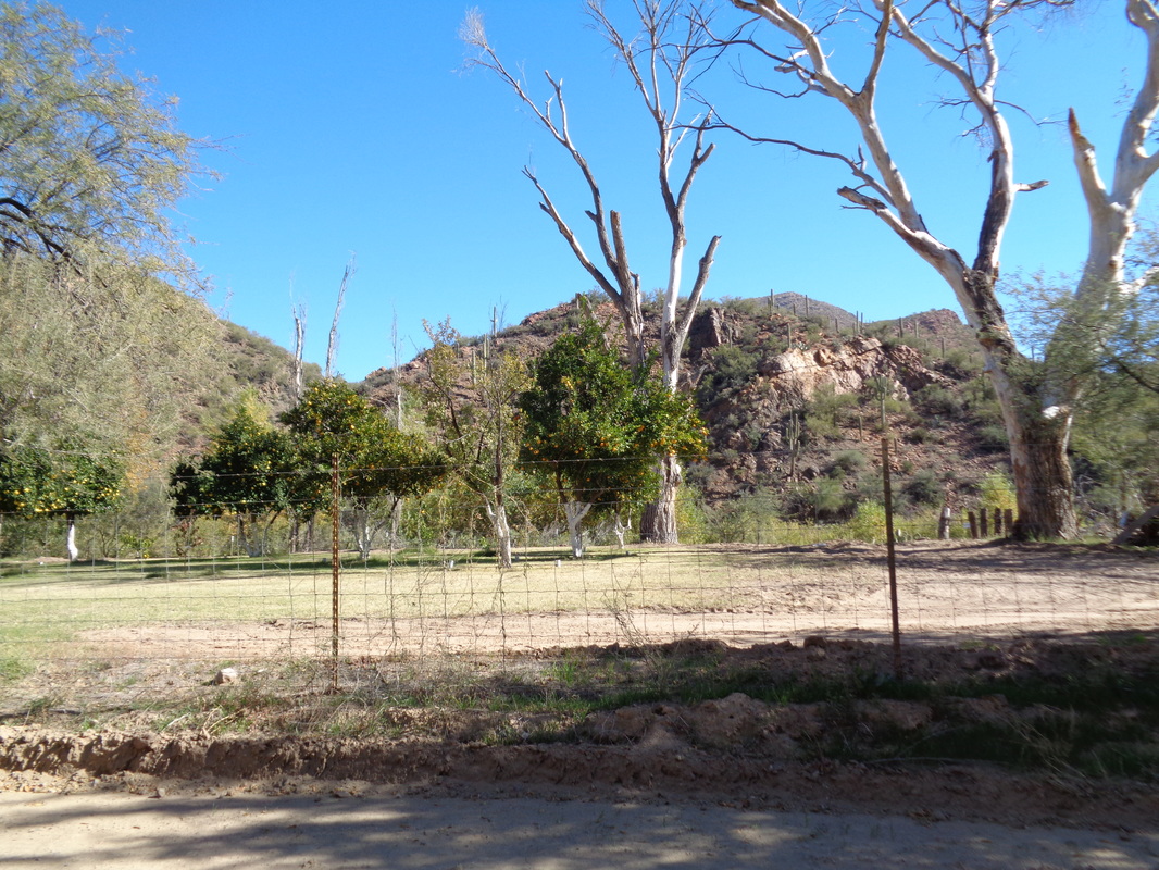
Many times, hikers have told me about the Arvaipa Canyon and so the internet told me it was, ONLY 45 freakin miles away! How bout that?!?! Well, all that is true but there is around 8 miles of dirt road to be covered so that slows thing down and then lots of cattle roaming around, including the guy on the right who turned his head and gave me the evil eye. A note for those who find this report while looking for information...don't wait until the day of the hike to get your permit. I was very fortunate to find the lone ranger at the office because most of the time he is in the canyon. A permit is easily accessed on-line the days prior to your arrival. The maximum is 30 each day but on this day, with overnight lows an unusually cold 32, well, there were plenty of permits available and again, I was lucky the ranger was in the office. So unusual. A spring at the other end of the canyon, 14 miles away feeds this creek, which runs every day, all day. The canyon is home to many plants and wildlife and is a popular destination for photographers. However, there is not a trail, other than the creek. Because the temp was in the 30's, I was not anxious to plunge into the water and climbed on the right bank to avoid the water but finally..... ....I had to plunge in. I left my good hiking shoes in the car, needing them tomorrow, so I hiked in a pair of running shoes. The water....COLD!!!!! But, after walking a few feet after I emerged on the bank, discovered the walking squeezed much of the water out and my feet would recover feeling. I could walk on the banks sometimes and others, jump into the water. If I avoided the narrow and deep sections, the water rarely went above mid calf. Evidence was everywhere that at times, water rushes through here in flash floods. Would be deadly to be in here during one of those events for sure. So odd to be walking along under various trees but in the surrounding hills, plenty of evidence of the desert as you may be able to see the saguaro cactus beyond the trees. Leaves were turning and falling to the ground yet.... ....there were still cactus within this environment including this odd one. At mile 1.9, I heard an animal screech across the stream, saw some movement and walked higher on the bank and was surprised to see.... ...what I have learned is an unusual view, not one or two but at least 15 Coatimundi, a cousin of our Midwest's raccoons. I stood still as they visited and then retreated from the water's edge, disappearing into the brush. Many of the trees were huge but after 2+ miles and no change to the scenery, I....... ....turned around with frozen feet. Reaching my car, I grabbed a pair of dry socks and shoes and felt much better. On the drive out, I passed a property that had several orange trees. Neat.
|
Categories
All
Archives
November 2023
|
