|
So there I was, absolutely confident to win a contest that had been simmering all year. Geesh, I had her right where.... ....I wanted. In the contest to see which of us would ride the most miles for 2017, I was within 200 miles of Flyin Tuna and I was headed to Arizona while she would be subjected to the cold and winds of November. Then a funny thing happened, weather in Ohio was way, way, way above normal and she was riding every freakin day! As a one trick pony, that is fine but since I am a multiple trick pony, I had many alternatives to riding. Then, late in November I checked the totals and even though I was approximately 2000 miles ahead of any previous riding year for me, I was now 500 miles behind her. WTF! I never have heard her laugh as long or as hard when I began to whine about her advantage. Thinking I still had time, I retripled my efforts, rode a bunch and yet she still rode, around the living room on cold days, bike path on other days or on the road on warm days. I had no chance so..... ....I am falling on my sword and admit publicly to the embarrassment of being soundly defeated. Damn It!
2 Comments
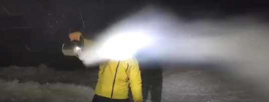
I went outside with a pot of boiling water, in my yellow jacket, and poured it into the freezing wind and the water turned into snow!!! How bout that!?!?!
The Cycling Club's Annual Meeting/Social event was held at the Mellow Mushroom on Tuesday, December 12th. The event was well attended by 30 of your fellow cyclists. As I was out of town and no private plane was sent for me, I regret not having any images to share of the drunken rowdiness. Below is a summary of what was presented.
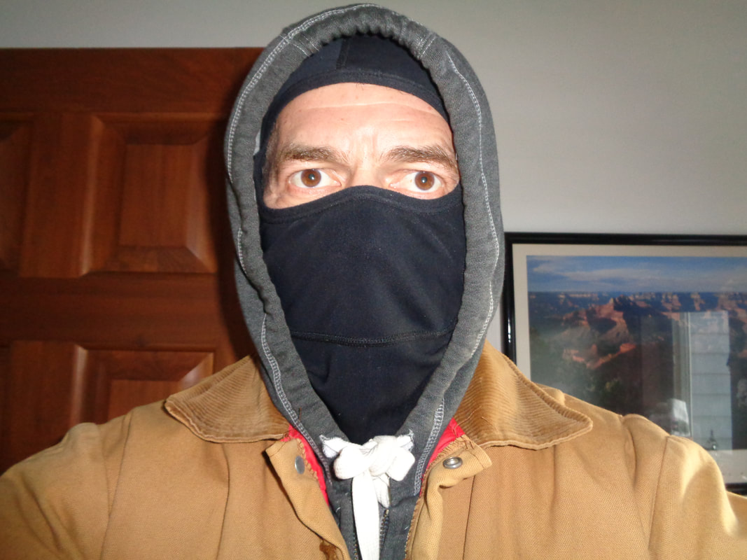
1. The Thursday evening ride will continue as before with Rivet, A, B & C groups departing at or around 6:00pm. We will no longer organize volunteer ride leaders for the Rivet and A groups as these groups are largely comprised of experienced cyclists who understand the rules of the road, bike handling safety, exiting the parking lot, etc... We will continue to have ride leaders for the B group, which will have one or two departing groups depending on the number of participants. We will have a ride leader designated for what we intend to be at least one C group and hopefully another as we ramp up efforts to recruit beginning cyclists (more on that below). 2. The Tuesday evening ride will continue to be a B/B+ paced group ride with additional route options to add variety to the rides and take advantage of changes in available ride time. 3. There will be a Saturday morning ride throughout the season, start time dependent upon changes in temperature. 4. All Saturday, Tuesday and Thursday routes will be available on the Cycling Club's web site, prior to the start of the cycling season and via our Facebook page prior to each ride. 5. Feedback from participating cyclists has led us to de-emphasize departures/arrivals via St. Rt. 161 and emphasize alternatives, which will be reflected in the 2018 routes. 6. The Club will create an attractive, 4 color flyer that will be available at area bike shops, the purpose of which is to recruit participants to our club rides and attract new cyclists. We will continue to work with Geoff at Veloscience, who has been very generous with his time and donations to the Club. Geoff will continue to assist our efforts at recruiting cyclists. 7. Mellow Mushroom will host us for an occasional post ride gathering where food and drink will be available at a discount while we talk about whatever it is we usually discuss post ride. The difference is now we can consume calories while talking and further enjoy the camaraderie. 8. Cycling Club logoed kits, jerseys, bibs, arm warmers, leg warmers, jackets and vests will be available to test fit and order. The jerseys and kits will be offered in "race" fit and "standard" fit at competitive price points. An inventory of standard fit jerseys and kits will be available for ordering throughout the year or until the inventory is depleted. 9. Beginning early in 2018, the Club's Facebook page and website will be visible to members who have paid the $20 fee to join the club. The website is undergoing a reconstruction for 2018. Given the benefits listed above, with more coming, the value is evident for those who become members. 10. More information to come soon for activating your membership and to test fitting the clothing. Your feedback is welcome and we look forward to sharing the new routes, club kits and everything else that the Cycling Club has to offer for 2018. For the modest amount of $20, we are able to cover costs that include insurance, web design, overhead and the other expenses associated with running a club. Well, I have returned to Ohio, Wednesday of last week. I got in one short ride and a few hikes but for the next 8 days or so, the average day time high is like 20 below so now my life is multiple layers of clothes and swinging an implement with a sharp edge into logs. OK, there is also a chain saw roaring at times. I don't wish this on anyone but if anyone can endure, it is me!!! I've got the summary of the Cycling Club's annual meeting to post later today or tomorrow. More than is coming too, of course.
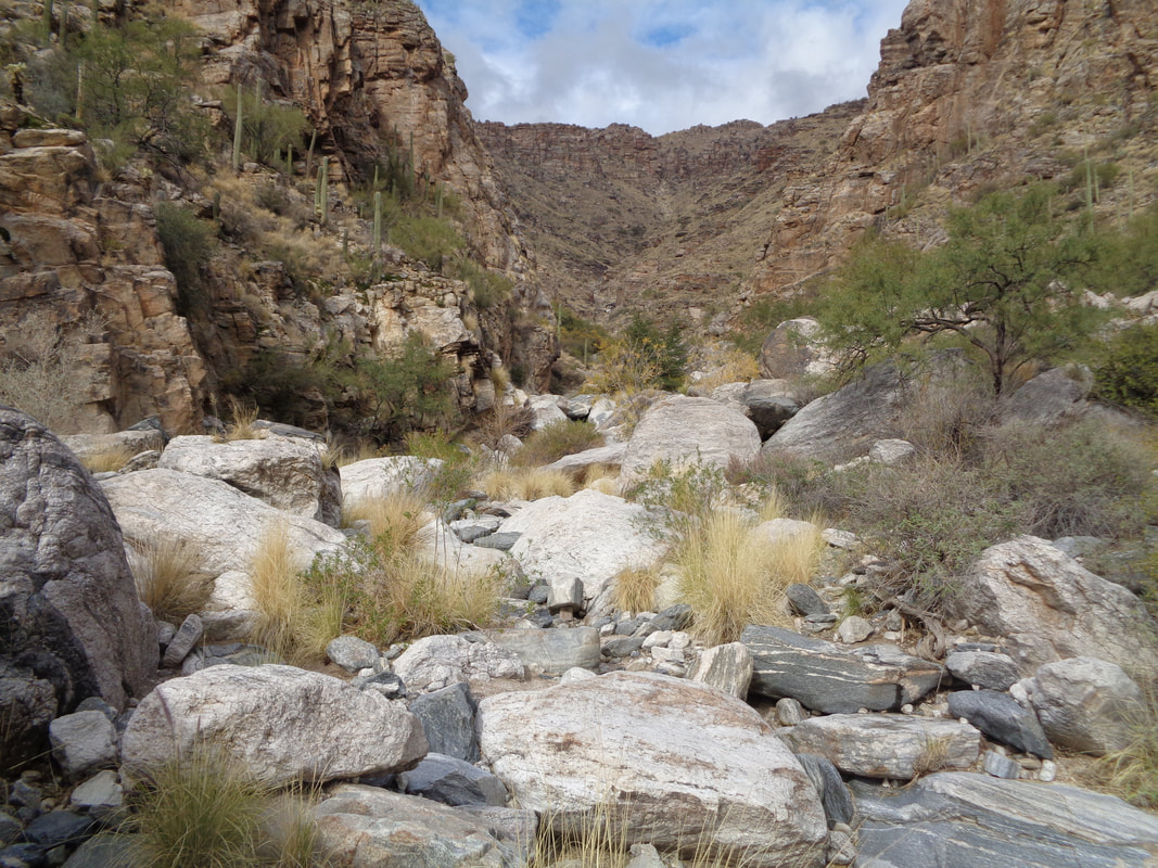
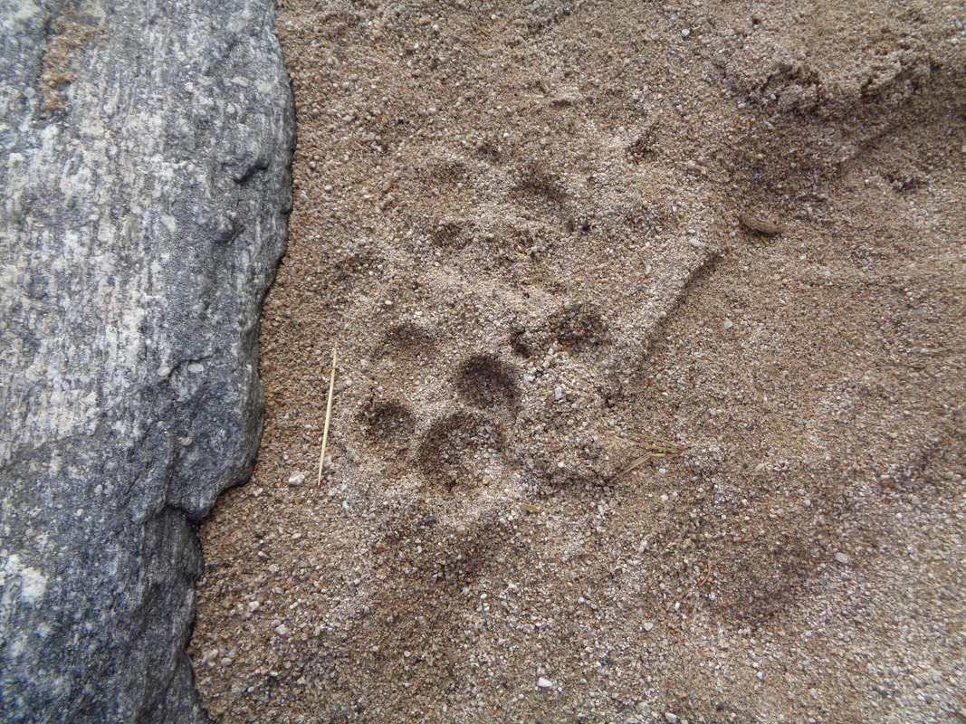
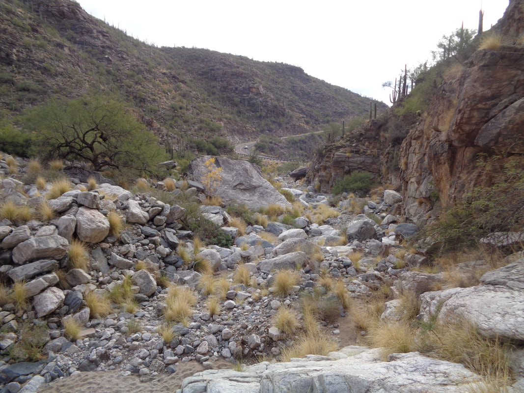
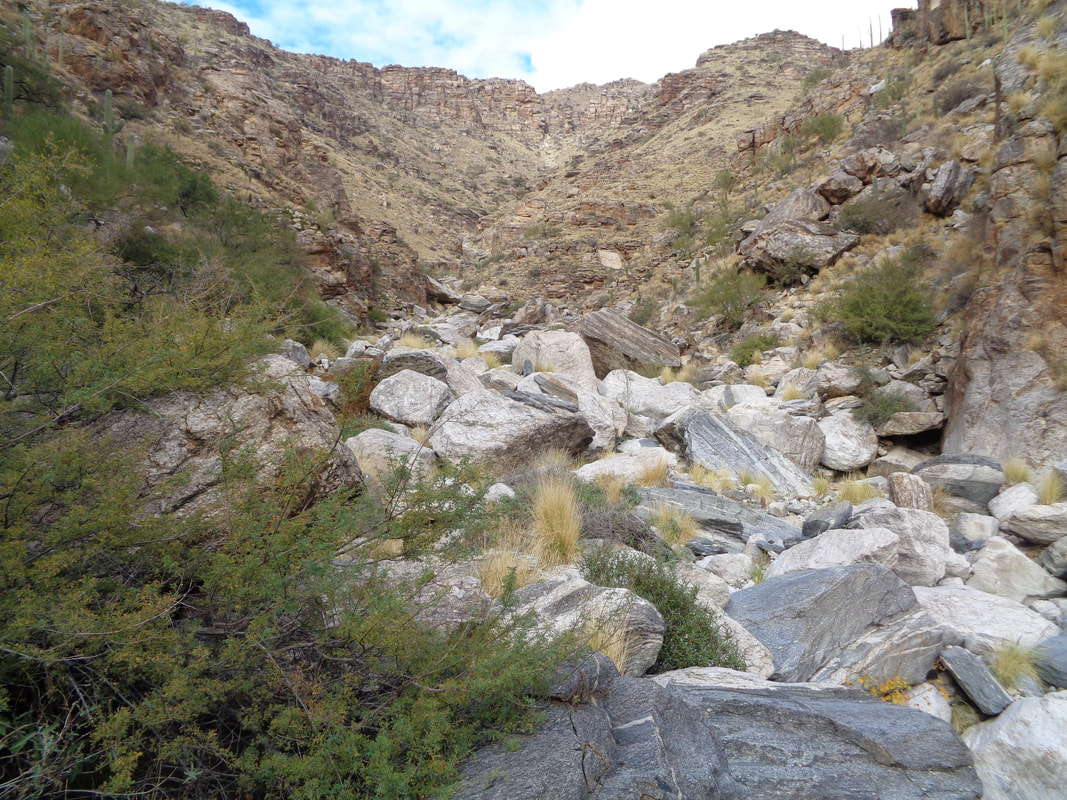
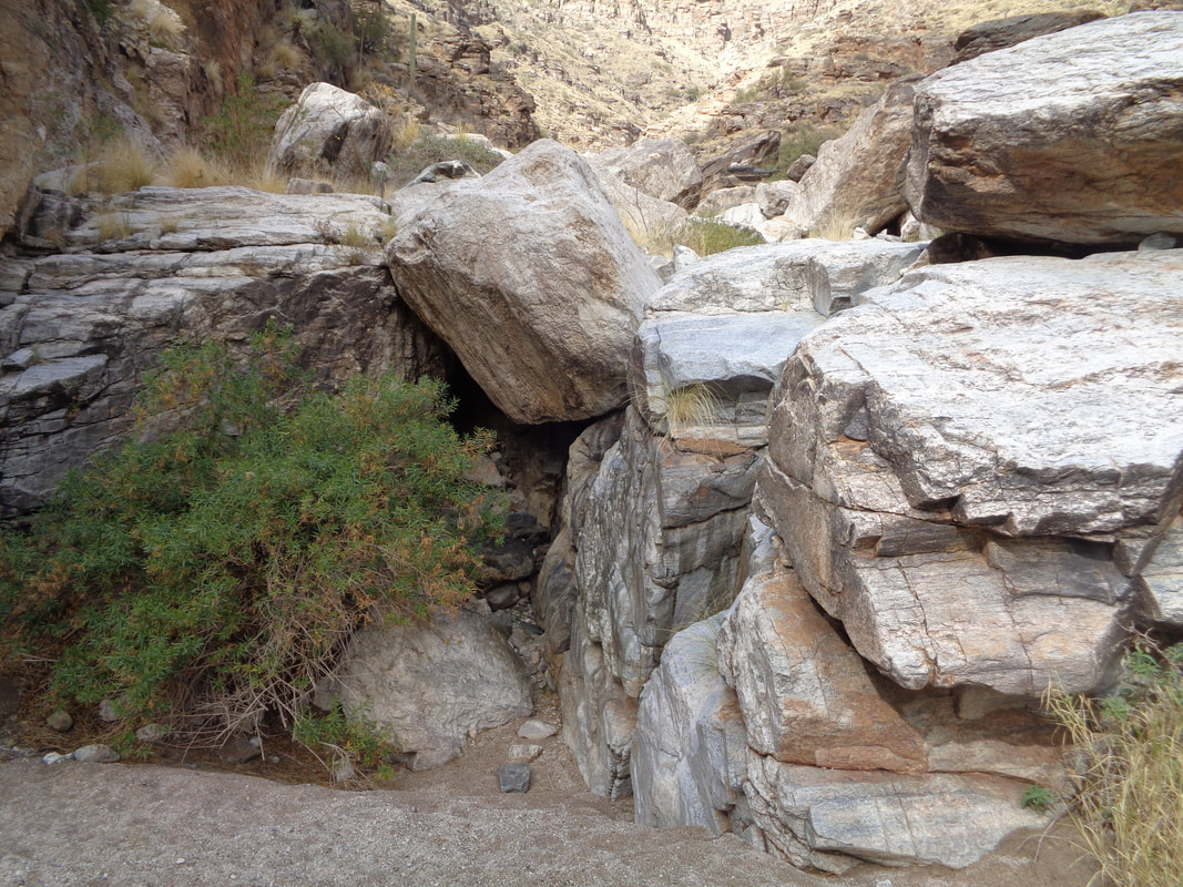
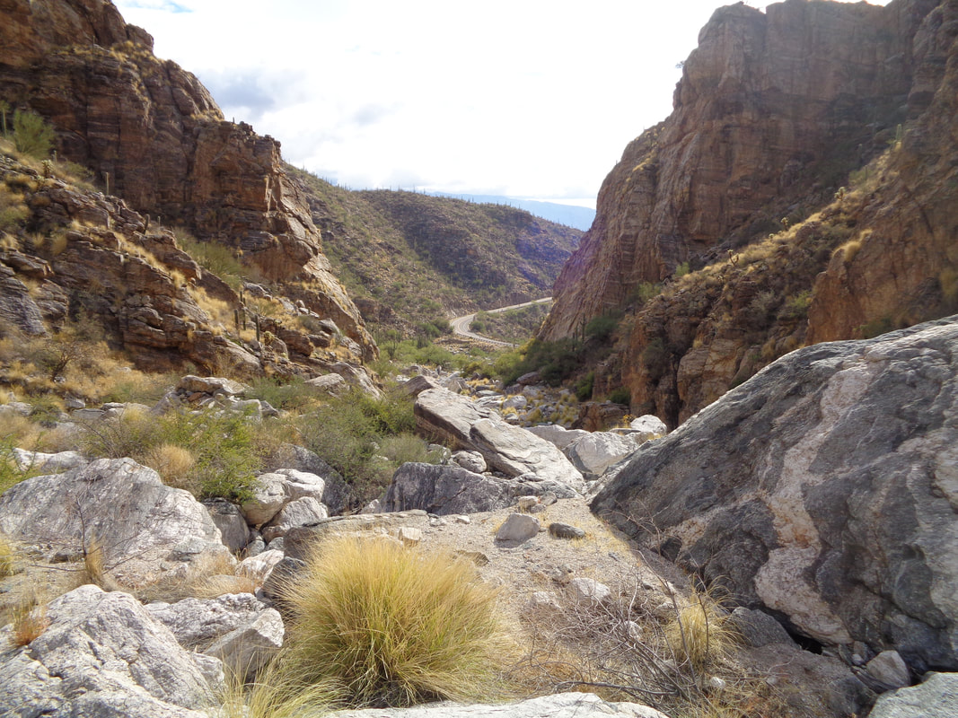
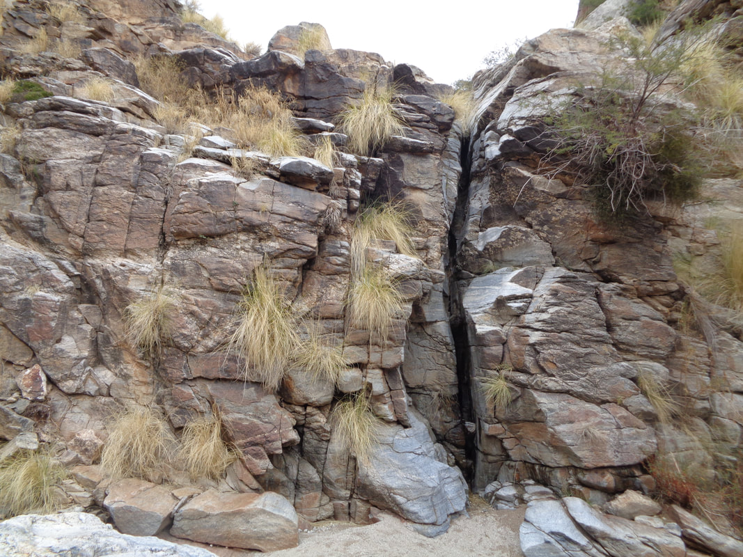
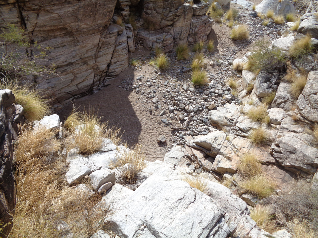
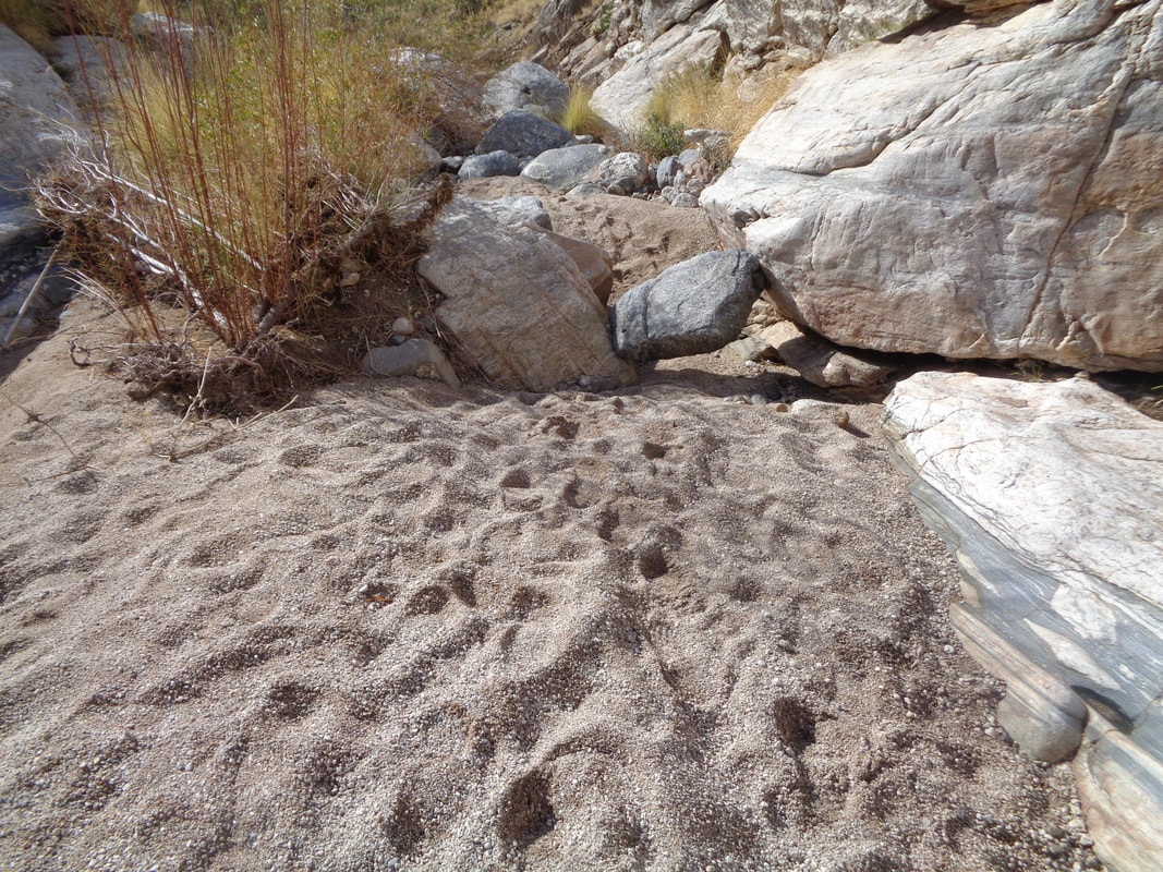
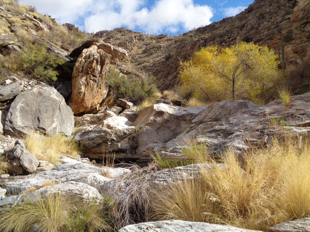
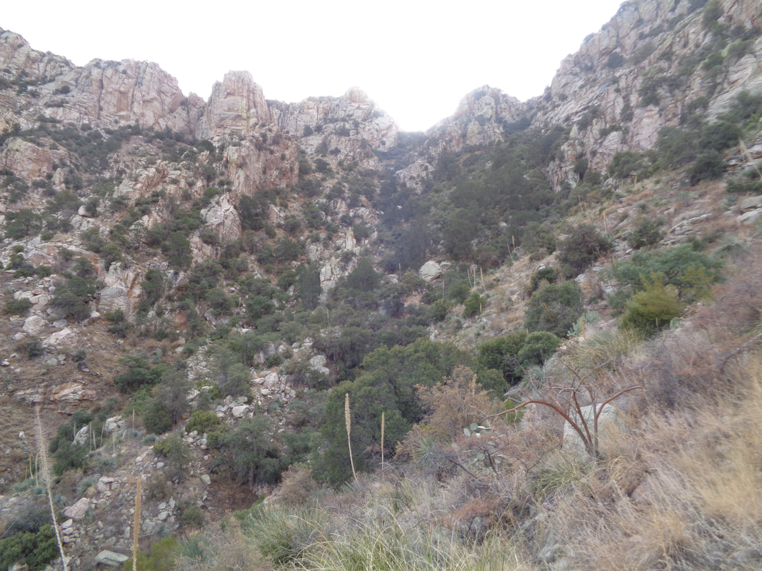
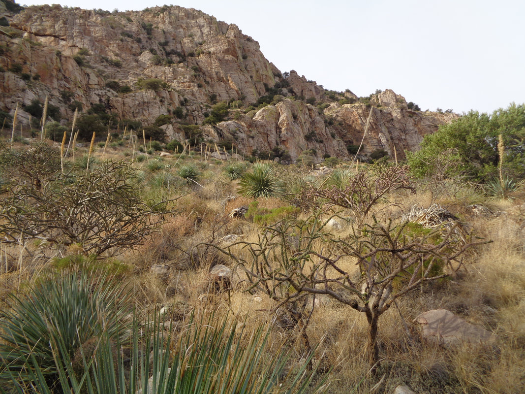
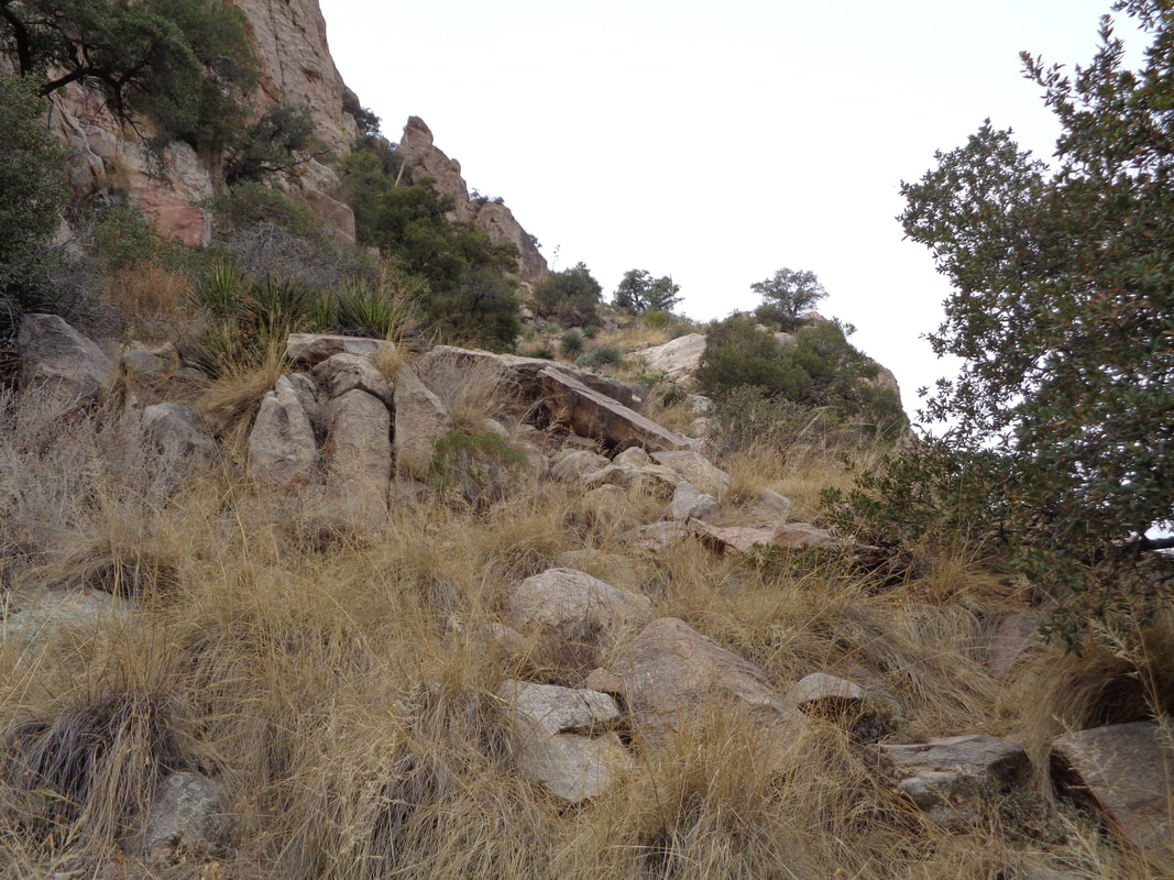
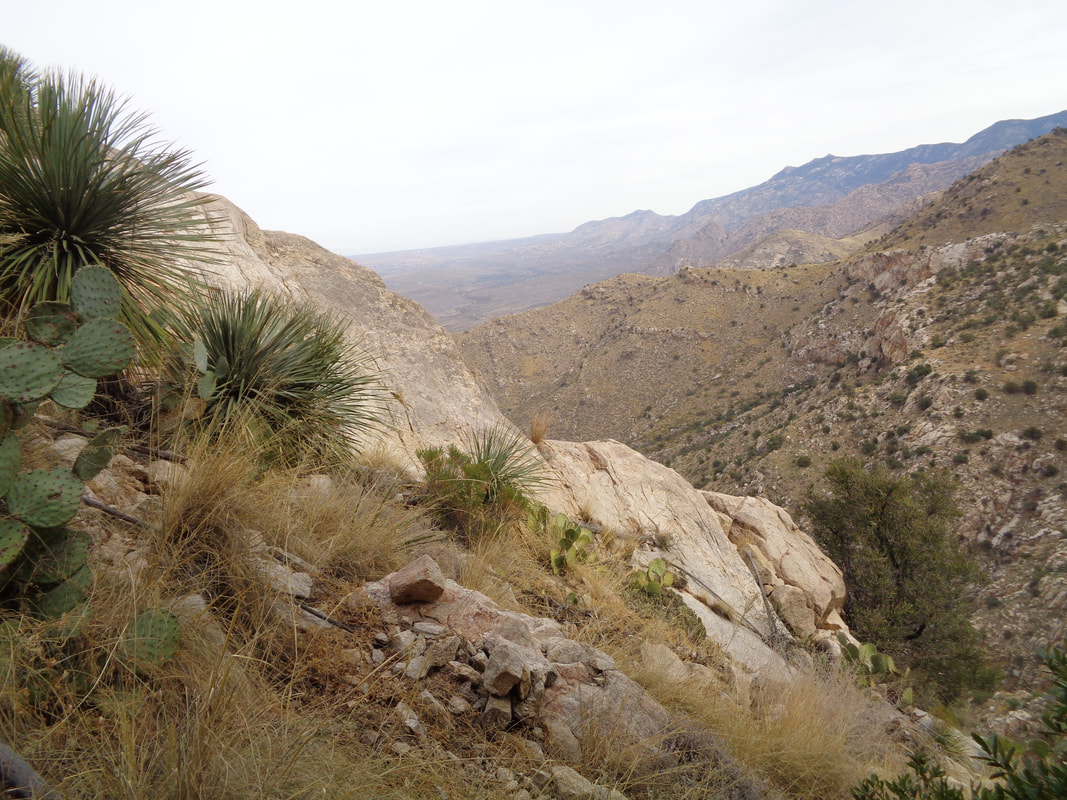
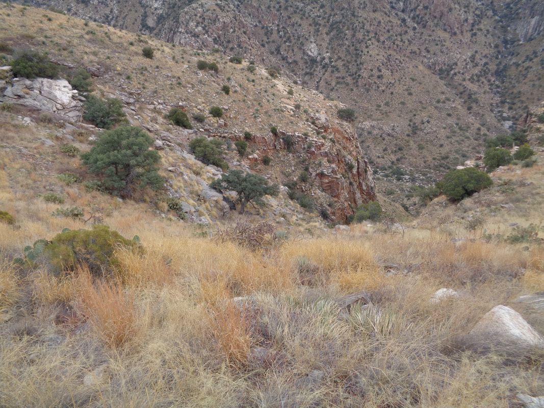
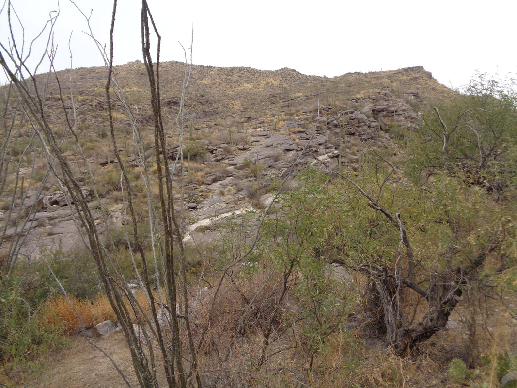
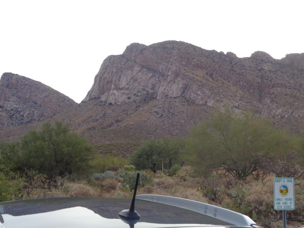
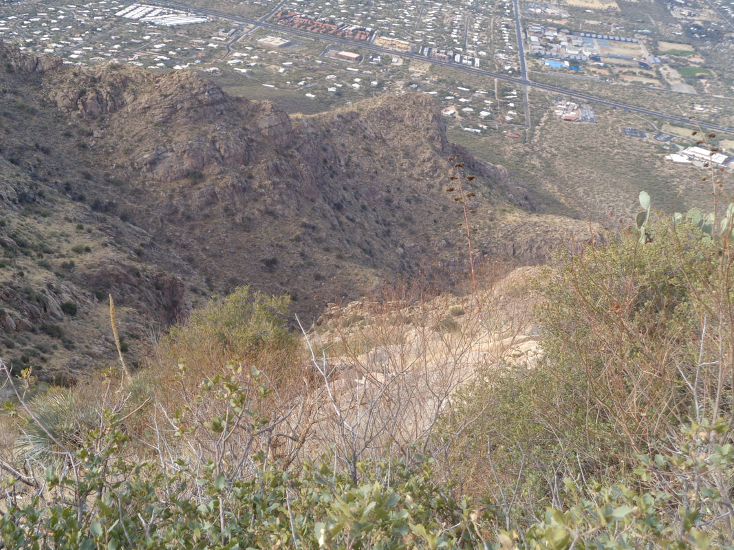
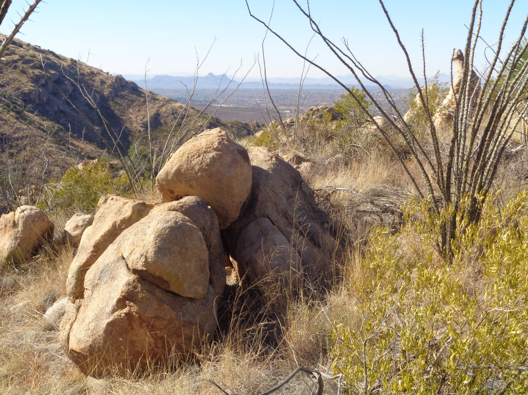
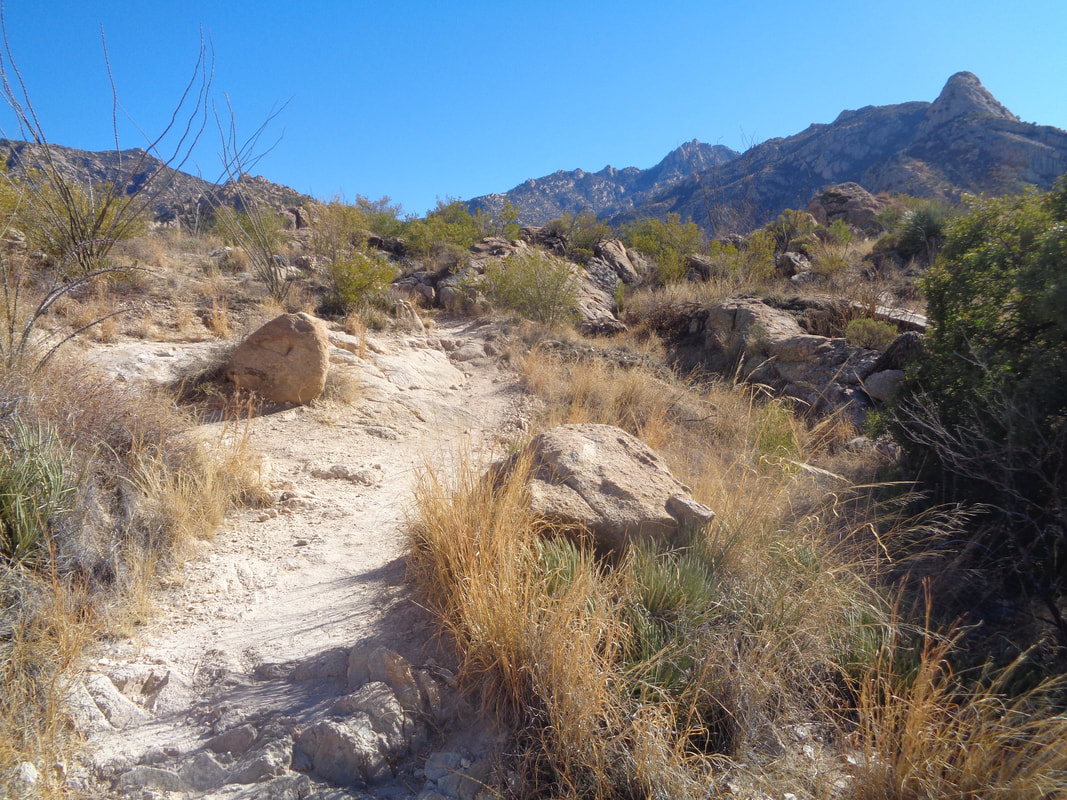
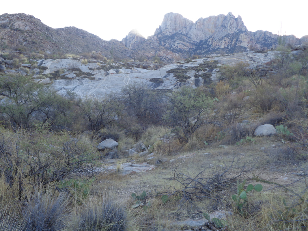
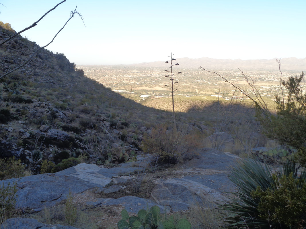
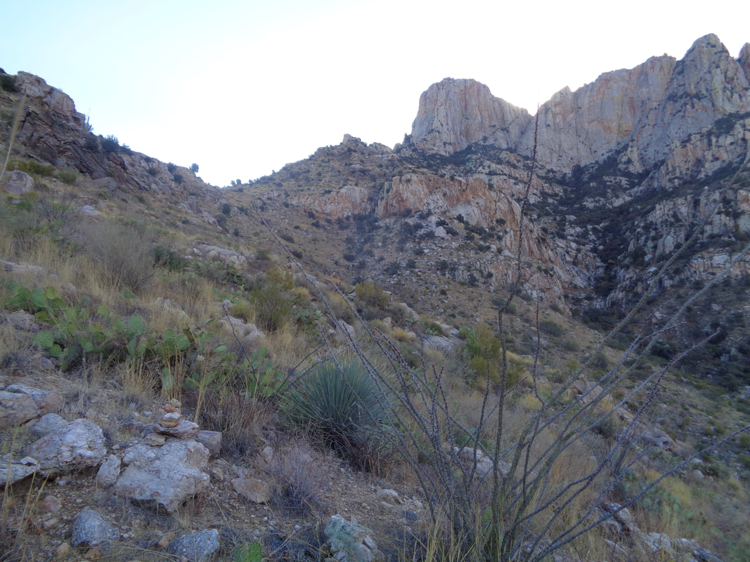
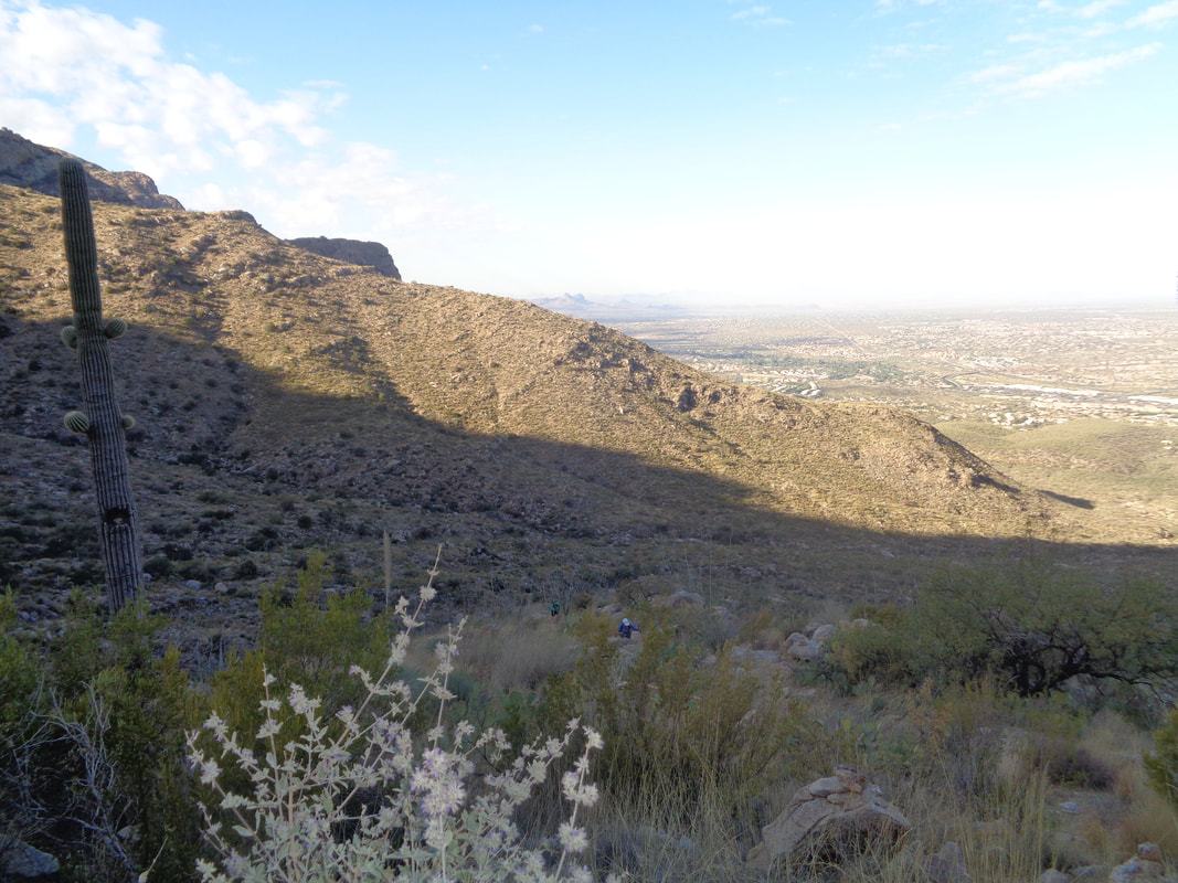
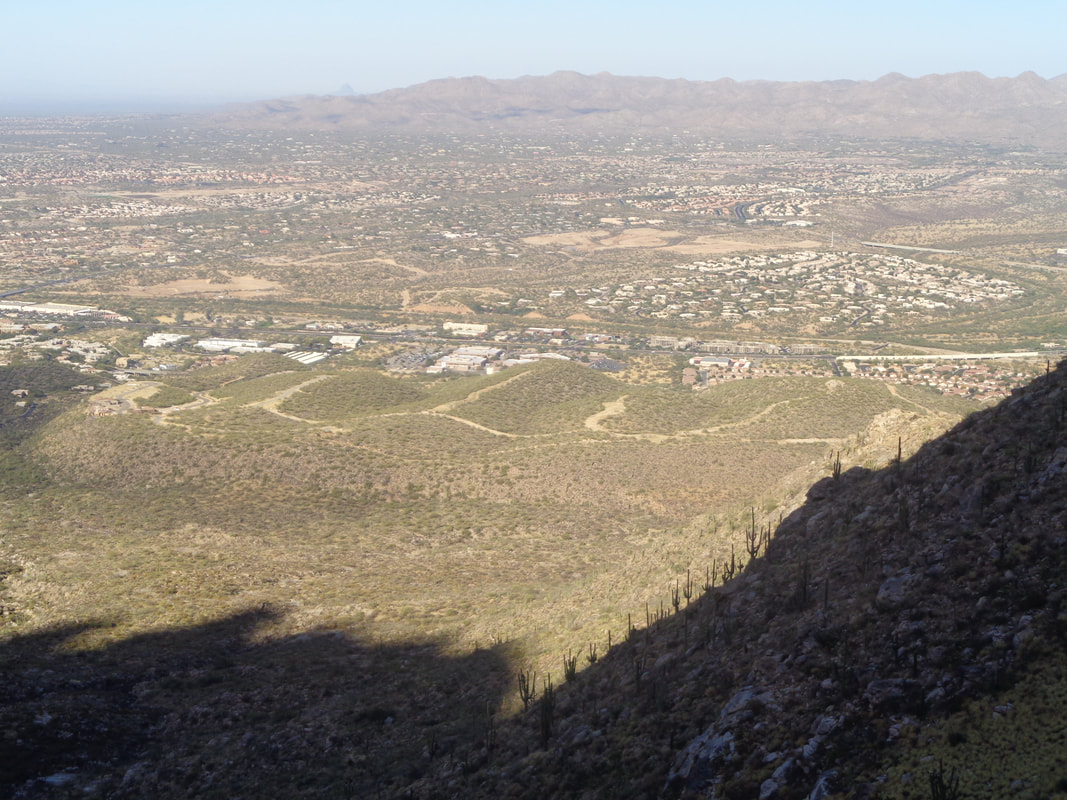
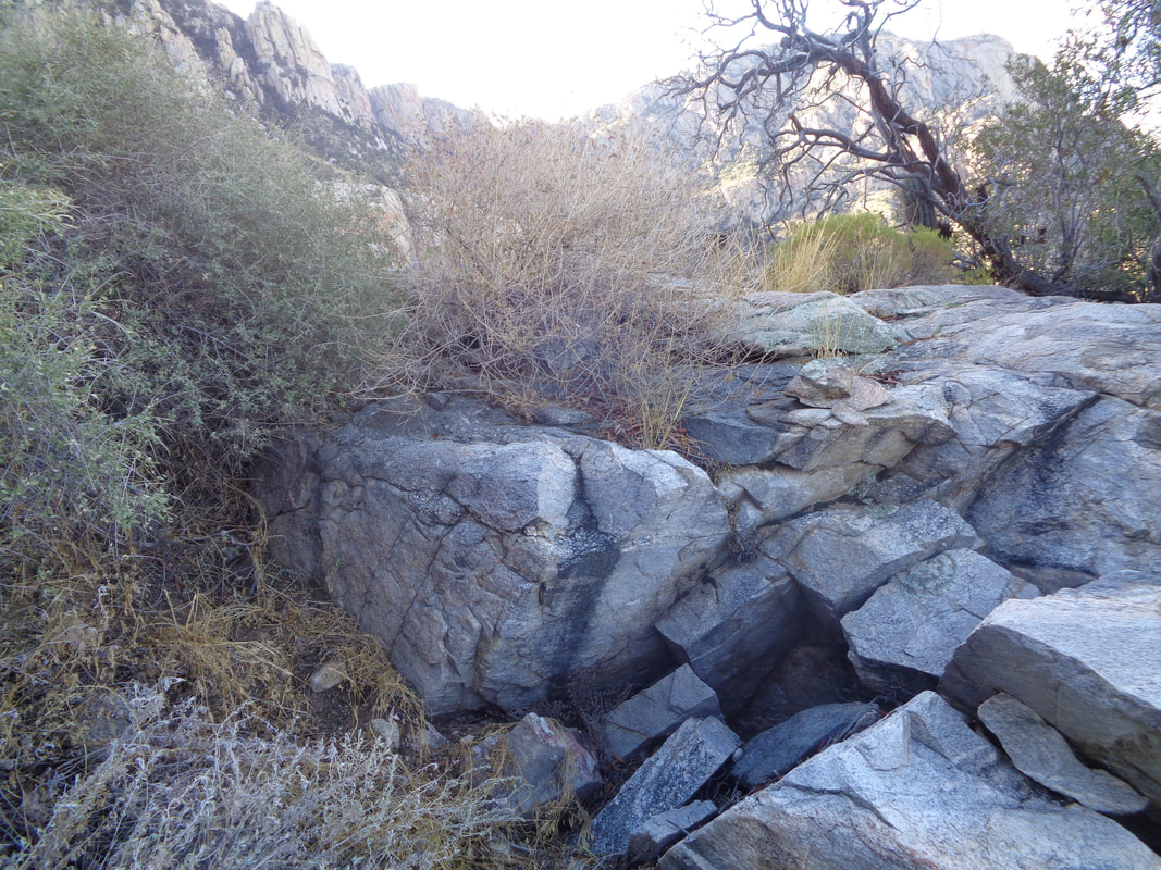
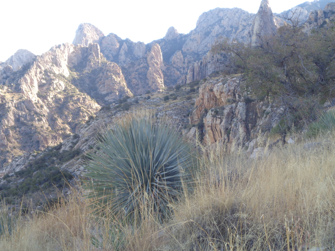
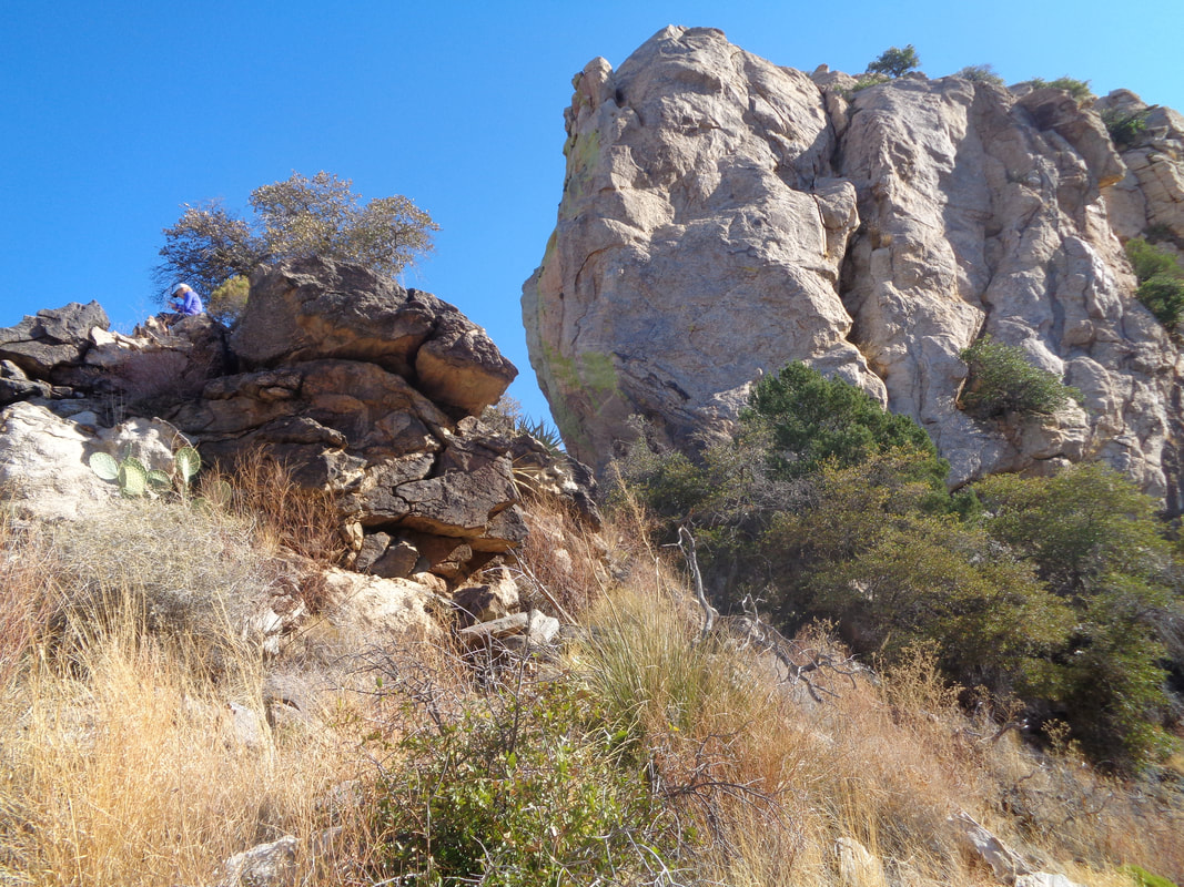
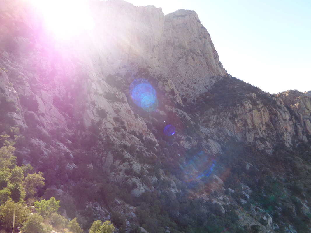
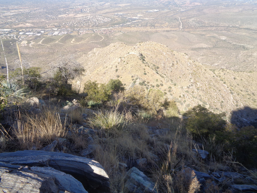
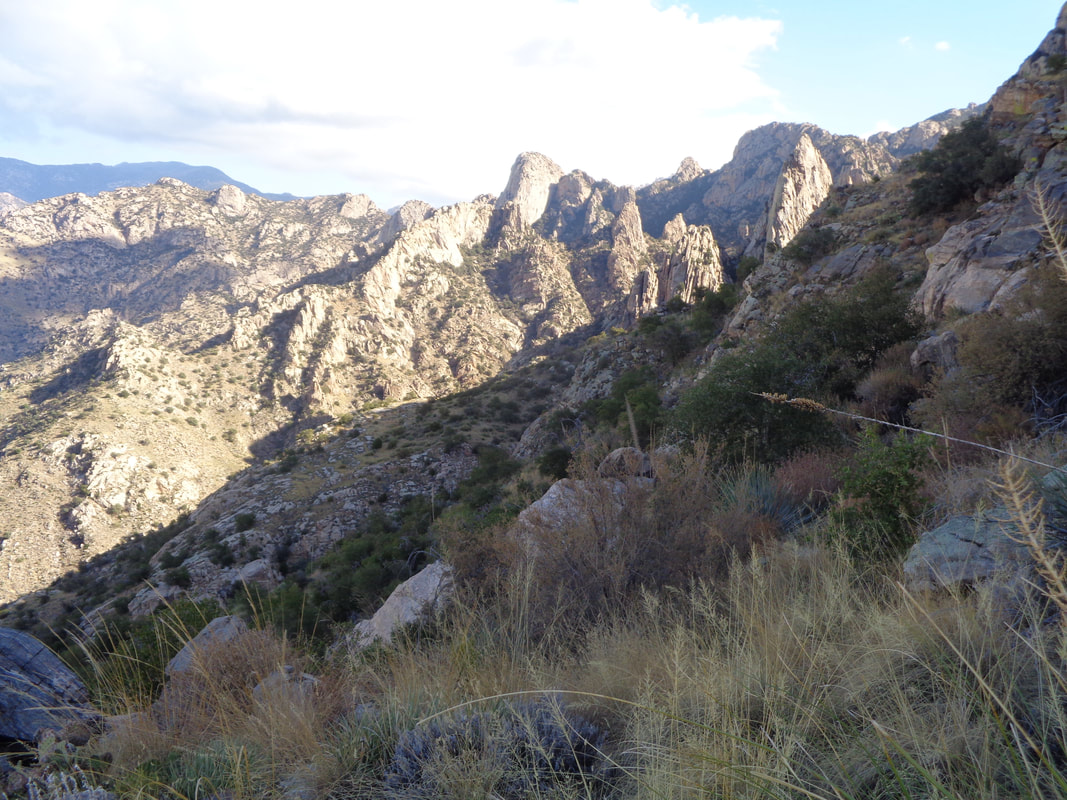
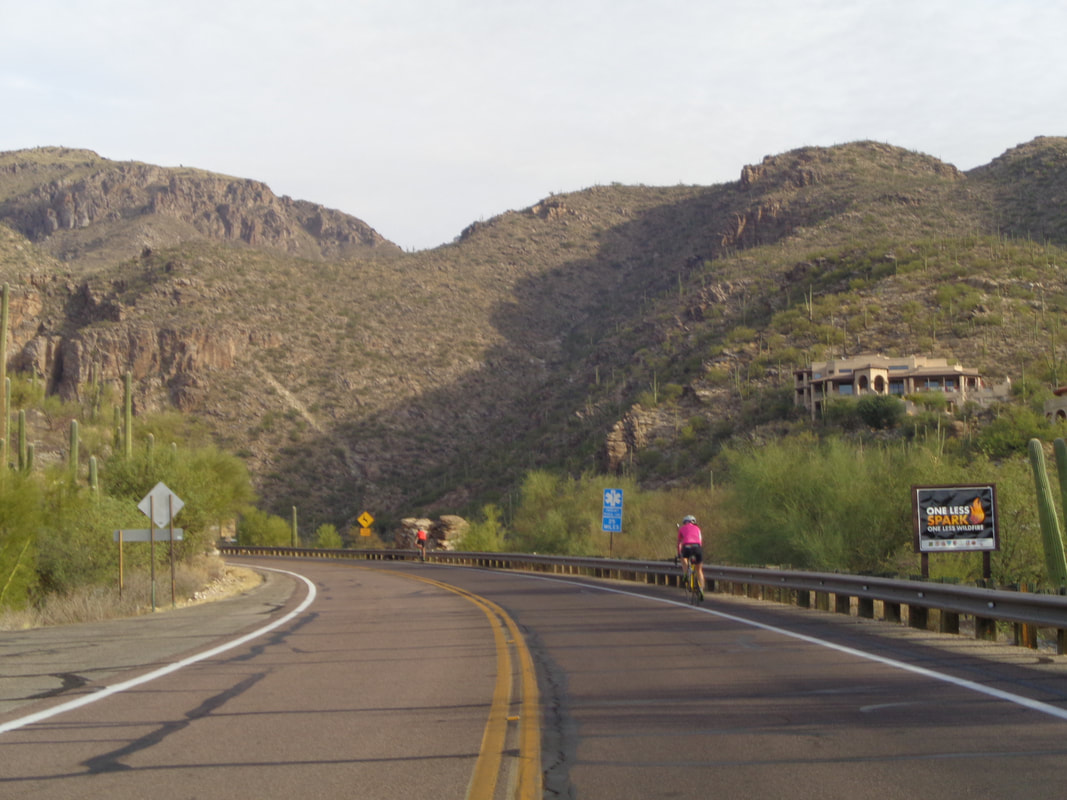
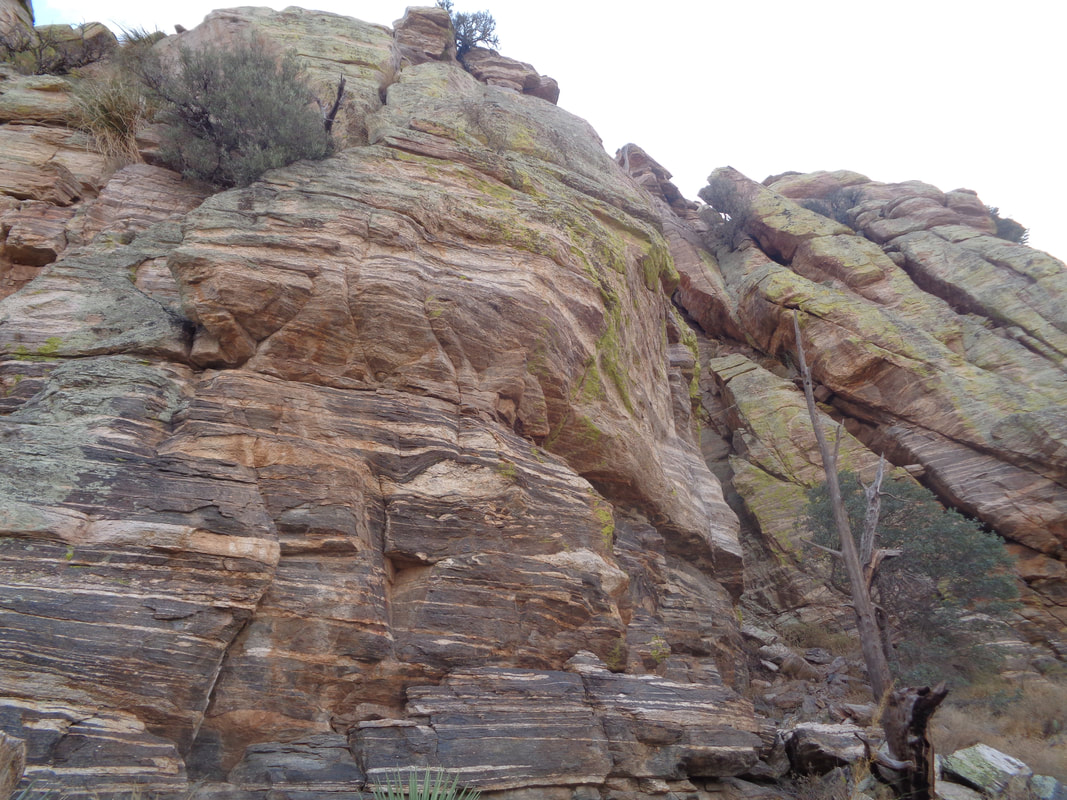
What a fun hike. Short but adventurous as I depart from the a pull out on Catalina Highway just prior to it making a sharp turn to the right after mile marker 0. The overnight rain had softened the sand and I wondered what animal left this paw print. There were several in the area. I gained some altitude and then looked back to see what I had covered and the disappearing highway. This is pretty much what the entire route entailed, hopping from boulder to boulder with.... ....an occasional wall to confront, scout and figure out how to get around. Rugged but beautiful. The canyon bent to the right, bypassed a side canyon coming in from the left and kept climbing. OK, I paused at this wall but there was a way, starting left and then crossing to the right. I was careful not to ..... ....look down. There were enough sandy sections that I could use the foot prints as a directional reference when I had to decide to go forward straight, right or left. The previous rain and lingering clouds caused me to start around noon. I kept going and the beauty and challenges were unrelenting. Then, from having read a couple of reports, I knew I would soon meet.... ....this obstacle. It towered over me. I thought from my research that I was to climb this thing but it was steep. Going up would not be too difficult but coming down...yikes. I scouted to the right up a side canyon, then climbed its left bank and got above the obstacle but no way to then enter the canyon above this rock. I poked around the left side and finally found a way around while still gaining the height I needed. Unfortunately, time was running out on today's experience. I was at mile 1.5 in the canyon and at 2.8 miles, would have a 200' wall to climb with some exposure. If I got to that point and decided I ought not to attempt, it would be too late to backtrack so I turned around and headed back. Towards the end, I passed a guy climbing this rock wall. Impressive.
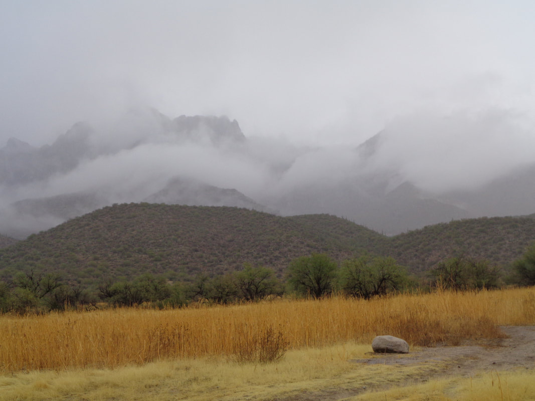
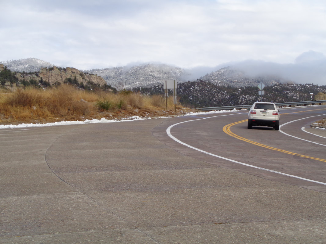
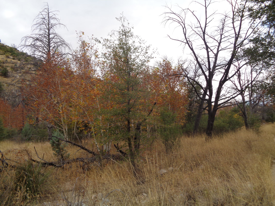
The most significant rain in two months, about 1/2" and only the 2nd measurable rain during that period. It's been a dry fall out here. Of course, if it is raining here, in December then.... ....driving up Catalina Highway one encounters snow at around 6000' and above that, 4" of snow fell. The ski lifts were running but not yet enough snow for skiing. I didn't go all the way as I will see plenty of the stuff when I return to Ohio, Wednesday. But, before then, a cool hike and a last ride.
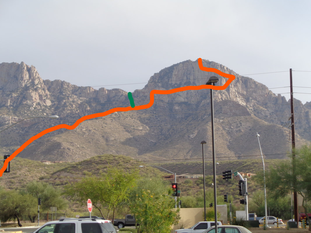
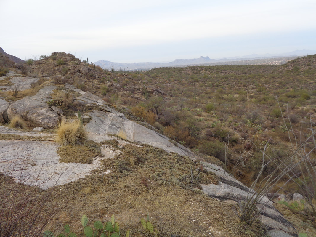
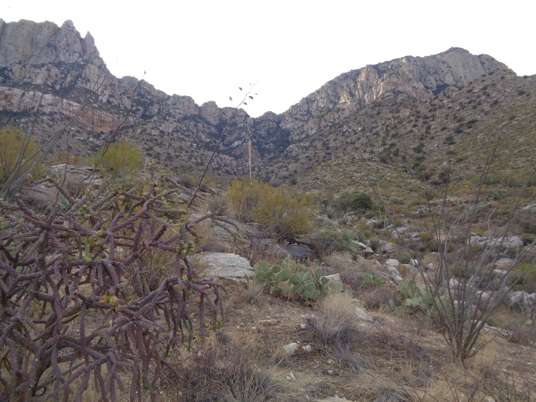
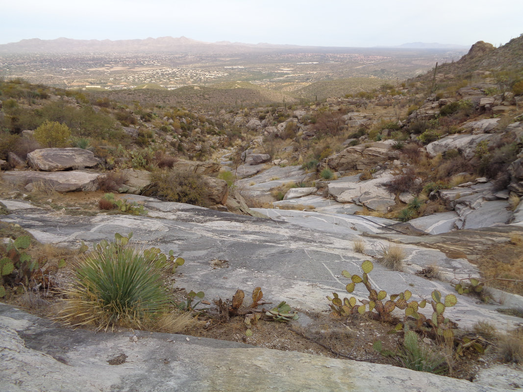
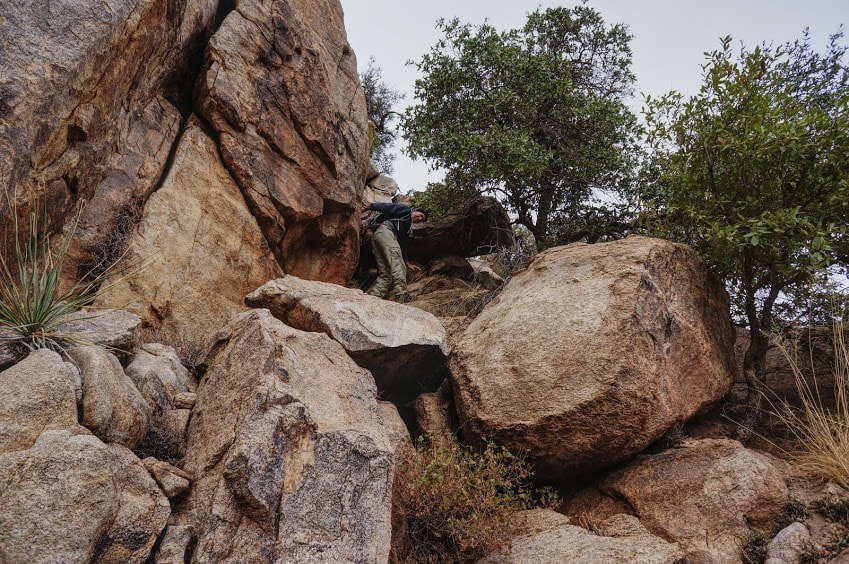
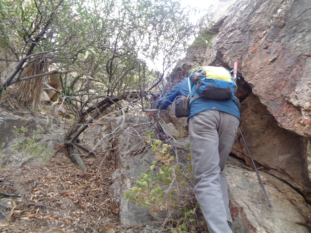
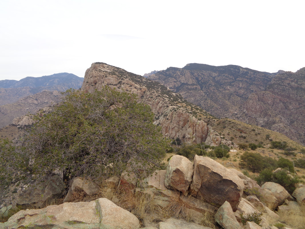
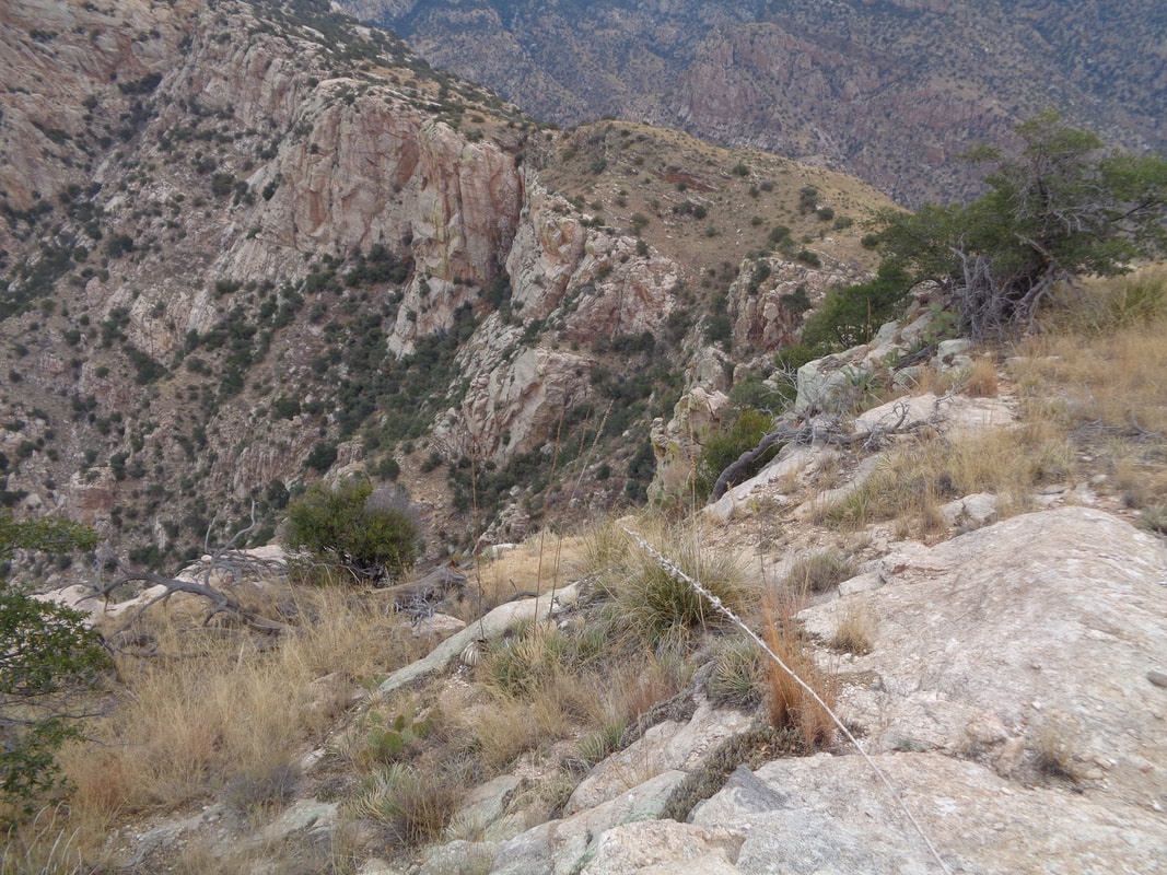
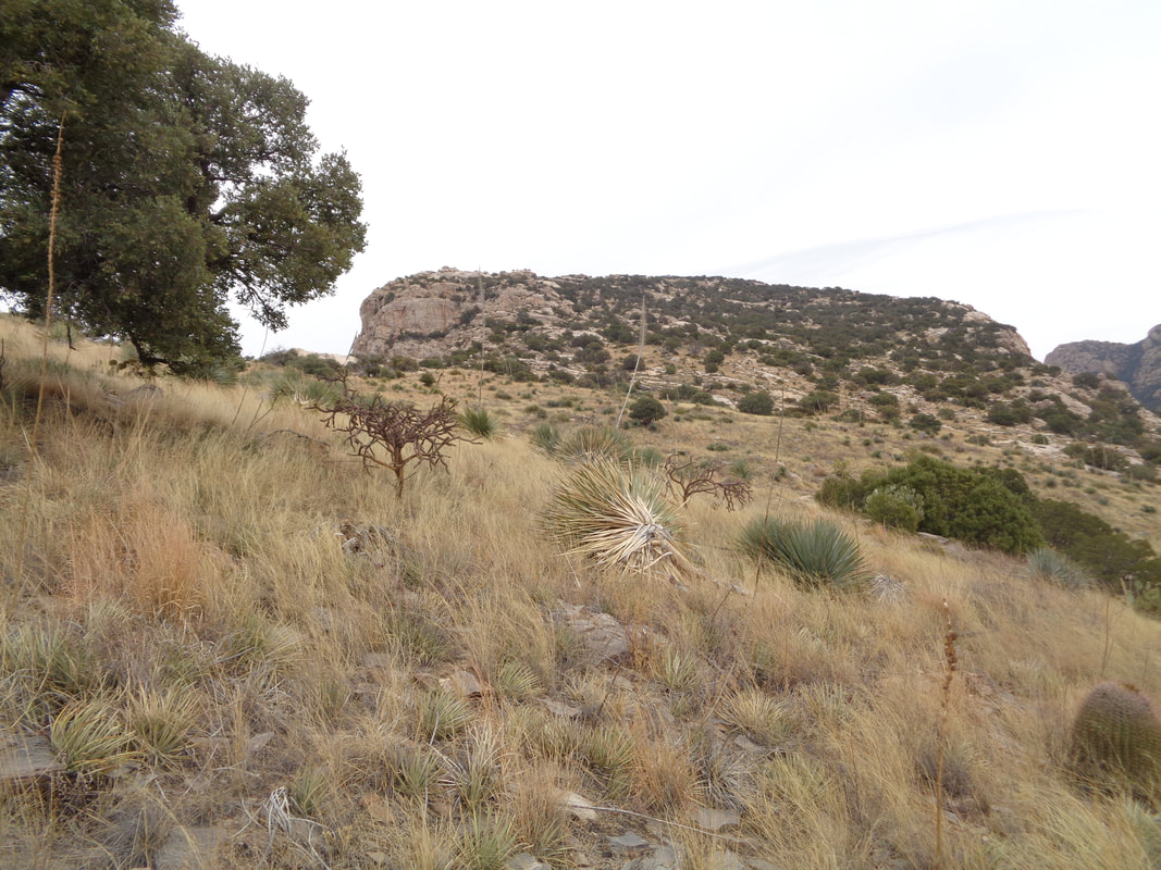
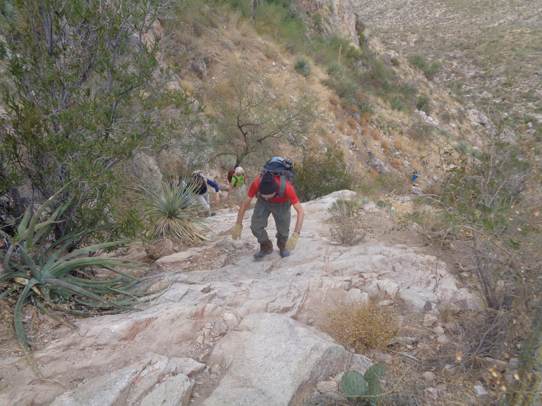
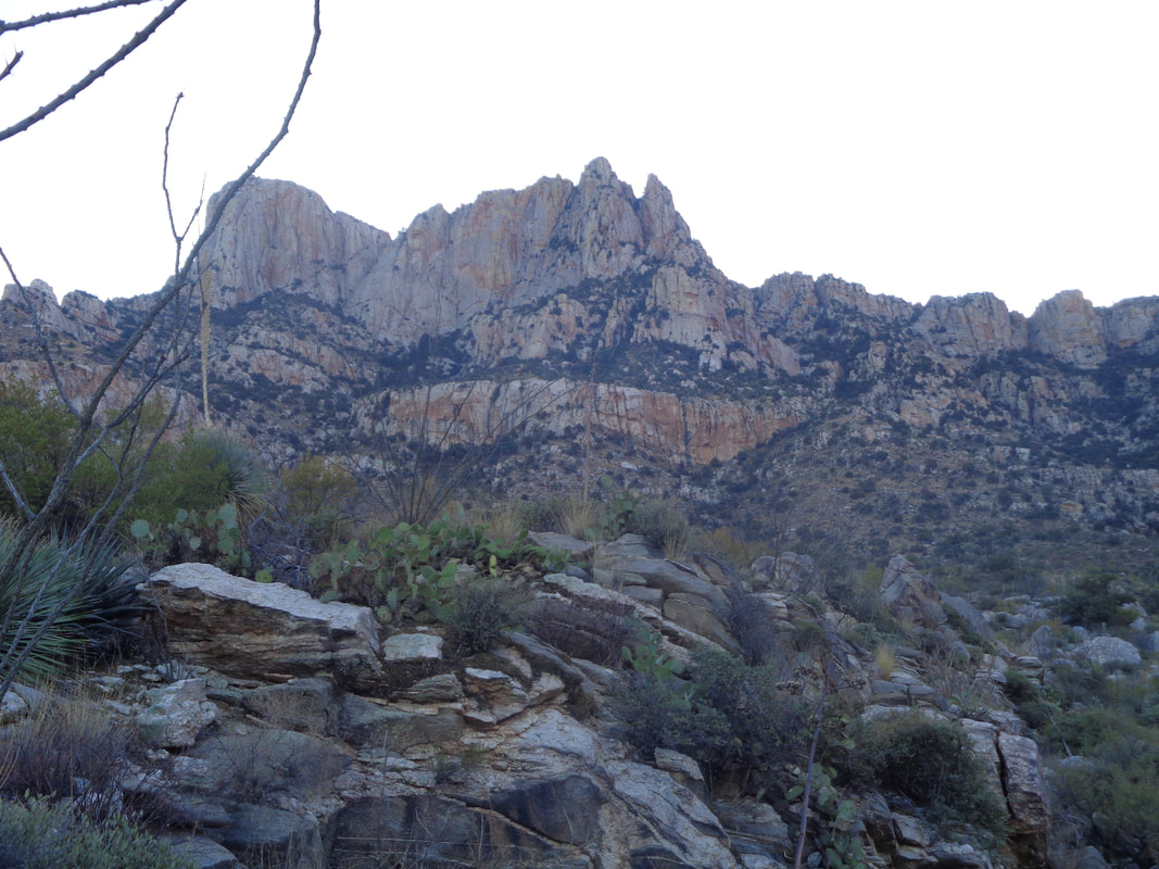
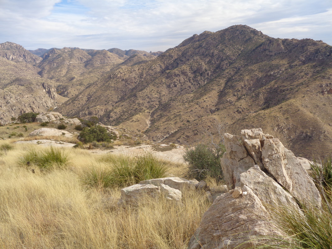
The orange line with the green extension was the intended route. The best laid plans of mice and men.... A worthy hiking companion, Tom and me, began the hike with grand views of the southwest. The saddle between Table and Bighorn mountains comes a little closer. Having stood at the ridge a year ago, it appeared an approach could work. I love the slickrock areas where hiking is easy. Most of this hike was far from that. We hiked in the shade, starting at 8:00am and the sun appeared to just set slightly beyond the ridge for the first 3+ hours of our hike. Soon after this image was taken, we got close enough to the proposed approach that it appeared a chainsaw would be needed to cut through a tree/brush choked approach. But.... ...we saw a fault in what, from a distance, I thought was an impenetrable wall. It looked like climbing that diagonal, we would be thrown out on a ridge to the south of the summit. How deceiving is the camera. Soon.... ....we were climbing through this jumble of rocks and.... ....were greeted with fantastic views. However, the nature of the route required that I keep my head down and once.... ....I reached a rock wall that I could not get over. I scouted, yeah that's me with a toboggan cause at this elevation, it was kind of cold, and see that tree, upper right? I climbed it and leapt, ungracefully, to a boulder. How about that! Other times, Tom took the lead and shoved through the thicket. At one point, I told Tom, I thought we were just in a continuous loop around the peak but always we kept climbing, around 3600" in 3.8 miles and I think our average speed was under 1mph! We emerged exactly at the peak! In the distance is Table Mountain. The wind was howling and it was kind of cold so we did not linger! We had planned to return the way we came but yikes, didn't want any part of that bushwhacking again so.... ....descended, first toward the ridge to which I had intended to hike and then down.... ....passing the broad approach to Table to our left. We headed toward the ravine, shown above but once there.... ....broke west toward a ridge that would allow a virtual obstacle free way to Pima Canyon Trail. Pima Canyon in the distance and although there were some fits and starts....ok, we got a bit lost which is frustrating when your objective is only 1/4 mile away but cliffs have a way of cutting off the approach. Finally, we made it! 8.1 miles of really hard hiking. Despite plenty of clothing, I had many scratches and way too many cactus spines to remove. Fun and exciting day.
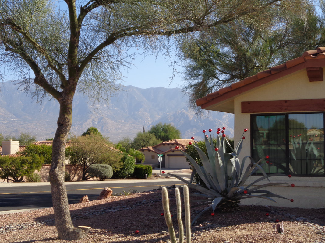
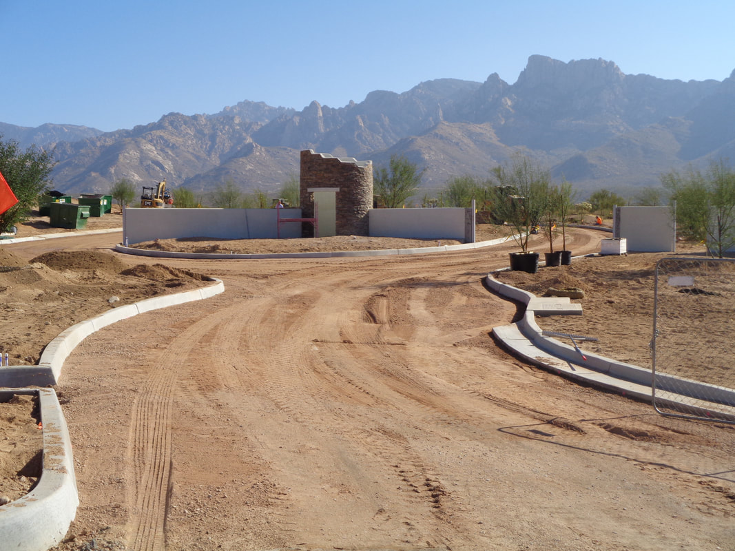
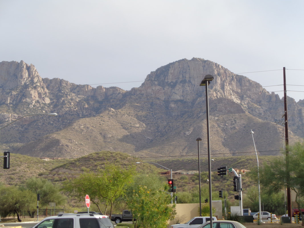
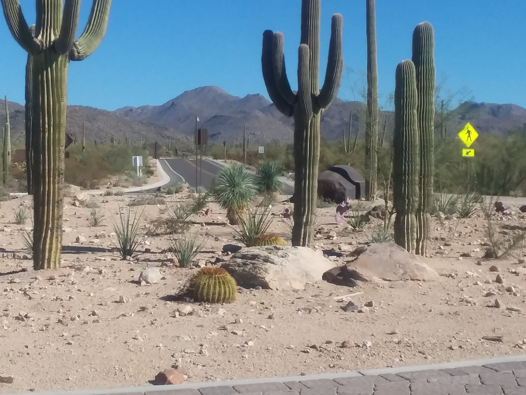
The celebration of Christmas, out here, I find so unusual. Check out the Algave plant having red bulbs on the tips. If not that, it is a Santa hat on top of a Saguaro cactus, people shopping for trees wearing shorts and T-shirts, etc... Three major housing developments underway and more to come. There is a growing thought that residential housing is growing too fast but understand the appeal. If you like mountains, you would love it here. If you are an "ocean" person, you will probably hate it here. Riding only 14 miles so that I can tackle the above mountain on Saturday, an off trail hike for which I have no route, just a misguided sense of where to go and a hiking partner to keep the wildlife away. A local told me this, "How do you know when you are being stalked by a lion? You'll feel a sharp pain in the back of your neck." Ha, ha. Another guy told me, if you are around 6' and 160+ pounds, a lion will find you more than it can handle but if you are around 5'3", 110 pounds, a lion would find you a tasty morsel. Also, don't hike with a dog.
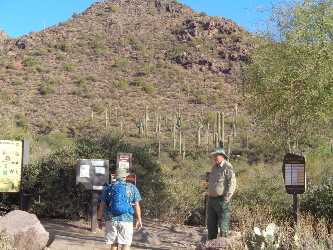
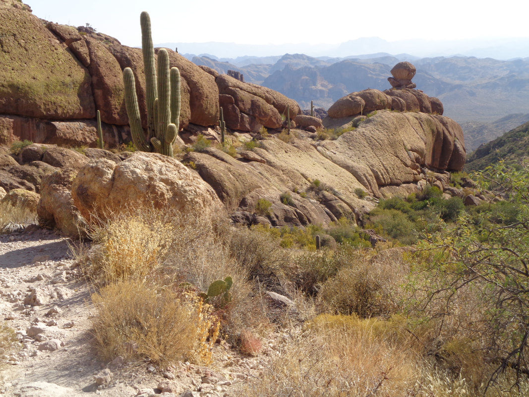
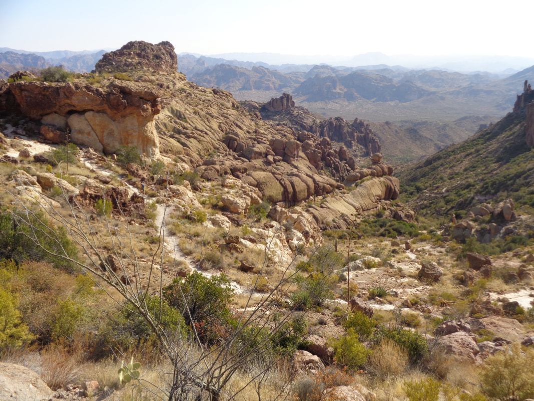
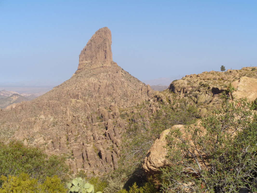
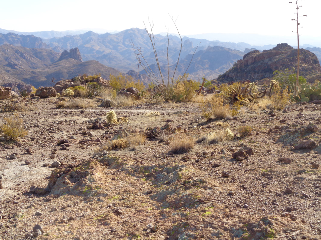
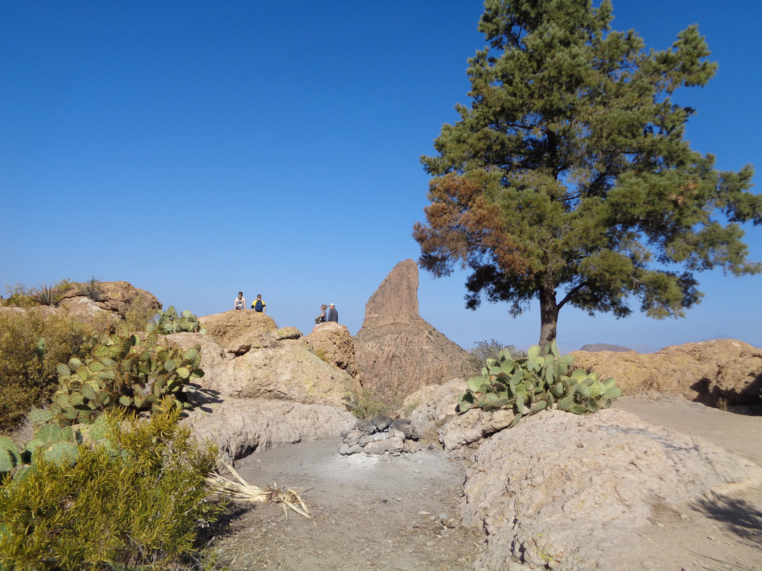
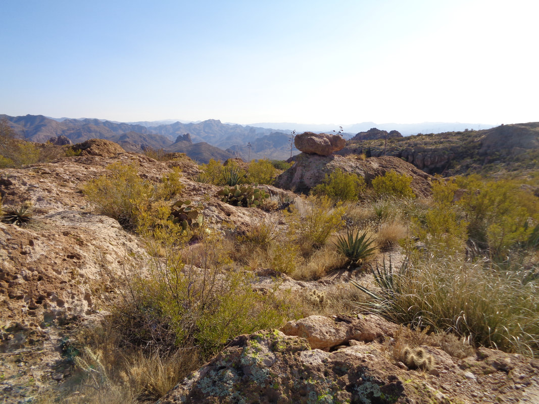
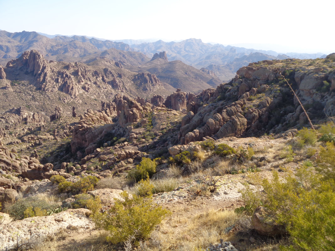
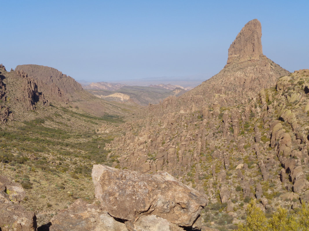
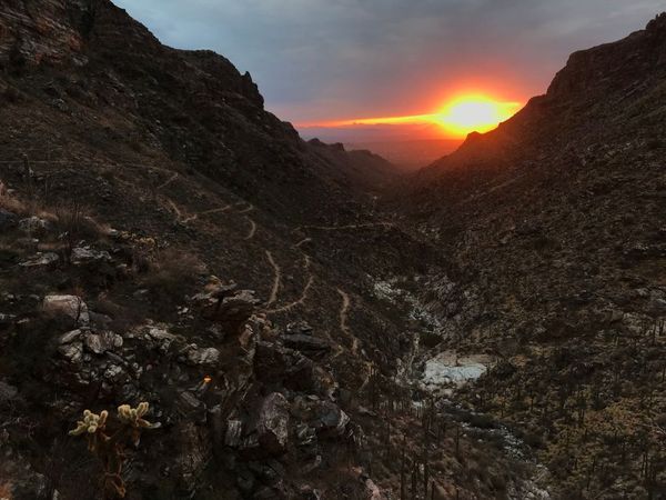
The Peralta Trail, a 7 mile drive via dirt road off St. Rt 60 from Apache Junction is the most heavily traveled trail in AZ. So busy, there are always 1-2 volunteers whose duty it is to question people as to their planned hike and offer advice as needed. I enjoy talking to them. I headed up with the intent to see how quickly I could reach Freemont Saddle, thinking this would be well represented on Strava as a popular hiking segment. The rugged beauty never becomes tiresome or something for which I doubt I ever take for granted. Higher I ascend until finally, at 2.2 miles, 1300' of climbing, 43:35 minutes, I reach.... ....the saddle and the view of the lone pine to the right and of course, Weavers Needle. Later, checking Strava, I find I am 4th out of 347 people for the climb segment and am satisfied with that effort. I follow a trail to the right that yields grand views to the south and east and soon reach.... ....the lone pine. Fantastic spot! After awhile, talking with a couple, I head back while.... ....enjoying the same great scenery until.... ...I regain the saddle and return to the parking lot. Great day to be out doors.
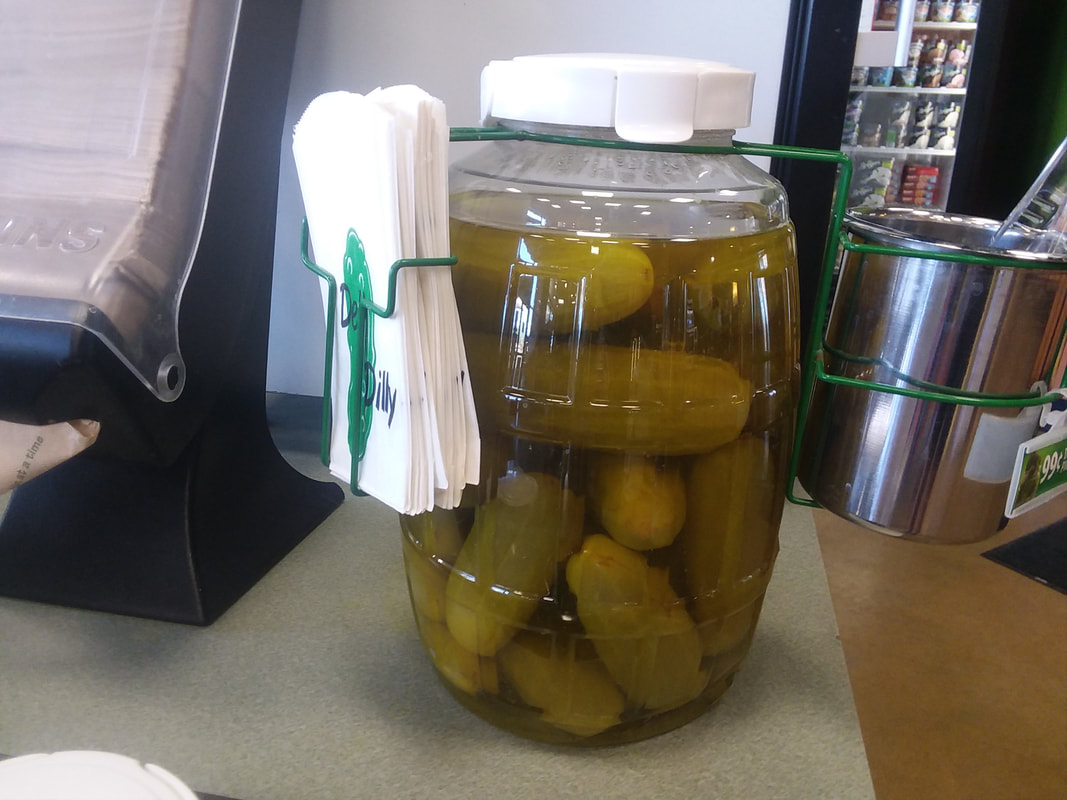
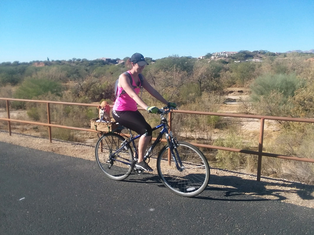
I don't generally post about my rides out here but I have been riding a bunch, all year. In fact, I have over 8000 miles ytd and that exceeds any previous effort by around 1500 miles. On Wednesday, I headed southwest then northeast toward Dove Mountain and the Tortolina Mountains. Lot of development going on out here. Then I dropped into..... ....a gas station and once again find large bottles of pickles. I think it is the sodium content that makes the pickles such a popular item? Toward the end of the ride, I overtook (yeah, I know, big surprise) a woman having a dog in a basket on the back of her bike. Reminded me of a scene from the "Wizard of Oz" with Toto. Finished with 51 miles.
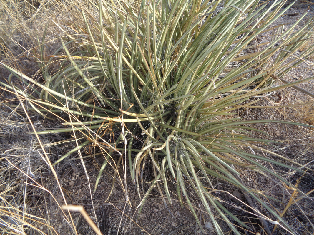
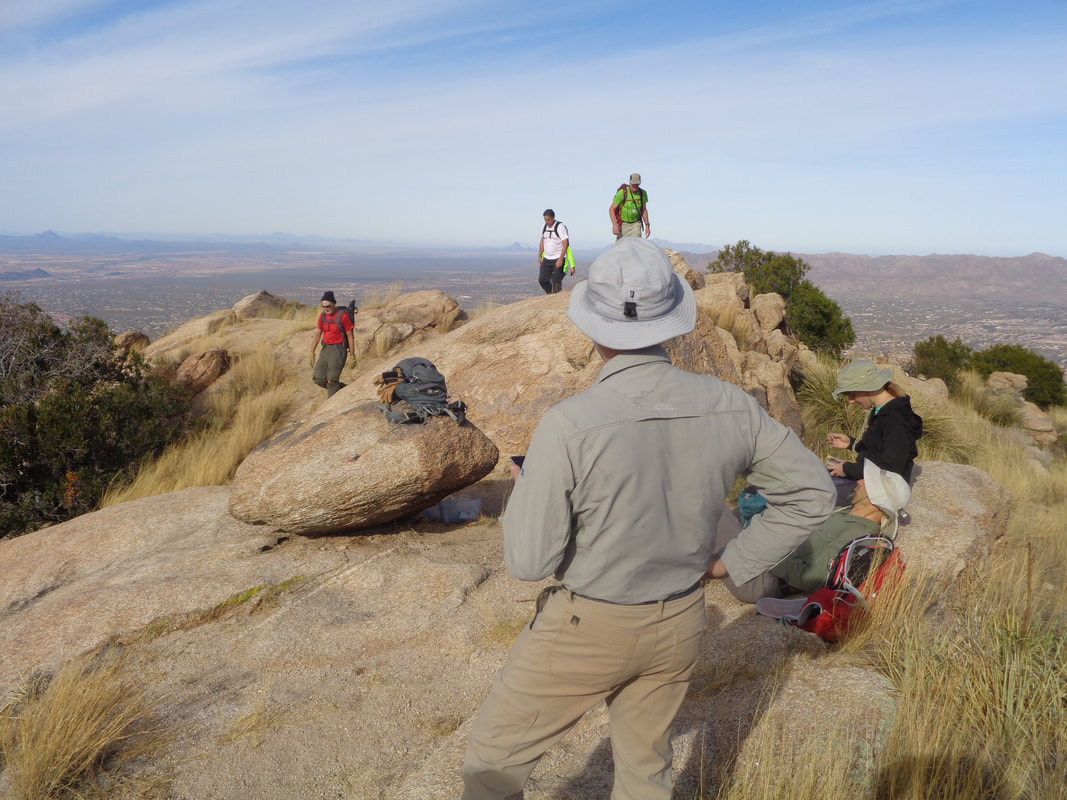
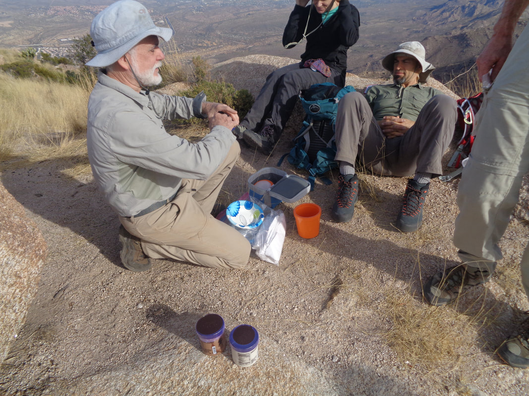
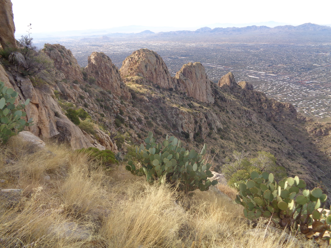
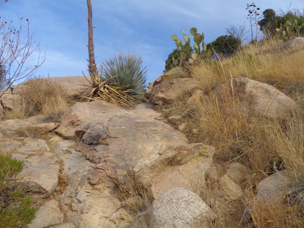
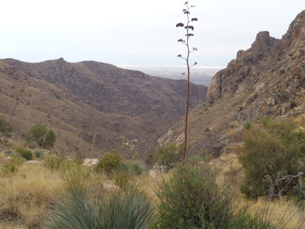
It doesn't look all that difficult but in 2.5 miles, 2600'+ is gained. The first .8 miles only gains about 500' and then.... ....it becomes really steep. The descent is a killer but that is for later. Long time readers of this silly blog, have seen this view before. The trail head is less then a mile from home and such a good workout so... The infamous shin dagger plant. To avoid getting stuck and assuming there is no other place to plant your foot, step exactly in the center and no pain. It works. I reach the peak and soon, other members of our group of 10 arrive. Already there, having hiked from the southeast side of the mountain via an off trail route is.... ....Gary Tenen and two companions. They had brought ice cream with them to share. Gary co-discovered Kartchner Cavern in 1974 when he and a companion stuck their heads through a sink hole near the Whetstone Mountains. They explored the complex for 14 years before making its location known. I became chilled and headed down and.... ....down, the pounding taking a tool on my feet and joints. Beautiful day with temps at the base of the mountain around 73. Finished with 5 miles of hard hiking both going up and coming down.
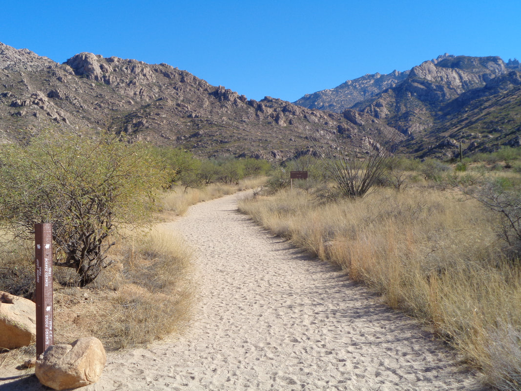
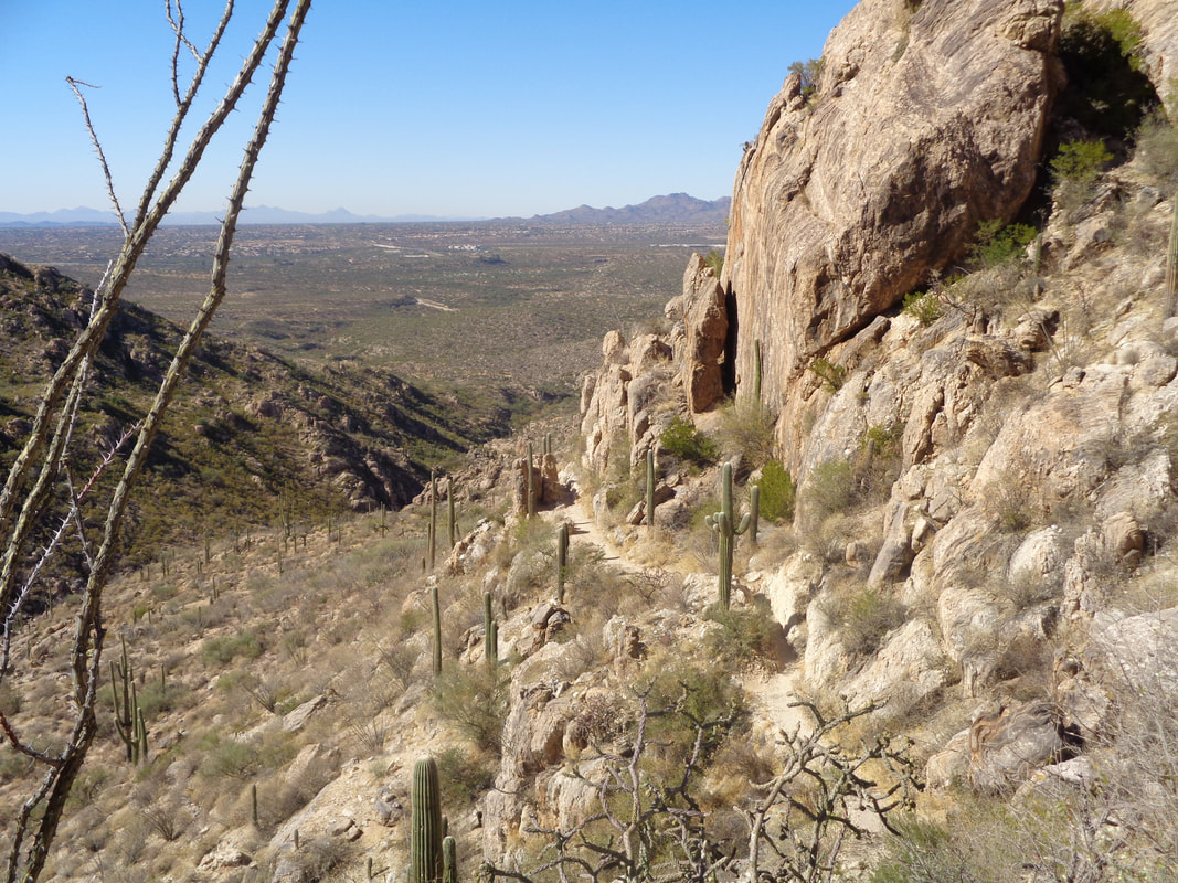
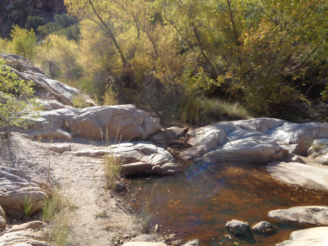
I term this one a fitness hike. At 2.6 miles to the pools, you can push the pace and I was curious how I could do against the Strava participants. The first mile is a modest incline on a soft, sandy trail. The real climbing begins at the mountain, as it emerges from the sand. The rise is rapid once the rock is reached. Good views to the southwest as the trail continues to rise. Rocky in places but smoother than most trails around here I finally reach a saddle and then drop.... ....into the pools and a barely flowing stream. I'm satisfied with my effort (around 48 minutes) and after posting on Strava, discover I am 2nd out of 350+. Dang, really close to the KOM. Oh well.
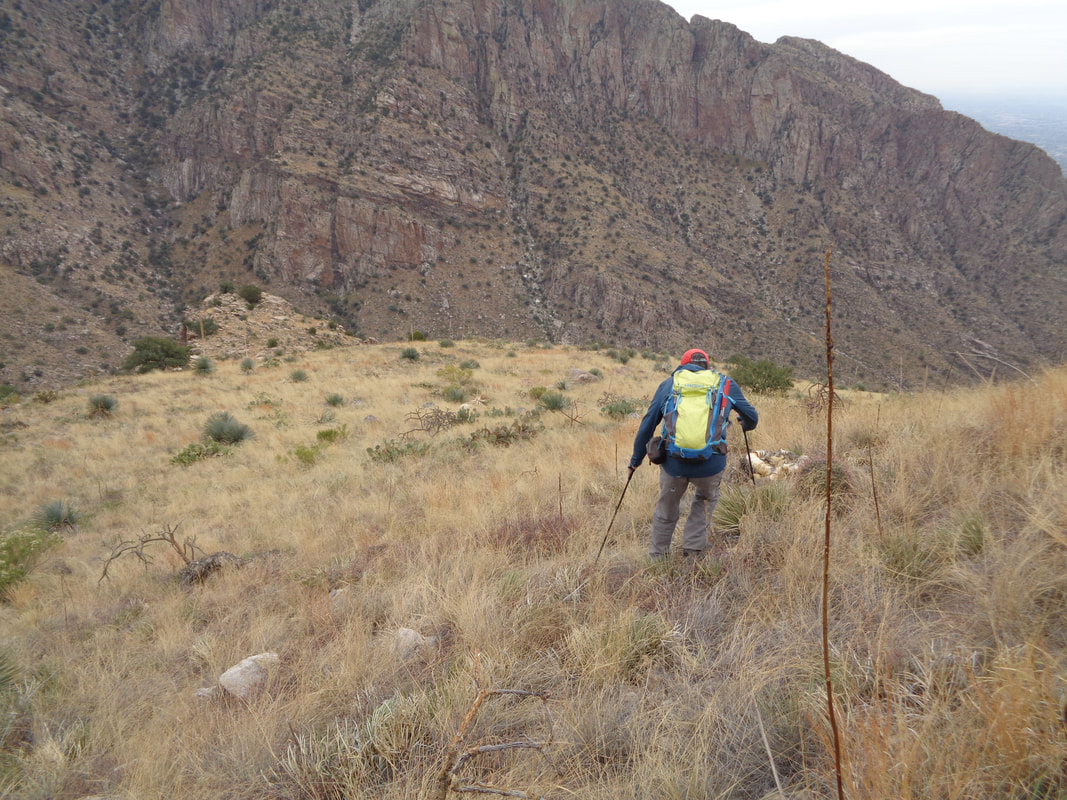
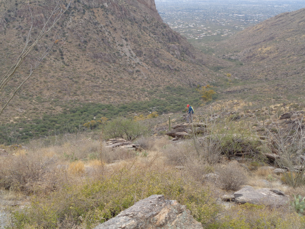
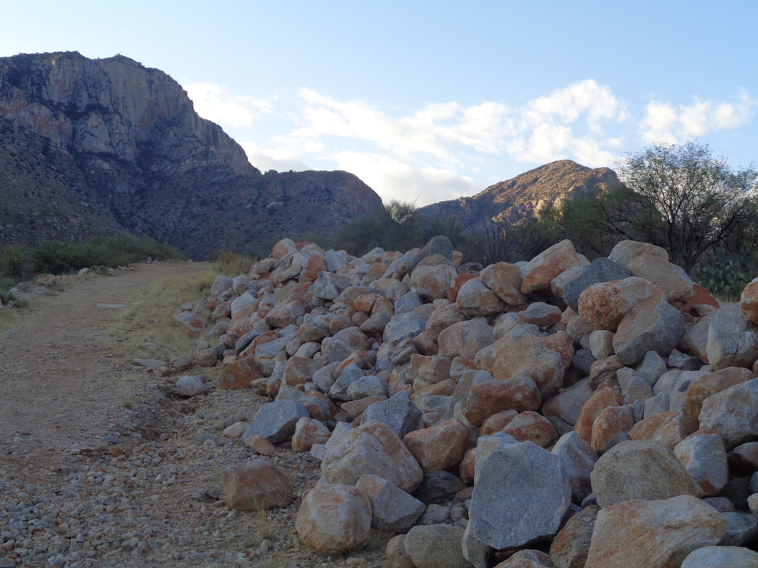
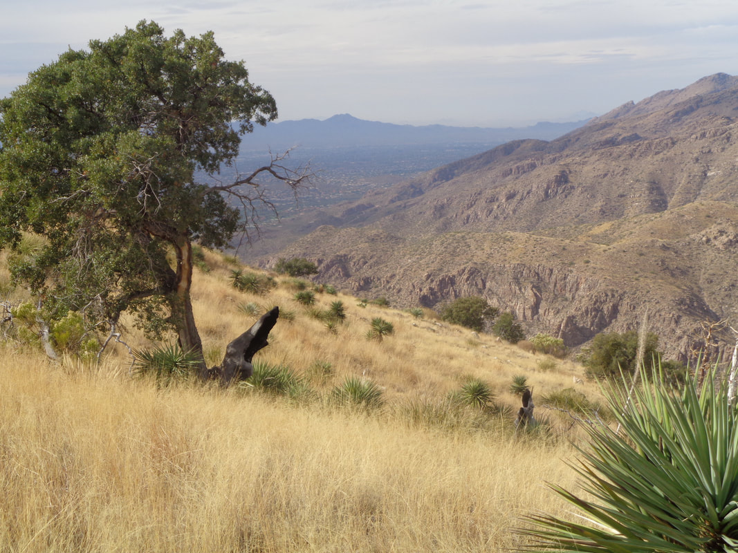
A landscaper's dream, all these boulders that we pass as we walk a scraped road behind the Honeywell facility in Oro Valley. One of us speculated this was a fire break but later, judging by the pattern of the road, it is for future development. Amazing how far up into the foothills, developers are permitted to go. For any hikers who read this report, we park at the end of "Ram's Horn Pass Road", walk into the wash, climb the ridge and there lies the beginning of the dirt road. We start at 8:00am and hike in shade for practically the entirety of the upward portion of the hike. A substantial slick rock area is passed. Departing the road, I lead us on a new trail toward what I hope is the right side of the image, toward the ridge. Alas, it was not to be so. We pass a wash from which a pipe takes water to a distant cattle tank. If I had followed the ravine/wash towards the ridge, that would probably have been the key to my destination but a well worn trail went left and I elected to follow that and.... .....soon, after really steep climbing, it appeared the trail was headed toward the saddle, center left. One of my companions in blue but beyond is a ridge where later, I heard the distinct sound of a mountain lion scream. The noise went on for quite a while and I wondered what would have made it agitated. This occurred during the descent and had I been alone and climbing, no freakin way would I have continued. At least I don't think so....well, maybe. We had come a long way and looking back, good views of Oro Valley. I lost the trail at times, usually through terrain like the above but reached the aforementioned saddle and... ....wow, the views to the northeast were just awesome. I got off the route again and ended up too far to the north and told my fellow hikers to stop while I scouted around. Actually, that is part of the fun, encountering walls or boulders, figuring out a way around, skirting some pucker factor areas, etc.. I finally found the route and yelled for them to hike to the sound of my voice. Prior to the saddle, there had been many cairns to guide but above the saddle, they were rare. I led us to the above point and that was that. I had stumbled onto what was known as the "climbers route" that takes one to...... .....a granite wall and the base of Table Mountain. The sun prevented a direct image but you get the idea. Rather than try to follow the faint route back down, I just headed straight toward the distant ridge where..... ...we took a final look at the beautiful views and descended back the way we came. Finished with 7 miles but also a longing to go back and fulfill an ambition. I assume with a machete and will to live, I'd take care of a lion although they say you don't know they are stalking you until they pounce! Ha, ha.
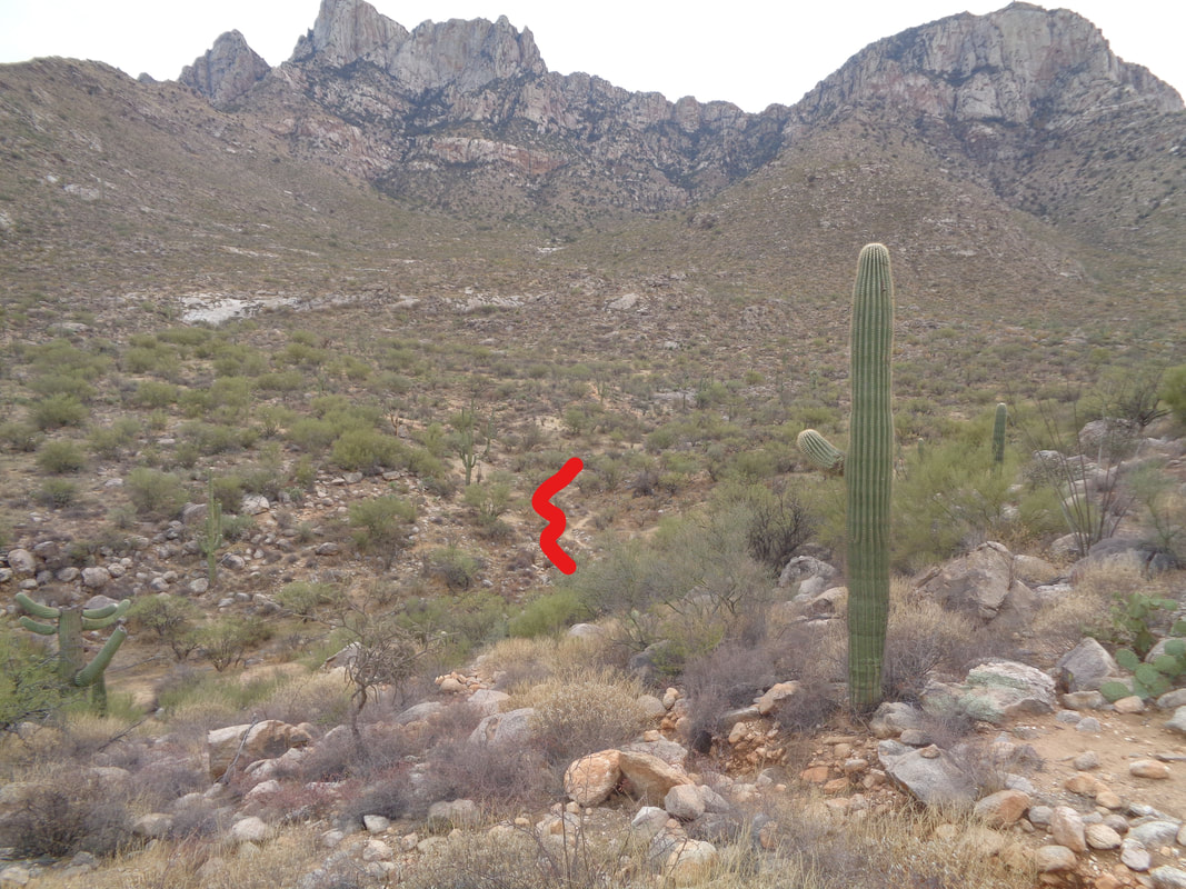
I'm sitting on a bench, under a ramada while fixing a flat last week. Note a ramada is not a hotel chain but an open air structure having a roof, common out here. Anyway, as I'm flat fixing, I'm talking to a guy and telling him I am having a friendly competition with a friend in Ohio for most miles in 2017. This flat and a mechanical on another day harmed my efforts to close the 400 mile gap. The guy says, "Wait a minute. You're losing a mileage competition to a woman in Ohio?" I tried to explain that the weather in Ohio has been unusually warm and she rides her bike every damn day. How can you compete against that? Wellll, the good Ohio weather has ended, finally and now, the Empire (me) is coming back. However..... ....I still want to get in some hikes and boy, have I an epic on the docket for Wednesday. Reaching the above ridge from the northwest side is something I've always wanted to do. I've only found one report about it, from the mid 1990's. Last week, I'm out scouting the best approach and find a well worn trail, there to the right of the red line. Someone is building a trail and likely headed to the ridge. That will make my effort much easier then bushwhacking through the dense brush. The next day, I'm standing in Home Depot, chatting with the cashier when I discover, he and his brother are the ones building the trail. Like wow, what a coincidence. The trail does not yet go all the way to the ridge but it will get me far enough up there that route finding instinct takes over and I should make it.
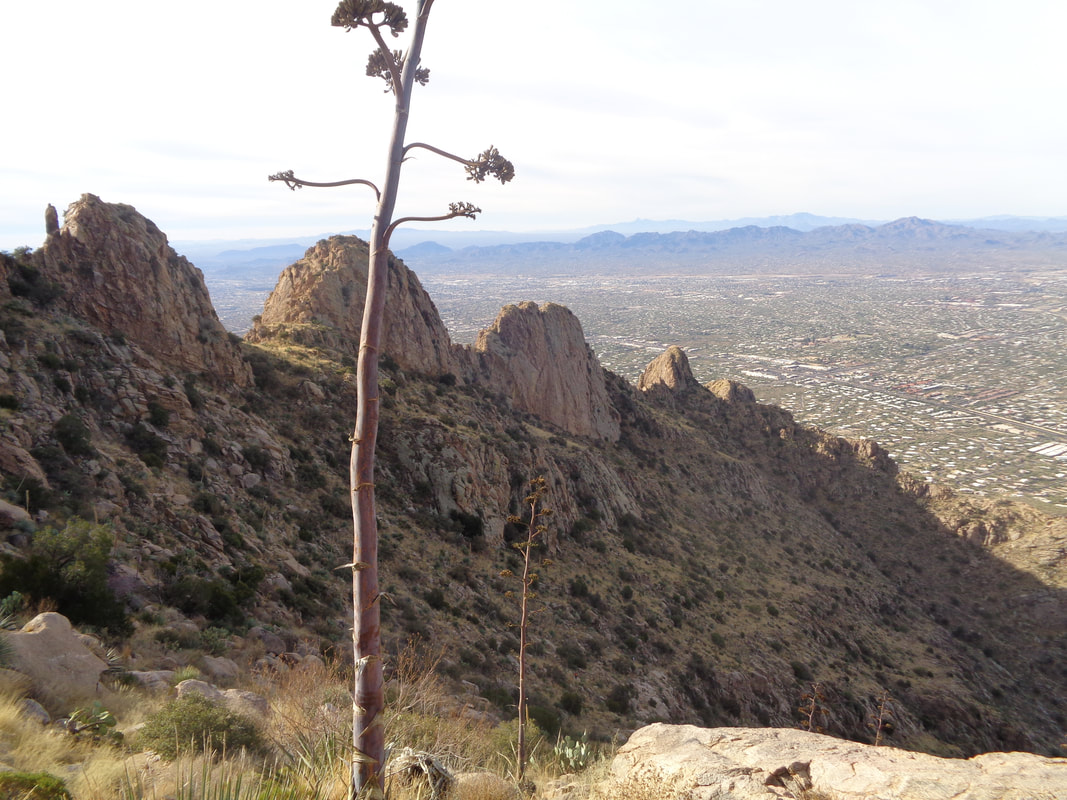
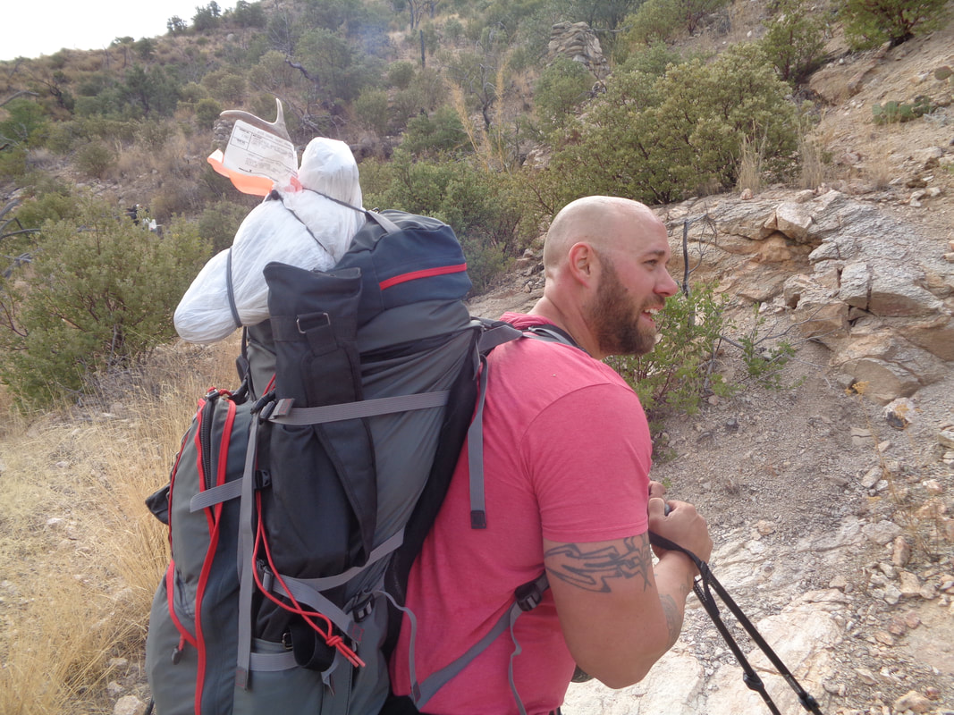
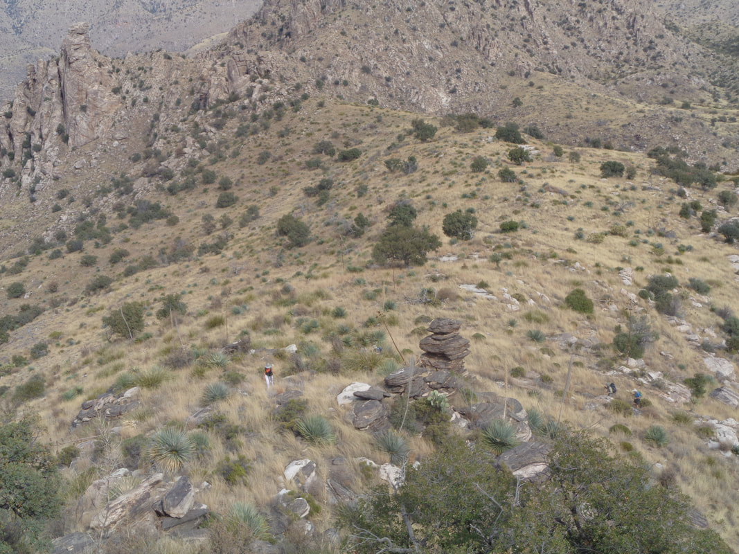
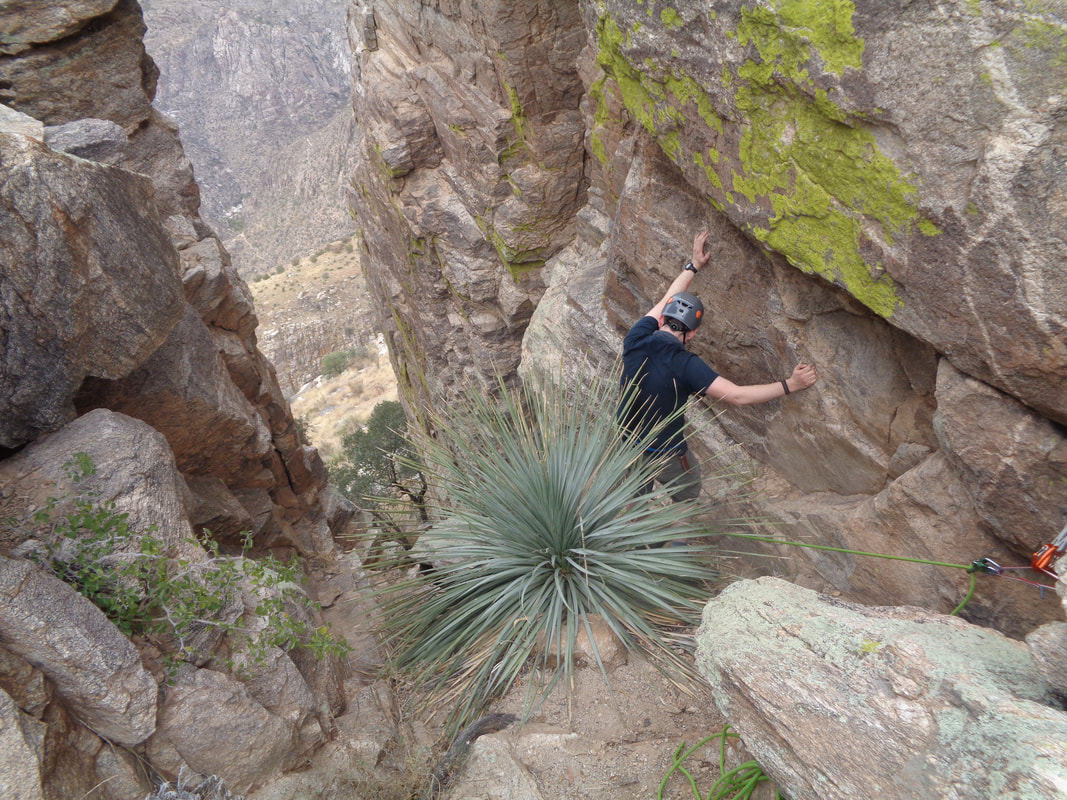
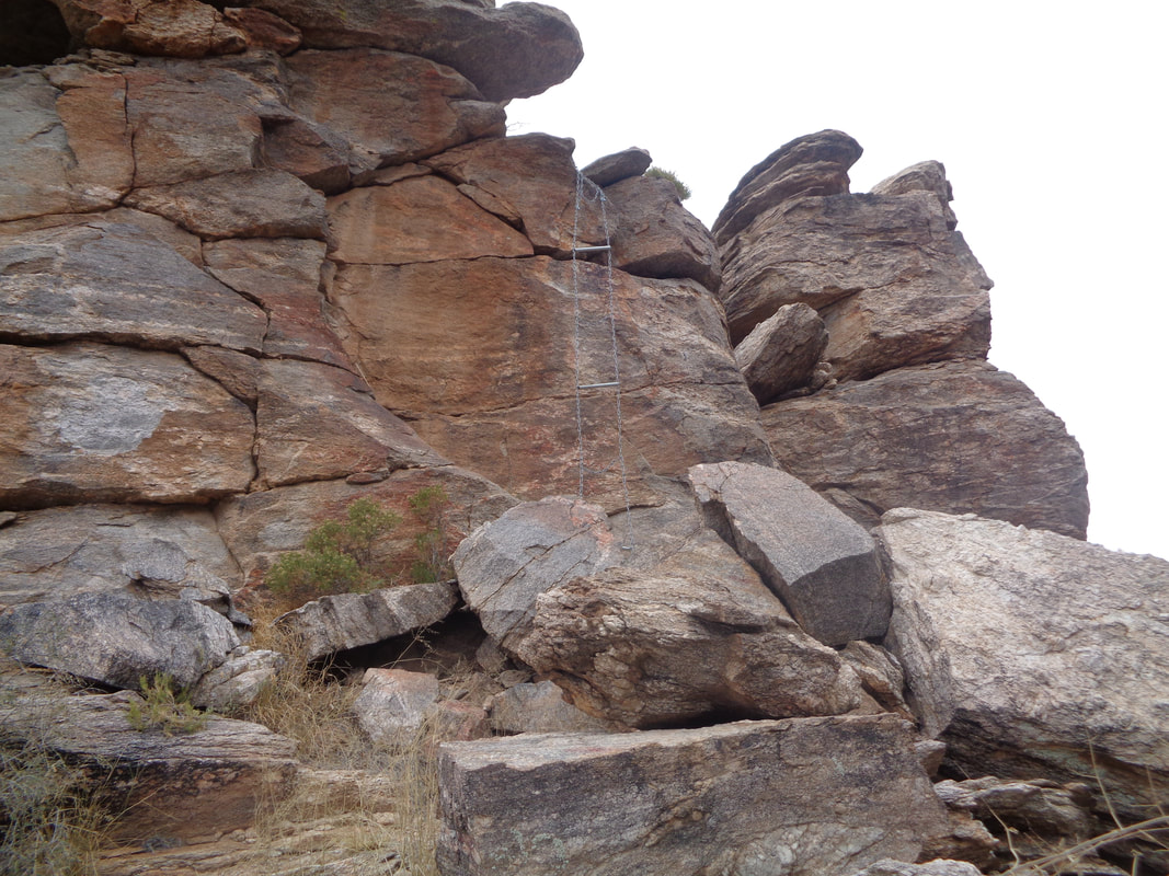
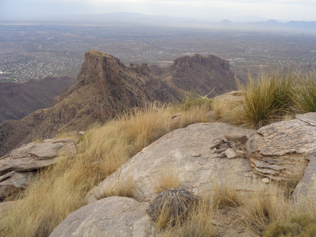
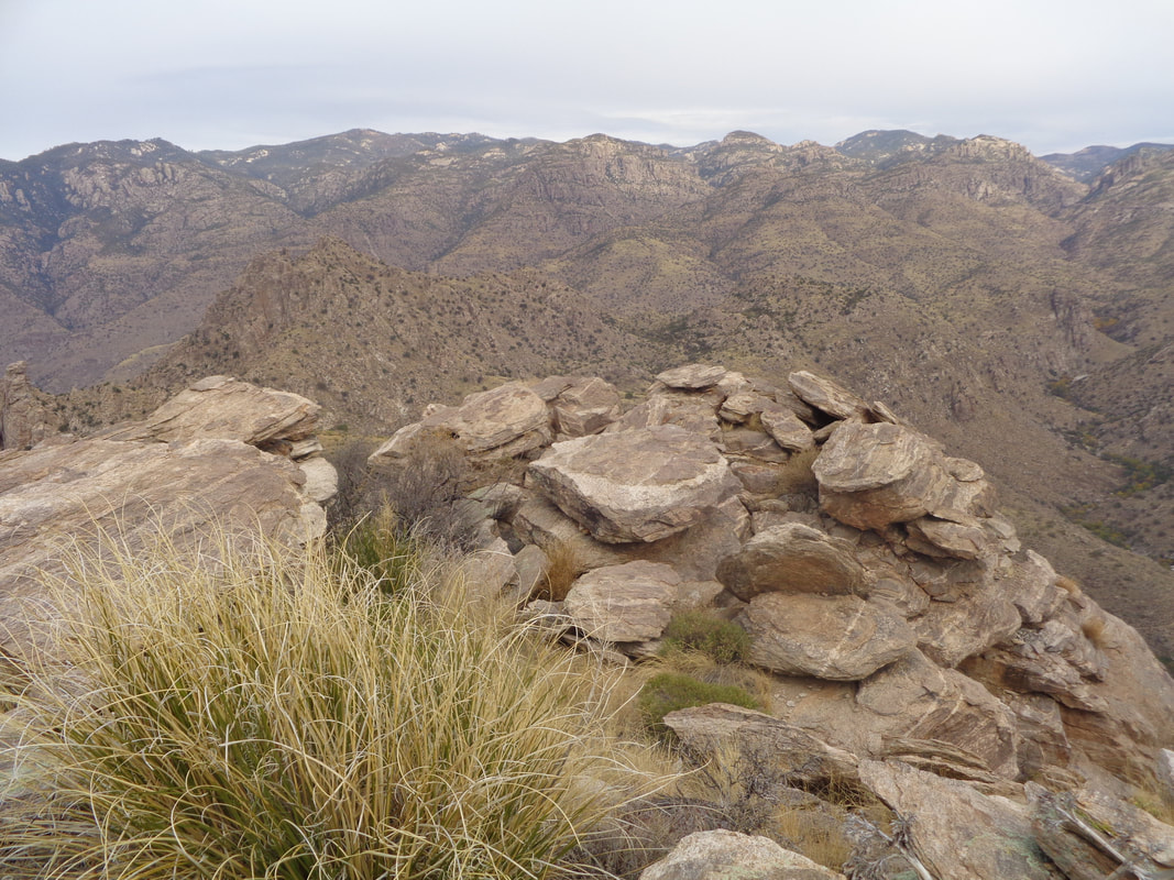
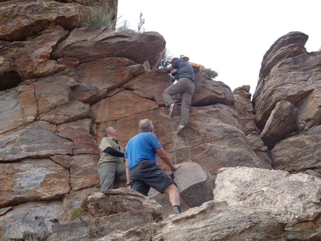
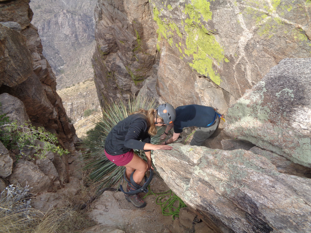
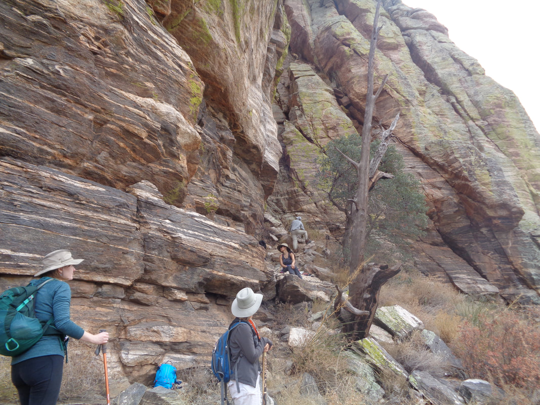
Saturday morning, driving Catalina Highway and heading up the mountain where I pass dozens of cyclists going up and coming down. I am headed to mile marker 8 where I'll park at Prison Camp to begin a hike to Thimble Peak. Each parking lot I pass at other trail heads is over flowing with cars. The level of activity is exciting to see. I have visited the base of Thimble one time but the climbing was too risky so I have been waiting for the hike to pop up on one of the many hiking notices I receive each day. This hike was led by Philip, a good guy who said it would be ok if I did my own thing while meeting him at the base of Thimble so I could share his gear for the climb. The hike would be 10 miles for my itinerary but 16 for Philip's group who were taking a different route after Thimble. In the above image, upper center, Sycamore Reservoir, surrounded by trees. As I descend toward the reservoir, I approach a guy having a huge backpack and I ask, "wow, what's in there a deer?" Actually, yes. He and a friend had each gotten one and were carrying them out. Heavy! It's a long ascent to the bottom of the canyon but I finally reach it and.... ....there is Thimble Peak in the distance. I eventually catch the group and we follow a circuitous trail going in and out of side canyons, reach Bear Canyon Trail and then..... ....a grassy flat where we go off trail and begin a steep ascent to the base of the Thimble. Actually, there has been enough traffic over the years that there is a faint trail to follow so no route finding involved. Views of Bear Canyon begin to open and notice the narrow strip of light in the distance. It was a cloudy day but some sun still shone once in awhile. The clouds were high and thin so no threat of rain, again. Sabino Canyon to the right slowly comes into view. Looking back, I can just make out Catalina Highway in the distance. Beautiful. I reach the base of Thimble and give the climb another try but there is one spot that I lack the confidence or nerve to attempt so I climb down and wait for the group. There they are and soon, Philip arrives with gear and free climbing expertise I lack. He.... ....ascends, drops a rope that I use to clamber up, ungracefully. Rope, properly secured, makes a big diff, obviously. Now I look at the next obstacle, a chain ladder. Never climbed one of those and kind of awkward but while Philip assists those who chose to continue up (several did not), I go up and..... ...wow, Blackett's Ridge. Many times I have stood there and wished I could also stand on top of Thimble and so now I have. A satisfying moment for sure. The clouds muted the usually spectacular color but still, not too bad. A guy from WV joined me. He came back from serving in Iraq, discovered his wife had accumulated $35,000 in credit card debt during his absence, divorced her and moved to Tucson. Mount Lemmon in the background. We found an ammo can, signed the register (yeah the usual, my name and "GO BUCKEYES!") and then I descended the chain ladder of death. That was unnerving and I chose not to look to my right where the fall would be fatal. I encouraged others go to up the ladder with calls of, "Go spider monkey go!!!" Bob, the guy on the left in brown, tried 3 times, came back down during each effort and then on the 4th, made it. Good for him, it's not easy. A woman from the great state of Ohio, now living out here, finished the rope ascent and then I hopped in and descended. Philip was very patient and a very, very helpful guide. Others chose to wait at the bottom and I don't blame them. The effort is very exciting but not for everyone. The time was 1:30pm. Knowing they still had to climb down, regroup and cover 11 more miles, I figured they would be hiking in the dark (sunset is 5:25pm now) and think it was 7-8:00pm before they reached their cars. They had light so no big deal but I had a football game to watch so was glad I chose the 10 total mile option.... ....reaching my car before 3:30pm. Above I walked through Sycamore Canyon and soon reach a 1.2 mile final climb having an average grade of 10%. Ouch. Someone from the group took the above image as they began their descent into Bear Canyon. Wow.
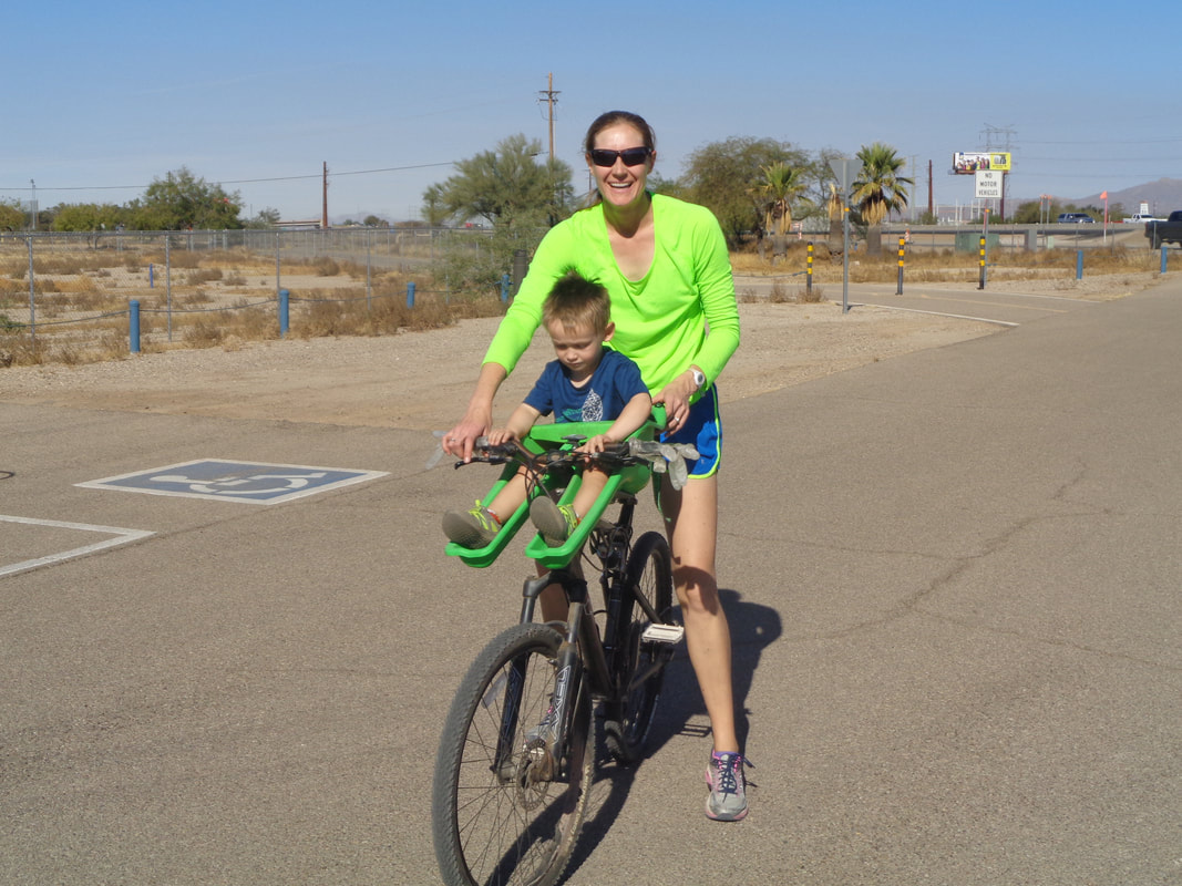
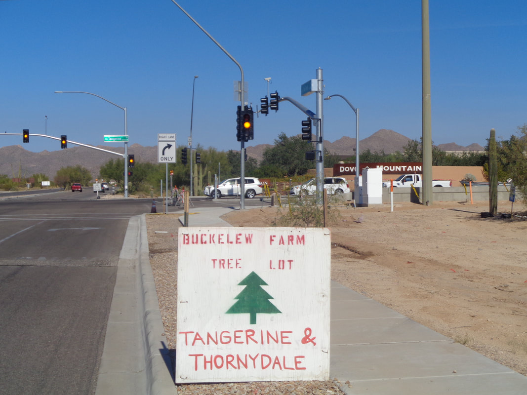
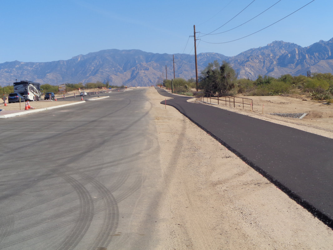
Never seen this type of child carrier. She said it works great except when the child yanks on the brakes. So strange to see Christmas trees being sold in this environment. Widening Tangerine Road and adding a bike path but this was Sunday, so no machinery and I opted for the broad expanse of road. Got some good hikes to post!
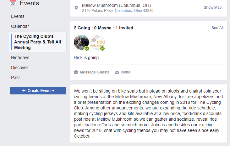
First, I will still be tanning in AZ so am not hosting the event as suggested above. However, the price of admission is free, with FREE appetizers (hors d'oeuvres for the sophisticated among us), a cash bar, socializing, accompanied by a brief presentation on what is new for the Cycling Club for 2018. Frankly, it is some good information that will make the effort worthwhile to attend at the Mellow Mushroom. I won't see you there! But, you should attend.
|
Categories
All
Archives
November 2023
|


