|
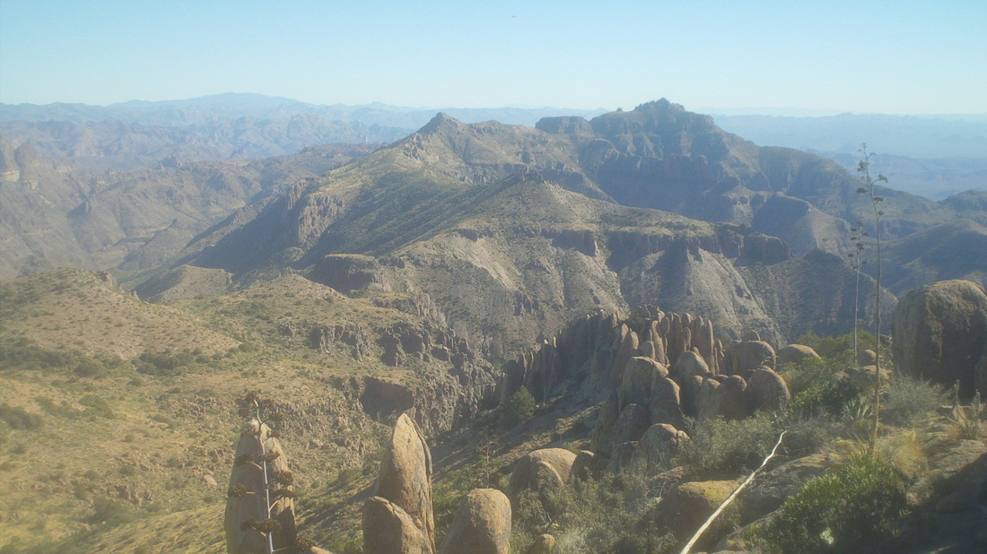
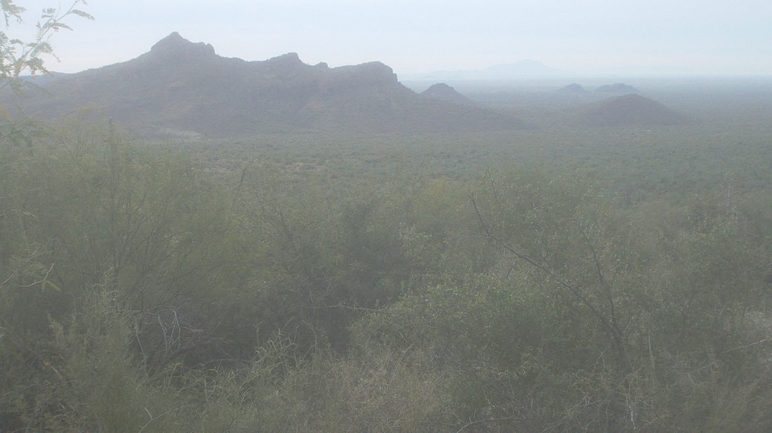
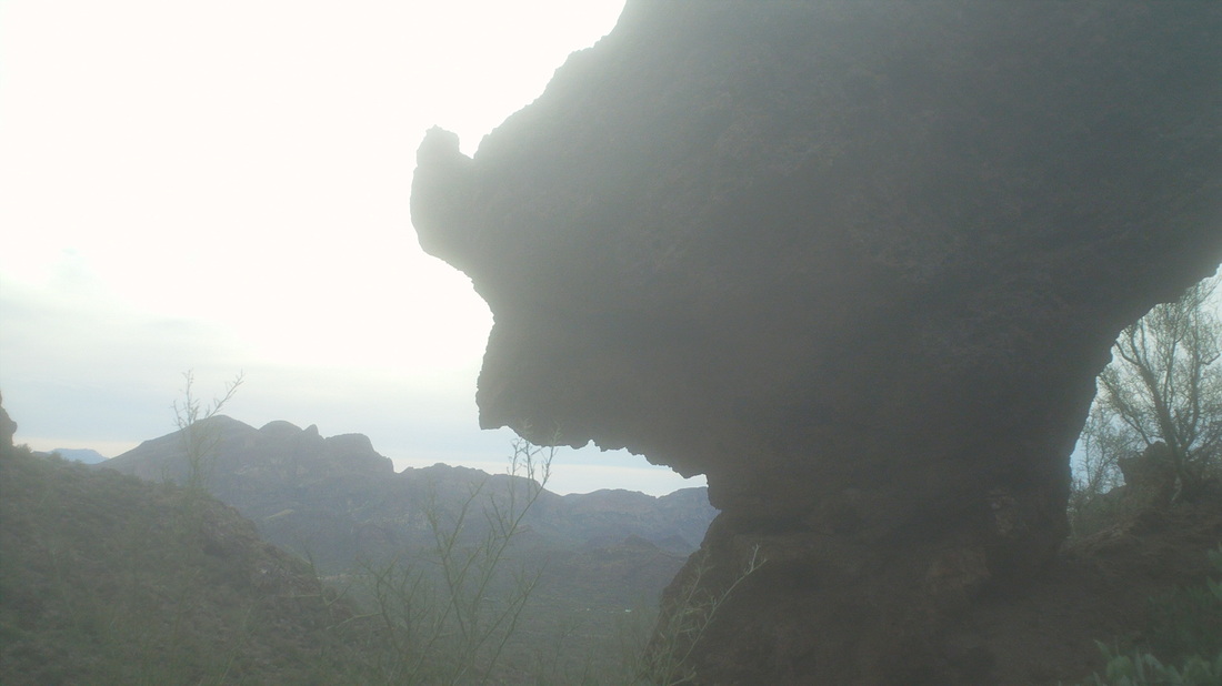
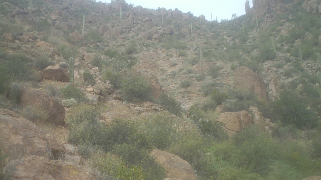
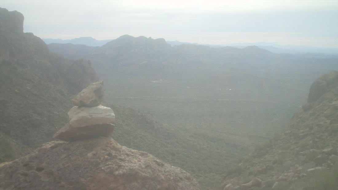
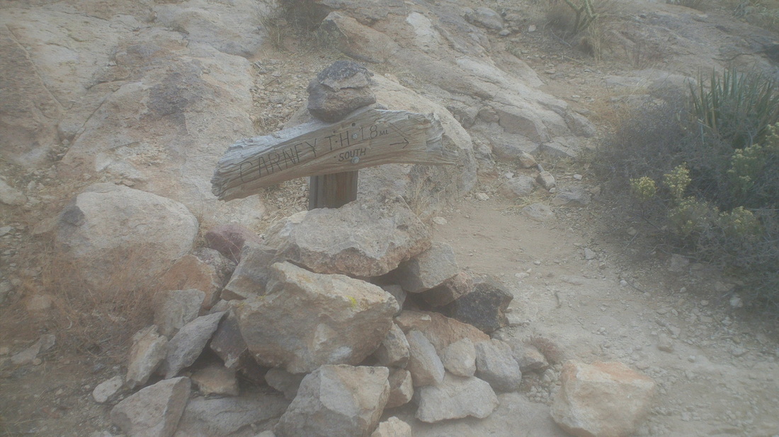
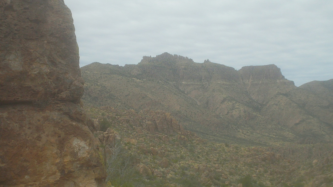
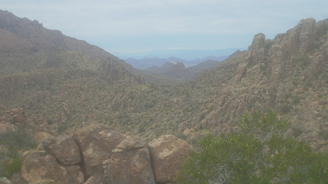
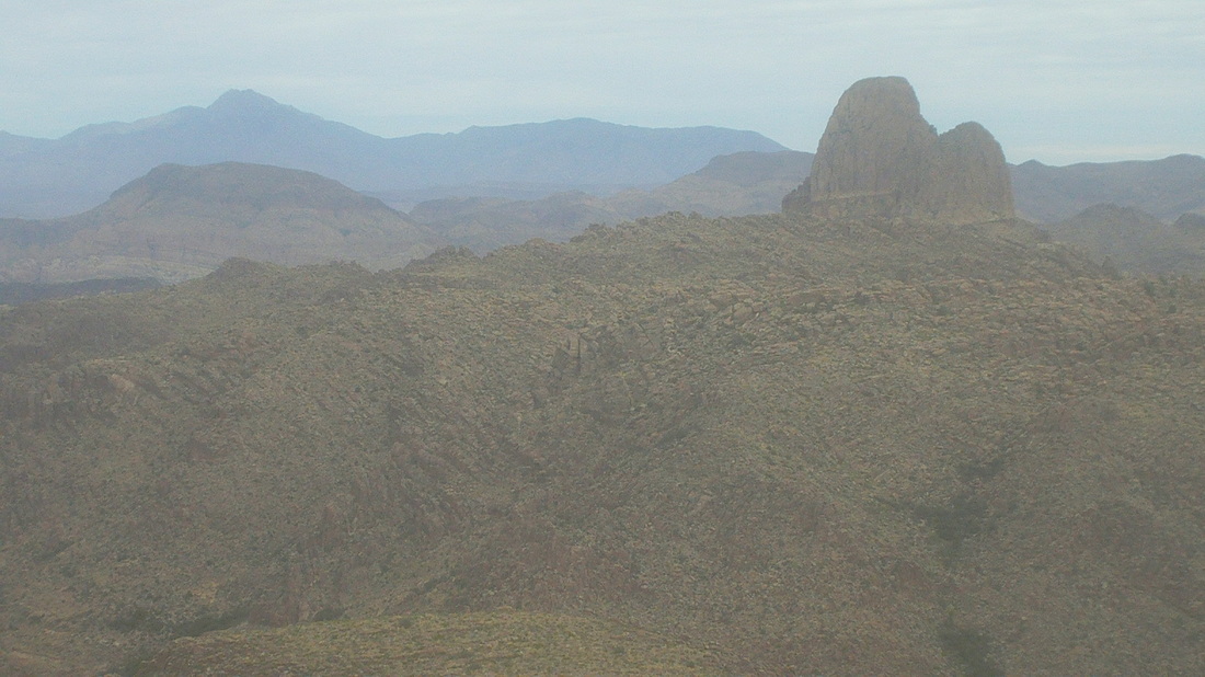
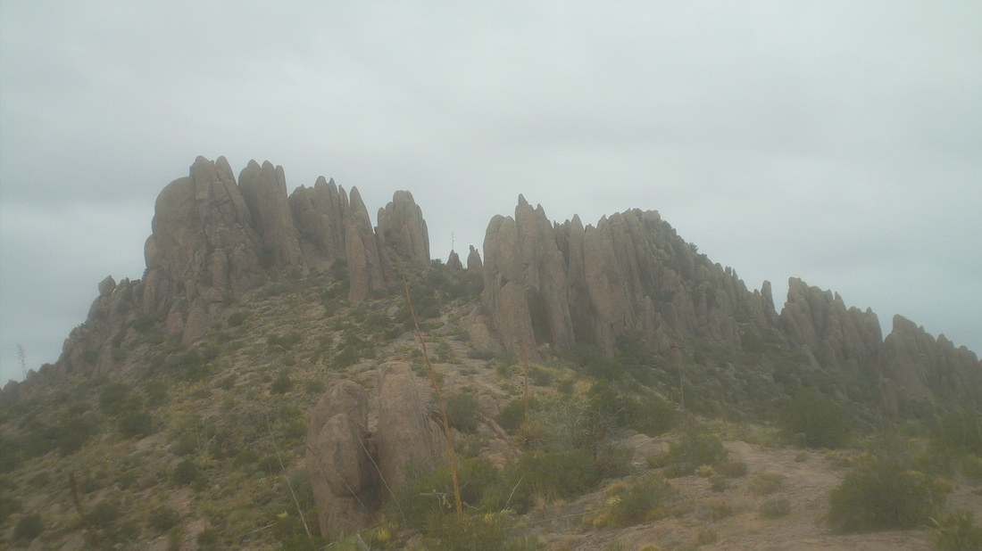
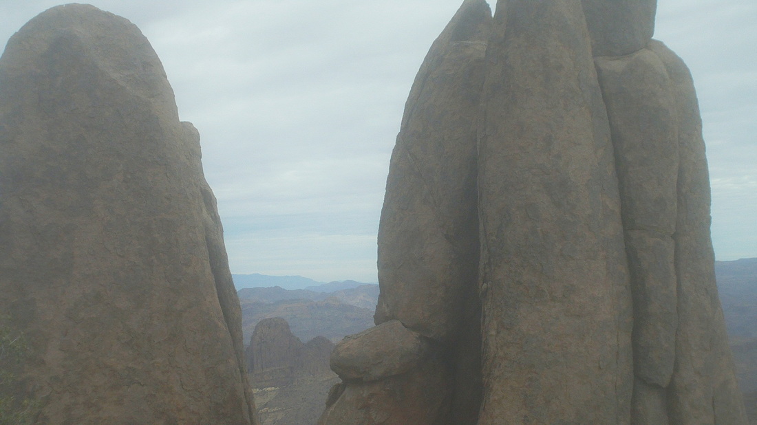
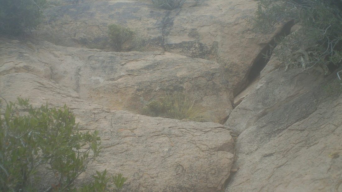
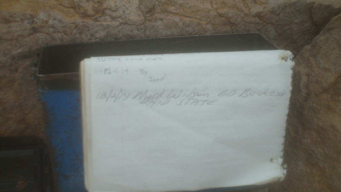
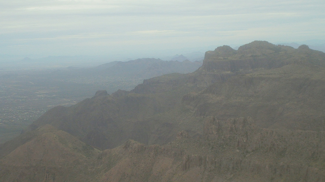
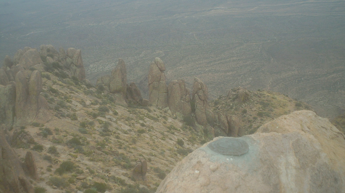
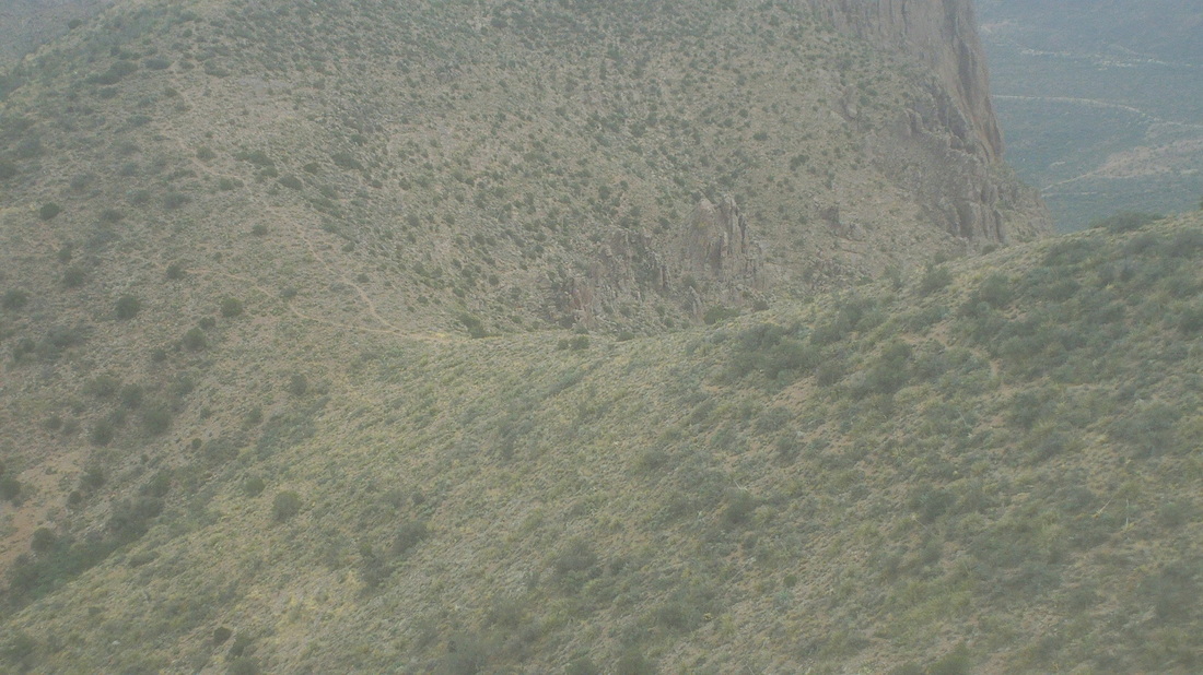
Last week, Vagabond Jeff, as we stood high above the Flat Iron, told me the peak in the distance, Superstition Peak, was a good hiking destination from the south side of the Superstition Wilderness and so, I read the hiking reports, prepared and showed up on a cloudy Tuesday morning. The much needed rain that was soaking CA extended just west of here but the forecast said I'd be rain free for a few hours so I drove north, reached #60, turned right on Peralta Road and true to the descriptions, the trail head with ample parking on the left, is reached in 6.1 miles, 5 of that on smooth dirt road. The start of the hike is non descript, just follow a wash until a fence is reached, go through it, make sure I take the right at the fork or else I'd end up at the Wave Cave, and then, begin the climb. Quickly the views, as usual, begin modestly but get more dramatic for every step higher. The trail takes me below this giant boulder precariously perched on an eroding platform. Wouldn't want to be beneath that when some day it inevitably tumbles. I got off trail one time on the initial climb, following footsteps left by others that went west before petering out. I backtracked, discovered my mistake, rounded a curve in the canyon and oh boy, going to be some serious climbing and boulder hopping to the saddle. Fortunately, there are ample cairns (small piles of rocks) to guide me. Pretty cool as the route went over lots of steep slick rock. At the saddle, the trail's only sign post indicates I have come a very slow 1.8 miles from the trail head. Coming around a wall, there it is, the peak, but such a long way. I began thinking maybe I should just call it a day and come back with a group but I pushed on, mentally setting up a go/no go turnaround time. I had to turnaround if I don't reach the peak by 12:30. The hiking is not free and easy but somewhat technical and slow, even when not climbing. The higher I go, the views now start to open to the north. I stand and just gawk many times, shoot lots of video and pics. I'm not pushing myself too much, given what I have done the last few days. I need to get back on the bike for recuperation prior to a big weekend of hiking, BIG! Weavers Needle checks in, at first just a nub above a ridge but then more and more of this awesome rock is exposed. You should see what it is like at the base, staring up at it. Geesh. More climbing, cross a broad dry creek bed and look back to make sure I can find my way through it on the return, more climbing and then, there it is, the peak and close. Note for other hikers, trip reports describe a junction at about mile 3.5, where a left takes you to "Three Sisters", stay straight or right to stay on the current trail. What hike reports do not say is there is another trail that later comes in from the south to your left. Probably that is a return from the Sisters but ignore it and keep going straight. The climb in to the hoodoos is dramatic and there is the Needle, framed by a couple of them. Trip reports say at mile 4, you reach a fork and to go off trail, straight, to reach the peak, rather than stay on the trail, which takes you to the right and below the peak and on to the Flat Iron. While it is true there is a fork at mile 4, the way to the peak is no longer "off trail" but is well defined by cairns and padded trail in the few spots where there is dirt rather than rock. Quickly, the Class IV scramble with exposure is reached. Exciting for sure. The image makes it appear that a couple of steps up and you are clear but that is a good 20' just in the image. I found starting on the right worked, reach that top ledge, walk carefully to the left using the bush to steady myself and then climb from there. Also, don't look down. At the top, there is an old ammo can with paper and pen so I signed in as usual with a "GO BUCKEYES". Center right is the Flat Iron. The clouds are thickening and obscuring the view a little but even so, the 360 degree view is stunning. So, so fulfilling to reach these spots. Makes the suffering worth it. Many years ago, a surveying crew climbed here and inserted 3 plaques in the rock, one of them in the foreground above. Well, it took me almost 3 hours to climb the almost 5 miles , 3400' of elevation gain, to the peak. A slow time but indicative of the desired slower pace coupled with the many obstacles that one encounters along the way. It would take me almost as long on the downhill return. Below is a fork in the trail along a ridge that offers more great views.
0 Comments
Leave a Reply. |
Categories
All
Archives
November 2023
|
