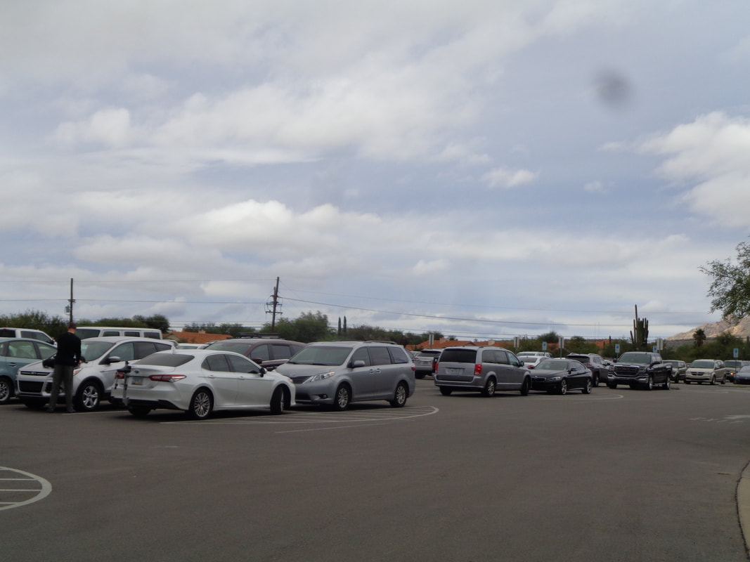
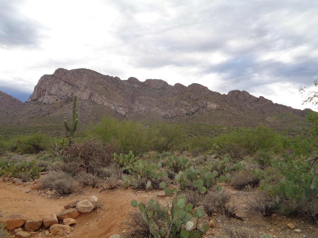
 Thanksgiving dinner not until 5pm so what to do, what to do.....to Sabino Canyon to do the Blackett's Ridge fitness hike. Crowded parking lot this partly cloudy morning with thick clouds drifting among the peaks. 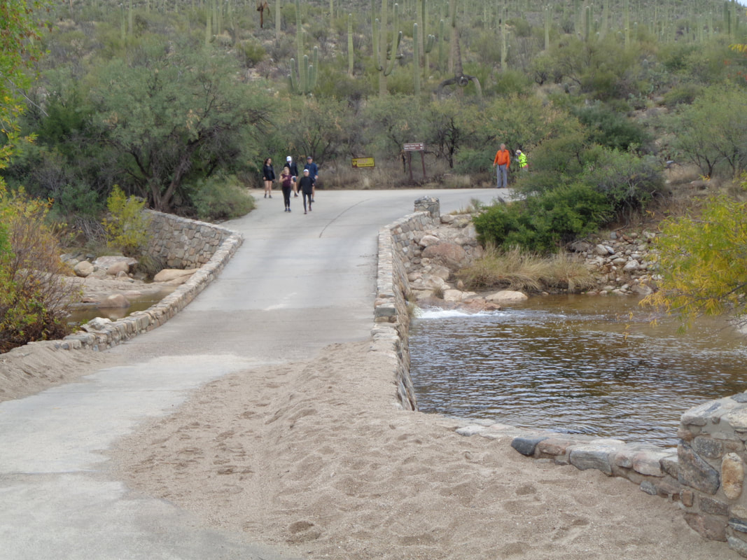 Sand deposited on the bridge is evidence of heavy rain the day before. I was glad to discover the water had receded so I didn't have to remove my shoes. I kept a good pace to this point and decided rather than a stroll pace, I'd see how fast I could make it to the top. 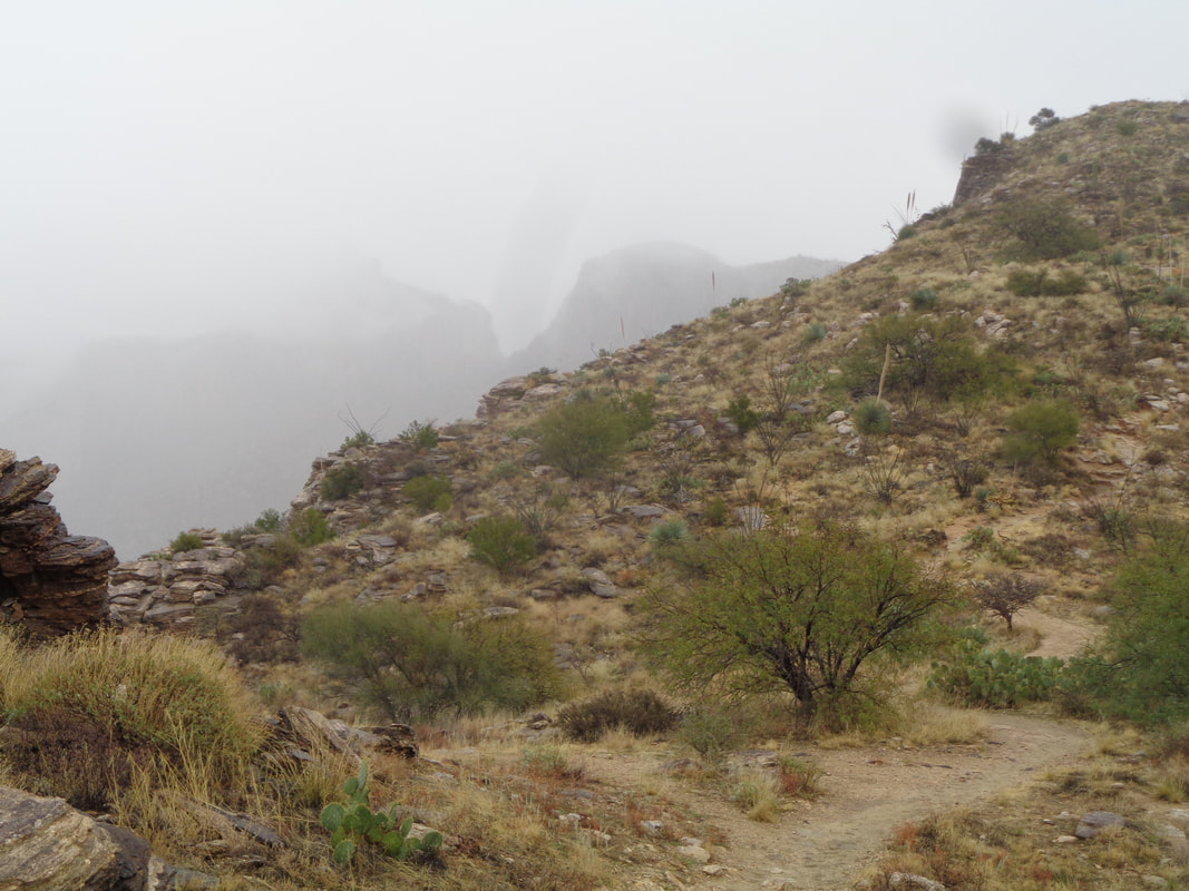 As I entered the clouds, mist began. Heavy rain was due to arrive later but I chanced what I was feeling was simply part of the lingering clouds rather than an early arrival of the front coming in from CA. 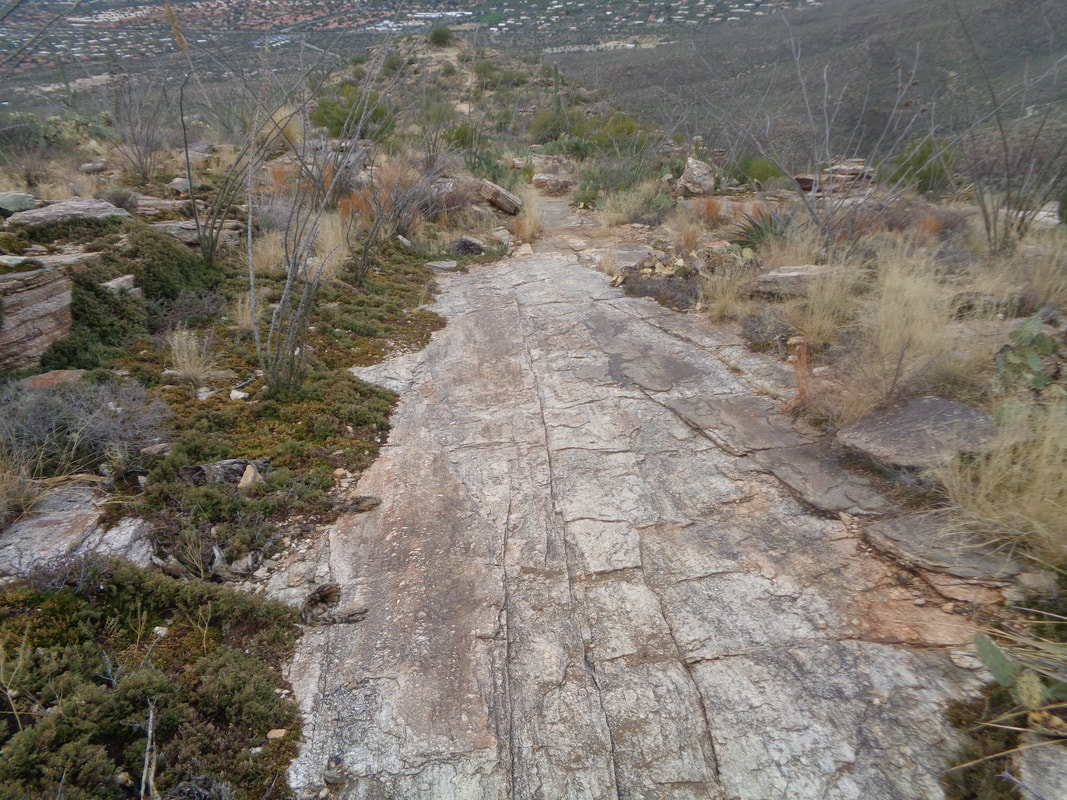 The trail became slippery, especially on the sections of slick rock. I prefer walking on this but today, it was kind of treacherous. 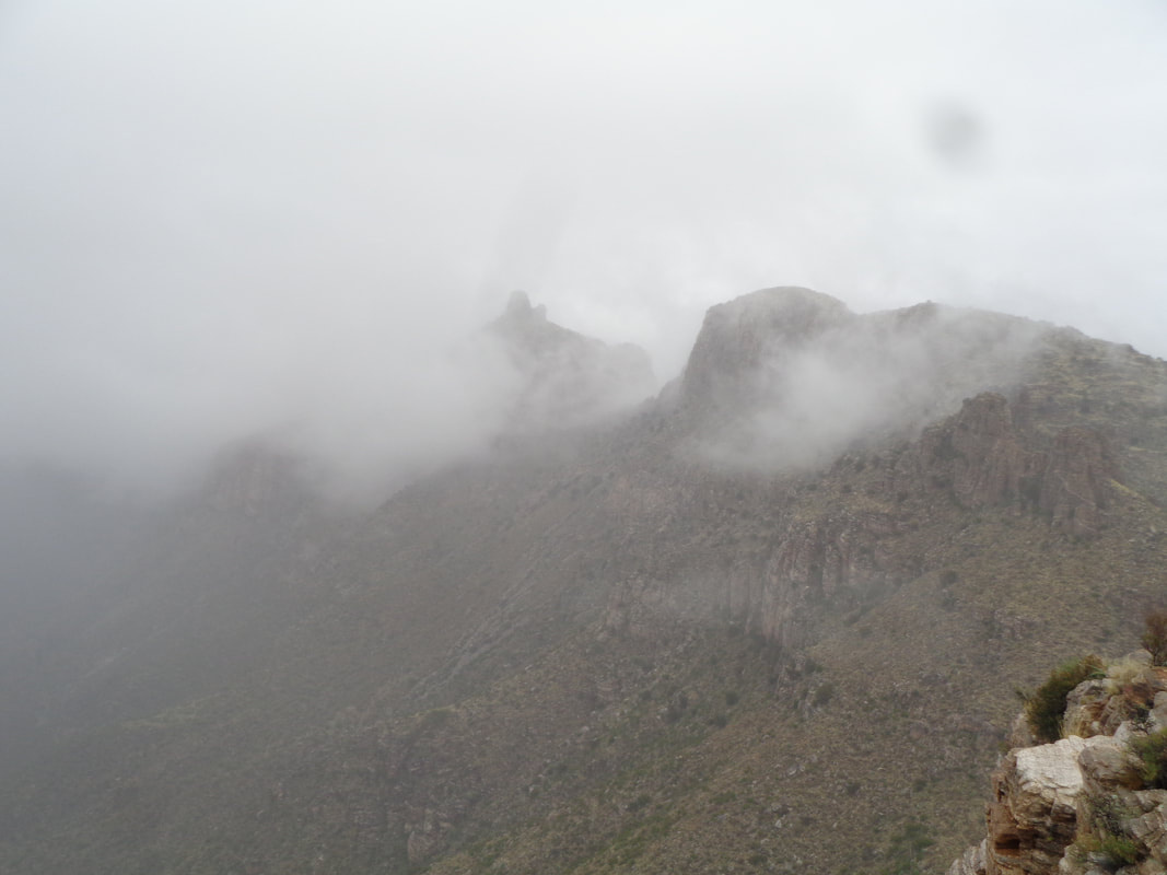 I reach the top and had an unusual view of Thimble Peak which is normally awash in sunshine. At times the Peak was completely obscured. I was soaked from the cocktail of mist and perspiration so did not linger very long. Later..... 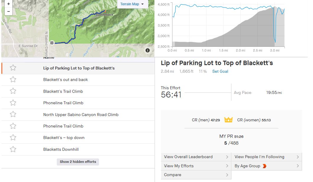 …..I discovered I had set a good time but 5 minutes off my best time. I've been hiking frequently and was pleased that the soreness around my legs and feet that I would usually experience after a hike of this type, was absent. Good, the weather is perfect, other than this rare rain event, for longer hikes and I intend to do plenty of those in the next couple of months before I ramp up cycling. 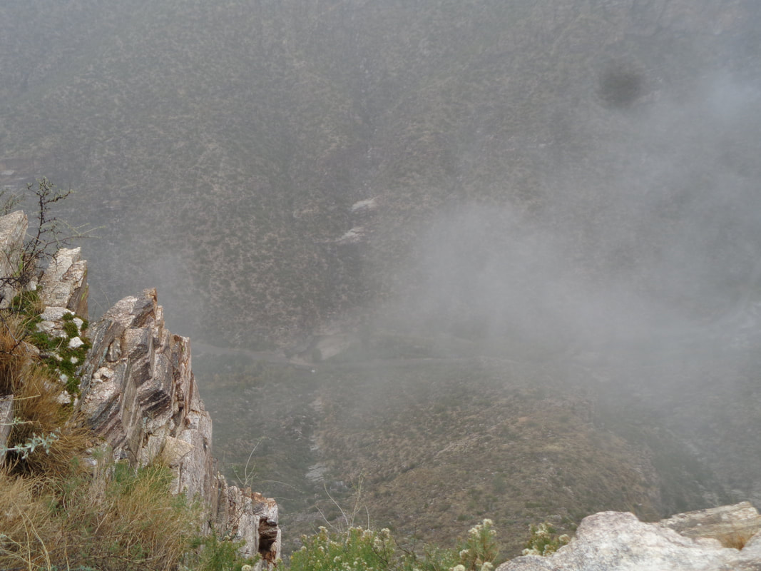 So odd to look down at Sabino Canyon Road and see clouds below me. The shuttle service was closed for today and entry into the park was free. 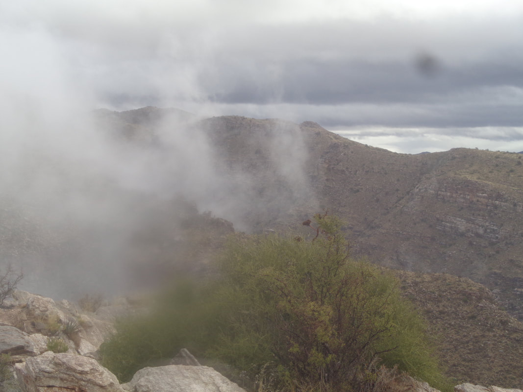 The clouds made for such a dramatic look in the surrounding mountains. 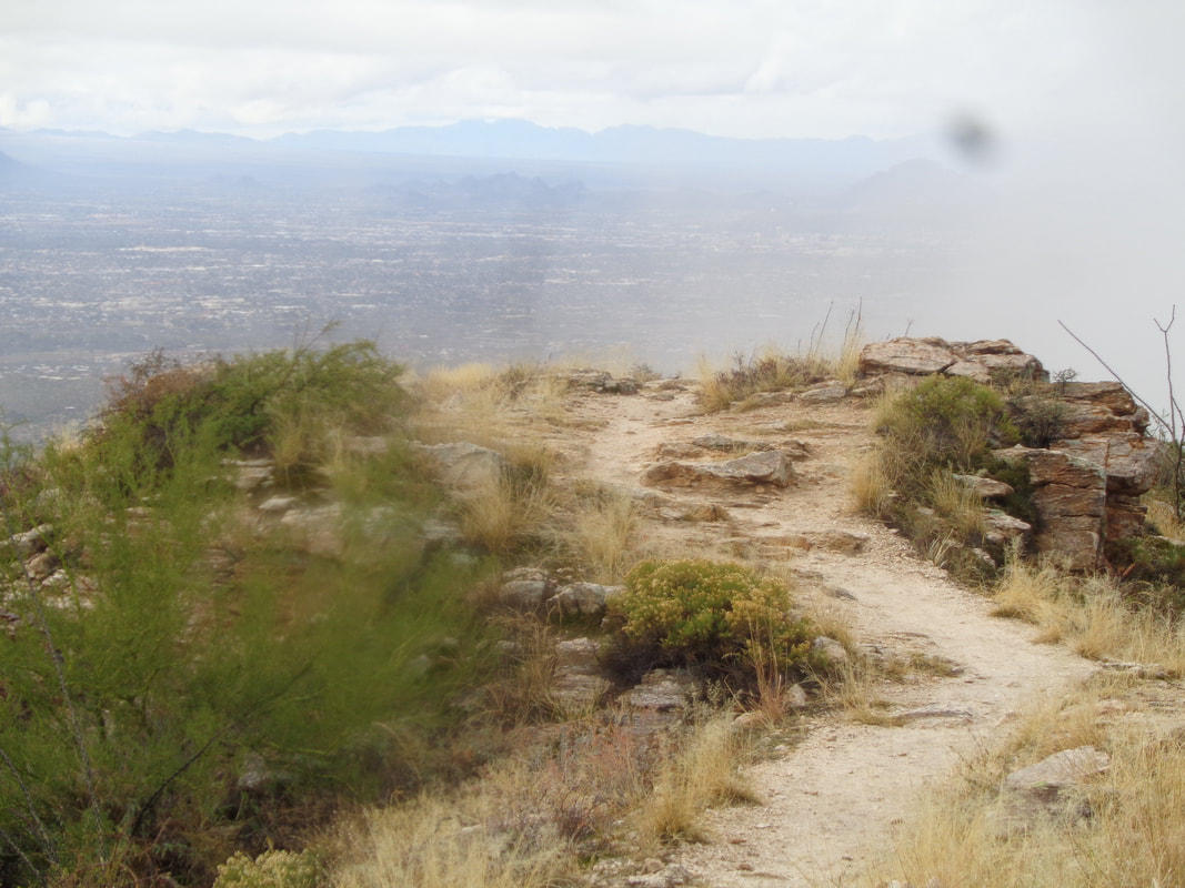 Turning to retrace my route, I could see the sky was clearing and the forecast rain would hold off until much later in the day. 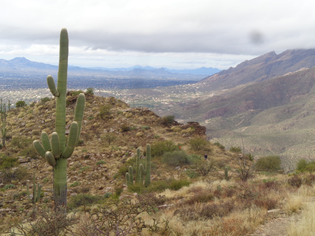 I had the ridge to myself but as I descend, a guy dressing in black can barely be seen coming up trail. The view to the northwest was fantastic. 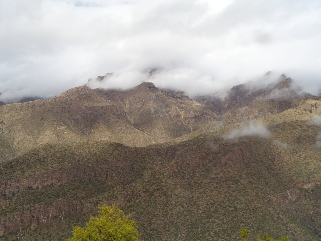 More great views as I finish today's 6 mile hike. As forecast, rain came in and then on Friday..... 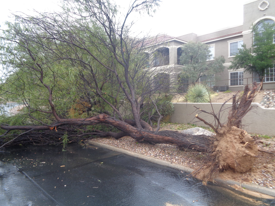 ….whoa. Several trees were downed by 50mph wind gusts. Well over 1" of rain was received in Oro Valley while much more to the south and east. More images of the storm's damage coming soon.
0 Comments
 I've been busy and have gotten behind in the reports. Got some great images coming in next couple of days but in the meantime, a friend and I took the new electric shuttle (very noisy) to stop #9, the final stop, in Sabino Canyon. We made the climb above the shuttle stop and looked back, awesome. 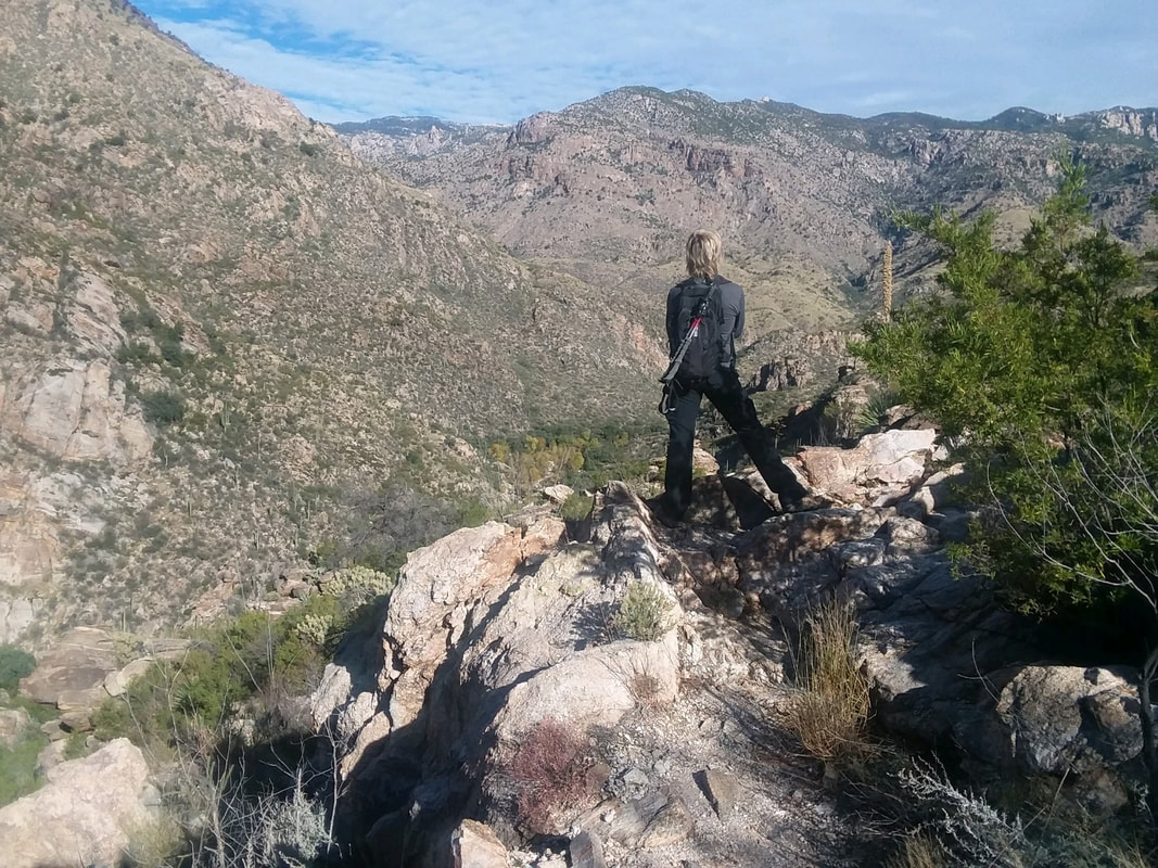 I paused to take off a layer of clothing while my friend, Amy, looks into the vast wilderness. She's a very strong hiker but still working for "the man" so limited to weekend hikes. 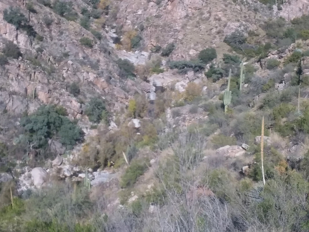 We are headed to Hutch's Pool, a relatively modest, 9 mile roundtrip hike. In the ravine below, we hear water roaring from runoff of recent rains and some snow melt. 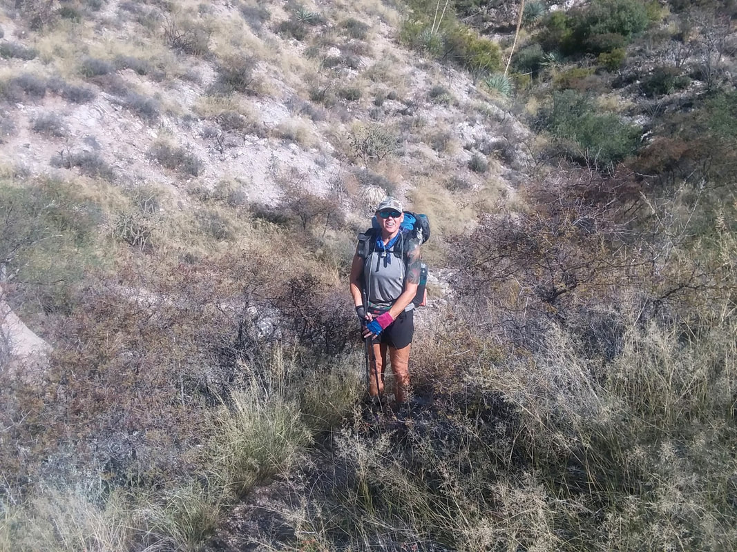 Coming the other way, a woman hiking the AZT, the trail that goes from Utah to Mexico. Last couple of days she was navigating over snow and ice covered trails but now enjoying the sun and warmth. 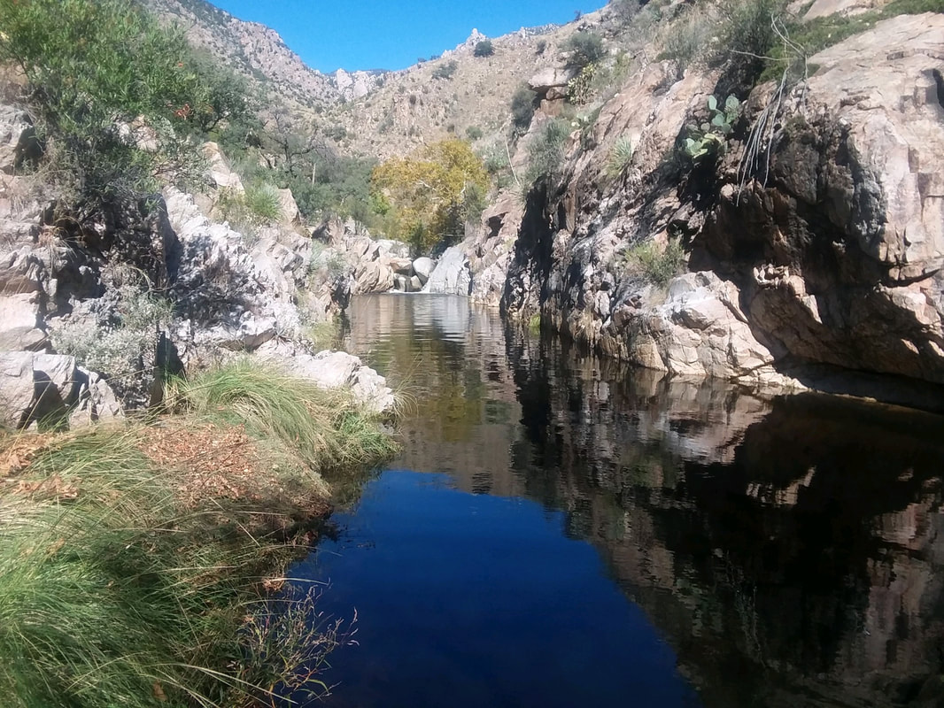 After 3 stream crossings, we reach the sandy beach and a look up stream at the Pool. A wonderful destination. During warmer months, people flock her and dive into the water. 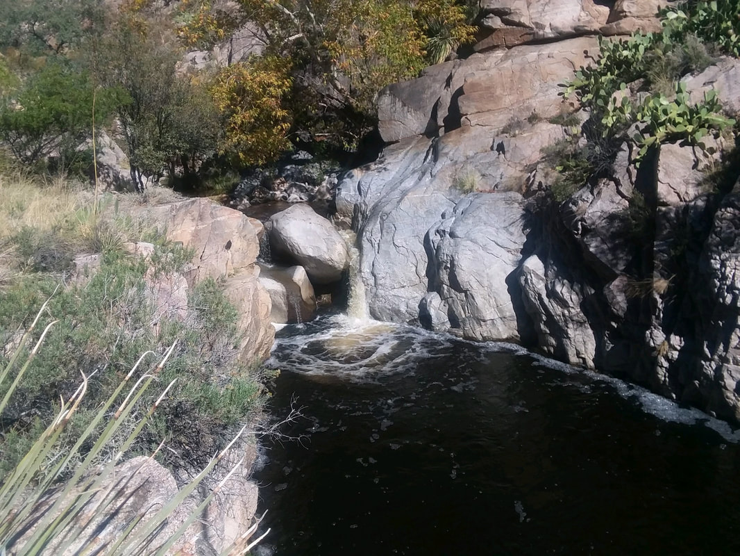 We follow a faint path farther upstream to the falls that feeds the pool. After a short break to refuel we..... 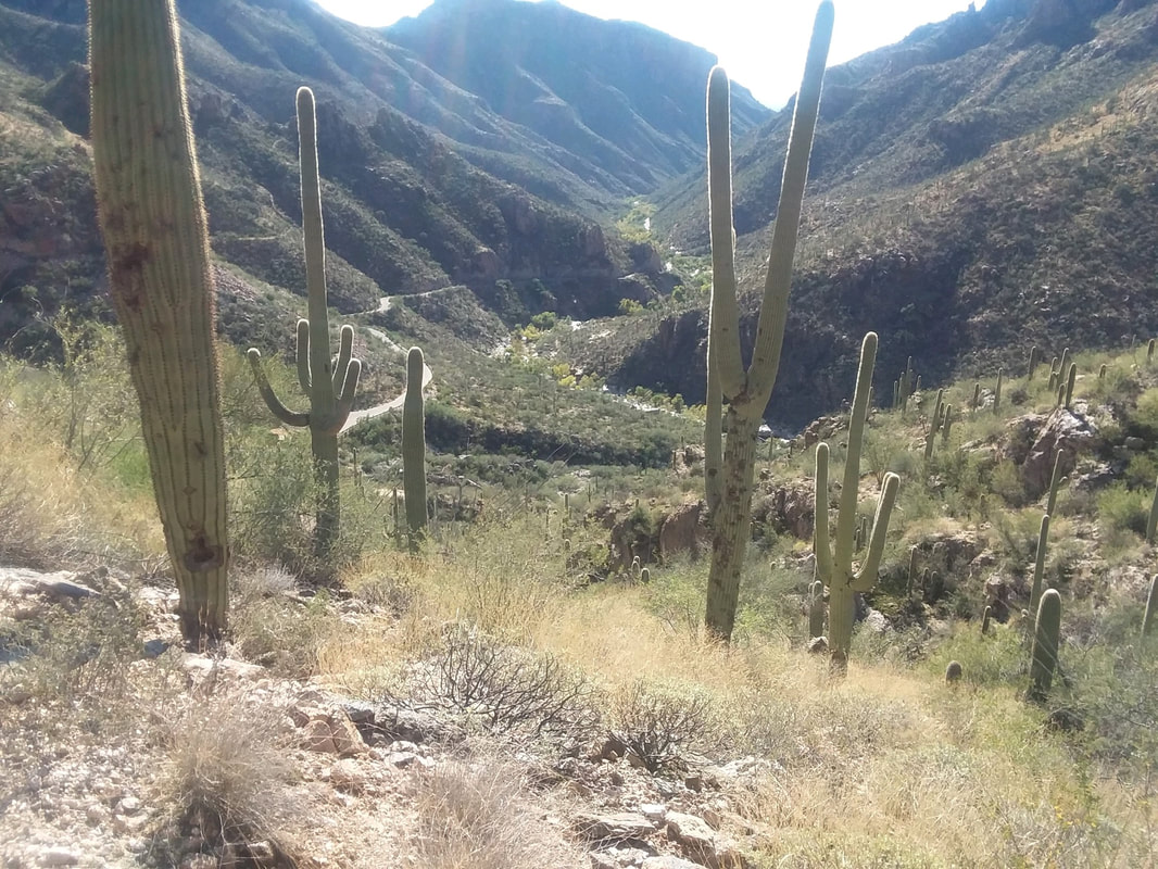 …..head back, finishing our 9 mile hike with a modest 900' of climbing. More to come my friends.
 I live on the other side of the mountains that you see, upper left, in Oro Valley. Yet, I find myself driving round the mountain to the east side all the time for a variety of reasons. Thinking about acquiring a place on the east side. Anyway, I arrive at the Aqua Caliente trail head and begin a kind of steep climb. 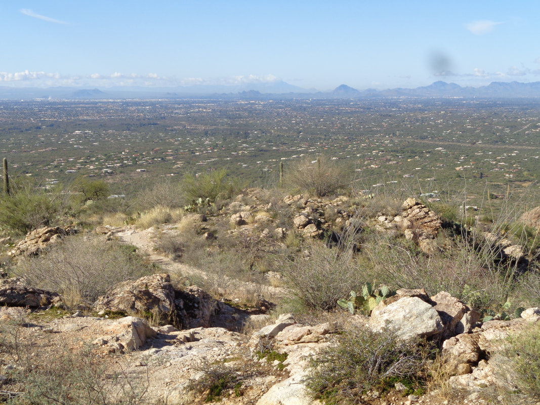 The first mile ascends with an average of 12% and so quickly the views arrive. The trail dips and climbs, dips again and soon..... 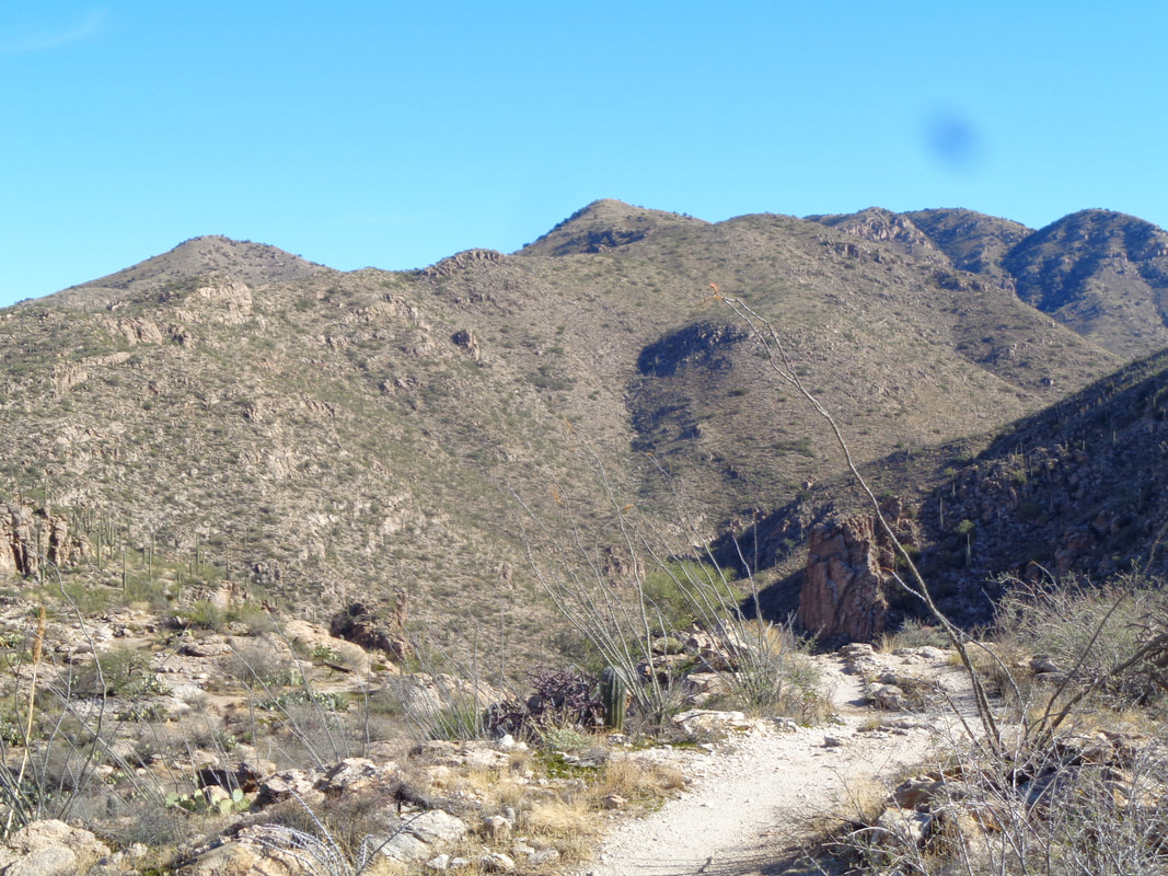 ….well, there's more dips and climbs to come with the peak in the distance, middle right. There is an interesting ravine to the right that appears worthy of exploring. 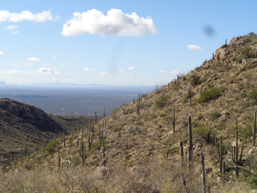 I chose this route because of the distance (9) and elevation gain (2700') but also because it being on the east side, I'd get a good look at..... 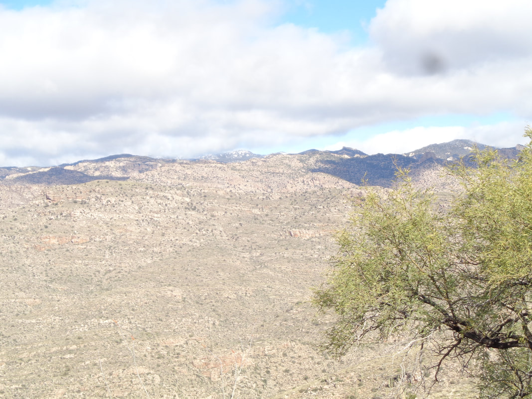 ….Mount Lemmon and its 12" of snow but the clouds had rolled in, collected at the peaks and as I rose higher, the view became more obscure. 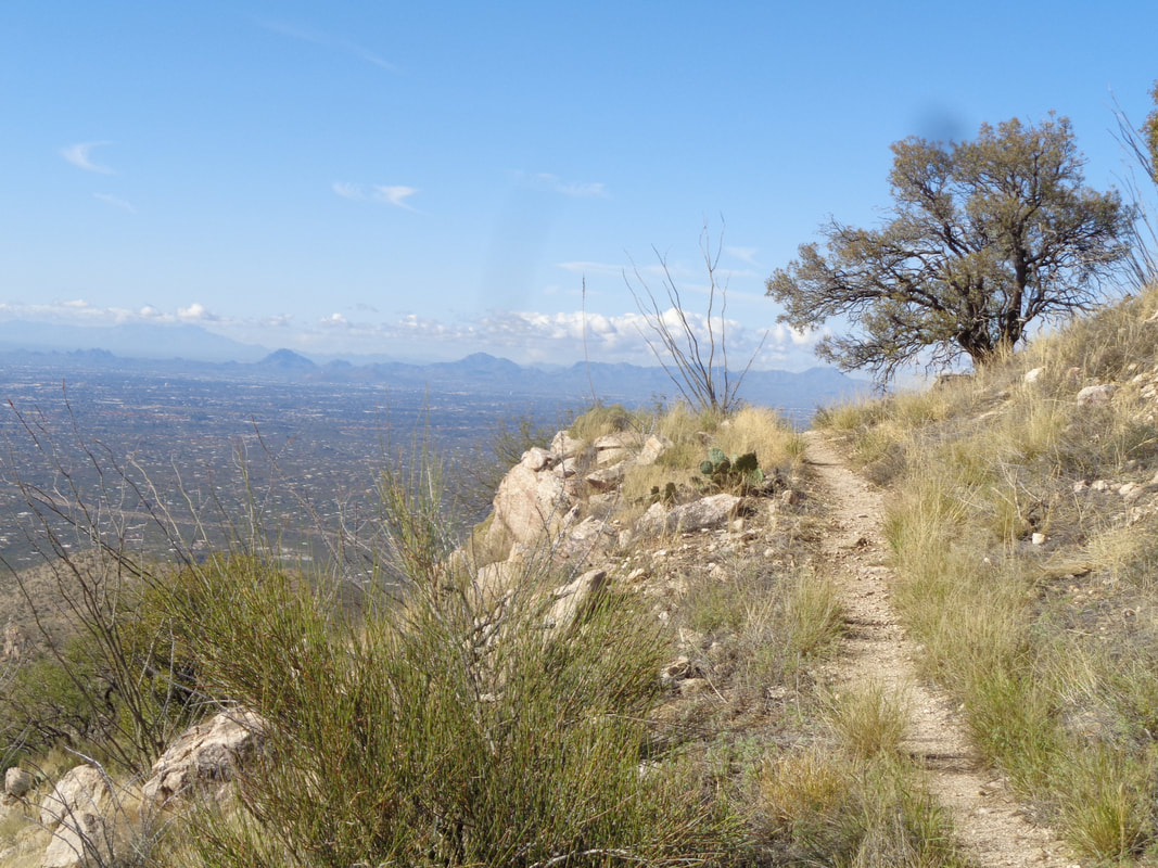 Having done this hike once before, I knew that a peak that loomed in the distance was actually a false summit and not the one I intended to climb. Just before I reach the false summit, the trail veers to the right and circumvents the peak..... 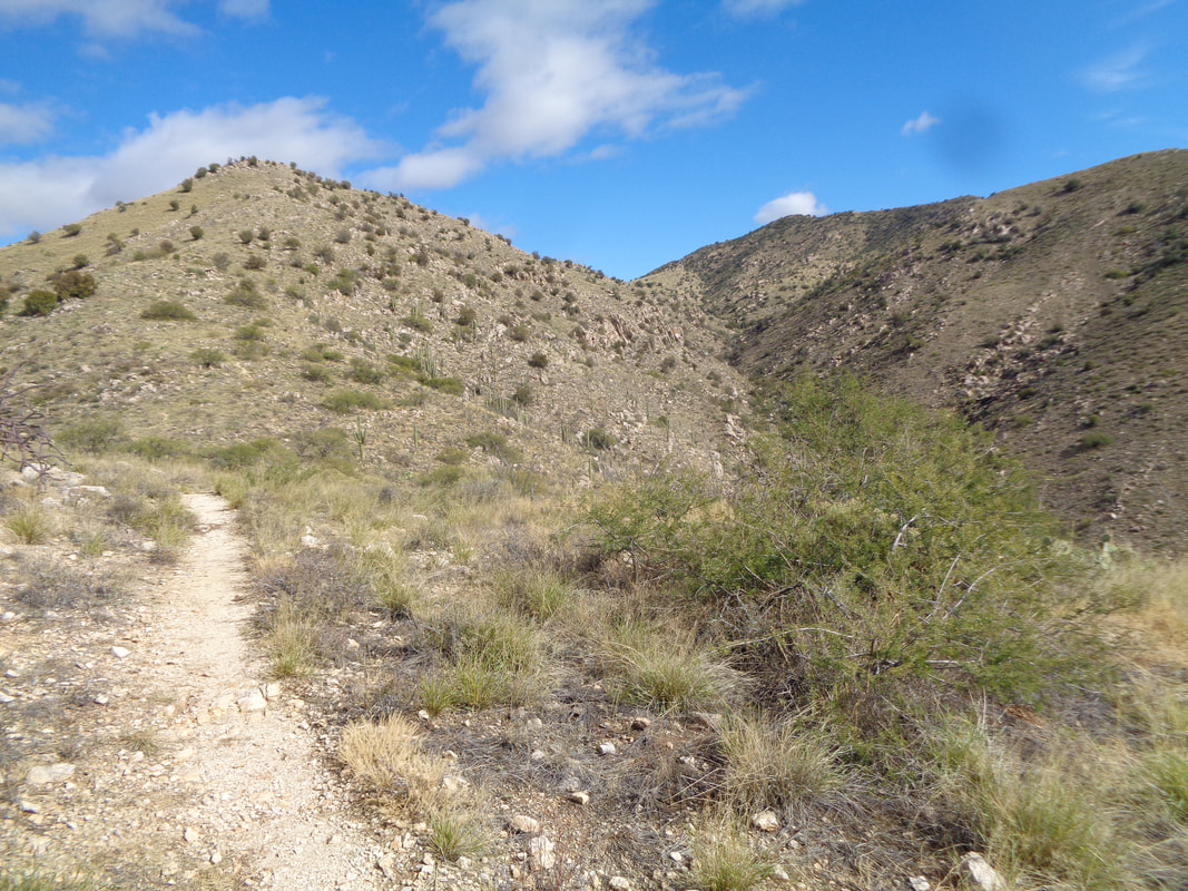 ….which finally comes into view. Doesn't look like much but it is steep. 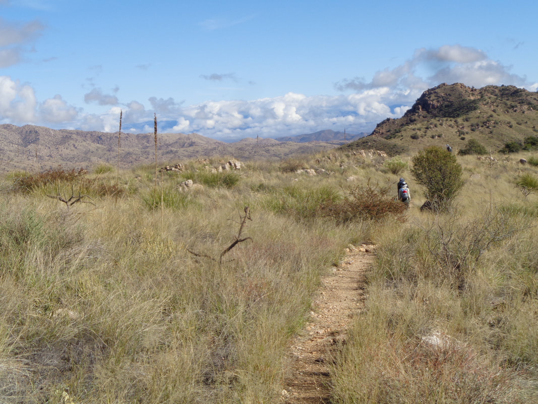 The false summit and real summit are separated by a ridge that gives awesome views to the northeast and the wilderness that seems endless. I over take a couple of hikers and then advance..... 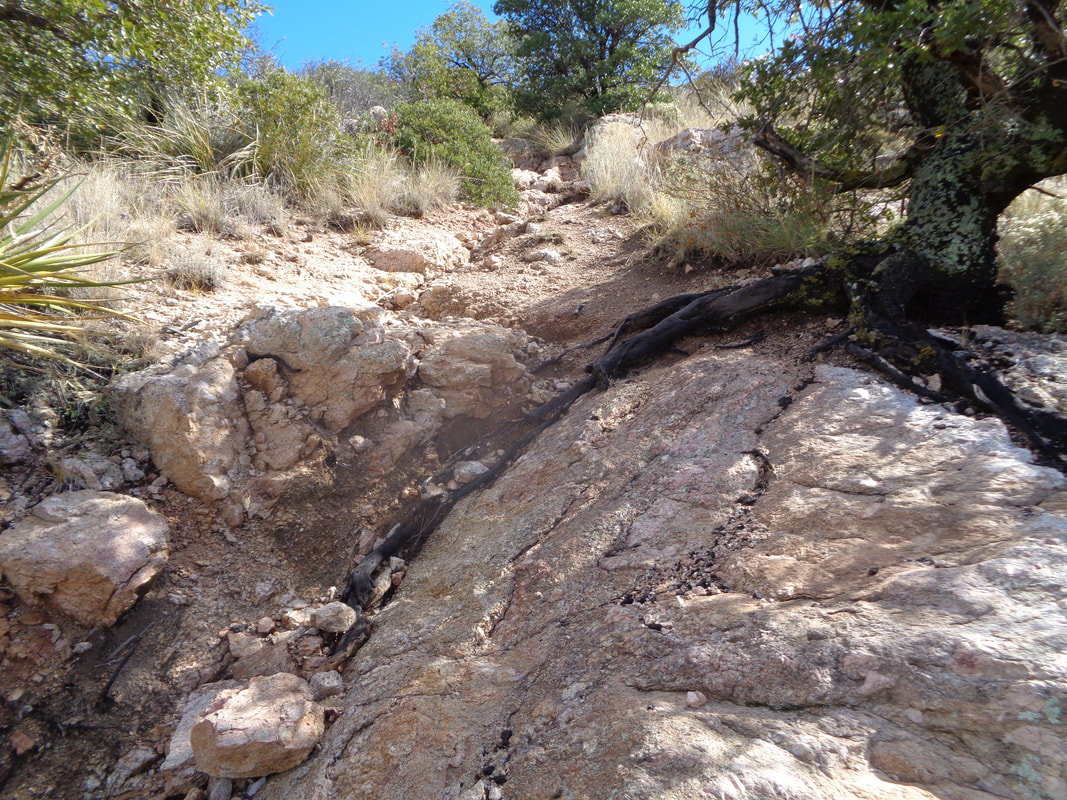 …..up the final slope. The last time I hiked the trail there was snow and ice on this portion of the trail so knowing there was a Strava segment available, I hit it hard despite being a bit fatigued,..... 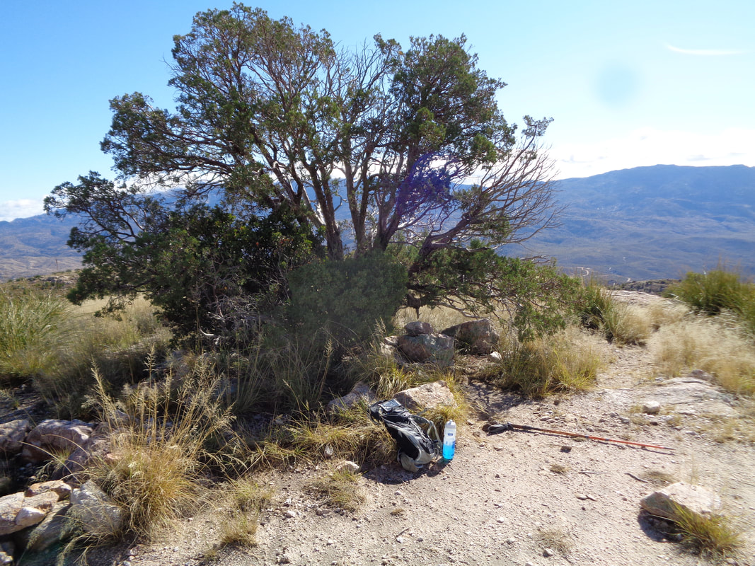 …..reached the top and took shelter from the wind in front of this tree. Later....  ….dang, beat my prior time but that Jesse guy's time, unreal. I'd suspect he trail ran and didn't adjust the Strava setting to "Run" rather than "Hike" but it's too steep to run so probably legit. As expected, he's a cyclist. Cyclists make really good hikers.  Aqua Caliente Hill, which is really a mountain, sits between the Catalinas and the Rincons. In the distance, I see snow on the Rincons with a nice line of clouds drifting through.  I'm joined by 5 other hikes and have a nice conversation but soon it is time to begin the long descent. A hiking pole is a good idea as there is a lot of gravel on the steep descent.  I see the trail winding its way past the false summit and also see Catalina Highway climbing Mount Lemmon. 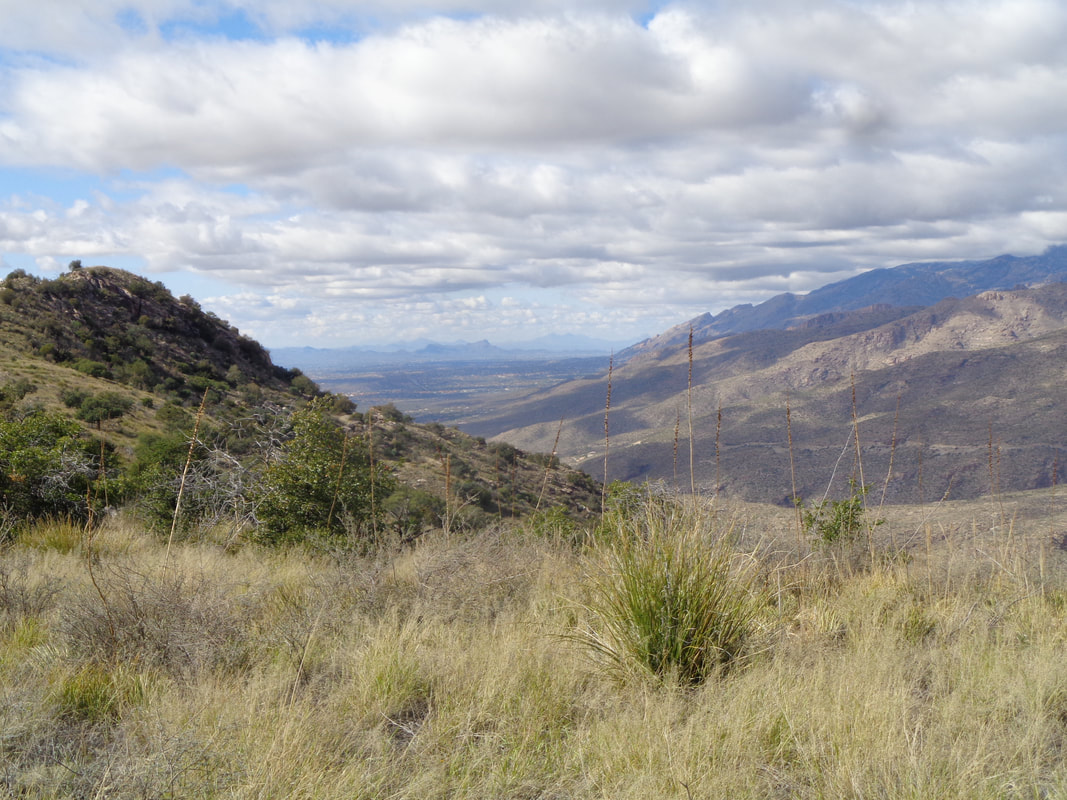 I was struck by this scene. Beautiful and dramatic. 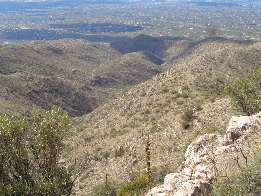 I tramp lower, round a corner and see there is still a long way to go but eventually I finish this wonderful Friday hike. The next day I enjoy the Buckeyes win over Penn State and recover for another hike on Sunday but what's this? Four days of rain next week and more mountain snow???
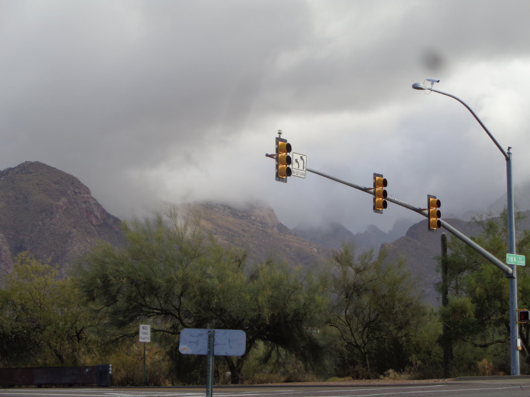 Rain moved in as forecast and while it was not a steady, non stop event typical of my days in the Midwest, there was enough of it for two days that everyone received at least an inch. At the 8000'+ elevation there was snow forecast. The clouds prevented me from checking but Catalina Highway was closed so..... 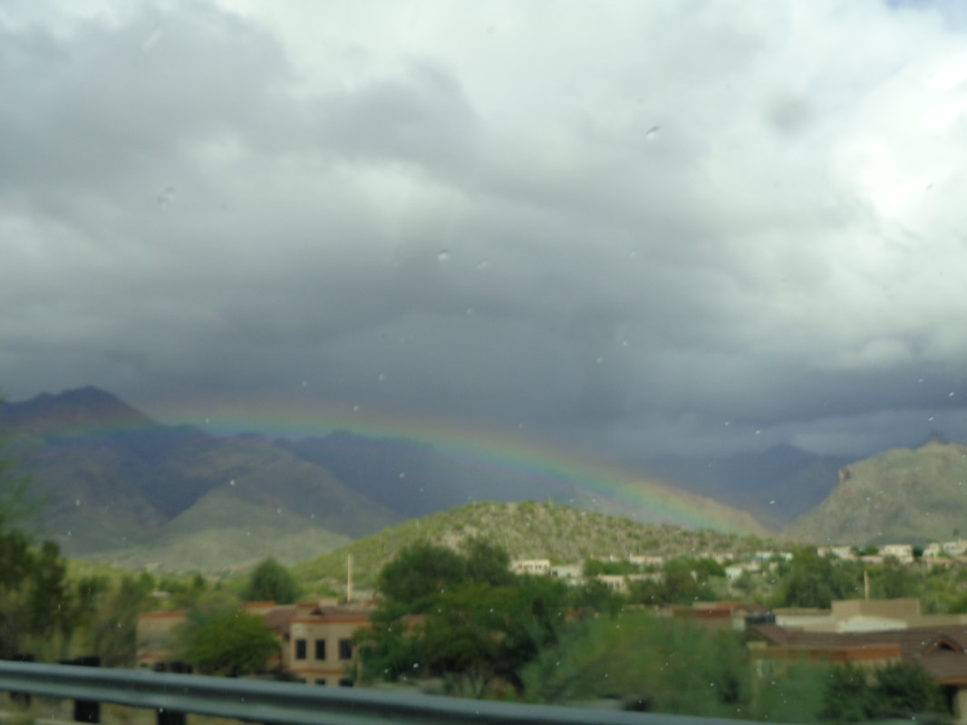 There were abundant rainbows as the clouds parted and the sun burst through then on Friday..... 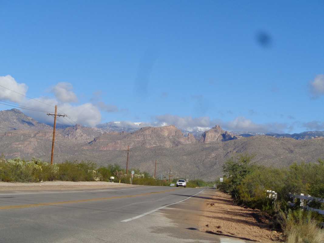 ….sure enough, there in the distance at the top of Mount Lemmon, a reported 12" of snow. Not enough to begin skiing but yet another front is forecast to move through next week and that might get it done. 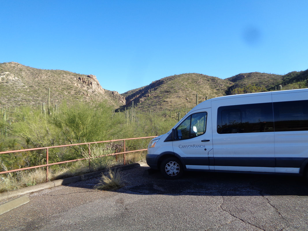 I arrive at the Aqua Caliente trail head to begin a nice climb to AC peak. Gorgeous day but with a high of only 63 degrees! There are many resorts in the area and most of them have hiking programs so it is common to see one of their vans. Too many great images to come from today's hike.
 With rain arriving late morning, I drove the mile to Catalina SP to check a route that I will likely post to one of the hiking groups. It's a simple route of 5 miles, some of it off trail. I begin walking the Sutherland Trail. 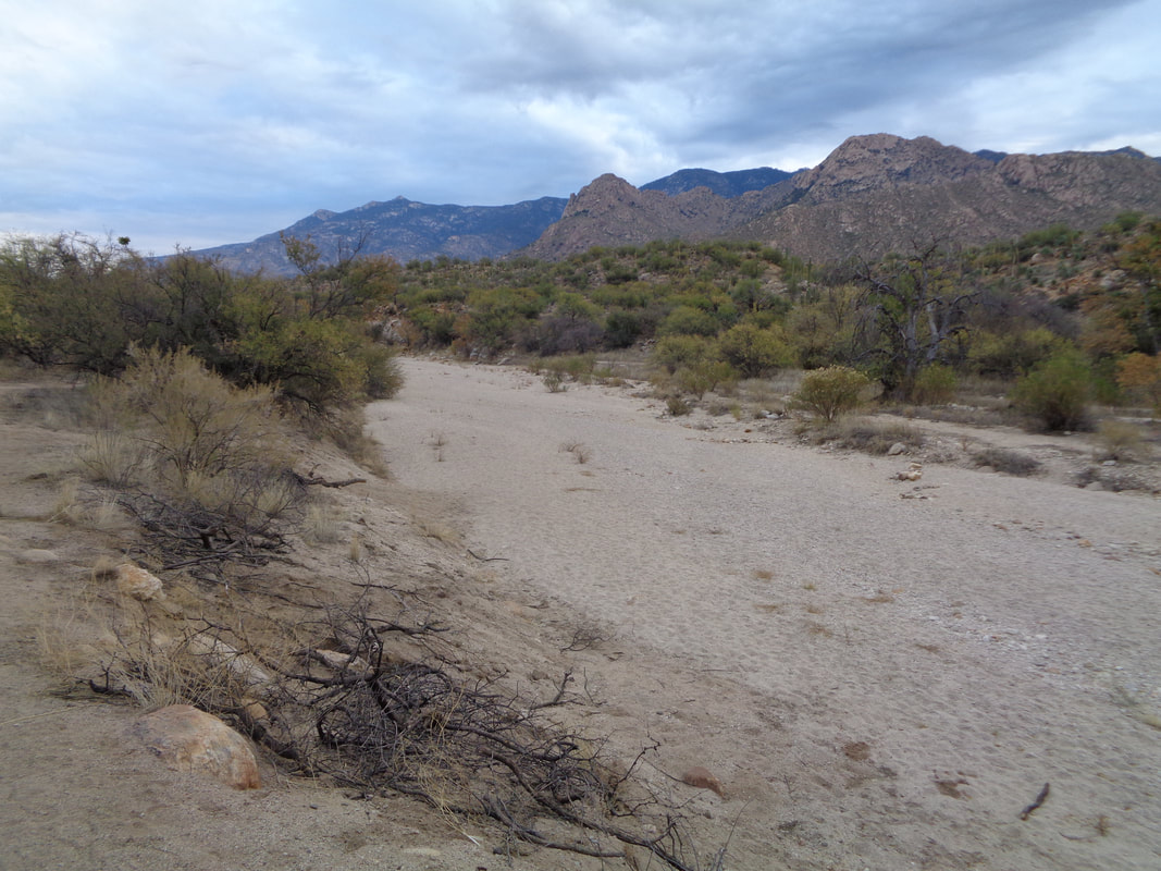 Been awhile since water flowed in this wash but maybe the next 2 days of rain will change that. 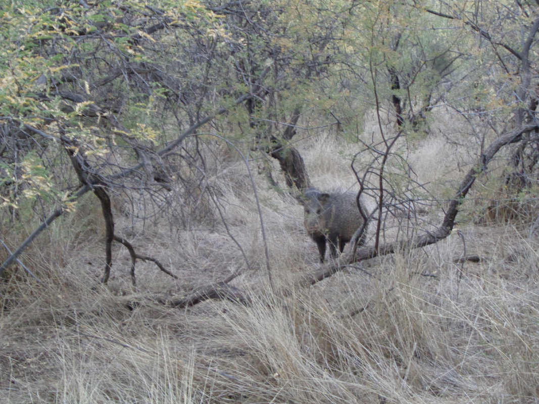 I hear rustling in the brush and see a small group of Javelinas. They have a good burst of speed and are aggressive if they sense a youngster is being threatened. I scan the area to make sure I'm not between it and a family member. 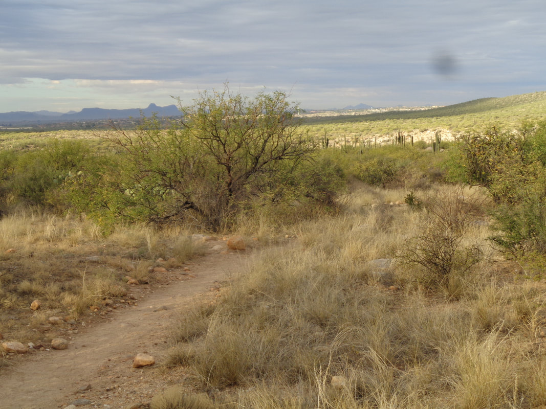 The walking is easy in this section of the park and looking to the southwest, I see the clouds are breaking and the sun emerges. Later though, we receive an 1"+ of rain during the following two days. Reaching a bench, I hang a right, cross a ravine and make another right and begin bushwhacking. 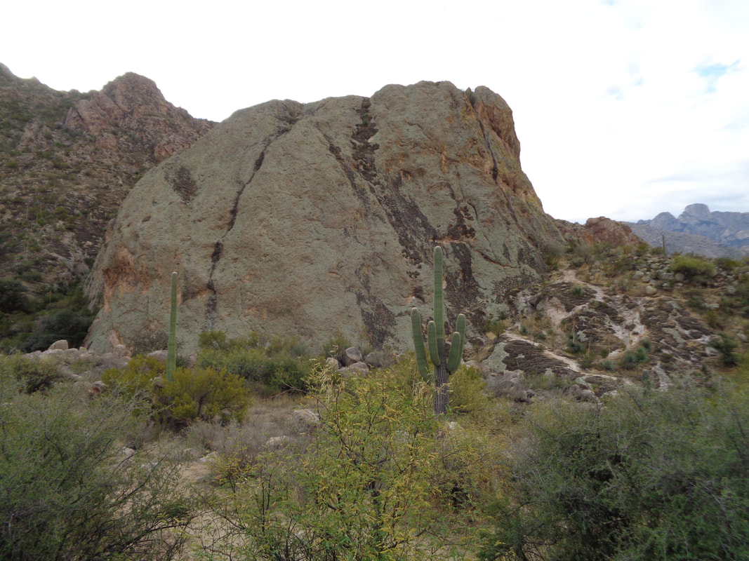 I reach the large green rock. I had an appointment to make so did not also visit the hidden falls and thus cut the distance down to 3.5 miles. 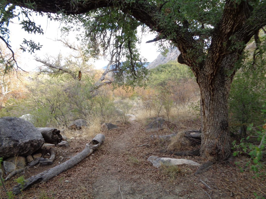 The leaves are turning as I pass through a broad wash. Beautiful and enjoyable, short hike as I prepared to hunker down for two days. Fortunately, there was plenty of opportunities to play table tennis with a gang around the mountain. Plus, it would be a good idea to give my left knee a break as the effects of falling a few days ago is still lingering.
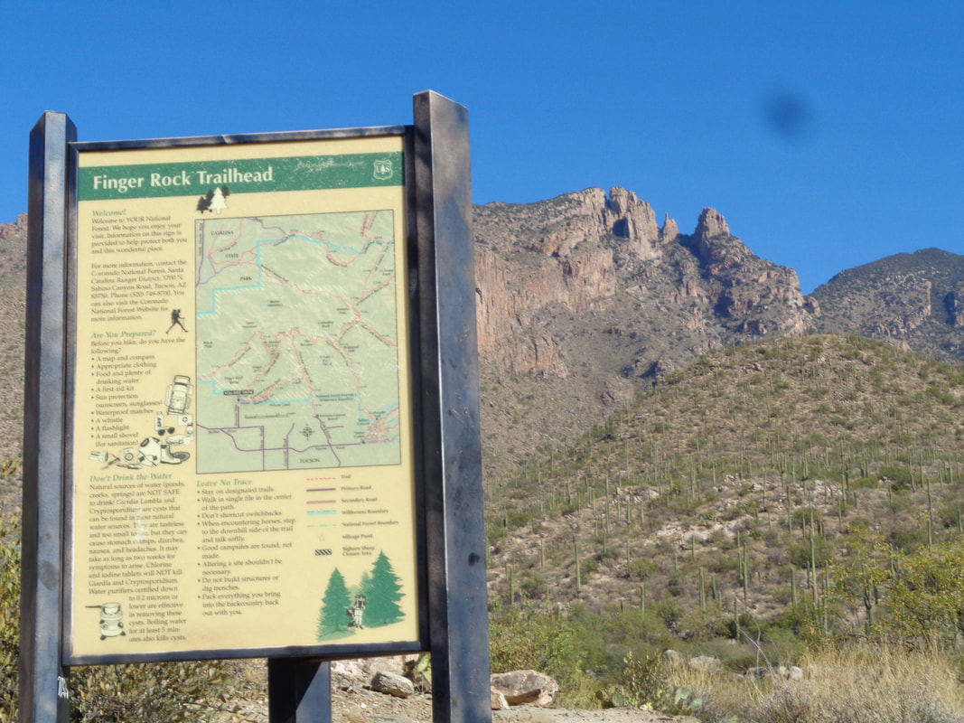 It's a short story. Not on the bike, not on a hike but while sitting on a couch, watching Ohio State basketball I was bitten by a rather large dog. Bad enough but while standing at a sink watching water flow over the mangled thumb and blood gushing, I passed out and fell to a tile floor...funny, right? I injured my left knee and had a problem walking for a couple of days but a few bike rides reoriented the knee and so here I am at the Finger Rock trailhead for my first post injury hike. The prominent rock in the distance is Finger Rock Guard and to its left is Finger Rock. The route takes one to the Guard rather than the Finger. Climbing the Finger requires rope and a lack of fear of exposure. 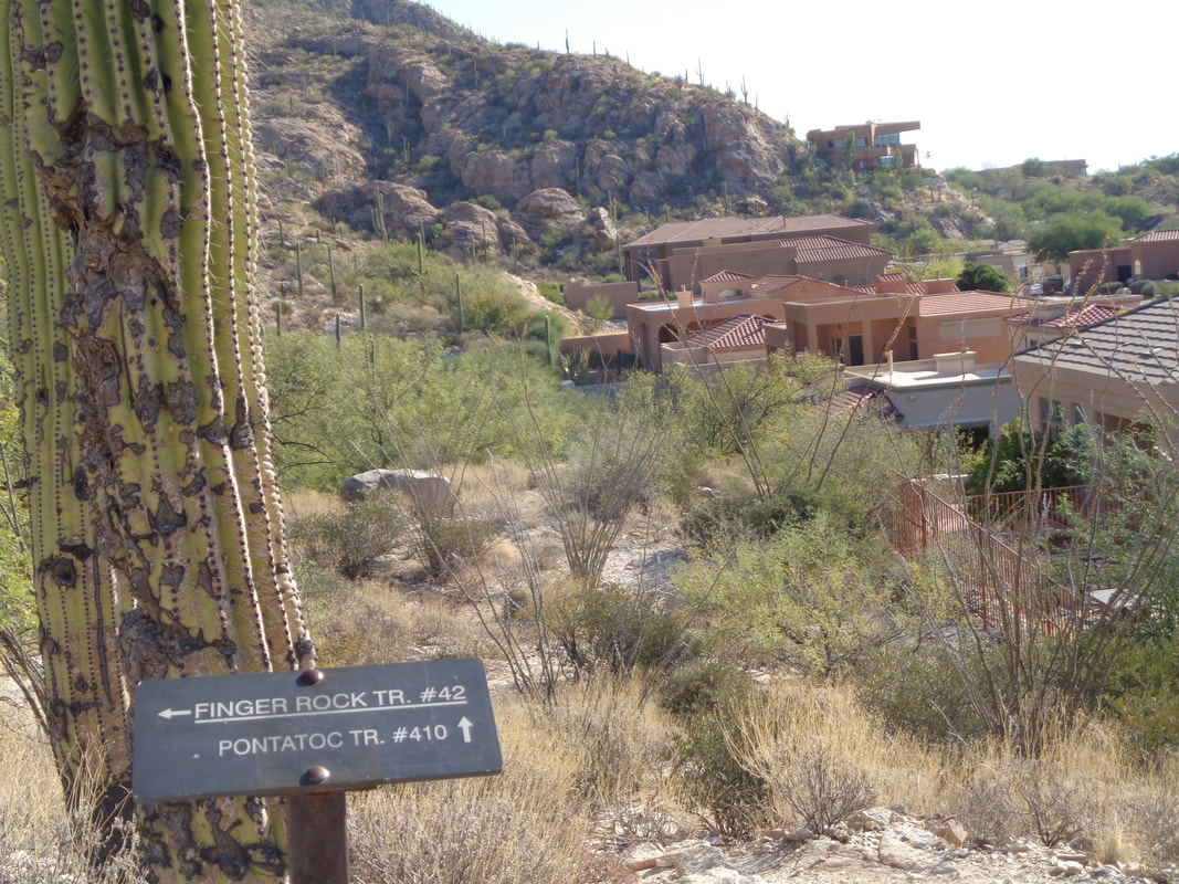 However, my goal for today is Pontatoc Ridge which is accessed via the Pontatoc Canyon Trail. Off I go on a probably too steep and too rocky hike, all things considered. 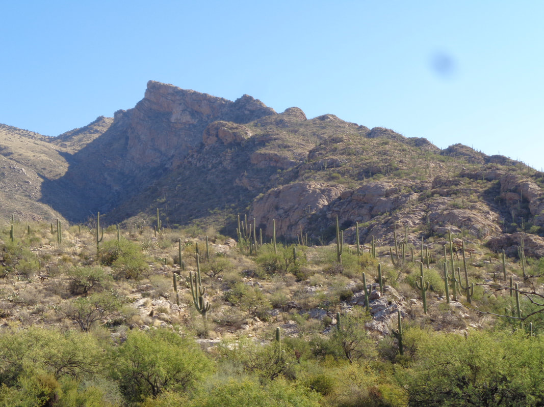 The Canyon trail meanders up the canyon cast by the shadow. It's kind of boring while the Ridge trail breaks to the right at some point and is signed so you can't miss it. 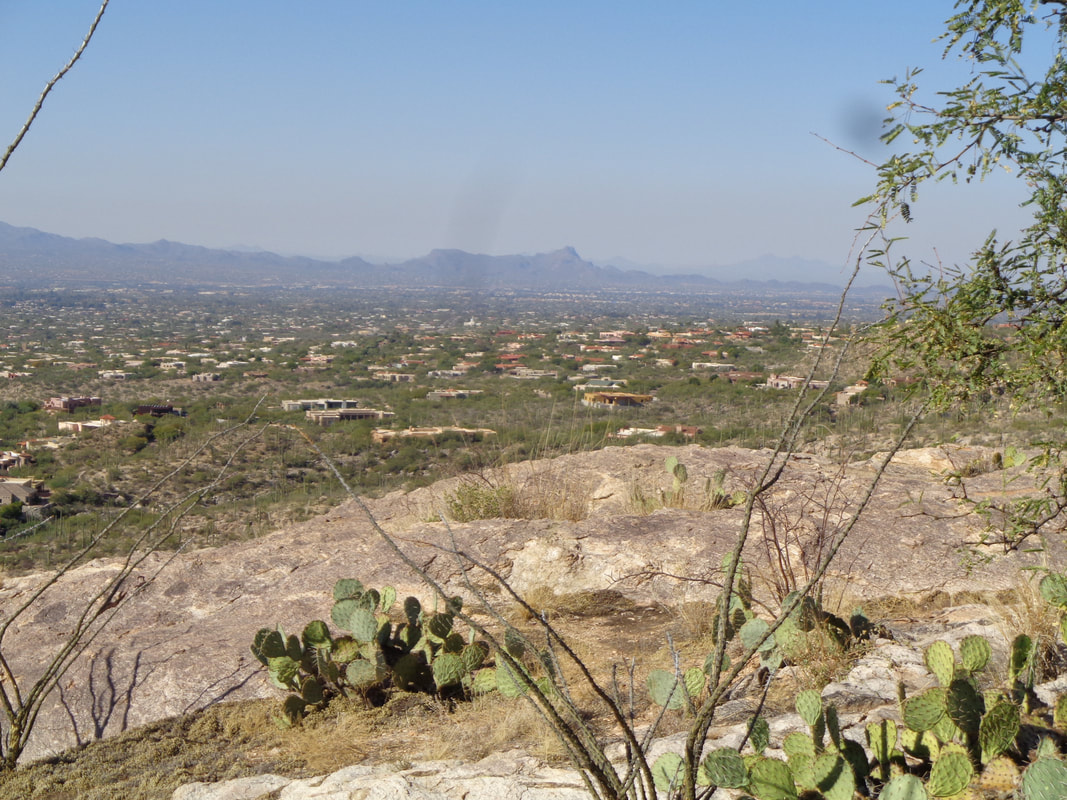 I have reached the trail junction, made the right turn and follow the trail as it goes counterclockwise from the north side of the ridge around to the south side. Plenty of spots to walk to a rim on slick rock and look at the magnificent views. 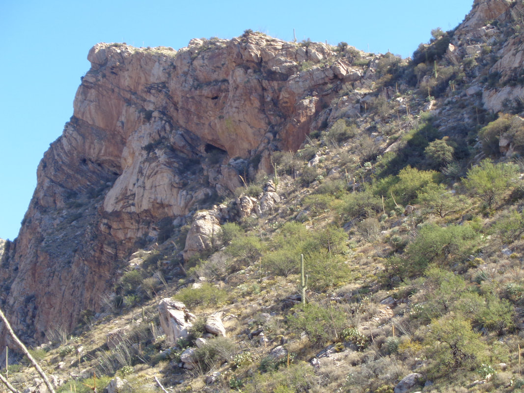 The trail climbs and eventually cuts back to the south side and in the distance, you can see an old mine which is actually where the trail leads. I have no idea why long ago, someone thought that was a good place to dig into the mountain. Yes, the trail does not take you to the ridge but to the mine opening. I have been there once and not all that interesting a location. 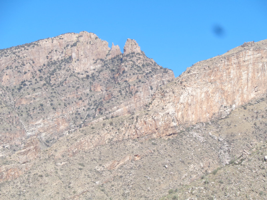 I will gain 2300' on my way up so the Guard, Finger and to its left, Prominent Point (not yet made it to the Point) come much closer. 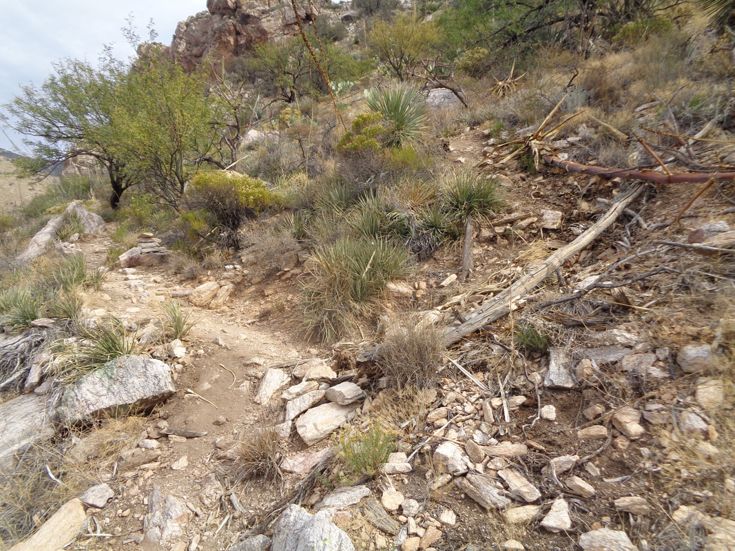 Within, gosh I don't know, maybe 300 yards of the mine opening, there is an unsigned but fairly obvious trail going up hill to the right. Take this to make the top of Pontatoc Ridge. Fabulous destination but be aware, the trail is very steep having an average grade of 35% for the .45 distance and lots of loose rock. Take a hiking pole. 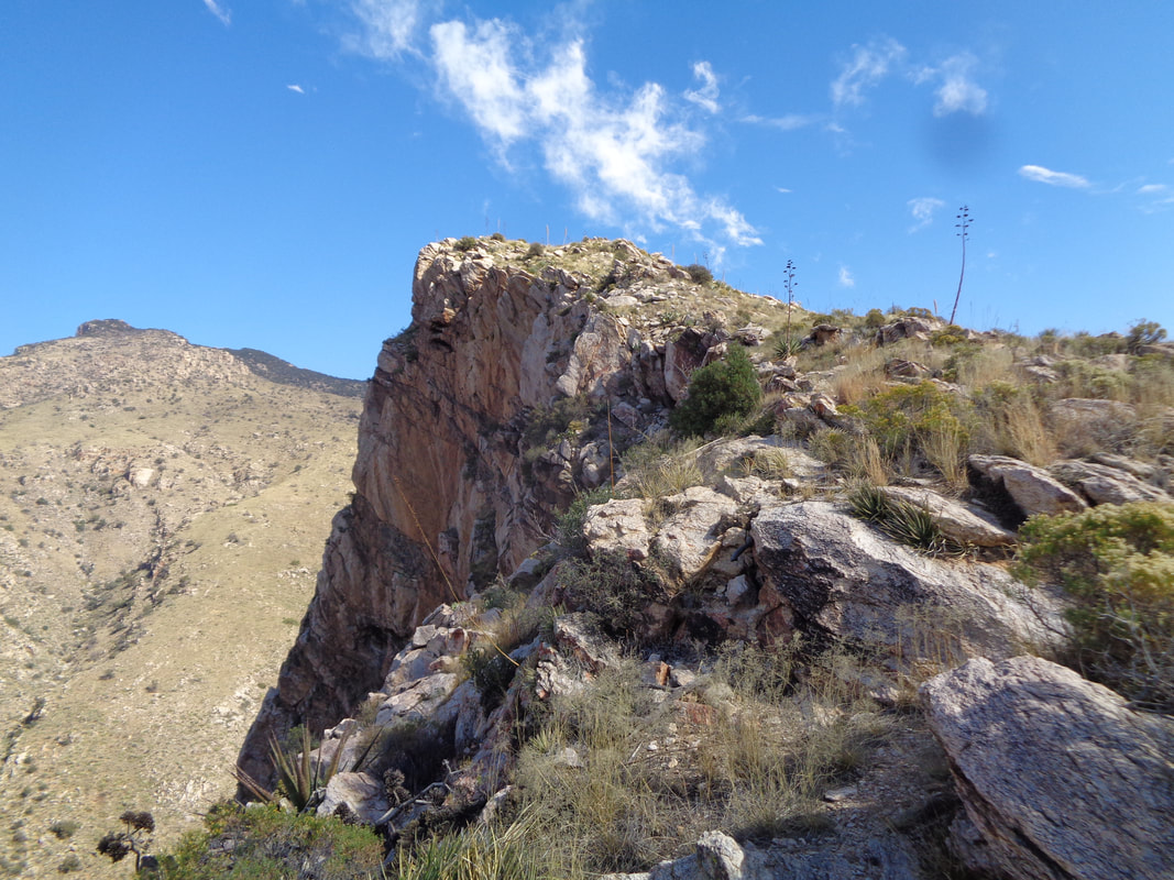 Gaining on the ridge top. Beautiful, isn't it? Another note, several places have no obvious trail so watch for the cairns, which are not plentiful but enough. There is some route finding required in the maze of boulders that you will encounter. 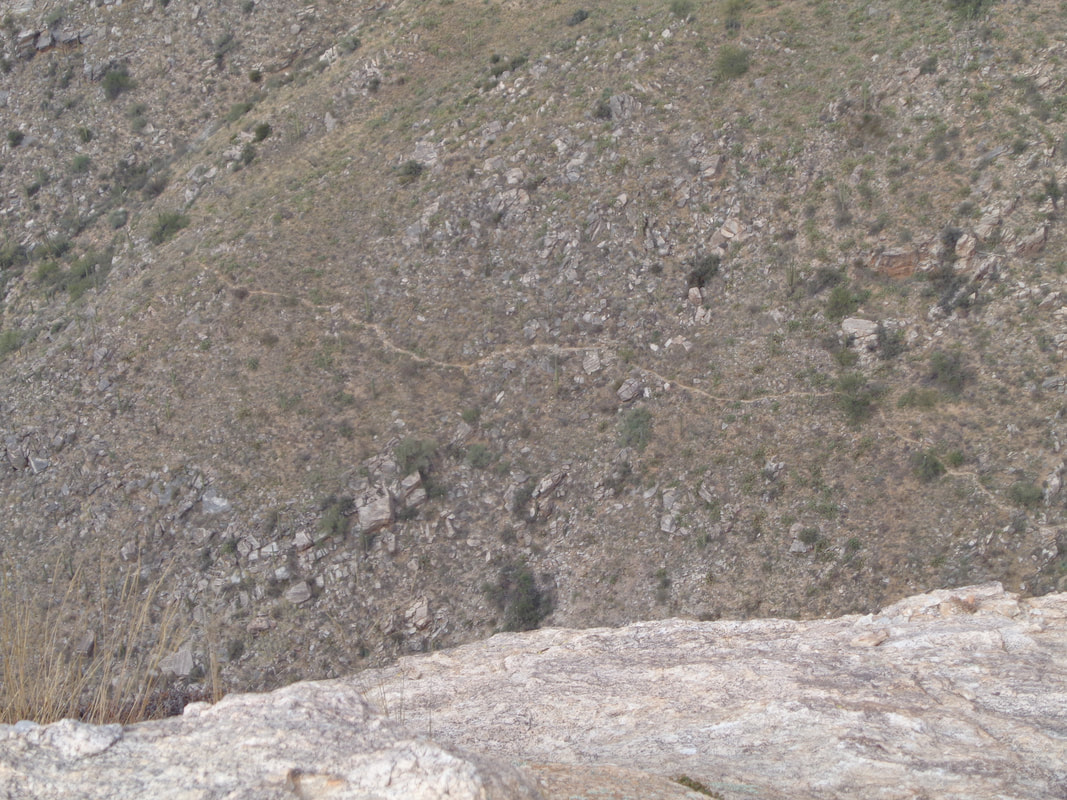 Far below I can see the Canyon trail. As I said, it goes maybe 3+ miles and dead ends with no visual reward for the effort. Yes, you can bushwhack from there across to I think Ventana Canyon or over to the Finger Rock trail but it appears there is a healthy crop of shin daggers on the slopes above. 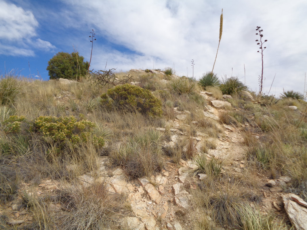 Hey! Almost there and when I arrive..... 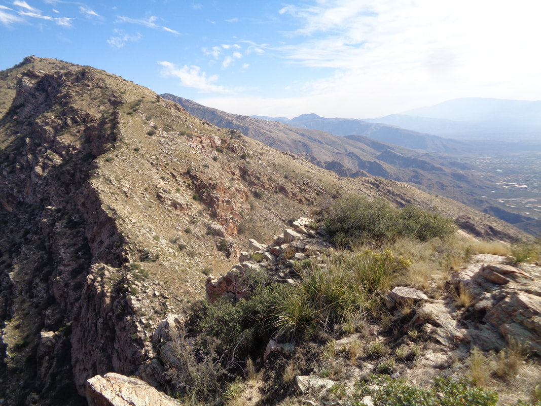 …..grand views of the Catalinas and of course, the end of the ridge. 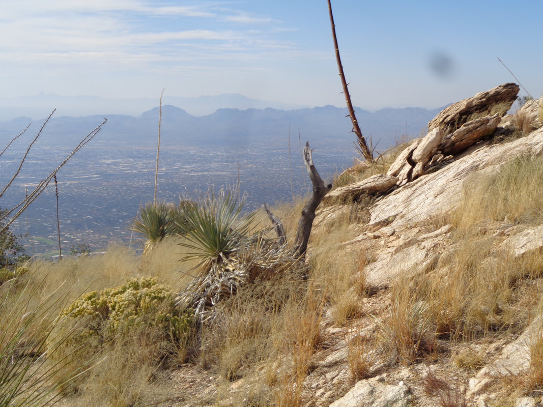 The sun is coming in and out of some clouds so the colors change as I look to the..... 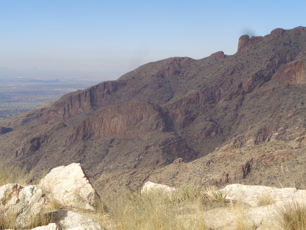 ….northwest and see Rosemont Saddle and to its right, Rosemont Peak. Beyond that is Pima Canyon. My knee has performed like a champ so I am relieved. Of course descending places different stresses but I was good with that challenge too. Anyway, I begin the descent. 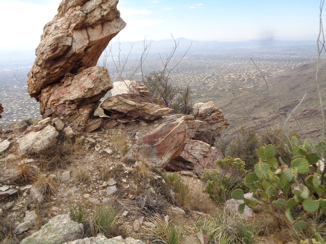 A lot of neat rock formations are navigated and as I previously said, pay attention to the cairns. There's actually a prominent cairn in the above image, just to the right of the vertical rock. I also got off the route once, as others have done when I followed a left breaking path that began meandering down the left side of the ridge. Instead,..... 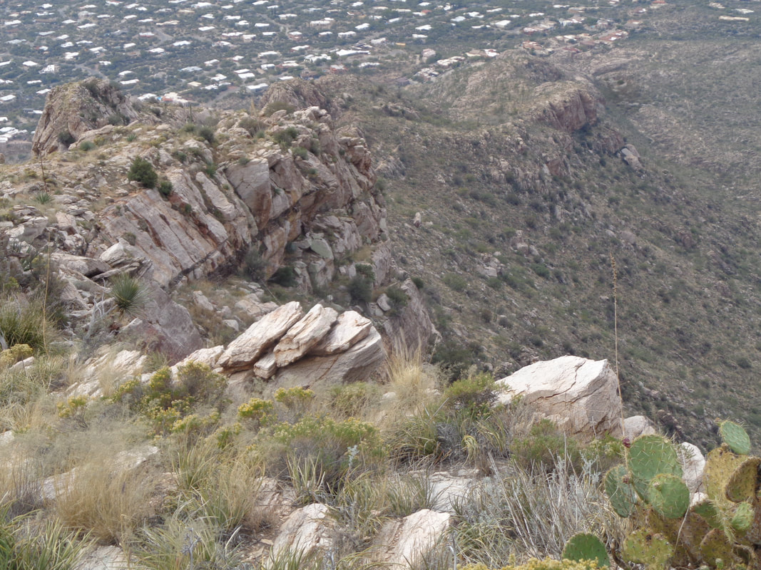 ….the route stays high on the ridge. My route takes me through..... 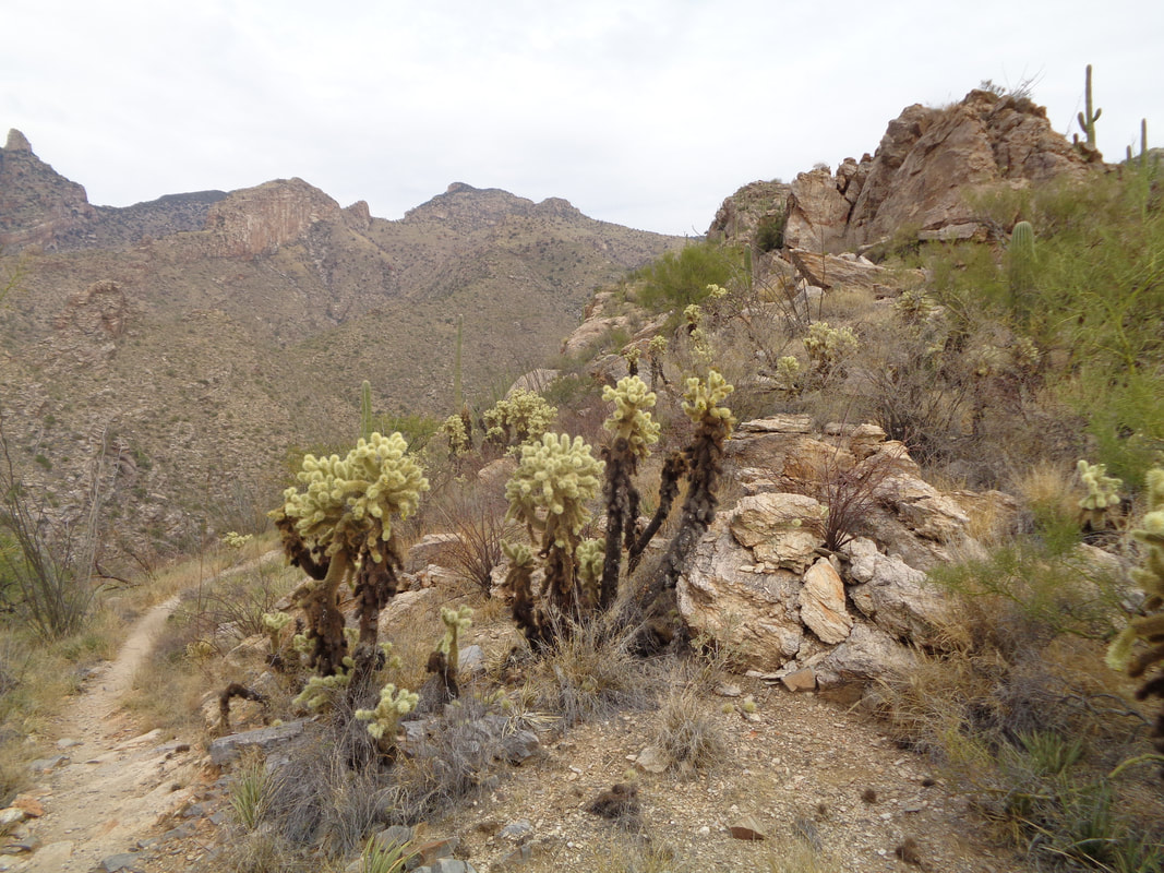 ….a healthy grove of Jumping Cholla. Ended the day with 5+ miles and a fairly healthy knee again. Today was mostly sunny with a high in the low 80's but big change coming our way with 3 days of rain!
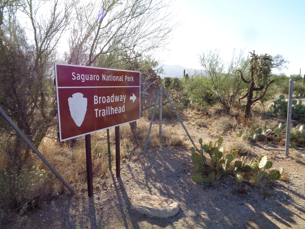 A never before visited trail head on Broadway, east side of Tucson. I had recently read about "Pink Hill" and a dam that seemed worth a visit and I am always up for seeing a new part of the area. This hike starts in the Cactus Forest Complex of Saguaro East National Park. Be warned, this area is a maze of trails with confusing signage. 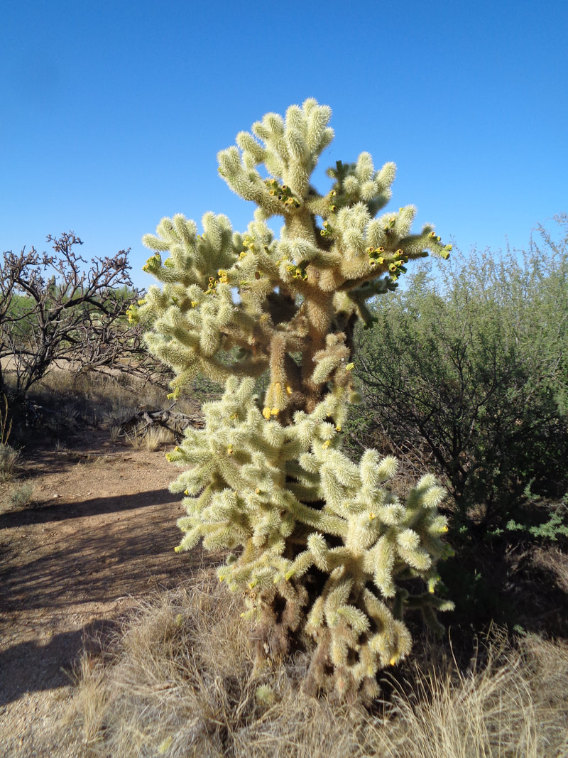 Now there's a fine example of a Jumping Cholla cactus. 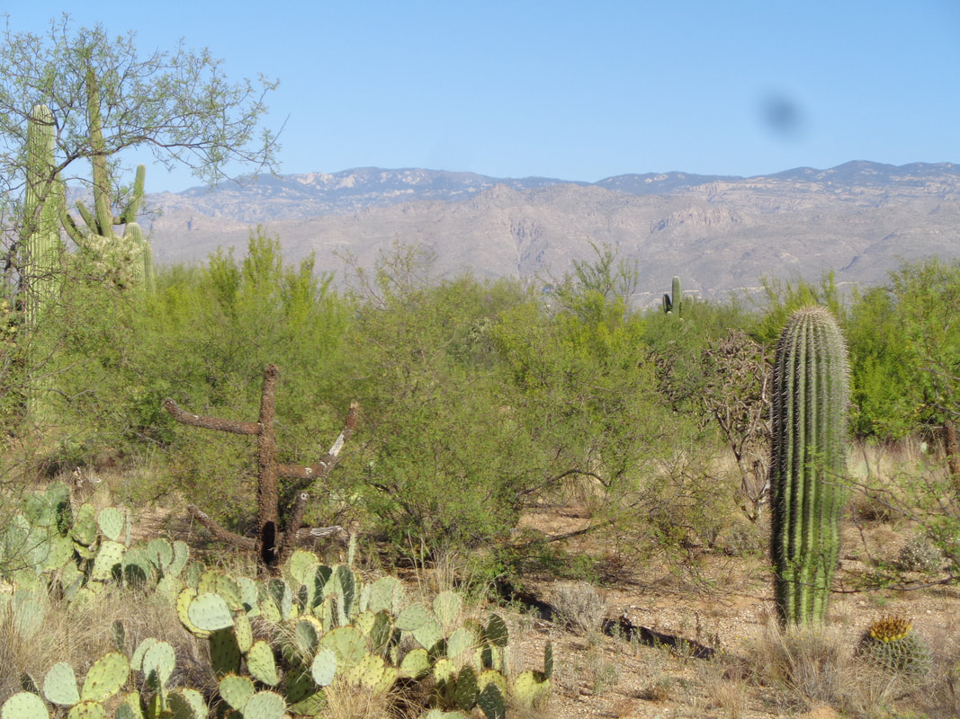 The flat with slight rolling terrain is at the base of the western side of the Rincons. Wait...those are the Catalinas..... 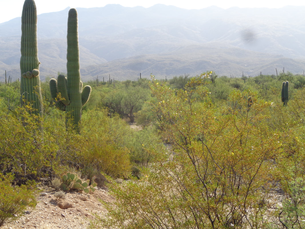 ….ok, here are the Rincons as I look east with a rising sun slightly above. 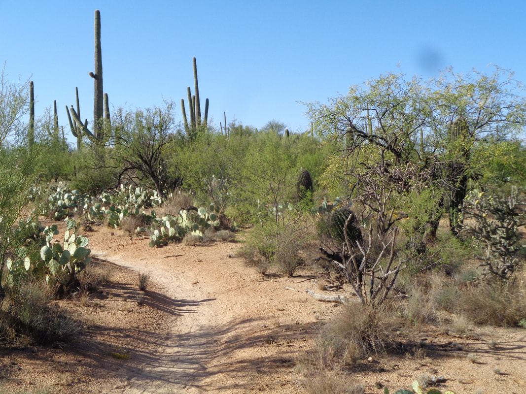 The trail is one of the few around here that is very runnable so I do so off and on to quicken the pace. I arrive at Pink Hill and am perplexed that it was ever designated as a hill. I'd like to show you amazing far off vistas but the view didn't differ much from standing anywhere else in the area. 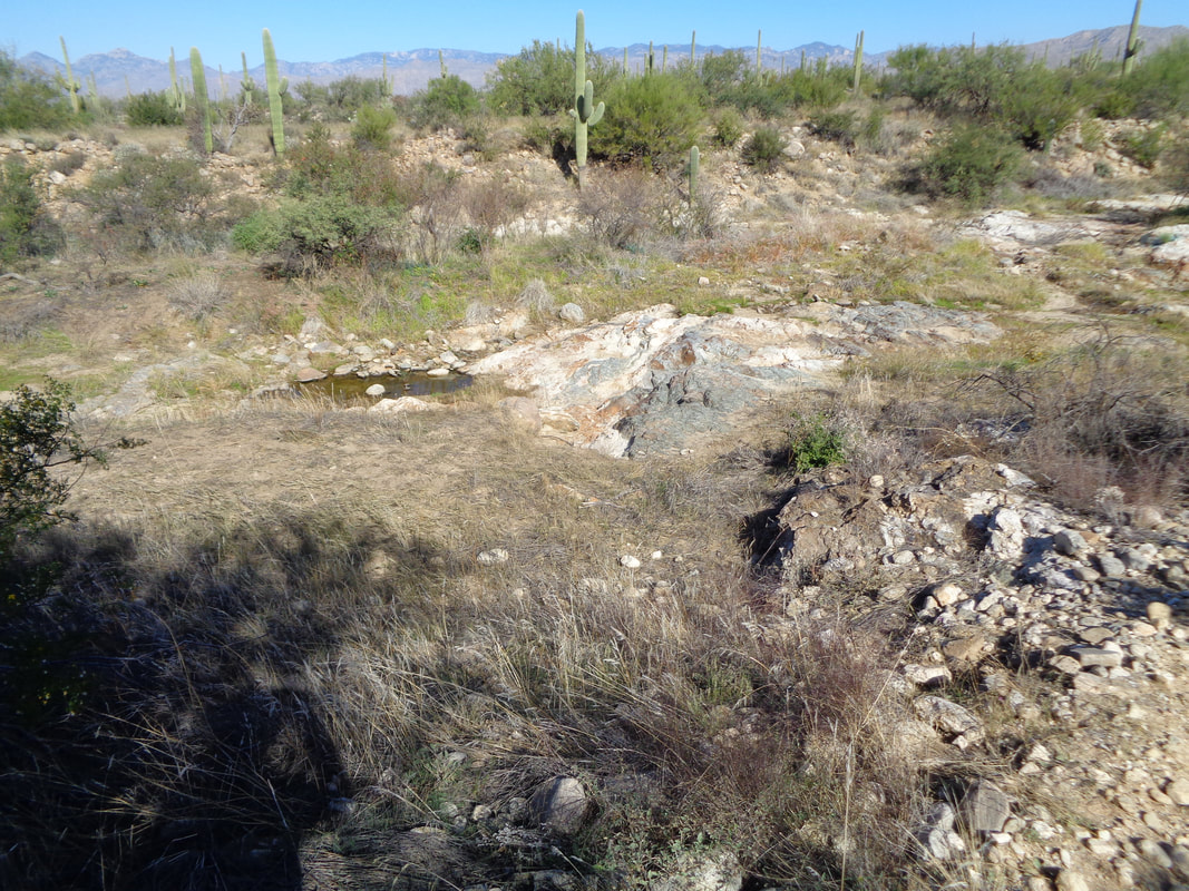 I find my way, while passing through numerous trail junctions to this little wash with some standing water. 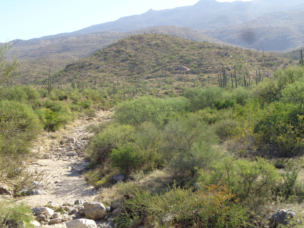 I cross the wash and in the distance I can see what appears to be a trail rising from left to right toward what is likely Garwood Dam. Garwood was a rancher who constructed a dam in the 1920's and so eventually, I round a curve in the trail and.... 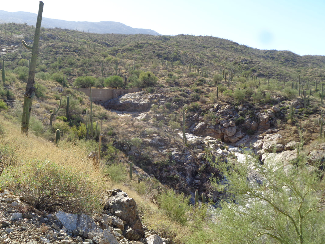 ….sure enough, there it is! It is located in Wild Horse Canyon. Upon arriving at the dam, I encounter 3 park rangers who are out spraying the invasive Buffelgrass. 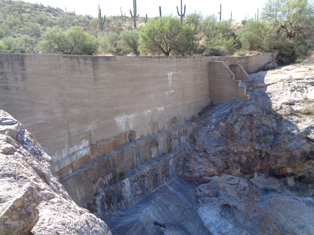 Impressive. The area above the dam has filled with silt so little volume to hold water now. The trail leads me on the only real ascent where I drop into the canyon for a quick visit. Looking up and down canyon at the many slick rock areas, it would be a good place for exploring some other time. I retrace my steps and reach.... 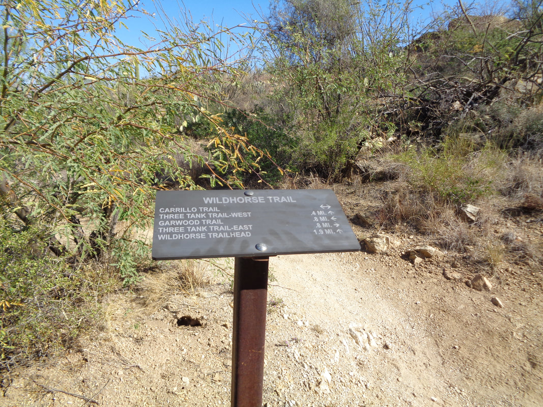 ….the typical signage. There are dozens of trails and without a map, you are screwed for a first time visitor. During my return, I run into two separate couples who have maps but are lost. I help as best I can and tell them I don't want to read about them in the newspaper tomorrow. In each case, I advise them to go back to the trail head from where they started and not attempt to complete a loop which will have many intersections to navigate. 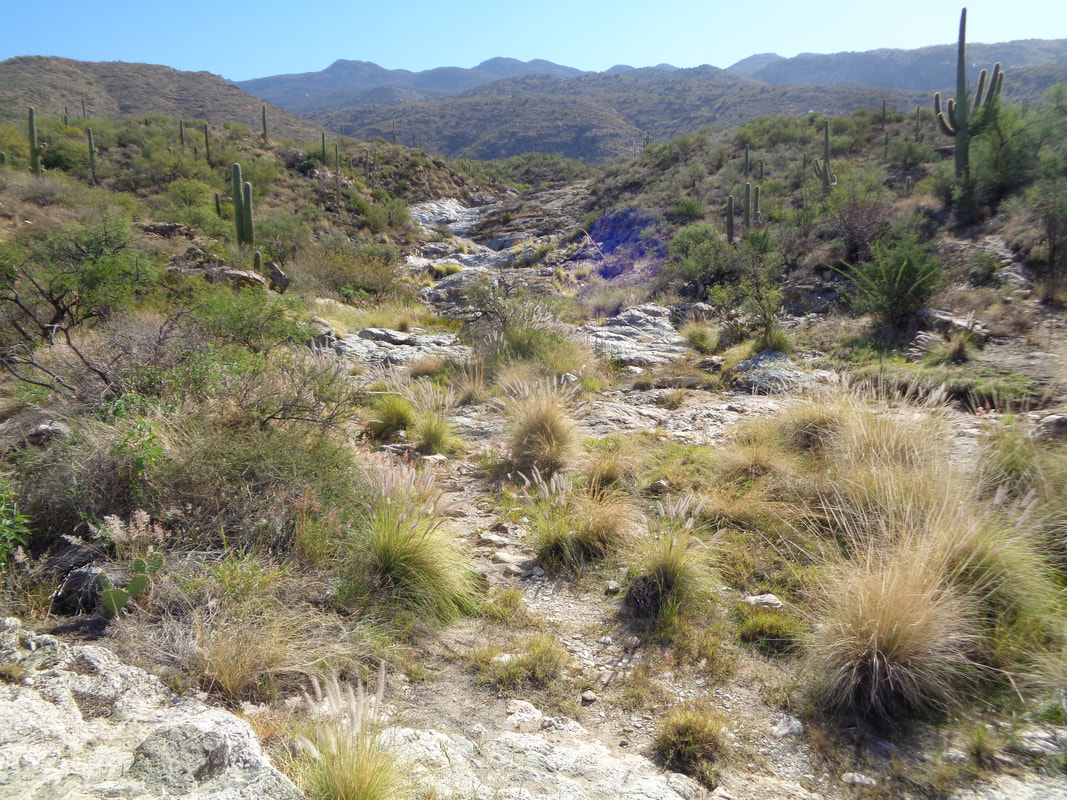 I became lost. It happened at a point where 3 trails merged and each had a sign with multiple and seemingly contradictory diections. Fortunately, I whipped out my gps navigation devise (cell phone with Strava mapping). While the trails are not named on my app, I can interpret the dotted lines and figure out whether to go right, left or straight. I eventually get it figured out and soon..... 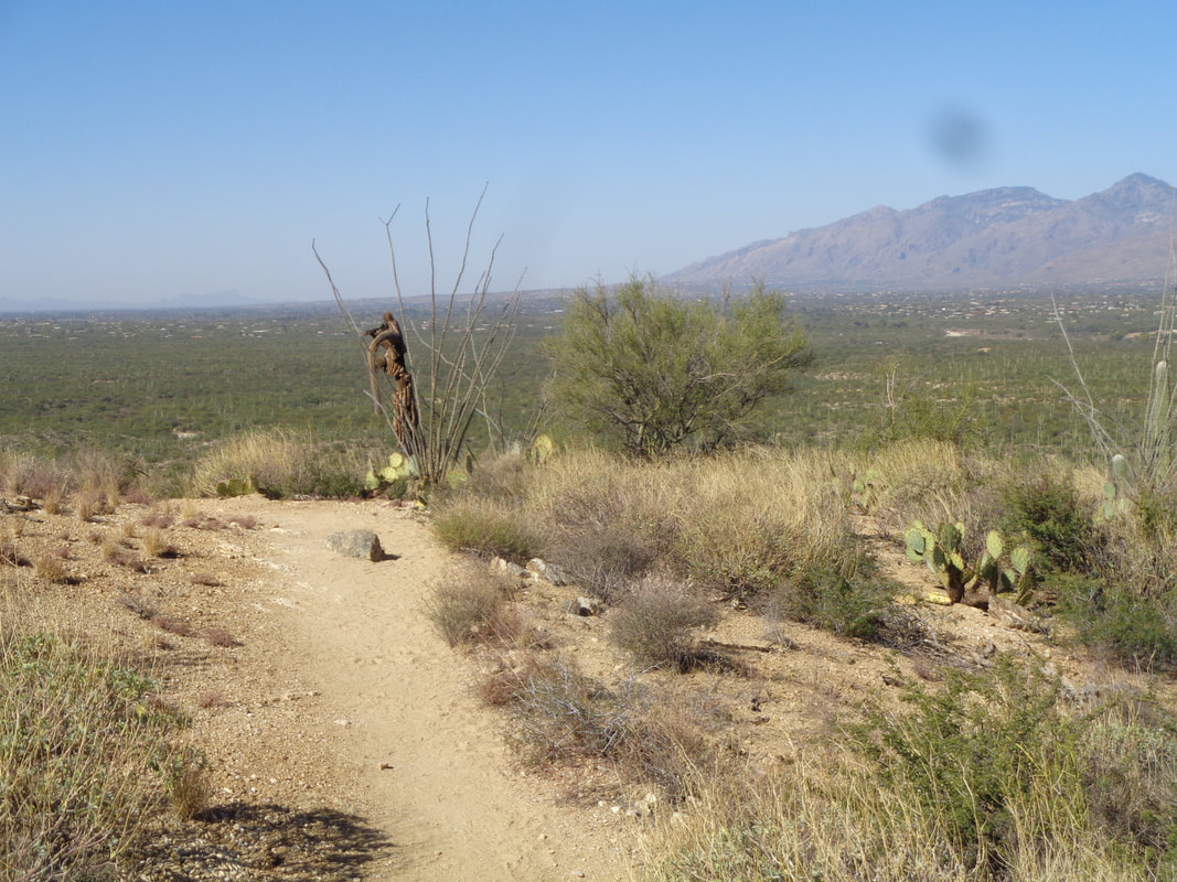 ….reach a point where I can see the southwest tip of the Catalinas, pick out other land marks and know I am headed in the right direction. Finished with 9 very flat miles with only 650' of elevation gain and no mountain top views:(
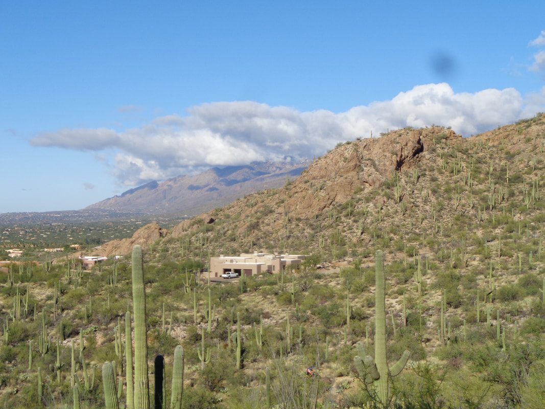
 Pusch Peak, at the southwest corner of the Catalina Mountains and part of the 57,000 acre Pusch Ridge Wilderness. That this is in my back yard and able to hike or look at it each day is a privilege. It doesn't look like a difficult hike but damn, it is! 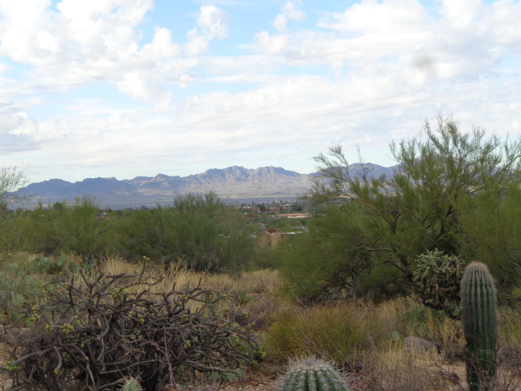 The first mile is straight forward and part of the Linda Vista trail system. Not too much dodging of boulders, just an average grade of 16% but then..... 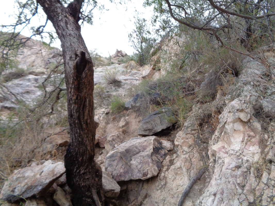 ….yeah, ugh. While yes, this is a walk in the park, it is a very difficult climb with times you'll use all appendages to advance higher and higher. The other mile (it's just over 2 total miles!) to the peak has an average grade of over 30%. 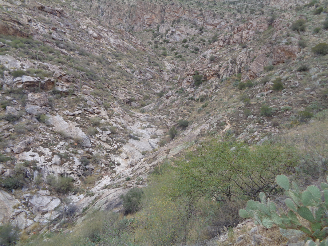 The route stays above a drainage before crossing it but just prior to that, a trail comes in from the right that many have mistakenly taken to..... 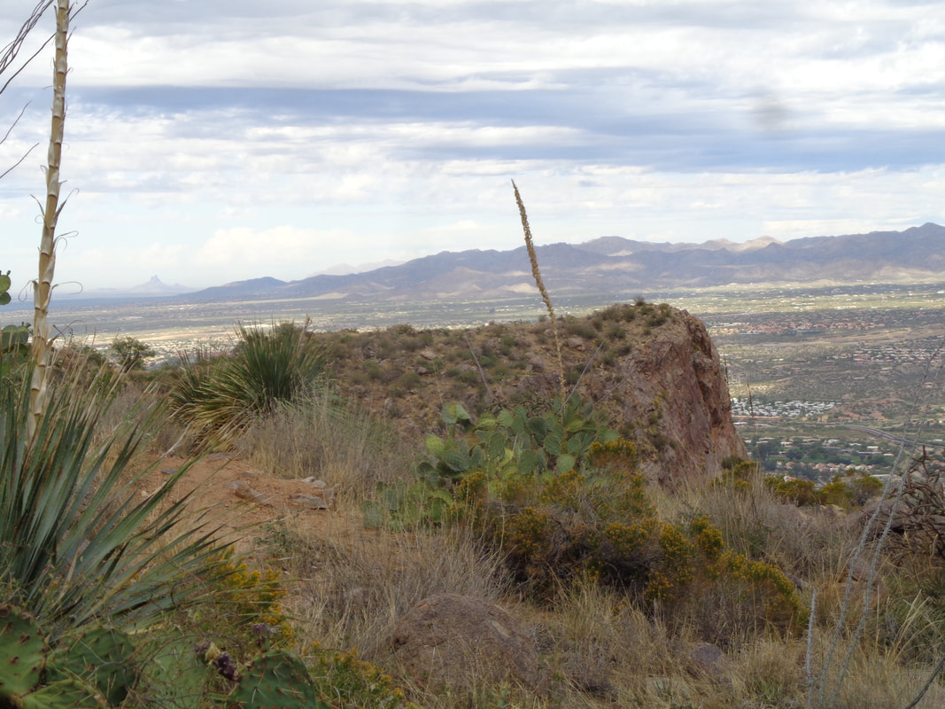 ….the prominent point which is a good mid hike destination. However, I continue onward, catch a few people and soon..... 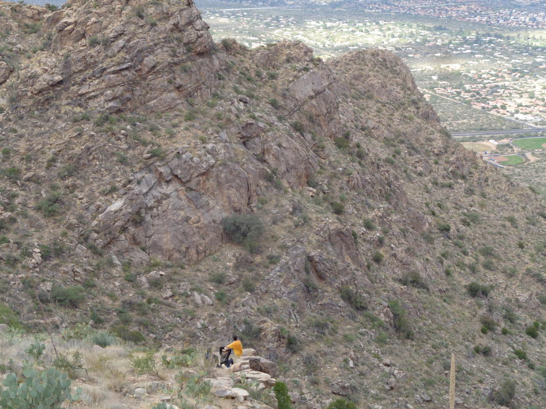 ….leave them behind as they stop to admire the views. 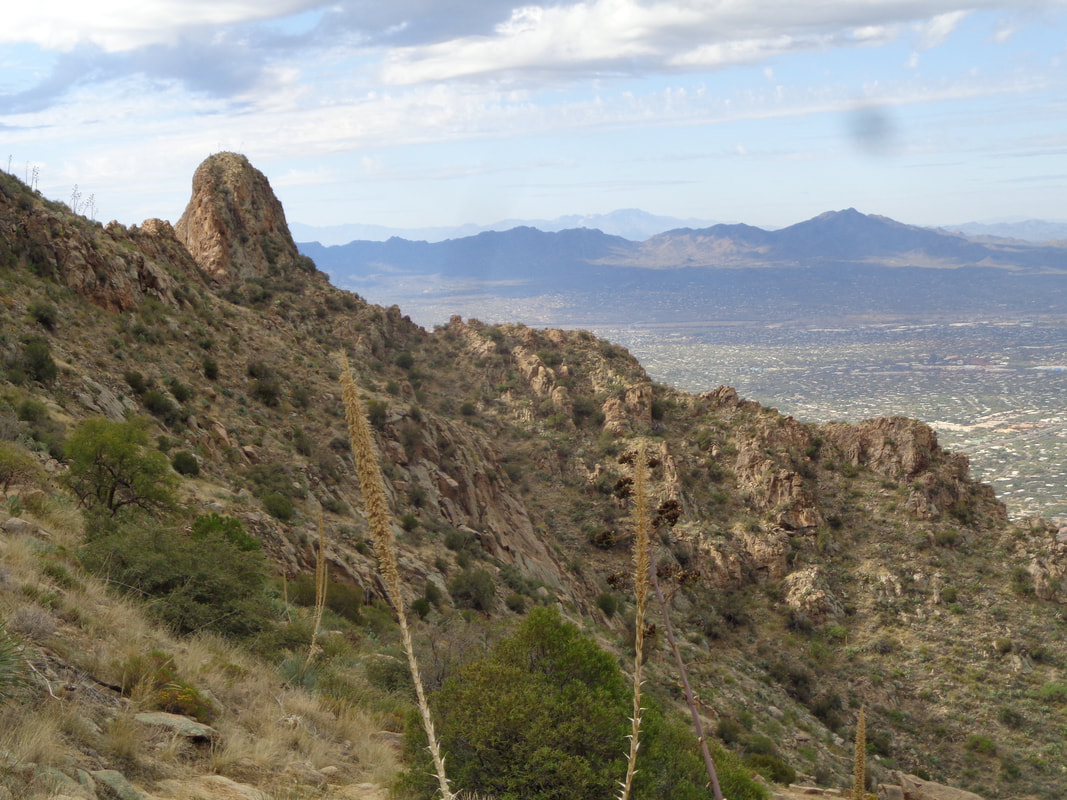 A sign I am nearing the top, the first of 3-4 "dorsal fin" type features that cling to a ridge. Just then, I hear the rumble of thunder..... 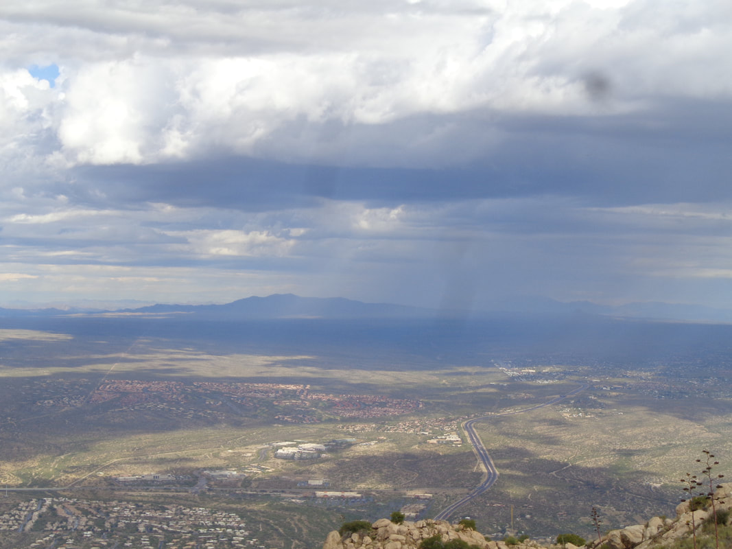 ….it's well to the northwest and nothing but mostly blue skies to the southeast so I am good to go. After 2 short/long miles and 2600' of climbing..... 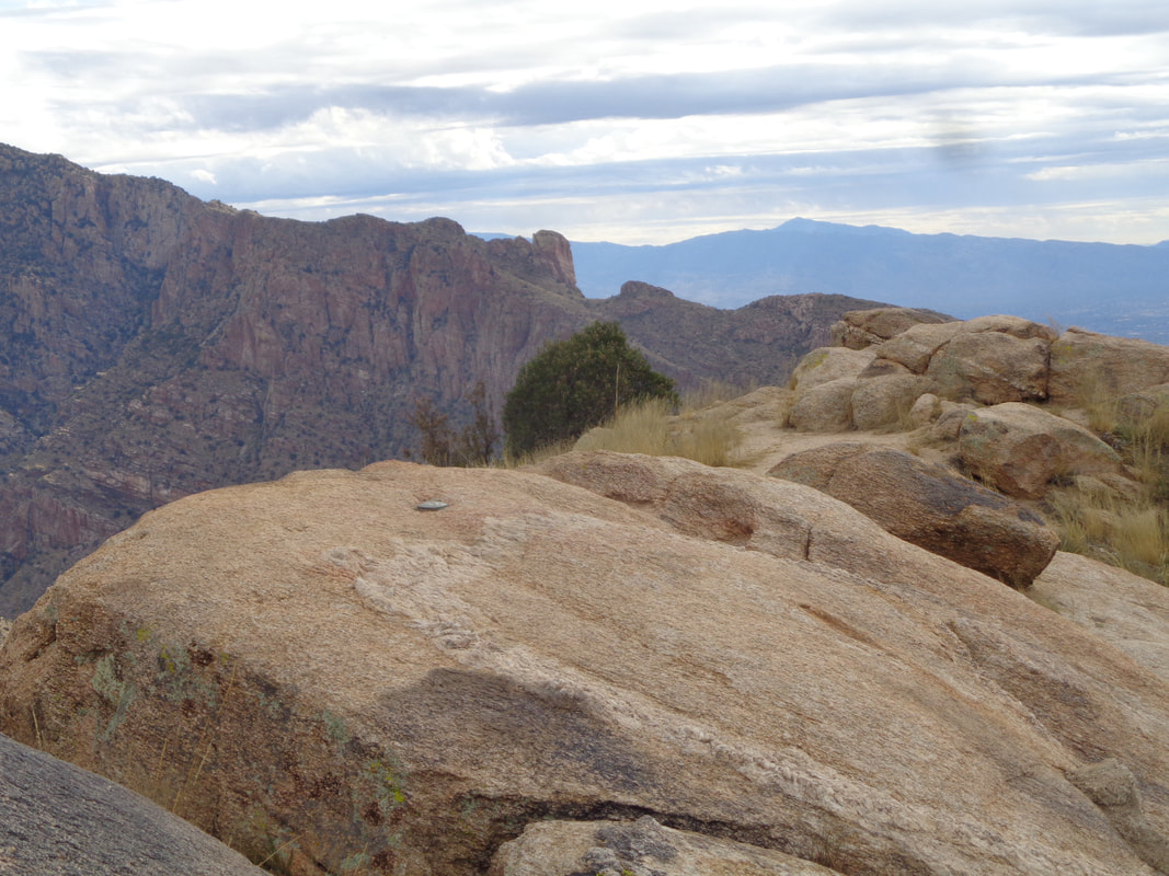 ….I make it! From the parking lot, I arrive in 1:22, a bit off my best time of 1:09 but still a good effort. 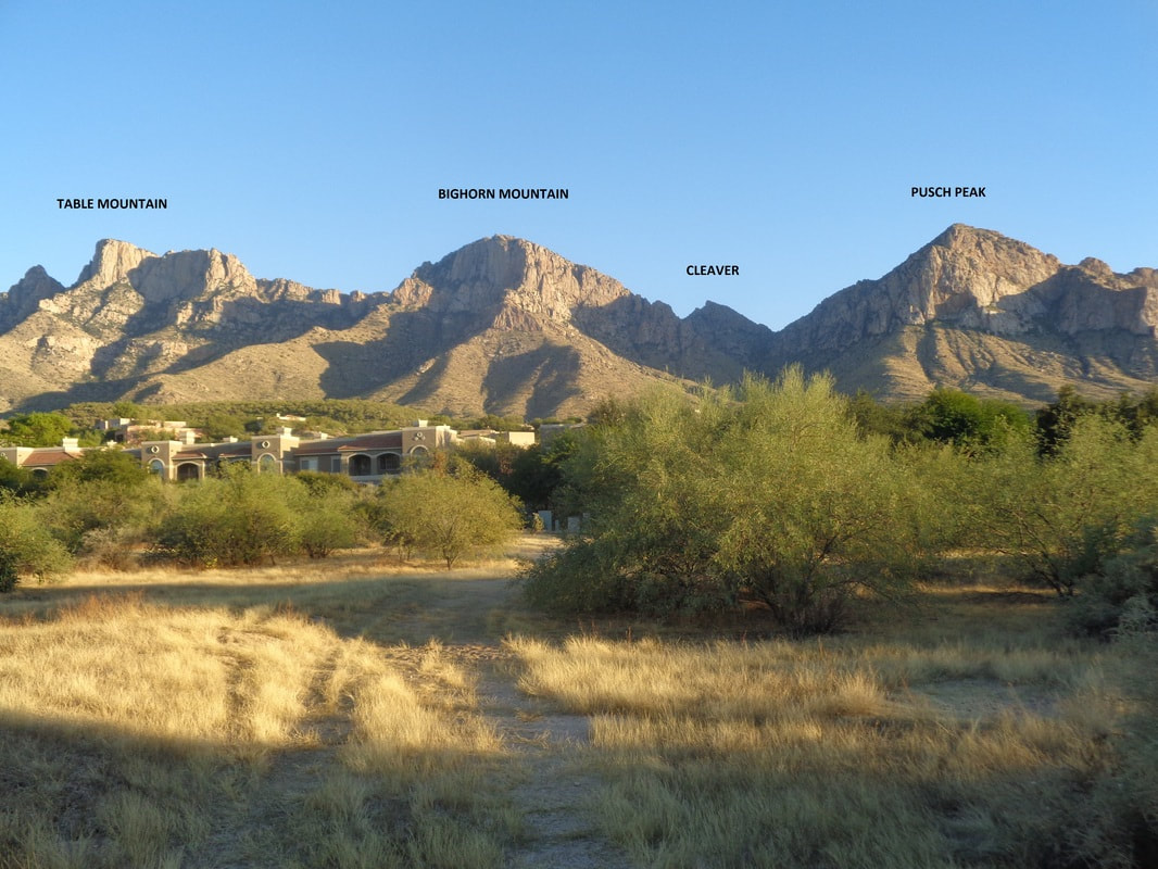 The peak to the right is Pusch with the Cleaver, Bighorn and Table Peaks. From where I stand it is.... 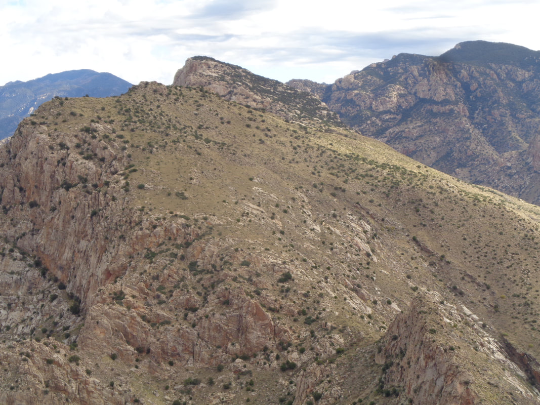 ….such a different vantage point. Each of the aforementioned peaks is in this image but you'd have a hard time noticing. 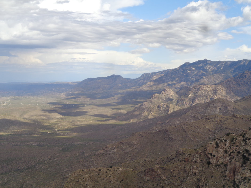 I take a long look to the north where I can see the Catalinas petering out around the town of Oracle. 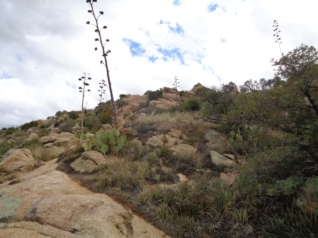 I begin the descent which always take me longer than the climb. I look back one last time and then.... 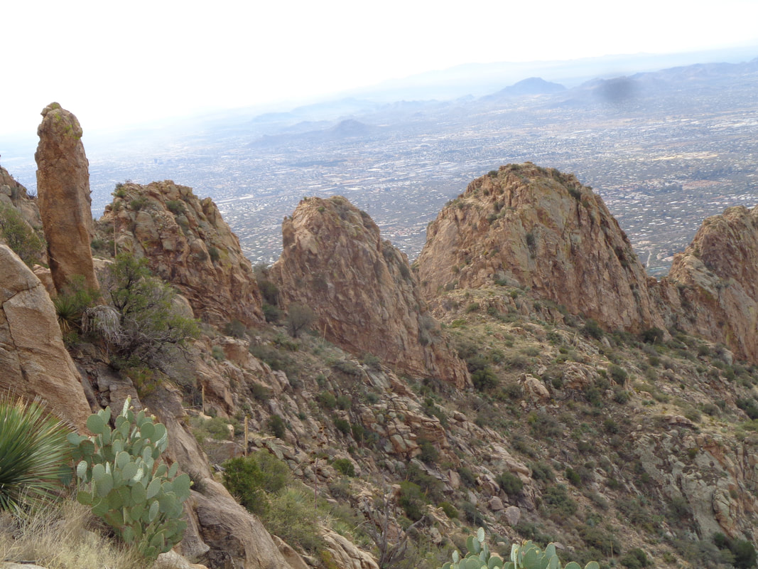 ,,,,enjoy the wonderful view to the southwest with the prominent features of the ridge in the foreground. One of the "fins" looks climbable so I decide to come back and explore. 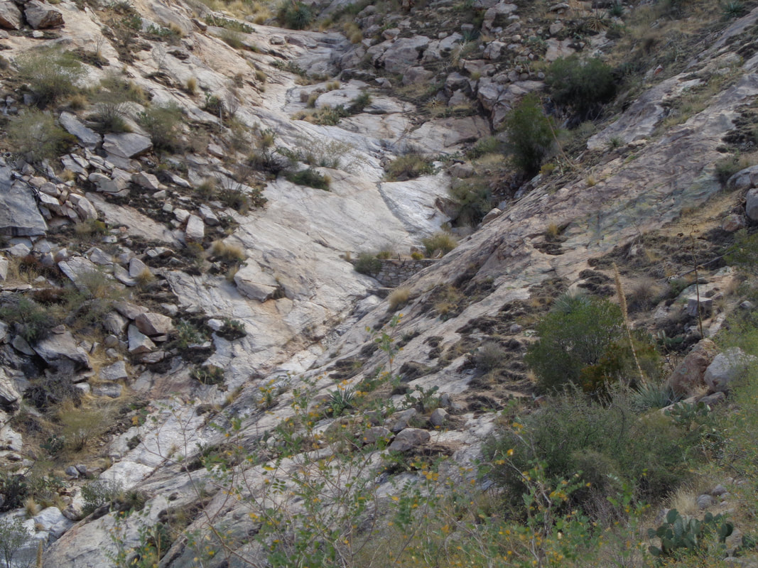 I notice a couple of damns that someone erected to catch water and provide for the 4 legged types that walk this wilderness. 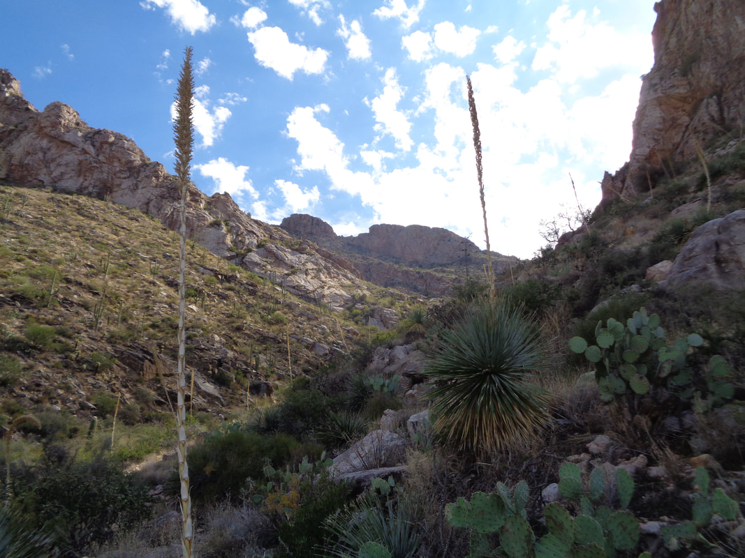 Almost back to the car and one last look back.
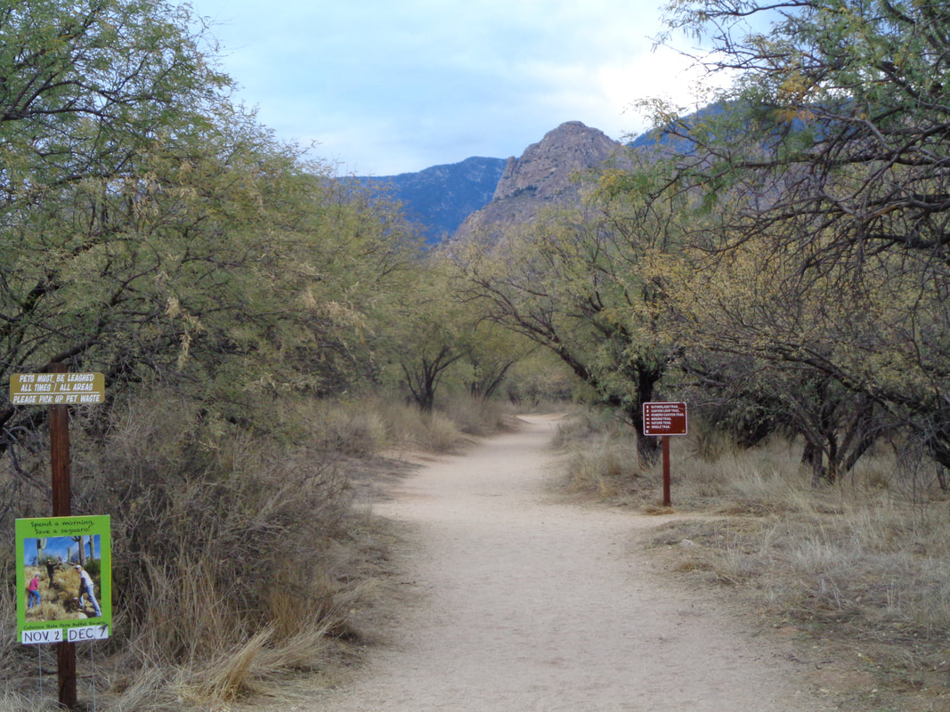
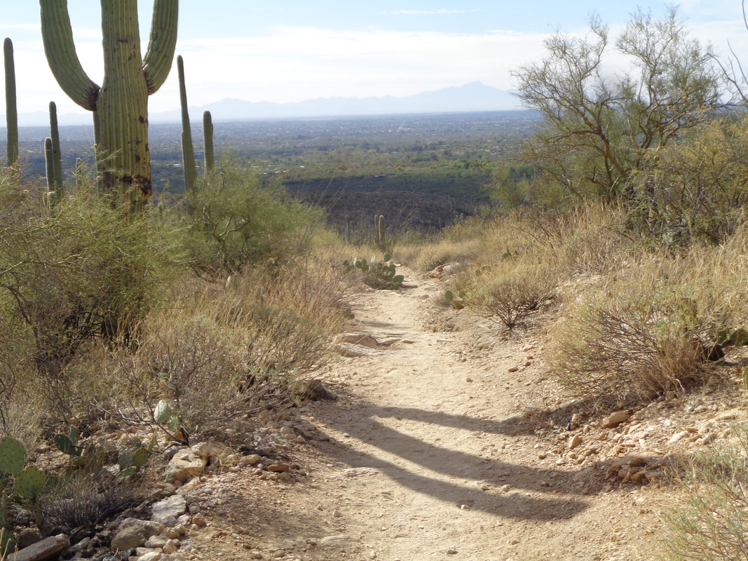 The fabulous fall weather continues, with sun, temps in the low 80s, slight wind, blue sky.... A friend had never hiked to the top of Blacketts Ridge so I was glad to show the way. Most consider this the "hardest short hike in Tucson" except it's not (a new hike report coming to demonstrate) but still a really good workout. 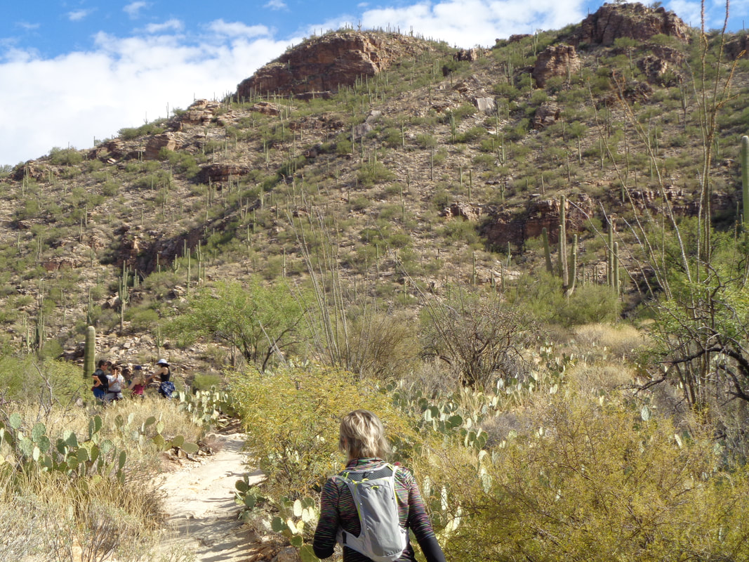 After a flat to rolling start of roughly a mile, we head up the Phoneline trail where a small group stands in the shade at the point where Blackett's Trail goes to the right while Phoneline continues straight. The next 2 miles is kind of brutal with an average grade of 16%. 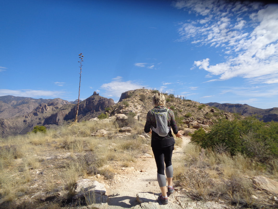 My hiking buddy, Amy, has persevered with a great attitude throughout and she nears the completion and then..... 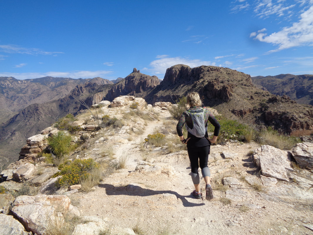 ….made it! Three miles to the top, the latter 2 having a gain of 1700'. In the distance is Thimble Peak. 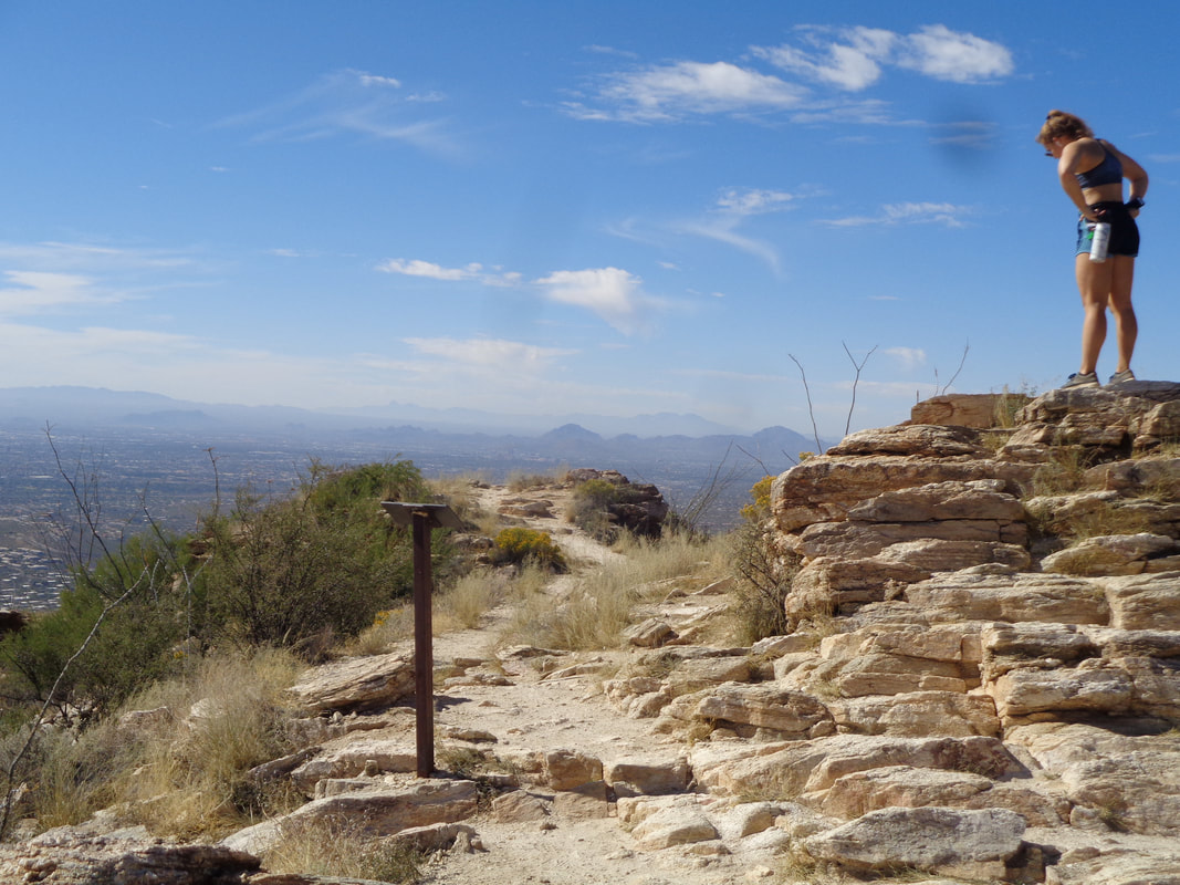 We are soon joined by others who have made the trek as I look to the west. 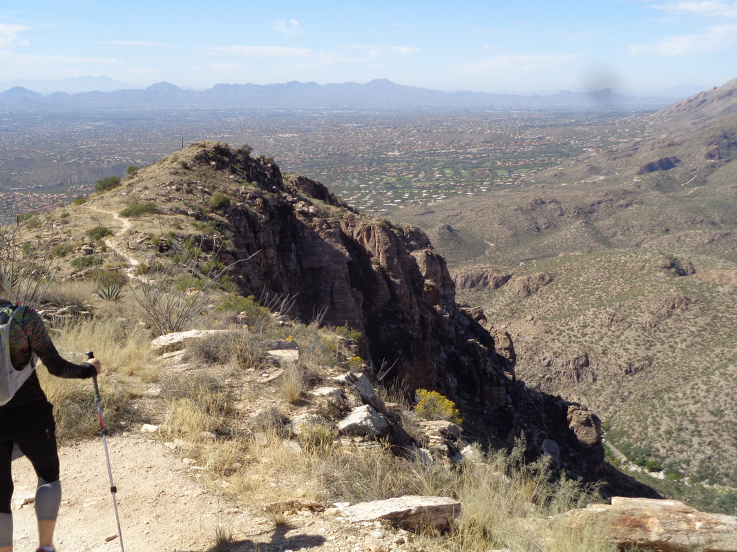 The hiking poles come out for the descent as it can be sketchy in places. It's counterintuitive but going down hill takes longer than going up. When we reach the bridge at the bottom of the descent.... 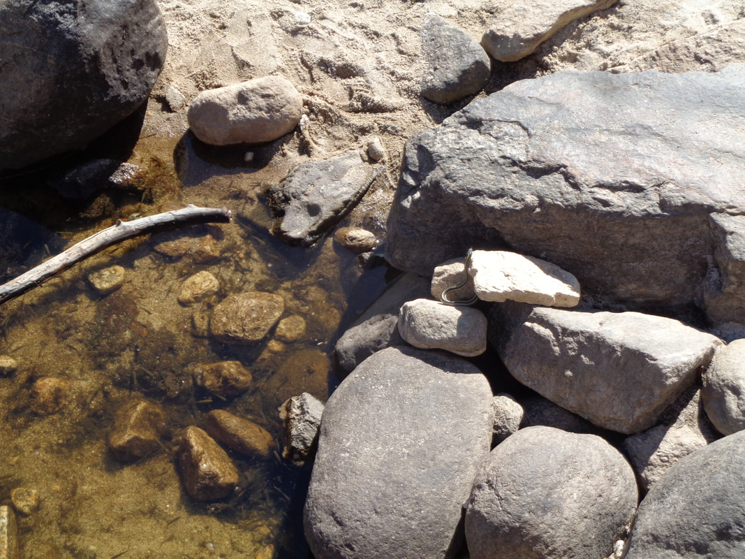 ….there are a couple of pools of water and a snake is feasting on the minnows who find their environment shrinking by the hour. Finished with 6 miles and a fun time.
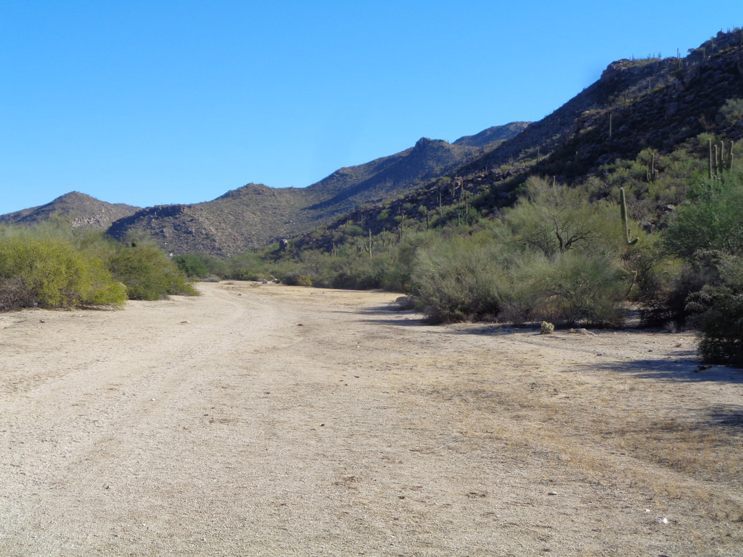 A shirt drive from home is the Tortolita Mountains with a nice variety of trails, none of which is a knee buckler, just modest climbing and plenty of it. There is a staff of paid employees who keep the trails maintained. Most trails start from the Wild Burrow parking lot and pass through this broad wash. 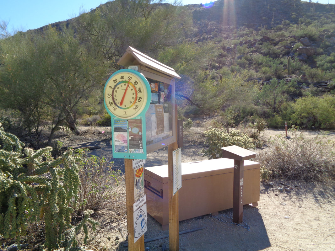 A short walk brings you to this station which has all the typical warnings about heat and deadly critters. From this point I can continue on the Wild Burrow, opt for the Lower Javelina or for today, begin.... 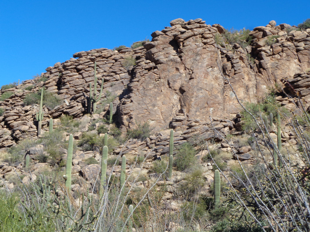 ….climbing the Alamo Spring Trail. Odd formation that gives the appearance each stone was placed by hand to form a wall. Once I ascend to the initial peak, what follows is a lot of up and down climbing through..... 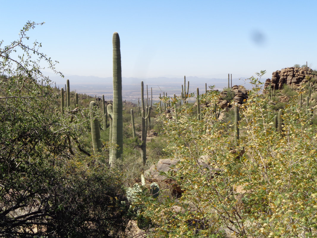 ….fairly thick vegetation typical of the Sonoran Desert. 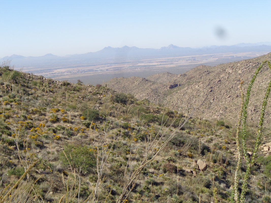 As this is just west of Oro Valley and on the eastern edge of Marana, there are good views of Kitt Peak and the Quinlan Mountains. 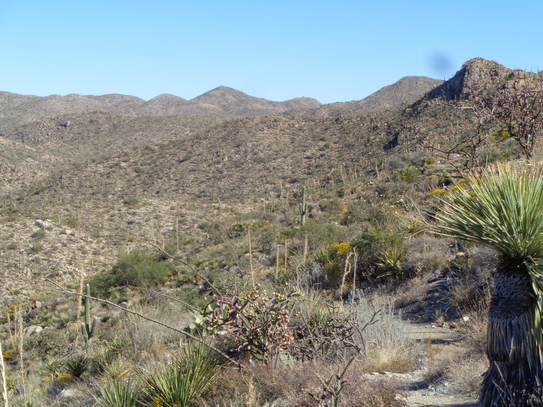 I reach a spur trail and decide to take it back down to the wash but before doing so, this gives a good view of looking to the northeast and what lays out there in the way of hiking. The benefit of hiking here is the rigorous pace you can choose to set rather than monster climbing. The most difficult climbs are in the 600-900' variety. 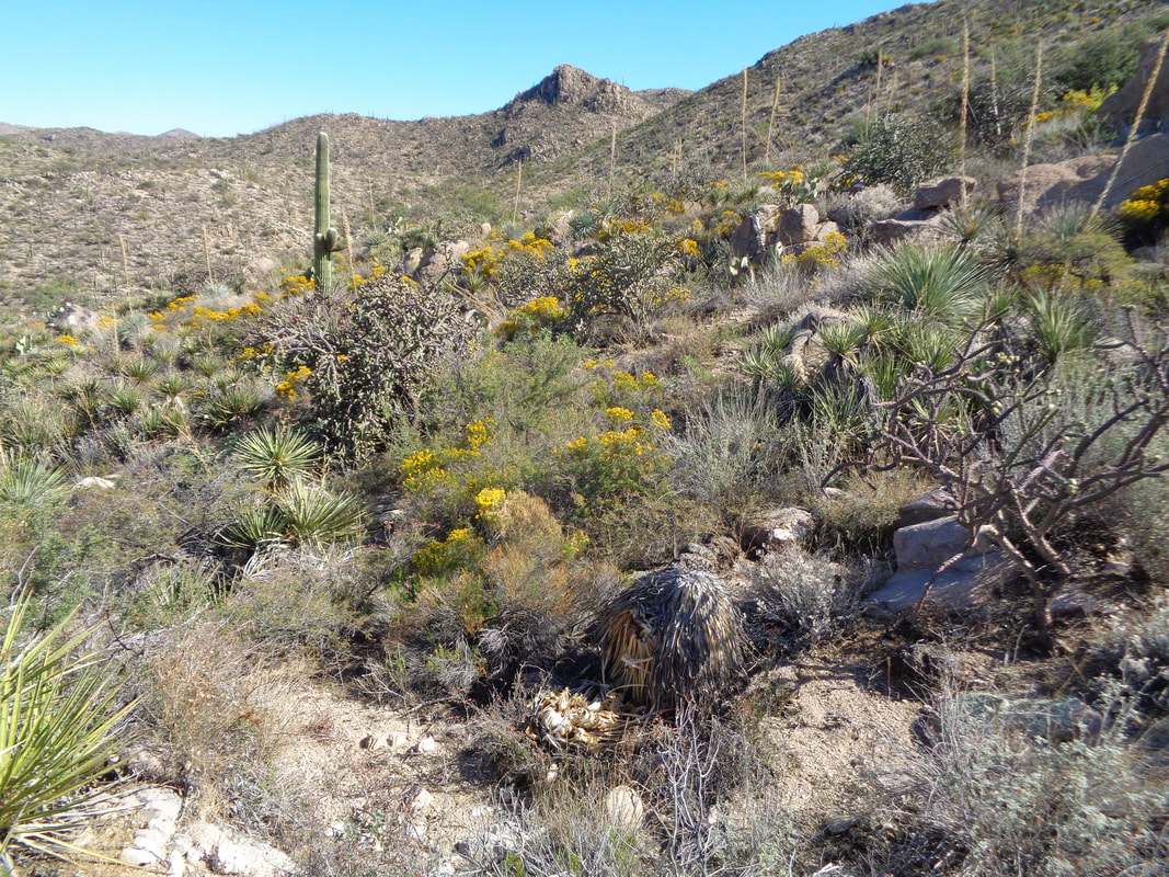 No matter the time of year, some plant always seems to be flowering and the recent rain has no doubt contributed. Finished with 5.6 miles and 1200' of climbing. Fun day on a beautiful day with highs in the low 80's.
|
