 It was temporary to park at the Heit center (back to the church for next week) but good luck finding a parking spot in the sea of cars. I finally found a spot, got on the bike and.... 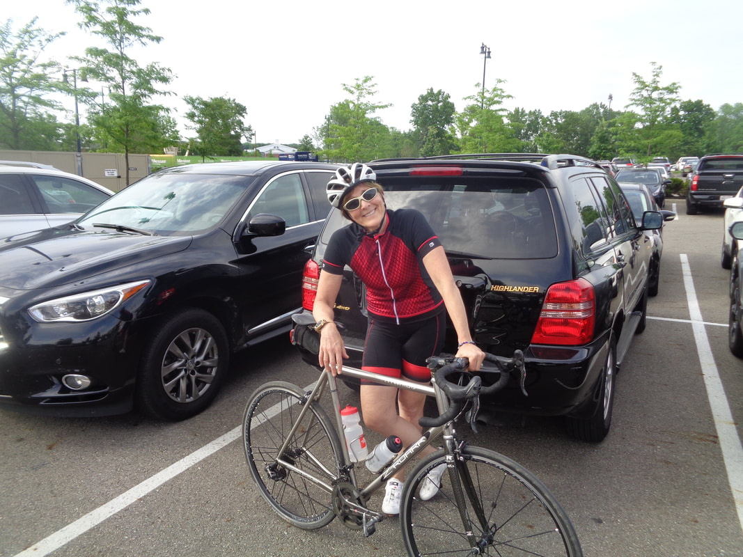 ….ran into Lisa A who has had to manage a knee issue that has limited her cycling time. But, while expressing interest in riding with the non existent C group, rode with and hung with the B group. 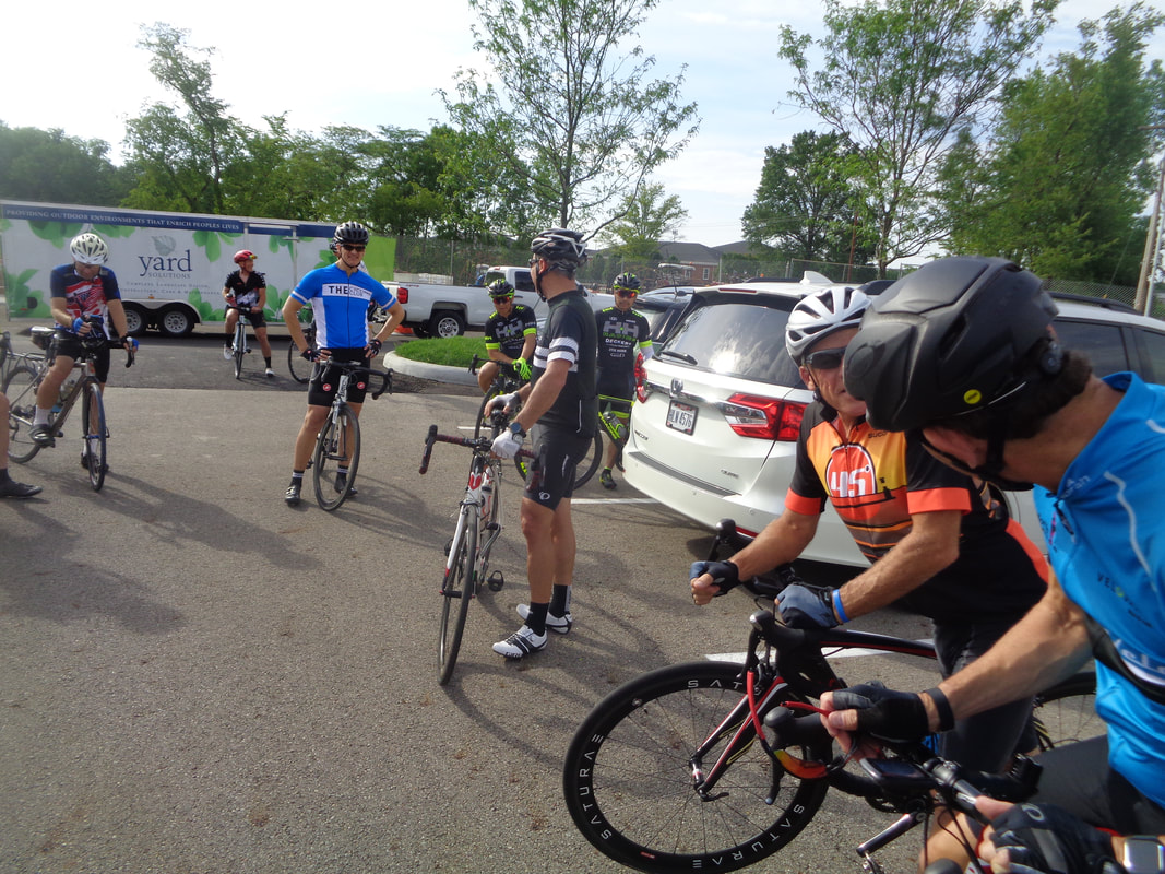 A small group by Thursday standards, only 38, gather in a corner of the parking lot. 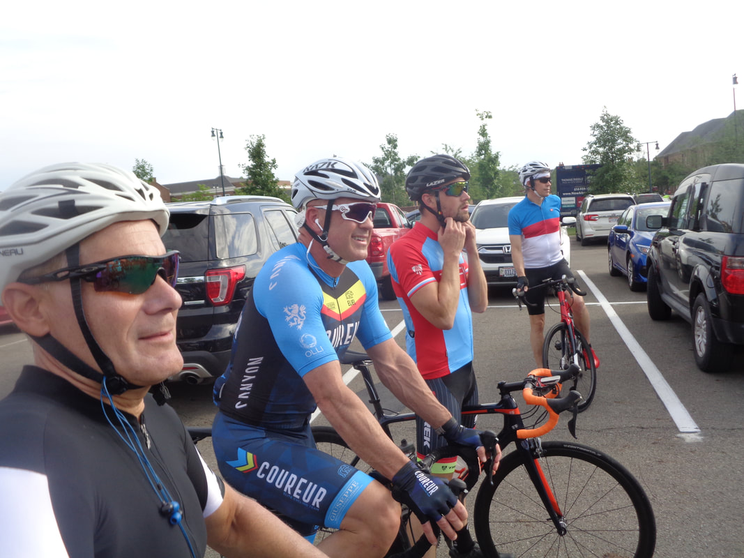 Marty, Jon M, new guy and Sandy listen to Don N make the usual pre-ride comments. There have been several new people showing up for the Rivet group which is welcome. However, the bike handling, by a few, can be squirrelly so some of the usual Riveters are not coming out for the rides. 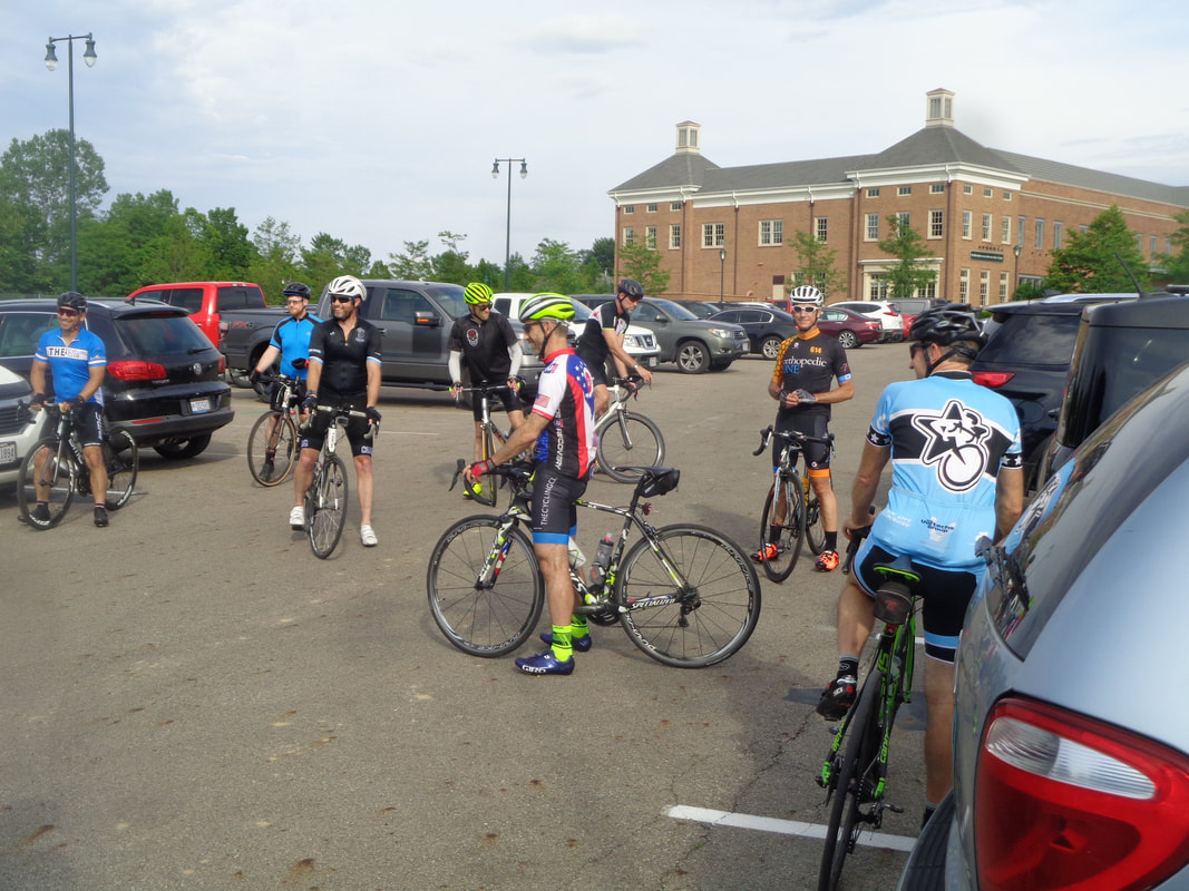 A happy bunch but why not? Weather radar looked ominous earlier in the day but it was all clear at 6pm. 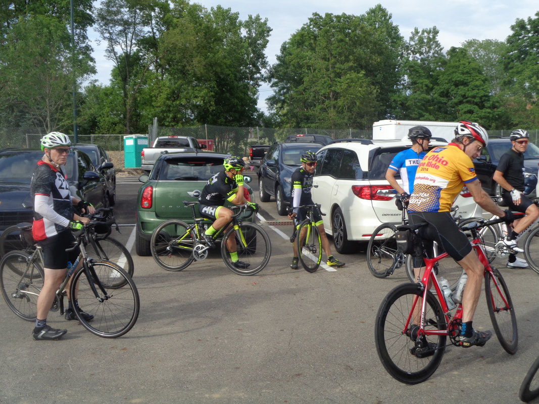 The Rivets head out, then the A group and then my happy bunch of B's begins.... 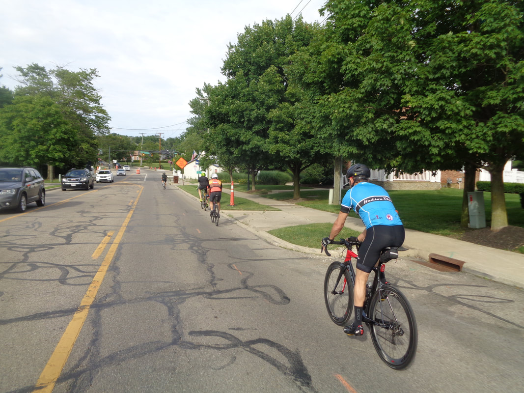 ….our 50 mile route to the east, through Granville and farther east until the return. 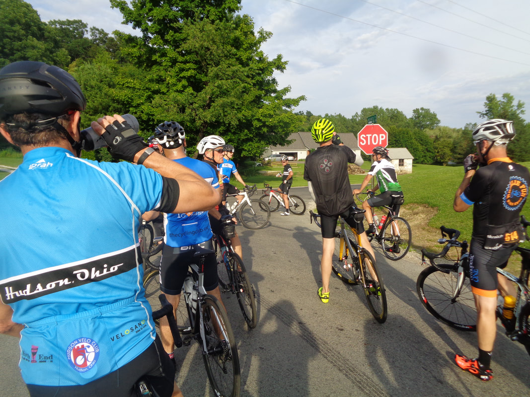 We regroup a few times and at each stop, we are reminded of how freakin hot and humid it is. With my cycling miles way down, I began to wonder if I had it in me to keep up for the entire route so..... 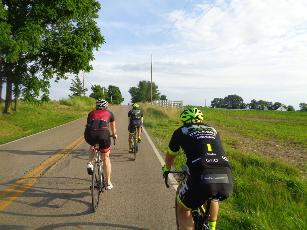 …..I went south on Burg and was surprised that two of the HH boys came along too. They had a race on Saturday so chose to take it easy this evening. Lisa too came along and we rolled into Granville and stopped at the CVS to await the others.  Yes, getting dropped east of 661 in the Badlands would be a very bad thing for me although after the ride I concluded I would have been ok but stopping at the CVS allowed me to.... 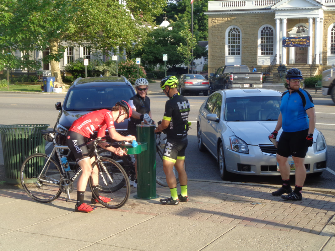 ….catch three Riveters who had been dropped at some point as they tank up at the fountain. Then.... 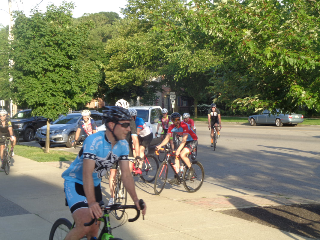 ...the A group rolled in to also replenish the fluid levels. 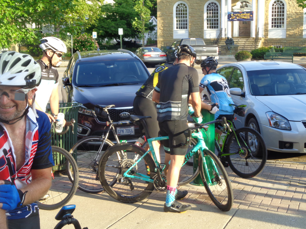 Yes, the fountain was a popular spot as cyclists took turns filling water bottles and hurling barbs at me. 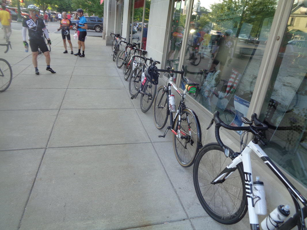 A line of very nice bikes. 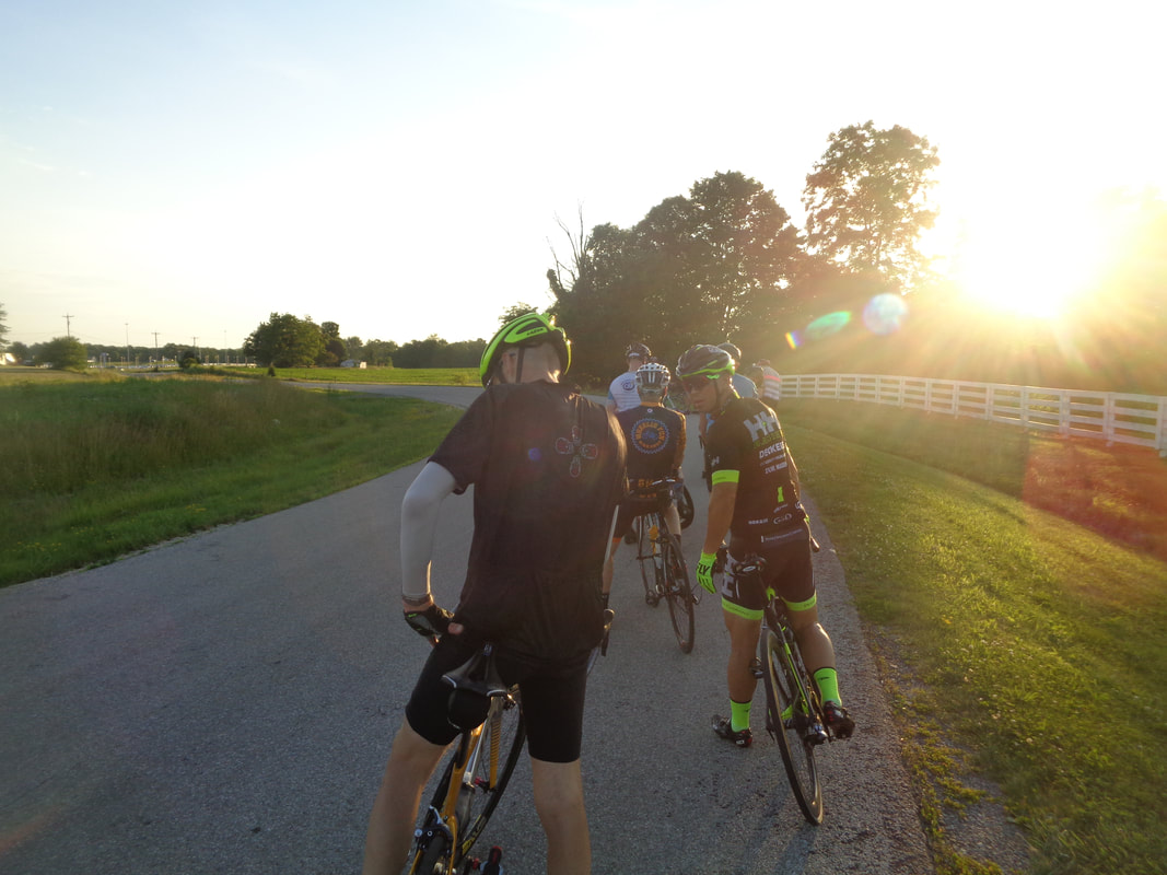 It was getting kind of late by the time the rest of the B group rolled into Granville so we decided to go off route and take a more direct approach back to New Albany. It was a good idea as we just made it back prior to the sun disappearing below the horizon. Above, we regroup at the top of Jersey Mill. I finished with 40 miles and a 18.8 average. Meantime, the Rivet group finished with a 23mph average for their 55 mile ride. 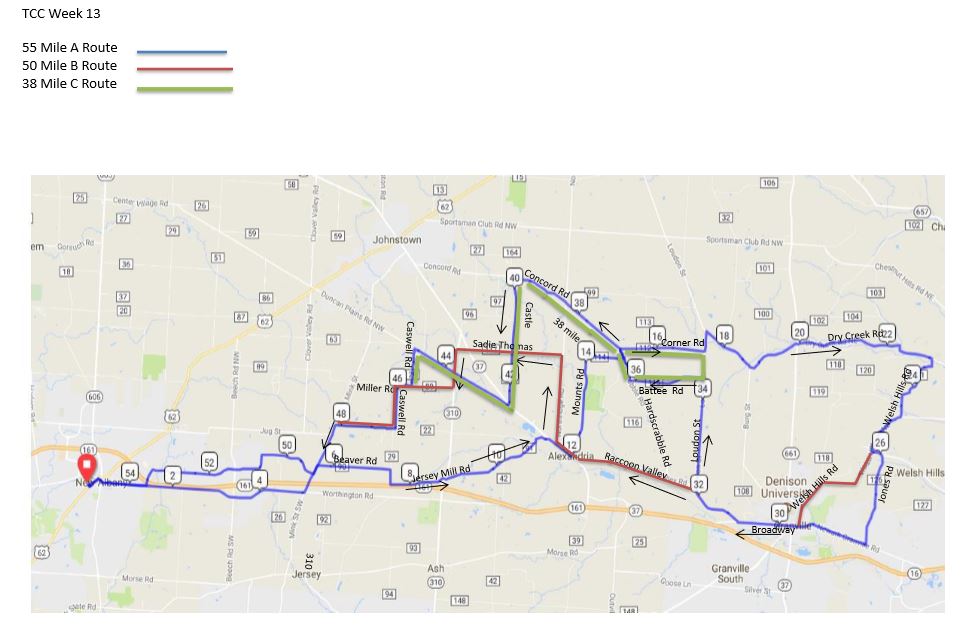 I dislike being the bearer of depressing news but the days are now getting shorter!!! Yes my numerous friends, since my birthday (6/21) the amount of daylight is diminishing and thus our distances are starting to wind down a bit. A fine route for a hot, humid evening bike ride. See you out there:
https://ridewithgps.com/routes/19222842 https://ridewithgps.com/routes/27660481 https://ridewithgps.com/routes/19222803
0 Comments
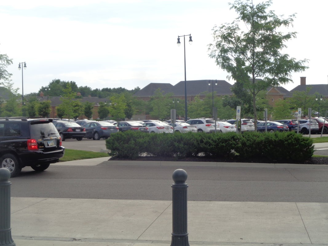
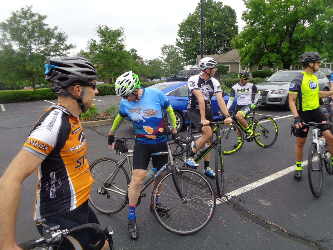 If you wondered if there was a Thursday ride, given the threat of rain and the persistent wind, why yes there was. Not a lot of people showed up, only 19 but they did ride albeit a shorted version of the scheduled summer solstice route which can be seen below. 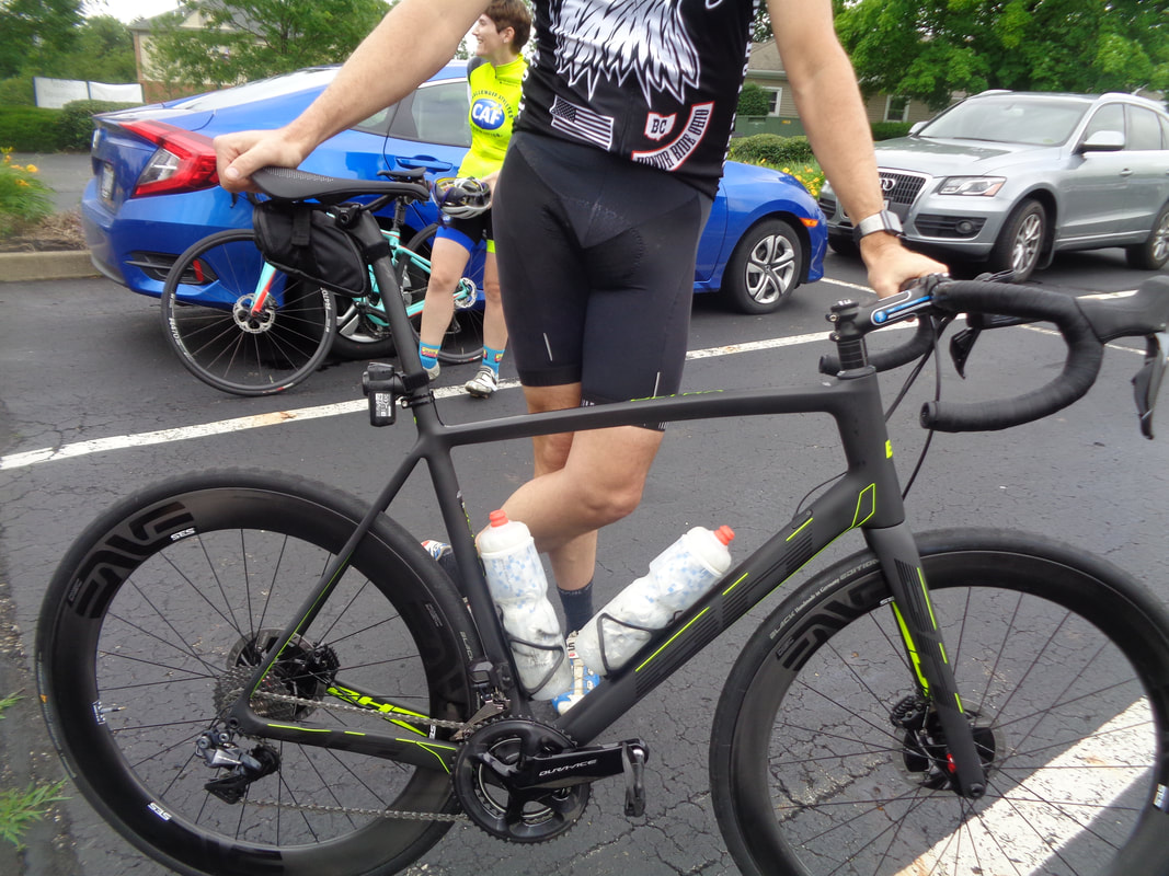 Mike McClinche has a new bike, a BH so now the ranks are growing of BH users, Mike, Peggy C and me. OK, "ranks" is a bit of an over statement.  Weather radar showed some small cells and everyone bought into the, "it's all moving away from us." story but alas that was not the case. 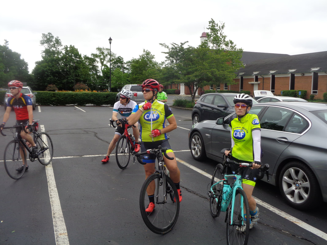 Kristie and Amanda wearing their game faces and somewhat matching jerseys. 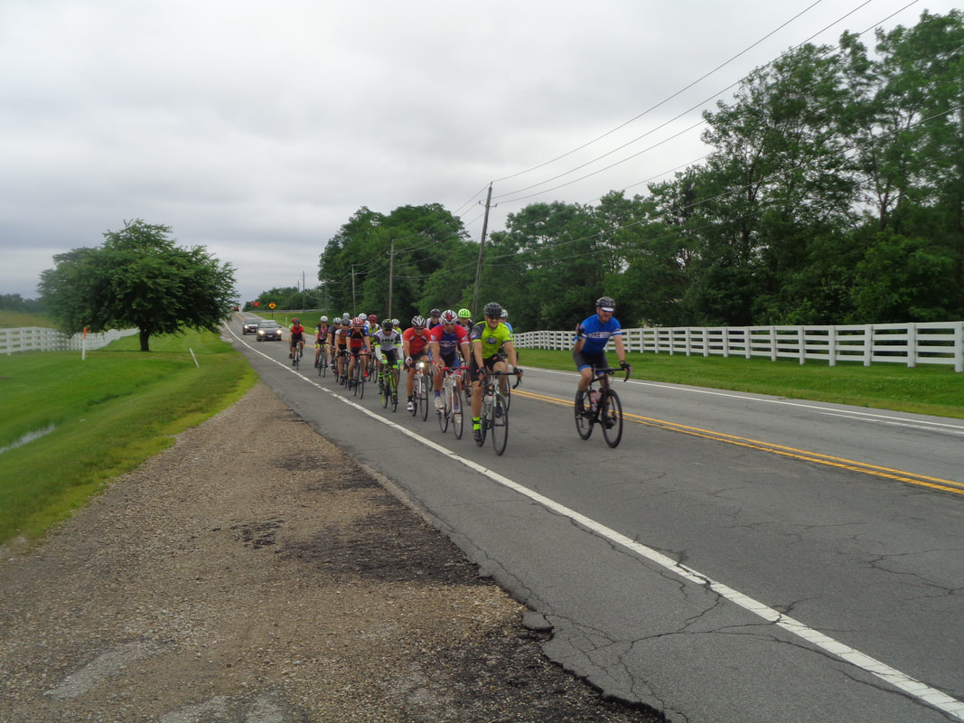 The peloton rolls out into the cloudy, windy (tail at this point) and soon to be misty evening but the precip did not exceed the mist level and the group got around ok. Now.... 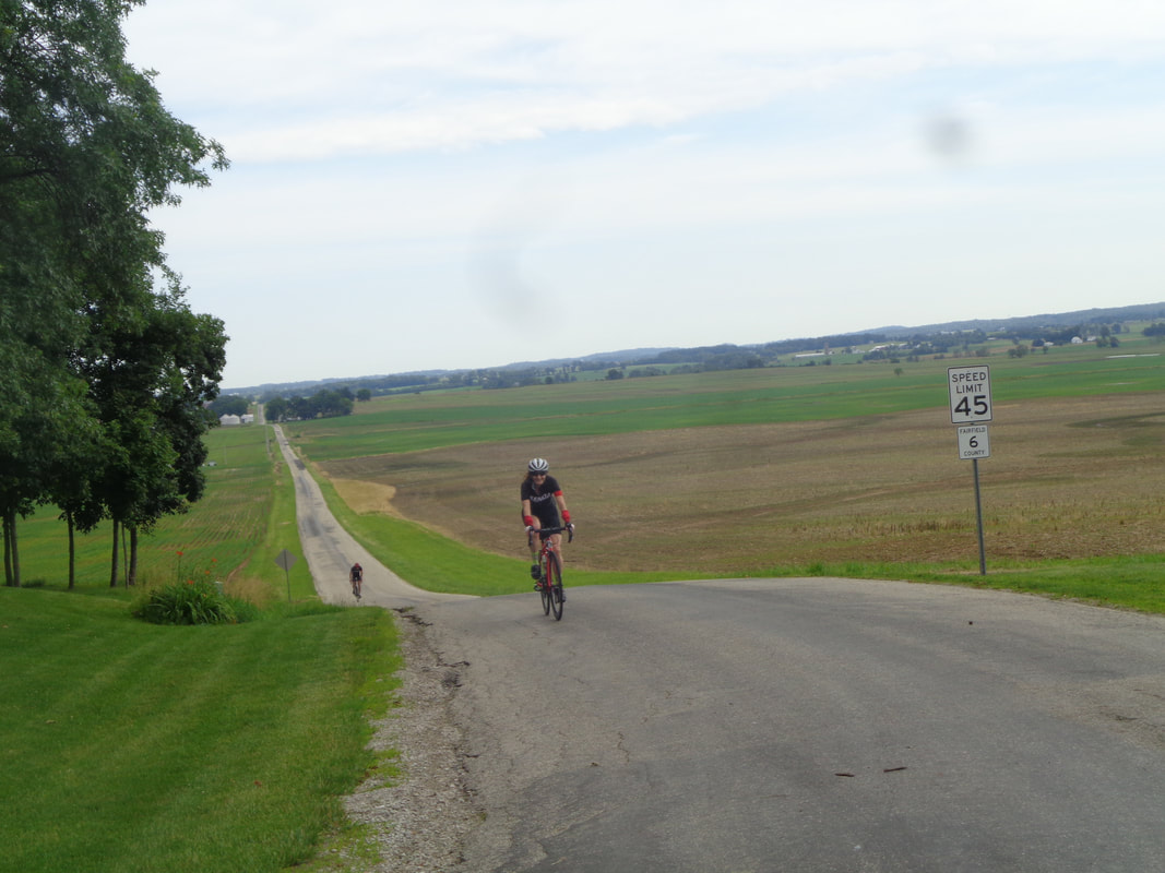 ….Saturday. I was late arriving in Canal Winchester for a group ride that was going to follow Tuesday's Summer Solstice route of 55 miles which of course included the ascent of Revenge Road. I think my longest ride in the last month was 35 miles so I was rather worried about this ride. Above, Kenda Janet crests the end of Cedar Hill Road with Paul close behind. 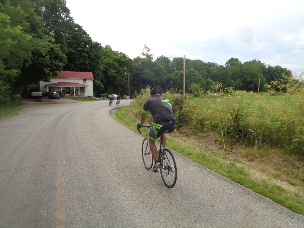 Our group of 9 included Kevin H, aka Pepe LaPew and beyond him Carlos and Ron to go with Ryan, Jeff S and.... 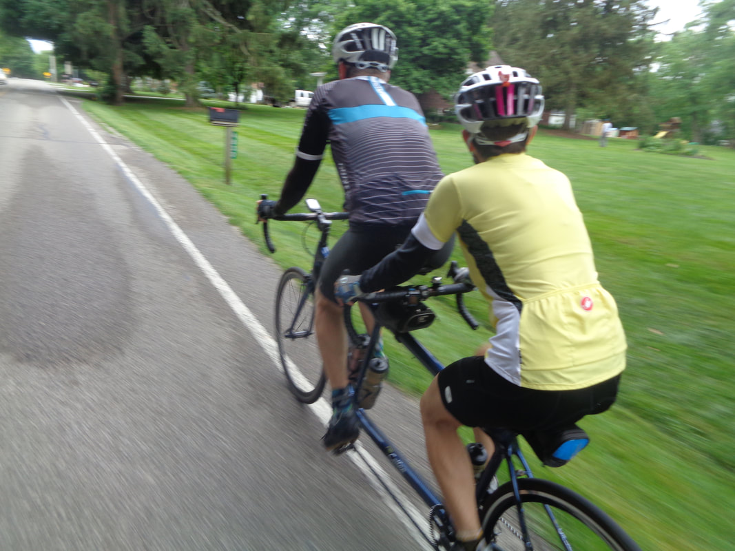 …..the Rossi tandem. The group split in two and those that wanted a faster pace took off, which was good. At mile 35 we discovered..... 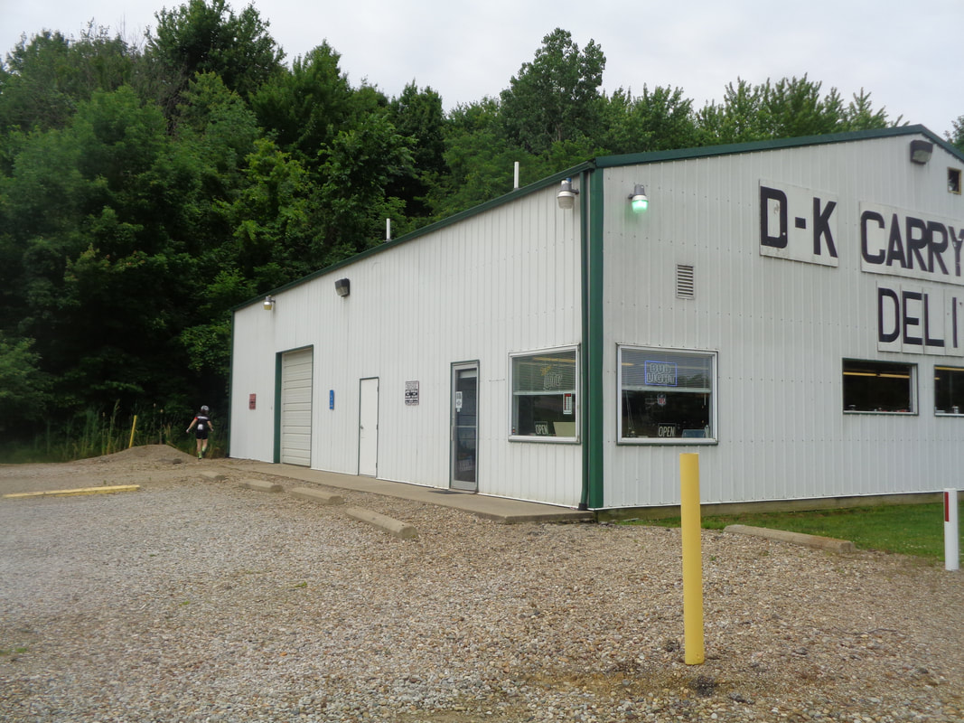 …..a new market at the bottom of Delmont Road has opened. But, they do not allow you to use the rest room so when ya got to go ya got to go and a few people visited the back of the building. Probably over time they will reverse the rest room use policy. 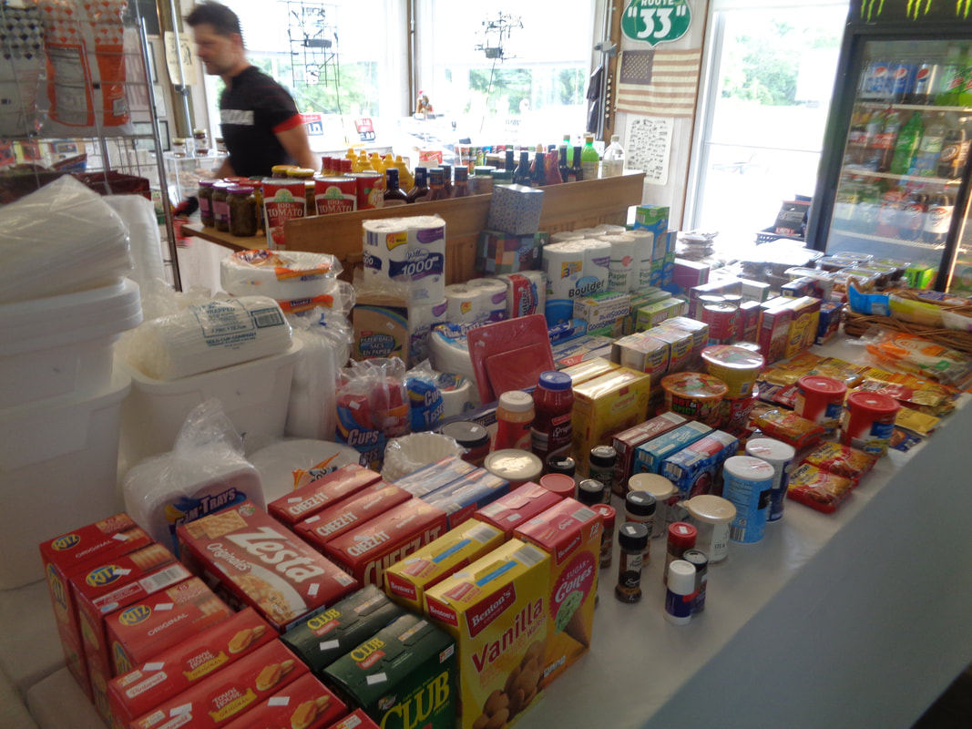 A decent selection of what we typically buy and they make sandwiches too! Finished with 55 miles, 2300' of climbing, a paltry 16.9 average and a realization that time off the bike has consequences. Yeah, who doesn't know that.
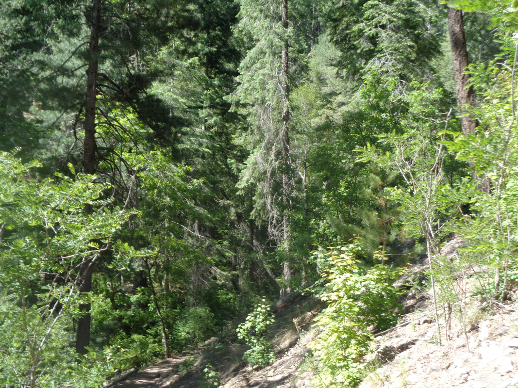 The hidden gem of Mount Lemmon Pools is today's destination, which requires our small group to ascend the 26 mile drive to Summerhaven and park at the Marshall Gulch trail head. 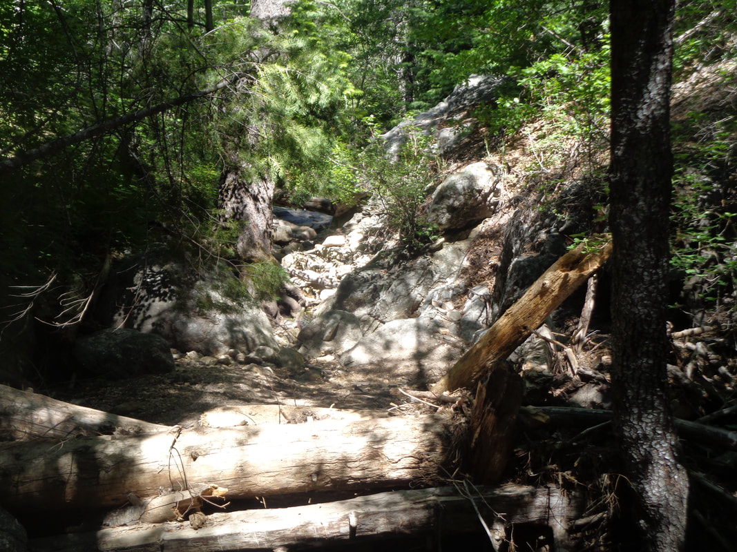 At an elevation of 8000+', we are surrounded by thick pine forest, ravines and some blue sky peaking through areas that were lost to the Aspen Fire back in 2003 (I think). It being a Sunday and Father's Day, the parking area and surrounding trails are busy not only with hikers but also.... 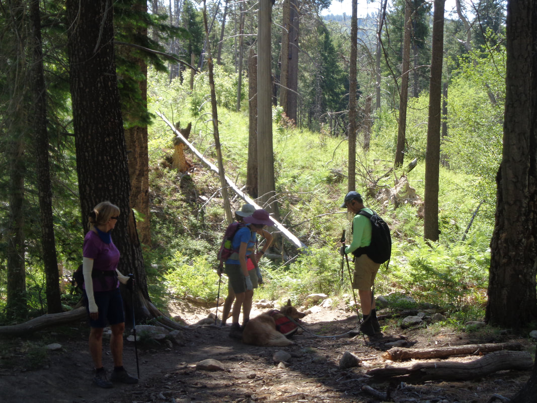 ….a lot of dogs and as we passed each, members of our group just had to stop and fawn over them:) 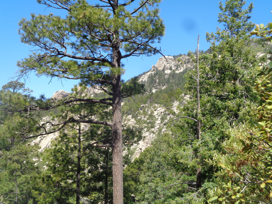 We reach the Marshal Gulch saddle and can see the rock projecting from the surrounding forest, right of center and on it, barely visible, a fire watch station. 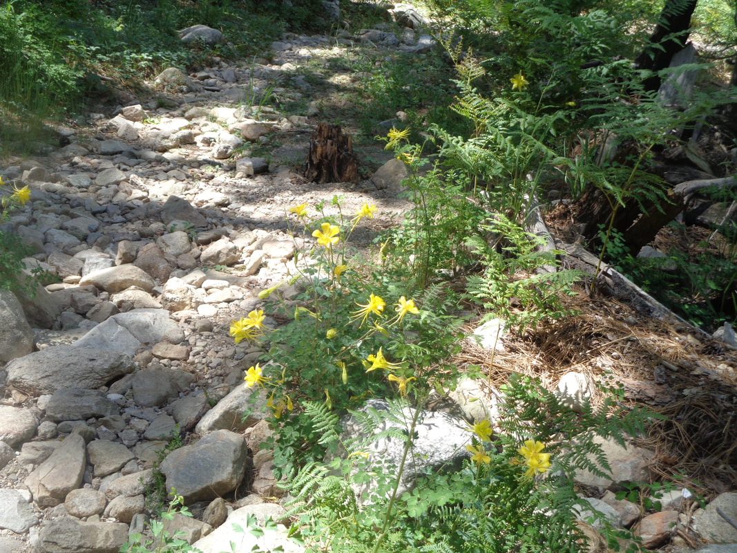 I walk by these Columbine flowers without notice but a member of our group expresses delight in seeing them so a round of pic taking ensues. It would be a close vote between which drew more attention, the abundance of flowers or the..... 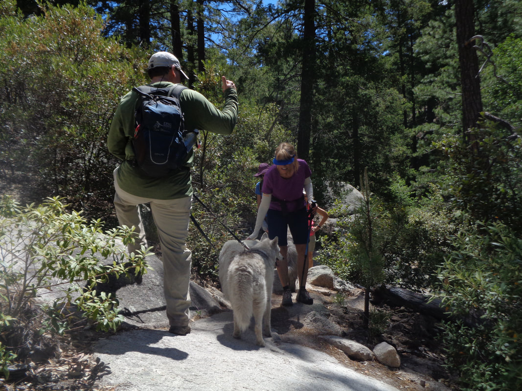 ….dogs. I've never seen so many but they are all well behaved and it was good to interrupt the hike with well deserved pauses. 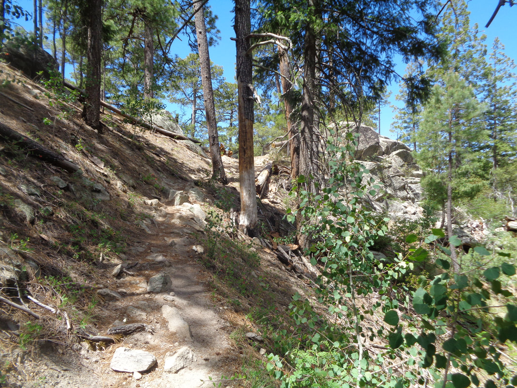 We descend off the saddle via the Wilderness of Rocks trail and eventually are walking through.... 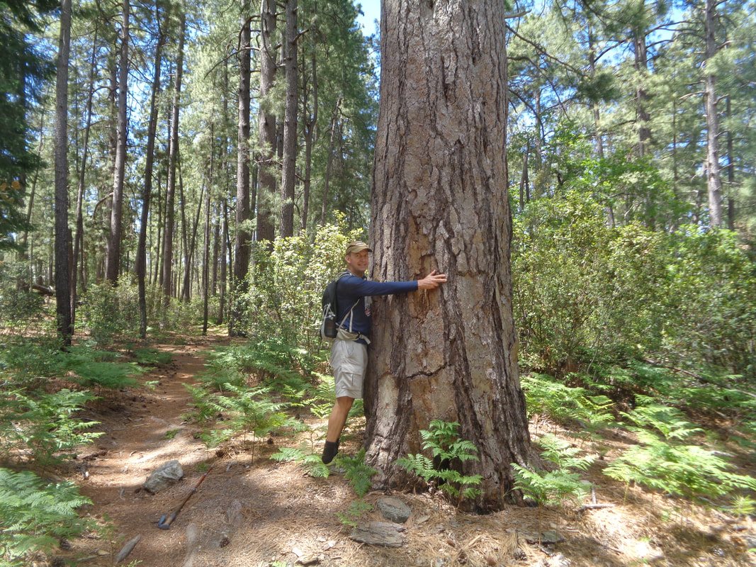 ….a pine needle covered valley floor having gigantic Ponderosa and other types of pines. The above image gives some perspective to the size. 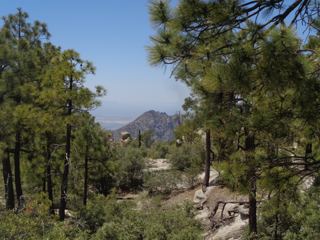 Occasional breaks in the trees provided good views to the southwest. We would go off trail to stand and marvel and then..... 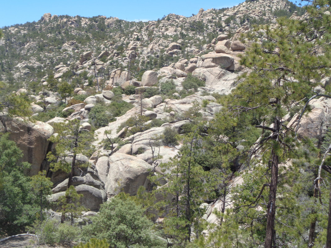 ...return to the trail that is aptly named. At about mile 3.5, I lead us off trail, poke around quite a bit before finally entering..... 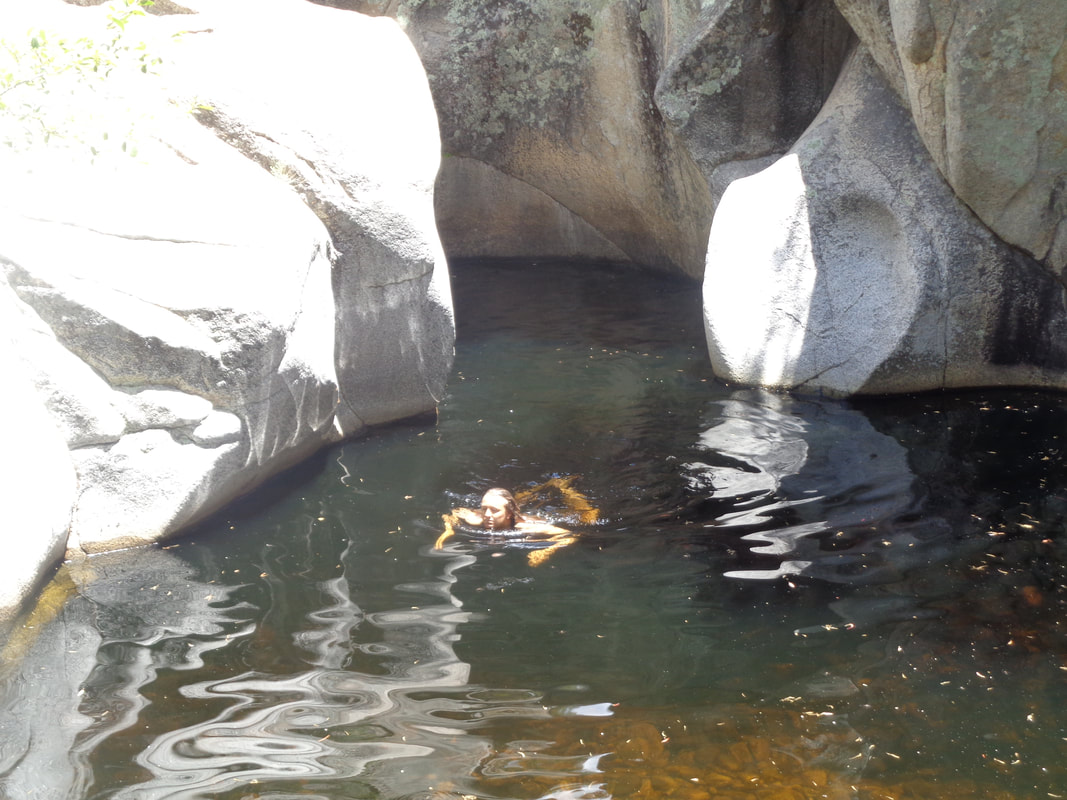 ….the pools. A woman was swimming in one of them and seemed a bit miffed when we settled in a small sandy beach area where she must have thought squatter's rights existed. 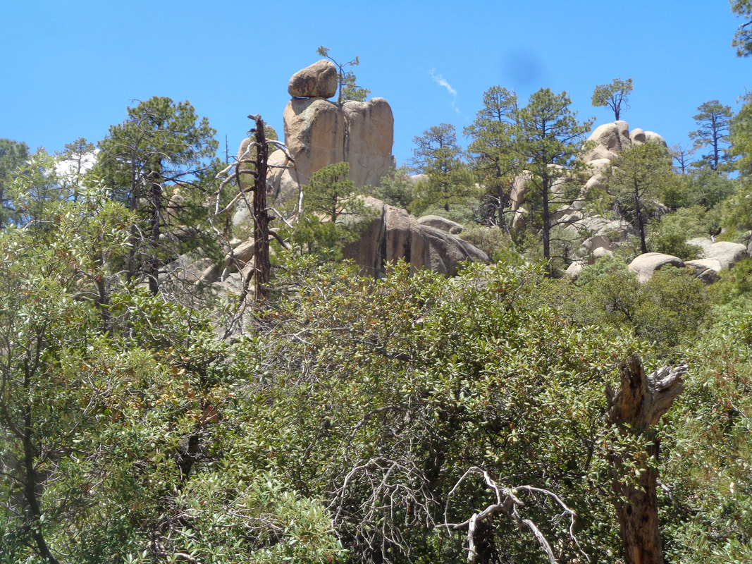 Above us boulders are balanced and it really is a beautiful spot. 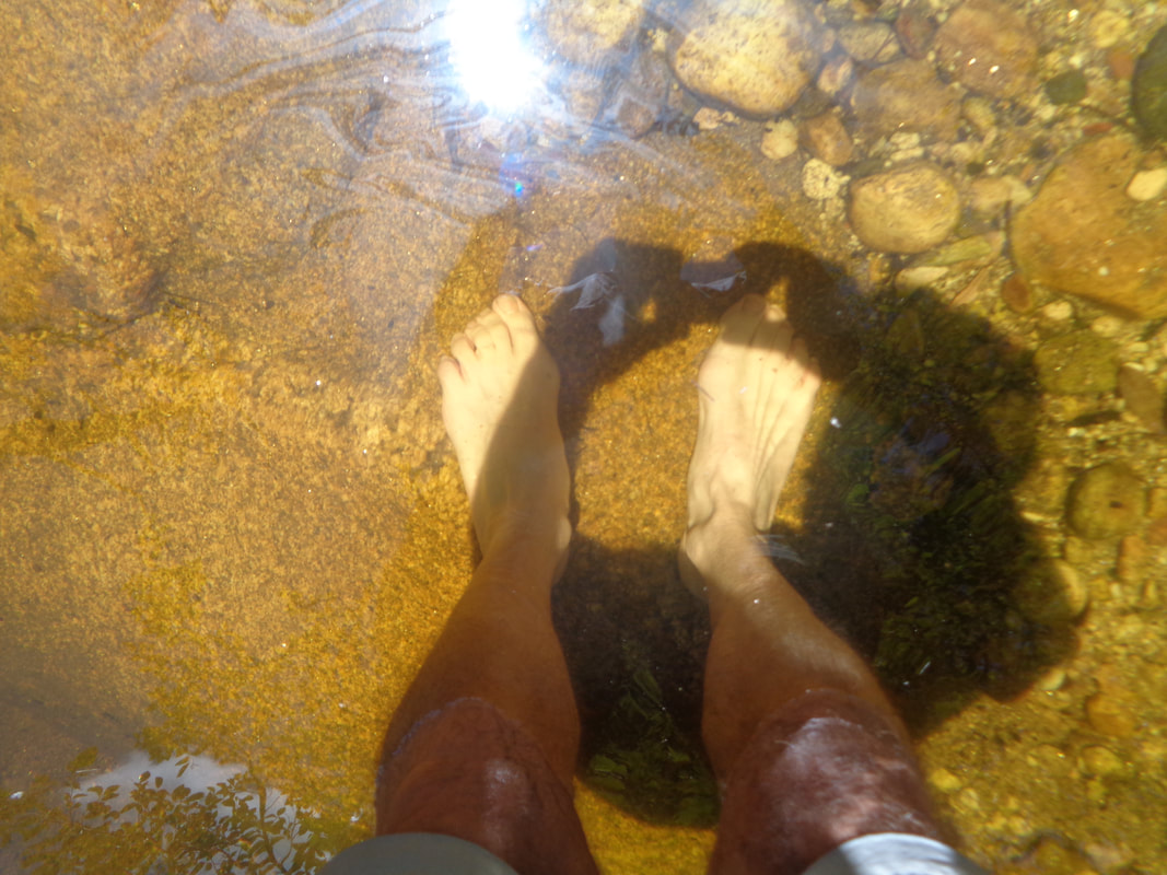 Some of us removed our shoes and socks and waded in but the water was very cold. Calf deep was my limit. You'd think the pools got their name from the color of the water but no, they are in Mountain Lemmon Canyon. 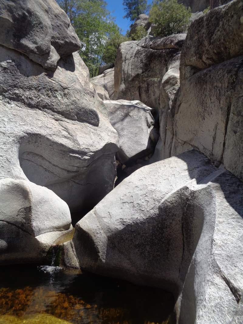 I scrambled higher and got some good looks at other pools and pour-offs but the bottom pool is the best. We soon began the kind of arduous climb out of the canyon, did some more route exploration before I stumbled upon..... 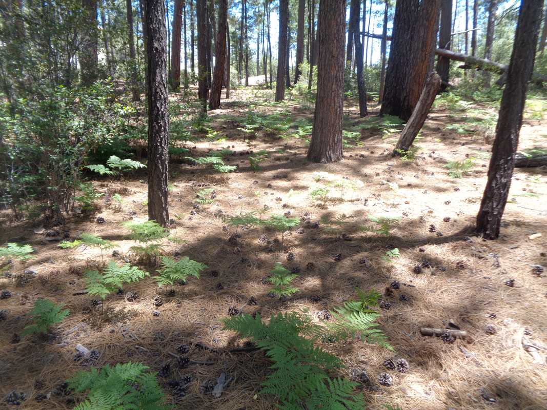 ….the trail and a return through the forest. Previously, someone had given us an idea where there was a hummingbird nest, something I had never before seen and with good reason as.....  ….upper center between the crossing of the two trees. I was surprised to find it and could see the bird's beak moving around but that's about it. I suspect this is a rare find?  Cathedral Rock in the distance. I still have not made it all the way, almost but not entirely within the "inner sanctum" as it is known. Such a hard hike but I'm not getting any younger as today, 6/21 is my birthday! Happy birthday to me. Finished the hike with 9 miles and 1800' of climbing.
 June 20th, not the longest day but close enough for our Summer Solstice epic evening of cycling. 6pm start but I wonder if anyone wants to shove off earlier, around 5:30pm for an easier paced affair? See you in the parking lot.
https://ridewithgps.com/routes/19047637 https://ridewithgps.com/routes/19766805 https://ridewithgps.com/routes/19047699  I returned to the Santa Ritas to head up to a new peak, Josephine. The first segment would be to Josephine Saddle, accessible either via the Old Baldy trail or the Super Trail. Baldy, which I hiked last week, is 2.2 miles having an average grade of 14%, Super is 3.7 miles and an average grade of 8%. I went for the Super Trail this go around. 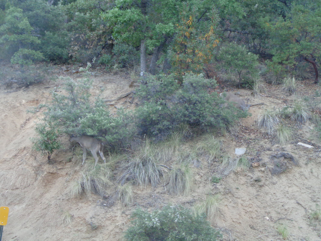 Arriving at the trail head at 6:30am, a herd of deer are having breakfast. 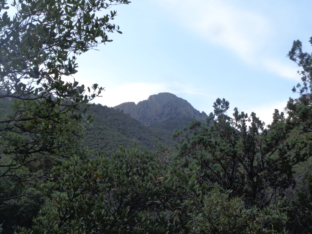 There's Mount Wrightson but not on today's agenda. 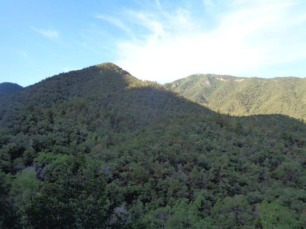 Like the Old Baldy trail, a large portion of the morning is in the protective shade of the mountains. 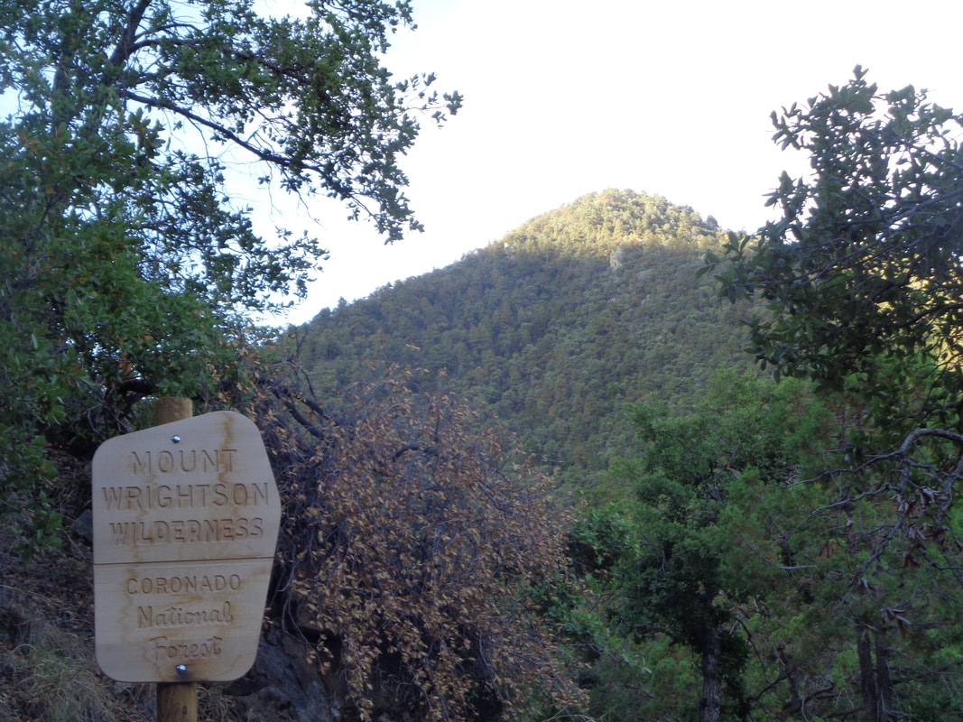 The sun highlights a nearby peak as I enter Mount Wrightson Wilderness. I bring a hiking pole and bang it on rocks to alert the bears and lions of my presence. In January, a guy was hiking, became lost and a massive search ensued. They never found his body, likely dragged into a lion's den, never to be recovered. 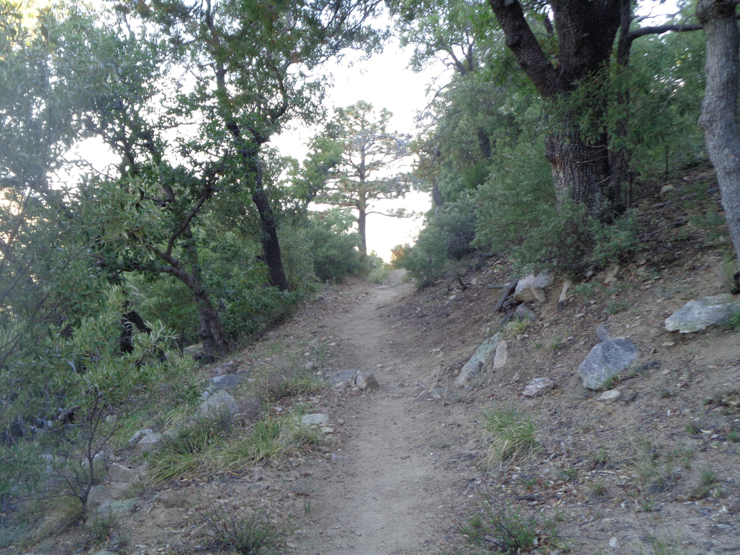 While longer, the trail is much easier to hike without as many rocks protruding from the ground. 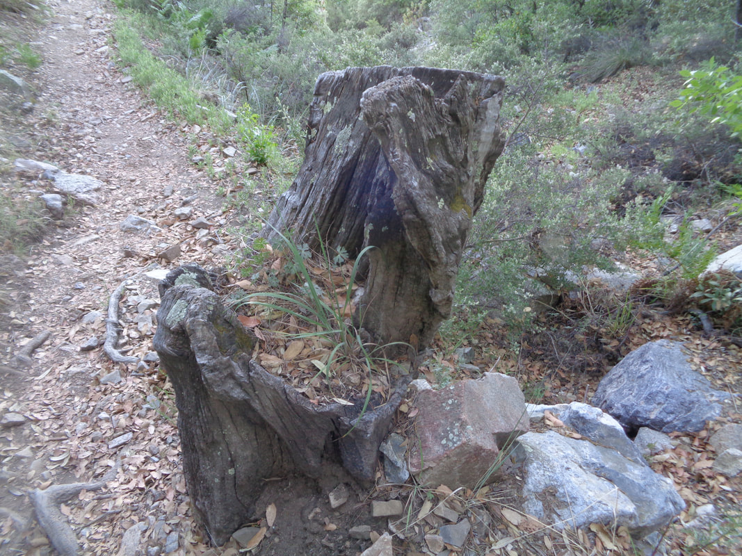 A stump has accumulated enough debris so plants are now growing from it. 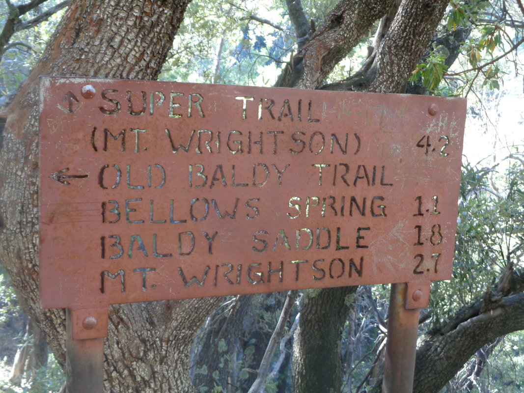 I reach the Josephine Saddle but had wrongly assumed there would be markings for the peak. I had failed to do much research other than if I proceeded on the Super Trail, the Josephine Peak was somewhere off that trail. 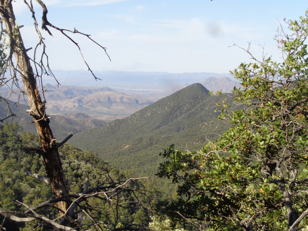 A guy came through and provided some insight. Yes, Josephine Peak is off the Super Trail but there is no trail to it, merely a route and it is not marked with many cairns. Hmmmm, maybe I should leave that for another day when I am prepared. 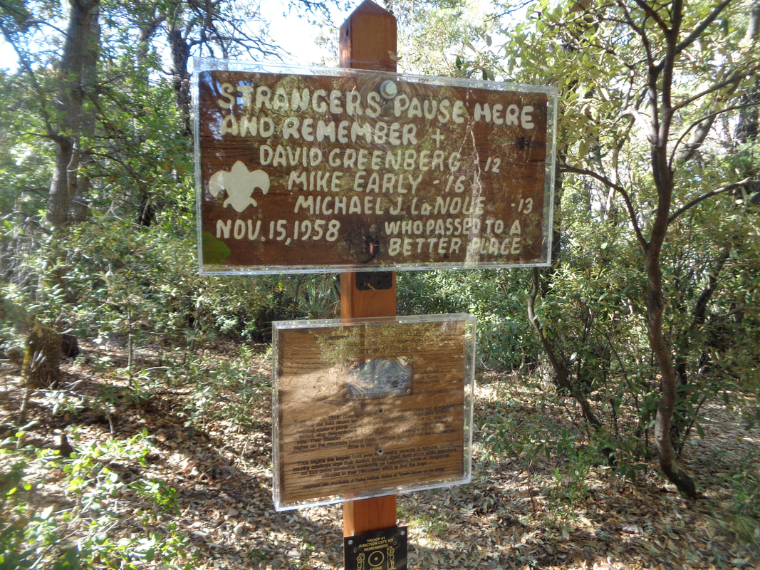 In 1958, a group of Boy Scouts were at the saddle when a freak snowstorm moved in without warning. Some of the boys huddled under a picnic table, others tried to get down the mountain. Snow fell 4-7'. Three of the boys died as rescuers on horseback struggled to reach them. 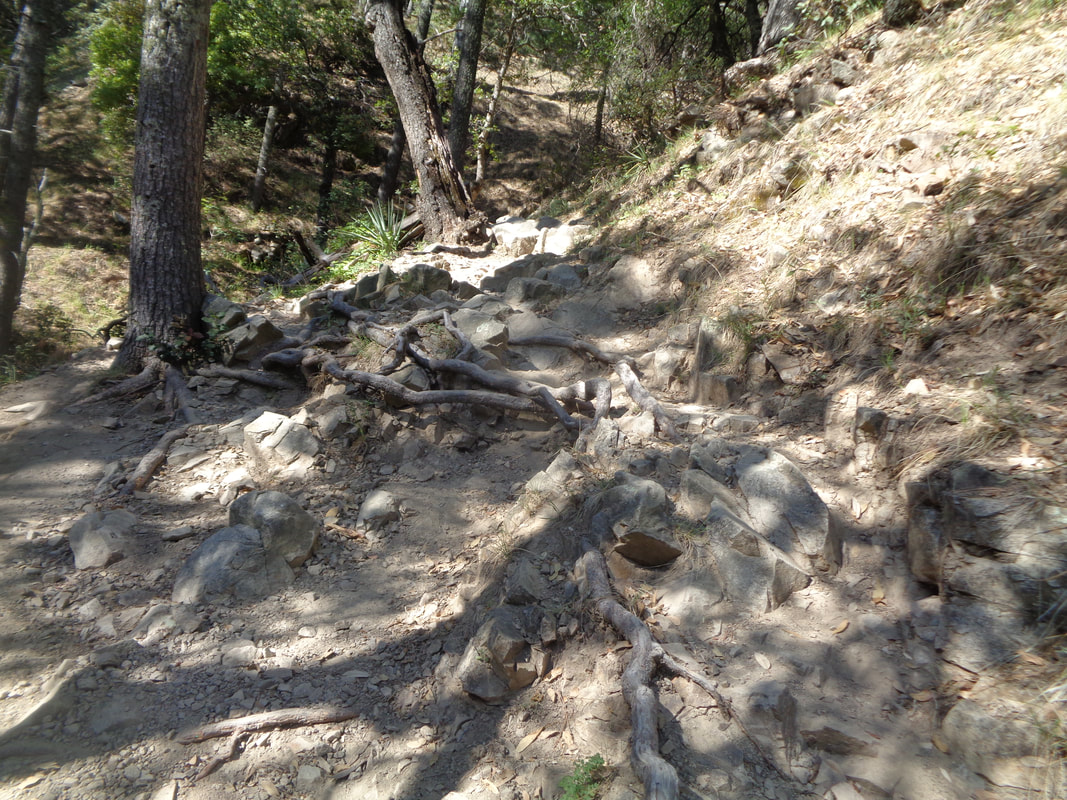 I descend the Old Baldy trail and ya must keep your eves glued to the trail. It's amazing I do not fall more often than I do. 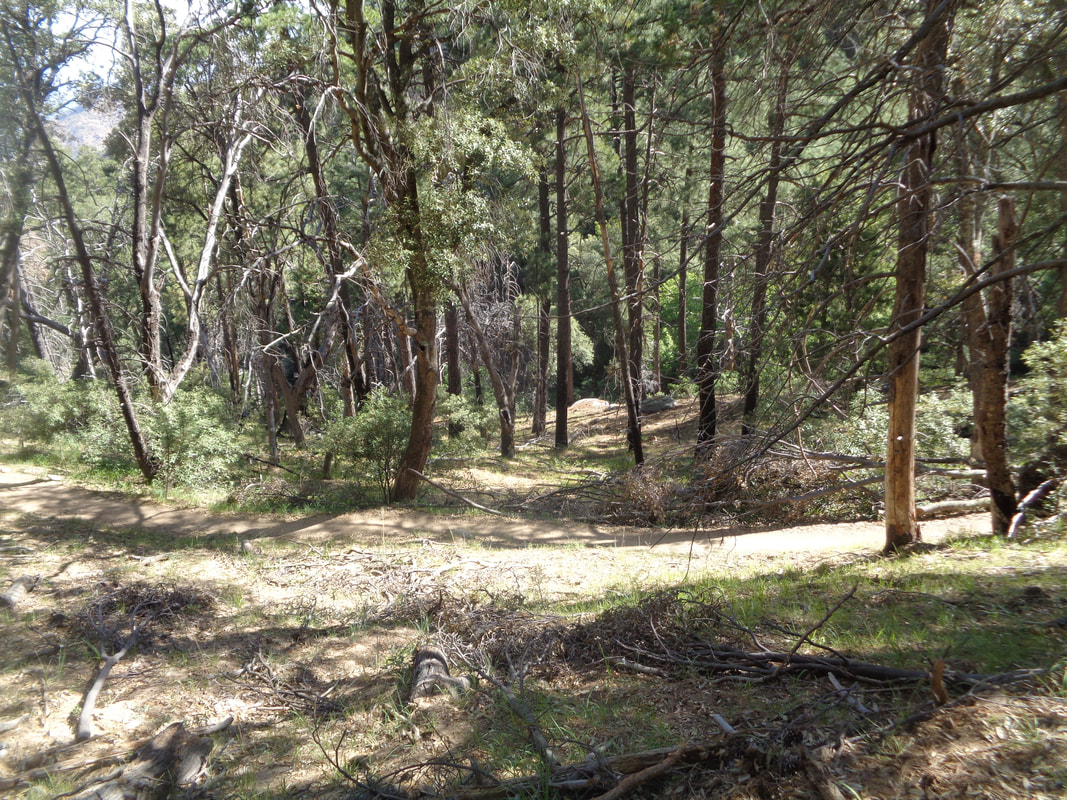 It is pleasant to hike through the forest, high above the valley where today's high temperature was 107. 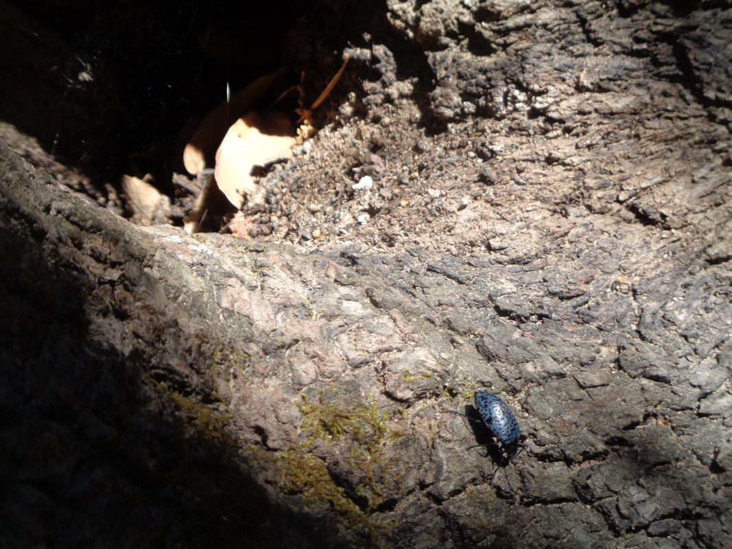 A beetle enters a concave area of a tree where a spider awaits. 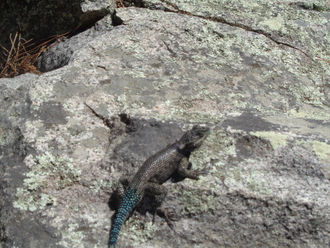 Check out the color of the lizard's tail. 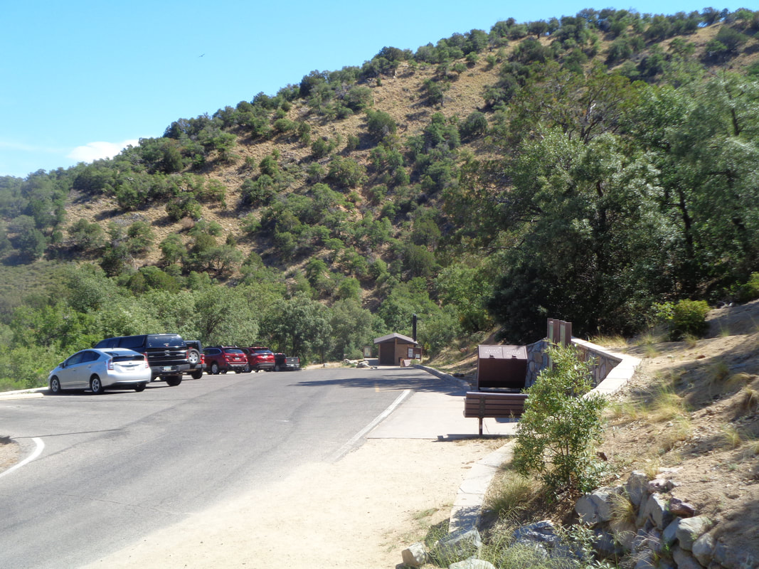 I enter the parking area having hiked 7 miles with 2000' of climbing.
 As few will attest, no one is more optimistic than I but dang, look at the forecast. If the rain doesn't get you the wind will but this group is mostly comprised of hearty, cookie eaters so get out there and ride!
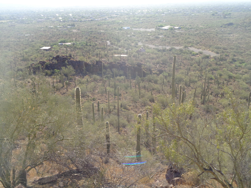
https://ridewithgps.com/routes/19046598 https://ridewithgps.com/routes/19046607 https://ridewithgps.com/routes/19046622 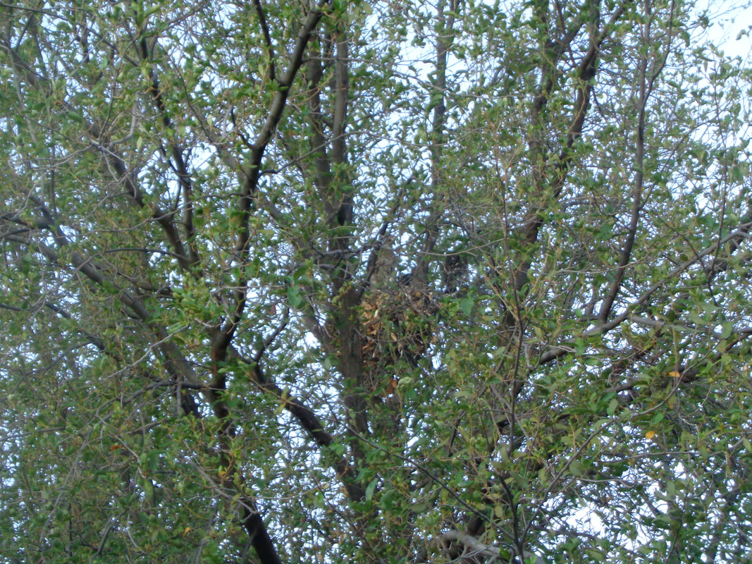 I had been reading about a Cooper's Hawk dive bombing residents, pecking their heads when they walk below the hawk's nest. I had forgotten about it when I arrived for my short visit and then discovered the nest is outside my 2nd floor unit! Been fun watching two youngsters take their first tentative steps outside the nest, wings flapping but not yet ready to take flight. Now on to an epic hike. 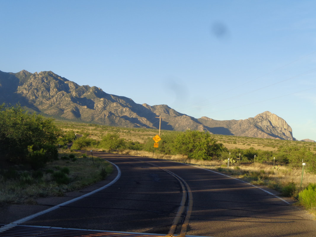 ON a day having a forecast high of 98, I head south and enter Madera Canyon where the road rises and the temperature cools a little. Above, Elephant Head on the right and to its left but out of sight is Mount Hopkins and higher up, Mount Wrightson, my destination, today. 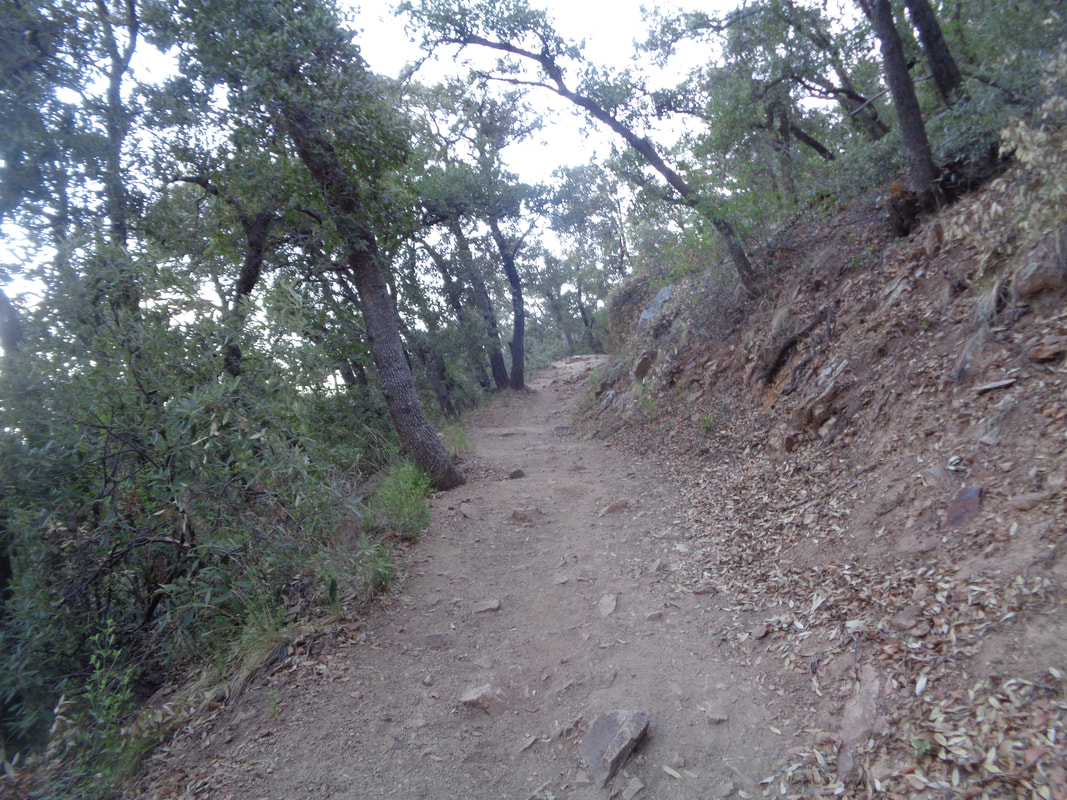 I park in a generous parking area, still driving Rick's mumbo van that I hope to transfer in a couple of days. It was great to have the van as a transport to get some heavy items out here but driving a vehicle that gets 16mph kind of sucks. Beside being at a higher elevation of around 5000', the trail is in shadows for much of the day and when not, ample tree coverage picks up the slack. 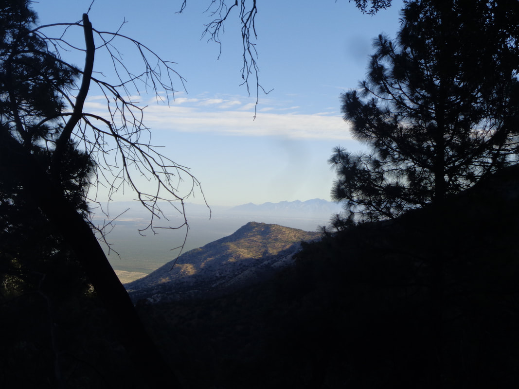 There are a couple of options to ascend to Mount Wrightson so I choose the most direct and steep route, Old Baldy Trail. It will be a 5.5 mile hike to the top, gaining 4050' of elevation gain at an average of 14%. I sure seemed steeper than that!!!! The tree canopy breaks occasionally and provides awesome views as I make my way to Josephine Saddle at mile 2.2. 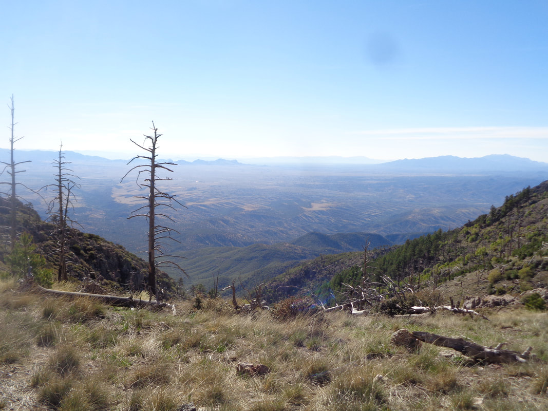 Reaching Josephine Saddle, I continue my trudge on to Baldy Saddle, another 1.8 miles farther up trail. My legs are surprisingly ok despite not having done a hike of similar difficulty for quite awhile. 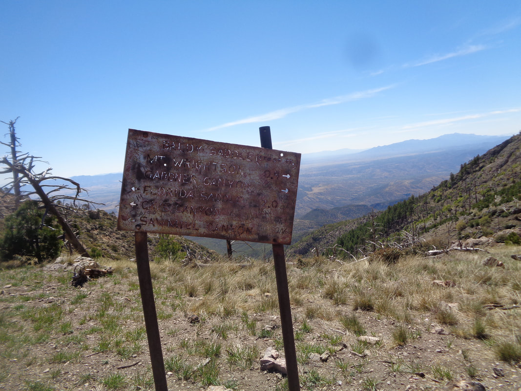 At Baldy Saddle, I am directed to make a right and continue on for .9 miles. Mercifully, the steepness abates a bit for the remainder of the climb. 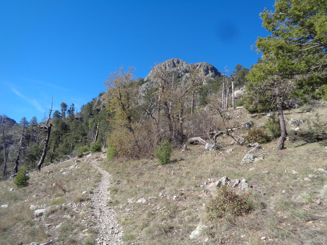 And there it is, the granite peak looming above me....ugh, so far, so high. 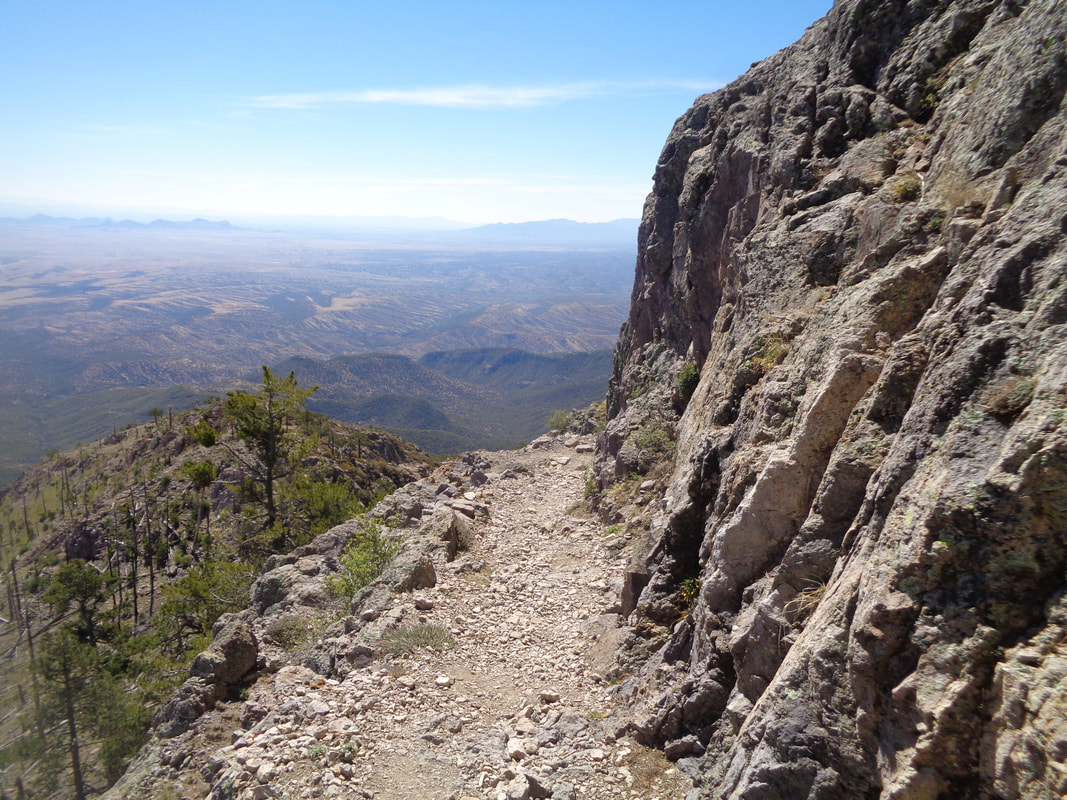 Still steep at times but also the ascent moderates, rarely, I work my way up the switchbacks while the trees are now absent and the views...awesome! 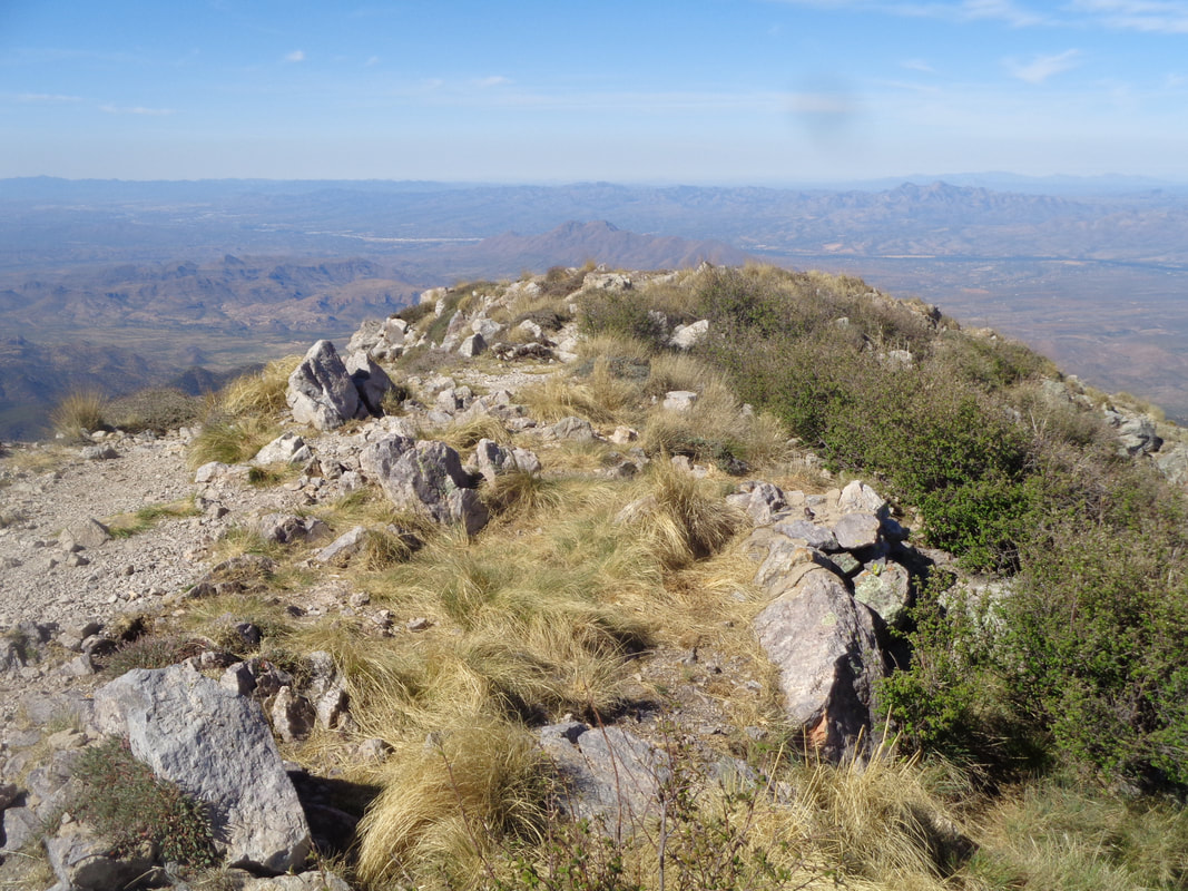 And here it is, the peak. Always an emotional rush to make it on a climb of significance as this one is. The high point in the Santa Ritas and of course, higher than.... 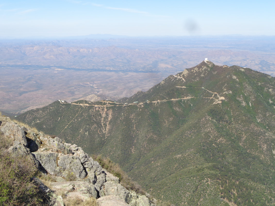 ….Mount Hopkins and its observatory. The names of the two summits are derived from the names of two surveyors who were bushwhacked by Apaches in the mid 1800's. That climb to Hopkins, oh wow, so steep. 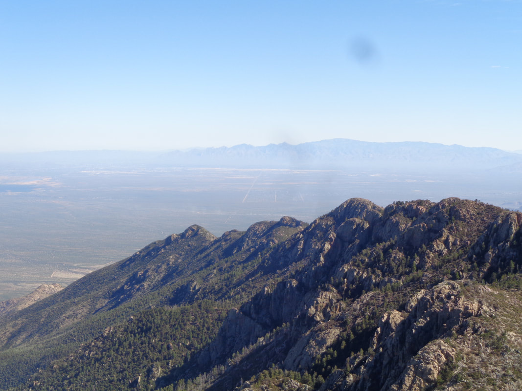 In the distance, the Catalina Mountains and there are multiple mountain ranges in the wonderful 360 view afforded to me. 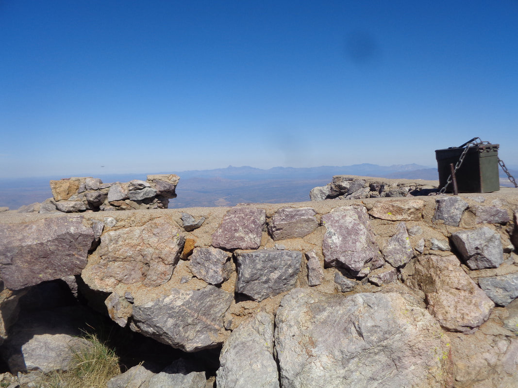 A few decades ago, a fire watch tower was maintained here but now nothing but the foundation exists, along with an ammo can that contains the summit registry which I proudly sign. 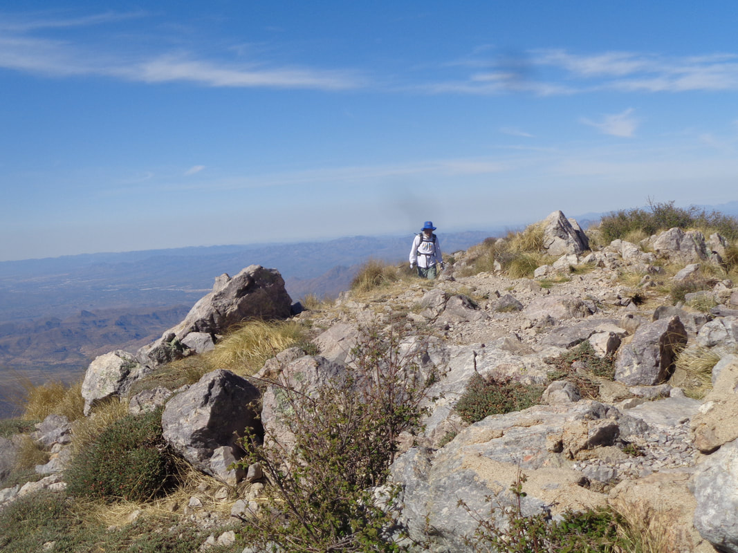 A nice man from St. Louis arrives. 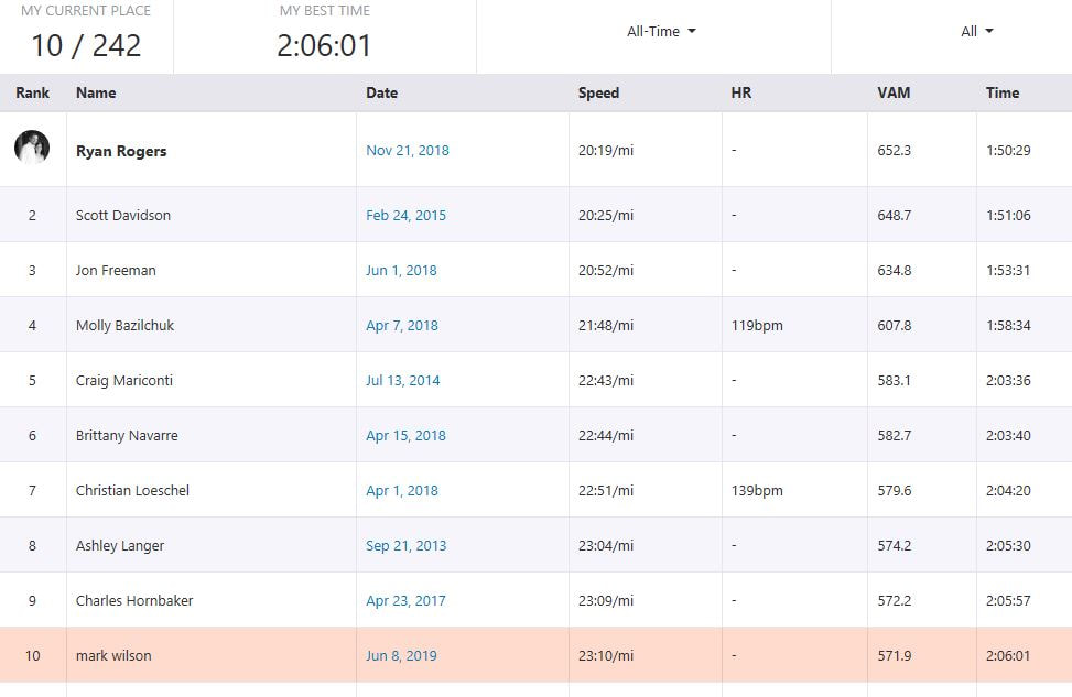 For Strava followers, I finish 10th of 242 which is ok but my hiking fitness is not great so yeah, I will go back and do it again, soon. Maybe take the longer but shallower "Super Trail" but for sure do it again. 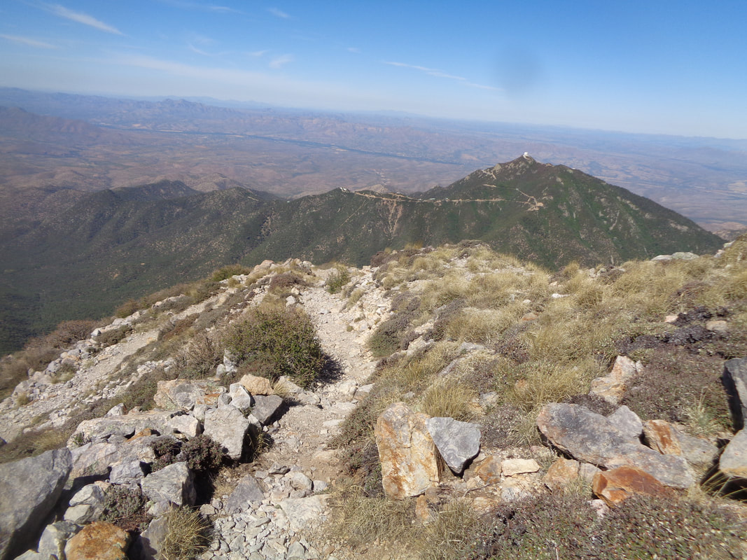 Soon, I begin the descent. Rounding a corner I see.... 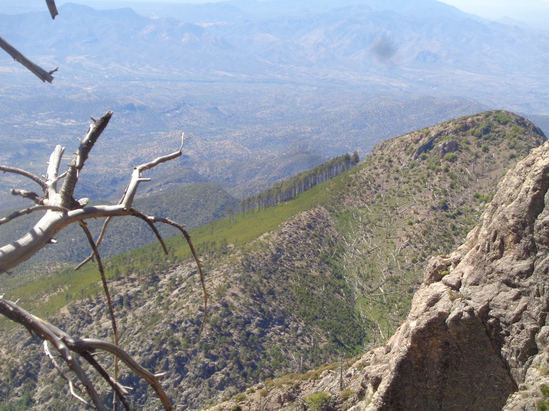 ...an incongruous site of a small grove of trees on a south facing slope. Seemed out of place but beautiful. 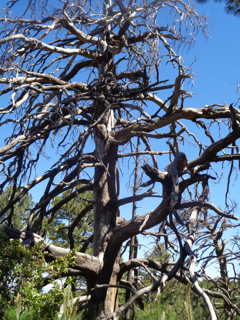 A long dead pine stands alongside the trail. 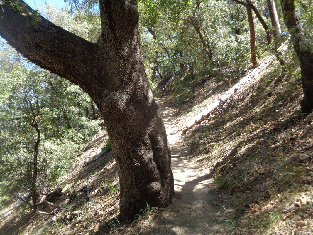 Descending, the temperature rises. I recover a fluid bottle that I removed from the freezer in the morning and stashed off trail on my way up. Geesh, did that cold drink taste great but I was also glad to be in the shade during my return to the trail head.
 The hike to Sombrero Peak, one I have done many times but a good hiking friend stated she has never experienced the hike so I was glad to show her the way. We park at Sanctuary Cove and begin the hike, quickly gaining elevation. 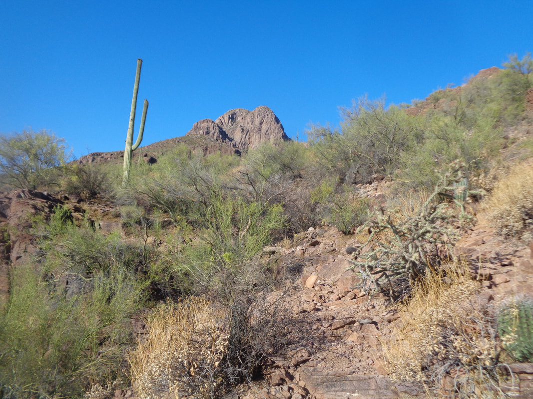 The peak, in the distance, is only about 1.5 miles from the trail head but several steep sections to arrive at the peak. 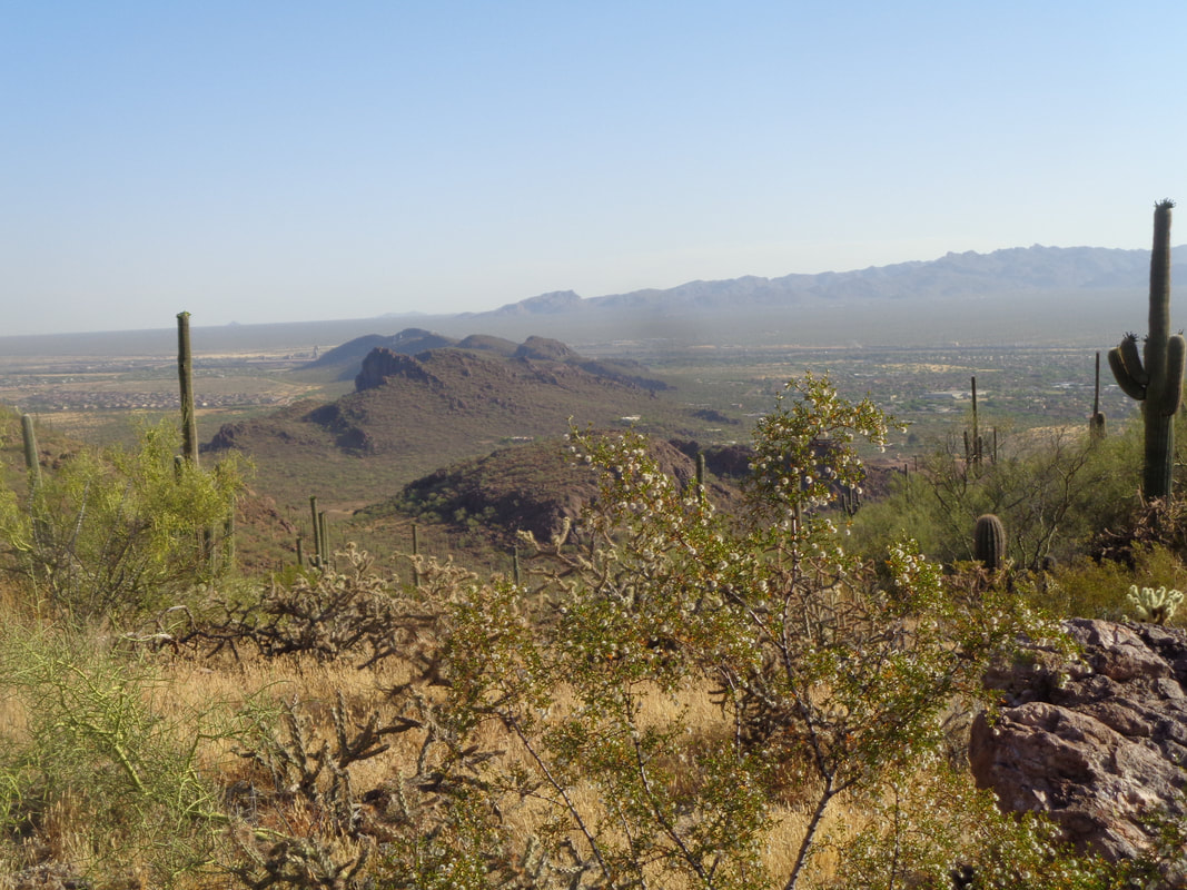 The views.....geesh I love it. 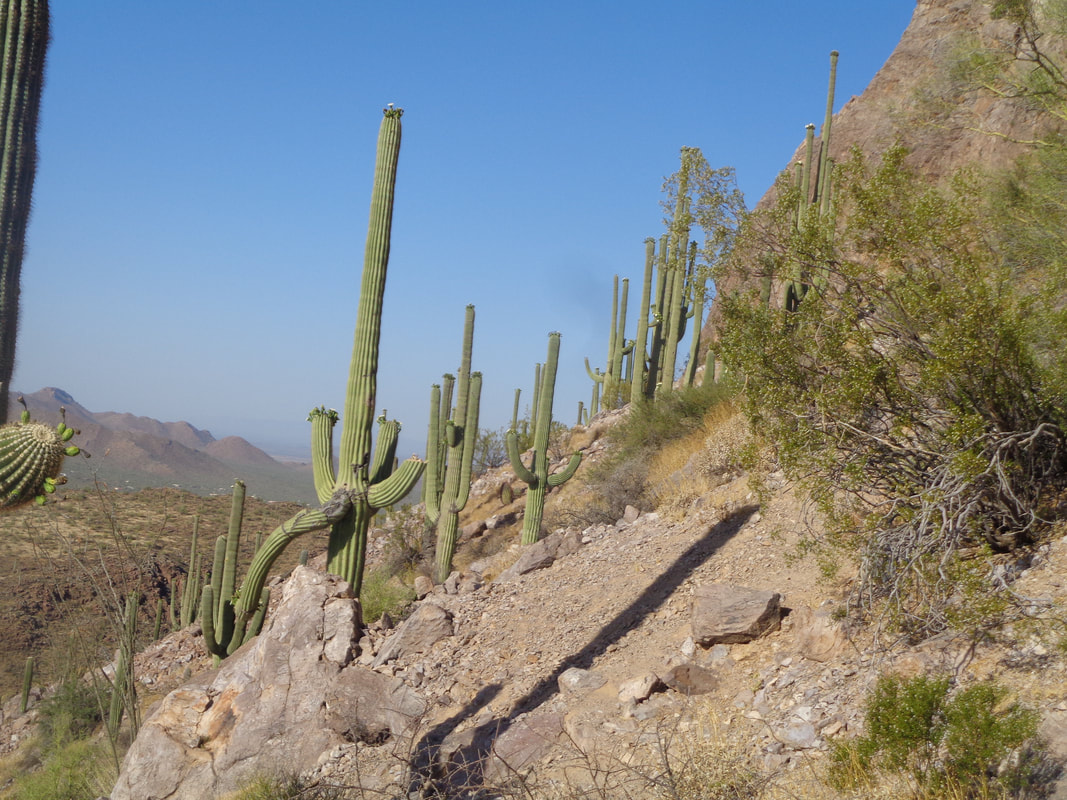 The route goes through a small grove of mature Saguaro cactus. 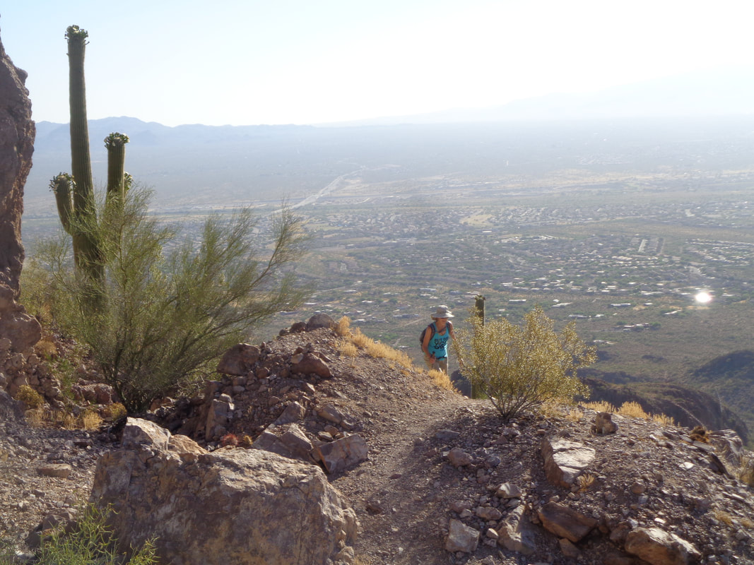 My buddy climbs through a steep section and ready for more which.....  ….arrives. At this saddle, hiking poles are dropped, excess weight and thus we begin a hand a foot effort to the peak. A fun section of the route. 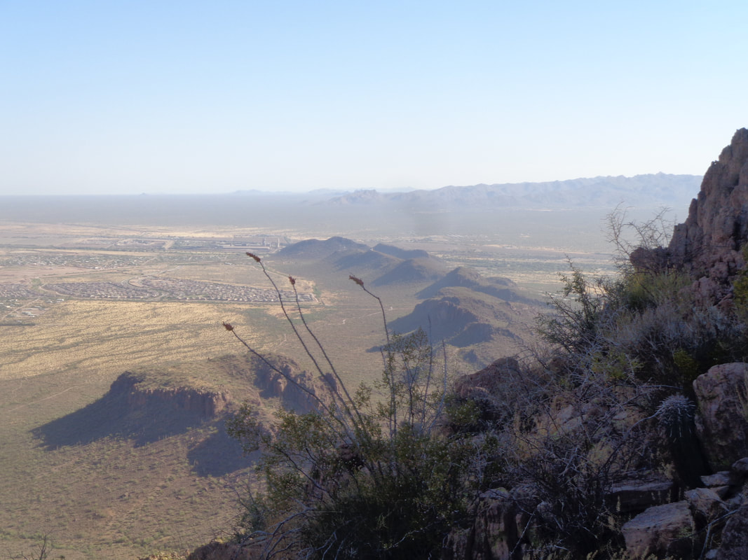 We reach the peak, sign the summit register, snack and head down where I.... 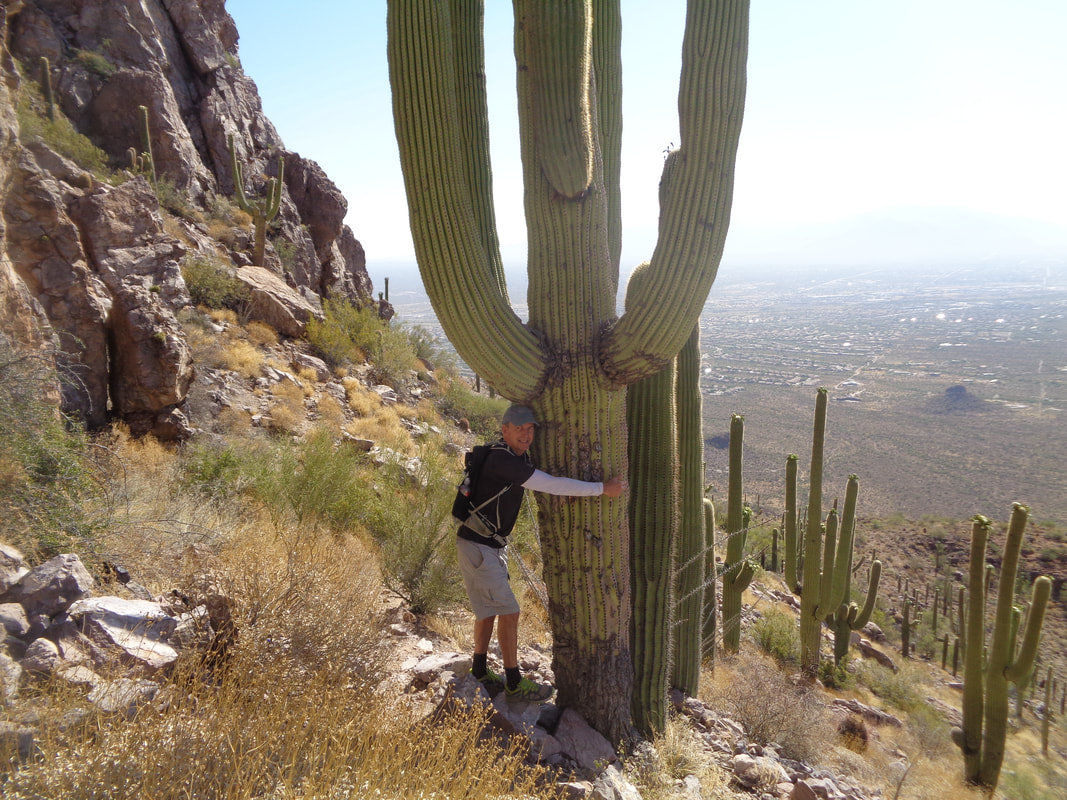 ….hug a Saguaro which provides a representation of how large these things can be. 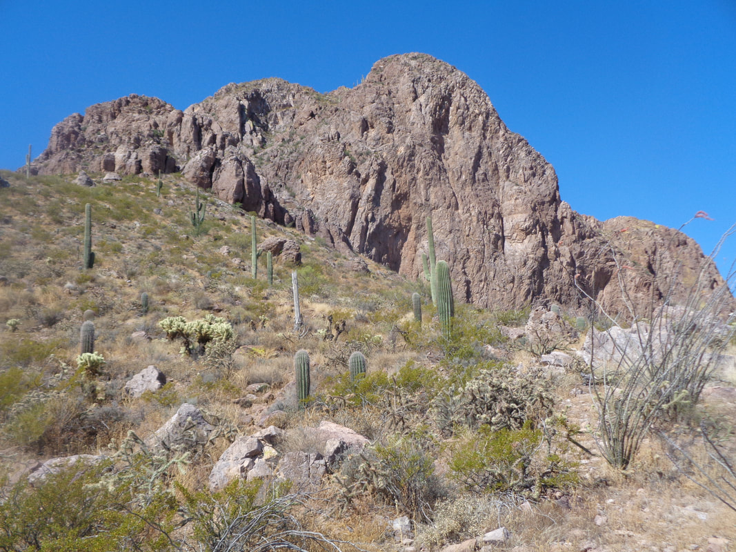 About half way down I look back at what appears to be a formidable obstacle but there is a way and I was glad to share it with another fellow hiker.
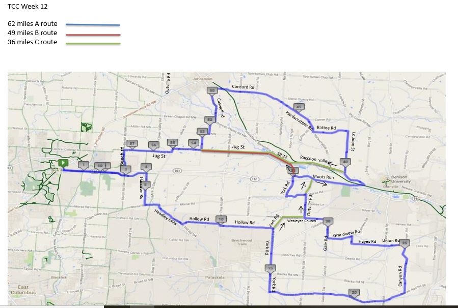
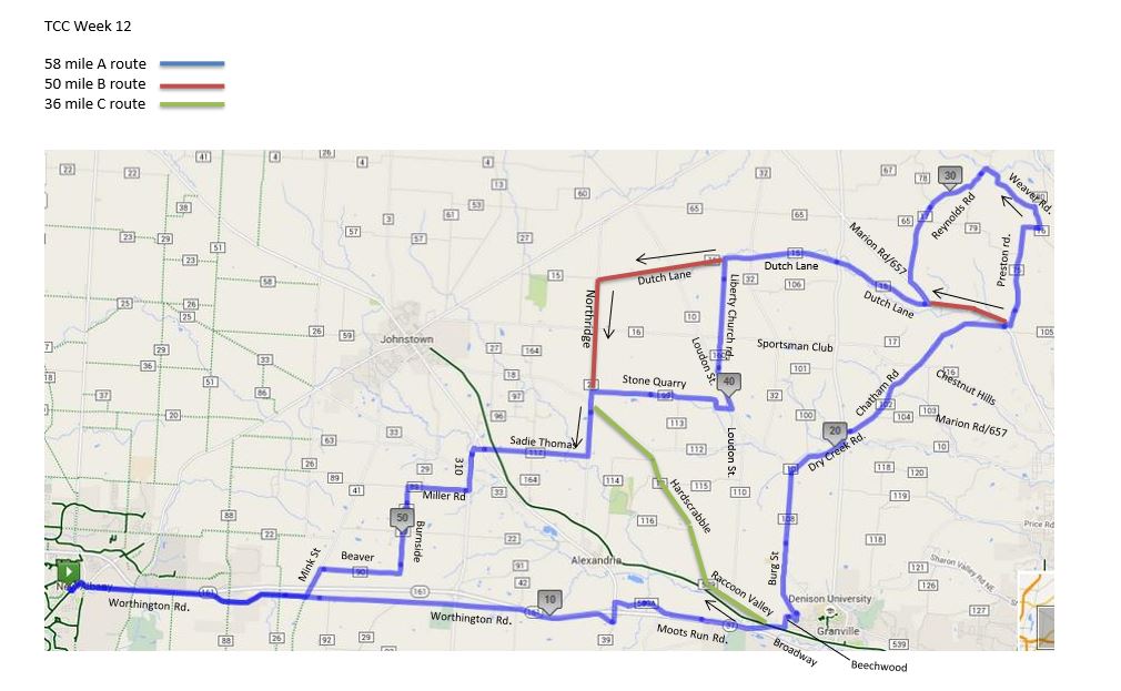
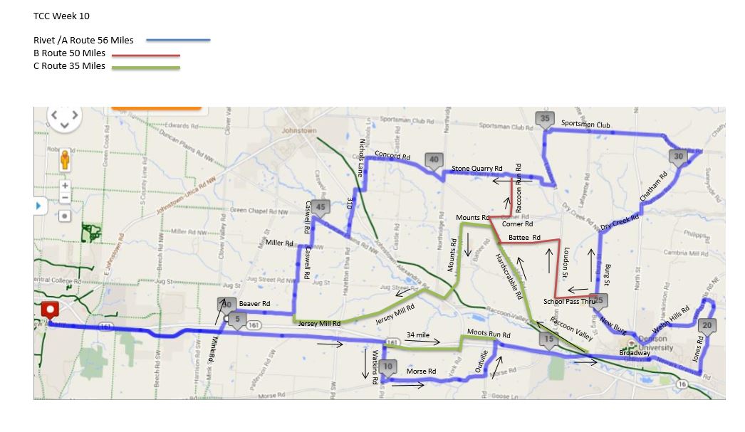 And so here we are in June and faced with a somewhat troubling forecast for this evening's festivities. We once had a club weather forecaster, Steve Nelson, but he was shoved out the door (gold parachute attached) for a rather deplorable forecasting record. Throwing darts proved to be more accurate. I'd plan on being at the church, 6pm, for the roll out following the Rivet/A. B or C routes seen below.
https://ridewithgps.com/routes/19046417 https://ridewithgps.com/routes/19046435 https://ridewithgps.com/routes/19046484 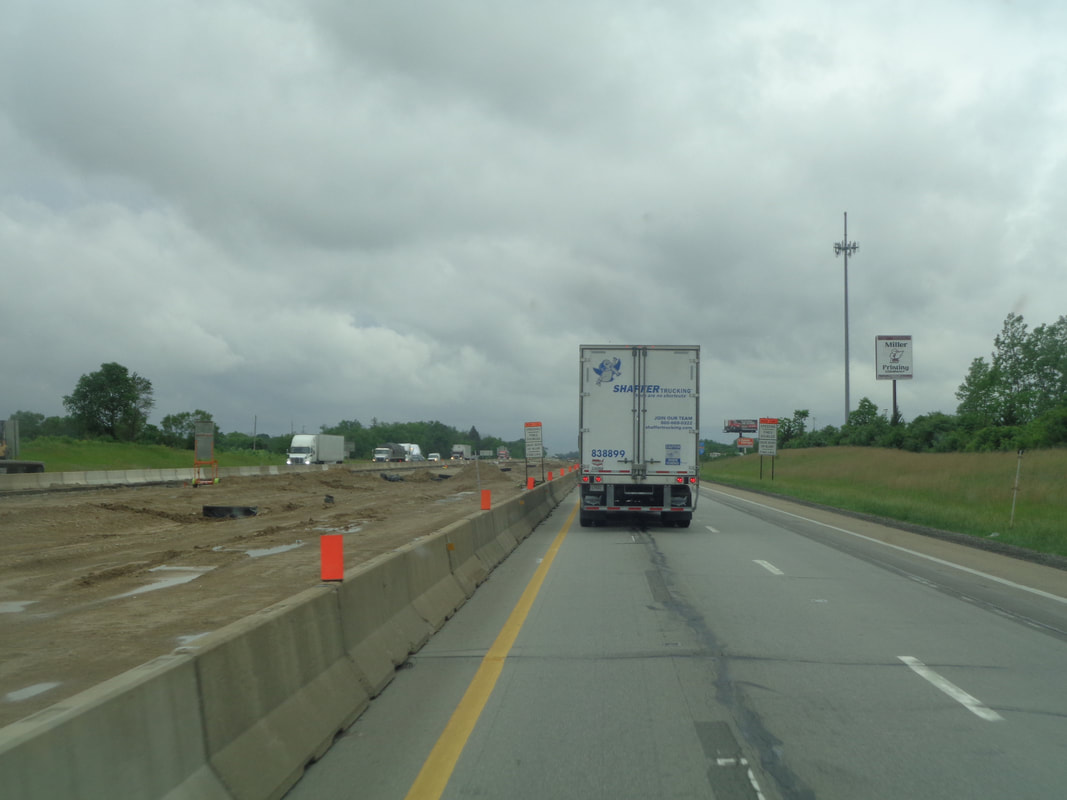 I departed Ohio under the all too usual clouds and some rain but the worst of it was to my south and soon..... 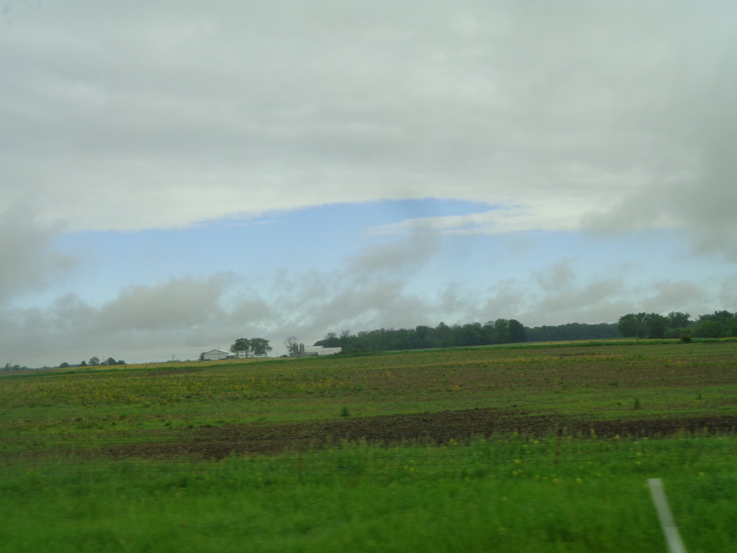 ….I could see blue skies as I emerged from the system. Going farther west I pass.... 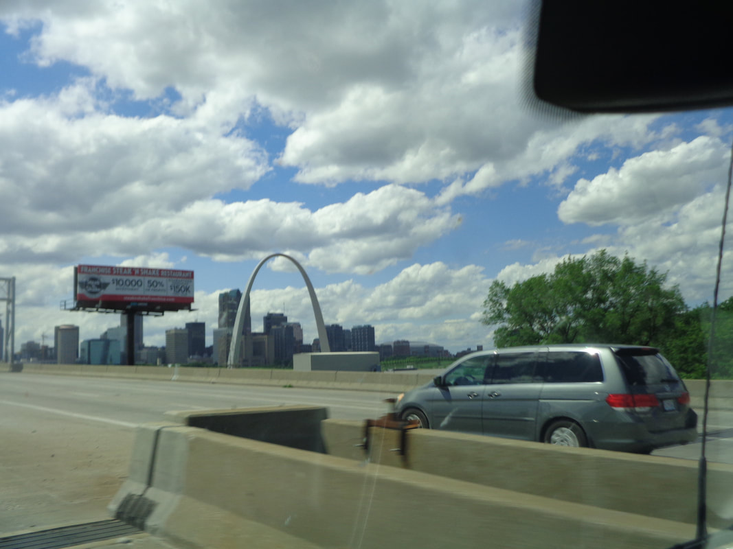 ….the Arch in St Louis. How about that. Throughout the drive, I had to be really careful to check the mirrors when making a lane change as there was a huge blind spot. That secondary mirror is very helpful.. Driving the van was like driving while sitting on top of a ladder. I could look across at truck drivers. 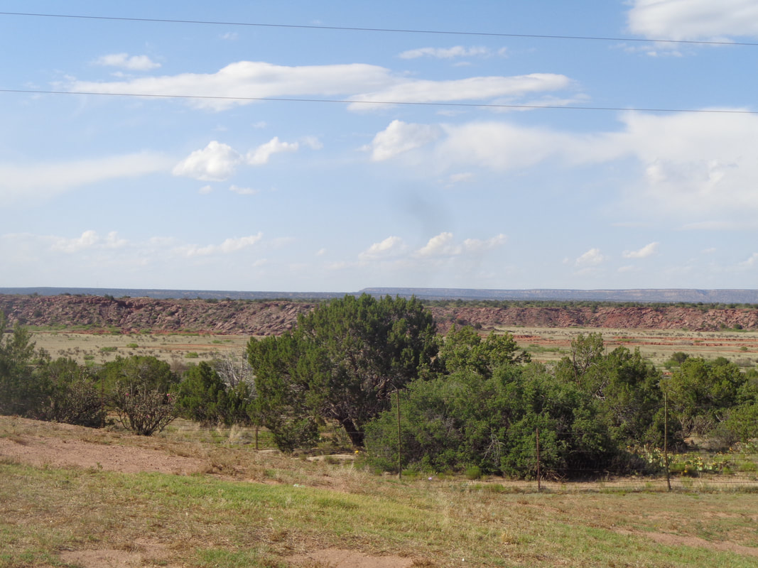 The terrain through IN, IL, MO, OK is all pretty much the same but once in New Mexico, things change. 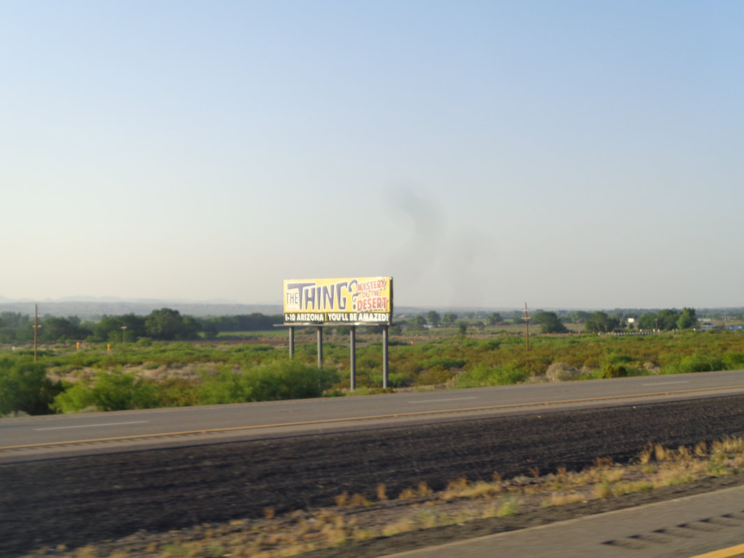 The billboards for "The Thing" begin appearing going south out of Albuquerque. 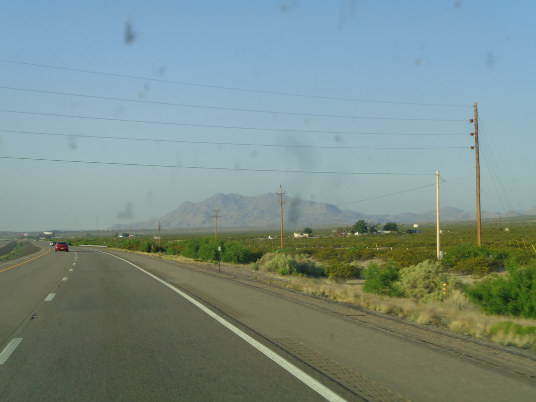 Mountains begin to emerge above the horizon as I depart the interstate at St. Rt. 26 for a shortcut down to I-10. I drive through Hatch, NM which calls itself..... 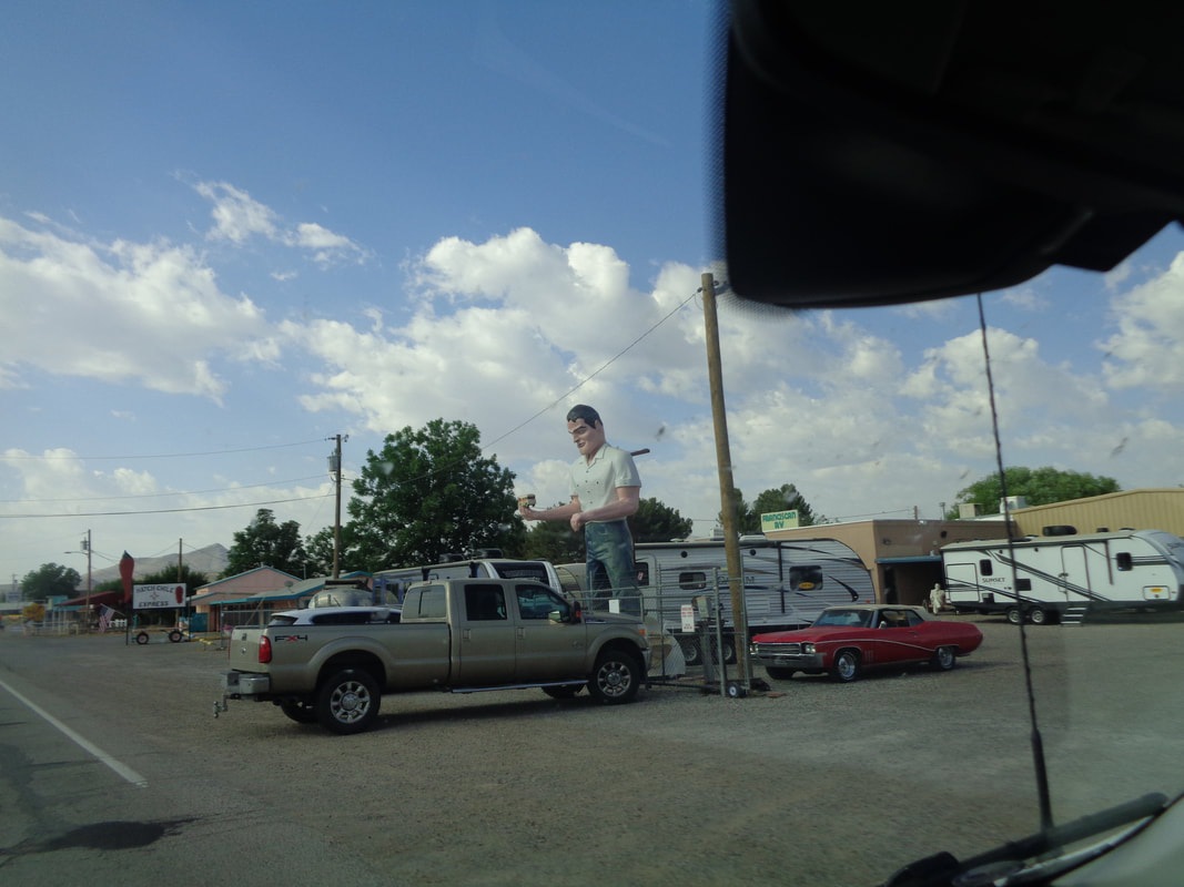 ….the Chile Capitol of the World. Could be I guess. 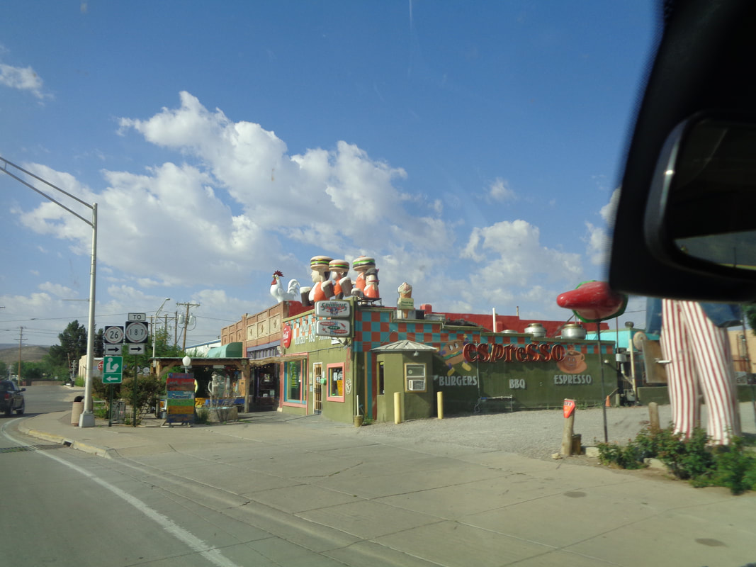 Lot of restaurants and markets involved in the Chile selling business. Lot of large figurines adorn the buildings. 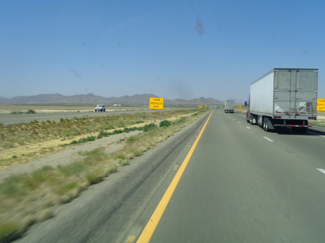 I head west on I-10 and drive through the areas known for sand storms but the wind is not strong enough to stir the sand and dust. I have been through here when the Highway Patrol shut sections of the interstate. I had departed a hotel at 5:30am as I was anxious to arrive in AZ and once there..... 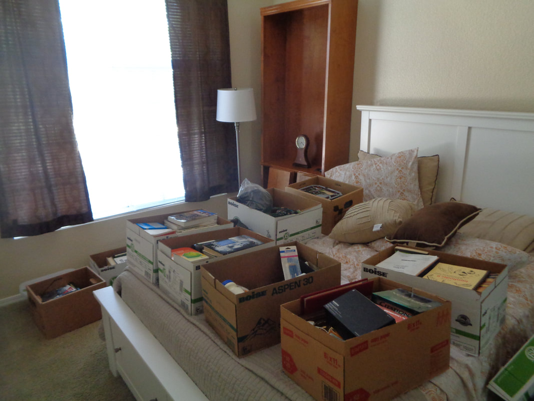 …..unloaded the van, scattering boxes in the guest bedroom and living room, putting book cases together and enjoying the sun, warm temps and blue sky. Now I'm ready to hike and ride so more to come. Not sure I want to drive the van on to CA for Rick. He dangled the option of picking it up on his way to CA with a driver friend. I need to get back to Ohio to kick ass in the B group:)
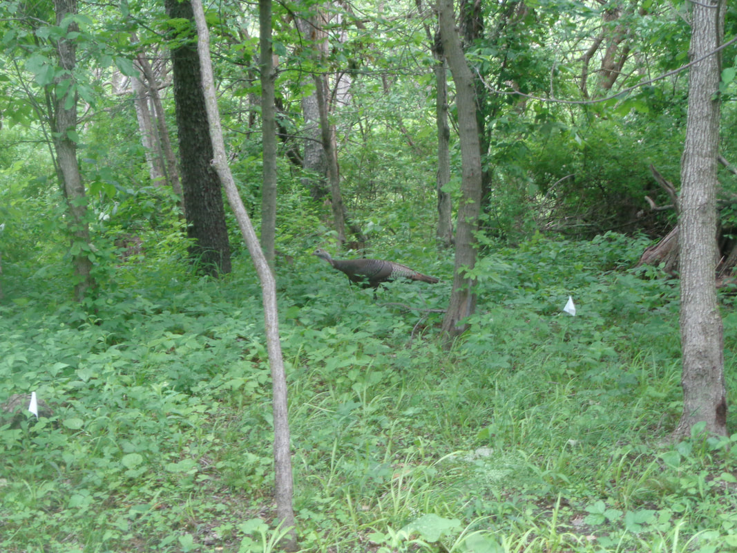 Yeah, hey, sorry for the pause in posts here gang. I did not ride last weekend as I was having too much fun in my woods where I saw a turkey and the..... 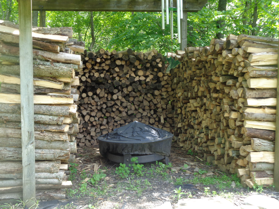 ….cutting and splitting of wood went well and I am finished for the year. A kind of sore back made me think I'd be up for something different so..... 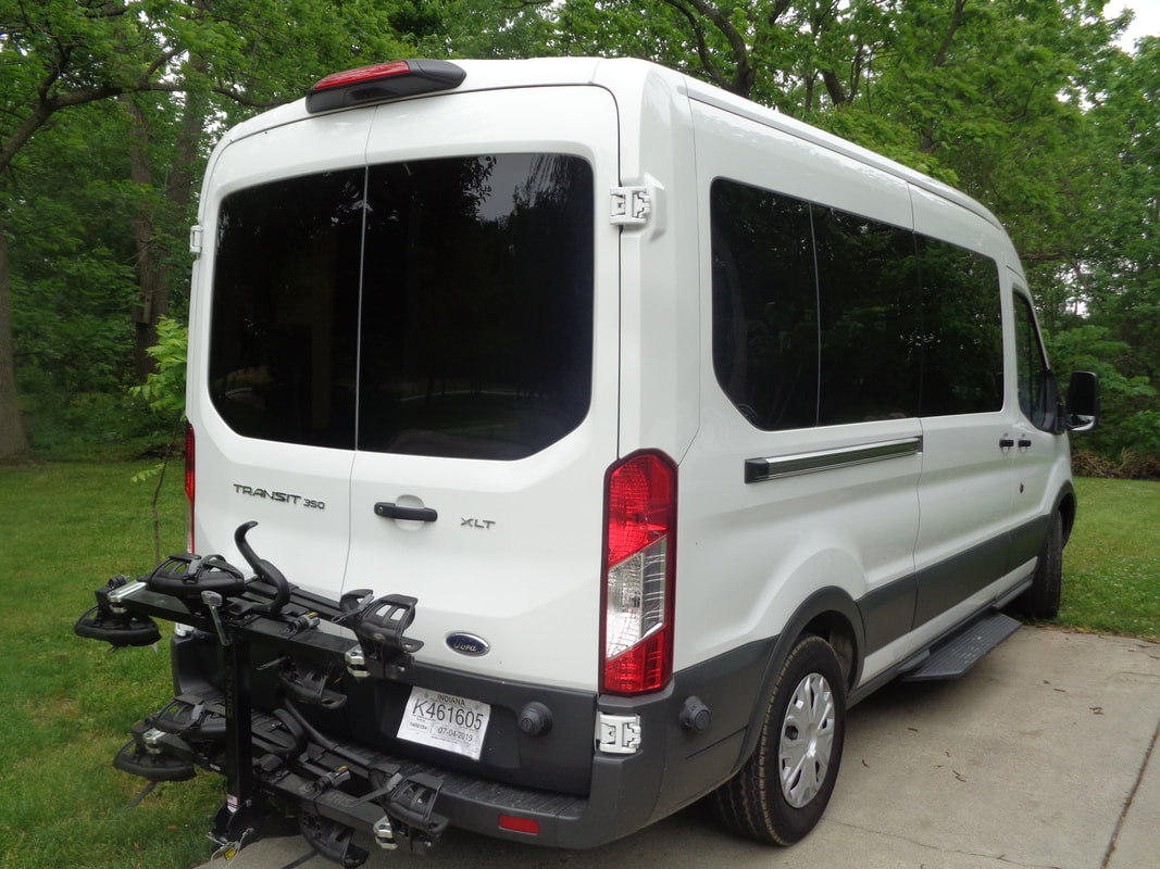 …..Rick Miller had 3 vans he needed to get to CA for the start of RAAM (Race Across America) so I volunteered to take one at least as far as AZ. Plus, there have been heavy things I wanted to advance to my condos so..... 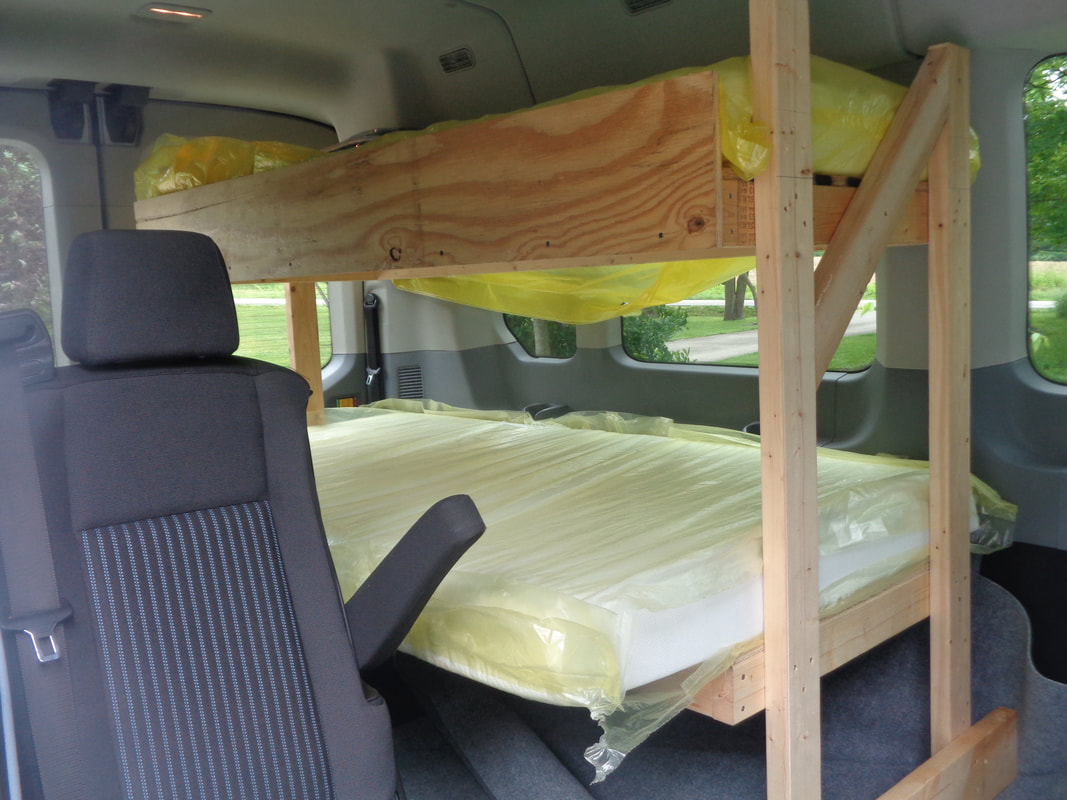 ….I loaded the van (note the bunkbed for the race participants) and began the 29 mile drive. Much more to come folks.
|
