|
From Andrew Clayton come this announcement:
The Tuesday night rides start up on Tuesday at Canal Winchester. I changed the starting location this year due to the parking that will become scarce once the car museum opens up. We are going to start from the SW corner of the Meijer parking lot now where there is plenty of parking, restrooms and water available. This should keep us out of some of the town traffic as well. Due to the different starting location, I just wanted to give folks a little heads up. They are predicting 70 for Tuesday! Can't wait!
3 Comments
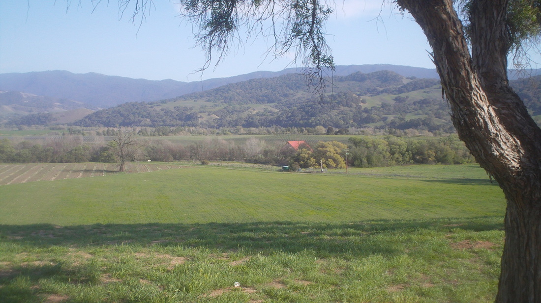
After a couple of weeks of sun and warm temps in the 70's and 80's, I decided to check out California. Once that decision was made, should I explore around the Encinitas area north of San Diego where Marty Sedluk has made a 4th home, ok, I'll do that. But then I began thinking about the Santa Ynez Valley area where I have been many times and so what the heck, drive 9 hours to what you see above. 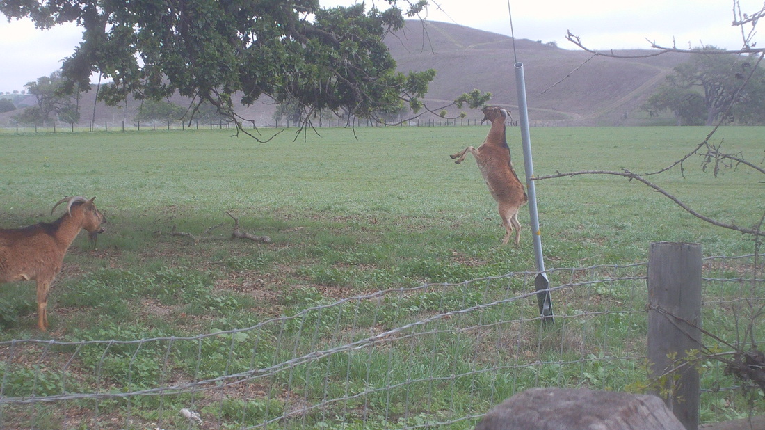
I really enjoy the restaurants in the area and ate at one of my favs on Monday evening and then jumped on the bike Tuesday and headed out Ballard Canyon Road and then Foxen Canyon where I saw a herd of goats, with the two above munching on the leaves. It is all uphill and after 15 miles, elevation gained is around 1800'. 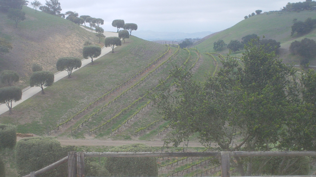
The maritime fog persisted so the views were not as good but still.... 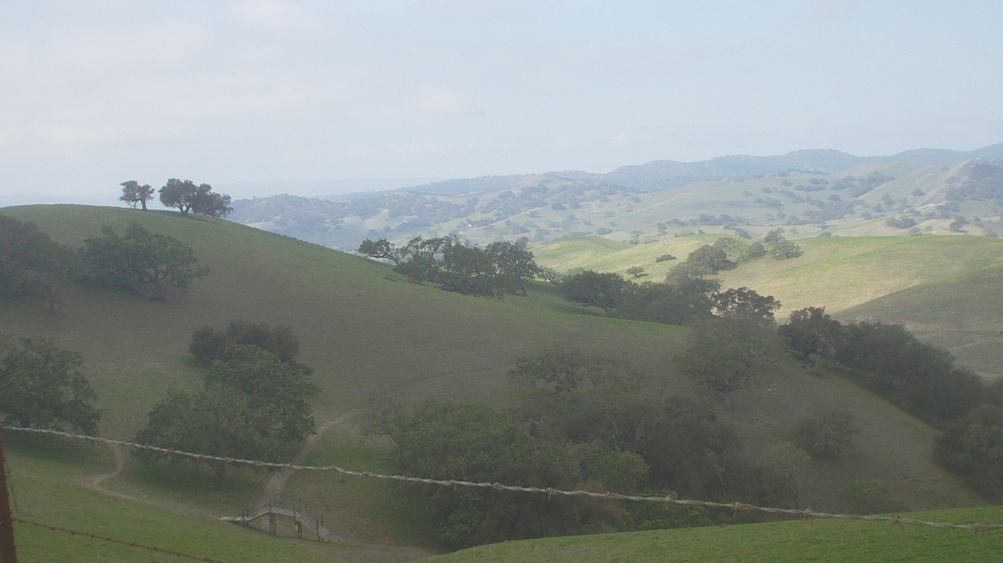
At the top of the Foxen Canyon climb, the sun began to break through to the west and north. While this area is spectacular, I would not want to live this close to the coast where practically every morning you awake to clouds and what looks like rain. Sure, it burns off 90% of the time but I need to explore south of here for an eventual move out of Ohio. 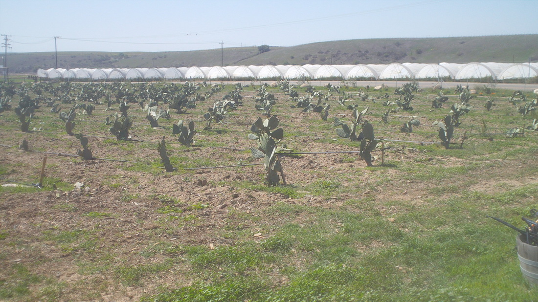
I stopped at the Sisquoc store and then kept going northwest, passing this oddity, a nursery growing cactus. Geesh, just drive east a couple hundred miles and you can dig them out of the sand by the thousands. 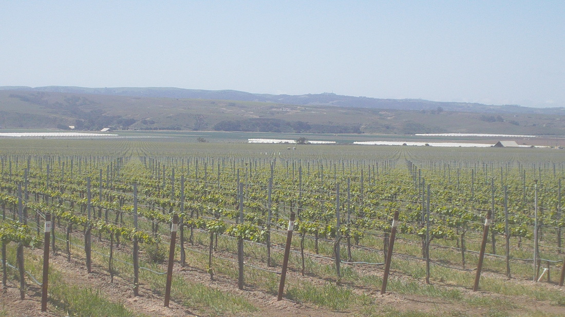
More acres have been planted in grapes. You people are drinking way too much wine. 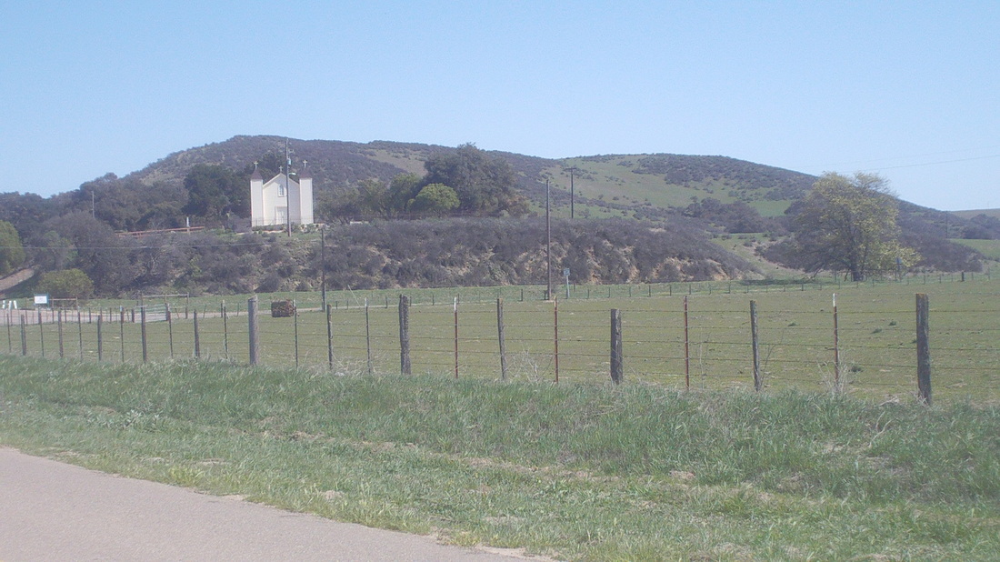
Along Foxen Canyon Road, you pass the Rancho Sisquoc winery with the San Ramon Chapel, built in 1875.. The original owners were part of a land grant from Mexico that goes back in to the early 1800's when 37,000 acres were acquired. Not a bad stomping grounds. 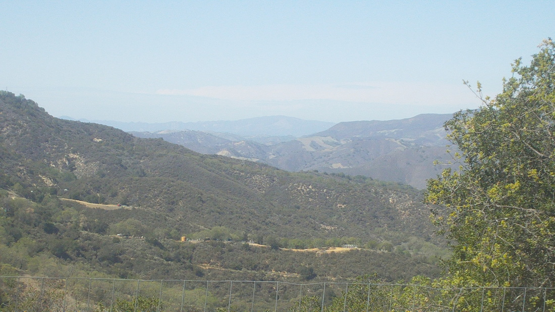
Reaching the top of Tepusquet, the views northward are incredible. It's around a 10 mile climb but not steep until the end. 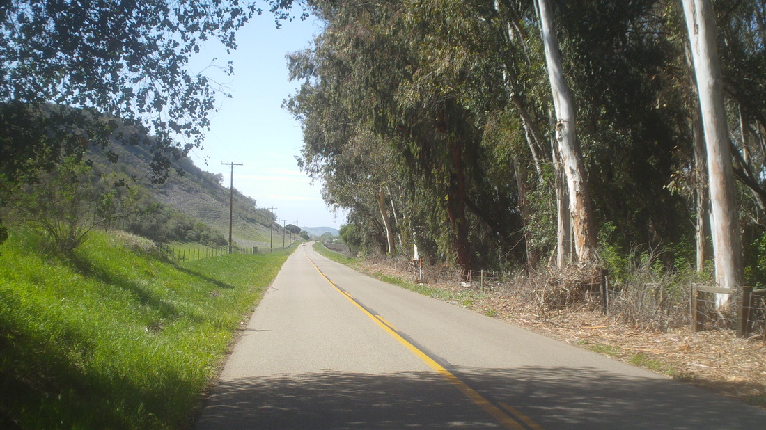
Emerging from the Eucalyptus trees along Foxen Canyon. 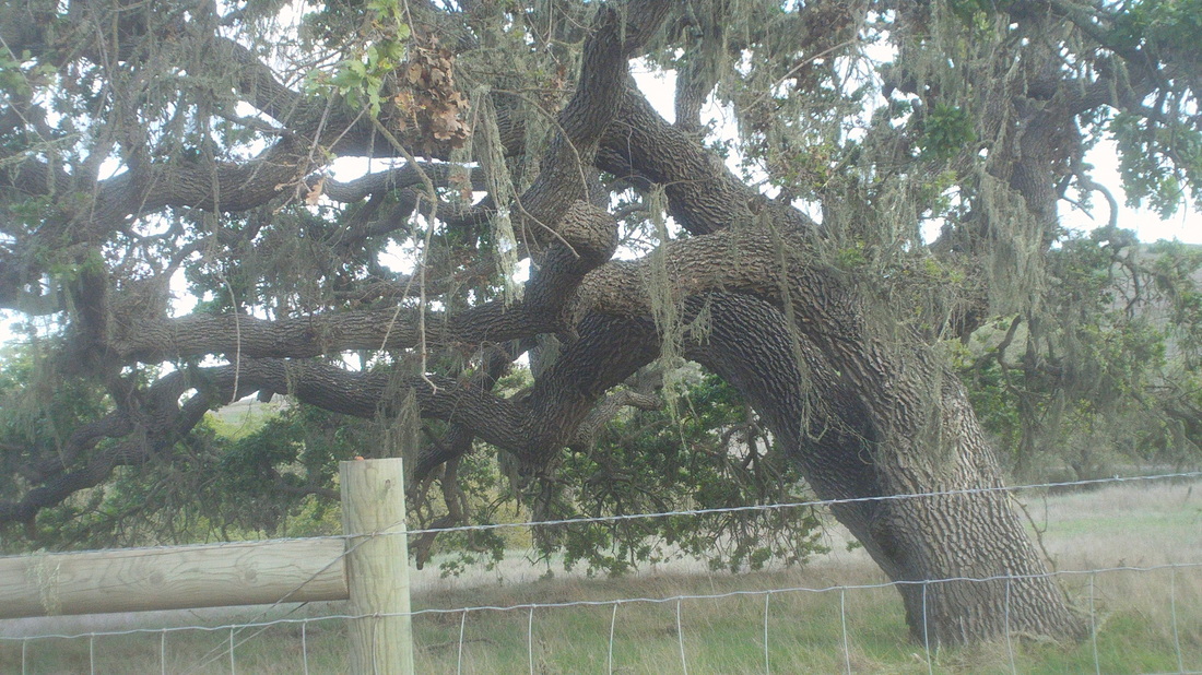
The oak trees are everywhere, dotting the landscape in the farms and fields. Finished with 84 miles and 5400' of climbing. A great day for a bike ride. Then, the forecast changed and it began to rain. The next day was forecast for rain and blustery conditions for the following day. I looked at the forecast for Tucson and it was sun and 80, so, I checked out of the hotel and headed back, driving through Palm Springs and 60mph winds, finally reaching Tucson. Well, much more cycling and hiking to come. I'm coming backc when Ohio weather improves....checking that forecast....ugh. 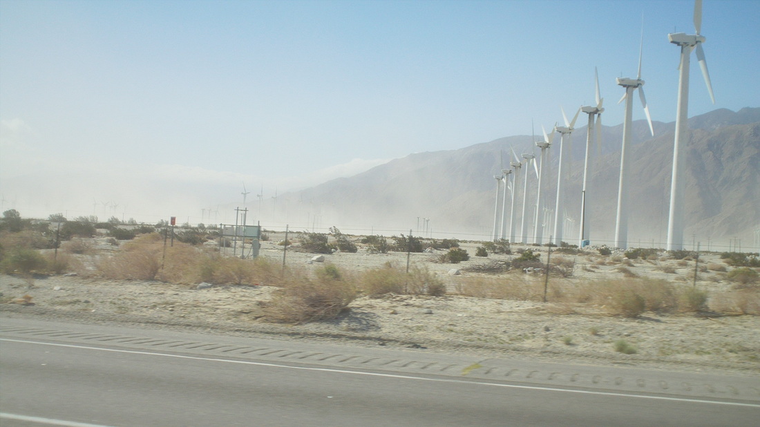
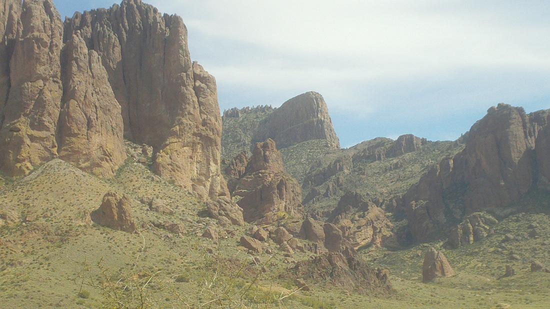
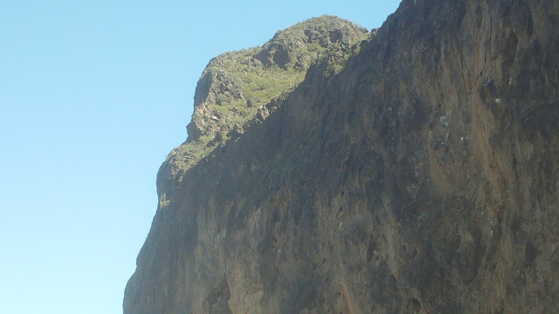
This hike has it all, friggin steep, boulder hopping, fantastic views, some route finding, climbing and there it is in the center, called the Flat Iron as it looks like an upside iron. Six miles and 2900' of climbing. 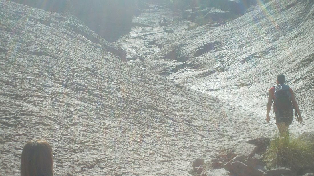
The first mile is the usual walk through the Sonoran desert type environment but soon we arrive at the Siphon Draw, a broad expanse of slickrock. I always marvel at this unusual feature but then have to walk up the steep slope. Arriving at a saddle, I rested a moment before the next stage, which is harder, very, very steep and right at the top a 12' wall that must be negotiated. Then..... 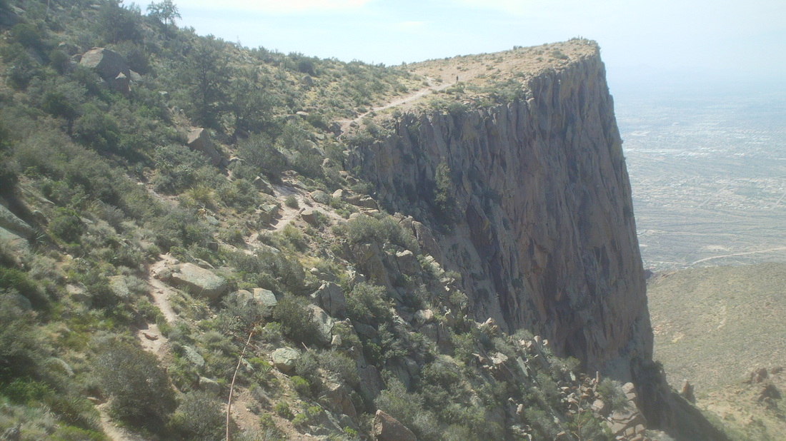
....a fantastic walk to the Flat Iron and its expansive views. Lots of people sit on that edge, as did I, eating an apple and contemplating life as I know it. 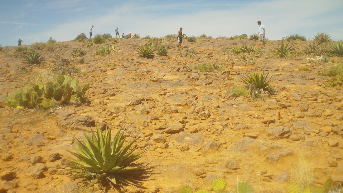
The top of the Flat Iron is an odd environment. There are a couple of camp sites and on this day, Sunday, it was kind of crowded. 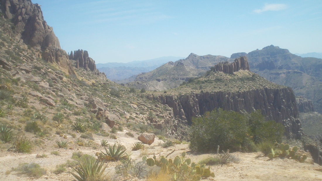
Looking to the east, I noticed a couple of guys walking off trail and figured they were going to walk around that protrusion on the left to hook back up to the main trail so I followed. 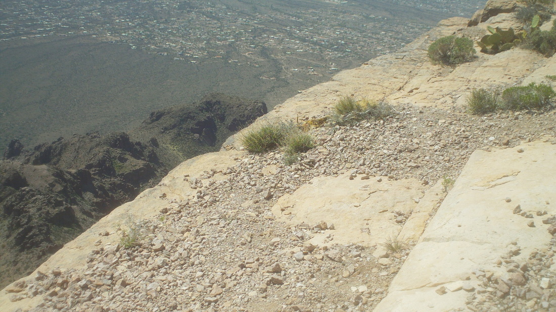
Wow, the edge. Hundreds of feet before something would break the fall so I kept a good distance away. I caught up with the two guys but they were going somewhere else. However, it was an easy off trail effort with more great views before hooking back up with the main trail and heading back down. Check out the rock formations below. 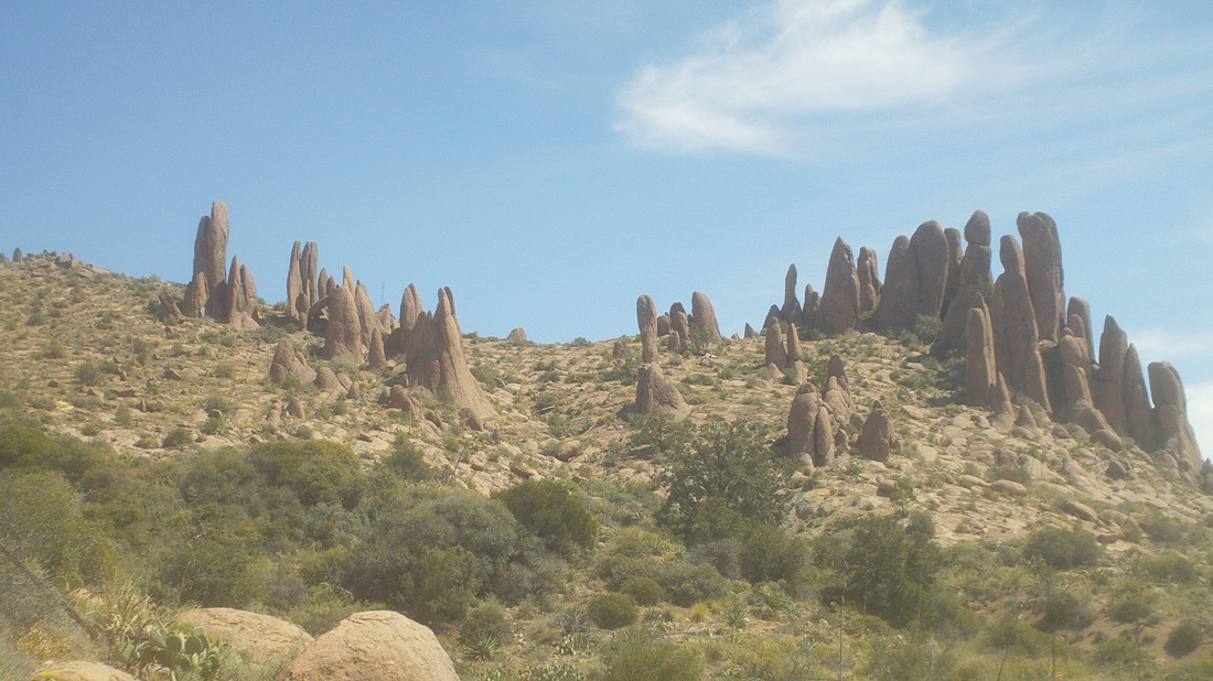
OK, I did it. drove to CA. I rode 74 on Friday, 54 on Sat, hiked the brutally steep Flat Iron via Siphon Draw on Sunday and so, jumped in the car and drove to Santa Ynez Valley on Monday. I know, this is borderline irrational but I needed a "CA Fix" and so got it while eating at a couple of great restaurants. Below, emerging from a grove of Eucalyptus trees, the long ride via Foxen Canyon Road to Tepusequet Road and then up, up, up. More to come, later. 
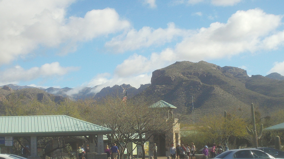
So, after the Mount Lemmon climb, I took a short hike, 7 miles, in to Sabino Canyon, trying a couple of new trails that paralleled the creek and then headed up on a spur trail toward the Phoneline Trail. 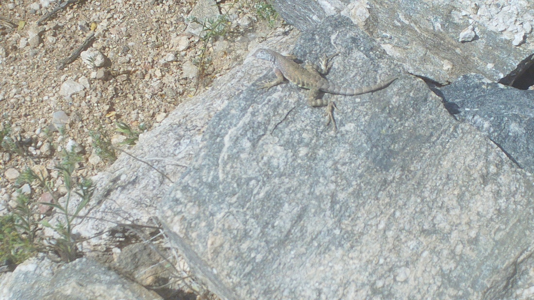
Multiple types of lizards are all over the place. Most are very small and must be a diet of something. 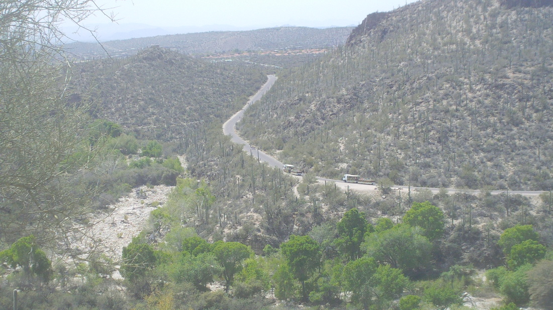
I began the climb toward the Phoneline Trail, which runs parallel with the paved Sabino Canyon Road on which trams run all day. When hiking in the warmer months, my routine is to scan the trail to my front and then scan the sides of the trail, looking for you know what. 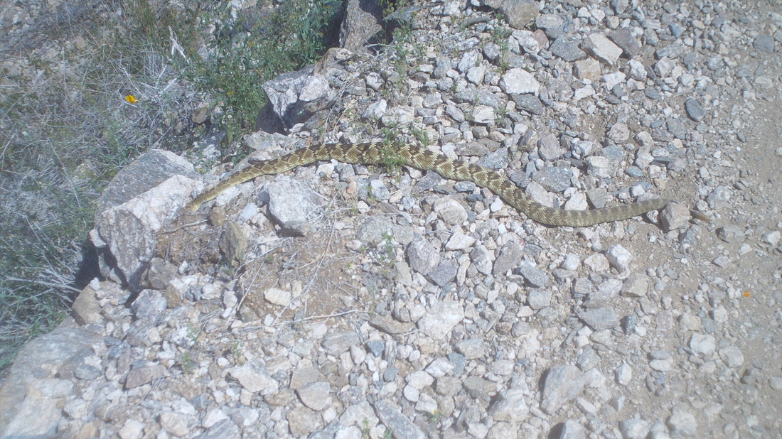
Walking forward, I somehow missed this fella but saw it in time. one step away. I believe this is a Mojave rattlesnake and they have the rep of being especially unfriendly. Trust me, it was bigger than it appears in this image. Not a maneater but quite capable of ruining my fun out here. I have a good video of the sound of the rattles as I kicked rocks toward it. Wished I had a hiking pole with me so I could manipulate it a little. I think this makes the 6th encounter I have had with rattlesnakes, ranging from a pink rattlesnake in the Grand Canyon to a little guy on the Camelback trail in Phoenix. 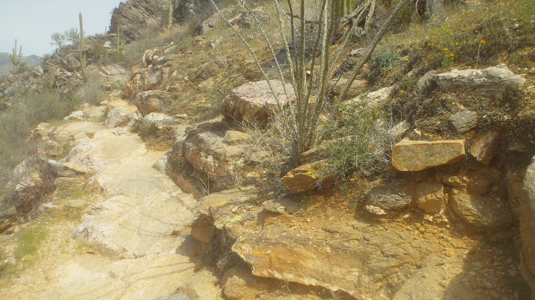
From that point forward, I went in to hyper scan mode and saw every ledge and footfall a potential point of encounter with another snake. Look at the above, they could be anywhere. I encountered a few people coming down from the Phoneline Trail and warned them of what I had seen. They are always very grateful for the head's up. Back to cycling now.
I took a day off from cycling but yet another day with sun and 80 degrees but something gnaws at me and so I give in and ride to Sabino Canyon, which allows cyclists on the 4 mile paved uphill road through the main canyon after 5:00pm. I ride easily but then some guy passes me so I give it a dig, catch him and pass, holding on but gasping, have to give up the goose and he passes about 1/2 a mile from the end. Coasting back down canyon I stopped to take the above image. Tomorrow..... 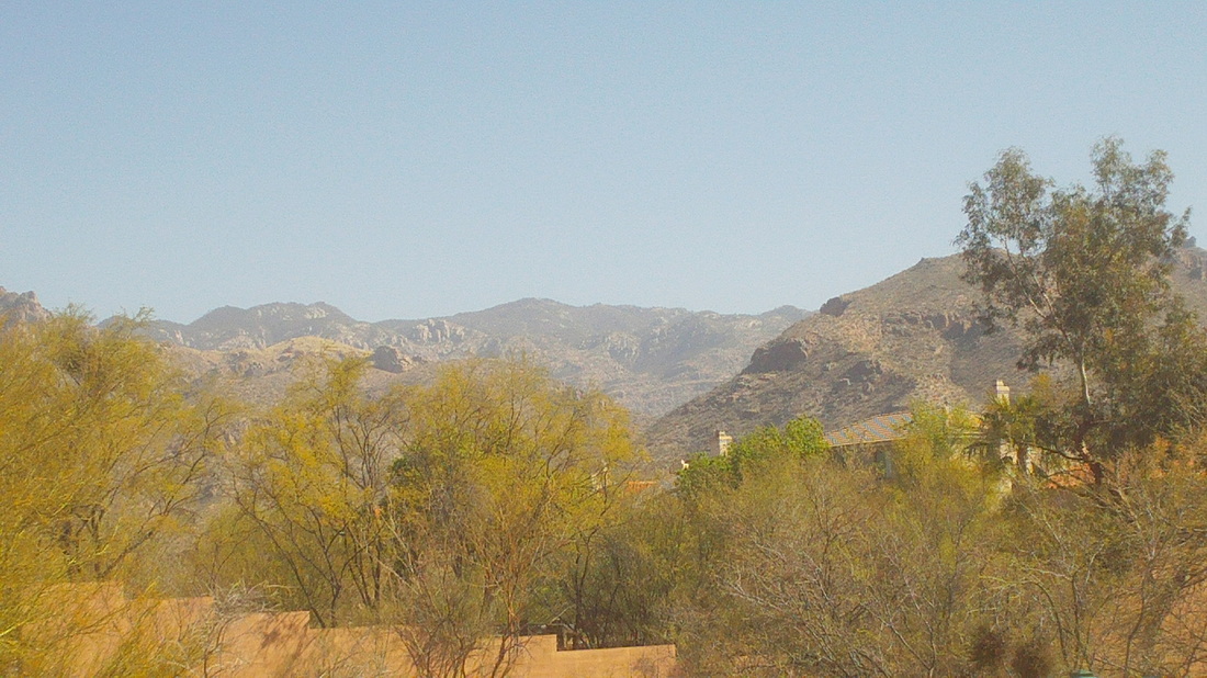
....I leave (Wednesday) at 10:00am, cross the Synder Road wash, reach Catalina Highway and begin the long grind towards Summerhaven, 25 miles distant. I am determined to make it this time with wind, temp and sun working in my favor. 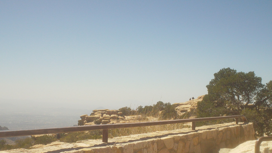
I stop at Windy Point Vista for a break at mile 14. There are dozens of people from the Midwest in town for a baseball tournament. So many are shocked that people ride their bikes up the mountain and a couple from Utah tell me, "I've never seen anything like this," referencing their surprise that so many are riding their bikes. Just another day of, by my count, 80+ going up and down. Wind us brought dust into the air so the views are not so good but the Midwesterners are in awe anyway. 
Reaching the Pallisades Gift Shop and the top of Mt Bigelow, a shoulder of Mount Lemmon, I was about out of water but a couple from British Columbia insisted I take some water and I did so eagerly as the pump here is shut for the winter. About 1/2 a mile above Pallisades the road dips down for about 2 miles, then climbs again, flattens out and then drops down to Summerhaven. The feeling of finally reaching the village, after exactly 3 hours of riding and gaining around 5500' of climbing is one of the best, slightly better than reaching that final climb on Mountain Mama at mile 98. I ate a salmon club sandwich and ice tea, 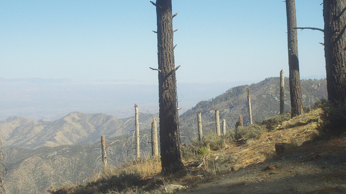
Slightly down from the village on the return, I had to stop to take an image that does not do justice to the view. Note the trees that are left from the Aspen Fire of a few years ago. While devastating, the area is recovering and plenty of acres were untouched. 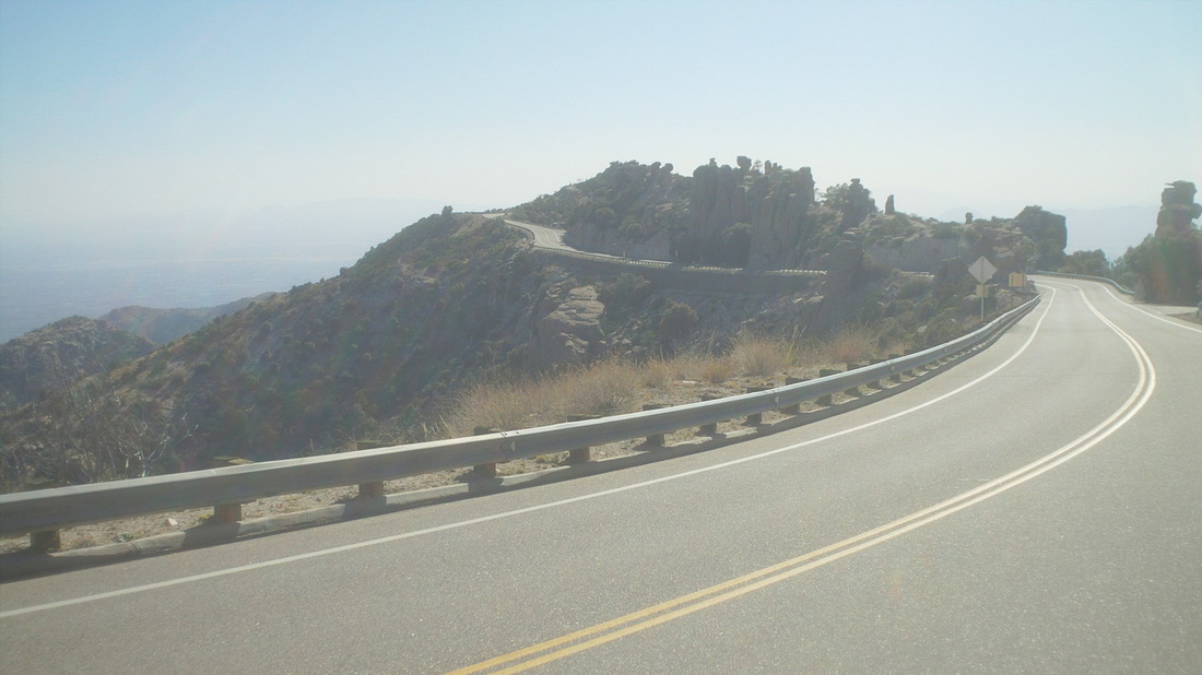
There are a couple of points on the descent that cause me to gasp and state aloud how lucky I am. Just so rewarding but interesting at this point, it appears, in person, the road swings up at around a 10% grade but as I look at this image, it appears flat or slightly uphill which it is, only a 2% rise ahead. Weird. About at this point also is the interesting rock formation below. Finished the day with 63 miles and 7300' of climbing. These shortish routes have been good but probably I should start doing some longer ride and then......damn, California is so close and so tempting. There is a road there, Ballard Canyon, that I'd like to see again, like for the upteenth time but so cool, what to do, what to do..... 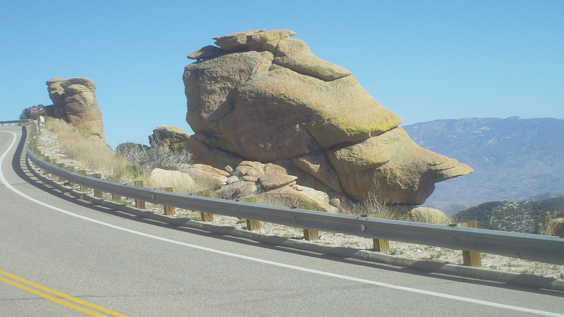
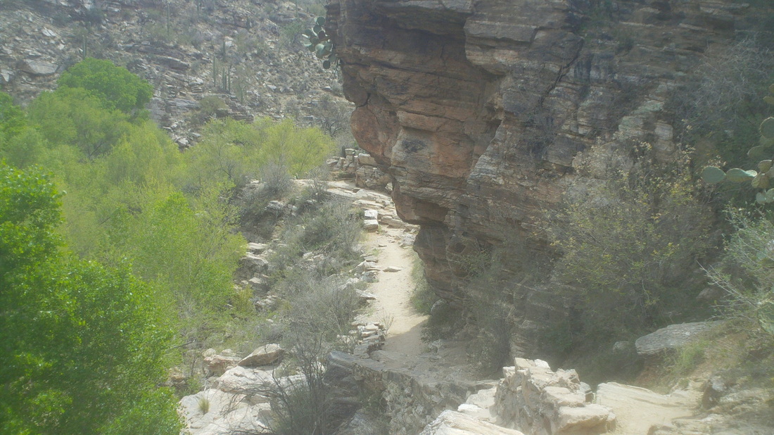
The Sabino Canyon parking lot holds over 150 cars but after driving around with a couple dozen other cars looking fruitlessly for a spot, I drove back to the condo, saddled up and began the 3/4 mile walk to the Canyon. The place was packed with people but once off the main paved road that heads 4 miles into the canyon with multiple stream crossings, I was alone as I headed up through Rattlesnake Canyon on the Esperero Trail. 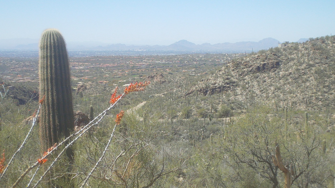
Soon, I rose high enough that yielded sweeping views of other mountain ranges not too distant. 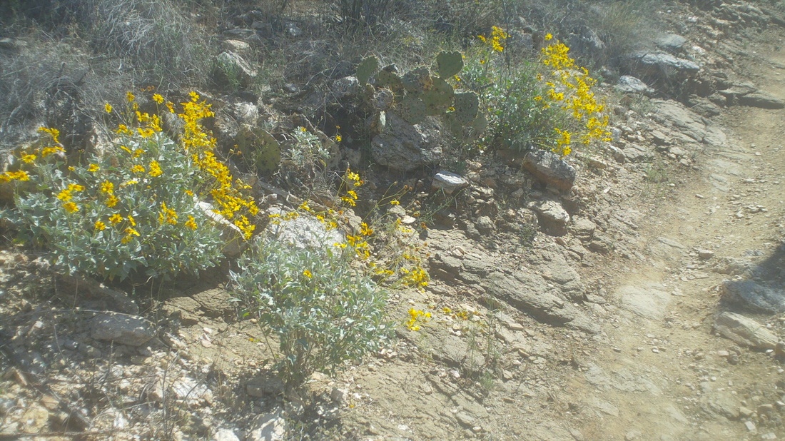
The wildflowers are out in earnest, helped by the rain of two weeks ago. 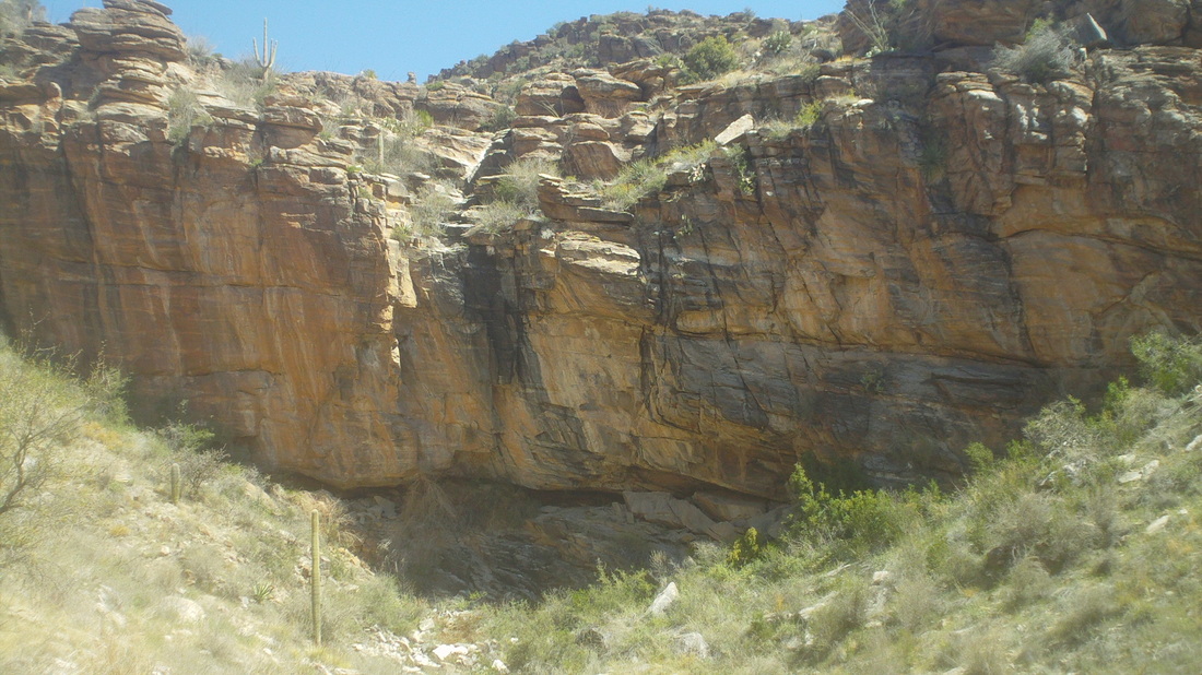
The trail became steeper and passed the wall with a neat cave at the bottom. There are at least a couple of mountain lions around this canyon so maybe that is a sleeping spot? The trail went left and above this feature. 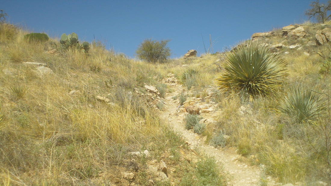
Always welcome, after 2500' of climbing, the saddle approaches, granting relief from a tiring climb. 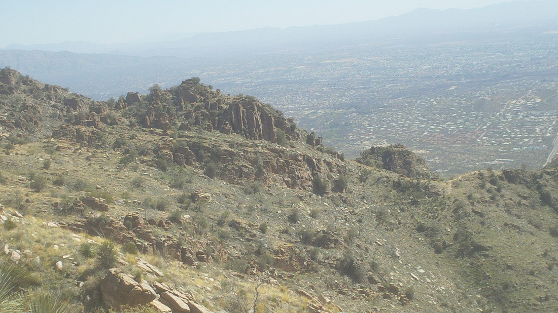
The relief was temporary as the trail reached the saddle, made a right and continued up but not as steep. I passed an area called "Geronimo Meadow", dipped into Esperero Canyon and continued on to Bridal Veil falls which was a trickle of water. Returned back with 14 miles and around 4000' of climbing. Well, back to the bike and a successful climb of Mount Lemmon.
With a resource like Mount Lemmon a mere 7 miles away, one must climb it not once, or twice or thrice but many times and so I have. While the miles would impress no one, the climbing, that's a different story. Above is Snyder Rd and the road in the distance is also Snyder Road but that brushy area in the middle..... 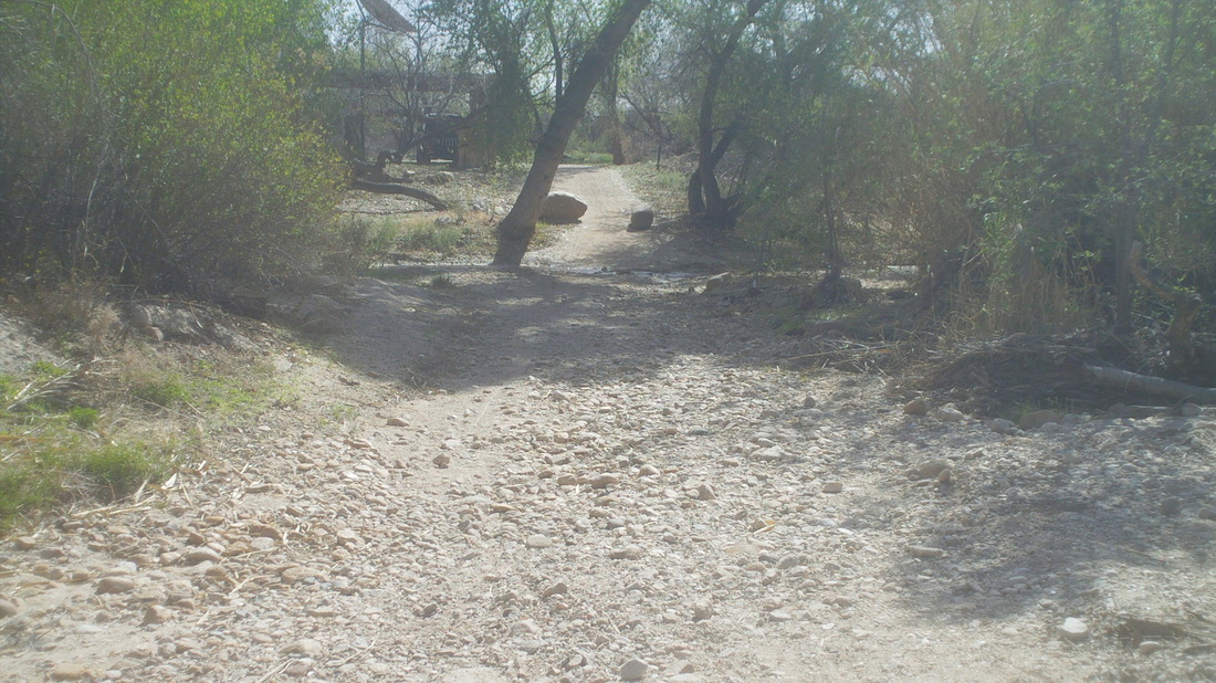
....is the infamous Snyder Road wash and I've gotten so I can ride the entire wash other than through the first of two river crossings that is kind of rocky. 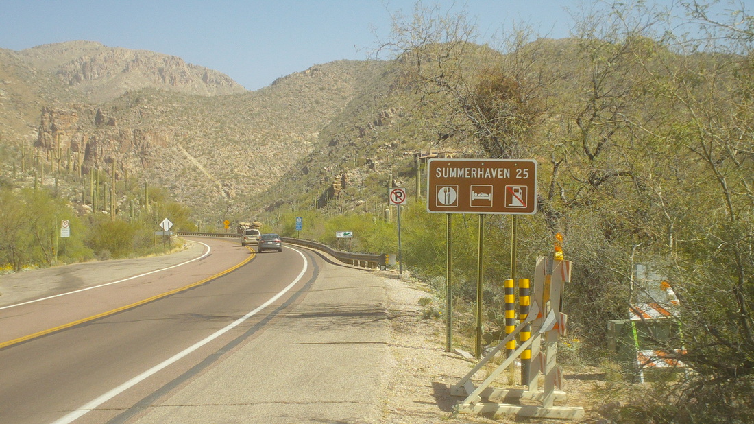
So I arrive, yet again at the base and 21 miles of climbing to the Pallisades Gift Shop also known as the summit of Mt Bigelow, kind of a shoulder of Mount Lemmon. From the Pallisades, it is 4 miles of rolling road to the village of Summerhaven. Reaching the Pallisades, you are at the same elevation of Summerhaven so maybe most cyclists who reach that point just turn around rather than ride the final 4 miles to Summerhaven. Unless, you want to hit the "Cookie Shack" or the restaurant. 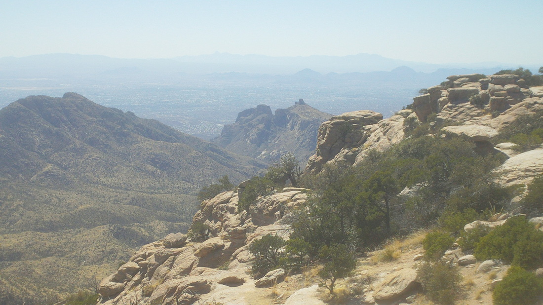
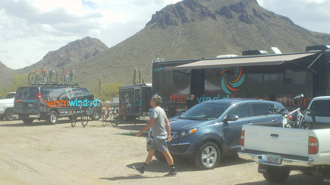
About 7 miles up is the Thimble Peak vista. On Tuesday, I noticed the road was crammed with cyclists, many of whom were passing me so often and so speedily that I wondered if..... 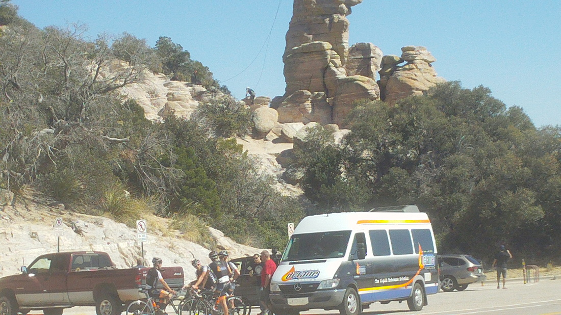
.....why yes, they were pros. There were at least 5 men's and women's domestic teams riding up Catalina Highway to Summerhaven. I had a good talk with the guy that drives the "Octane" van. The Tucson Bicycle Classic was Saturday so they were all out experiencing the climb. 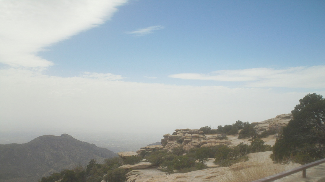
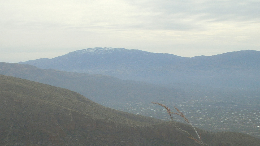
Two days later, wind had whipped dust into the air and the views were quite muted. From this point, one should be able to see 7 distinct mountain ranges but I could see only one. On this day, Thursday I rode up to "Rose Canyon Lake" at mile 18. On Tuesday, inspired by the pros I made it to Pallisades at mile 21, 5000+' of climbing. 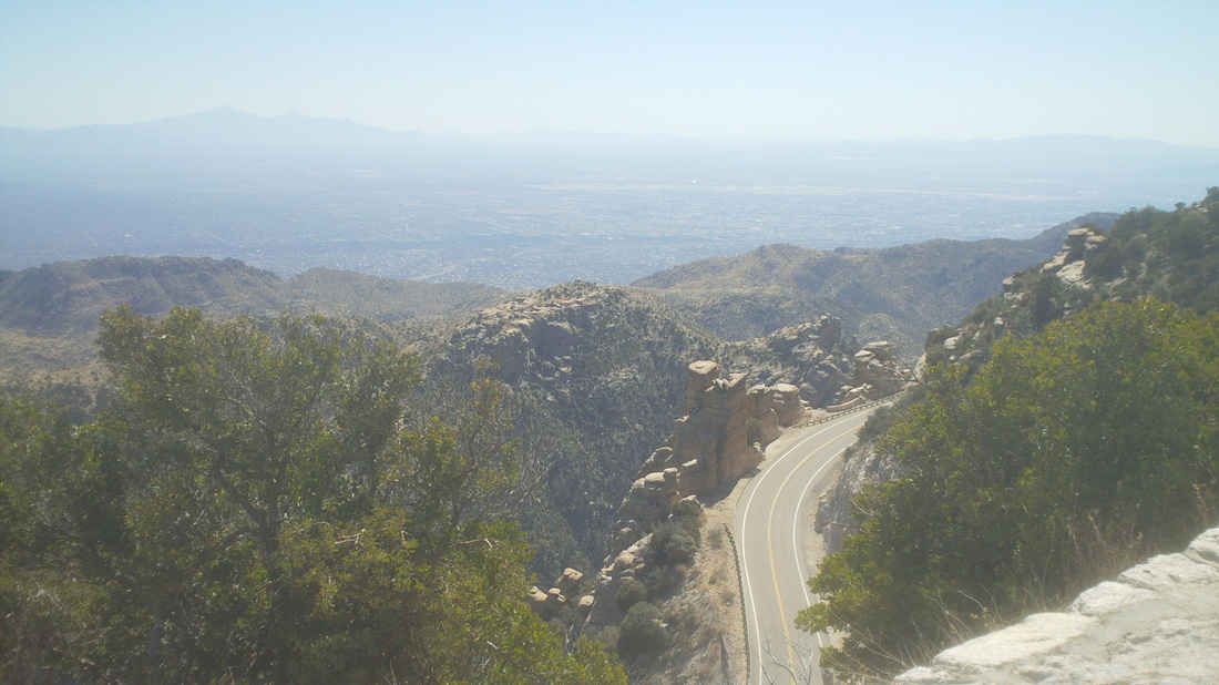
Of course, the views are fantastic all the way up. Below is the final vista prior to the Pallisades where you can see in to New Mexico. On my Lemmon climbing days, I pocket 50-60 miles with 5000+' of climbing. This, coupled with the hiking. each day, has the weight evaporating off me. Unfortunately, I use all this calorie burn as an excuse for eating so for every 2000 calories burned I am consuming 1999 calories. Yep, headed for just another season of being a schlep on a bike but with some good memories of AZ. 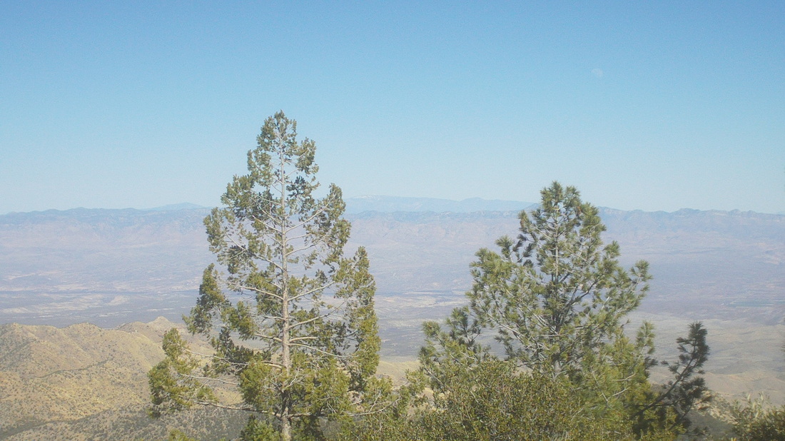
Although I have not yet put the story on the blog, last Tuesday I was riding up Mt. Lemmon along with well over 100 other cyclists, including at least 5 pro teams. They were in town for the TBC and curious, I got on their web site, so they needed volunteers and so, volunteered for registration duty. I don't follow the domestic scene much but there were many teams represented. The Pro/Cat 1 division had 89 participants and a good turnout in all the other divisions too. 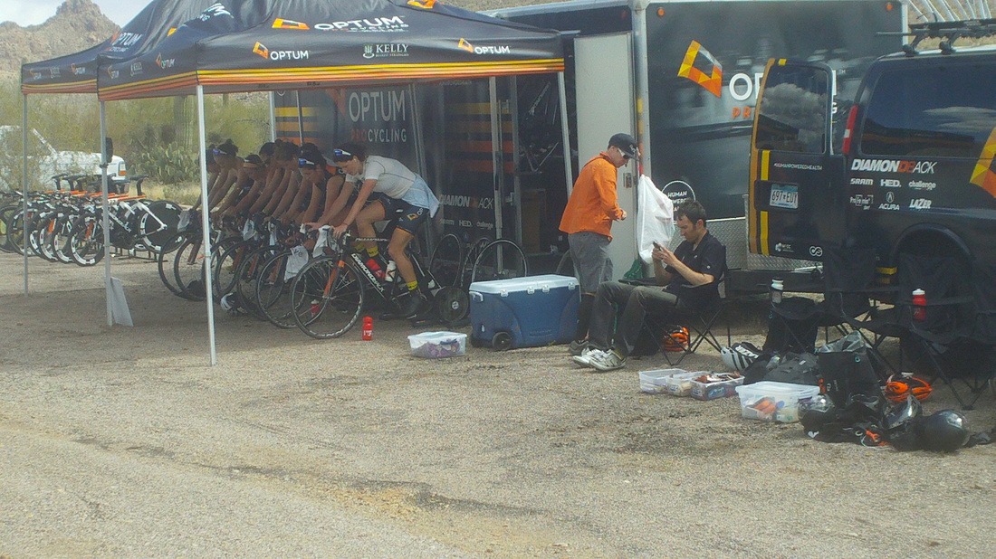
Warming up. 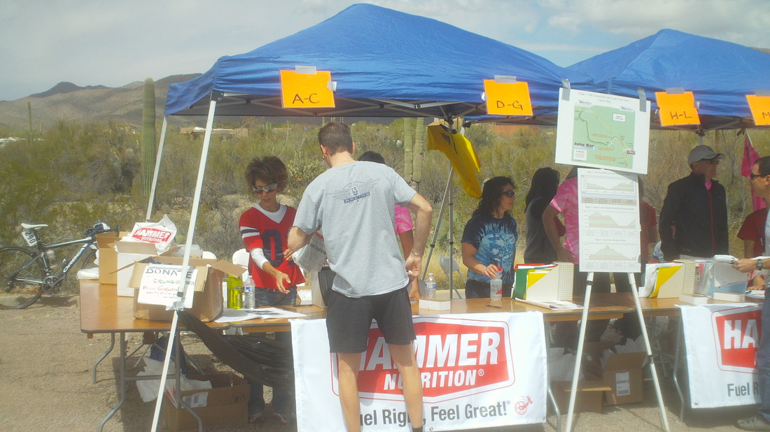
I worked the afternoon shift at the "A-C" place. It was 74 and sunny and I looked forward to my 1-5pm slot. 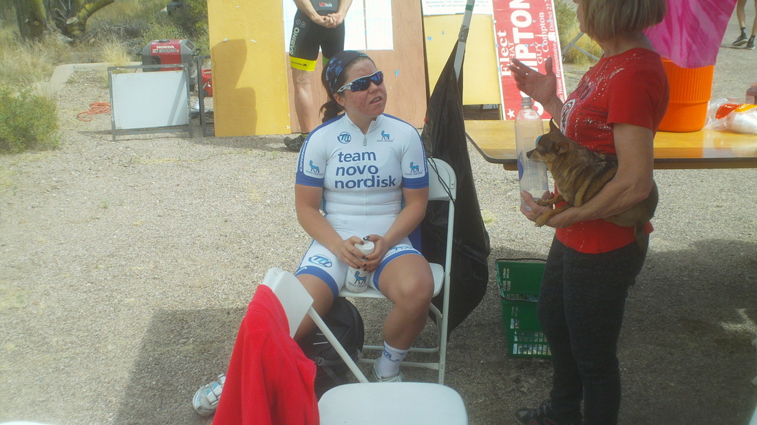
Arriving at the registration area, at which I would ask dozens of cyclists for their race license, give them their numbers, ask if they knew to sign in each day, to wear all 3 numbers, yes they had to wear a number on their TT bike, results would be posted on the web site, etc... Immediately I recognized the above jersey and discovered it was Morgan, who manages Team Novo Nordisk's junior team and knows Nick V very well. Nick has got himself in to a very good situation as it appears the team is well funded, partly I think this because while in Santa Barbara for a team training camp, Nick and team stayed at the "Fess Parker Resort & Hotel" a very nice property. 
Hey, Gord Fraser who set the TT record on this course a few years ago and entertained Marty Sedluk while he was in Tucson last November. Seems like a good guy. Soon, rain and high winds moved in unexpectedly and I was glad I was under the shelter of the tent. Out on the TT course, it poured for awhile. the rain hung around for an hour or two but the show went on. This must be a big deal on the racing scene as I heard one team drove 16 hours from Boulder, CO to make it here. My selfish takeaway from this event? I need to lose weight. Geesh, these people are skinny and damn fit. 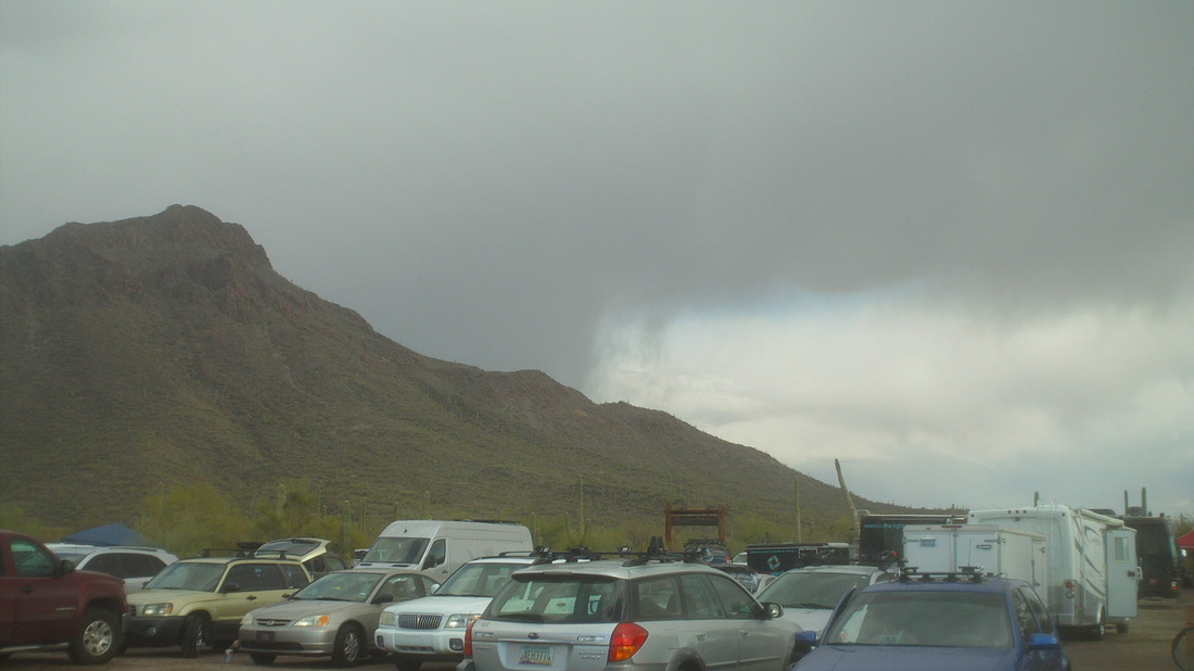
It has been a good few days of riding, more on that to come but in the meantime, for Saturday, there is the COP ride out of Canal Winchester at Cyclist Connection at 9:00am going to Lancaster and back. Also a Roll sponsored ride that starts from the Rockmill Brewery at 9:00am. Looks like an interesting route. I hear Steve O, Mark V, Mitch the Engineer, Flyin Tuna, Amanda and others are doing the Roll ride. 
OK, I overdid it on Saturday with the 12.6 mile hike to the Window. My legs are as stiff and sore as have they ever been but it is part of the process to return me to just a regular cycling schlep. My plan is to take the first 2 weeks to hike and ride and lose the massive doughnut around my waste, or at least part of it. So, on Monday I drove to Picacho Peak, a hike I have previously done several times because it is just a cool hike with a bit of everything. Half way up the Hunter Trail, a very steep hike. I arrived at a saddle and saw the destination, that peak. Seems close but there are many people hiking down it and so small are they that you can not make them out. After this saddle, the trail plunges down and then back up to several sections that require.... 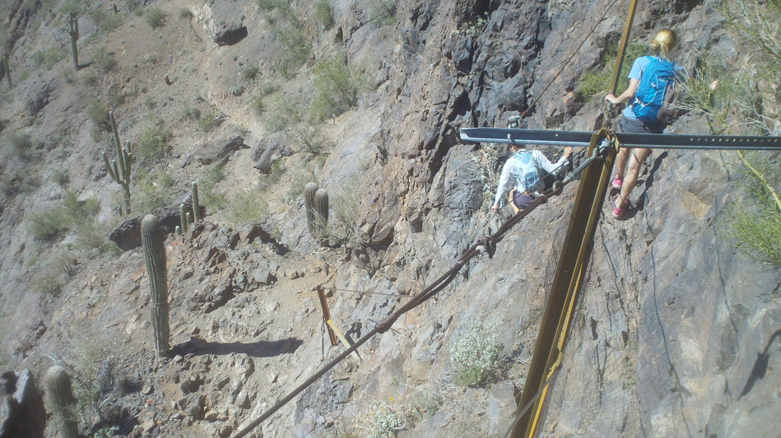
.....cables and support structures to get past vertical walls of rock. Although kind of remote about half way between Phoenix and Tucson, the park has probably 30+ who climb to the summit each day. 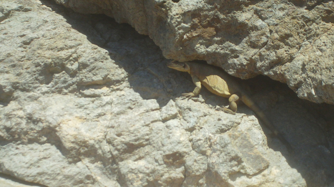
Close to the summit, I saw this gold colored lizard in a crevice. It was about 12" long and soon scampered in to the rock. 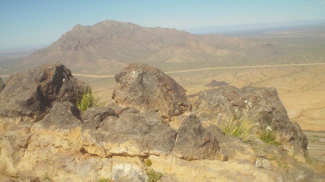
A fit hiker can reach the summit in about an hour, give or take a few minutes. There across I-10 is the destination for this weekend's hike. No trails, just cross country bushwhacking. Looking forward to that. 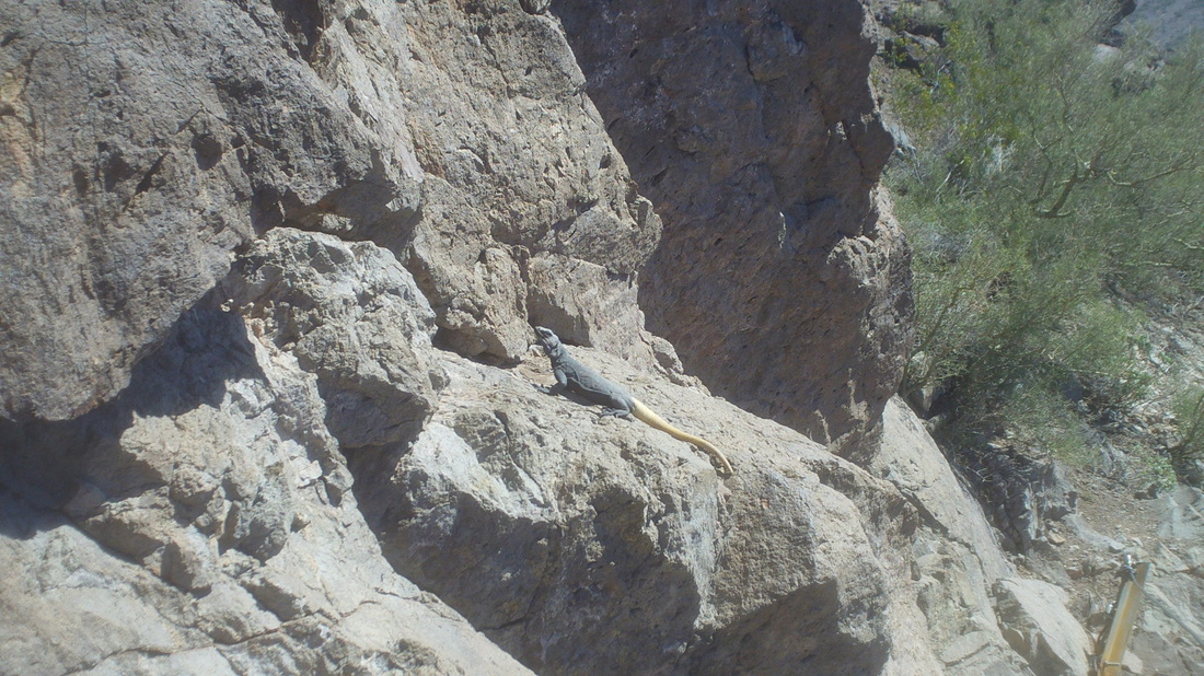
Coming back down, I approached a very large lizard and hoped it would stay there so I could get a good image, then it lingered and as I came closer I began to hope it would leave. It was the length of my forearm. At last it too scampered into the rock. Below I descended with the sun setting on a vibrant surface of green from the recent rain. I discovered my legs are not sore from the climbing but from the impact of descending. Time for some time in the spa and tomorrow, the assault on Mount Lemmon! 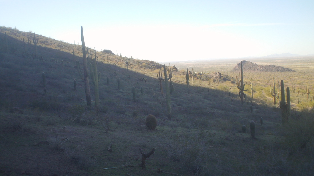
With legs cramped and sore from the hike to the Window, I took Sunday off but walked the 1/2 mile to Sabino Canyon trying to walk off some of the stiffness. Never heard of this group but they were readying bikes for customers who would ride up the paved tram road, allowed late in the day. 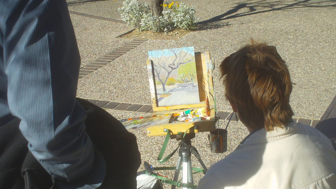
People come to SC to paint and photograph. I've thought about getting in to oil painting when the day comes that I can no longer do these cool hikes. Hope that is decades away. 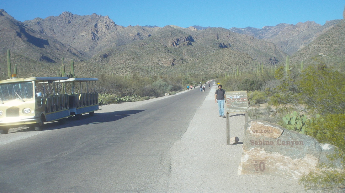
The paved road that goes up into Sabino Canyon (there is another close by going in to Bear Canyon) is walked by hundreds of people each day. Multiple trails branch from the road that go in to the mountains. Below I walk back after 3 miles, gazing at the area of the Catalinas (center) that punished me so on Saturday. Lots more to do in the coming days. 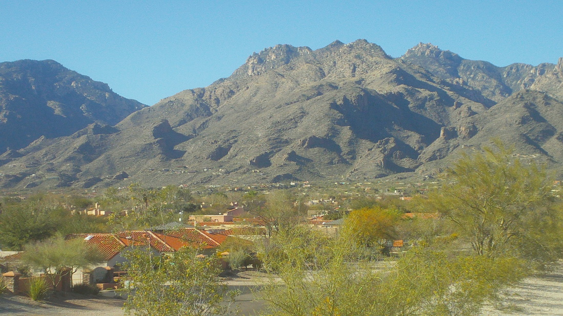

Once Shannon K decided he could not commit to leading the Thursday COP ride out of New Albany, it sent shudders throughout the cycling community. Who could step forward to replace this giant of cycling??? Many considered it and decided it was not for them. A person close to COP even asked the new cycling club, named "Cycling Club" if they would take over leadership but no one would commit. However, now, a person has given it much thought, studied the matter, asked me what I thought (I told him don't do it), begged me to be his back-up (I reluctantly said I would once in awhile) and now, this person is on the verge of picking up the baton and sprinting with it. We are maybe a day away from knowing so keep your fingers crossed.....

This was my 5th straight day of activity and given how soft I was coming here and what I had done in the previous 5 days, a 12.6 mile hike with 4900' of climbing was probably pushing it a little. There in the distance, slightly left of center is today's destination, the Window, a wondrous stone arch that can be seen from a few places in Tucson but not from here, 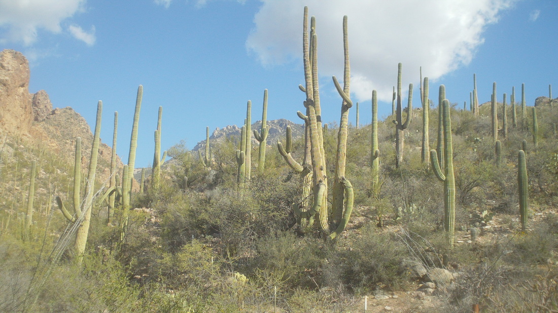
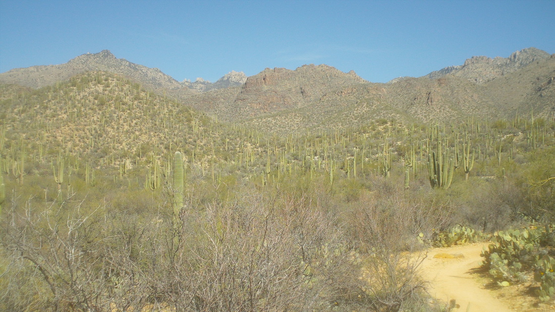
The first mile+ is rolling through typical Sonoran desert environment with plenty of majestic saguaros and other cactus prevalent. 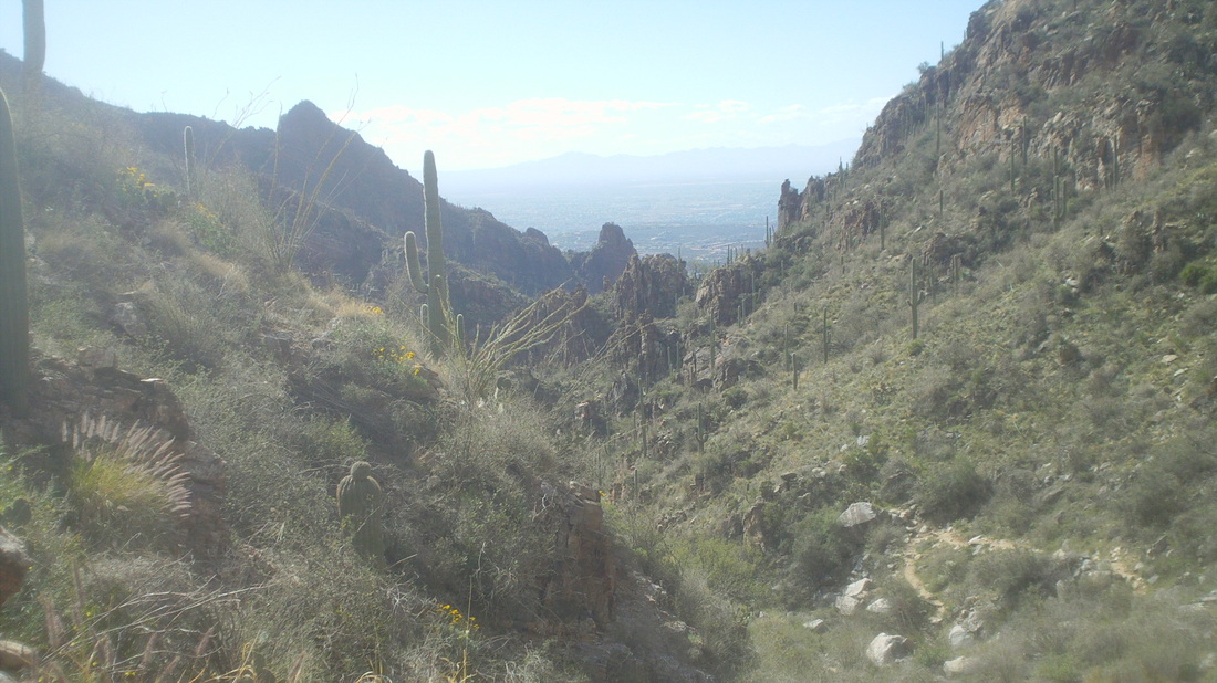
After 3 miles I reached something called the "Maiden Pools" but not much water in them and so kept going, up and up, covering those 3 miles in 1:20 but the next 2 miles were so friggin steep in 1.30 and reached a fork in the trail where I hung a right. The views.....every step of the way just awesome and these images don't begin to do it justice. 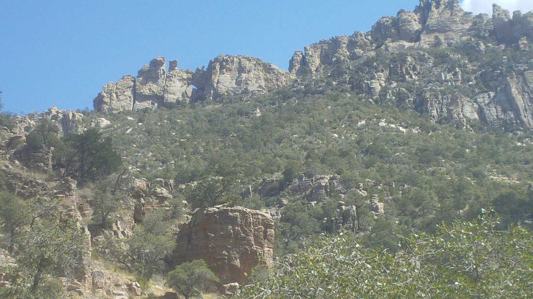
Hey, there it is, tiny but can you see the blue, left of center in the rock face? That is the arch shaped window. So, so far away still. 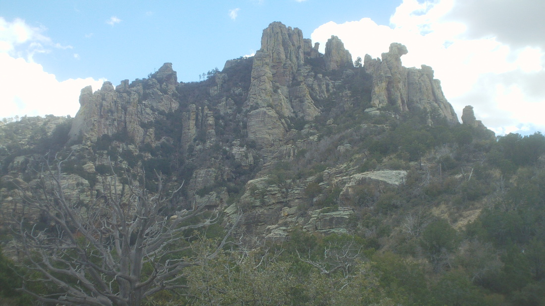
While there is a lot of people going to/from the Maiden Pools, few are seen above it but here, I ran into a guy coming down and asked, "How much farther," "Three-tenths of a mile." he said yet it still looked so, so far away. 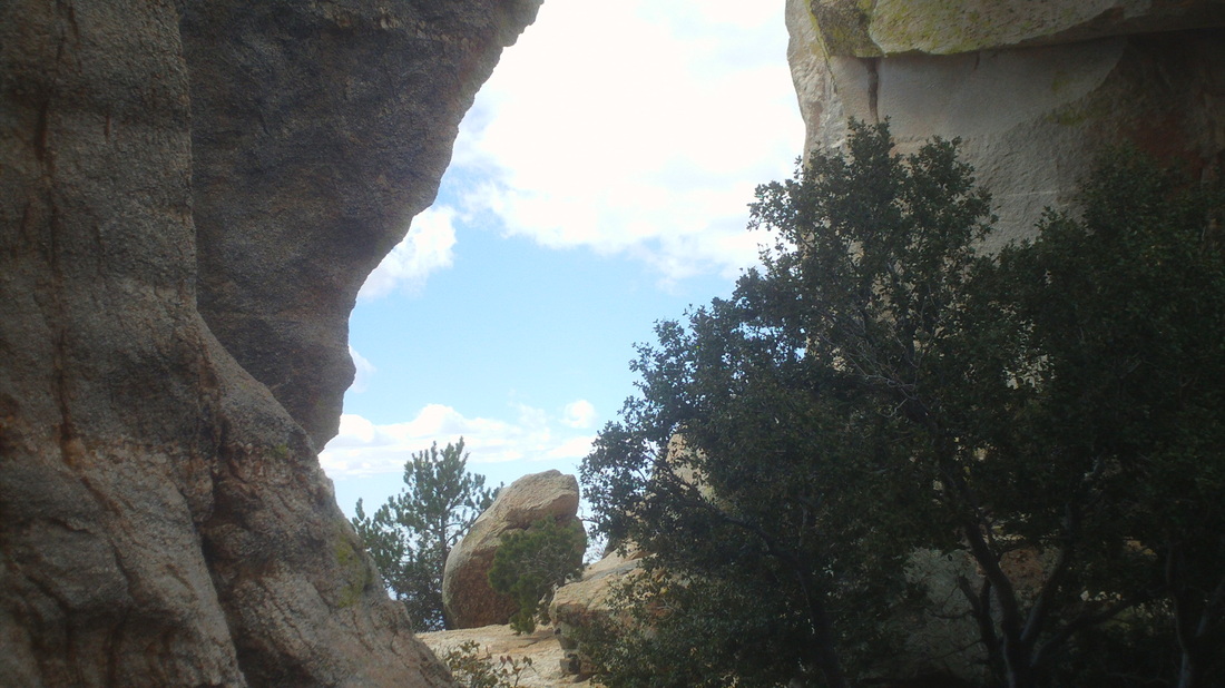
Yet, I finally reached it, the famous window. Unfortunately, can't get a really good image of it because a couple of feet to the south is a sheer drop of a few hundred fee, same to the north and hidden from view to the east and west. So, after 6.3 miles and 4400' of climbing, leg muscles screaming, I had made it and sat, not looking at the views, just sitting on a rock staring at my feet. So out of shape am I. I did not hang around for long, just drank and ate and shoved off, down hill this time and glad for it. 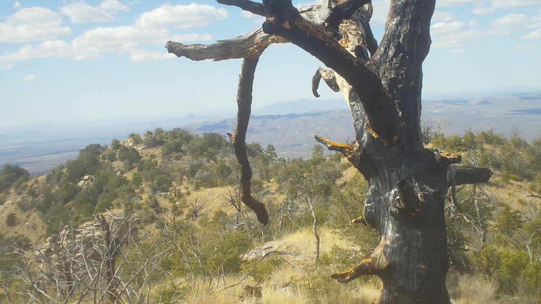
After a brief descent, I walked along a ridge with magnificent views both north and south. Incredible. Way in the distance beneath the limb is the destination for an off-trail group hike next week. It's across I-10 from the well known Picacho Peak and really looking forward to it. So, I was plodding along down hill, steep at times, put left foot on the ground brought right foot forward and..... 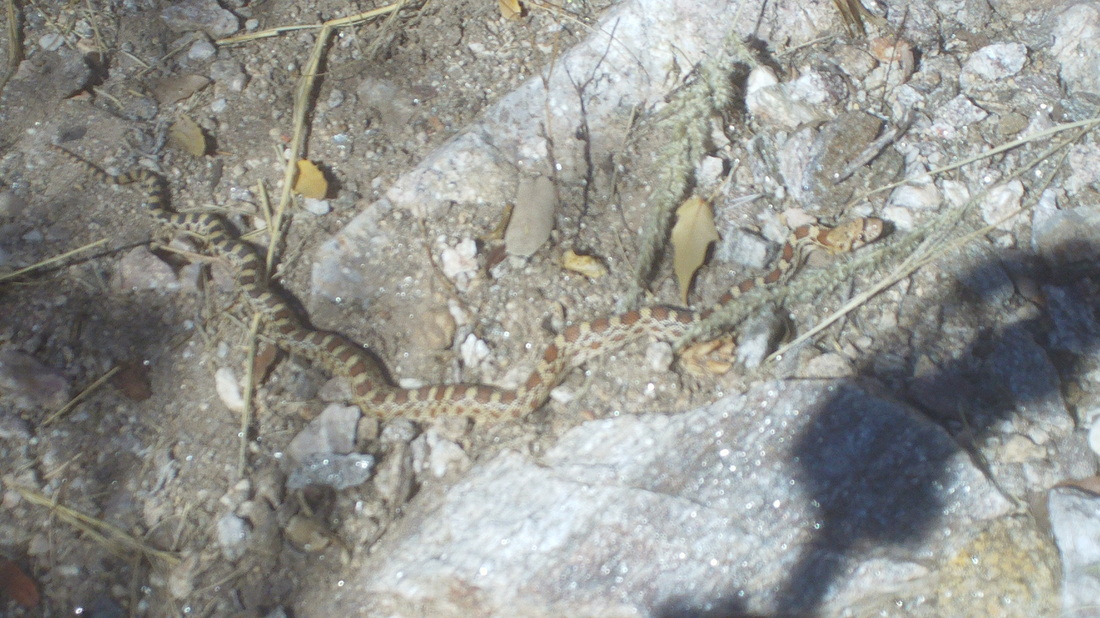
.....yikes, a snake. Would have stepped on top of it but left foot gave a jump and able to avoid it. The head shape suggests it is not a viper and it was very small, just thought it odd it would be out this high up since temps were not that high. I poked at it and it slithered under a rock. I began scanning the surrounding brush with earnest the rest of the way down. While I would no doubt be terrified if I was bitten by a rattlesnake, I hear the anti-venom is as bad as the bite and puts you out of commission for a long time. 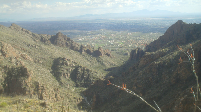
All the way down, great views but have to keep eyes on the trail as it is very rocky and keeping en eye out for snakes. Finished with 12.6 miles and 4900' of climbing. Took Sunday off and just walked to Sabino Canyon to stretch out the muscles. More on SC later.
First the important stuff, Craig Butler, aka "Da Boss" put truth to my earlier post and returned to the peloton on Saturday joining Steve Oxley and others on a Saturday ride. I talked to a member of the group and asked questions that you all would want to, given the opportunity to talk to this influential member. First, knowing the guy has the cardio because he has been training and competing in 50 and 100 mile trail runs, I asked how Craig did on the bike, "This is Butler you know???? was the reply. So he must be close to where he was. I asked if it was true that Mark C had gained a bunch of weight. My source said it was hard to tell since he wore so many layers of clothing it could have hidden a blimp under there but while Mark has ridden several hundred miles on the sled, only 30 on the bike so yes, I was told he looks pudgy. Sounds like a good group with some new people showing up so that is good. Meantime, I hiked Tuesday at the Blackett's Ridge fitness hike, rode 62 miles with quite a bit of climbing on Wednesday, headed up Mount Lemmon (above but the actual mountain is out of site, beyond the ridge) on Thursday ..... 
....but spit the bit about half way up and finished with 31 miles and 3200' of climbing and then..... 
....got in with a group for a 50 mile ride that included a climb up "Pistol Hill" which is a well known feature on rides south of Tucson..... 
.....and then Saturday decided to tackle "The Window" a 12.6 mile hike with 4900' of climbing that goes up and up to a fantastic arch that overlooks north and south at one of the highest points in the Catalina Mountain range. More to come on this including almost stepping on a snake, wetting my shorts, etc....
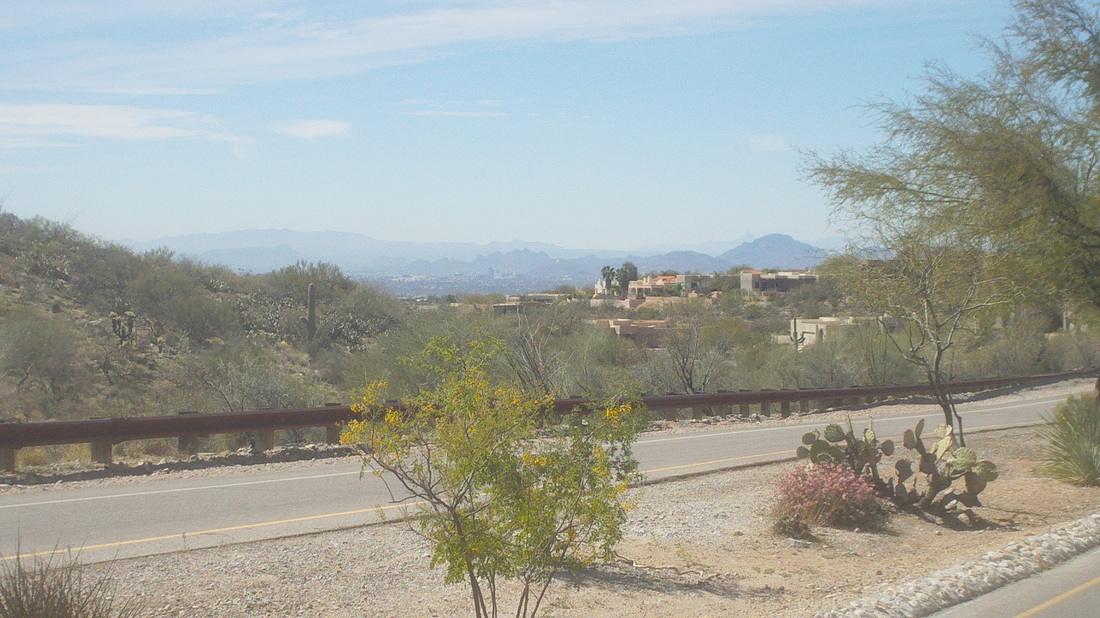
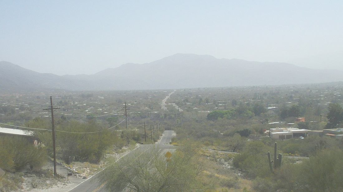
Sunny and temps warming to 80 degrees. I headed out and got on to Kolb Road which has a 2 mile climb, at the top being rewarded with sweeping views of the southwest that includes downtown Tucson. I then headed east towards the infamous Synder Road wash. Snyder Road ends at the wash and resumes on the other side but only cyclists can get through, 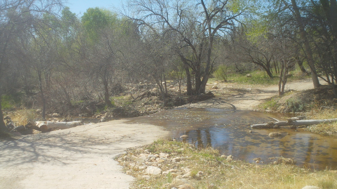
With the weekend rain and snow melt, there was a couple of inches of water flow across the cement dam. No problem, just rode across it as contrasted with..... 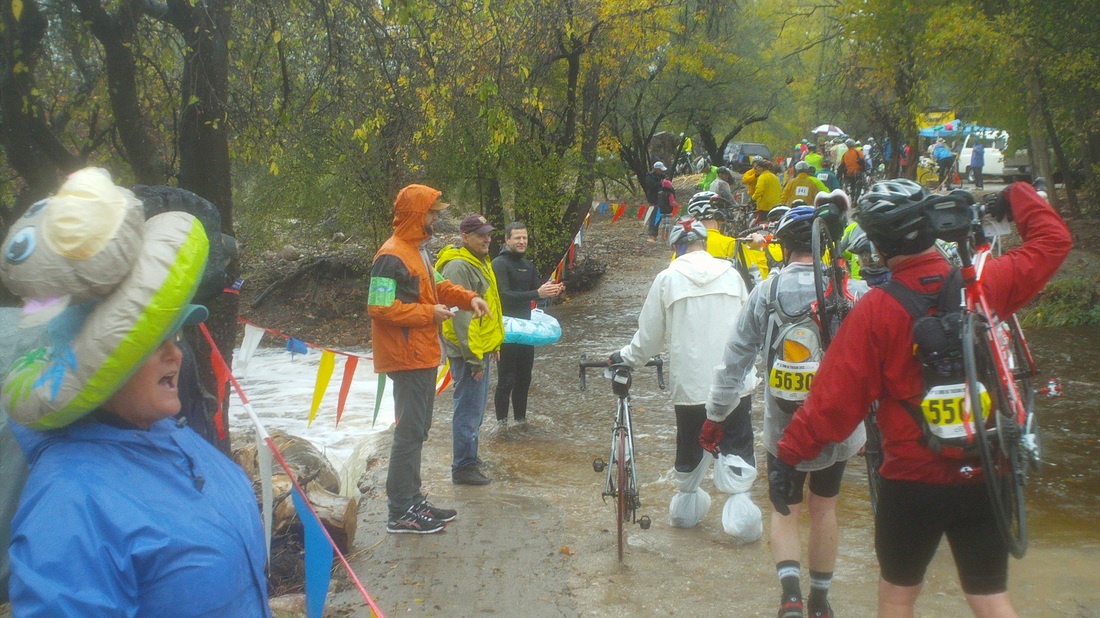
....the same crossing in November at the Tour of Tucson. Water was more than calf high and rising so the crossing was eventually closed. Oh well, this is not November and glad the conditions are much different. 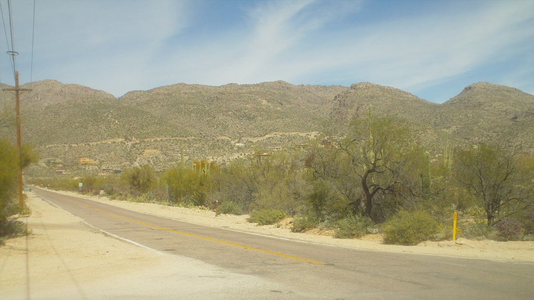
Continuing east, I crossed Catalina Highway, which heads up the beast, Mount Lemmon. Not for me today but soon. 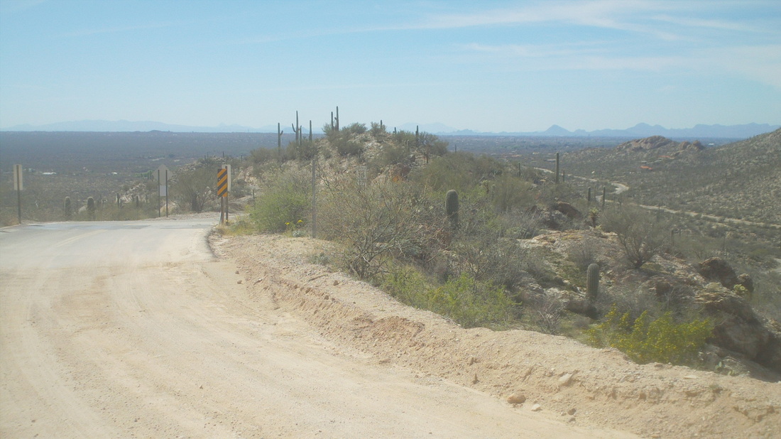
I got on to Tanque Verde Road, which becomes Redington Road and eventually, after a steep climb, ends at a cattle guard and dirt. I continued for half a mile and found the dirt packed and ridable. Hmmm, this goes to the top of Mount Lemmon so may be doable. Have to investigate a little. 
I headed south and entered Saguaro East State Park via Freeman road, an almost 4 mile climb,. The park's road is a fabulous 8 mile rolling loop with some short steep climbs and one long climb that just wore me out. The road is in great shape, traffic is all one way and cars are at 25 mph so I was overtaken only once. Many cyclists ride this as a training route but at the start, there is a very steep descent with a sharp turn at the bottom so they warn you about it with a sign for added notice. The park service employee also warned me that snakes were out now and to watch for them crossing the road. A rattlesnake had been seen earlier in the day. Finishing the loop, I headed back and ended with 62 miles and 4000' of climbing. 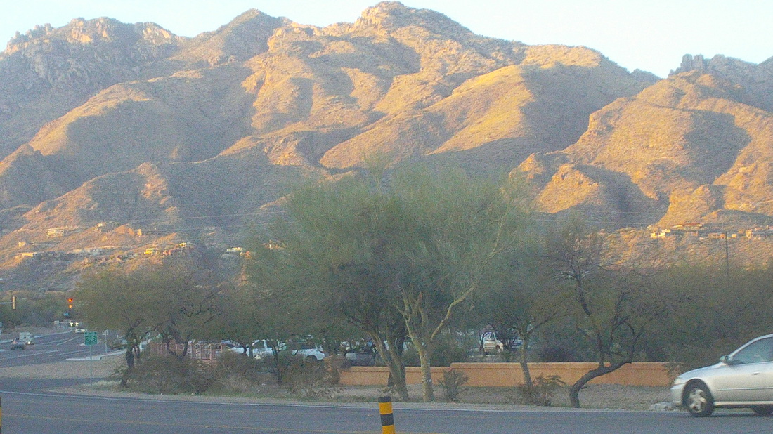
Towards the end of the day the sun sets, casting shadows on the face of the Catalina Mountains. I was wiped out from today's ride which I hope is from not being accustomed to riding in the heat (80 degrees) and the sun. Too, too tired.
Gosh, I have lots of images to put up from my 62 mile ride today but in the meantime, Steve Oxley and Flyin Tuna are putting on a ride this Saturday. Distance will be 50-60 miles, departing from Carroll, Ohio at 10:00am with a mix of flats and hills, nothing too strenuous since so many of us are in poor shape. In Carroll, the start location is the same as for the COP's HOOT from maybe it's the high school??? Whatever, as you drive south on 33, turn left in to Carroll and stay on that road with the school on the left in 1/2 a mile or so. Wish I was there to participate...well....not really.
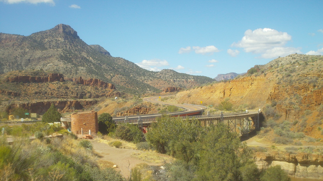
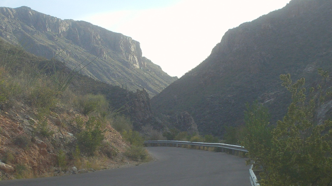
I recently heard about this canyon, some suggesting it is 2nd only to the Grand Canyon in scenic beauty and since the road drops from the rim to the bottom and back out, that makes it a good place to ride a bike. Plus, Rick Miller rode this last week and gave it his thumbs up. I parked at the bottom beside a rest area that is permanently closed and headed up the north side. 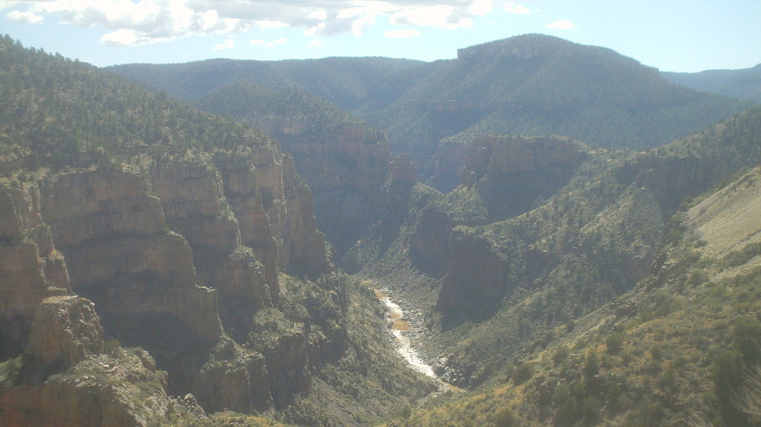
Yes, a beautiful place and while there is no comparison to the Grand Canyon, it may be 2nd to it. Don't know about the hiking opportunities or availability as it is shared by two Indian reservations. After 2500' of climbing and 14 miles..... 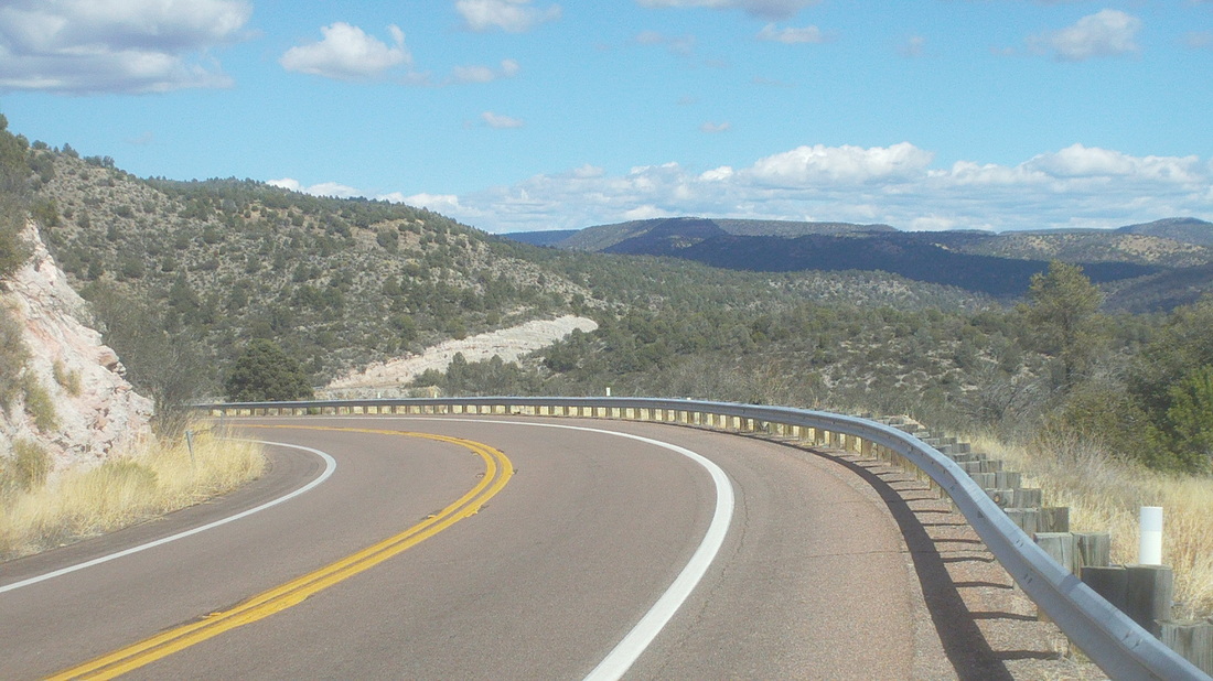
....I emerged at the top with sweeping views to the north, well to the south, east and west too. The berm going back down has rumble strips and I was forced to spend much of the descent on the white line with semis going by. I decided not to go up the south side. Cool place and felt great to be on a bike in warm temps. Well, time to get serious about cycling in one more day but first a fitness test going up to Backett's Ridge with the ALT hiking group on Tuesday.
 I wanted to ride today but Tuesday is the weekly "Beckett's Ridge Fitness Hike" put on by the ALT hiking group. I have no idea what ALT means but it is a good group of fit hikers who organize a variety of hikes each week. Beckett's Ride is the hike out of Sabino Canyon although there are dozens of other trails this is the one everyone must do. Those who show up for the ALT hike know what are their best time, the times of their hiking companions, record times very competitive. From the parking lot to the top it is 2.81 miles with 1800' of climbing, almost all of it in the final 2 miles. Any time under an hour is considered very good and while my best time is 53:58, that is not accepted as official because I ran part of the trail, a no-no. Whatever. Above, snow on the neighboring Mount Wrightson.  Only 3 people showed up, including "Bob" a trainer of Tri-types and "Gary" a Canadian transplant. Bob and Gary walk very fast. They call it "fast walking" and since I had to walk/run to keep up on the opening flat mile, I did not understand why running is disqualified from official time but fast walking is ok. I doubted I could keep up given the inactivity of the last month but once we hit the opening ramps, Gary opened a gap and I ran around Bob to catch. I did not think I could hang with Gary but I stayed on his heels and at 100 yards from the top, ran around him to reach the top at 58:02. Running that first flatish mile makes a big difference so with no running, 58 minutes is a good time. Note Thimble Peak in the background. 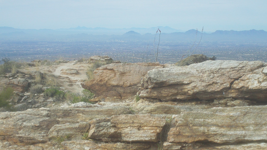 A couple of people stopped us on the way down to say they saw a Gila Monster and while we looked for it, we did not see it. Snakes are out kind of early and last week, a guy was on a hike, walked by a wall of broken stone when the person behind, spotting a rattler, screamed "drop". The guy turned and was staring, neck high, at a black tail rattler that did not strike. Dang lucky.
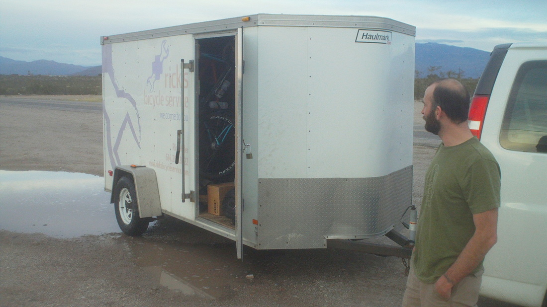
I needed new bike tires so as usual, I called Rick Miller. Always willing to drive cross country to satisfy a customer, we hooked up south of Tucson at I-10 and made the exchange. What a guy.
A long time ago, in a galaxy far, far away, there was a cyclist who so dominated us that he became known simply as "Da Boss". Canal rides, New Albany rides, 100 mile century rides throughout WV, PA, GA, etc... he was da best. Work got in the way as he went from a regional EPA guy to Kasich's "Special Assistant for Environment & Energy Affairs" responsible for authoring various legislative initiatives in the Ohio legislature and while he ran 50 and 100 mile trail runs, his cycling prowess dimmed like a flame thrown into water. It was like watching Michael Jordan's final year with the Wizards. But Wait......a breakthrough......Da Boss has been named head of Ohio's EPA and has decided to rejoin the ranks of the cyclists!!!!!!!!! The last thing I want to do is create expectations or put misplaced pressure on him as he probably just wants to come out and enjoy our rides. If what I am hearing is true, Da Boss, aka Craig Butler, is returning to cycling!!!!!
I was all set for a ride Sunday morning, after an all day rain on Saturday produced about 1" of rain. As I was readying to head for the ride, an email came around that the ride was cancelled. 50 degrees and partly cloudy and they cancel. What the.... So I headed to Sabino Canyon, about 1/2 a mile away for a hike. Last night, I hit an Italian restaurant around the corner, talked to a guy next to me and he went to school at Dennison Uni in Granville. Small world. 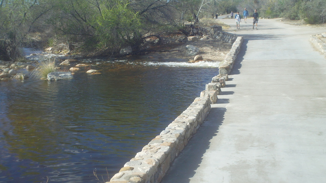
Before hitting the trail, a blacktopped road goes across the stream. A couple hours later, the river had risen above the bridge but I was able to hop on the wall and got across. 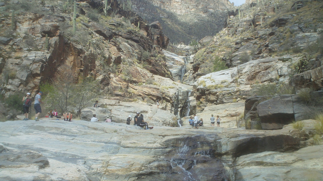
Reaching 7 Falls, there were lots of people who had come out to check the water flow. 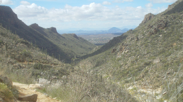
Heading back out the views down canyon. It felt great to get out in shorts and T-shirt, running/hiking in the sun and temps in the 60's. Hard to describe the feeling on this 9 mile route. Temps back in to the 70's and 80's coming next. 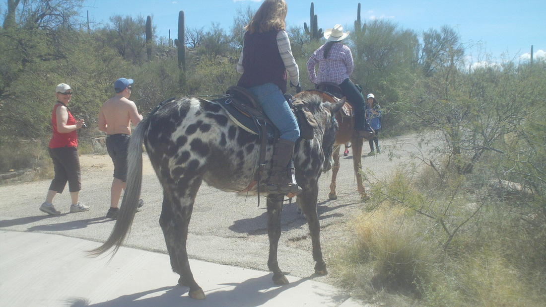
What kind of horse is that, almost back at the parking lot.
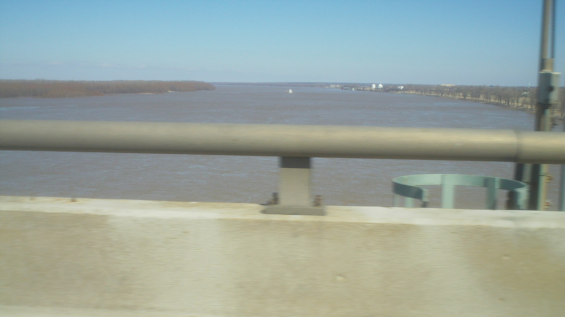
I was scheduled to fly to AZ on Friday but renting a car for a month at a time several times a year is kind of expensive so decided to drive my beloved blue Camry out here and leave it. Always wanted to drive this one time and in so doing, crossed the mighty Mississippi. 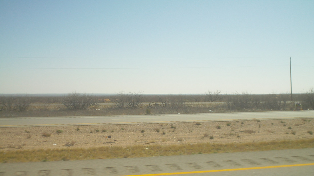
West Texas, 500+ miles of nothing but above. Fields of wind turbines and pumping wells gives the only variety. Note to self: Don't do this again. Passing through Midland and Odessa, mine was the only car on the road. Everyone drives a truck of one type or another. So glad when I hit I-10 and soon passed in to..... 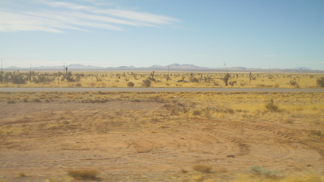
.......New Mexico, the "Land of Enchantment". Thick grassland with mountains in the distance and blue skies. I stopped in Deming, NM after 13 hours of driving. Note to Self: Don't stop in Deming, NM. 
At last, crossing in to Arizona and I'm headed straight for those mountains and a little beyond.
|
