|
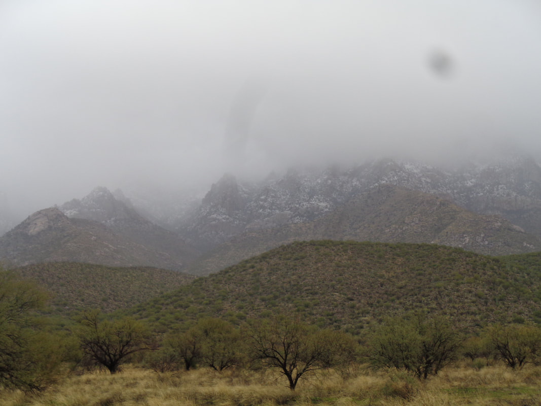
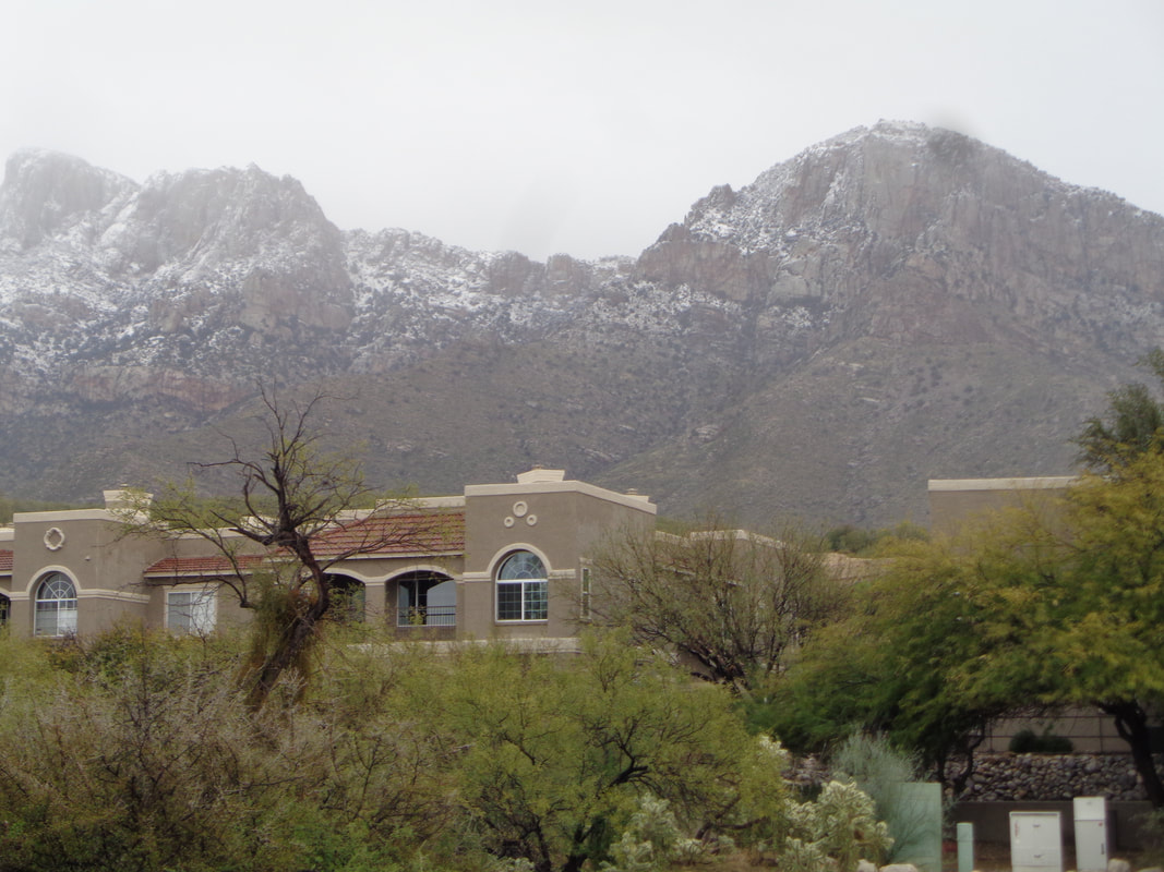
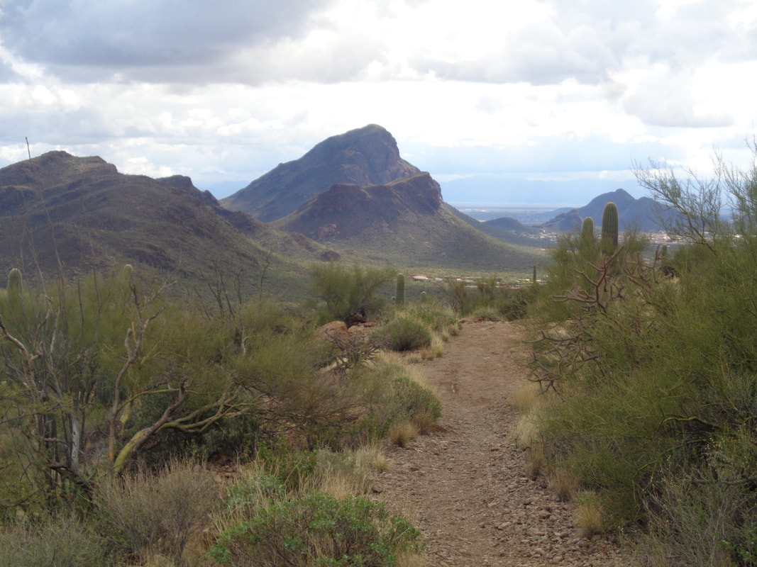
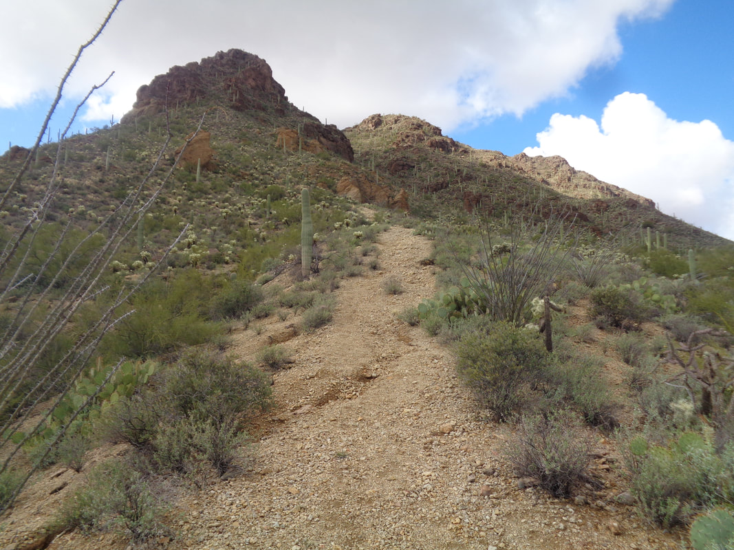
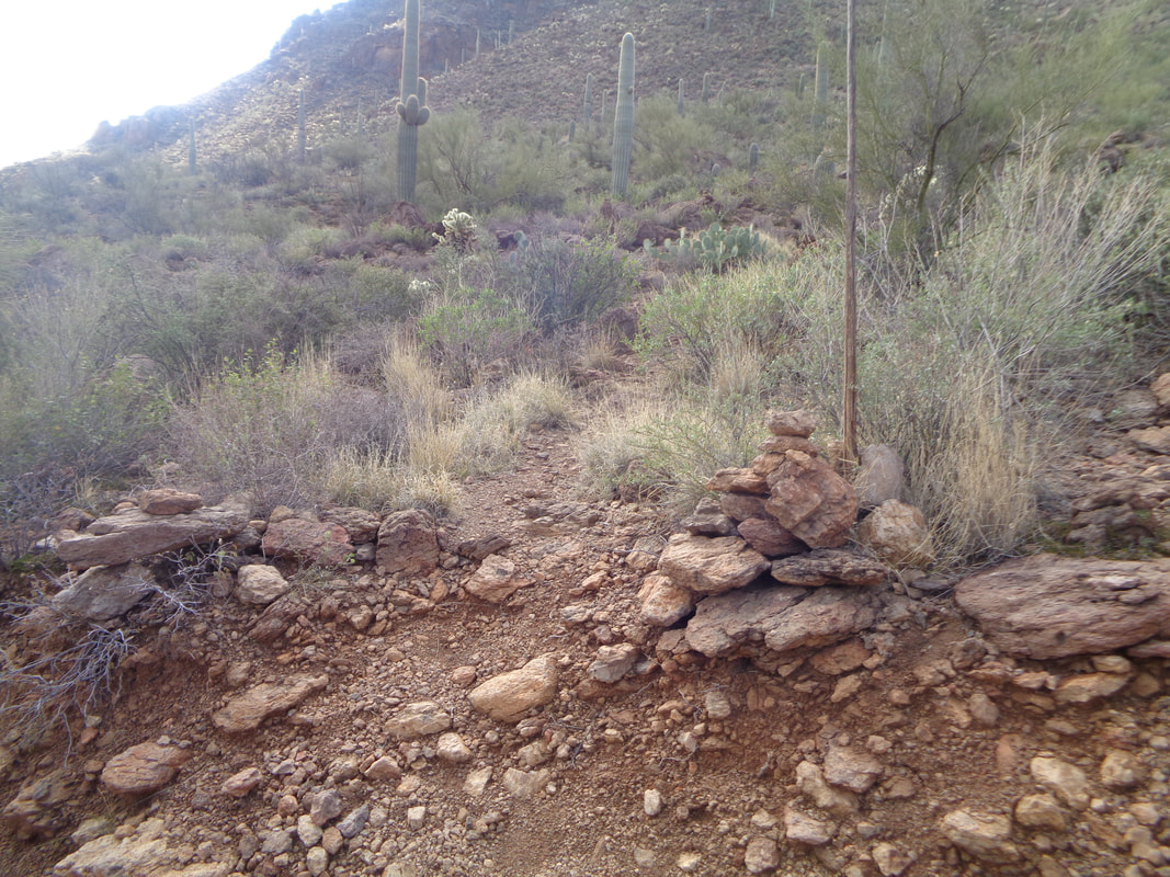
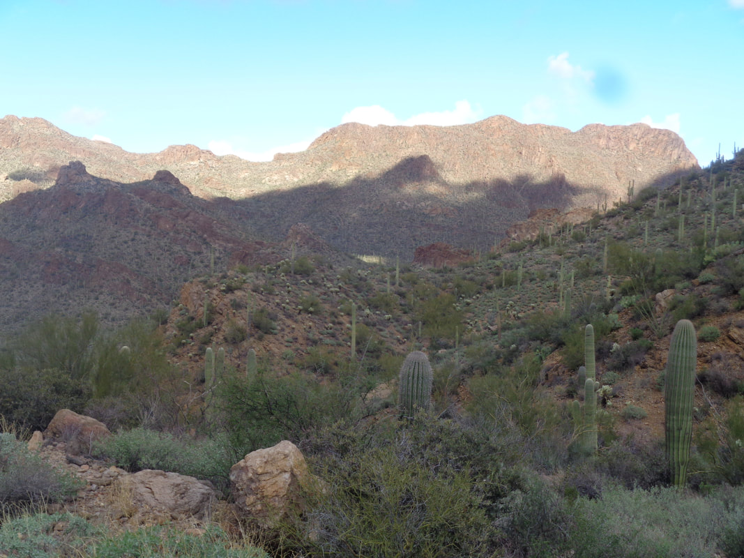
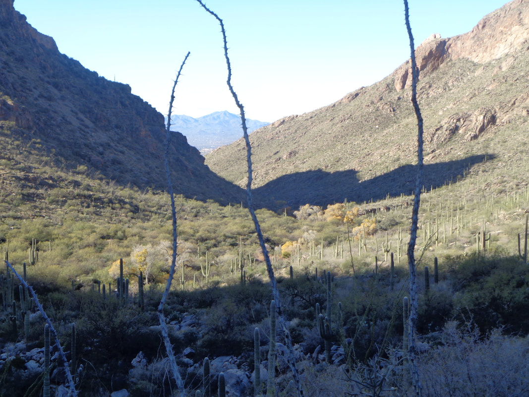
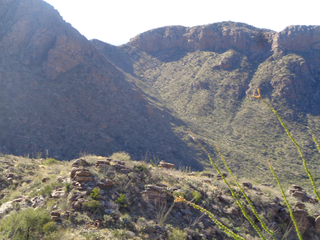
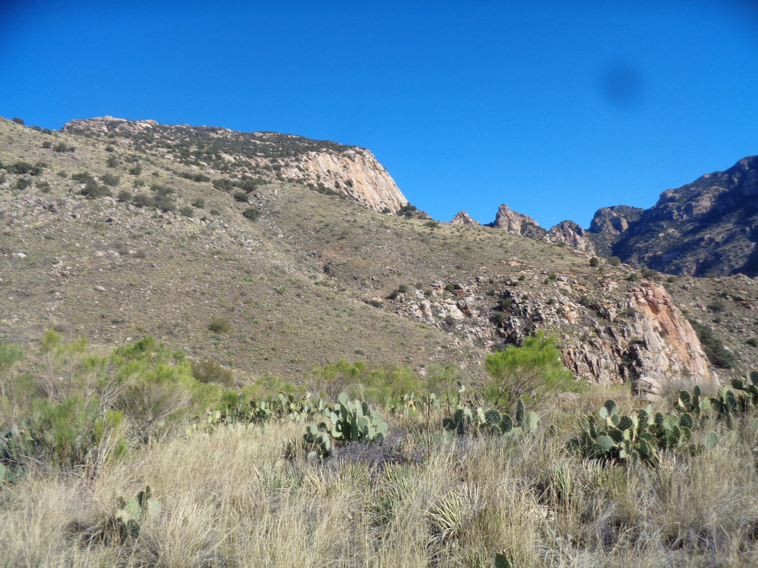
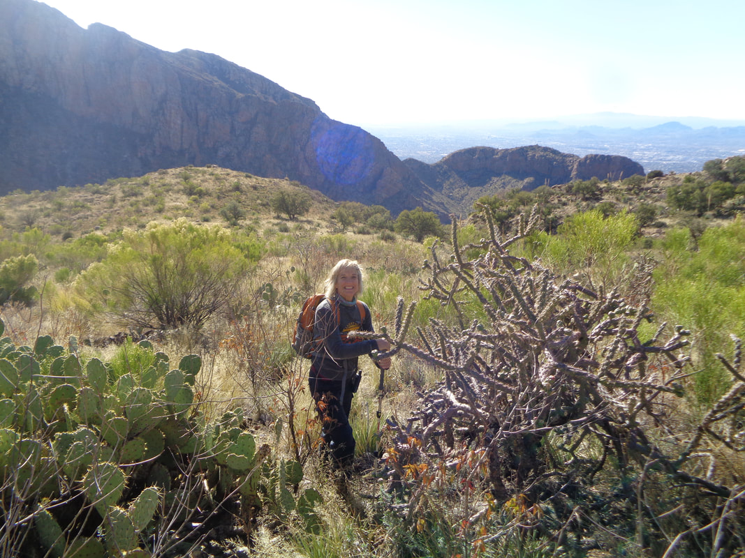
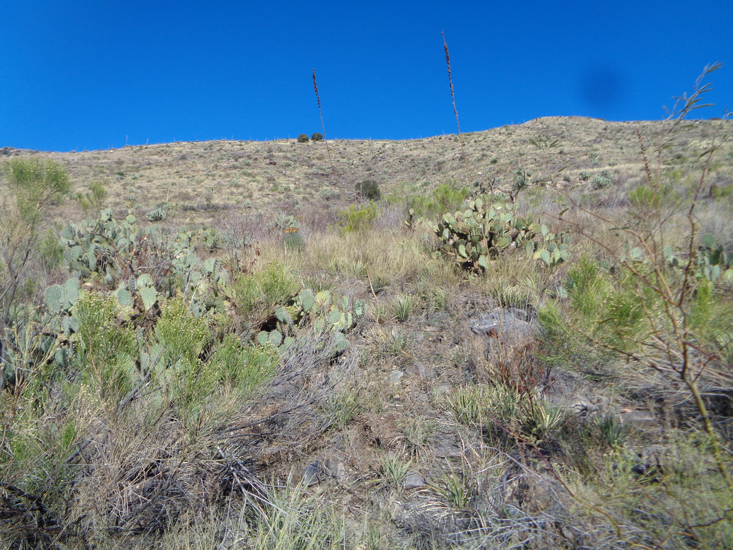
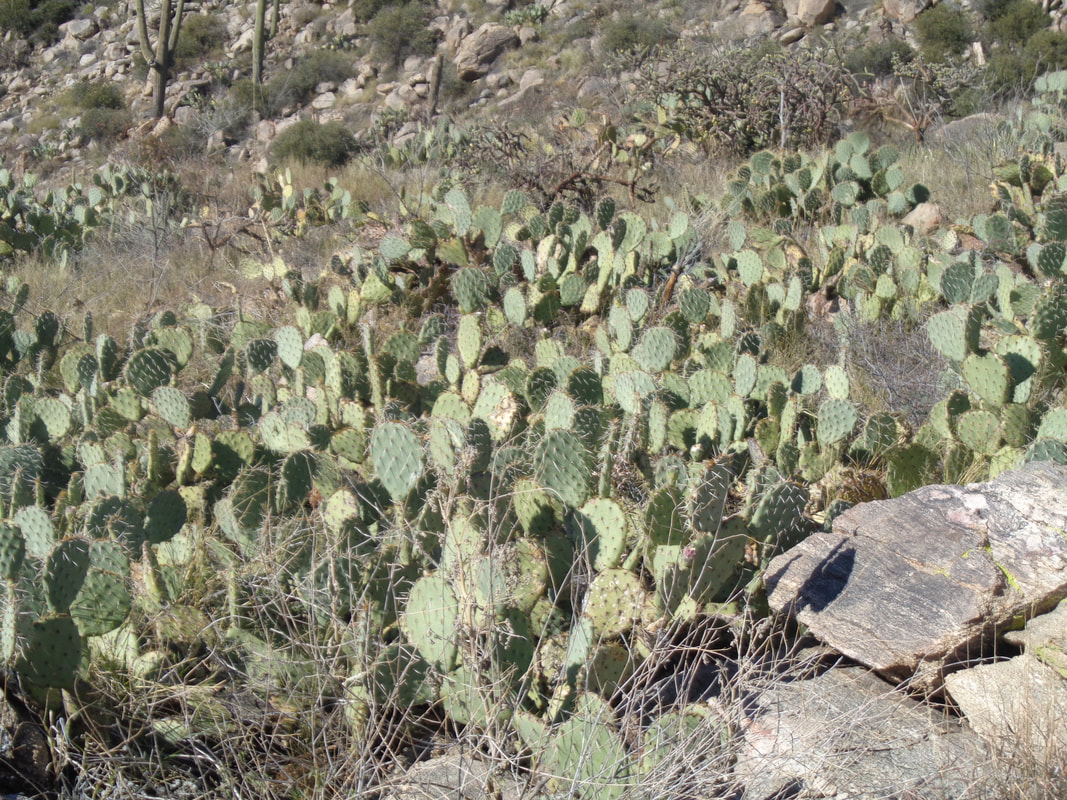
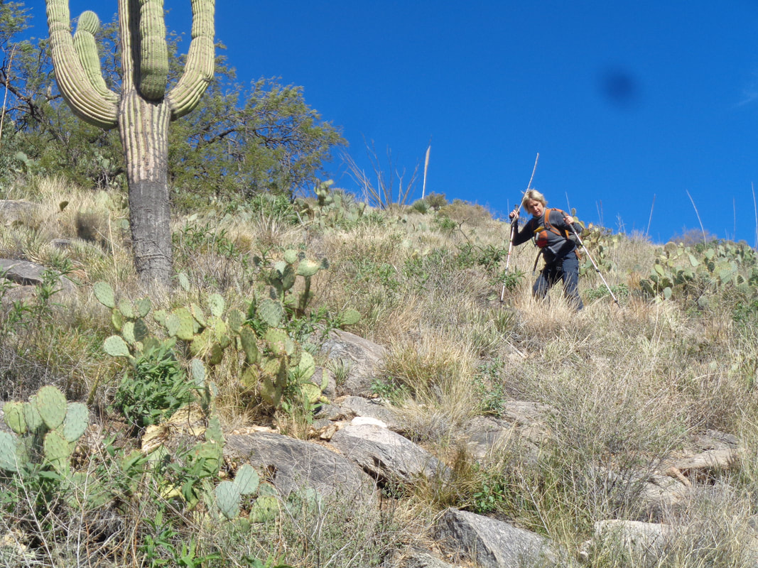
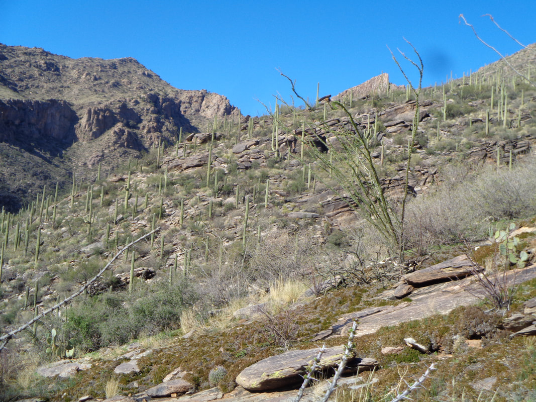
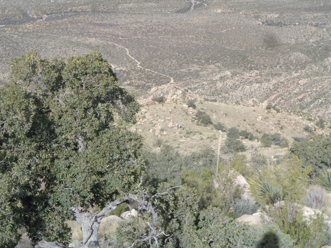
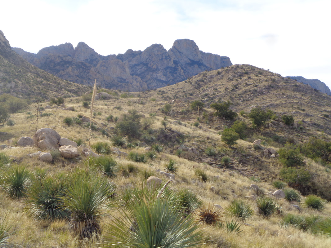
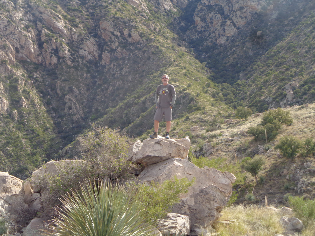
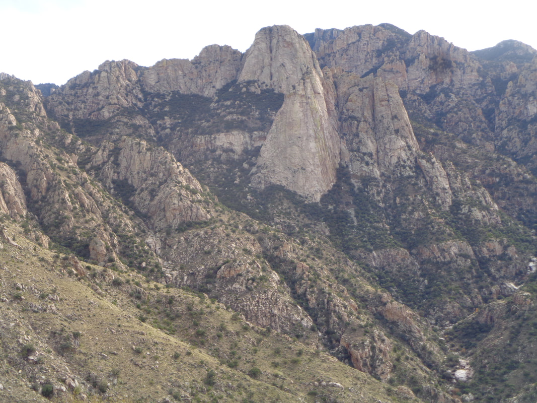
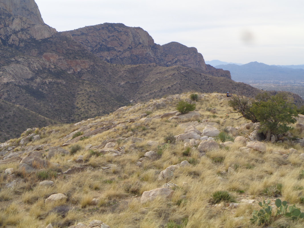
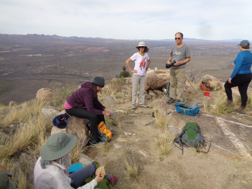
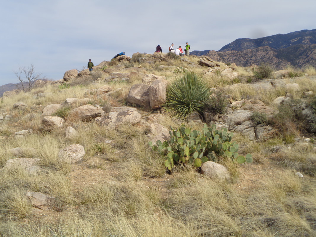
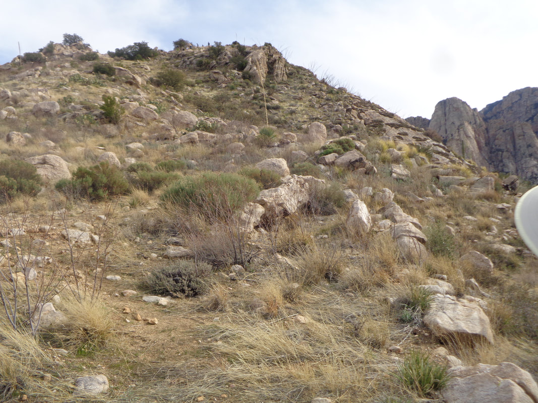
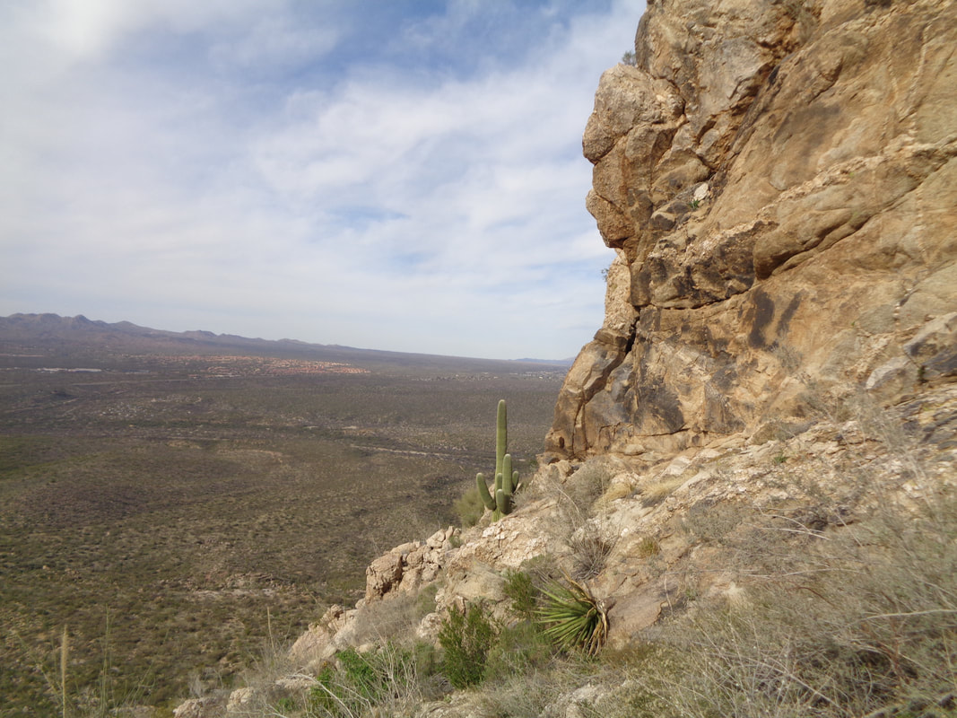
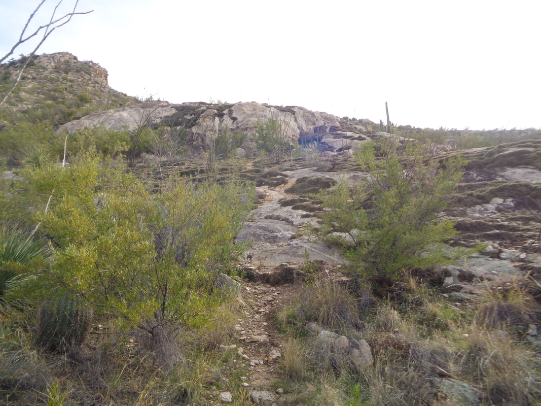
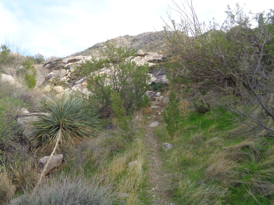
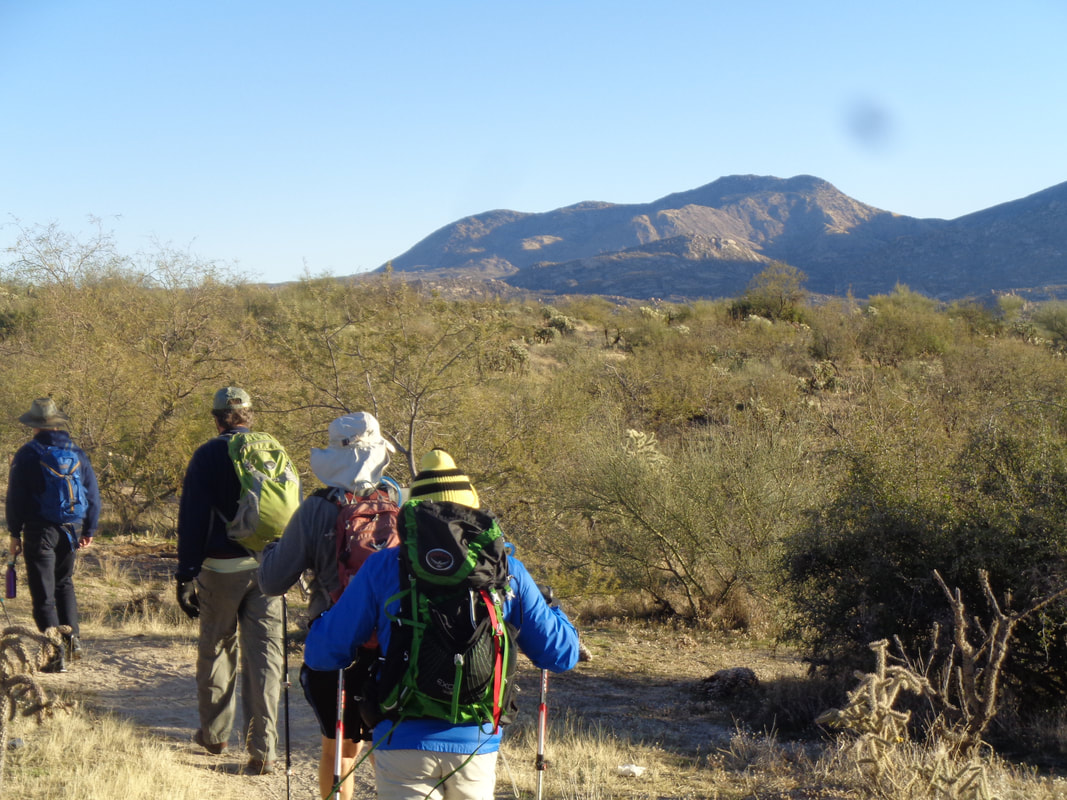
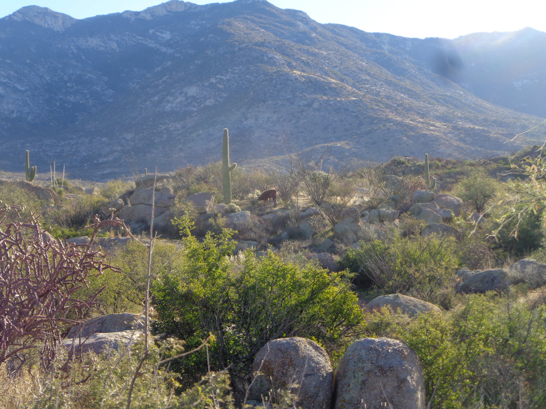
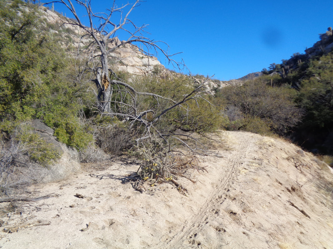
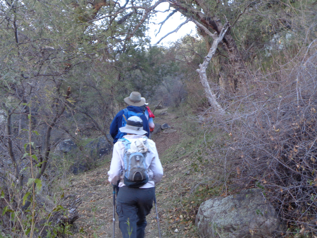
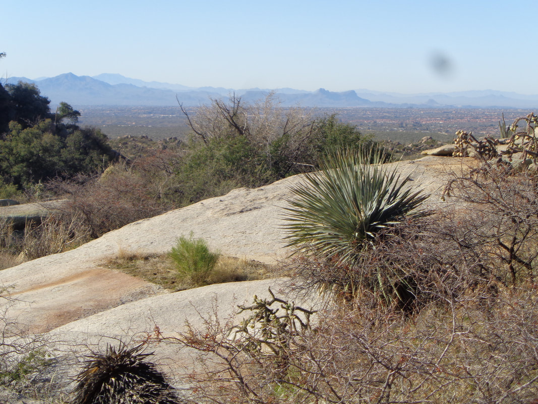
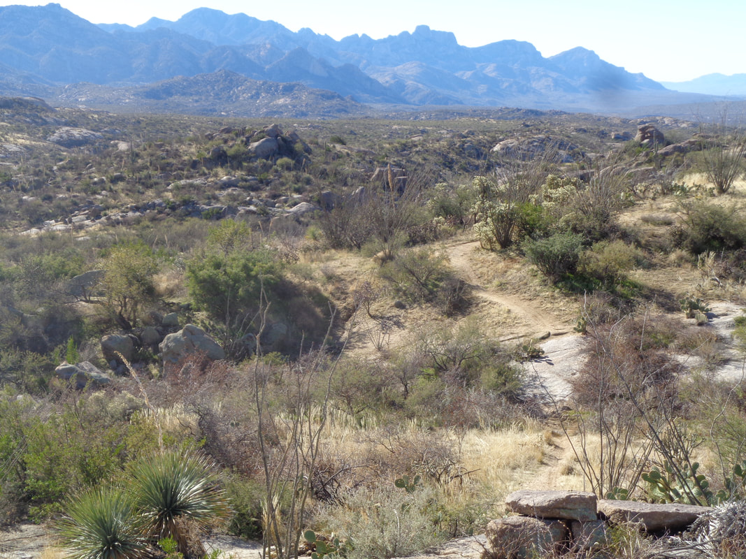
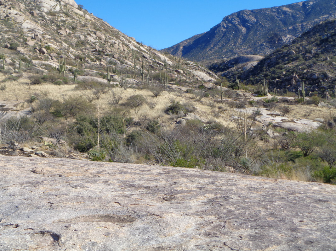
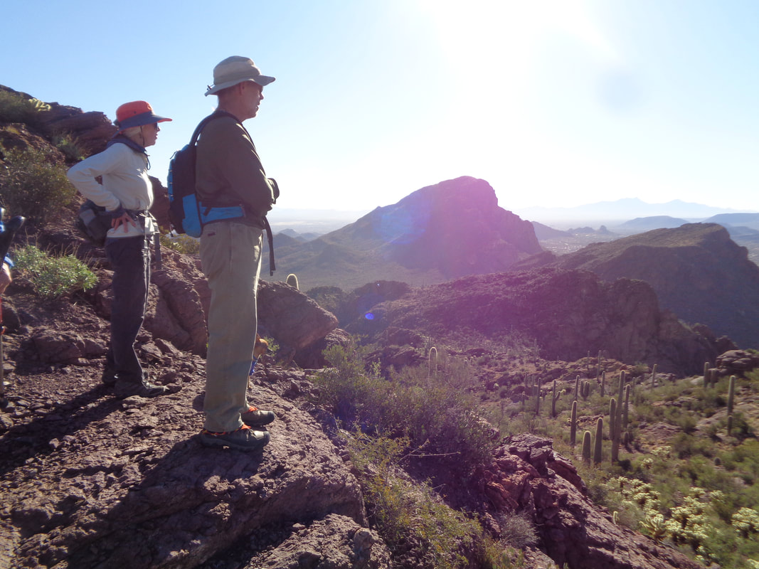
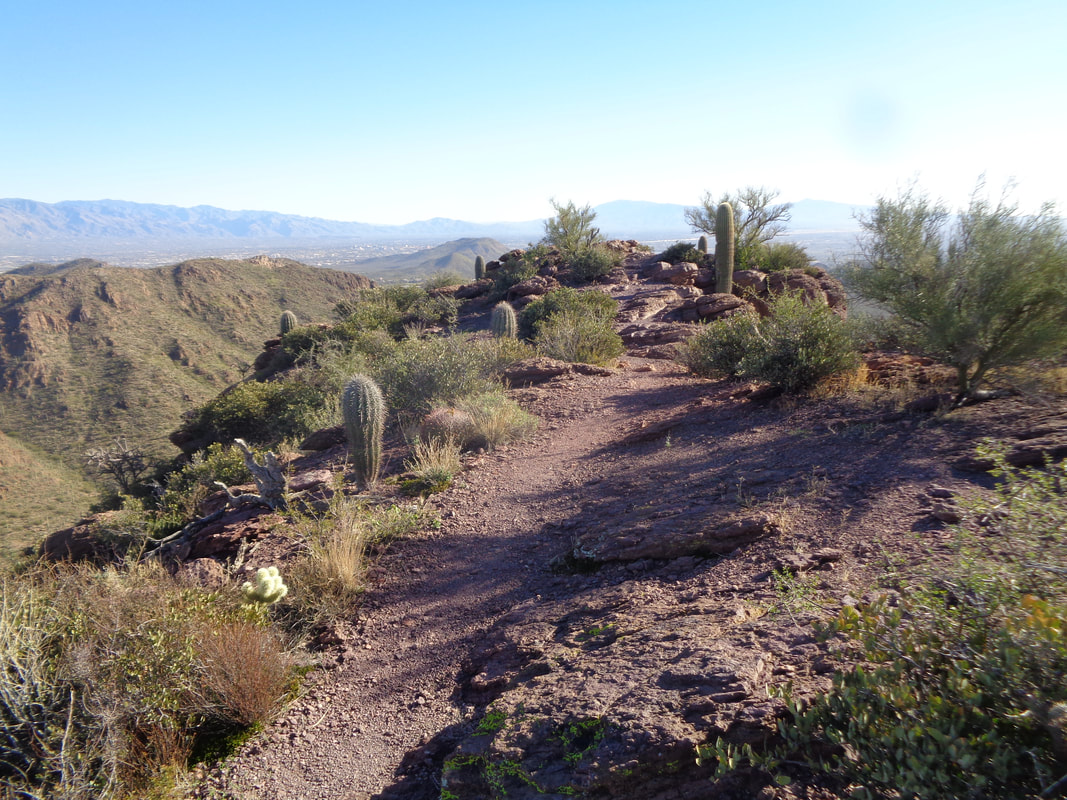
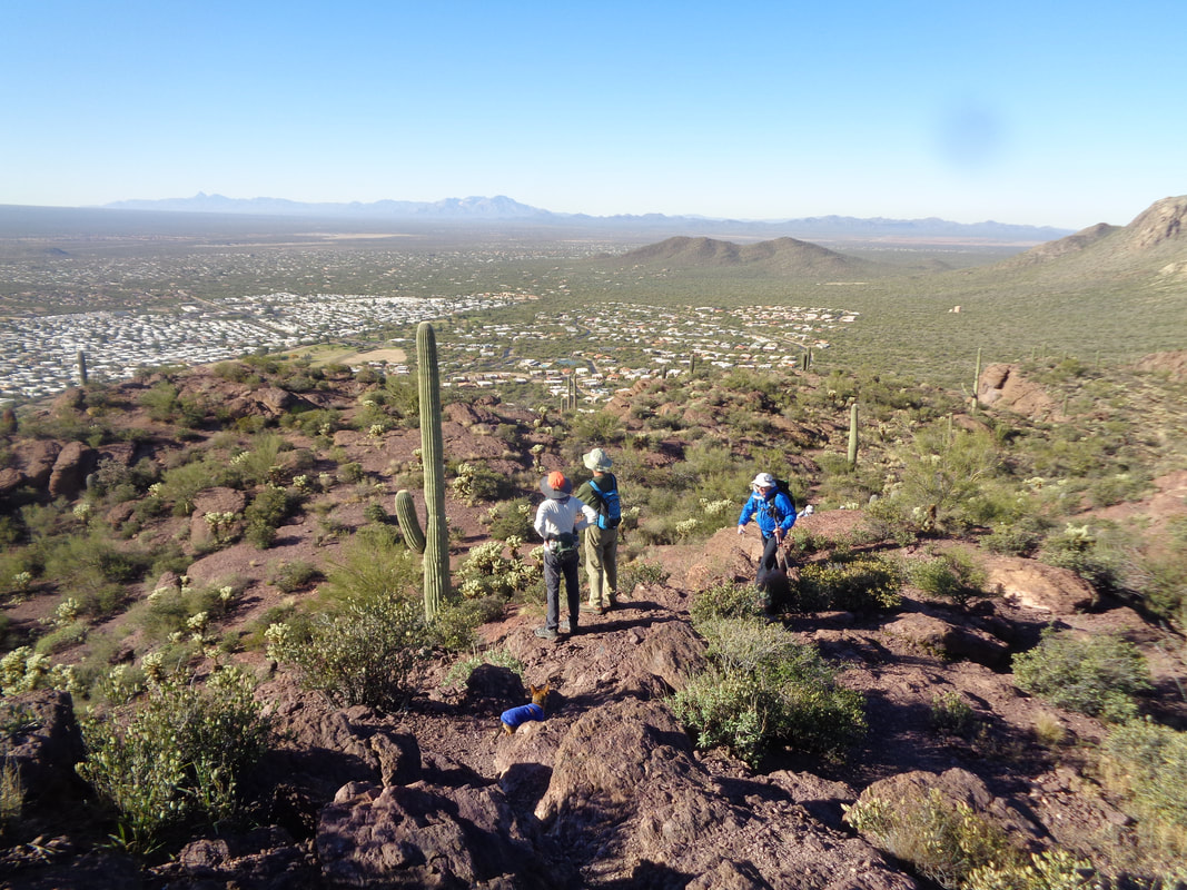
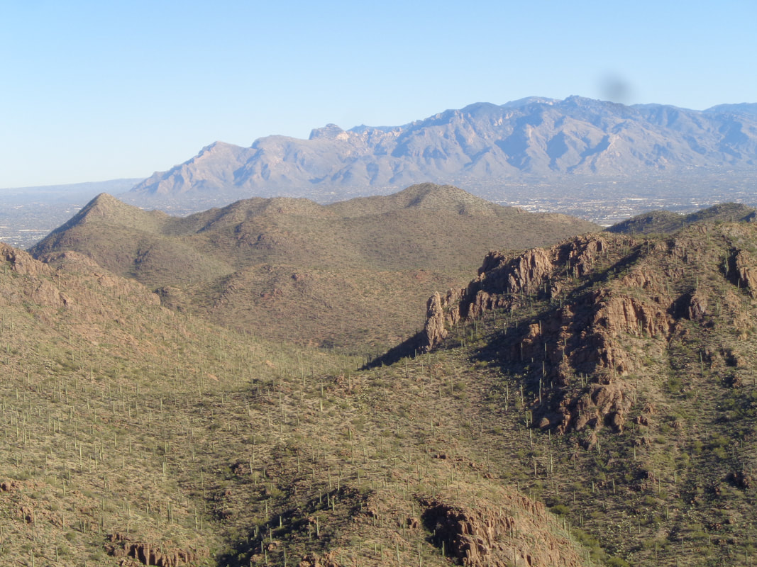
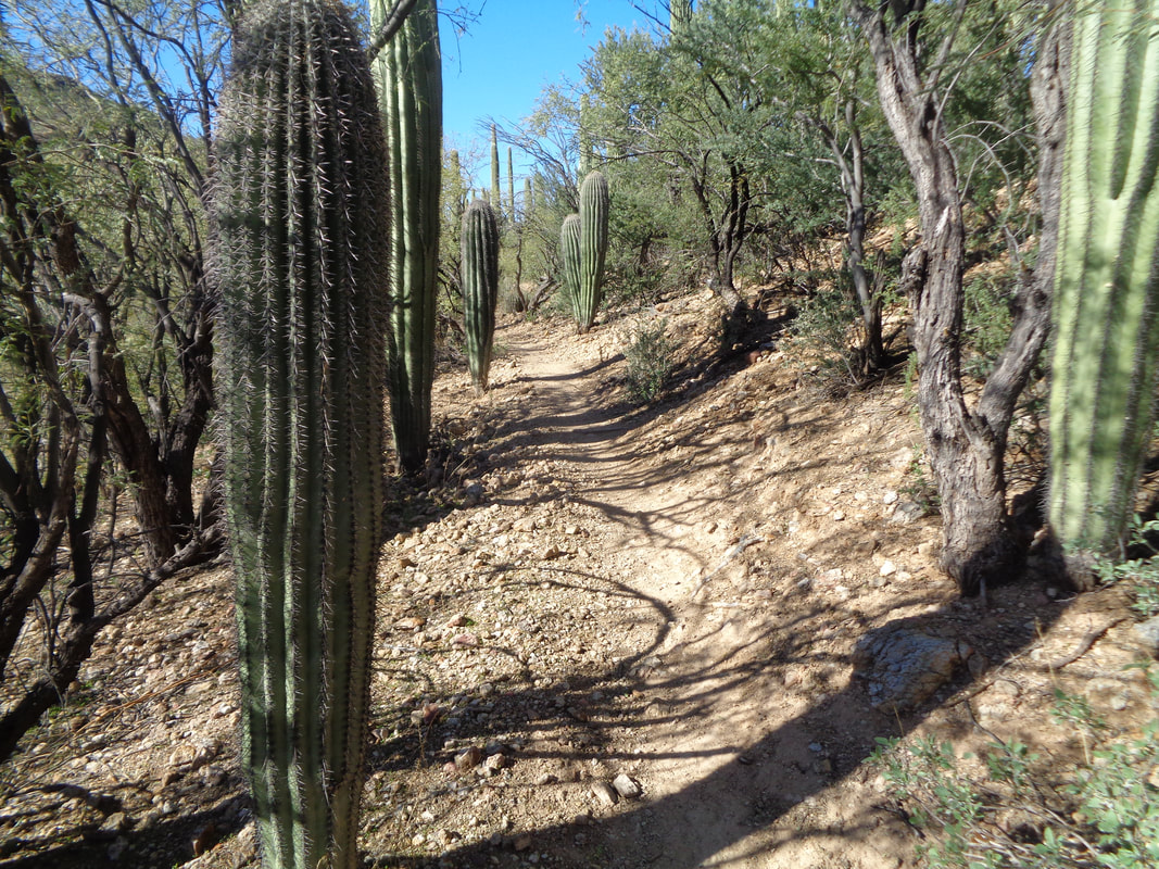
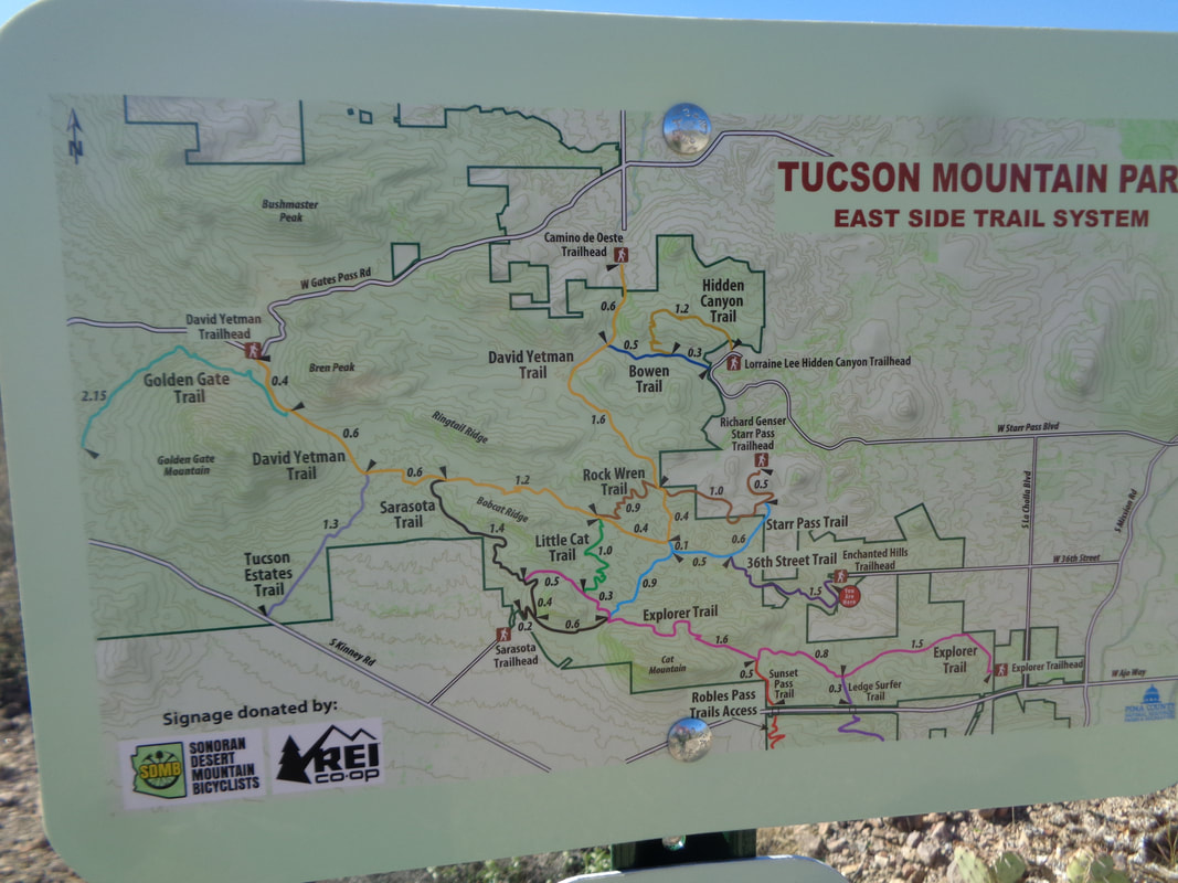
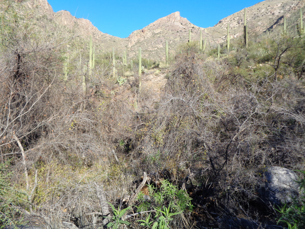
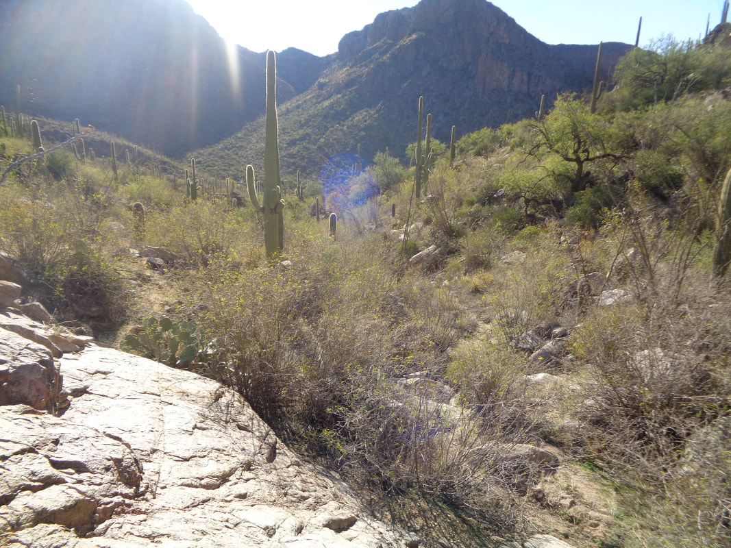
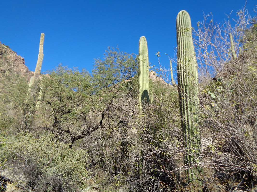
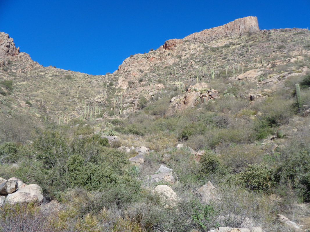
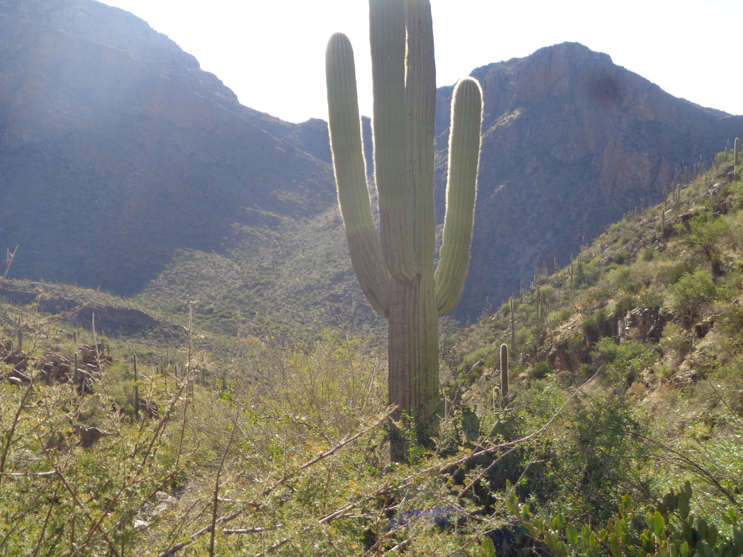
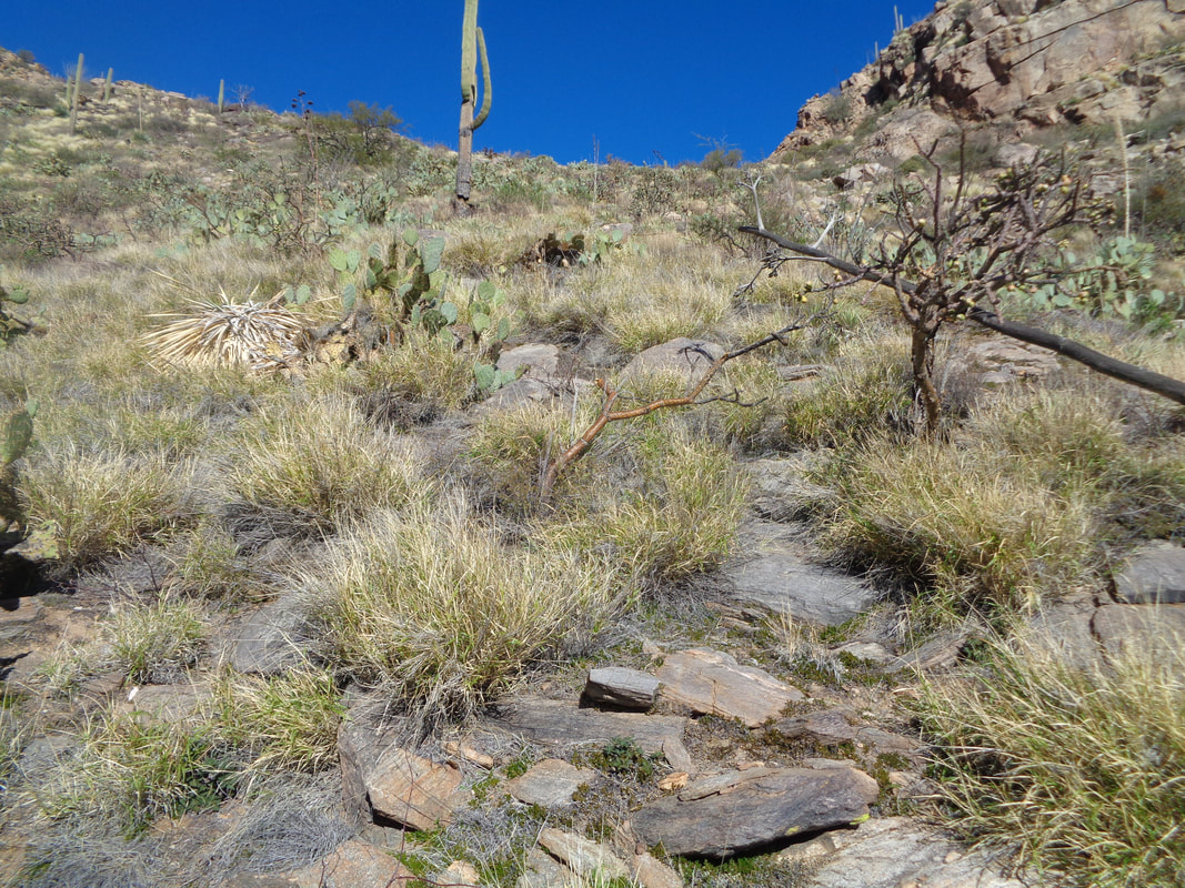
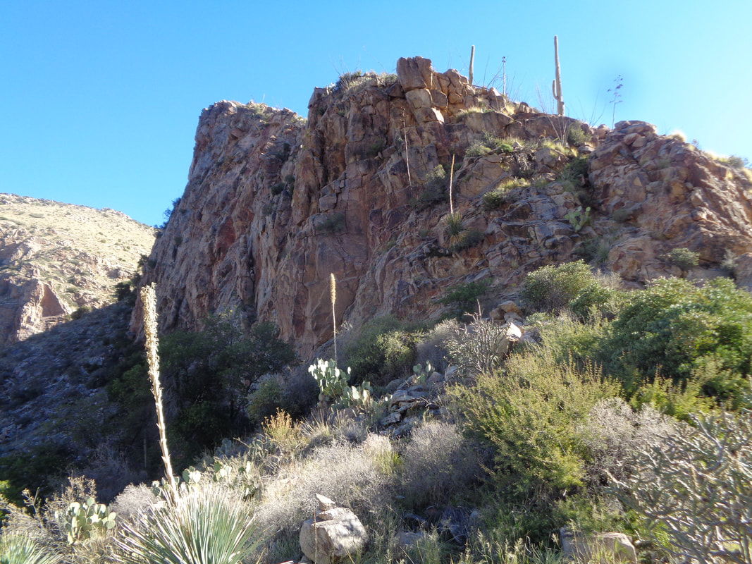
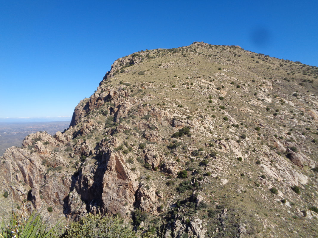
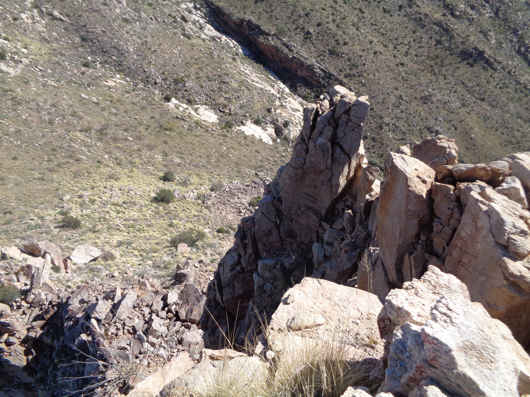
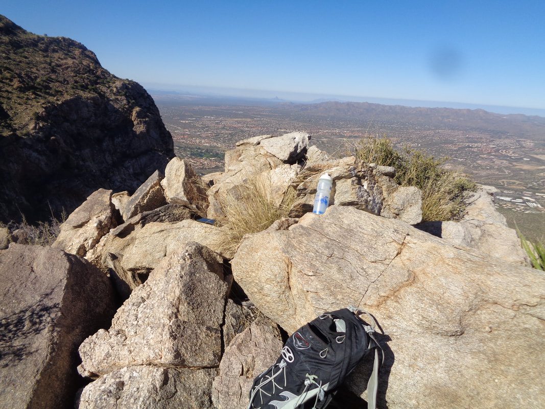
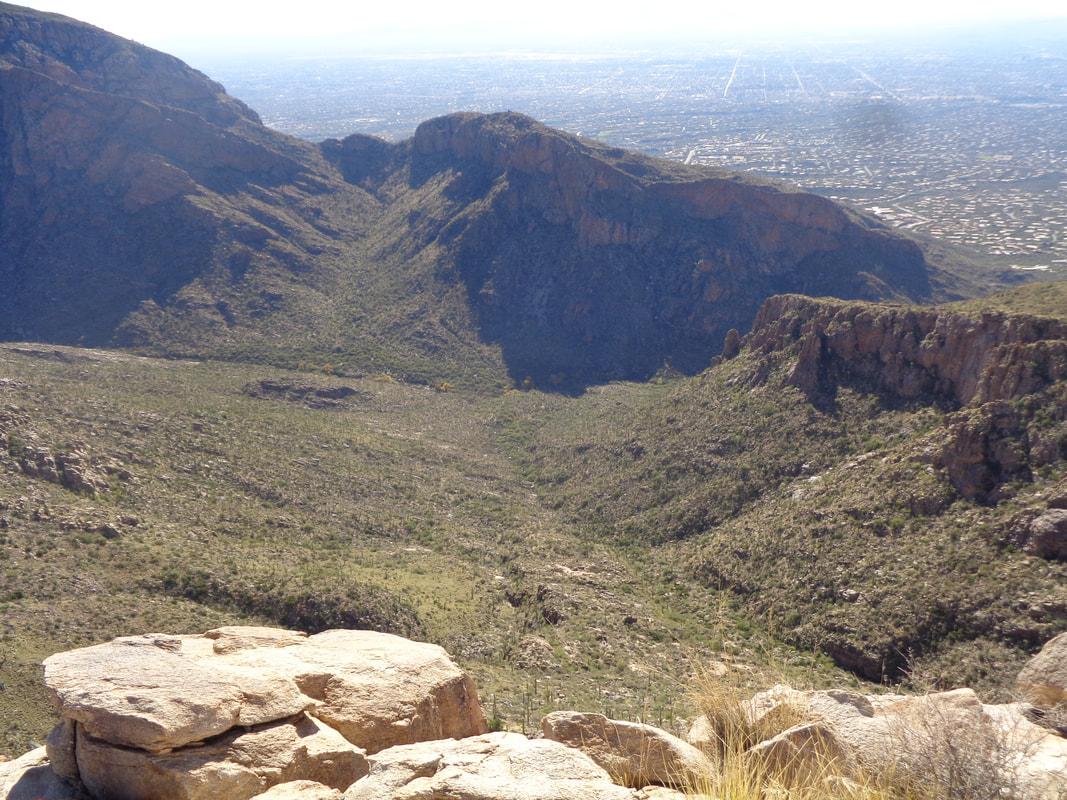
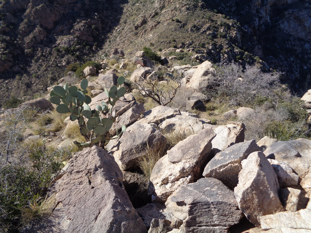
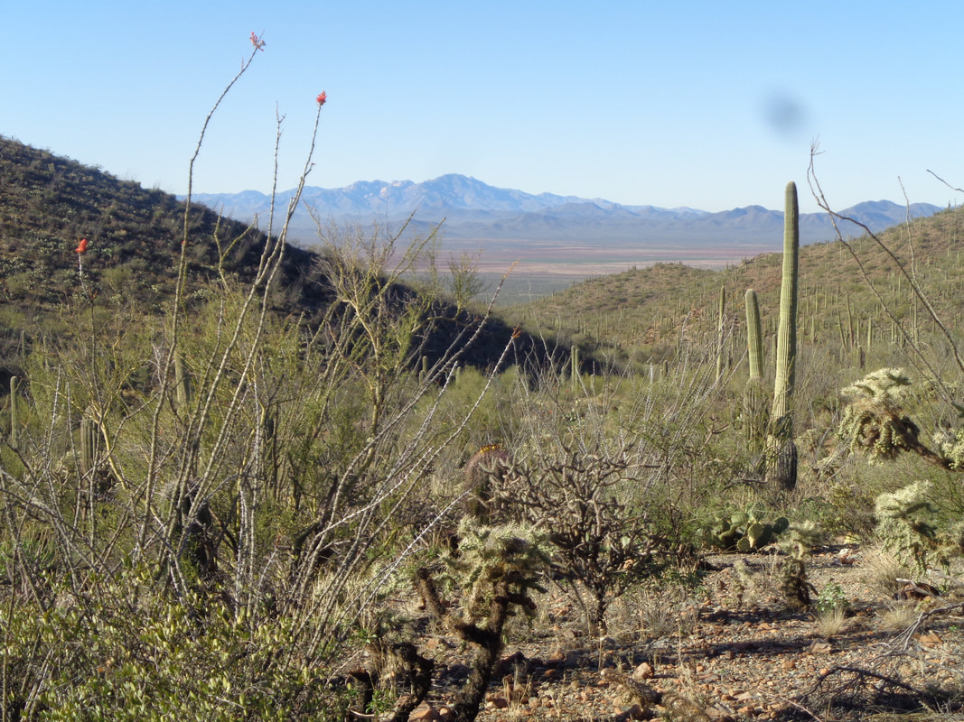
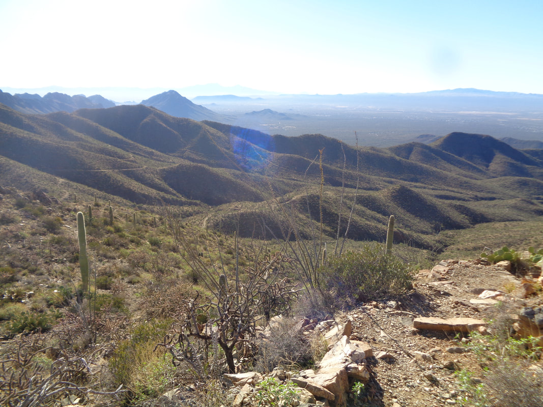
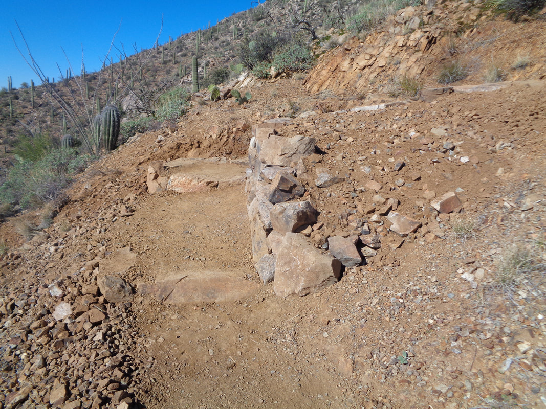
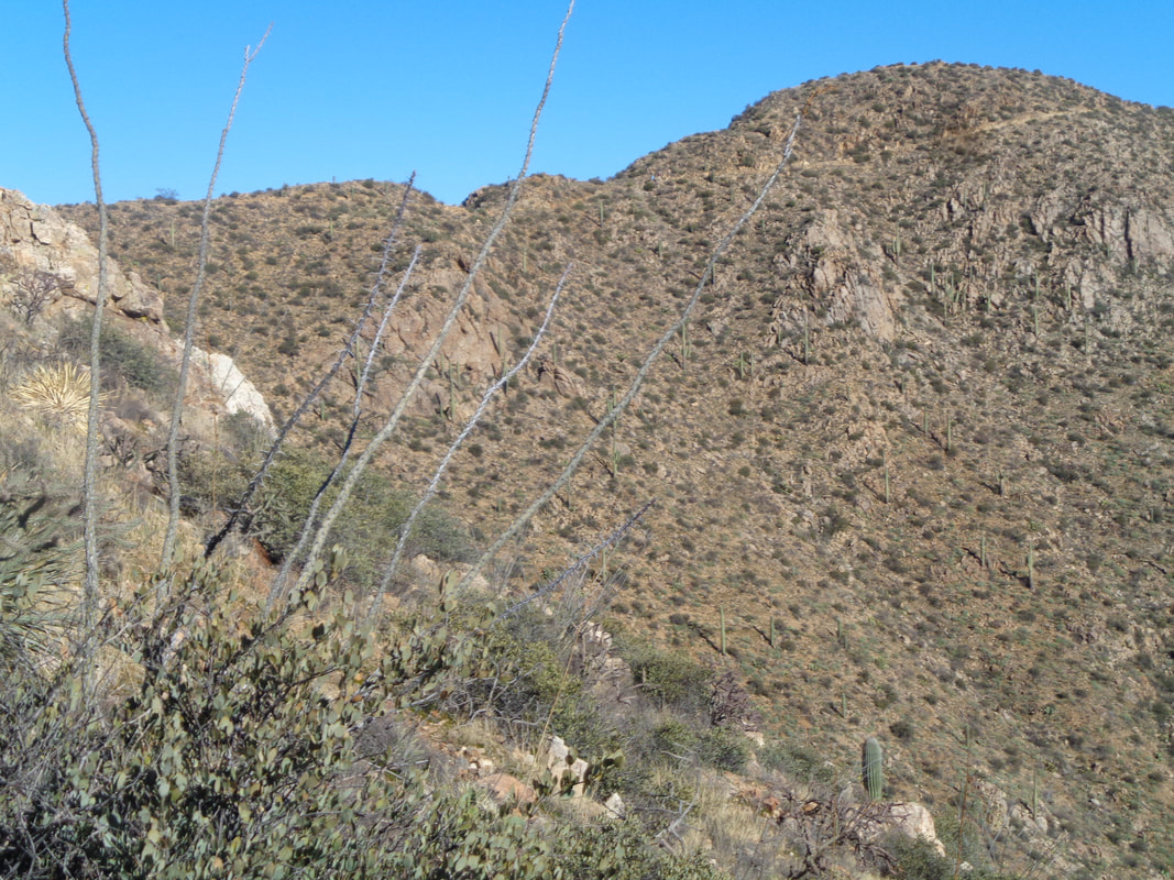
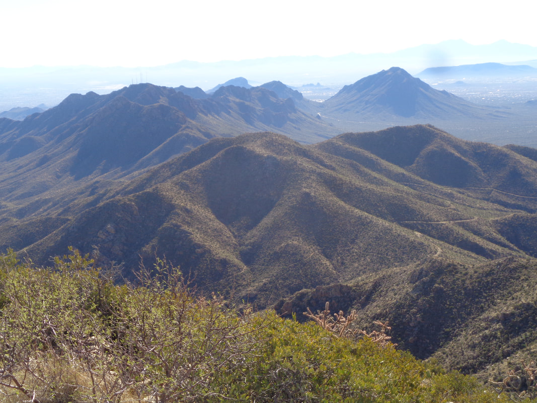
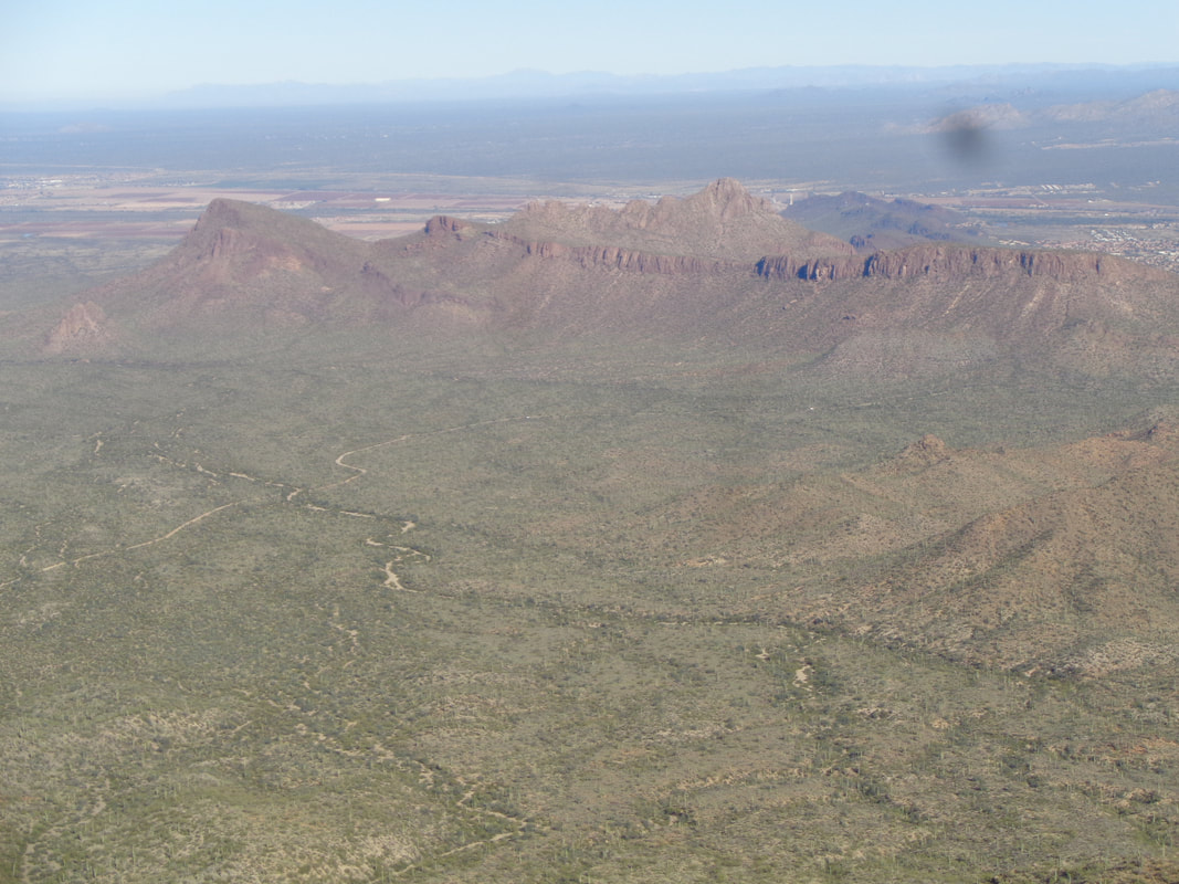
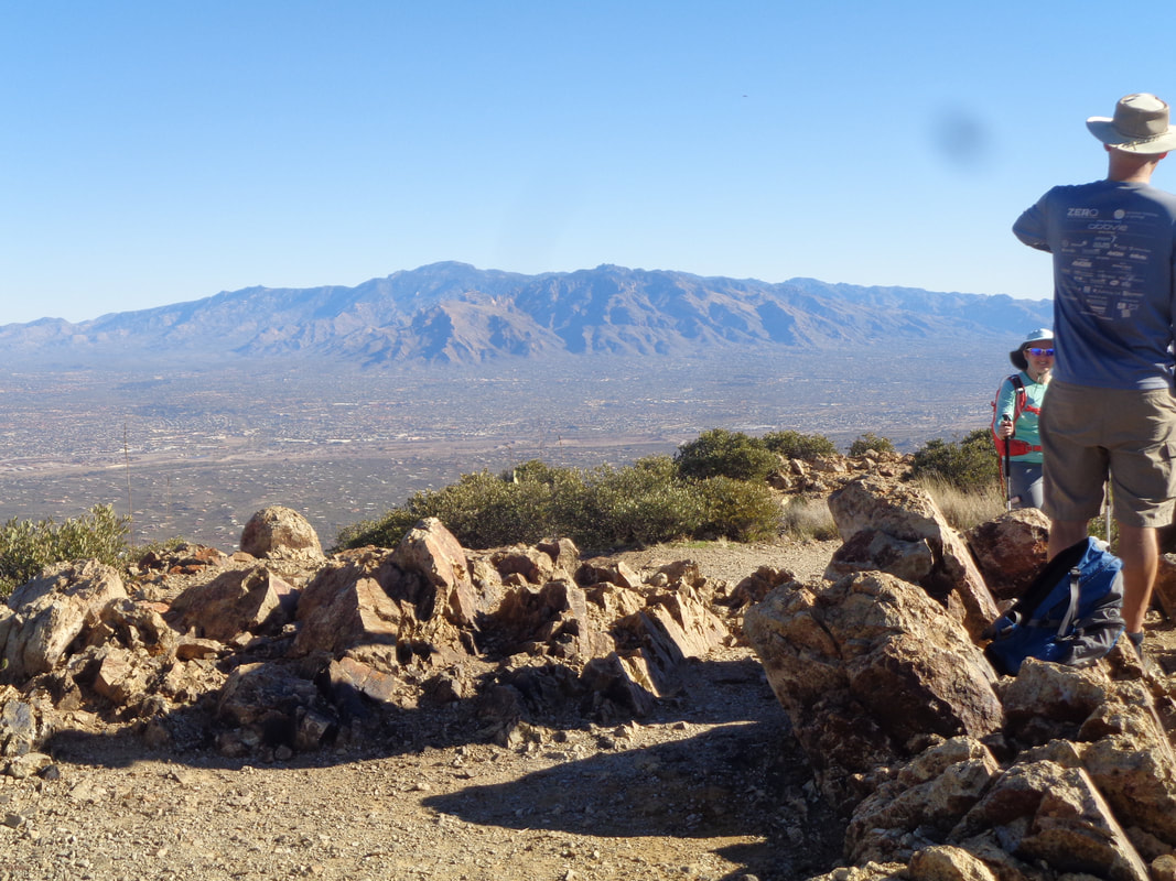
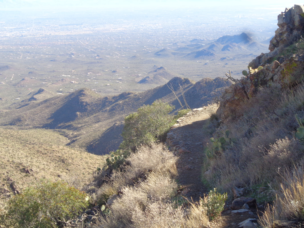
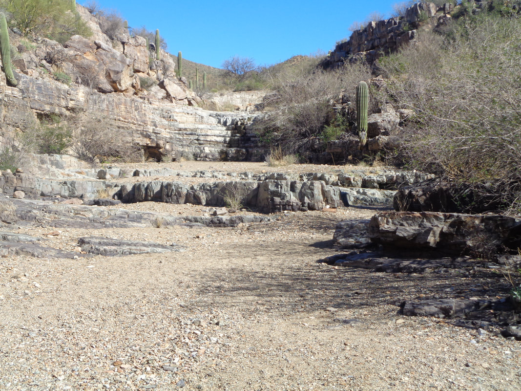
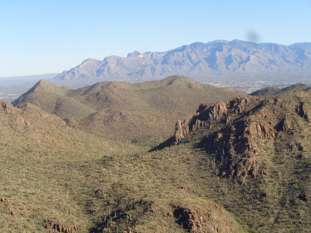
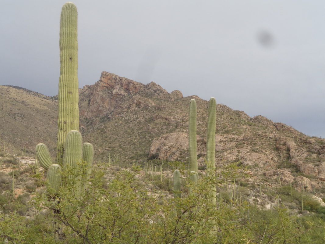
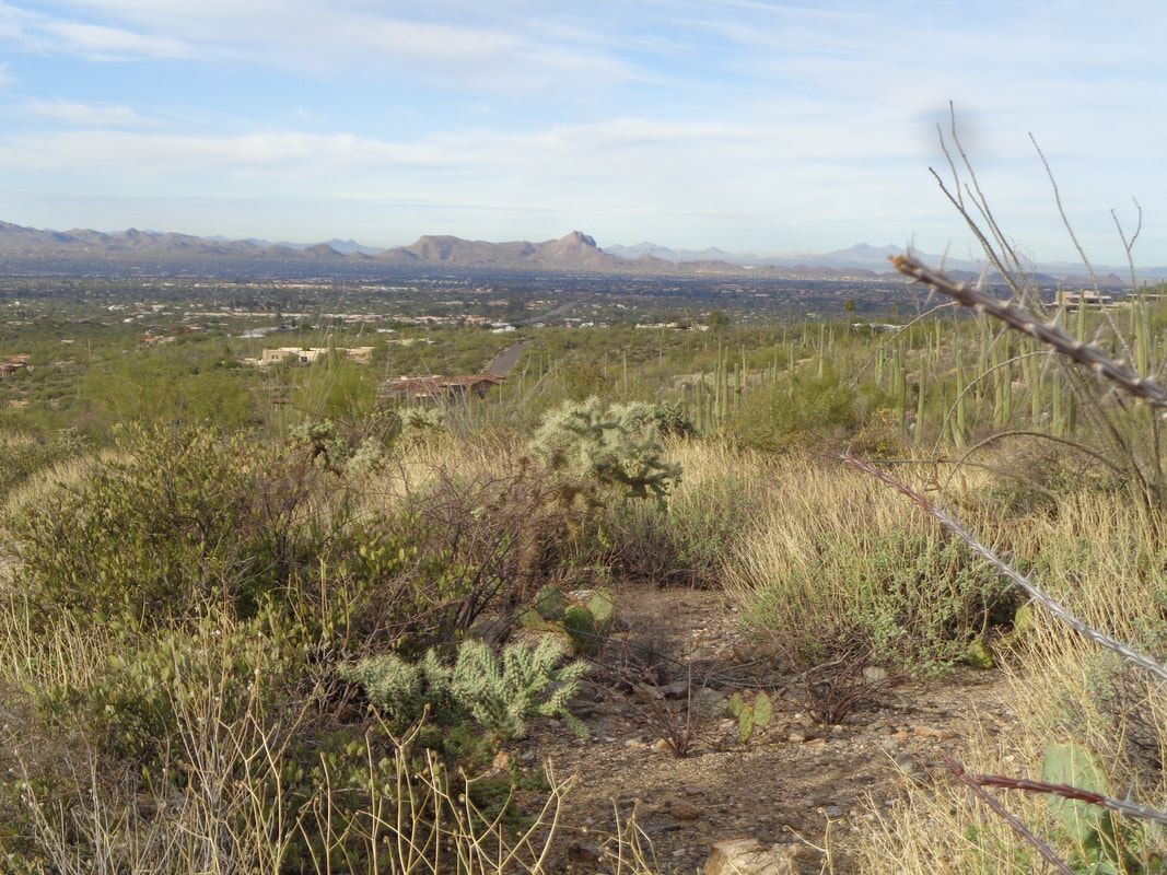
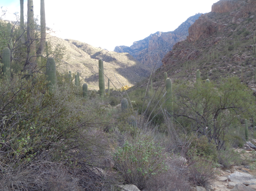
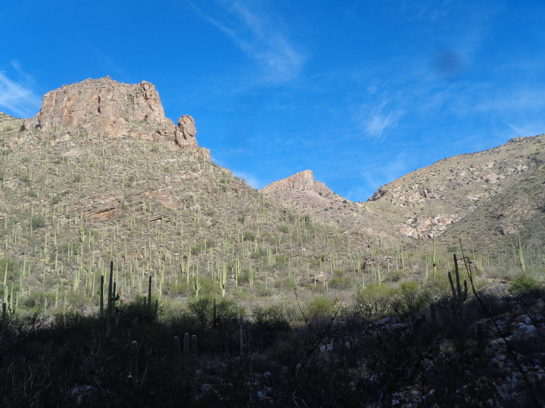
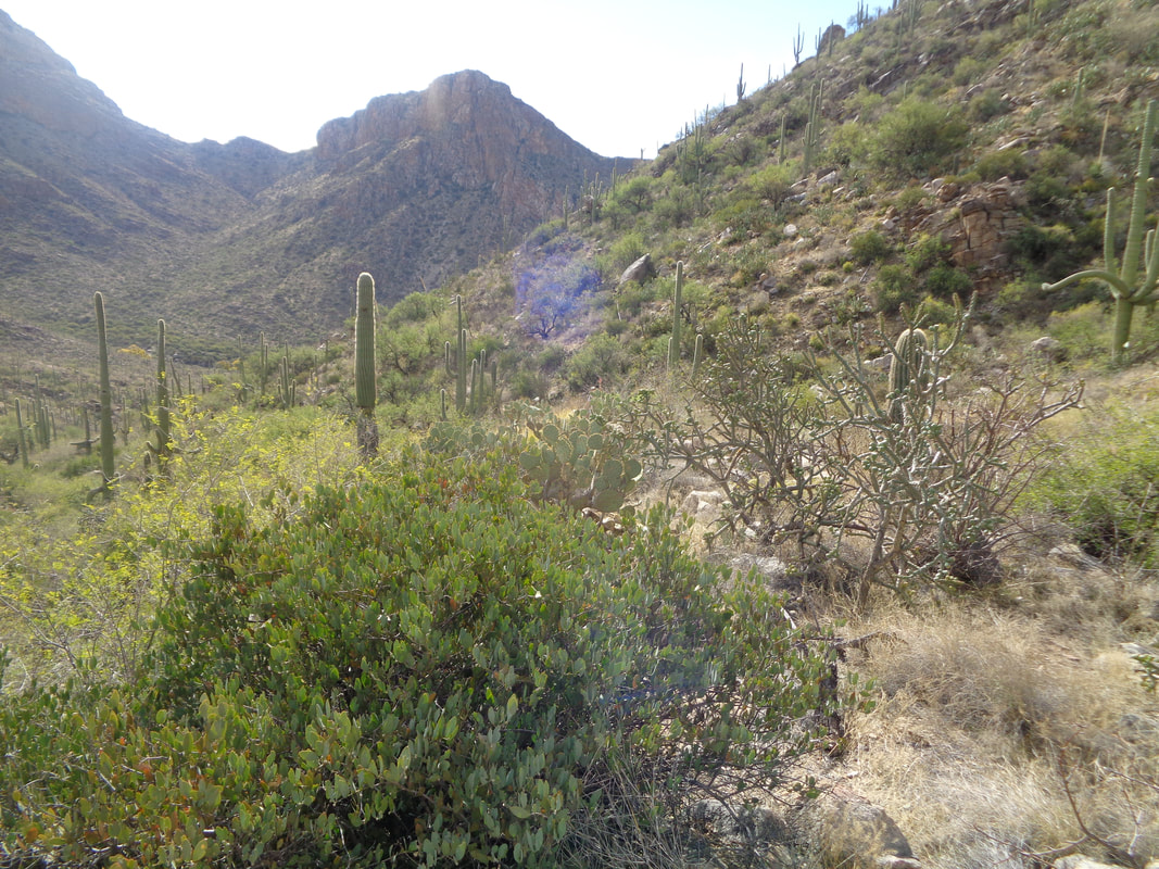
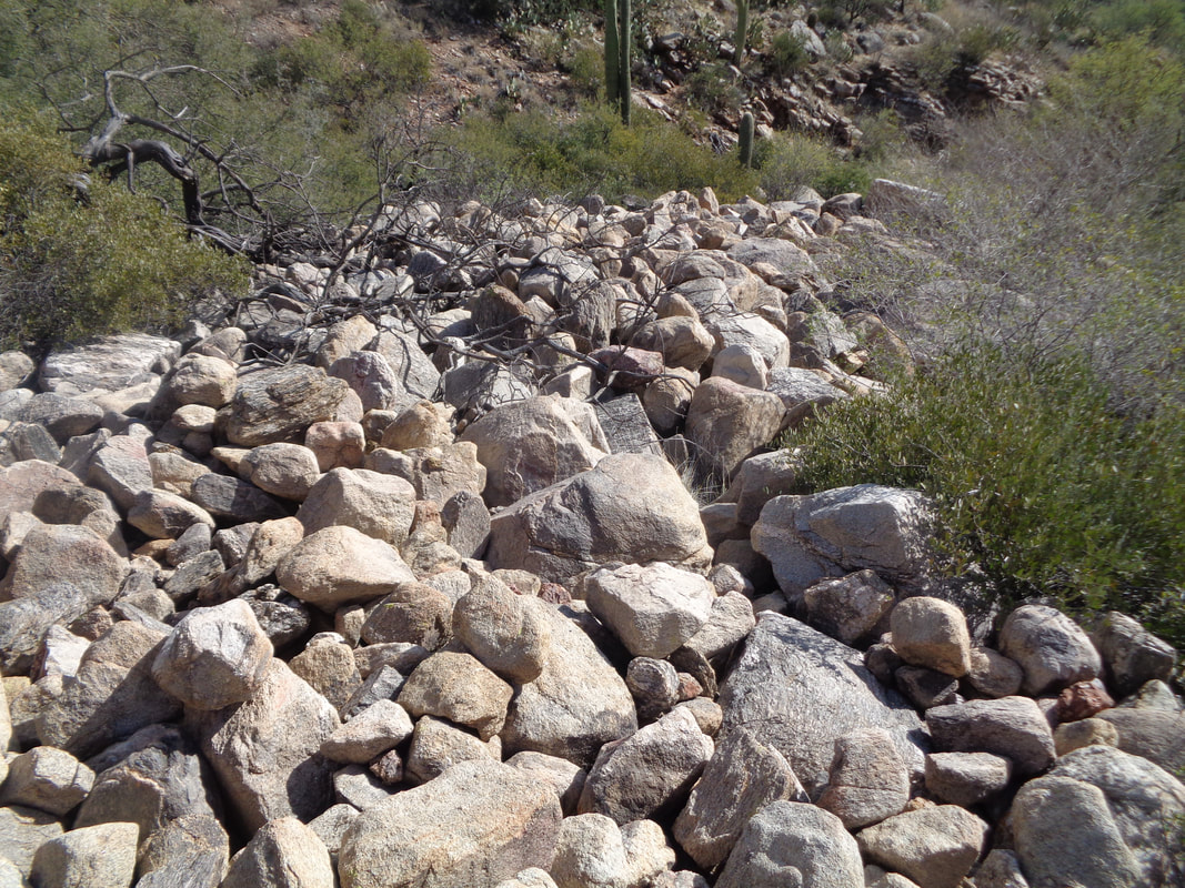
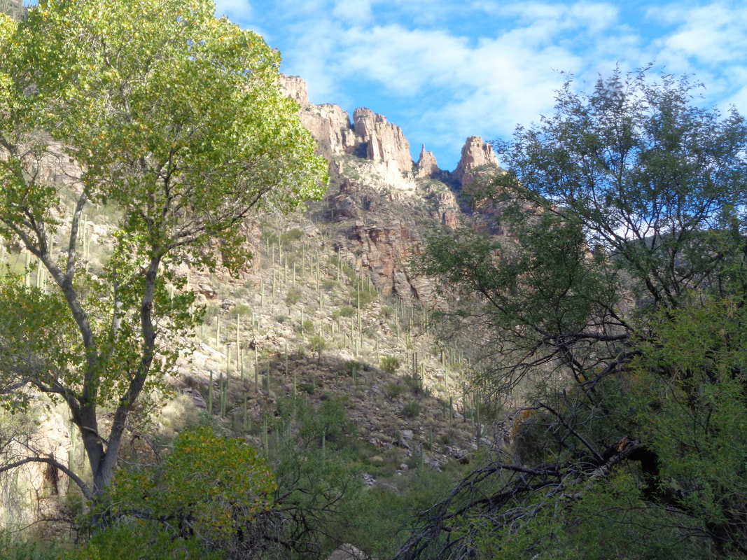
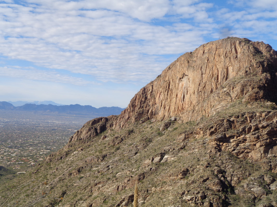
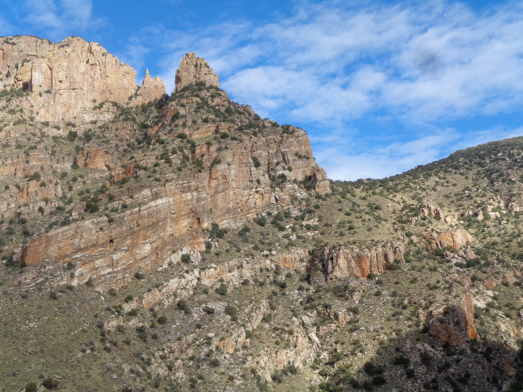
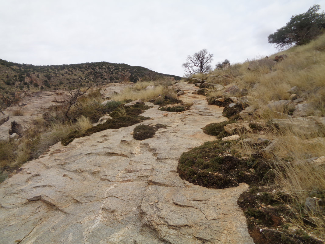
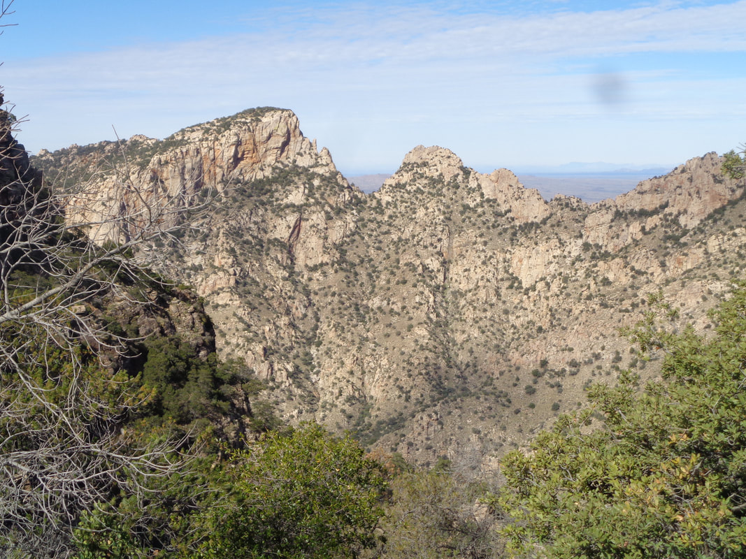
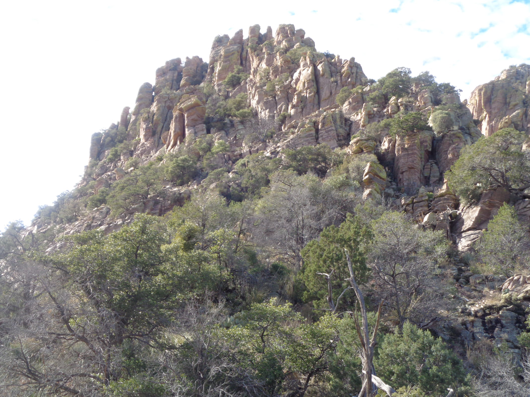
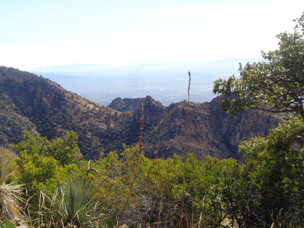
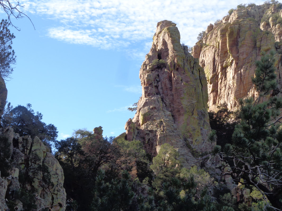
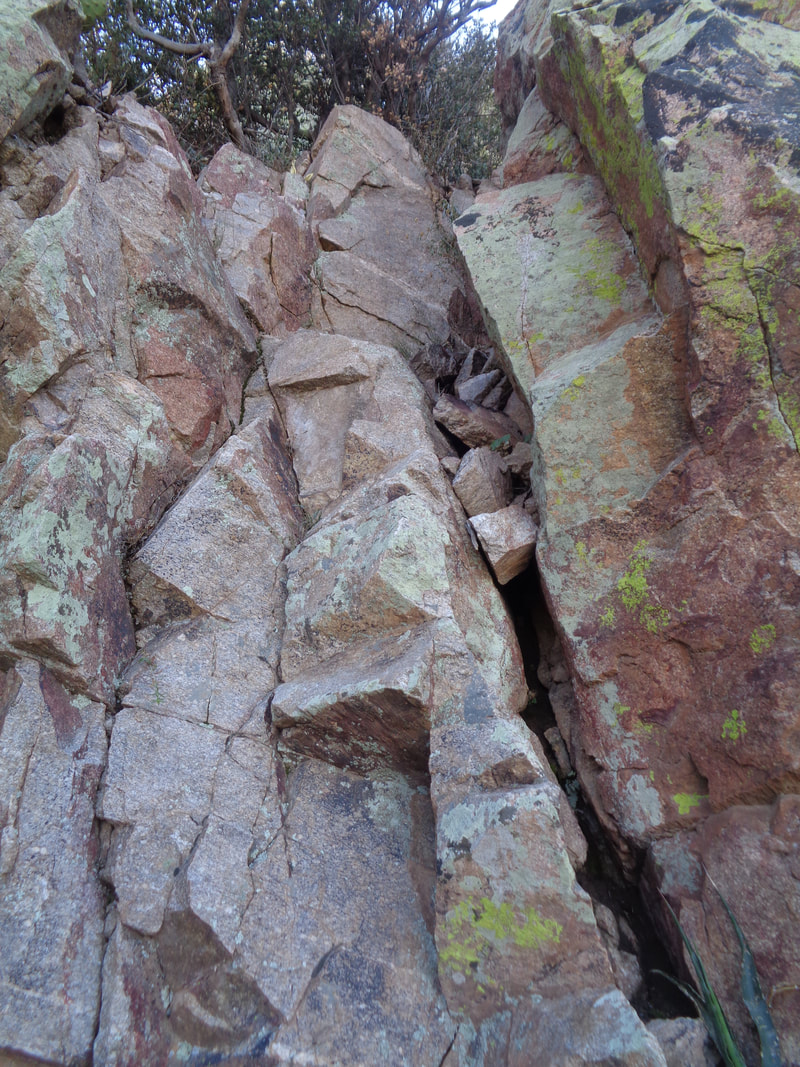
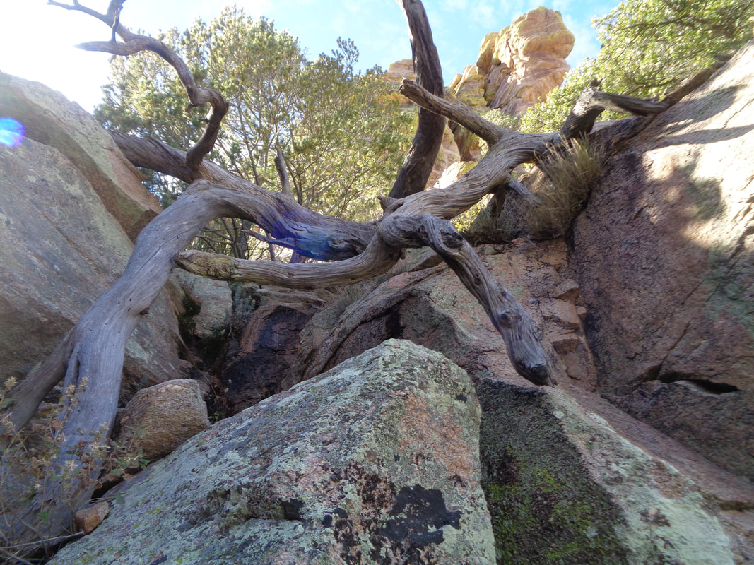
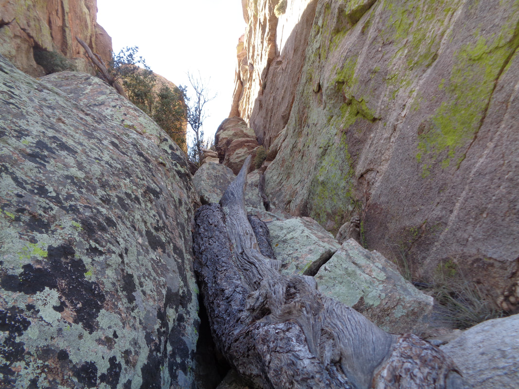
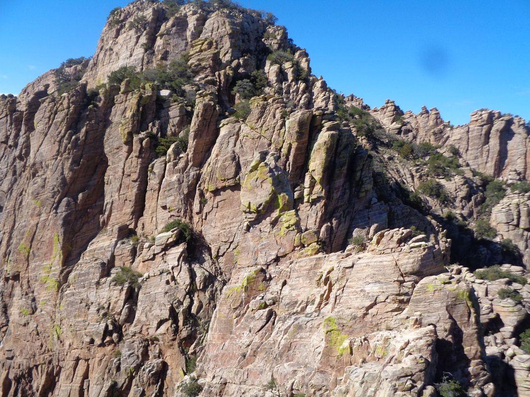
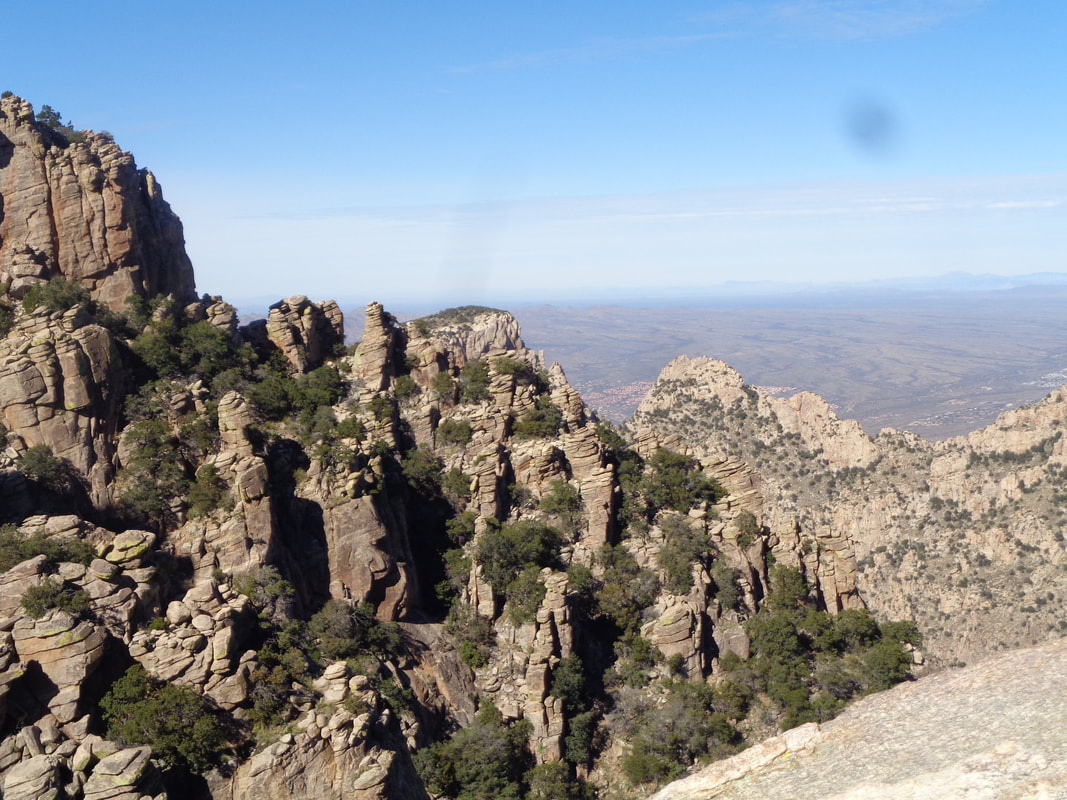
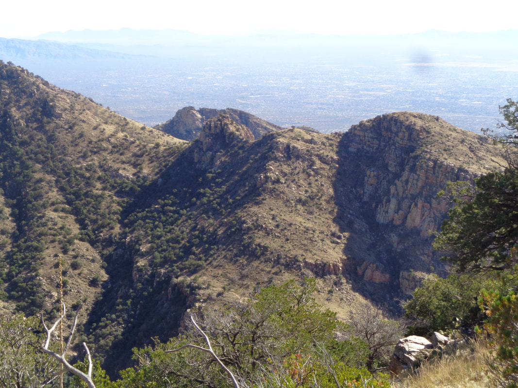
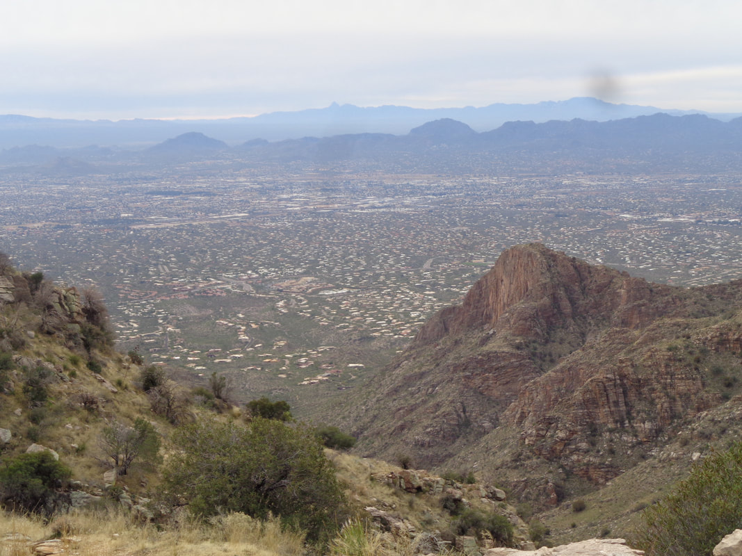
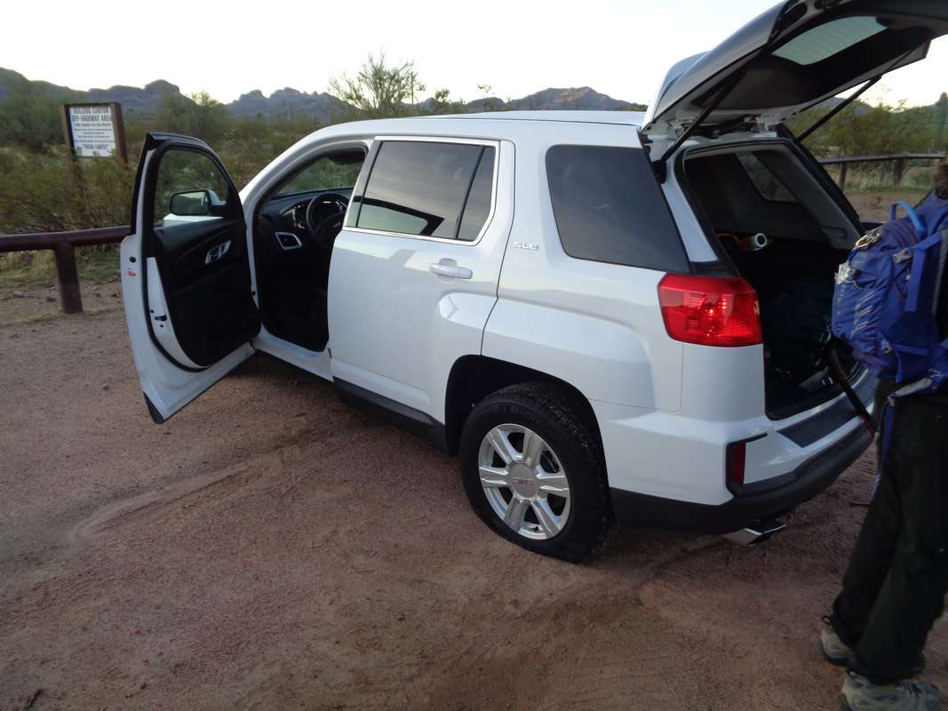
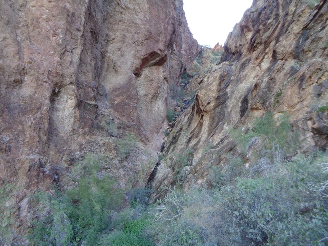
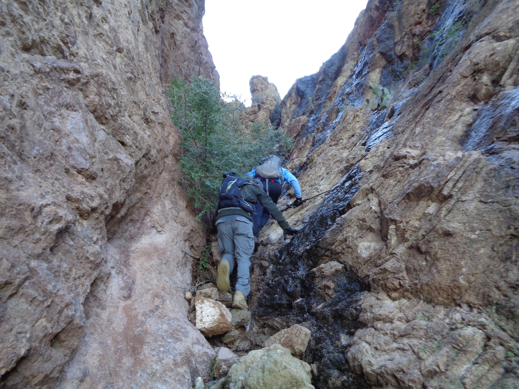
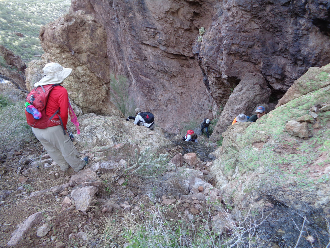
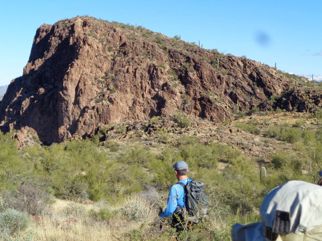
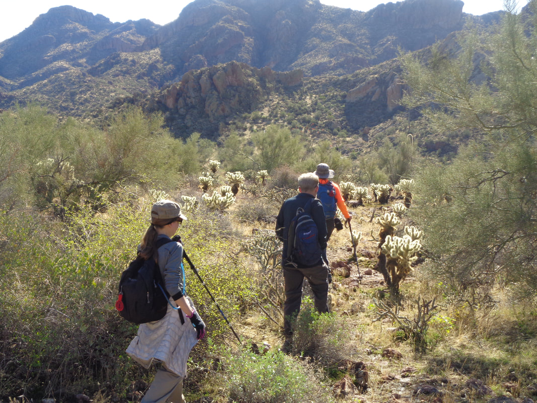
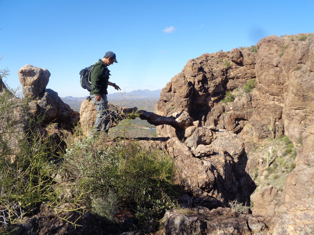
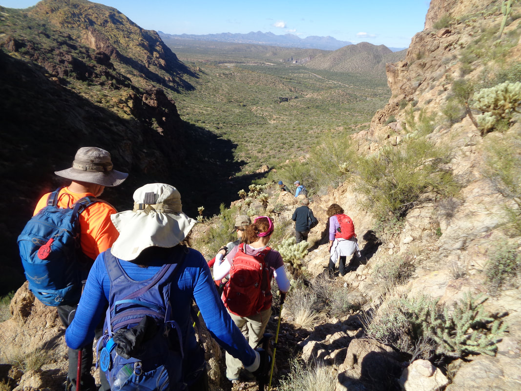
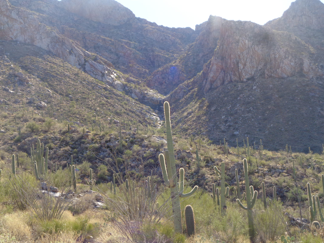
A couple of fronts moved through dropping the temperature about 15 degrees below normal for a few days. Since I'm off the bike for another few weeks, it doesn't matter as even with a daily high of only low 50's, it's good for hiking. I was going to hike to the top of the mountain on the right but alas, not a good idea to be walking on rock surfaces that have snow and ice so I went to the lower elevation Tucson Mountains to hike to the top of Golden Gate mountain. A few miles west of the Catalinas and the sky always opens up except during an actual rain event. I had done little research for the hike, just kind of assumed I'd be able to find the point where one leaves the David Yetman trail. I parked off Gates Pass Road, at the bottom of the great climb to the scenic view. I ascended to a saddle, dropped down and at the southeast corner of the mountain, saw the above likely exit. It petered out and now the trail was going away from the mountain so I turned around and retraced my route and then...... ….face smack time. I had missed this obvious point where not only was there a pile of rocks but a freaking stick extending from the center. OK, now I know and will be back in a day or two to do the actual climb. I..... ….headed back to the parking lot while clouds cast shadows on a nearby rock formation. Finished with less than 3 miles and 700' of climbing.
0 Comments
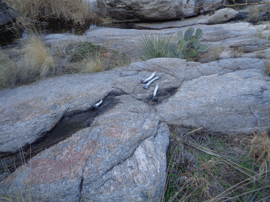
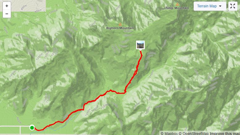
A day of rain followed by a day of sunshine. Been a relatively wet winter for southern AZ but as I have said many times, it rains and then it has the decency to get out and not linger for multiple days. Two of us depart the Pima Canyon trailhead at 9am. Kind of a late start for the off trail hike to Bighorn Mountain. I give us to 12:30 to reach the peak and if not there, turn around, no exception. The descents can be tricky and take more time than the ascents. While it is officially winter, really more like fall as leaves are turning and dropping too. At mile 2.1, we exit the trail, push through some dense brush and..... …...stumble upon bones left behind by a mountain lion or maybe a bobcat or even a rare jaguar. Rather than off trail ravine hiking with all the associated nastiness, this hike is via a ridge so while there is some nastiness, it isn't bad at all. We rise higher and the trees with fall like colors are now far below. The route is rather obvious. There are 2-3 knolls that are reached, each revealing another long slope that must be navigated. How about that!? Table mountain comes into view and I begin to doubt my route finding. Ahead, nothing resembles a peak for Bighorn. Have I strayed to far toward Table? I continue to chart a course following the ridge while meantime..... ….hiking buddy Amy appears to be enjoying herself. I inquire as to her status and am always greeted with enthusiasm. No whining with this able hiker even though it is her first off trail/bushwhacking experience. Topping out at another knoll, I see what I believe to be the ridgeline between Table and Bighorn!!! We have got this. Alas, looking at the time, I concur there is no way we will make it to the ridge and then make the left turn up to the peak. Amy's knee has begun to ping too so we decide to turn back although..... ….we were so close and I was relieved I did have us on track. I promise myself I will be back in a few days. Lambing season begins on the first so have to do it before Wednesday. Otherwise, off trail hiking is not allowed until April and by then, the rattlesnakes will be out. While there are some patches of nastiness, it's easy to navigate around these things. Meantime..... ….my partner utilizes her downhill skiing skills to make quick work of the descent. It is kind of rugged with lots of boulders, all of which at least partially obscured by the grass. Towards the bottom..... ….we hit some broad slickrock areas and in the distance I can see the Cleaver, last week's summit adventure. I'll be back and this time, there will be snow up there and perhaps I'll see lion tracks. I've been loaned a hand gun, given expert training and will have that along for my solo effort (I've owned a gun before so am no rookie). Several times in the last few years, I've gone on solo hikes and become uneasy about something I can not describe and end of turning around.
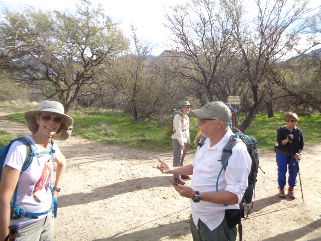
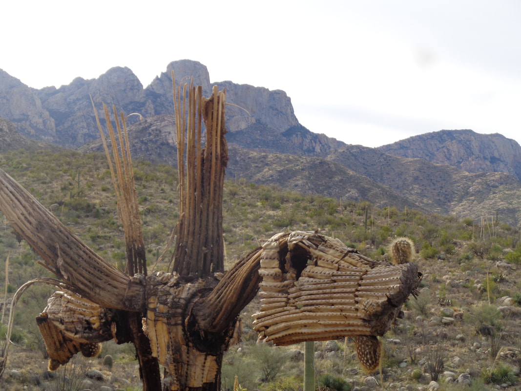
The "Oro Valley Outdoor Fun" gang organized a hike to Buster Mountain, a peak on the western end of the Catalinas. Buster generally is swamped by the more prominent peaks of Table, Pusch, etc... Still, a worthy destination as we wait for a late arriving hiker who texted she was in the rest room but somehow, never hooked up with us, weird. Above, hiking buddy Liane doesn't seem to be paying much attention to hike leader John. Liane's a bit of a camera hog so John should not be offended. We head out on the Birding trail and then, officially, go off trail. There are a lot of routes that access to the internet have popularized so while they are not official trails, many people passing have created trails. Note the long dead Saguaro. The right side looks kind of like a T-Rex head? We had a couple of regroups as the gang was getting kind of spread out. Above, I am on what may be known as "Little Buster" as I wait for the rest of the group to arrive. LB is just north of Buster. Looking south, I can see Buster which required us to drop down a bit and then ascend a fairly steep slope to the peak. One of our group, Barry, stands with a dramatic scene behind him. We had a good view of the 1000' tall Leviathan Dome and the slightly shorter, Wilderness Dome just above. There is a route to the base of Leviathan, using Alamo Canyon, for rock climbers. Not many visit as it is quite an effort to arrive at the base. I found a jar having the summit register and pass it around for the gang to sign. Always satisfying to sign one of those. In the distance, a couple of hikers arrive from the direction we will take for our return. With almost 2000' of climbing, a snack break was well deserved at mile 3. However, Liane had a party to attend and you know I'm always anxious to cut the lingering time so..... ......we begin the down climb while another member of the group comes too. We carefully down climbed a chute that was in the rocky area upper, center right. I know, doesn't look like much but it was. The rest of the group found a way down to the left before rejoining the route. Yes, it was kind of steep in places as we continued to drop toward the desert floor. We hit some slick rock areas which made the going a little easier but then route finding becomes a challenge but not much of one. Recent rain has greened things despite it being "winter". The wild flower season this spring will be spectacular. We arrived at the parking lot and finished the 5.6 mile hike. Fun time, as usual.
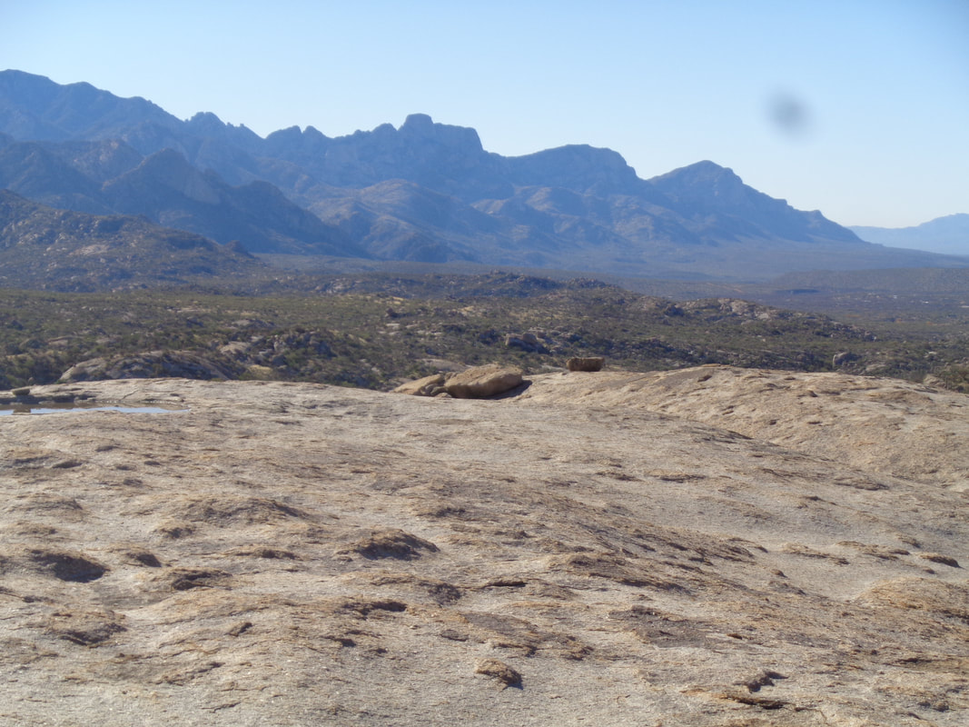
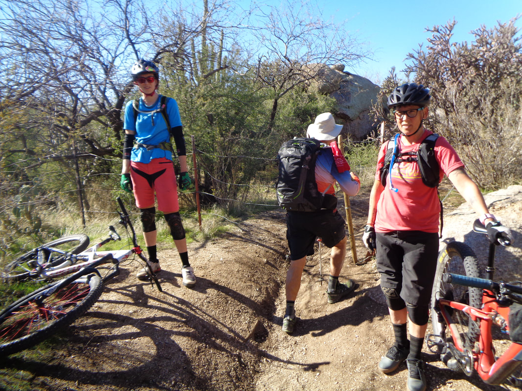
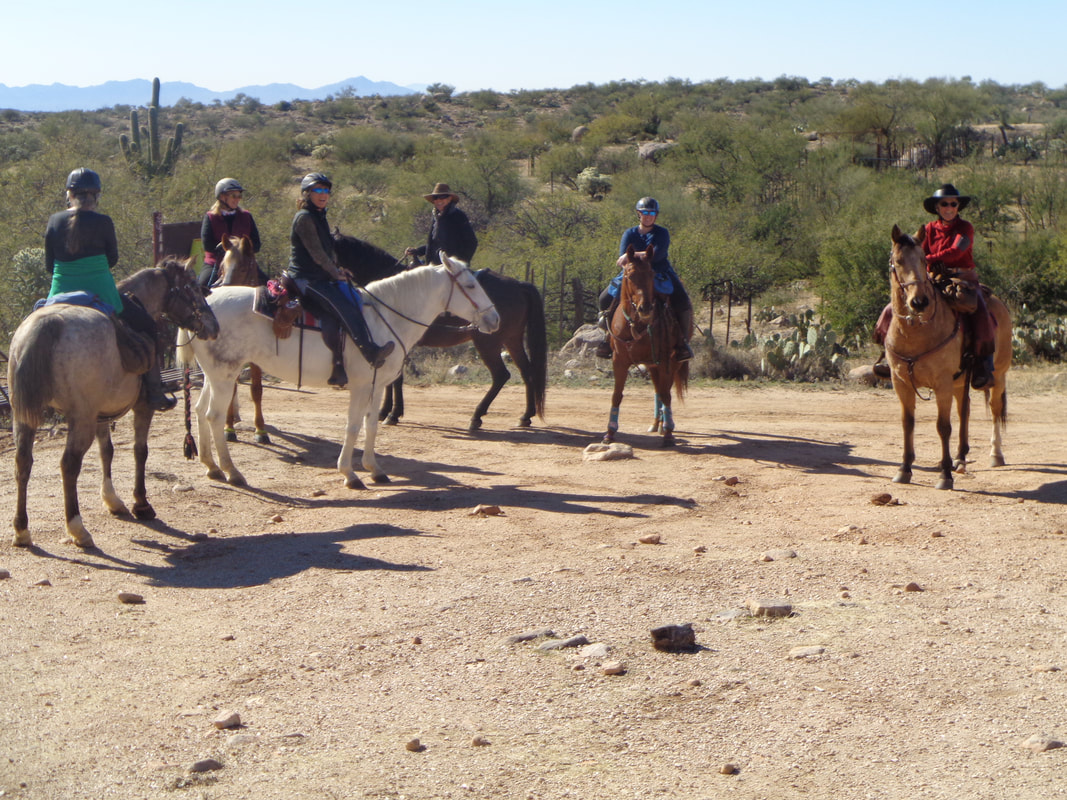
I have heard about an area north of me known as the Cowboy Slickrock and recently up popped a group hike going through the area, led by Allen Swanson. Allen is a good hike organizer and leads a fast paced hike so I joined. We meet in Catalina at the end of Golder Ranch Road. Not much climbing, just a rolling route through the wilderness with myriad trail options. It's a popular destination for mountain bikers and at times, they've taken the liberty of making new trails which leads to some down time as we figure out which trail to take. Above, a cow observes our approach. At the base of a sandstone hill, a beach has been formed just before entering..... …..a northwest facing slope that contains a microclimate that supports vegetation much different from the balance of the area. It was noticeably colder in here too. We take a break at mile 5 and enjoy the sun, warmth and views to the southwest. Another cool day, perfect for hiking, with a high in the upper 50's. Trust me when I confirm, emerging from a summer in southern AZ makes temperatures in the 50-60 degree range seem cold. Really cold. We are on a loop that enjoys frequent visits to broad slickrock. The trail can be difficult to follow since no trace of travel is found on the rock. One expanse even had a nice pocket of water, there on the right. In the distance is Pusch Ridge. Think I'm going to climb Bighorn in a few days, the middle peak. Some where in the distance, to the northeast, is the a water tank for wild life on the Cherry Gap Trail. Not visited that and the ridge beyond is Samaniego Ridge. There is a very rough road, Charouleau Gap Road that would provide access to some neat locations but a high clearance vehicle is required. A couple of mountain bikers wait while our group passes through. We encountered several mountain bikers but there's never a problem with the encounters. I marveled at how some can navigate the entire route without resorting to "hike a bike". There are some very intimidating sections. Towards the end of our 11 mile hike, we passed a group of horseback riders. Good group of hikers one our route which had about 1000' of climbing. I would have identified the trails we walked but they were too numerous and if you venture into this area, make sure you have a gps route to follow. Lot of trails too are not on the map.
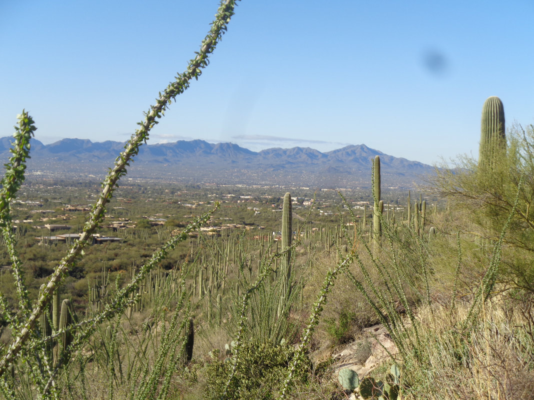
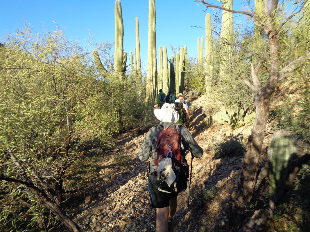
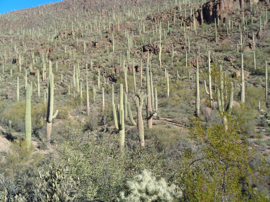
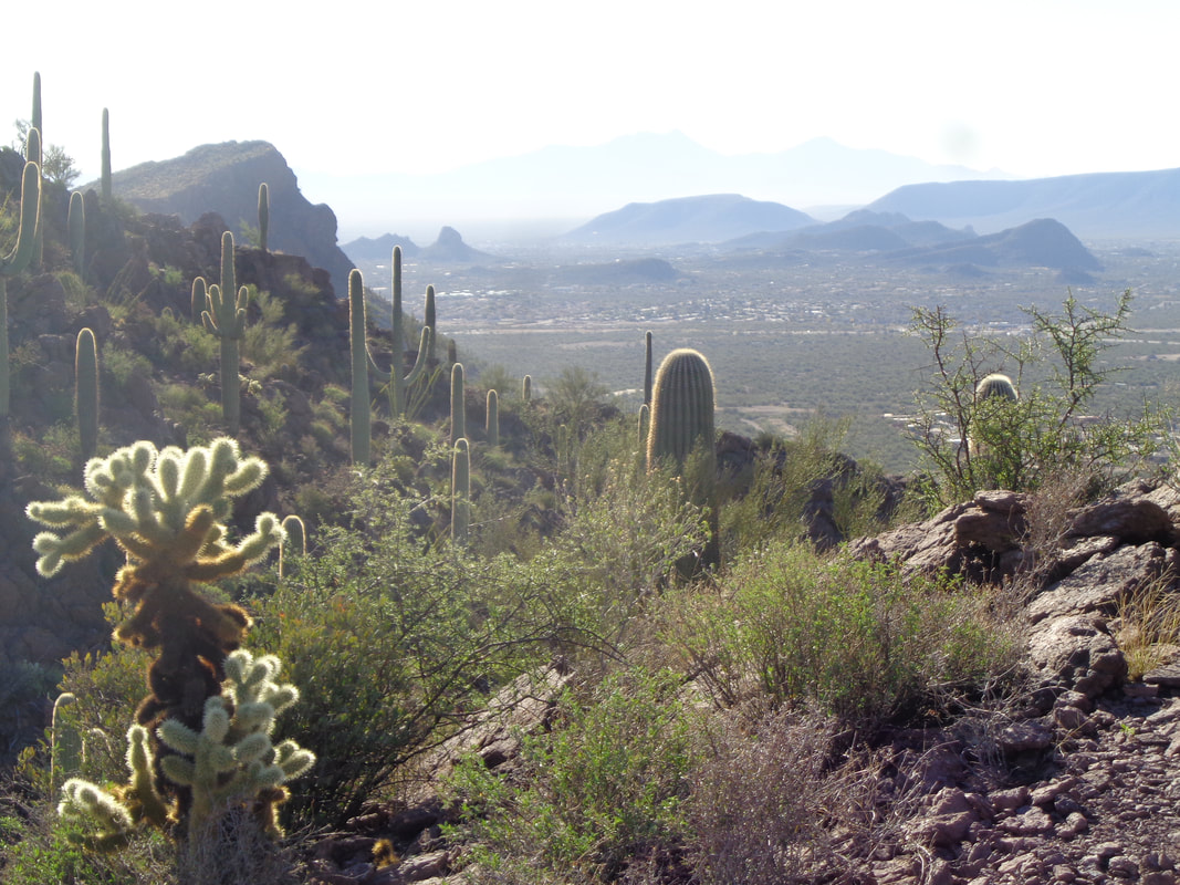
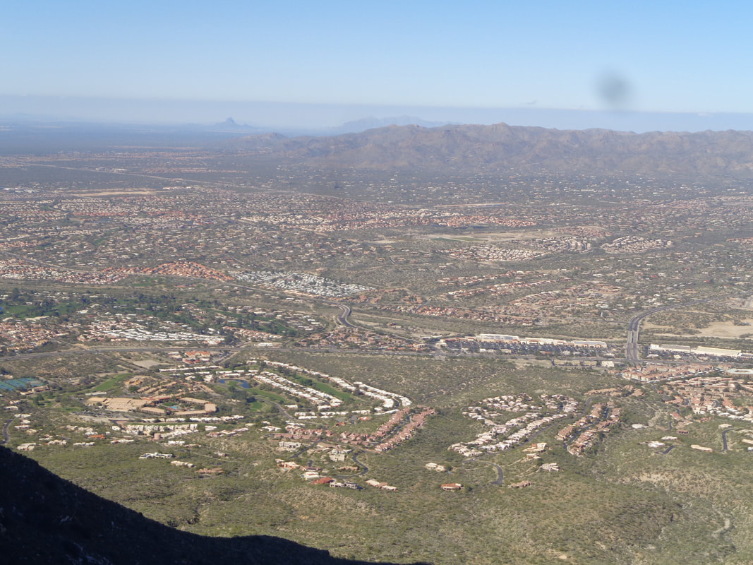
I have to keep this brief as Christmas preparation has kept me busy, along with other hikes that require a report that are far more interesting. So, I begin a group hike in the Tucson Mountains. The Tucson Mountains have maybe the best concentration of Saguaro cactus in the region. A forest of them. It's a mostly flat to rolling hike and even the climb to Krein Mountain is not very steep and not very long. Some of us survey our surroundings. The group got a little stretched out as we wait just short of the peak and then..... ….continue the few steps to the peak. In the distance, Tucson Estates on this far west location of Tucson. The pace had been kind of on the slow side with a few regroups so once it was announced we would break for lunch....yikes, I politely left the group and..... ….took a last look around and headed back. I finished with 9.5 miles and less than 1000' of climbing. The trails are..... ….well marked with signage although for some reason, I sometimes become confused trying to interpret. Merry Christmas everyone!
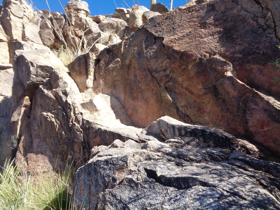
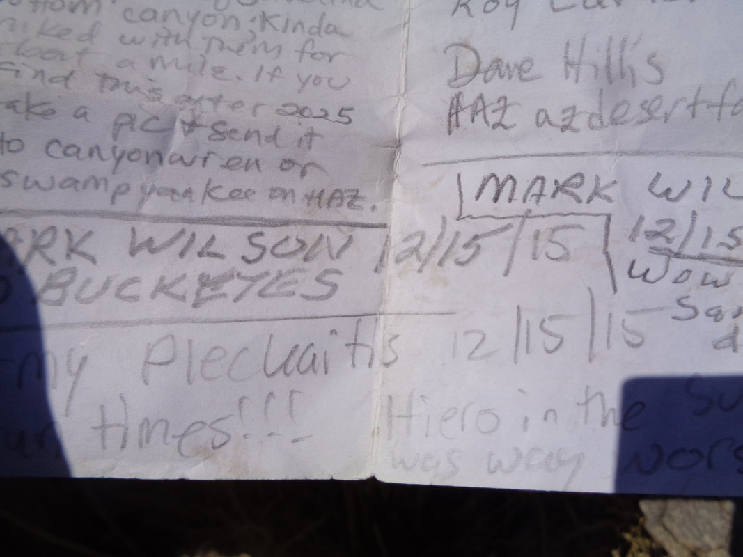
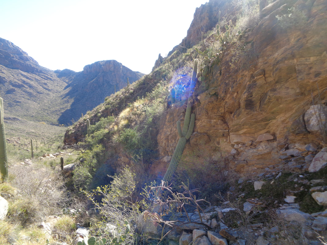
I had attempted this hike with a friend a couple of weeks ago but we had to turn around partly because of time and partly because my friend spit the bit. Nothing wrong with that as this type of hike is not for everyone. So, here I am after walking 1.6 miles on the Pima Canyon trail, eyeing my destination as it sits between Bighorn and Push peaks. I knew that a group of 5 had made the rare trek to the same destination the prior day so that kind of motivated me. If they can make it then why not I? I pause in a rare opening to look from where I came. I continued my pause as I looked..... ….where I still had to go....groan. It seems like it takes forever as I push through, stop, scan ahead, which way to go, rinse and repeat over and over. Things are looking up as I climb a boulder and can see my destination, that saddle to the left of the base of the Cleaver. Then, I was reminded of the dangers of hiking solo in an environment like this. I stepped up and placed my right foot between two rocks, which happens countless times. As I leaned forward, bringing my left foot up, I noted my right foot was wedged. I lost my balance and fell backward. As I fell, I hoped for the best, braced and.....landed on a soft, sandy patch! I just as easily could have cracked my head on a rock and awoke hours later to find a mountain lion licking my face. The sense of some risk adds to this type of hike so I jump up, brush myself off and continue. Another look back as I slowly gain elevation. I wish I could tell you where you ought to walk if you ever try this but that would be pointless. I did spend more time on the right of the ravine. There are times when walking in the ravine is impossible. Yeehaw, closing on the saddle. But, the final 1/4 mile is a 30% average grade and again, no trail so just picking out the best route but at this point, it is fairly obvious, just keep plugging away. I am nearly jubilant as I reach the saddle and look into Oro Valley and then turn my attention to what is left. It doesn't look like much but it is and steep too. I did this hike 4 years ago and I recall there is a bit of a wall that gave me pause but looking at the base, there are enough steps and hand holds that it is not bad so I chalk it up to the experience of being a rookie back then and then..... I come to the wall. Again, doesn't look like much but it is. There are enough imperfections in the rock to grab so I make it up but I am a bit worried about the return. Anyway, I slog up through boulders and finally make it to the peak. I find the summit registry in a small jar and how about that?! I did this same hike exactly 4 years ago on 12/15/15. What are the odds, same exact day? I look across, north toward Bighorn Mountain. My prior visit I retraced my route to the saddle and then went up that mountain too but the way down was really sketchy so not for today. And retracing the route off the Cleaver is the only option as the way forward is a big drop. There was lots of bighorn sheep scat on the peak but I did not catch a peek of any. It was enjoyable to sit on the peak, in the sun and warm temps even at this height. Warm but not too warm where I needed to worry about the rattlers. Well, maybe at the lower elevation where it would be nearly 70. I stand at the edge and look at my return. It appears so benign. Well, time to..... …..head back to the saddle. I did sit at the top of the aforementioned wall and calculate how I was going to manage that but after awhile I figured it out and dropped down. Then, it was into the thicket for the return. Well, I took a good pic of Oro Valley first. I could spot my place in there too. Huh! A Saguaro cactus has fallen against the side of the ravine. I descend, on and on and then..... ….find the Pima Canyon trail and enjoy the final 1.6 miles to the parking lot. Finished with 6.5 miles and 2100' of climbing but that doesn't begin to describe the required effort. Got another good one coming soon....the Cowboy Slickrock trail.
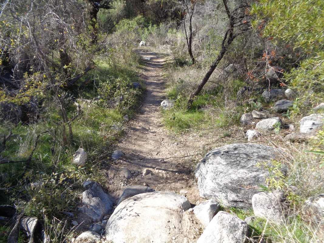
I wanted to get in a fitness hike prior to restarting the hike to the Cleaver. Saw a group had formed for a hike to Wasson Peak and joined. While there are three approaches to the peak, the worst one is via Kings Canyon. The trail is just a mess of rocks and gravel but I had a new pair of shoes and it is amazing what a difference when your shoes have soles:) I characterize this as a fitness hike because the average grade is only 9% for the 3.5 mile climb and you are not pausing to life yourself over boulders. Just walk as fast as you can. OK, the group was pausing too often and not going very fast so I took off to turn it into the desired fitness effort. Hey! Some trail maintenance has occurred. This is on the upper reaches of the trail so it is smoother than the bottom sections. While there are three approaches, they all combine at some point as I look at the finishing stretch. The views....sigh. I reach the top and spot Panther Peak in the distance. A few others are here too and I always enjoy talking. People are always in a great mood at the peaks. I was going to wait for the group but I became chilled and headed down. Toward the bottom, the trail parallels a wash and I wondered if that too would lead me back to the parking lot so I jumped in. You never know for sure it is a realistic option as a pour-off could be too much of a drop but while there were a few, they were all easily navigated. I finished with 7.9 miles and 1900' of climbing. Good day with a high in the low 70's. I've got friends asking if I have given up cycling but no. The cooler weather is perfect for hiking and while the rattlers never go completely into hibernation, they mostly stay in their dens so it is a good time for off trail adventures. That comes next.
I love it here. A warm weather, adventure seeking, mountain loving guy is home. Although, I did see something while on a hike yesterday morning that gave me pause. A cold front came through and overnight lows dipped into the 30's. Our group passed a puddle of water that had a skin of ice. So odd we all stopped to look and tap on the ice. Brrrrr. The high that day was only 59 but will be back into the 60's today and 70's by the weekend. Lots to report and soon.
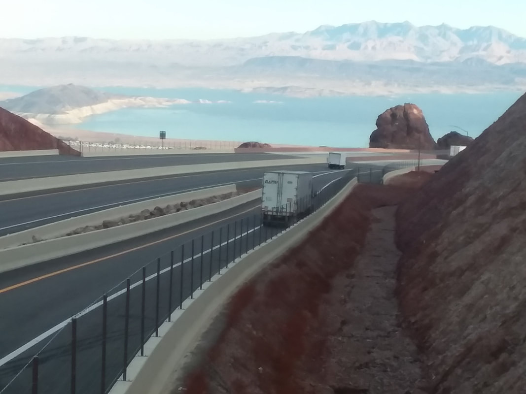
Vegas is not my cup of tea. It's one of those cities that everyone should visit once of course and I did enjoy myself but also find it depressing. Work took me to Las Vegas many times (I was a male stripper in my youth) but I am always anxious to leave. Leave I did for the 6+ hour drive that took me through a part of AZ I had not previously visited, the northwest part. Not much to see there driving through Kingman and Wickenburg. Well, home again and already quite active.
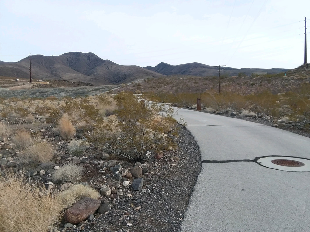
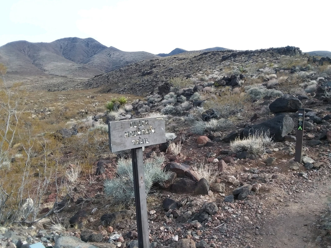
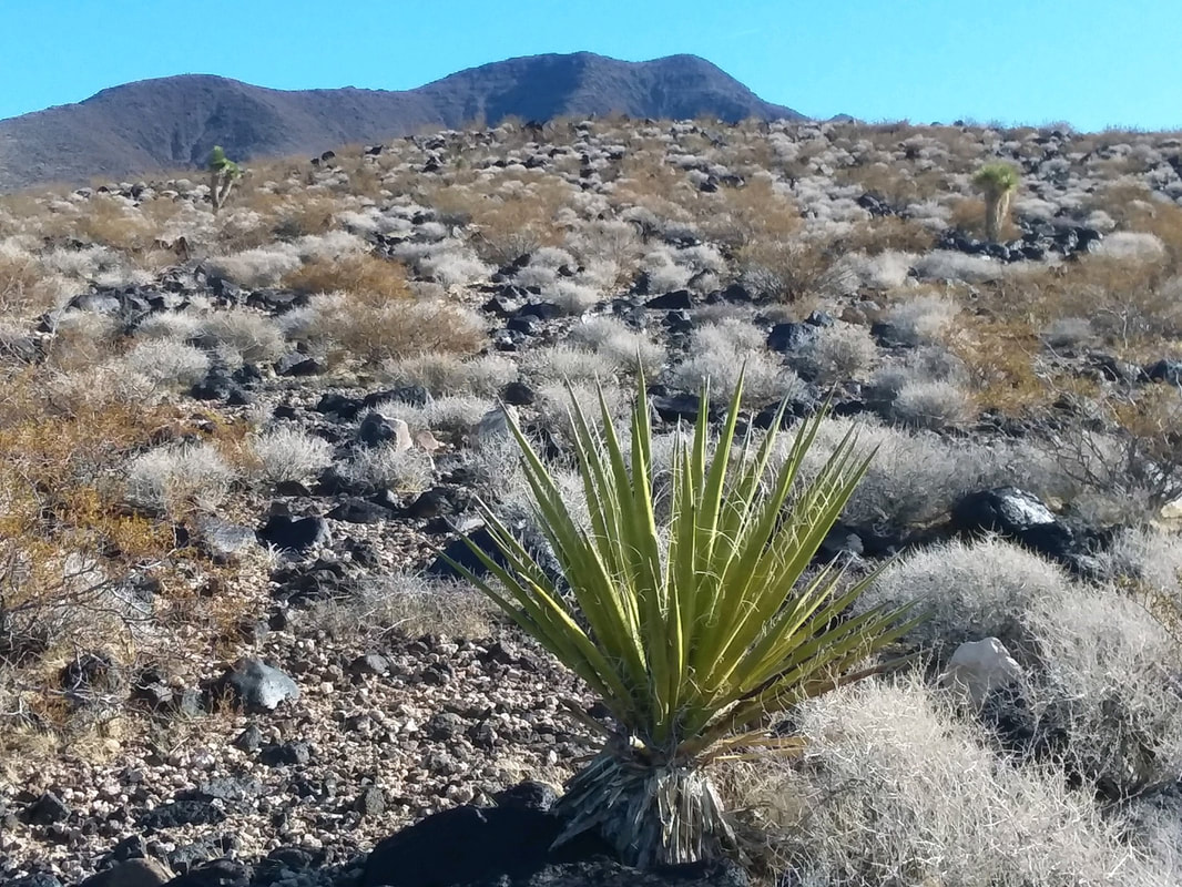
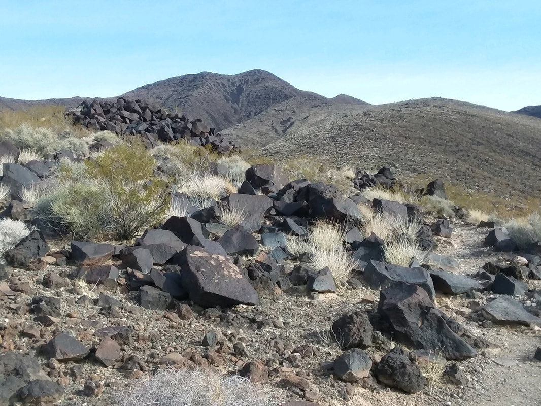
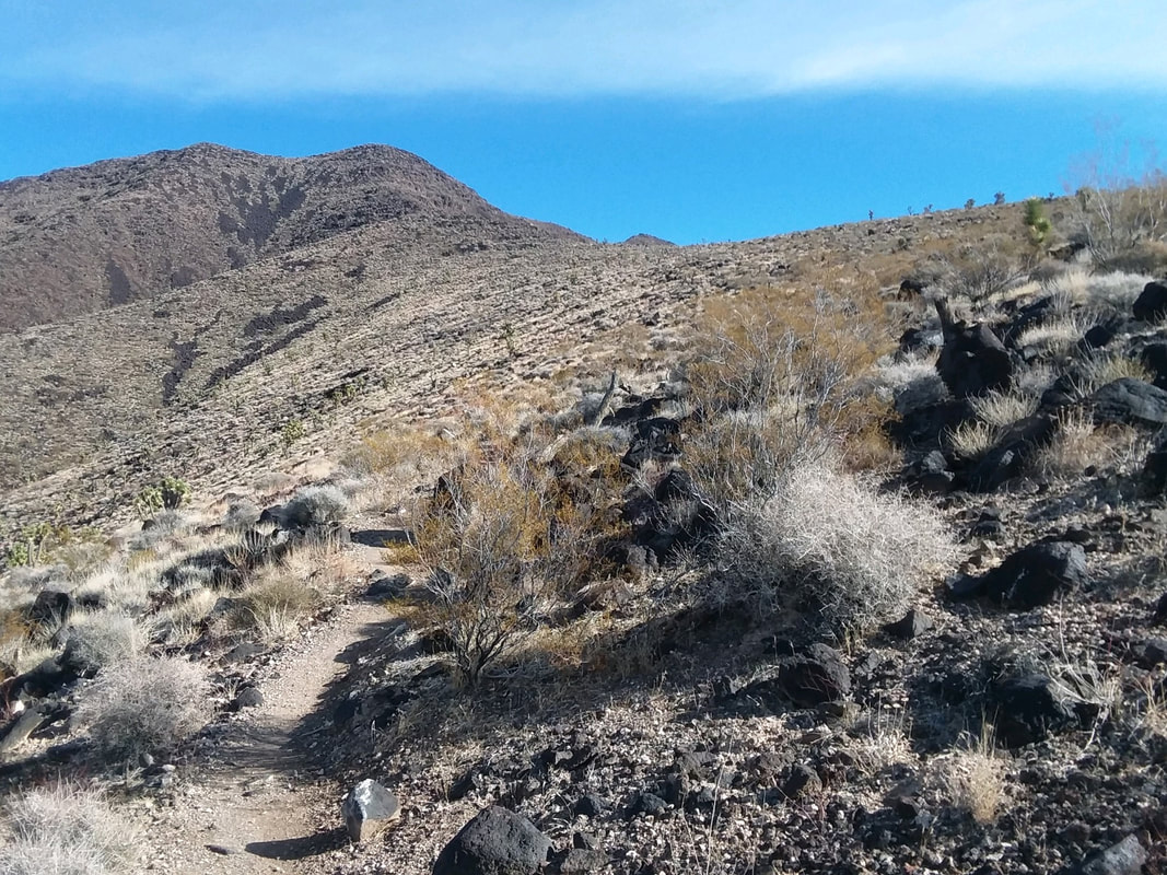
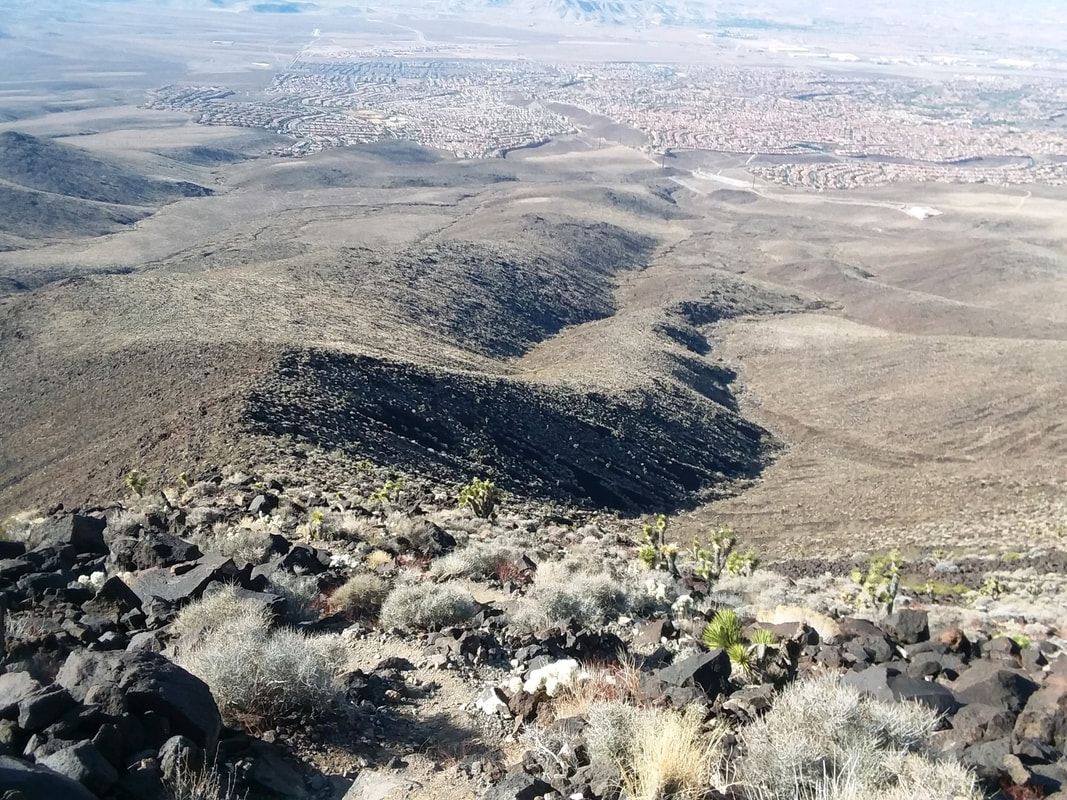
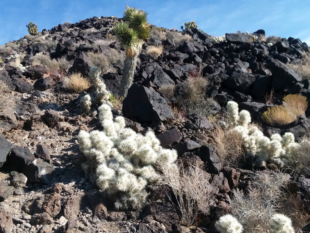
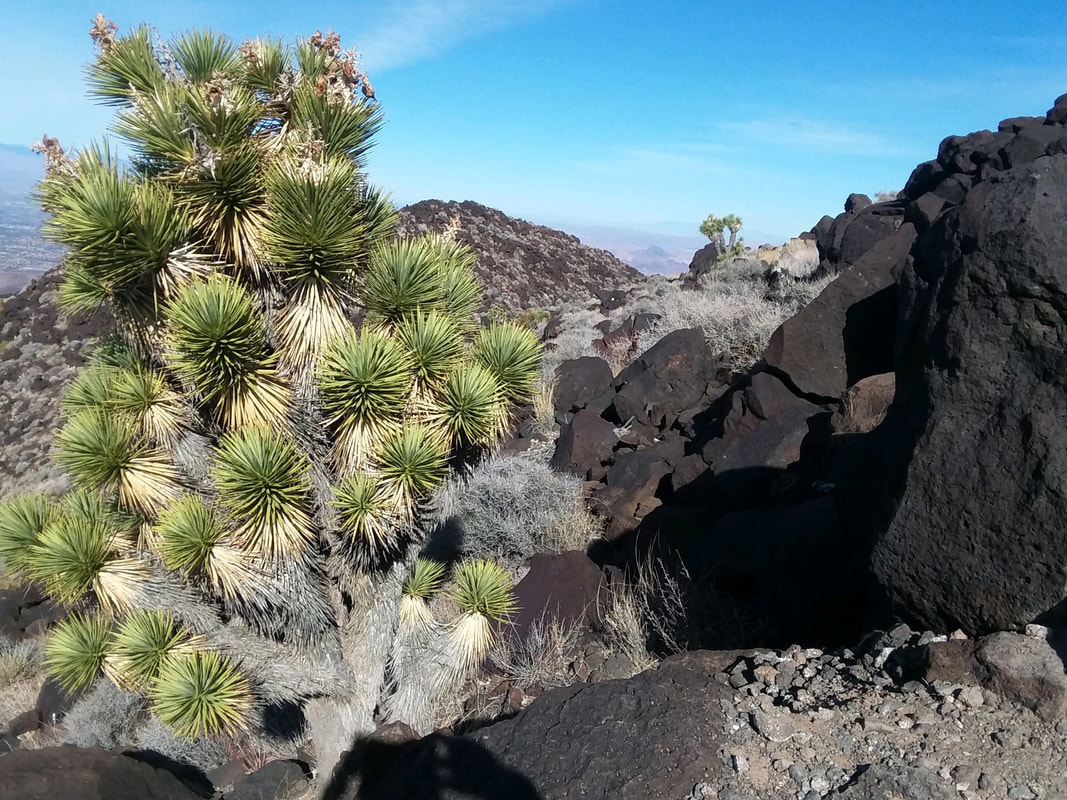
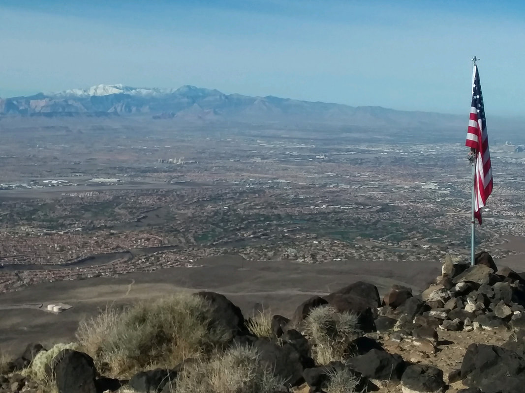
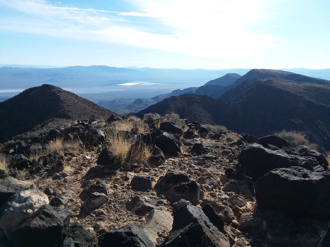
I awoke with the intent to revisit Red Rock Canyon but I searched "Best hikes around Vegas" and up popped Black Mountain. Finding the trailhead is a challenge as my initial effort placed me in front of a massive gate entering a private community. I rechecked descriptions and discovered the parking lot is on Shadow Canyon Drive off Anthem Parkway, Sun City, Henderson, NV. Odd to begin a hike on a paved walkway. Yes, that's Black Mountain in the distance. Once you approach a small concrete building you'll see signage that directs you to Black Mountain. I cross over a large, manmade drainage at the base of a ravine and find the above sign so I am good to go. Folks, this is barren. That any plant can emerge from this landscape is a minor miracle. Black, volcanic rocks, boulders and gravel everywhere. Again, black rocks abound. The good news is there are 0 side trails where people sought to create their own routes. Even in your wrong mind, you won't want to venture off the official trail. The trail is always climbing but not steeply. It parallels the above ridge before eventually emerging on top of the ridge. Once you leave the pavement and begin the real climbing, it is 2.25 miles having an average grade of a measly 17% but don't be fooled because..... ….the final 1/2 mile is almost a 30% grade. There are a few places where route finding is a small challenge but overall, easy to follow. Some kind of nasty looking, white cacti plant can be seen so if you fall, don't reach for that thing for relief. How about that? A Joshua Tree and there are a few others on this alien landscape. After 3.5 miles I reach..... ….the peak and discover a well maintained American flag. In the distance is Mount Charleston. Great views in all directions. So many mountain peaks to explore, so little time. Finished with 7.4 miles and 2100' of climbing. Well, back to Oro Valley and a new effort at The Cleaver!
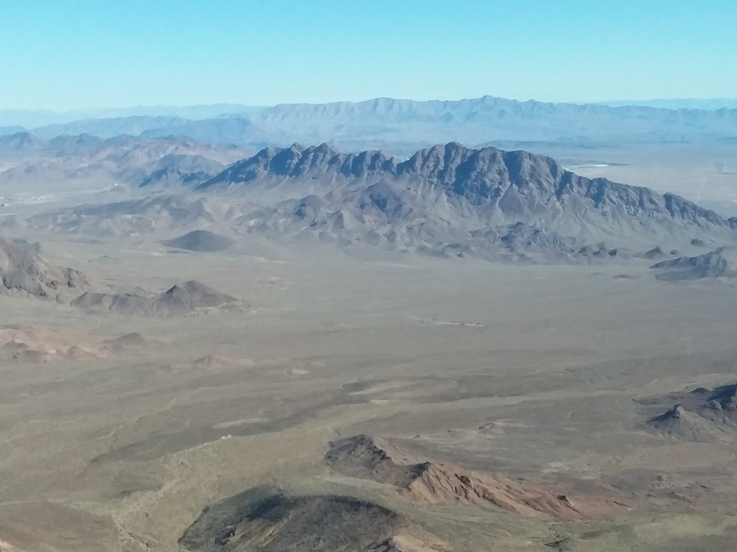
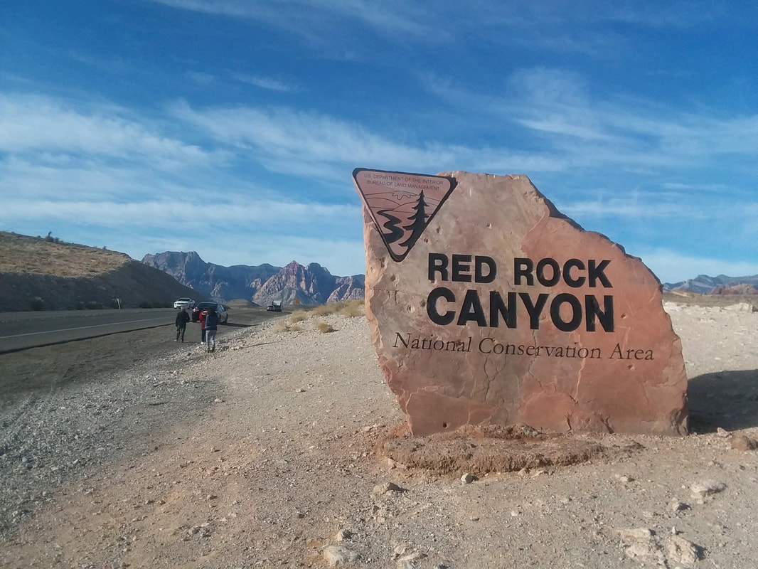
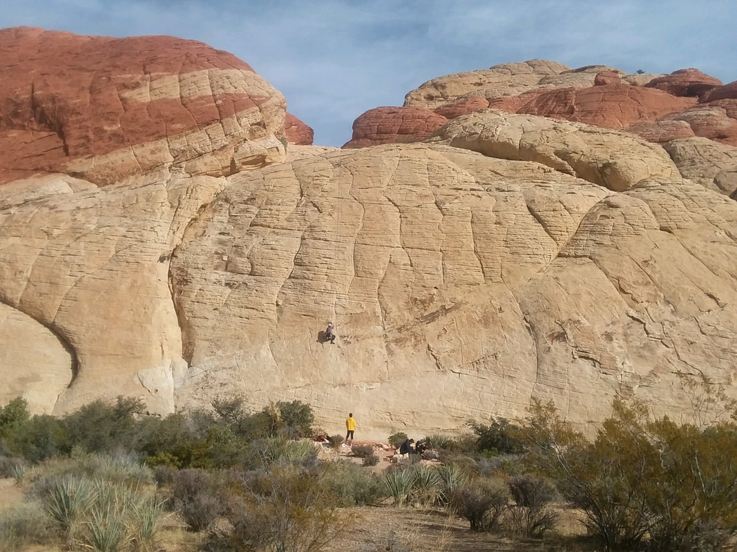
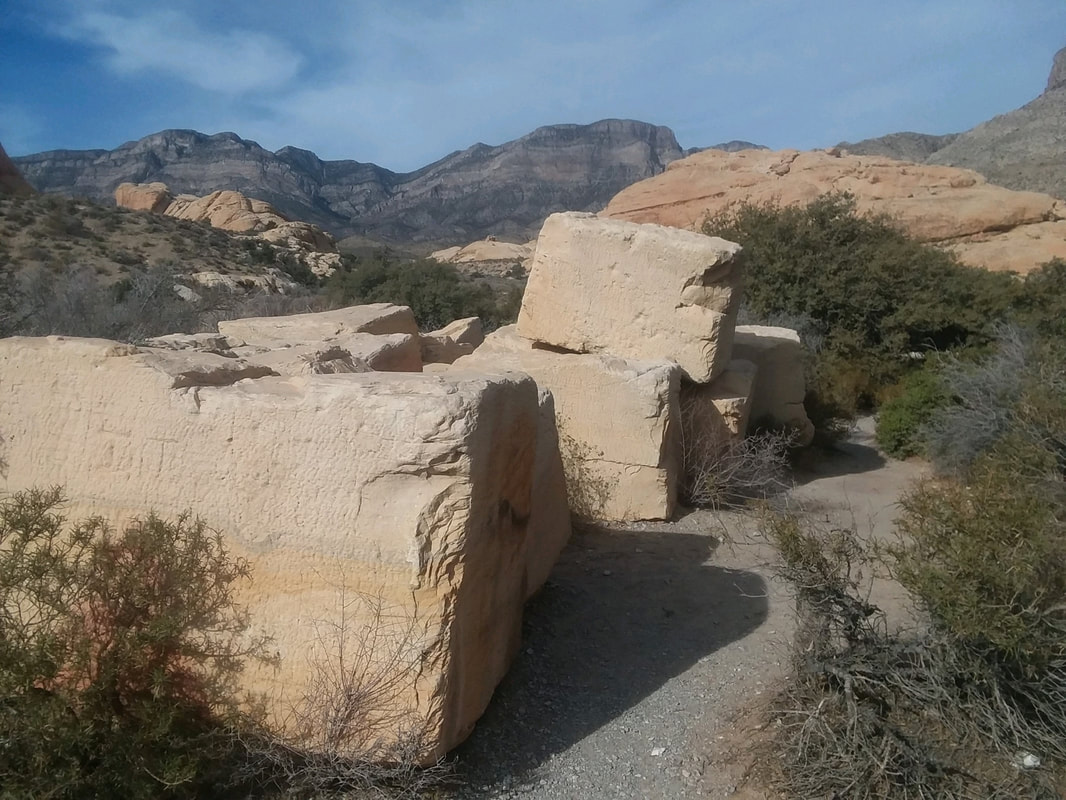
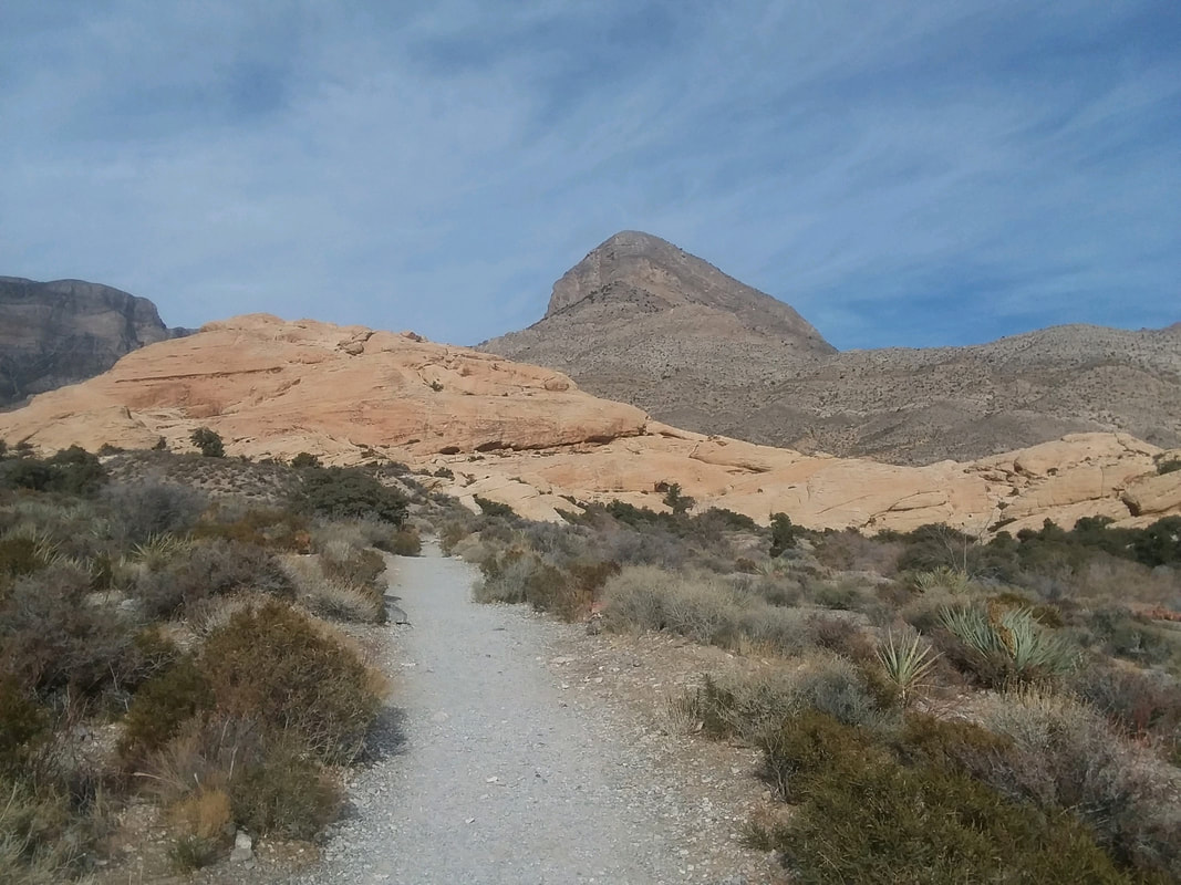
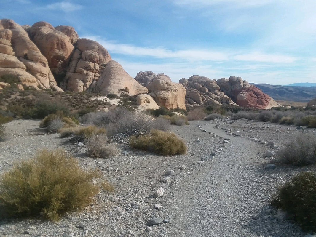
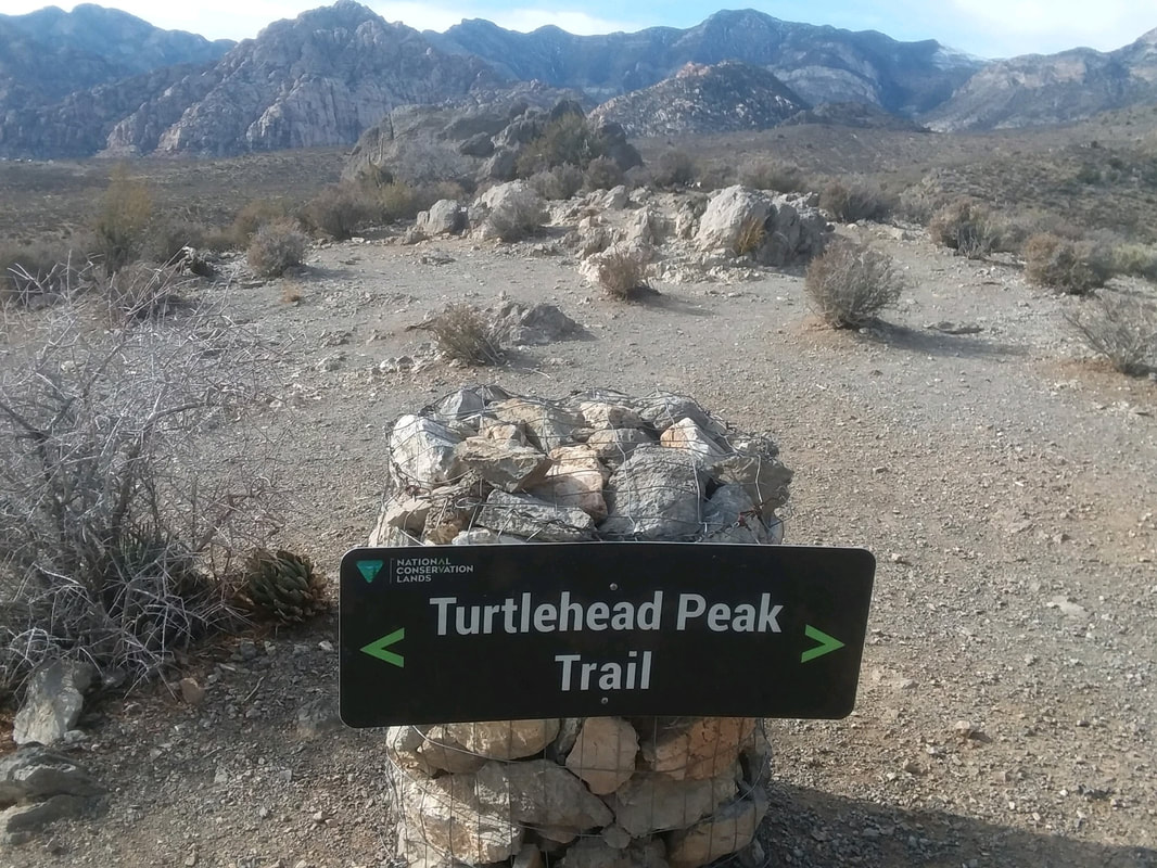
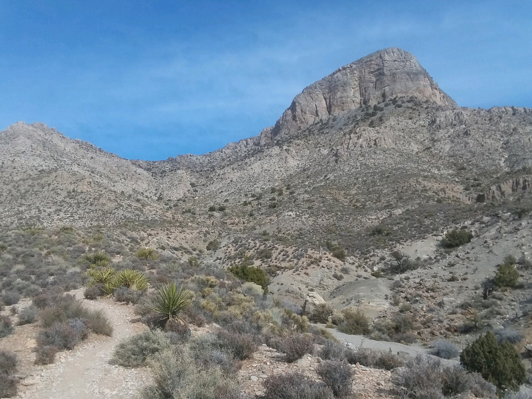
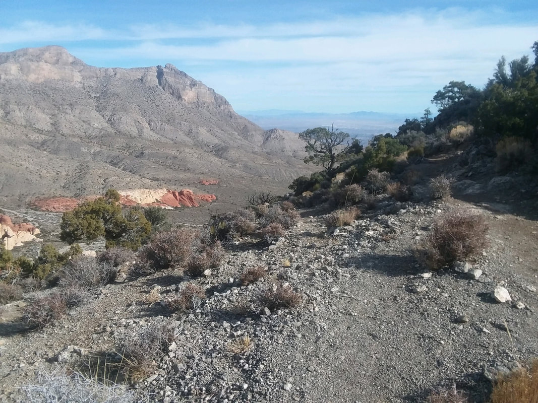
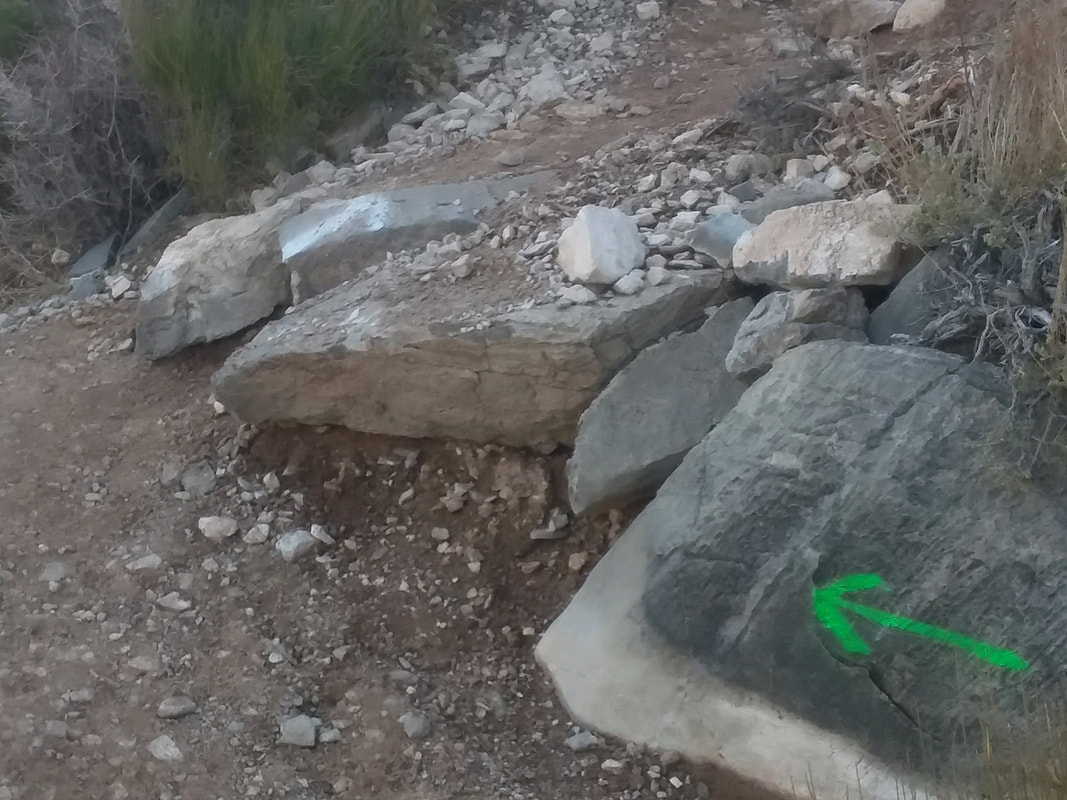
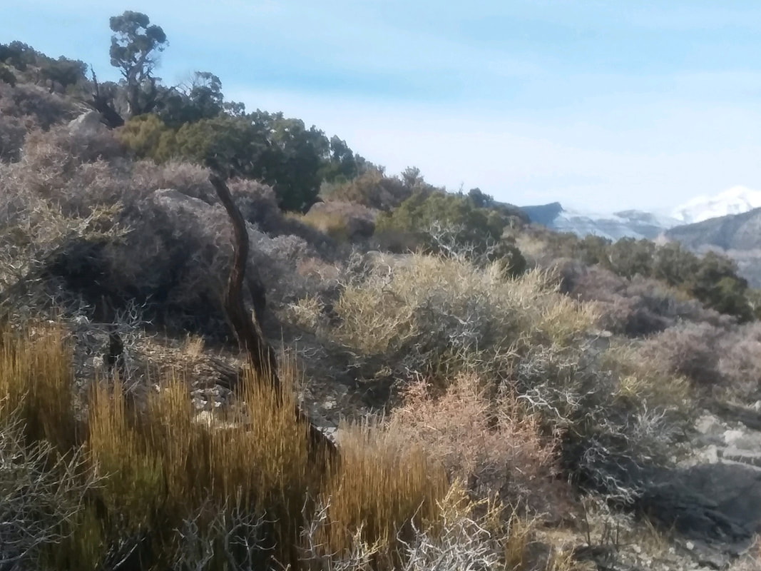
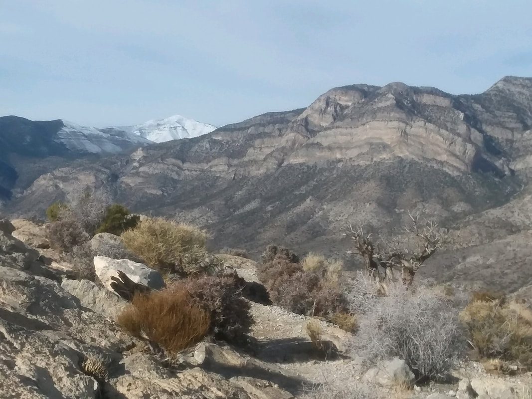
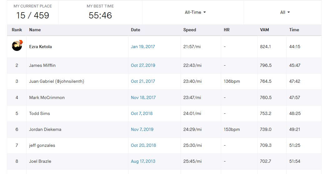
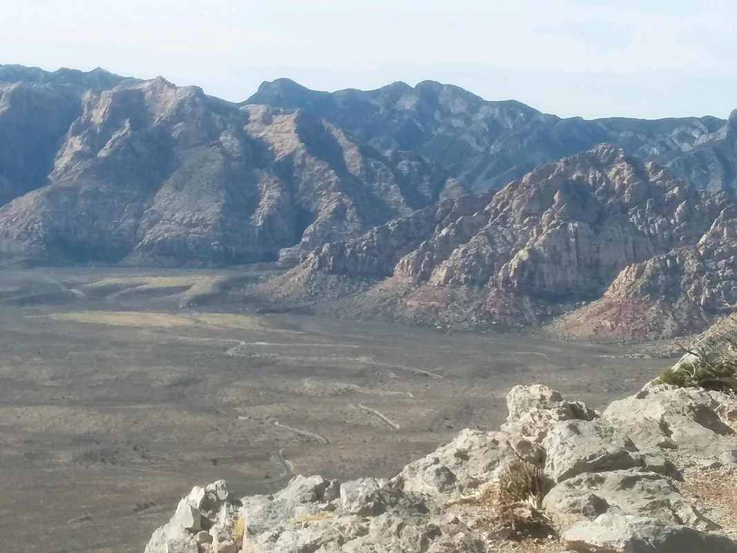
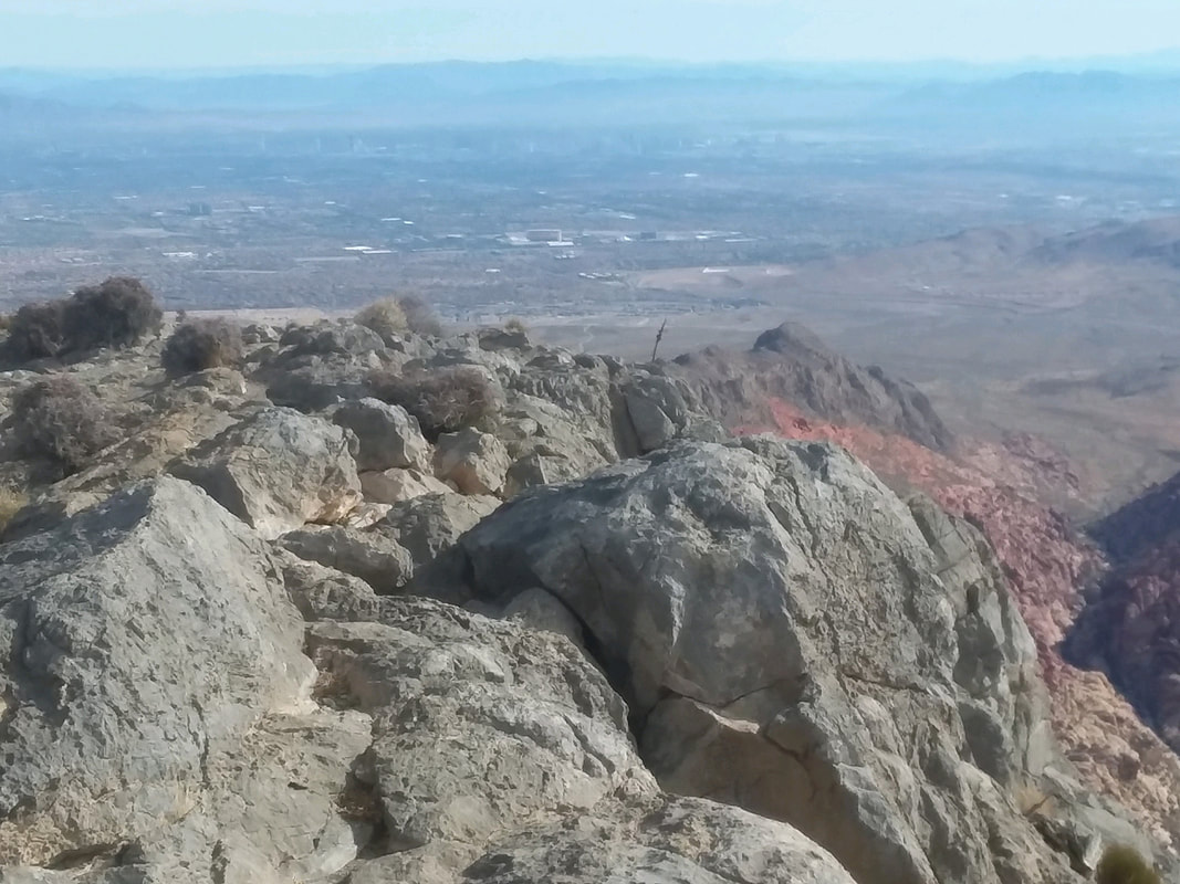
I drove 6 hours to visit Red Rock Canyon outside Las Vegas. A friend had to go for a conference, had a large suite at the Venetian and so, I pack my hiking things including a too well worn pair of hiking shoes. I ordered a new pair but they did not make it in time for the trip and so my feet suffered a little. After entering the park and paying the $15 entry fee, I start on the Scenic Drive to the Sandstone Quarry parking area. The 13 mile road that goes through the eastern end of the 200,000 acre National Conservation area is newly paved and a magnet for cyclists. With over 2000 climbing routes, the park is on a top 5 list for rock climbers, some of whom were enjoying that activity as I.... …..see plenty of evidence of a quarry that dates back to the early 1900's. It shut down around 1912. I begin what should be a challenging ascent of Turtlehead Peak, there in the distance. I guess with some imagination it can look like a turtle's head. Initially, the trail is kind of rolling but elevation is gained as I look back and note the splash of red color among the yellow rock. The lower portion of the trail is well marked. The middle to upper portion, awful. The trail ascends to the saddle to the left of the peak. There are multiple trails on the slope to the left but eventually I figure out all of them go to the saddle. An incongruous sight among all that grey. I eventually reach the aforementioned saddle and make a right to begin a fairly steep ascent up the back side of the final slope. Again, myriad trails highlighted by.... ….green, white and red arrows and splashes of paint. I have no idea which paint I should follow but keep plugging away and.... ….check out Mount Charleston in the distance, right of the image with plenty of snow. The peak is just under 12,000'. I finally reach the top of Turtlehead and later, after uploading my effort I am pleased, despite all the pauses to figure out the route that.... ….first I arrived under one hour but am 15th out of 459 efforts on Strava. Damn, I ought to go back and try again now that I have things figured out! As always, the views are awesome. I forgot my camera so all images from my cell phone and the detail sucks but in the distance is the Strip and I can see the hotel where I was staying. Round trip, I finished with slightly less than 5 miles and 2040' of climbing. Another Vegas area hike coming....Black Mountain!
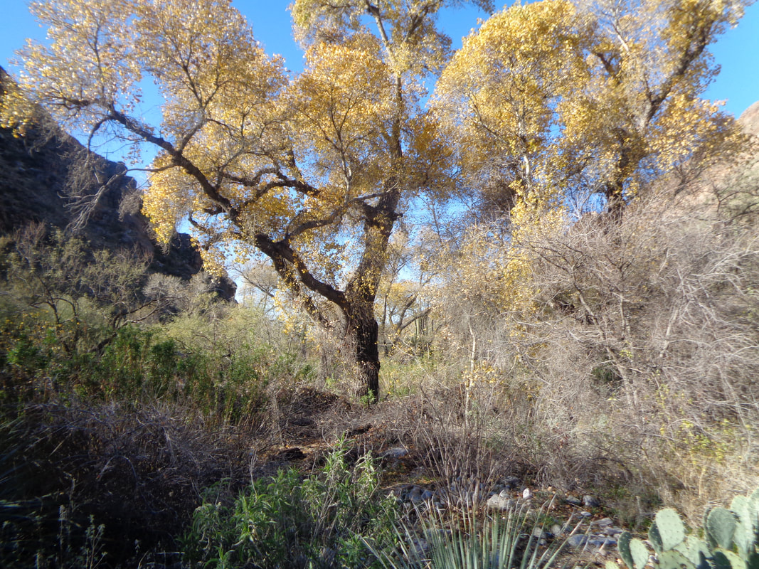
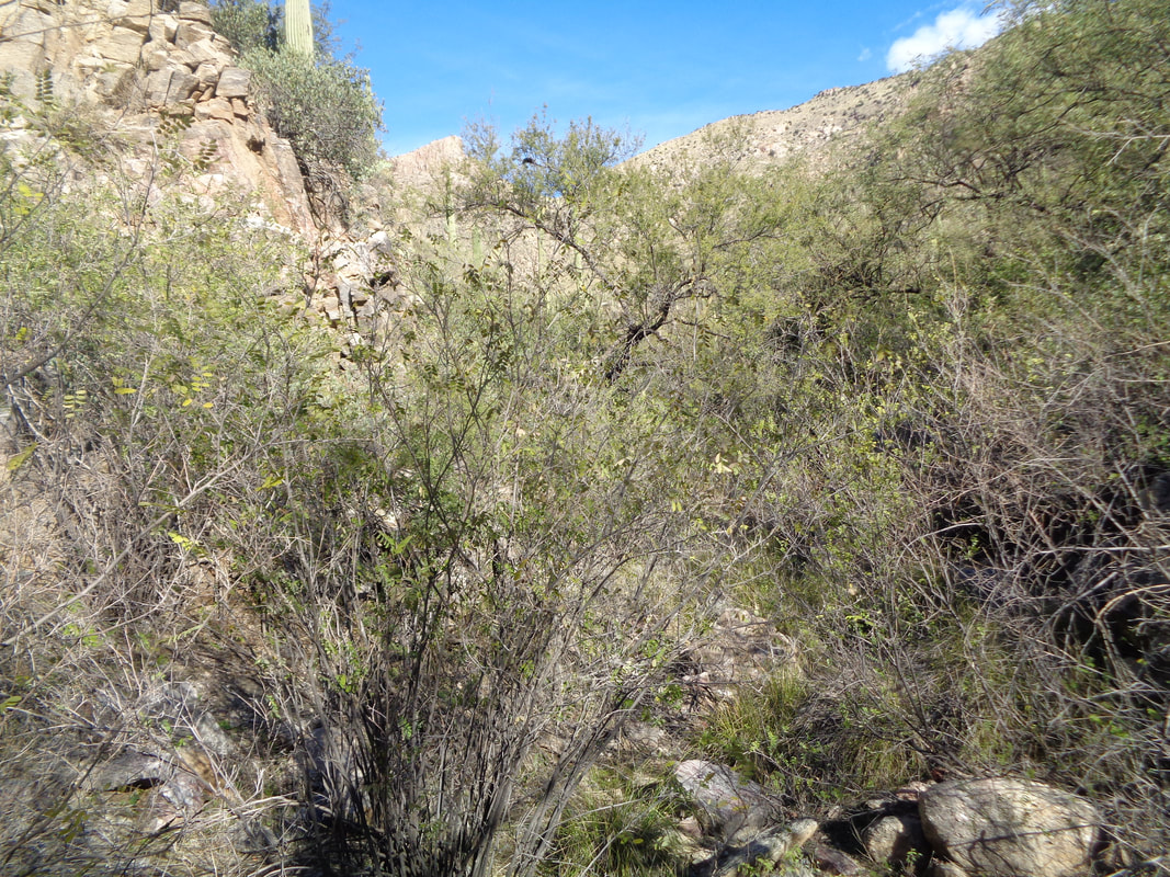
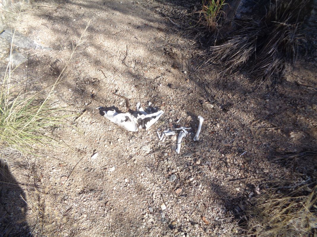
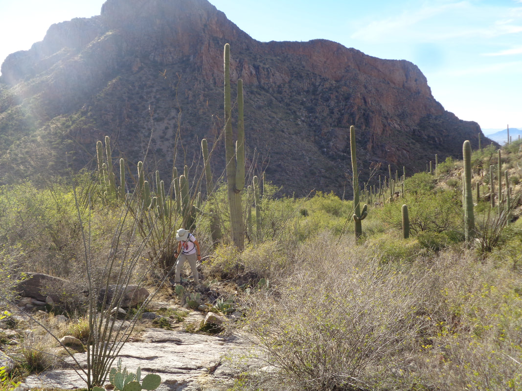
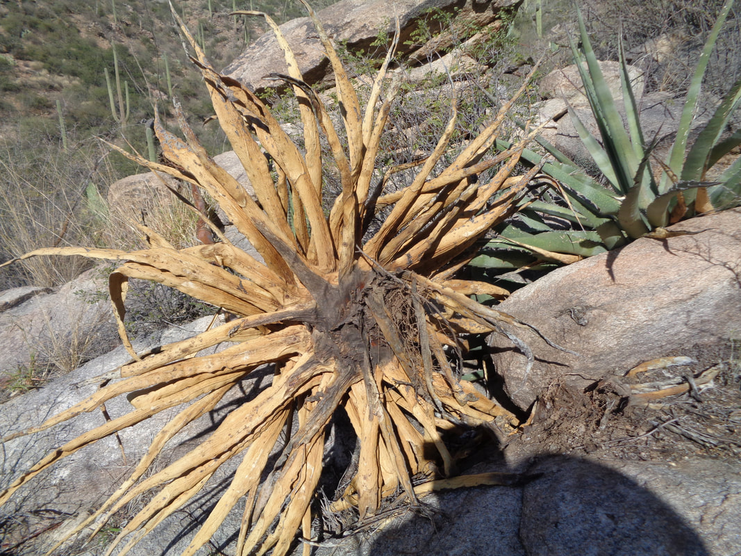
On the west side of the Catalinas, the main peaks are Table, Bighorn, Cleaver and Push. The Cleaver is accessed from the east via at first Pima Canyon Trail prior to making an abrupt left turn into the wilderness. It is serious bushwhacking. The 1.6 miles on the trail are easy hiking and for this adventure I brought a hiking friend, Liane. She is usually up for any hike but this proved to be a bridge too far. Hey, see that small grove of trees having yellow leaves? Fall has arrived in Tucson even though the 70 degree temperature suggested otherwise. Descriptions I have read, stated to follow the trail for 1.6 miles and then..... ….plunge into a thicket of catclaw and other pointy plants. The going was, in a word, slow. Hey, how about that, animal bones. My hiking buddy was not faring all that well. I used every encouraging word in my vocabulary to try to keep her motivated. I should have brought a book of synonyms. A Century plant that had toppled over leaves an interesting cluster. Liane...Liane....some where in that brush is a hiker whose interest has waned. On the other hand, having started at 9am, it was too late for a hike of this type. While I gave her some good natured ribbing for wanting to turn around, had we kept going, it is unlikely we would have had time to make the peak. I had double knotted my shoes and they didn't survive the conditions so had to retie them a time or two. Wow, easier going as we emerged at the head of a boulder field. Finished with 4.7 miles after hiking 4+ hours.
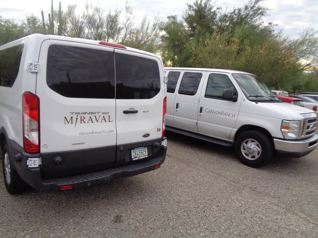
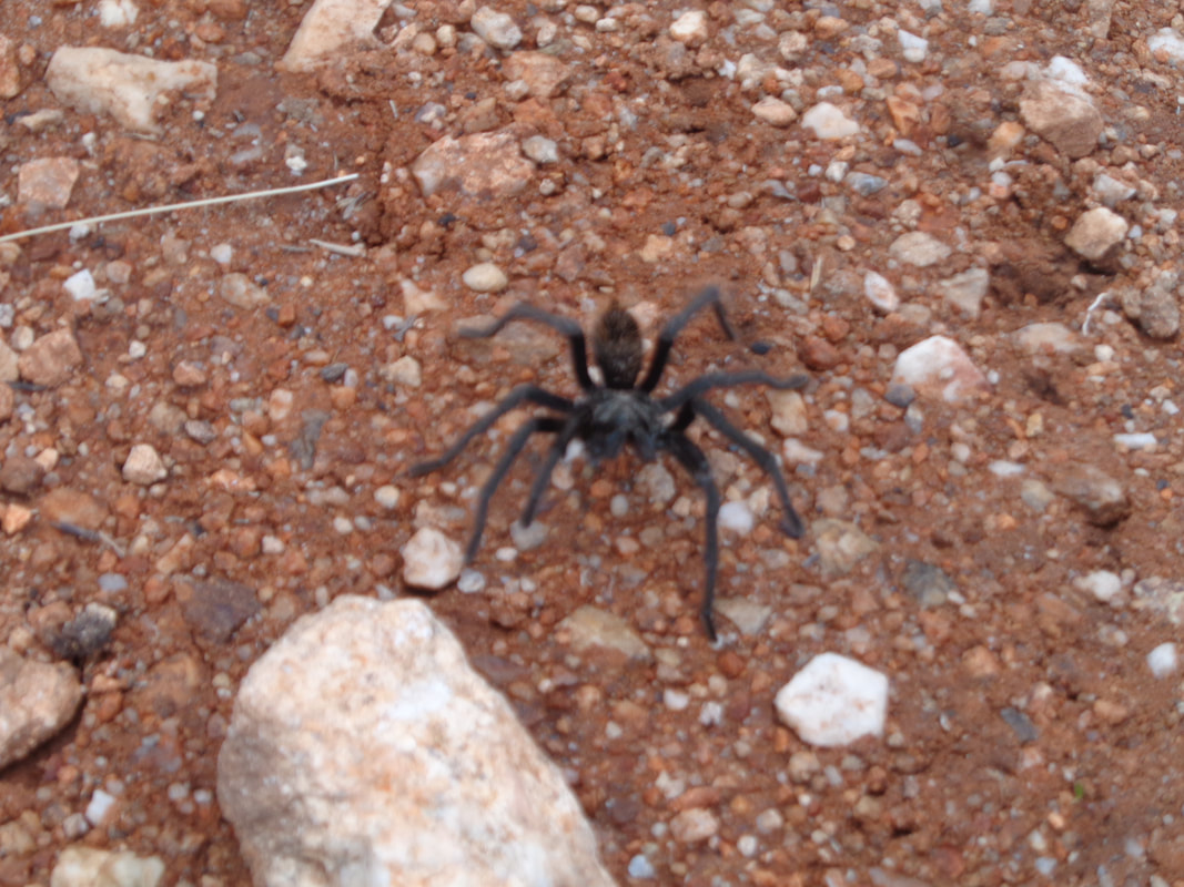
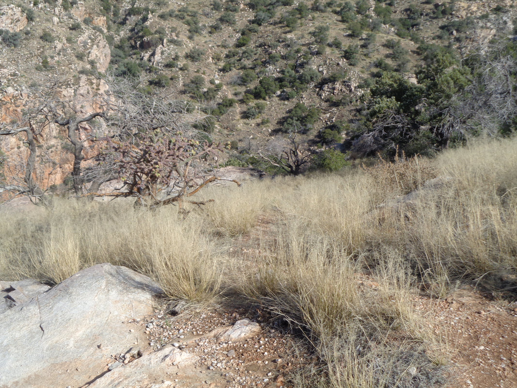
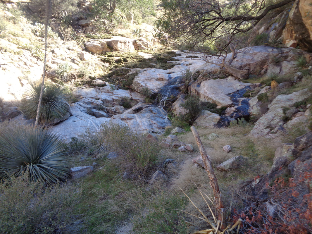
Tuesday morning and a full parking lot at the top of Alvernon Road, including some rock climbers who would take the trail to Pontatoc Ridge and ascend the wall where the abandoned mine is located. Also there were.... …..the vans from two resorts. They too would be on the Pontatoc Ridge trail because..... ….the trail to Mount Kimball or to Finger Rock Guard is unrelentingly steep and boulder strewn making the going difficult. This is one of the iconic destinations in the area with the narrow spire known as Finger Rock visible from all over Tucson. After a rolling start of 1.2 miles, the trail crosses a ravine and starts steeply up. The next 1.5 miles gains almost 1500' with an average grade of 19%. Steep yes but the obstacles add immeasurably to the difficulty. Many times you pause, grab the end of a boulder and hoist yourself but throughout, great views. I break the route up into 3 sections. The first is the end of the 1.5 mile section on which I am slogging now. Upon reaching a small plateau you leave the Finger Rock Trail which goes on to Mount Kimball, descend into a ravine and climb to that ridge to the right of Finger Rock. The 3rd section is the climb of the Guard. There are several sections of slickrock prior to the aforementioned small plateau. Along the way I almost step on a..... ….Yikes! A medium sized Tarantula. Once on the plateau and before the trail has the option breaking right to the Linda Vista Saddle, I walk over and look down where I can see an unnamed trail winding up the slope toward the aforementioned ridge. I drop into..... …..the ravine where there is a nice flow of water, hop across it and then begin a knee buckling ascent to the ridge. About .5 miles having an average grade of 31%!!!! I reach the ridge which provides good views to the northwest that include Table Mountain. Then I turn toward...... …..the Guard. There are plenty of cairns to assist you but I suggest having a gps route anyway. This is my 4th visit and I am grateful for the cairns. Across the way I spot the Finger Rock Trail (I know why name it that if it goes to Mount Kimball rather than Finger Rock) and the Linda Vista Saddle. Rounding a corner I get a great view of Finger Rock. Then I turn to my left and..... …...oh just wow. I drop my hiking pole as it will not be useful from this point forward. I carefully scale this wall and..... ….use all my appendages to get through this mess and.... ….clamber up this and other steep and narrow obstacles before..... ….reach the top of a small rock spire and take a look at the Finger. Except, you can really see it since it blends in so well with the rock behind it. Trust me, it's in there. The views are..... ….just awesome. Rain is forecast for later so I pick my way down, get off route once so check gps, get back on the route, descend to the saddle, descend to the ravine, climb out to the plateau and.... ….continue the descent as I watch the clouds roll in. Finished with 8 miles and 4000' of elevation gain. Needed a day to recover and then, on to another epic hike.
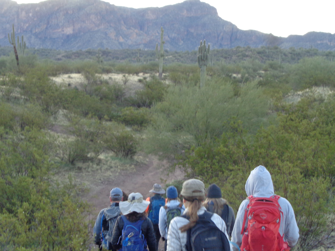
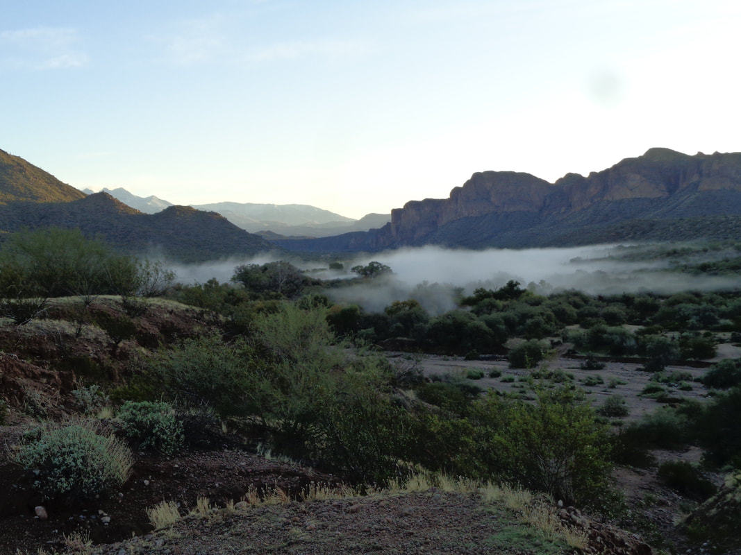
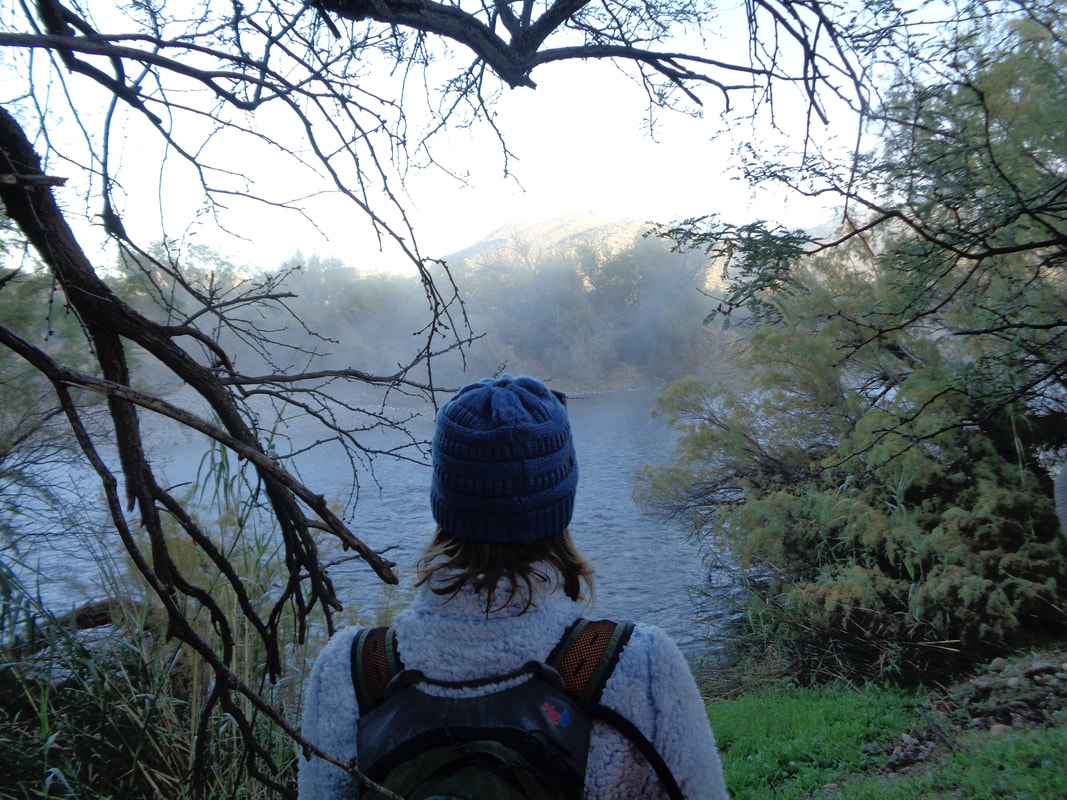
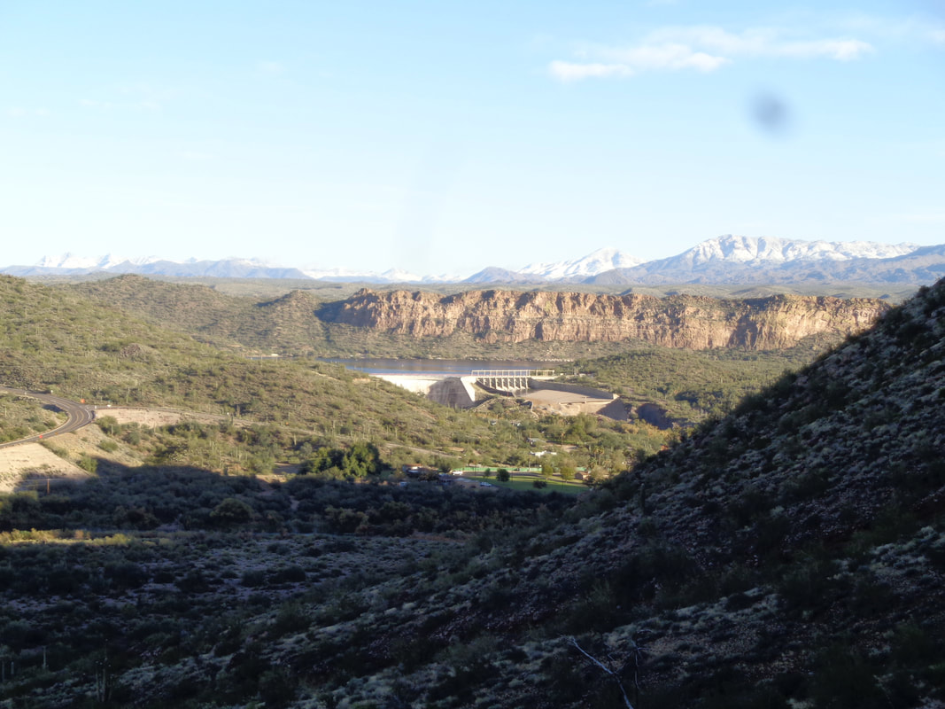
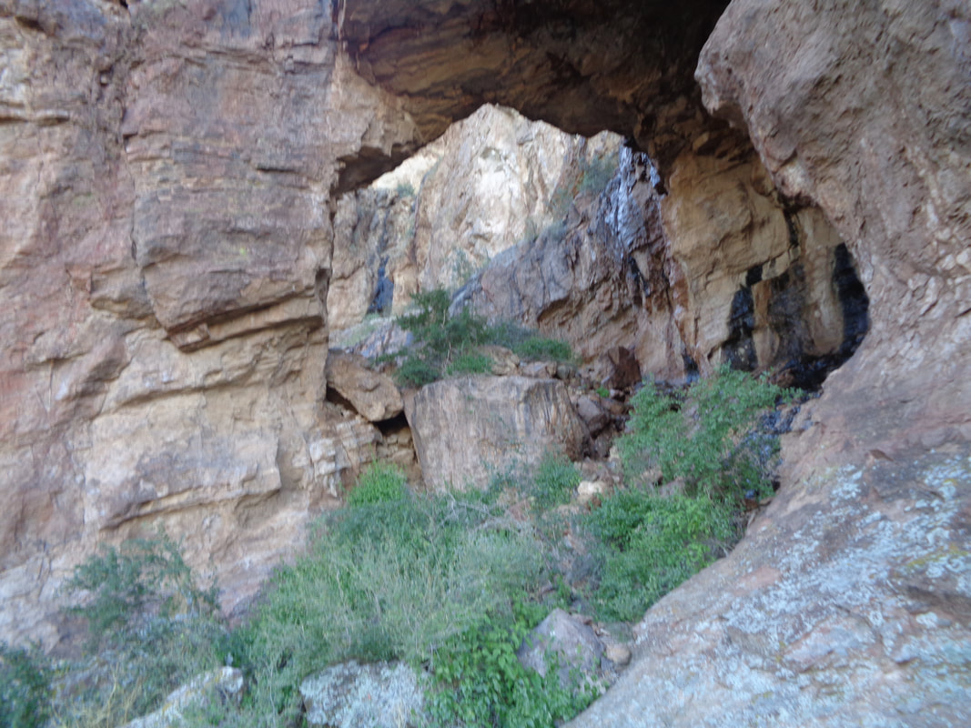
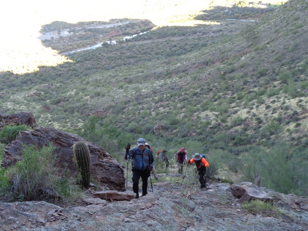
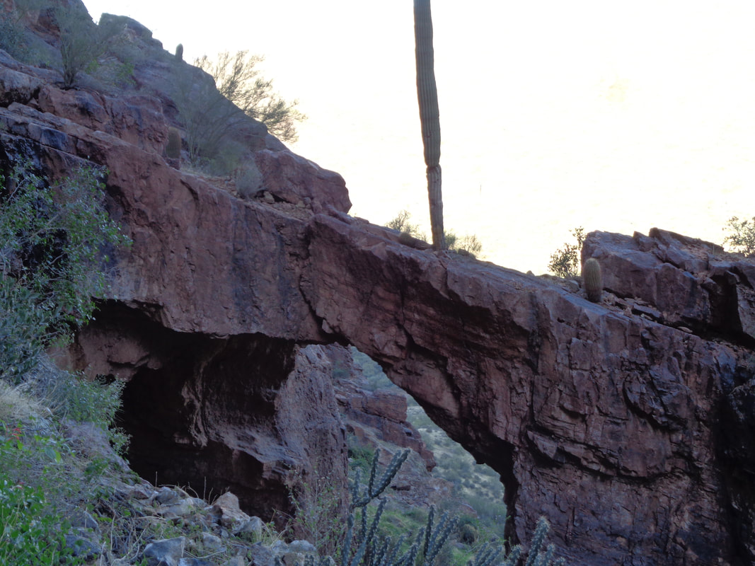
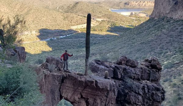
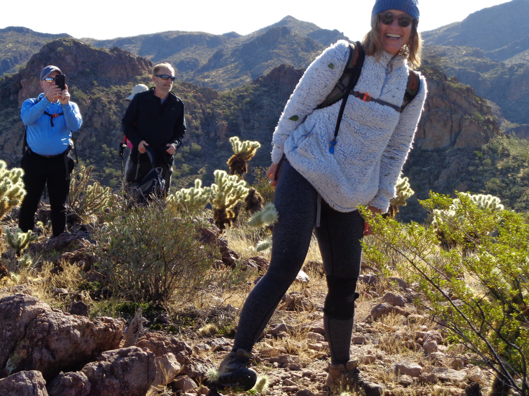
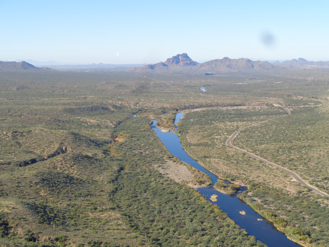
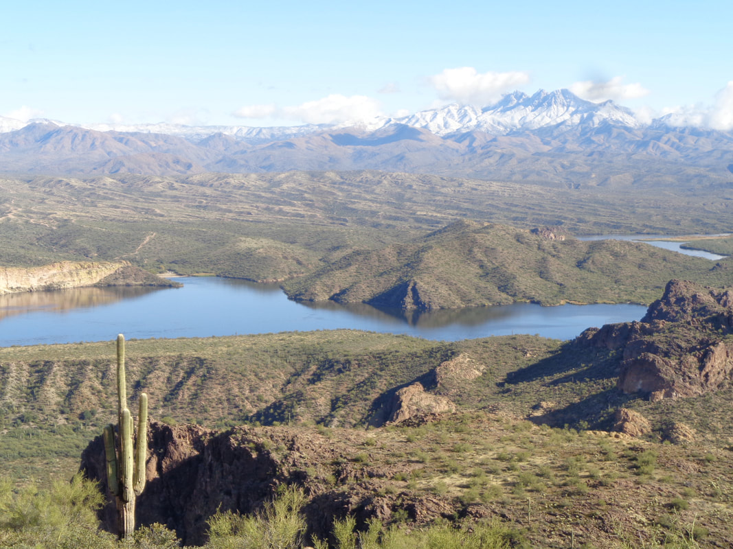
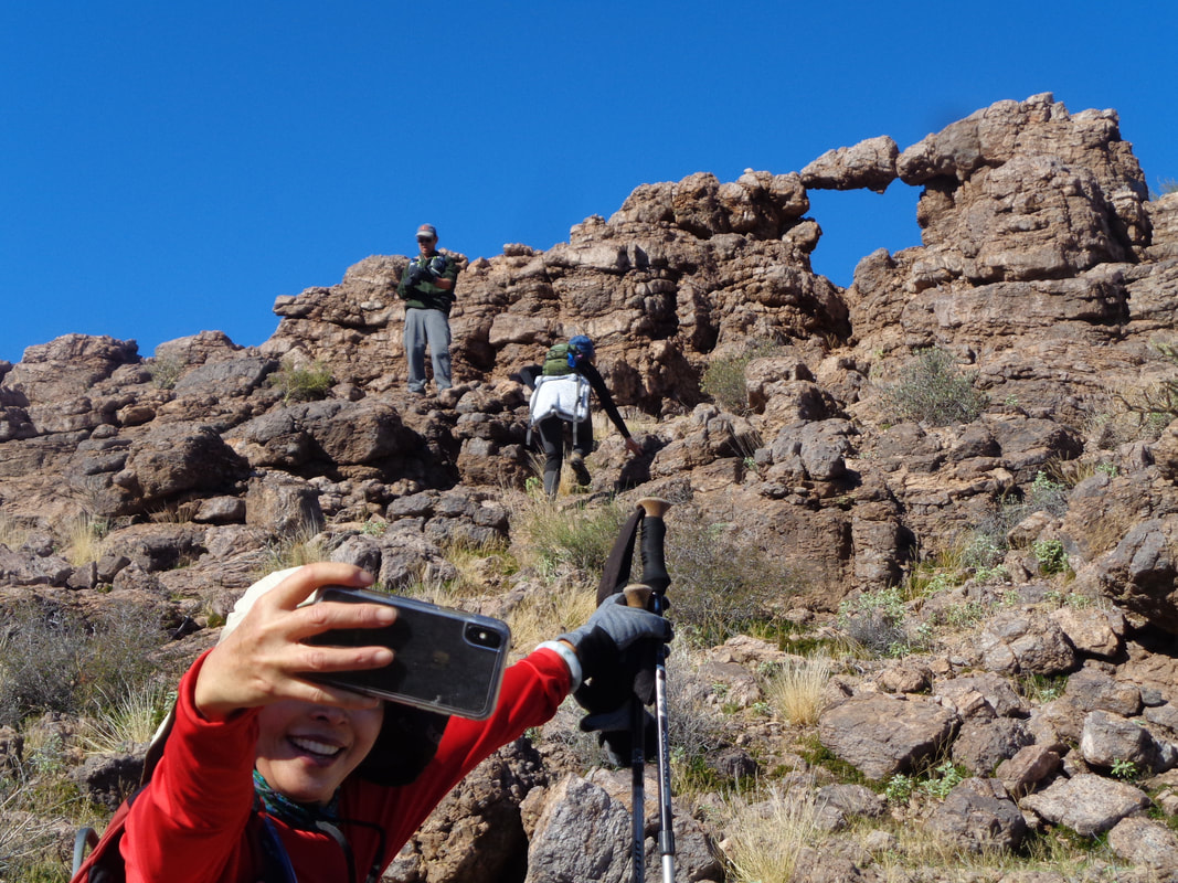
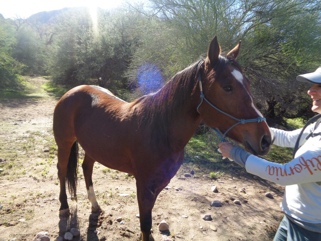
The hike description authored by Wade of the "Arizona Strong Hikers" group was too compelling to ignore. So, I drive 1:40 to the trailhead, as do others, including the driver of this vehicle who picked up a bolt in his tire practically as he arrived. What do you do, fix it now and miss the hike or..... ….yeah, put it off until later. One thing about Wade's hikes, we always begin our march at the appointed time. No waiting for late arrivers and I like that. The temperature at the start of the hike is lower 40's...brrrrr. In the distance, our destination, the Goldfield Mountains. The Salt River parallels the first 3 miles of our hike and we are greeted with a beautiful scene as mist rises from the river. The area is famous for the wild horses that populate it but unfortunately, we did not see any. We take a couple of quick stops at the bank of the river. I've walked across it in the summer but today it would require a swim in a rapid flow of water. No thanks. After 3 miles, we head toward a large arch and the views are amazing prior to a scramble up a fairly steep area of slickrock to..... ….the Sunrise Arch. Very cool place with water dripping on the right side, wetting the slickrock in places. More of our 12 member group carefully navigate the slope. Carefully will define much of what we hike today:) Once through the other side of the cave, some of us ascend a steep slope to provide access to the top of the arch. Would I dare walk onto the arch..... ...why yes I would but only briefly. Amazing that a Saguaro has grown so tall from what seems an inhospitable spot. It probably has 40-50 years of growth. We regather, traverse a steep slope, round a corner and..... ….yikes, the route goes up that???? Well..... ….yes it does! Alone, I would not have attempted this because a fall, while probably not fatal, would have resulted in serious injury. I can't guess the distance of the climb but dang, it was long and steep. The final scramble was a wall but it had a couple of good hand holds. The rocks were loose where we stood so some of us carefully moved higher to avoid starting an avalanche. However, judging by the sounds drifting out of the canyon, some of our group were at their limits for the amount of exposure. Having long legs and arms is a huge benefit for this activity. We regroup and eye our first peak. For some reason, Doreen was a magnet for Jumping Chollas. The preferred quick method for removal is to pinch the offending object with two rocks and fling it from your clothing. One projectile landed on my hiking shoe but it was easily removed. At the peak, oh wow. Just wow and in the other direction.... ….wow times 11 million. The Four Peaks Wilderness in the distance, capped by recent snow. A damn on the Salt River has formed a lake and boats could be seen riding around on it. Our pace, due to the nature of the route, all off trail bushwhacking, made me wonder how late we would miss our estimated finish time. After awhile, we got going and soon arrived at..... …..Delicate Arch. OK, not nearly as impressive as the previous one but worth a visit as part of this wonderful loop. We descend and soon climb again to..... ….Fragile Arch. Kind of small as arches go. Hard to say how long before weather caused erosion takes out this one. We were going to visit a 2nd peak but time was slipping by and there was that flat that needed changed so Wade led us off a ridge down a steep trail that had some of us sliding from the loose gravel and unsure footing. Having made it back to the plains that borders the river we navigated a warren of trails made from the wild horses. Jus then, I saw movement to my left but.... …...it wasn't a wild horse. A man on a horse was guiding this one over the same route we were taking, back to the same trailhead. Hmmmmm, Wade described a route up this side canyon that leads to a ridge from where a peak can be visited. Sounds like that would be worth a visit the next time I decide to make the long drive across the desert. Finished with 10 miles and 1800' of climbing. The Arizona Strong Hikers group is by far the most enjoyable group of those to which I belong and while the name of the group may sound a tad pretentious, it wouldn't be a stretch if it instead was named, "Arizona Very, Very Strong Hikers".
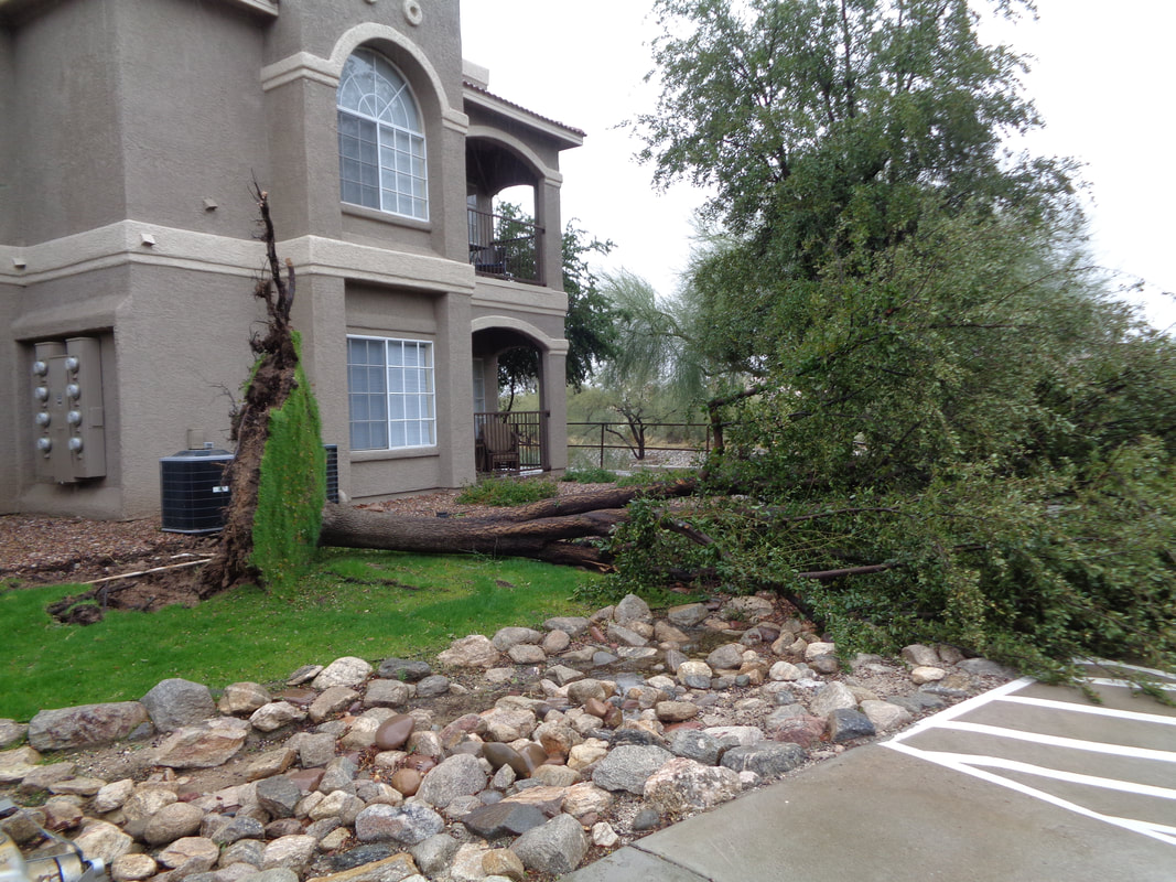
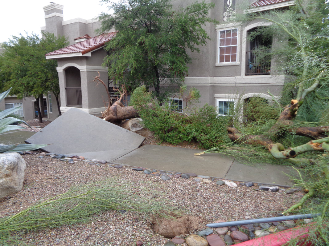
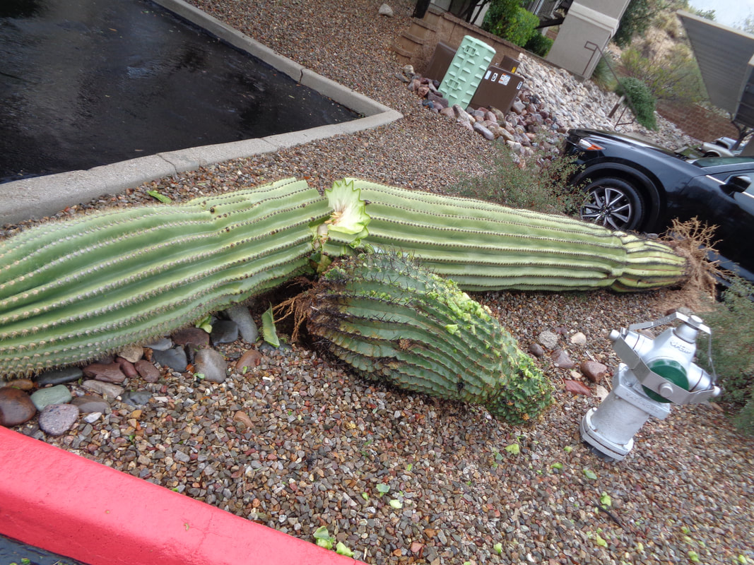
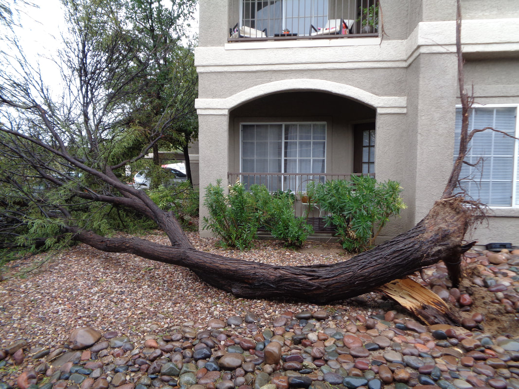
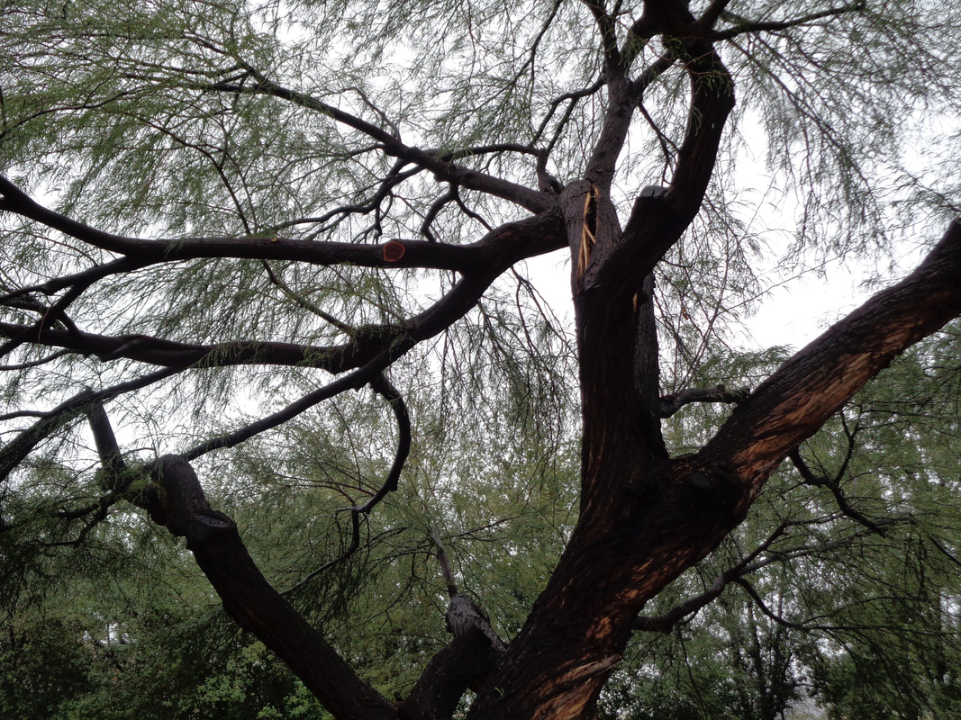
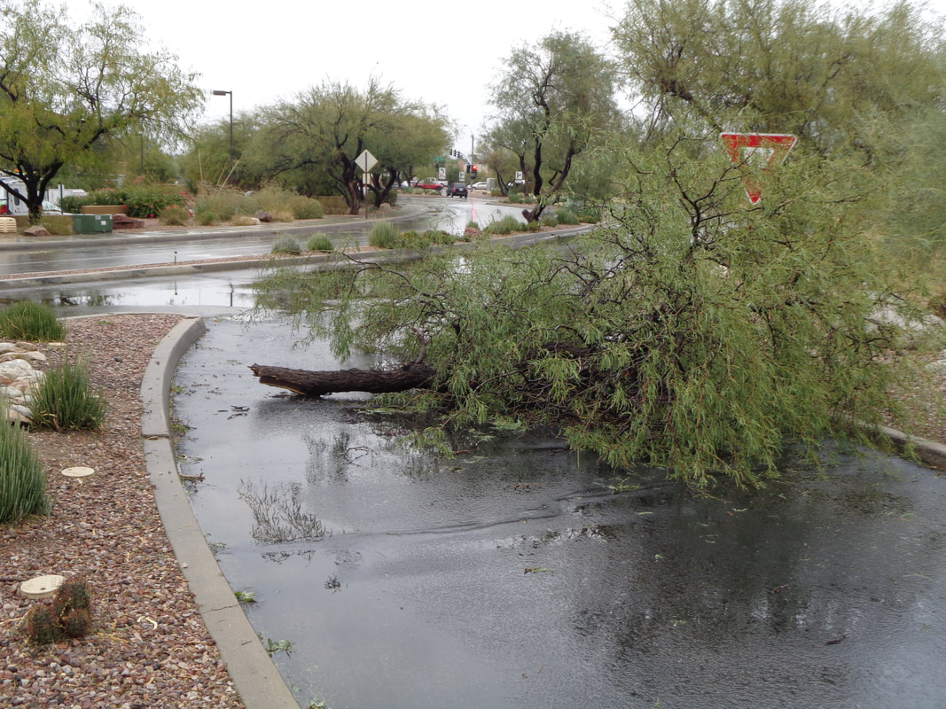
Well, you don't see this very often. A strong front came through Thursday night, accompanied with wind gusts of over 50mph. Couple that with daily waterings of desert trees which don't allow much root development and.... ….you get this and even...... ….this. Never seen a healthy Saguaro toppled by the wind. Also took out a Barrel Cactus. Had it fallen the other direction, it would have landed on a car. In addition to the 5-6 mature trees down, there were..... ….plenty of widow makers hanging overhead. An entry was temporarily blocked too. But sports fans, a day later and..... …..it's all back to normal with sun, blue skies and warm temperatures. An epic hike to describe soon.
|
Categories
All
Archives
November 2023
|
