|
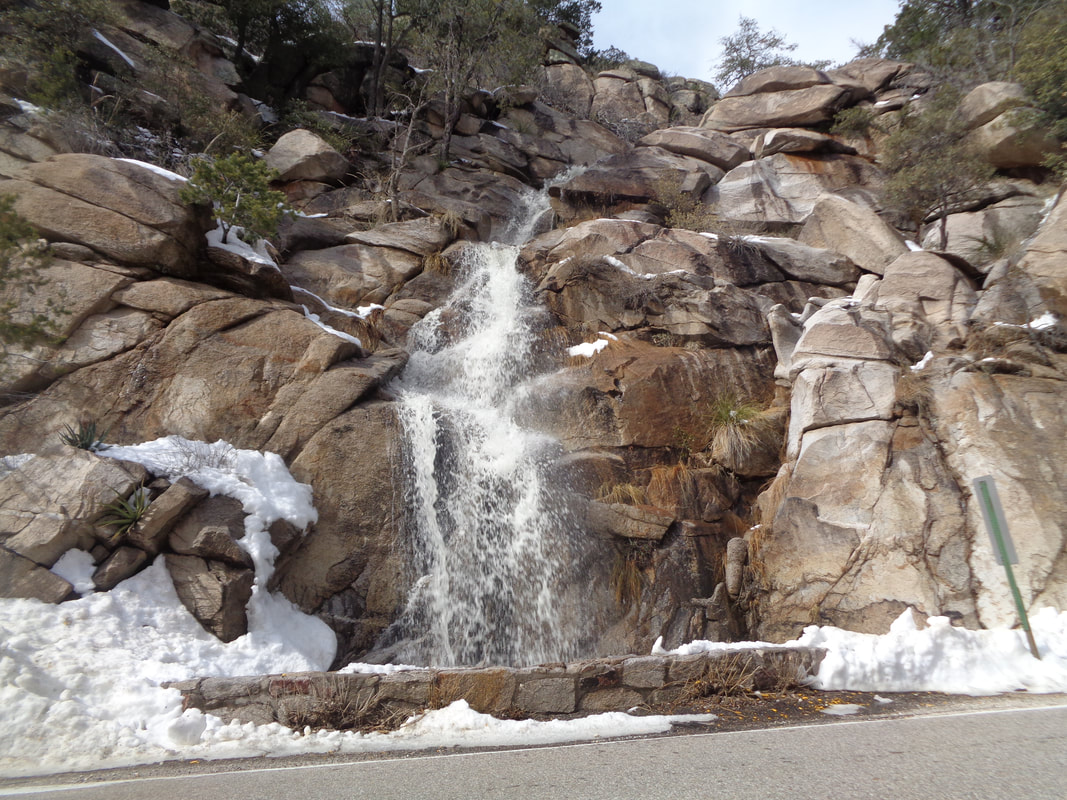
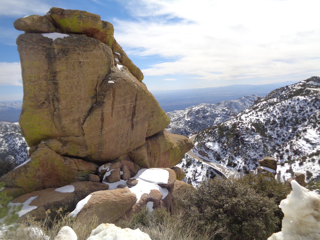
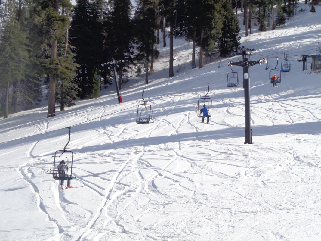
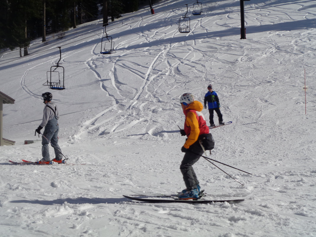
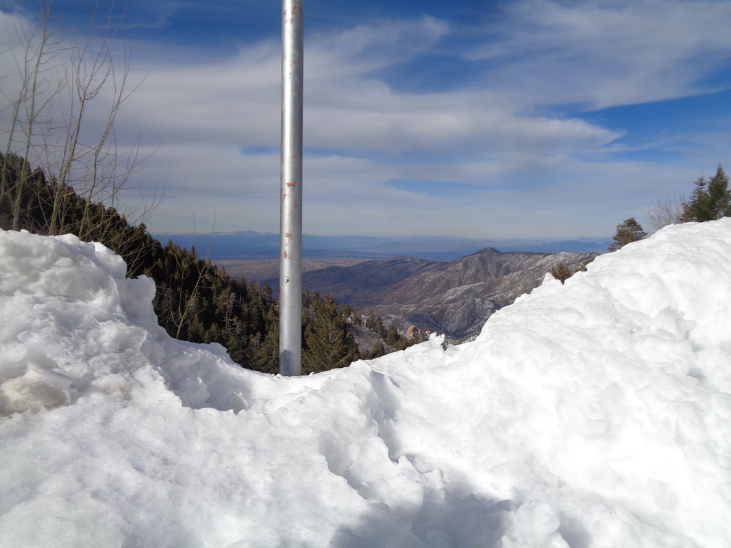
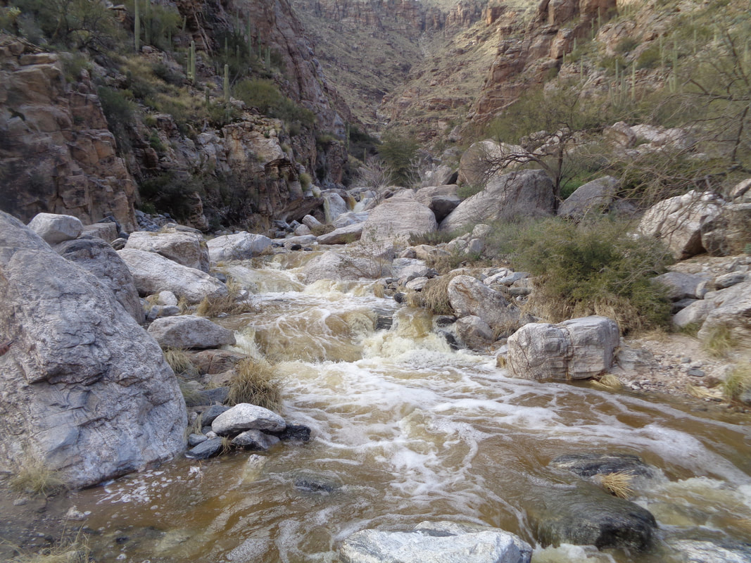
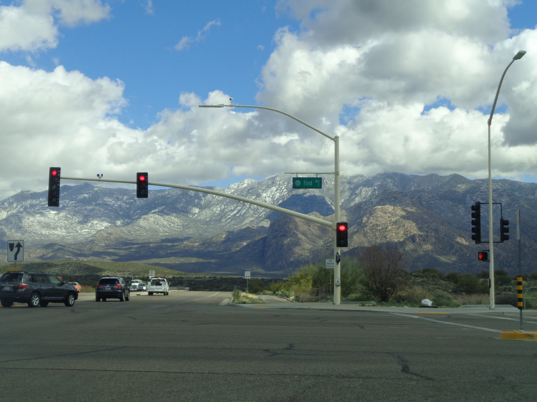
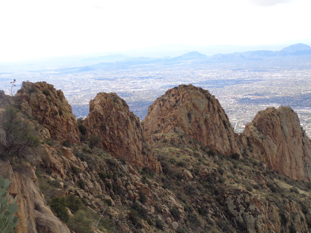
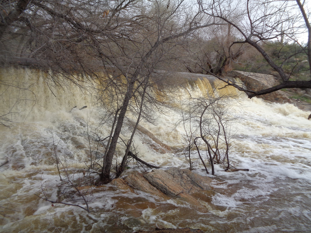
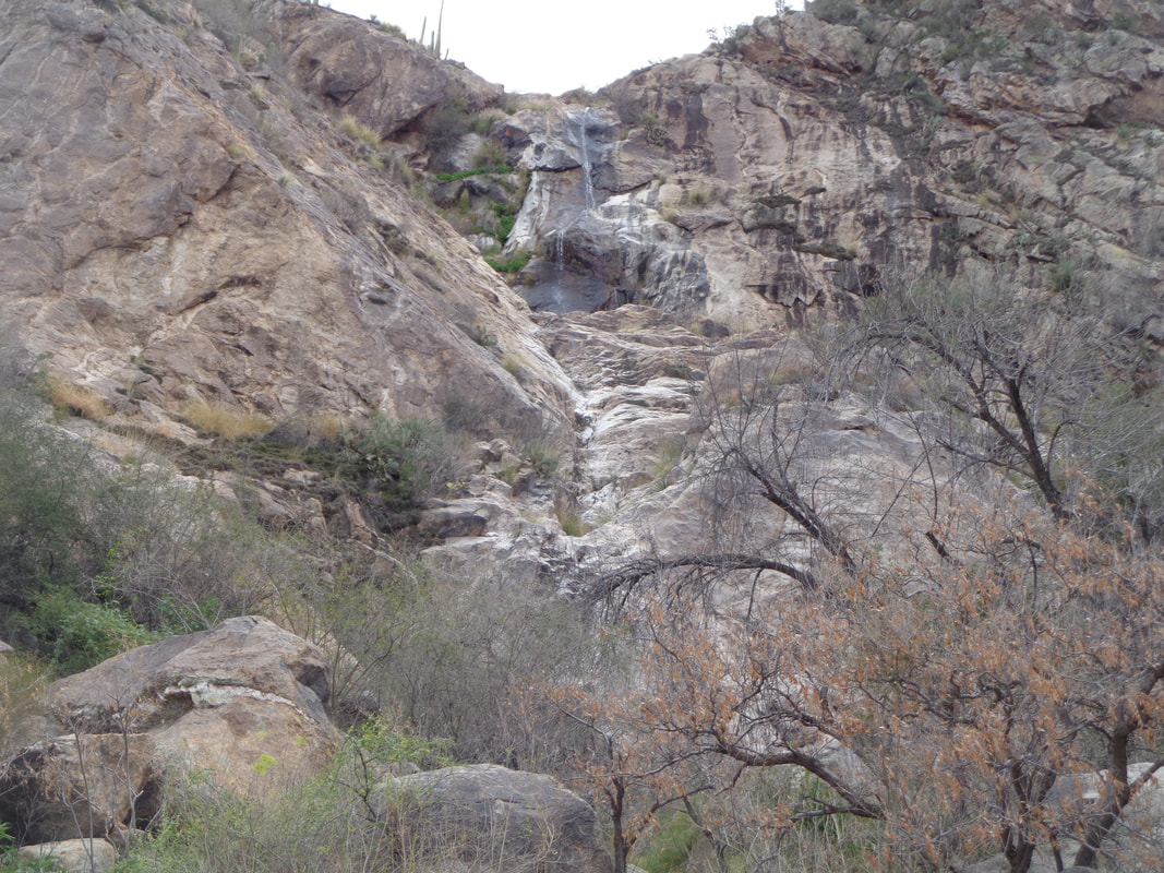
Last Friday, the top of Mount Lemmon received 42" of snow. Aggravating the locals was an inability to reach the snow due to the road crew being under equipped to manage that volume of snow. So, few thought the road up, Catalina Highway, would be open on Saturday but on Sunday, well over 100 vehicles were lined up, ready to drive up but the road still did not open. I thought it would open on Monday so drove there, waited while talking to others parked along the road and then, at 3pm, we were cleared to go. The snow melt cascades down many rock faces on the drive. One of the iconic views with plentiful hoodoos is above "Windy Point Vista". I continue to drive, reach Summerhaven, hang a right and travel the remaining 1.5 miles to..... ….Ski Valley. It being a Monday and many having given up and turned around, traffic was light but the 3 lifts were running and people were really enjoying the experience. Snow boarders and skiers enjoyed the moderate and advanced rated slopes. The high temperature for today was 45 while in the valley it was 72 degrees. An 8' snow bank blocked the usual great view. I took the very scenic, 26 mile drive, down the mountain and at the bottom.... ….the run-off was raging. This canyon is a neat walk with some exposed climbs but it will be awhile before I can get in there.
0 Comments
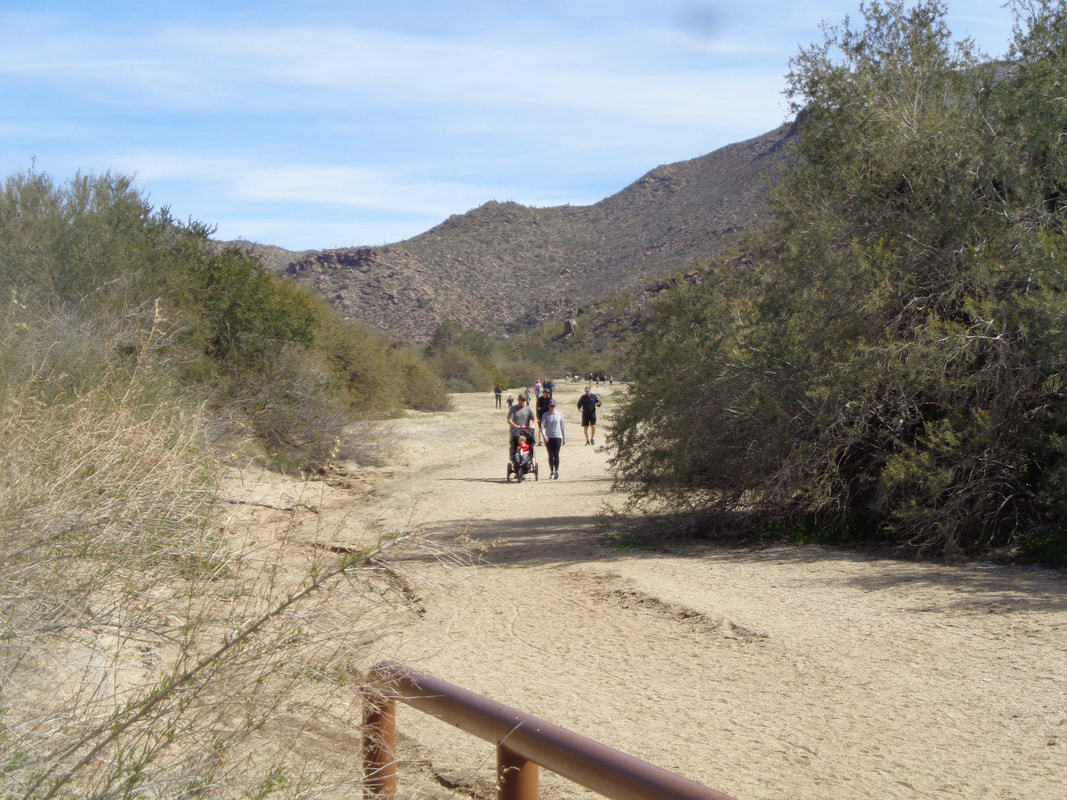
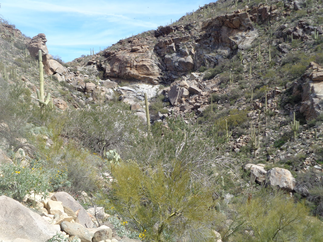
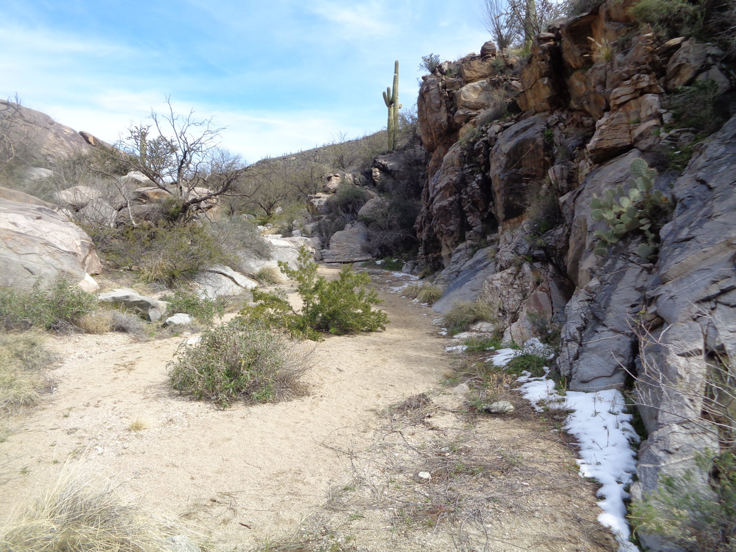
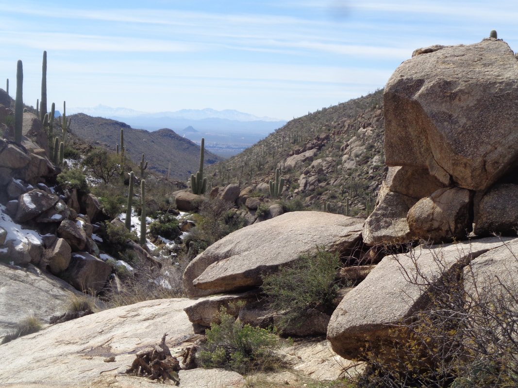
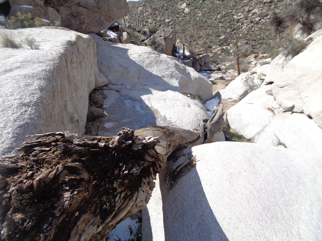
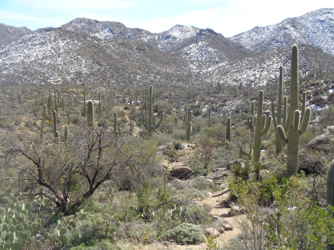
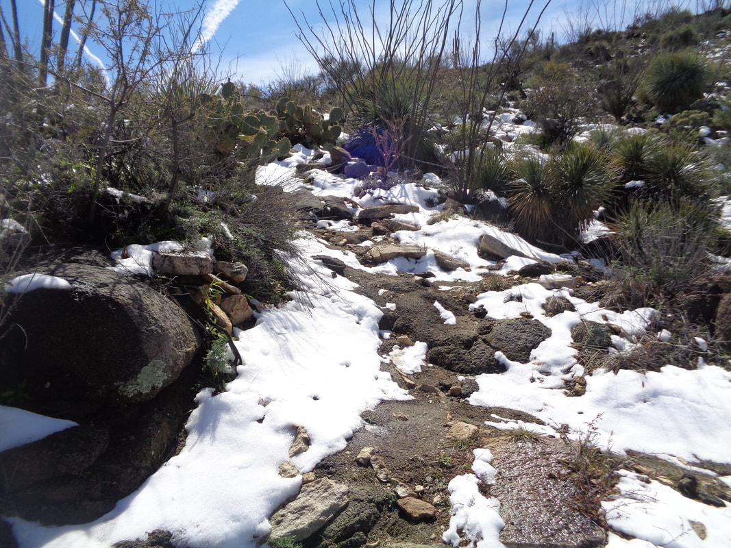
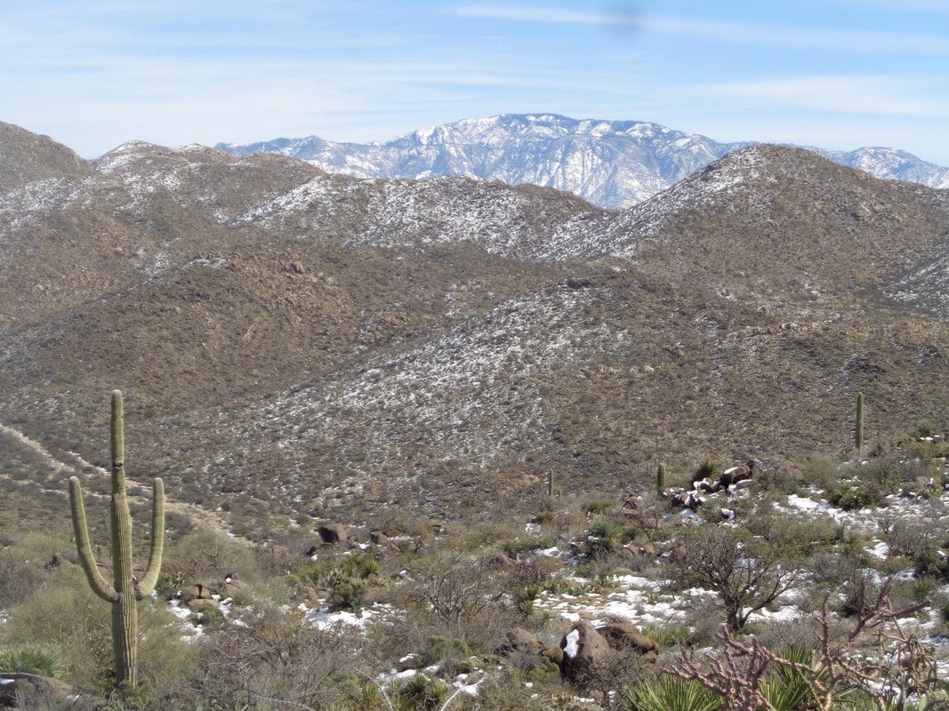
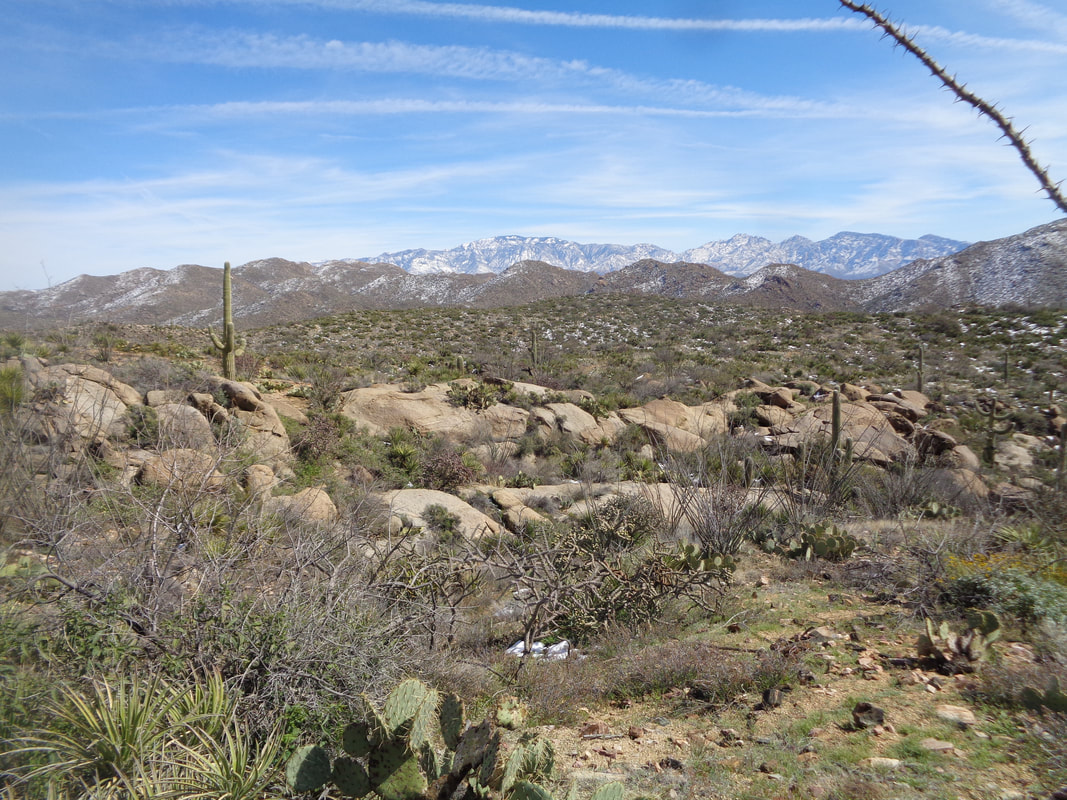
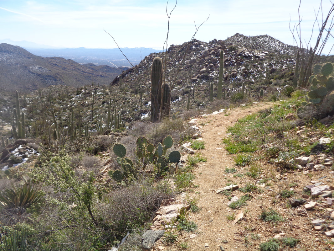
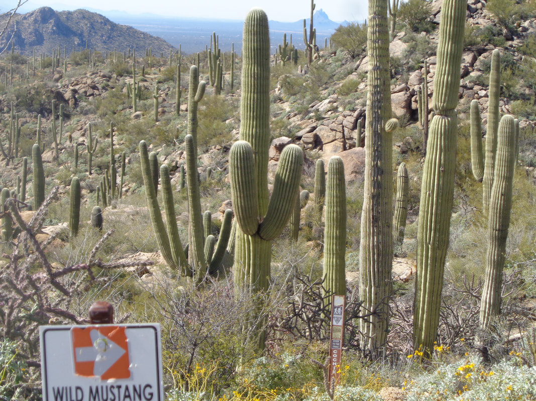
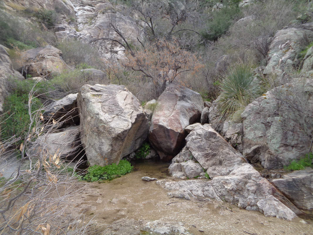
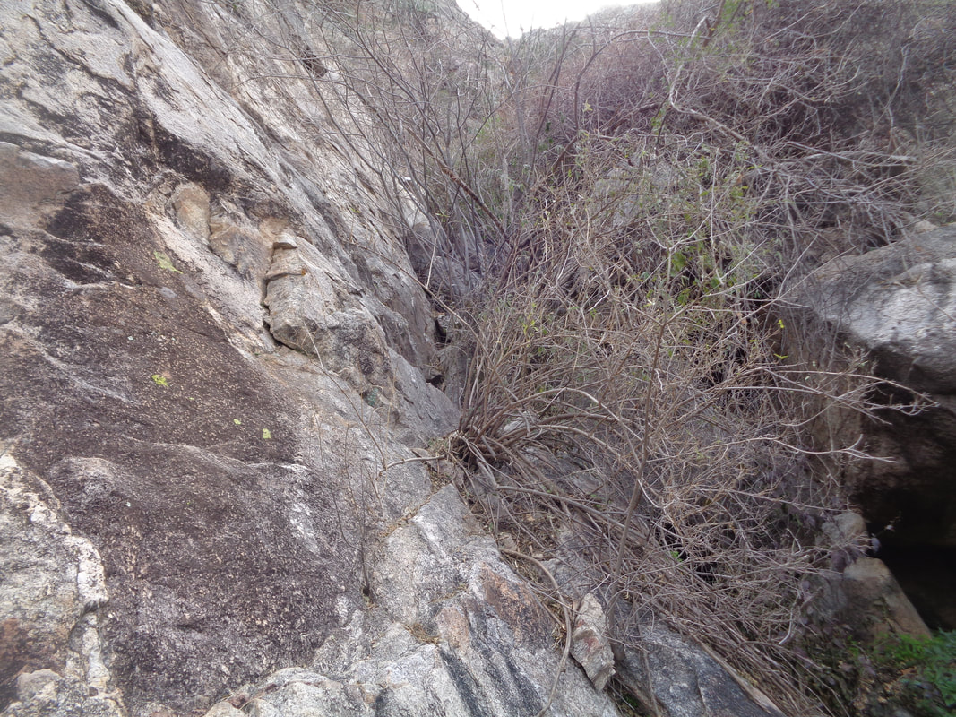
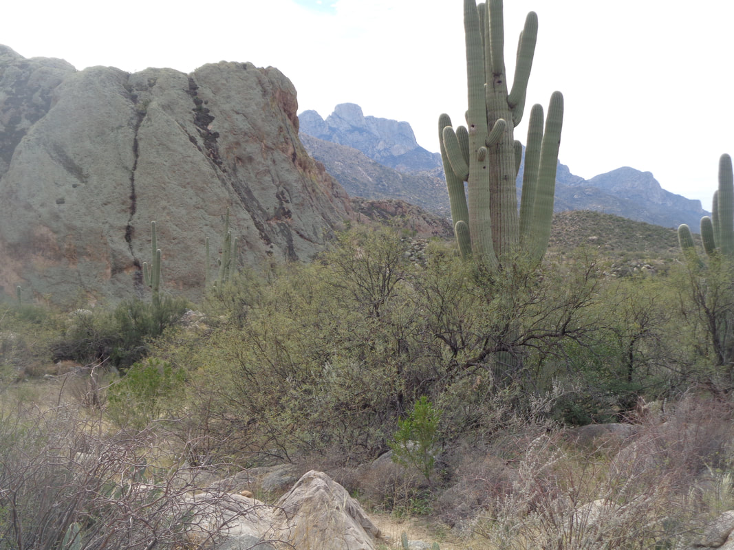
The wash is dry yet full of people emerging from their huts after two days of rain/snow and a follow up day of cold. I drove to Dove Mountain and headed up canyon via a broad, sandy wash. The crowds soon.... ….disappear as I head up a trail to bypass a pour-off too steep to climb. Reaching the top of the bypass I find myself at the top of the pour-off and follow it for a few steps before climbing out and continuing on the Wild Burrow trail. The trail reaches another pour-off so the trail takes the east side and soon..... ….again spits me out at the top of the pour-off where the views to the southwest are wonderful. I climb down a ways and decide if I come back this way, I'll work down the pour-off rather than follow the trail. The remains of a tree lie where the rush of water dissipated, abandoning the tree to continue its journey probably not until monsoon season. I've risen high enough that snow appears on the north facing slopes. My intent was to continue on this trail to its end at the 6 mile point but I came to an option for the Wild Mustang trail, consulted a map and decided, since I had not been on it before, to follow. Really glad I did. The trail rose steadily and soon I was walking in snow, reached a ridgeline and was greeted with.... ...awesome views. The Tortolita mountains in the foreground, Catalinas in the background and beauty all around. It was a pleasure to follow the ridge with the constant urge to replenish the view memories. I could see the aforementioned ranges but also the Silverbells, Whetstones, Rincons, etc... All capped with snow. Yay but eventually the view fun ended as the trail began to drop and I was reintroduced to.... ….dense saguaros. I finished with 8+ miles and the promise of warming to normal and above normal temperatures, soon.
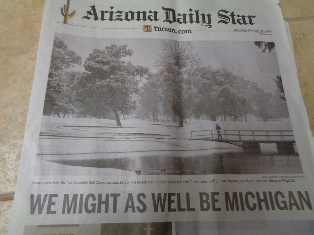
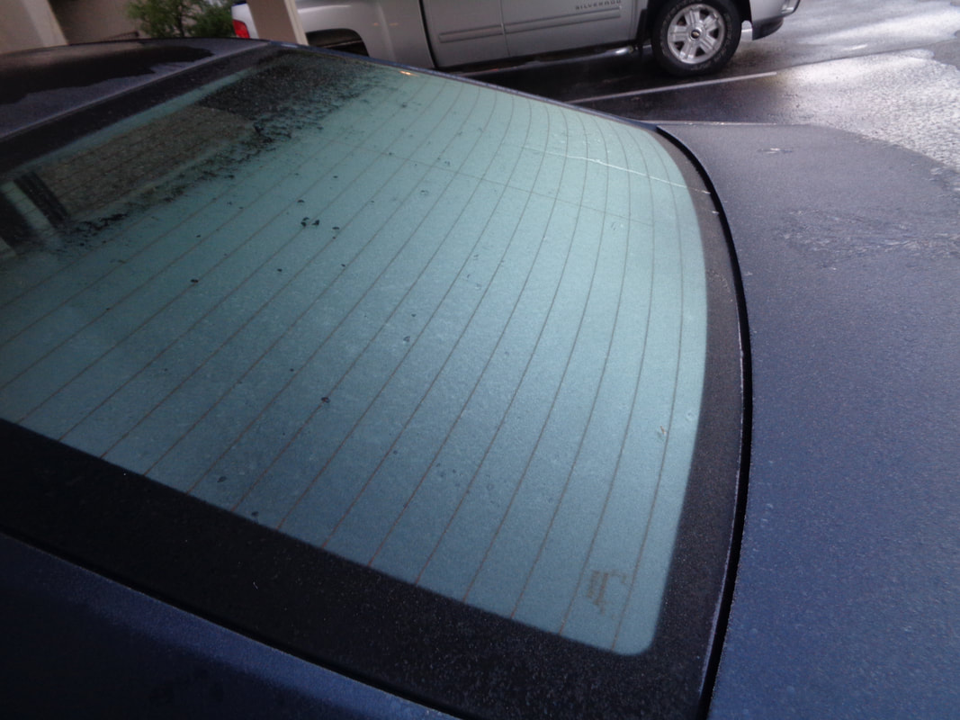
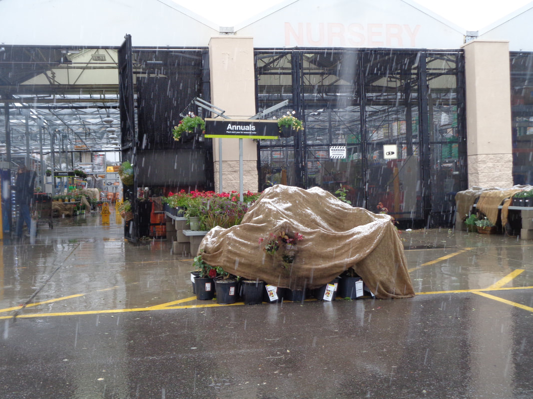
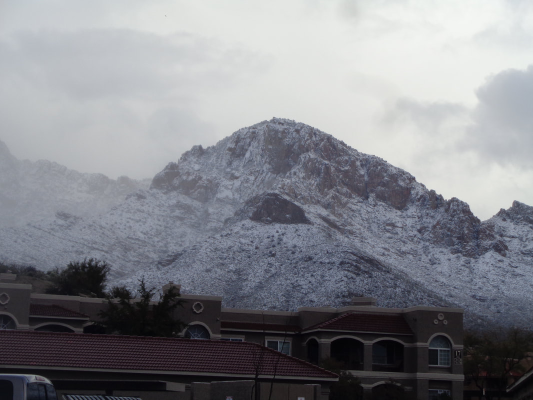
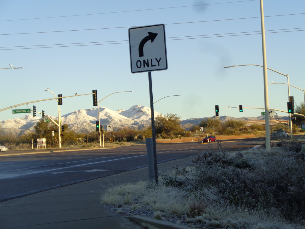
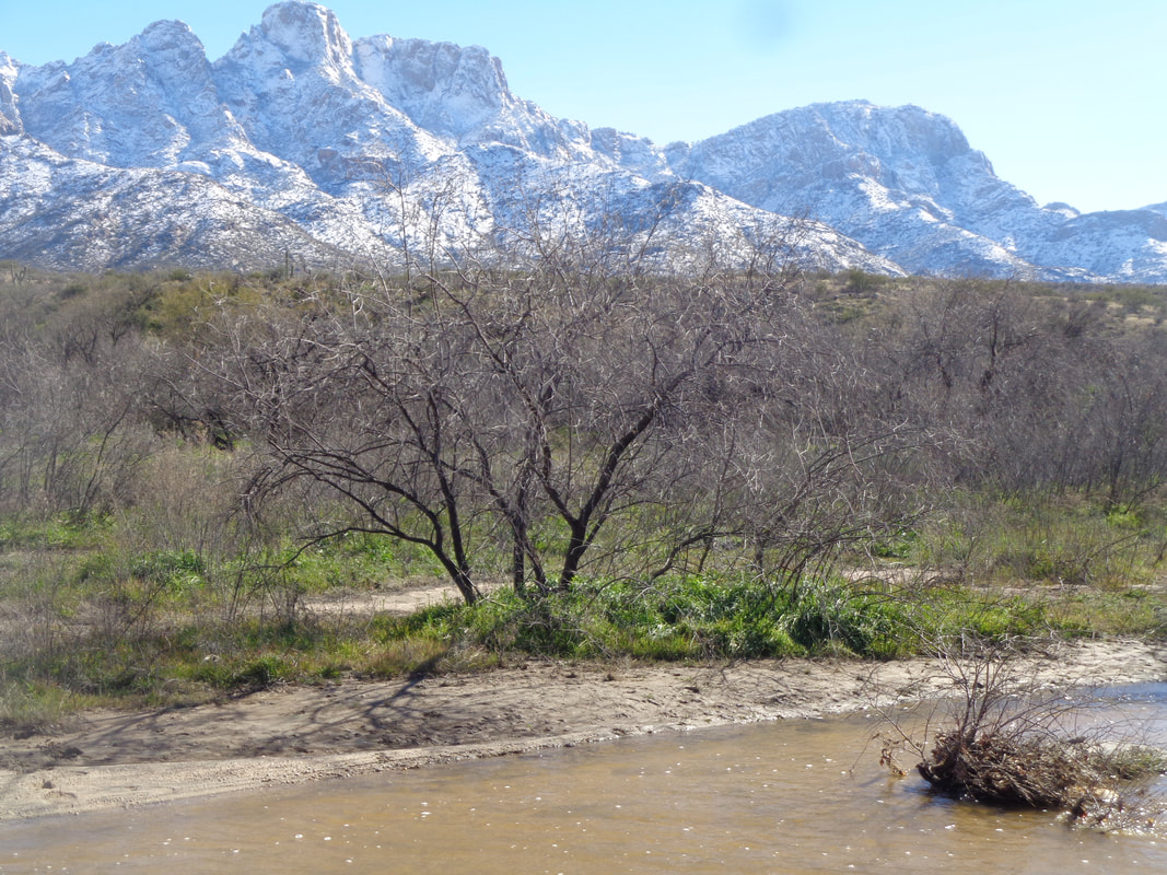
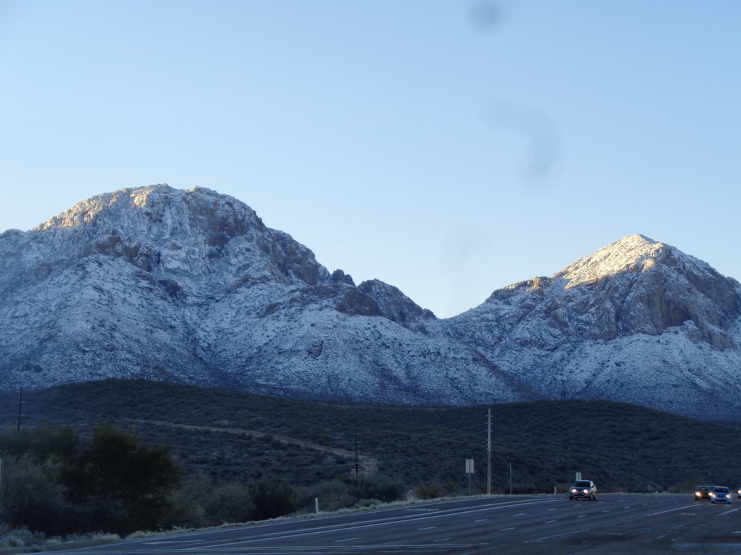
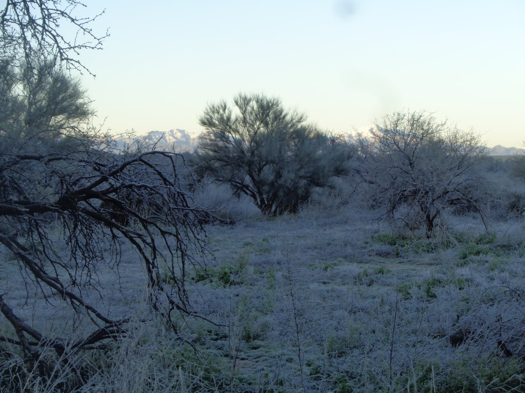
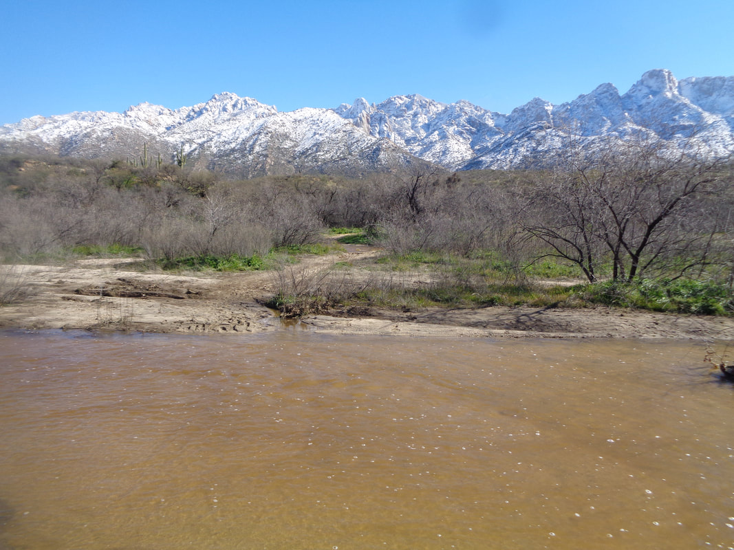
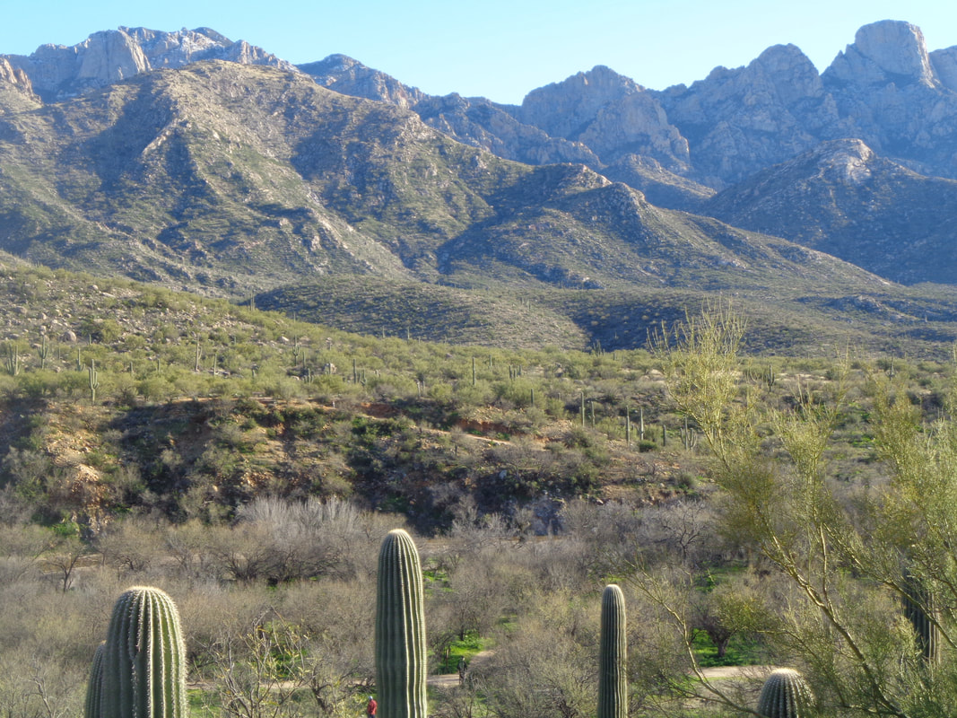
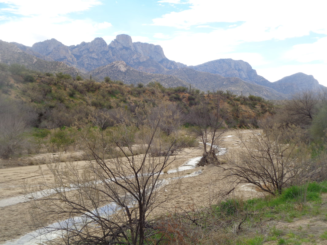
The day began oddly. Instead of my usual WSJ, I received the Arizona Daily Star and look at the head line! Record snow fall every where. Then I walked to my car and..... ….had to scrape ice from the rear window. All I had was a credit card for the scraping. I drove to Home Depot for a couple of items and it..... ….began to snow. Looking back from where I came, I could see unprecedented, from my experience, snow on Pusch Peak. I drove around to look at other, unfamiliar sights and.... ….golly, snow on low elevation mountains like the Tortolitas. In the distance, as the sun rose, it cast its light on the Tucson Mountains. I drove to Catalina State Park to see if the entrance was closed and.... ….it was with a healthy amount of water flowing in the wash. The Pusch Ridge was stunning. The sun rises! In the shade, the frost covered plants wait to be warmed. Gorgeous but I am glad this is an anomaly rather then the norm. This day, Saturday, I played tennis and basketball and now, normal weather returns and I am good and ready to go.
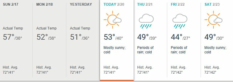
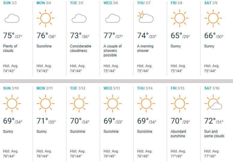
A friend of the blog, Shannon Kurek of Team HFP Racing, has moved his annual spring training camp from cold, cloudy GA to cold, cloudy AZ It rained again with snow down to 4000'. The bigger news is beginning Thursday, another front comes through with 1"+ of rain and up top, up to 4' (feet) of snow. Locals are calling this the 100 year winter. LOOK AT THIS CRAP!!!!! Note the average high temperature!!!! But my friends, Shannon's camp begins March 3 and..... ….things are on the upswing.
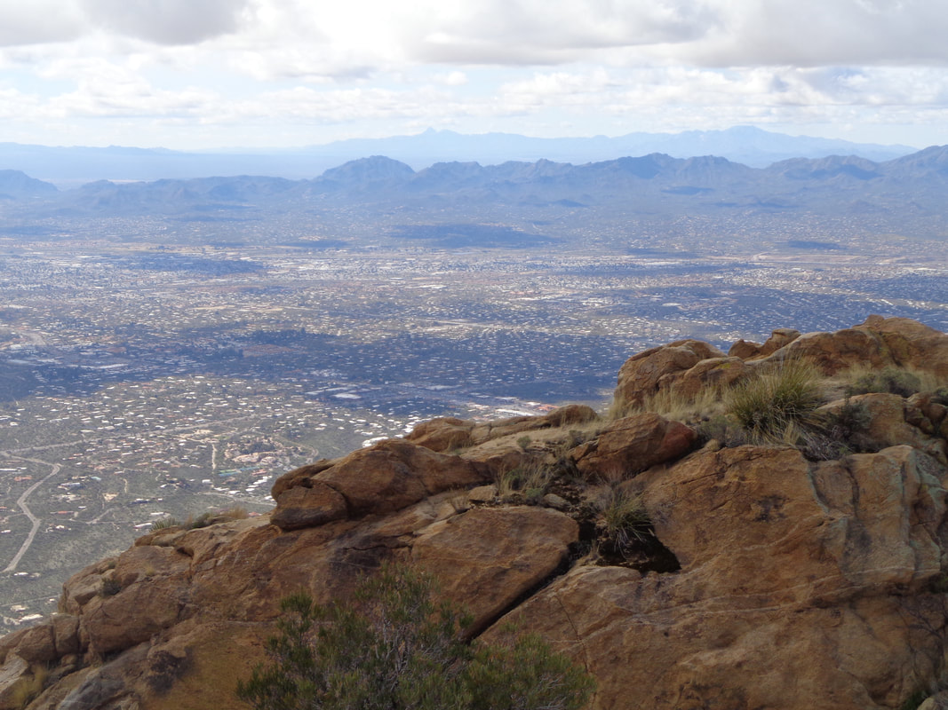
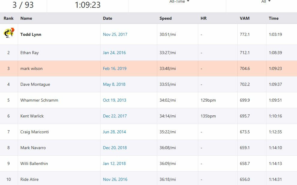
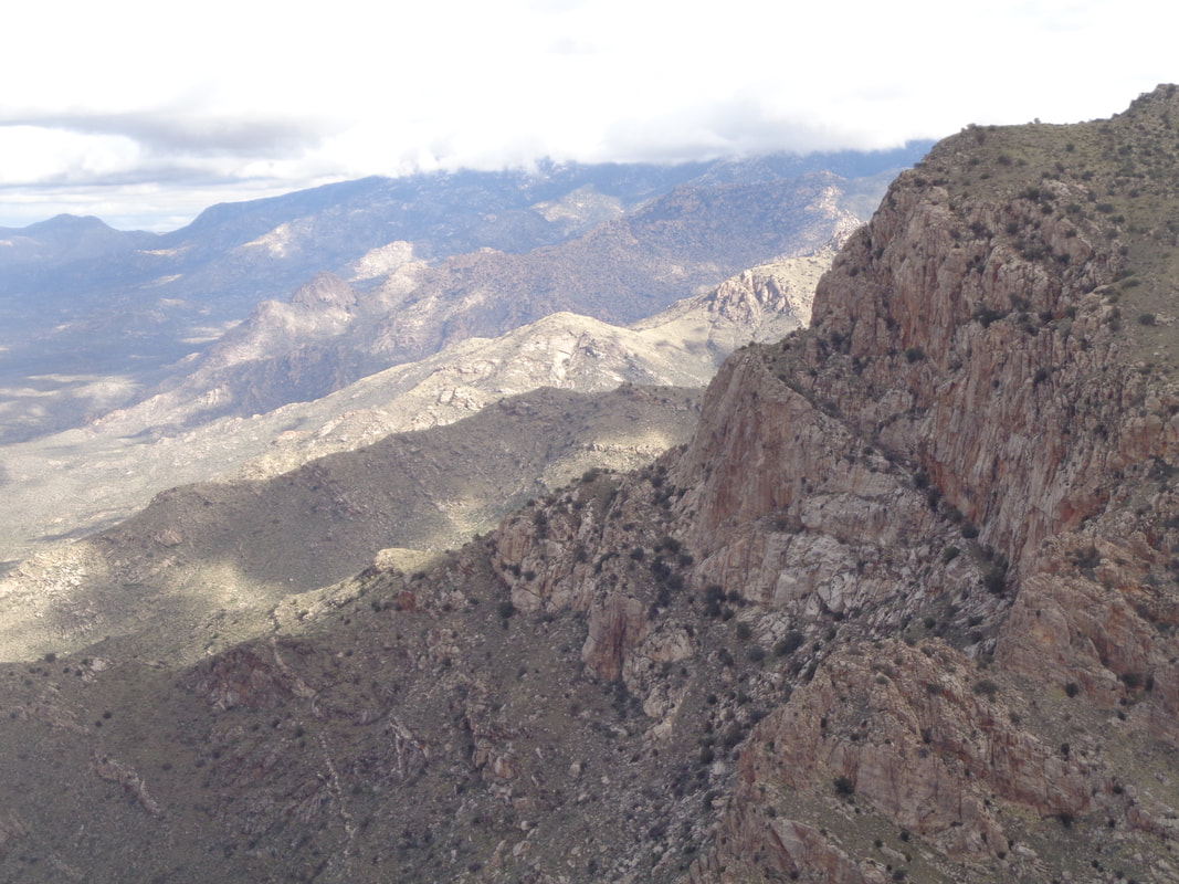
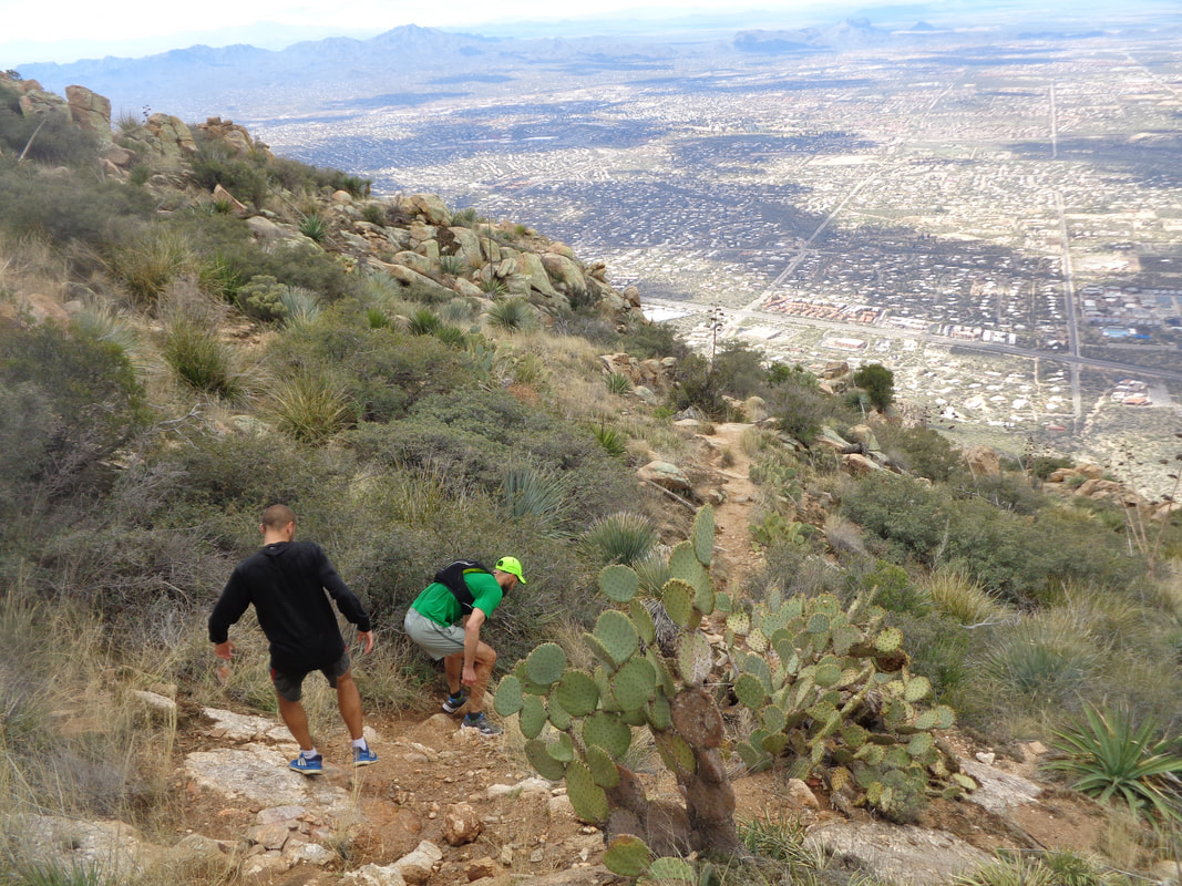
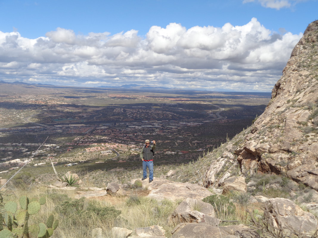
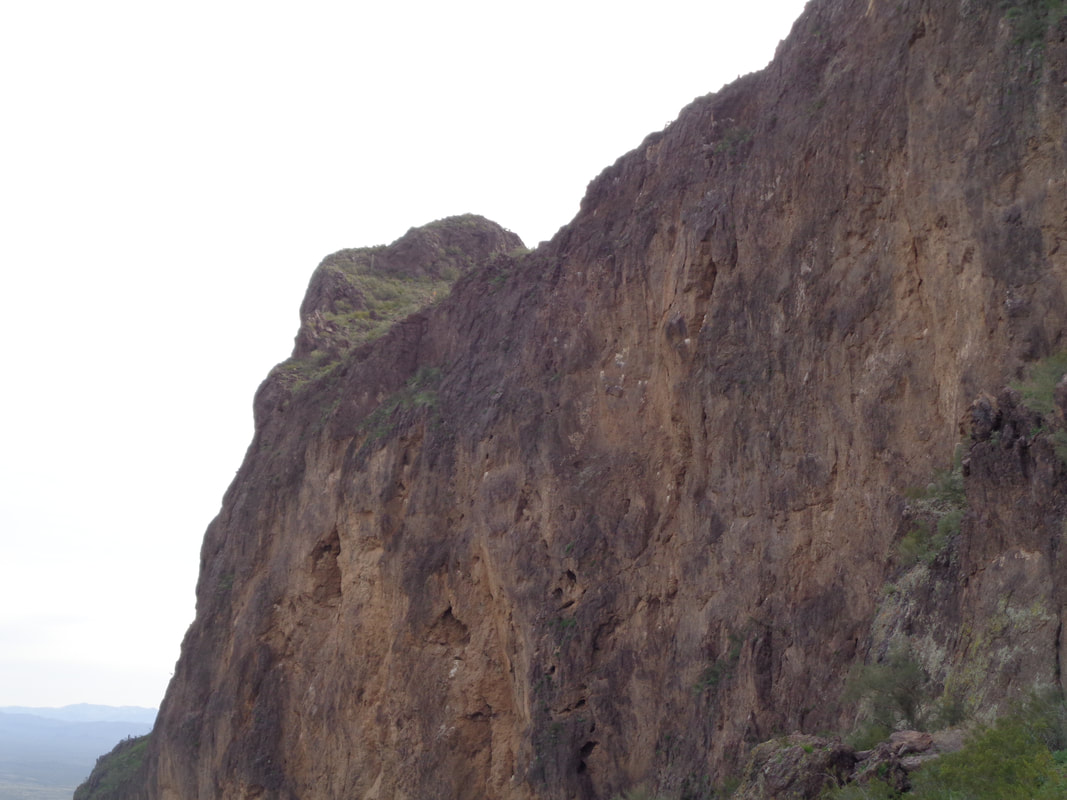
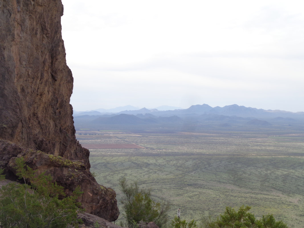
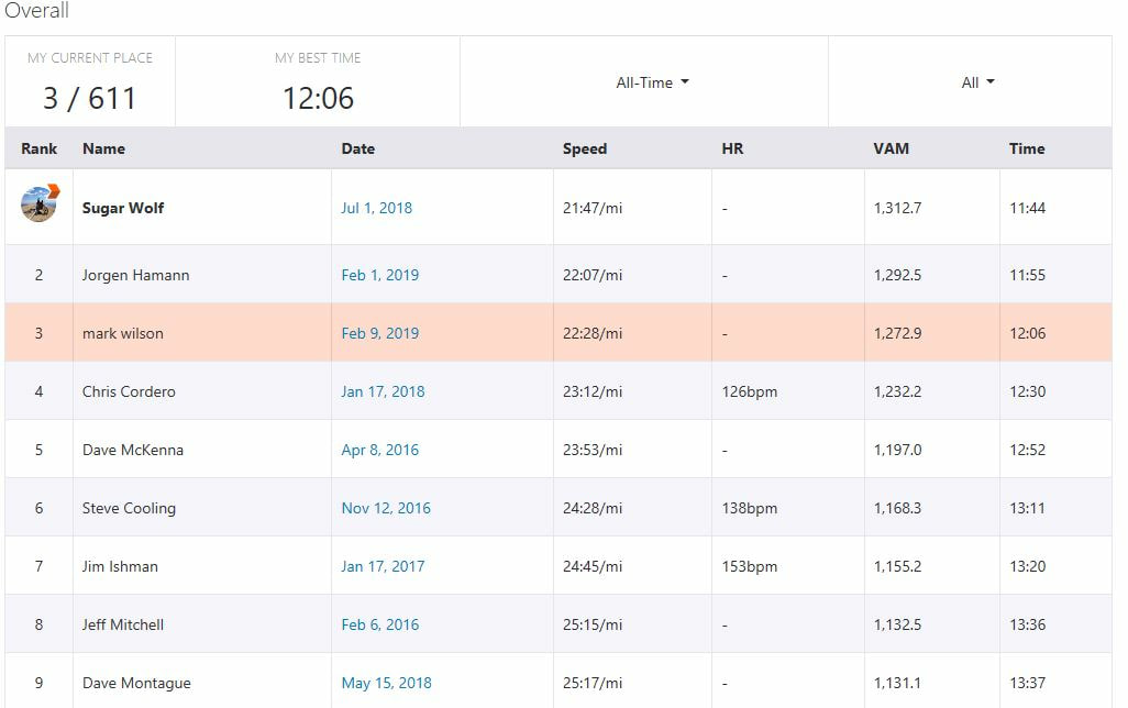
Not since Columbus was sailing the ocean blue or...... ….maybe one would have to go back to Noah's arc to find a February in AZ that produced so much rain. I haven't actually looked to see if we are closing in on a record amount of rain but it sure seems like it. For Saturday, so many trails and some parks were closed from the deluge of Thursday night, it took some thought to figure out where to go. Fortunately, I am about a mile away from the trailhead at Pusch Peak and once out the car, it is all climbing. Although the water was flowing through the canyon the trail stays above that. I was alone and motivated so wanted to see if I could get a good time on Strava for the 2+ mile climb to the summit. As I have noted before, from the parking lot the average grade is 25% and for the steepest final 1/2 mile, it is over 30%. I had a couple of issues. The water was not flowing from my pack so I had to take it off and fix and then I missed a turn on one of the switchbacks so had to back track. Still..... ….I was happy with the outcome. Really wanted to break an hour but don't think I can do that even with no hiccups. The sky was partly cloudy so the shadows from the clouds provided some nice effects. At the top, I was joined by a couple of guys who were in town with the New York Red Bulls, a MLS team. They were coaches of the team and while the soccer players rested, the coaches came out to hike. We departed together. I'm pretty cautious on the descents so lost them half way down which is ok because I use the descent to take.... ….lots of pictures. A guy pauses to take a selfie. Finished with a little over 4 miles and 2700' of climbing. Dang, now two more fronts are scheduled to swoop in from CA, one on Monday and one on Thursday. Highs this week will only be in the 50s!!! About 20 degrees below normal. Snow is forecast too and it may reach the valley. Glad I have the option to hike since bike riding is out. Oh, I bought a tennis racket and joined a tennis group and oh, I am hosting a ping pong event. The thought of having backhand smashes bounced against my forehead is appealing. I'm pretty sure if this was a normal winter I would be doing none of the aforementioned activities.
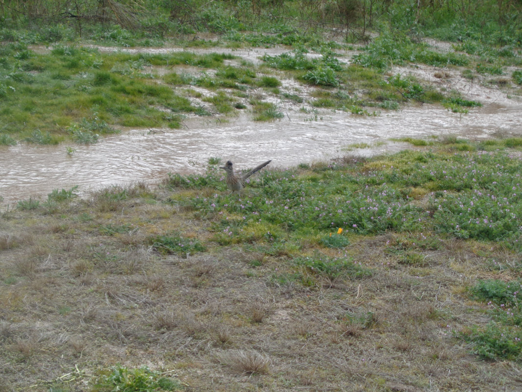
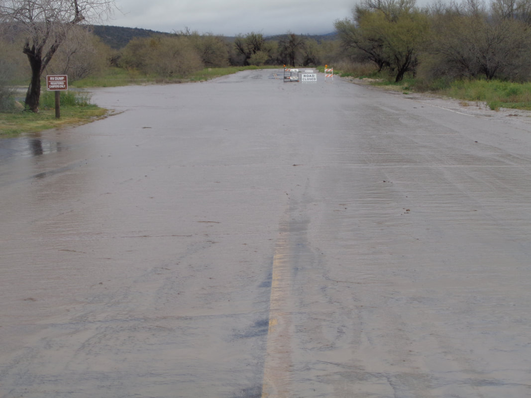
The Roadrunner was confused. It did not evolve for centuries to live in an environment better suited to fish. The road into Catalina State Park was closed. Seven, yes that is correct, 7 inches of rain fell up top and about an inch in the valley. The torrent will be gushing for days. Next week, highs only in the 50s. Locals say they can not recall a winter so cool.
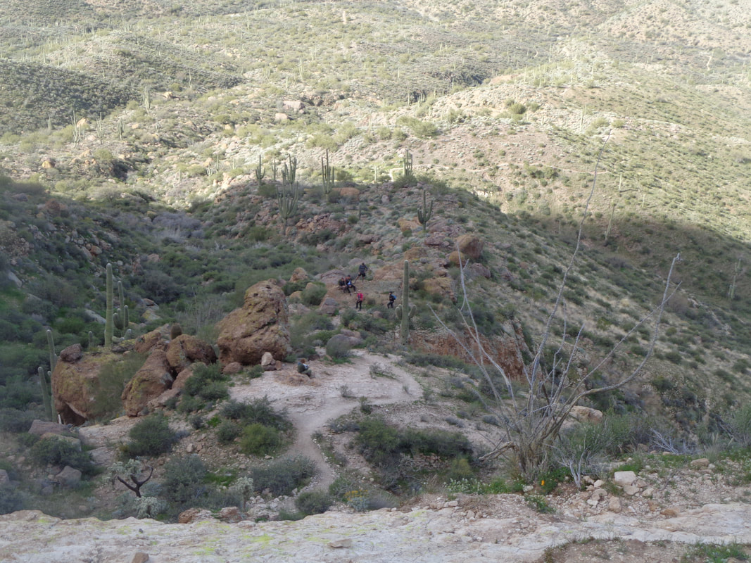
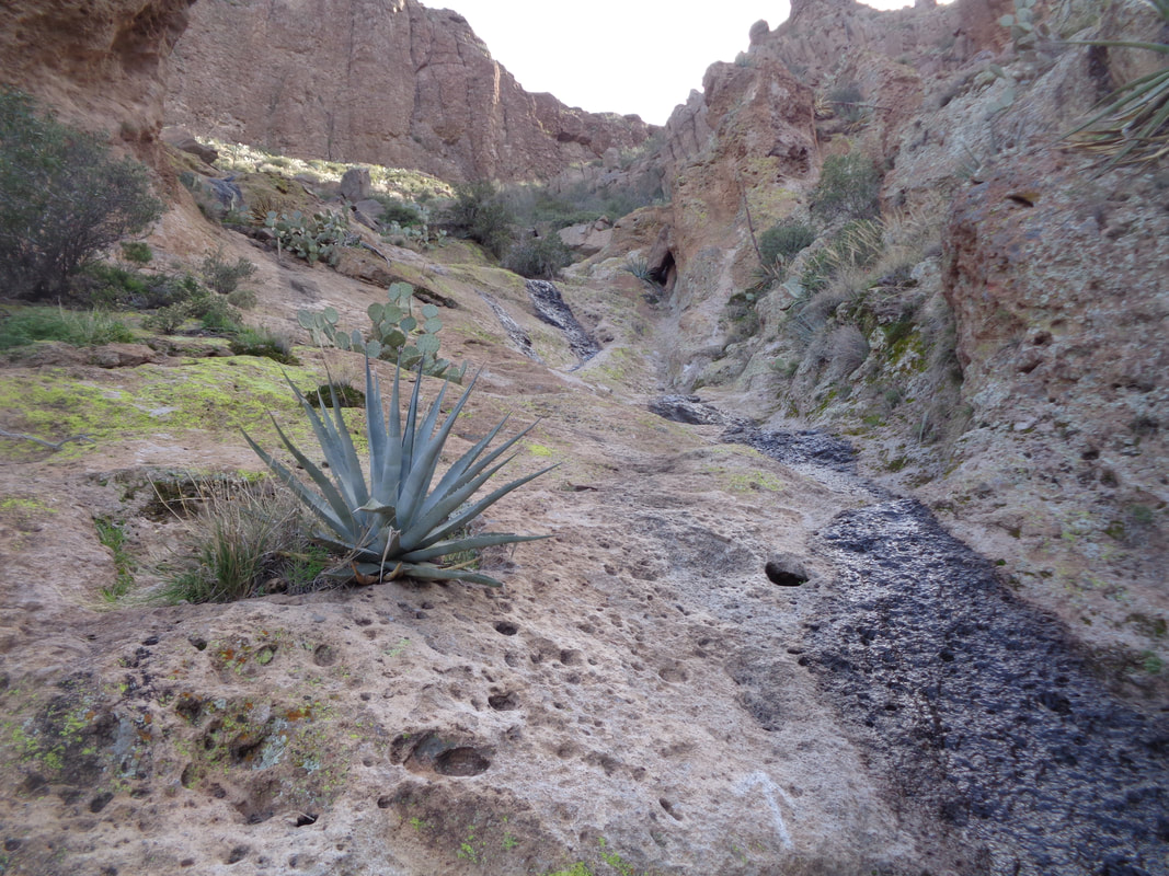
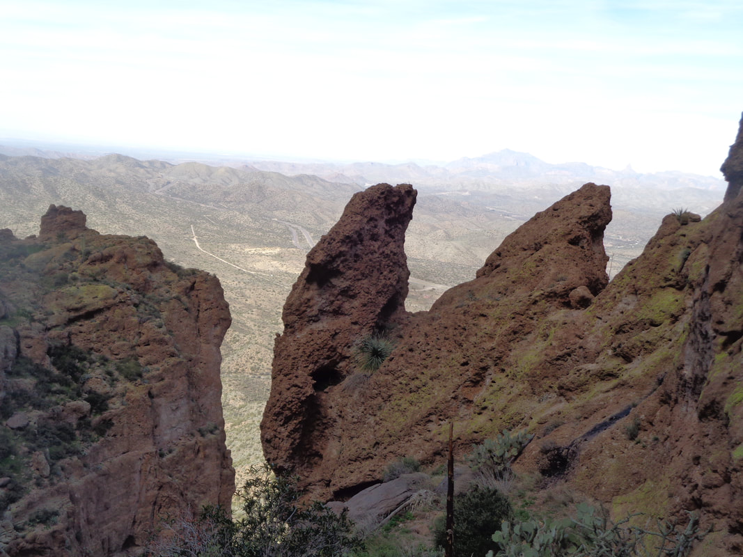
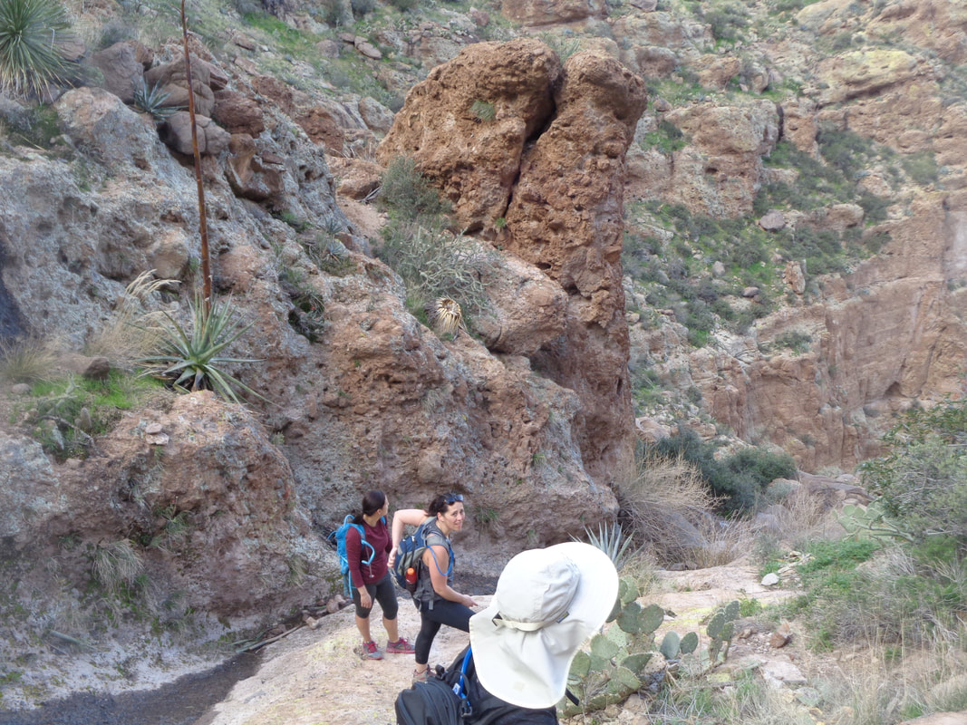
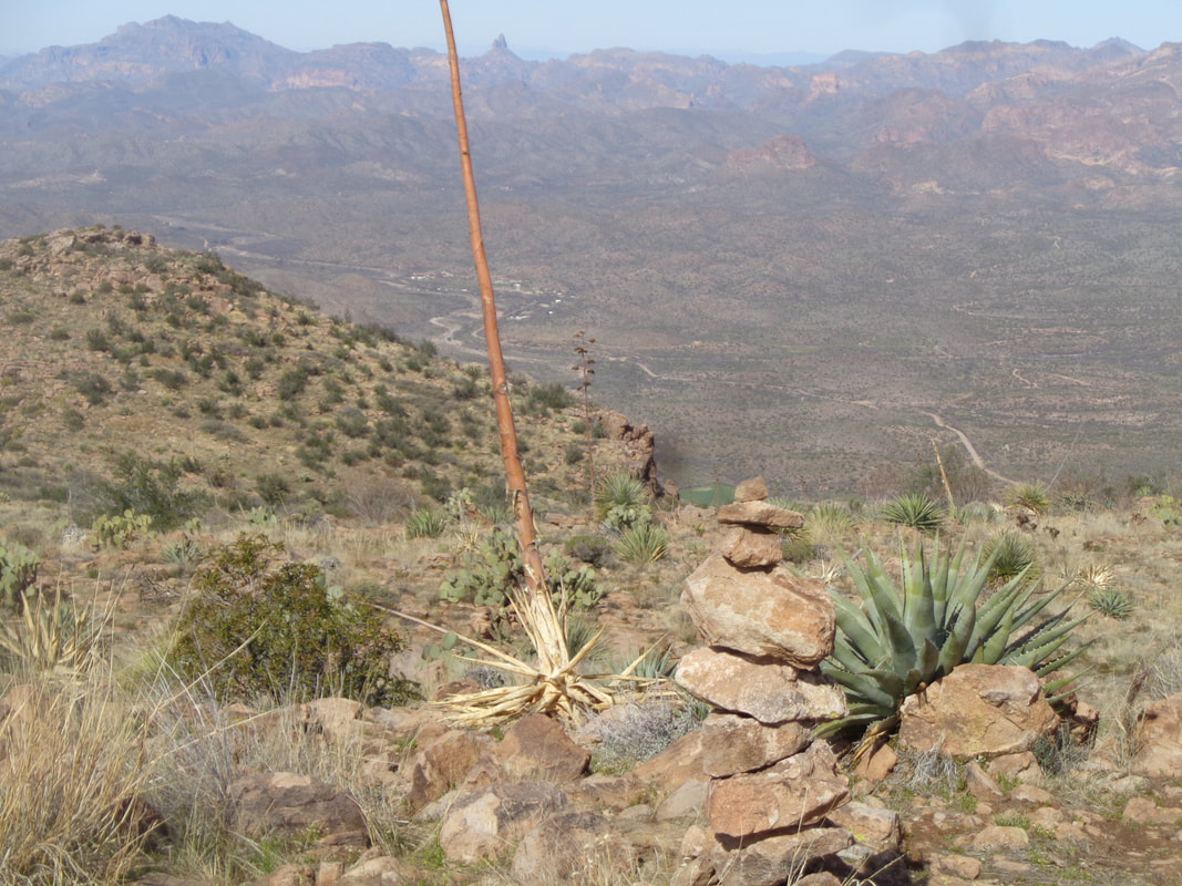
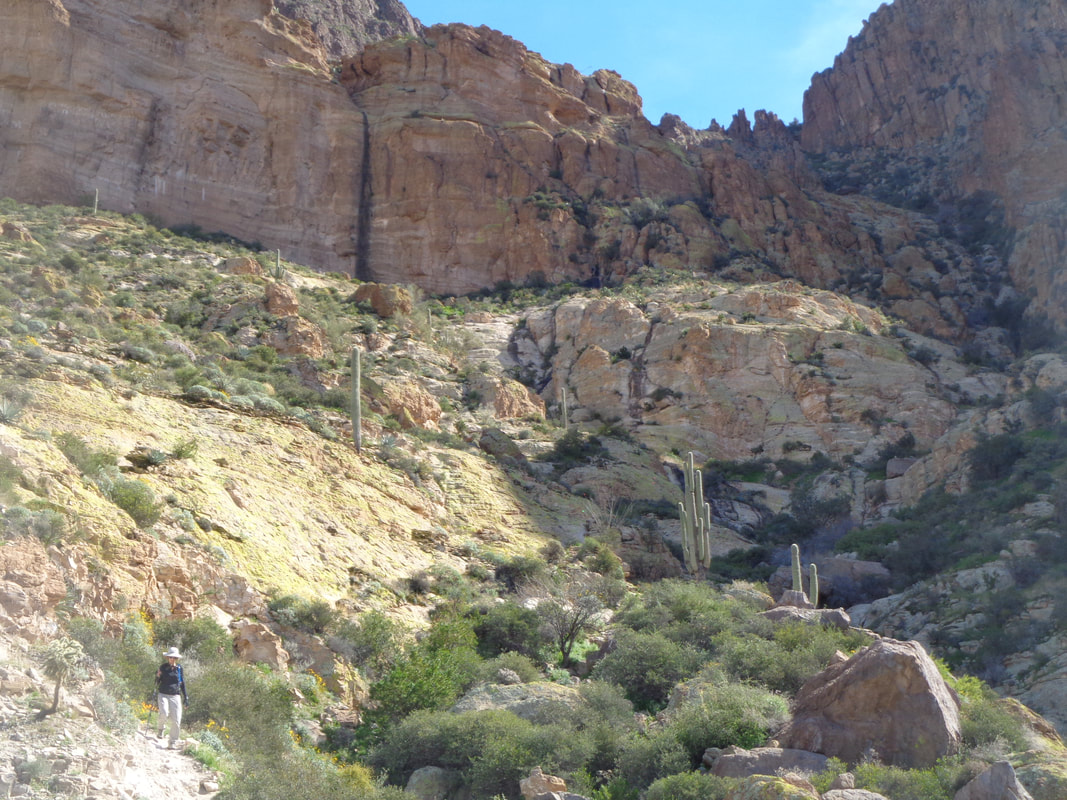
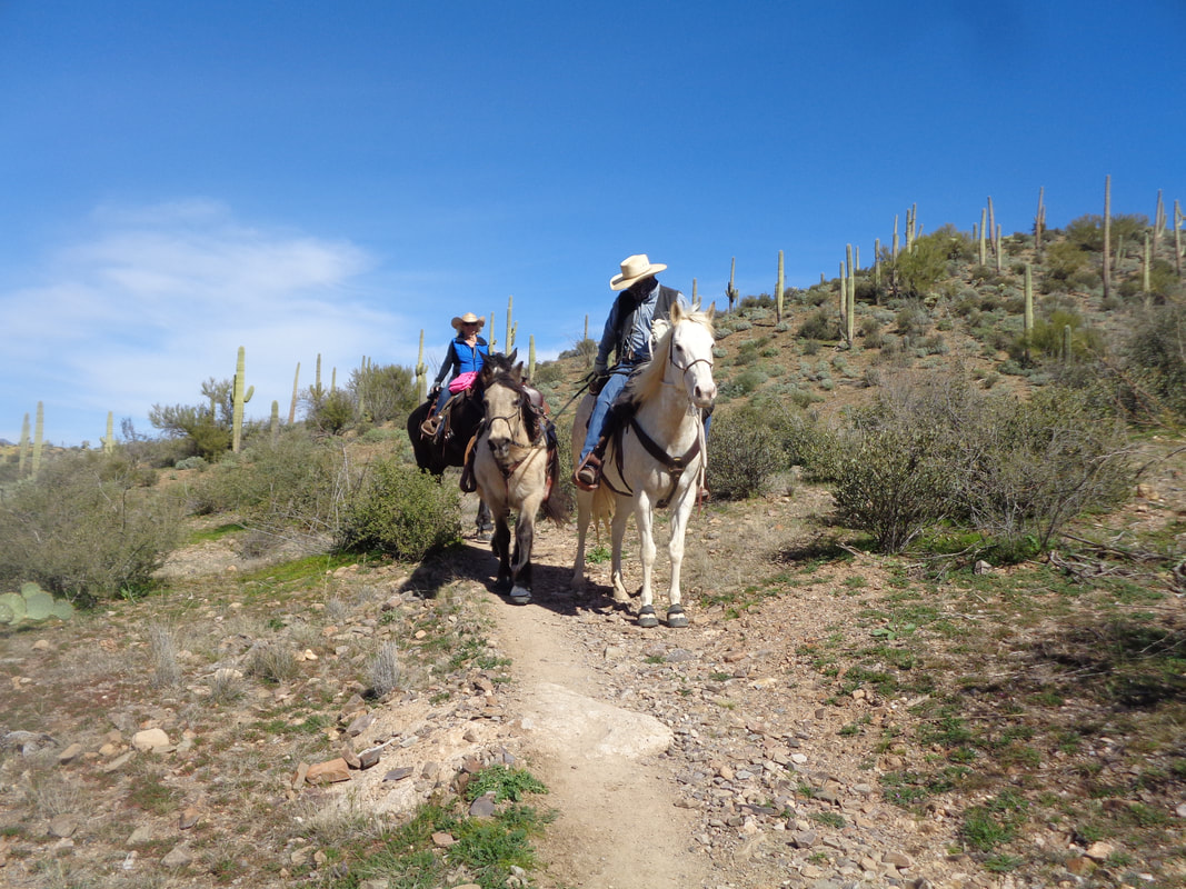
We start this report, already a mile into our hike. There, far below, a member of our group, Wendy sitting on a rock in the clearing, who didn't comprehend the difficulty of today's hike so spit the bit. She was a good sport and didn't seem to mind that she waited 2+ hours for us to return. It being an hour+ drive from the gathering point, she had few options. I've done the climb to Picketpost Mountain quite a few times but organized a group to join me. Of course, I had the usual last minute cancellations but that was ok as there were 3 of us then only 2 as we handled each obstacle, of which there were many. We adopted a couple of ladies who were unsure of the route and when climbing up the dry falls shown in the previous image, I suggested they paus and check out the view so.... ….they did. Always thankful for a brief respite from the rigors of the climb and route finding. Once out of the hard climb out of the drainage, we approach a final climb but first, look through this gap at the magnificent view. There is a false summit, some more moderate climbing then this final slope and..... ….damn! You should see it in person. Thin clouds obscured some of the distant mountain ranges but still, damn! And more and..... ….more as we look across St. Rt. 60 into the Superstitions. We didn't linger all that long as our hiking companion was waiting way down so we..... ….navigated our way, steeply, through the walls. We picked up Wendy and then..... ….more horses. The middle horse, 24 years, was being led around for some exercise. Rather than a mountain bike, I'm thinking I should get a horse.
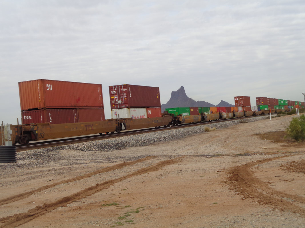
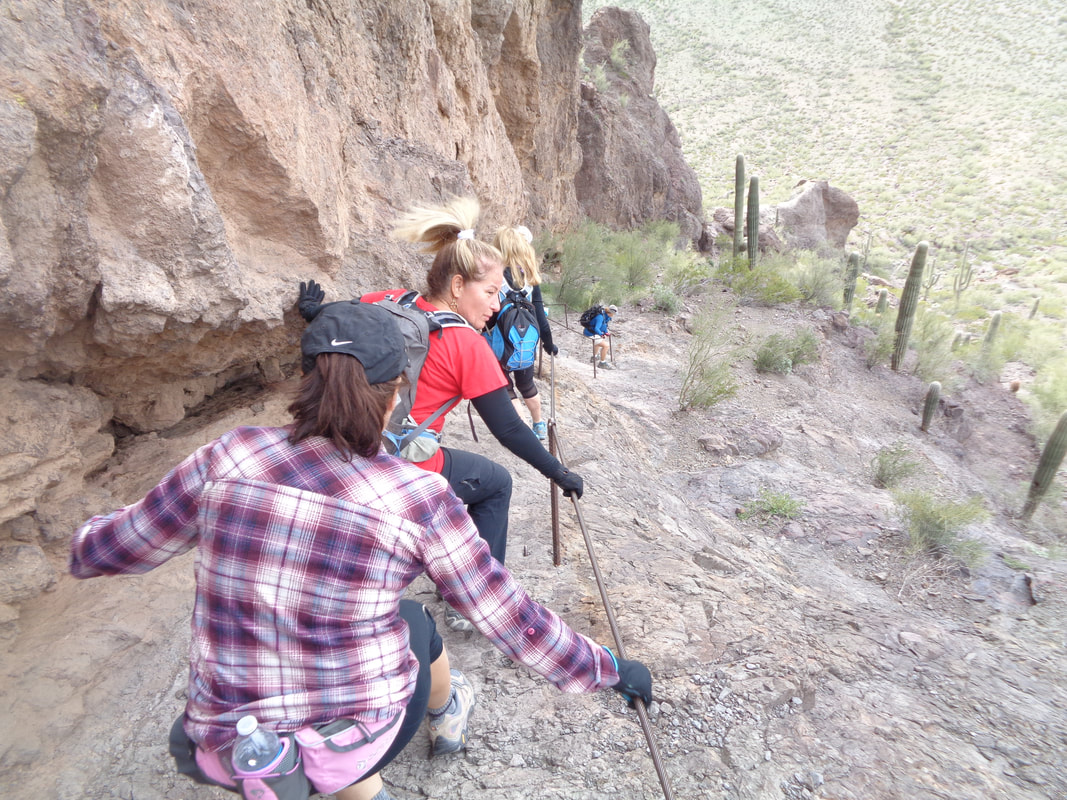
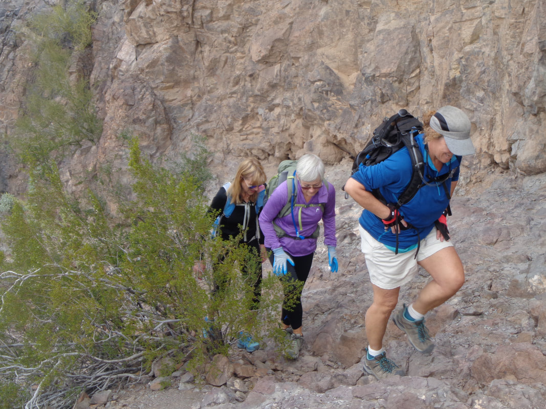
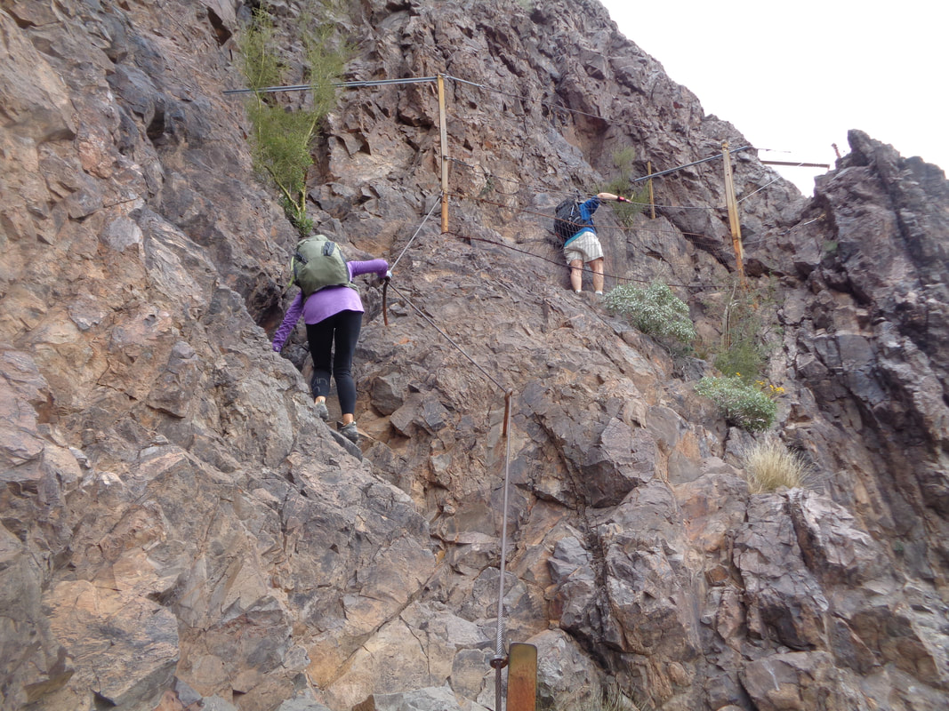
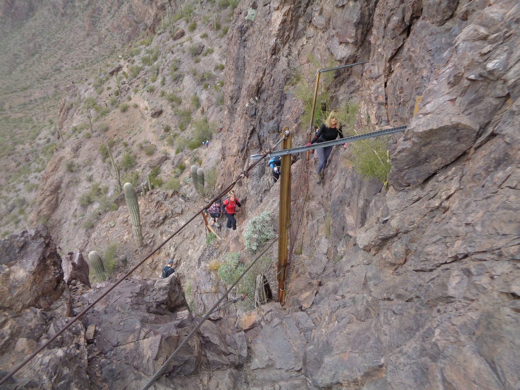
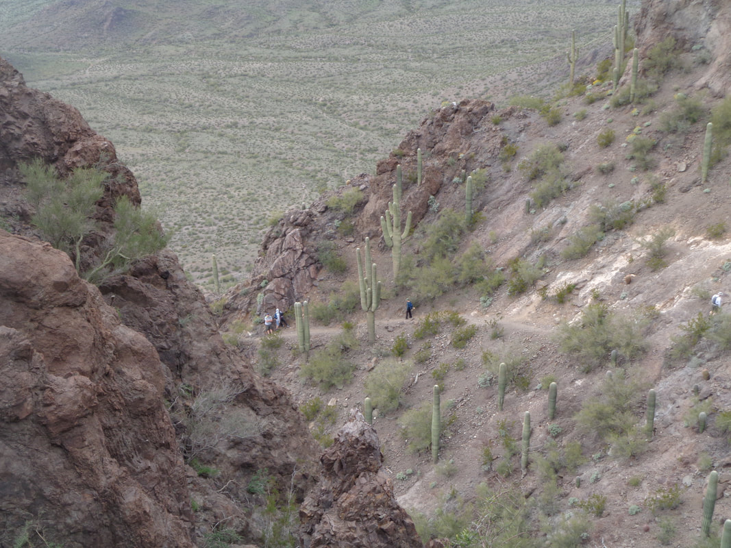
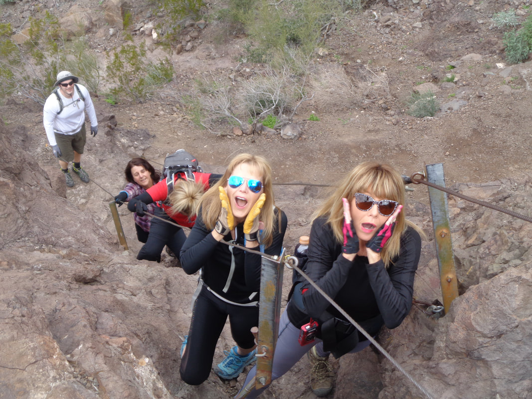
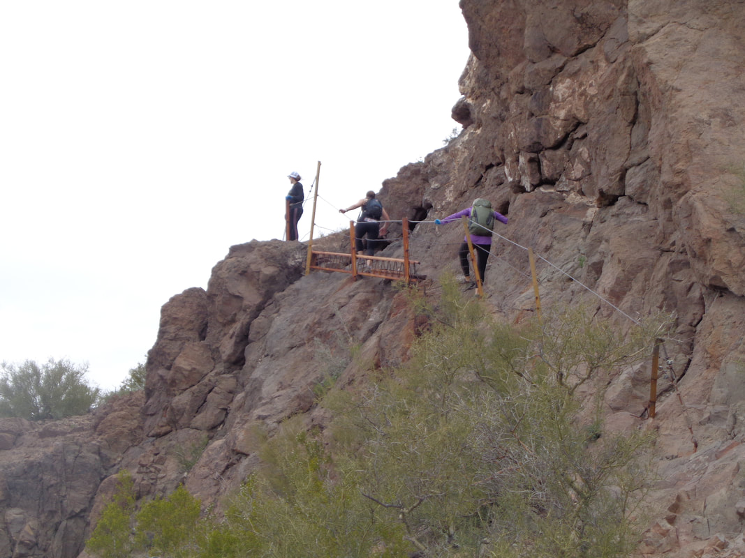
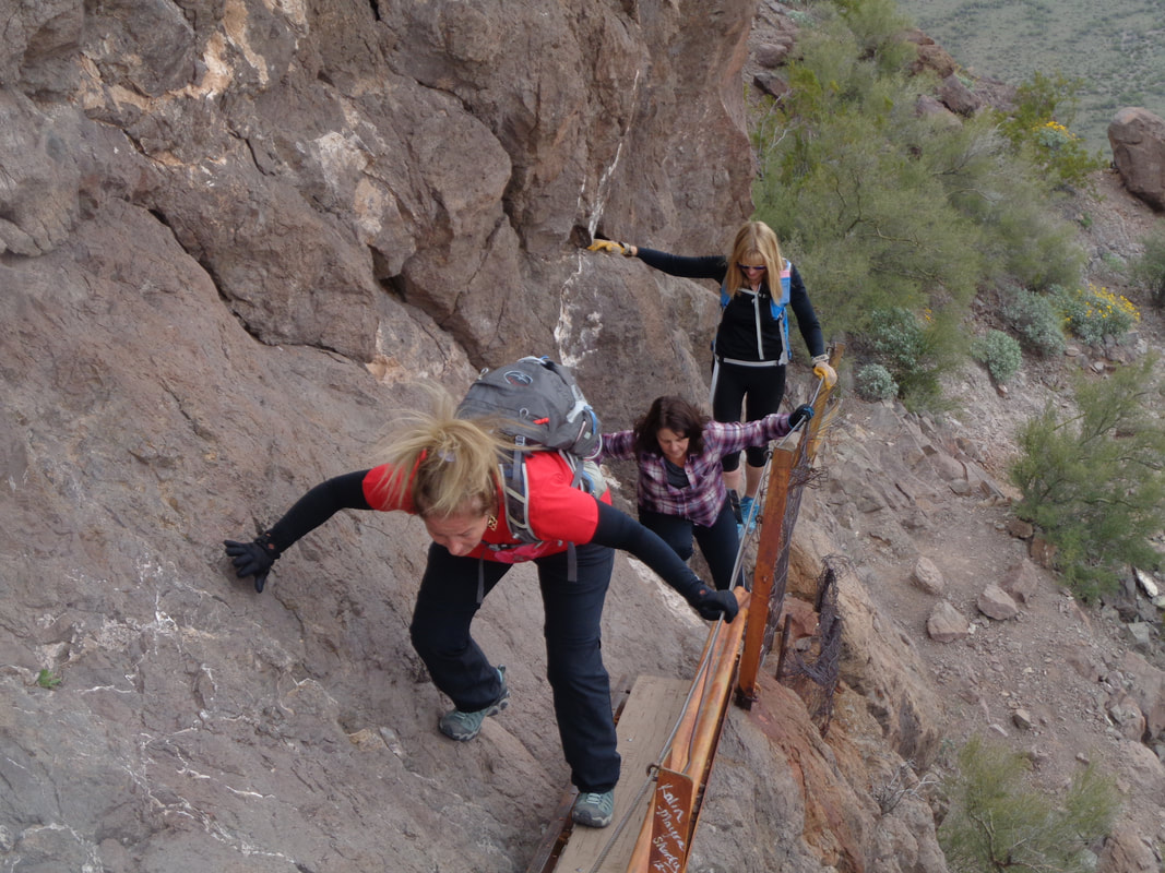
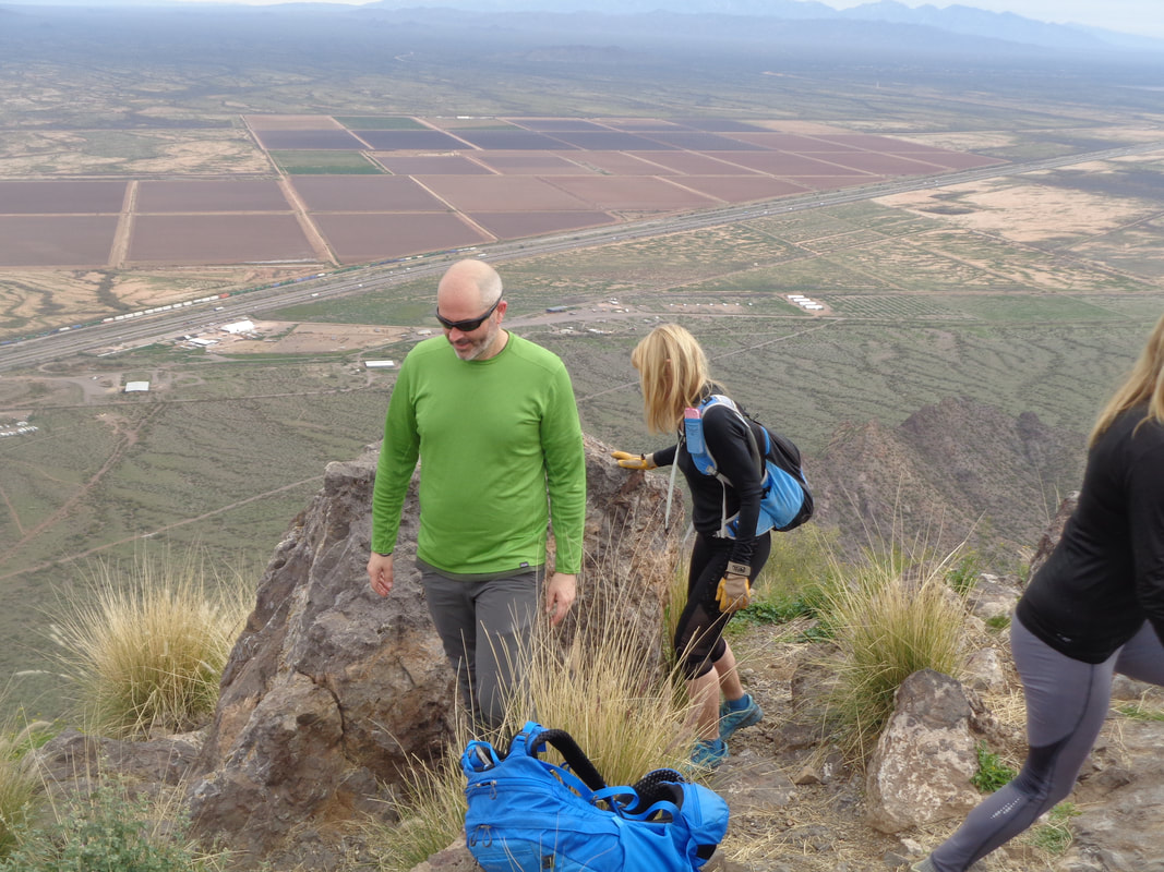
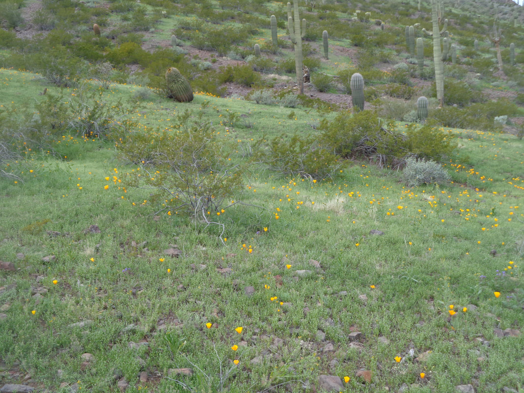
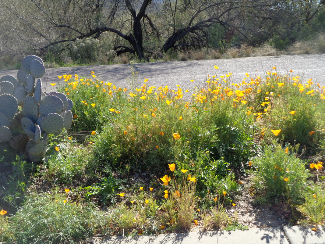
I took a back way to Picacho State Park but doing so exposed me to the longest line of container laden railroad cars I have ever seen. In the distance, today's destination, Picacho Peak. I was joining a new, Phoenix based group called "Off the Beaten Path". What is it with these Phoenix groups? It's as if all the members took a course in, "How to be a Fun Hiker". Another enjoyable group! I failed to take any images at the start of the hike or during the ascent to the saddle which is about ,7 miles with an average grade of 30%. Steep! Above and in the distance is the final set of switchbacks to the peak but between here and there, lots of fun challenges. Readers of my silly blog know of my affinity for pursuing Strava segments.I knew the opening climb to a saddle was a segment and that I had not pushed myself on previous visits so today I did and.... ….I'm satisfied with that. The above segment was not the entire climb, just the steepest portion of it. I reached the saddle in under 20 minutes and was happy about that too. For the duration of the hike, I enjoyed hanging with the back of the group and providing any help I could. Once we all gathered at the saddle, we plunged steeply down the back of the mountain. Without the cables, few would be able to manage the descent. Note everyone is wearing gloves, including Lucy, the woman in red who was overcoming a fear of exposure. I was aware of two points later in the hike that would probably give her pause but she bravely persevered. On this hike, whenever you are ascending or descending, you are doing so steeply. It's "only" 1.5 miles from bottom to top but we gain over 2000'. One of the 3 cabled sections during the ascent of the back side of the mountain. More of our group pours through the narrow gap afforded to us to gain the peak. At the top of the 2nd section, I see plenty of people following. I'd guess today would see 50+ people visit the peak including a large group from China, two Boy Scout groups, a bunch of people from MN, etc... No, this is not how people react when encountering me on the trail:) Instead, Shannon and Lori playacting as these two had no issues with any part of the ascent. The final "scary" section that includes a walk across a plank. All made it, including Lucy who I am sure had a tremendous feeling of accomplishment when she..... ...reached the crowded peak. The group planned a picnic after the hike and if I had known they would be such an enjoyable gang I would have brought something and participated. I began my descent and noticed.... ….the poppies were opening. Well, got to get ready for a good Sunday hike. Finished with a little over 3 miles but what an enjoyable distance it was.
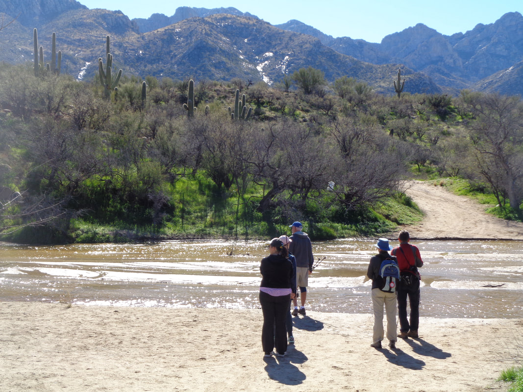
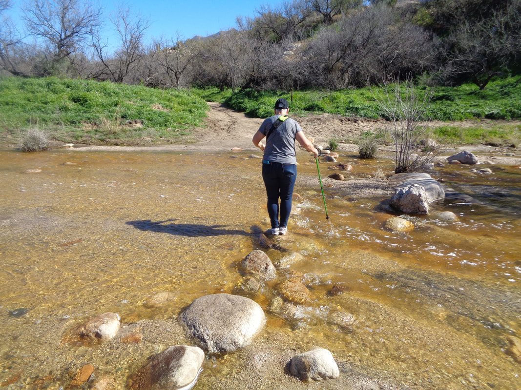
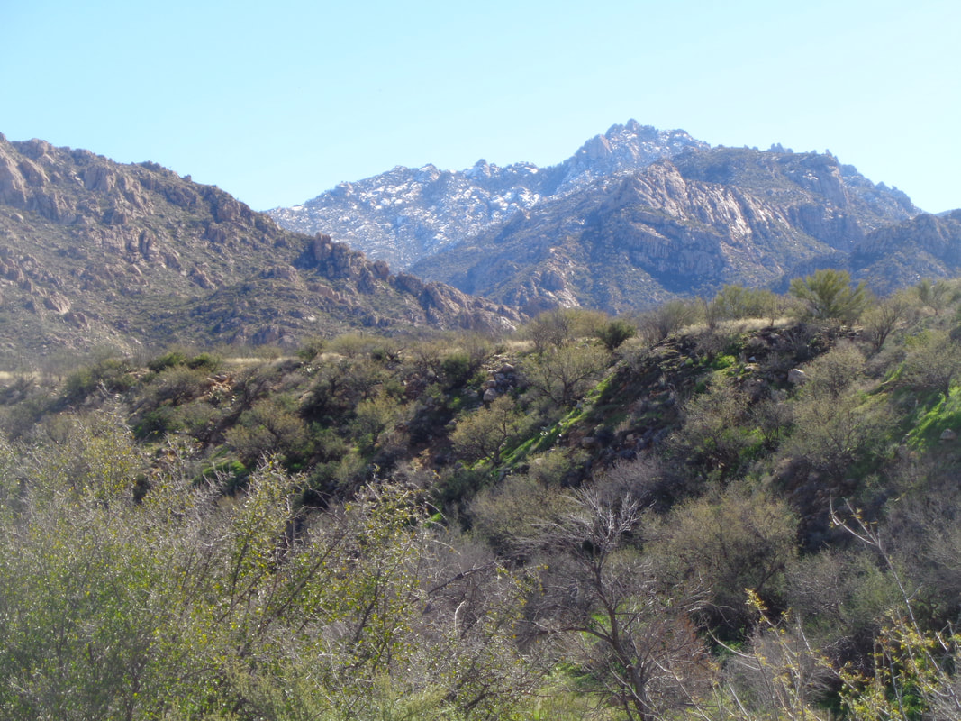
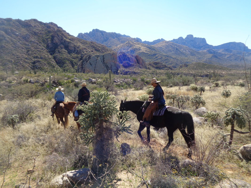
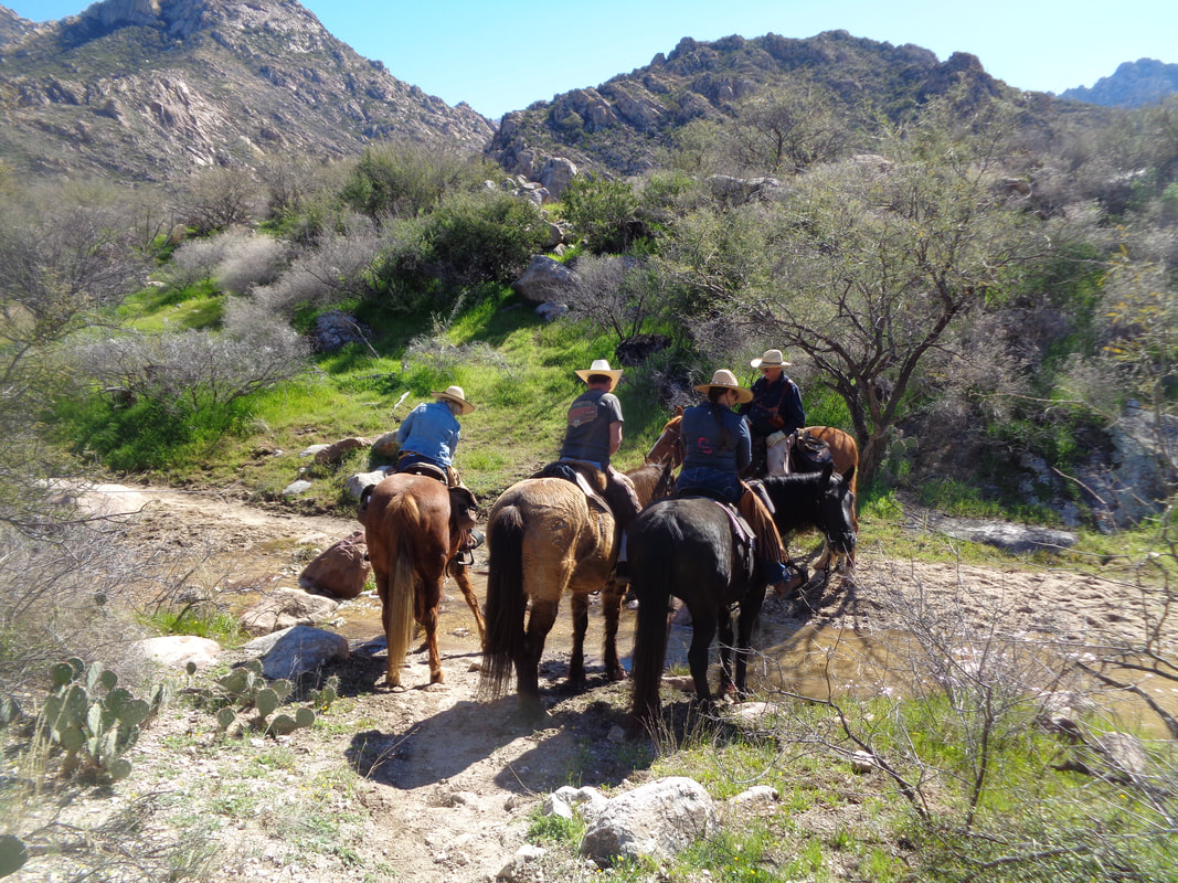
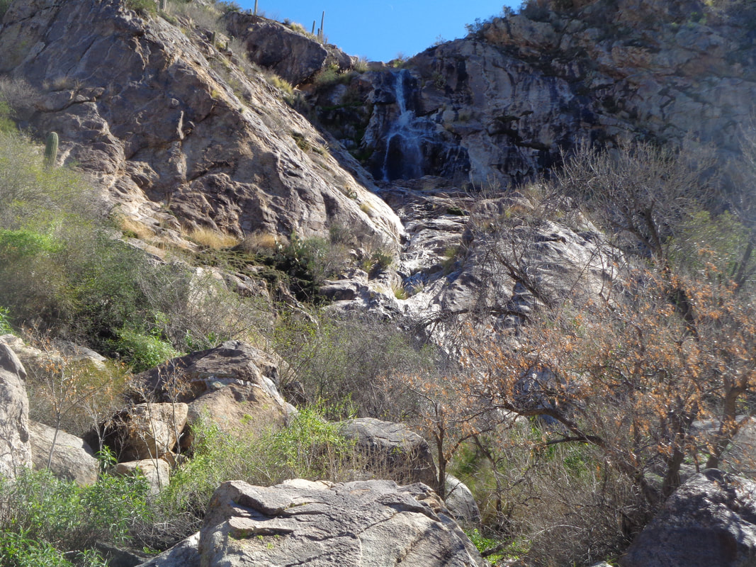
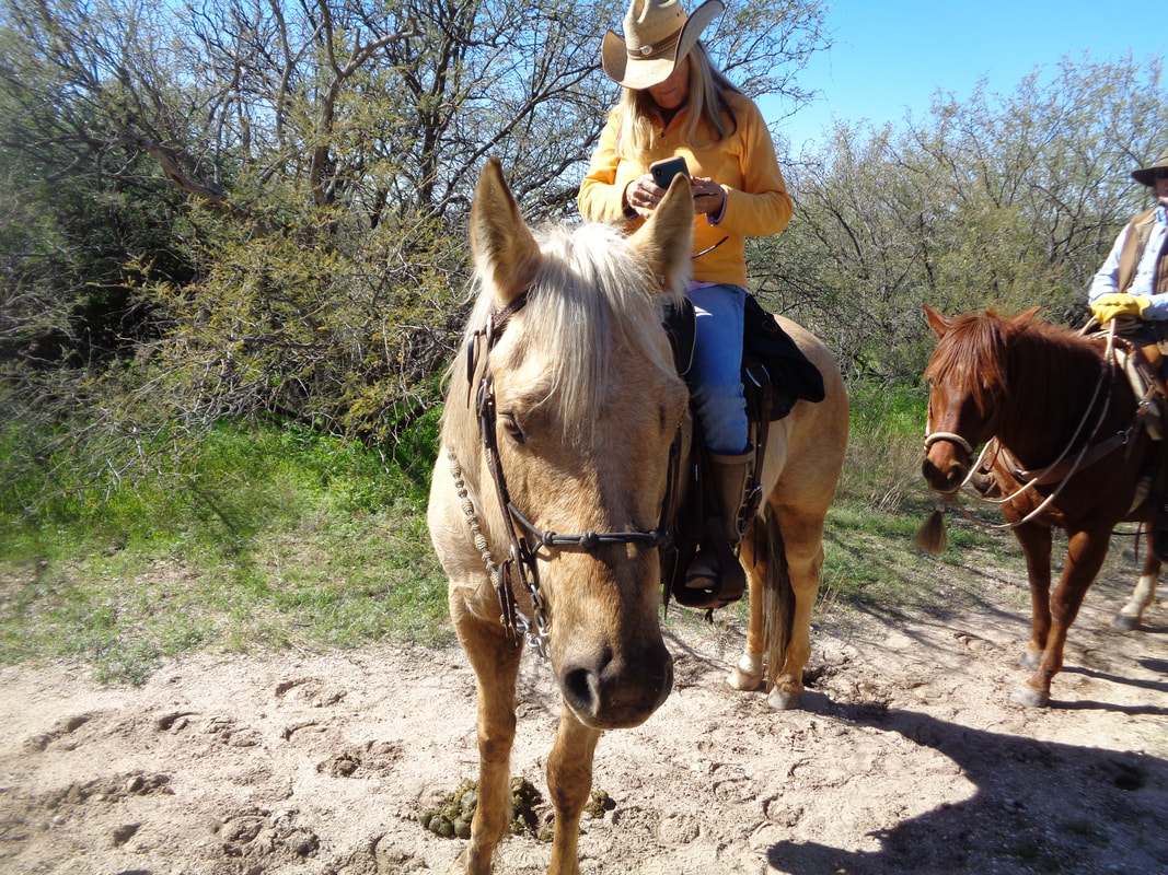
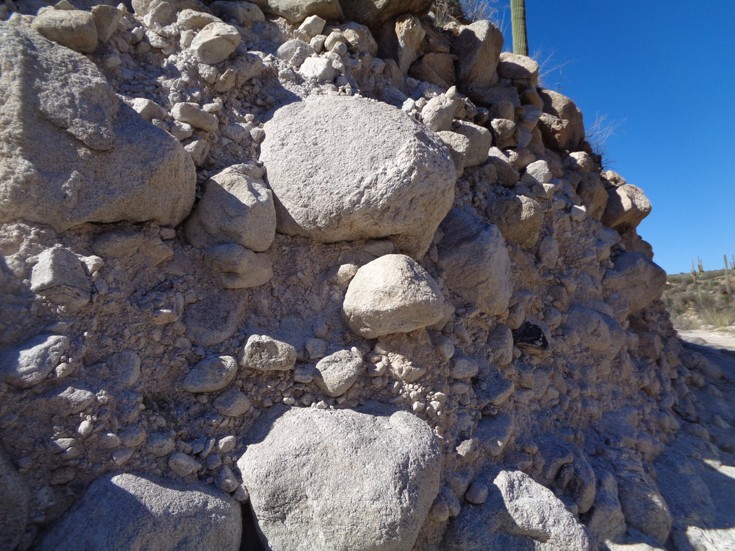
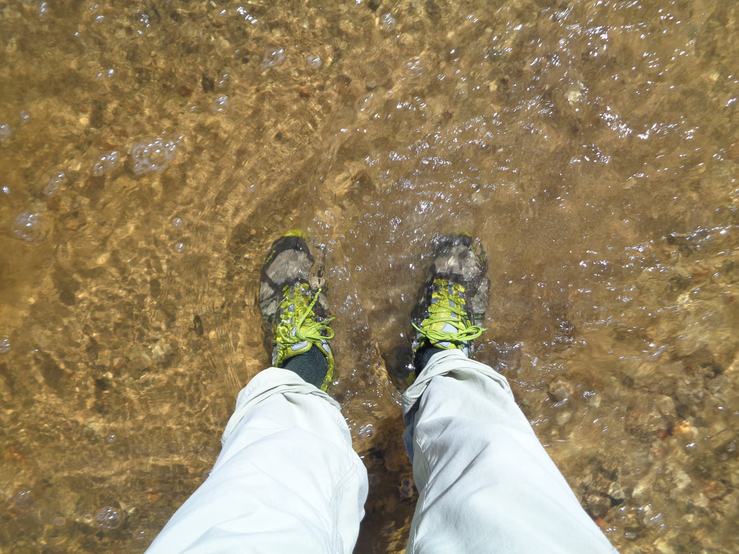
In the distance, slickrock glistens with the flow of water, which eventually reaches the dry washes and turns them into streams. My route today would require me to hope or wade across 9 crossings. The above group look up and down stream for a way across but there are no better options. This woman got about half way across and then fell in. I took off my shoes and socks and went across and redressed. Snow clings to the slopes 8-9000' above me. Ski Valley received 5" of rain last week so I think skiing has been suspended although some snow arrived a few days ago so hard to say. I passed 4 hikers who were headed to an uninspiring destination so since I was in no hurry today, I encouraged them to follow me to a falls instead. A group of four riders passed us and then at yet another stream crossing.... ...waited for the horses to drink. At about the 2.5 mile point, we rounded a corner and.... ….the falls was spectacular. Many additional falls are up there, protected from view unless you do a climb. After my hiking foursome assured me they knew their way back, I headed back but encountered.... …. a group of three riders and horses. The one above took interest in me. Moving on..... The trail cut through the end of what must have been a powerful landslide. Once I reached the midpoint of the 5 mile hike, I stopped taking off my shoes and just waded across the streams. Of course, now I had to get my shoes dry for tomorrow's hike. The poppies are blooming now each late morning. Beautiful day.
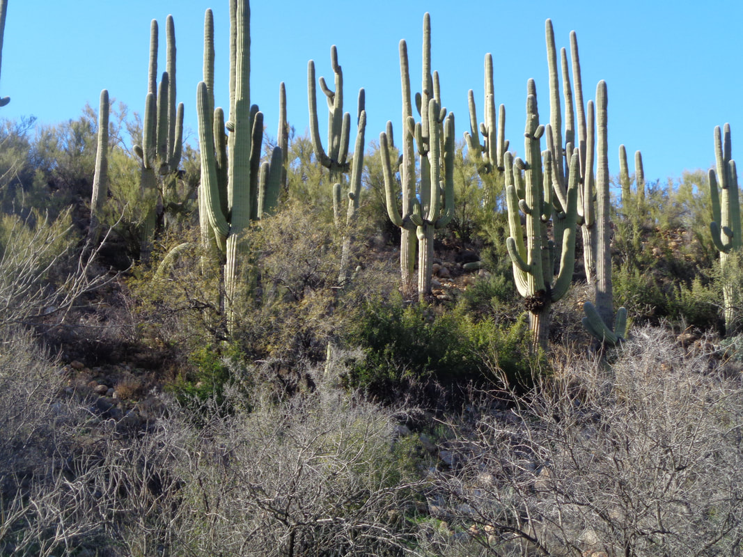
That's three group hikes in a row that I have cancelled either because of rain or the run-off from the mountains caused the normally dry washes to fill and prevent crossings. While scouting Catalina State Park to check the water level on Thursday afternoon, at the first wash, it was a no go. The water is not running too swift nor is all that deep. You could remove shoes and socks, wade across, redress and go on but to do that 4-5 times? No thanks. A thick grove of saguaros. Been a lot of cat sightings recently and while sitting on the patio of a restaurant this week, two bobcats strolled through the parking lot directly in front of me. They walk as if they don't have a care in the world. Not frightened at all. Well, a high of 68 today and I should ride but headed out to hike.
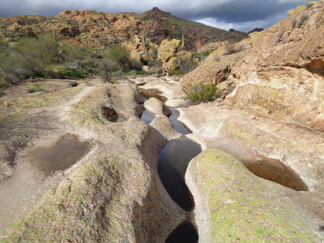
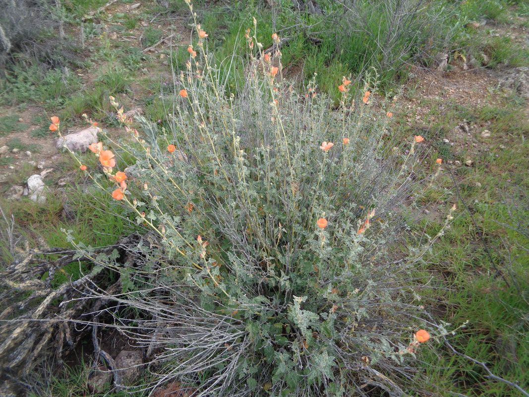
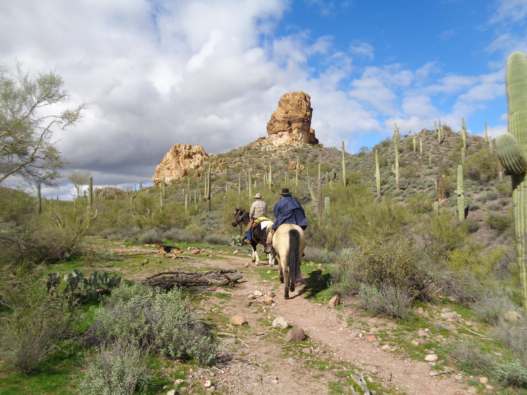
The Goldfield Mountains, while across the street from the Superstition Wilderness, is an entirely different area and one I had not previously visited. I parked at the Bulldog parking lot off Apache Trail at mile 204. I was unable to down load a route from "Hikeaz", the premier source for hiking routes in Arizona. So..... …..I just headed on a trail, no map, no idea of the area. Reaching a ridge, I looked back and could see from where I came. Beautiful. I had walked by a couple of trail forks and just stayed on the one most heavily trafficked. The trail wound around beautiful rock formations and I met two hikers coming the other way. I asked them for route options and one of them grabbed a stick and began tracing a route in the dirt. Turn here, look for a water tank there, don't miss a trail that forks out of a wash, etc... I was skeptical I could find all that they described but the first landmark..... ...was obvious. A series of pools, the look for the "tin man".... …..and I found it although the point at which I took the image did not maximize why the grey rock formation was known as the tin man. It was the color and the shape that gave it its name. A funny thing happened. I kept finding and remembering the route description as traced in the dirt. I emerged around a rock formation and saw bright green moss growing on the north side. Flowers are beginning to bloom and always.... ….watch not to brush against plants that had a cactus growing on the inside. After 6 miles, I found the original trail at which I entered the Goldfields, moved aside to allow a couple of horses to pass and hopped into my car. Fun area and there are many arches that I'll find on future hikes.
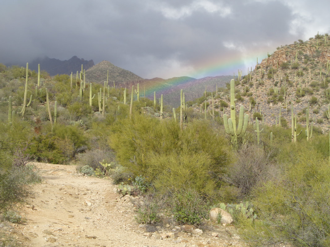
Over time, I have made a conscious effort not to introduce profanity into the reports but....WTF!!!! OK, that's an acronym but you get the interpretation. California sends us wave after wave of low pressure systems as their reservoirs are being restocked, the Sierra Mountains are 104% of normal snowfall with lots of more precipitation coming. Good for them but this is the desert and, well, damn it! It should be sunny and 75 not cloudy, rainy and 60:( While touring the Sabino Canyon area I.... ….saw a nice rainbow and.... ….checked out the crossing going into Bear Canyon. I was to lead a hike tomorrow that required crossing that but with rain still falling in the mountains coupled with snow melt, that ain't happening. No, that looks like me but that is not me in the image.
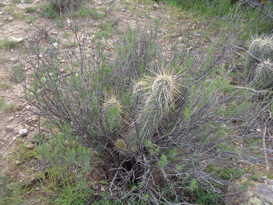
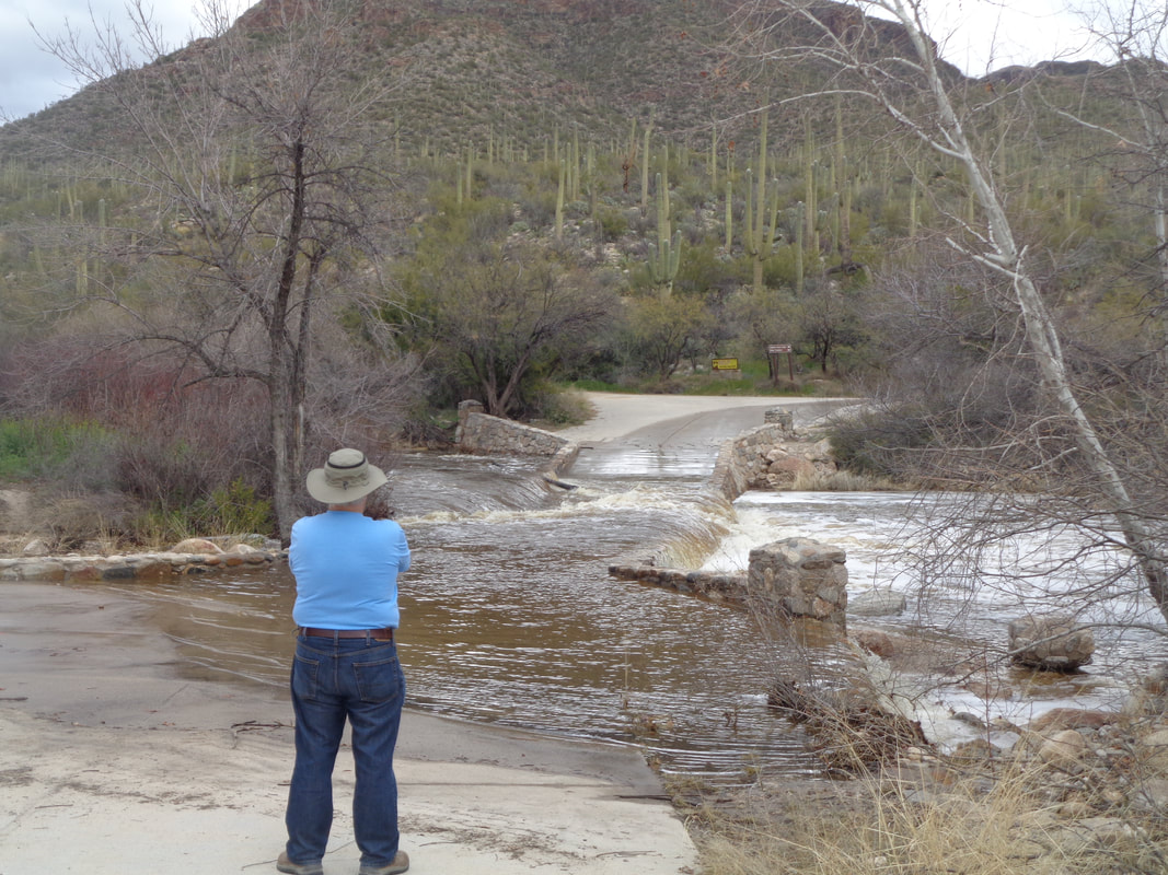
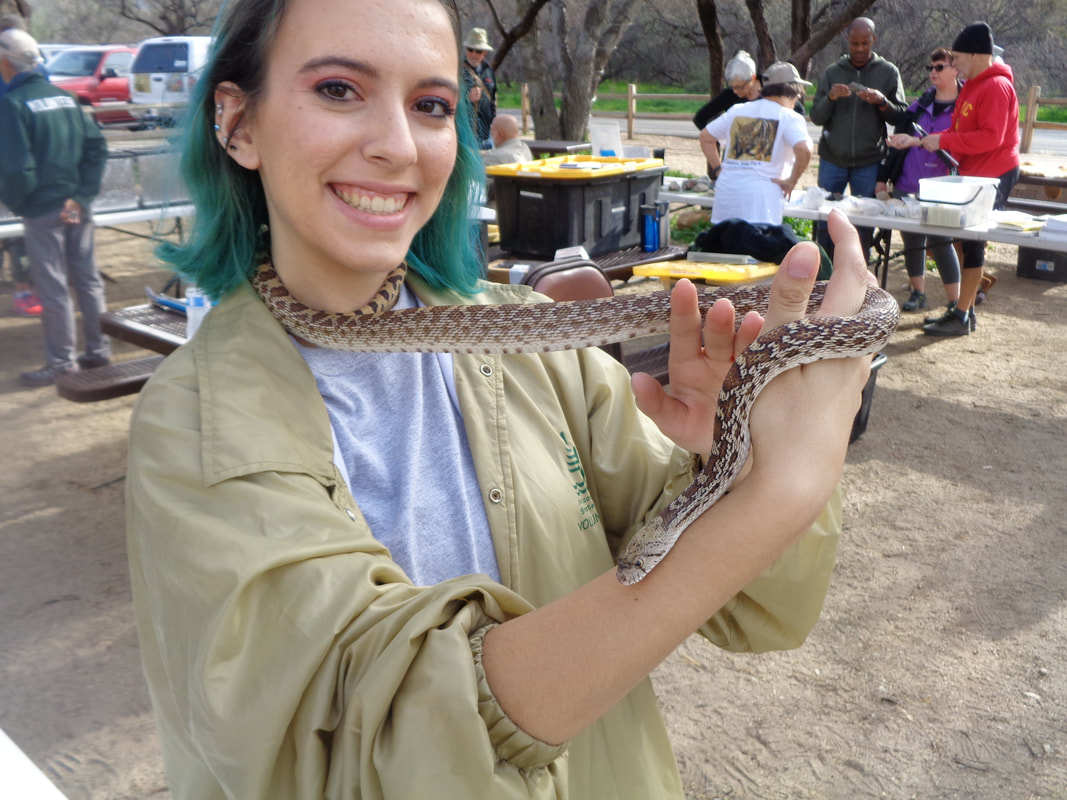
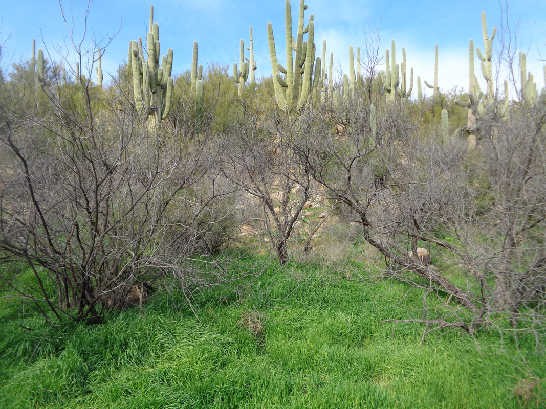
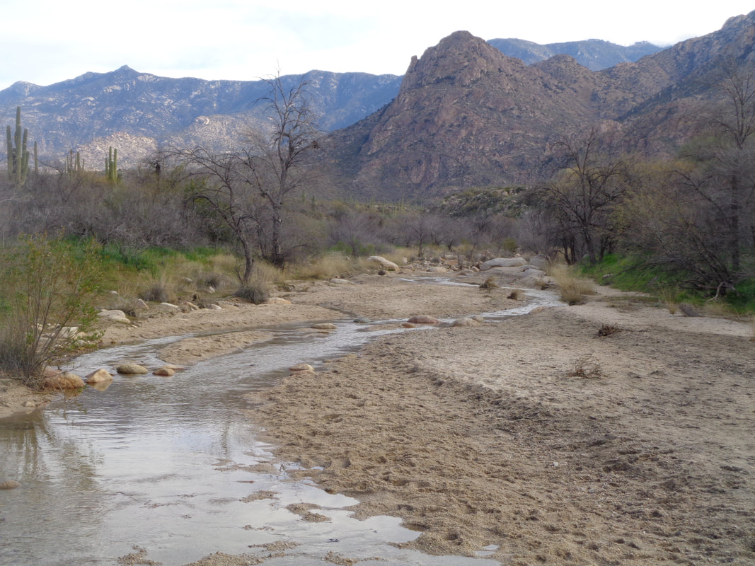
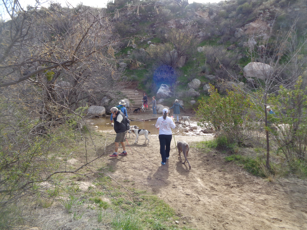
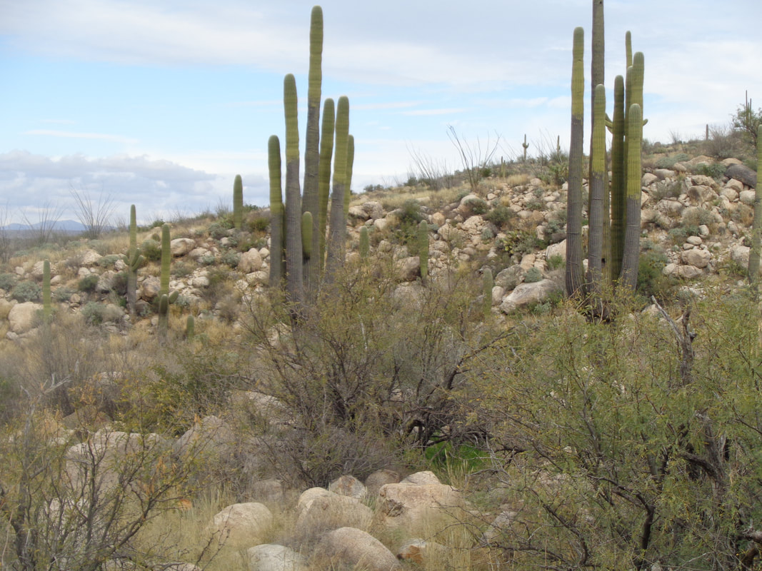
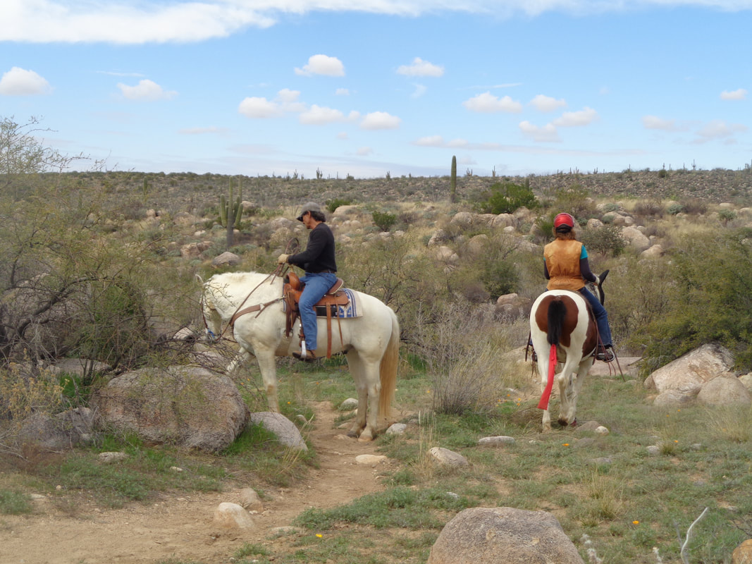
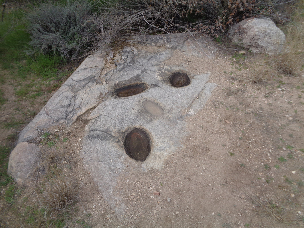
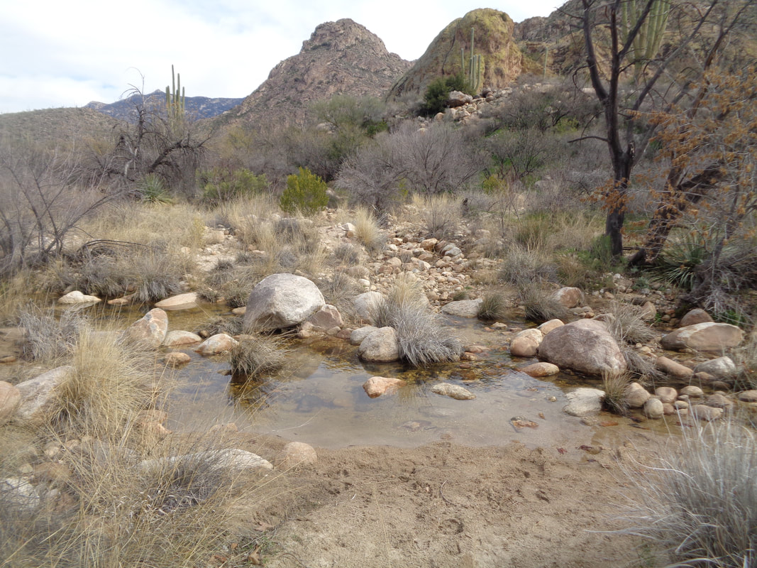
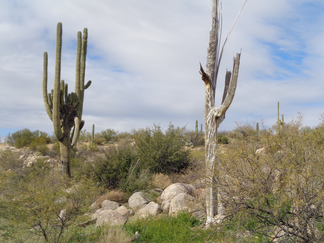
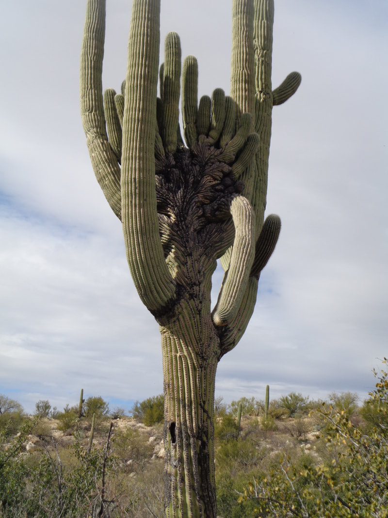
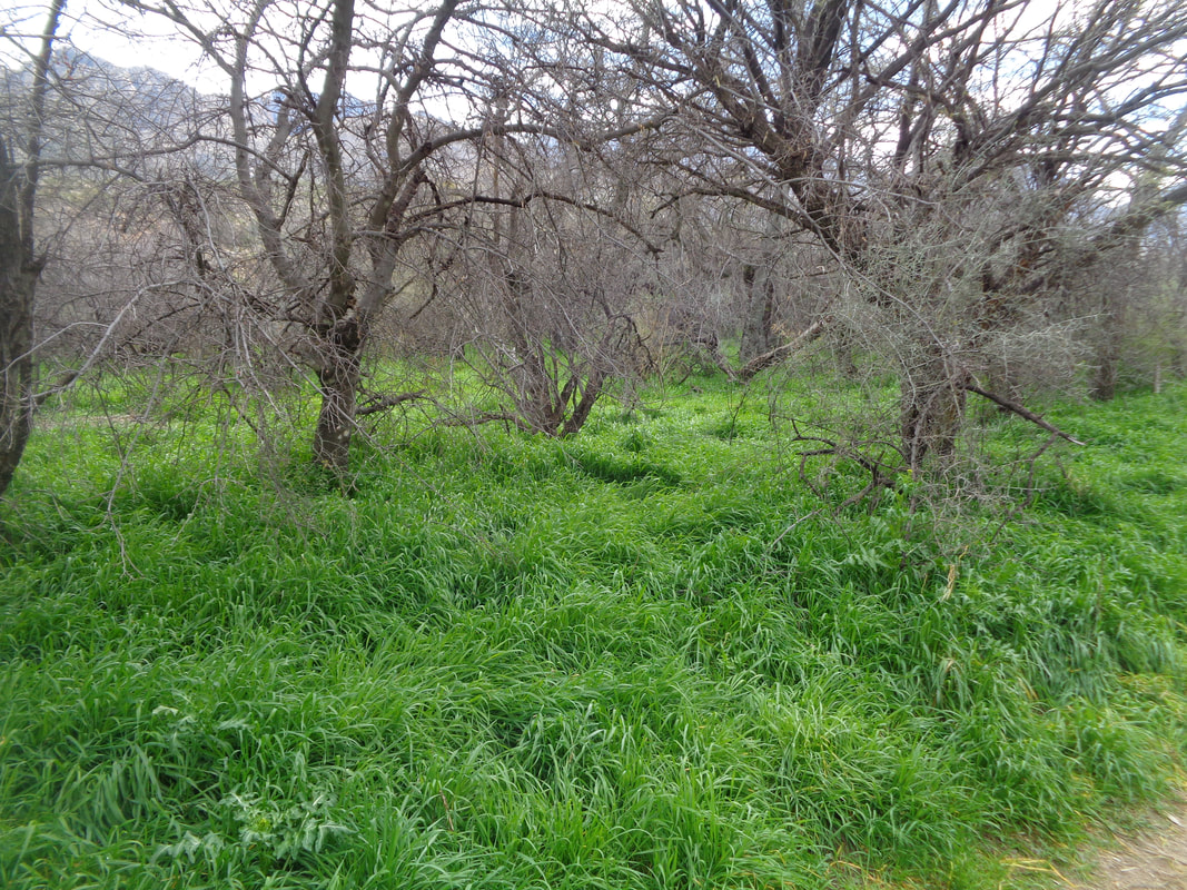
I had signed up to do a very fun hike in the Supes but I did not sleep well Friday night and when the alarm went off at 4:30am, no way. The group rightfully takes a dim view of last minute cancellations so I am awaiting news of the fine or suspension:) However, there are plenty of alternatives around the corner so I went to Catalina State Park, about 1 mile from home. A group had a wildlife display with lots of snakes. I set out on the Sutherland Trail and it was bordered by dense. lush grass and I had an urge to push mow it. Snow melt is coursing through the wash. It has not rained in awhile but that will change tonight. I actually had to cancel a group hike I was to lead on Sunday! As I type this report, Sunday morning, good thing too. California has sent us many fronts this winter and some have actually contained moisture. Been a good winter for replenishing ground water. The Park was hosting "hound Hike" so dozens of people brought their dogs. Fortunately, my route differed from theirs. I followed the Southerland trail for about 3 miles where it emerged to a broad trail link that would take me down to the 50 Year Trail if I made a left or a right would take me to the continuation of the ST. I decided to just turn around and then things got interesting. One thing, take a look at the saguaros. Note the grey portion below the green? I don't recall seeing this condition and it probably is not good. I encountered a couple on horses. I then reached a faint trail going left and unmarked. Hmmm, wonder where that goes so I followed it. I ran into two ladies who gave me lots of information, including a location of a little known falls. I found a couple of boulders that had grinding holes in them. Long ago the natives wore these by grinding meal. I reached a junction and hung a left and soon.... ….wow! Spectacular series of falls. I squeezed my way over these boulders, crossed the stream.... ….climbed the left side of a ravine and found more good views. There have been several mountain lion sightings within the last week, including a mom with two cubs! Those cubs need fed so I decided not to linger too long. A few hours prior to my hike, on the other side of Tucson, a guy was out looking at stars through a telescope when a lion charged him. He pulled a gun and BAM, at 20' the lion, stopped by the sound of the shot, turned away. Damn. The two ladies told me about a route to something called "The Big Green Rock" so I headed cross country and sure enough, in the correct lighting, it is a green. I dropped into a wash that also had a good flow of water and hopped across the rocks a few times as the route wound back and forth. I emerged on a trail called "Canyon Loop" trail and headed back to the car. Along the way..... ….wow, check out that dead but still standing saguaro and next to it.... ….a rare crested saguaro. I think something like one of ten thousand saguaros are crested. Note the unusual growth, center top. The trees have lost their foliage but it will be back soon. Check out that thick grass again! Another beautiful view of the running water with the mountains in the distance. Finished with 7 miles of hiking.
|
Categories
All
Archives
November 2023
|
