|
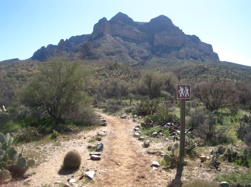
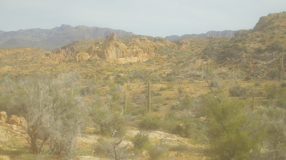
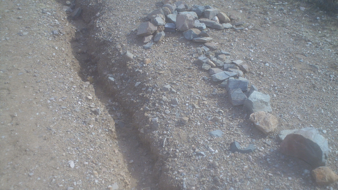
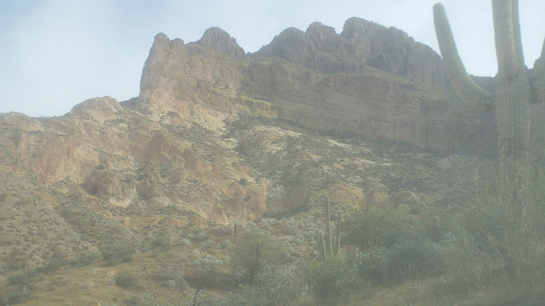
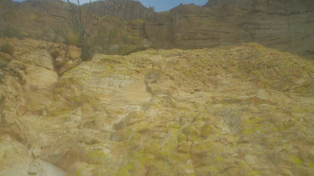
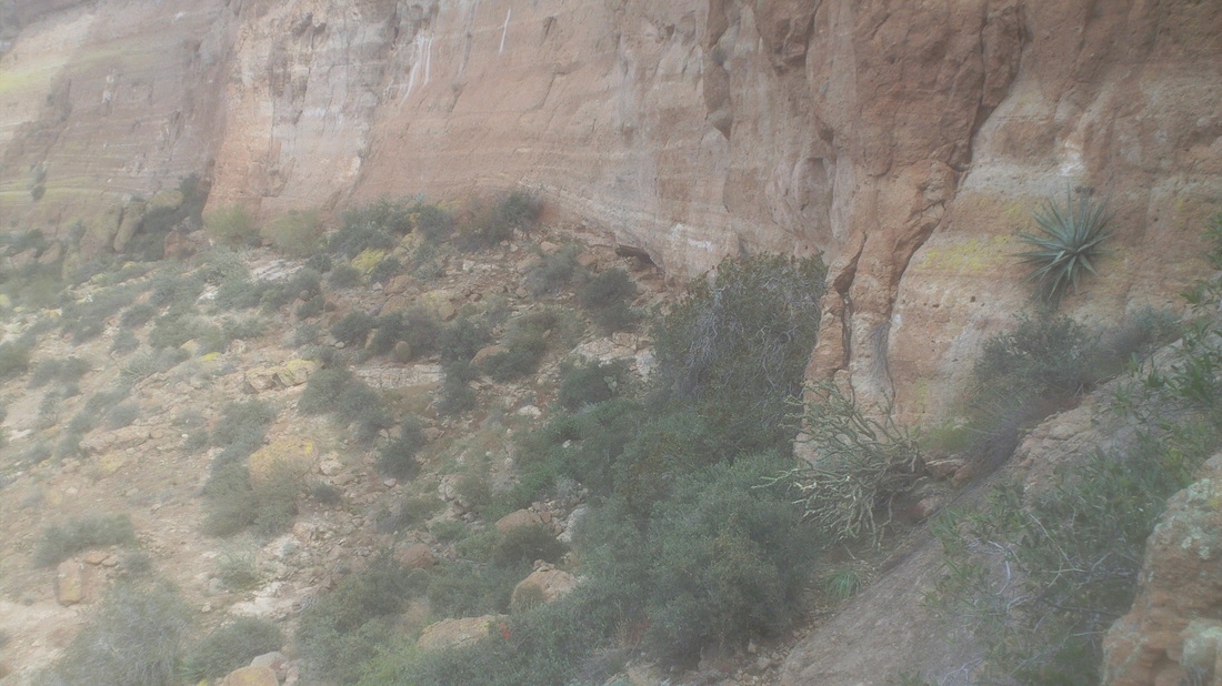
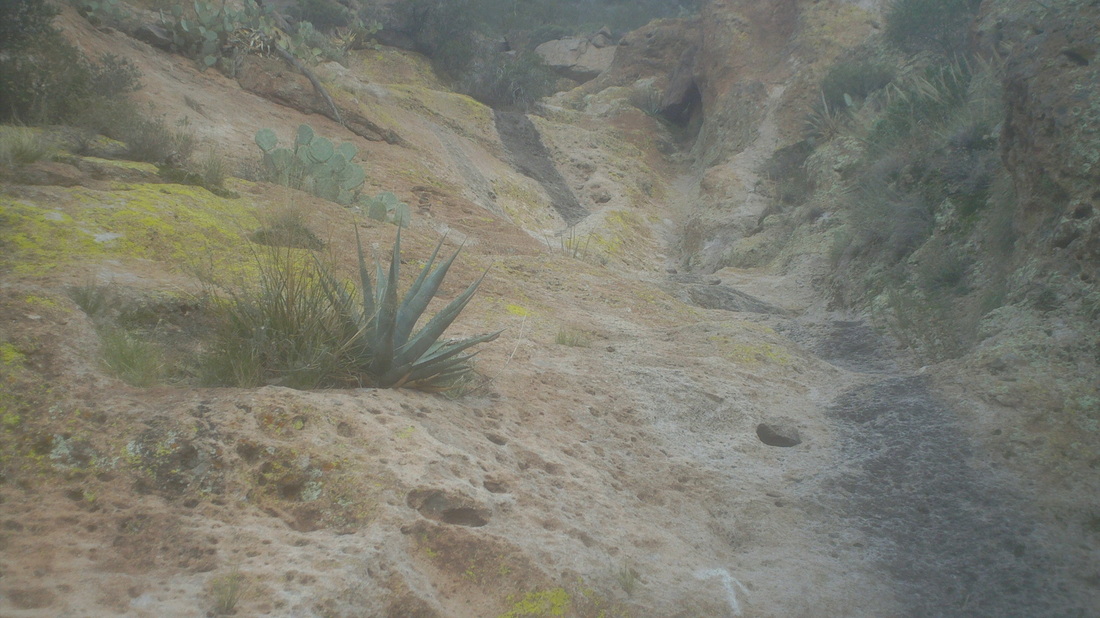
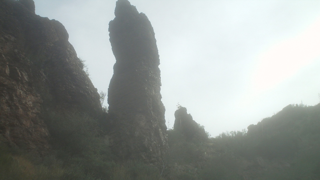
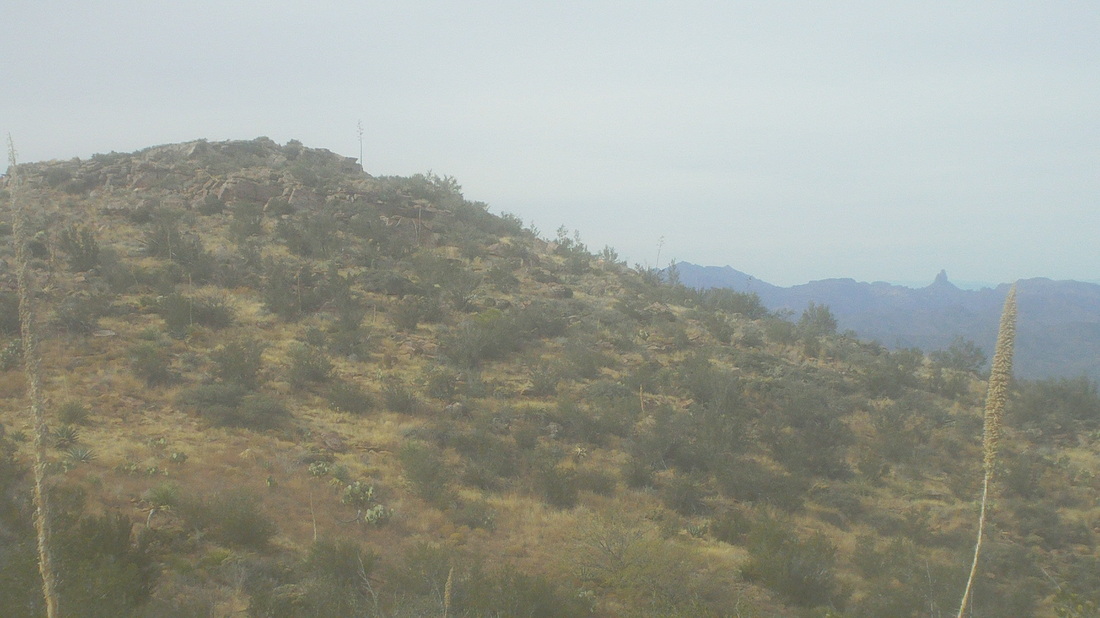
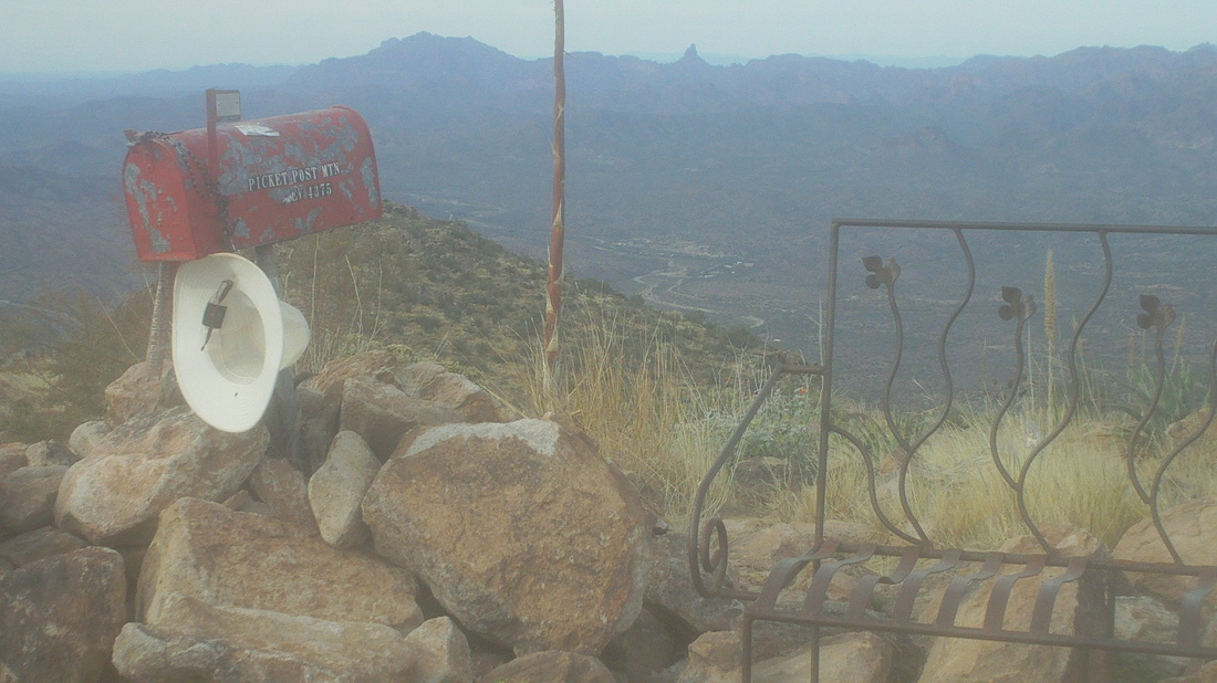
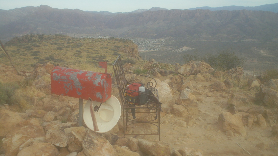
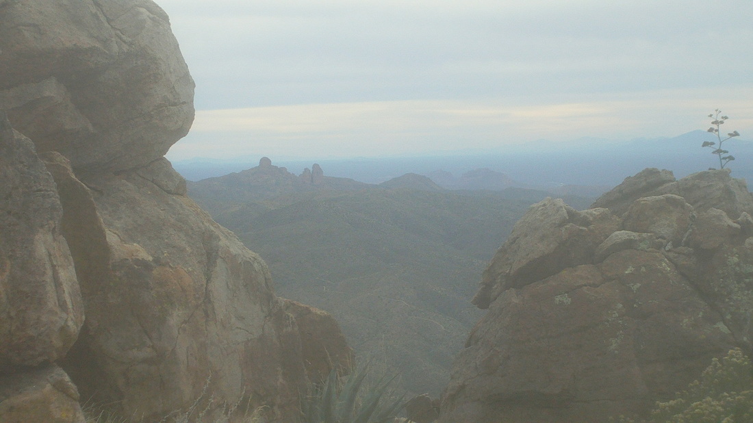
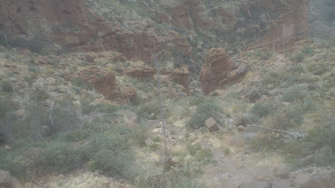
This was a very fun hike, comparable to Flat Iron but with more exposure, thus a few nervous spots. At the start, the sun was at an angle that made pic taking impossible so I lifted the above image from someone's web site, with thanks. I usually start these hikes, look at the destination and try to figure how the trail will approach the summit. Rarely do I guess correctly because things change so dramatically as you climb into the mountains. I was to make a left off the main trail at a cairn and did so. The walking was typical Sonoran Desert with nice views to the east. The trail was soft, loose all was going well until after 1/2 mile on this trail, I realized, hey, I have not seen any foot prints. I looked behind me and saw my prints were deep, defined, well defined. Dang, I had got on to a trail that circumvented the mountain so backtracked and got back on to the main trail. Soon..... ....I came to this. Now this is a no brainer message for people like me who don't read on-line hike reports carefully enough and don't bring a gps device. So, I hung a left on this old road and the trail soon left the road and began climbing. Lot of yellowish rock around here and the mountain drew closer. I came to a nice, steep rock wall and scrambled up. I reached a break in the stone face where the trail followed a side canyon. Looking along the base of the wall, there was a cave with a noticeable game trail leading into it. Would be fun to sit until nightfall and see what exited from it....not. Whoa, a large and long expanse of slick rock not too much different from the Siphon Draw on the Flat Iron hike. I stood here for a minute, trying to figure how to climb it without tumbling back down. I got through that, through some other neat sections, reached the top of the canyon, crossed over the top of it with some serious exposure, climbed around large boulders and.... ....began closing on the summit with these large hoodoos. Unfortunately, what I thought was the summit was not. The trail kept going up, reached another false summit, went up again and..... .....wow, what an incongruent sight. Amongst all this natural beauty and jaw dropping scenes was a red mail box, a bench some hikers carried up here several years ago and for some reason, someone tied a hat to the box. Inside, I found a notebook and pen and signed my name to it. Looking to the east was the town of Superior, AZ. I began the long climb down but not finding this crack in the rocks that framed some dramatic views to the south. Down I went, eventually going through that notch between the rocks in the center. Officially, it is a 4 mile hike but with my mucking around at the beginning, I ended up with 6 miles, 2200' of climbing. A fun hike, this is not a fitness hike to see how quickly you can reach the summit because there are too many spots a fall would be fatal.
0 Comments
Leave a Reply. |
Categories
All
Archives
November 2023
|
