|
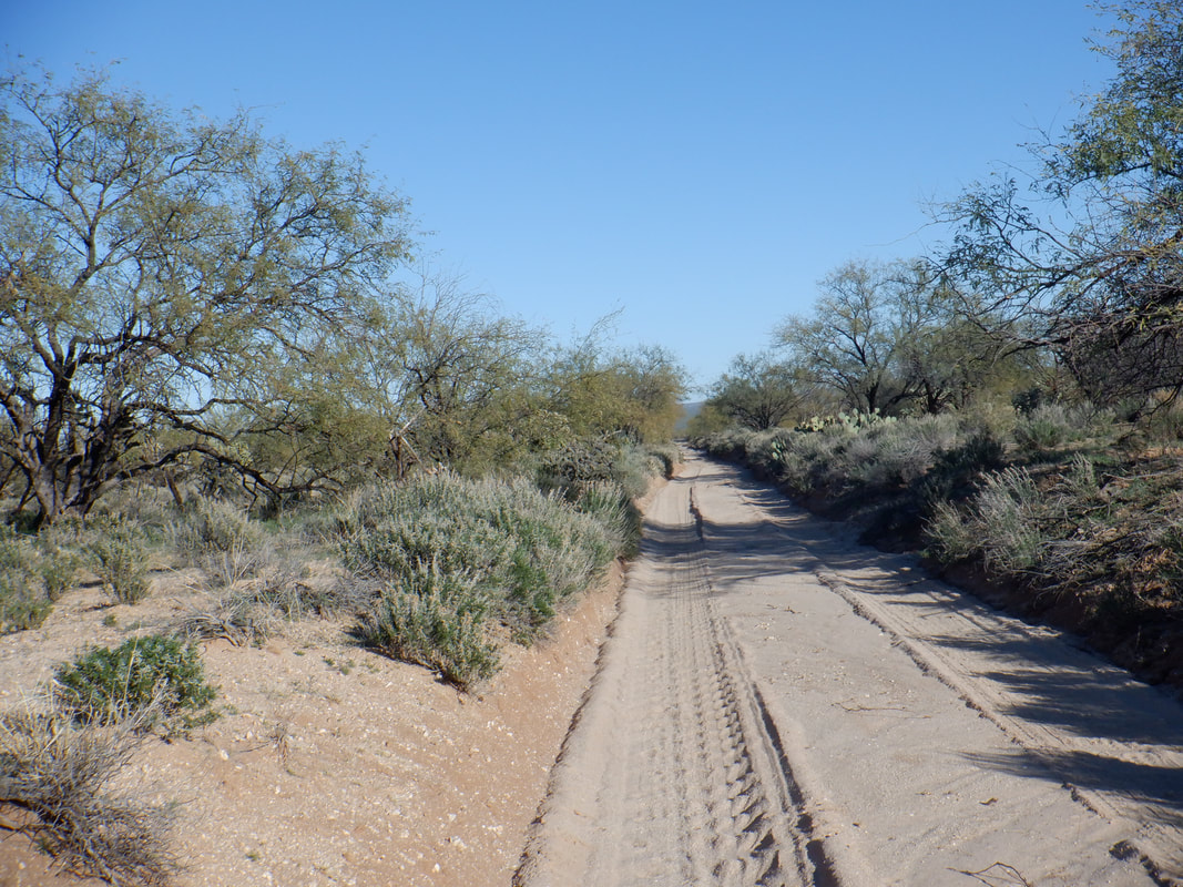
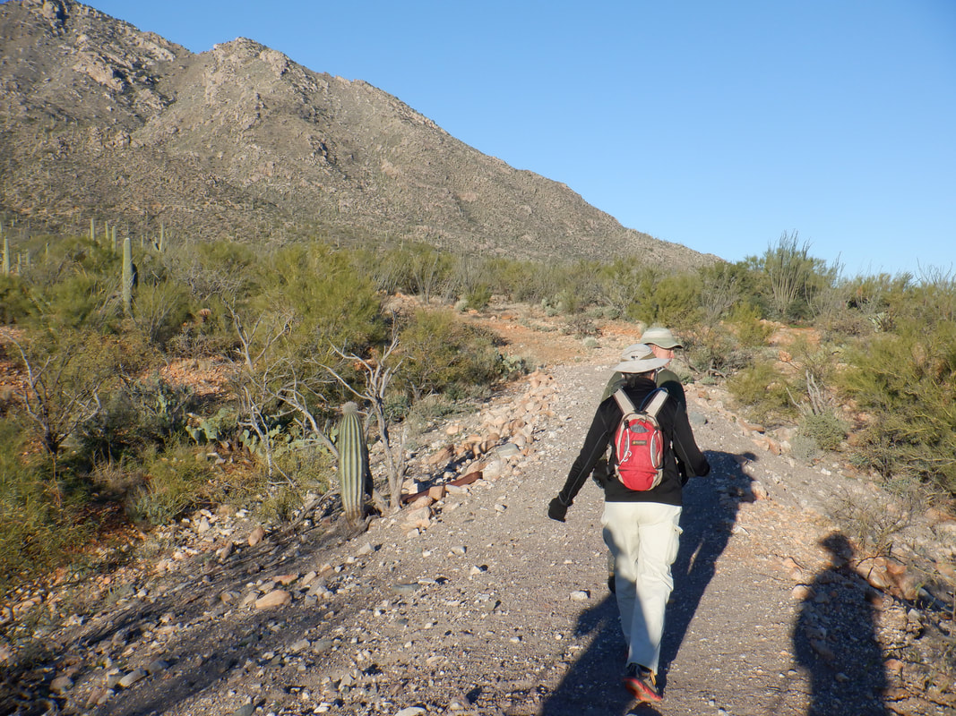
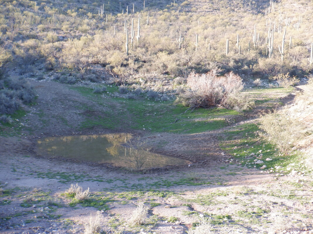
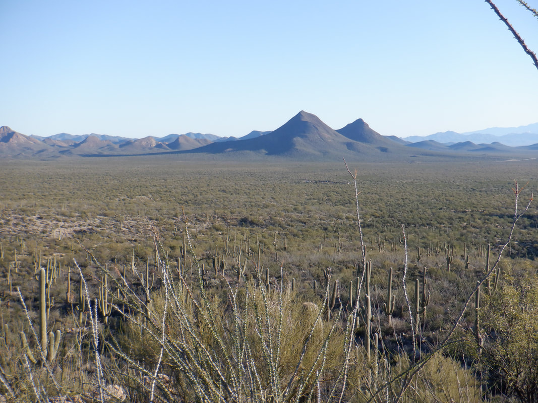
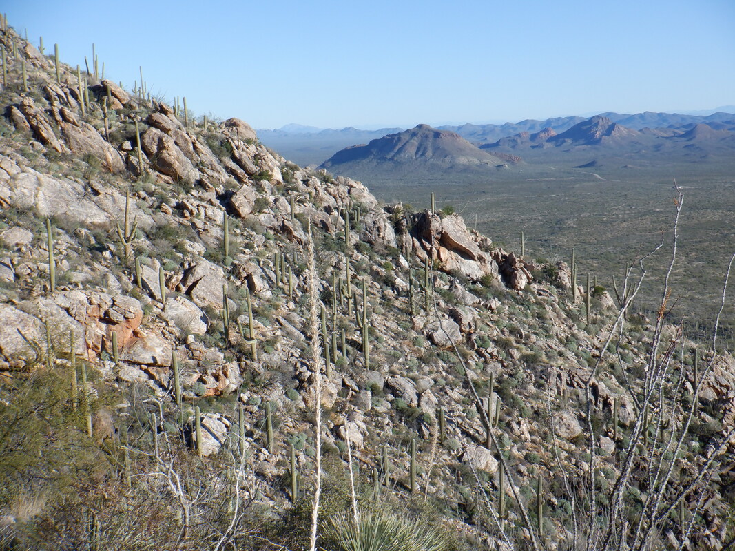
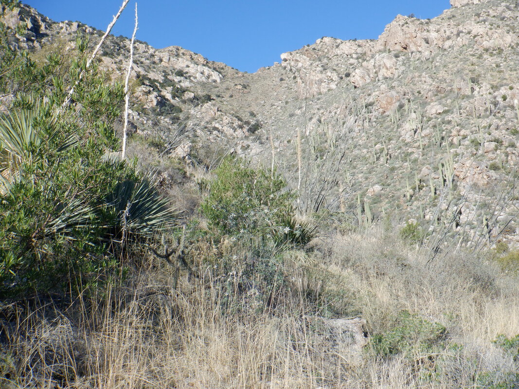
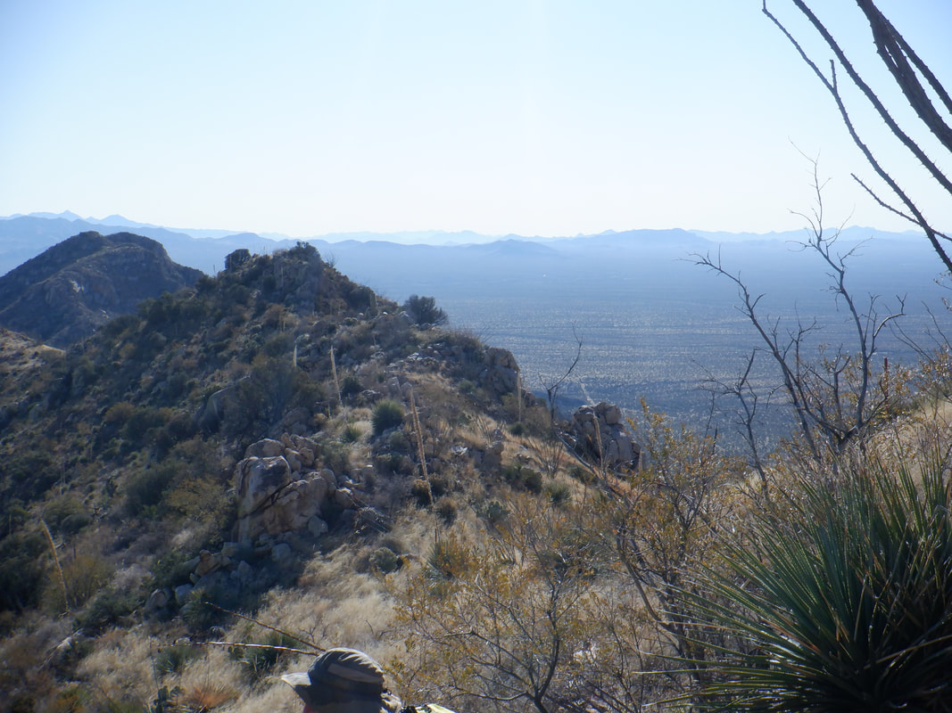
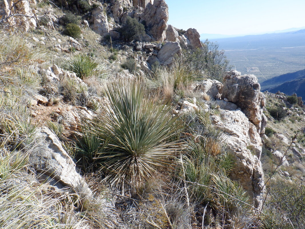
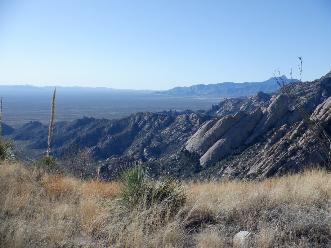
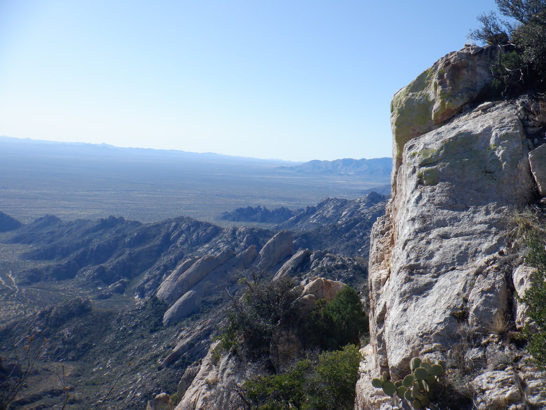
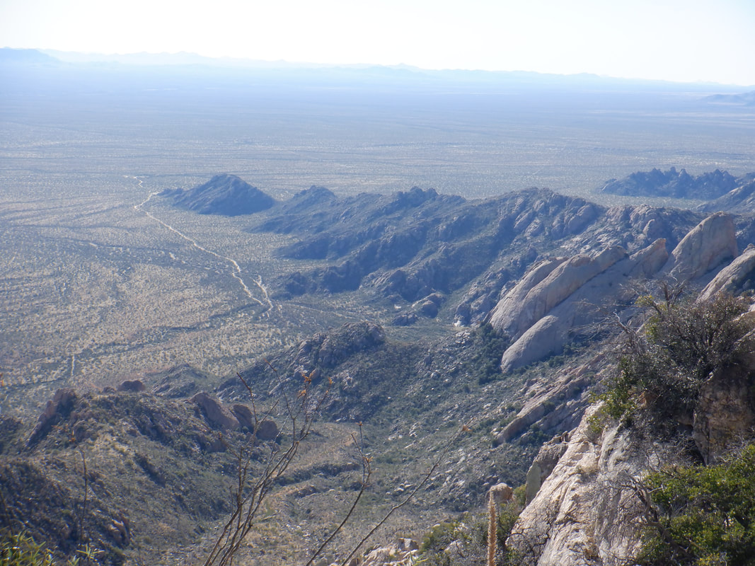
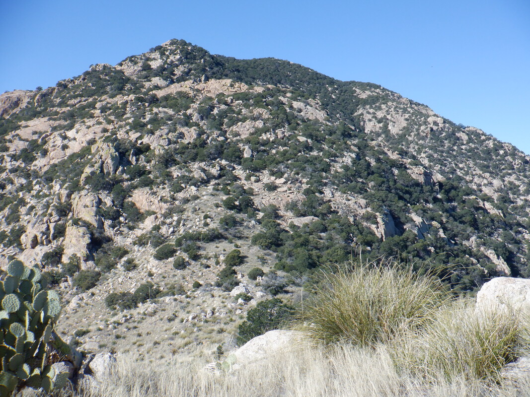
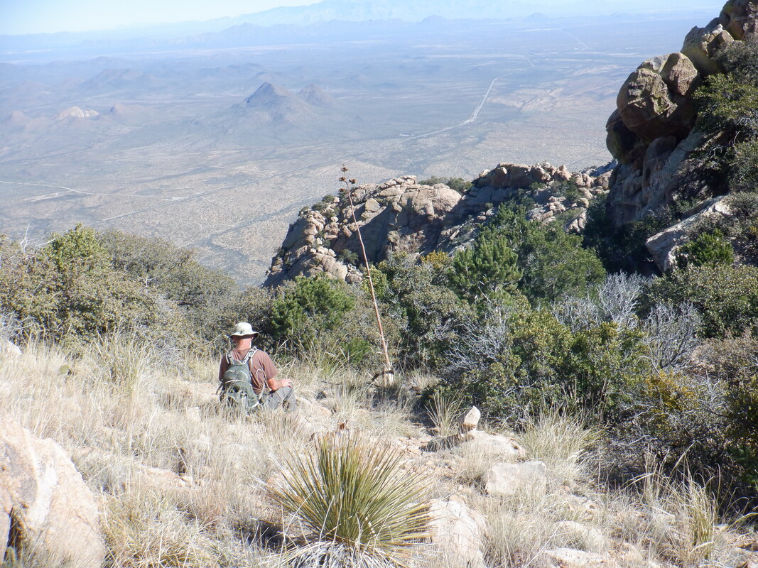
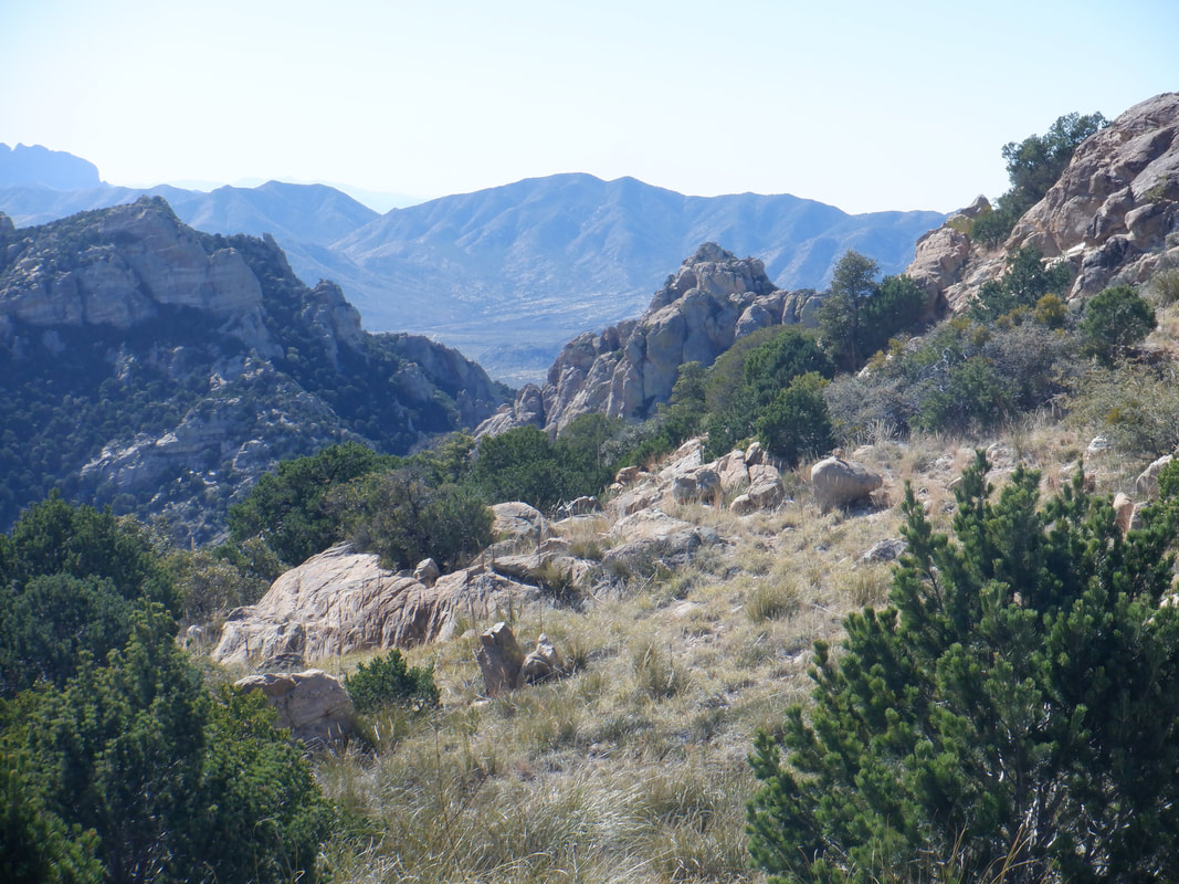
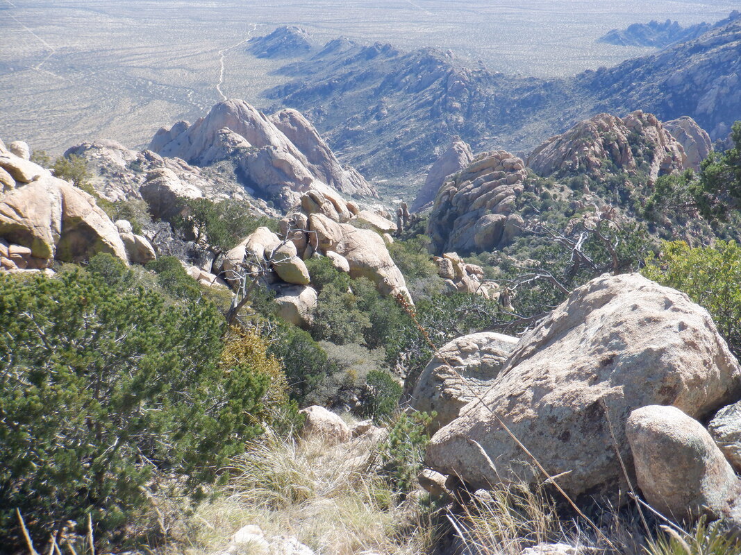
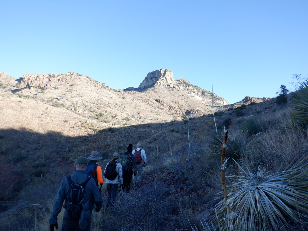
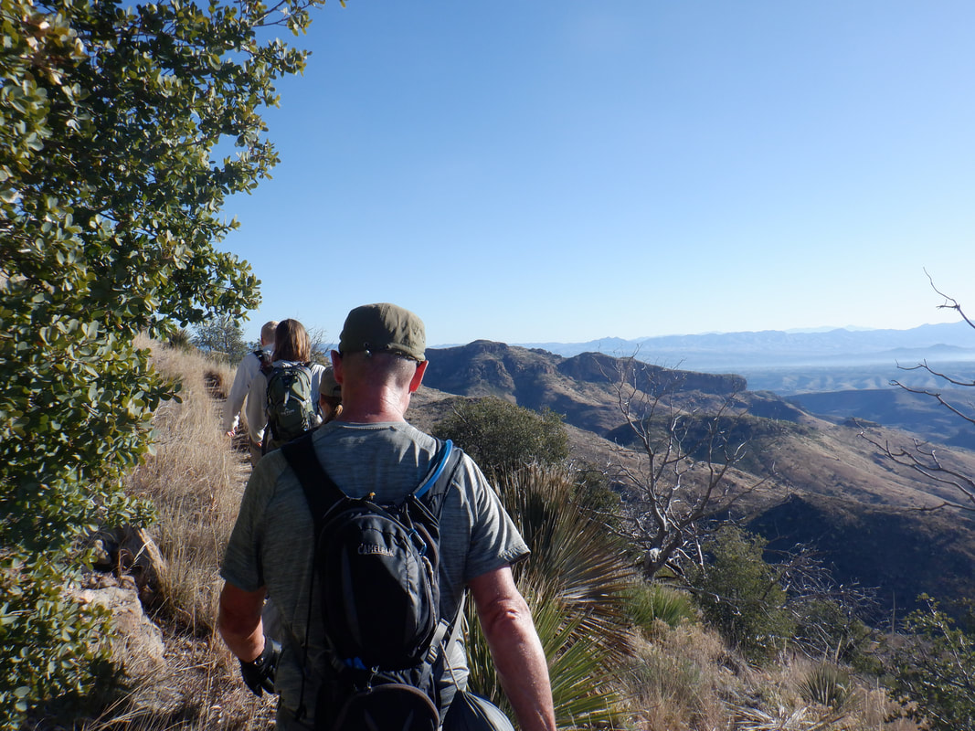
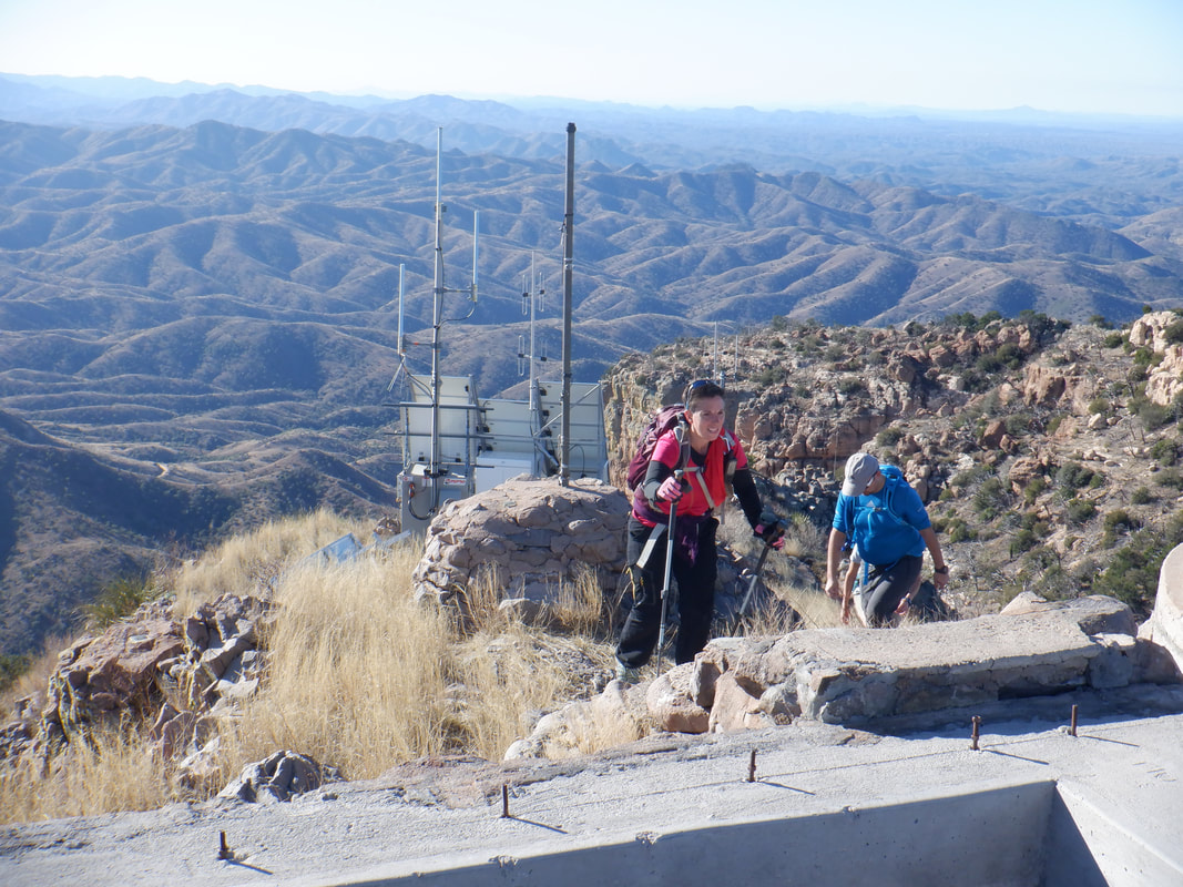
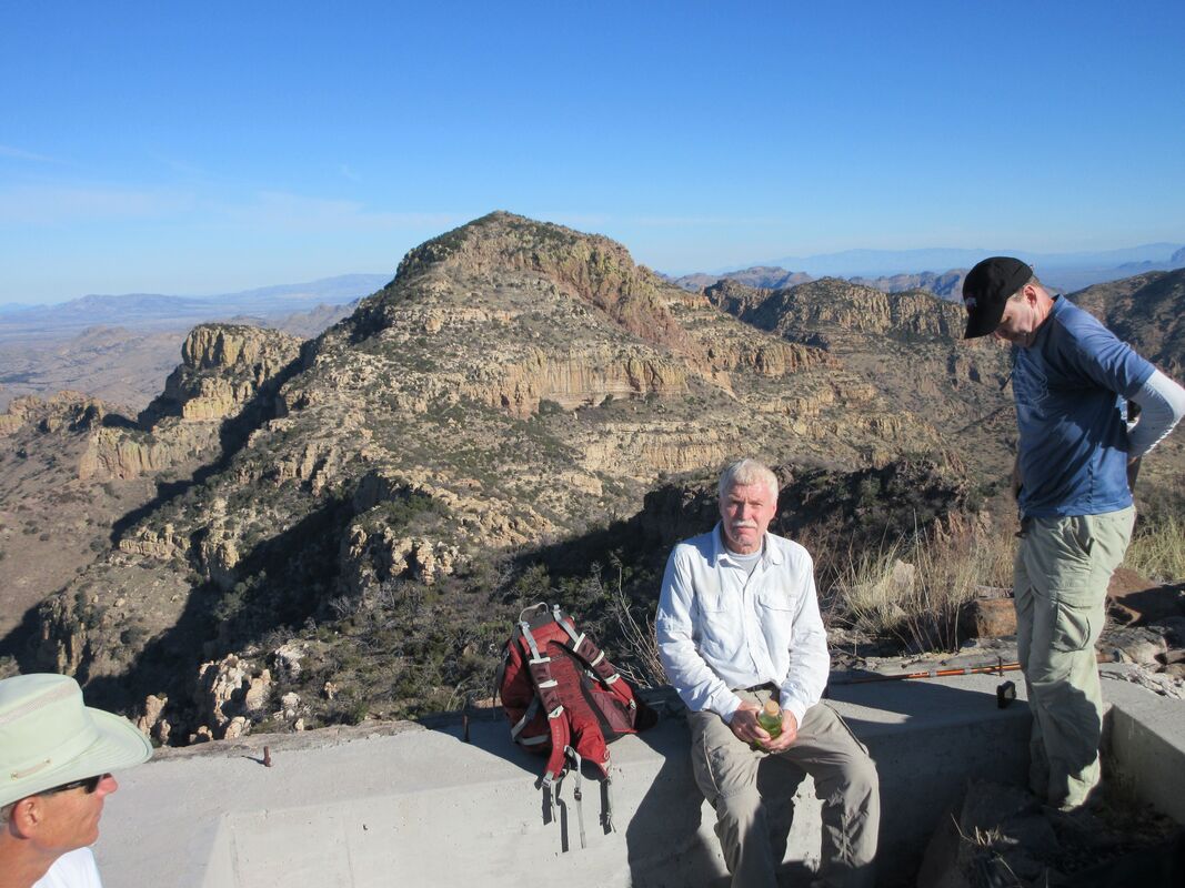
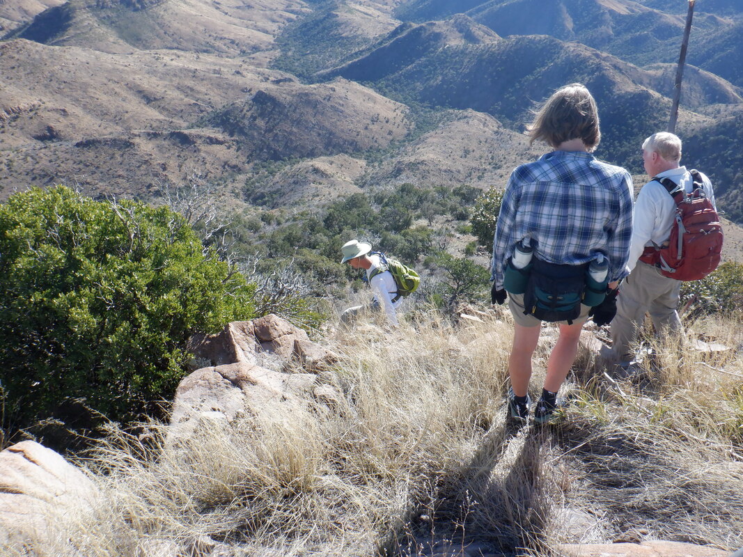
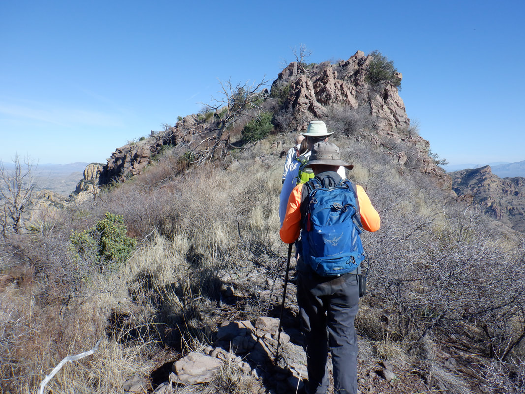
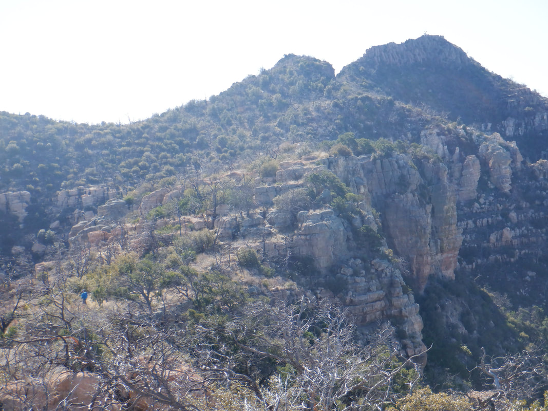
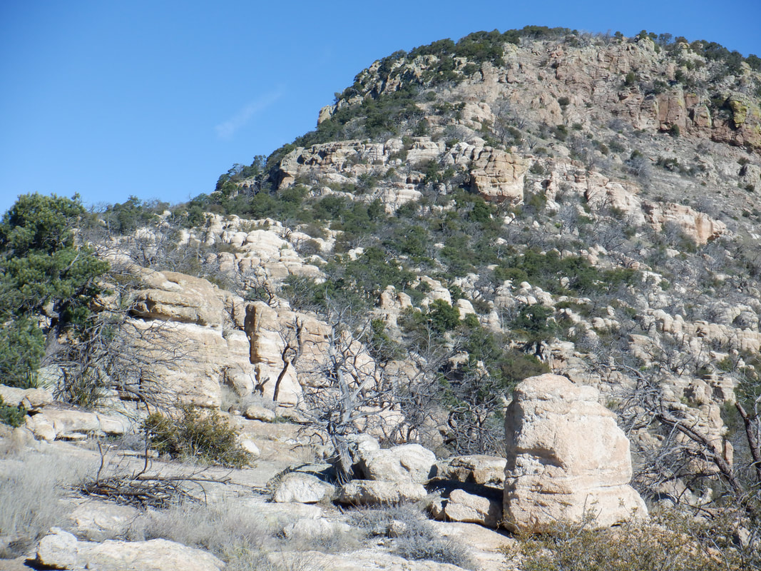
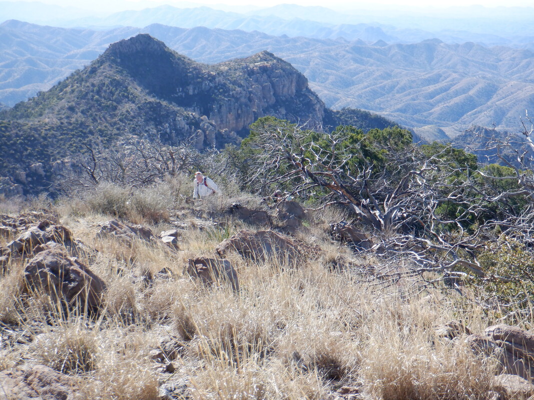
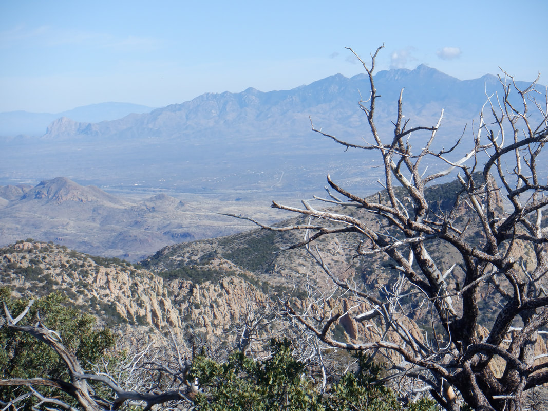
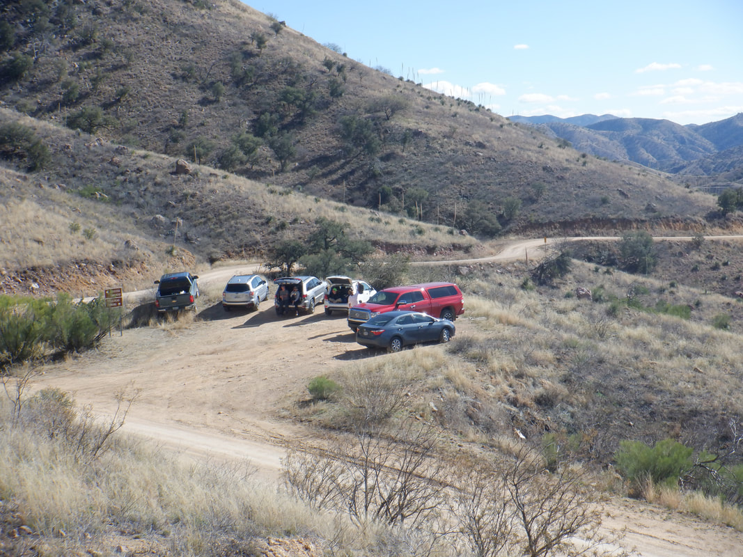
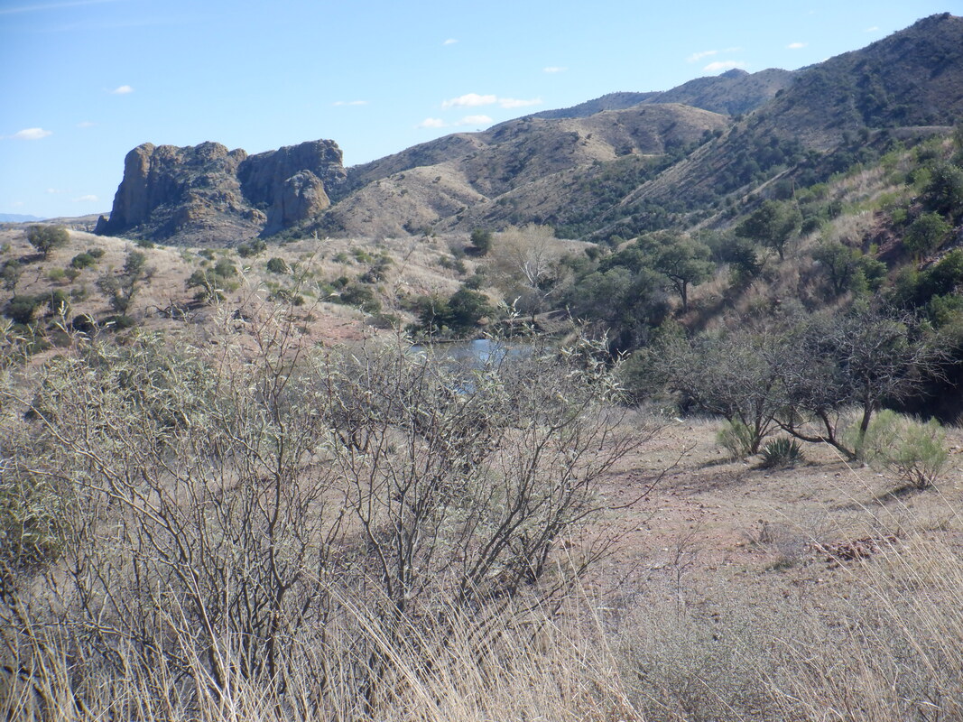
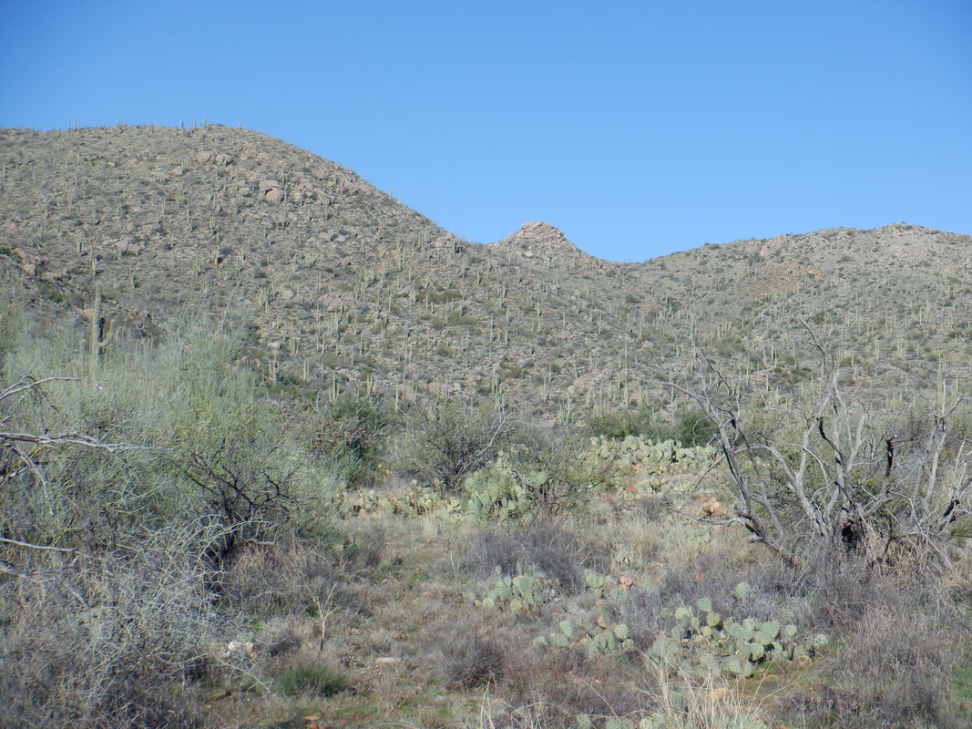
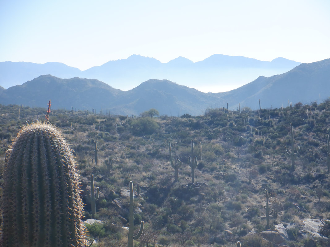
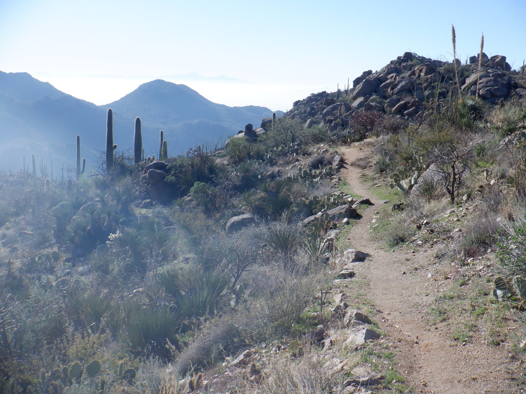
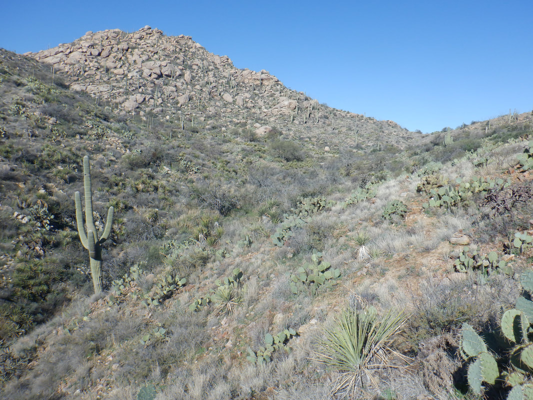
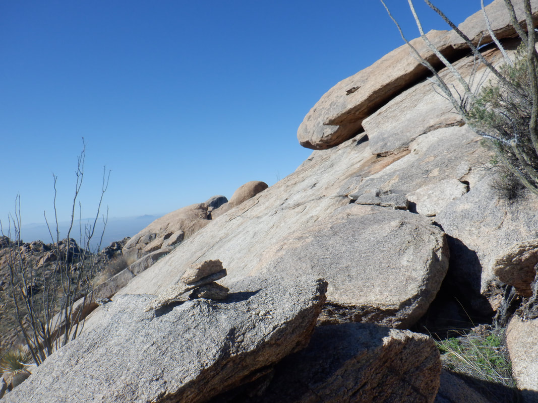
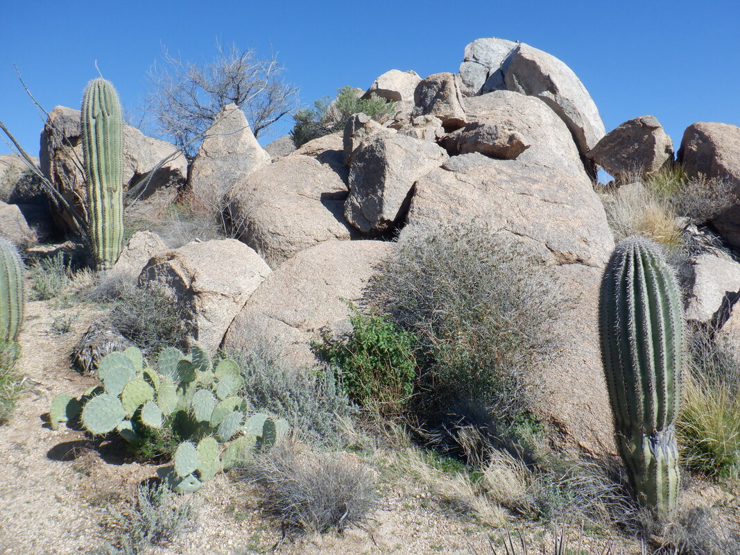
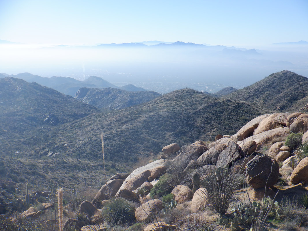
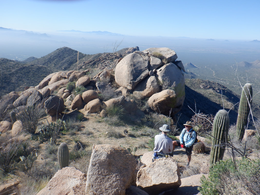
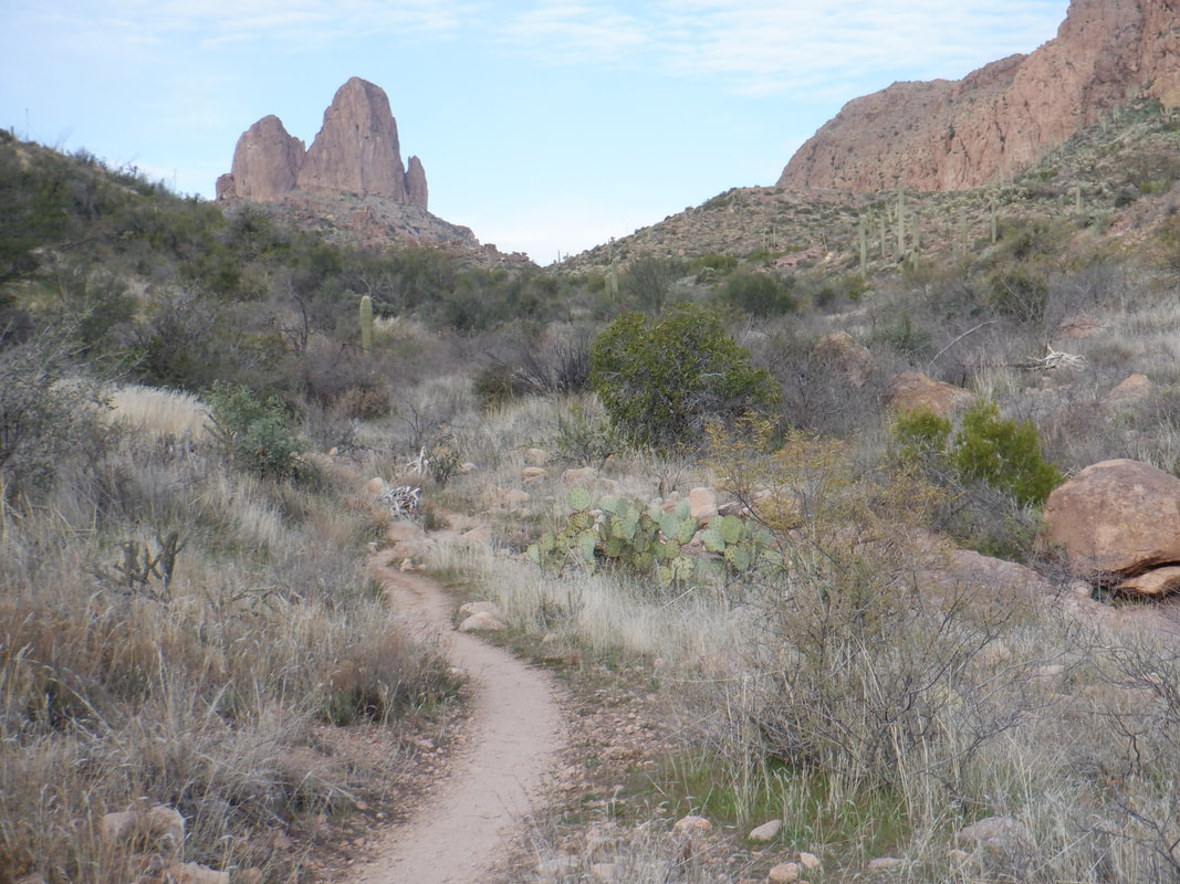
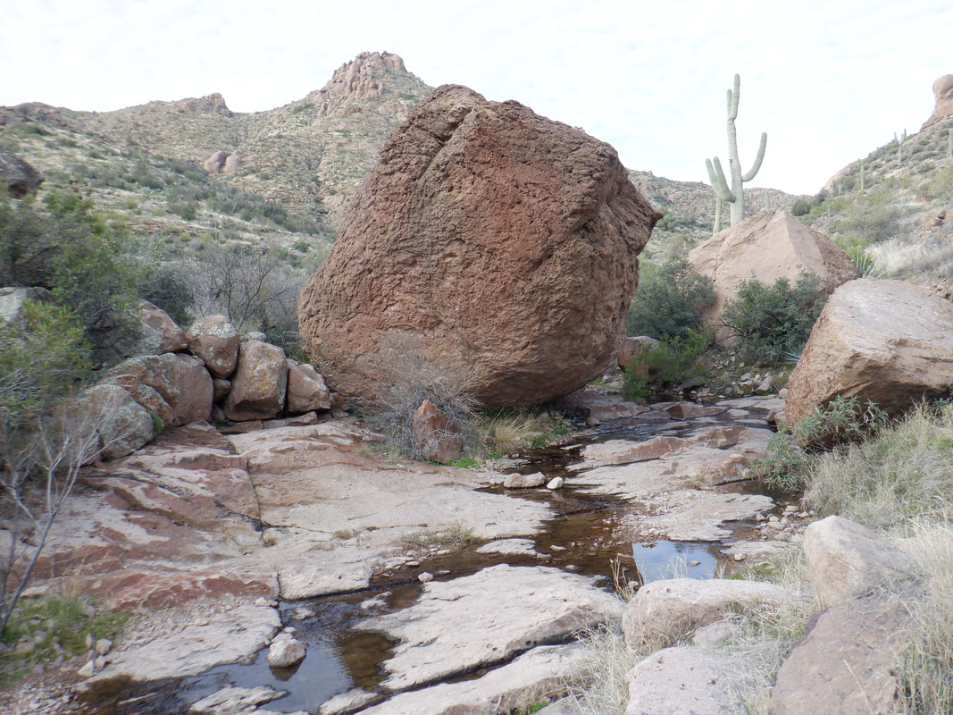
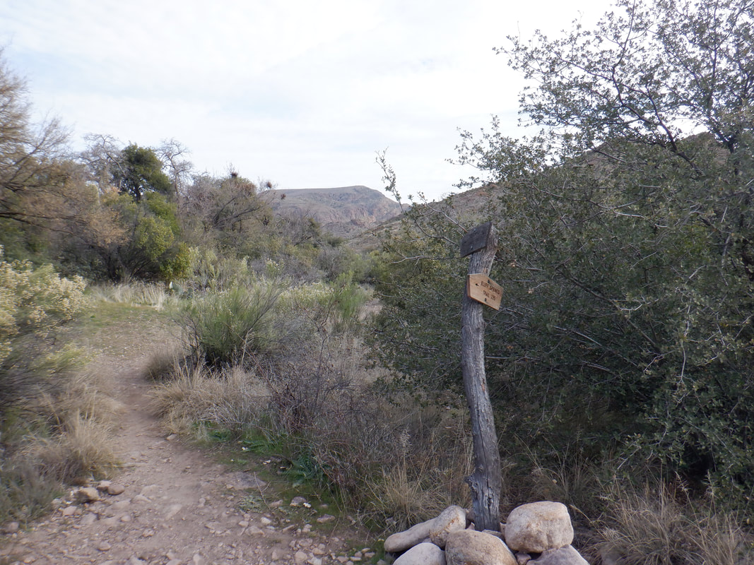
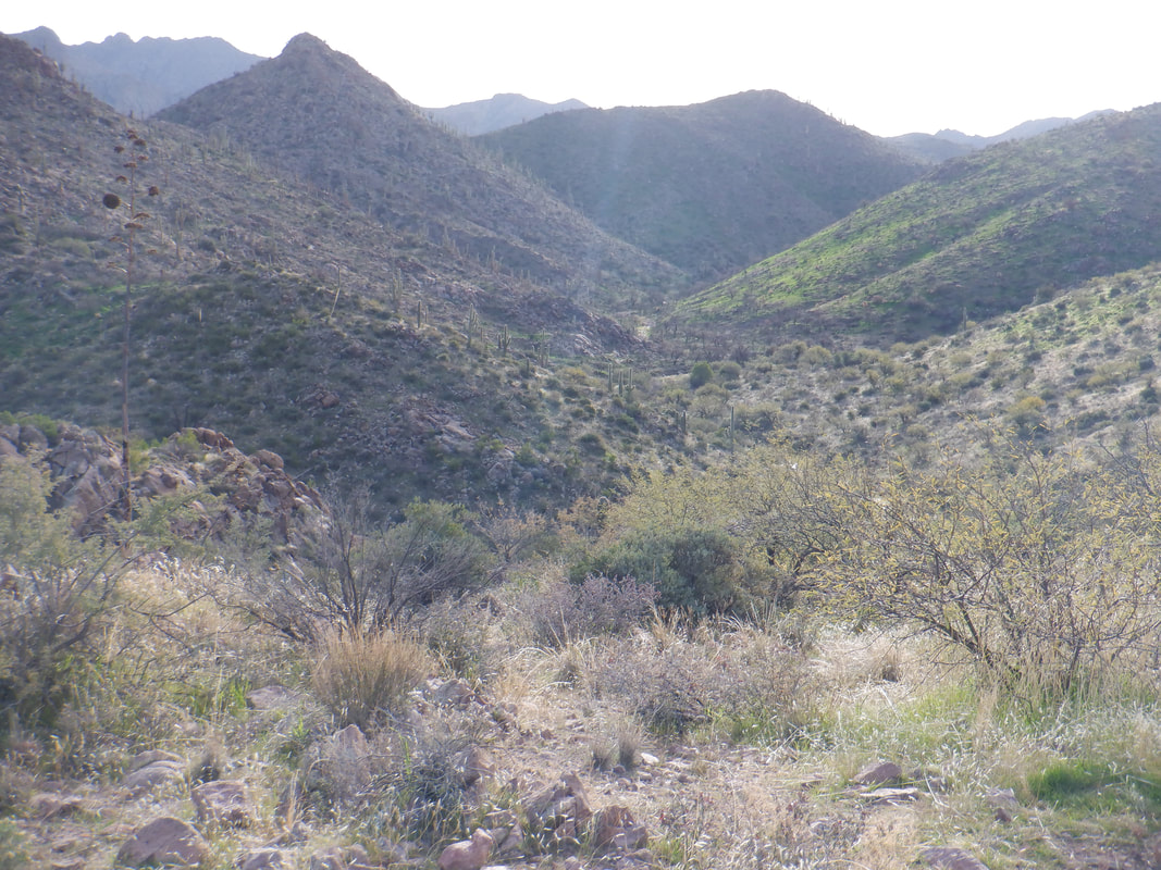
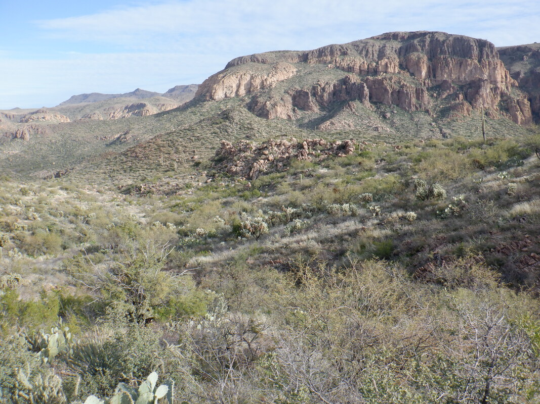
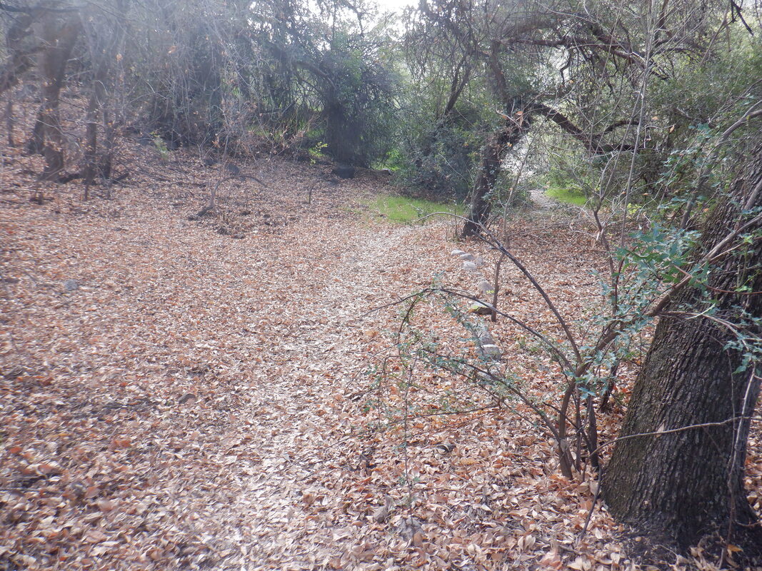
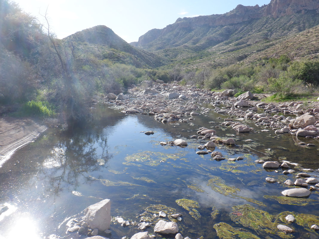
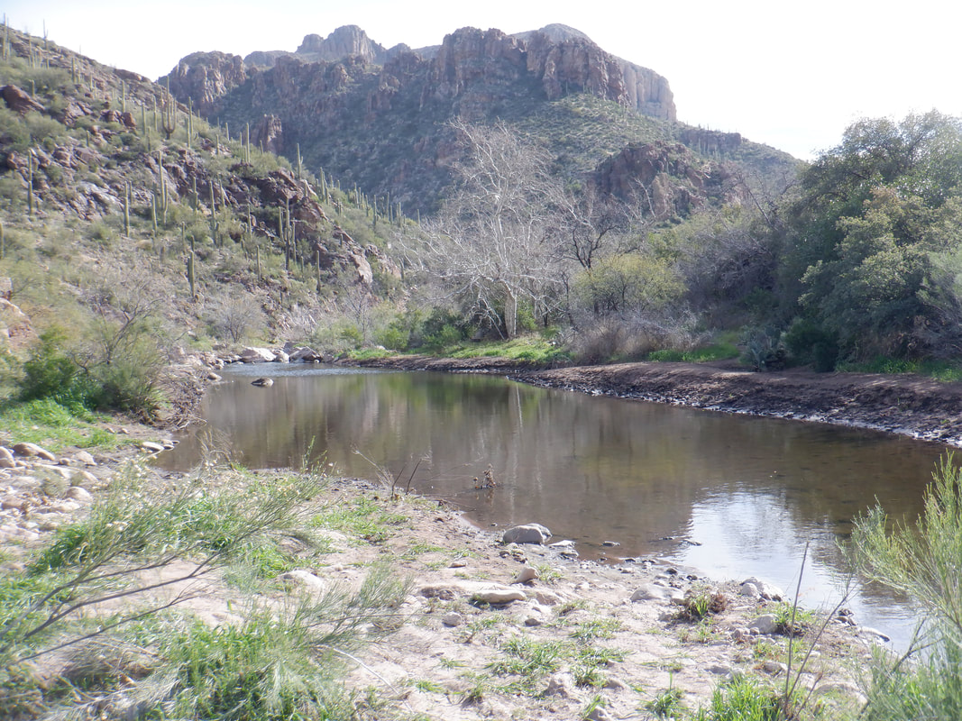
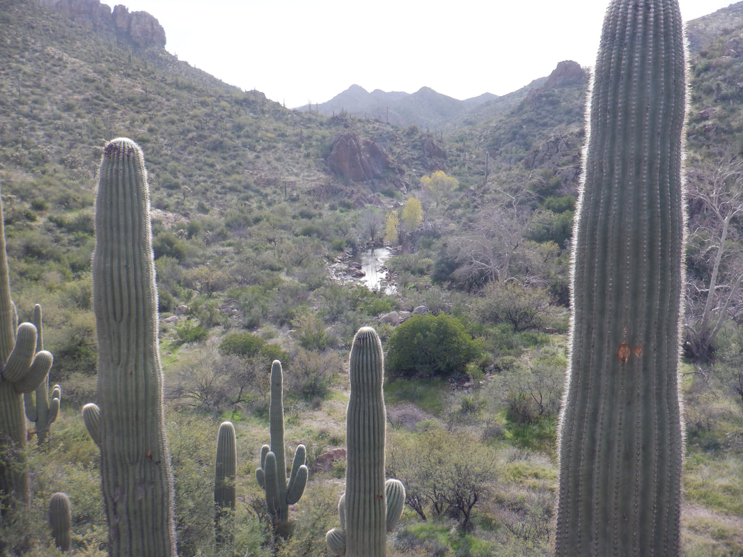
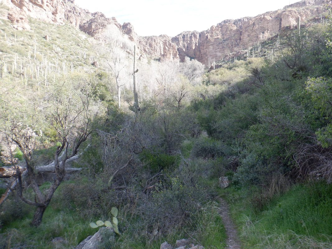
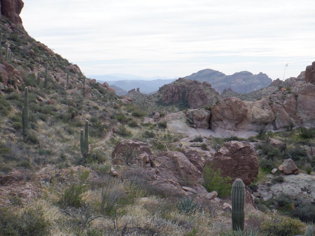
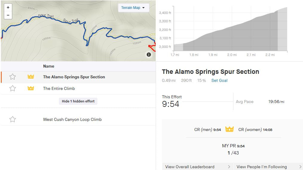
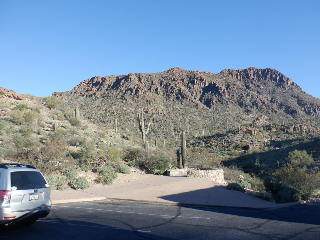
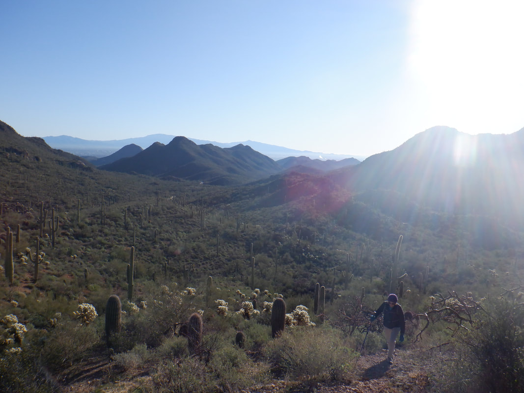
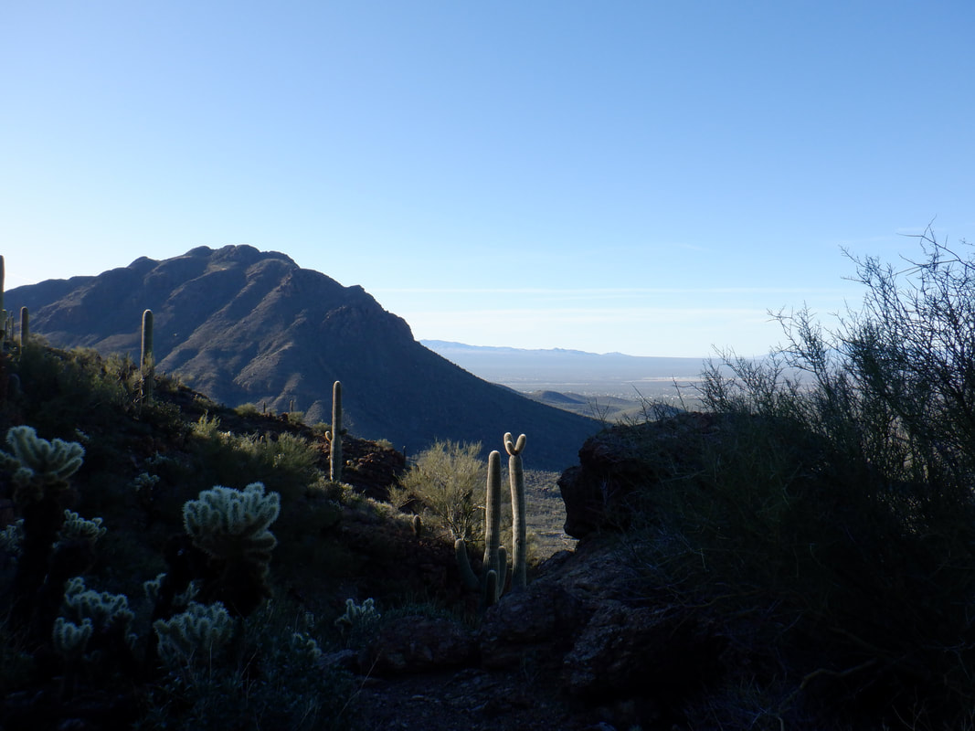
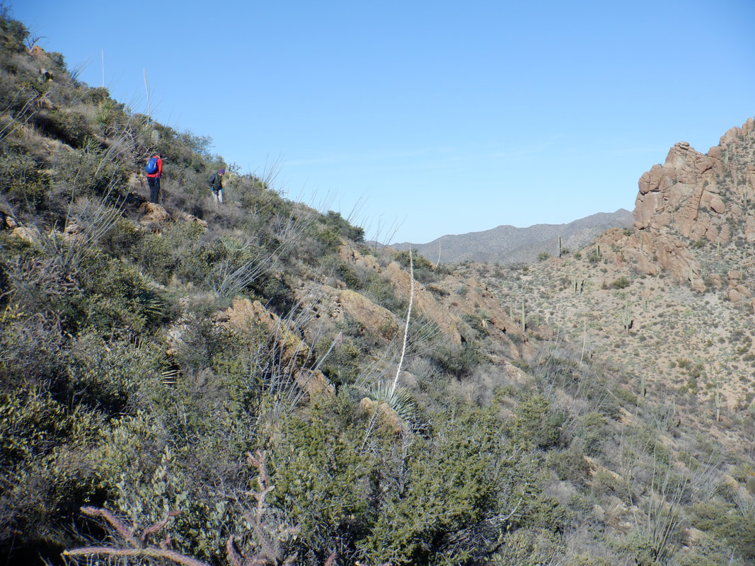
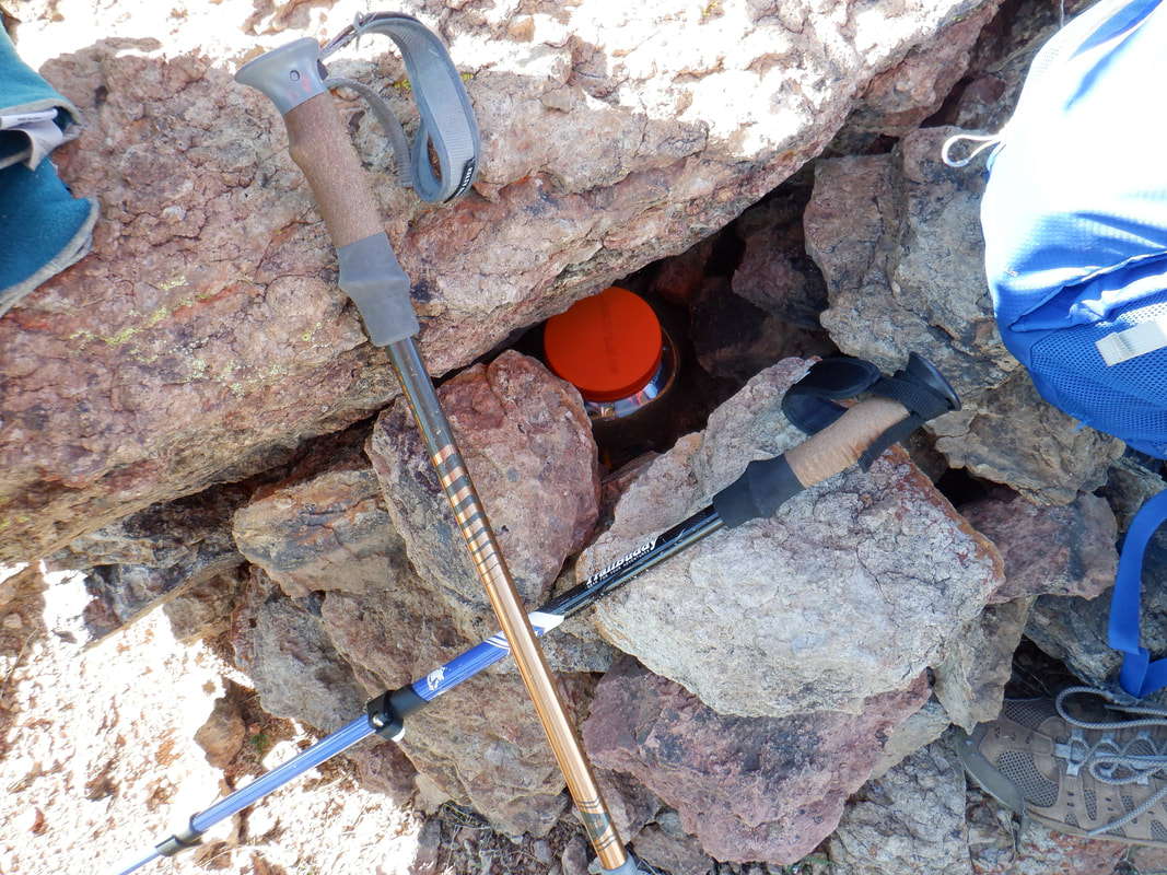
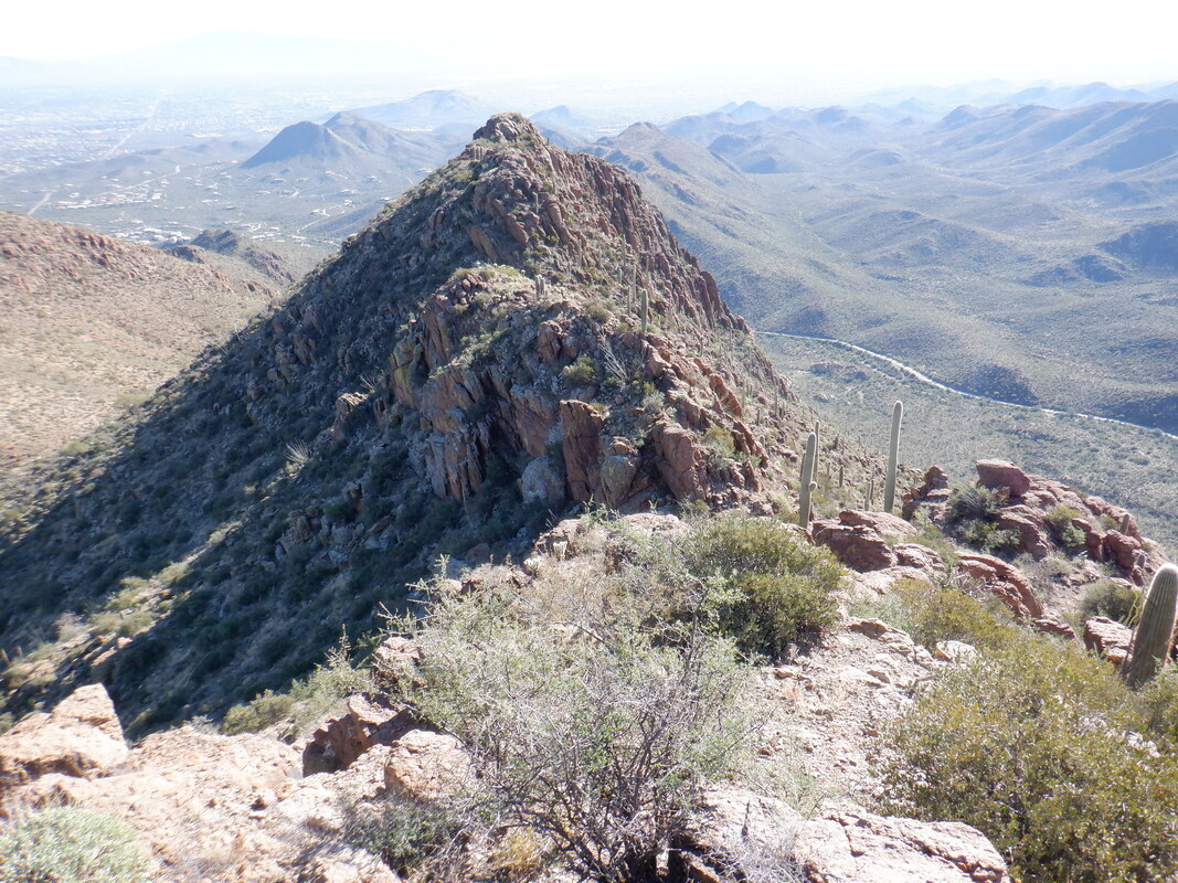
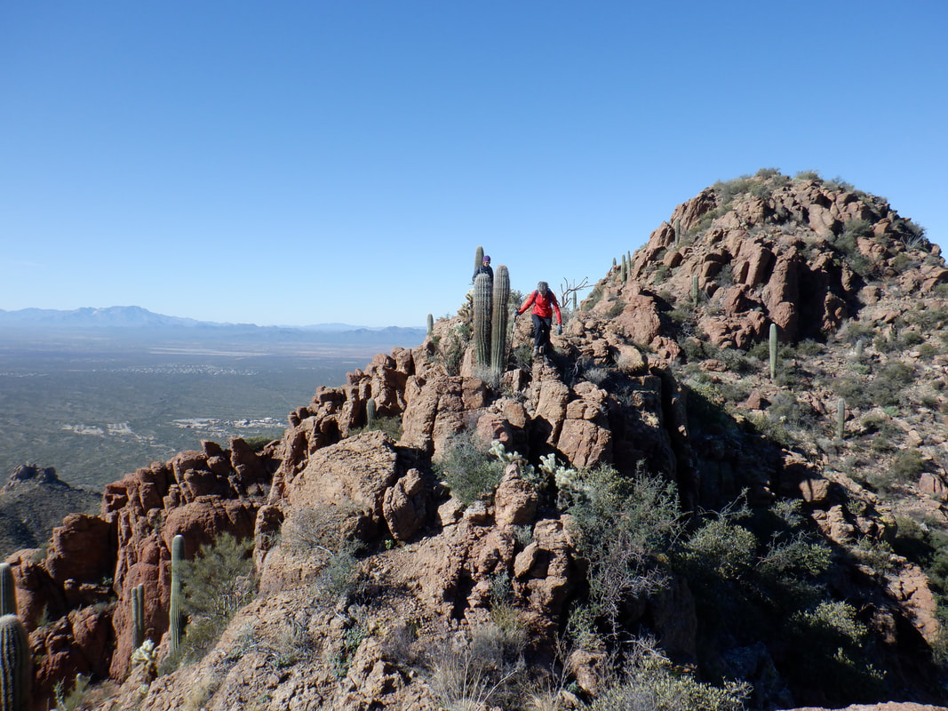
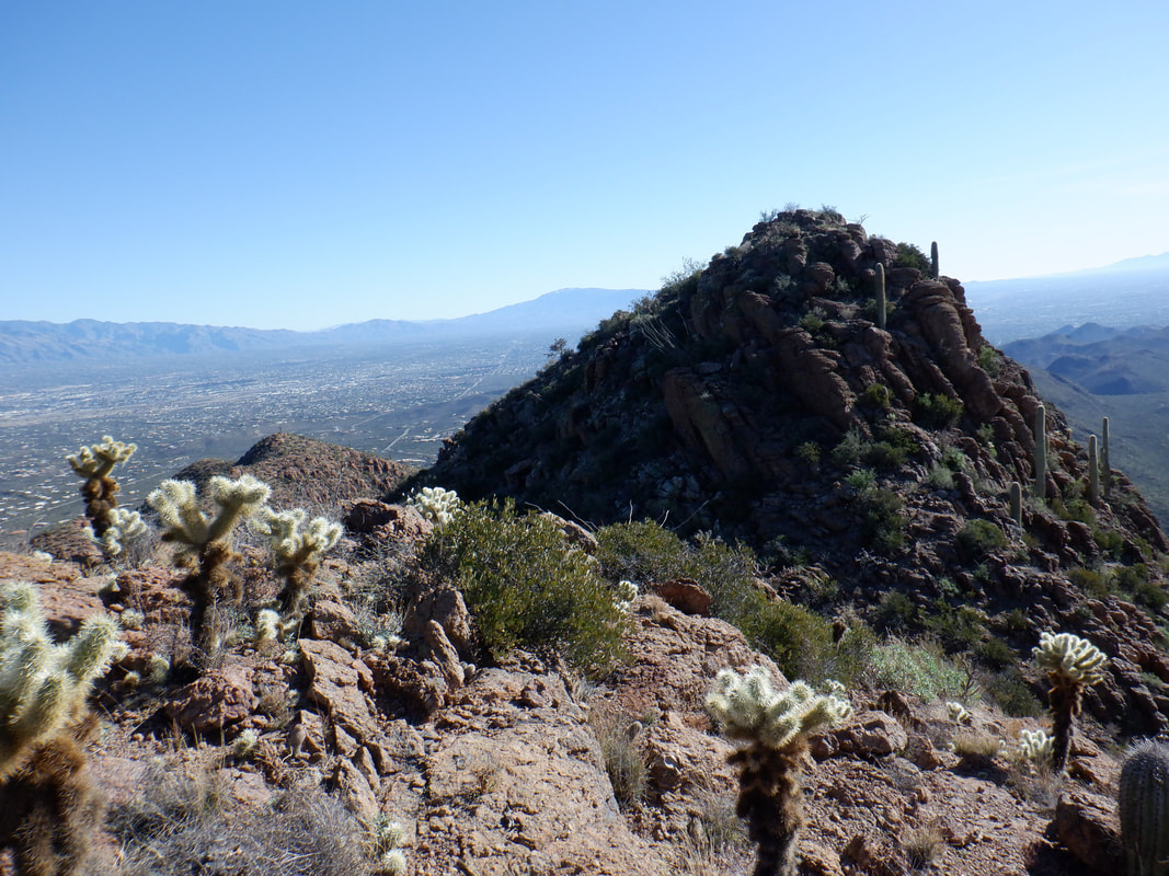
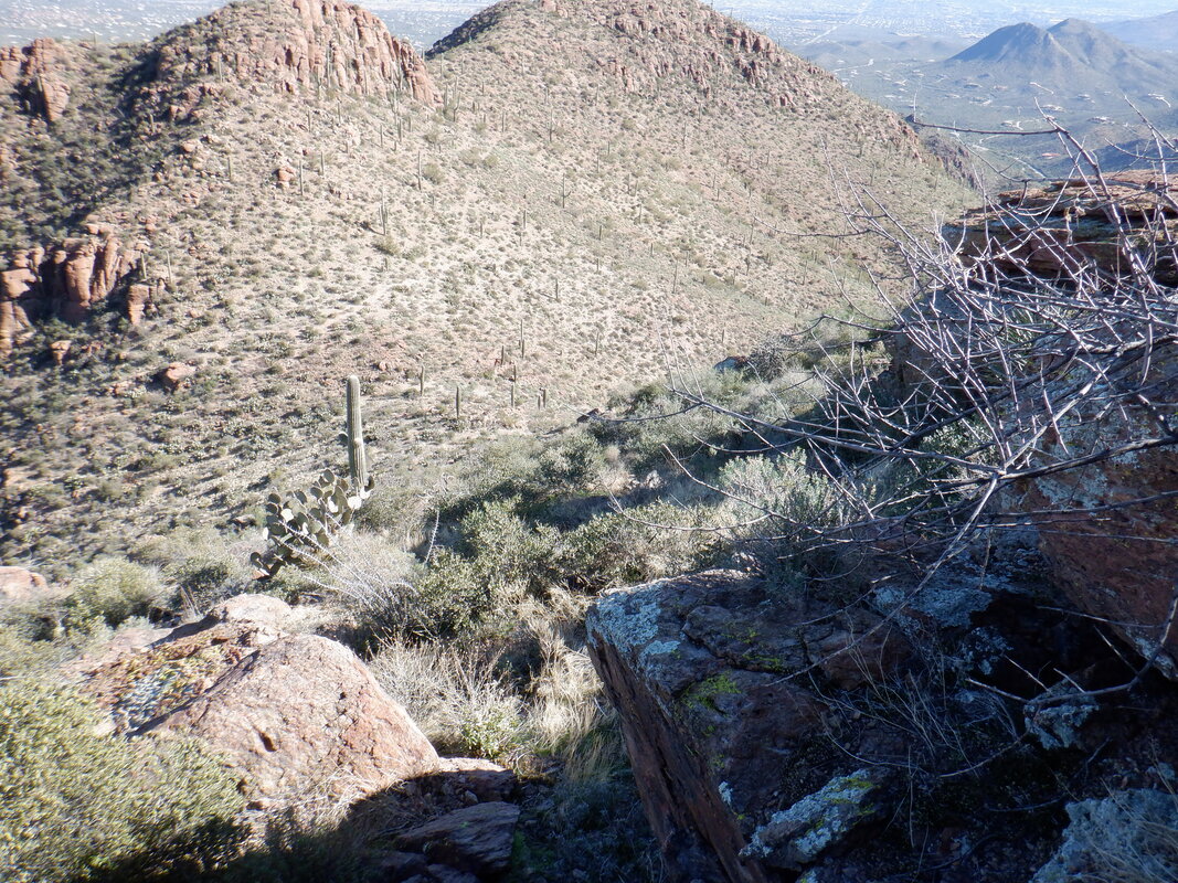
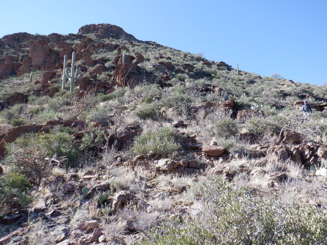
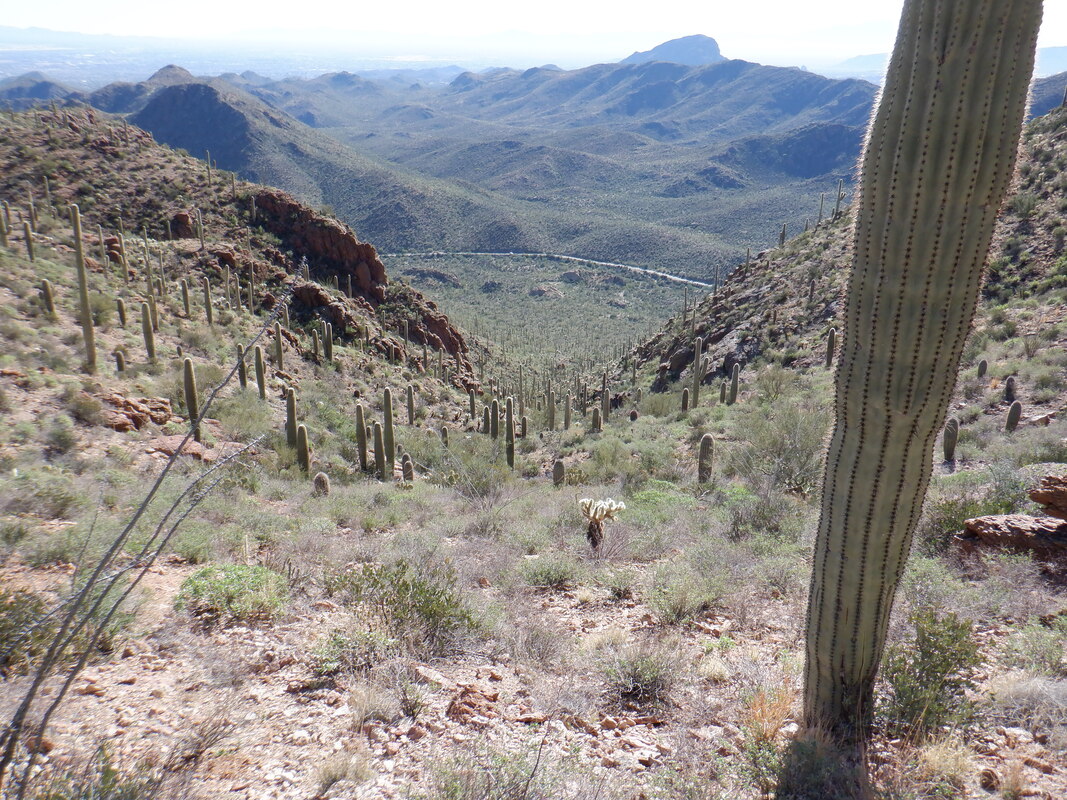
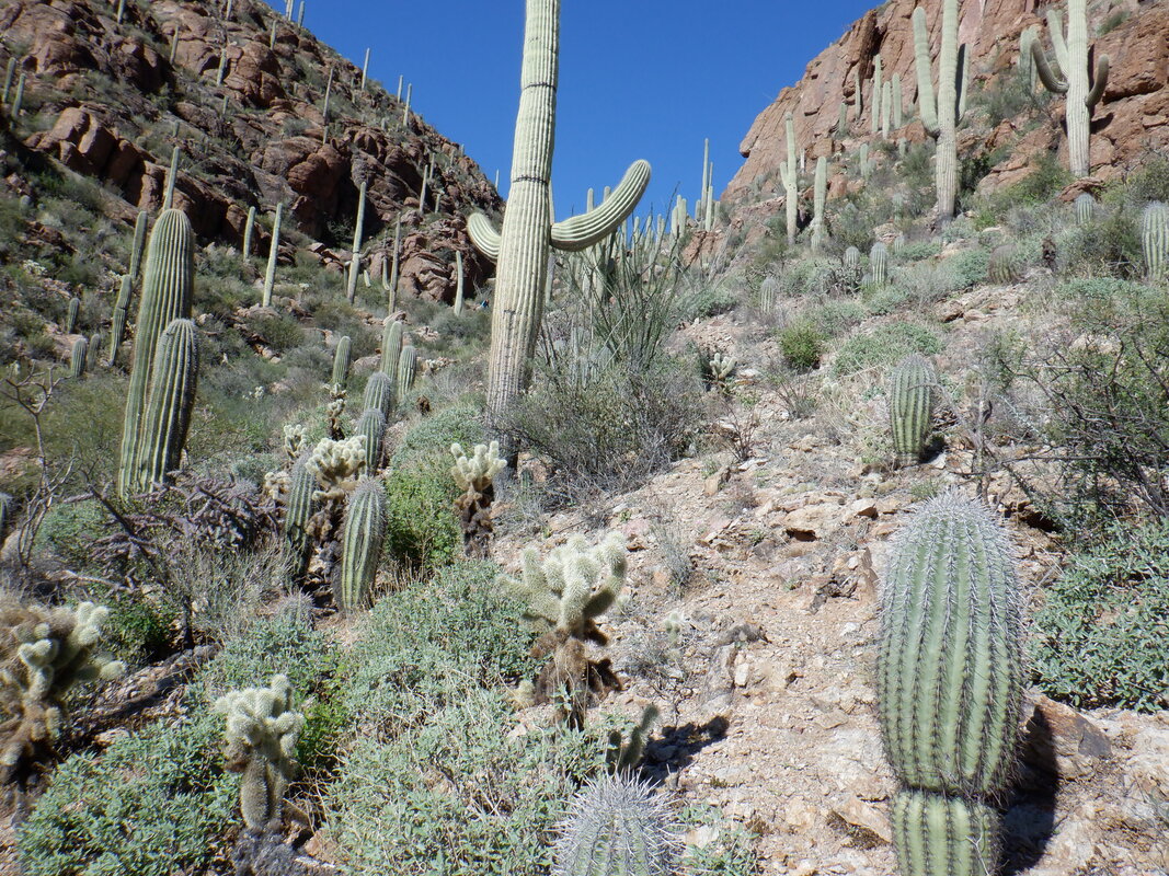
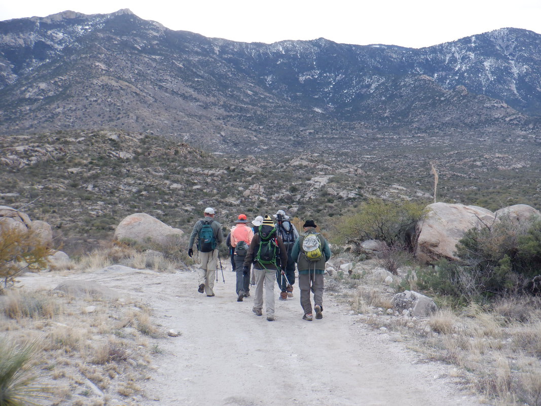
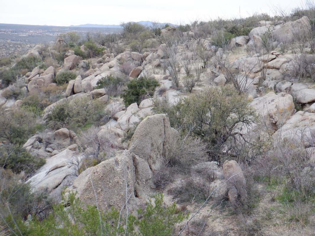
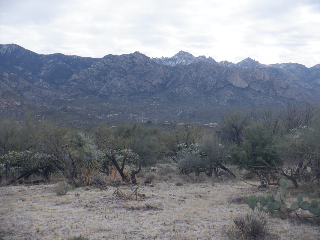
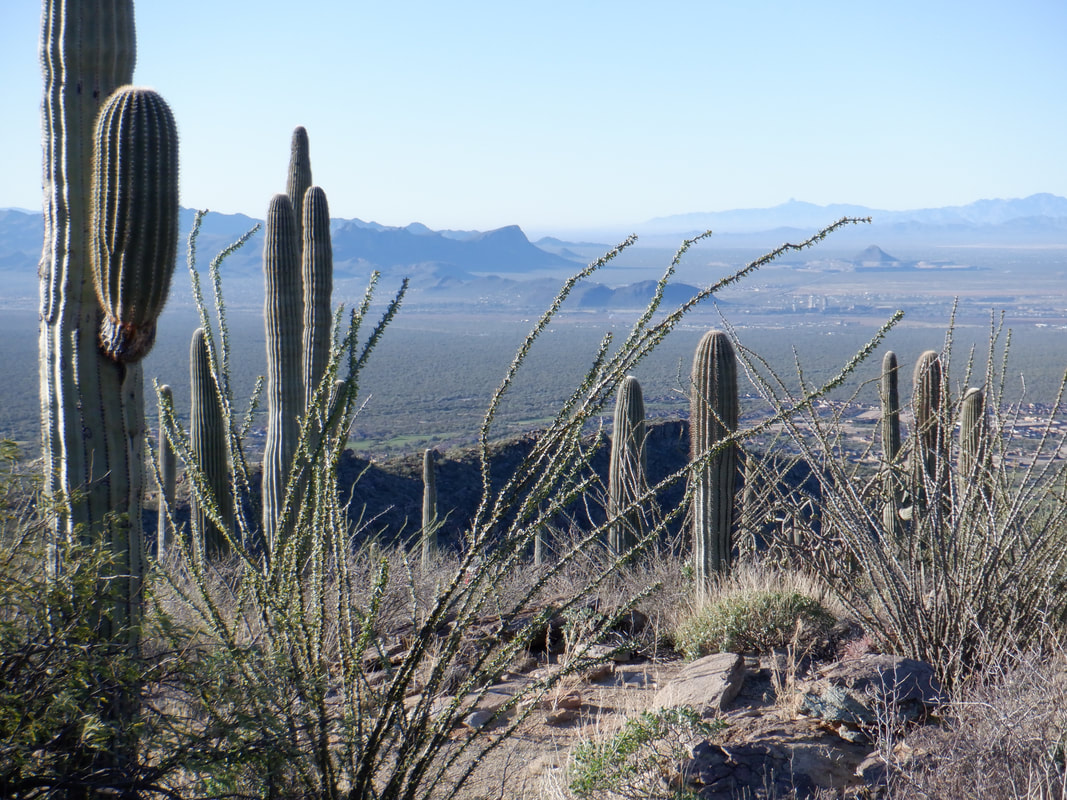
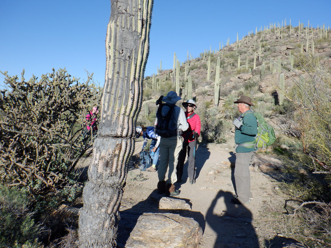
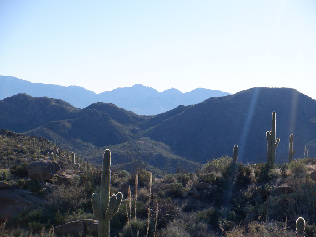
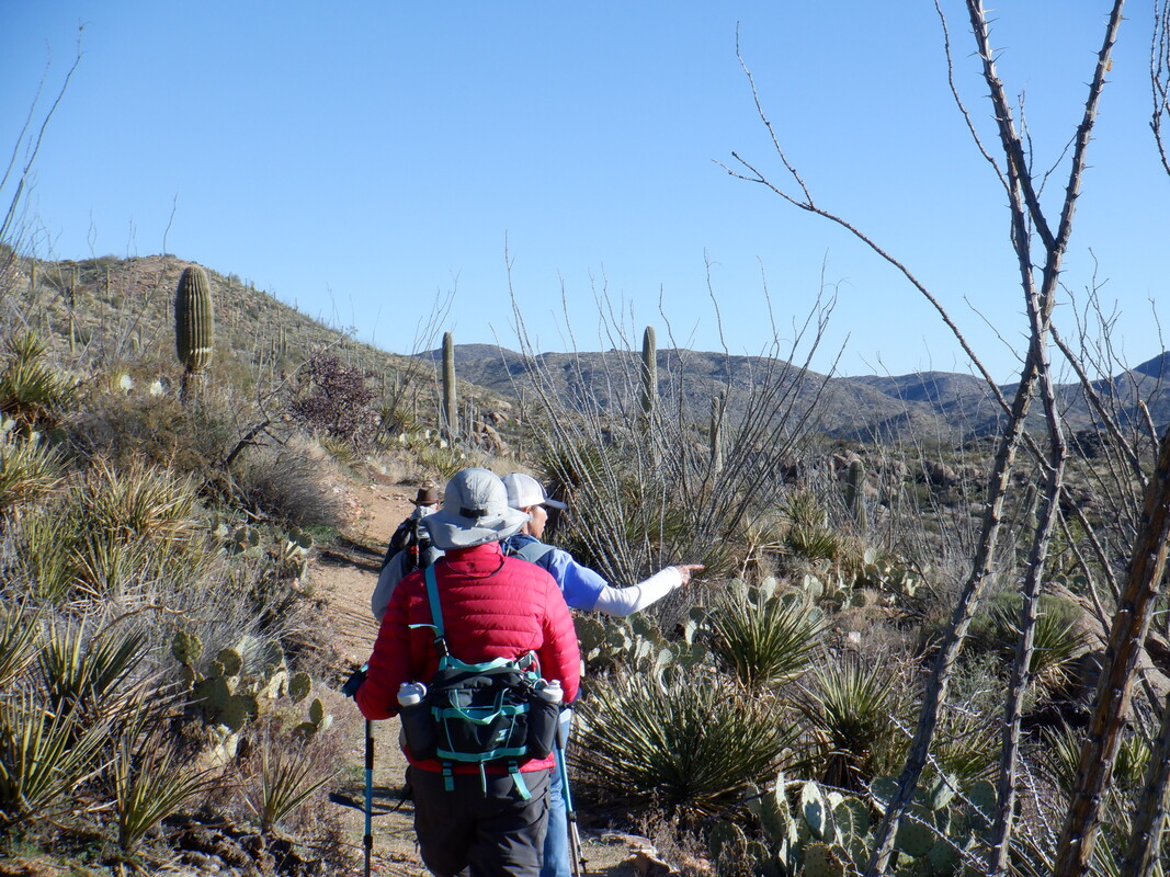
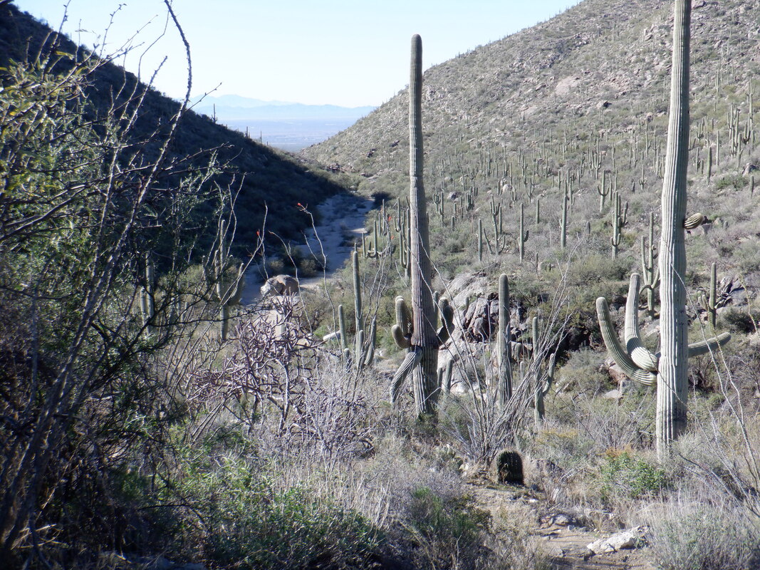
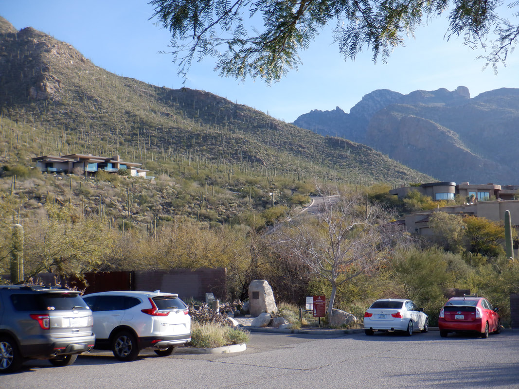
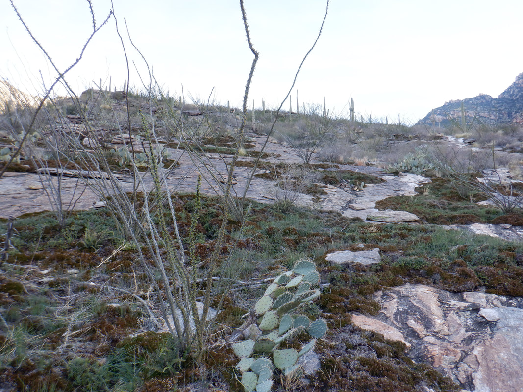
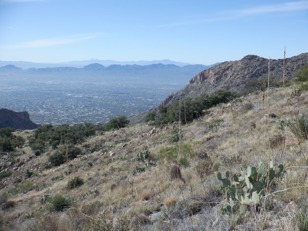
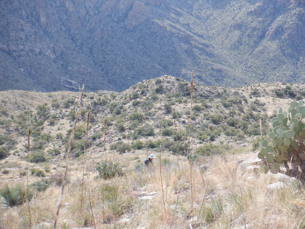
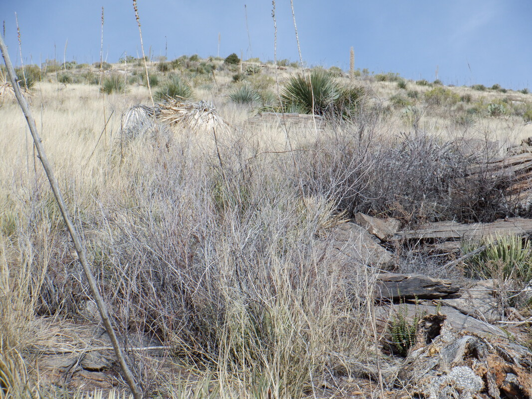
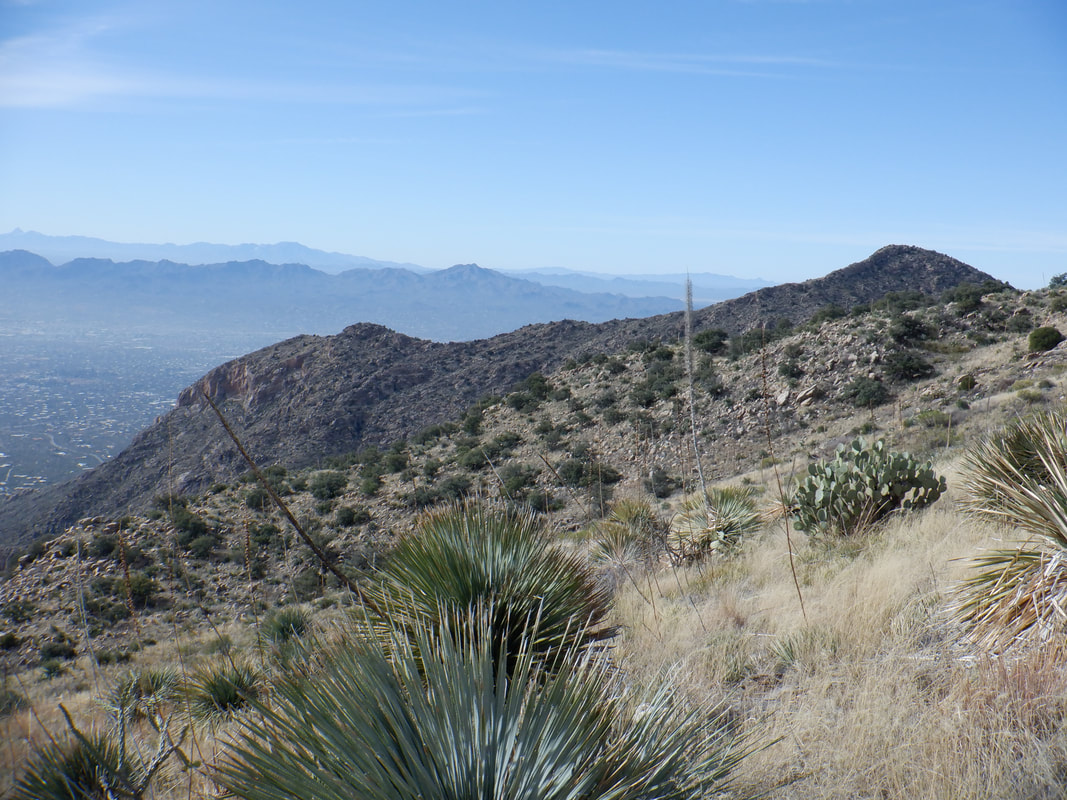
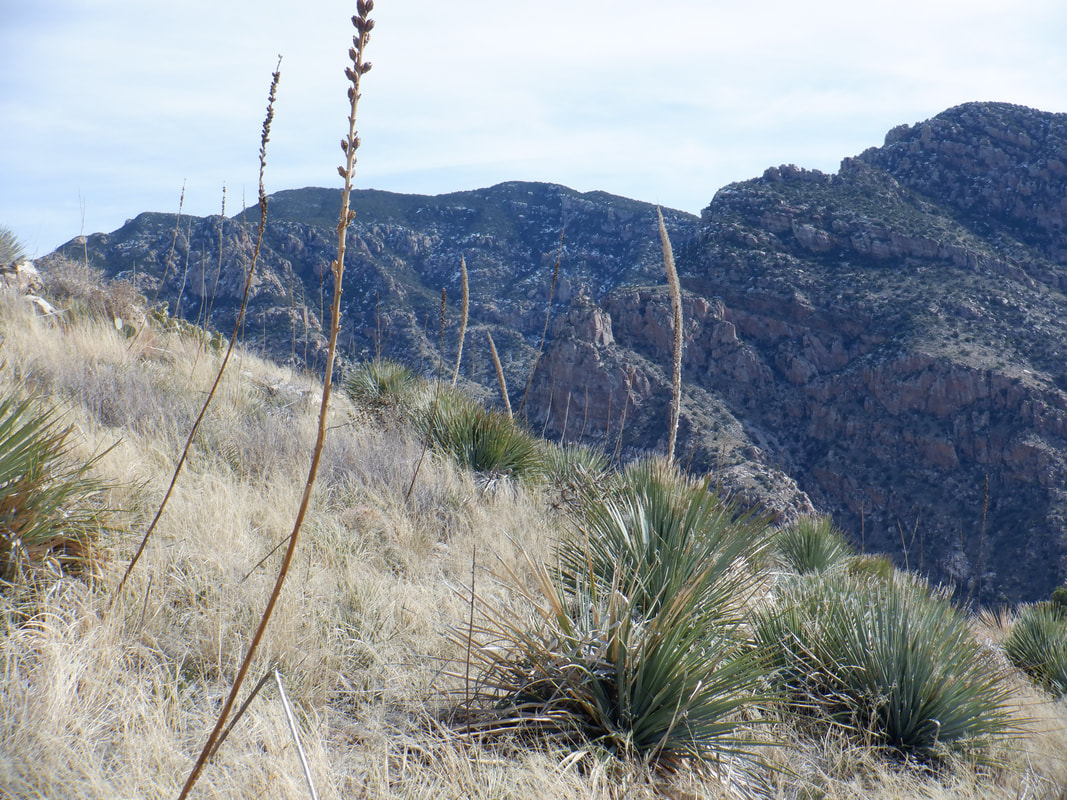
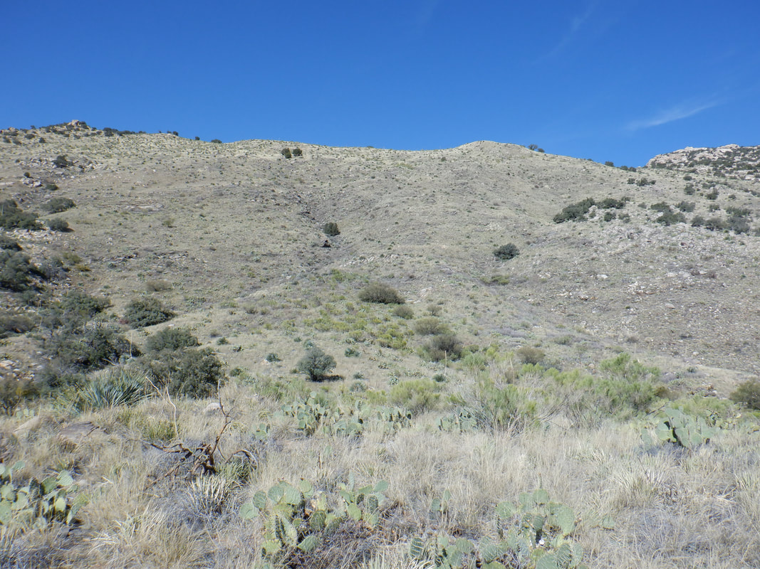
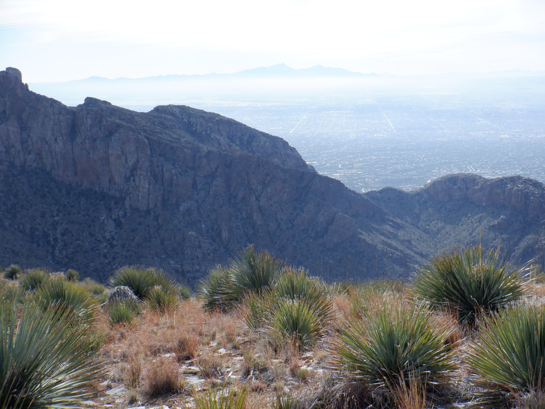
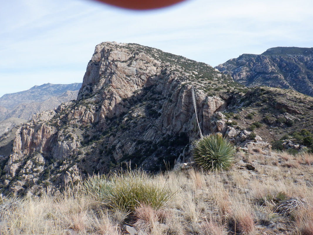
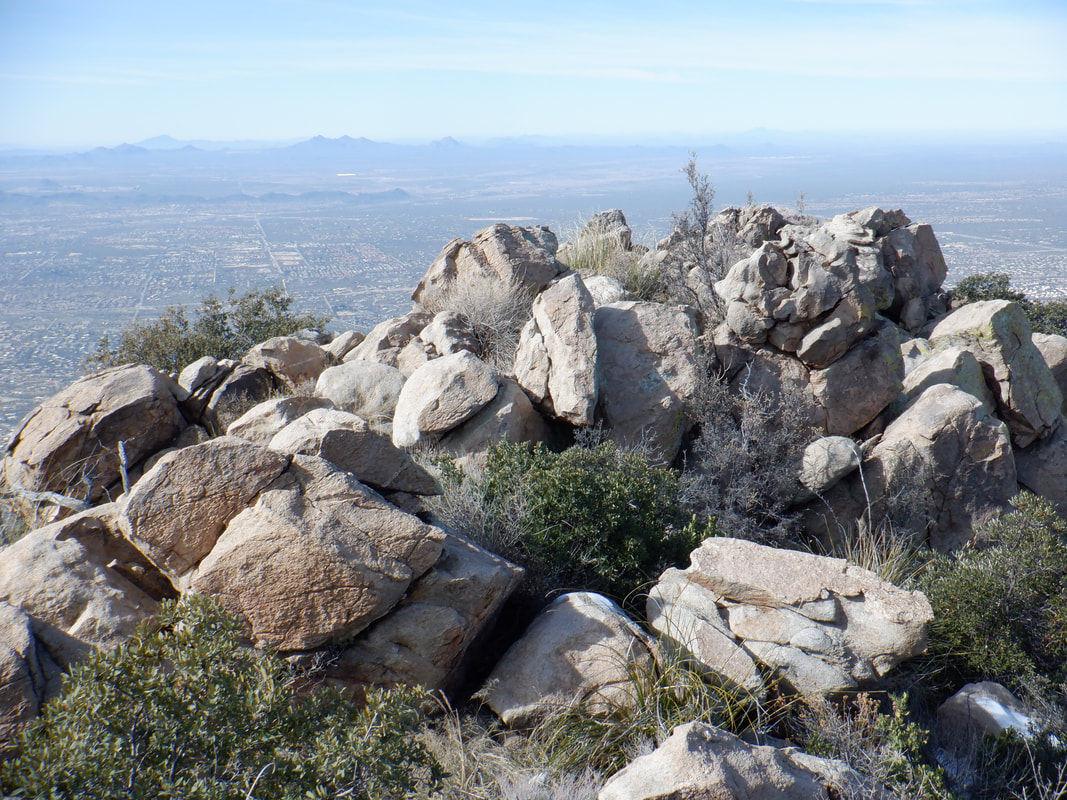
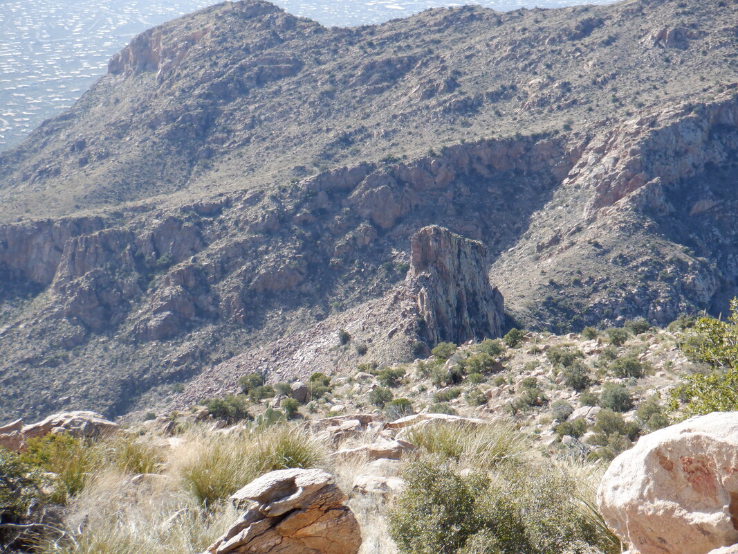
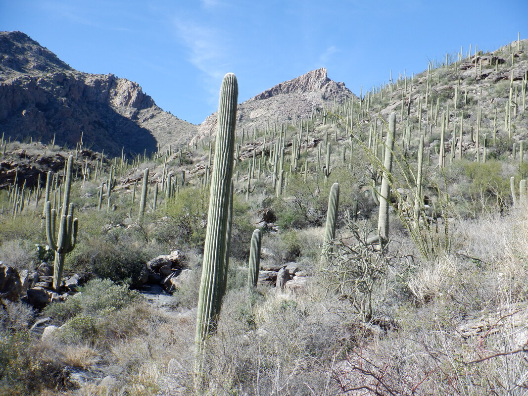
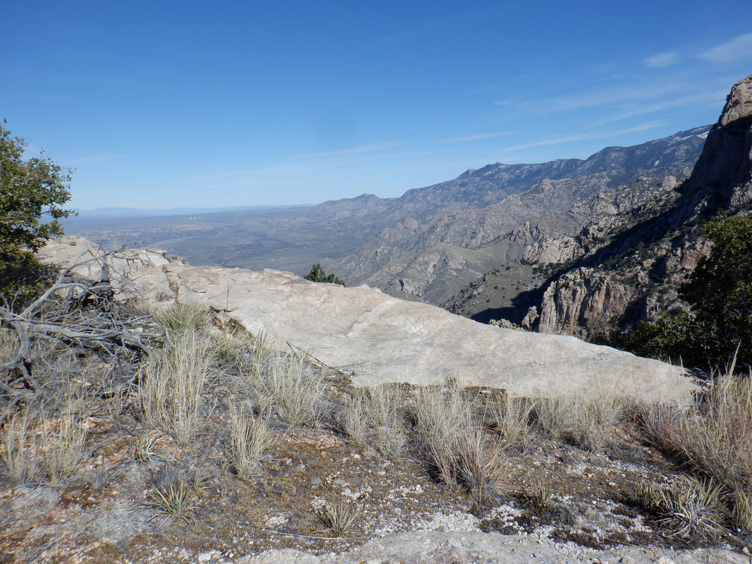
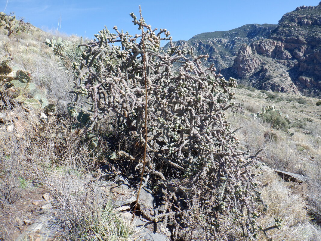
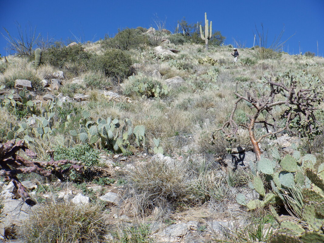
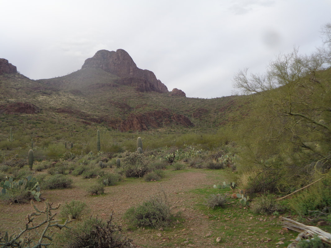
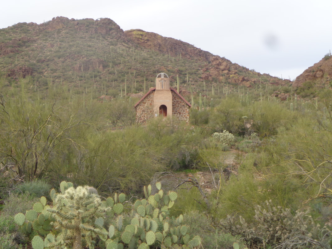
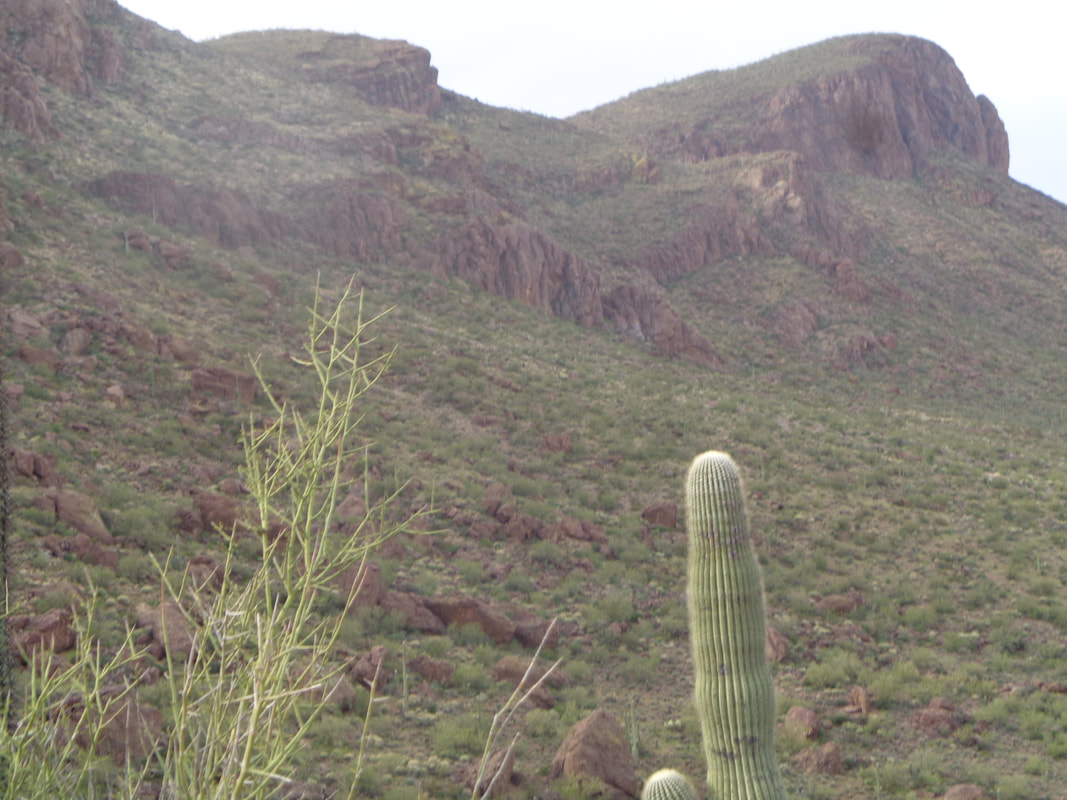
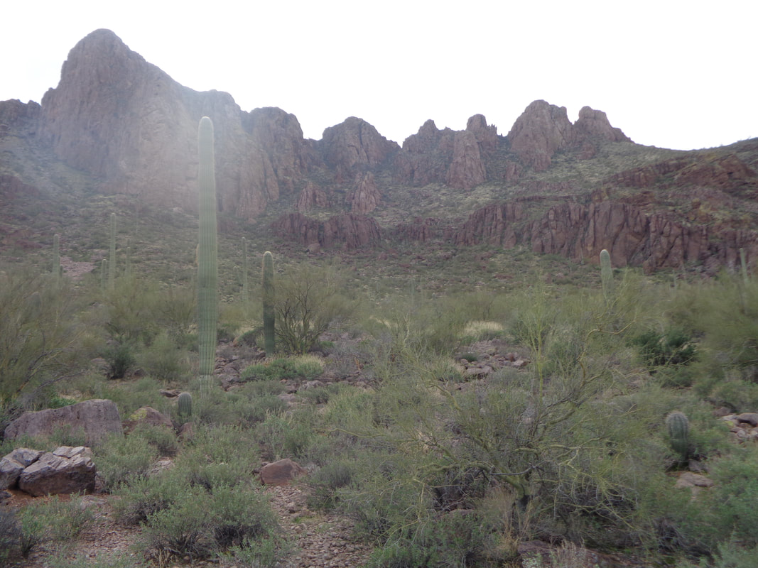
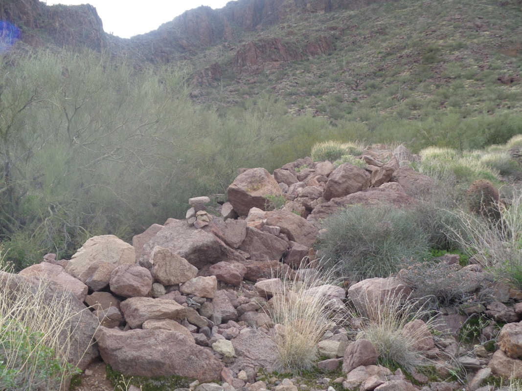
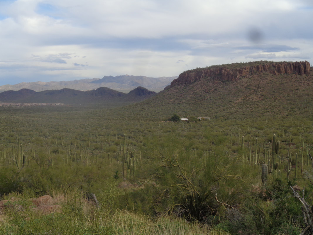
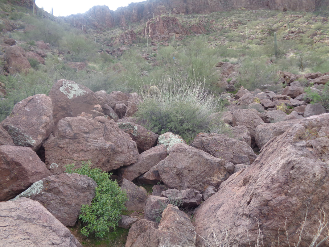
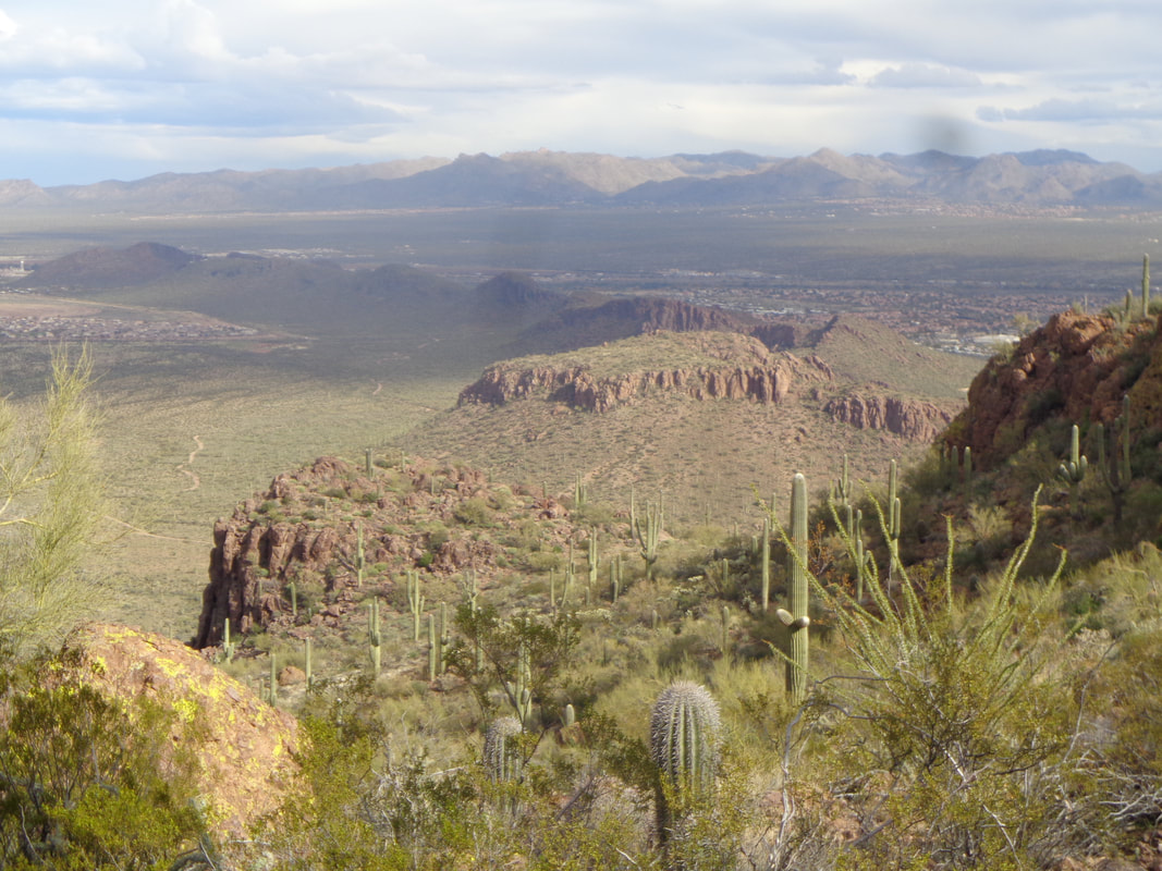
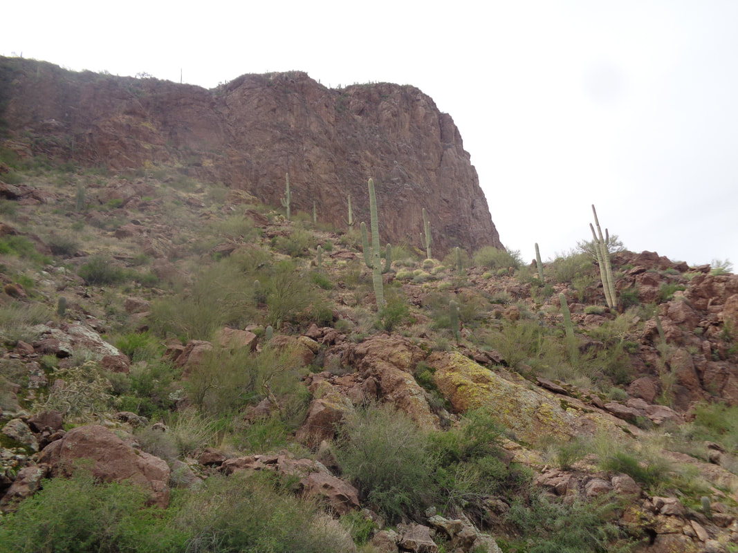
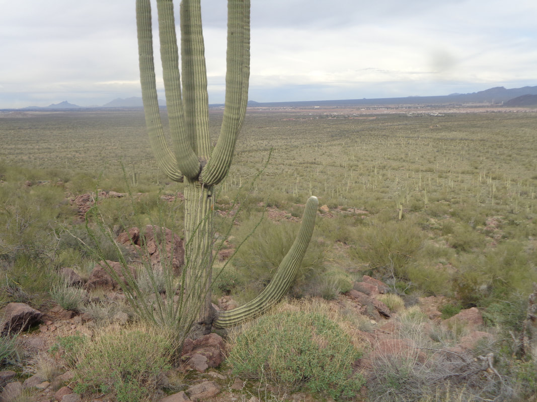
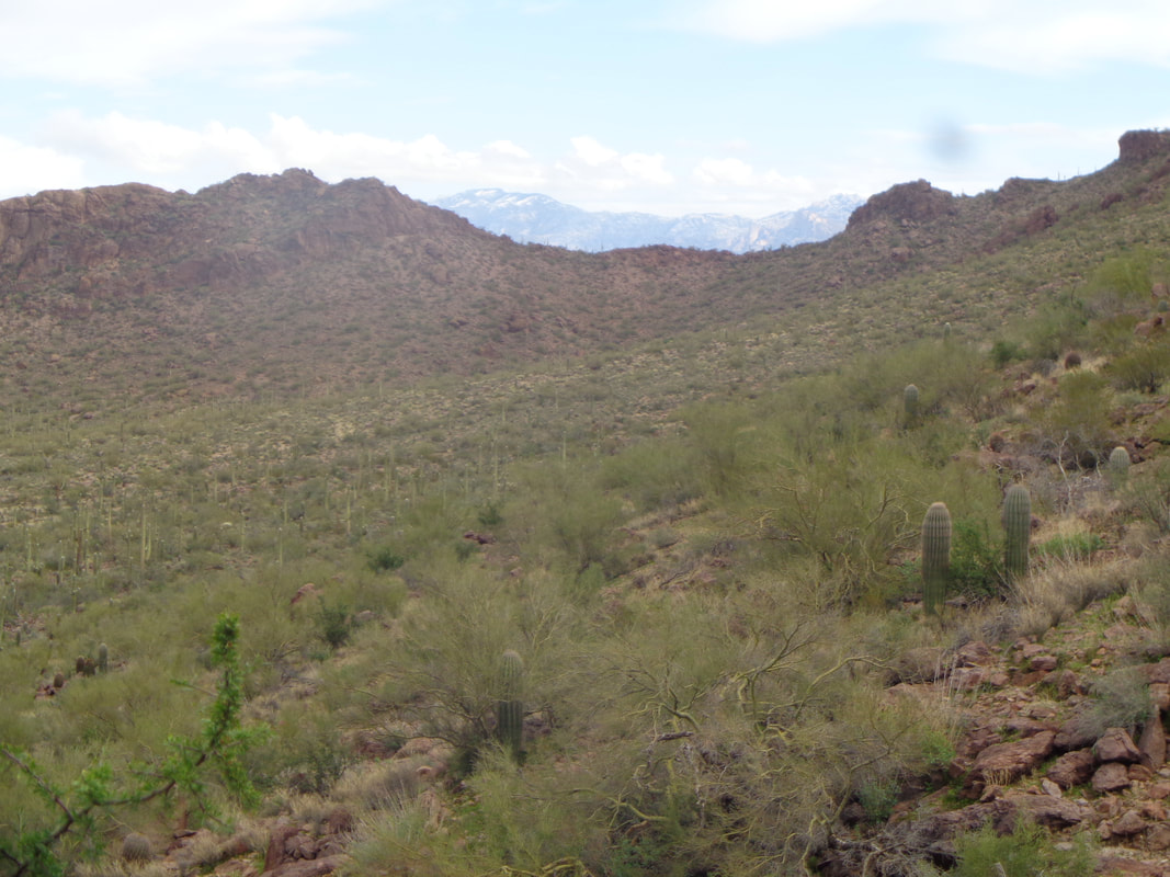
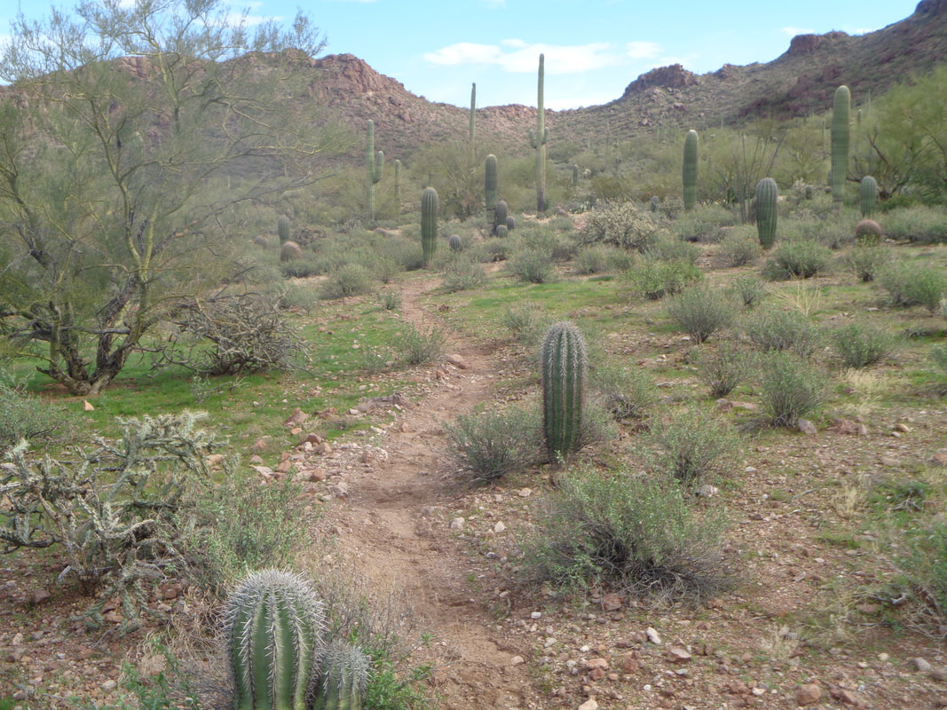
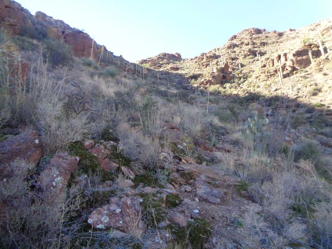
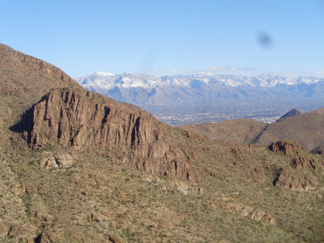
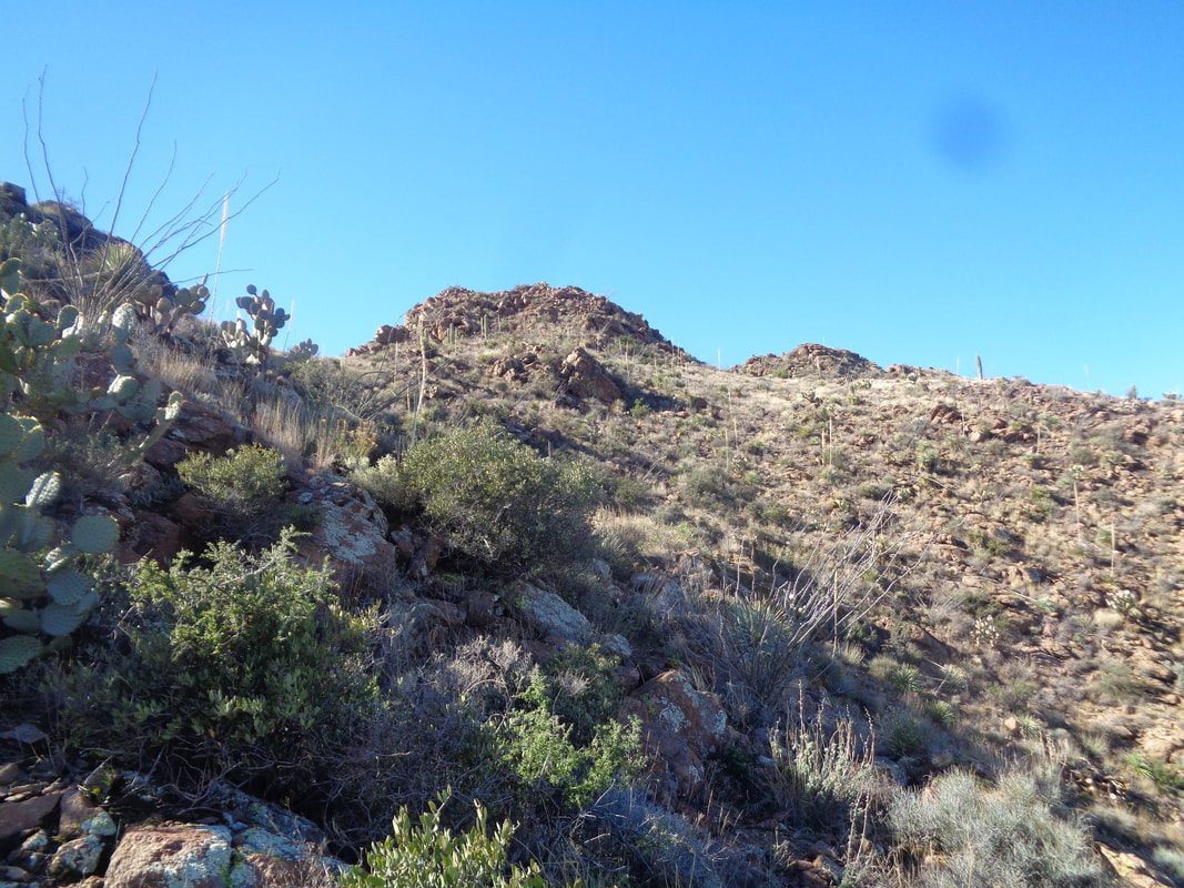
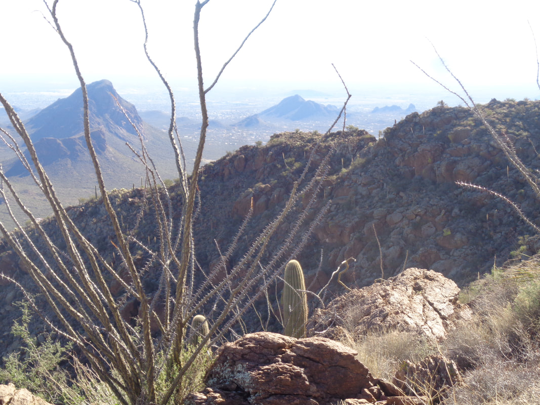
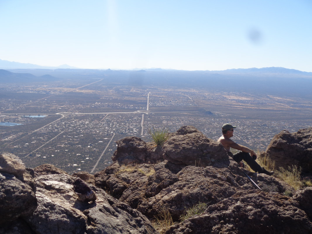
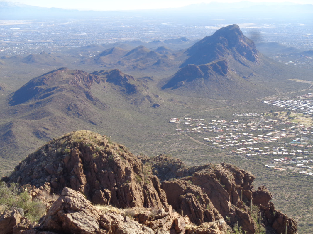
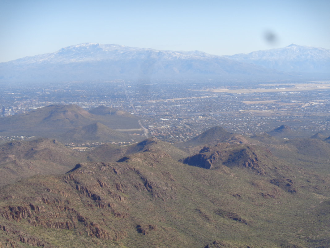
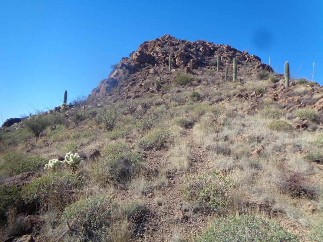
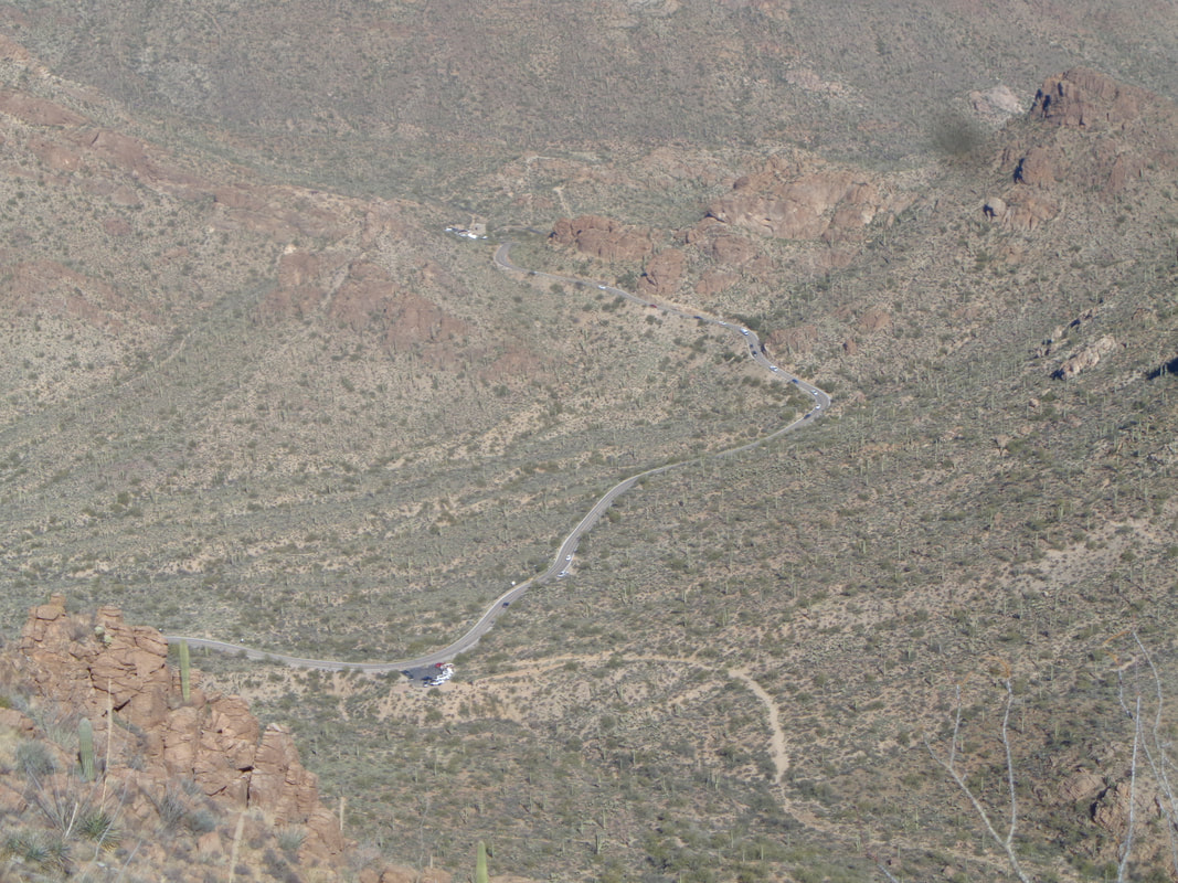
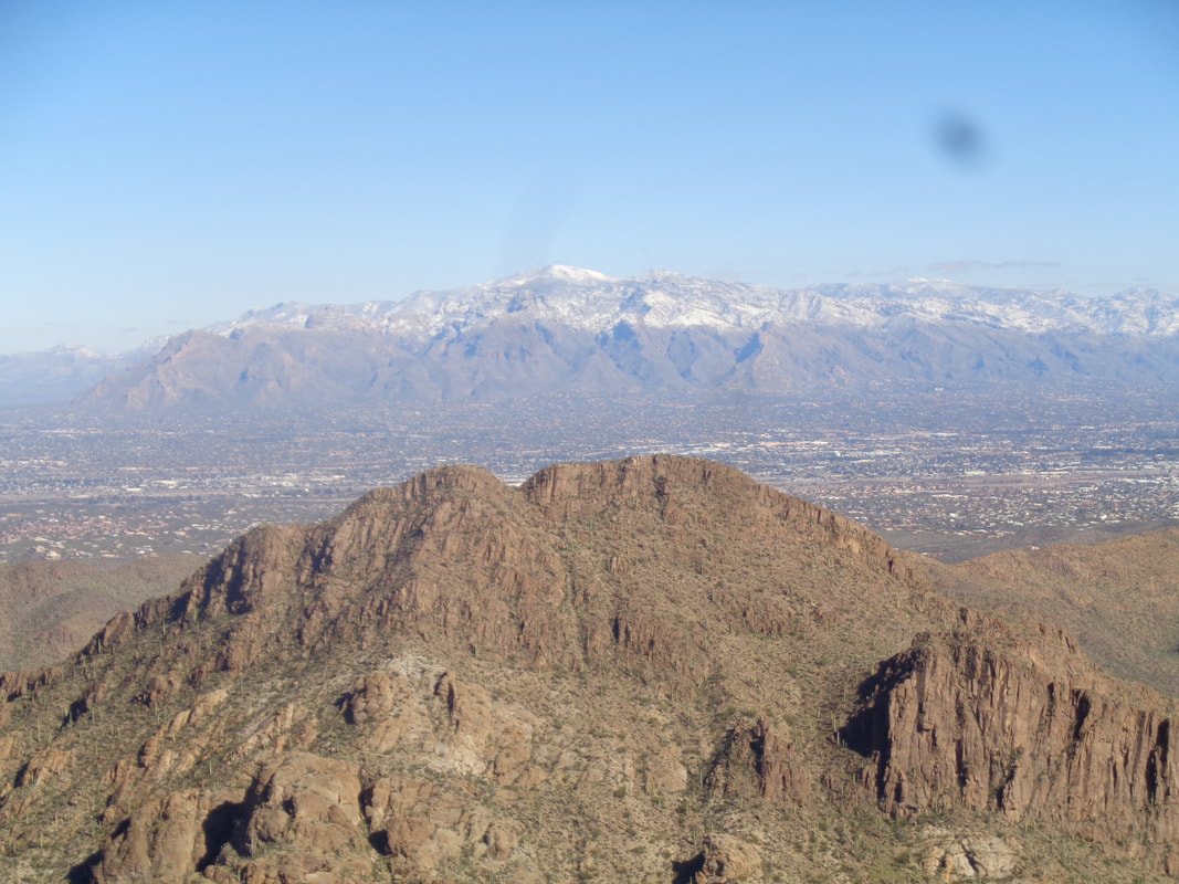
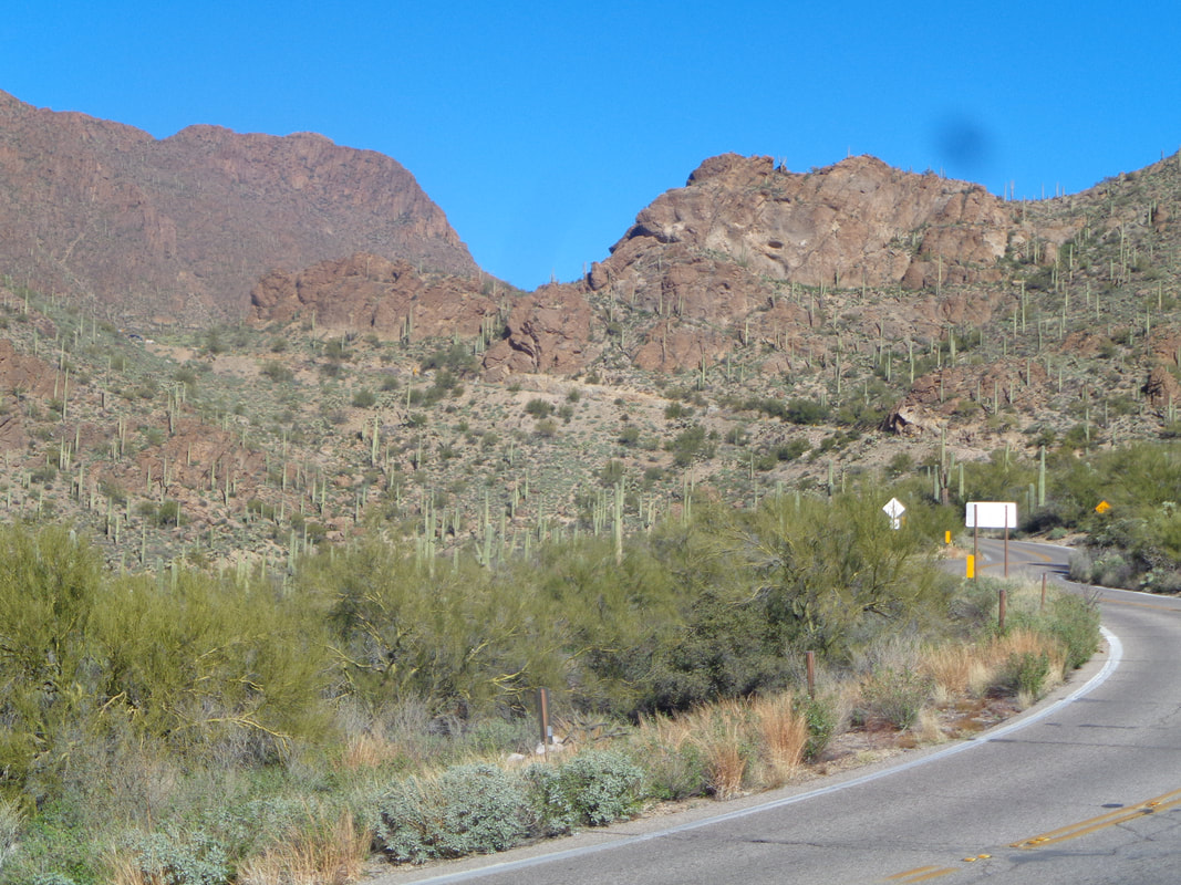
The final 3 miles of the drive to the trail head, from where our group attempts to ascend to the high point in the Coyote Mountains, is one lane in places. Wouldn't want to encounter another vehicle but the road is very drivable by a standard car. There are only 4 members to our group and one very small dog, Diego. Hindsight being what it is, probably not a good idea to bring a dog on this hike. Although it does not appear to be a problem in the above image, the trail eventually becomes over grown with a blanket of grass, bushes and trees that makes pushing through it, exhausting for a dog. Initially, the route follows an old road while passing a manmade water catch. For about 1.5 miles, the road/route is easy to follow, the trail wide and somewhat clear and you can..... …..enjoy the emerging views. Then, the trail dips into a ravine and begins an approximately 2.3 mile climb having an average grade of 18%. Not horrible but the trail is difficult to follow, very overgrown with all sorts of plants and trees growing from the center or side of the trail. The going is very slow as we push through or climb around obstacles. The trail wasn't always so deplorable. Many decades ago a rancher built a trail to the peak so his wife could ride her horse. There is plenty of evidence of the original effort it's just that nature took over and this is a seldom hiked trail. A ridge is our intermediate goal as we continue to slog upward. Upon reaching the ridge.... ….rather than continue through a fence, we hang a right and carefully pick our way through the tall grass that continues to obscure. Actually, from this point on, route finding and obstacle avoidance ramps up even more. The above is the trail. See? In other places, scrub oak and other tree species caused us to crawl. One thing important, whatever is the amount of water you would normally carry for a 10.3 mile hike, take a bunch more. Later, I ran out of water with about a mile to go. It was fascinating to see how the mountain range disappears beneath the desert floor. Pay attention and look for rock cairns. If you take a few steps without seeing a cairn, retrace your route and search for one. Not that I am suggesting you do this hike because I wouldn't unless you are a very experienced hiker and definitely have a gps track to follow. Of course, constantly checking a device slows the progress even more. We were barely eking out a mile an hour pace. At about the half way point, two of our group tapped out and decided to wait for the hike leader and I to return. At least they had a great view. We slogged onward until..... ….we came to the base of the summit. Except it wasn't, just a false summit. We circled around this, navigated our way up a ravine that was choked with boulders and very steep. And then, with about .4 to go to the actual summit, the hike leader had to abandon the quest. His dog had long since spit the bit and was now being carried. I looked wistfully at the summit but going on alone would have been a bad idea and in hindsight, a terrible idea given that I would later run out of water. From the summit, there are great views of the mountain range immediately to the west, the Quinlan Mountains, where the Kitt Peak observatory is located. Alas from where we stopped, I could only see the southern end of the Quinlans. After refueling, we..... …..the aforementioned ravine, got off track a few times but eventually picked up the other two hikers and finished the hike with 10 miles and 3900' of climbing. This is one of those hikes where the combination of distance and climbing don't reflect the difficulty of the challenge. Oh, there was this field of Catclaw that had to be pushed through and yeah, an abundance of Shindaggers too. A very hard hike.
0 Comments
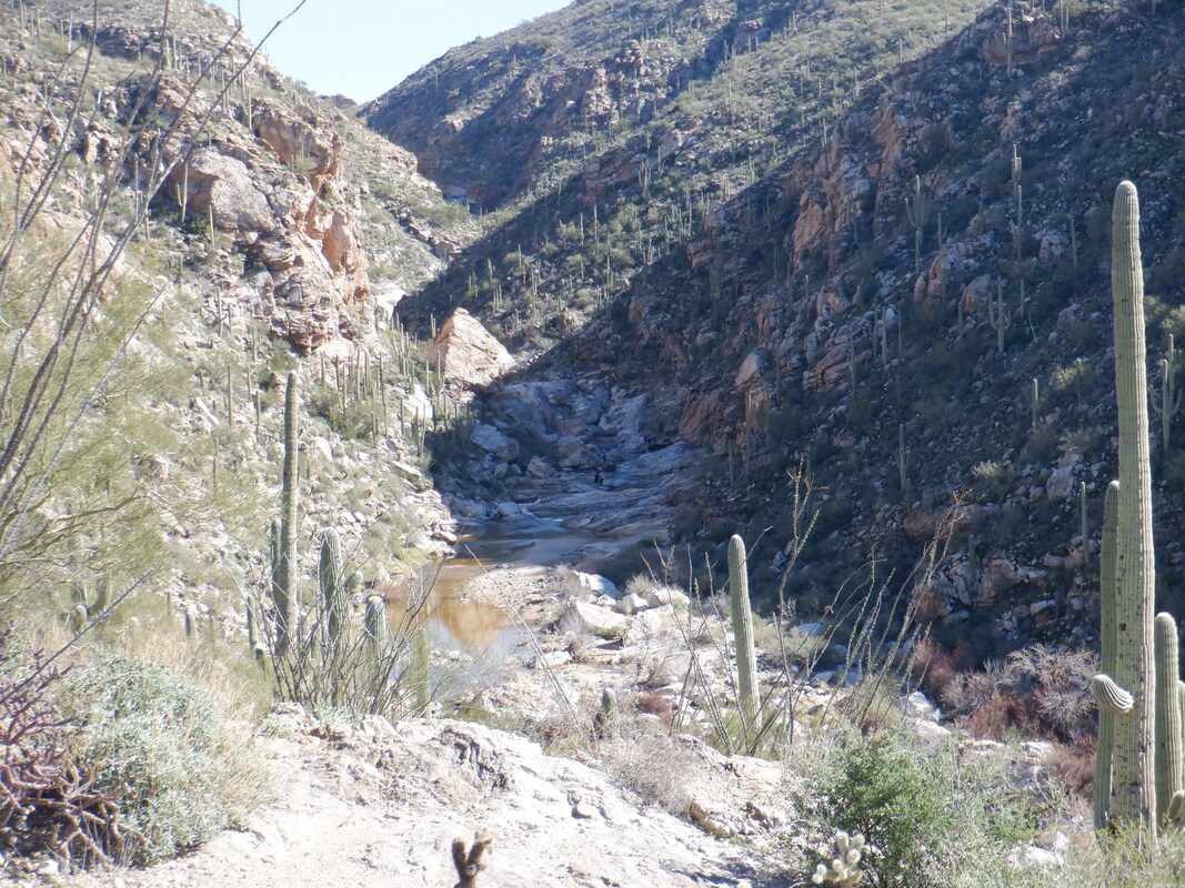
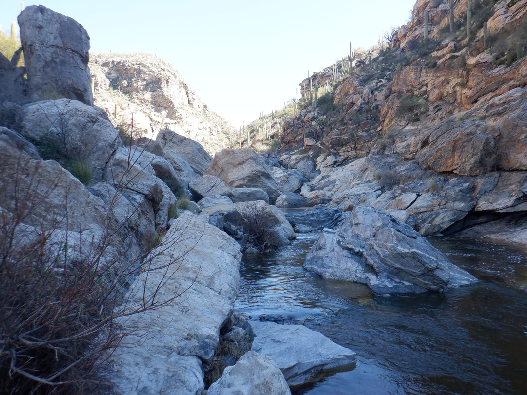
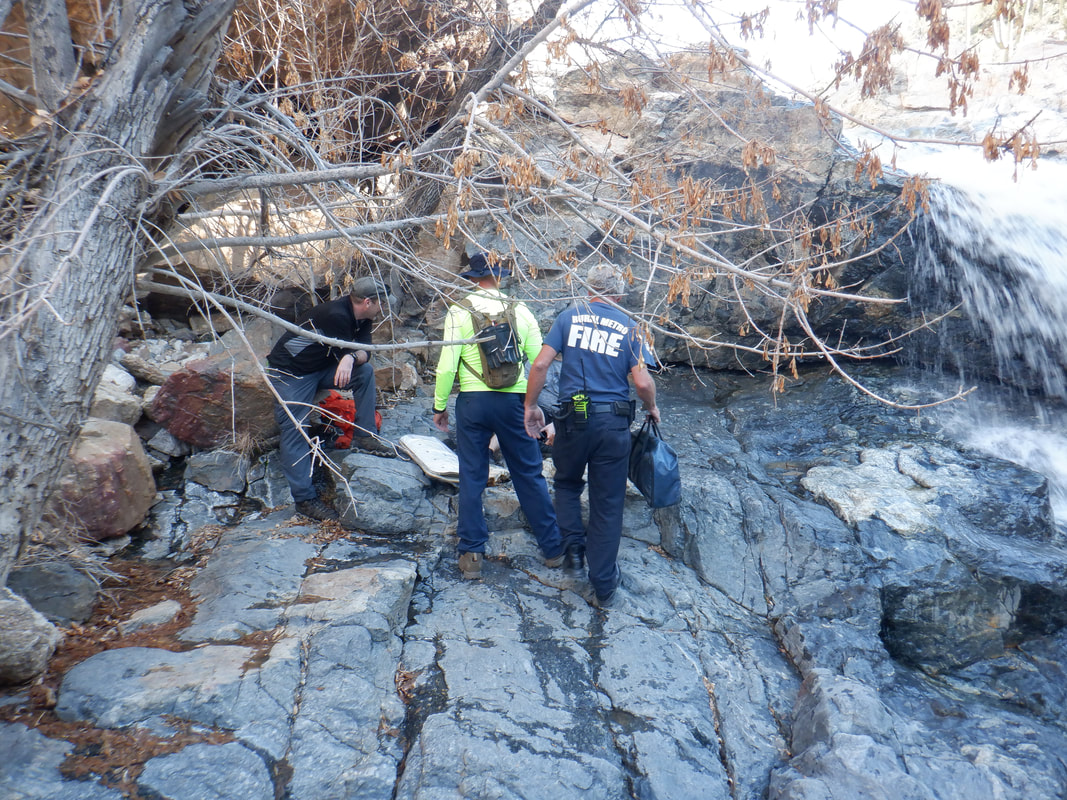
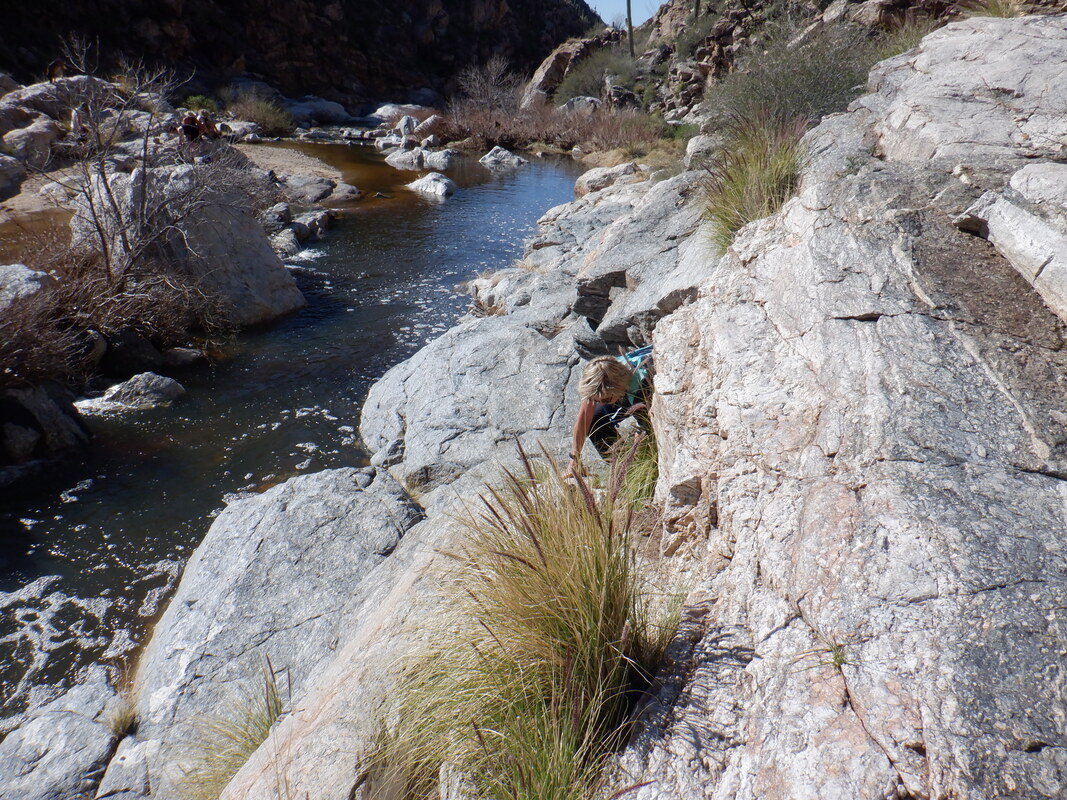
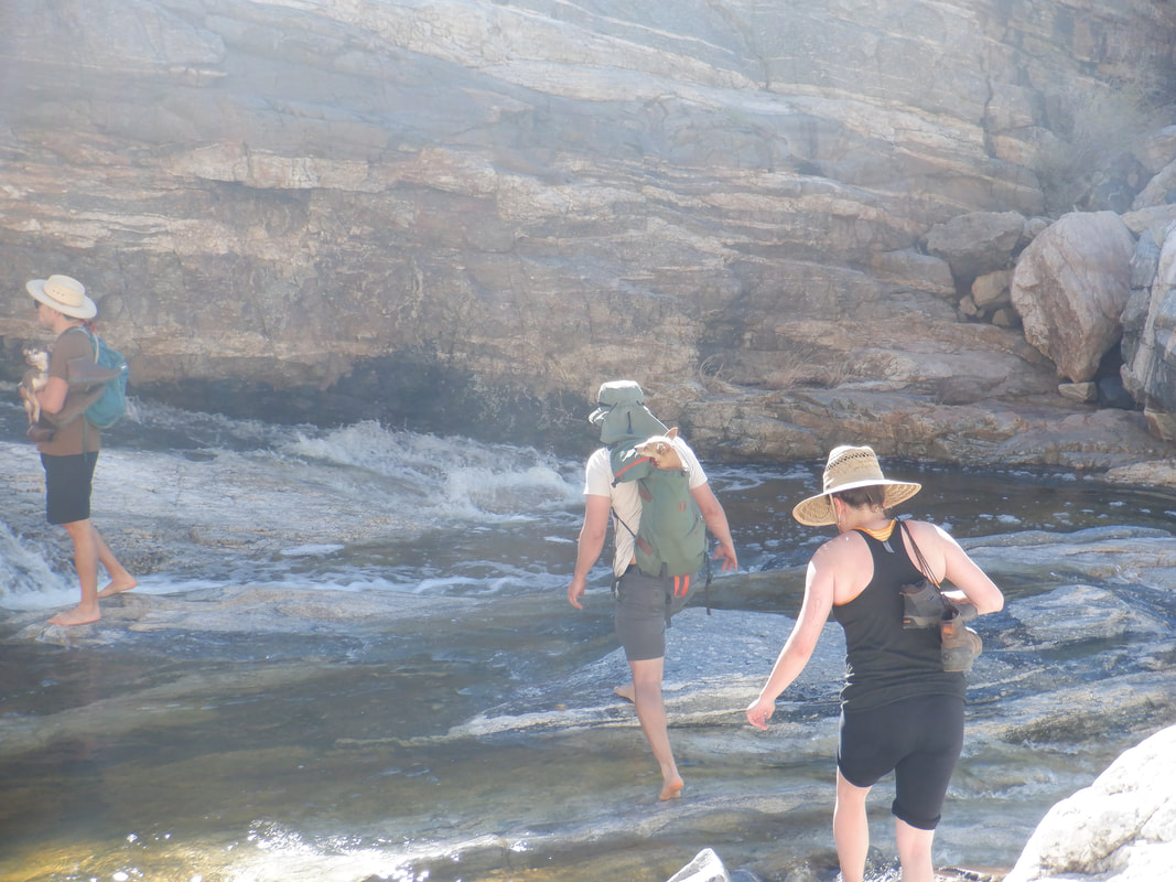
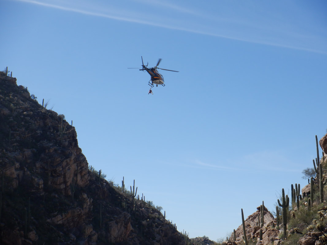
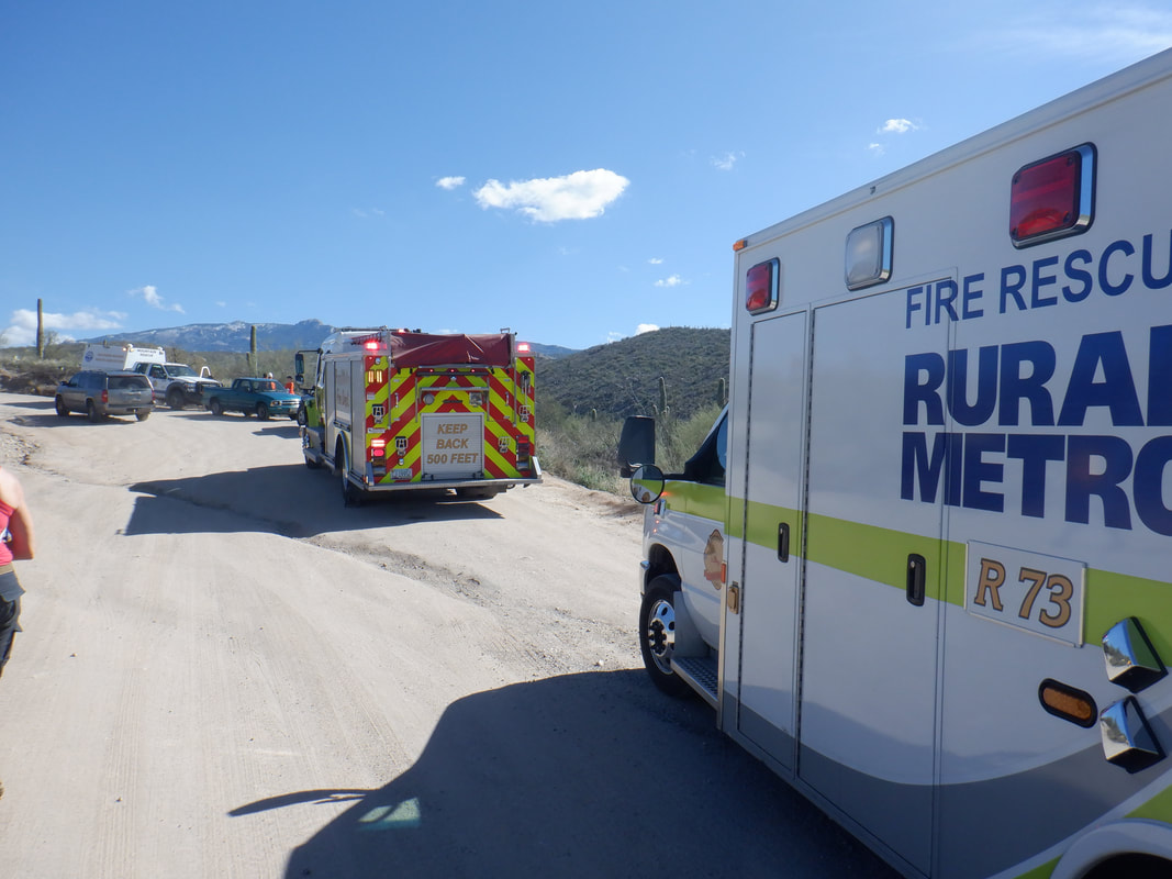
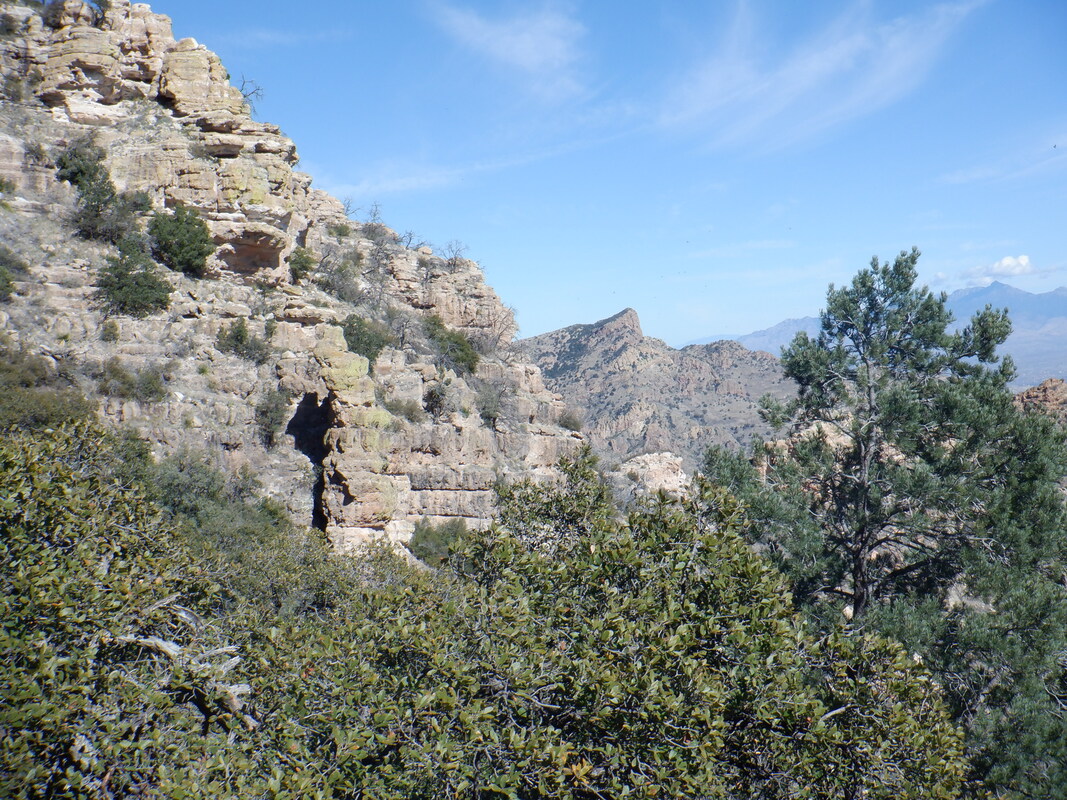
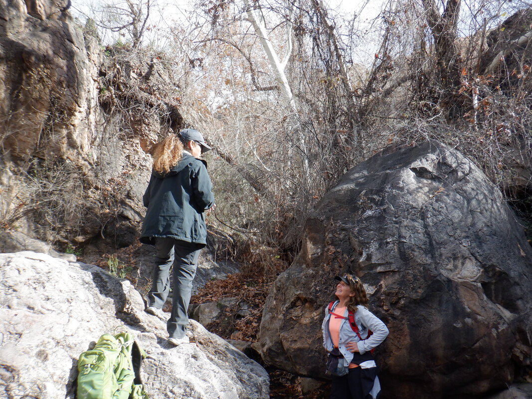
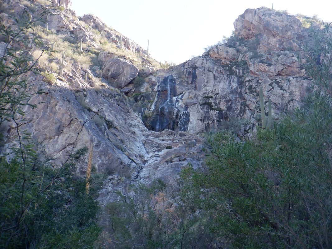
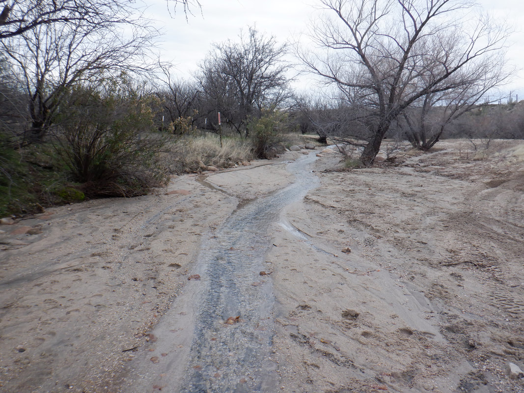
A short (less than 3 miles round trip) and simple hike down to a wash where a left turn is made to hike up to first see a 30' falls and then a climb to a 70' falls. I hear it's awesome so off we go except..... ….while a beautiful setting, especially as the canyon narrows but also...... ….dangerous. Since the early '80's, 31 people have died in here and many more injured, including a man we happened upon who had fallen while trying to down climb a wall. He had missed a trail that offers an alternative and for that mistake, broke an ankle. Only one way to get him out of here as you'll see. There was a healthy flow of water, fed by melting snow. Some of the routes up stream were under water so we were forced to do a lot of boulder hopping and climbing. We were about to follow these people to the south side of the canyon where access to the first set of falls is achieved when..... …..a helicopter swooped in, made a few circles and reined in the injured hiker. Very much enjoyed watching the rescue but alas, we had not allotted enough time for the hike so had to turn around. We'll be back to finish it in the near future. Returning to our car, it is amazing how many vehicles and personnel respond to these rescues.
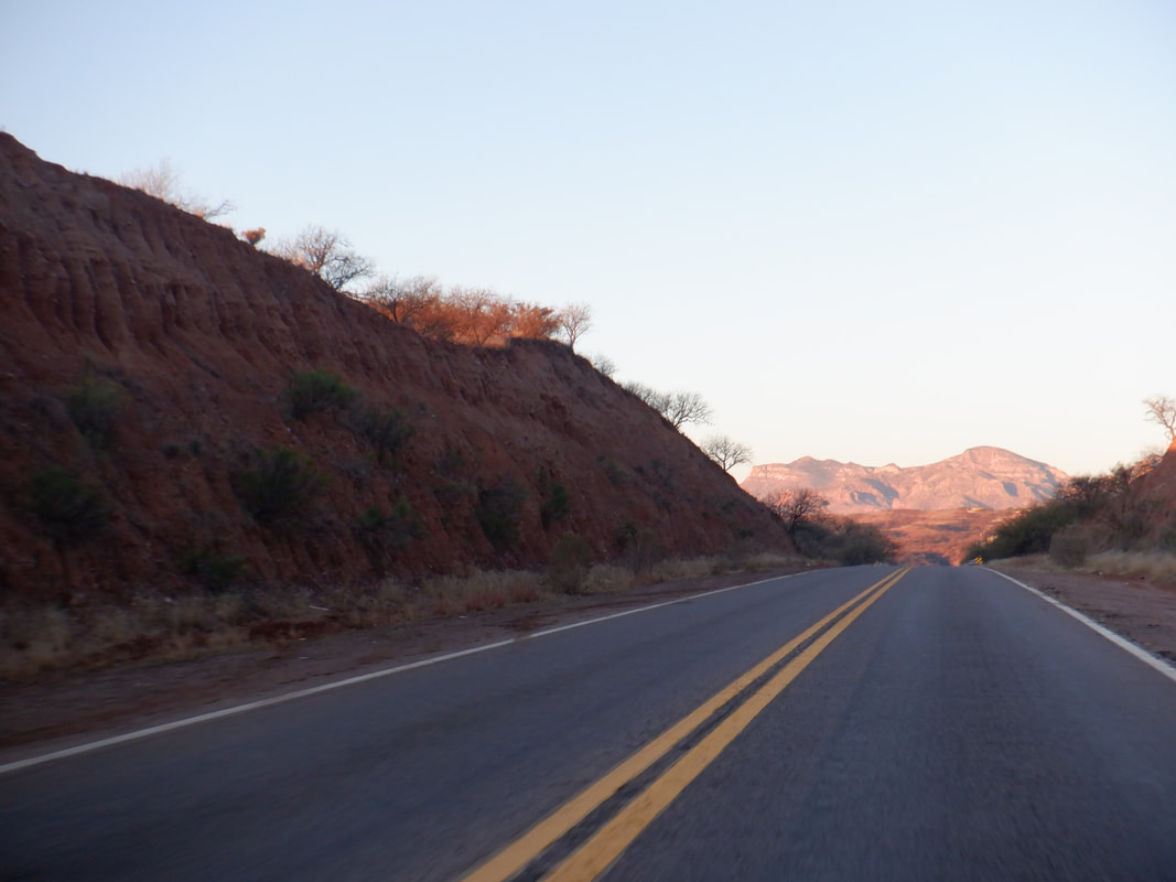
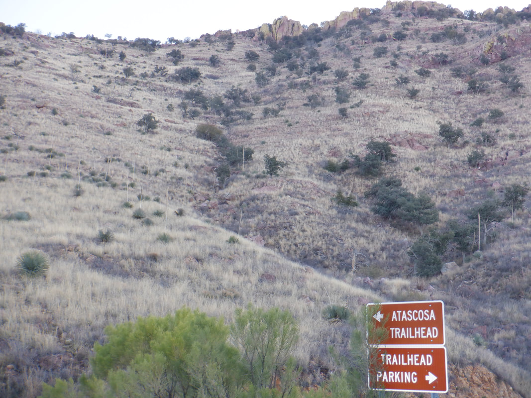
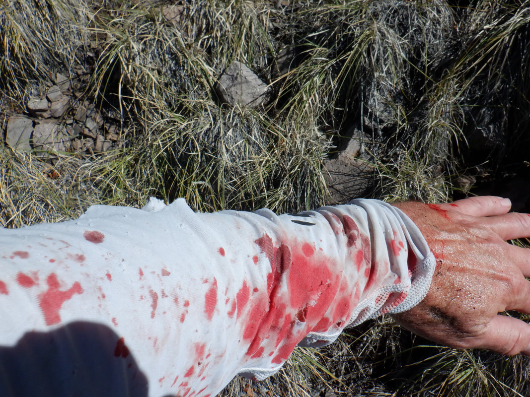
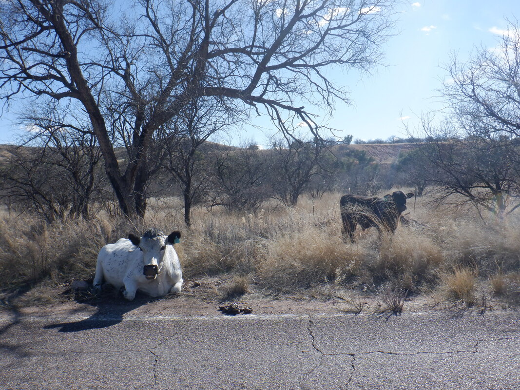
If it's morning and I'm engaged in a long drive in the dark, then it's likely for the purpose of hooking up with the "Arizona Strong Hikers". This time though, rather than me driving north to the Phoenix area, I was making a 1:45 hour drive south to the Rio Rico area. That meant my Phoenix gang had a much longer drive. Once the sun rises, the scenery is spectacular. I arrive at the Atascosa trail head, the last 5 miles of driving on a well conditioned dirt road, where I will embark on a hike first to the Atascosa Lookout and then on to Atascosa Peak. We are only a few miles from Mexico so I'd be a little leery of doing this hike solo. Not to the Lookout but to the Peak. At times, some of the southern AZ peaks are used as an observation point on behalf of illegal activity and I'd rather not run into the people doing the observing. My fellow hikers (I didn't join the carpool because I needed to scat immediately after the hike) soon arrive. We gear up and head up a well defined trail. While Wade creates and leads all the hikes, today is an exception as we are led by Bill B, who sets a nice pace up the first mile where we gain about 750'. Bill has an encyclopedic knowledge of hiking routes in southern AZ and as good a hiking leader as you could want. In the distance is the Lookout and just peeking over the right side is the Peak. While the start of the hike is in the cool shade, we soon emerge into the sunlight and pause to strip a layer of clothes and then on we go with great views to accompany us. Of course, as usual with most group hikes, the terrain and pace limit the opportunities to actually take in more than a glimpse. After about 2.5 miles, having an average grade of 12%, we reach the Lookout. Awesome views into Mexico and southern AZ. The Lookout burned during the Murphy fire in 2011. A new foundation has been poured but don't know if a structure will be rebuilt. Perhaps drone use makes putting someone up here unnecessary. We refuel and look to the Peak in the distance. Bill B on the left and....dang....I really need to lose that extra 7 pounds I gained. It's effecting my hiking times and I don't want to think about climbing Mt Lemmon on the bike dragging that around:) There was some discussion about plunging off the northeast corner or retracing our route a few switchbacks down to an off trail route. We explore both options and.... ….do the plunge. Rather steep and slippery so 3 of our group decide to stay at the Lookout. We work our way down and counterclockwise to...... ….a ridge that connects the Lookout to the Peak. No, that's not the Peak, just one of many outcroppings that must be navigated and climbed. Looking back at the Lookout and note the person in the lower left, blue shirt. Gives some perspective of the distance traveled since we left the Lookout. From Lookout to Peak is about a mile and this section is great fun as we scramble up walls that have a good gripping surface. Some limited exposure along the way but not bad. Finally, we...... ….reach Atascosa Peak. In the distance is the lower elevation Lookout. To the northeast are the Santa Ritas with Elephant Head on the left, then Mount Hopkins and then Mount Wrightson. During my drive, I had a good view of the observatory on top of Hopkins and thought of my July adventure during which I discovered the remains of the lost hiker from Ohio. We did not linger long and opted for a different route back to the Lookout to avoid the steep slope on which we descended. Paul, Larry and I got ahead of the group and for some reason, we split. Larry about 30 yards below me, Paul about the same above me as we sought the trail that led up to the Lookout. Paul discovered two pairs of shoes and a backpack which was likely from an observer abandoned in place for awhile. My route I encountered..... …..way too much Catclaw. The plant shredded my sun sleeve while inflicting some scratches. Most of the time I thought I was on a game trail as I navigated a steep slope but eventually did find the trail and headed down where toward the bottom..... ….the cars came into view and thus the end of a very fun, I'd say epic, 7.6 mile, 2600' climbing adventure. During the drive out, there were signs about cows being in the area and to slow down and sure enough. Wouldn't want to ram one of those for a variety of reasons. Beautiful scenery along the drive where I emerged onto I-19 for the balance of the drive, north.
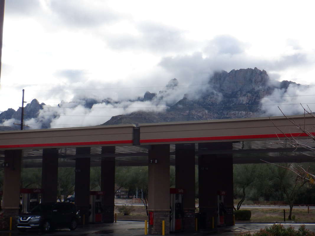
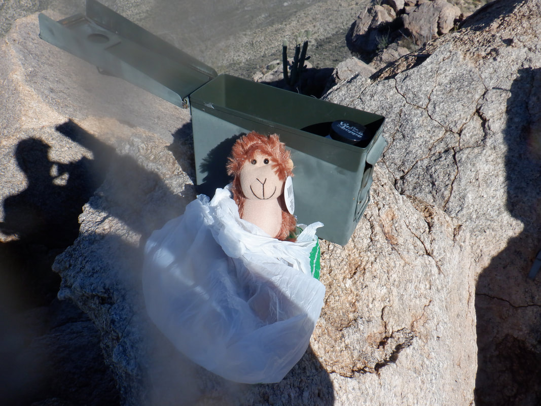
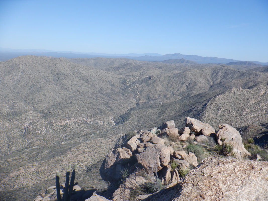
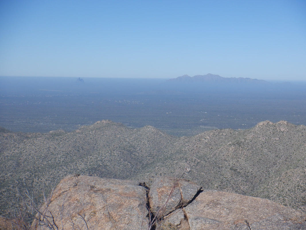
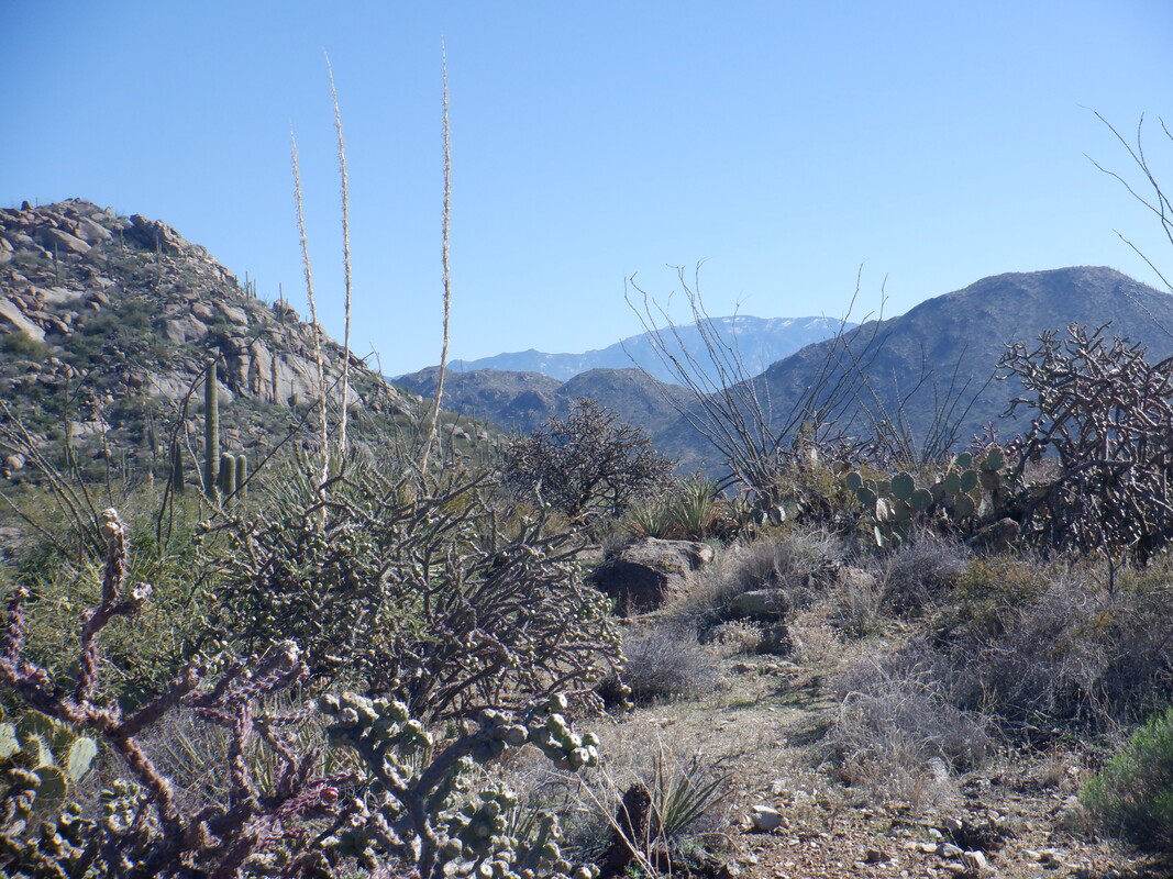
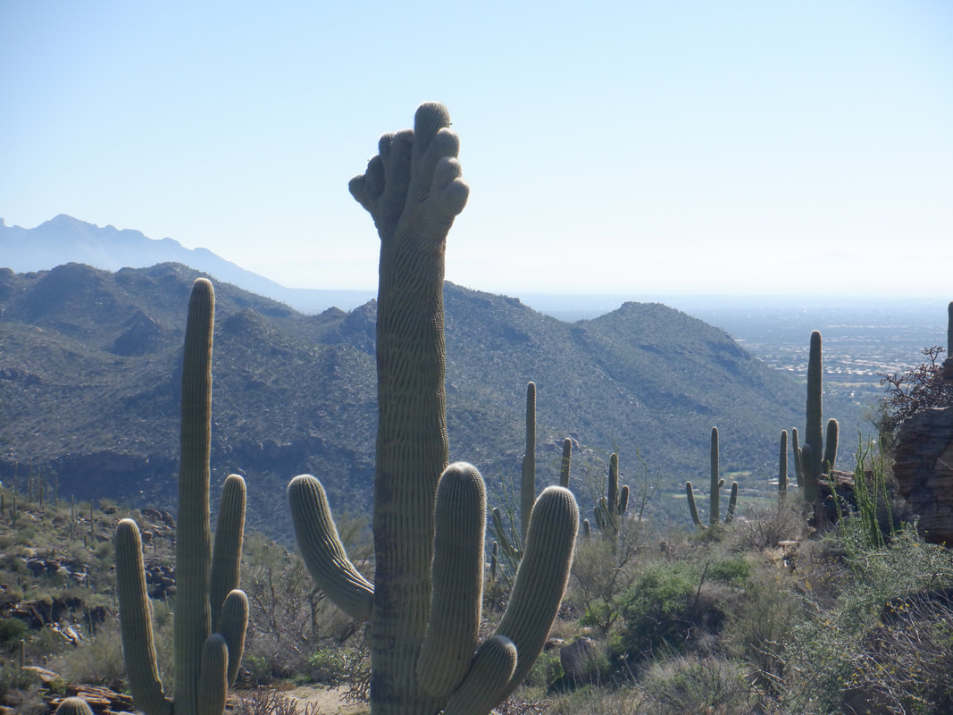
A day of spotty rain with clouds, as usual, lingering in the mountains. Beautiful. I headed a few miles west where the sky is clear and the temperatures warm, the Tortolitas. In the distance, after hiking 3 miles along the Wild Burrow Trail, I get a sight of what appears an insignificant mound of boulders. Now I'm on the Wild Mustang Trail and climbing steadily. There is an unusual, marine layer type, fog in the distance. Not sure what is the cause but maybe the moisture on the ground reacting to the sun and rising temperature. There is a cairn that indicates the entrance to an off trail route to the peak and of course, I walk by it and add about 1/4 mile before I retrace my route and.... …..find the cairn and follow a faint trail with plenty of cairns to aid. The peak still doesn't look like much but before reaching the saddle on the right, the trail turns to the left and ….. ….eventually it becomes steep in places with some mild exposure like the above. Fun times! I keep following cairns which are very helpful and then reach the final approach where I find.... ….great views and..... ….a group of three hikers, two of whom I know. There is an ammo can with a stuffed animal and paper to which I sign my name. Not many visit this peak. In the valley to the north, I can see a dirt road and later see it merges with another dirt road that goes through a network of biking trails. I wonder why I have not pulled the trigger on buying a gravel bike yet. Picacho Peak barely visible with the higher Neumann Peak to the right. I did a back of the envelope type calculation for the hike and rather than the 7.5 miles, I had two extra miles, finishing with 9.5 miles, 1900' of climbing as I return to the parking lot and even saw...... ….a crested Saguaro along the way. Got an epic hike coming tomorrow!
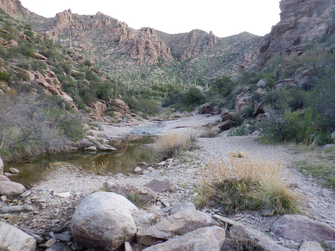
The backstory: My favorite group, "Arizona Strong Hikers", scheduled a 7am start time of this 15 mile hike. Hmmmm, sunrise is 7:24, it's a 90 minute drive for me so I decided to start at 8am and try to catch. I arrive at the Peralta trail head on the southern end of the Superstition Wilderness. To catch the group prior to their arrival at our destination, (Charlebois Springs and the location of the "Master Map") will require me to run a bunch. The problem with that is.... ….the first 2 miles of the Bluff Spring trail (which starts from the Peralta trail head) is steep when climbing and rocky always. Rock formations tower over me during this section The trail finally dips down and into this very neat ravine. There is some flat hiking and then more climbing. At some point, the Terrapin Trail comes in from the left but I ignore that and continue on Bluff Spring. There are fine views of Weaver's Needle along the trail. The trail is clean in places so I run when I can. I encounter a group of ladies, camping and inquire if they have seen a group of 9 hikers ahead of me and they confirm they have but I'm about 45 minutes behind...ouch. The trail dips into another canyon. There are many springs and canyons encountered having names of Music Canyon, LaBarge Canyon, Crystal Springs, Holmes Springs, etc.. At about mile 3.5, I reach the intersection with the Dutchman Trail and jump on that. The destination is off trail so I'm kind of under some pressure to reach the group before they leave the Dutchman for Charlebois Springs. I encounter another group of campers and they tell me I am 20 minutes behind my group. Dang. I hike/run through the canyon shown above before climbing out of it. Note the green hillside on the right. The trail winds above another canyon and I run into some backpackers. They tell me I am 5 minutes behind my group. Yes, this is till the Superstitions as now I am creek side and there are many mature Sycamore and Cottonwood trees. The creeks are not all narrow and easily jumped as I encounter one and in another canyon..... ….another. Really beautiful setting. I ascend and look..... ….back. Wow. OK, then it becomes a little strange. I reach the above point, about 7.2 miles into the hike. I hear what sounds like a horse clopping behind me so I step off the trail and here comes a guy, running. Turns out his name is Joe and part of the group. He had taken a secondary trail to climb a peak and was now trying to catch the group. He had seen the group while at the peak and was surprised I had not yet seen them. Hmmmm. I take off my pack, check my map and we conclude we are really close to the destination. He takes off and then after I put my pack on and follow, I look at the above, note there is a faint trail and decide to see if this side canyon is where I would find Charlebois Spring and...... …..eureka! Hike leader, Wade and the others are relaxing from the trek. We never got around to finding the Master Map which supposedly gives clues to the location of Spanish gold. The boulder on which the inscriptions are located have been discovered by others and I regret that I did not look and get an image of it. We never saw Joe again but I'm sure he made it back out given this route has only 2 turns in it. At some point, Wade led the group to find the origins of another spring but I had that drive ahead of me so I kept going, finishing with 15.1 miles and 2500' of climbing. Saw some new areas of the "Supes" and as always, the views are awesome, like the above.
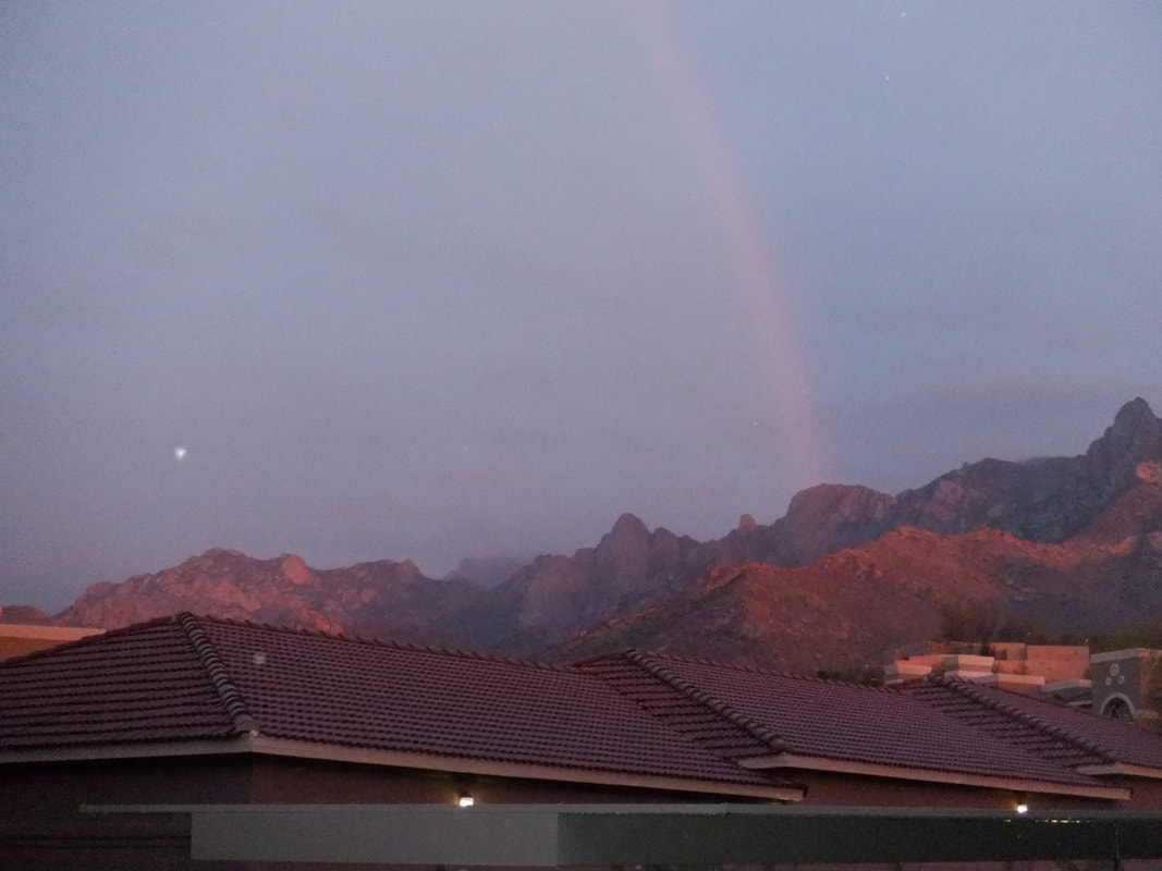
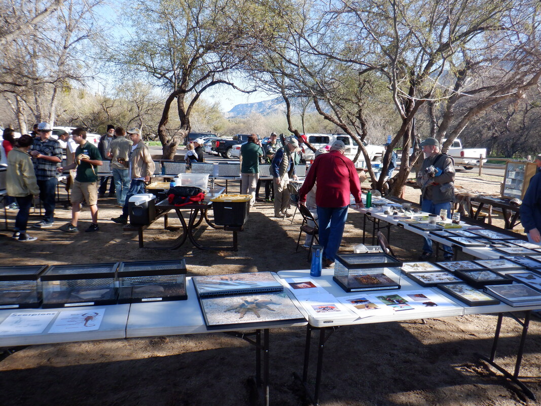
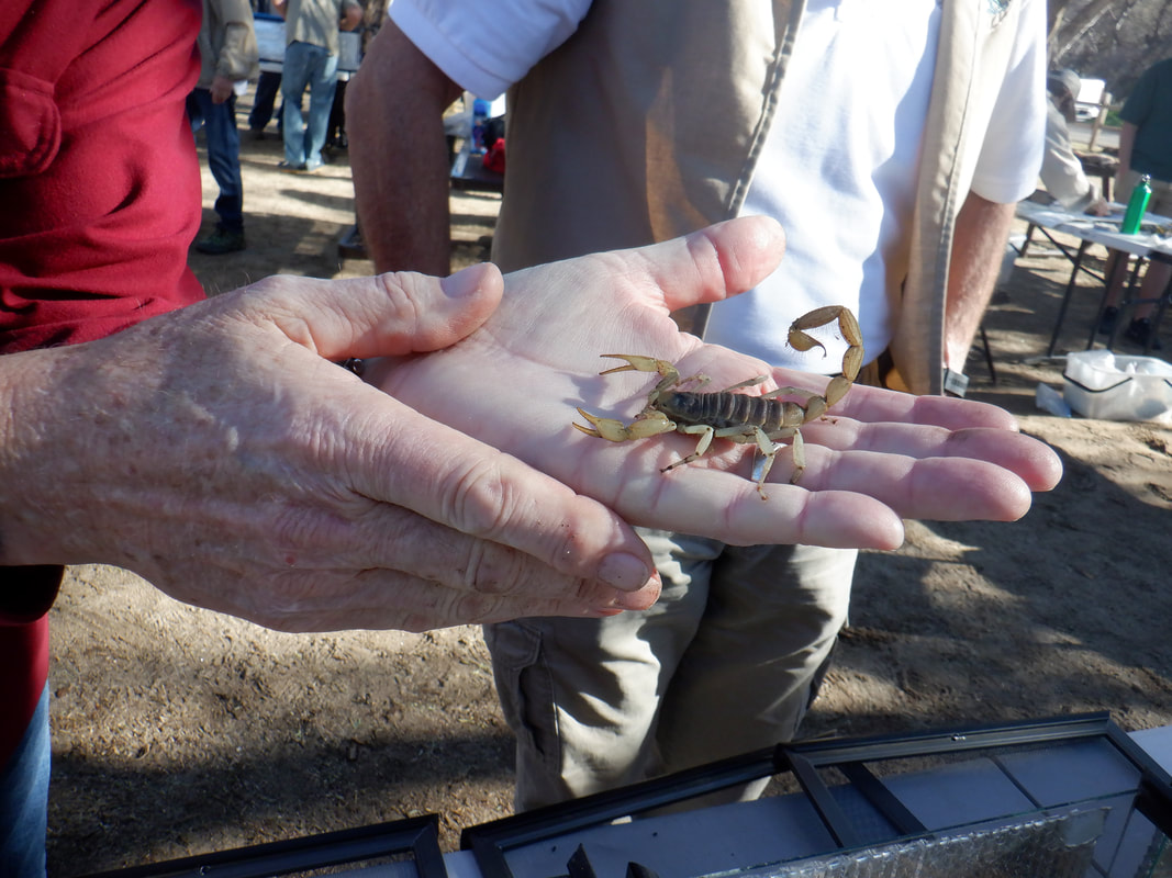
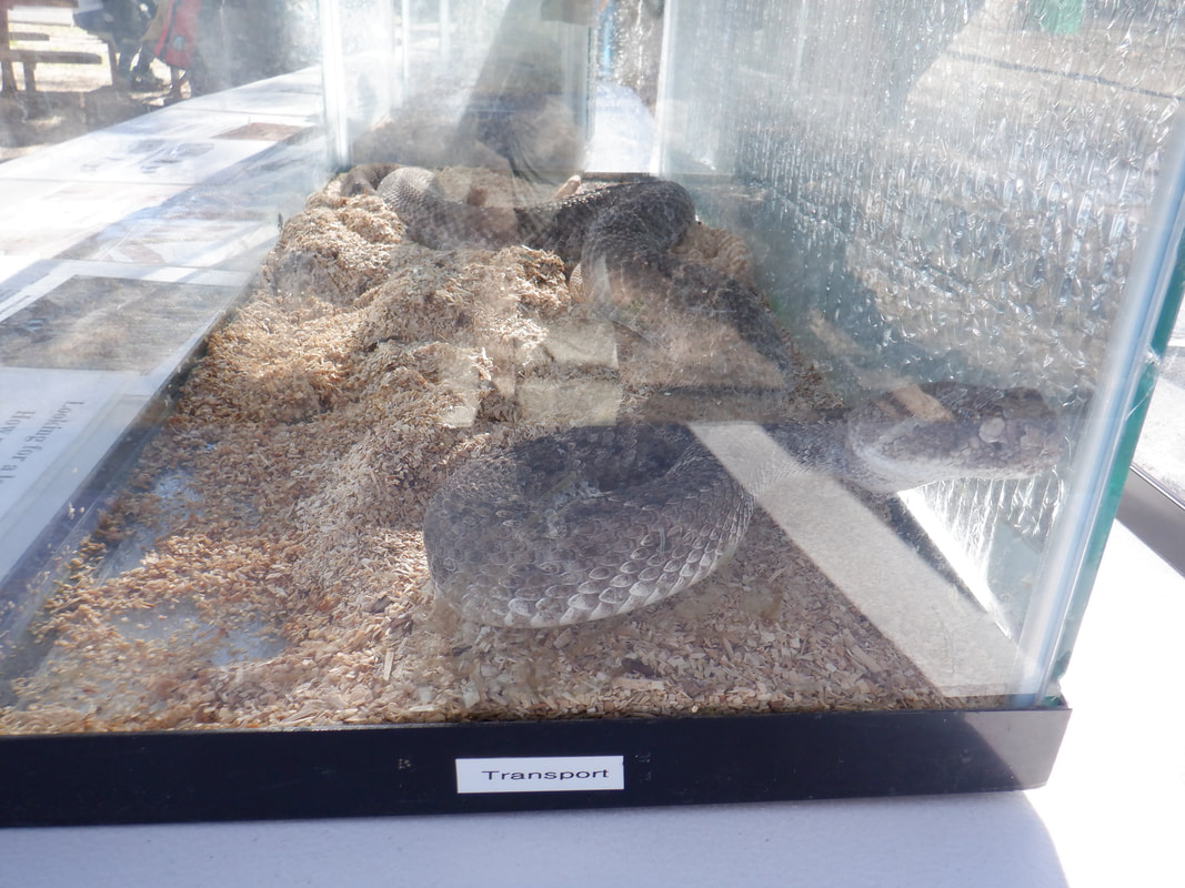
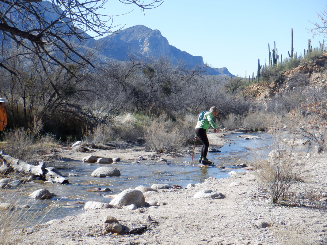
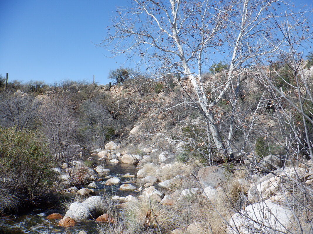
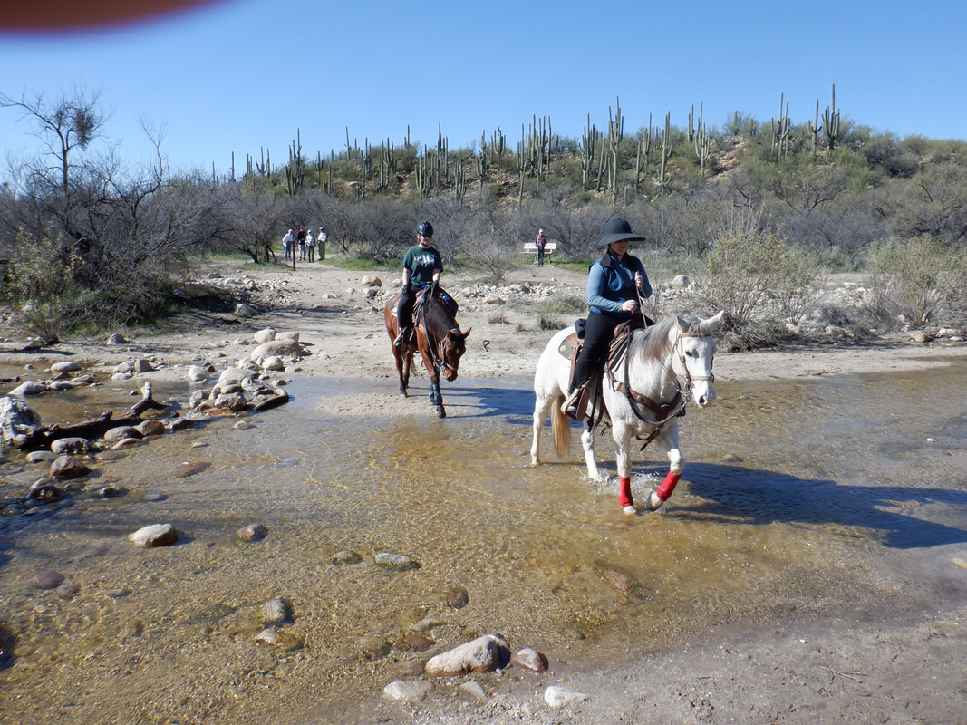
With rain appearing to hold off, I hiked up, down and around Brown Mountain and finished just before a smattering of rain moved through. The sunsets on the partly cloudy days are awesome and this evening's produced a rainbow against the Catalinas. I missed by a couple of minutes an even more brilliant image as I ran for my camera. I've hiked both Brown and Wasson frequently because they are good fitness type hikes but don't put up the images here since it would be redundant. Today, I drove the one mile to Catalina State Park where I was surprised to find this exhibition of..... …..mostly scorpions and snakes. This scorpion can be handled because it doesn't feel threatened so won't sting. No way would I ever take that risk. The handler admitted he had been stung a couple of times. Apparently the larger the scorpion, the milder the sting. Some of the small, other types, he won't handle. Oh yeah, the obligatory rattlesnake in a box. Nasty looking creature. This is a Mojave but they had several other varieties on display. Well, on to the hike as..... ….I led Amy on a 4.5 mile loop that had around 8 crossings of snow melt fed washes. There were lots of people out hiking with their dogs, which are allowed in this park, on this beautiful day of sun and temps around 70 degrees. The Park is a great resource but the trails are pretty tame other than the one going to Romero Pools. There is a network of trails that do not appear on the Park's map for some reason yet..... ...some neat places such as this falls. The water cascading down the rock originates from Romero Pools. While the trail leading here is obvious, our next section had a very faint trail as it led past the Giant Green Boulder...... …..and more stream crossings. This being my 4th or 5th straight day of hiking, during which..... ….I really pushed myself on some climbs, my legs felt kind of fatigued so I am resting on Sunday because on Monday, I'll be doing a really epic hike deep into the Superstitions. Should be at least 15 miles. Our final stream crossing demonstrated a better way of crossing. Quite a few horses out today too.
This is one of those hikes where the distance won't impress but the hike has everything else. Route finding challenges, exposure, steep climbs, awesome views of the region's mountains, etc... The route takes one clockwise up and around Bushmaster Peak and its adjoining ridgeline. I talked a couple of hiking friends into joining me so we park at the scenic view parking area off Gates Pass Road. We immediately begin climbing. Thousands of people have parked and scrambled around on the slope so there is no trail, I just pick a ridge and we pick our way around thorny plants. Occasionally, you must pause and look at the magnificent surroundings. Upon reaching the ridge, I find a faint trail. Note the Jumping Cholla on the left. The area has hundreds of these plants and on this kind of windy day, I am thankful the wind can not pry the cholla segments and send them flying. That threat would eliminate hiking on a windy day. Note the sun light against the Saguaros. The trail briefly follows the ridge before turning up again. In the distance, Tucson Studio. Higher now, we get a good view of the valley and Gates Pass Road. The route gets a little hairy as we ascend the slope on the left which is covered with pea gravel and makes footing difficult. Oh and the trail borders the cliff so we are very careful. My fellow hikers ascend the steep section and are glad when that is over. We circle around the ridge line, make a sharp right and head toward a narrow band of rocks where we find..... ….someone recently placed a summit registry. Oh and note the hiking poles. At least one is a very good idea on this hike. The route continues as we go up and over many times this ridge. It's kind of dangerous as falling would be a bad idea. We drop down and then ascend again. The route is not always obvious and sometimes counterintuitive. I'm glad I have done this hike a couple of times and even with that, I'm sometimes briefly stumped. Of course, can't allow the others to see the confusion as that only sows fear and undermining confidence in me:) Although an idiot painted an arrow on a rock, indicating to exit the ridge to the right, that way doesn't look doable. Maybe it is but it appears to be too steep and too exposed. Instead, I exit the ridge to the left and head toward a saddle shown above. Actually, I exited a bit too early and it was all bushwhacking down this..... ….steep slope. Had I followed the ridge a little farther, the way down would still be steep but there would have been some cairns to follow. Either way, the saddle is the destination where.... …..next we descend the above ravine and head towards the road where we'll walk to our cars. This ravine was..... ….rough. I do not remember it being such a difficult bushwhack and was glad when we got through the worst of it because I could sense some dissension in the ranks. There was no foot trail but I managed to find a game trail now and then so if it is good enough for the Javelinas, it's good enough for us. Finished with 3.6 miles and 1400' of climbing.
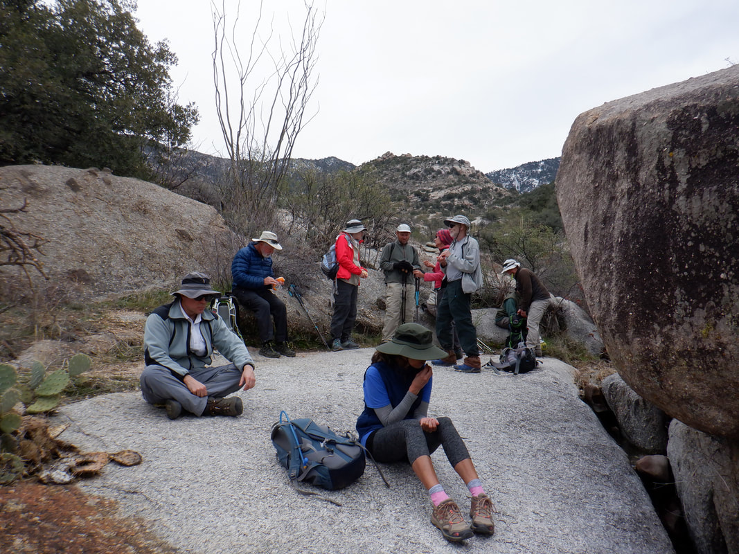
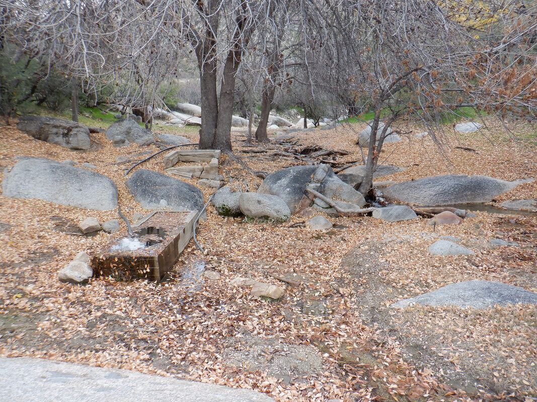
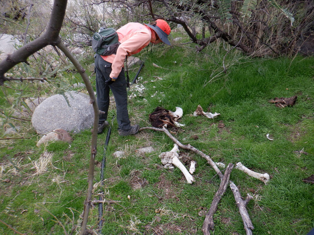
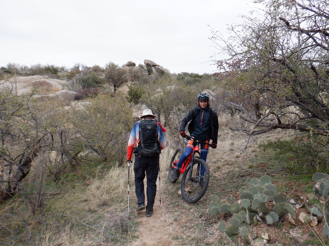
Twelve of us depart from the end of Golder Ranch Road where there is a parking area and access to several trails that take us into the foothills of the western end of the Catalinas. Esteemed hike leader Allan S is leading this hike so I know the pace will be good with few regroups. Snow is present at the higher elevations. Of course, the snow is melting and while not a raging current, we crossed many washes that had some water flowing. Kind of a bleak scene with the leaves off the trees even though it is a beautiful day, sunny but another cool one with a high in the upper 50's. This part of the foothills is very rocky but some how the trails wind in and out of the rocks. We take a break! We resume our trek and..... ….check out this scene, like something out of the Midwest. Beautiful and we resumed our hike but someone noted.... ….cow bones. Kind of odd and we speculated it died of natural causes and then the lions moved in. As usual, this area is home to both hikers and mountain bikers. Both are courteous to the other. We reached Middlegate Trail and with that being our remaining link to the parking lot, I politely excused myself and enjoyed a trail run..... …..back. Finished with 9.4 miles and slightly less than 1000' of climbing.
Doesn't this new camera take great images? I join a hike led by Paul Yurgen, a former Marine and a great hiking leader. We depart from a parking lot at Ritz-Carlton at Dove Mountain. We take a spur trail from close to the hotel and begin climbing. OK, group hikes generally aren't fast paced but knowing I am burning calories while foregoing Strava segment competition, is ok. And again, with the above views, it really is ok to go at a slightly slower pace on a climb. We eventually reach the Wild Mustang Trail and continue while there are good views to the southwest, including Panther Peak there in the center. We regroup a few times as required with a group. Our hike began at 8am so the sun was too low in the sky to be able to see the snow capped peaks around Mount Lemmon. The first 3.5 miles is mostly climbing but eventually we reach the high point and begin dropping to the Wild Burrow Trail where the group.... ...takes a break but I have to be back by the parking lot by noon so I can go play table tennis! So while they are breaking, I continue and finish around 11:30m. Later, I saw I finished 40 minutes ahead of the group so a good decision. Finished with 7.9 miles and 1400' of climbing.
Pima Canyon trail head. About a mile down trail, remains of a body were discovered off trail. Few of the "who", "what", questions have yet been solved but one event is certain, 3 mountain lions began eating the body, making identifying even the sex of the victim difficult. The lions, showing no fear of humans and discovering that if they tear clothing off, what lies underneath is tasty, were killed. Well, with that out of the way, a hiking friend and I...... ….hiked 2 miles of the trail, pushed through trailside thicket and entered this. Although bushwhacking, we followed a ridge with plenty of slickrock. I had no gps route to follow but if I stayed on the ridge, I should make it some where between Bighorn and Table mountains and then hang a left and ascend Bighorn. The route ascends a slope to a knob or ridge from where I could plot a route to the next knob then the next, etc... Above is one of the knobs that upon reaching it, I reconnoiter what I can see ahead and aim for the next high point. Throughout, no view of Bighorn can be seen so I'm relying on if I keep climbing, things will turnout ok. yes, it's steep but.... …..always accompanied by great views when I take my eyes off what lays ahead. Looking across the canyon, I can see patches of snow on some of the mountains. At last, we have climbed to the base of what I think is the final slope. I think once we reach the top of that is a ridge from where you can see Oro Valley and the northwest side. That slope is about .4 miles having an average grade of a mind boggling 35%. Not evident are thousands of nasty plants called shindaggers. I make it and look again across the canyon and can see the Rincons. As planned, to my right is the awesome Table Mountain. I wait for my hiking partner to catch up and then ascend Bighorn. I must say, its not all that an impressive peak. Just a ridge of jumbled boulders. I looked but found no summit registry. Looking toward Pusch Peak, I see the narrow knife of rock that I climbed a couple weeks ago, the Cleaver. Looks kind of insignificant but it's not. For the purpose of comparison, this is how the Cleaver looks from Pima Canyon trail. Pressed for time, we do not linger at the peak but drop down to the ridge between the two peaks, have a quick snack and begin the descent. Carefully we plot our way down and try to avoid some rather nasty looking cactus. The descent takes longer than the ascent. Finally reach the trail and finish with 7.5 miles and 2900' of climbing.
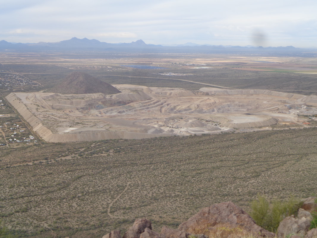
I planned to hike to the top of Bighorn Mountain this morning but the trailhead was closed. A man apparently stole a car, perhaps dragged the body of the driver, 1 mile up Pima Canyon trail, left the body where 3 mountain lions began feasting. The discovery of the body closed the trail until the lions were tracked and killed. So, I drove to the parking lot at...... ….Sanctuary Cove. A large group was headed to the top of Sombrero Peak so I hiked to the saddle shown to the right of Sombrero on the first image and then left the trai; and dropped...... ….into a ravine and hiked toward Panther Peak shown above. While doing so, I passed Sombrero and the adjoining small peaks. Having done this a couple of years ago, I knew if I kept to the bushwhacking and heading toward White Stallion Ranch which I could see in the distance, I'd encounter a fence and a trail that parallels it. There is the ranch in the distance. I was curious about it so did a search and discovered it is a highly rated dude ranch: https://www.whitestallion.com/ At some point while hiking parallel with the ridgeline to my left, I knew I had to head toward a ravine to the left of Panther. I cut cross country and eventually began seeing cairns and knew I was now on the route. This used to be a rarely visited peak but learned that it is part of the ranch's activity options so what used to be a faint route is now easily followed. The climb up the ravine is steep. Probably an average of 25-30% with lots of pauses to figure out where next to go. A lot of boulder hopping too so be careful. Bad idea. Cairns are useful but to place one on top of a cactus is not good. I swept it away. After reaching the saddle, it's then a modest .4 miles to Panther Peak. Once there you get a good view of Sombrero. How about that? A copper mine. I sign in the summit register and see the peak is receiving a visit on average about every other day. I enjoy the views and then head back down the slope to the saddle and then down the steep ravine. Along the way I..... ….spot this funky looking saguaro. So odd to see an arm grow from so close to the base of the cactus. In the distance, my next destination, the saddle I crossed while coming out of Sanctuary Cove. The trail that parallels the fence is easy to follow until it crosses the fence, heading to the ranch. Then it is bushwhacking up the slope to the saddle and then down to my car. Finished with 5.6 miles and 1900' of climbing on this beautiful, warm and sunny day.
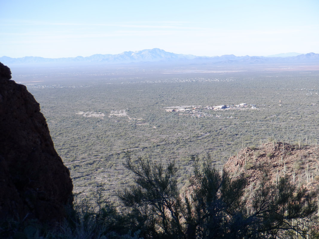
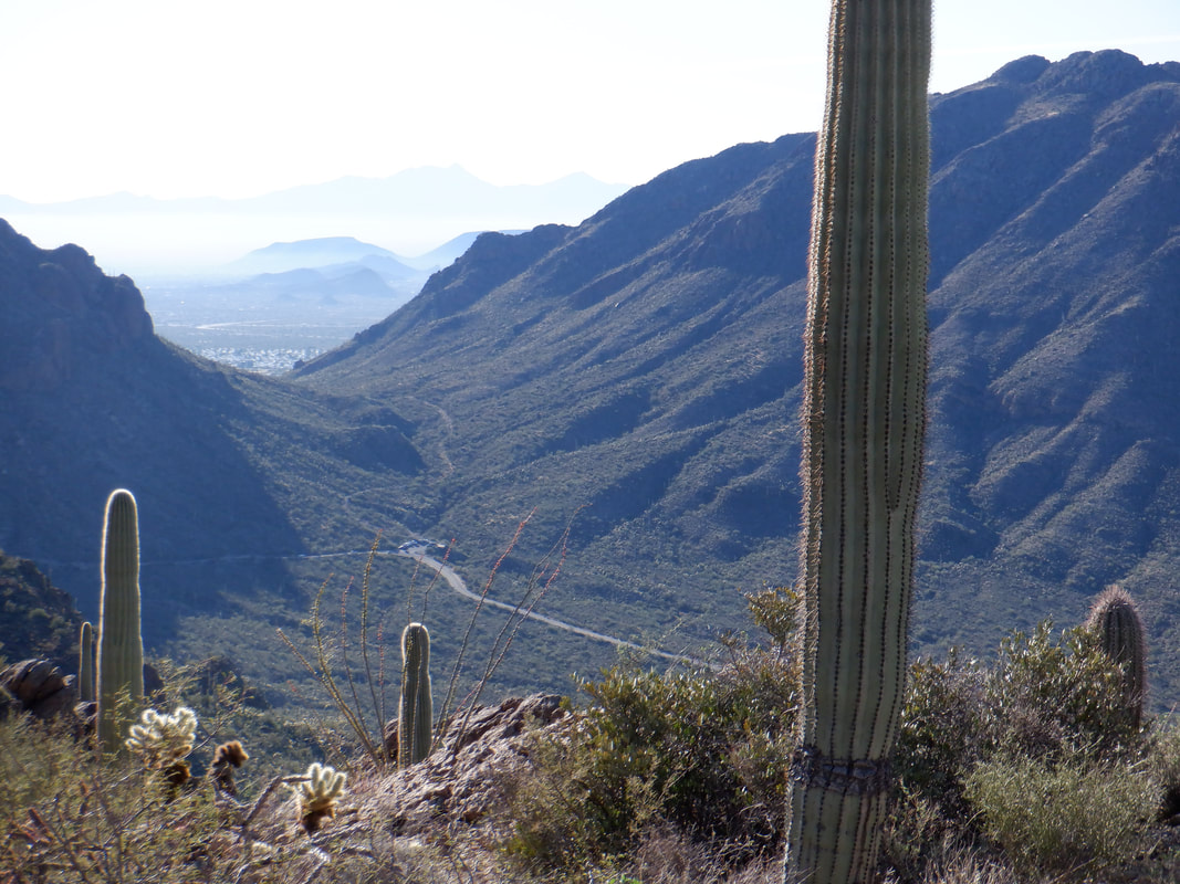
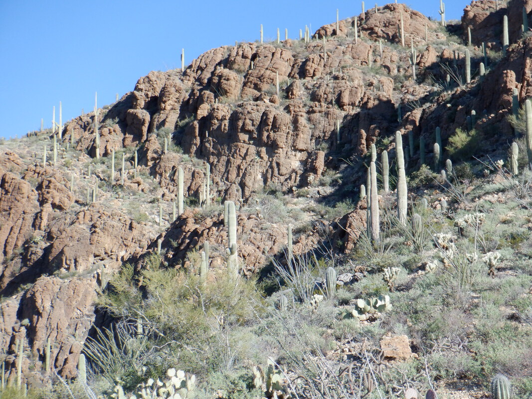
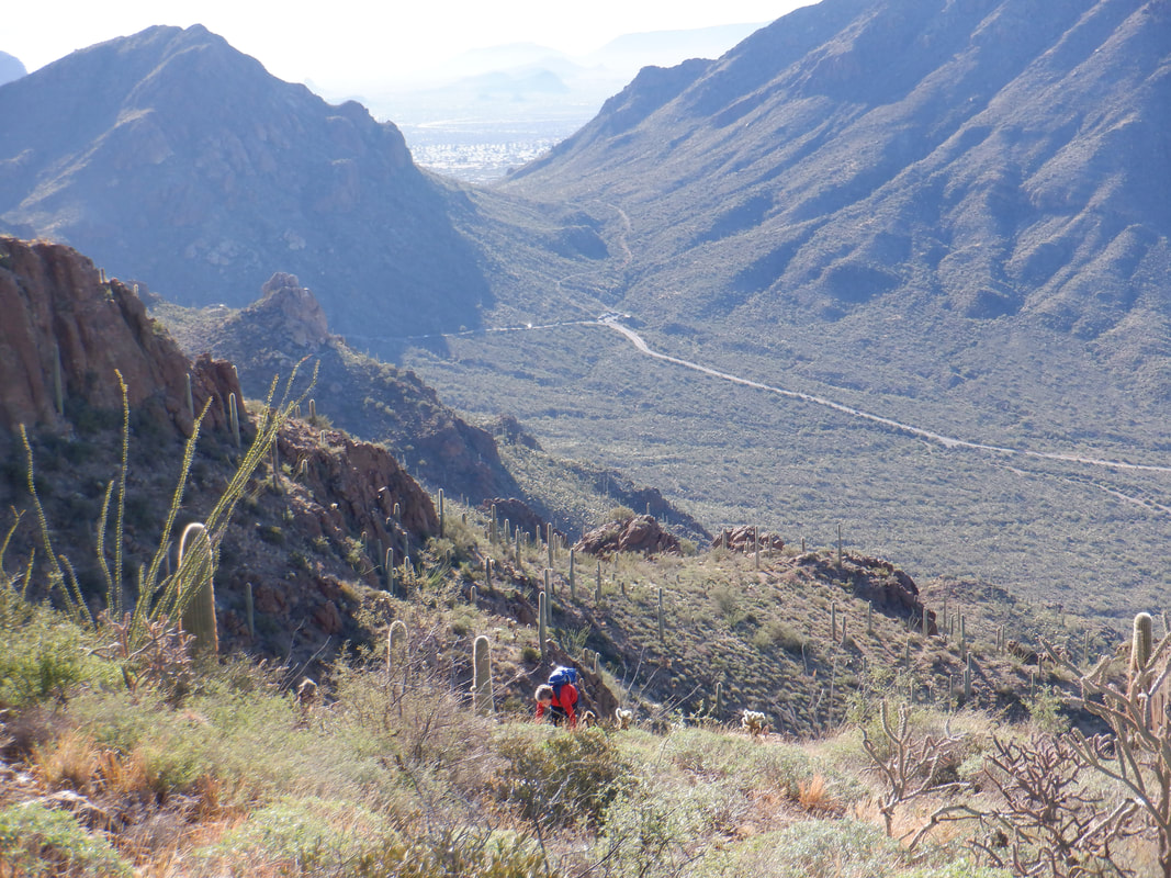
Actually, it is Golden Gate mountain, the day after my failed effort at reaching it. I parked again on Gates Pass Road, ascended the Yetman Trail, found the rock cairn that I had missed the prior day and headed up. There are an abundance of cairns to lead the way but be warned the climb up to..... ….the first saddle has an average grade of 32%! Only .65 miles but a hard climb. The snow capped Catalinas in the distance. The route goes behind the mountain and ascends for a bit before another saddle is reached and.... ….the final destination is reached. Great views from this saddle too. I didn't think I would see anyone else but at the top, on this day with a high still only in the 50's and cooler up here..... ….a Canadian was sunning himself. There is a gun range at the base of the south side of the mountain. I walked over and looked but stranger things have happened then getting caught with a ricochet so we both stayed back. Big Cat mountain in the distance. I've climbed to the top of Little Cat but never Big Cat. Tried it once but got discouraged and turned around. The Rincons in the distance. I signed the summit registry and headed down. Looking back at the final climb once..... ….again, be careful if you ascend this too. That final pitch, while short is very rocky with some boulder hopping required. A slip would not be good. At the aforementioned first saddle. I get a good look at the tiny parking lot where I am parked and Gates Pass Road as it winds toward the scenic view parking lot. I take another good look at the Catalinas and continue a careful descent of that kind of sketchy, 32% slope. I reach my car and look once again at Gates Pass. A good climb that, on the bike. No berm though and lots of distracted drivers. Finish with 2.6 miles and 1400' of climbing. Oh, the movie issue. On the other side of the mountain is Old Tucson where many dozens of westerns were filmed so this mountain has been seen in the background of many of those. For more info: https://oldtucson.com/
|
Categories
All
Archives
November 2023
|
