|
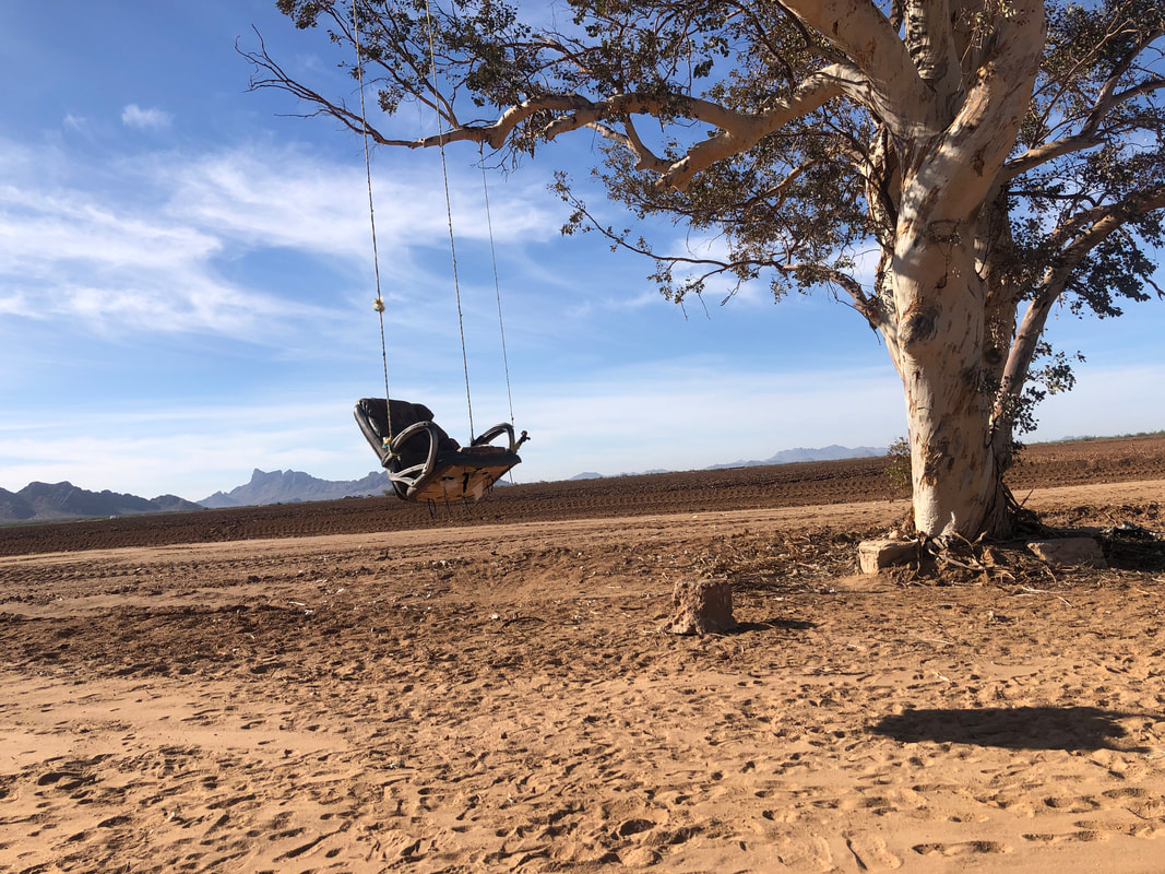
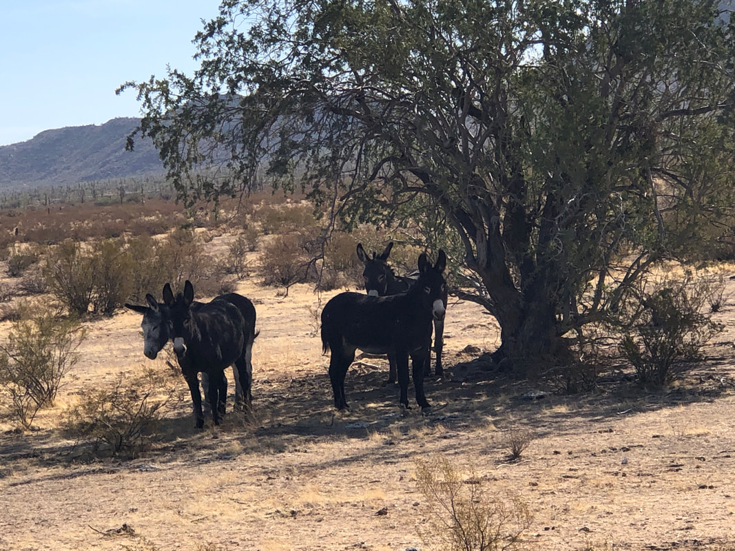
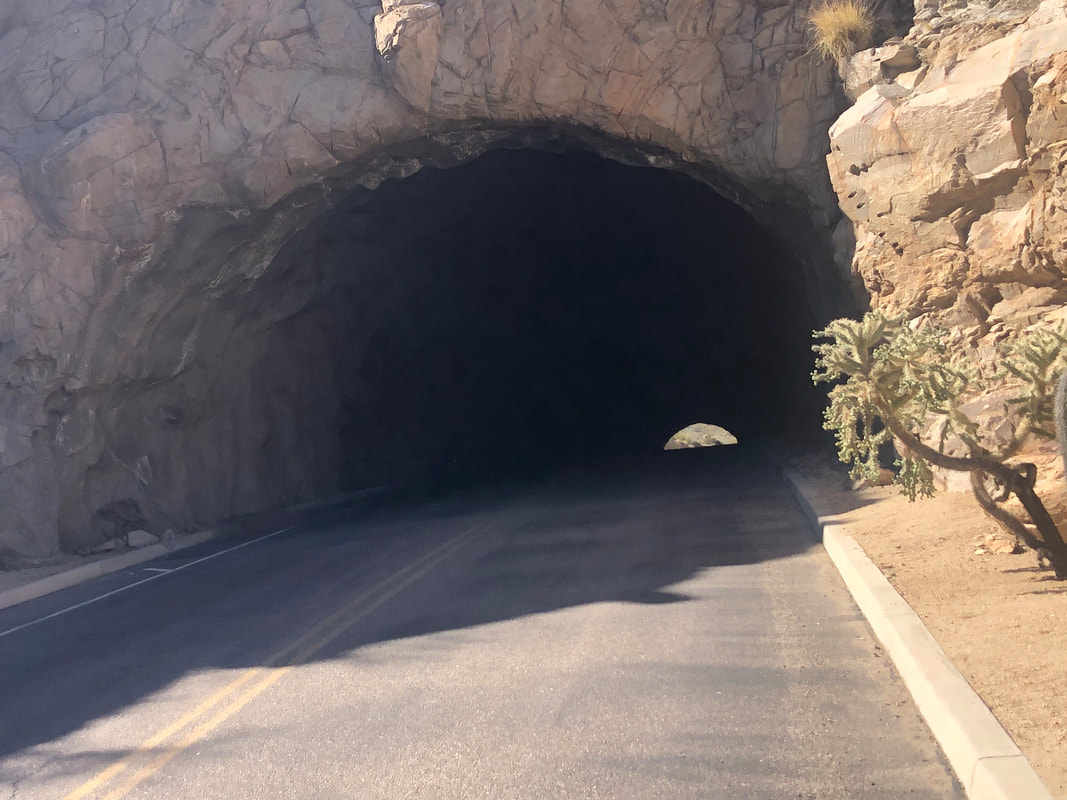
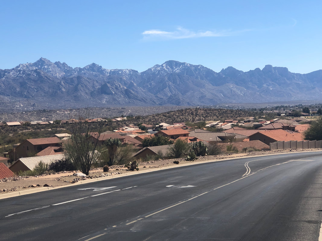
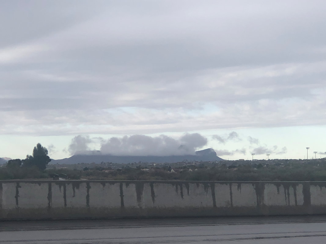
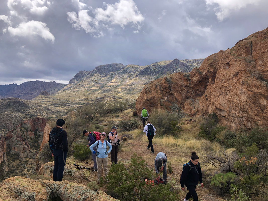
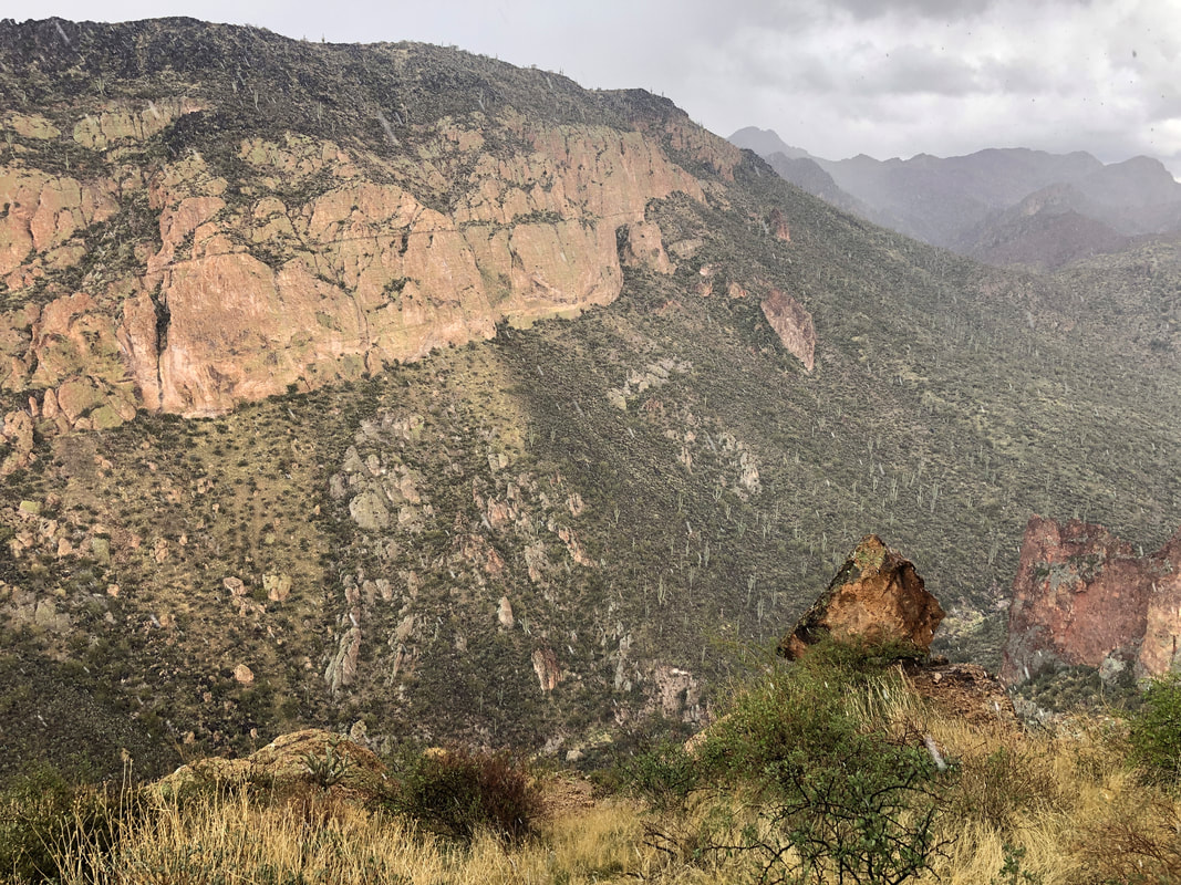
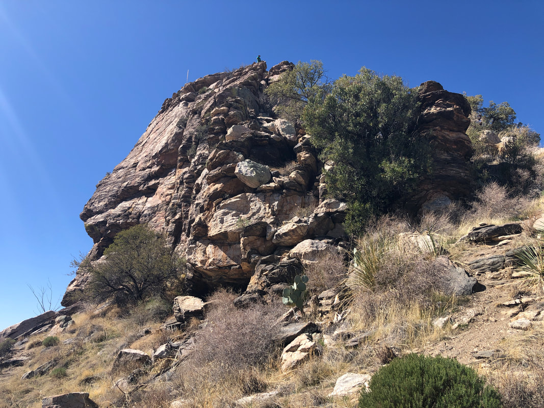
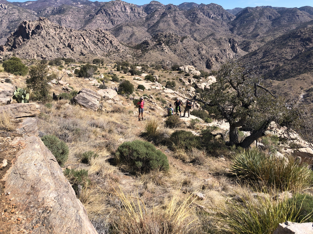
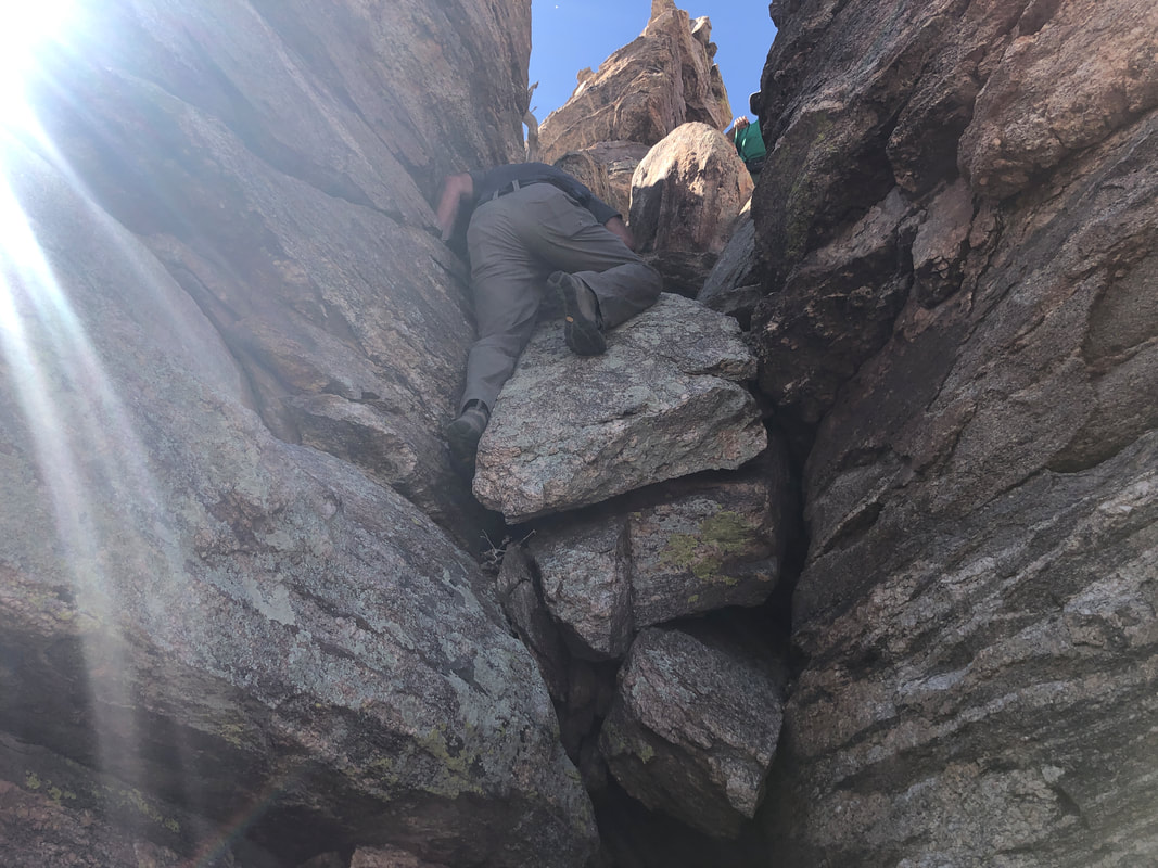
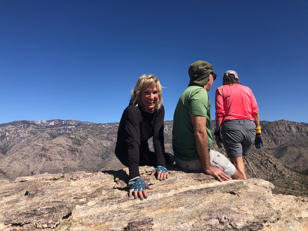
I'm escorting a group to Newman Peak, a little known peak that sits across I-10 from its much better known sister, Picacho Peak. I've driven the dirt portion of the route a couple of times but needed to check it prior to our hike. Dirt roads are susceptible to great change over time. I passed a large tree having a variety of items attached to it. I scouted a 2nd route I had not previously driven and decided it was a better choice, requiring a mere 4 miles of dirt road driving. High clearance vehicles are required so our group has enough members with HCV to get all of us to the trail head. Got out for a 41 mile ride that included the "Tunnel of Death" on north Thornydale Road. Also went as far into the Dove Mountain development as roads allow. Seems like every time I ride in there, another road has been added, stretching the development farther to the west. Currently, the road ends at a nice park but certainly this too will be bypassed with another road.
0 Comments
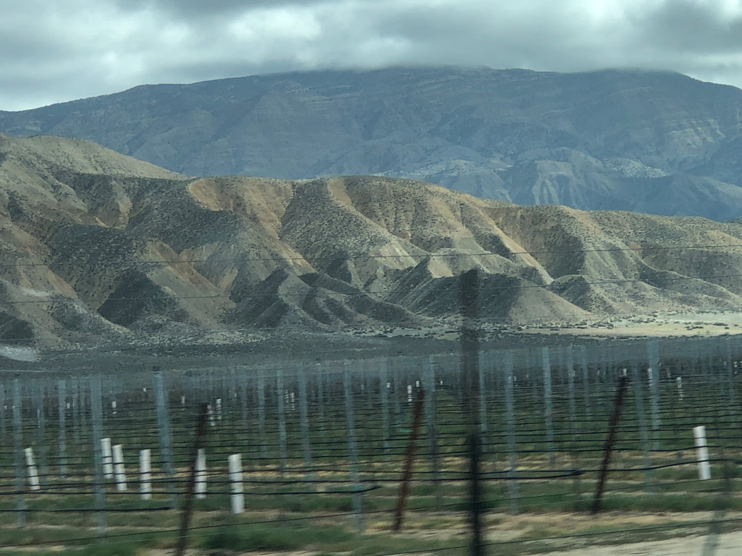
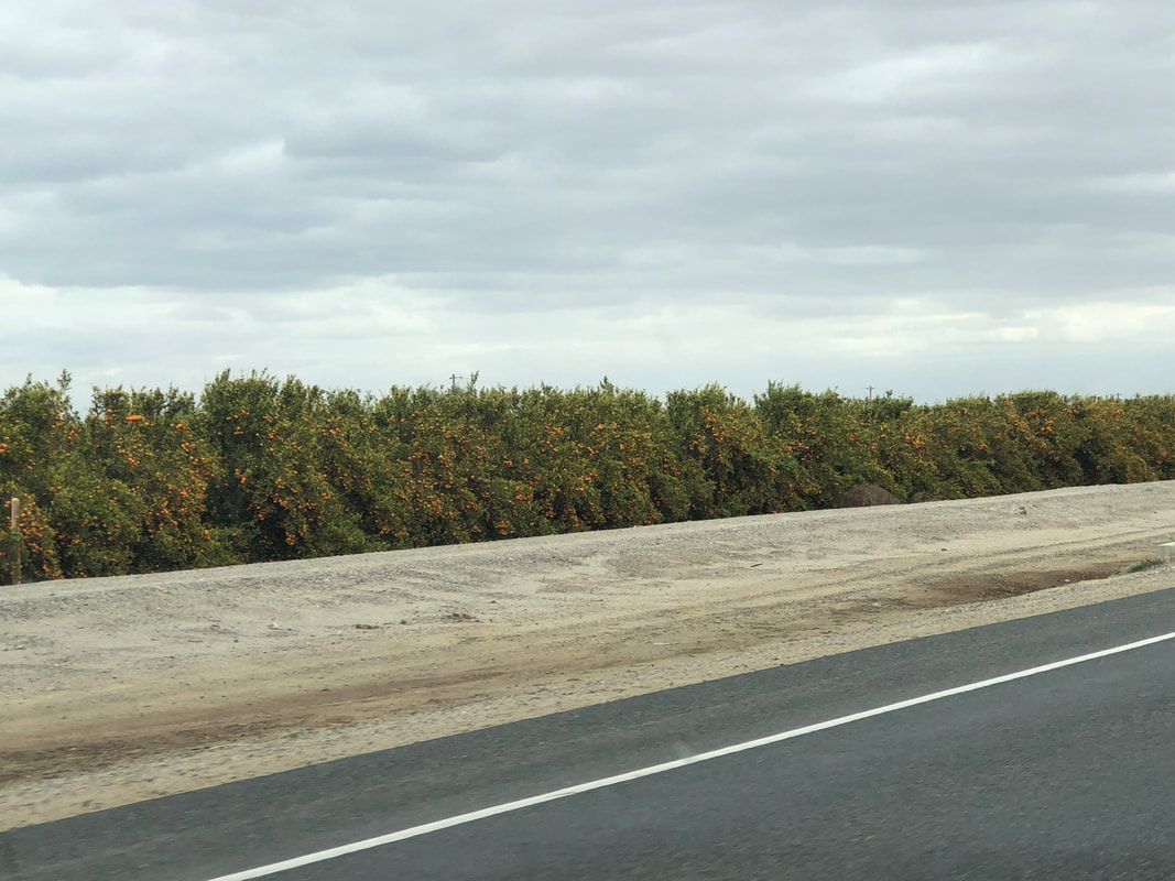
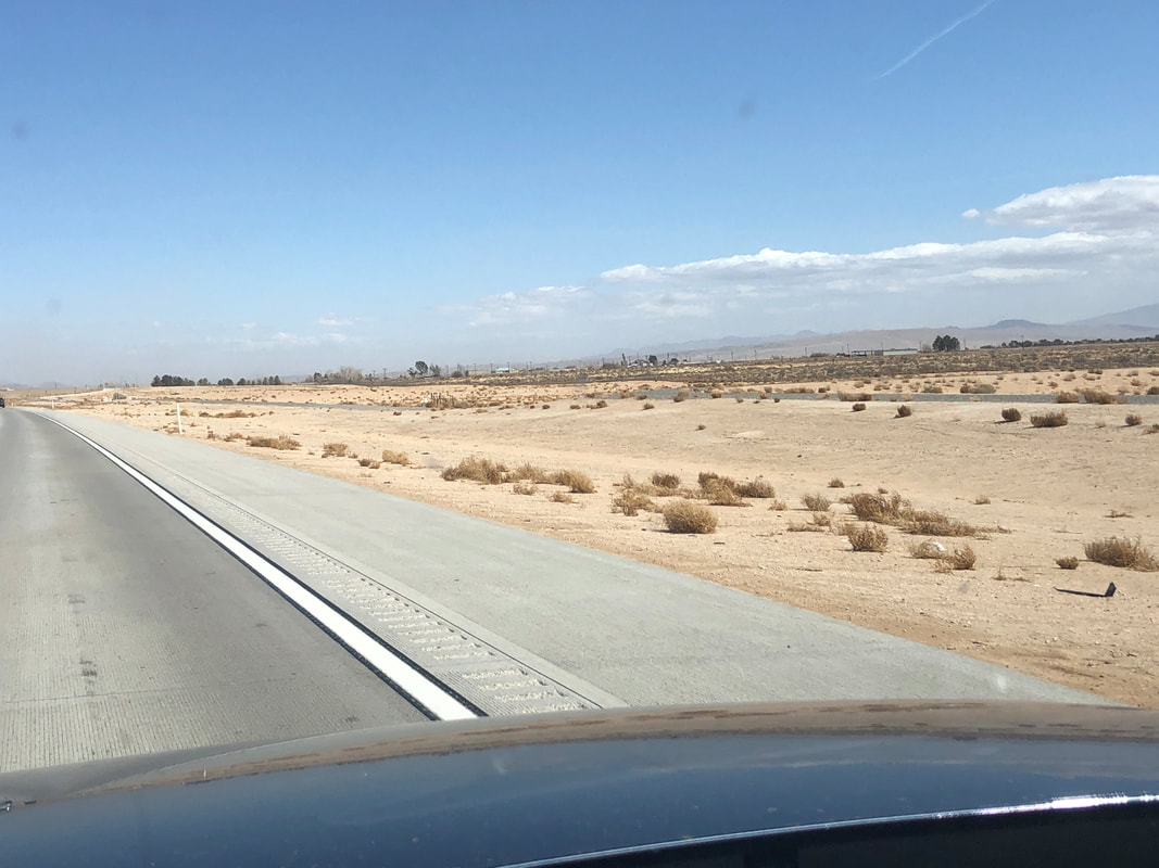
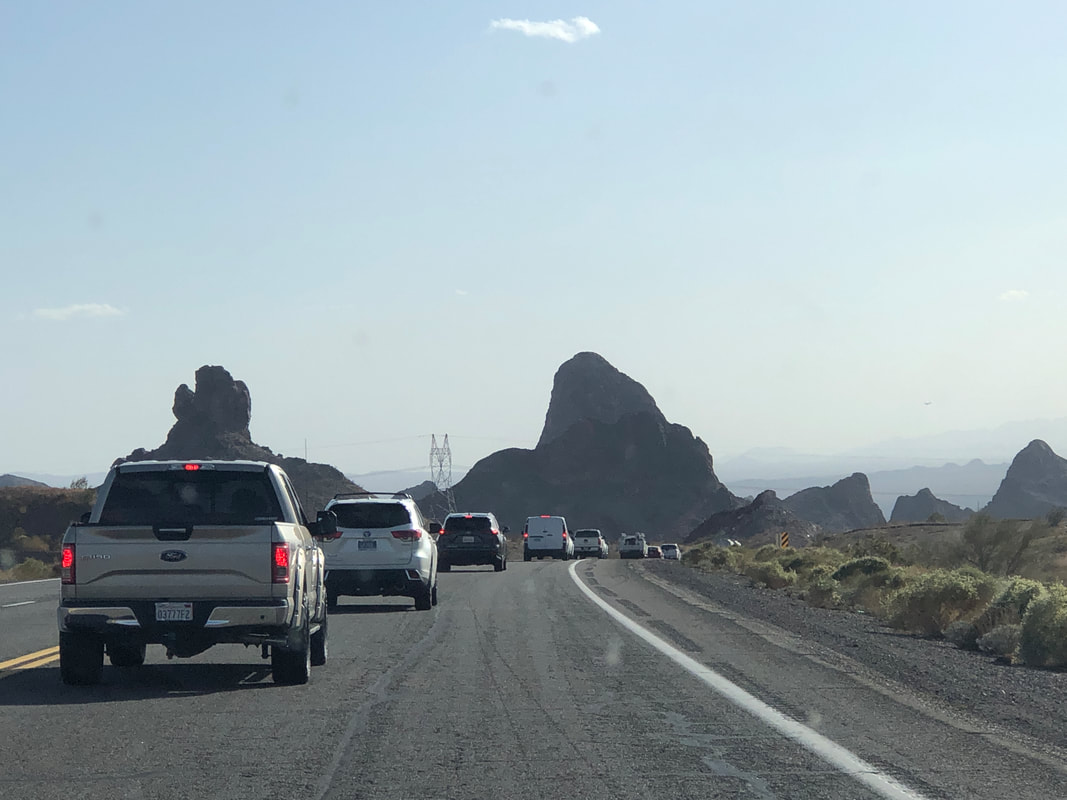
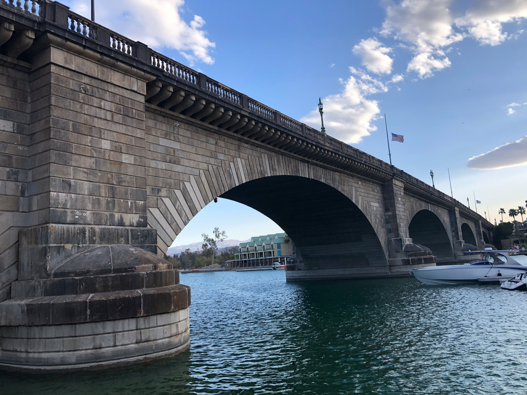
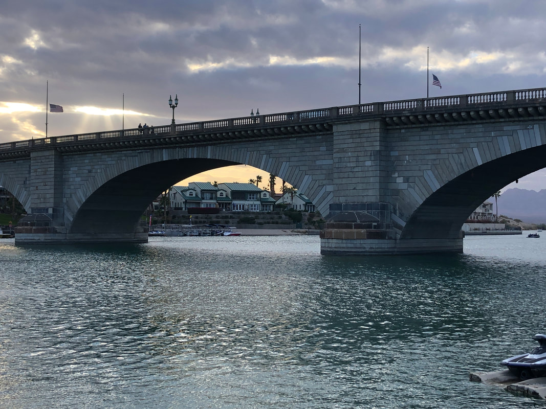
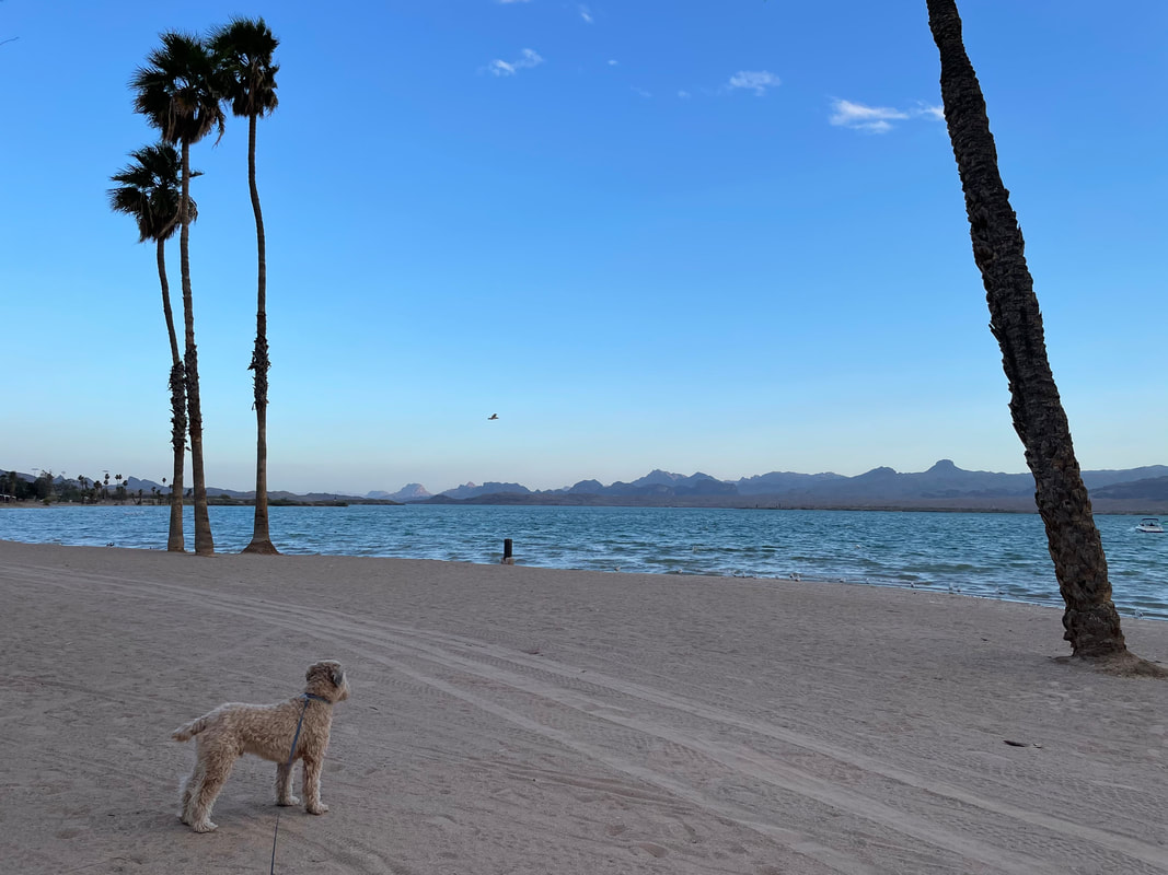
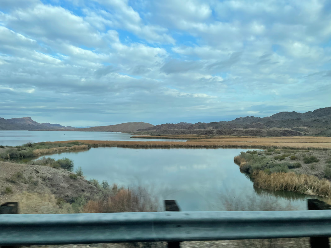
The wind and rain and cold caused us to spit the bit and quit CA. Rather than drive bumper to bumper on I-10, we chose an alternate route that paralleled the 10. It would add 2 hours to the drive time but it was worth it to drive nearly empty roads. This side of the coastal mountains is much different as there are few trees and not nearly as green as we drive #166. There is however..... ....thousands of acres of orchards, growing a variety of plants. We pass through desolate locations such as Barstow and Needles, CA before crossing the AZ border and descending to.... ....Lake Havasu. I've never visited before and glad we did. Beautiful location that included.... .....the 2nd most visited tourist attraction in the state, behind only the Grand Canyon; the London Bridge. Chainsaw magnate, Robert McCullough, in 1967, bid $2.3 million for the 10,300 granite pieces that made up the facade of the bridge. Shipping all to AZ, he had a steel bridge constructed and then the pieces clad to the structure. Included in the sale were the ornate lamp posts that had been cast from melted cannons captured during the Battle of Waterloo in 1815. Well worth a visit which includes.... ....sandy beaches. Our arrival coincided with the governors lifting of the mask mandate so it was great to..... ....visit one of the many, booming restaurants and bars. The next day, we exited Lake Havasu and made for Oro Valley and home.
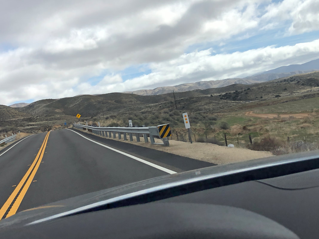
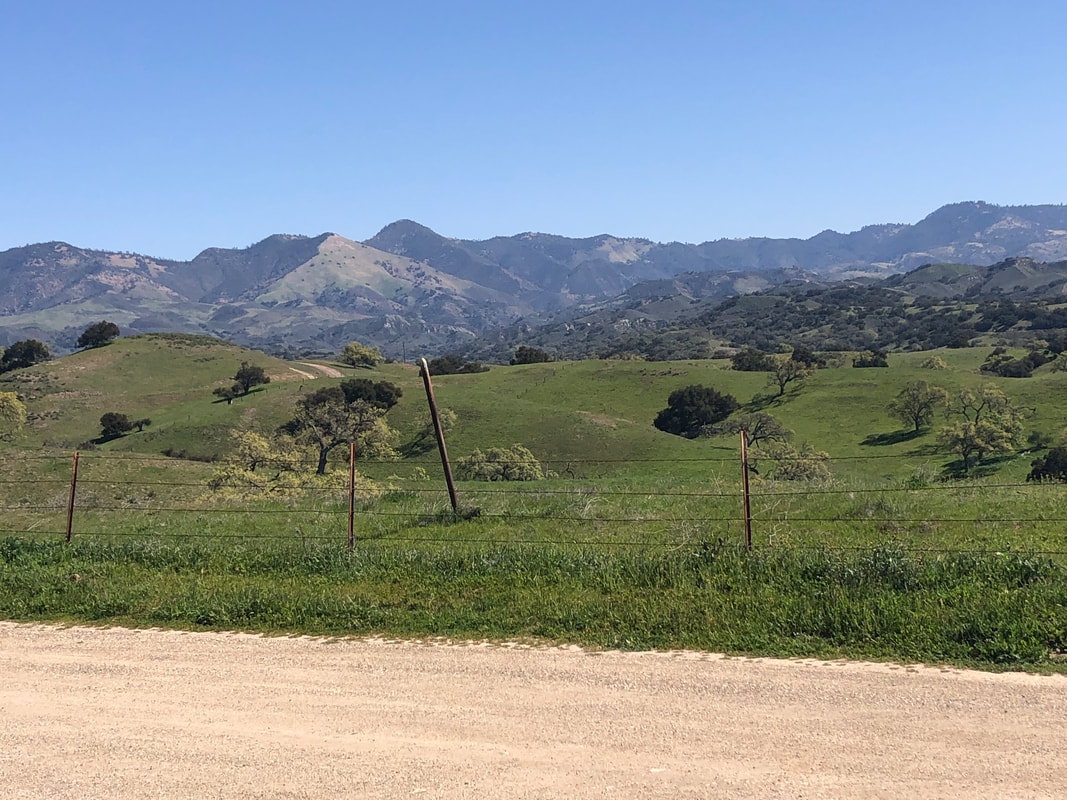
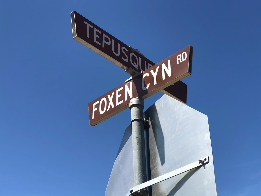
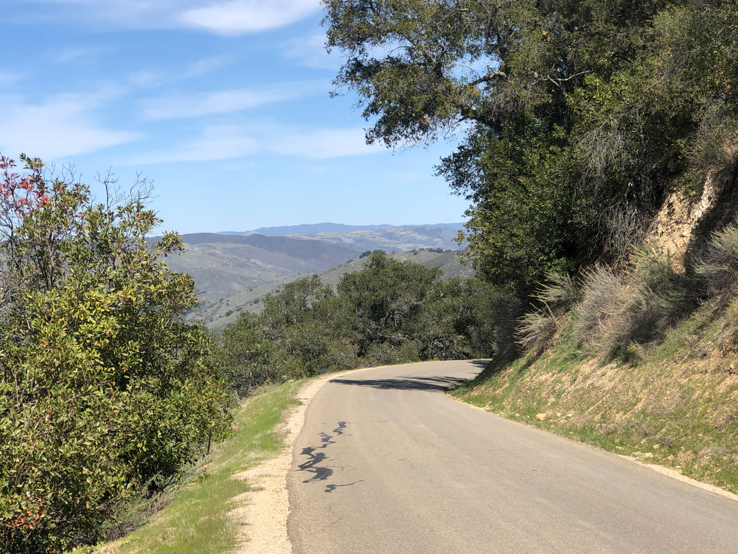
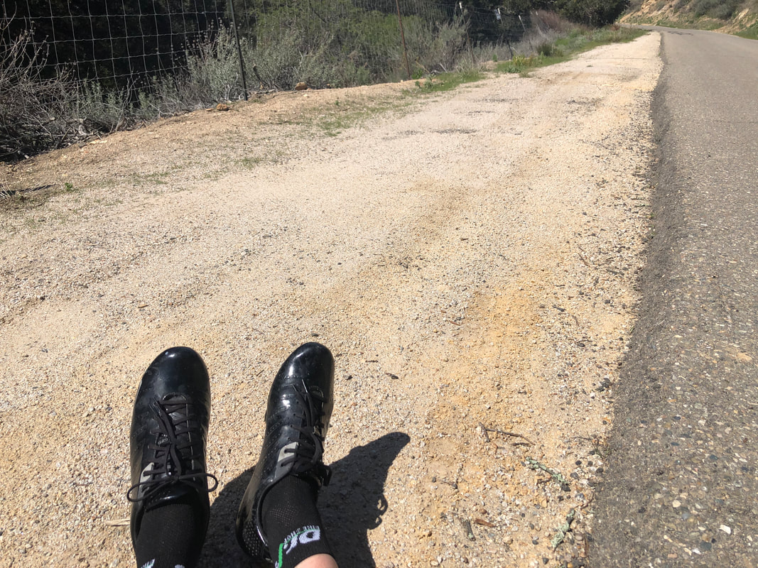
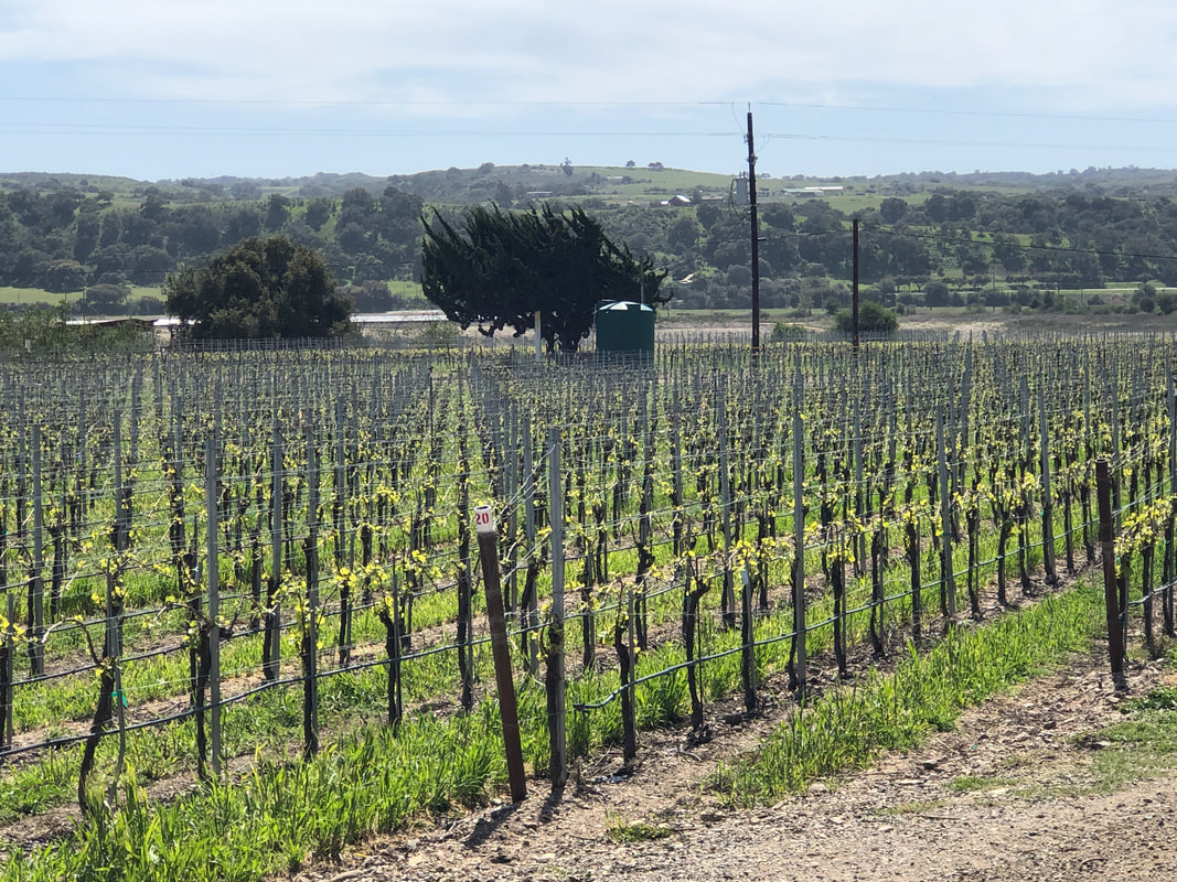
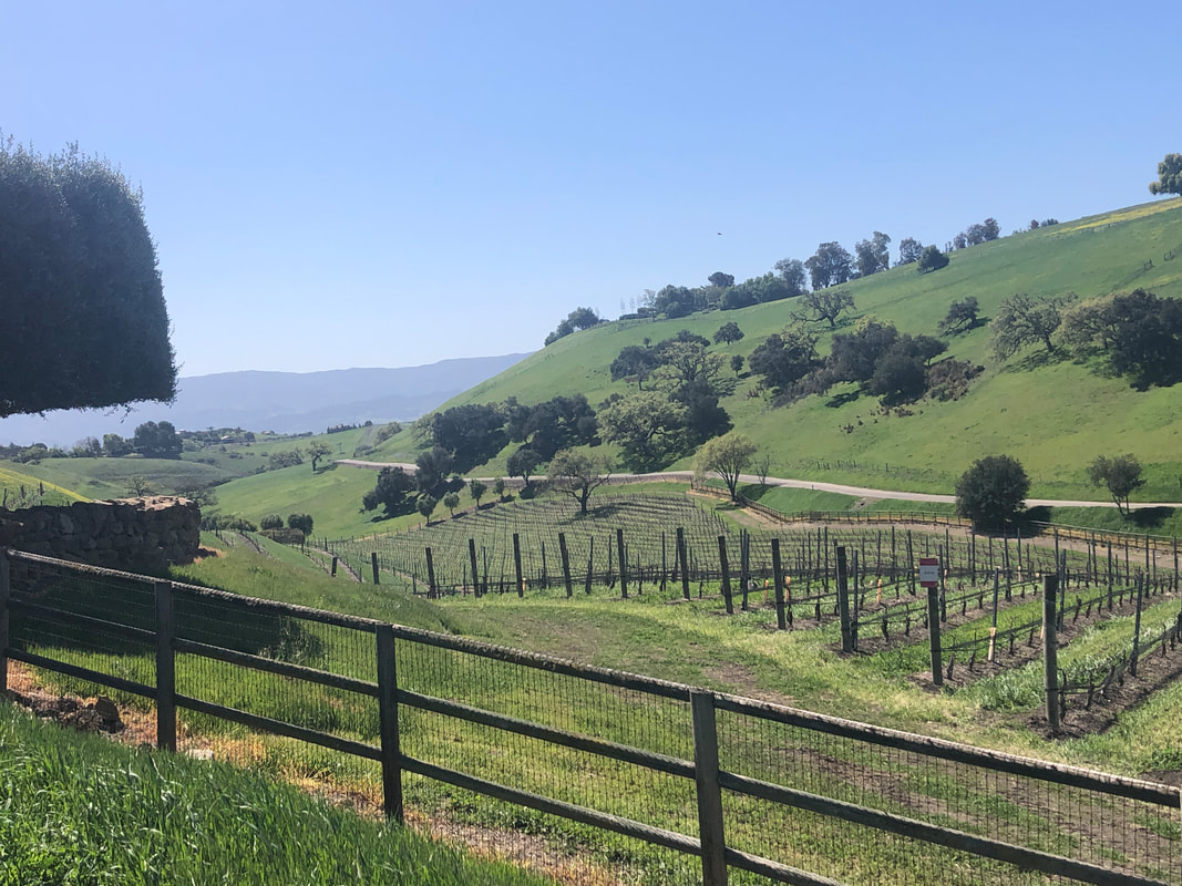
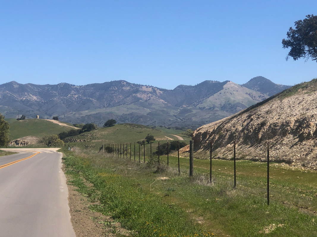
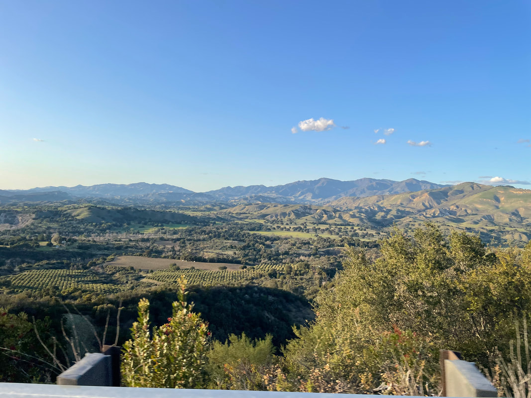
I waited until 11am for the temperature to warm to the upper 50's and then off I went on a planned, 72 mile ride having 4500' of climbing. Rolled through Los Olivos and out Foxen Canyon Road until at mile 26, I reached.... ....Tepusquet Road and made a right turn. The road is rolling to start but then climbs steadily, gaining 1500' in 10 miles. Never very steep, probably the maximum grade is 7%. At last I reach.... ....the top of the pass where the road then drops down to the #166. Hindsight being what it is, I would have been fine to descend and turn around but this being my longest ride in way too long I decided instead to... ...park my bike and sit on the edge of the road for a break. There was no traffic so no problem. Then I enjoyed a wonderful descent, passing a few wineries along the way prior to reaching Foxen Canyon again and then enjoyed a tailwind for most of my return. I'm feeling better about my fitness, post ride but still a ways to go. Unfortunately, the forecast changed and with a high of 58 on Thursday with rain and wind and more wind and chilly temps, Amy and I decided to.... ....flee. More to come on our return drive, including the rebuilt Londen Bridge in Lake Havasu.
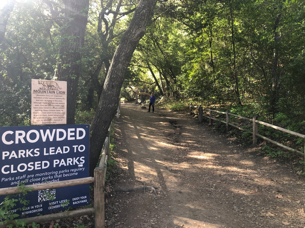
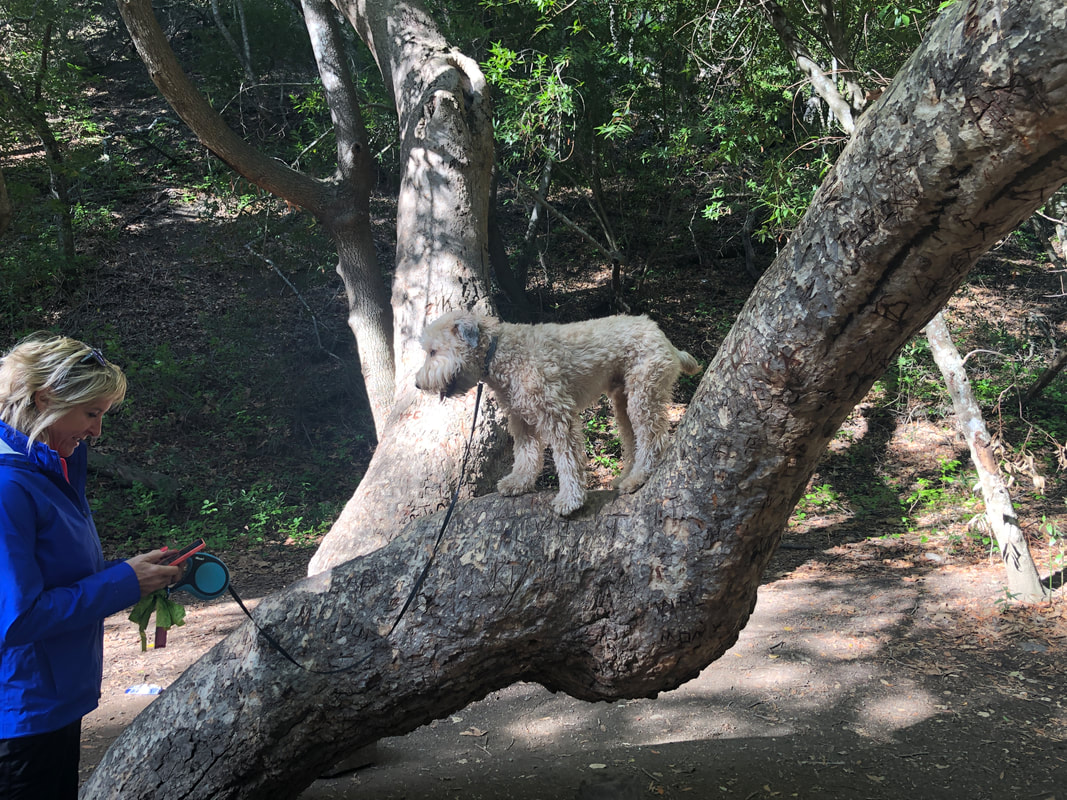
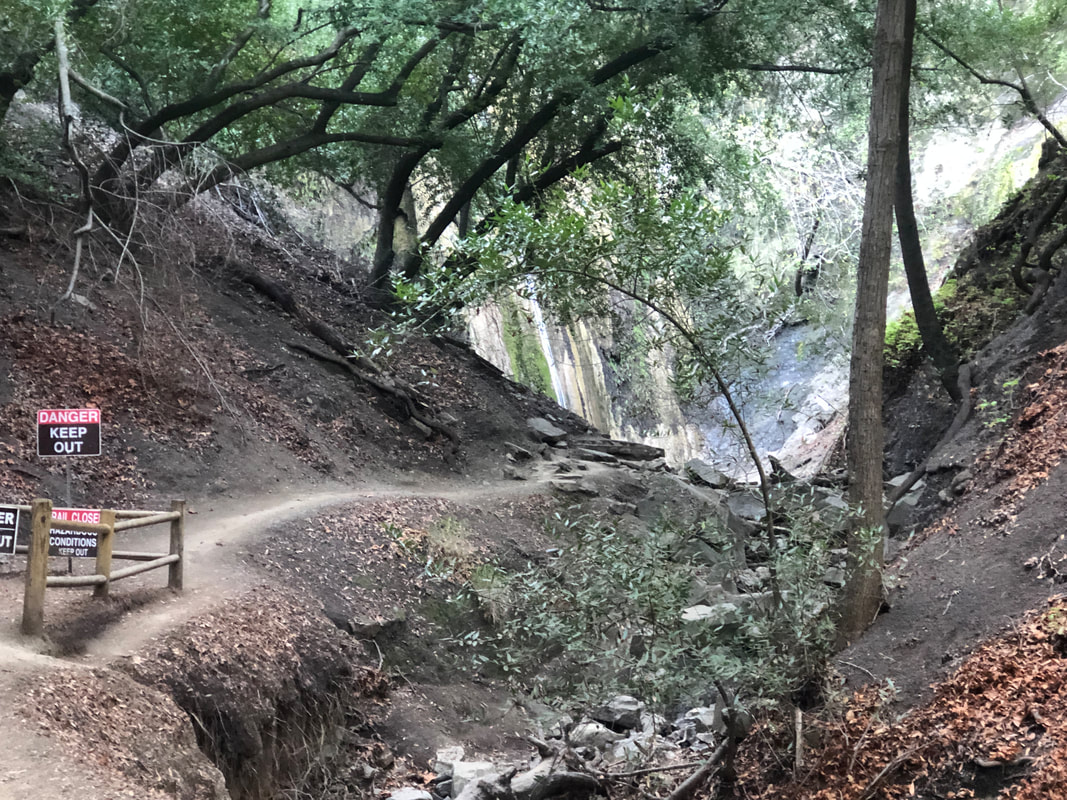
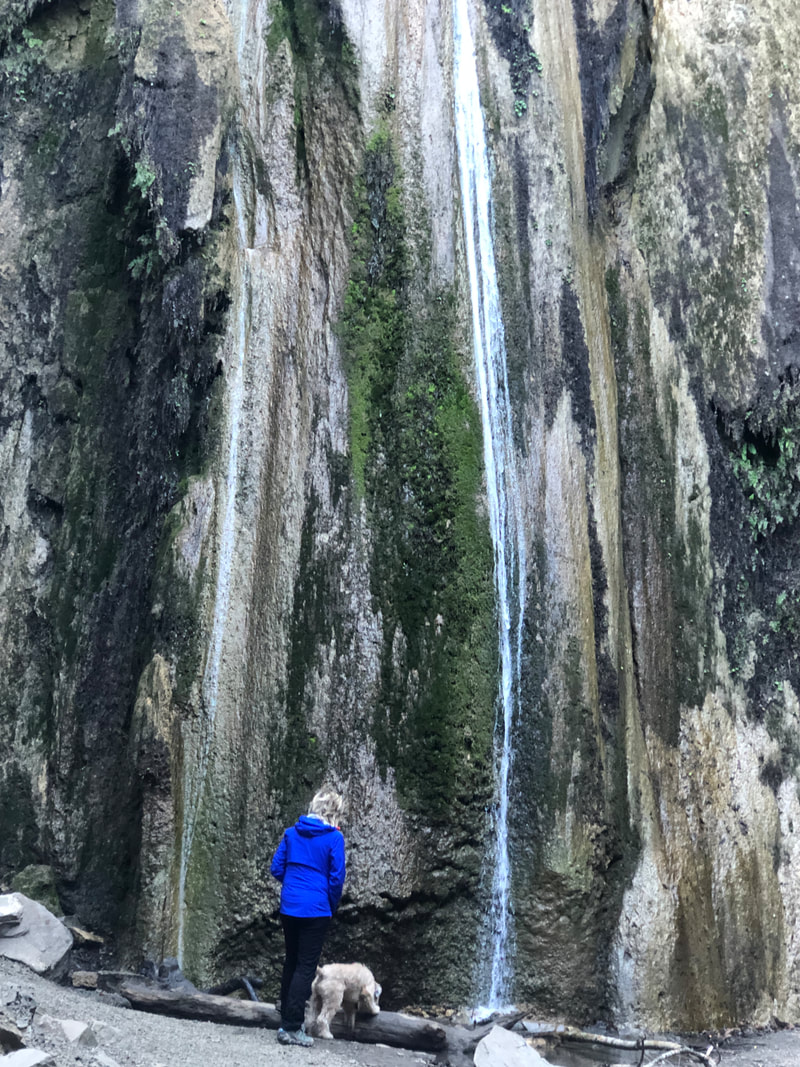
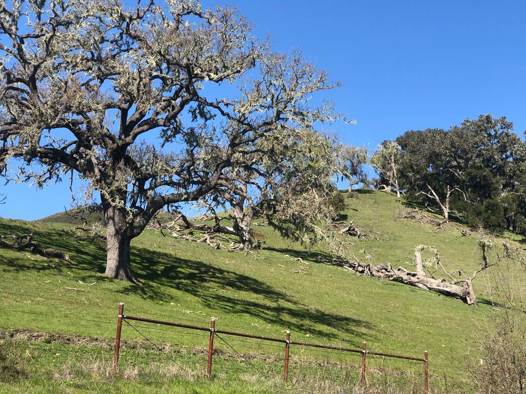
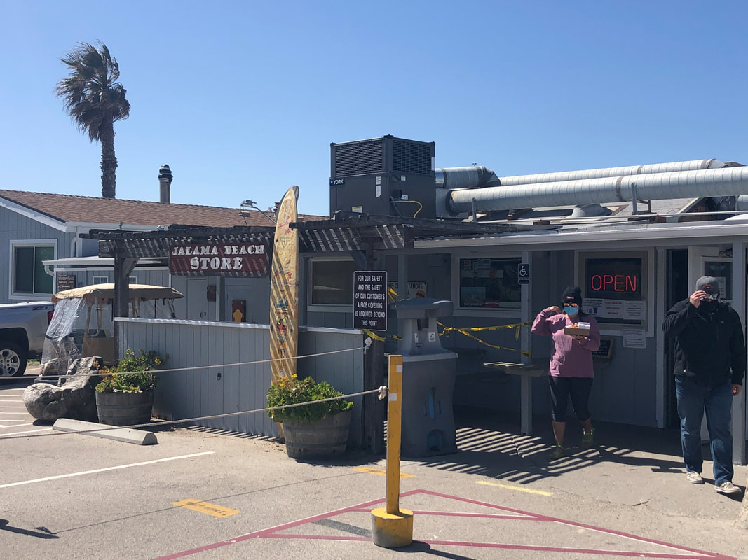
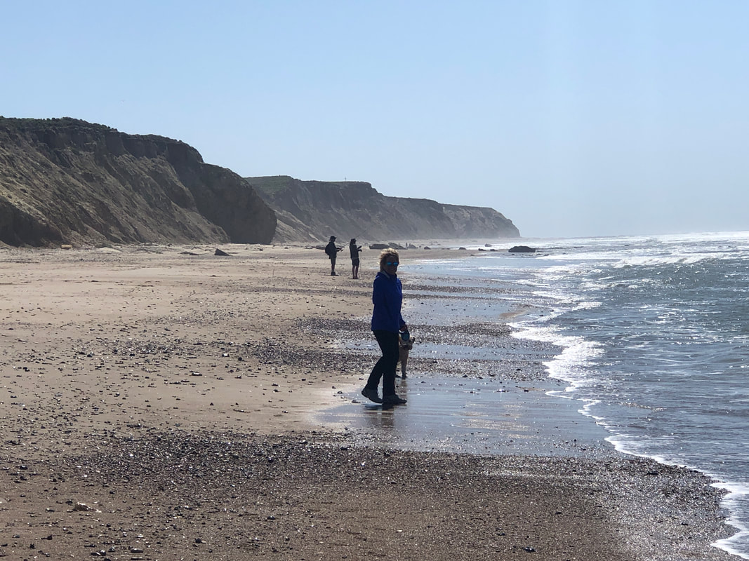
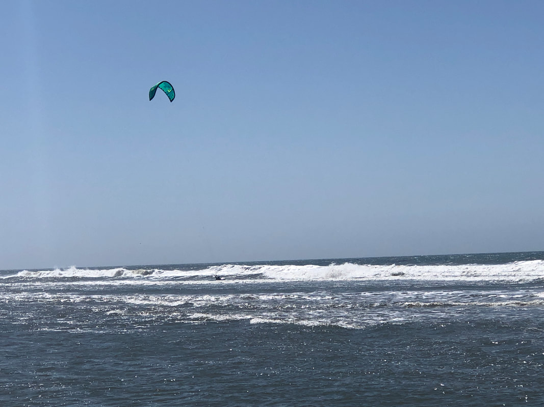
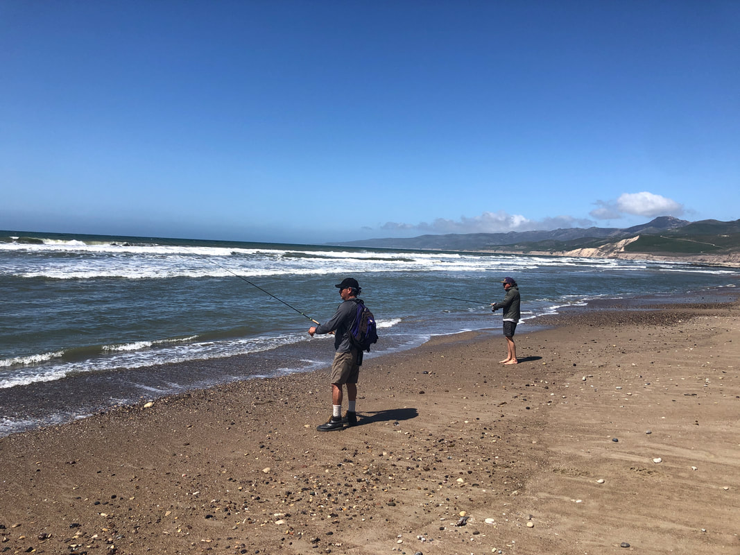
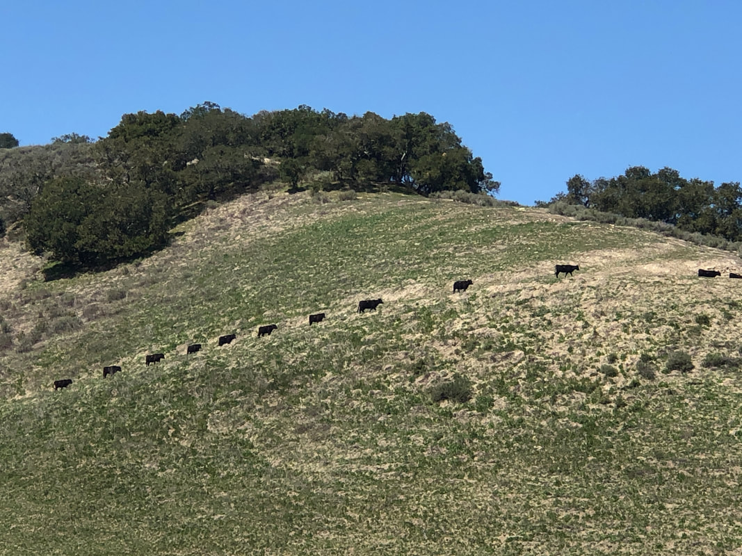
We drove to Nojoqui Park to visit the falls. A sign warned of mountain lion activity as we entered the trail for the short hike to the base of a 100' falls. Jack showing his climbing prowess. The standard, "Don't Go Beyond This Point" signage, ignored by everyone as a view from that spot is pretty lame. It really is a beautiful location. Retracing our route, we jump in the car and drive back to Solvang while passing..... ....hundreds of massive white oak trees. I was having a problem with shifting on my bike so had dropped off my bike at Dr. J's bike shop the day before. I was pretty sure I had bent the rear derailleur while removing the bike from a trainer. Sure enough, a stop at the shop confirmed that was the problem. Bike repairs were taking 2 weeks but since I was a visitor, they put the bike in the stand and quickly fixed the problem. The winds were 20-30 with gusts to 40mph so we drove out Santa Rosa Road, got on Jalama Road and soon.... ....were at Jalama Beach, visited the Jalama Store and had the world famous, Jalama Burger! We walked along the beach while watching.... ....a wind surfer and talked to..... ....a couple of guys fishing for perch. Next we drove around and eventually got on a very bumpy Drum Canyon Road where we saw.... ....a long line of cattle heading up a trail before stopping at.... ...Zaca Mesa Winery. Fun day, back on the bike tomorrow.
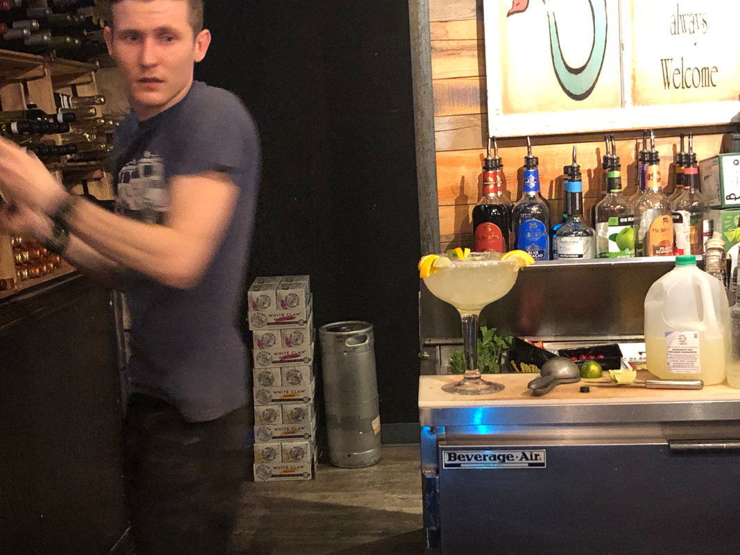
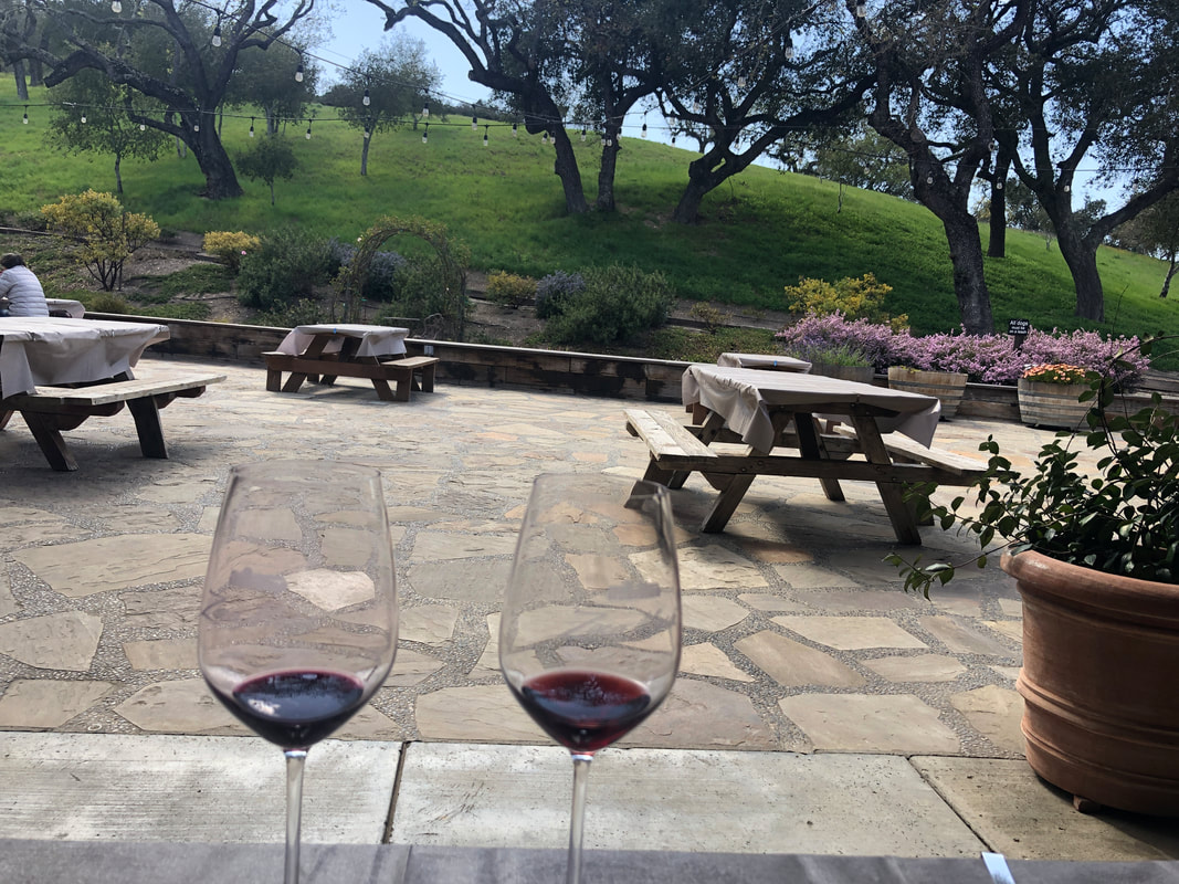
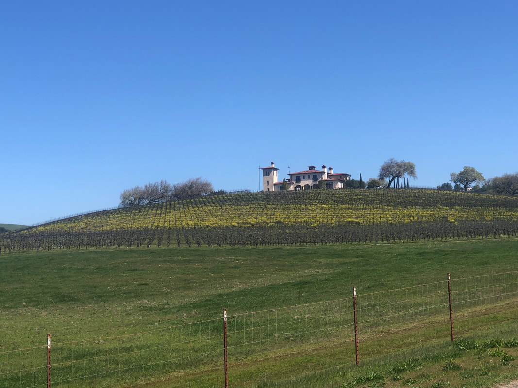
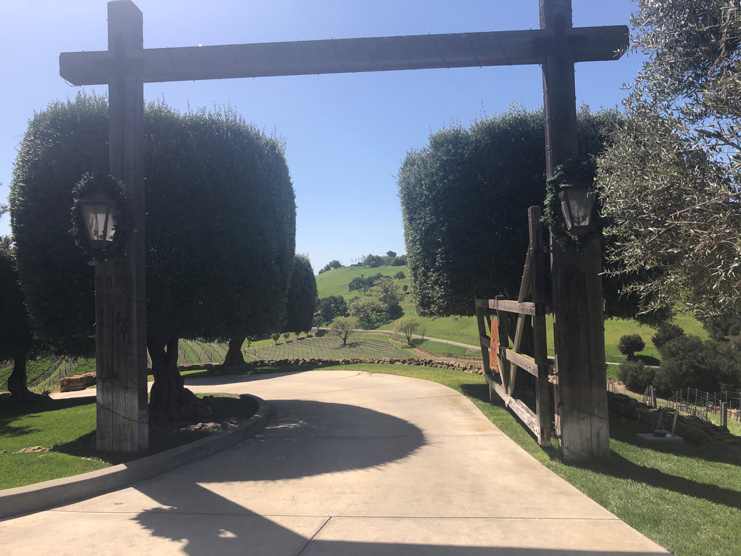
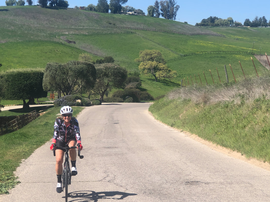
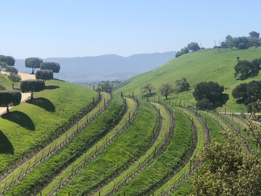
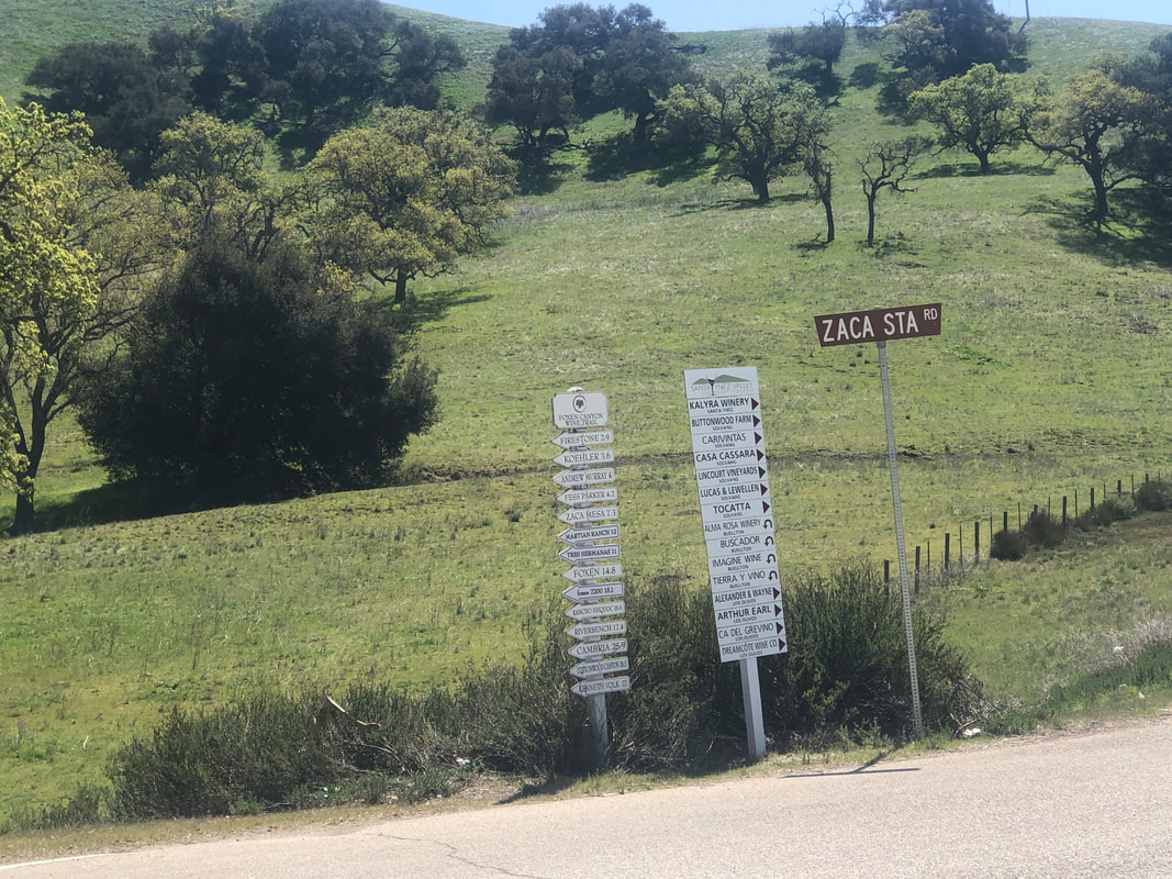
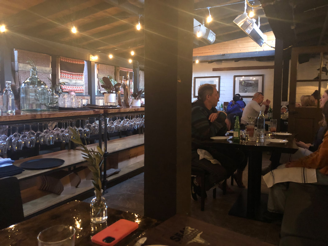
I rode 61 miles on Saturday that included a visit to the town of Oracle. With Sunday's drive to CA, my legs were kind of stiff so Amy and I took a leisurely ride route out of Solvang, passing several wineries. We got onto.... ....one of my favorites, Ballard Canyon Road. A beautiful entry to a home at the top of a climb. Amy reaches the top too and we enjoy.... ....looking down the valley. We arrive in Los Olivos, cross #154 and proceed on Foxen Canyon Road which is flat for a short distance but then.... ....climbs before descending where we make a left, pass Firestone winery and then reach the.... ....#154 again where there is signage to indicate the direction to many wineries. The day was very windy with 20-30mph winds so we were glad we kept it short. We walked around Solvang, having a nice conversation with the manager of a wine tasting room, made reservations at the Sear Steakhouse, a new restaurant. We were very pleasantly .... ....surprised they allowed seating inside. Food was terrific too. Thus endth the first day in CA. The wind tomorrow will be in the 20-30mph range so going hiking instead and a visit to Jalama Beach.
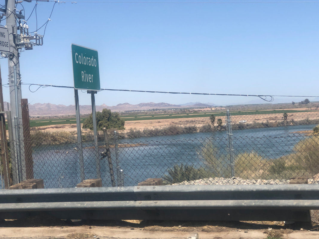
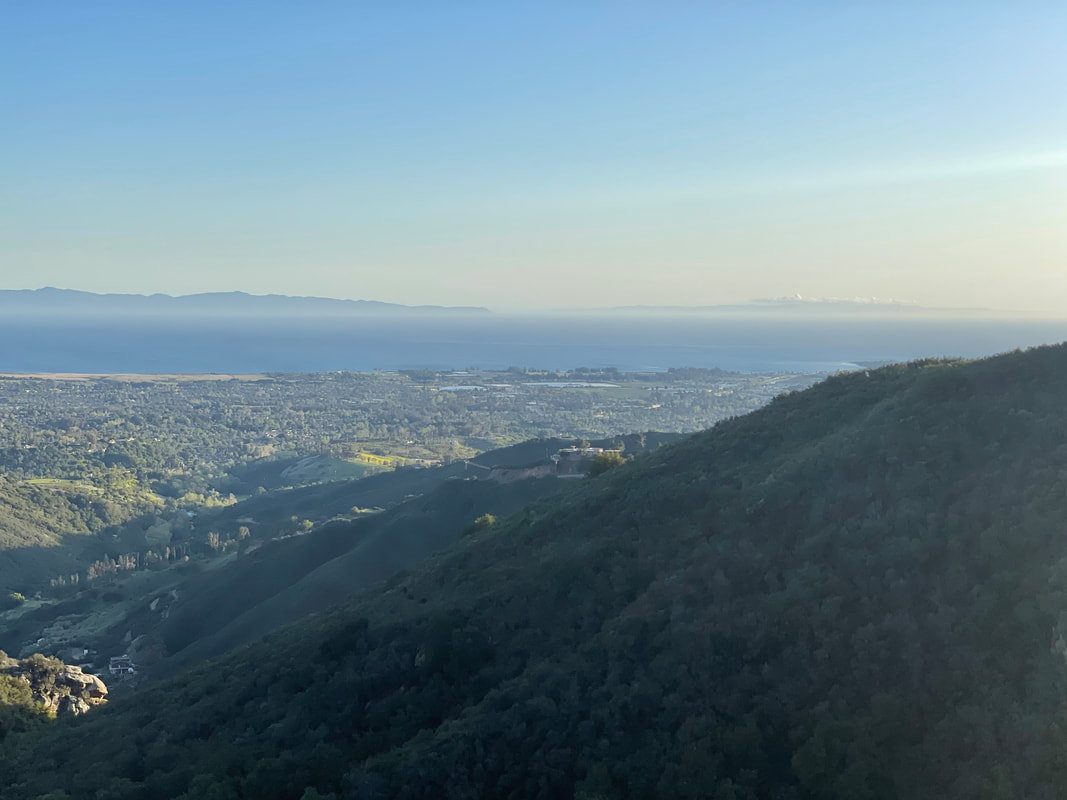
We departed Oro Valley at 8am with an expected arrival in Solvang, CA at 5pm. All was going well as we traveled on I-8, jogged north to I-10, crossed the Colorado River and transited through..... ....Palm Springs, CA. Mount San Jacinto, towers over us at 10,800' so slightly higher than Mount Lemmon. Exiting Palm Springs, we ran into traffic at a virtual standstill. We killed 45 minutes in that jam and from that point forward, we encountered many such delays as the volume of traffic overwhelmed the 4-6 lanes available to us. I thought CA was in a virtual lockdown???? Then, on the 101 we.... ....emerge with grand views of the Pacific and the Channel Islands. Reaching Santa Barbara, we take the 154..... ....into the Santa Ynez mountains, cross over and descend into.... .....Santa Ynez Valley, home to Solvang, Los Olivos, Los Alamos, Buellton, etc... Great cycling opportunities in the surrounding countryside. I'm escorting Amy on a beautiful loop of 25 miles on Monday and then doing something more ambitious the following day. More to come.
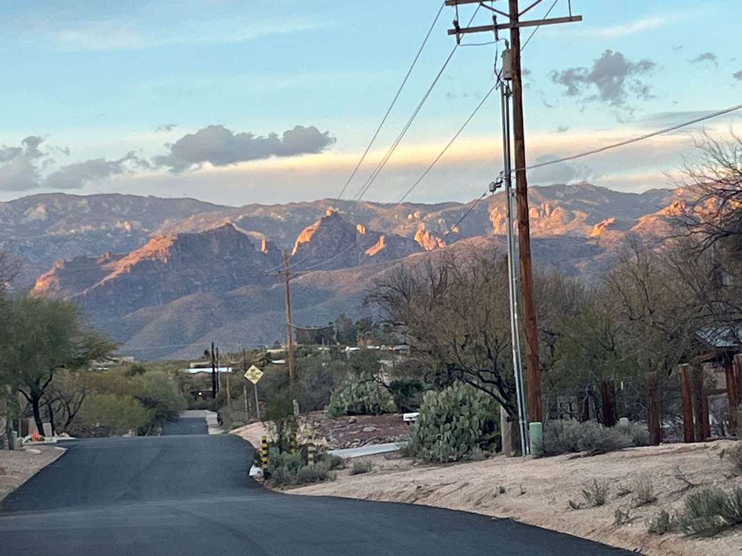
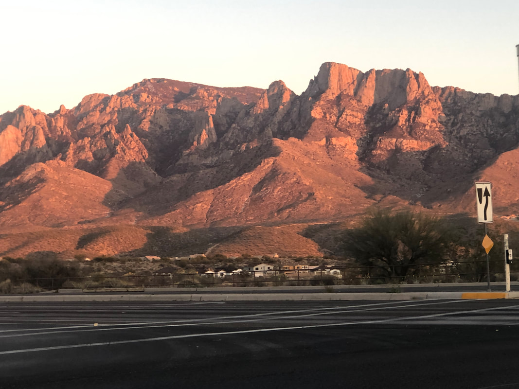
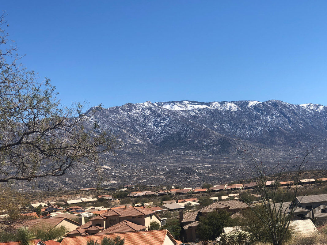
Tuesday evening, the sun sets on an unusually cool day having a high of only 58. The snow has melted from Pusch Ridge. I didn't want to put my legs through the impact of a hike so took the day off. I find it so odd that when living in OH I'd join group rides having a start temp in the mid to upper 20's but out here, I'd rather not ride until the temp is at least 55 degrees. Wednesday though, a return to close to normal with a high of 70 so I got in a 51 mile ride that included rolling through Saddlebrook. Managed to avoid getting run over by one of the many golf carts motoring around. The 1'+ of snow on the top of the Catalinas has begun to melt too of course as day time highs up there will be in the 50's. My bike mileage is way below where it should be. I've averaged around 120 miles each of the last 4 weeks but instead should be in the 200-250 week range. I've allowed some unusually cool or windy days to discourage me from riding. I'm eyeing a cycling event on 4/11 that is 100 miles and 8000' of climbing, entirely within Saguaro East National Park. I have a very long way to go to get ready for that, along with an Ohio visit where I will slot in with a fun group for a few rides.
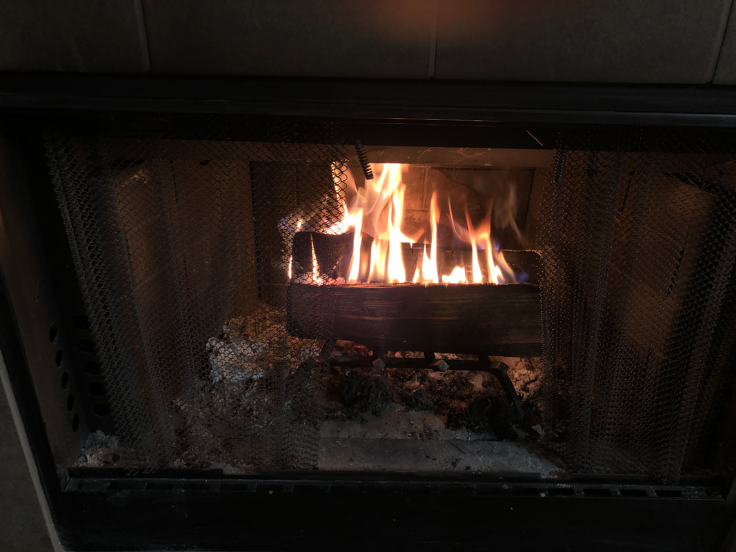
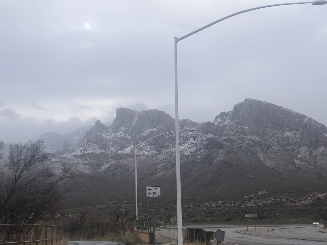
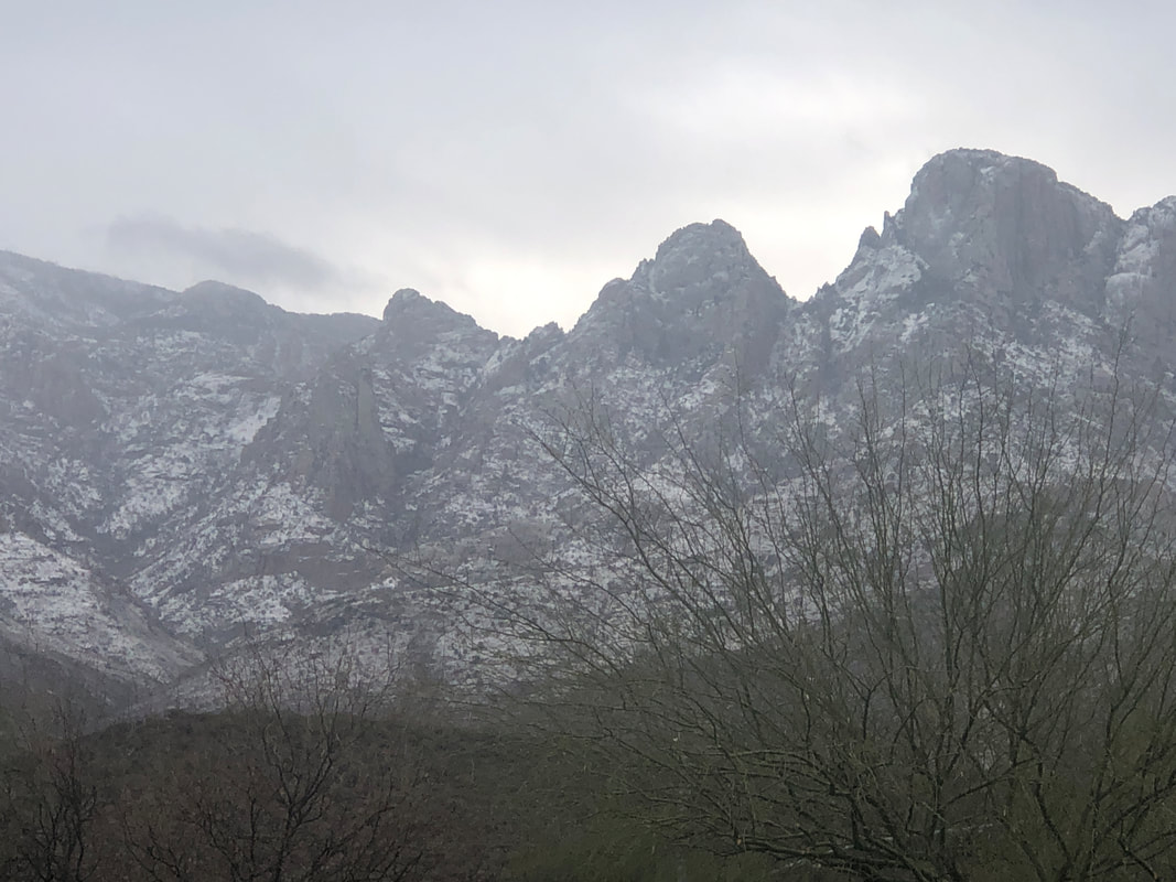
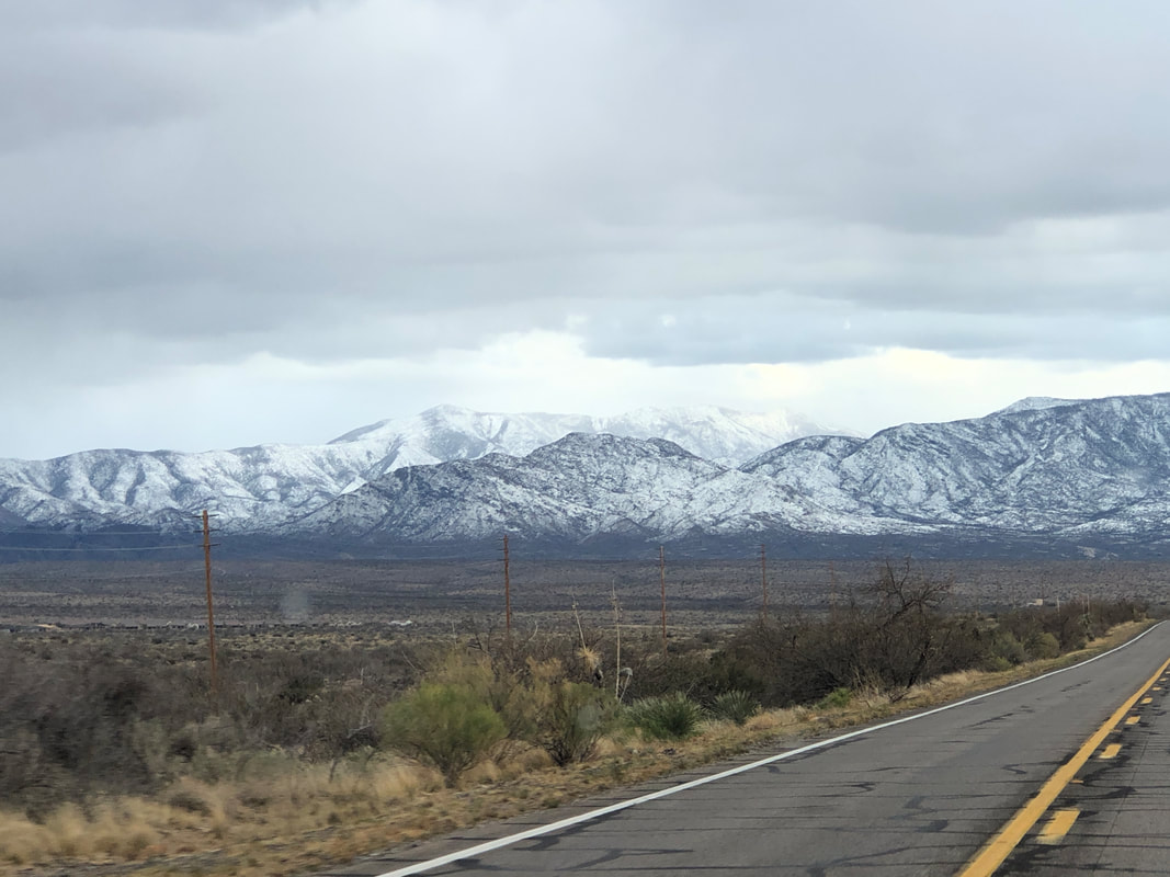
Another evening with a roaring fire. I've bought so many bags of firewood I really should bring a chainsaw I keep in Ohio, back with me when I visit in May. I don't have a clue where I am allowed to cut and it likely is way north or otherwise remote. Another system came through, Monday night and brought some rain to the valley and snow to the mountains. That creates some great views. In the distance, the line of clouds advances towards me, bringing a rather cool but sunny day. Sombrero and Panther peaks are obscured by lingering clouds. I rode yesterday as I continue to build toward a bike week in CA, which begins next week. I'll post lots of pics. Rest day today just because I don't want to ride when temps are in the 40's/50's. Back to 70 tomorrow.
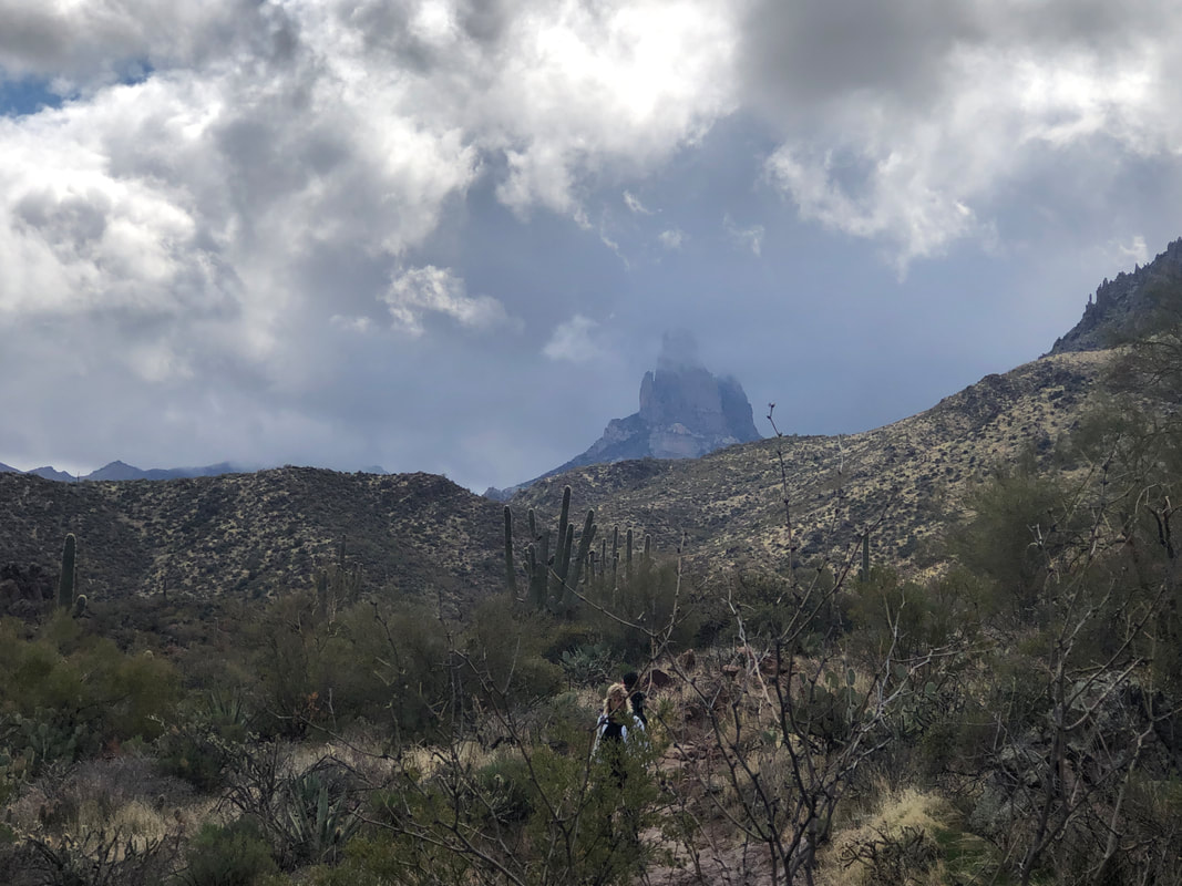
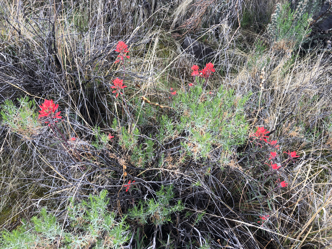
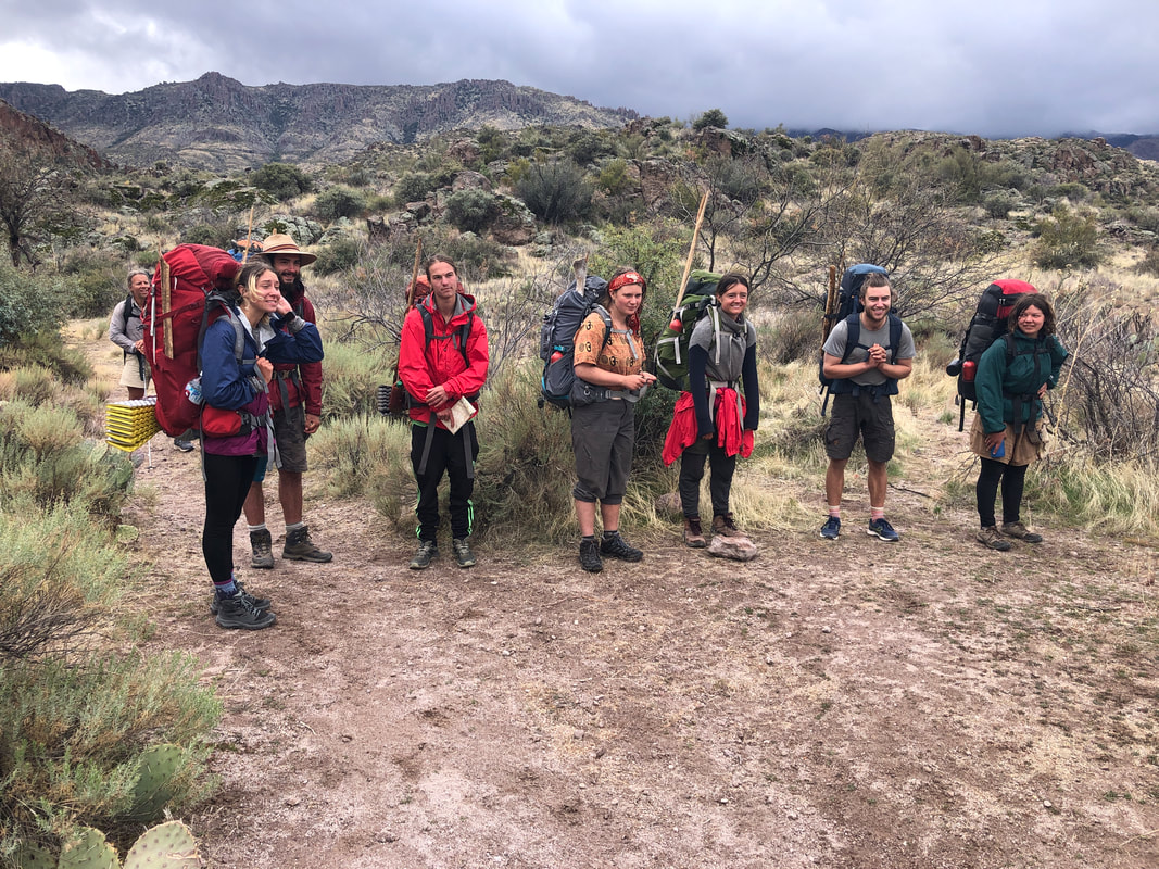
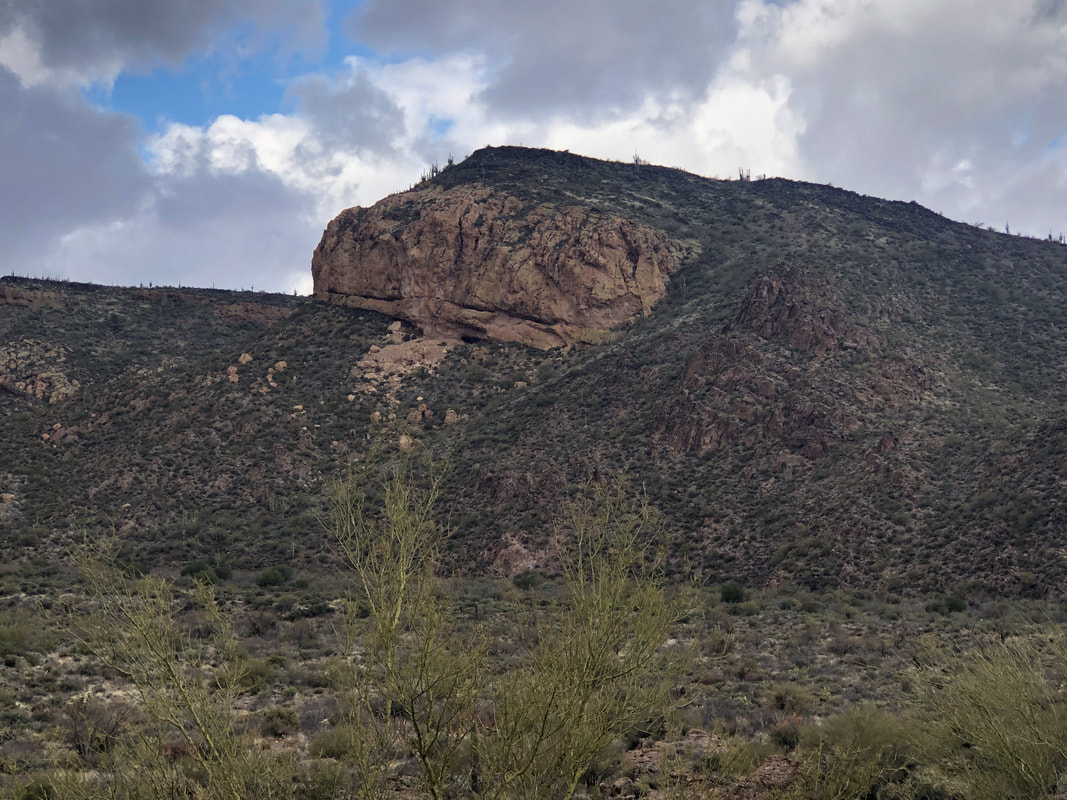
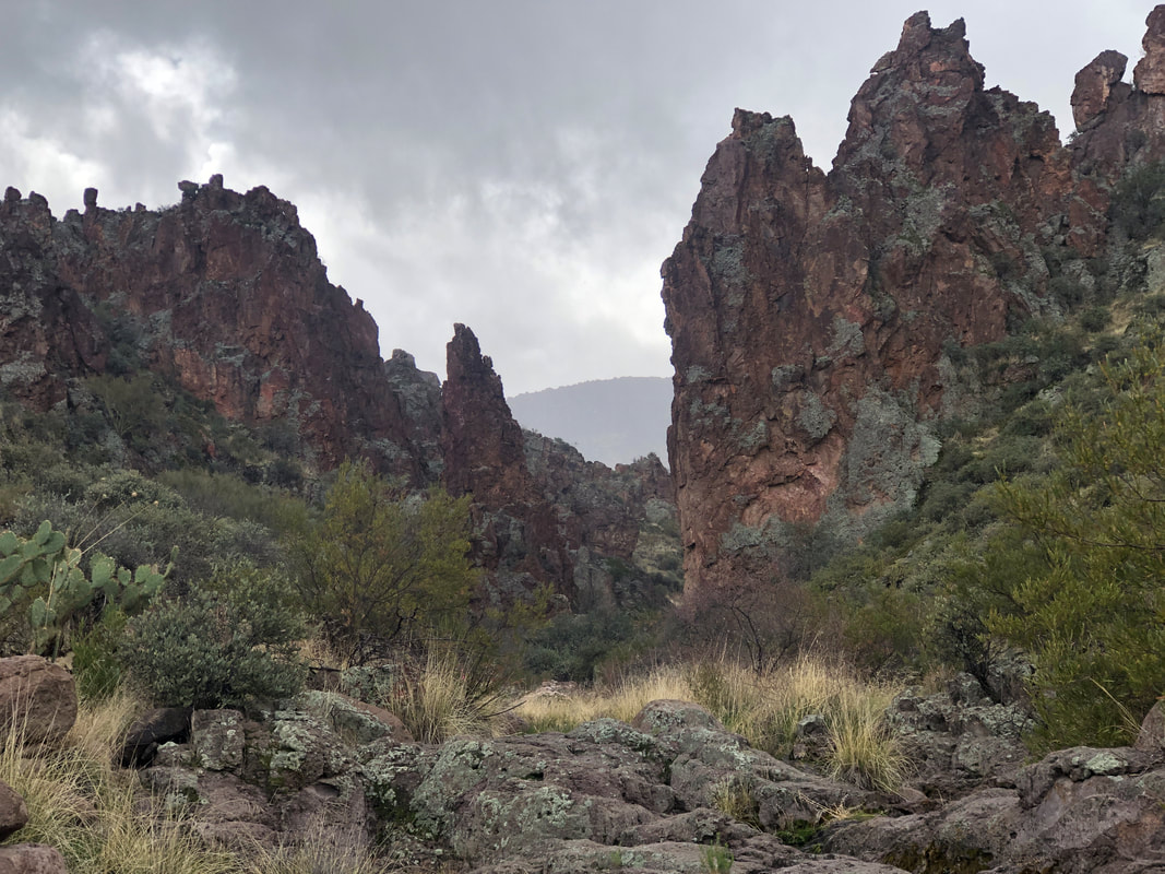
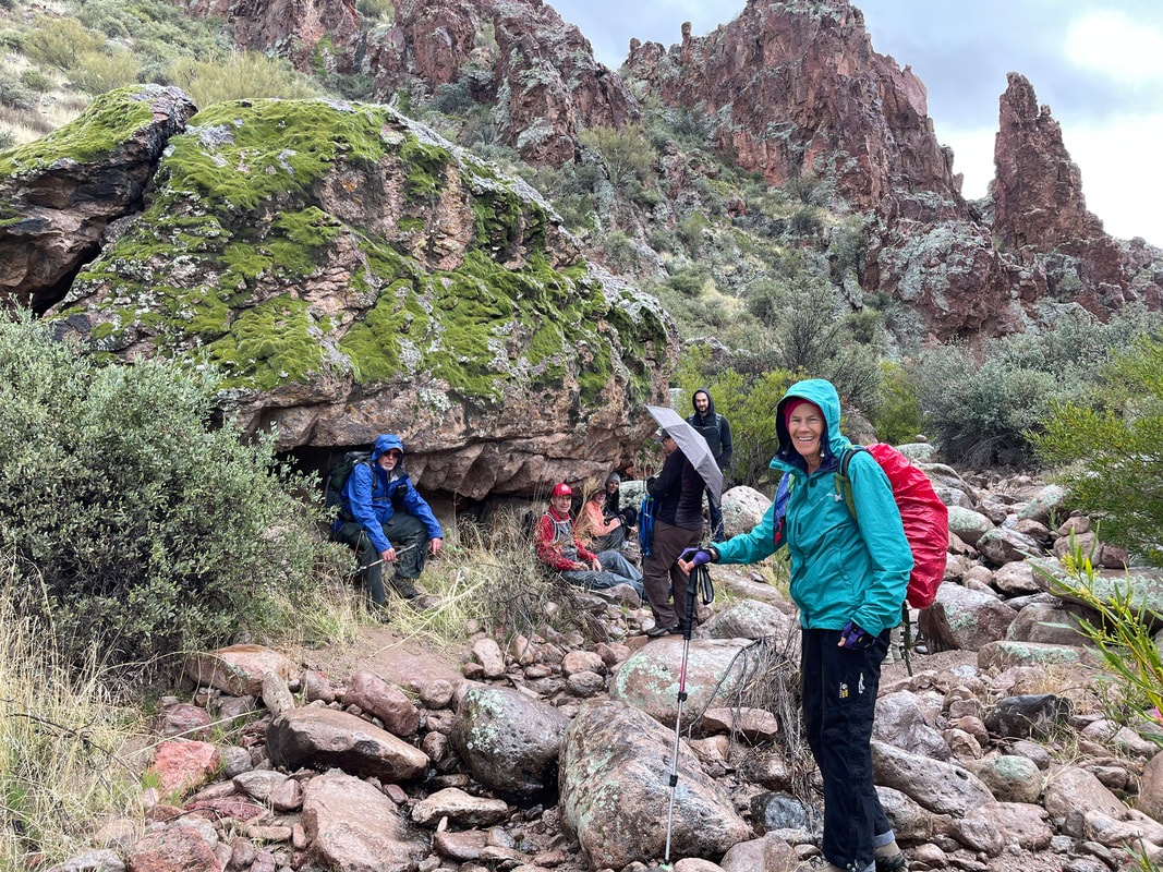
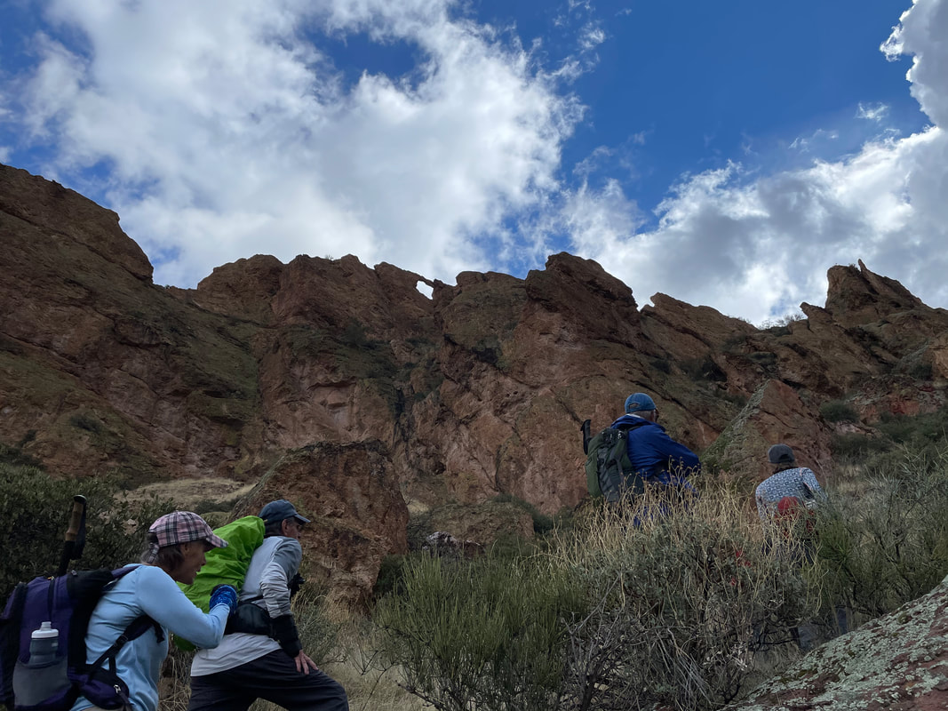
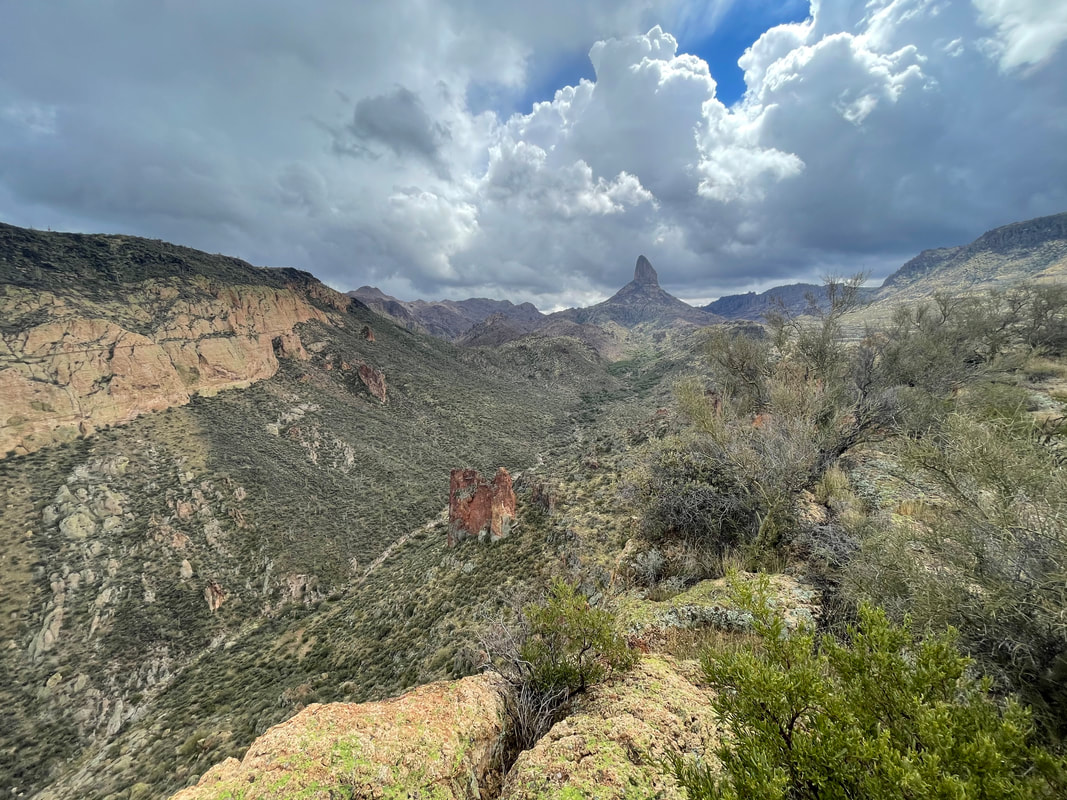
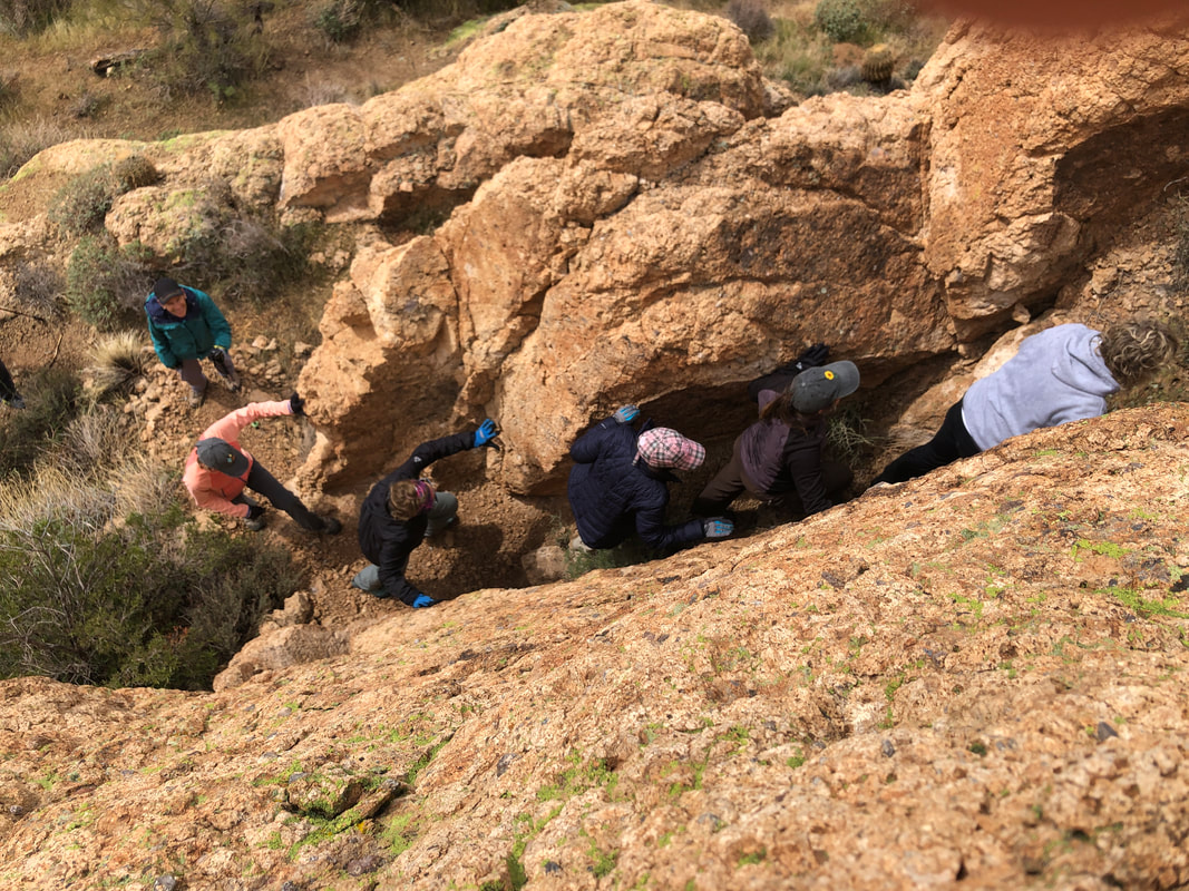
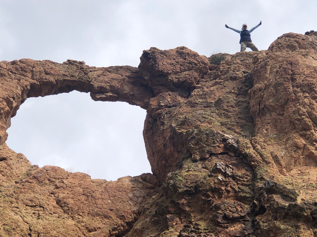
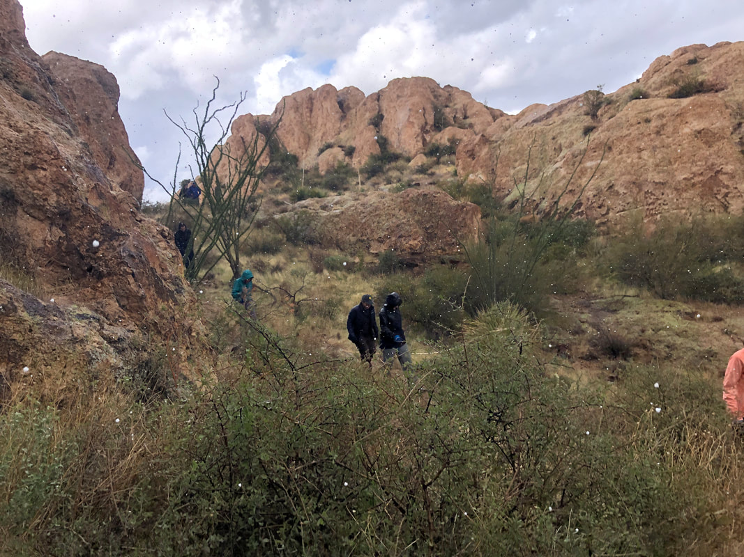
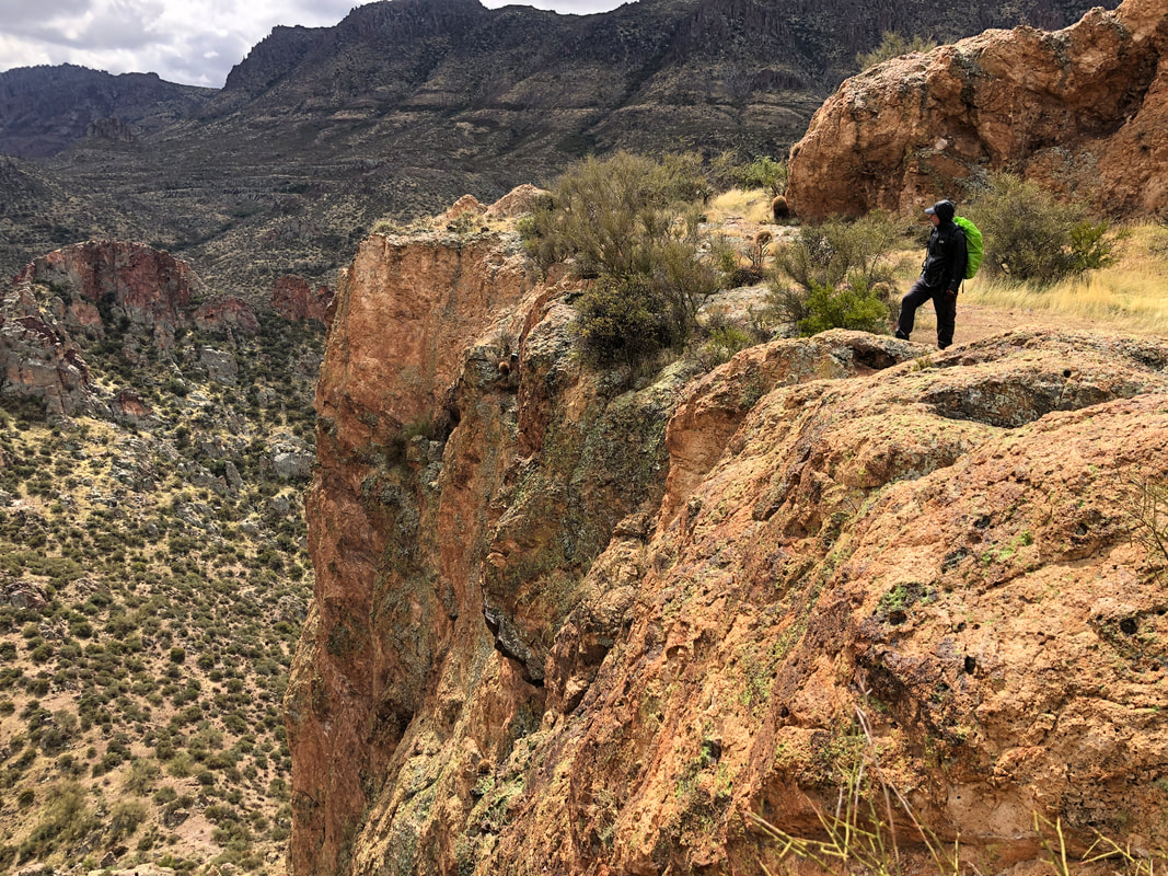
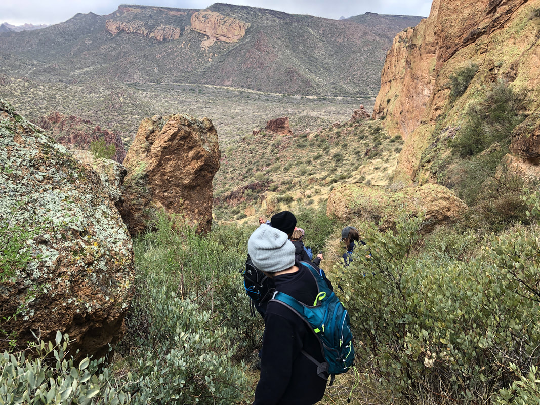
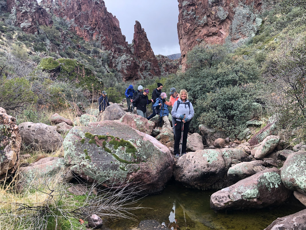
Rain moved in overnight but was forecast to be beyond where we would start our Saturday morning, 9am hike. As Amy and I drove to the Superstitions, with hiking friend Katherine, it appeared we were good to go. Nine of us gathered at the First Water trail head and began..... ....our hike. Soon we got onto the Lost Dutchman trail and followed a rolling route that was occasionally in the burn areas but mostly not so that was good. I was actually glad that the clouds lingered as they created some..... .....incredible views. In the distance, Weaver's Needle or a portion of it. While yes, I am infatuated with far off vistas, I can also appreciate things like.... ....Indian paintbrush flowers. Ok, nice but as we continue, I am looking for a clearing where there are some camp sites and close to an intersection with the Black Mesa Trail...... .....I find it and there we find a group of backpackers who have been out here for a week. I look for a nearby ridge and climb it, knowing this is the way into a ravine that we must follow. In the distance..... .....Dead Woman's Cave. While we began our hike with 9, we collected a couple who moved from NJ, two weeks ago. They were not lost but also were unaware of all the marvelous features around them. We invited them to join us and they eagerly accepted. Two weeks ago, stuck in the cold and miserableness of an east coast winter and now..... ...with us as we go off trail, up a canyon. Well, ok, today was somewhat similar to NJ with the weather if not the scenery. Cold (low 50's), windy, occasional sun, lots of clouds and then it began to rain. Most of us, well, all of us were prepared for the rain except one..... ....me. I was wearing a windbreaker. I look at the enormous packs my companions carry and I wonder, what the heck do you have in there? Gosh, they were all able to produce rain gear! How about that?!?!? During a brief, heavier period of rain, I retreated beneath an overhang as shown above. Note the lichen on the boulder above me. I locate a cross ravine where, turning left, we begin a steep ascent having an average grade of 33%. In the distance, center-left, Aylor's Arch on top of Palomino Mountain. I hope, that as you skim this report, you aren't doing it on a cell phone because some of these images deserve..... ....a much larger format on which to view. I enjoyed watching each of my fellow hikers emerge from the difficult ascent and then stand..... ....to celebrate what was a destination not yet reached. I scouted around a bit and then after dropping our packs, we all headed toward the arch. We filed up a narrow gap to reach.... ....the top of a ridge that narrows as it descends to the top of the arch. I've gone about half way down but the exposure got to me so no reason to give it another go today. Instead, I showed some of the group a way to drop below the arch so we could watch as.... ....Lorna confidently walks to a point just above the start of the arch. The arch appears somewhat fragile so neither Lorna nor Colleen from NJ went beyond where they wisely stopped. Another of our group, John, ventured almost as far. We regathered and then it began to..... ....hail! What the heck although I preferred that to rain. We snacked..... ....at an awesome overlook and then began..... ....the steep descent, back to the..... ....ravine where we boulder hopped back to the official trail. We finished with 11 miles and 2000' of climbing. As we drove back to Oro Valley, closing on the Catalinas, we could see..... ....snow had crept very close to the floor of the valley. So odd for mid March. Close to a foot of snow had fallen at the highest elevations. Back to cycling.
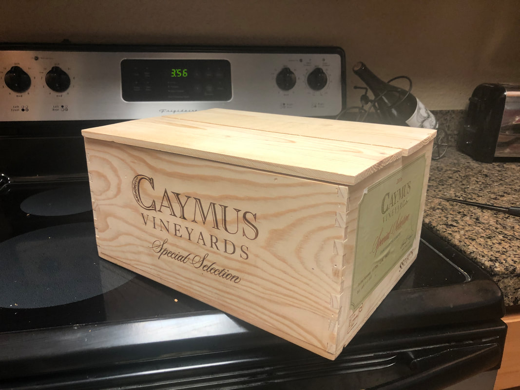
After the fun hike with a great bunch of people on Saturday, to Thimble Peak, I did a very short ride on Sunday just to kind of "reorient" the ligaments, bones and all else impacted by the hike. Followed that by finding a $20 dollar bill on the pavement....how about that!!! Then another short ride on Monday and finding all systems were agreeable.... .....got in a 61 mile ride, 2000'+ climbing, on Tuesday with a climb to Gates Pass. I declined going down the west facing side as then I'd have to climb back up or go way over to Picture Rocks Road for the return. There being a "Red Flag Alert" for high winds moving in, I didn't want to get caught out in that so made it back in breezy conditions and THEN...... .....came home to find a wine box that I ordered had been delivered. Every time I visit a restaurant or wine shop and see one of these boxes, I always think it'd be nice to have one so now I do. Have no idea where I will place it but the Amster has promised to lend her inner decor eye to the project. Also received new bike tires and cleats for the bottom of my bike shoes. Then.....looked at the extended forecast for Solvang, CA for when I'll be there for a cycling vaca and it looks fantastic. Really hope it holds. Well, that's about it gang.
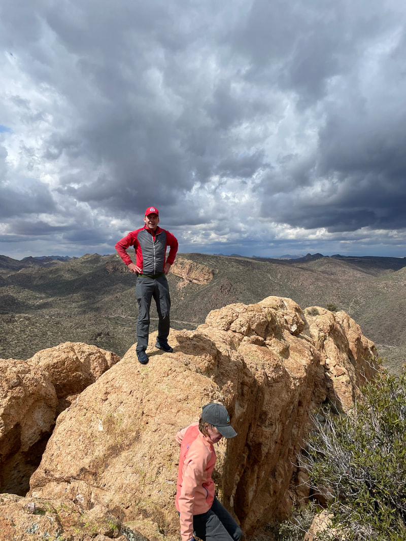
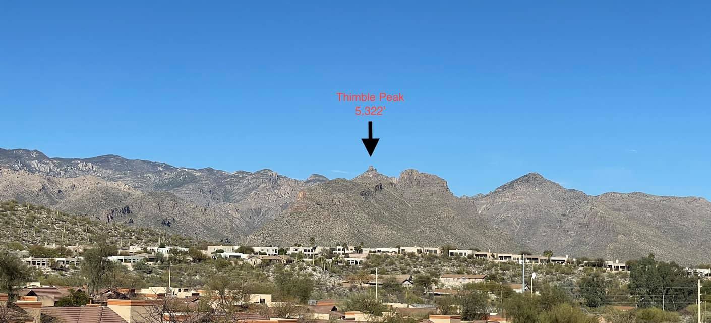
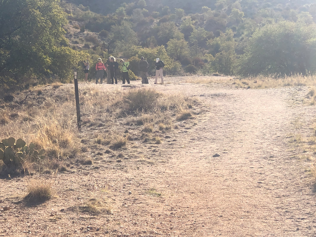
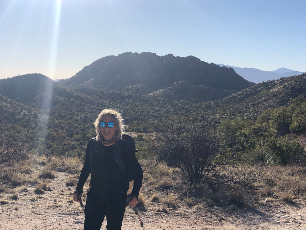
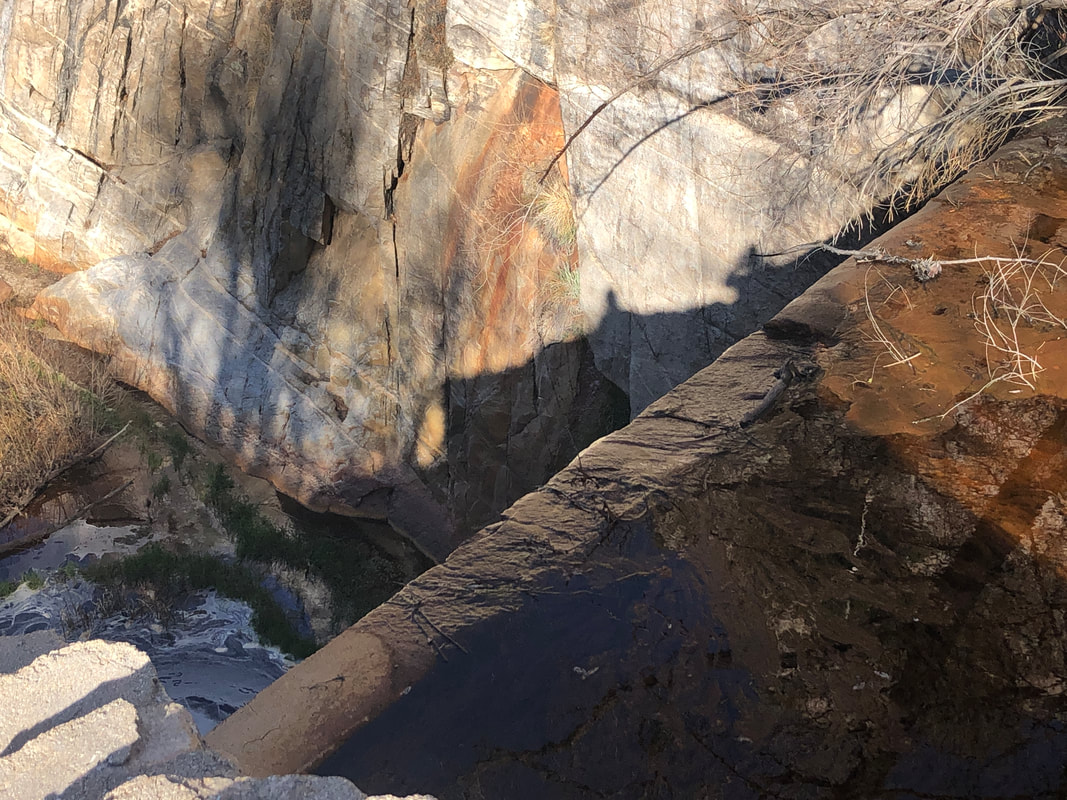
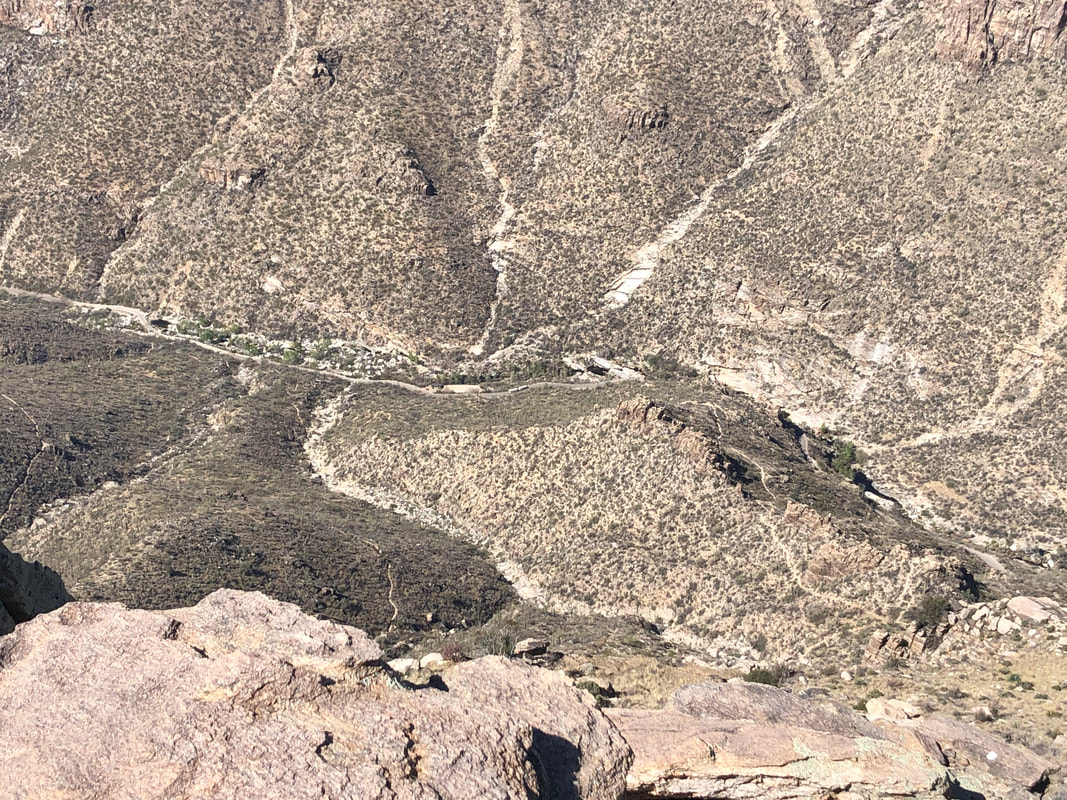
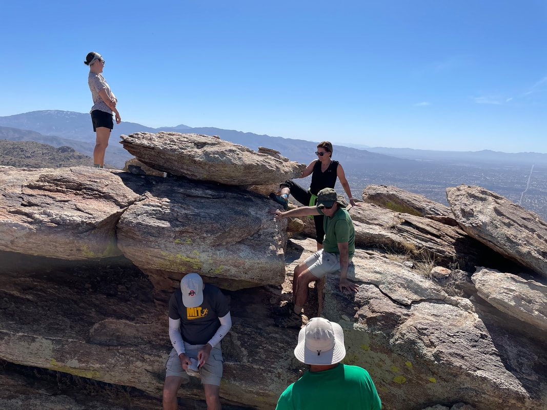
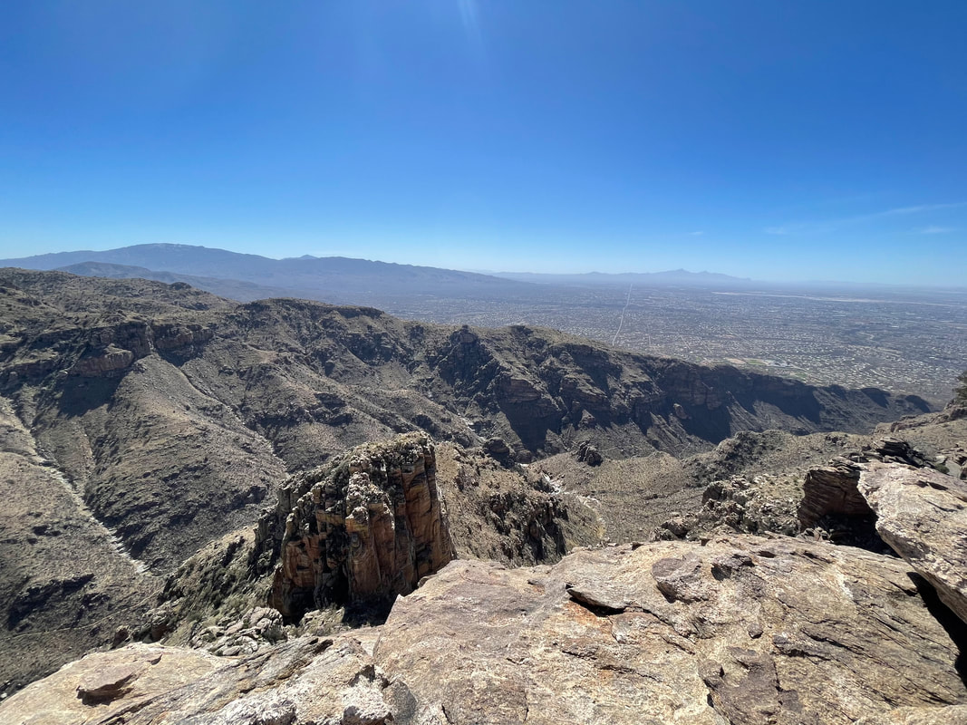
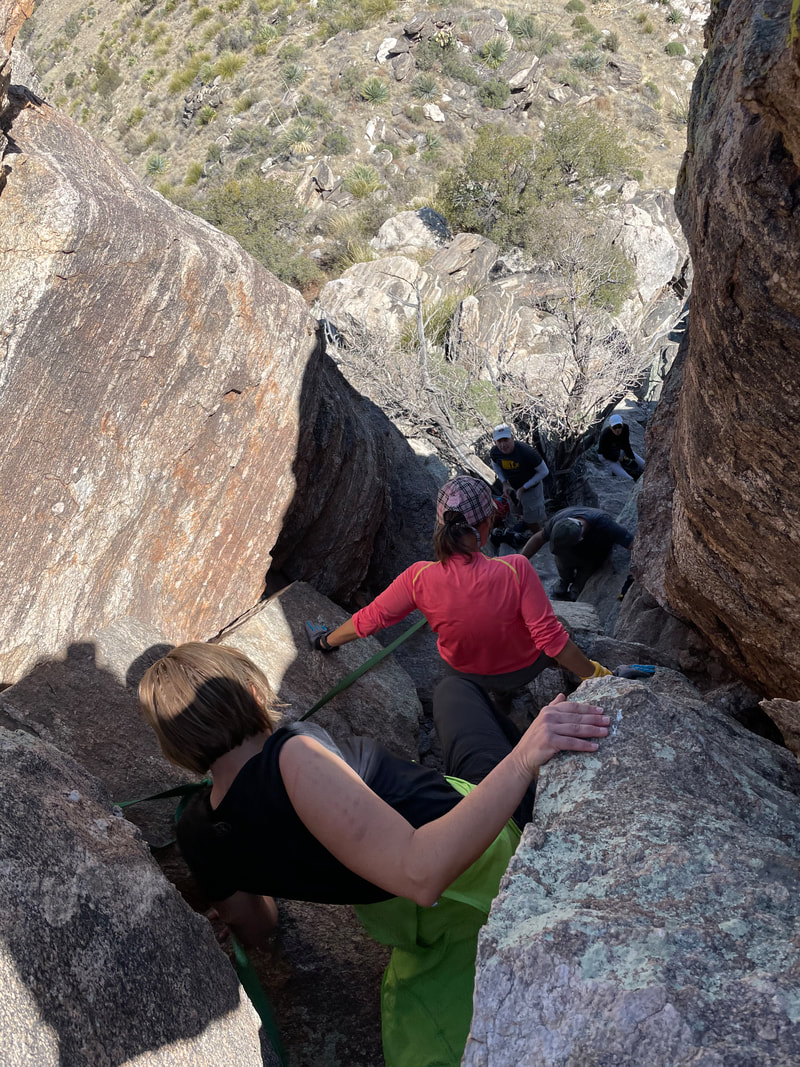
A prominent peak when viewed from the south or east is Thimble Peak. It can be approached from Bear Canyon, Sabino Canyon or Sycamore Canyon with the latter being the most direct so I organized a group hike, departing from the Gordon H parking area at 5000' elevation. All but Amy and I arrived early (a paving project stopped us for awhile) so rather than start at 8:00am it was more like 8:10am....sorry! We begin our hike but soon I hear a yell and am told to pause as the group needed to shed a layer of clothing. In the valley, the overnight low was only around 50 and the high to be 85. At this higher elevation, it wasn't much cooler. After 1.3 miles with a mild ascent, Amy's sunglasses reflect a..... ....magnificent view. The high point in the distance is Cathedral Rock. I've only been there once and want to do it again but would have to carefully select the hiking partners rather than open it to anyone interested. The once a week group hikes have been great fun for me but Cathedral is a different set of circumstances at 17 miles and 6000' of climbing....yikes. After descending 600' from the saddle down into Sycamore Canyon and at about 2.4 miles from our start, we reach a trail intersection and take the left breaking fork which gives us our first view of Thimble Peak in the distance and a marvelous spot at..... ....Sycamore Reservoir. The dam, built in the 1930's, appears to be in good shape but the area behind it long ago filled in with debris so it was simply a stream, tumbling over the dam. The trail through Sycamore Canyon is relatively flat, sandy and easy on the feet. Reaching a large cairn, from previous visits, I know to make a left which is known as the shortcut to Bear Canyon Trail. We cross a wash with some water flow and ascend to..... ....Bear Canyon Trail where we make a left. The shortcut shaves about 1 mile from the hike. I was surprised that there was no evidence from last year's fire. Good that this area was spared although still standing, burned trees, likely from the 2003 Aspen fire, were plentiful. We reach Thimble Saddle and soon thereafter, Thimble Flat. Just as the trail plunges into Bear Canyon, I look for what was once a very faint trail breaking right but is now rather obvious. In the distance, Thimble Peak and not looking all that impressive considering all else about it. The route has many obvious outcroppings where we can stand to admire the awesome views. We ascend, steadily making progress to Thimble Peak. A few days prior to our hike, a member, Paul C. contacted me and said he would depart early, climb the east tower and be there to assist our climb, describing it as, "any capable hiker ought to be able to make it". Sure enough, close enough now to see the full exposure of the east tower (referred elsewhere as the south tower so who knows) I see Paul, standing at the top. You have to look closely but there he is. That was a relief as while just reaching the base of Thimble is a fine hike, making it to the top is freaking spectacular. The gang follows closely behind. Having hiked 5 miles, there was a worn face or two but this group is comprised of real troopers. Fun loving, outdoor, adventure seekers. Paul encouraged me so up I went, a little, kind of reconnoitered the situation and thought, "Hmmm, I don't think the group will do this." Au contraire! Marc G volunteered and up he went. Then I think Jeff, then maybe Lorna and at some point, I did too. With space being limited, we had to clear out and continue the slightly less technical ascent. Amy shows her reaction to reaching the peak with Jeff and Lorna to her left. All but two of us made it up as we busied ourselves with having..... ....our pictures taken from various vantage points. Marc poses with the west tower behind him. That tower is about 10' higher than the east tower on which we were standing. Paul volunteered to down climb, go around to a center notch, climb up, secure rope so we could ascend the other tower but we all were satisfied with what we already had accomplished. We could see into Bear Canyon and..... ....farther down Bear Canyon and the city of Tucson beyond. We also could see... ....into Sabino Canyon and even Sabino Canyon Road and the shuttle, transporting people who were gawking at the scenery and having no idea, way above them, we were gawking in their direction. Having left our packs below, many of us were hungry and thirsty so we began to gather ourselves for the climb down, about which I was a little nervous. We signed into the peak register but then I found an older one, shoved under an overhang. Paul had ascended this peak more than a few times but had never previously spotted it. Taking one last look around, we.... .....began the descent. Lorrie, above, has an issue with exposure but the effect of the chimney made a difference and she had no problem. Paul had secured a rope for us so some took advantage of it, some not. We circled around and looked at the notch between the twin towers. I've been up it once and to the west tower but, again, our appetite was sated and we headed back. Finished with 11 miles and 2700' of climbing. I had guesstimated it would take our group 6 hours but it was 7 instead. Not too bad of a miss but a couple of us were running short of water at the end.
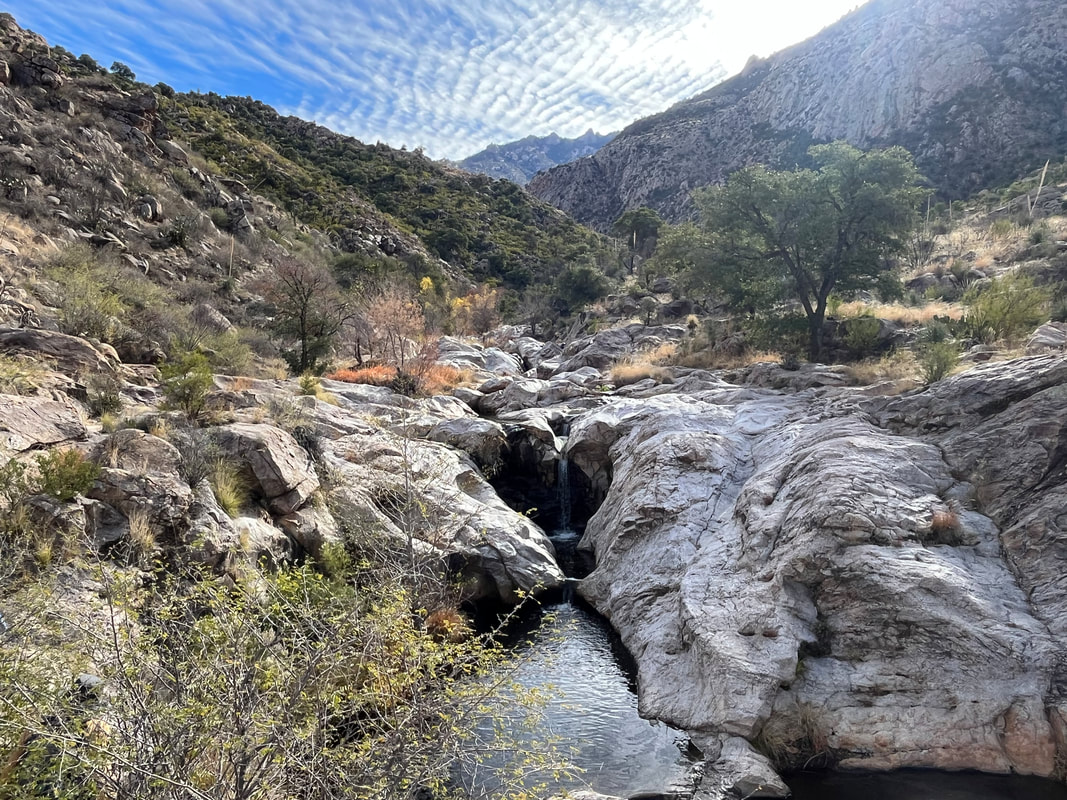
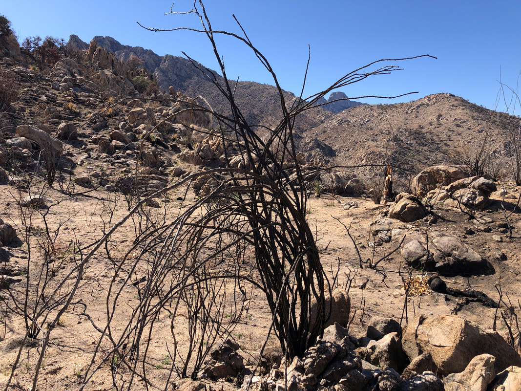
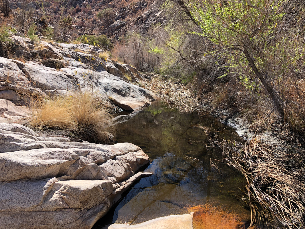
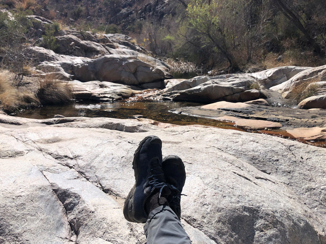
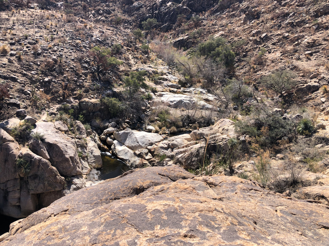
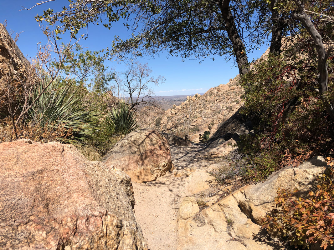
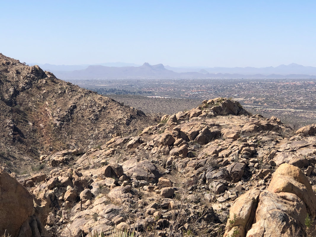
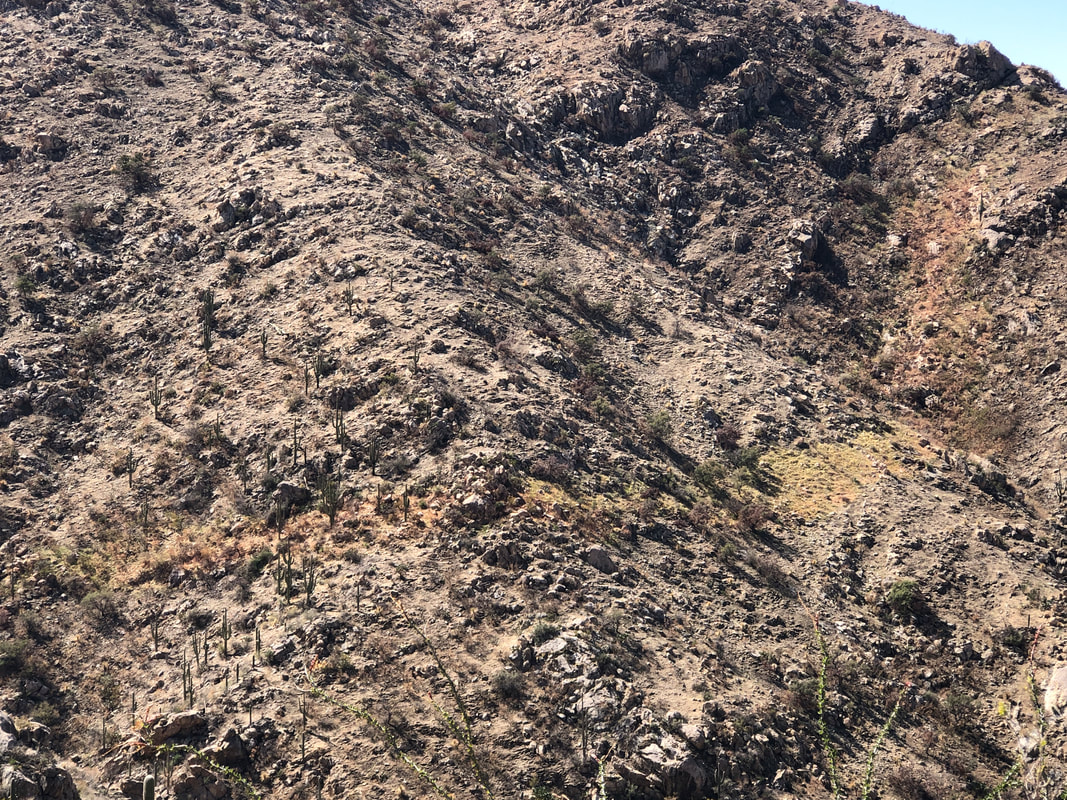
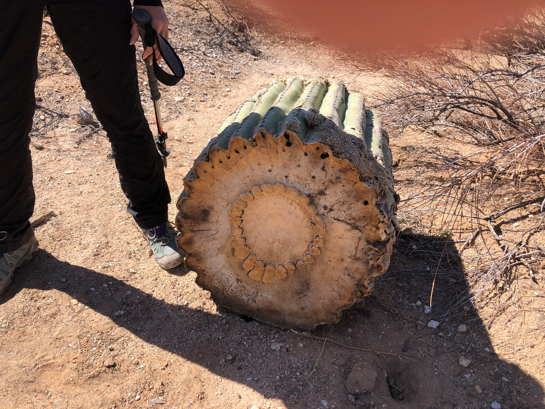
The rugged looking, Catalina Mountains. The trail is easy to follow, as always but also as rugged as ever. The area has of course been impacted by the fire but in many places, unaffected. A blackened ocotillo still stands in front of a stark landscape. We reach a set of pools and..... ....relax as the water flows by in a narrow channel. We enjoyed exploring the area but soon began the hike back. Looking to the ravine from where we came, it's a beautiful place. Great views.... ....all around with Sombrero and Panther peaks in the distance. Visible evidence of fire retardant that failed to contain the fire but it did preserve a narrow band of vegetation. A saguaro has been cut into pieces as Amy stands beside it for context to its size. Finished with 5.7 miles and 1200' of climbing.
|
Categories
All
Archives
November 2023
|
