|
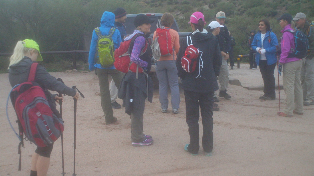
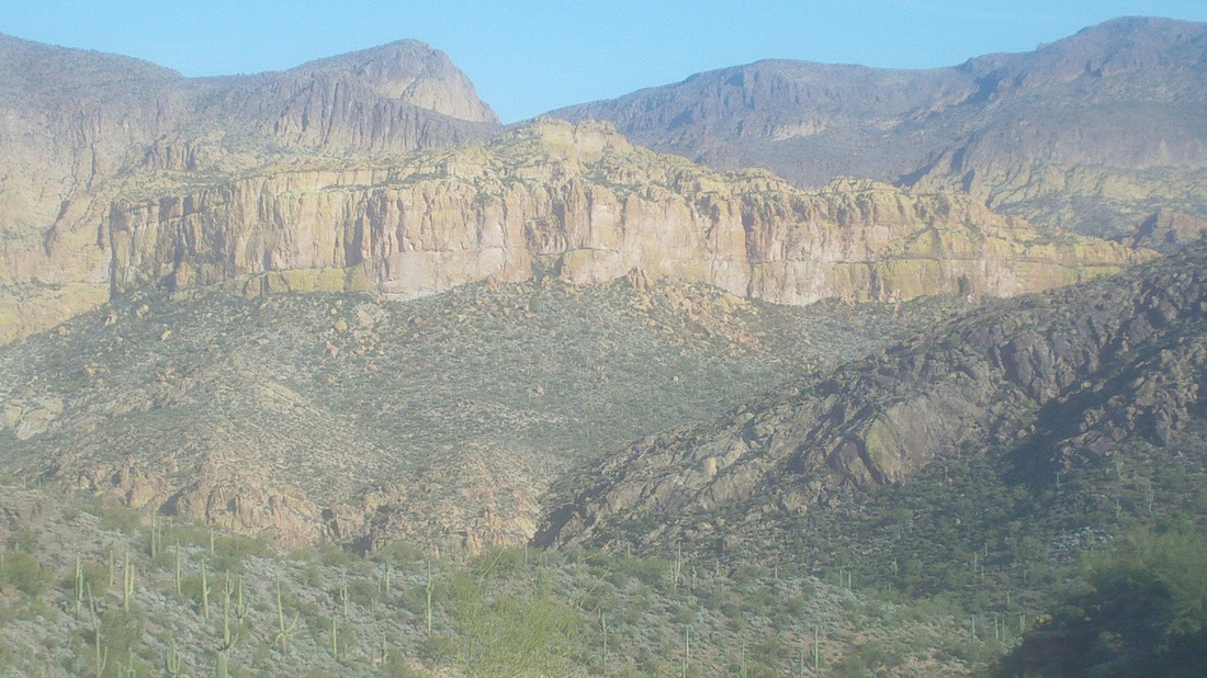
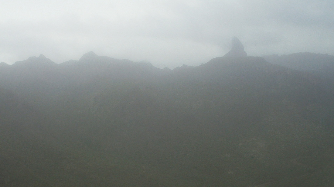
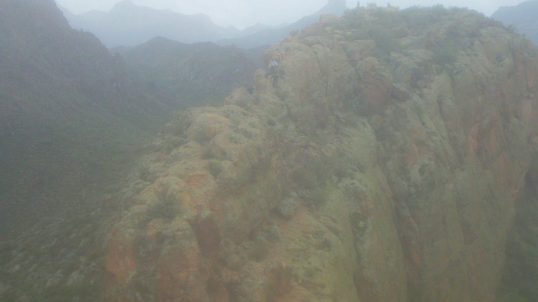
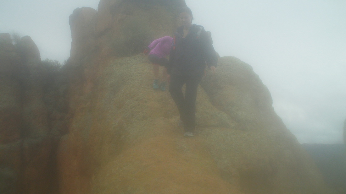
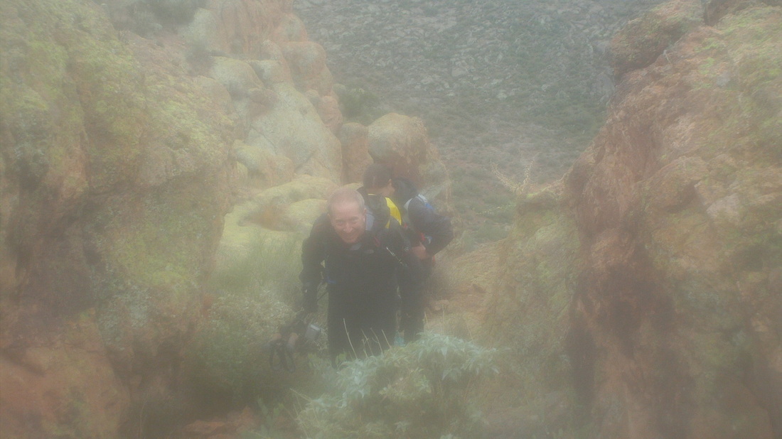
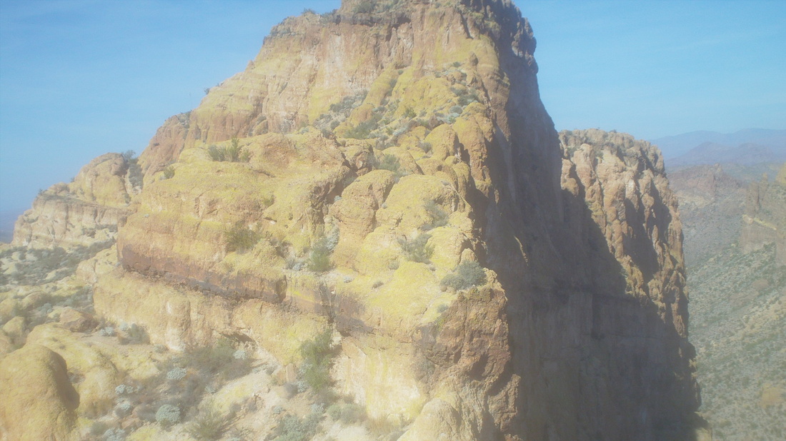
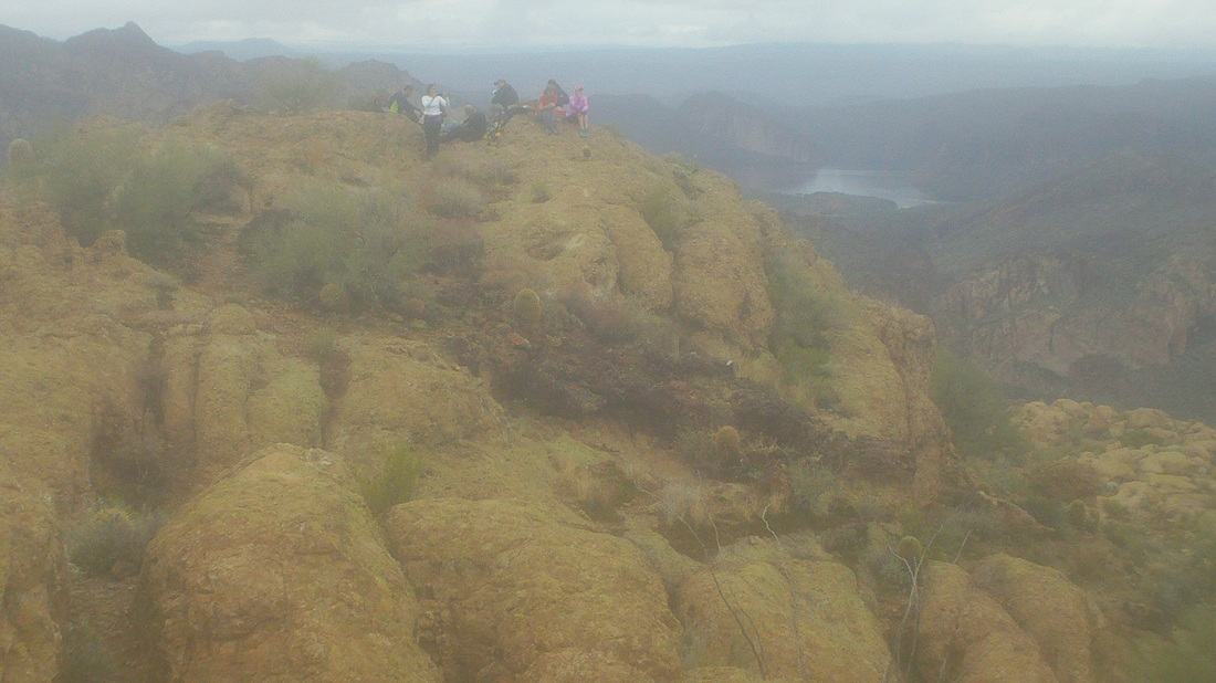
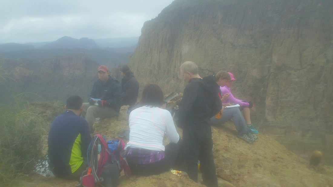
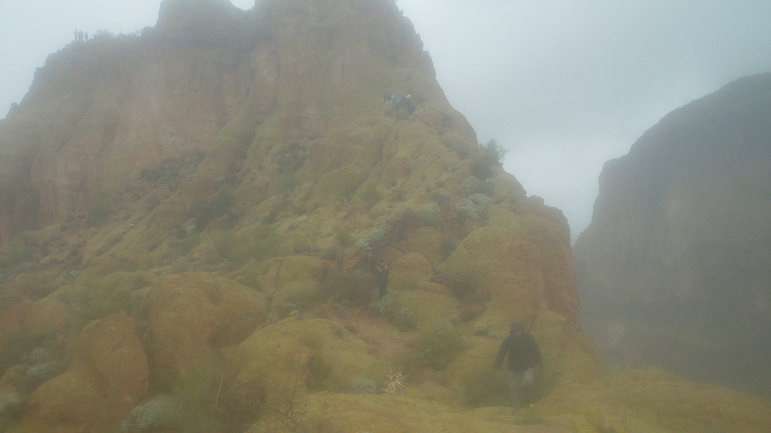
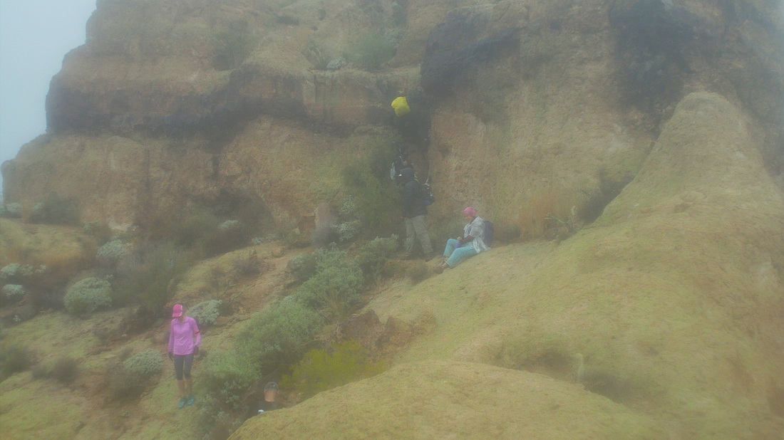
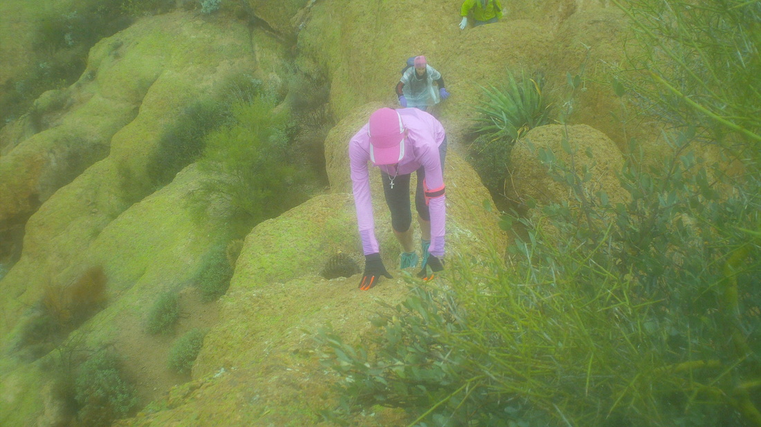
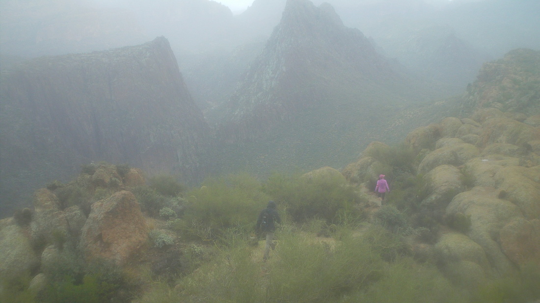
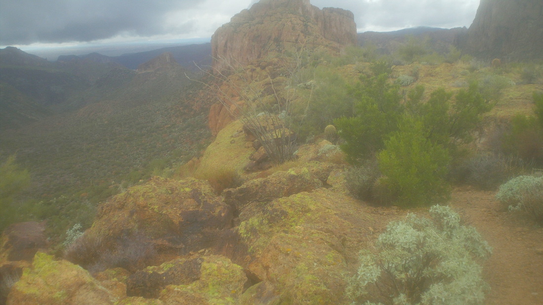
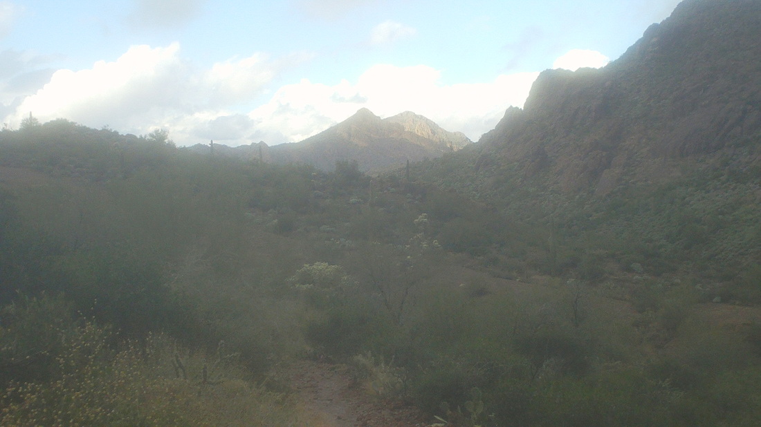
The forecast was atypical for AZ, rain moved through Friday night and was forecast to linger into Saturday morning, along with chilly temps in the 50's. Here I was, a guy from Ohio, having accumulated all that winter/wet technical gear required for winter cycling with nothing out here for this. A friend brought me a WalMart poncho ($.99 what a deal) and loaned me an umbrella so I was good to go with 18 others. On the drive from Oro Valley, it had rained the entire 90 minute trip but just as I entered the parking area, it stopped. We gathered, began walking and it began raining again, causing everyone to dive into their packs for appropriate clothing. Within a few minutes, the rain stopped and remained off the remainder of the day. From a visit earlier this week, the above image is of the Battleship. Although difficult to find in front of a background of similar rock, the left side is vertical, rising to a point left center and then falling away to the right where the ridge(ship) disappears behind a foreground ridge. It is quite the sight and a rolling 5 mile hike where the ship is mounted on the right (south) side, which is too bad because the trail we follow emerges from a canyon opposite the left side. Today, low clouds clung to the high points in the Superstition Wilderness. A member of TLC, Peter Medal, spent the night at the base of Weaver's Needle, above protruding right center. He hooked up with us for the hike out. The group had become strung out prior to reaching the point where we leave the trail for a steep climb to the base of the ship. Five of us got away but looking back, you can see others carefully picking their way through what at times is.... ....kind of dangerous with death drops on either side. At the above bridge, I dropped to my rear end and scooted down but others stayed upright. Richard was part of our group and came in very handy when.... .....we reached the point where I turned around a few days previous. The above image taken then, I had stood here and assumed the trail went directly up the front but it does not. Richard led us to the left of the base of the final climb, then behind it and only then did we go up. It would have taken me a long time to route find that so it was good I had turned around Reaching the summit, I walked a distance away and took the above image with Canyon Lake in the distance on the right. Others began joining us but I was wet, chilled and ready to go so recruited a few others to join in for the descent. We work our way through the myriad obstacles, each presenting its own challenge.... .....some of them very steep as you can see above. That drop, on which the yellow backed person is on, I found the most challenging, especially with a surface that was still wet. Oh boy, one of the narrow bridge climbs. I couldn't scoot on my rear up that so walked up, staring at the rock and not to either side. The image doesn't began to illustrate the drops or that the surface is not flat but curved. Gina shows the correct technique, feet and hands both used. We continue to work our way back with dramatic views, low clouds, peaks, canyons, wow. Looking back, we could see most were still at the summit but I was glad to be off of it as the clouds had begun to lower and it misted but did not resume raining. We bushwhacked off the ship to the creek bed below and began the long hike out.... ....where the sun began to break through the clouds. Finished with 12 miles and 3000' of climbing. Took us about 5:30 to do the trip.
0 Comments
Leave a Reply. |
Categories
All
Archives
November 2023
|
