|
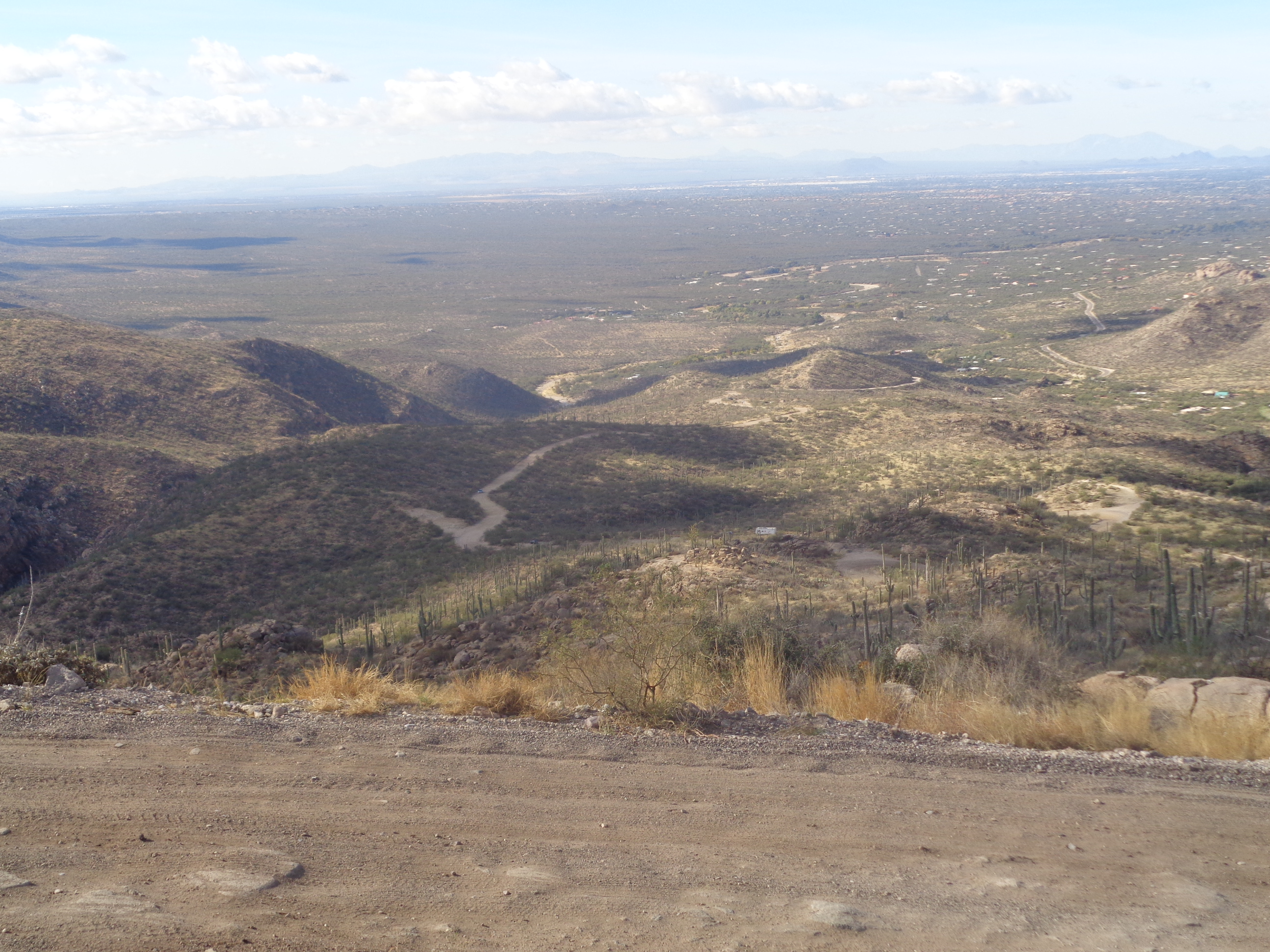
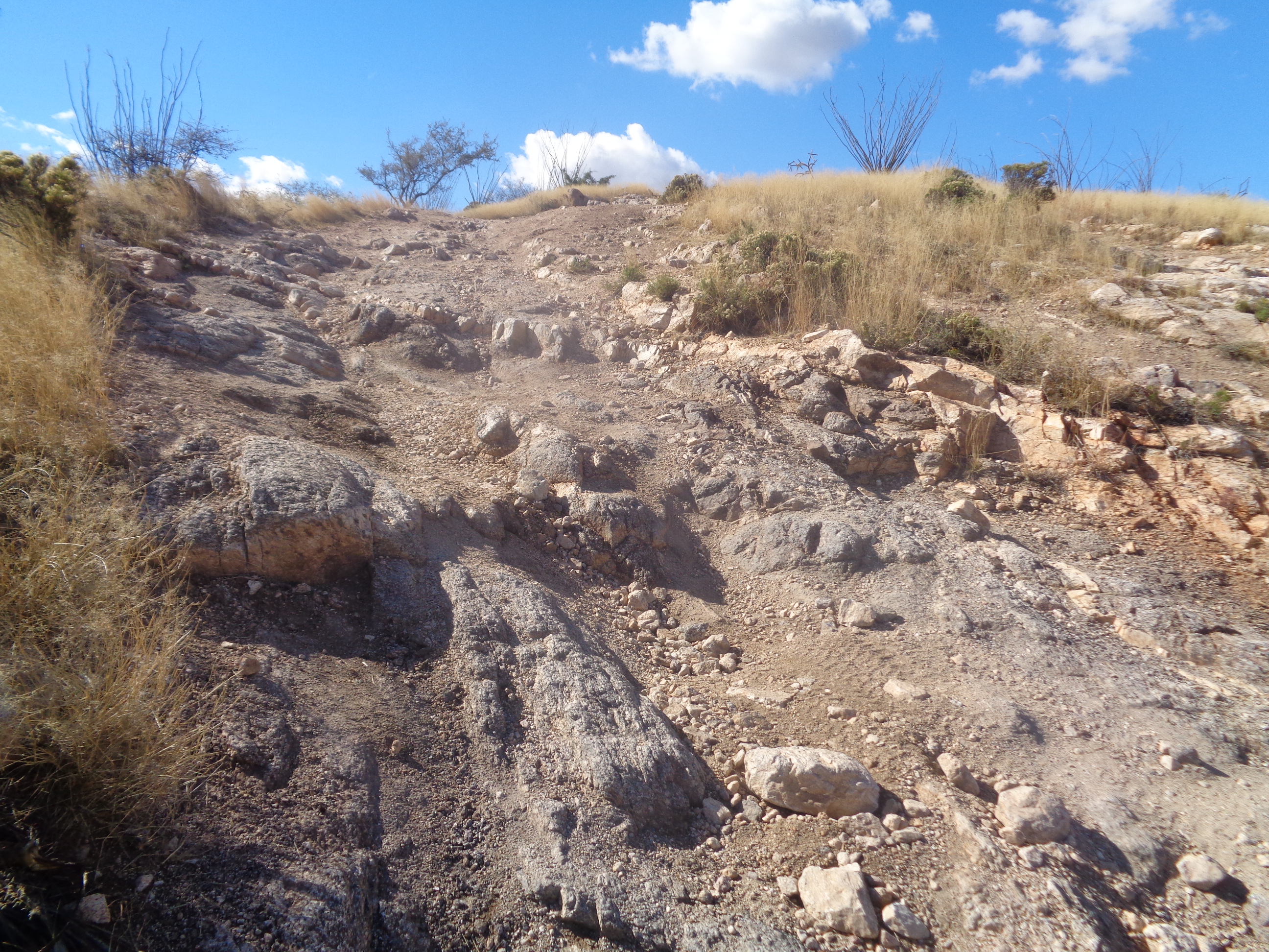
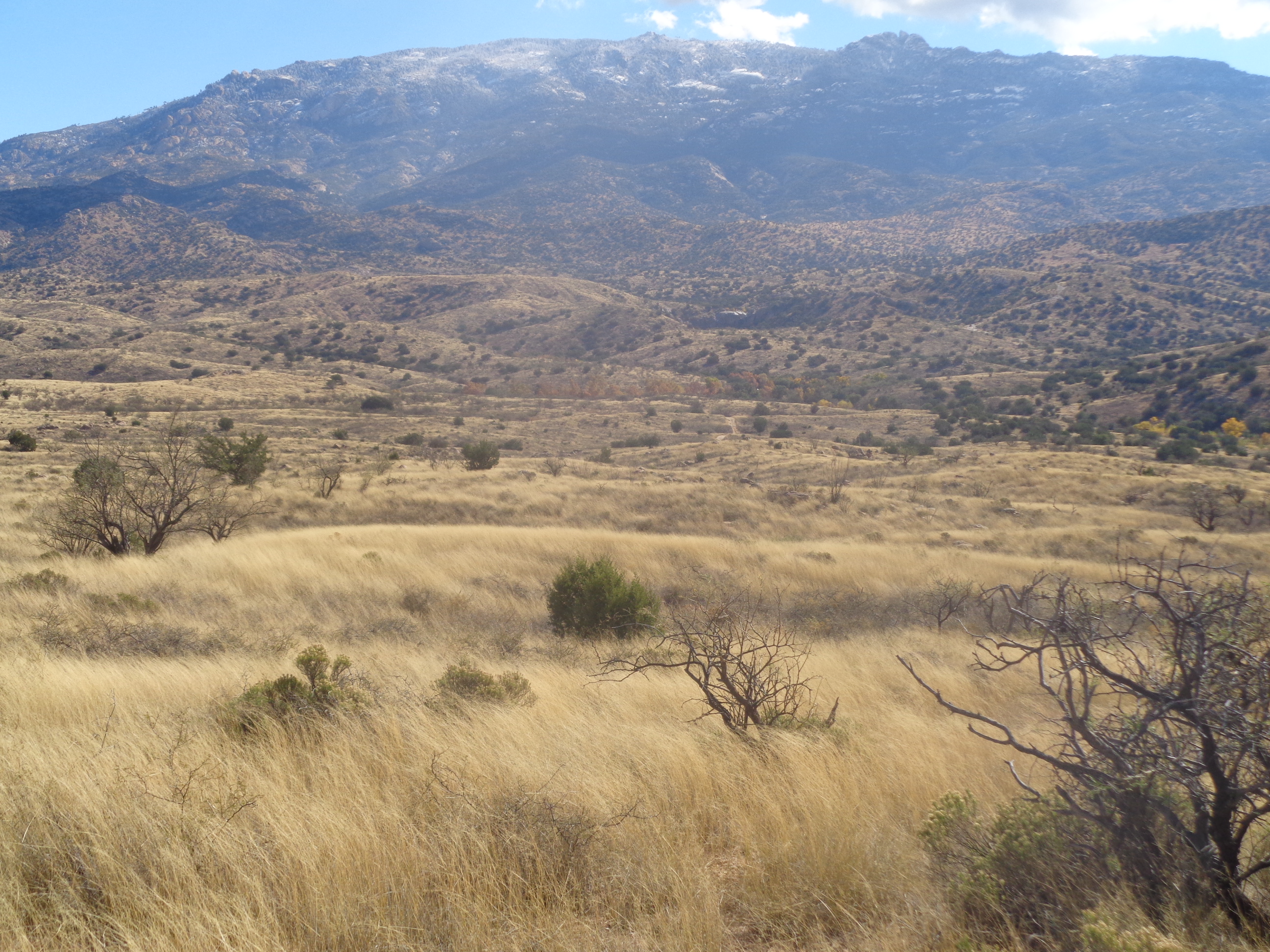
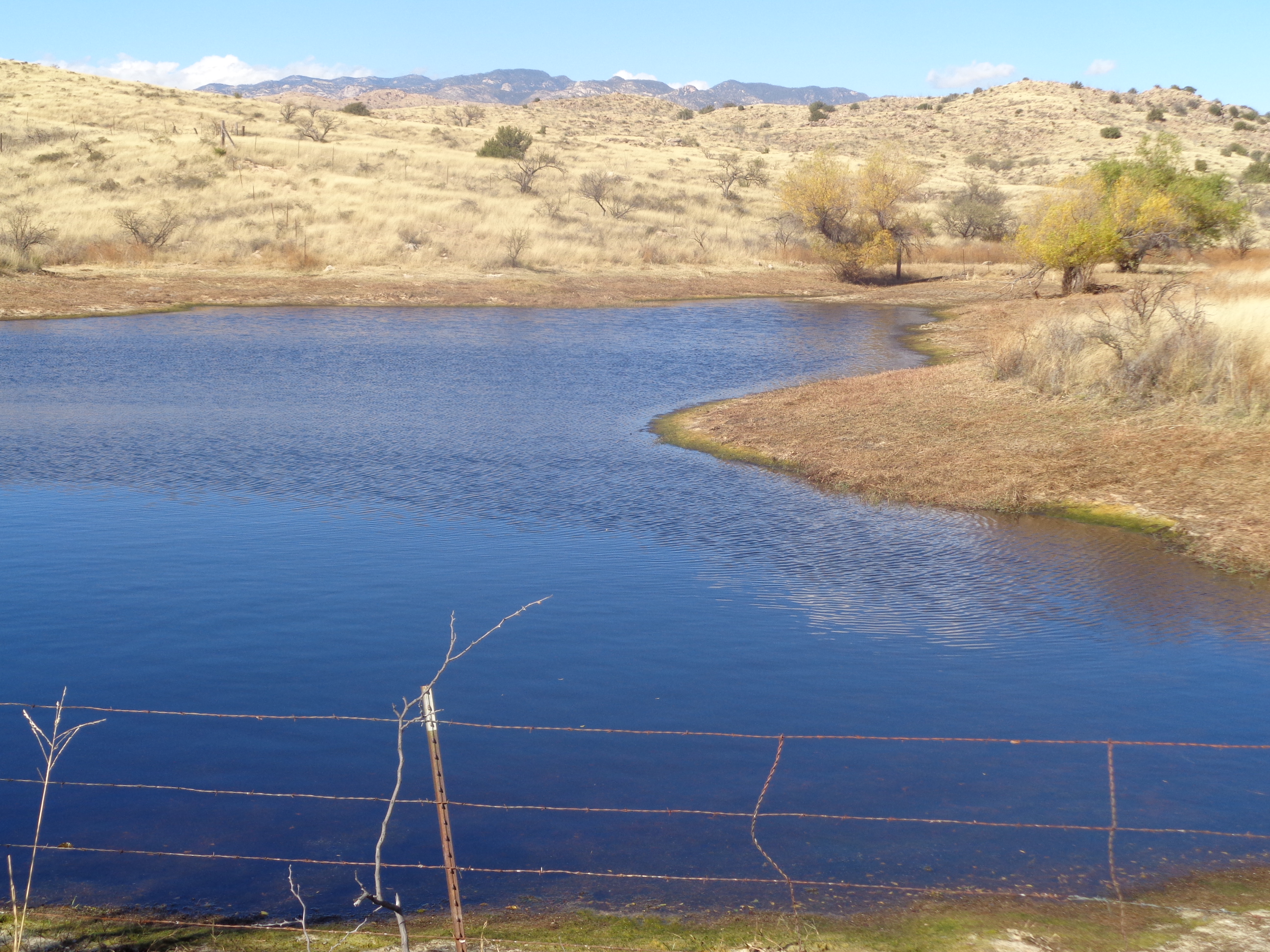
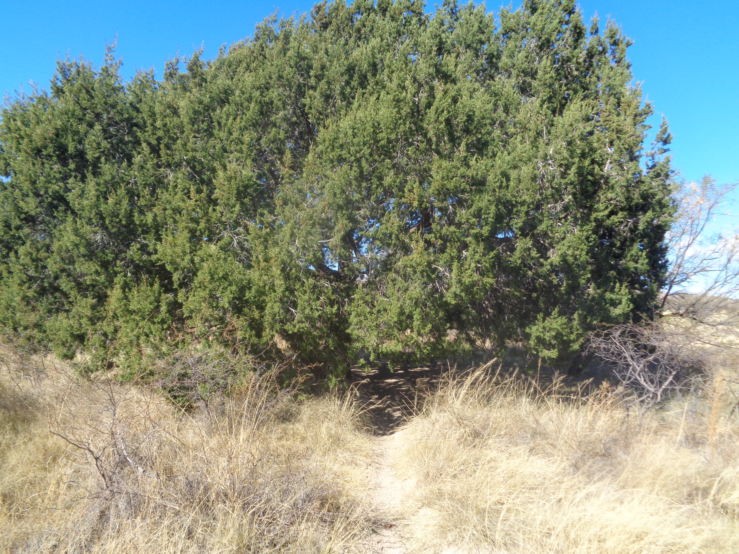
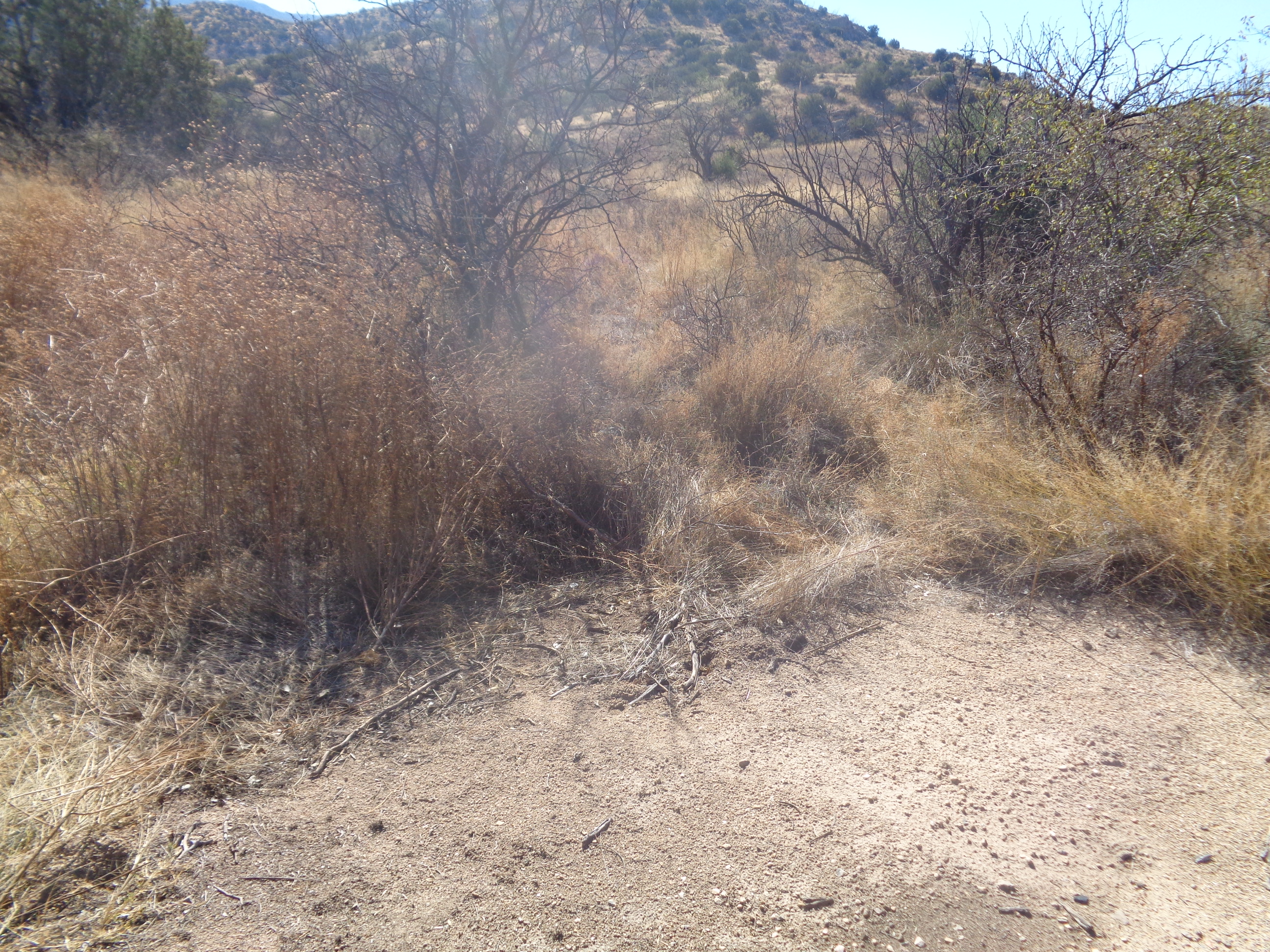
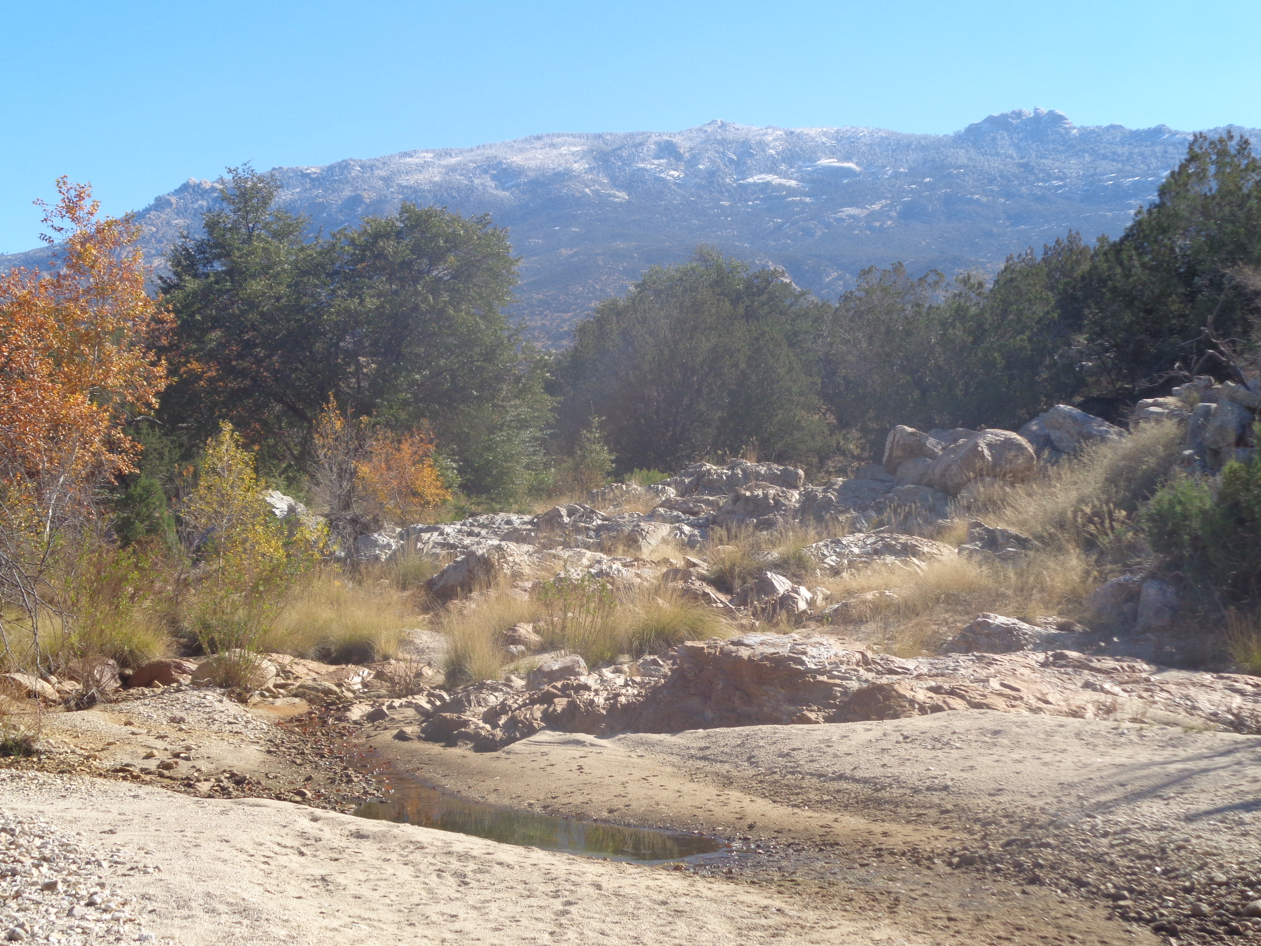
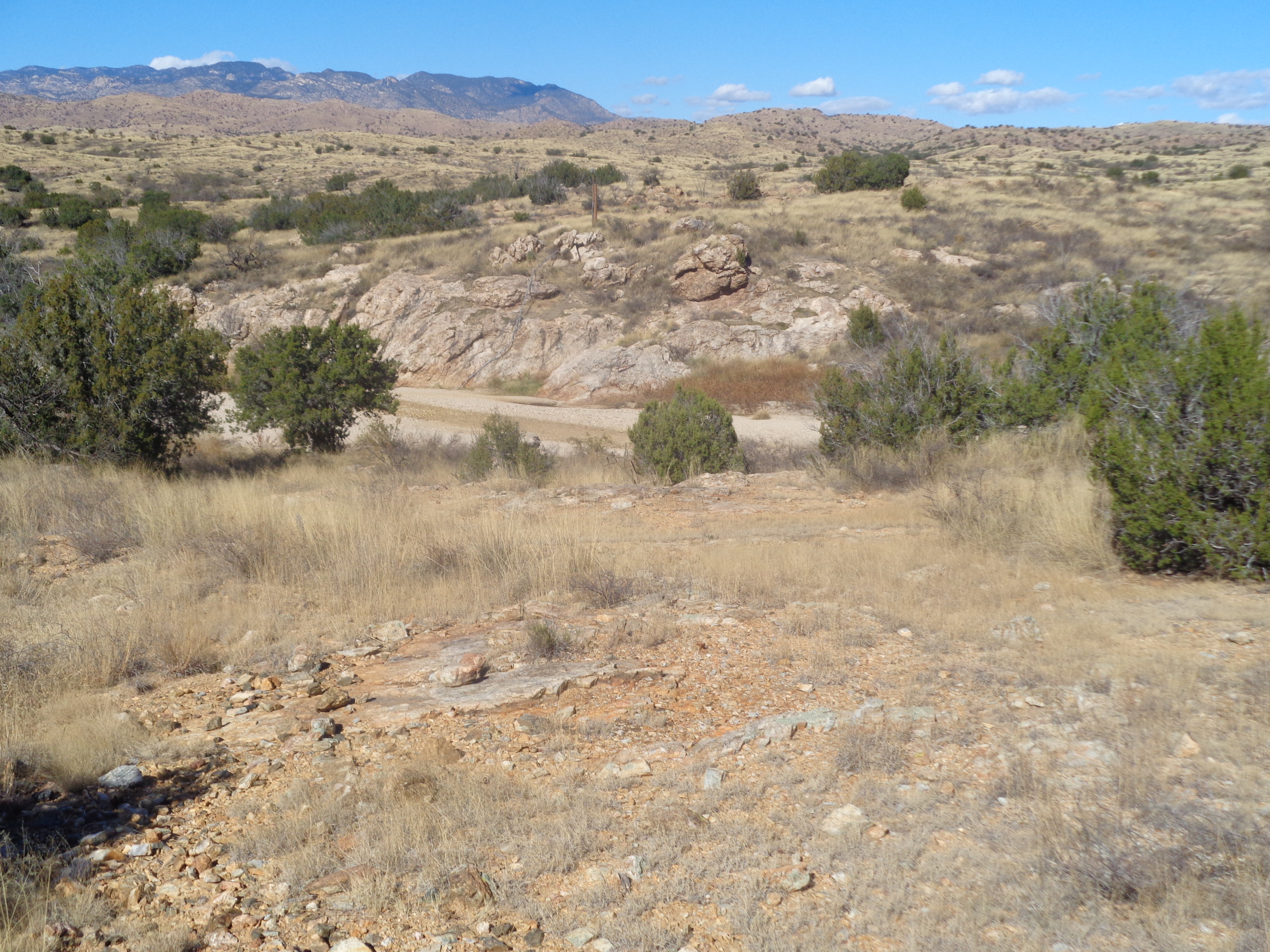
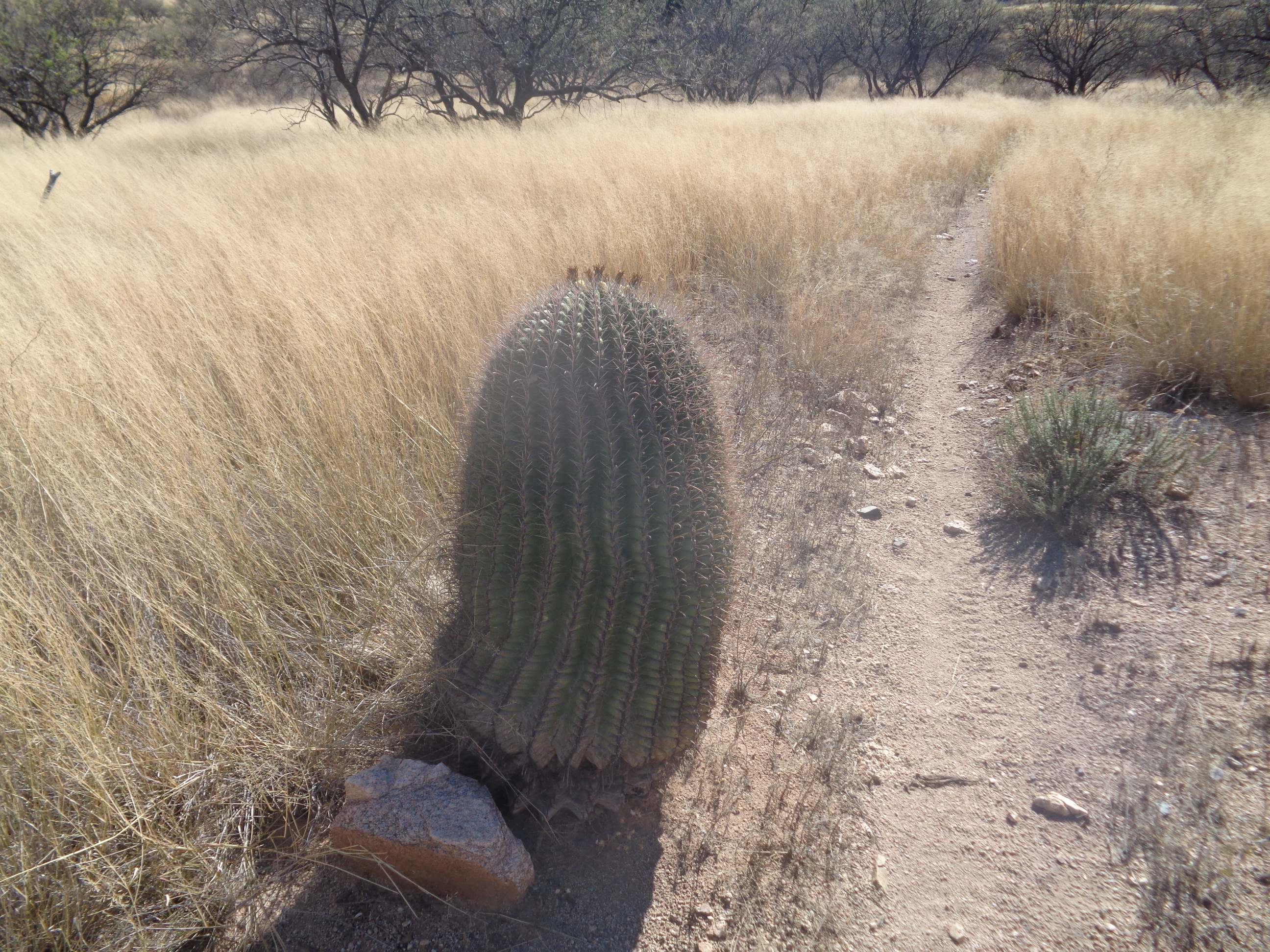
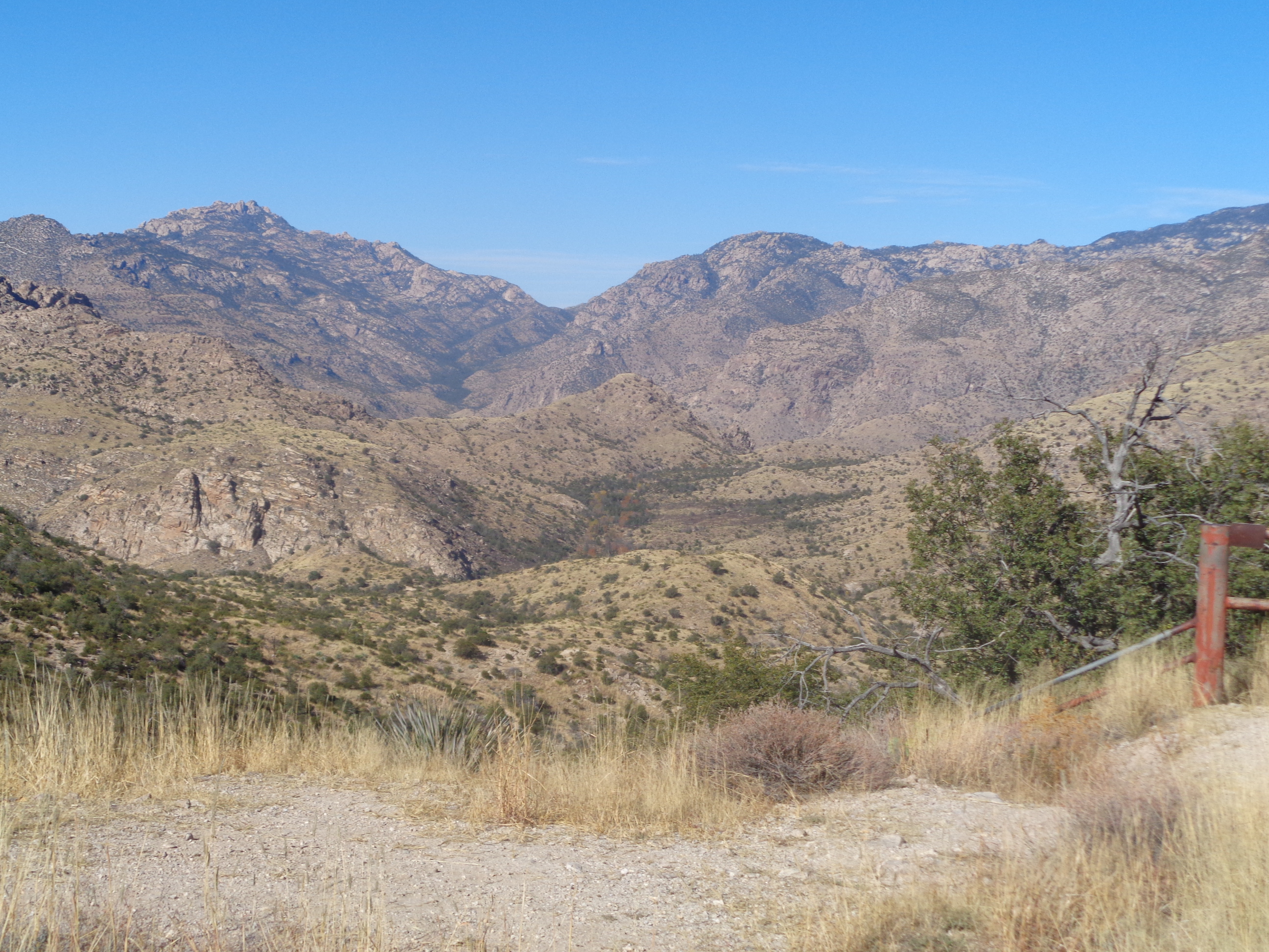
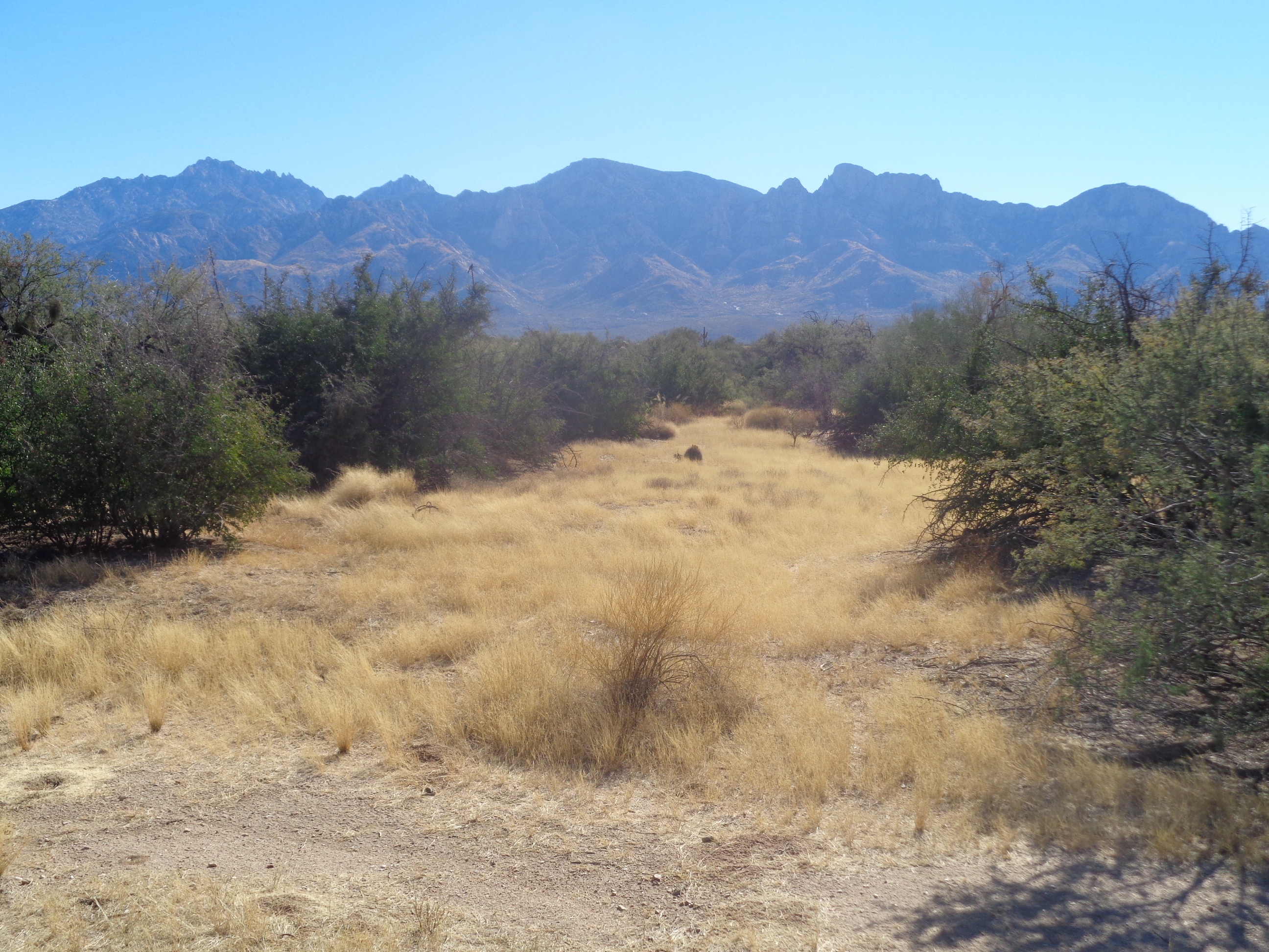
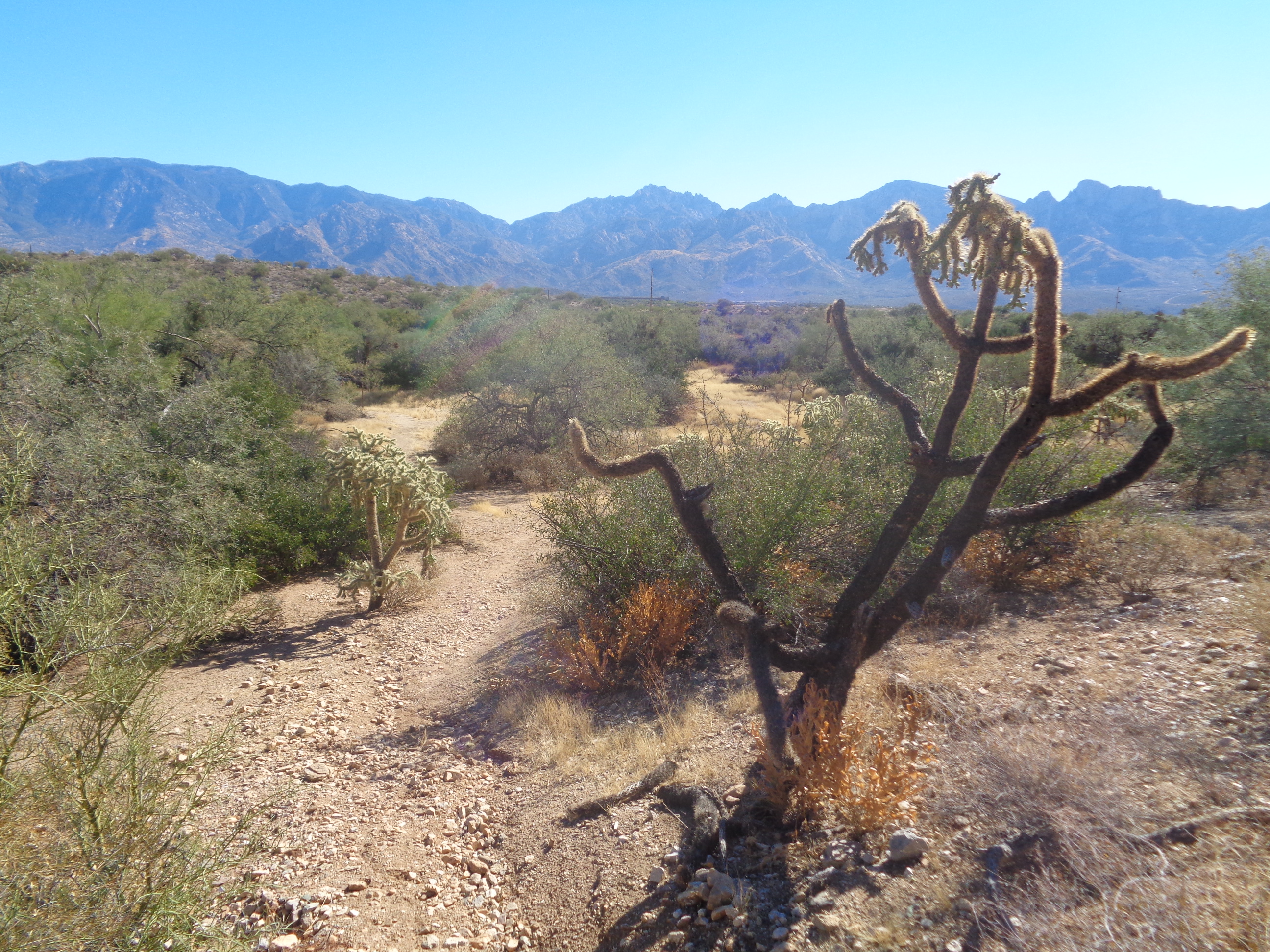
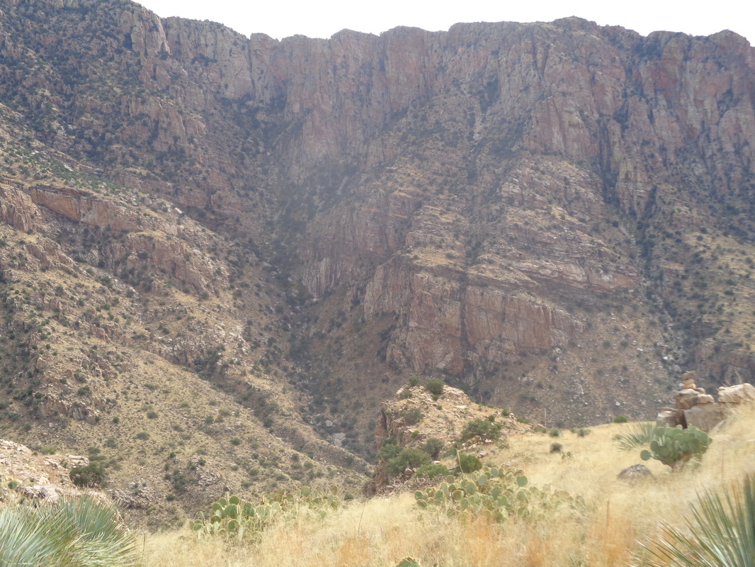
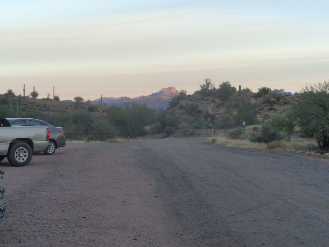
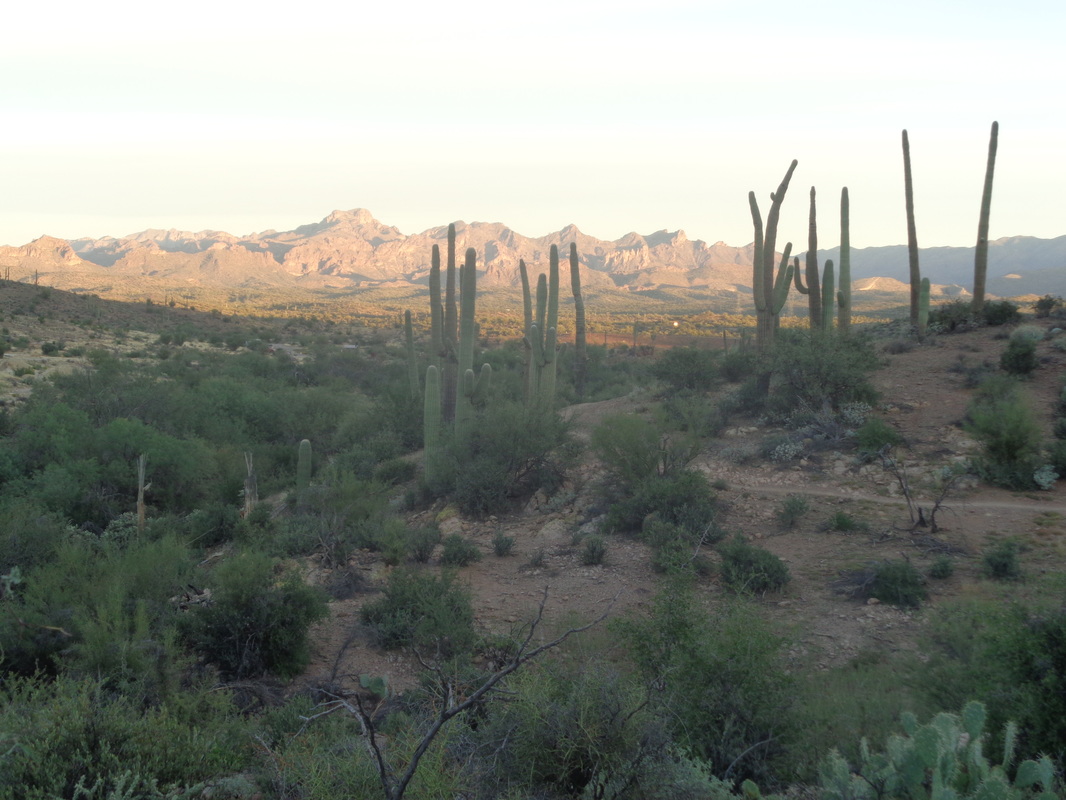
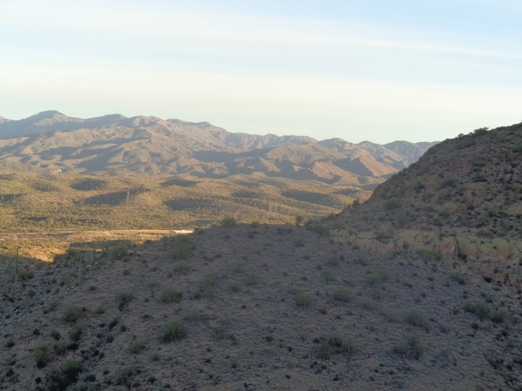
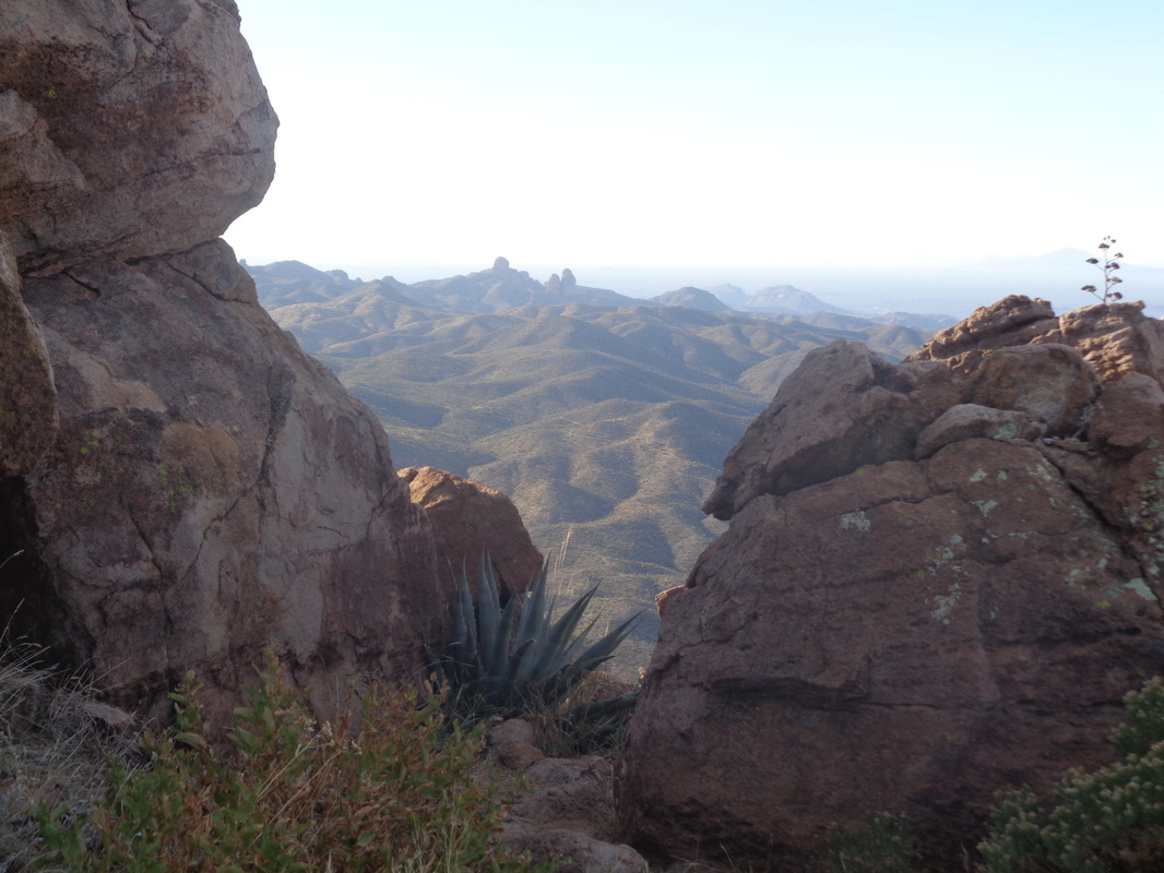
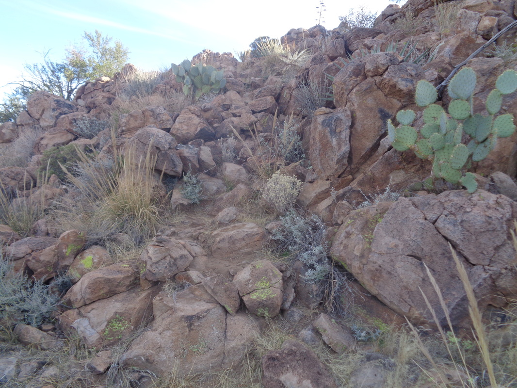
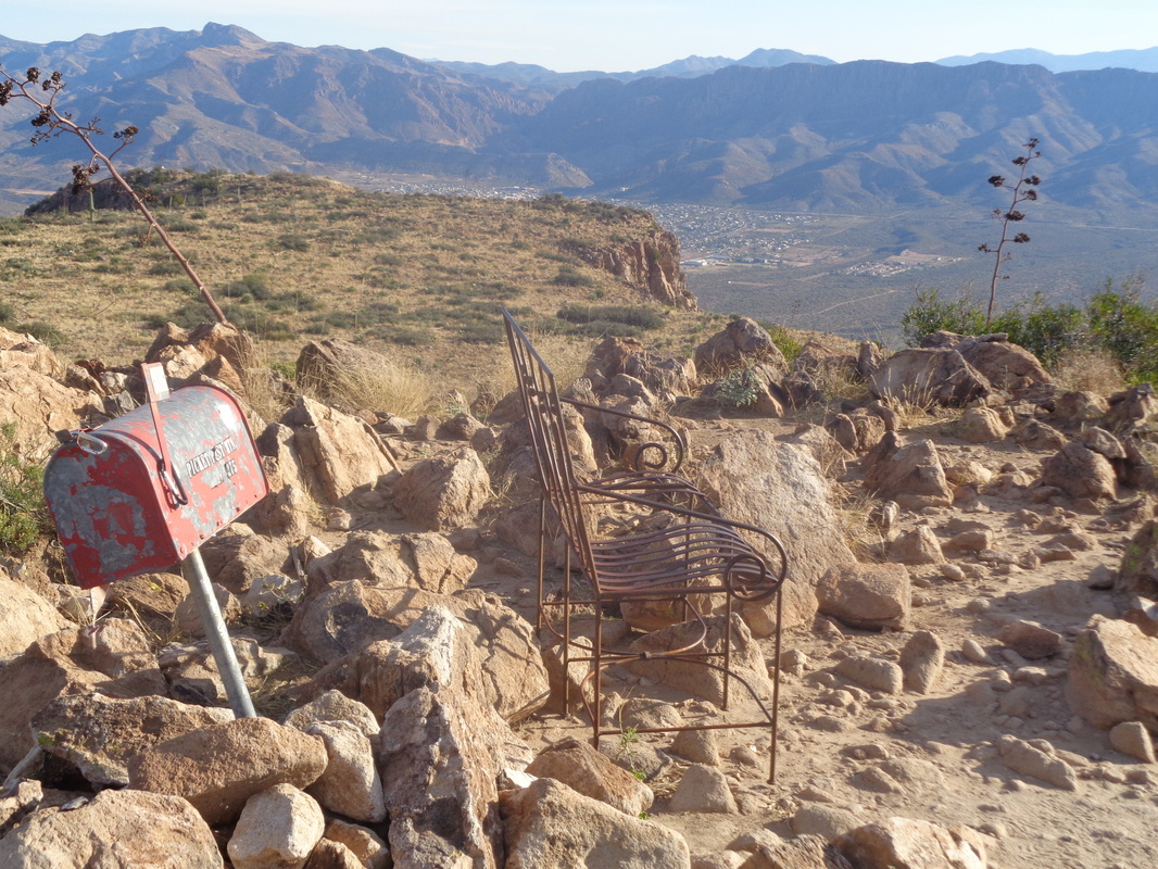
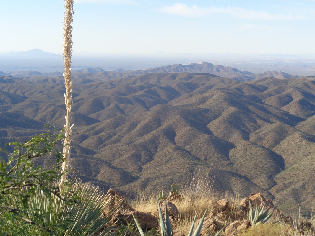
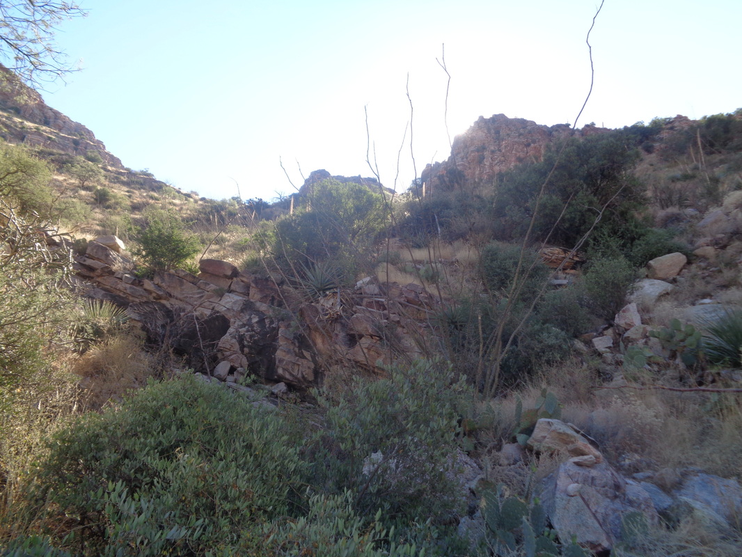
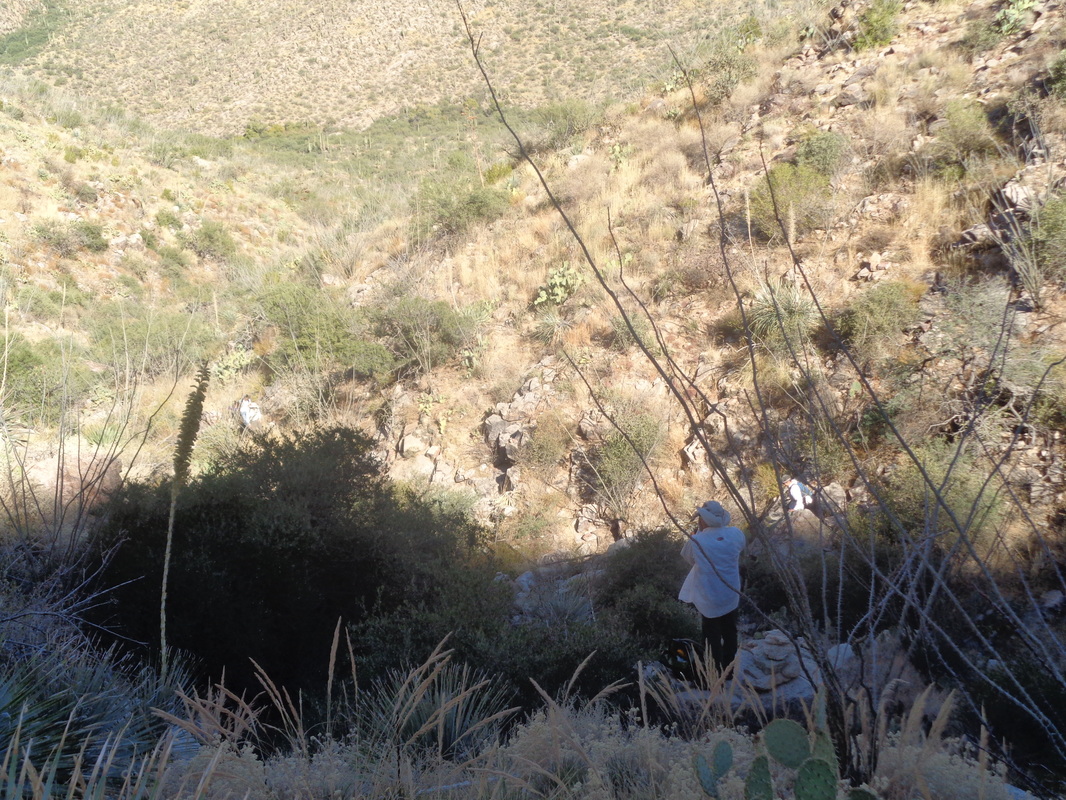
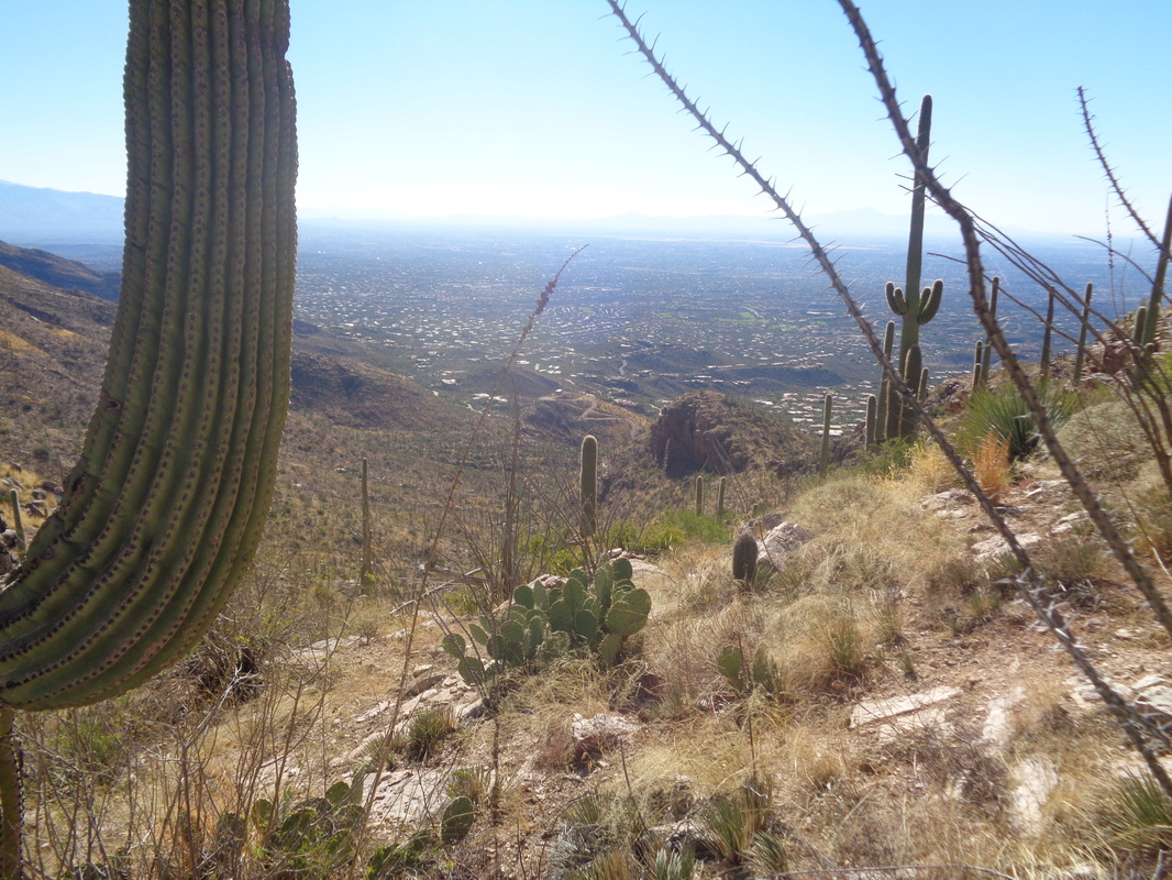
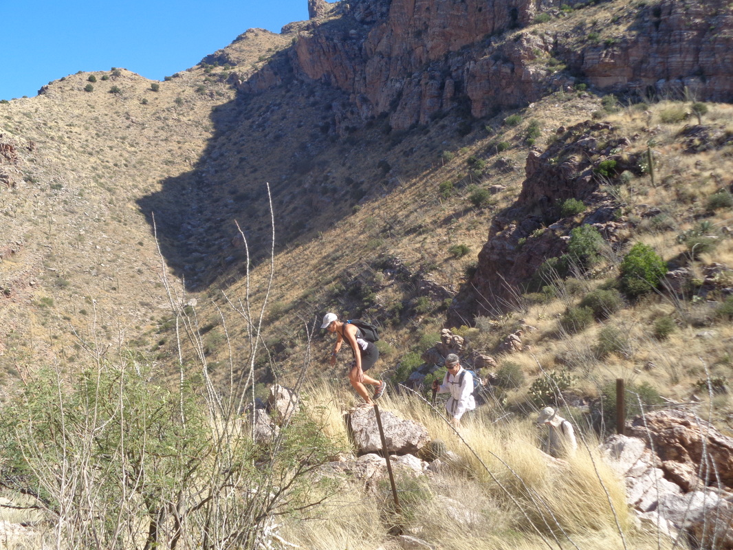
I drove east on Tanque Verde Road where the name changes to Reddington Road and continued to where the pavement ends. Then things got interesting but I managed to cover the remaining 4.3 miles to a cattle pen with a pullout on the right side. The road was steep in places and requires a pause now and then to make sure I chose a path that would not scrape the bottom of the car. You can drive from the road to the Falls but it requires a very, high clearance vehicle with 4-wheel drive. Also a popular road for motorcycles. The Rincon Mountains in the distance with snow at the highest elevations. The foothills leading to the base are kind of boring to walk as I followed the "road". There were places I could not imagine anything with 4 wheels getting through. How about that...a real pond! A few steps farther and I left the road for a dirt path that was easy to follow and eventually went.... ....through this tree, the only one of its kind in the area. The path reunited with a forest service road and all was well but after making a right at the road, the GPX track I was following abruptly turned..... ....into this thicket at about mile 3. Hmmm, this did not look or feel right yet I followed the track and soon it led into.... ....this sandy wash. I crossed and kept walking but saw no evidence anyone had been here. No rock piles, no faint trail, nothing. This can't be right so I turned around and made it back to the road. I poked around for awhile but always found myself off the gpx track by a wide margin. I decided to pack it in and return to the trail head. A lone cactus guards the dirt path. Got in around 7.5 miles but still scratching my head about the route. Too bad. The falls, about 90' is supposed to be spectacular. Maybe another time.
0 Comments
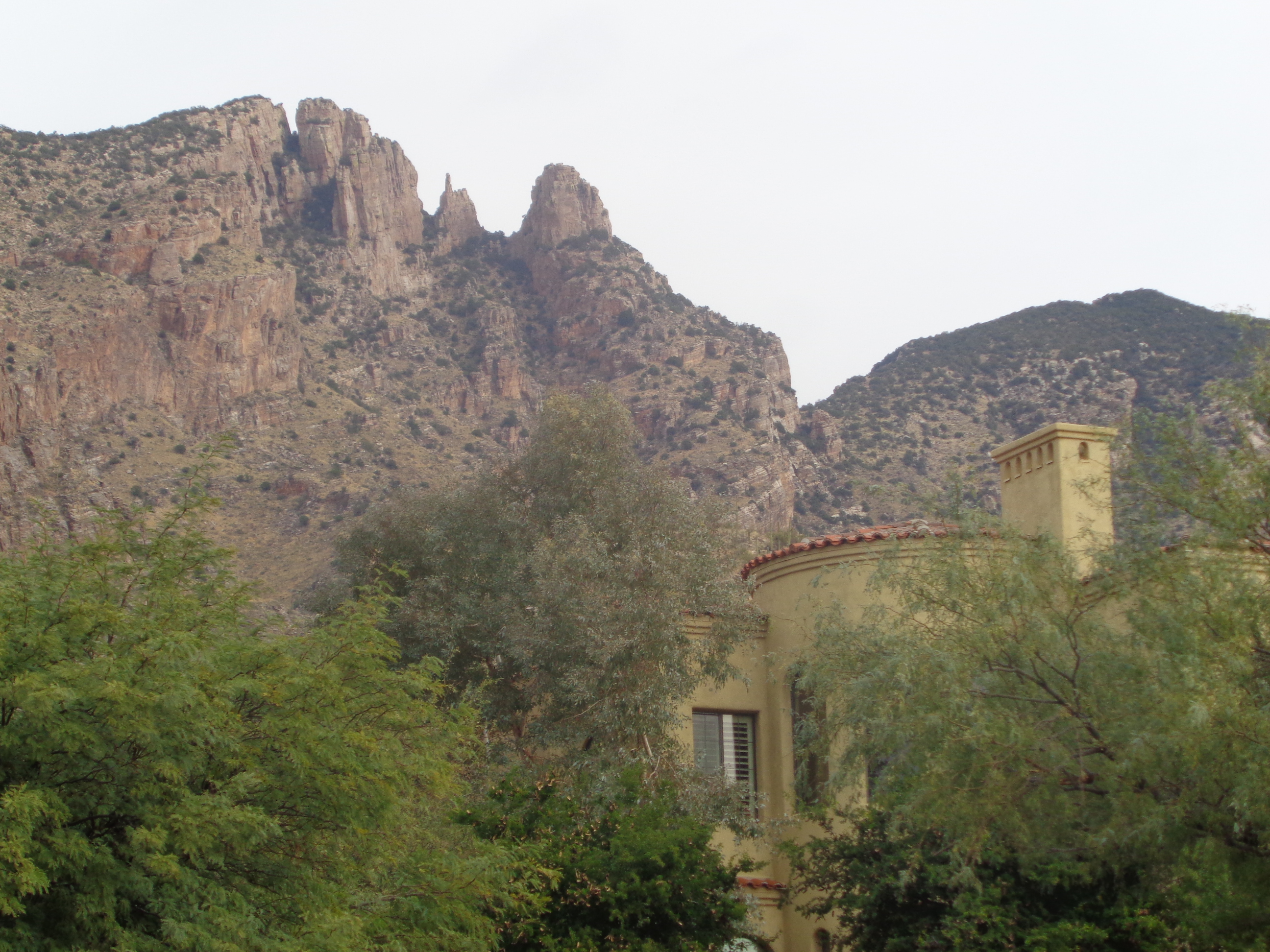
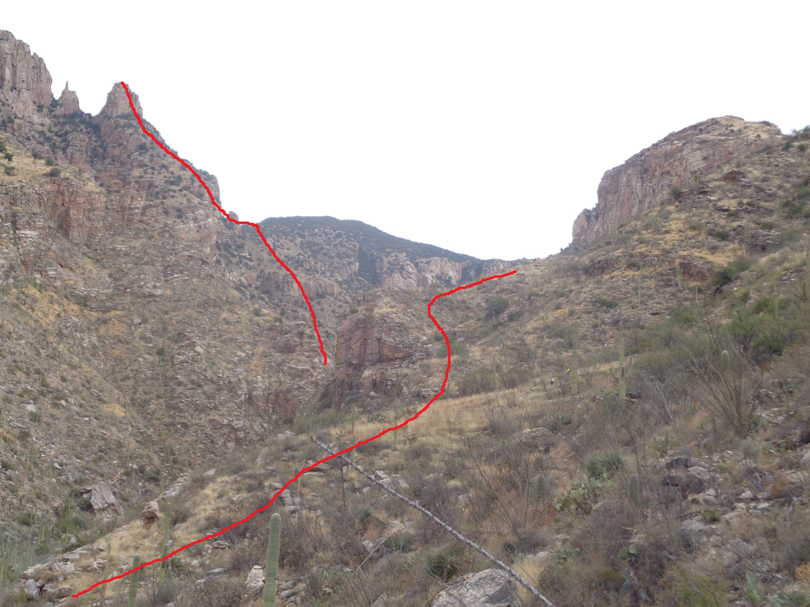
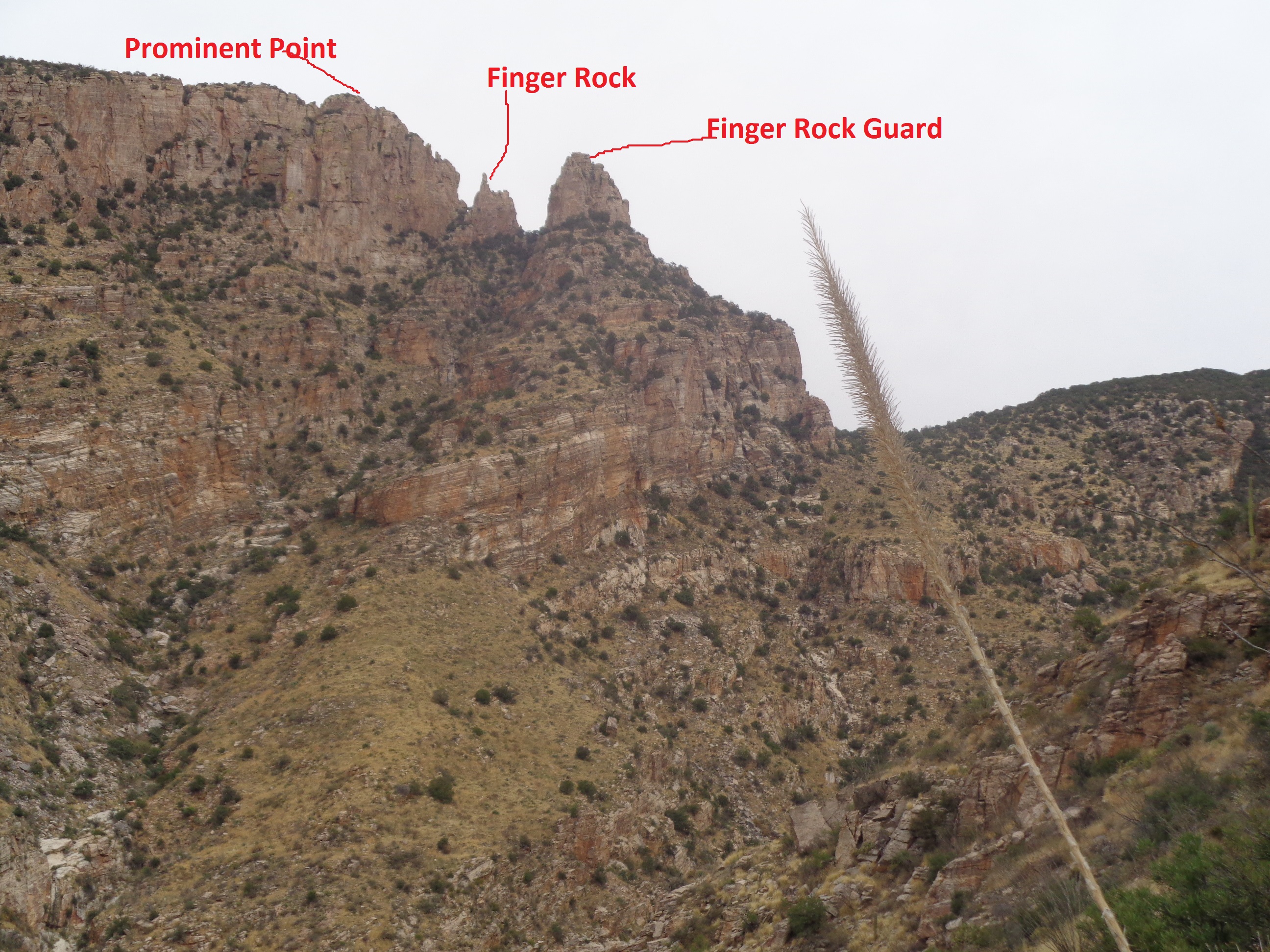
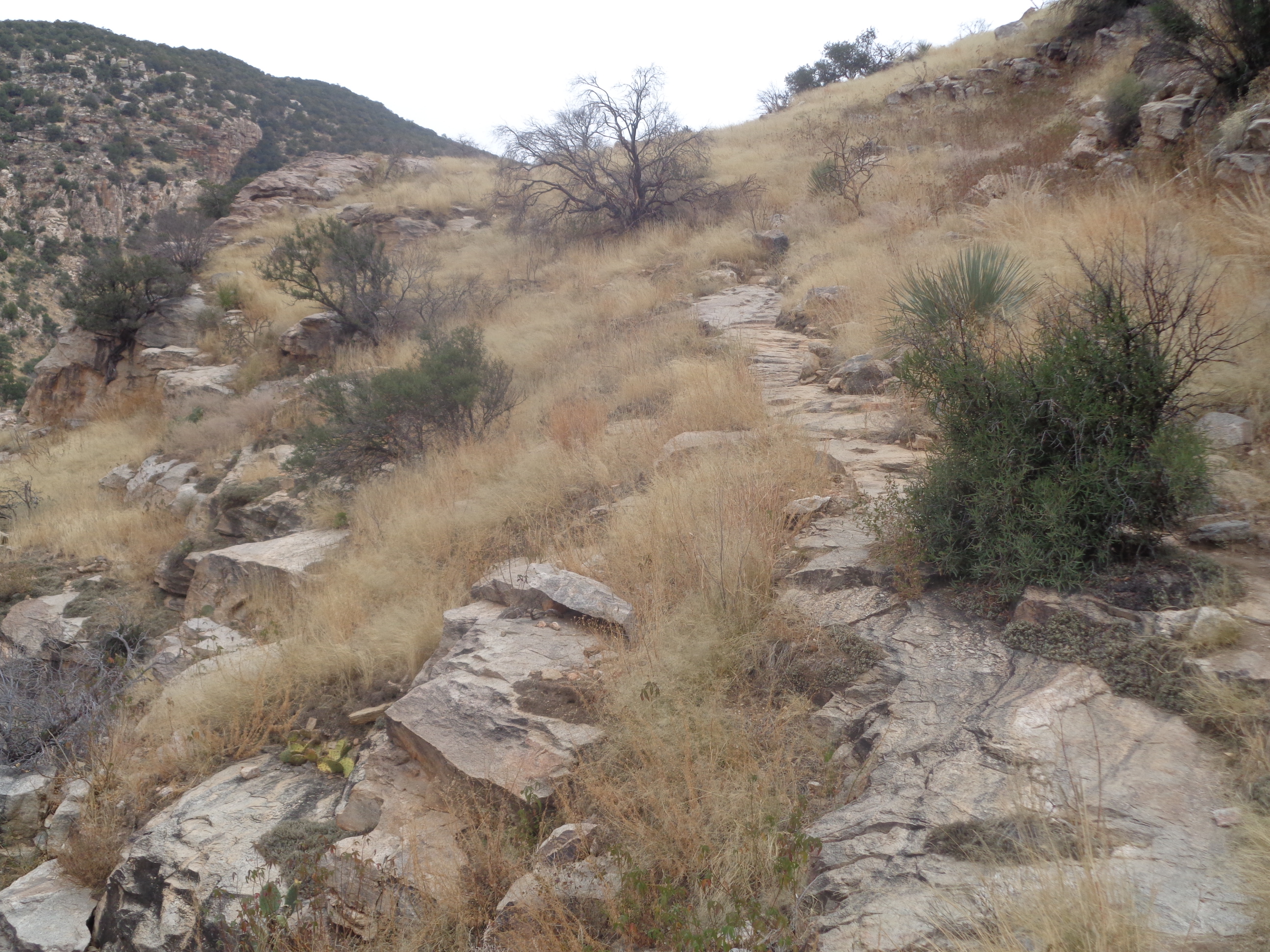
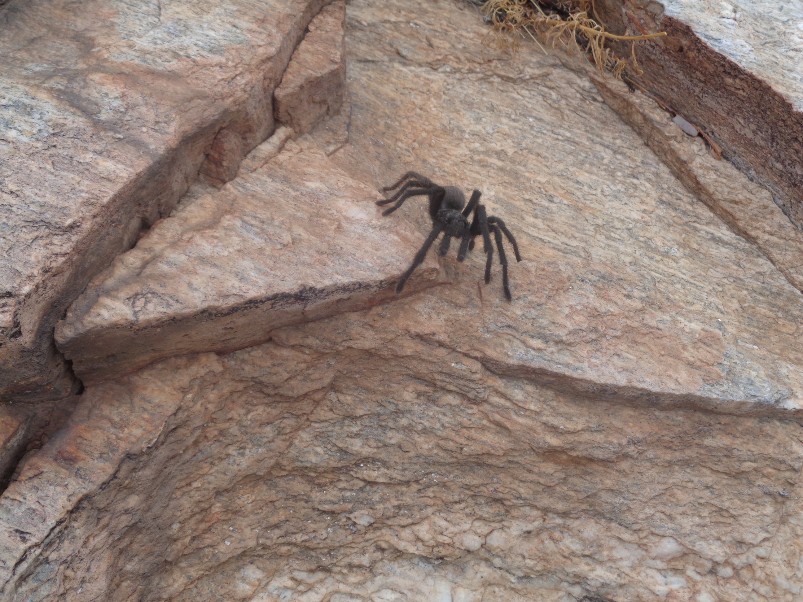
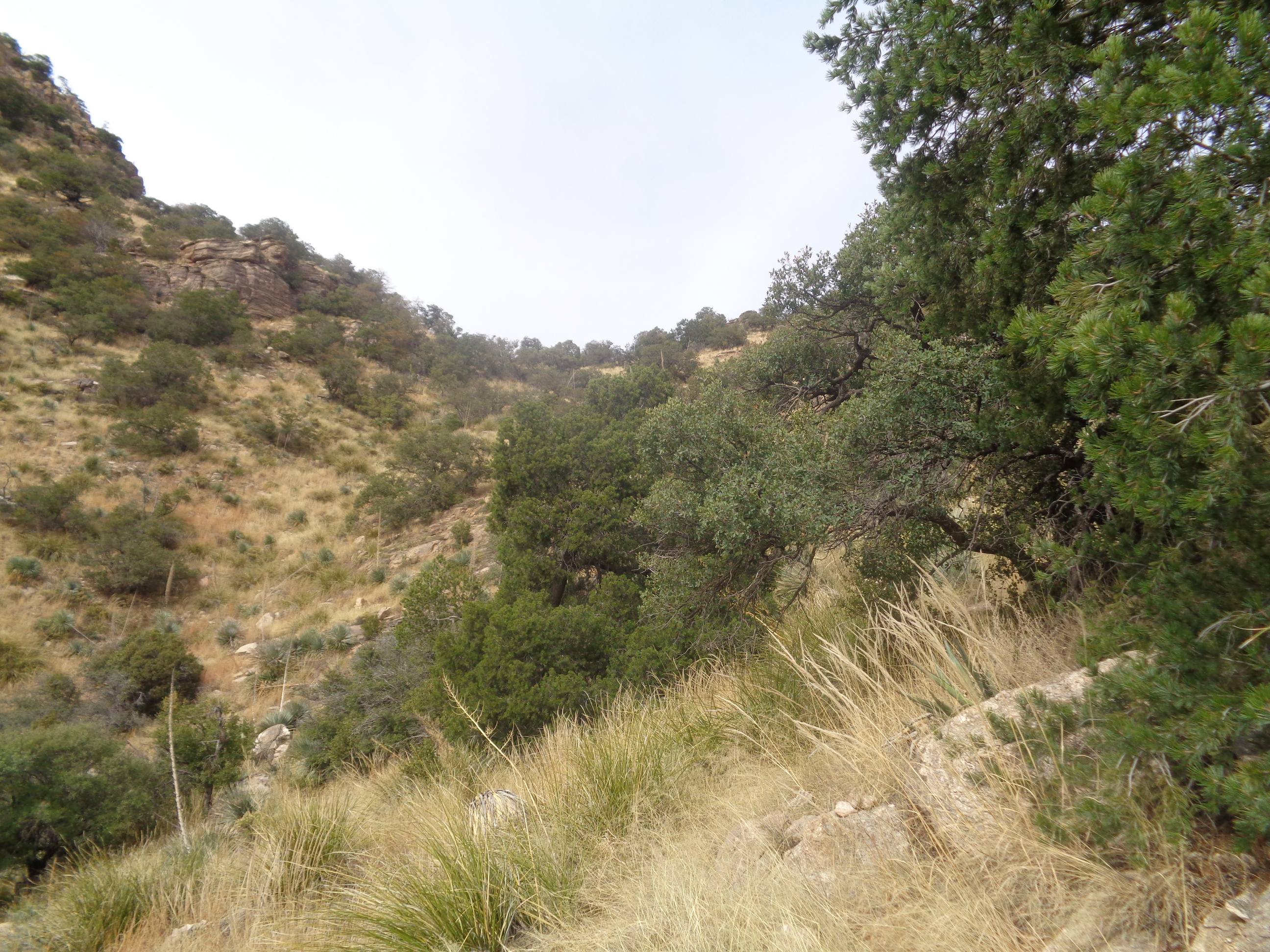
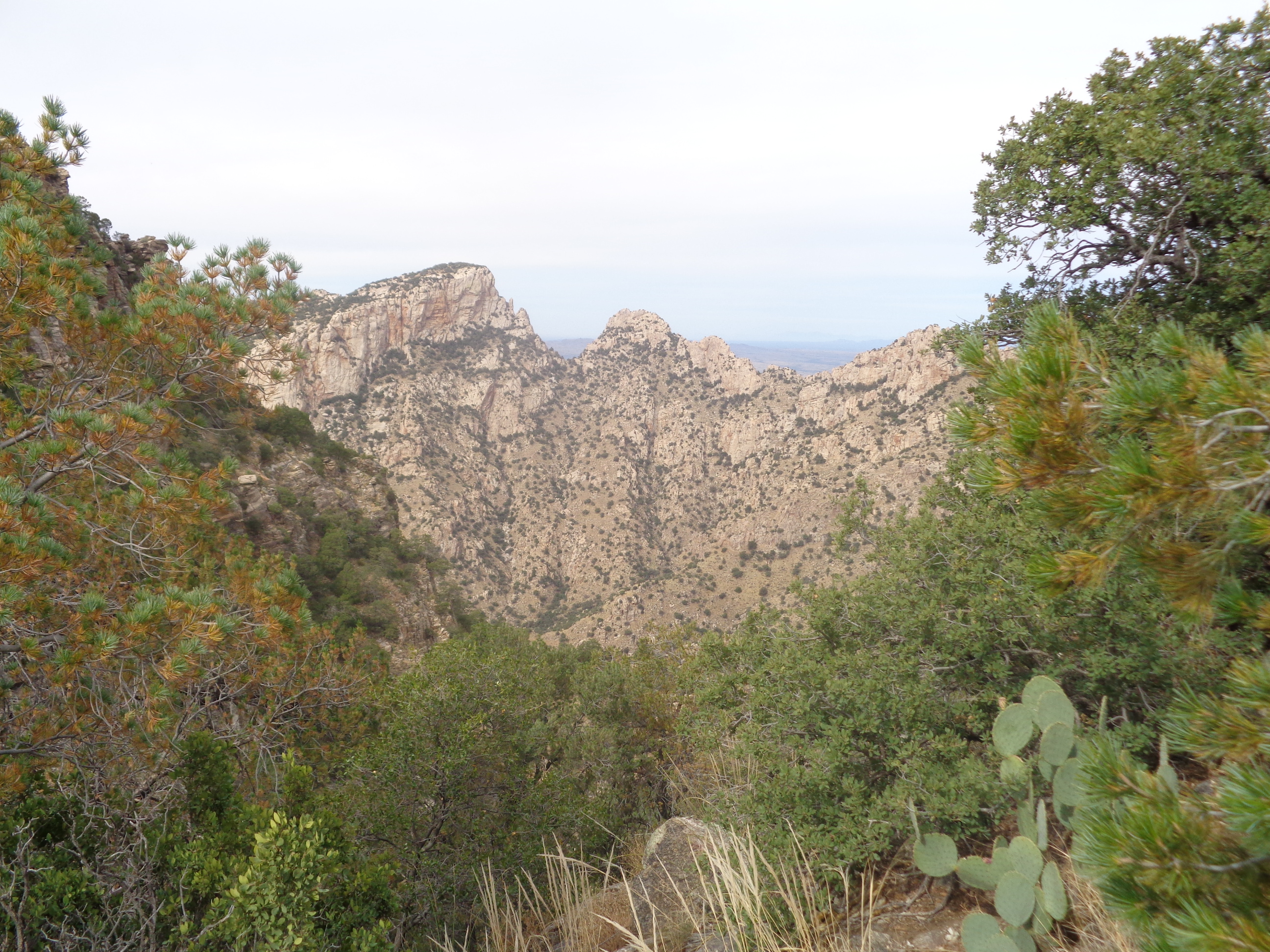
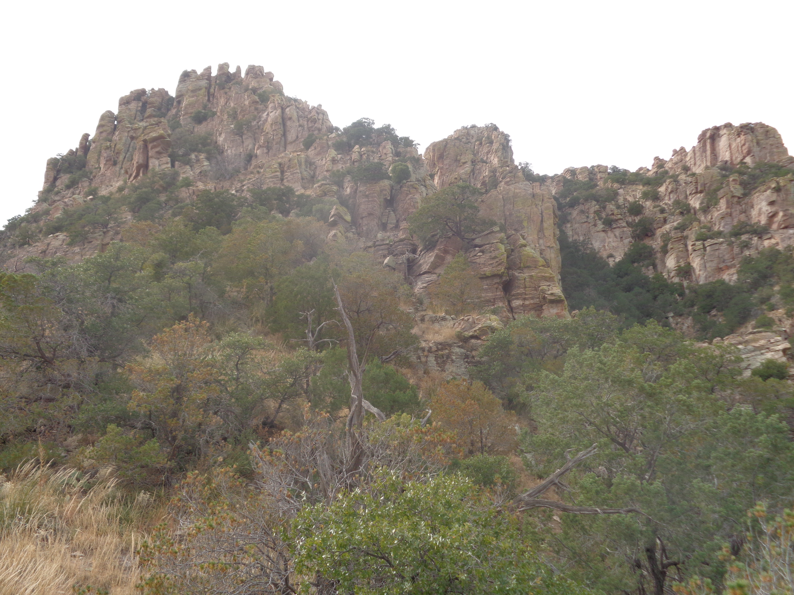
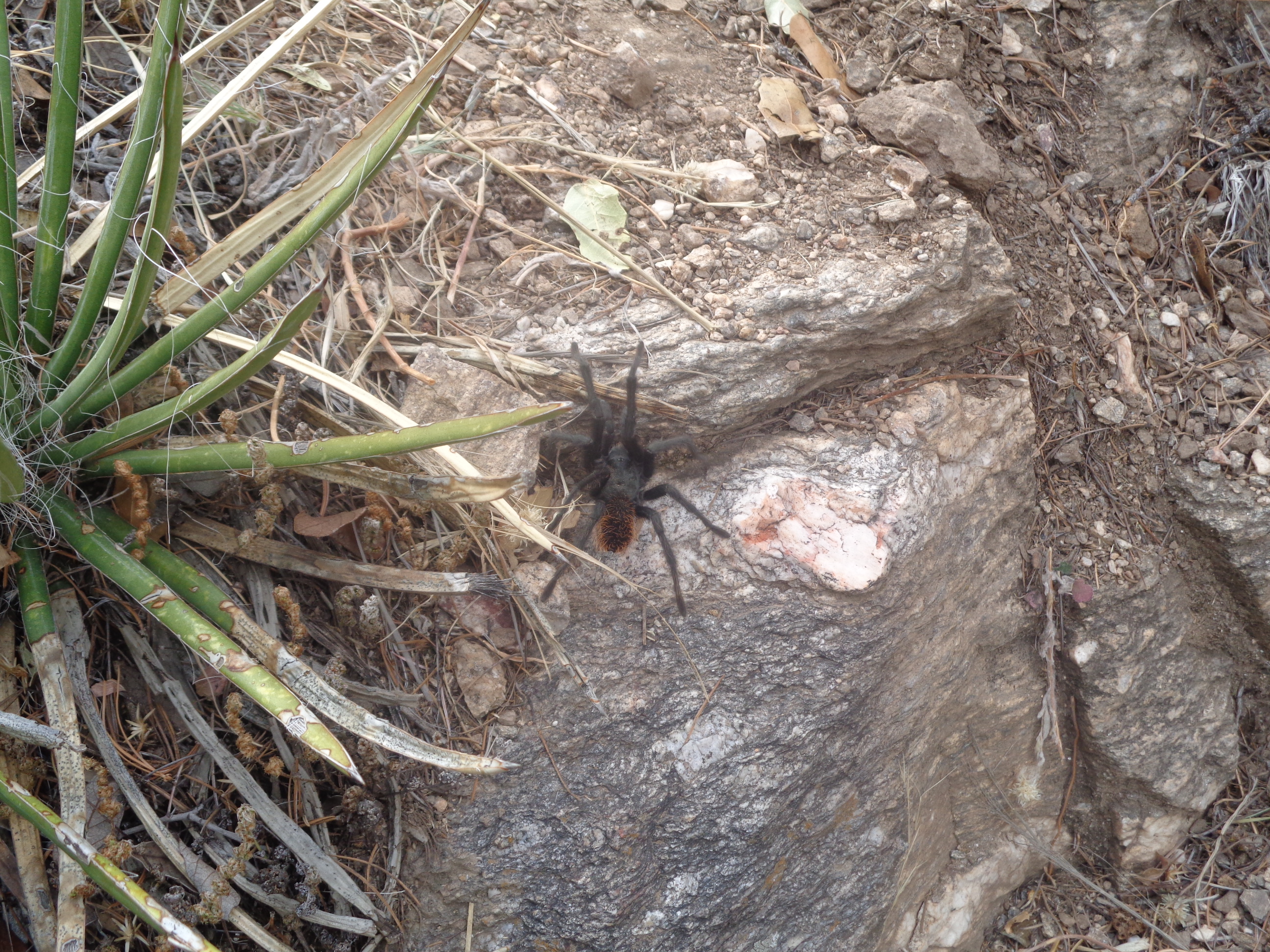
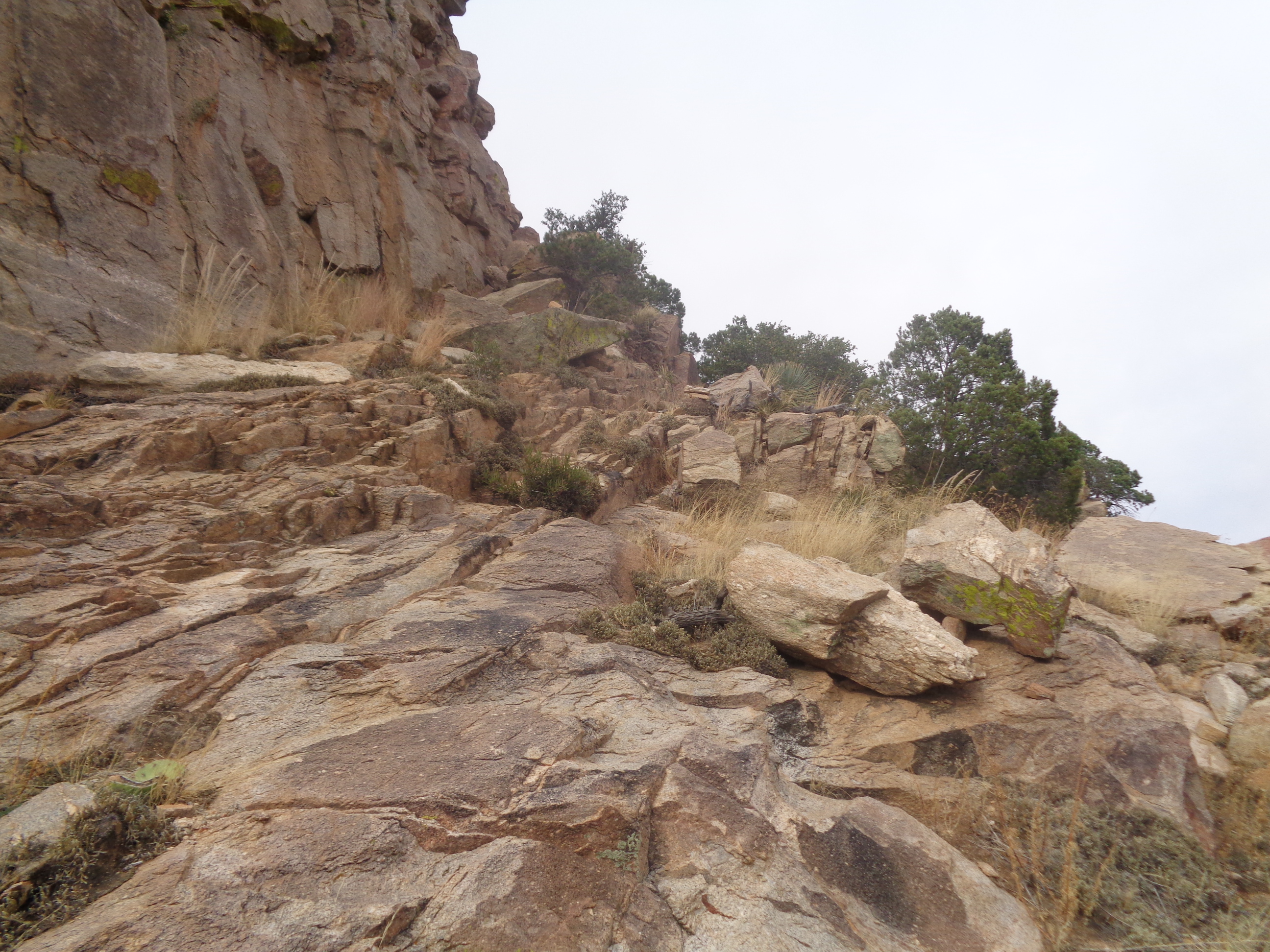
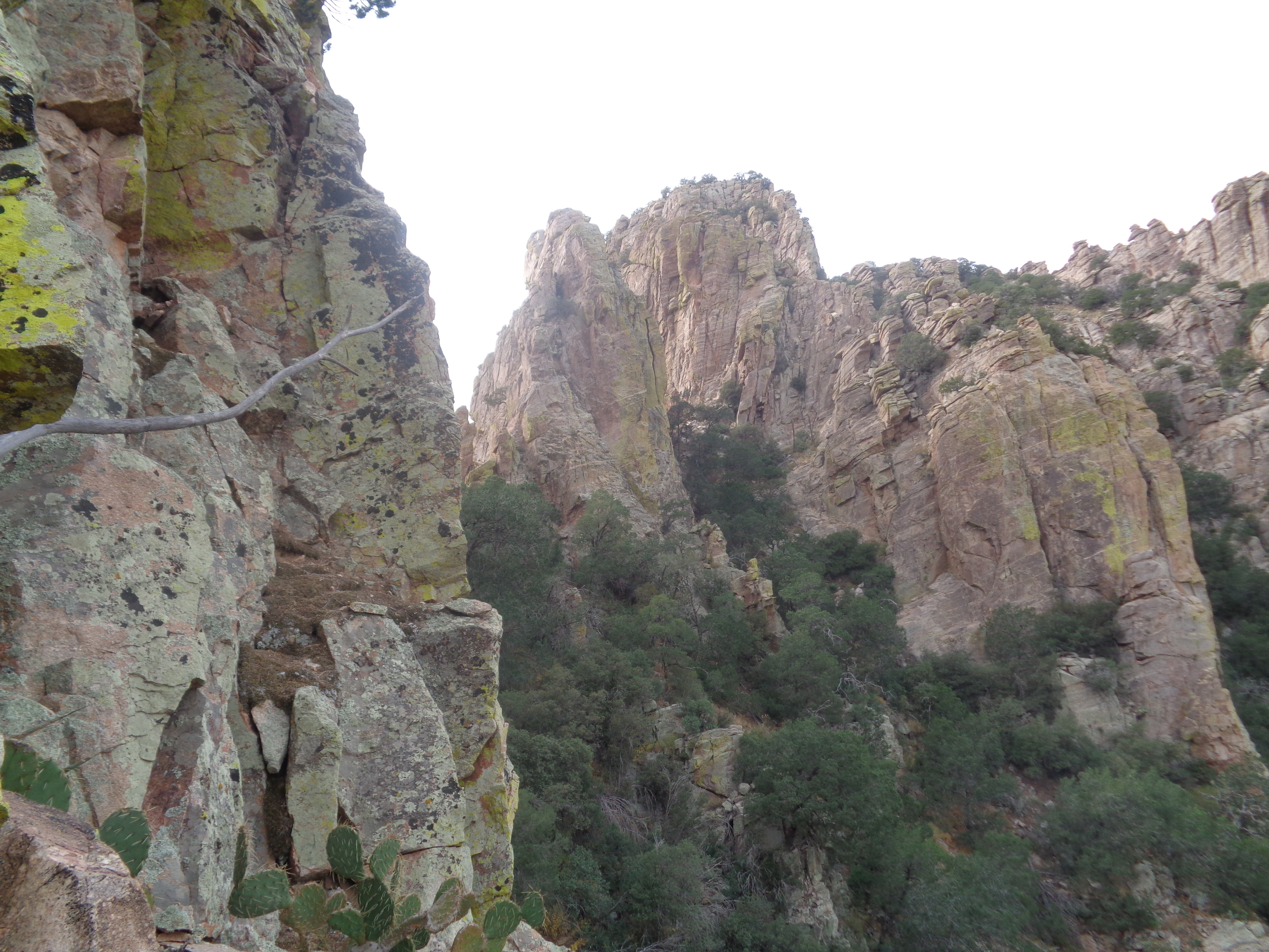
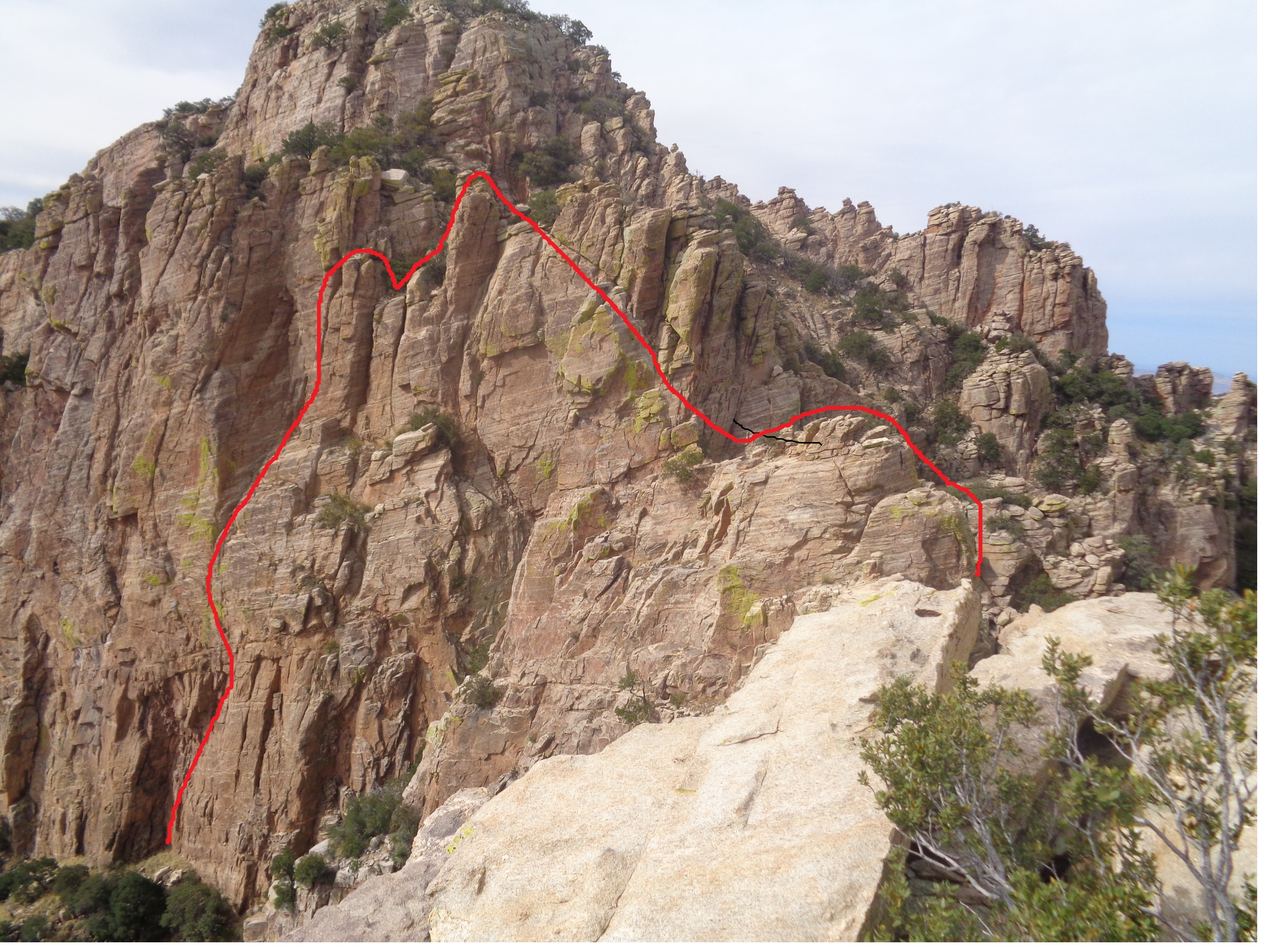
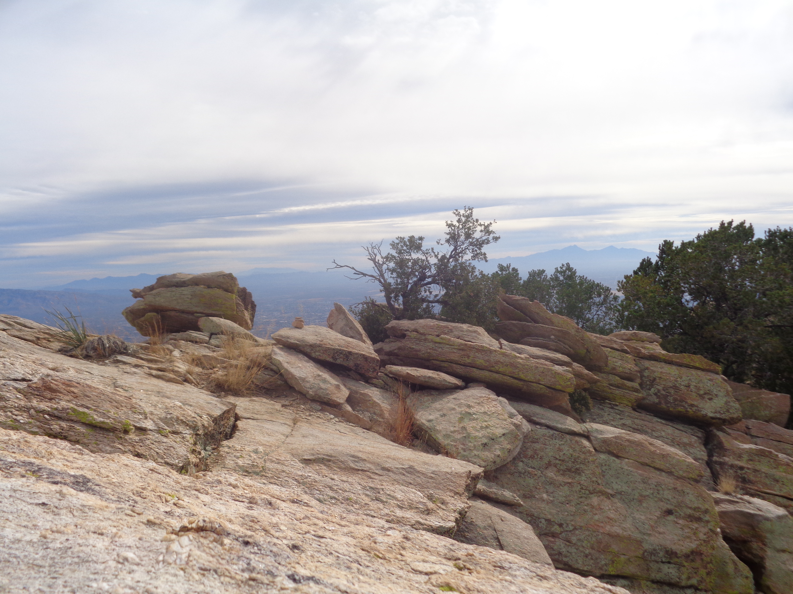
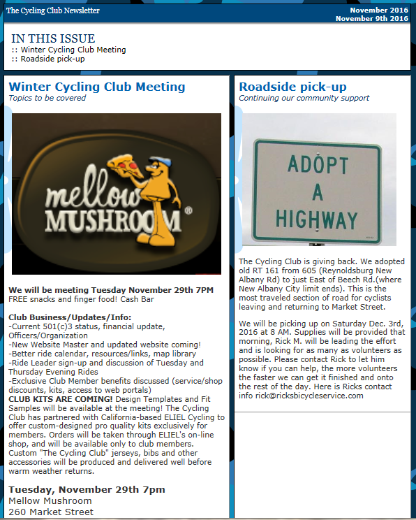
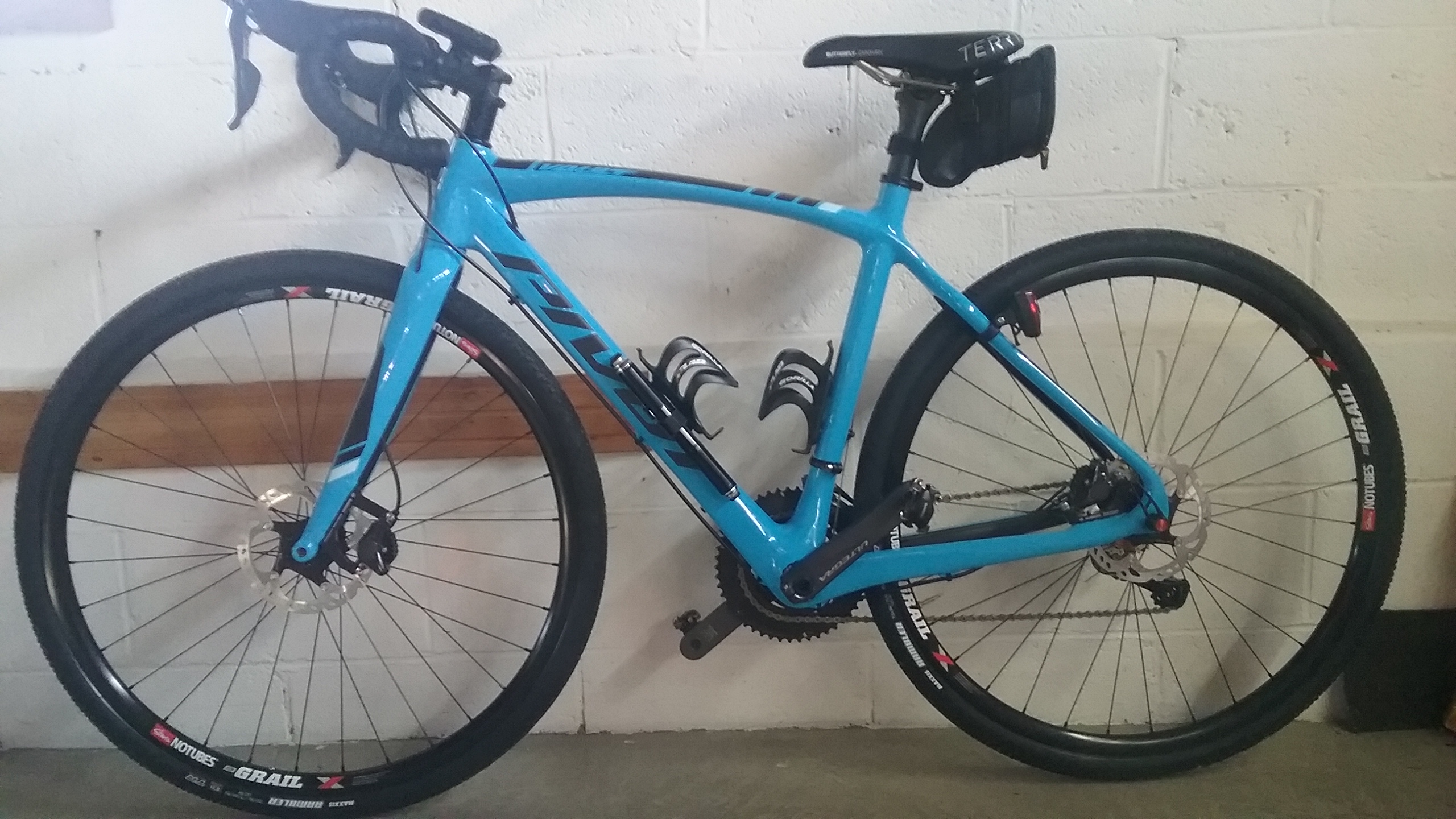
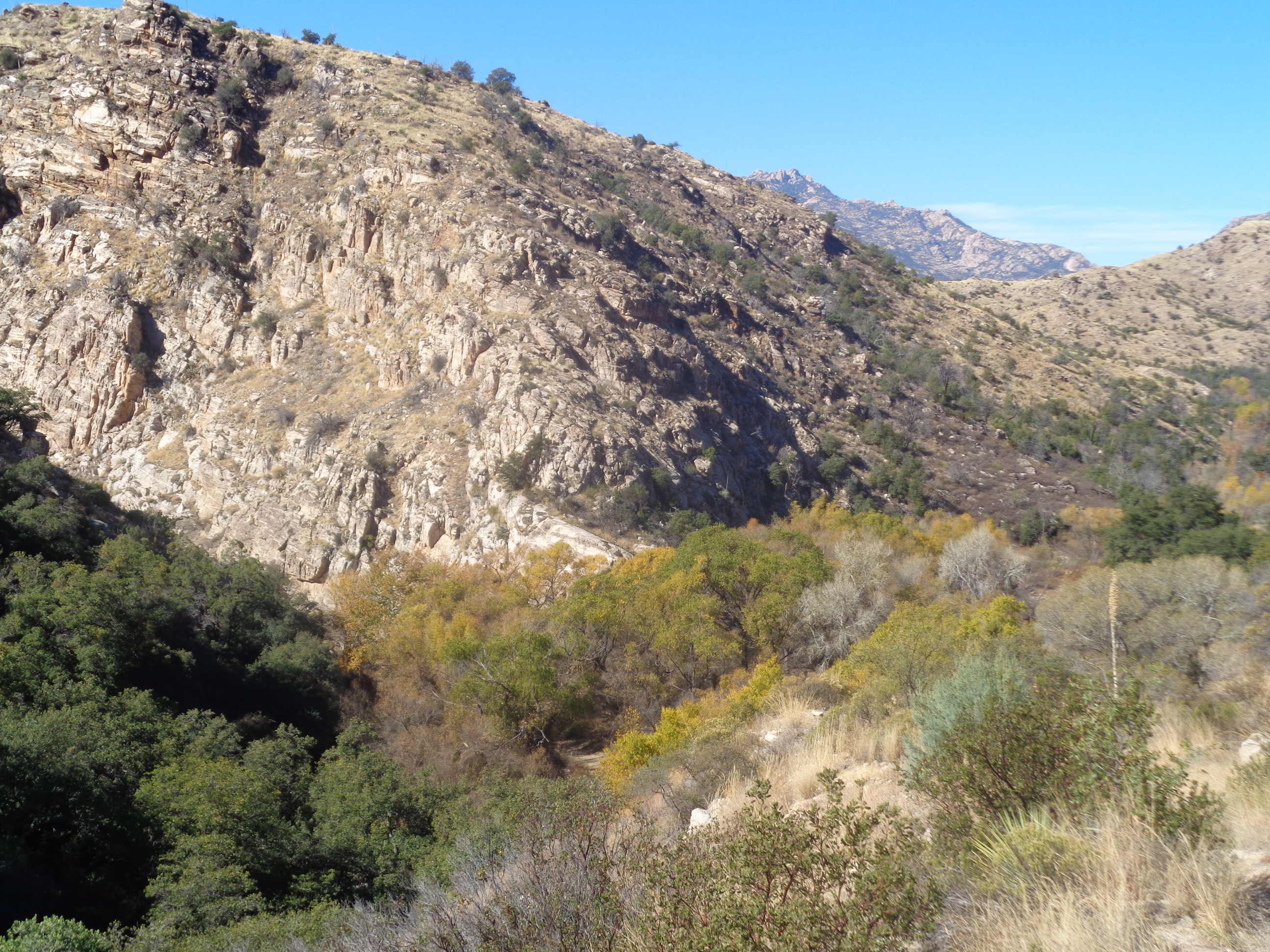
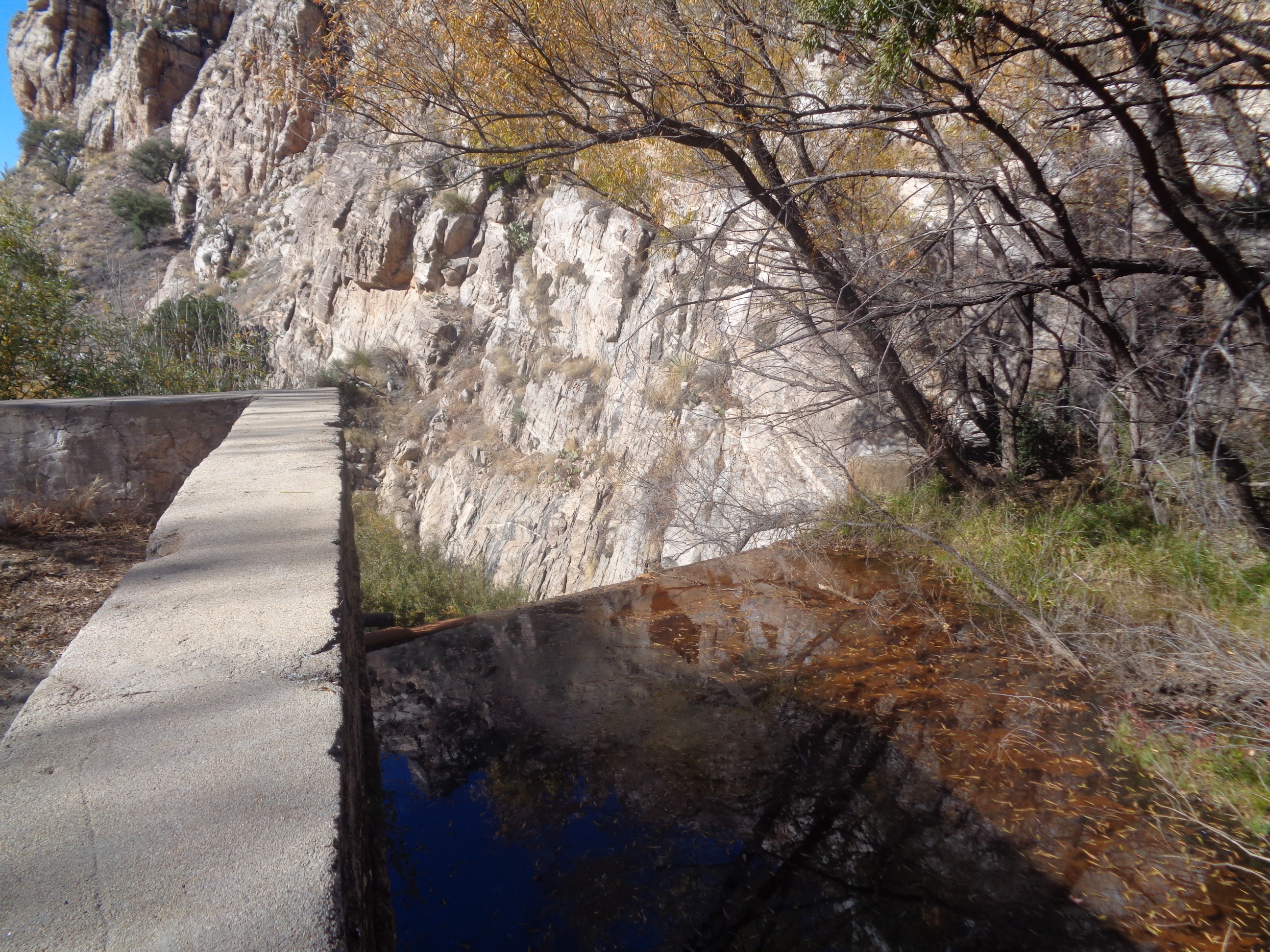
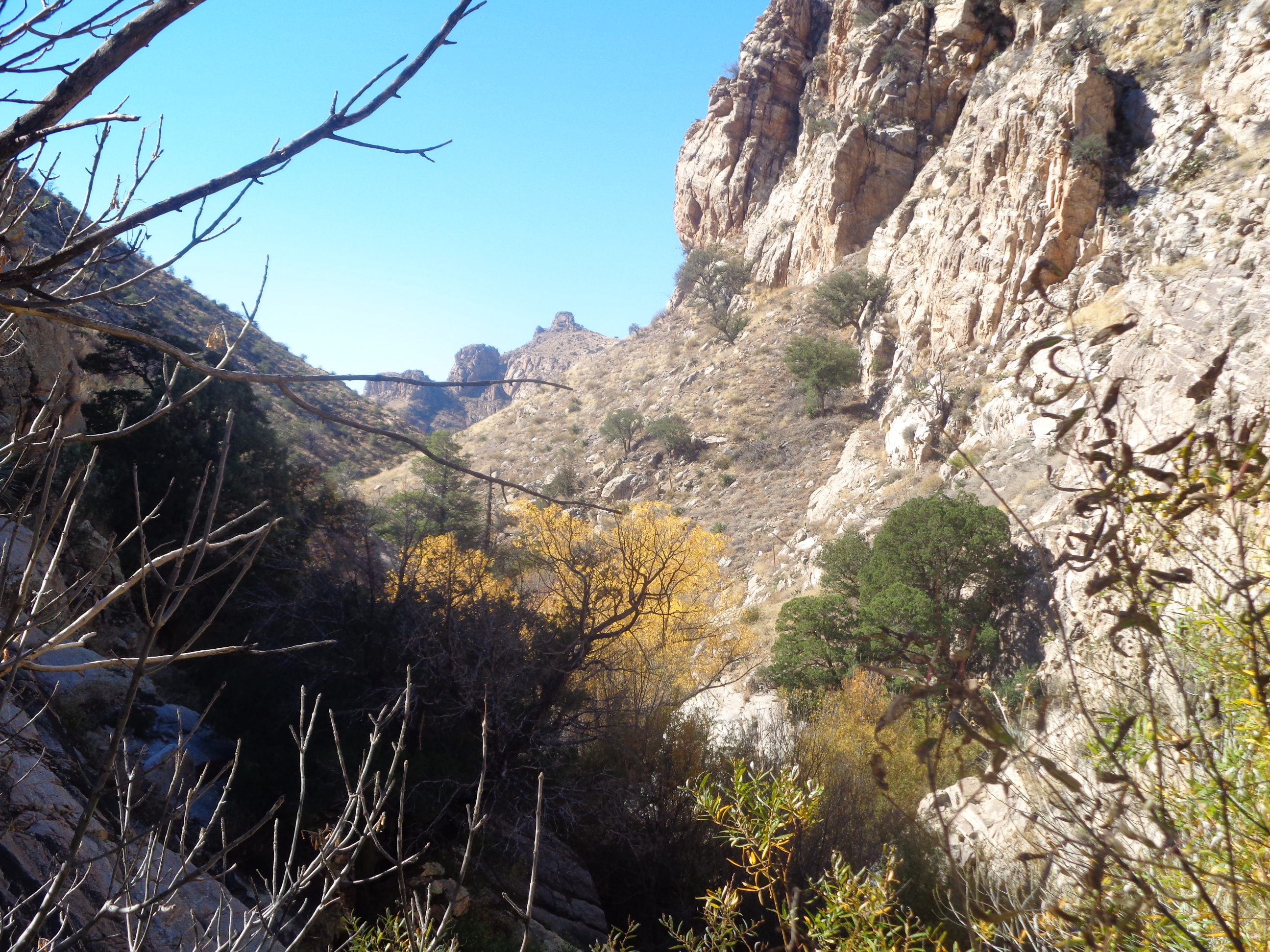
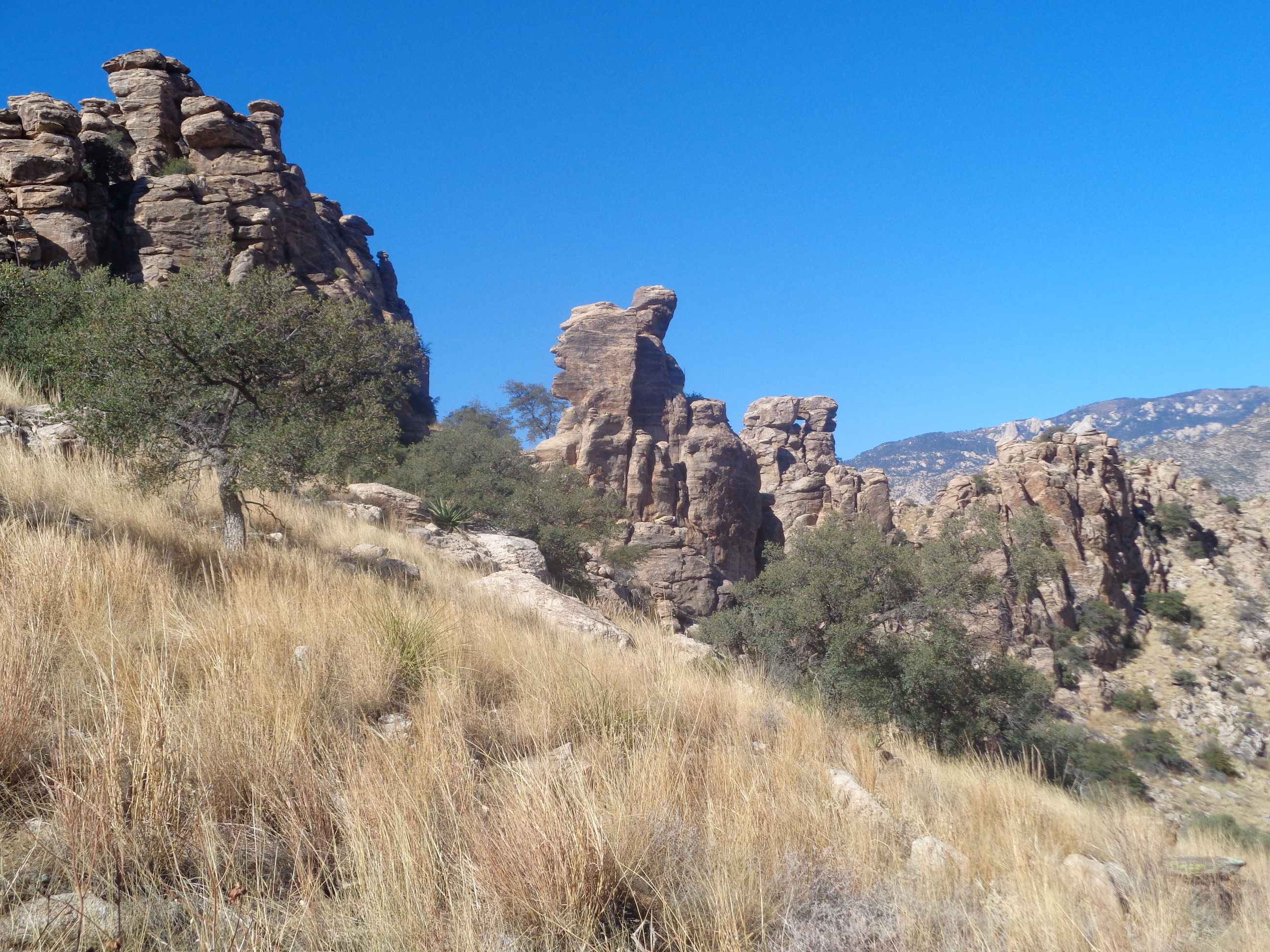
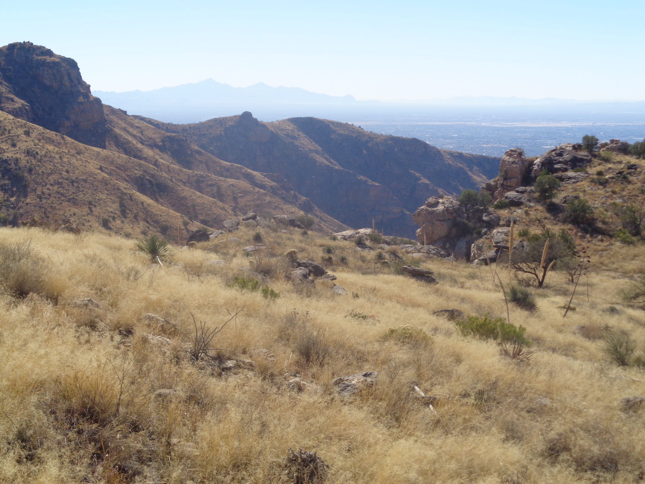
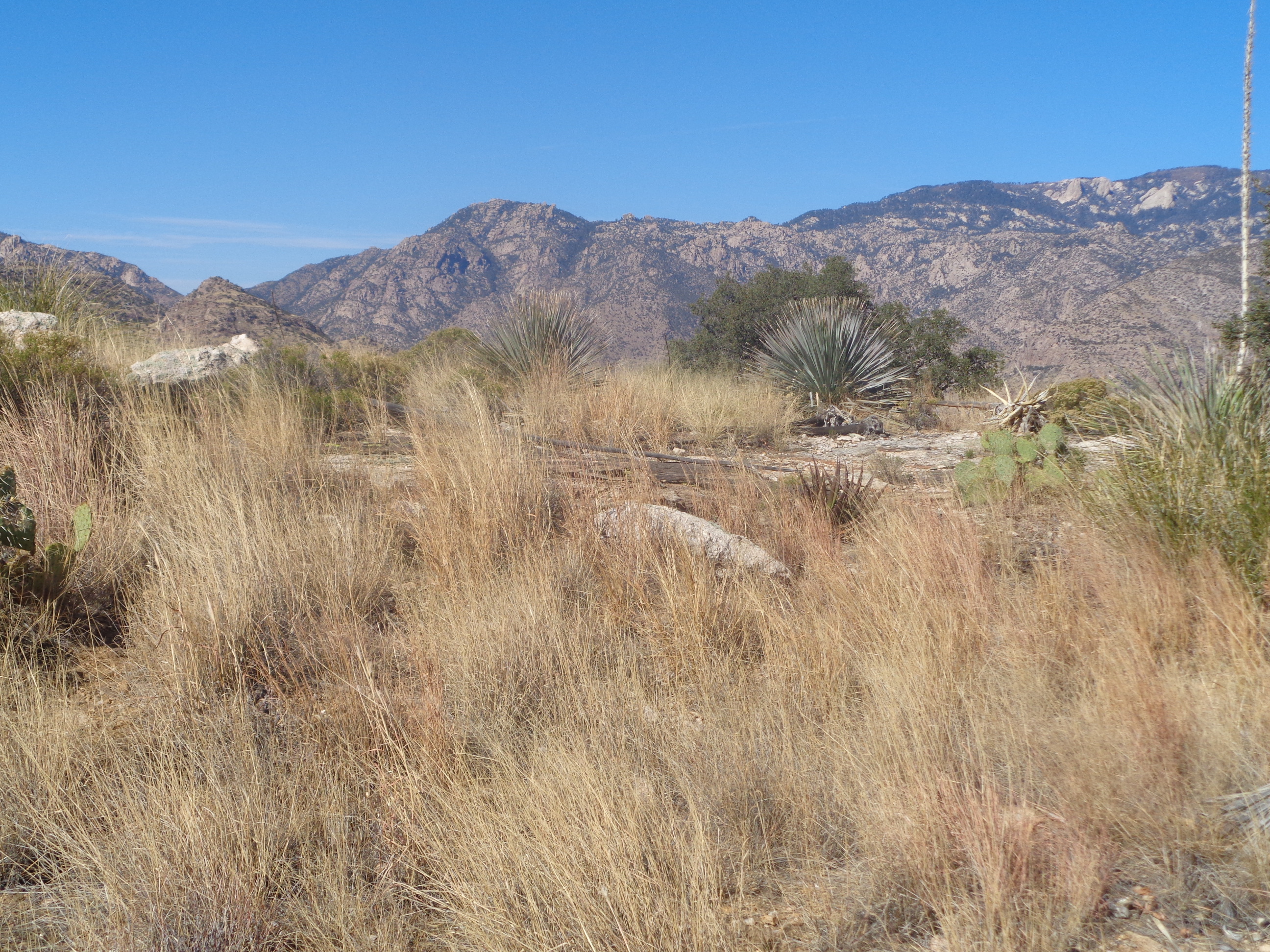
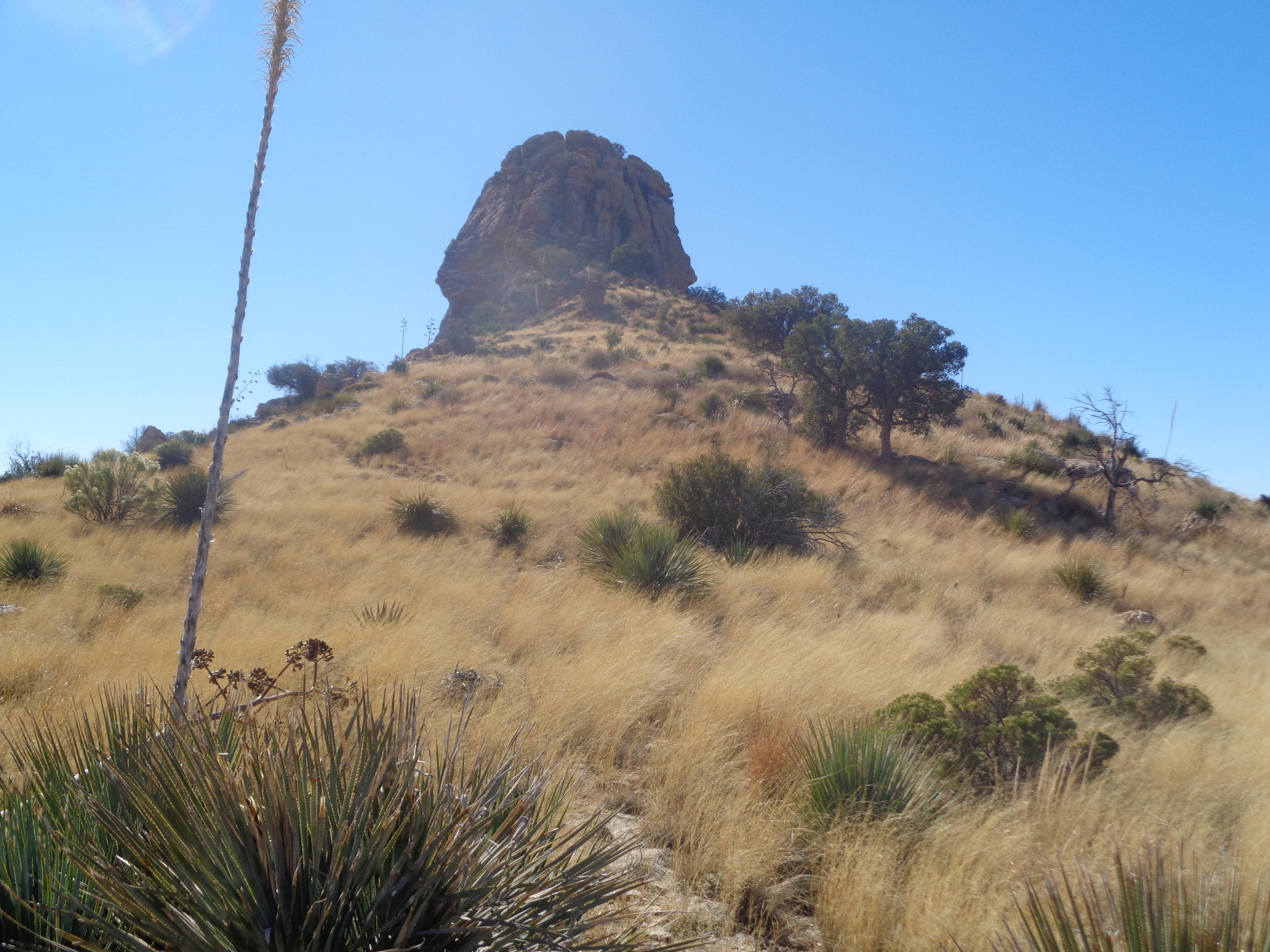
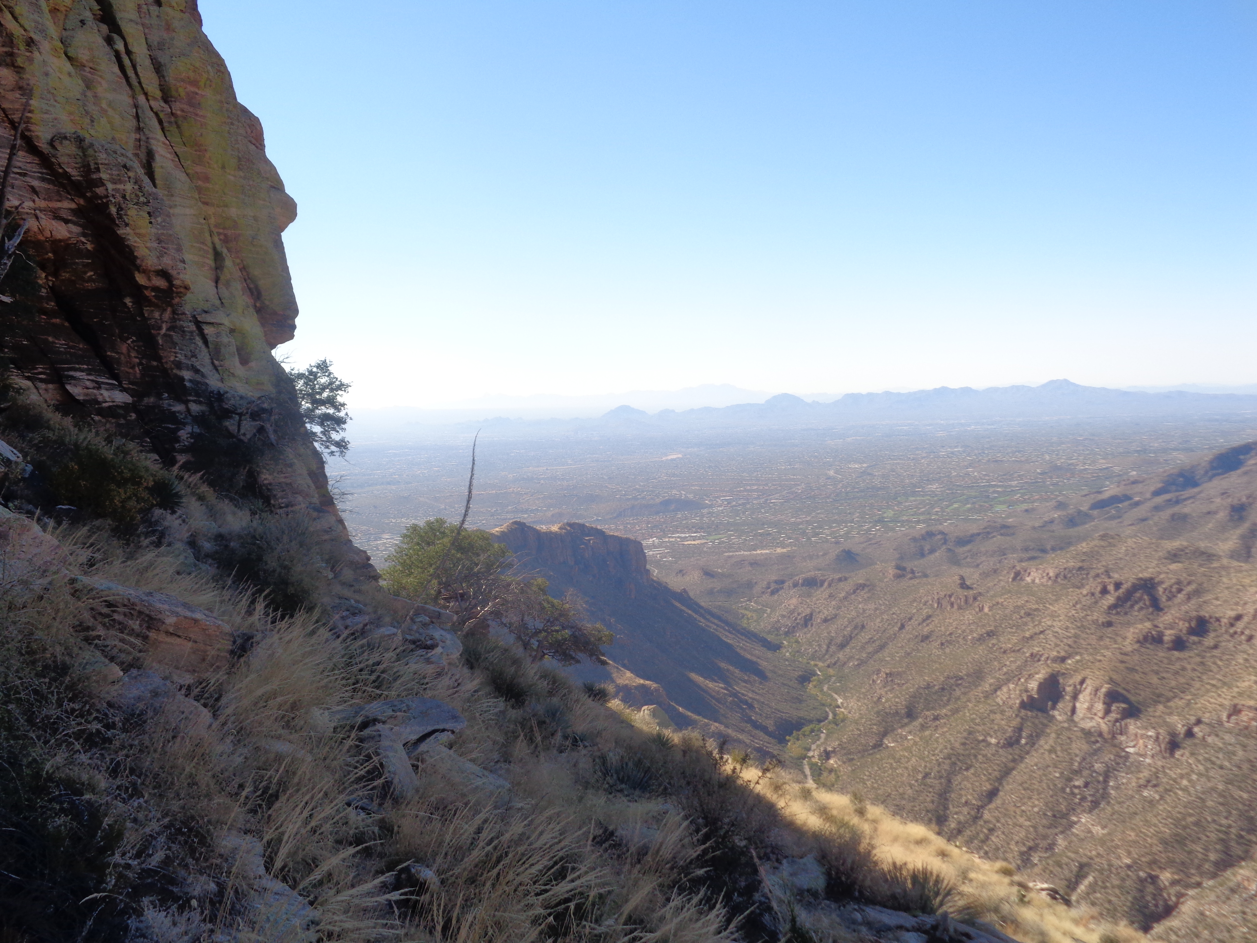
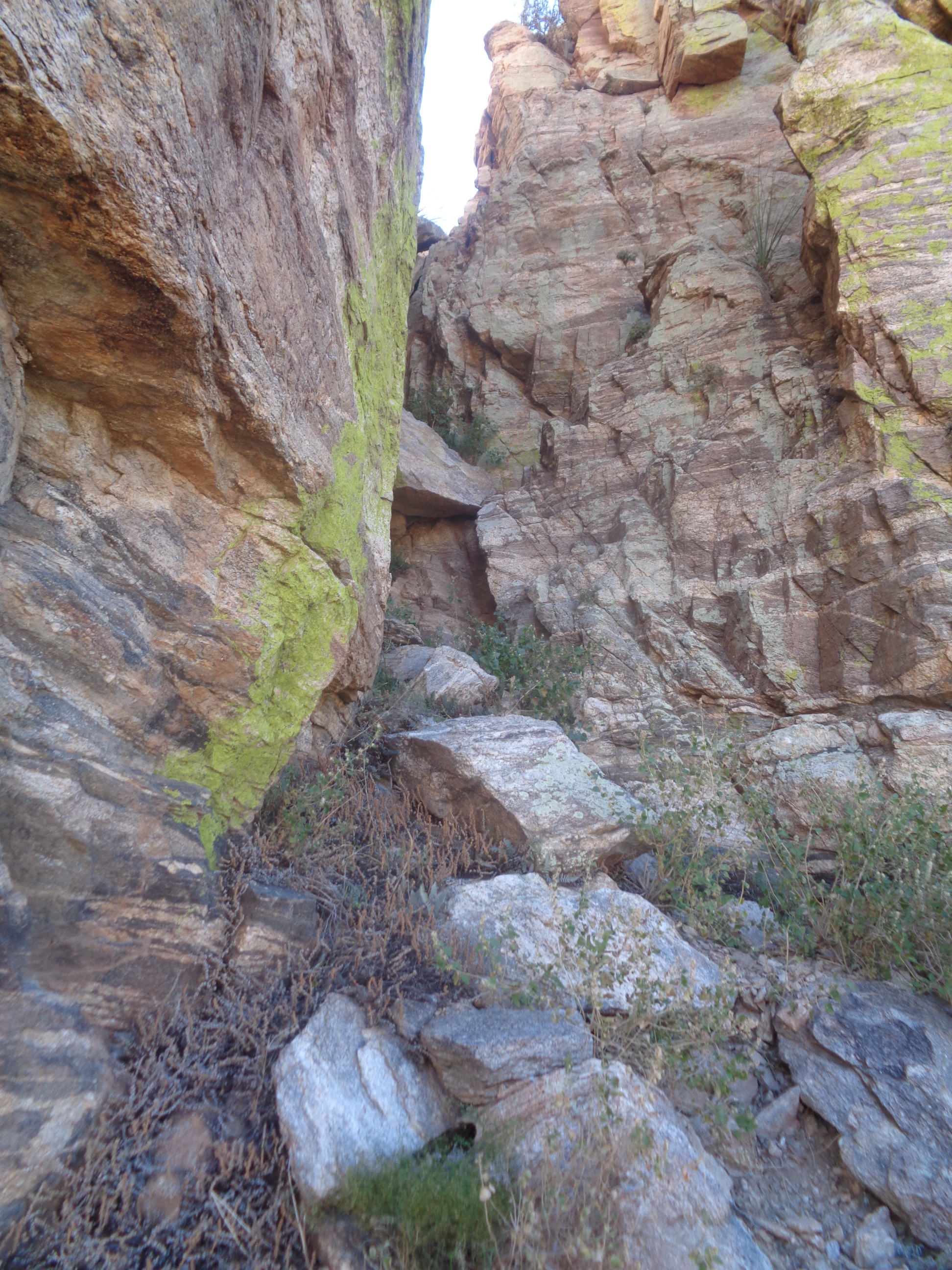
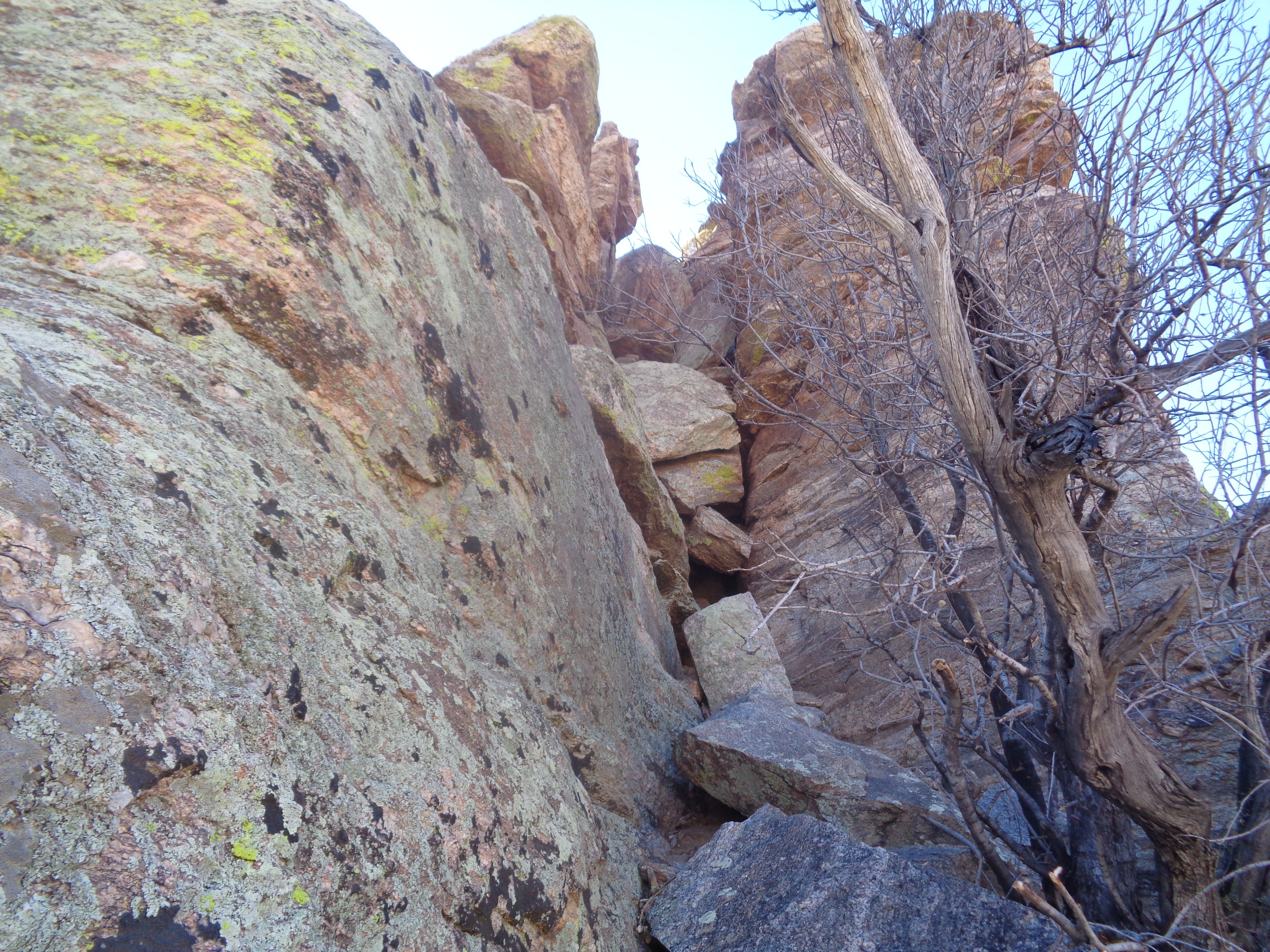
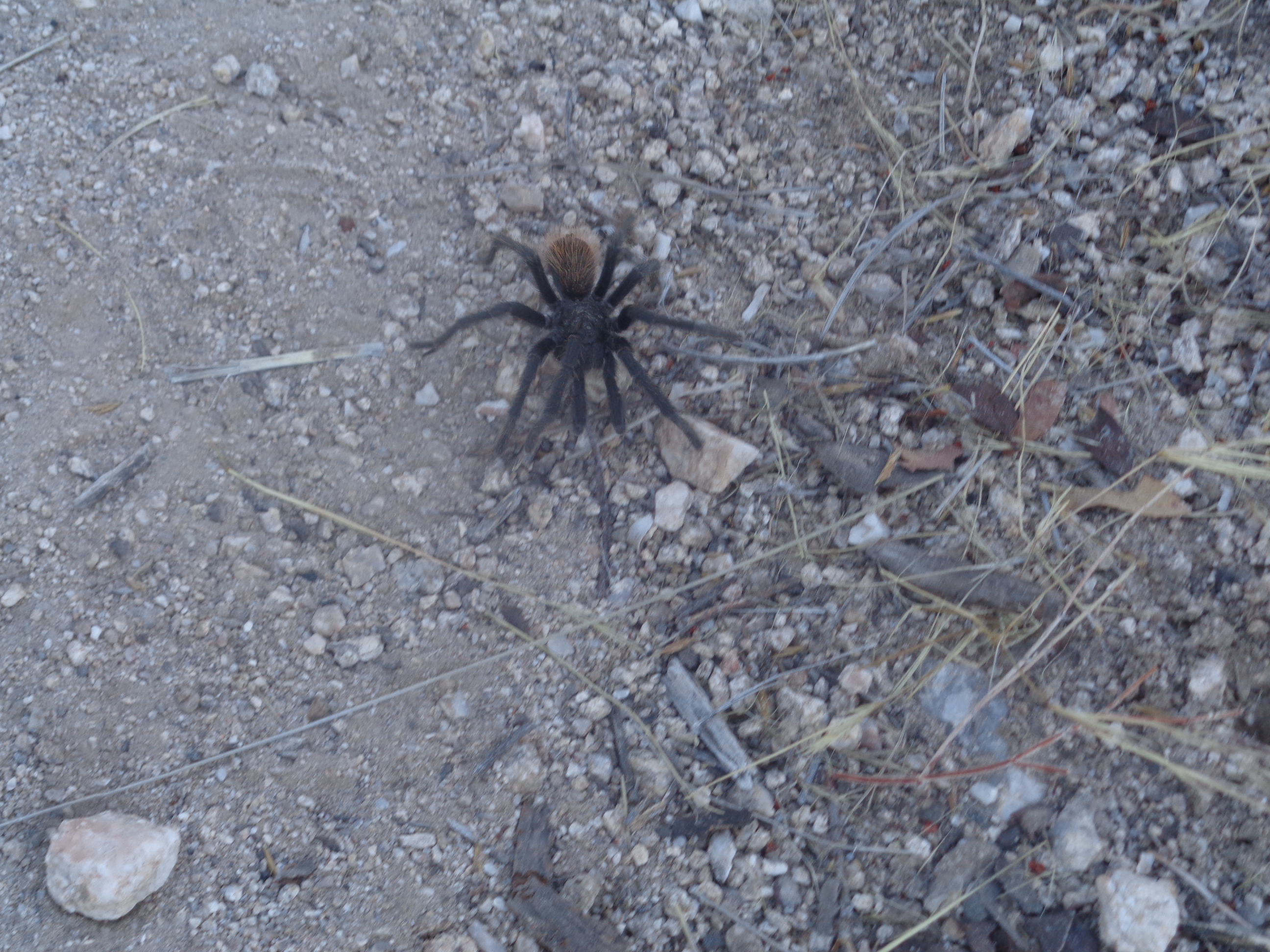
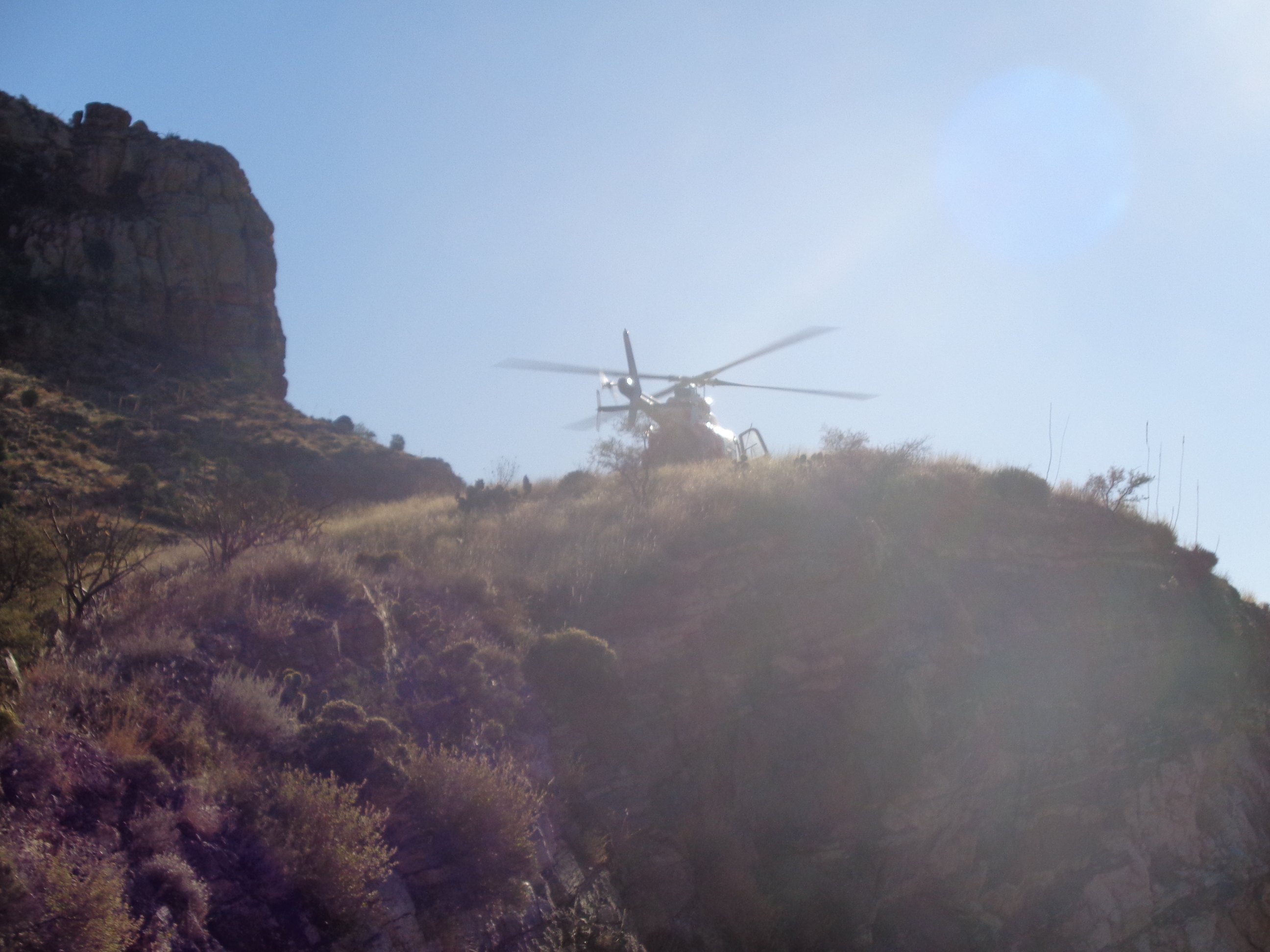
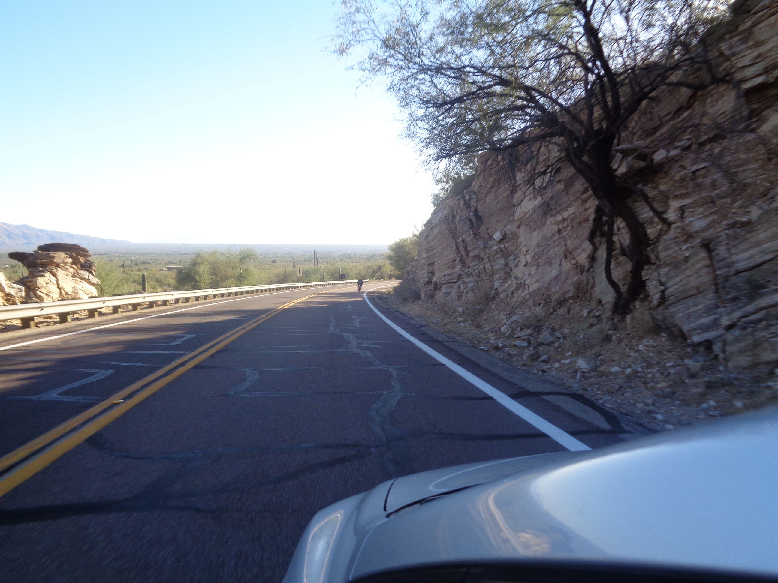
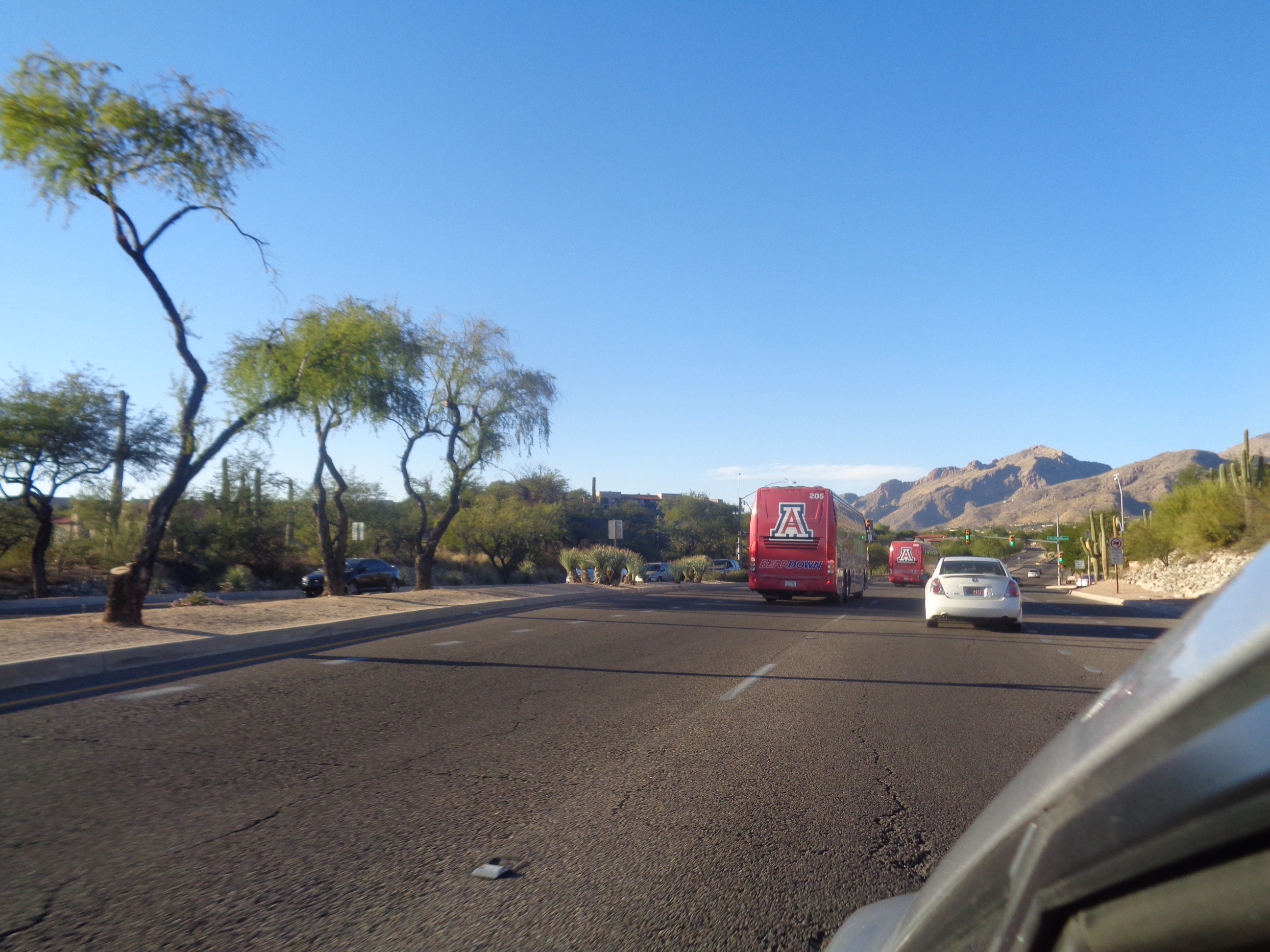
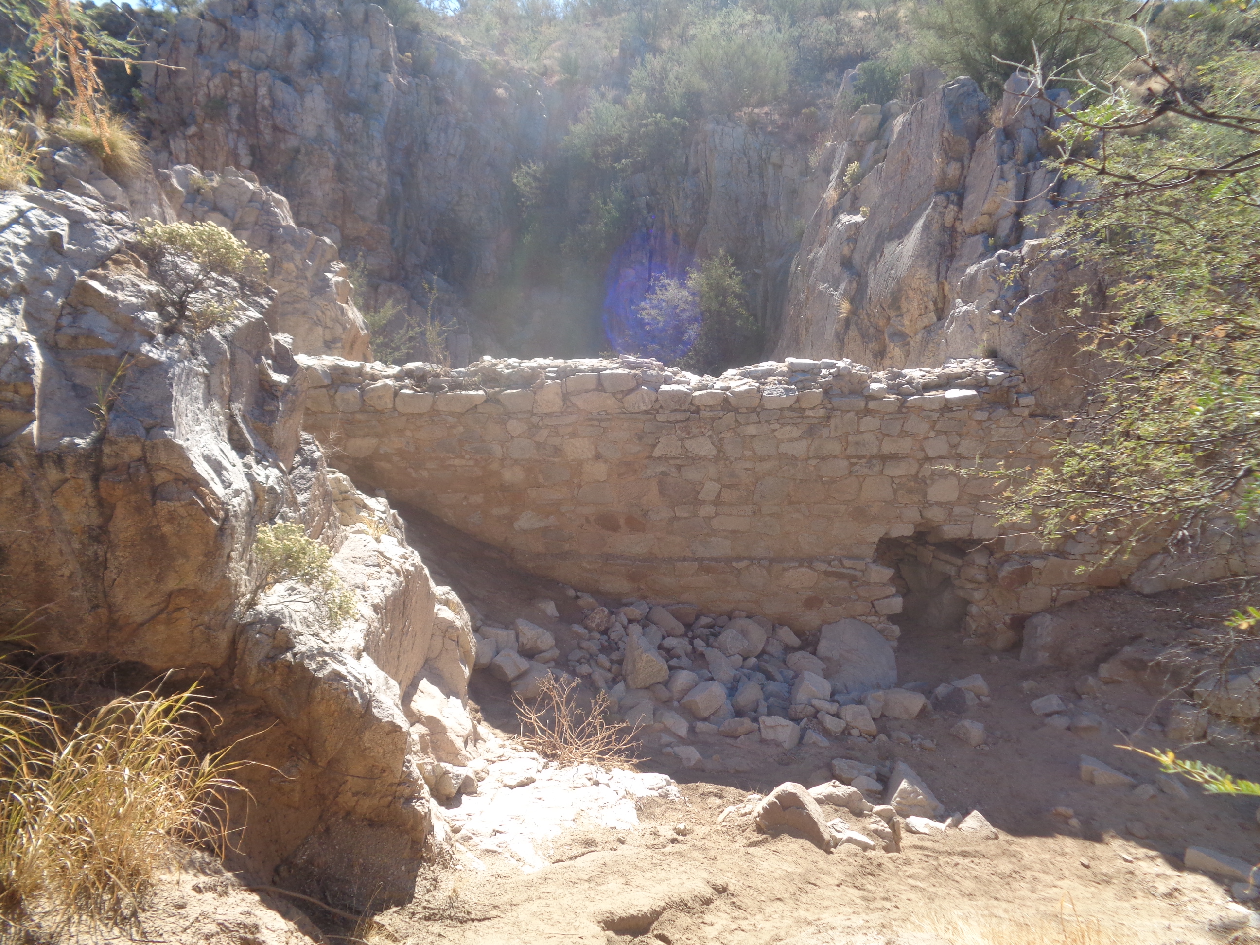
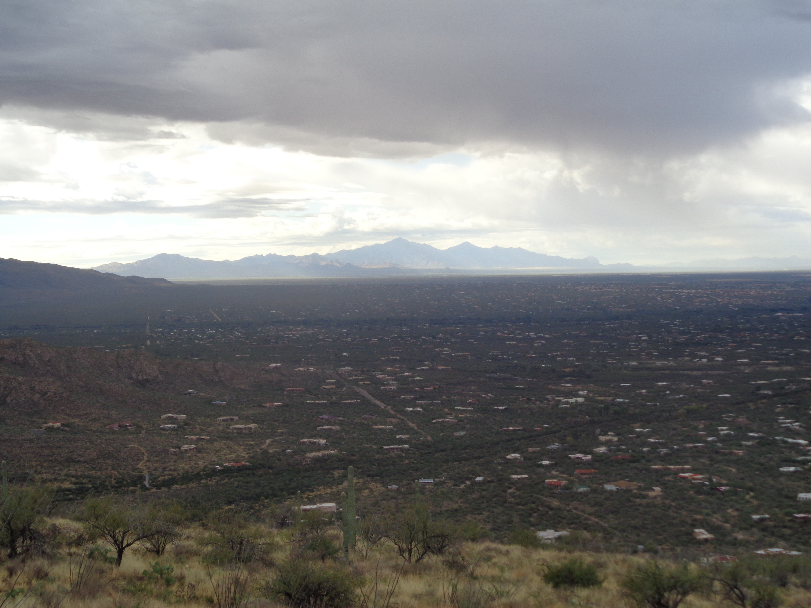
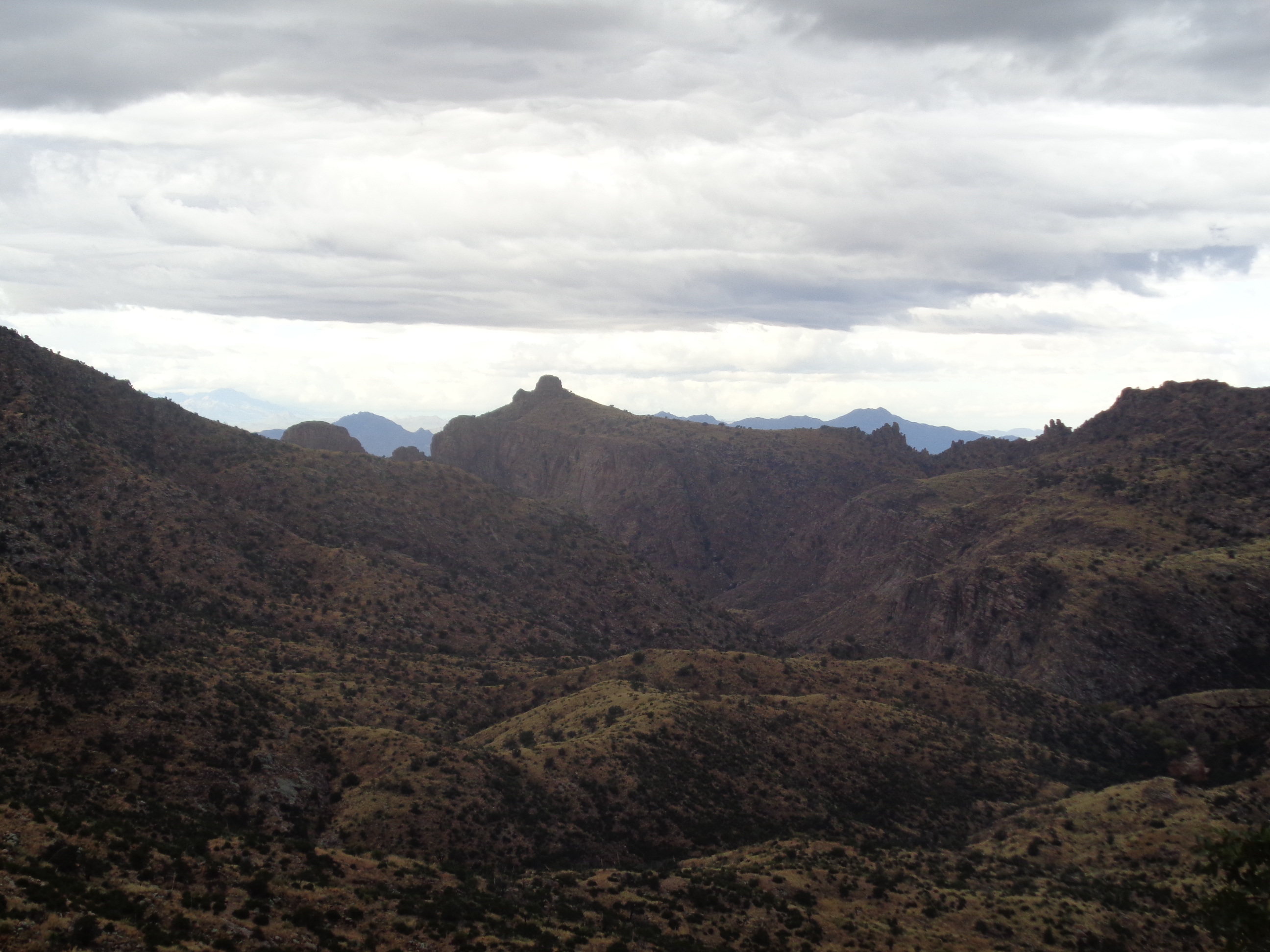
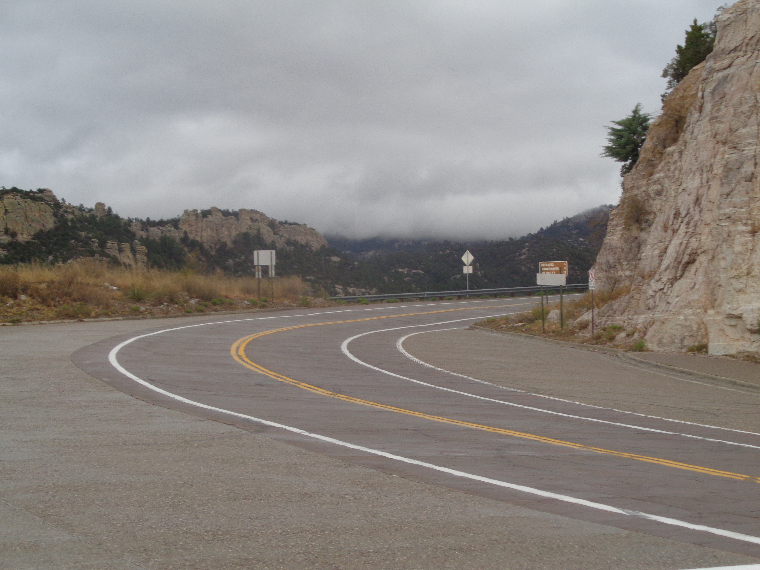
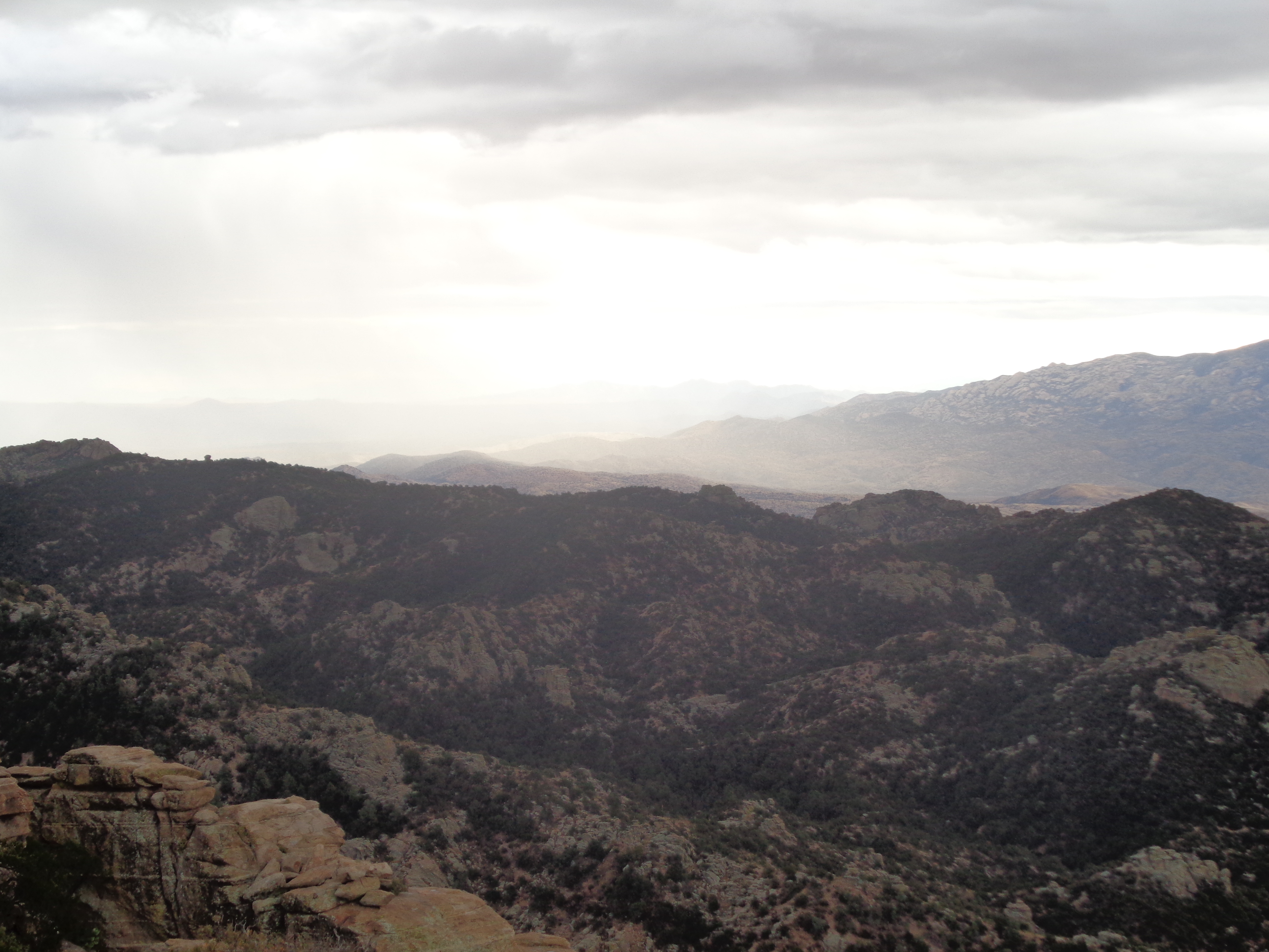
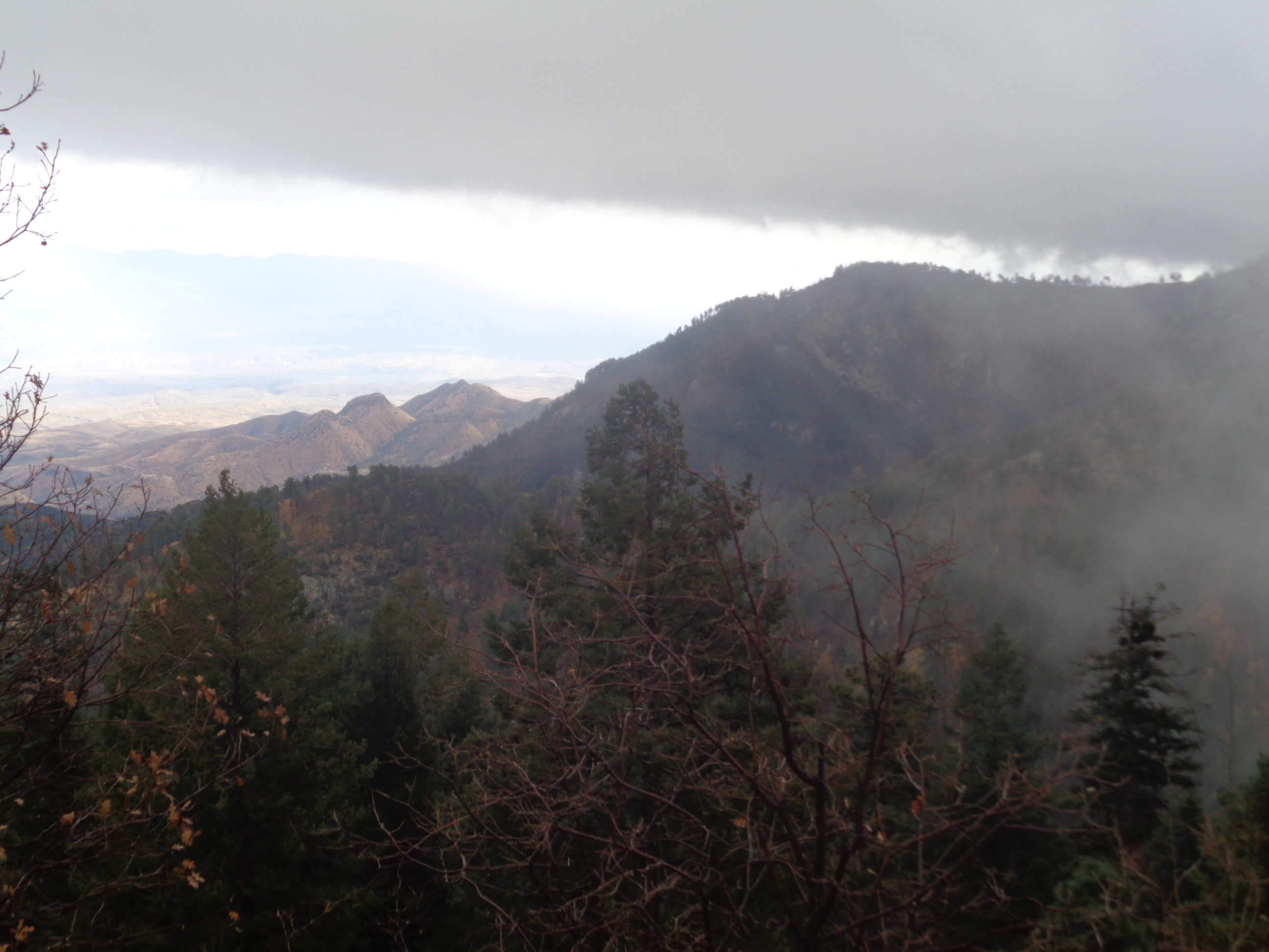
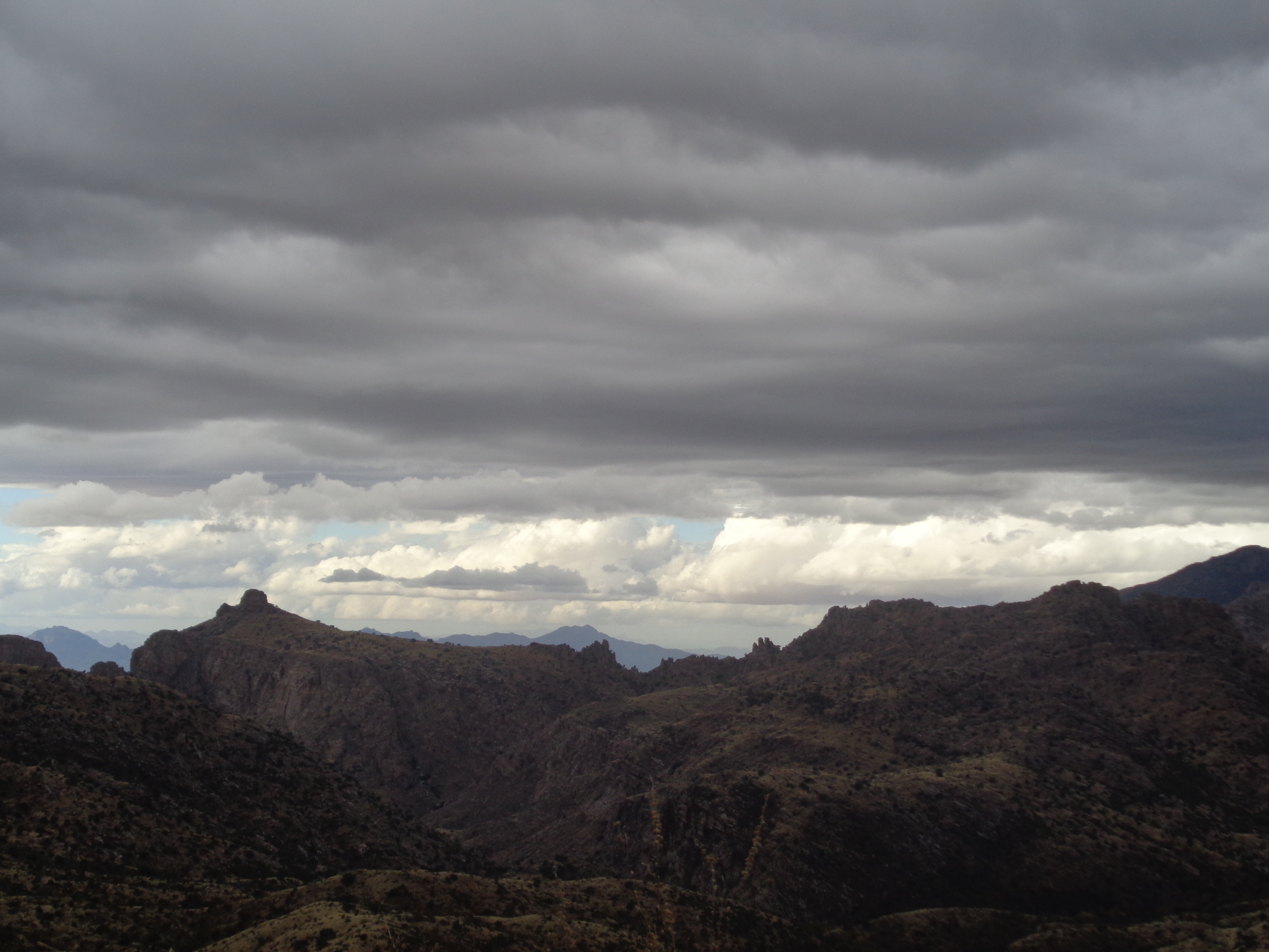
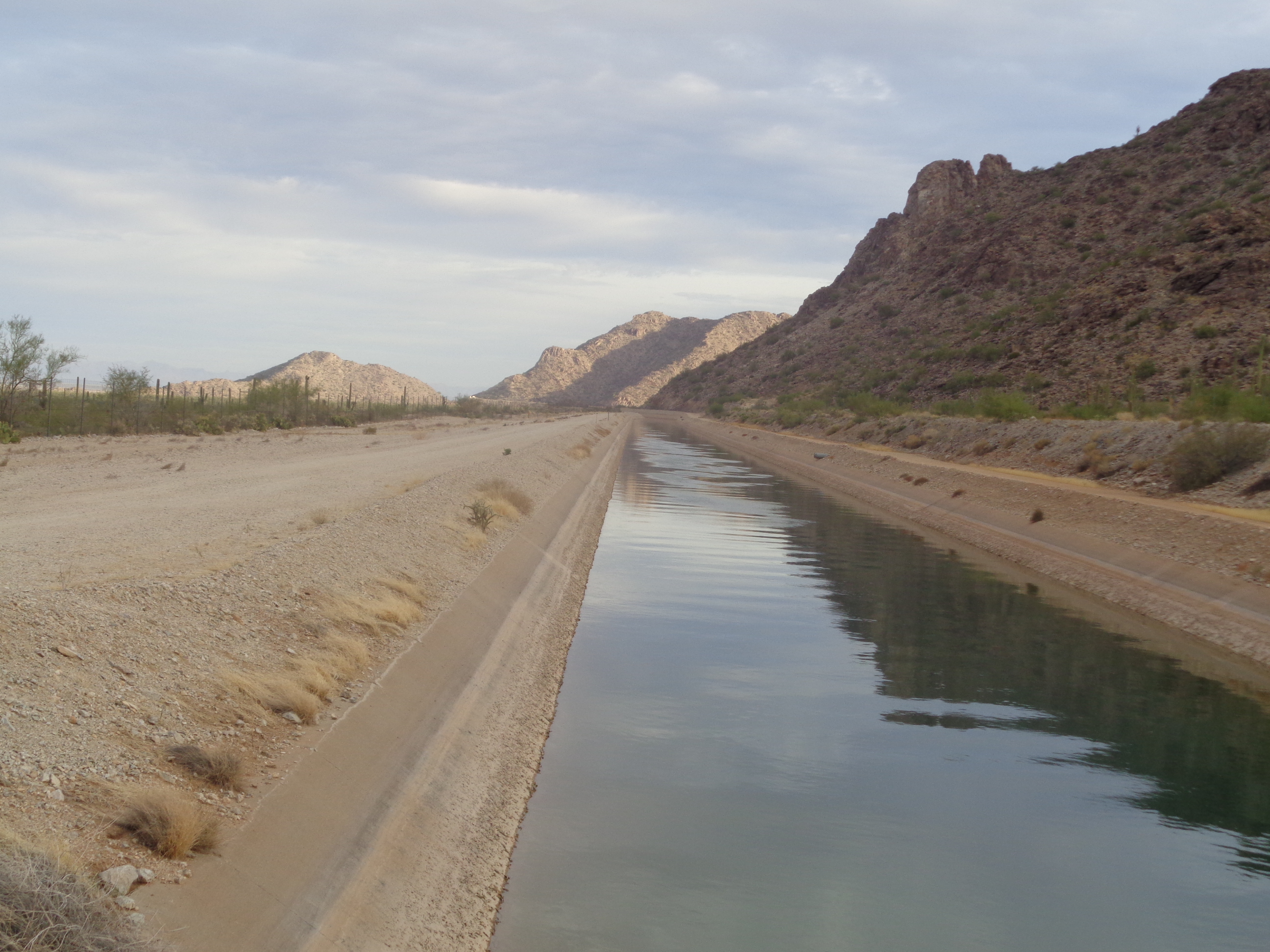
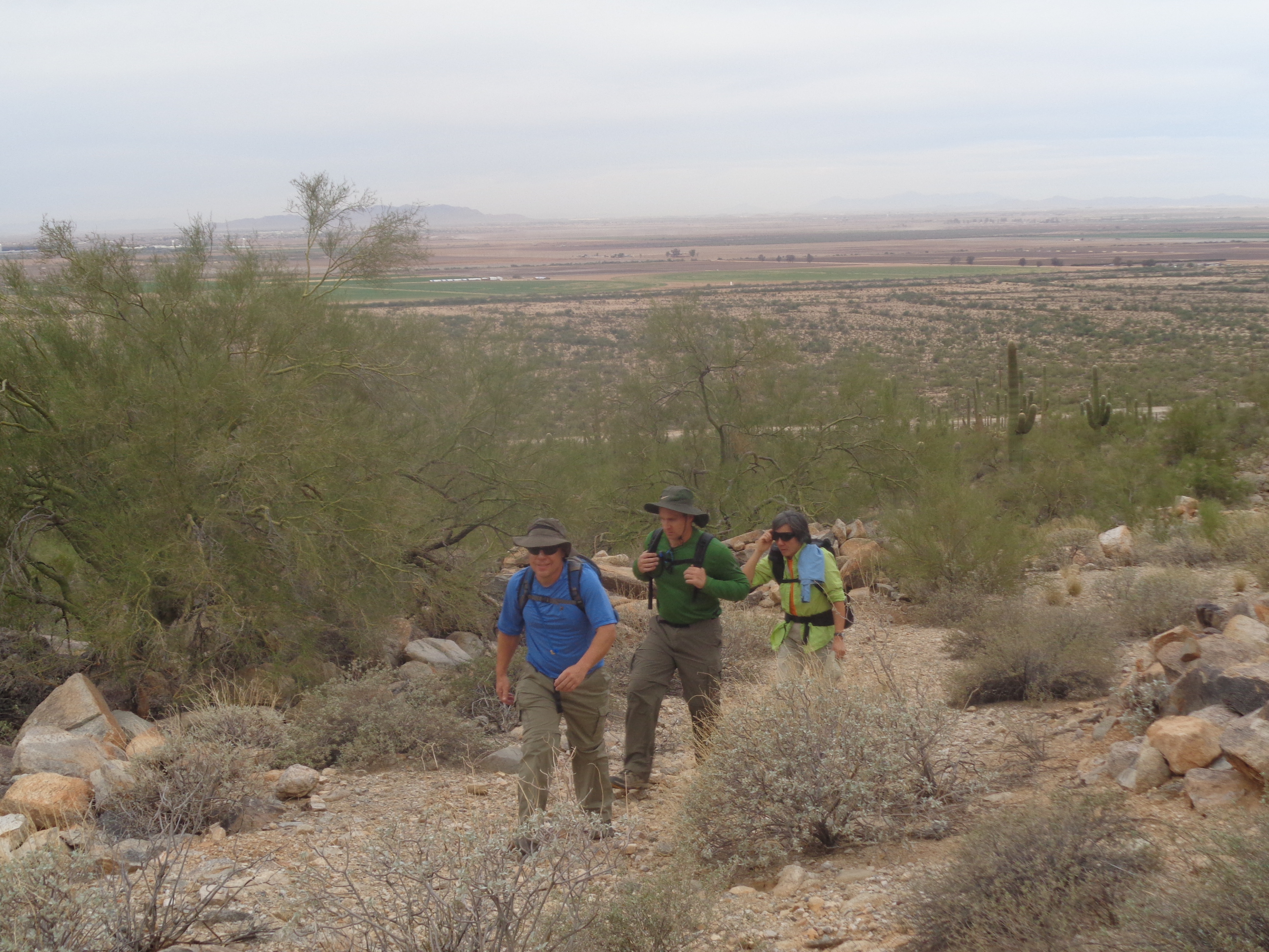
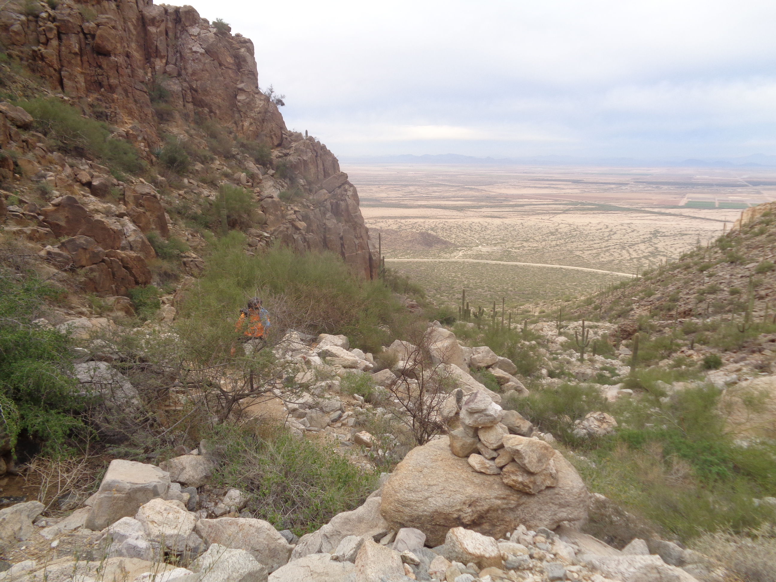
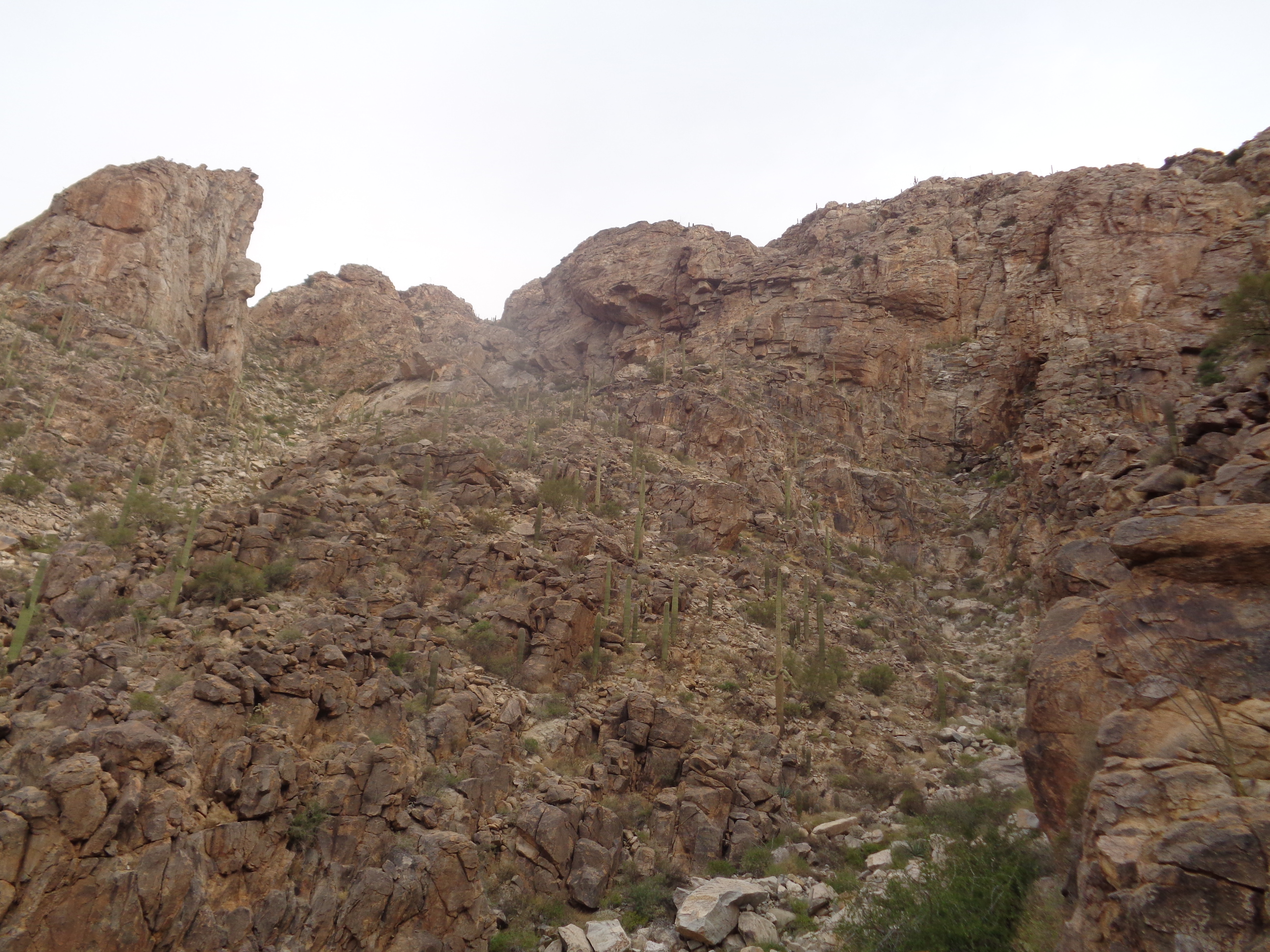
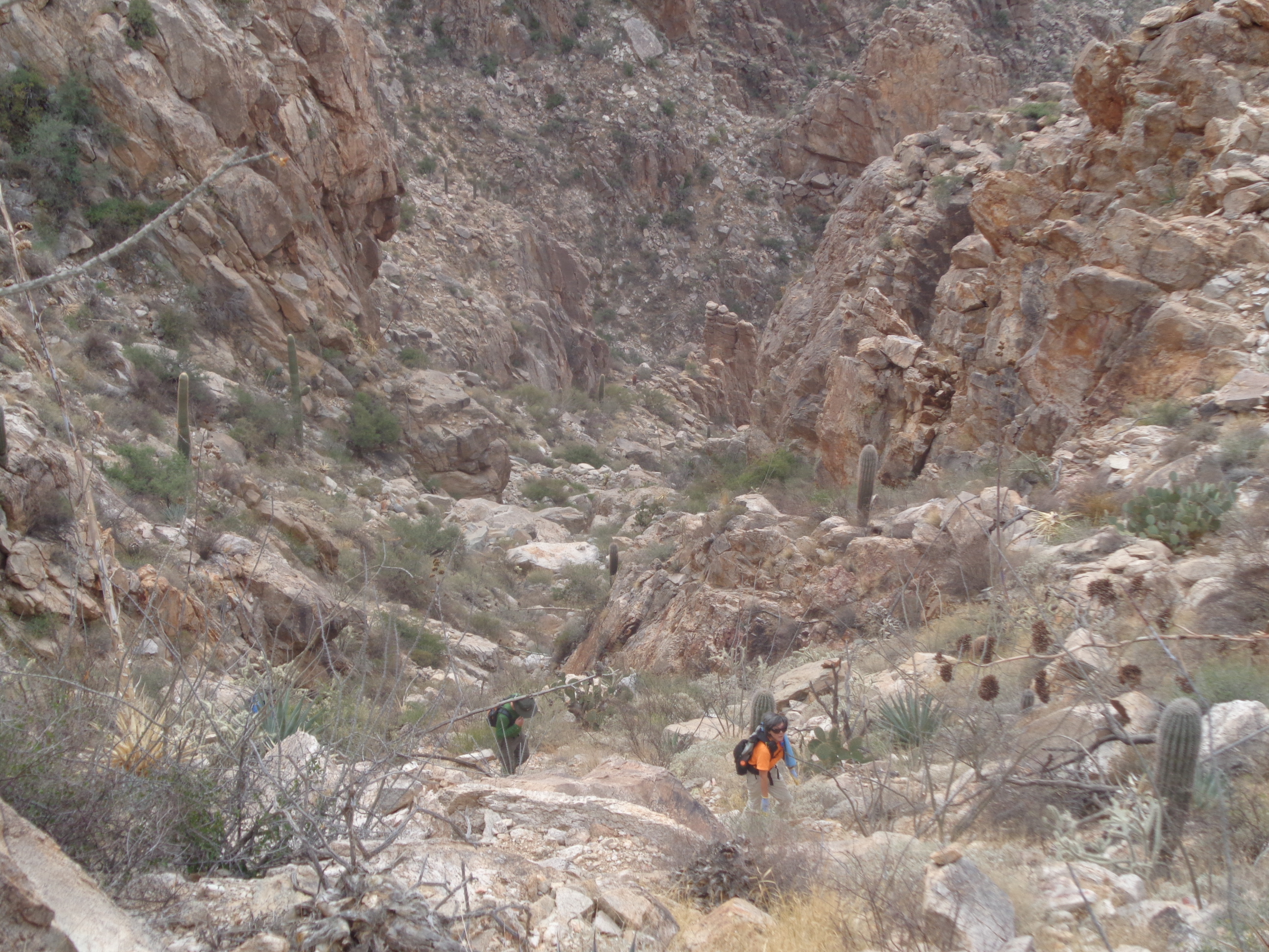
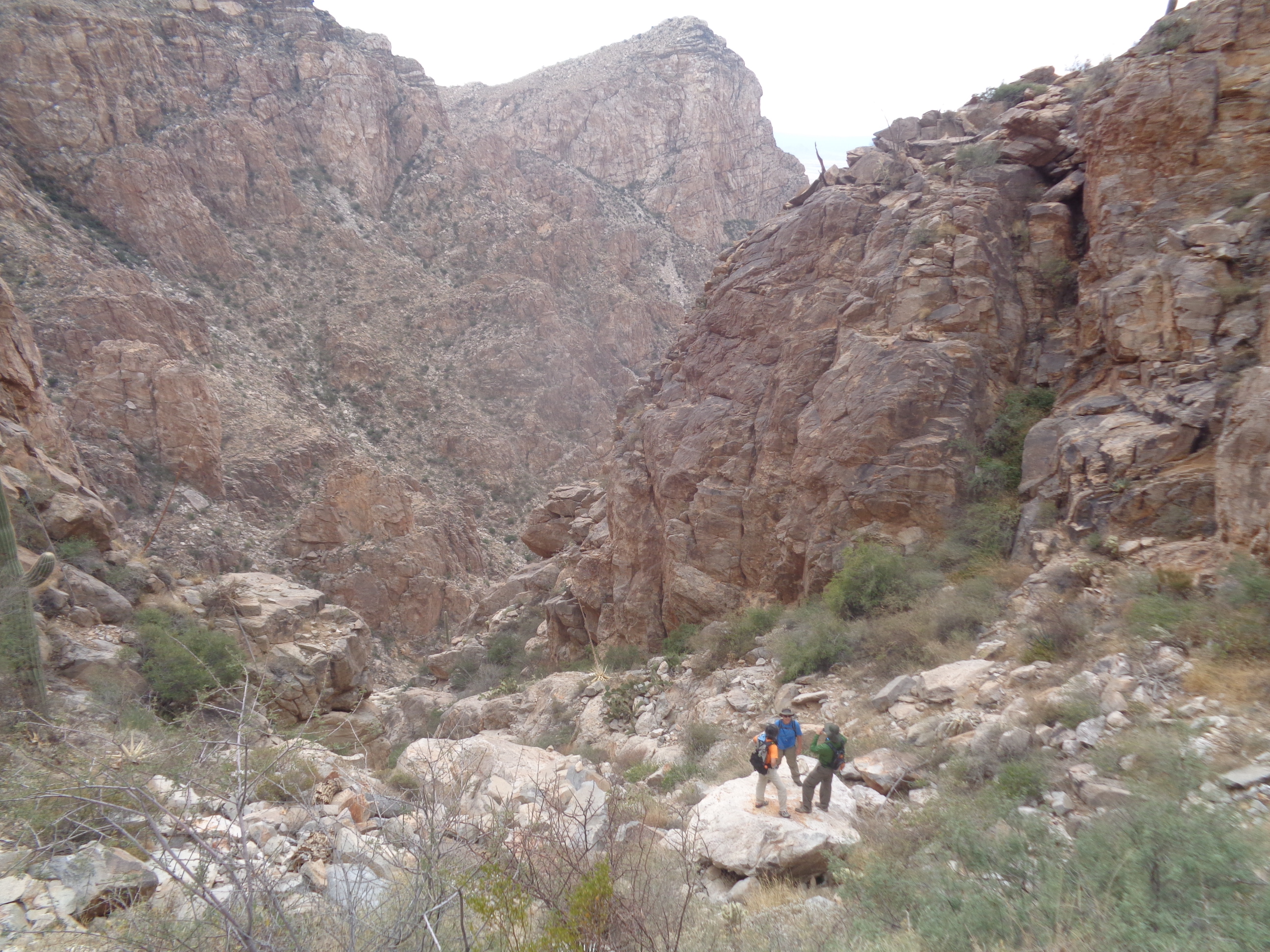
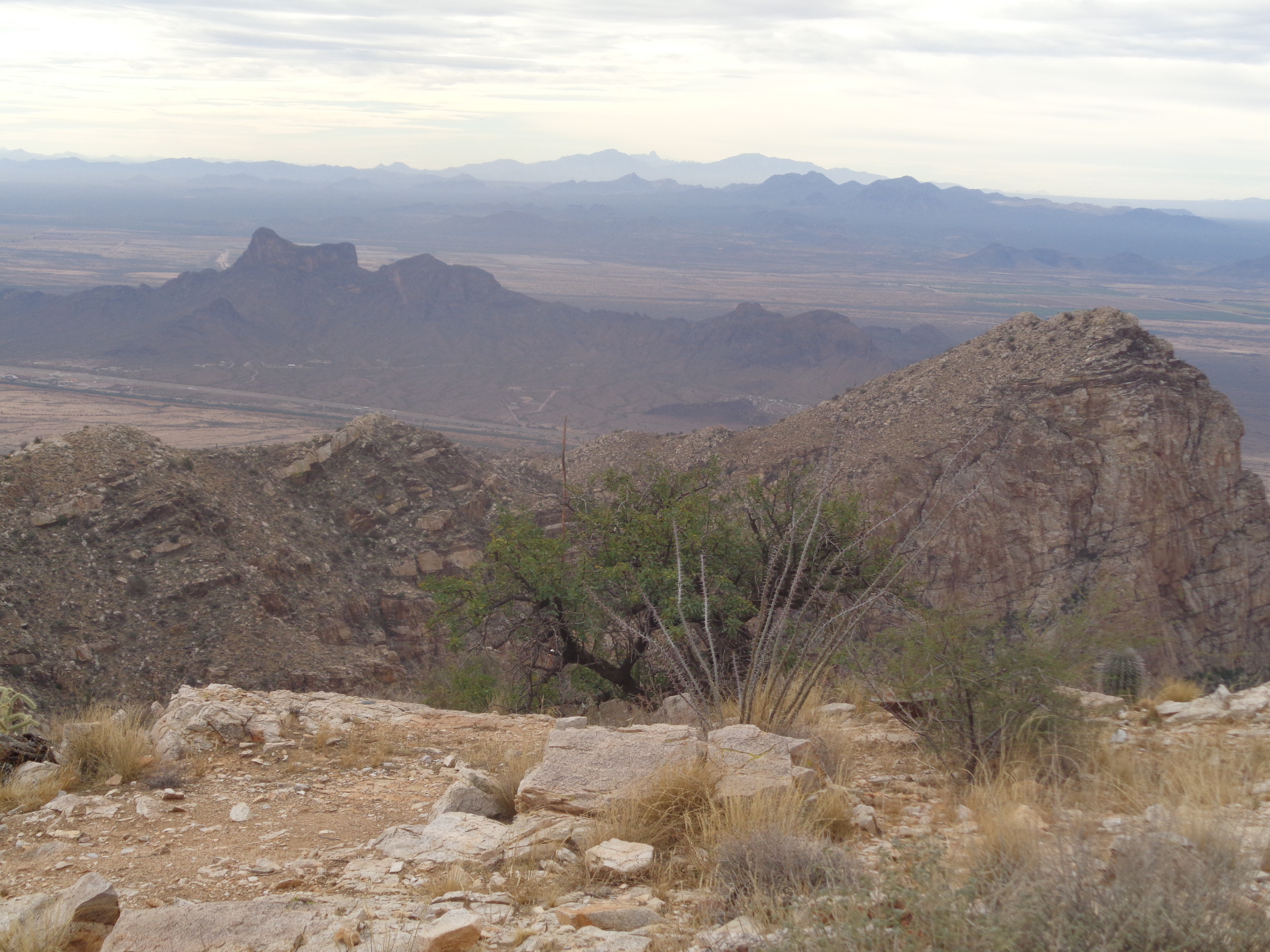
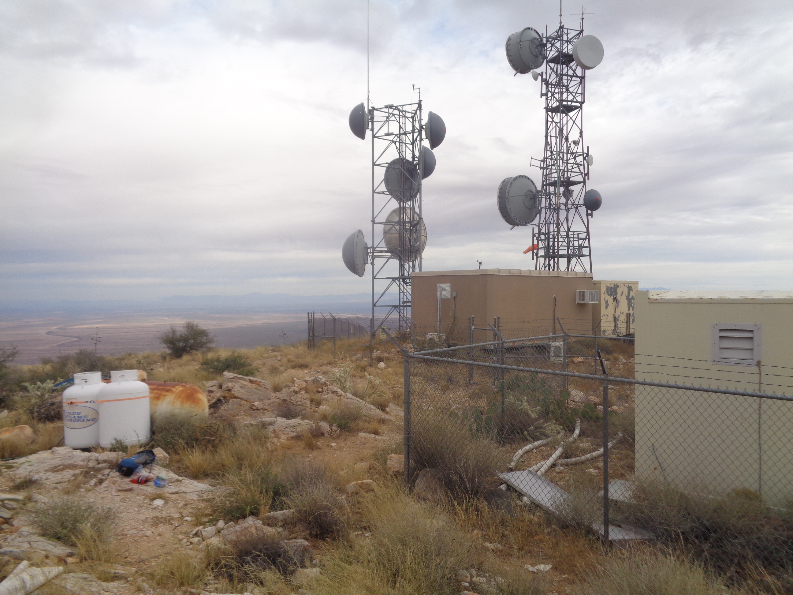
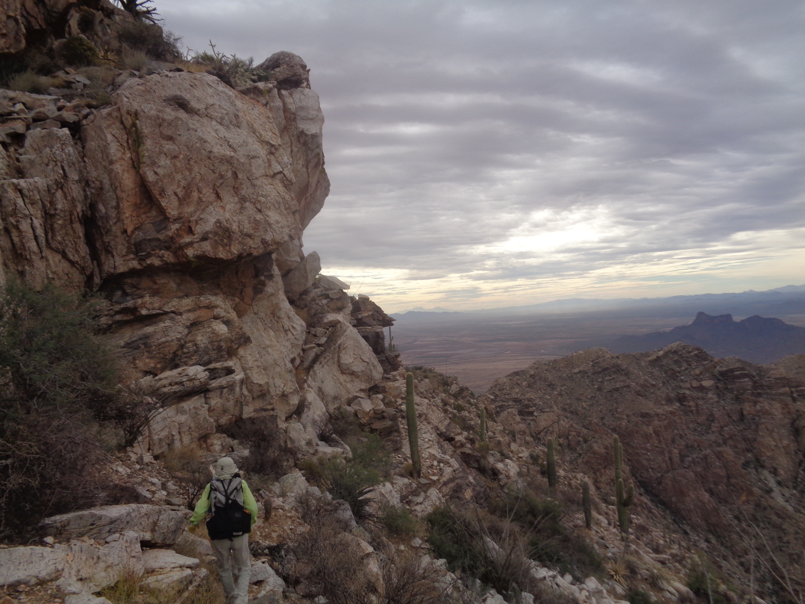
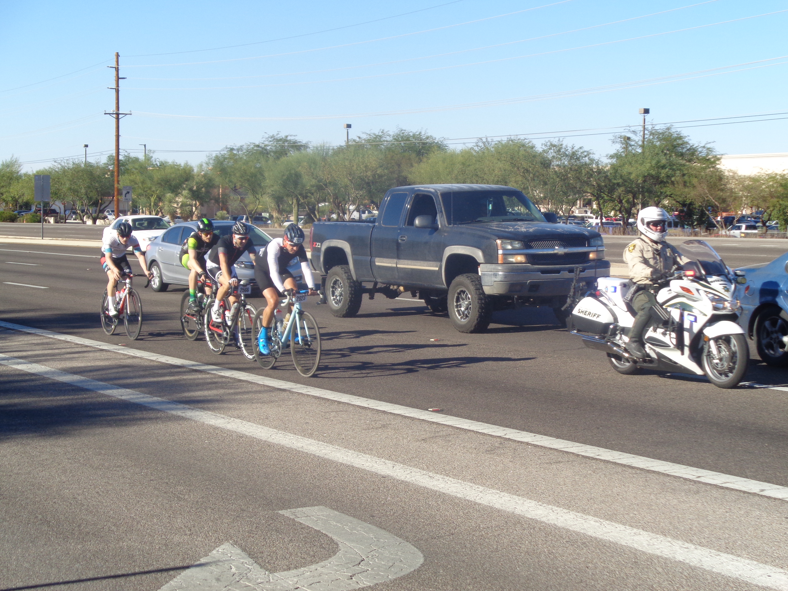
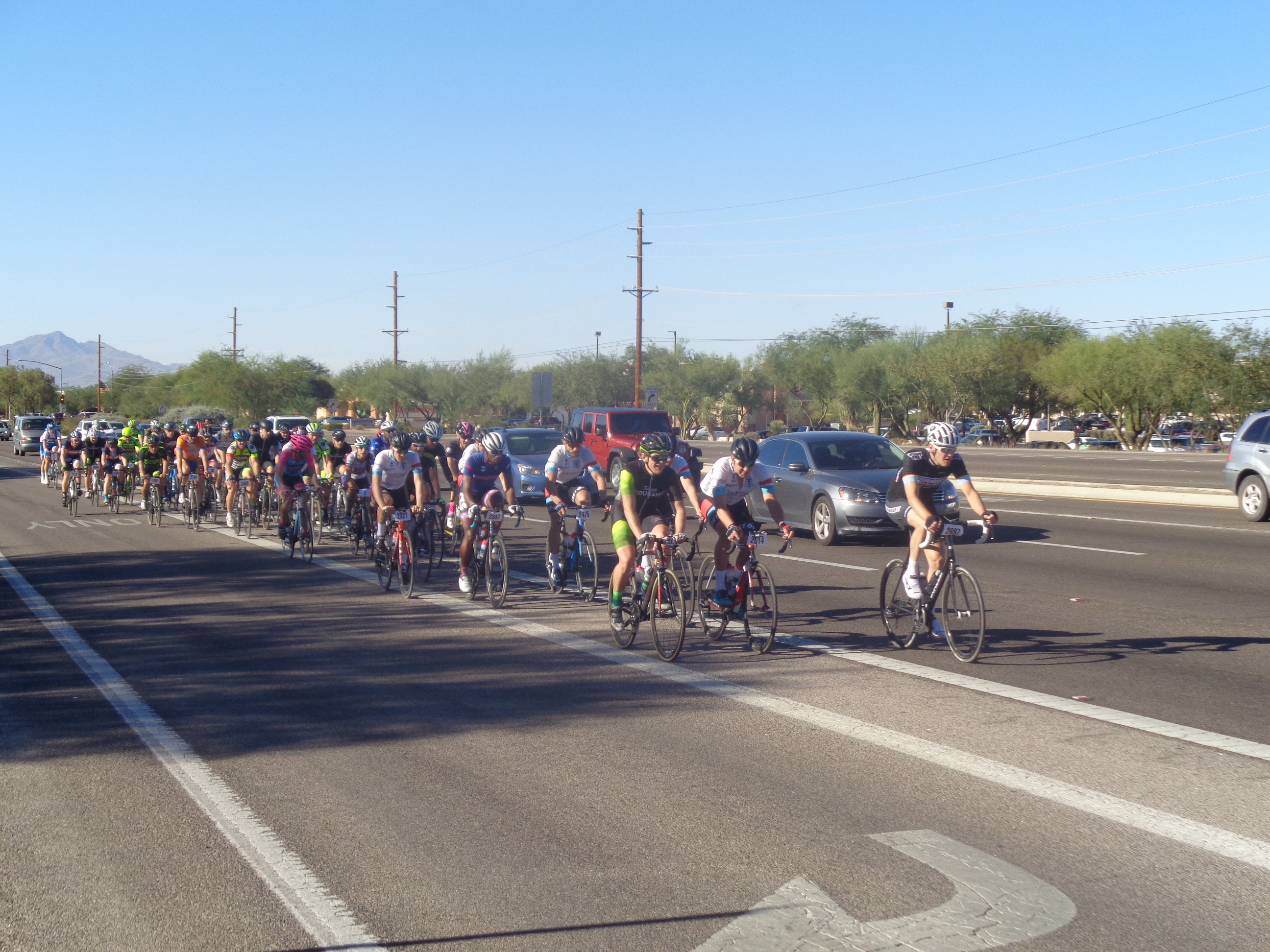
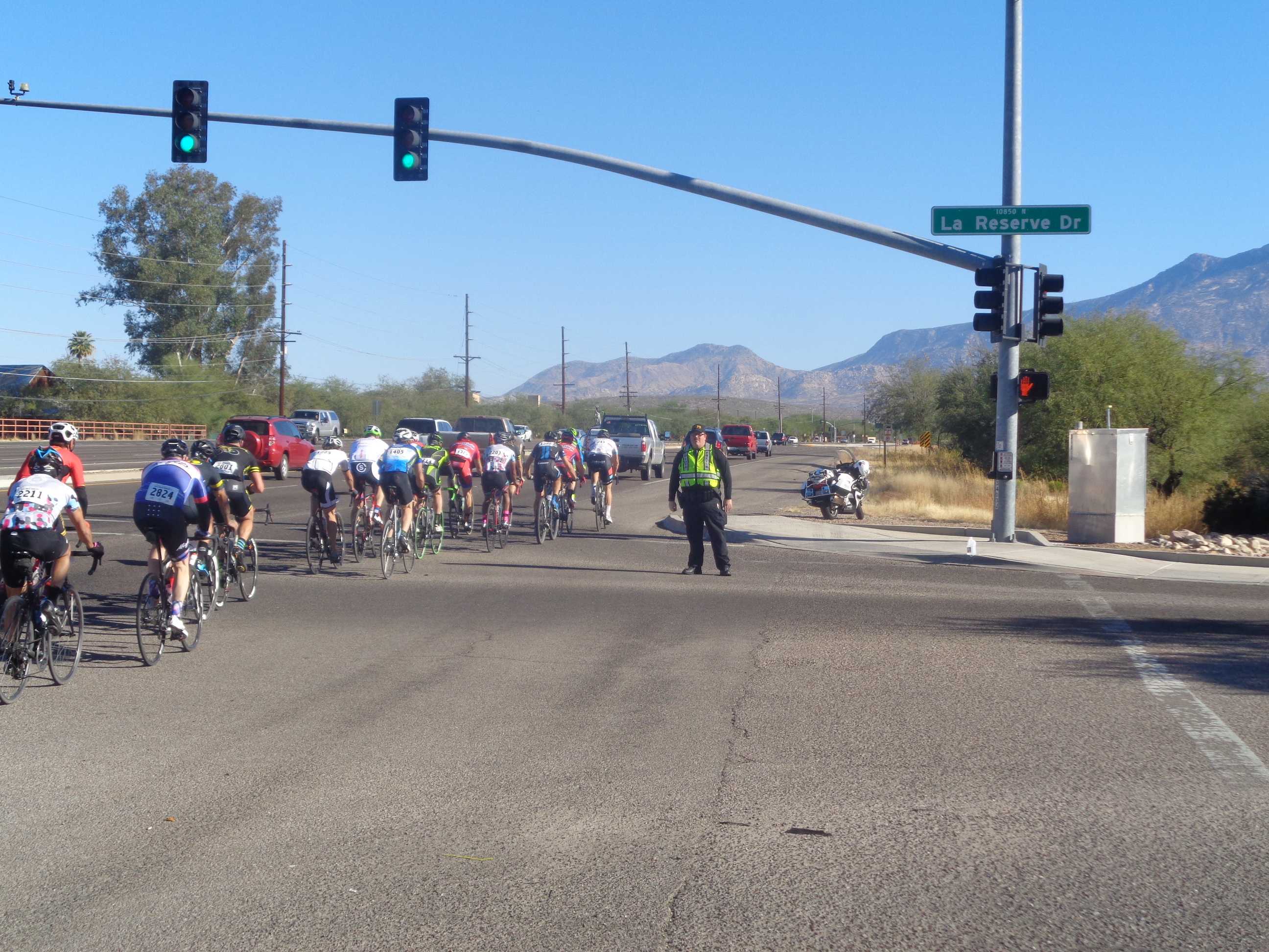
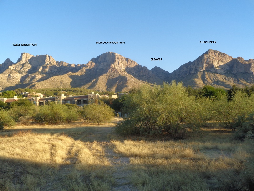
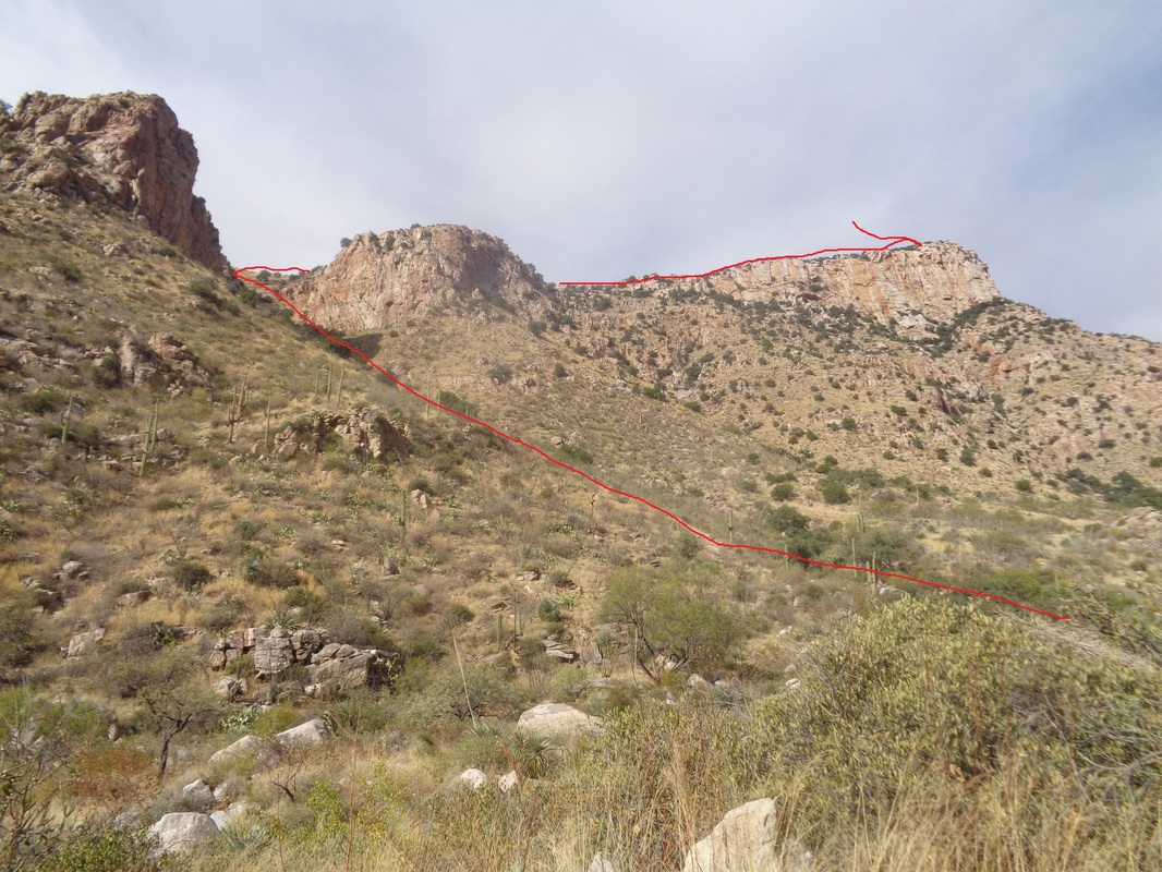
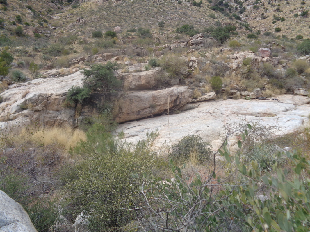
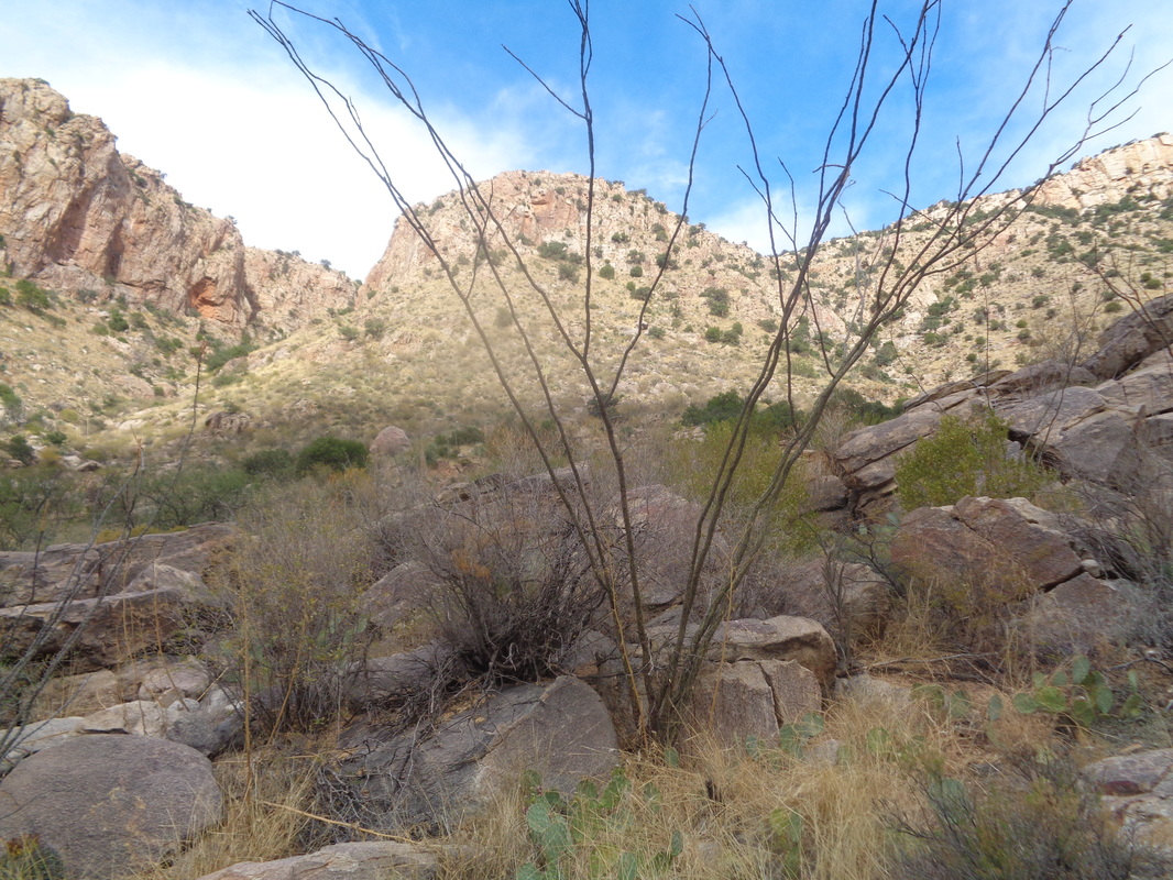
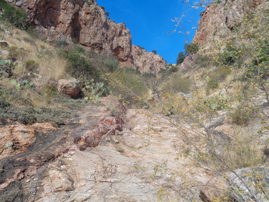
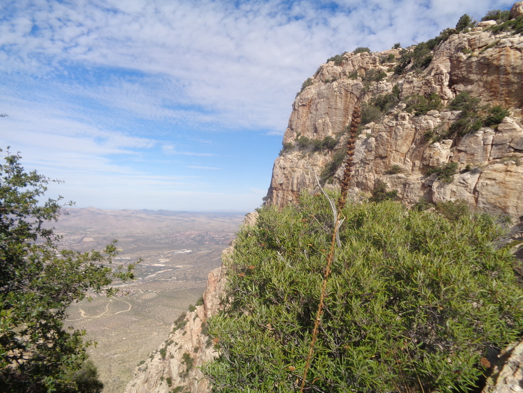
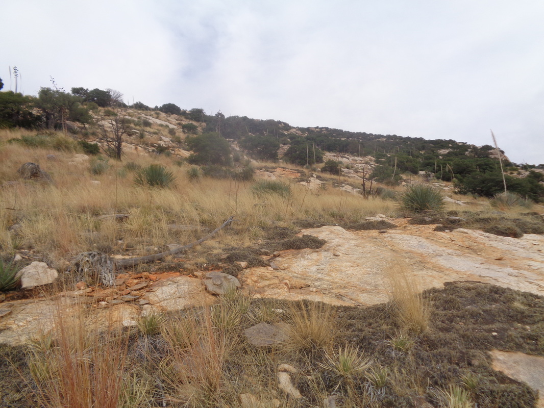
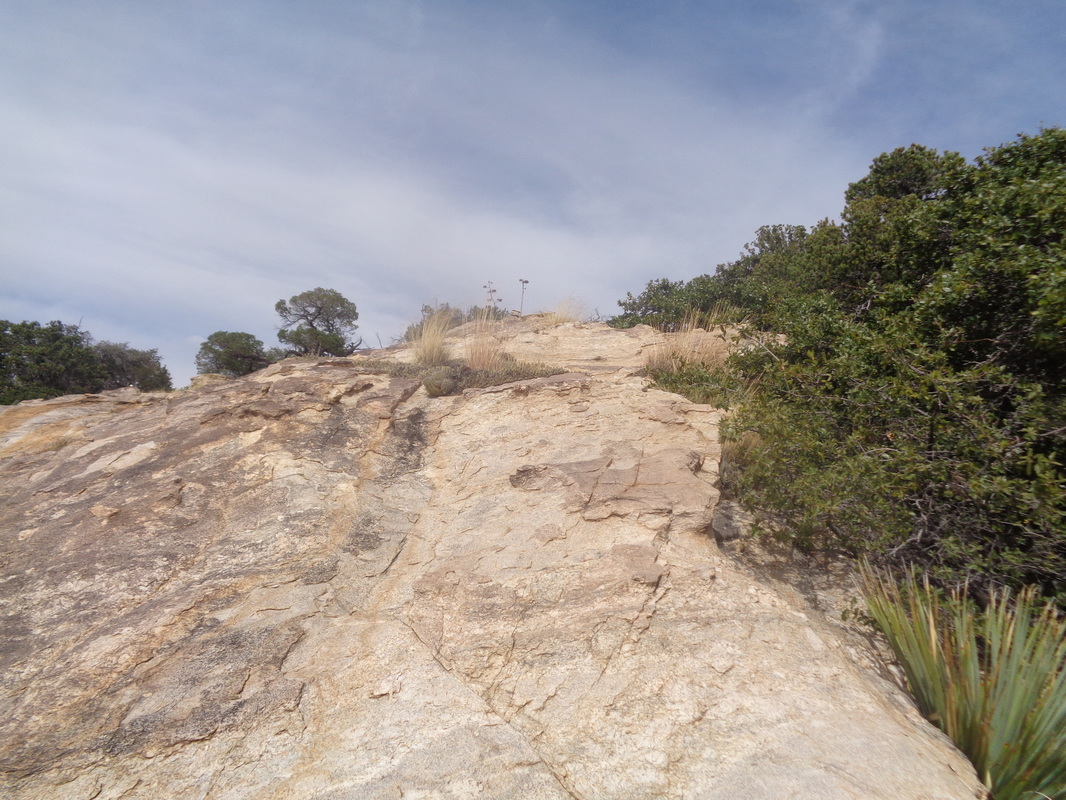
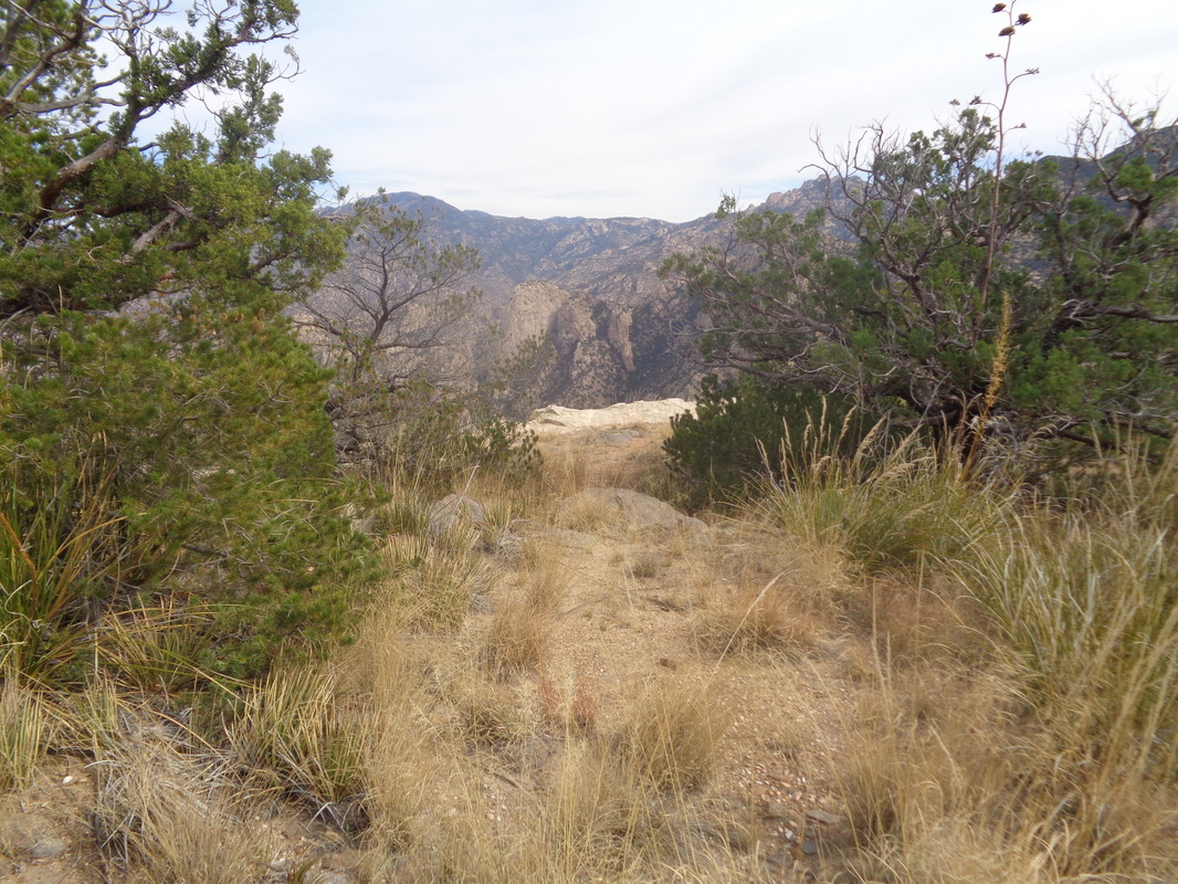
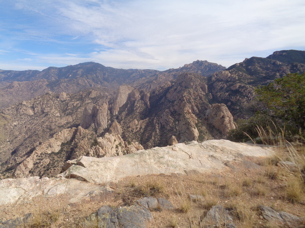
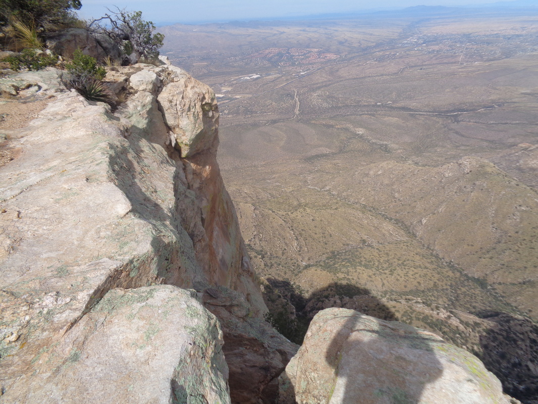
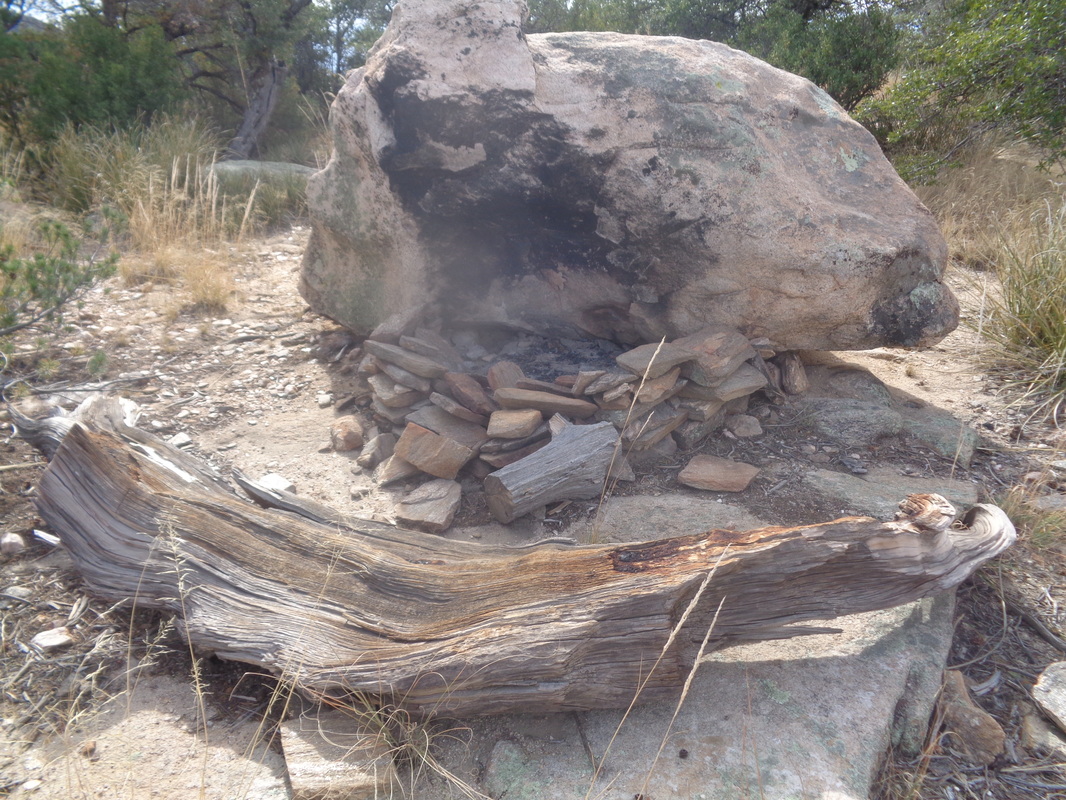
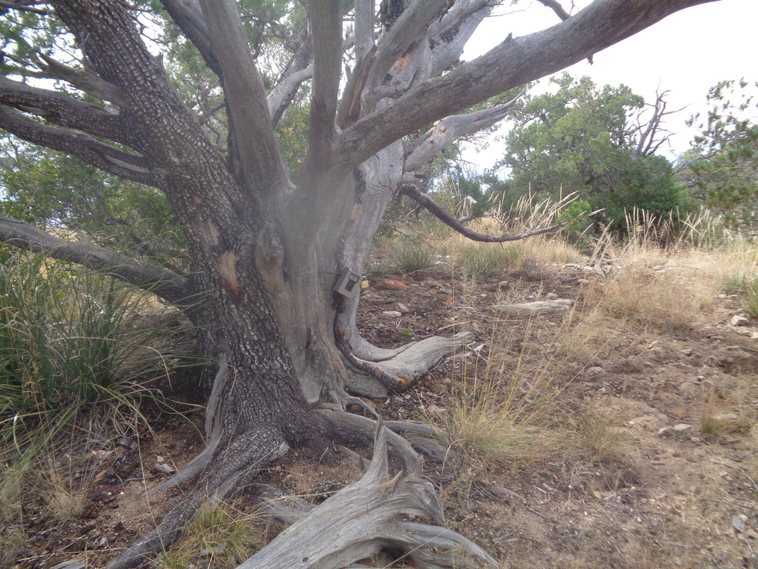
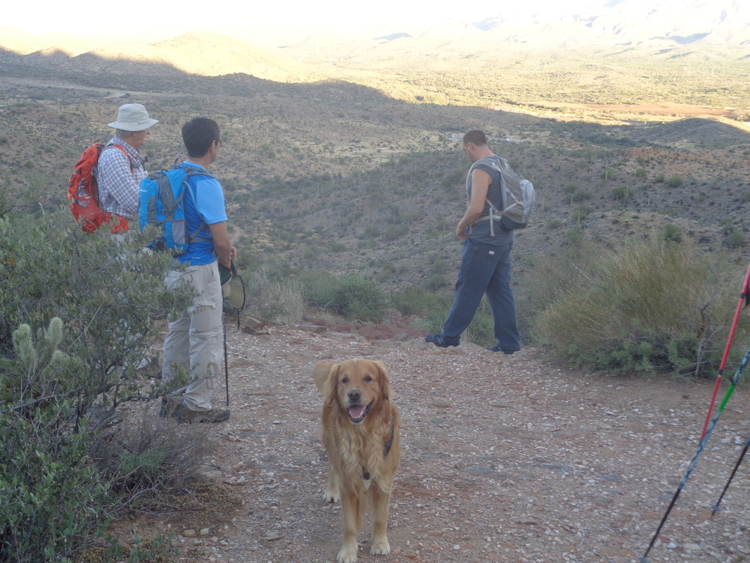
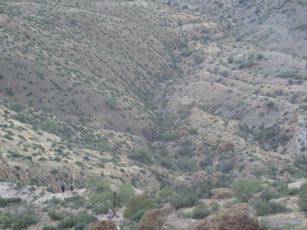
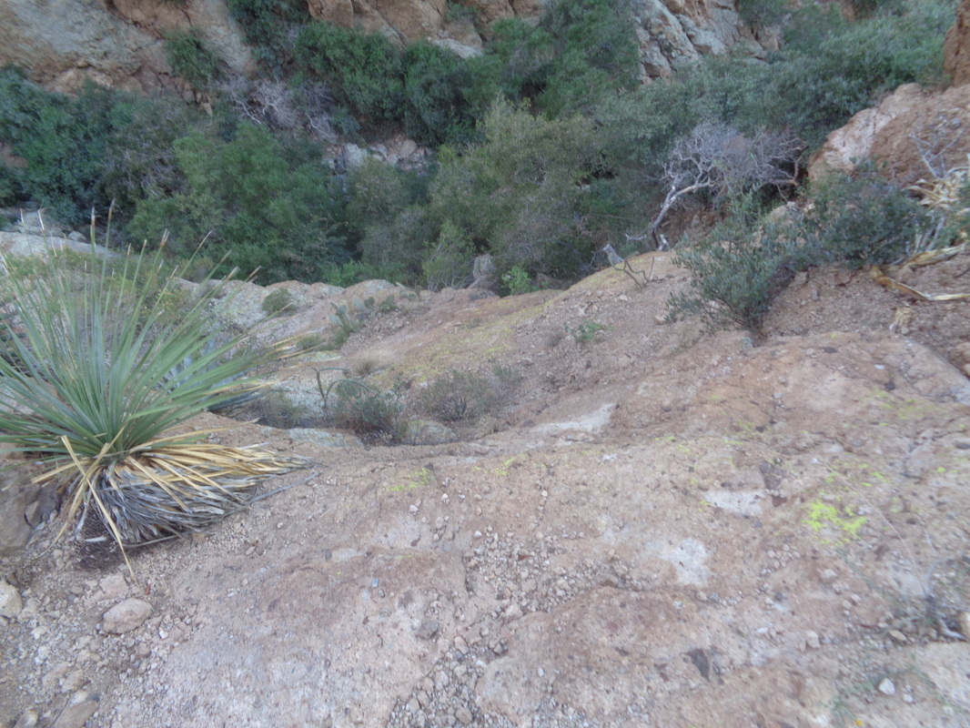
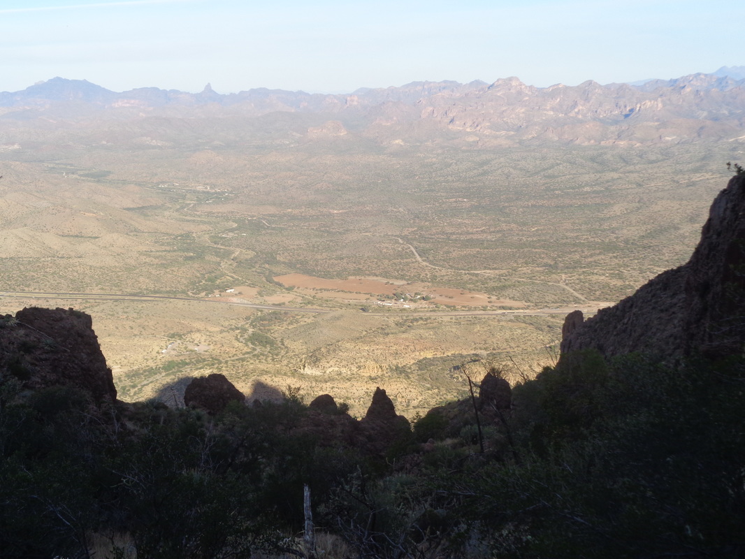
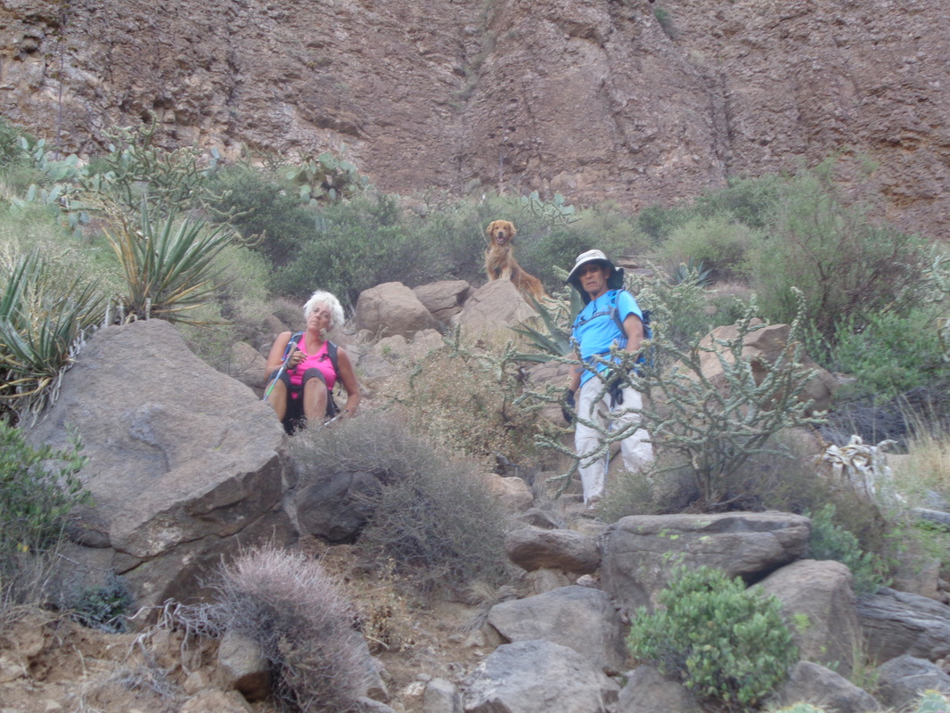
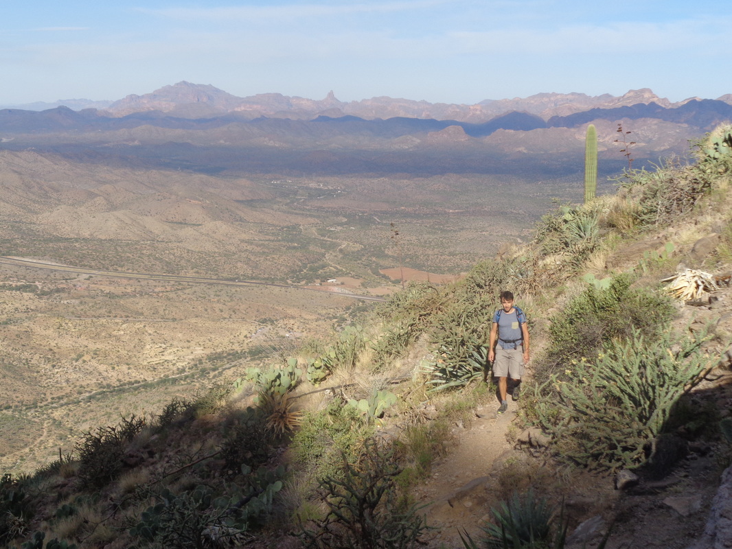
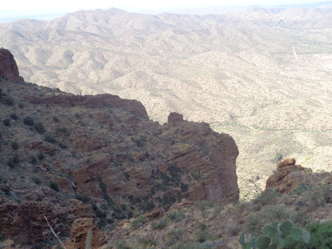
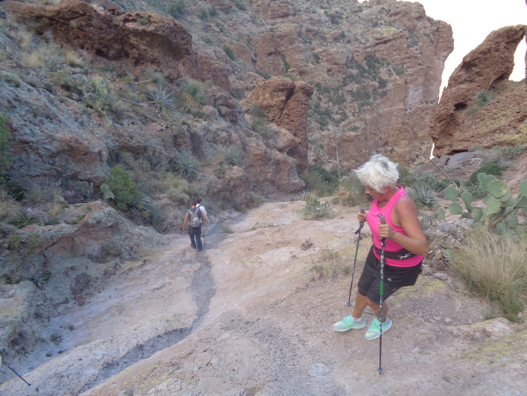
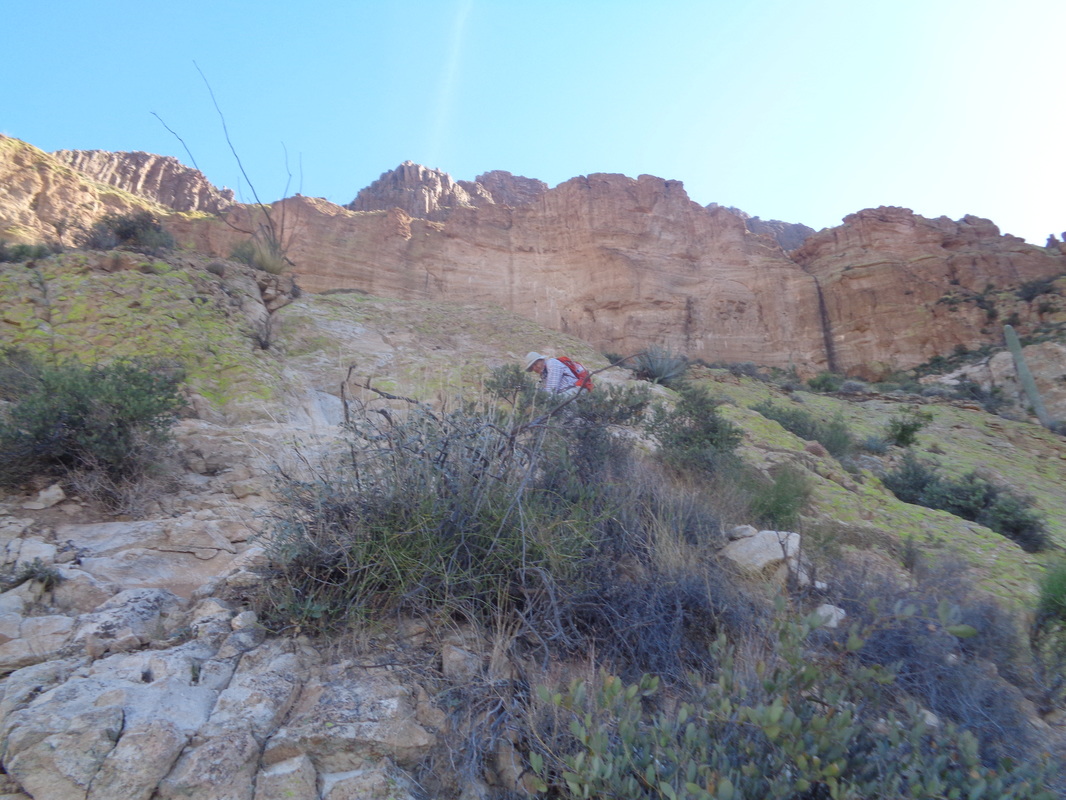
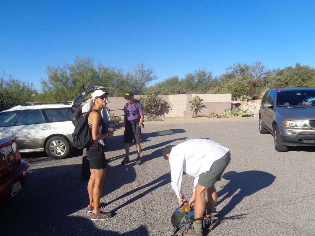
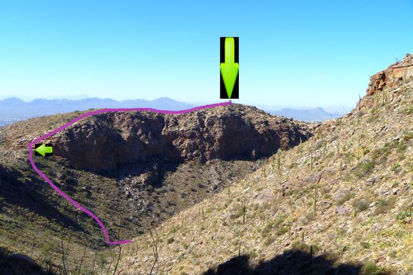
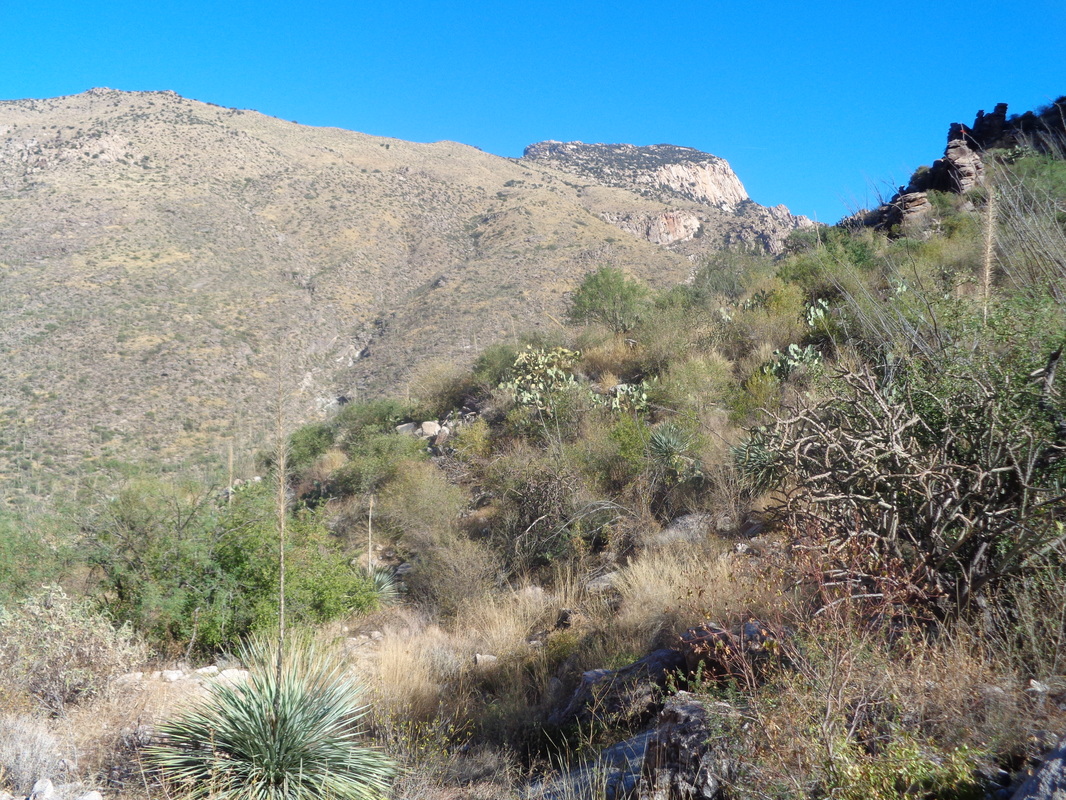
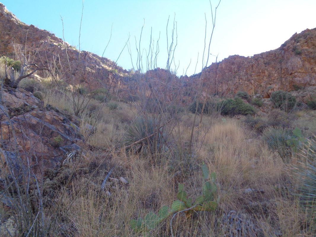
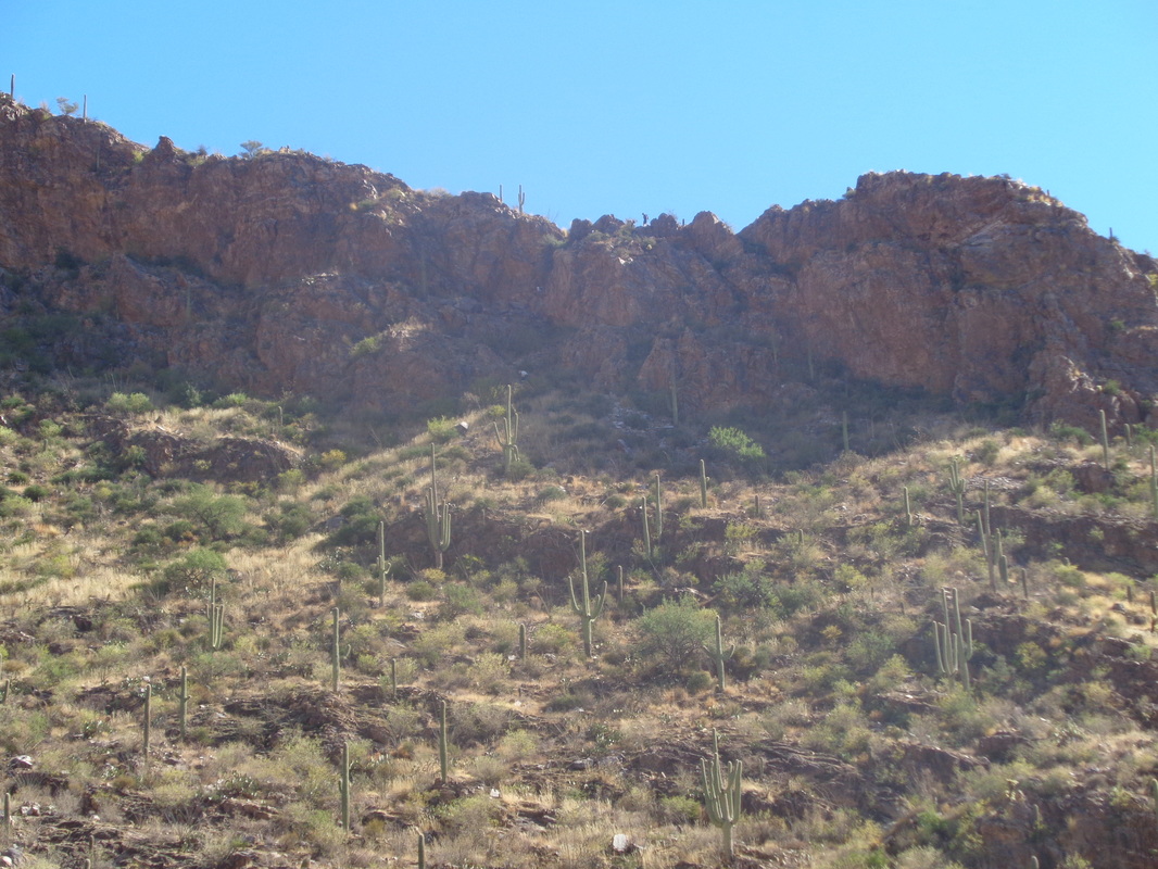
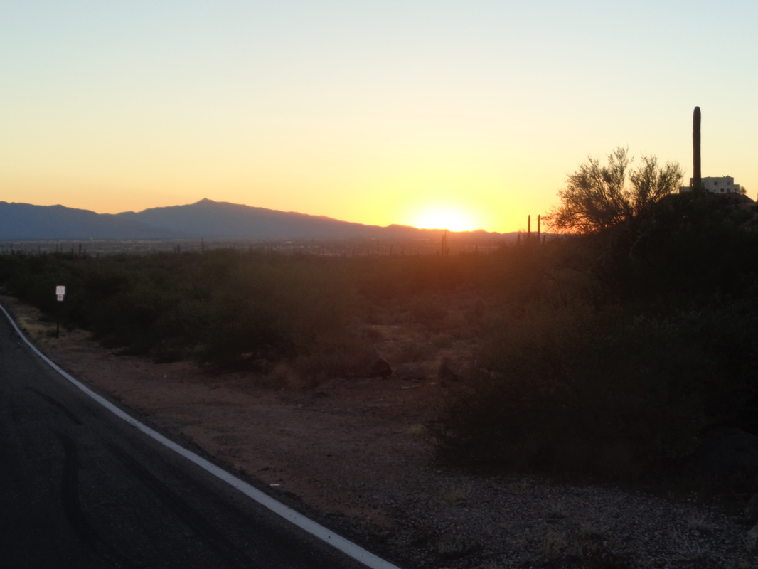
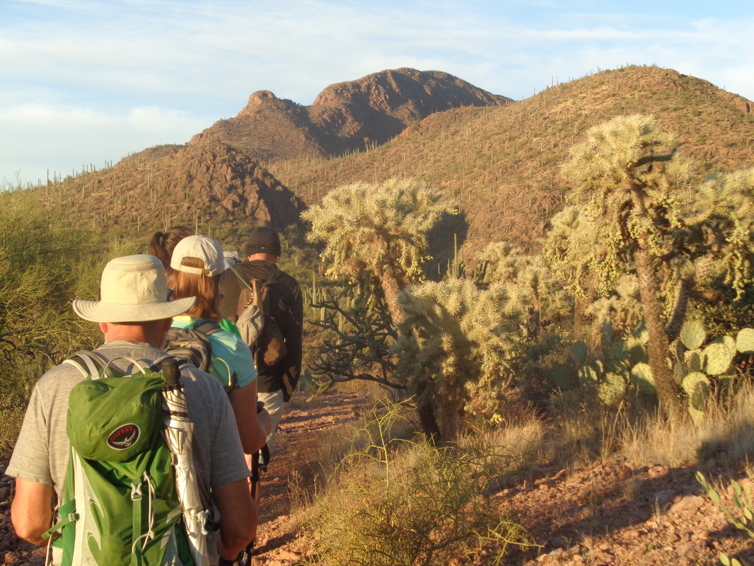
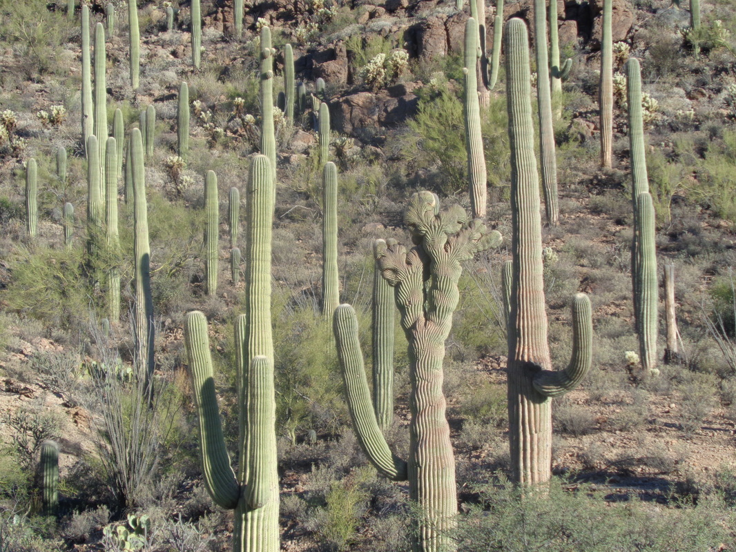
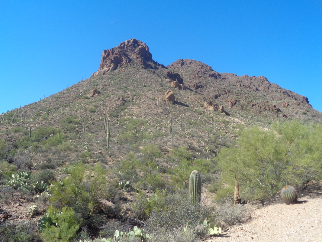
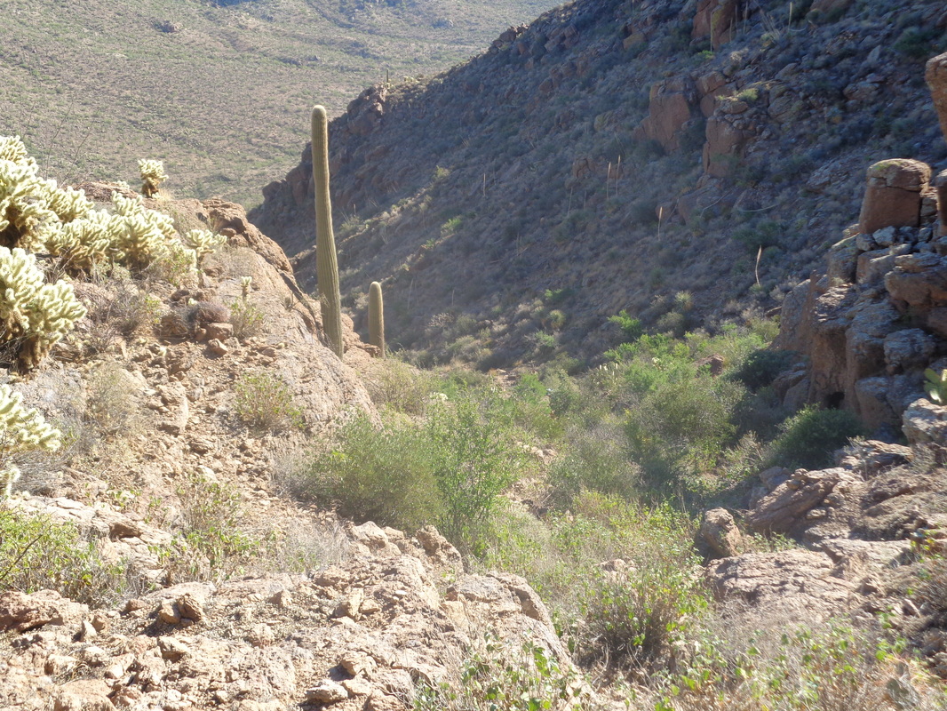
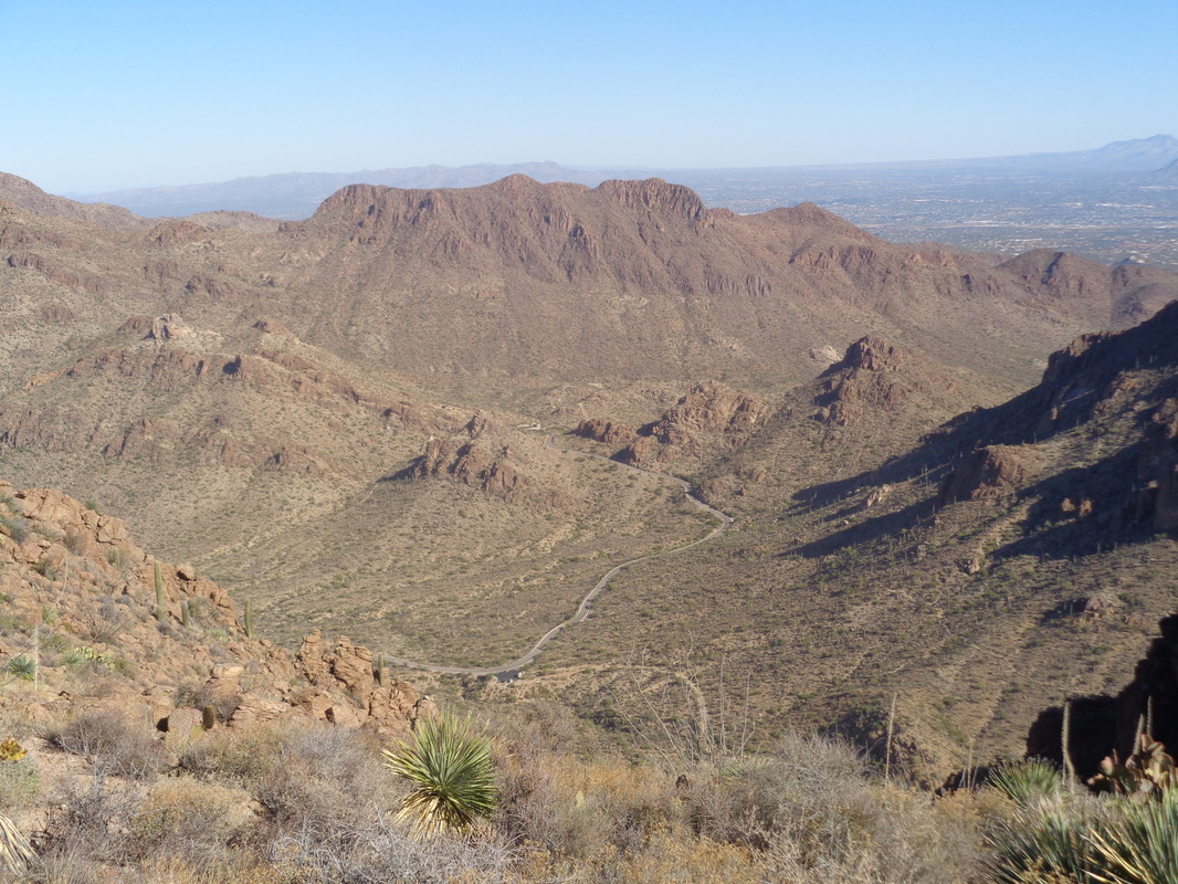
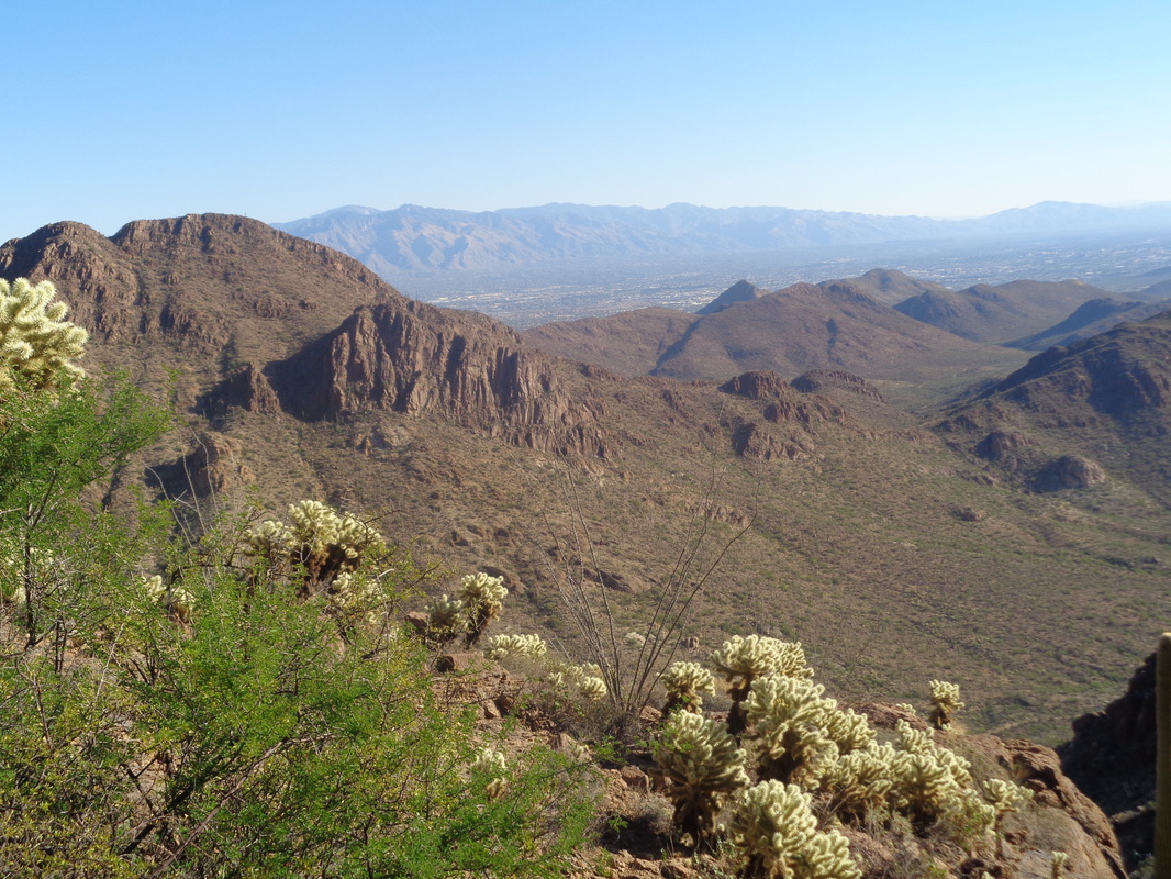
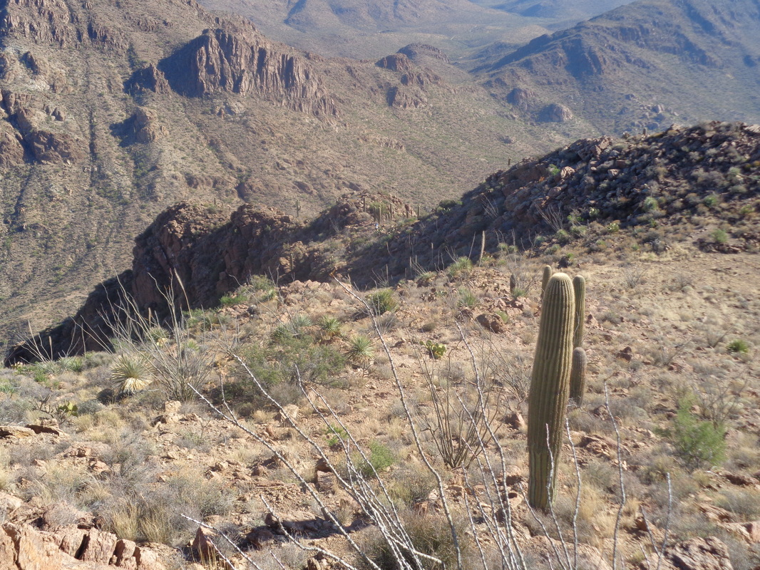
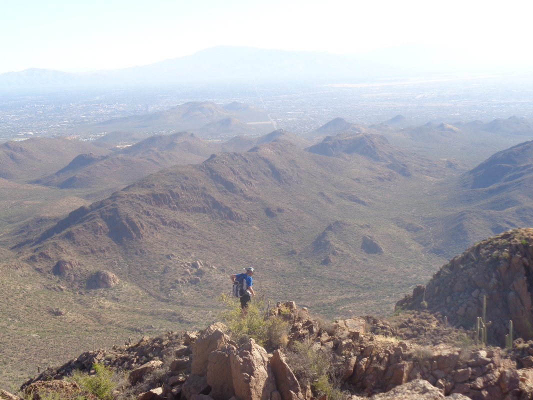
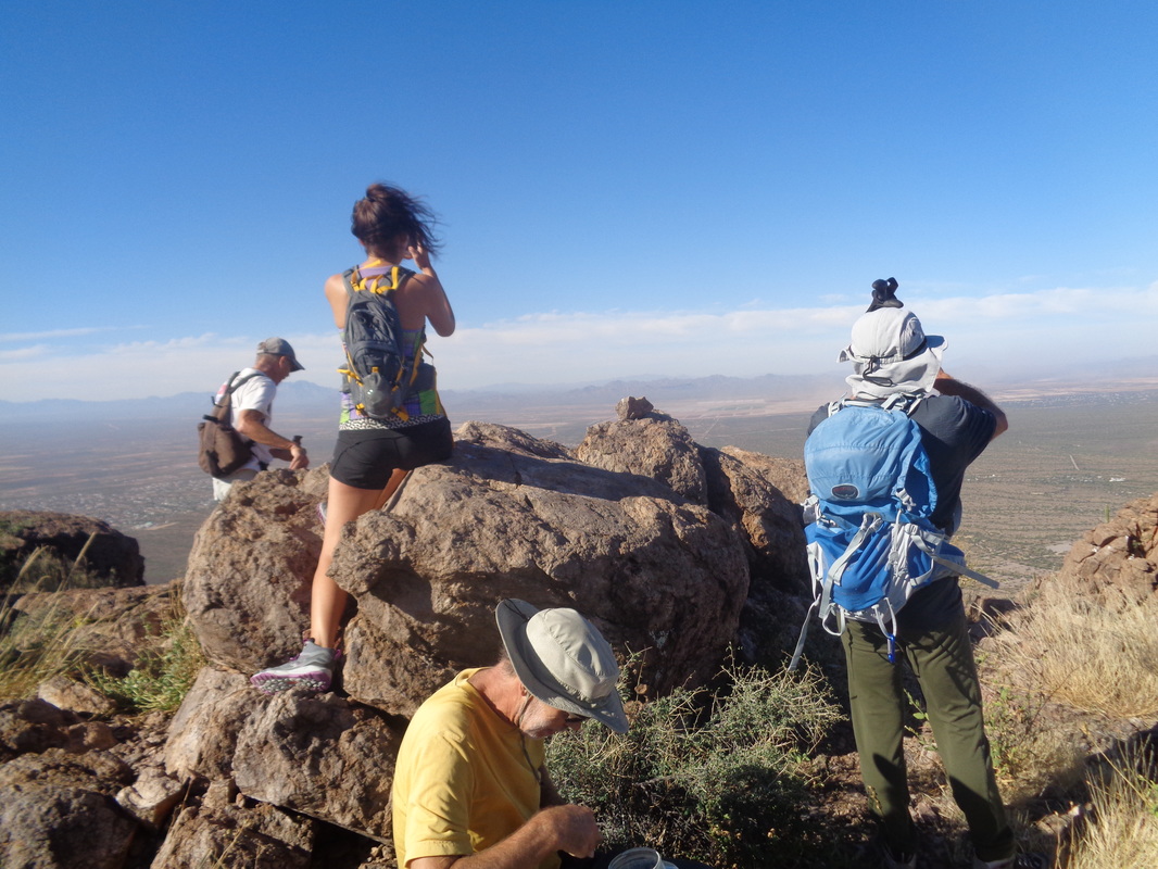
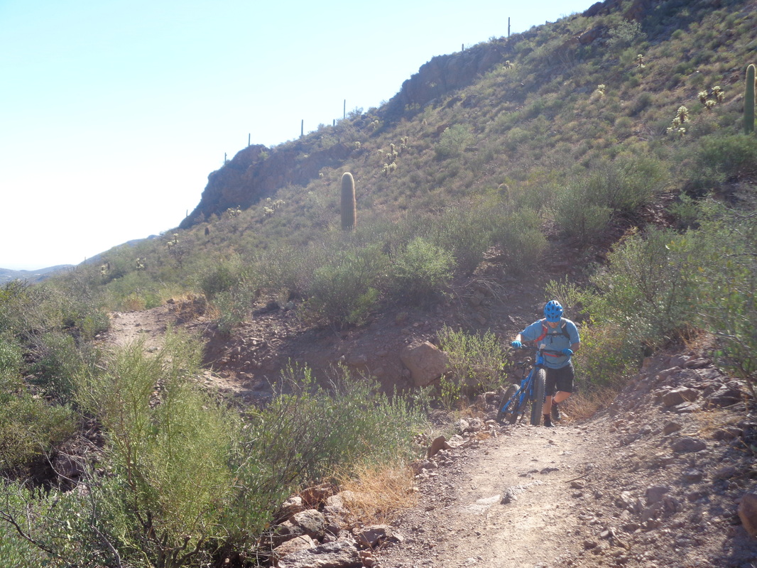
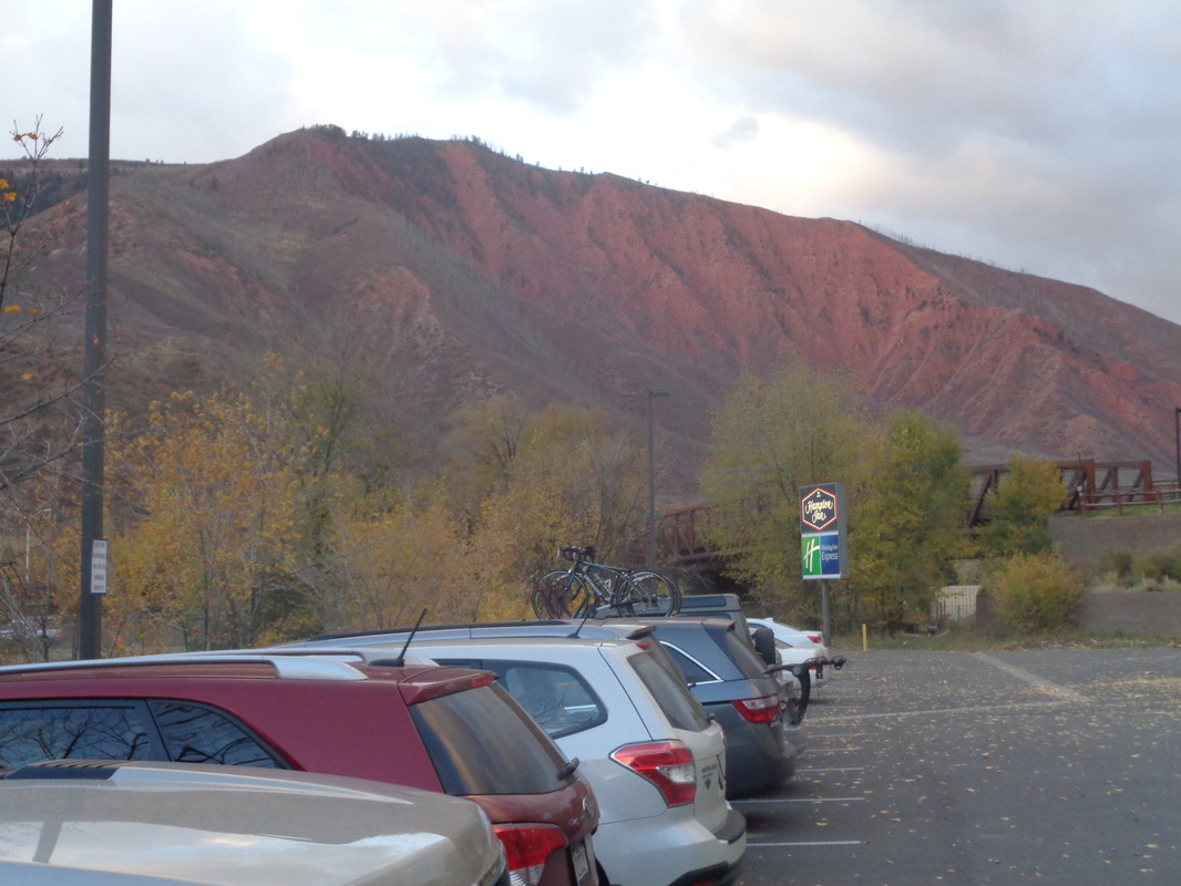
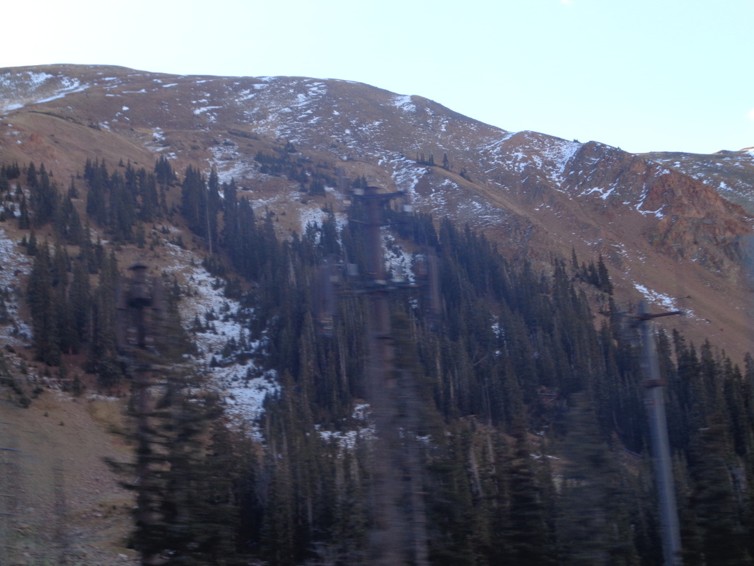
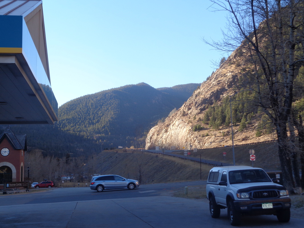
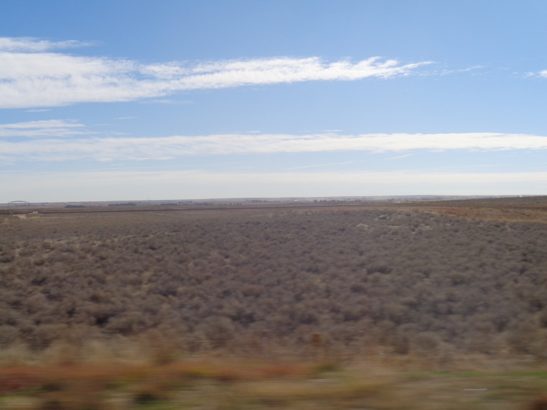
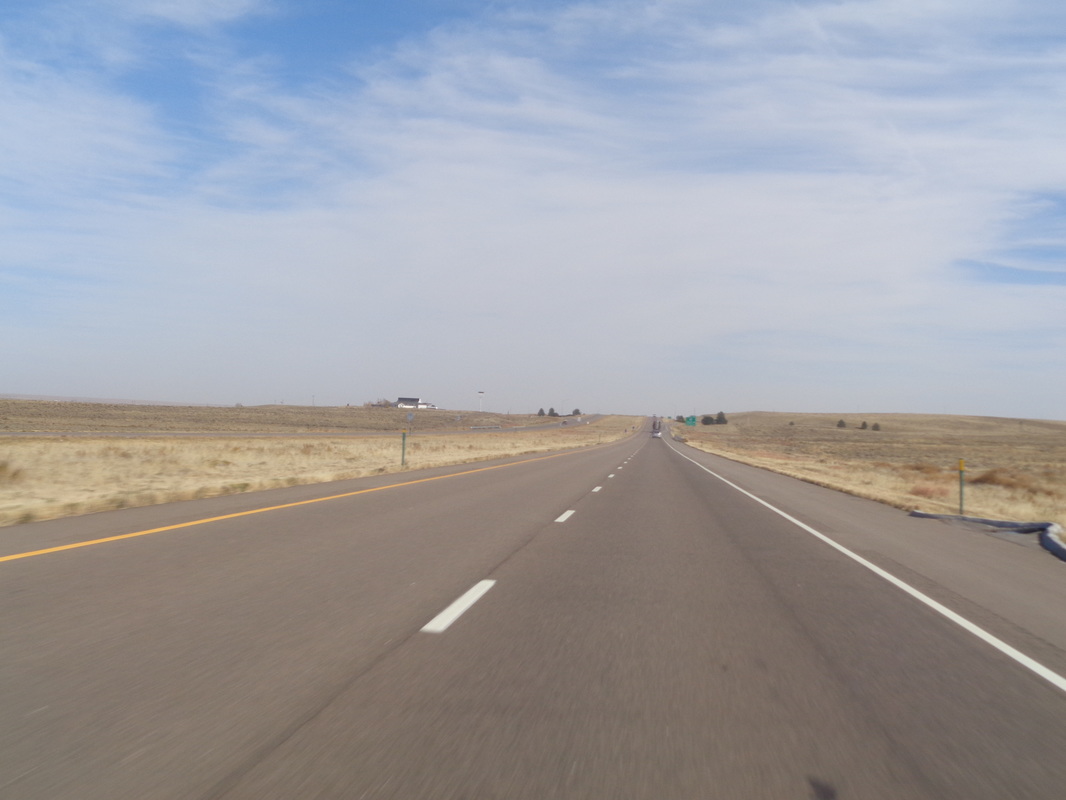
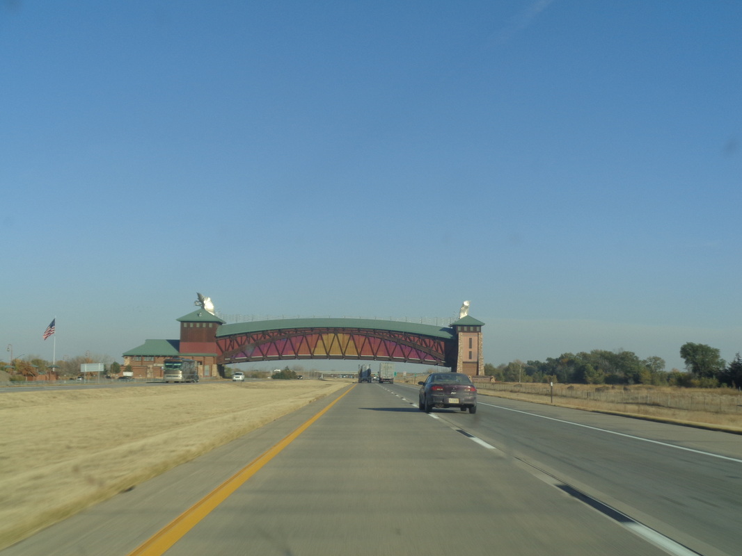
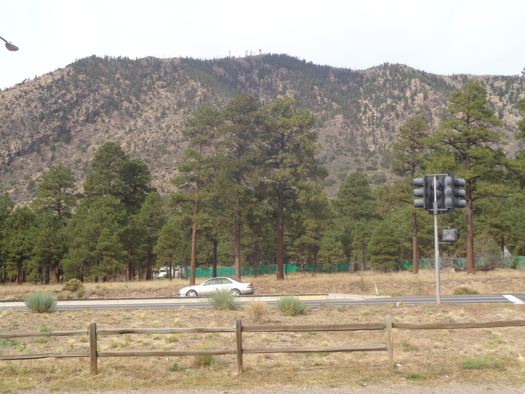
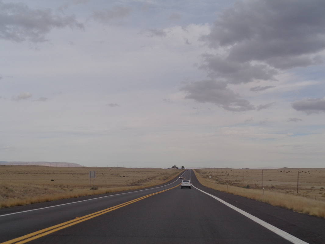
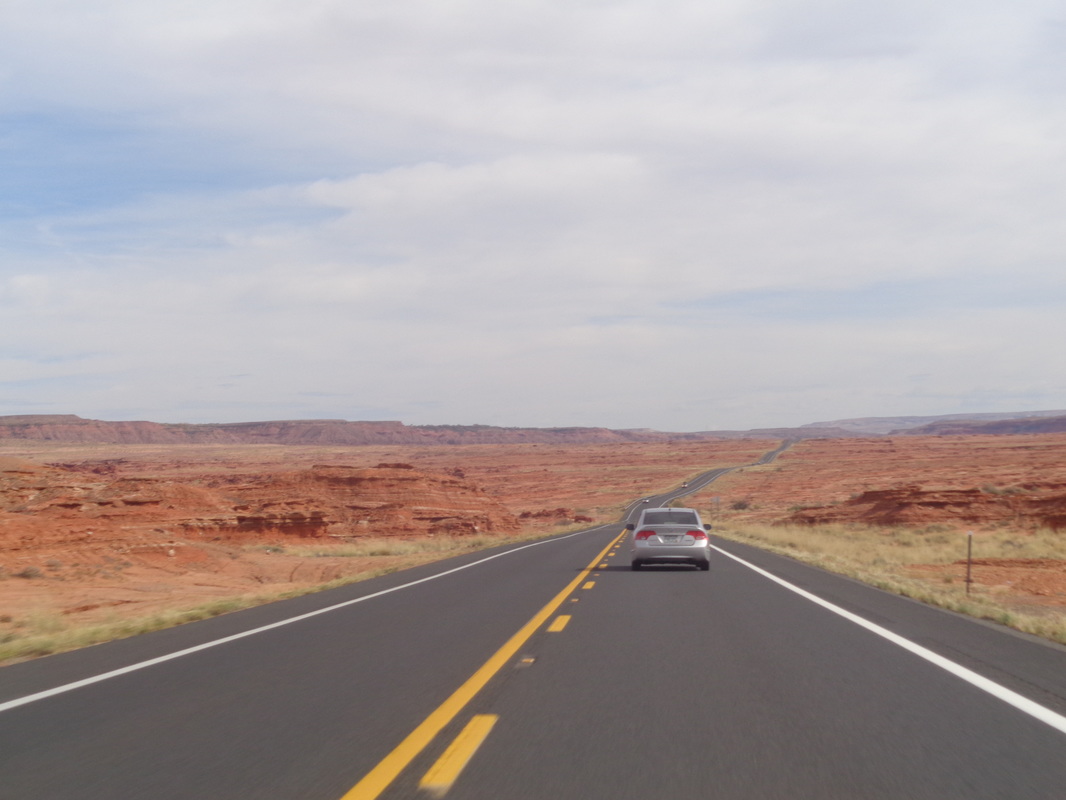
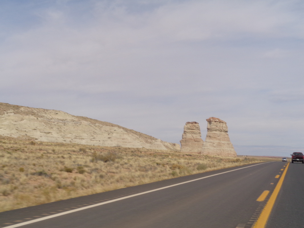
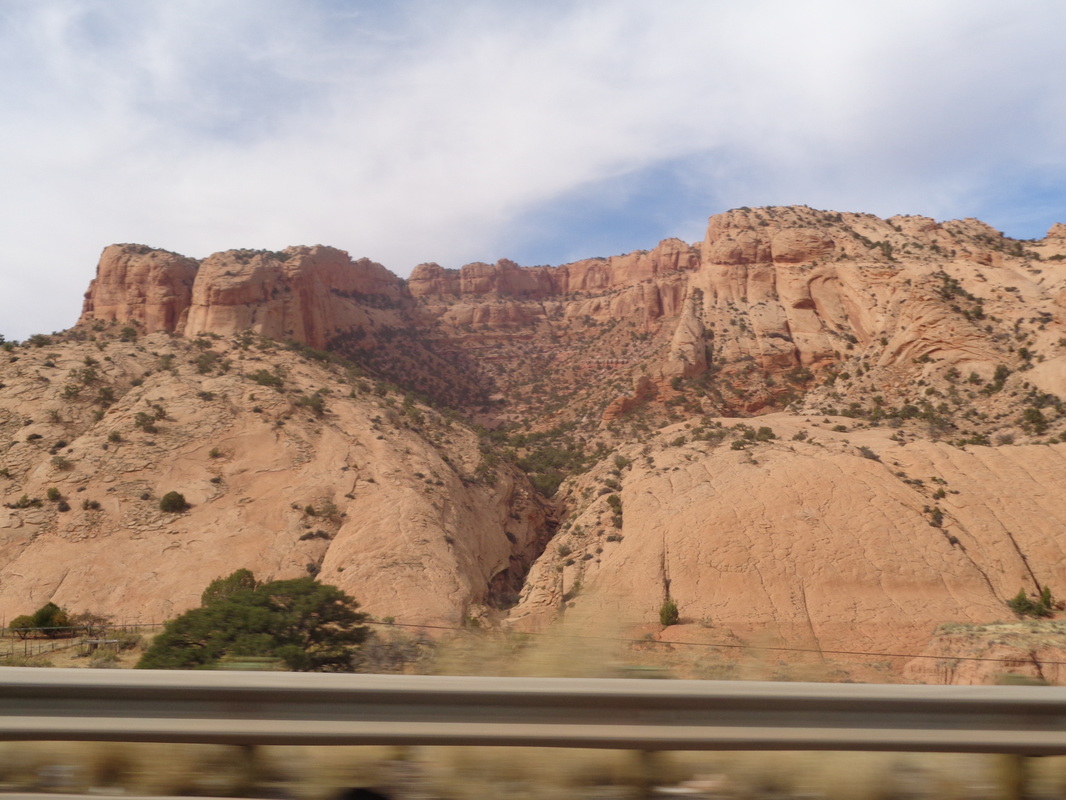
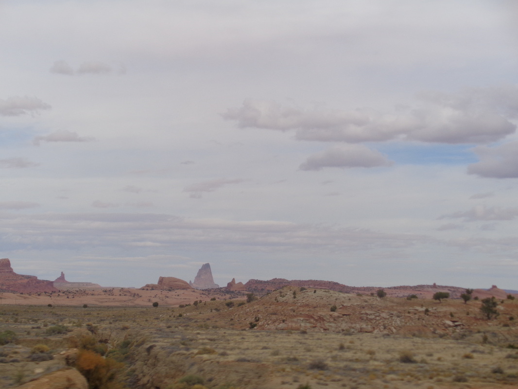
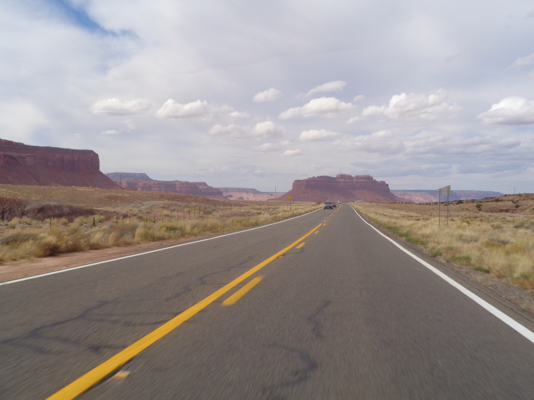
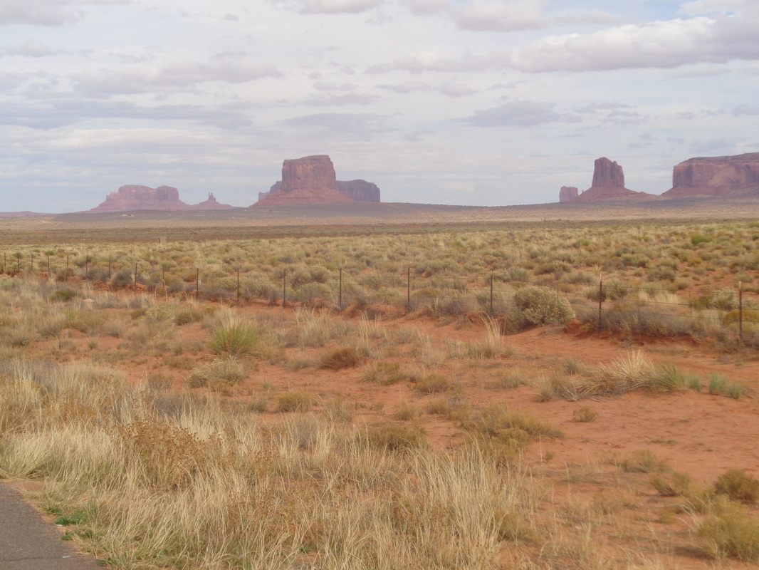
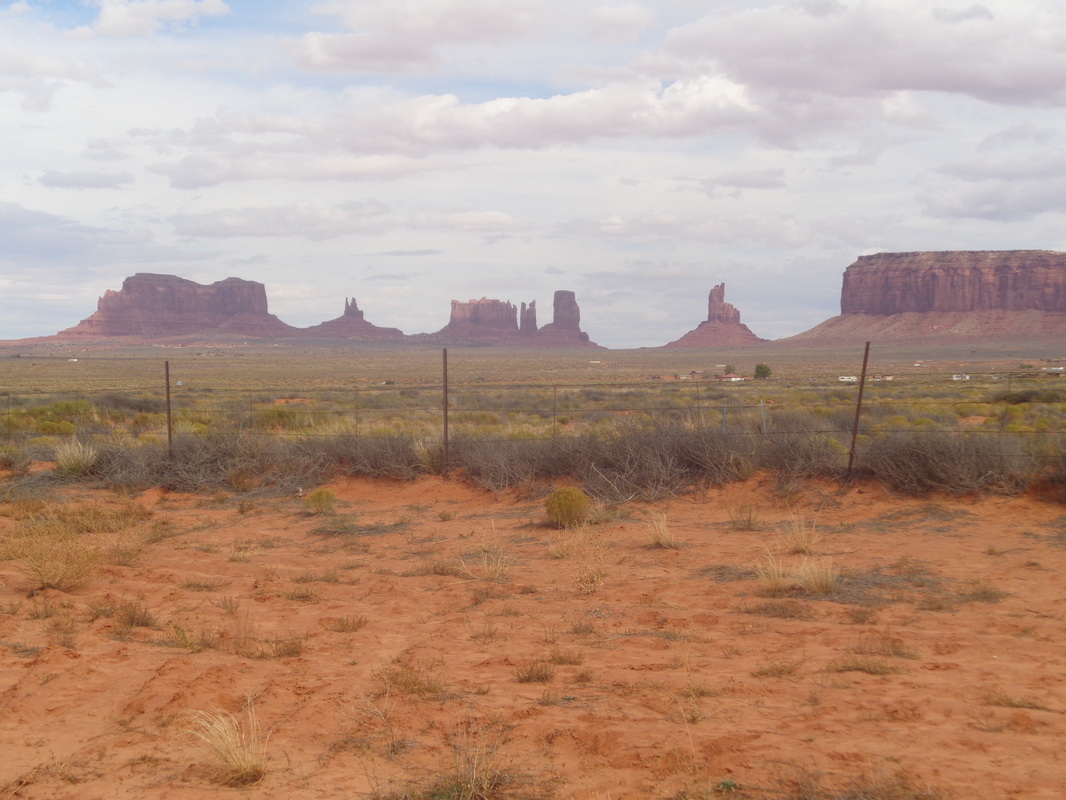
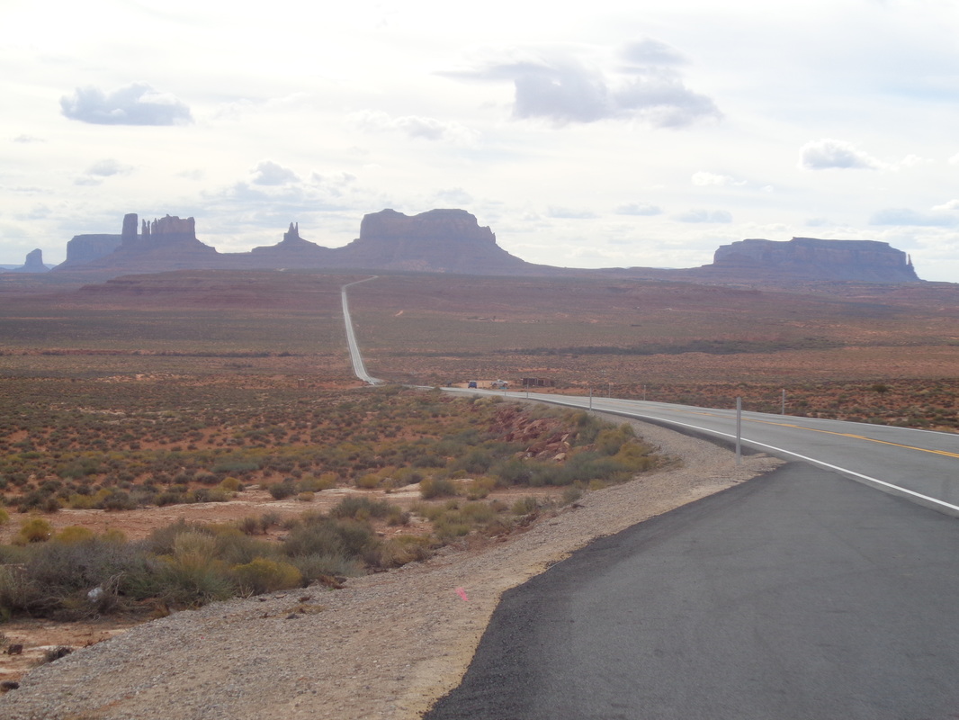
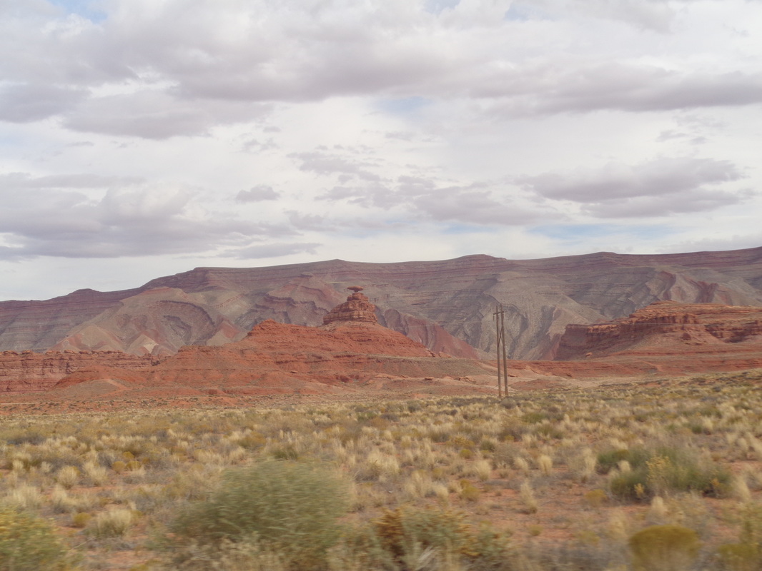
What?!?!? I was not glued to the tv for the 10:00am start of the MI v OSU game? I was obviously torn but the temp was forecast to be 76, I didn't want to possibly sit through the agony of a loss (even though I thought they'd win in a close one) and I hate an inactive day so...a short drive on Skyline, left on Avernon and bingo. I am at the parking lot looking at today's destination, not Finger Rock which can only be reached via a rope but Finger Rock Guard, 4 miles distant on the right. A rough idea of the route, hiking steeply up while staying above a canyon kept to the left, then down into the canyon and up to a saddle, hang a left and take a circuitous route through spires to the top of the Guard. I'll gain 3300' while covering 4 miles. It seems like the elevation gain is greater than that. For your reference. I've not been to Prominent Point. Entirely off trail but probably will give that a go. I read a description that said toward the top of that the area is populated by an abundance of rattlers. Probably all in hibernation now. The trail follows, sometimes closely, to the rim of the canyon. While the trail is called "Finger Rock Trail" it goes to Kimball Mountain instead. Every time I have hiked this, I run into people who tell me they are going to Finger Rock but are oblivious that at a broad expanse of slick rock, you leave FR trail for a spur trail that leads to FR. Today was no different. I took a break at the head of the spur trail and ..... ...how about that, another Tarantula, my 2nd sighting this week. A couple came along and said they had seen another farther down the FR trail. Oh, I also had a snake slither in front of me but it was harmless. The aforementioned spur trail plunges into the canyon and then climbs steeply up the other side toward the above saddle. Reaching the saddle, great views northwest with Table Mountain on the left. It was a cloudy day so views were muted. Oh boy, time to resume the climb. Sometimes a slight trail, sometimes not but watching for the small rock piles to indicate the way. Geesh, a couple of steps and there was..... ....another Tarantula! Must be the time they are moving south for the winter, from one side of the trail to the other? I always watch where I put my hands when climbing but became especially vigilant. Kind of a neat area at the base of a spire. There in the middle is Finger Rock and to the left, a 15' wall that must be climbed to go forward to the Guard. Lots of people turn around here but so worth making the climb. I can't make a step to a foot hold so roll a small boulder to give me a 1' advantage. Eventually, I come to another wall and climb it too. Very careful as a fall would be bad. I scramble higher and there are unreachable spires to the east. Throughout, my wonderful wife had been texting me game updates. I sat to enjoy a snack and turned on the game, carried by a Tucson radio station. Not good so I turned it off. As you sit on top of the Guard, you stare directly across at Finger Rock but it blends in so well with its surroundings, it is difficult to make out the outline of it. Actually, I navigated my way to the wrong spire and could see a pile of rocks indicating the summit register on the adjoining spire. Oh well. I made my way down the steep slope to the canyon bottom when the Buckeyes scored to tie the game and send into OT. I climbed the other side to reach FR trail and headed down while listening to the ESPN broadcast. When Curtis Samuel scored for the win, I shrieked, "YES!!!! A few hours later, I found the edited replay and watched the game, of course. Finished with 8 miles and 3800' of climbing. You Ohioans are encouraged to attend The Cycling Club's Winter meeting, Tuesday, the 29th, held at the restaurant "Mellow Mushroom" in New Albany, close to where we park for our Thursday evening rides. Last winter saw perhaps an unprecedented upgrading of machines among the cycling elite of central Ohio and this year, it is the turn of the cycling ordinaries. First some background info. The Newark Mafia had Flyin Tuna's garage under surveillance, waiting for the opportunity to strike. Noticing the garage was left unlocked and old but somewhat valuable bikes were inside, they struck!!! One night they crept into the garage and rode away with the goods; a road and gravel bike. Today, the replacement gravel bike was unveiled with the new road bike to come soon. Somehow, I thought the big Thanksgiving ride, at which over 150 cyclists came out, began at 11:00am. Great start time with temp in mid 60's and riding in the 70's for most of the ride. Alas, 11:00am was the estimated finish time. I didn't realize this until well after the ride start so frustrated I wondered, what to do, what to do....do a hike I've not done before! So I drove to the Gordon Hirabayashi parking area at mile 8 of the Catalina Highway, geared up and shoved off at about 10:30am. At the top of a ridge, the above view unfolds. The trail to Sycamore Reservoir descends, steeply at times, until the canyon above, populated by trees whose leaves are turning. The dam still works but gunk is filling the reservoir so the water depth is not much. The excess flows into the canyon beyond but it is hard to get a pic of that unless I climb over the protective concrete wall and scale a cliff so no time for that. I've got a lot of miles and some route finding ahead of me In the distance, my destination, Thimble Peak. It is a prominent point on the skyline from various points around Tucson and it has been a goal destination since I first visited the area. I retrace the 50 yards back to the main trail and continue to follow it for about half a mile as it meanders parallel with a dry stream bed. I knew to watch for a large stack of rocks (cairn) to signal when to exit this trail left. I find it and follow an obvious trail to the Bear Canyon trail where the spur trail I am on dead ends. I make a note not to miss this spur trail on the return because it would be easy to do. Turning left, the BC trail is gently rolling as it heads toward the above ridge. Always interesting rock formations along the way. I arrive at a flat, grassy area called Thimble Flat. The Bear Canyon trail begins to rotate away from Thimble Peak but prior to that, there is a large pile of rocks indicating it's time to hang a right. The trail now is hard to follow and at times.... ....it seems like the original route pioneer missed a great opportunity to shift the route just a few yards higher which would have yielded great views into Sabino Canyon. While the route is hard to follow.... ....the destination is obvious so just keep trekking up. Oh wow. Reaching the base of the peak, there is Sabino Canyon on the right and to the left of it, Blackett's Ridge. Many times I have hiked to the top of that and looked at Thimble Peak. I was thrilled to have finally made it but now the peak itself.... ....there are two peaks separated by a chimney. I took off my pack and began the class 4 climb. Doable even by a non climber like me but there was a spot that I could climb but getting back down it without someone below to help with a foot placement.... I circled around to the west side of the south peak and found another chimney but it too had a couple of places where there were no hand holds and a rope would be required. With a rope it would be easy but I had no rope nor the means to attach one above me. I read there are some anchors left behind by climbers but I needed a climber with a rope to attach to the anchors. Oh well, I retraced the route, walked right by that spur trail about which I had warned myself earlier, discovered my mistake and kept going, eventually running into..... ....this little guy. I reached my car with 10.6 miles and about 2600' of climbing. As I cruised down the highway I.... ....was stopped by the above. Soon, he pulled out of the way and collected a SAR person and a Sheriff's car pulled in line too. We continued down the highway for awhile and then saw..... ....a helicopter. Must have had to transport a distressed hiker. So, I'm tailing a car going 1-2 mph below the 35 speed limit. I see a cyclist approach from behind and he passes us both on the left. Guy was flying. Eventually, the car pulls to the side to allow me around and I speed up to catch..... ....the cyclist. By far the fastest descent I've witnessed as I had trouble staying in contact. Then.... .....I passed a couple of busloads of UofA football players, headed for an over night hotel stay to get ready for their rivalry game against AZ State on Friday. Even though they are the home team, they stay at a hotel the night prior to the game. What a beautiful day and tomorrow, Friday will be great with sun and temps in the upper 70's but a cold front is coming, yuck. After Monday's day off, I rode a 45 mile route on Tuesday to get ready for the big Thanksgiving ride at which 100 cyclists are expected. On Wednesday I hiked a simple route out of Honey Bee Park which included a walk to the base of an old dam... ....where someone hacked an opening through it. The damn was constructed in the early 1900's by sheep ranchers Following the wash, the canyon walls creep inward but also lose elevation until you..... ....emerge into open desert. Although it seems you are in the wilderness, the canyon/wash is surrounded by developments with more under construction but they won't encroach on the park, preserving the wilderness experience. Somewhere in here are the remains of a Hohokam village who populated the area in AD450-700. The location is secret as they explore the remains. By the way, regarding development, 55% of AZ is owned by the state and local government and will never be developed. Including tribal land holdings, the percent jumps to over 80%. Less than 20% of the land is privately owned and there is plenty of it for future development so make your retirement plans to include AZ. If you are active, it is far better than FL but maybe a bit behind spots in southern CA. Despite the awesome natural beauty, there are some plants that only a mother could love. Rain moved through the area over night and into the morning on Monday. The Newman Peak hike beat me up a bit (it's not the climbing but the descending) so I welcomed the day off. With clouds hovering over the mountains, I decided to take a late morning drive up Mount Lemmon. The clouds thickened as I rose through 4000' and then.... ....at 5000' I was getting closer to the cover. In the distance, shafts of light or rain could be seen. At 7000', I was at cloud level and it was neat to see remnants flow through the passes. Snow had been forecast for 9000'. It began to rain fairly hard here and just then, a cyclist coasted by, going down hill. Geesh. I drove on to 8000' but didn't think I could get above the cloud cover and didn't want to hit icy roads so turned around. The rain stopped as I gained on the desert floor but the clouds remained until late in the day when the sky cleared and sun returned. In the wilderness you see, approximately 50 Bighorn sheep have been inserted over the last two years. They are captured around the Yuma area and brought in to repopulate the Catalinas. Whenever a lion killed a sheep, a perfectly normal act, a hunter went in to track and kill it. Eight lions were killed in the last two years and yet there are still plenty so you understand why I am nervous when I go on these solo, remote hikes. Oh yeah, a bear was killed on Saturday, about 1/2 mile from where I was hiking in Madera Canyon. It had been showing aggressive behavior towards hikers for the last several months. See, you think I exaggerate the threat although I am not aware of anyone actually being eaten by a critter in many years so that is somewhat comforting.. I drove to Casa Grande to meet a group who drove south from Phoenix and who were in a vehicle that could make the rugged route to the trail head for Newman Peak. The distance, 2.5 miles to the peak, won't impress anyone but what quality miles we would walk. We cross a canal that takes water from north to south. And so it begins as Paul, Todd and Fan begin the trek. It was a good group as we were of similar fitness levels so no one dragged the group's progress. The difficulty of the route was enough of a drag. Rugged is probably the best adjective to describe the conditions and this was the "easy" part. Eventually we reached a point where.... ....a pile of rocks (center right) indicates where we should hang a left and begin a very steep ascent to a false summit (dispiriting) and then continue on. We work our way through shrubs, boulders, loose rock and then.... ....we were stumped as the final leg could have gone one of three ways up chutes. I scouted around a bit into the left chute, then the center chute and of course, the correct route was the right chute. Figures. Eventually, we reached the summit, which afforded fine views of Picacho Peak across I-10. This summit is populated by a variety of buildings with satellite arrays and a cell phone tower. After hanging around a bit, we began..... ....the descent as clouds were rolling in, promising rain later in the day. Finished with 5 miles and 2700' of climbing. That was slightly more than 1000' of elevation gain per mile for the 2.5 mile summit climb. Once home, I spent some time in the spa, after a glass of wine of course. With 15 minutes prior to the kick-off of the Buckeye game, the lead cyclists were scheduled to pass within 100 yards of our place so I walked out to watch. The first few groups had an escort around the 106 mile route. Then large groups arrived, part of several thousand to participate. More groups arrived and passed and then, well, time to catch the game. Big, big hike tomorrow. Weather not looking good for the weekend but Flyin Tuna, aka Cindy, has organized a ride from the Logan Conference Center, Logan, OH at 9:00am for a 60 mile ride. Other possible attendees are Steve O, Mark C, Jeff S. All are welcome. Also, Cindy, confronted with the long, boring winter, has decided to start knitting scarfs. Put your order in soon so before the cold weather ends (or before winter 2017 begins) you can wear a scarf that I am told will be very stylish and custom knitted from the finest fabric. Above are the mountains behind our place in AZ. I've been up to Pusch a few times. the Cleaver once, Bighorn once, the ridge between Bighorn and Table once but never to the top of Table. There is a good reason, it is a 10 mile hike with 4 of that off trail bush whacking up very steep slopes. Today was the day. Cloudy with a high around 80, light winds. I shoved off from Pima Canyon trail head prior to 8:00am. Although various sites say to follow Pima Canyon trail for 3 miles, my Garmin said 3.3 prior to reaching the point where a drainage came off the left side, indicating the time to plunge into the wilderness. Above, I used a red line to kind of show the route one must take. The image makes it appear to be a shallow grade but it is not. So, so steep and with no trail, it takes time to choose the way forward through catclaw, shindaggers, cactus, etc... The above is the point I left the trail and headed just left of the rock slab to access the drainage/canyon. I wondered, would the route take me up the left drainage or the right drainage with the slope of Table Mountain on the far right. It was to be the left, which meant a long slog once I reached the ridge and turned right to the peak. Typically, the bottom of these drainages are thick and overgrown with pointy things and today was no exception but there were a couple of sections that had slick rock that made the way forward easier, in spots. I came to this boulder field. Although risky, I prefer jumping around in here over slogging through brush. Nothing ruins a hike like stepping on a boulder and having it jump into a shin but I stayed on pivot points, and plotted the way up. I was carrying a hiking pole for balance and the machete. I was acutely aware that falling in here with a machete would be a problem. My plan was to fling it should I begin tumbling. Another slick rock area, always welcome and then, around the corner to the right and... ....a very steep ascent to a ridge where..... ...marvelous views to the southwest. The grass was thick and hid rocks so the going was very slow. I frequently checked a gps route I had downloaded last night. It is comforting to follow this but really, the person who posted the route had no special route knowledge, just get from point A to B to C as best you can. There was little evidence anyone had ever been this way before. However, there was plenty of evidence that 4 legged critters were around. Eventually, I reached this point that gave great views of Oro Valley to the west but it was sobering to know I had so much farther to go and so much more climbing. I considered turning around here but if I did not keep going, when would I? A couple of internet reports suggested staying to the east side of the Table as it narrows but I think, just staying in the middle is the correct approach. I take images where terrain and vegetation allows so naturally at those times it makes the hike seem easy. It is not! So many pauses as I try to figure out how to get over or around obstacles. I came to this steep, slick rock area and thought, this must be the final climb but it was not. More dodging around cliffs, boulders, Pinion Pines, etc... and then..... .....could this be it? The answer.... ....YES!!!!!! What is the appropriate verbiage to use in this situation of immense relief and self satisfaction.......as usual, it involves colorful language. Many hundreds of feet straight down but alas, I could not get a good pic to represent the drop. I walked to the rim and peered over several times but ya know, kept a few inches between me and the edge. Didn't want a mountain lion to surprise me and shove me over. I read there was a spot where people have camped and I found it. Not too far away I found an unusual pile of rocks and after pulling the slab/lid off the pile, found a plastic jar with a notebook and pen inside...the summit registry! Mine was the first entrant since February. Probably a couple others have been up here since then but maybe not. Difficult to see but there is a wildlife camera attached to the right side of the tree. Nice to know there is enough activity up here to warrant the placement of a camera. Well, time to go and I began the slow and long process of navigating back through the wilderness. I was relieved to reach this point where I could see where I needed to plunge back into the drainage, just to the left of the rock outcropping, center right. 10 miles and 3700' of climbing. Hard, hard hike made so not by the distance or the elevation gain but by the super bush whacking, off trail part of it. My total time from the parking and back was 7:30 so very slow but again, it's the conditions, not the distance. Dawn, Superior, AZ. With a forecast high of 79 and an average daytime high of about the same, I am perplexed that practically all the hikes and bike rides still are scheduled for sunrise departures. The upside and maybe part of the reason is the sunrises are spectacular. Across State Route 60 is the Superstition Wilderness but we are on the south side of the highway.. We rise through the foothills of Picketpost Mountain and are rewarded with stunning views of the "Supes". Directly to the west, more good views but a bit subdued compared to what is north. Our group is comprised of.... young and old, men and women and a dog that acquitted itself well on what is a somewhat treacherous, steep and exposed trail. At the trailhead, we invited a woman from Switzerland, Anette, to join us since we had shared goals and with her came "Paux" her dog. We got spread out a bit as you can see some of our group in the bottom left of the above image. The trail, which is kind of difficult to follow at times, crosses..... ....narrowly over significant drops. The pucker factor causes me to shift my center of gravity toward the mountain. I was leading the way but missed a turn and rather than climb up a left chute, I found myself mucking around in a bush covered right chute. I decided to head north and try to regain the left chute. Turning, I was greeted to more fine views and eventually, stumbled on the correct route. Behind me, the group, led by Reed, an experienced Picketpost hiker, made the correct turn but another guy, Andy did not and he too wandered in the thicket before also escaping via the left chute. The trail continues to climb and once at a ridge, climbs some more where eventually an opening in the rocks reveals the incredible scenery to the south. A final slope to traverse and then..... ....I'm at the summit with the city of Superior in the distance. What a marvelous place to be at 8:40am on a Sunday morning. Winds are light and spirits are high as the others, sans Andy who is still fighting the bushes, arrive. Way, way in the distance, about 70 miles south, is Mount Lemmon and the surrounding mountains. We gathered our stuff and began the trek down the mountain. We passed Andy, who had extracted himself from the canyon and was completing his journey to the peak. In places, the trail is very sketchy. Difficult to follow and footing unsure. I heard a yell above me and looking up..... ....Anette had slid into a cactus. She asked what she should do and I yelled, "Don't try to pull it out." because as soon as you attempt, now both face and fingers are attached. Sliding/stumbling into a cactus is omething we have all done but this was more serious as a large cluster had penetrated the side of her face and shoulder. Her dog looks on, concerned. Fortunately, one of us had gloves and that, coupled with needle nose pliers, extracted the cluster but left 20ish needles embedded in the skin. As we waited, a couple of guys from France passed through. Way in the distance, Superstition Peak and Weaver's Needle. Anette, part porcupine now, was unable to shoulder her pack so I inserted her pack into mine and we were good to go. However, the left and right zipper were zipped to the top of the opening in my pack and that is always a mistake. Both zippers should be pulled to the bottom right or left We soon arrived at the top of a steep wall that leads us through the cleft in the ridge above. Too steep to stand, I sat at the top of the ledge and at that point, Anette's pack was kind of jettisoned out of mine, now laying on the rock behind me. Of course I was oblivious to this, distracted by the need to "butt hike" the slope. We arrived where the slope moderates and..... ....finished the down climb. How I did not realize I no longer had approximately 20 pounds in my pack is a statement to obtuseness or something. Geesh. I hung back so if she needed water, she could access it. Awhile later, I finally realized something was amiss and said what is common in moments of revelation when you realize you have to climb back up the mountain cause you lost something. I apologized for my language, dropped all my stuff and headed back up. It's not the climb it's the concern I would fail to accurately retrace the route because there are 2-3 different ways to go. I found the wall and there was Andy, standing next to the pack, wondering what he should do with a pack that is without a hiker. We worked our way through the obstacles and reunited the pack with owner. Finished with 5 miles and 2300' of climbing. It is a 90 minute drive to home, a long way for such a short hike but it's the views, the adventure of the route, etc... that justifies it. Eight of us collected in a full parking lot at the Pima Canyon trail head. Sunny day, high around 80, light winds. After hiking 2 miles on trail, we would head off trail so I wondered what the two people in the foreground were thinking, wearing shorts. They regretted their decision later. Above is some of the off trail portion of the hike to our destination. We followed Pima Canyon trail for the aforementioned 2 miles and then plunged into the thicket. Not today's destination but to the north is Table Mountain. The undergrowth was thick but not too bad. Nearing a ridge, at which we would turn right/west, I could see I was almost there. The others were not too far behind as Bruce tool a picture of the other following him. Arriving at the ridge, the views to the southeast were neat. The others arrived. I had acquired some cactus needles in my left knee so spent a couple of minutes yanking them with a pair of tweezers, which everyone carries in their pack. The next phase was climbing through the above wall. Kind of sketchy and some exposure but I made it. Meantime, my companions took an alternate route that avoided the climb, which is understandable but I wanted to see if I could make it and then..... ....waited for them to regroup. The actual Rosewood Point is just a small area of slickrock, just beyond the above. We stopped to eat and refuel but they were taking too long for me and with the Buckeye kick-off coming soon, I checked with hike leader Steven on the way to go.... ...which I thought was down climbing through that cleft to the left of the large cactus. I was wrong, the correct down climb was farther along the ridge. Looking back, I don't know how I made it through that wall but somehow I did and kept on, zigzagging down through the brush and eventually made it back to the trail. I hustled along the trail but looking up, I could see my group standing at the ridge, preparing to drop down, quite a ways south of where I dropped. How bout that, made it back just before kick-off. About 6 miles of hiking. My week away saw the lingering late summer heat swept from the region. It was actually under 60 degrees for the start of our dawn hike in the Tucson Mountains to Golden Gate Peak. Nine of us followed a flat to gently rolling trail. We would cover 5 miles of this before reaching the base of the peak and then a tough, off trail hike to the top. A Crested Saguaro in a sea of cactus. The peak comes into view. We would climb approximately 1400' in less than a mile so kind of steep and the traction was difficult. Some where in there is the route as we climb but the effort is rewarded with..... ....great views including the road over Gates Pass, far below us now. The Santa Catalinas came into view in the distance. I reached the top of a ridge and was disheartened to discover, it was not the peak. I plowed on. Winds were strong today and grew in strength as we rose in elevation, of course. Awesome views from the peak but the wind was gusting above 50mph so I..... ....hunched behind a boulder to sign the trail register I found in a bottle. Soon, the others.... ...joined me, taking the obligatory images. We stayed briefly and began the 6 mile return where several times.... ...we were passed by people riding mountain bikes. Easily the most ridable trail I have hiked. Finished with just under 12 miles and 2200' of climbing. Good hike. After 13 hours of driving, I stopped in Glenwood Springs, CO. Scenery is great as I departed as the sun was rising on Monday. Following I-70, the rode is similar to the I-77 stretch through WV. Dared not take my eyes off the road for more than a glimpse. Reaching the high point of the Rockies, snow was on the slopes. I passed through Vail and Leadville but too quickly to take it in. Nearing the end of the scenic portion of the route. Once before I stayed on I-70 through Kansas, MO, etc.. but that scenery is really boring so I decided to go a little north to I-80, which runs parallel to I-70. This is eastern Colorado along I-80. Miles and miles of nothing but miles and miles. Just when I thought it could not get worse..... .....I entered Nebraska. Nebraska makes Kansas seem intriguing. Similar to staring at a computer screen of a grey ribbon with brown on both sides for mile after mile. The highlight of Nebraska was.... ....passing beneath the above. Sensory deprivation began getting to me. This is Iowa. Mile after mile of the above. I planned to drive straight through to home but had to get off the road so stopped in Des Moines, IA for the night. Crossed the mighty Mississippi River. Probably the highlight between the Rockies and Ohio. I got off I-80 and headed toward I-70 in Indy. This is northern IL. Ugh. I was glad to make it home on Tuesday and spent the next few days, raking leaves, mowing, splitting wood, etc... and so, on Monday I return to Arizona!!!!! Gus Cook has announced a ride from in front of the New Albany Starbucks, 9:30am with a conversational, B pace promised, several regroups, during a 50 mile route. I drove an extra car to Ohio and also to rake leaves, mow grass, etc... Having previously driven direct routes that takes one through TX and the other through northern TX/NM, I decided to add a few hours for a scenic alternative. I head north through Phoenix and then farther north, there is the hint of Sedona to the west (pink rocks). I head east on I-40 and pass through Flagstaff. Now headed toward northern AZ/southern UT and Monument Valley but first..... .....make it through Tuba City, AZ and the scenery really is great. In the middle of no where, there are these two prominent features. The road continues while passing amazing rock formations and then.... ....a glimpse of the awesomeness to come, to the north the first view of Monument Valley. Wow but then..... ...wow cubed to the 5th power. The pics don't do it justice. Amazing. Now north of MV, the strip of asphalt follows the route back from where I have come but I have miles to go before I sleep (apologize to Frost). I pass through Mexican Hat (note the flat rock on top of the pillar). I wish I could have stopped. There was a cool looking open air restaurant there. Actually, no good reason why I could not stop but wanted to reach CO before I stopped for the day. I reach I70 and go east toward Ohio but first stop just west of Denver for the night at a Holiday Inn Express. |
Categories
All
Archives
November 2023
|
