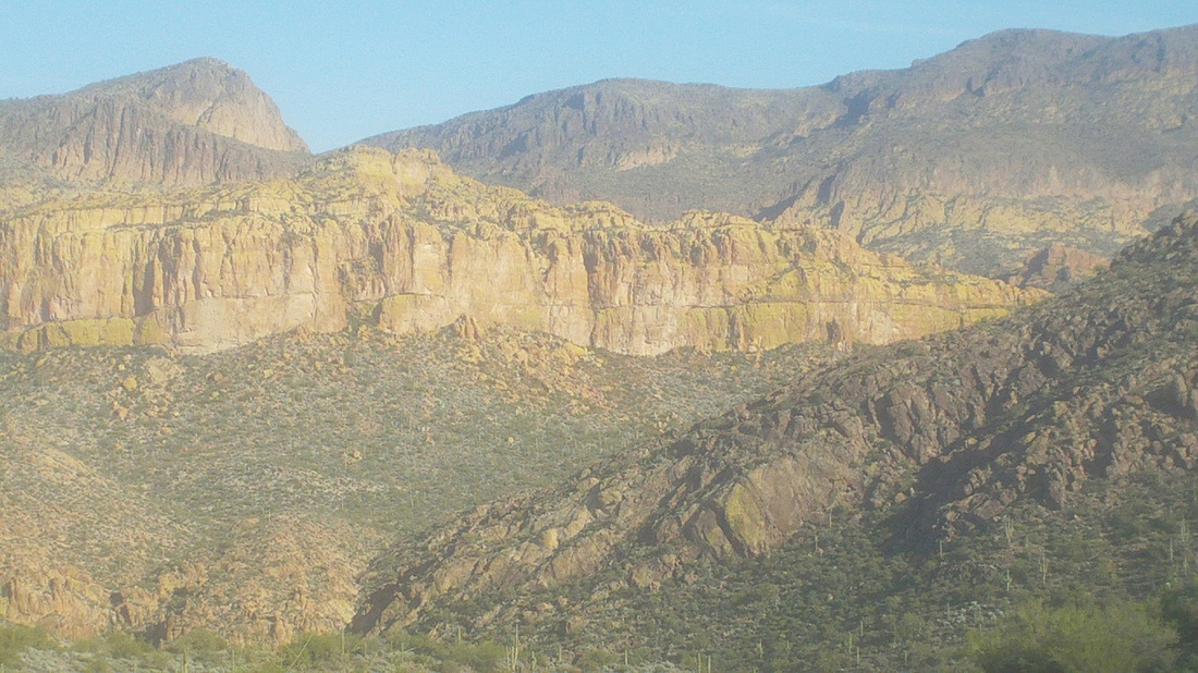
Probably 90% of the time I begin a hike, the objective, a mountain summit, is clearly visible in the distance but that is not the case with Battleship. Leaving St. Rt. 88 and following a dirt road for 2.6 miles, I arrived at the well marked trail head. Doing research for most hikes in AZ, one consults the www.hikearizona.com site which is a wealth of info but many of the reports are 10-12 years old and things change. More on that later. The above image was taken a few miles into the hike and Battleship is that yellowish rock in the middle. The mountain is accessed to the south (right) side and the 5 mile hike to it is unremarkable, if not boring. 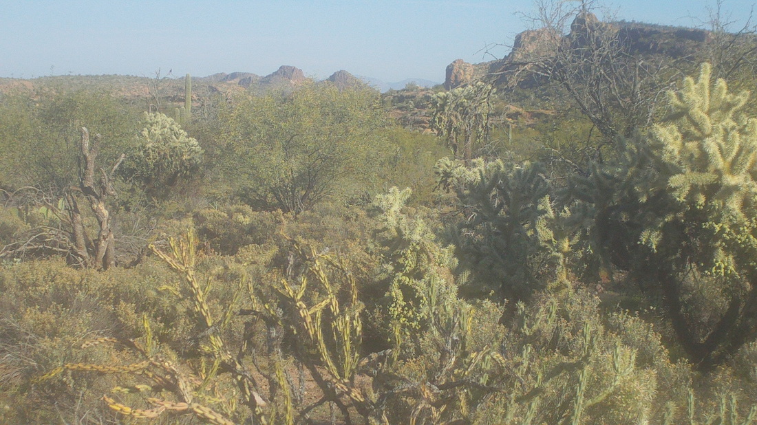
Thursday, the sun was out, as usual, the temps were in the low 70's, light winds, a great day for a hike. 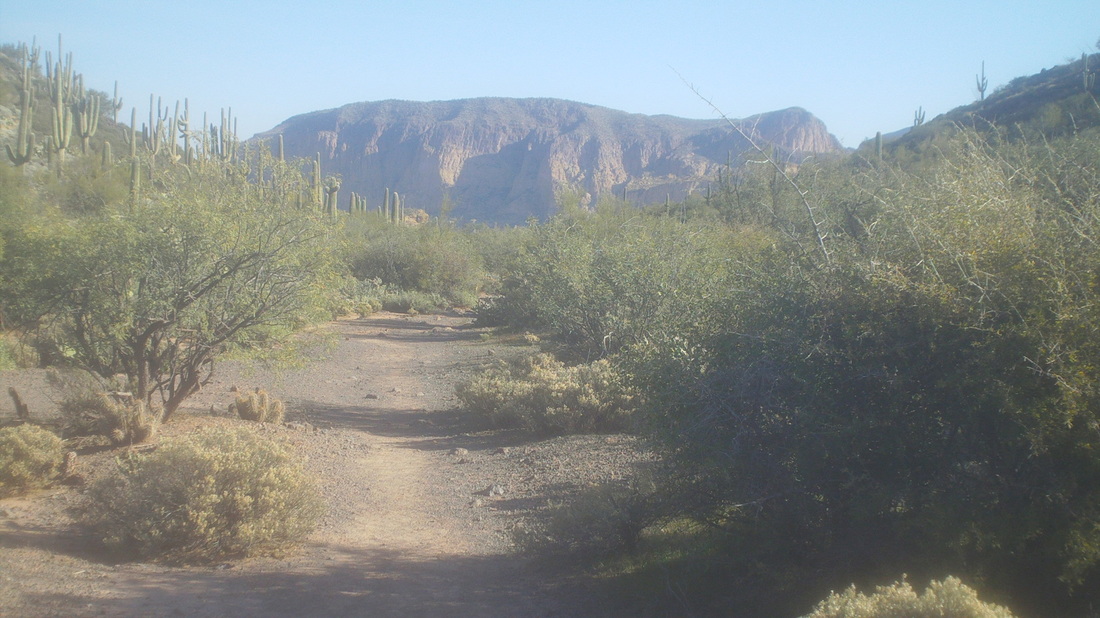
From the First Water trailhead, a short walk and a left put me on the Second Water trail and 1.5 miles later I reached a sign for the Black Mesa trail. Here, I made a left and then, confronted a fork in the trail that had not been described in any of the 5-6 reports I had read the night before. Hmmmmm, what to do, what to do, I stayed straight or right, which turned out to be the correct guess. The trail goes through "Garden Valley", and the trail was smooth and thus I made good time. 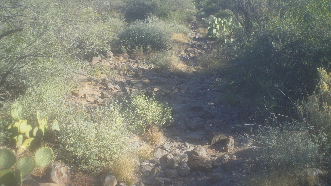
The trail began to descend and I was faced with this rocky road that kept my eyes glued to the trail. The grade steepened and soon I was walking along the edge of Boulder Canyon until I reached the bottom and a pleasant area with running water. Climbing out of the canyon, I came to another revelation, a "T" intersection. Turning right, the trail eventually dead ended back at the creek, more time wasted. Retracing my steps.... 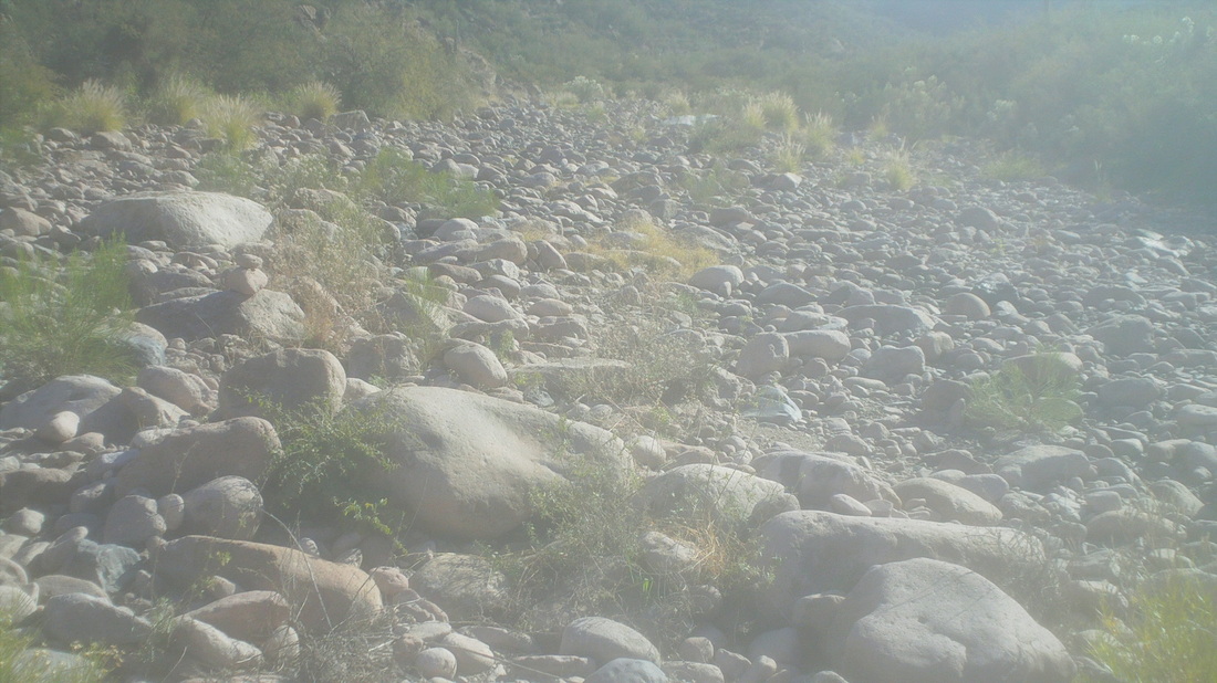
.....the canyon spilled out to this broad creek bed where cairns led me to the right. There were several stream crossings but steadily, the Battleship (unremarkable throughout) descended on the left until, I found a couple of spots left of the trail that were marked with cairns..... 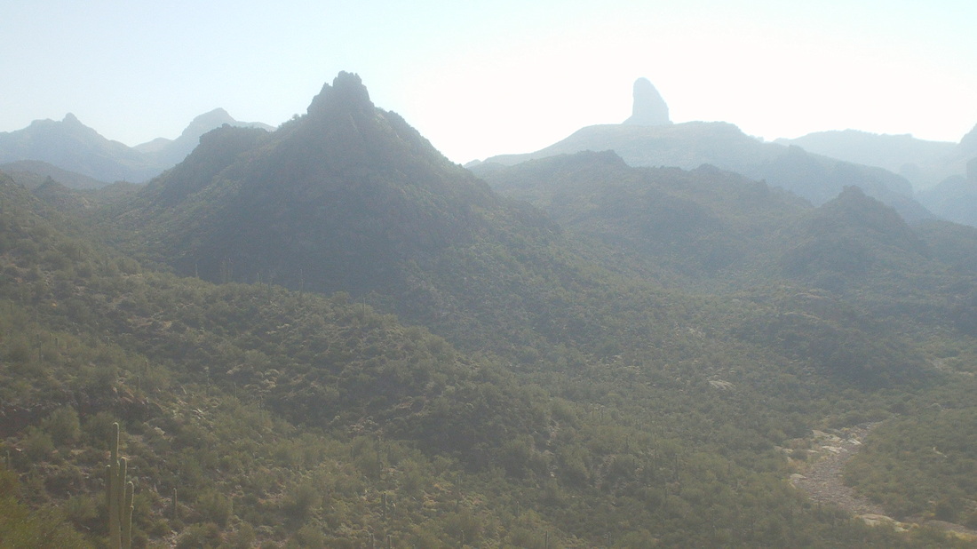
....and began climbing up towards a ridge. Dang, what incredible views, making it all worthwhile. To the bottom right, the creek bed from which I had emerged. That's Weavers Needle center right. 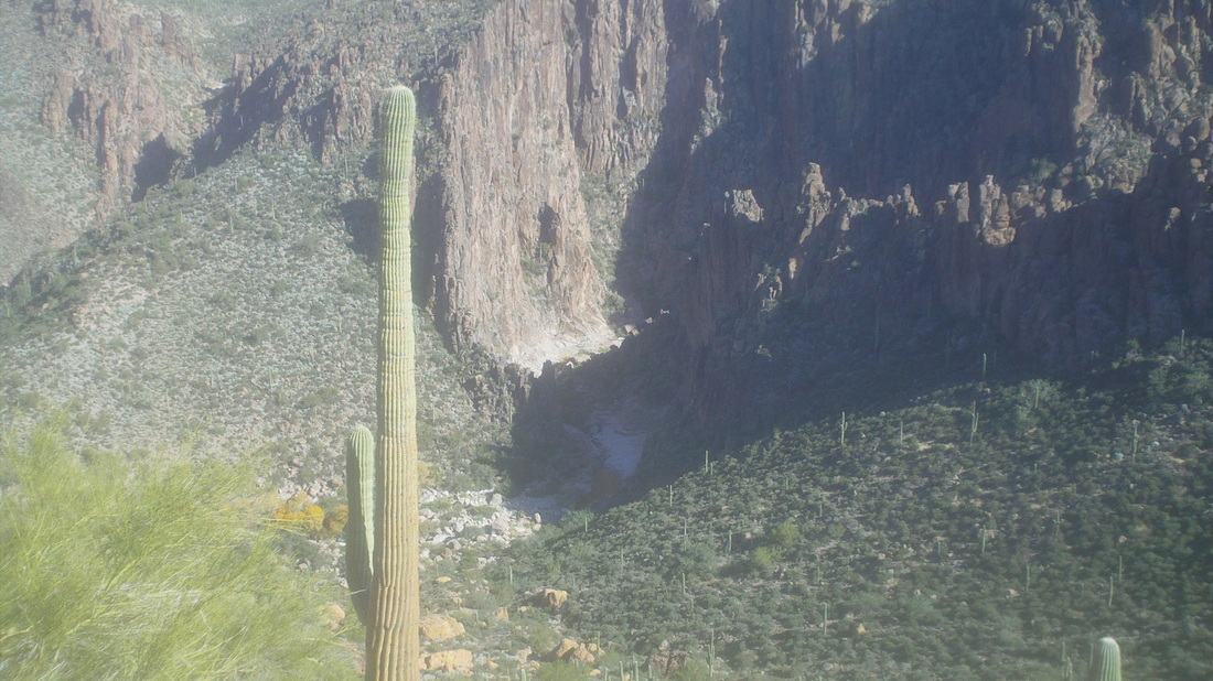
Reaching the top of a narrow ridge, I had grand views into LaBarge Canyon, where it enters a very cool "S" curve slot canyon. 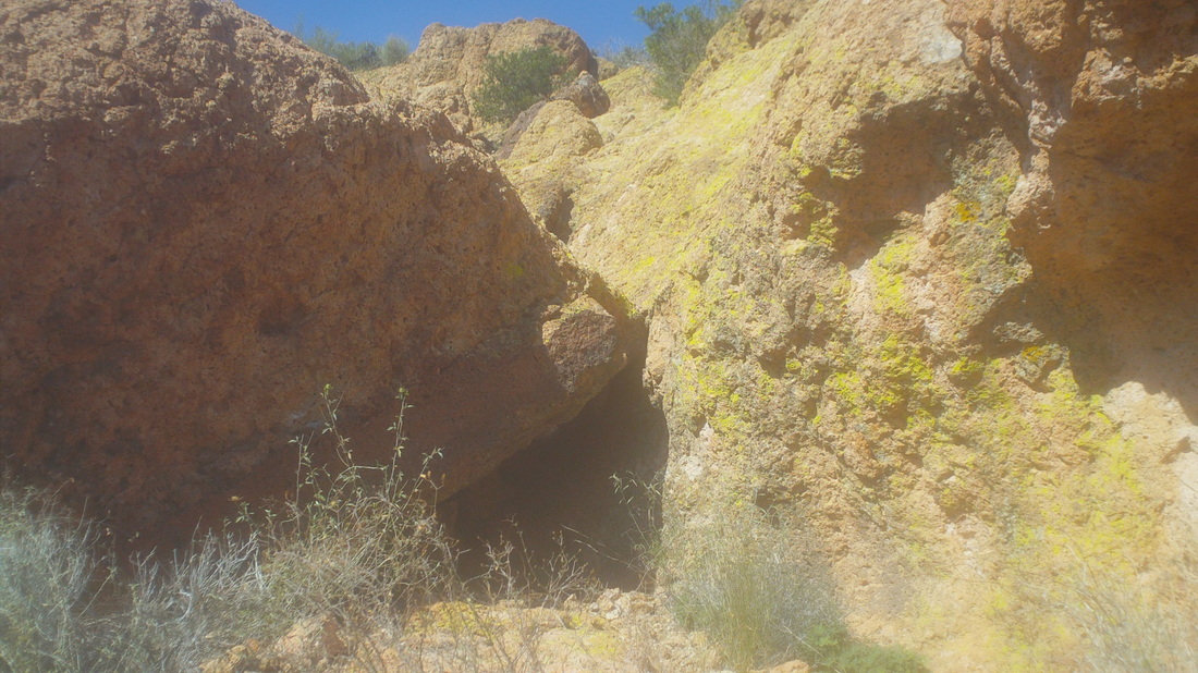
Hike reports described an "alcove" as the place to begin a steep climb but I did not initially recognize the above as being "that" alcove and continued to the left where...... 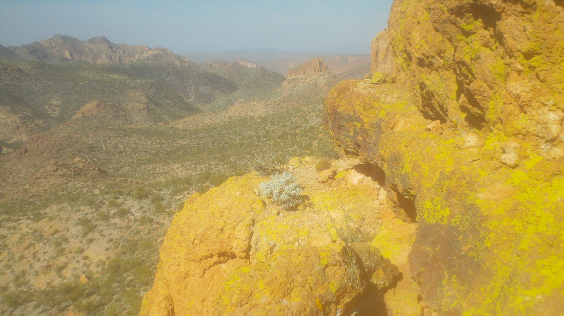
....the trail kind of cliffs out. Whoops, this can't be the way and so I again retraced my path and.... 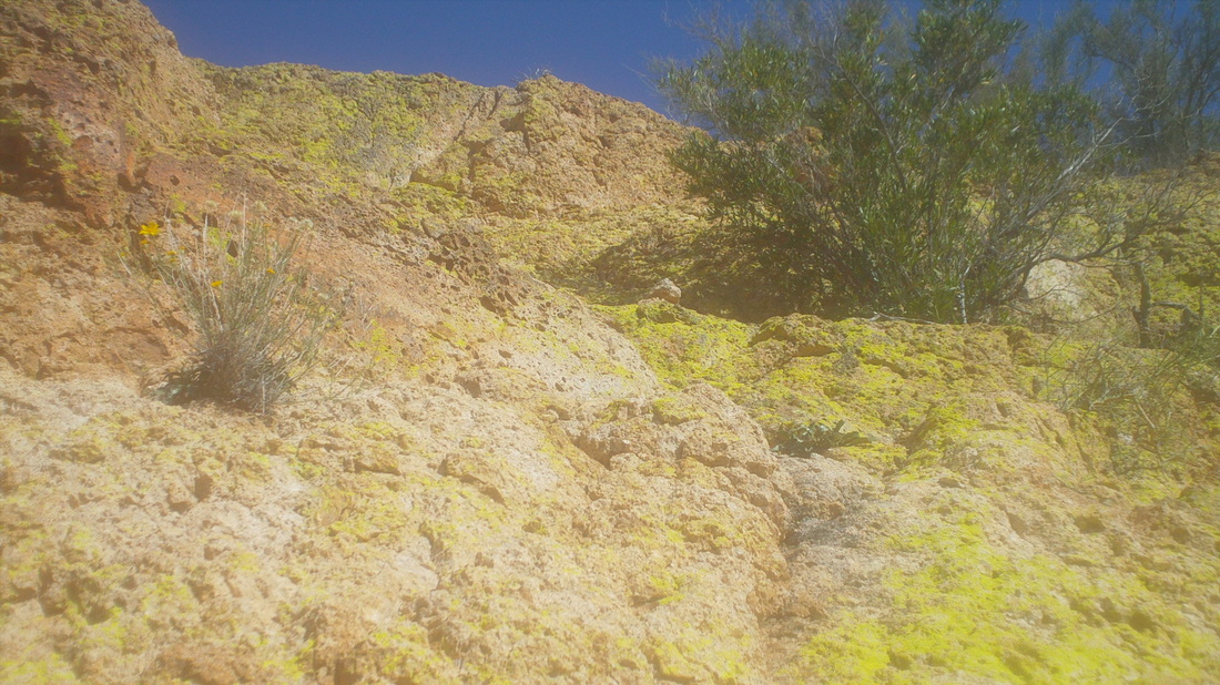
....stared at a 20' wall. Hmmm, then I spotted a couple of cairns and concluded, groan, this is the way. Three years ago, when I first began hiking out here I would have never attempted this but now, eh, wasn't difficult at all, just didn't look down. 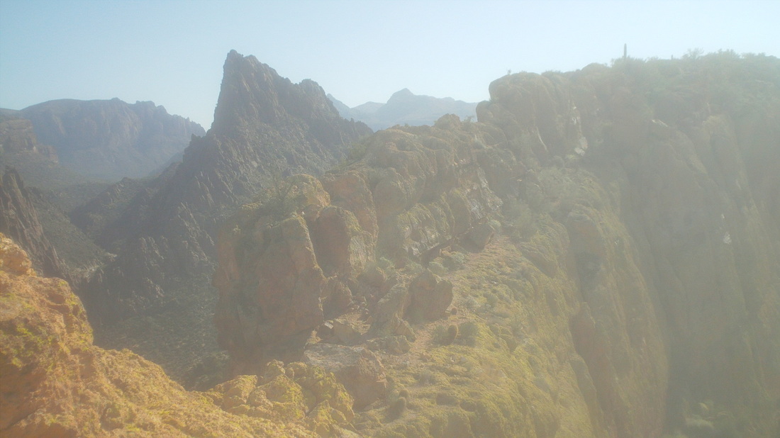
I can't articulate how much fun it was to follow the top of the "ship", very narrow in places with several hundred foot drops on either side. Exciting stuff. 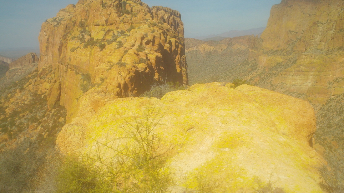
Oh, came to kind of a scary spot, there in the middle but I dropped to my rear and scooted across, not looking down again. OK, I did look down and whoa, don't look down again dummy. 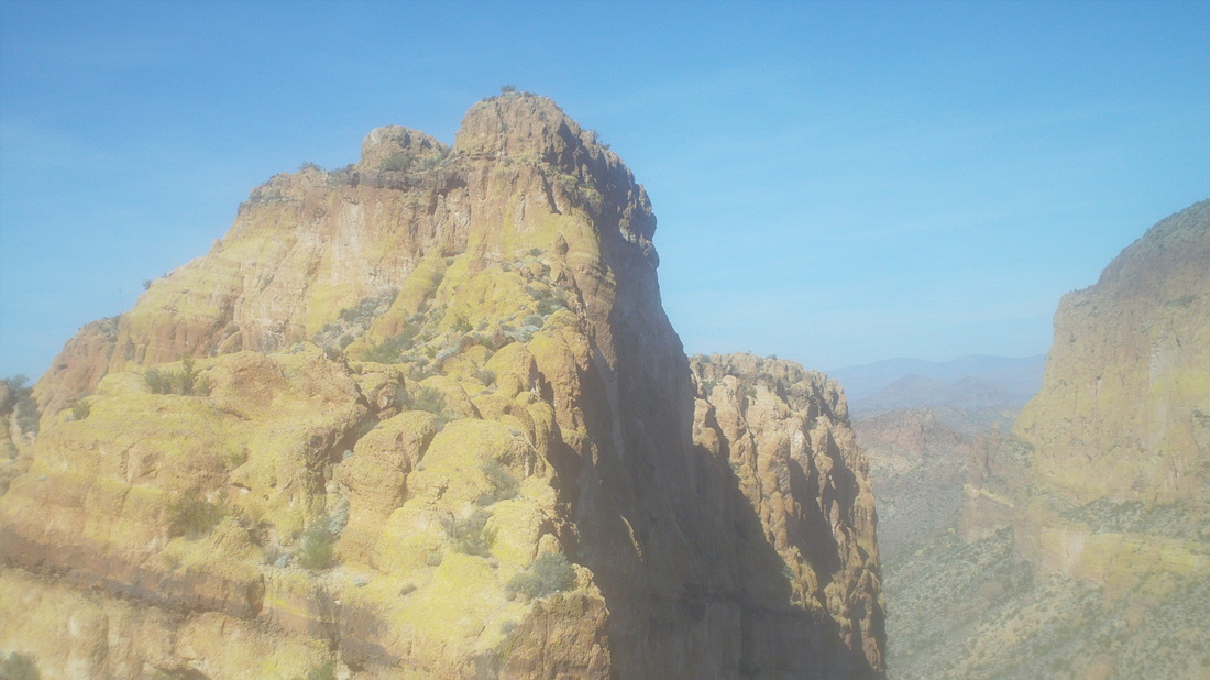
I missed a drop that dipped below the ridge on which I was walking and promptly walked to a dead end. Here, I looked at the final climb, looked at my watch and decided, I had to turn around. So close but finding my way through that could take another 30 minutes and I just could not risk getting stuck out here without a light. 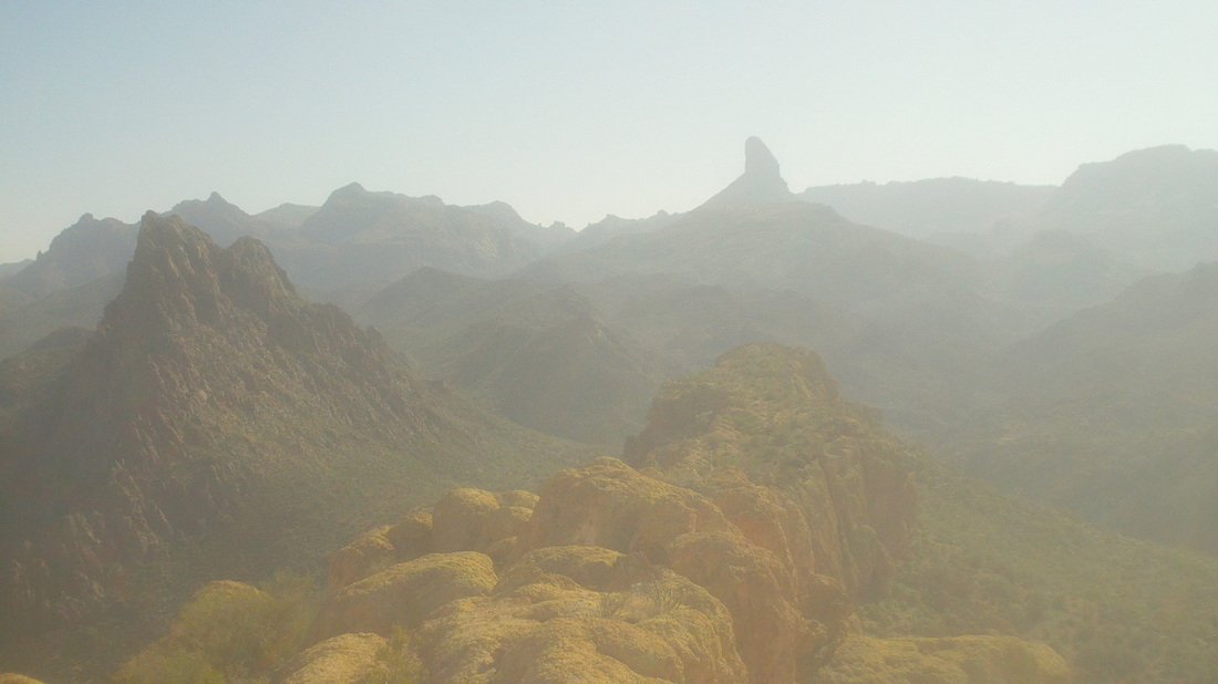
The way back was obvious since the "ship" was so narrow but it was not without some route finding, including.... 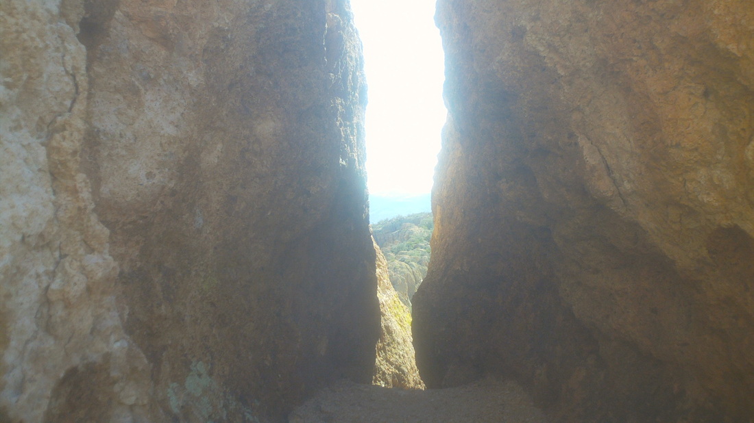
.....this very narrow slot. I have a 33" waist (ok, 34" probably now since all I do is eat out here) and I was scraping all the way through. A man or woman with maybe 36+" waist or a woman with....well, I can't guess, may have an issue with this passage. I made it back off the "ship" and began the long slog back. 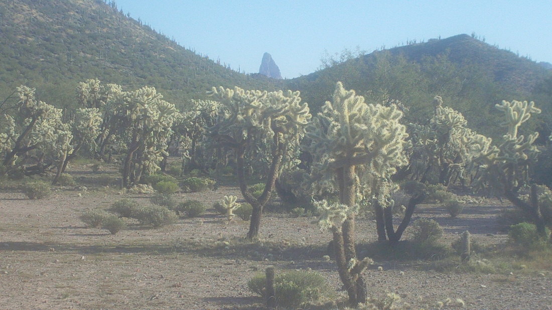
Walking back through Garden Valley I had a cool view of the top of Weavers Needle. Finished with 12 miles and beat sunset by over an hour so guess I could have made it to the summit. The good news is the prestigious "TLC" hiking club is doing this hike on Saturday and if the forecast rain moves through, I can reach the summit with witnesses.
0 Comments
Leave a Reply. |
