|
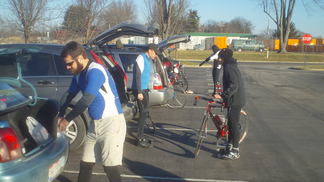
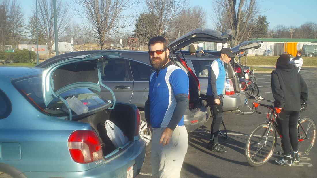
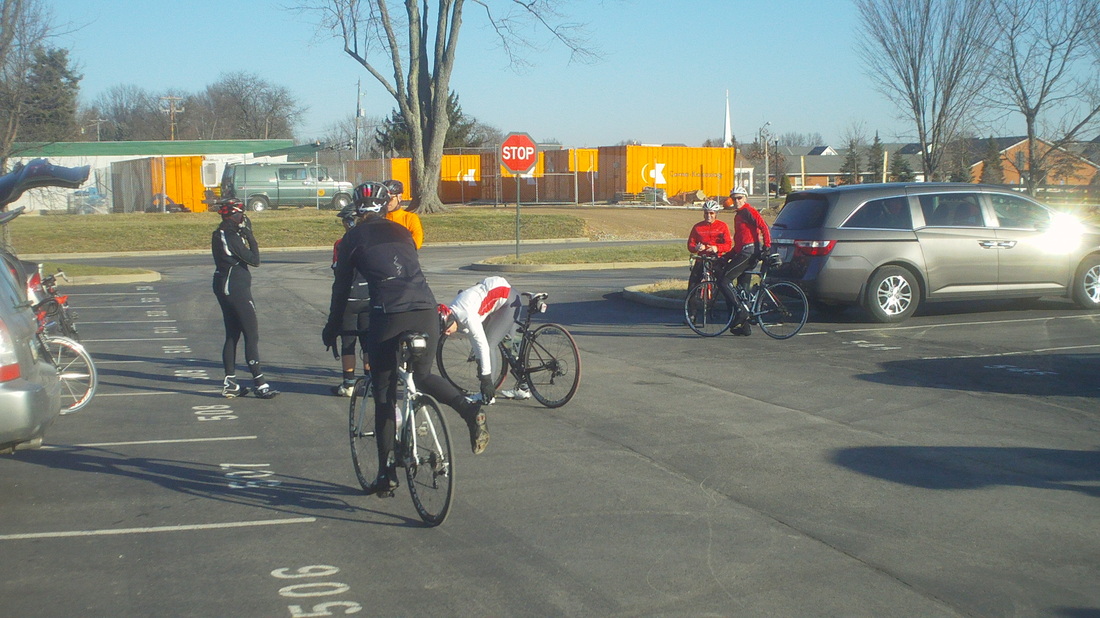
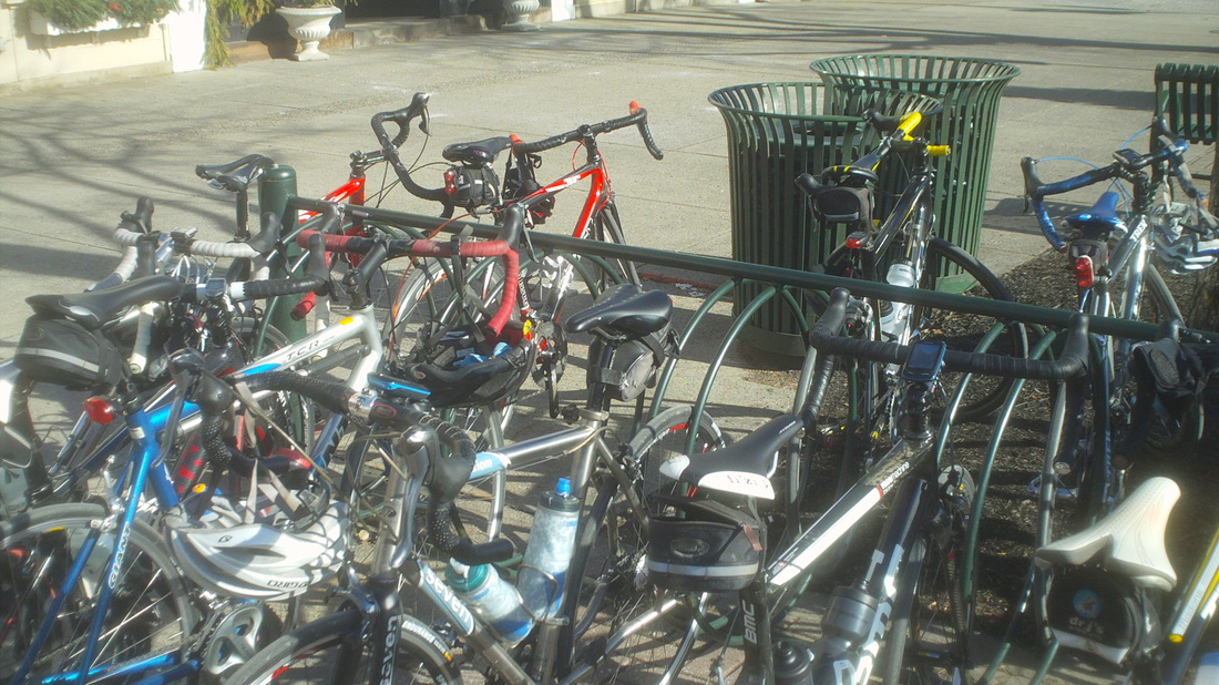
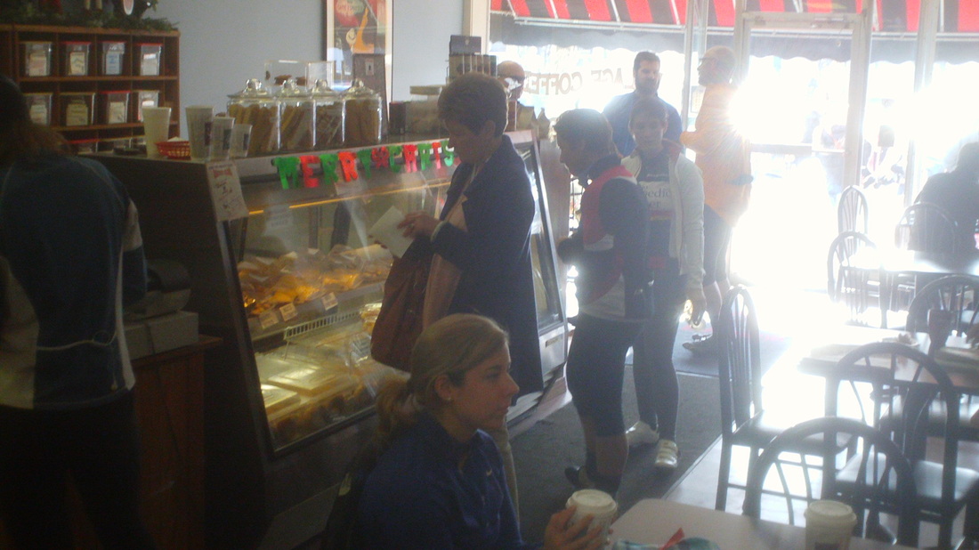
Ryan Roe, Steve Oxley, Kenda Janet and Kenda Paul, twelve in all, prepare for a nice route of 47 miles to Granville and back. Of course, everyone was overjoyed at seeing me again. The emotion was somewhat analogous to seeing your first born for the very first time. Tears were flowing but that could have been from the strong winds, not sure. Not satisfied with a beard that would make a mountain man proud, Ryan says this look is but a way station to...... ....a slightly more complex look. Yes, it will take many years of grooming but he is committed to the project. Meredith was here, along with Dustin aka Old Chubb, Flyin Tuna, Mitch the Engineer, Kenda Dave, Amanda and Jeff S. We shoved off at 10:00am and headed out Walton's Parkway, Beech, Jug, Burnside, Miller, Duncan Plains, Castle and east on Concorde. We regrouped a couple of times and reaching Northridge, an offer was made to those who wanted, to go straight on Hardscrabble and avoid the Stone Quarry Hills. Surprisingly, only one person selected this option so the rest of us hit SQ. Towards the final climb, Dustin, Steve and I got away from the others. I was pedaling along side Dustin, setting him up for the Summit Kill Shot when suddenly, just as we were below the crest, a car came flying over and I instinctively swerved. I had figured losing to the likes of me would not go well so had given Dustin plenty of room in case he threw an elbow or pump at me. Alas, it had put we in the path of the car and thus I lost the big "M" and lost the hill sprint. We broke up in to small groups after that with Meredith putting in some nasty pulls into the head wind going south on Louden. Here we also passed Jon Morgan, Muscle Dude, Rich Lewis and one other going the opposite direction. We pulled in to Granvile and.... ....while our bikes rested, we had a brief stop in the "up town" coffee shop rather than the one on River Road. Well, all of us stopped except for Dustin, who was so alarmed by the near loss on Stone Quarry and determined to never experience that humiliation, stayed out doing hill repeats. Or, stopped at Brews for an alternative to coffee, who knows. Anyway, he rejoined us as we were headed back. Flyin Tuna stares into the case piled with tempting snacks. Good thing there is thick glass, otherwise she would have gone after the items with both hands. We headed back, mostly into a kind of strong wind with the Kendaites unable to pass on the shortcut as we came through Alexandria, heading back via old 161. Meantime, the rest of us soldiered on via Hollow, Headley's Mill and other roads, finally also emerging on old 161 at Mink Road and then back to the parking lot. Good ride, good group and a good respite from what has been a miserable winter so far. Maybe January will be warmer than normal?
0 Comments
Dave Miller has a start at 9:00am from Cyclist Connection, no doubt going on a fine route. However, there has been interest in a later start time to avoid sub 30 degree temps so Flyin Tuna is leading a ride out of New Albany, the Thursday evening COP ride location, at 10:00am. Going to Granville where you can do a stop-n-go or have a hot drink at the "up town" café on Main Street. Distance around 50 miles. I hear the Kendaites will be there so you know it will be a fun time. Off season pace unless you want to go faster, doesn't matter.
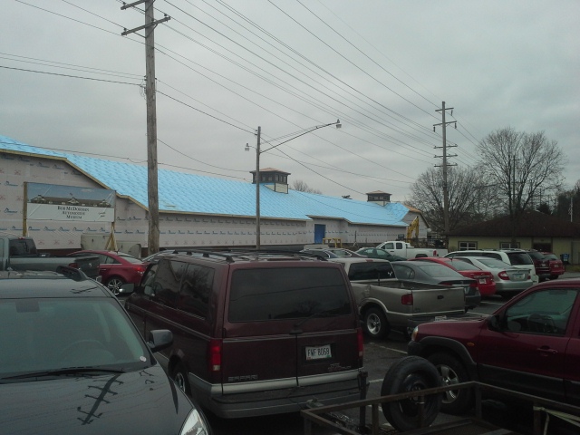
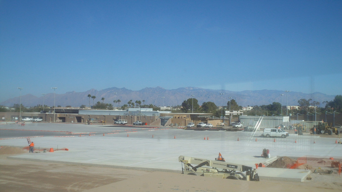
From Matt Ashmore, I received this image, The last time some of us were in Canal Winchester it was an empty lot but now the car museum is nearing completion. Thanks to Matt for the update.
As I do every year at this time. I rejoice on this day because, well actually it is tomorrow, the 21st, but getting started earlier because I am driving to Bowling Green to watch my middle daughter graduate. Anyway, Saturday is the shortest day of the year. Not actually the shortest day, they are all the same length but the day on which the glorious sun, which rarely shines on this godforsaken plot of Earth, will shine the shortest amount of time. Yes, it is winter solstice. After Saturday, it will take a day or two but then the days begin to get longer, a minute here and there but they add up and before we know it, it will be June 21st, summer solstice and the longest day of the year. My next favorite day is around January 25th when the average day time high begins to march higher, first 37 freakin degrees then 38 and before you know it (not really) it will be in the 70's and 80's. So, on Saturday, tip a pint or two and note the passing of cold hard weather into "Winter" where it will be colder and harder but at least he day light will be longer.
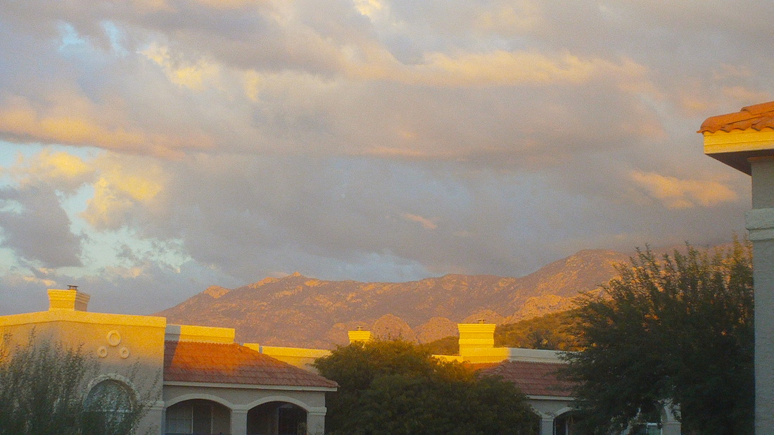
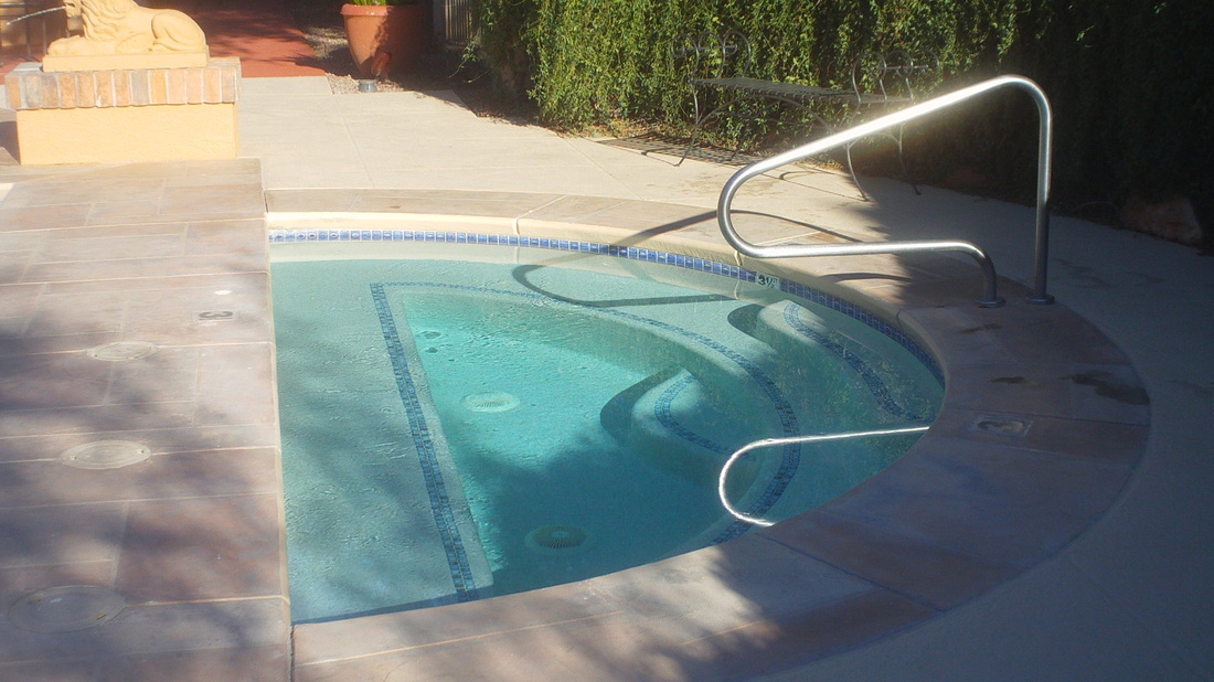
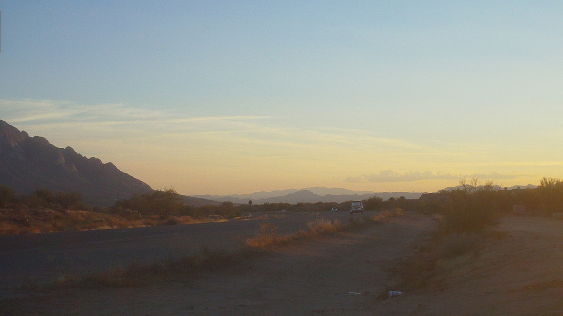
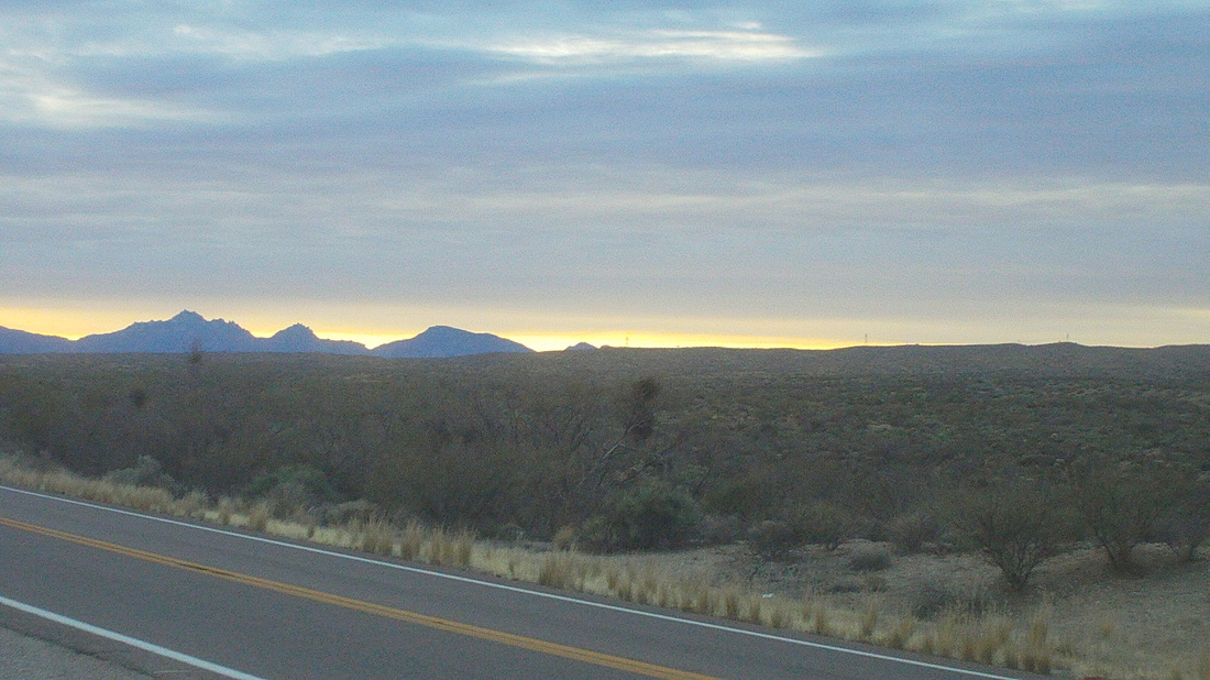
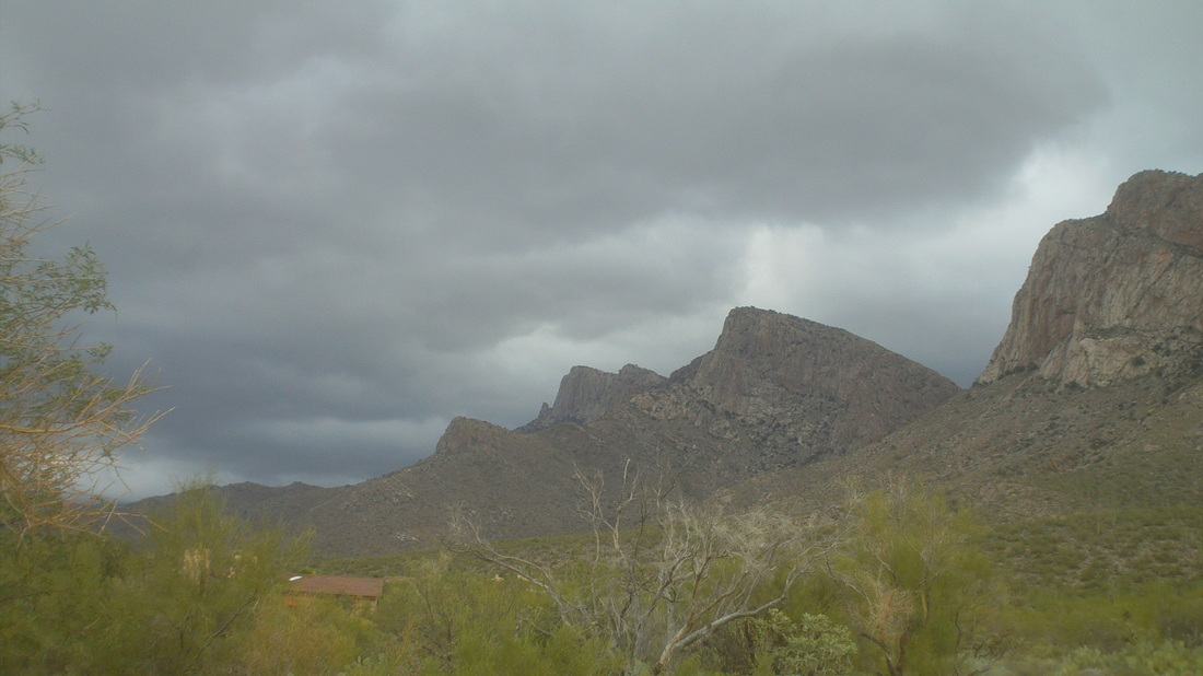
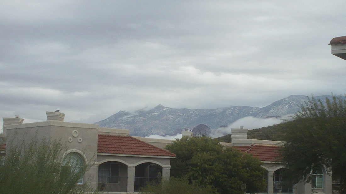
The sun sets on the last full day in AZ. I returned last Friday evening and mostly have been grumpy and in a state of shock as I adjust to the weather. The transition is not going well. The good news is, in less then a month I'll be in central FL but that seems like years away. The last morning started out like most, blue sky. I miss that. The day ended like most, sitting in the spa. These things are great at the end of a hard hike or ride. I actually hardly rode out there but did on the last day, 46 miles to Oracle and back. Another sun setting on the last day scenes. This is one of my favorites, driving toward Oro Valley going south. I found a restaurant in Catalina that has a bar called "Big Ten" and it has the "Big Ten Network" playing on a large screen TV. That's where those of us from the Midwest go. Really great BBQ type food. Friday morning, looking at the Santa Catalina mountains from the Tucson airport. I live at the base of the peak on the extreme left. Being somewhat greedy, we have our condo rented January, February and March. Doing so covers all the annual HOA fees, insurance, utilities, etc... but it's not worth it and will never happen again. Well, got to go outside and split more wood. Weather not looking good for the weekend.
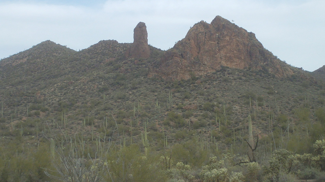
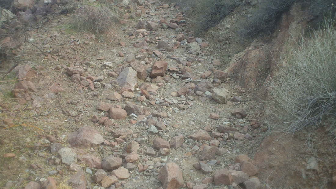
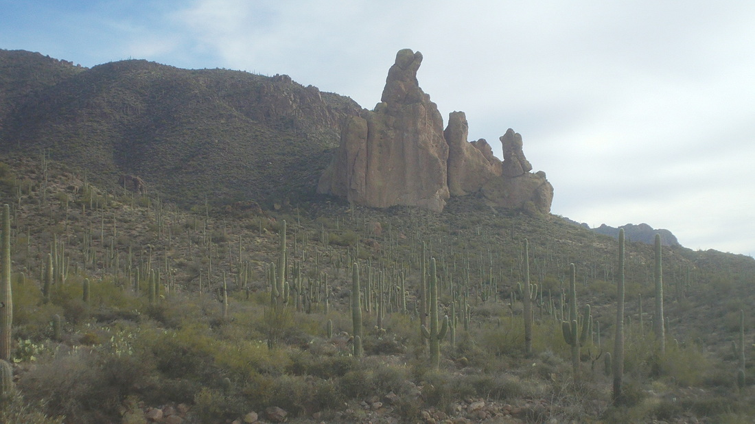
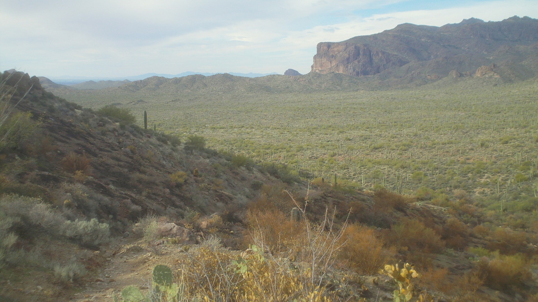
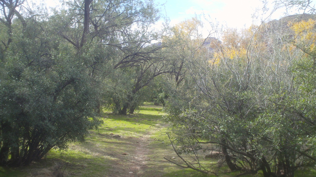
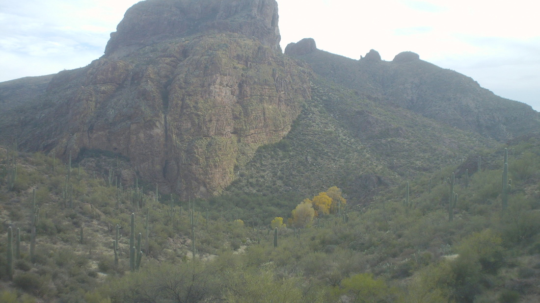
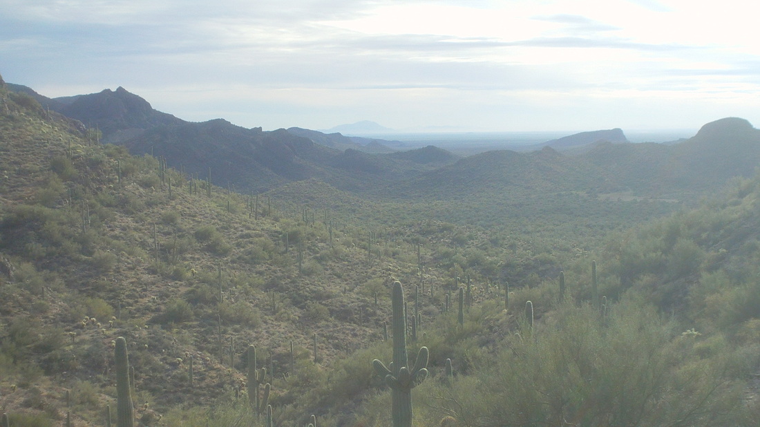
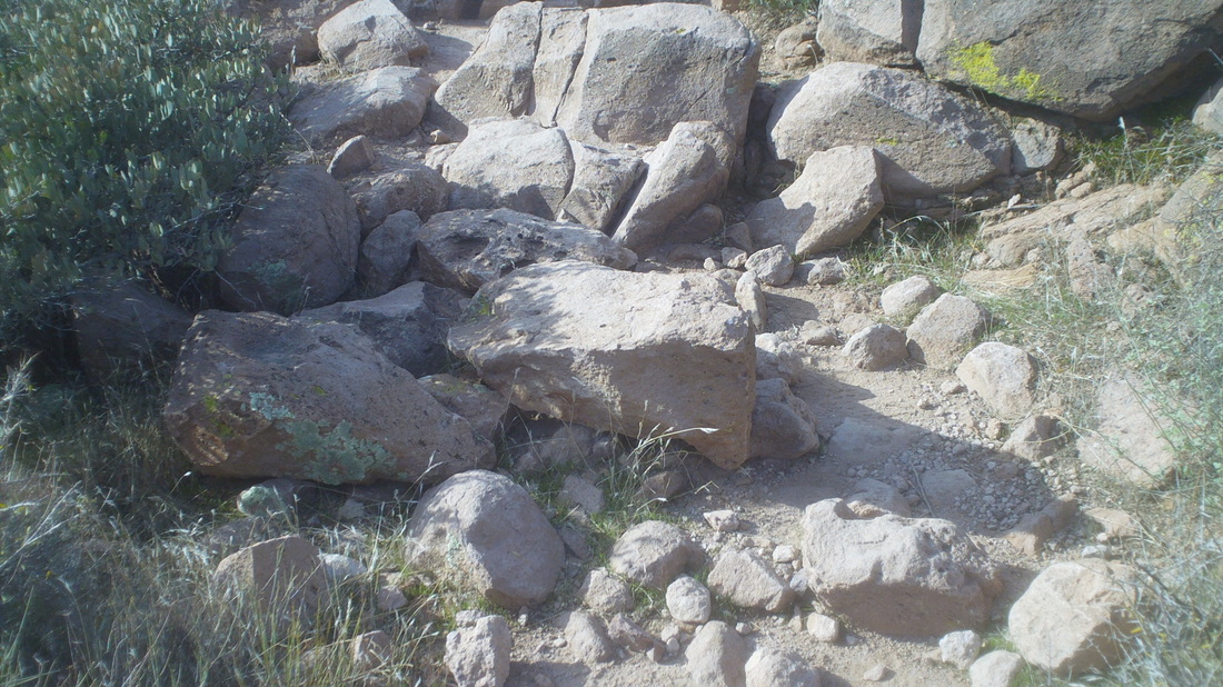
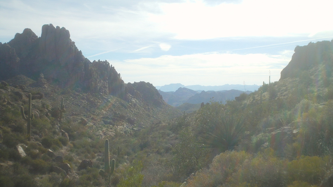
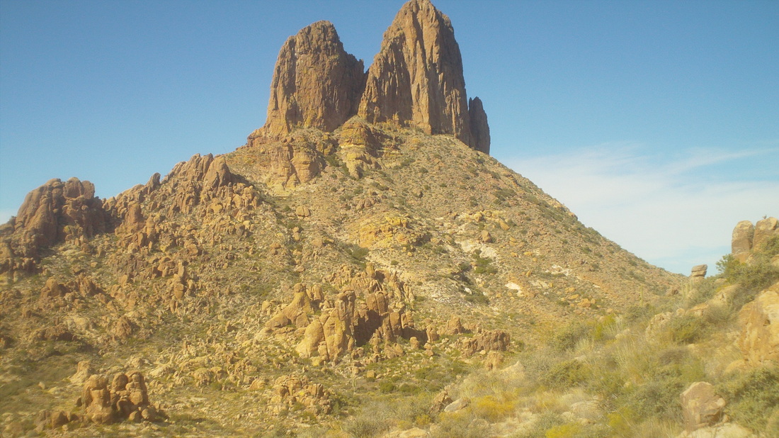
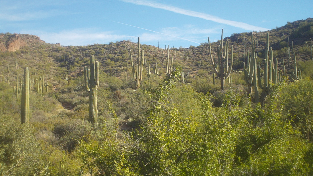
Had to get up early to make it to the trail head for the "Dripping Springs Super Loop", a 19 mile hike that I thought would follow defined trails so just a matter of staying on paths, making the appropriate turns, no problema. Some cloud cover as the sun rose. Later, the sky was a splendor of pink as the light bounced off the clouds. It's kind of a long drive to Superstition Wilderness that includes 6 miles on rough dirt and rock roads at the end. I followed a truck that had MI license plates the last 10 miles. In time, I passed "Miners Needle" above. Not nearly as cool as "Weaver's Needle" but impressive nonetheless. There were some great examples of very mature saguaro cactus along the way. The wind was blowing rather hard and temps in the mid 50's. Well defined path to follow. But then, I hung a right at mile 3 on to the Coffee Flat trail. Still well defined but.... ....very rocky. What a pain in the ass to navigate through this mess for a few miles. A rolling route with no significant climbs and ended with just a little over 2000' climbing. Kind of an odd rock structure sticking out among a landscape that is not similar. So far, so good. the route went to the left of that rock faced, dropped into a valley and passed the rock at it's base heading to the right. Dropping into the valley, there was a lot of grass, lots of cottonwood and other types of trees. Beautiful. A view before dropping into the canyon. I regret I did not take any worthwhile images from this point forward. I had problems. The trail dropped into a mostly dry stream bed that was rather wide. I dislike these outcomes because you have to constant scan both banks for signs of the trail leaving a stream bed that is 99% rock and boulders so no obvious trail. I followed a game trail and got off the route. When you have to drop to your knees to stay on a trail, you're probably not on the trail. I entered the stream at mile 6.5 and the next trail, "Red Tanks" was supposed to be at roughly mile 7.
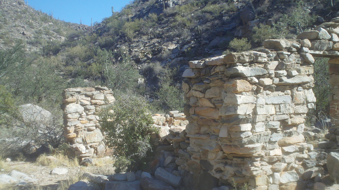
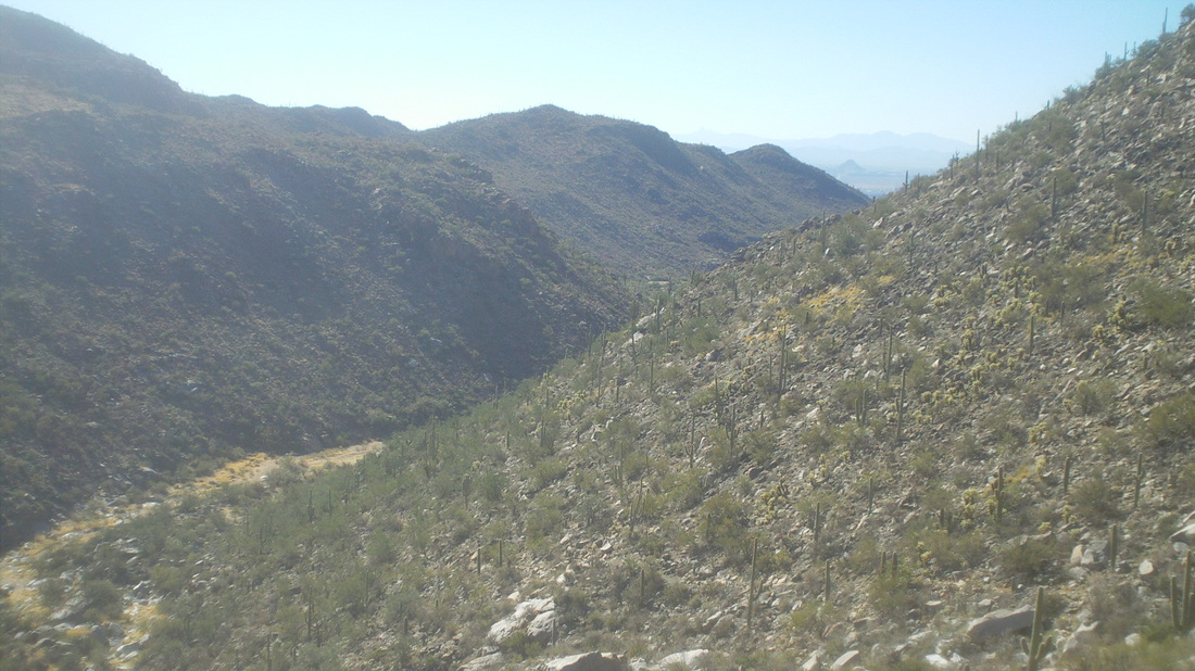
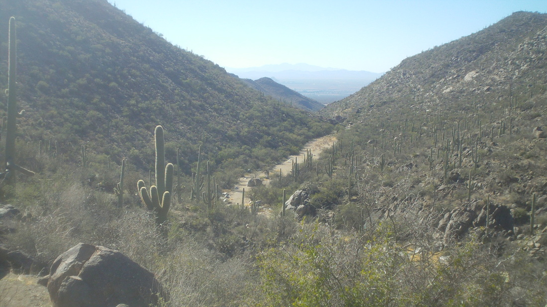
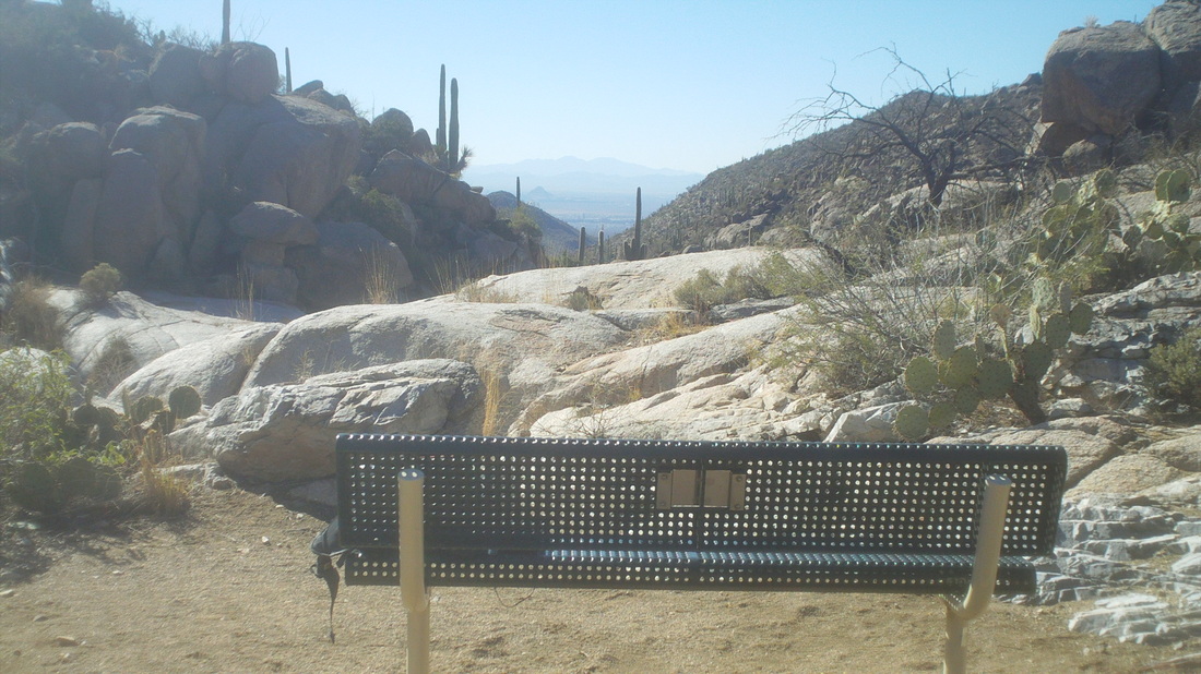
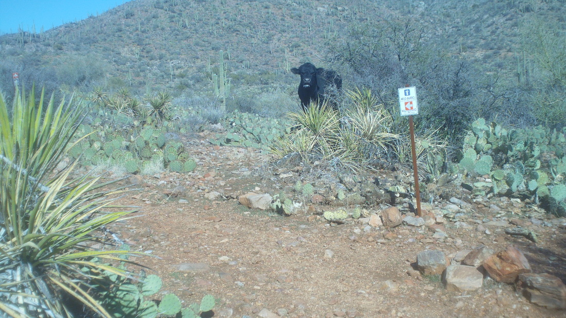
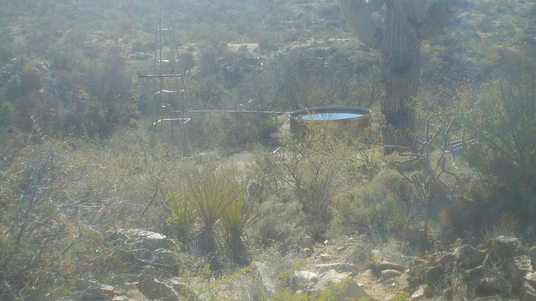
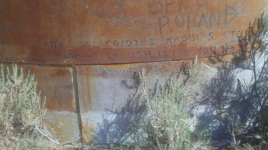
After deciding I was off trail, I reversed course and then found the trail so kept going. I could see some foot prints so figured I was on the route despite there being none of the usual signs like rock piles or a beaten down path. I began getting a little anxious at mile 7 and no trail sign. I was mostly in a canopy of trees so I could not ID prominent physical features like a rock outcropping to guide me back. I passed through a barbwire fence with crude gate, closing it behind me, probably now on someone's ranch. I kept going. Finally, at mile 8, I gave up, having not reached the "Red Tanks" trail. Turning around, it is a strange feeling to realize that you have to go back with it decidedly uncertain that you will be able to find the way. Don't want to be overly dramatic but it is a strange feeling. As I walked back, I took great comfort in finding a sandy spot and seeing my outgoing foot print. I later figured, after seeing a few empty shotgun casings, I had not been following fellow hikers on the trail but likely hunters. I also later learned (trust me, I had done a lot of research prior to attempting this adventure) I had been on an old wagon wheel route between Mesa and Superior used back in the 1800's. Things kept falling in to place and I found the real trail and returned with 16 miles and kind of sore feet. I need to get one of those detailed maps of this area if I plan on doing this again. Well, I return to Ohio on Friday. Accuweather is forecasting a warming trend beginning on the 19th with many days in the 40's Gee I hope so. I rode the bike on Sunday with the temps in the low 50's and it was freezing! Below is a final look back at where I had been. Headed to a new area, the Tortolino Mountains which are only about 15 minutes from my home. The trails are not steep and frankly, my feet are kind of sore from the boulder hopping so looked forward to something milder. Hiked for an extended time on a sandy wash before arriving at this. Don't know what it used to be but what is left is a stone and mortar foundation and some columns. After leaving the sandy wash, I climbed for a bit and walked on another sandy wash before heading up again and... ....walked along yet another sandy wash. Very different from what I have previously hiked. There at the top fo the 3rd wash, was a bench that had been placed in honor of a hiker who had recently died. This was a fantastic view. I stopped and munched on an apple before heading further out where abruptly..... ....I closed on a cow. One thing I have learned out here is that every thing seems to have fangs, tusks, spines, thorns or teeth so while it may appear to be a harmless but very large black cow, perhaps it was an attack cow? We watched each other, I saw a pile of boulders nearby and figured I could sprint to them if needed but the cow just observed as I walked by it. Eventually, at mile 6, I reached.... ....this windmill and tank of water. On the side of the tank, someone had etched, "ATTN HOGS, COYOTES, RABBITS, ETC RAMP AT TROUGH IS FOR YOU" The trail ended here and so I turned around and enjoyed the walk/run back, finishing with 12 miles but only about 2000' of climbing so that was welcome since so few hikes around here are flatish.
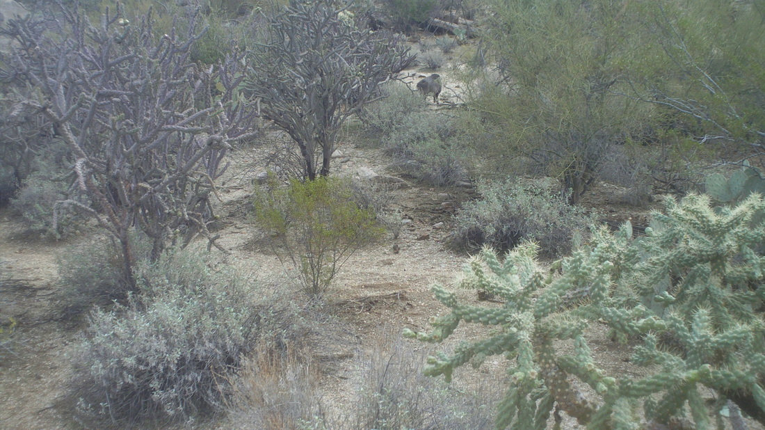
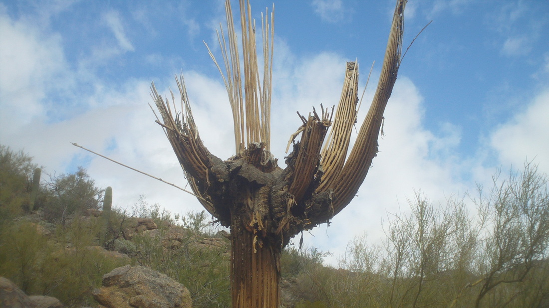
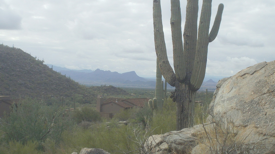
The same cold air that has moved in to Ohio swept through the western US too, leaving a few showers around here. After some overnight rain, I looked out and saw snow was reinforced on the mountains, probably at the 7500' level and higher. After a day off, I headed to a new area I had not previously checked out, the Tortilino Mountains. A Javelina trotted across the path, which you can see above, middle up. Gruesome creatures. A saguaro that for some reason died. Below is a more healthy specimen with a view to the southwest. Only hiked 2 miles as I had a 12 mile hike planned for the next day. After all the walking and boulder hopping of the past few weeks, my feet are feeling the effects. I heard from Marty today, he rode with Tommy Danielson. I hear the United Healthcare pro team is coming down from Phoenix to spank the Saturday Shootout guys.
Flyin Tuna, Steve Oxley and others are gathering at 9:00am at Clear Creek Metro Park for a winter hike through the snow. Not sure at which parking lot they are meeting but as you enter the park from #33, just keep going until you see the cars. Likely it is the lot by Starner Road. Typically they pause at the half way point and consume snacks so bring something along that you may be asked to share.
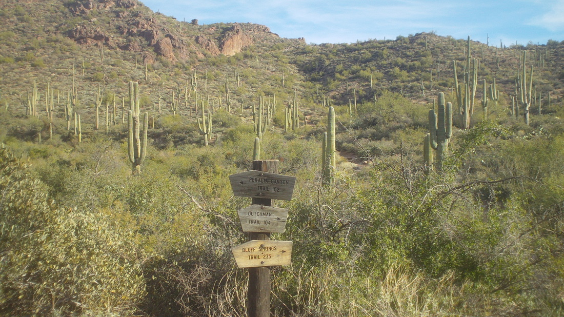
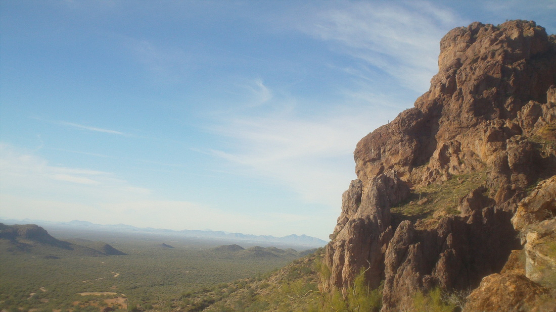
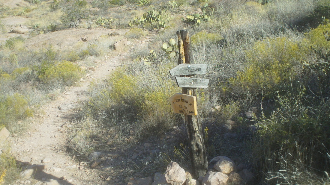
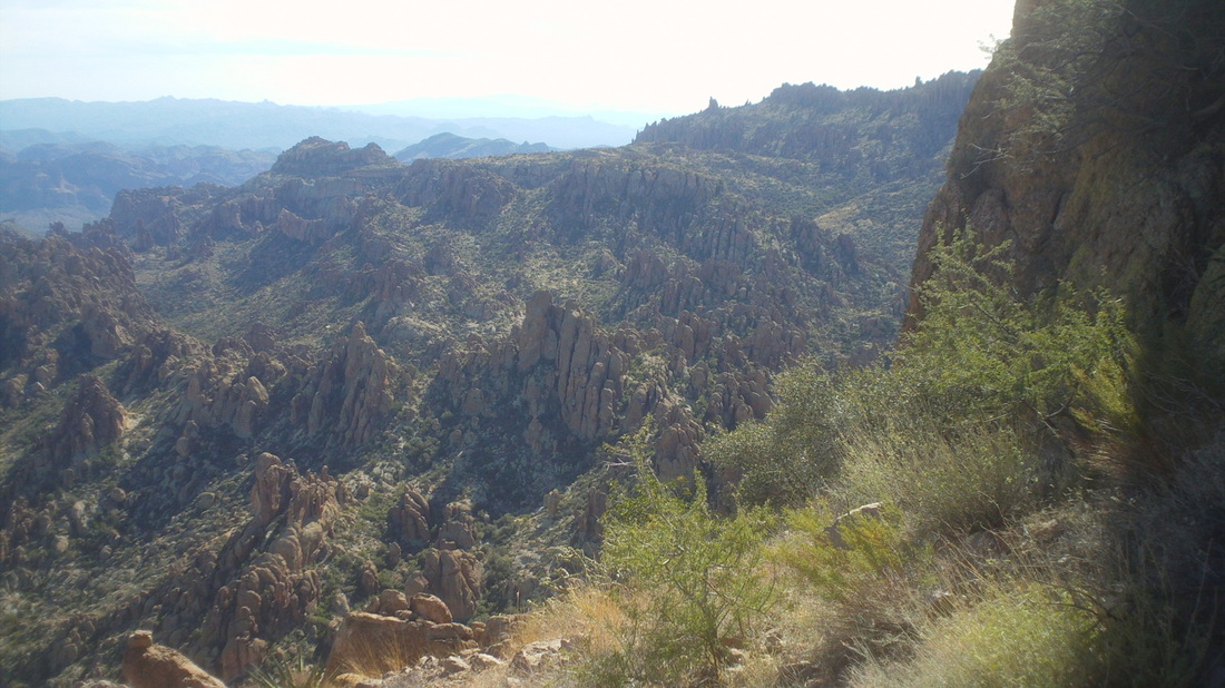
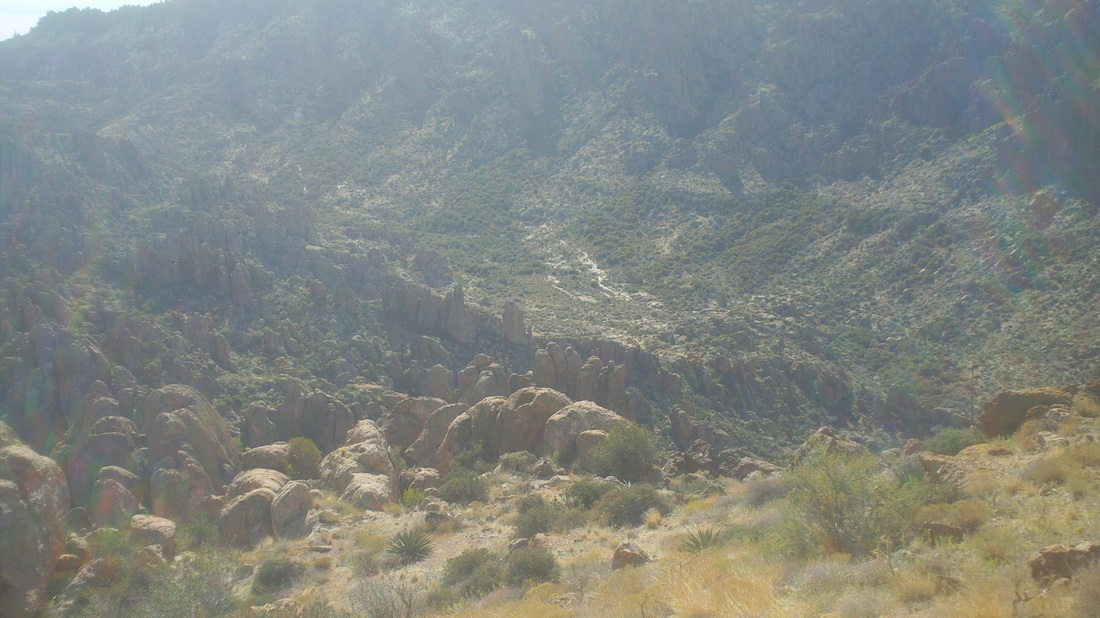
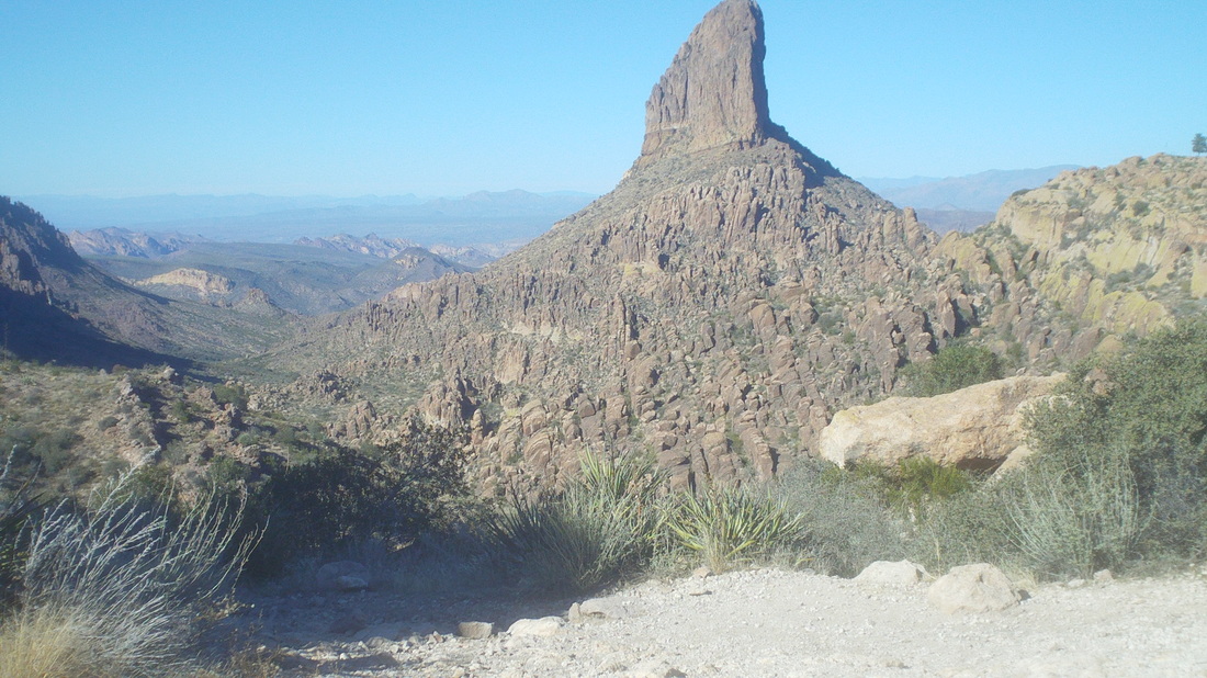
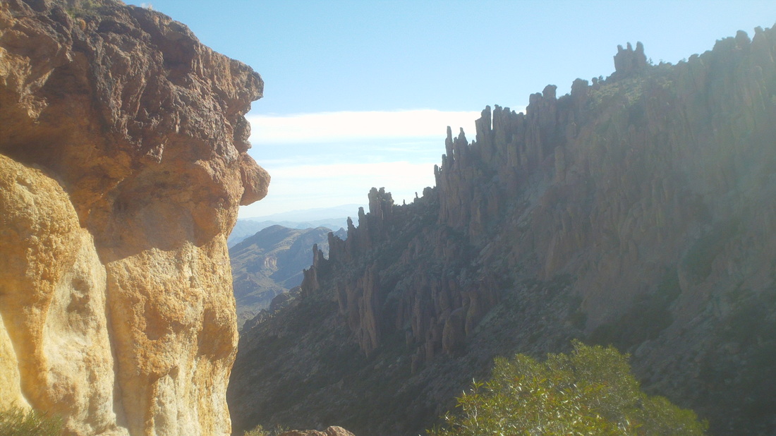
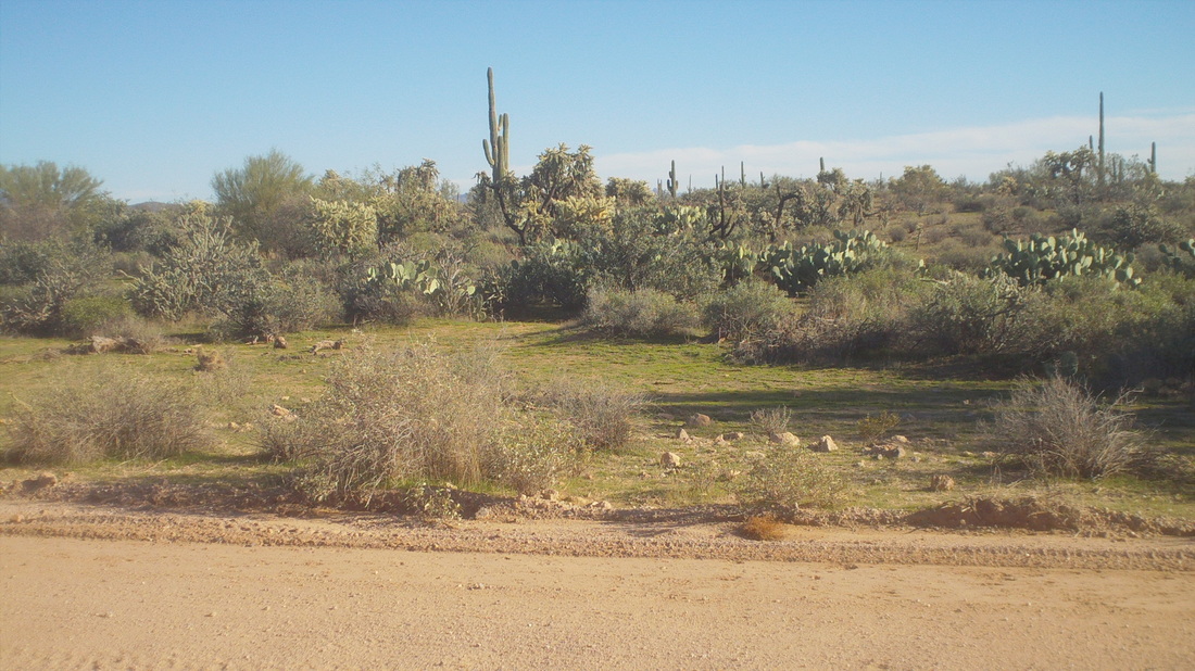
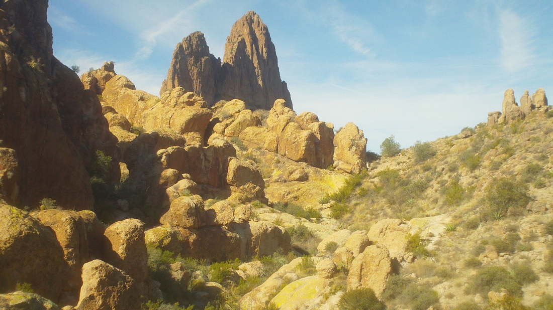
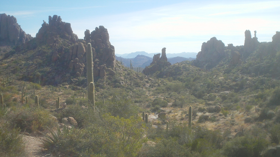
Monday evening, Marty is on the phone and I have set the hook in the fish's mouth. While reeling the fish in, he receives an email from Gord Fraser, yes once again, "that" Gord Fraser, former Canadian Olympian, Tour de France cyclist, retired from pro racing in 2006 but now living in Tucson and lovin it. Marty quickly spits out the hook and wishes me luck. Damn, so I drive alone to the Supersition Wilderness and shove off the Bluff Springs trail. Less then a mile, I have left the parking lot and its 10 cars. The lot is always full or near full yet I rarely see anyone. I have no idea where they go but not on the trails I take. The views are, as always, spectacular. Yet, while the views are great, one should never lose focus from the trail because it is almost always rough and rocky and don't want to risk a face plant as I continue towards the first ridge. Approaching the 2nd ridge, I catch my first glimpse of today's destination, Weaver's Needle, a volcano plug left after the rock around it eroded. Doesn't look like much from this distance but it is spectacular, Previously, I turned left at the wrong pile of rocks (cairn) so passed it but then later, came to another. I hate the uncertainty, especially since this pile was almost right at the designated turn off the trail. I kept going. I'm in luck, soon I arrive at a junction with a post that shows my next turn, on to the Terripin trail. My notes say to stay on this for .7 mile to a ridge, cross it for 200 yards then watch for a pile of rocks, indicating where to leave the trail and start bush whacking cross country. I found the point of departure from the trail and headed cross country. Looking back, I hoped I could make it to the base of Weaver's Needle and circle it to the west side (I was coming from the east) rather than have to retrace my route through this wilderness. Dang, the views are incredible and with temps in the low 70's, what's not to like.....well, it would have been good to have a companion but Marty promised if I ran into trouble, he was on standby for rescue. The route with rock piles petered out. I was tempted to turn back but so close, I just kept plugging along, working my way up a steep ravine that topped out at a ridge just to the left of this image and then began a very steep walk to the base of the needle. I MADE IT and had a big grin on my face. a trip report I read said this is what would happen if you made it and so it was true. The needle is on the right while the views, geesh, what can I say? The wind was howling up here and I scouted around a bit, discovering a cave that I think was used by miners as they explored for gold many years ago. On the back side of the needle (north side) the sun never shines but rather than try to hike around the base of this massive rock, counter clockwise, I went clockwise, slowly dropping down a steep slope. Far below is the Peralta trail, just across a ravine and maybe you can se the trail in the center. I bid farewell to the way I had come. Doesn't look like much but those rock spires tower over you as you walk through them. From here, they look like ant mounds or something. Did I say the slope was steep, yep it was. Strange seeing a saguaro so high up. I hiked down a little while working my way towards the north, hoping to catch a route coming down the west slope. Soon, I stumbled across the route, indicated by the pile of rocks at the top of the image. I was relieved and followed this down to a stream, climbed through it and emerged on the Peralta trail where I found..... ...these 3 heading north on the Peralta trail. Great views, huh? So, earlier, I reached the right side of the needle at the notch, scrambled up the slope to the base, went around it to the left, scrambled down, crossed a gorge with thick brush and emerged, somewhat triumphant, on the Peralta trail. Ran into a couple at the ridge from where this image was taken that used to live in Cleveland. They had been at this spot back in the 80's and was their first time back. Kind of steep down the last ravine through an amazing array of rock formations. 8 miles, 3000' of climbing and took me almost 6 hours to finish. On the drive out, 6 miles of which is dirt road, I noticed that the rain had induced some grass to begin growing among the cacti and other plants. Don't think that will last very long.
I welcome input or content from other cyclists so Eve Hush provided the below, very useful information:
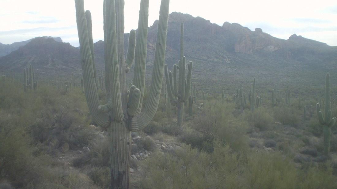
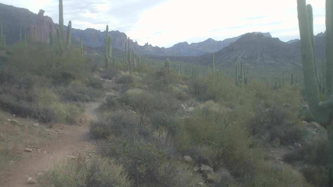
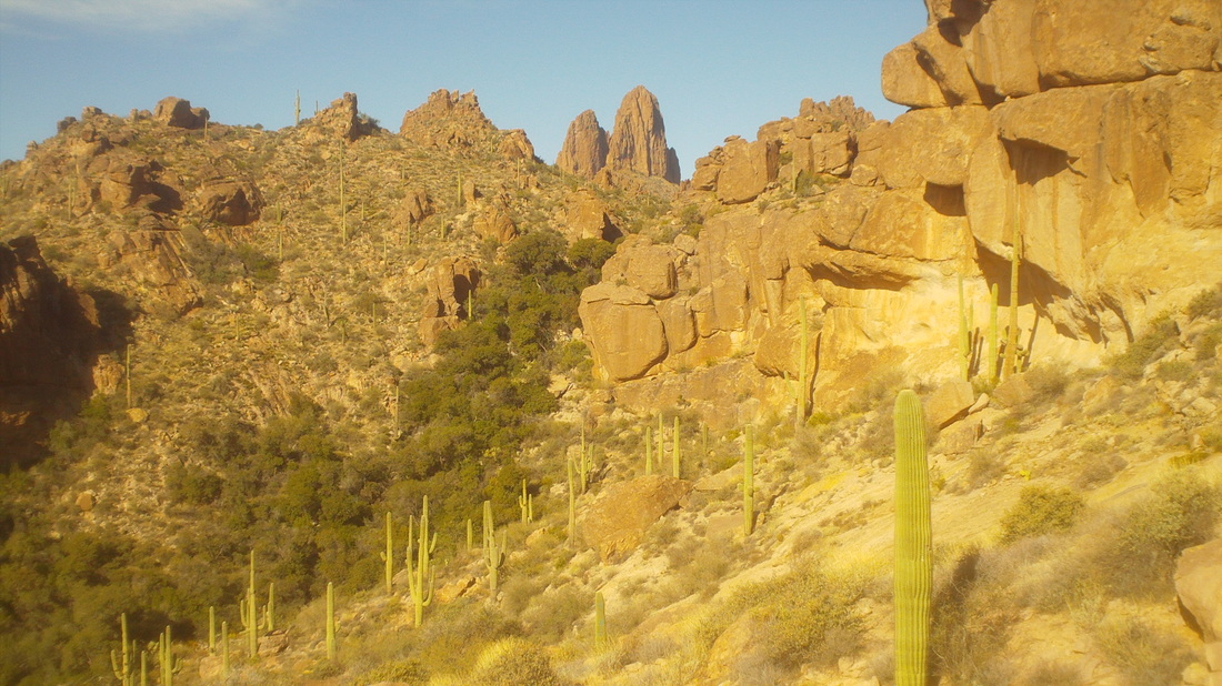
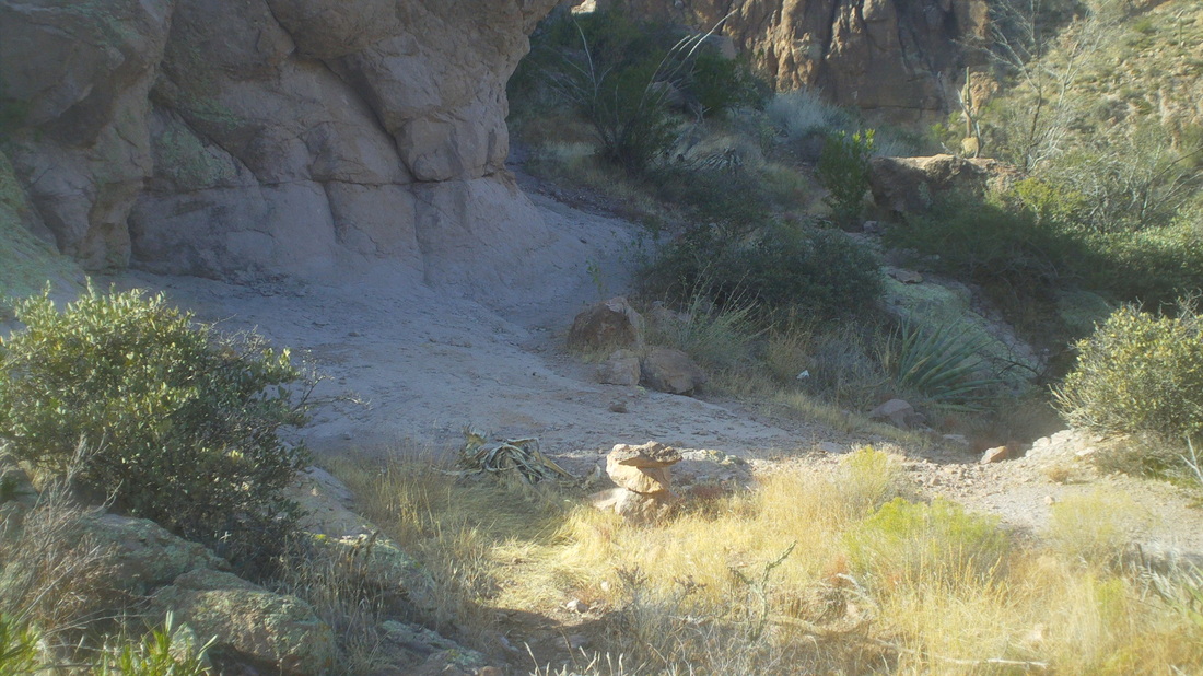
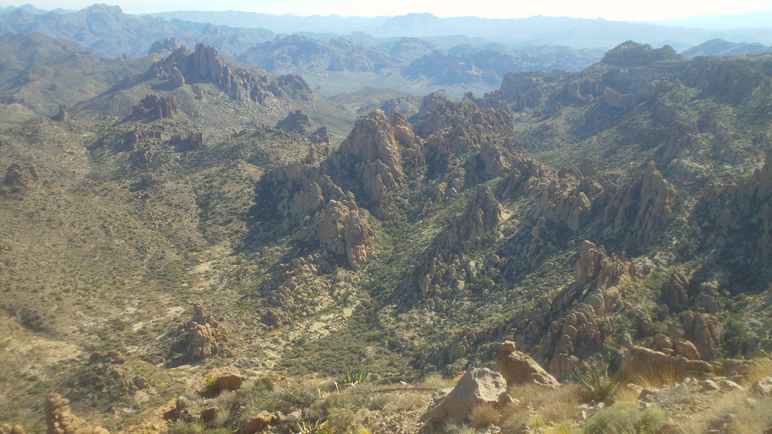
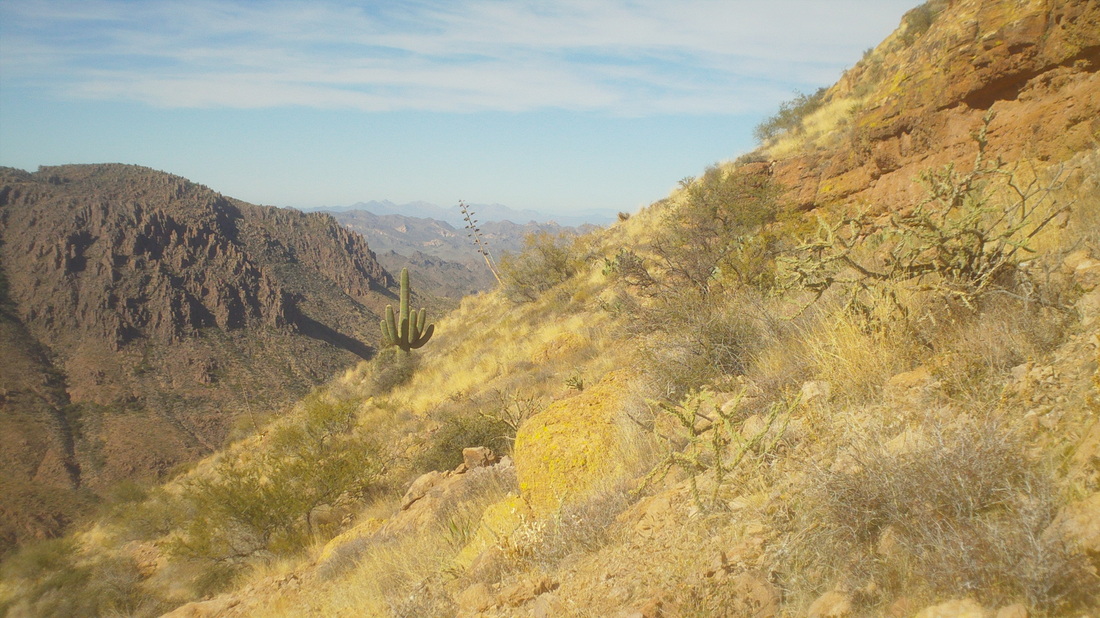
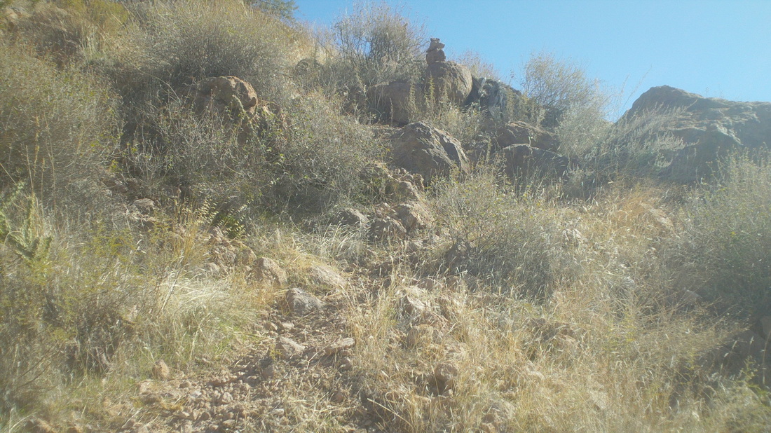
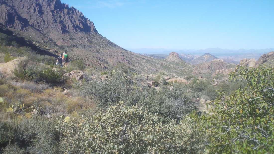
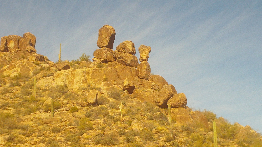
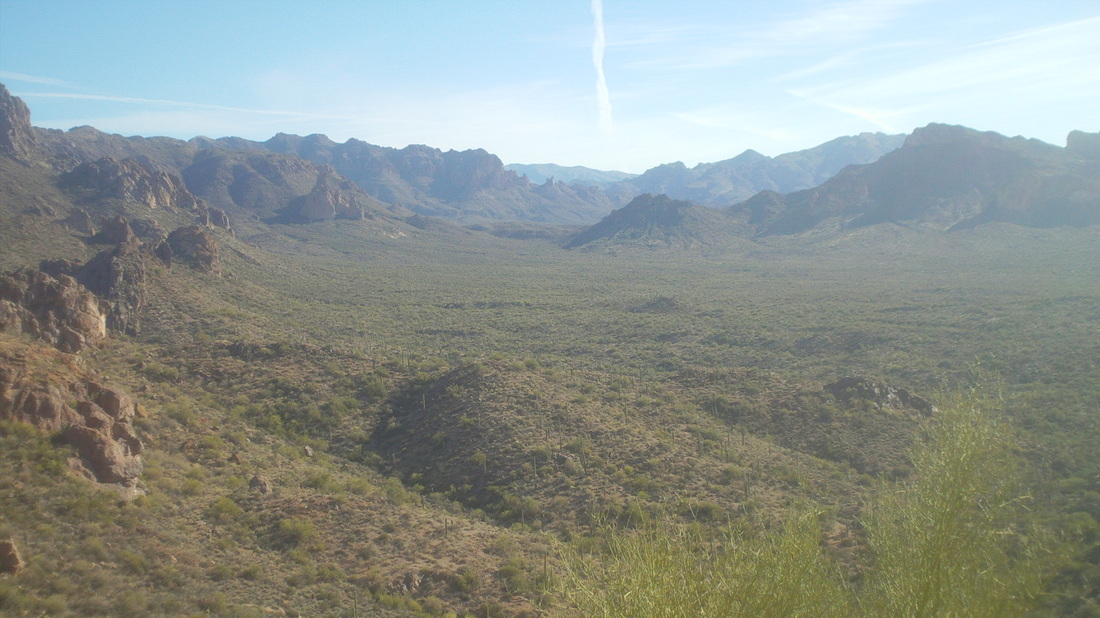
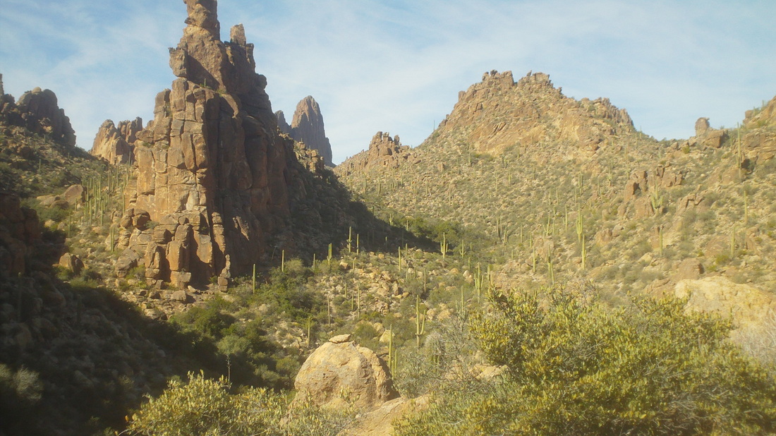
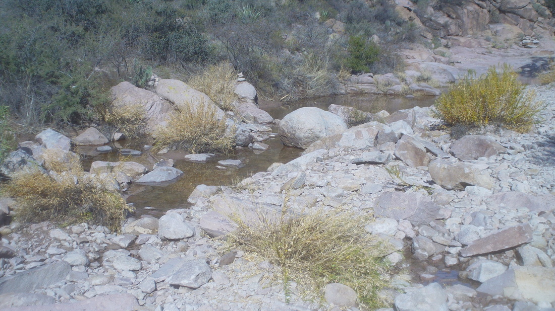
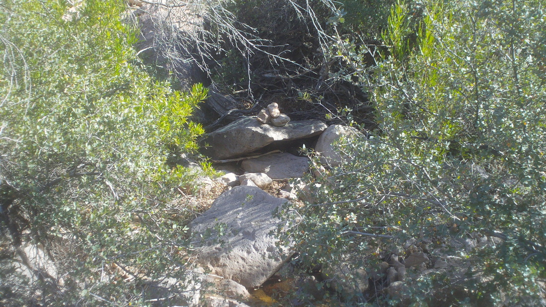
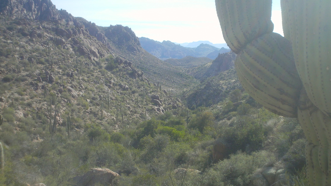
Biker Etiquette for the Cycling Male To Attract More Biker Babes of All Ages. Due to the lack of females not returning to repeat ride it has come to my attention that THE MALE BIKERS need some guidelines. 1.DO NOT UNDER ANY CIRCUMSTANCES DISCUSS THEIR WEIGHT AND HOW THEY APPEAR IN THEIR SPANDEX OUTFITS. 2.Do not for an extended length of time discuss gear ratios, cogs and weights of certain parts of the bike. This will certainly bore them initially. 3.Do not brag about your average speed and sustaining power up the steep hills. This will scare them away. 4.If there are no porta- potties in sight, please move further into the brush. We do not want the new females to run off the side of the road into a ditch. 5.Do not tell them the all the directions for the ride at once and leave them in the “dust.” 6.Do not as a topic of conversation discuss the conditions of the road for over an hour. 7.Do not traumatize the new person by holding one side of your nostril and blowing your nose on the road. 8.Offer to carry a piece of clothing of hers. This will not damage your average speed tremendously. 9.Do not taut that Male Cyclist make better lovers because of you sustaining athletic ability! She will bolt. 10.Always move aside for the female cyclist and let her get ahead in the bathroom line at the Stop N Rob gas stations. 11.Do not be vulgar on the first ride because you have ridden with the group for years. 12.Do not double fisted eat . This is alternating your food with each hand and talk at the same time. Never brag how much you can eat and stay slim!!! It these guidelines are followed our group might expand the female element. These rules do not apply to the long time existing veteran riders such as Janet, Cyndi, Donna and Eve. I had to go back. I can't say why, just had to at least get to the base of the Needle, which reports say is a cross country slog. From the parking lot, the first objective is the ridge above. some very impressive saguaros that are at least 200 years old. Some rocks appeared to be teetering on the brink of falling over. What keeps them up? At the ridge I had awesome views in to the Wilderness. The trail went to the left over another ridge not seen in this image. I was to stay on this trail for 2.1 miles then take the Terrapin trail for about a mile before looking for a pile of rocks that signaled when to start bushwhacking. After reaching the 2nd ridge, I got my first partial look at the Needle, in the background, slightly left of center. At roughly mile 1.75, I reached this creek bed and saw a pile of rocks on the large boulder, upper left just above the creek. This was not at mile 2.1 but had to be it, right? Wrong and thus I set off on the wrong route, following the wrong piles of rock. Geesh, the going was slow through brush and looking for the cairns. Hey, there's one right there. But, frequently I'd dead end and have to walk in circles to find the next pile of rocks (cairns). I trudged through this valley. A stream crossing especially was difficult. Check out the biceps on that saguaro! Dude has been lifting weights I guess. One more ridge and I bet that view across the valley to the Needle would be fantastic! Except, I did not make it. The "trail" such as it was and mostly non existent had petered out. No more cairns. Hmmmm, this notch or one off camera to the right but more daunting, another stream crossing that was especially thick...... .....looking back, the rock finger was a return way point if I could not find the rock piles, stay to the left and drop into the valley, then follow a creek bed to a heavy brush area and go up slope and follow it and then.... Screw it, it's guys like me that I read about expiring out here or having to be rescued. Time to turn around but damn it, now it's gnawing at me so I have to go back but this time, take the correct freakin cross country route. I need to bring Tonto along (Marty) to help with the route finding. Ended with around 8 miles.
|
Categories
All
Archives
November 2023
|
