|
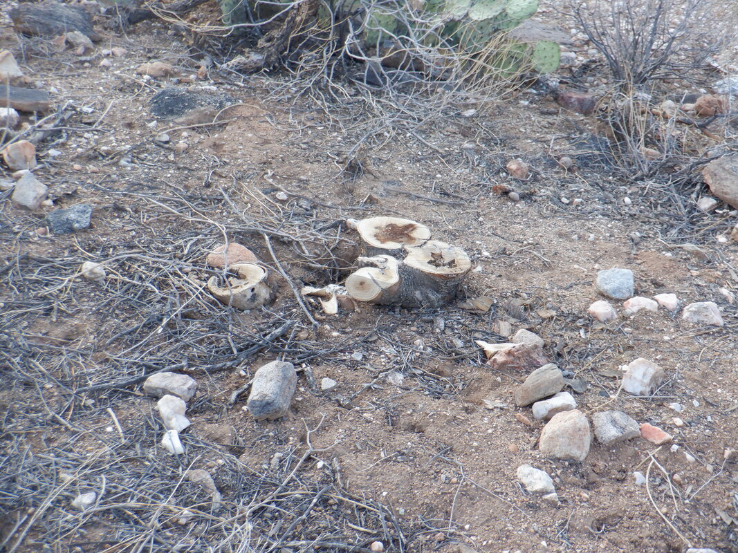
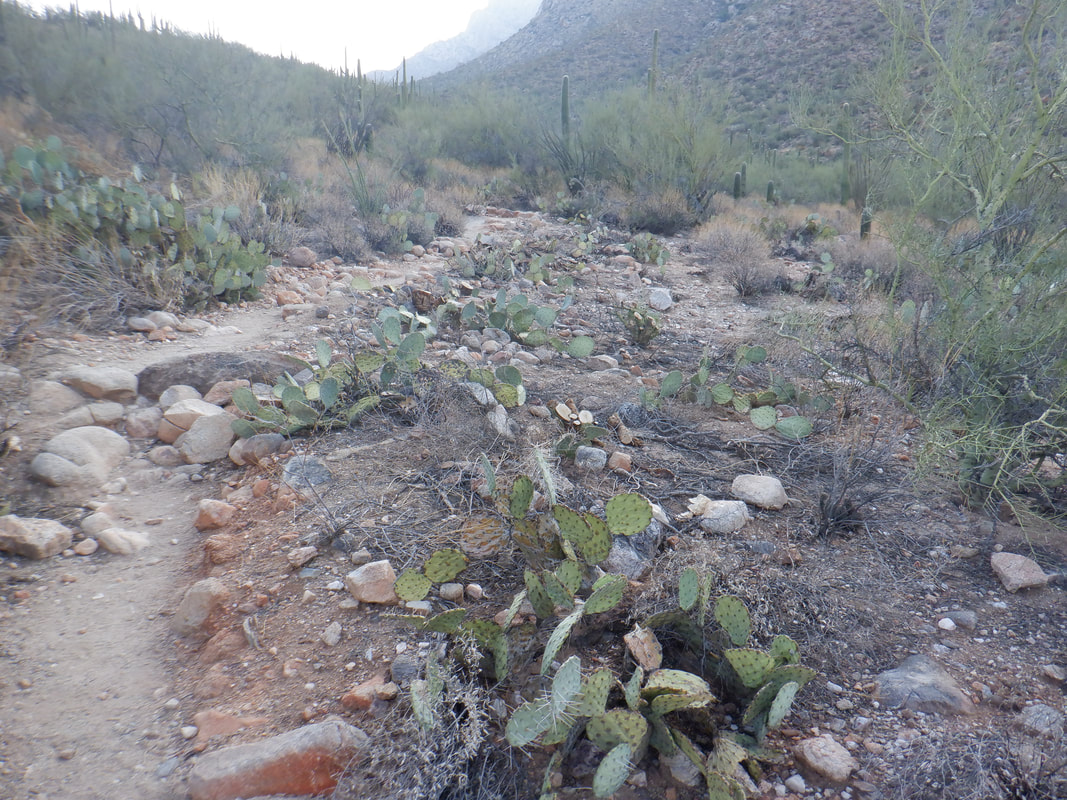
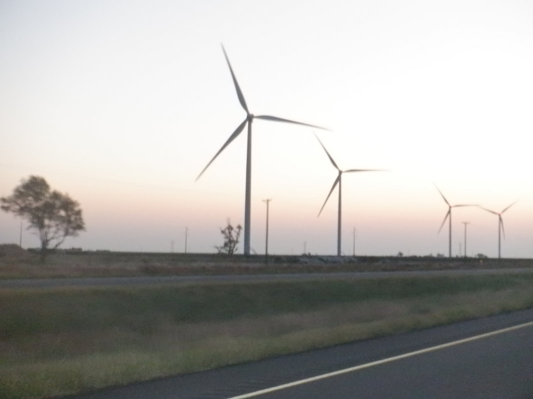
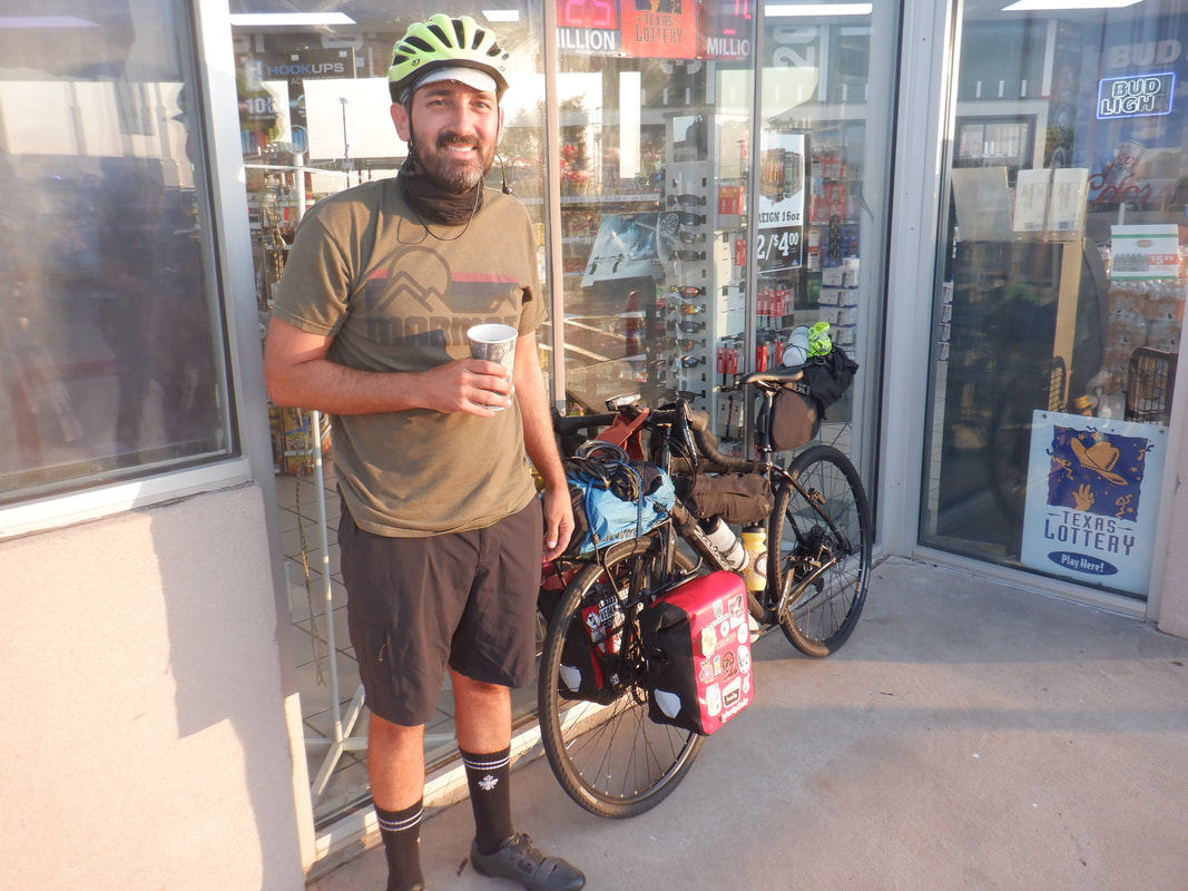
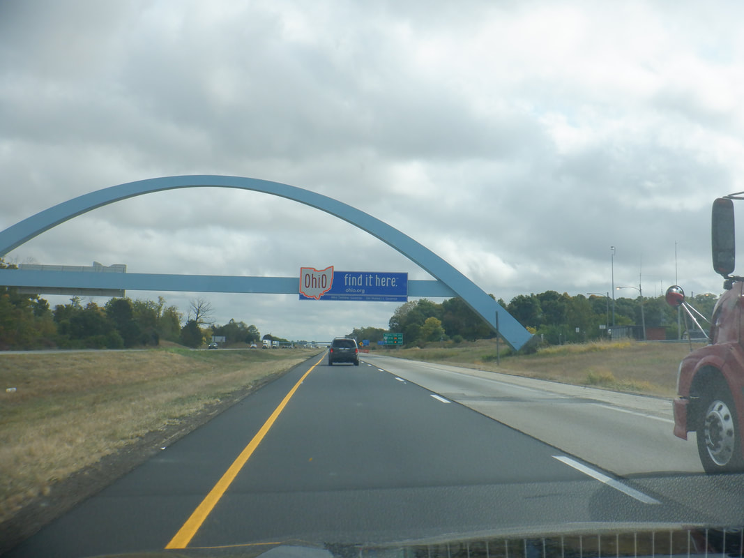
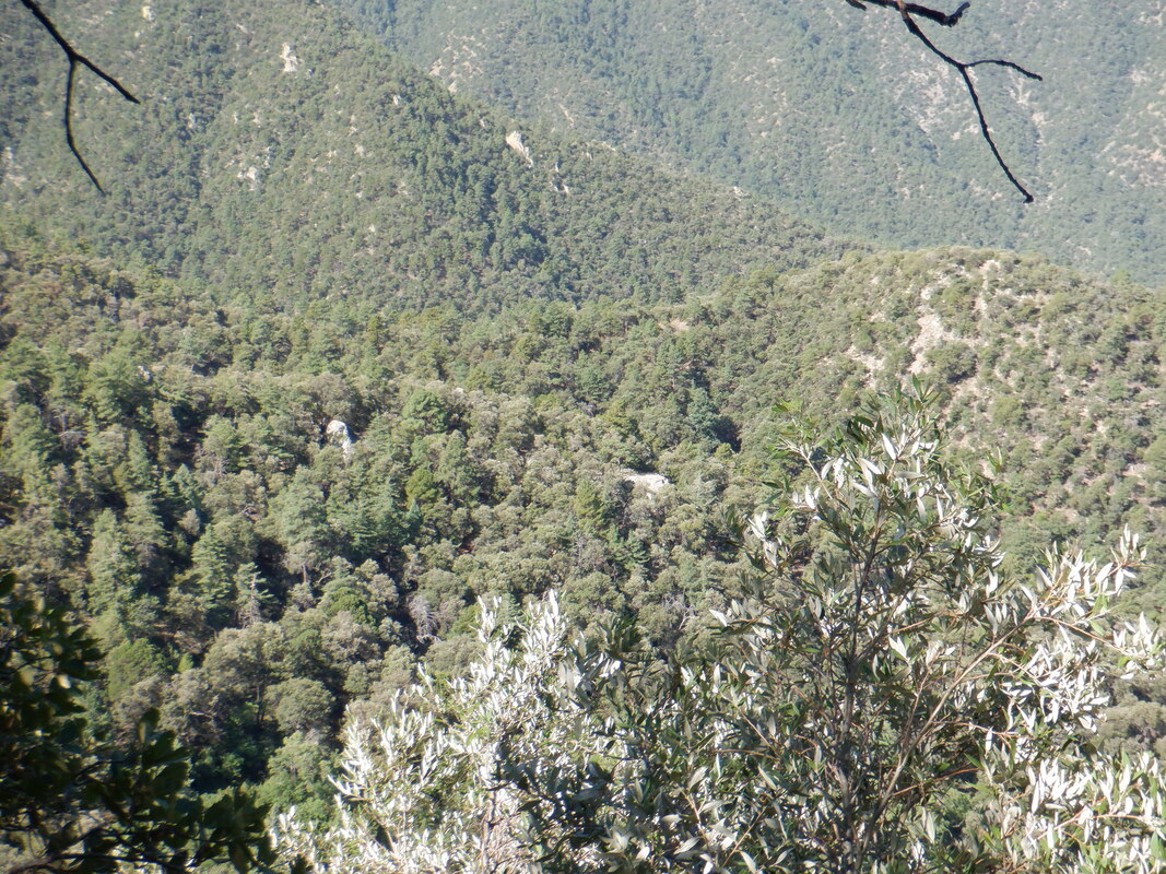
Below Pusch Peak is the nice, 2.5 mile, Linda Vista Loop hike. It was closed for quite awhile even though it was unaffected by the Bighorn Fire. However, the area was involved in the fire fighting effort. Fire fighters cleared a small portion that borders the trail. While one can see the brush dragged to the west side of the trail and the absence of mesquite and other trees on the right, mountain facing side, it's not real obvious so the area seems about the same. Then my followers, I had a flight scheduled to Ohio for Friday, began pondering and decided to.... ....drive again! WTF is wrong with me but I wanted to take my back-up bike to Ohio to have it tuned up, take my golf clubs so I could play golf with my son, etc... Above, I pass through turbines in TX as the sun rises. A little later I.... ....stopped at a gas station where I met a guy who was doing a grand circle around Texas. He was riding a Salsa gravel bike. I forget the distance but quite impressive. And not soon thereafter.... ....I entered the great land of the Buckeyes. "Fear not my wonderful followers. I will be here but a few days to cut down dead trees, visit my 100 year old mother, visit other family, play golf with my son, participate in the wondrous Thursday New Albany Cycling Club group ride (where last week the "Rivet" group averaged 25.7mph) and shiver as the temps drop. Back soon!
0 Comments
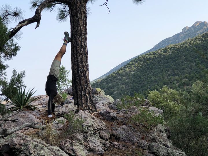
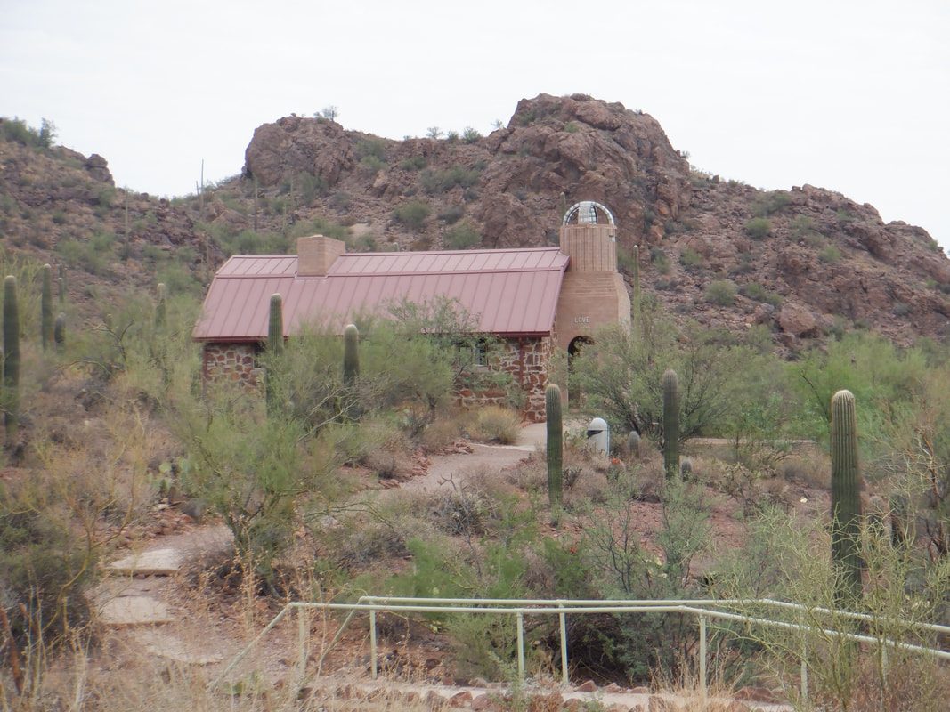
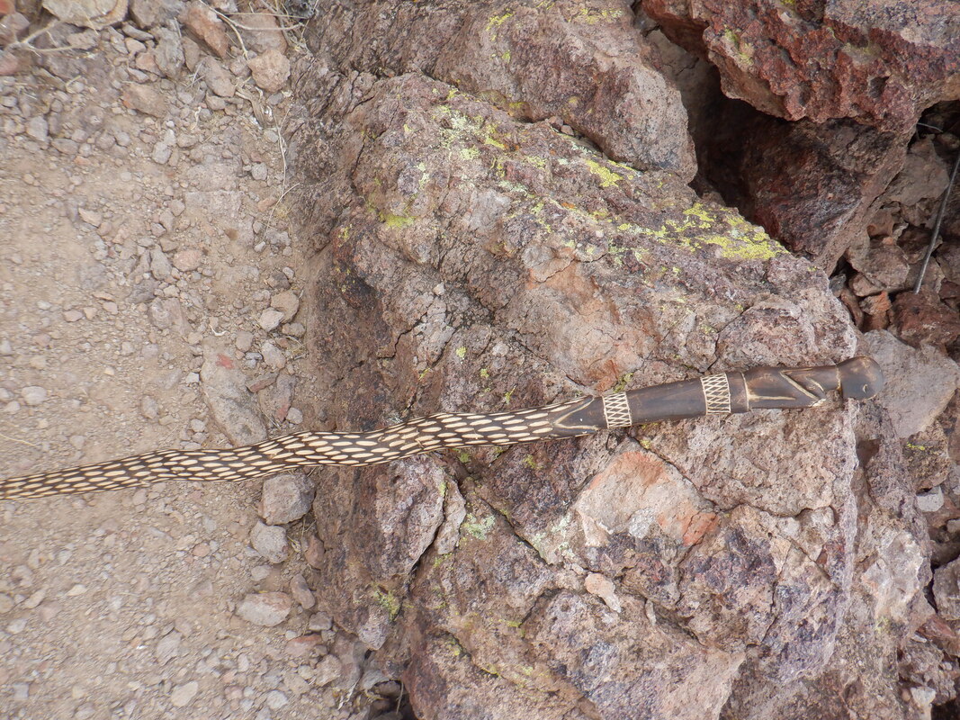
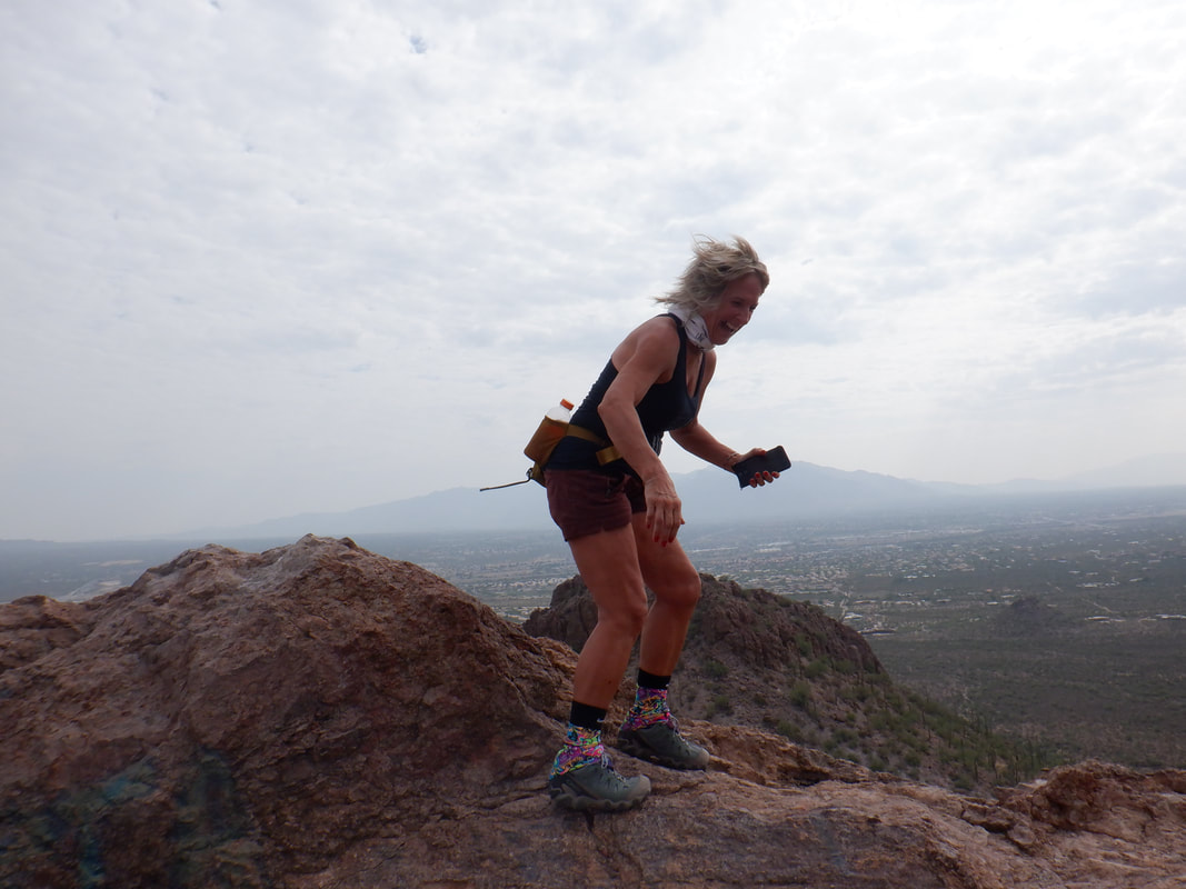
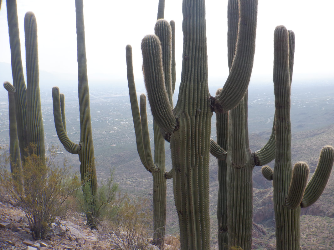
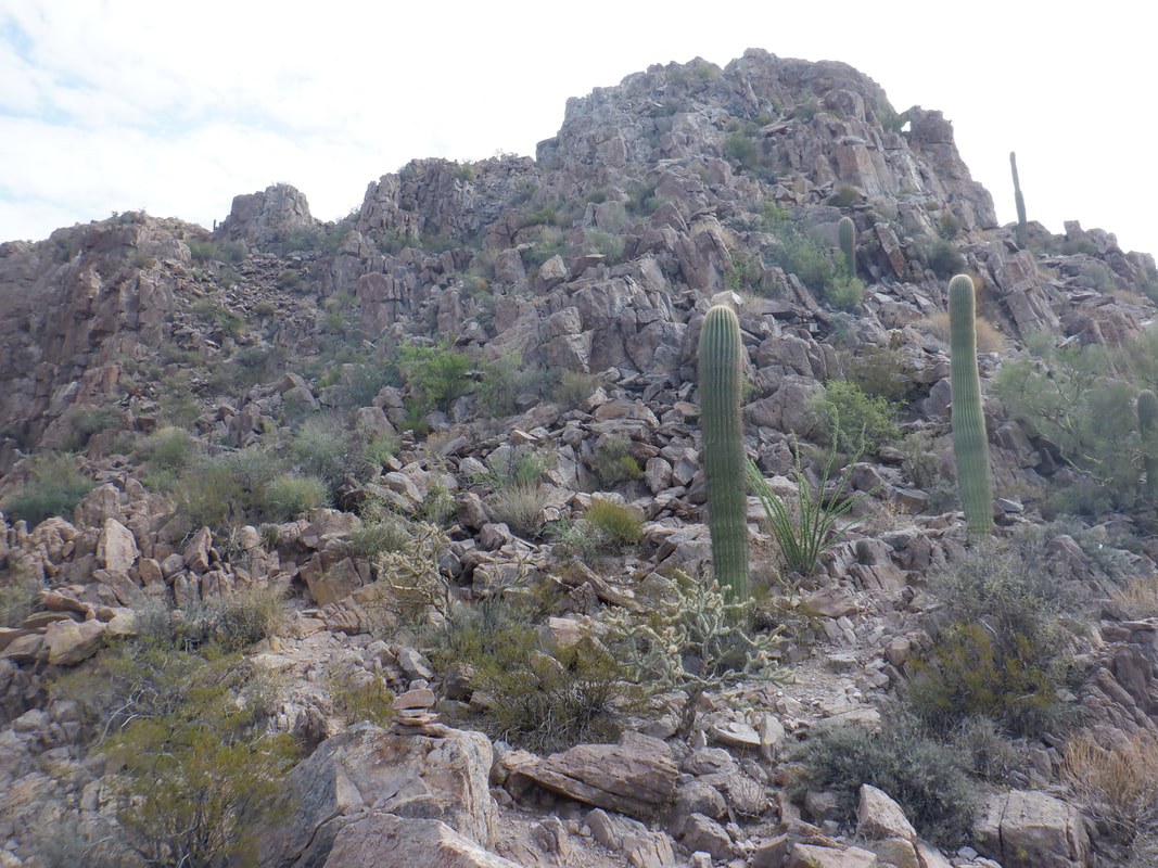
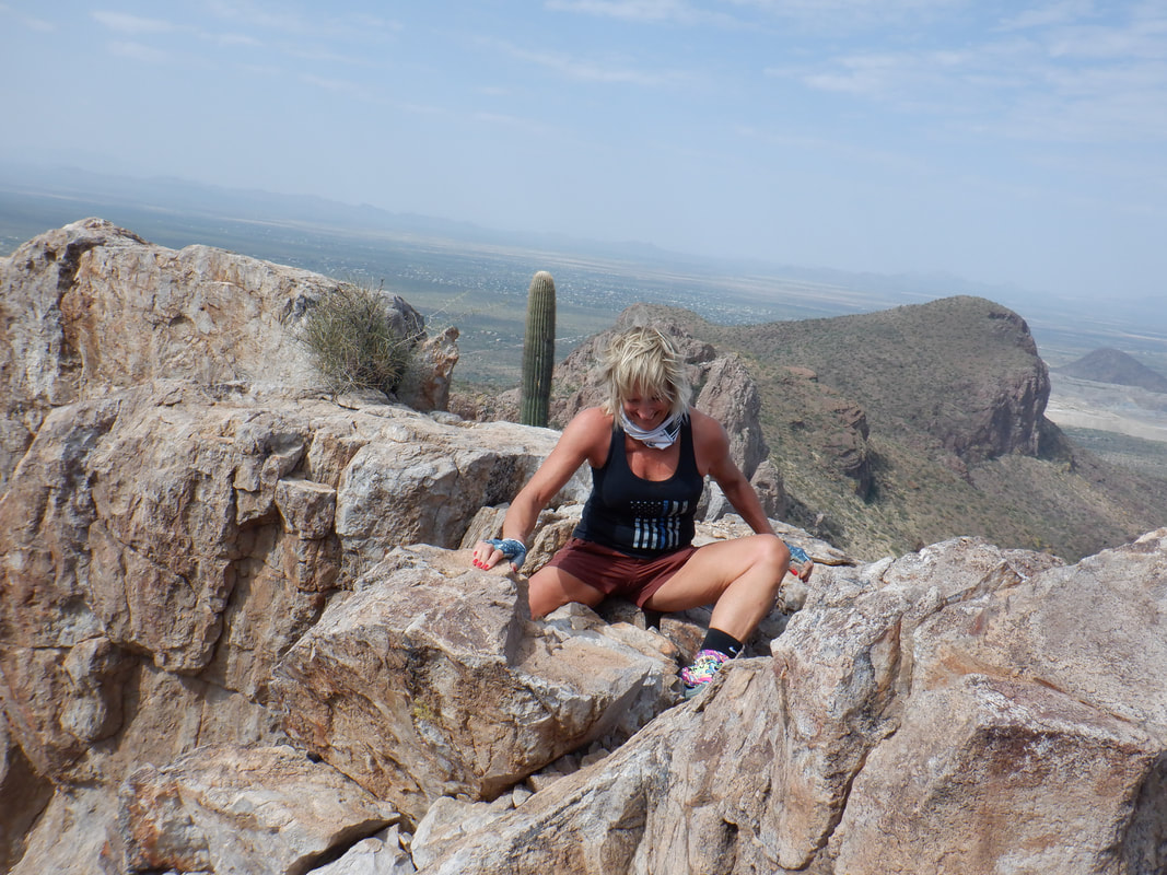
A fun weekend of hiking and cycling with the Amster. After taking the pic of Bill at the start of his 250th trip up Mount Wrightson, Amy and I headed to Roger's Rock, a first for her. She challenged me to do a handstand but I declined and then she showed me how it is done. That will take a looottta practice for me to do. Then a 30 mile ride on Saturday and..... ....then we headed to Sanctuary Cove to hike to the top of Sombrero Peak, also known as Safford Peak. This too was Amy's first visit and I always enjoy taking first timers on hikes to a variety of destinations so off we go. A first climb brings us to a short rolling section where we find a very nice hiking stick. Later, we encounter a couple who did not make it to the peak but told us they lost a hiking stick. We assured them the stick was just a ways down trail. It was rather windy today and as each of us attempted to pose, it was hard to stand upright. After another steep climb, we hike along a quality grove of saguaros. The peak.... ....comes closer. Actually, I put this image out of order as it should have been placed sooner in the order but who will notice??? The views are grand of the surrounding Tucson Mountains. After the 2nd significant climb, we go clockwise around the mountain until reaching.... .....the final climb. A hiking pole will only get in the way so we stash it and excess weight and begin the fun climb up where we..... ....encounter the rock bridge that is much narrower than shown and a fall would be injurious so Amy scoots across the bridge which has decent exposure. Soon thereafter we.... ....make it to the peak where there is ample space to roam around, sign the register in a ammo box and grab a snack and drink before heading back down. The distance of our hike is only 3.5 miles and 1600' of climbing but very fun.
A hiking friend of mine, Bill B., hiked to the top of Mount Wrightson for the first time in 2005. Since then, he has hiked it 448 other times and today, organized a group to accompany him for the 250th time. For perspective, Wrightson is a hike of 11+ miles and 4000+ feet of elevation gain. During those hikes, he encountered 20 bears but modestly tells us all that he knows a married couple who have done the same hike 500 times. Well done sir!
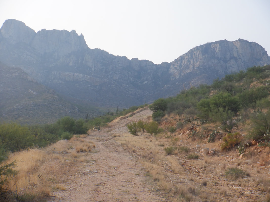
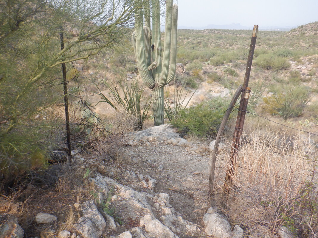
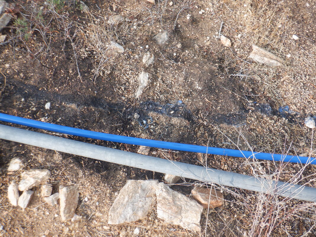
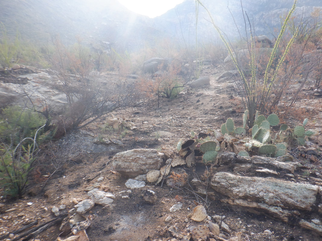
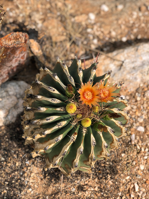
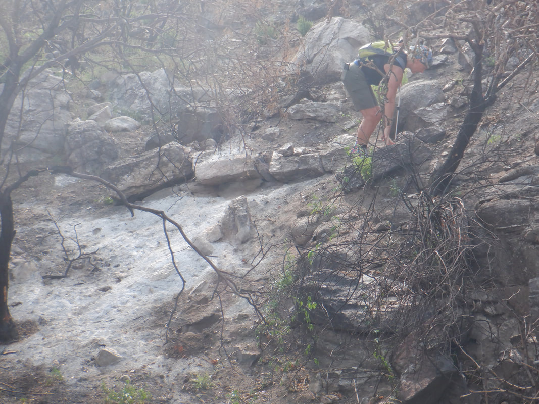
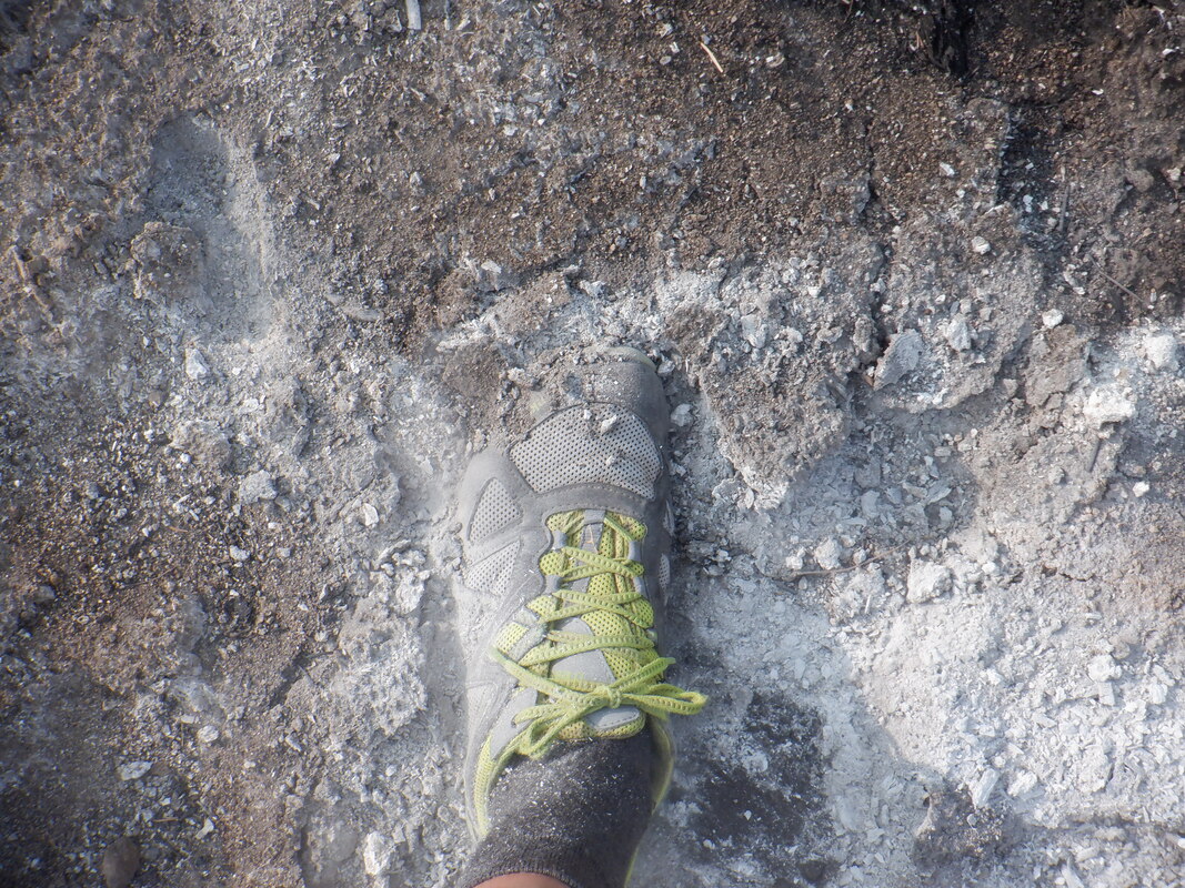
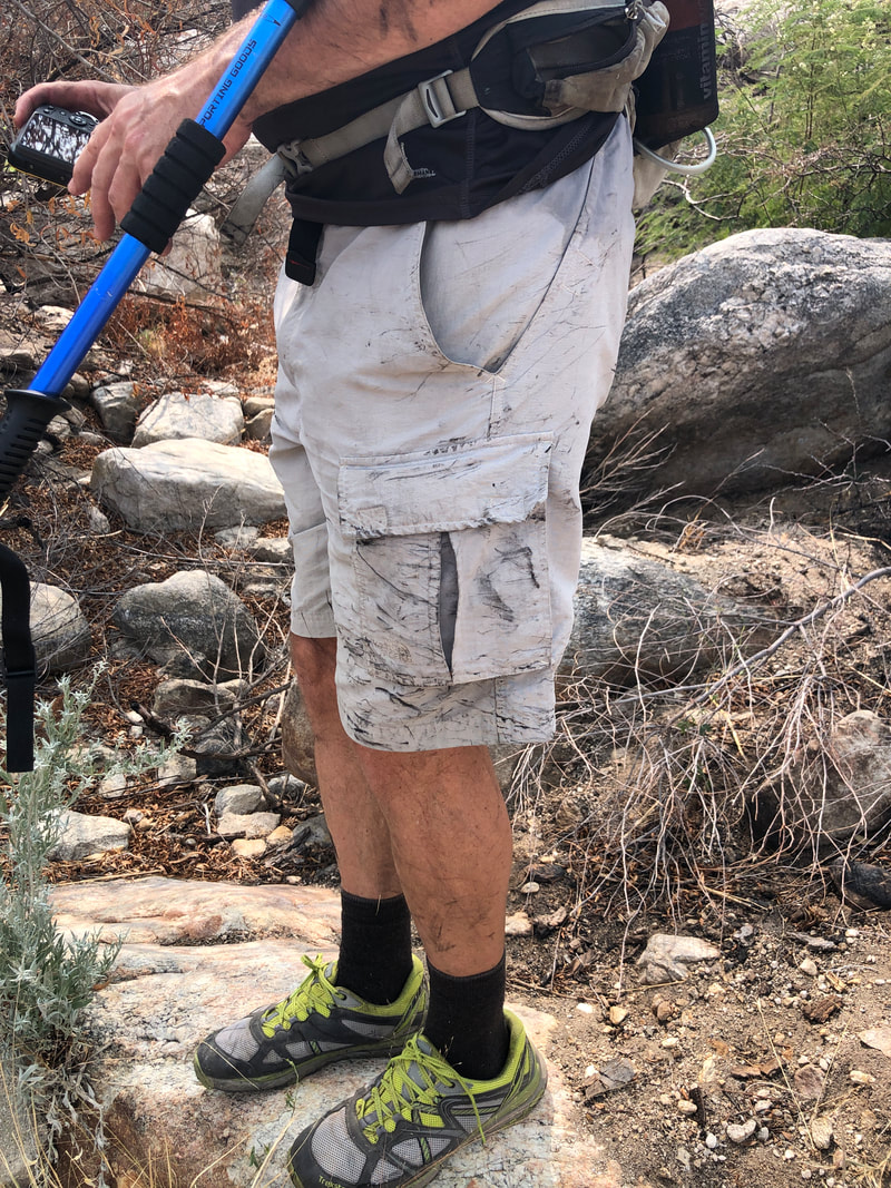
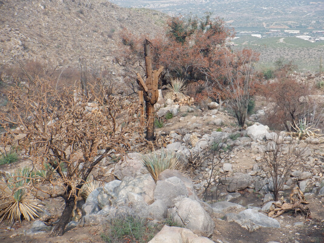
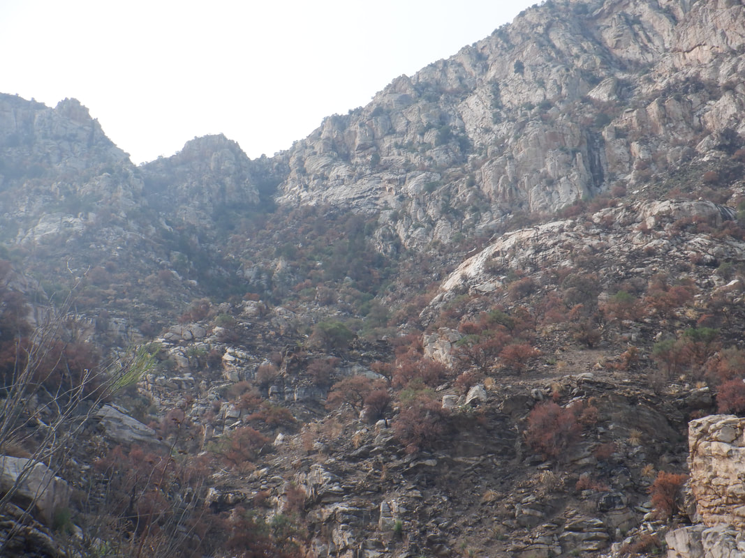
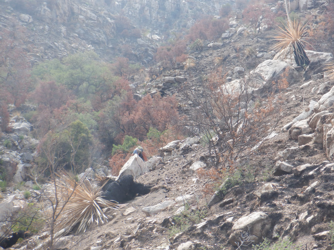
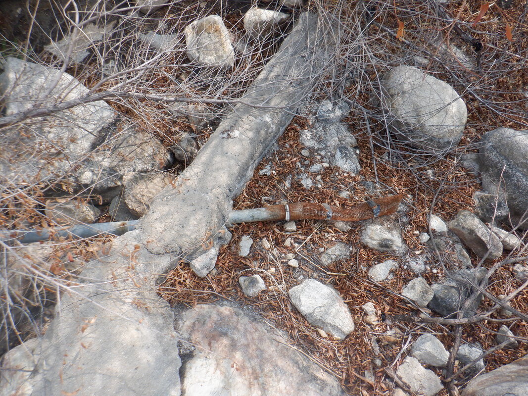
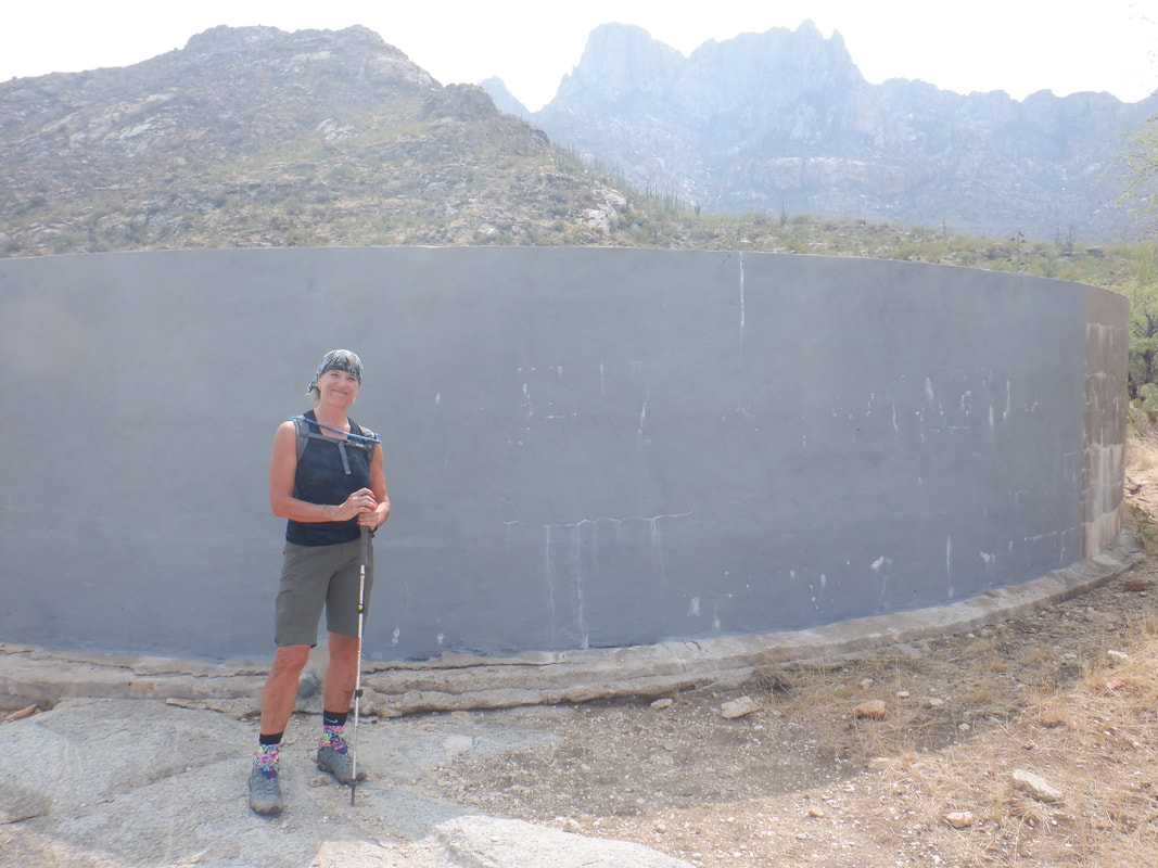
Amy and I park at a small park in Ram's Pass subdivision. It provides better access to the wilderness below Bighorn and Table Mountains rather than Catalina State Park. We hike up a graded road with our goal being the ridge between Bighorn and Table in the distance. We reach state land and the signs that warned of jail and/or fines for trespassing, now gone. After about 2 miles of hiking..... ....we reach the Bighorn Fire burn area. A pipe that used to deliver water to a large tank was destroyed by the fire (that's residue from the prior pipe alongside the new, blue pipe) but someone has laid a new pipe. Now it just needs rain. The fire damage is extensive yet there are..... ....signs like this burned Barrel Cactus, that some of the plants will survive. While the needles have mostly burned off this cactus. the flowers are promising. We followed a trail for awhile but it was leading us too far to the north so we went off trail. Normally, this would be heavy bushwhacking but the hiking is easy. In places, the amount of ash.... ....is kind of deep with so much brush burned. Of course.... ....there is no avoiding the branches that are still standing but burned, which leaves black marks on our clothes. In the middle, a saguaro is definitely dead but the mesquite tree in the distance has leaves wilted from the heat but maybe it will survive. We close on our destination. While much of the ridge is blocked by vertical walls, there is a "Y" that appears hikable. I thought these choke points would have burned but at this closer look, still chocked with plants. Likely impenetrable so while Amy was more then willing to continue, I thought it a waste of time so convinced her to turn around. We walked in areas that previously would have been largely impossible to visit. The amount of large boulders which are normally hidden by the brush, is impressive. During our off trail hike down, we found where the pipe originates. It is set in cement in a small recess where water collects during rain. Curious if water was in the tank we reached it..... ....but it was dry. Amy, aka Axl Rose, poses in front. We finished with a little less then 7 miles and 1500' of climbing.
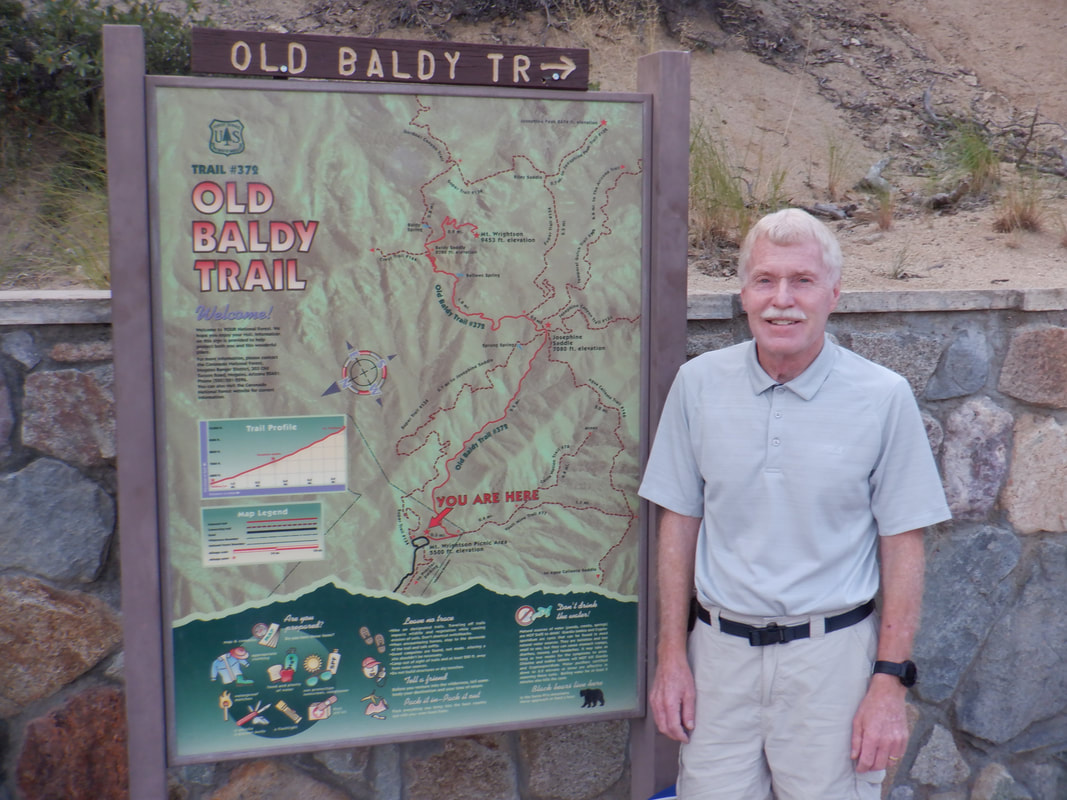
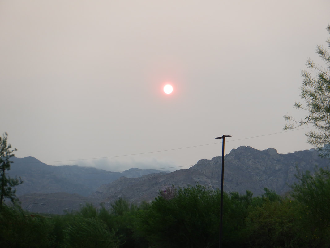
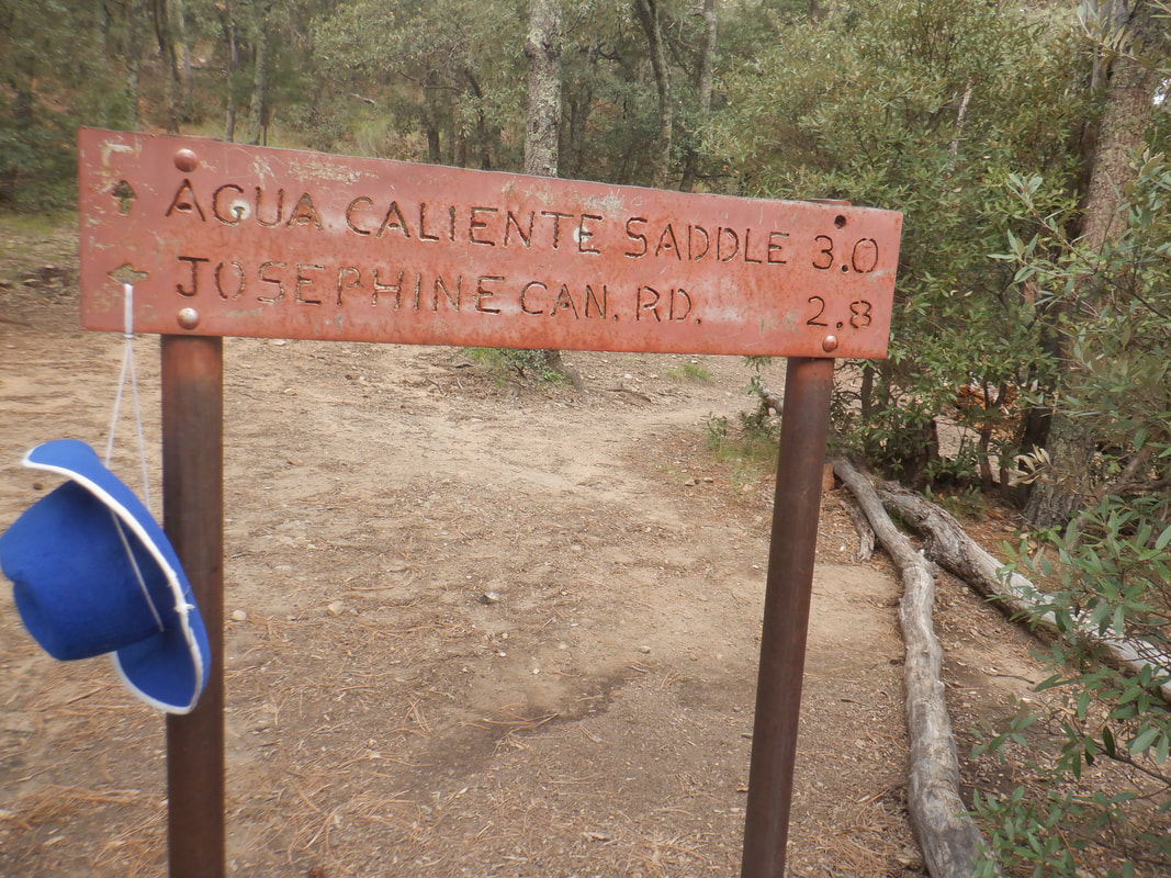
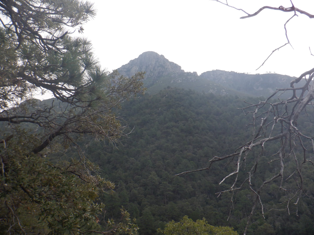
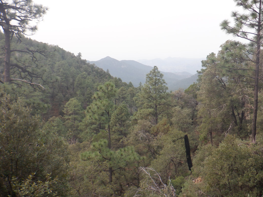
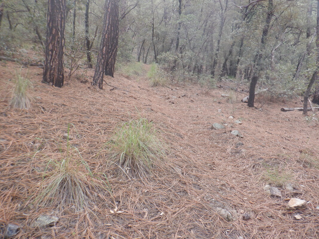
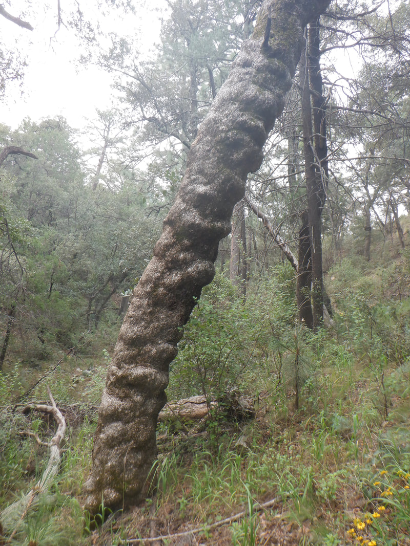
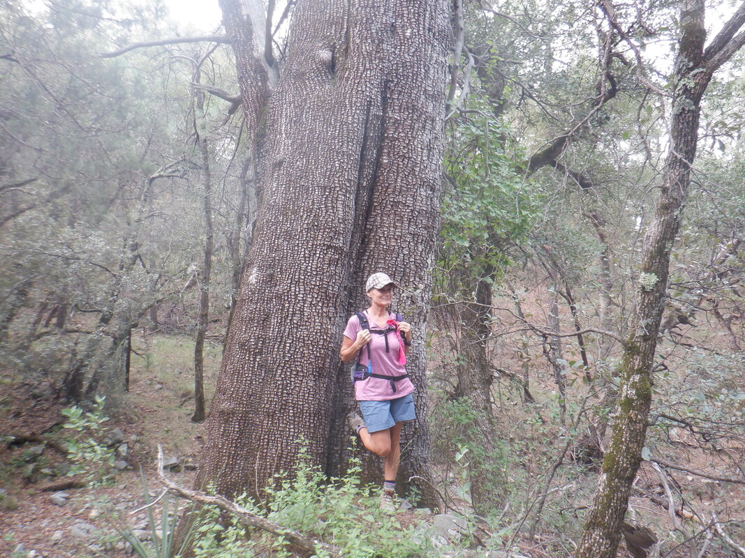
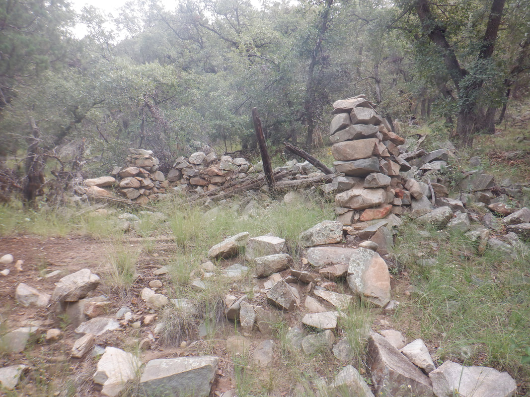
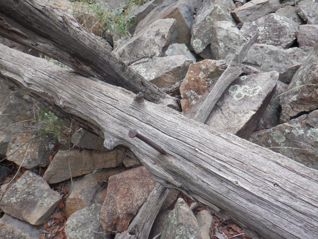
The numerous west coast wildfires have contributed smoke to our area of paradise, providing some unusual looking sunsets and sunrises. I signed up for a group hike originating in the Santa Rita Mountains at Madera Canyon. It's about an hour's drive but I arranged to carpool with Amy so we arrived at the trailhead together. Most areas of the Catalinas are now open after the Bighorn Fire so I don't plan to drive to the Santa Ritas very often. But, this looked like a good group hike with a fun bunch of people and we were not disappointed. We hiked the 12% average grade of the Old Baldy trail to..... ....Josephine Sadle. Someone left a hat hanging for unknown reasons on the sign. Usually, from this saddle I break to the left and continue on to Mount Wrightson or right to other destinations but today..... ....the 7 of us continued straight on Josephine Canyon trail, a first for me. Actually, in the many times I have been at Josephine Saddle, I'm not sure I ever noticed this trail. Above, Mount Wrightson beckons but not today. We follow the trail steadily down through a pine forest having a..... ....thick covering of pine needles as the Ponderosa Pines were plentiful in this south facing canyon. We passed this oddly shaped tree along with..... ......many huge Alligator Junipers. I don't think I have seen so many fine examples as our group leader, Lorna, poses in front of one to give a perspective on the tree's size. We stopped short of our planned turnaround point due to some of us having later commitments and finding this abandoned structure as a good spot for a break. It would be fun to take on a project of rebuilding the structure. Certainly all the rocks are still present but the.... ...timbers would need replaced. In this lush environment, that wouldn't be a problem. We finished with 9 miles and 1900' of climbing. Good hike with good people.
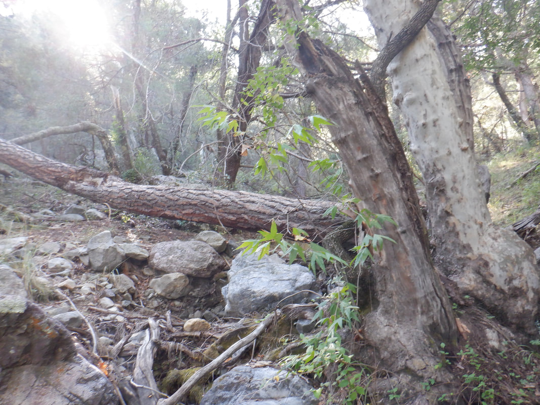
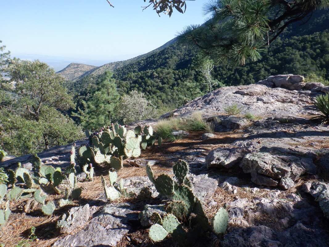
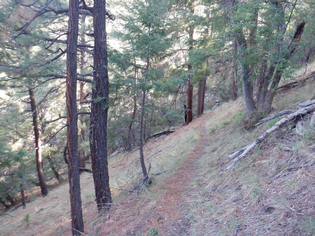
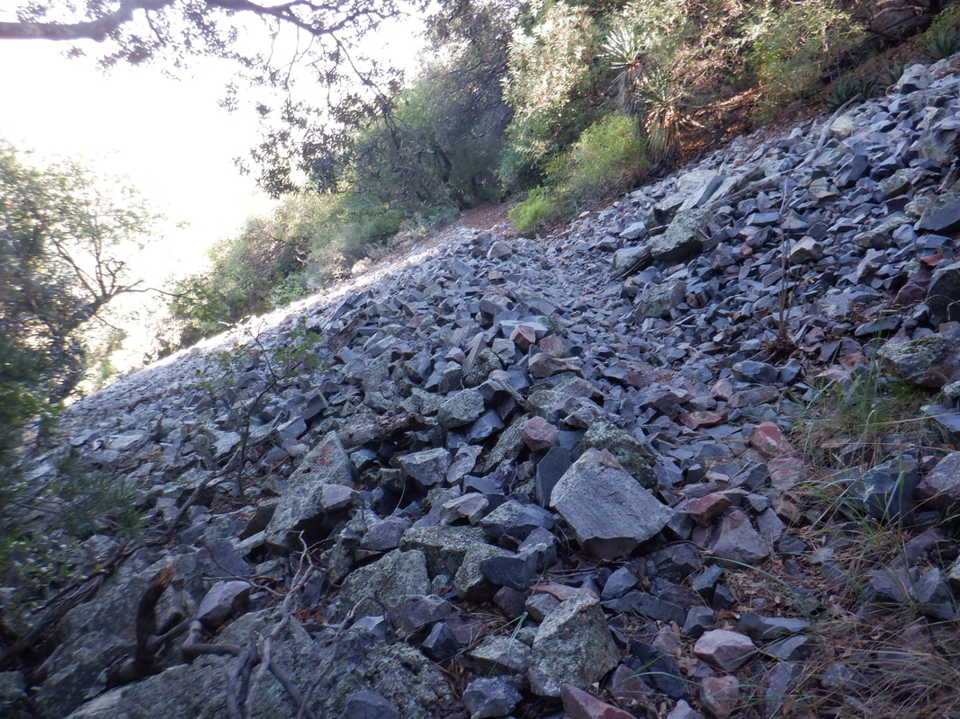
Well, since I did not make it to the destination, this isn't all that of an interesting report. Yes, parked at Madera Canyon to escape the heat and as always, walking in a pine forest is a fun experience when you live in an area that some of my midwest friends think is mostly sand dunes. I'm not sure how I screwed this hike up. I got on the Pipeline Trail which is not on any maps but easy to follow and once again I..... ....breezed by Roger's Rock and it's great views but I was going much higher. The trail above Roger's Rock follows a ridge and is fairly steep before arriving at the Springs Trail where I made a left....that was a mistake but I was following a gps route so....what happened? The trail descended and I followed it for about 1/4 mile before concluding it could not possibly end up going to a saddle. The trail was easy to follow and crossed a rock fall. Finally, I turned around and headed back. I reached the trail where I hung the left and continued, now ascending but.... ...didn't have the fluids to continue and needed to do some more research. Good news, the temperatures are finally going to moderate and the Catalinas have reopened after the Bighorn Fire.
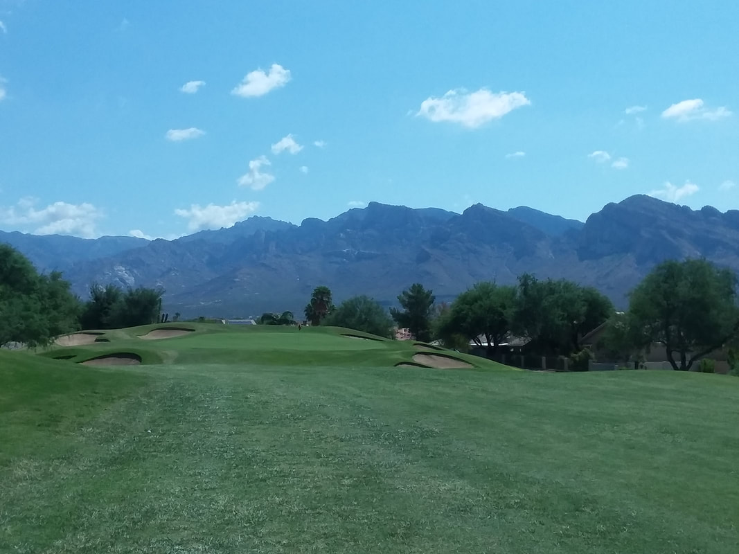
Just so you don't think I am a 2 trick pony, I began playing golf after maybe a 15 year hiatus. During that time, I would play 1-2 times a year just to stay familiar and each time I played I played not well but not terrible (I had a 2 handicap when I played which is pretty good). I actually even won a county amateur event in Ohio...how bout that?! I'm not trying to get good, just needed something on days I am recovering from a hard hike or bike ride (doing a lot of the former, little of the latter).
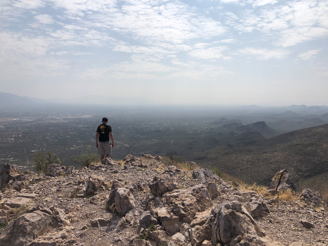
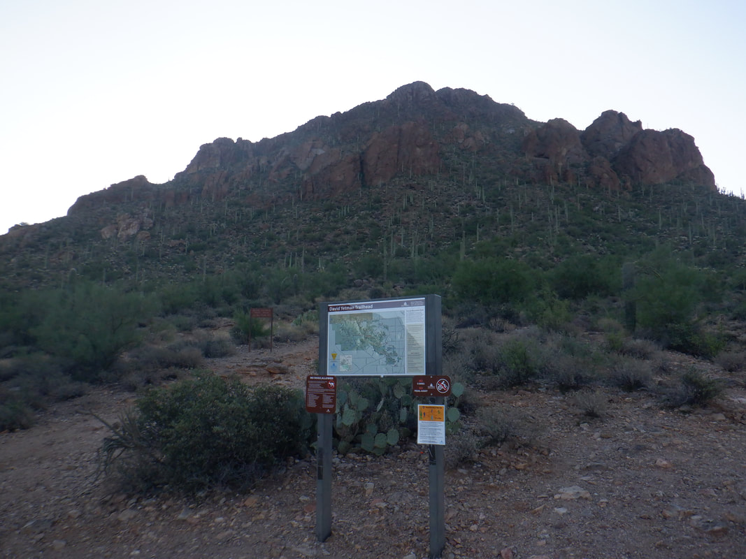
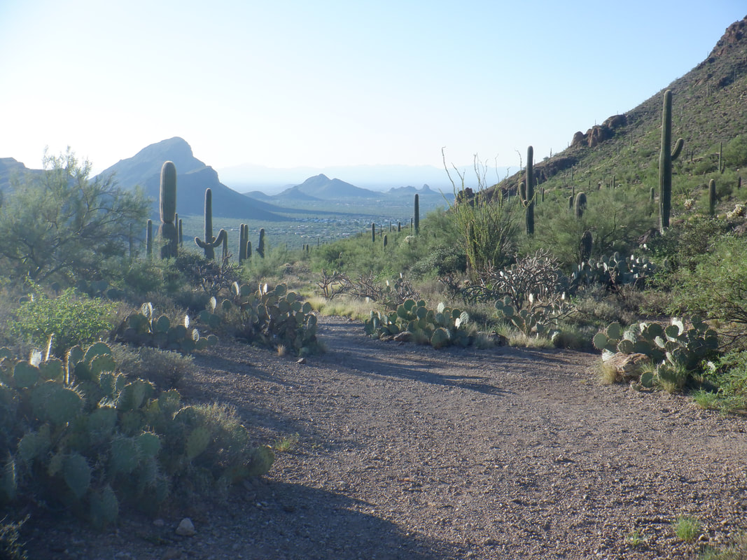
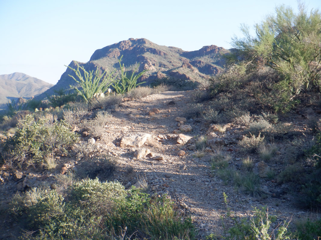
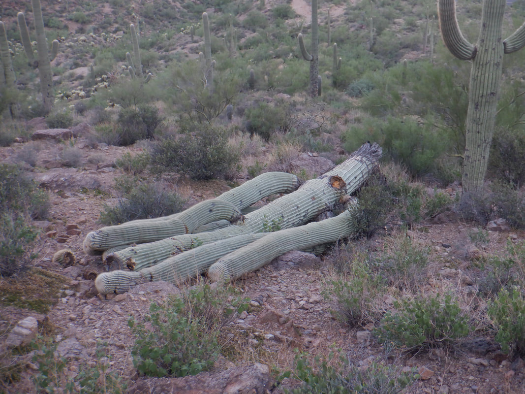
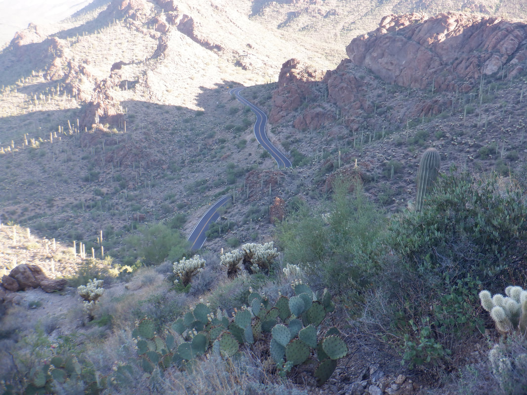
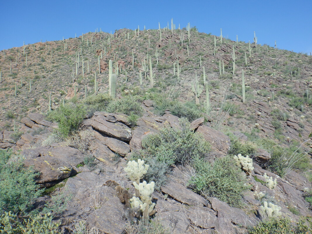
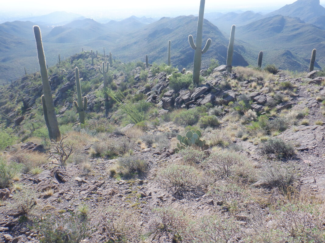
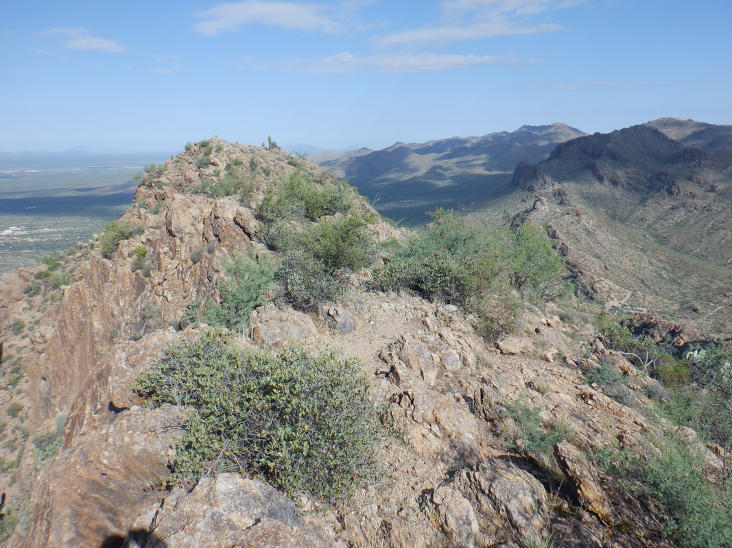
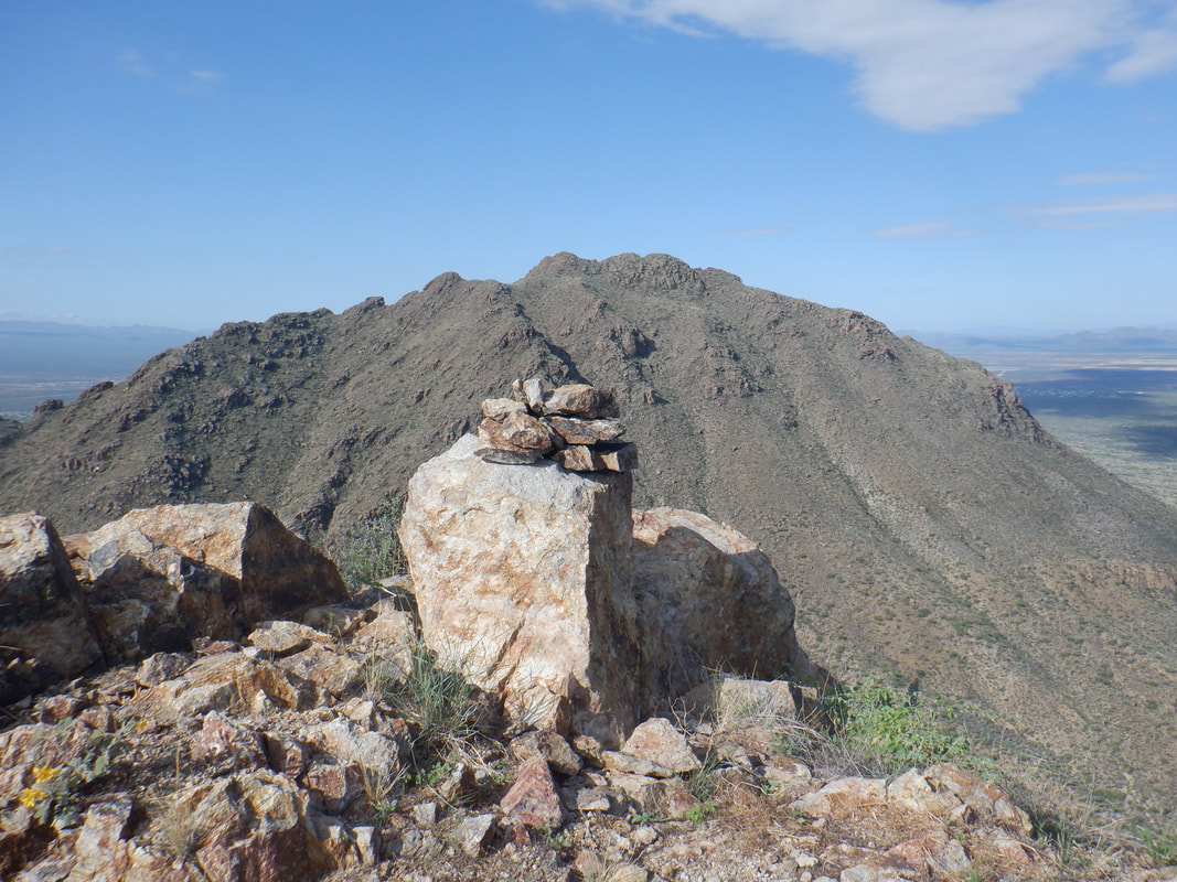
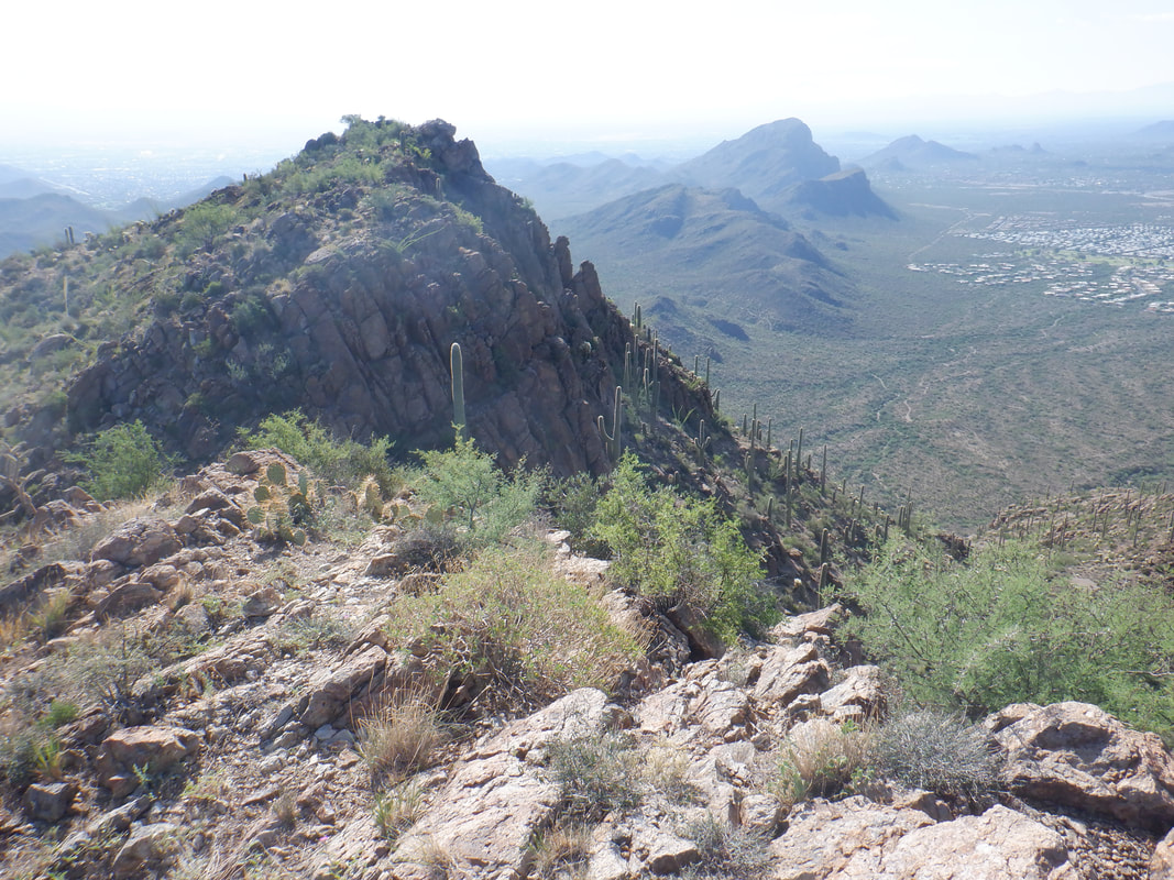
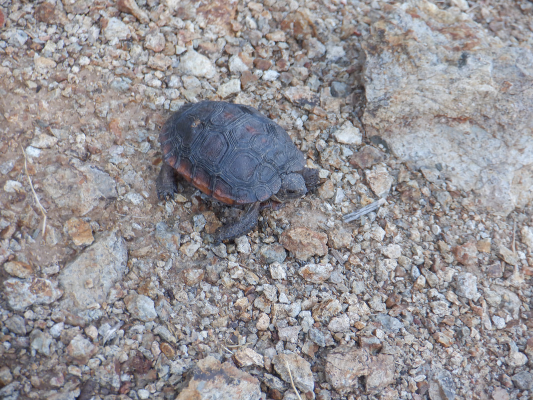
I began practicing a little but overdid things and some seldom used muscles rebelled so had to take things slow. I also noticed the golf muscles have atrophied so the distance I hit a ball is really pretty sad. I stayed with it, began playing 9 holes then 18 so am playing 1-2 times a week. I'm very competitive but am relieved I am no longer the club throwing, cursing maniac I once was...ok, I didn't throw clubs but I would get so angry with myself back in the day. My expectations are so low now that I almost smile when I hit a ball in the pond or out of bounds. Golf has changed a bit since last I played seriously. Some people have music playing from their golf carts which is weird. Lot of people use a golf ball brand purchased from Costco called Kirkland? The pace of play seems faster and am getting around in 4 hours but when the snow birds return that may change. I get a big kick out of listening to playing partners give me advice on golf equipment. Eventually they ask what I did/do for a living and when I tell them I used to travel the world giving 5 hour seminars on golf club design, lectured in front of PGA tour pros at the Honda Classic and spent a lot of time in Taiwan and China at golf foundries, well, they stop telling me what they know about golf clubs. My Ohio State club cover gets a reaction so that too is fun. Well, way too much about my background, on to hiking. Here I am yet again, in the parking area on the west side of Gates Pass. Goldengate Mountain is on my right but the yet unsummited Bren Peak on the left. I've poked around it a couple of times, found the ascent route so.... ......hike in the shade via the Yetman Trail to a saddle and then take a..... ....wide social trail to the left. The trail quickly narrows but is never difficult to follow as it traverses the mountain clockwise. Below me I see a..... ....recently fallen saguaro. That is at least 150 years old and too bad it collapsed. The trail takes me far above Gates Pass and the steep climb of the road is not obvious. I continue the hike until I reach the 6 o'clock position having started at 12 o'clock where I find.... ....some cairns that lead me up a..... ....ridge. Several times I think I am about to reach the peak but they are false until.... ....I see the peak. The trail dips down and climbs until I reach..... ....the summit of Bren Mountain. Finally. Across the way I see Goldengate Mountain. That's a good climb too. Looking back, I see Big Cat Mountain and several smaller peaks that make up a portion of the Tucson Mountains. I begin the return and soon spot.... ....a very small turtle. Maybe a baby desert tortoise, not sure. I finish with 4.5 miles and 900' of climbing so not all that difficult but the off trail hiking to the peak takes quite a bit of time. The heat wave continues with several daily, record highs but the end of summer is at hand. More to come.
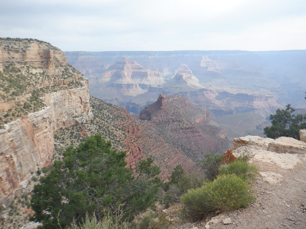
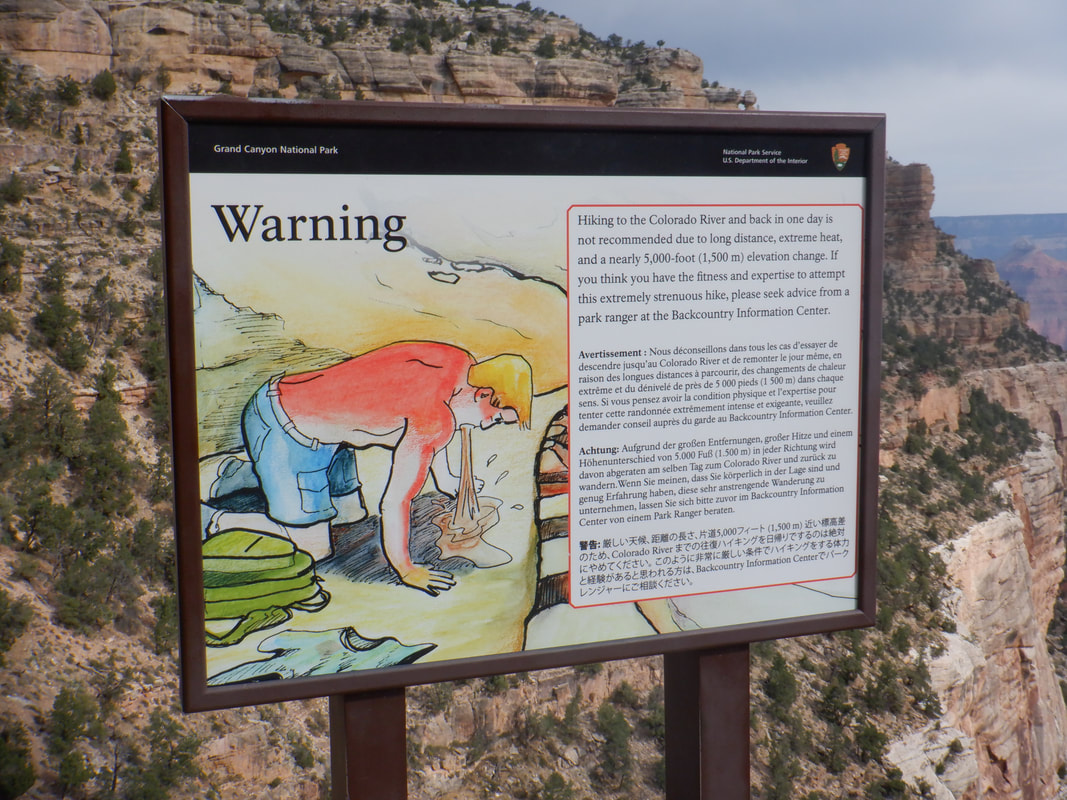
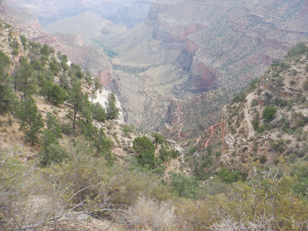
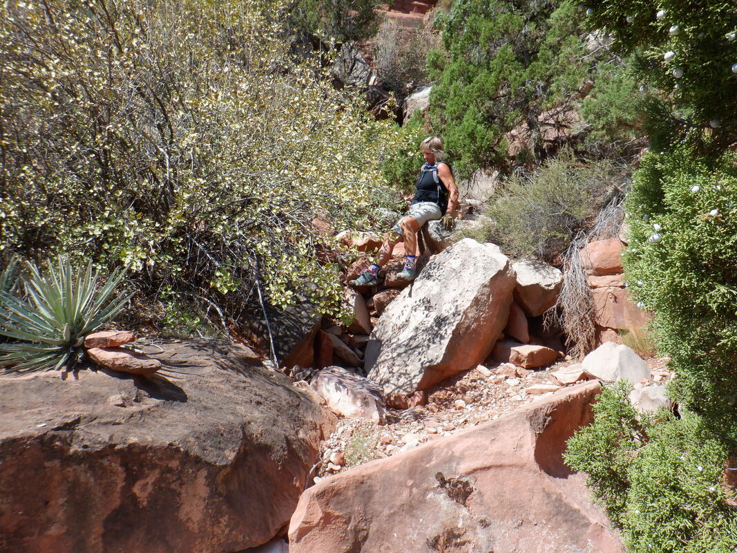
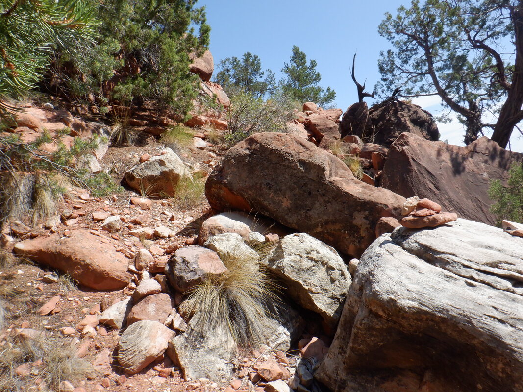
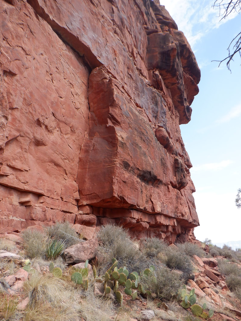
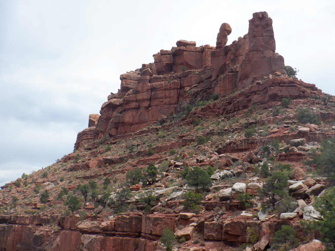
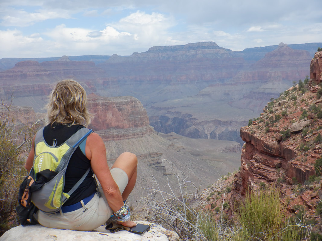
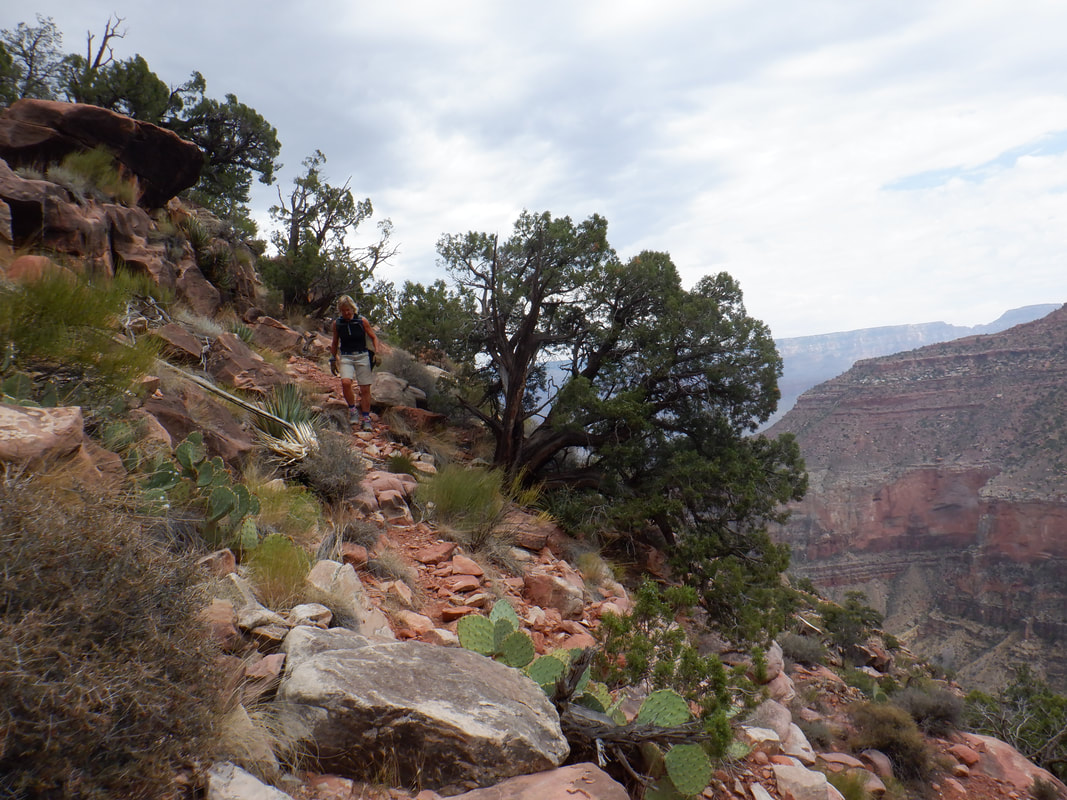
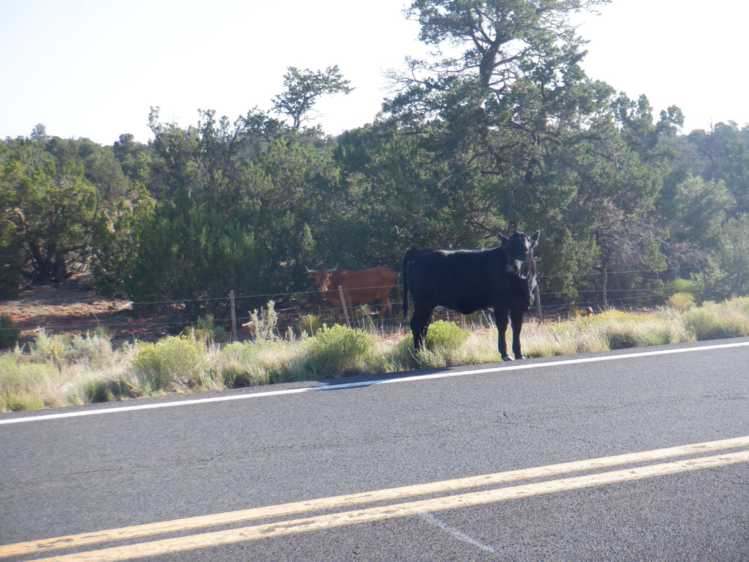
A cool morning as we arrive at the South Rim and begin a 2 mile descent of the Bright Angel Trail. In the foreground, our destination, the Battleship. We pass.... ...a warning sign that is far more graphic then previous ones I've seen here. It's an ongoing problem of people starting the hike down, it's easy but then you have to turn around and the return is not so easy.We met We are stopped by a ranger who asks if we understand the dangers of hiking in the GC and to warn us they are short staffed so a rescue could take some time. I assured her we would be fine. Down we go, below the 1.5 mile rest house and then go..... ....of trail. There is sometimes a faint path, sometimes cairns to mark the way. I frequently lose the route and we are forced to bushwhack around, looking for.... ....the cairns. I got us high on the slope and we pass..... ....immediately below a giant band of red rock. Even though I was following a route, I was too high as the saddle below Battleship came into view so I did a course correction and we.... ....reached the aforementioned saddle. The route up the Battleship goes counterclockwise to the far side. I wanted to get Amy up to the chimney where in February I was forced to turn around as the view from there is spectacular but..... ....we decided with rain forecast to roll in soon, we'd make this our turnaround. The views up and down canyon were terrific. Rather than return on the tortuous route on which we arrived, I found a lower route and we made much better time, reaching Bright Angel and then ascending to the Rim. We finished with 7.7 miles and 2200' of climbing. The following morning, we took St. Rt. 180 to Flagstaff, different from how we arrived, where we had to slow for a cow, standing in the road. Back to Oro Valley where we enjoyed a couple of days of normal temps before another few days of unseasonal temps arrive but it looks like that is summer's last gasp of record heat.
|
Categories
All
Archives
November 2023
|
