|
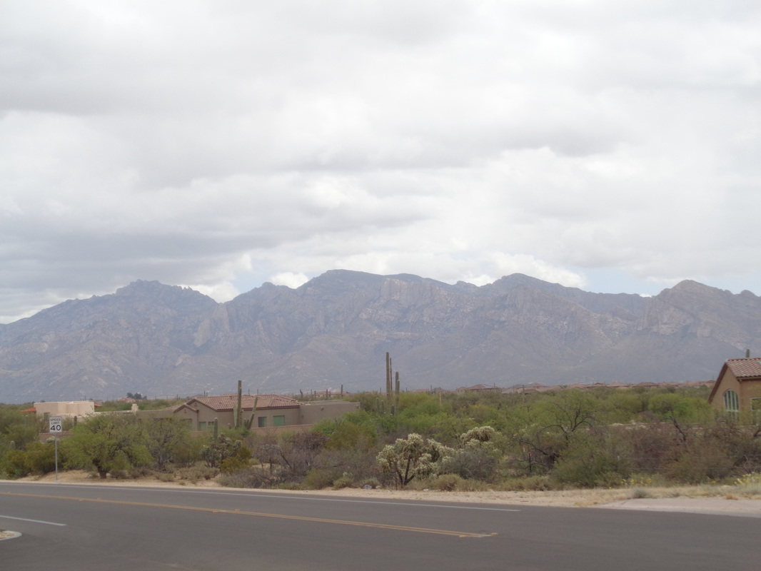
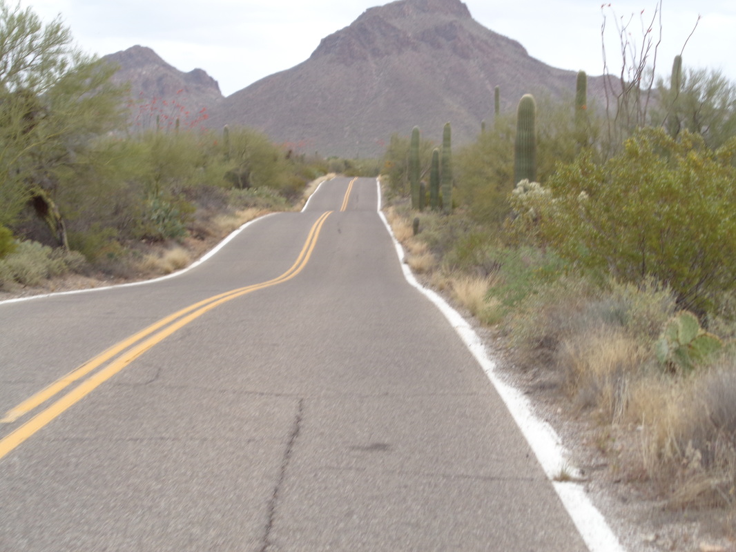
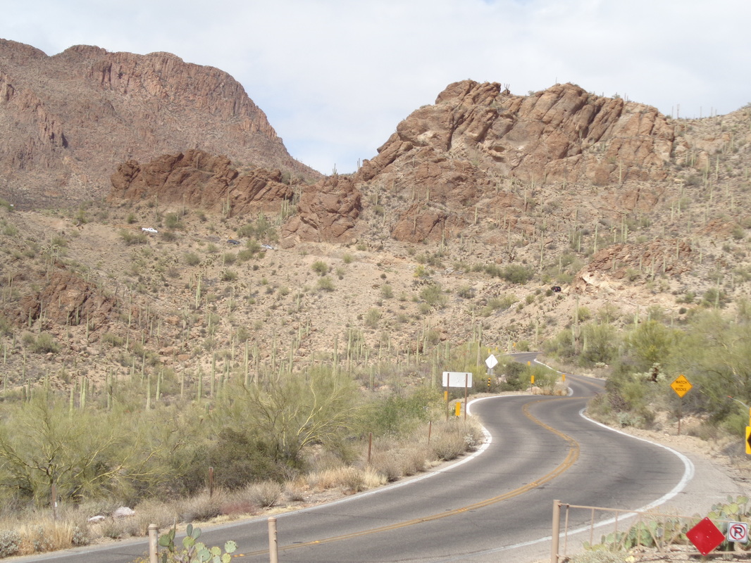
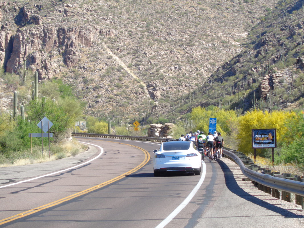
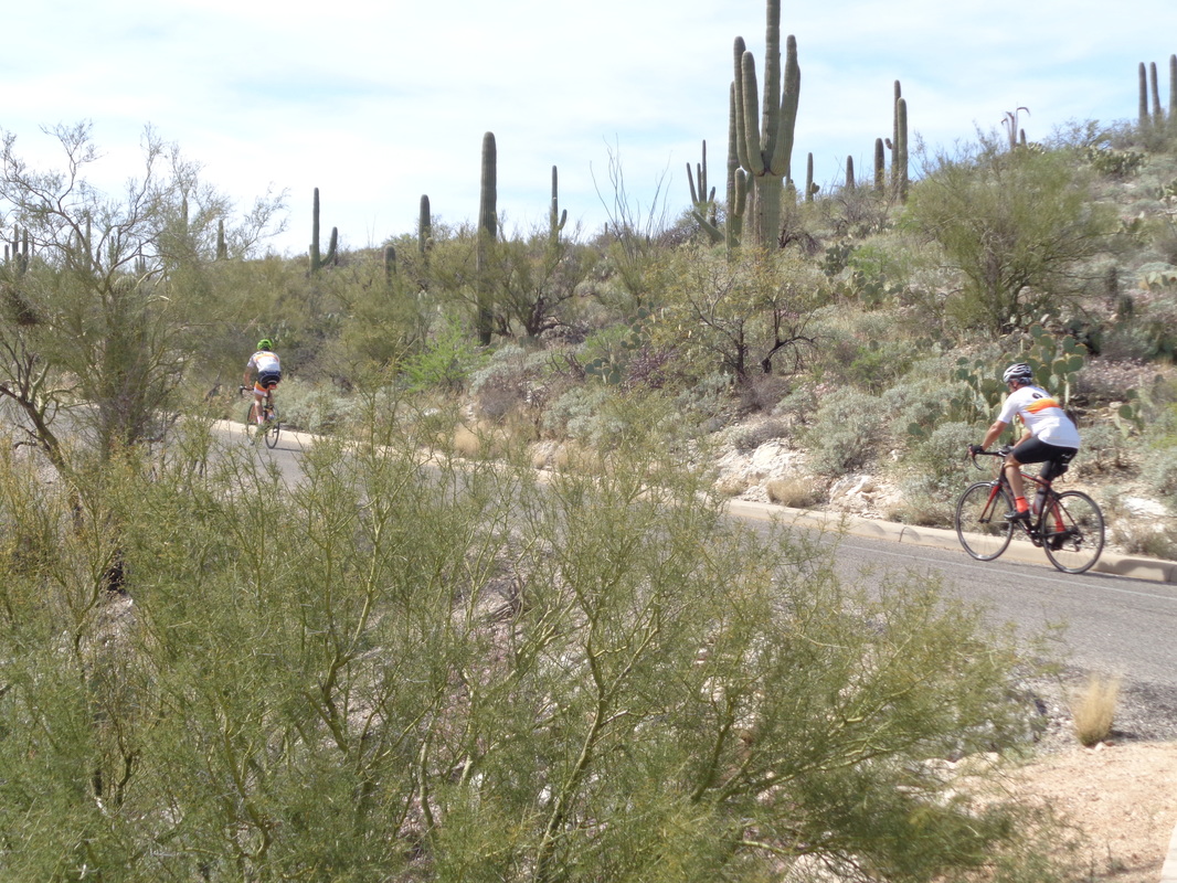
A cold front moved through over night but no moisture, just cooler temps going from daytime highs in the mid 80's to low to mid 60's. I headed out for a 75 mile ride and immediately noticed the forecast winds of 3-5 were much, much stronger and rain could be seen dropping from the clouds but not reaching the surface. I headed northwest toward Dove Mountain, then southwest, over the Picture Rocks climb and then farther west before heading south and soon.... ...passed the Saguaro West visitor center and did the McCain Loop with the Tucson Mountain range looming nearby. The sky cleared a little as I began the Gates Pass climb. Traffic was light which is good because the berm is the white line and with a very twisty road, it is a bit dangerous. In places the road is 11-12% and at the top hit 17%. The descent is long and fast and a lot of fun. Finished with the aforementioned 75 miles and 3100' of climbing.
0 Comments
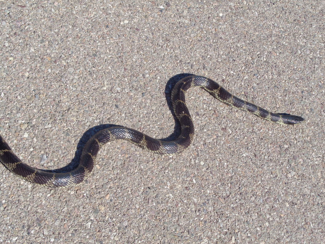
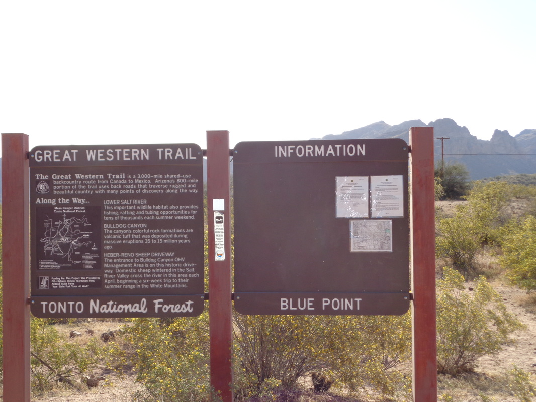
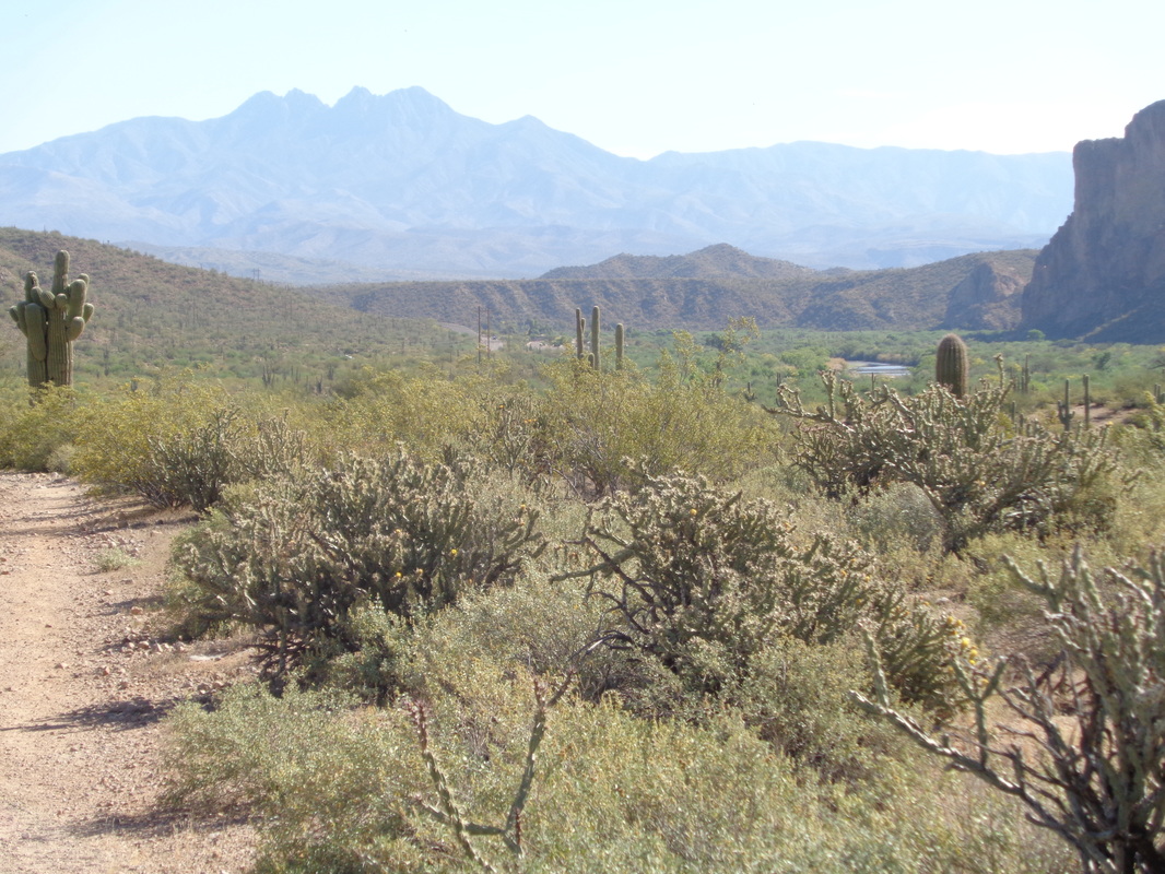
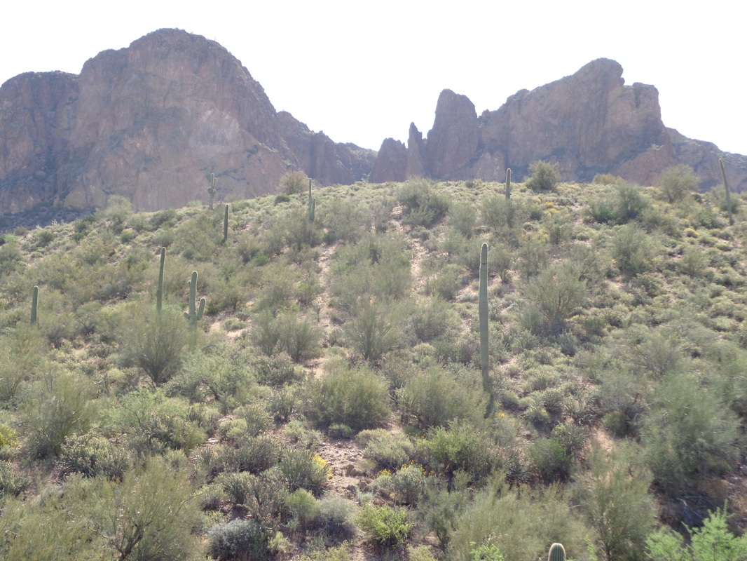
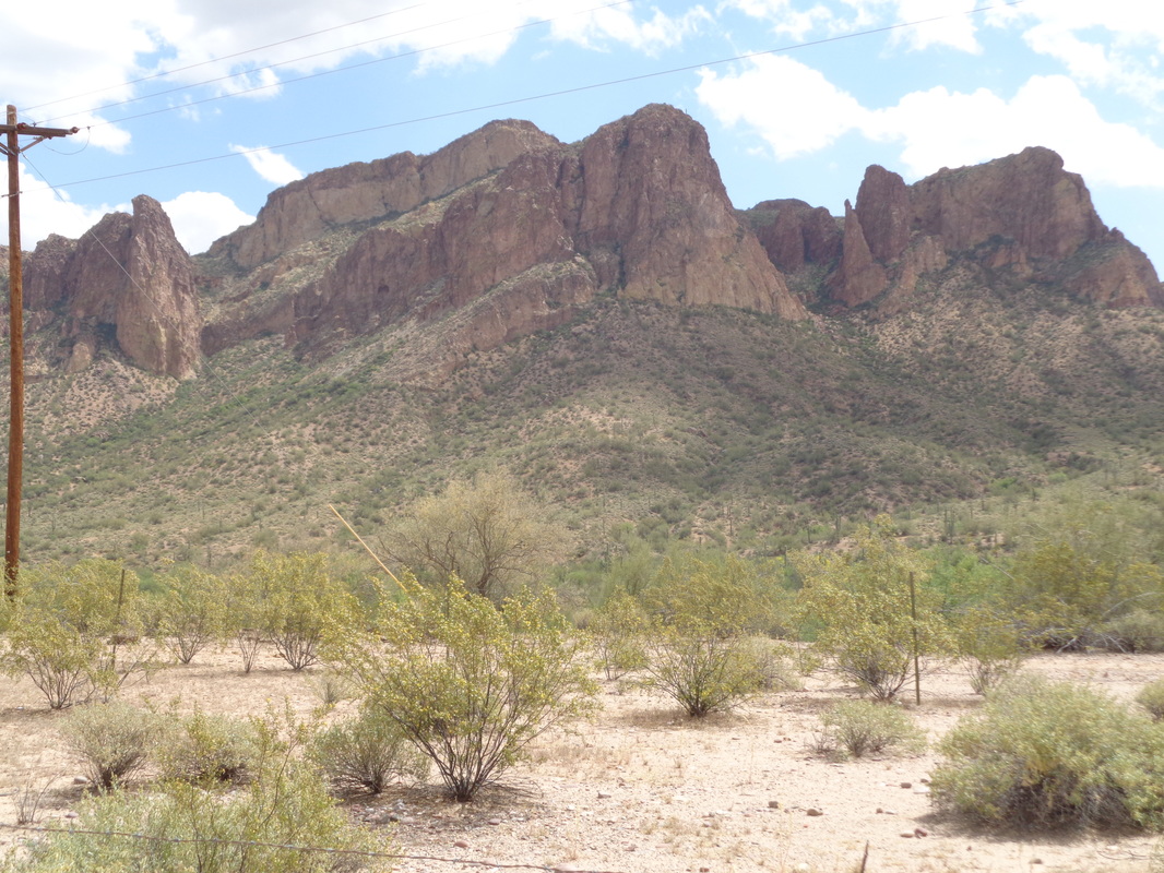
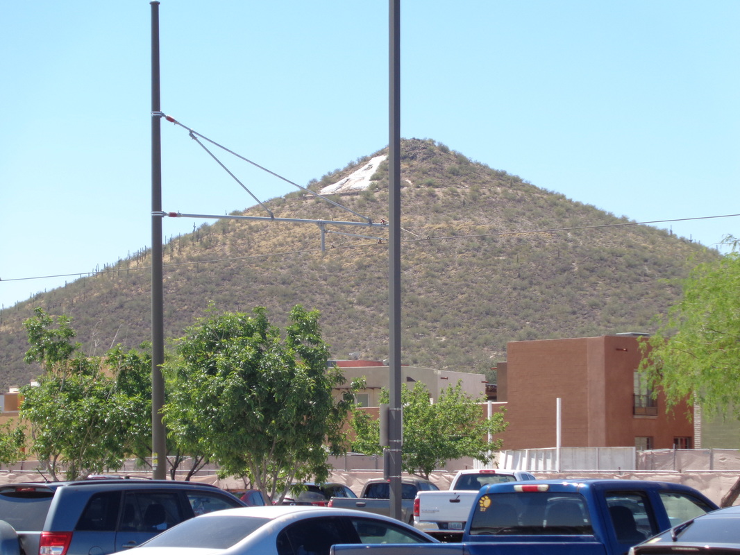
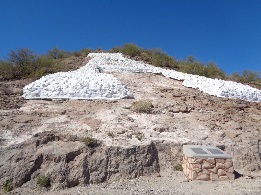
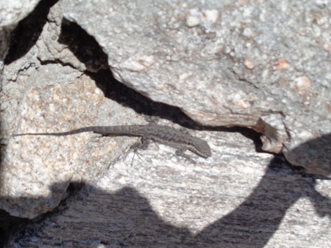
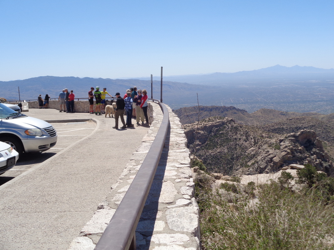
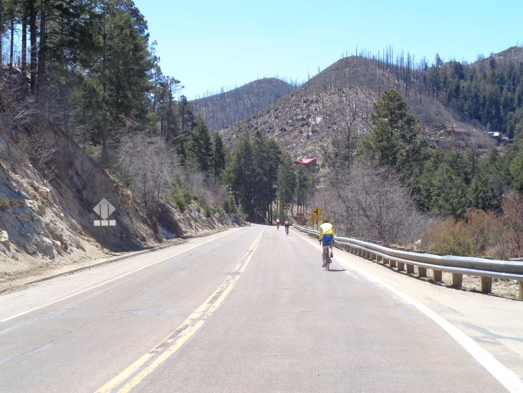
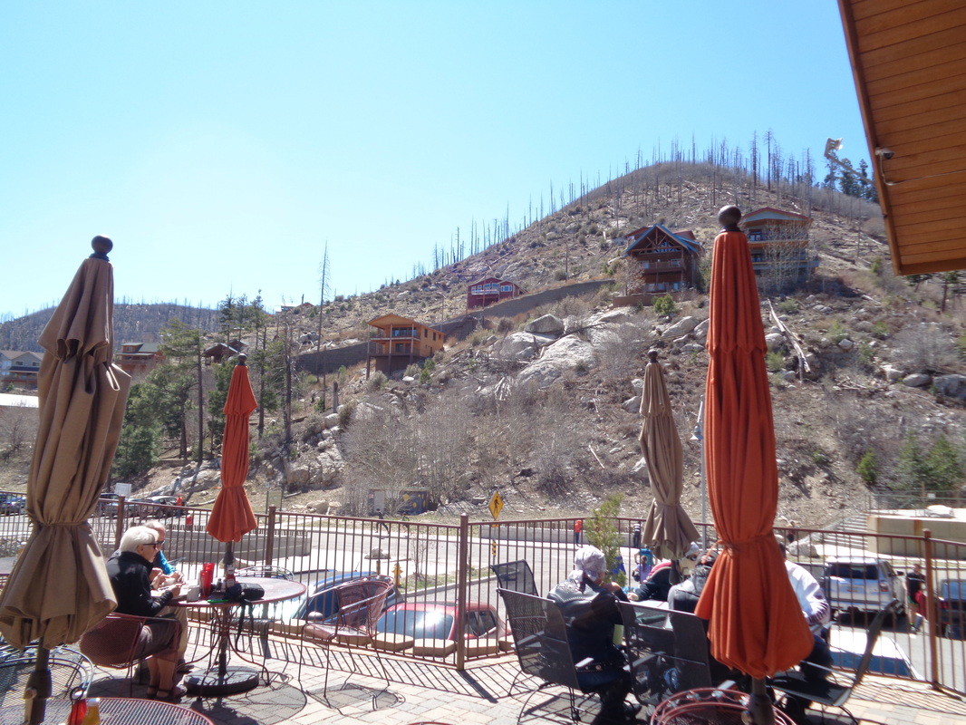
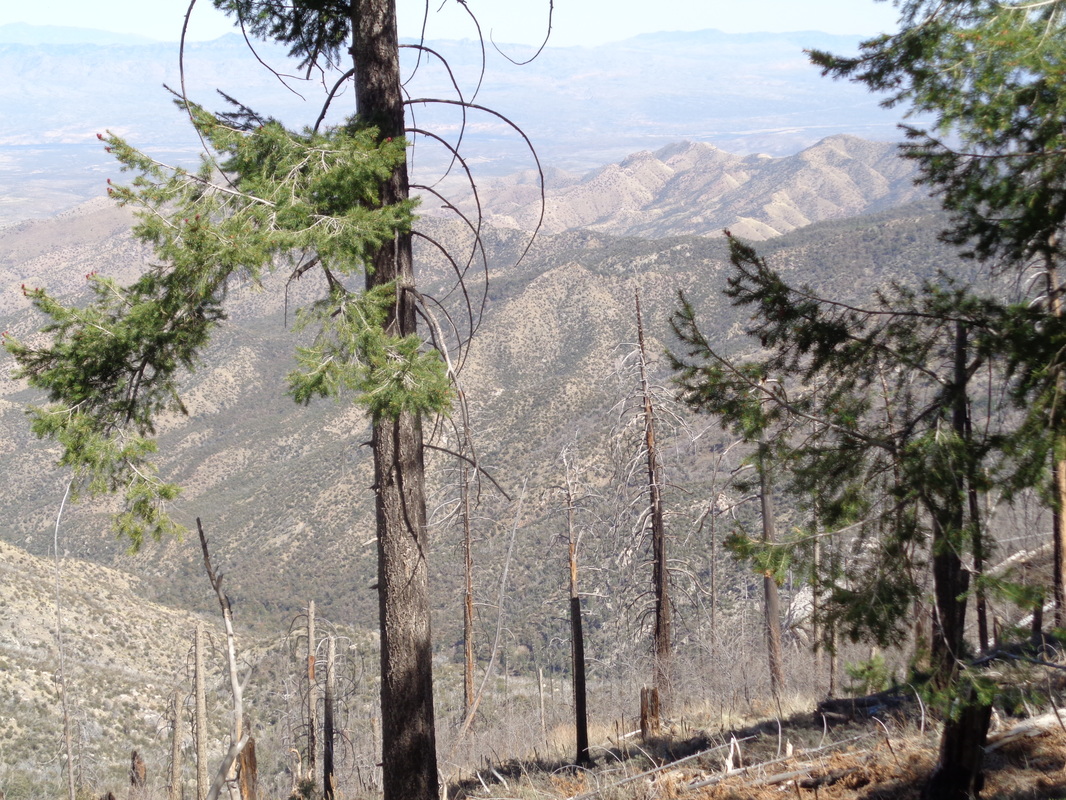
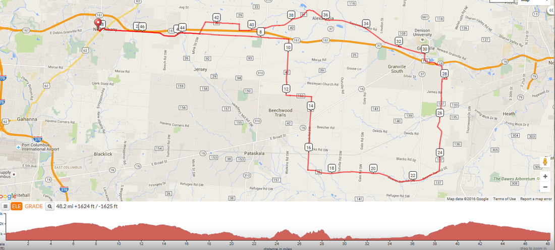
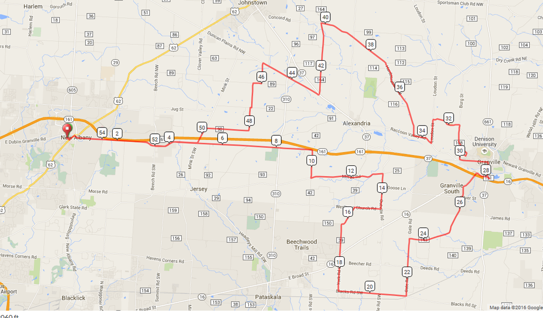
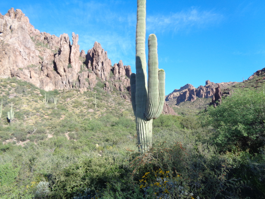
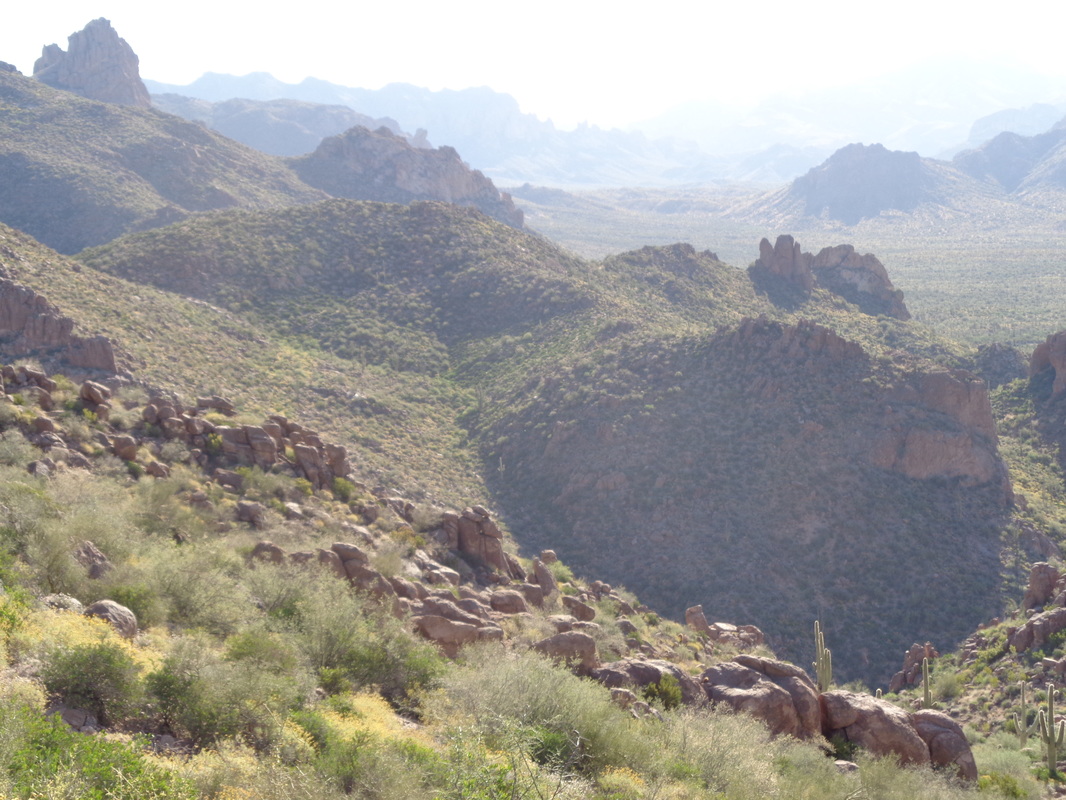
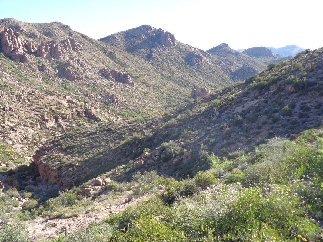
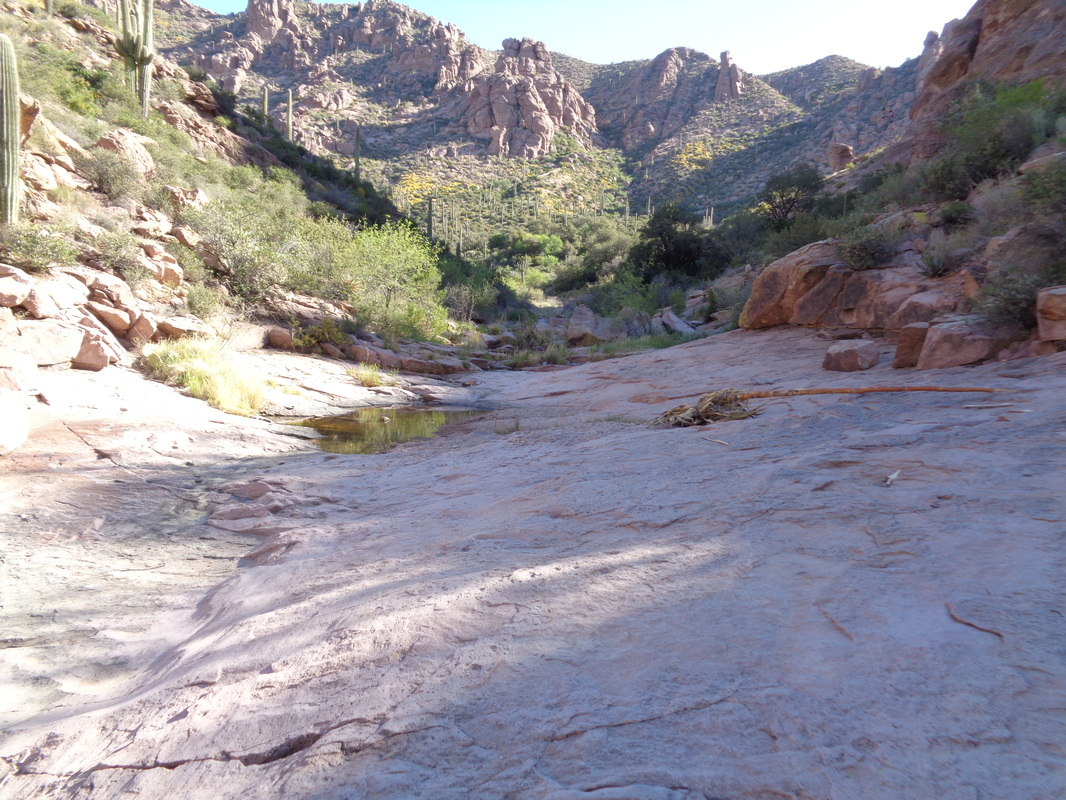
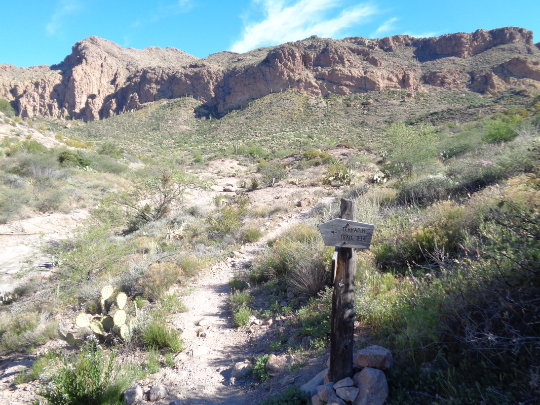
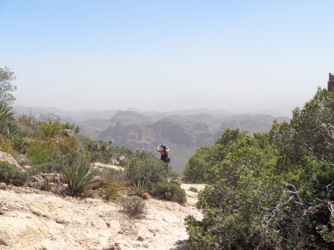
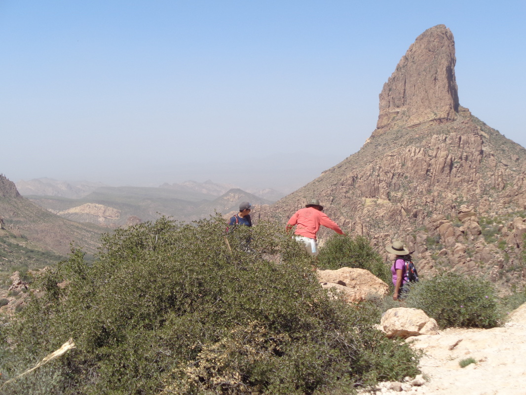
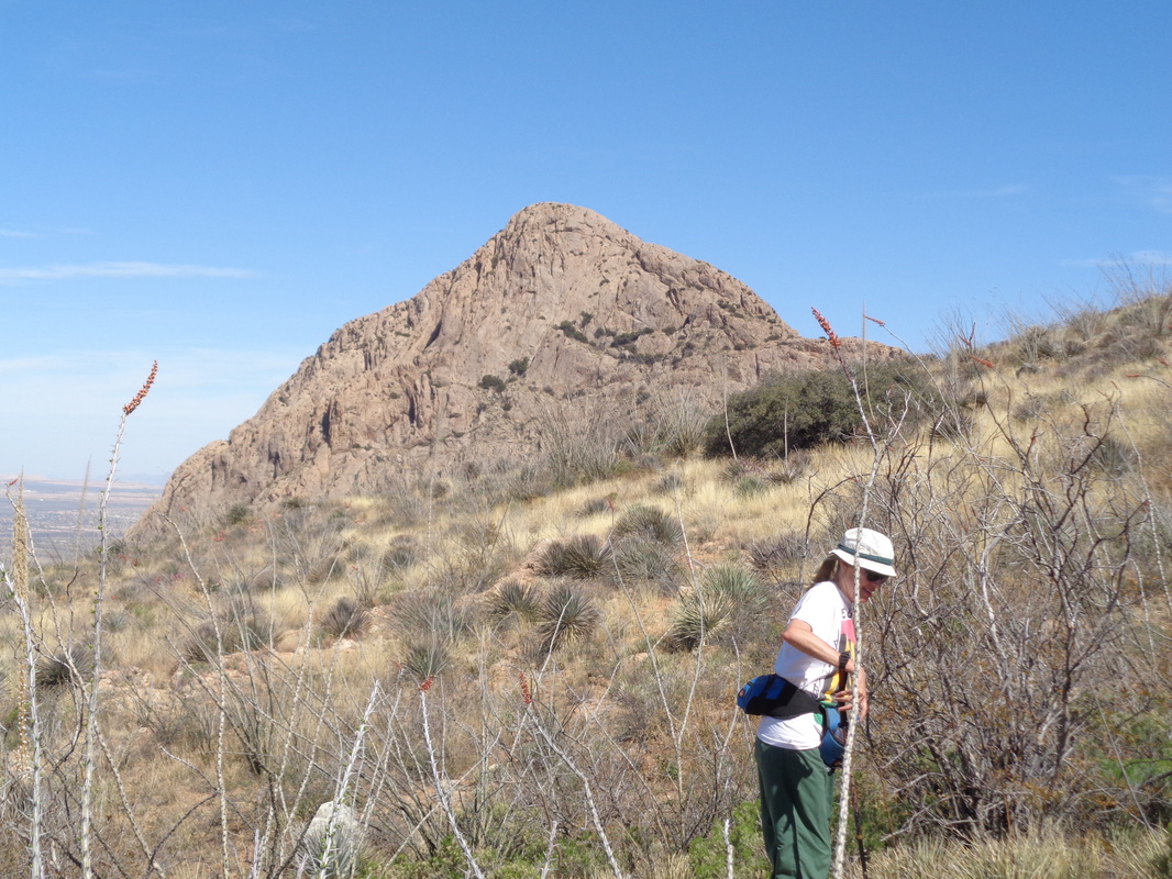
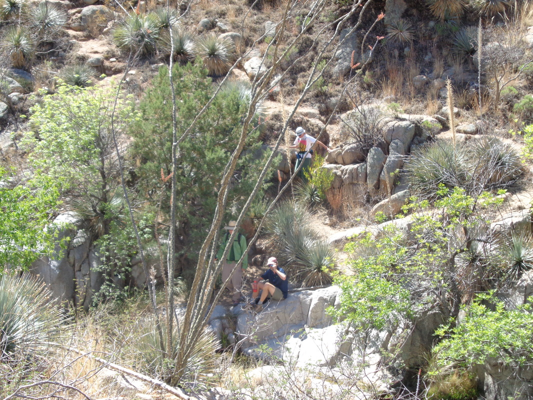
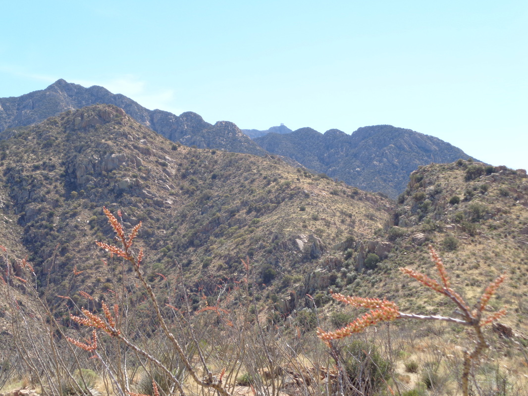
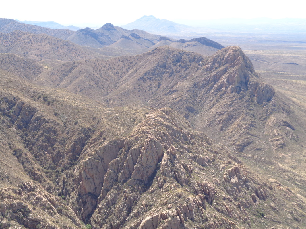
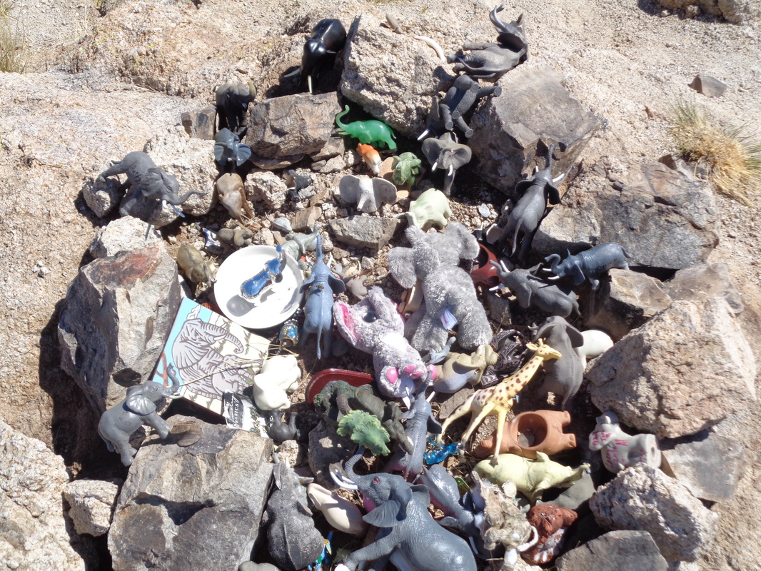
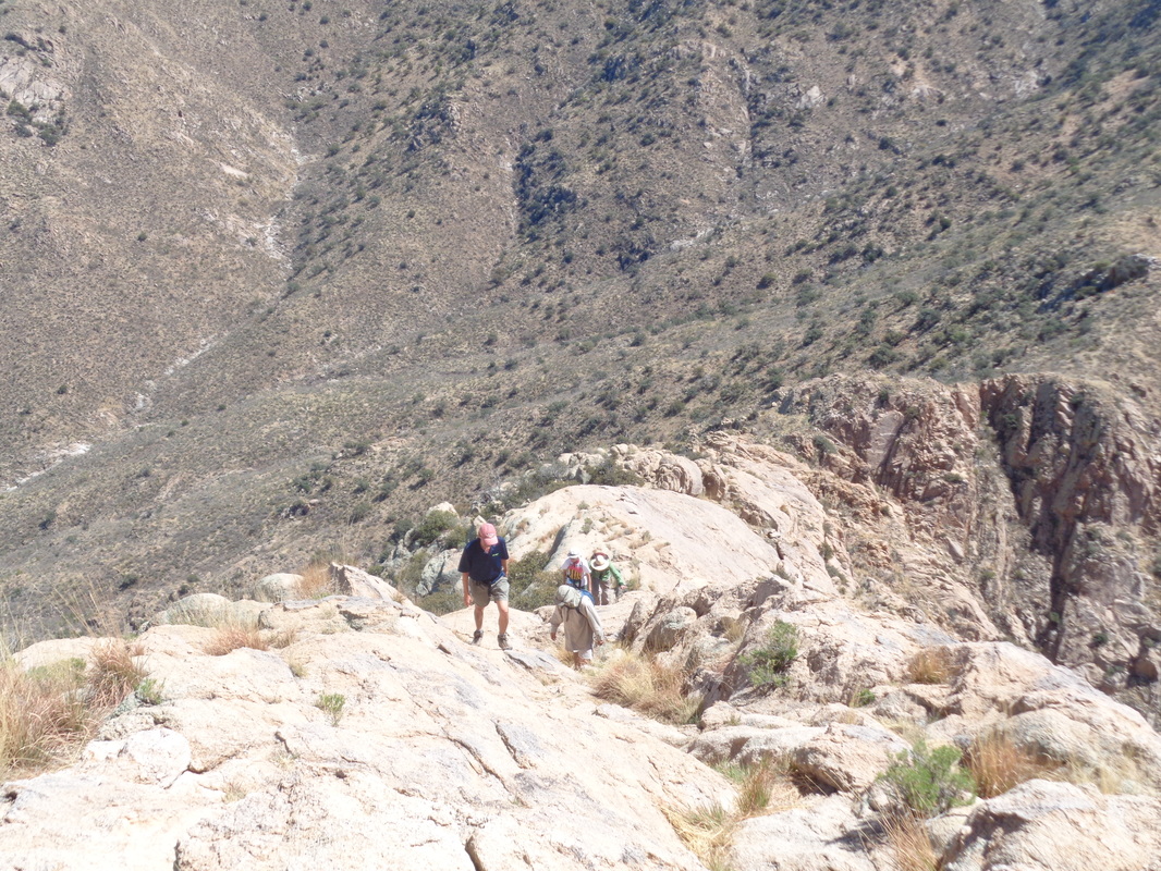
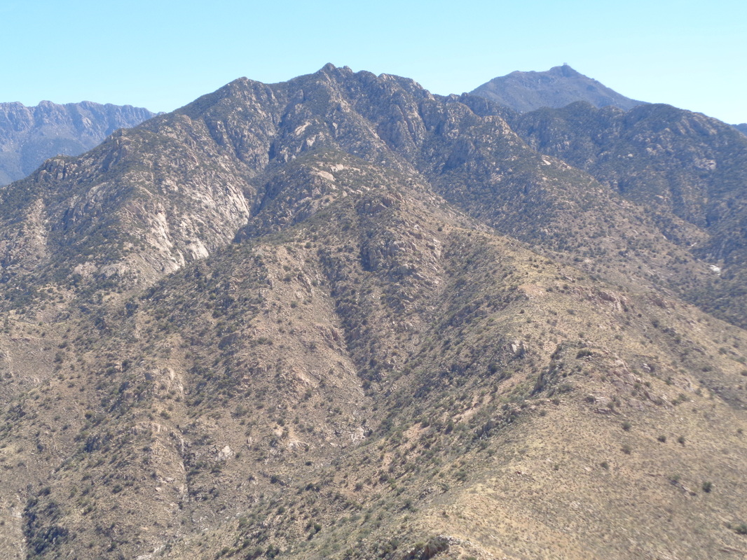
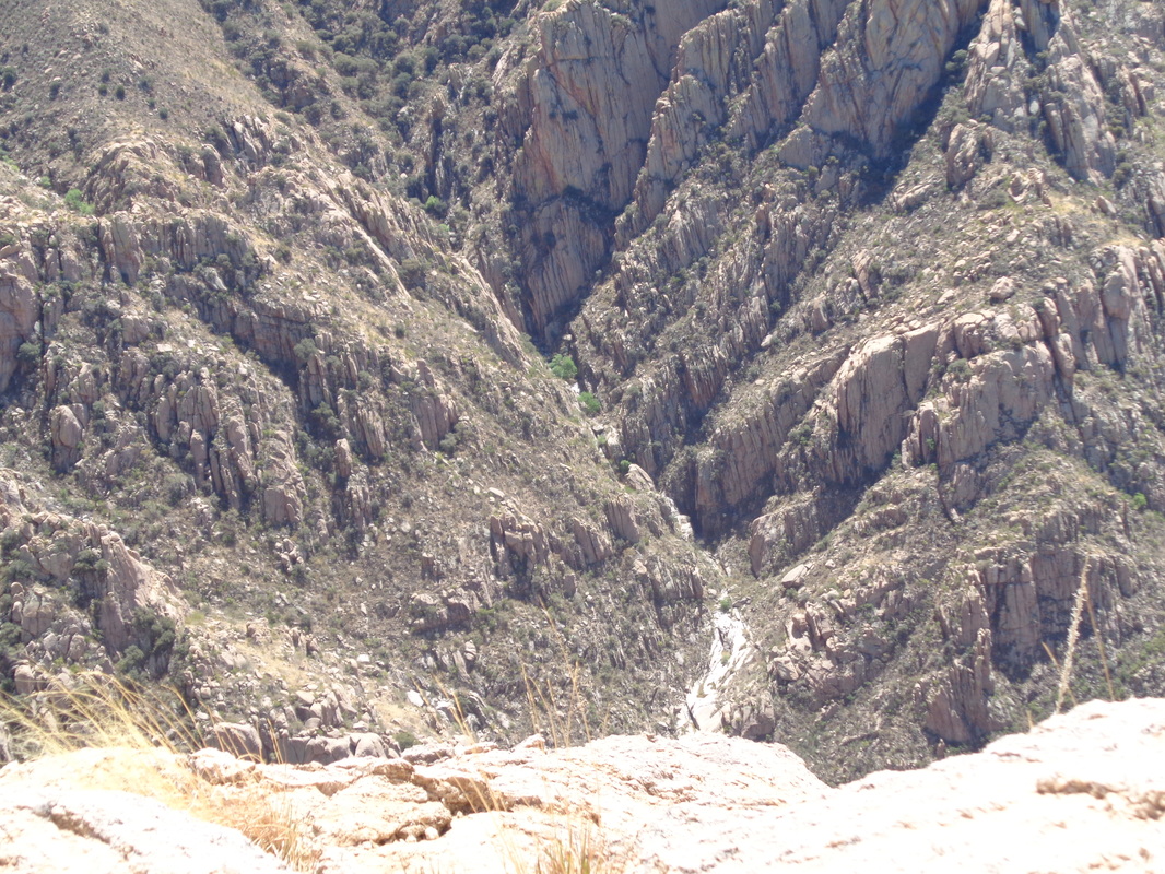
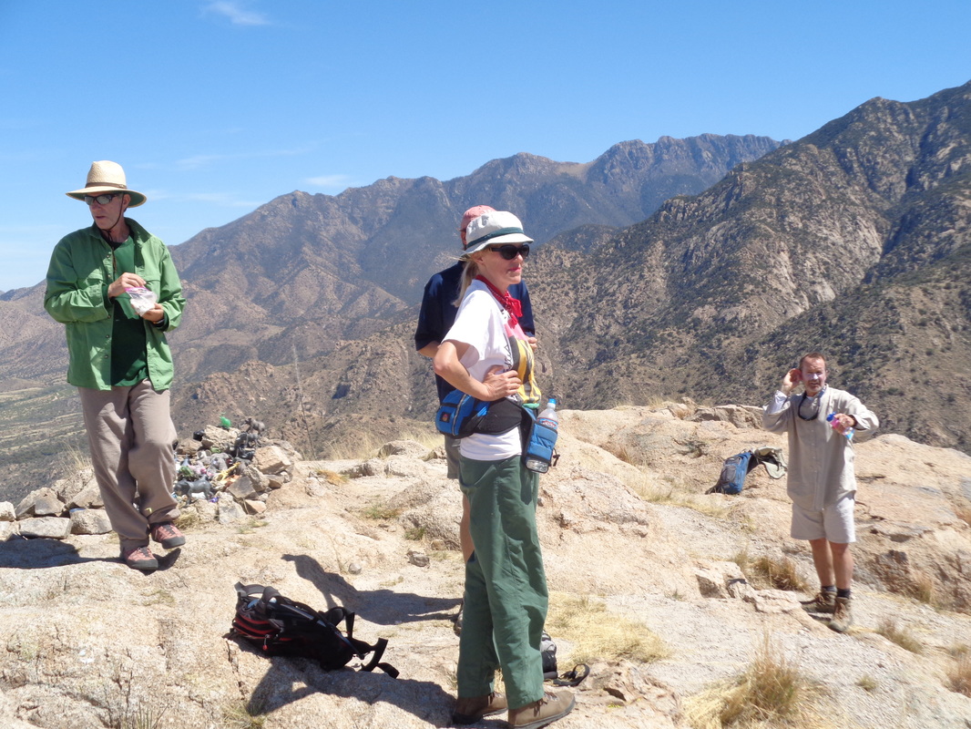
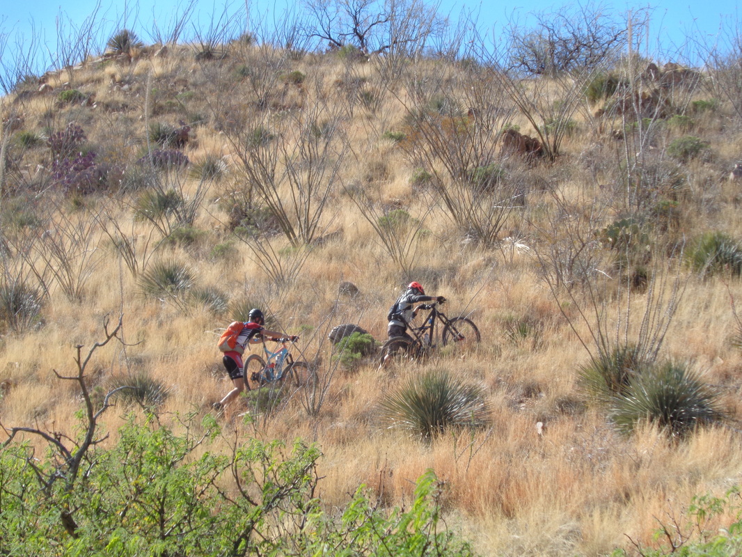
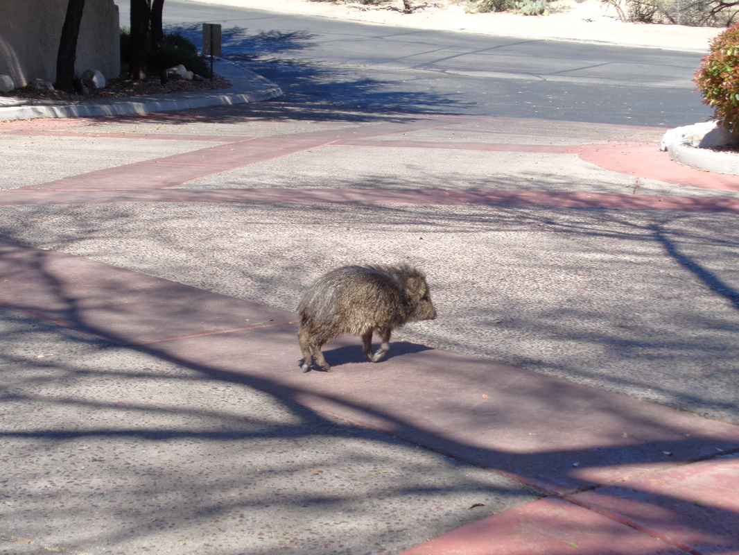
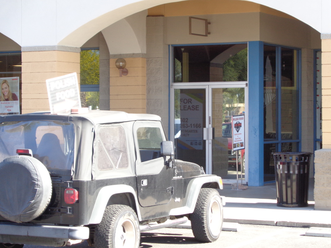
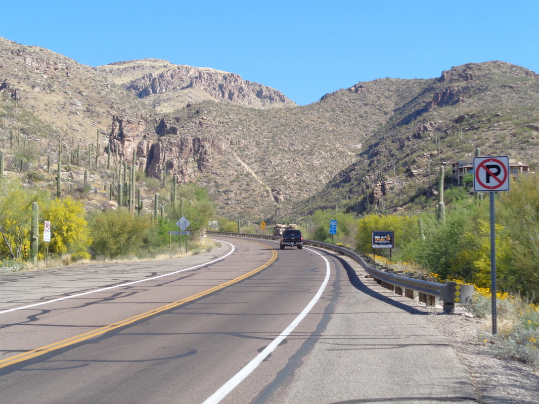
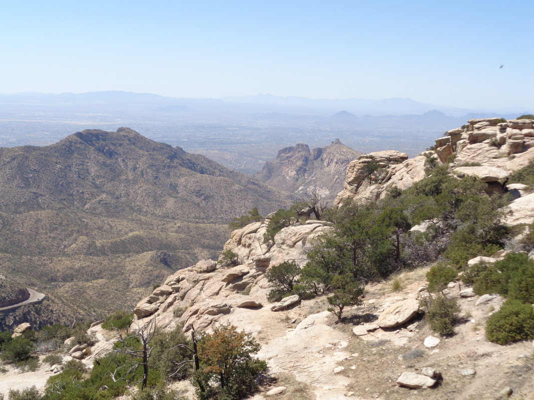
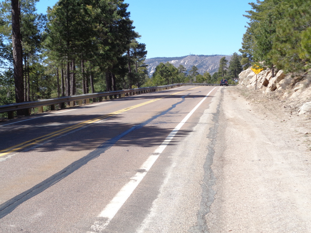
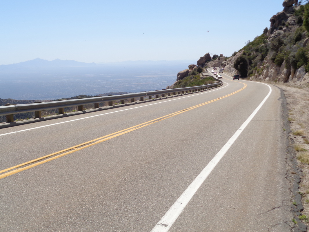
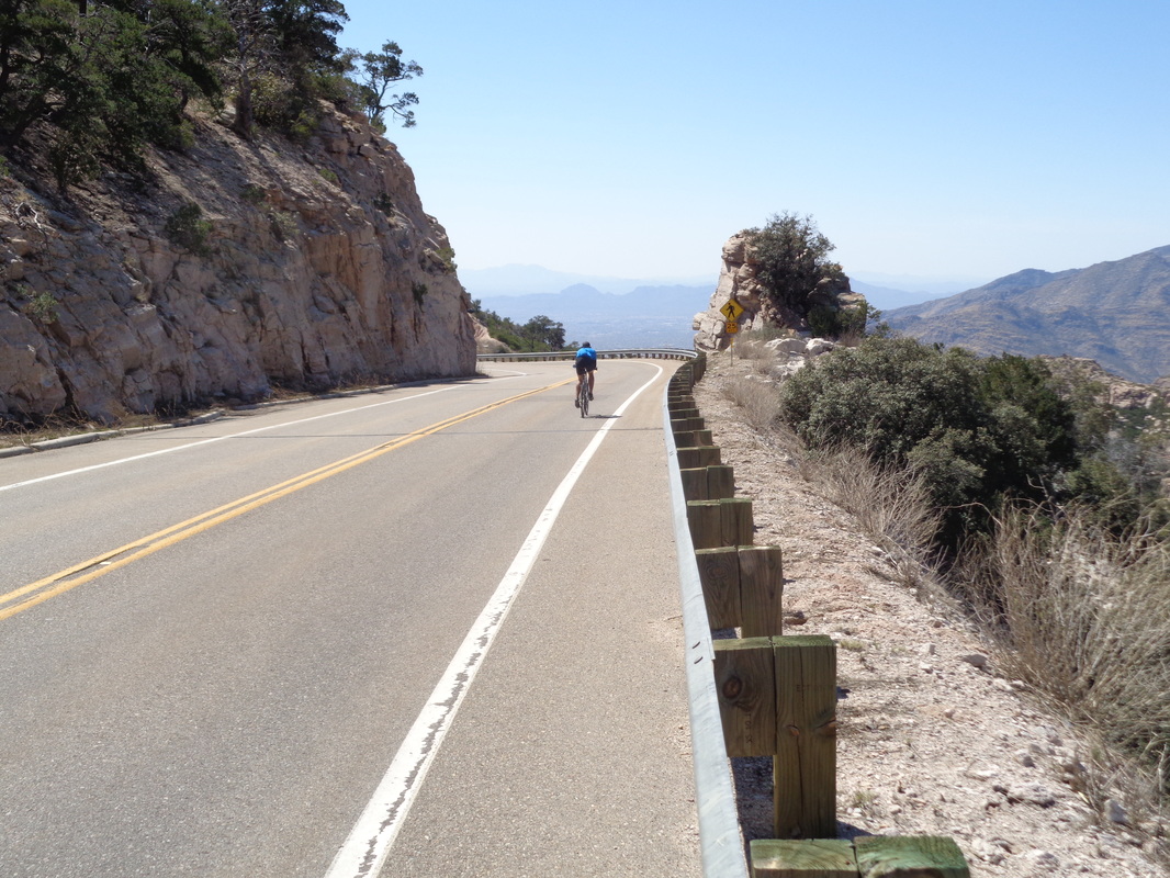
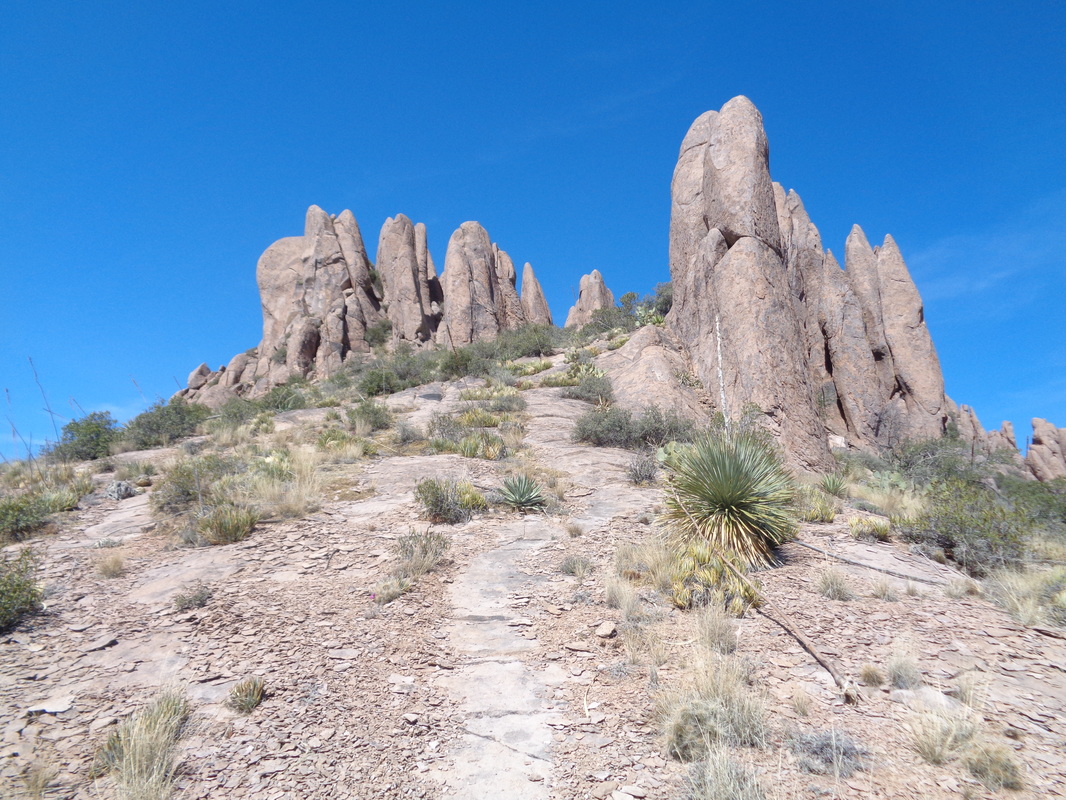
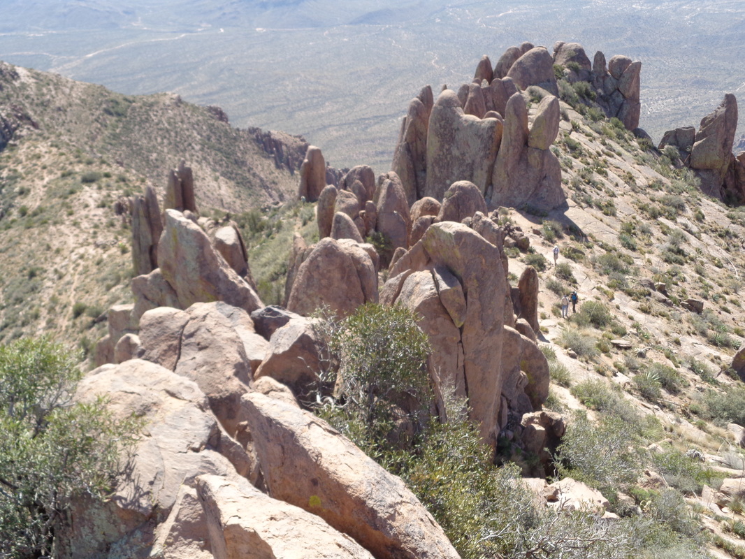
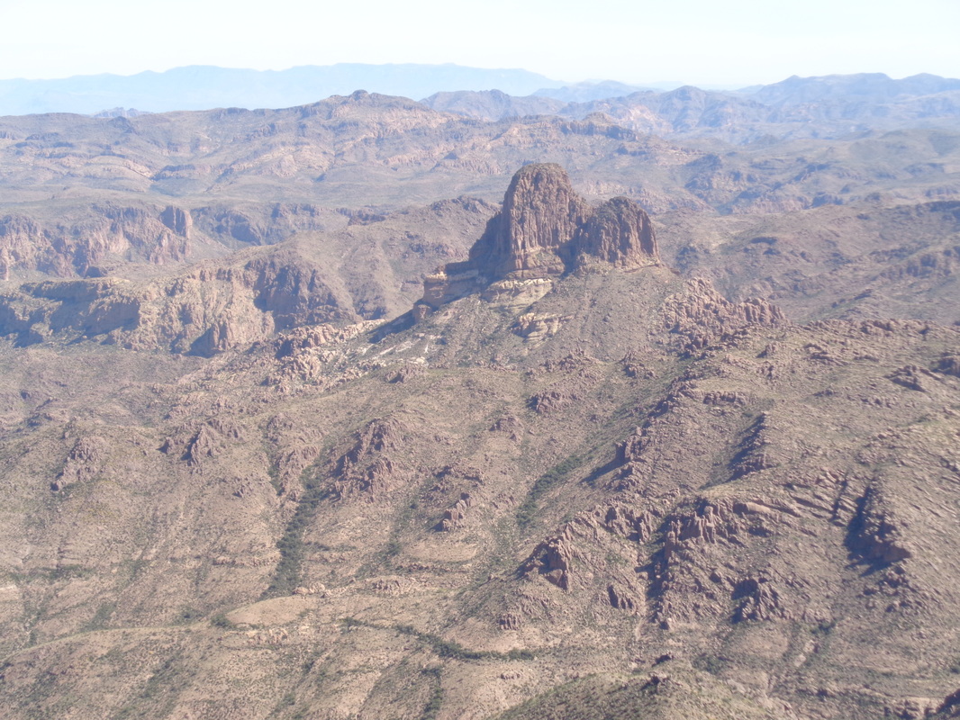
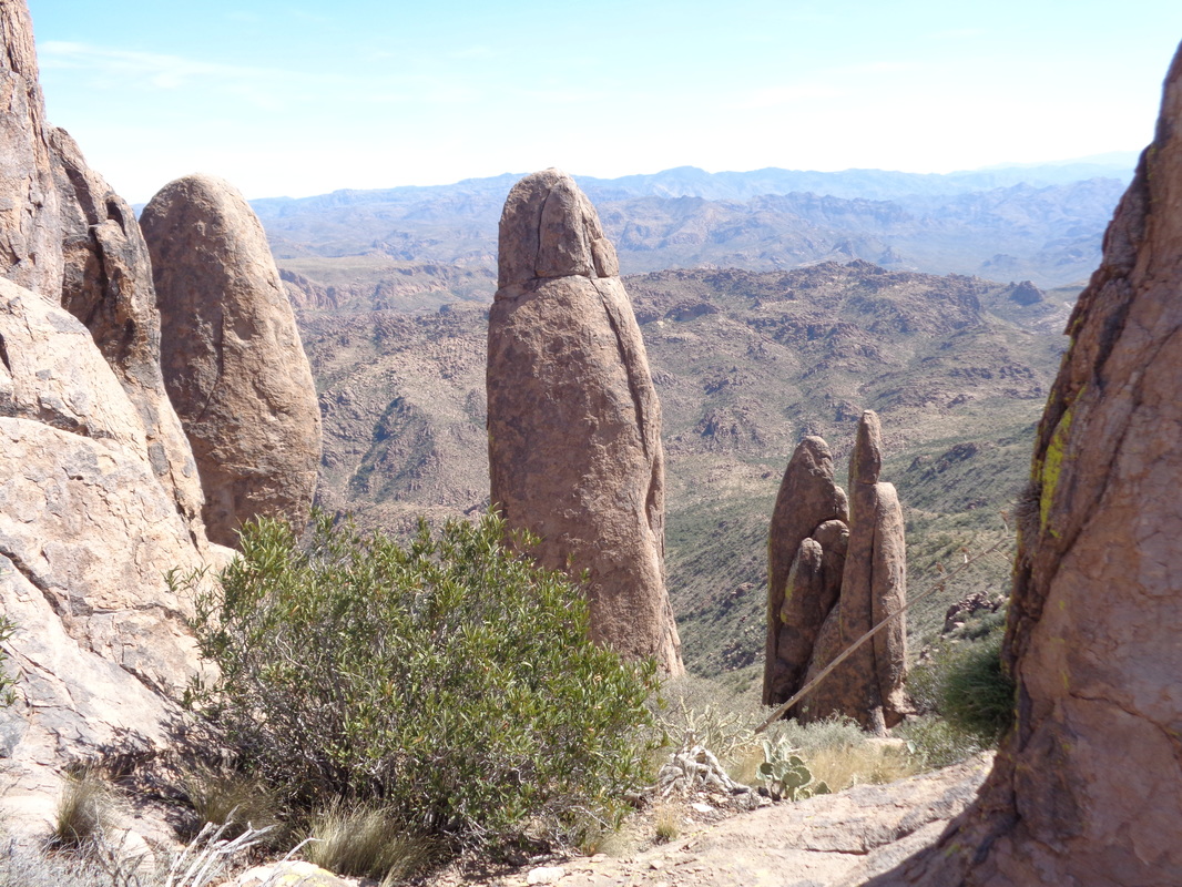
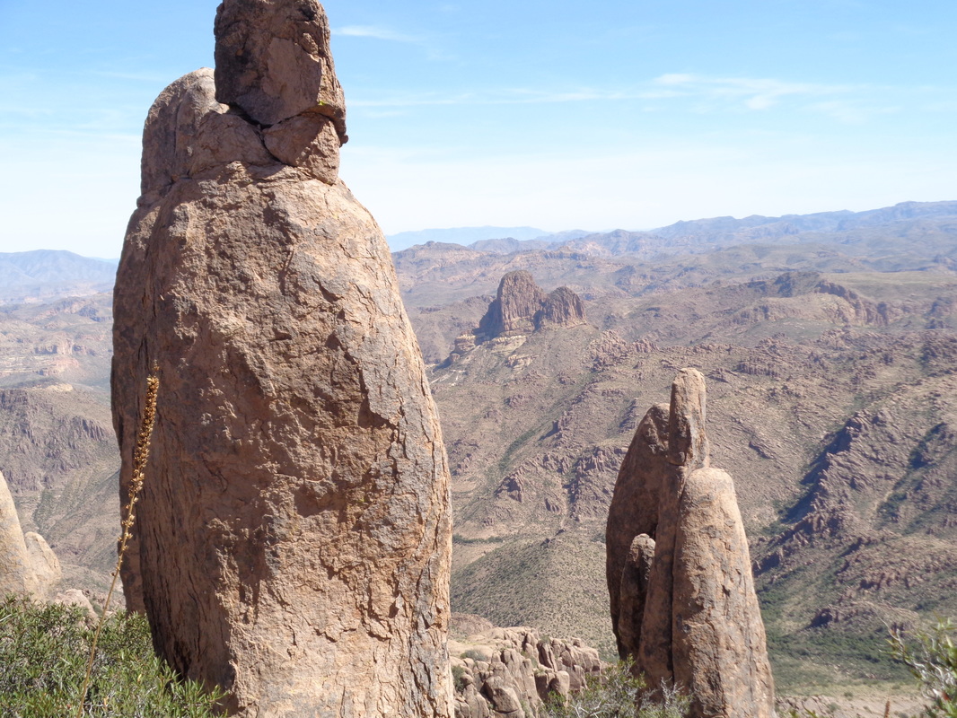
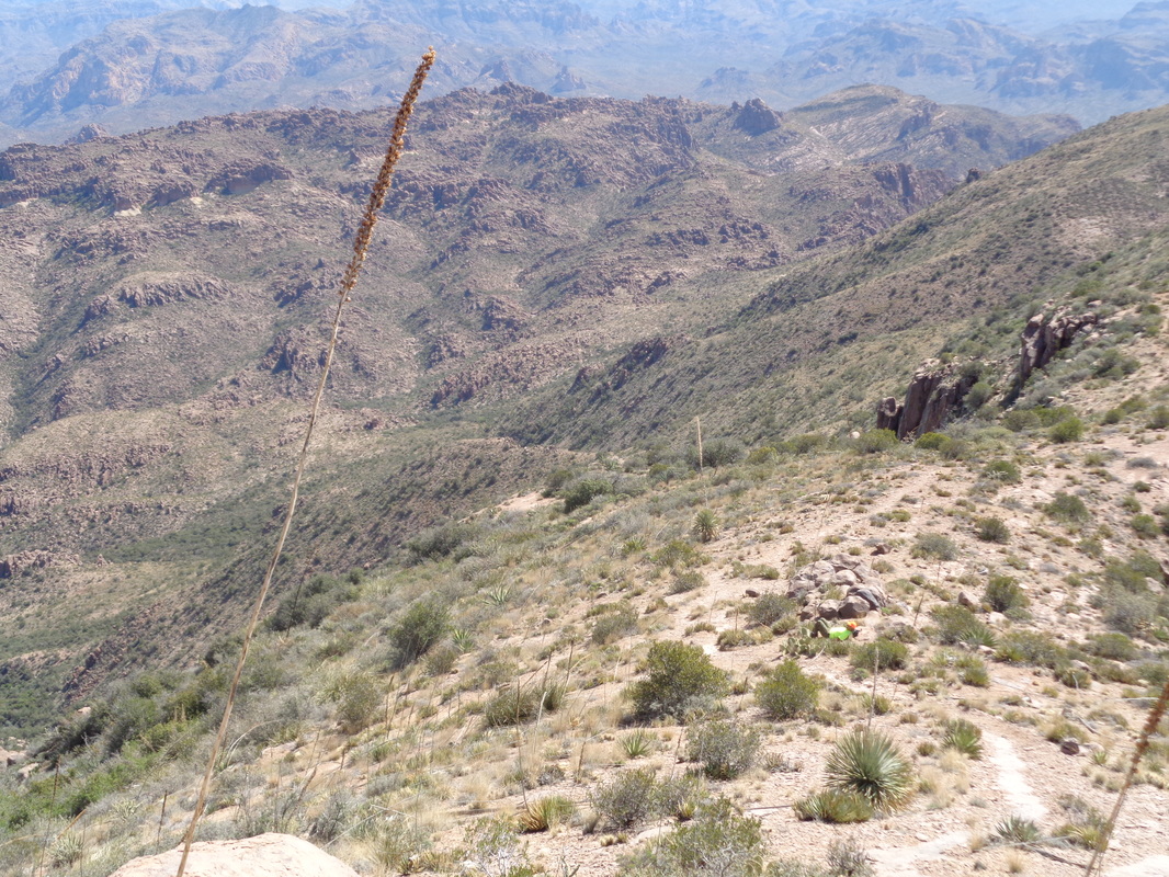
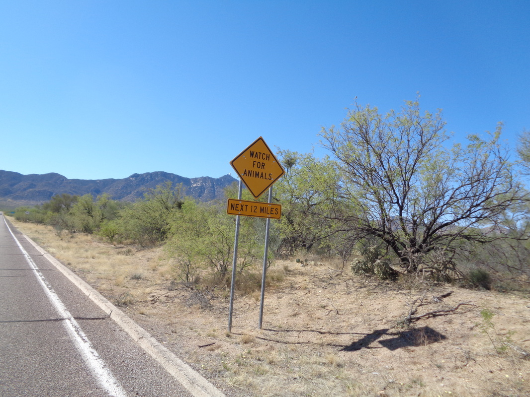
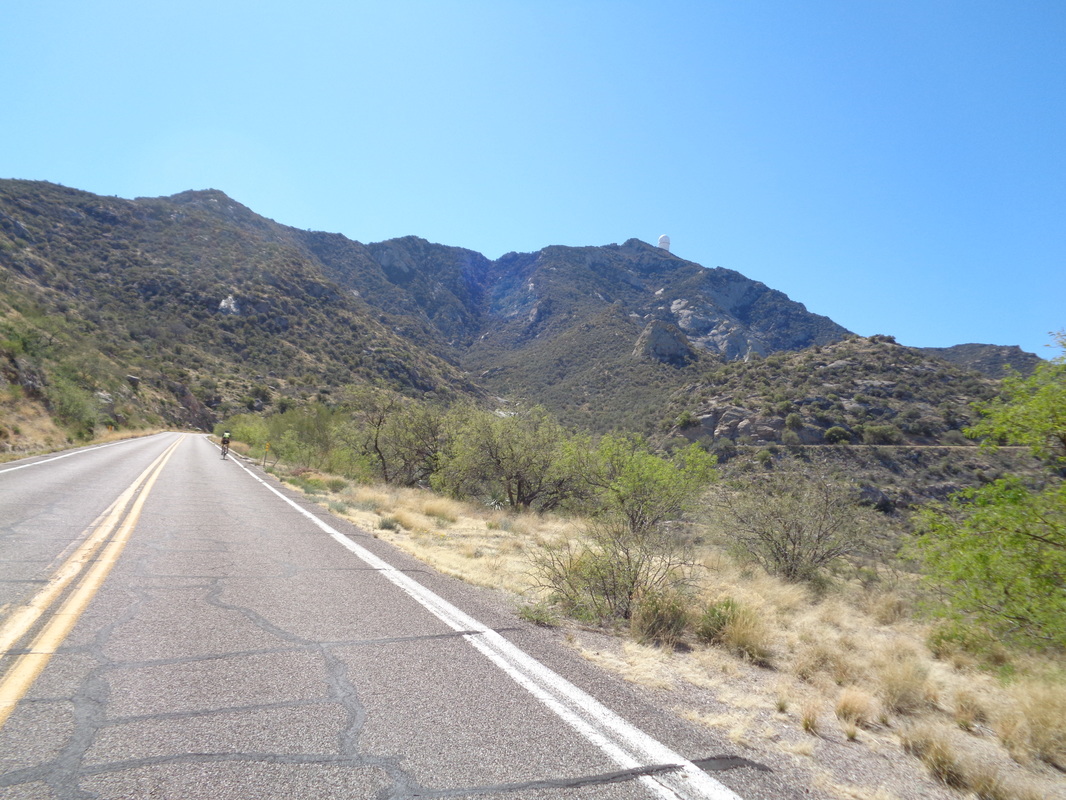
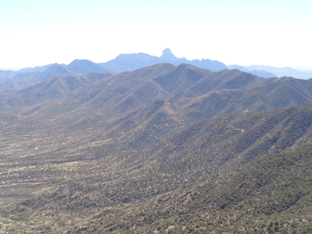
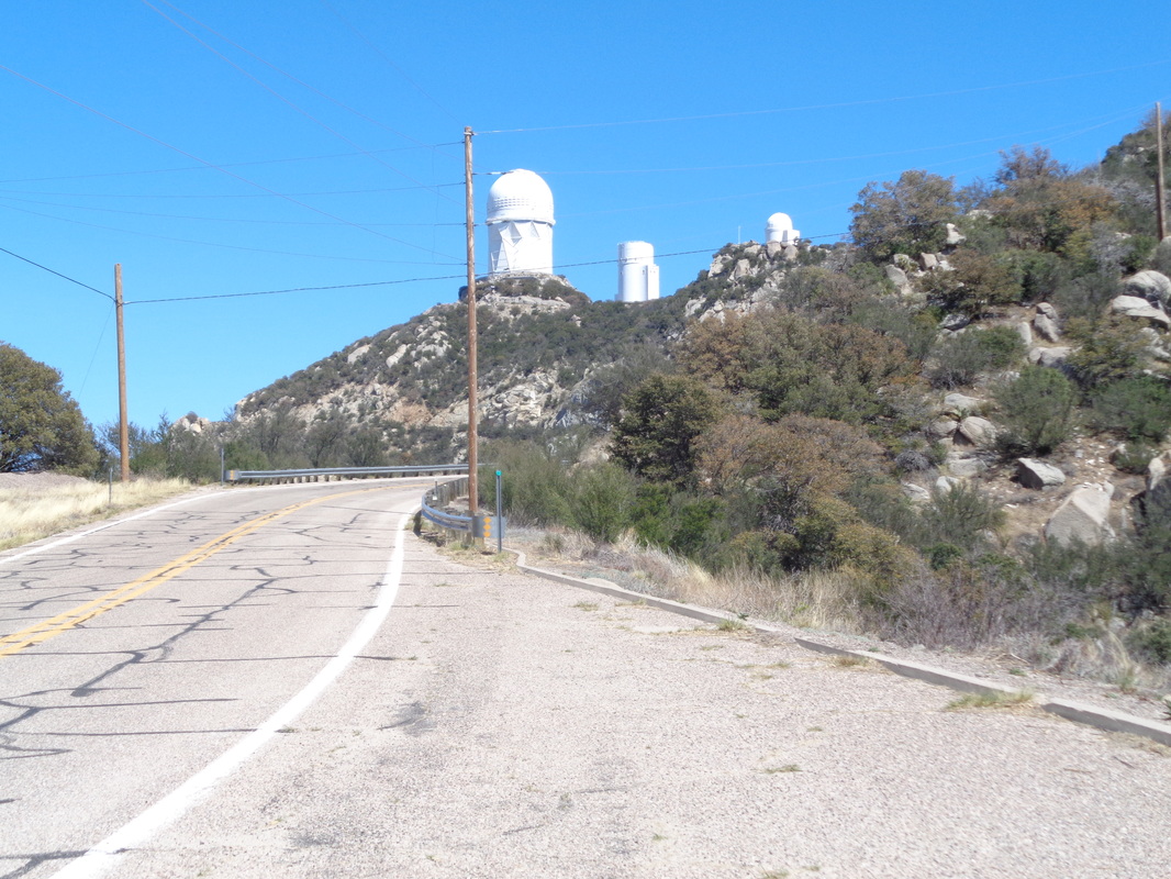
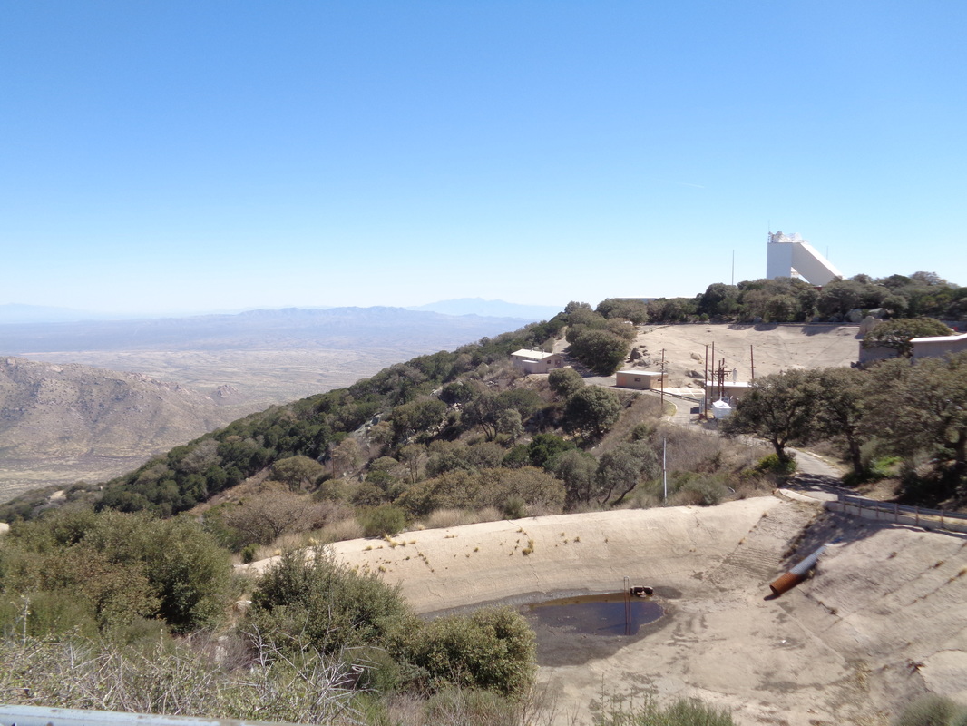
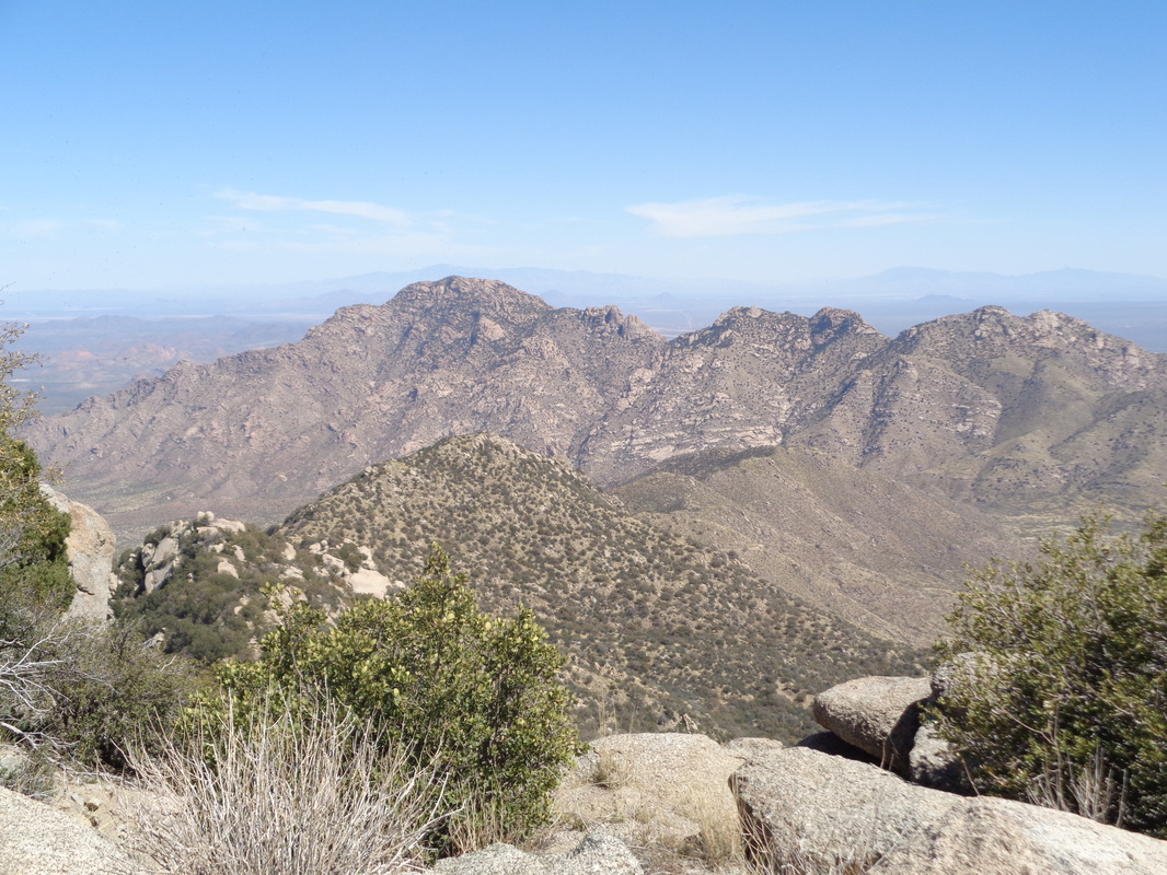
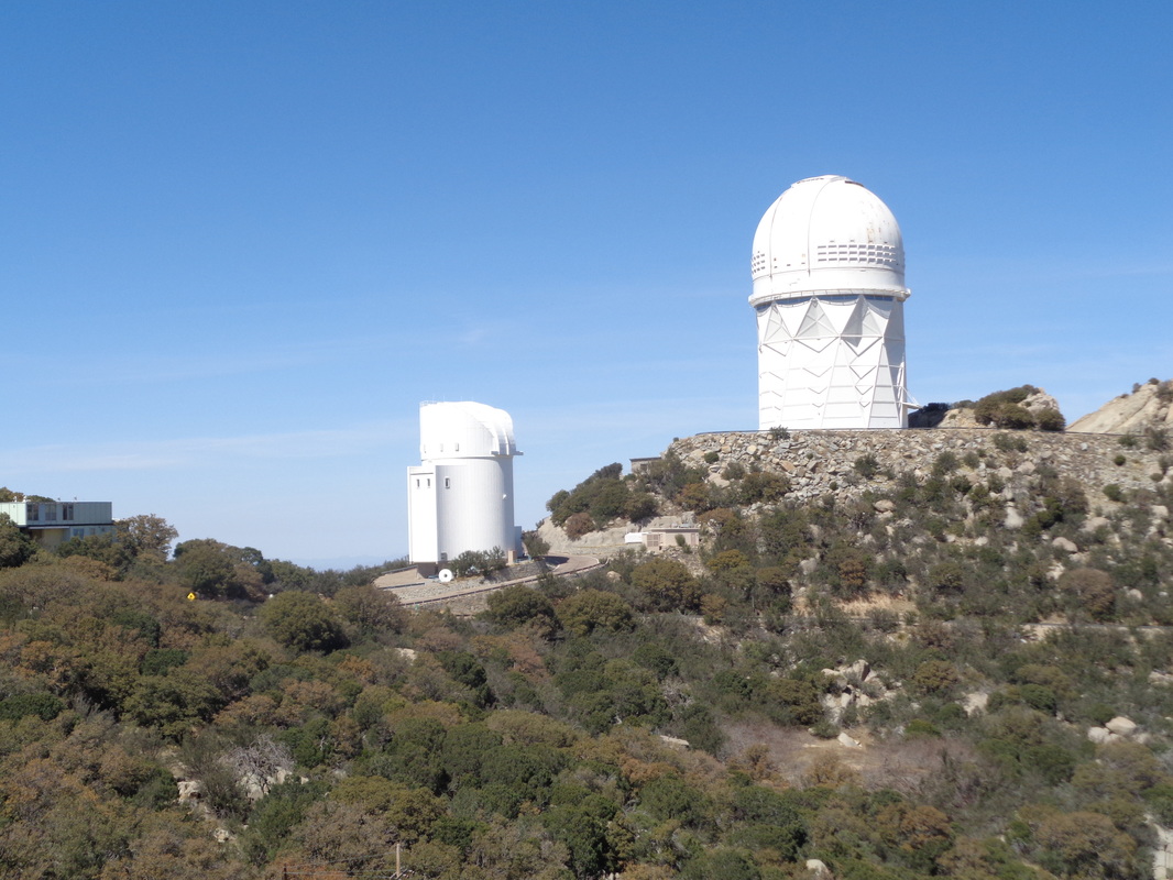
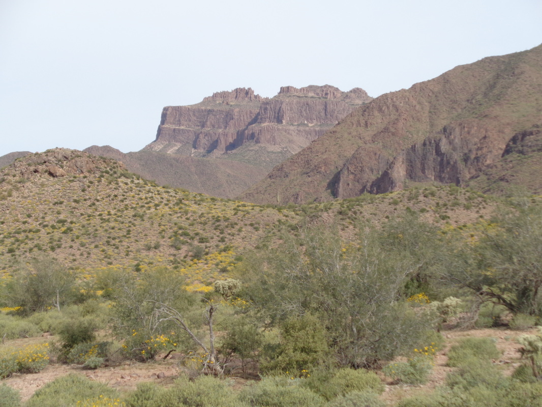
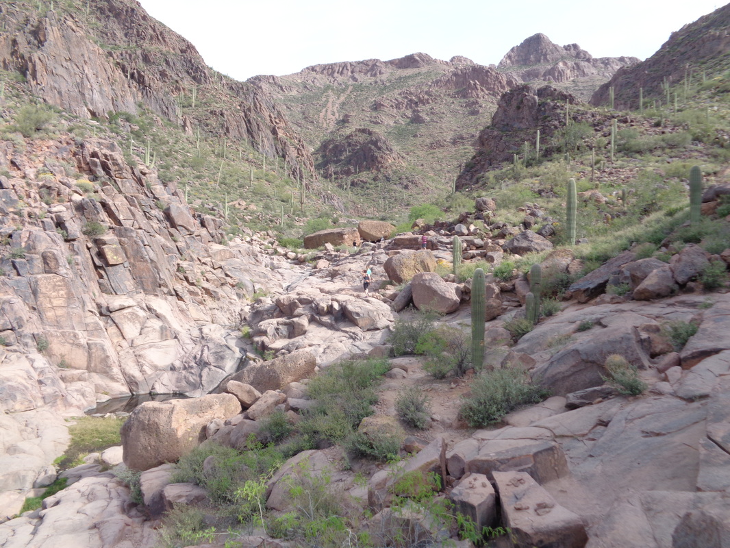
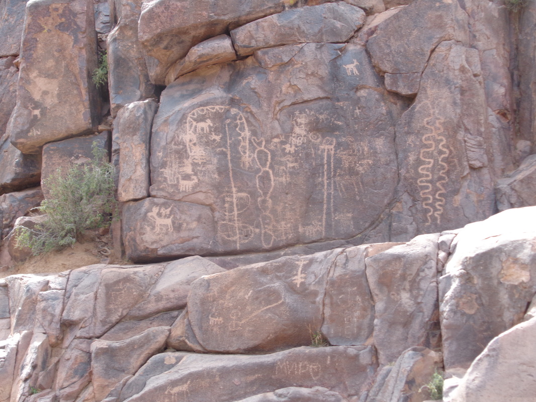
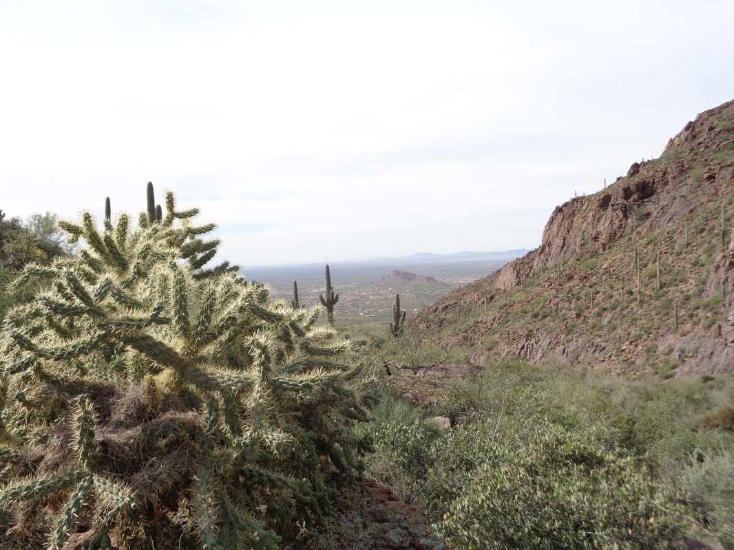
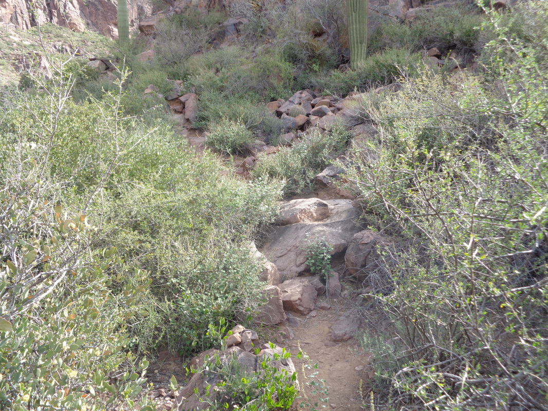
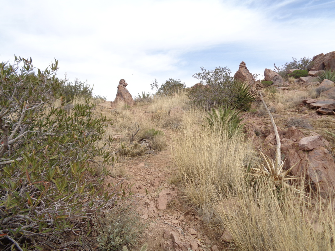
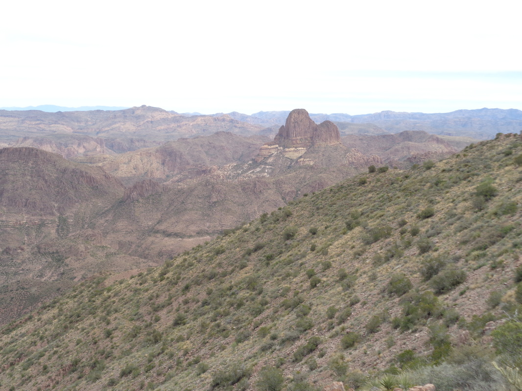
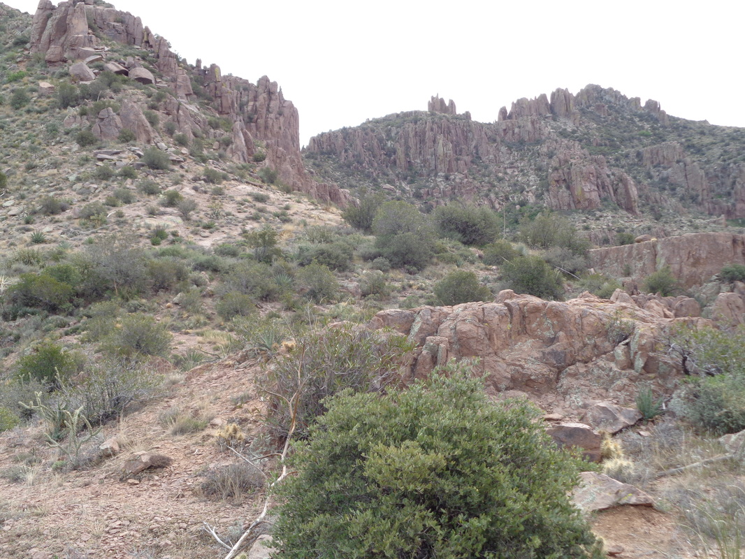
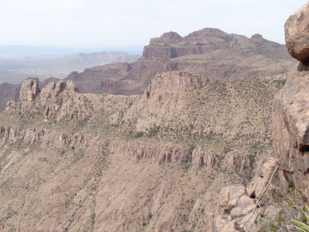
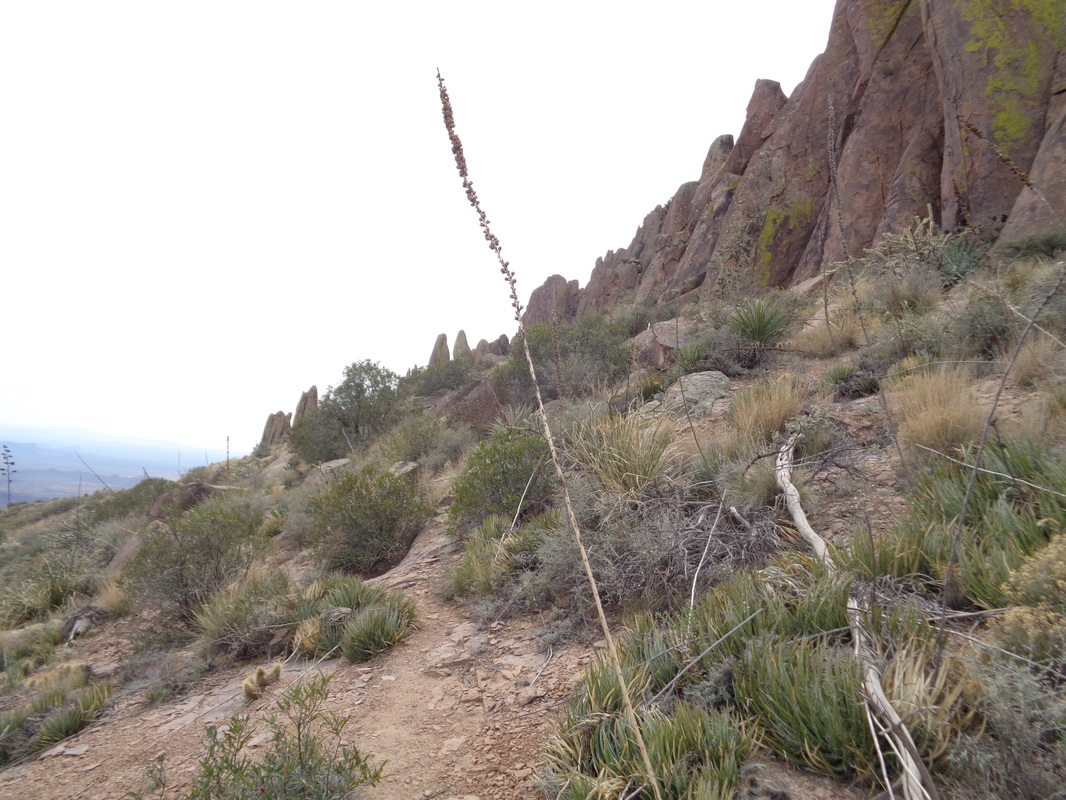
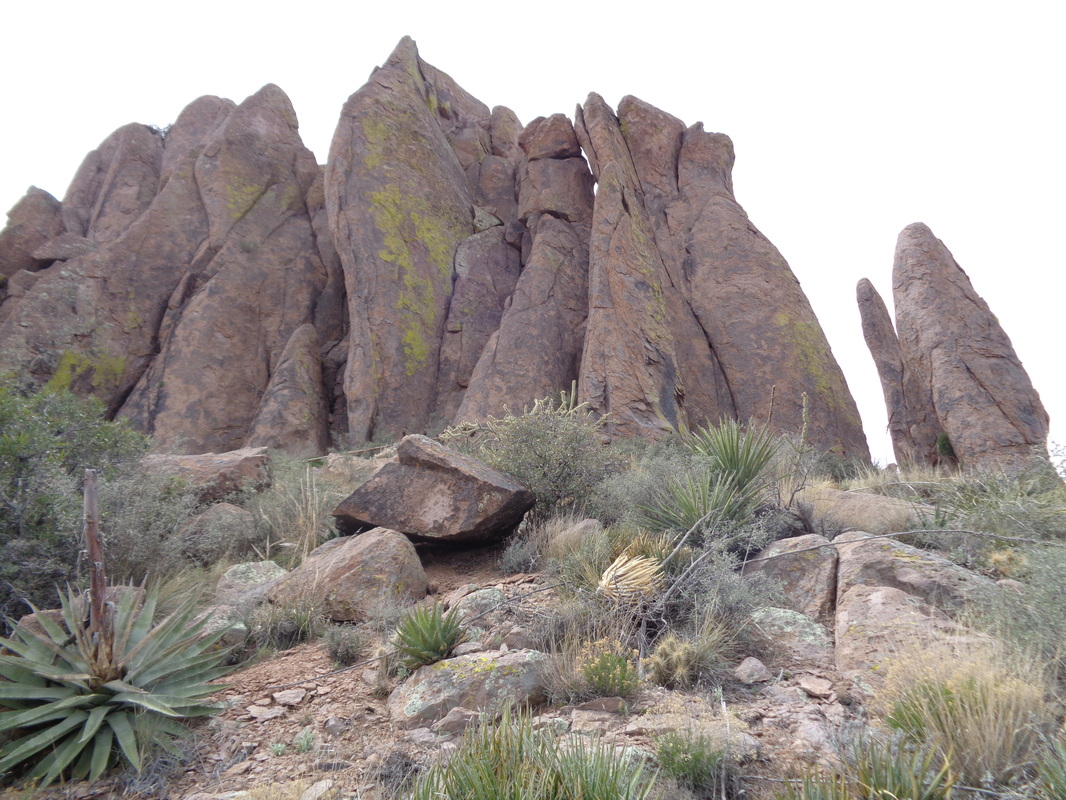
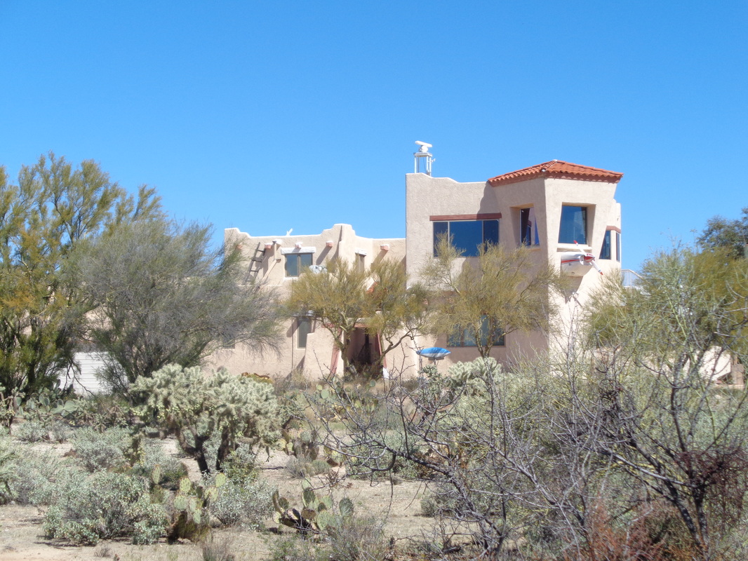
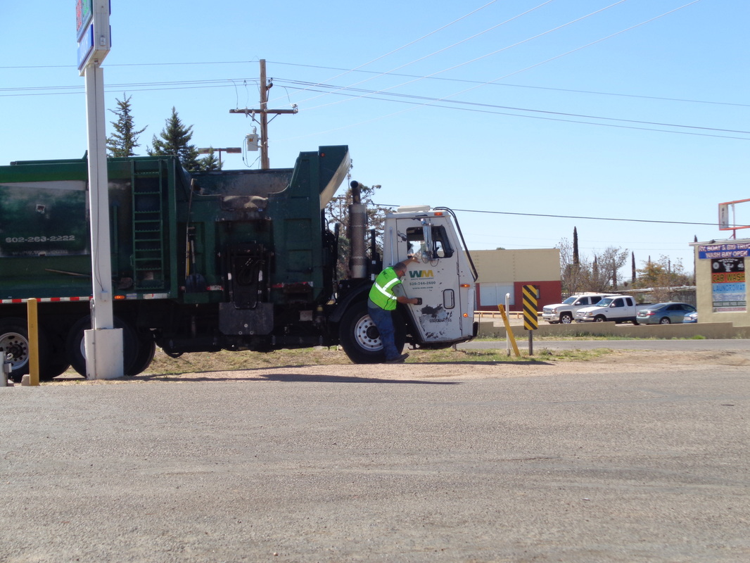
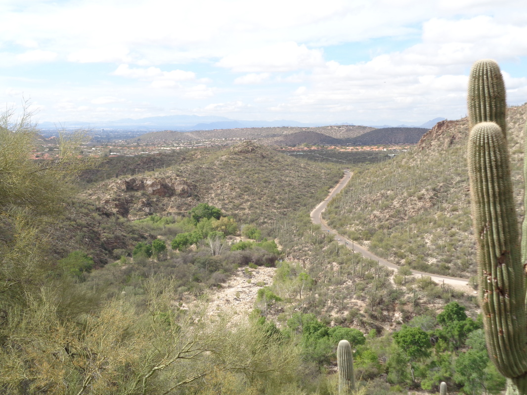
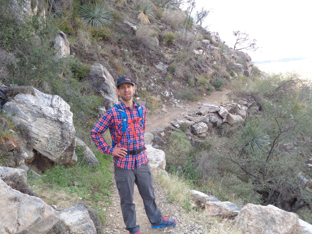
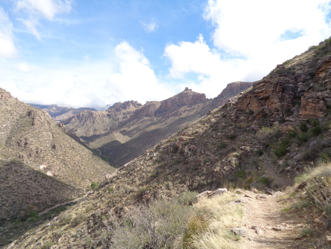
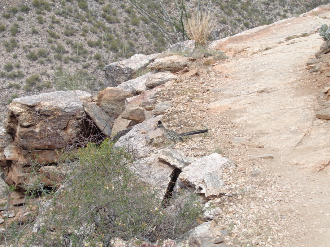
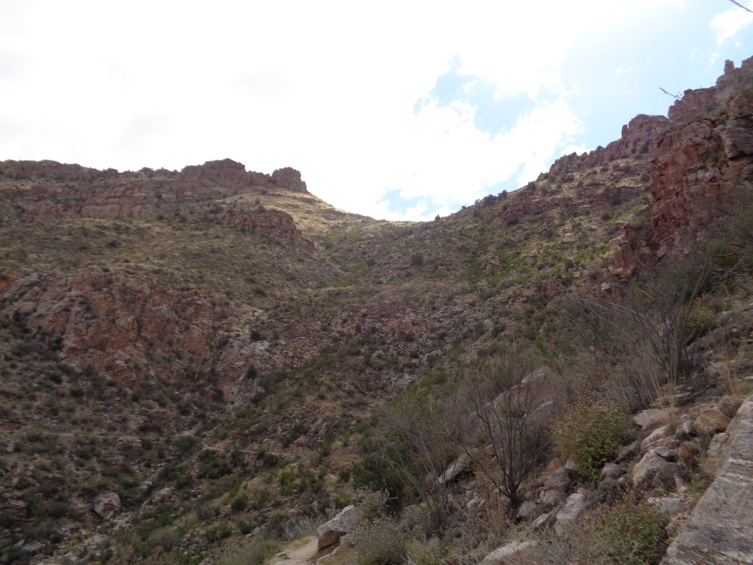
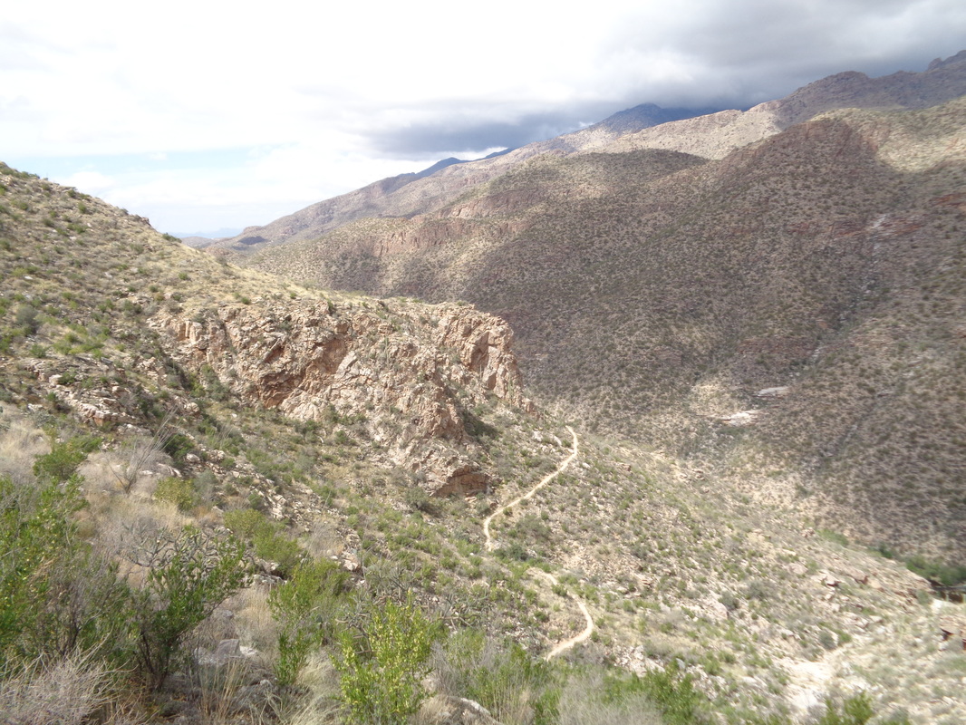
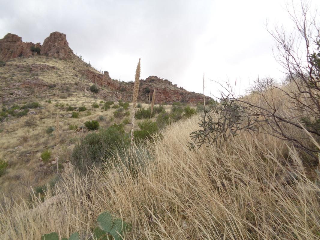
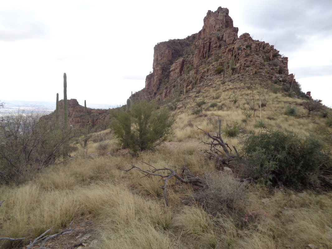
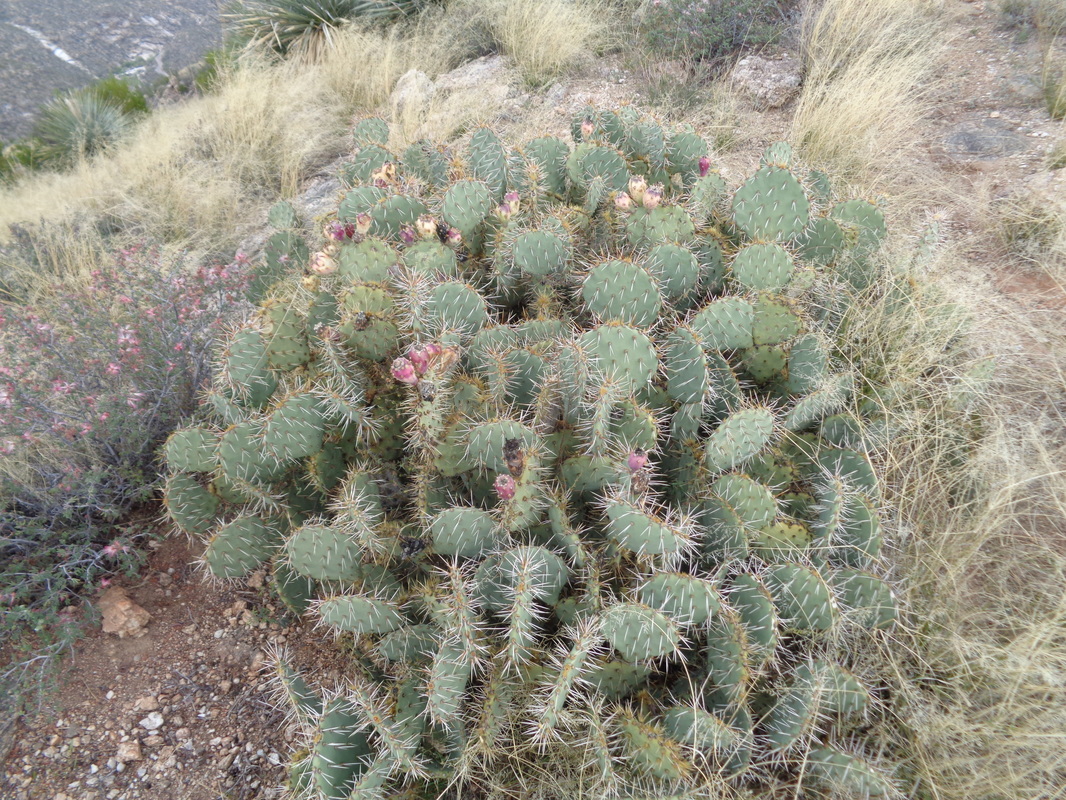
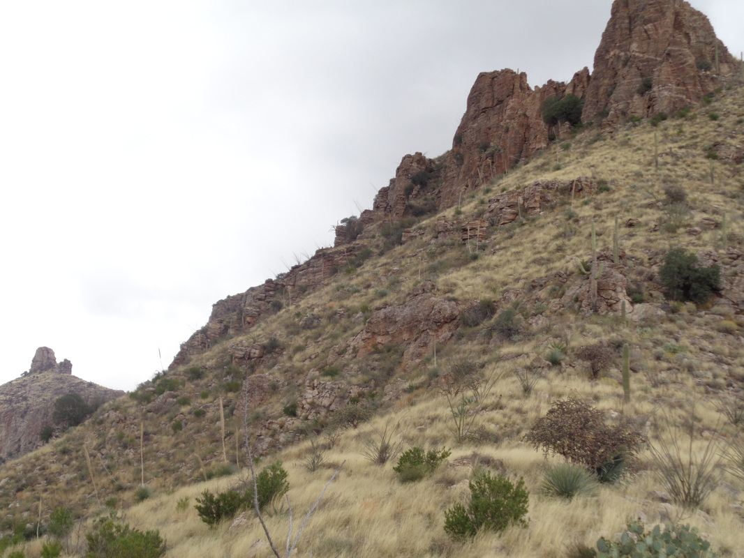
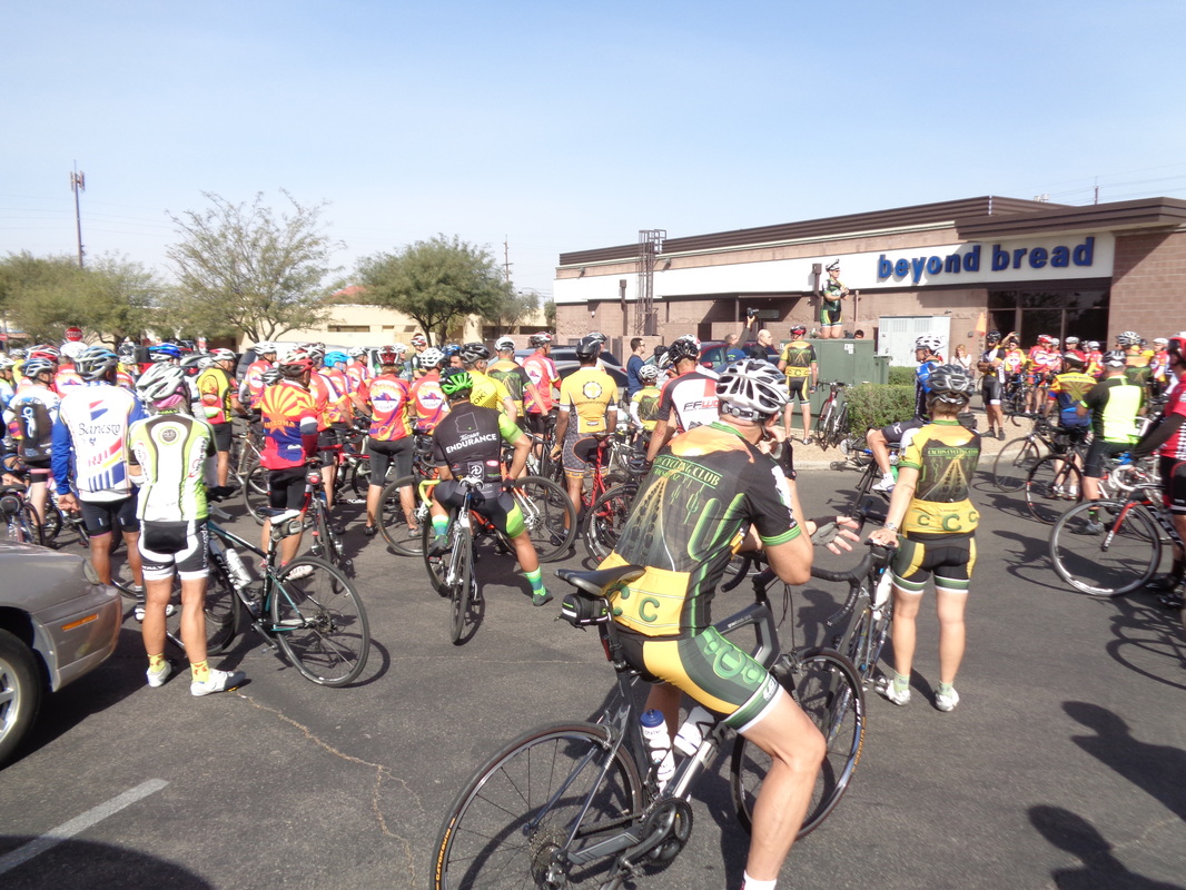
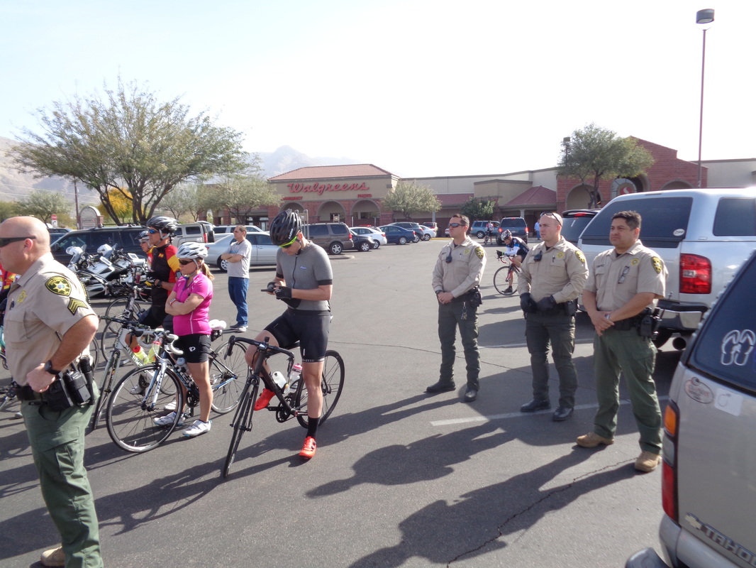
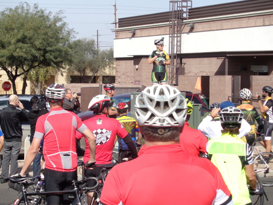
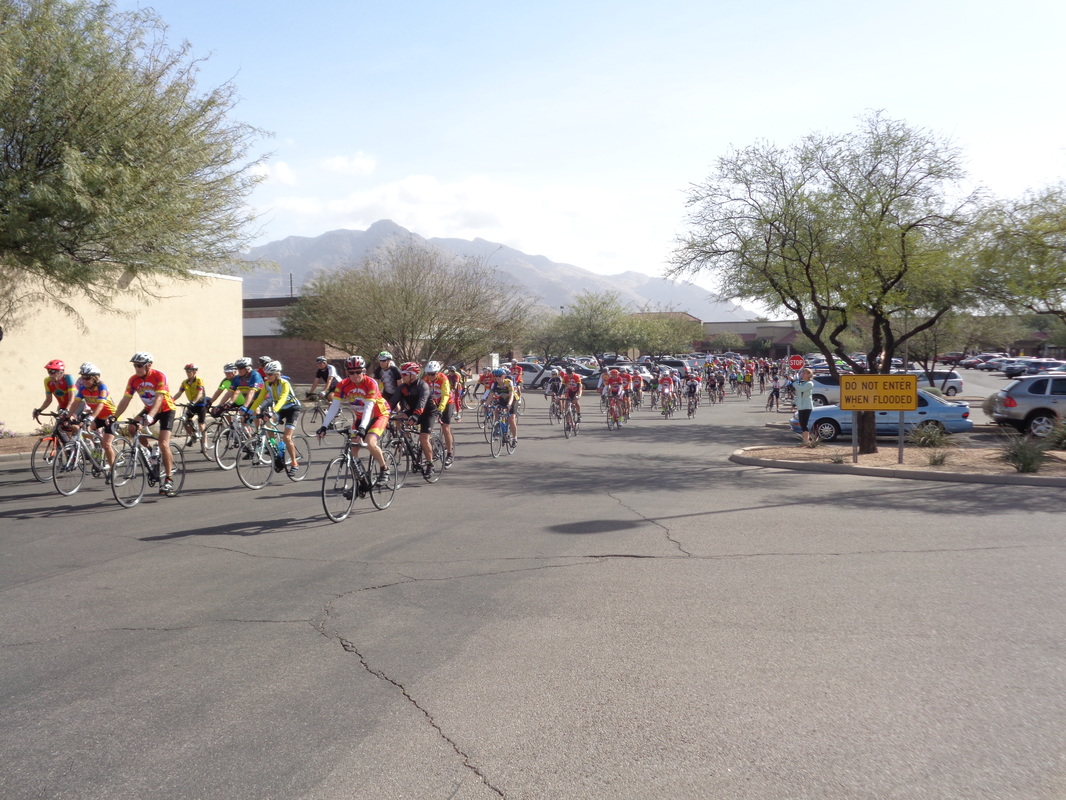
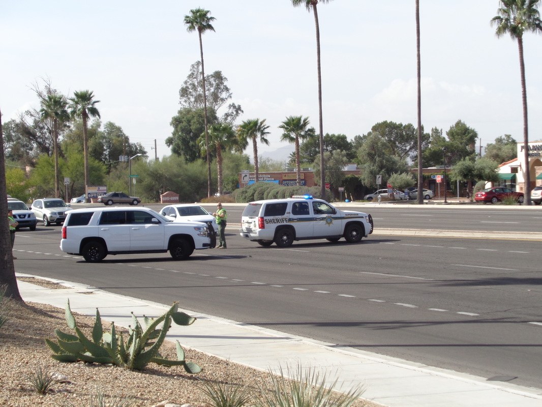
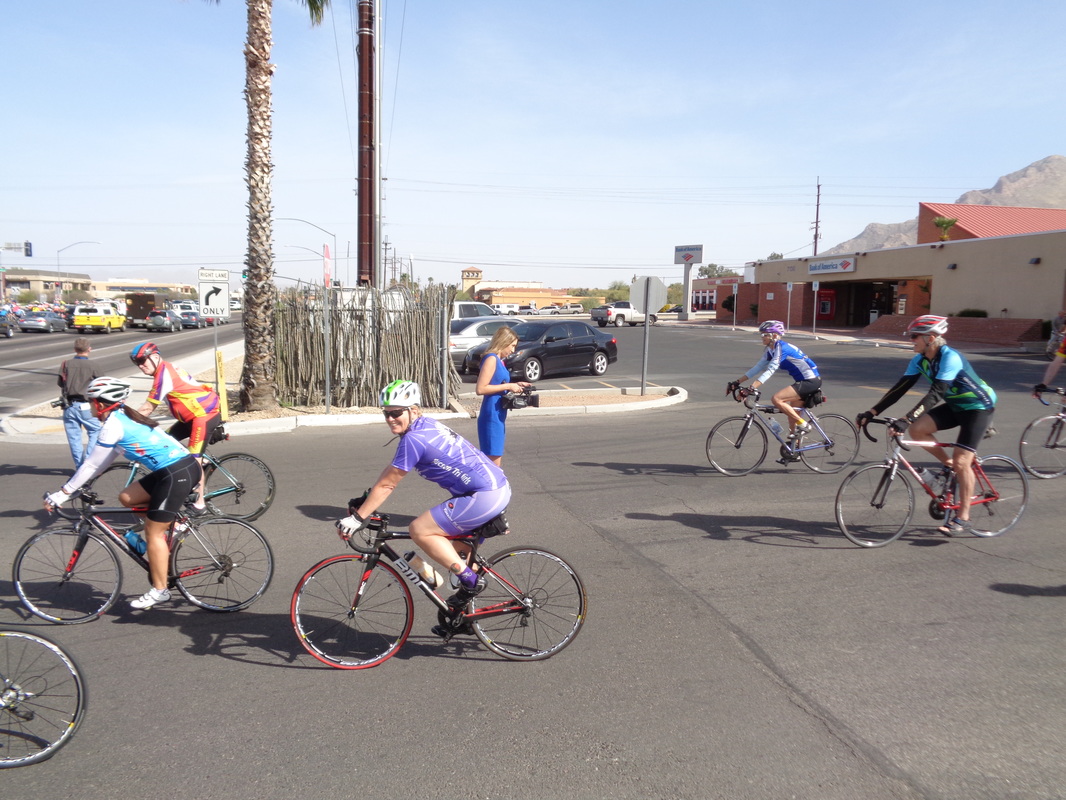
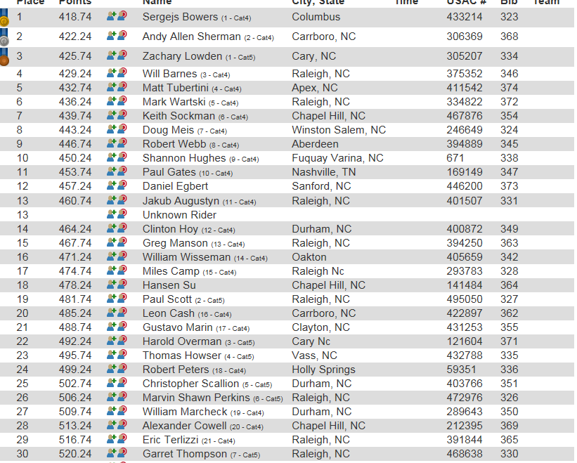
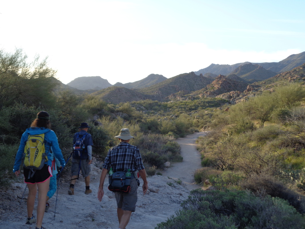
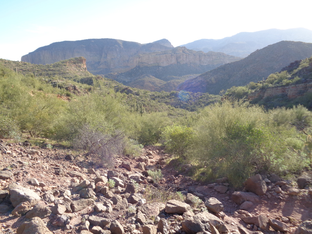
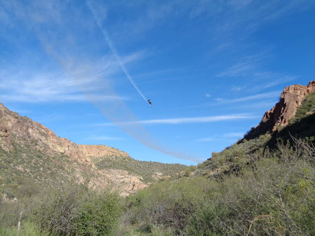
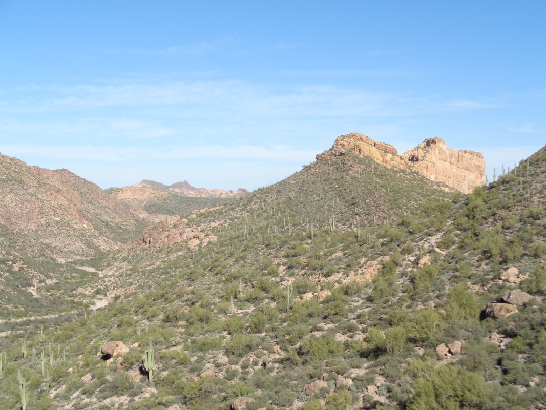
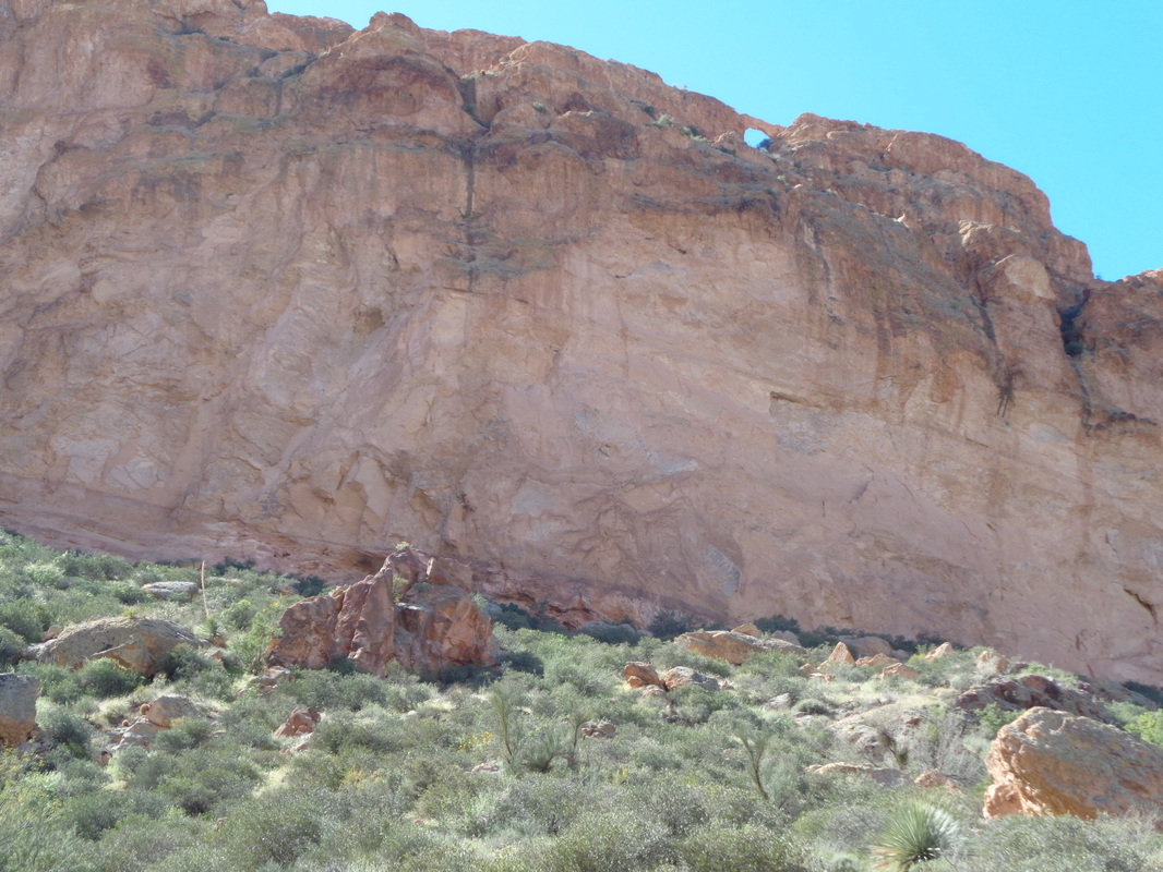
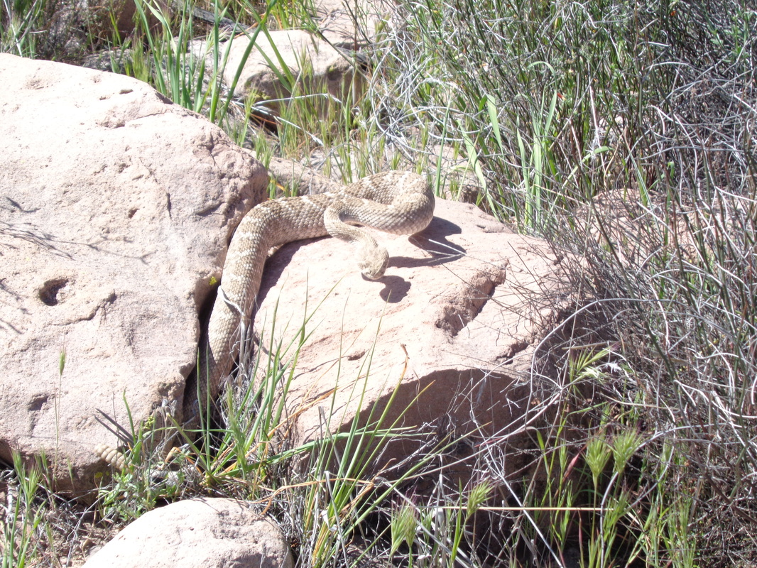
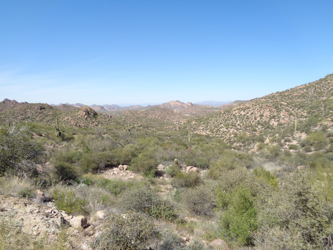
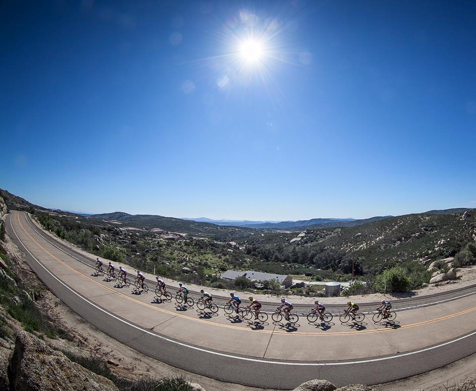
I was returning from an easy ride on Sunday when this guy slithered on the bike path. A cyclist approaching from the other direction stopped when I waved and thanked me for the head's up. He said a couple of weeks ago a group of 4 cyclists all crashed when they almost ran over a rattler. He said he has seen bobcats, snakes, javelinas, etc.. while out on this remote portion of the trail. I was intrigued by a report about the large arch in the Goldfield Mountains called "Sunrise" because the sun shines through it in the morning. The Goldfields are just west of Superstition Wilderness. I drove and found a pullout where I started the hike. In the distance is "Four Point Mountain" and there center right is a portion of the Salt River. Beautiful place and with a gps track for the route, what could go wrong? Of course plenty. It seems I have to visit a new place one time, make tons of rookie mistakes and then come back for the success later. The trail was easy to follow in spots and hard to find in others as it crossed a river bed that must be in use during flood stage of the Salt. Lots of vegetation obscured views of the river as I walked near to it. After about 3 miles a distinct trail came down from the above hill so I followed it. Soon my location differed from the gps route and so I struck off trail up an adjoining slope looking for the route but my position didn't improve much relative to the track and I retreated down to.... ....the trail where my Garmin indicated I should be. I headed farther east where this time the trail was distinct. I reached another side trail and took it up a ravine. It was steep in spots but soon, the Garmin indicated I was again off. I poked around looking for the proper approach but could not find it. I gave up and headed directly toward the river, hoping maybe I could wade across as I did not want to go back the way I came, for a variety of reasons. There were enough gaps in the river bed vegetation that I made it to the river bank and came down a sandy slope, emerging at.... ....the river's edge. Whoa too deep here but looking down stream, I could see plenty of ripples indicating the opportunity for a shallower crossing. I took off my socks, packing them and everything in my shorts into a back pack and headed across. About half way, there was a violent movement beneath the water to my right. I had disturbed something long that had been waiting in the shallows, some kind of angry, venomous sea serpent no doubt. I vastly quickened my pace while simultaneously using my lone hiking pole to prod ahead of me. I made it! I was happy!! I pressed as much water from my shoes as I could, put the socks back on and headed west via Bush Highway. Looking to the left.... ....I wondered how I had screwed up. I had made it to the base of that middle rock feature on its left flank but nothing there. The gps route indicated I was to be left of that so probably up that ravine on the left. With this information, I will be better prepared and will make it next time. I joined a small group ride to a new destination, the top of "A" mountain. We began with a warm-up on the bike path of 15 miles then began repeats of the hill, a 1.5 mile ascent with 450' of elevation gain. A good workout and I went up 4 times and then we did a warm down on the bike path. The "A" was build by U of A students in 1915 and as been maintained ever since. Pretty good views too. The next day I rolled around the northwest side for 54 miles and with a favorable forecast.... ...headed to Mount Lemmon. A favorable forecast is winds out of the southwest and a high in the valley of 80+ so at the top, the temperature will be around 60. I paused at the bottom to adjust everything and a group of 15 passed with a chase car. And so the grind of 26 miles to the village of Summerhaven begins. I set new personal bests at the 2.5 mile vista, 7 Cataracts Vista and.... ....Windy Point Vista where I stopped for a break and took this pic of the many lizards/chameleons that populate the area. This being Saturday, tourists were plentiful and mixed with cyclists. The guy in the yellow jersey and I ended up.... ...cruising into Summerhaven. On the ride up, I counted 118 cyclists coasting down so a busy place to be. I stopped at the Sawmill Restaurant and had a chicken Caesar salad. The hills still show evidence of the fire from about 10 years ago. A cyclist stopped at my table and told me he heard wind gusts were fierce on the ride down and so they were. Climbing out of Summerhaven there is then a 2 mile descent followed by a 2 mile ascent and then a glorious 21 mile coast but the winds were high but I made it down ok, finishing with 59 miles and 6800' of climbing. Good day. Gus Cook is leading a ride out of the New Albany Starbucks at noon on Saturday. Pace will be a brisk B with a couple of regroups. See route details here: https://ridewithgps.com/routes/12758944 There is a good one for Sunday with good people (for one day, I wish I was there), departing from New Albany Starbucks at 11:00am. Some of those attending will have raced on Saturday so not everyone will be killing it. I probably should not list who will be there because it may discourage the schleps (hey, like me) but Luke Russell, Marty Sedluk (yes, returned from CA training), Lori N, Kyle Zander, Scott Billman, Isaac M, Travis, etc... Yeah, all semi pros but there are also some marginal pros attending like Kim and then some who are a cut below that so I can comfortably say it is for any B cyclist too. Below is the link to the route and if there is any doubt in your mind you can hang with the group, print a freakin copy or down load to your device but do not arrive, clueless about the route and then whine that no one waited for you. The off season is over. https://ridewithgps.com/trips/8252244 I signed up for a group hike but the 7:00am start time coupled with a 90 minute drive time, caused me to cancel. The route, a 12.5 mile loop around Weaver's Needle in the Superstition Wilderness, made we decide to do the hike, just start later. So, at 8:07am, I shoved off from the Peralta trail head. Quickly you hang a right onto the Bluff Springs trail and begin a fairly long ascent. Strong winds caused me to choose hiking over cycling but it also kicked up a lot of dust that obscured the usual fantastic views. I reached a ridge, at last and guessed the trail would take me through the above ravine but once again, wrong! The trail went off the image to the left. Ya never know. I dropped into this neat ravine with a broad expanse of slick rock where there were a few pools of water. So far, the views of the Needle were partial but that was about to change. The trail continued but reaching this junction, I hung a left at the Terripin trail. The rolling trail provided some grand views of Weaver's Needle from a vantage point seldom seen. I continued to walk and wondered if I would reach the group that started at 7:00am. I thought it would probably be around mile 8. Soon views opened to the north west but again, the dust filled air obscured the views but still, pretty good. I reached another saddle at around mile 6 and could see the hiking group at the bottom of a ravine but the descent was long as well as the ascent out of it so only at mile 8.3 did I at last catch them. Having not yet had a break, my legs were becoming a little fatigued so at last reaching..... ....the Fremont Saddle on Peralta trail, I finally sat down at mile 10-ish. A women was taking a picture to the south and now the air was visibly full of dust. And of course, the views to the north, oh my. After my break, I descended the Peralta trail to the parking lot. Finishing with the aforementioned 12.3 miles and 3000'+ of climbing. After 3 days of hard rides I needed a rest day so, hooked up with a group to hike one of my favorites, Elephant Head in Madera Canyon. There it is, behind Deanna, one of 5 in our little group. The forest service road to the trail head is brutal and a high clearance vehicle is needed to navigate. This required car pooling, which generally I avoid because... .....once the hike is finished, I'm not getting out until the last of the group finishes the hike. Oh boy, right off the bat I had bad vibes and my sense was confirmed when, after completing the first 1/3 of the route the latter part of which is a 700' descent into a gully, the group stopped to rest and refuel. I paused, walked up a ways to take a pic, thinking this might spur them to movement and then took off. I'd rather break at the summit and enjoy the views then in the gully. After climbing the 800' out of the gully, the views are wonderful, including the observatory at the top of Mt Hopkins, center right. The irregular landscape to the south is fantastic viewing too and after working my way through numerous obstacles I reached..... ....the summit where the shrine for elephants is located. Not sure why there is a giraffe in there too. I sat, watched, drank, ate an apple, checked my Garmin many times and after 40 minutes..... ....here they came at last. Each seemed really fit but they just liked to stop frequently so I thought maybe they belonged to a hikers union and work rules required numerous breaks? Some of the adjoining peaks. The gully into which I must descend on the way back. My legs were fatigued and I was not looking forward to the return. We refueled, spread on more sunscreen and off we went. I soon had a good gap and kept going, reaching a saddle prior to dropping into the trail head and there sitting in the shade were..... ....two mountain bikers. Had a nice talk before they hiked a bike up an alternate trail. I sat in the shade, 88 degrees but a nice breeze for 30 minutes before I could spot my colleagues in the distance coming down trail. I got up, walked to the parking area, waited another 30 minutes and then here they came. Finished with 7 miles and quite a bit of climbing. There is a family of Javelinas that appear each night and grovel below my window for whatever they eat. A day ago, a baby was lost so I herded it toward a wild area where I suspected the parents were hiding and if not, for sure they would be reunited that night. I have ridden more than usual and after the Kitt Peak climb of Sunday and the Superstition Peak hike, I followed up with a ride up Mount Lemmon to Windy Point at mile 14, rode around the valley another day and on Saturday, headed back to the mountain. In the parking lot, there was a group of 21 tri-types from New York, in town to train and today to head up the mountain. On my way out of the parking lot, I just had to take this image of a Polish fast food/take out restaurant. In Tucson, a Polish restaurant, how neat. I contacted cycling buddy Eva and asked for a recommendation and will stop soon for a Pierogi, what she recommends. And so it begins, again. At mile 0. I reset my Garmin after the 5 mile warm-up to the base and begin. Being Saturday, the road is swarming with both cyclists (way over 100 today), motorcyclists (they love the curves) and vehicles of all types. I begin at 9:45am with a temp of around 70, a forecast high of 85 and a high on top of 62 degrees. At 7 Cataracts Vista, around mile 7 I pause at 1:03. Although you are supposed to see seven distinct mountain ranges from this view, I've never counted more than 4-5. A nice couple ask if I need an energy bar, how nice. I reach Windy Point Vista at mile 14 in 1:32. The worst is over and continue on past a variety of turnouts and parking spots to reach the Pallisades at the top of Mount Bigelow where I am surprised the water pump has been reinstalled so water can now be found here. The climbing continues to just under 21 miles where the road flattens at last and then bends down. The road then plunges down around a mile prior to a 1-2 mile climb and then descend to the village of Summerhaven. Rather than head to Summerhaven, I turn around and enjoy the marvelous descent.... ....with grand views to the south. The above is taken around Hoodoo Vista where the road flattens briefly and .... ....I pause to take another pic, here just before Windy Point as a cyclist passes me. I end the day with 50 miles nad 6100' of climbing. Well, what to do on Sunday? The Sunday forecast has improved so want to make sure everyone is aware of the Rockmill Brewery ride, hosted by Roll. Two routes, 58 and 44 miles with links to routes below. Typically, Roll provides one spot for refueling and then a very generous spread at the brewery. Start time is 8:45. Current forecast is cloudy and high of 42....brrrr.... Rockmill Brewery 5705 Lithopolis Rd NW, Lancaster, Ohio 43130 http://www.mapmyride.com/routes/fullscreen/1000977159/ http://www.mapmyride.com/routes/view/1001030823 On Friday I hiked and posted a report below about the ascent through Hieroglyphic Canyon to Superstition Ridgeline but I stopped short of Superstition Peak. Seeing a group was going to do the hike, I decided to join and finish the mission. I won't repeat the story or images of what is posted below, other than once again above is the starting point and notice upper right is Superstition Peak. Starting at 7:20am raher than much later last week meant hiking almost the entirety of the canyon in the shade. My legs were a little tired from the Kitt Peak ride so I didn't hit it too hard but when the group stopped half way for a snack break, I kept going and..... ...reached the ridge in 1:55 so quite a bit better than my 2:20 time of last week when I was poking around for rattlers. Pretty sure a determined effort could get me under 1:30 so probably will attempt that when I come out in October. We regrouped with our hiking leader, Phil with his back to me, pointing to some distant features. Phil is a marvel, turning 70 soon, a very fit hiker. Not fit for his age, fit for any age. Hiking around, up and over various obstacles we finally reach the ascent to Superstition Peak. I think this image, for once, fairly represents the steepness of the first part of the climb. It's one where I find I am bent parallel with the ground. After several more ramps.... ....I reach the final obstacle, a near wall of around 25' but with enough cracks, crevices and ledges I can navigate to the top. A marvelous landscape of hoodoos and if you look closely, you can see part of the group headed up Awesome views. I poke around a bit at the top and am pretty sure there is a way down the northwest side if one had the time and inclination to pursue. Instead I begin the hike down the conventional route while taking in the scenery. I find it amazing. Continuous amazement maybe. One member of our group, Mickey, having climbed to the peak several times, decided to wait at the base. I finish the hike with exactly 8 miles and 3400' of elevation gain. Fun hike. No, this is not the official start to the Thursday fun but Joe Ipacs is leading a group at 5:45pm from the normal New Albany start place, Philip Heit Center parking lot. This is a drop ride but plenty of places to do some route trimming. Joe suggests bringing a light in case you get caught out too late. I believe this will be a fast group so a good opportunity to come out, start and see how you measure, how much more work do you need to do, etc.. Gauge the time and distance carefully so you don't get caught out in the badlands after dark. See route link below. https://www.strava.com/routes/4358843 A classic climb, from this point to the observatory (look closely, just to the left of "A" in Animals) at the top of Kitt Peak. The average grade is 6%, compared to Mount Lemmon at 5.5% but take out the opening 2 miles of 2-4% and then the average has to be 7%. It is 12 miles of, for a guy who has done nothing similar for a few months, brutal and painful. We started at Three Points, a market and not much else, 16 miles from the base of the climb. Two had to abandon because once arrived, they discovered their cycling shoes were not in the car so only three of us made the trip, including John, pulling away from me above. John is a great guy, Cat 4, who likes to pull so..... Note the observatory is getting a little closer here at around mile 4. The road completely encircles the mountain so the views change, including this one of Baboquivari Peak, at around mile 9. Miles 5-9 had a head wind and a grade that never dropped below 7% but never higher than 9%. It was in this section that I began fading like the final note of a song. The thought process of deciding how to describe this occupied me for a few miles and that last line was the best I could come up with. At about mile 10, some of the structures come in to view and that is heartening. I began checking my time and gave up on doing it under 90 minutes. The last few hundred yards the road becomes a more bearable 4% and I sprint to the top and hit the timer, 99 minutes.....sad. The final two miles took me so long I wondered if I would be caught by people starting tomorrow. Tourists who drive up just marvel that anyone can ride a bike up the mountain so that always feels good to receive their congratulations. Nice views! I think the building on the right is what can be seen from a distance. With the regrouping complete, we coasted down and John pulled all 16 miles back to Three Points. He races in the Tucson Bike Classic next weekend so I hope he does well in a very deep field. Ended with 56 miles and 4300' of climbing, practically all of that from the mountain as the road to/from is pretty flat. The Superstition Ridgeline runs southeast to northwest and is anchored on the northwest side by the Flat Iron, shown above. I shoved off from the Lost Goldmine trail head and soon reached the junction with the Hieroglyphics trail. This is a very popular hike to..... ......the Hieroglyphic pools and petroglyphs on the walls to the left. Actually, I steamed through here and didn't notice.... ....the petroglyphs but made sure to stop on the way down and snapped a few pics. I figured out I had missed the feature because suddenly there were no fellow hikers on the route. Silence save for the light breeze and an occasional bird call. Having gained some elevation, looking to the southwest the views opened up. Some volunteers had pared back the branches that previously made this a very difficult bushwhack. Nevertheless, much of the trail was bordered by bushes and grass and with today's high forecast to be 88, I was extremely wary of running into a rattlesnake. As mentioned previously, with 11 encounters, I seem to have an undesirable knack for finding them. I walked carefully, probing forward with a hiking pole. There are some slick rock spots that made the going faster with abundant cairns (piles of rocks) to mark the way. I am getting closer to the ridge but still a long way to go. Views continue to improve as the trail winds through Hieroglyphic Canyon. Not long ago this was nothing but a route with no discernible trail but traffic has made it easy to follow. Pay attention to any forks where a line of rocks crosses one direction, indicating you should go in the other. I always marvel at how the camera distorts the challenge. The rock faces in this drainage are 8-12' high and require some navigating. Nearer to the top, this slope requires care for not only the steepness of it but the loose rocks and scree. Another degree or two of tilt and you could not cross it. Always a positive sign, large rocks piled on top of each other indicating something and this time it is.... ...reaching the ridge line. Words can't describe the views to the northeast and I stand there with mouth agape, staring. Weaver's Needle in the distance. I note it took me 2:20 to reach this point but with the occasional navigation challenge and snake avoidance routine, speed was not possible. I drop my pack and hiking pole, refill two water bottles and continue on with a waist pack only. No reason to carry the extra weight as I will return to this spot for the descent. As I look southeast, I am not sure which of those points is Superstition Peak. I have visited it once before but from the opposite direction. I hope there is an approach from this side as I don't want to have to circle around it. Not to be missed are the views to the northwest too! I head toward the peak and cross a boulder field. These boulders are as large as cars and the crevices could swallow me so I am careful not to become a missing person story. The route passed at the base of this imposing structure and then.... ....heads toward the small gap above. I am not sure if I am at the base of the peak or if it is the next protrusion. I look closely for evidence of a route up but finding none, conclude I have farther to go. I am on the Ridge Line trail that runs the length of the ridge and I don't want to end up following it past the peak. I approach a cleft in rock walls and yep, have to climb into the notch on the left and then swing over the vertical rock into that jumble of rocks. For someone of my coordination, it ain't easy. The trail drops to the northeast side and I now realize it will go all the way, in a clockwise direction, to the other side where it continues with a side trail shooting up to the peak. Having done that before, while a really fun ascent with some scrambling and exposure, I call it quits here at about mile 4. Heading back, I can see there can't be a route to the peak from this direction as it is guarded by these giant slabs. Enjoy the views on the return, awesome. I finished with just under 8 miles and 3100' of elevation gain. I found a hiking pole necessary for some of the sketchy spots on the descent and a couple of times, so steep and loose were they I had to walk backwards. I'm riding more than usual on this visit. After a series of 40ish mile rides last week I am picking up the pace this week and heavier next week, including an ascent of Kitt Peak. More on that later but meantime, I rode through a small neighborhood that surrounded a small airport. Some of the houses had airplane hangers on their property so I guess they jump in their plane at home, buzz around the corner to the airport and take off. The above house had the nose of a single engine plane sticking from the house's façade. This on Cessna Road so kind of makes sense. 50 miles today. The day prior, I rode north to Oracle, a 20 mile climb with 2000' of elevation gain and stopped at a gas station. I was entertained by the Waste Management driver trying to unstick the door. Took awhile but he finally got in. Climbing a little more, I reach the top before plunging down into the valley beyond to the town of San Manuel.... ...before reversing course and seeing the north face slope of Mount Lemmon where at 8000' there is still snow. I'll be up there soon too. Finished with 66 miles and 3800' of climbing. Big hike to report from Friday. Flyin Tuna has organized a ride, 9:00am from Wildwood Park in Granville. I want to be up front with you. Currently it appears to be all women who have committed and I would find that intimidating with their sharp tongues and dull wit but if they don't turn that against you then you will have fun. The route is: https://ridewithgps.com/routes/12529443. Sounds like Eva, Meredith, Jen, Amanda, Kenda Janet (maybe Paul too?), Amanda and probably others. Sabino Canyon and the 4 mile paved road that winds into the canyon and the destination of hundreds each day who come to walk and run but..... ....higher up via the dirt trail, far fewer venture. Today's hike was a combination of on trail via the Phoneline Trail and then off trail to a saddle between two prominent features. Along the way, I passed... ....a guy wearing a "Trek" hat so have to strike a conversation. Turns out he is professional mtb and cyclecross racer Brian Matter. I looked up his bio and pretty impressive, including a road win at the Tour of Gila. Great guy enjoying the off season but getting ready for his first event, the Whiskey 50. My destination is hidden behind the hill in the foreground a saddle to the right of the background ridge. How about that? A road runner pauses long enough for me to snap the pic. There is the saddle and the way up is steep. Note I chose this day to hike because the temperature was unusually cool at 65 but up here probably not above 60 so I figured the rattlers were not very active and probably doing nothing but sunning themselves. Actually, with the cloud cover, there wasn't much sun. I head up and the trail falls well below. The ground is covered with grass and small bushes so I walk very, very carefully with a pole poking forward where I can not see. If it was hot, it would be foolish to be here cause the snakes love to hide in the grass and under bushes. While only about a 1/2 mile climb, it took me a long time but at last, there is the saddle. Awesome. The rock in the distance is Blackett's Ridge, a popular destination coming from the other direction but a dead end once you reach that point. A large cluster of I think Dollar Cactus. Impressive size. Thimble Peak in the distance. I could have climbed to the top of the ridge in the foreground and then hike its distance to a nice view of Thimble but it began to rain lightly, clouds were gathering so I headed back. Finished with 7 miles. A local cyclist, Ken, was with a group of 10 out of towners, stopped in a bike lane at a light when a guy, who had stopped for lunch and had a few beers, plowed into the cyclists, killing two and injuring several. I was aware of who he was as a frequent leader of local rides but was stunned when I showed up for a memorial ride at 10:00am Monday to find 200+ cyclists. Not just retired people but.... ...lots of younger people who had taken the day off to attend (the cyclist above, bob is a local Cat 2 racer). The sheriff's department was there with RVs, cars and motorcycles. Some comments were made and Ken's son, via remote, had a few words that brought tears to many eyes. The exodus from the parking lot began on a 35 mile ride through the NW side aided by.... ....blockage of busy roads to aid the exit, including the 6 lane Oracle Road. All local tv stations and newspapers had someone there to record the event. While Jon, Marty & Terri hone their craft out west, participating in races (see below) just to ready themselves for the Thursday New Albany evening ride (the real race on the schedule) to the east, Sergey took a more serious approach, participating as well as winning. In a deep field of 53, Sergey won the Cat 4/5 UNC-CH Cycling event in Chapel Hill, NC. Appears he will be catting up fairly soon. Having arrived Tuesday and then ridden Wednesday & Thursday, then the foot pounding 16 mile hike on Friday, I was ready to get back on the bike Saturday, joining an 18 member group ride. "Wayne" was introduced as someone you should follow if you wanted to ride hard so you know me, I stuck to his rear wheel and drafted. The winter beater bike is still going strong, other than an annoying tick coming from the bottom bracket. Pay no attention to the Garmin as it is set for hiking so does not pause when the bike stops at lights, regroups, etc... so that anemic ride average is not representative of the blazing speed as I followed Wayne. We eventually got to the base of Twin Peaks and the ensuing 7 mile climb to Moore Road. The climb is not steep, probably a 2% average but the pace always intense and we were soon down to three of us. Wayne continued to hammer at the front, never indicating he wanted help so again, you know me, I was happy to sit in back. After awhile, his laboring became so obvious I did the unthinkable, I pulled around and said I'd help! I know, like how out of character!!! Then Wayne dropped back along with another guy and I soloed to the KOM. I turned onto Moore, got overtaken by a large group of 30ish cyclists who were the Bicycle Ranch A group shop ride and rode 4 miles with them until reaching the above designated regroup point at Hobokan Park for the group with whom I started. Finished with 41 miles and on Sunday, both a ride and hike coming. Five of us, Paul, Lauren, Nancy, hike leader Phil and me, shove off at 7:45am for a 16 mile loop hike through the Superstition Wilderness, beginning at the First Water trail head. This hike was atypical of what I usually do, hike to a prominent destination check it out (Window. Finger Rock, some arch, some mountain, etc...) and return. Instead this was described as the Marsh Valley loop and while we passed several prominent features, we did not actually visit any, just a hike among features. Today's forecast high was 90 with light winds. For a guy just arrived from the usual inactive Ohio winter, today was going to hurt at some point. We got on to Second Water trail, hiked through Garden Valley and began the descent toward Boulder Canyon where the awesome Battleship Mountain can be seen although the mountain behind it makes the definition of the "ship" difficult to see. Note the trail, very rocky with loose gravel so one should keep their head down but not only for the purpose of secure footing but the rattlers are out now, having emerged from their dens a couple of weeks ago. We hung a right at the creek bed of Boulder Canyon and began making numerous crossings from one bank to the other while heading upstream. The roar of an aircraft approached and a vintage WWII plane flew over head. I watched helplessly, unable to get my camera out in time but quickly, another appeared, then another, a total of five. Very cool scene. Eventually we reached a sign indicating we had reached the Cavalry trail and headed out of the creek bed, above on the left with the back end of Battleship upper right, to go up and over a saddle prior to..... ....dropping into this creek with many Cottonwoods and other plants thriving. Paul, Lauren and I had gotten out front a couple of times and after regrouping.... ...Lauren put the hammer down. I don't know how she does on inclines, probably very well but on this flatish terrain, a few times I had to jog to keep up. The pace had to be over 4mph which for walking, is fast. I had my head down to watch the trail, heard a noise, looked up and thwack, a branch came back and caught me in the face with entry into my left eye. My own fault for following too closely. The eye began watering profusely and I found the sun's glare aggravated the condition so I walked with a hand over the eye. Kind of awkward. Lauren and Paul stopped to regroup but I had to keep going, wishing I had a pair of sunglasses. I was in a part of the Superstitions with which I was unfamiliar and not wanting to get lost, paused to check my map a few times. Always reassuring to reach signed trail junctions to indicate I was on track. Note Weaver's Needle in the background. I was startled to come on a horse and sitting beside it was an authentic cowboy, retired. Nice guy and I had a good chat with him. Lives in northern Idaho but drives to AZ to ride each year. He was enjoying the shade and smoking a cigar. After awhile, the constant eye watering had the desired effect of cleansing my eye so I could at least walk without covering the eye. I passed below Ayor's Arch, a place I visited a couple of times in December. Great destination if you can find it. I keep walking, the only sound being the noise of the wind and my feet plodding when suddenly.... ...I hear the very distinctive buzz of a rattlesnake rattle. My right foot, paused short of completing it's step and I pulled it back even with my left foot. Instinctively you want to run or jump away but first you must locate the snake. The sound, constant, seemed as if it was coming from all around but finally, I saw it trail edge, about 5 feet ahead to my right. It seemed agitated and kept rattling even as it slowly retreated into brush and rocks. I think it was a Western Diamondback and probably my 11th encounter with a rattler. I seem to have an undesirable knack for finding them. From that point forward, I scanned the trail carefully to avoid a closer encounter, eventually reaching the parking lot with 16 miles, about 1900' of elevation gain and in 6:15 or right at 2:00pm. My feet, hurt a bunch. Well, back to cycling having ridden Wed and Thursday, the Friday hike and now a Saturday group ride coming. The local cycling community was rocked Thursday when a group of 10 cyclists, stopped at a light in a bike lane, two blocks from my place, had a truck, driven by a guy who was drunk and texting, run into them. Two dead, including a guy who had led many local rides. The driver did not flee the scene and has been charged with multiple counts. So sad. Taking images and story from Marty's Facebook page and failing to first get his permission (although he has always been ok with it before) I offer his entertaining story with results from USA Cycling site: Marty--Cat 3, 44 out of 49 (that is hard to believe) Jon Morgan--Cat 4, 34 out of 52 (dang, those CA races are the real deal) Terri Griffith--Masters 45+, Cat 1/2/3, 27 out of 44 (wow, tough field) I did the Boulevard Road Race in the mountains east of San Diego. It was a brutal course and they take racing very serious. 66 miles and 5,900 ft of climbing. Within 5 miles of the start, bikes were bumping into each other and important bikes parts were shooting off the road. Within 10 miles a guy falls on a cattle guard and goes down. I had to quickly get past the wreckage because the race goes on. I get back to the group and one of the guys asked if the guy who caused the crash is ok. Another guy explained that if you can't cross a cattle guard on your race bike while going 30+ mph, maybe he should not be in this race. Another guy says don't worry, he is not our favorite guy to ride with anyway. Ouch. About half way into the race I am still with the front group but I can tell that I am fading. I am talking to a friend next to me and it turns out that he was behind the guy who crashed and he landed on him. It broke his fall, he got back up and he was still in the race and riding strong. A typical point of rest and refueling at a gas station. I joined a group ride that was going to soft pedal to the base of Mt Lemmon and then ride to Molino Basin at mile 5ish. The 12 of us hit the base and I rode away with "Ron". I put a dig in and got about 100 yards on him and kept pedaling. Each time I looked back, Ron was still there. Mile 1, 2. 3 and 4. Soon thereafter, I looked back and he had closed to about 30 yards...yikes. I renewed my effort and reached the Molino Basin Overlook and pulled into the parking lot, the winner! Except I wasn't, We actually were headed to the Molino Basin picnic area which as it turns out was at mile 6. The effort fried my legs but the coast down was great and then I left the group for more miles, hitting the above station at mile 25. I reached Saguaro Park East and rode the 8 mile loop once and then a second time but I was getting tired and pulled in to.... ....a pull out about half way up a 1/2 mile climb to rest. A 20 member group from "The Cycling House" passed. This is a popular cycling camp not only here but internationally too. I headed back to the car with 51 miles and 3500' of climbing. A good first day. My return to AZ and with me came the hiking shoes and the cycling shoes and in the coming days, I will post amazing images of very neat places. Fear not, I will post Ohio ride availability and wow, the weather forecast for OH I am glad to see is looking good. My return, while momentous, is not on par with..... ....the return of the Jedi but at least equal to..... ....the return of the Living Dead. More to come, soon. |
Categories
All
Archives
November 2023
|
