|
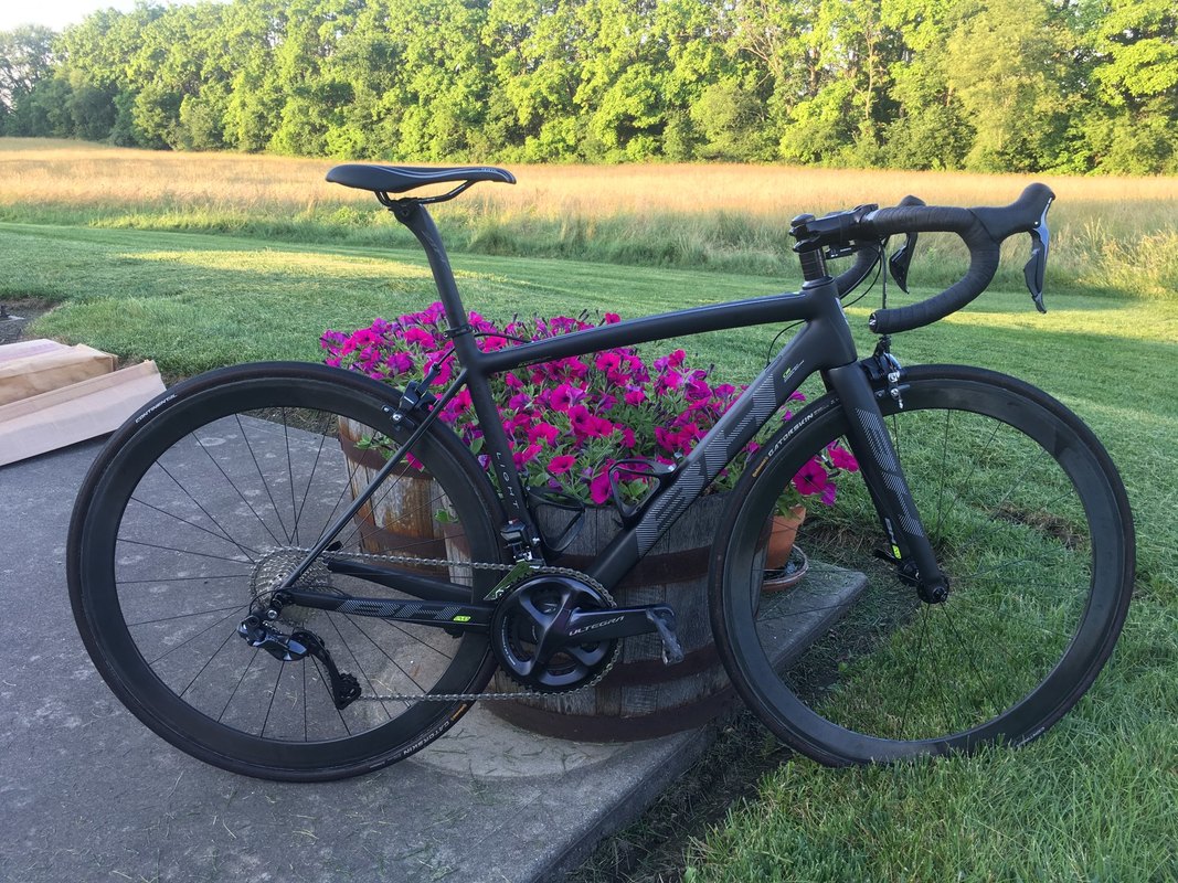
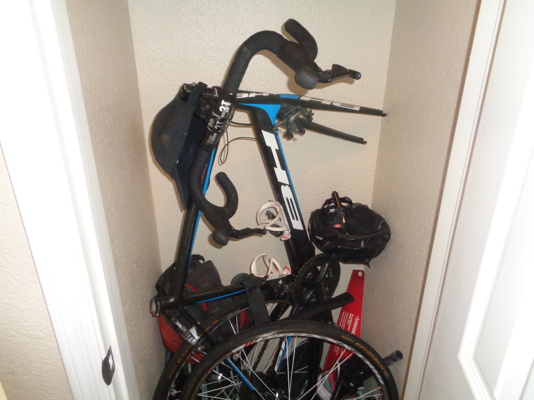
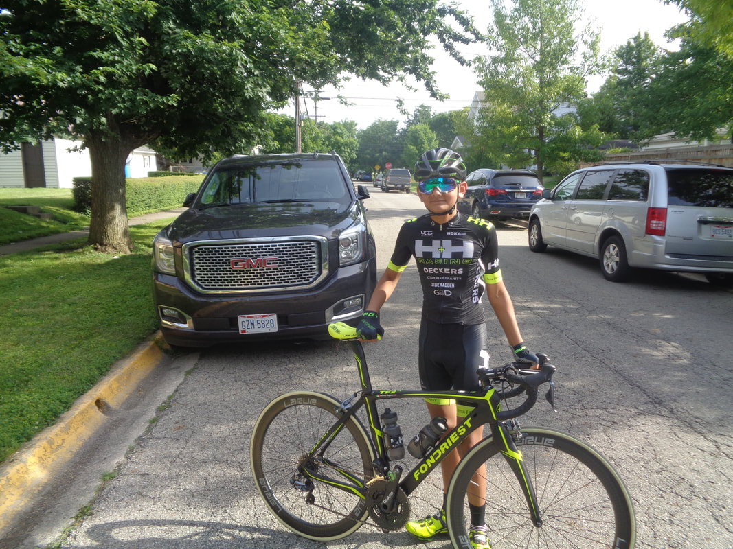
What a beautiful bike. I have heard of this brand, "BH" but understand it is for elite climbers so a good fit for Peggy C. Yeah, Di2 shifting. Waiting on new set of wheels so in the meantime, a current set will work. It was built by Rick Miller and delivered the day before Peggy & Gus head to France. Great timing.
0 Comments
While an alternative ride out of New Albany from Philip Heit Center may pop up, I would not count on it. Quite a bit of interest in doing the Ridge Runner, details at: http://www.outdoor-pursuits.org/Ridge_Runner_Ramble A group setting a B/B+ pace is departing at 8:00am, following most of this route: https://ridewithgps.com/routes/27926670 if you want to check out the route. This is a fee event, click the link above for details.
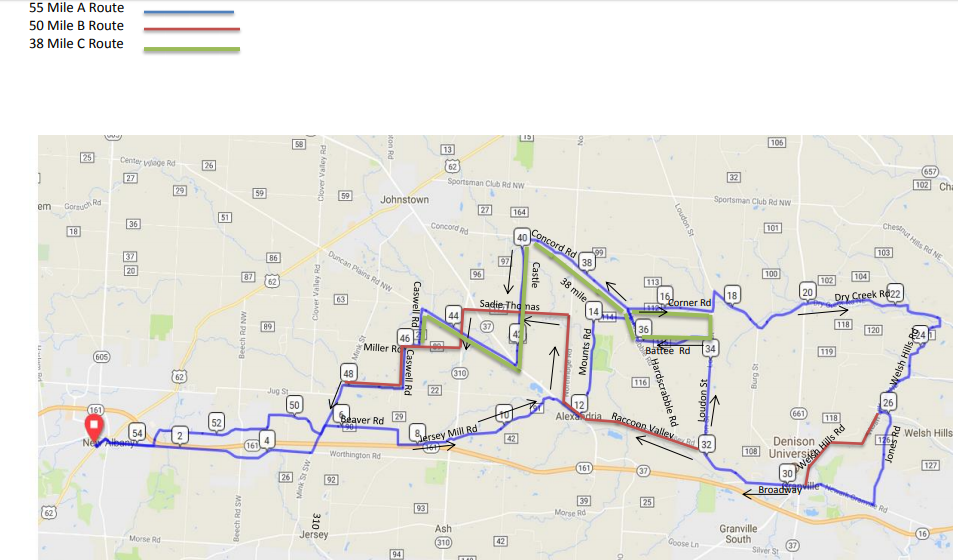
The distances are winding down but still a challenge and if the forecast holds, you will be riding. The routes for the 55, 50 & 38 distances:
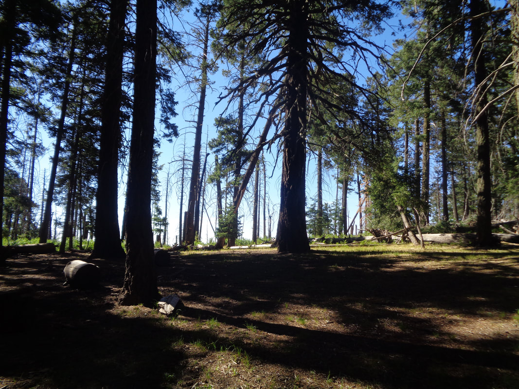
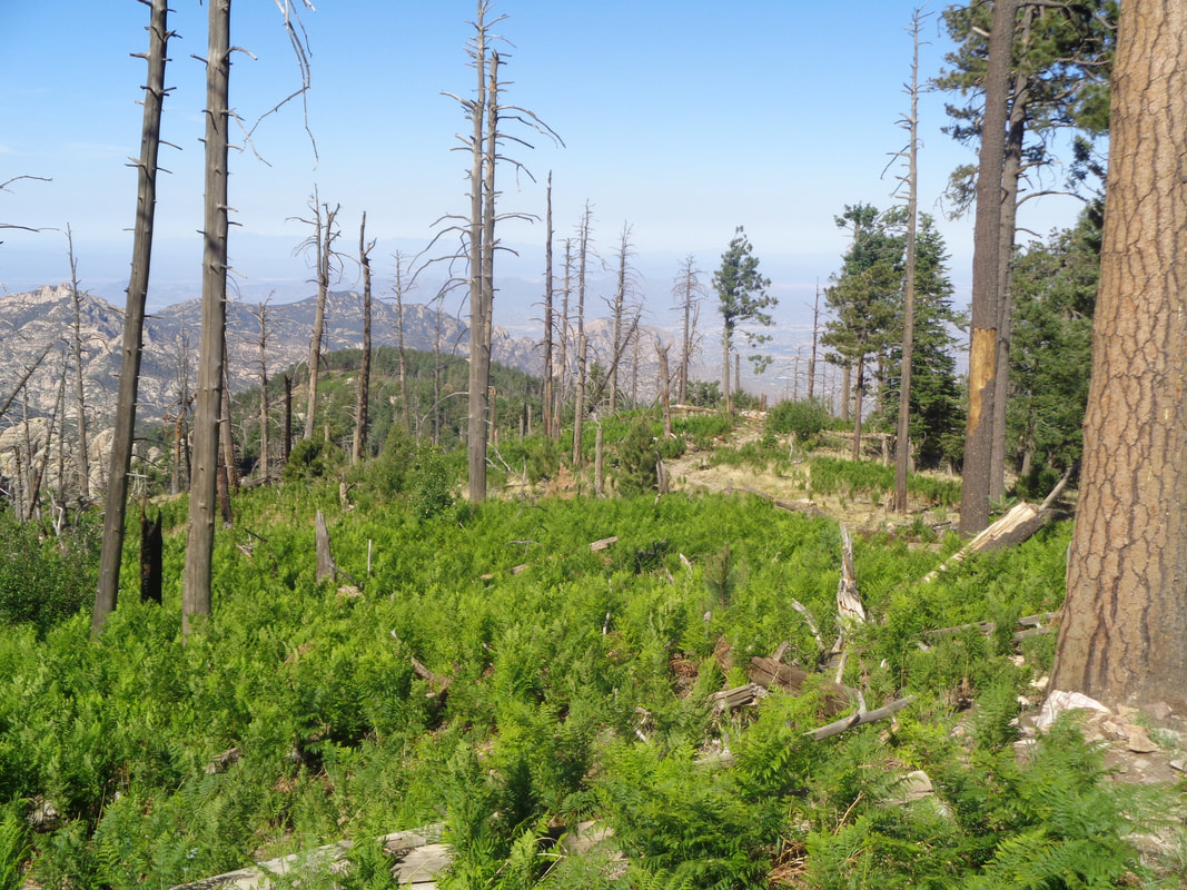
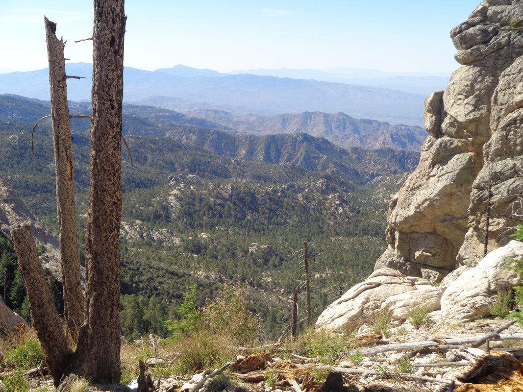
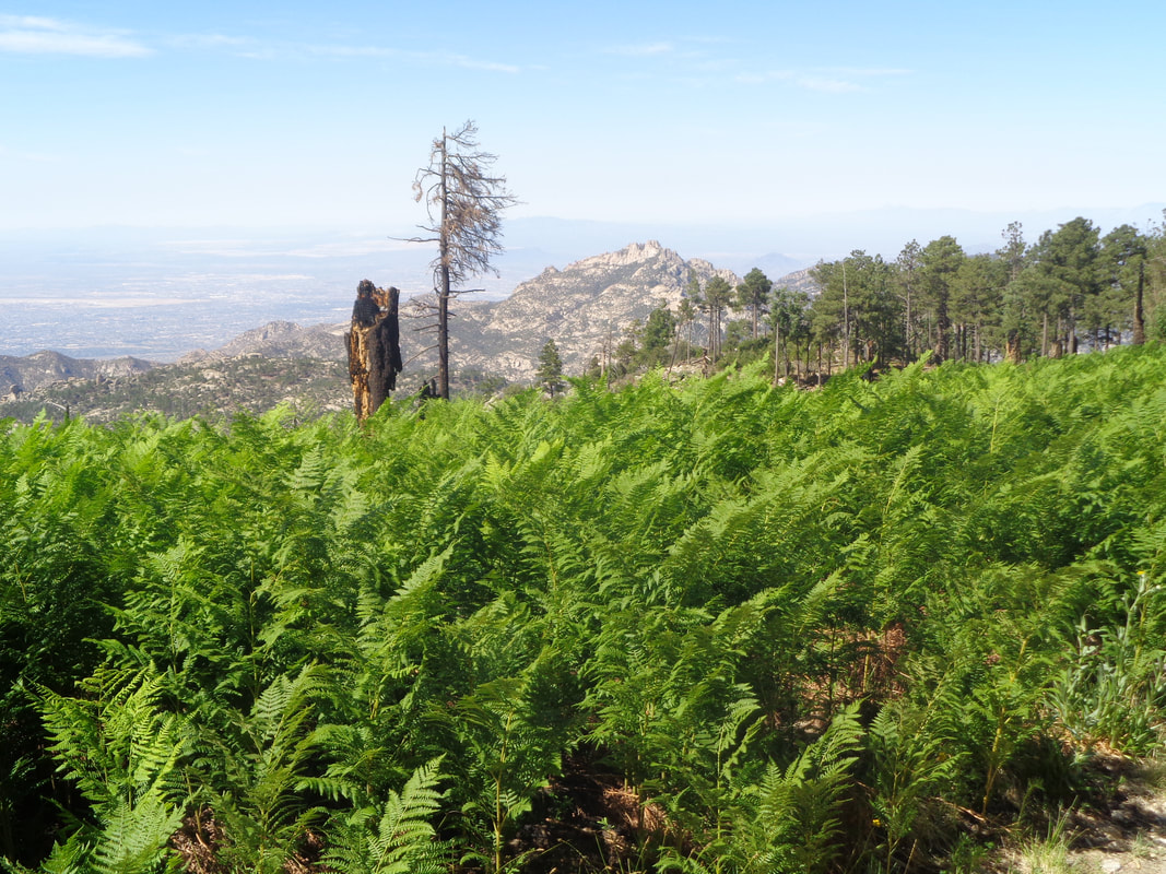
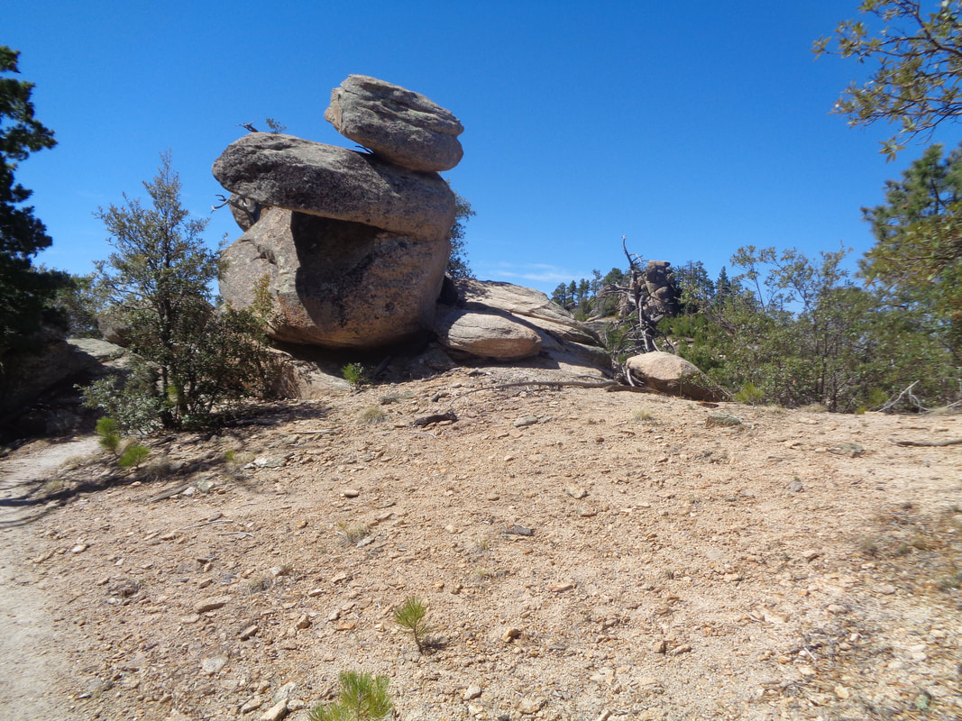
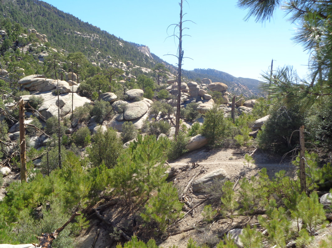
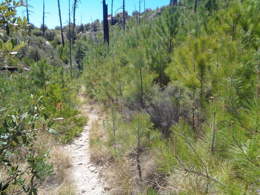
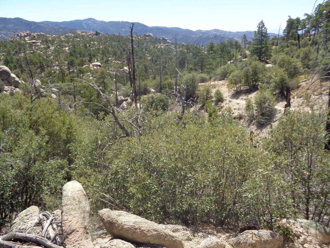
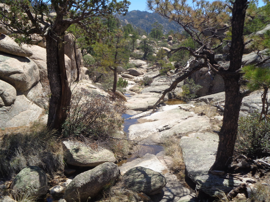
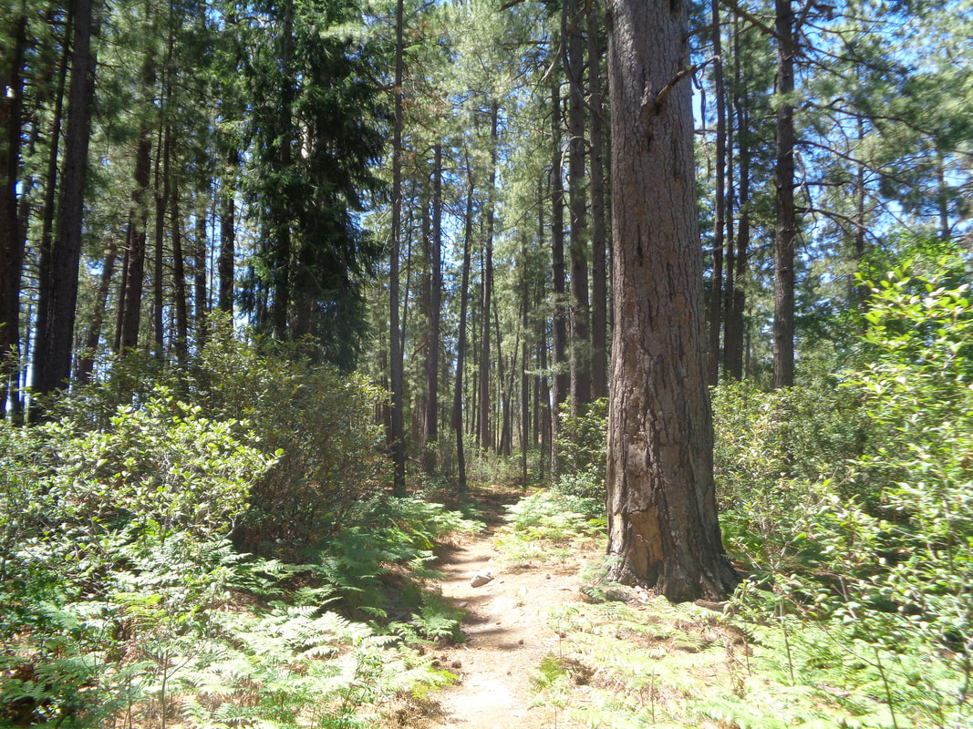
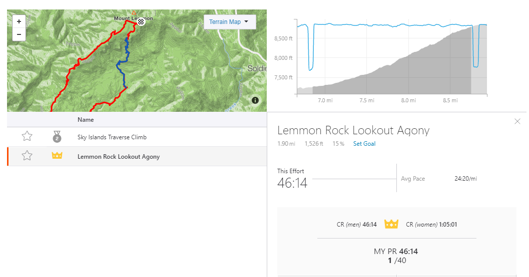
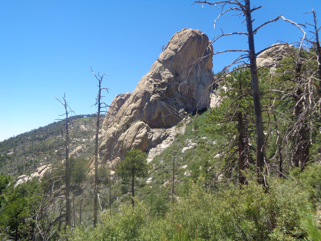
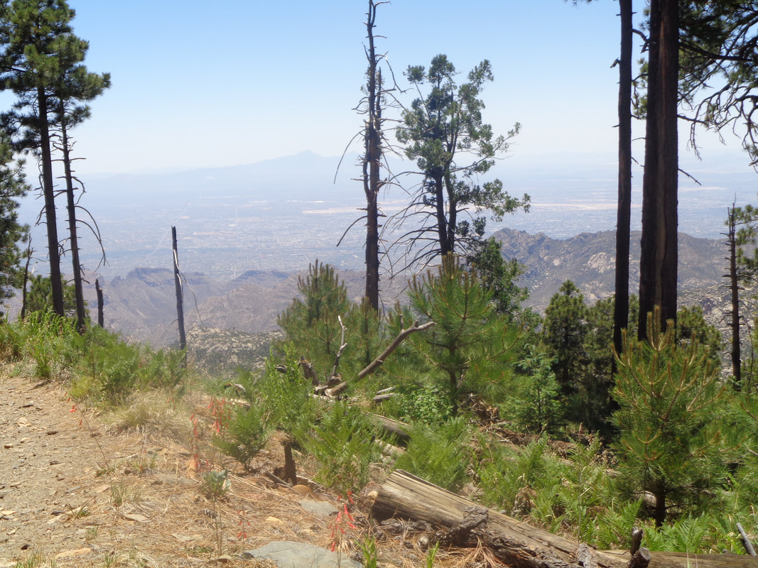
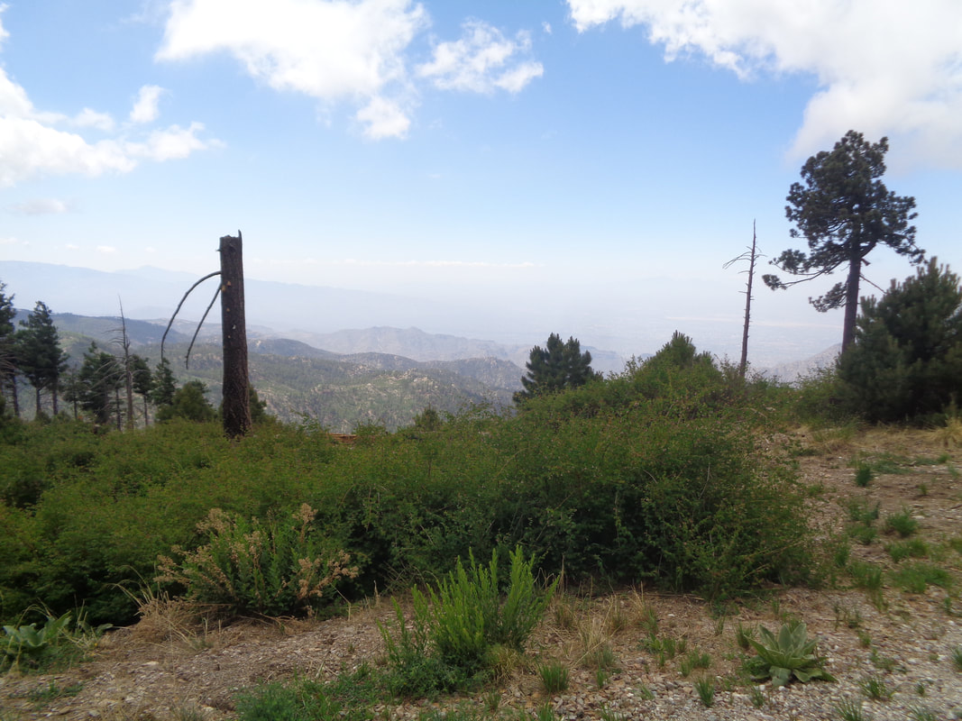
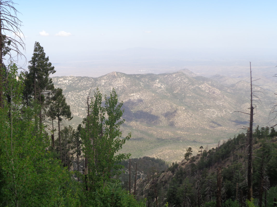
https://ridewithgps.com/routes/19222842 https://ridewithgps.com/routes/27660481 https://ridewithgps.com/routes/19222803 I drove beyond the village of Summerhaven, past Ski Valley and up to the fence of the Observatory. I shoved off with 3 liters of fluids and a snack at around 9:30 with a temperature of 61. I started on the Meadow Trail which has little meadow but perhaps it did when the trail was named? Following this for .8 of a mile threw me onto..... .....Mount Lemmon trail. The views are...... .....incredible. I sometimes just stand, jaw agape, watching. OK, full disclosure, knowing the route dropped into the valley, I was already anxious about what was surely a steep climb out of that. A thick grove of ferns where once pine trees grew. In the distance is Cathedral Rock, another awesome hike. The trail dropped steadily as I headed for the "Wilderness of Rocks" trail. While I had not yet reached the aforementioned trail, I think this signals the beginning of the rock wilderness. Yep, I was in it now! Thousands of pine trees have become established and are now infringing on the trail in some places. Note the trail on the right of the image. I am now on the "Wilderness of Rocks" trail and enjoying the rolling nature of it. Water! This drains into the Lemmon Pools. I have visited that neat spot once but walked by the place where one must go off trail, without noticing. Oh well. In the valley, the vegetation that borders the drainage is thick and offers a nice alternative to desert hiking. As I neared the "Mount Lemmon Lookout" trail which would give me the return to the trail head, I paused to refuel. The mountain top loomed above me. Although I have never been on the trail I was about to hike, I assumed it would be steep and so.... ....it was. Almost 2 miles having an average grade of 15%. I assumed there would be a Strava segment for the climb so I hit it pretty hard and only paused to take a couple of images. That rock feature is cool and signaled I was closing on the top. Soon, my stomach began cramping. Never happened previously and I should have stopped but slowed my pace and once reaching the top and reuniting with the "Mount Lemmon" trail..... ....I sat down, drank a lot of fluids and quickly felt a lot better. Good but difficult hike, in cool temperatures while finishing with 9.5 miles and 2500' of climbing.
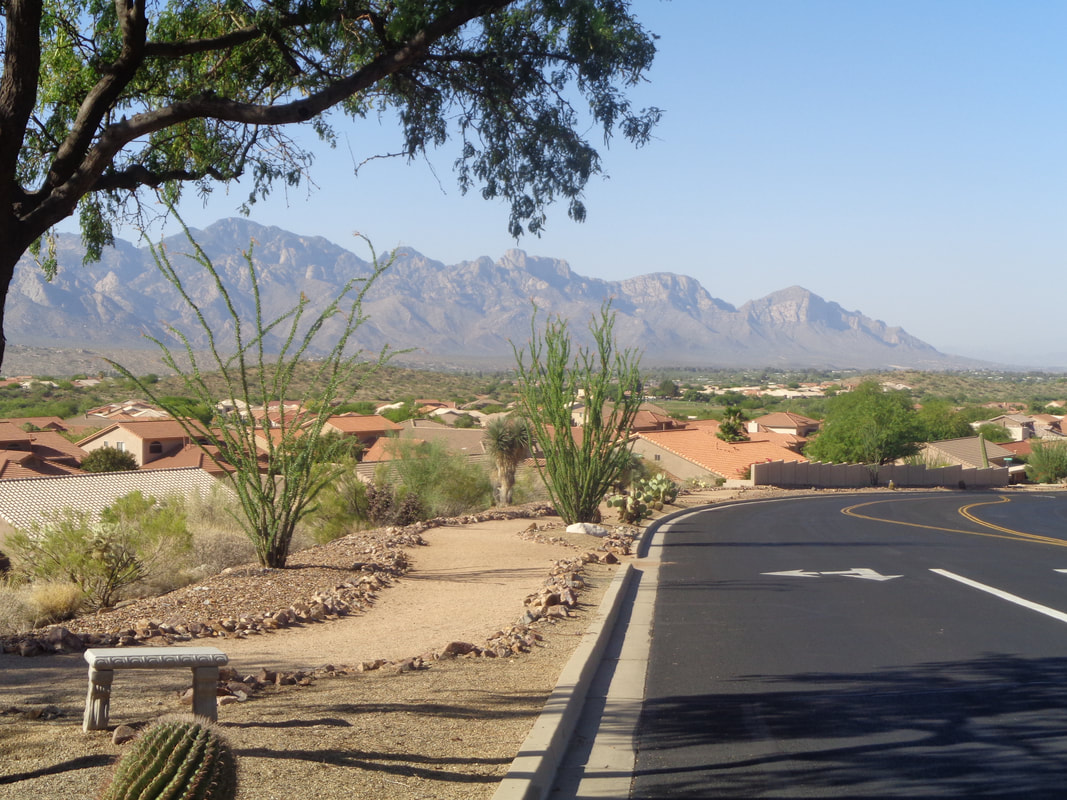
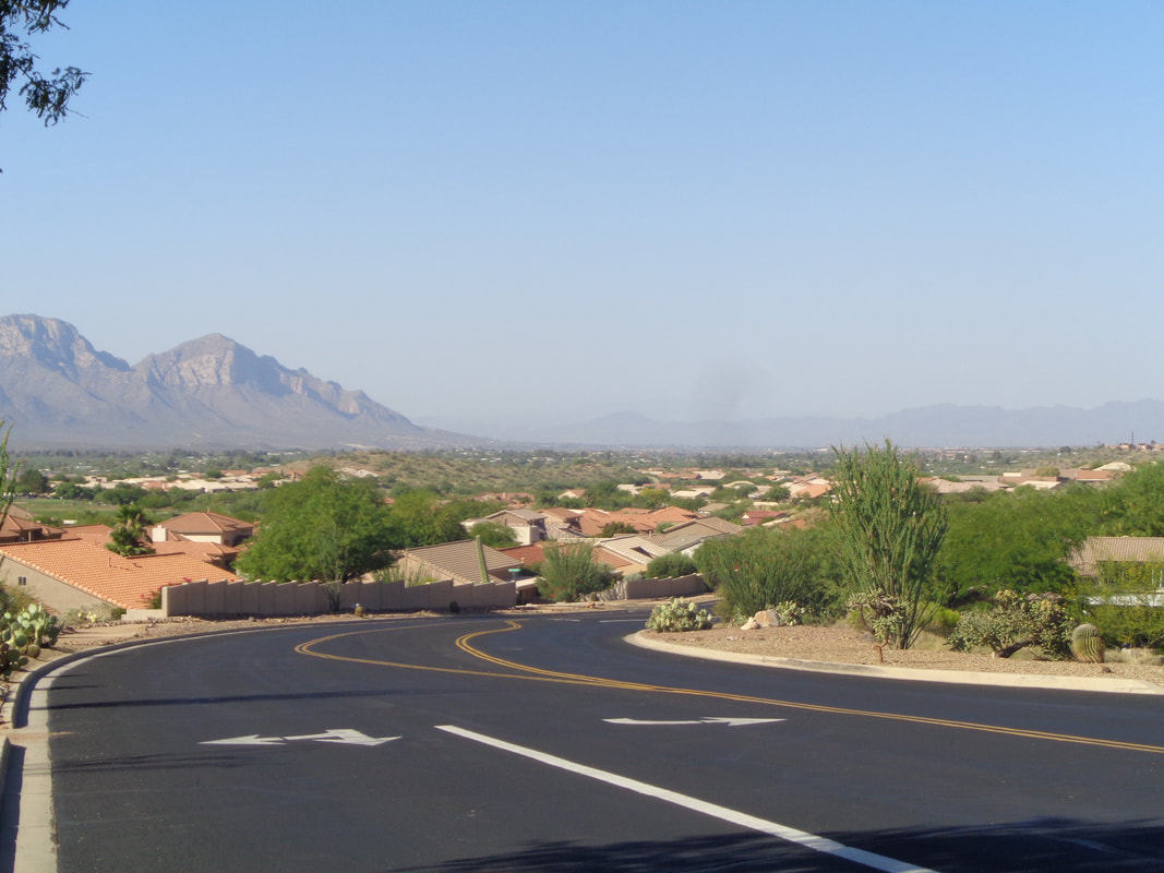
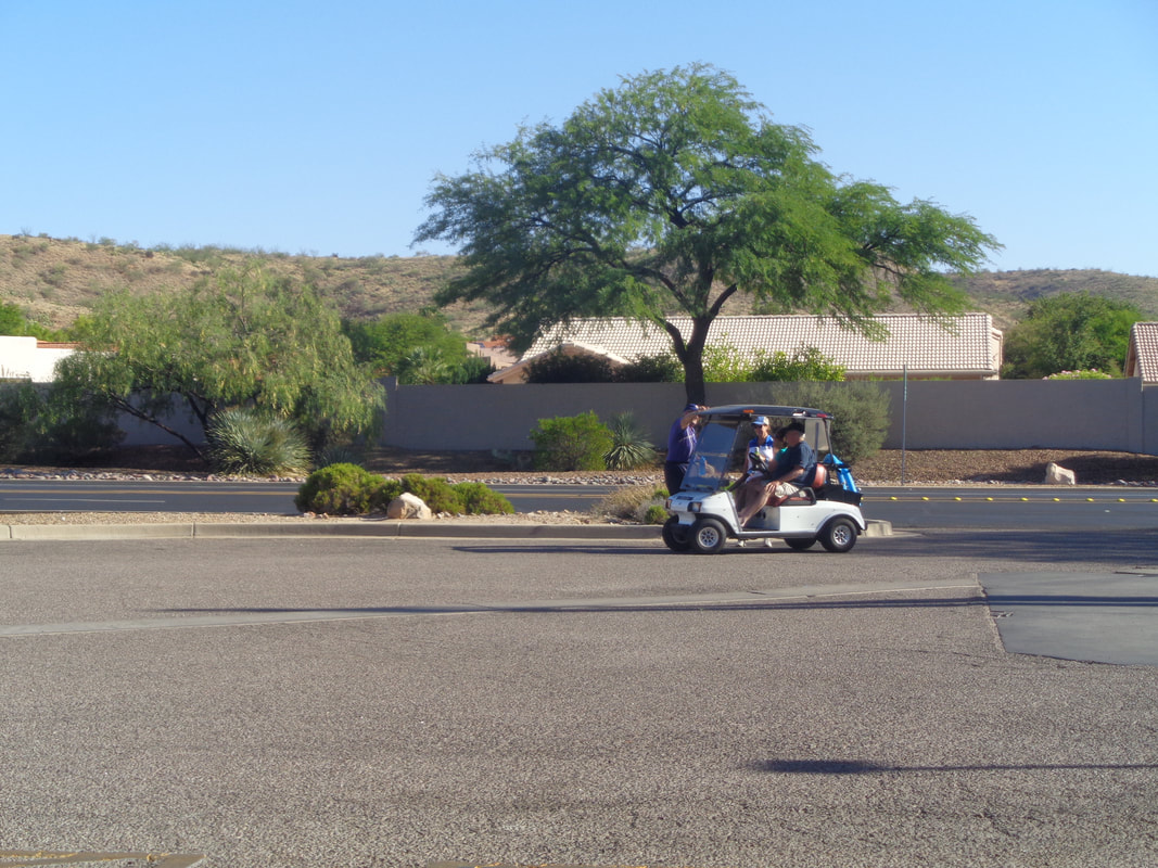
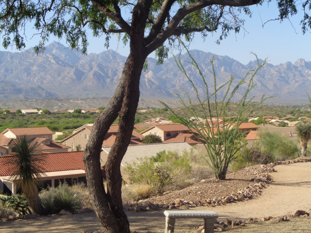
Up at 5:00am and the light is already rising from the east. On the bike by a little after 6:00am and I head to Saddlebrook, a retirement community to my north. Above, one of my favorite views as I look to the south. It is very cool to ride north and have the mountains tower over me to my right. The air has some dust in it so it partially obscures the long range view. I roll into a gas station and..... ....while sitting and relaxing for a couple of minutes, many golf carts whizz by, a popular mode of transportation by the retirees. I head back and take..... ....another last look and head home. Only 31 miles. On the ride back, I composed a silly poem; "Early to Bed, Early to Rise, Out the Door, Makes on Wise". It's true, this time of year, I don't see much activity, especially cyclists, after 9-10am.
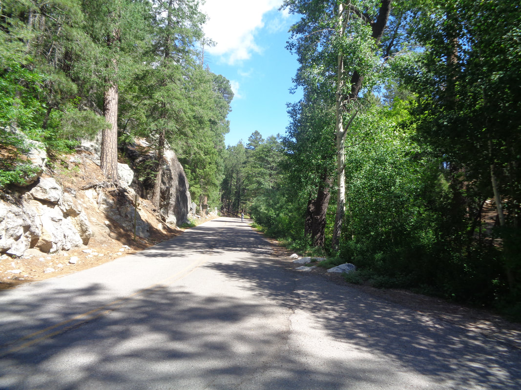
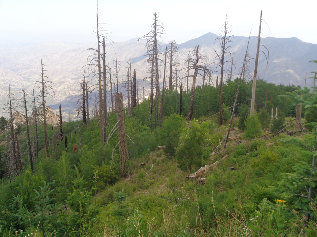
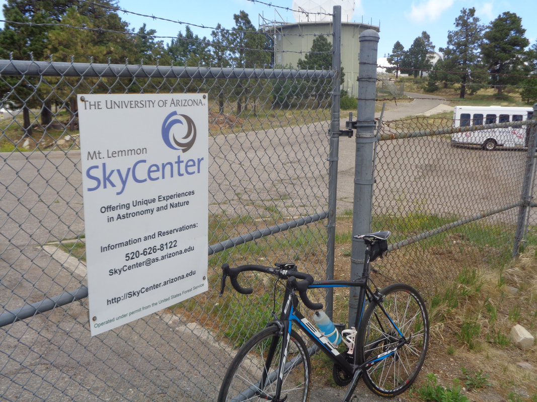
My legs were sore from the previously storied hike and ride. I hadn't yet visited the top of Mount Lemmon so I drove to Summerhaven, parked and did an easy..... ....climb, with temps in the low 60's and a high for the day in the low 70's, first to Ski Valley and then..... .....the Observatory. Still lots of evidence of the 2003 Aspen Fire. I took the obligatory image of bike in front of observatory and then, coasted down.... ...to the Sawmill Restaurant for breakfast. Only 8 miles of riding but 1400' of climbing.
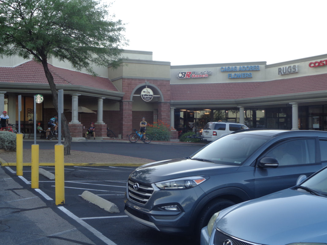
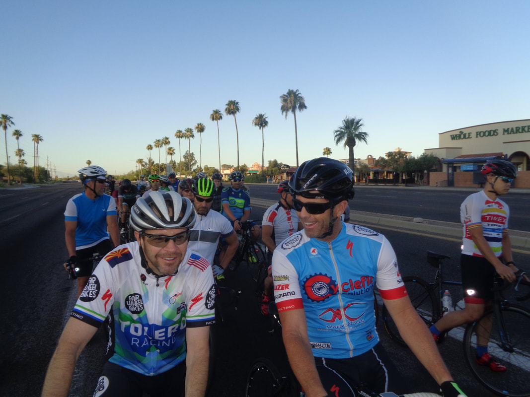
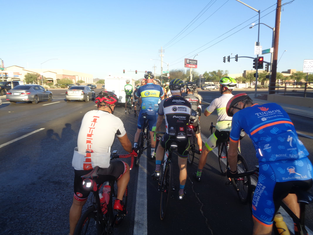
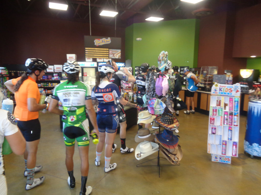
5:45am and cyclists begin to gather for one of the top group rides in the Tucson area, the Bicycle Ranch shop ride. I hear the pavement has gotten so bad south of here, the famous "Shootout" ride is bleeding participants to this ride. Still, I was surprised when we rolled out with..... ....around 60. The first 6 miles is mostly down hill with a few lights to pass through so with a long line, if the light turns mid group, it gets dicey. The group was split once but came back together. Steve, the manager of the shop was in the group so he keeps things organized. The temperature was around 70 at the start and once the sun rose above the mountains, we began to bake but not too bad. After we made a right turn on Silverbell, the pace picked up and I barely hung on until we made a right on Twin Peaks where the group slowed as we rolled through a couple of lights. Then began the 7 mile climb up Twin Peaks to Dove Mountain resort. I got shelled somewhere in there as while the grade is only an average of 2%, the pace is excruciating. A new record was set today by someone and I put in all new PR's along the way. I managed to stay somewhat close and was able to roll..... ....into the only stop on the route and was afforded a decent chance to recover. The woman above clipped a tire, crossed in front of 2 cyclists, hit the curb and slammed onto the sidewalk. Ouch! My sub group passed but soon she was back on the bike and passed our group. Very strong. Going inside.... ....I encountered the longest line waiting to fill their bottles with ice. Heading back out with the group, I was ok until the Rancho Vistoso climb, another long one and popped off. I hooked up with a couple of guys and we fought a nasty head wind for much of the remainder of the route, finishing with 53 miles and a 19.3 average. Been a long time since I have ridden that hard.
Saturday, 8:00am, usual start location for a B/B+ ride with a few regroups. I will not be there and some of the usual suspects are in MD but if weather is ok, take a leap of faith that others will be in New Albany for this ride.
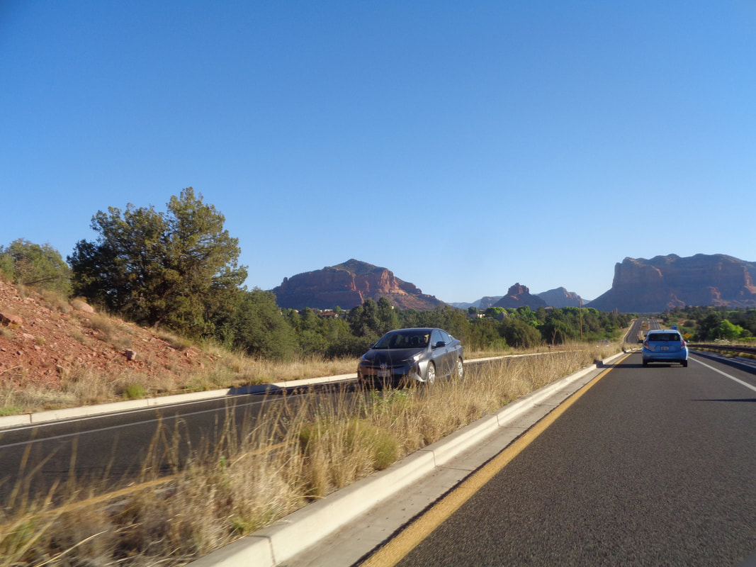
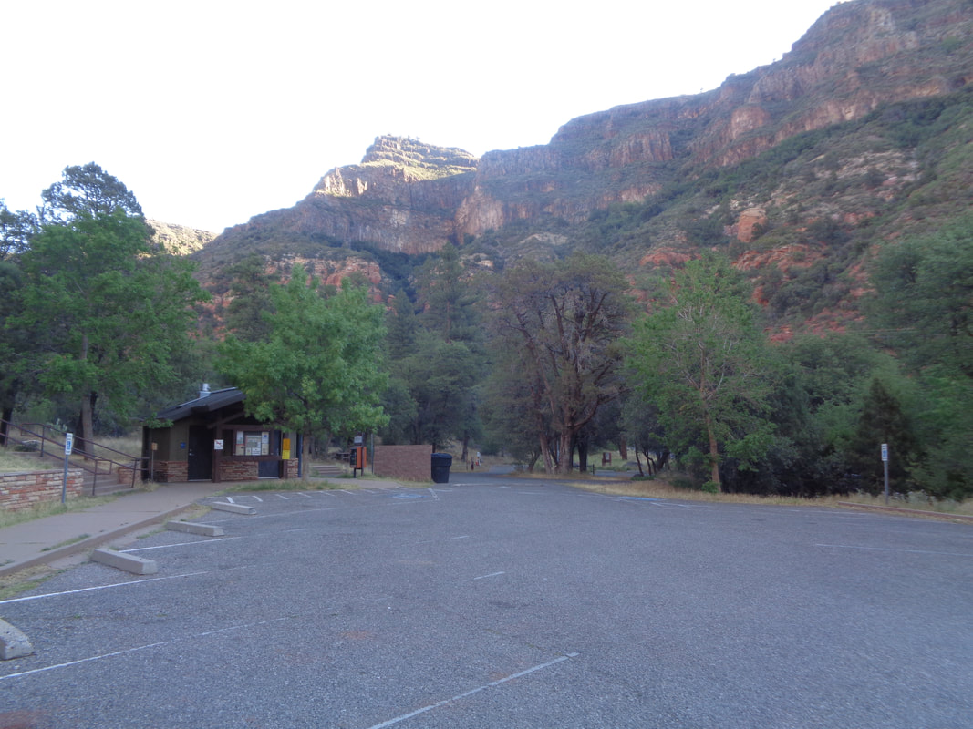
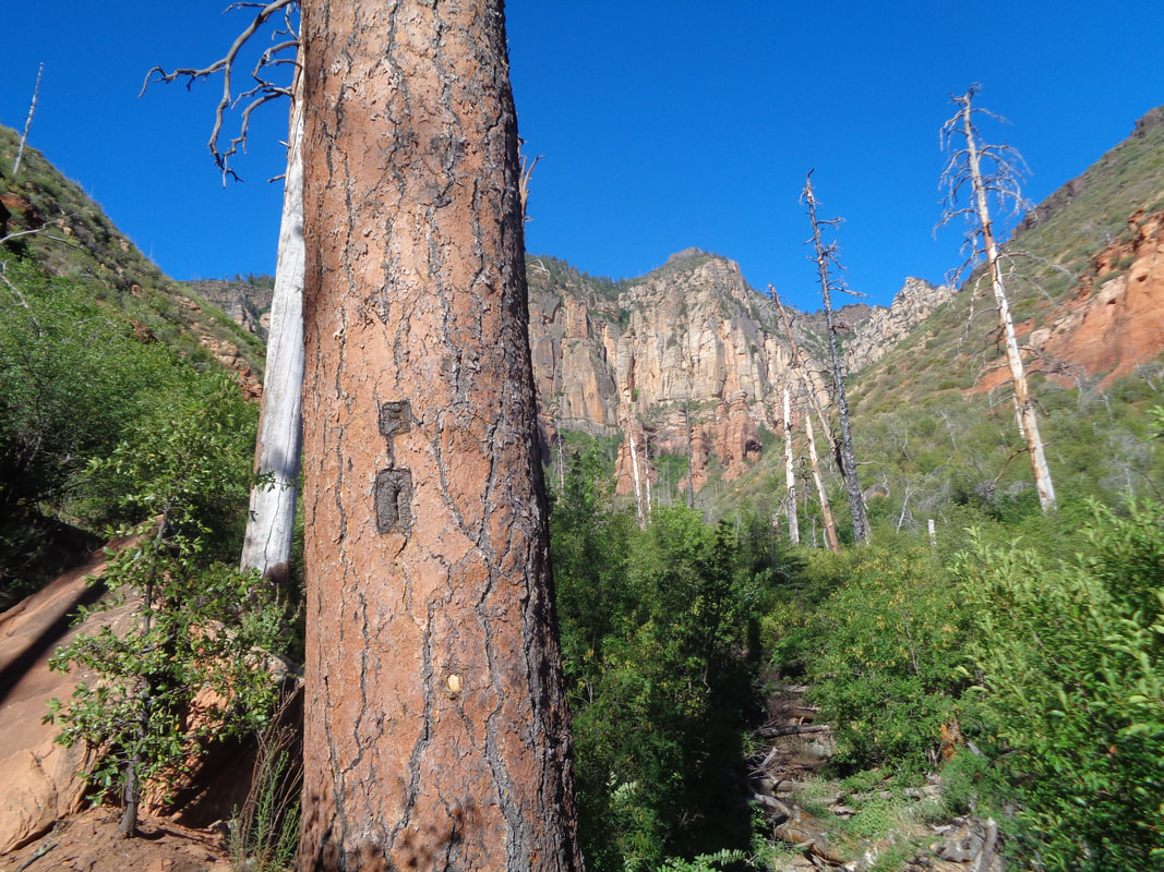
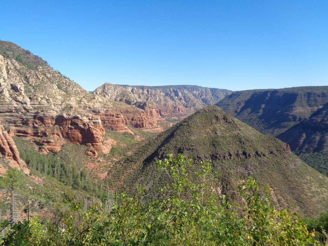
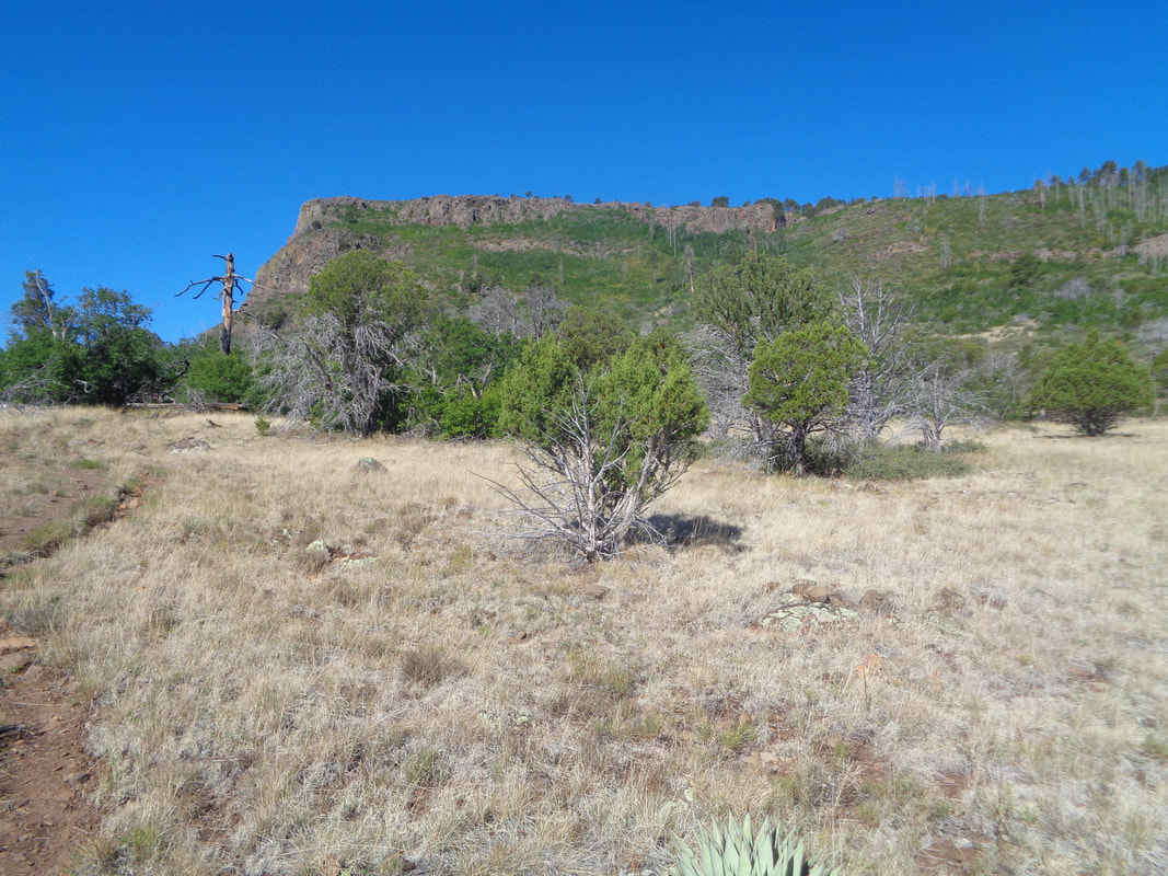
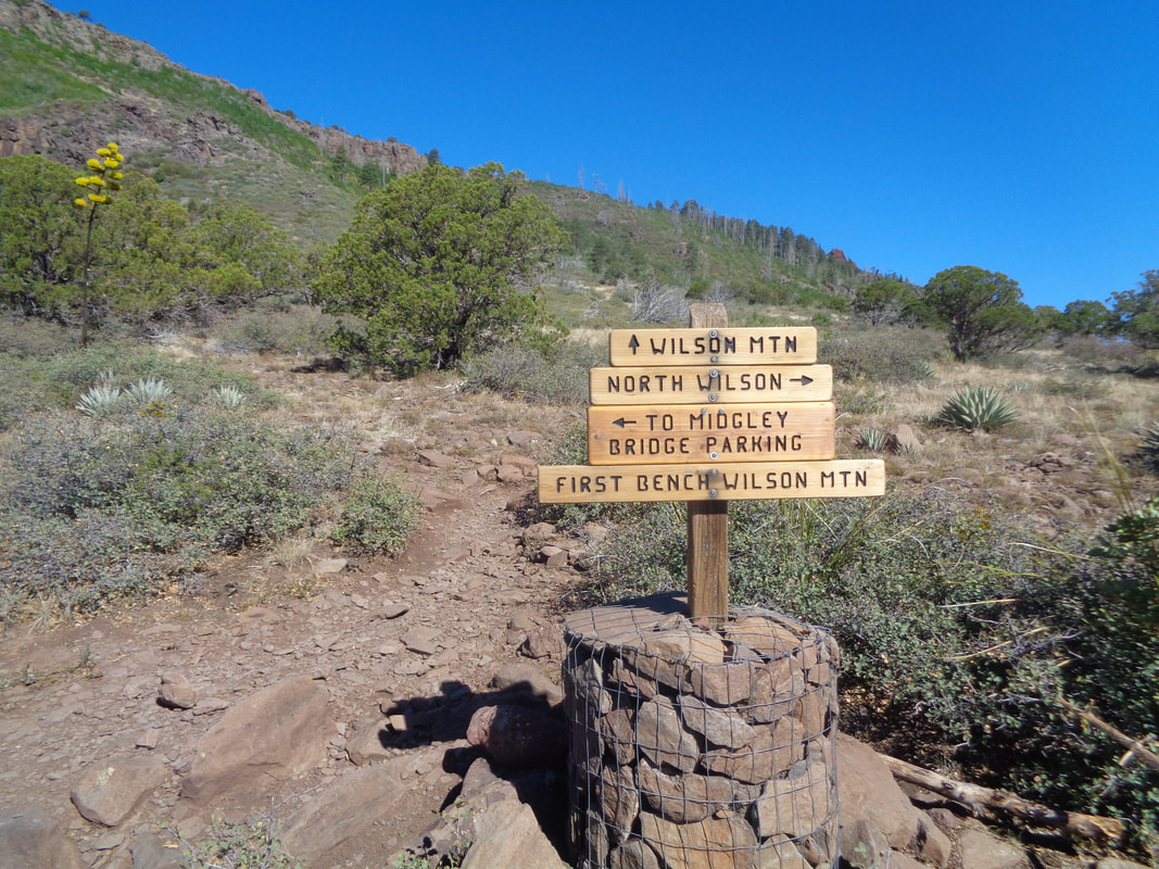
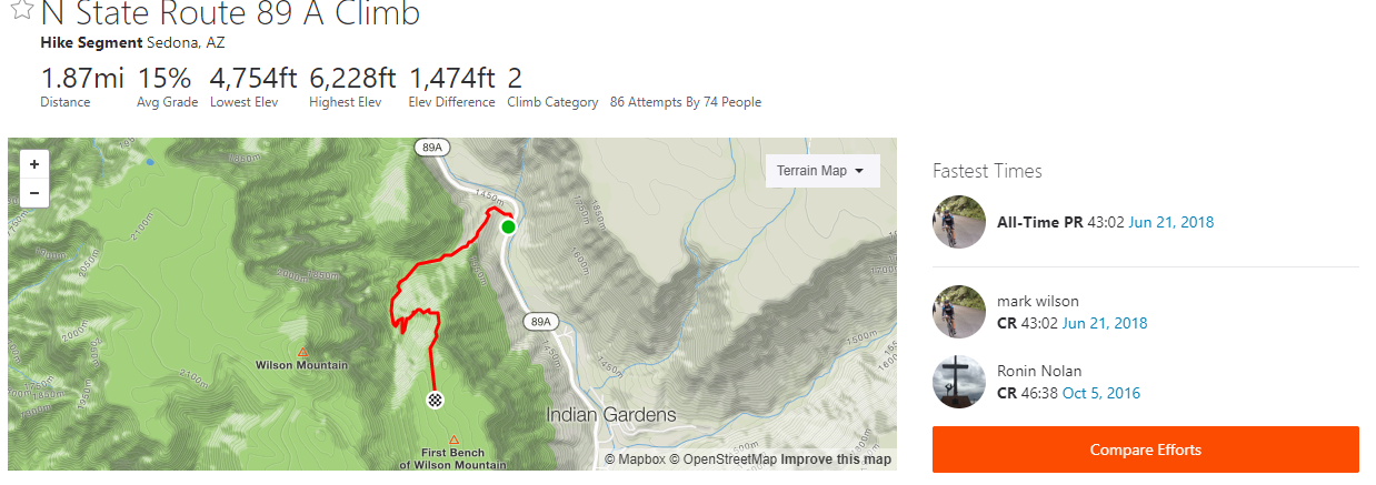
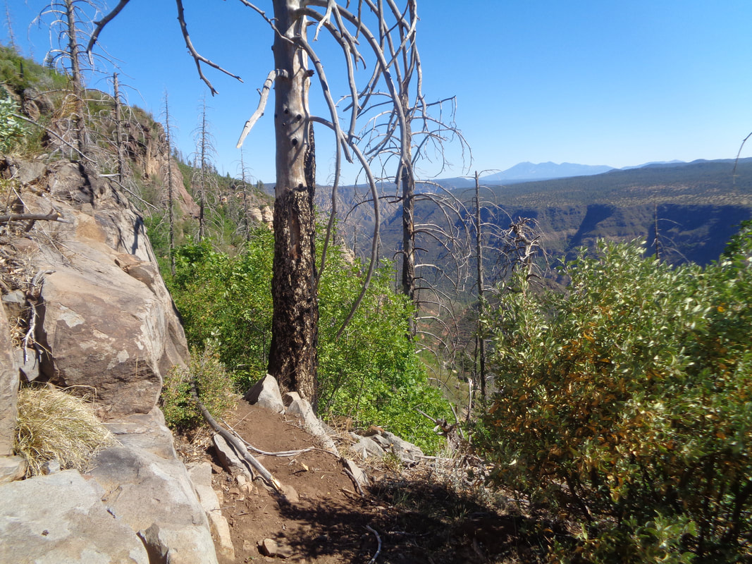
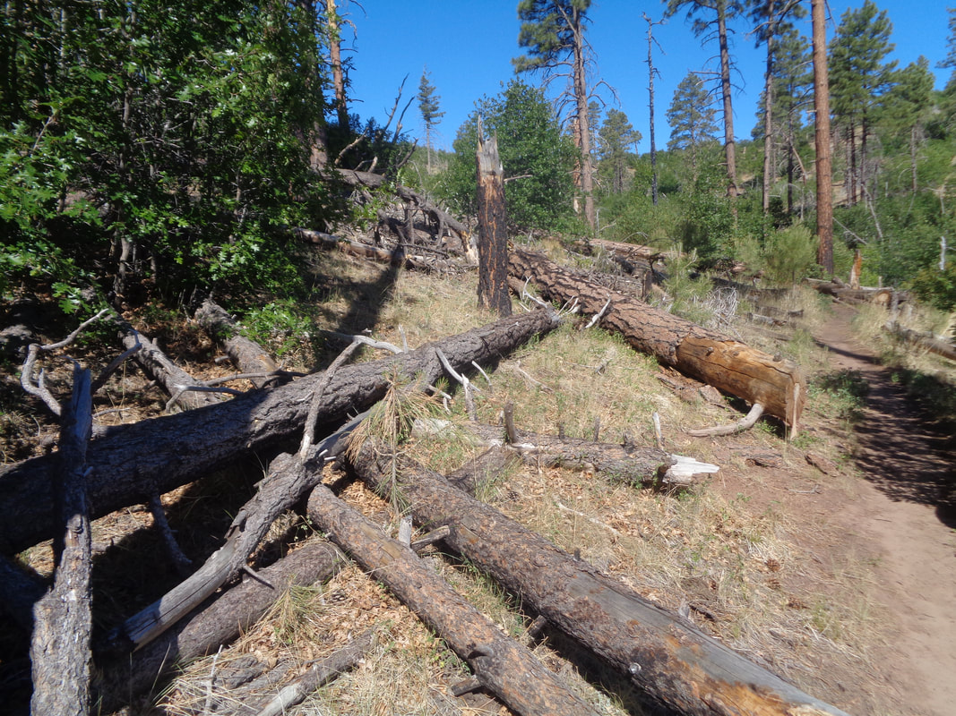
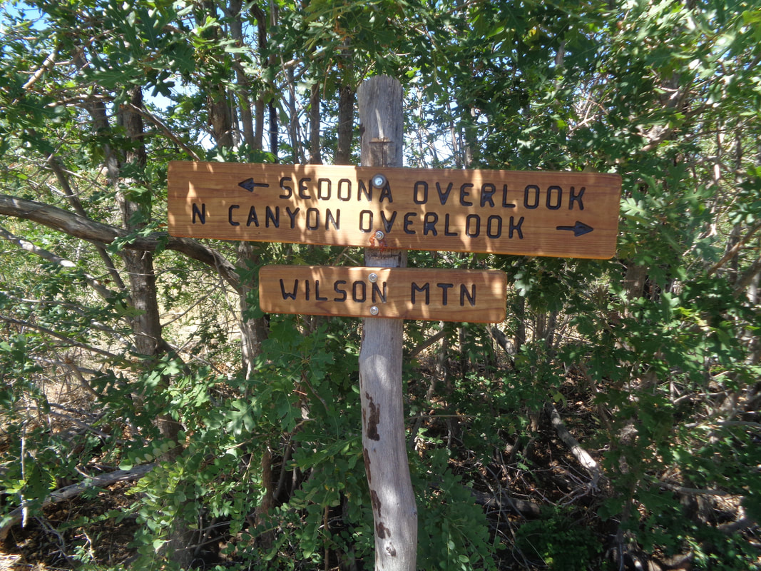
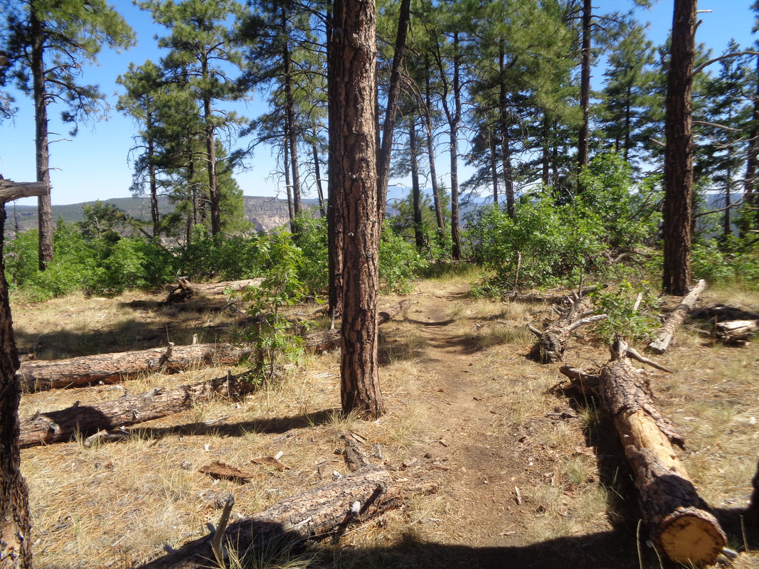
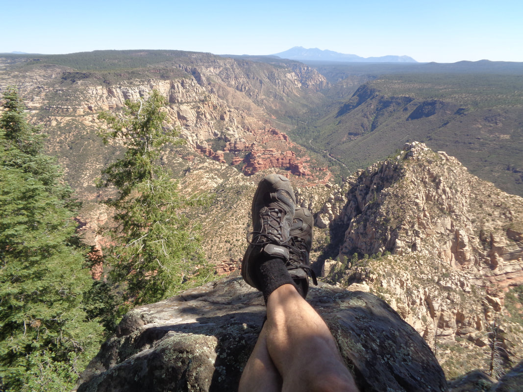
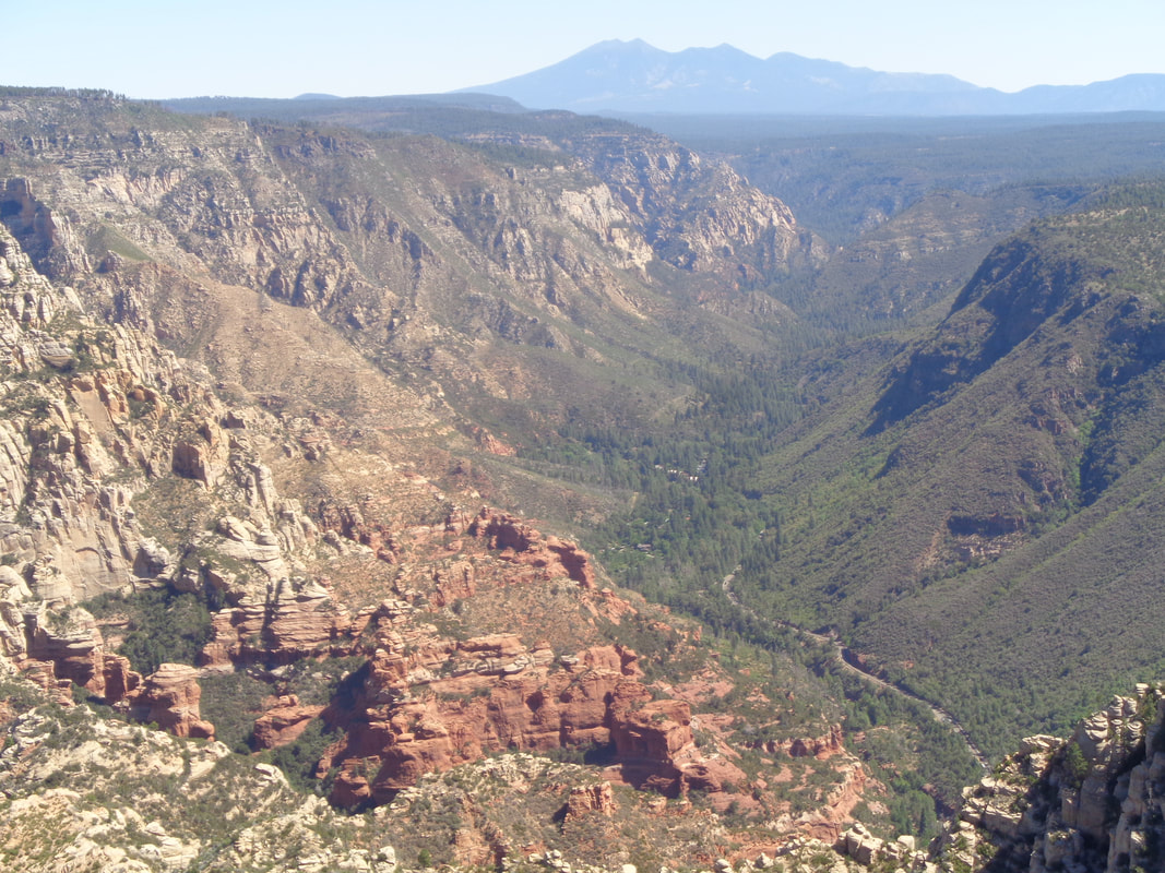
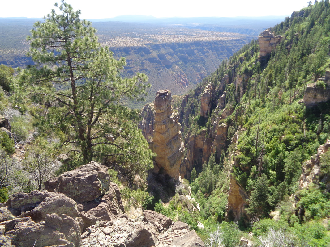
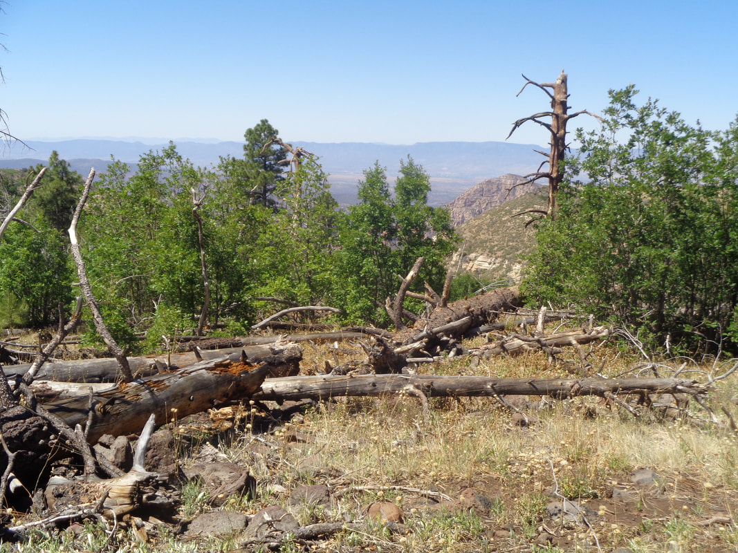
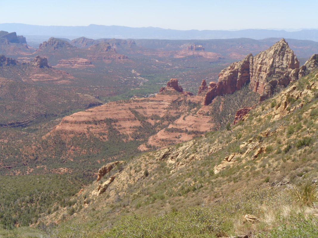
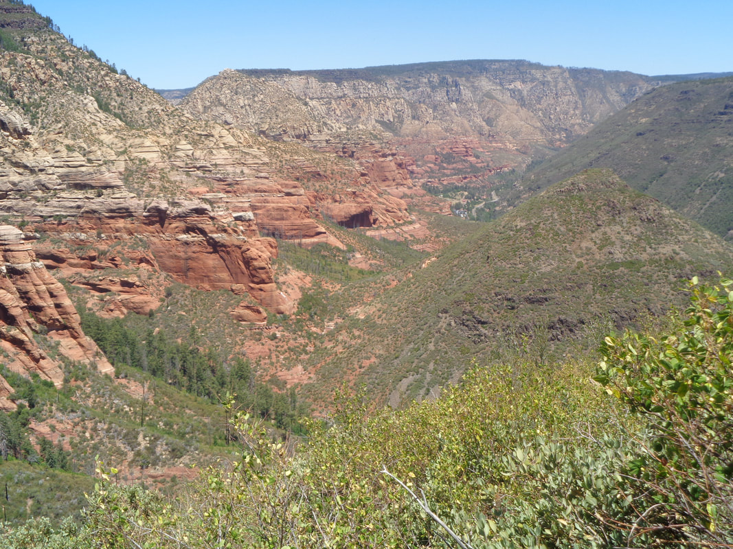
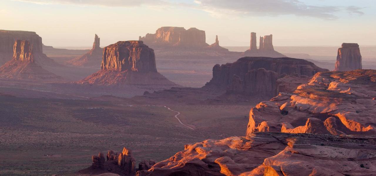
My plan to hike Humphrey's Peak, the highest point in AZ fell through when I discovered it and the area around it are closed due to fire risk, since late May. I can see closing for camping but for day hikers? Anyway, I searched, "Hardest hike in Sedona" a place I had visited but never hiked. Ureka! Up popped "Wilson Mountain". I checked with a local who previously had hiked and it was confirmed it was a worthy challenge. I also checked with Eva S who used to live close to Sedona and she too gave it a thumb's up. I left my home at 3:30am and 3 hours later, driving through Oak Creek Canyon and then through Sedona. Route 89A, a couple miles north of Sedona, goes past Encinoso picnic area from where the hike starts. The high would be 101, hence my interest in starting early. Had Humphrey's been open a little farther north in Flagstaff and at a much higher elevation, the temperature would have been much cooler. I had plenty of fluids, including a frozen Gatorade which tastes great later as it turns to slush. The trail ascends steeply through a forest of mostly pine. My destination is above but I have to go 2.5 miles way left then 2.5 miles way right. The first 2 miles is fairly steep with an average grade of 15% while gaining 1500' of elevation. Soon, the views open up to the northeast. Beautiful. After that opening 2 mile climb, I reach what is described as the First Bench. The next obstacle is above after a nice walk through a meadow that is in need of rain. Good sign posts. If you are into Strava, I think this is the end of a segment and later I would discover..... ....I set a record for the climb. Surprised me as I hadn't gone at a fitness pace but there are only 74 attempts so not a deep field. It helps that I don't need to stop and take breaks, just maintain a steady pace. Anyway..... .....I begin the 2nd major climb and it too is kind of steep. In the distance is San Francisco Peaks with Humphrey's being the tallest. Disappointing I could not do it on this trip although I have climbed it once before. A fire moved through here a few years ago and the evidence of it is still plentiful. At the top of this second climb...... ..... I saw the above sign post. I hung a right to go to the North Canyon Overlook. From this point on the trail actual descends a little so the hiking is easy although kind of boring for about a mile until..... ....no mistaking what I see ahead and after a few more steps am greeted with..... ....this. Awesome! I take a seat, eat a Cliff Bar and enjoy the view for about 20 minutes. Yeah, one of those life is good moments. I got up, found another viewing spot farther south and..... ....it changed the perspective a little. Note 89A winding through the canyon bottom. I packed up everything and began the trek back. Quickly, looking to my left, I saw what appeared to be another viewing opportunity and so going off trail, reached a cliff and saw..... ....this. Another awesome view. That roughly 1 mile walk back to the sign post, as I said, is kind of boring with few good views. Just wandering through the remains of a pine forest with a lot of new growth. I wonder what keeps some of the dead trees standing as so many have come down. Hey! If you plan to do the hike, this is important. At the first sign post after the 1st climb, follow the trail about 50 yards towards Midgely Bridge. You won't be disappointed! Wow. In the distance is Sedona. I resume my hike, back to the parking lot, finishing with exactly 10 miles and 2600' of climbing. I took the north trail but there is also a south trail, starting from the aforementioned bridge, I think. I read the north trail has more shade. The trail is kind of rocky and clearly not smooth, if that matters to you. You may find a hiking pole useful for the return as it is slippery in spots from the loose pebbles.
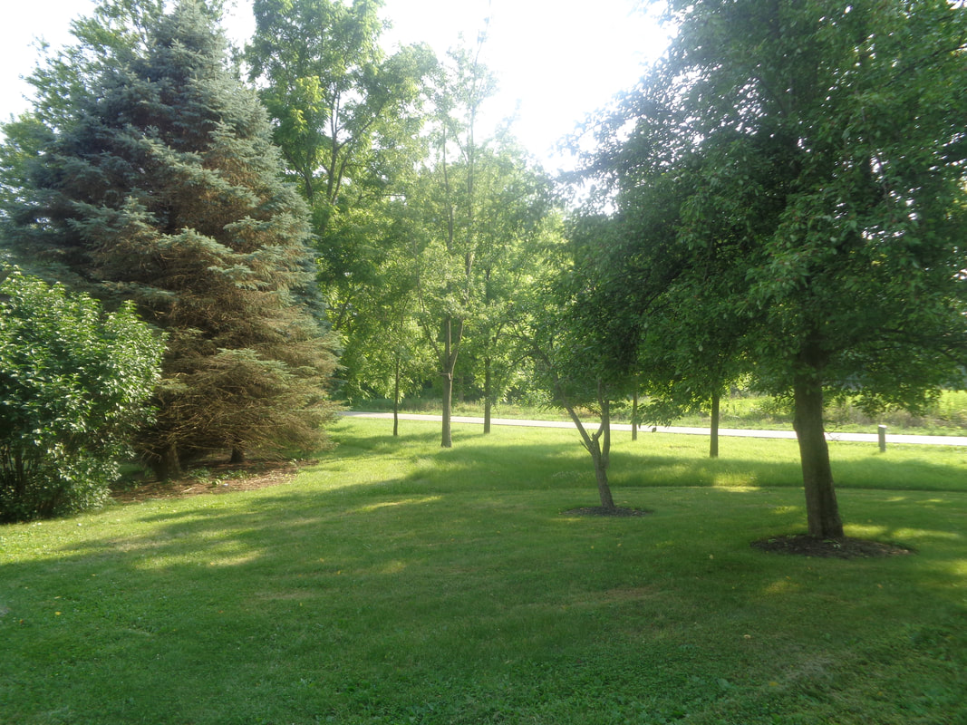
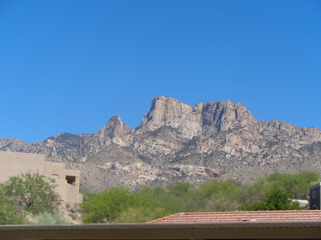
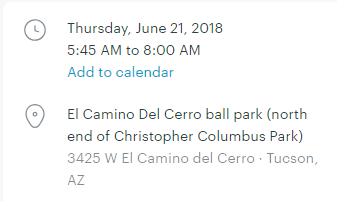
Monday, Ohio, the view from home. 90 degrees, 80% humidity, windy then.... ....Tuesday, Arizona, the view from home. 100 degrees, 15% humidity, calm winds. Ya know, a guy could learn to like this, especially a guy who loves climbing in those mountains. But, I will return to Ohio in as little as a week, no longer than 2 weeks. Just wanted to get a good feel for summer out here and boy, am I gonna get it! The old BH, stored in a closet and ready to spring into action. Then I began looking for riding opportunities and..... .....noooooooo, 5:45am start? Noooooooo. But yeah, I will probably do that cause you don't want to start much later than that for a meaningful ride.
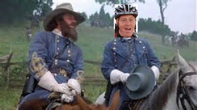
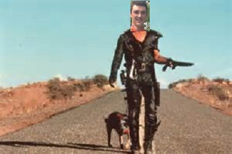
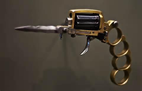
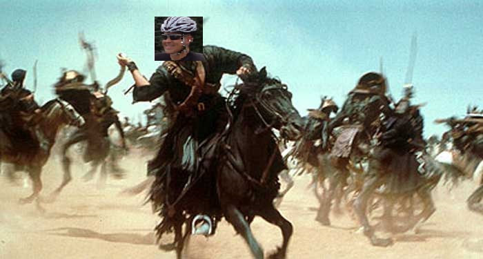
Time to reflect on some of my finest work as an amateur photoshopper as I brought emotions to a boil prior to past, Canal Winchester Summer Solstice rides. Oh, there is another, tomorrow from Brewdog, 5:30pm for the Bers and 6:00pm for the Riveters and A typers. Above, Stonewall Jackson informs General Ric Nolan that General Pickett's charge has failed, as did the efforts of the southern Canal Rebs to defend their turf. Alas, the northern Yankees from New Albany will be without Luke Russell and Lori Nedescu, the former curing cancer and the latter a pro cyclist. Yet, plenty of fire power remains. Beware the weapons packed by those desperate southerners. Here is the route: https://ridewithgps.com/routes/27825723 Good luck with competing against the marauders of the north. Not sure how many will make the trip south. It's just not what it used to be.
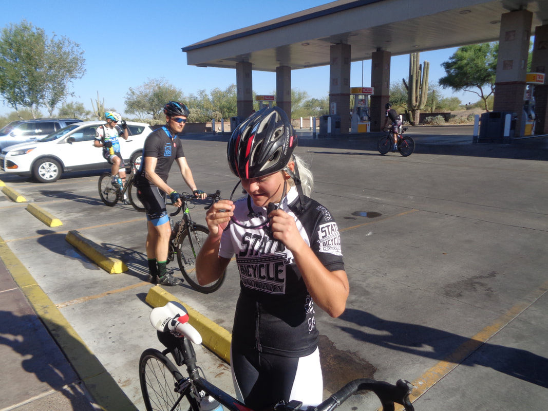
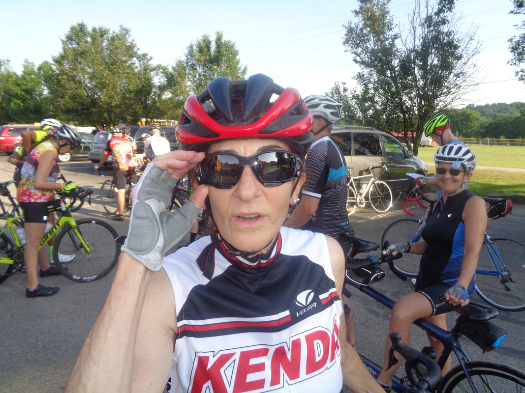
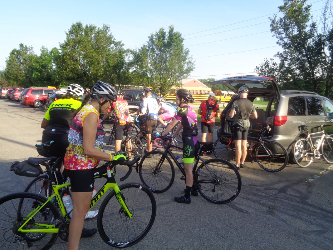
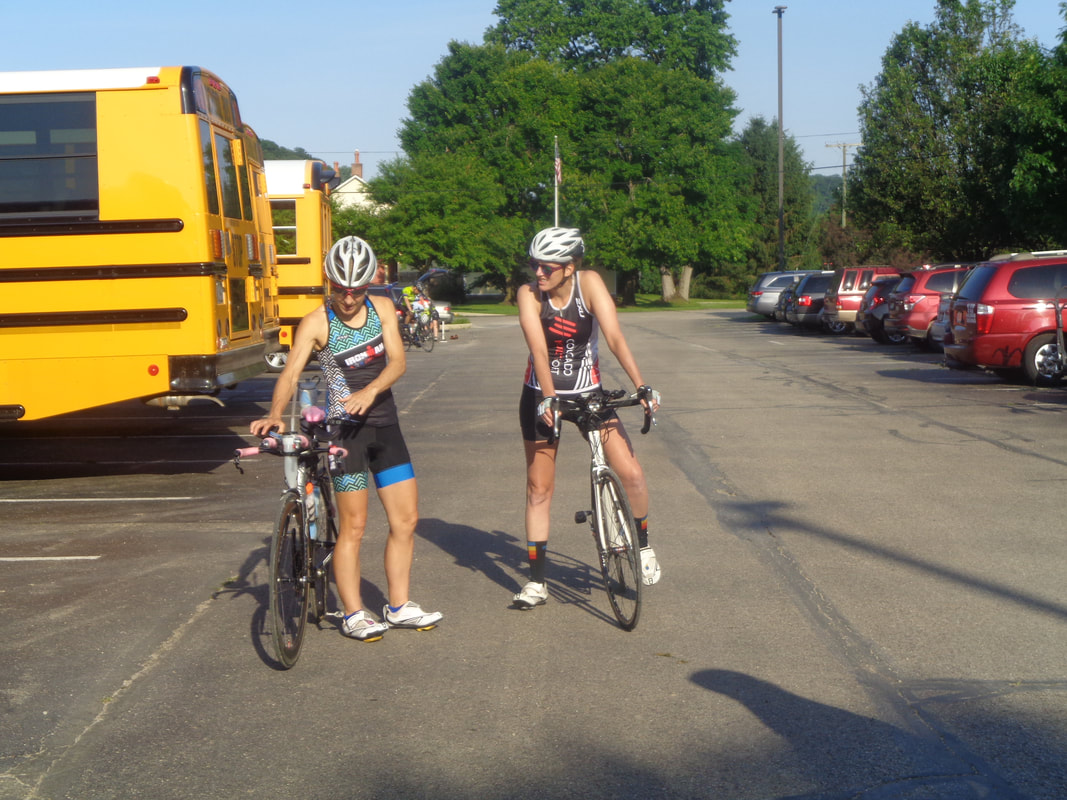
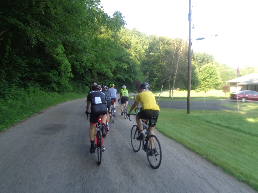
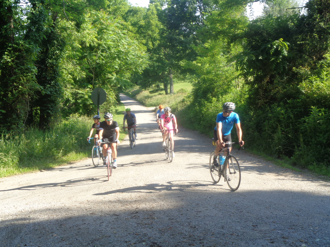
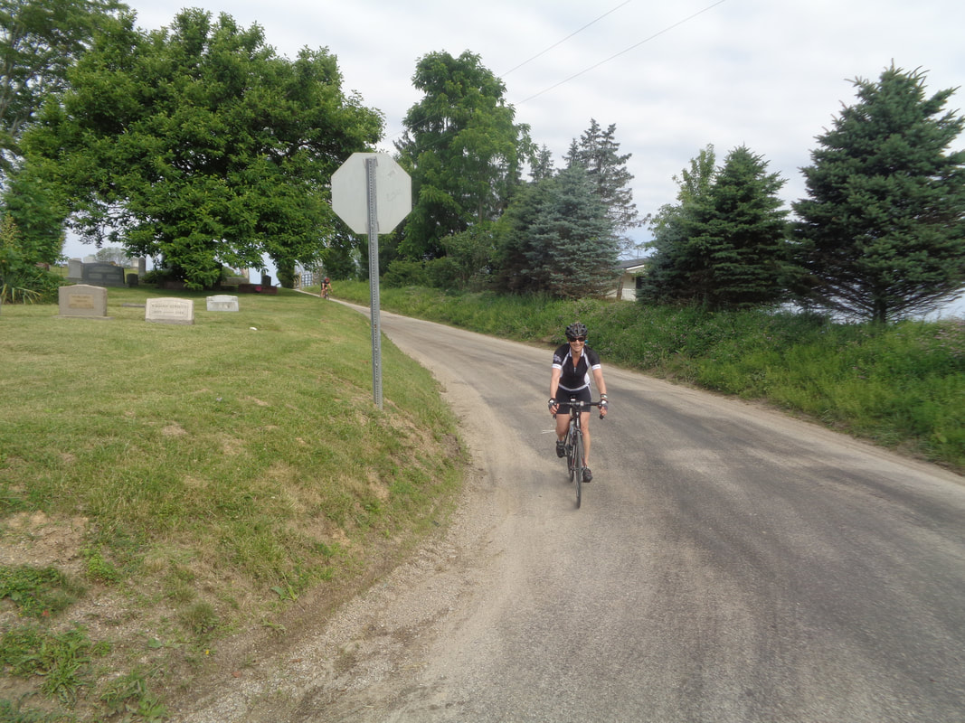
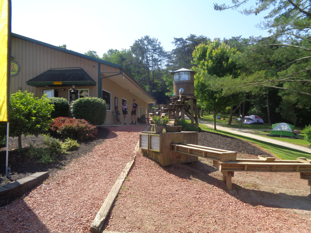
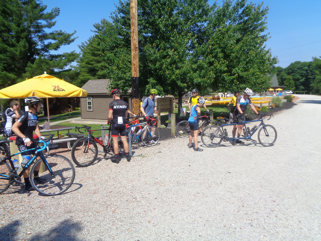
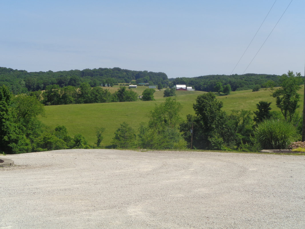
Around 30 of us gather in Sugar Grove for Steve Hewitt's tour of 54 miles but what a 54 miles it was! Kenda Janet with her new, custom made, cycling glasses. Karen Rossi looks on to her left. John on the left with Geoff and Mark V. Hey, a Lady Gnar Shredder made it too. Gosh, even a couple of tri types came out for the hilly ride. Little use of the aero bars on this route! And we are off, here at the foot of the climb on Pump Station Road. Using supreme effort and all that I could muster for the day..... ....I reached the top to out sprint others who could care less so I could take this picture. On we went, up and down but mostly up. The route included a climb up...... .....Mt Olive. Steep and I observed Eva doing something never witnessed before but I am way too much the gentleman to mention it here. It did involve the bike and shoes but the shoes were not necessarily attached to the pedals at the time. More than that I can not say. Two groups formed on the road and ours climbed a mountain to reach this KOA camp ground at around mile 30. Nice place. We lingered to eat and drink and then headed..... ....back onto the road and nice views. Finished with 53 miles, 3400' of climbing and an average of 15.4. Yeah, I know but the descents were kind of sketchy and we were just having fun.
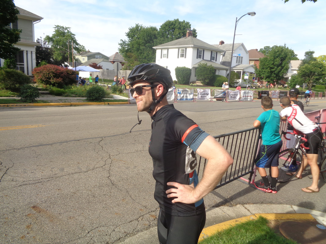
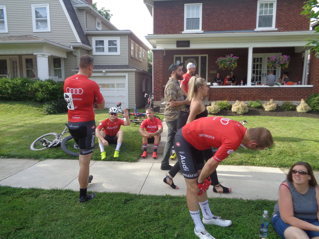
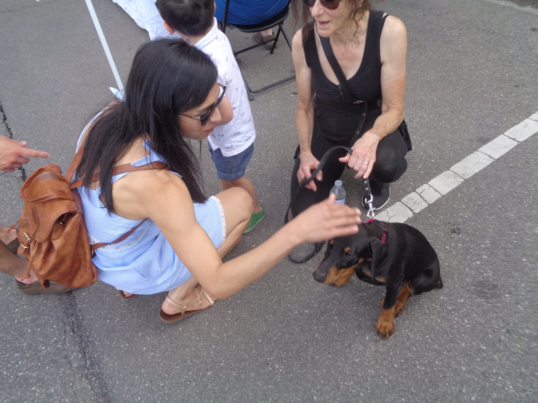
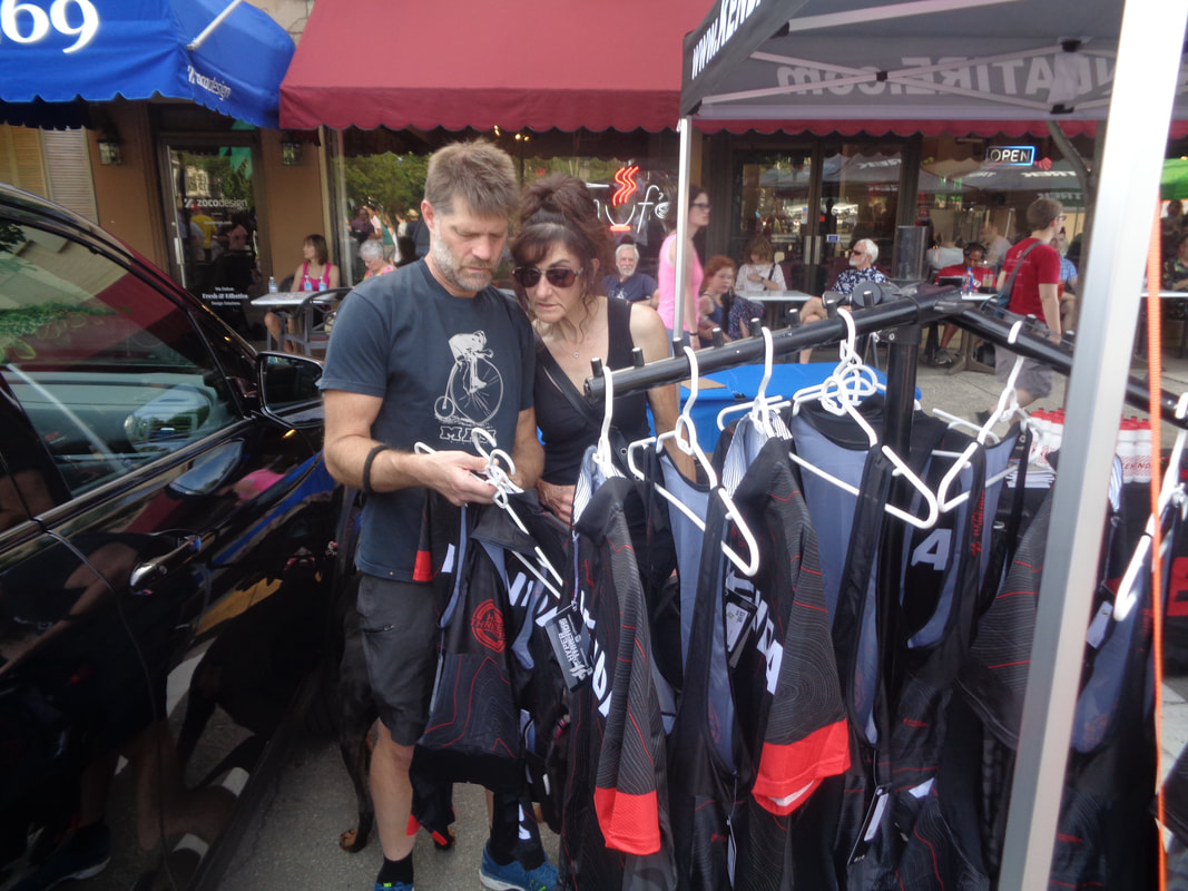
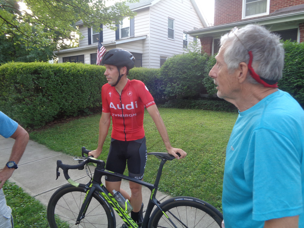
First person I see is the Young Phenom. Head to the course and run into several Thursday riders including..... ....Ryan as he watches and gets ready for his first crit. I stop by to say hi to the Audi gang and then get serious and head to the festival area with booths, food and beer..... ...oh and hook up with the Kendas who are out walking Sofia and the new puppy, Zara. While they shopped at the Kenda booth, they trusted me with the puppy. Gosh, a puppy is a chick magnet and Paul and me came up with the business plan of "Rent a Puppy". A single guy will not be for long with one of our pups. A festive scene indeed. Also hooked up with Larry and Lisa and.... ....followed Larry who was on a mission of finding food. Kind of made a bad choice of taco in a bag. Saw many other cycling buddies including Kevin H and then on my way out.... ....talked to George and got caught up with him. He will return to the peloton next year. Just working a lot now. Ken B in red rode well along with many of our Thursday friends.
COP has this ride for Saturday at which many of us plan to attend. 8:30am start.
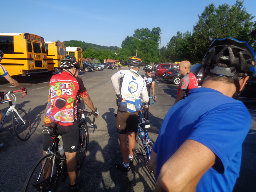
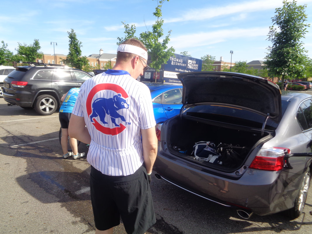
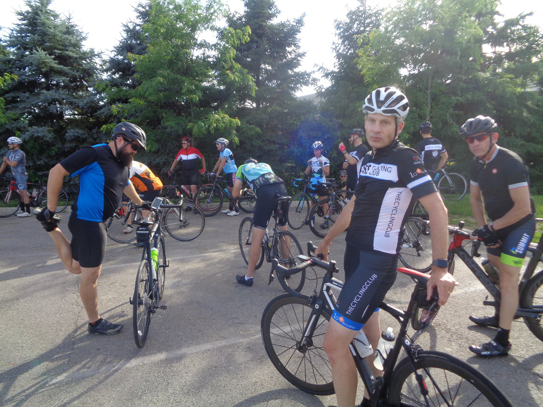
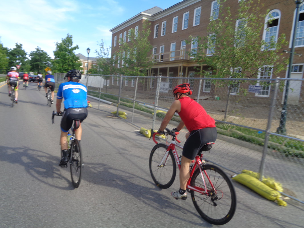
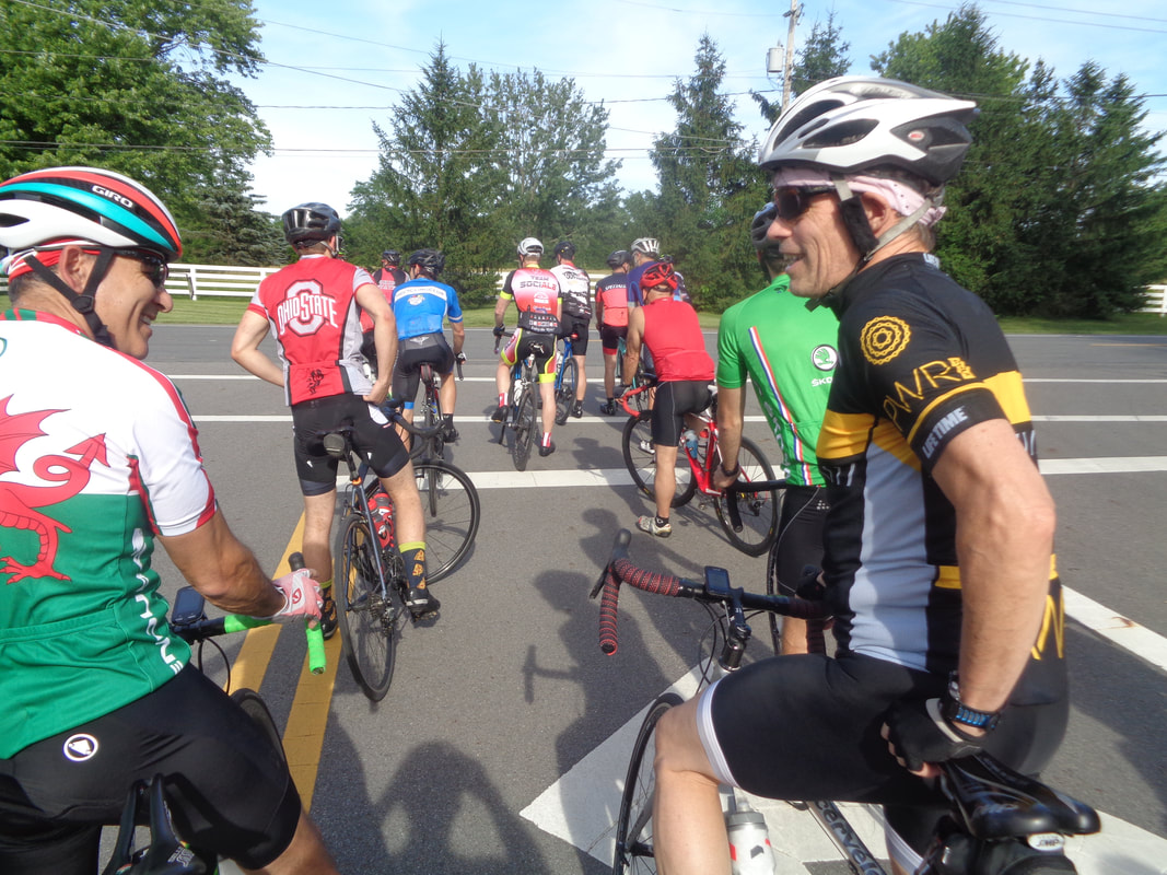
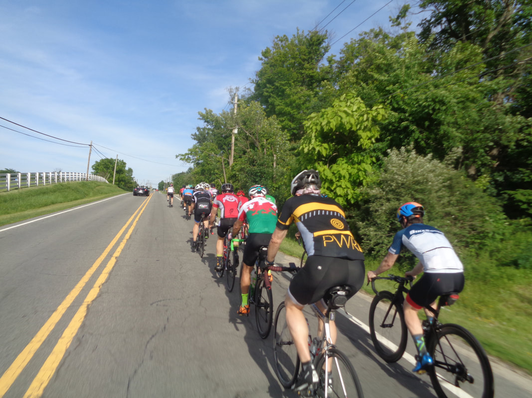
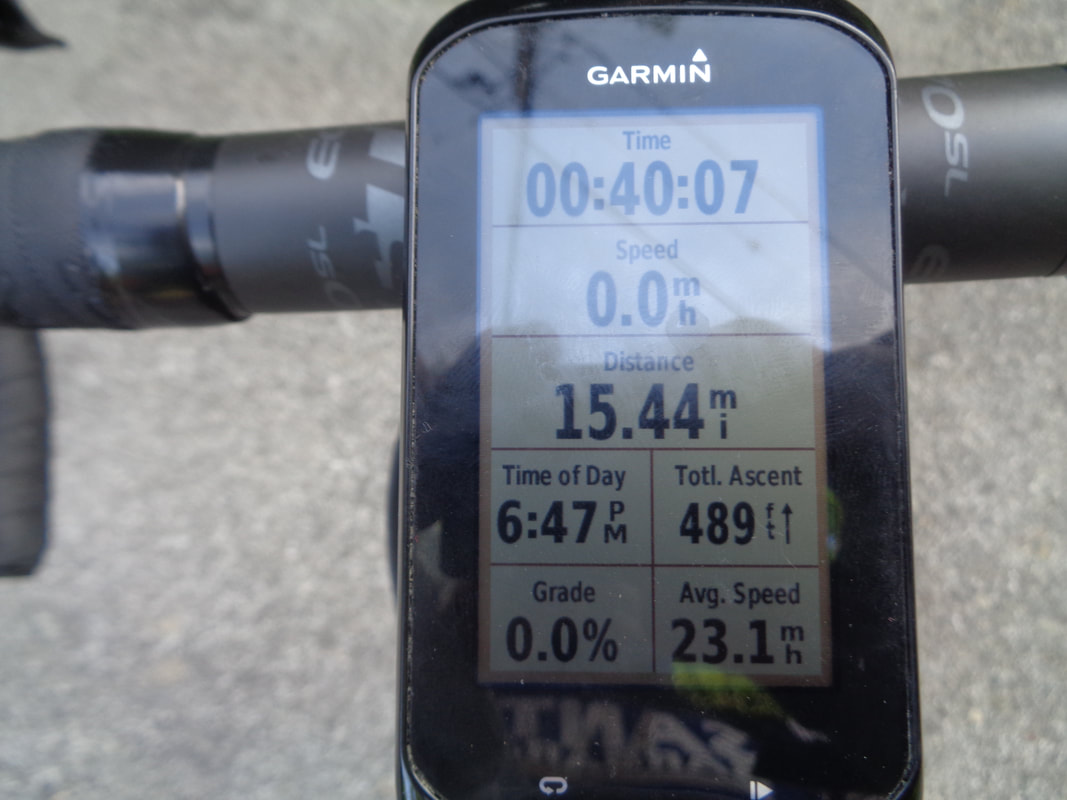
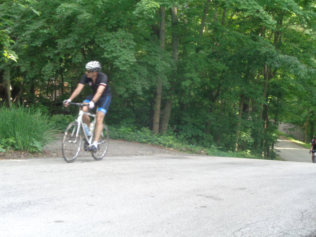
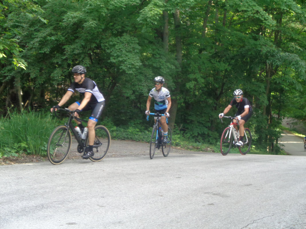
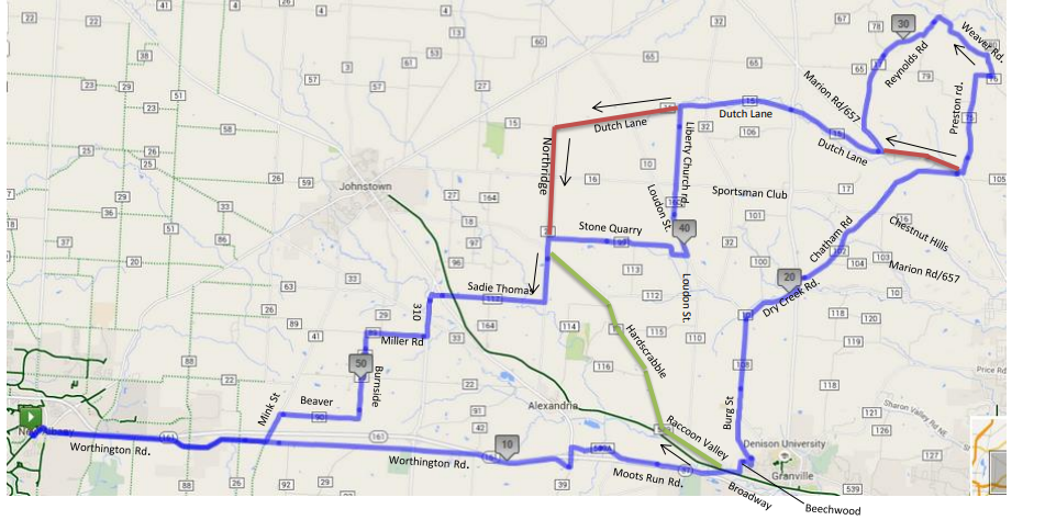
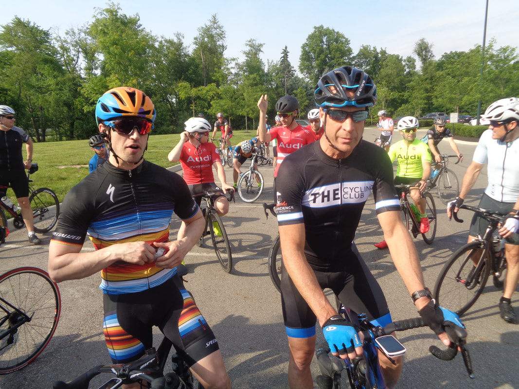
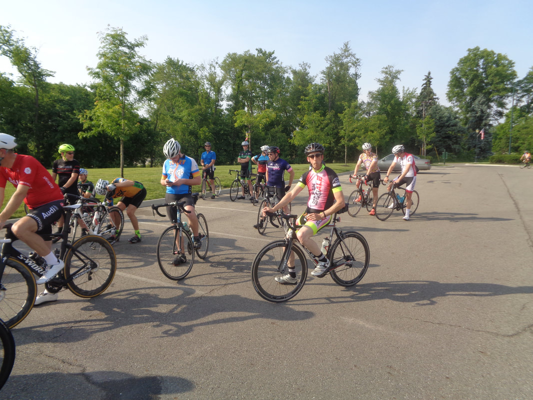
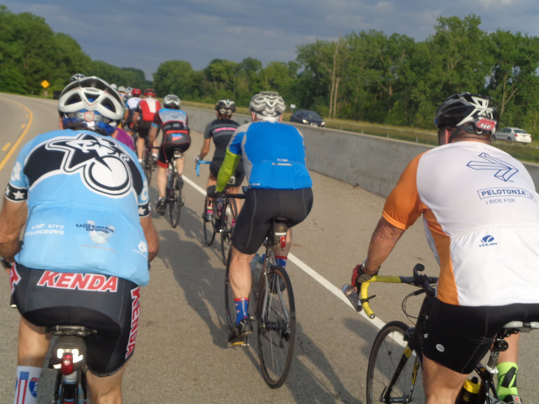
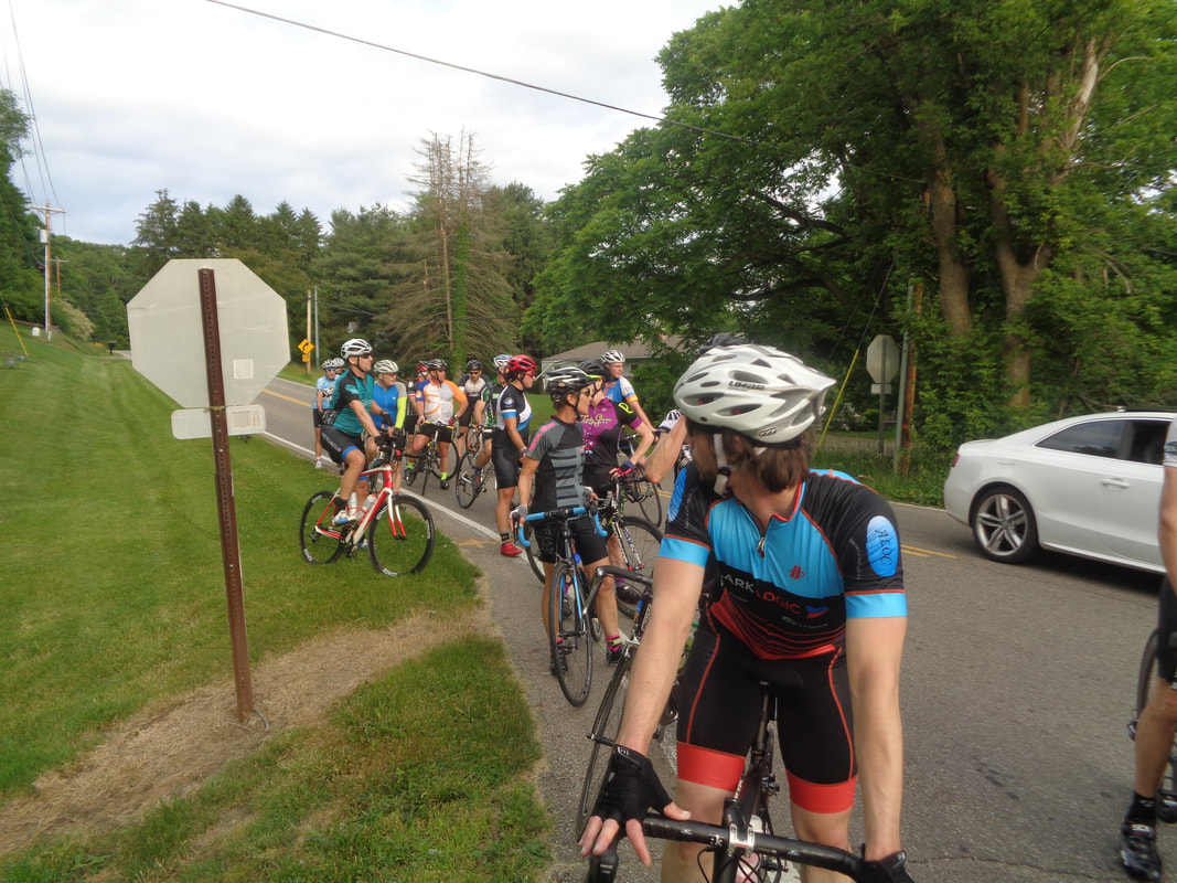
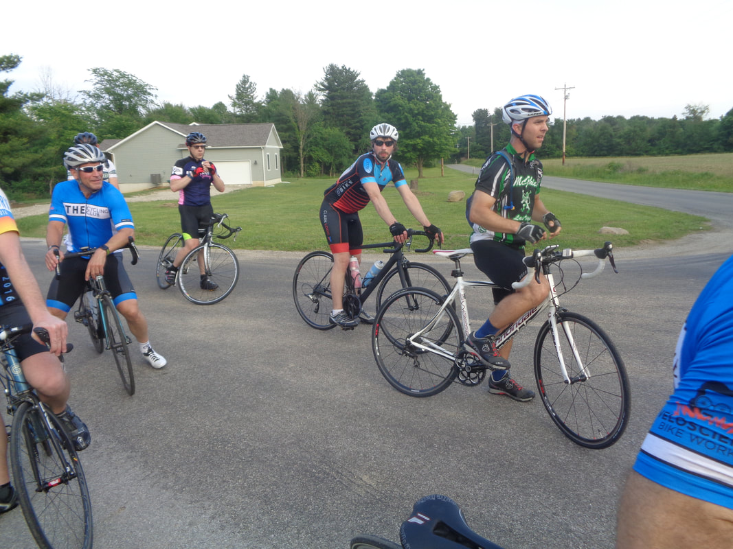
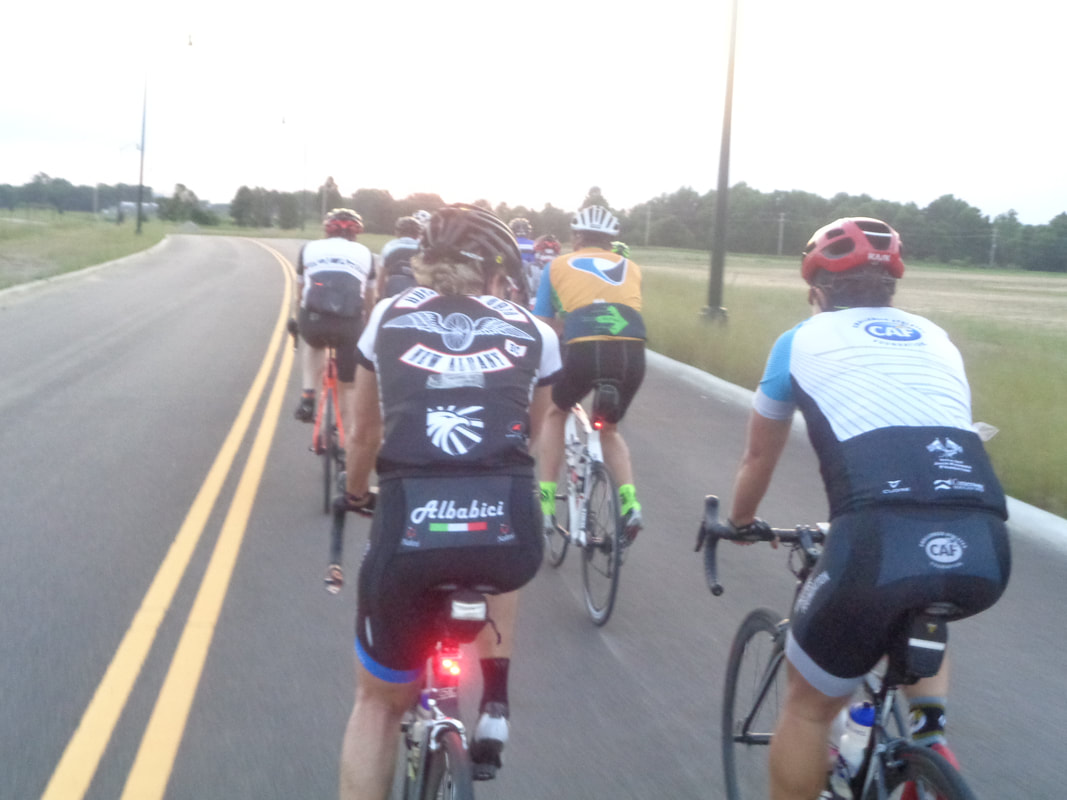
Starting Point: Berne Union High School, 506 N Main St, Sugar Grove, OH 43155 Directions: From I-270, take U.S. 33 east toward Lancaster (use U.S. 33 By-pass). Go about 34 miles to left turn at the light onto Sugar Grove Road SE/CR-65 which becomes S. Main Street. Street bears to the left. School is on the right at the end of town. Link to Ride Starting Location: https://www.google.com/…/data=!3m1!4b1!4m5!3m4!1s0x8847f33b… Maps will be provided. No fee. Distance is approximately 53 miles. Based on a suggestion from Beth Ward Halewe stopped in at the KOA campground on SR664 (right before the left turn onto Savings Hollow Rd). They welcome riders and have water, drinks and snacks. Additional food, water and the Washboard Festival is available in Logan. Ride Description: Southern Fairfield County into Hocking County - Pump Station, Starner Rd, Cantwell Cliffs, Savings Hollow, Goat Run Honey Fork, Calico Ridge, Nickel Plate and Walnut-Dowler. First climb is Pump Station - great Pelotonia training ride! https://ridewithgps.com/routes/27725673 Mostly full healed, Amanda has returned to the peloton and with a new bike too! Later, she was given a round of applause for her return. Jared recently completed a 600k event and says it will be his last. New guy sporting a Cubs cycling jersey. Several new people out tonight so that is good. The Cycling Club has received a shipment of extra jerseys. Looking around the crowd, I could find no better model then Decent Dan. The Rivets were sent out and then the A group with Mick in red making a rare appearance. The Rivet group had only 7 people as many were resting for the Grandview crit on Friday Sandy on the right, Sam S on the left. Sam was involved in a crash later that brought down another cyclist. Sam is challenged by riding his bike in a straight line. Don't know if that was an issue in the crash but he makes some of us nervous. Just a fact, not an opinion. A large group of A's on the open road and since the Rivets had so few in number, they waited and joined our group. Marty promised they would behave. Post ride, some begged to differ. On the ride toward Granville, the pace was good but I planned to drop back with my many B buddies so at the top of the Beechwood climb, I stopped and.... ....oh, 23.1 avg after the climb. I would end up with a 20.4 average after 50 miles. Jared waited with me and soon.... ....Kevin arrived first and then.... ....Don N with first female Flyin Tuna then John and.... ....others including Tim who nipped Farmer Mike at the line. Mike will soon take delivery of a new bike, a game changing type machine. We of course regroup and then.... ....keep chugging along prior to regrouping at the top of the Chatham Road climb with new guy Hoke on the left, a Denison U student. As we wait.... ....Peggy coasts across the intersection to see what Chris is up to while standing in a ditch. The Rivet/A group finished with an average of 21, 2 guys taken out by a crash, a deer crossing their path, a dog crossing their path and arriving at dusk.
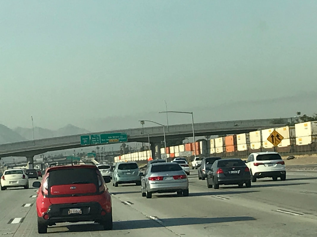
I give Eva S full credit for my reason to visit AZ. I turn 60 on June 21 and if I am in AZ, the final day of my 59th is 3 hours longer then it would be in Ohio. I want to check out summer in AZ and confirm it is probably ok for a heat tolerant (decidedly not cold tolerant) guy like me. There are daily group hiking and cycling opportunities and the secret is to get going by 6:00am and done by 10:00am. The alternative is head higher where it is cooler and lots of options for that too. I can cut 25 degrees from the temp with an hour drive so plan to do that. As for how long I will be gone, a have a one way ticket so I have the freedom to return when I want. My departure can range between 1 day to forever. I will keep you posted. Meantime.... ....Rick passed through Las Vegas without a stop at any of the casinos and soon thereafter..... ....entered a smoggy Southern California. He arrived Wednesday and is meeting the crew.
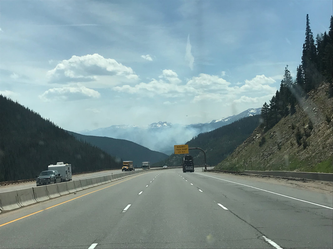
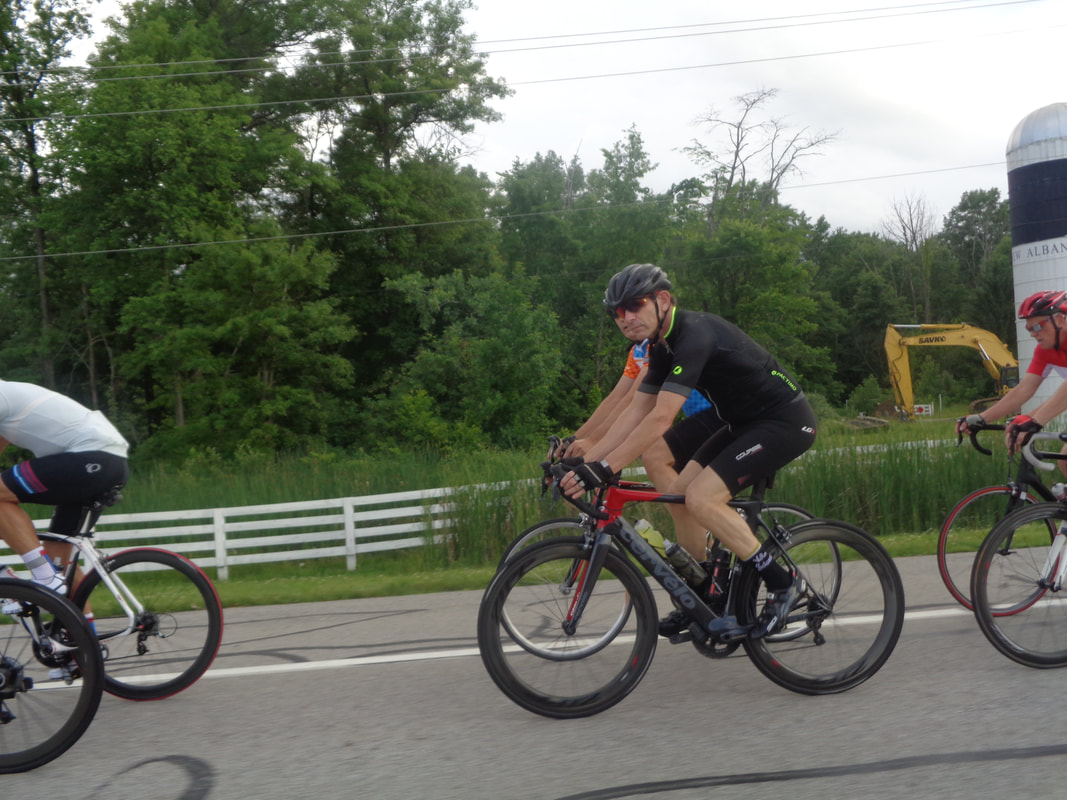
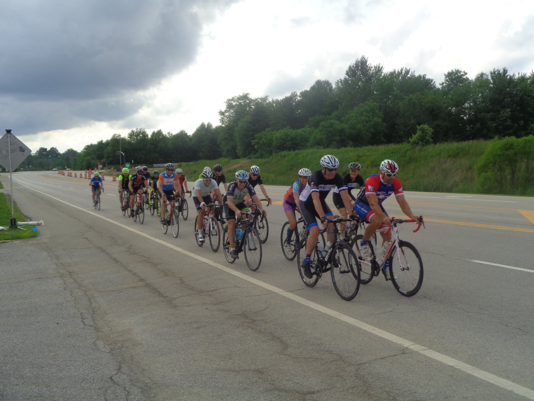
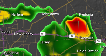
Rick continues to drive, above in CO with a distant wildfire. He will send me images throughout his drive both to CA and from CA as he supports a RAAM team. I rode Thursday morning just in case.....radar looked threatening yet around 16 shoved off. I have been wrong so many times while interpreting the movement of the various colored blobs. At the last minute, Mike Weber passed out plastic bags so they could be used on their shoes, later, just in case. As I drove home I.... ....noted one of them already giving up and headed back but the rest kept going as the sky darkened to the south. I.... ....harassed them as I drove by with John showing good form in black. Yeah, I am weird. I got ahead of them to stop and take a last image. The things I do for you! Hey, Scott on the left and Muscle Dude on the right. When I got home I checked.... ...radar and it did not look good for my cycling friends but in fact, other than waiting 15 minutes at the Alexandria gas station and riding on wet pavement, they got around ok. How bout that?!?!
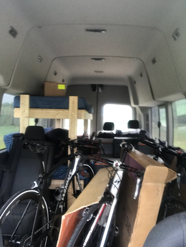
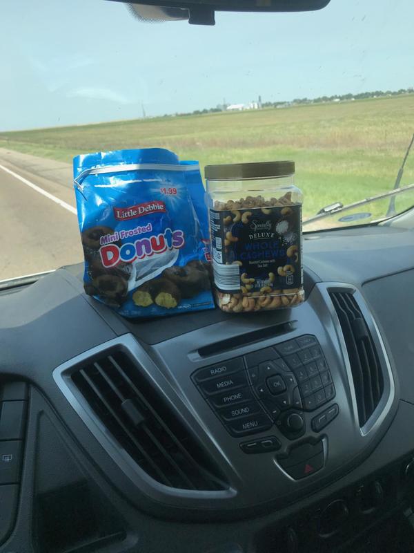
Whew. Don't worry. Not me but Rick Miller is enjoying a drive to California where he will support a 2 person team as they race across the US. When last we spoke, he was in Kansas...yuck but almost at the CO border. Above is the interior of his van and note the bunk beds. How do you survive a drive to CA...... ....on doughnuts and cashews of course.
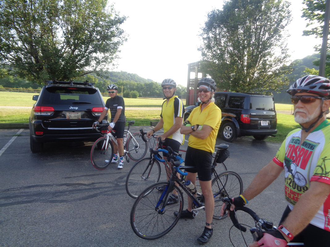
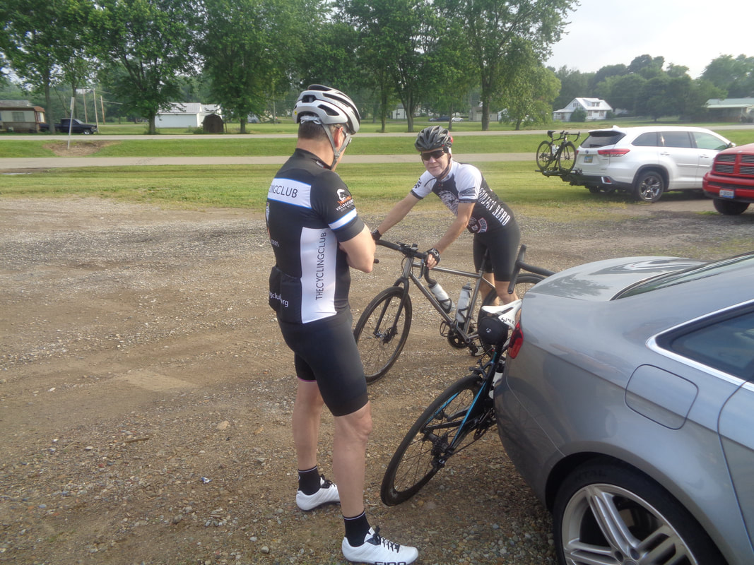
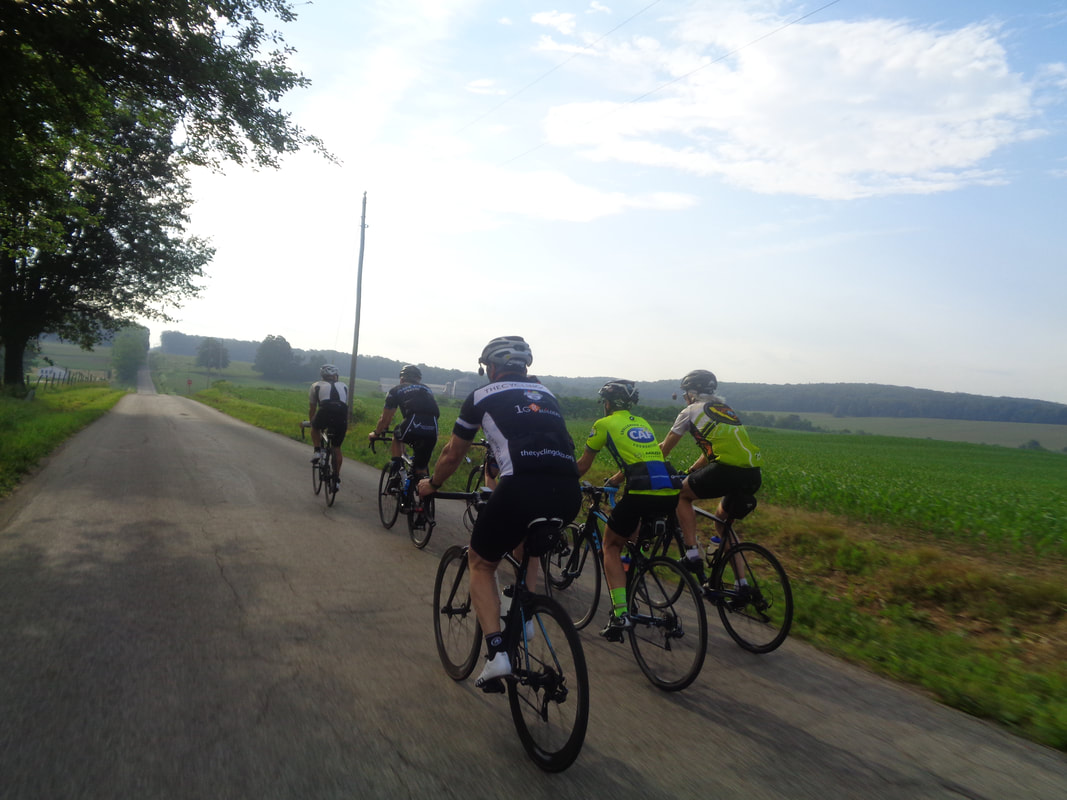
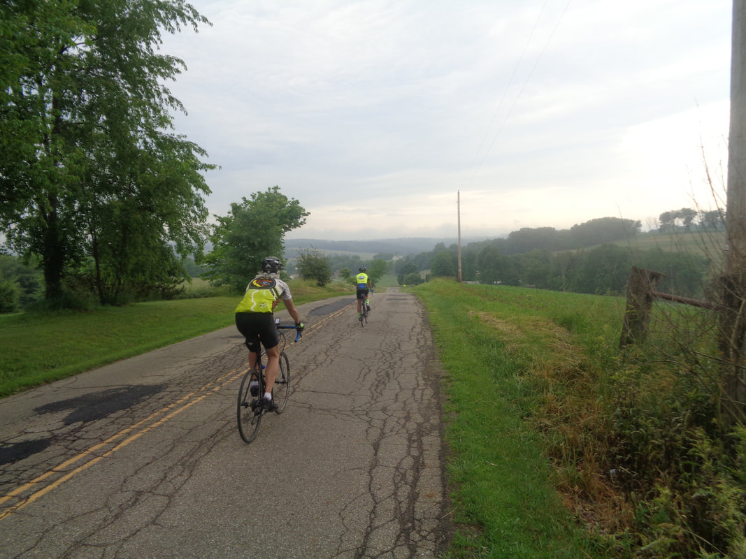
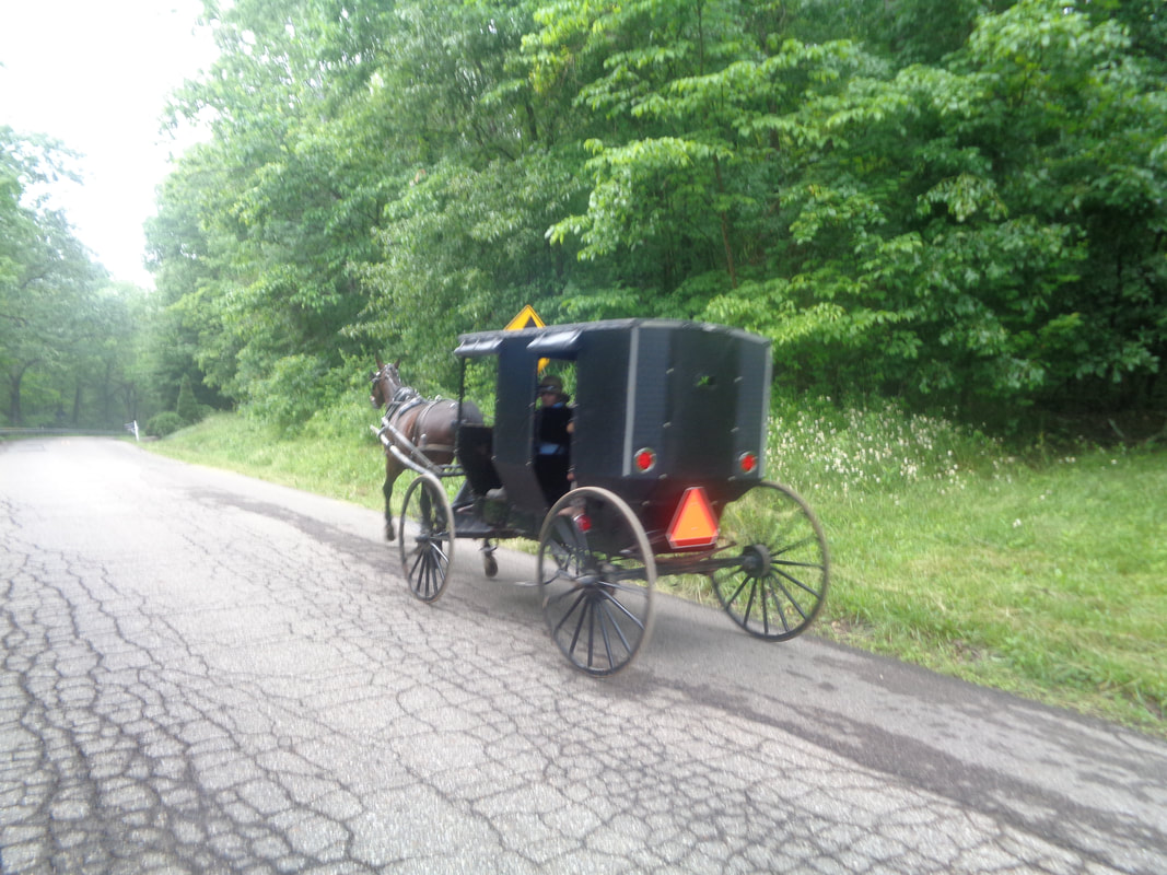
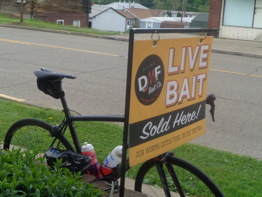
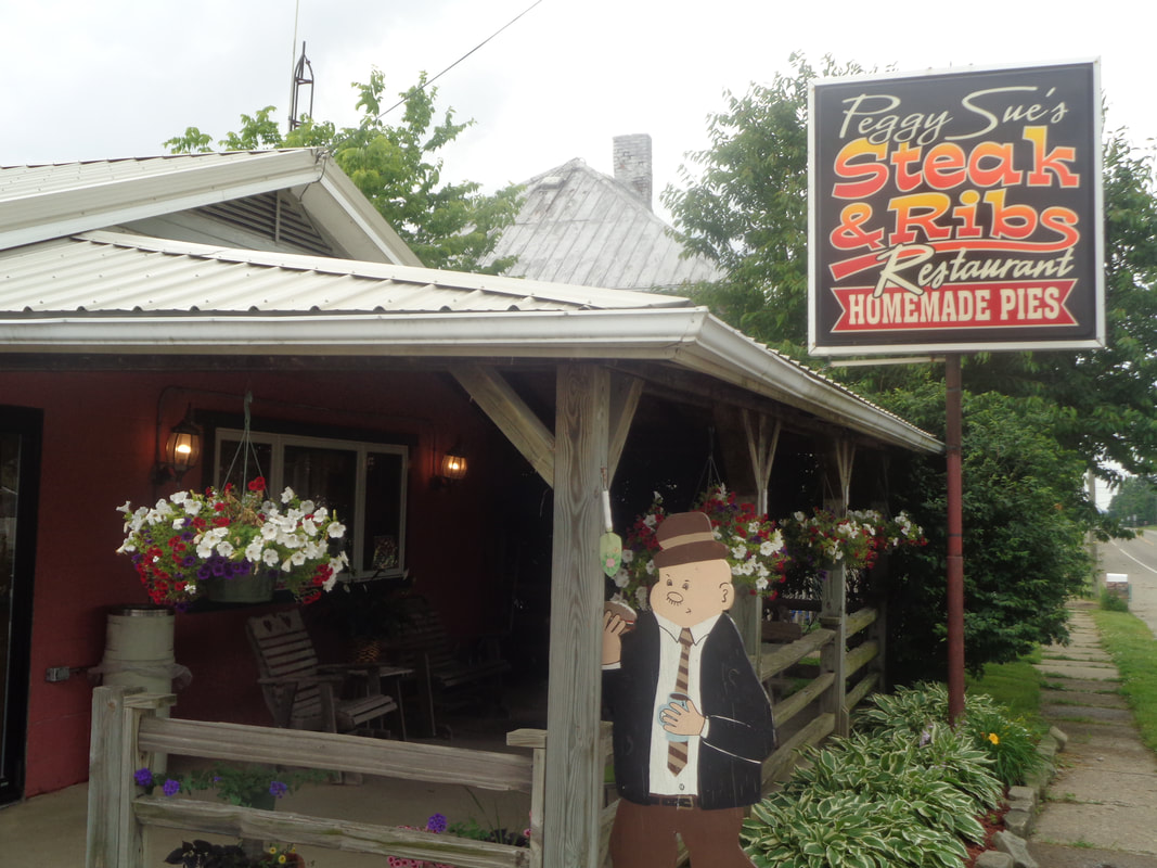
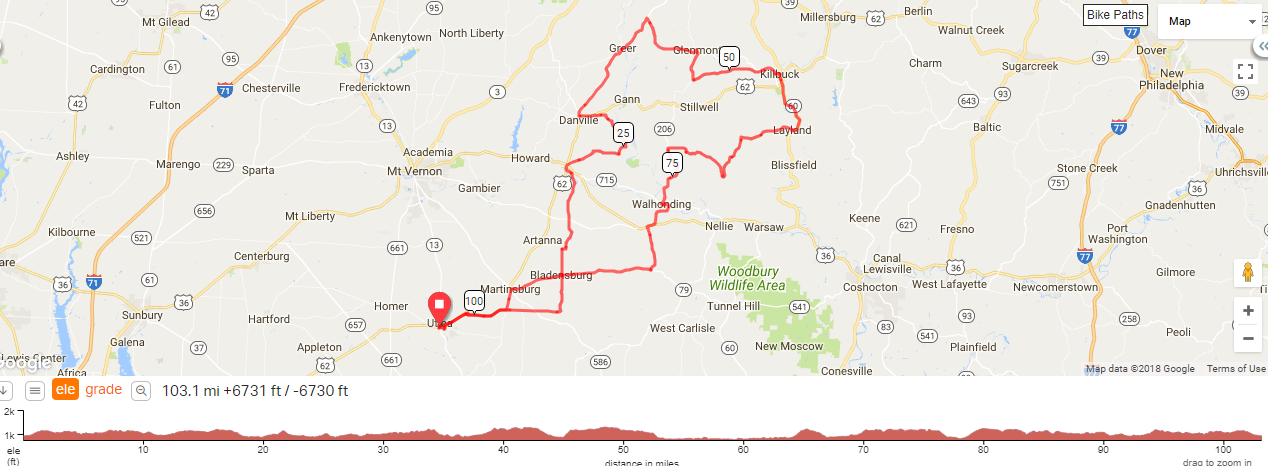
Jap P and Steve Nelson getting ready to ride. Eleven of us made the drive to Utica for the start of either a 103 or 84 mile route. However, a mechanical would cause a shorter option for some. It was a beautiful day and some of the best scenery I have seen in Ohio. The route shown below is a must do. Around mile 12, Mark V dropped back and so too did I as I didn't want someone out there riding alone. He was glad for the company as we continued to follow a great route. Eventually..... ....Cindy dropped back to help out as well. Check the view and imagine how it would look if the image quality was better. This happened to be the worst conditioned road on which we rode. Most of the others were newly paved or nearly so. Mark decided he wanted to do a slightly shorter route so he departed just as we were passed by one of many buggies on the road today. A mile out of Danville, Cindy had a flat, then another so we missed regrouping with Marty, Jeff S, Jay, Steve, Peggy, Gus, Tym and Kristian. However, Peggy had a cable break and we got together after all. Peggy, Jay and Steve headed back to the parking lot, finishing with around 65 miles. Marty's group of now 5 got a jump from us and we never did bridge together. That left Jeff, Cindy and me to hang together and we eventually descended into.... .....Glenmont. This was our first stop, other than for flat tires, at mile 44. I thought the "Our Worms Catch Fish Or Die Trying" on the sign was clever. We headed out of town via CR#25 and that longish climb. At mile 47, we got off the century route, going south and probably just missing some storms that were slightly to our north. Soon we reconnected to the main route and that gave us a chance for a brief stop at Peggy Sues. Getting back on our bikes, we headed to Utica and finished with 84 miles and 5800' of climbing. Utica, 8:00am, South End Park off Blacksnake Road (yeah, the one you pass after entering that road and prior to the Chocolate Wheel). Should be a good turnout. Among the stars are Steve Nelson, Jeff S, Flyin Tuna, Steve O, Gus & Peggy Cook, Tym Tyler, me of course....others who want to protect their anonymity. Looking at the route of 103 miles, I see an opportunity to turn this into a reasonable distance by, at mile 47, taking a right on #25 then picking up 206 and rejoining the route. That should be 80 miles. Anyway, the route: https://ridewithgps.com/routes/27739051
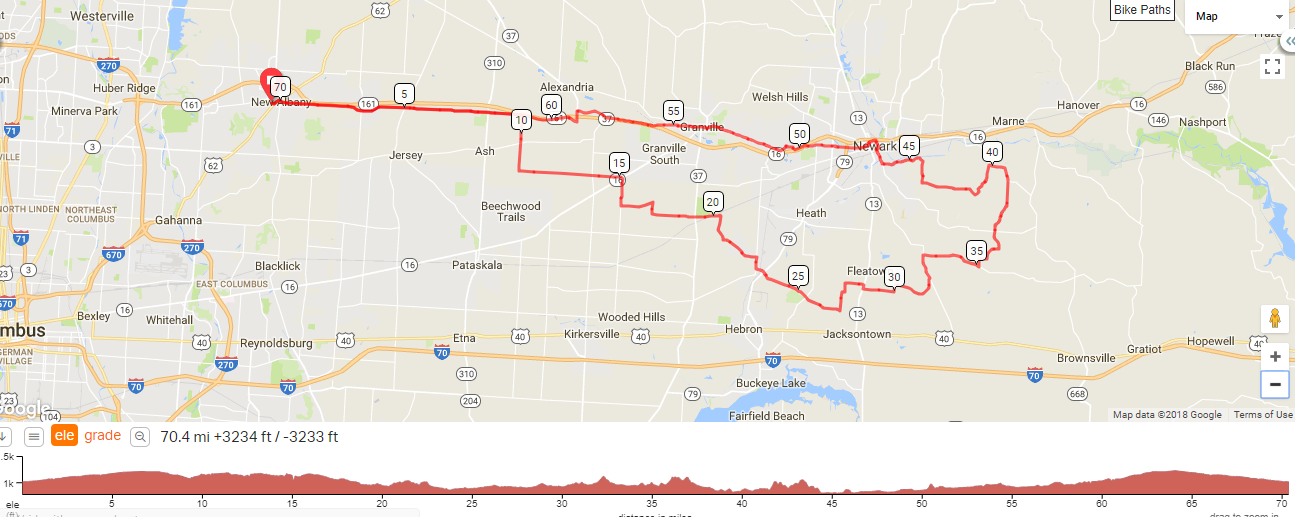
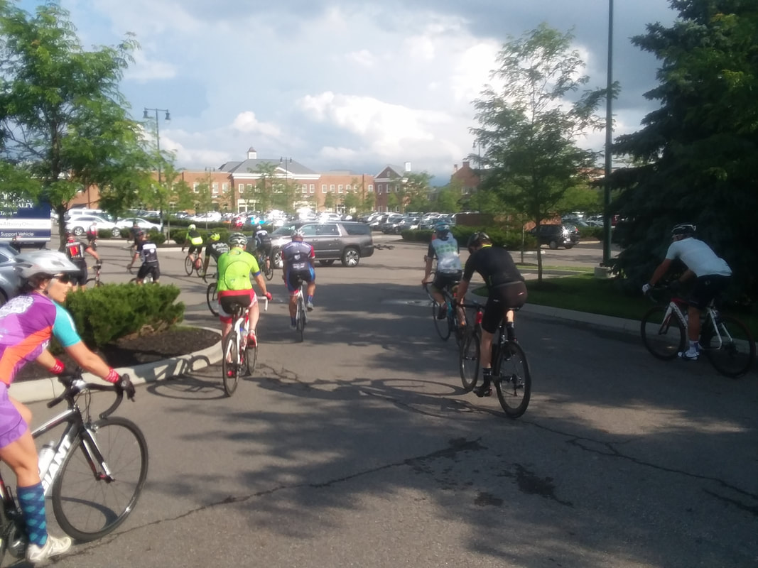
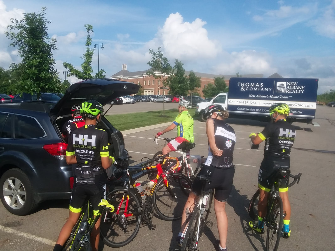
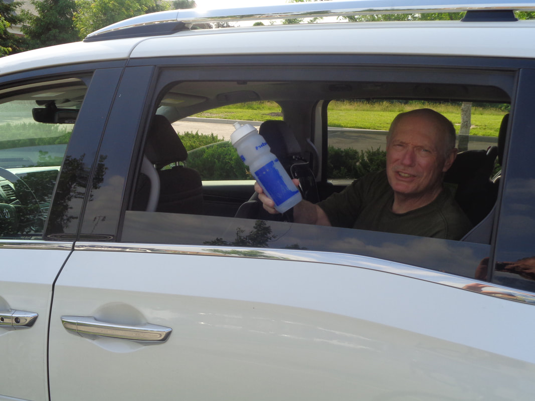
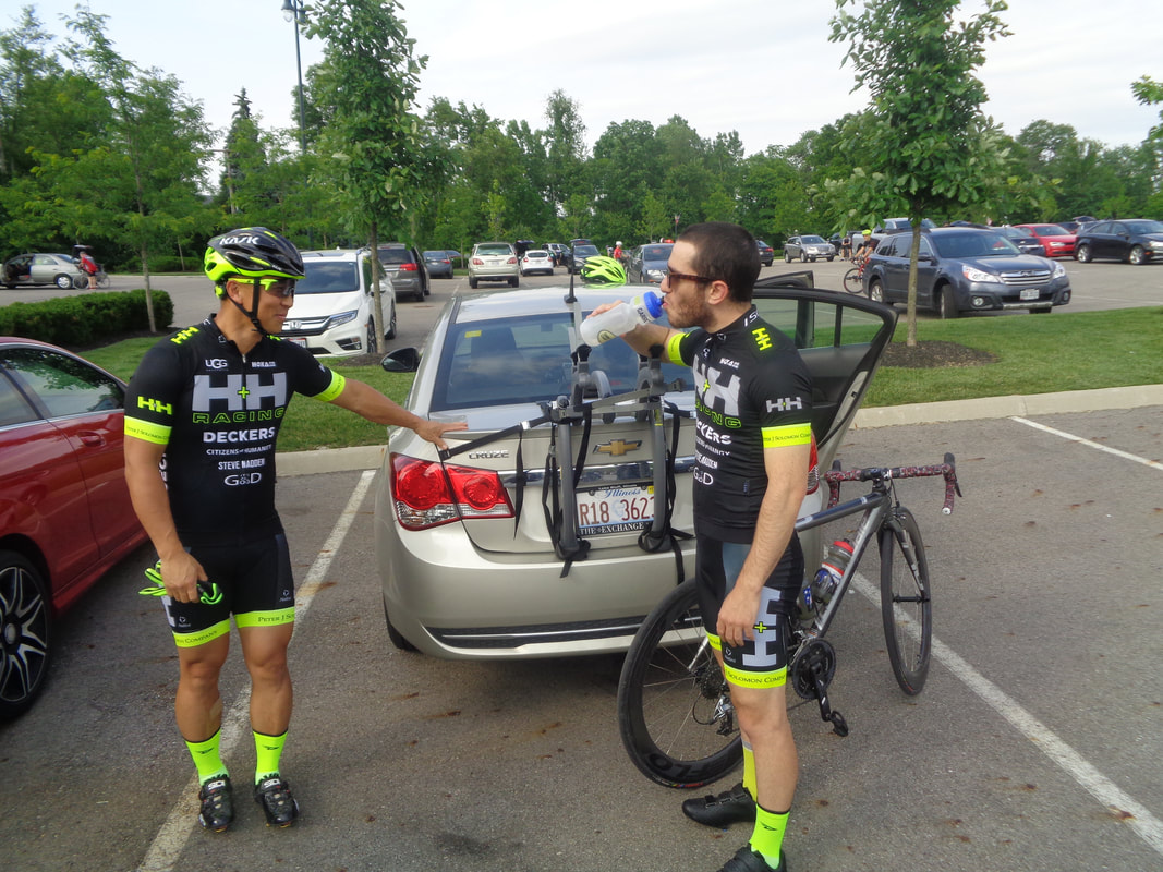
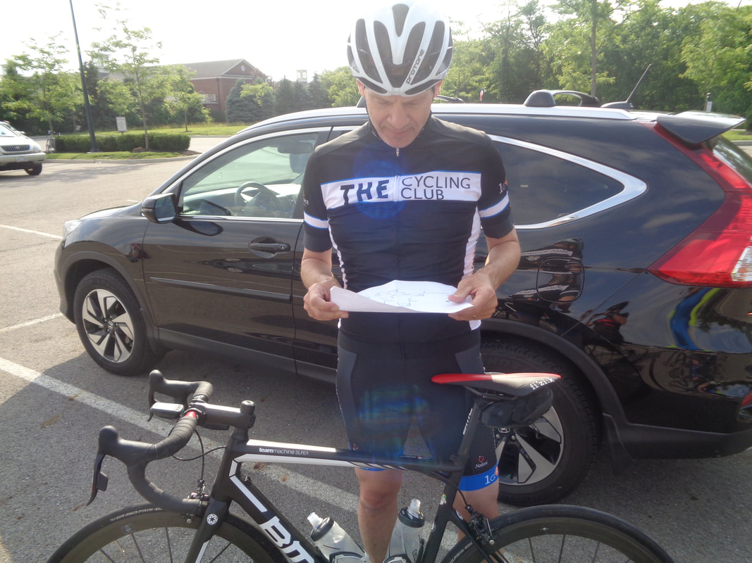
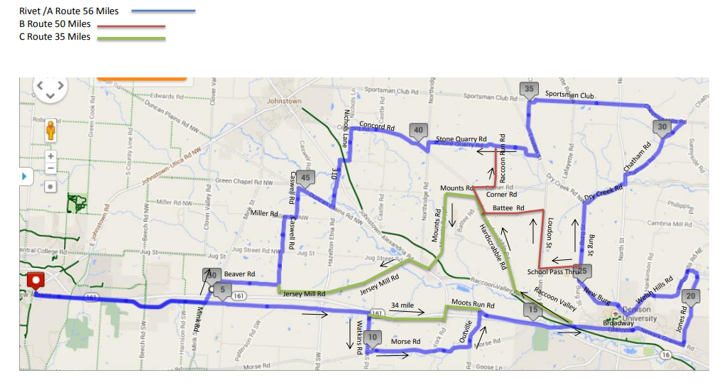
On Wednesday, a few of us rode out of Granville and at mile 0.5, Jeff S discovered he had left his fluid bottles in his van. Quickly and atypically unselfishly, I gave him one of mine. He returned the bottle to me this evening but empty! What's up with that? The H&H team keeps adding talent and perhaps hopes to rival those Audi boys some day as Mitchell is on the team for this year. Kristie is back and so too are her trunk treats. After floating through the Grand Canyon and hiking to some very cool sites when not running the rapids, she accumulated 700 images. I suggested she rent a room at the local library and give a presentation. I'd go for that. French Climbing Machine asks me what the route is for tonight. That guy, what a kidder. It appeared most knew tonight's route and those who did not..... .....like Decent Dan checked out the map that I brought. Good turnout and all groups were filled with 20+, including Will P and Scott B, eventually headed out in the A group. Unfortunately, only 2 for the C group. 60 of us gather in or near the shady spot and after some route announcements, head east toward Granville. I took off with the B group. Good group of people including Farmer Mike. While our average would only be 19.1, that is skewed by the numerous and required soft pedaling or stopping regroups. After the Jones Road climb and descent, we gather and regroup. Meantime, ahead of us the Rivet and A groups churned away, eventually finishing with averages of 23 and 21.1mph. Jay P sprawls on his bike as we wait at the end of Battee Road. I had a bet with Peggy Cook that we would not finish prior to the sun finishing below the horizon. I won but barely. Still, lots of residual light. A poor quality image fails to show the sun, low on the horizon. Here we near the end of the ride. OK, will have a Saturday route and details up soon. First, big, big ride coming for Saturday. Remote start from Utica but the route will take you places of which you are only vaguely aware. Second, way too many cyclists come out to the Thursday ride having no idea what is the route. This applies to those who have paid the $20 member fee too and just don't want to take the extra step to log in and down load the route. The Club's policy of member only access has created the unintended consequence of few knowing what is the route for their particular group, thus sowing chaos and danger! Can't have that boys and girls so here are the routes for Thursday's exciting ride! Whew, look at the distances, the climbing the scenery opportunities and as always, the camaraderie before, during and after the ride. The Rivet/A, B and C routes:
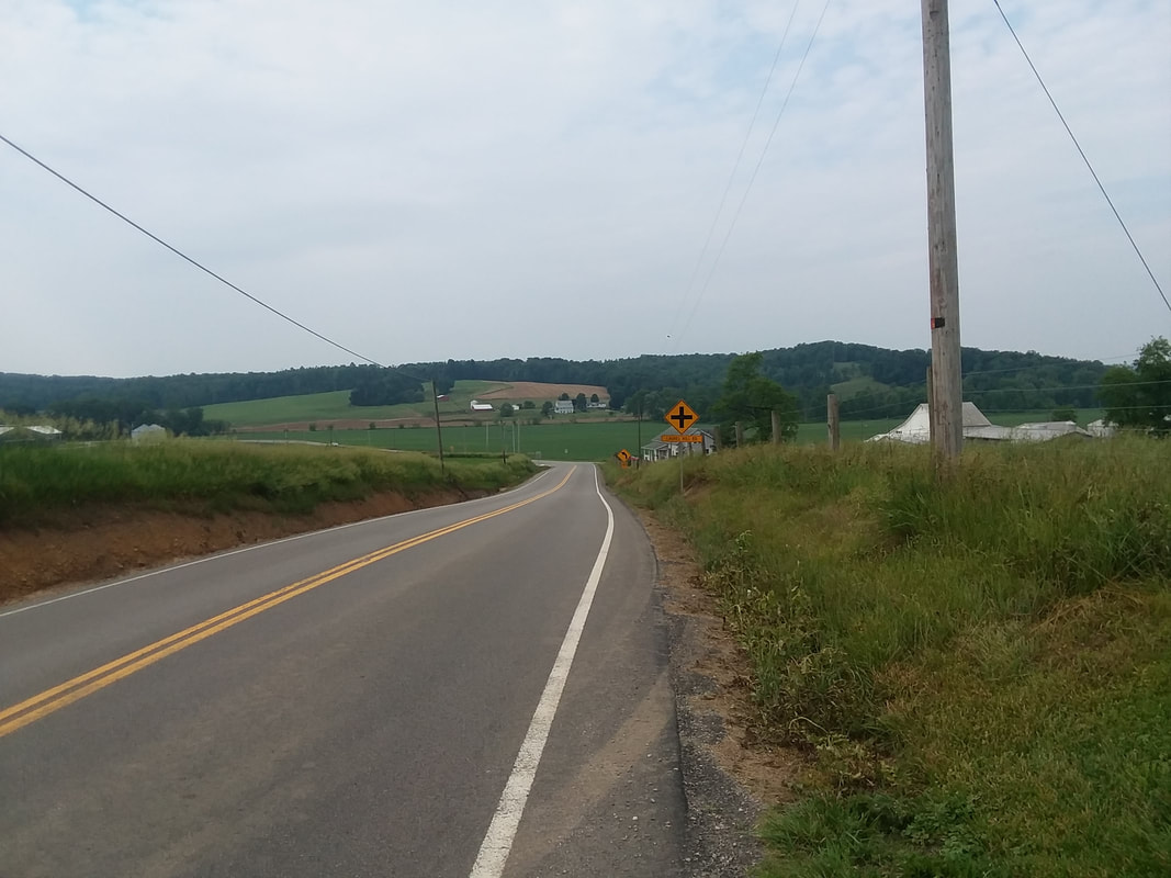
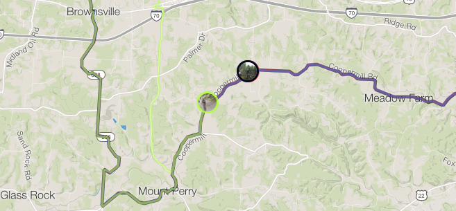
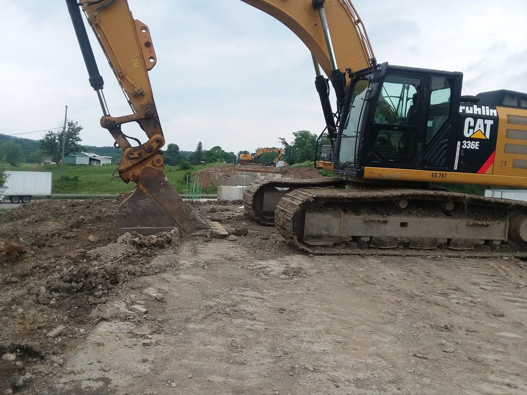
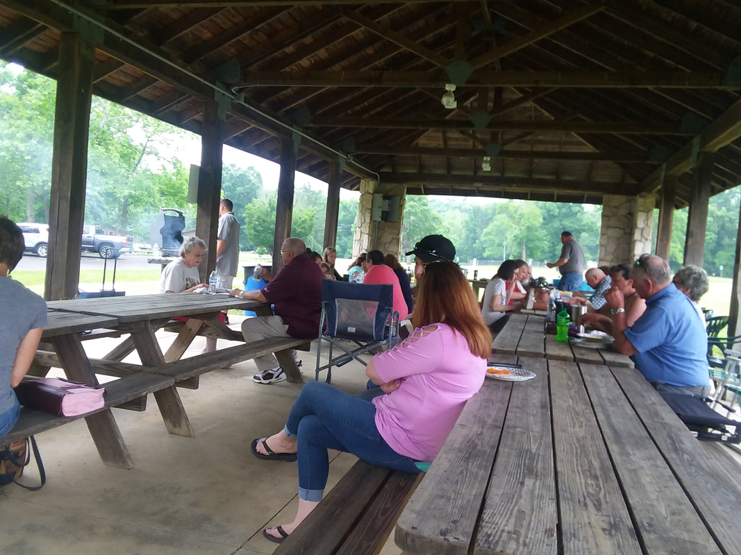
https://ridewithgps.com/routes/19046417 https://ridewithgps.com/routes/19046435 https://ridewithgps.com/routes/19046484 I will also have a paper version of the route for you to study. Please know your route as it is dangerous to us all if you do not. Gus & Peggy put out a good route, beginning from Granville but starting at 7:30am. I drove to the Newark Y and shoved off at 9:00am. Mt Perry would be at their mile 54 so I calculated with a stop in Z-ville, that would put them at or near Mt Perry at 11:00am. Arriving there, I proceeded east on Coopermill until 11:20ish. Checking radar, ugh, storms coming so..... ....assuming the group had changed their route or had a mechanical, I turned around. There they are, around 2 minutes from me when I gave up! I turned north on Mt Perry Road while they proceeded to 668, which parallels my road. However..... .....upon reaching I-70, discovered the bridge is out and there was no way over it. I did not want to turn around and then come back on 668 so I walked down a hill to the edge of I-70, ran across the east bound lane with bike, climbed over a fence, waited for an opening on the west bound lane and sprinted across! I clambered up an embankment and shoved off. With about 1 mile to go until hitting Brownsville Road and heading north, it began to rain so I..... ....entered Flint Ridge Park and took shelter there with some fine people who offered me food and beverage. I declined multiple offers, using my familiar excuse that I have to look out for my girlish figure. They thought that really funny. Meantime, while watching radar, the Cook group arrived at the adjoining intersection and kept going. Not that I would have left the comfort of the shelter to ride in the rain with them but sorry I missed them. After 20 minutes, the rain relented and I headed to Newark. Finished with 51 miles and 3000'+ of climbing. Fun time.
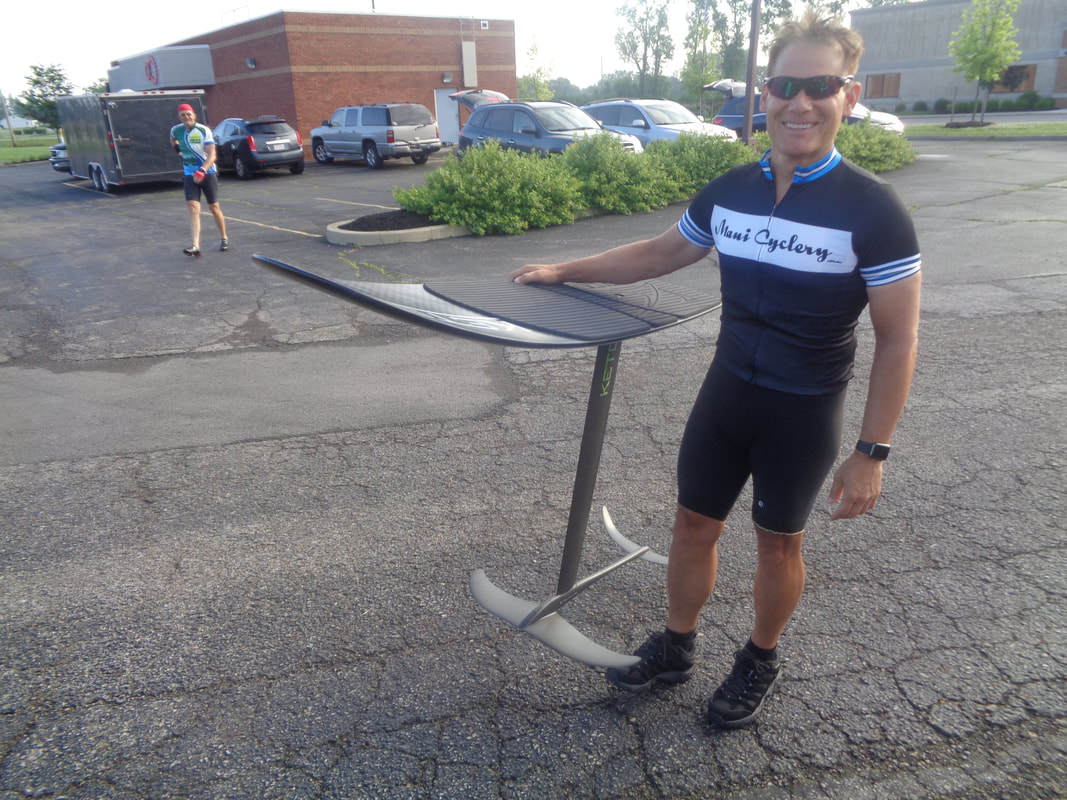
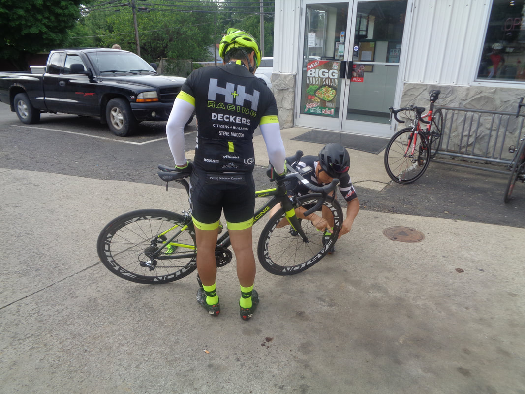
Marty shows us his kite board and describes how it is used. Sounds like a lot of fun and like some of us, we have lives outside cycling......well for me it is hiking/trail running when some place I am inspired to do that activity. Jeff Schluep on the left developed today's route and a huge salute to him for volunteering to do so. More of these to come including "Blue Jay" ride and others. Frankly, there is demand for this type of ride and some of us are motivated to provide cycling alternatives for you. We listen intently as Jeff gives brief remarks. The guy in green on the left, Ted I think, recently moved from San Fran and we were glad to have this newbie, along with others, with us. Good guy. And so we roll out on our 78 mile route, including the HH guys. Sokha on the right with his new, custom built, Italian bike. Great scenery along the way as Mike Weber churns a pace few of us can match. Unfortunately, Doug had a flat on the road and few of us noticed so Jeff, Mitch, Peggy S stopped to help and thus, we did not see them again. Above, some air is inserted into a low tire as we pause in Amanda and then head into the hills...ugh. At the top of Snortin Ridge, everyone waits for me. Thanks! We continue on to Laurelville and climb up to Thompson Ridge along the way after descending Jack Run. See the small group way ahead? And yet, the strongest cyclist by far is back here. Got to respect Marty for hanging back and helping many who had dropped off the pace climbing up to the ridge. We arrive in Laurelville and have a good time, some of us ordering from Subway, some not. At this point we were at mile 45 and then the hills relented and we enjoyed a mostly rolling route for the remainder, finishing with 78 miles and an 18+mph average. Fun time.
|
Categories
All
Archives
November 2023
|
