|
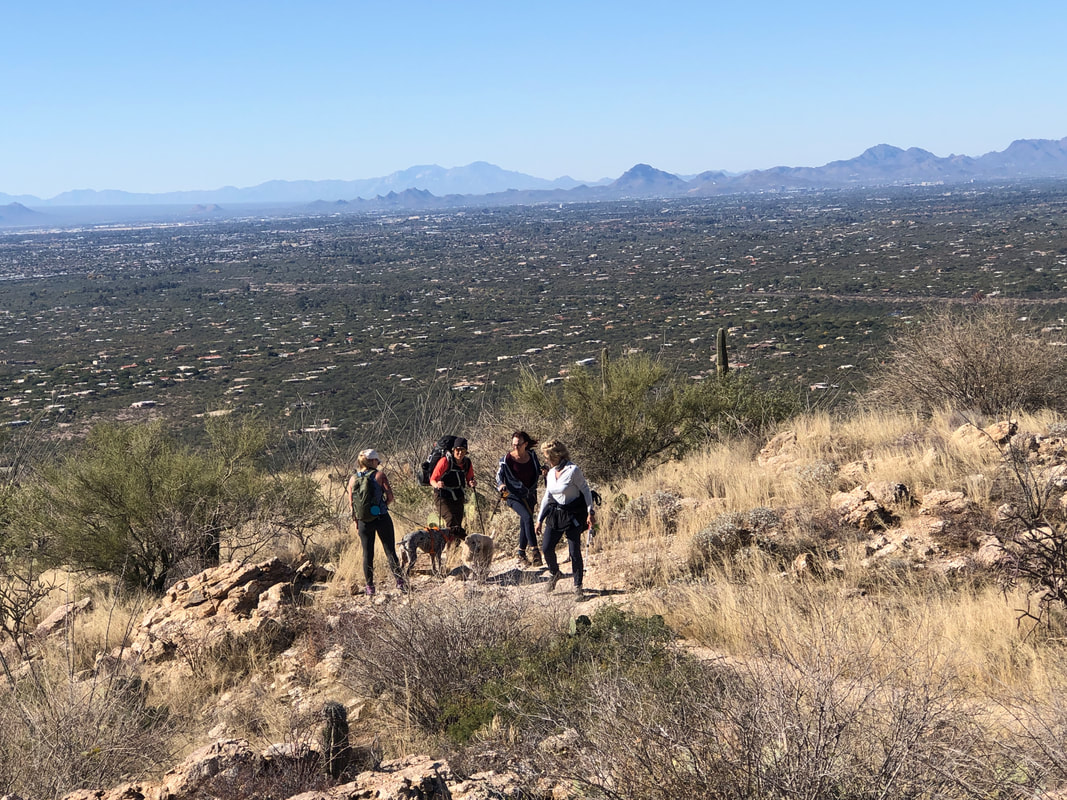
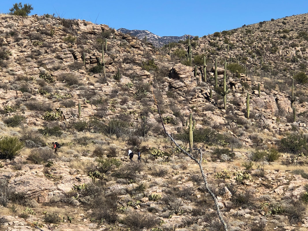
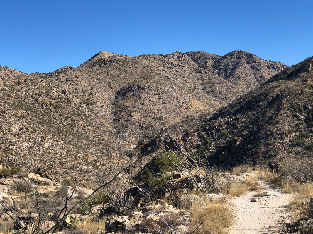
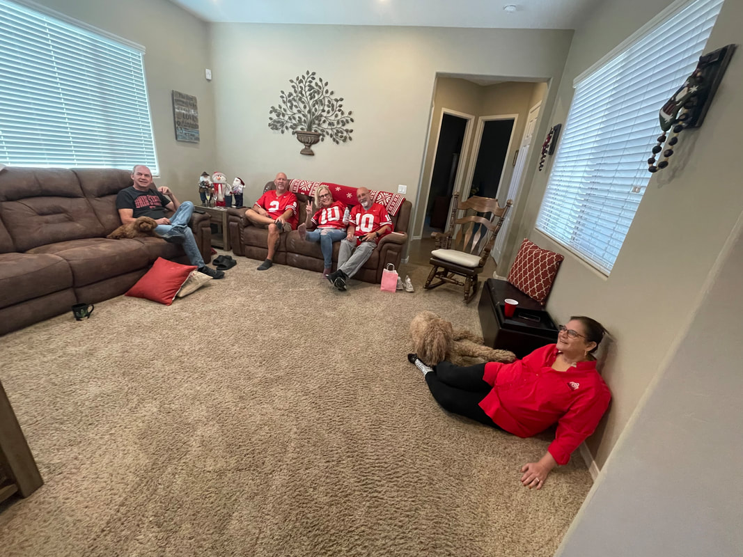
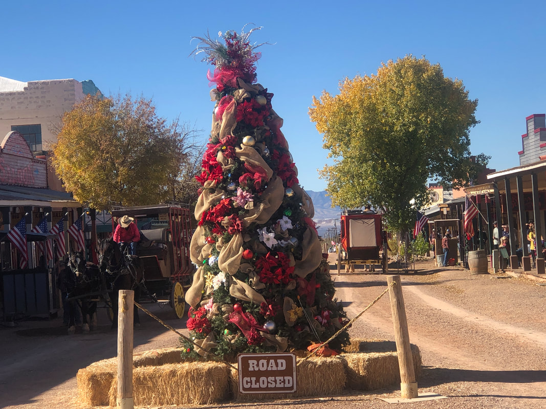
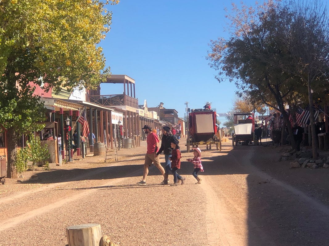
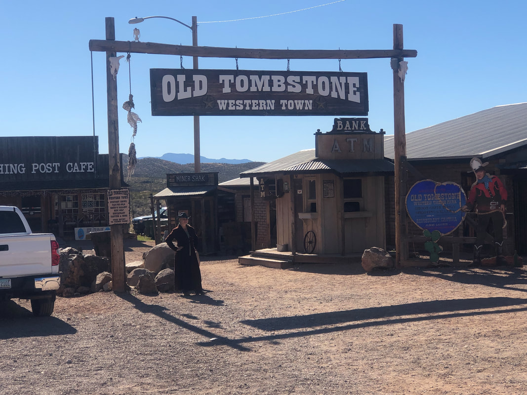
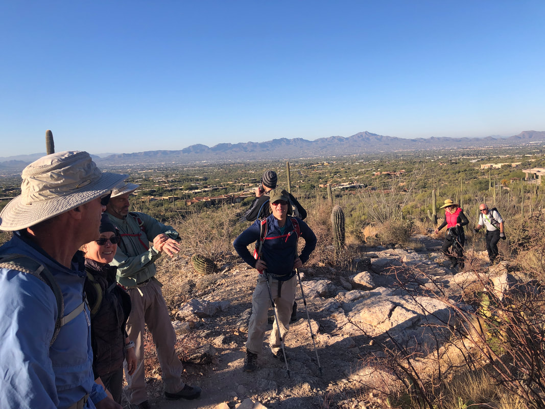
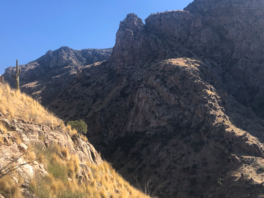
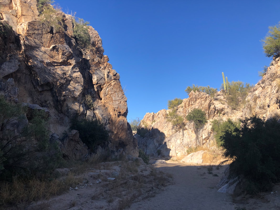
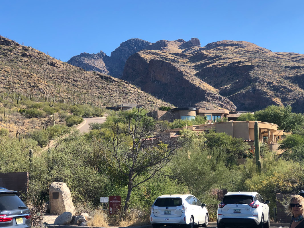
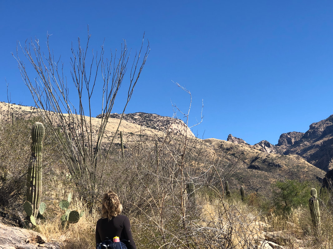
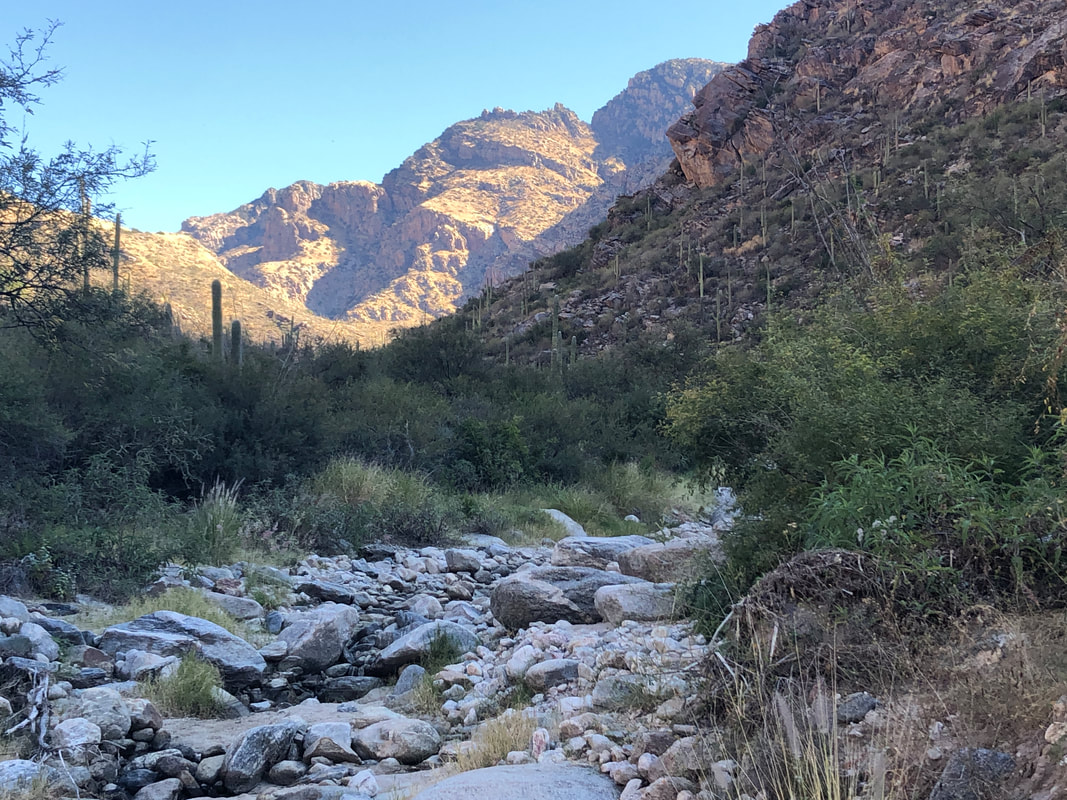
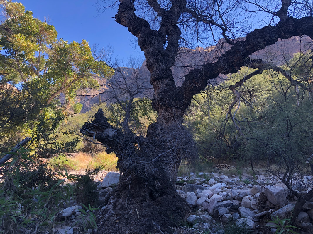
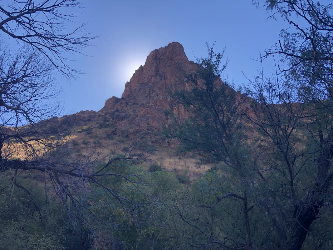
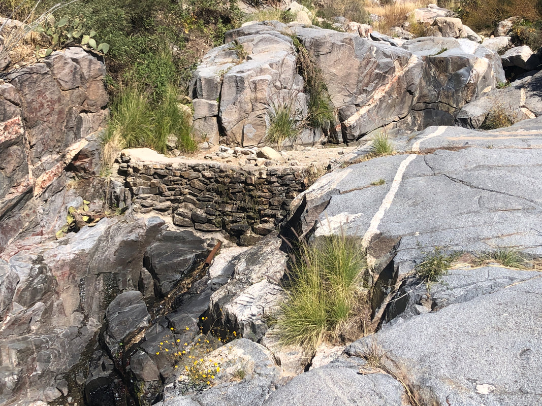
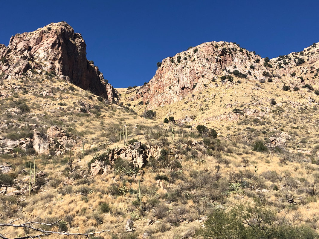
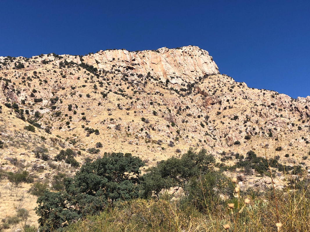
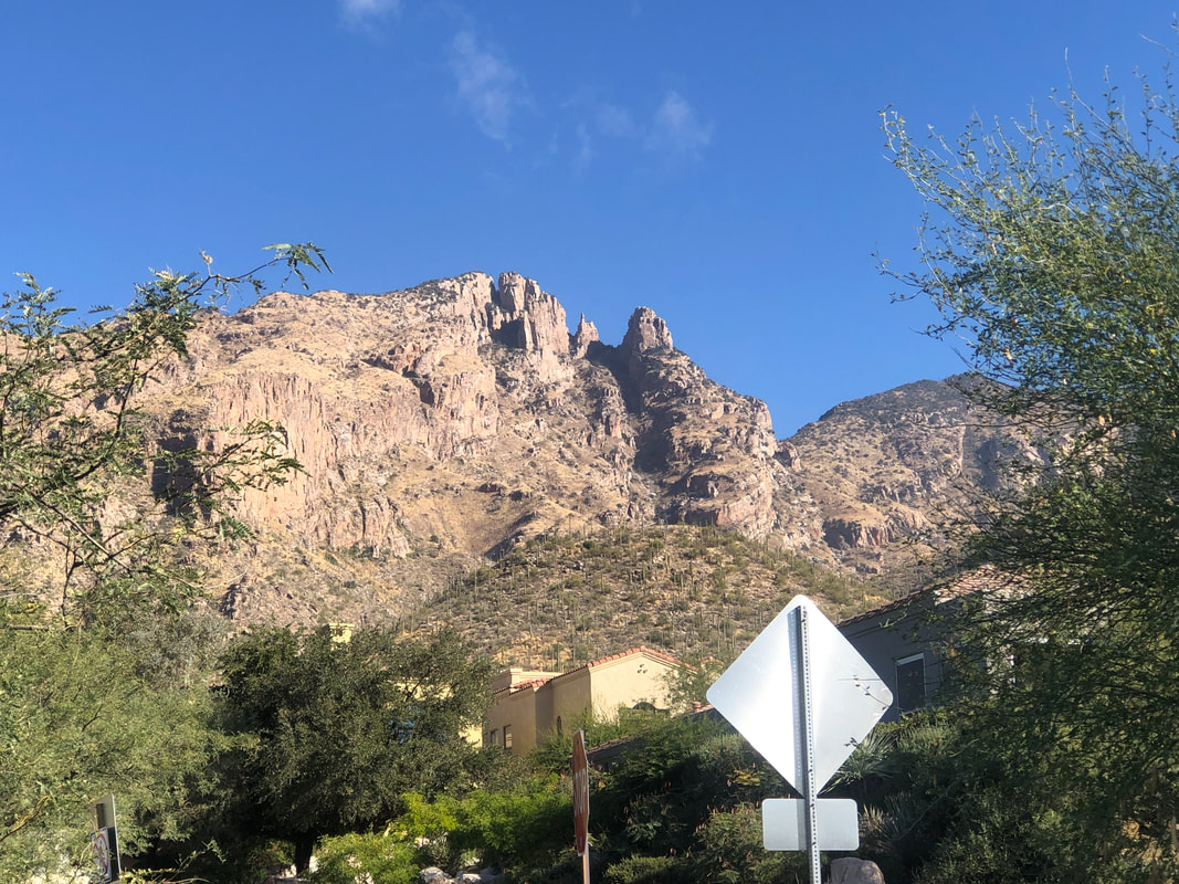
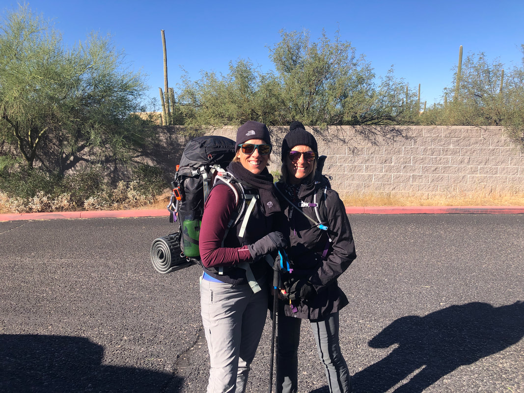
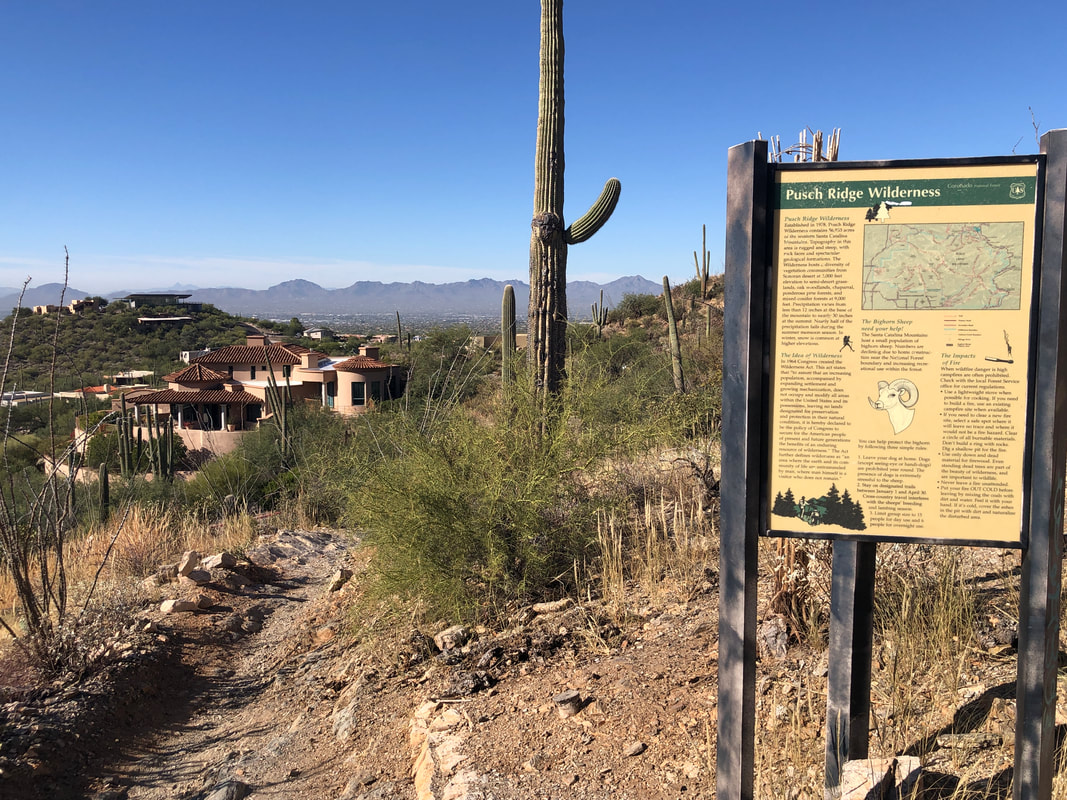
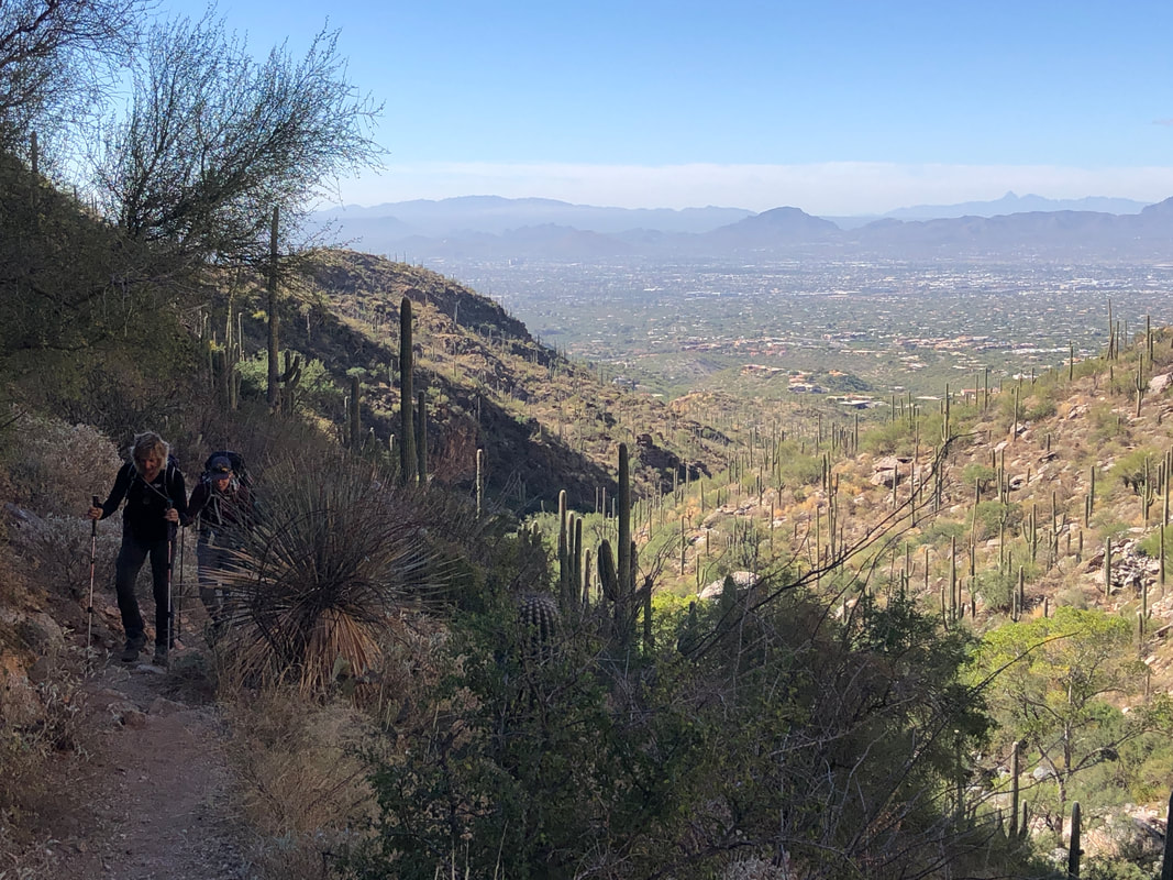
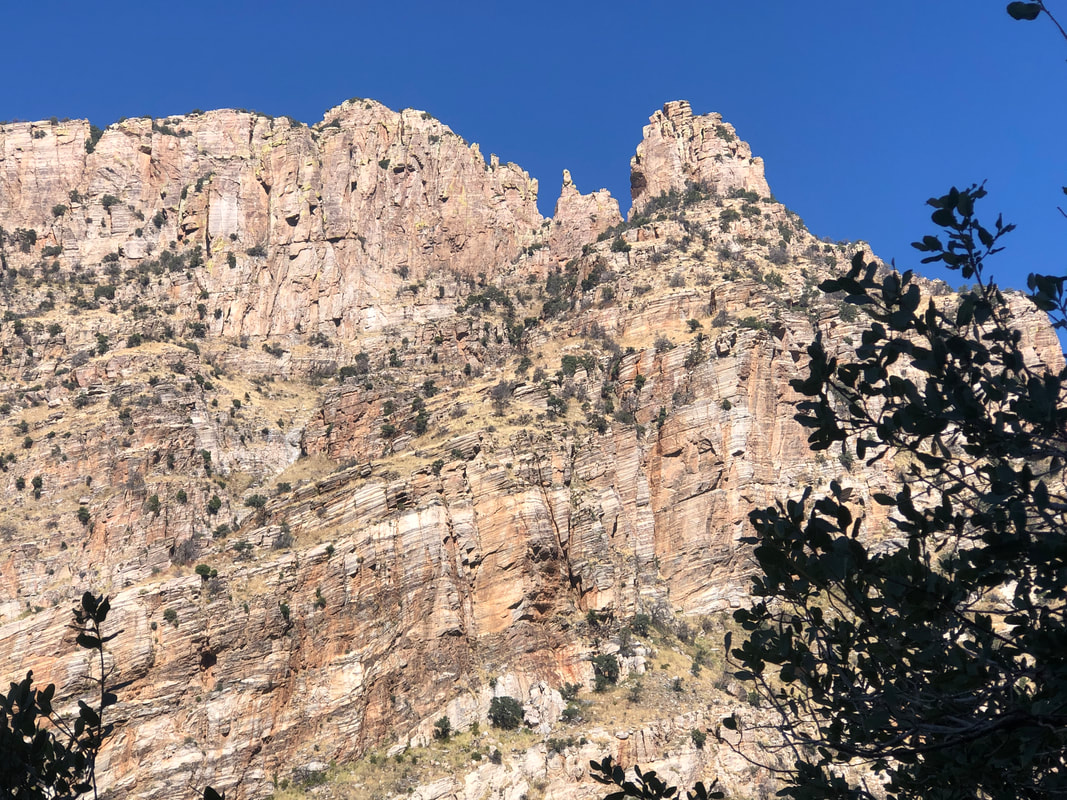
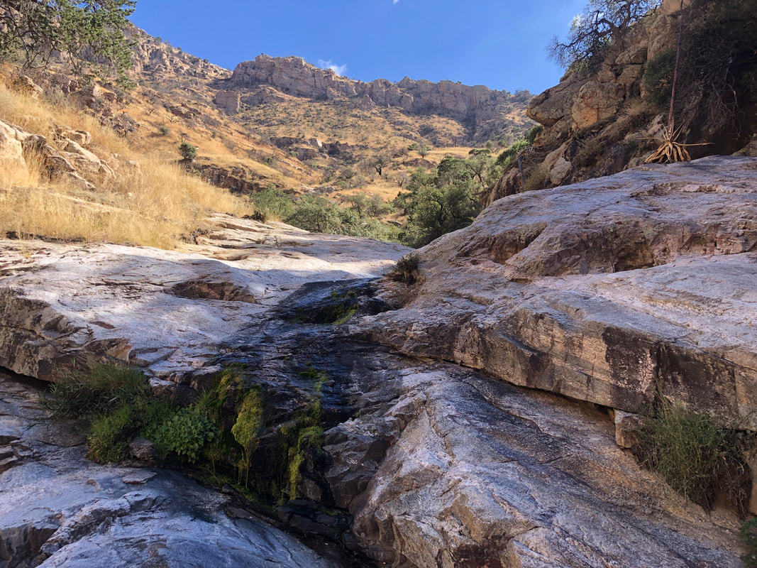
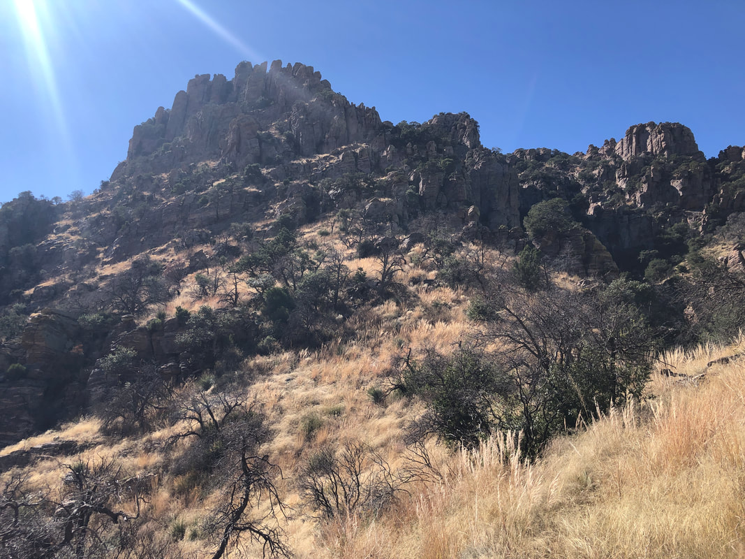
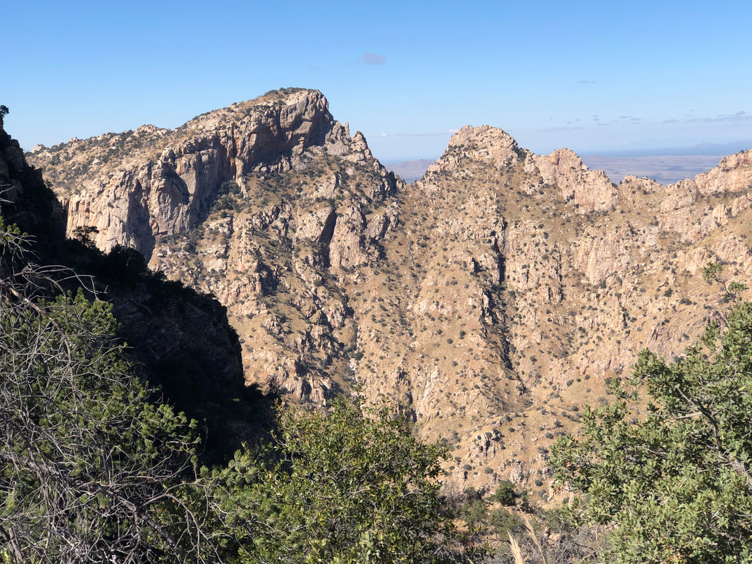
Amy, sister Tracy, friend Dawn and I made the short drive to Aqua Caliente trail. We embarked on a planned 4 mile, round trip hike. This being the Thanksgiving weekend, a lot of people were out, enjoying the beautiful weather. We brought Jack with us and many dogs were engaged along the way. I had a ride planned for Sunday and decided to stop after a mile of climbing while the others kept going. One of those peaks is Aqua Caliente Peak but not certain which one. The next day, Saturday, we..... ....attended an OSU viewing party. Good heavens what a shocking outcome. Enough said about that debacle. Sunday morning, I and 22 others drove to Tombstone to begin a 48 mile loop ride. It's been awhile since I did a ride of this distance but was pleased my legs held up to the end. I did get spit out the back of the fastest group somewhere out there but blended in with a second group and enjoyed the balance of the ride, finishing with a 17.2mph average and 1800' of climbing. After the ride, I rode around the town. There are several bars and restaurants and a worthwhile destination..... ....when you are in southern AZ.
0 Comments
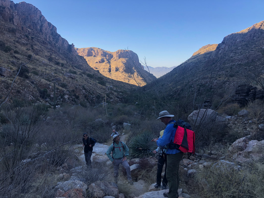
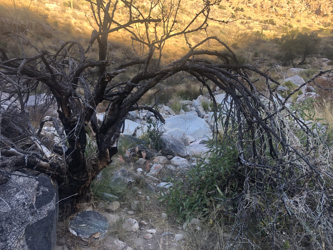
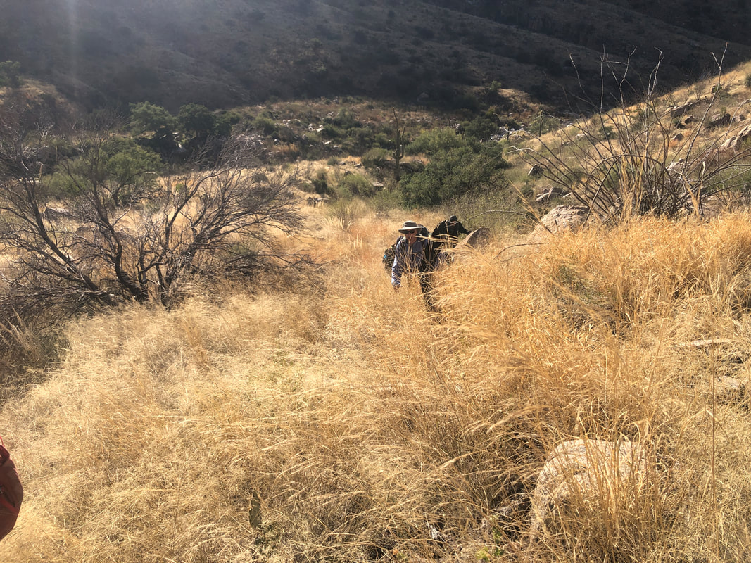
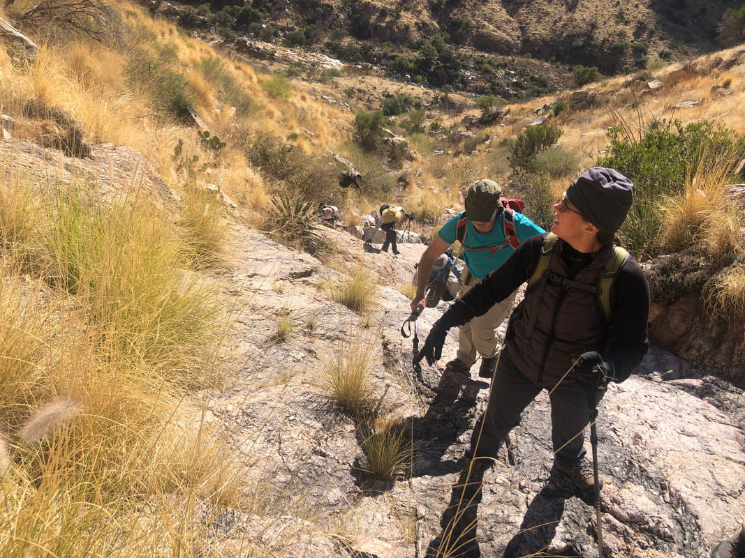
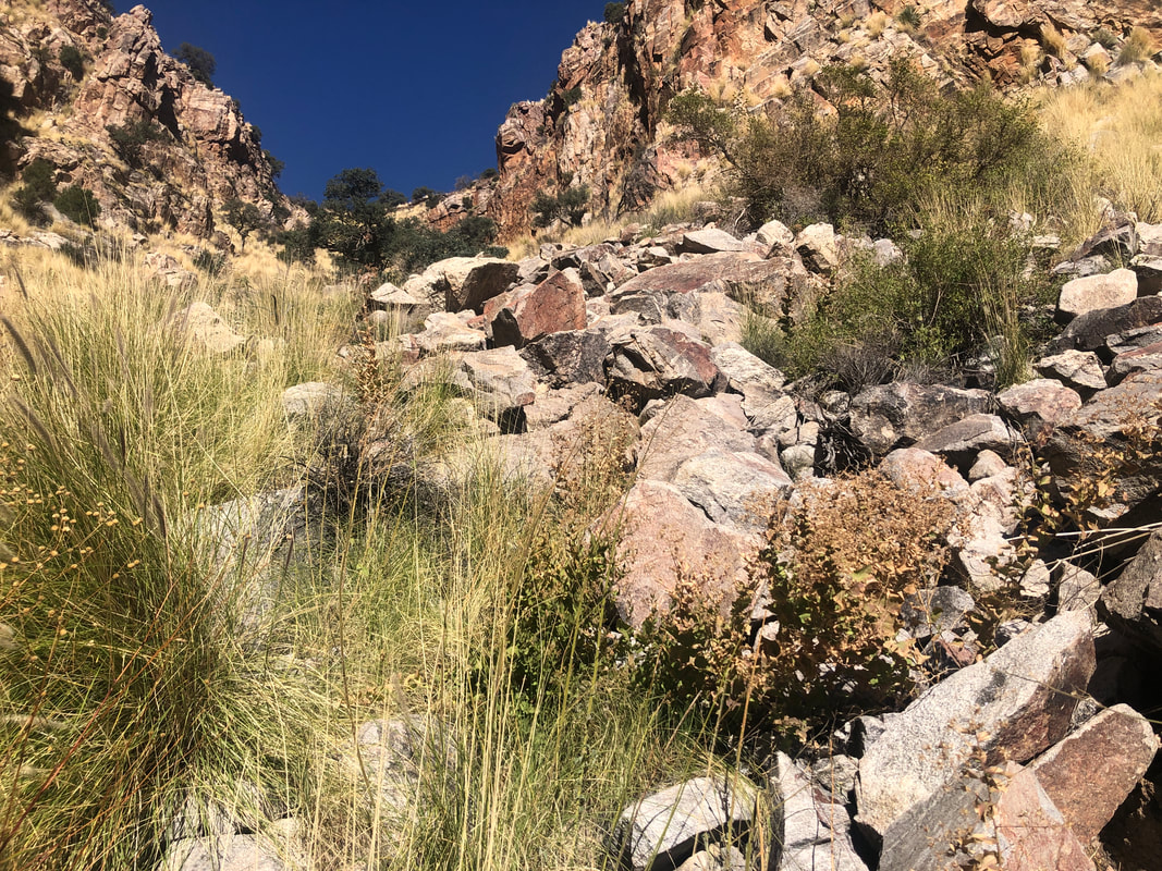
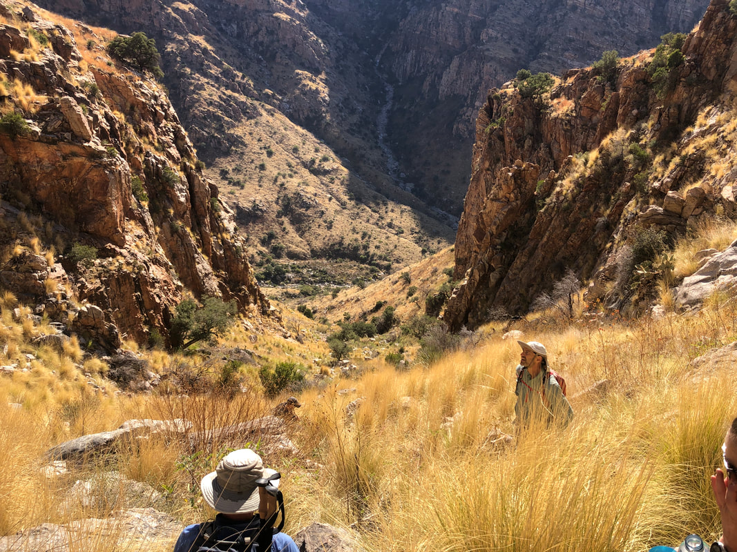
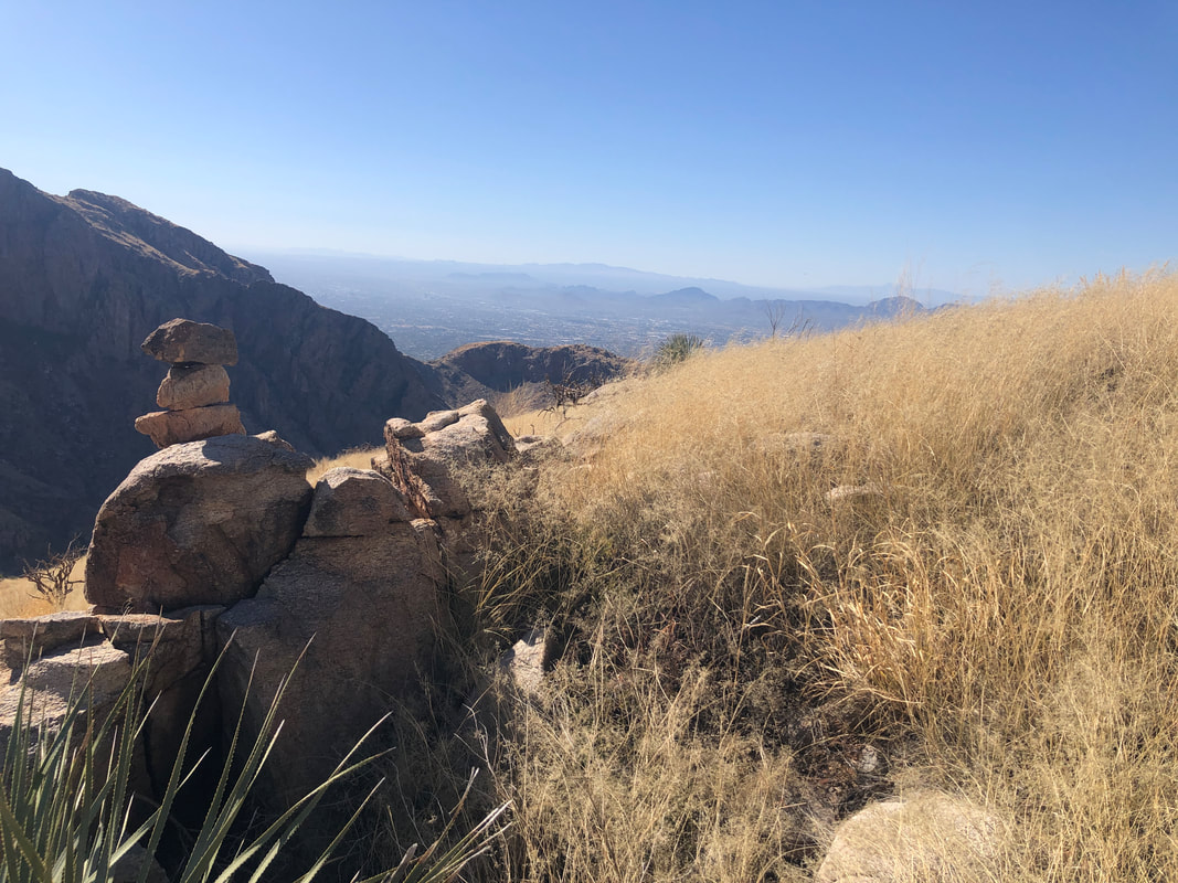
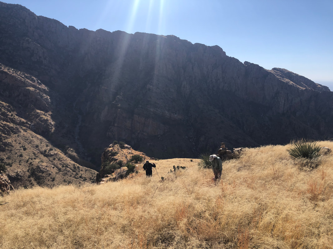
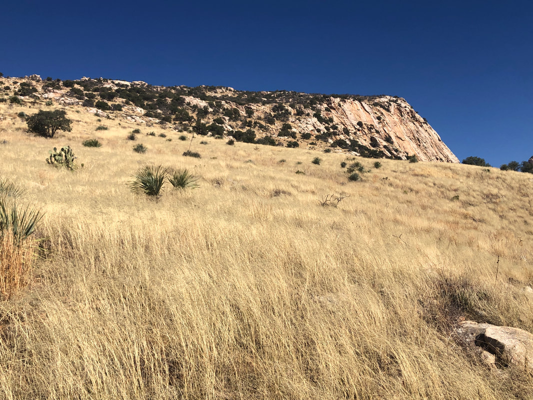
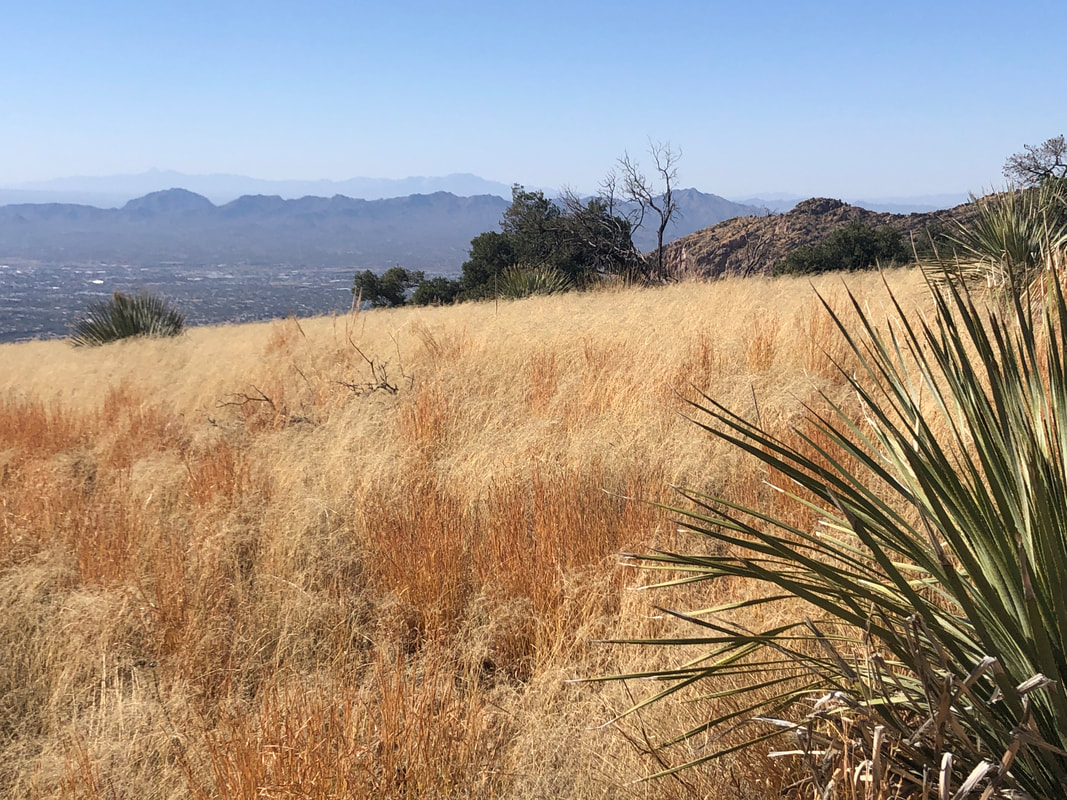
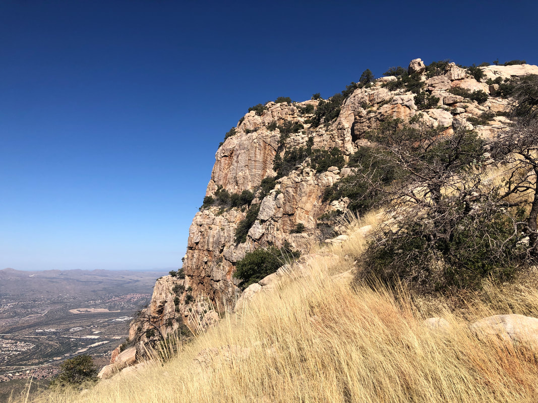
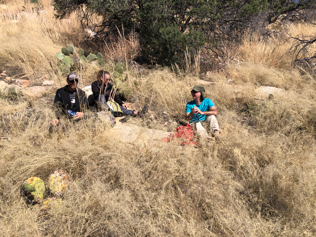
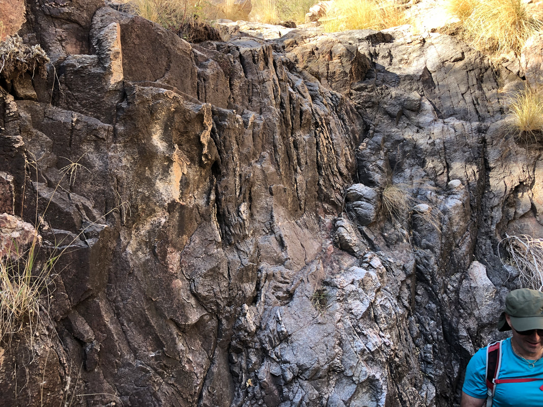
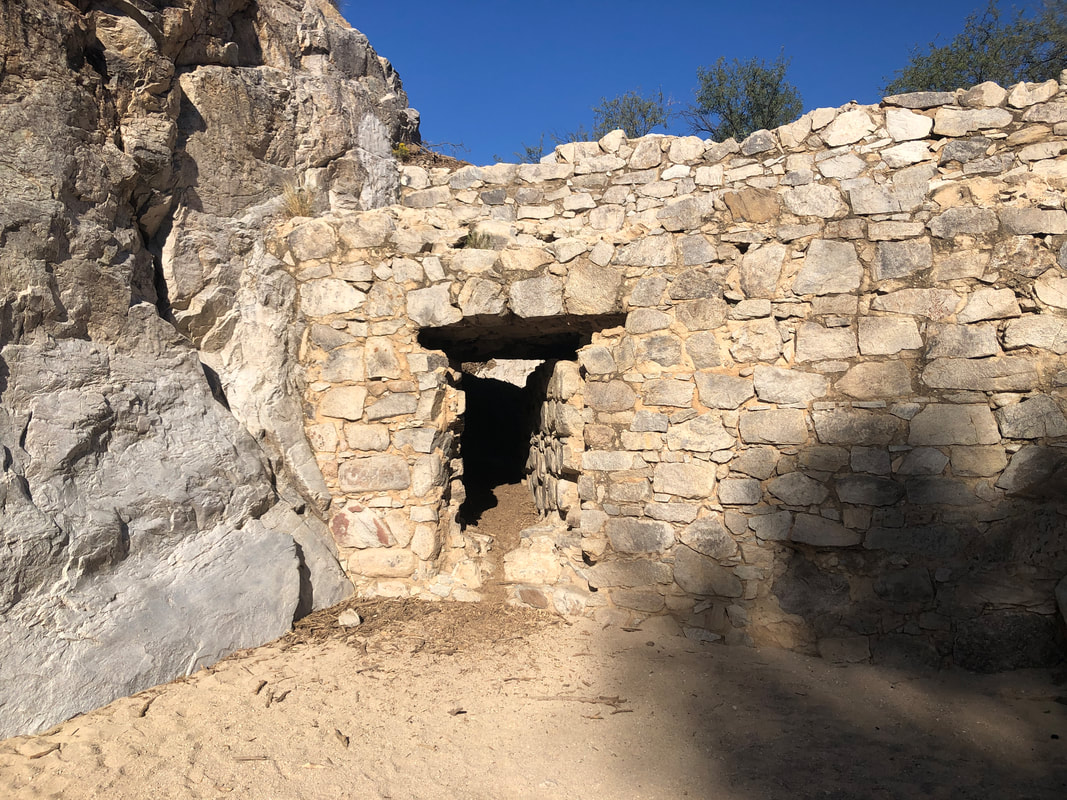
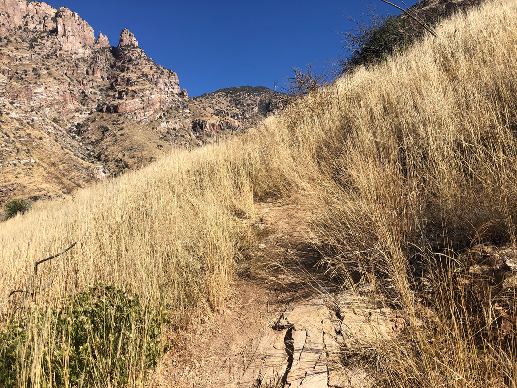
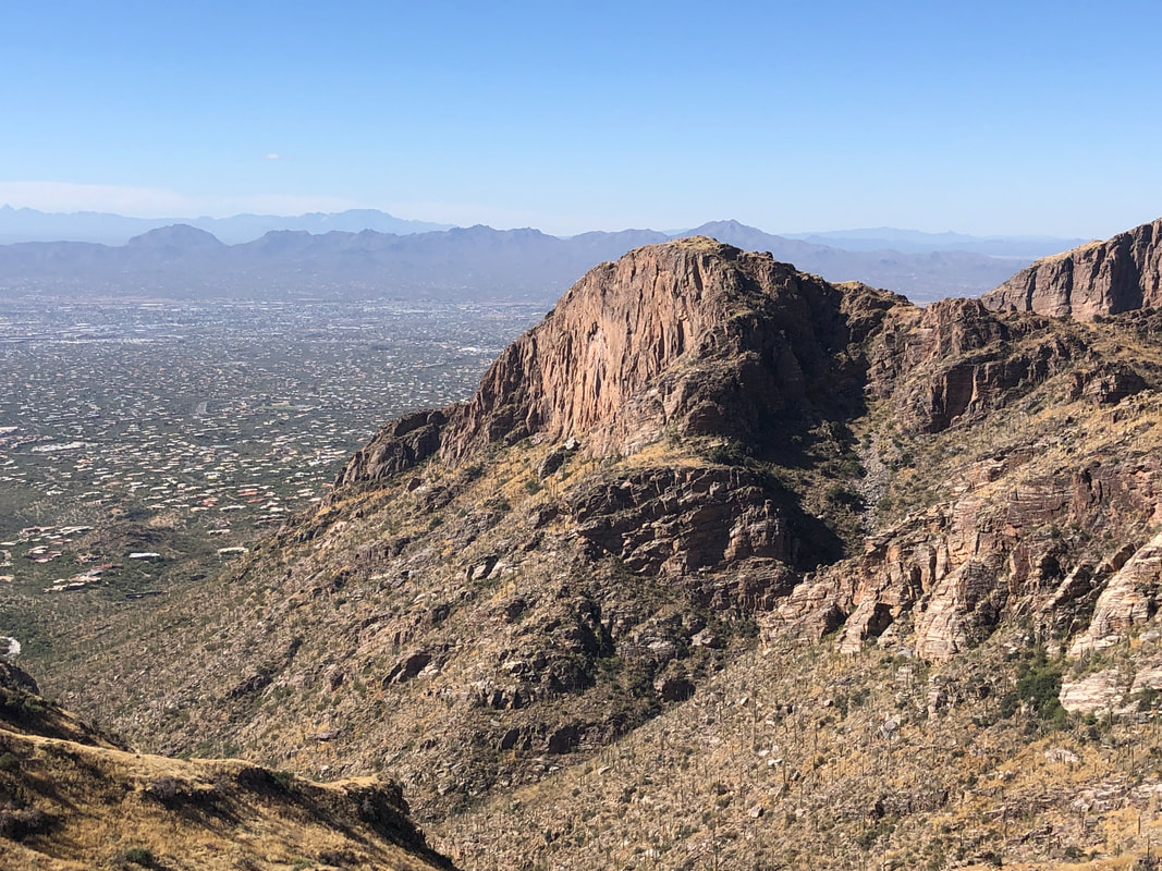
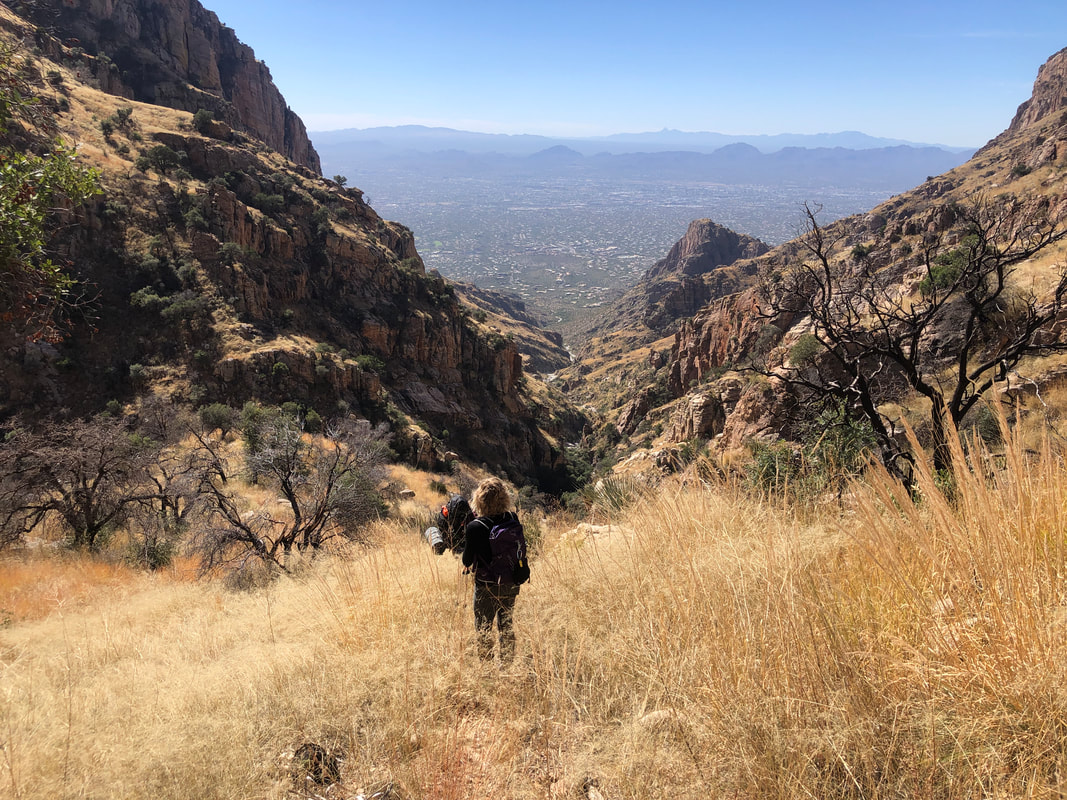
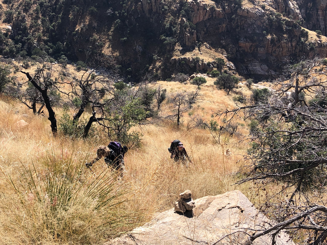
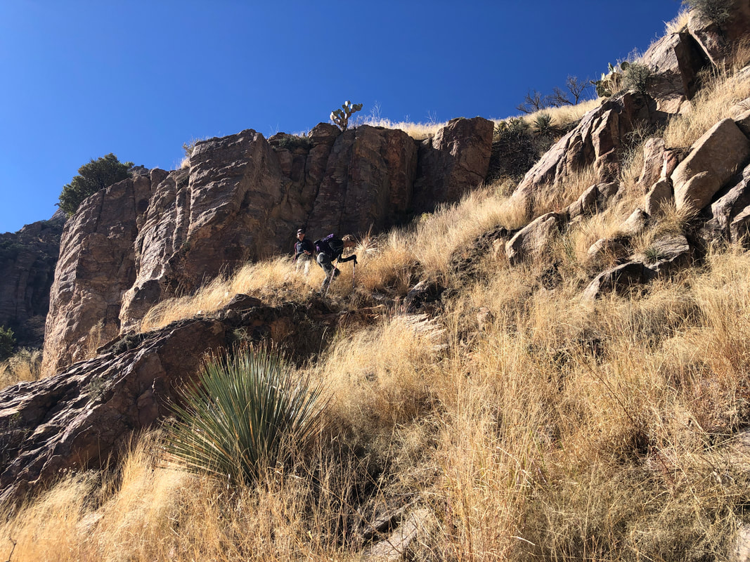
Our group of 7 gather at the Pima Canyon trail and begin a 3 mile hike before heading off trail. I was kind of dreading it actually, given my hike to Finger rock Guard of a couple weeks ago and experiencing the conditions I found there.. We pause, to take off a layer of clothing. We reach an old dam, adjust our clothing another time and..... .....bow to pass below the arch formed by a tree. We enter a boulder filled wash, hop from one boulder to another for about 1/4 mile and then, groan.... ....enter an exceedingly steep and grassy gully. I planned to stay out of the gully, on the right side, until the walls close in and force a gully entry. However, someone noted it did not look too congested in there so.... ....we descended. The Bighorn fire passed through here two years ago and took care of most of the brush so that's good. The monsoonal rains of the last two years invigorated grass growth so that's bad. I know, you look at the image and think, "That doesn't look too bad" but the only pics I took were the rare instances where I wasn't using all my appendages to stay erect. Fabulous views whenever we paused our effort to enjoy the scenery around us. About half way up this roughly mile long gully having a 30% average grade, we enter a boulder field. A fall in here would be bad but it was a relief to exit the vegetation, briefly. We near the exit of the gully. One member of our group, Jen, fell and became a bit disoriented so we paused and again admired our surroundings. Past visits to the gully and what comes after yielded a series of cairns that aided immensely to the navigation. Not this time as the only cairn I saw, unless I happened to accidentally walk by one, was the above at the head of the gully. We were all kind of beat up at this point. Jen was having bouts of dizziness so she and her friend, Mitch Stevens, elected to turn around. Now we turned our attention to.... ....the ascent of Table Mountain. The route is a long, "C" shape to the precipice that would reward us with incredible views. Well, ok, the views were already incredible! To stay on route, one has to stay to the middle of the Table, otherwise..... ....you become cliffed out and have to reroute. Without the benefit of being able to follow the grass covered cairns, grass obscuring everything not higher than 4' and me having to constantly check my device's gps route, our progress was creeping along. I called a halt and.... ....considering the time of day and a .9 mile advance still to negotiate, I decided we ought to turn around. Jeff on the right, a funny guy, said it was a good hike but that I had failed, lol. There was another threat of recrimination from Marc G that too was funny. I hated to not reach the peak but in retrospect, it was a good thing since our return to the parking lot was 3:30pm, giving us 2 hours of remaining light. It would have taken at least another 2 hours to reach the peak, ohhh and awww the scenery and return. For our return, we stayed in the gully and had fun navigating a couple of steep down climbs. Finished with 8.45 miles and 3000'+ of climbing. I fell more times on this hike than all others combined and must say, I'm staying away from bushwhacking routes until conditions change.
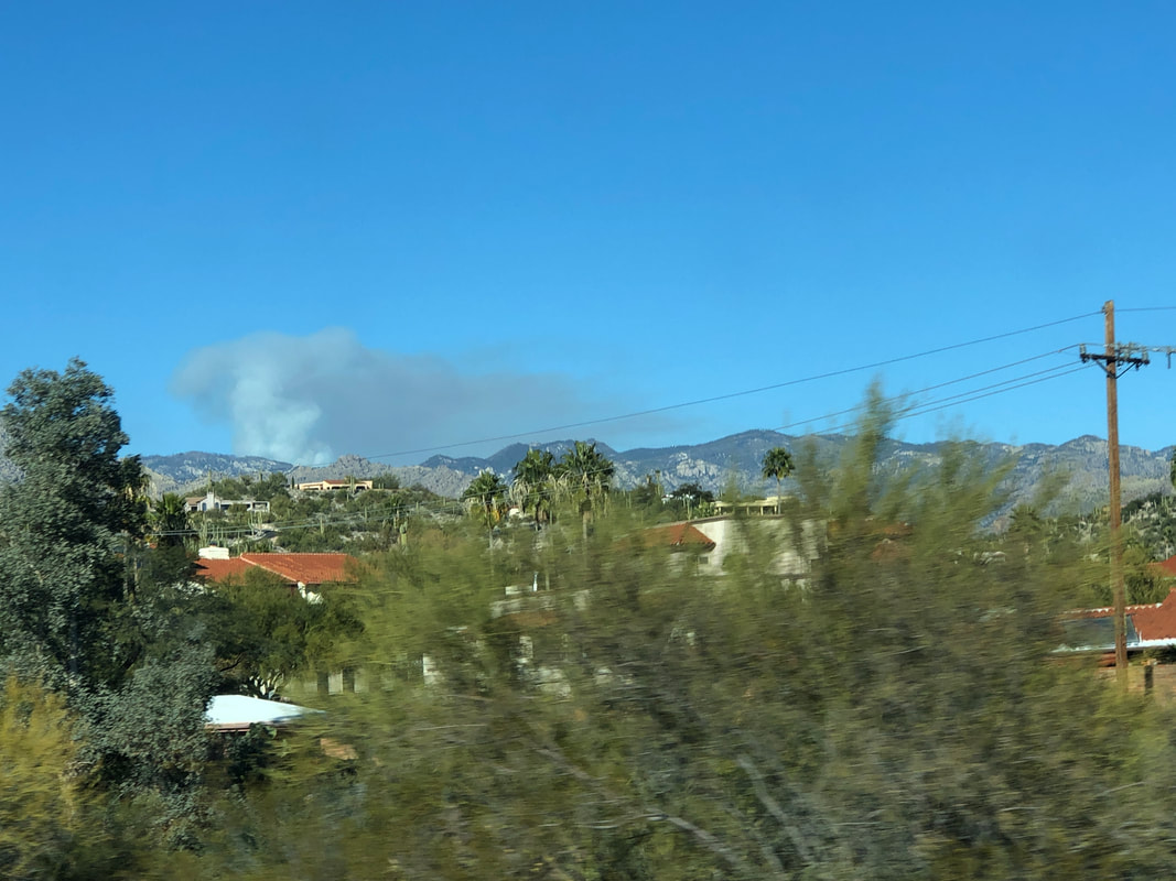
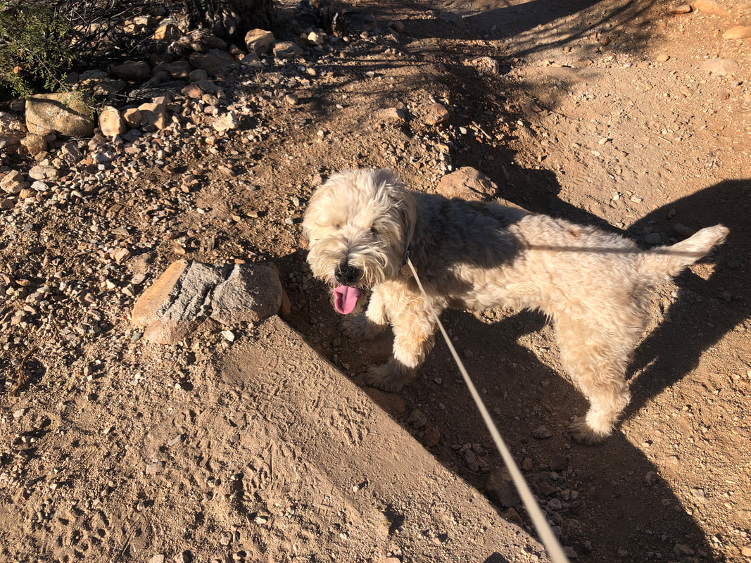
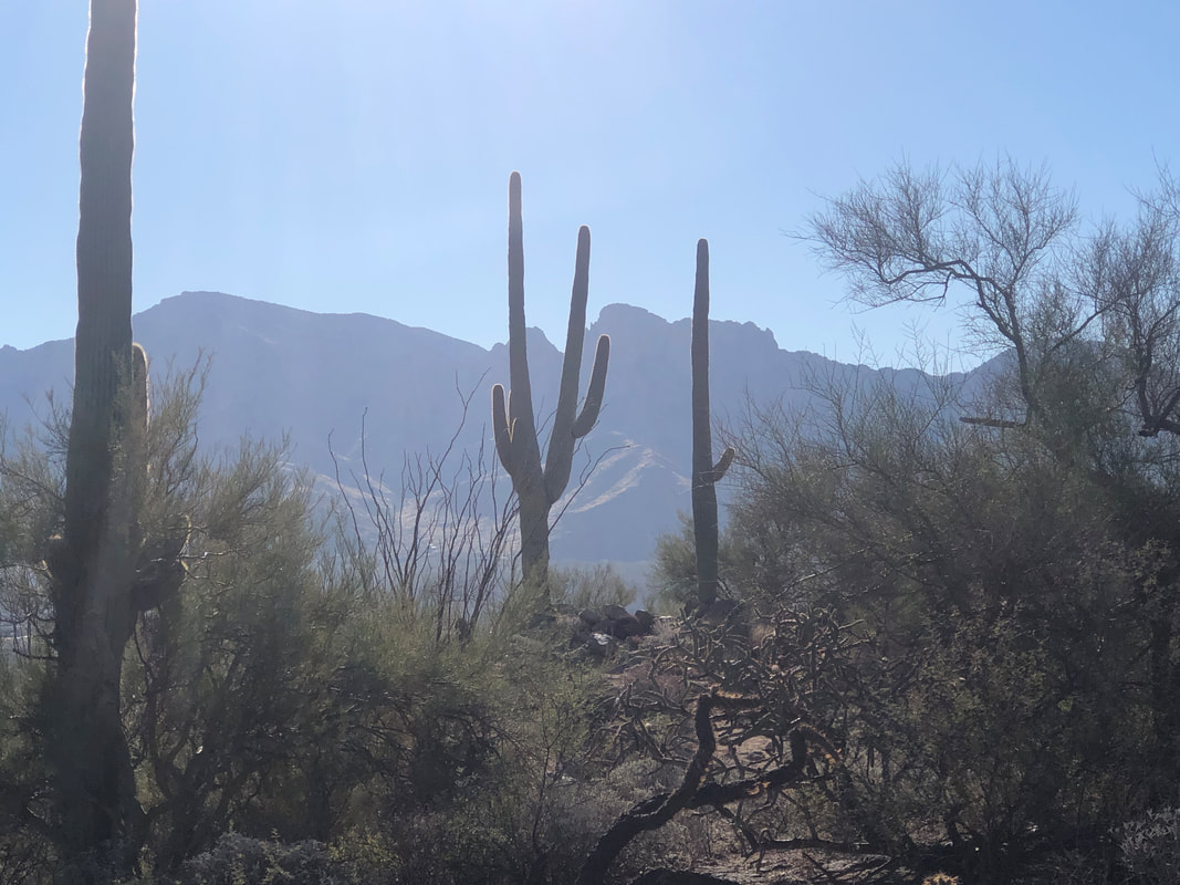
Whoa! Fire on Mount Lemmon but later found out it was a prescribed burn so all ok. Amy spend a few days with girlfriends, hiking in Sedona so I took care of Jack the Dog. We did a short hike out of Honey Bee Canyon off Rancho Vistoso Road. A decent network of trails but nothing long. Long ago, someone built this dam but it has since had a gap made so we can walk through. It's a beautiful but short canyon and soon.... ....we emerge from the canyon and I note Saturday's destination, framed by two saguaros, Table Mountain. I'm a little anxious about the hike. It is always a brutal, off trail bush whacking adventure but given what I have encountered recently when going off trail.....I'm also feeling a small bit of dread.
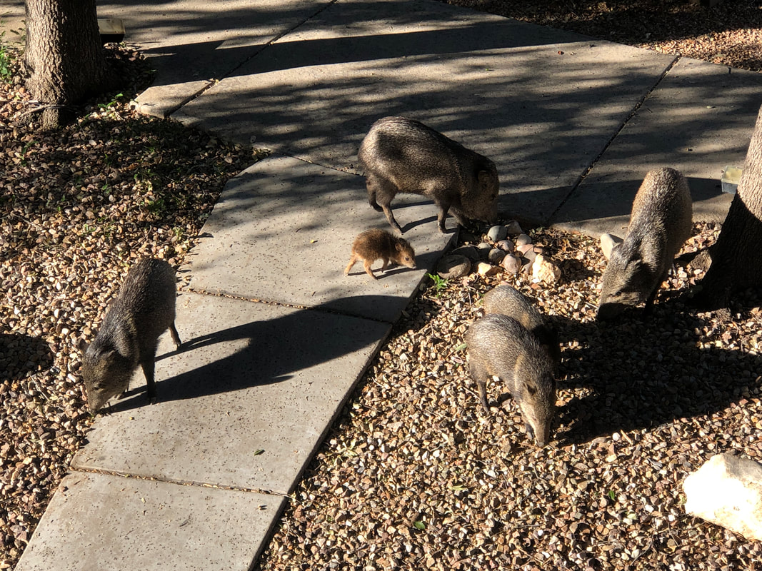
The javelinas return to eat small acorns that are widely scattered below me. I've seen plenty of baby javs but never a brown one. Amy and I arrive at Pima Canyon trailhead to hike 3 miles via the maintained trail. At 3 miles, I wanted to check the conditions where on Saturday, I will lead a group off trail, up a gully and on to the top of Table Mountain. Peeking out from behind a nearby hill, the top portion of Table Mountain can be seen. The trail crosses a creek bed numerous times with a trickle of water keeping numerous pools filled. One of us should have stood next to the trunk of this tree for size perspective. It is huge. Much of the hike was in the shade but eventually the sun cleared the canyon wall. Just short of 3 miles, we reach a couple of man-made dams which were constructed to gather water for the wildlife. The back of the damns are filled with sand and debris so don't really serve a purpose. Finally, we reach the point where I will leave the maintained trail on Saturday and ascend the gully to the base of Table, hang a right and continue to..... .....the top of Table. From this vantage point, it doesn't seem like much but it is a truly epic hike.
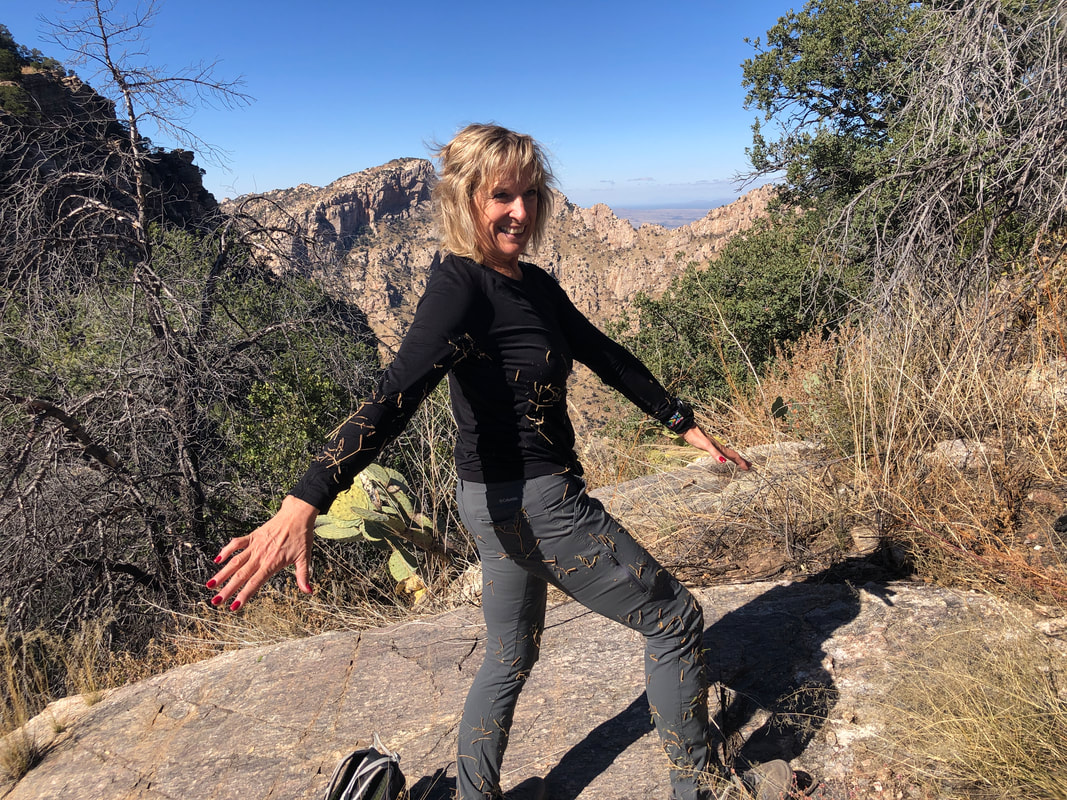
We reach the parking lot at the top of Alvernon Road to begin our hike to Finger Rock Guard, the prominent spire of rock, right of center. To the left is Finger Rock, not reachable without climbing gear and to the left of that, Prominent Point. It is 9:20am on an unusually cool morning, 48 degrees. I've completed this hike 4 times, taking around 6 hours so we are fine with the kind of late start time. Tracy on the left, Amy on the right. Tracy is a member of SARA (Southern Arizona Rescue Association), very fit and having a 31 lb pack for the exercise as a handicap, seemed appropriate. There is a short, steep start and then the route is moderate for about 1.3 miles as it parallels a ravine. Then..... ....the trail steepens but at least we had great views to the southwest and of course of the small diameter, Finger Rock to our left.. Finger Rock Trail, which oddly does not take you to Finger Rock (upper left above) but instead to Mount Kimball, is bordered by tall grass and other vegetation. I've not hiked very often the last couple of months so have not seen how overgrown are the areas around the maintained trails. Not a surprise given the very healthy monsoons of the last two years but I did begin to wonder what the off trail portion of our hike would be like. Ohhhhh, what wondrous views we have the opportunity to enjoy. We reach a point where the Finger begins to disappear behind the Guard and soon reach a plateau at about mile 2.8 which signals the start of our departure from the maintained trail to a social trail. However, there was so much grass, I wasn't certain this was the point so I hiked a little farther, confirmed the plateau had been reached and we waded into thick grass. I was glad the cool temperature probably drove the rattlers into their dens. It would suck to hear their distinctive buzz, look down and have no idea where were the fangs, beneath the grass. We descend, steeply into a ravine. I suppose because the down climb is a north facing slope, the social trail was not overly difficult to follow as we reach the bottom. It is a beautiful spot with water trickling into a small pool. Then.... ....the next .7 miles is a grueling climb having an average grade of 31% but at least the grand views are always there too. My previous trips were at about the same time of the year and I covered this section in 23 minutes but today.....an hour and twenty minutes!!!!! Between not seeing the trail, frequent checks of the gps route, stepping on hidden obstacles, etc... well, it was brutal. My companions began some low level grumbling and I feared a revolt. We finally reach the saddle below the Guard. Once we reach the labyrinth of spires and rocks on our way to the top, there will be no more grass yet still, more of the stuff to navigate before we reach that point. One of us thought to look at the time and it was almost 1:30!!!!! Four hours to reach this point and likely another hour to the top and then, too late, way too late if we wanted to avoid hiking in the dark. There was common agreement we should turn around. It sucks because you put in all this work just for the pleasure of navigating the labryinth to the top of the Guard. In the distance, Table Mountain and to the right, Table Tooth. Awesome view! Amy poses to show all the trail junk that had accumulated on her clothing. Not sure all the clothing will survive the onerous plucking of junk from the fabric. After a snack and drink.... ...we begin the descent to the aforementioned ravine, then a brief up climb and then down the maintained trail. The hike was slightly less than 8 miles but 4000' of climbing and all that bushwhacking!!! Brutal yet it left me disappointed to have not completed the hike so I'm likely to go back, start earlier, and enjoy the top of the Guard experience.
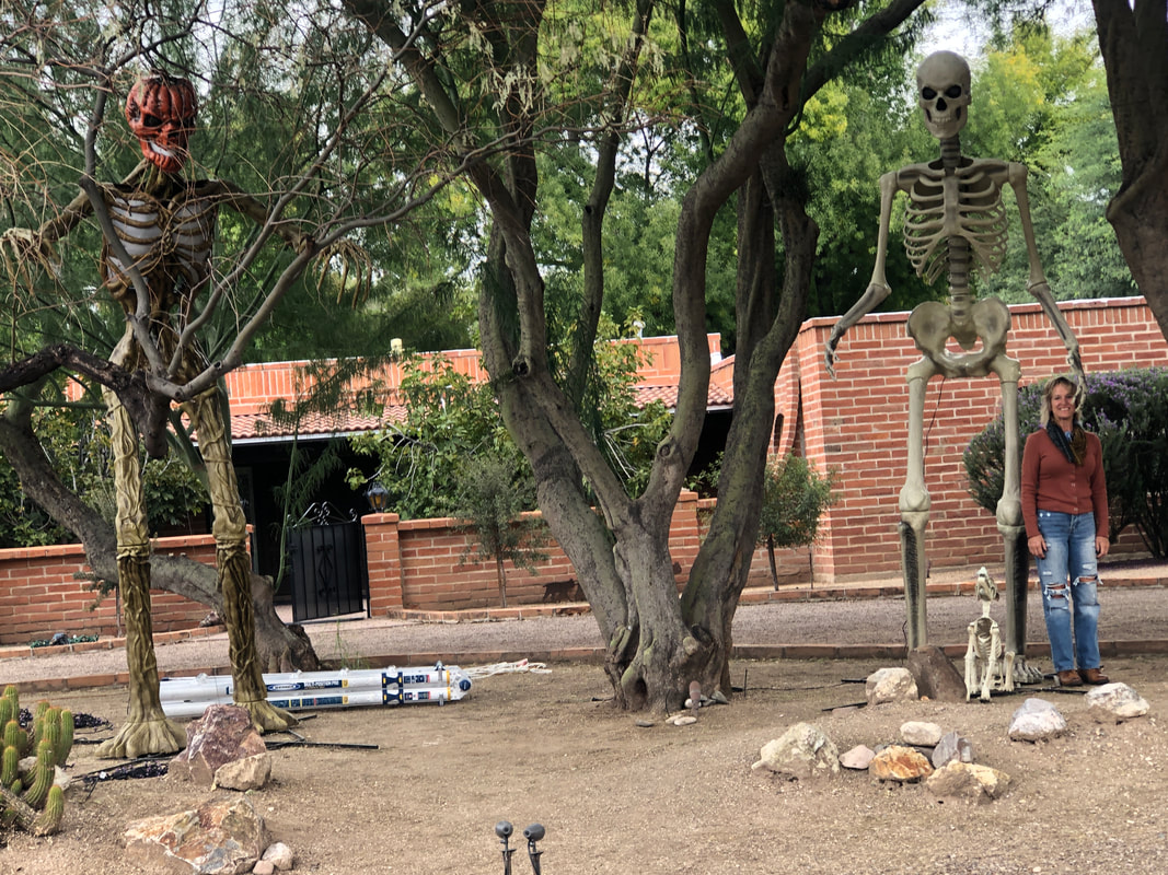
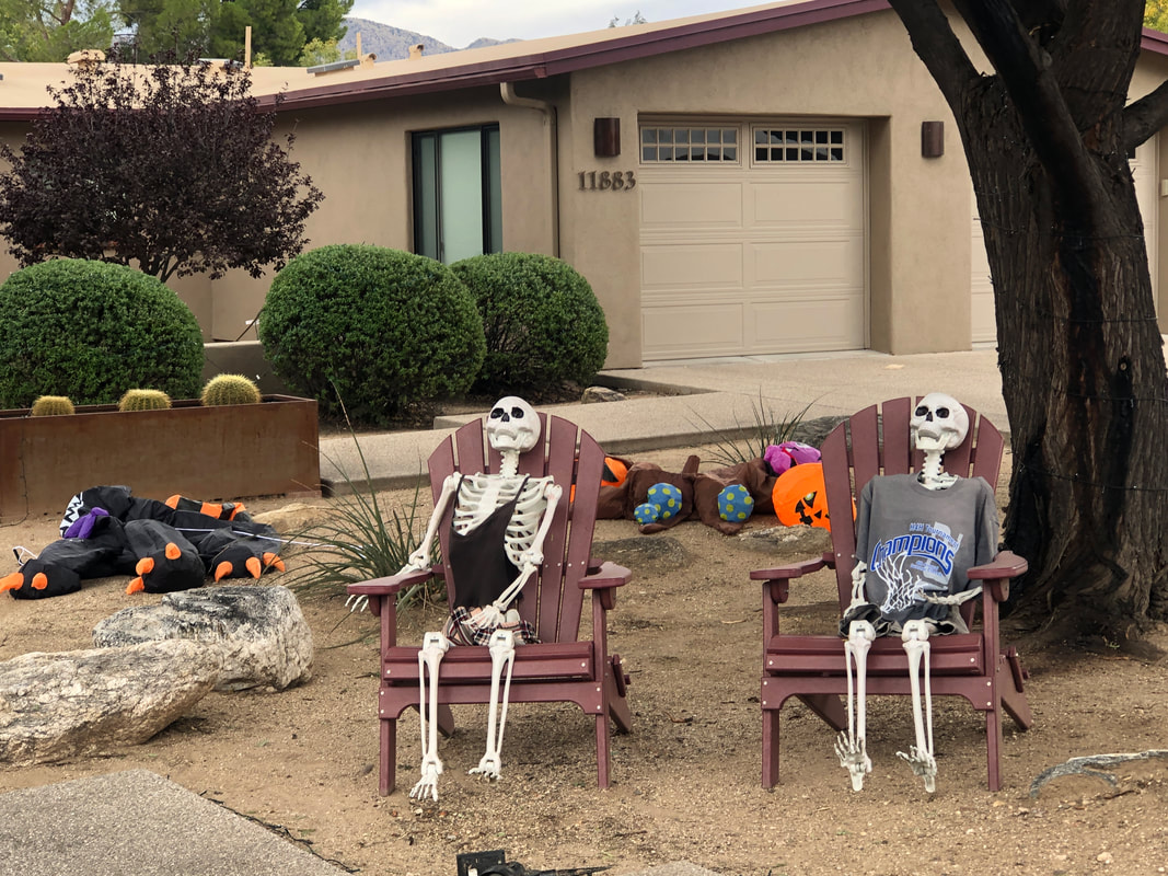
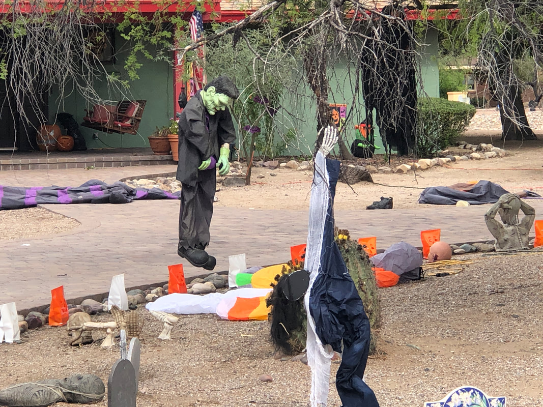
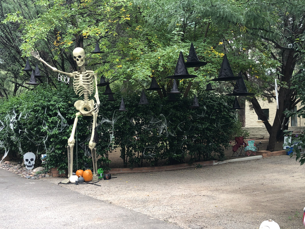
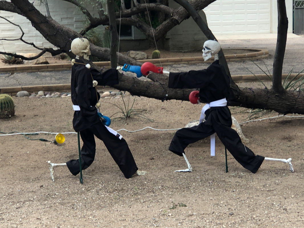
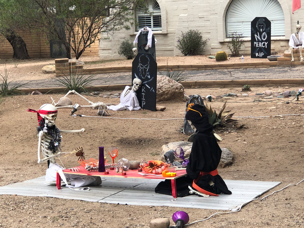
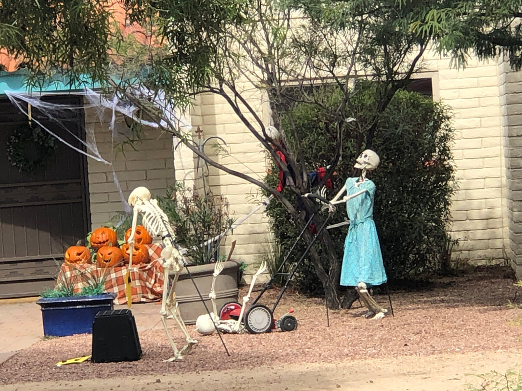
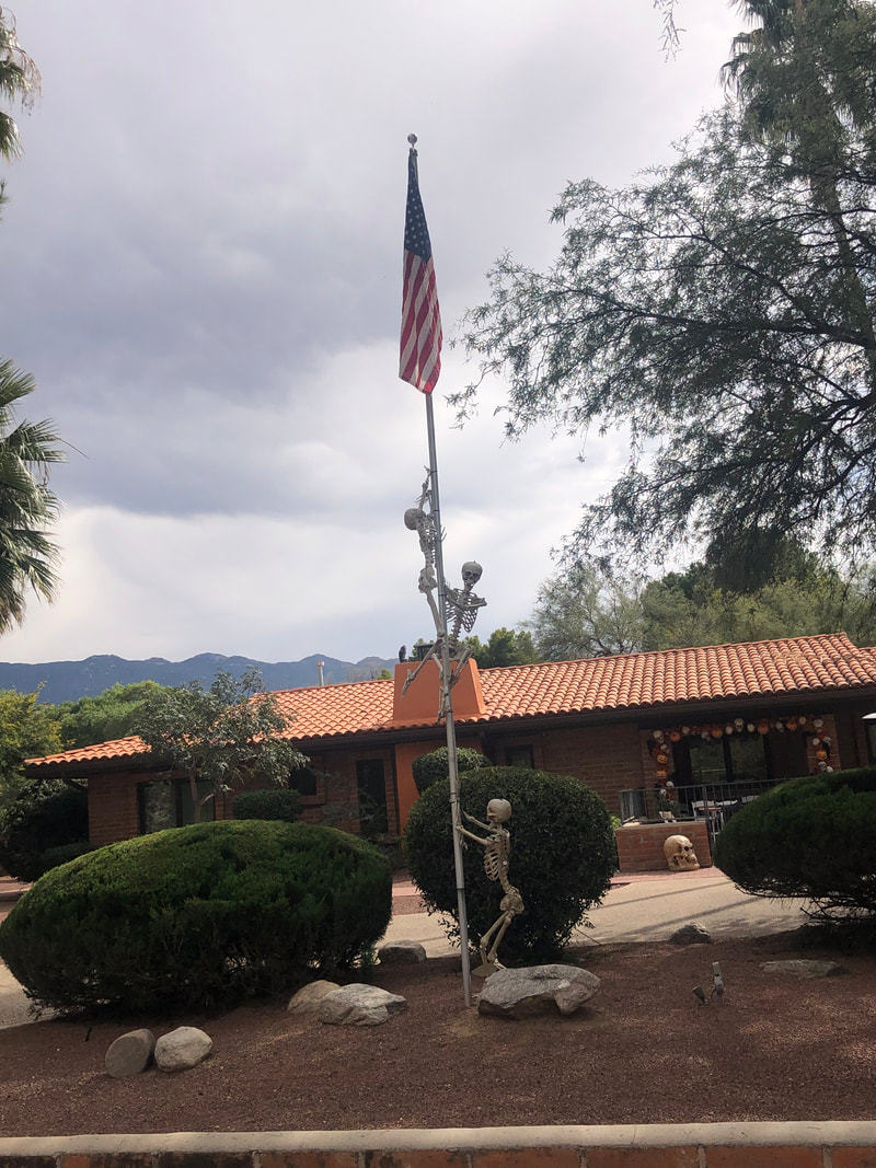
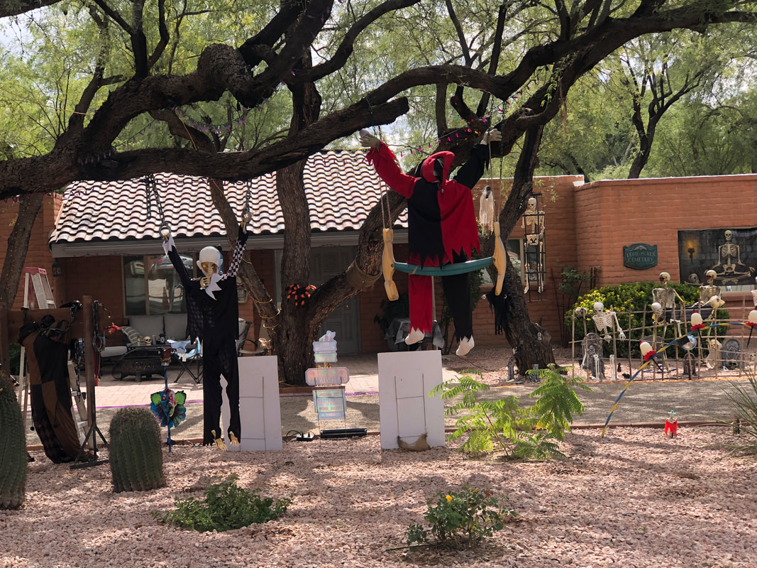
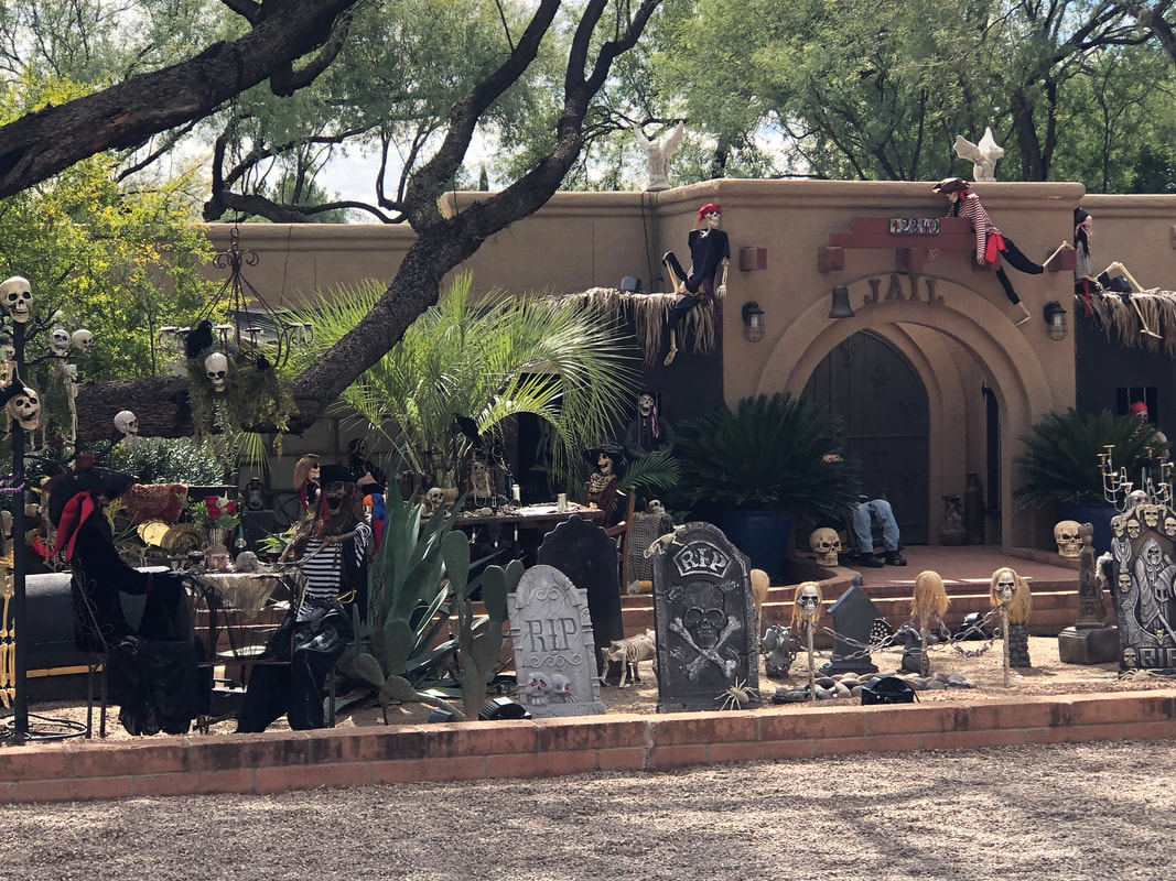
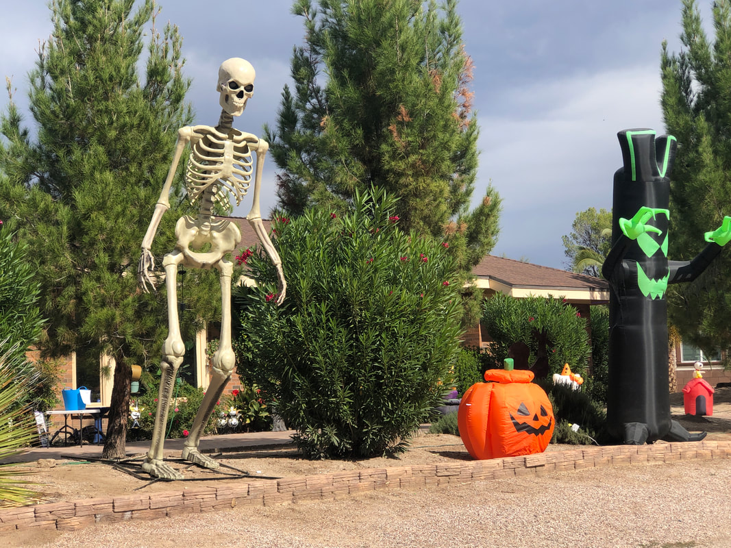
A neighborhood on the east side puts forth the effort with decorations. Note Amy standing to the right of the very large skeleton as a size comparison. Children and adults arrive for trick-or-treat by well over 1000. The displays are very creative. Frankenstein hanging from a noose. Note all the blow up displays laying on the ground so there was a lot more to this and other yard presentations. Another giant skeleton with black witch's hats in the entrance. Boxing skeletons, lol. Not sure what is going on here. Hilarious. Distracted mower rolls over a skeleton. Climbing the flagpole! Oddly, most of these displays were turned away from the road. Too much going on to describe but it was fun to look at it all. Note the "JAIL" sign over the front door. I'm glad I arrived from Ohio in time to check this out and get a few pics. Next year we'll visit the night of trick-or-treat and see what that's like.
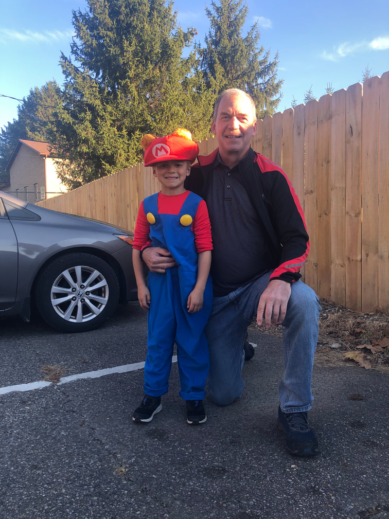
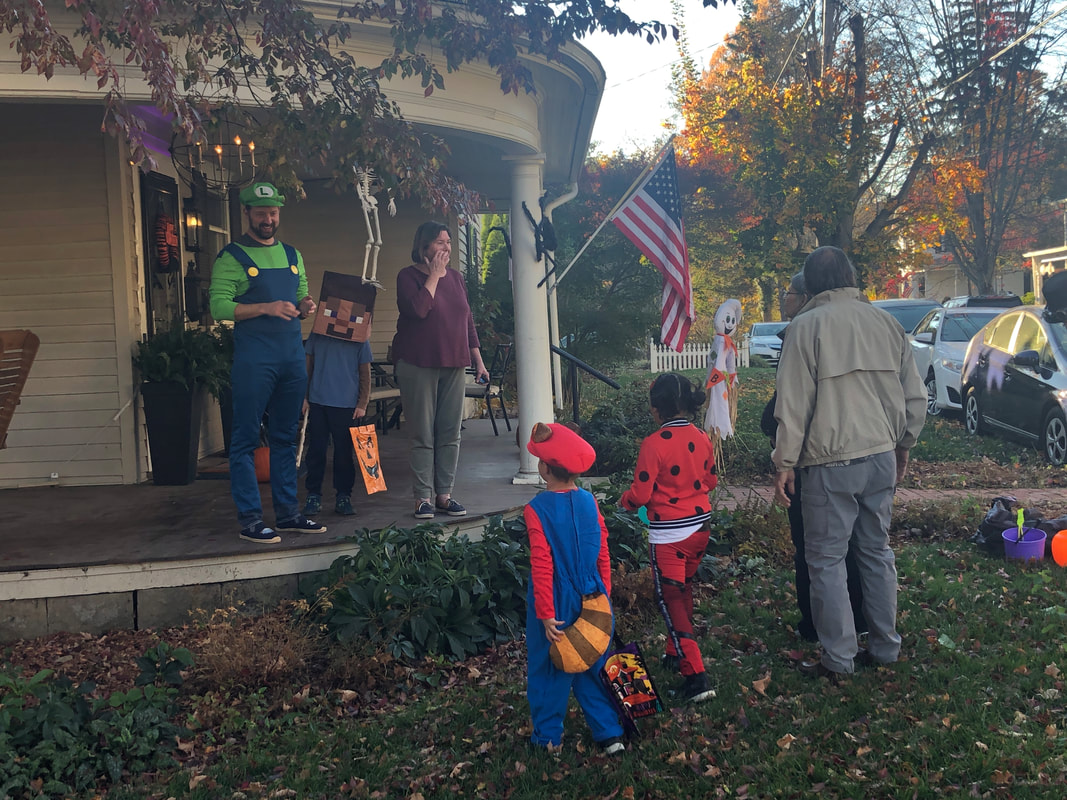
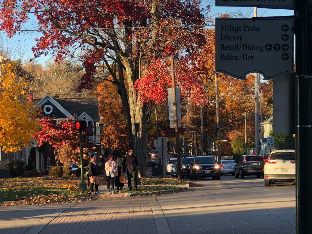
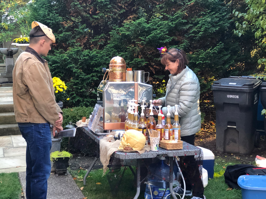
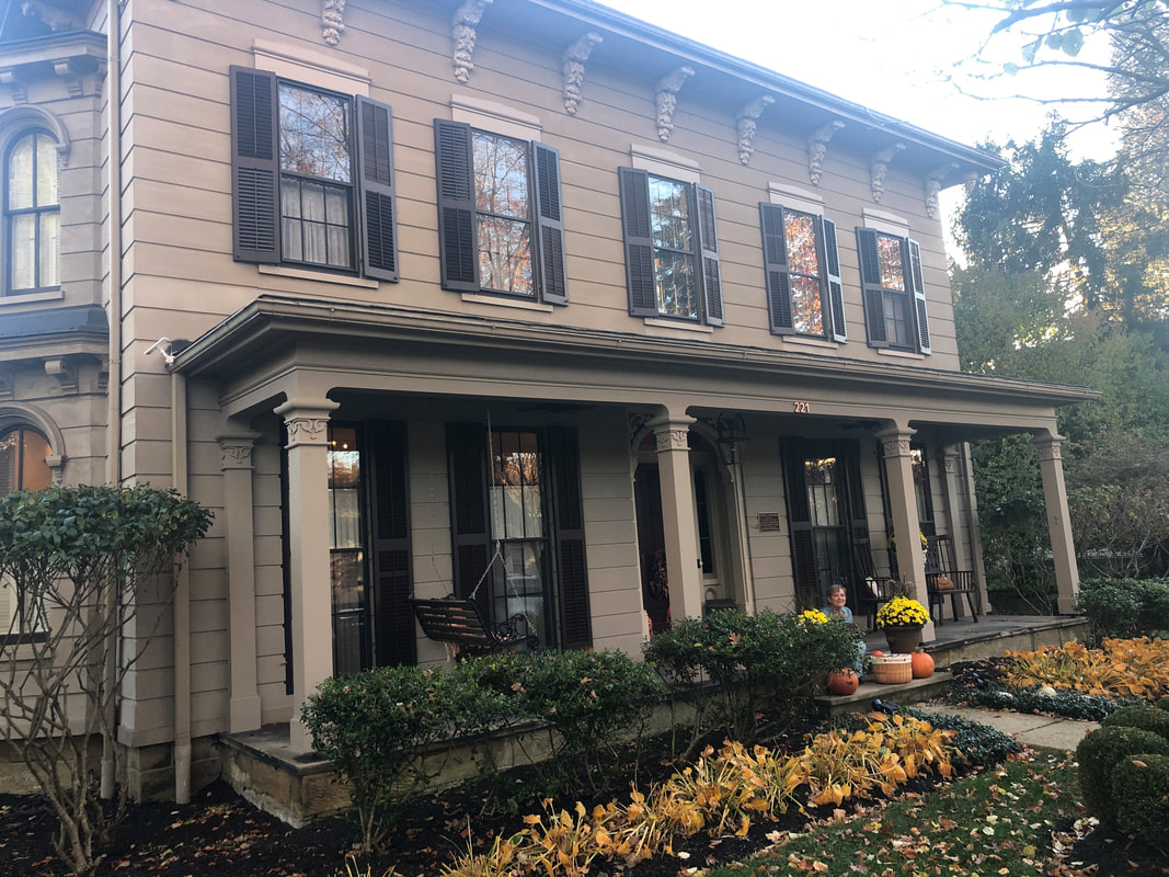
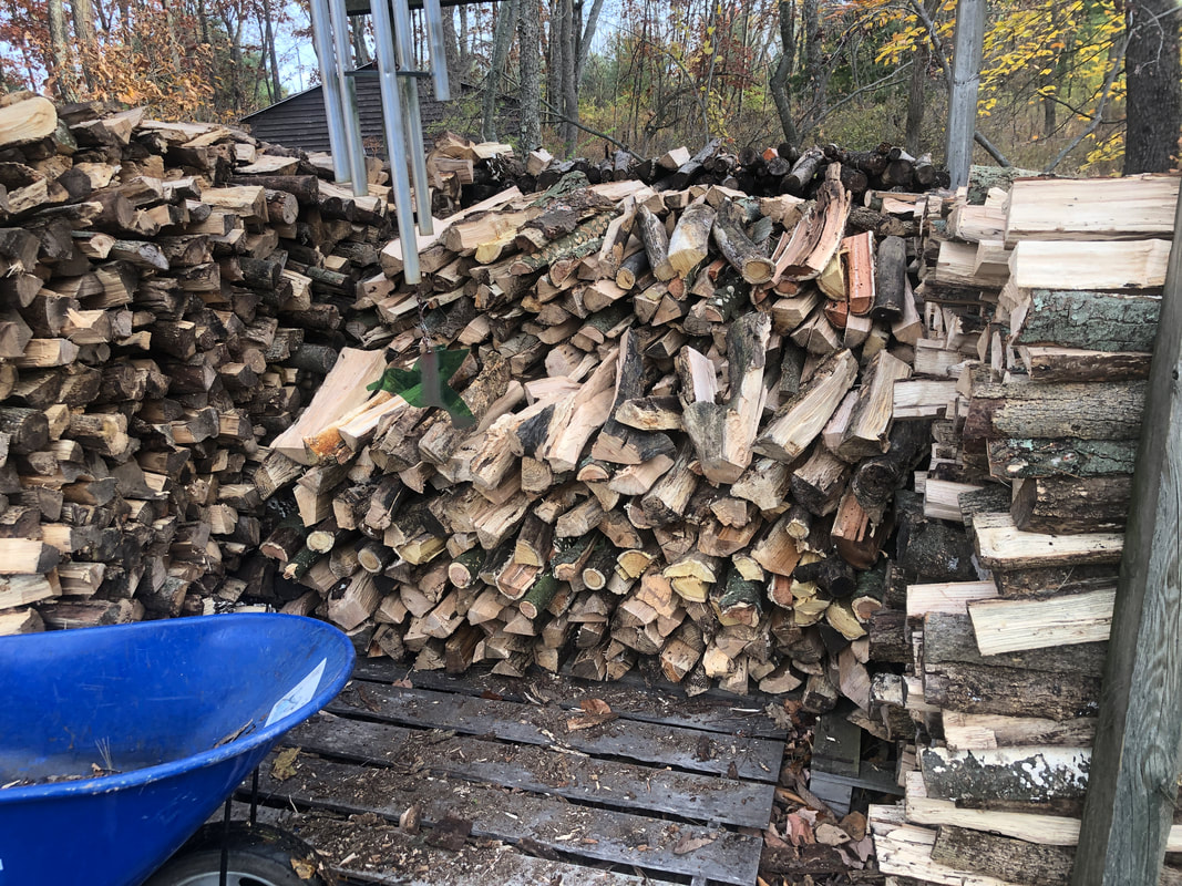
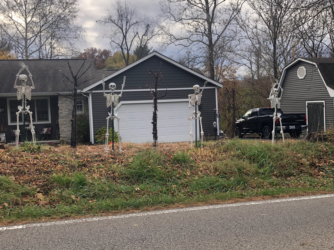
Grandson, Anthony and I pose on Berger's Night or as some know it as Trick or Treat. Anthony was dressed as Mario and our first stop was at a home where.... ....an adult Luigi was passing out candy. Mario thought that very cool. Granville, OH is such a nice village. It's as if someone plucked it from the Boston/Hartford area and transplanted it in Ohio. Denison University is here and the local school system is outstanding. At one stop, off to the side, a woman was making free lattes with the option of a shot of alcohol. There are many homes dating to the 1800's and the above is one example, built in 1861, the year the Civil War began. What the walls would say if they could talk. I don't know how much wood I cut and split but enough, even for an Ohio winter. The family members who burn will have access to it. I visited Anthony one last time where we played soccer, basketball and golf. On my way, I passed this cleaver display of "OHIO" with skeletons. I'm back in southern AZ and glad to be, mainly for the weather, the outdoor activities and of course Amy. Lots of outdoor activities to come and soon, including a climb to Finger Rock.
|
Categories
All
Archives
November 2023
|
