|
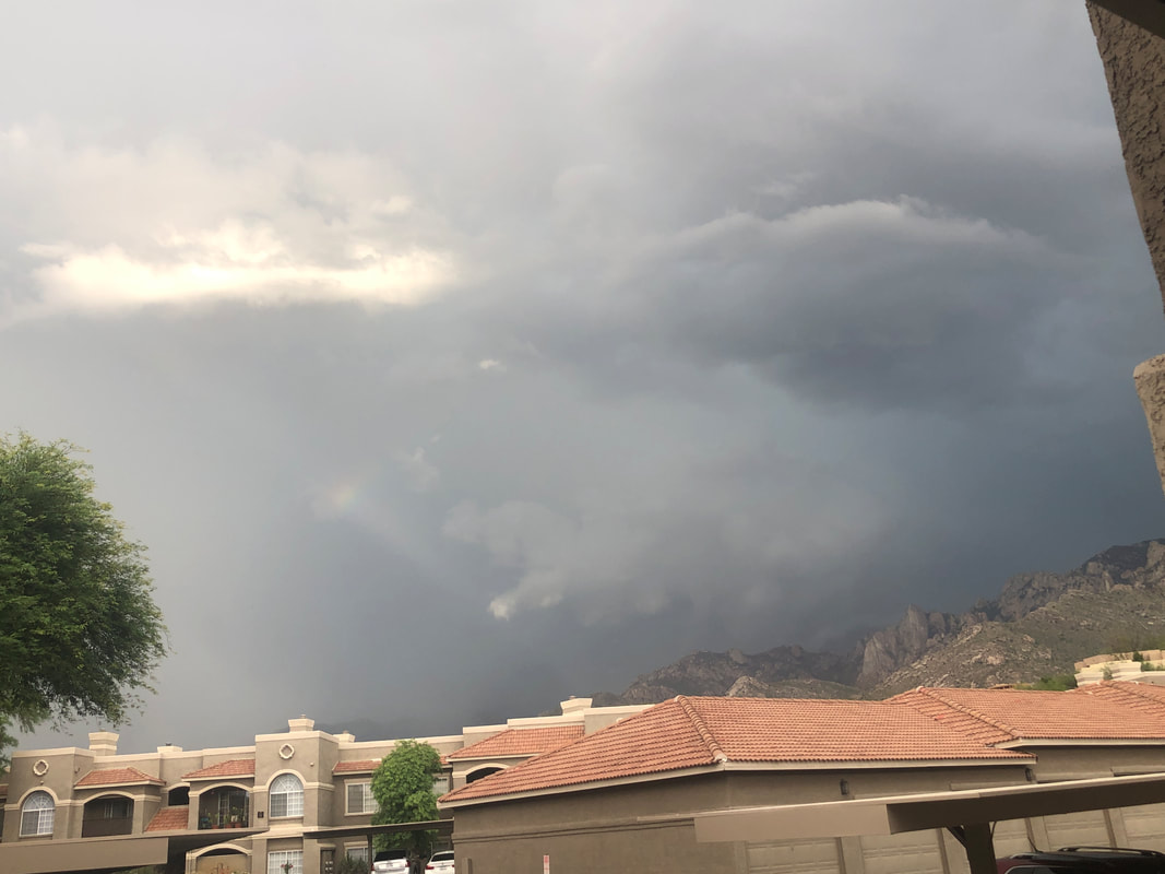
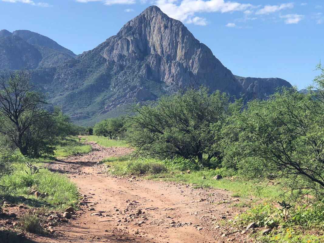
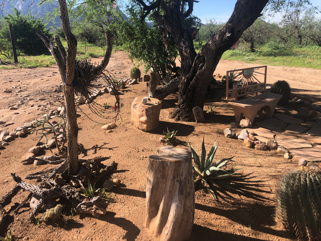
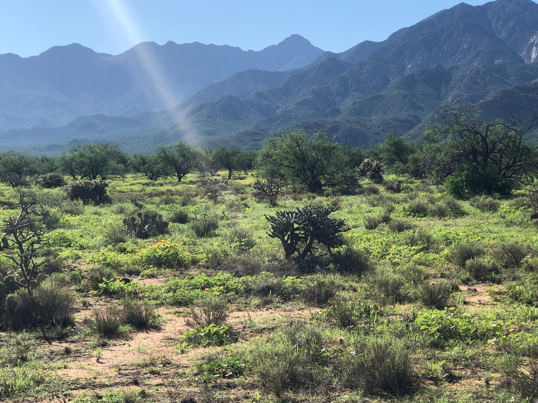
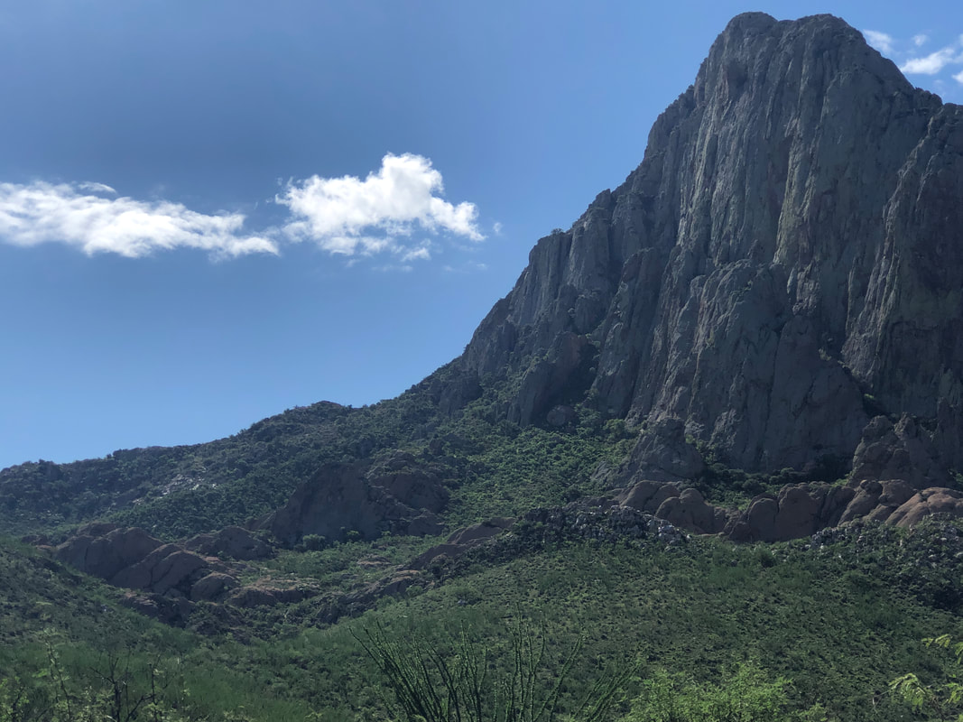
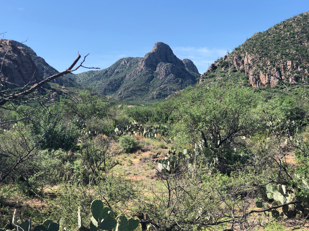
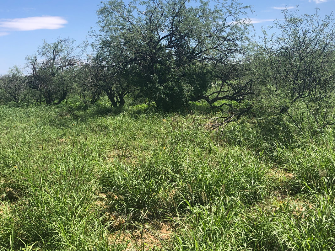
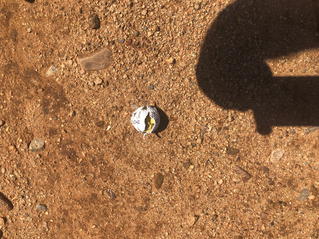
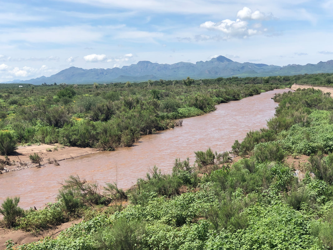
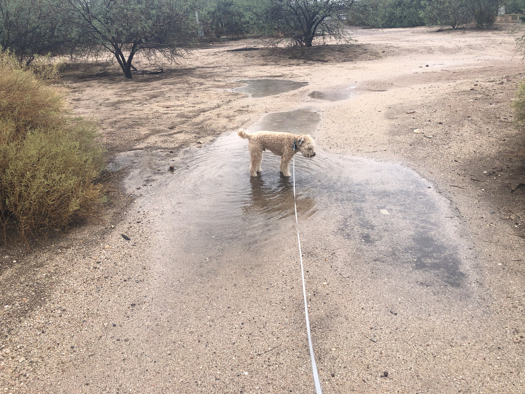
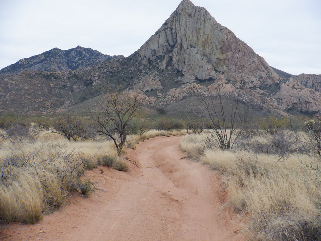
Well how about that rain fans!?!?! We experienced our wettest month within the monsoon season, ever. Officially 8"+ at the Tucson airport but many locations received much more rain for July. Every canyon, ravine, gully, notch, wash, etc... is flowing. I drove to the west end of the Santa Ritas where I wanted to scout an off trail start to a hike I organized. rather than the traditional approach from the south, this would be from the northwest, gaining the ridge on the left side of the head and then hang a right and summit. A grader was out, clearing runoff from the paved roads as I got onto Mount Hopkins Road. Eventually, I got onto Monarch, which is dirt and I was not able to advance as far as I did last year when I previously did the hike. I parked and while hiking, passed this interesting "roundabout" that someone is maintaining. During my 2.5 mile hike to the start of the bushwhacking route, I crossed a ravine that had a decent water flow. I began to have misgivings about the viability of the hike. Was the water flow receding or increasing and with more rain forecast, what would it be like in two days. I reached..... ....the point where we would begin the route. Last year, whatever grass existed, it had been maintained by grazing but now, post all the rain, the area was almost a jungle. Looking to the south I spotted.... ....Little Elephant Head. I walked off the road into the area where we would begin our hike. The grass was thick and at least as high as my knee. I get quite nervous about hiking where I can not see my feet during rattlesnake season. With all this new growth and a landscape far different from what I encountered last year, I decided I ought to cancel the hike. I hate doing that and know my reliability as an organizer takes a hit I suppose. Full disclosure, there were quite a few new attendees for the hike and while looking at the ridge and all that comes before it, I was reminded how difficult the route finding was and challenging of a hike. Hmmmmm, I need to take this one private and pick some of my hardy hiking buddies. Anyway,.... ....I headed back and saw a golf ball. This is about the 5th time, while hiking in a remote area with no golf courses around, I've seen a golf ball. Weird although the above one was probably used for target practice. I headed home, crossing one of many washes that are running with our welcome rain.
0 Comments
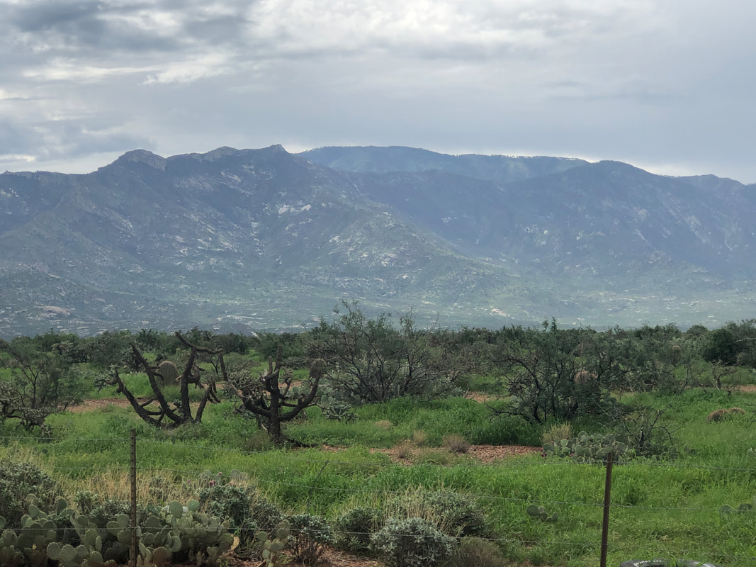
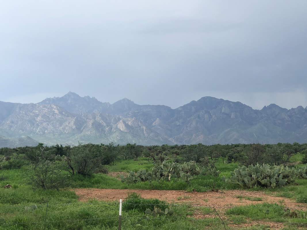
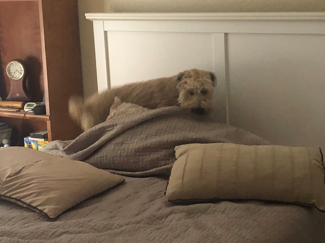
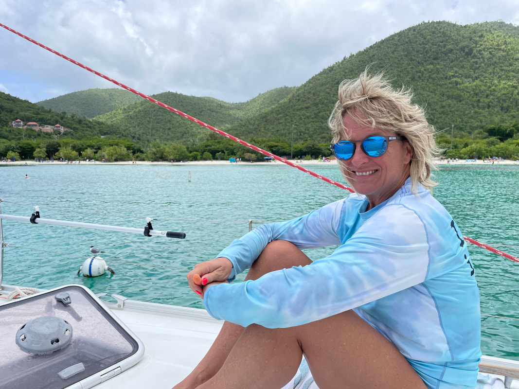
I rode to Saddlebrook, north of Catalina. The color transformation from the very healthy and still record breaking monsoon is remarkable. I found myself humming..... ....the theme song to the Green Acres show from decades ago. Meantime,.... ....I have a spare bedroom and Jack the Dog enjoys going in and rearranging things. Not sure why that is but if I remake the bed, he'll eventually go in and root around for awhile. Meanwhile....... ....Amy's vacation continues, this time with a day of sailing. She really enjoys sailing. I don't understand the appeal of it but all that matters is that she does. One more long week until she returns but she continues to communicate and sends lots of pictures.
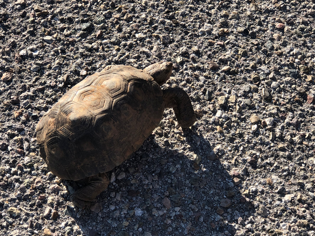
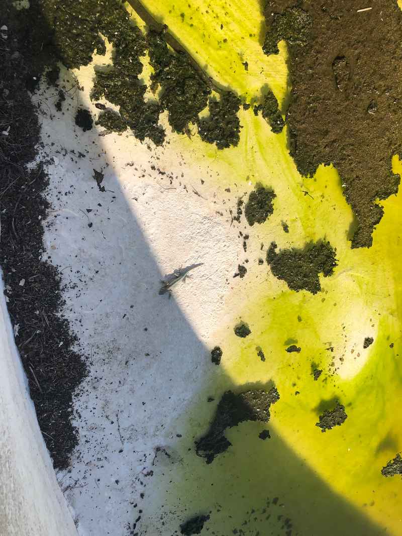
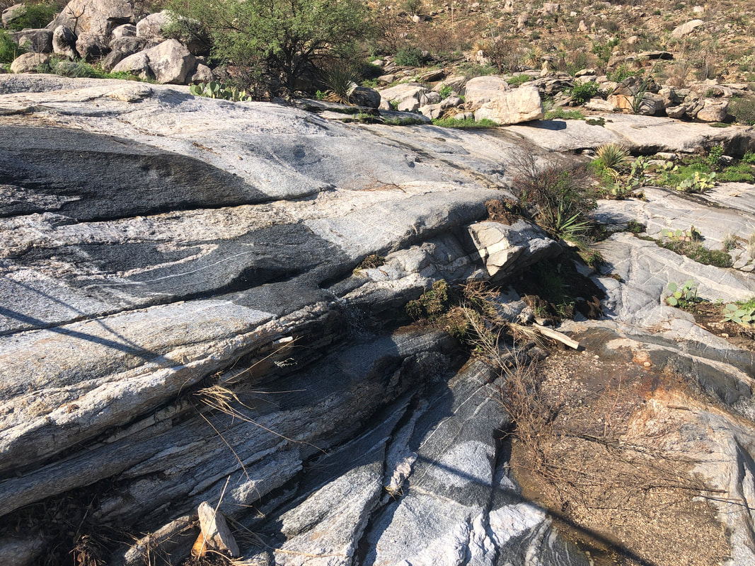
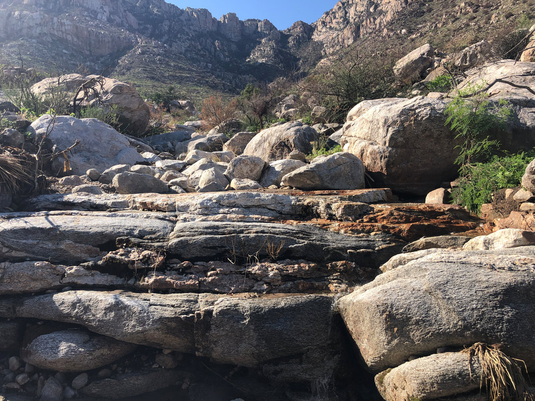
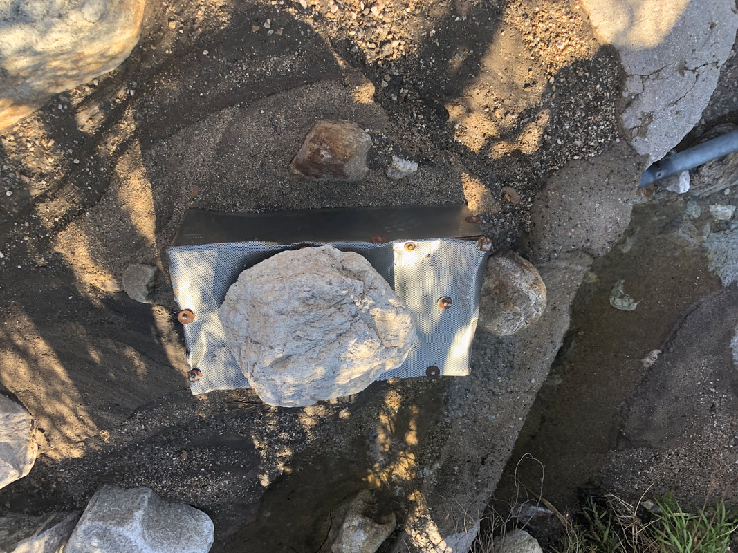
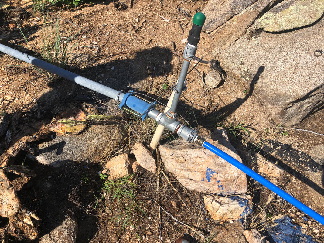
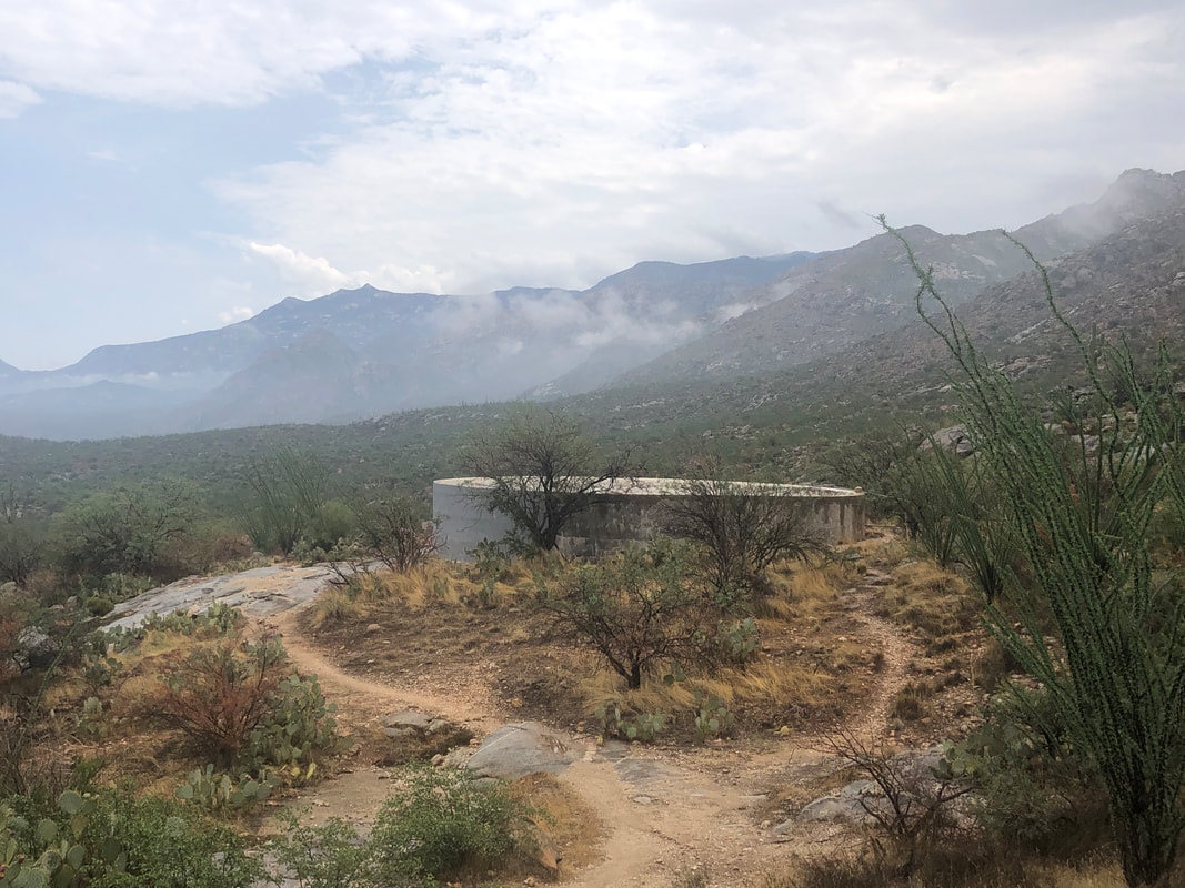
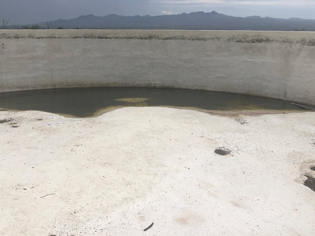
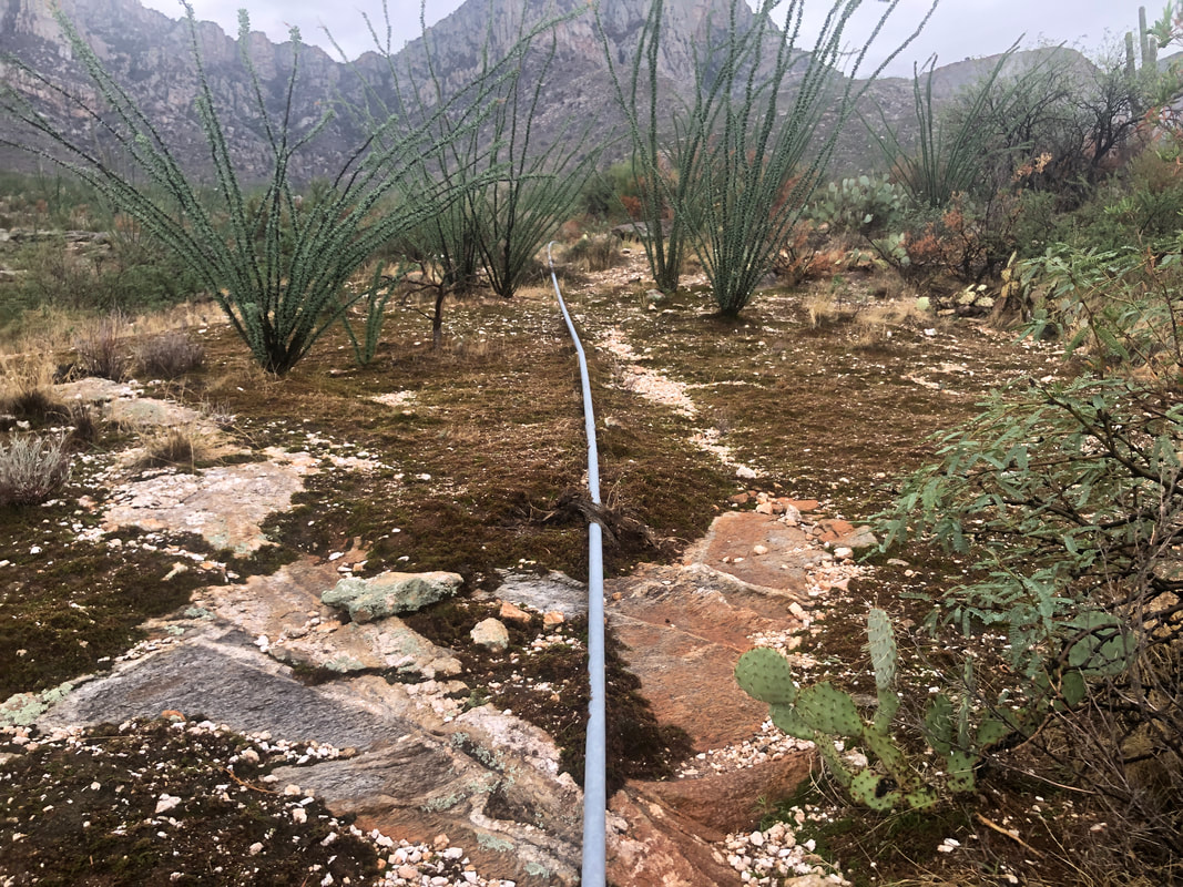
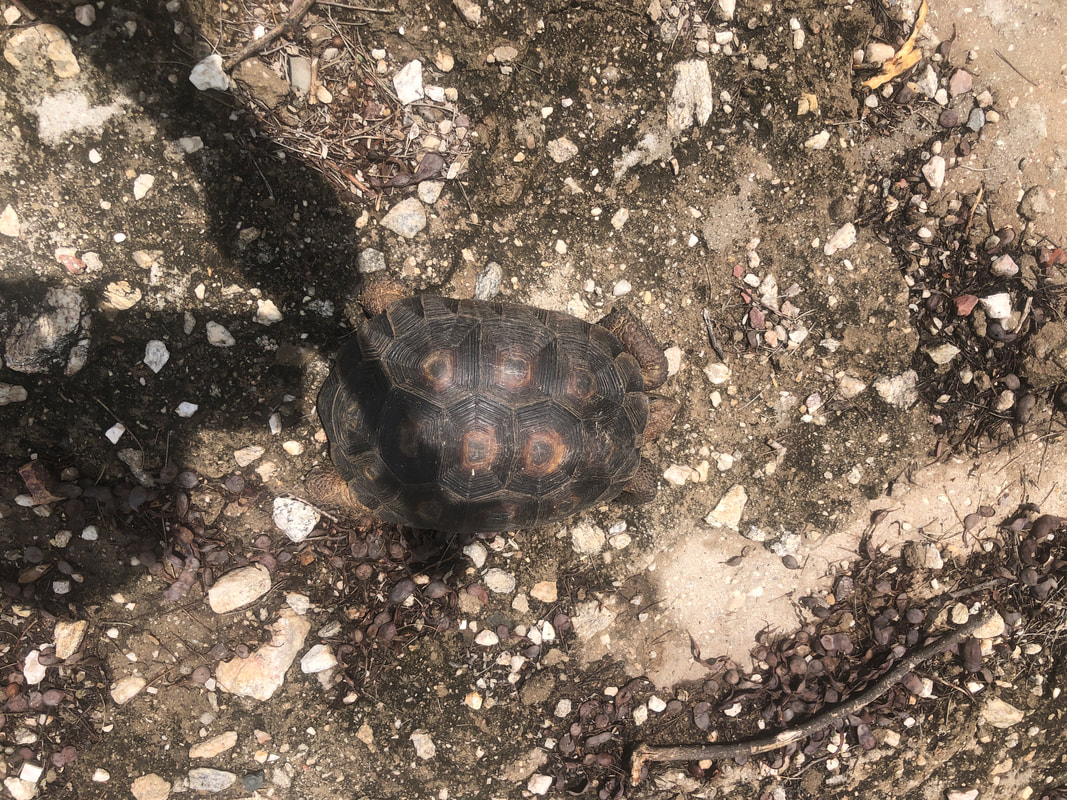
I decided to check the wildlife water tank again and if not filling, inspect the line that is supposed to fill the tank, up to where it originates. I asked hiking friend, Katherine, to join me since she lives way above me and starting from her place shortens the hike. We encountered a tortoise on the road in front of her house and thus ensued a debate, lift it to safety or leave it to follow the path of its choice. We left it. Arriving at the tank, we look in and given the good amount of rain in the last few days, the tank should have had much more water. A small portion of the tank's bottom was still uncovered and a lizard was occupying it. We did not debate what to do about this as assumed it could climb the wall. We followed the pipe as it snaked through a ravine which had a decent flow of water. Katherine was shown some petroglyphs by a guy who cares for the tank and pipe but she was unable to show me where they were. Higher we go until at last, we reach the water collection point. Beautiful place and the sound of the flowing water added to the atmosphere. The collection point is within this box with a filter surrounding it. It is fixed to the rock and can not be moved. Maybe the flow has had a subtle change over time as the water was bypassing it. It would require a pretty good increase in volume before the box became effective. Someone put a lot of work into repairing the pipe that was ruined by last year's fire. I'll look into this issue and see if we can get the pipe functioning. There are plenty of concave areas holding water for the animals for now. Oh, the tortoise was unharmed and had moved off the road. Finished with 3.3 miles.
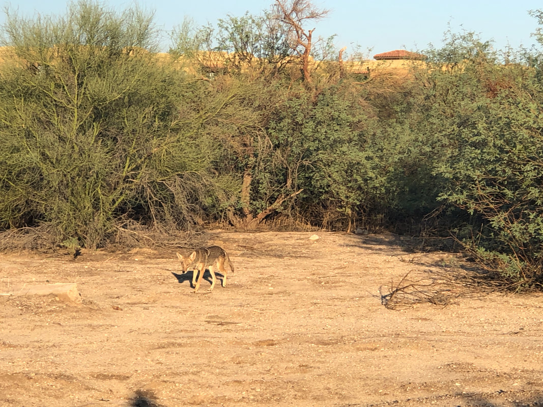
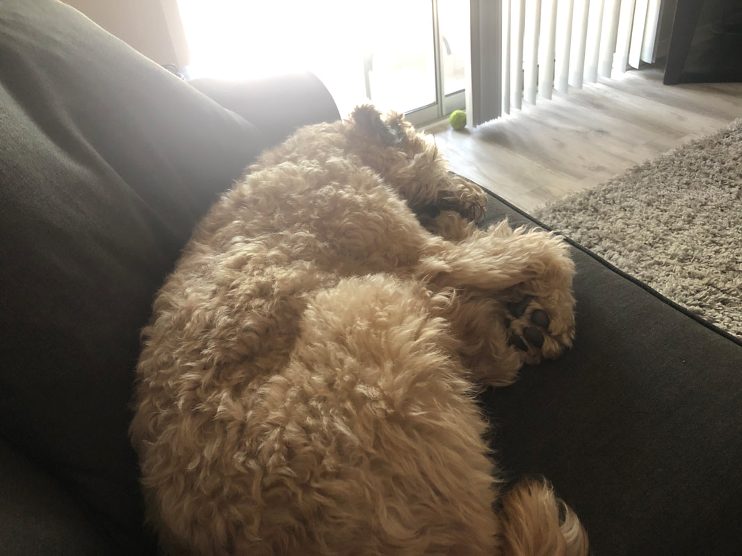
Imagine my surprise, while walking Jack the Dog in a wild area close to my condo, to turn for an unknown reason and discover a coyote following us closely behind. Jack is very well fed and would make a tasty meal. I began walking backwards and the coyote continued to follow. I looked for a large stick or rock but nothing substantial was close. We kept walking and reaching a trail intersection, hung a right toward my complex. The coyote too turned right but now, while paralleling us, was farther away and I took the above image. Kind of creepy but once we reached a road, the coyote walked away. Then..... ....we made it back and Jack did what he does best, other than eating, slept for awhile.
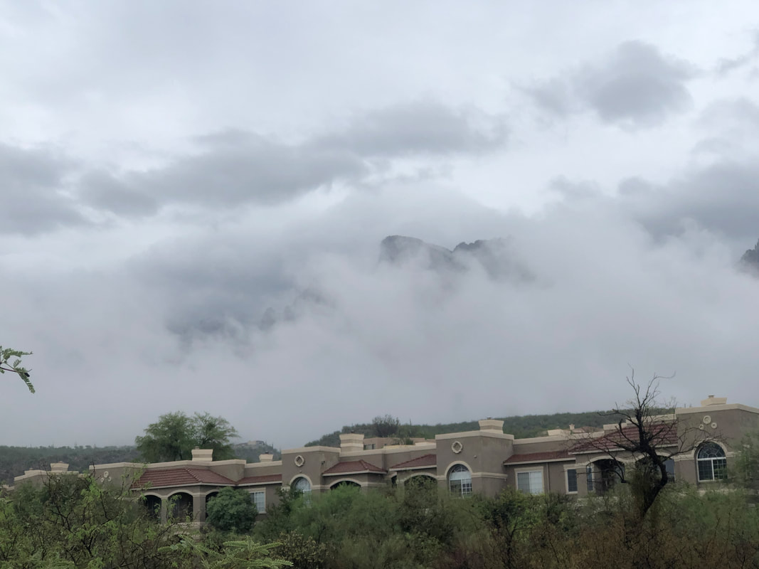
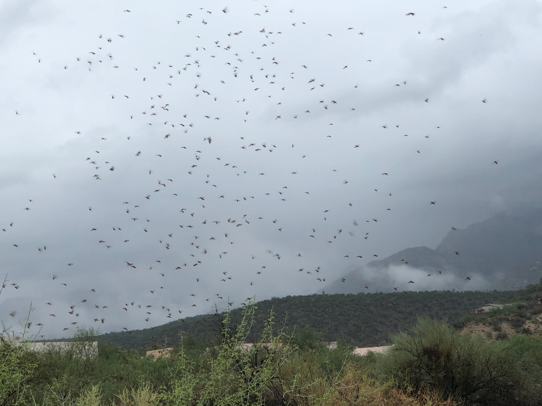
What a great weekend of rain. In Oro Valley there was light to moderate rain for much of the weekend rather than microbursts as occurred elsewhere. So, no flooding but the washes were running. For Tucson, it's the wettest start ever for a monsoon but many areas received much more rain, double digits just in the last few days. Saturday's high of 77 was the lowest high ever recorded on this date. If the rain paused.... ....I'd get Jack the Dog out for a walk and began letting him off his leash to chase a ball in a nearby wild area. The rain has released.... ....a type of frog that releases a poison that is deadly to dogs. Then these insects that rise about 20' and then plummet to the ground. Many, many areas of these things. Well, it was good while it lasted but a sunny Monday greeted us. Meantime....... ....Amy is enjoying time with her sister in St. Thomas.
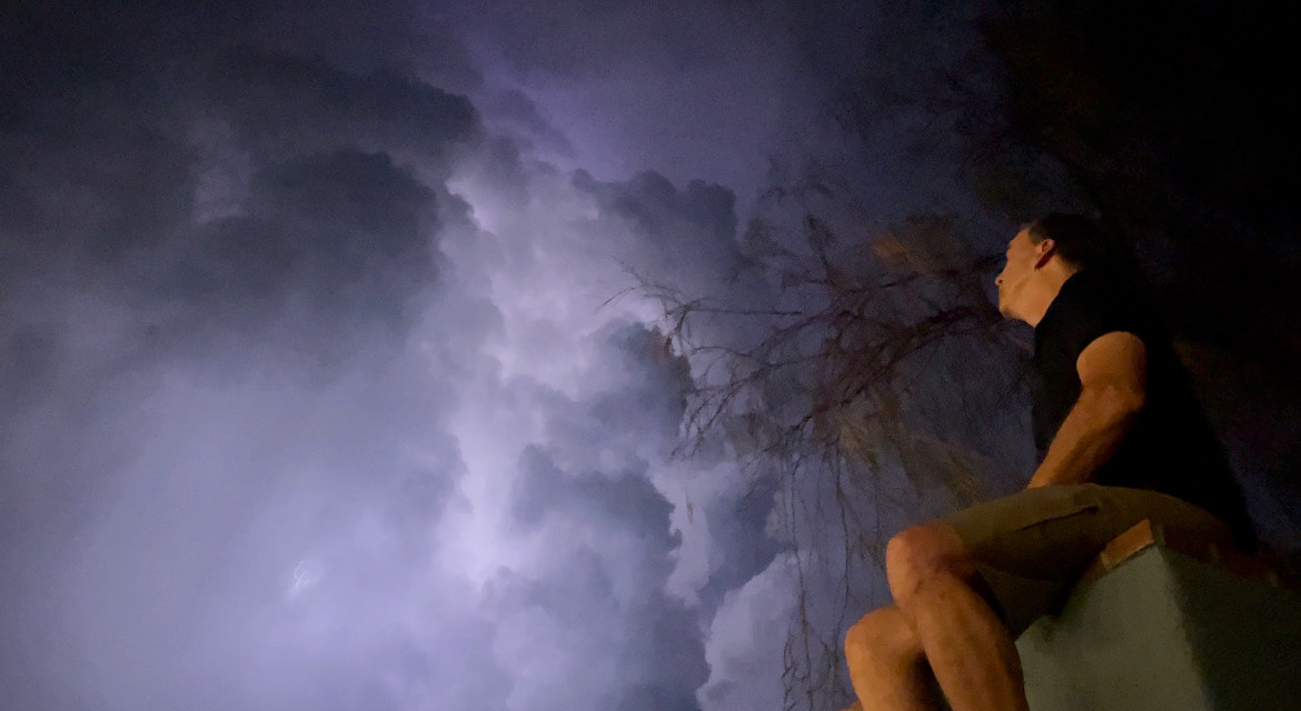
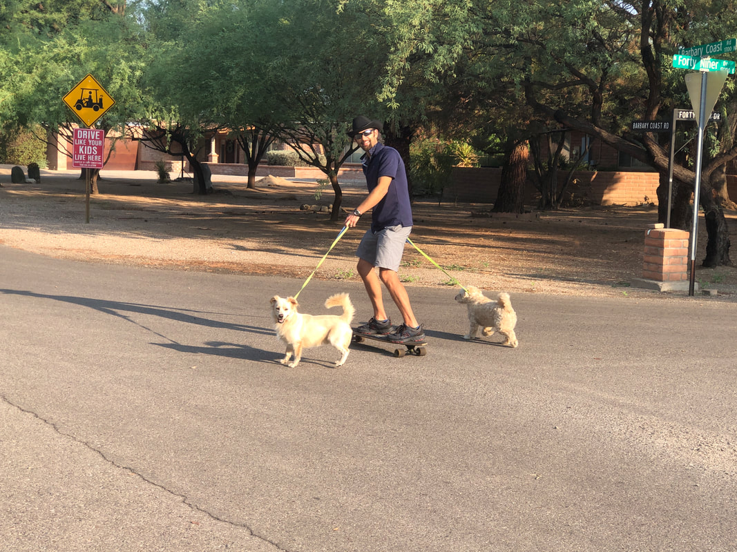
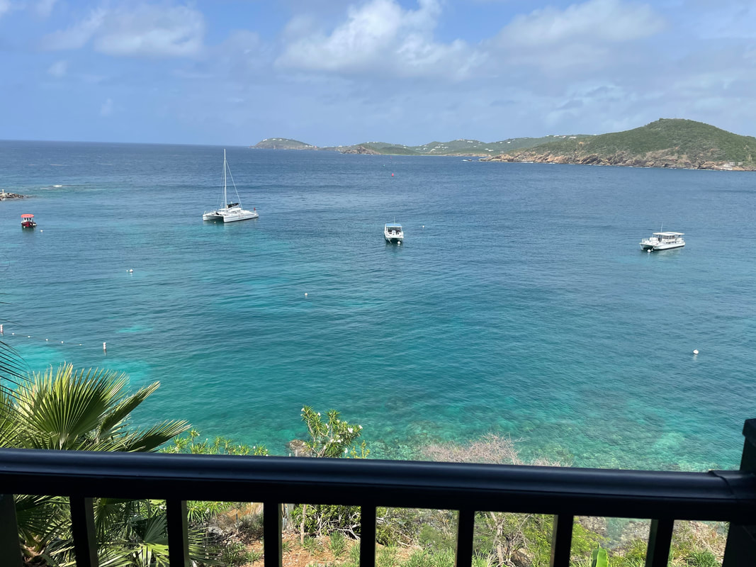
I climbed Amy's outdoor fireplace to get a better look at a nearby storm. She thought to take a picture and it turned out well with the clouds backlit by lightning. A sunny morning the following day so I got out for a short ride and encountered this guy, being pulled on a skate board by his two dogs. And then..... ....the rain arrived and in a big way. Rain gauges around the area have recorded as much as 7"+ in the last few days. Even the notoriously low Tucson airport gauge is reporting over 2" within the last 72 hours. Mean time, far south and east of here..... ....Amy has fled to St. Thomas. This is her view from where she is staying. I was invited but following my due diligence, it didn't appear that the island had enough activities that I would enjoy. Snorkeling is fun but not sailing, beach visits, fishing and one thing that was reinforced by the recent trip to the northwest, after 2 days of inactivity of the kind I enjoy, I start crawling walls. I don't know why that is just that it really, really is a factor. So.... ....I'm caring for Jack the Dog. The first two days have been atypical of course with all the rain so our walks have lacked some distance but he is eating well and seems content as we both look forward to the reunion. Sunday, another day of rain but that's ok. Getting in a good ride on Monday and then a hike on Tuesday.
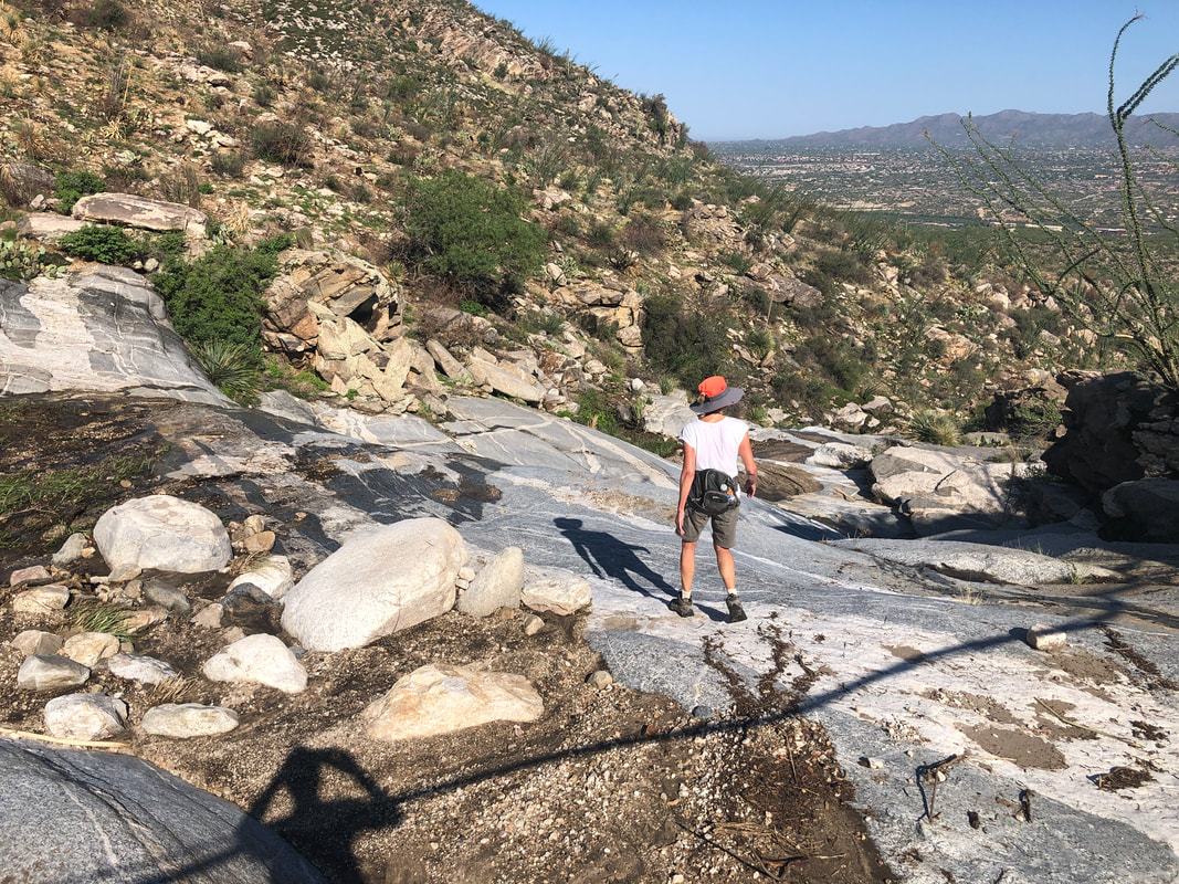
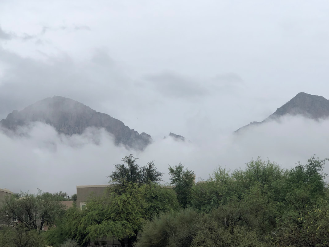
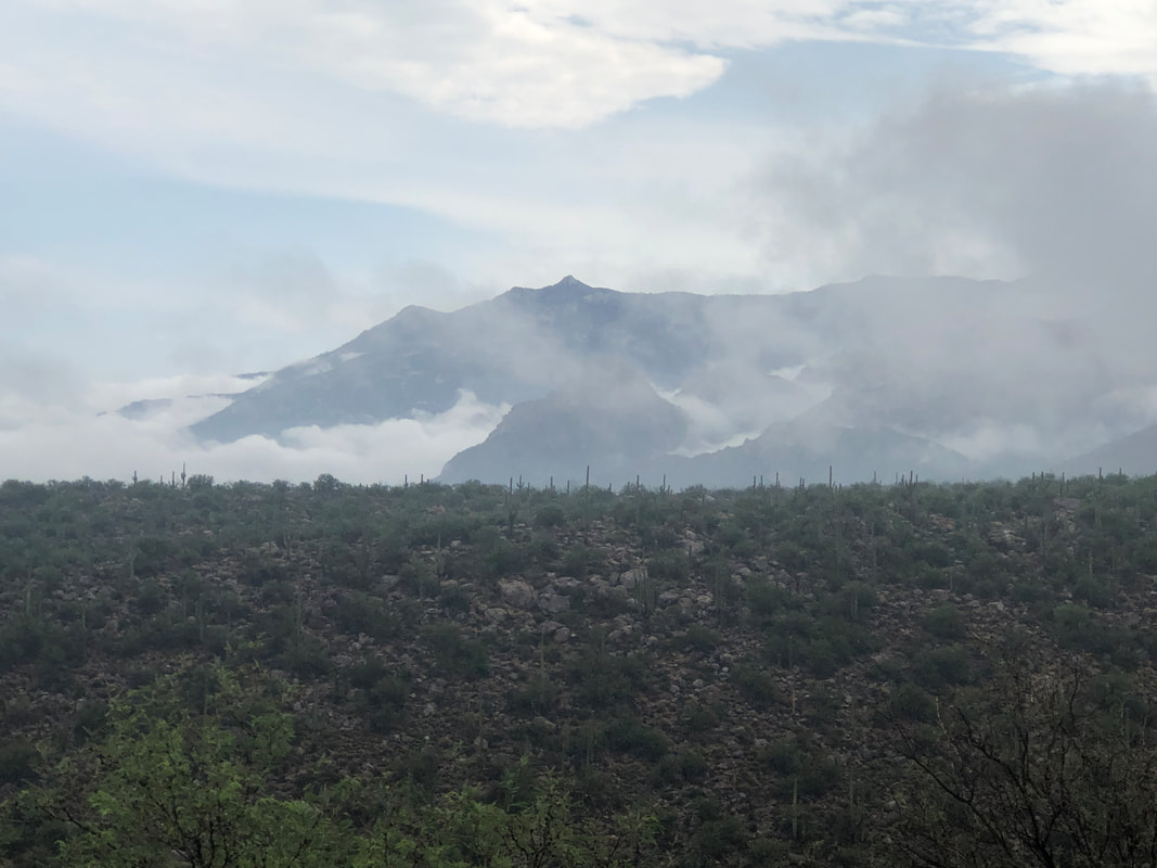
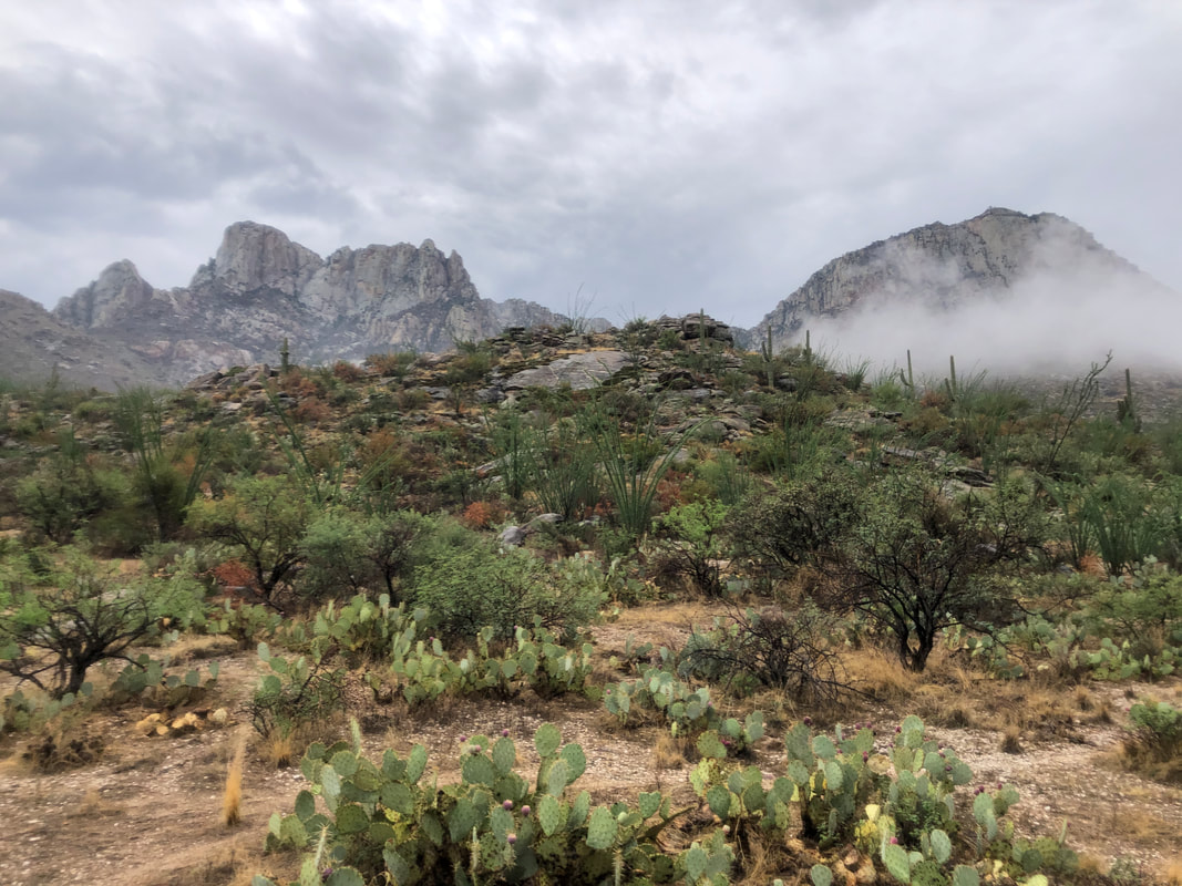
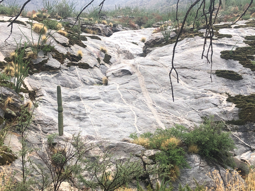
An overnight rain and lingering clouds. A beautiful scene as I hike into the west facing side of the Catalinas. There is a large water tank below Table Mountain and I thought it may now be full so wanted to check it out. I thought I had waited long enough for the rain to have passed through but as I climbed, I was subject to off/on light rain. Given the humidity, not much difference between rain spurts. I reach the tank and..... ......puzzled as there is no water other than what has gathered as a result of rain directly into the tank. Hmmmmm. A metal pipe extends up slope and at some point, a plastic line enters it which was recently replaced after being melted from last year's fire. The plastic line extends to a ravine where runoff is collected. I followed the metal pipe until it reached a trail. I was running out of time so had to return via the trail rather than continue the inspection. I let some people know about the situation so someone will be checking. A beautiful slick rock feature as I head down. A tortoise senses my approach so buttons up until I pass. Finished with 4.5 miles.
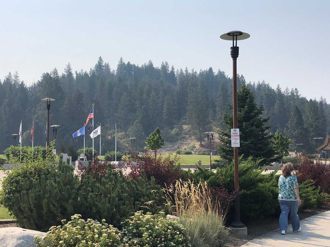
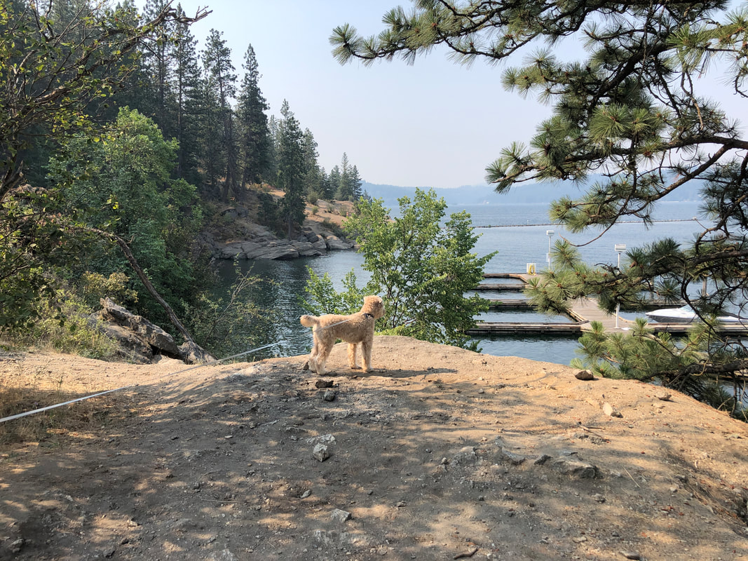
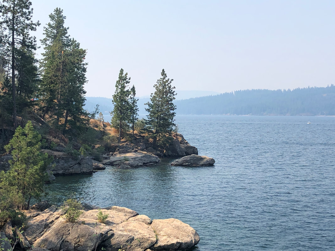
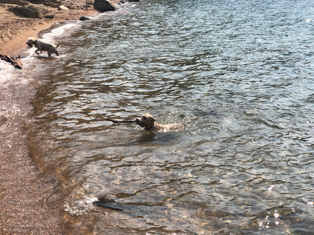
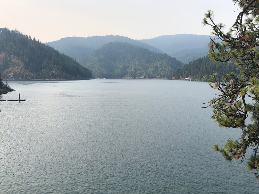
Tubbs Hill juts into Coeur d'Alene Lake and has an island feel to it as we arrive to hike the hill's circumference via the "Lake Trail". Along for the endeavor is..... .....Jack the Dog. The trail initially stays high above the water as we looked for easy access to the shore so Jack could go for a swim. The lake is huge and I should post its dimensions but take my word for it...HUGE. At last we found an accessible beach where Jack enjoyed plunging into the water to fetch sticks that we threw. We ended with 2.3 miles of hiking. And with that, we decided to return to southern AZ a day early. Coeur d'Alene is a beautiful area but doesn't seem to be the cycling/hiking rich area I imagined. Hindsight being what it is, would have much preferred to linger in a couple of areas through which we drove so with that knowledge, we'll plan differently, next time. Including not staying in a hotel and eating lunch and dinner out every day. Somehow, with all the time sitting while driving, no big hikes/bike rides, eating out every day, etc... I gained only 1 pound. I think we ate healthy so that was a plus. I've scheduled a group hike up Elephant Head but not via the traditional southern start but from a northwest start. We'll end up at the saddle to the left of the "head" and then climb the back side. Should be quite an adventure.
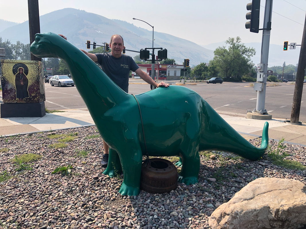
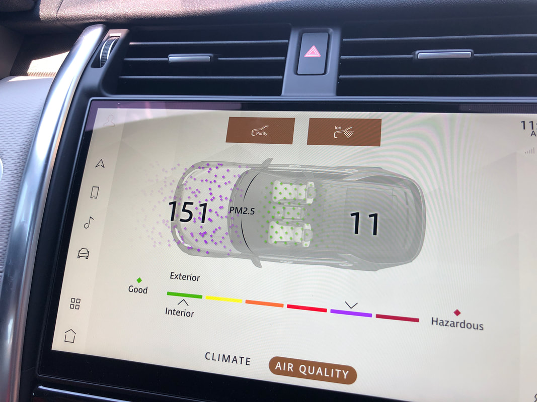
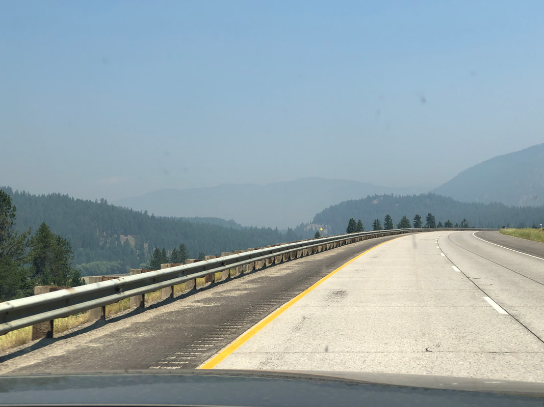
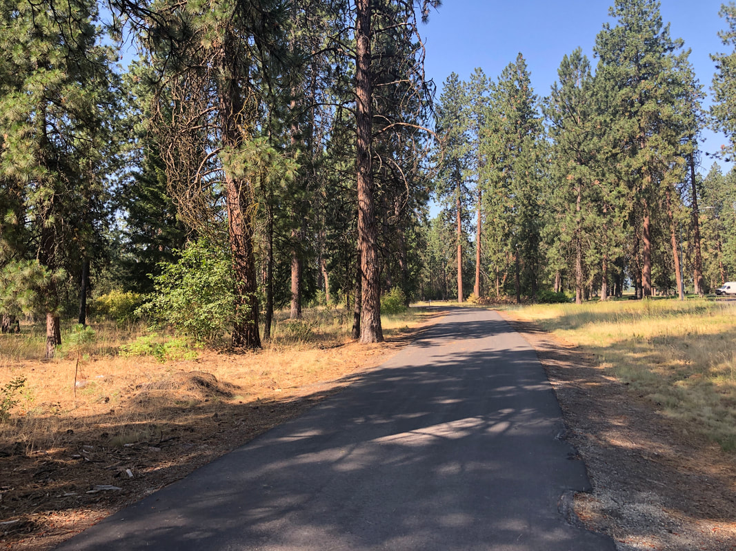
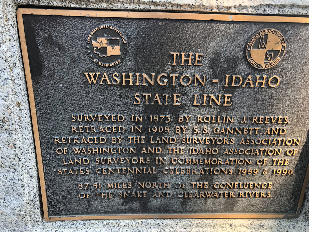
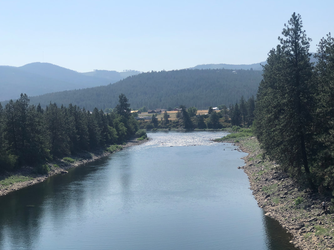
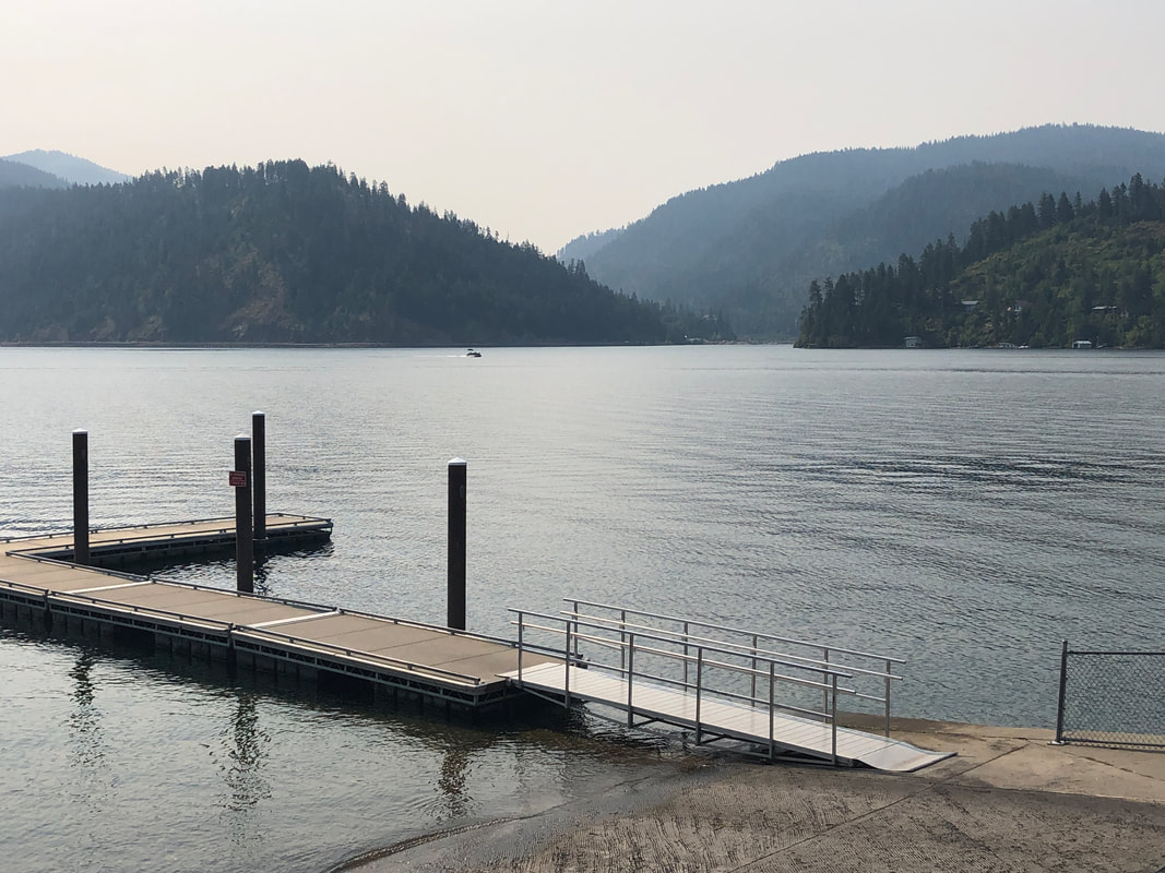
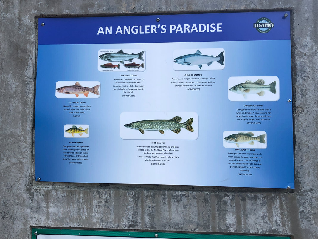
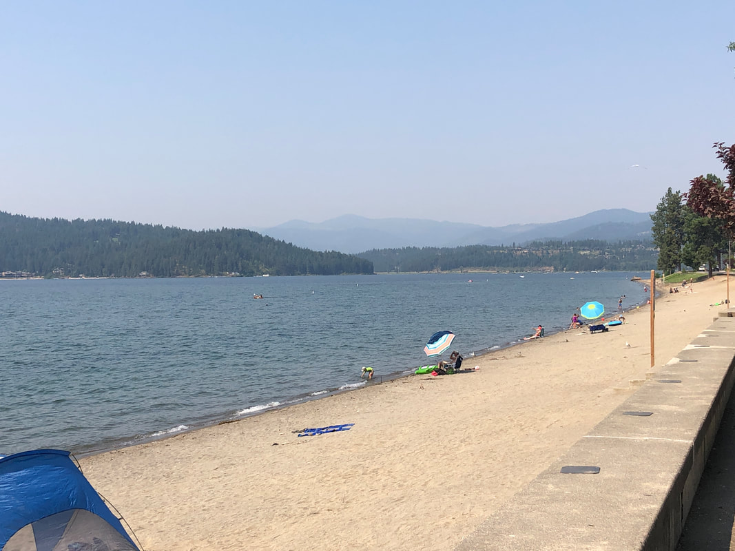
There are many Sinclair gas stations in the northwest and some have these large brontosaurus models either inside or out front. Amy's new suv can show the quality of the air inside and outside. As we left the kind of smokey Missoula area it was no surprise that the air quality was not good. As we drove west toward Coeur d'Alene we got west of a couple of wild fires and with the southwest wind, the air improved dramatically. The region is very hilly and while I was looking forward to arriving in ID, I regretted not having an extra day or two in Missoula for additional hiking. We arrived in ID, got our bikes out and investigated a bike path, going west to..... ....the ID/WA state line. Nice view from a bridge overlooking the Snake River. We finished with 30 miles that day and the next day, we headed in the other direction through Coeur d'Alene and beyond. Generally, I dislike bike paths as they tend to be flat, boring and dangerous but this one was more rolling and had great views of the lake. We rode the bike path until it ended at Higgins Point where a sign illustrated the variety of fish that live in the lake. Pretty impressive list! Turning around..... ....we retraced our route, enjoying more grand views. Although the image doesn't show it, the long expanse of beach was crowded with people enjoying the sun and above average temperature.
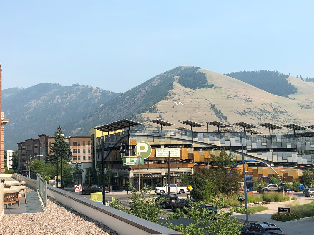
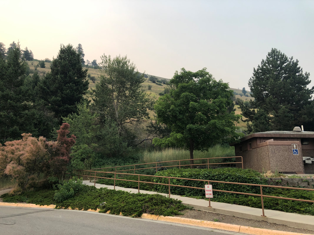
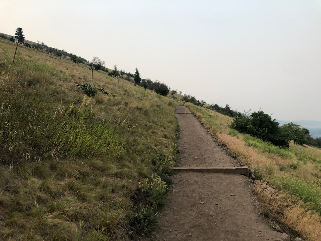
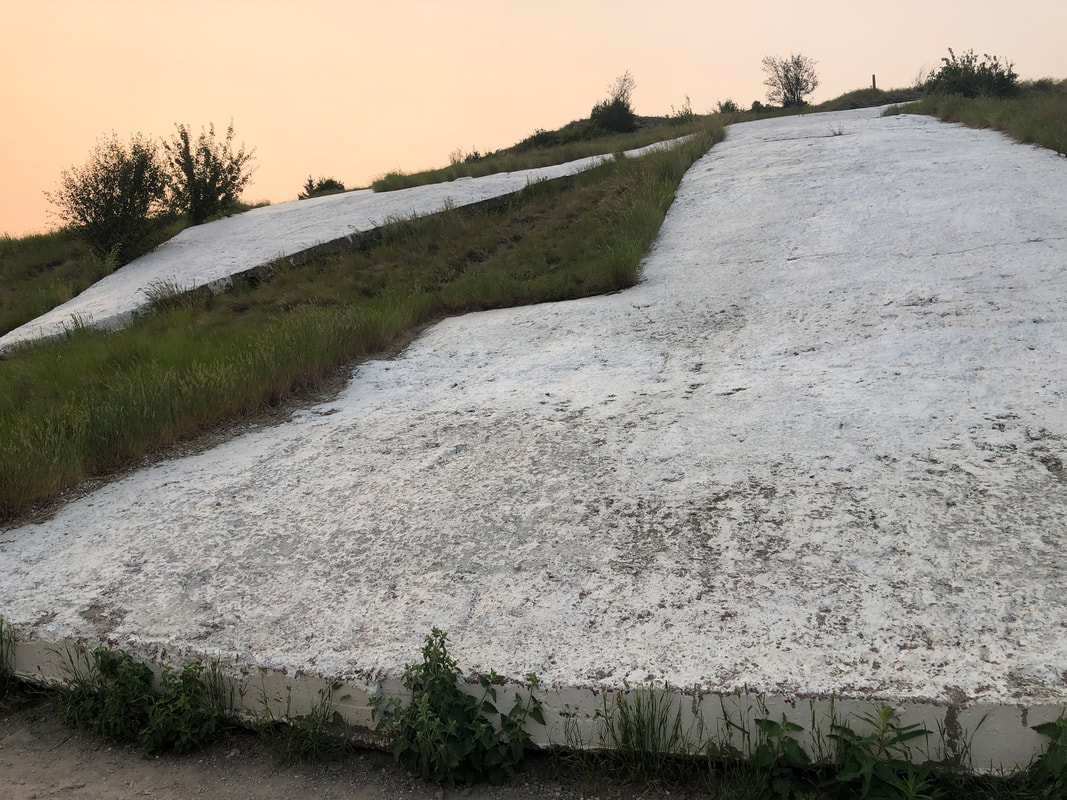
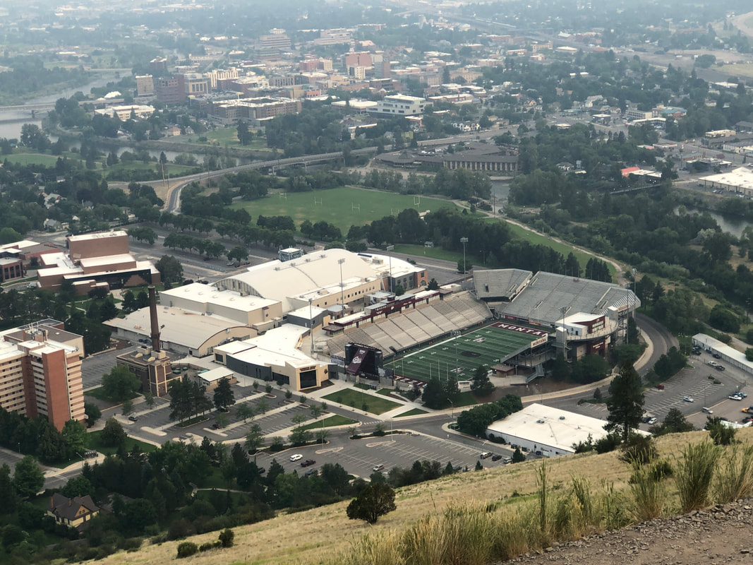
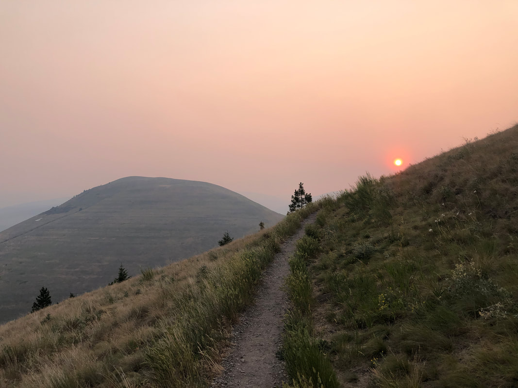
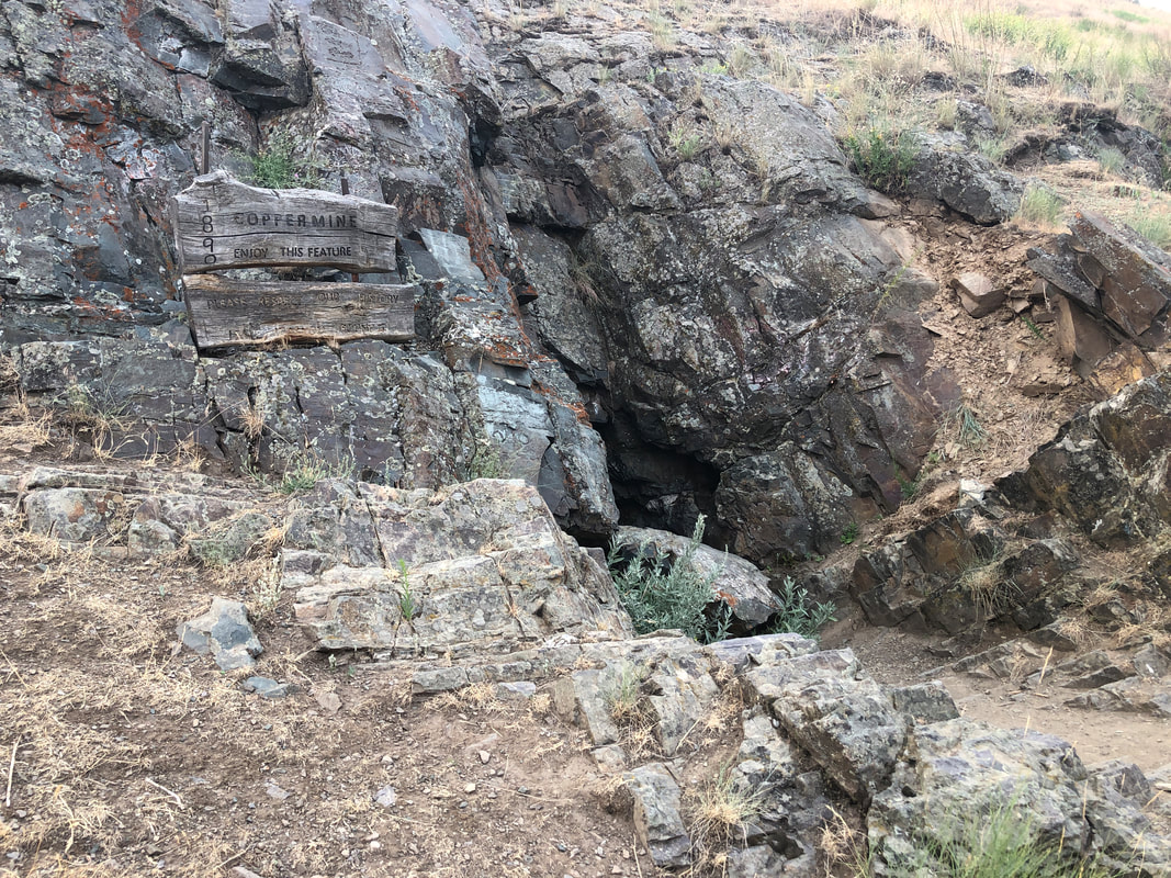
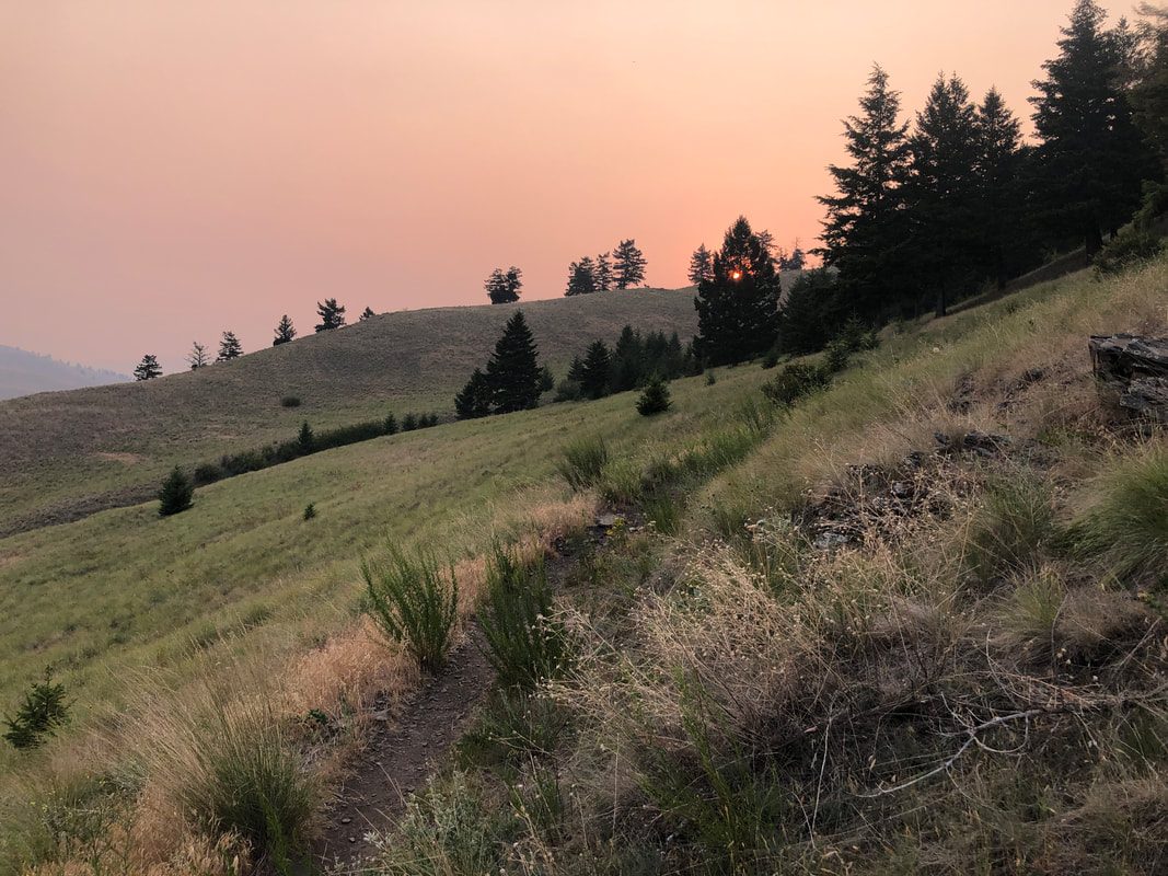
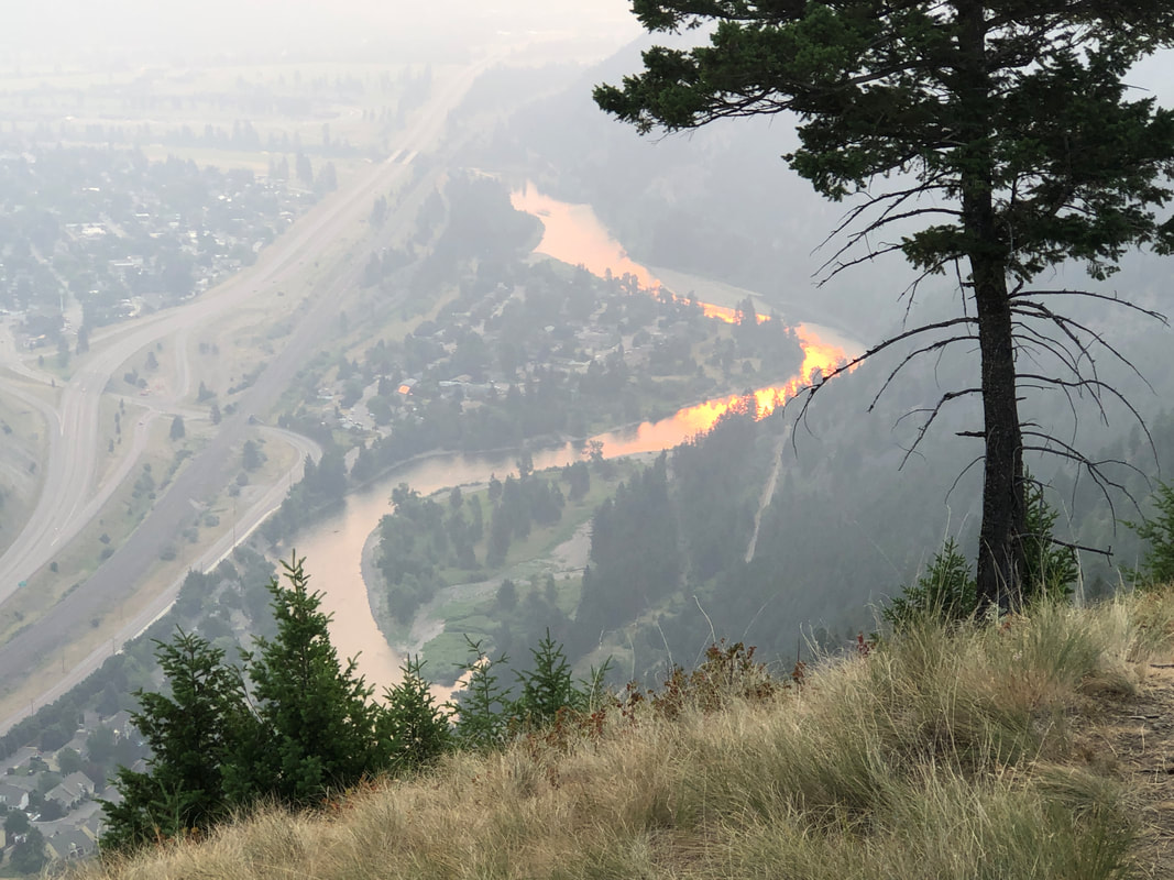
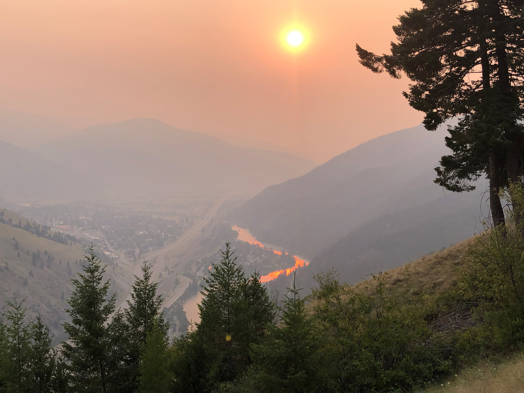
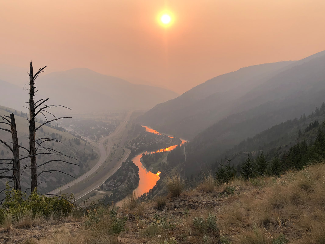
We arrive in Missoula, MT for a couple of days. In the distance, the "M" for "University of Montana" on the way up to Sentinel Peak. There are many hiking options around the area but we needed to check out at 11am and the trail head was less than 2 miles so.... ....I drove through the campus to park. I know, I should have walked but and will next time now that I know how to get there through nice neighborhoods. The climb to the "M" is rather steep, having an average grade of 20% through many switchbacks. The sun has not yet risen above the mountain as I pause to take a pic of the slope I am ascending but finally.... ....reach the base of the "M". Great views as I turn and look..... ....at the campus below me. I continued up and soon saw.... ....the rising sun. Kind of hazy as the wind has shifted from the southeast and is now bringing in smoke from our east. I pass an abandoned copper mine. I've ready too many reports of bear sightings so decide not to go in and explore. ha, ha. I continue up and reach a ridge trail that continues up to the peak but decide to descend via the ridge trail rather than continue up. OK, full disclosure, hiking alone and entering a forested area gave me pause cause I'm sure there are herds of grizzlies in there. I walk a short distance toward a valley and see.... ....the sun reflecting off the water of a river. I stand for quite awhile and take.... ....more pics from this vantage point..... ....beautiful! Only had 2.7 miles with 1150' of climbing. Am enjoying the drive through states not previously visited but wish there was more time to do things like this. What a view!!!
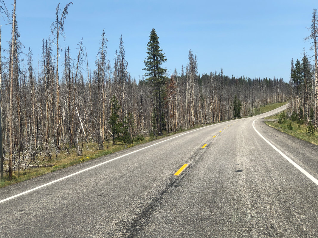
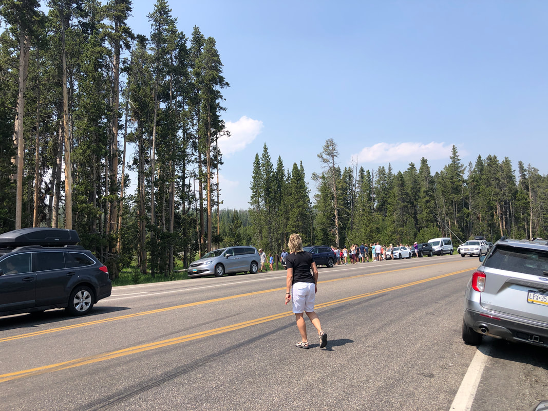
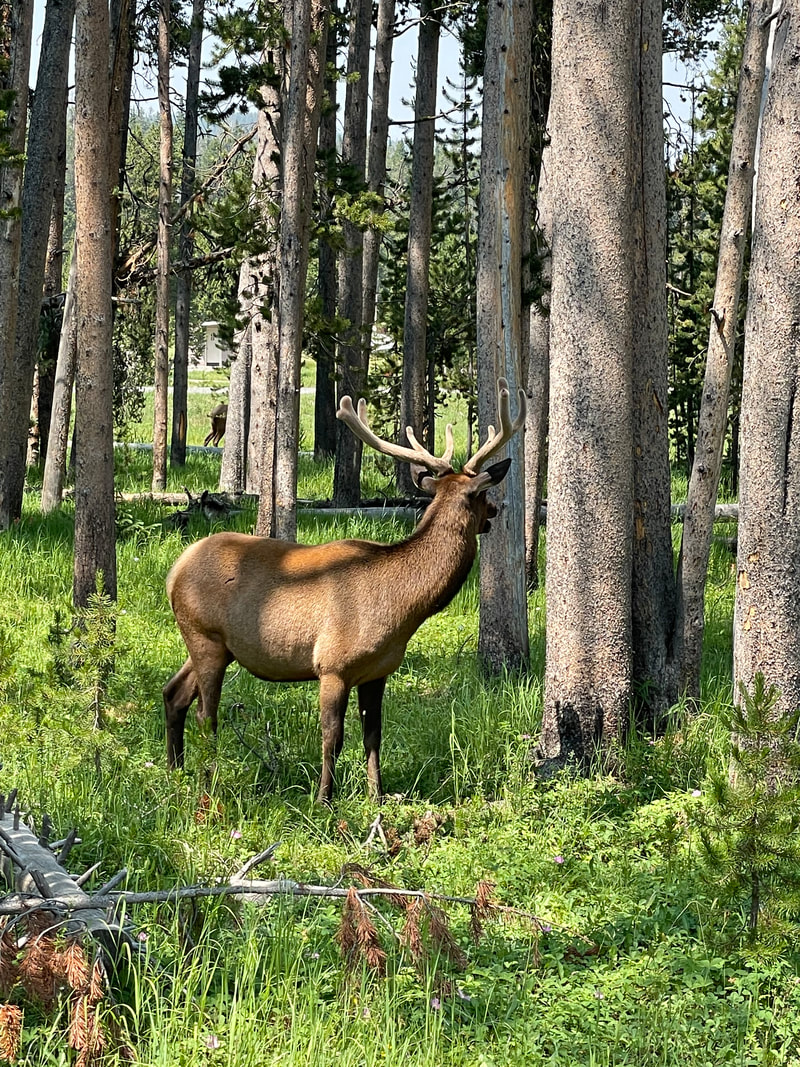
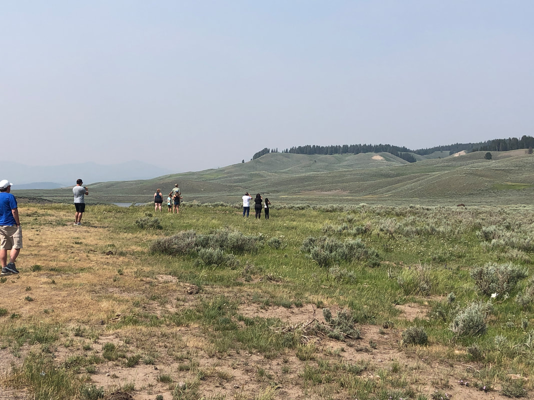
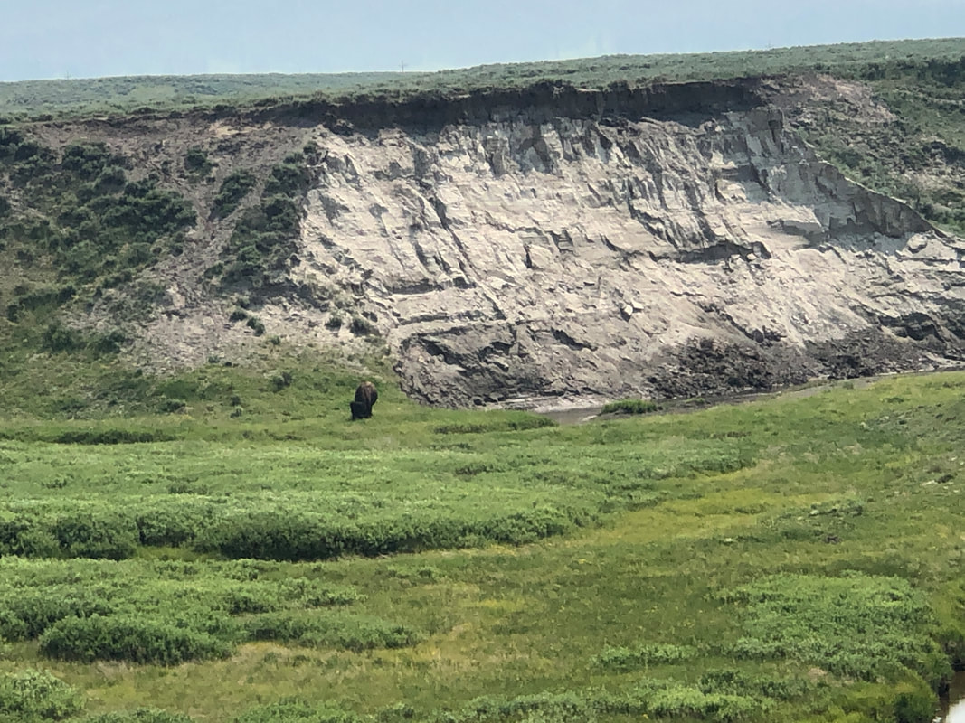
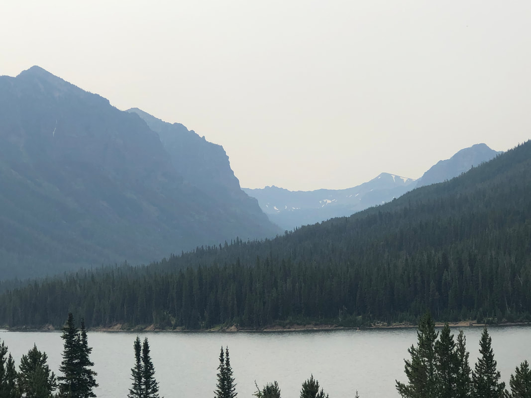
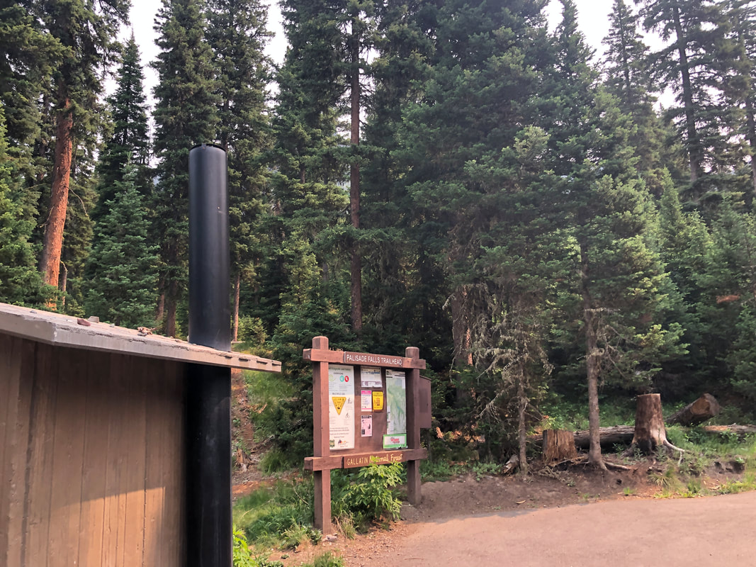
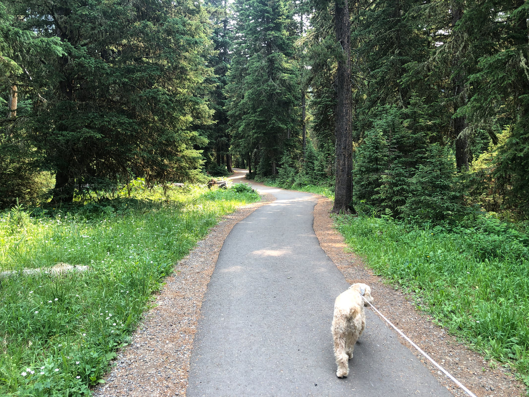
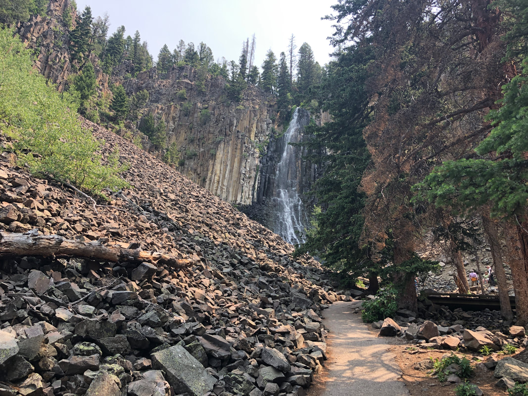
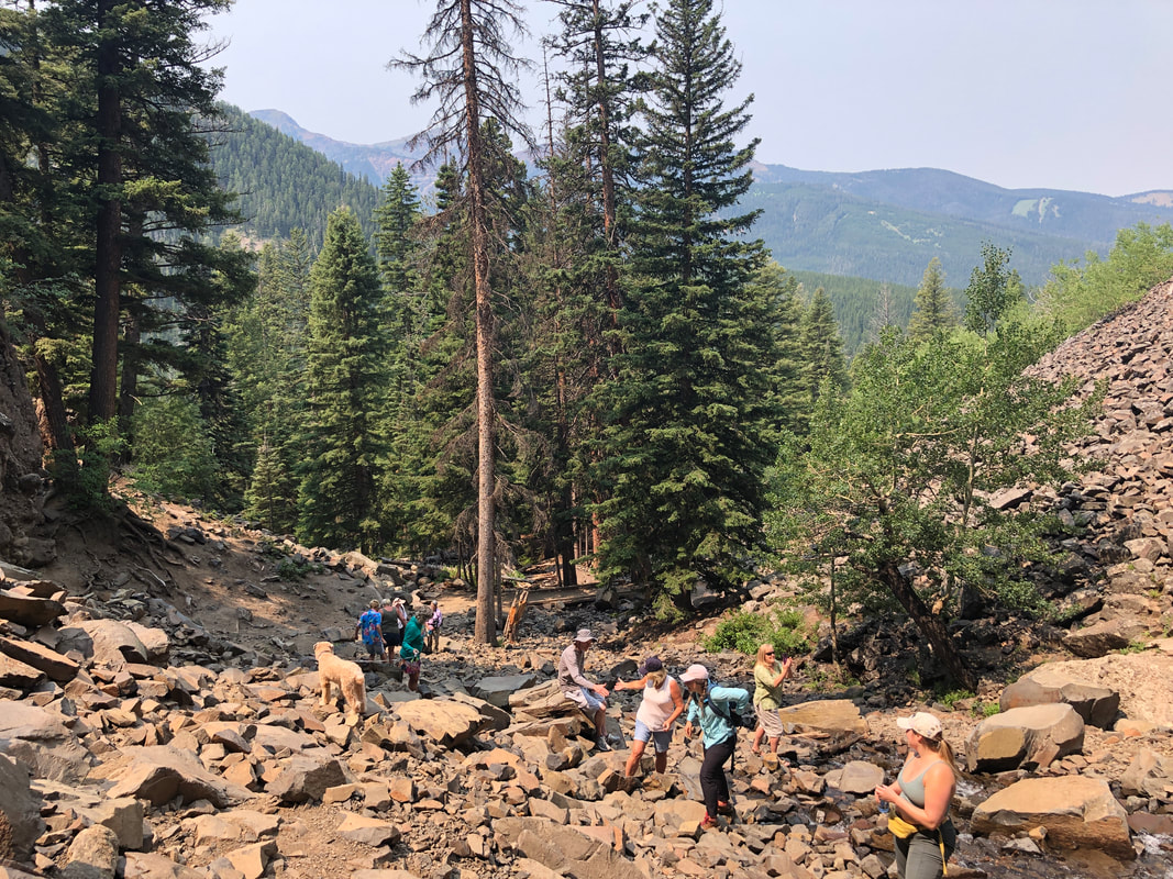
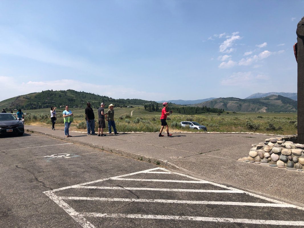
We enter Yellowstone NP. A fire of a few years ago has left many dead trees along the entrance. The park is enormous and driving through it take a looonnng time. One of the main attractions is wild animals so several times we would see groups of people gawking and would stop. Sometimes the reward was... ...well worth the stop but often times, at least on this trip.... ....not as people would stand at a distance to watch..... ....a lone animal in the distance. Actually, I was underwhelmed by this park. I had planned to return the next day to hike to the bottom of the "Grand Canyon of Yellowstone" but given the heavy traffic and delays, decided against it. We exited the park while entering the great state of Montana. We were both very comfortable with the people we met, the awesome hiking and cycling...if only it wasn't so cold here for so long, lol. Stopping in Livingston, MT, we took a beautiful drive to Palisade Falls with Jack the dog. The trail is paved all the way to.... ....the falls. Well worth the short walk to the base of the falls where we.... .....look down canyon. We have stopped at many independently owned restaurants and enjoyed them all, along with the wonderful people with whom we talked.
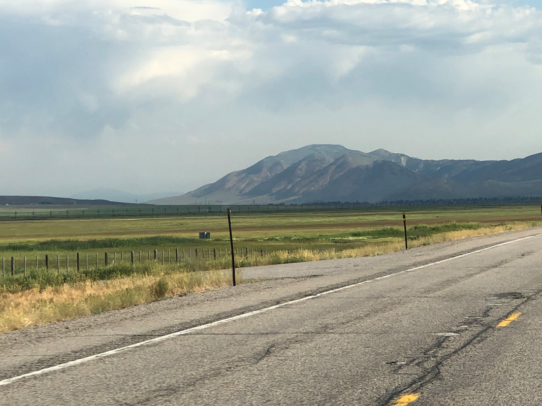
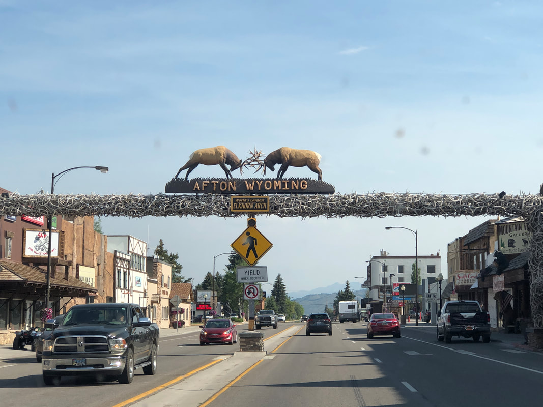
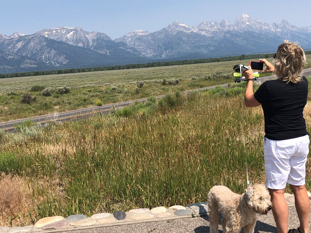
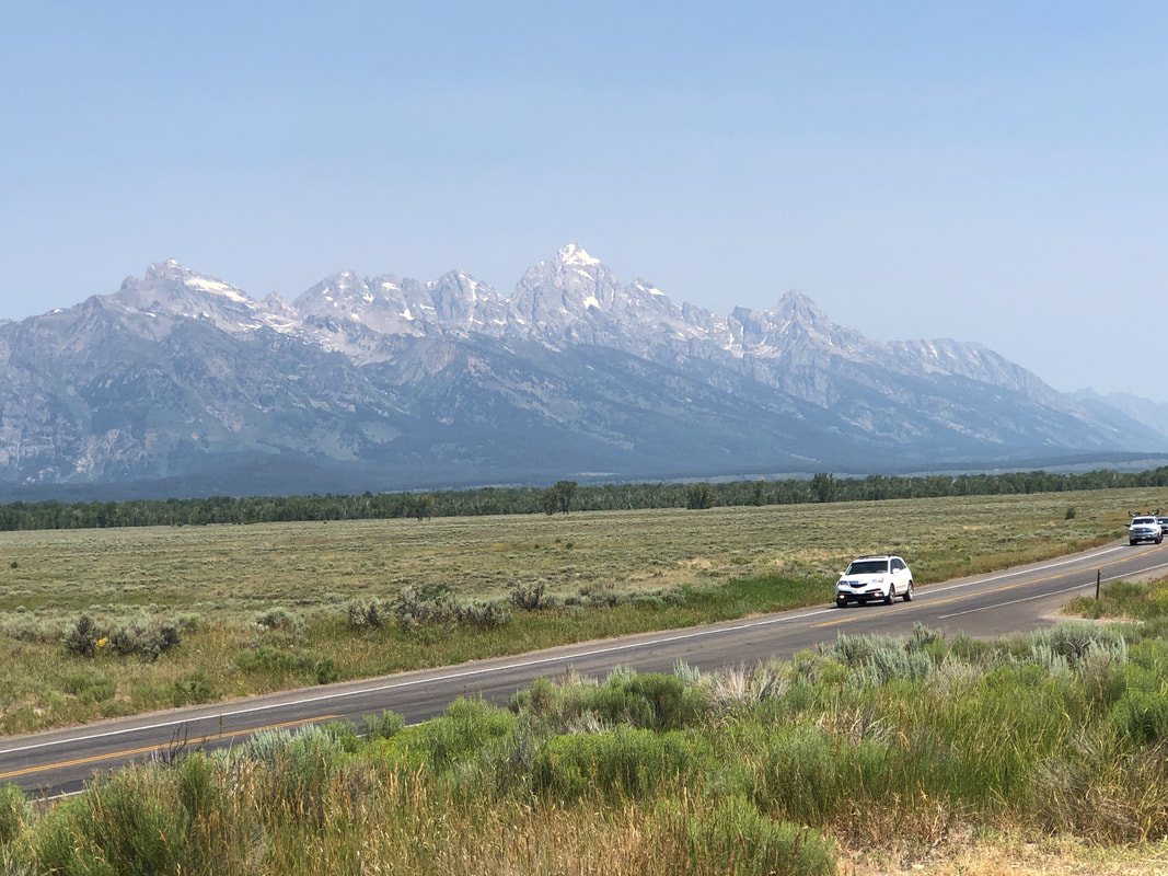
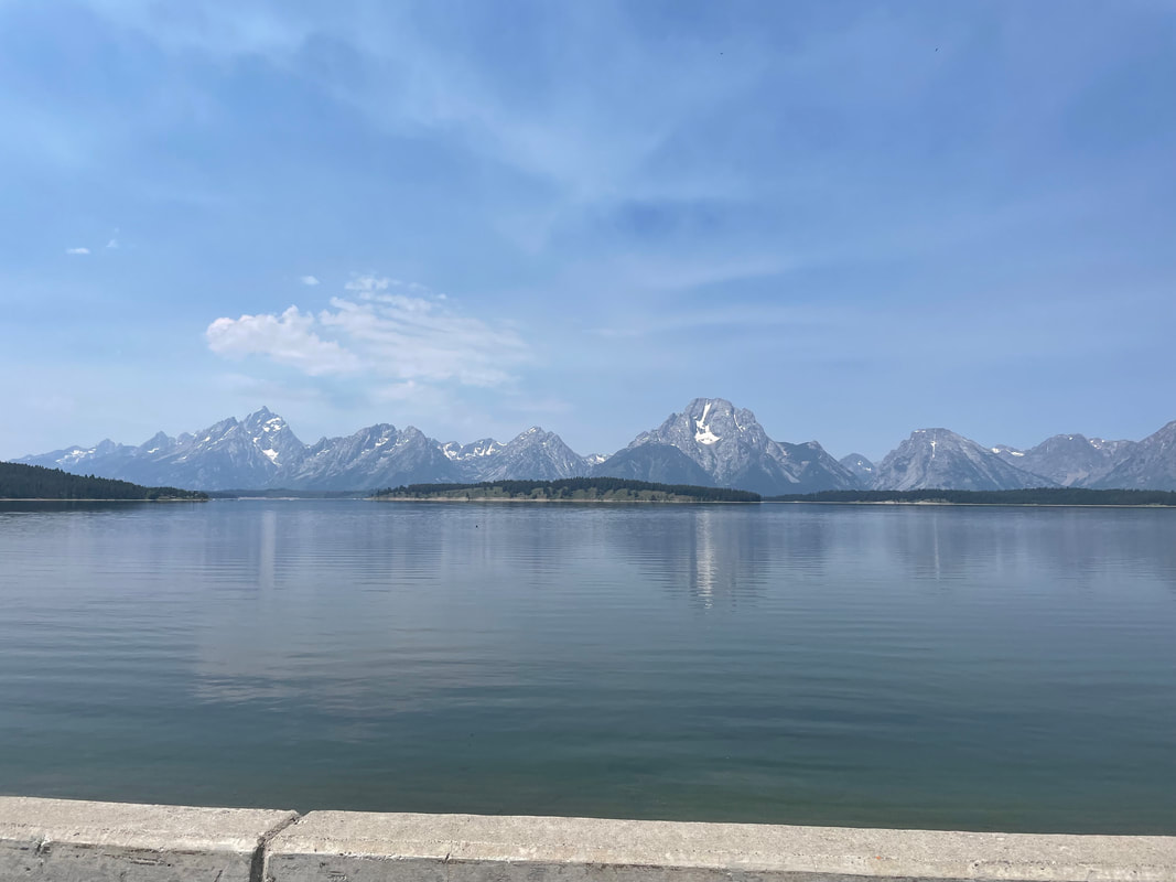
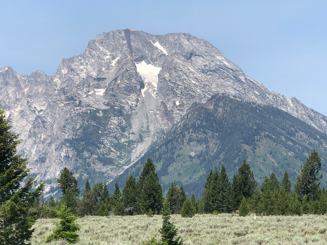
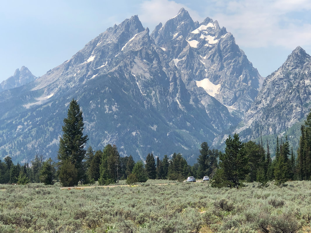
Grand Junction had a lot to offer for outdoor activity and would have liked to stay but we have to keep to a schedule so we re-enter UT, then into WY, a first for us both. Between mountain ranges, there is an abundance of vast farms mostly growing hay. Giant stacks of hay bales are everywhere. Entering Afton, WY where elk antlers are.... also in abundance. We're excited to see the Grand Tetons and the lead into them is beautiful but.... ....hard to exceed the first good look of the Tetons. Jack seems less than impressed. People line up to have their pic taken in front of the park sign and with the mountains in the background. Awesome whether forest, prairie or.... ....lake in the foreground. As unusually hot as it has been, not much snow left on the.... ....mountains. Traffic was surprisingly light as we drove through the park and headed to.... ....Yellowstone! More to come.
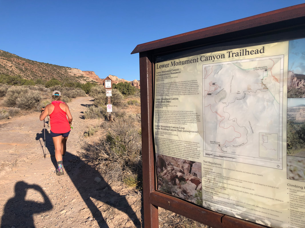
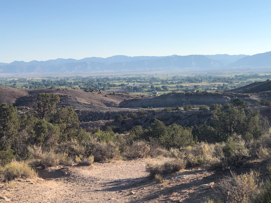
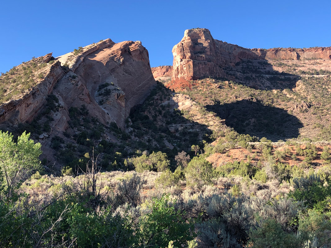
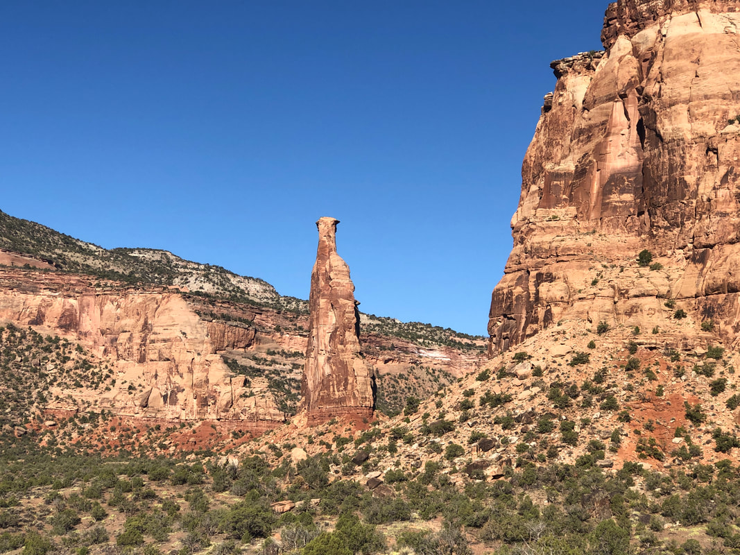
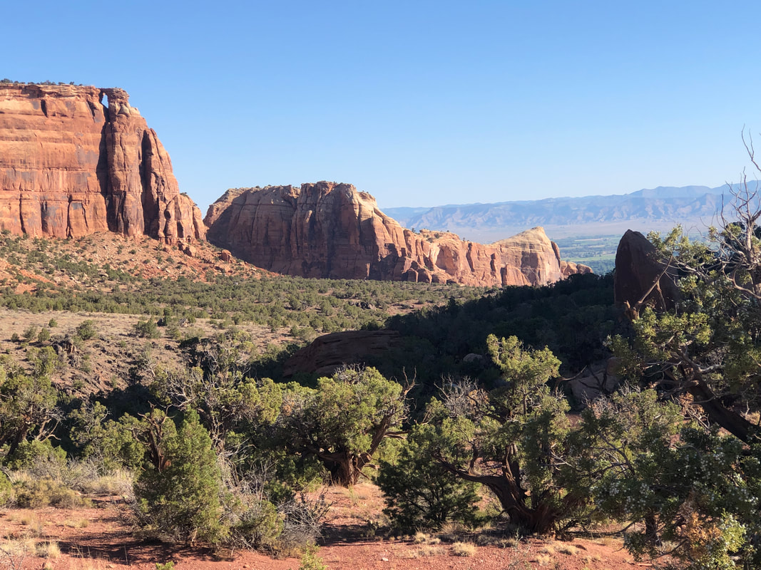
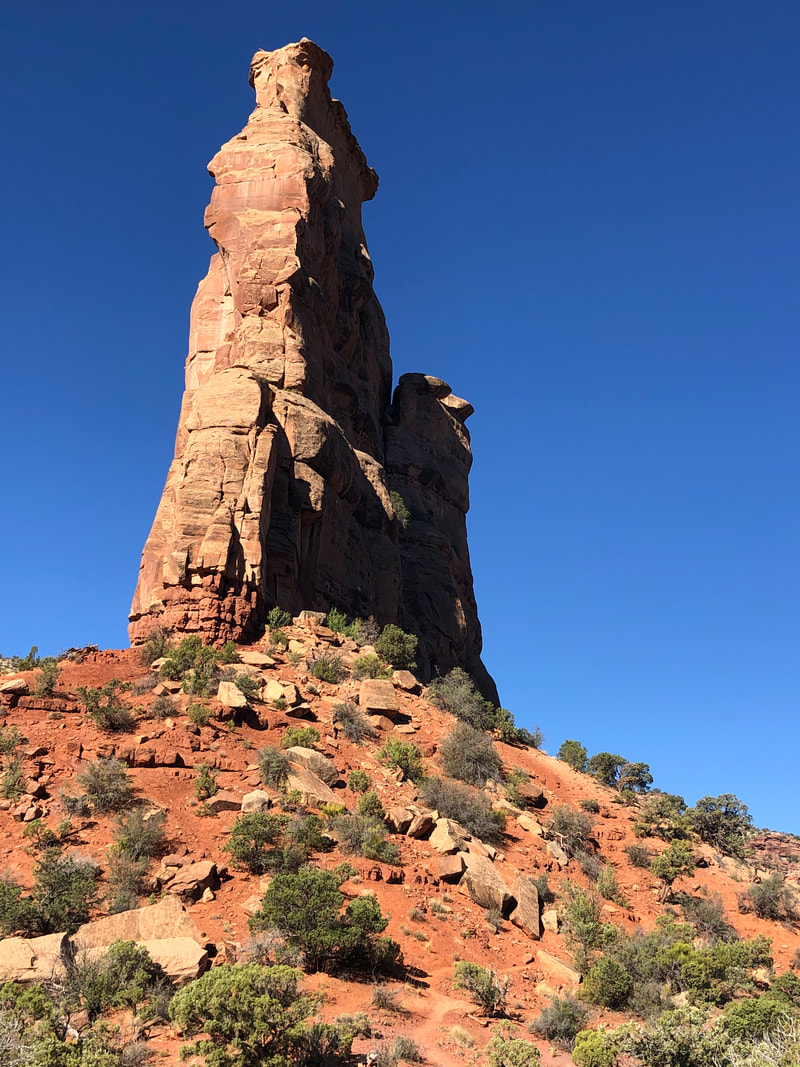
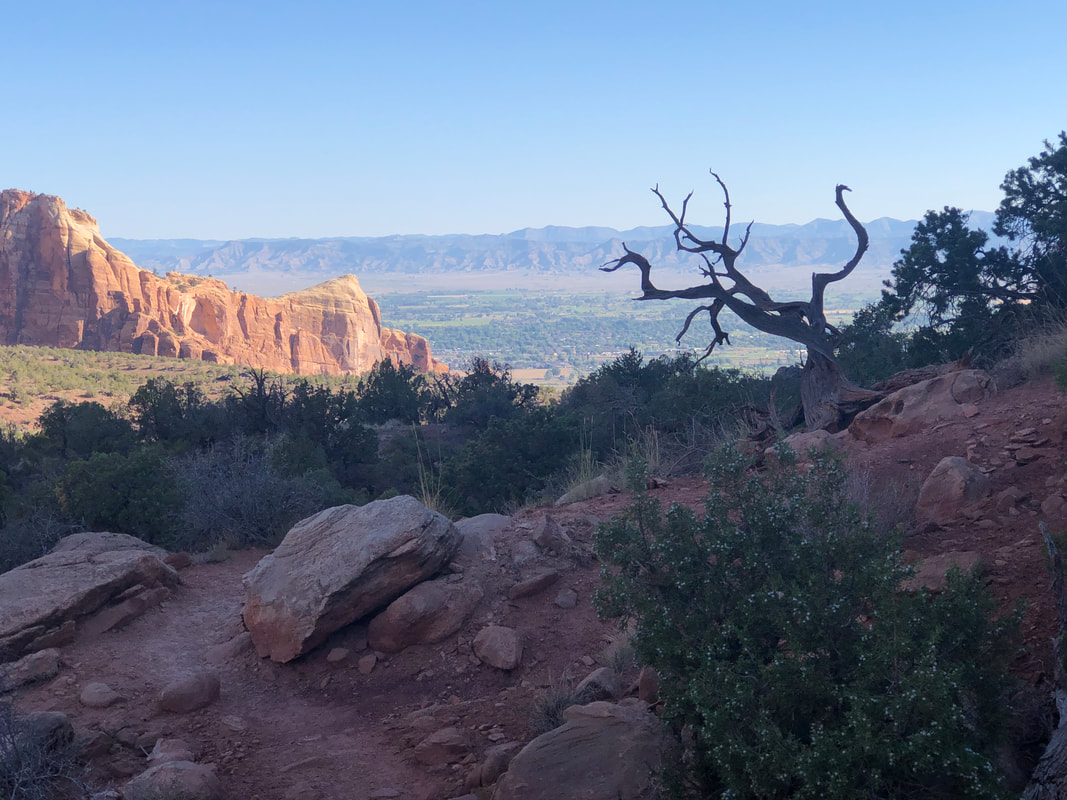
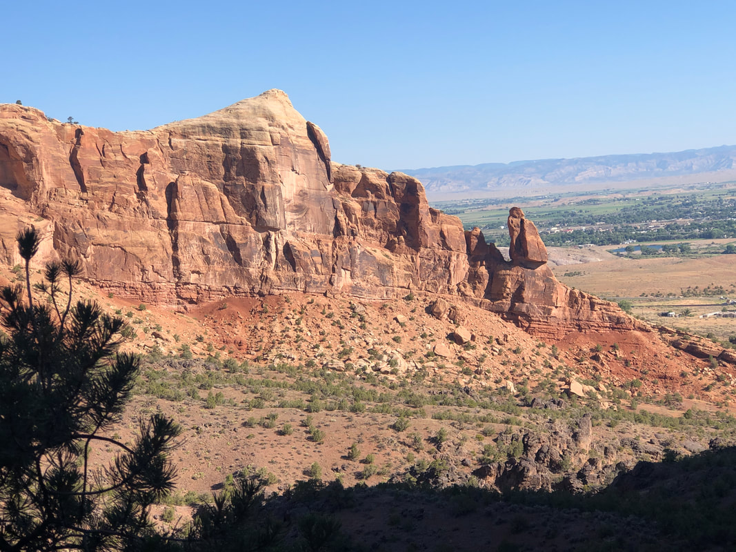
We reached Grand Junction, CO, an area well worth a followup visit. Colorado National Monument is a real treasure, among other places. I had read about a short hike known as the Monument Canyon Loop so we found the trail head and began the hike. We did the loop, clockwise as advised by the hike reports. Unfortunately, I had neglected to confirm that dogs were allowed and a hiker let us know about roving volunteers who issue a $250 fine if you are found walking with a dog. Amy volunteered to turn around while I continued. Hindsight being what it is, Amy's knee probably would have been a problem as she counts down the days to replacement surgery. The Monument has awesome views as I climbed toward my first look at.... ....Independence Monument. There was once a wall of rock but erosion has removed it all except for this remaining piece. The image doesn't do justice to the size of the structure. Great views every direction. Each July 4th, a group climbs the spire and plants a US flag on top where it remains for a week before the flag is retrieved. There is a road that follows the rim of a nearby canyon and it is filled with cyclists and vehicles who witness the event. Knowing Amy and Jack were waiting, I ran at times back often..... ....the scenery would cause me to stop and take a pic. Note the rock balanced, for now on the right side. Finished with 4.5 miles and 750' of climbing. On to the Grand Tetons and Yellowstone NP.
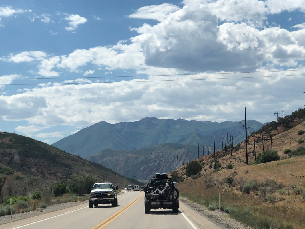
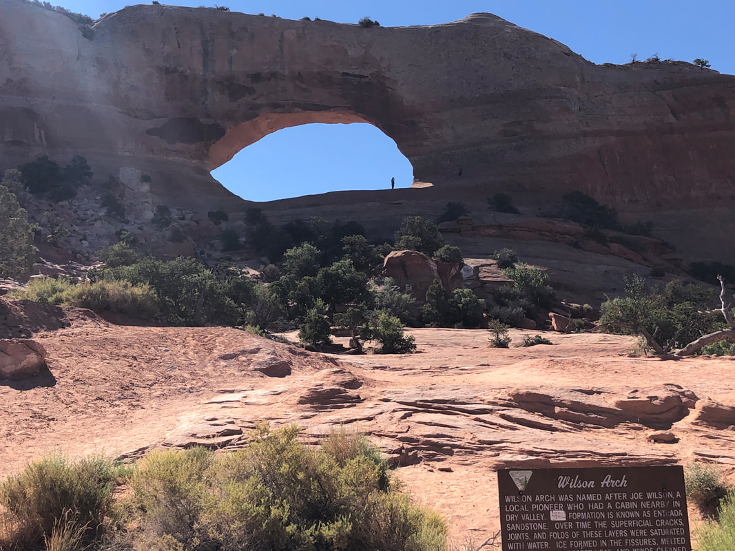
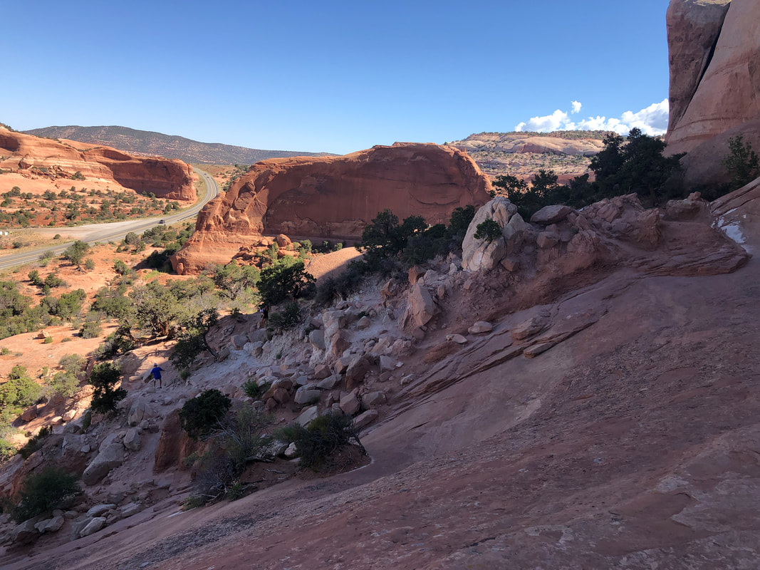
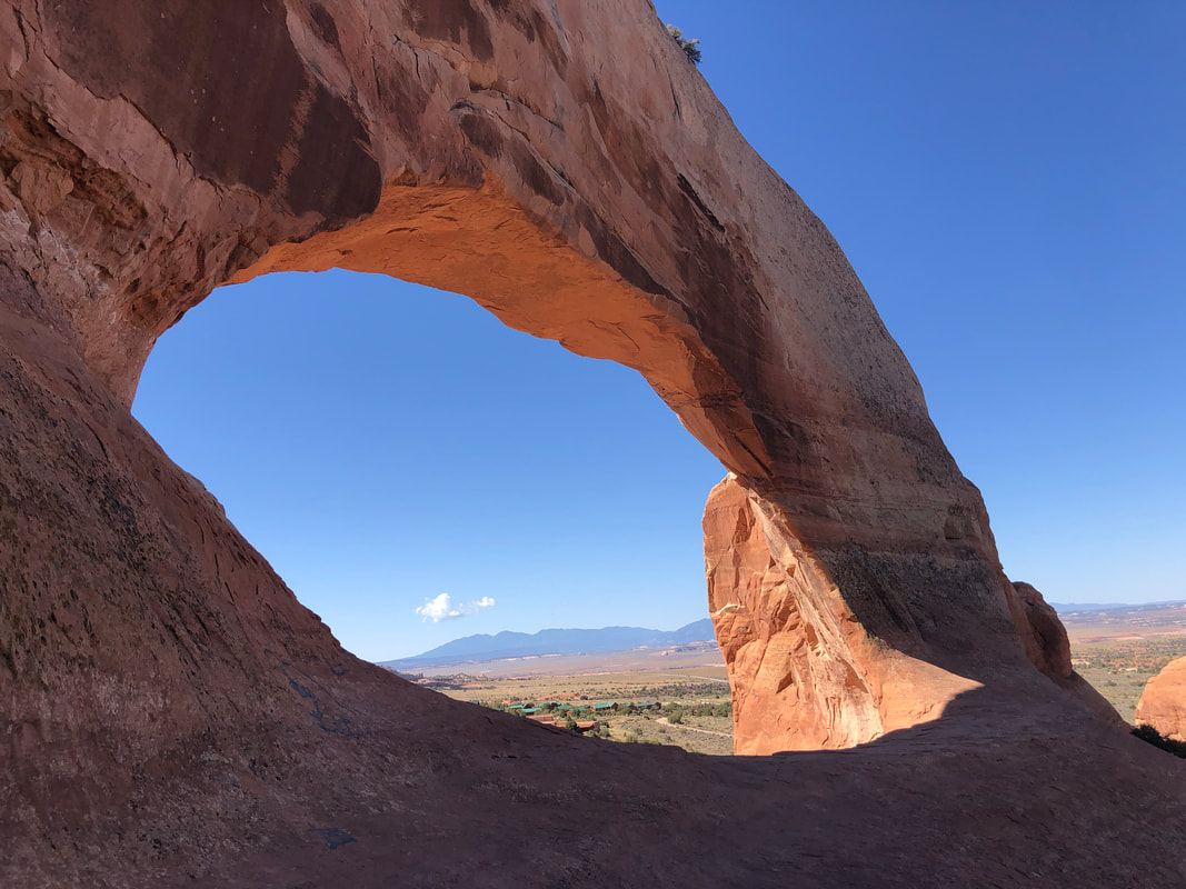
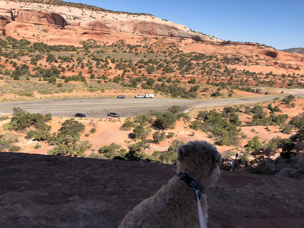
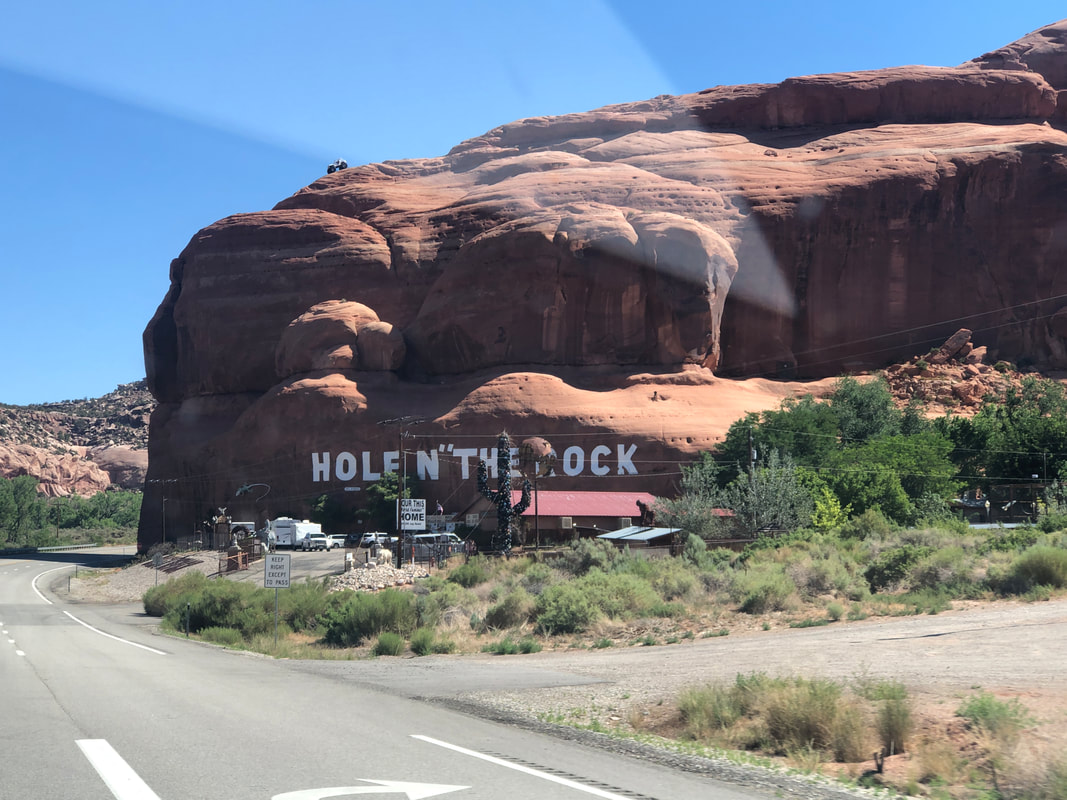
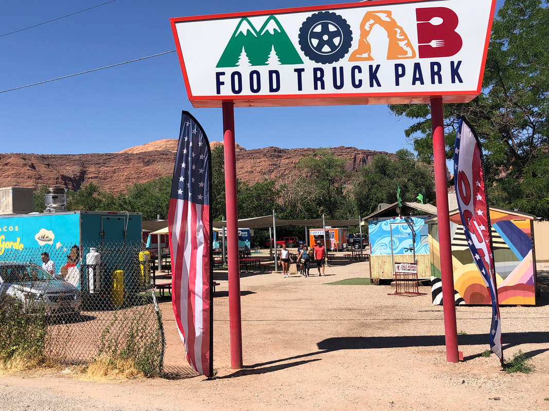
We continue our scenic drive toward ID, cutting into UT and headed to MoB. I visited Wilson Arch previously but didn't realize you could climb into it until I saw someone in the arch so... ....up I go, enjoying some great views before..... ....reaching the arch. Awesome place with a broad floor on which to stand. Even Jack the Dog made it and he too thought the views were grand. We continued our drive, passing a variety of interesting place before arriving in.... ....Moab for lunch and a stop at Rim Cyclers where I bought a couple of shirts. Back on the road and headed to Grand Junction, CO. That is a city worthy of a return visit.
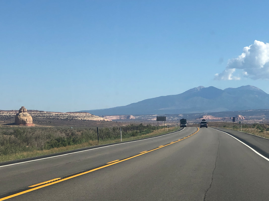
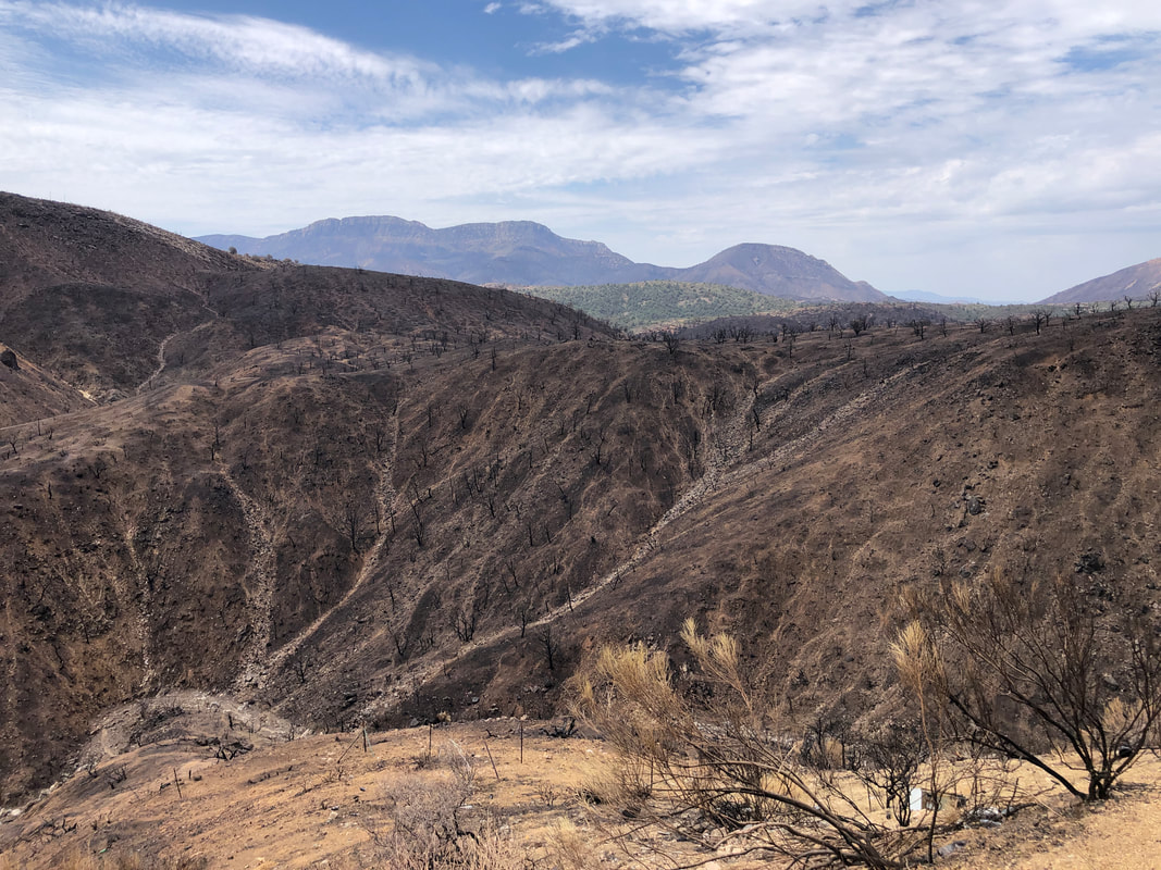
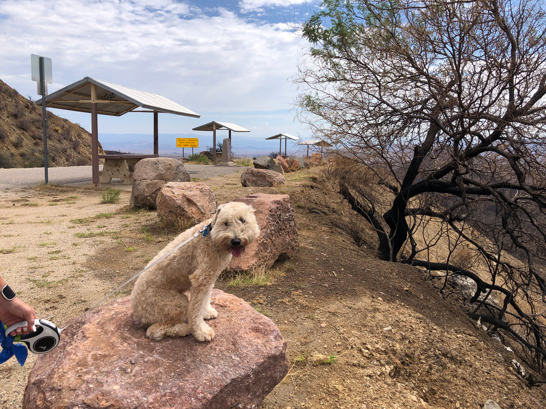
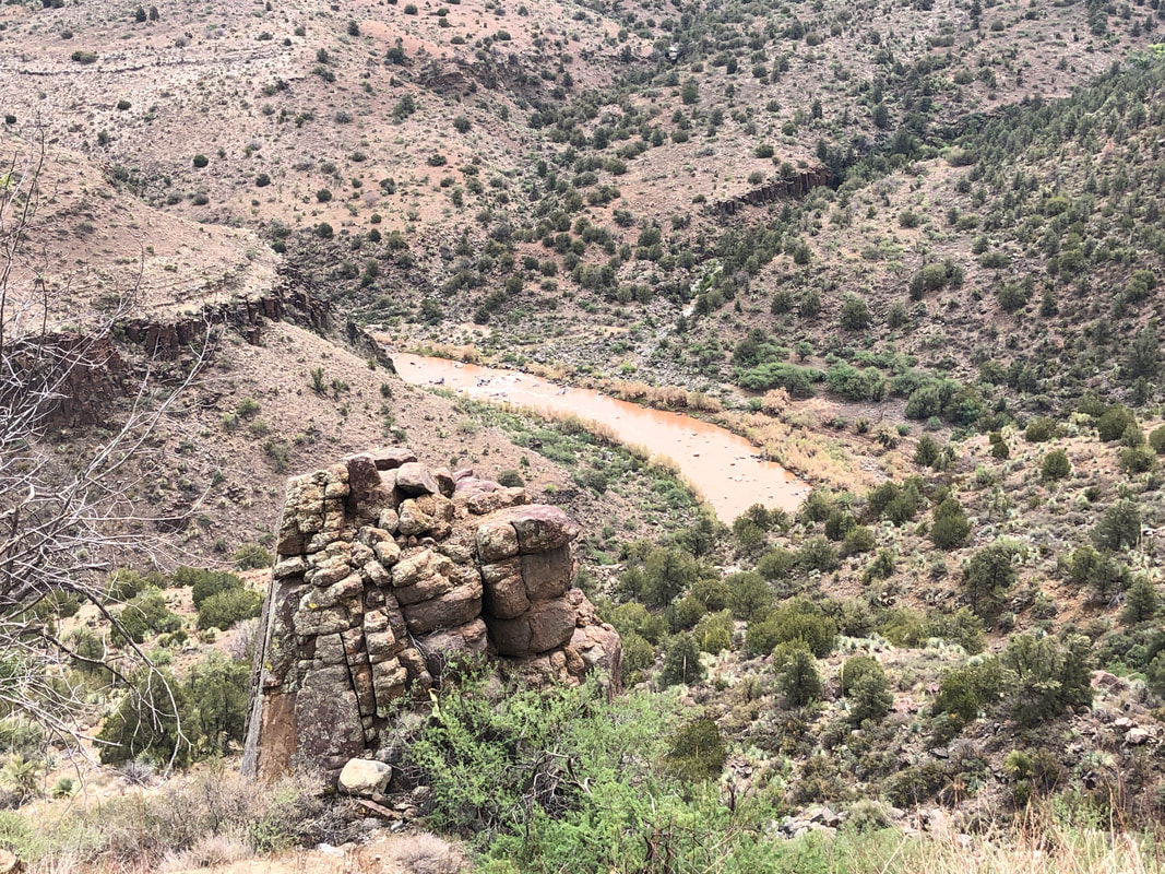
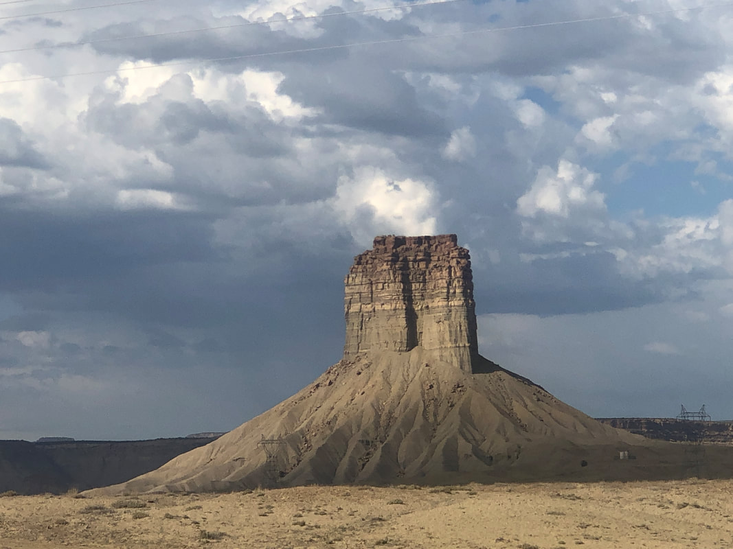
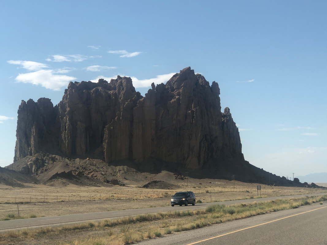
We are taking a few days to reach Coeur d'Alene rather than driving directly to the city. We take #77 and pass miles of burn scar from a recent fire, south of Globe. We stop at an overlook where Jack poses. We pass through Salt River Canyon which is always a visual pleasure. Next was driving through northeast NM which has several unusual rock formations as we made our way to Cortez, CO.
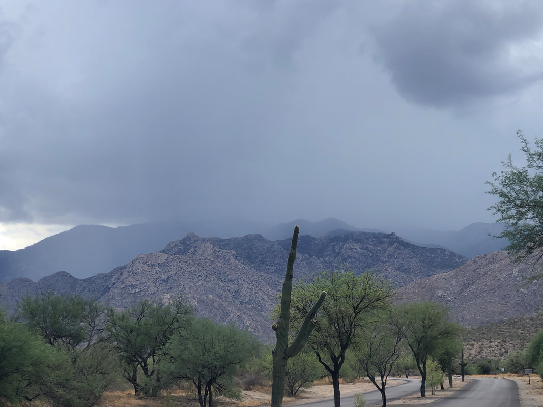
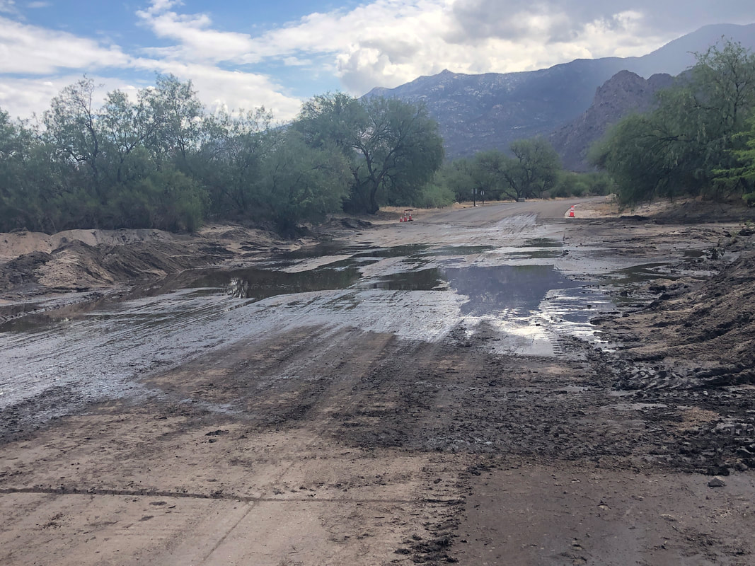
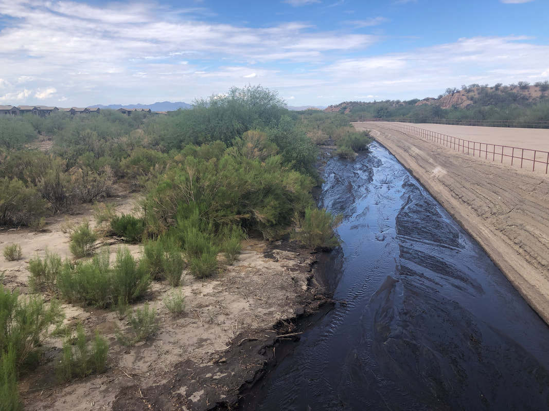
Several days having a forecast of rain of over 40% produced enough precipitation that the.... ...entrance into Catalina State Park was showing the effects. Also.... .....most of the washes were flowing. With that, it's on to a scenic drive to Coeur d'Alene that will include a stop at Yellowstone. So with that.... ....the scenery and location of activities will change. More to come.
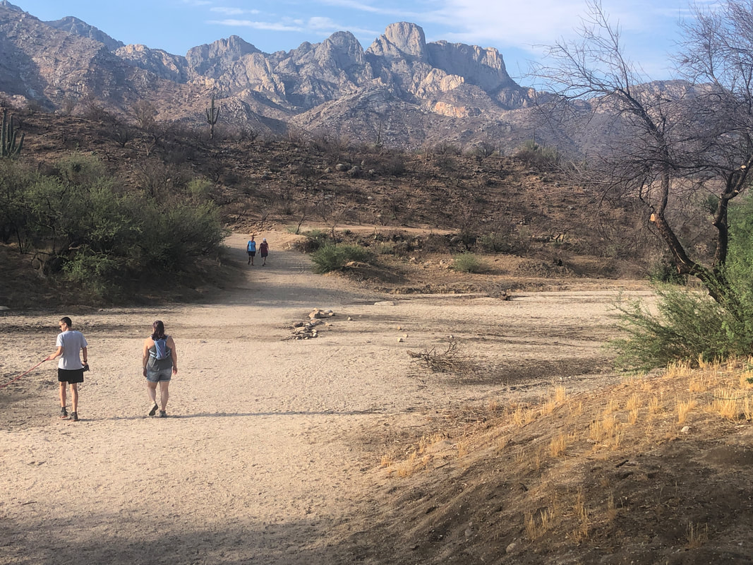
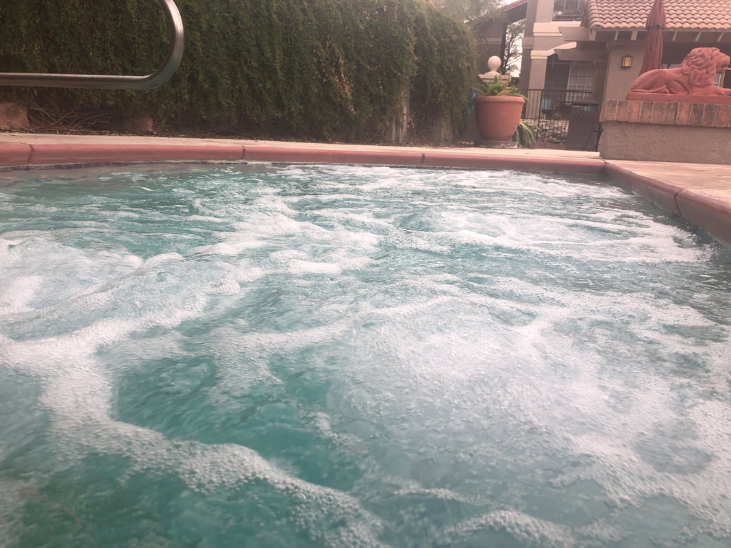
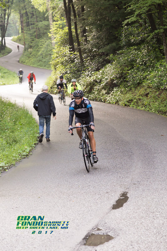
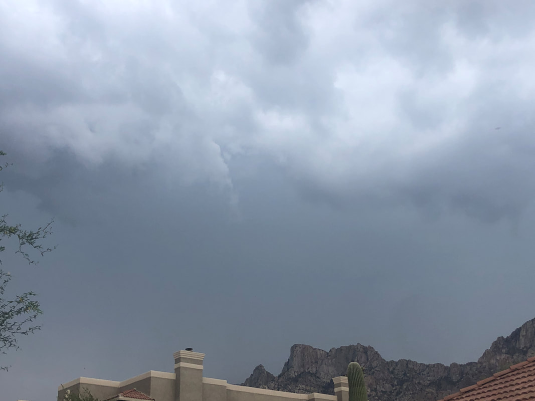
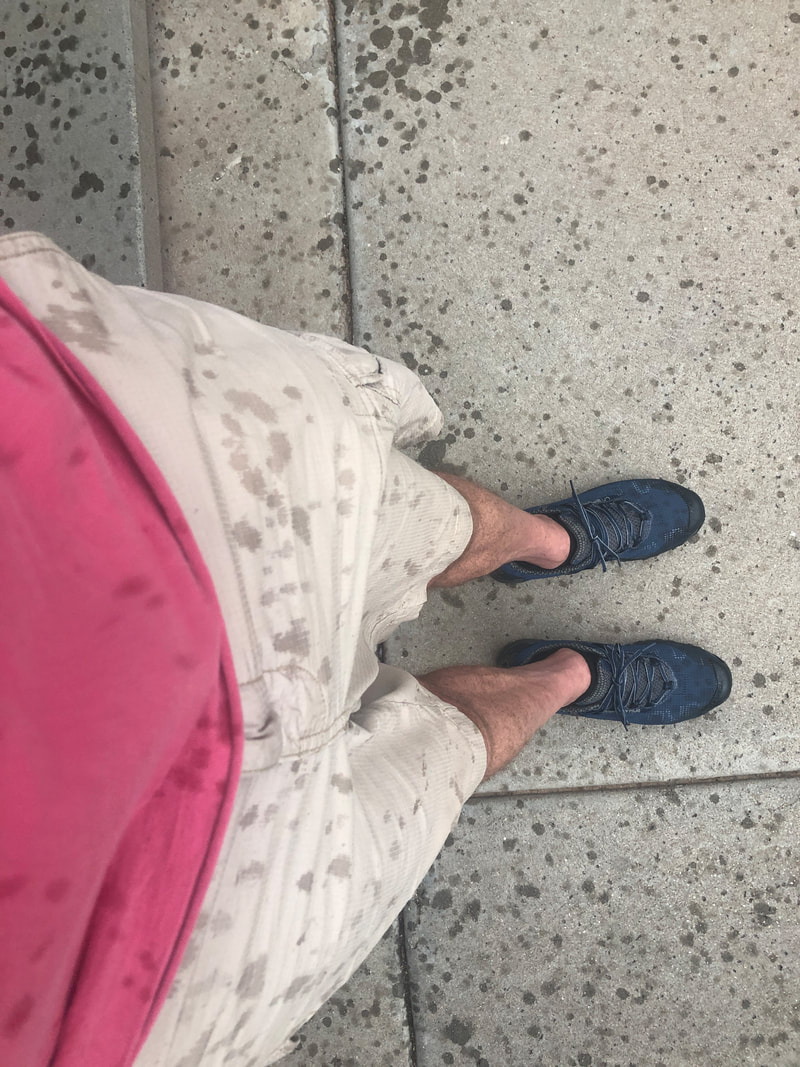
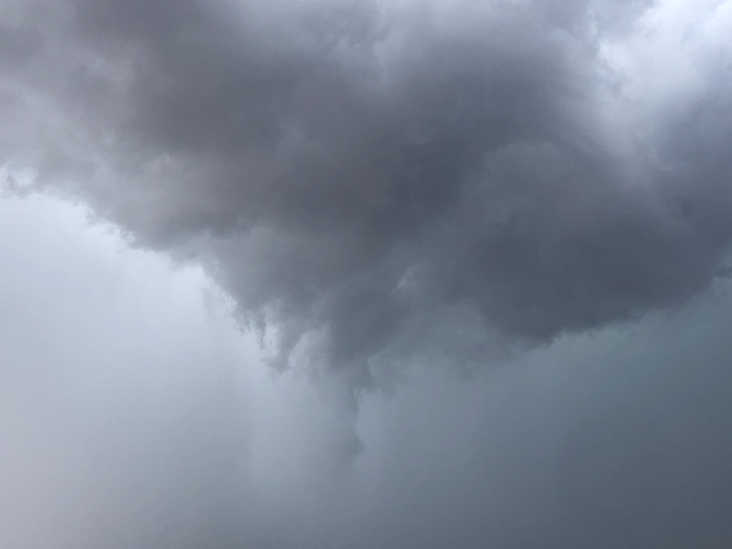
It rain in several places so I rode to Catalina State Park but alas, the washes were still dry. Maybe tomorrow, After Wednesday's hike, I decided to spend some time in the spa and while it felt good, I don't think it did much for my sore thighs. I decided to change things and ride the day after the hike and then again.... ...the following day. Short distances simply to stretch the muscles. I think it worked although the below image popped up on my FB timeline..... ...informing me that 4 years ago I did this 100 mile/10,000' climbing event. I am so far removed from being in that shape and it really bothers me. Actually it kind of gnaws at me. Thursday, the conditions continued to be favorable for the development of rain so as the ominous clouds approached...... ....I stood outside to watch in my just arrived new pair of hiking shoes. Things looked.... ....so promising but somehow, we received a very modest amount of rain. Up in the mountains though, a different story and more on that coming soon.
|
Categories
All
Archives
November 2023
|
