|
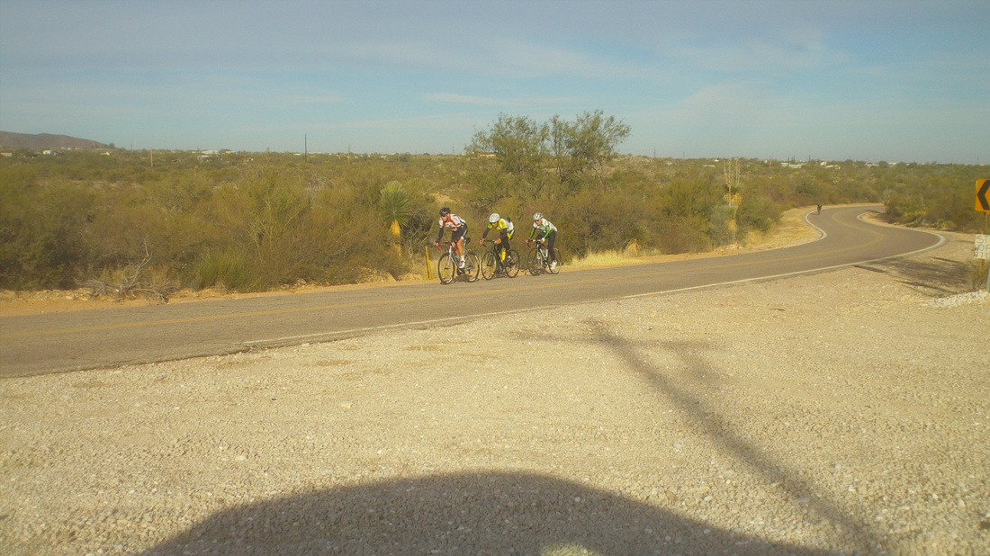
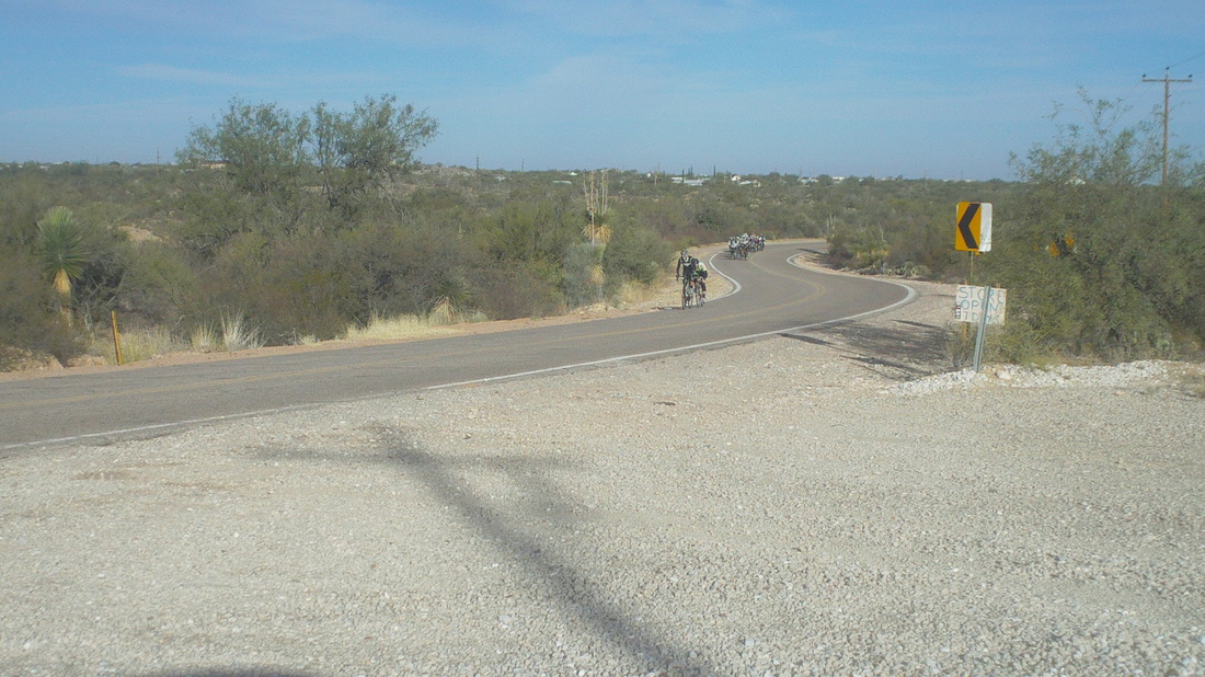
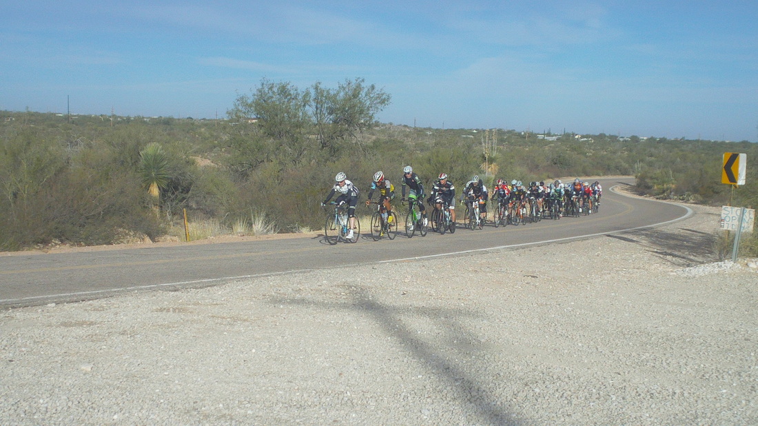
Kick-off for the Buckeye game was 10:00am, too early to do much but wanted to kill some time so drove to the top of the multi mile climb out of Tucson for the Shootout ride. Maybe Marty would be able to hang with the Cat 1 and 2's who populate this popular ride. Hmmmm, these three were out in front and later learned that's former Olympian and Tour de France cyclist, Gord Fraser leading this group of three..... ....then came two others with a large group in pursuit..... .....there's Marty. towards the back on the outside. There was some regrouping and then Gord leapt from the pack and only Marty was able to bridge across and the two made their escape. Marty describes the break as Gord taking pulls at 32-35mph then Marty would pull at 28-29, then Gord would take over and they stayed away for 20+ miles back to 4th Street and the finish. Impressive considering the quality of the chasers. Gord last rode with Health Net in 2006 and has many stage wins on the professional circuit.
1 Comment
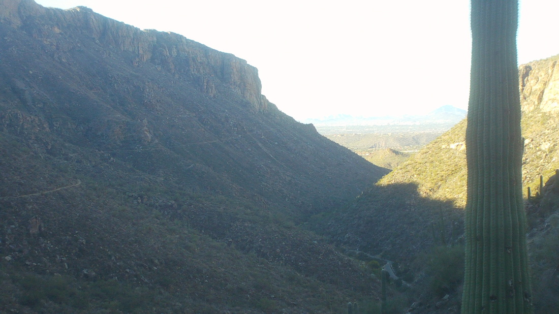
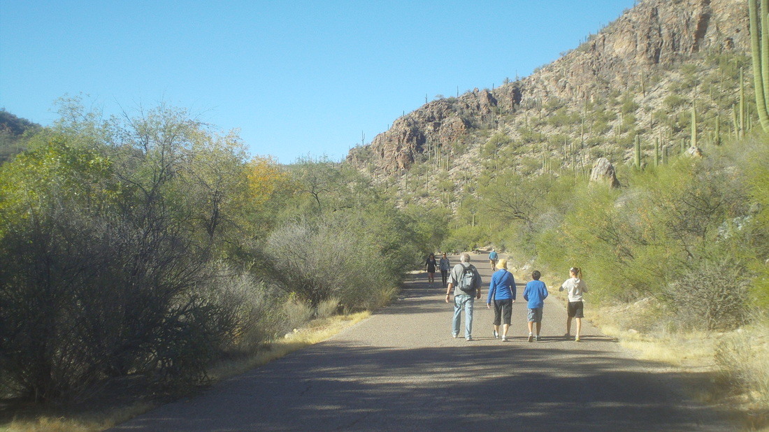
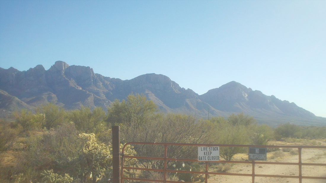
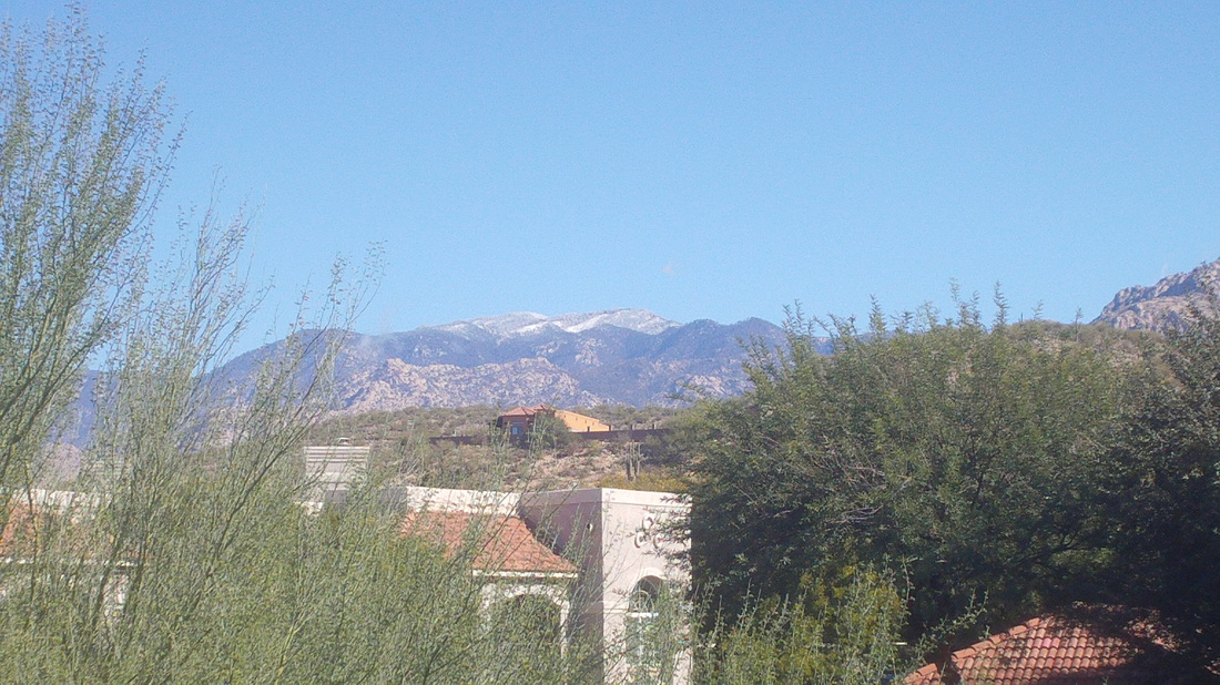
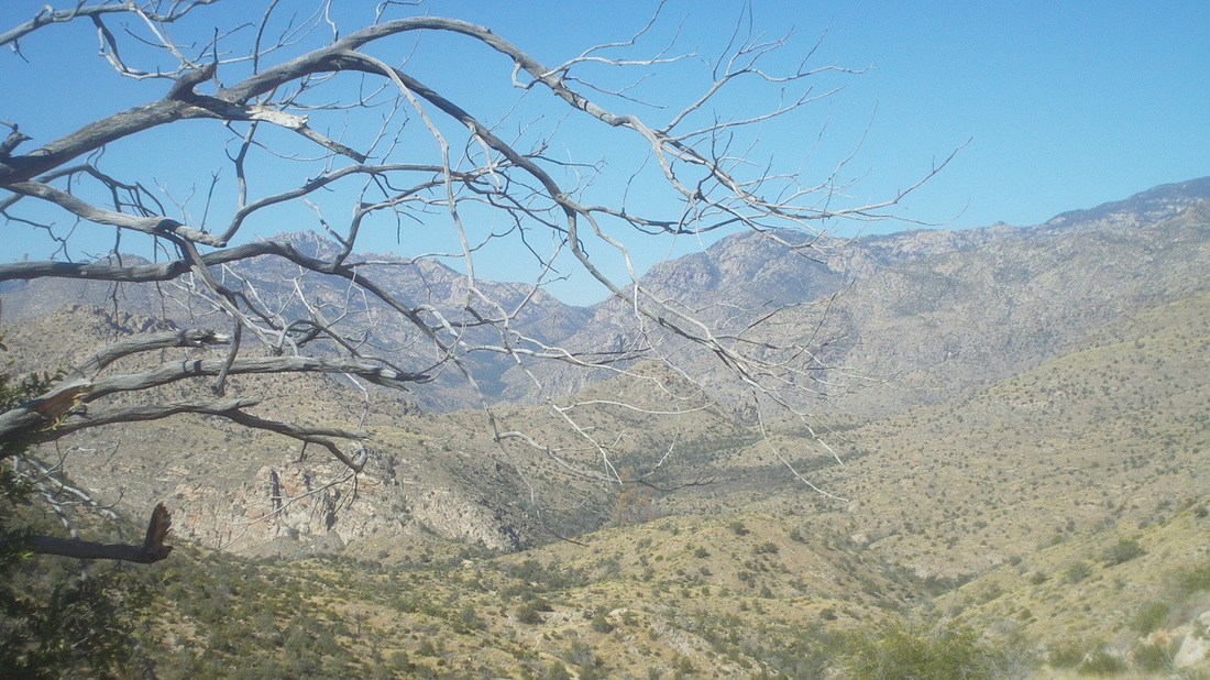
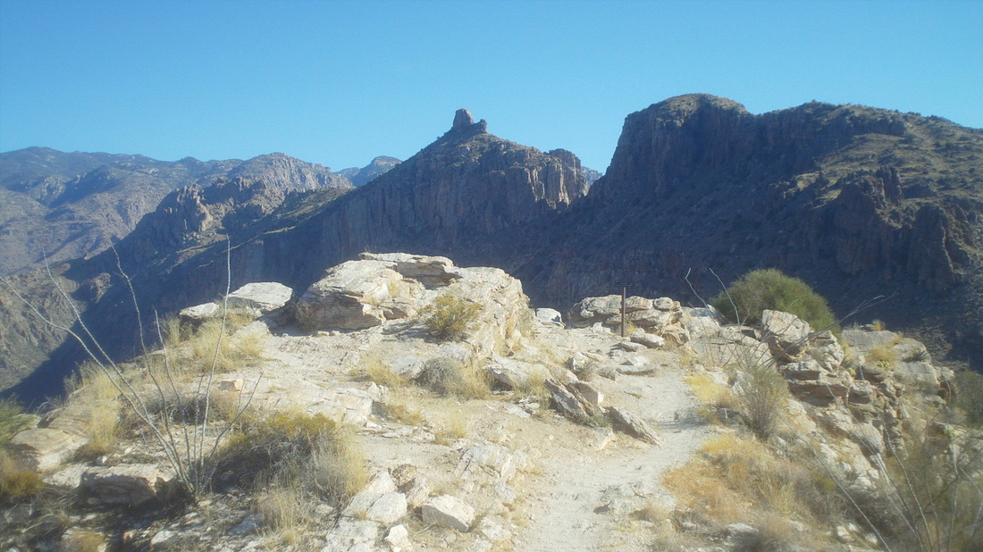
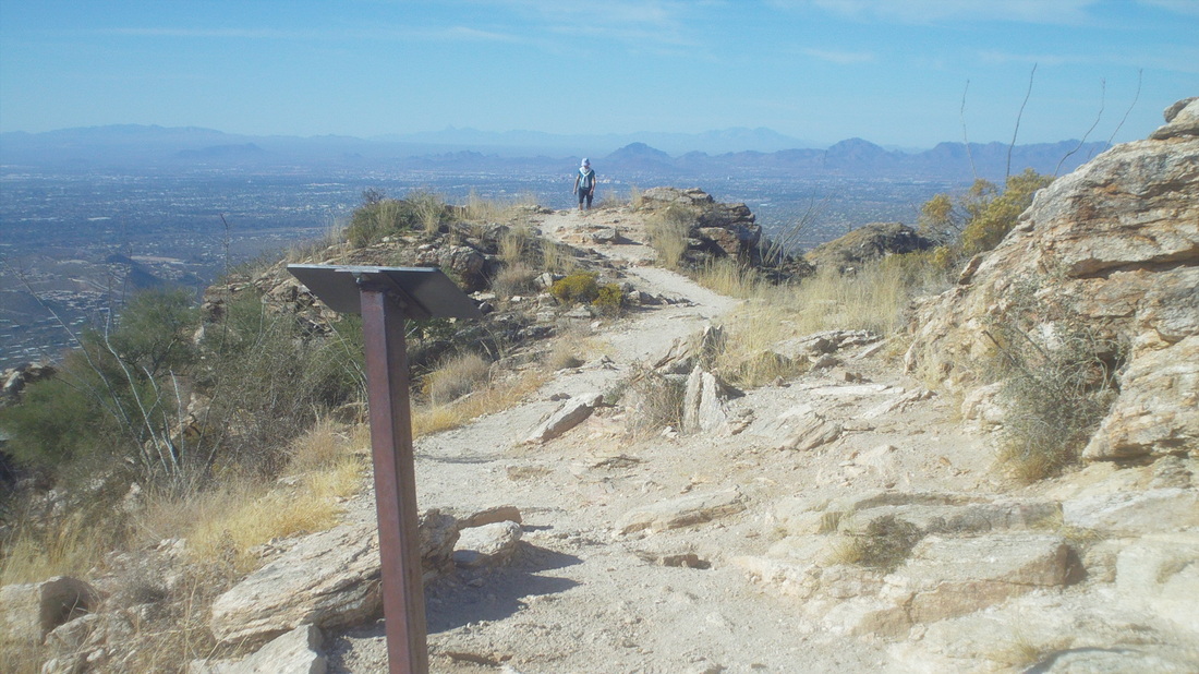
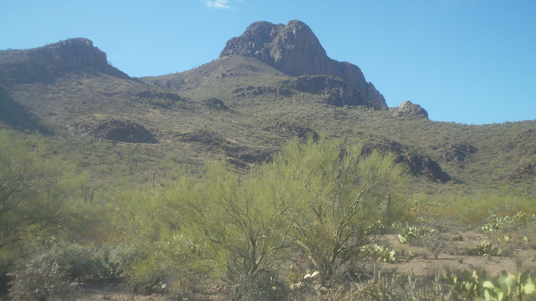
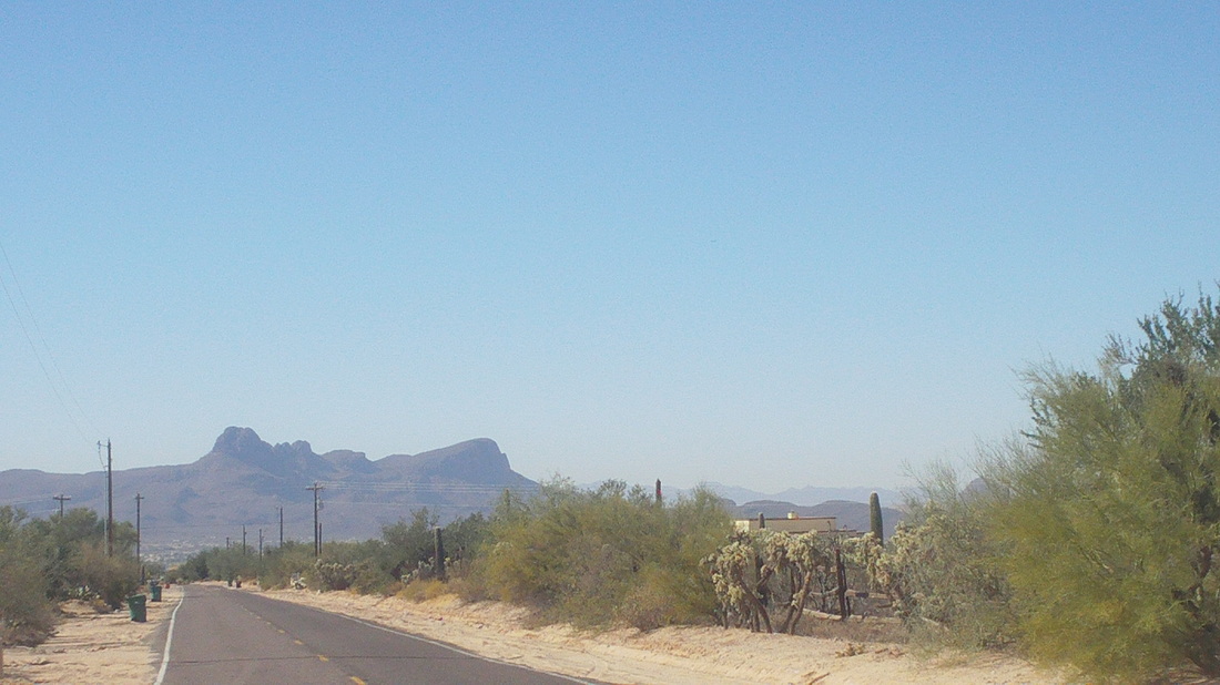
Marty and I met up with a group of 14 to do an annual hike out of Sabino Canyon via the Phoneline Trail to something called "Laura's Rock". Maybe you can see the trail on the left as it winds in and out of side canyons. We departed the parking lot, crossed a bridge over fast running water and headed up the trail. I had intended to hike at a mellow pace with the others but then some guy wearing black jeans went around me. This is akin to a guy on a recumbent passing you or a "C" cyclist or worse yet, Flyin Tuna passing you. Just not acceptable so I jumped out of the line, set in behind him until I could hear his breathing become labored and turned on the after burners. Marty hung in there while wearing a black backpack that is heavier then what SEAL team members carry when they are going in country for a month. At some point, a water bottle tumbled out of my pack and I had to scramble down a slope to retrieve but then got into a rhythm of jogging and walking. Marty and I went by whatever is "Laura's Rock" with no notice of it and kept going, eventually dropping down from the slope to Sabino Canyon Road and walking back amid dozens and dozens of walkers out to enjoy the sun and mid 60's temperatures. After eating a feast of salad and chicken, I jumped on the bike for a 15 mile ride. The summit on the right is Pusch Summit. Been up there a few times but it is cross country bush whacking to the middle summit, Bighorn Mountain. Gotten halfway there once and got weirded out by the solitude I guess so turned around. I'll be back. Wow, snow up on Mount Lemmon, about 12" I hear. Hmmmm, those trees are beginning to block my view of the mountains. Down here, as I sit, sipping one and only one glass of wine, it is 68. I feel so guilty, talking to my wife, children and mother as they gathered at our house for Thanksgiving today. Fortunately, that guilt was fleeting, it passed in a few minutes. Well, something kind of exciting coming tomorrow.
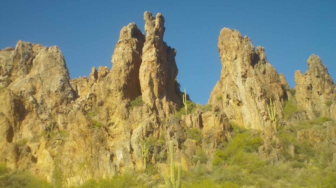
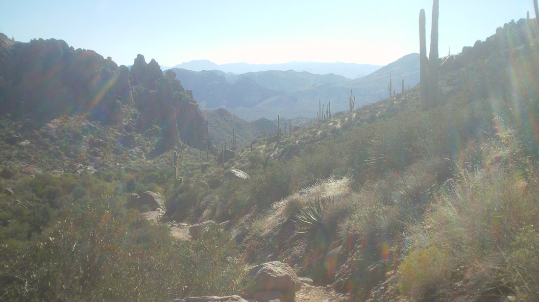
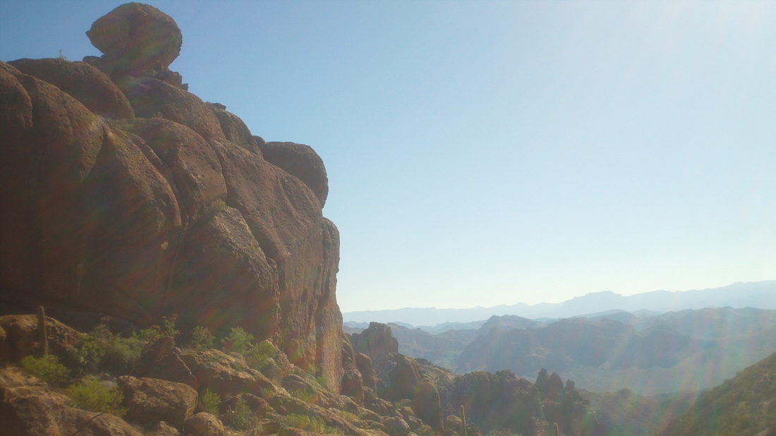
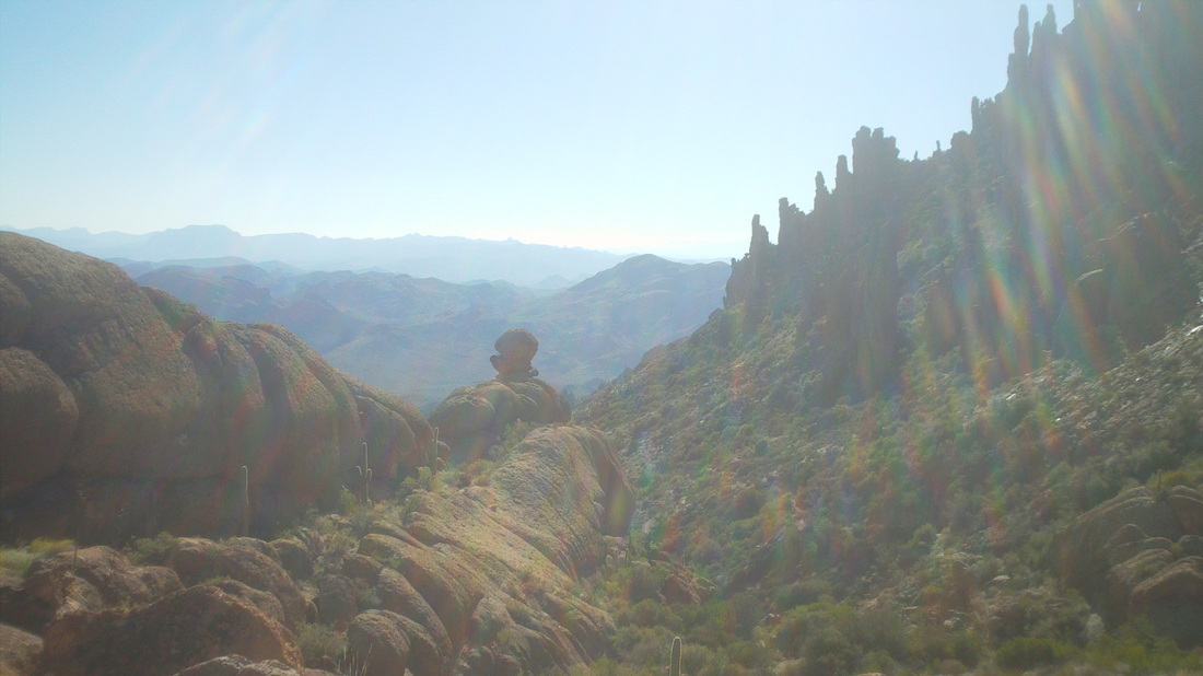
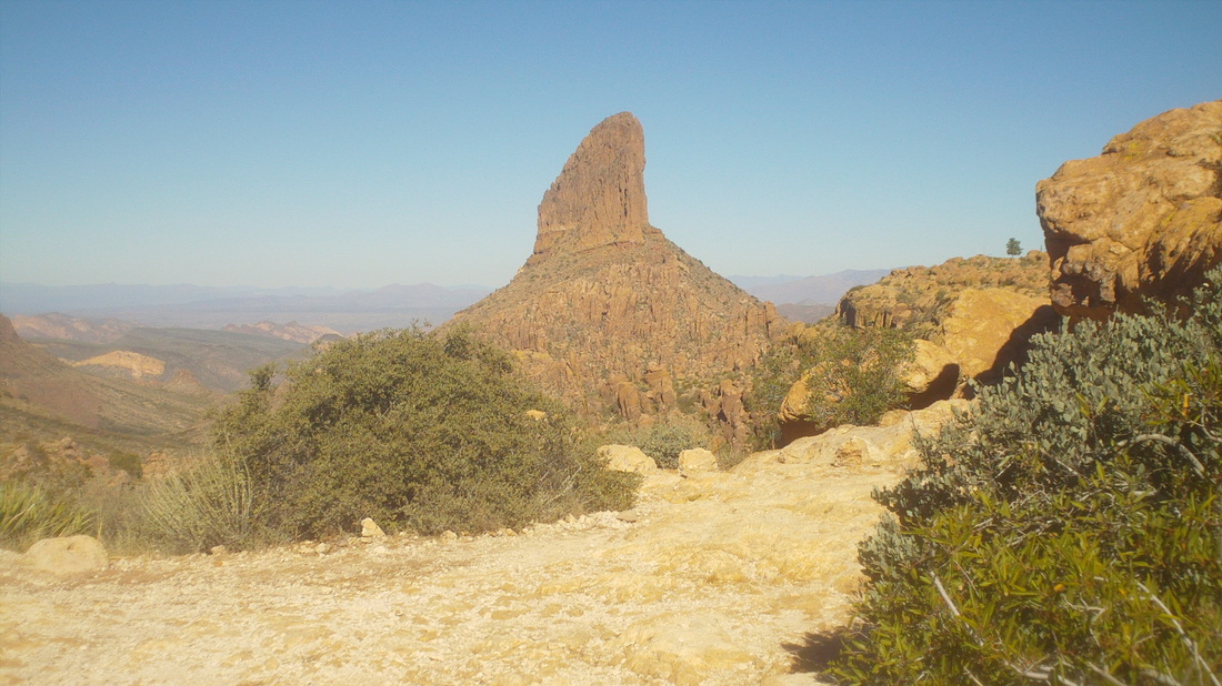
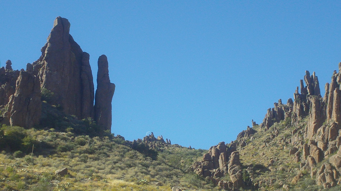
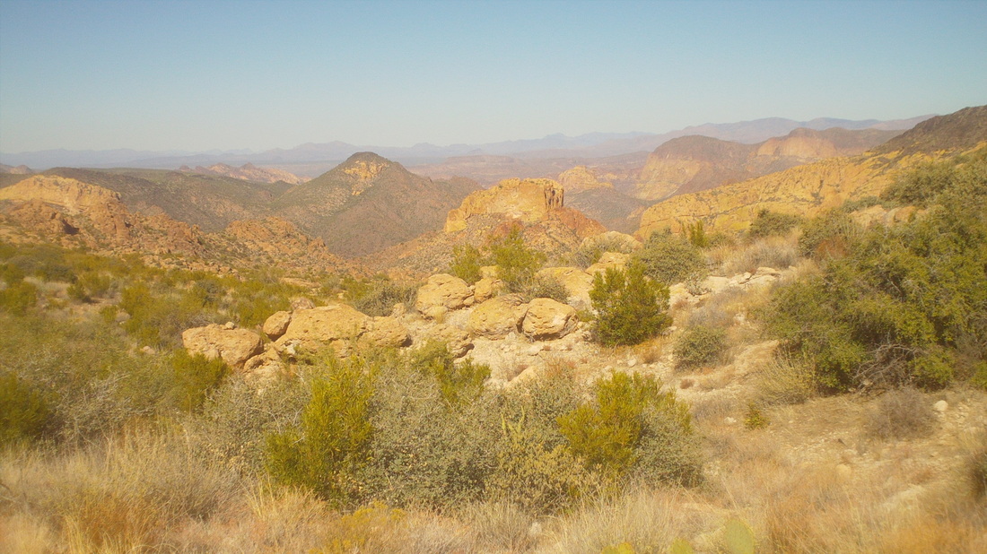
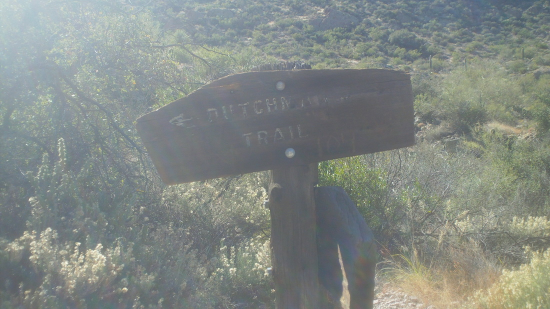
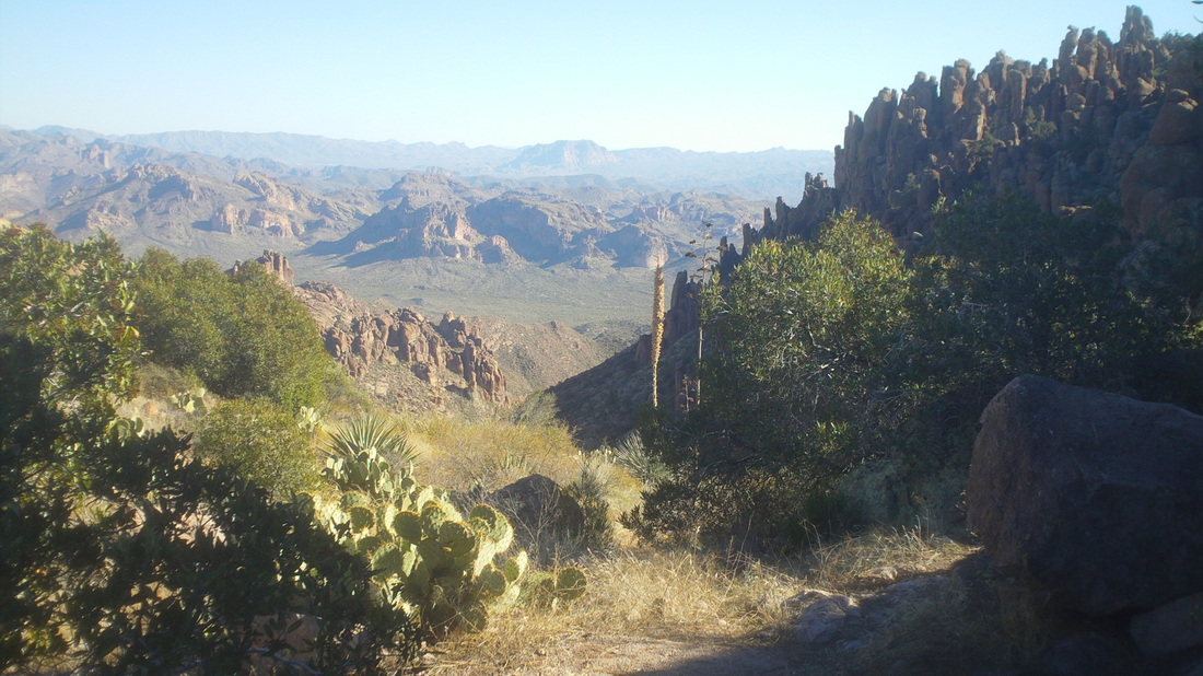
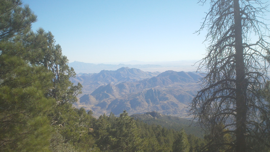
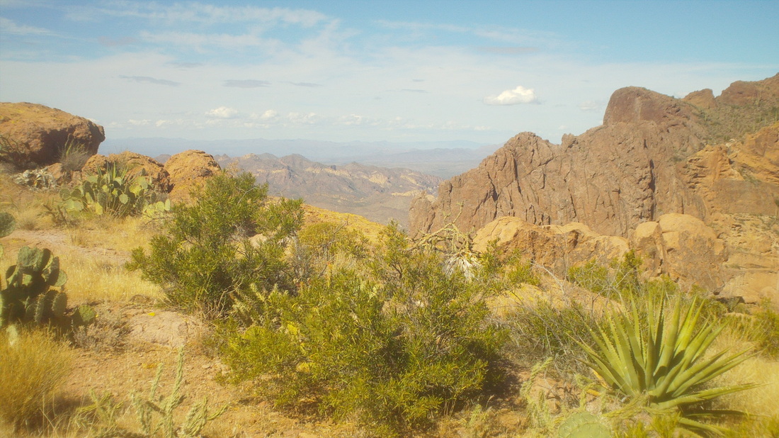
Long drive to the trail head, especially the last 5 on a dirt road to Peralta trail. Things got interesting early, as noted by many rock spires like the above. About a mile into the hike I turned to where I had started and saw this cool sight. Up and up to this.... ....higher yet to the same view as previous but from higher elevation and then to the saddle.... ....to a view of Weaver's Needle. WOW! The image does not do justice to the majesty of the scene. What you see is a 1000' volcanic plug that was exposed as the softer material around it eroded away. Legend has it that the shadow of the top of the needle shows the way to a vein of gold. Thousands have searched for the gold but so far, no luck. I brought a pick-axe with me to do my share of digging but had no luck, just blisters. My march continued northward, passing the needle but saw a cool scene to the west, the moon glimpsed over the center of this image. Continuing my march, I got a good look deep into the Superstition Wilderness. After 6 miles, the trail ended at the "Dutchman's Trail". I thought hanging a right here would lead me to the east of the needle and back to the parking lot but not certain of that so decided to retrace my route. Trudging my way back I finally reached the saddle where I first saw the needle and was greeted with this view to the south. Kept going and finished with 12 miles. There is a "way" off this trail to the base of the needle but I did not see it. That would have been fun climbing to the base of the needle. The climb to the top of the needle is rated 4 or 5 so beyond the capabilities of someone without rope but still, getting to the base would be neat so I'll be back, soon.
Yes, just a simple loaf of bread. When my wife arrived about a week ago, we went to Freys grocery store and bought not one but two loaves of bread. I voiced concern that one was ok but two was too many. Like with most things, I was ignored.
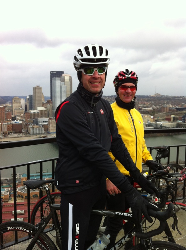
Sunday morning, the end of her stay, arrived and I noted there was still an entire loaf of bread and I was due to depart this morning, Monday. Should we throw it away? Should we give it to someone some how or, should I extend my stay until the bread is consumed? At great personal sacrifice, we agreed that I should stay, until the loaf is consumed and so, I will be here for a couple more weeks. Also, Marty Sedluk is here and what kind of friend would I be if I abandoned him, utterly alone in Tucson, rambling about that walled compound of his? Tomorrow, I have a very neat hike to do to something called "Weaver's Needle". More to come. That's right. One of the blog's cub reporters, Dirty Dan, has taken the assignment to attend the OSU vs. MI game and will call me with a report, which I will file here, if we win. If we lose, an inconceivable idea, there will be no mention here of the sickening outcome. Dirty is foregoing the Pittsburg Dirty Dozen ride, at which the above image was taken last year with Tri-Andrew, but the offer of two tickets and a stipend was too much to turn down.
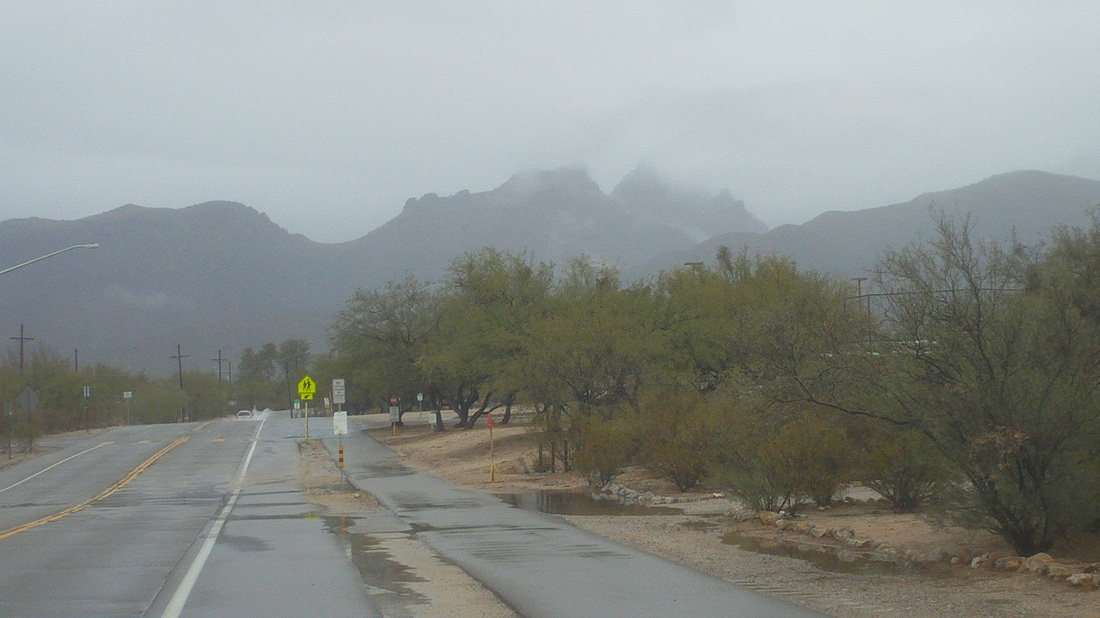
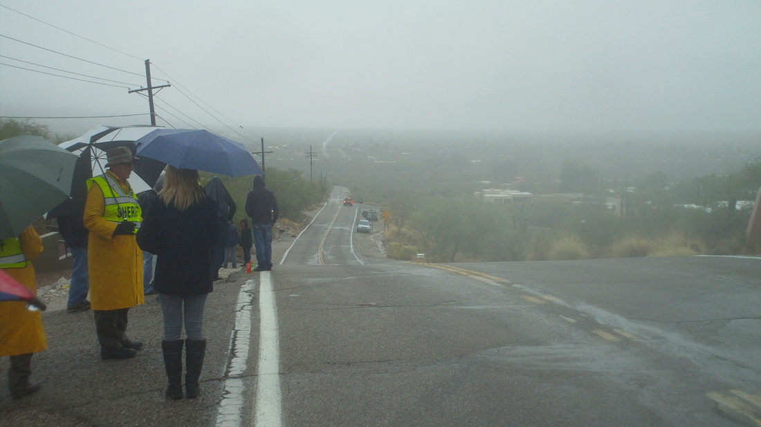
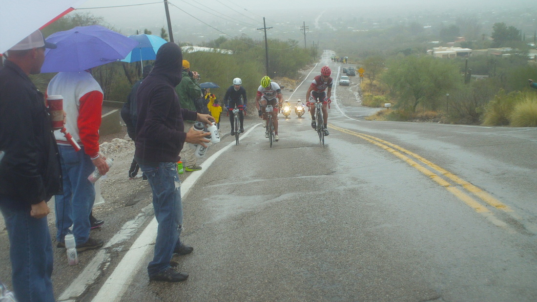
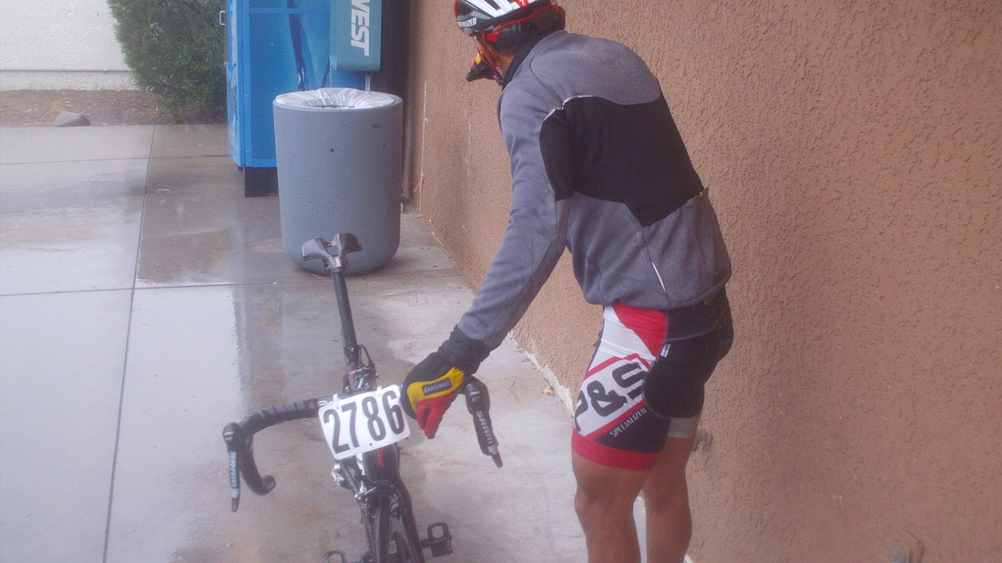
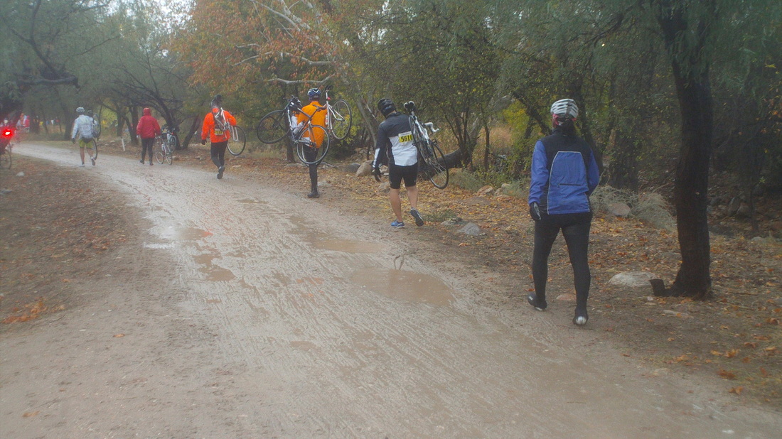
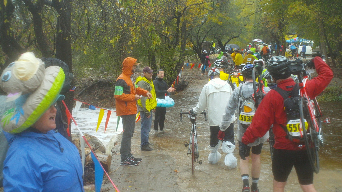
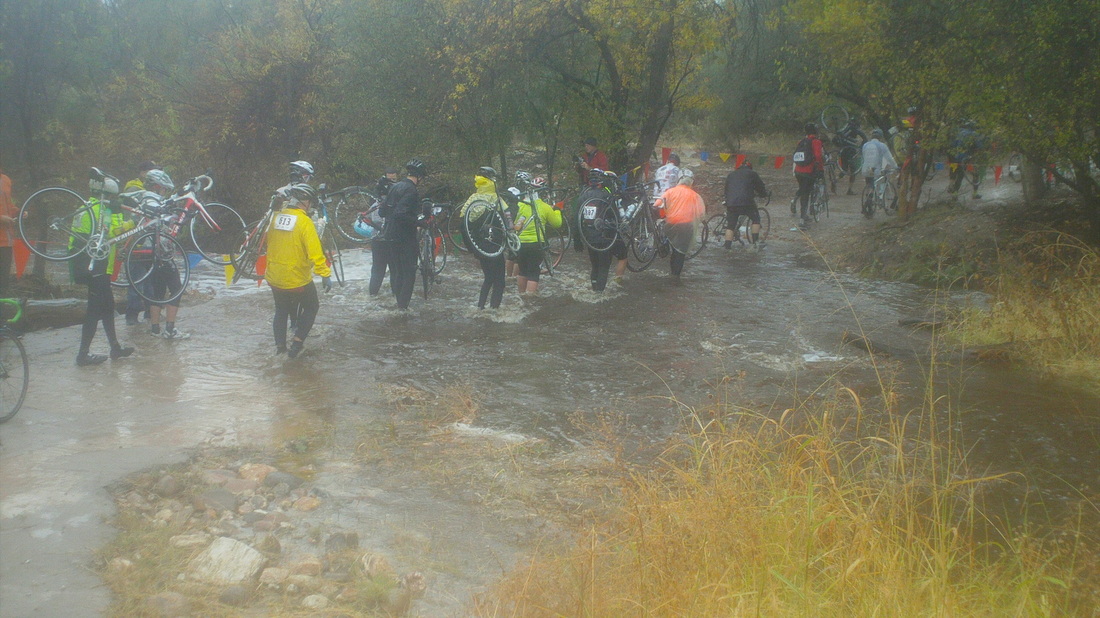
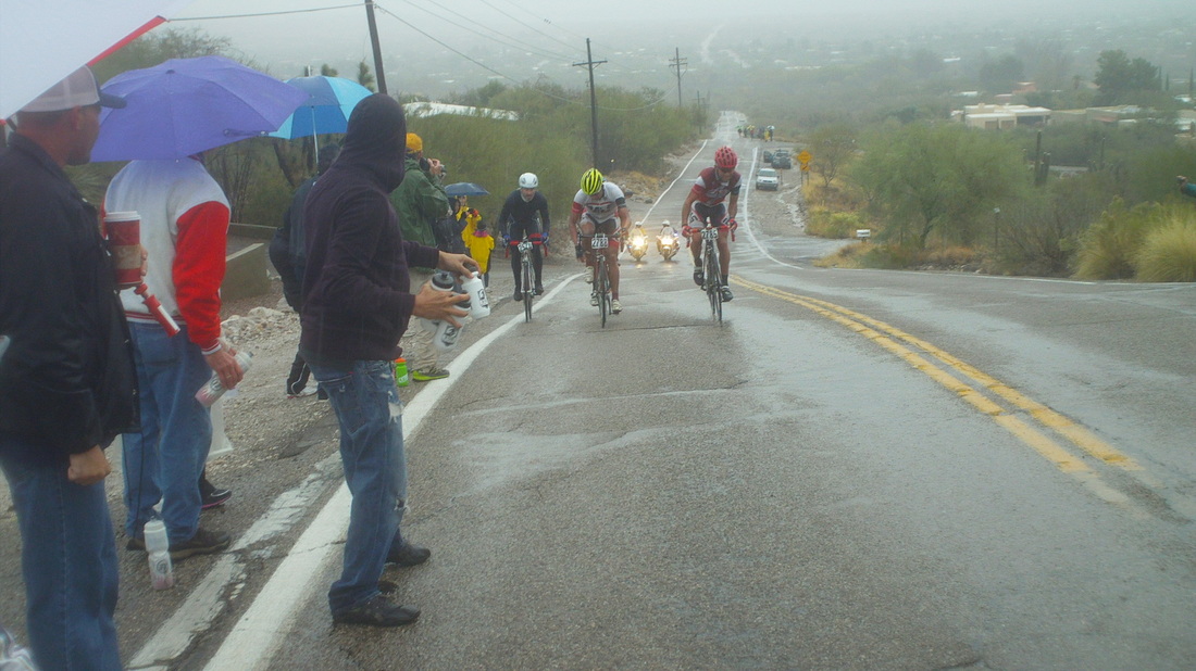
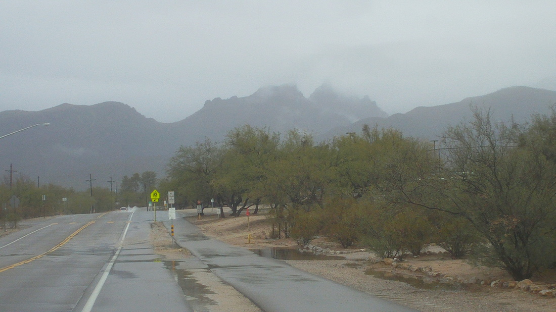
A gloomy morning met the 8400 cyclists, an unknown quantity of whom abandoned the steady rain, temps in the upper 40's and 30mph winds. As already reported, the Tylers fled to Florida but stalwart Marty was still in town. Beth and I drove to a point west of the first wash crossing through Sabino Creek on Snyder Road, approximately mile 35 of the 109 route. We had no umbrella or poncho so I asked the woman in blue to signal me when the first cyclists approached, while I sat in the car, and she did..... .....just as the lead 4 approached (looks like 3 but there were 4 in there. Miserable conditions. Marty Sedluk was very close, like only 10 yards away but that was while he sat in the confines of an SUV, staying warm with Eleanor and watching the action. Over the top of the hill there is a gas station and one of the front four abandoned. He was shivering uncontrollably as he waited for the team van to appear. From Hermosillo, Sonora and a member of Team P&S, these guys took 4 of the top 5 spots at the finish with Juan Magallanes winning at 4:14. Magallanes rode with the Mexican national team in Tuscany earlier this year where apparently the conditions were similar to today. The real fun was at the Sabino Creek wash. Here, the cyclists march towards the wash in soppy conditions. Note the guy carrying two bikes. A fun and wild scene at the first crossing. This is not the main crossing but I could not get across to the main and second crossing. Note the guy in the wet suit with the inflatable around his waist. Also note the while plastic bag around the ankles of the cyclist. That was not enough as the river rose in depth and intensity, overwhelming efforts like this. Considering everyone's feet were already soaked, most just trudged through the water. Hundreds marched through the crossing but soon, officials closed it, leaving 600+ unable to make it across and given an alternative and quite a bit longer option to get around the water. Of the 8400 who signed up, I have no idea how many started but several thousand did and rode during a day where the rain never relented. After 2 days of rain, this November is already the 7th wettest ever. Two days of rain out of 30 (no rain forecast the rest of the month) and it's the 7th wettest. Several cases of hypothermia reported too, go figure.
Apparently, it was a complete surprise for Todd. Here, with Flyin Tuna in an unusual look. Typically, when her mouth is open that wide she is about to insert a large spoonful (or plate) of food but maybe that's what is in her right hand. This is the first of many pics I'll post, along with the Tour de Tucson story.
Around mile 35, climbing out of the valley where the crossing of Sabino Canyon wash took place are the 3 leaders. Where was Marty? Actually, very, very close to these guys. More on that later. Meantime, the wash was ankle deep when they came through, thigh+ when I got there for a very entertaining view and later, closed because the water was too deep and running too swiftly.
Shocking news. I received an anonymous tip that Tym and Lisa Tyler arrived in Tucson on Thursday evening and by Friday morning were on a flight to Florida. Can't blame them. It began raining Thursday evening, continued most of Friday, Friday night thru Saturday afternoon. It is already the 7th wettest November on record in Tucson yet rained only 2 days. Ha ha. The bigger question though is, "Where in the world is Marty Sedluk?" Riding on a bike or sitting at his palatial estate behind locked gates and guard dogs. Hmmmm, inquiring minds want to know and I'll have the answer very soon.
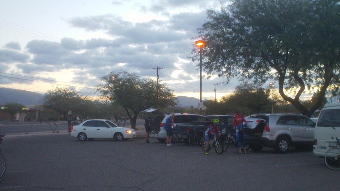
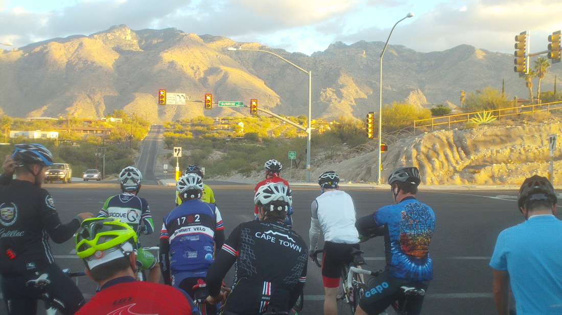
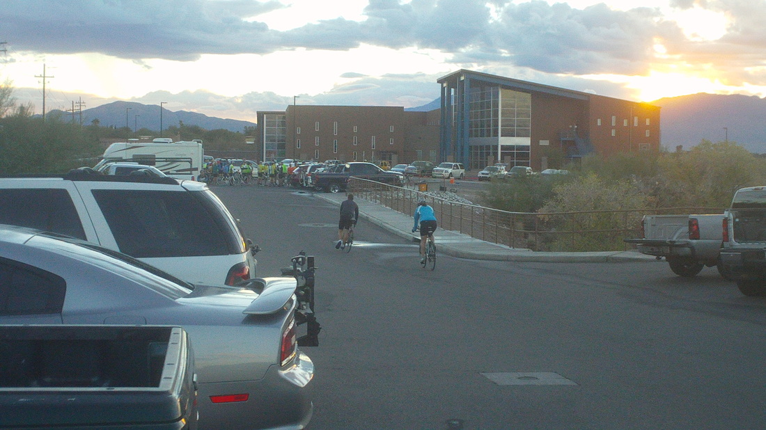
So, another early start for a weekend ride, this time out of the Morris Udall Park with about 40 people for a 70 mile "tour de Tucson" training ride at 7:00am. I have yet to see a person at one of these rides that I had previously met. Hard to develop cycling buddies when they never show for continuous rides and I have kept my personality on "mute" so as not to drive them away, yet. Fairly fit group that got away from the masses. Rather than head north from here, we hung a left on Sunrise and continued over to Oracle Road. I hit red once or twice, not used to an intense effort but hung in there. We hit the ramps on Oracle, going toward Catalina with the intent to turn around at Biosphere 2, yes, remember when researchers were sealed in a controlled environment back in the 1990's? That's here. Anyway, while the ride toward Catalina is not steep, it's a constant 2-4%. Our group had shriveled to 12 and I blew a fuse at mile 25, exactly next to a market. What luck. Finished with 64 miles, sunshine and temps in the low 80's.
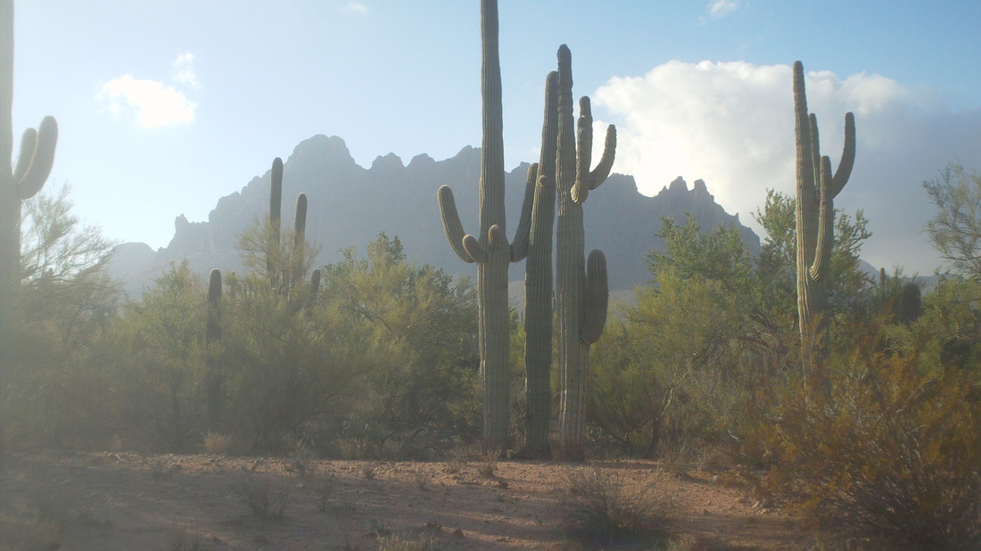
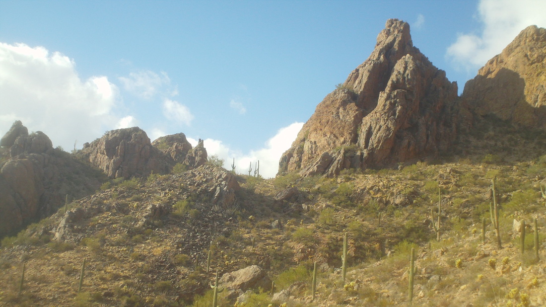
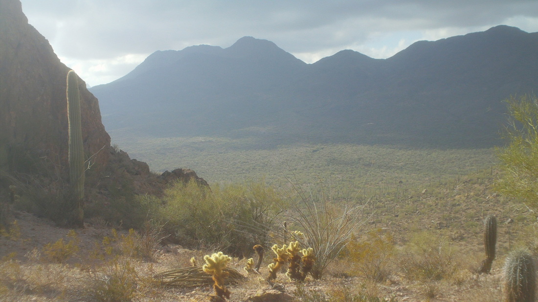
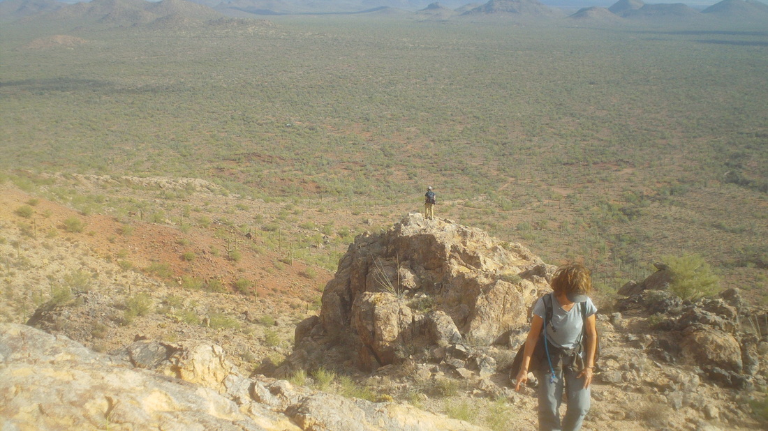
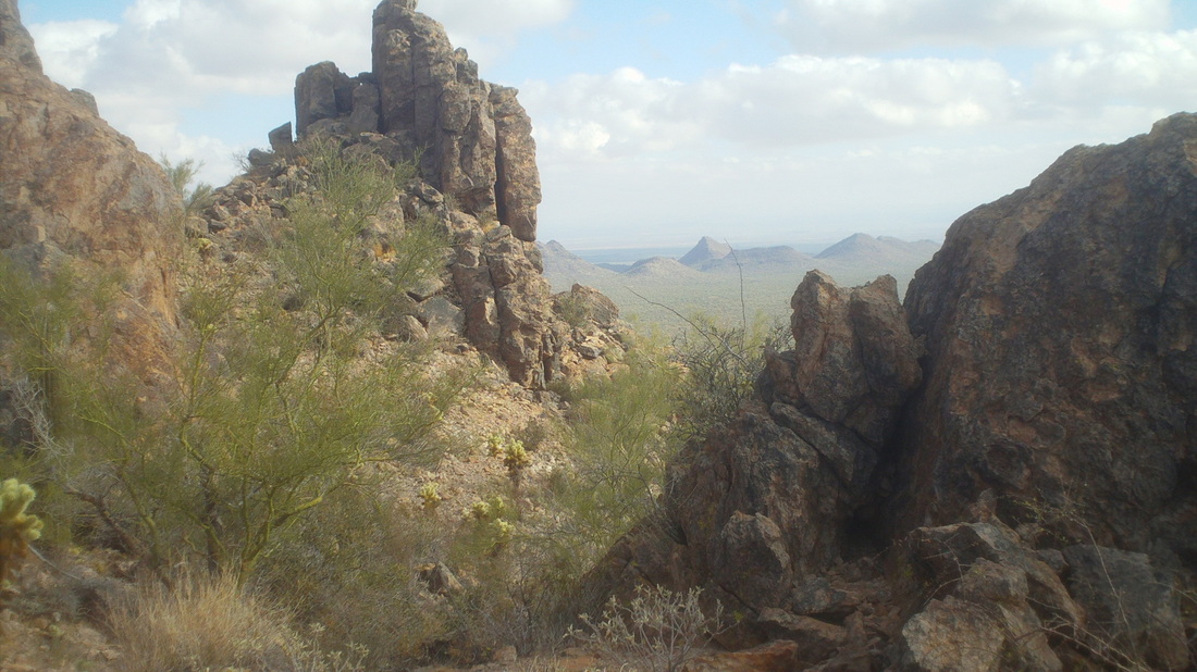
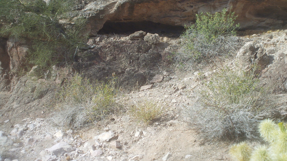
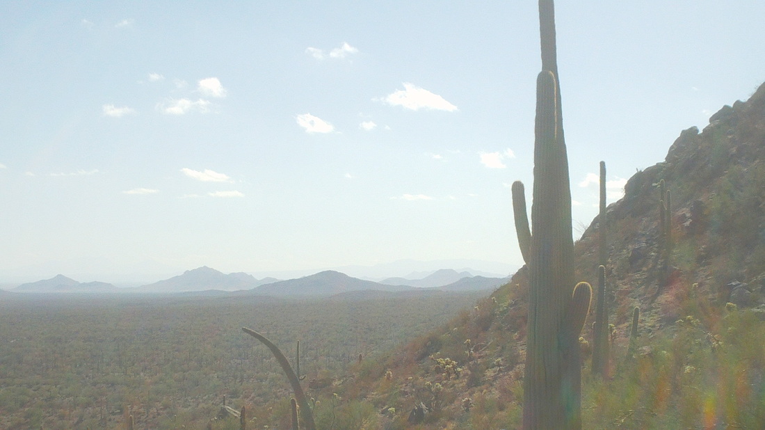
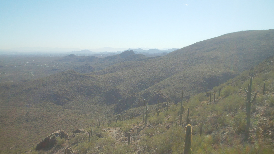
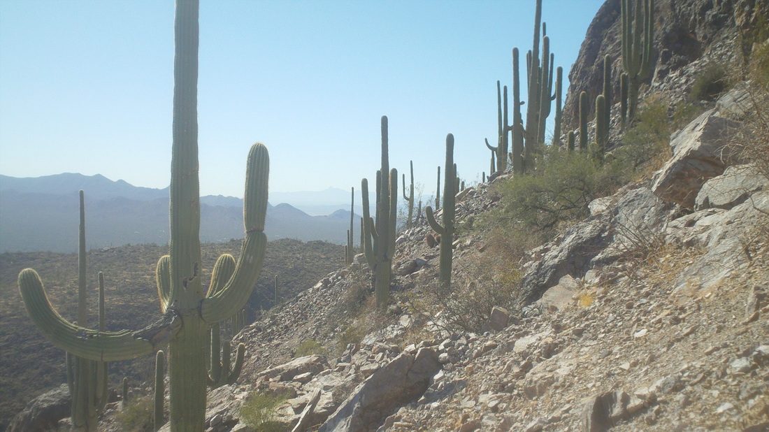
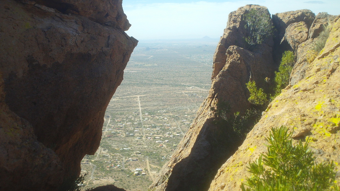
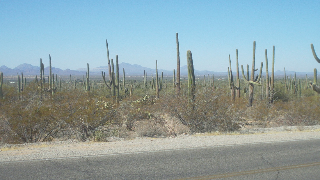
Now, jumping ahead a few days, but hiking reports yet to be posted, Marty and Eleanor Sedluk arrived Wednesday with Tym and Lisa Tyler jetting in tonight, Thursday. In the 5 weeks I have been here, it has rained once for about 10 minutes. On Friday, 90% chance of rain, Saturday 100%, Sunday 40%. The forecast is approximately 2" of rain over the next 3 days with 12-16" of snow up on Mount Lemmon. The Tour de Tucson has never received rain, dating back in to the 1990's. With two wash crossings, the rain could force a route change, depending on the amount of rain and how much tumbles out of the mountains. Had a fun time hiking the Finger Rock trail with Marty and Eleanor today and Marty is not in the mood for a full day of riding in the rain but likely the rain will be spotty. It usually doesn't have all day rain events around here. More to come. Had an exciting off trail hike scheduled for Saturday but at the last minute, the hike leader cancelled. Hmmmm, found another off trail hike departing from a park I had only recently discovered just west of Tucson called Ironwood National Monument. I signed up and headed out, eager to climb what the locals call the "Ragtop", above through the saguaros. I arrived at the trail head and was asked if I was ready for an adventure. Perfect. By the way, the title of the location is for the abundance of ironwood trees found in the area. The wood is so dense, it will not float in water. Our group had 12 people and we headed toward the distant saddle with the few saguaro's marking the way. All off trail so it is kind of slow going. At the saddle, I looked west and someone identified another mountain range called the "Watermens". Great, yet another mountain to explore. We climbed up a rock outcropping, took a few photos and trudged off but not up the mountain, instead headed down toward a ravine. Neat view to the southeast prior to heading down. We plunged in to a wash that had fairly steep sides and began entering a stretch that had numerous caves. We checked out a couple and saw numerous paw prints. A couple of the locals said they could be occupied by anything from a lion to a fox to a javalina, none of which I would welcome trotting out of one right now. Heading away from the mountain, I asked when we were going up and was told we weren't, just hiking around it. It never occurred to me that an off trail hike in proximity to a mountain would not include climbing to the summit. Very disappointing. We stopped for lunch on a slope with fantastic views to the south and east. I find myself searching for the word that best describes and all I can think of is "mystical". Maybe that misses the mark so I'll keep trying. Ended with 6 miles.
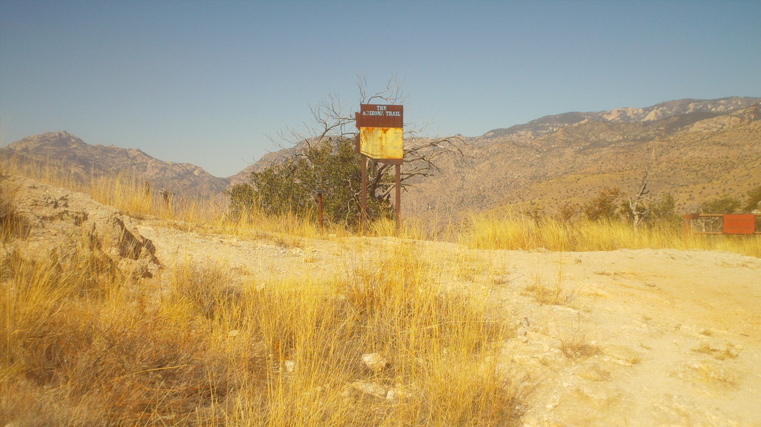
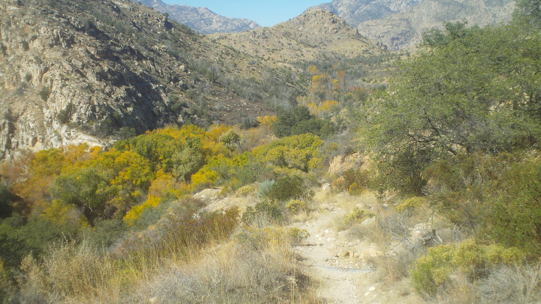
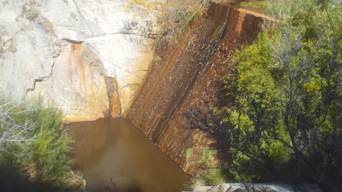
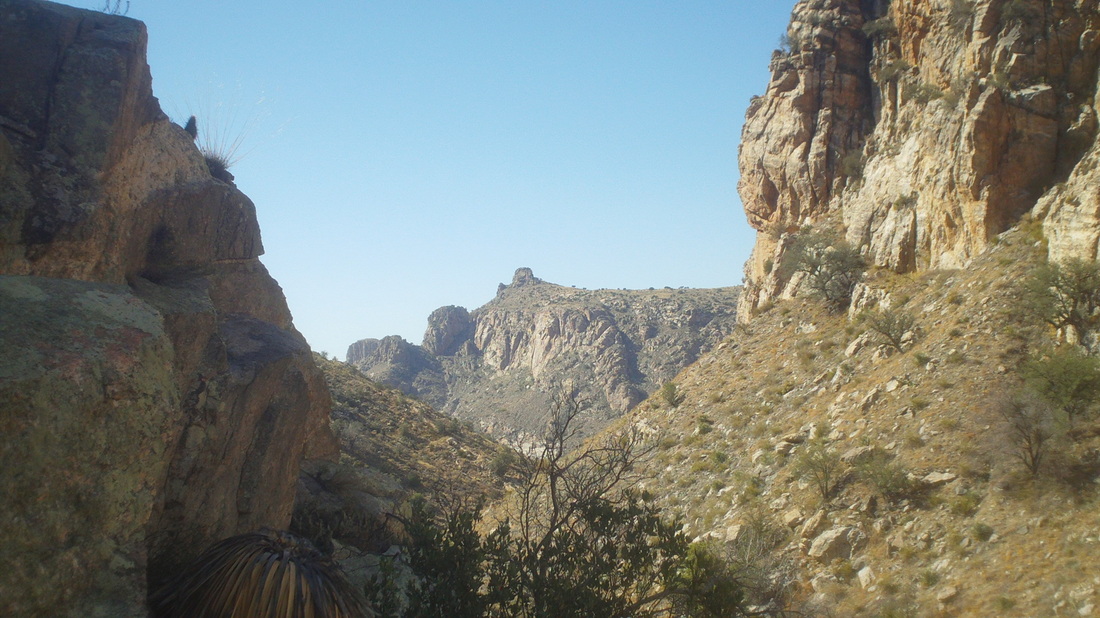
I was going to take Friday off but dang, 80 degrees and sunny, I can't resist. I also didn't want something with a lot of climbing so I headed 7 miles up Mount Lemmon and decamped at a trail that takes one to the Sycamore Reservoir. Soon after leaving the trailhead, you walk through an abandoned WWII camp where Japanese Americans were interned and soon thereafter you march past a sign for the Arizona Trail that also goes through the area. Some where out there is my destination. After cresting a saddle, I saw a change in vegetation that probably signaled the location of the reservoir. Lots of trees with leaves turning color. Yep, the dam was built in the late 1930's and then a pipe was run over the saddle and down to the internment camp. The pipe is long gone but the dam remains. Behind the dam there is some sitting water but most of it has been filled in by numerous floods. Below the dam is plenty of water and I wondered how many creatures visit it each night for a drink. In the distance is Thimble Peak in Sabino Canyon. There is a way there, not a trail but off trail bushwhacking. Have to try that soon. Only 5 miles today and around 1500' of climbing so just right for what is coming this weekend.
Each Tuesday, one of the hiking groups organizes a "fitness" hike out of Sabino Canyon to Blacketts Ridge. Steep in places it is a very good hike that brings out the competitive juices in most. The elevation gain is 1800' with a flat 1.5 mile start and a 1 mile steepish end to the top of the ridge where a nice view is had of Thimble Peak. I was 15 minutes late but figured I'd catch most of the group. Too bad as I learned later there was a pool next to the trail beside a bridge where the snakes were lined up to catch the remaining minnows. That would have been cool to have seen. Oh well. I caught the group about 1/2 way up the climb. Michael, the leader told me to take the lead for some reason. It's hard not to, you know, push things to see if they could keep up. Folks dropped back except for "Courtney", a 100 pound whippet who had a heck of an engine. My advantage was being able to take some steps two at a time and eventually she fell back. I reached the top, denoted by the above sign in 53:56, I think a personal best from the parking lot. I was gassed and Courtney arrived a couple of minutes later followed by Gary, Maurice, etc... Good people out here and all used to live in places like Chicago, Minneapolis, St. Louis...they don't seem to miss those places much. Next day, Wednesday, I went out for a ride around the valley just to get out and shake the legs, headed north where it's kind of desolate yet the views are great in every direction. Temp today was 85 and unusually warm for mid November. Usually, when the temperature is above normal out west, it's below normal in the Midwest. Let's see.....ouch......that's cold back there. Well, got to go. Big, big weekend coming up. Off trail bush whacking hike on Saturday, group ride on Sunday. Been told to bring long pants for the hike and be prepared for snakes, Gila Monsters, scorpions, brown recluses, black widows and great white sharks. Some are bringing guns and I was told to bring a knife, nothing smaller then a Bowie. How cool is that?!?!?!?
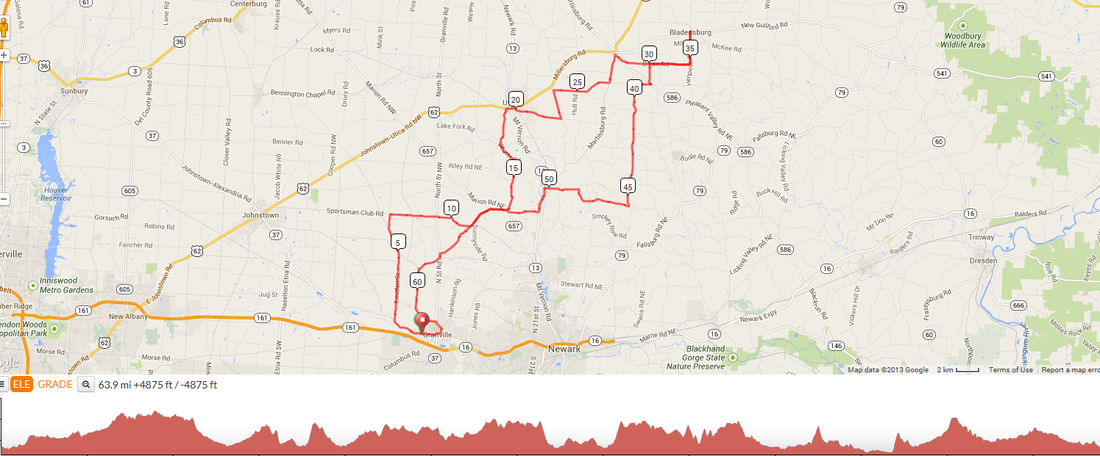
With Silent Dave's COP ride an urban affair beginning deep inside Columbus, some wanted an alternative and Jeff S has come through. Beginning out of Granville's Wildwood Park, at 9:00am on Saturday, Jeff will lead the masses north and east to Bladensburg where you can either eat pancakes at the restaurant or just to a quick stop-n-go at the gas station or market. All are welcome. I know, some of you are thinking you don't know Jeff very well and perhaps he is a mental giant who knows no peer but no, he is an ordinary guy who welcomes all of you, truly. He will have maps at the start but better is go to this link:http://ridewithgps.com/routes/3662864. Most who show up, intend to treat this as an real off season paced ride but if you want to come out and blitz the route, hey, that's ok too. I hear the range of fitness attending ranges from Steve Oxley down to Flyin Tuna who I heard, was the inspiration for the invention of stretch elastic before she got into cycling. Just a rumor I heard, not necessarily fact.
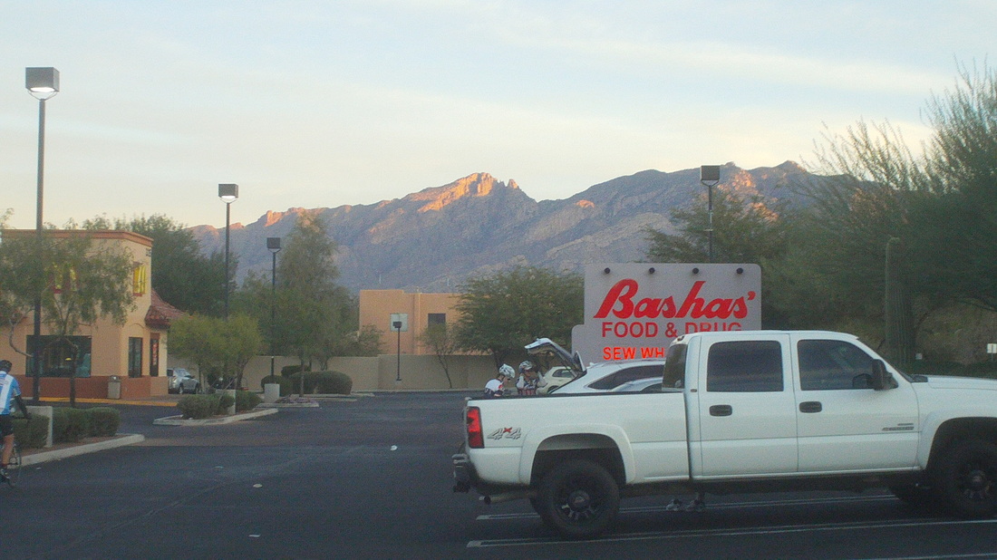
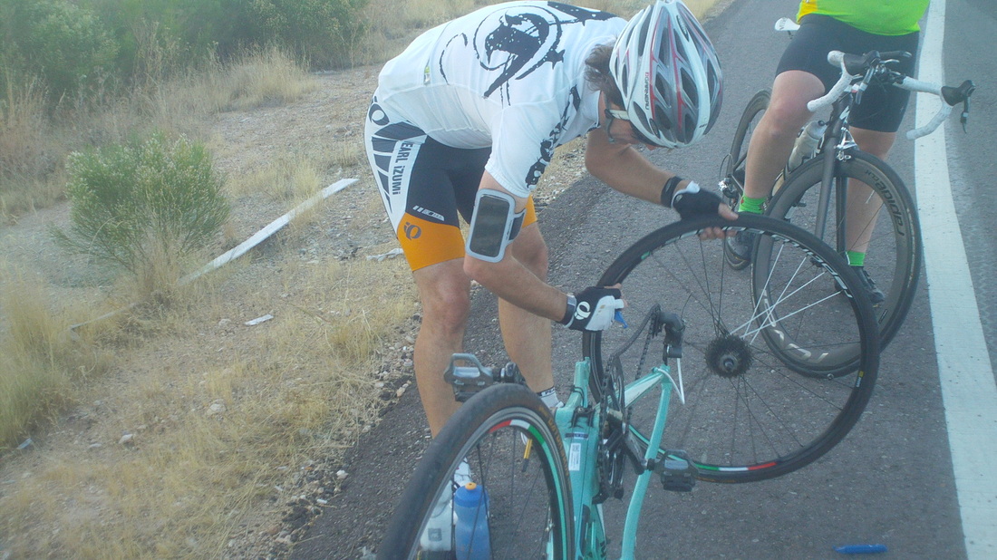
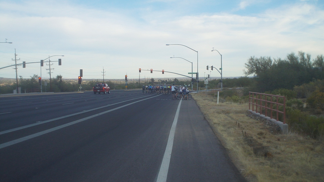
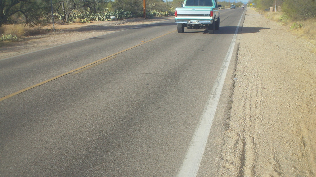
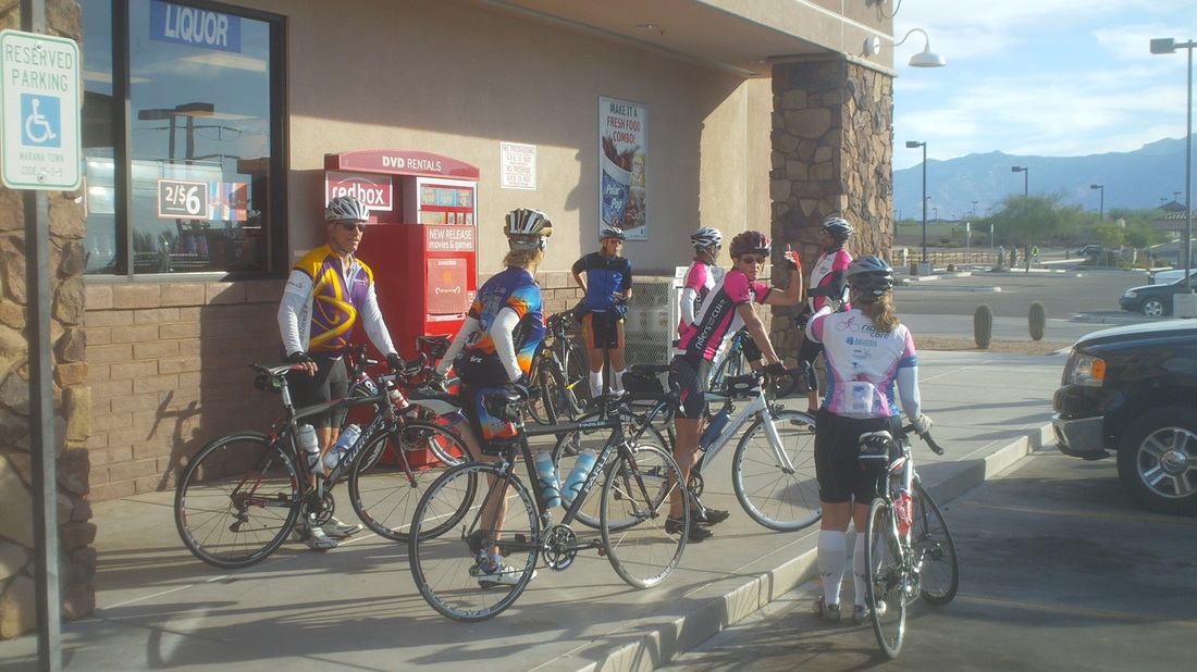
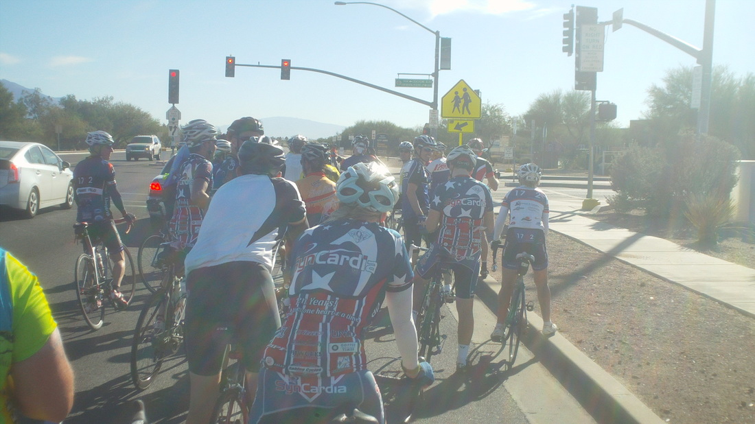
They sure like to start the rides early. Sunrise is 6:57am, group ride starts at 7:00am, some at 6:30 still! Above the rising sun begins to hit the peaks of the Santa Catalina mountains. Our starting point was an area between McDonalds and Circle K. It's different here. All my cycling life I have shoved off from places like Canal Winchester, Granville, New Albany, etc... and after a few pedal strokes we're out in our marvelous network of lonely country roads. Here it's bike lanes and berms throughout Tucson, Marana, Oro Valley, Green Valley and very little on lonely country roads. Not bad, just different and it requires constant focus on cars entering and exiting hundreds of businesses, approaching stop lights, etc... After Saturday's Mount Graham adventure, I chose GABA's 62 mile option rather than the 90 mile group, starting elsewhere. Only 15 of us showed up, which I thought odd. There is no shortage of debris on the roads and so one of our group stopped to fix a flat. Seems as if everyone has "Gatorskins" on their wheels. As we were watching him fix his flat, group after group of cyclists passed us. Suddenly, someone yelled, "There's the 90 milers." and with that, the flat tire fixer was left alone. It took me a moment to figure out what was going on but yep, everyone abandoned and raced to catch..... ....the 90 milers. Maybe 50 of them. I caught up and we approached a pretty steep hill on Oracle Road. I was pleased that I stayed with the front but we kept overtaking other groups who would fill in with ours, drop back through, it was chaotic with plenty of near wrecks. Still, no one really seemed to mind. You know how our groups start, the herd is culled and that's it but out here, groups come in and out throughout the entire 60 miles. We turned left on Rancho Vistoso Road, following the Tour de Tucson route. There was a long, long but shallow climb and at some point, a gap formed. I jumped out and chased, working with another guy but while we gained, we never overtook. My buddy dropped off and I rode alone until "Cody" and "Marie" caught me and we rode together for quite awhile until..... .......the above truck passed us with horn honking. Then the Richard Cranium suddenly braked directly in front. I passed and pulled to the right in the berm, frantically pulling my camera out. Meantime, Cody stopped at the passenger door and asked what was up. The driver shouted something about us not paying taxes and began to drive off when I got the camera out and took the image. The three of us resumed our road work. We pulled in to a market at mile 35. Usual antics typical of every food stop prevailed. We headed west on Tangerine Road, crossed I-10, spent a few miles out in the country and came back through Marana. At about mile 45, a huge group exited a gas station and formed up with us. Finished with 61 miles.
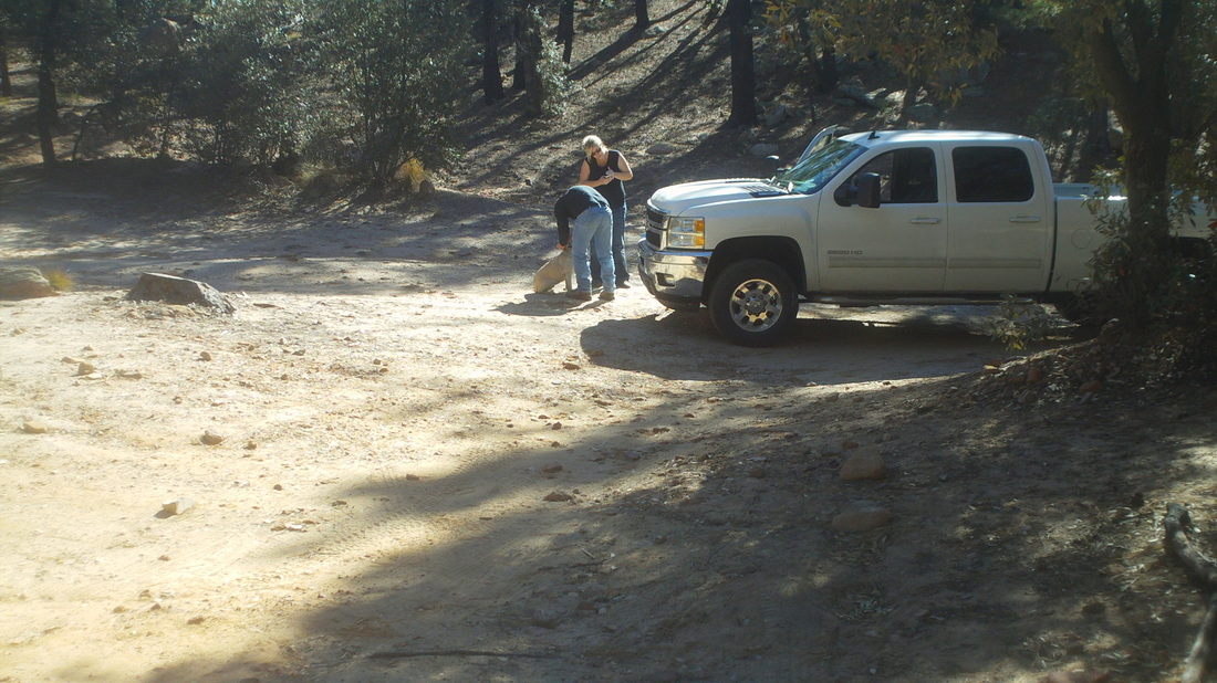
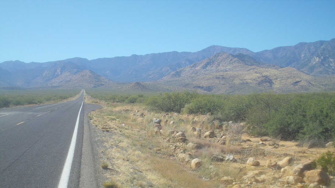
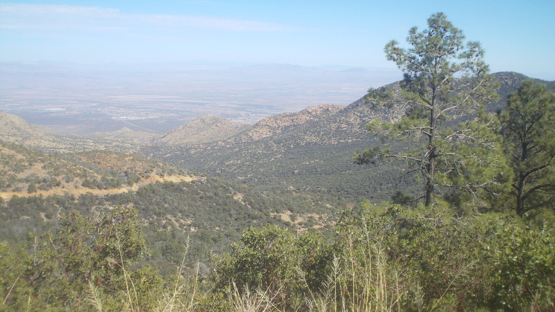
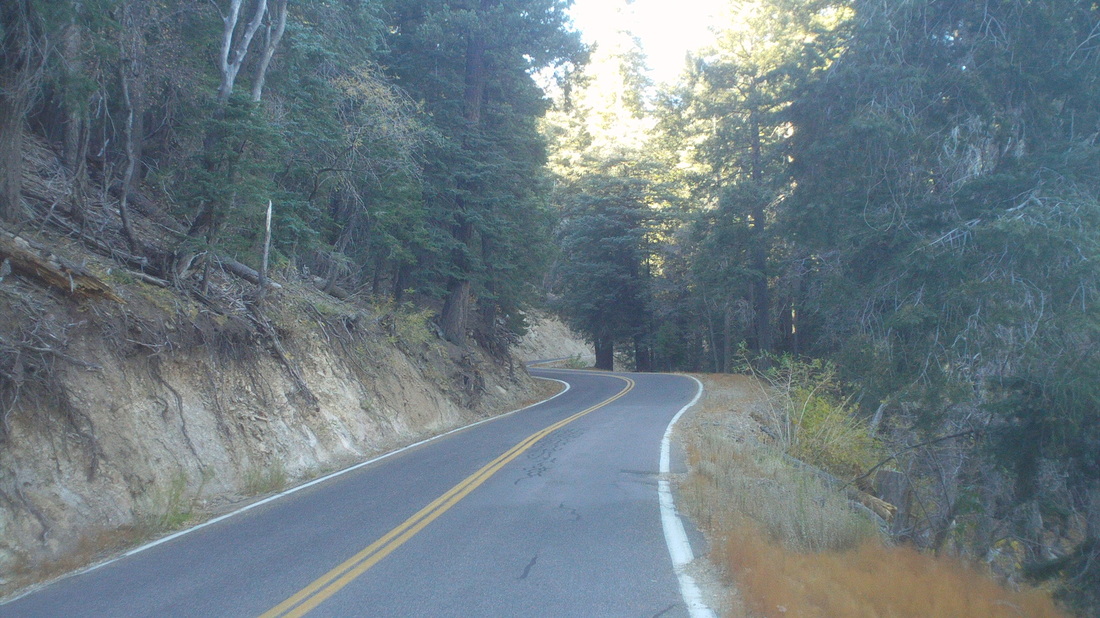
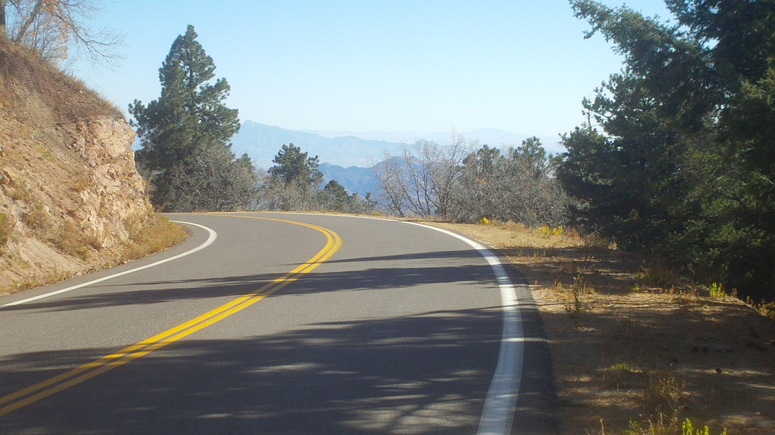
Saturday morning, into the car and drive 2 hours to Mount Graham. At 10,720', it is Arizona's highest peak and home to an observatory area that houses telescopes from various organizations. There is no water available anywhere on the mountain, although there are numerous streams that have 4 different species of trout. So, I drove 12 miles up the mountain, parked, got everything ready and..... .....a dog trotted towards me followed by a truck. A couple asked if the dog was mine. They said it had been following them for several miles as they drove down the mountain. The dog had a CO license and phone number so they called but the number was out of service. Not wanting to abandon it or risk it continuing to follow them, they decided to take it to the market at the bottom of the mountain and see what they could do to hook it up to the owner. I shoved off and coasted down. Reached the bottom, turned around and headed up. As comparison, this is steeper then Mount Lemmon. Lemmon is fairly constant between 4-6% grades with a few at 7% and a couple at 8% but that's it. Graham is fairly constant between 5-8%, lots of 9% and up to 12%. In the 12 miles to my car, there is but one spot, for about 100 yards, that dips slightly. The temperature at my car when I left it oh so many hours previously was 55 so I expected it to rise by the time I arrived, so many hours later. Strangely, it was 54 when I got back up there which I attributed to the east facing location. I switched out sun sleeves for arm warmers and kept going. The scenery changed dramatically as the pine trees closed in thickly around the road and there were few views beyond the dense trees. I passed through an area of summer homes but they were all plywood painted kind of crummy structures. Everyone was gone as gates will soon close the road. I saw no other cyclists and only 10-12 vehicles. I guy passed me in a truck and yelled something about bears. I reached this point at mile 15 and thought about turning around. I began imagining a bear jumping from one of these bluffs and having me for a meal. In fact, this area is home to one of the densest bear populations in North America. Then, finally, the slope relented and I picked up speed and kept going. I was above the 8000' elevation point. It was kind of cold, in the shade. At mile 17, suddenly round a corner the trees fell away and opened up vast views to the south. The warmth of the sun felt terrific. Here too the slope relented to 4-6%. I had gained around 5900'. The paved portion of the road ends around mile 28 but with only another 1000' of climbing in the next 10 miles so I knew from here forward it was more rolling then the grind. This was good enough for now. I coasted back to the car and changed clothes outside (remember, it's remote and not a sole around). Just then, a guy emerged from the woods and asked if I had his dog. Something about a strange dude coming out of the woods just as I was changing made me recall a scene from the movie, "Deliverance". I told him what had happened. He had driven from CO, camping by himself and his dog had run off. He was very upset that his dog had been taken and drove down to the market at the bottom of the mountain to inquire about it. The couple had stopped but had not left their cell #, instead saying they would put flyers up. Anyway, I called the market a couple of days later and was told the dog and owner had been reunited. Well, group ride on Sunday that included a truck making a sudden stop in front of us. More to come.
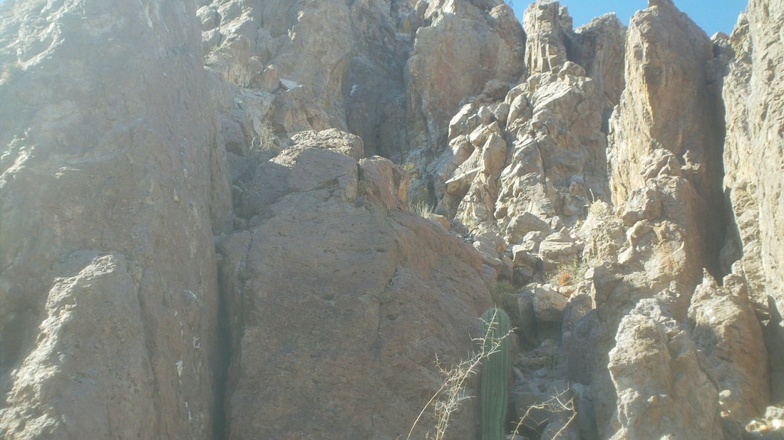
It's been two years since my winter beater bike has been tuned up and I've notice the drive train is sluggish and shifting too so dropped it off at a new shop, HMS Bikes. The owner is a nice guy and he sells shop T-shirts for $10 so can't beat that. While waiting for the tune-up, I made the quick drive to Sombrero Peak. It's a short but steep hike of 1.5 miles to the base of the peak, which is near vertical walls with the rumor of a way to the top. Dang, the views to the south were neat. Arriving at the base, I scouted to the left and then to the right but could not find a way up. Doesn't look like much in the image but those are 20' slabs of rock and no way up. I took a seat and pondered my situation. My situation is good but let's not do something stupid and instead come back with someone who knows the way up. Well, time to go back and collect the bike. Interesting plant and note the emerging sprouts around it. Big, big weekend to report, coming soon.
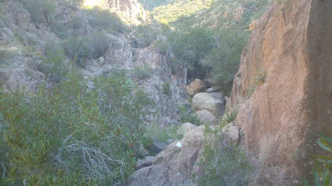
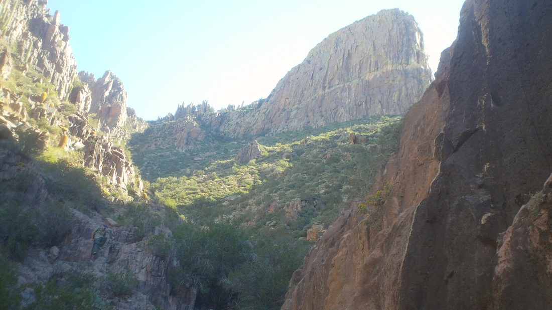
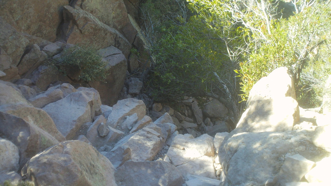
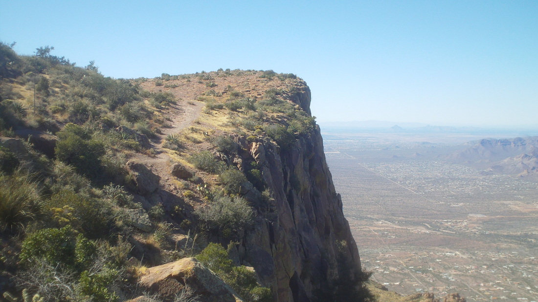
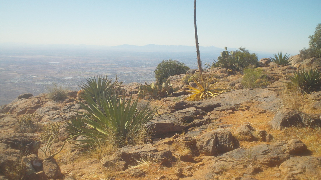
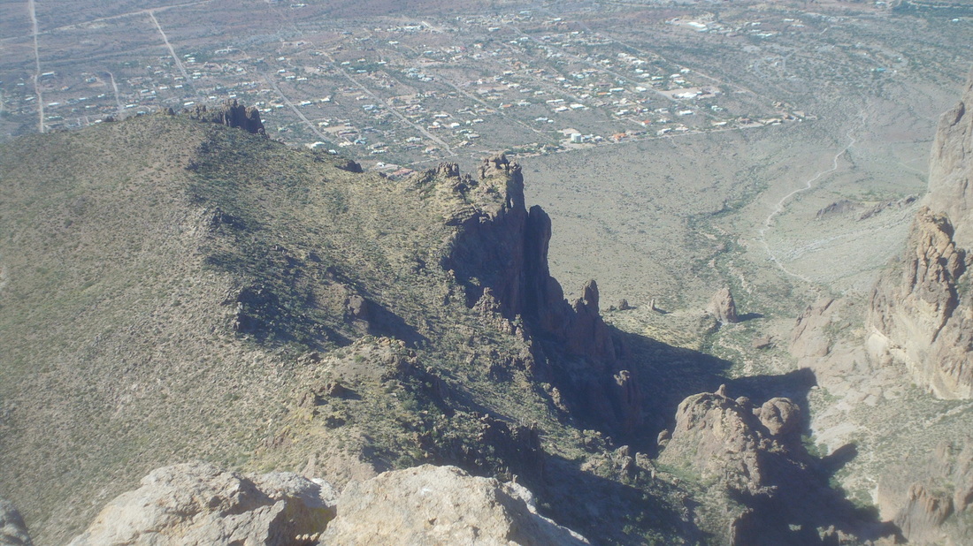
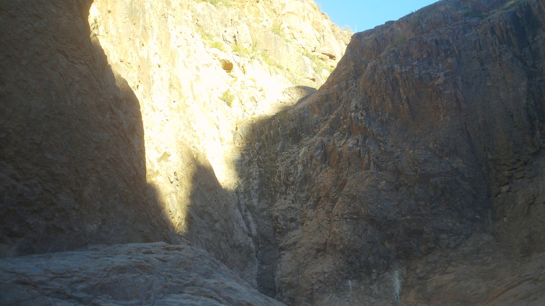
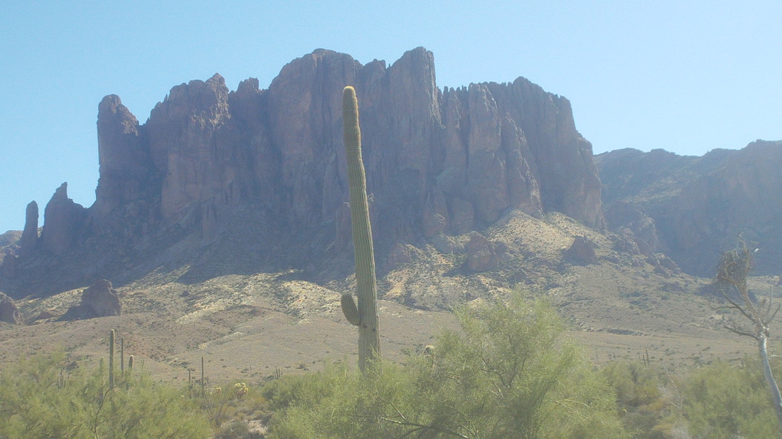
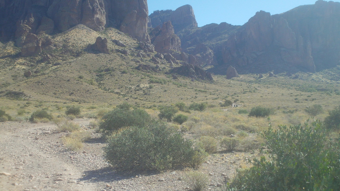
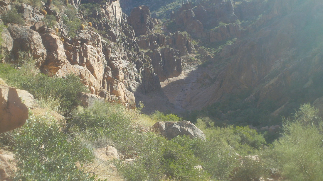
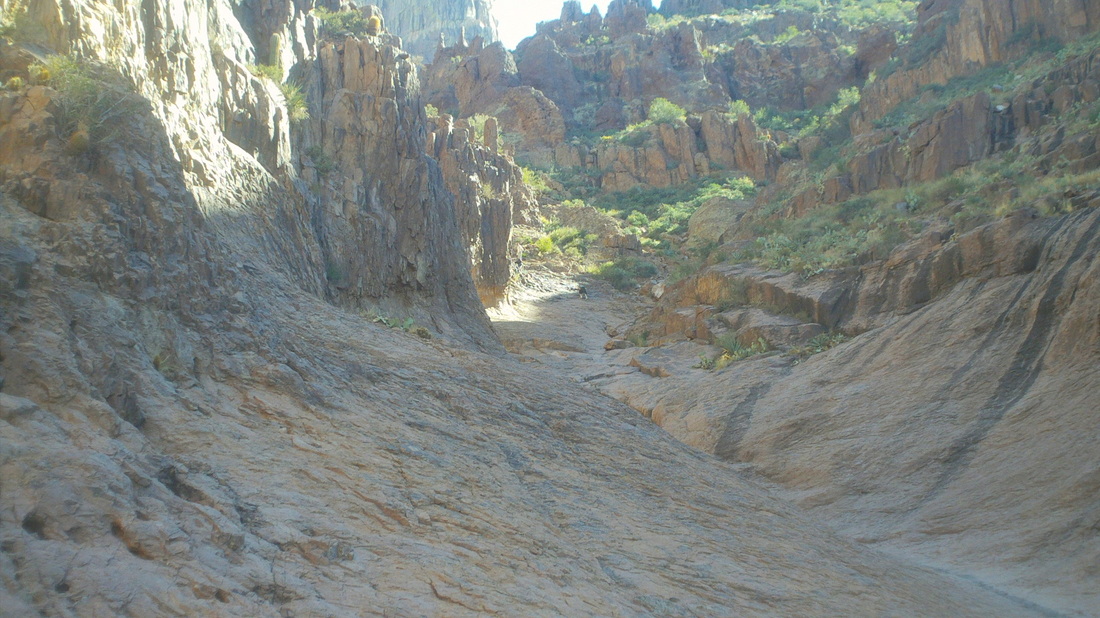
Back to Apacke Junction and the Lost Dutchman State Park for another attempt at the Flat Iron summit via the Siphon Draw trail. It begins with the typical stroll through the Sonoran landscape. The first mile is rolling but then.... ....the trail begins climbing and my first look at the Flat Iron, in the middle of the above image. The 3 mile route climbs about 2600' but the last mile, geesh. Again I reach the slick rock area. Above it is where I turned right instead of left and damn, I did it again but at least I knew I was on the wrong trail this time and back tracked. Here we go, the correct ravine, a boulder strewn more climb then hike, just the way I like it. This was a lot of fun. Ahhh, the Flat Iron comes closer. The final 8/10 of a mile gains 1800'. It is not hiking but boulder hopping and pulling yourself always upward until you reach this feature, a 12' wall that is beyond vertical. This stops a lot of people but I found some hand and foot holds on the right and clambered over it. Looking back, I wondered if I'd have any issues getting back down but that was for later. Now was the reward.... .....the flatish final few hundred yards to the rim. I stayed up here for half an hour just wandering around the perimeter and taking images and video. Spectacular and that word doesn't do justice to the 360 degree views. For future reference, it took me 1:45 to get to the top but there was also several minutes spent trying to figure out the route through the boulder field. Standing on the edge, well, 2' from it, the views down are neat too. I'm not afraid of heights but I can't make myself stand at the very edge either. I usually think, what if the rock suddenly gave way or a gust of wind hit and that keeps me about 2' from the edge. The rock outcropping in the middle is where I ended up on my previous attempt. I passed 10 people coming up, each of whom said they were headed to the Flat Iron but none made it so I wondered how many got off the trail as had I or got to the wall and turned around. Well, time to head back down. I arrived at the 12' wall and waited but no one was coming up who could, you know, give me a hand down so I swung out into space, trusting my foot would find a ledge and it did on the first try. I was kind of skeered during this maneuver. Made it down through the boulder filled gorge and arrived at the head of the slick rock. Began going down and realized I was in the wrong channel so climbed out, found the correct channel and half way down looked back and saw the first channel ended with a 40' drop, see above. It took 1 minute less to get down as it did to ascend the trail. Six miles total in 3.5 hours. This is my new favorite hike. too bad it's 90 minutes from home. Well, the Mount Graham failure on my bike is gnawing at me so I'm probably going there this weekend. There's also the Shootout ride, a GABA Tour de Tucson training ride, what to do, what to do.
The COP Winter Wonder ride starts at 9:00am from the Alum Creek below the Dam Area with routes of 30 and 60 miles.
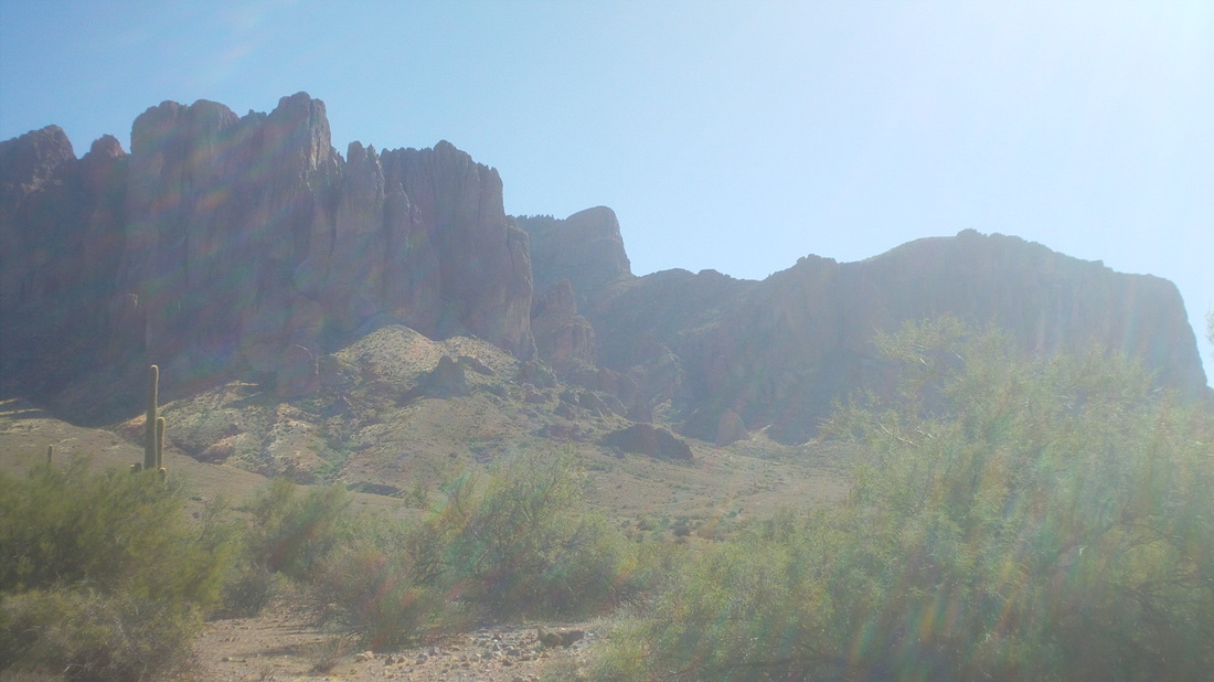
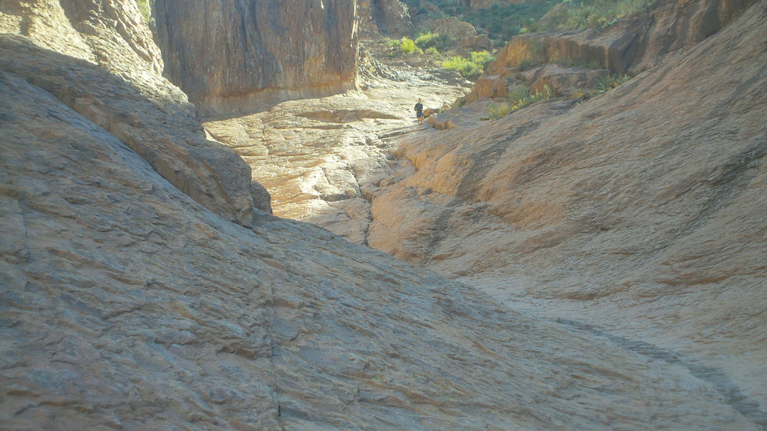
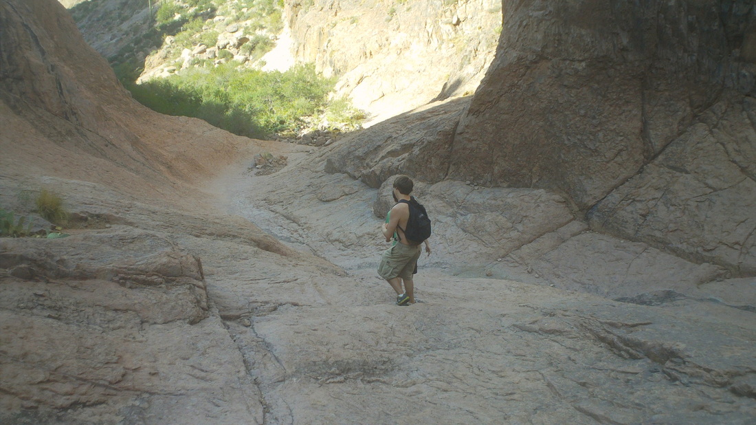
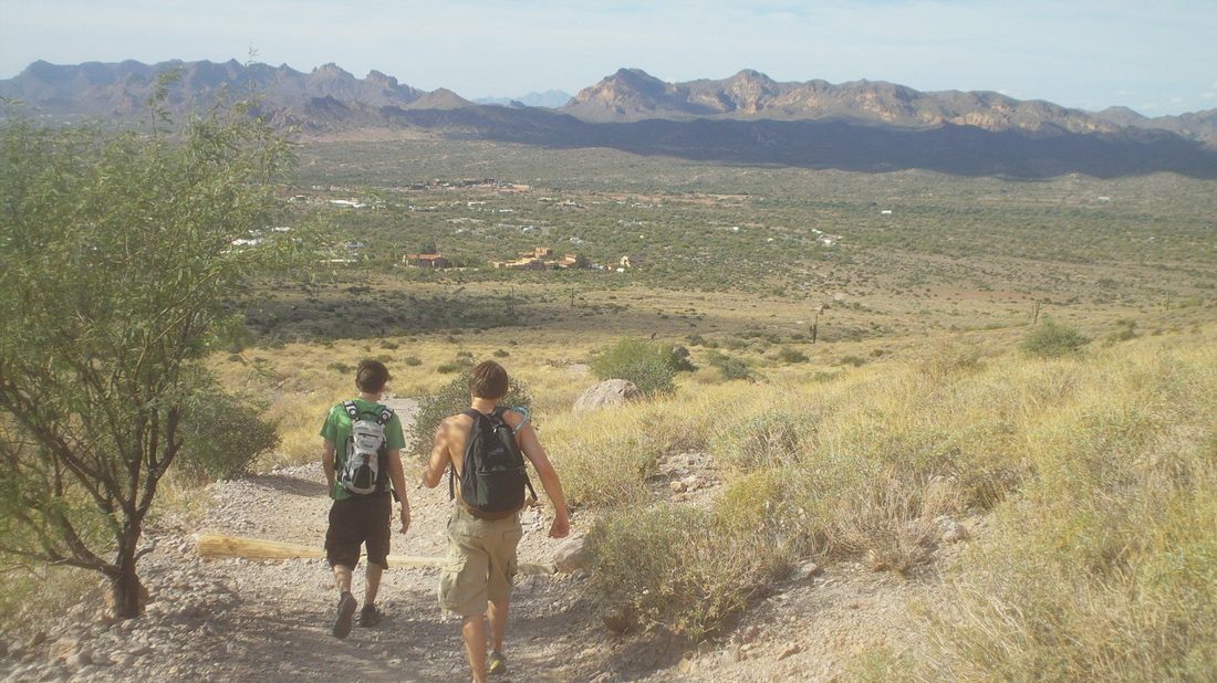
Ramping up the difficulty level just a bit, Andrew Hall is riding "The Frank" route out of Malabar Farms State Park at 9:00am. He is training for "Dirty Dozen" ride in Pittsburg so he needs to work in some climbing to his training regimine. I think junior muscle dude, John Day is joining him and all are welcome. Ramping up the enjoyment level just a bit is a ride out of Lockville Park, led by none other than Steve Oxley, also at 9:00am, with a 61 mile route. Steve tells me there are at least 6 food stop options, which are necessary to attract people like Flyin Tuna. He won't stop at them all, maybe just one but the stops are there if needed. I had read about a hike called the "Flat Iron" and comments claiming it was twice as long, twice as high and twice as difficult as Phoenix's Camelback Mountain hike. That was good enough for me so I drove to Apache Junction, about 90 minutes north. Actually, that is not the "Flat Iron" in the foreground..... ....but there it is in the upper middle of the image, shaped like an upside down iron.. So, you begin climbing and go to the right of the prominent feature in the 1st image. Soon, I reached this very cool flat rock section in the side canyon. Maybe you can make out a guy with a black shirt and a guy with a white shirt, climbing up kind of a steep slope. Features like this thrill me but not always in a good way. I don't need to be tumbling down a steep slope and banging in to boulders at my advanced age. I was glad there were three guys to follow because I had not a clue where to go once the slick rock section petered out. I eventually caught them and kept going, missing a turn to the left yet still following a distinct trail. On I went.... ....where the route flattened and led me to a prominent point overlooking the Superstition Mountain wilderness area to the north and the valley to the south. I was standing on the rock above, admiring the view, when a bee began buzzing me. Instinctively I swatted at it and killed it. Then I remembered that is not wise as they leave a marker on you that attracts friends that attack. Several people have been injured or killed in the last few months in Arizona by the insects. I beat a hasty retreat. I came back to the top of the slick rock section and heard voices above me in a boulder strewn canyon. These two young guys pointed out I had missed the main trail to the Flat Iron. Damn!!! Oh well, I followed them down for the 3 mile return. Note the mountains in the distance, below. This is a very neat hike and listening to these guys describe the section I missed, requires me to go back, soon, like tomorrow.
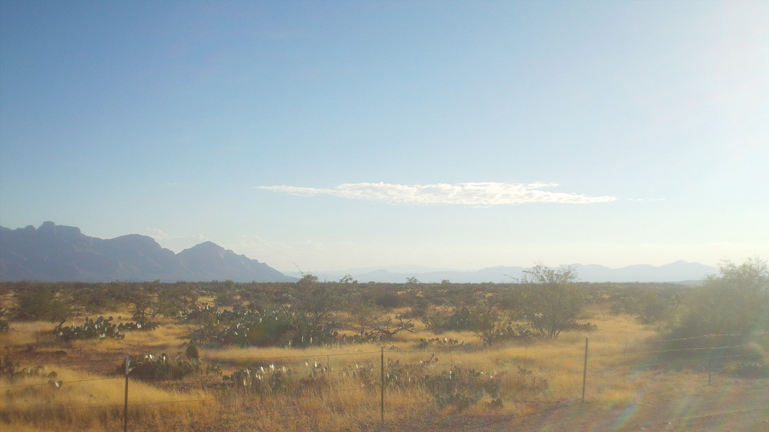
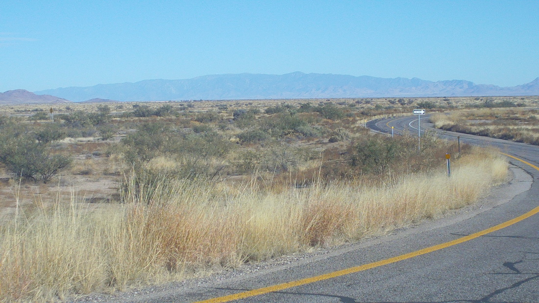
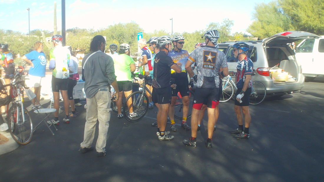
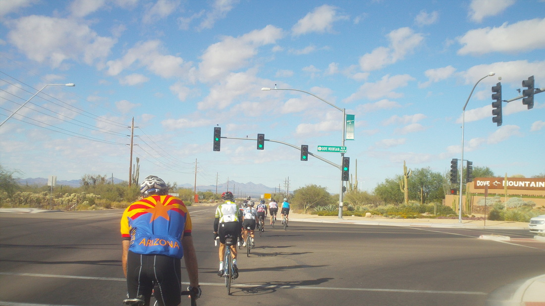
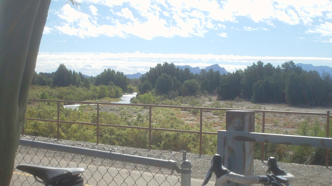
Friday's destination, some where to the left of Sombero Peak via Gates Pass and then back via Painted Cave. Ho hum, another day of sun and temps in the low 80's. Ya know, I could learn to like it out here. Today's roads had too little of berm and too much traffic so it was not ideal. This is on the back side of Gates Pass. The boundary of Saguaro Park West is at the top of Gates Pass and continues for miles. The route turned north at Kinney Road, a rolling route before coming back east at Painted Cave. Ended with 73 miles and 4200' of climbing. Then I discovered an organization called GABA (Greater Arizona Bicycling Association) on Saturday, signed up and came out for the "Silverbell Century" on Sunday. Probably 150-200 came out for the supported ride. The sun was rising as I headed to register. It had rained in spots over night but a beautiful morning with a start temp of around 60. I rolled out with a large group of fit types, into the rising sun as we headed east on River Road. It was a bit chaotic as around 70 in this group. At mile 1, I rolled through a hole, lost both water bottles and dropped my chain so I was out of that group. Winter beater bike was ok so I kept going and eventually got in with a good group of 20 and we paused at the first food stop. Interesting mix of UofA students and old timers. The first 30 miles was all bike lanes as we sped around northern Tucson, Oro Valley and Marana but then, after passing Dove Mountain, we got into open country. We passed under I-10, heading west and I got the opportunity to see new roads, which are mostly flat in this area. We stopped for a 2nd food stop and I took in this odd view, running water in a river with plenty of trees, green plants and grass. There were even cows grazing in green fields. Kind of a flat route with 82 miles and 2500' of climbing. Nice touch at the end, subs, cold ones and snacks. I like this group!
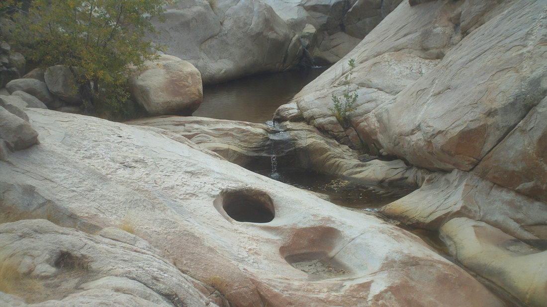
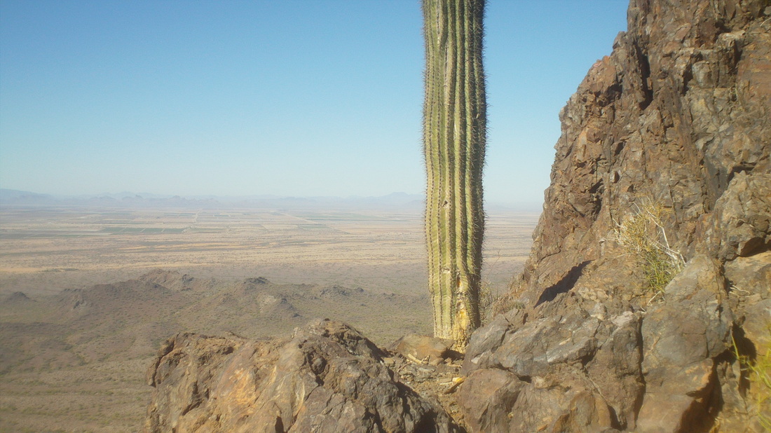
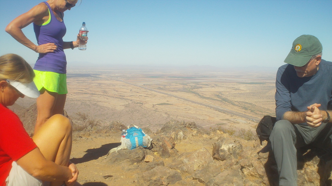
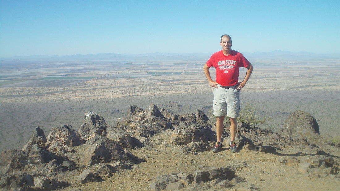
Hey, look at those clouds, that's unusual. Hiked to Moreno Pools out of Catalina State Park. Just 5 miles but the reward of seeing.... .....the pools of course and the water was running. In the distance, as I returned, I could see clouds of dust driven up by the 20-30mph winds. What I did not know at the time was a dust storm had formed and there was a 19 vehicle pile-up on I-10. Most of the area between Phoenix and Tucson is kind of desolate and not a lot out there so when it gets excessively windy, these dust storms form. On Thursday, I hiked up Hunters Trail to Picacho Peak, a very steep hike with cables in many places to assist the ascent to...... ....the peak. The woman in purple on the left is from Westerville, OH and the other two are from Seattle. In the distance is I-10 and exactly where the 19 vehicle pile-up happened. Can you tell I've lost 5 pounds? No? It's easy when you hike or bike every day. Big ride on Friday and then a century ride on Sunday with a new group I joined. More to come, later.
|
Categories
All
Archives
November 2023
|
