|
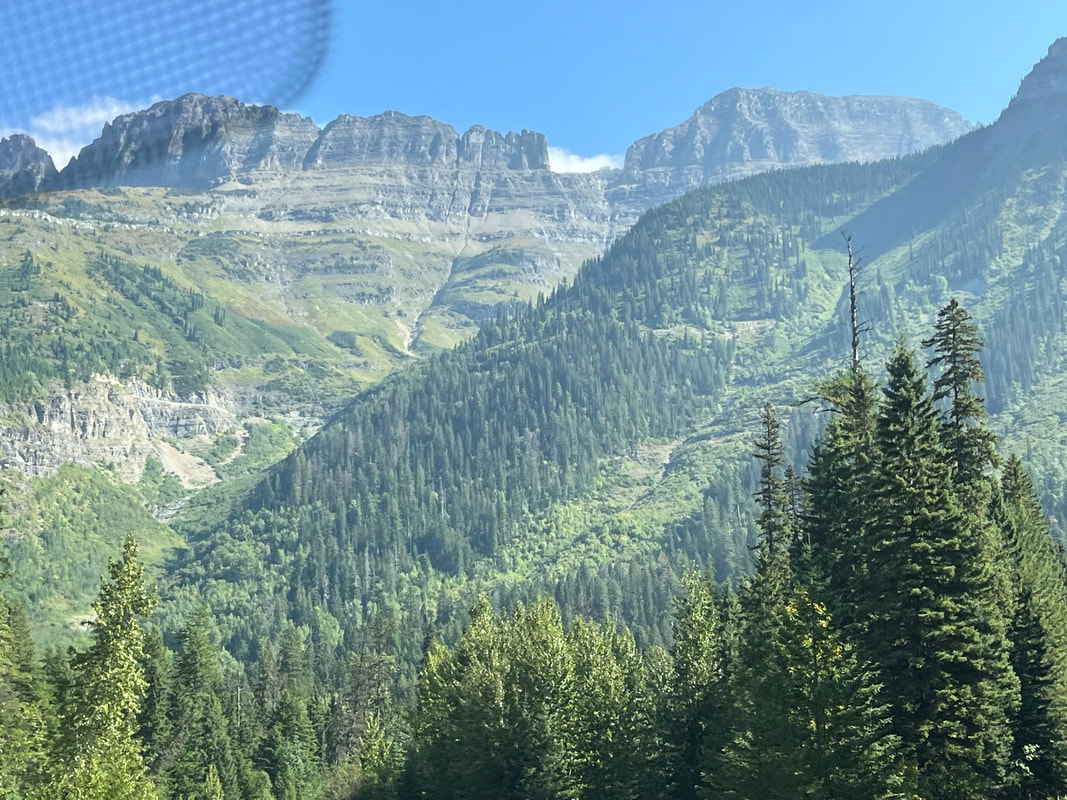
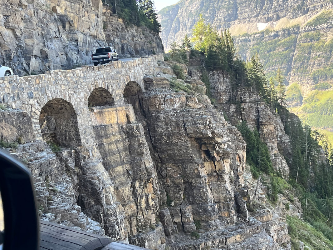
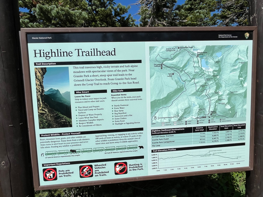
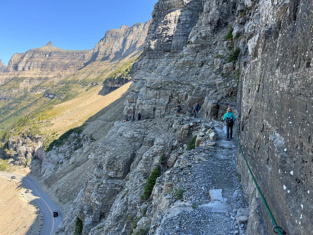
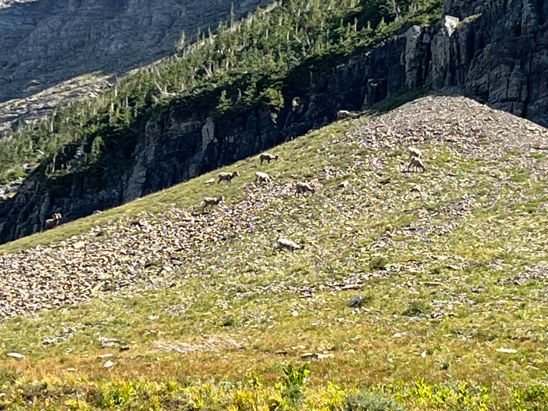
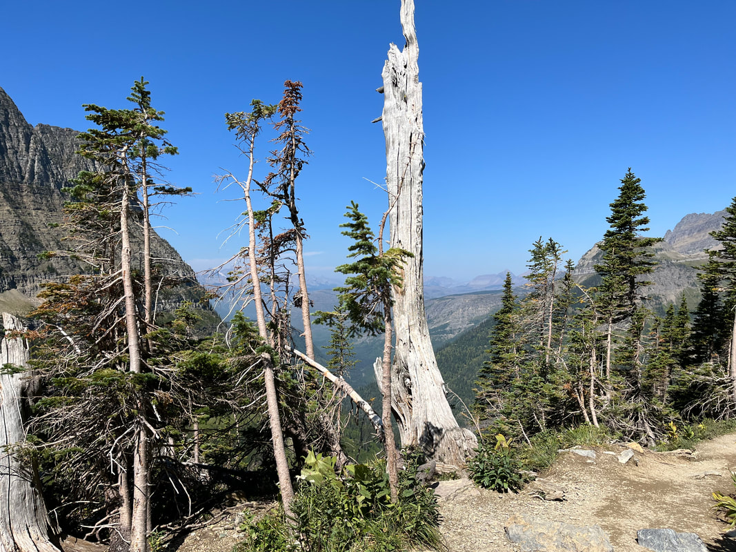
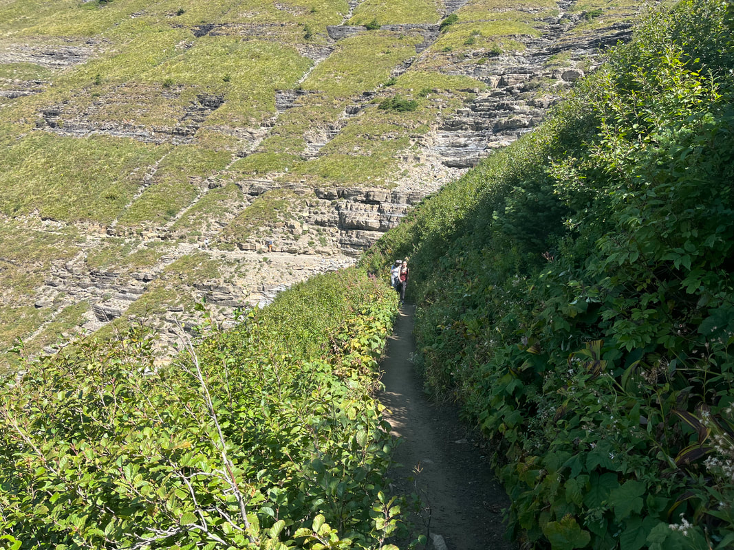
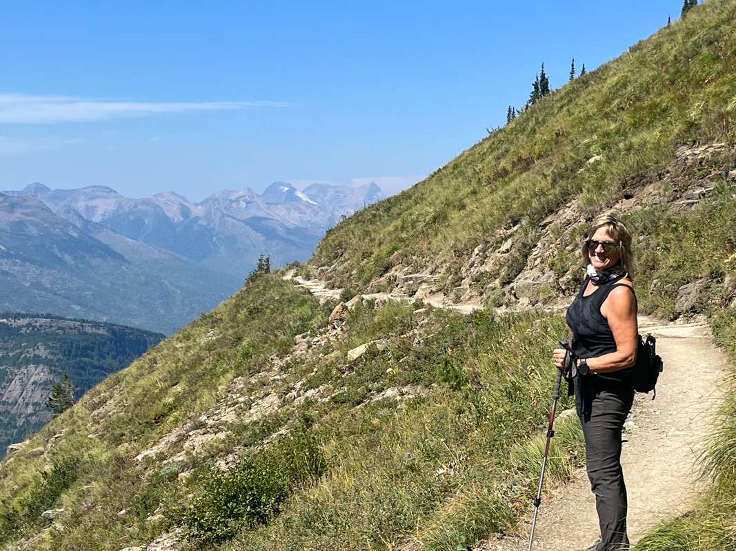
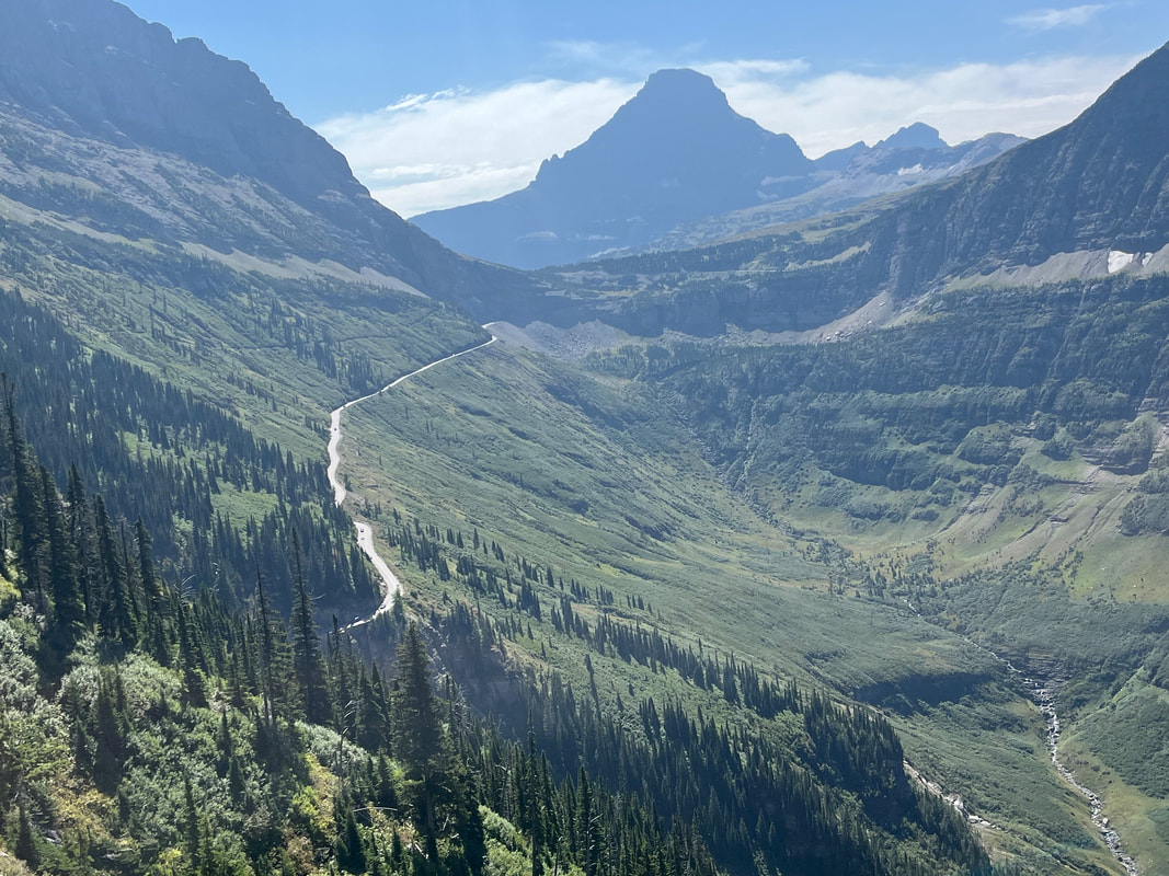
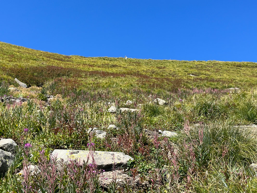
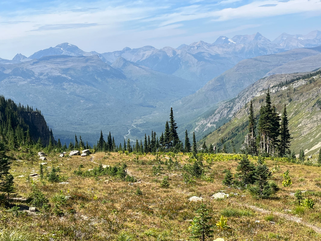
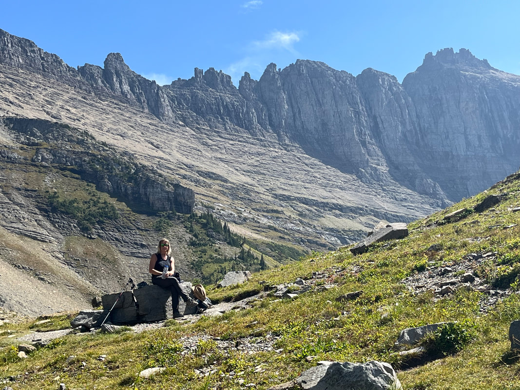
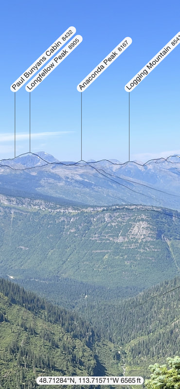
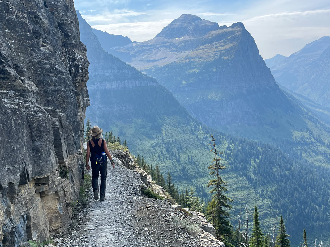
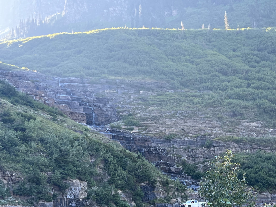
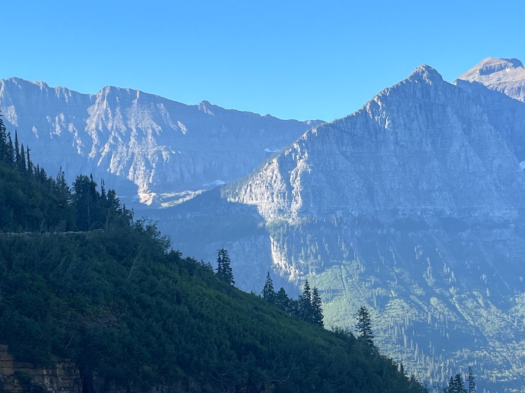
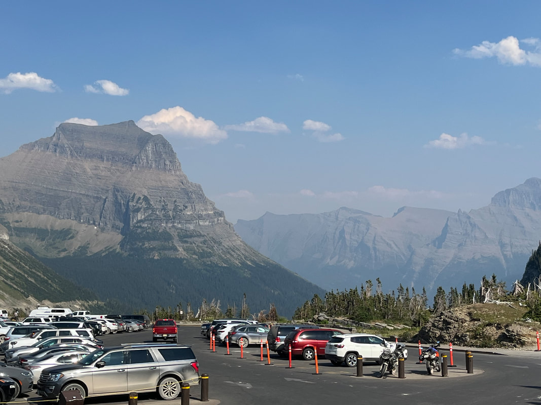
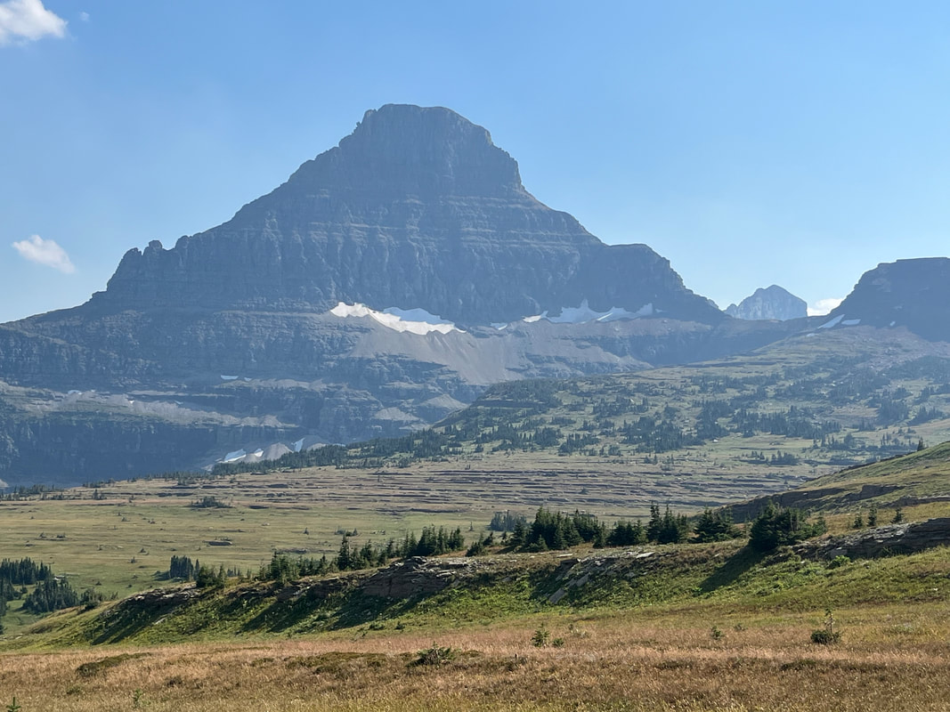
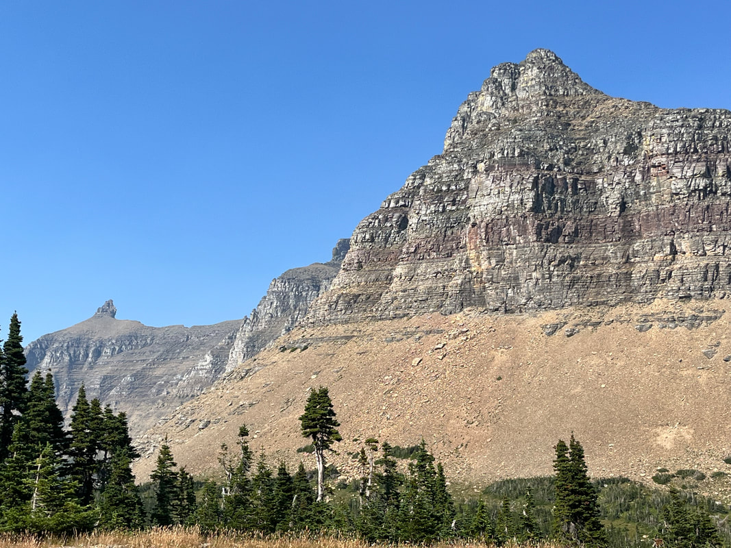
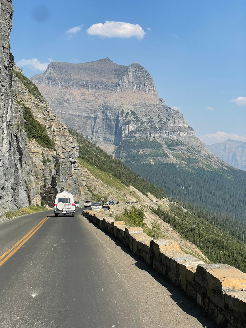
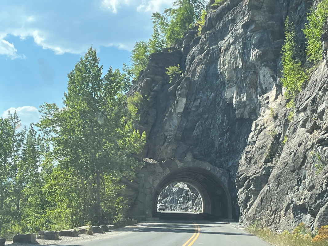
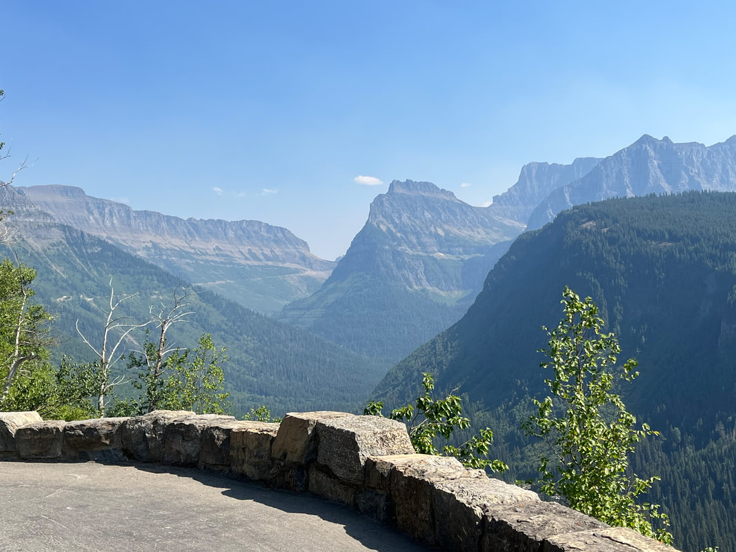
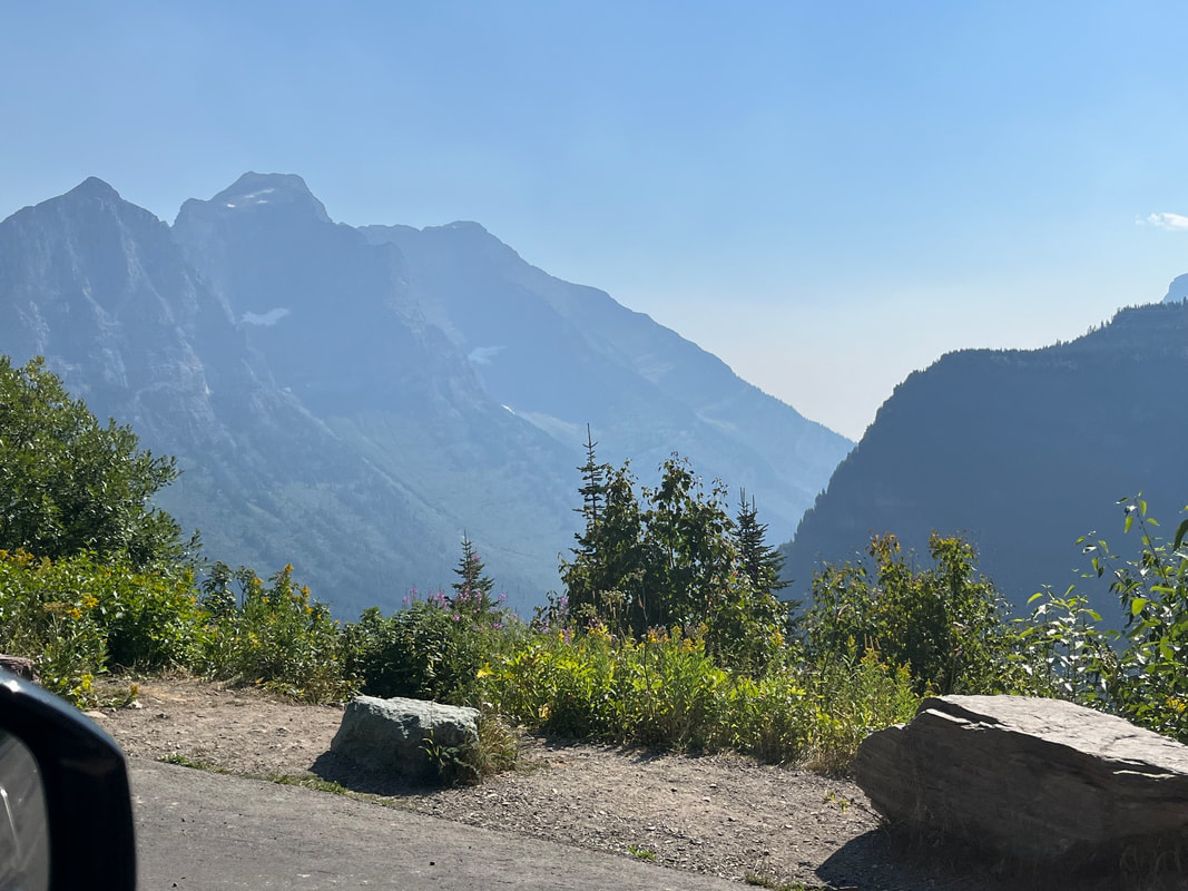
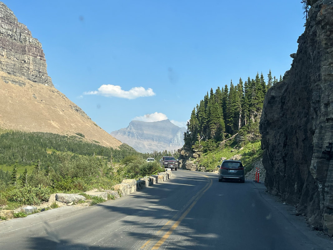
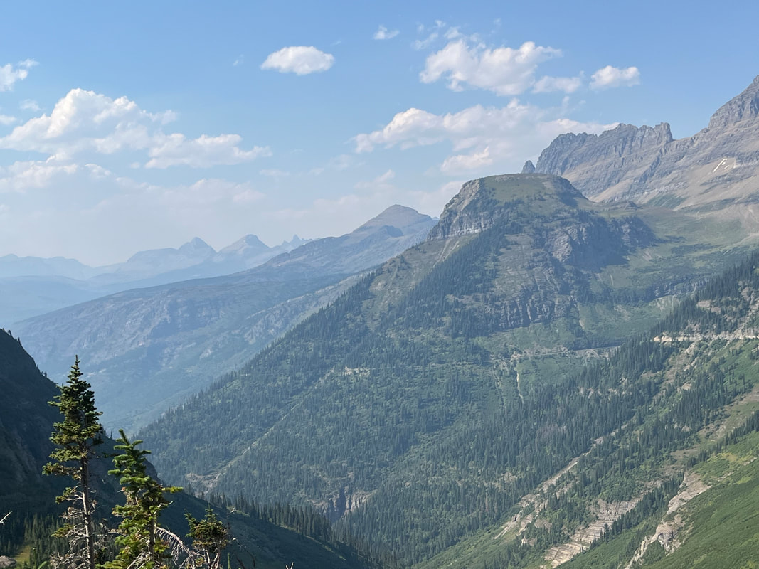
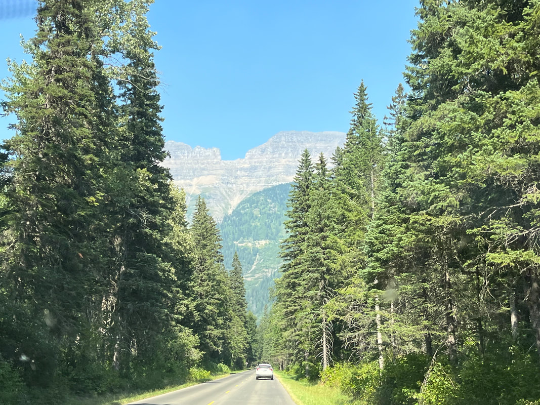
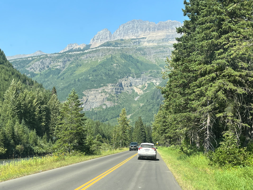
We entered Glacier again and headed to Logan Pass, the start of our hike. On the far mountain face, we saw sun reflecting from cars. The road is considered an engineering marvel and that someone looked at that mountain and thought, "Oh yeah, building a road up that is totally doable" is impressive. Interesting how they blended stones into existing rock. Finding a parking spot was a challenge as we circled again and again. Then Amy had the bright idea of intercepting a woman returning to her car and getting her cooperation to allow us to take her space! We geared up and were on our way. With the Jackster waiting patiently at our home, we didn't want to be gone an excessive amount of time so we chose a hike to Haystack Pass, 7 miles round trip. There are other destinations, farther afield and worth visiting another time. After about 1/4 mile, the trail becomes this. Nothing we haven't experienced before regarding exposure so we were comfortable along this section. Besides, there is a cable that can be grasped if needed. How bout that! Bighorns above us. A long dead, whitewashed tree with an incredible view beyond. We are traversing a slope known as the "Garden Wall" and no imagination is required to see how it got that name. This is not a trail that one hikes to put in a good time on Strava or some other app. We just had to stop, necessarily frequently, to enjoy the views. Going to the Sun Road is now far below us. The hike is not difficult but before ascending to Haystack Pass, you do gain 275' in a short distance. The name "Haystack" must be because of thousands of clumps of grass that resemble a haystack. Geesh, reaching the pass and being privileged to see what is beyond. The pictures look awesome but honest, in person, incredible. Amy and I shared lunch on a flat rock. Lots of hikers passed us, on their way to various overlooks. Some of the many peaks we identified using "Peak Finder" an awesome app for hikers. We returned to the trail head, mesmerized by all that we had seen. Amy and I have each traveled extensively, domestically and overseas, but we both agree, Glacier is top 2 on our list of natural wonders we have seen. Get here, at some point, if able.
0 Comments
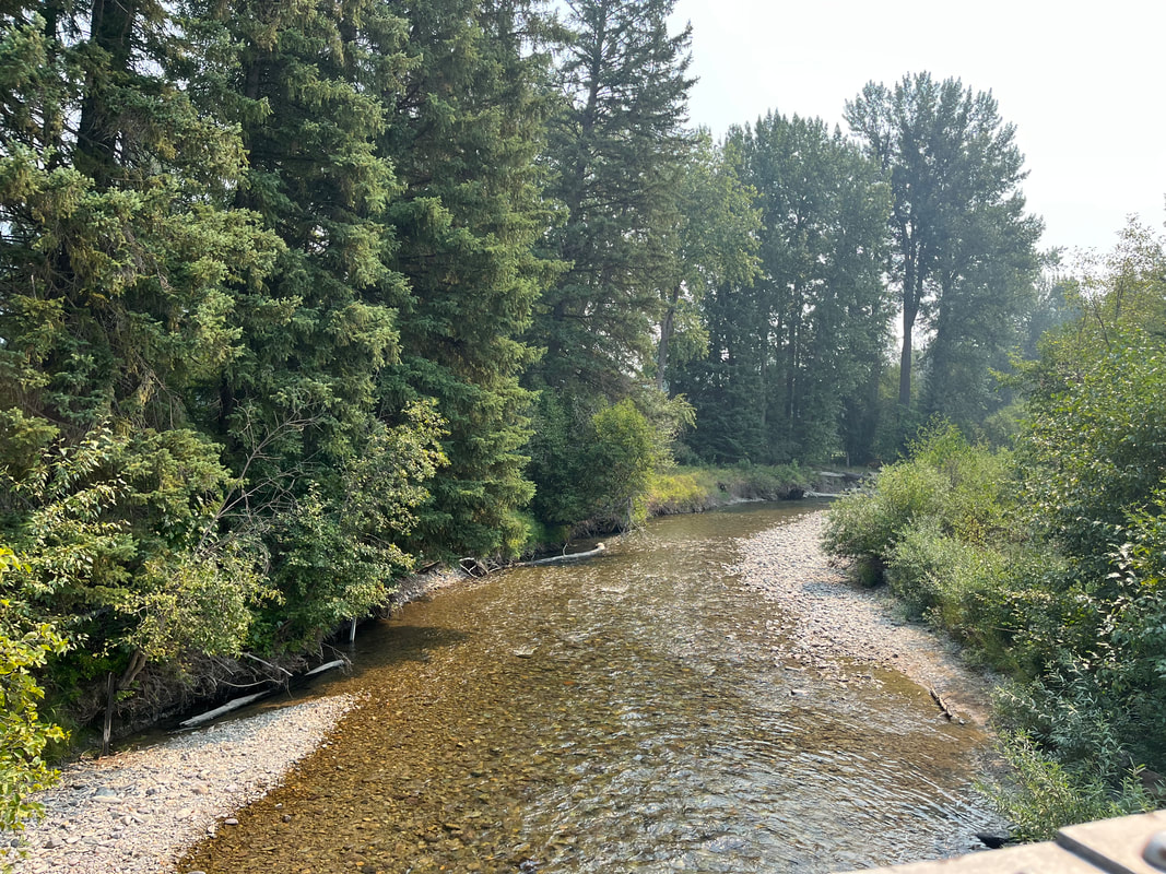
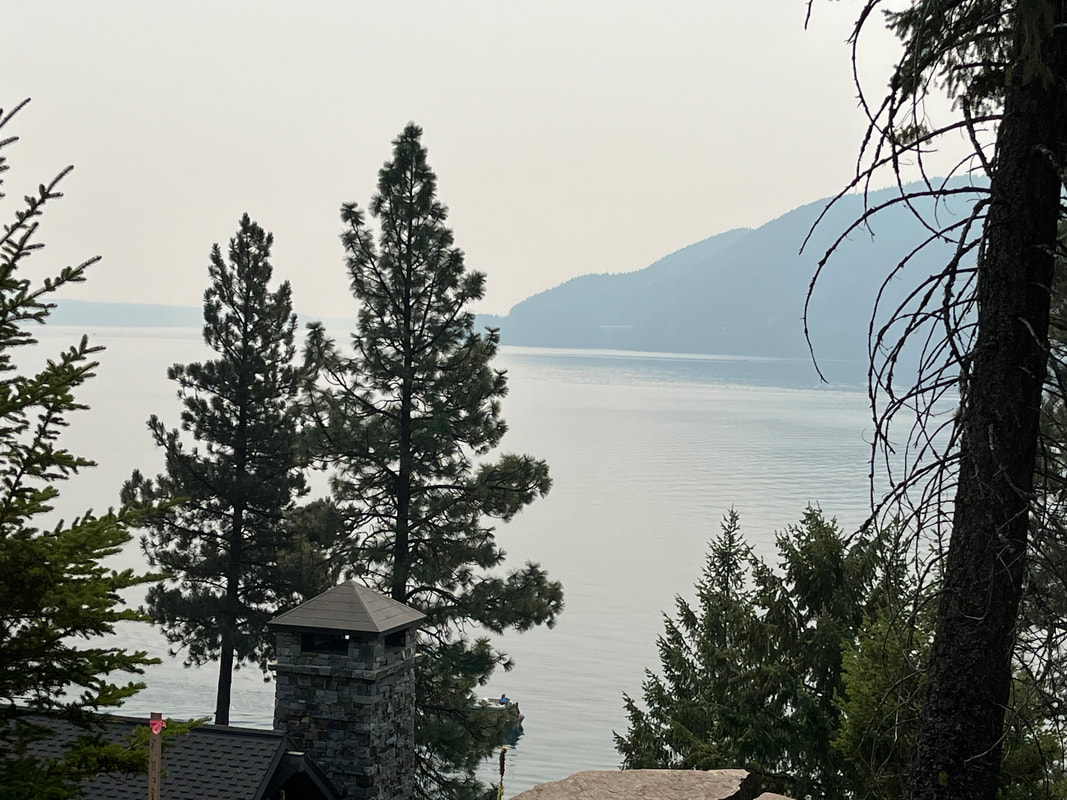
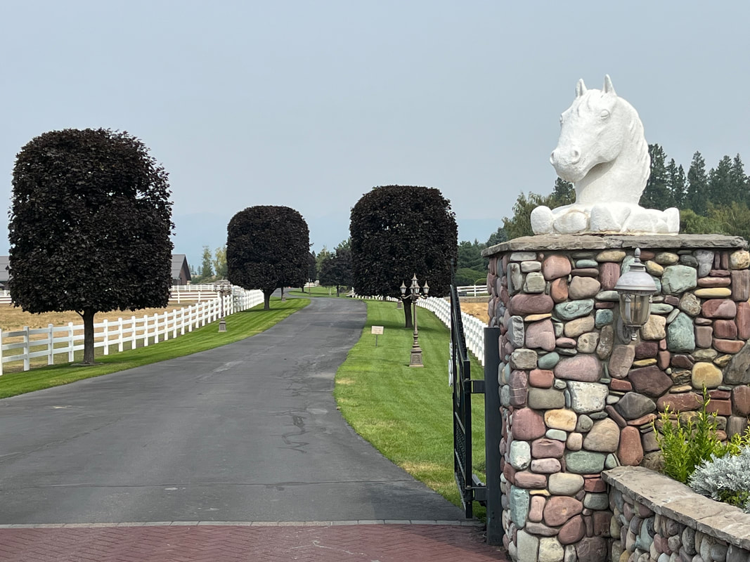
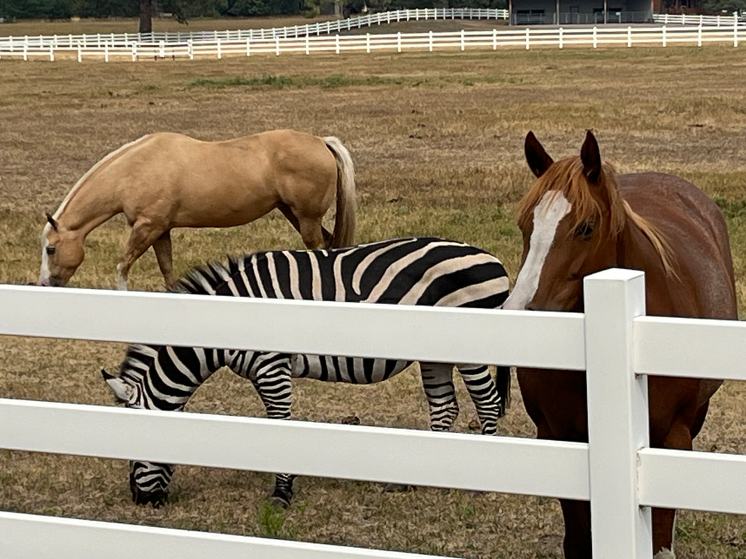
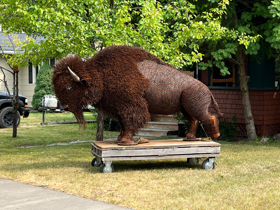
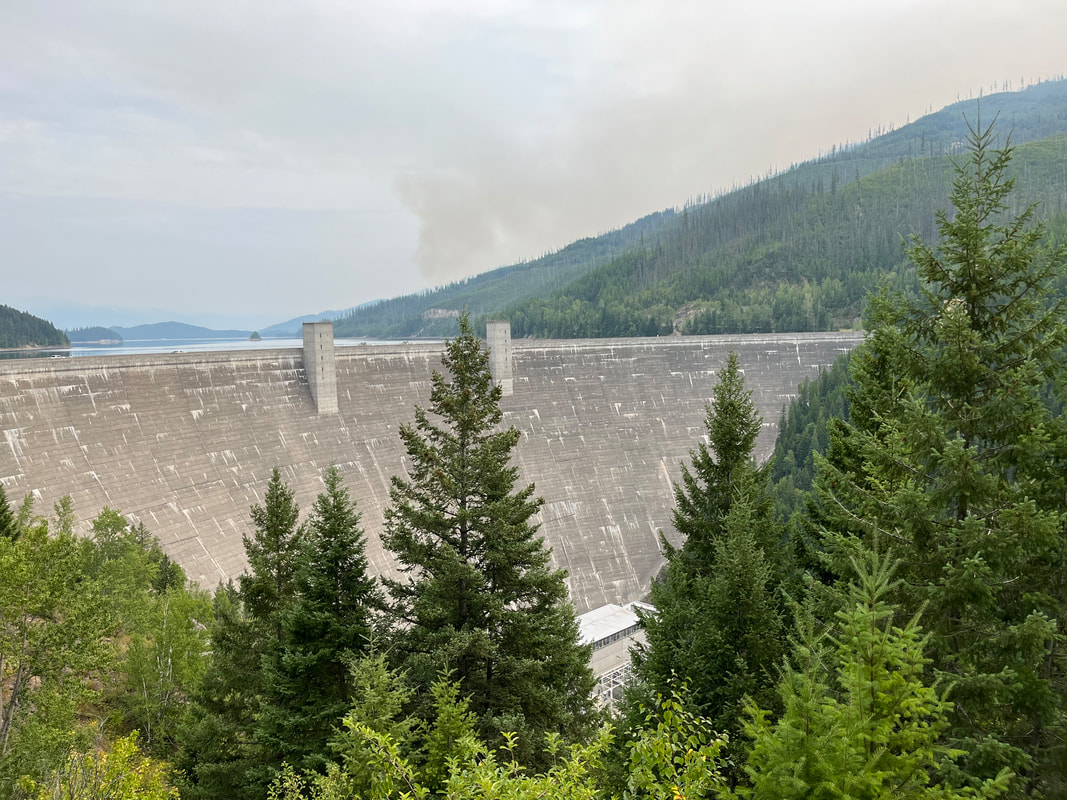
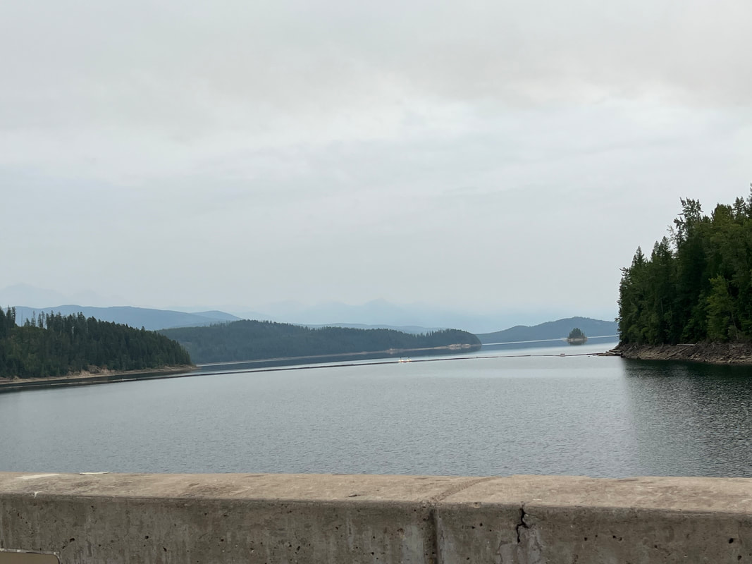
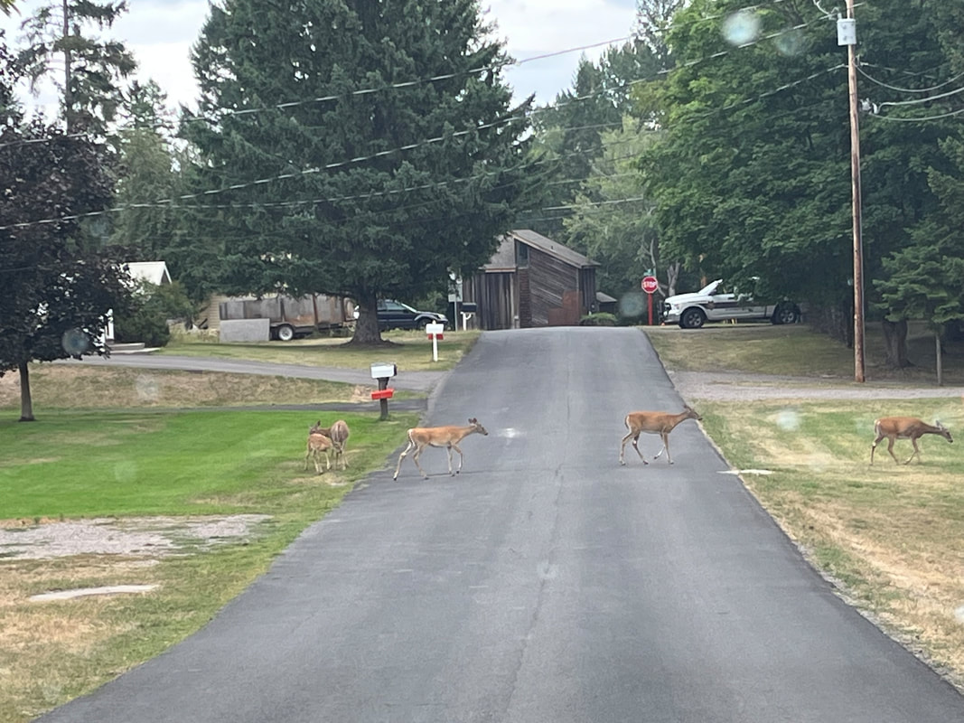
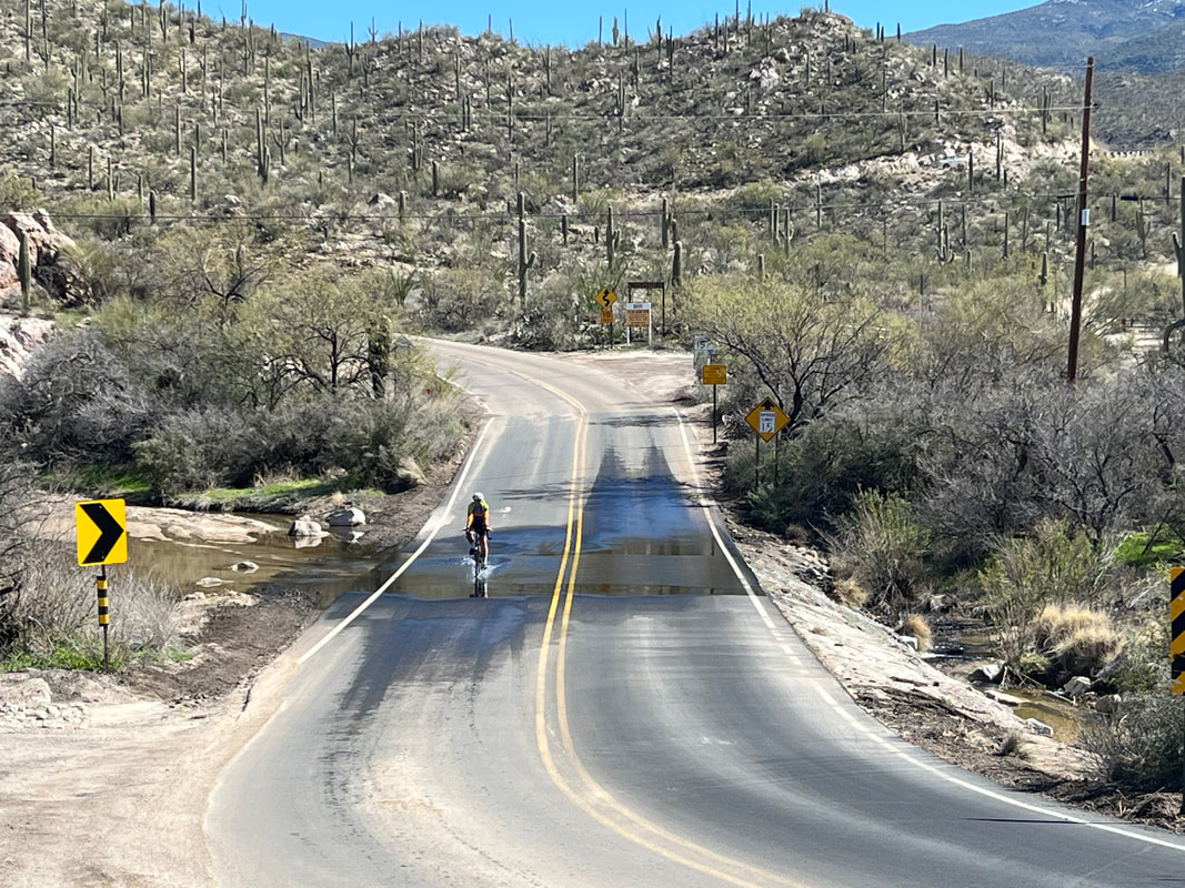
I rode from our home and around a portion of Whitefish Lake. Kinda hilly and a good ride. Mostly forested but emerging from that there is a great farm scene. The obligatory creek crossing scene of course. The climbs rise above the lake and the views are beautiful. We dined out this night and a very nice Italian restaurant at very reasonable prices. The above is my dish after eating all that I could. Nice portion size! Amy and I got in a recovery ride that included passing this estate and..... ...a zebra! As we headed back on our 18 mile ride, we saw this. Have no idea why an unfinished buffalo was sitting in someone's front yard. We headed to "Hungry Horse" a small community between Glacier and Columbia Falls, just to check it out. Pretty small and no Main Street or shops. Kinda disappointing but.... ....one of the largest dams in MT is located nearby so we checked that out. The lake behind the dam is enormous. Not that wide but many miles long. And the neighborhood deer continue to make their appearance as we walk Jack.
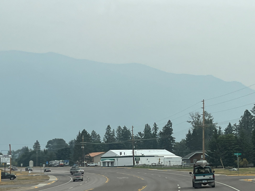
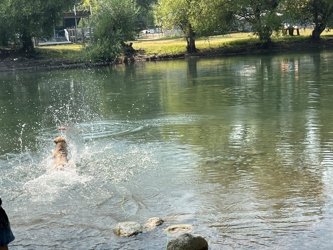
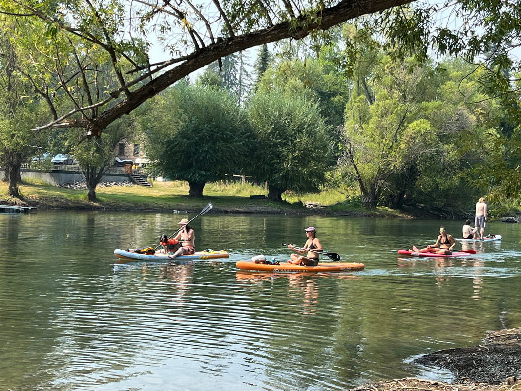
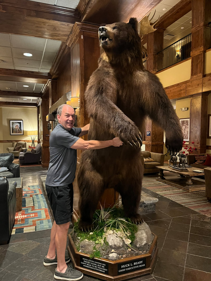
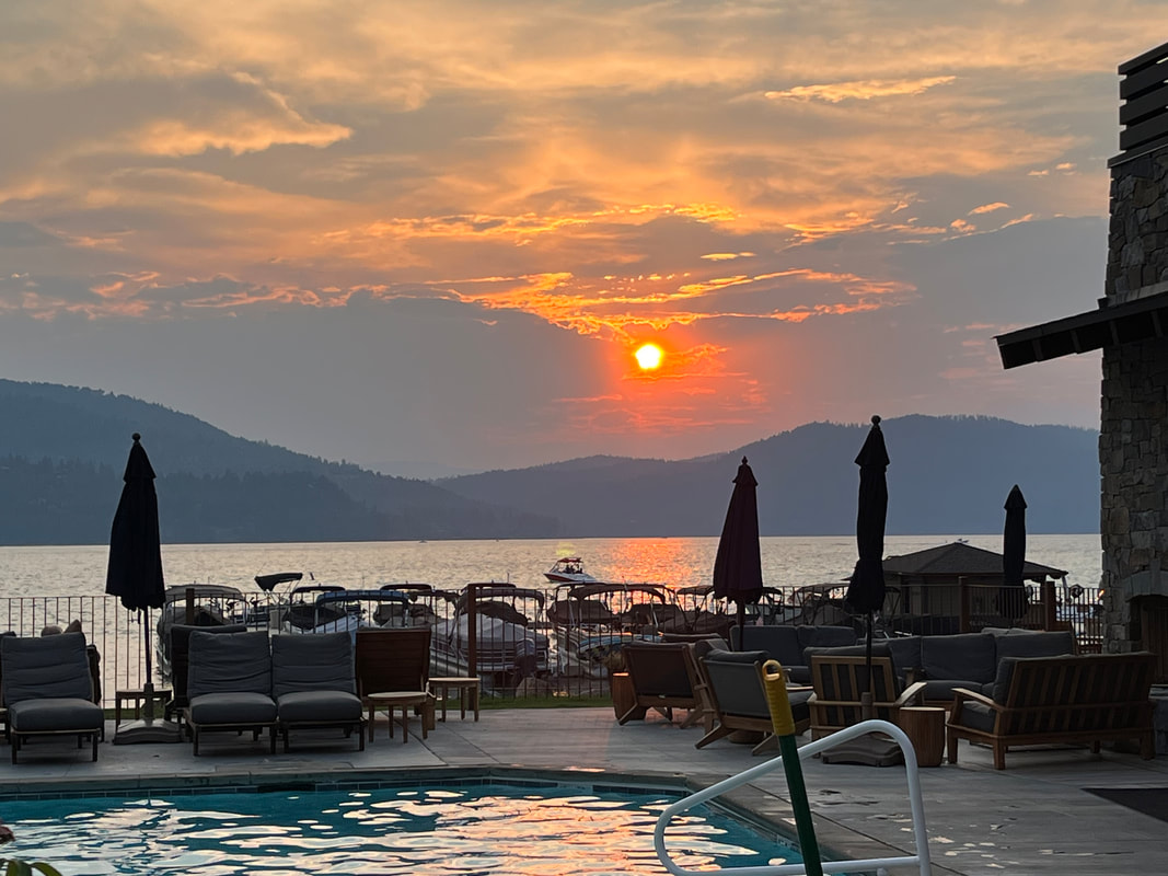
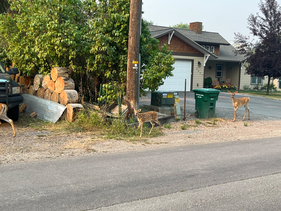
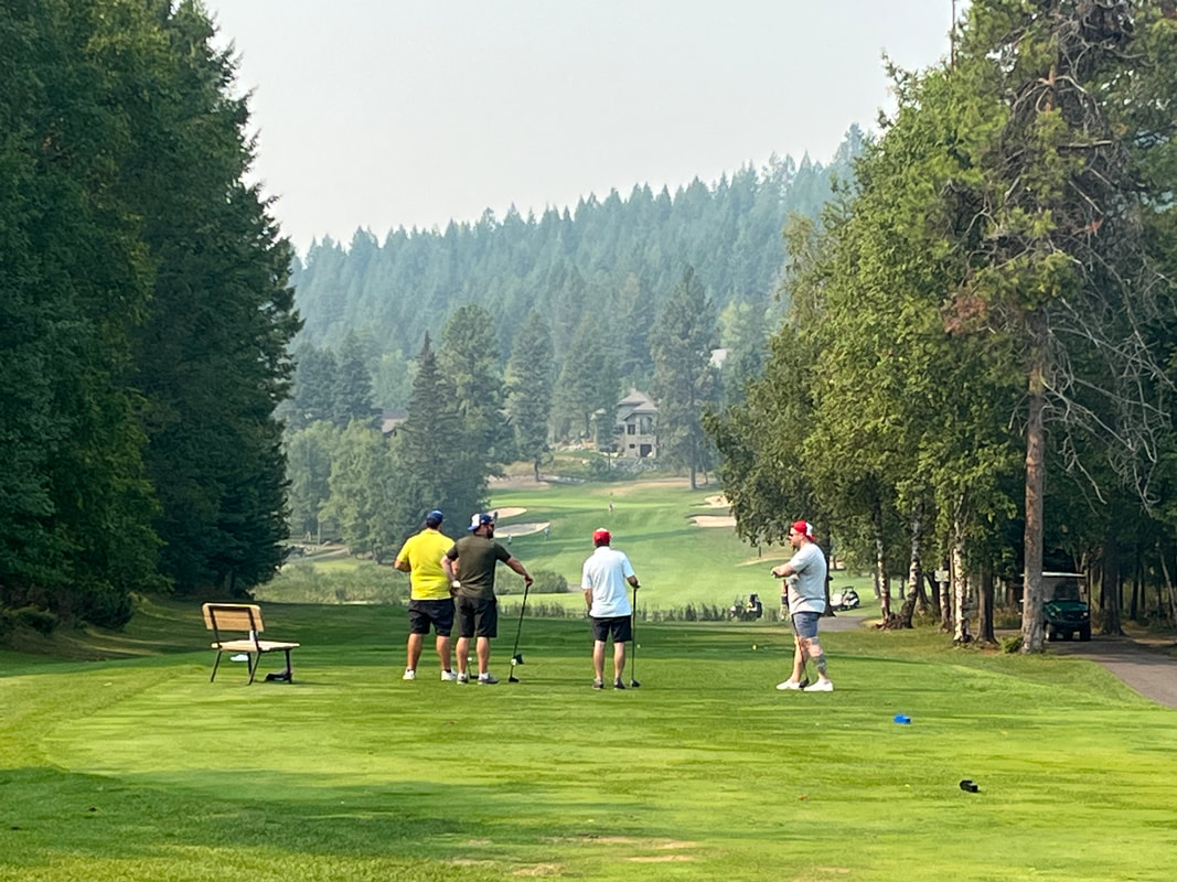
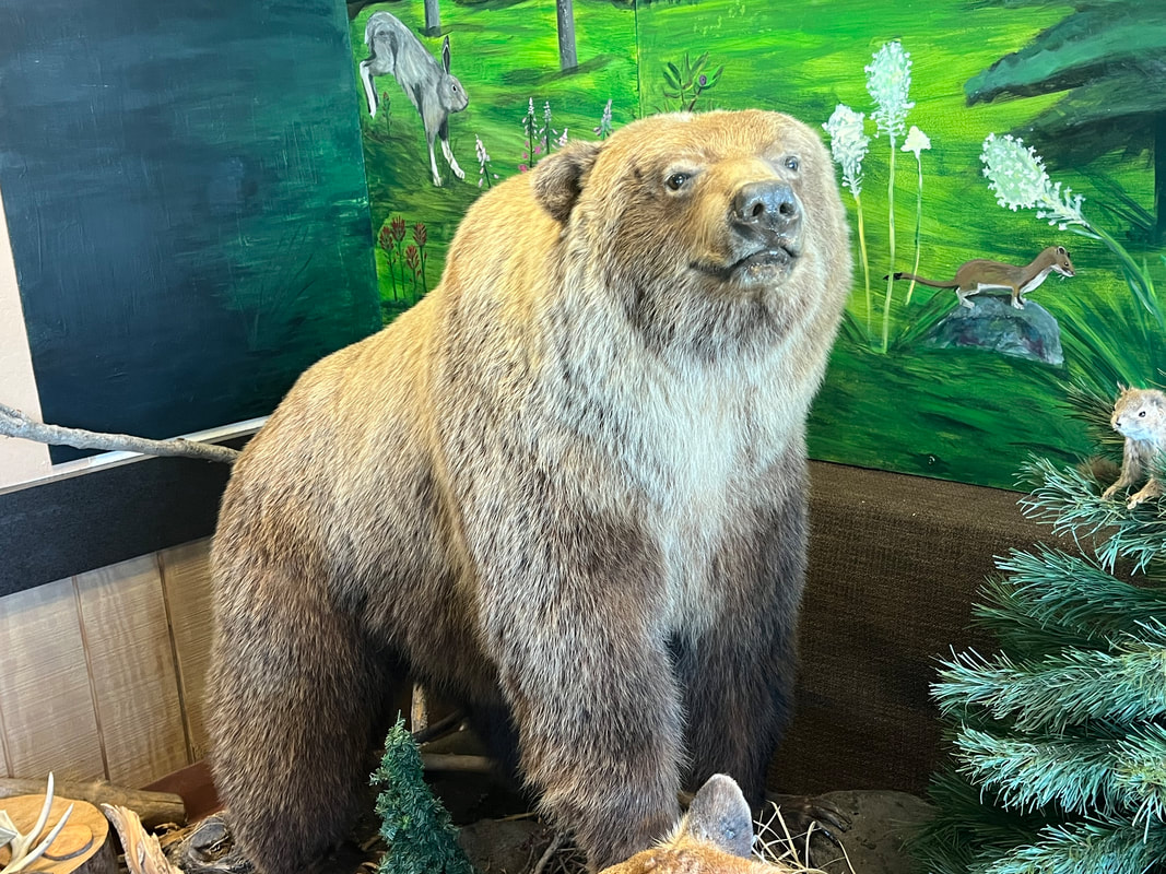
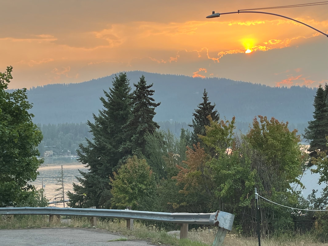
We took Jack to Whitefish River for some exercise. While Jack may not enjoy car rides, he loves to pursue anything we throw into water. The river was full of people on paddle boards and they enjoyed watching Jack too. Some people recommended a nearby lodge so we checked it out. Huge stuffed bear. We were told the dining room patio was closed because of smoke so we went downstairs... ...and sat outside with many others to enjoy the sunset. The smokey air must not drop to this area. The Jackster continues to enjoy our temporary home as we do. The deer remain plentiful around the neighborhood and as we walked on the right side, they walked on the left side, largely ok with our presence. This day was a bad day for views. Big Mountain is barely visible due to the smoke. I got out for a 50 mile ride that included a stop to watch some golfers.
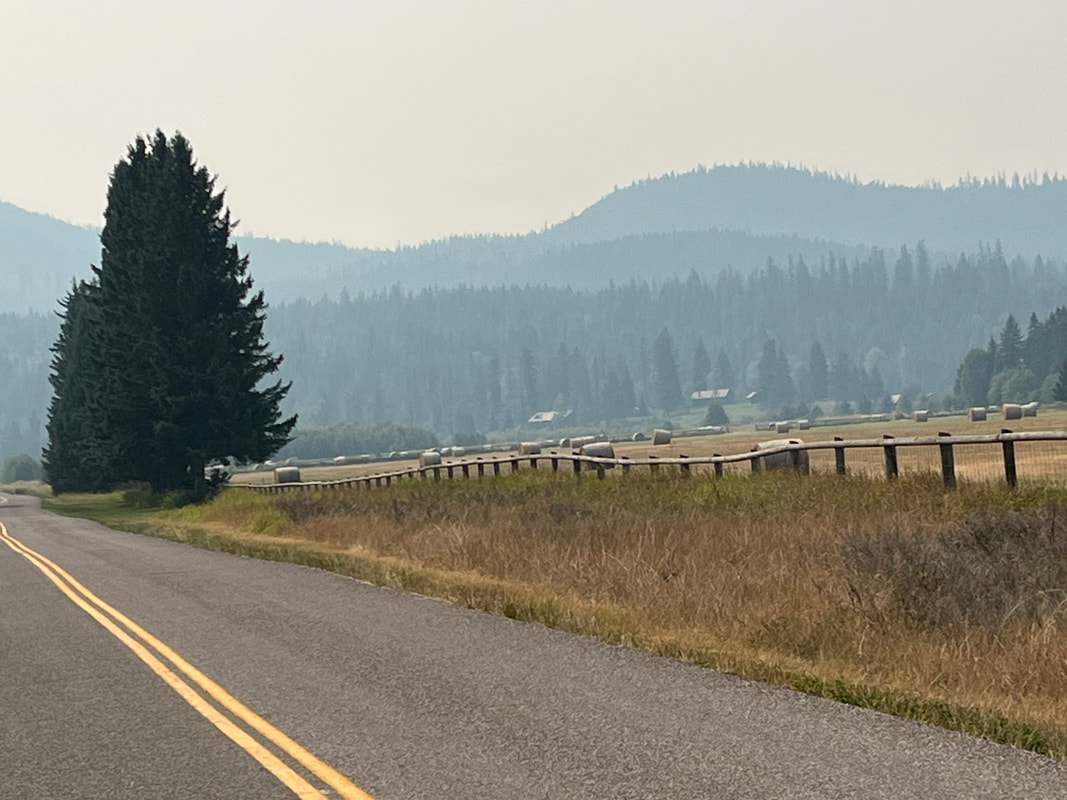
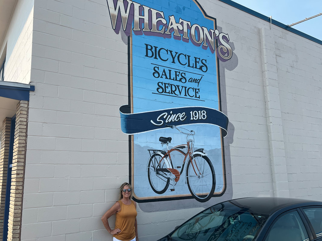
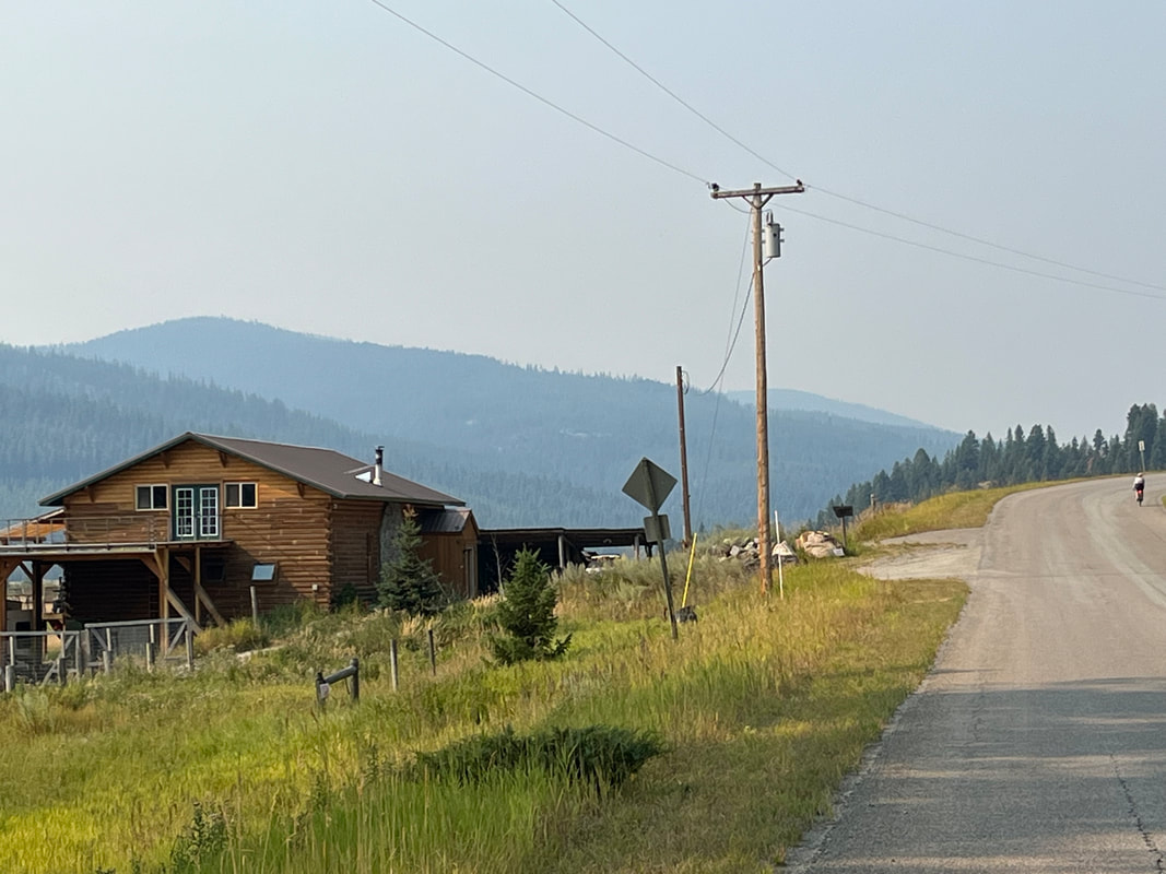
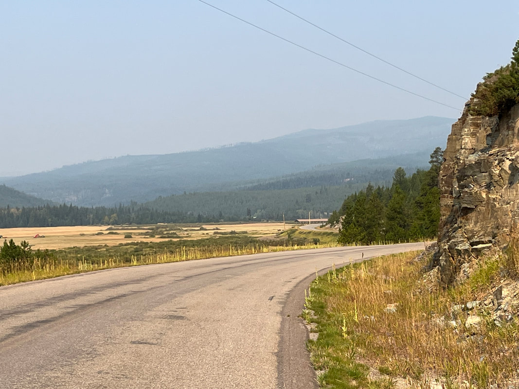
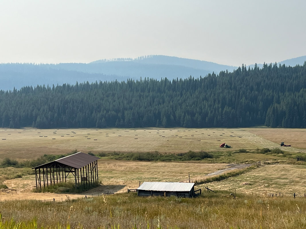
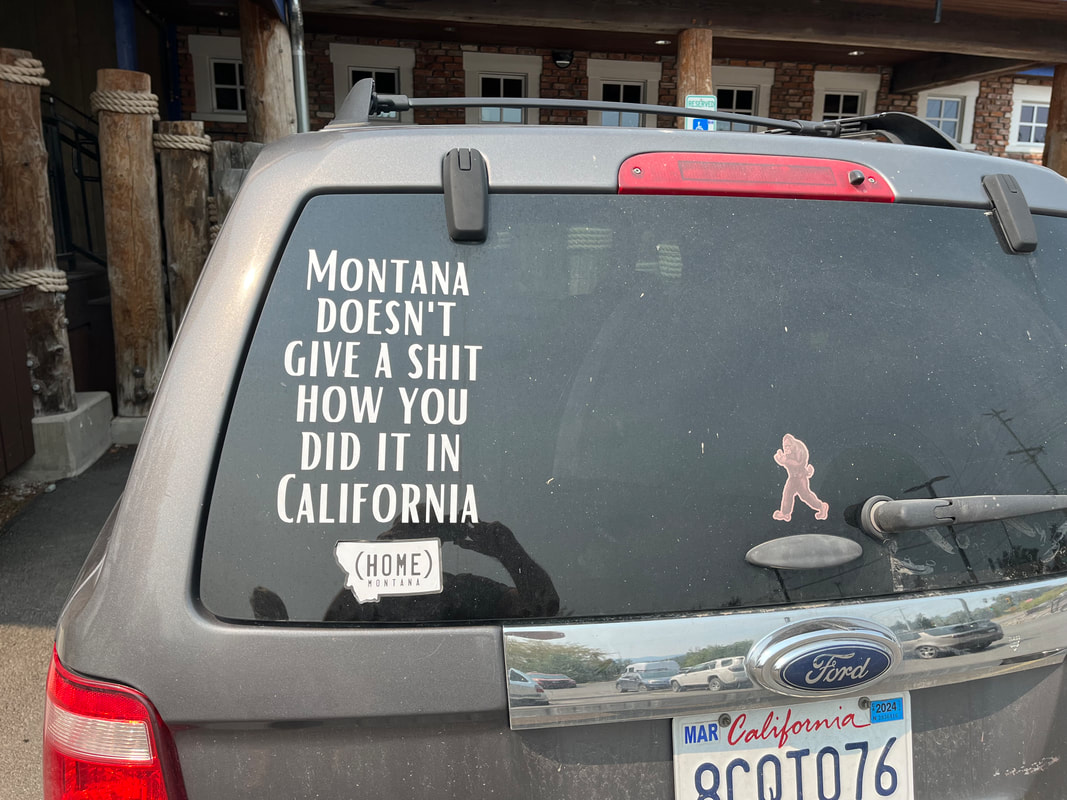
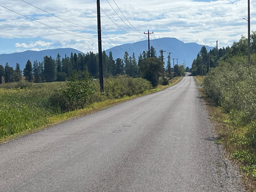
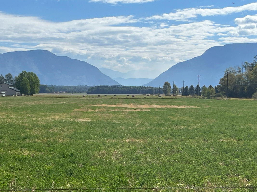
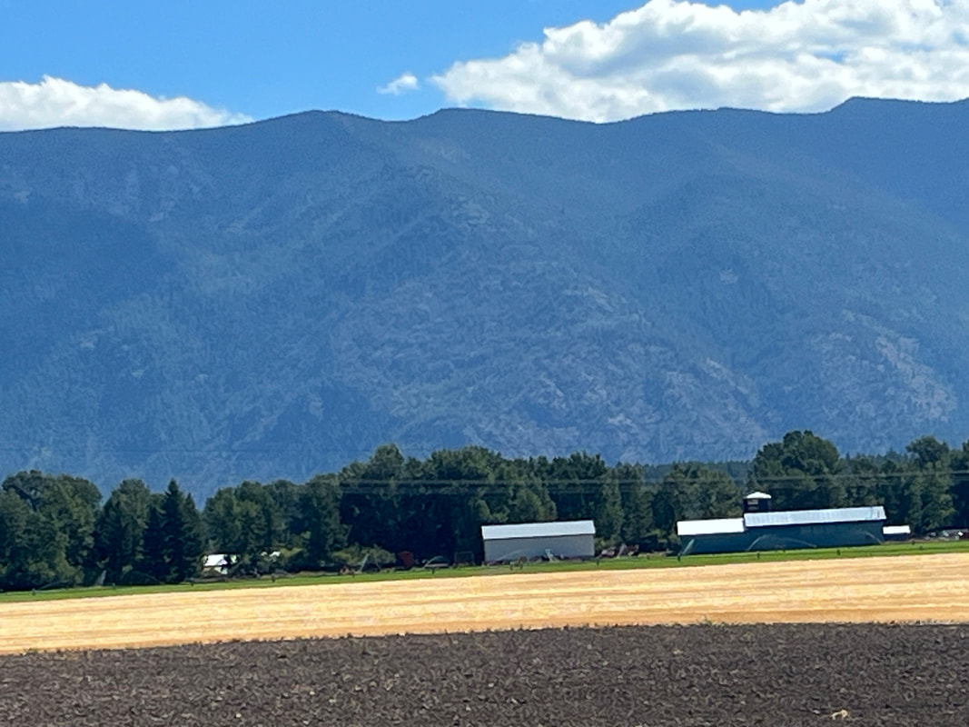
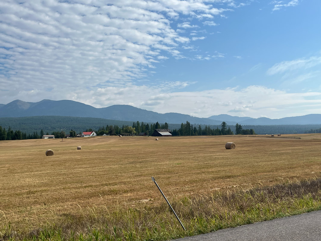
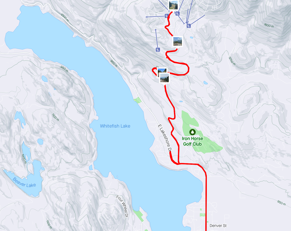
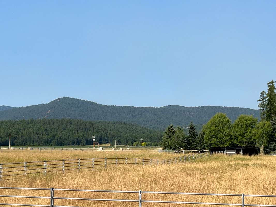
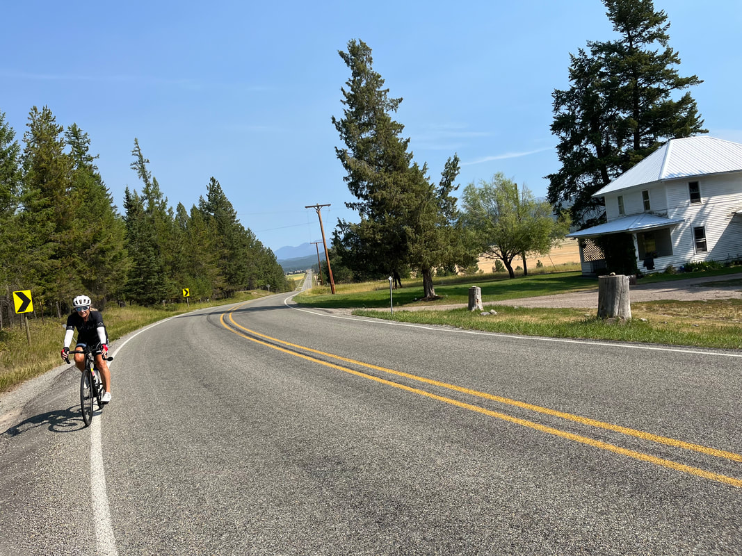
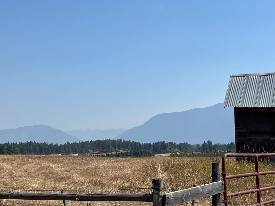
Grreeeat, two more fires have been started. Rain from Hilary will move through here tonight and tomorrow We heard about a bike shop in Kalispell named "Wheaten's" and so since we have a wheaten terrier, we decided to check it out. Nice shop with a lot of inventory and personable employees. I chose a recovery ride that would take us on a new road, Star Meadow. It was a poor choice for a recovery route as there was too much climbing for my not yet recovered legs. The road was in great shape and.... ....after a few miles we climbed out of a valley and.... ....exited a forest with nice views of.... ....farms (I know this is a run-on sentence but I think it's ok when broken up by images, lol.) Beautiful. We eat in most evenings but every few days, visit one of the many good restaurants. As always, we enjoy talking to locals while sitting at the bar. The sentiment expressed on the back of this SUV is shared by many. Curious that this is on a vehicle having CA license plates.
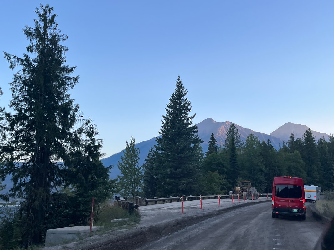
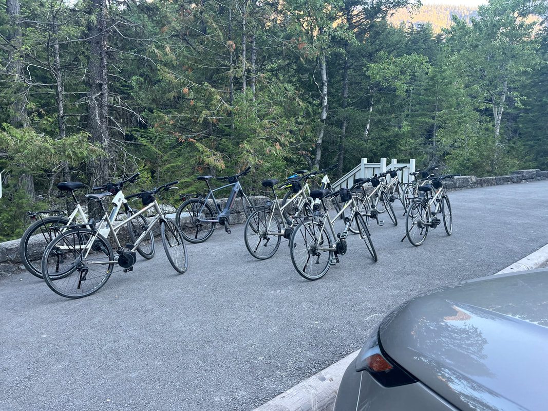
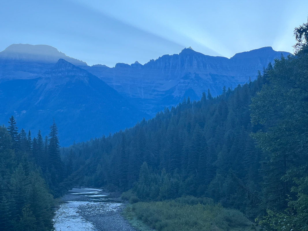
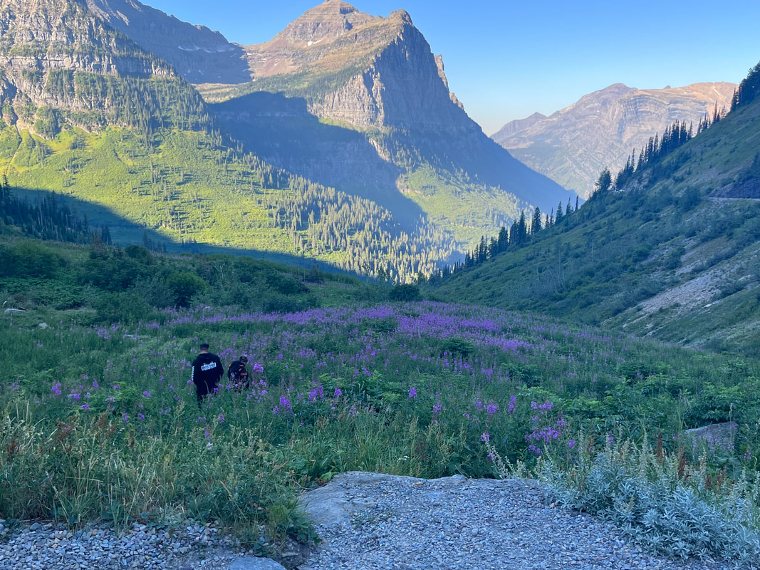
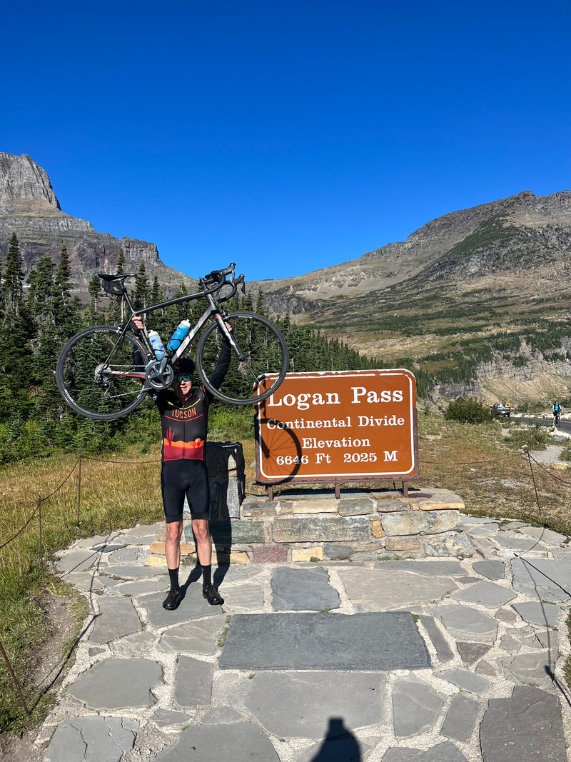
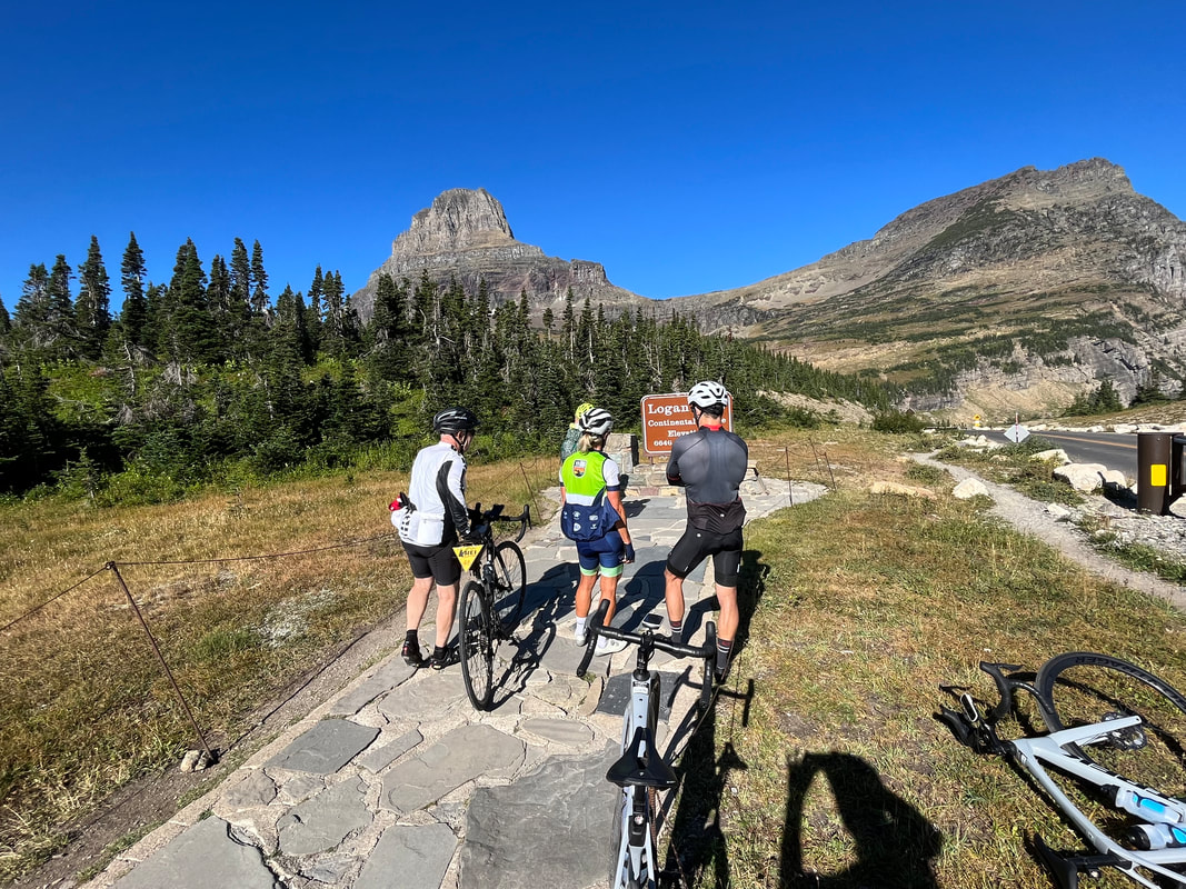
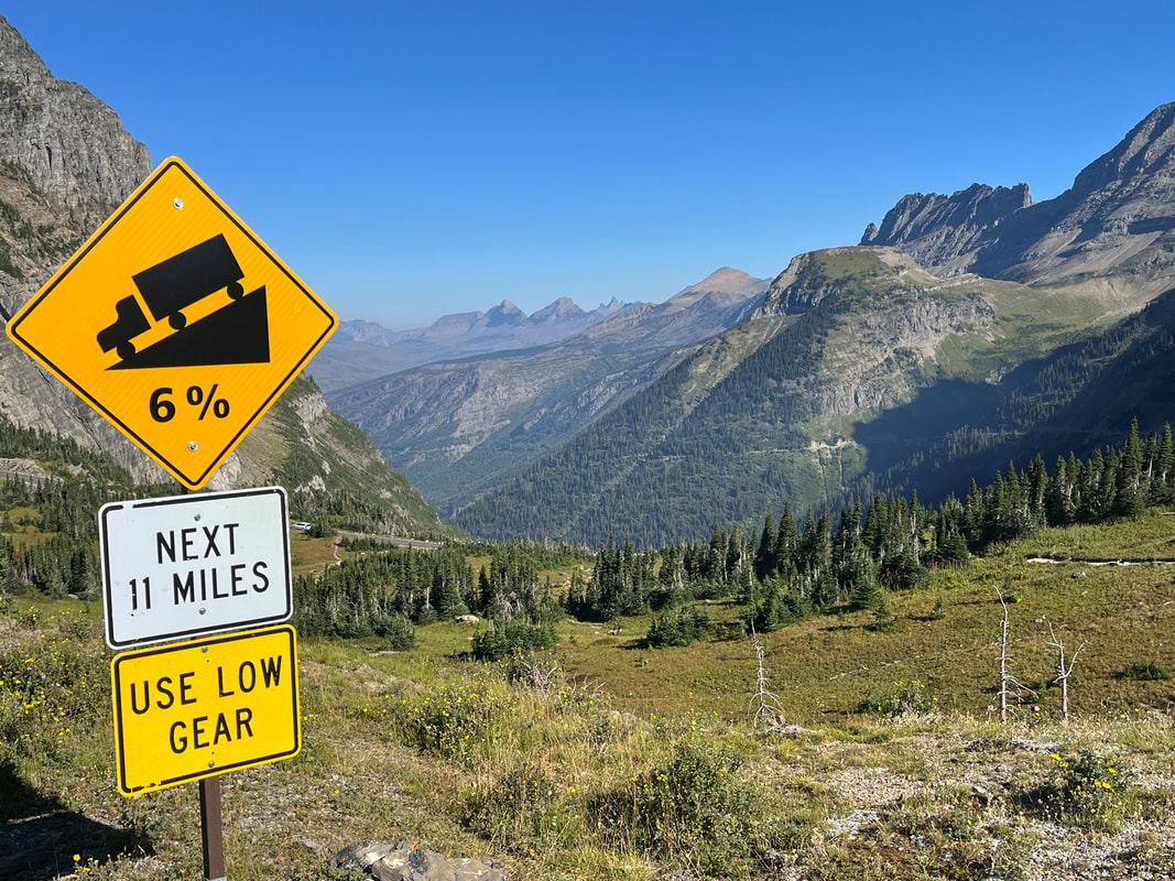
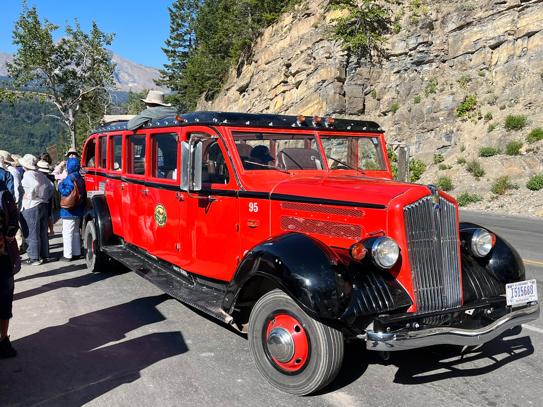
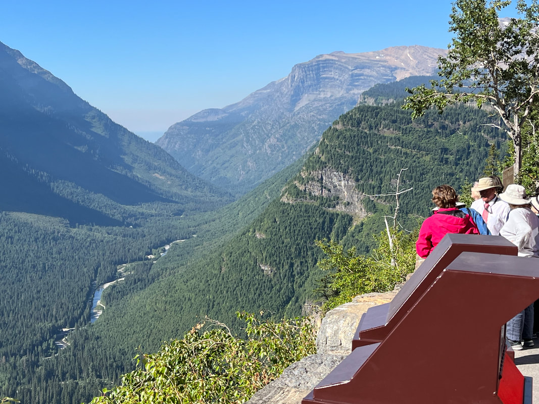
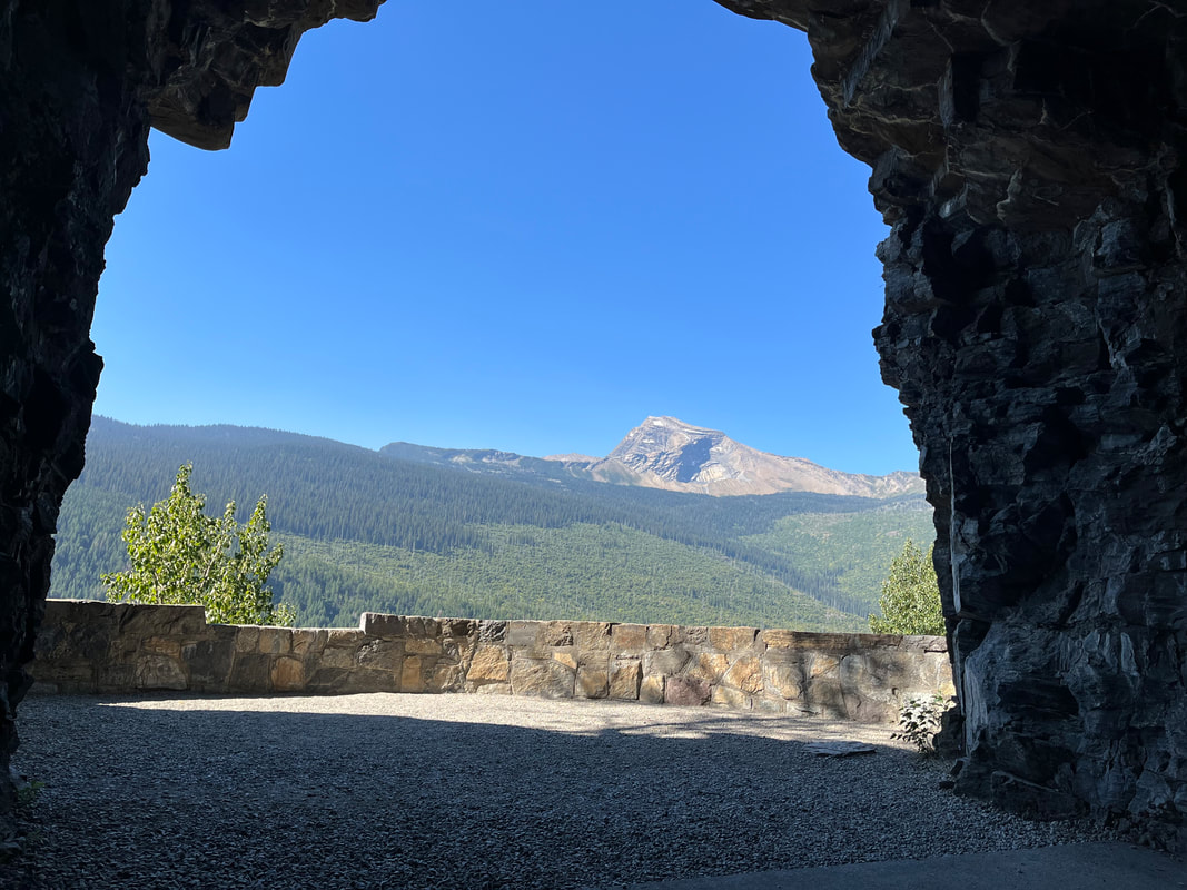
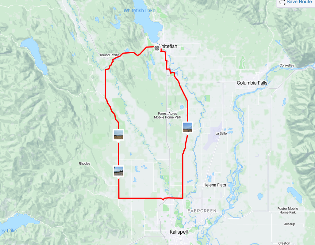
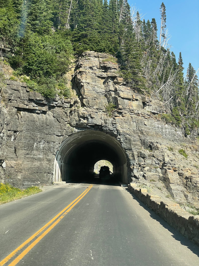
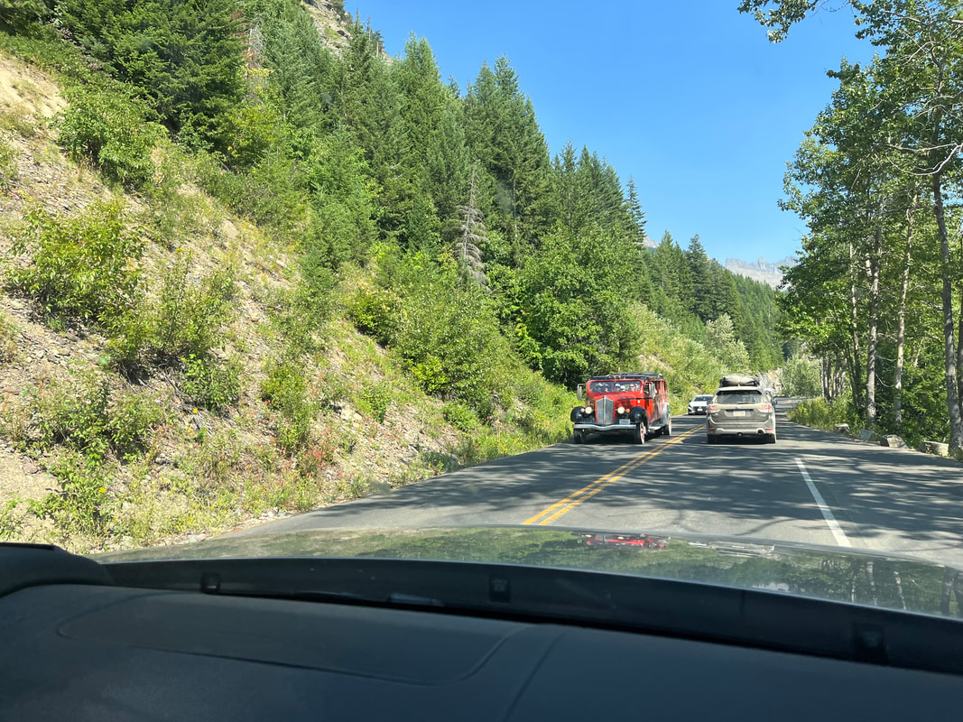
I'm out the door at 5:45am and headed to Glacier with smoke from area fires clearly visible during my 50 minute drive. I'm kinda excited about the opportunity to ride this iconic road but also nervous. It's not convenient to do the ride at this time of the year. The best time is just after they clear the road of snow, some time in June when they open it for cyclists only, for a couple of weeks. After that, the Going to the Sun Road is closed to cyclists from 11am to 4pm, I have to have a vehicle pass to enter the park and then a park pass as an additional piece. The..... ....vehicle pass was given to me by a friend of Amy's but when they scanned it, it was in the friend's name. The ranger told me technically I should not be allowed in but he waved me through. Then, I had forgotten my national park pass but had Amy's. A 2nd ranger looked at the pass and asked me to sign the back while holding my driver's license so I had to sign my name rather than Amy's. With that, I got in and began a 9 mile drive over dirt road. Not sure if they will pave this section but it really needs it. I was looking for the Avalanche parking area, which is beyond the dirt section but it was full so back tracked to McDonald's Falls which had a small but empty pull in. I saw no signs indicating a parking time limit so hopped out and got all my things together. Meantime. a large van from Backroads was unloading 24 E bikes!!! I got going asap at 7:30am. The first roughly 9 miles was tree lined and rolling. I saw a cyclist on the left side of the road, taking pics so thought I should stop and take one too. He didn't hear me coming but jumped when I put my foot on the pavement. He turned and said he thought it might be a bear. With a population of about 1000 bears within the park, it's not uncommon to encounter one. After about 7 miles, the climb began. For the next 10.5 miles it would be all climbing, no flat or descent breaks, averaging 5.5%. Once I emerged from the forest.... ....the views are simply incredible. Especially this one with the purple flowers in the foreground. Surprisingly, the traffic was light and plenty of straight sections for them to pass so I never had to stop and allow traffic to pass as you are required to do. The first 15 miles of the ride went by surprisingly quickly but dang, from 15 to 16.5, that time dragged as the road steepened to an average of 6.5%. I finally stopped not to take a pic but just to take a break. But then I rounded a turn and saw the "1/4 mile to Logan Pass" sign and soon thereafter.... ....celebrated. Several cyclists were taking turns posing and taking pics. A guy asked me if this climb was harder than Mount Lemmon and no, only because Lemmon is 10 miles longer but no 10.5 mile section of Lemmon is more difficult than this 10.5 mile climb. Other cyclists arrived but surprisingly, none of the E bikers had yet arrived. In addition to them, Trek Travel had a bunch and REI contributed too. There were around 50 other cyclists sharing the road on this day which was also a surprise. I guess Tuesdays are the day to go. I had arrived at the pass before 10am but since I had to be off the road by 11am, I began the descent soon after arriving. The Red Bus Tours are popular, each bus holding up to 16 people. They stop several times and the driver.... ...describes points of interest to the crowd. Hardly any vehicles shared the descent with me so I could stay in the center of the lane, enjoying the satisfaction of my accomplishment and the views. One of those good to be alive moments. I stopped at the tunnel and took the above image through one of the arches. Arriving back at the SUV, I changed clothes and checked out McDonald's Falls. Finished with 35 miles and 3100' of climbing. I may do this again before we return to AZ.
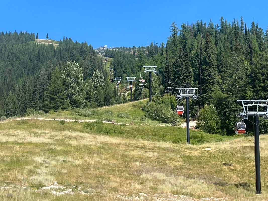
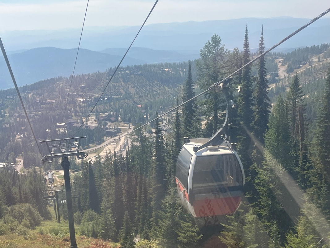
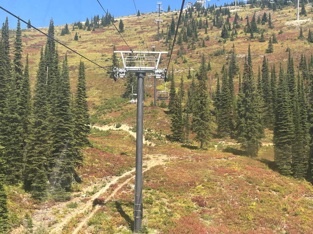
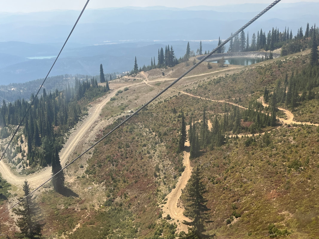
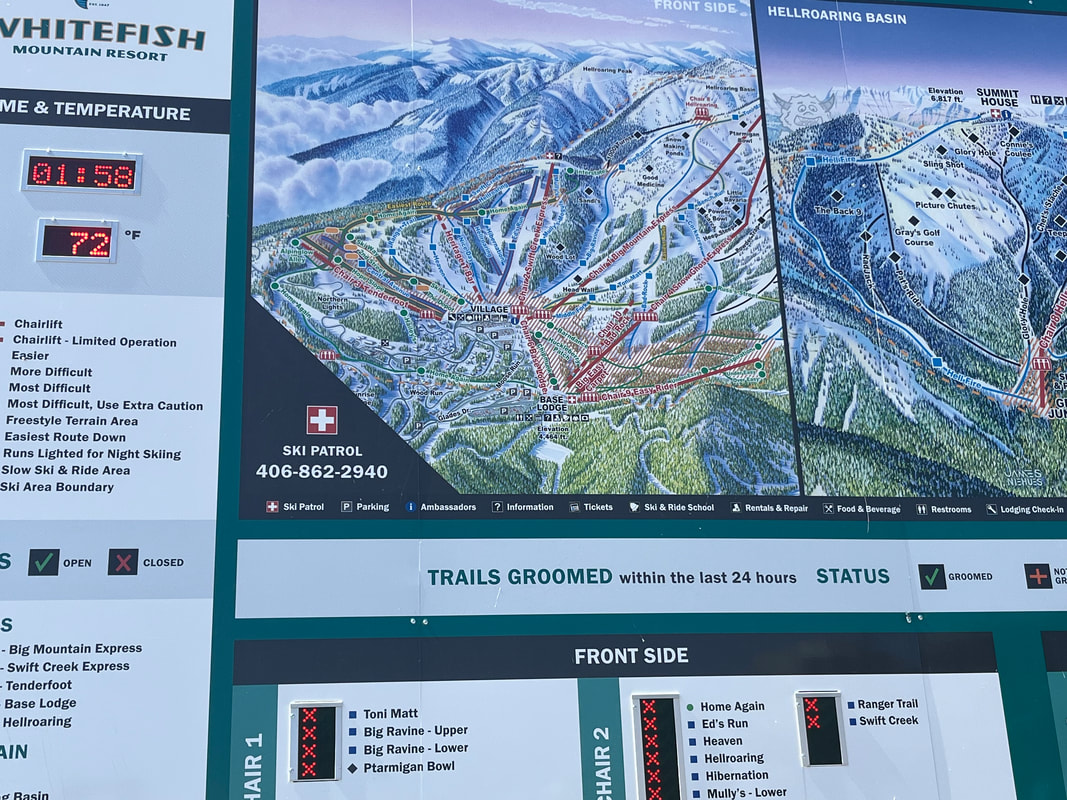
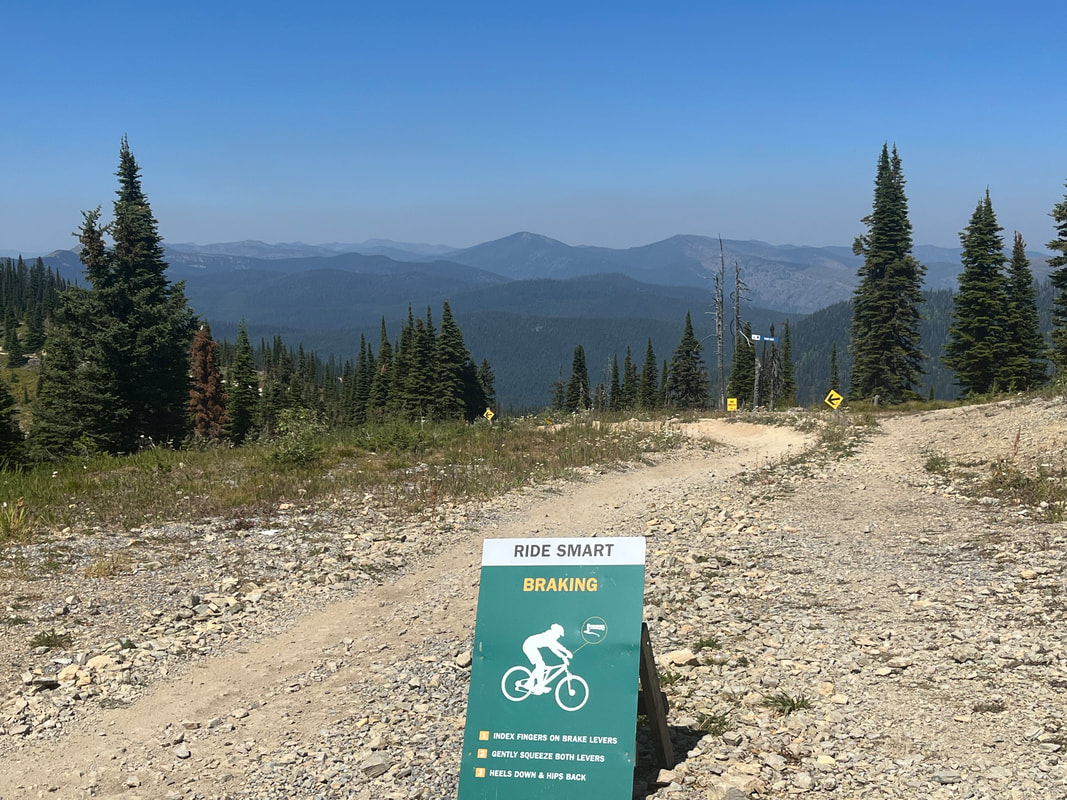
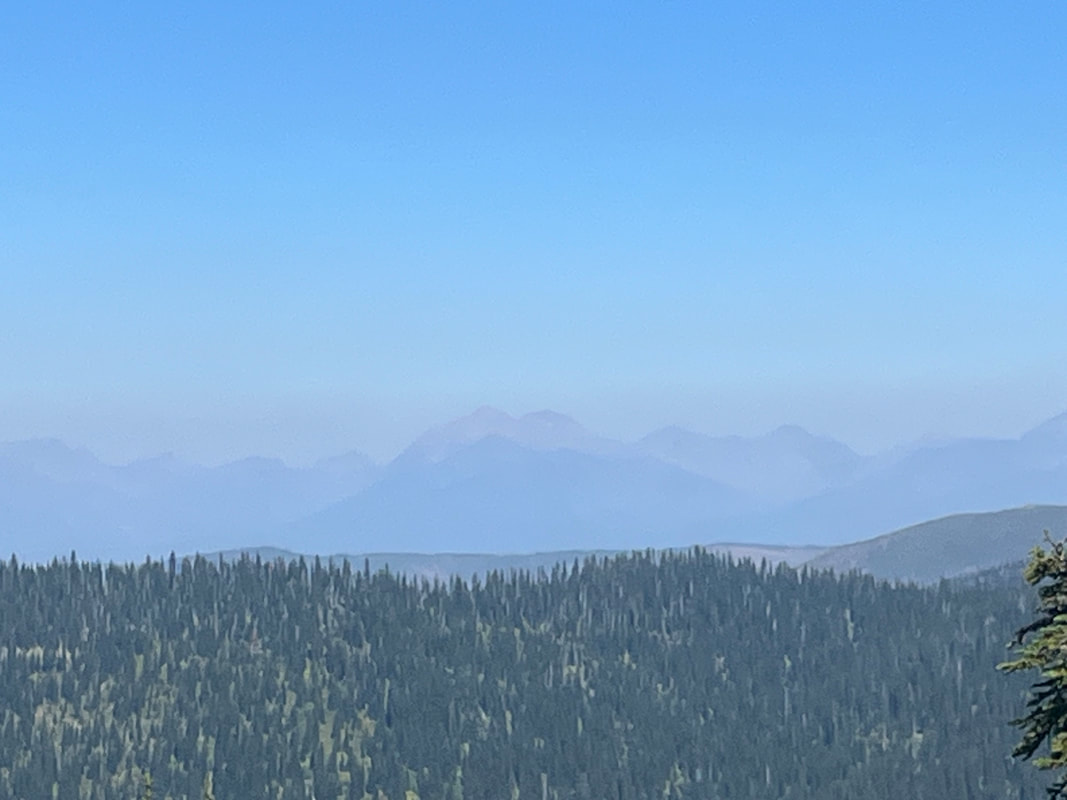
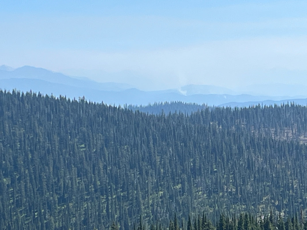
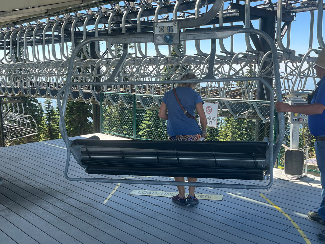
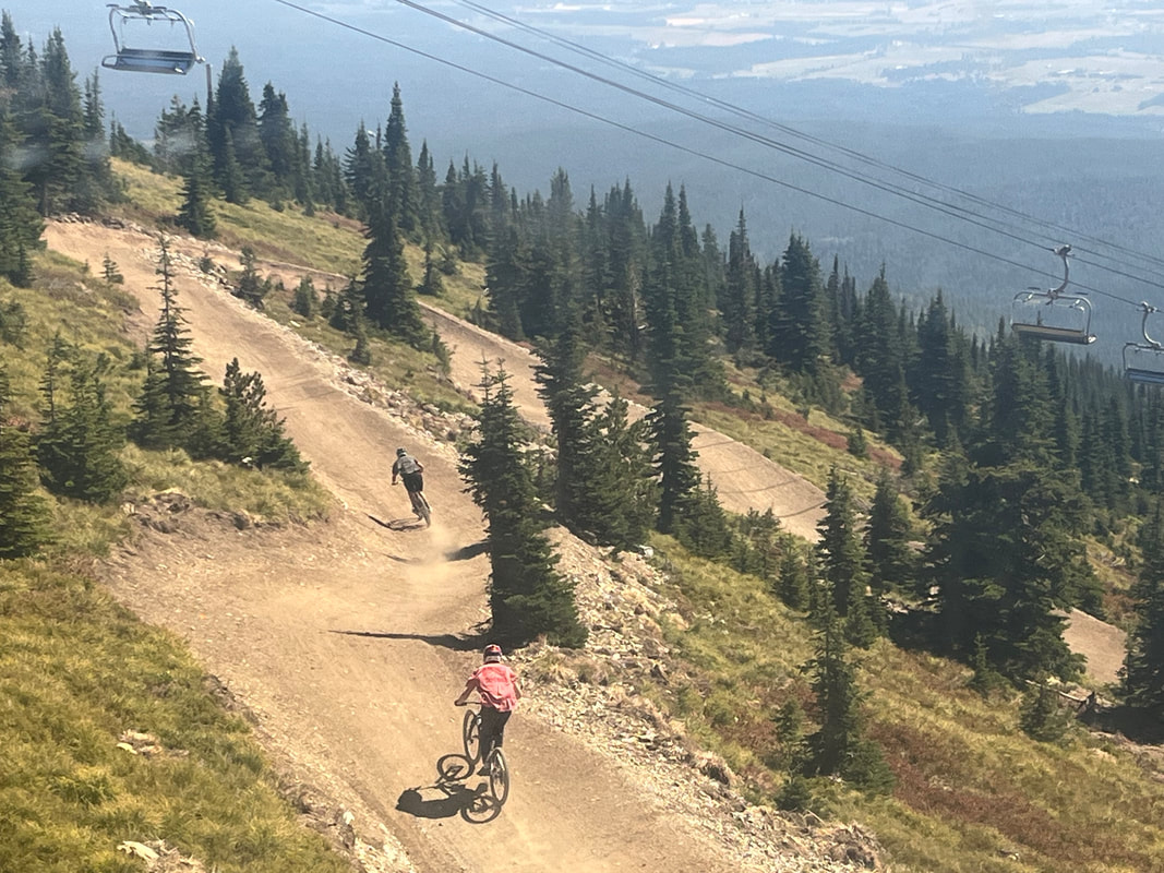
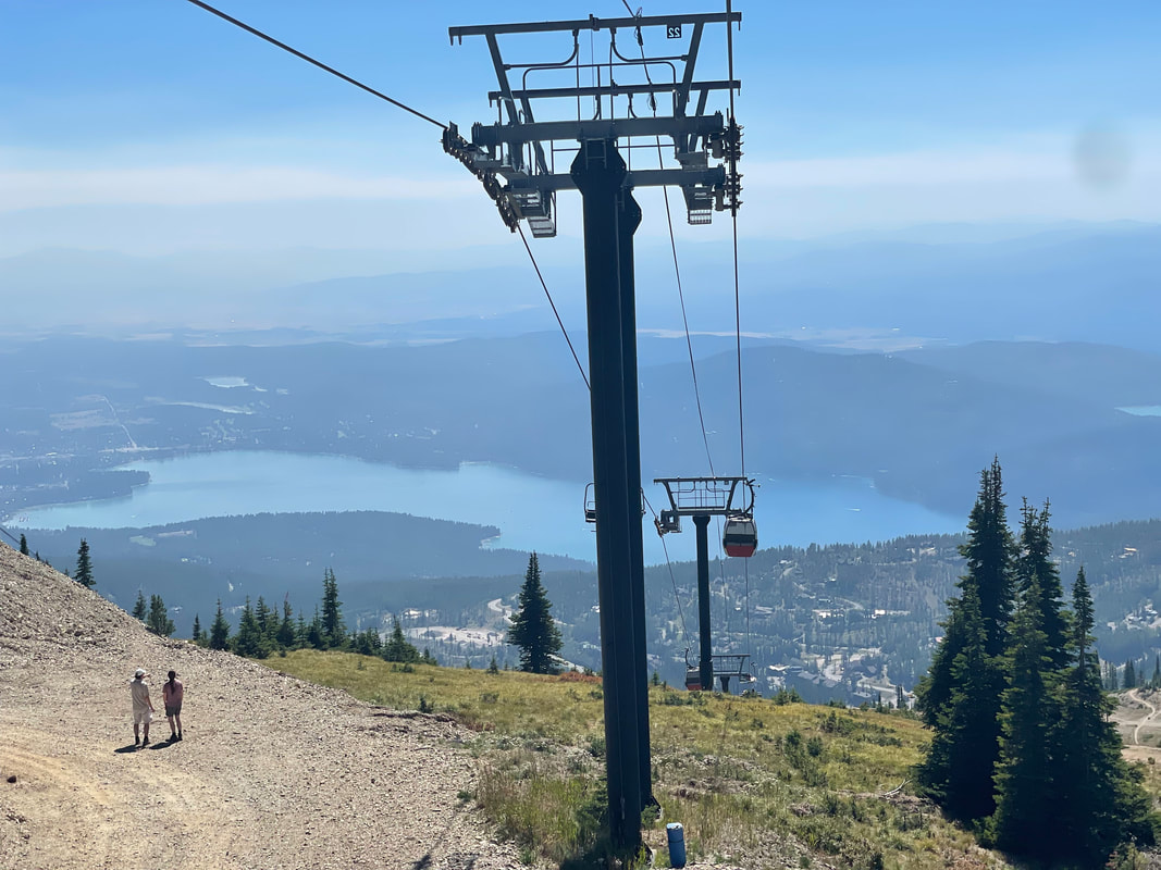
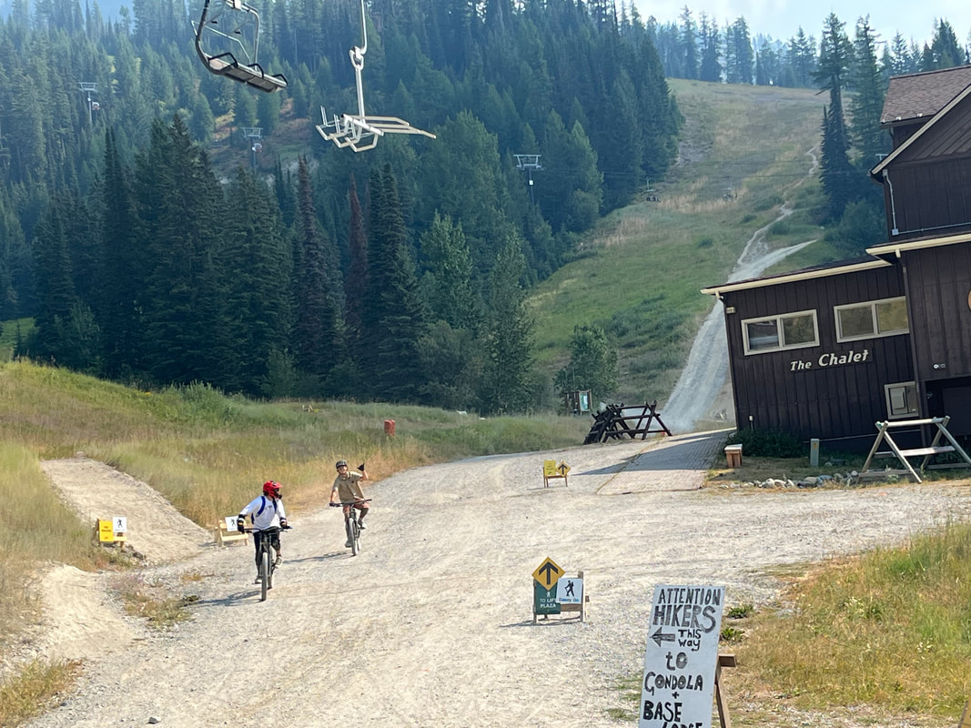
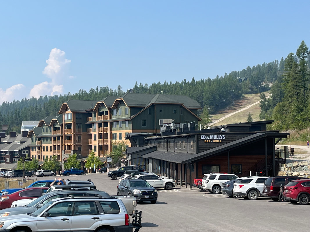
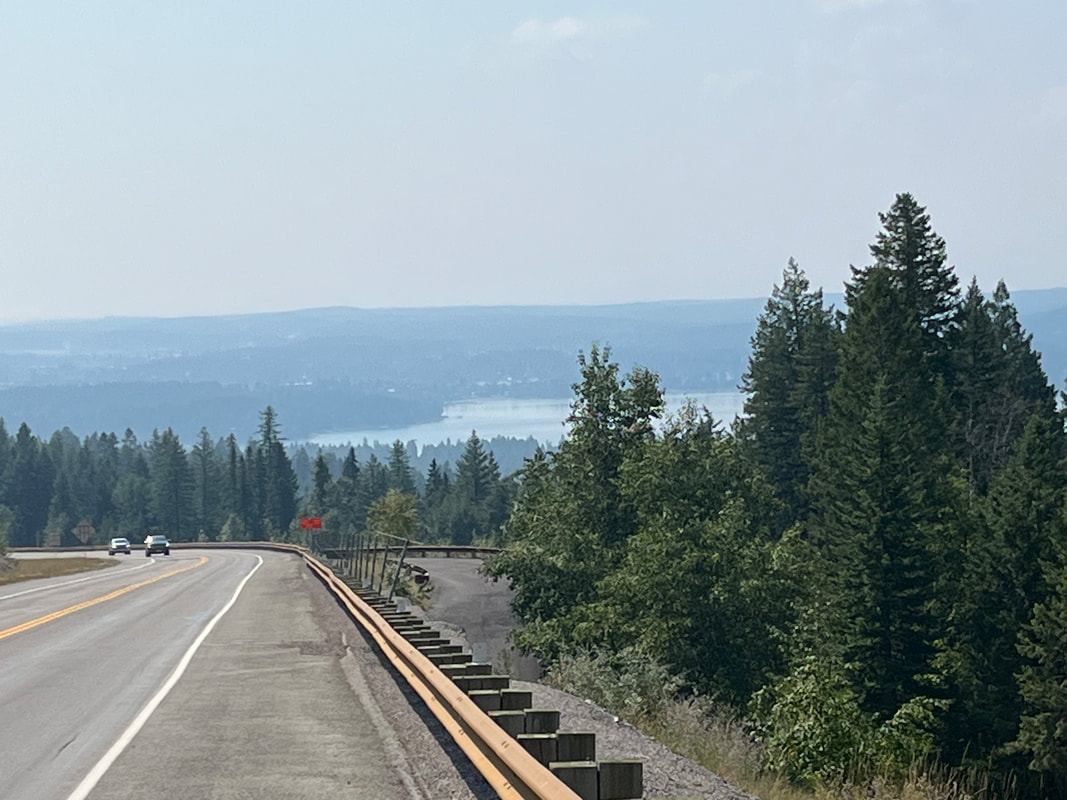
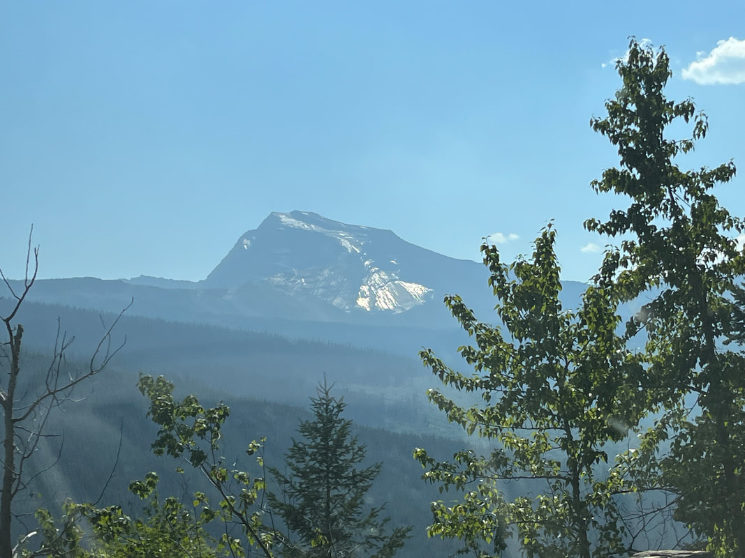
We drove the same road I previously rode, to the base of the ski resort. I'm not a skier but I understand it's a quality ski complex with 112 runs and 14 ski lifts. I talked Amy into piling into a gondola rather than a lift for the ride up. I'm kind of reluctant to sit on a lift while that was her preferred mode of travel. We ascend 2400' to the peak and the views are great. We were surprised at the distance of the ride. There is a mountain biking course that is very popular. The cyclists jump on the Lift with their bikes and then descend. At the peak, there are multiple signs that provide a lot of good info for skiers. And the views, wow. After an evening of rain a couple of days ago, the views had cleared but unfortunately the smoke is socked back in. We could barely make out the mountains in Glacier. Center right in the above picture, we spot several plumes of smoke, all recent additions from lightning strikes. We entered a restaurant/bar and on the bottom floor, there was.... ....an exhibit that included a grizzly, black bear and mountain lion. I don't like my odds if confronted by one of these. When we do our first real hike, next week, we'll both carry bear spray as is advised. During my research for the ride in Glacier, I read accounts by cyclists who recently completed the ride where they saw bears. In one case, a grizzly was walking up the road ahead of the cyclist, pausing to look at the cyclist, kept walking and only when a cyclist coming down the mountain startled the bear, did the bear move off the road. For the ride down, Amy chose the chair, I jumped in the gondola, lol. During a hike, I can stand on a precipice with hundreds of feet of drop and it doesn't bother me much but for some reason, the chair is a problem for me. It appeared the mountain bikers were having a blast! Whitefish Lake in the distance. What a view!
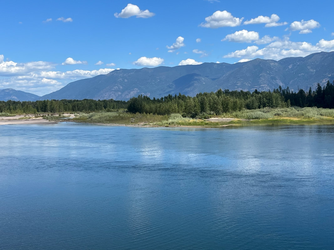
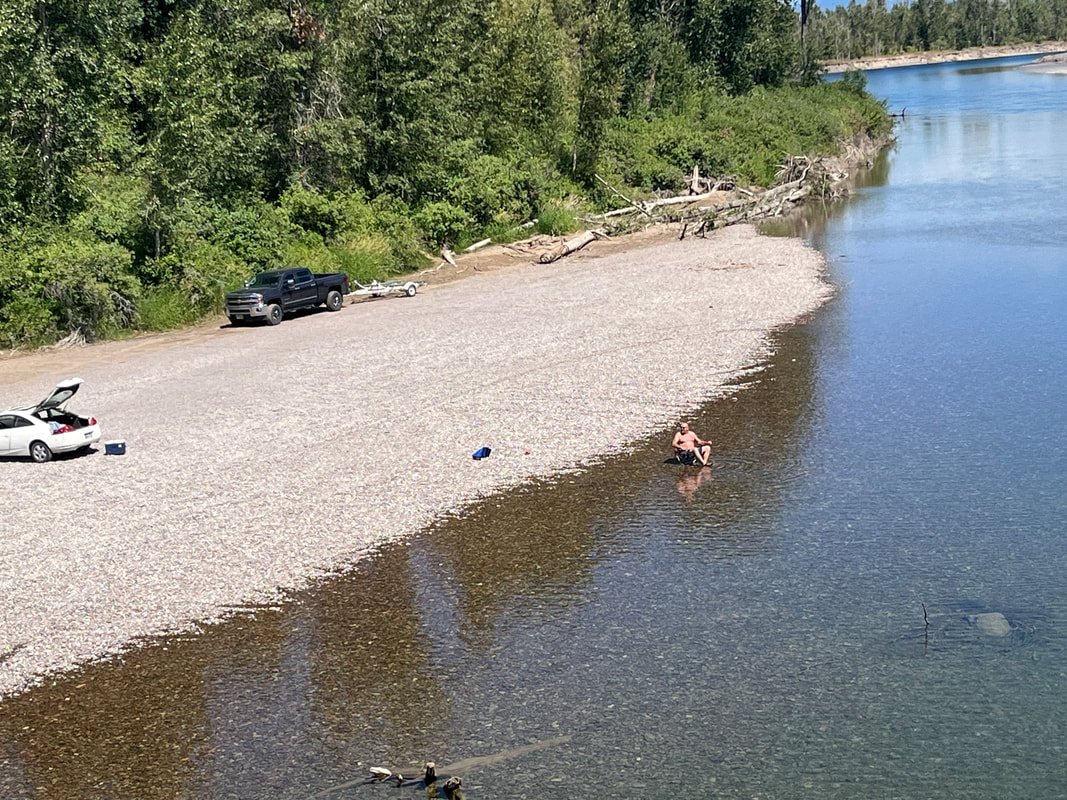
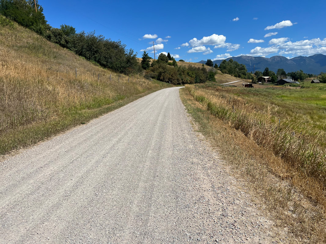
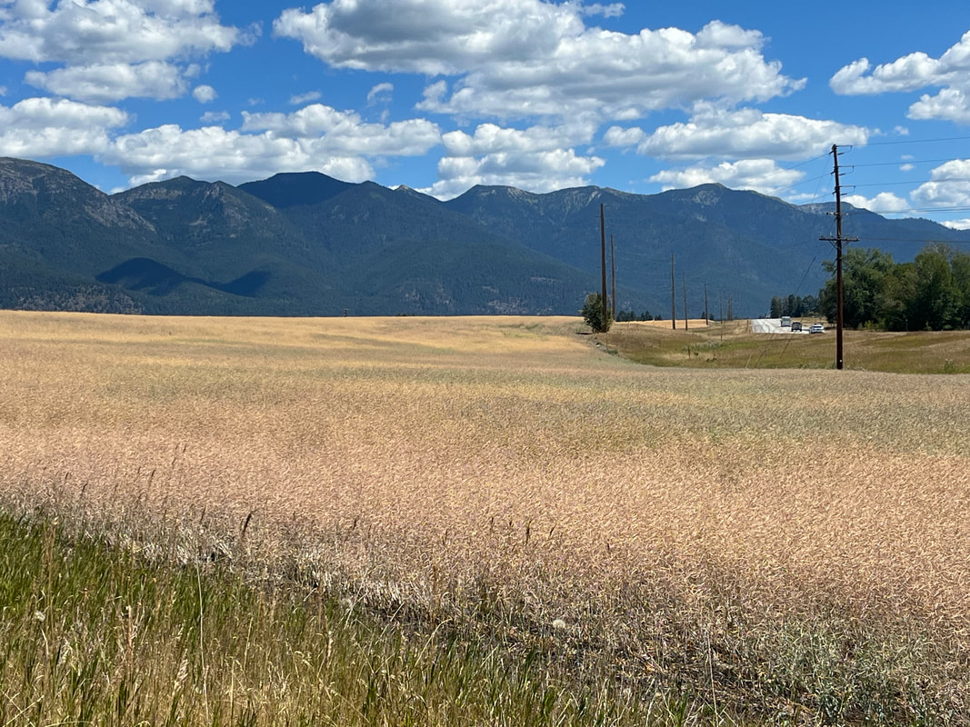
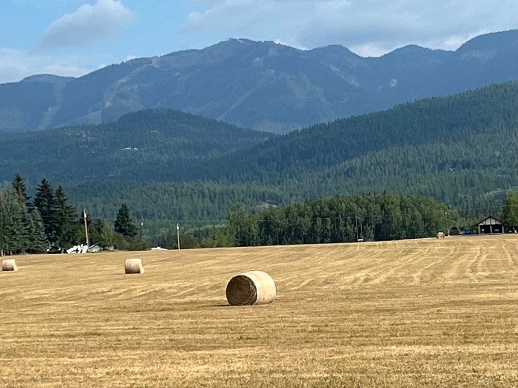
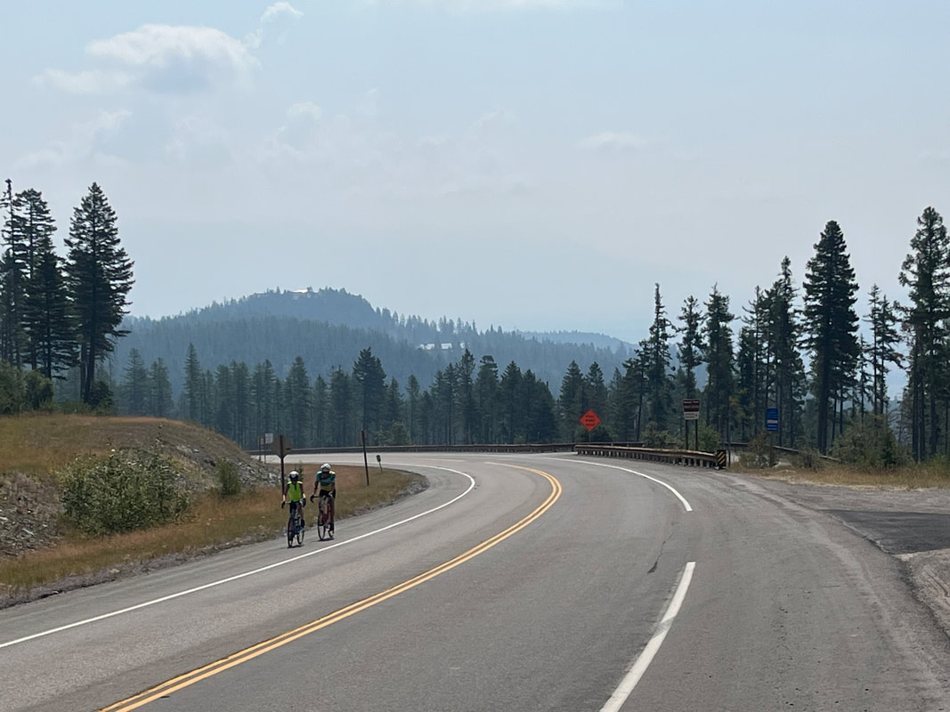
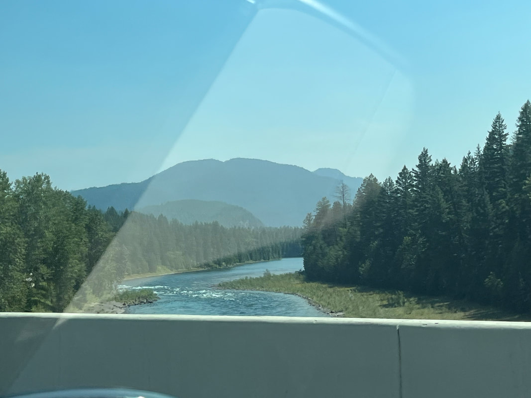
The only downside to riding around Whitefish is it has the same "problem" as Tucson. Surrounded by mountains (and enormous lakes abound) kind of restricts road cycling options. From the west, there is only one viable option for getting into and out of town and it's a very busy state route with no berm. We love it here so next time, maybe we'll bring our gravel bikes. After my 50 mile ride around the valley, I got in one more ride that included a climb up Reservoir Road. It's about 3 miles, undulating, curvy, avg grade of 4% so not overly difficult. I took 2+ minutes off my best time so..... ....I think I'm as ready as needed for the big climb, day after tomorrow. My route included going over the Flathead River and saw.... ....this guy. He had carried a chair into the water and was enjoying the flow of the water and cooling affect. Our temperatures have turned up with today's high of 86 and then three days of 95 before things return to normal. I had pieced together a route via "Ride with GPS" but for some reason, it did not alert me that three sections were gravel. Fortunately, they were short and packed so no problem. Check out the color variation in this field. The image doesn't exactly capture the change of grass color but it's close. Meantime, we are keeping Jack happy with more trips to lakes and rivers. Well, a rest day tomorrow during which we'll visit the ski resort on top of Big Mountain. Will be fun as I begin to get a little nervous about the day after that.
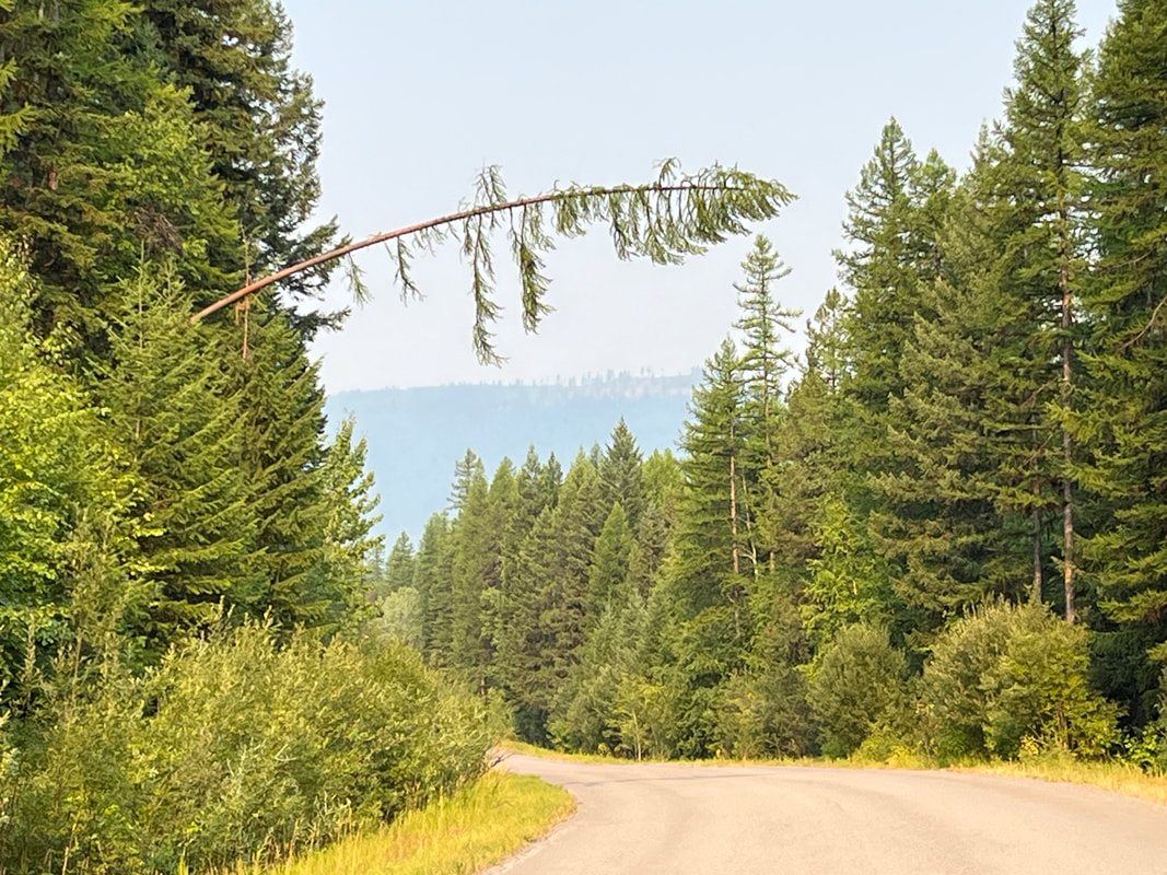
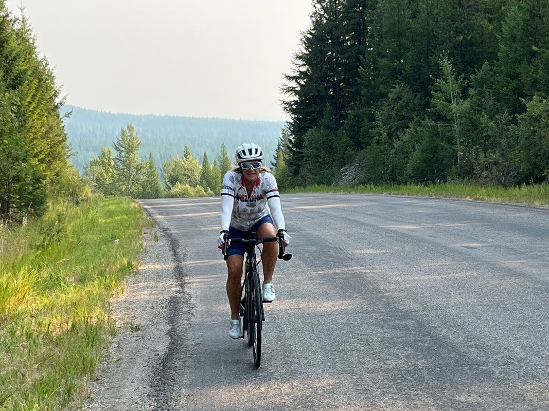
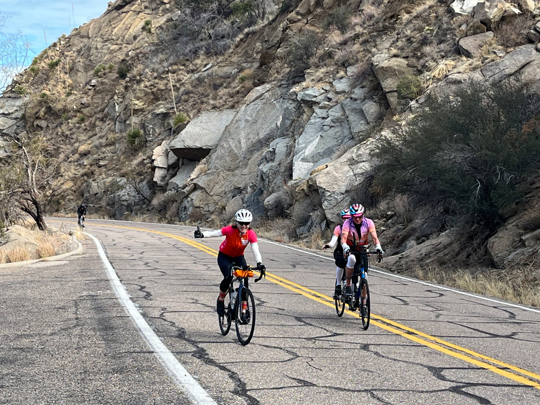
....I'm off! The weather for the entirety of our stay, so far, has been great. No rain, light wind, highs in the 70's and 80's as I choose a route that takes me around the valley. Lots of farming going on. I reentered Whitefish toward the end of my 50 mile route, took a long look at Big Mountain and the Whitefish Ski Resort. And then.... ....we finally received some rain. We waited for another batch of clouds/precip to move through and.... ....headed out for a ride, of course. Amy (on the right) paused as I wanted to take a pic of Whitefish Lake. We got on Lakeshore Blvd. to go around the lake but my legs were kinda tired so I spit the bit and returned home while Amy continued on. I'm planning to ascend the Going to the Sun Road in a couple of days and then thereafter, we'll work in some good hikes.
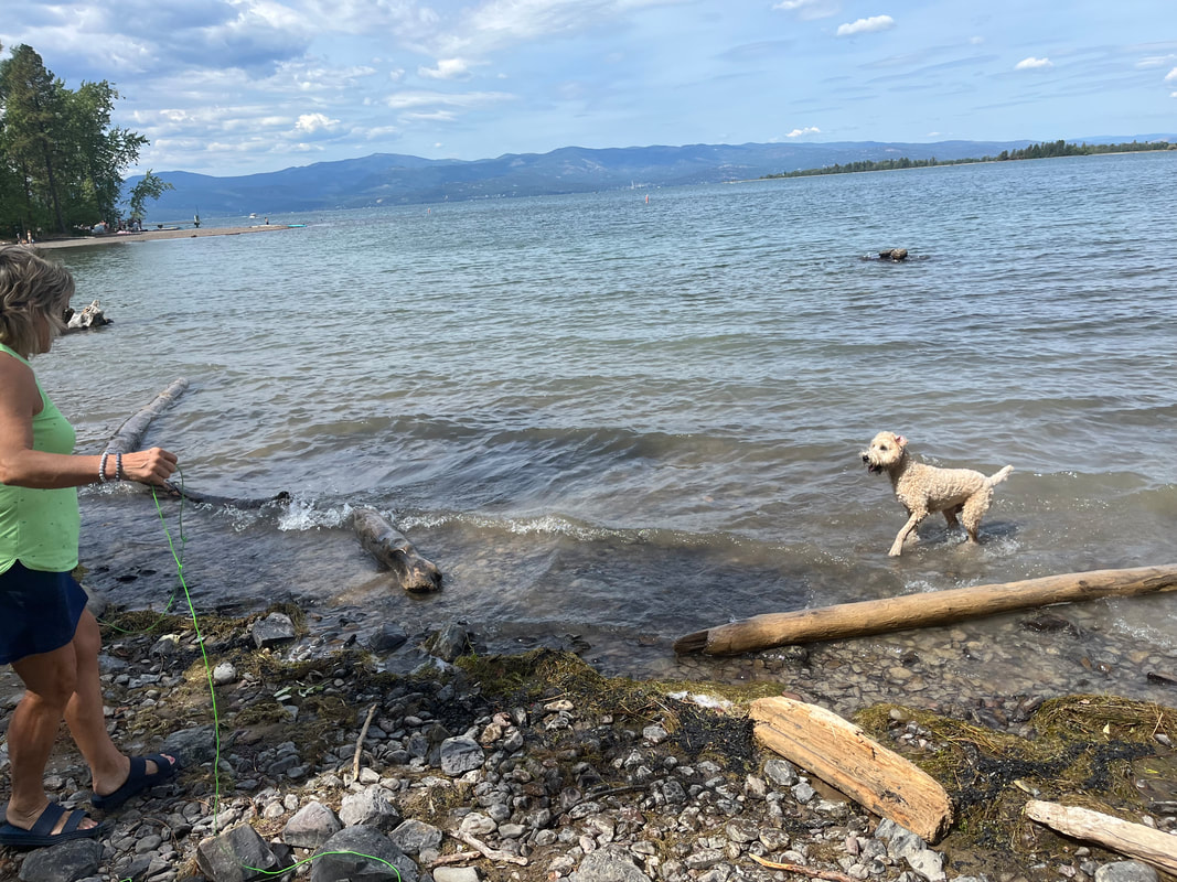
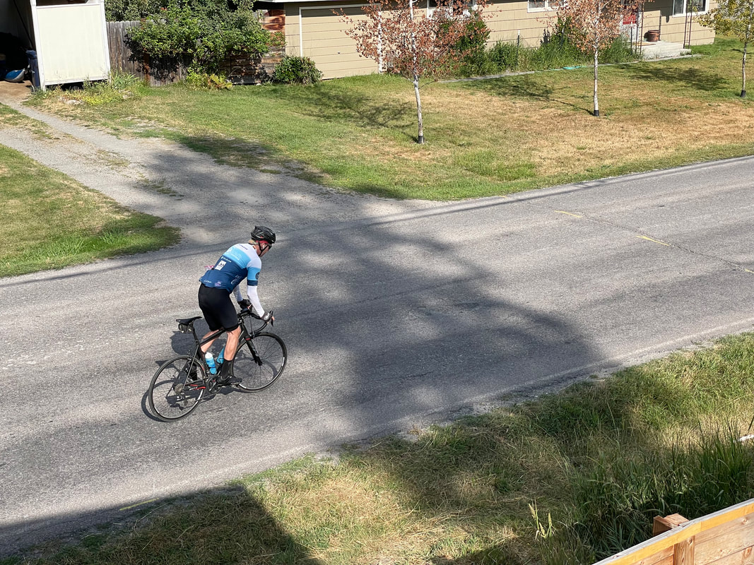
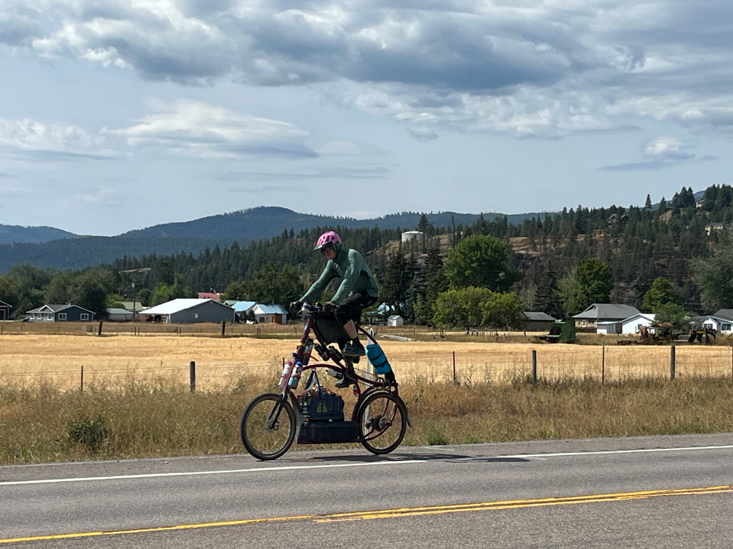
Check this setup! We were driving to Bigfork, MT to check out that town and were so startled by this sight, we turned around and parked. As he rode by, he waved. I counted 5 water bottles and would have been great to hear his story but all I got was the picture.
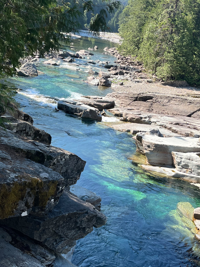
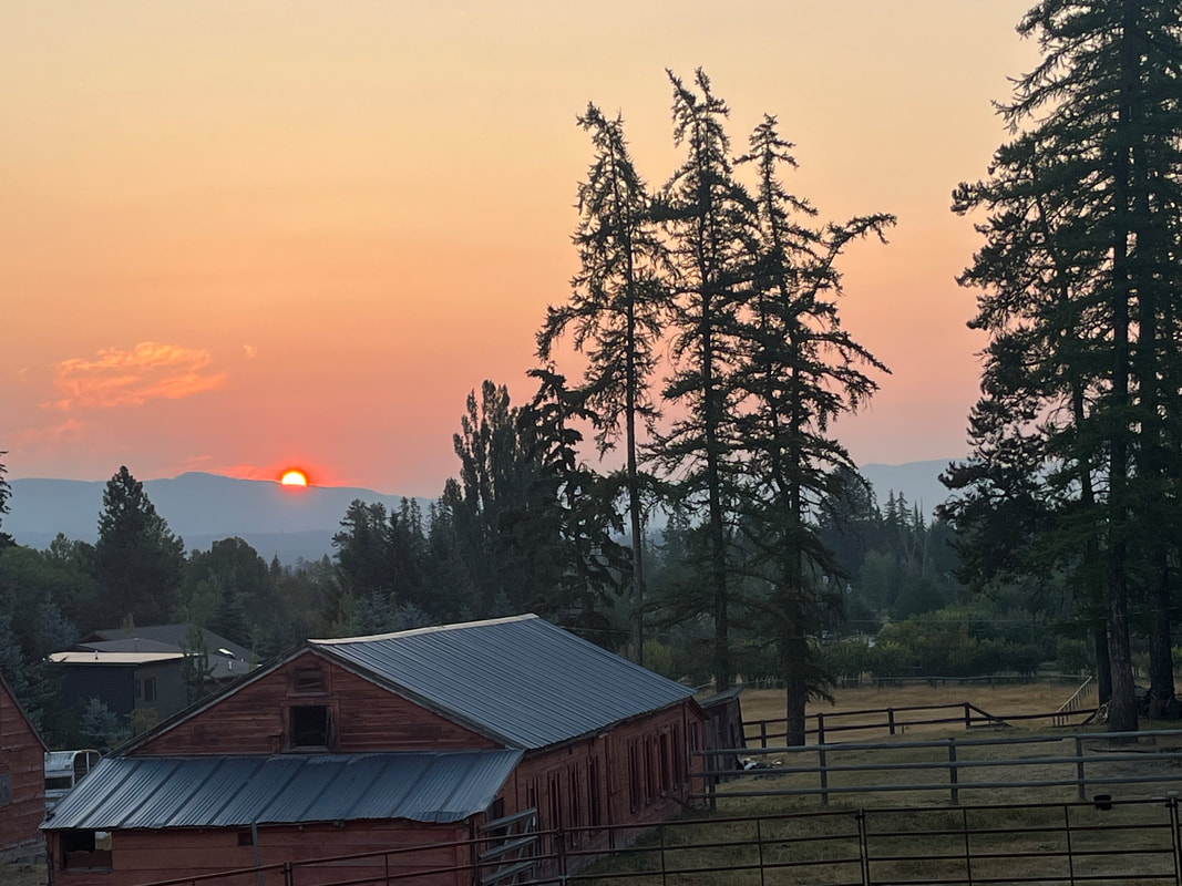
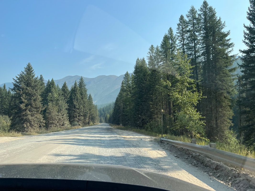
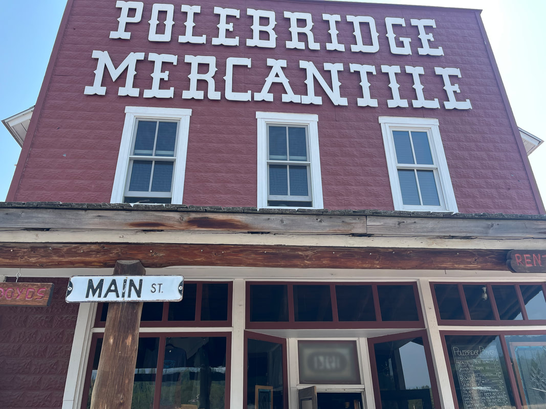
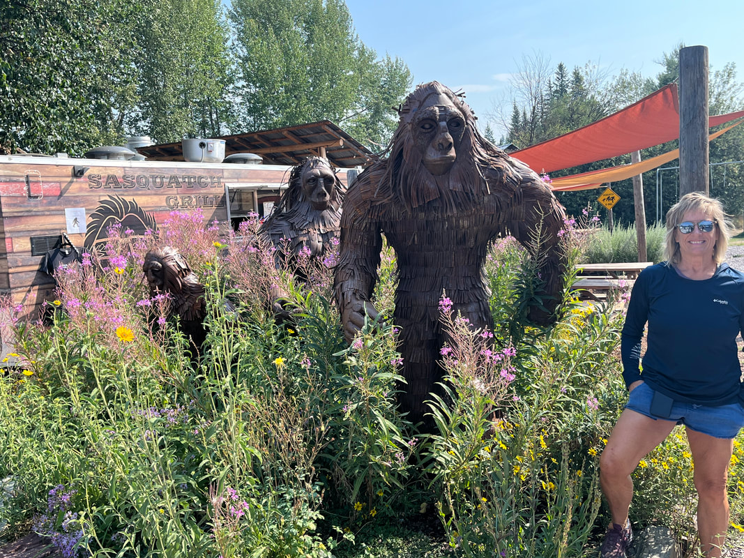
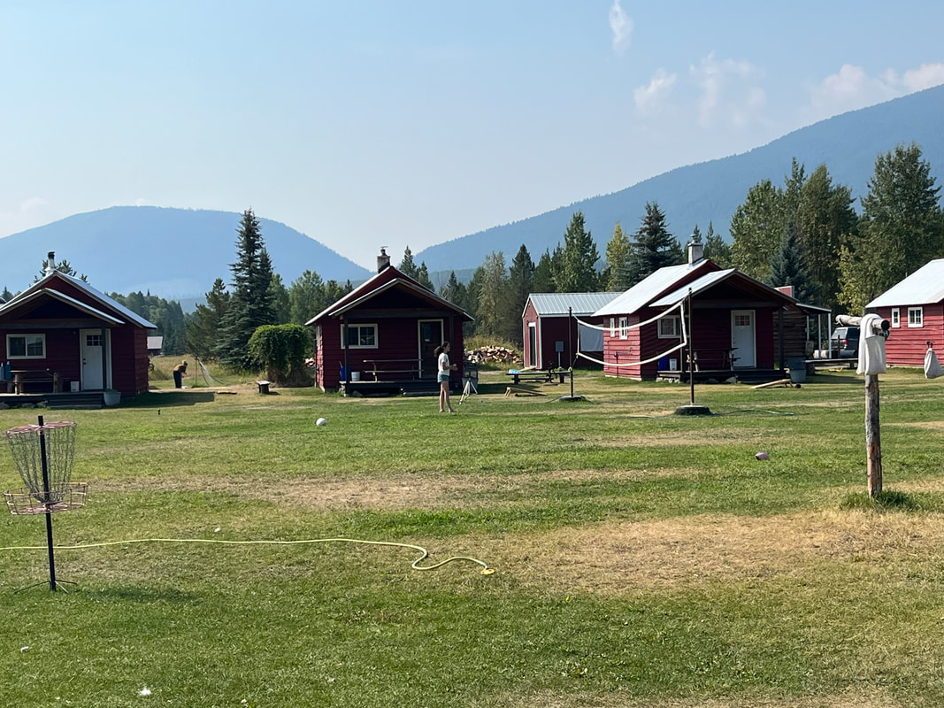
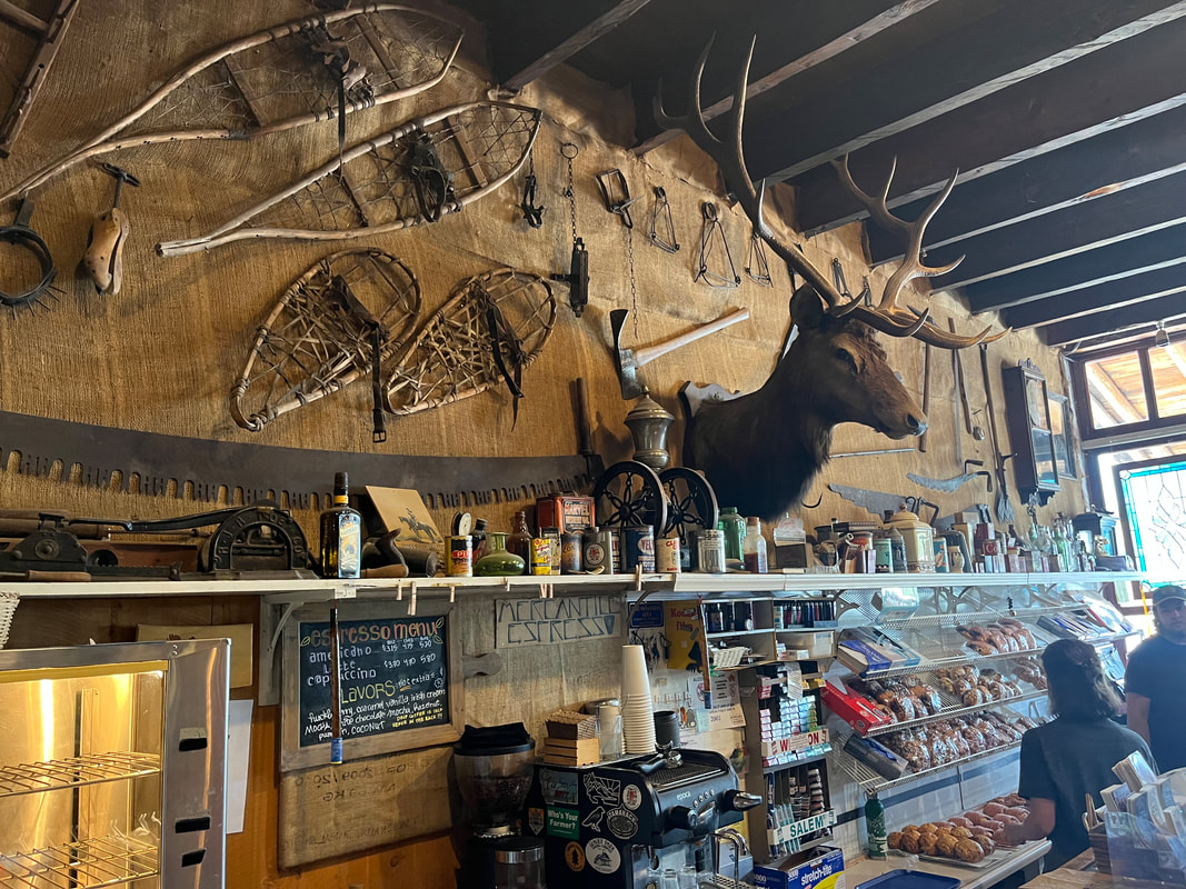
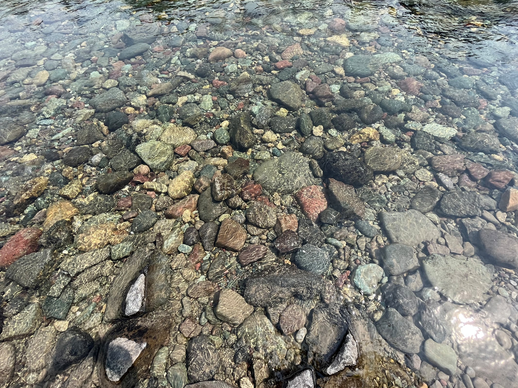
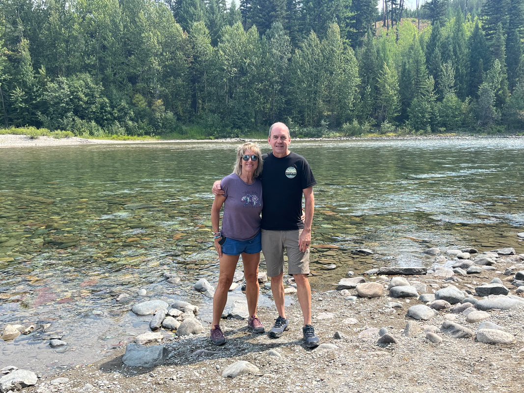
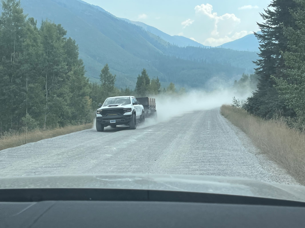
The sun rises on a beautiful morning in Whitefish. Some people told us about a northern entrance to Glacier through a town named "Polebridge". It was less than an hour from us so.... ....off we went. No where did we see any mention that about half of the distance between Polebridge and the West Glacier entrance was on gravel. The washboard effect was awful. Anyway, we arrived at this scenic and interesting town. The population during the summer is about 1000 but in the winter, drops to single digits. Looking at the winter weather history, it's easy to see why. Polebridge is only 22 miles from the Canadian border. The Sasquatch Grill had Sasquatch statues so of course we had our pics taken with the creatures. There were several rental cabins with a large lawn. People had raved about the quality of the doughnuts inside the mercantile so we sampled one. Just ok. The interior was interesting and then we had lunch at nearby restaurant. Not much to say about this image. The Glacier entrance was under construction but passable. We drove to the point where rangers check for a reservation pass but lacking one for this day, we turned around and stopped to.... ....check out a glacier fed river. The water was so clear. A park ranger was having his lunch and offered..... ....to take our pic! Back in the SUV we jumped and.... .....drove home, having no option but to return via the route we previously traveled. The SUV received a good washing later that day.
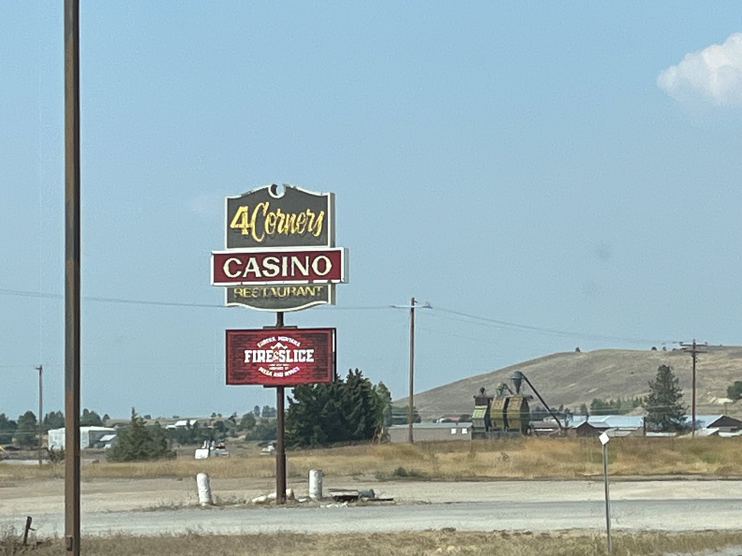
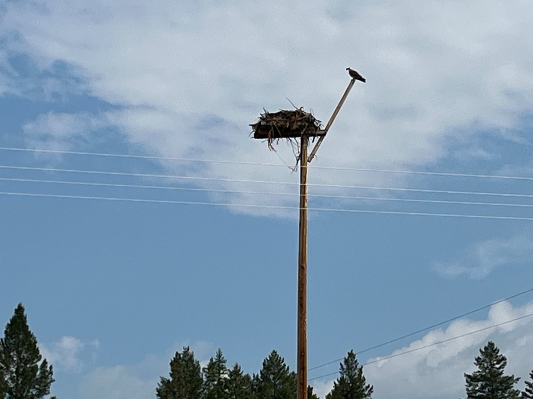
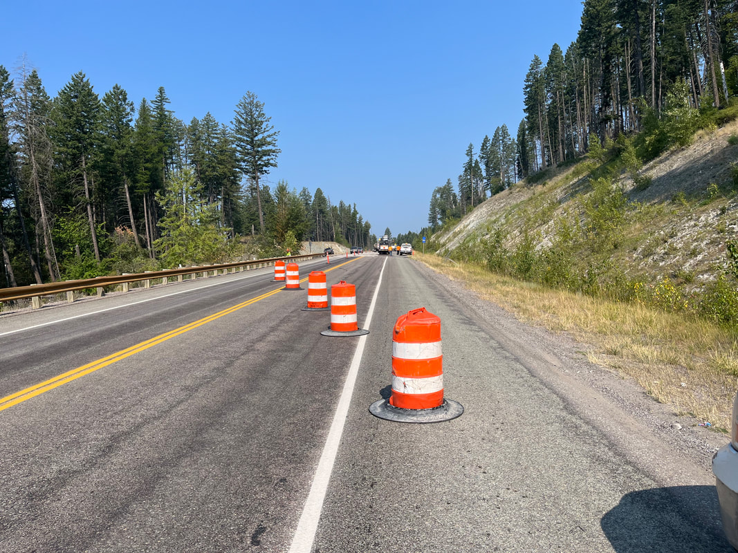
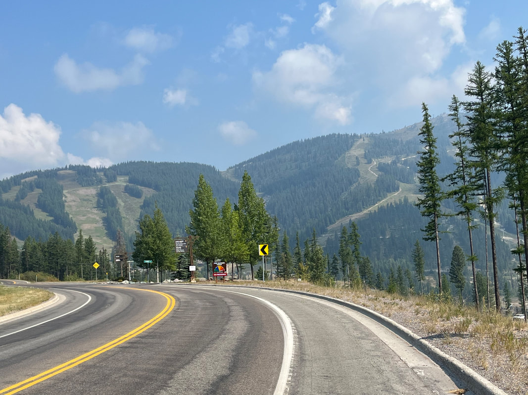
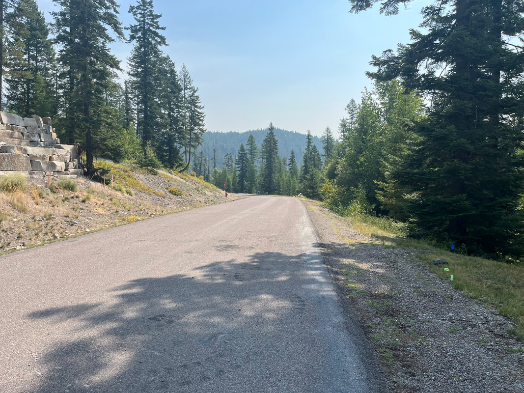
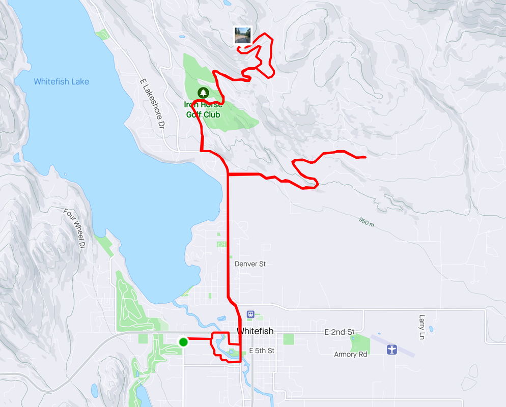
Weird, we drove to Eureka on a rest day cause, ya know, any town that had the audacity to name itself "Eureka" just HAD to be worth a visit. It was not. There are dozens of casinos, all small operations, seems like in every town. Driving back, we happened upon this scene. Looks like a baby eagle escaped the nest while we could see others flapping within. The day arrived to climb "Big Mountain" and what an appropriate name for it. Unfortunately, had to stop once for this obstruction and then two more times when trucks, on a narrow section, weren't going to get by unless I stopped. Five miles, mostly very steep. Within that climb, there was an almost 3 mile section that averaged 7.8%. Yeah.... ....when I arrived at this point, the road turned down and I was relieved. The ski lift is active, taking people and bikes higher so the mountain bikers can descend. Looked like fun. Most of the businesses were open so a year round attraction. We're coming up soon to ride the gondola, rather than sit in the chairs. As I descended, I saw a couple who warned me about the descent. A nice berm for most of the ride and trees are kept far from the road so snow plows can throw the snow off the road without obstruction. Some of my route above, only 17 miles but 1600' of climbing. This very much reminded me of climbs in VA, WV, GA and elsewhere in various events in which I participated.
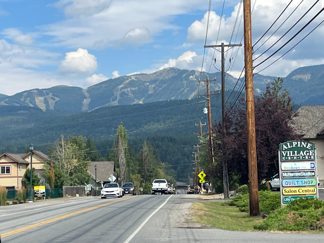
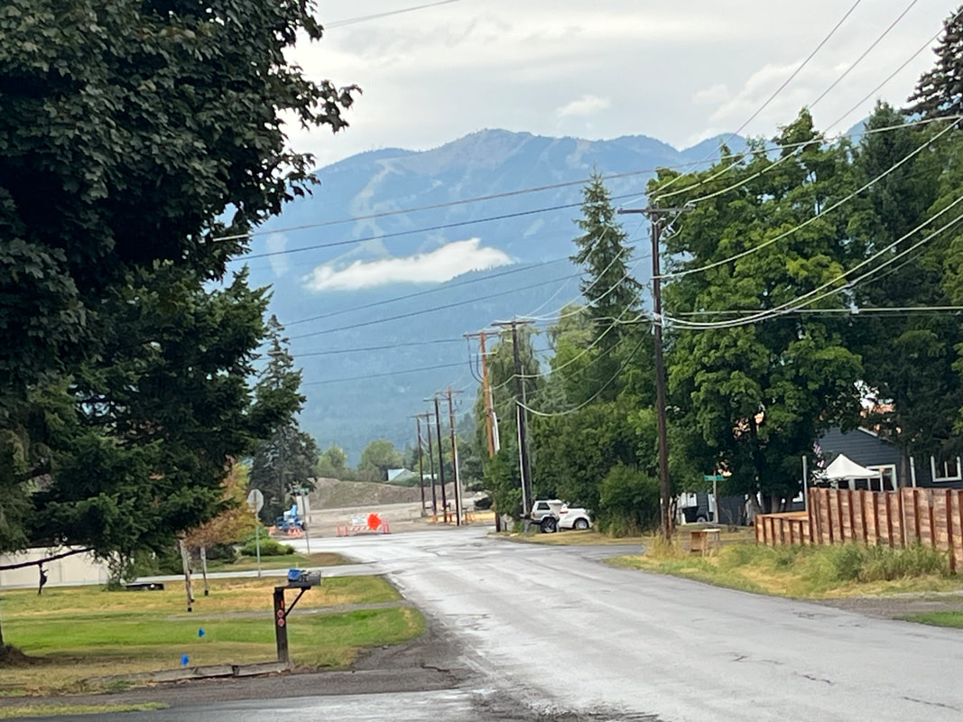
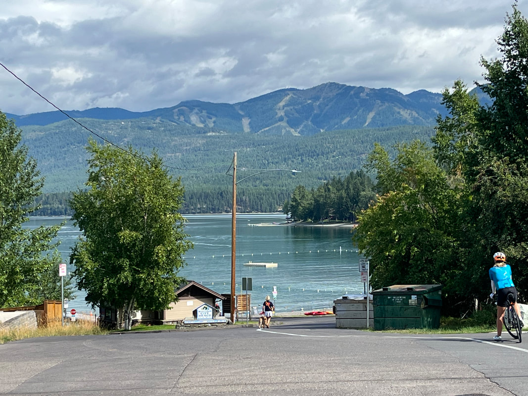
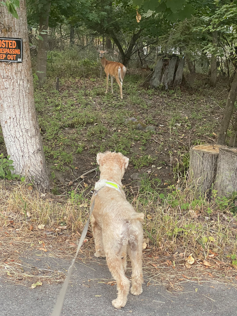
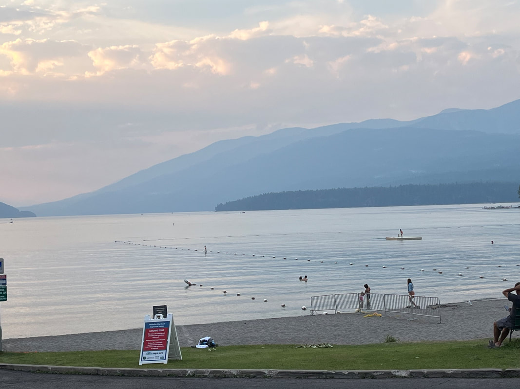
We headed south, away from the mountains on a 33 mile loop ride. The roads, for the most part, lack a berm or bike path. Traffic was light for about the first third and then became a little heavier as we changed roads. We headed back via Whitefish Tail Road, enjoying nice views of the mountains and farms. We gained 1400' of elevation so all in all, a nice first ride. Jack and a deer do a stare-down. I've never seen such a concentration of deer in one area. They are everywhere. There are some legit climbs nearby, a combination of three known as the "Triple Crown". I rode the 3 mile climb up Reservoir Road then another 3 miler then thought better of the trying the aptly named, "Big Mountain". Save that for another day. I finished with only 17 miles but with 1600' of climbing The route. We got together with a friend of Amy's who has a place on Whitefish Lake. The sun still sets after 9pm here which is so odd as in Tucson, sunset is at 7:15pm. On our way home, we drove past the lake. Nice view. Regarding our temporary home.... ....Jack seems to like it a lot.
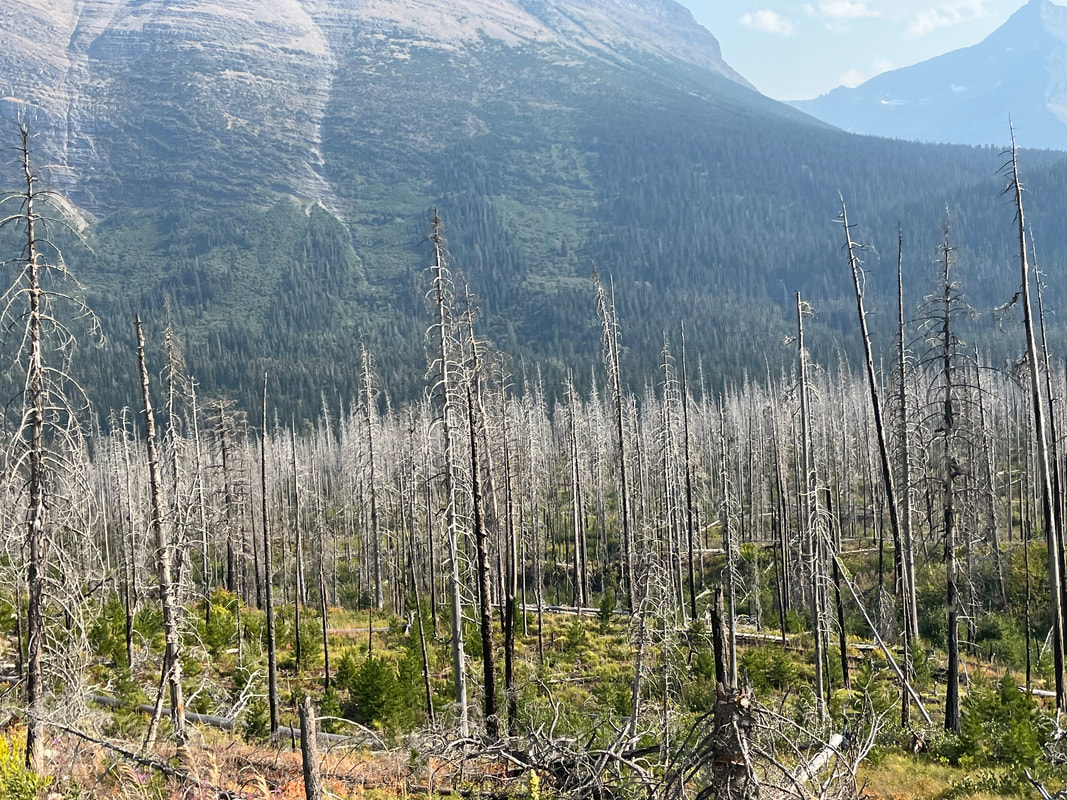
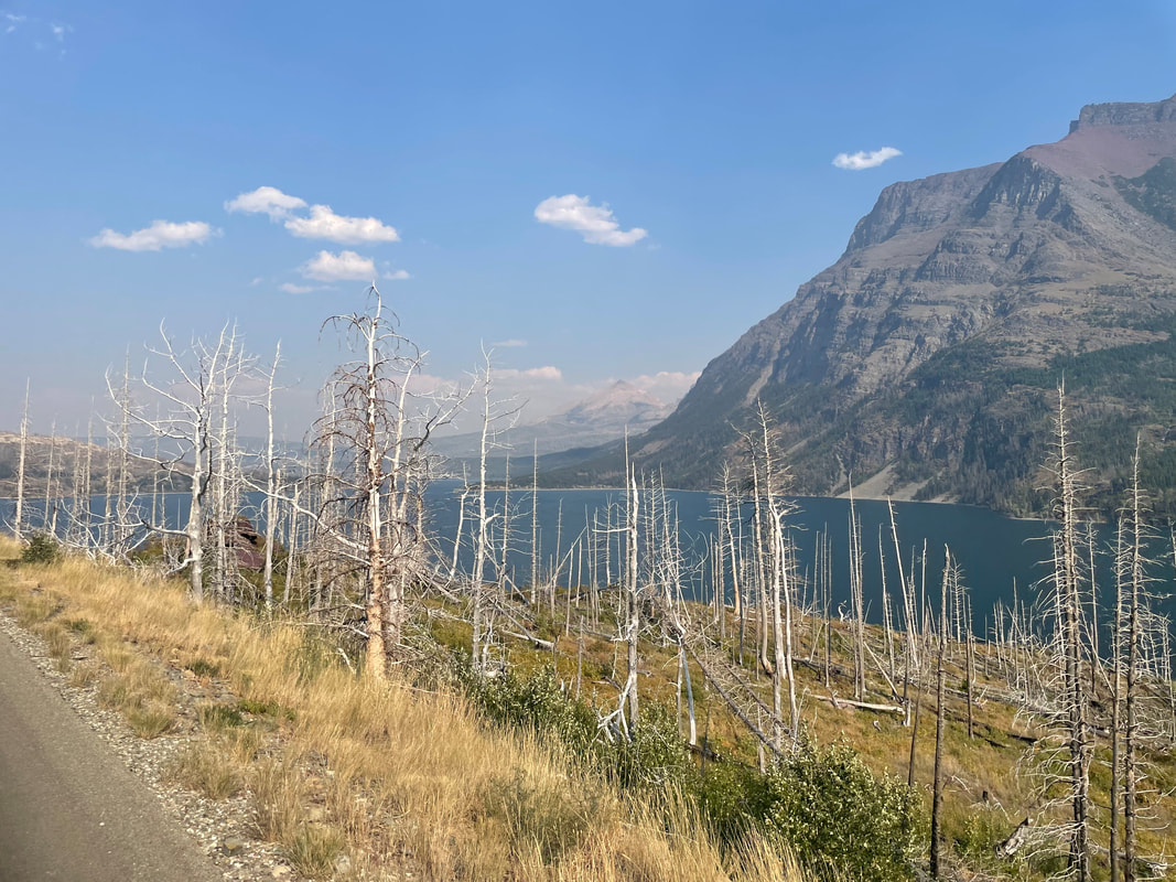
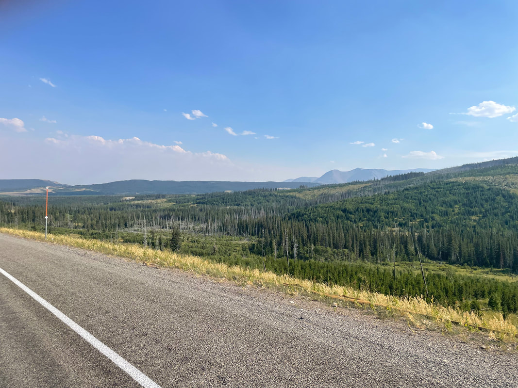
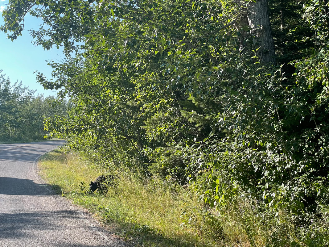
We arrived at the visitor center, which was not too crowded and as expected, 360 degree awesome views. Lingering snow but not for long as the temperature was in the 70's and overnight lows around 50, up here. Annually, about 80' of snow falls, compared to 20' in Whitefish. Should we retrace our drive, exiting the west entrance or go east and then around the park to Whitefish? A ranger told us, going east, it would take about an hour with a speed limit of 70 once out of the park. It would take us that long to return the way we came so let's check the east side!!! Near the east side of the pass, the views are equally amazing. This side too has a tunnel but also less traffic, wider road and much less serpentine. The straighter road allowed me, now the driver, to also take a few swift glances to appreciate the surroundings. Evidence of a fire from a few years ago was widespread. We descended, passing a lake on our right. The views on this side are much less dramatic and interesting. We exited the park and.... ....the scenery really changed, compared to the west side. The advice we received from the ranger was really bad. It would take us 2 hours to return to the other side of the park and for large chunks of the distance, the speed limit was 25mph!!! However, as we headed west with the park boundary to our right, the views did improve and we even.... ...passed a bear cub. We turned around, pulled alongside and took some pics, as did others until the bear headed back into the forest. Almost home, we saw a helicopter drop a large bucket into water to return to one of the fires. For the most part, the fires are allowed to burn unless they begin moving toward towns, etc...
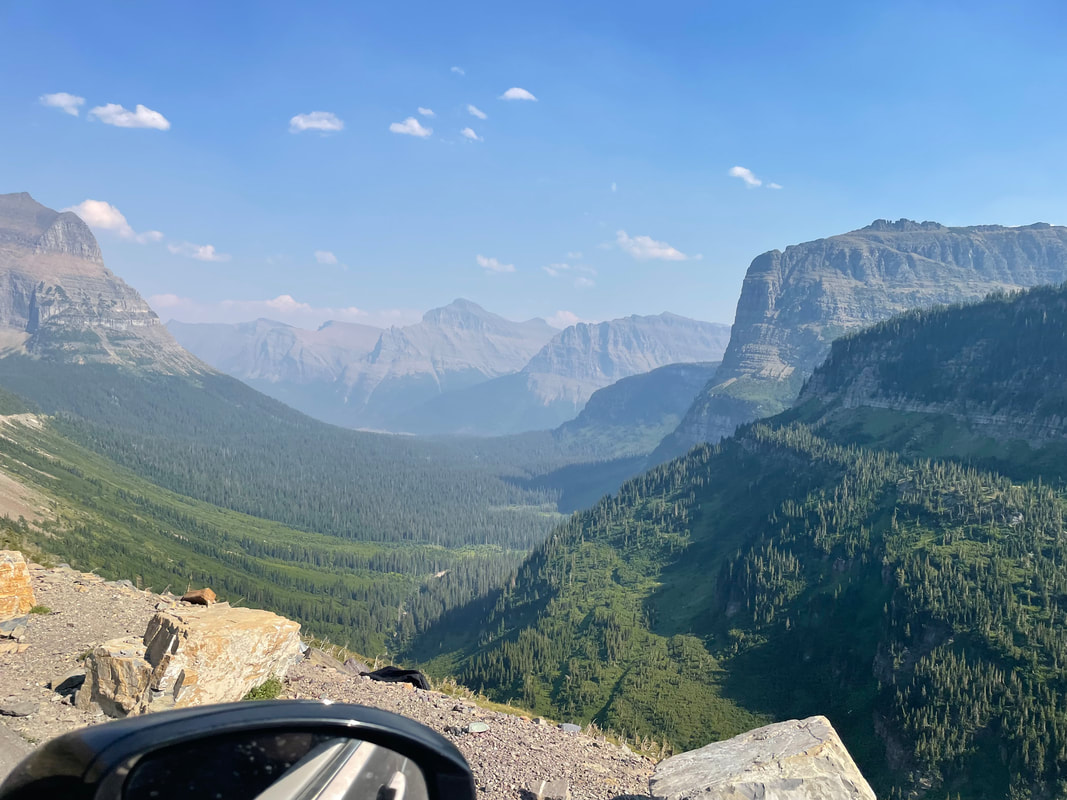
The elevation in Whitefish is about 3000'. The elevation of Logan Pass is 6600'. The highest peak in the park is 10,500' Having entered the park and SLOWLY gone through the 10 mile dirt section, we began the ascent to Logan Pass. The climb is 10.8 miles having an average grade of 5.6%. We pass through a tunnel.... ...as I had the good fortune of being the passenger and could look and take pics. The road is narrow and there is a certain amount of pucker factor as I sat. Nothing like the Pike's Peak ascent but still.... Several odd touring cars went by. Higher we go with remnants of snow on the northish facing slopes. We've gone up several thousand feet and can now look at the valley from which we came. Awesome. Incredible. I was evaluating the volume of traffic, the narrowness of the road, not looking good for cycling. Yet, after our drive, I looked on Strava and there are people riding this practically every day, starting early of course. I contacted several and got some good info so maybe I still will do the ride. We approach Logan Pass and you can see the road on the left. Looking back, amazing views! And so, we reach the pass and a visitor's center so more on that soon.
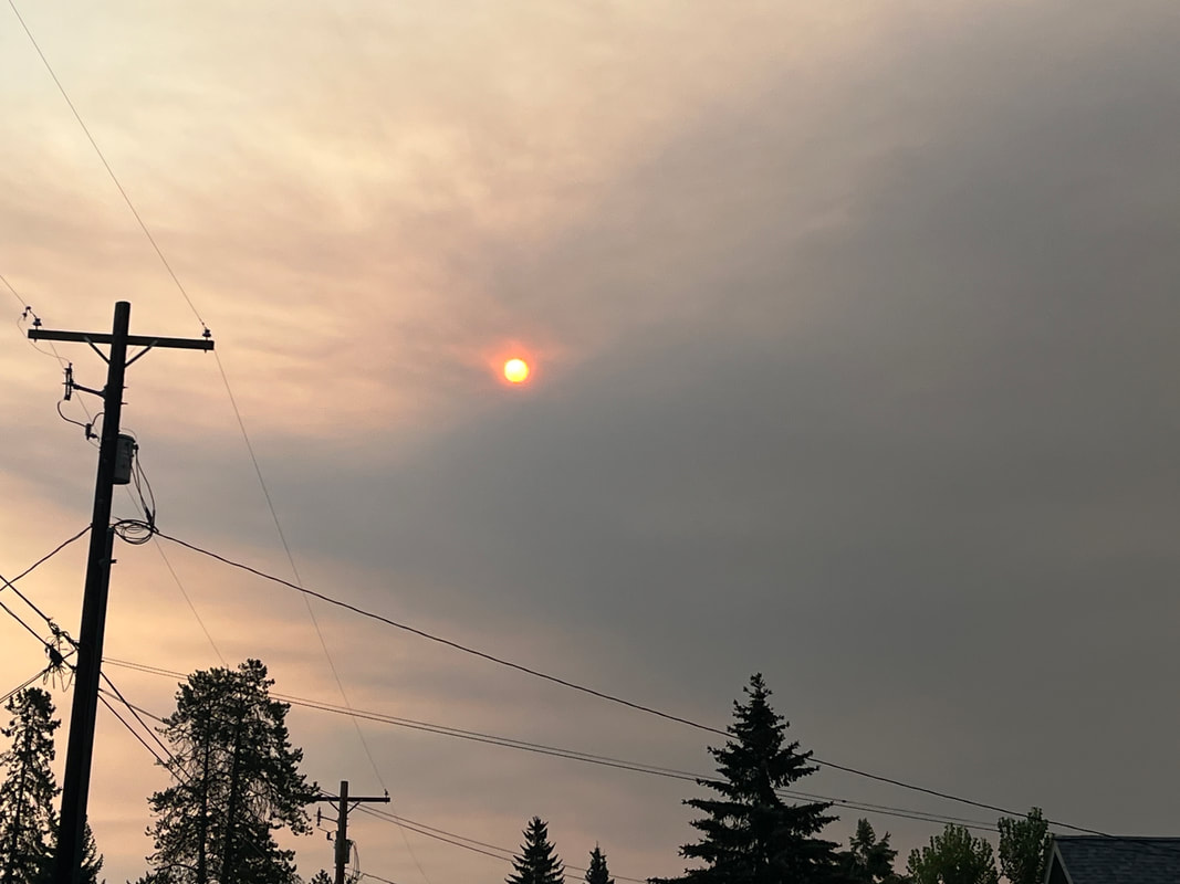
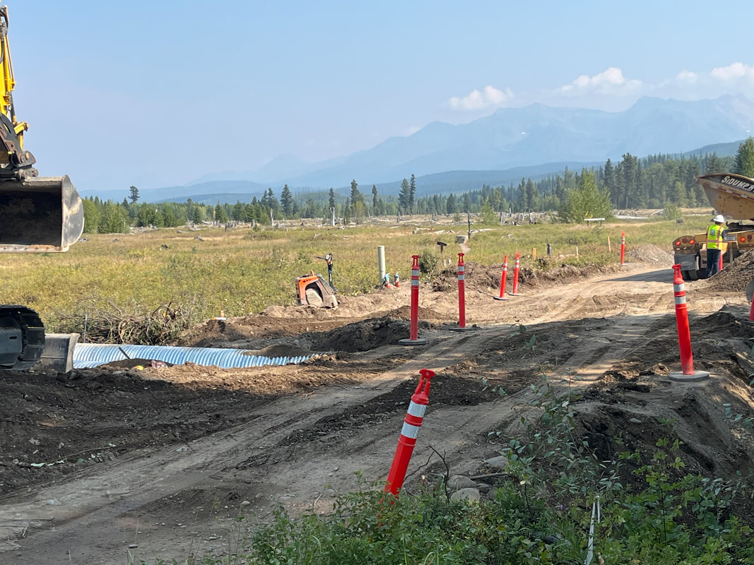
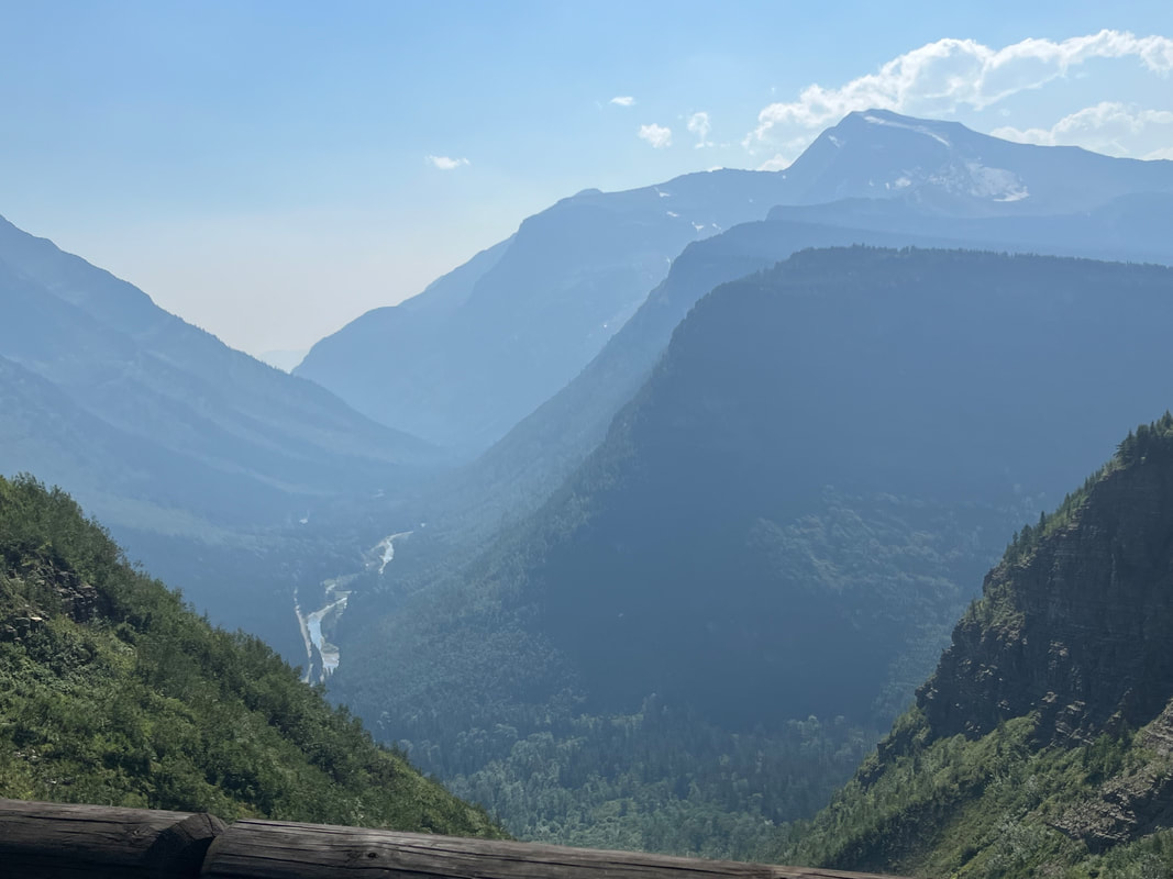
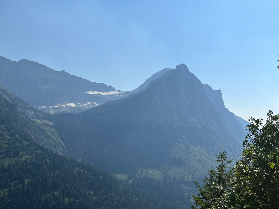
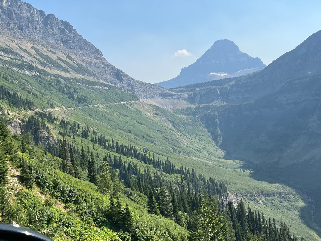
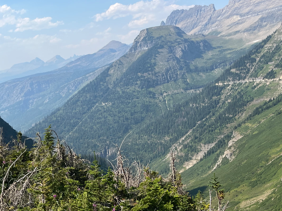
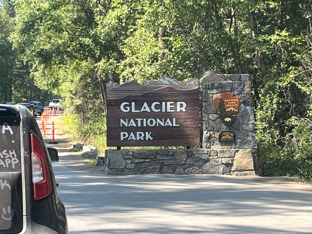
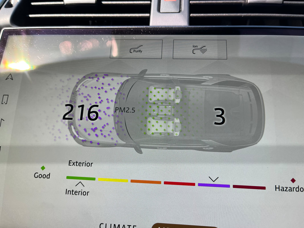
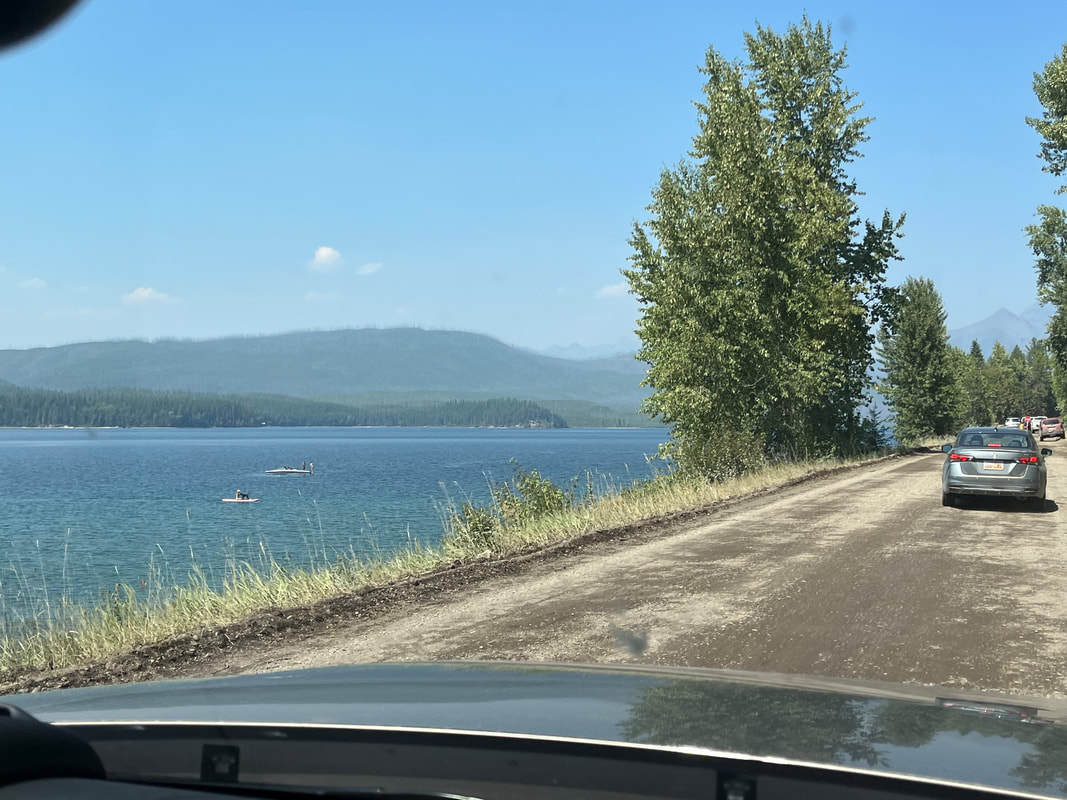
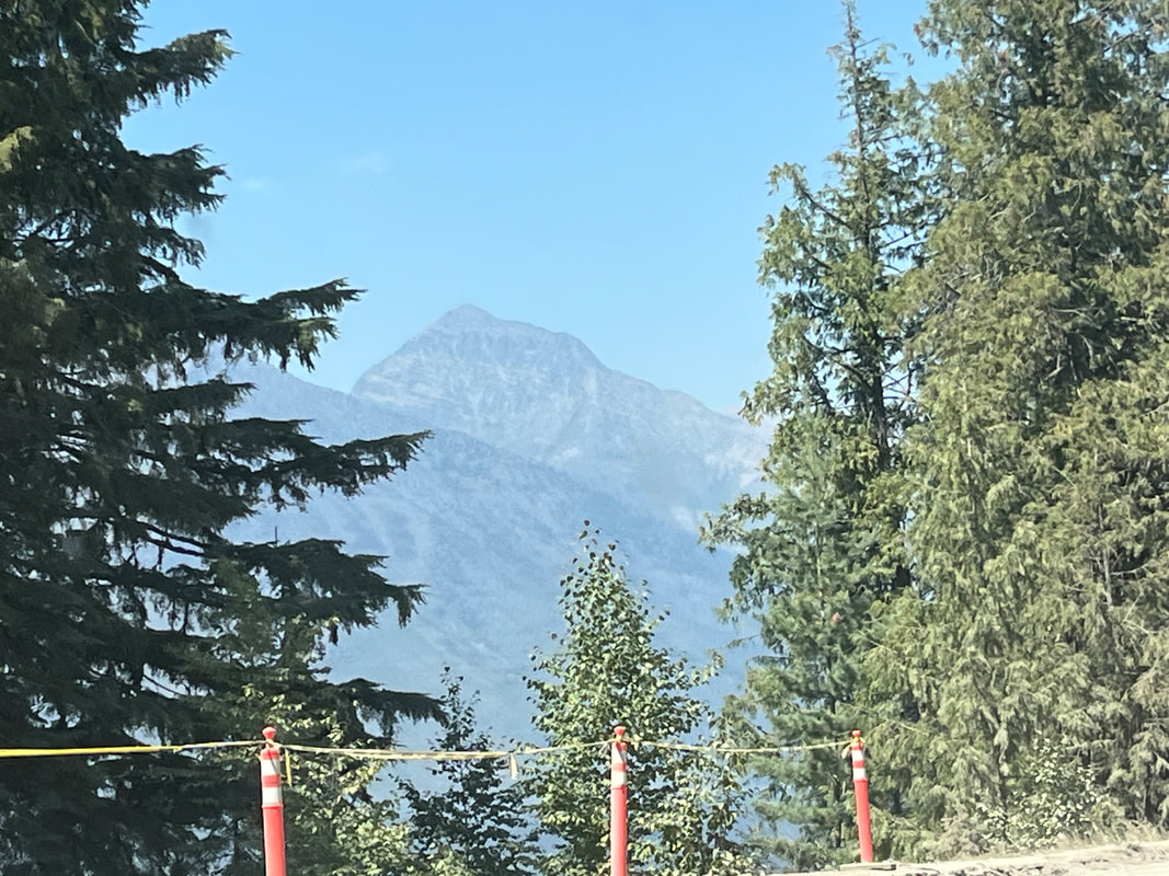
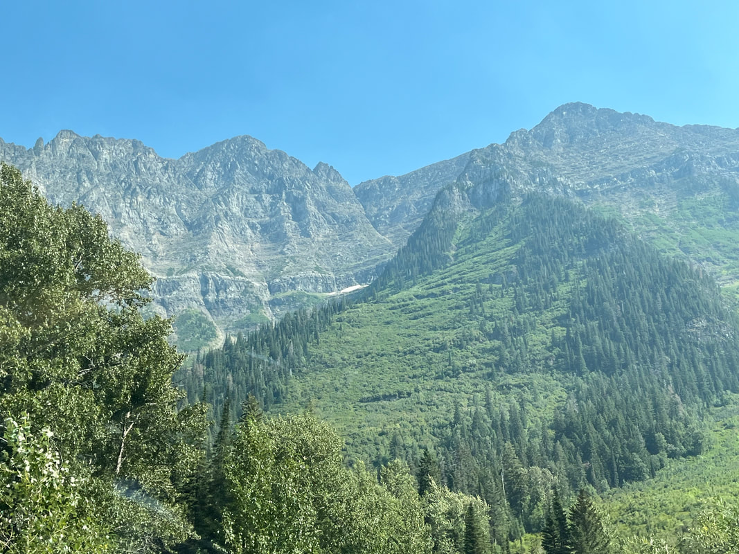
We did not have a reservation to enter the park for today but some people told us if you arrive after 3pm, you can get in without a res. We were anxious to check out the "Riding to the Sun Road" so took a chance and after showing a NP pass, we were waved through! Gang, way too many images to put in one post so I'm breaking it up. We enter the park at the west entrance and encounter a modest line but it moved quickly. What an unexpected surprise driving the Sun Road our first full day. The region's wildfires are taking a toll on the views and quality of the air as evidenced by.... ....this! Yikes. Soon after entering the park, we begin an unpleasant, 10 miles of hard packed dirt drive and a sign that prohibits cycling from 11am to 4pm. 4pm sounds late but the sun sets after 9pm so that's ok. Lot of construction going on and the waits were long during the 10 miles. But when the trees opened, the views were amazing. Neither of us have previously visited and didn't know what to expect but dang, the entire drive was spectacular!!!! Our purpose for driving the road was to check out the quality of the pavement (after the dirt section ended), volume of traffic (that answer was obvious), room for cyclists on the road, the views, etc... One of the things that impressed us was, when looking into the forest, just how dense is the growth. It would be a challenge to move through there. And so, the road began to rise and with it, some of the best views we've ever seen in nature. It's hard to beat the impression made on me when seeing the Grand Canyon for the first time. My jaw literally dropped. Gee later, hiking off the north rim to the Colorado River, Deer Creek Narrows, Thunder River...incredible, Grand Tetons were awesome, Yosemite Valley and on and on but the views we saw today certainly made my top 3 list. Those views as best as can be presented bu an iPhone, are next.
|
Categories
All
Archives
November 2023
|
