|
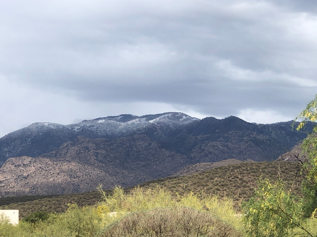
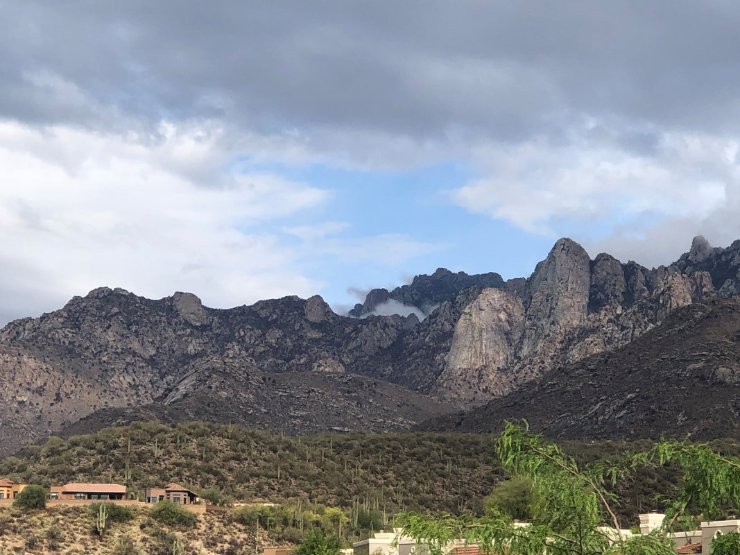
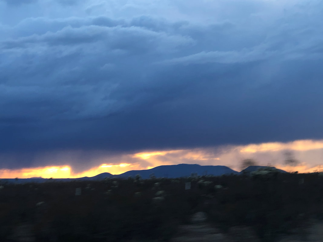
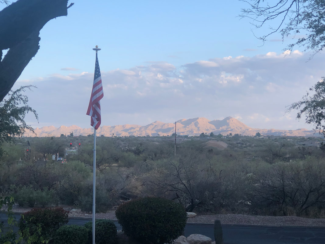
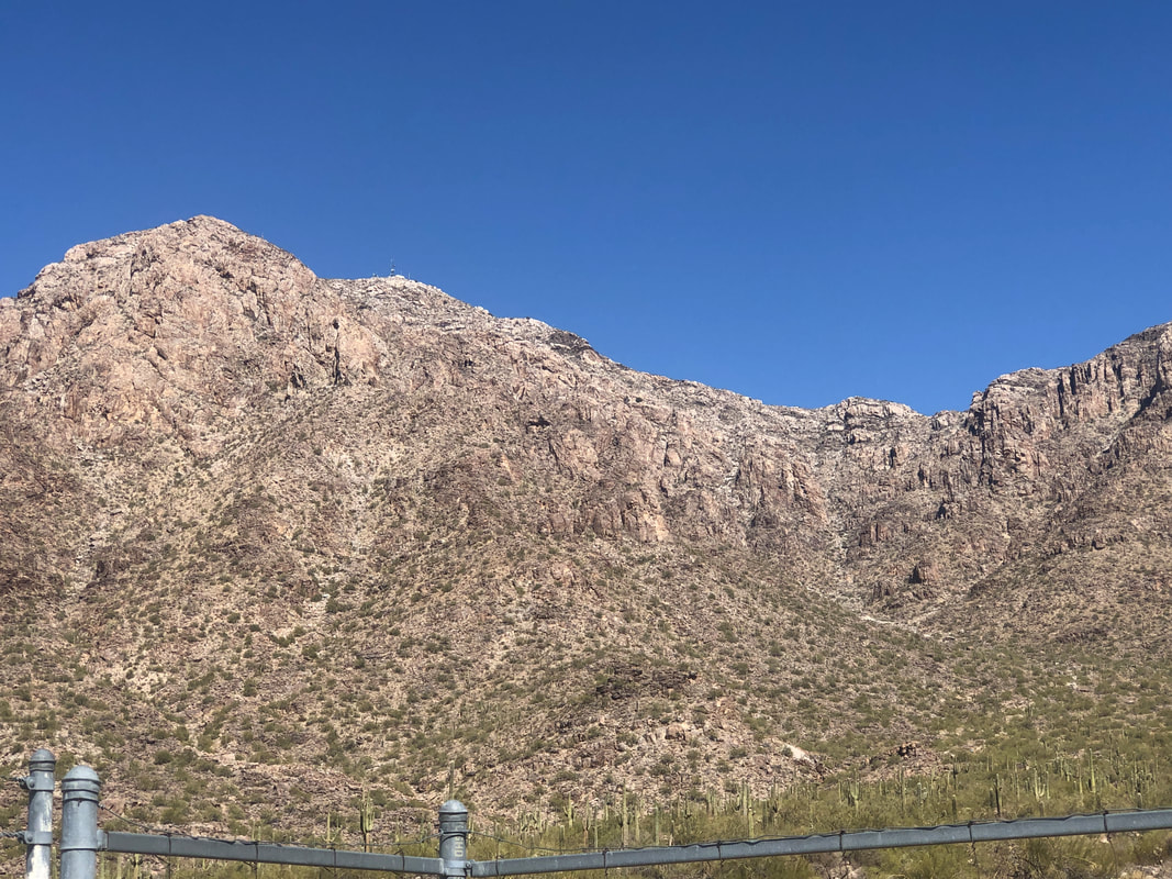
It rained steadily in Oro Valley for a least an hour. Higher up, more of it which included a few inches of snow. The clouds lingered in the area which produced.... .....stunning images of the sunset. I was driving at the time so the quality is not the best but if you live in the region, you too saw it.
0 Comments
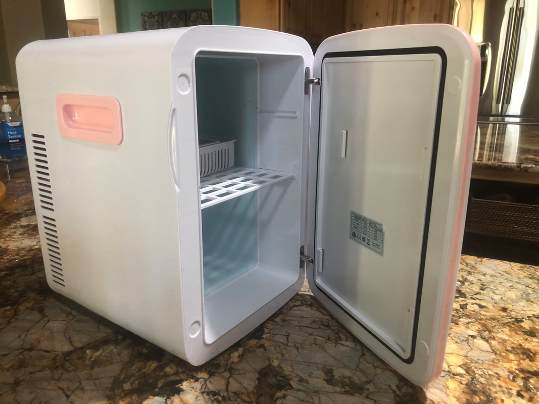
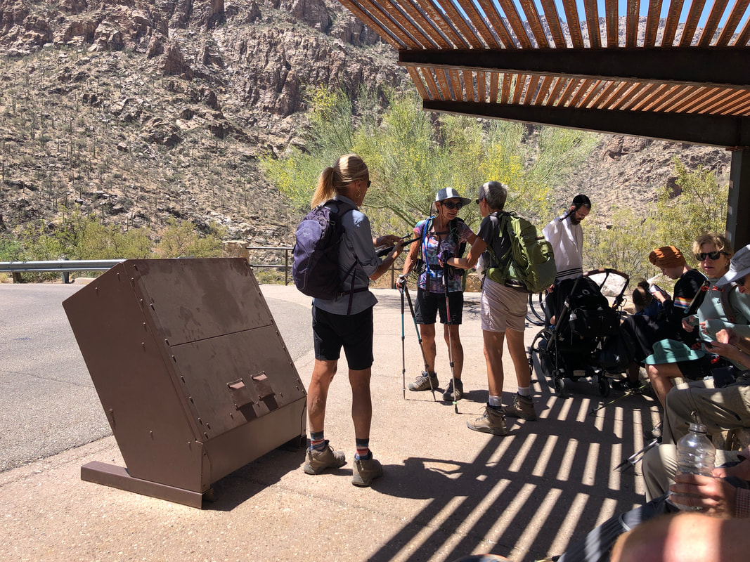
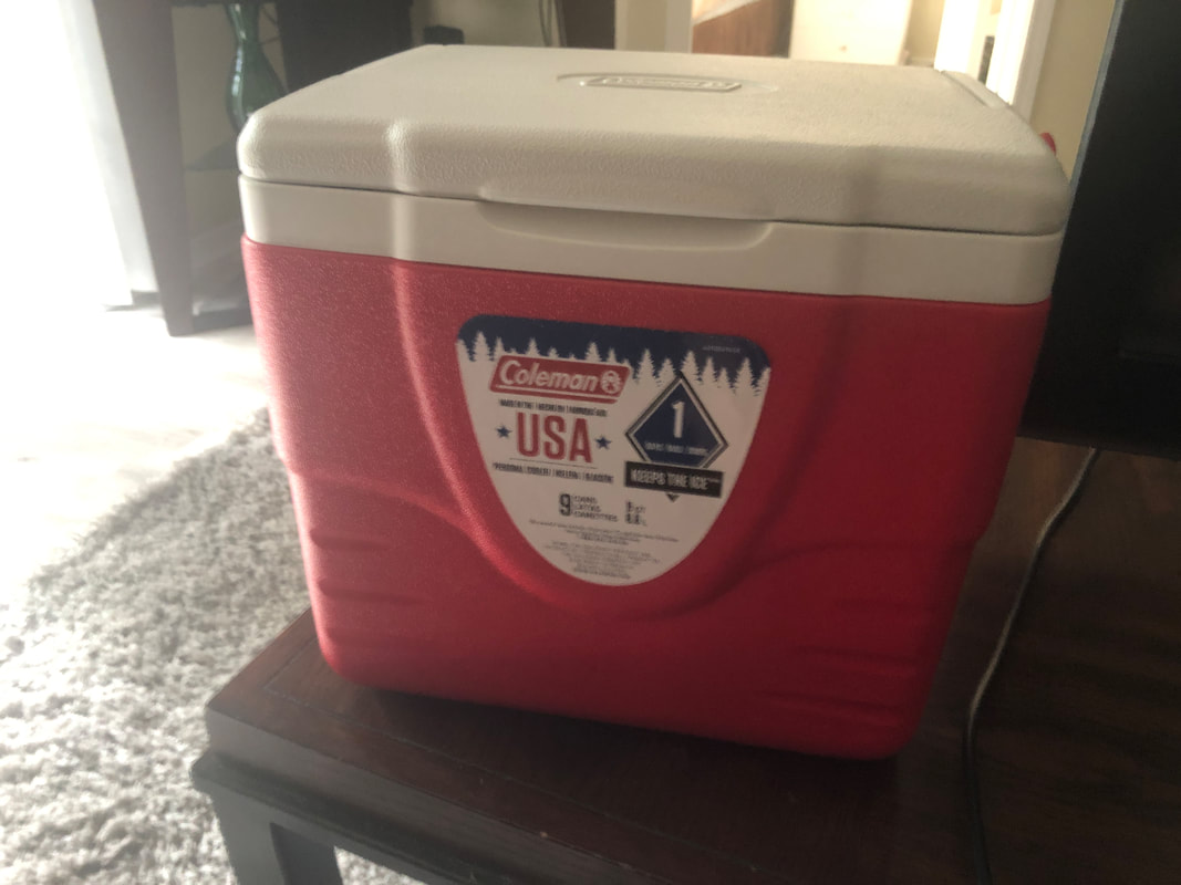
After Friday's hike I got in a short recovery ride on Saturday and then headed east for a 43 mile ride on Sunday that included the Pistol Hill climb and a stop and one of my favorite markets on Old Spanish Trail Road. I of course visited the Amster while she was reorganizing her office and found the above. Get this; IT COMES WITH AN ADAPTOR FOR A CAR!!!! So, on future hikes, we'll bring this, packed with beer. for my hiking buddies, things just get better and better.
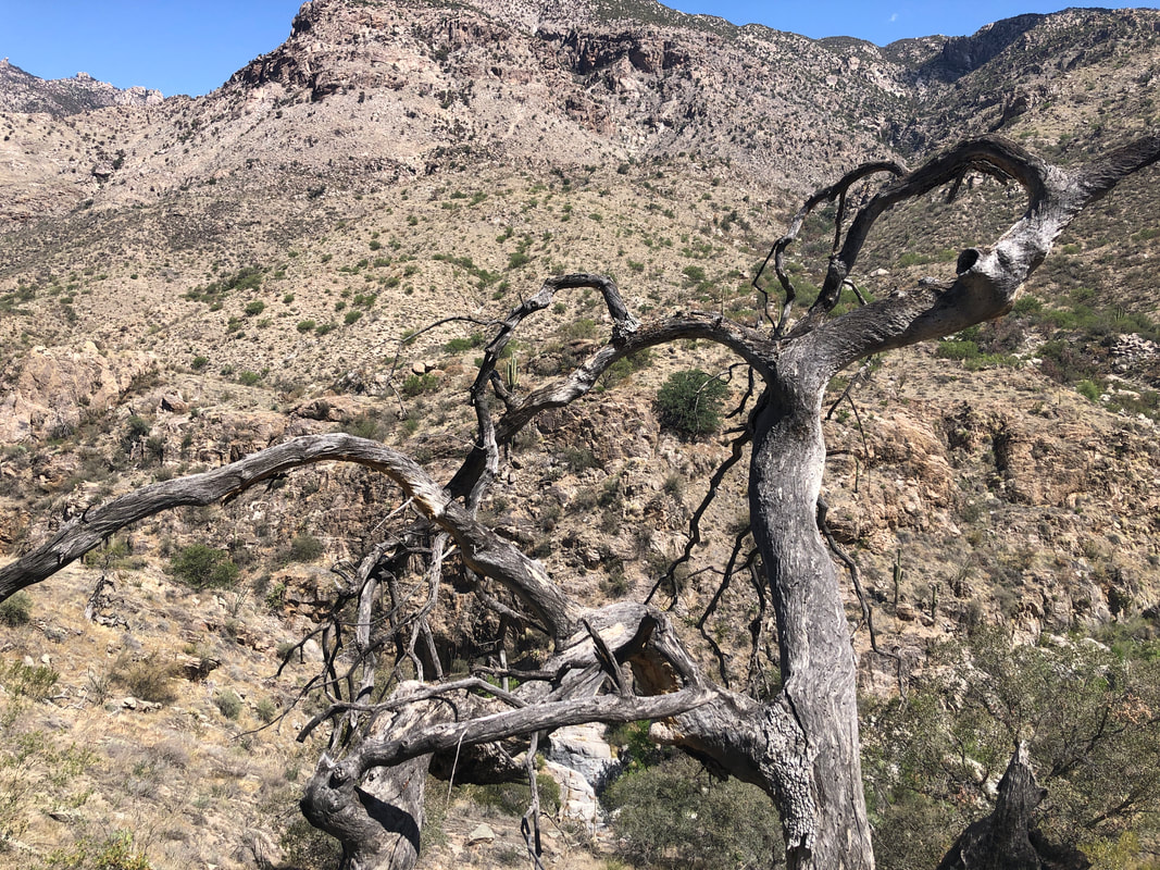
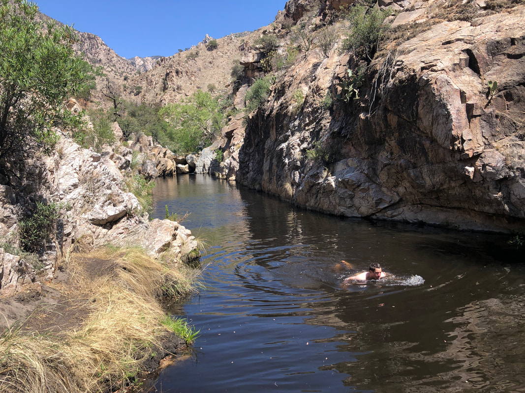
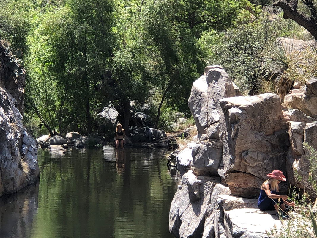
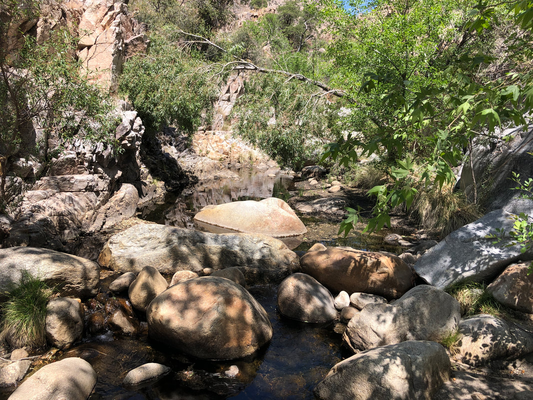
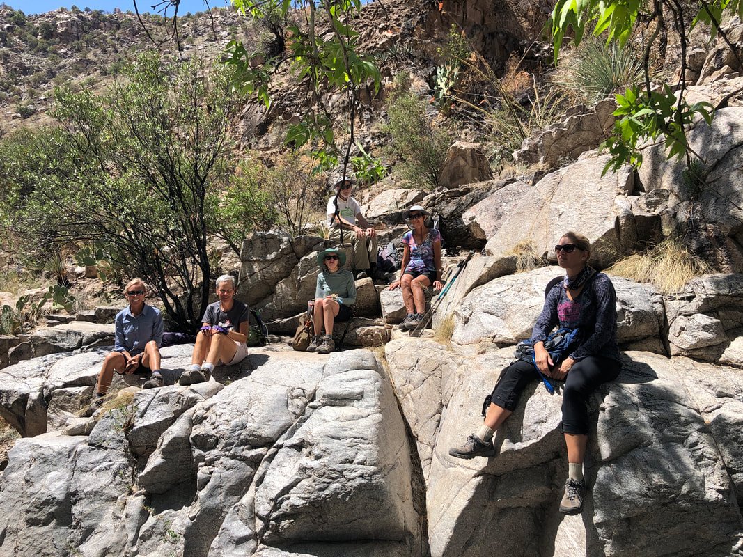
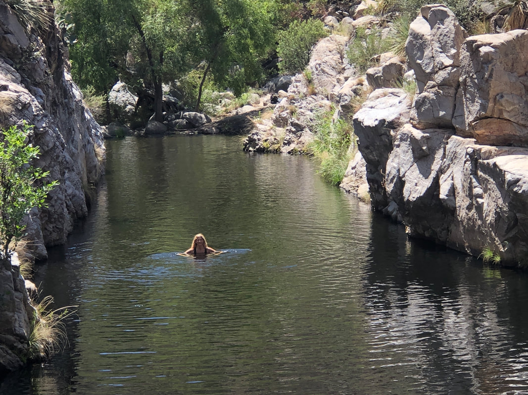
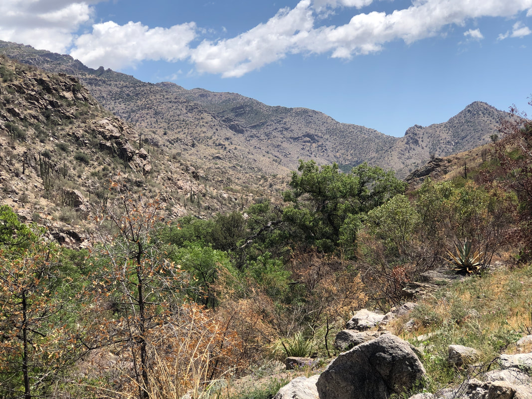
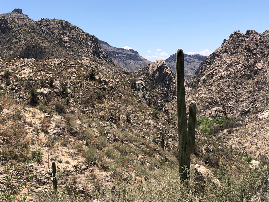
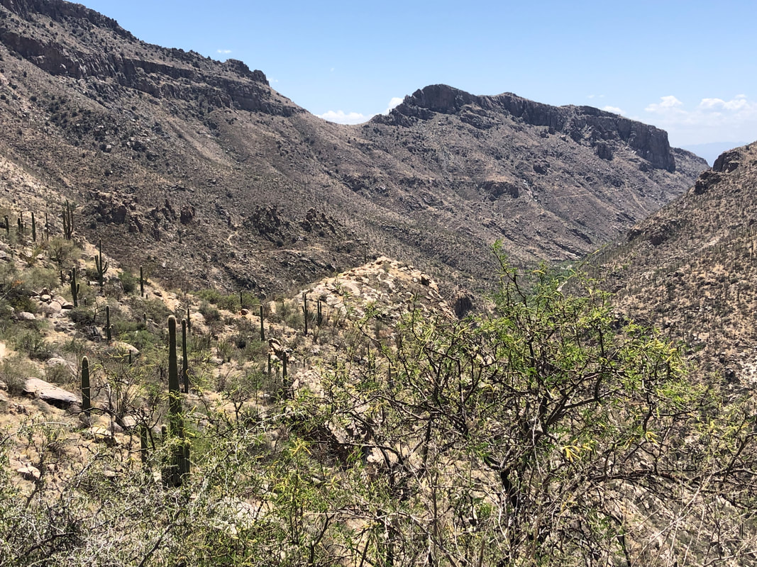
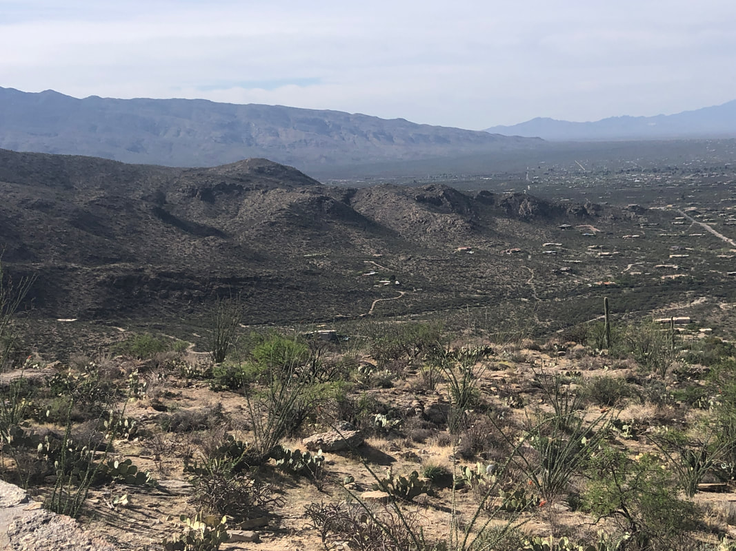
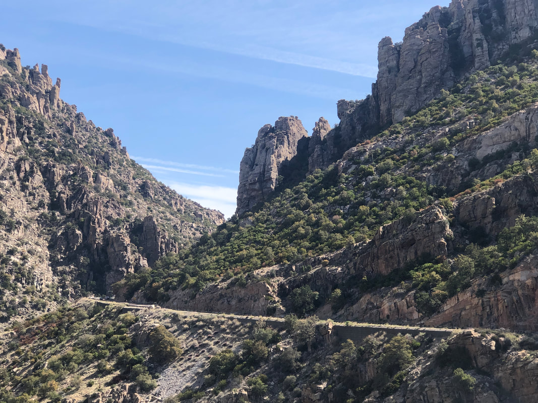
Our group gathered at the top of Sabino Canyon Road, 2 of us arriving via the shuttle, all others by walking the 4 miles of road (for the record, I rode). After ascending a modest .9 miles, the Sabino Canyon Trail is flat to rolling, a pleasant departure from our recent hikes. We reached the West Fork trail, turned left and continued on the easy to follow trail, crossing a weak flow of water before reaching..... .....a incongruous spot in the Catalinas, Hutch's Pool. What a magnificent location. The usually white sandy beach has turned into a grey sandy beach, showing the effect of run-off from the burn area. Three back packers were enjoying a swim so we moved upstream..... ....to take a snack break. I found a comfortable shady spot and was enjoying the pause but then noticed that with the reduced water flow, the other side could be reached so.... ....hopped across some boulders and explored a little. Amazing how a few trees, survive the rush of water during an active monsoon season. Our break was well deserved as we had maintained a 2.7mph average, arriving at the pool in about 1:35. Knowing the shuttle arrived at the top of Sabino Canyon Road every hour, at the bottom of the hour, I was keen to not miss the 1:30pm pick-up. One of our group, Susan, was some how enjoying the snow melt fed pool. That would be way too cold for me. We put our gear on, walked to the beach, gathered Susan and began our return. There has been enough regrowth of grass and some plant life that the burn area is no longer so obvious. I was glad Sabino Basin, shown above, was largely untouched by the fire. The scenery, always so beautiful. Eventually, I could see the Phoneline Trail which parallels the road. Checking the time, we were in good shape and.... ....arrived 15 minutes early. Alas, there were no spots on the full shuttle for anyone but those who had previously purchased a ticket. Although, at no time did anyone ask to look at mine or the ticket of anyone else. I finished with 8+ miles and 1200' of climbing. The others who walked, very fit hikers all, would have added almost an extra 8 miles.
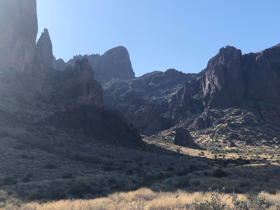
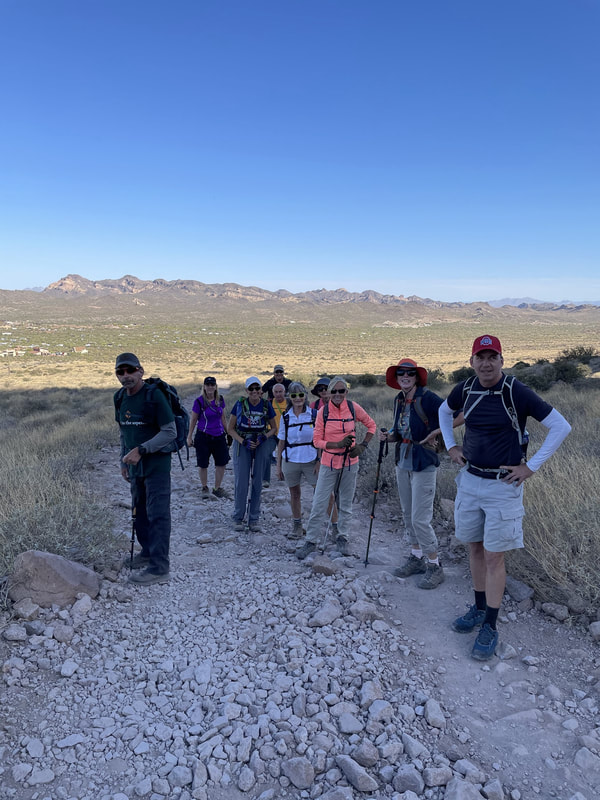
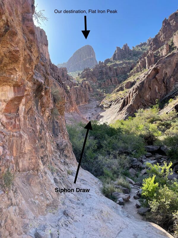
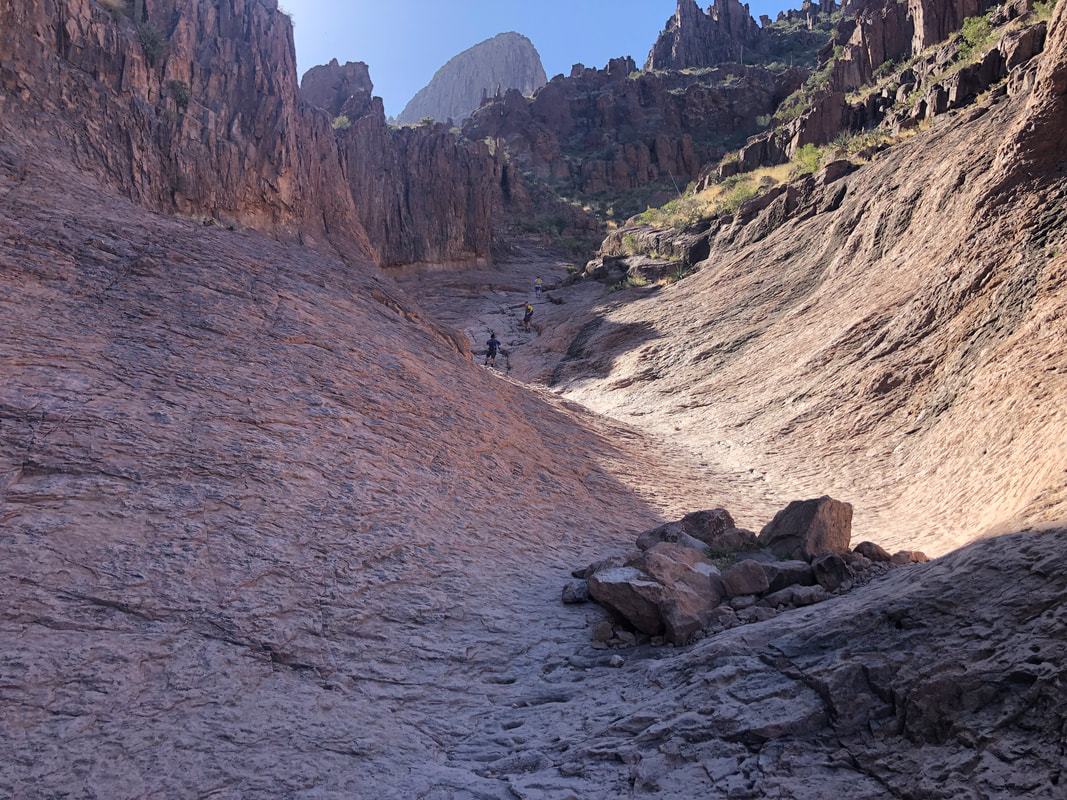
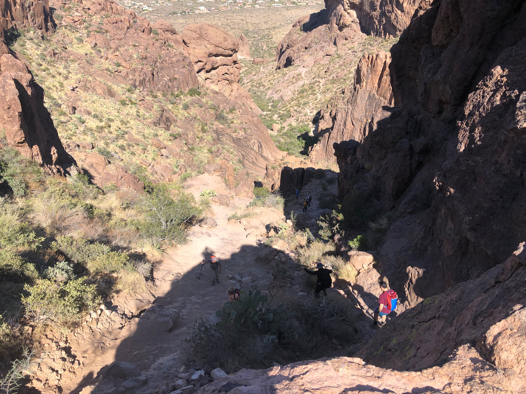
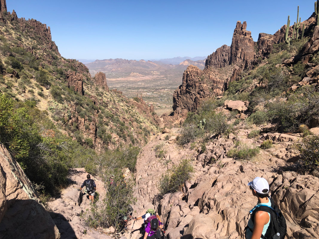
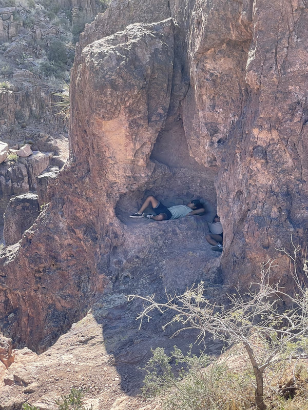
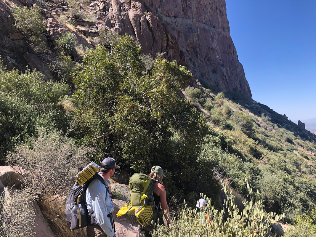
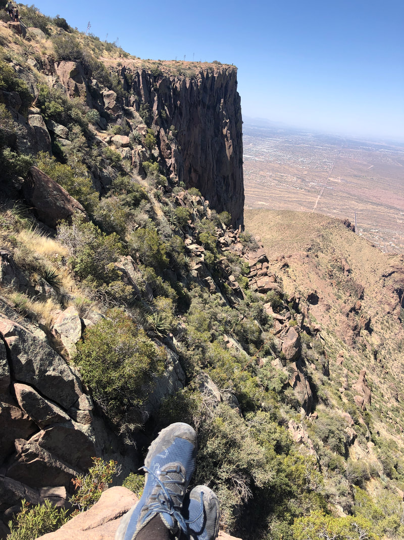
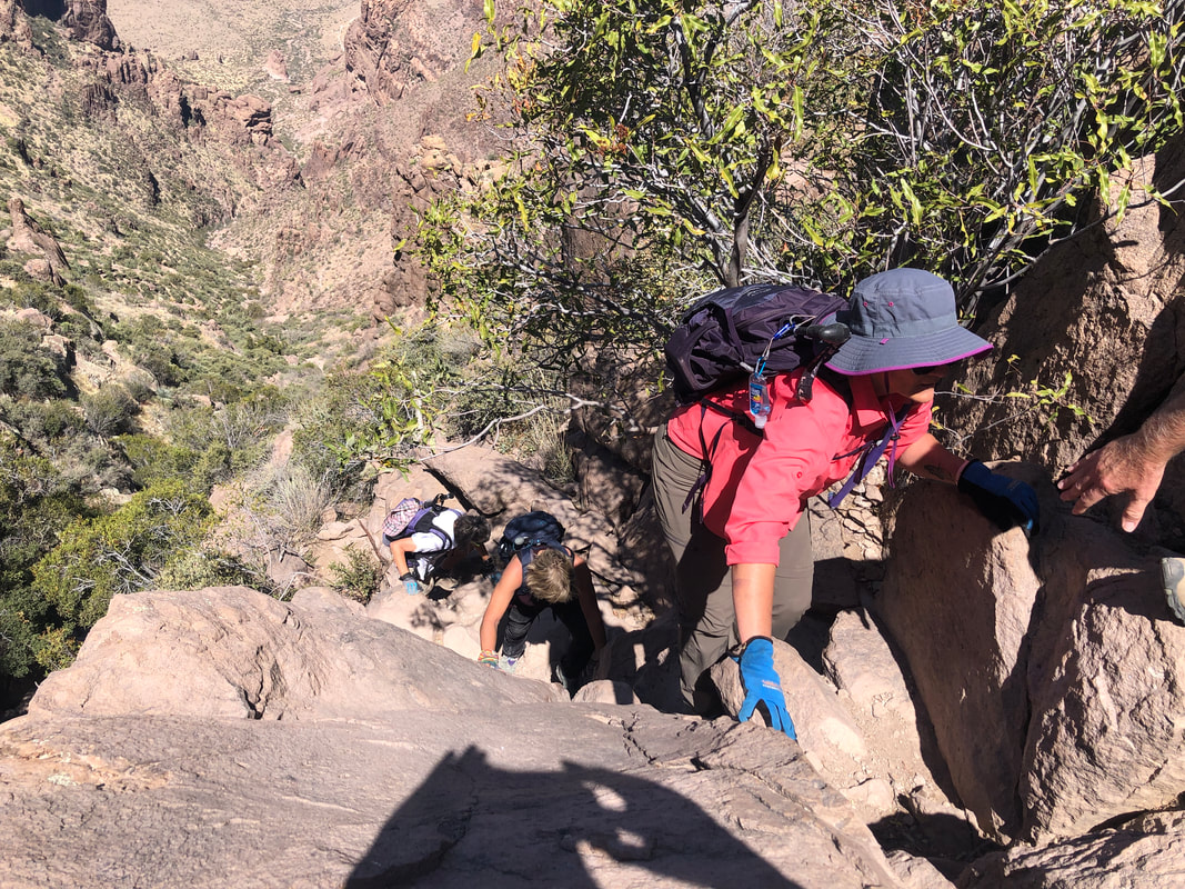
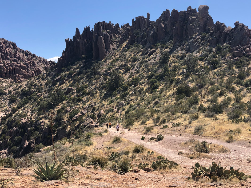
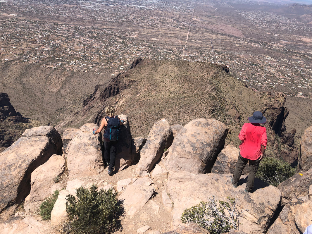
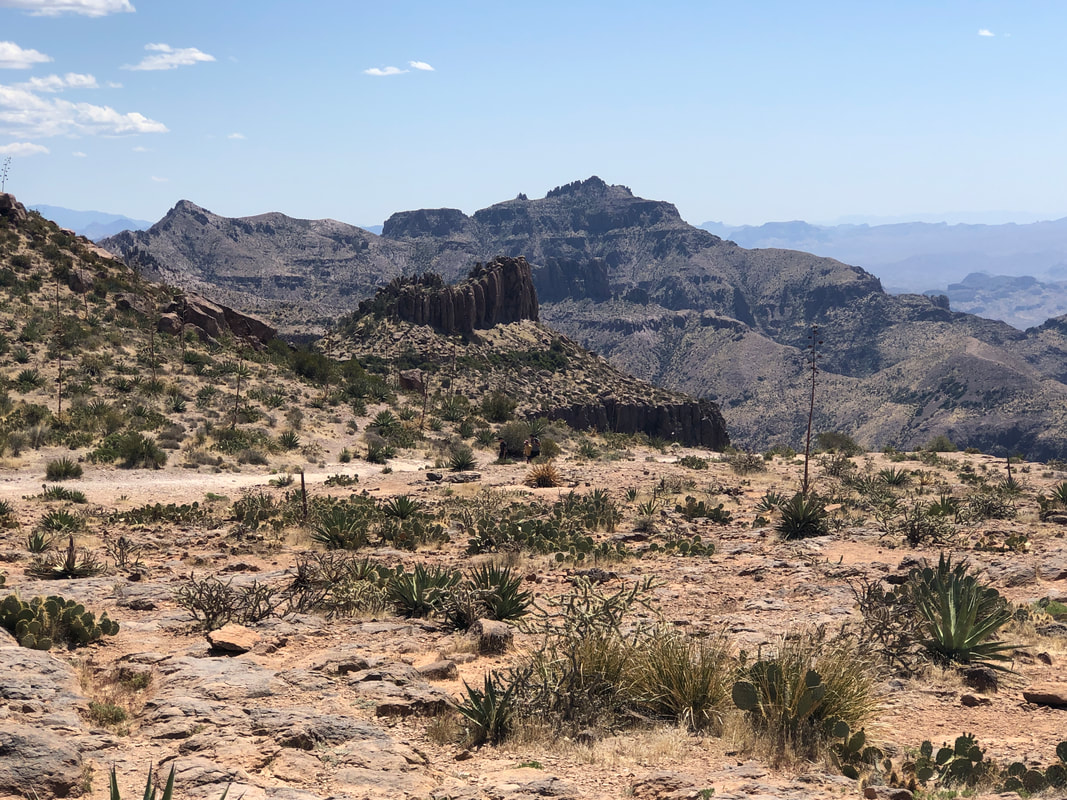
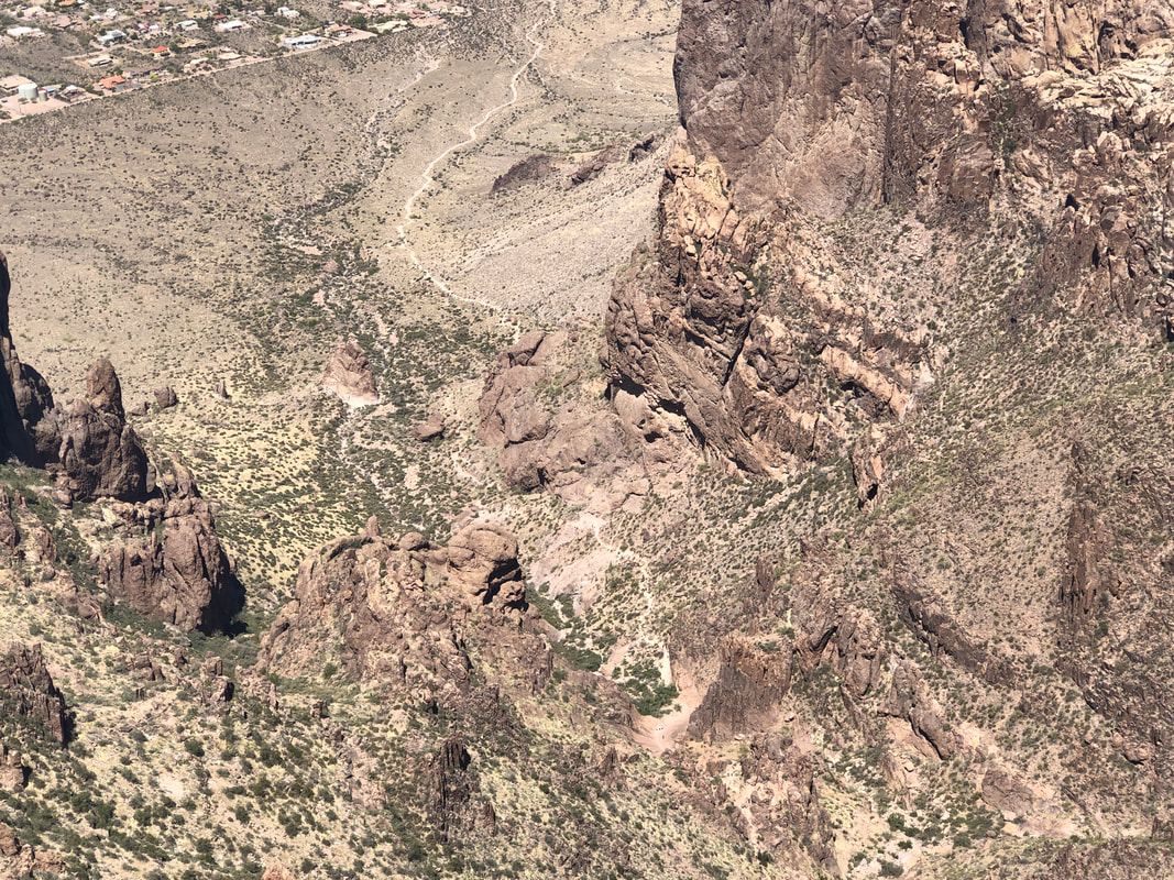
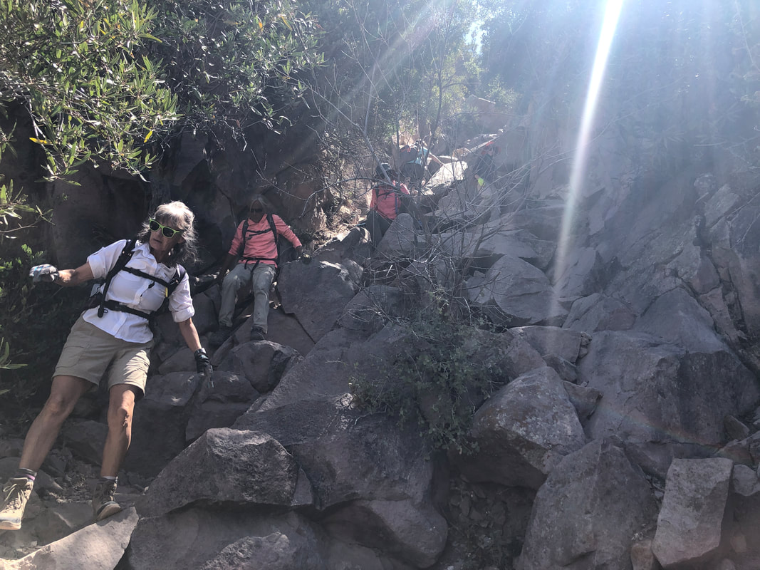
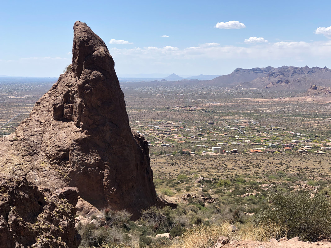
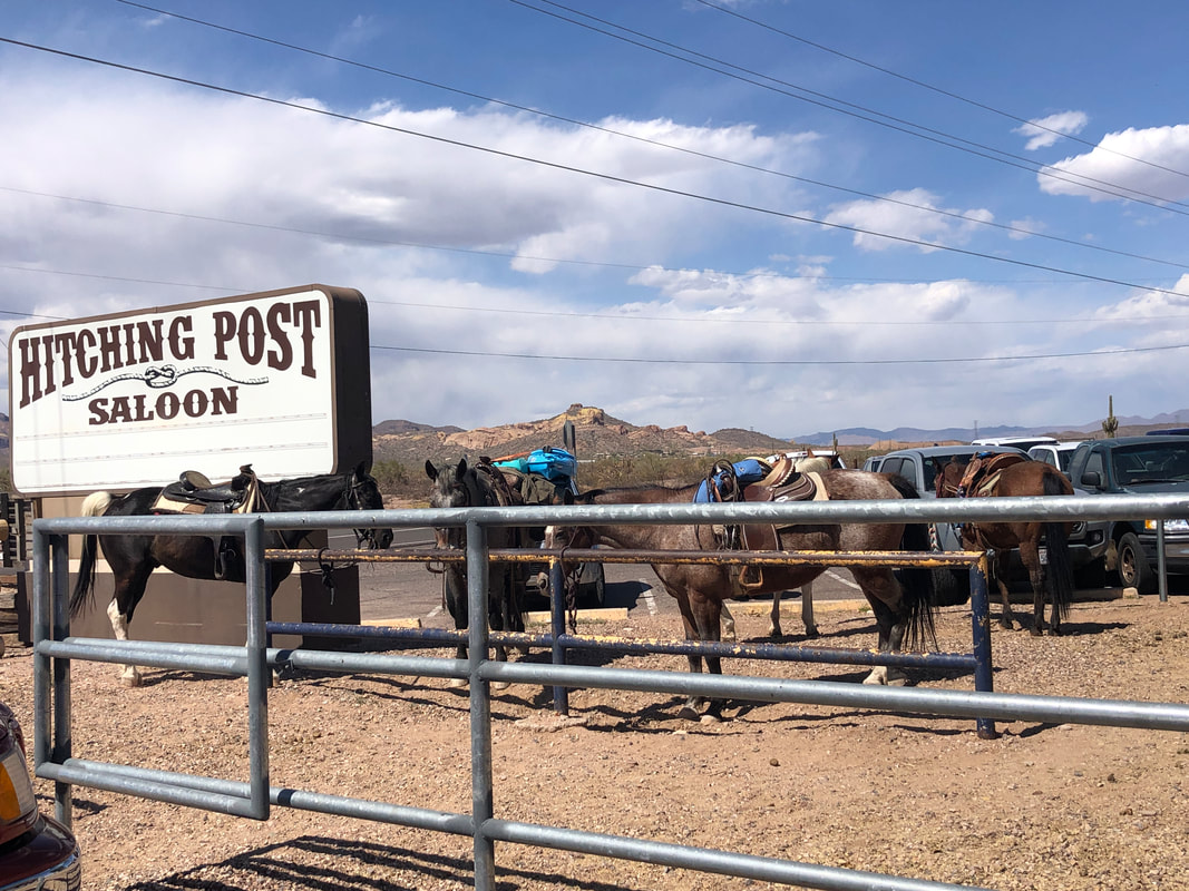
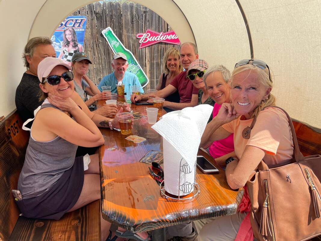
Twelve of us gather in the Lost Dutchman State Park at the Siphon Draw trail head. It's a long drive for everyone so I do what I can to make the drive worthwhile, including a promise to have cold beer for a post hike drink. I stopped in Catalina to buy the beer, removed it from the cooler when Amy asked if I needed ice. Dang it! I had forgotten to bring the cooler. Above, the prominent feature in the distance is the Flat Iron. Everyone appears happy (this is probably before I dashed their hopes of a cold beer). I was wearing a bright red cap so that if anyone became lost, I'd be easier to spot. Or, if I became lost, I'd be easier to find. We climb steadily and at about mile 1, this wondrous sight comes into view. Big thanks to Amy for doing the captioning in her image. The Siphon Draw is a surreal place. From this point, our remaining climb will average 28%. It is an awesome mix of navigating through boulders and branches which provides a full body workout. It being a Saturday, the trail is busy but not annoyingly so. Just a few dozen people with a permanent smile planted on their face, sharing the same experience. I'm seated at the top of the Siphon Draw, shouting encouragement to my peers. The final portion of the climb is really steep, having way too much pea gravel to further complicate the ascent. Eugenia, a visitor from Canada, looks down canyon and in the distance, the Goldfield Mountains. A whole different type of hiking over there, which is surprising considering how close they are to the Superstitions. I was seated to the side of the trail as two of our group, Karen and Katherine, assuming I had kept going, kept going. Probably half of the times I've done the hike I've ended up temporarily lost, off trail but they had no problem and arrived ahead of us. A couple of hikers make good use of crevices to get out of the sun. And so the scramble up one of three ravines that descend from the top, begins. In the distance, the base of the Flat Iron. Climbers ascend the wall and occasionally, hang gliders jump from the top. Reaching the top of the ravine is always a thrill and thankfully, the remaining distance to the peak is an easy hike. I stayed here so I could show the gang there was an alternative to a 12' wall. Marc, tried both climbs and thought the wall was easier. The alternative is also steep as Katherine, Amy and Lorna scramble up. Looking back from the Flat Iron from where we emerged from the ravine. Not that long ago, finding my way back to the ravine was a challenge but a trail is now well worn and easy to follow. Our group spreads out and advance as close to the edge as they dare. The views are incredible. Looking to the east we see Superstition Peak. So many hikes yet to schedule. I'll be in CA and OH for most of May so between that and the expected heat, not many hiking opportunities remain for this spring. Our serpentine trail is easily seen from where we stand. Following a typical winter, the slopes would be covered with wild flowers but a drought persists. Hope the monsoon season is normal. Lorna, aka "Medusa", smartly wears gloves as the descent requires a lot of hand contact with a variety of rough surfaces. So many interesting rock formations that prompt calls for naming them. Some of us have very vivid imaginations. We finish our hike with about 7 miles and 2700' of climbing. I had forecast a hike duration of 4 hours but missed it again by a significant margin. Thankfully everyone had enough water. Diane had thought too, and remembered to bring, beer in a cooler. What a great hiking buddy as she offered one to me. Then we..... ...stopped at the Hitching Post Saloon where several people had arrived via horseback to enjoy a band. All the seats were taken inside so we sat..... ....outside in a covered wagon. Great day with awesome people.
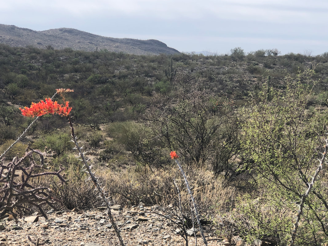
Newly repaved, the 8 mile loop through SENP is a great training route with short, steep climbs, a 1 mile+ climb, lots of turns and if you choose the right day, very little traffic. The ocotillo is in bloom but we received too little rain to encourage the magnificent wild flowers. I went around the loop, five times so ending with 41 miles and 3000' of climbing. Good workout but tomorrow is the hike to the Flat Iron so didn't want my legs to be like jelly for that monster.
Hey, sorry for the lack of posts but been riding a lot and don't take many pics. Have a big hike for Saturday though. Meantime, I bought a cooler so I too can have cold drinks (beer) to share after our group hikes. More to come.
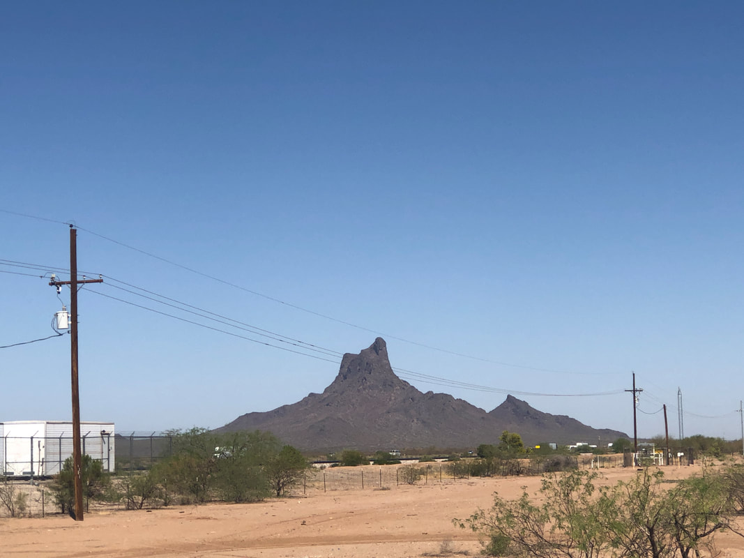
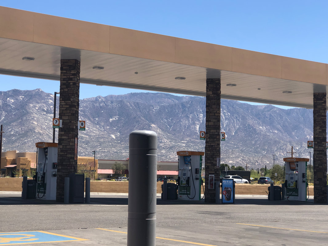
Got in a 71 mile ride today that took me almost to Picacho Peak via Frontage Road but rather than continue, I..... ....hung a right on Park Link Road. In the distance of course is Newman Peak, our hiking destination of last week. I had left this weekend open as I planned to do the Saguaro Century at Saguaro East NP. That event was cancelled when the organizer was unable to acquire a permit. Park Link Road has good pavement but not many good views. It is 18 miles to St. Rt. 79 and all climbing albeit the average grade is only 1.3%. For 40+ miles, there is no place to take a break until I reached a gas station at Catalina. It was awesome to get off the bike, even if I was sitting on concrete as a reward. The route had 2000'+ of climbing so it was a good workout.
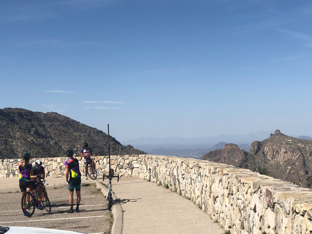
I continue to regain cycling fitness but at a ponderously slow pace. Recovering from the hikes takes a day or two so each is a small setback. On Tuesday, I started up the 26 mile climb to Summerhaven. It's not the physical challenge as yeah, climbing for almost all of the 26 miles is a challenge but with an average grade of 5%, it's more mental. I reached the "Seven Cataracts" parking area at mile 9 while gaining 2300'. Then I simply spit the bit and coasted back down, finishing with 26 miles and 2700' as I rode a bit beyond the descent. It is an epic climb but for every 10 times I begin the climb, I probably finish it to the Observatory, Ski Valley or Summerhaven, probably 2 of those 10 times. Spitting the bit is not uncommon, lol. The problem though, I have a really epic cycling event coming in the next week and I am just not nearly ready but what the heck......
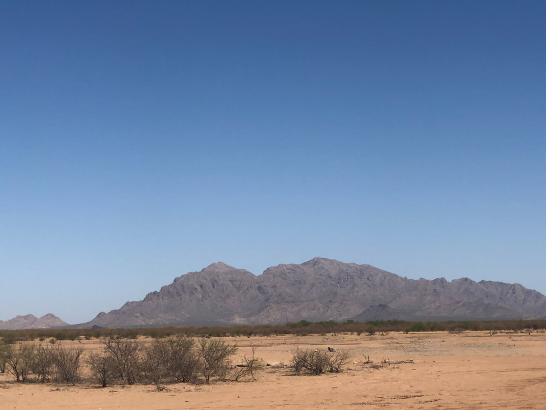
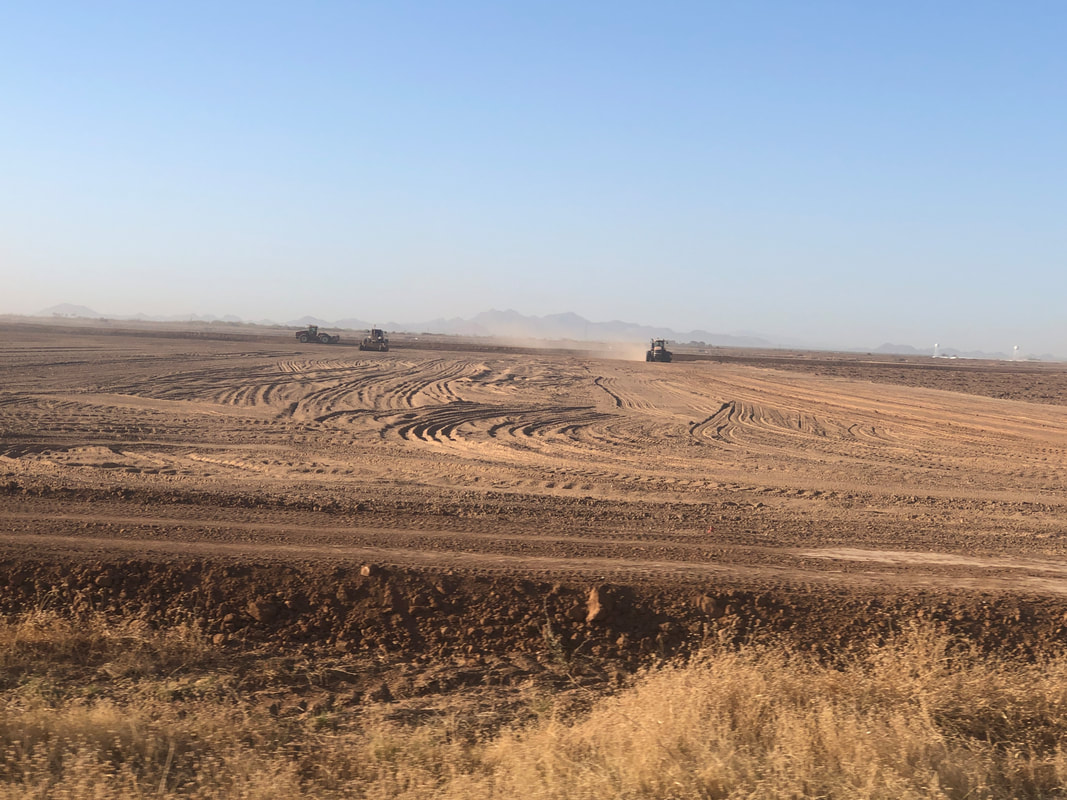
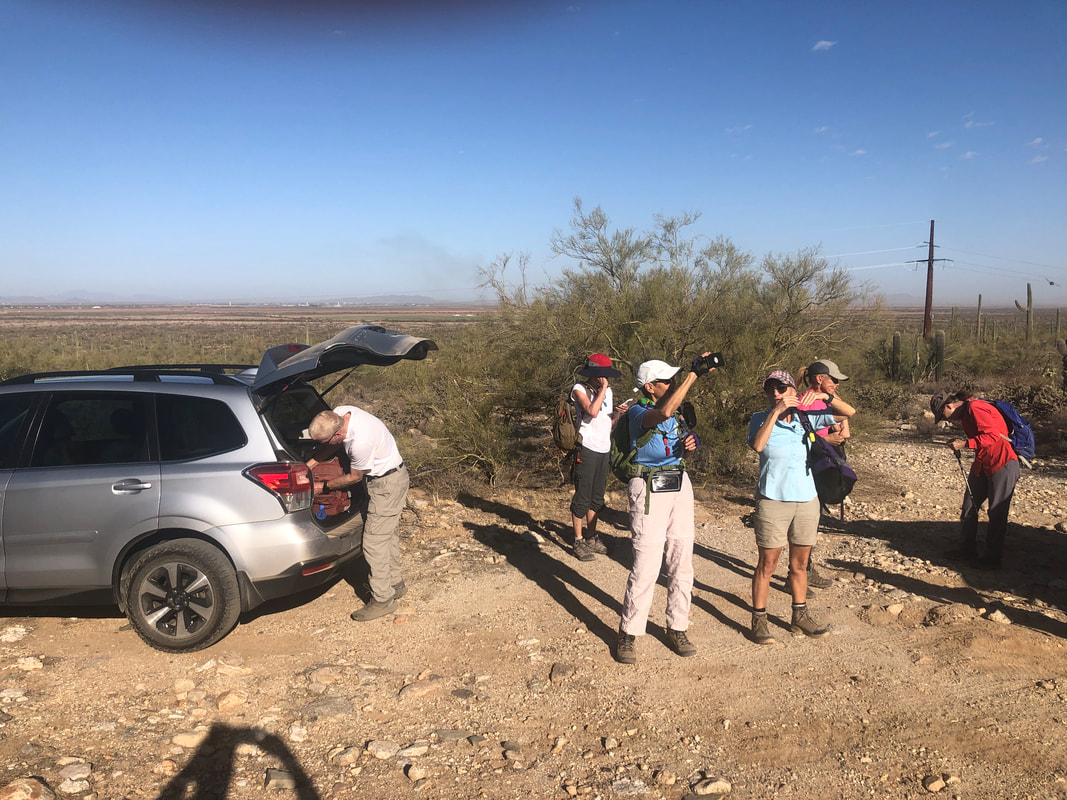
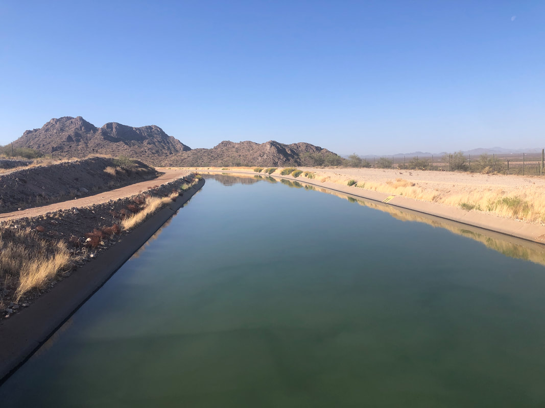
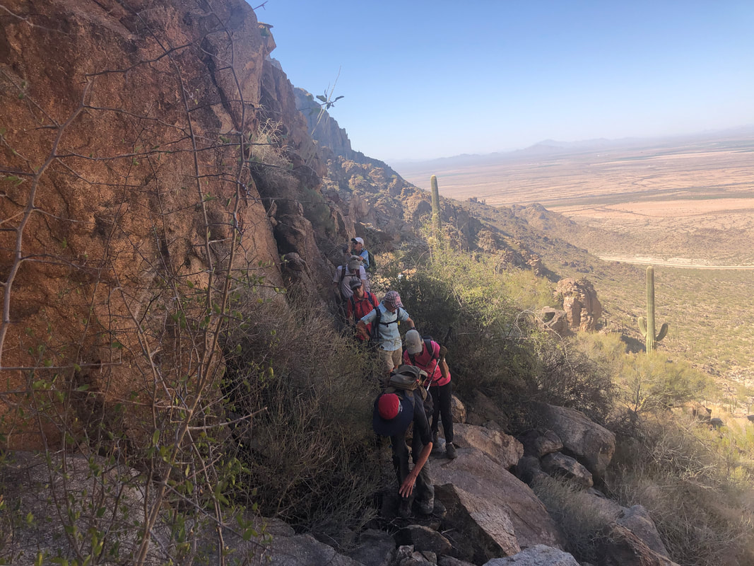
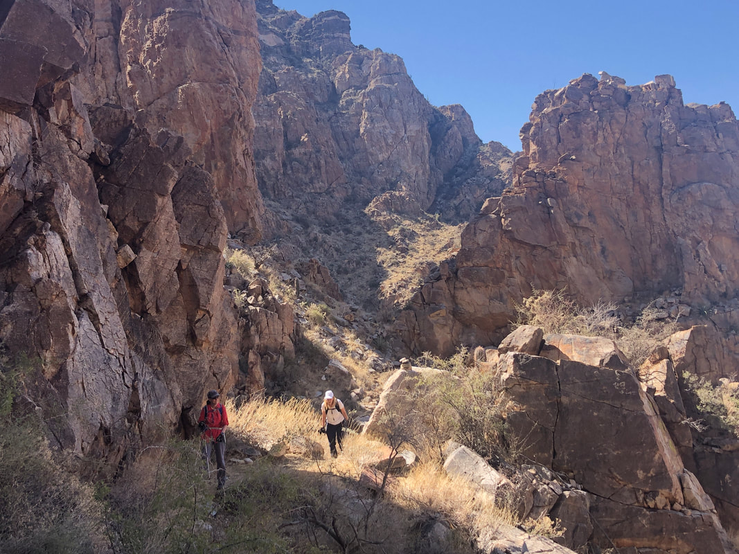
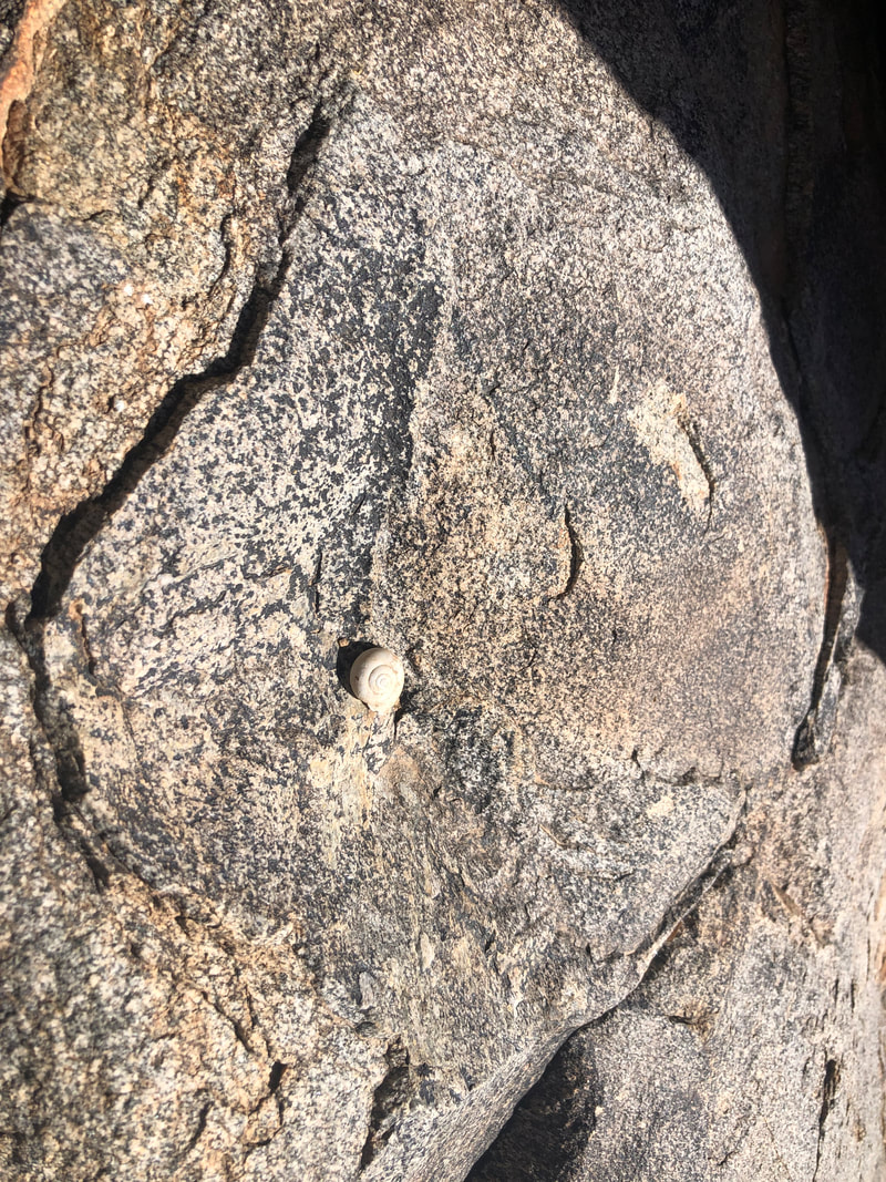
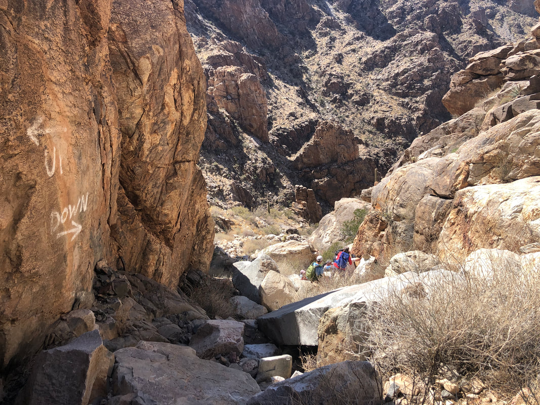
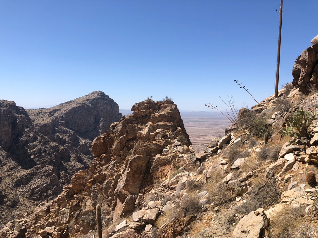
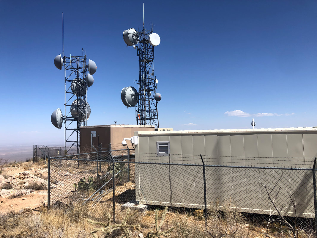
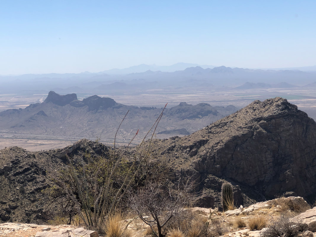
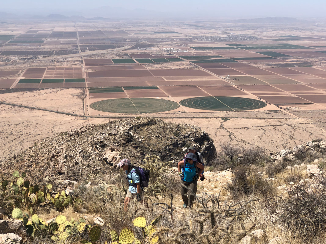
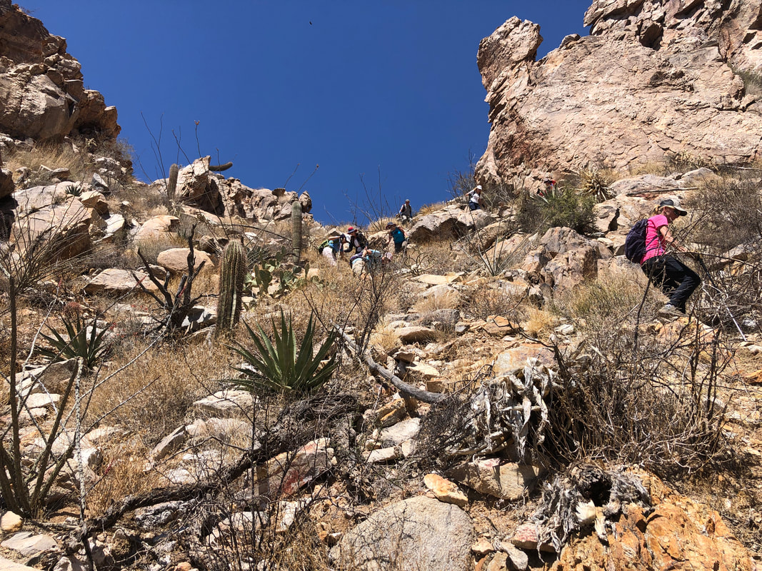
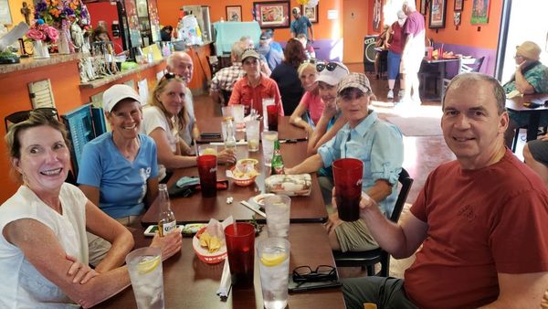
Waiting on hiking buddy Katherine to pick me up for a first time experience, riding in her Bolt. I discover her driving tendencies are a bit different from mine. 15-20mph over the speed limit in heavily patrolled Oro Valley and 10mph under the speed limit on I-10. I didn't nag much as I was glad for the carpool opportunity. The tractors are out in force, readying the acreage for planting. We meet the rest of our 10 person group by a pump station, consolidate into vehicles that can make the 3.5 miles of dirt road and soon..... ....arrive at the trail head. Bill Bens on the left, graciously volunteered to drive his Subaru, so those of us who didn't have a the required high clearance vehicle, could arrive. Meantime. all eyes are looking at.... ....Newman Peak, the 2nd peak from the left and the highest point in the Picacho Mountains. This would be my 3rd visit and my memories of the prior 2 visits were a cocktail of pain, suffering, bushwhacking, calling 911 for a lost hiker and MORE! The hike begins with a bridge crossing over the CAP canal. Upon our return, each of us would have enjoyed a cooling dive but fencing prevents that. The diversion canal is 336 miles and brings water from the Colorado River into southern AZ. The forecast high temperature was an unusual 93 degrees. So, our regroups always coincided with shade and within the shade, the cooling effect was significant. The terrain is very rugged but I was pleasantly surprised that much of the brush that had made progress difficult on earlier hikes, had been cut. THANK YOU whoever you are. My biggest concern was not making a mistake I had made on a prior visit, missing a 90 degree left turn. With the help of a gps track and more plentiful cairns, I managed to keep us on the route.. It's not accurate to call this a hike. It is mostly boulder hopping with a mix of ascending really steep slopes covered in scree. It's not for everyone but of course, all of our group are way experienced. Katherine tripped and bounced off a saguaro cactus but other than picking a few spines out of clothing, she was good to go. The shells of land snails were plentiful as was scat from either deer or bighorns. Bighorn sheep were reintroduced into these mountains, 3 years ago. I detest the use of paint to make arrows or leave messages but had to admit, as we regrouped in the shade. the message on the left wall was funny. The scenery was magnificent as we slowly make our way to the peak. The average grade for the entire 2.5+ mile climb is 19% so when we finally..... ...reach the peak, we were more than ready for it. There is an assortment of buildings and satellites. Back in the 1930's a beacon was placed on this peak so planes traveling east/west could use this and other beacons to guide them. Looking across I10, we can see Picacho Peak, about 1000' lower than where we stood on Newman Peak. Dozens ascend that each day but few ever hike Newman. It's kind of a point of pride to have done both and I was glad all of our group made it today. Lorna and Lorrie arrive. Check out all the distant fields. We spent about 30 minutes at the top and then began the tricky descent. We probably all slipped at least once with Bill and Karen falling. Karen had a nasty looking gash but she reminded us that having crashed many times during an impressive cycling career, it wasn't the first time. We eventually made it to our vehicles, finishing with 5.75 miles and 2600' of climbing. Then.... ....all our schedules being clear, headed to a restaurant in Eloy. Missed the Amester on this hike but she'll be back for the next one.
|
Categories
All
Archives
November 2023
|
