|
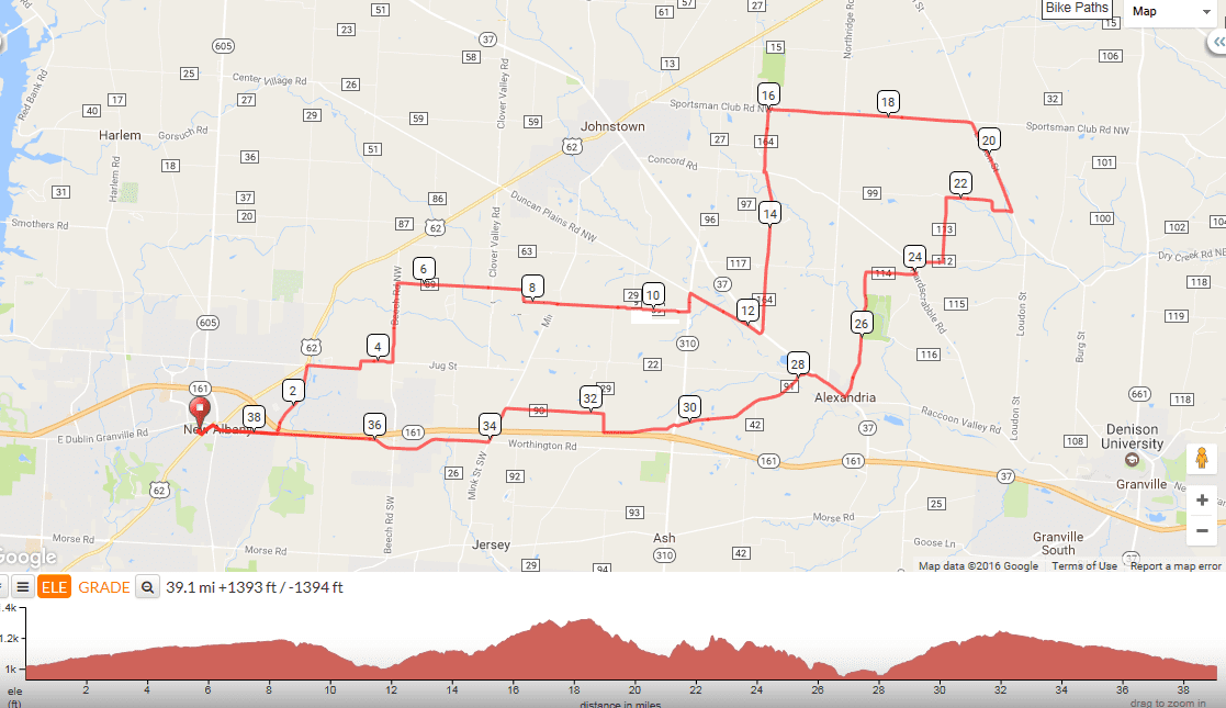
On Sunday, take a relaxing morning and then head to Veloscience for the start of the annual New Year's Day ride, at 1:00pm. Sober is the way to go but no one will judge you if you have a massive hangover, just come out. Below are the two official routes. Should be a massive,......no that is understating things, more like a ginormous turnout so come out and have your pic taken to appear here, where no one will see it but at least you can say your pic was on a rarely visited web site. https://ridewithgps.com/routes/18276868 https://ridewithgps.com/routes/18276650 Also, click on the link below and join the Cycling Club Facebook page. Rides will be posted once the season gets going. https://www.facebook.com/groups/TheCyclingClub/
0 Comments
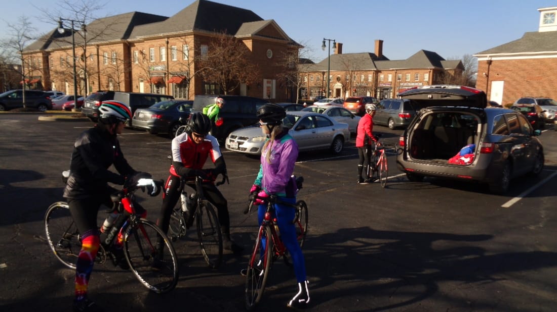
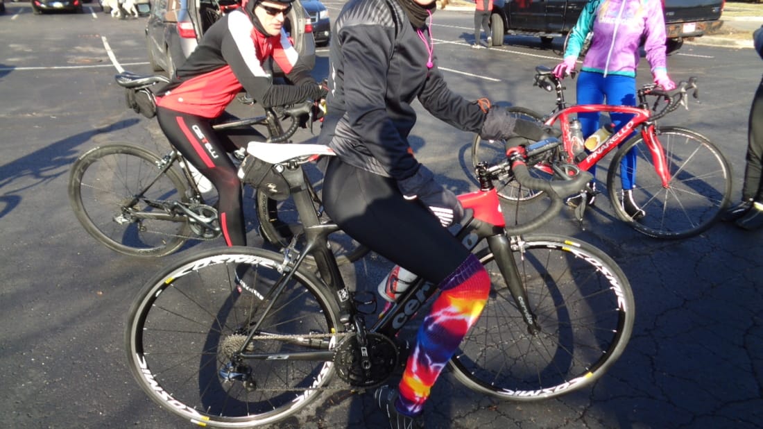
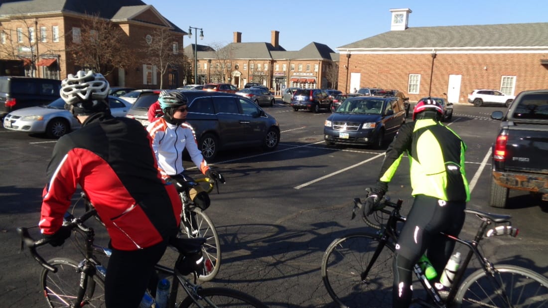
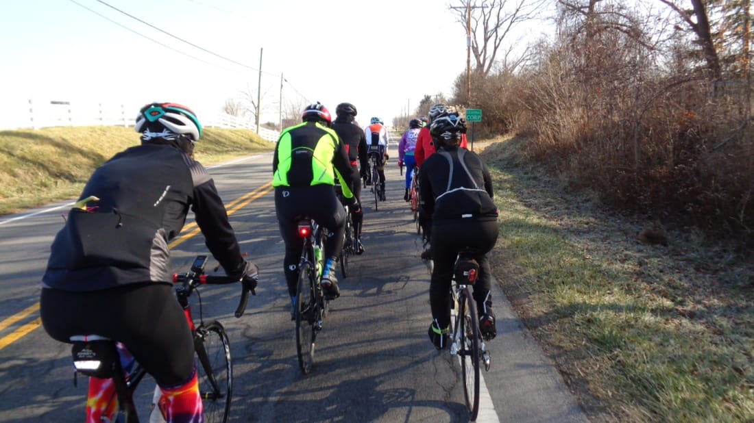
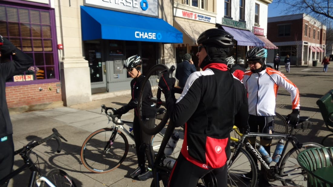
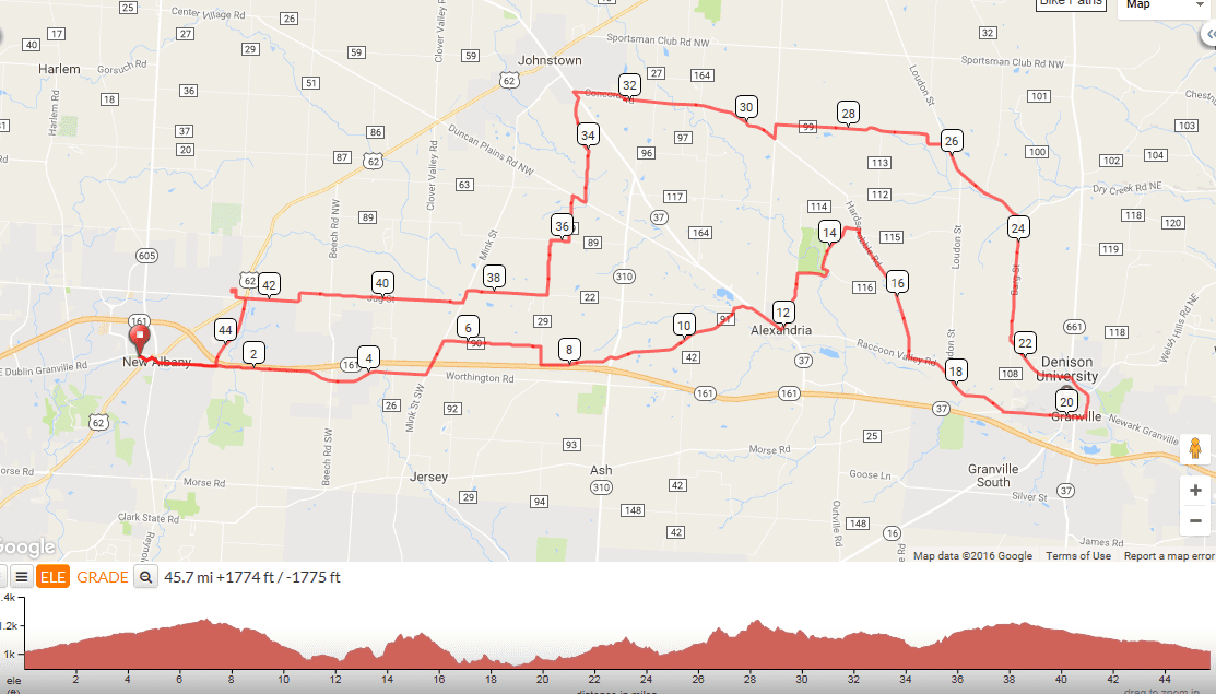
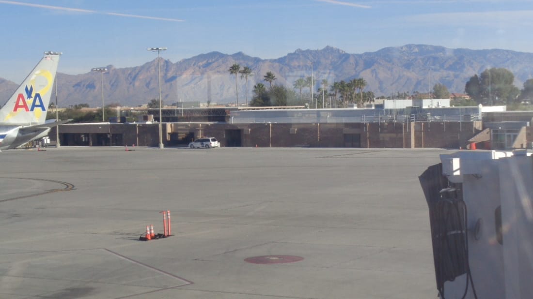
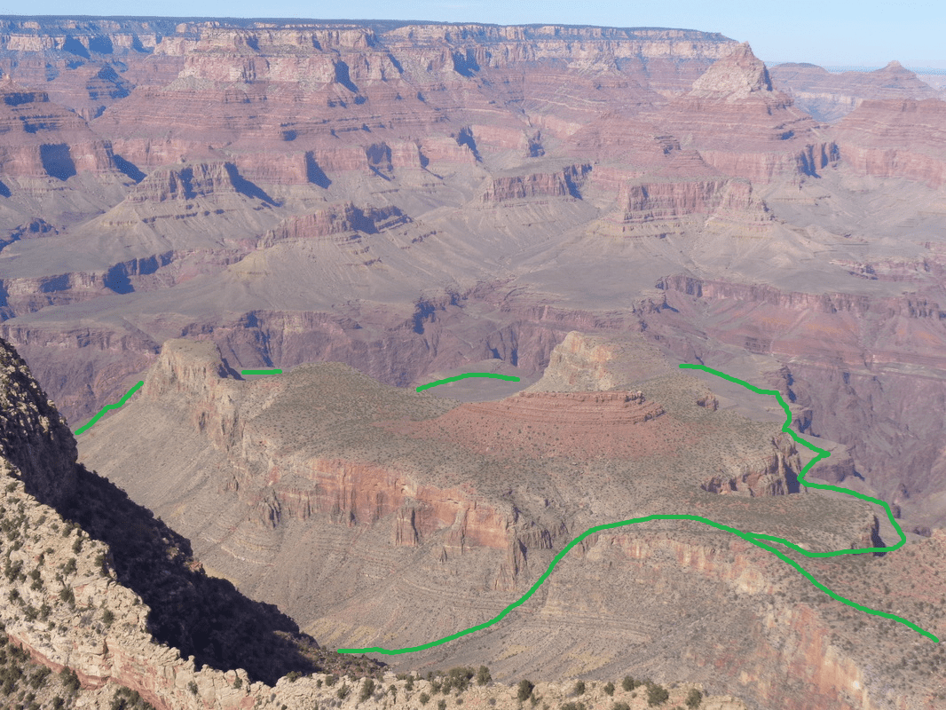
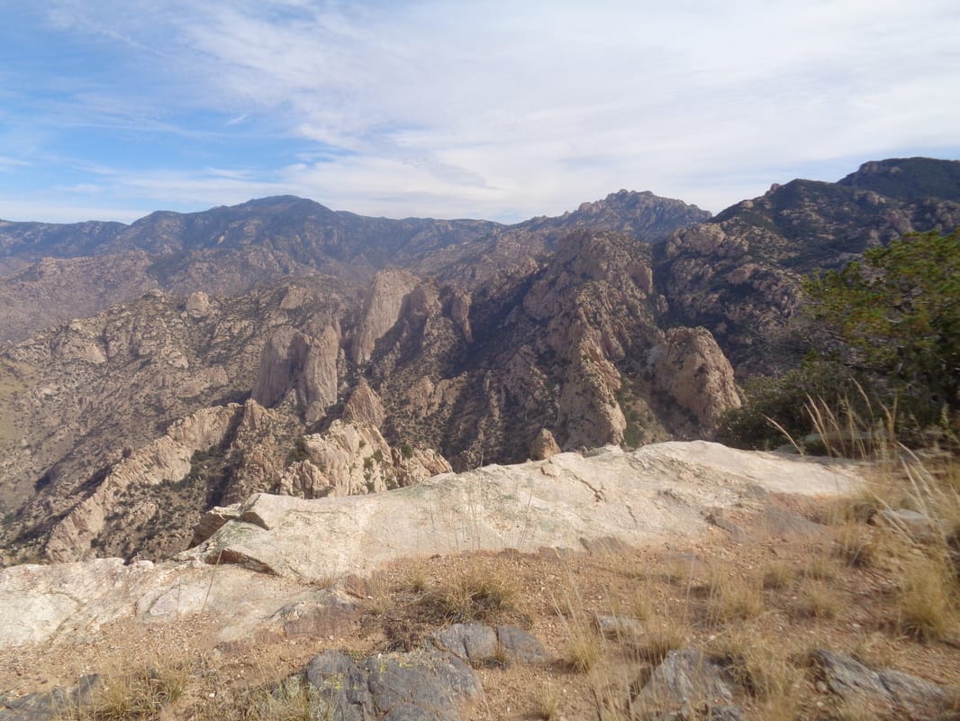
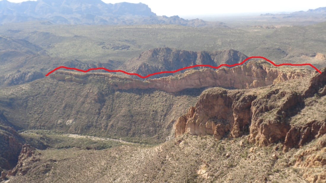
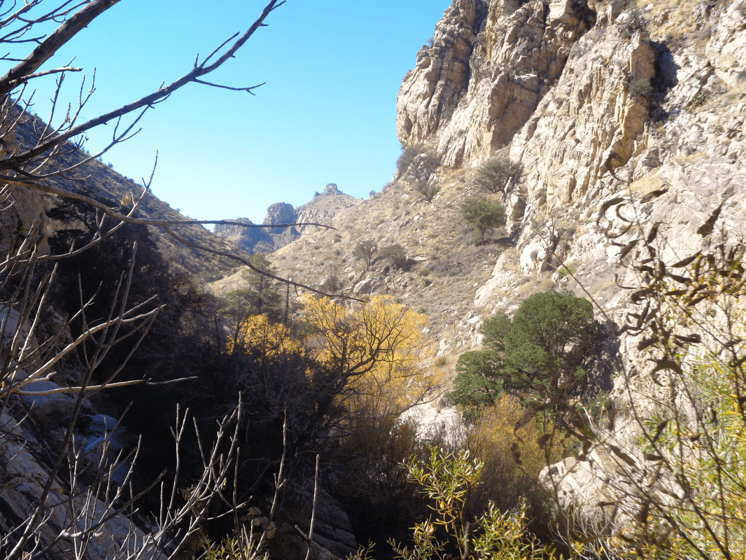
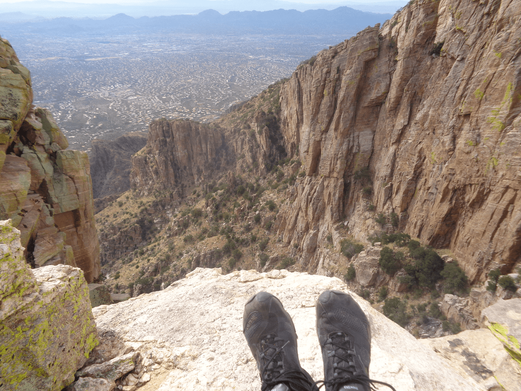
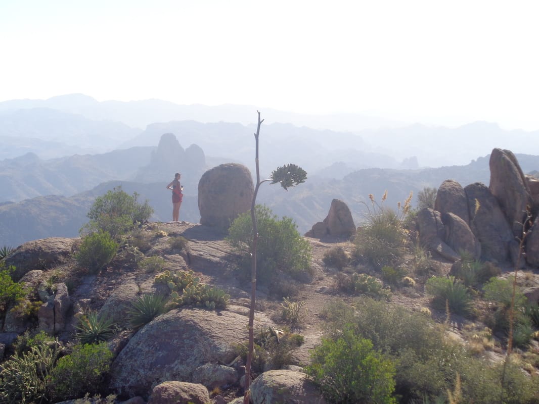
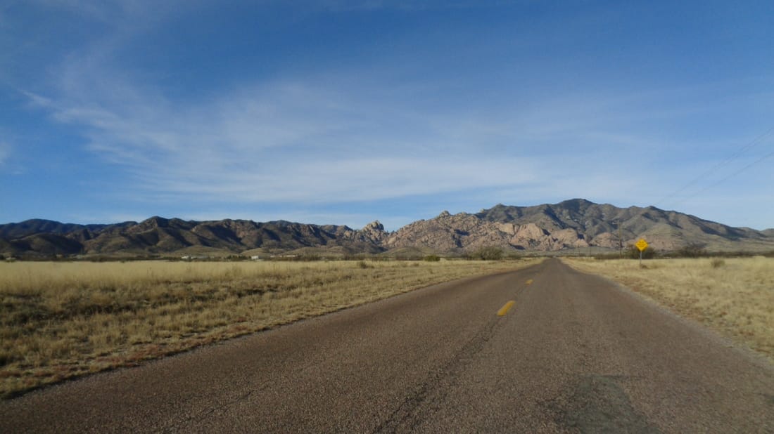
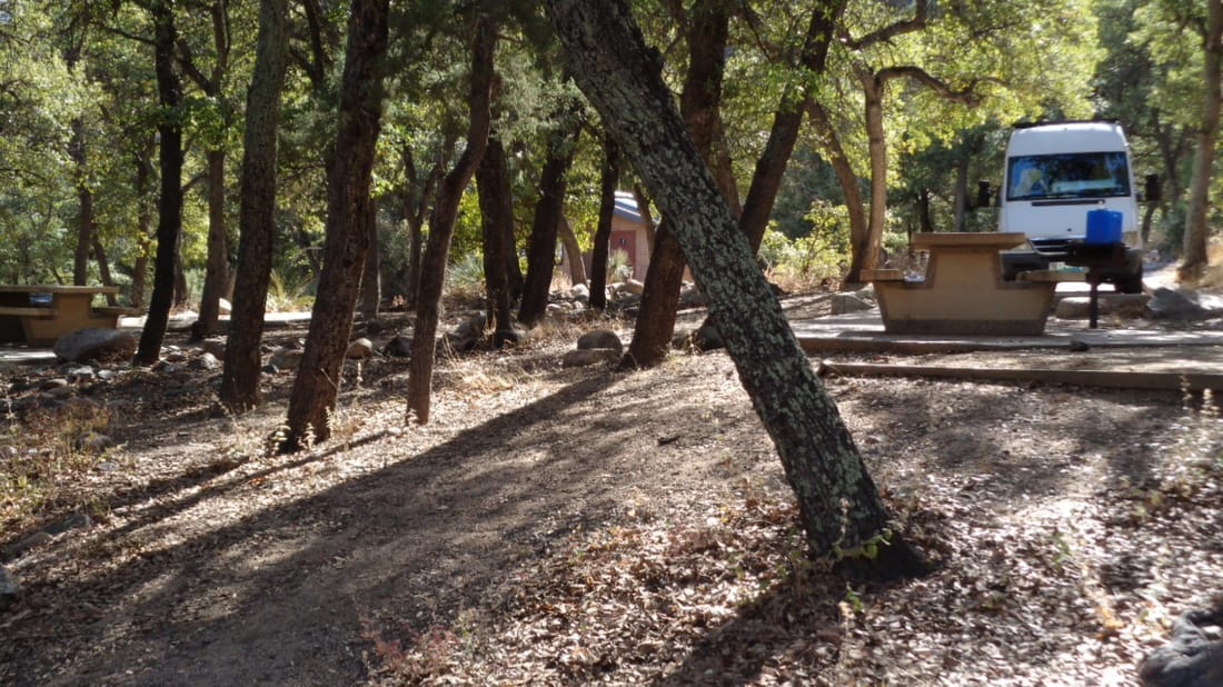
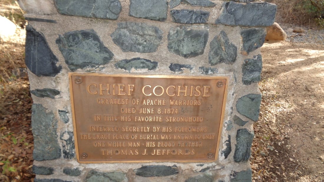
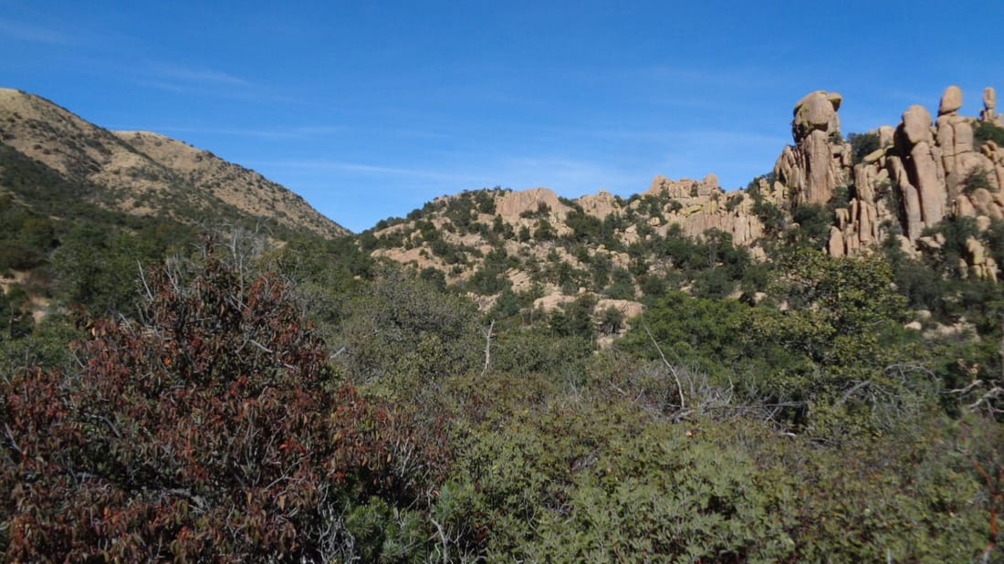
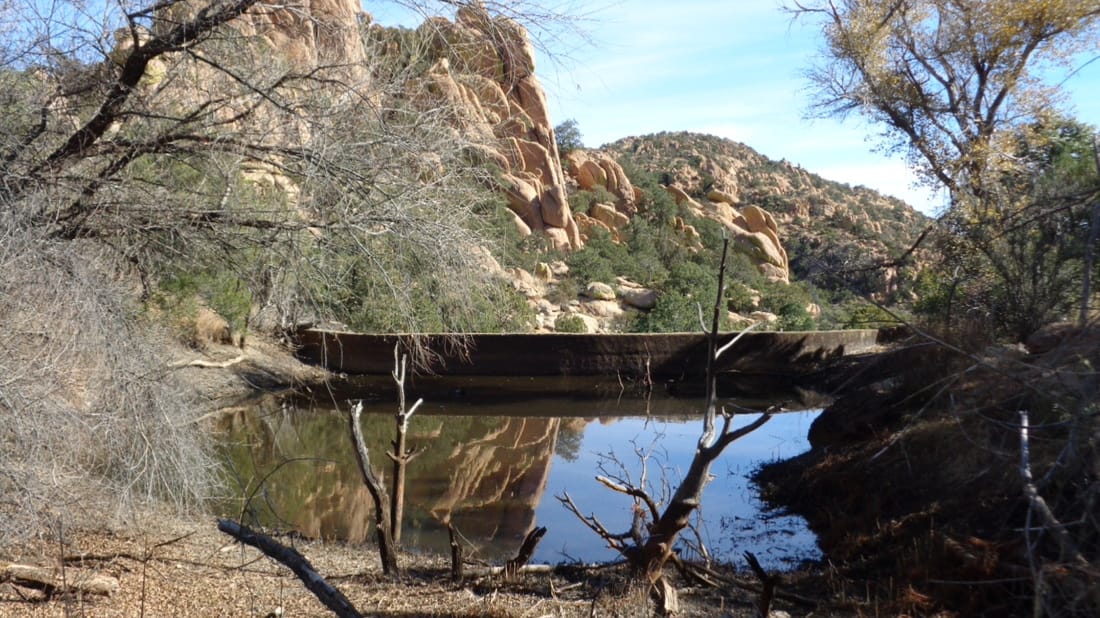
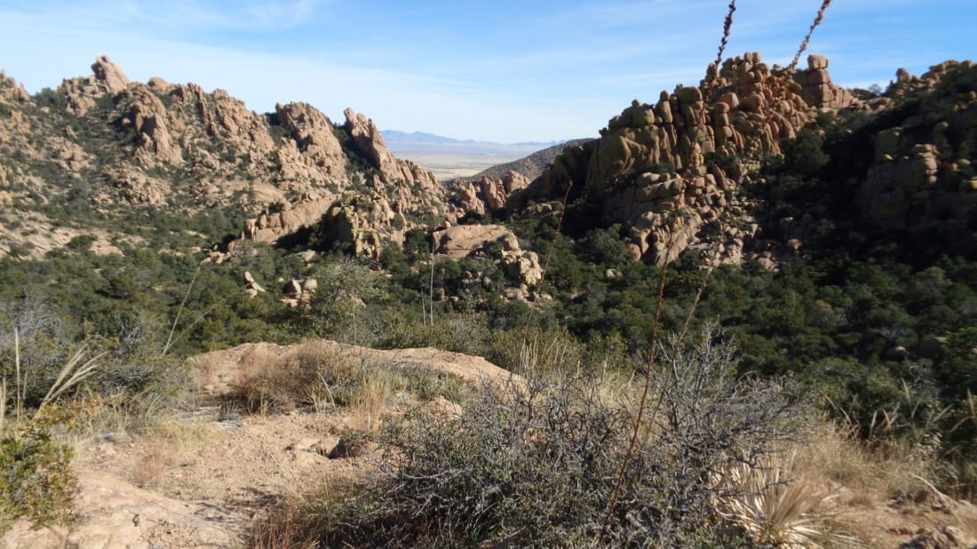
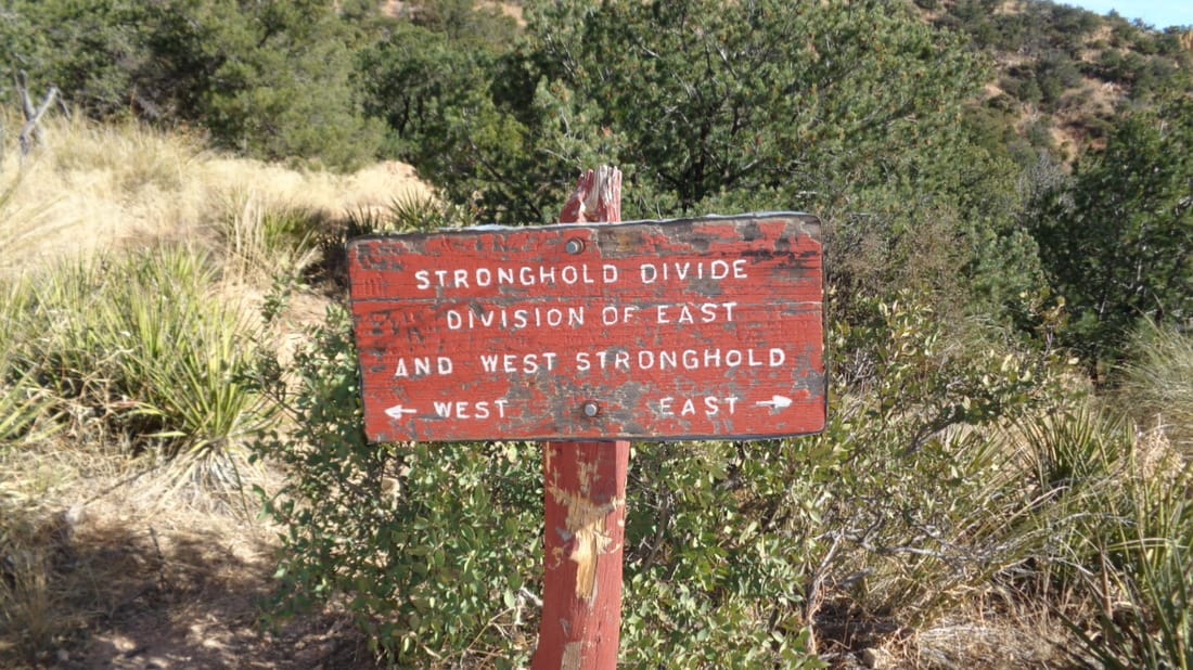
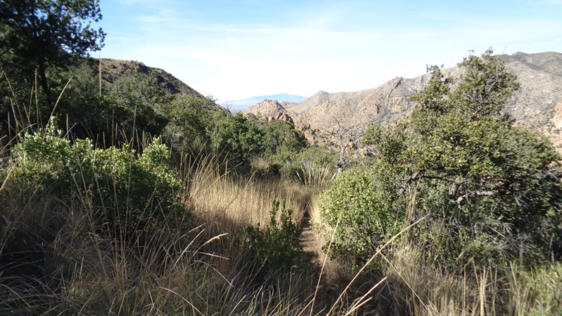
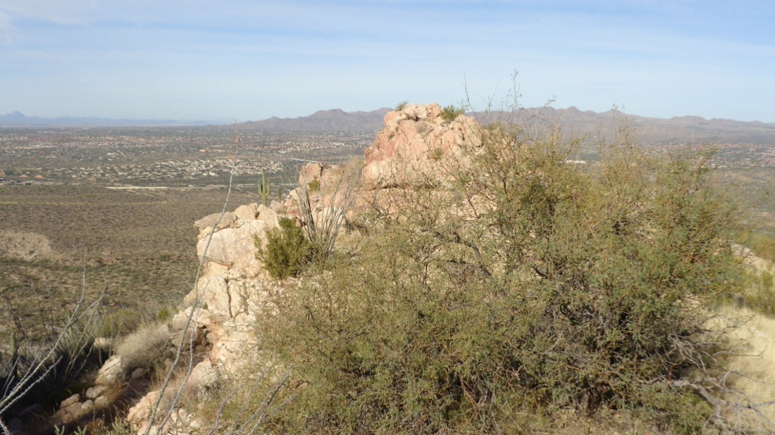
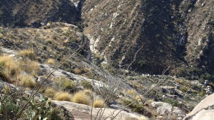
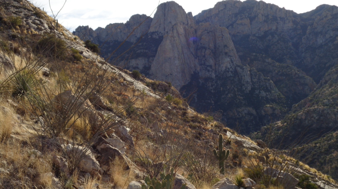
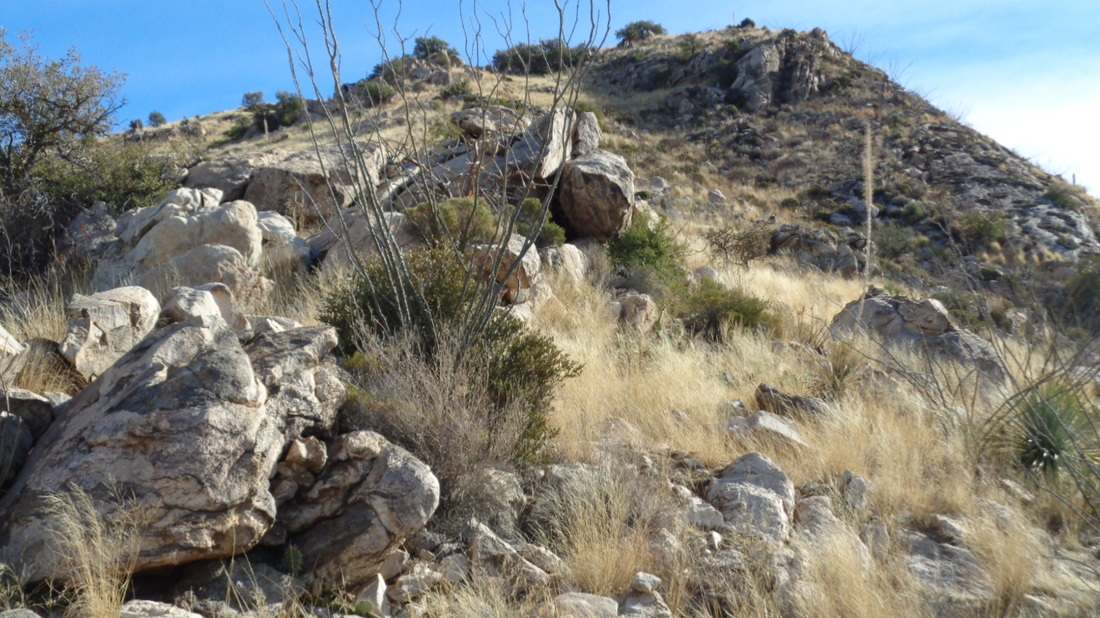
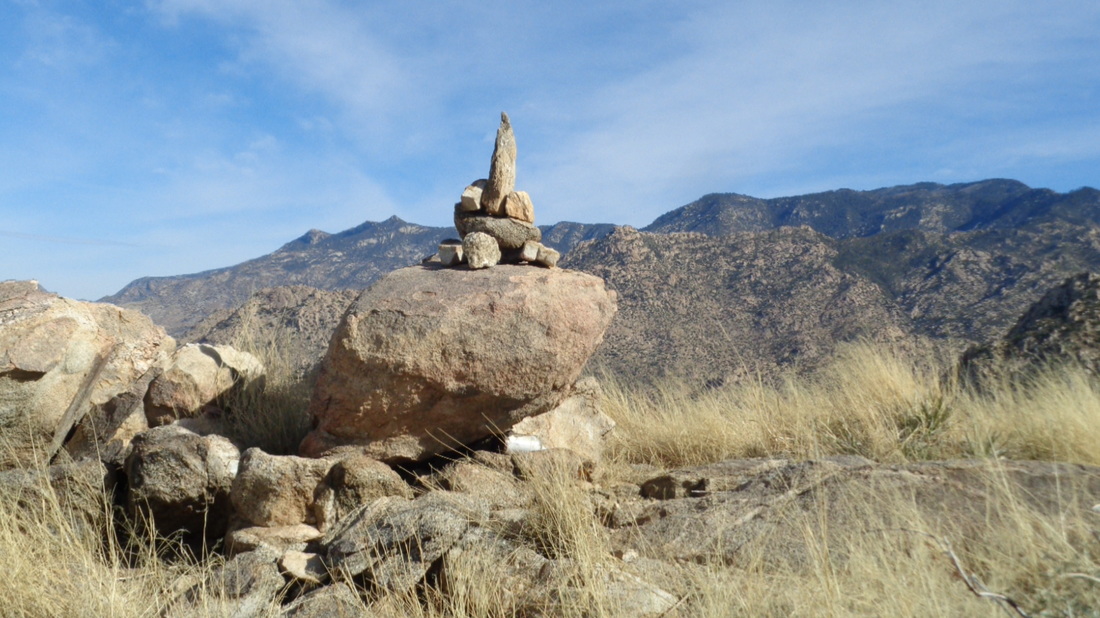
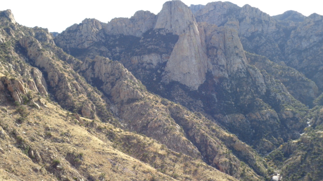
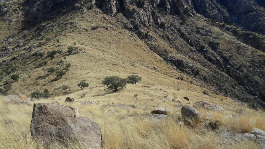
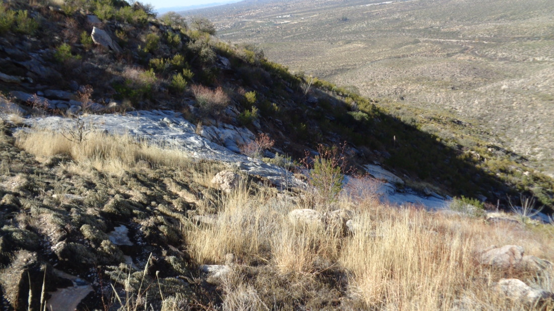
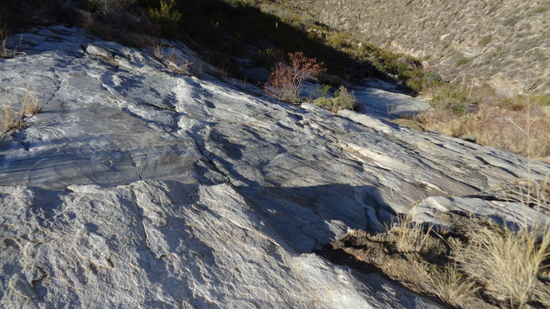
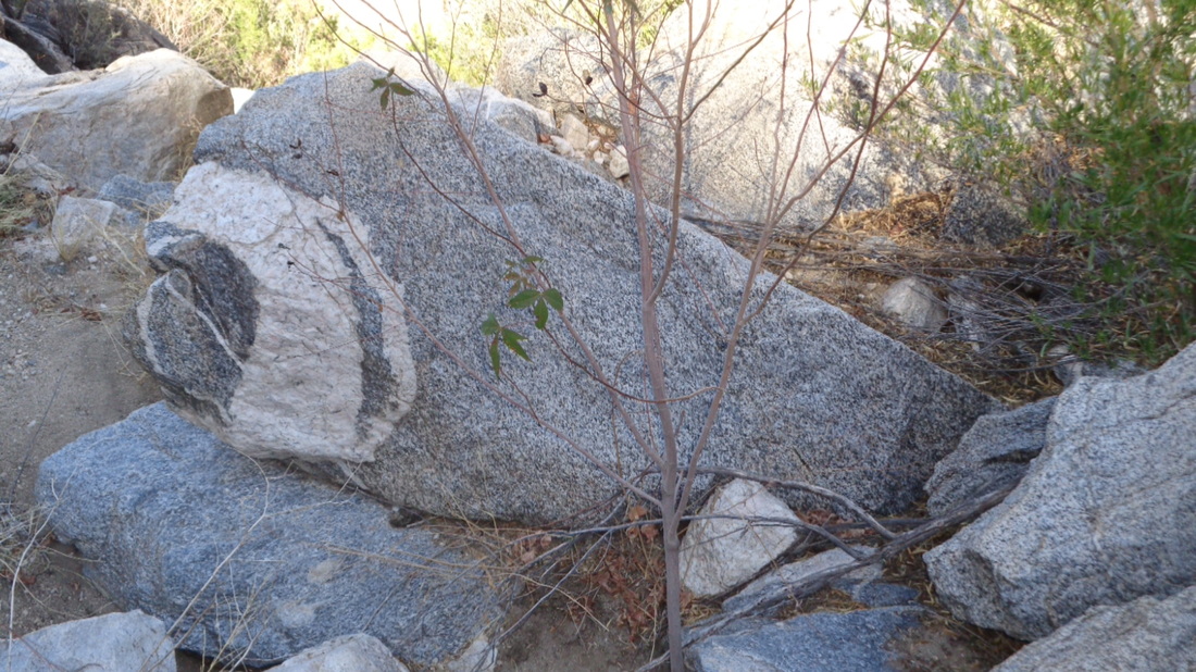
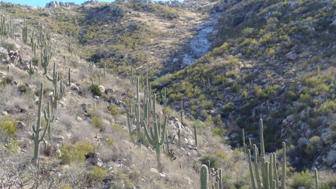
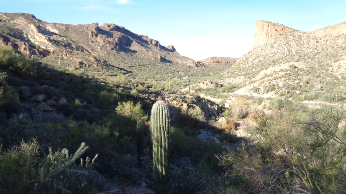
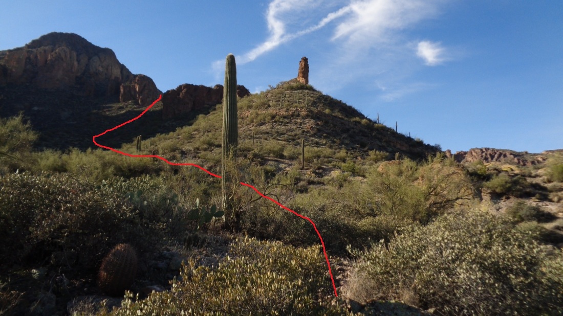
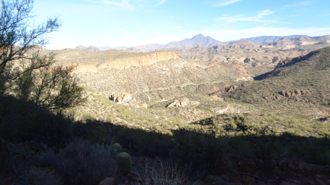
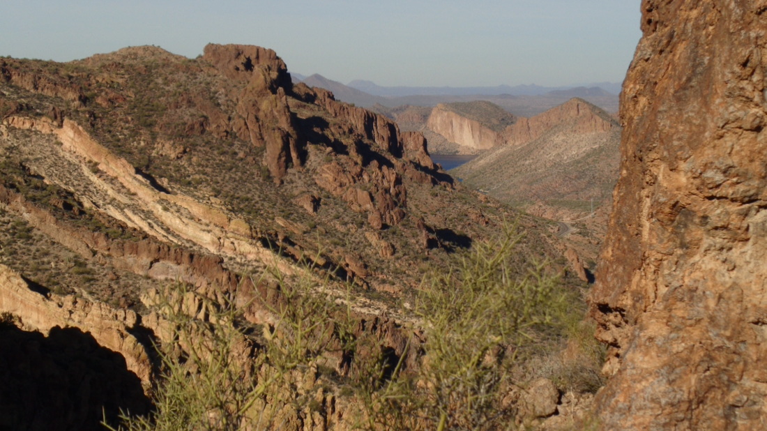
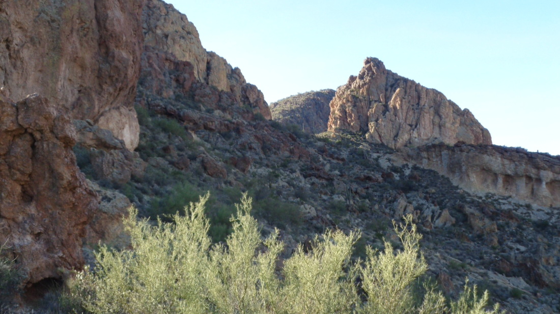
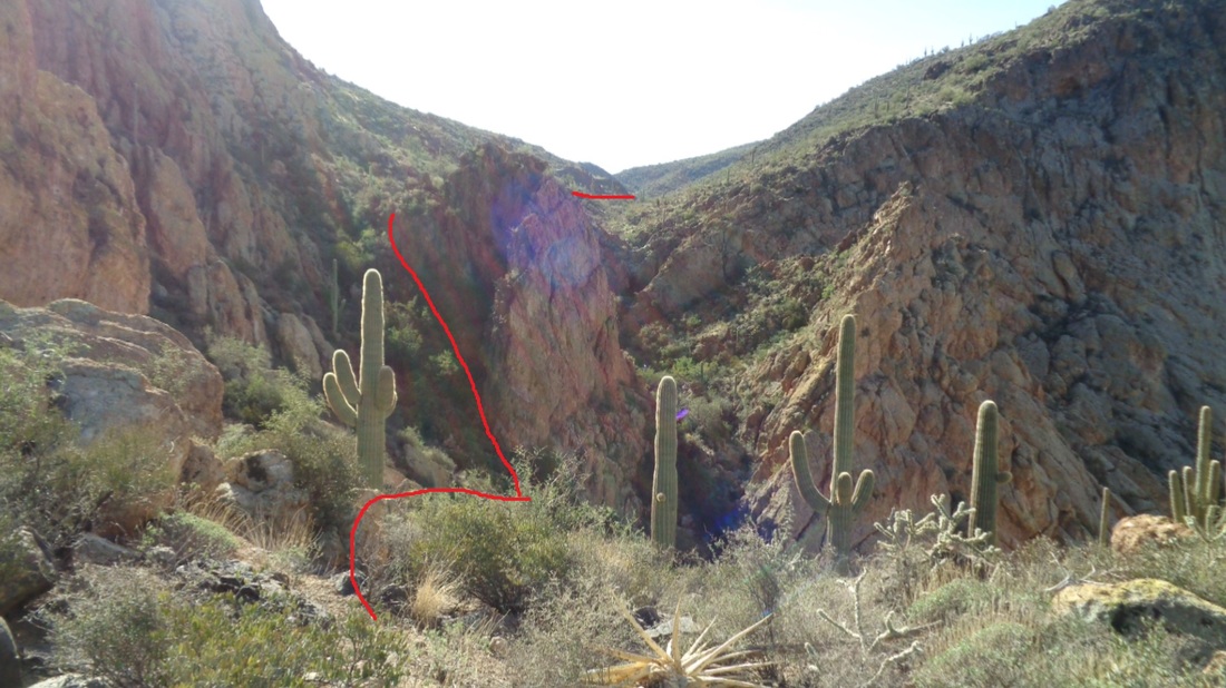
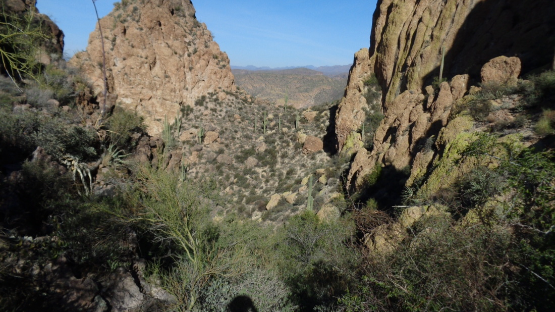
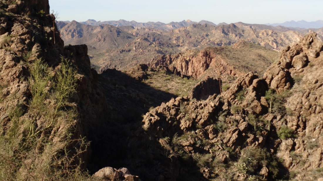
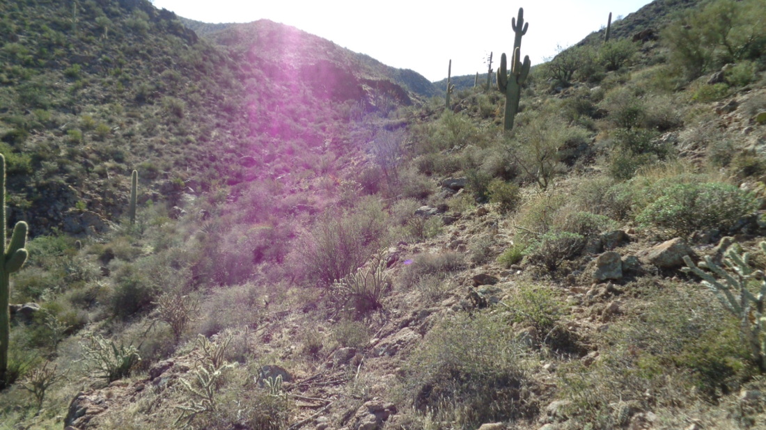
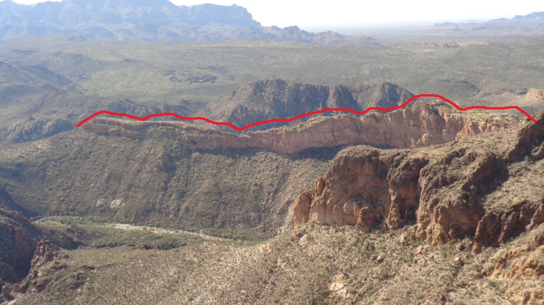
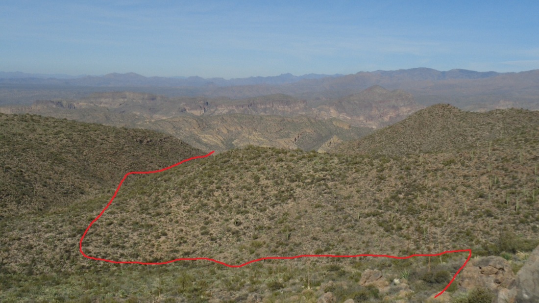
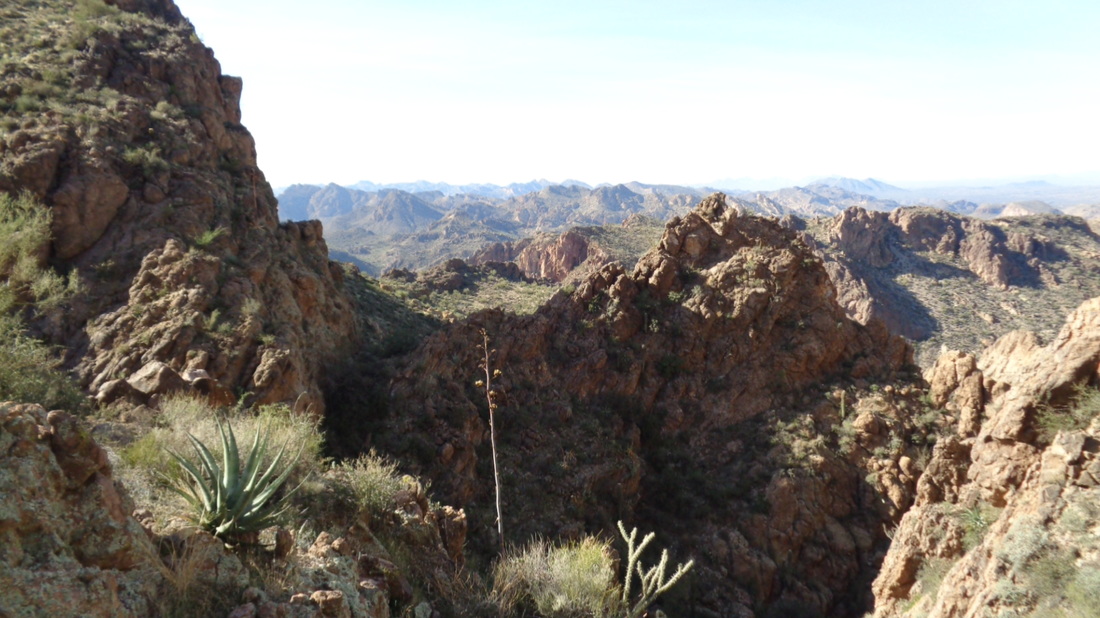
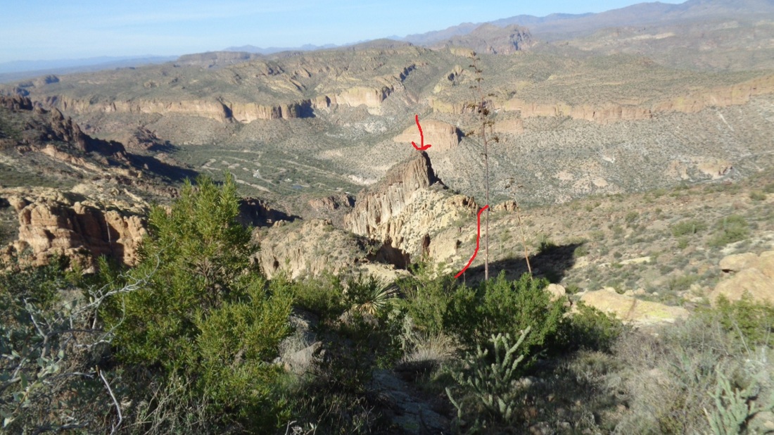
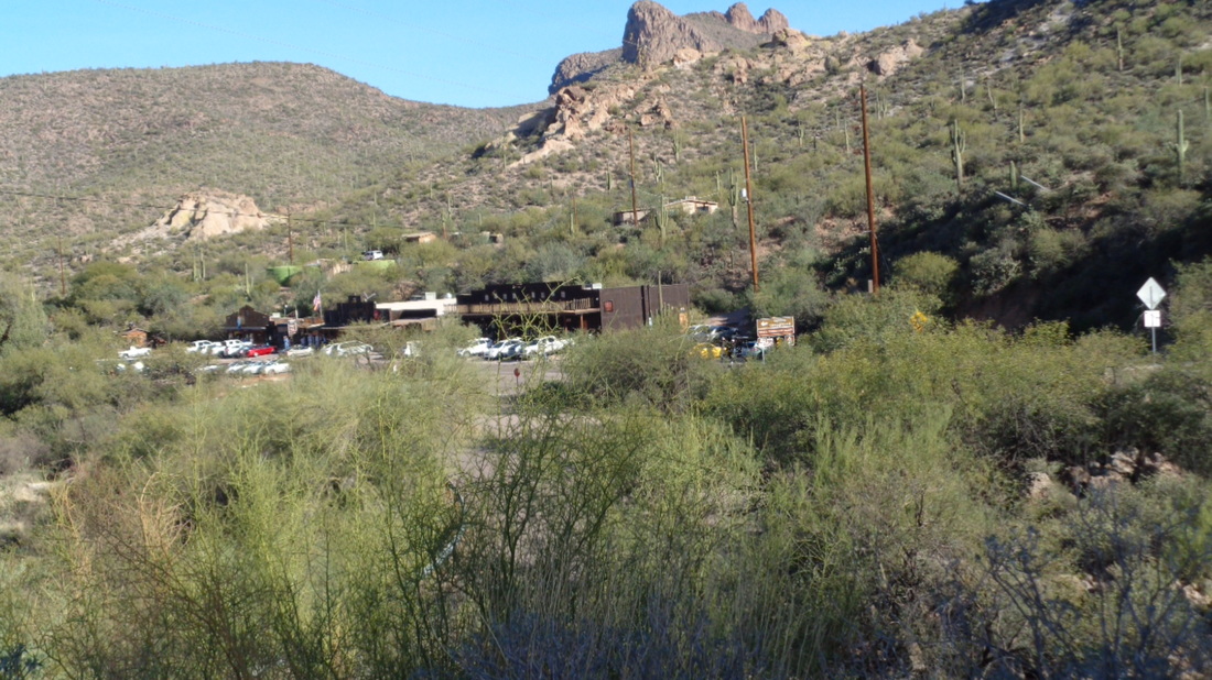
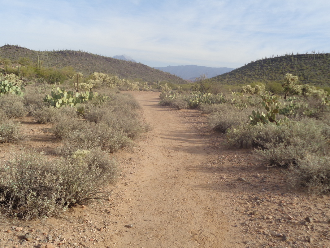
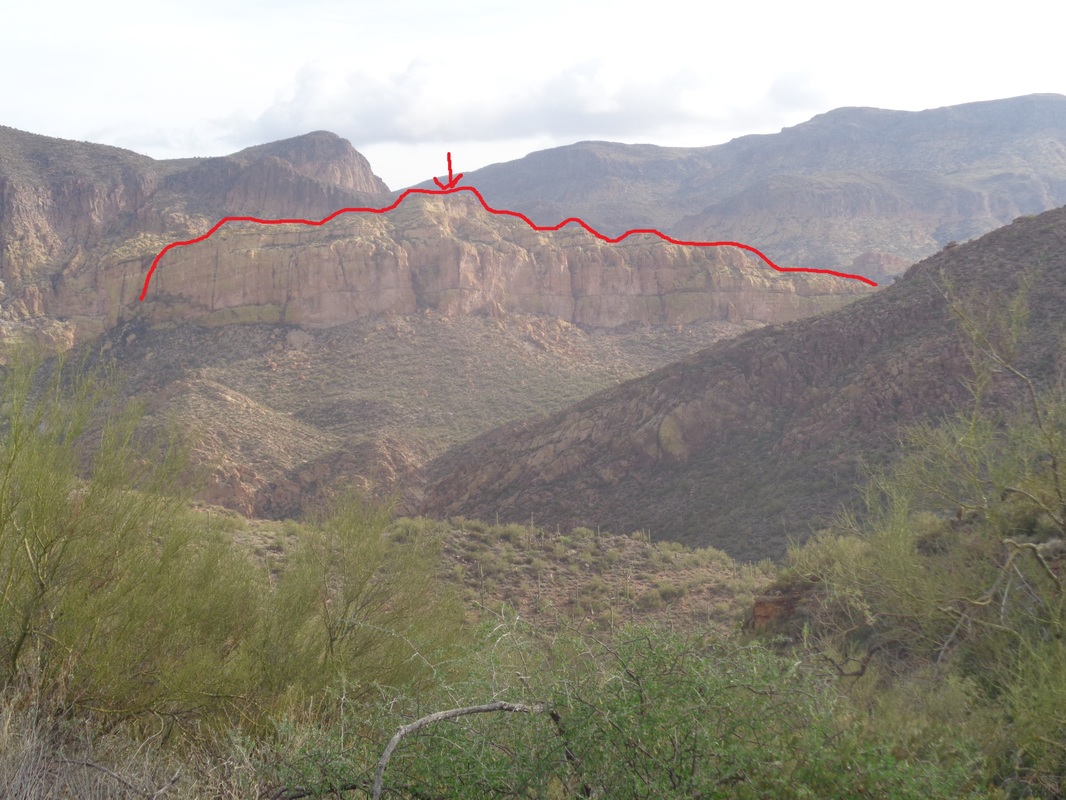
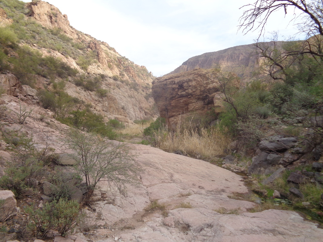
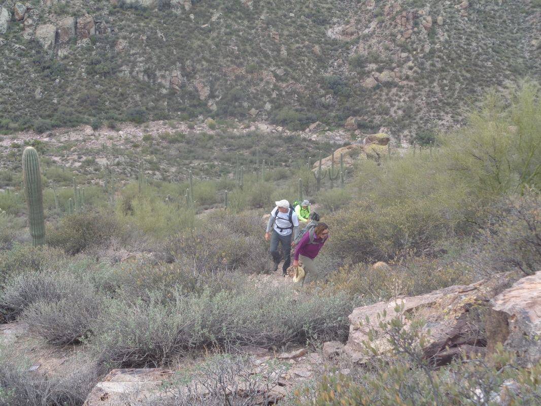
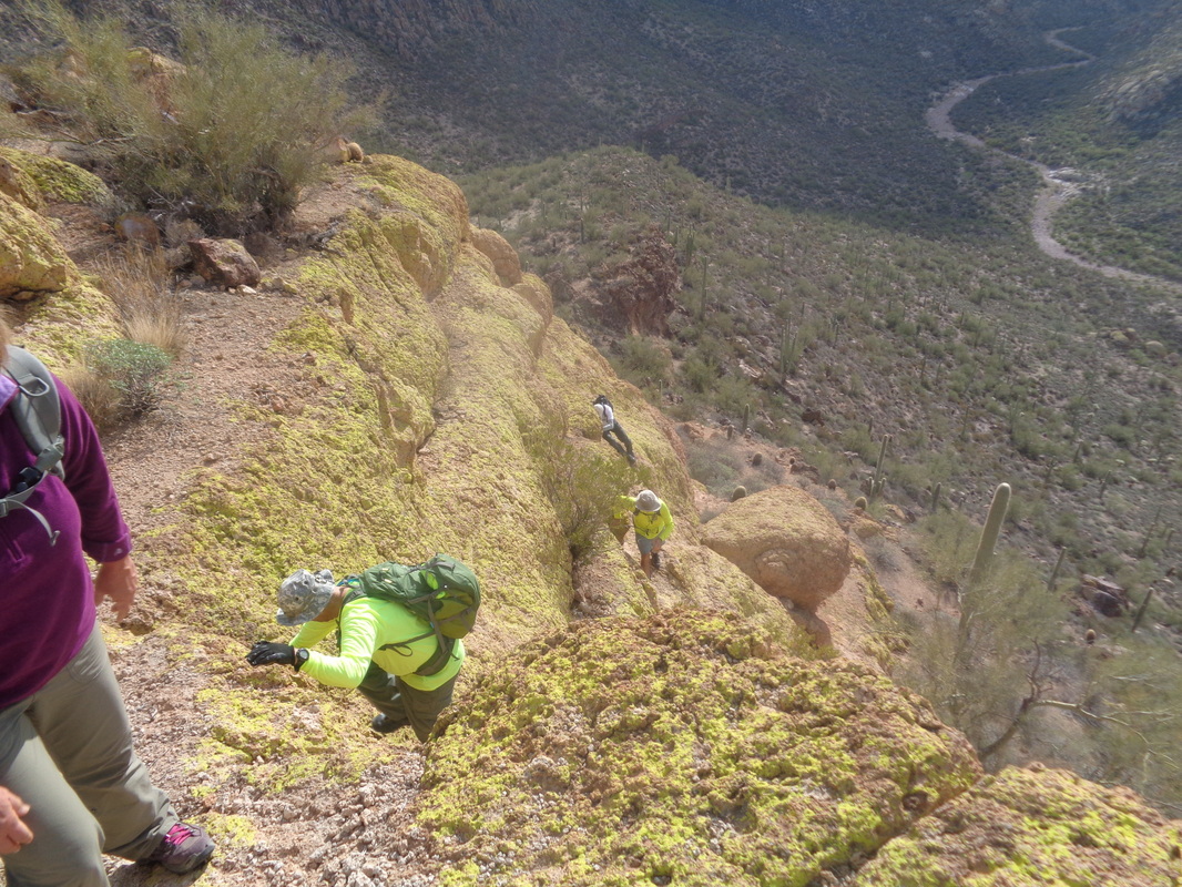
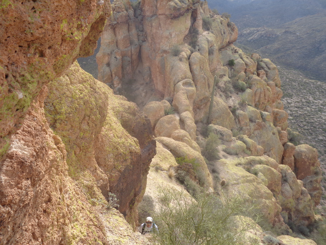
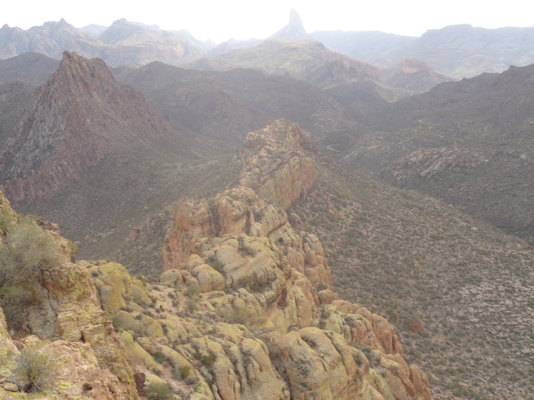
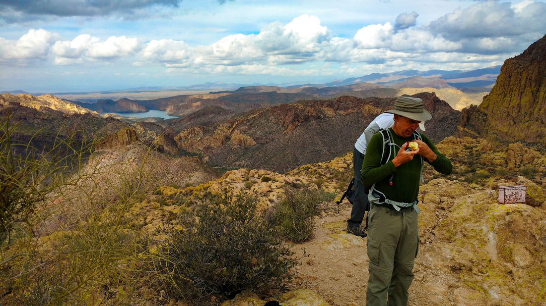
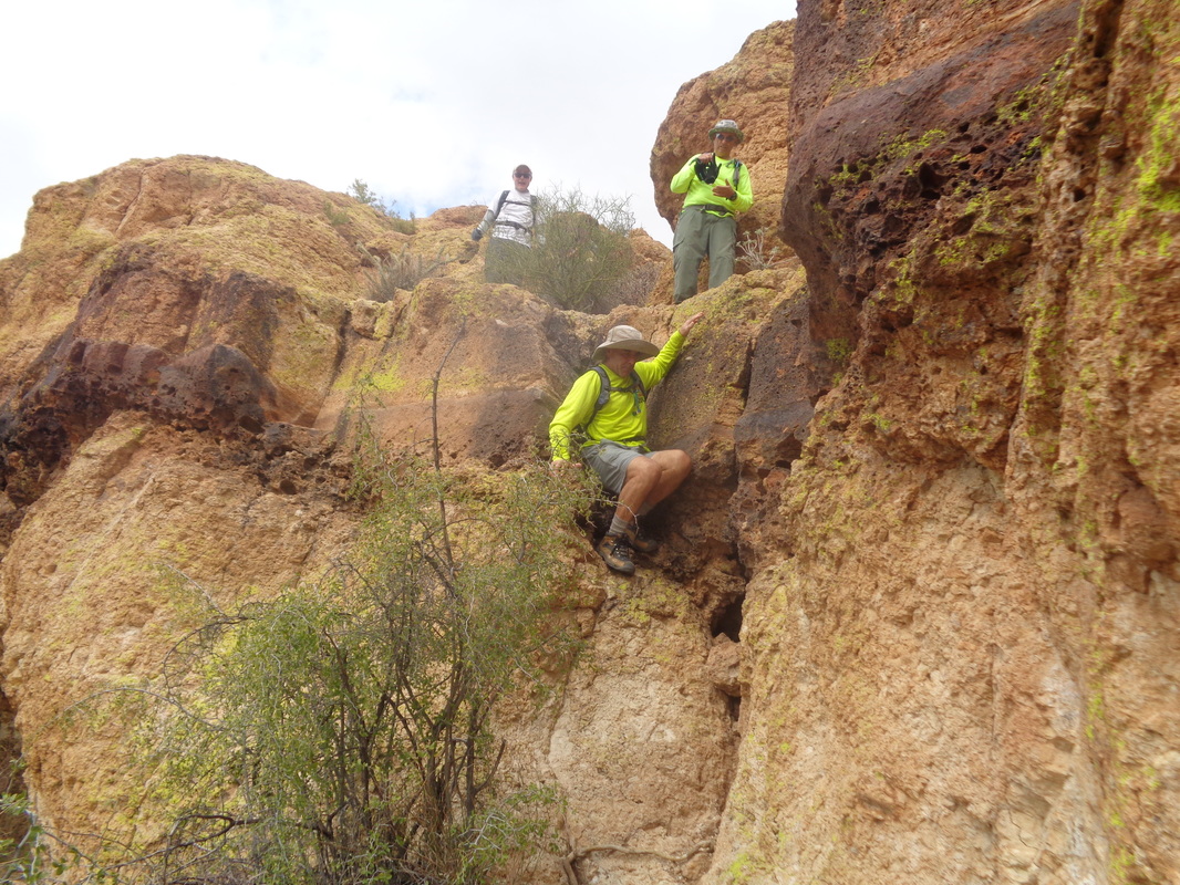
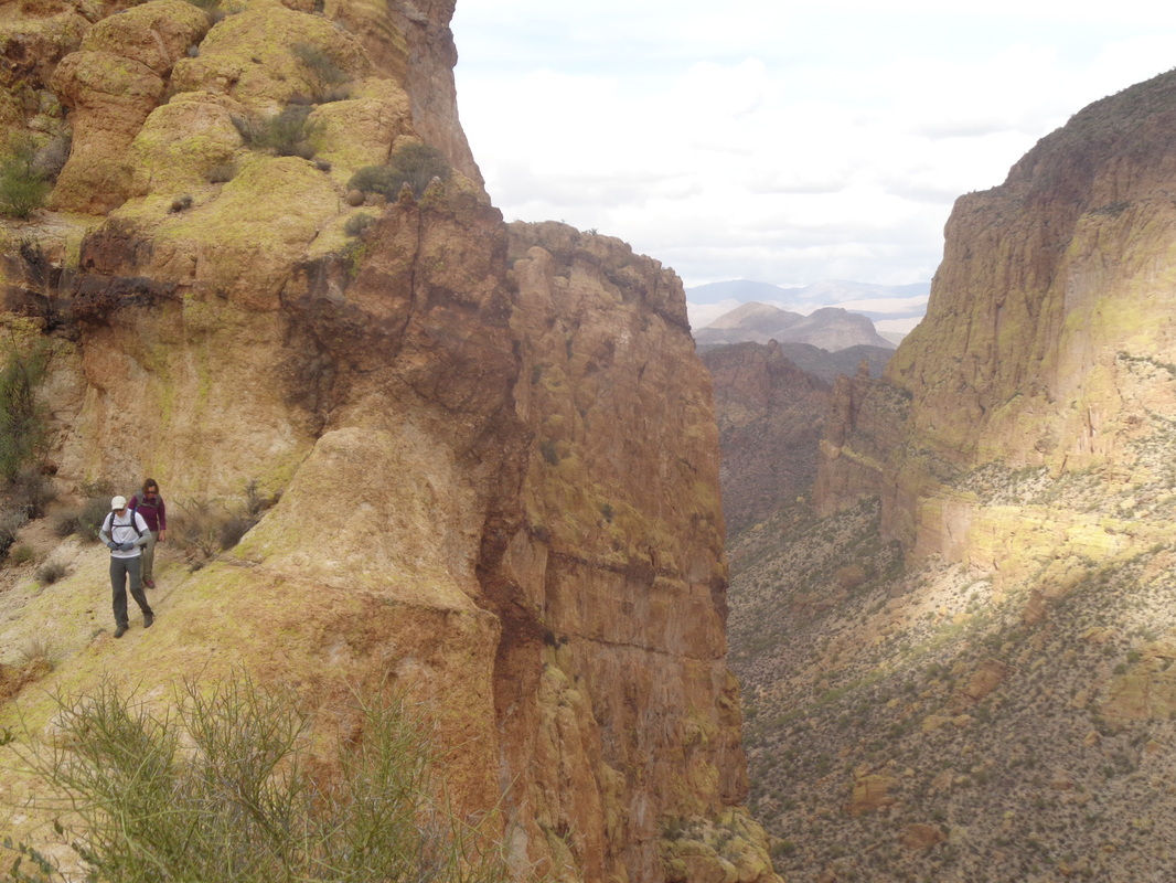
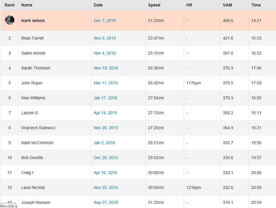
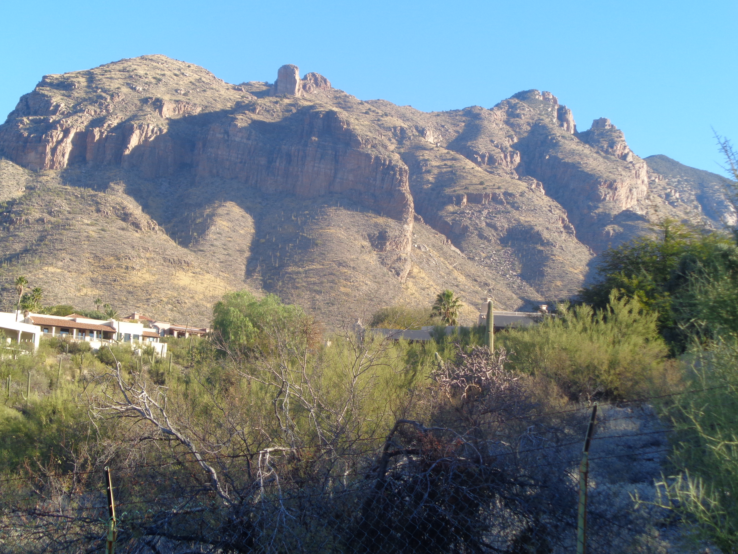
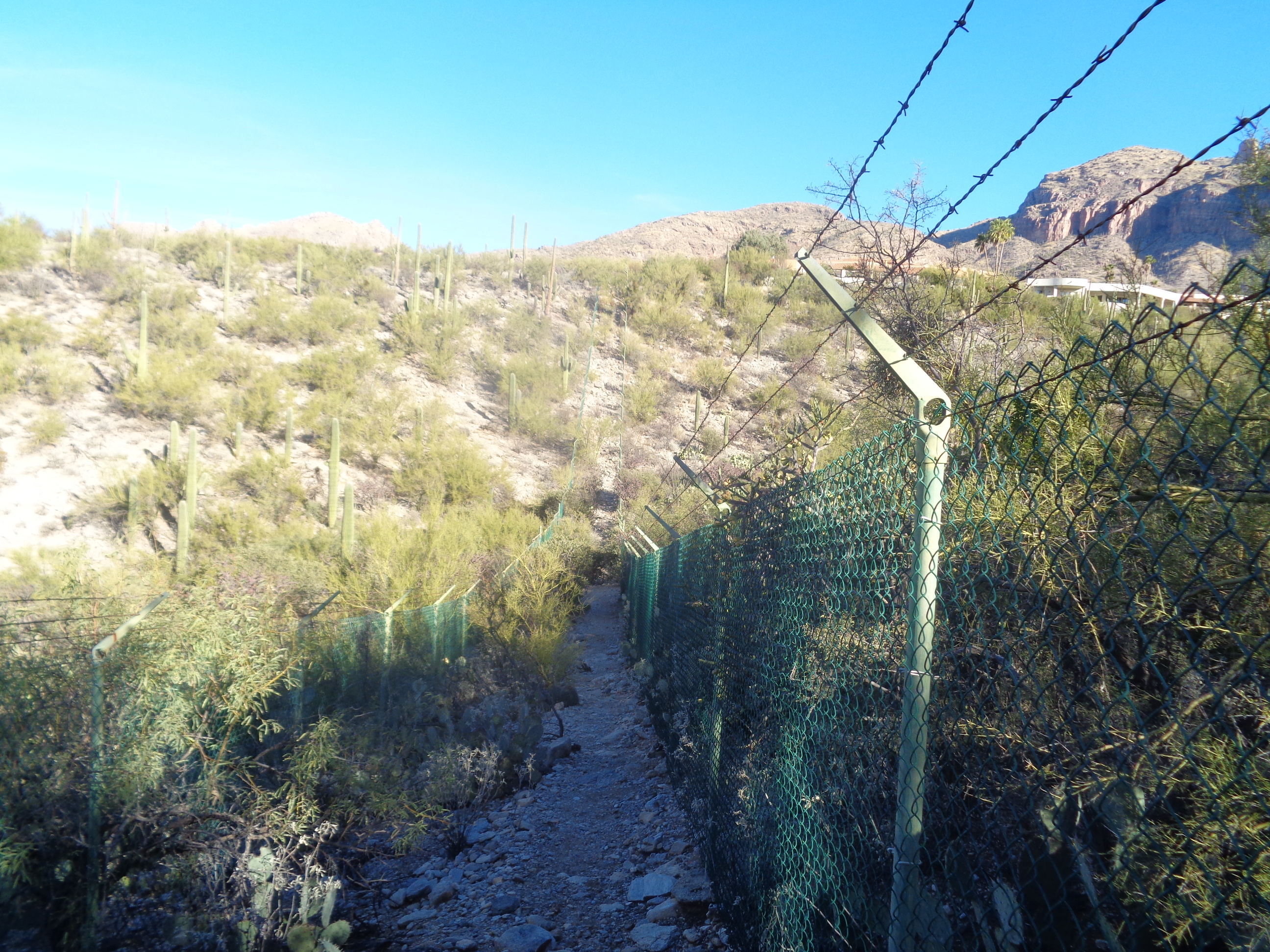
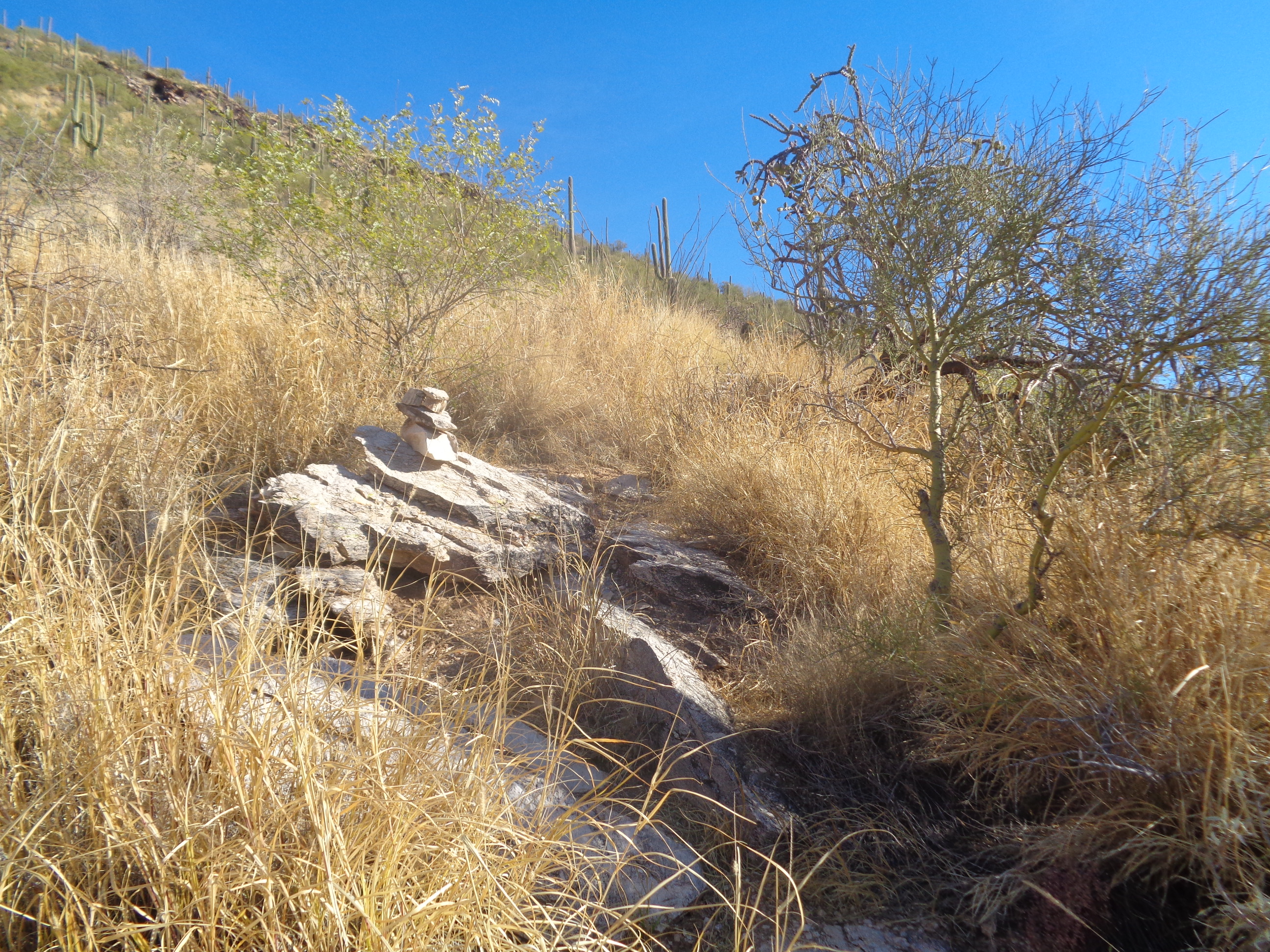
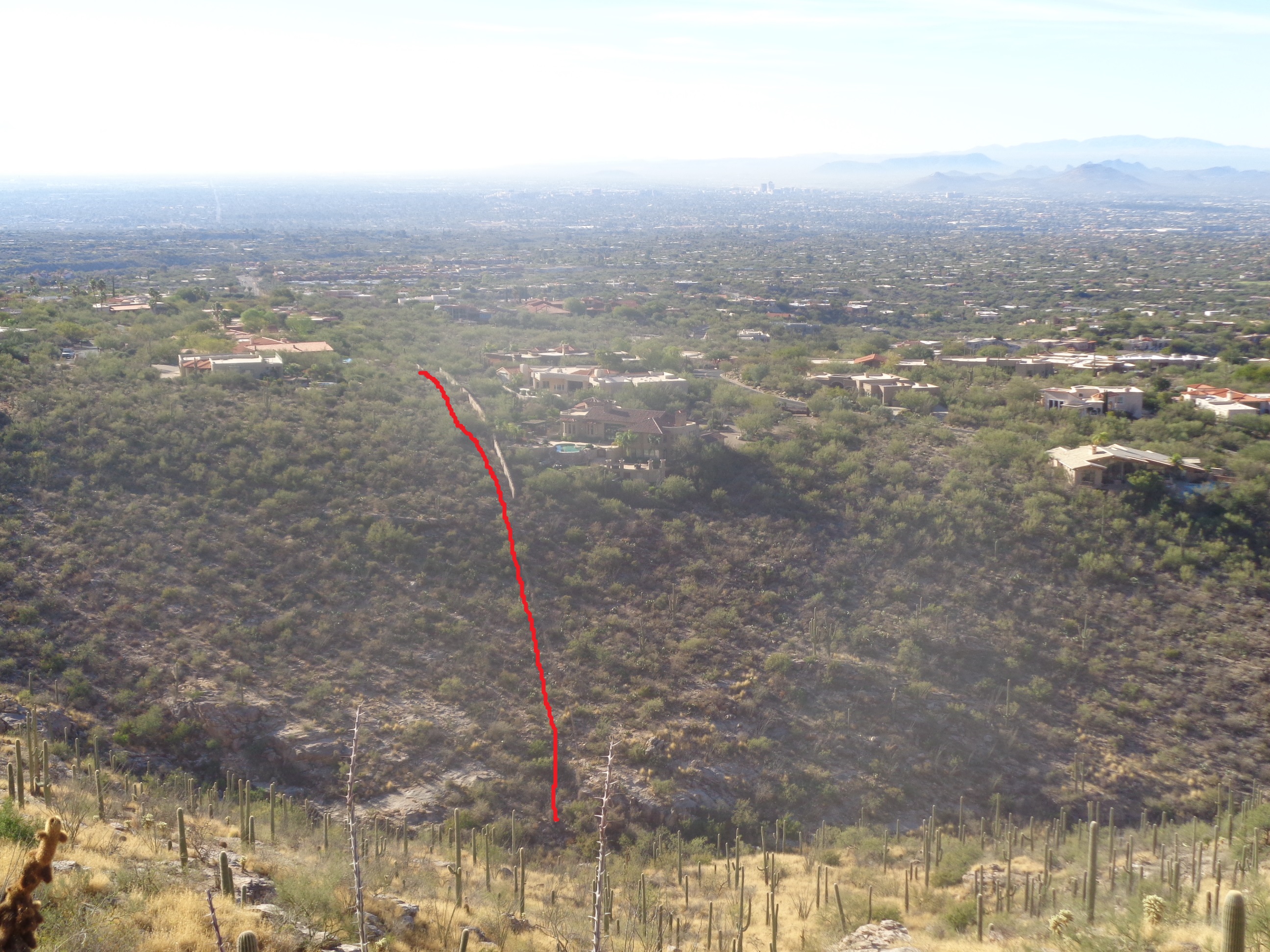
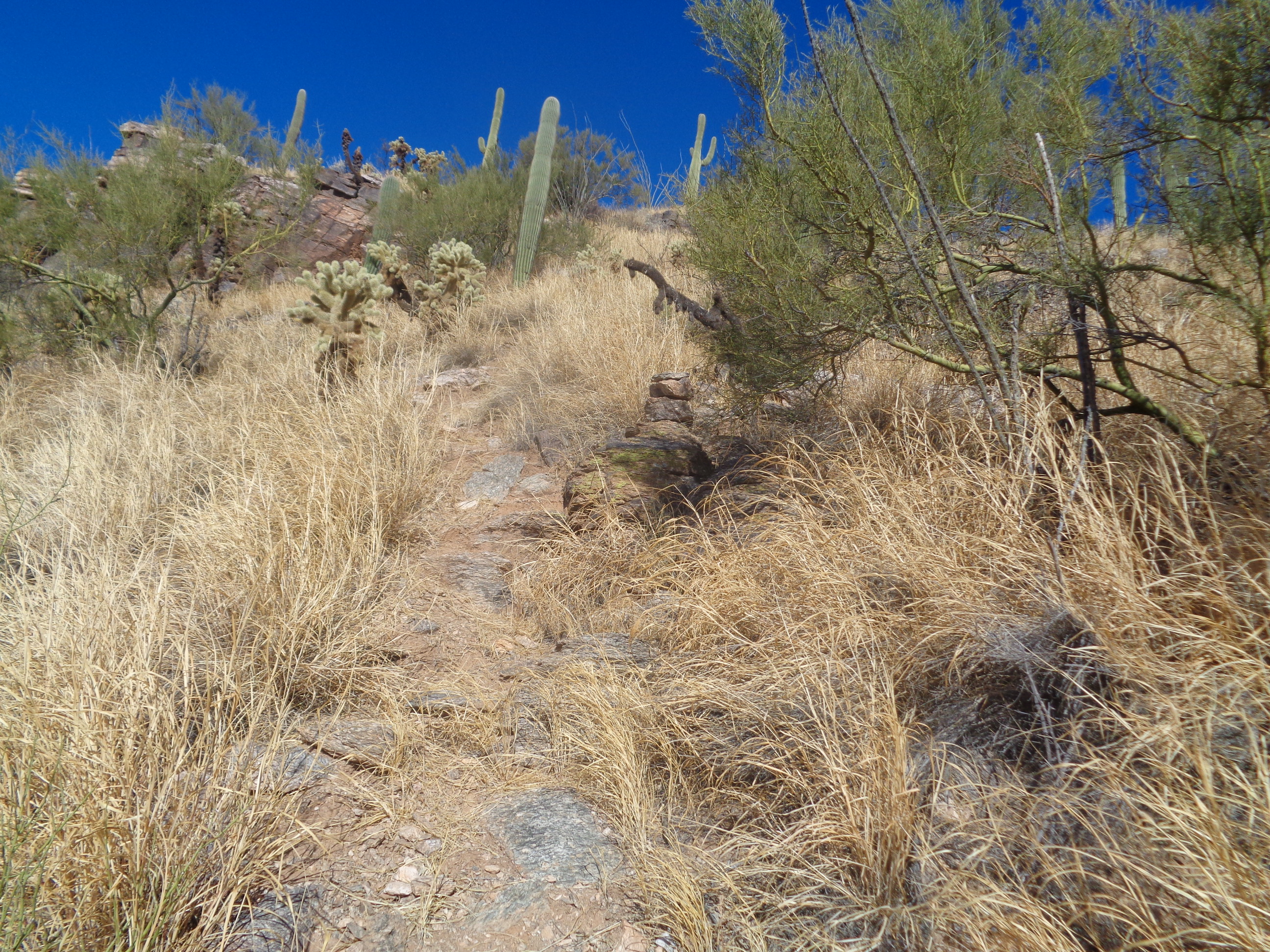
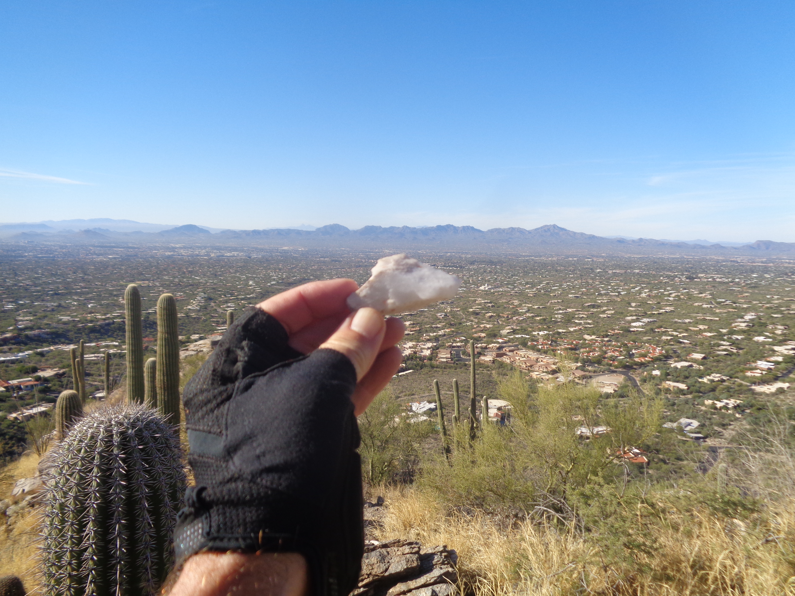
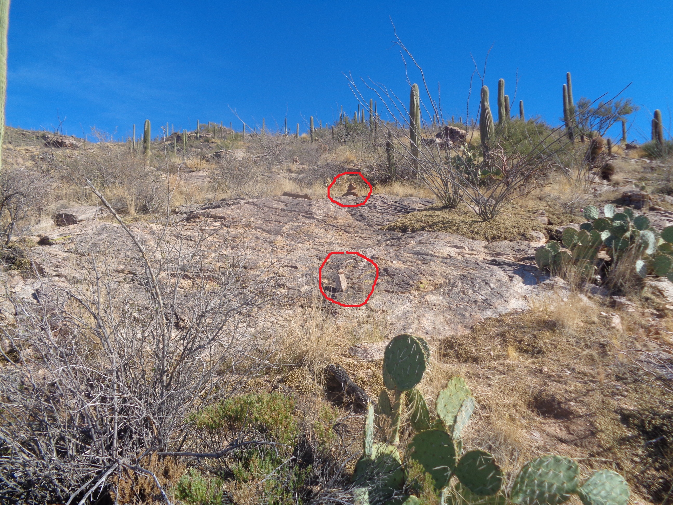
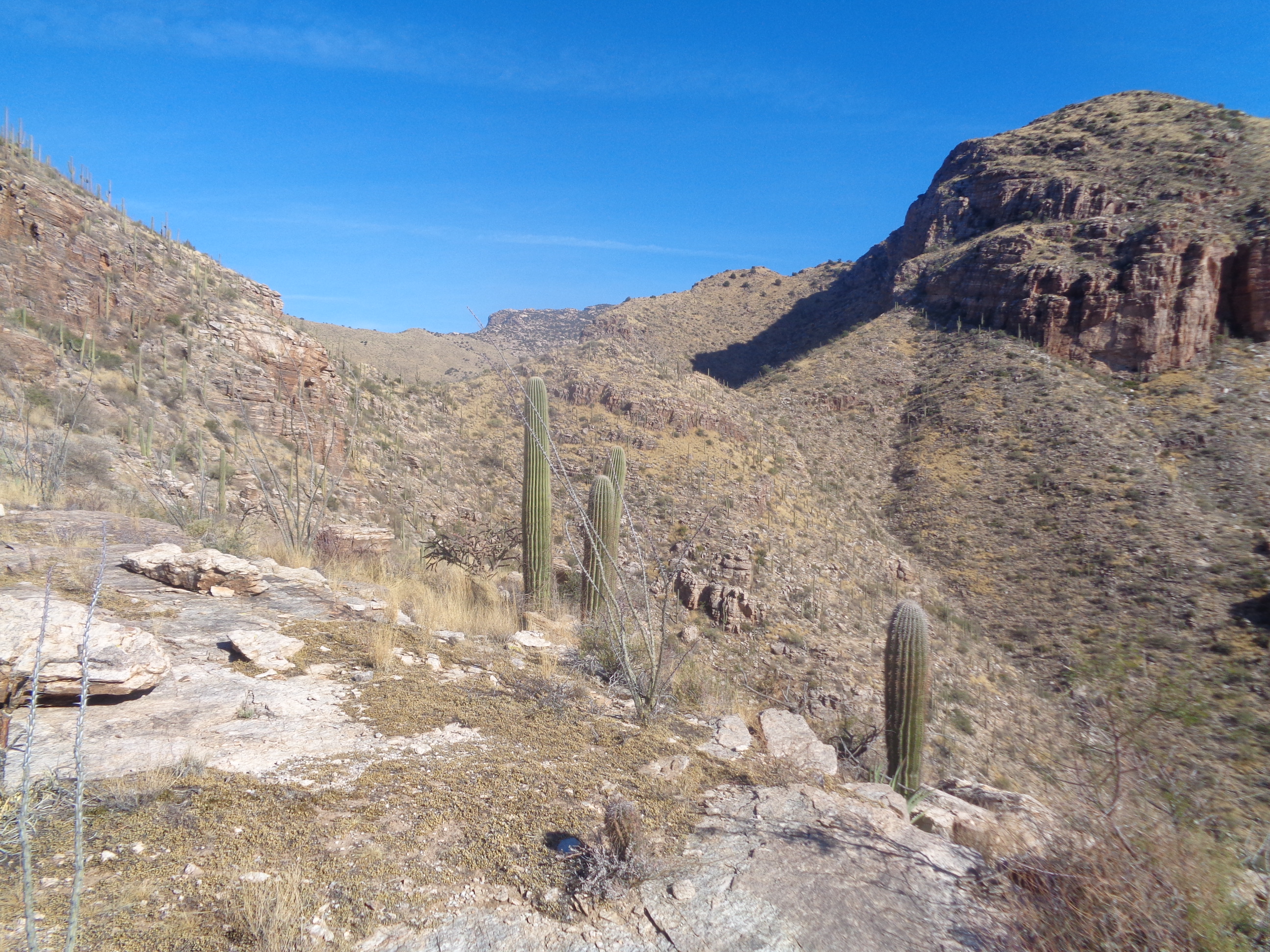
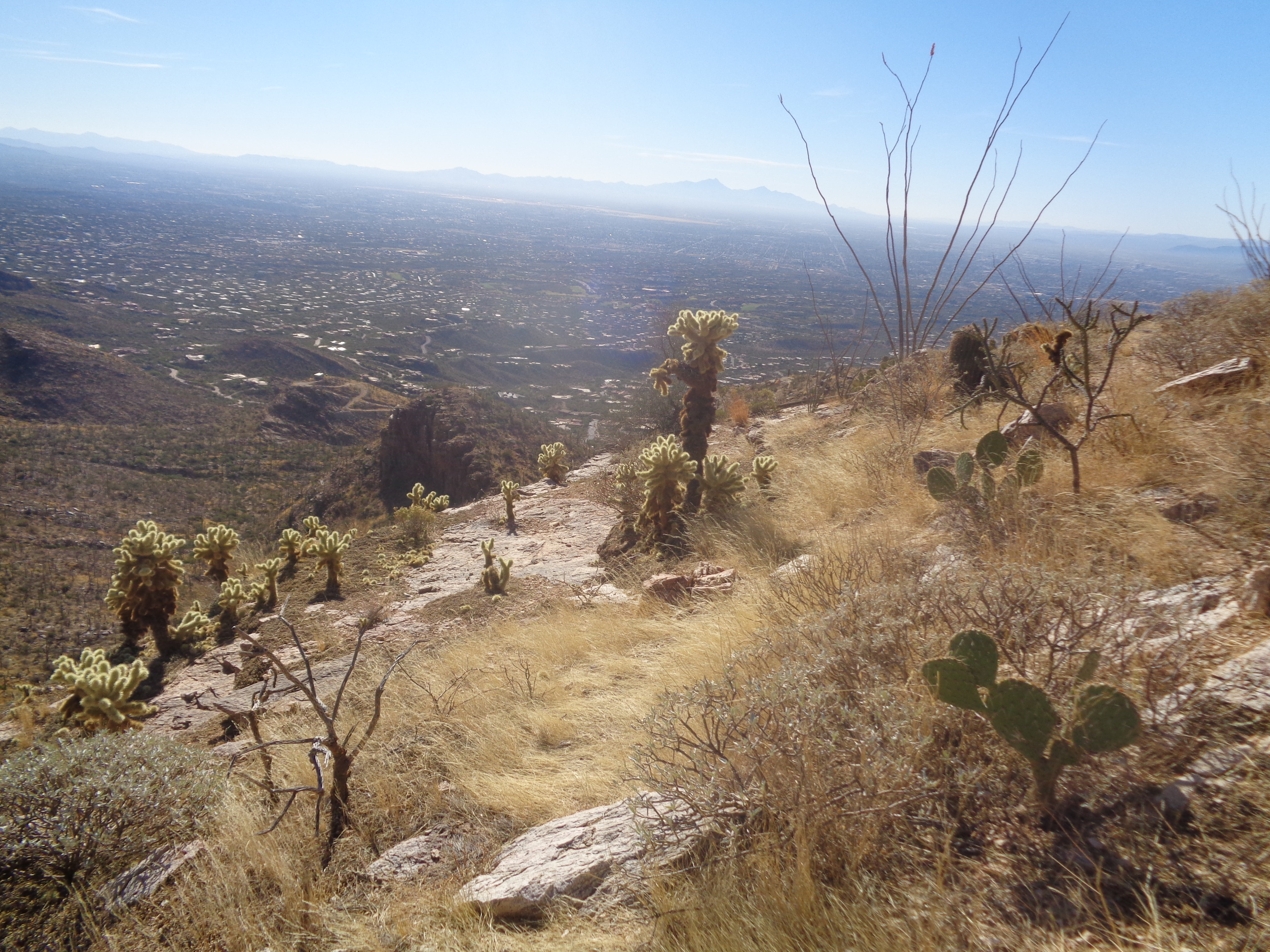
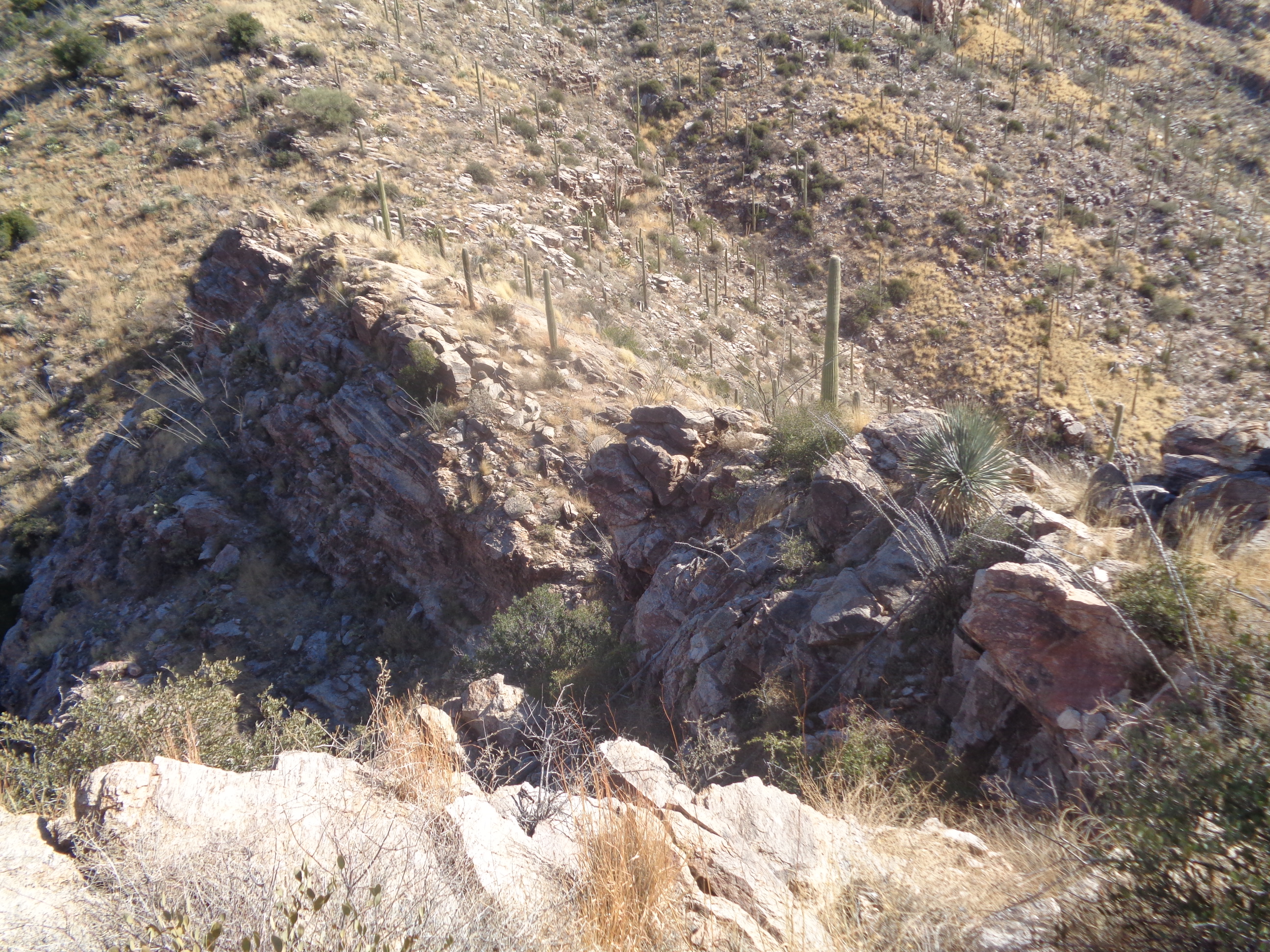
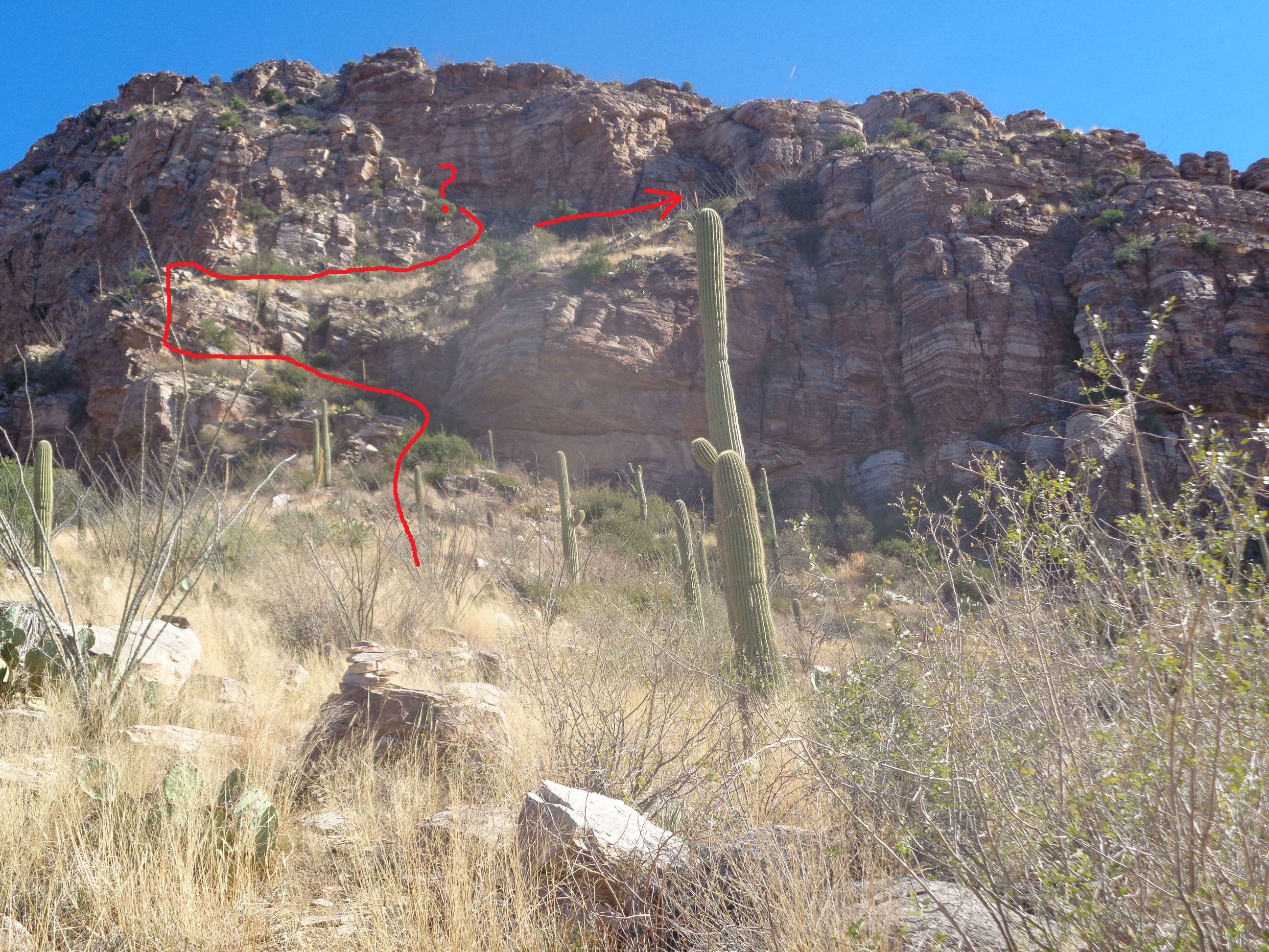
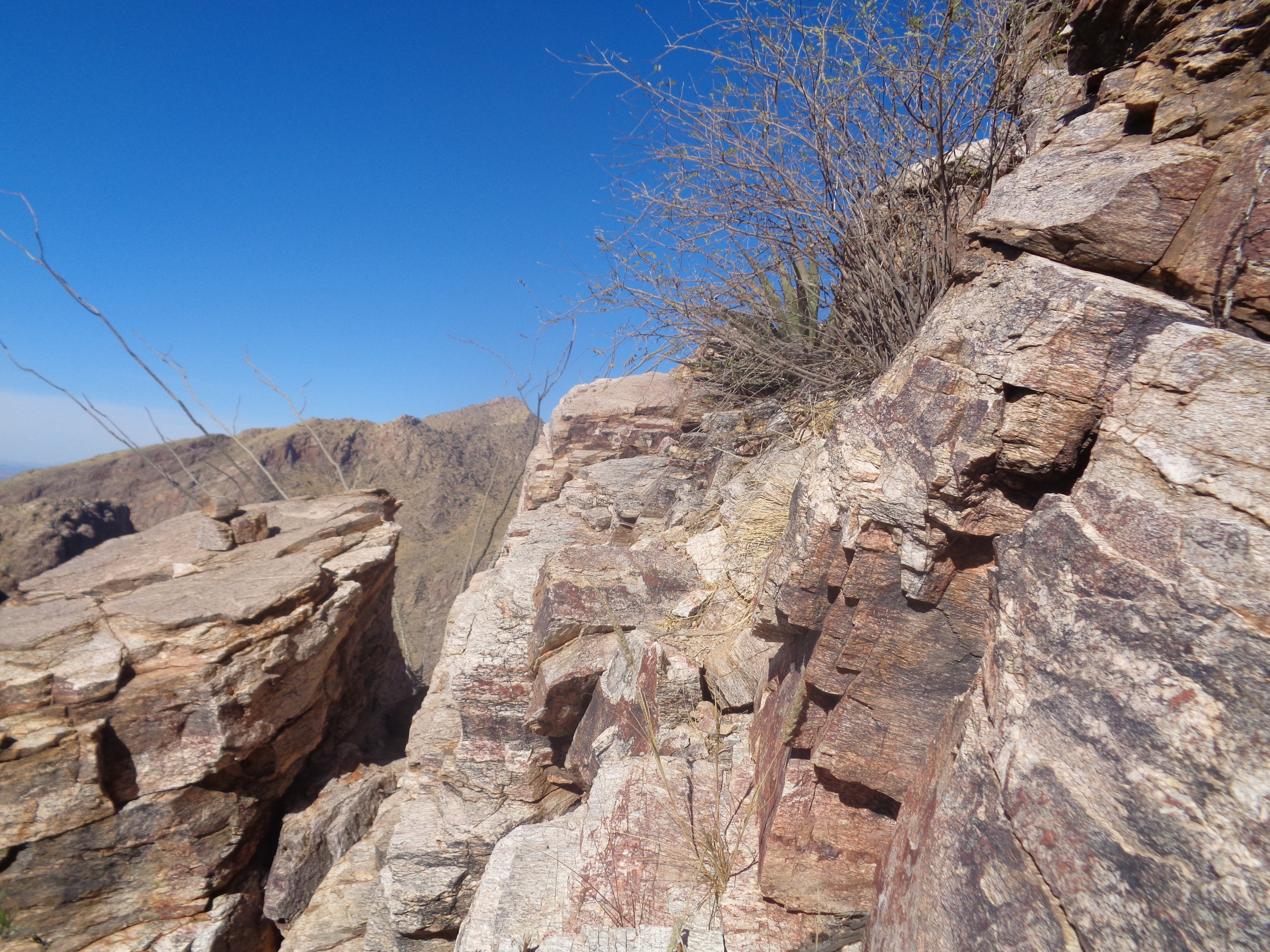
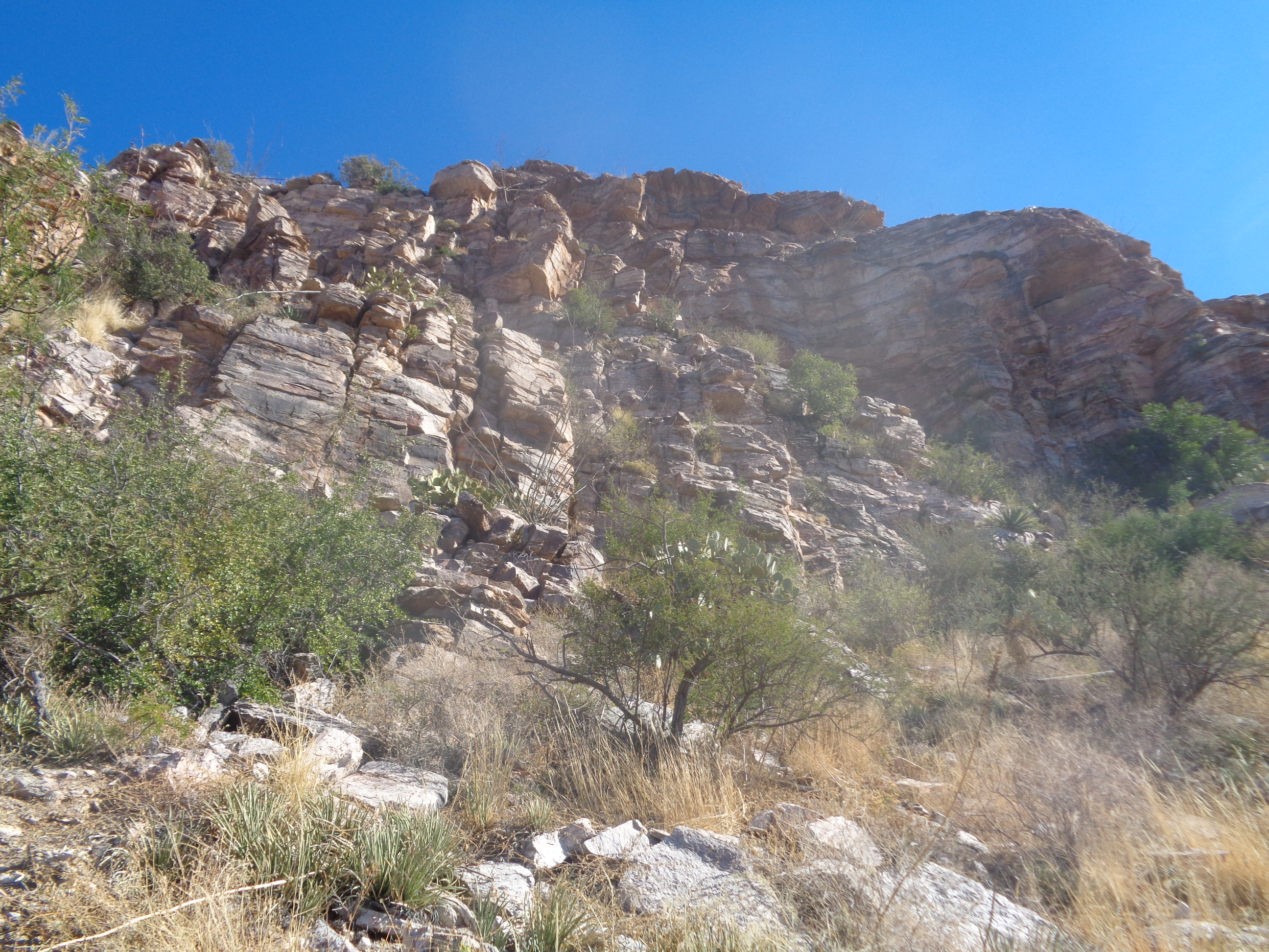
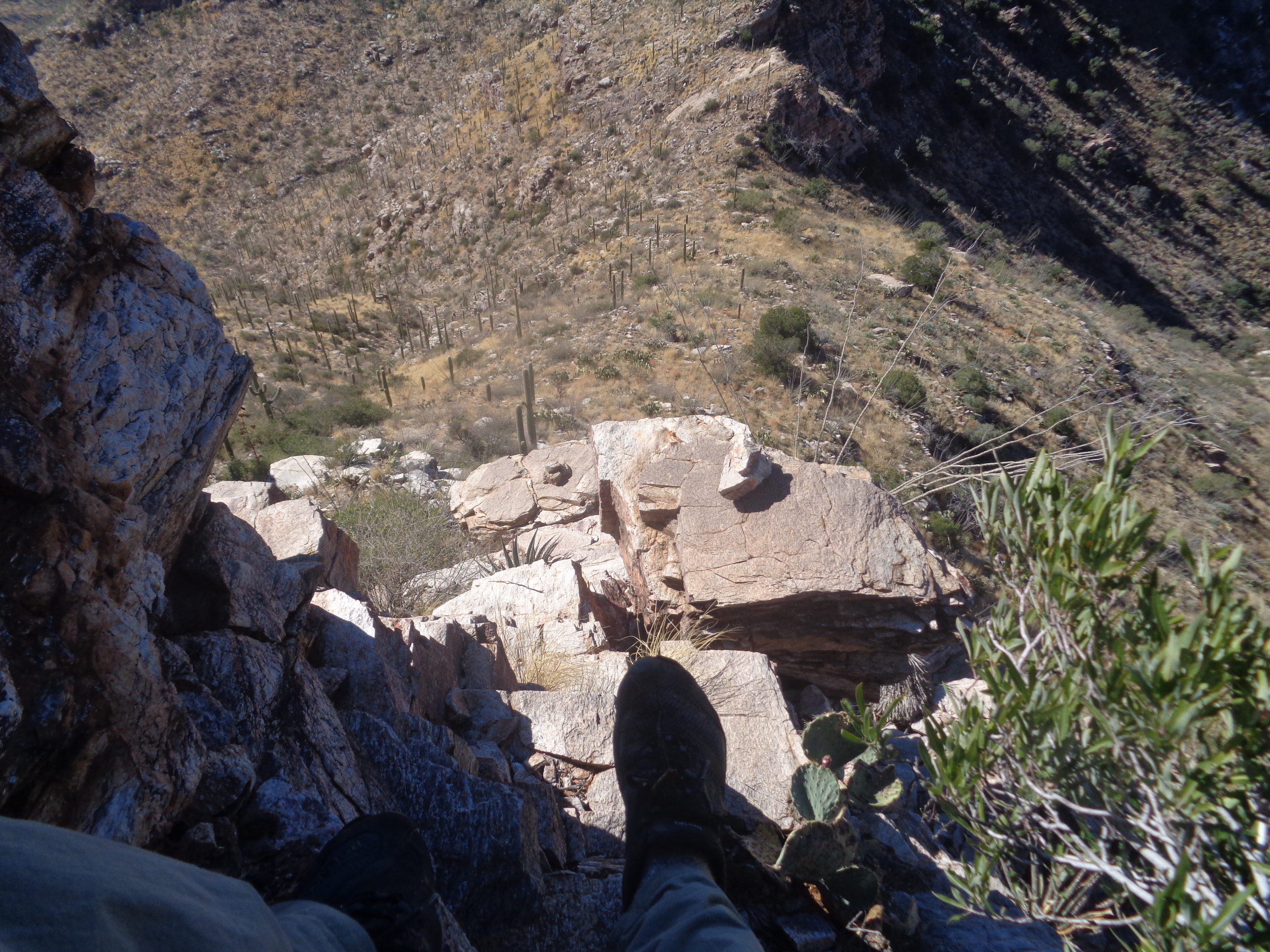
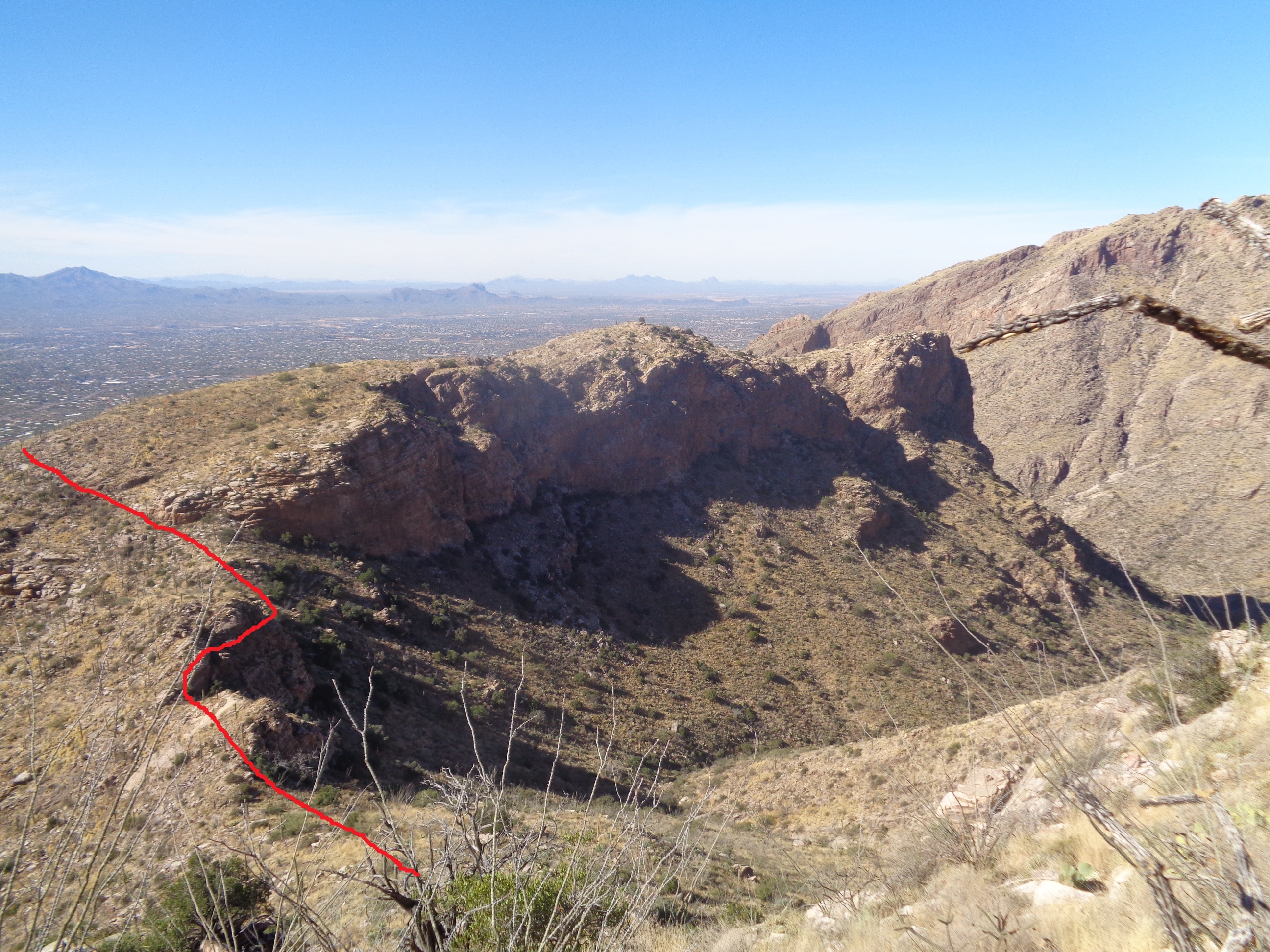
Surprised that so many came out for a cold but sunny start to our 45 mile ride from New Albany to Granville and back. Even Dustin, on the right was there, a guy who rides like he is on the bike every freakin day but this would be his first ride since October. Meredith on the left with Don and Kim, Larry P in the background. Hard to take your eyes off the custom made leg warmers but behind that is Meredith's new bike. Jeff S on the left with Connor and Eric. I had promoted the ride as an "off season pace" but with Connor I should have said "off season pace divided by two subtract 50%" The kid killed us but then so too did Dirty Dan, Eric, Dustin, Don, Larry...well pretty much everyone turned the screws on me. Hiking around AZ does absolutely nothing for cycling while the reverse is not true. Or, I just suck at cycling no matter what I have been doing. Yeah, that's probably it. We head east. The most remarkable but unseen point to this image is while wearing lobster gloves, I managed to extract the camera, push the "on" button and snap the pic while also reinserting the camera into my jacket. I was a wee bit over dressed while also using arm/feet warmers. Toasty is probably the correct word to describe how I felt at the ride start. By mid point of the route, sweat was pooling where ever there is a cavity formed by layers of fat so I was carrying a lot of extra weight! We lost Kim and Meredith in Alexandria as they selected a direct route back to NA. We arrived.... ...in Granville with an average speed above 18mph. We sought relief in the coffee shop on the main drag through Granville. Don said his coffee was the best he had tasted in a long time. We lingered but not excessively, emerged back into the sun and headed back. Some of us struggled (I won't name names) on the return but we always regrouped for her. The pace was still kind of high and I think the average was 17 at the end while fighting a small head wind. Ride out of New Albany behind Veloscience/Starbucks, going to Granville for a quick stop prior to returning. Route is easily cut short if you want. 11:00am start following this route: https://ridewithgps.com/routes/18247750 Off season pace but if you want to move faster, no one will whine about it. A sad sight, looking from the Tucson airport, last day in AZ. I wonder, if I lived here year round, would the novelty of it all wear off? Probably so probably I should welcome these breaks while anticipation for the next visit builds. Yet, I still find myself almost every day looking at something and saying out loud, "Wow, look at that!" I think that is remarkable and am lucky to have those experiences. During the flight to Ohio, I thought, "What were the most significant events of this trip?"..... First was the awesome hike from the south rim of the Grand Canyon to Horseshoe Mesa, then down to the Tonto Platform, hiking clockwise, getting a bit lost, running into two people who confirmed I was on the right track, climbing back to the Mesa and then once on the Grandview Trail, out of the Canyon. The adventure aspect is so cool. Next on the list was the hike to the top of Table Mountain in the Catalina Mountain range. Gawd that was awesome reaching it and looking to the north and west. I patted myself on the back so often I had sores from the effort. Hiking to the top of Battleship for about the 6th time was, as usual, a great experience but then hiking to the top of Greonimo Mountain the next week and looking down on Battleship was great. The off trail hike to Thimble Peak, there in the distance must be on my list and although... ...I have hiked to Finger Rock Guard 3 times, doing so and sitting there while listening to the Buckeye game against MI was great fun. That they won while I was hiking back down and screaming, "Yes!" added to the experience. Of course, practically all..... ....hikes have this in common, fantastic views of multiple mountain ranges, valleys, ridges, etc.... Can't wait to get back there but in the meantime, there are hikes and rides in Ohio to come, one as early as Wednesday. More to come soon. 10:00am, from in front of New Albany Starbucks, off season pace of about 40 miles. Roads should be dry after an over night rain and would be a good way for you to burn some calories prior to gaining a bunch in the next couple of days. I think I will be there but have to go to the basement to see if the old US Postal Trek is in working order. Should be ok but others will be there anyway. Now let's address the elephant in the room. Probably 90% I will be there and although I am not much of a hugger, some of you will be over whelmed with the desire to give me a hug after such a long separation from my glowing personality. I understand this but request that during your exuburant display of affection, you not try to grab my private parts. I am happily married after all! As I always do, I celebrate today because, the long march toward expanding darkness has come to an end. Yes, my loyal subjects, today, December 21, is the shortest day of daylight of the year and beginning tomorrow, we begin tacking on a minute here and a minute there and soon you'll notice the sun is setting after 5:30pm and then, many, many days later there will be signs of spring. Lo, too many tortuous days of horrible weather have yet to throw themselves at our forts but today is a positive sign. It won't be long before you get to see me hopping around the parking lot taking your pics for this blog, making some of you famous, most of you infamous. As we sit or stand here on December 19th, 2016, far to our south, something momentous is happening by a member of the central Ohio peloton. Andrew Clayton, who is spending the winter riding the flat roads of central Florida, is on the verge of crossing the 20,000 mile mark for the year. Following his ride today, he sits at 19,954 miles. The question is, will he smash through the mark with a century ride tomorrow or average 2 miles a day over the remaining 12 days or something in between. OK, prob something in between. I have performed integral calculas calculations to figure out he sat on the hard bike seat for 1200+ hours. Damg that seems painful but the guy loves the bike and so on he rides. A few miles south of I-10, a bit east of Benson is Cochise Stronghold in the Dragoon Mountains. That is it where the distant ridge breaks up in the middle. I guess if you are roaming the countryside and see the formation that is a bit different from its surroundings, you would be tempted to check it out. He and his fellow Apaches engaged in a long running battle with the US Army using the Stronghold as a base. Nice camping grounds at the end of a partly paved, partly dirt road. I talked to a couple of guys from the UK who were here to rock climb. I geared up and.... ....headed across a bridge, a left at the Nature Trail and then after a couple hundred yards, made a left at a sign for the Cochise Trail. The trail is easy to follow and the scenery is good but not grand. Around 1852, someone built a wall in this drainage and created the "Half Moon Tank". A pretty spot. The views became a bit higher after 2+ miles of steady but not steep climbing. At mile 3 I reached a saddle where.... ....from this point forward, the trail drops into a west facing canyon. I followed it for.... ....1/2 a mile but the views never did open and so I came back, finishing with 7 miles. For my final AZ hike for this edition of the AZ adventure file, it ended with a whimper rather than a bang. More to come though. Standing in Catalina State Park, I'm not sure which peak is Buster Mountain so I failed to take a pic. I and a hiking friend headed on the "Birding Trail" and soon went off trail. Well, once it was an off trail but enough people have passed through that now there is a trail. Reaching a secondary peak, we could hear voices below and saw a couple of people far below in Alamo Canyon. Looking to the east.... ...the awesome Wilderness and Laviathan granite domes. Not sure which is which. I think it would be neat to stand at the base of them and root around so that was a secondary goal for today's trek. The final push to the summit required quite a bit of scrambling in and amongst boulders. That was fun. The summit was marked by an innovative cairn and beneath it a jar with the summit register. We paused here and again looked at.... ...the domes. From here, not much climbing would be required as we were about at eye level but time was slipping and we decided to continue without the side trip to the domes. While the route had been fairly easy to follow, from this point on, there was no trail or any indication of a route. We descended to the grassy saddle and went left. I had a gpx route to follow but it was a circular route back to the parking lot and after awhile, we decided, if we were gong to bushwhack, we may as well do it while going directly toward our goal. I saw a broad expanse of granite that would be much easier and quicker to descent and so headed toward it. Beautiful as we carefully walked down the surface. At the bottom. we found a rock that looked kind of like a whale. We slowly walked.crawled, stumbled steeply through this wash. I kept looking for a place where we could break out of the wash to the surrounding slopes. Without the benefit of retained moisture, the growth is less thick and easier to work through. Finally,we did so and looking back... ...the granite slope stood out. We finally escaped with the longest 5.5 miles I've ever experienced. Plus a bit over 2000' of climbing. Having hiked to the top of Battleship 5-6 times, I always looked across the canyon to the north and stared at a long mountain known as Geronimo Head. From the vantage point of the "ship", Geronimo is a wall that towers over the ship's summit. There is little information available about a route to the top of Geronimo but I found one desciription that included a gpx download so..... I drove to Apache Junction, picked up #88 and headed to Tortilla Flats where I parked just beyond the shops on the right side in an elevated, dirt parking lot. Above, staying to the right side of a wash while finding a trail to follow, which coincided with the gpx route. On my eTrax, the route is a red line on a blank screen. I've not yet downloaded a topo map that would add detail, which, yeah I know, is dumb. Therefore, when looking at the screen's red line, I can't tell if the route goes left or right of features. With 20/20 hindsight, the route follows the above and departs from the faint trail I had been following. Where the red line make the right turn, it gets steep in there as it heads towards the first of many saddles. From the saddle and looking back the way I had come, I can see #88 winding in the distance. It's comforting to see civilization even though there is nothing they could do for me if I drop into a cavern filled with vipers nesting for the winter. I have some irrational thoughts when I'm out here alone. The good news is that while this is all off trail, it is not too much of a challenge to wind through the obstacles. At this first saddle, I catch a glimpse of Canyon Lake to the northwest, a very popular destination for boaters, kayackers and people who enjoy fishing. Then I looked at the next section of my travel..... ....a saddle in the distance. Here, I found many cairns to follow so kind of sped through this section. Again, a few cliffs to dodge but nothing too difficult. Easily the most difficult section. I stood at the saddle and wondered, would the route take me to the left or right of that rocky structure. A very steep slope that abruptly shot to the left. I found some more cairns and a faint trail that hugged that rock, including squeezing up a chute with a tree hugging it. The red line shows the way. By the way, some may wonder, why the heck are you going into this detail with those silly red lines? Because I know people will find this page and use it to inform them on their own effort to reach the summit. I made it and giddy was I as I looked back at the saddle from which I had come. Looking west to northwest I could see the Goldfield Mountains. Great view but I turned my attention to.... ...what laid ahead. Suddenly, the terraine went from kind of dramatic to mundane. I followed cairns and my gpx route to the bottom of a wash. Cairns led the way up the hill to the right but the gpx route indicated that I follow the wash so I did so, staying on the right side above the thick growth in the wash. The saddle above, slightly left of center, is the destination. While I began on the right side of the winding wash, I crossed to the left side and that was the correct approach. So far, I had no clue where Geronimo Head was located. Had I known, it would have made progress more direct but I kept my eyes glued to the Garmin screeen. In this long section, I found no cairns. I wondered if, had I stayed with the carins leading up the aforementioned slope on the right, would that have led me to the destination? Hard to know. After walking awhile..... ...oh WOW! I emerged at the saddle and there is Weaver's Needle and suddenly, I knew exactly where I was. The route turned right and up a slope to a peak and shazam!!! I was there. So happy and satisfied. I gave myself a mental pat on the back. Well below me was the Battleship. AWESOME. For clarity, I outlined the shape. For the first time, this gave me perspective on the challenge of navigating from the left side to the summit of the Ship. Although the complexity of the challenge is way understated. It's funny, only 2.8 miles to the summit yet it took me 1:45 to reach this point, hiking time not counting stop time trying to figure out how to proceed. As always, the red line shows the way I had come. Pretty dramatic to my left as I ftuitlessly searched for a jar/can that would hold a summit register. Rats, could not find and I doubt there is one on this remote summit. I could hear a group on Battleship and yelled. Great echo! Try it when you are here. Below and slightly to my left is the dry wash that leads into Lower LaBarge Box Canyon. Fantastic place althought you can't know from the above image. I stayed quite awhile at the summit before turning my attention to the return. As brushy as it looks, a serpentine route, which can be walked quickly, is available. Prior to reaching the next return saddle, my Garmin flashed the message that the battery was low. Uh-Oh. I quickened my pace even though I was sure I could find my way back. It's not rocket science but still.... I reached the final saddle with relief as the power held in the Garmin. The parking lot is on the other side of that sloped rock formation. Still a ways to go but a relief to be able to see. I finished with 5.2 miles and my hiking time was 3:28 while my total trip time was 5:02. I think this data is wrong. The total trip time is accurate but I spent no more than 30 minutes at the summit. I reached my car, stopped at the market and ordered a well deserved chocolate cone and as I drove away.... ....looked back at Tortilla Flats and the dozens of cars that had come to visit the museum and shops. What a fun day. It starts out so modestly, so languid, really kind of boring for the first 5 miles as our group of 5 shove off from the First Water trail head and soon we are scooting through Garden Valley. At the end of this section and an ensuing rock packed portion we reach an overlook with grand views of.... ...our destination. Unfortunately, rather than head for the left side, access is available only from the right so we have a ways to go as we then descend .6 miles to Boulder Canyon. Towards the bottom, we pass through this interesting area and then hang a right into Boulder Canyon where we cross and recross it several times before reaching a point where we.... ....climb steeply from the wash. The wash/river bed looks insignificant from this vantage point but it's a real pain to navigate. We reach a rocky ridge and then continue to climb to the base of the "Ship" where we.... ....climb. Thank goodness for shoes with good traction. Having done this hike 4-5 times, I was not too worried about the return but the others expressed some misgivings. Having said that, they all met and beat the many ensuing obstacles and climbs that have turned back many. Having mounted the Ship, the way forward is some times obvious but usually a big route finding challenge. The summit is about 3/4 mile in the distance. So much attention is focused on route finding, it's easy to miss the fabulous views. On the other hand, the sheer drops on either side of the Ship kept us focused. Eventually, we reached one of the highlights, the.... ..."scary" section where most butt hike. What is shown is not the worst of it as the really scary part is just off camera. So dramatic. So many features in the distance as we slog onward. Another wall to climb as Chris watches me struggle. We had come so far when at last we..... ....reached the summit. That's me, eating an apple with Canyon Lake in the distance. This image, taken by Paul, demonstrates there is something wrong with my camera. Maybe i should clean the lens? After signing the summit register and refueling, we head back. About here, Paul pulled his gloves off and his wedding ring came flying off. It binged once on a rock and disappeared in a bush. I had a good vantage point and was able to find it. Dang, another bounce or two and it would have fallen into the abyss. Oh wow. We reached the end of the ship. descended the slope to the wash and headed back. As we approached the only significant climb on the return, I wondered if it might be a segment on Strava so I put in a good effort and how about that...... We finished with just under 12 miles and 2200' of climbing. Good time with good people too. Flyin Tuna has organized a hike for Saturday morning, 10:00am going 10 miles. Starting from Clear Creek Metro Park at the Starner Road parking lot. All are welcome. FT hikes like she rides so pace will be moderately slow but you are free to spend a few steps socializing and then take off as required. I could find little about the hike to Prominent Point, there right of center on the above. No GPS file, descriptions that were vague so what the heck, let's see how far I could get. At the top of Campbell Road, there is a parking lot that would hold around 12 vehicles. Years ago, permits were provided for development in exchange for providing a corridor to the wilderness to the north. The "corridor" is a narrow path that is bordered by fence topped with barbed wire. Like, wtf??? We hikers are a dangerous bunch so I followed this tunnel for about 3/4 mile. It ended in a wash and I hung a right at the end of the fence and.... ...my expectation was that I would wander in the wilderness, somewhat aimlessly, while I headed toward the objective so I was shocked, shocked to discover...there...a cairn (small pile of rocks) showing the way forward. How bout that!!!! Actually, the one trip report I could find suggested staying in the wash for awhile before ascending via a canyon coming down from the left but hey, don't look a gift horse in the mouth so I began..... ...climbing. Looking back, I could still see the corridor I had previously followed. It would be bad to miss that access point so I looked back plenty of times to make sure i would spot it on the return. Yes, the red line is my contribution. The route was really easy to follow although it became very steep toward the top of the fist major ascent. I came across a thick vein of quartz and picked up an especially fine example. Note the cycling gloves. When I hike off trail, it's good to wear them to protect against that nasty plant on the left. When I reached broad expanses of slick rock, there were always cairns to show the way ahead. How considerate was someone to erect these. It's always a guessing game, looking ahead and trying to figure out where the route would go but at this point, I guessed it was headed for the above ridge followed by an encounter with the obstacle on the right. Wow, I was right. Looking back, the sun is rising higher as the route skirted a cliff edge. Always thrilling, that aspect of a hike. Upon reaching the aforementioned saddle, initially it appeared I had reached a dead end but after some reconoitering, there was a way forward which them brought me to..... ....this. The red line shows how I proceeded but note on the left how the line goes vertical? So insignificant it appears but.... ....it was a challenge to climb through the first cliff band. I still had rock piles showing the way but after climbing out of the above..... ....oh my, how to get through that. I poked around for quite awhile but always ran into a dead end. Later, I discovered I probably did not have to climb through that, rather walk around it to the right. The rock piles had petered out and without a gps track to follow, I decided to retrace my route which soon brought me to.... ....ugh, the cliff band to down climb. Must be very, very careful but there were enough ledges.outcroppings that it wasn't too bad. I followed the red line back toward civilization, finishing with a paltry 4 miles. In hindsight, don't think this is the best way to reach Prominent Point. Probably going up Finger Rock Trail for a mile and then heading off trail is the way to go... I think it best if I give advanced warning to my few Ohio friends....I am returning to Ohio....soon. My experience in Arizona has been a good and interesting one. I embraced the traditions of the old southwest, just like Richard Harris did in the aforementioned movie. I suffered (OK, I did not have sticks inserted through my nipples while tied to a post) in the heat, avoided killer rattlers, climbed through cliffs, got lost a few times, hacked through wildernress using a machete, walked on water, etc.... Still a few hikes/rides to come, beginning tomorrow. I have been surprised that, while visitors are down from the 1000+ uniques each week in the summer, there are still enough bored office cubicle dwellers numbering over 700 who come here each week. The organized rides have fizzled but when I am back, I will whip those central Ohio cyclists into shape and get the organized rides going, 1-2 time each month since it will be winter and it is the midwest afterall. Let's see, what else to say...oh yes...as I write on the pages of every summit register,......GO BUCKEYES!!!!!
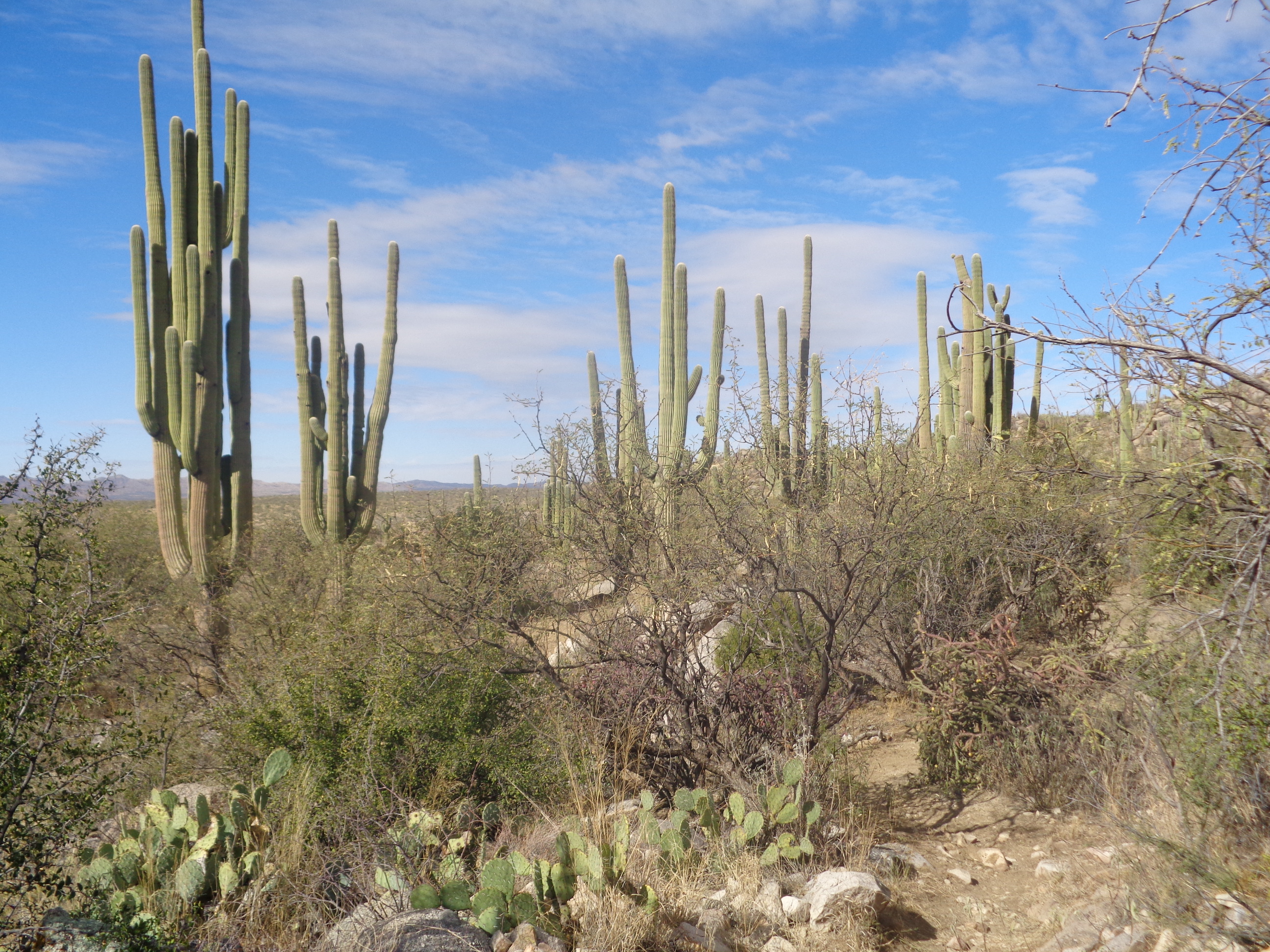
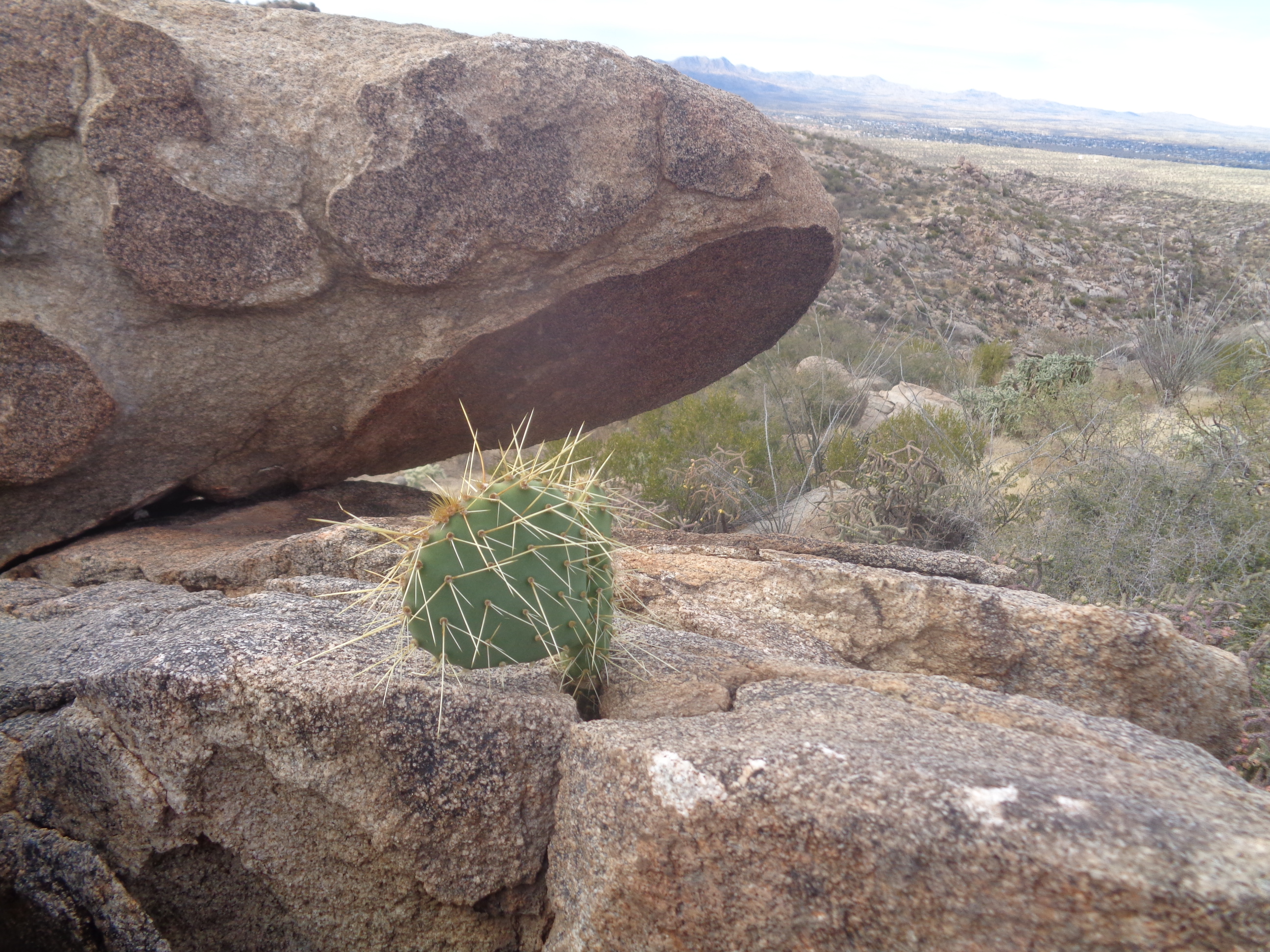
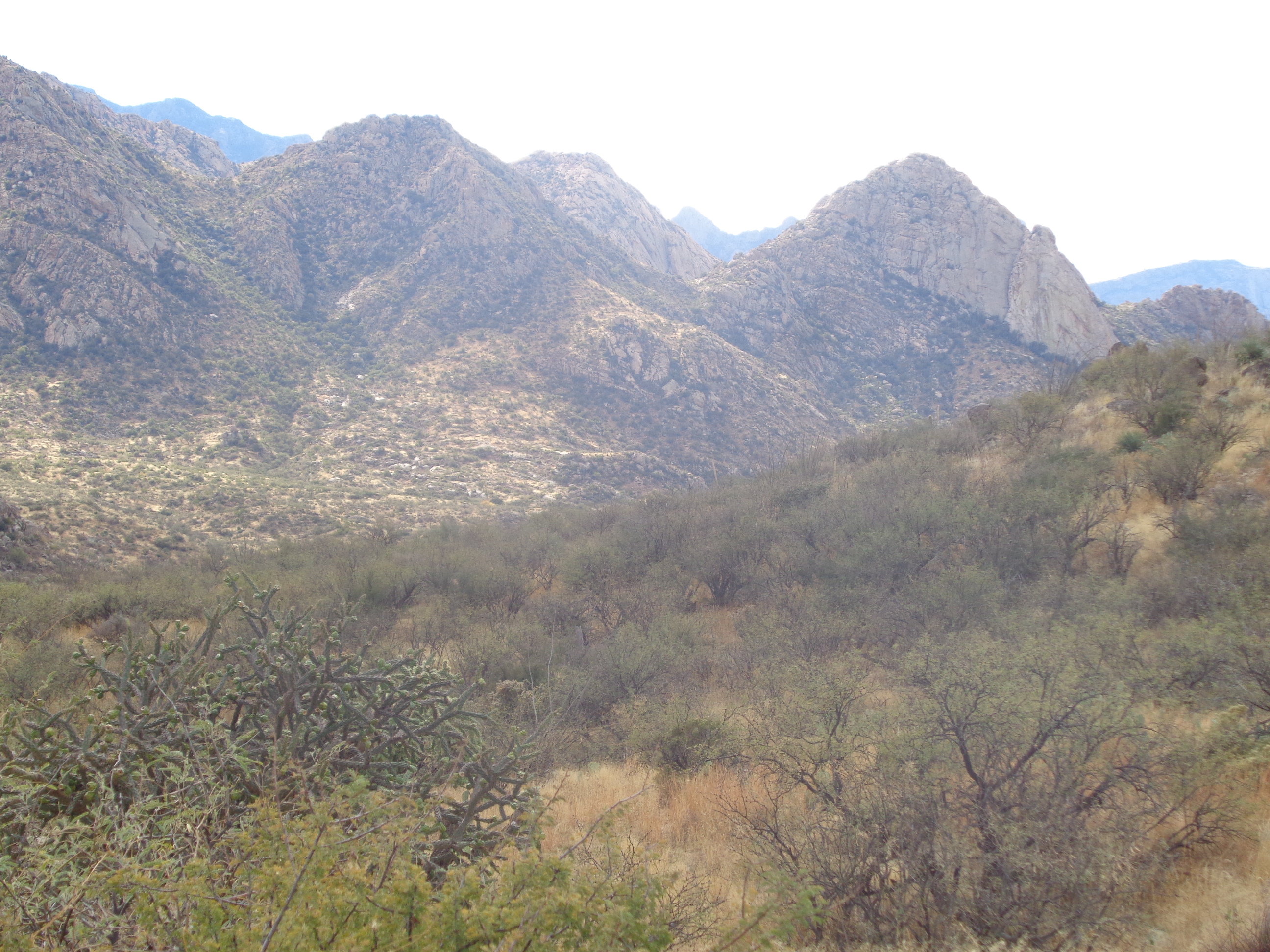
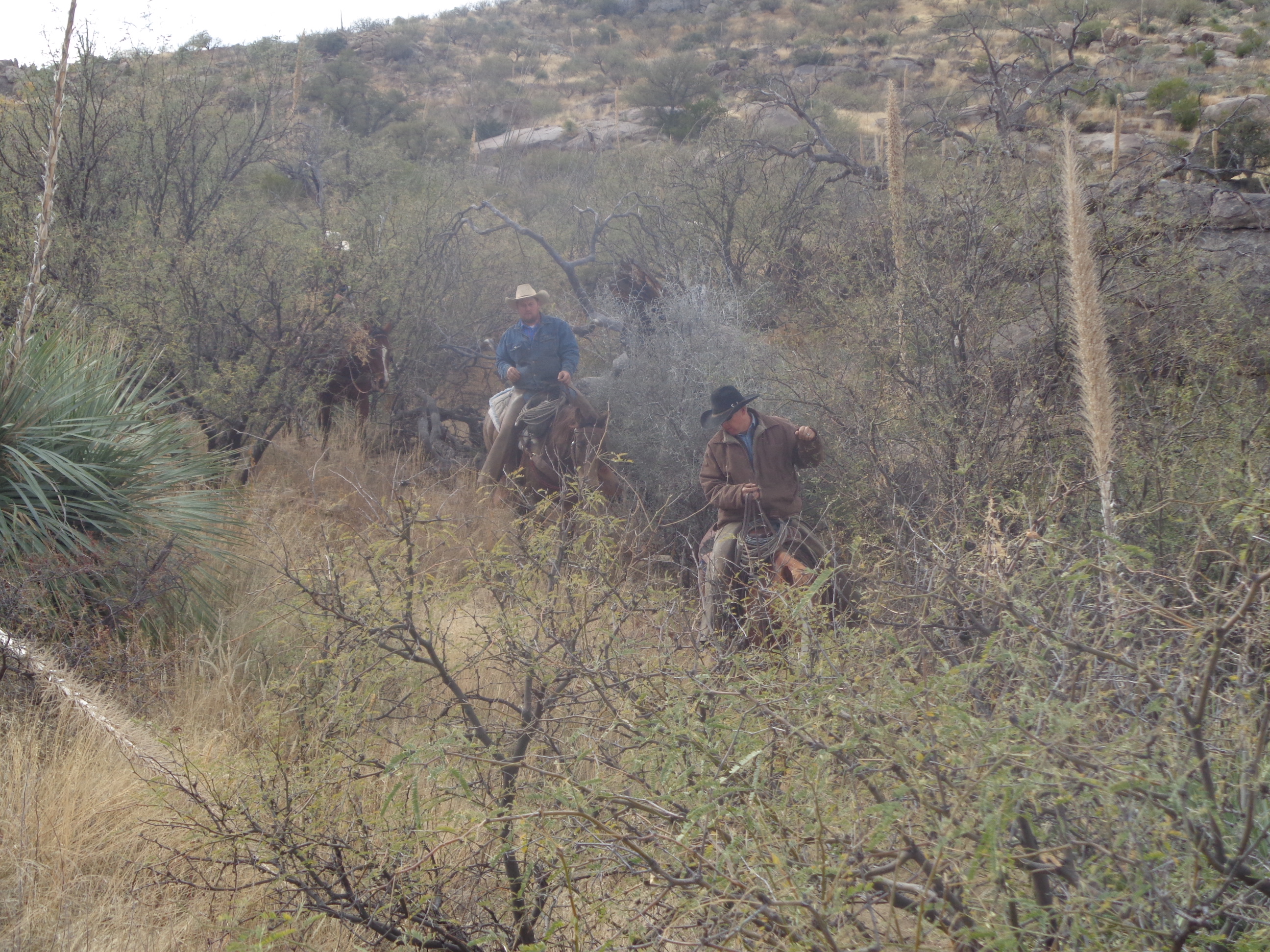
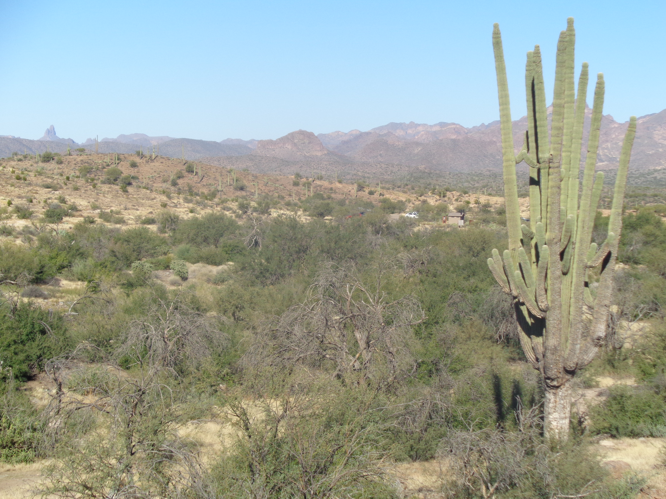
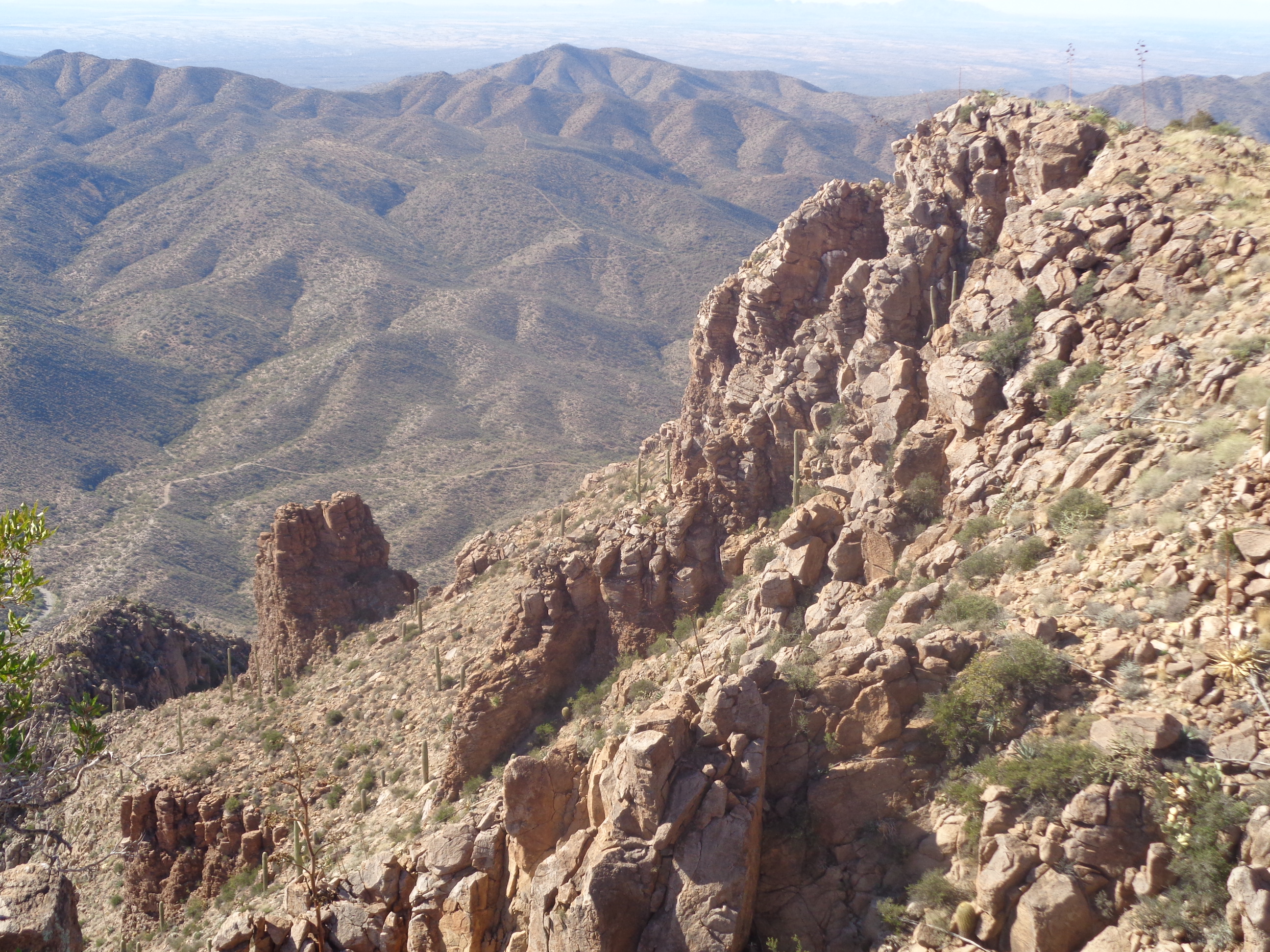
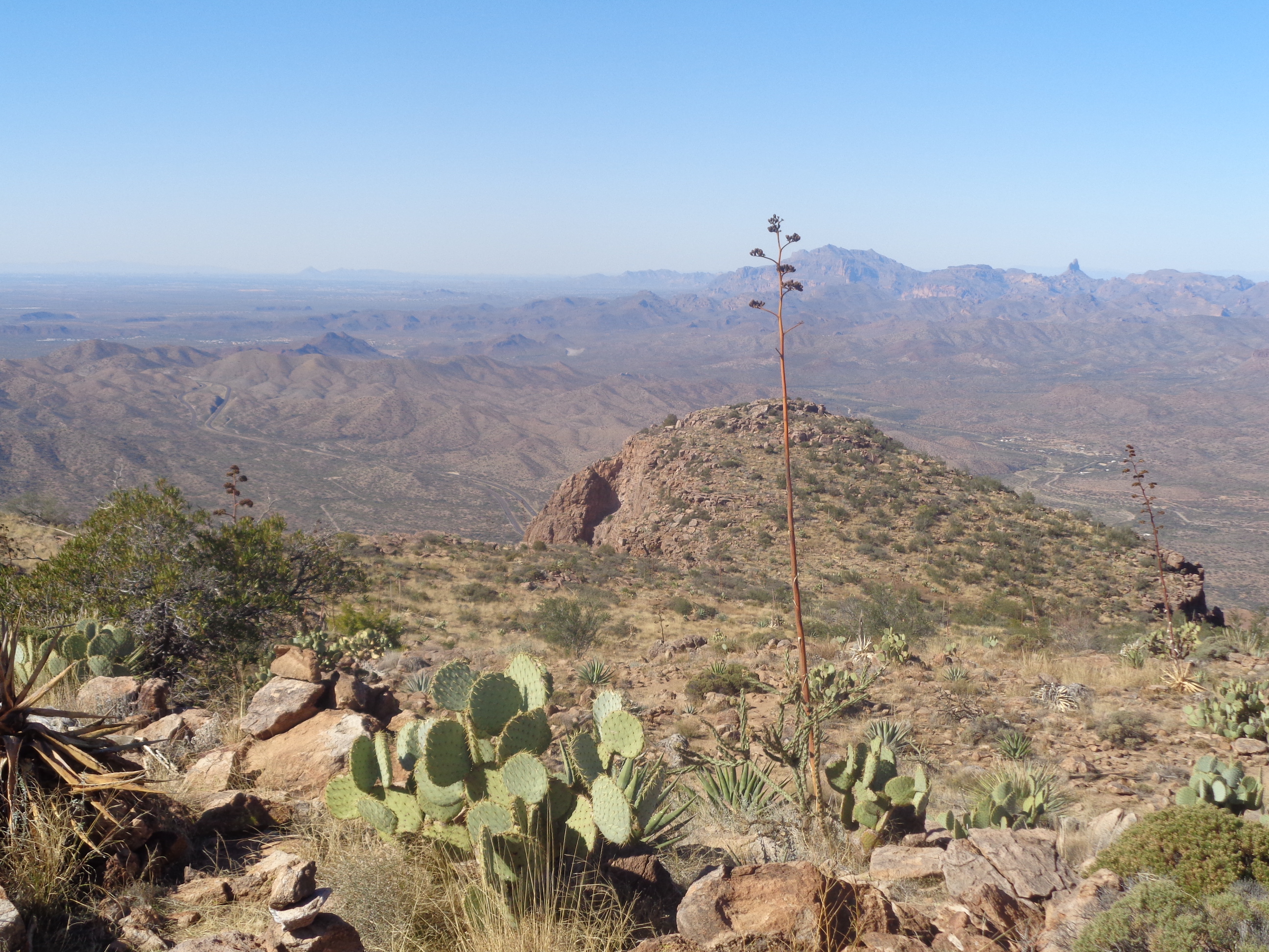
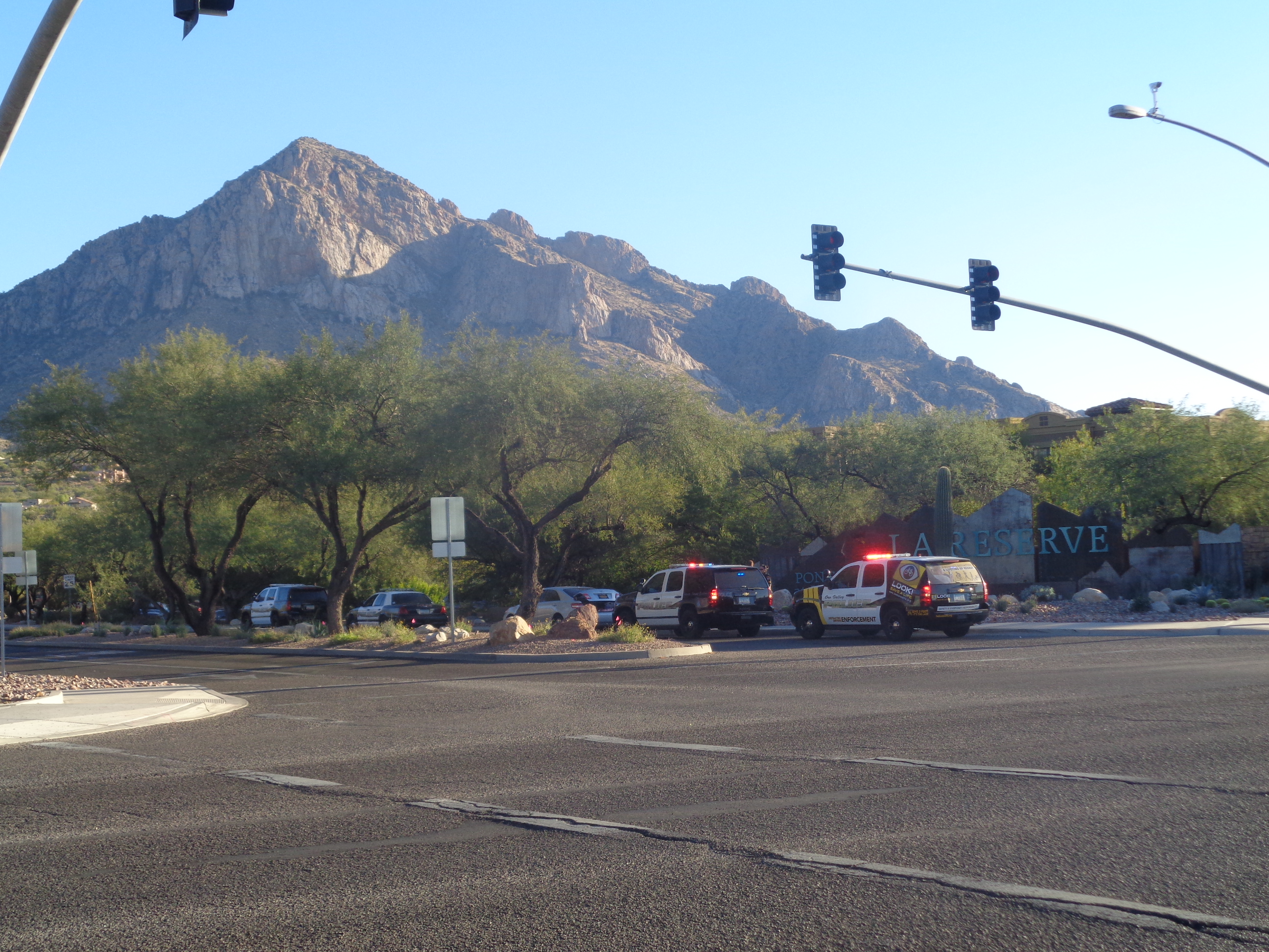
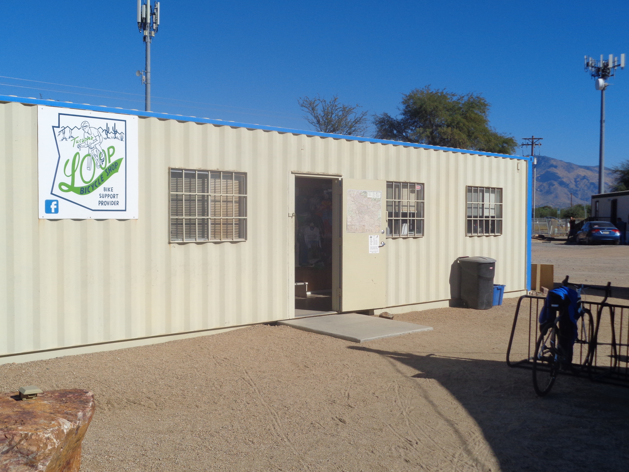
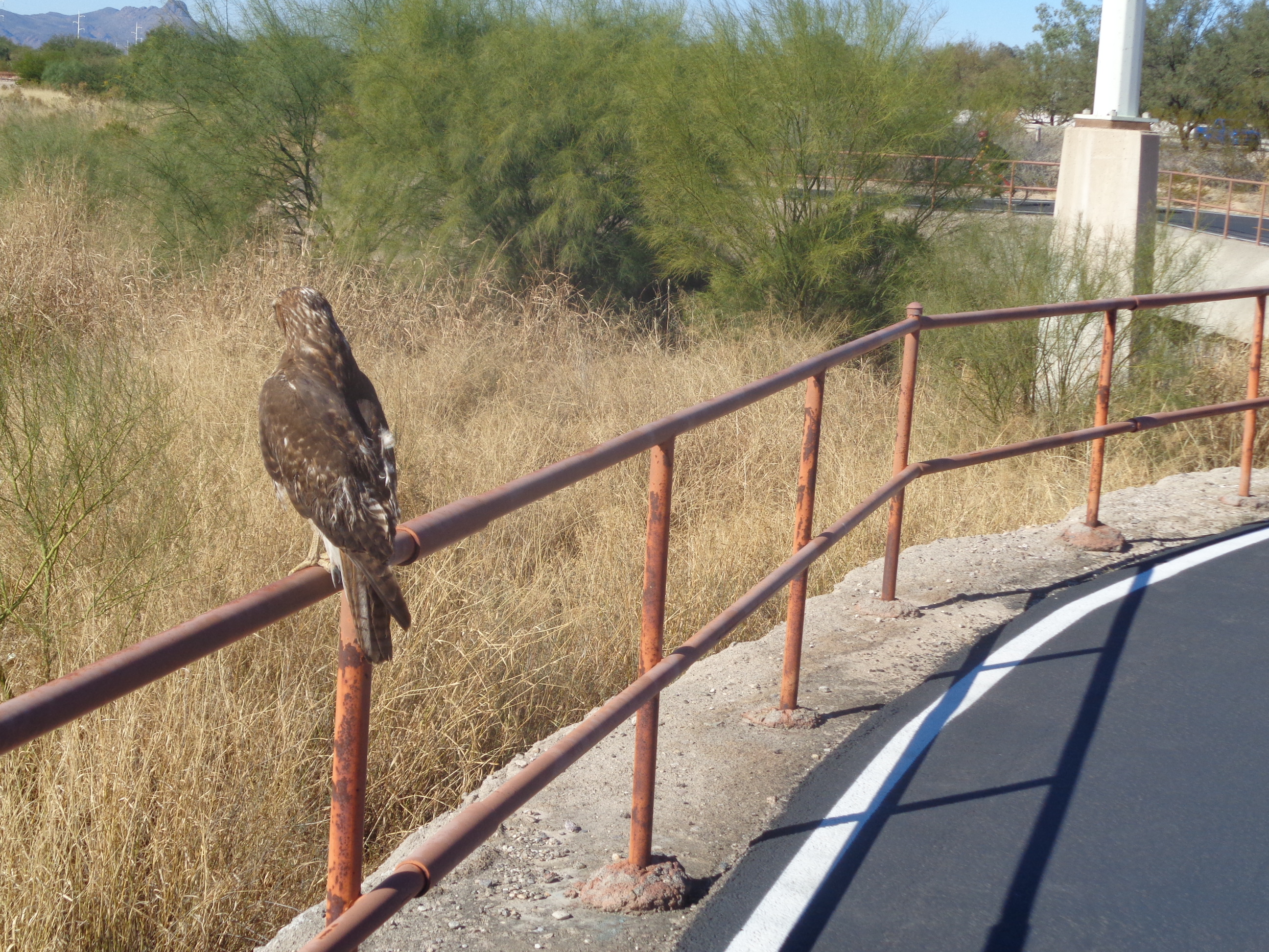
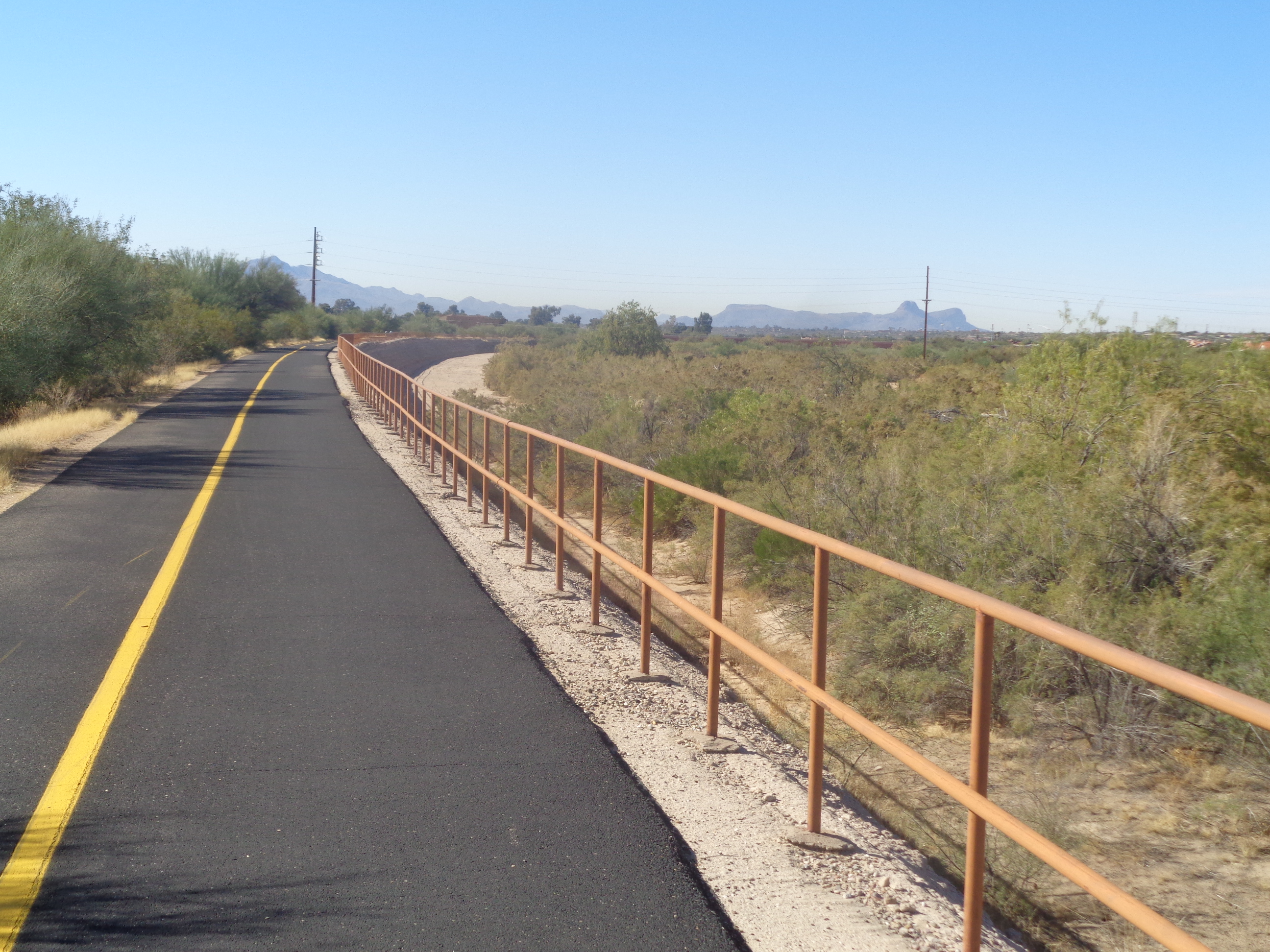
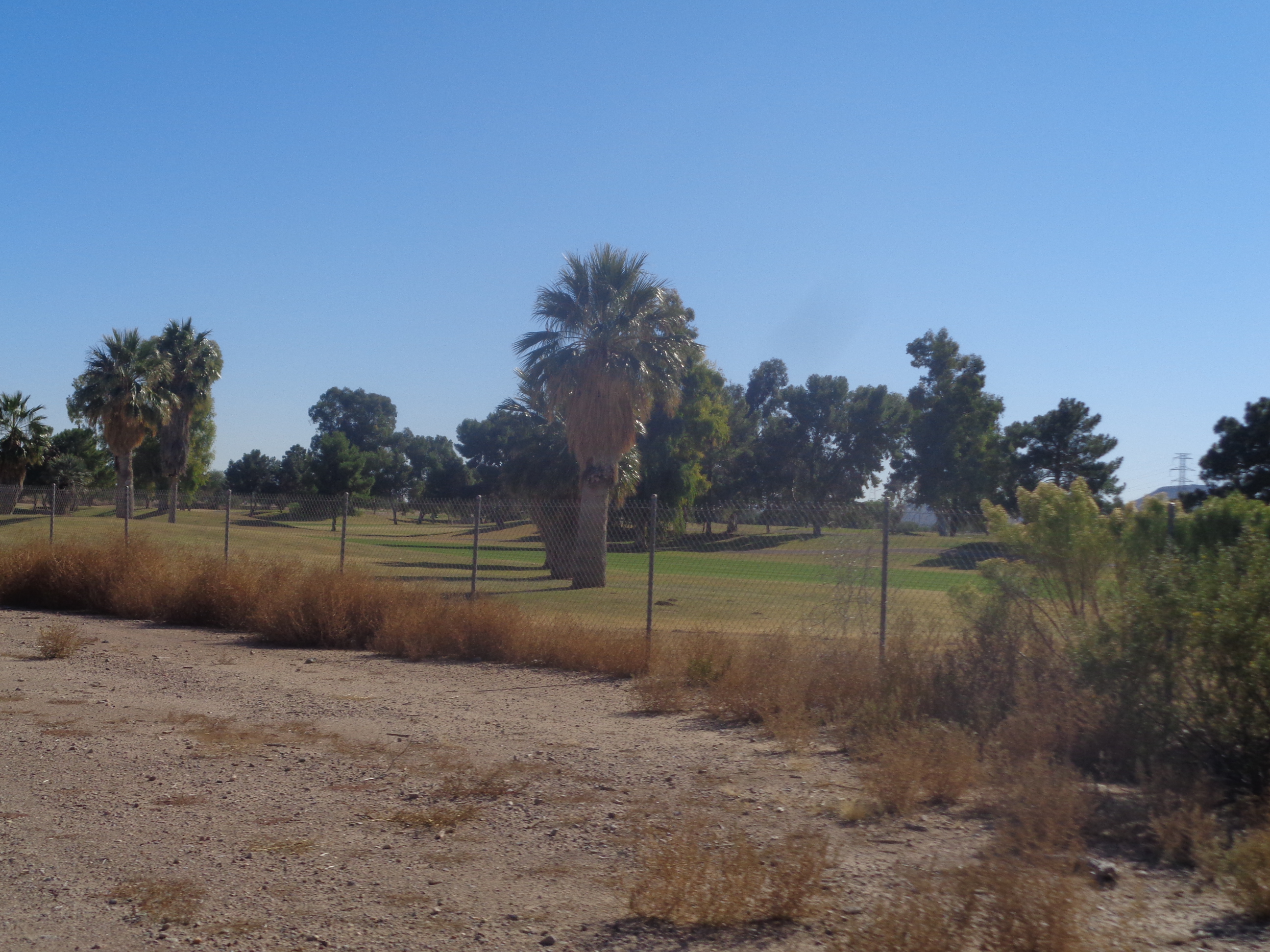
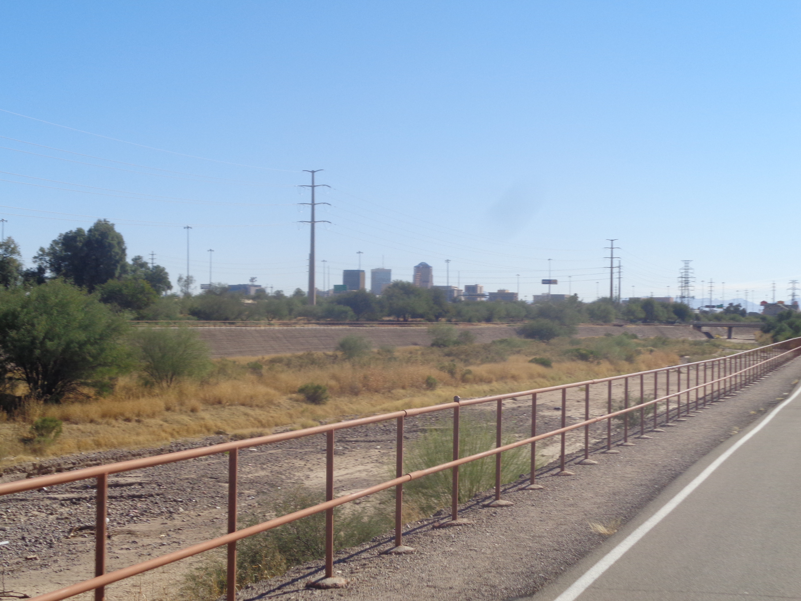
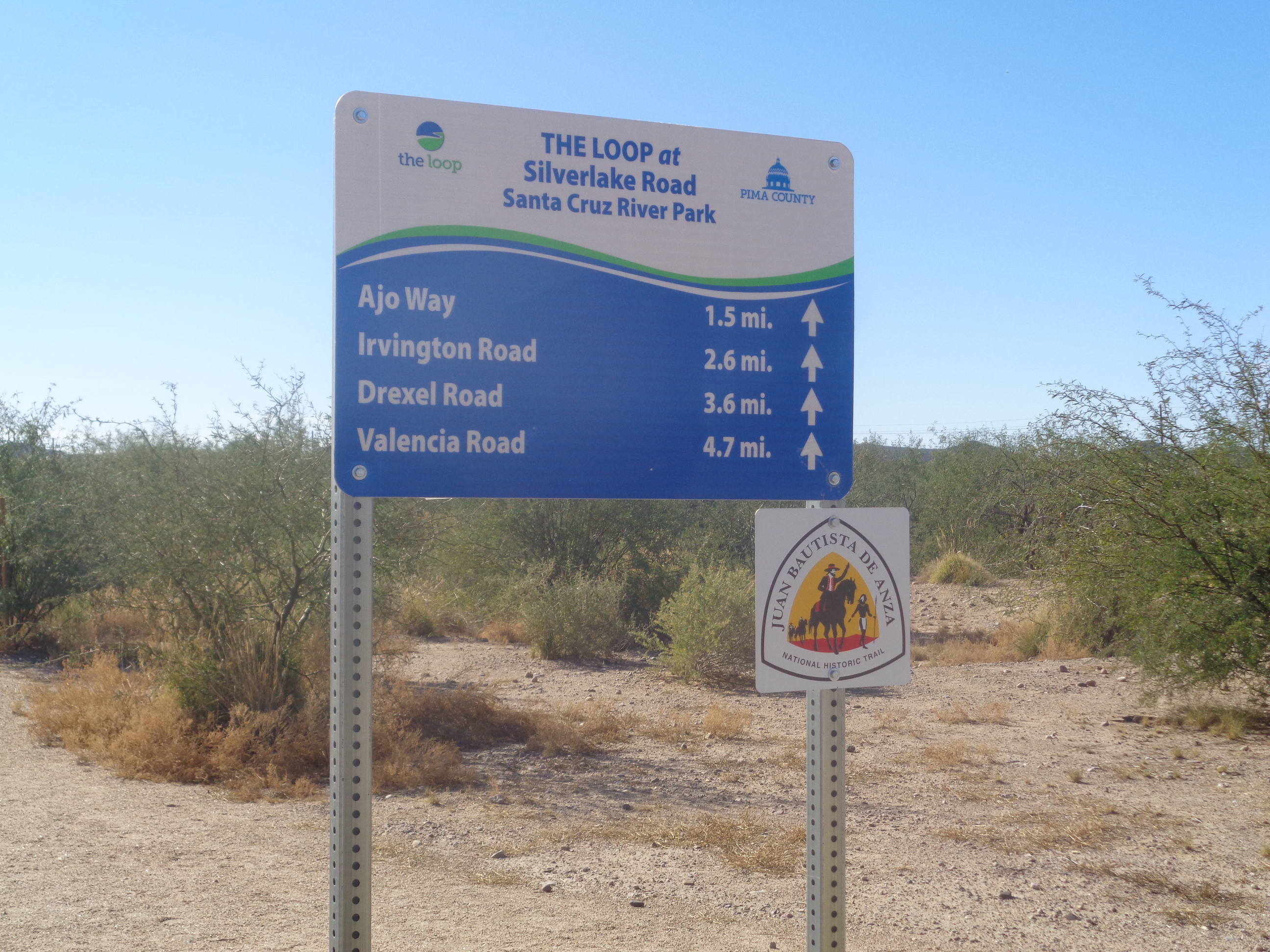
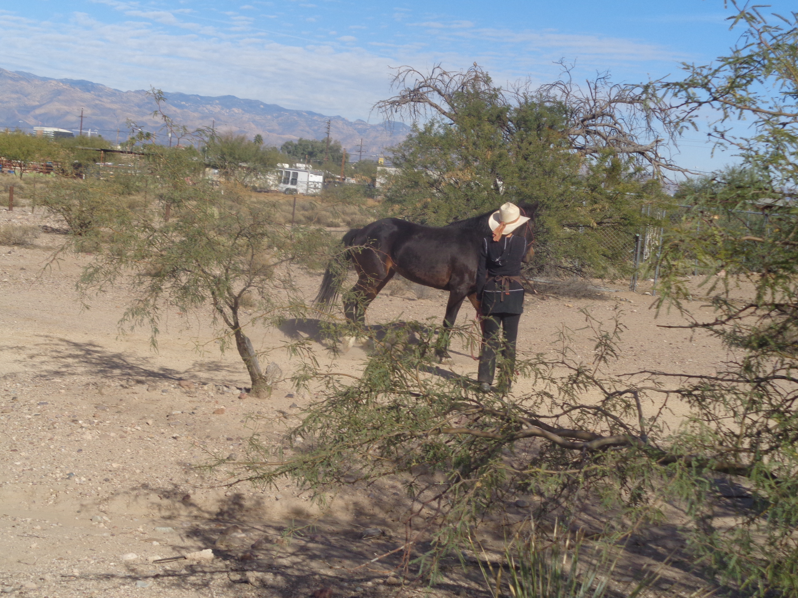
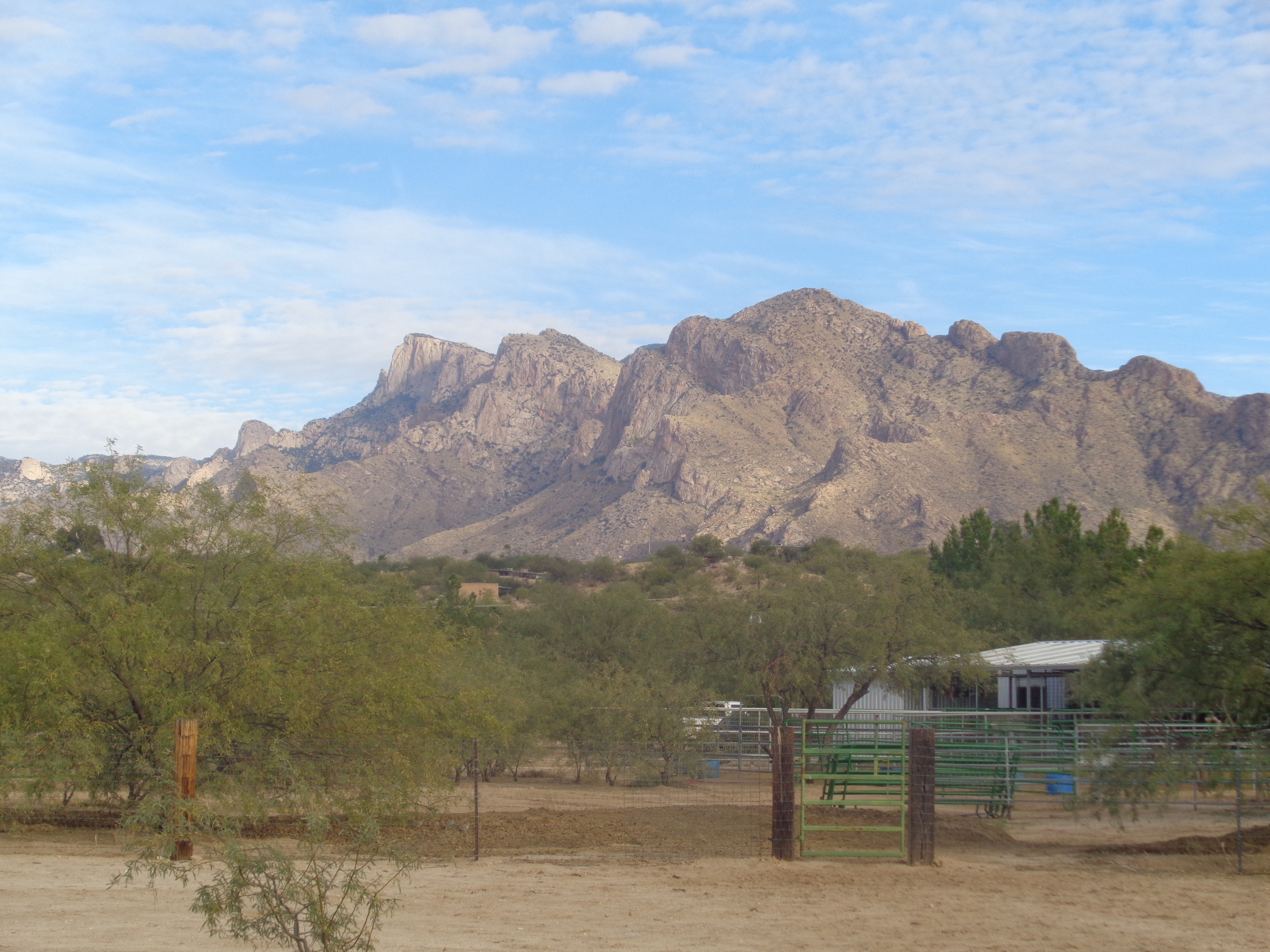
Nothing too difficult this weekend but lots to come. Meantime. a hike I'd done once before, the Baby Jesus trail out of Catalina. Because I've previously reported on this, I'll keep it short. Once again, the trail goes through the most magnificent stand of mature saguaros I've seen so far, especially the one on the left. I climbed a couple of boulders to look into a canyon and discovered this lone cactus growing from a crack. I wondered how large it could become given the humble beginning. The trail provides good views down the face of Pusch Ridge but deadends at a jeep track so I turned around and soon.... ....was over taken by 3 guys on horses. Finished with 6 miles and then on Saturday.... ....I led a couple of Tucson hiking friends who had not previously hiked Picketpost Mountain just west of..... ....Superior. Always great views. Looking across route 60 is the Superstition Wilderness and the many unique destinations there. Tough hike but only 4 miles, always worth it. When I reached the entrance to our home.... ....4 police vehicles had pulled someone over. Around here, it's kind of boring for the police so a speeder will bring this kind of response. On Sunday I..... ....hit "The Loop" bike path where there is this old container that houses kind of a neat bike shop. I also got on the.... ...northeast side of the path for the first time and had to stop to take a pic of this hawk. Wow, got within 10' of it and yet it stood there rather than fly. I thought about reaching to touch it but those tallens could probably do real damage if it did not appreciate my effort. I left it alone. Later I got off the path and went north on Campbell Road and then west on Sunrise Road, eventually finishing with 40 miles. There is a bike path that loops through and around the city of Tucson, called "The Loop". Spur paths lead to various other points, one of which passes about 100 yards from our place. I generally avoid bike paths because they are flat and boring and this one is no different except, rather than follow a retired rail bed, it follows canals. There are also enough dips and turns to make it a bit more interesting. Oh and it is wide, easily allowing two abreast going both ways. Today's goal, follow "The Loop" for the entirety of the loop, should be around 65 miles. I pass 3 golf courses within the first 10 miles. I approach the city of Tucson, for its size, one of the 4-5 poorest in the country. It has been incompetently managed for decades by both political parties. They embrace the slogan "The Old Pueblo" and manage to keep it that way. Surrounding cities are booming with plenty to do so I never visit Tucson. While Tucson's roads crumble, they have poured resources into "The Loop" and the pavement is flawless. The signage is good too. I knew ahead of time there were a couple of places where appropriate rights had not yet been acquired or land purchased so the path ends and you must navigate a few road turns. These places are in south Tucson so emerging from the cocoon of the path into this urban environment of pawn shops and tattoo parlors, I checked a map. It lacked the detail to provide the way ahead so I turned around and headed back. There are plenty of places where the path goes beneath roads but provides access to the road so frequent access to gas stations. My favorite out here is the brand "QT". Large, clean, friendly and a good supply of energy bars and drinks. Of course, there is the ubiquitous "Circle K" on every corner too. I saw this woman with a horse and paused to take a pic. She moved from Warren, OH. While the view of a dry canal on one side of the path and usually sparsely vegetated ground on the other side is not so appealing, there are always one of the multiple mountain ranges to distract. Finished with 54 miles and almost exactly 1000' of climbing. I did say it was flat. |
Categories
All
Archives
November 2023
|
