|
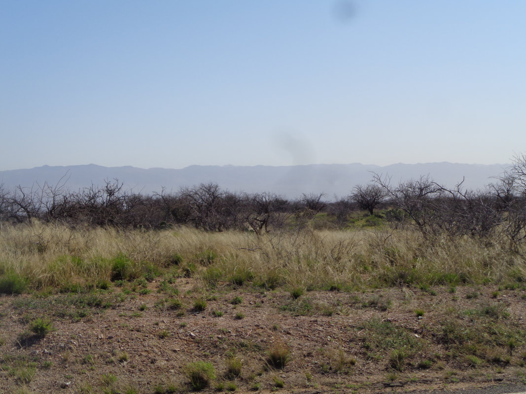
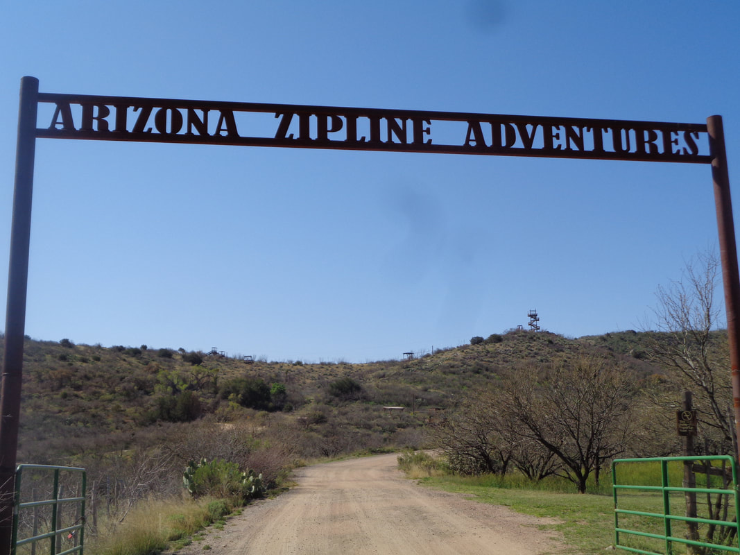
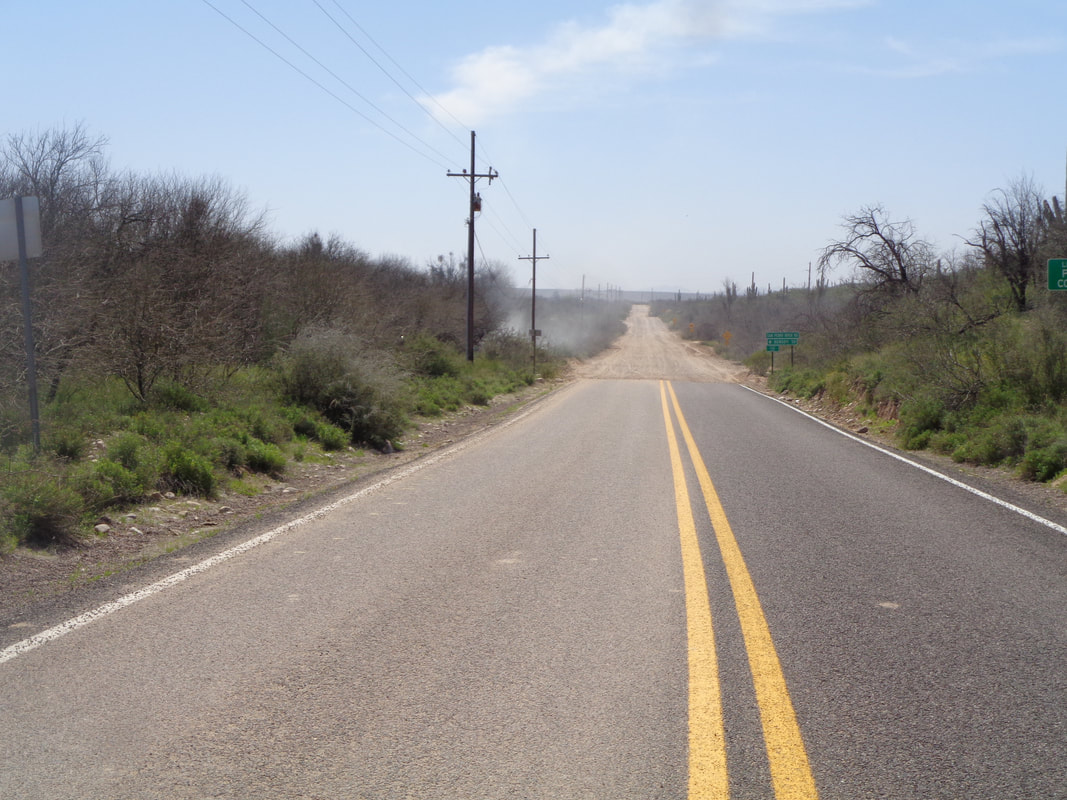
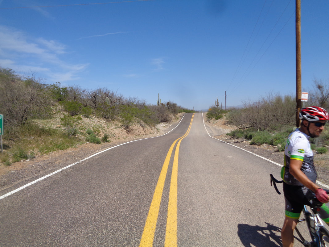
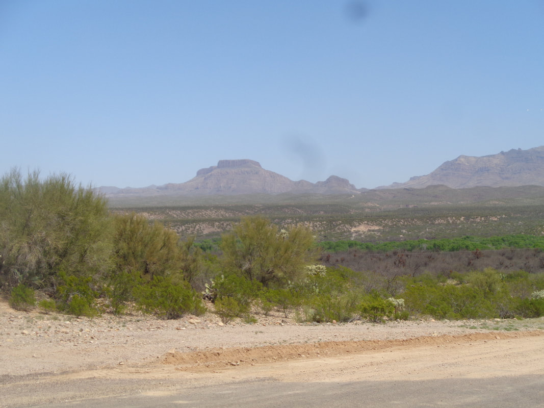
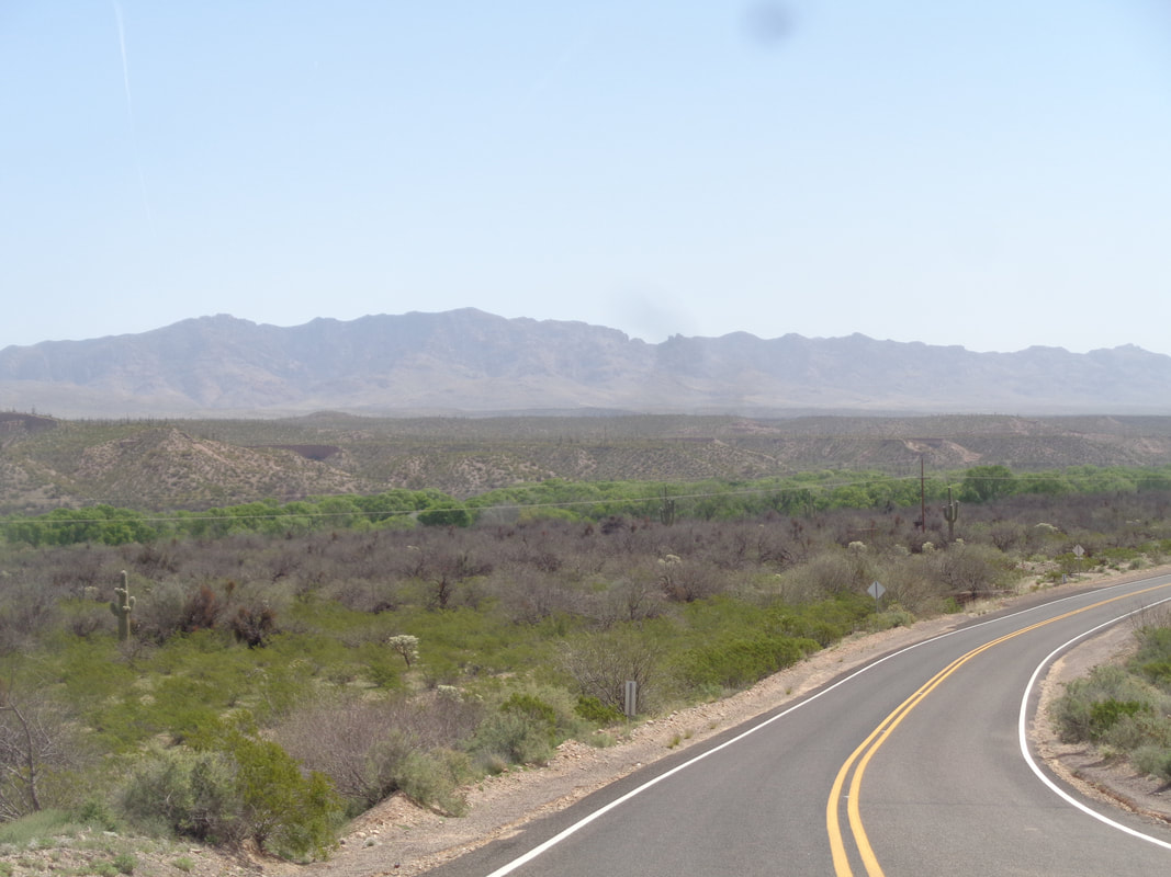
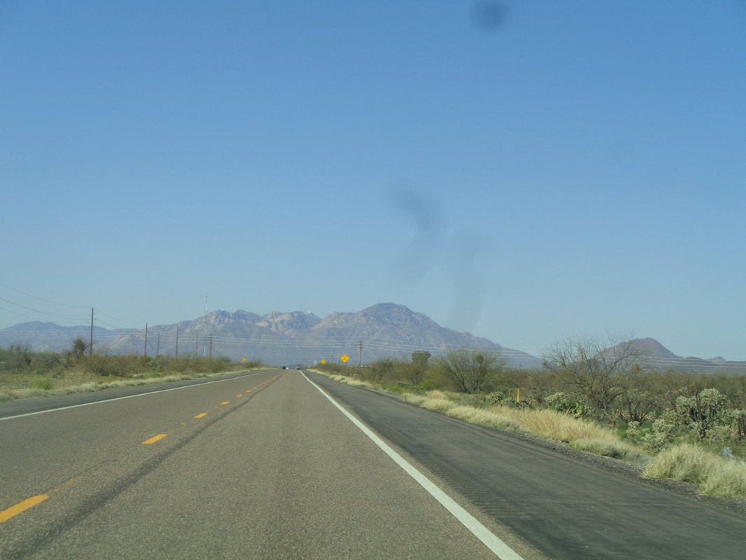
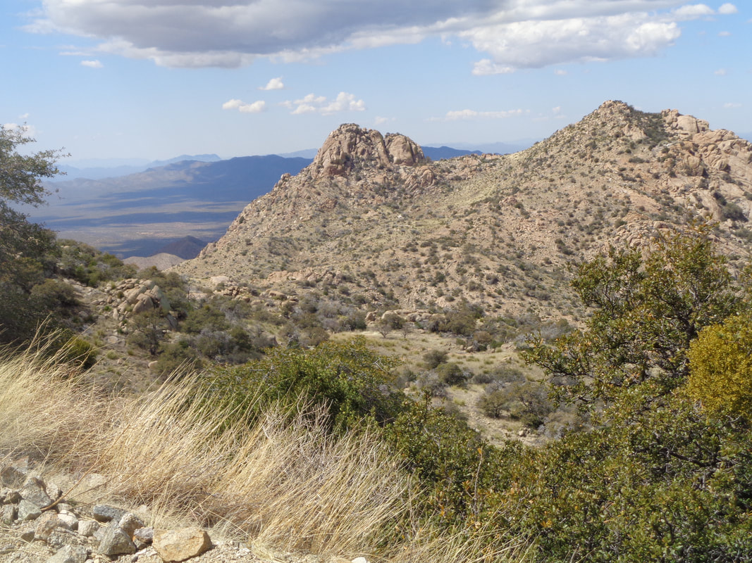
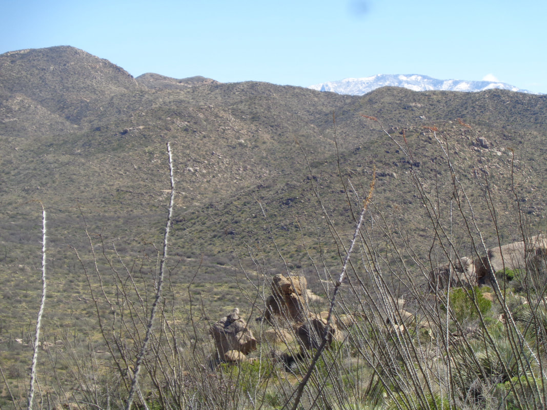
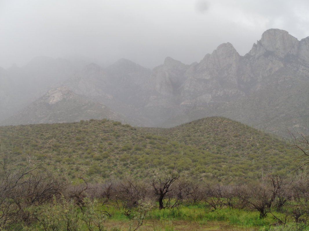
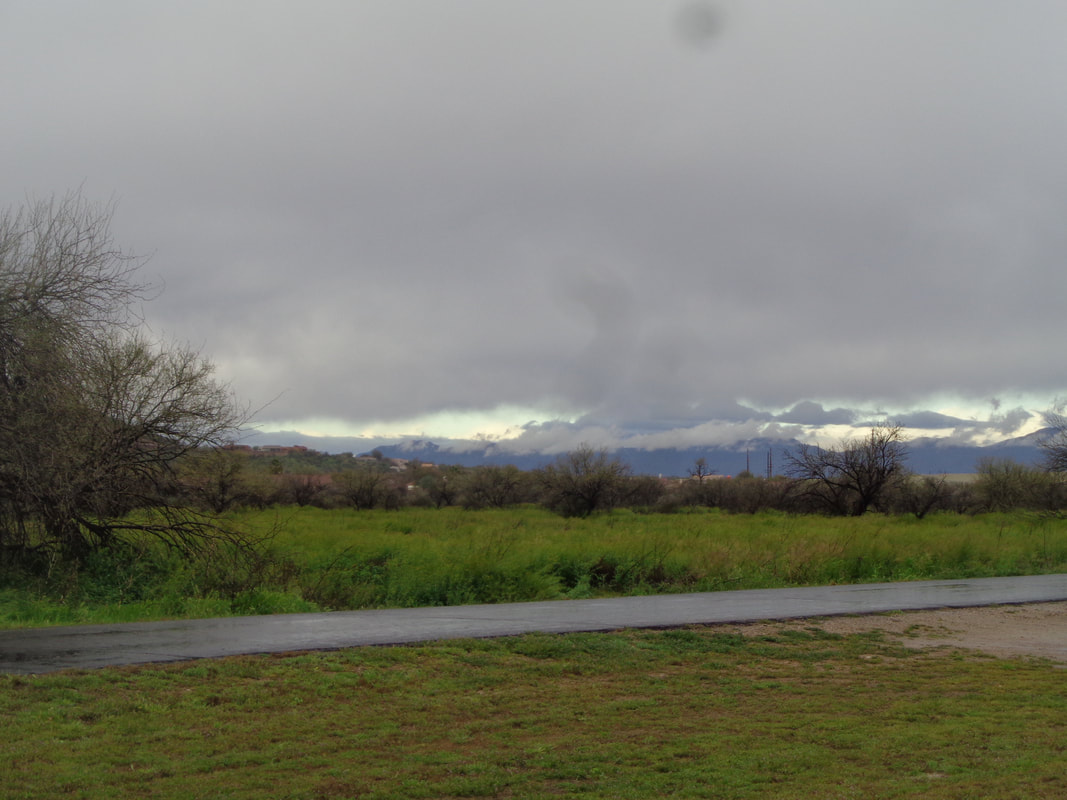
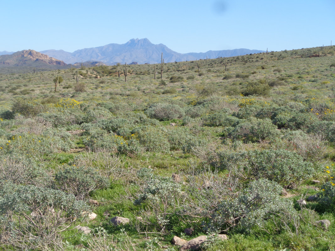
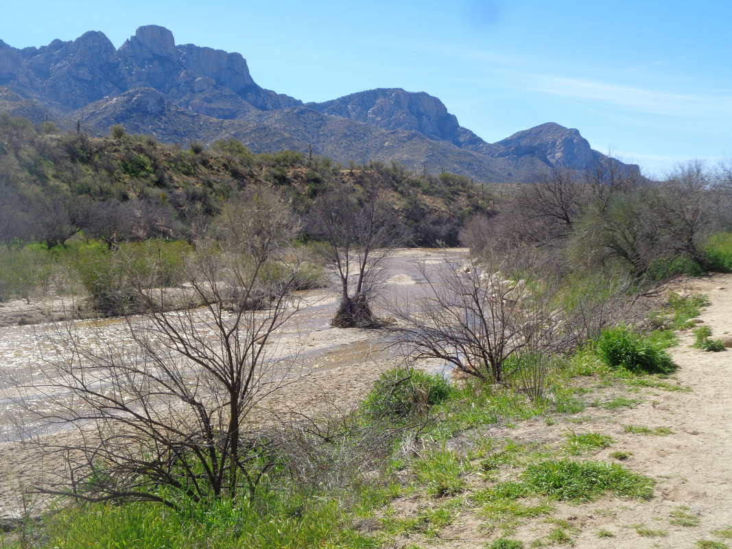
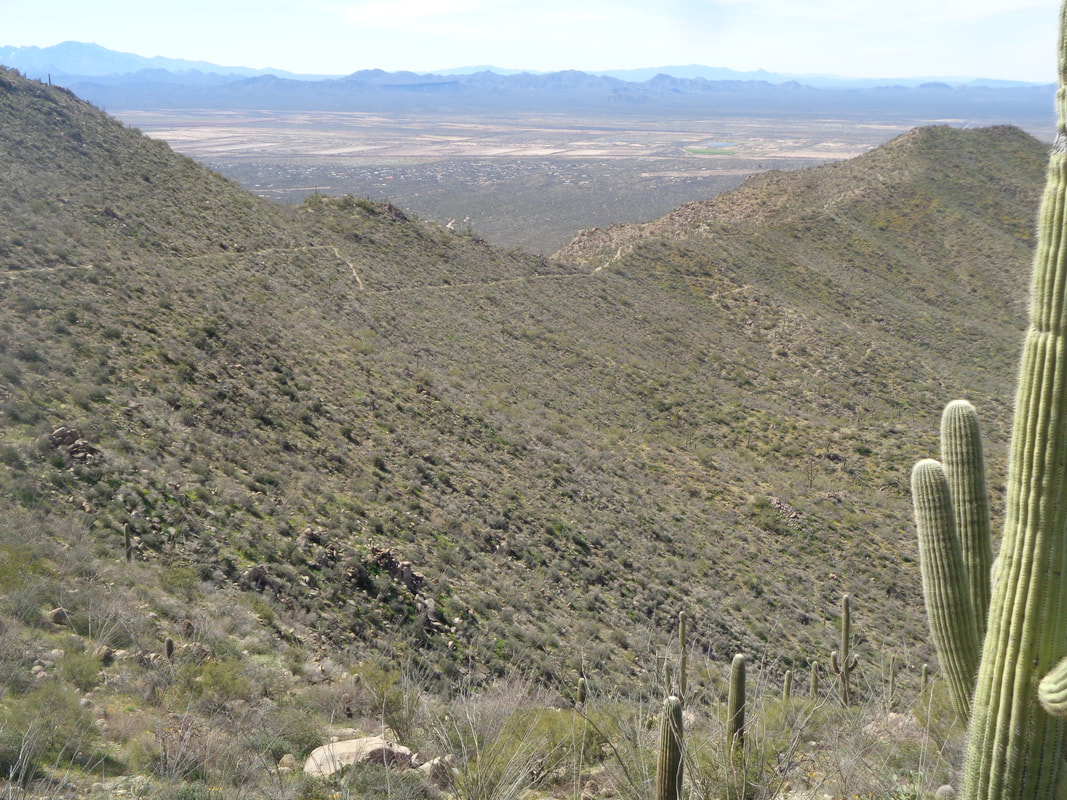
The Galiuro Mountains in the distance, still grey as the sun has not risen enough to expose the beautiful colors. This morning I drove 25 miles north to the small town of Oracle and park at..... …..AZ Zipline Adventure. Not been here before but what a neat place with a restaurant that I hear is very good. I joined a small group to ride the U of A's Oracle Road Race route, an event they hosted in early February. We depart, rolling for a couple of miles then plunging 6 miles to the town of San Manuel via Webb Road. Been to San Manuel a few times but never ventured farther on Redington Road which cuts through the town while paralleling the San Pedro River. I always thought the road turned to dirt a mile or two distant but..... ….gosh was I wrong. After 4 miles of flat riding, we descend another 3 miles and then keep rolling until at mile 23, we finally do reach the end of the pavement. Later, I looked on a map and saw there are other, small communities such as Redington, Cascabel and the road cuts over the mountains and drops into the east end of Tucson. Our group of 9 regroup and then, with the wind at our back, enjoy the return to the base of the first climb where I stop and..... ….of course snap a few images. Although not shown here, an abundance of different wild flowers are in bloom, one of the best displays ever. The belt of green running through the middle of the image shows where the San Pedro River is flowing. I also should note the pavement is superb. Reaching San Manuel, part of the group continues on Redington Road out to #79, an extra 10 mile round trip segment but some of us declined that option and headed up the 6 mile Webb Road climb....ugh. Finished with 45 miles and 2450' of climbing. Another beautiful day.
0 Comments
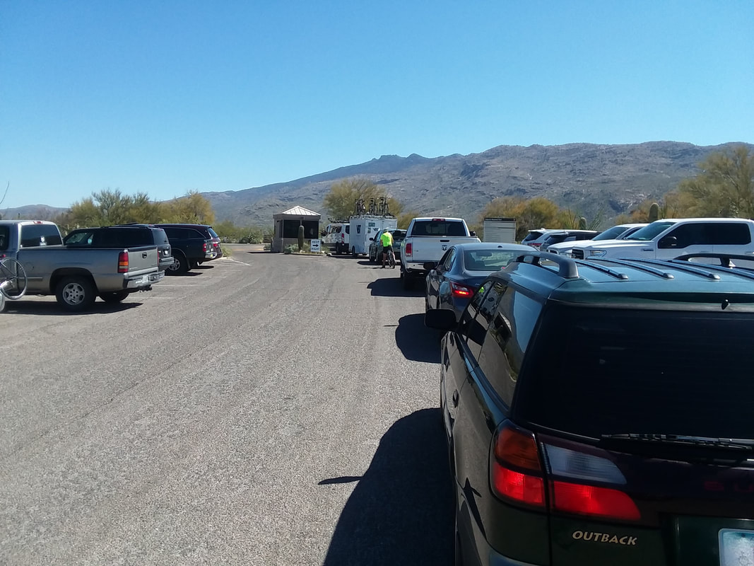
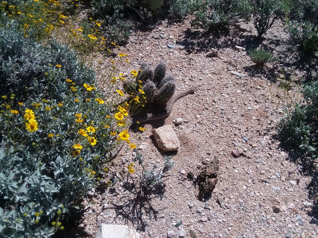
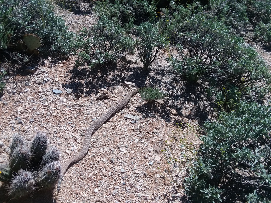
Whoa, long line of vehicles going into Saguaro East National Park. The 8 mile loop is a great workout with a lot of climbing. Emerging from the park, I saw a cyclist standing in the middle of the driveway, holding up traffic. Arriving alongside of him, I saw a rattlesnake disappear in the brush. The cyclist had held traffic so the snake could cross the road. Naturally, I leapt off my bike and carefully...... ….entered the Sonoran desert while keeping the snake to my 10 o'clock so it would continue slithering toward an open space and above it emerges. A good size one too! OK, time to get back on the road and out of its habitat.
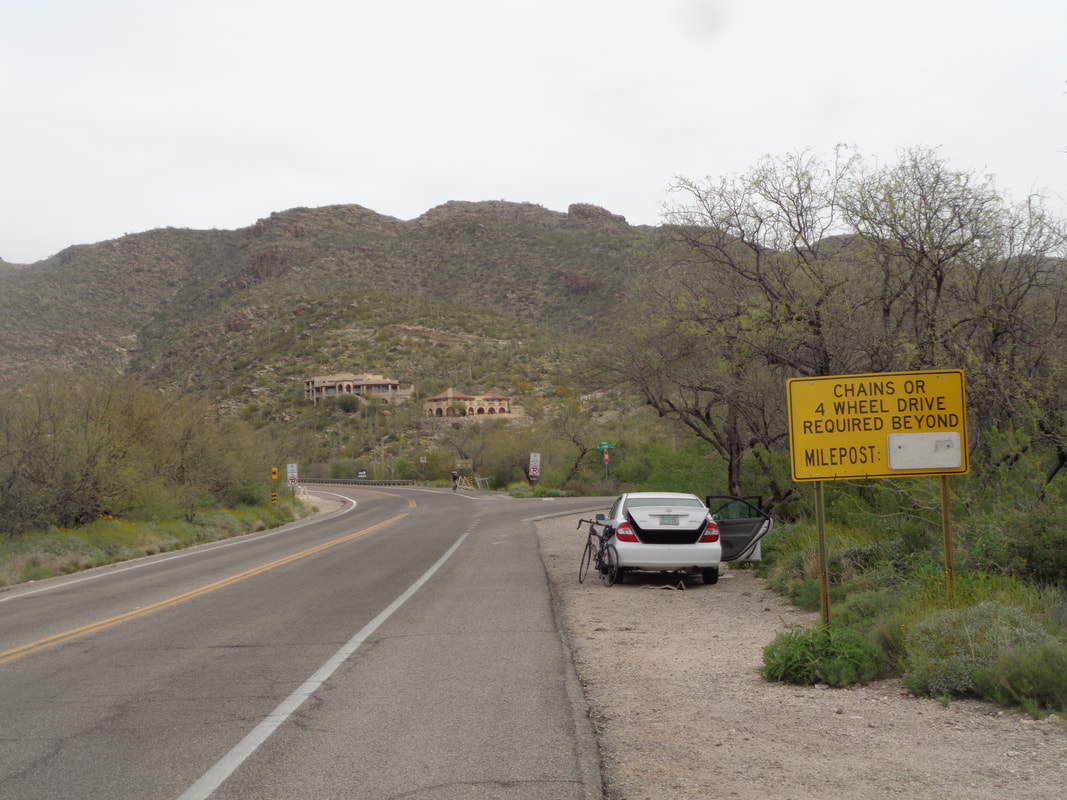
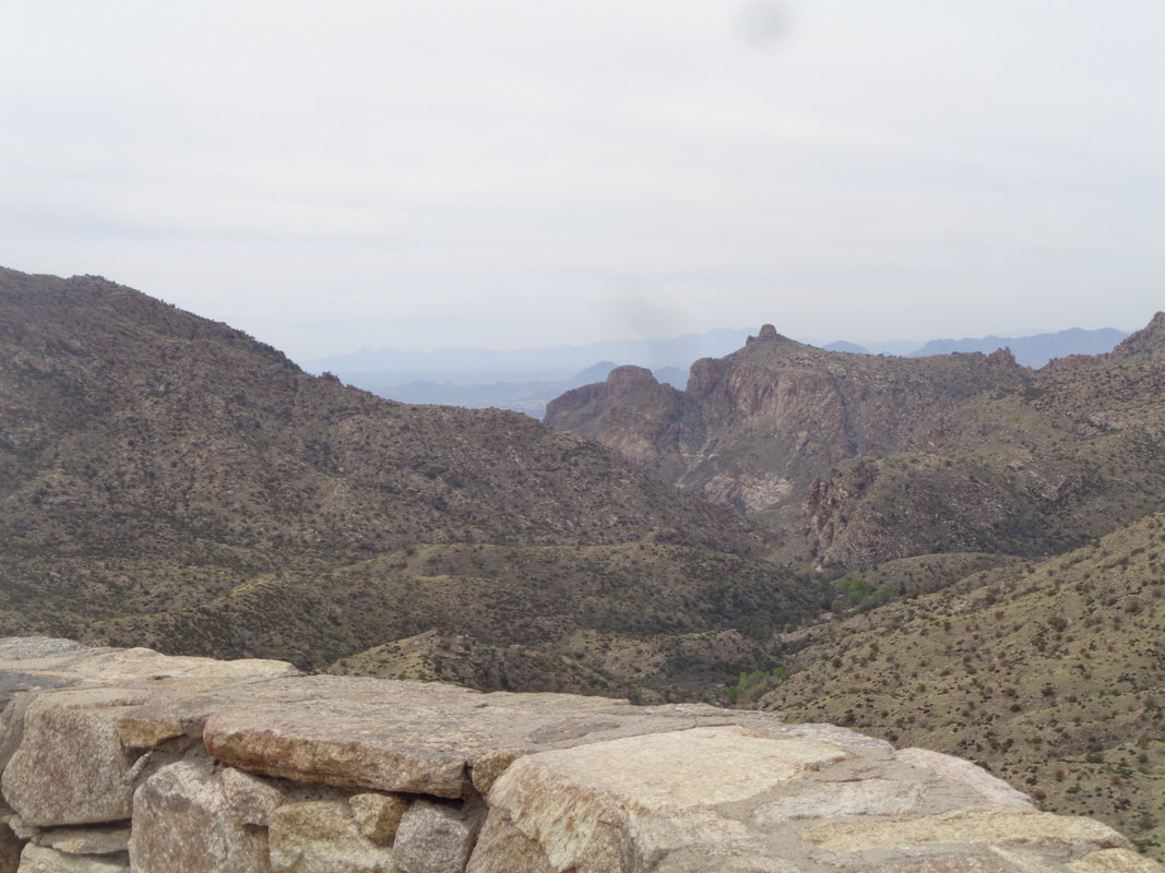
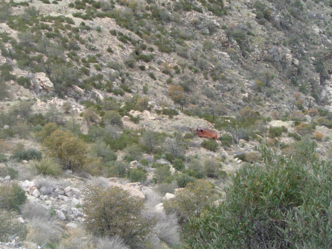
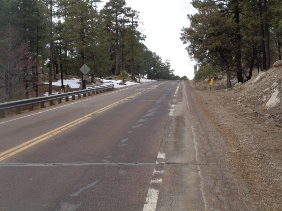
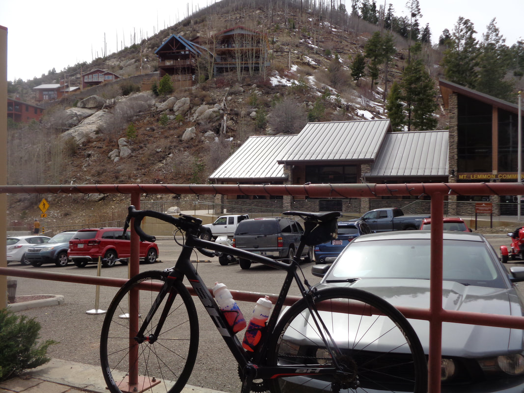
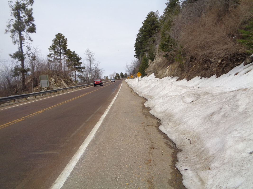
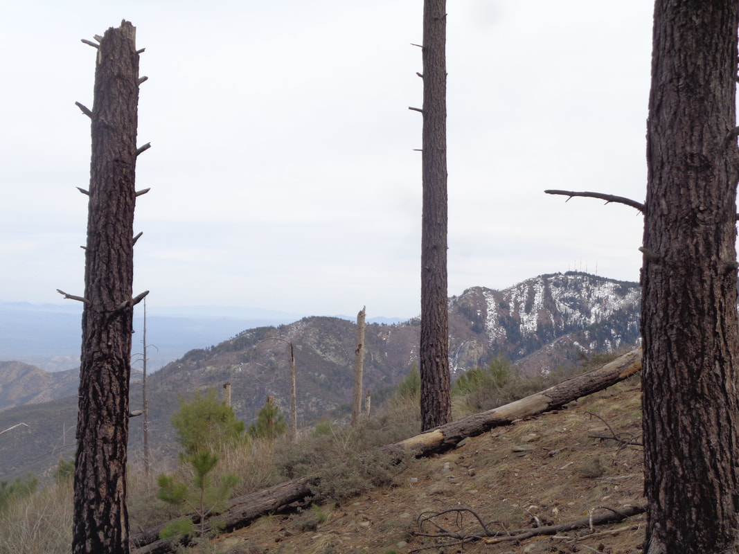
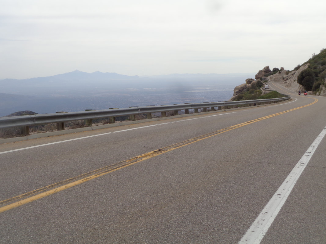
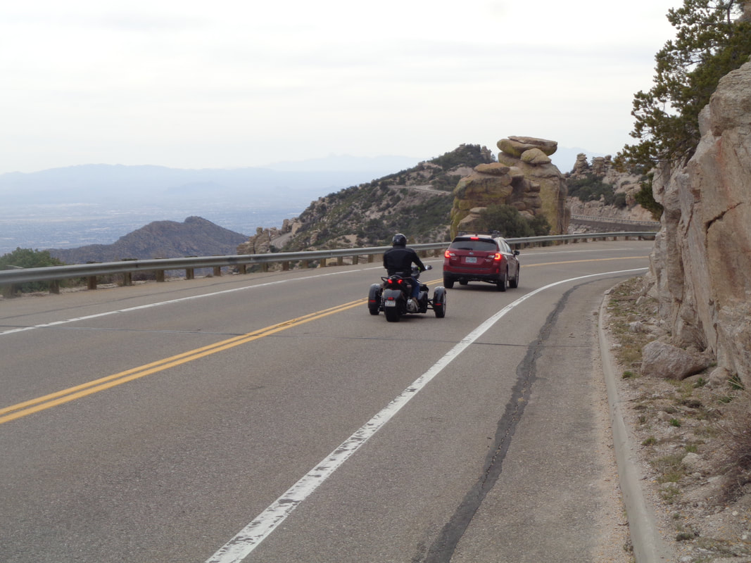
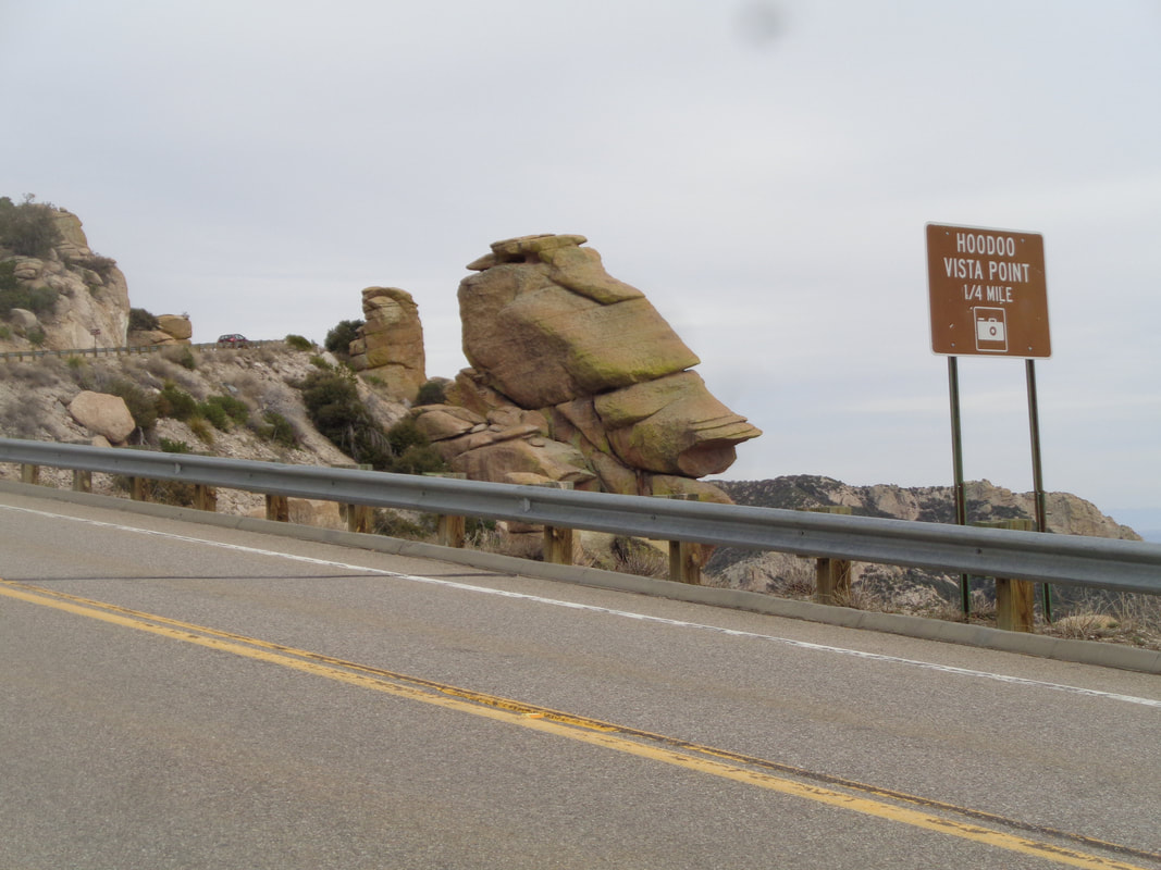
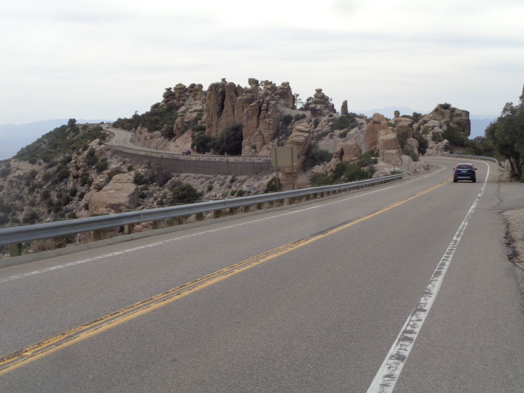
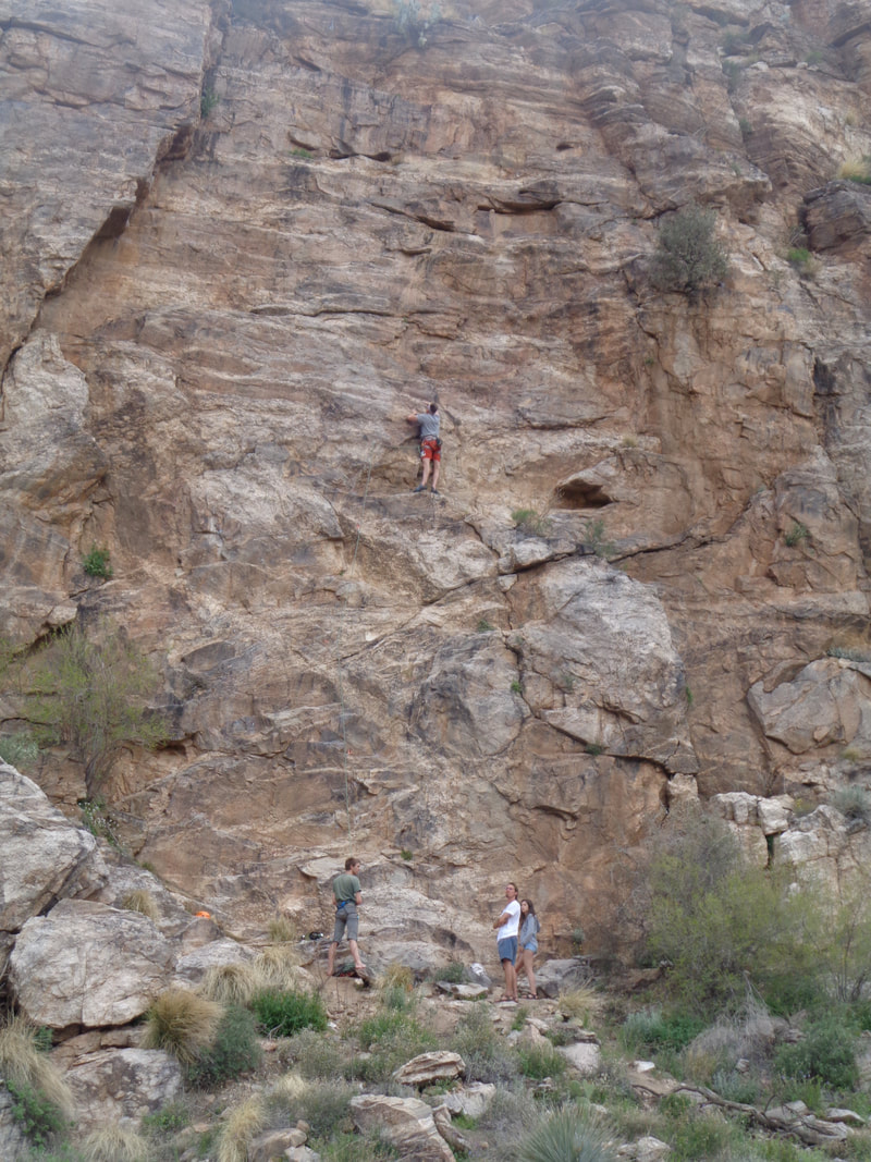
I'm about 3 weeks behind schedule because of unusual weather but after the climb of Kitt Peak last week and today's forecast high of 83 in the valley and 60 up top, I made my first foray of Mount Lemmon. I reached 7 Cataracts at mile 9 and checked out the..... ….rusted hulk of a van that had tumbled into a ravine a long time ago. The ravines are still running strong from the snow melt. I stopped again at Windy Point Vista at mile 14 and had a long talk with a cyclist from Phoenix as well as being approached by the usual curious tourists who can't believe anyone rides their bike up the mountain. Such a relief. At mile 21, just above the Palisades gift shop, the road finally and mercifully bends down. Of course there is that 2 mile descent and then a 1 mile ascent before rounding a curve and dropping into..... …..Summerhaven where I stop at the Sawmill Restaurant for a salad. I had carried a 3rd water bottle but still surprised I had so much left in the remaining two. Across the road is the community center and newly built homes on the hillside which had been wiped out during the 2003 Aspen Fire. I had a ping pong event at the Culinary Dropout (more on that below) beginning at 5pm so I elected not to make a left and ride up to Ski Valley. North facing slopes still retain some snow, here at about 8000" elevation. Evidence of the fire is still visible and yet it also allows for sweeping views that otherwise would be hidden. I descend the 1 mile and struggle through the 2 mile ascent and then a wonderful, 21 mile descent that is not technical and one can simply..... …..enjoy the views which are dampened by overcast skies. This being a Wednesday, traffic is fairly light. One of my favorite sections that includes..... ….this iconic rock hoodoo and its unusual shape. In the distance is a very slight uphill, just about the only one on the descent and it is welcome to stretch the muscles briefly. Toward the bottom I encounter.... ….some serious rock climbing. Yikes, it is getting late so I resume the descent and arrive at my car at 4:30pm. Have to be at the restaurant for ping pong at 5pm but no time to go home and change. I take clothes into a nearby McDonalds and take a quick cat bath at a sink, change and drive to the Grant Avenue location. Had a fun time but always aware I probably smelled like 10 day old road kill. Finished the ride with 59 miles, 6400' of climbing and a ascent time very distant from the record ascent of 1:21:)
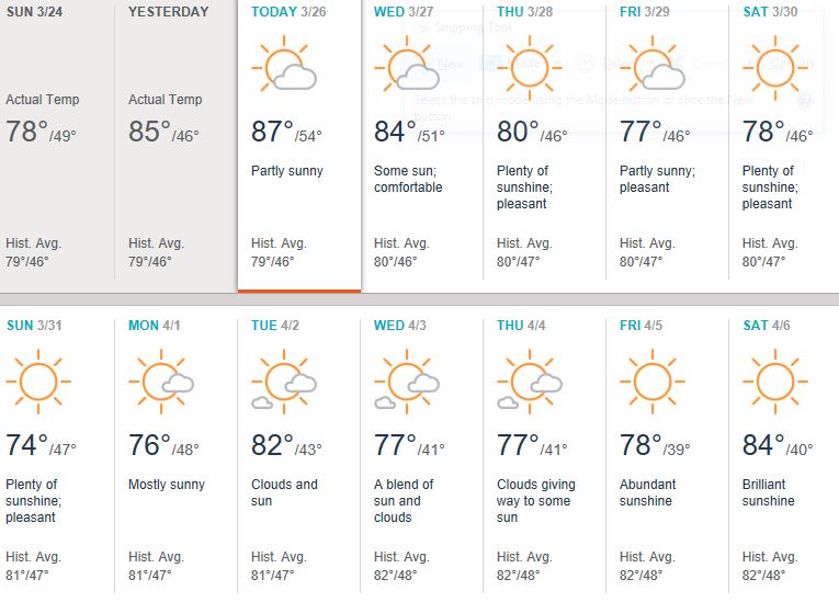
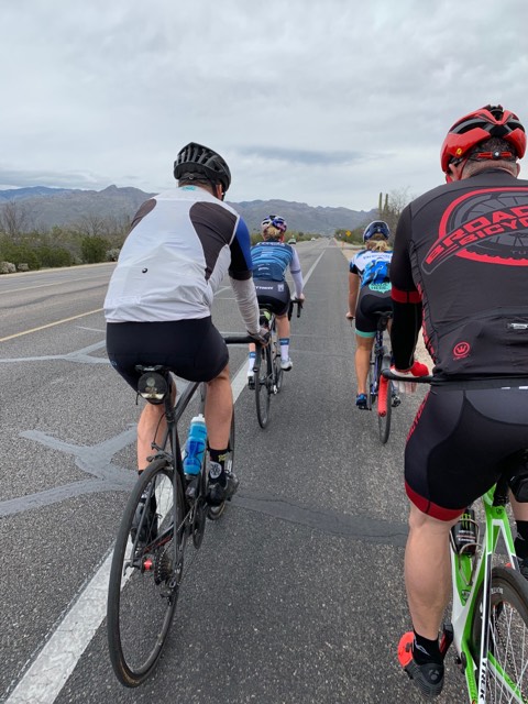
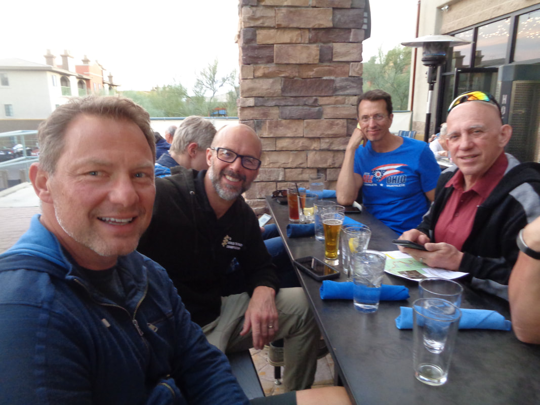
A gaggle of central Ohio's finest, arrive here on Friday for a week of riding in the sun and heat. Looking at the forecast, it looks pretty good as..... ...….Kyle Z, Travis I, Aaron C, Andrew B, Peter P and none other than Scott Billman will ride over hill and dale and mountains. I was invited to attend the launch of their first ride, this Friday afternoon. Even at the height of my great powers I could not hang with this group but I owe it to my readers to get a few pics, ride with the group until I am spit out the back and take an image of them disappearing in the distance. Oh, Pascale Lercangee was out here last week for a PACTour event and I think I read a total of 50 other cyclists were on the same tour. OK, rest day today and up the mountain tomorrow. My highlight of the day is a visit to Dick's to buy ping pong balls.
I rode 51 miles on Saturday and jumped in for a group ride of 36 miles on Sunday. We paused at a gas station and I bought a Payday on this Sunday. All the unusual but welcome weather (rain) has vacated the area and a return of the norm has cyclists pouring from their sheltering in place, places. It's rare to ride any distance and not see other cyclists on the road. Mount Lemmon is clogged with them and given Wednesday's forecast of southwest winds (helpful) and temp at the bottom and top (85 & 60), that is where I will be. Although this is on the Cycling Club's Facebook page, not all of central Ohio cyclists visit FB so below is what I received as a summary:
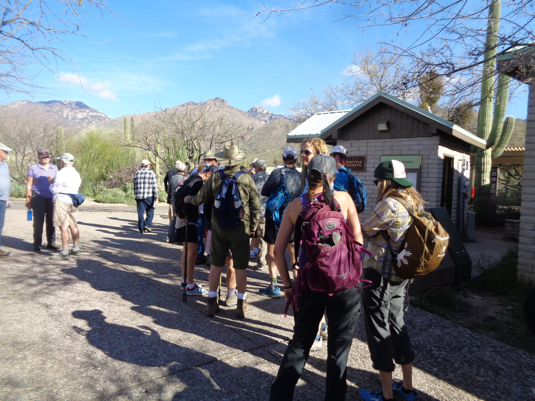
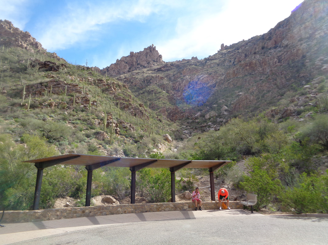
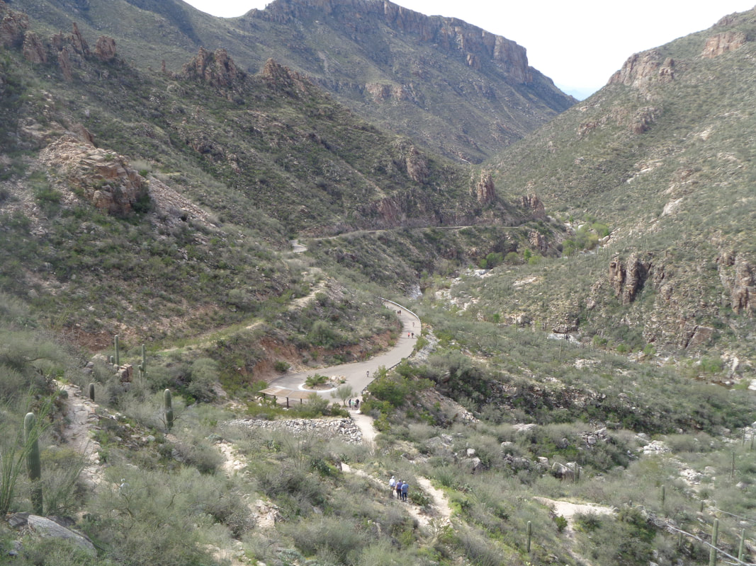
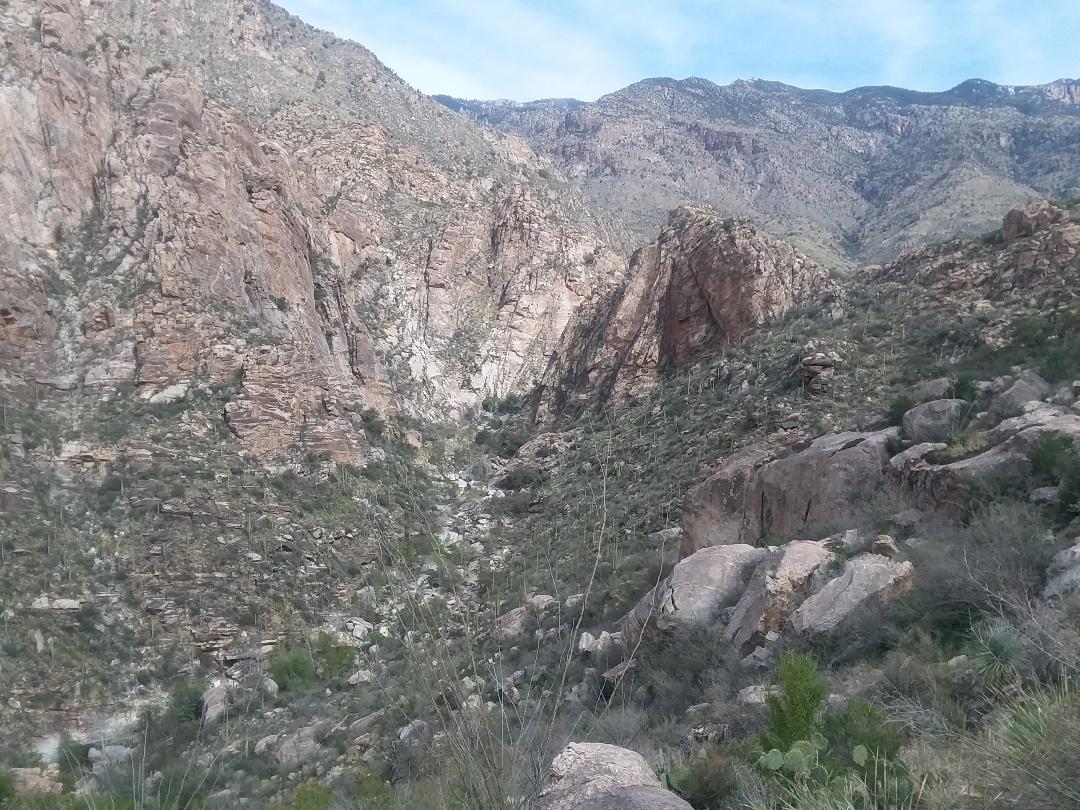
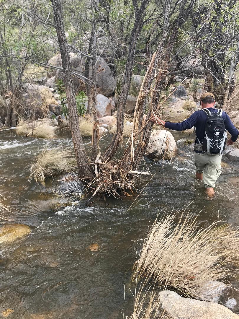
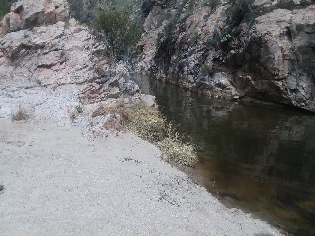
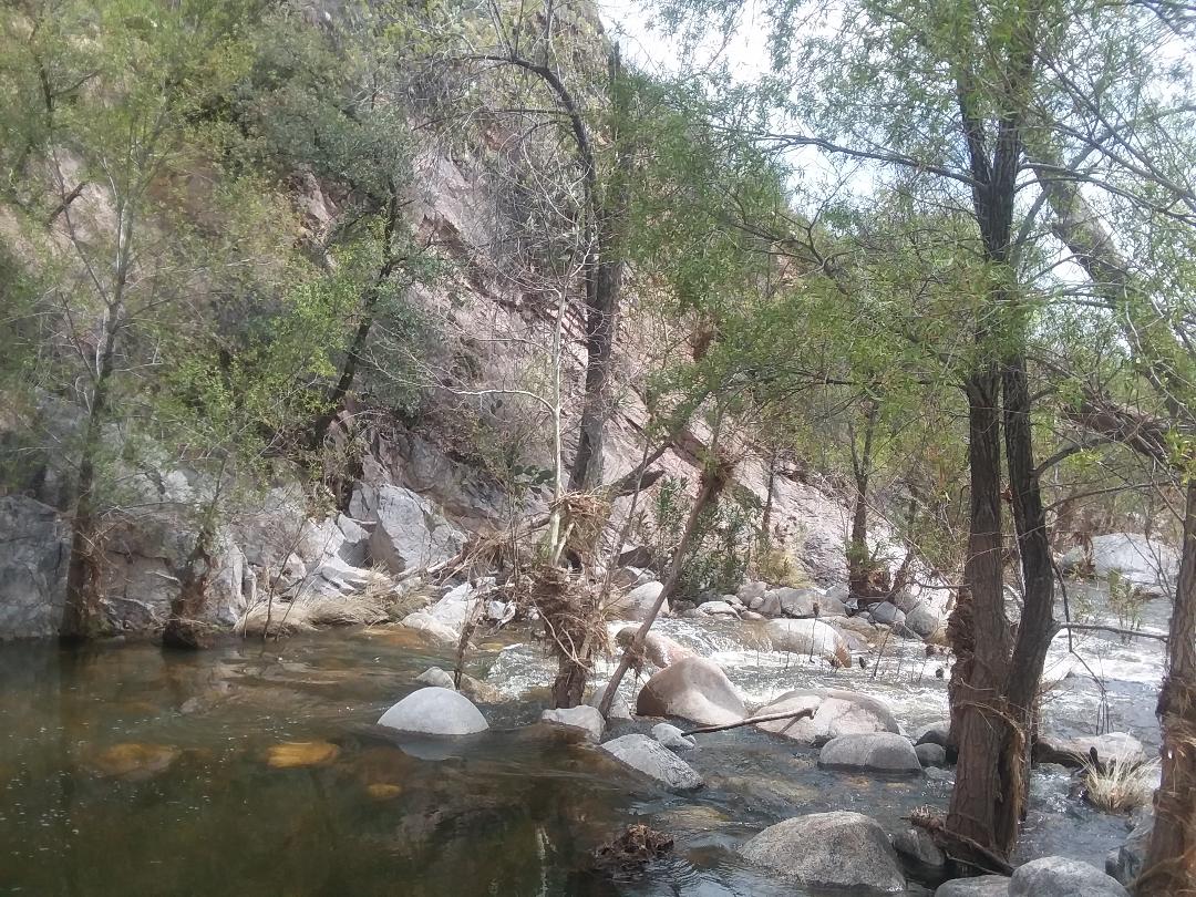
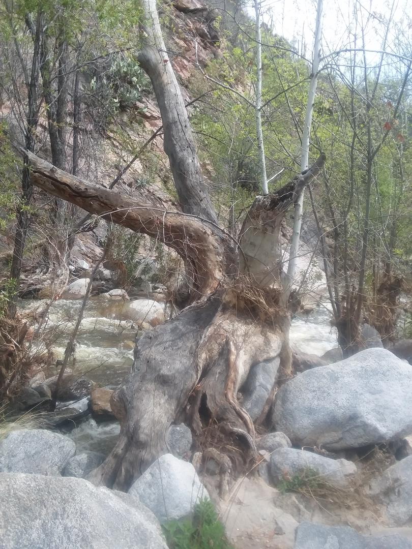
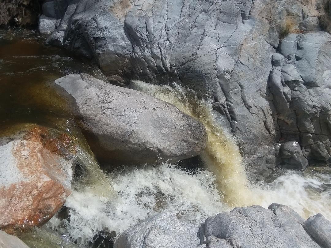
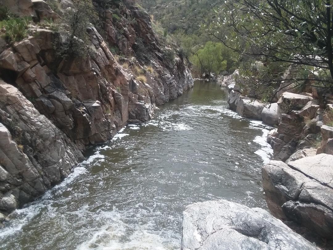
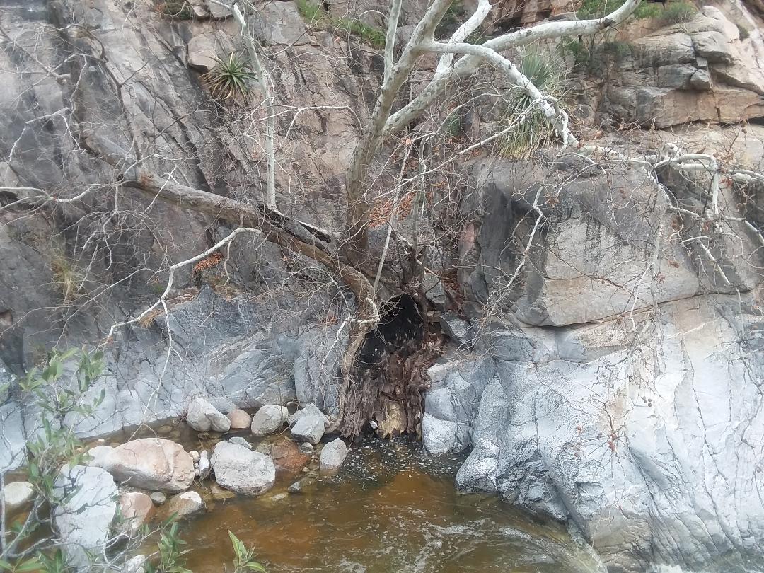
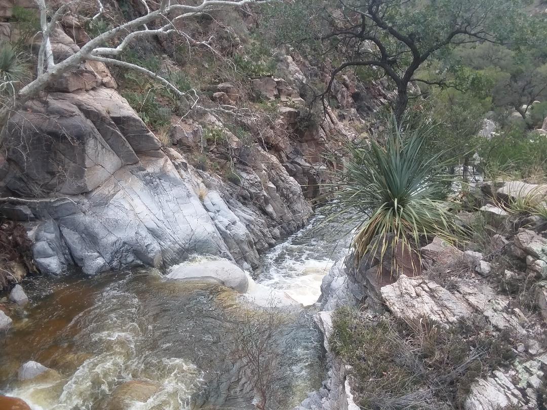
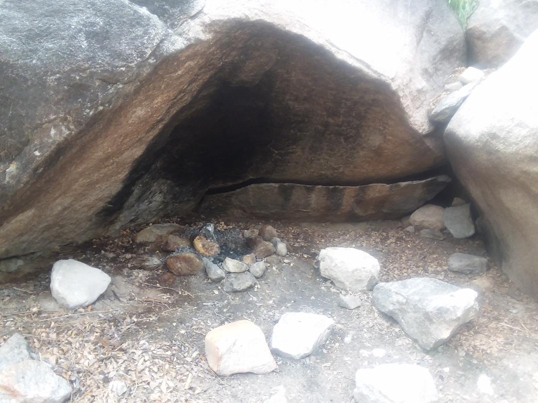
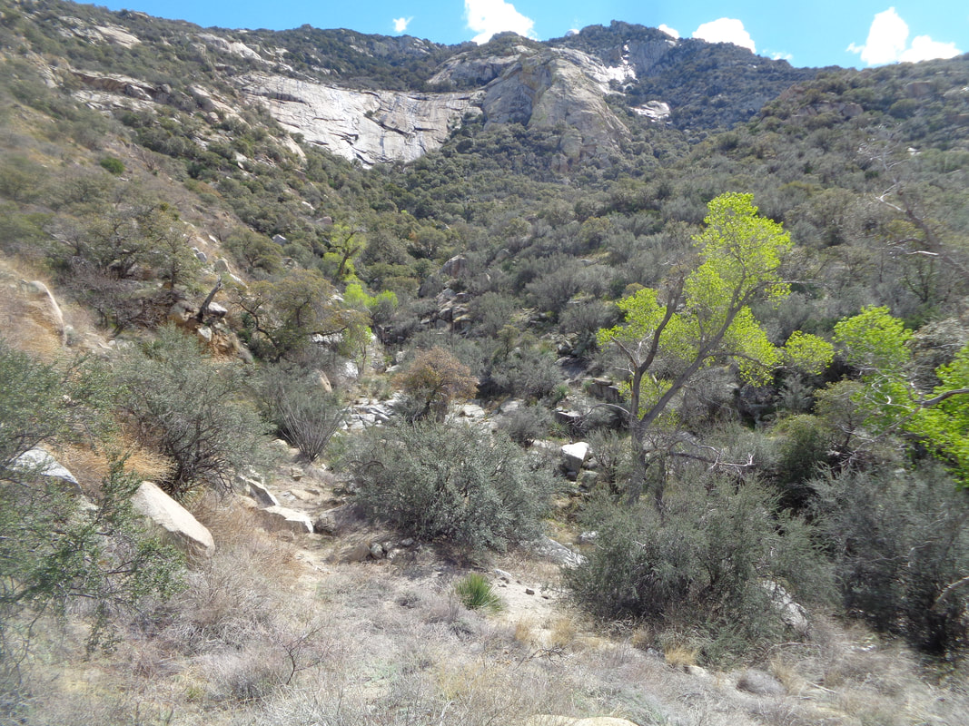
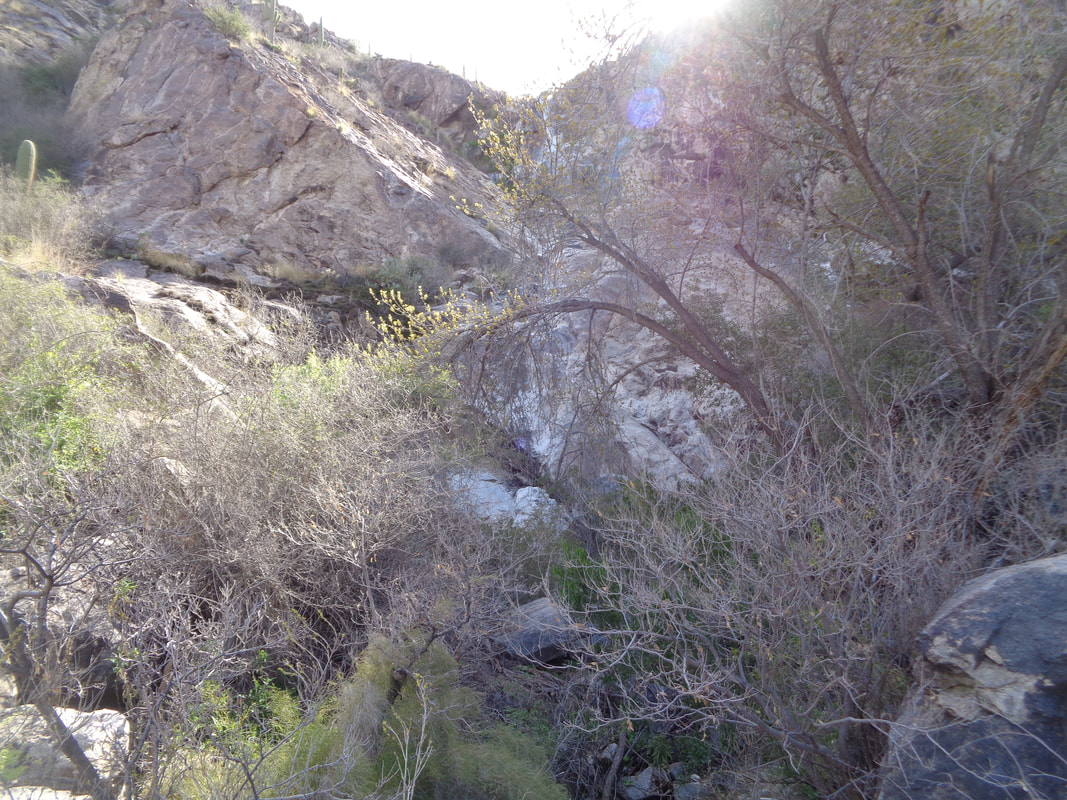
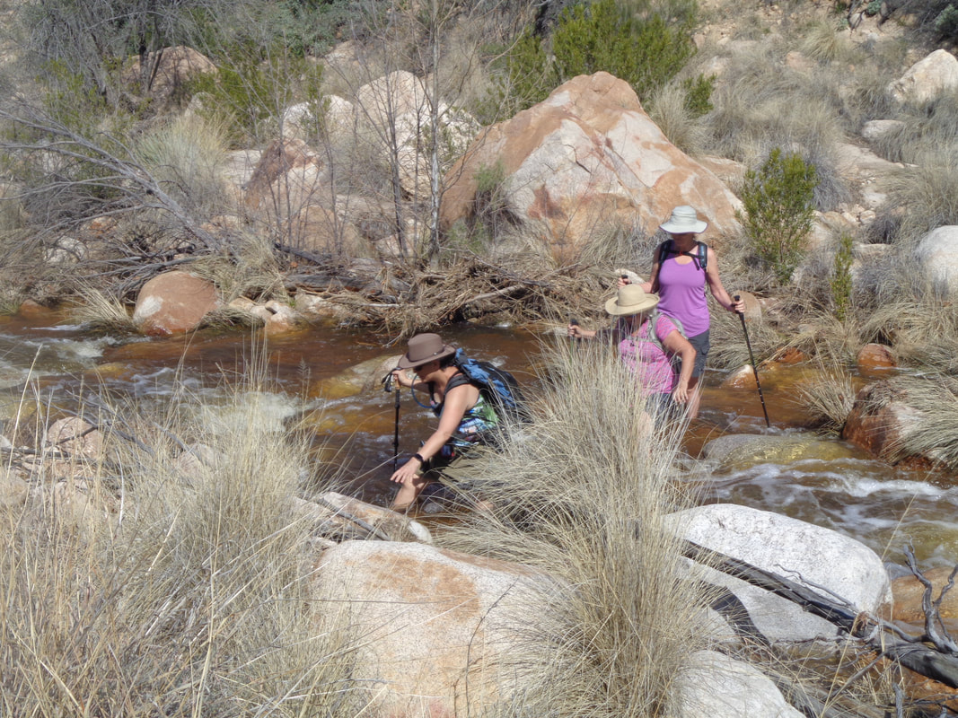
From the Man on the Beat, Gus Cook, comes this summary of the Cycling Club's Annual Meeting: We had a pretty good turn out given that so many of the cool kids were out of town. Probably 30ish at peak crowd. Don Novel took the reins and did a nice job presenting agenda items as 12-14 pitchers of beer and 8 large pizzas were being devoured by the peloton. Rick Miller pulled up the website on a big screen and walked everyone through the voluntary fee membership page, Tuesday and Thursday route pages, Mark’s Cycling Blog link, etc.. updates and new background pictures still pending, but everything functional. Focus of club was Emphasized - “its about the rides”; safety; recruitment of new riders (new blood, young, old, energetic); volunteering to lead slower riders (posting Thursday C group “training” rides with leaders)- having club vests or “penny” clearly identifying each group ride leader (provided by Club); club kit options forthcoming due to obvious interest; financial report by Fritz- “state of club is healthy and flush for foreseeable period”; and much more. Important item: Discussed moving ride start location due to construction, parking challenges, safety. Possible locations being evaluated next week before regular season schedule kicks off. Potential locations: church off 161 where temp. Started a couple years ago; lot across street from old Plate Restaurant building (corner of 161/high), lot adjacent to chamber of commerce. It is a long story but the long running trams were taken out of service at Sabino Canyon about a year ago. Last week, temporary buses were added while new, electric, open air trams are still a few weeks from being operational. The buses run every 30 minutes and the demand for the limited seating (about 24 per bus) is high. A hiking buddy and I arrived at 8:45am to get on the 9am bus. Not a chance. We were lucky to get the last tickets for the 9:30am bus. The bus travels the 4 miles to the trailhead in about 25 minutes where we hop out to begin the hike to Hutch's Pool, a spectacular spot in the backcountry of the Santa Catalina Mountains. There is an initial, moderately steep climb out of the canyon, about .8 mile while gaining 500'. The switchbacking rewards...... …..us with fine views down canyon and once we reach the top are rewarded...... ….with the sight and sound of roaring water as it thunders beneath us. We come to the first of two significant water crossings, remove socks and shoes and wade through knee deep water which is flowing at a good clip. The surface was rocky, edgy and the water, really cold! Thereafter, we kept our shoes and socks on as the surface was too uncomfortable for bare feet. I need to invest in a pair of sandals for this type of activity. Above, I am wading through the 2nd crossing. I was wearing long pants which had to be rolled up so they too did not get soaked. The water is kind of swift but not so much that one would get swept away by the force of it. However, it is easy to imagine someone losing their balance and then the force of the water could topple you. A complete body soaking would ensue and who knows what body part would impact a boulder. After the 2nd significant water crossing (there are others but hoppable on rocks) the West Fork Trail continues on to Cathedral Rock but I watch for a faint trail to the right, take it and find the famous beach that borders Hutch's Pool. Debris is obvious to show how high the water ran following the system that deposited the 42" of snow on Mount Lemmon and soaked the surrounding area with rain. Debris could be seen 10' higher than where we stood. Trees, long tortured by nature, have somehow survived but note the twisted roots and trunk. We walk parallel with the river a short distance to reach..... …..where the water rushes through a cleft to keep the pool full. The force of the water and sound of it is awesome. Looking down stream..... ….a great view of the pool. In warmer months, people climb the cliffs and jump in. During this visit, a woman unseen by me as I was continuing to explore, undressed, jumped in the water, floated for a second, jumped out and redressed. How could I have missed a photo opportunity of a skinny dipper?! Another tree clinging to cracks and crevices while drinking from the water. Farther back from the pool again looking down stream. After a snack, I see a neat camp site. Slightly down stream there was a broad boulder with 7 grinding holes so no doubt, this concave place has been used as partial shelter for a long time. After 8.7 miles round trip, the tram stop is reached and the slow bus ride descends the canyon. Total elevation for the distance was 965' so after that initial climb from the canyon, it is mostly flat to rolling and a hike manageable by all but maybe when the water flow is diminished.
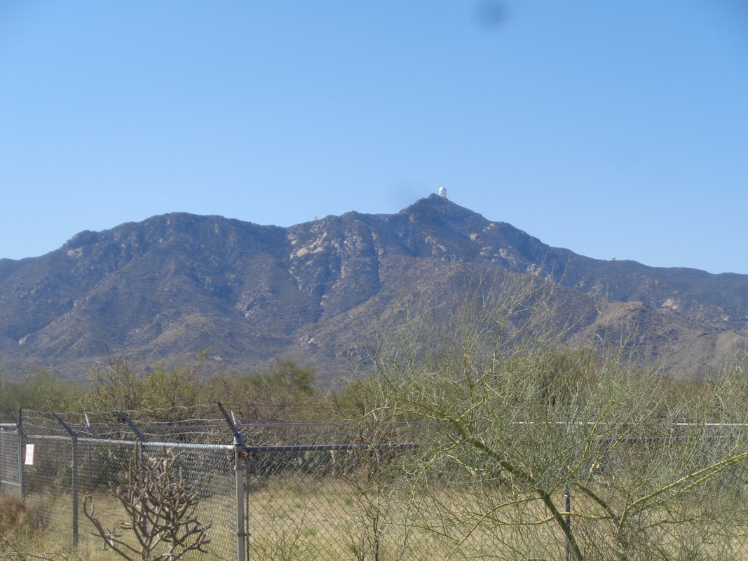
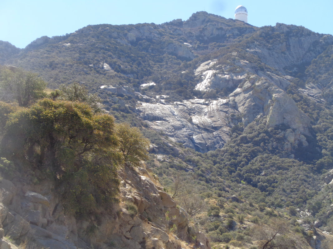
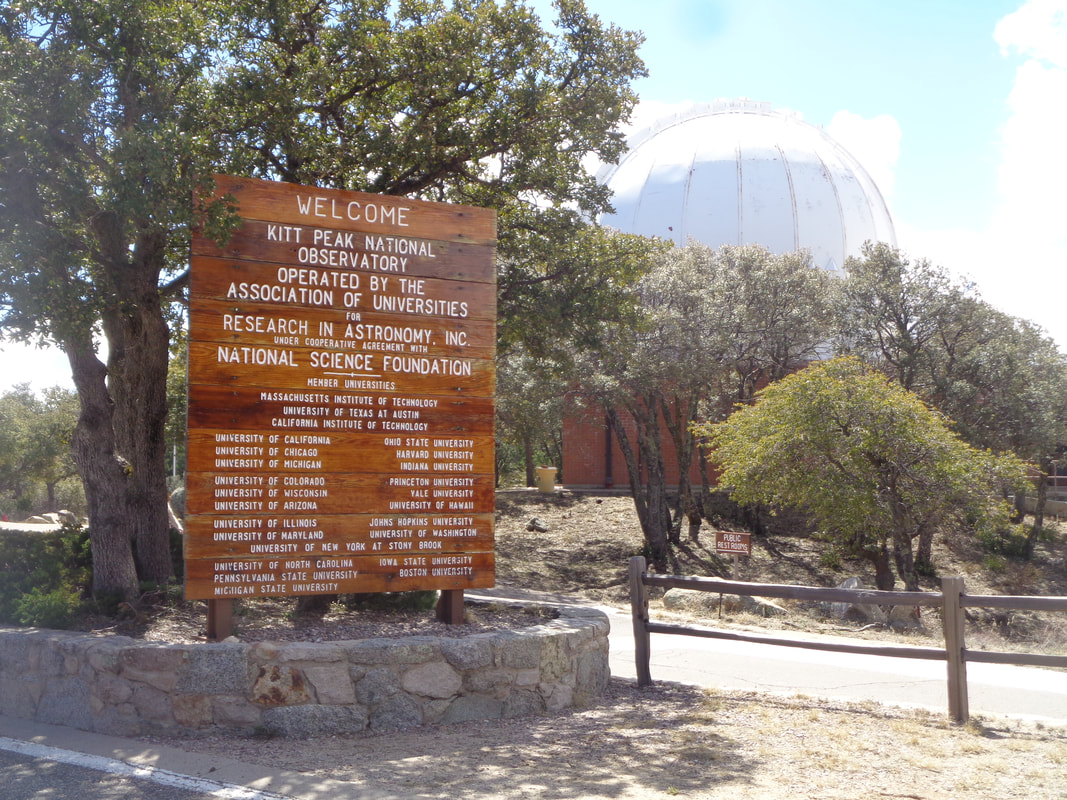
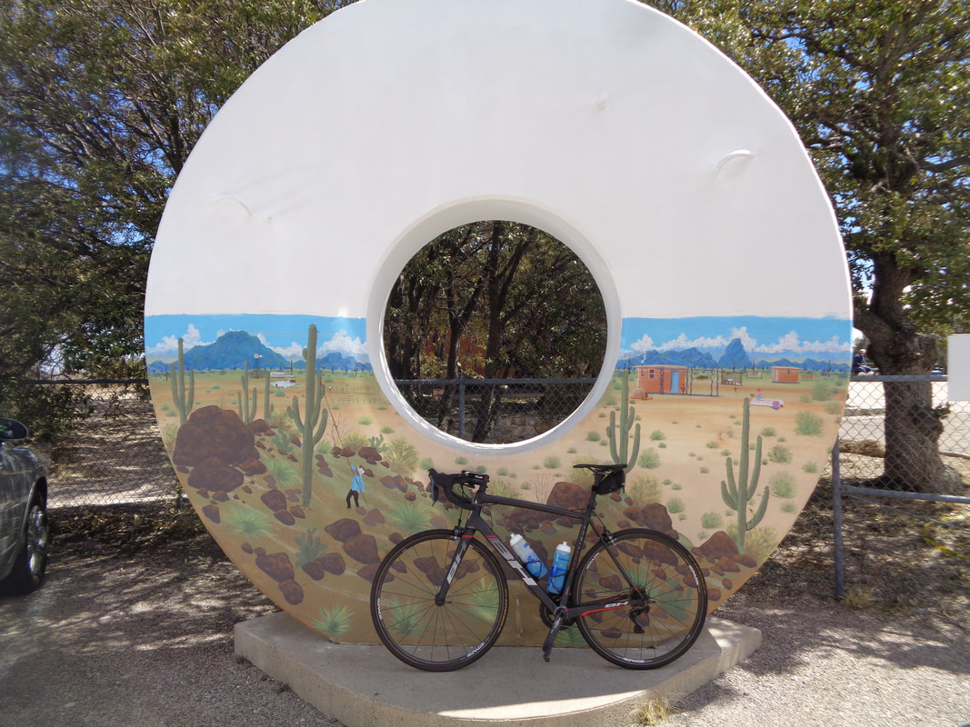
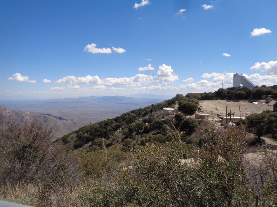
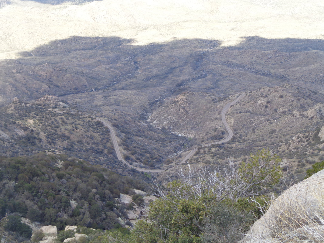
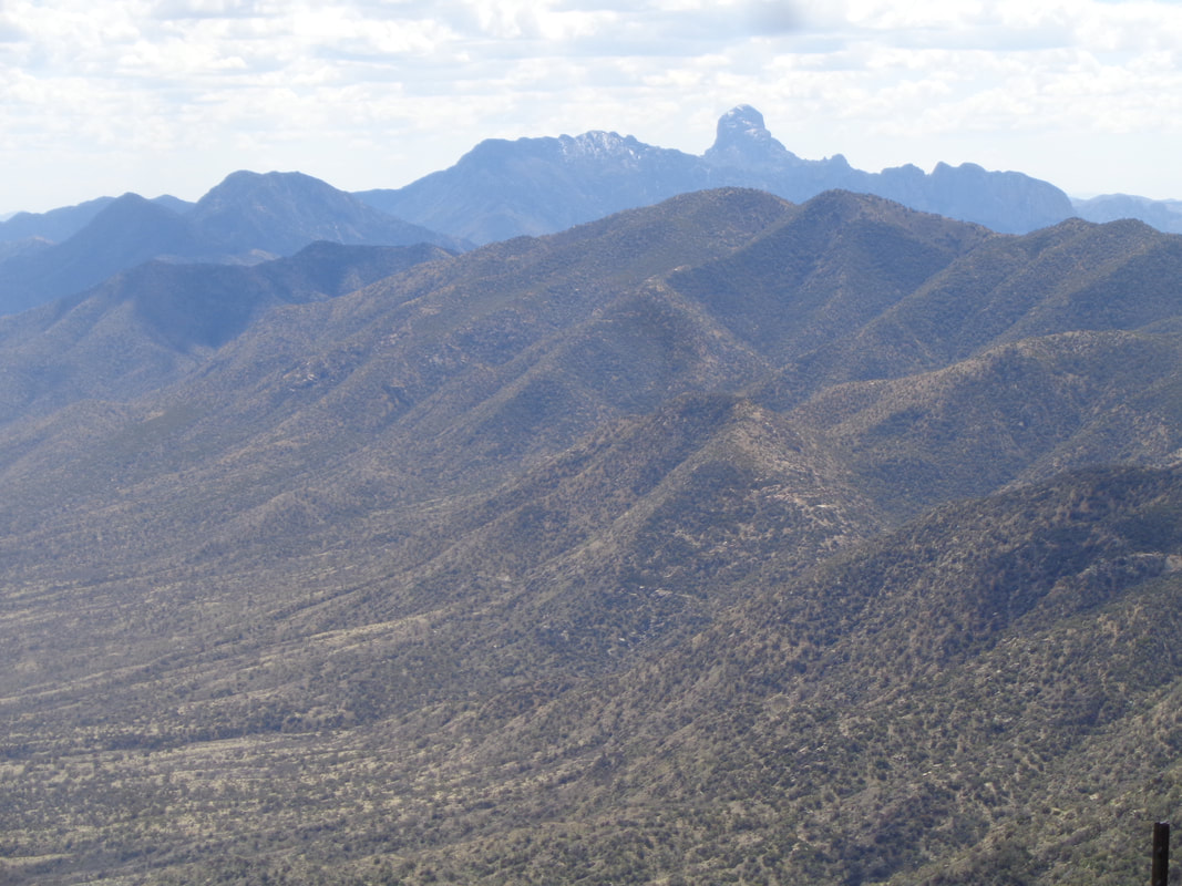
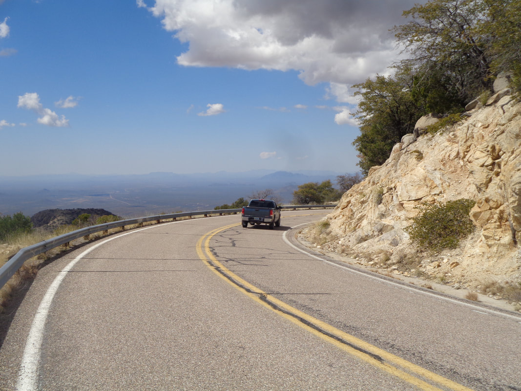
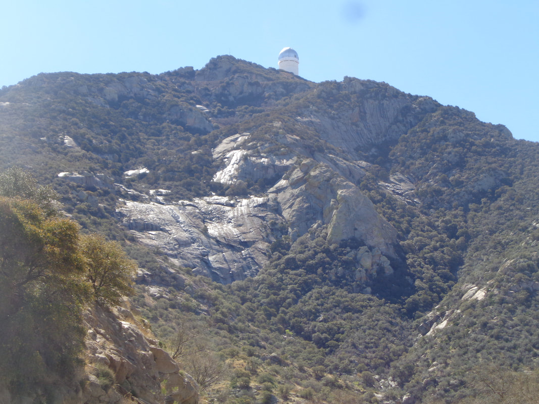
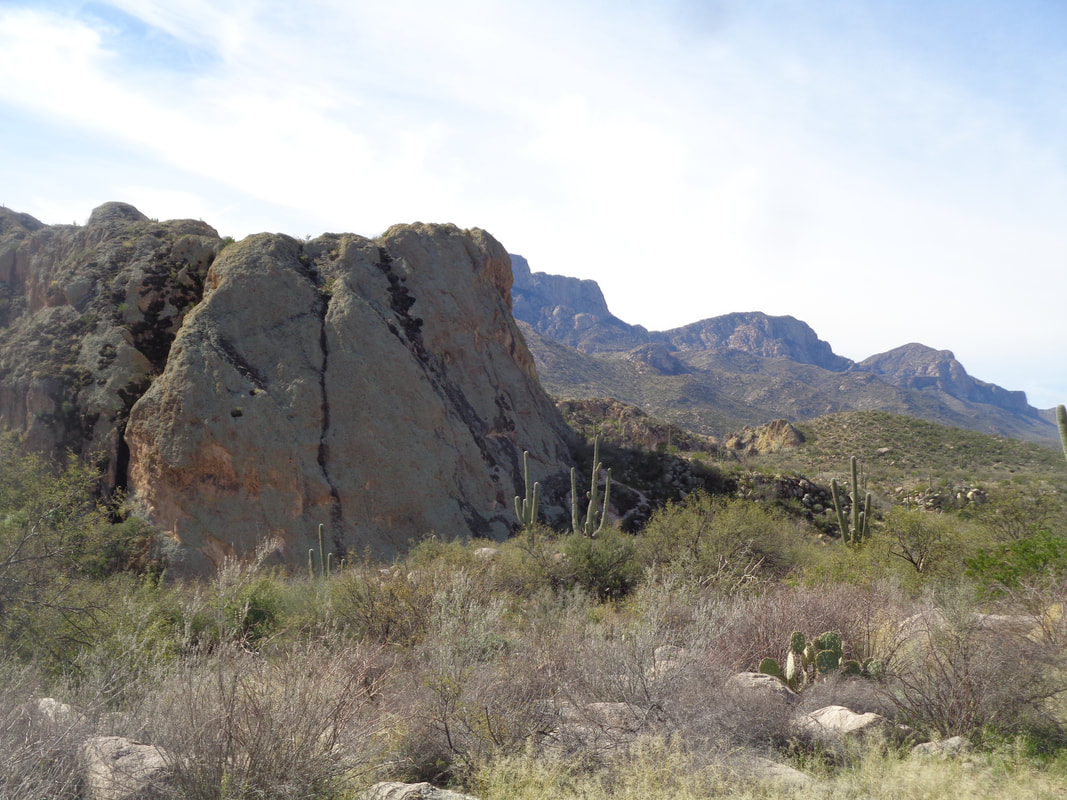
The drive from Oro Valley to Kitt Peak is mostly via Ajo Way/St. Rt. 86, a flat , straight shot with the Quinlan Mountains growing on the horizon. On the right peak a small, white spec is one of the observatories. I go through a border patrol checkpoint, make a left on #386 and a sandy, unofficial parking area is immediately found on the right. Later, a friend told me there have been a number of car break-ins at this spot as traffic is very light. Many people park at the tiny town of Three Points around 23 miles to the east. This being my first mountain climb of this visit, I plan to ride slowly and enjoy the 12 mile workout. I even pause a few times to take images. Water is still flowing in ravines and over slick rock from the rain and some snow melt. Odd thing is my legs felt pretty good and I began to regret my decision not to push myself. My best time is 1:22, today 1:45 and I think I can beat my best time on my return trip. 3450' of elevation is gained during the ascent having an average grade of 6% so a little steeper than Mount Lemmon but of course, much shorter. Proof that I rode the bike and not the car. The peak has the largest collection of observatories in the world and the..... ….views are grand. The road does a 360 around the mountain rather than switch backing up the face of one side. Baboquivari Peak in the distance and the high point of the Baboquivari Mountains. Just have to do that hike one of these days. Snow still present on the north facing slopes. There was some snow on Kitt too but only along the road where it had been piled. The pavement is very good and the traffic very light on this Monday. In total, only 15 vehicles passed me going up or down as I ascended. Coasting down is kind of a pain as it requires frequent braking. My hands ached at times and so I stopped to take pics, of course. Unseen but heard, water rushes through this ravine. Finished with 25 miles and an urge to go back and do it again soon. I so much more enjoy this climb over Mount Lemmon. The latter is, for me, such a grind up 26 miles. Oh, while my best time is 1:22, the overall best is an unbelievable 47 minutes by Luis Lemus.
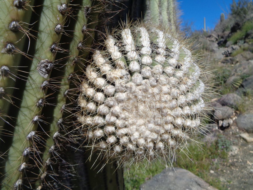
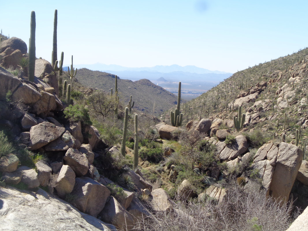
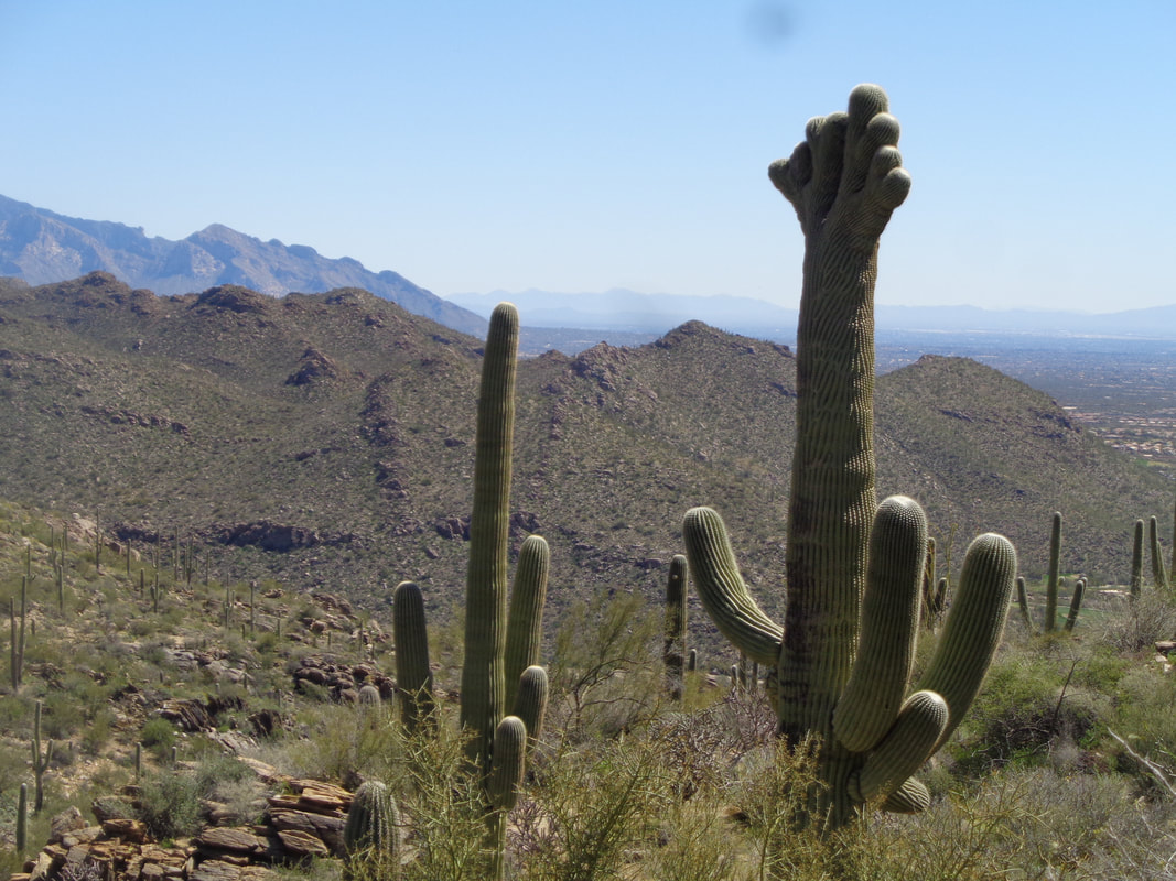
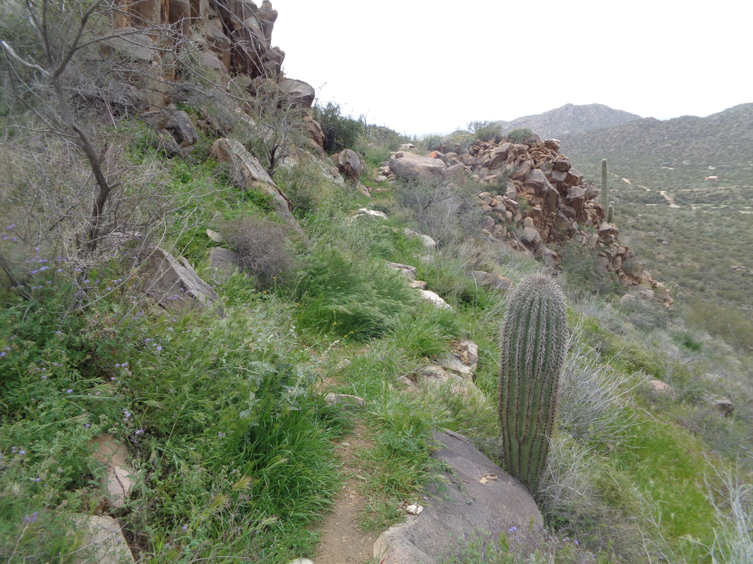
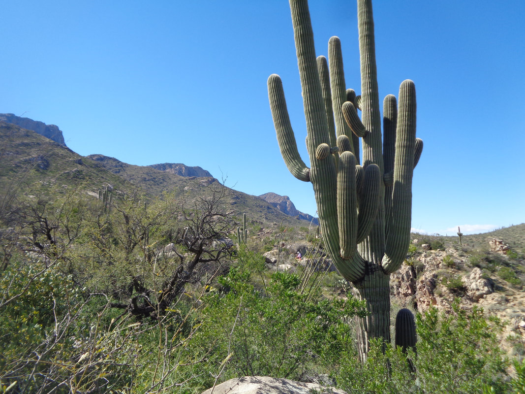
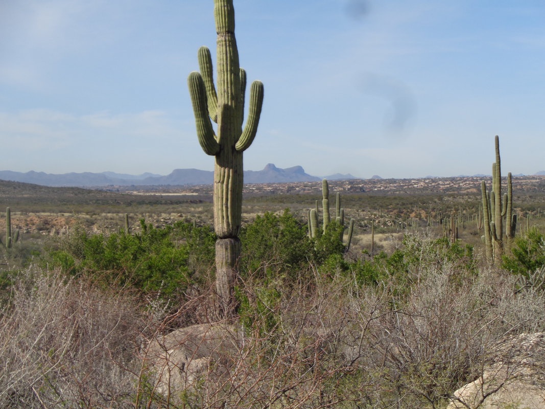
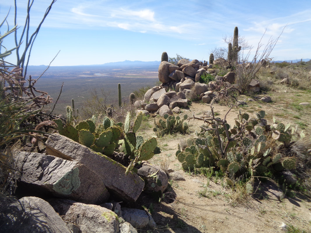
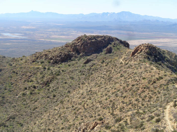
The business end of an arm of a saguaro cactus. Run into that and thus a good day turns bad. I had told a good hiking friend about a hike I completed a few weeks ago and so with all the rain and closure of trails, back to the Tortolita Mountains we go. I will be brief as previously I gave more detail to this route. However, headed out on the Wild Borrow Trail, first walking in a sandy wash then climbing to avoid a steep pour-off. Then make a left on the Wild Mustang Trail, climb a bit and views open up of the surrounding, snow capped mountain ranges. The climb out of the valley is not too steep but it does have the unpleasant surprise of a false peak as once you reach what you expect is the top, you reach that and discover, ugh, more climbing. Then there is a marvelous rolling hike along a ridge that includes a look at a fairly recent budding of a crescent saguaro. I think 1 of 10,000 saguaro's have this feature. As each day passes, more flowering plants bloom. Finished with 9 miles of a fun hike but yes, I will post about my ride to the aforementioned ride to Kitt Peak, soon!
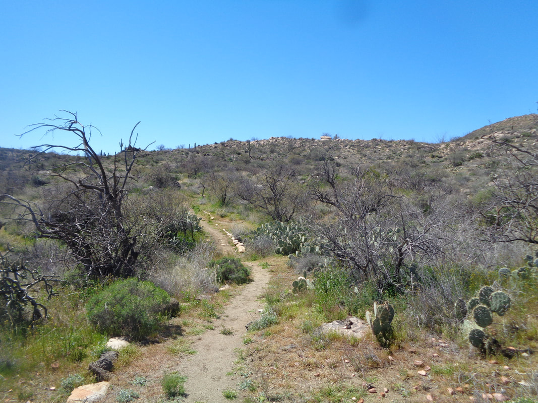
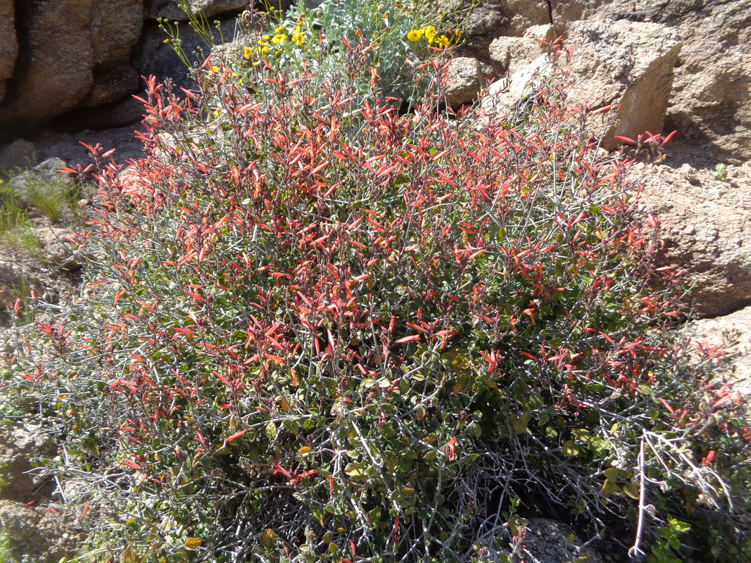
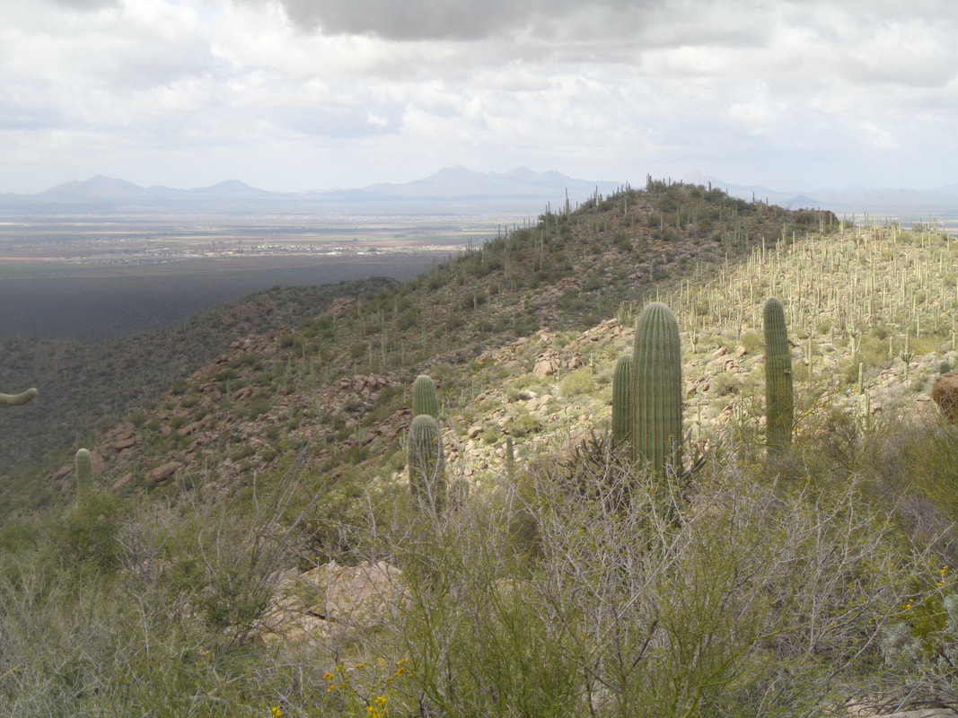
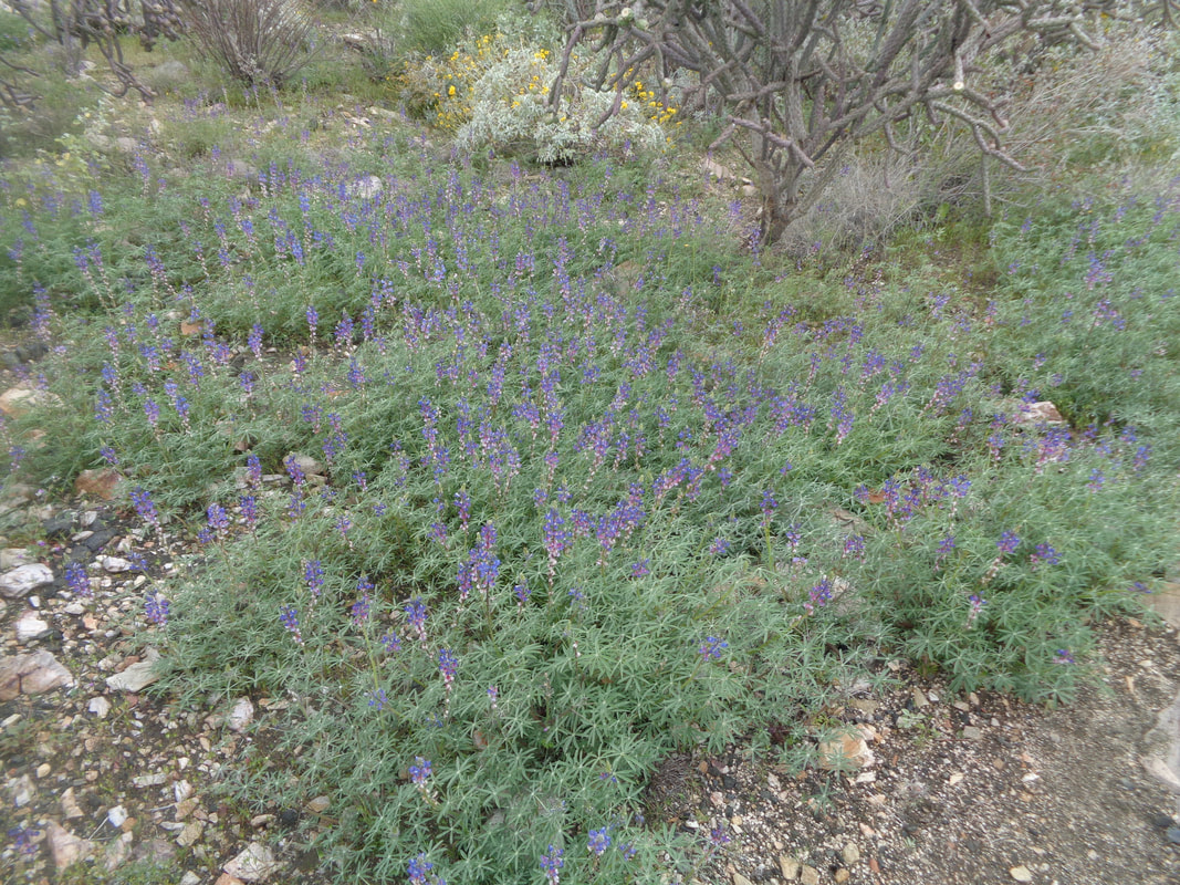
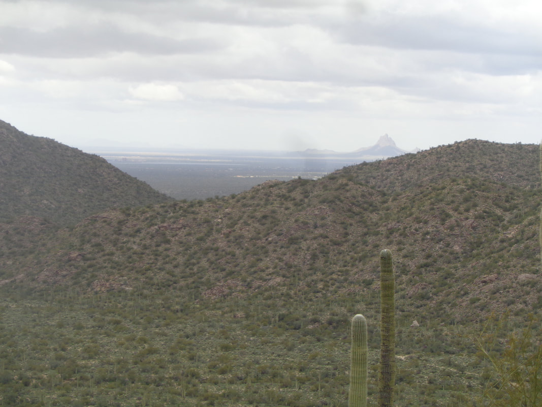
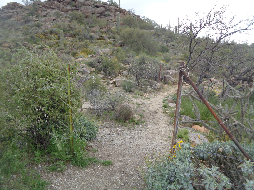
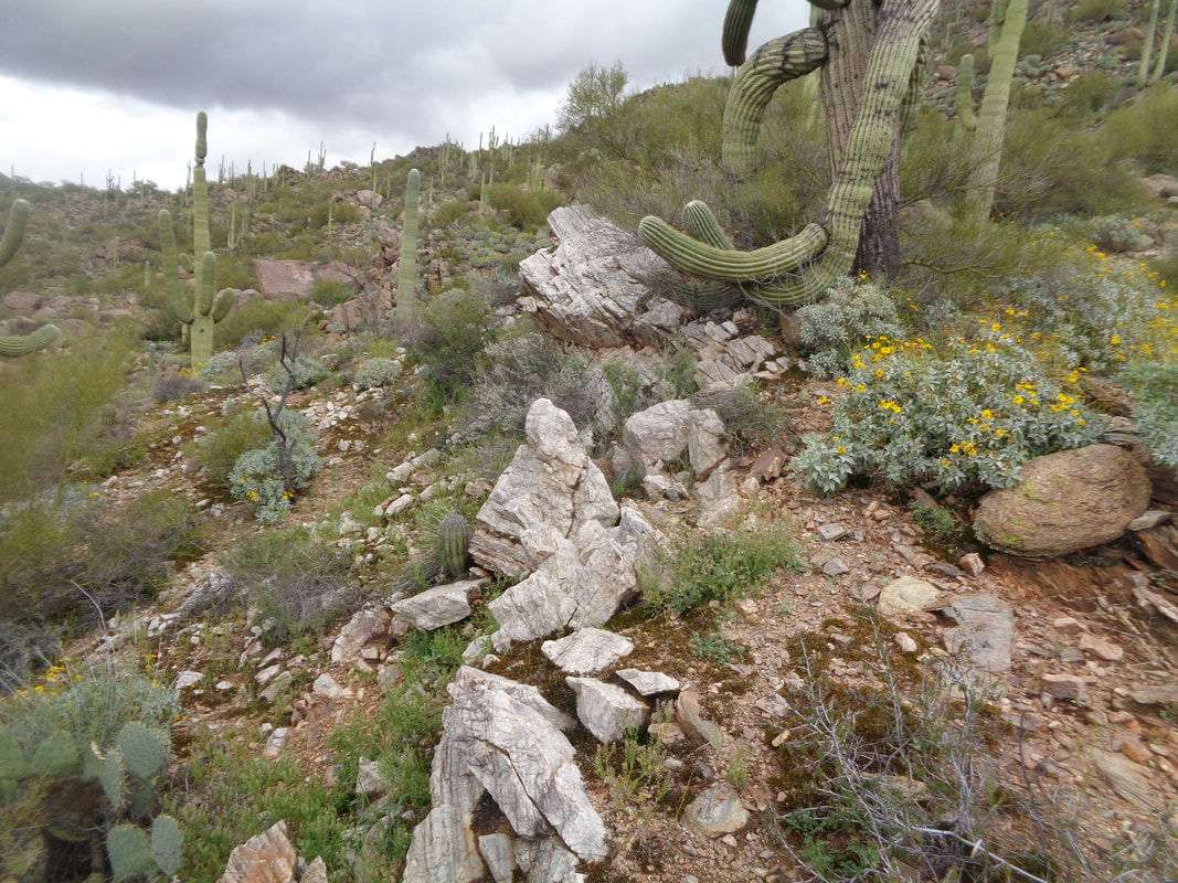
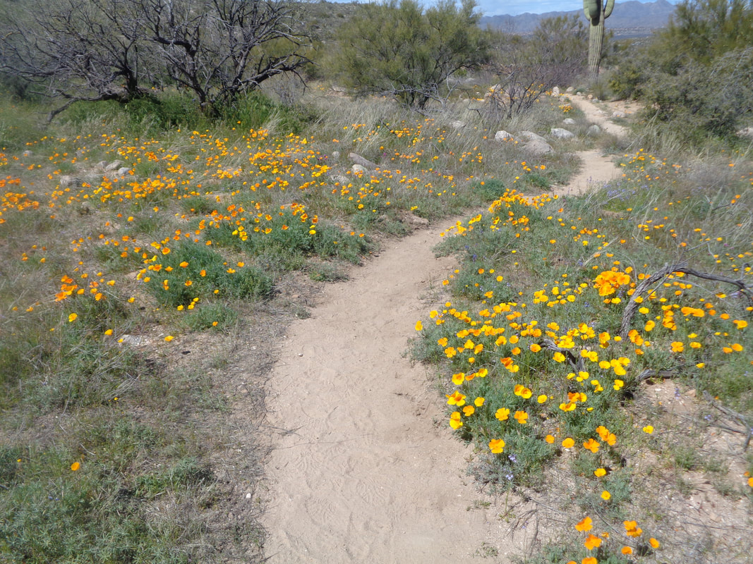
Ho hum, another low pressure system drops an inch of rain in the valley and 16" of snow up top. But, it moves through with some lingering clouds and eventually, they too move on. The wind was howling on another unusually cool day with a high around 60. Yikes! Can't bike and hiking too is limited with all the washes in flow. I head to Dove Mountain to hike in the Tortolita Mountains. I take a trail from behind the Dove Mountain resort, join with the Javelina Trail and then get on the Cochise Springs Trail. Frequently, I look to the southwest for a sign of rain. The yellow/orange poppies have been out for awhile but now other flowers are blooming too. Picacho Peak in the distance along with plenty of clouds. So, so odd. I have encountered many types of "gates" but this is a very poor man's gate but it works. Always close one after moving through. The trail eventually circles to the north side of the mountains and the vegetation is thick and hanging over the trail. So green! An interesting vein of quartz that ran for quite awhile. Decent trail but not one I would do again. Finished with 7 miles and 1400' of climbing. Not too exciting this one.
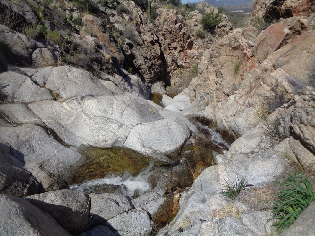
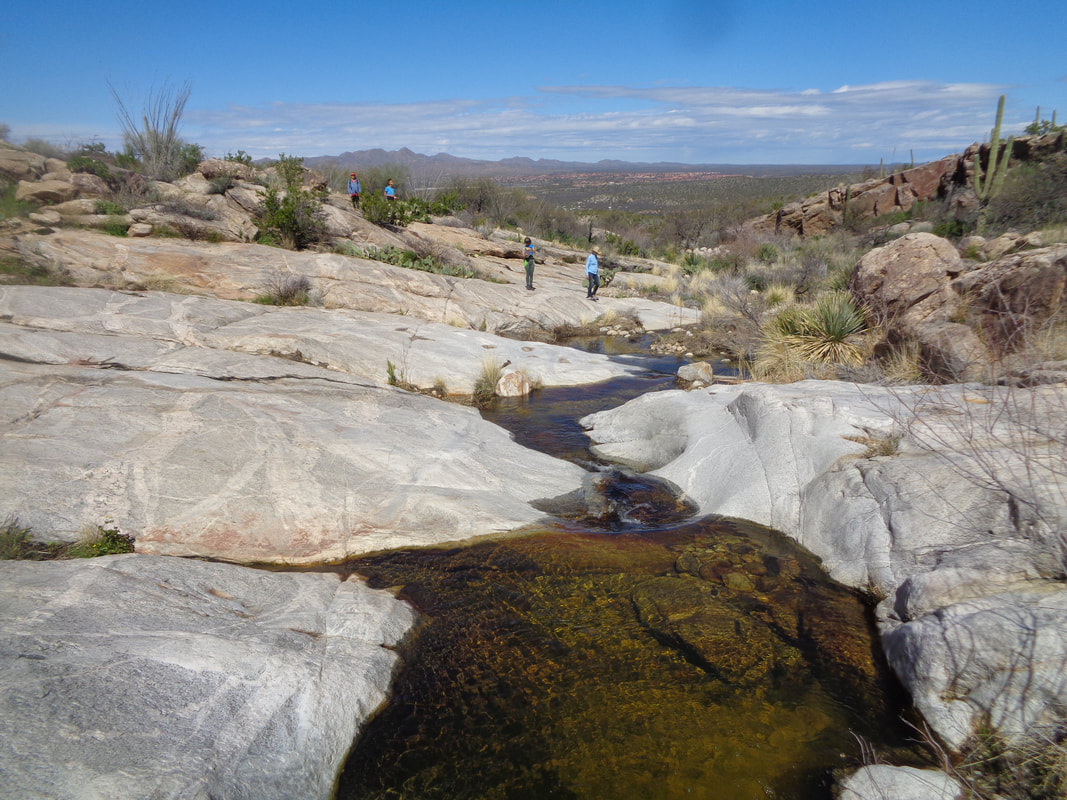
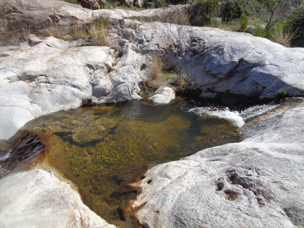
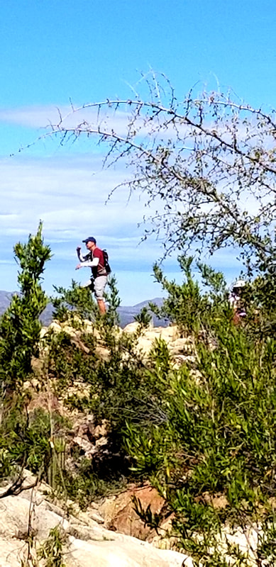
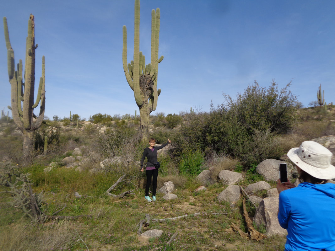
I organized a group hike to visit a feature called "The Bathtub". We headed out of Catalina State Park via the Romero Ruins trail and soon got onto a side trail which is not shown on the park map but lots of people know of the trail as it is well worn. Yes, the rains continue to bring forth grass and other plants. A giant saguaro, one among many in this kind of remote section of the park. After about a mile, we reach a water flow, pouring over granite. Beautiful. Then we look for the bathtub. Actually, there were several possibilities up and down stream so we finally settled on.... ….this. With the snow melt and additional rain that arrived after this hike, there will be a water flow for several weeks here and elsewhere. No, I am not lost and looking to regain a route. I saw a prominent point and climbed to it where my hiking buddies asked me to pose as if I was looking for the route. Poppies still in bloom and other flowers about to open, coming in my next report. Finished with 3.7 miles and had to put down a rebellion in the ranks because I had promoted the hike as only 3.1 miles.
FOB (Friend of the Blog) Shannon Kurek, aka HFP Racing Man, a fellow central Ohioan, as previously reported, spent last week here in sunny Southern AZ. To read about each of the event filled, 7 days of the camp he led, click this link: https://hfpracingnews.wordpress.com/2019/03/04/hfps-arizona-training-camp-daily-updates/?fbclid=IwAR2rTkTlVRIWomT0RFcct3QGDwf3nRMZv-nLtavsTLGag4vWMYEd4R1jkXo Good read with good images. Make your plans to join him next year.
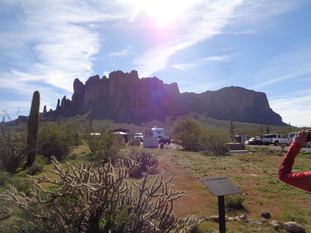
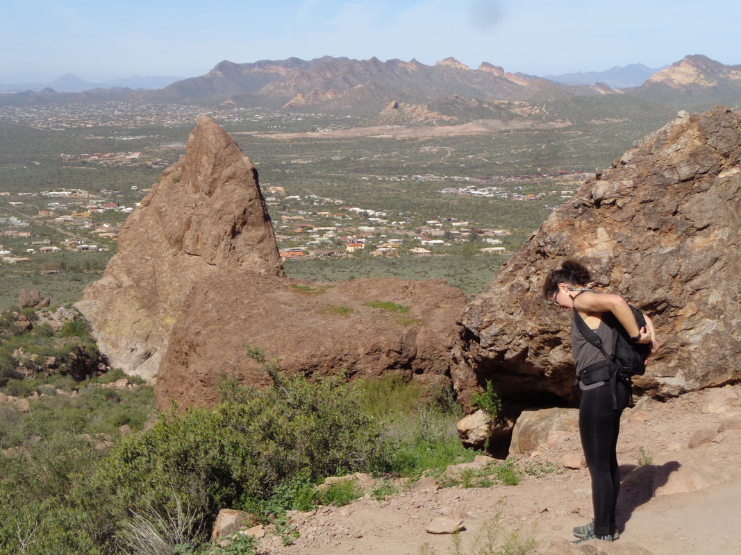
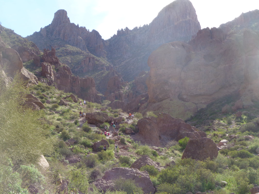
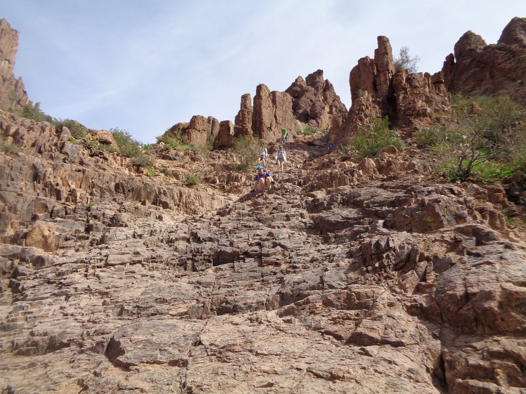
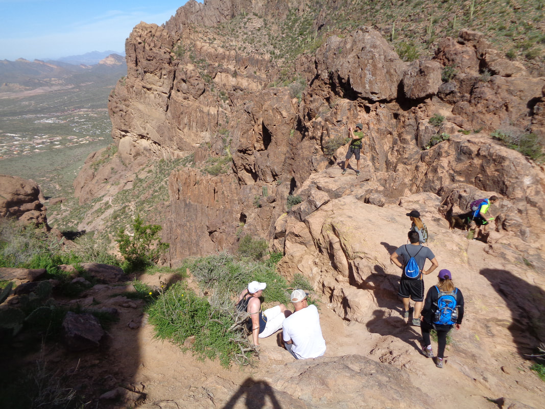
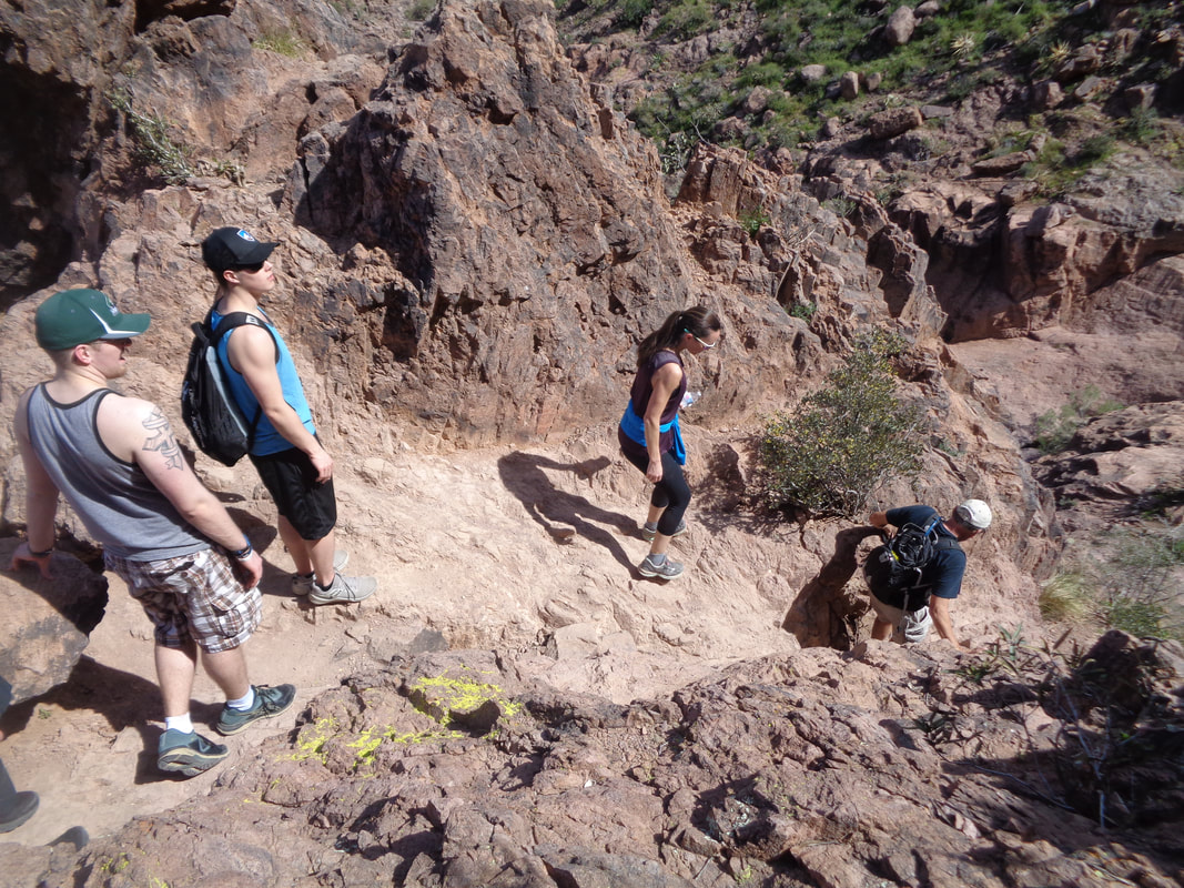
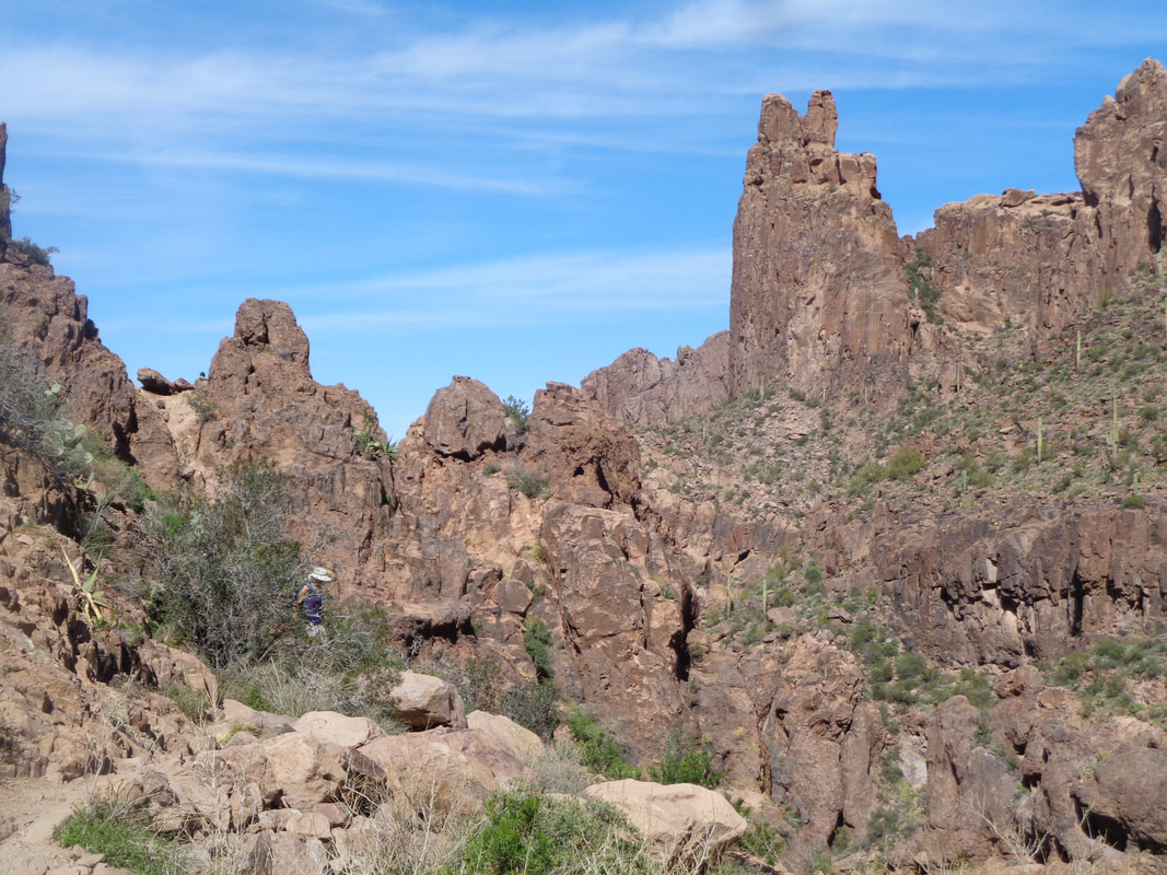
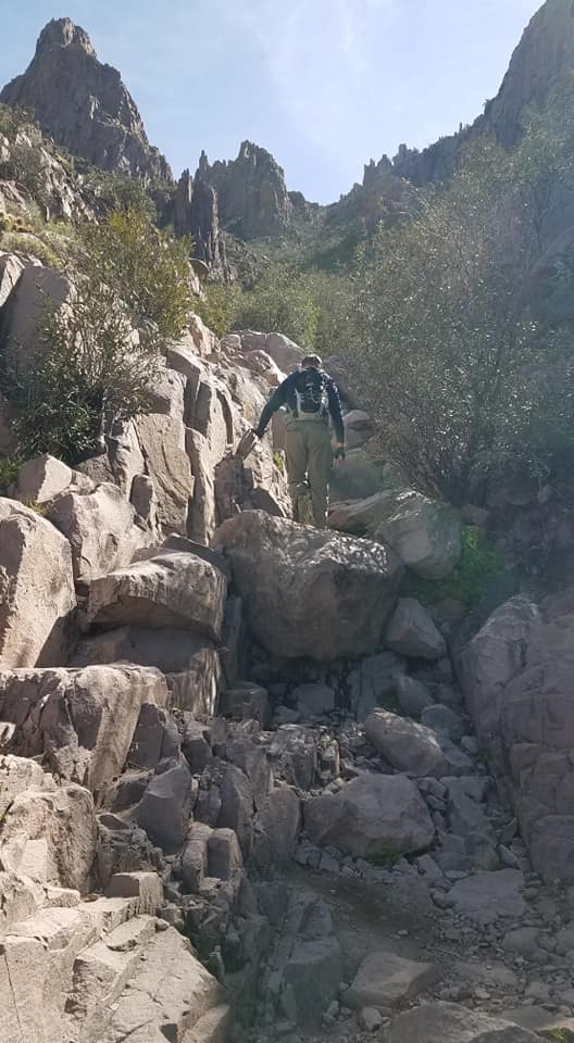
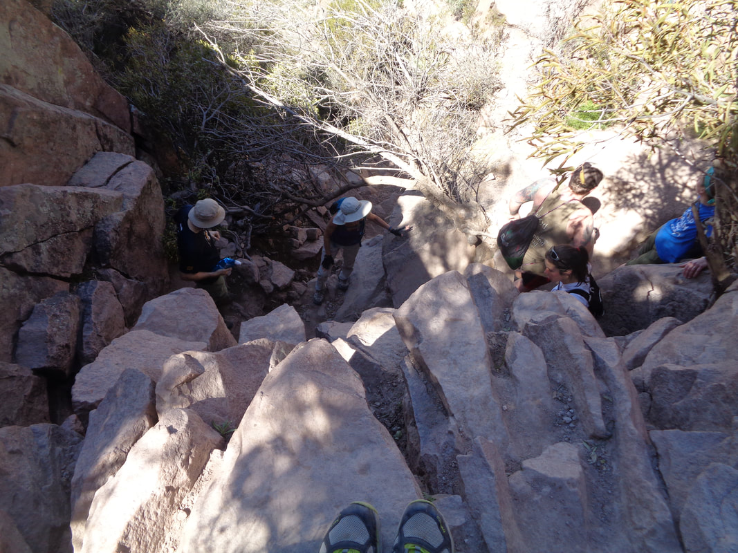
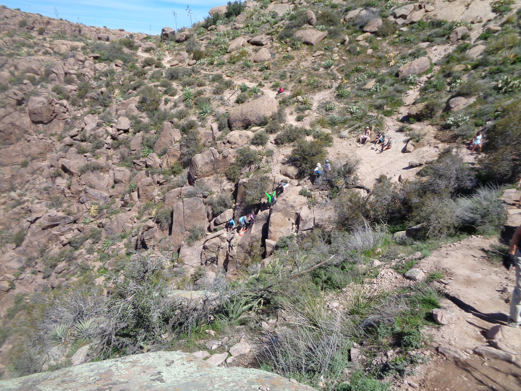
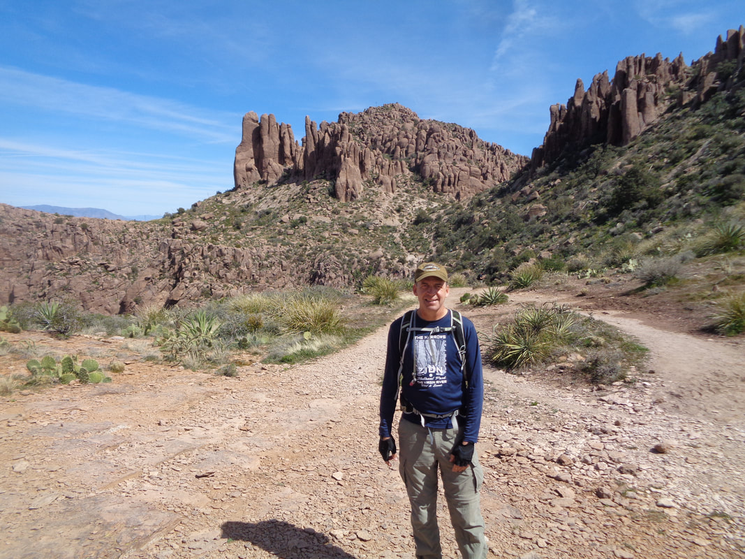
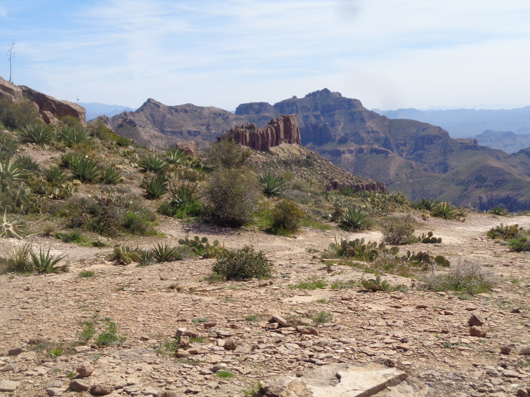
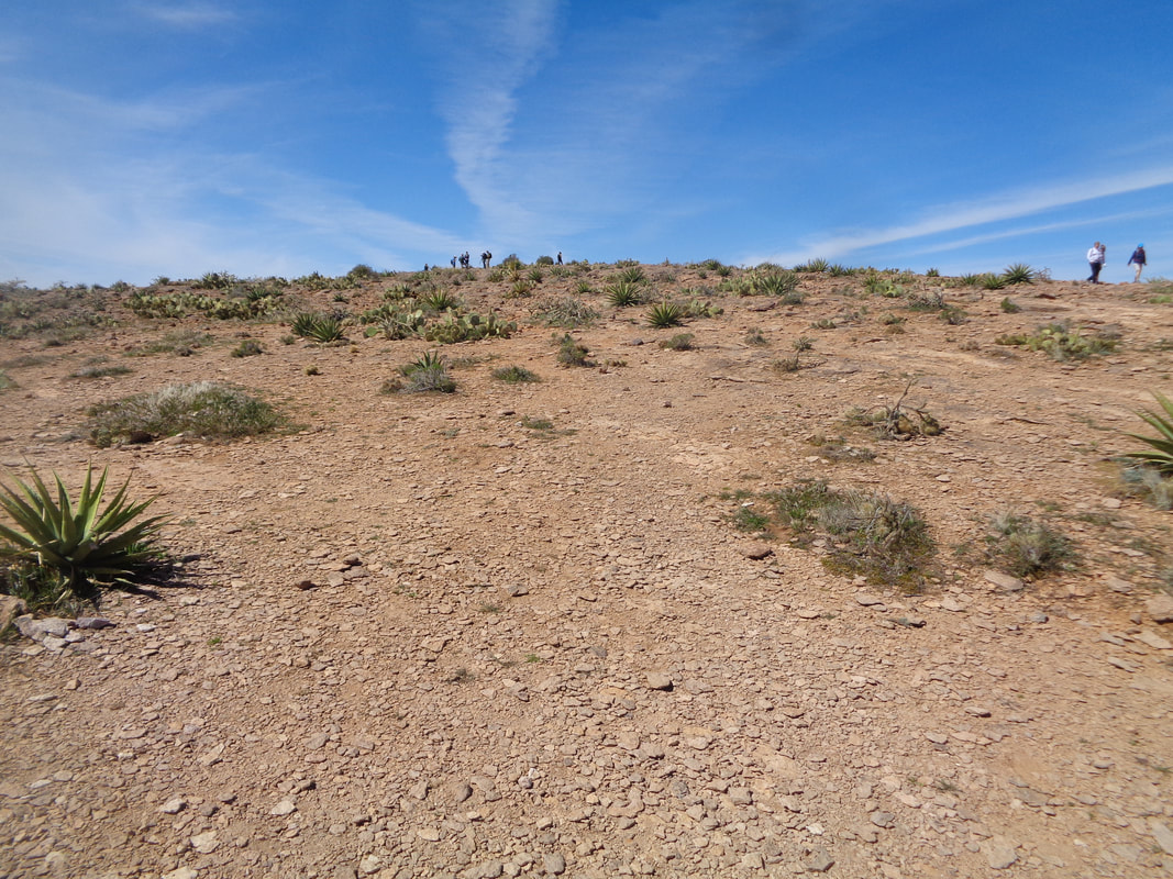
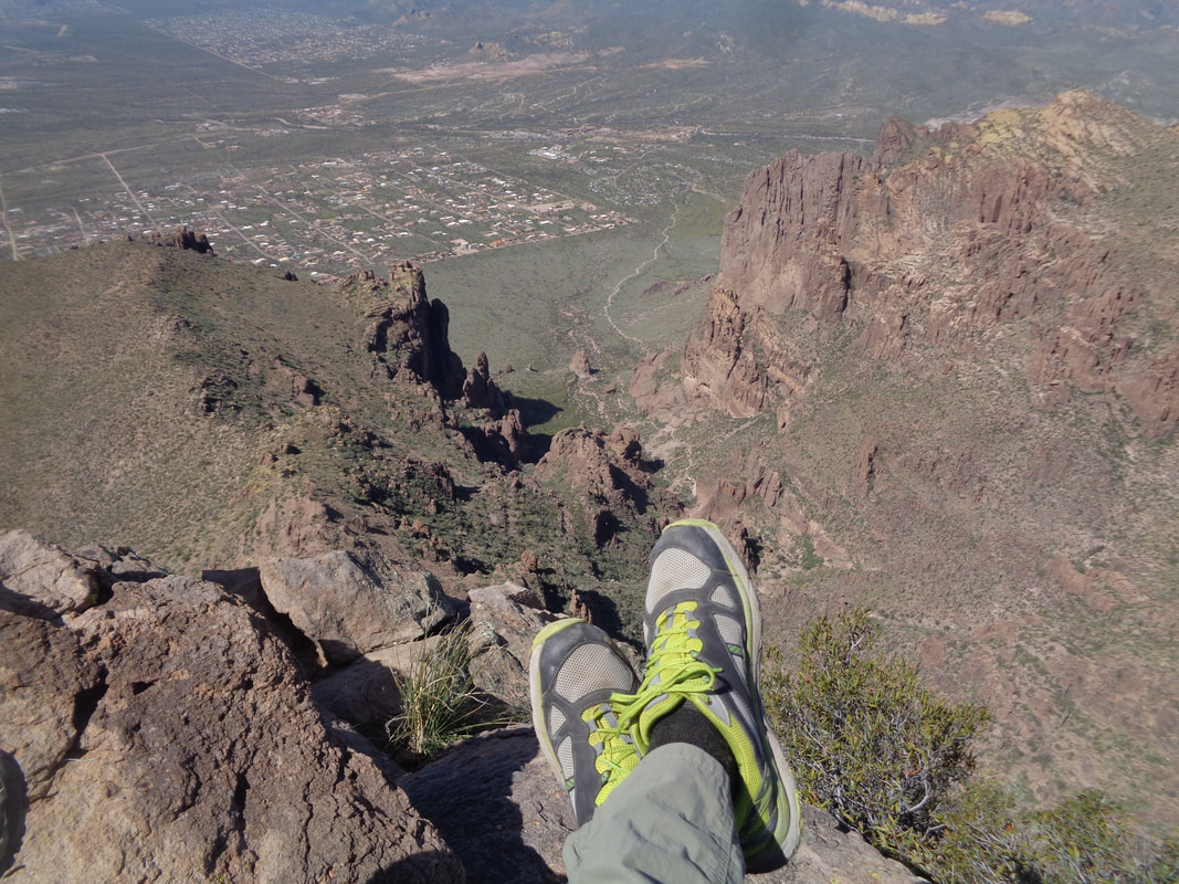
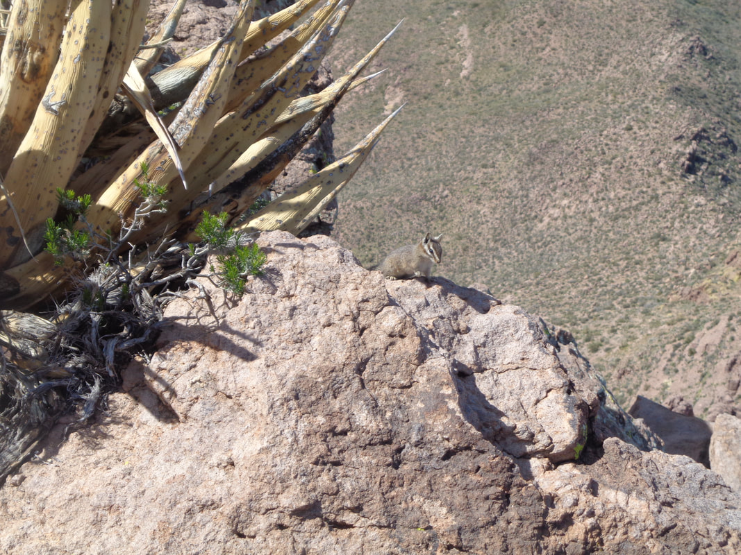
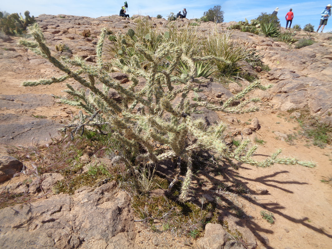
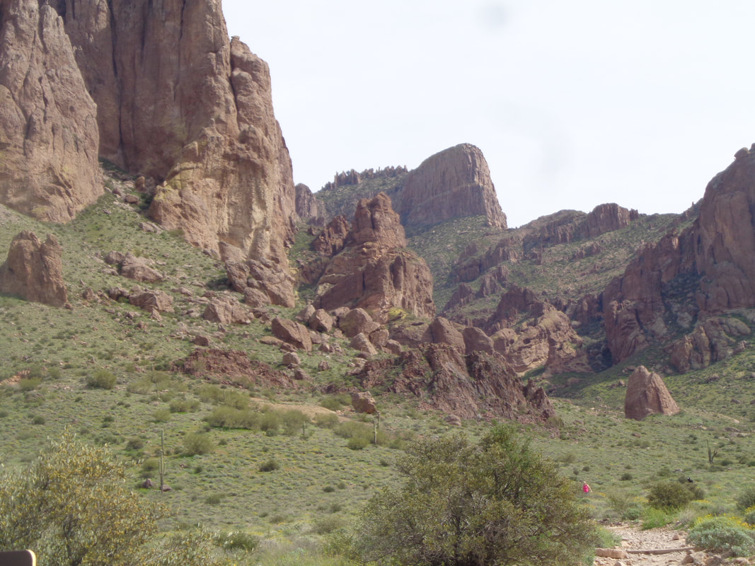
So many trails yet to hike, so many peaks yet to reach but whenever a hiking friend expresses interest in doing a challenging hike that they would not do alone, I am usually game. So, probably my 8th or so time to the "Lost Dutchman State Park" to escort a couple of friends to the Flat Iron. Above, the western edge of the Superstitions. The climbing begins almost immediately via the Siphon Draw trail. The poppies have not yet opened but soon, the slopes will be inundated with the flowers. Doesn't take long to gain enough elevation to create wonderful views. The Goldfield Mountains in the distance. The woman shown told her worried husband she would not hike unless there were others also on the trail and..... ….the trail was swarming with swarms of hikers, swarming, every where. There were at times bottlenecks where you just had to wait for people coming through a narrow gap, either going up or down. Never seen so many on this trail but this was a Saturday and the weather was perfect for hiking and also, we are on the edge of the 5th largest US city. The upper portion of the Siphon Trail, rugged and steep. A cleft around which people are waiting for friends to emerge from the draw. This is a fine day hike destination and some people turn around while others.... …..plunge into a ravine and begin the very steep climb to the Flat Iron. I regrouped with my hiking buddies and on we went. Yes, rugged would be an apt description for the west side of the Superstitions. The east side is forested and an entirely different look. Ugh, still so far to go as we follow a ravine that eventually emerges left of the Flat Iron. Not really a hike but instead a full body workout climbing experience. I reach the head of the ravine where there is a 12' wall, scramble up it and..... ….wait. A few years ago, there was a secret bypass to avoid the wall climb and now, most people hang a left on what is now an unsecret and well traveled bypass. Now we are hiking on a well groomed trail toward the Flat Iron but checkout the crowd emerging from the ravine behind us. I pose for an image, rather pleased because no one died or was injured during the ascent nor later the descent. At least in my group. Saw a bloody knee or two and a guy fell hard but his pack took some of the impact. Oh man, the views! Superstition Peak, center right. We travel the gradual ascent to the tip of the Flat Iron and then..... ….look down on what we have traveled. Four chipmunks scramble around, gathering crumbs, oblivious to the exposure. After a few minutes, we begin the bone jarring descent. Lot of cacti growing from the surface. We regroup at the bottom and take a last look at what we accomplished, 6.4 miles with 3200' of climbing. Fun but legs are feeling the accumulated impacts so must get on the bike and work out the kinks.
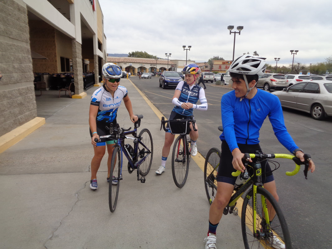
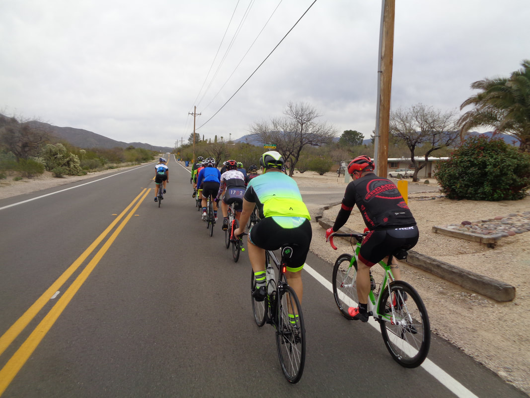
How great to get to catch up with pro cyclist Lori Nedescu, a former member of our central Ohio peloton. Lori recently competed in the Tucson Bicycle Classic and soon headed to Redding, CA for another pro cycling event. In the meantime, she is spending the other days of March in Tucson while attending to her duties as managing director for Femme Equipe, nutritionist, author, etc... The Homestretch Foundation is a local non profit that provides a place for cyclists to live as they train and each of the above are staying at their house, along with about 5 other cyclists. Sounds like a good organization and you can learn more here: https://www.homestretchfoundation.org/about-us This being a Friday it is a recovery day so the pace was very relaxed as we rode for about an hour at an average pace under 16mph. It was good to have the chance to talk to a variety of people. Hey! Here I am drafting Ellen Noble, a top ranked cross, mountain and road cyclist who is on Trek's Factory racing team. Big thanks to Lori for providing this image. Then, there is another group of cyclists..... ….Shannon Kurek and HFP Racing camp. Eleven of them are out here to ride, swim and run and boy have they! This is Shannon's first time hosting a camp in Oro Valley/Tucson and he will be back and probably open it to "B" and "C" athletes. Frankly, setting aside the swimming and running each day, the cycling alone is a huge week of riding.
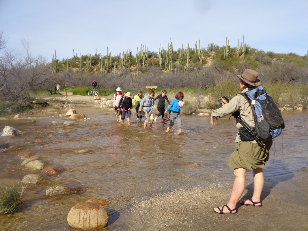
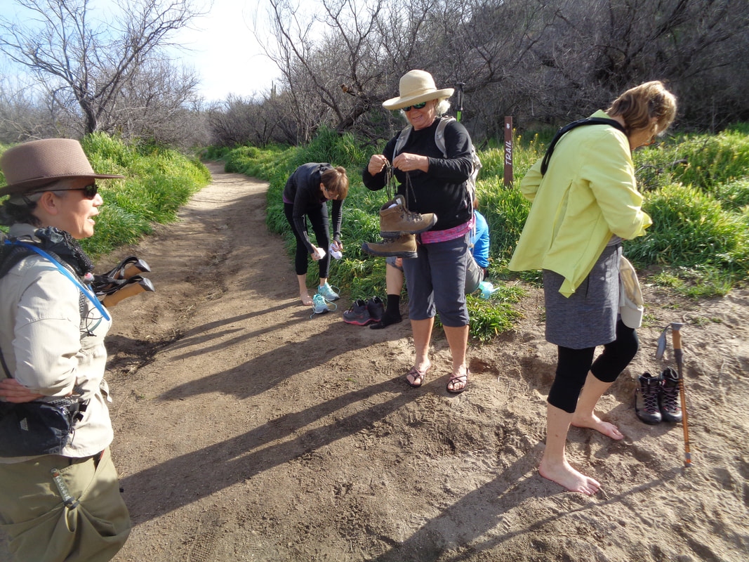
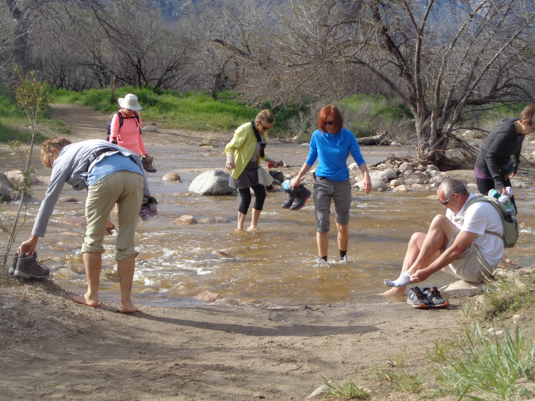
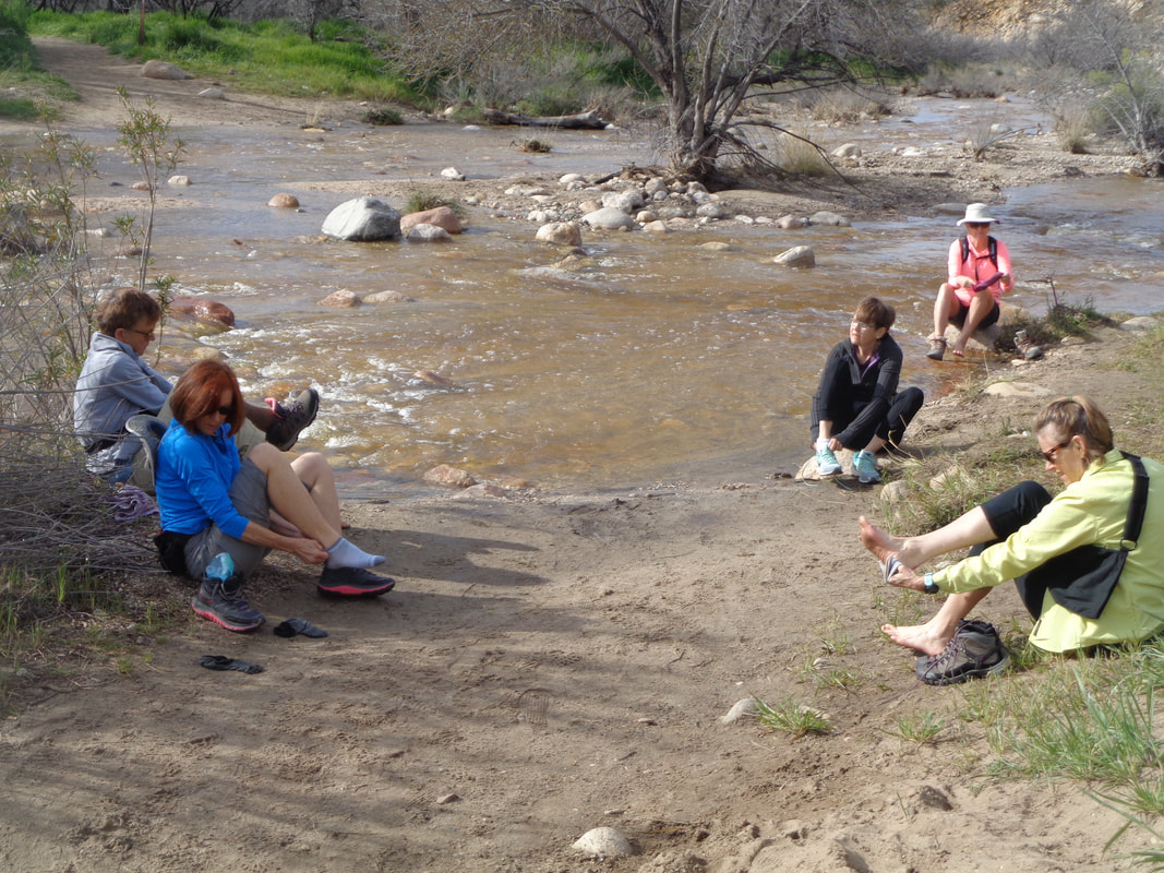
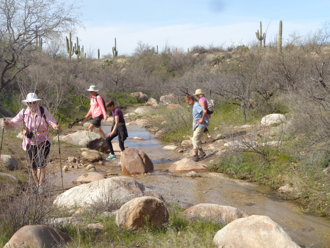
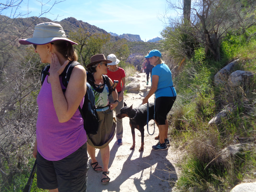
Demonstrating remarkable persistence, a hike I had previously scheduled 3 times but cancelled due to rain/run-off, I put back on the schedule for Monday. That 42" of snow that fell above us continues to melt and pour through the various washes. Undeterred, my group of 9 take off their shoes and socks, wade through the water and.... ….some faster than others, put the shoes/socks back on, trudge forward about 100 yards and..... …..do it all...... ….over again. After the first 2 water crossings, we had a respite from the wetness and took a look at a crested saguaro and other features as we wound our way on the Sutherland Trail from Catalina State Park. Reaching an unmarked fork in the trail, we made a right and soon.... …..more water although at this crossing we were able to skip across on rocks. Eventually, we made it to a.... ….spectacular group of falls but the rising sun made it difficult to get a good image. We reversed course then took a faint trail and headed to the large..... ….green rock. Yes, I have done this hike and reported it here a couple of times but it was all new to the group. Walking across the desert we enjoyed fine views to the southwest which included the Tucson Mountains. Soon, we plunged into a ravine and this began so many..... ….water crossings, some very deep, that we gave up the shoe/sock removal exercise and simply sloshed our way through. I include this image for my buddy Janet in Ohio who has wondered about trail accessibility for dogs. Yes, many trails allow dogs, including Dobermans like Janet's. We near the end of our moderate, 5 mile hike. Everyone was a good sport about the too many stream crossings and will all find a way to dry the shoes prior to whenever each is ready for another hike. The weather continues its unusual ping ponging with temps in the 80's for the next couple of days before more rain and wind move through. I read the Sierra's are now at 157% of their normal snowfall with more on the way. The snow on Mount Lemmon has diminished but they may get more this weekend.
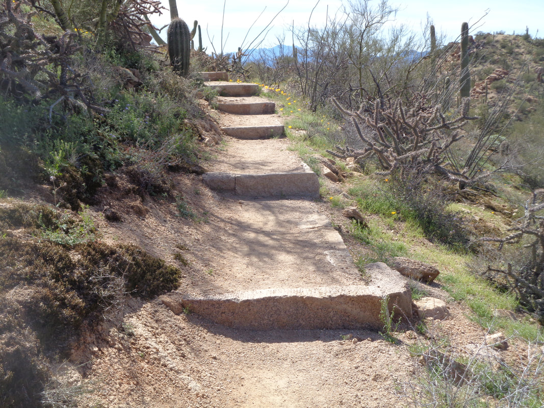
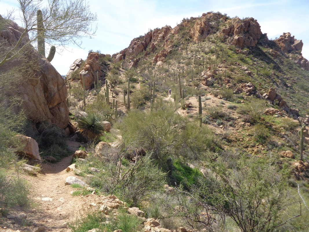
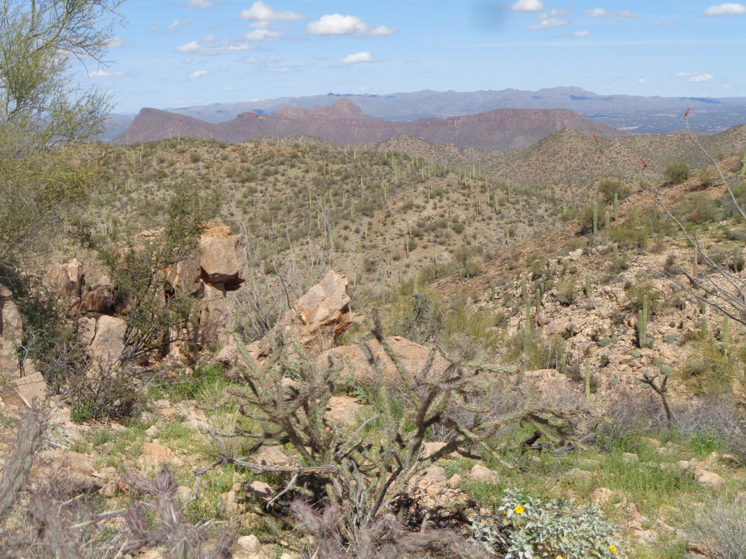
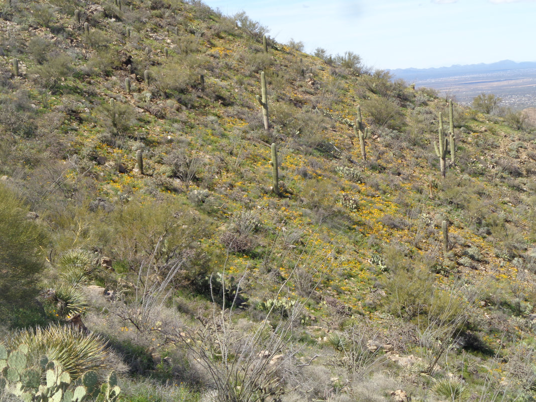
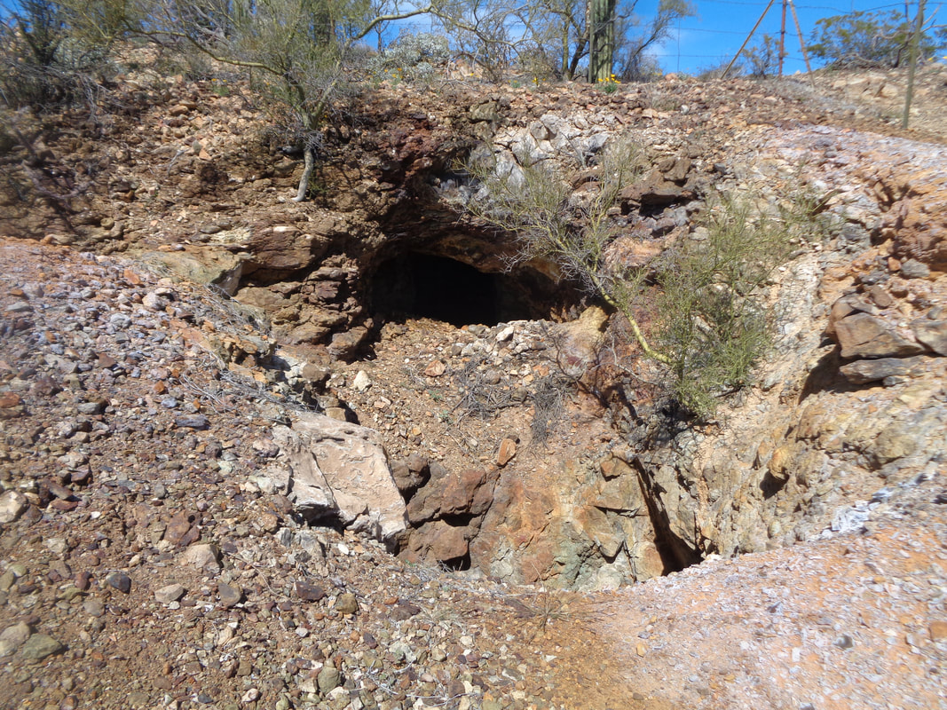
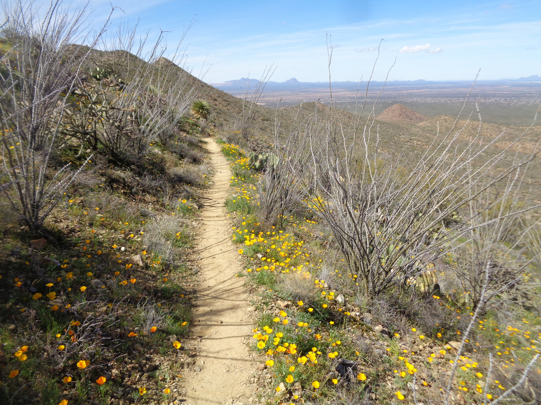
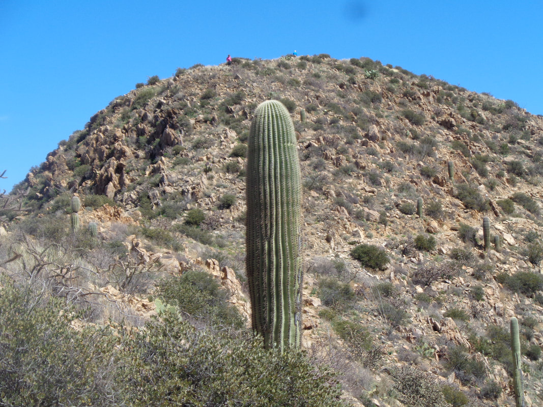
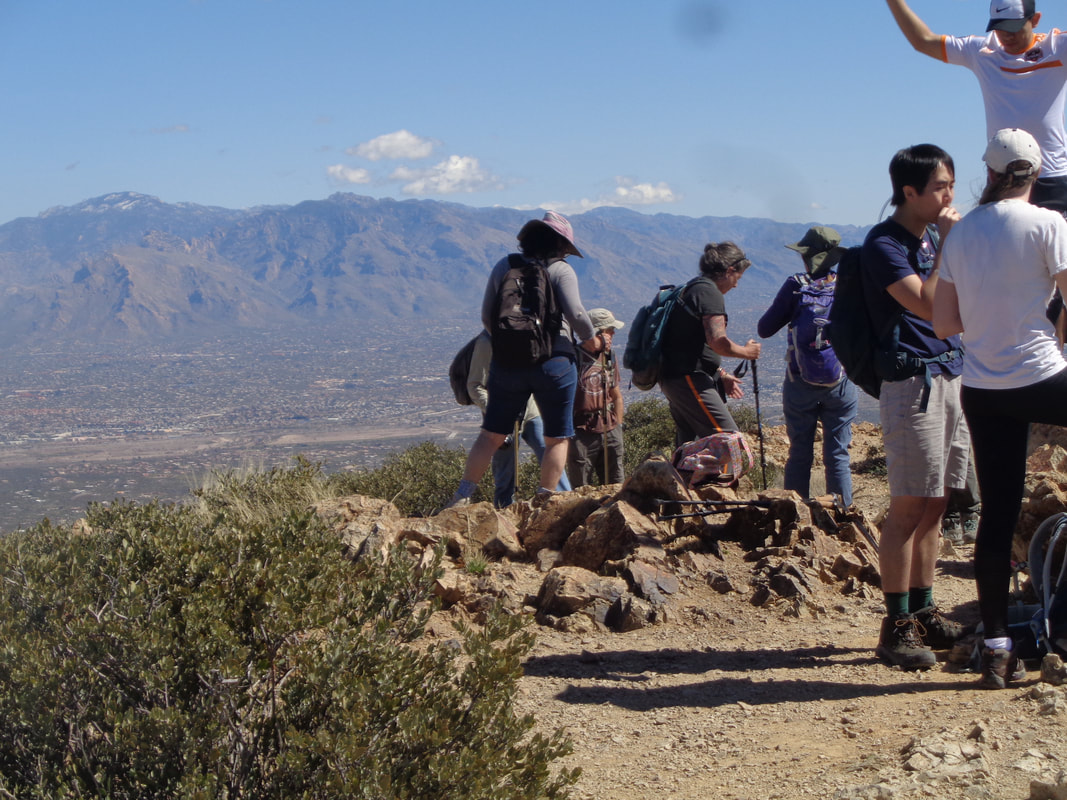
A group scheduled a hike to Wasson Peak via the Hugh Norris trail, a trail I had not previously visited. Wow, what a revelation. Knowing the main trail, King's Canyon, that also visits the peak is a mess of loose rocks, by comparison this was ideal. Note the granite steps of which there were dozens on the way up. The trail climbs steeply through a canyon and then follows a series of ridges that gives views on either side as the trail winds around. I suspected there would be a Strava KOM to be had so rather than start with the group and bolt, I started about an hour later. Good views to the north and south along the way and.... ….the slopes were covered with poppies and other wildflowers. A mine that is now fenced off and can't help but wonder if some cat type animal has made it a home. Numerous snake sightings including a mountain biker loosing momentum going up a hill, fell into a bush where a rattler snagged him..yikes! A trail runner was bitten a few days ago (I don't trail run during snake season), a dog was bitten, etc... Beautiful! AT some point I caught the group and continued on as I was Strava hunting and pausing a few seconds usually makes a difference in the standings. All these images were taken during my descent of course. You can see the trail winding alongside the ridge. It is exactly 5 miles to the top with an average grade of 10% so not steep. The trail winds in and out from south side to north side. Wasson Peak is hidden until I emerge from a side canyon and there it is. This final push is not steep and the remaining distance is covered quickly where I find..... …..it being a Sunday, lots of others have arrived either via Hugh Norris, King's Canyon or one other trail. All trails merge with KC for the final section. My shirt is soaked from the effort and I soon become chilled so depart before the group arrives. Too bad as they are nice people but we chatted a bit on my way down. Finished with 10 miles, 2400' of climbing and bagged the KOM at 1:23 to the peak. Only 84 recorded efforts so not a large group of participants.
|
Categories
All
Archives
November 2023
|
