|
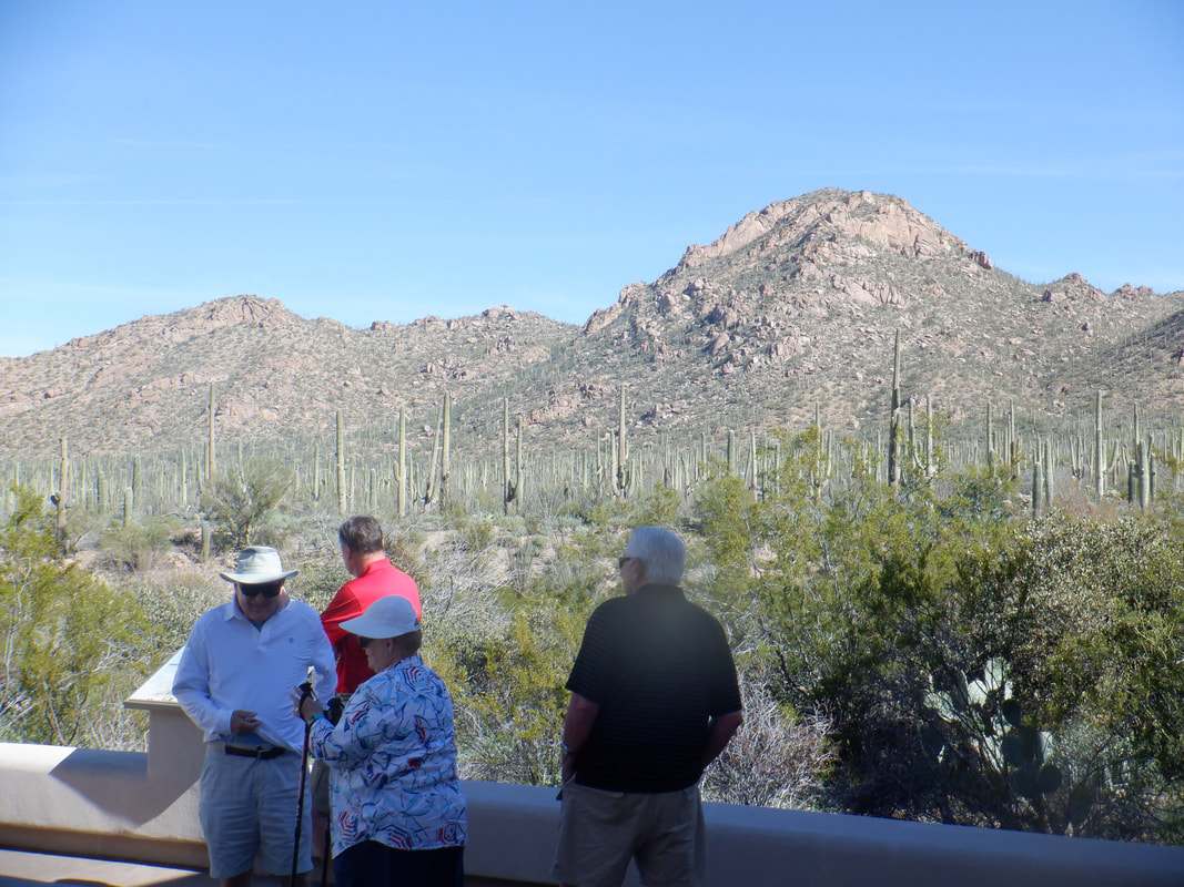
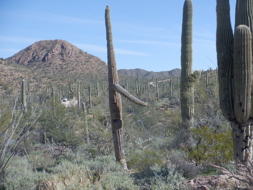
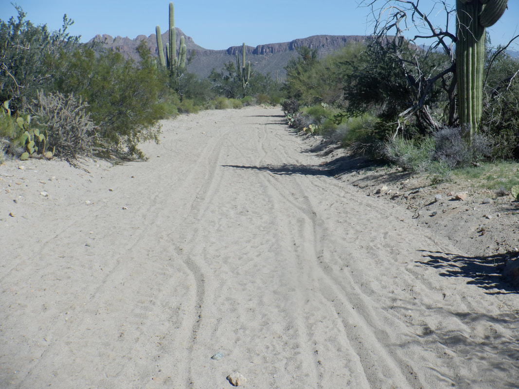
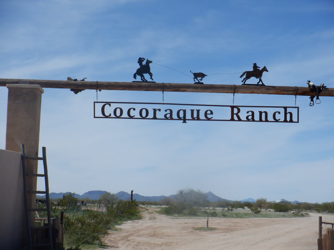
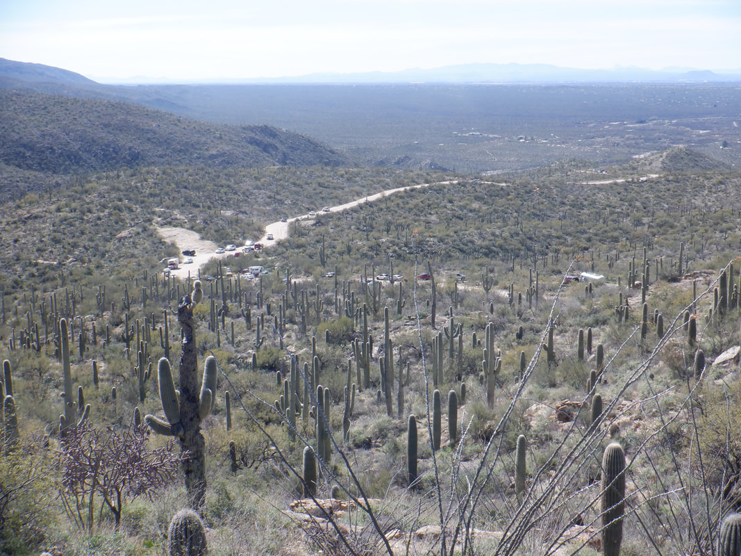
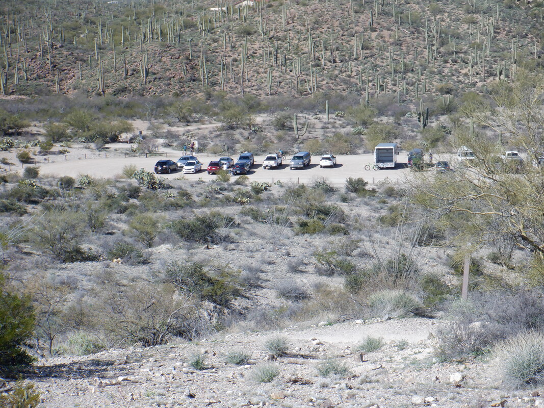
I drove to the visitor center at Saguaro West National Park where I shoved off on a ride that took me on some new roads. Lots of people from many different states and countries observe from the visitor center. I get on Hohokum road and enjoy a nice climb but after a few miles, a sign states that no motorized traffic is allowed beyond. I note there are several bike wheel tracks so continue on. I know the paved, Picture Rocks Road, is some point distant so what the heck..... ….well, for one thing the road turns into a wash. The sand is deep, covering my rims so I end up pushing my bike for over a mile. That was not a bunch of fun. Eventually, I reach the aforementioned road, head west then south and get on Manville Road (paved) and then.... ….Reservation Road where I pass several cool looking ranch gates. I return to the park and get on Goldengate Road which rises up to Hohokum and return to my car with 33 miles and 1200' of climbing. Got a good gravel ride coming tomorrow and then a good hike.
0 Comments
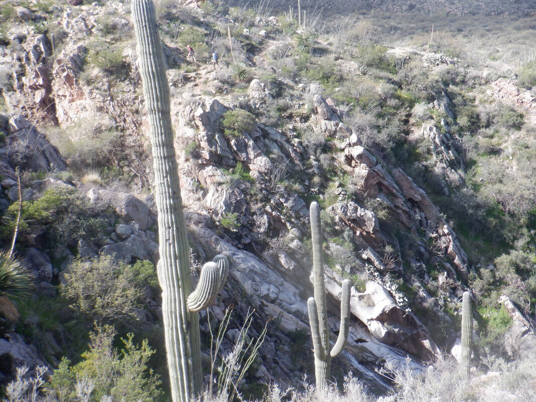
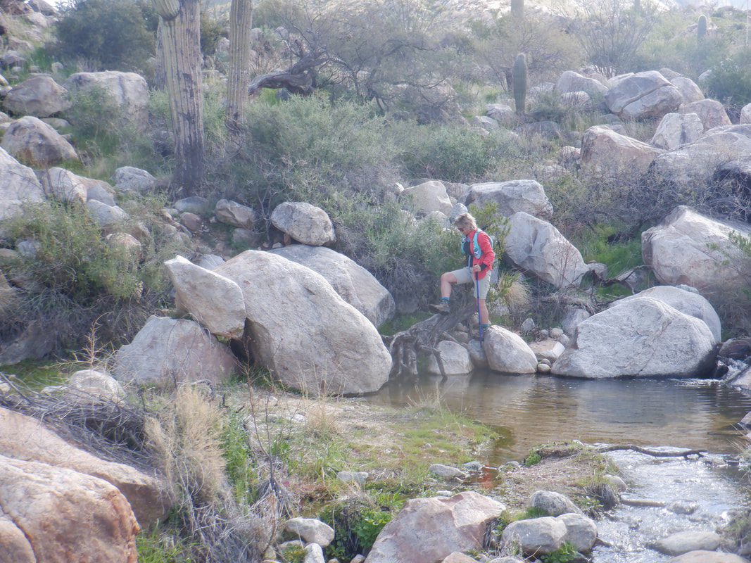
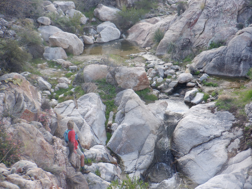
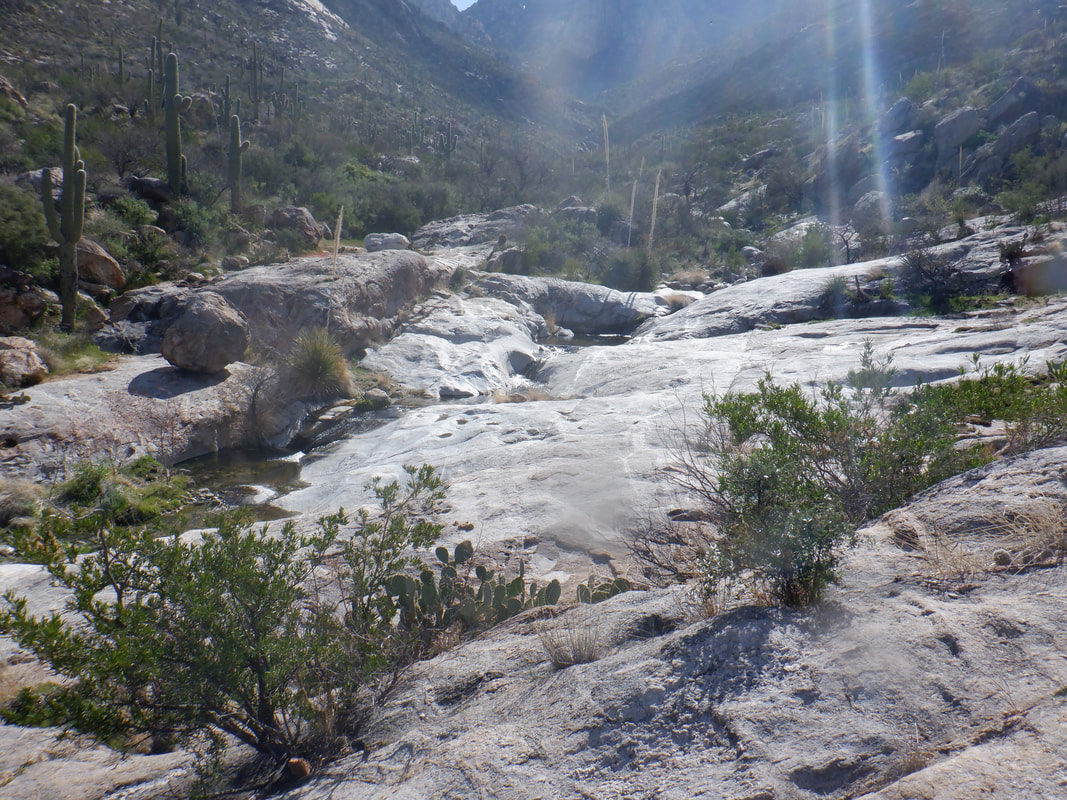
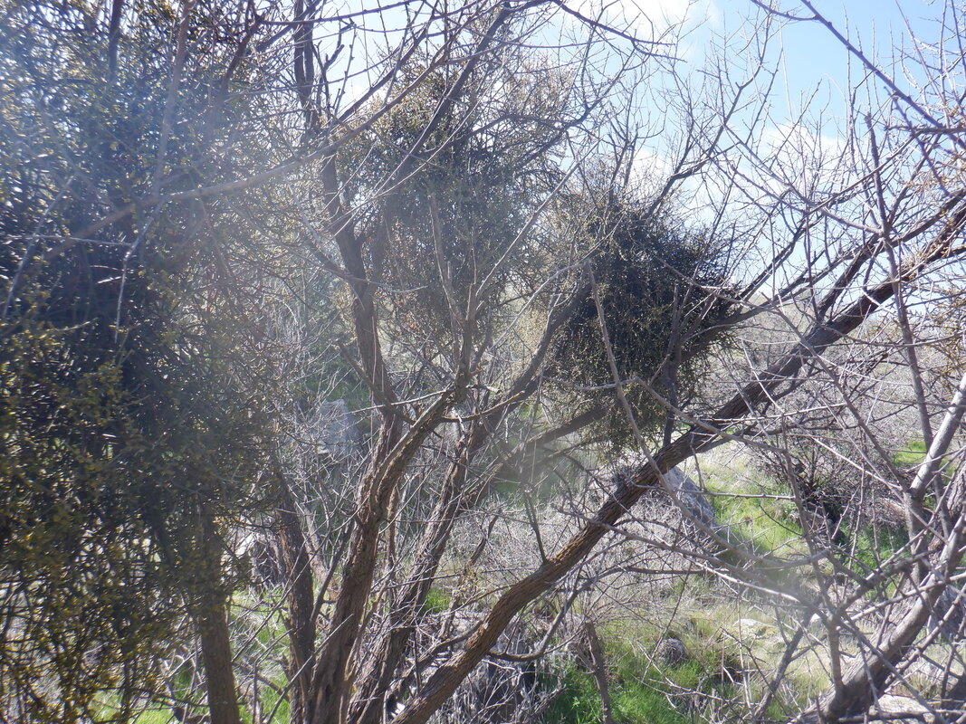
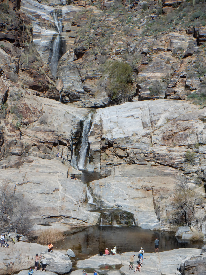
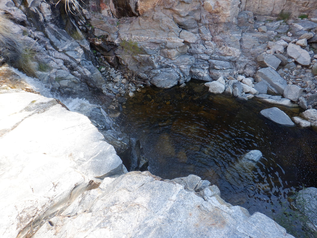
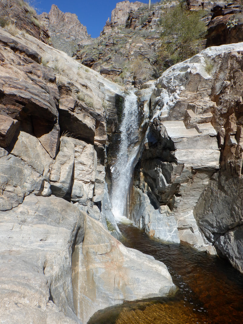
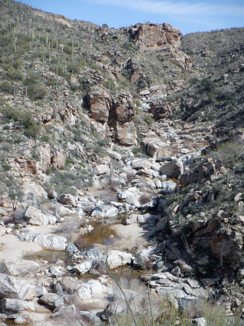
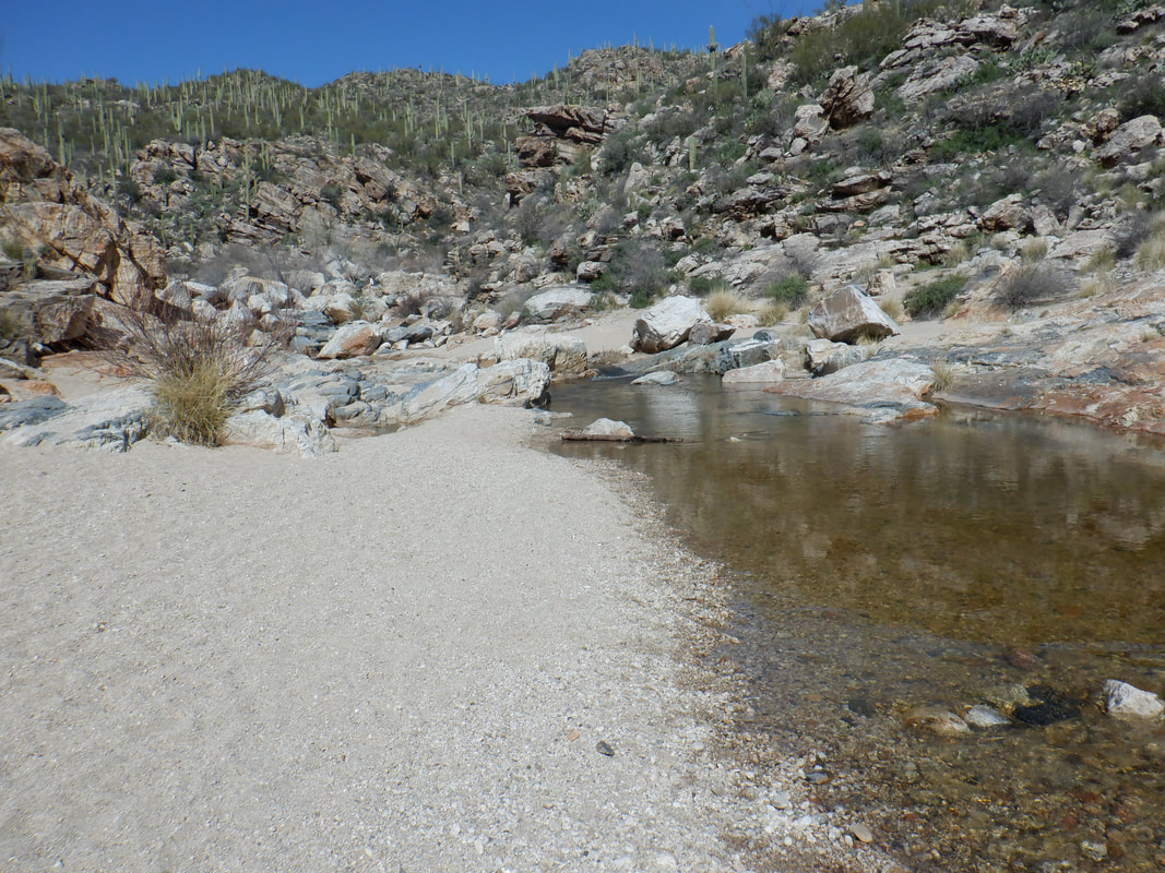
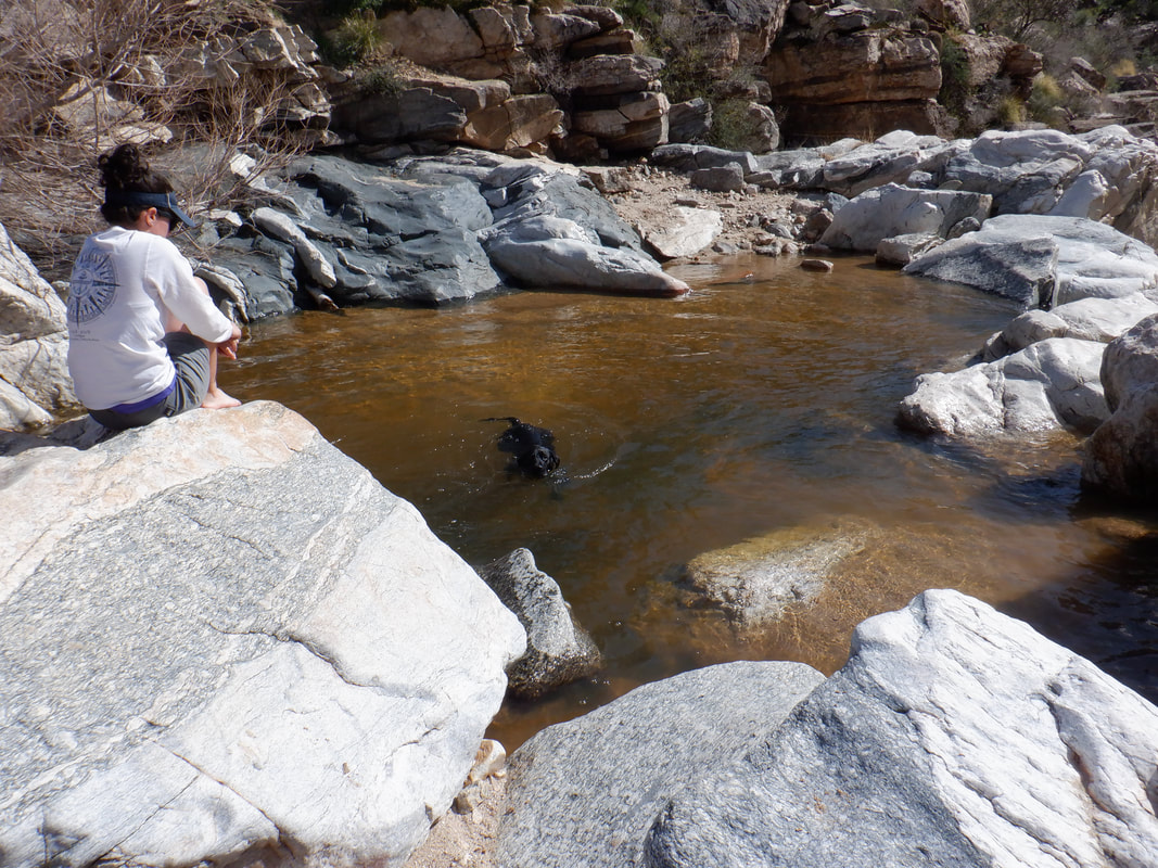
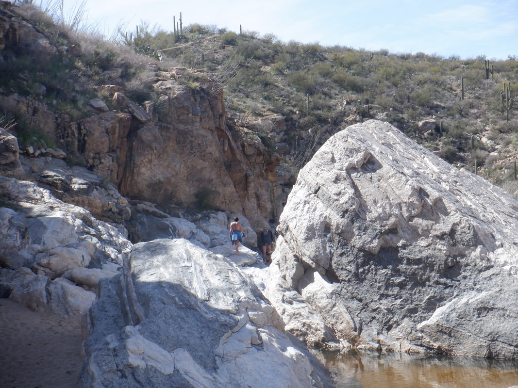
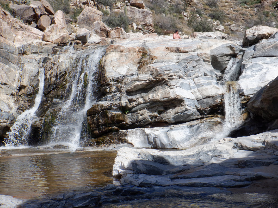
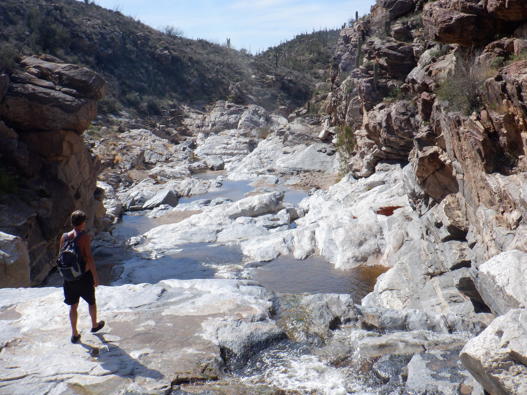
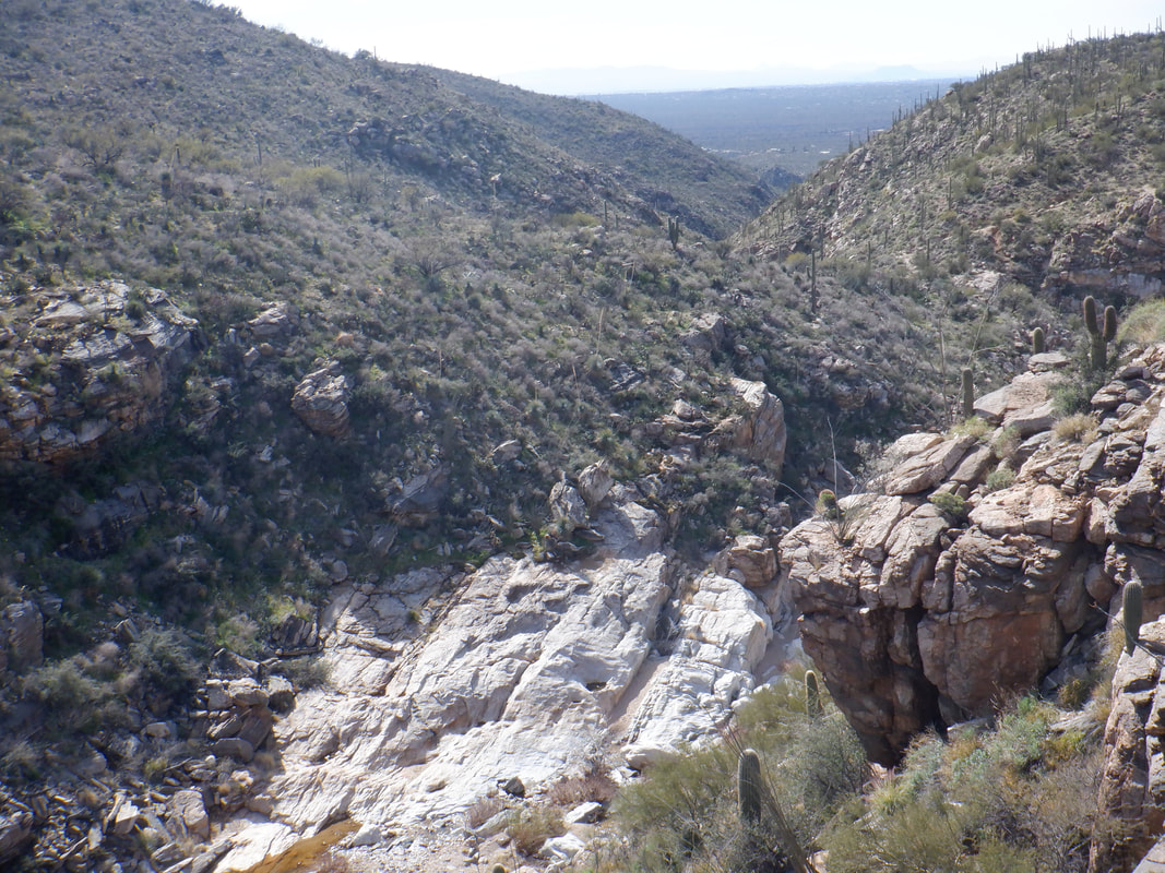
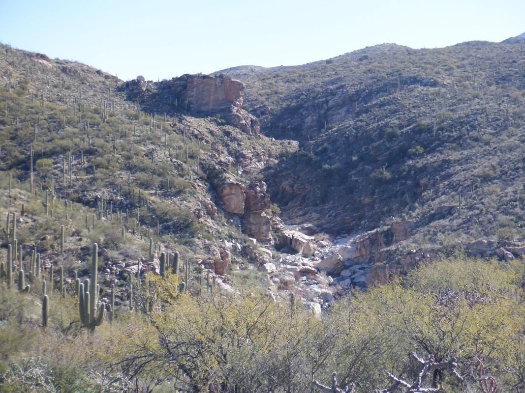
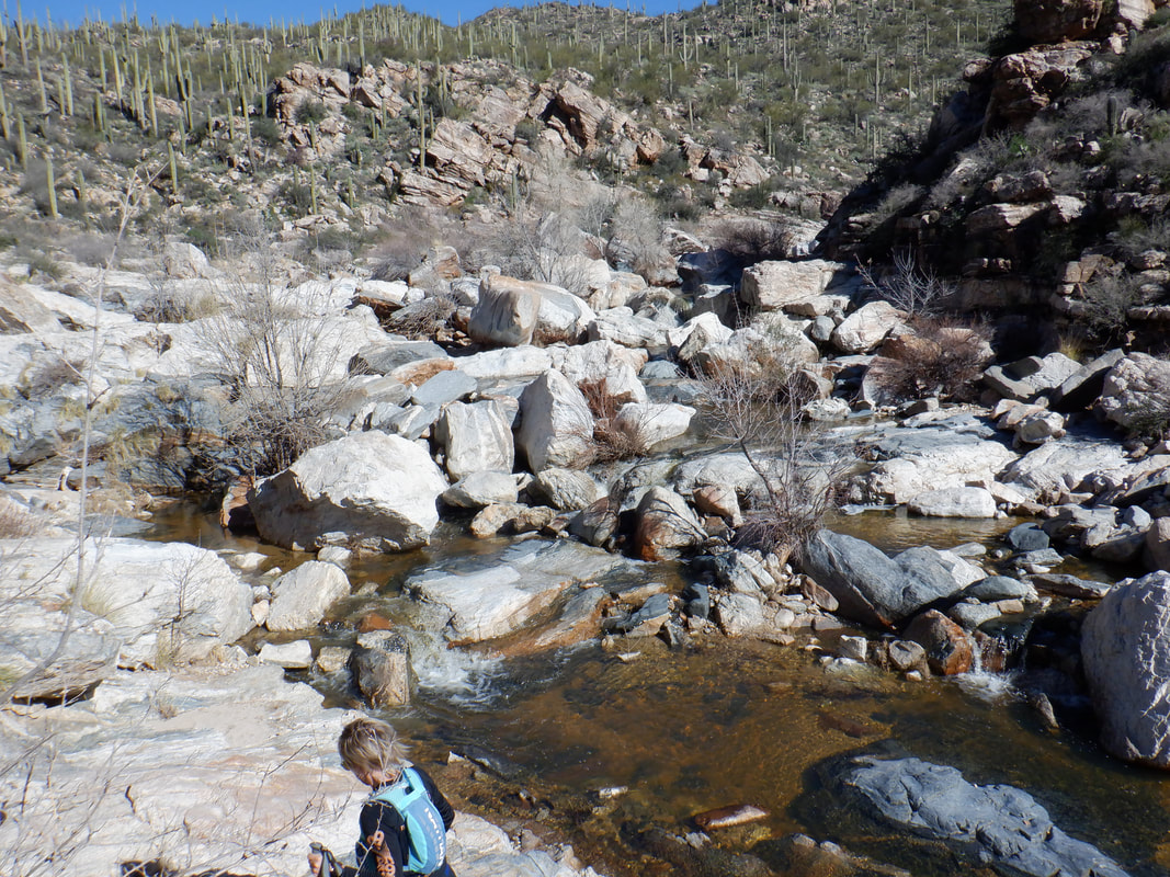
A day of some rain and a cool down in our temps so went on a fun hike out of Catalina State Park. Odd that the destination is not on the park map as it is a well worn trail with much use. The route is commonly referred to as the "Alamo Canyon Loop" or the hike to the "Bathtub". We began our hike at the Romero Ruins trail but quickly left it via a well worn trail, climbed some stairs and were off and running. OK, full disclosure, there are several junctions and I guessed wrong at two of them but eventually, we did get going. After about 1.5 miles of on route hiking (way more because of my mistakes) you emerge above a fairly steep ravine. For perspective, way at the top of the above image are a couple of guys. We followed the trail where it entered the ravine and then did some boulder hopping to a very nice overlook where we got a good look at the falls that tumbles into the bathtub. I climbed a crag and had good views up canyon. We explored.... ….up canyon too and came upon a broad slickrock area with more water running. Beautiful spot. We returned to the trail of this counterclockwise loop and after descending, enjoyed a nice walk through a nice grassy area where many of the.... ….dormant Mesquite and other trees had a heavy population of Mistletoe. This parasitic plant sucks water and nutrients from the host tree and causes the death of many trees. Finished with 6 miles and 1000' of climbing.
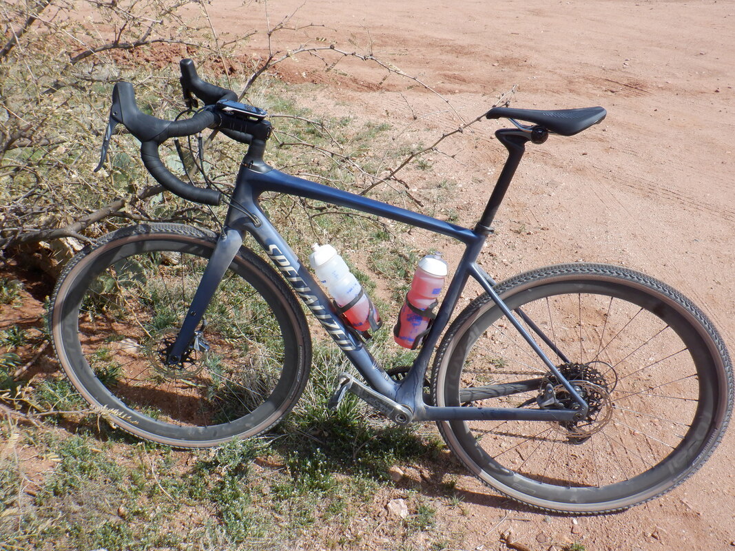
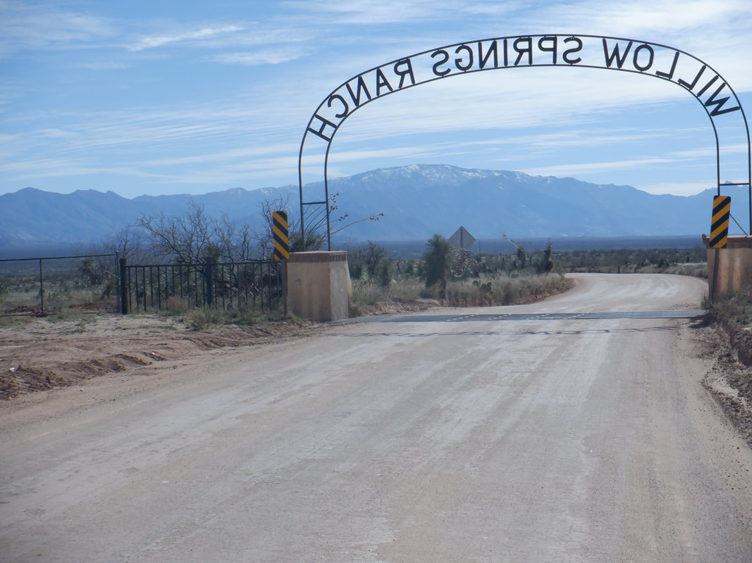
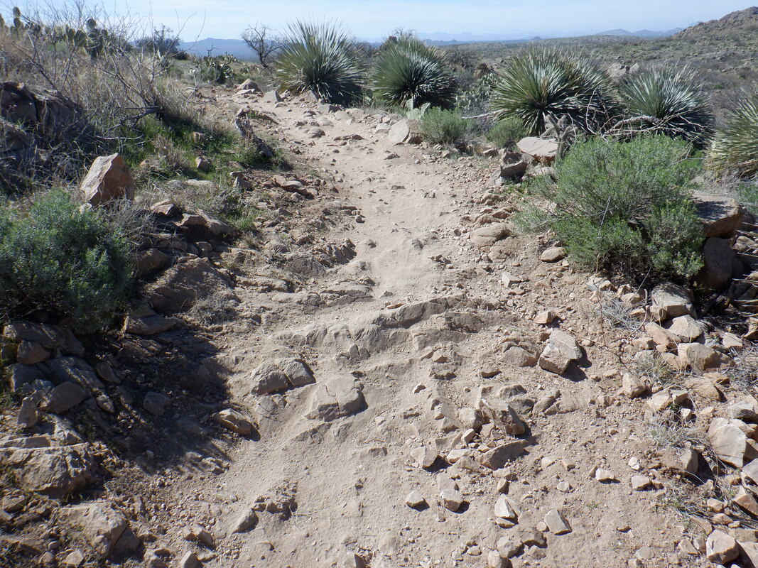
Something I had been contemplating for awhile. There are many miles of dirt roads in the region plus lots of single track so I asked a question about appropriate tire width of a local bike shop, Sabino Cycles. What came back was a voluminous reply about all aspects of gravel riding in the region so that hooked me on where to buy a Specialized Diverge. How bout that? My first ride was north of Catalina getting on to Willow Springs Road and then from there to visit the "24 Hours in the Old Pueblo" course. There is a huge mountain/gravel event here each year, information about it can be found here: https://epicrides.com/events/24-hours-in-the-old-pueblo/event-guide/ I followed a winding single track but soon, found myself in over my head. The above is not a good example of what I encountered. For this rookie, I walked the bike way too much. Anyway, found an exit onto the dirt road and ended with 23 miles. Not a bad start so the next day.... ...rode from home to single track in Honeybee Canyon. This was much more manageable. There were numerous crossings of the "Big Wash". None of the trails are marked so I brought a map with me but lost track of on what part of the route I was. I reached a three way intersection and found 3, women mountain bikers. They were very helpful and gave me directions for exiting the course on to Edwin Road where.... ….I returned home, finishing with 25 miles. My main goal is to ride up the back side of Mount Lemmon and then around it via Reddington Road. I think both of those will require hike a bike but again, hundreds of miles of normal dirt roads to follow too.
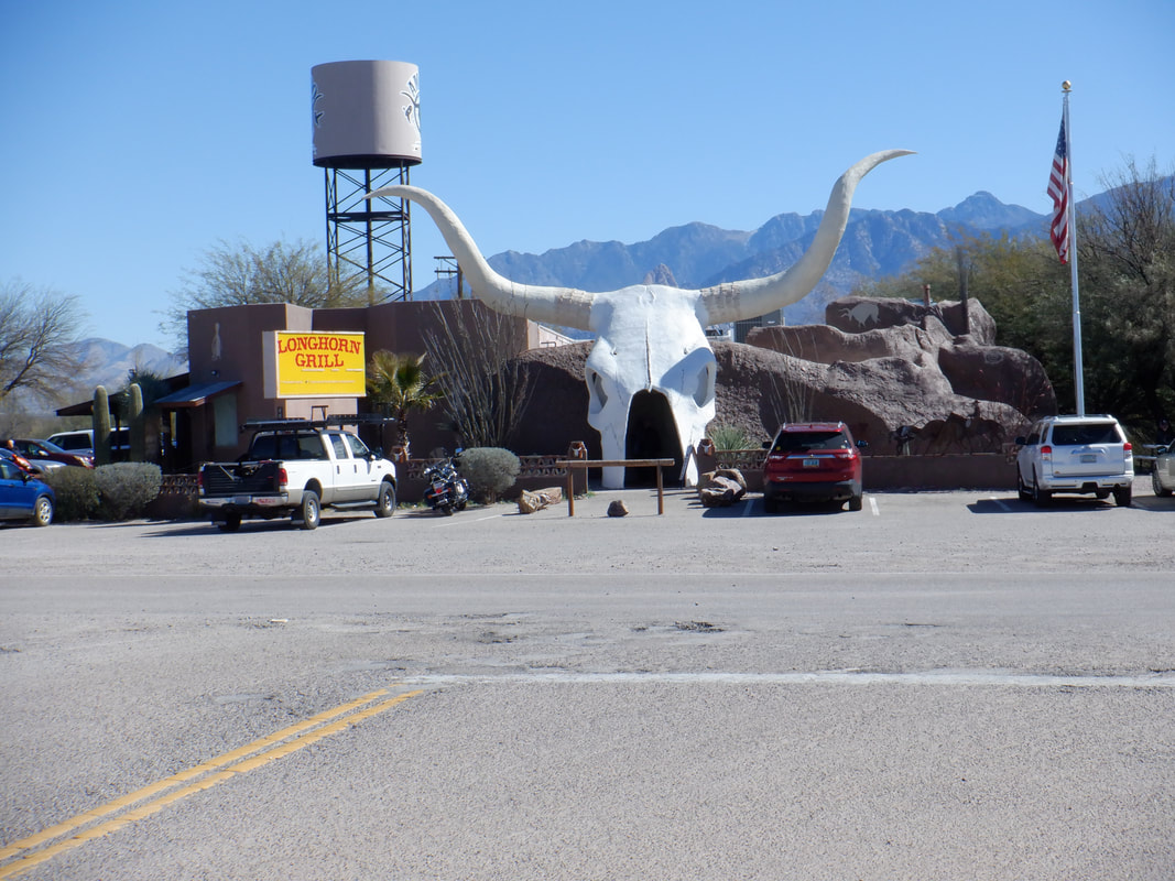
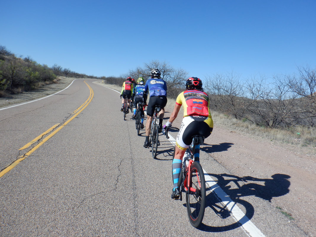
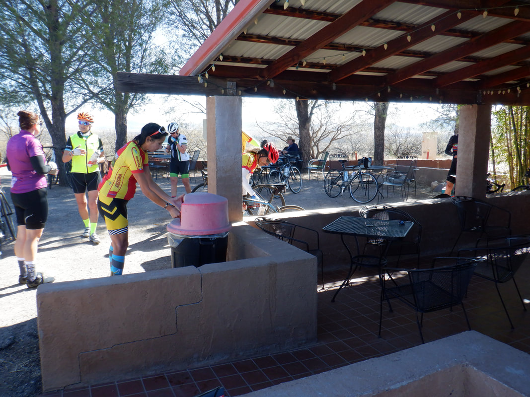
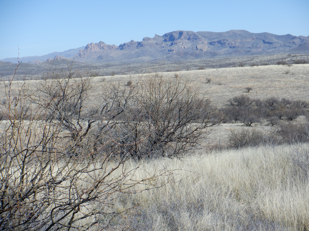
A group of 24 cyclists gather in the little town of Amado in front of a unique looking restaurant. This is a Greater Arizona Bicycling Association ride organized by Carolyn Audilet, a prolific promotor of area rides. The group takes off and I settle in with lead group of 6. My expectations: low. The route to Arivaca is rolling but more up hill than down. I surprise myself by hanging in for 13 miles but have to spit the bit so solo the final 8 miles into..... …..Arivaca. We pause at a café that has closed but the owner provides free coffee and access to the patio. Not sure for how long that service will be provided. Too bad as the café was a nice place to refuel. We get going but I had to pause..... ….to take a few images and lost the front group so what the heck, I solo all the way back, finishing with 43 miles and an 18mph average. That too was a big surprise. Maybe the cycling comeback won't be as arduous as I thought. Oh, I bought a gravel bike. More on my first gravel experience coming.
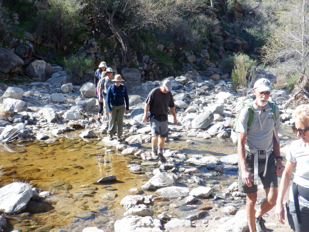
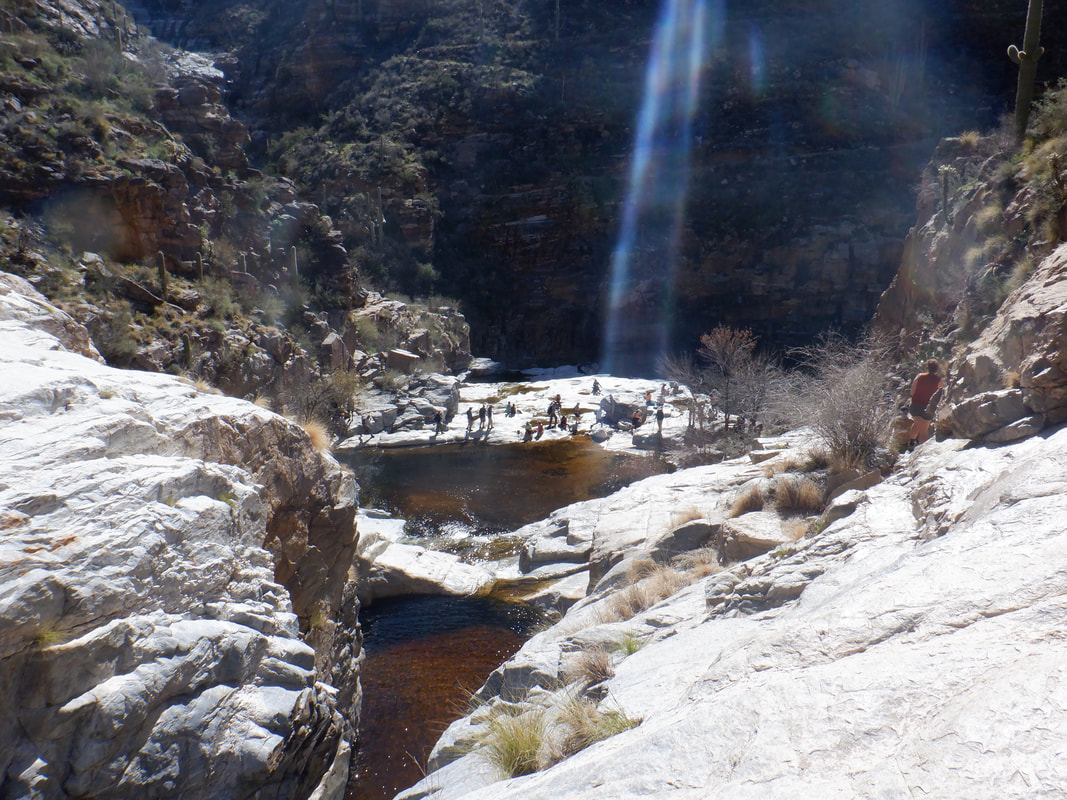
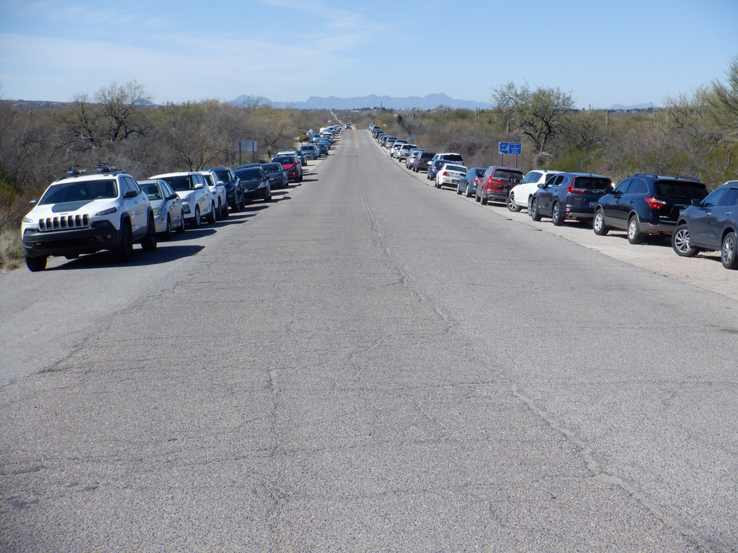
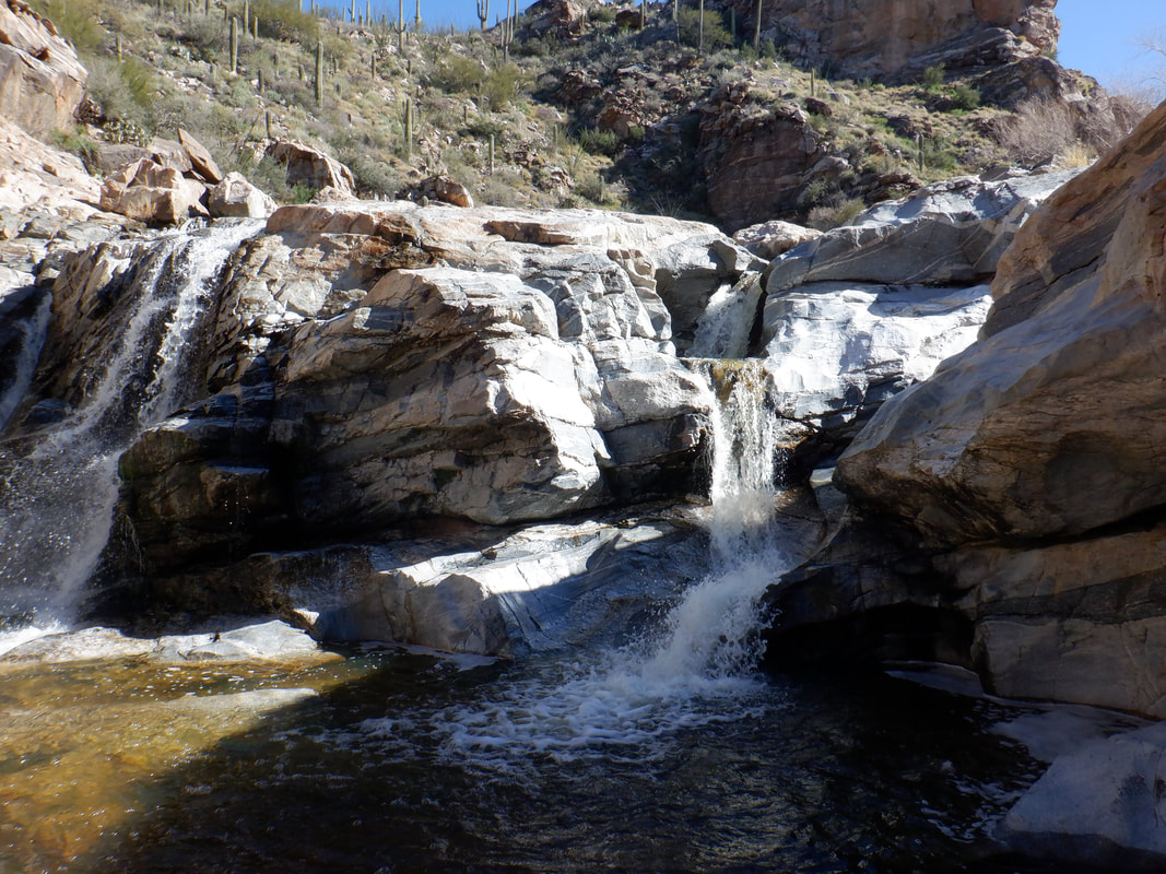
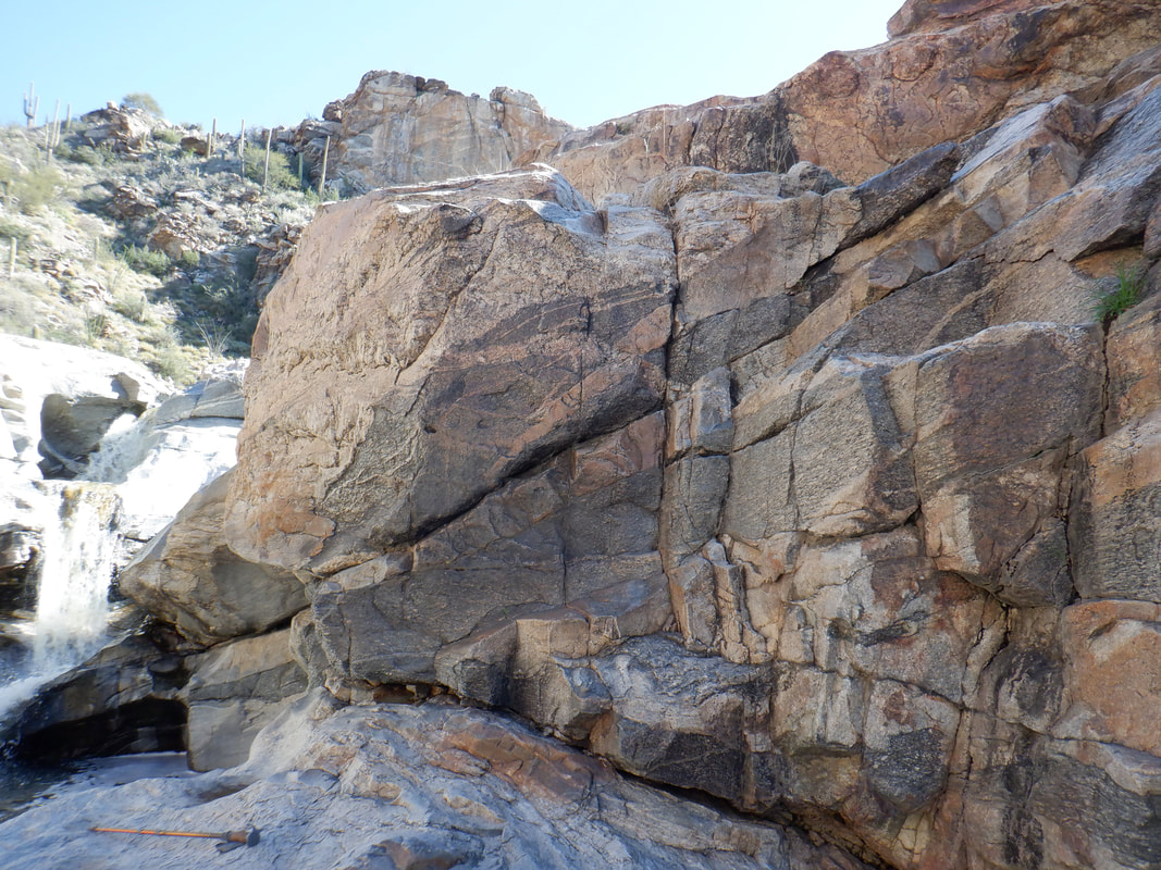
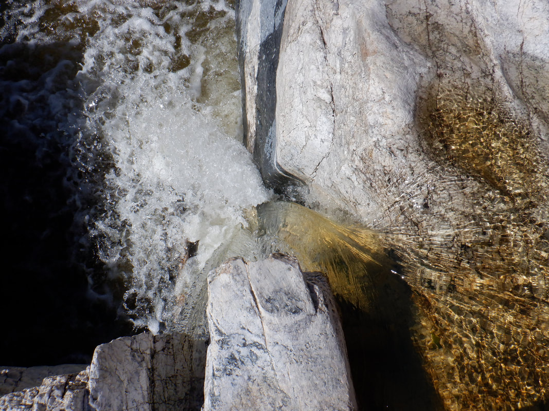
A go to hike for visitors, because of the destination and modest climbing, is 7 Falls. I arrived at Sabino Canyon intending to buy a shuttle pass so I could avoid the 4 mile round trip walk to the trail head but alas, I missed a ticket by a minute as a couple in front of me grabbed the last. So, rather than the planned 5 miles, I now had 9 miles. Our group of 12 crossed a flowing wash several times before.... ….the trail reaches a "Y" where you take the left arm and see the above, spectacular scene. This being Presidents Day, the trail was swarming with hikers. I was wearing a Buckeye hat and received many "OH" shouts to which the expected return greeting is "IO". The falls reaches a broad expanse of undulating granite where all gather for a break before plunging into a final pool. The option exists to climb a few stages above where the crowd gathers so.... ….I climbed the left wall to the second floor and then on to the third floor but I've always been stumped from going higher. The walls are too steep for me to climb. I had gotten ahead of my group but saw then enter the area and scrambled down to refuel before heading out. Always a fun hike but better if you can avoid the kind of boring open/closing walk to the trail head in Bear Canyon.
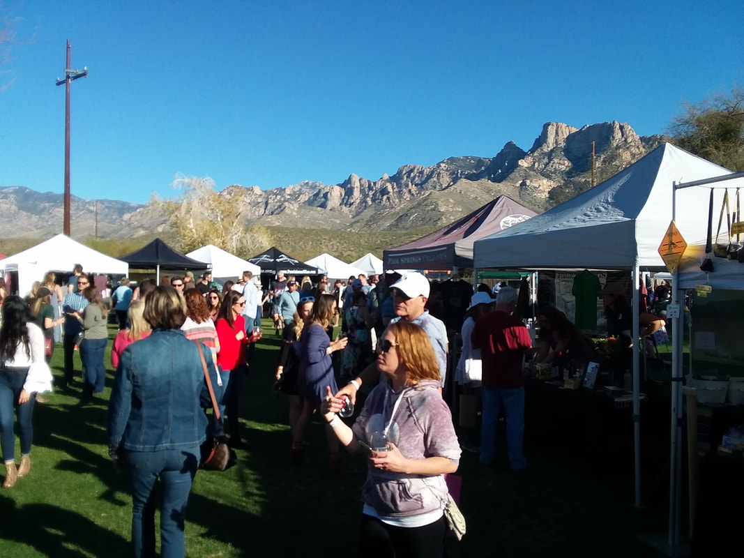
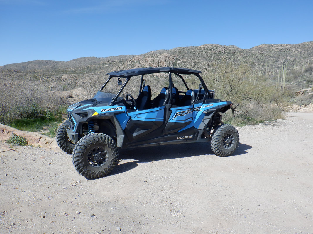
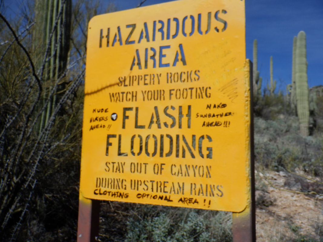
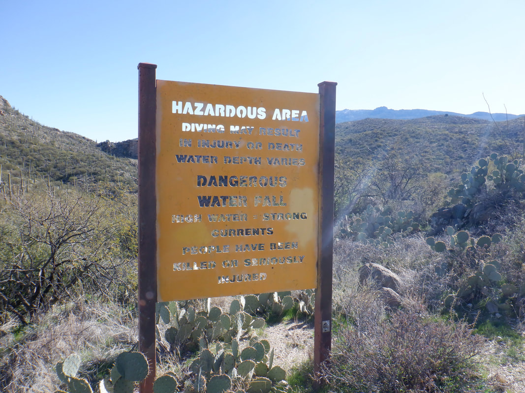
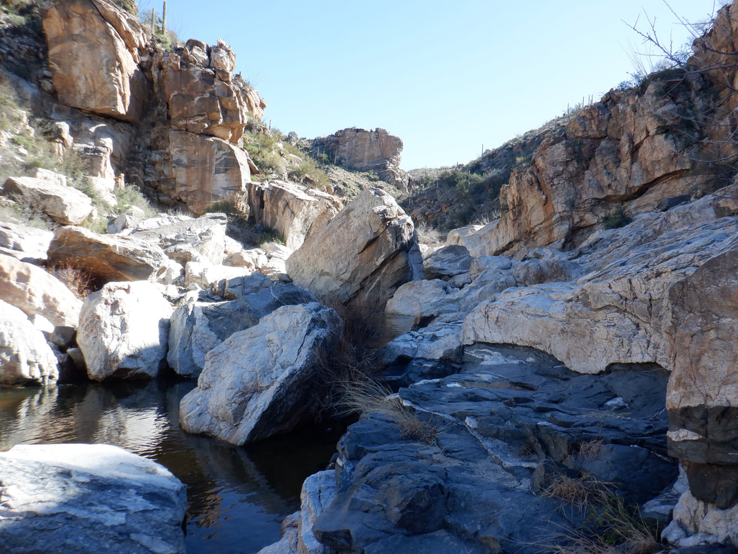
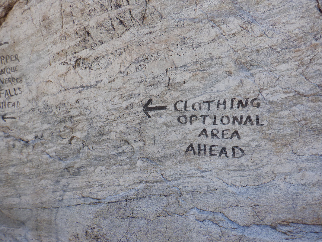
Visited the Oro Valley Wine Festival. Great scenery and weather. Then..... ….went hiking with a friend on Sunday morning. Tucsonans love the area's hiking trails as we did a fun loop hike off Speedway Road on the north end of Saguaro East NP. Finishing the hike and since I was on the east side I..... ….drove a couple of miles up Reddington Road. The road goes clockwise around Mount Lemmon and drops into the town of Oracle on the northwest side. Never explored that as it is too rough for a car but I have acquired a gravel bike so will give it a go. The amount of traffic on this dirt road amazes me. Many dirt bikes, 4 wheelers, trucks, etc... Met a family who rented the above for $300 for a 4 hour experience. As I had been thwarted twice before on a hike, I revisited Tanque Verde Canyon to check out the falls. The scramble through the boulder field is just a lot of fun. I also enjoy the challenge of route finding. There are several beaches and many pools.... ….where even the dogs enjoy taking a swim. Today the temperature was in the low 70's but the water was very cold. A woman having no top and a man having no bottom wear approached and passed. We exchanged greetings as I made sure I stared at their heads. I had entered an area visited by nudists. Then a guy suddenly emerged upstream, completely naked, jumping from boulder to boulder. I really wish I could unsee that. I reached the base of the 30' falls. There is a wall on the right side that I had not previously climbed but did so and..... ….the view down stream was great. I took a quick look at the beach area where there were clothed and unclothed individuals and then headed up a trail. The climb out is relatively easy and towards the end of the trail.... ….there is the usual signage warning of the dangers below. Also on the sign are warnings about what else you may encounter. Fun but short hike. Just right as an add on to another hike as I did today.
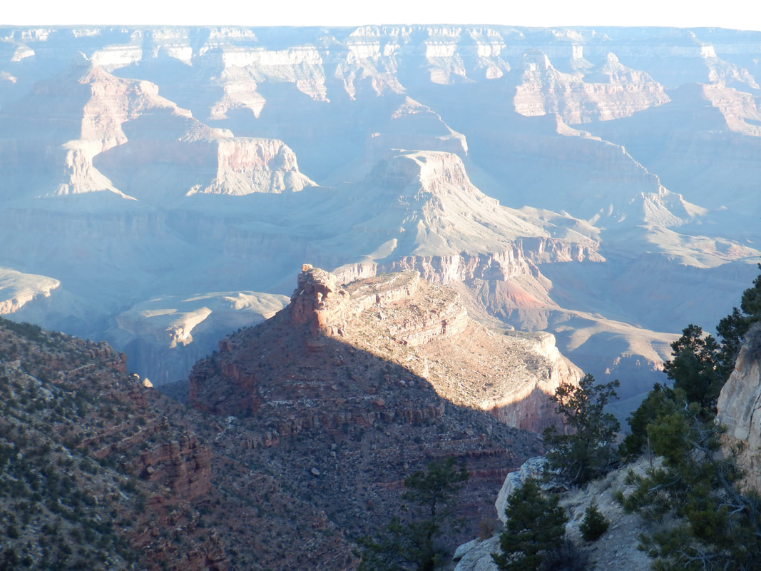
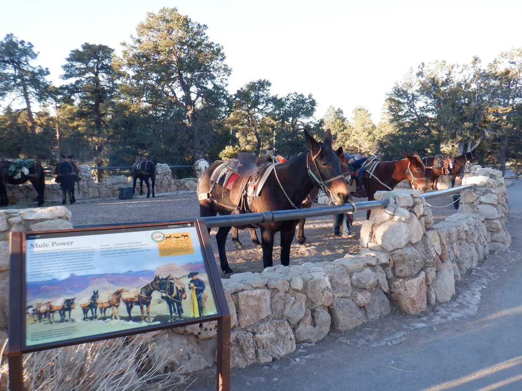
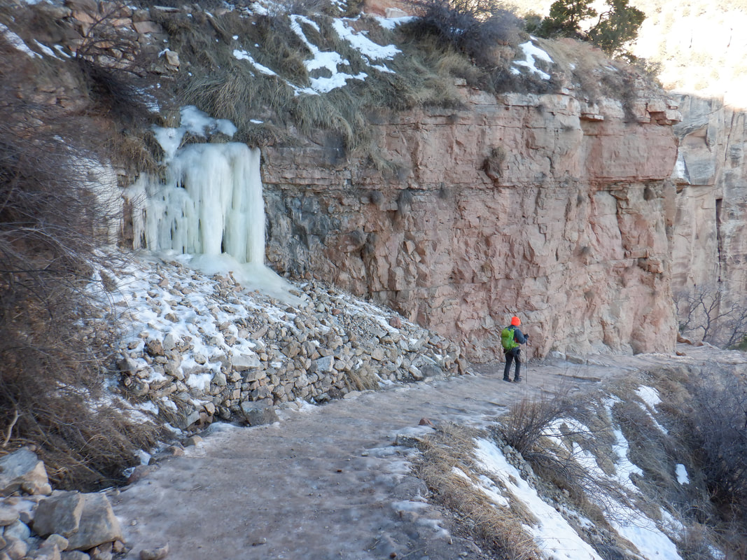
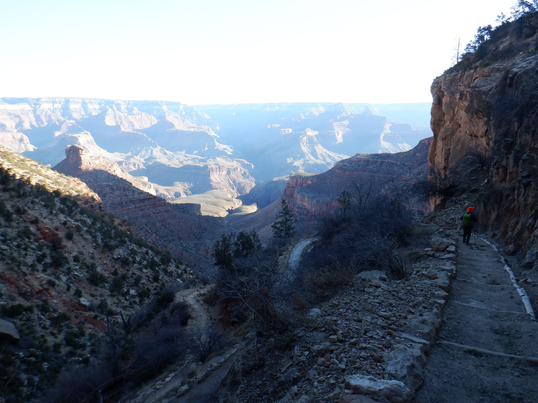
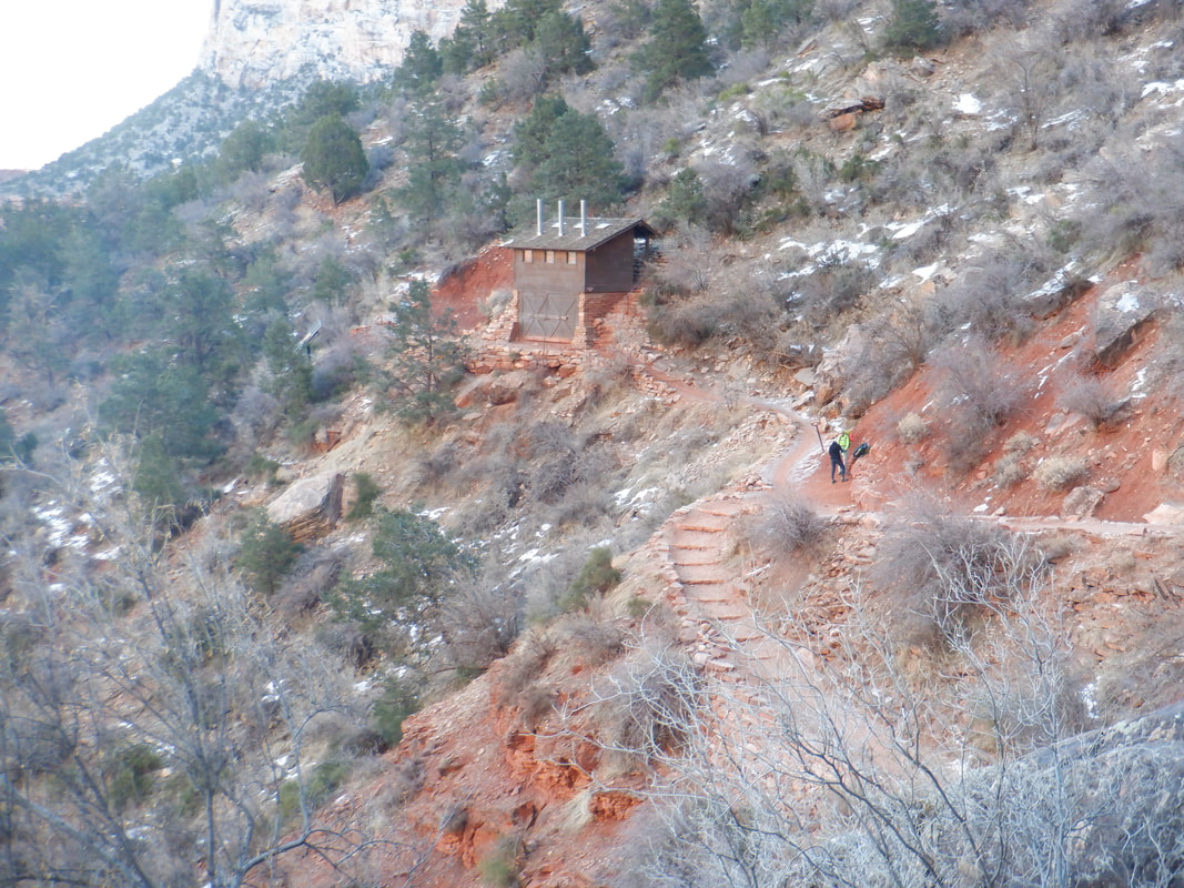
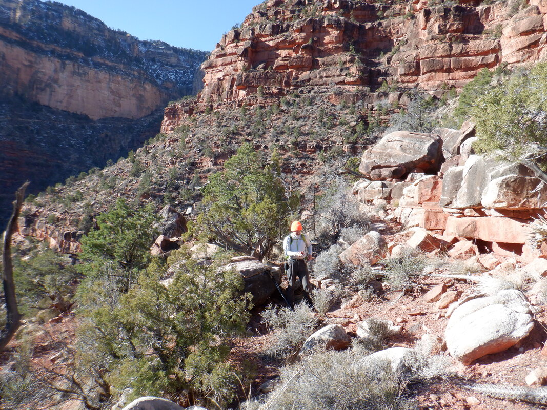
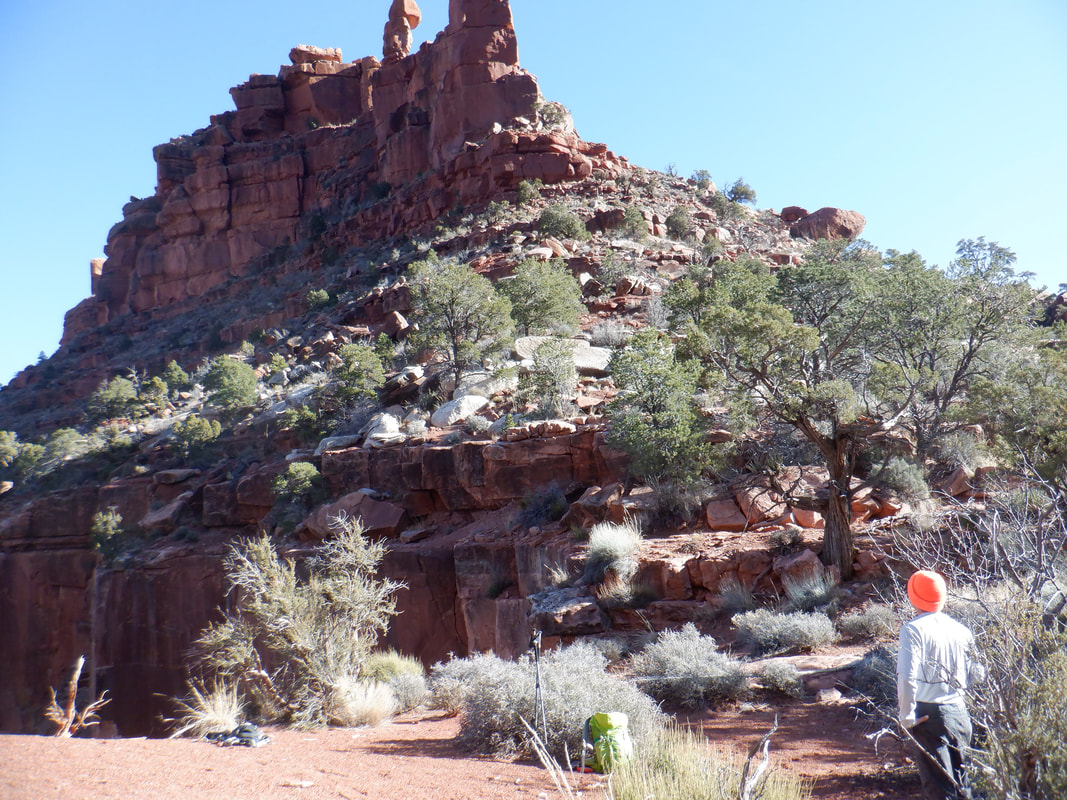
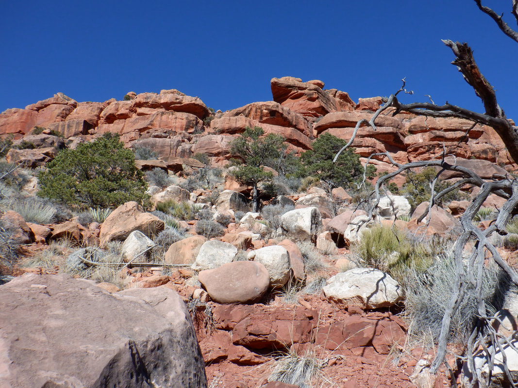
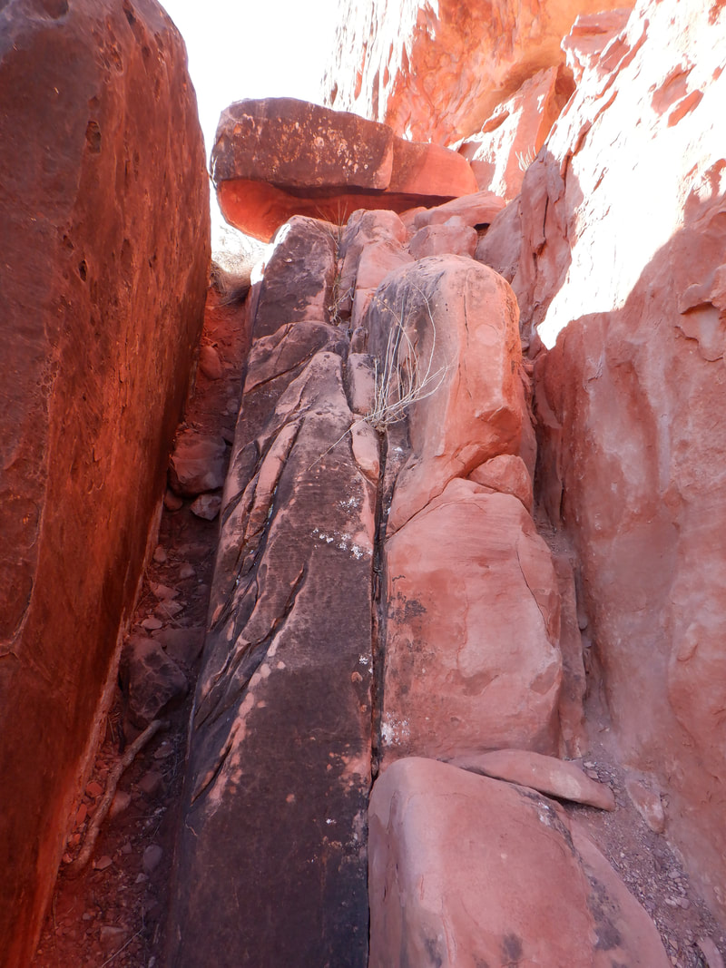
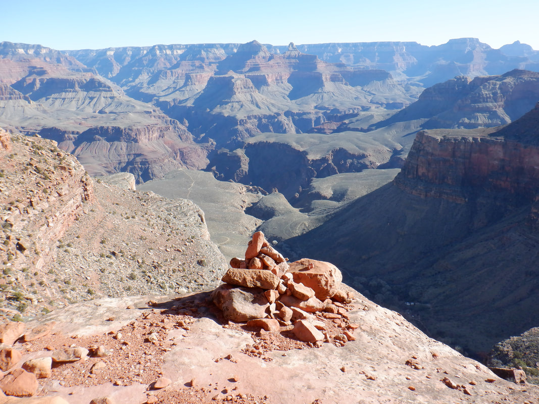
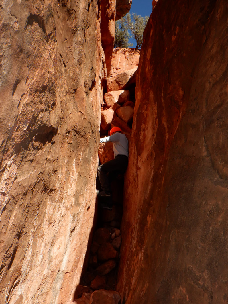
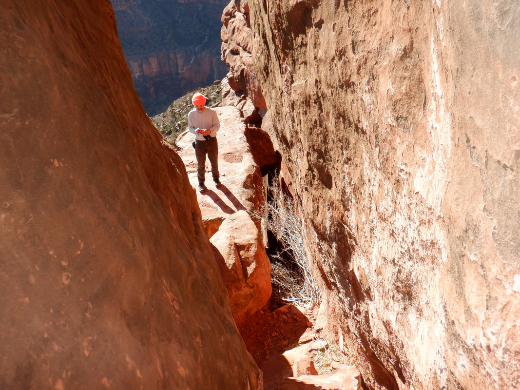
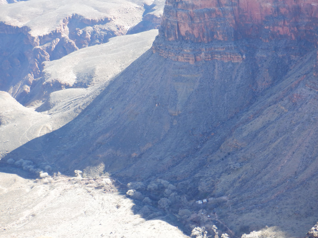
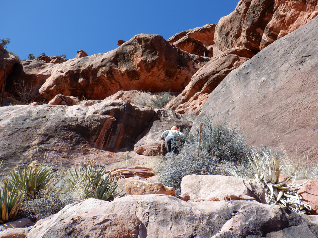
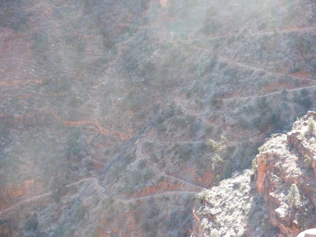
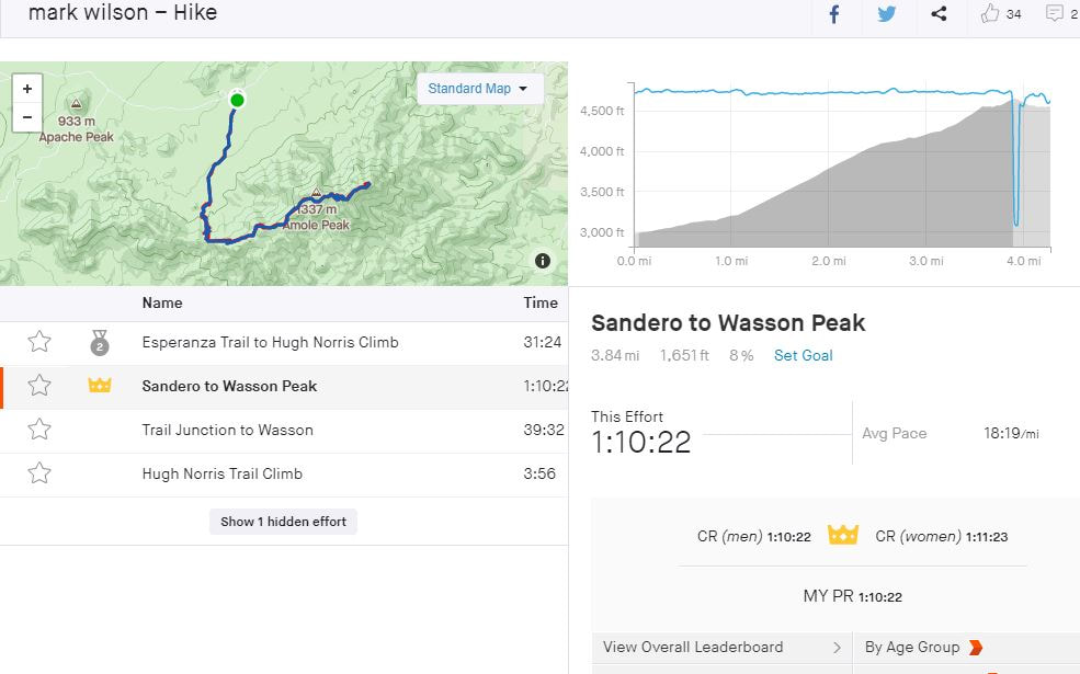
A very cold morning of 18 degrees as I arrive at the South Rim and see the butte known as the Battleship, the rising sun bathing it in light. I'm wearing cold weather cycling tights, a cycling long sleeve, cold weather shirt with a wind breaker and a pair of lobster gloves. The combination worked well. I had another pair of thinner gloves for the eventual climb. The mules are ready to be ridden down to Phantom Ranch. Later, I wondered if they wore anything on their hooves to provide extra traction on the ice. Considering the temperature, sitting on a mule, I think, would be a miserable experience yet plenty of people were waiting to mount. I'd not previously worn crampons so when we arrived at the first significant slope, I dropped and scooted on my rear. Over a life time, you learn how to walk a certain way on ice and not fall so to walk normally, while going down hill on ice, was a leap of faith that I eventually made but it took awhile. Wade and I were amazed at how many people were attempting to go down with only hiking shoes. We continue our descent via the Bright Angel Trail. The Battleship was frequently in sight and growing larger. We reach the 1.5 mile rest house and toilets where the ice finally disappears. After dropping down a few more switchbacks we leave the trail and..... …..begin picking our way through the band of red, Hermit Shale. There are a few cairns and at times a very faint trail but mostly it's just horizontal hiking in and out of drainages until.... ….we reach a saddle that affords wonderful views up and down canyon. A special location with Juniper pines providing some shade. It would make for a nice "at large" camp site. My hiking partner, Wade, looks at the Battleship. At this end, it is narrow and doesn't look like much. We follow an obvious trail with plenty of cairns to the right of the butte. The ascent is not overly steep as we proceed counter clockwise around the butte. Eventually we reach the base of the massive bands you see above. Here's where it gets a little.... ….tricky. The gap on the left is narrower then my hips and I still have a bruise from a later encounter with the gap. It's possible to worm through the hole on the left beneath the rock but we climbed the right side and emerged..... ….on this platform with an awesome view. I saw a helicopter make a couple of runs into the canyon so maybe they were rescuing some ill prepared hikers. We turned and navigated another narrow chute and we hopefully thought that was the infamous chimney but..... …..alas, no. We arrived at this new chute. The picture doesn't convey the challenge. The boulders start at about 6' off the floor so there is nothing below them to grasp. Oh and then the empty space below the boulders goes down about 1000'. There is a narrow ledge on the left wall so it's easy enough to place a foot in there and rise up with your back to the other wall. Then we were stumped. Wade lost his footing and slid down to the floor rather than into the abyss. Then.... ….I tried. Yep, foot on ledge, wiggle up but if only there was one more hand or foot hold about 12" higher so we could then get into the boulders and scramble out. Let me tell ya, looking down to the right of the floor where the void is, there is a penalty for losing your perch and missing the floor. It's not likely but it's also not unlikely. But for 12" of some kind of something to grasp and I'd be good to go but I spit the bit. Wade though tried it a few more times while I sat on a platform and thought how thankful I am to be here. Wade thought he could make it up but the return would be problematic and it would have been. Later, I watched a guy on video do it and he didn't use the chimney scooting technique at all. He turned a large stone on its side, stepped on that with his right foot, stepped on the narrow ledge on the left wall, took one big step up to the boulders and was through. Made it look easy. Damn, didn't think of that. We were just a few yards from the summit and not making it really gnawed at Wade so as we descended, we wondered if perhaps there was another way so when we spotted a fault in the bands, each of which is 10-30' thick, he climbed up to investigate. I was happy to sit this one out and wait while he explored. I could hear him moving some rocks around and soon he called me to join so I scrambled up the slope. It was a dead end so we..... ….renewed the return. In the distance, I could see the switch backing Bright Angel Trail and decided after I put the crampons back on my shoes, I'd see how fast I could ascend the point between the 1.5 mile rest stop and rim. I knew there would be a Strava segment so.... …..was happy with being top 100 out of 7500 people. The traction, wearing crampons, is good but I'd like to do it again with normal conditions. Unfortunately, all the times I've hiked Bright Angel I've never had a device that tracked my time so this is my only official effort. I enjoyed the scenery on the drive back but hit Phoenix at 5:30pm. WOW! I'd hate driving in that every work day. Finished the hike with 8 miles and 3700' of climbing. Fun time but would like to do it again and reach the summit of Battleship.
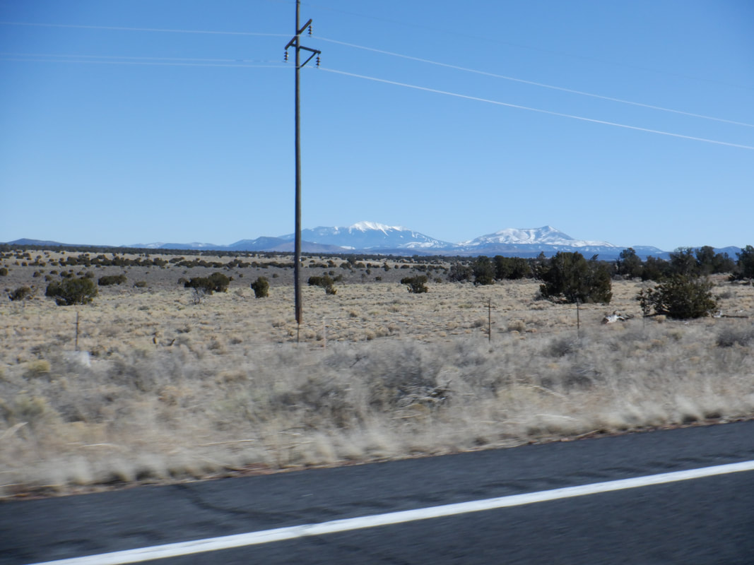
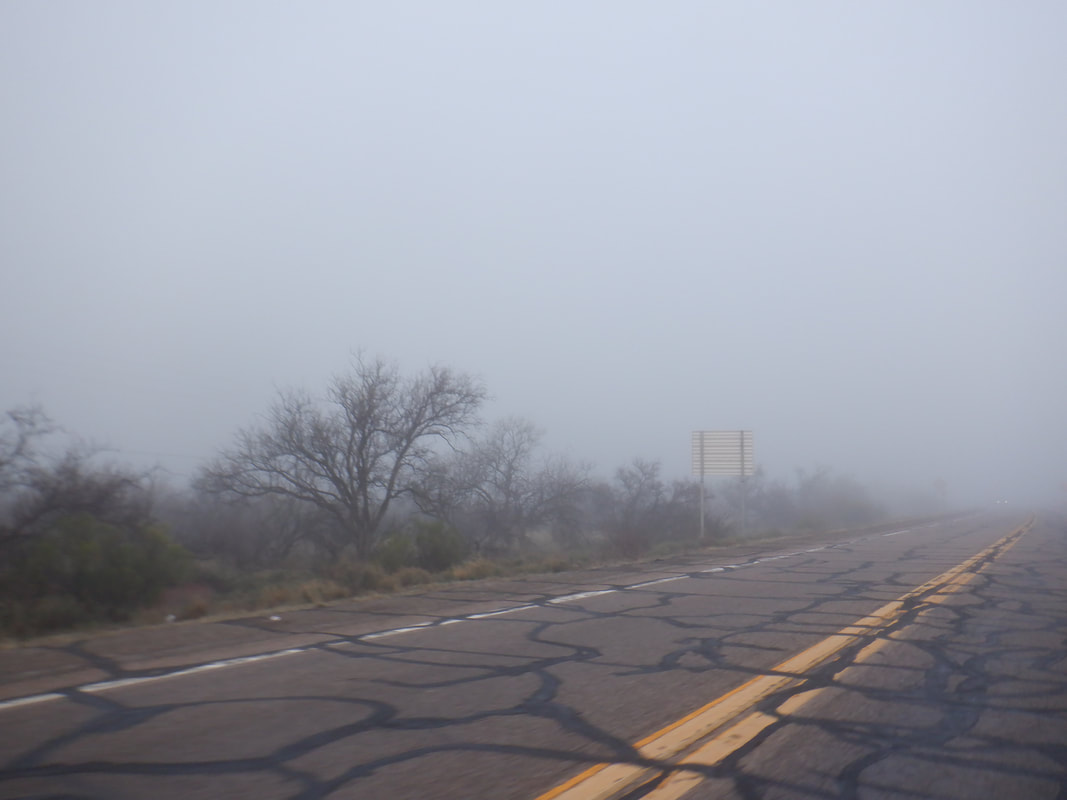
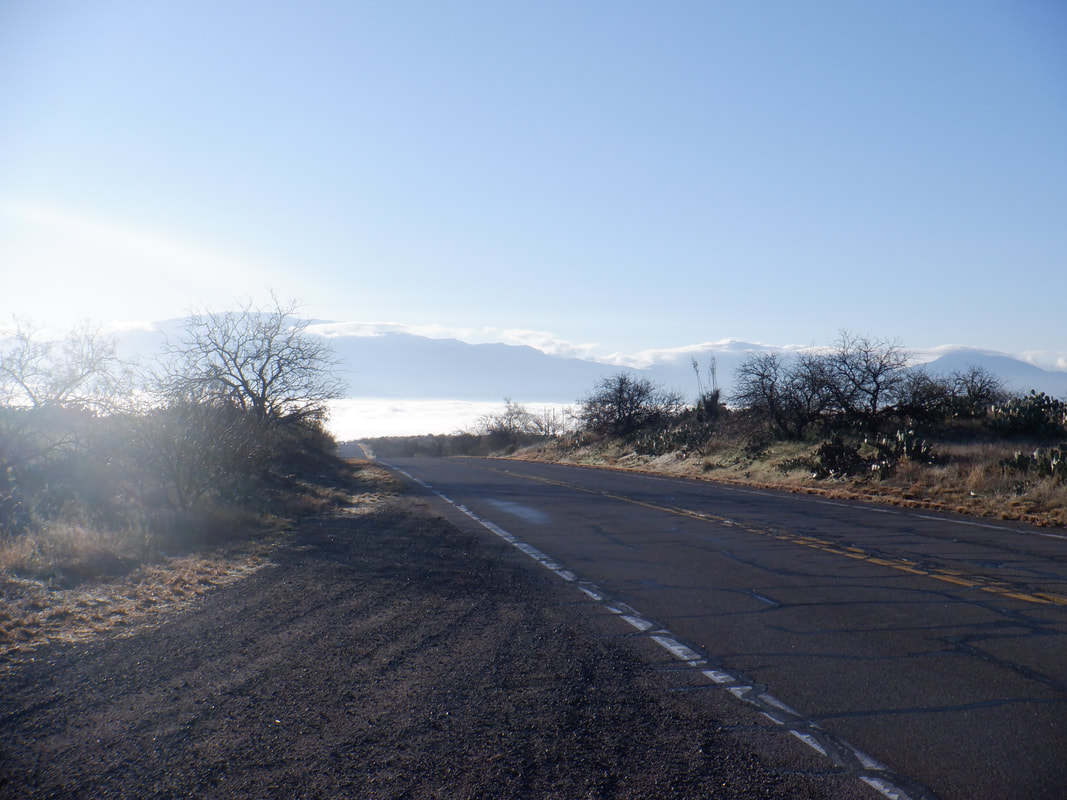
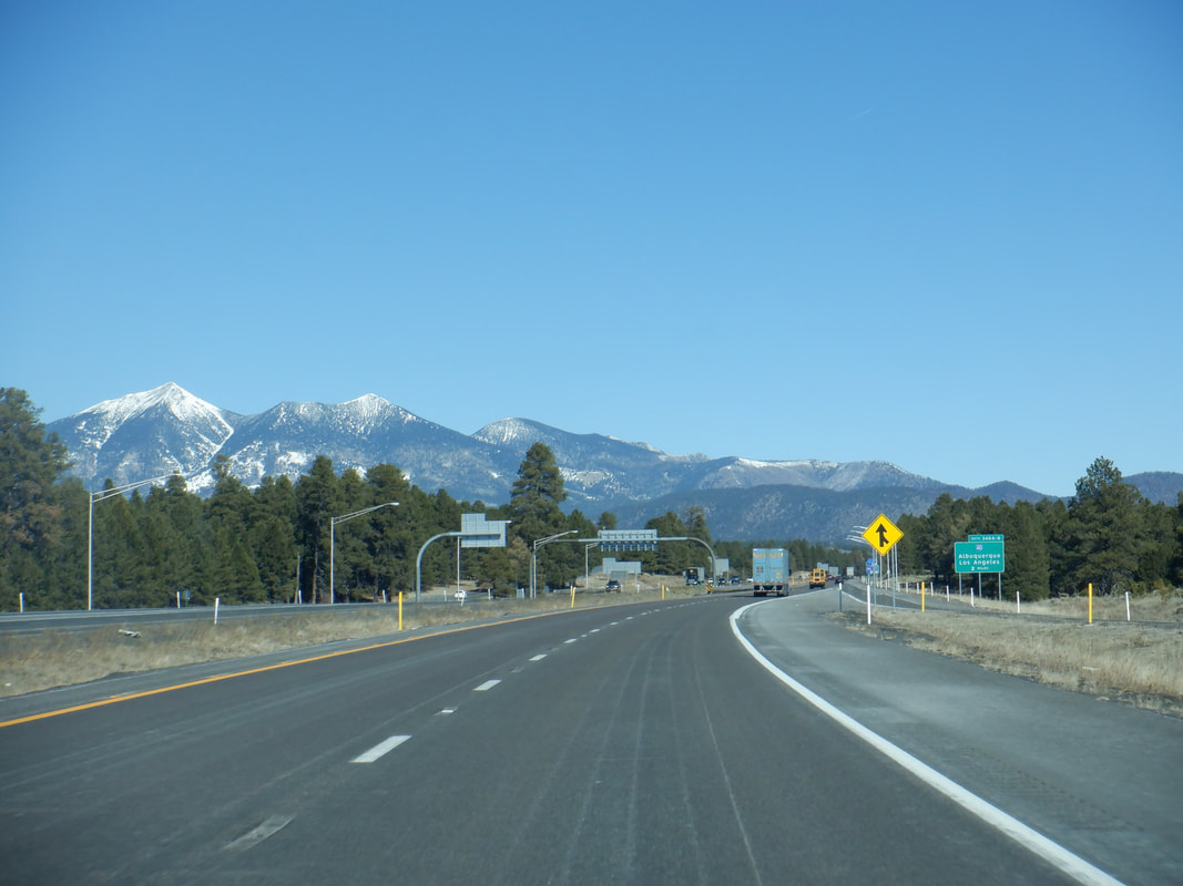
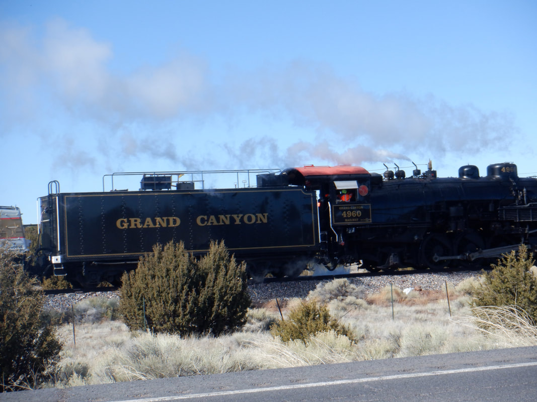
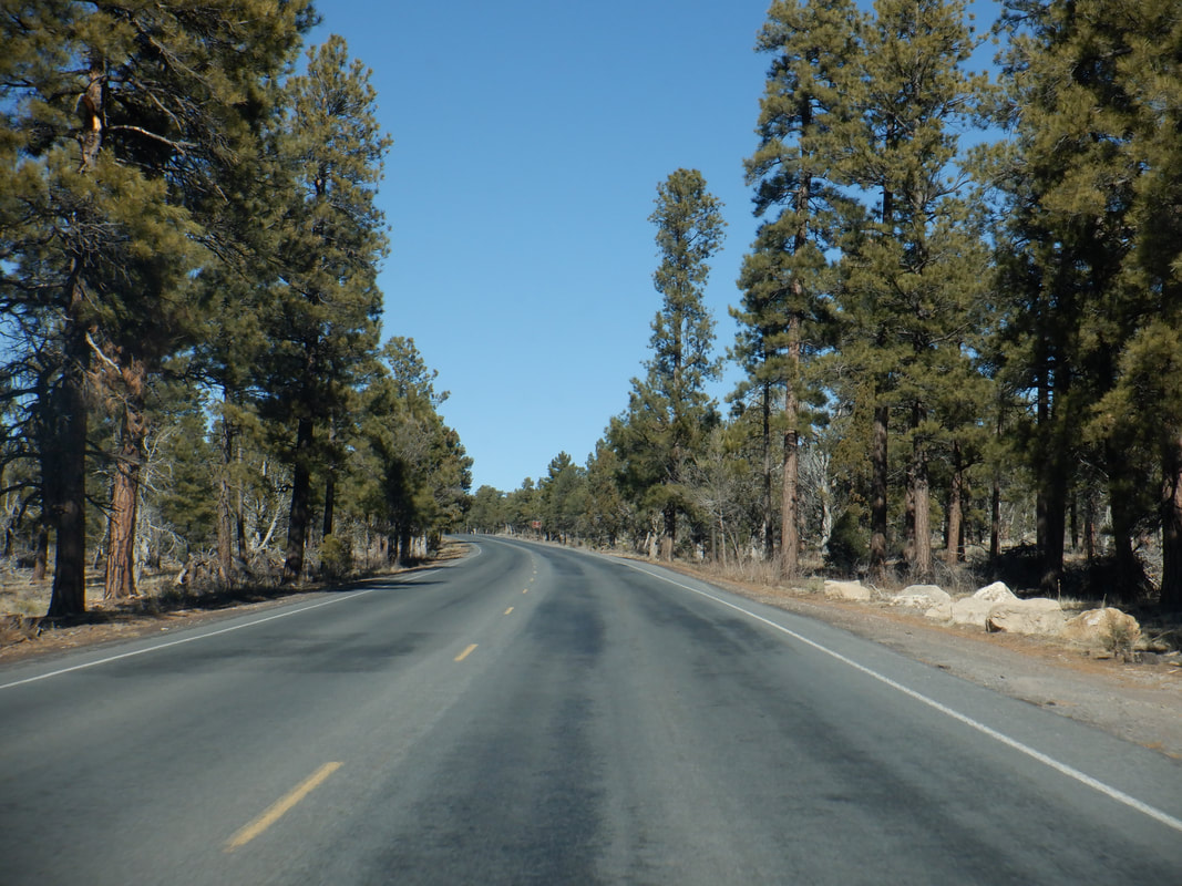
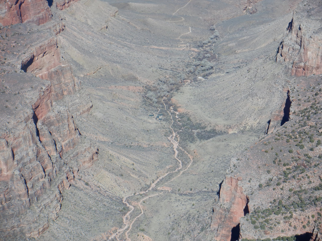
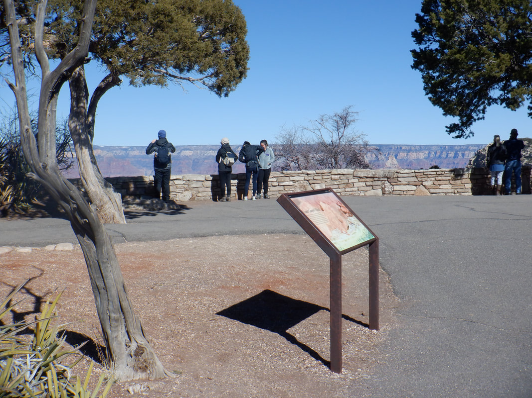
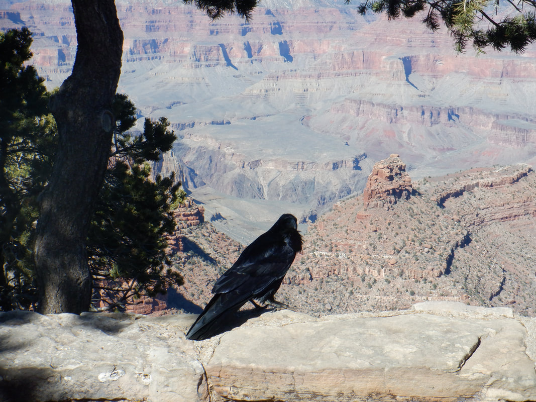
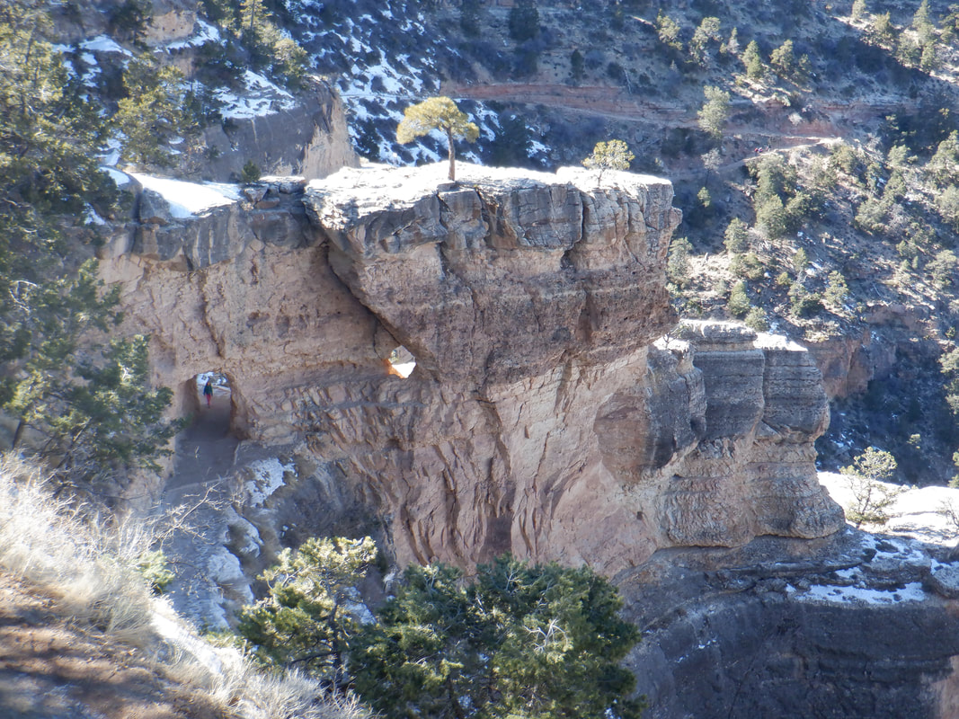
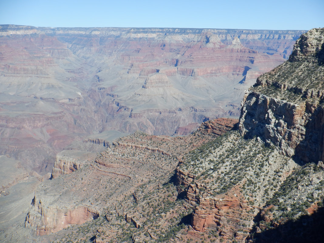
I've been coming here for 8 years and have never seen fog like this. Oro Valley was covered but as I left the valley and headed north on #79..... …..I emerged from the fog and enjoyed the sun. I am on my way to the Grand Canyon where I will meet Wade, organizer of the "Arizona Strong Hikers" group. We will shove off from the South Rim, tomorrow at 8am. Our destination is The Battleship, a prominent feature as one looks out over the Canyon. It is a scenic, almost 6 hour drive for me. I pass just west of Flagstaff and enjoy the view of Humphrey's Peak and the San Francisco Mountains. With a forecast overnight low of 18 degrees (YIKES!) I dug deep into my box of cold weather cycling gear. Although I have never used them, I grabbed a pair of cramp-ons as Wade had reconnoitered the portion of the Bright Angel trail we would hike and let me know it was covered in ice. I reached Williams, AZ and then a straight shot to the Canyon. I passed the Grand Canyon steam engine pulling a couple of passenger cars. This is a popular means of going from Williams to the GC. There is a bike race where 300+ cyclists race the train, 53 miles to Williams. Called "Man vs. Machine". I think you have to average 24mph to win. As I drive toward the Canyon, I am always struck by the lack of clues that you are about to view what tops most natural wonders of the world, lists. I distinctly remember my first visit, driving through the forest and then without warning, seeing it to my right and my jaw just dropping. I drive to the parking area adjacent to the famous El Tovar hotel. I look down and can see the Bright Angel trail and Indian Gardens. In late April, I'm leading a group of friends down the South Kaibab trail but while they spend the night at Phantom Ranch, I'll chug out of the Canyon for an enjoyable day hike. Despite the cold and off season, the rim is fairly crowded. The high today is 45 degrees. I enjoyed walking along the South Rim and looked frequently...... …..at tomorrow's destination, along with the bird. I've read many hike reports about the Battleship and am nervous about a part of the climb called the "chimney". Of course, experience has shown that people who describe features as "scary", "exposed", etc... are almost always exaggerations made by the inexperienced.....almost always. A famous spot as a tunnel (lower left) is part of the experience trekking out of the Canyon via the Bright Angel trail. So awesome. I've lost count of how many times I have visited the Canyon. Backpacking off the north rim a few times and plenty of day hikes down to the river and back via Tanner, Hermit, the South Kaibab/Bright Angel loop (maybe 8 times?) and down and around Horseshoe Mesa. So, so much fun with a nice does of pain mixed in. Tomorrow though, oh my!
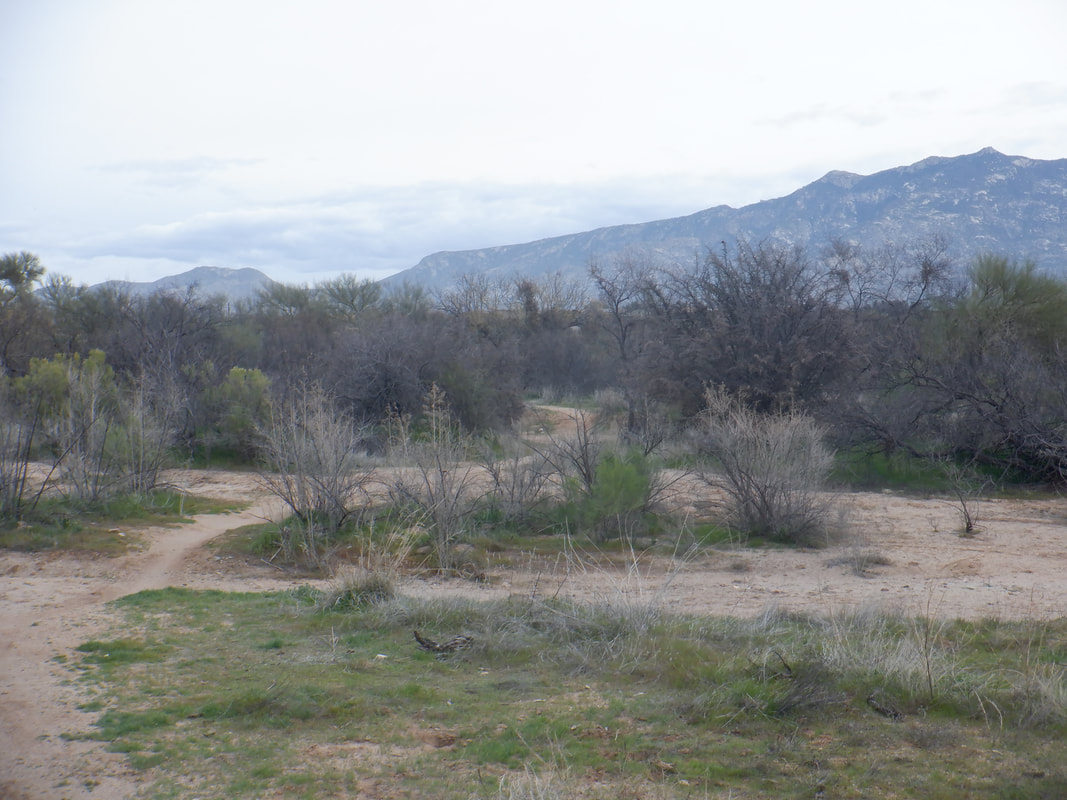
I drove toward the town of Catalina to check out a very popular mountain/gravel bike network. I continue to debate the acquisition of a gravel bike simply because, I don't want to buy one and then after an initial honeymoon period, have it sitting around, unused. After today and a visit to "24 Hours at the Old Pueblo" area, I've decided to get a gravel bike. There are many, many miles of dirt roads. I hiked/ran close to 7 miles and enjoyed the views as usual on the way to Honeybee Canyon. I never actually reached the main network of trails. It was farther than I wanted to go, via foot. Earlier I referenced the "24 Hour" event and information on it is here: https://www.epicrides.com/events/24-hours-in-the-old-pueblo/event-guide/
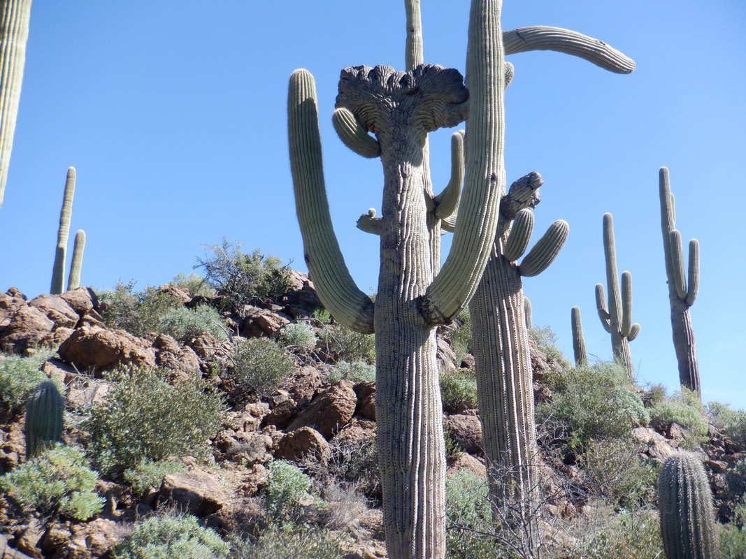
I will return from my Grand Canyon adventure in time to check it out, which I hear is a wild scene. Sweetwater Preserve, a popular destination for mountain bikers as I see 10 of them assembling below. Hikers and trail runners frequent the area too. Nothing mountainous within the Preserve but of course outside the mountains are plentiful. I was interested in doing some running and checking out the trail to see if it is gravel bike worthy, which it seems to be. There are 13 miles of trails within the Preserve and the Saguaros are well represented including..... ….the very rare Cresent Saguaro. Unknown why about 1 in 10,000 have this anomaly. Finished with 5 miles. Plans are finalized for a Grand Canyon hike in a few days. Going to be a cold hike at the rim.
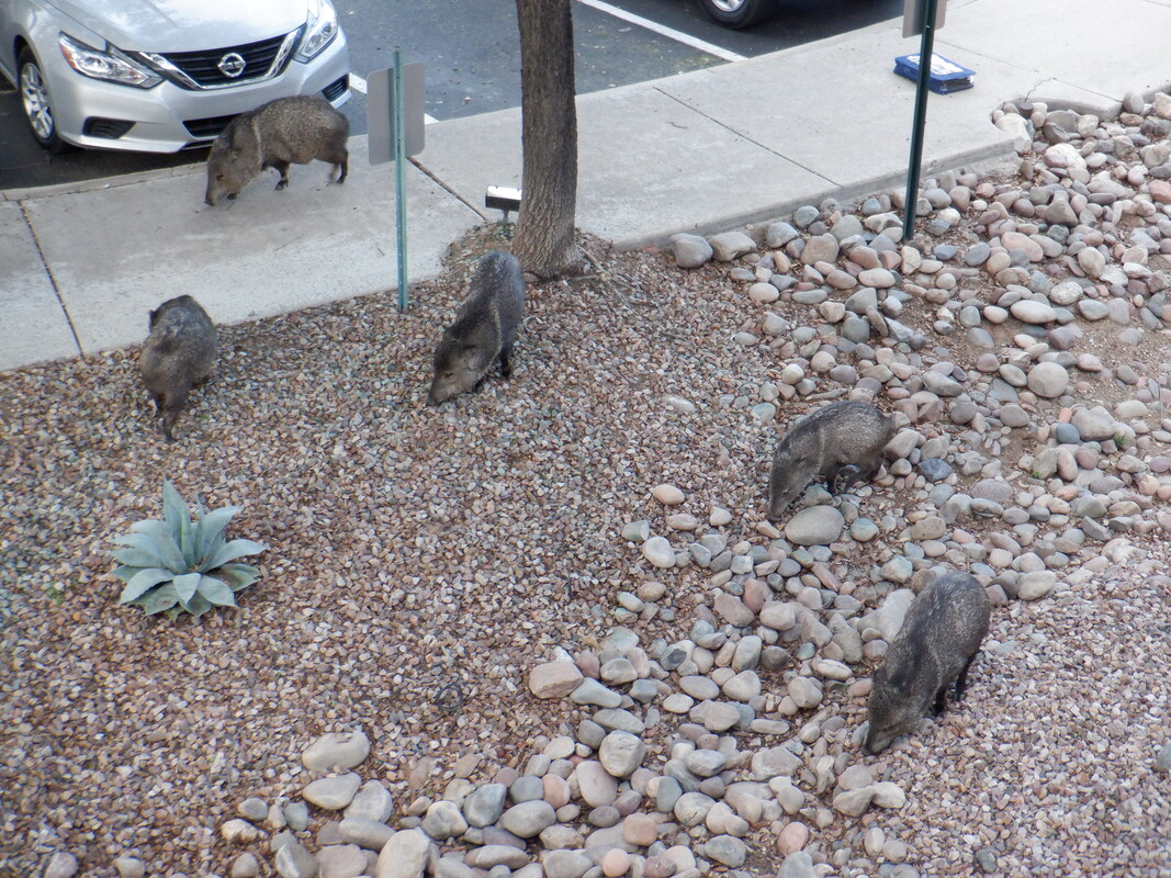
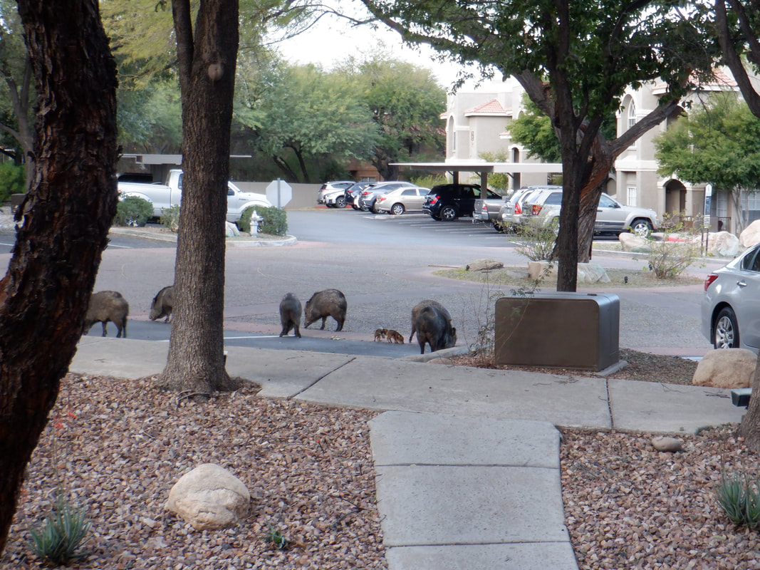
I have a 2nd floor condo (with a real wood burning fireplace!!!). A morning this week I awoke to a family of Javelinas, 10 of them, scrounging in the landscape for nuts that have fallen from trees (that block my view of the sunset!). What was unusual was...... …..there were two babies. Never seen them this young and wondered how far they had to walk to arrive here. Javelinas are not endurance athletes but they have a very quick burst of speed and if they think their kids are threatened....yikes. I avoided the family and hooked up with a small group to hike to Pontatoc Overlook. I've visited this and reported on it a couple of times so will keep it short. By the way, next week I am hiking, for the first time, to the top of the Battleship, in the Grand Canyon. I'll descend the heavily trafficked, Bright Angel trail and then off trail to the base of the Battleship. Then the climb which I have read is awesome. Finished this with 3.9 miles and a healthy 1300' of climbing.
Rather than enter the canyon in which the falls are located via the same trail as last week, we drove a little higher on Reddington Road. There, another trail and an even more foreboding sign, warning of the danger that exists below. Beautiful and a canyon filled with boulders that have fallen from the slopes above. This region has some seismic activity so you never know when a car sized boulder will tumble down. We work our way upstream. The water level is diminished so there are more opportunities to cross the stream without getting our feet wet. I've hiked up a number of canyons like this and I always marvel how there is always a way around every point that appears to be a dead end. Then, walking past a wall we notice..... …..what? Later, I researched this a little and discovered an area between the lower and upper falls is a popular destination for nudists. We reach the lower falls. Just a spectacular location. Unfortunately, my hiking buddy injured her knee. There is a wall on the right..... ….side of the falls that must be climbed to access the 70', upper falls. The rock is smooth and not a great surface for climbing. I could go up but was concerned I'd have an issue with the down climb so I didn't get to see the upper falls. I know by driving a little higher on Reddinton, there is another trail that leads to the upper falls so I'll come back and do the entire canyon. We headed down canyon, my friend hobbling and in some pain. It only hurt when full body weight was placed on the knee and unfortunately, many of the steps required that. Some of the crossings are tricky too. Fun time and I'll be back soon to do the entire canyon.
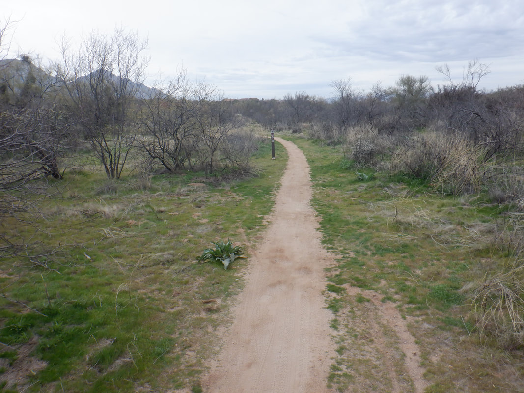
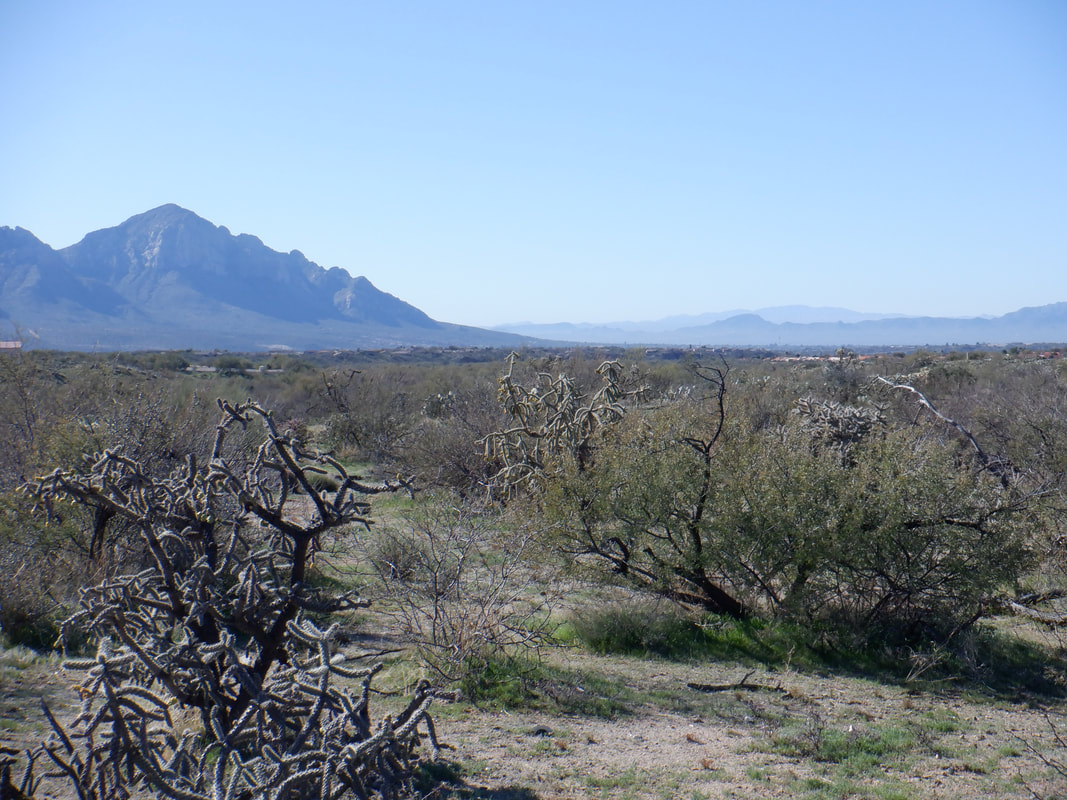
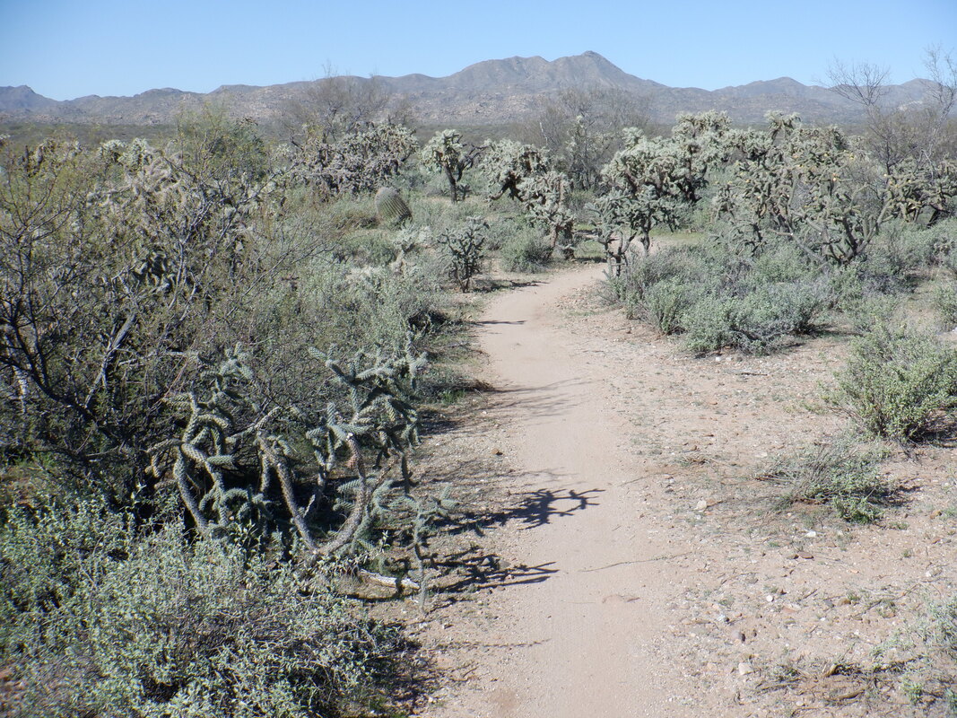
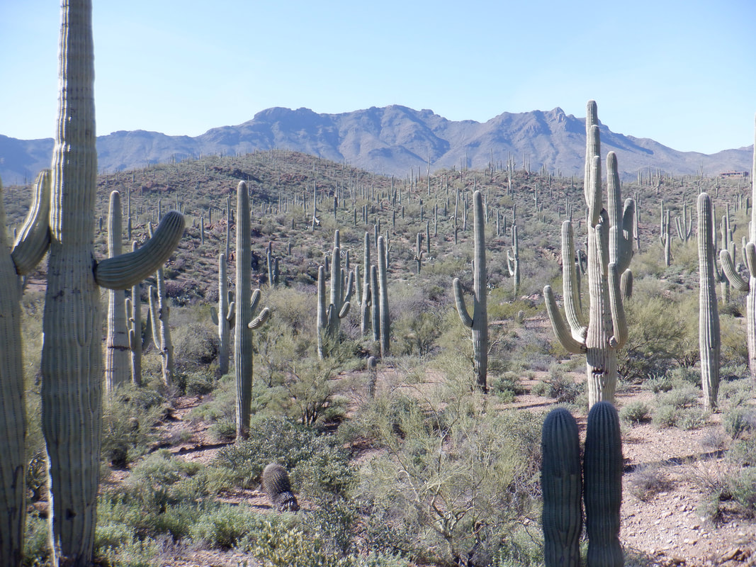
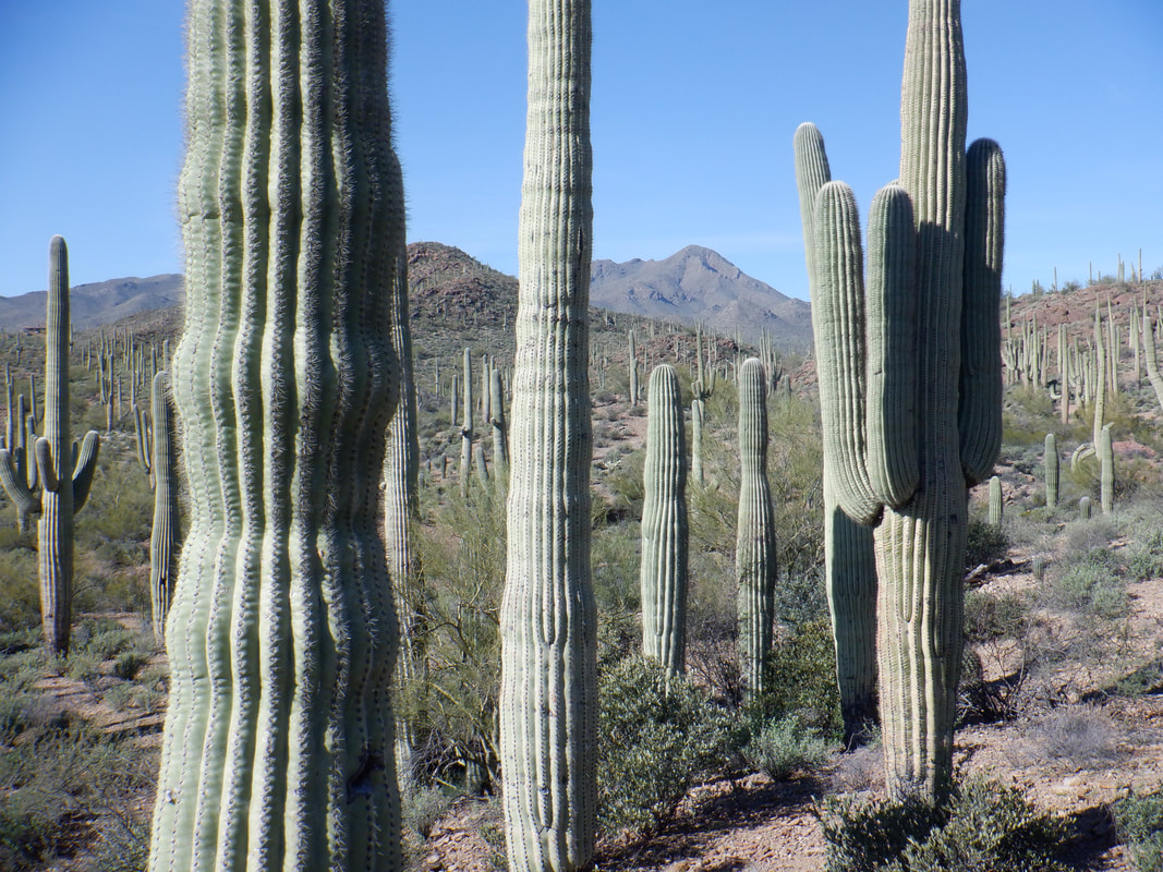
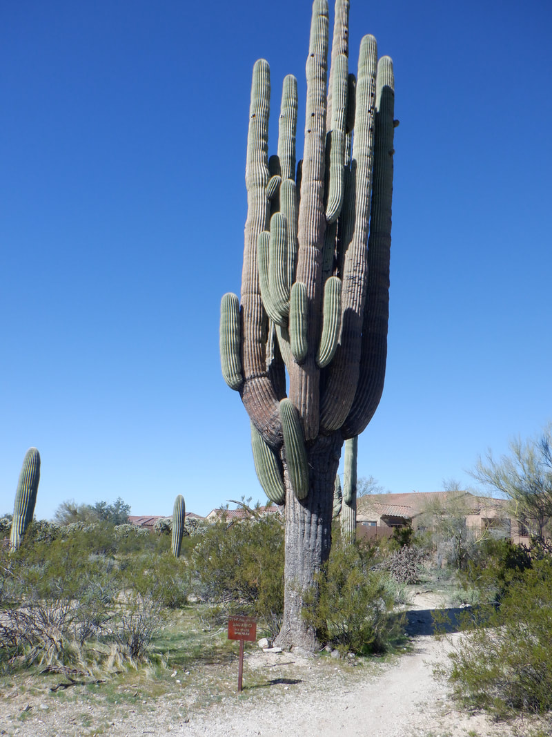
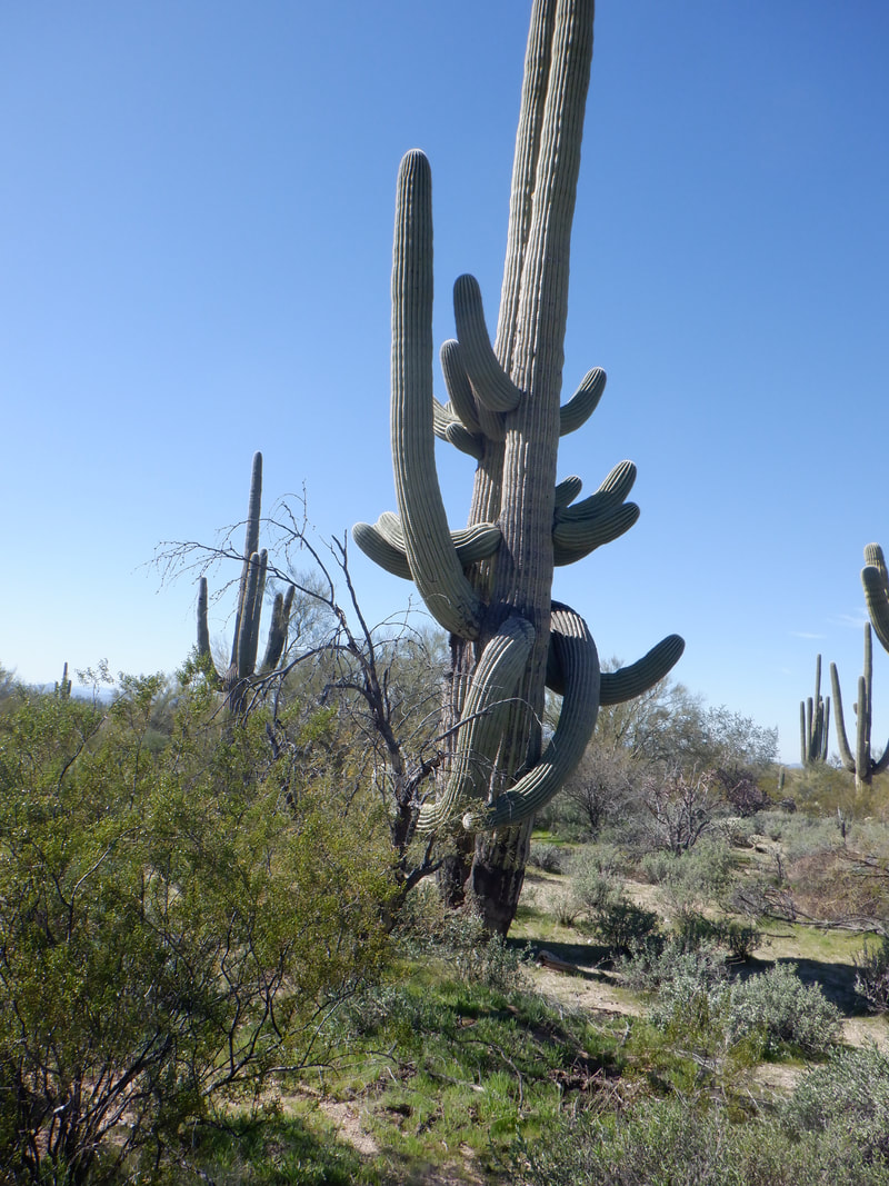
Trails that can realistically be run, are kind of rare around here. Most trails have billions of rocks or boulders imbedded and it is easy to lose focus or fail to lift a leg high enough and bam, down you go. Falling out here would usually have a very nasty outcome. Imagine throwing your hand up to absorb the impact of a Saguaro. I shudder to think of it but today, I checked out a new trail and what a revelation! The trail runs the perimeter of the Tortolita Preserve and is accessed from West Moore Road off Dove Mountain Blvd. There is a gate at the end of the road so you either park outside the gate or open the gate and drive in. It's a popular destination for mountain bikers. The Preserve is..... …..well maintained and as indicated, the trails are free of debris in about 80% of the 9.9 mile route. A nice, firm sandy bottom so the impact of running is minimized too. Note that signage states the route is 9.2 miles but my device had it at 9.9 miles. Hundreds of Saguaros dot the landscape including the above monster. Don't think I've seen one more impressive then that. Some of the Saguaros are funky looking too. The Preserve is very flat so I only had 530' of climbing but some days, that is desired. The trail is well defined although there is one junction that bikers have created that is not on the map. Just bear right at that and you stay on the official trail.
|
Categories
All
Archives
November 2023
|
