|
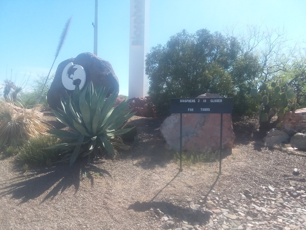
I rarely post images from my bike rides cause, you know, the camera weight! OK, I have a smart phone but it takes crummy images that are usually out of focus. I rode from Oro Valley, through Catalina, beyond Saddlebrook to the Biosphere 2. Would have liked to go on to Oracle and maybe down Webb Road to San Manual but the road condition of #79 from the Biosphere on is really bad. Cyclists used to ride up and down that road every day but not too many do now. Anyway, reaching the Biosphere, I turned around and finished with 36 miles and 1300' of climbing, The next day, Wednesday I..... ….drove to the east side, rode up Catalina Highway to the Molino Basin at roughly mile 7, turned around, enjoyed the coast down, rode around the east side for a bit and finished with only 32 miles and 2200' of climbing. My riding this season has been unsatisfactory but since I plan to mix it up with the Ohio boys in late May, I really need to ramp things up, and will. Welp, got a hike tomorrow and will have lots of pics from that.
1 Comment
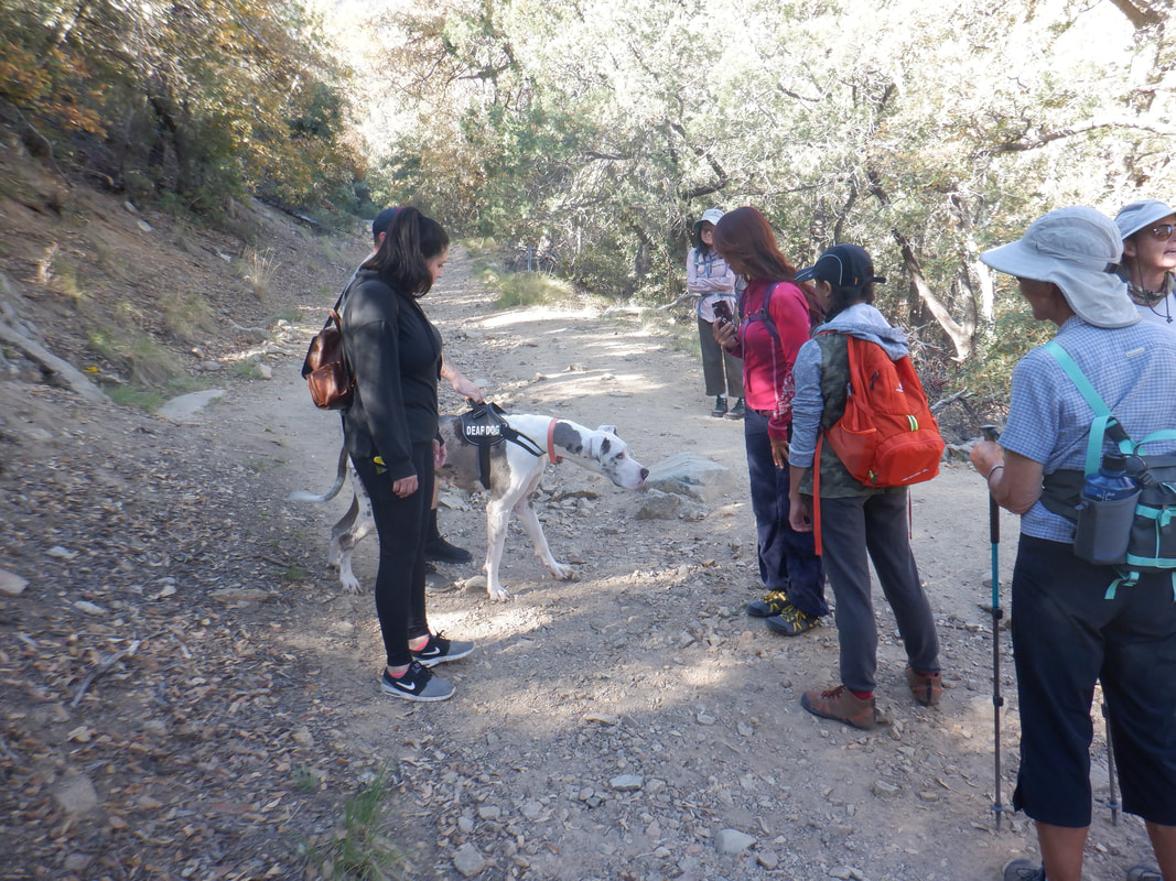
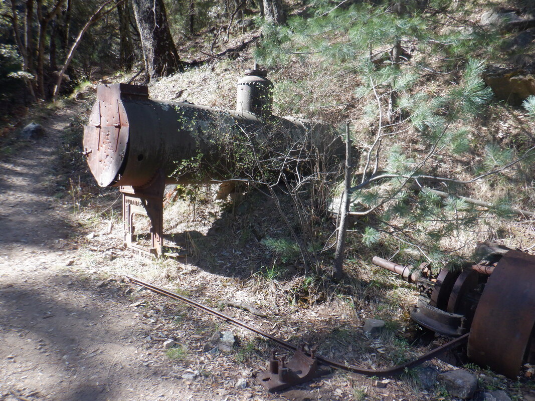
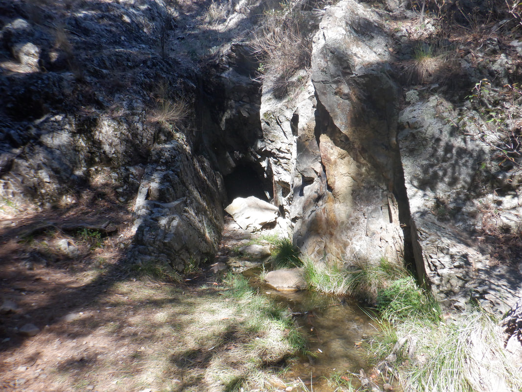
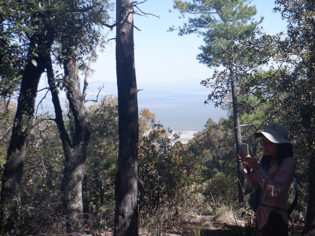
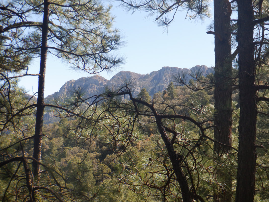
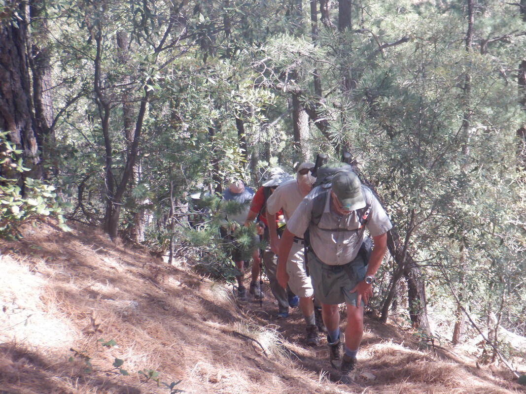
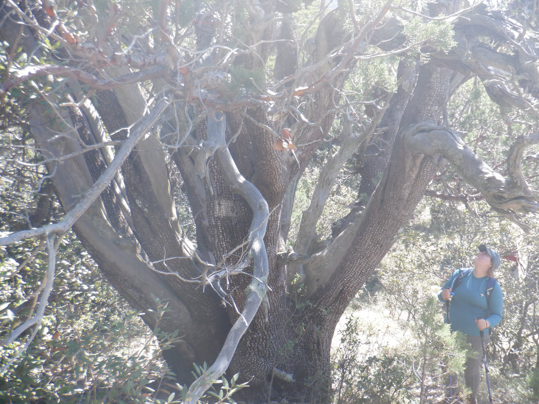
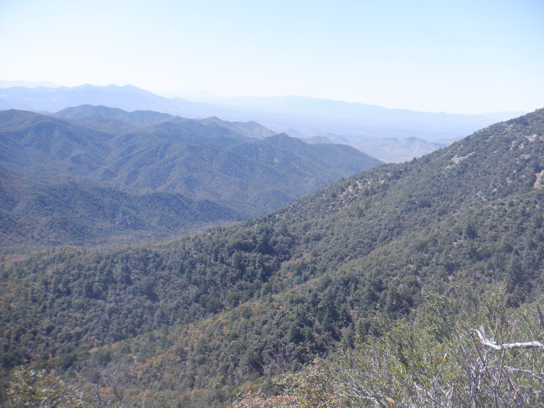
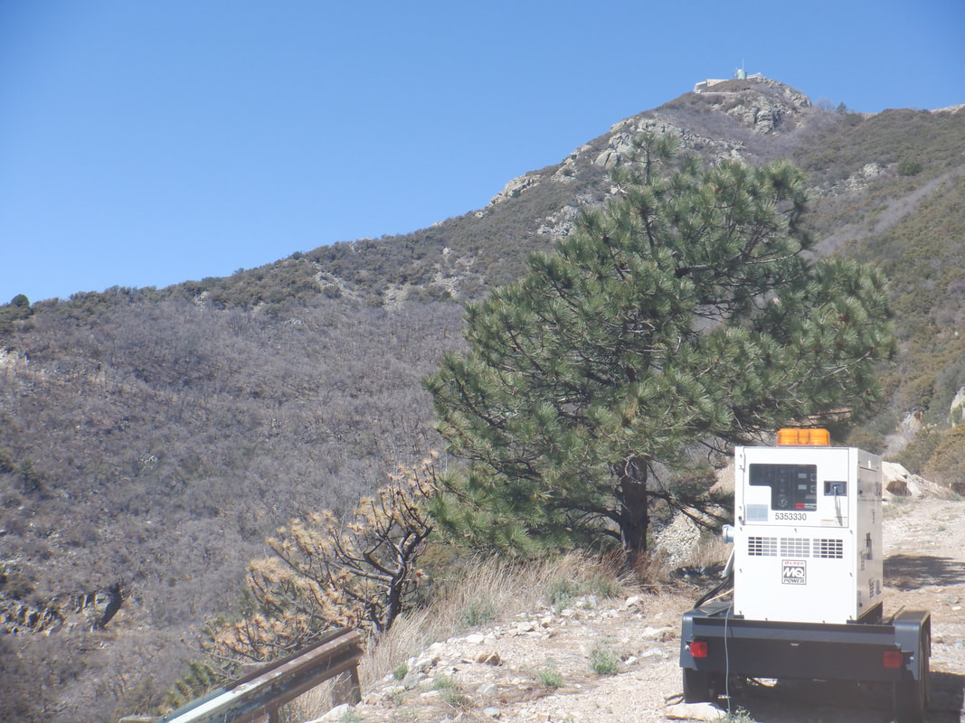
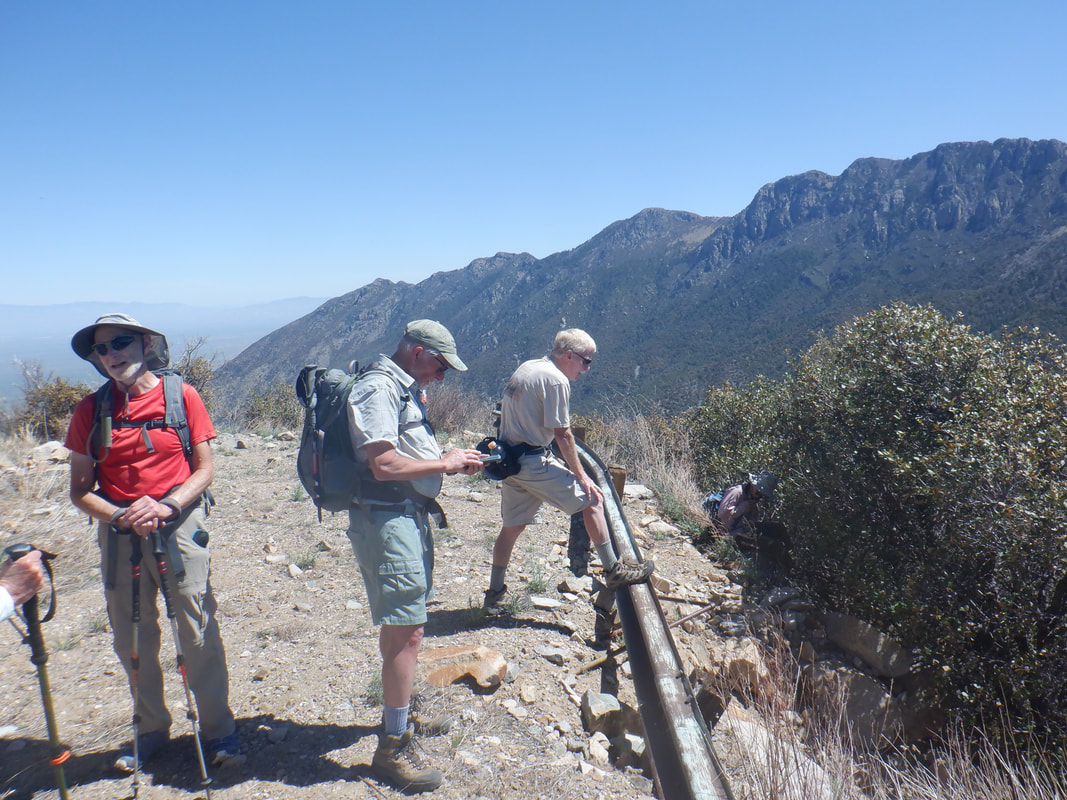
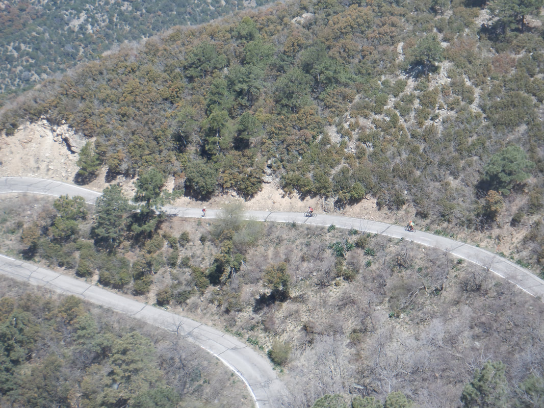
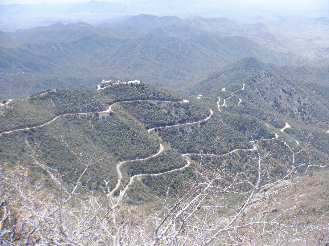
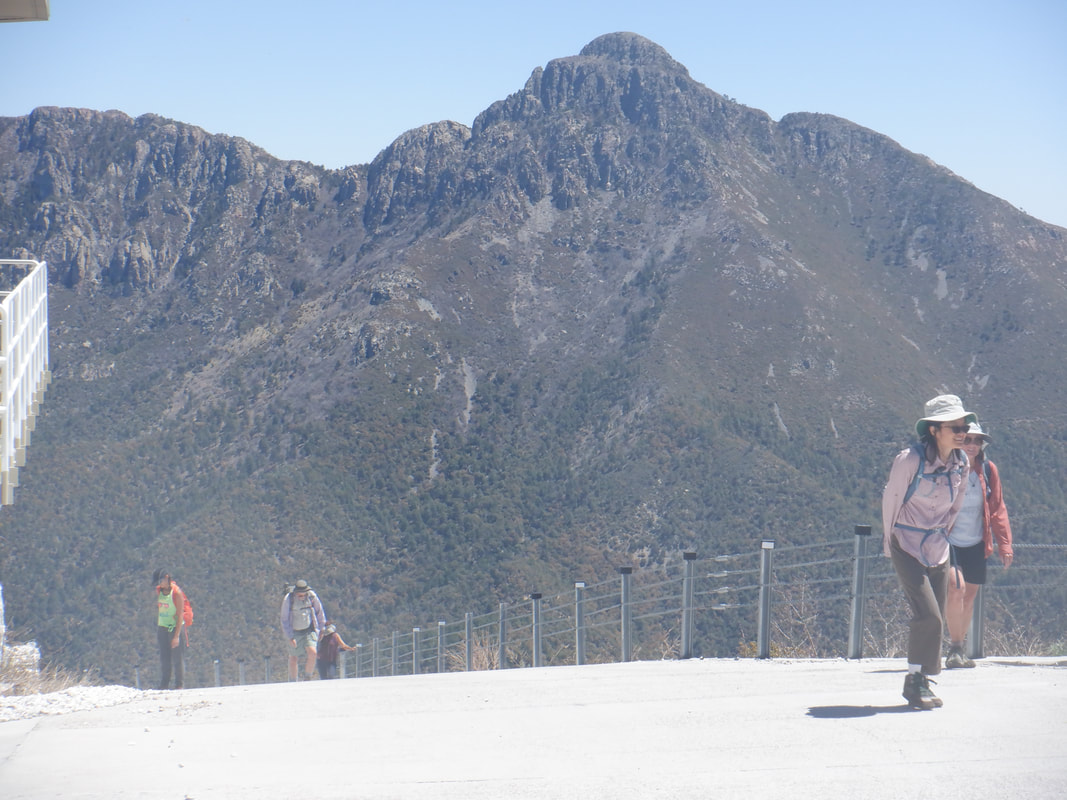
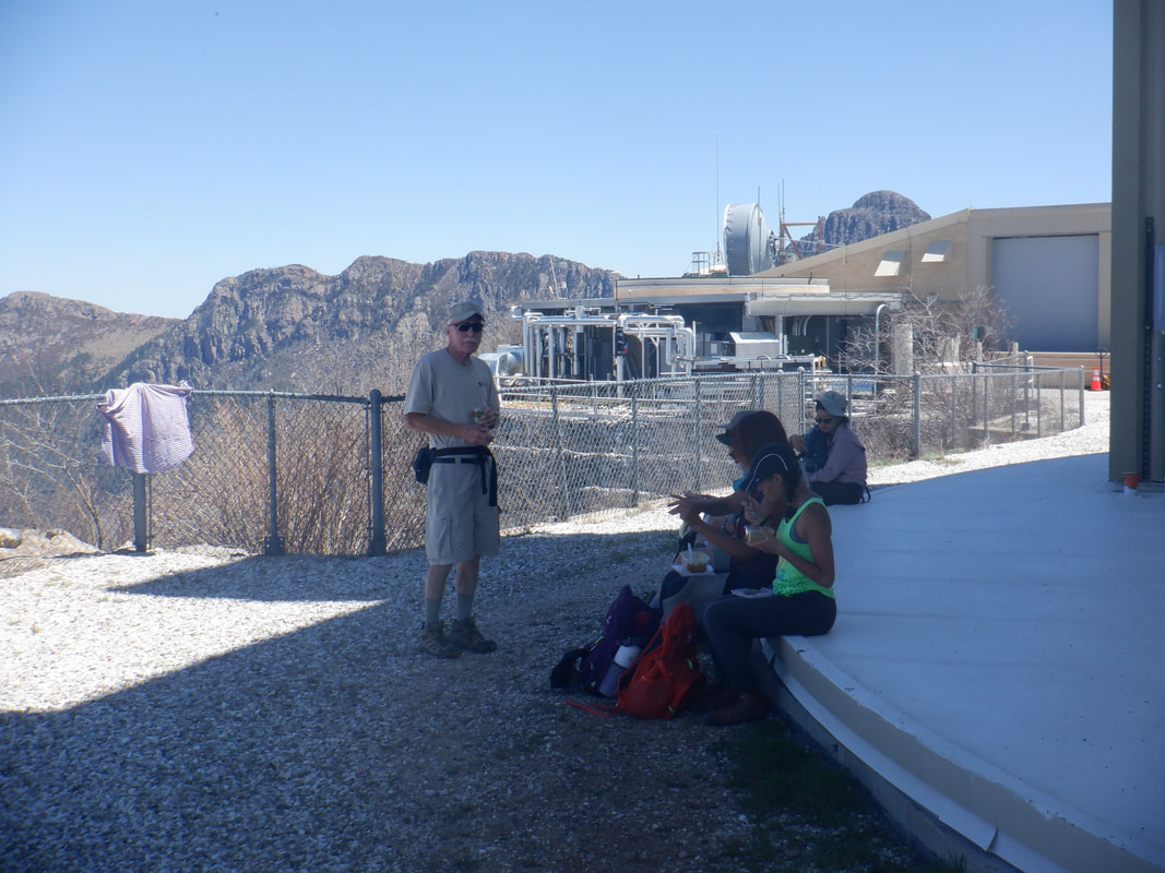
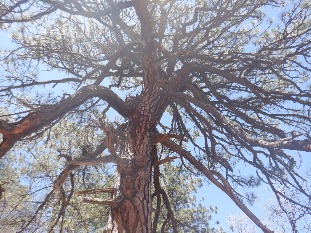
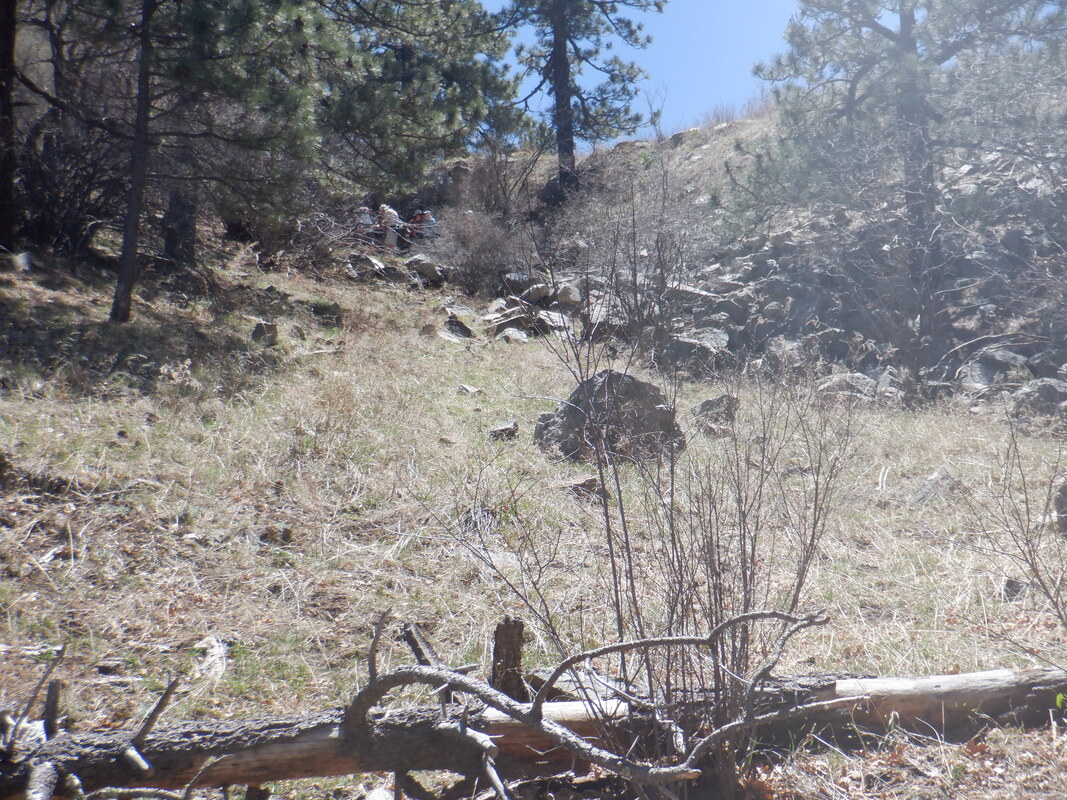
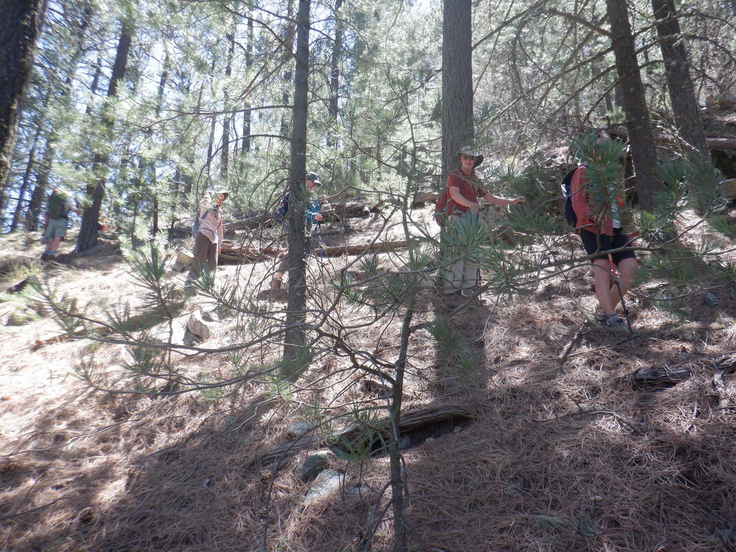
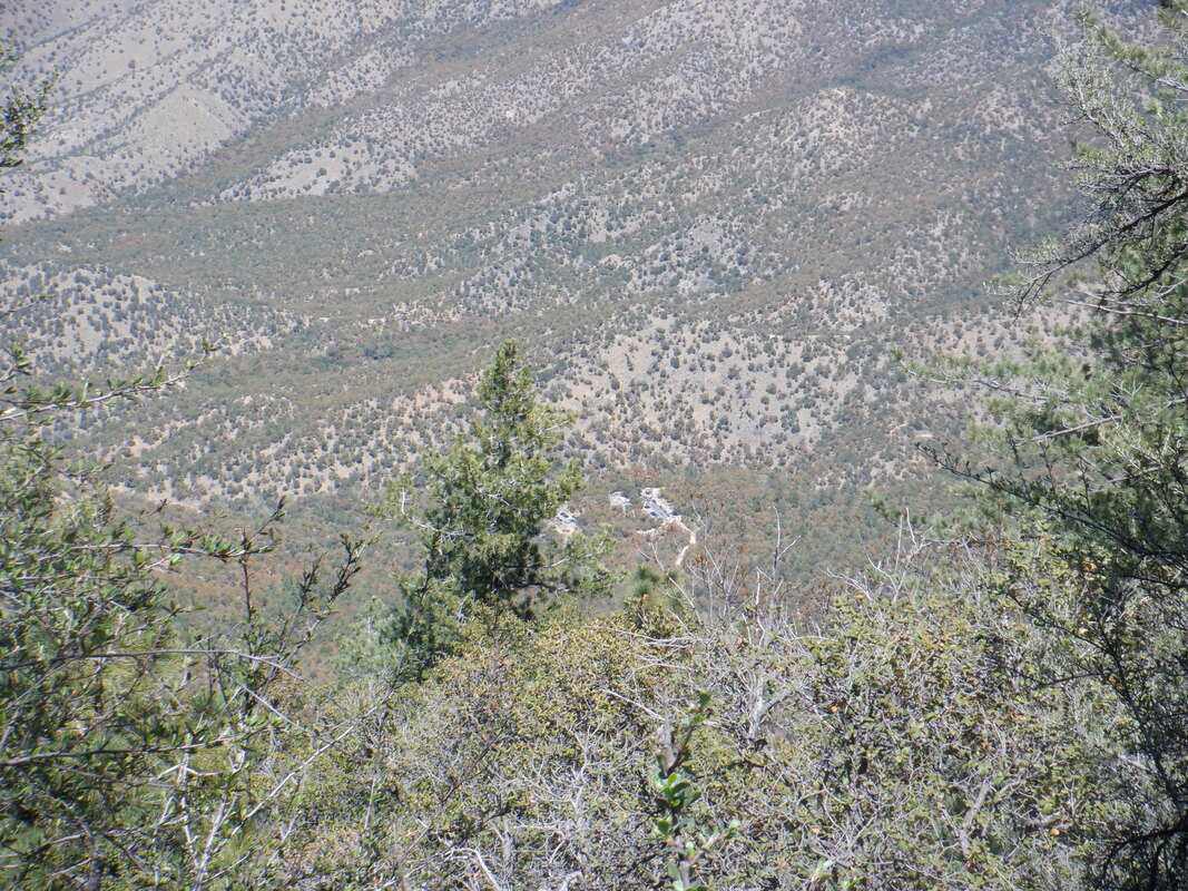
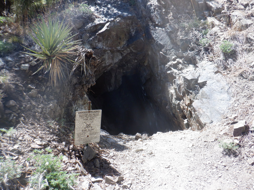
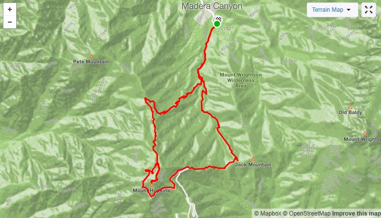
Madera Canyon, where our group of 13 gathers and waits for late comers. This Meetup hiking group accommodates and enables late arrivers far more then any other hiking group so we grumble a bit but there are worse places to pass the time as other hikers come and go. At 8:20, we shove off, briefly on the Old Baldy Trail, then quickly on the Vault Mine Trail and where it breaks right on a punishing up hill climb, we stay straight on the Carrie Nation Trail which is slightly less strenuous. The above artifacts indicate we are about to reach the end of the trail and just beyond, it is a good idea to.... ….check out the mine entrance but probably not a good idea to be too inquisitive. No telling what creature lurks in the shadows, prepared to pull you in for a meal. Actually, I got there a little ahead of the group and looked for animal tracks but saw none. It's a beautiful spot with plenty of shade and running water. The official end of the Carrie Nation trail begets a well worn social trail that leads us higher with an occasional break in the foliage. From the trail head, the average grade to the end of the official trail is 13% but now it becomes steeper. The granite slopes leading to Mount Wrightson can be seen as we continue. The trail intersects with the Aqua Caliente Trail as part of my group arrives and we are given a very brief break from the unrelenting climb. Actually, only about 0.2 of a mile until we reach a left breaking, unnamed trail that leads us to Mount Hopkins Road. We encounter an awesome alligator juniper tree that dwarfs us as we pass. This well worn trail is easy to follow and the occasional view.... ….is easy on the eyes! We reach the road but still have another 1.5 miles until we reach the peak and observatory. The final ramp from the trail is really steep as we wait to regroup. Compared to what we have experienced thus far, this final hike is relatively easy with an average grade of 8%. When I reach the top, looking down I see mountain bikers descending as some of our group ascend. I talked to one of the cyclists and he confirmed that while staff will intercept you during the week, on weekends one can go around the gate and finish the ride so that will be next weekend's project. The serpentine, Mount Hopkins Road. For a dirt road, it's in great shape. There are a few final ramps that are just killer. The last has to have an average grade of at least 25% and after what we have endured, the crest can't come soon enough. In the shade, it is a very nice, 62 degrees as some of us sit on the deck of the observatory. Our hike leader, Bill, on the left. Bill is a well known and respected reservoir of hiking knowledge and experience. You go into the wilderness with that guy and you just know you are going to come out. Yes, maybe on a stretcher but you will come out:) For the first arrivers at the peak, we ate our snacks, waited for the others to join, eat their snacks and then some of us plotted to get the group going. We decided if we put on our packs and act as if we were ready to go, the signal would be sent and it worked. A big but though. Rather than retrace our route, we would take a different route off the mountain. Rather than descend the 1.5 miles down the road and exit as we had arrived, we strode maybe 200 yards, hopped a fence and descended a ravine. A bad omen at the start....Bill slipped and cracked his elbow on a rock. Fortunately, it was only a flesh wound so after applying a bandage, he was good to go....whew! And so, the real reason why I joined this group hike. We were bushwhacking, entirely off trail, toward Aqua Caliente Saddle. Last July, I had ascended this ridge from the Saddle, reached the peak, lost cell phone power, decided I could find my way back down, became lost, found the remains of a lost hiker, etc... It has always bothered me that I became lost so when I saw Bill was going to lead the group down the route, I had to sign up. Sooooo, now I know I had gotten off the main ridge to another ridge known as the "Wrong Ridge", ha, ha but of course. But, good things occurred because I had become lost (not the least of which is I became unlost, of course) and now the mystery of how I got off route was solved so happy about that. During our descent of today, the slope was very slippery with a thick bed of pine needles so many of us fell but all survived. We reached the aforementioned saddle where we got onto the Aqua Caliente Trail. The group decided to take a break but I was good to go so politely excused myself and soloed back to the parking lot. During the descent of the brutally steep, Vault Mine trail I passed by a mine having an ominous warning sign. Finished with 7.8 miles and 3300' of elevation gain. Good workout with some good people. Our route was clockwise.
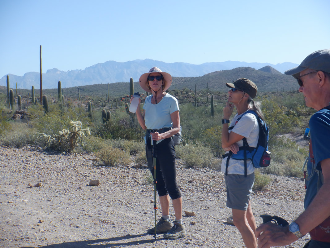
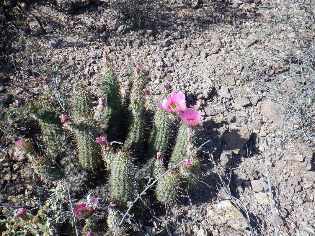
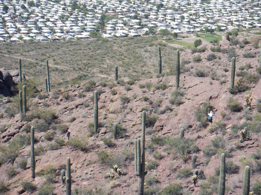
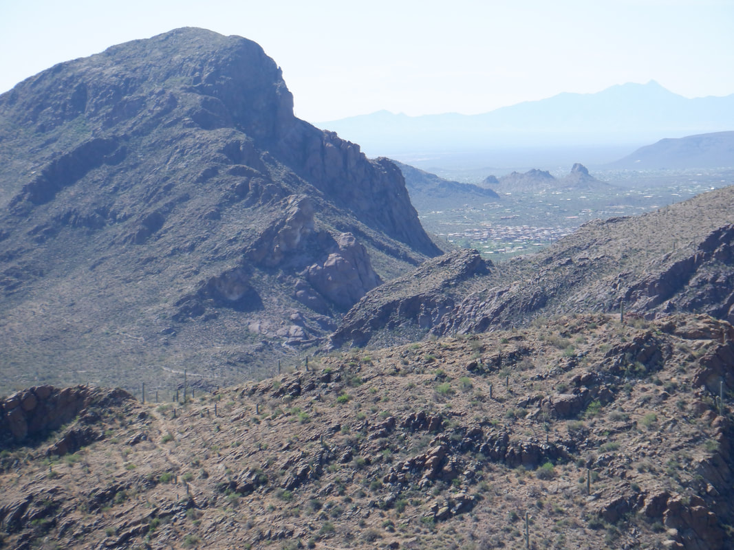
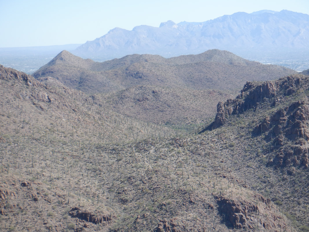
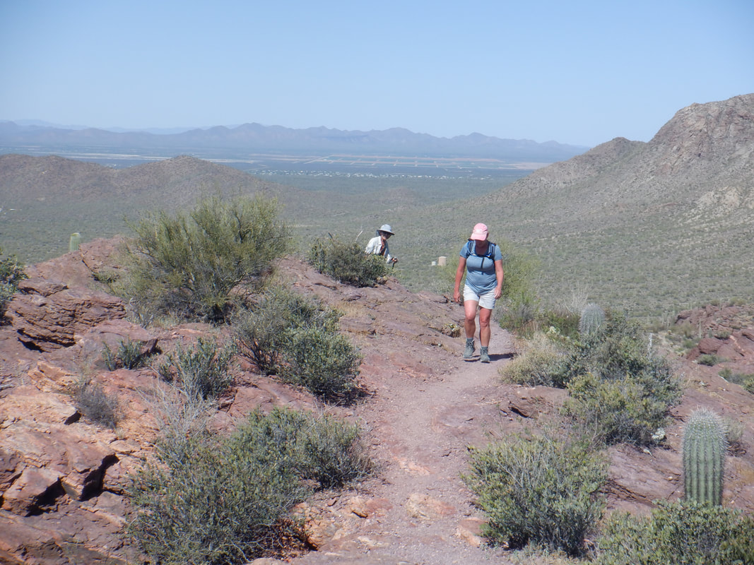
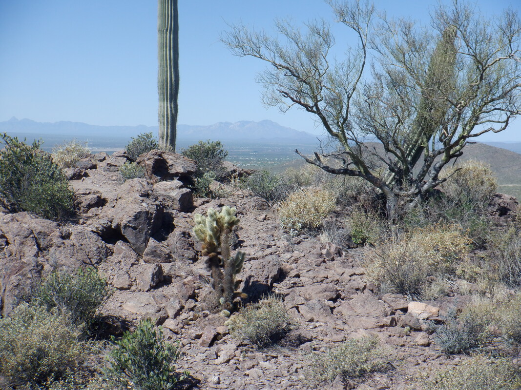
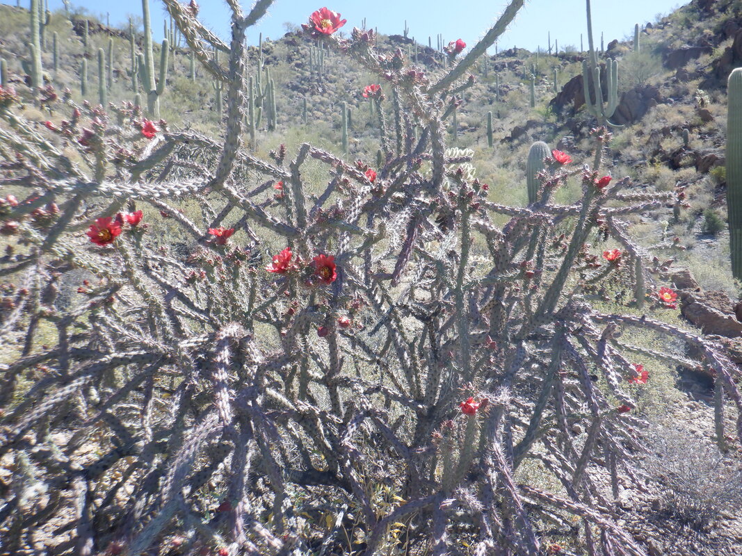
A good day for an easier hike as my legs need a break from cycling. Group hike options are few these days but I spotted one with "Hiking Tucson" that would be a distance of 5 miles with not much climbing....perfect. I drove to the Sarasota trail head in the Tucson Mountains, southwest of Oro Valley so about a 40 minute drive. The hedgehogs are blooming as is most of the plant life in the Sonoran Desert. Our group had a couple of mini consultations as we tried to figure out how to access a social trail that would take us to the peak. My trail expertise is kind of limited in these mountains so I wasn't able to offer much help. Eventually, we got it figured out and..... ….reached the trail and began the climb. Upon reaching the peak..... ...the always awesome 360 views are part of the reward. Looking to the east are the Catalina Mountains, including Mount Lemmon. Been a couple of weeks since I rode up that so plan to in the next few days. The Cookie Cabin and General Store in Summerhaven are open on weekends so that is the time to ride. The climb spread the group over a broad range but all made it to the peak so they too soaked in the views, sun and warmth. By the time the last of the group arrived, I was ready to go so politely excused myself and.... ...began the solo hike down to complete a loop. In the distance, Kitt Peak. Wish they would open the climb to cyclists. A friend told me that on Strava, which has record of the activity among Strava users, I was the last person to ride up. The barbed wire fence at the bottom would discourage access, ha, ha. The red flowers on this plant were abundant in the area as I finished the 4.6 mile hike. Well, back to the bike but also a hike coming soon.
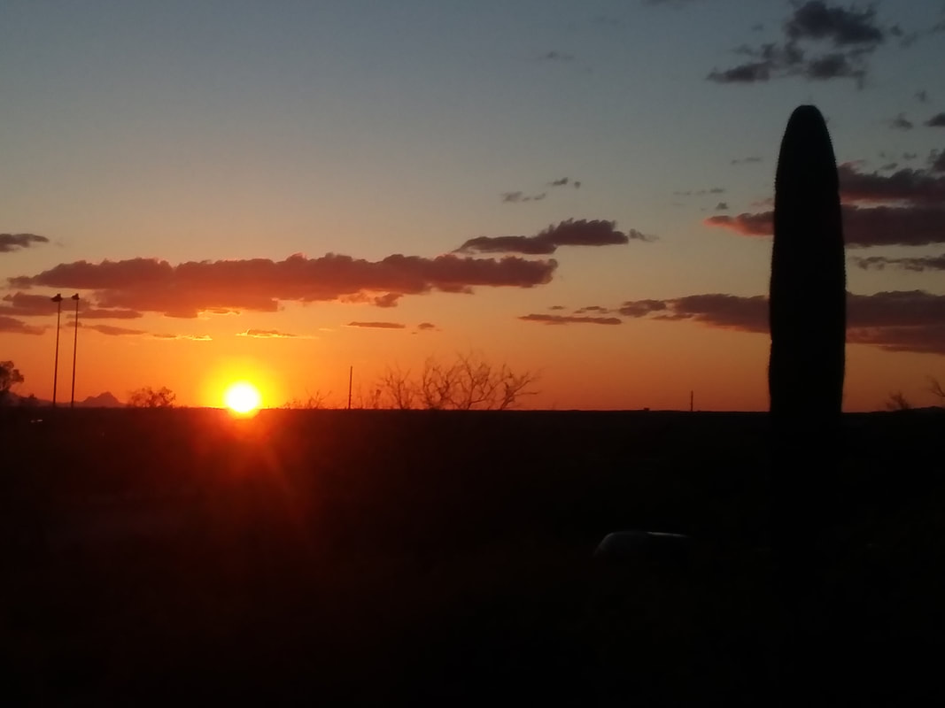
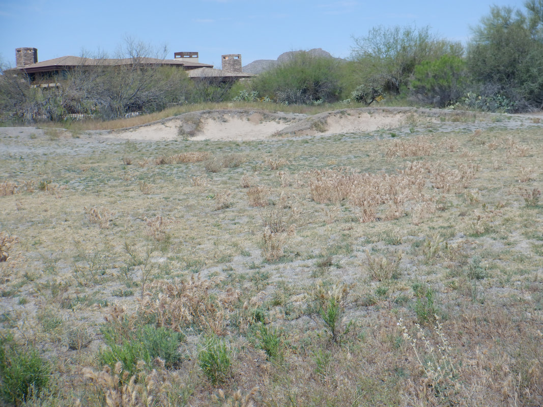
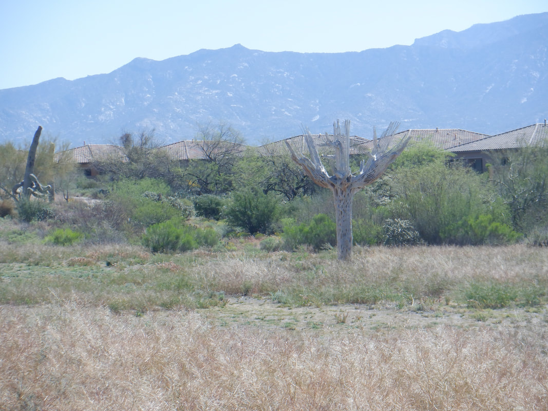
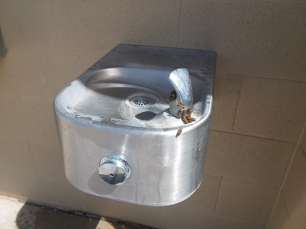
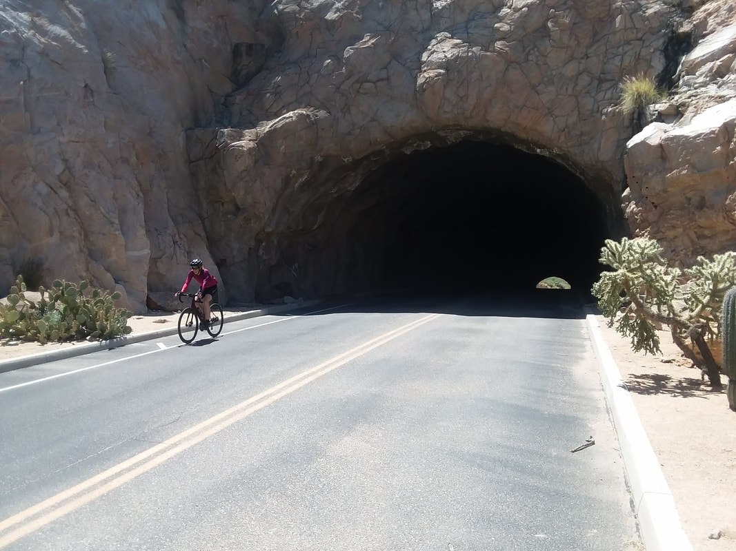
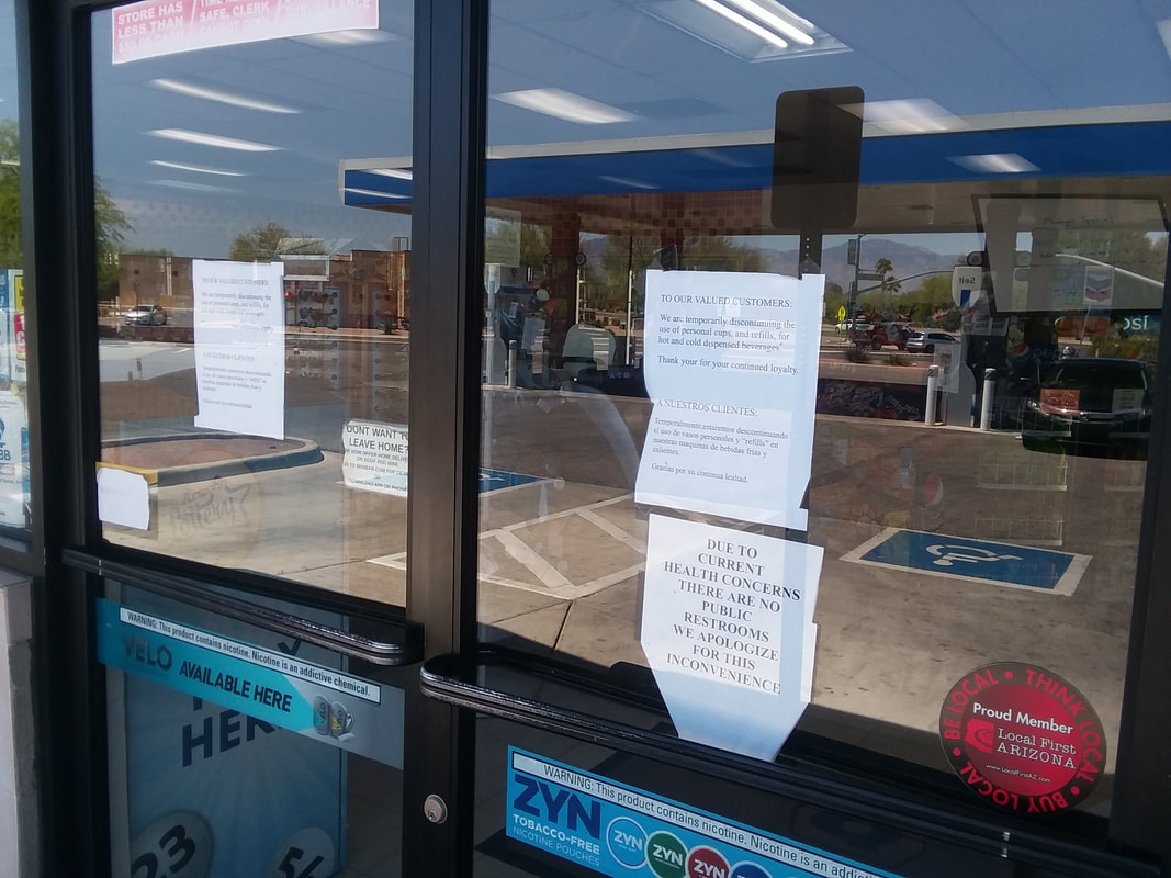
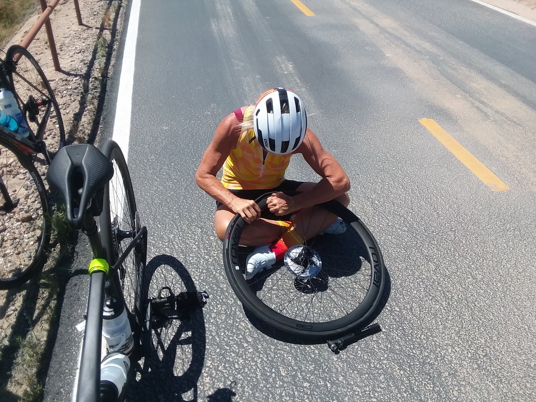
The sunsets are awesome, every evening. The more the clouds, the more spectacular. I had 180 bike miles this week so still not putting in as many as I typically would when in AZ or OH but.... ….Friday I hopped on the gravel bike to ride around an area golf course that has been closed for a couple of years. It doesn't take long for a course to lose the pristine look. Surprised the saguaro died but maybe the daily watering kept the root ball small. Once it was returned to a typical Sonoran desert climate it could not survive? Finished with only 18 miles and missed a rattlesnake sighting. Had been told one was laying on the cart path on hole #4 but it was gone when I arrived. Saturday I joined a small group that I knew was going to be really slow and they did not disappoint. I did not anticipate many stops for breaks, map checks and more breaks. Note to self: Don't do that again. Then Sunday led the "Sisters" (Amy & Tracy) around a tour of Oro Valley which included a visit to the "Bat Cave" aka "The Tunnel of Death". Area gas stations of course have numerous warnings posted to inform no refills, no access to public restrooms, maintain distance, etc... We entered and had no problem filling a water bottle so maybe they are allowing that. On our return.... …..Amy had her first flat. I was eager to help but Tracy insisted that she do it herself. The technique of sitting while reinstalling the tire was new to me. Finished with 48 miles of more fun in the sun. Monitoring the virus situation in Ohio so unsure when I will visit but hopefully mid to late May.
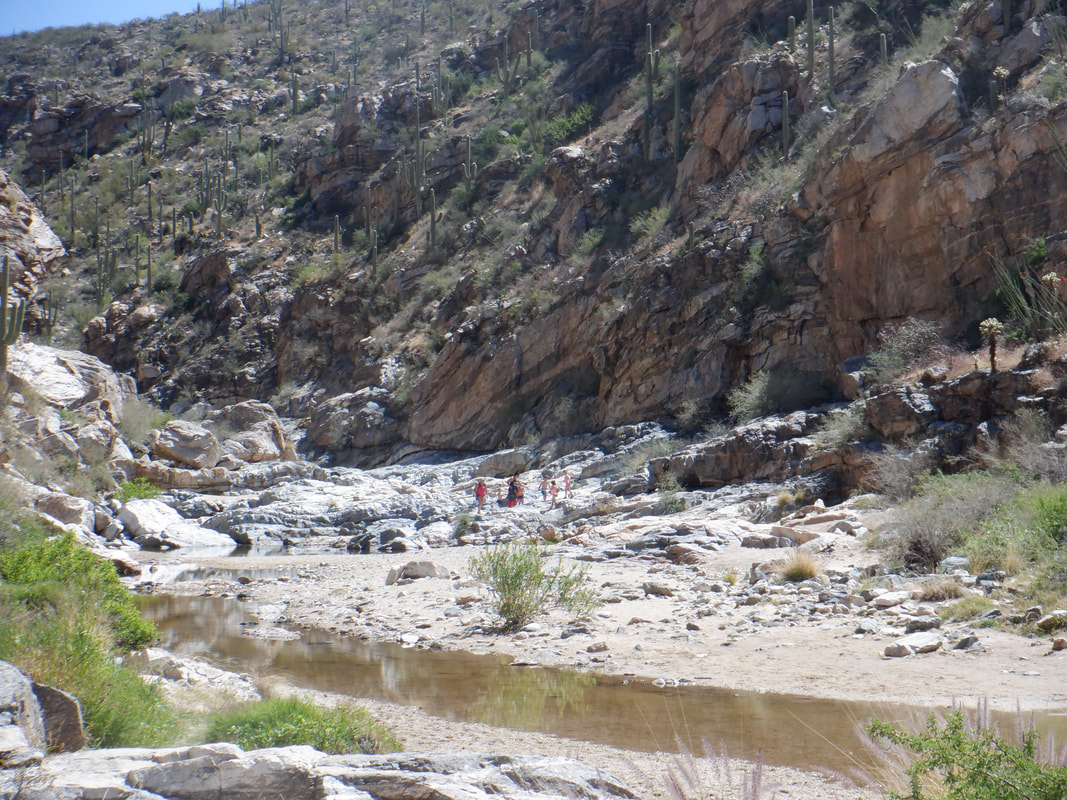
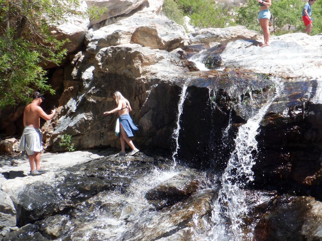
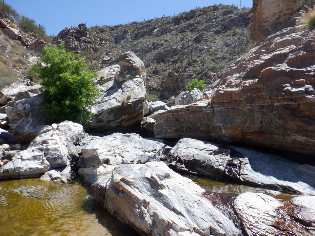
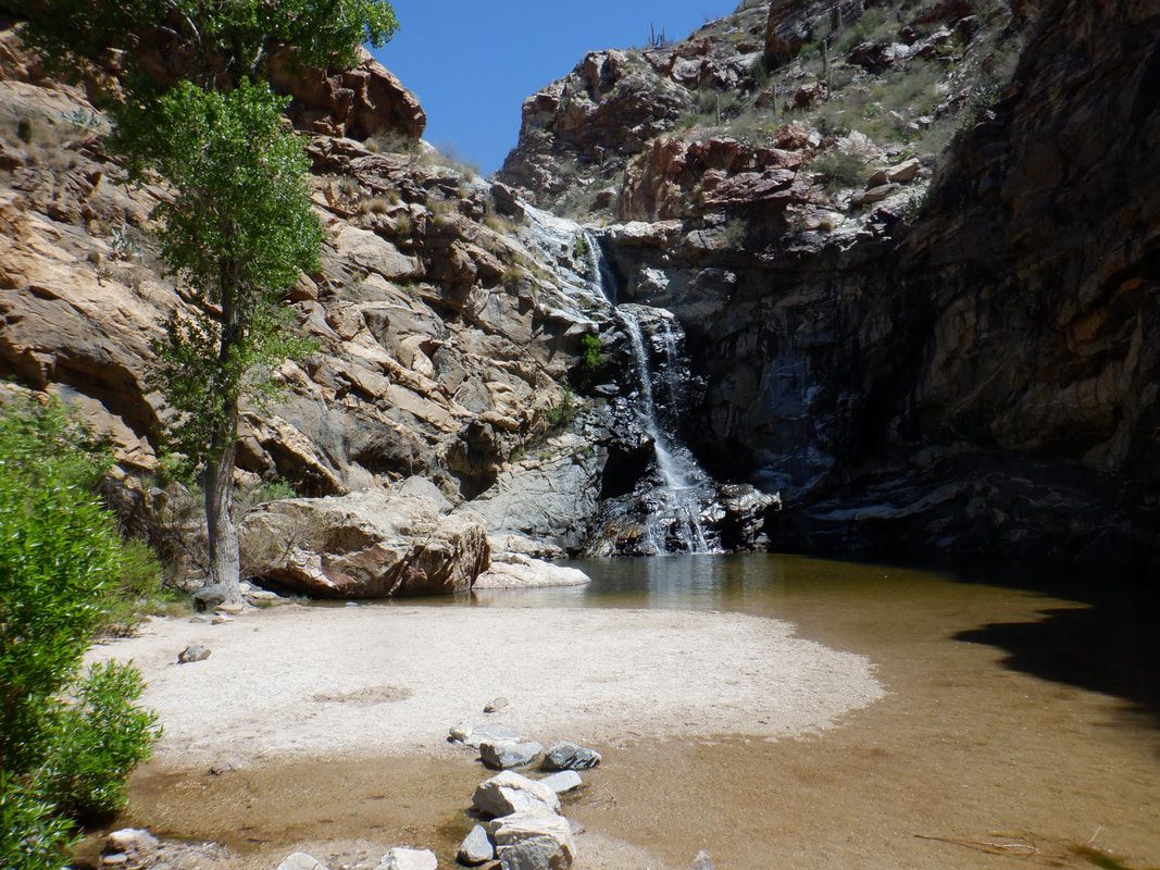
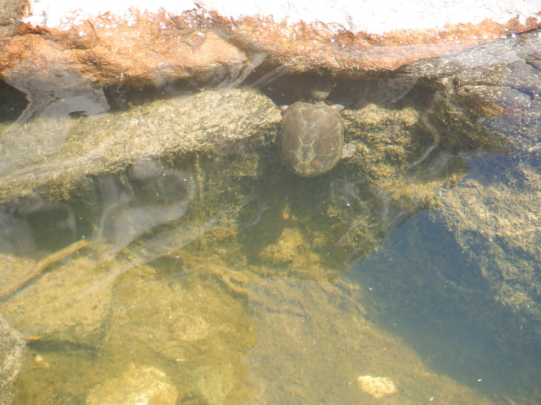
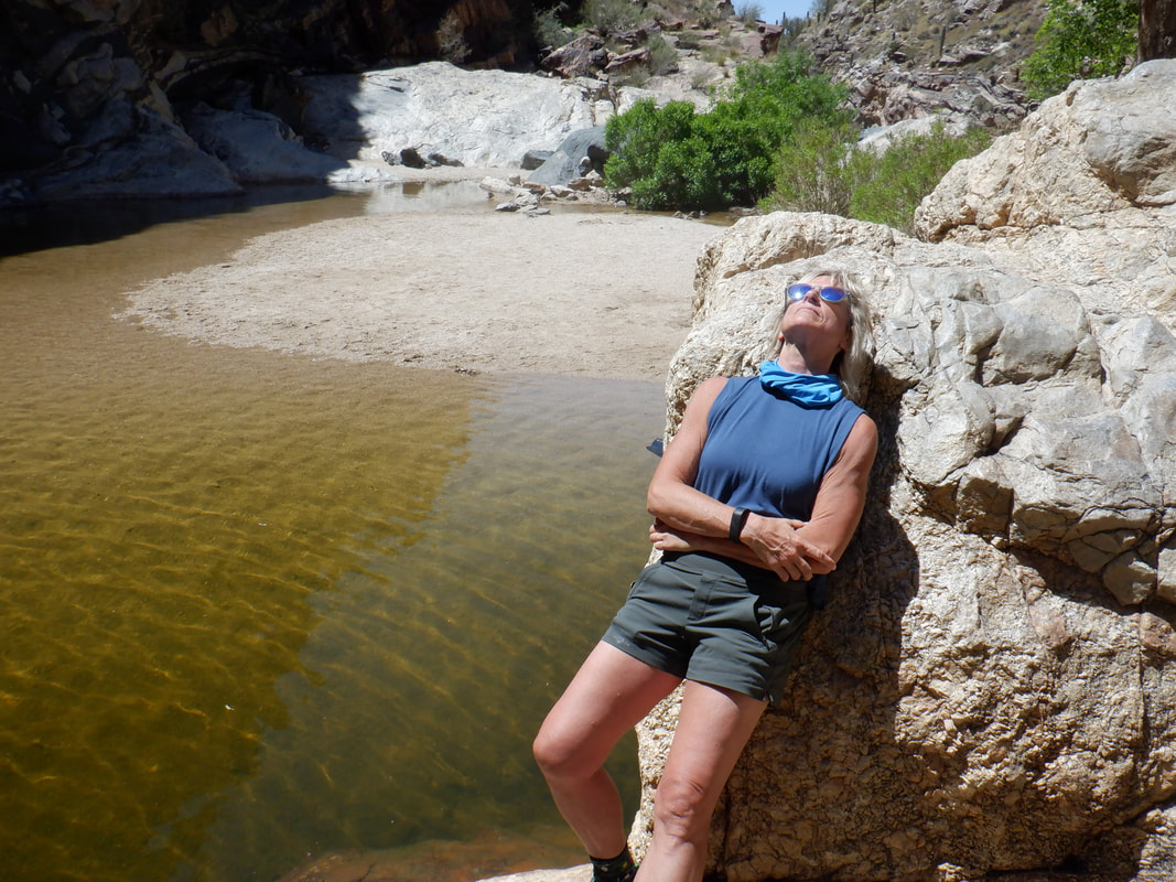
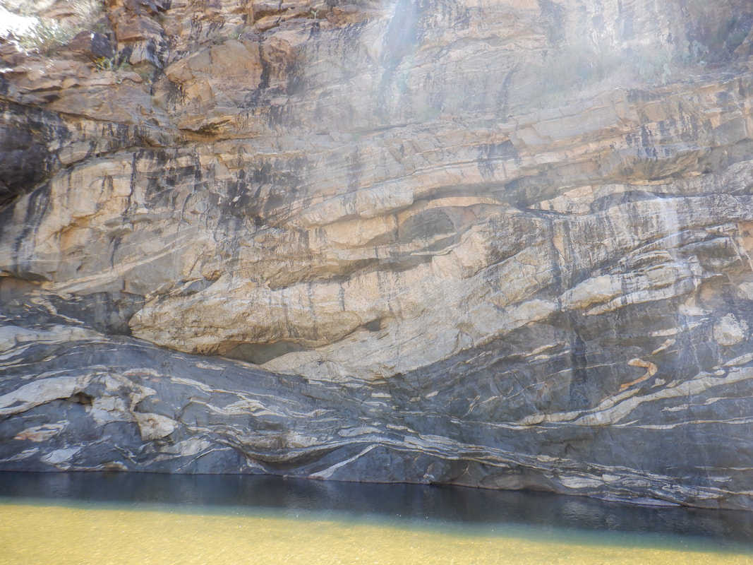
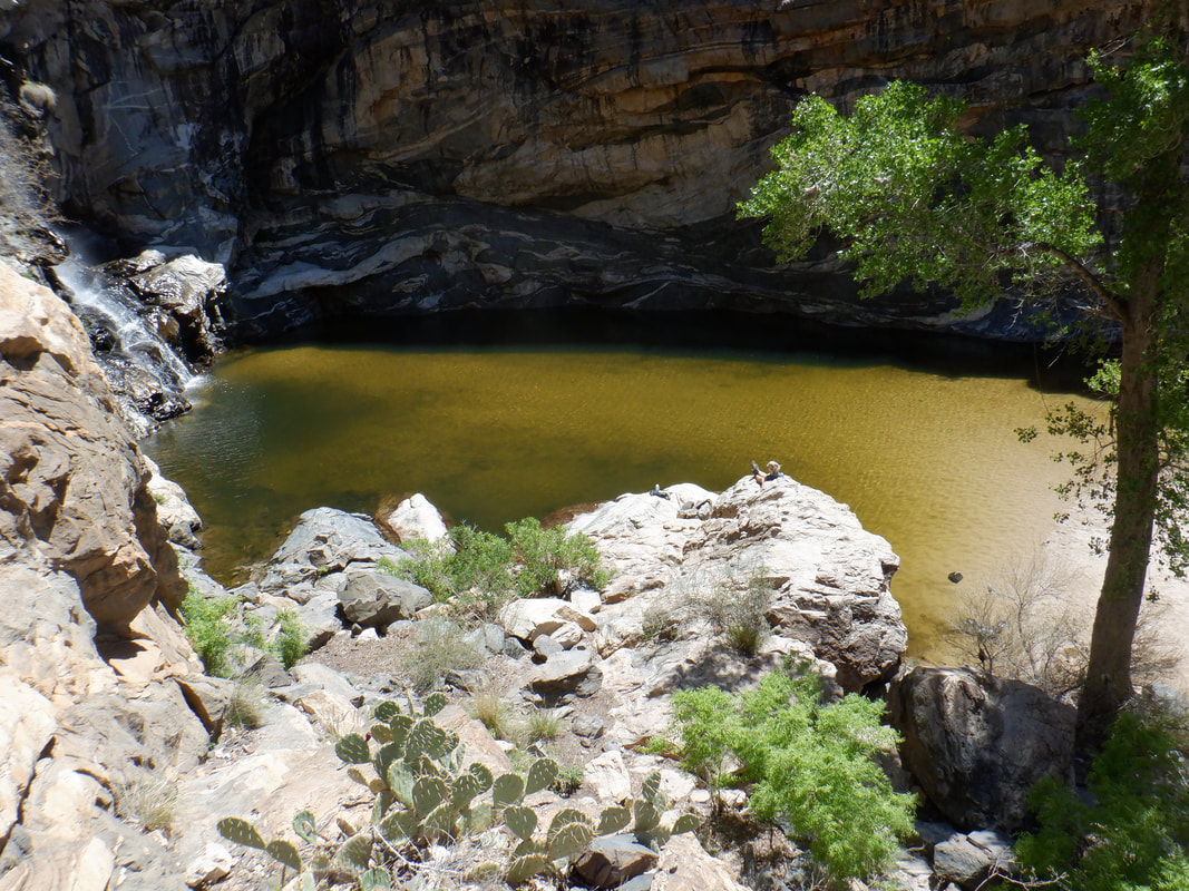
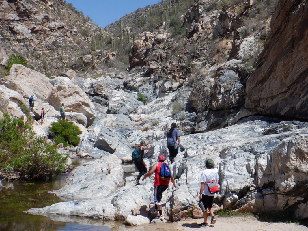
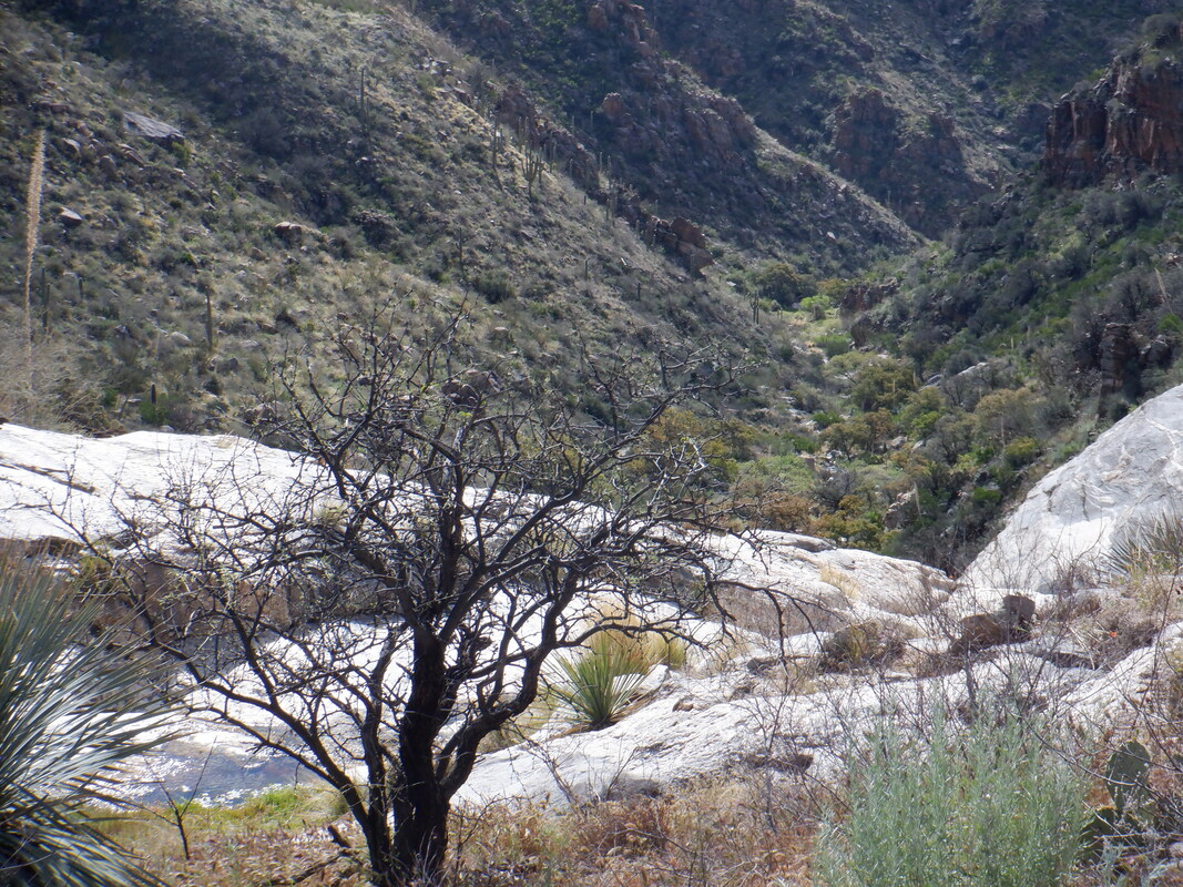
My 3rd attempt at finding the 70' water fall within Tanque Verde Canyon. On this Wednesday, there were quite a few others who were enjoying the beaches, flowing water, pools and scenery. Two of us head up canyon where we enjoy seeing several, less notable falls. This combination of hiking, boulder hopping, wall climbing is always different as rather than follow a defined trail, it's just a series of probes as we seek a way forward. At about 1.5 miles, we reach a platform that appears to be a dead end but as I scanned a hill side above I spotted a trail so we climb and find..... ….the big falls. A spectacular setting with a nice beach, rock walls soaring above us and in the water I spotted..... ….a turtle! Also some fish. The pool appears to be about 6' deep so I wondered what it looked like in June, before the monsoon arrives and after a month or two of no rain. Have to come back and find out. I did some climbing of the surrounding cliffs as my friend soaks up some rays. The granite walls were a mix of colors as I.... ….climb higher but soon reach a wall that appears to be a doable climb but then above it is nothing. Not wanting to be yet another statistic in this canyon, I climb down and soon.... ….we are on our way back as other begin their way in. Finished with 3 miles and 600' of climbing. Very fun time and it was good to finally reach the big falls.
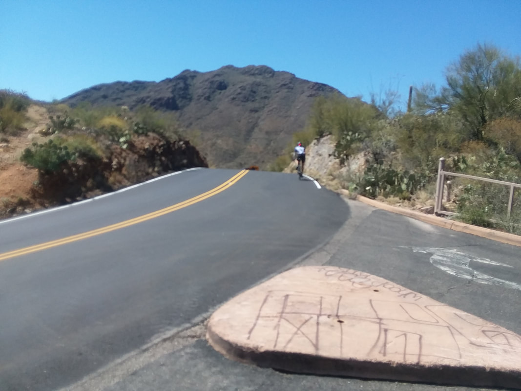
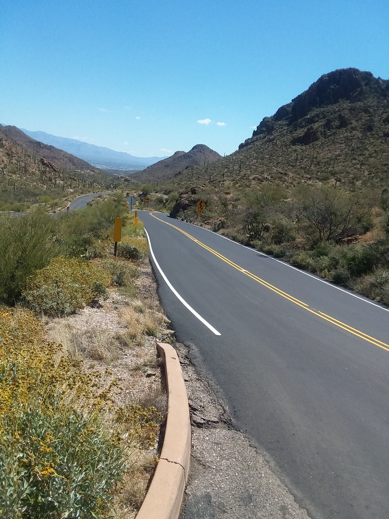
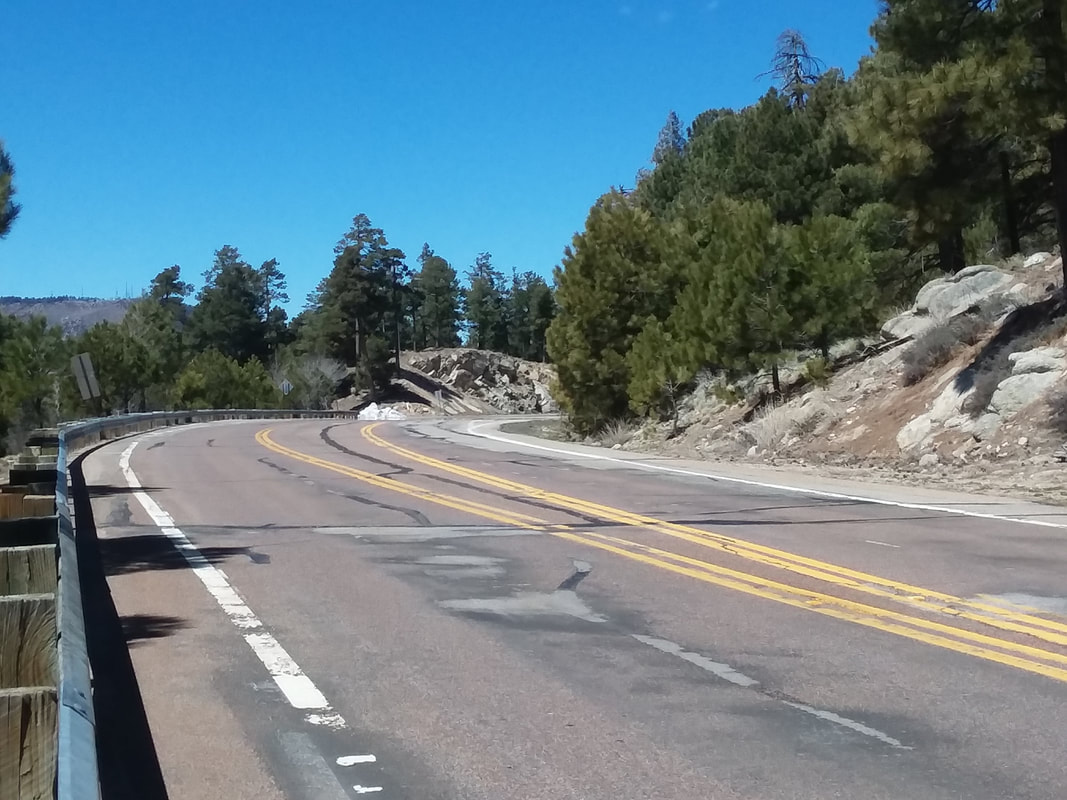
How about this!? The 2.5 mile climb, having an average grade of 4% but with some steep pitches toward the top, has been repaved. Honest? I didn't think this road would see the machines for many, many years. It's condition was somewhere between unridable on a road bike and awful but not now. Check out that smooth surface. OK, not much of a berm but whose to quibble when the climb has been put back in the rotation. Did a 45 mile ride that of course included Gates Pass.
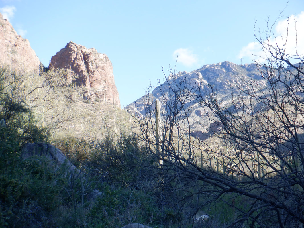
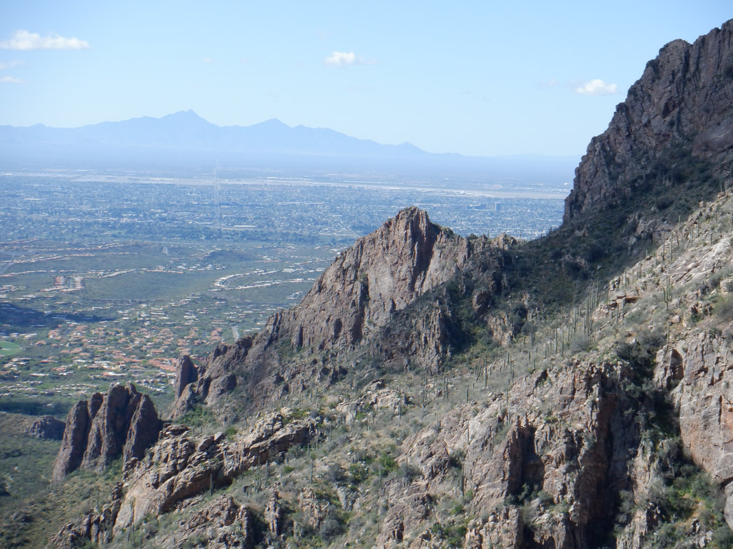
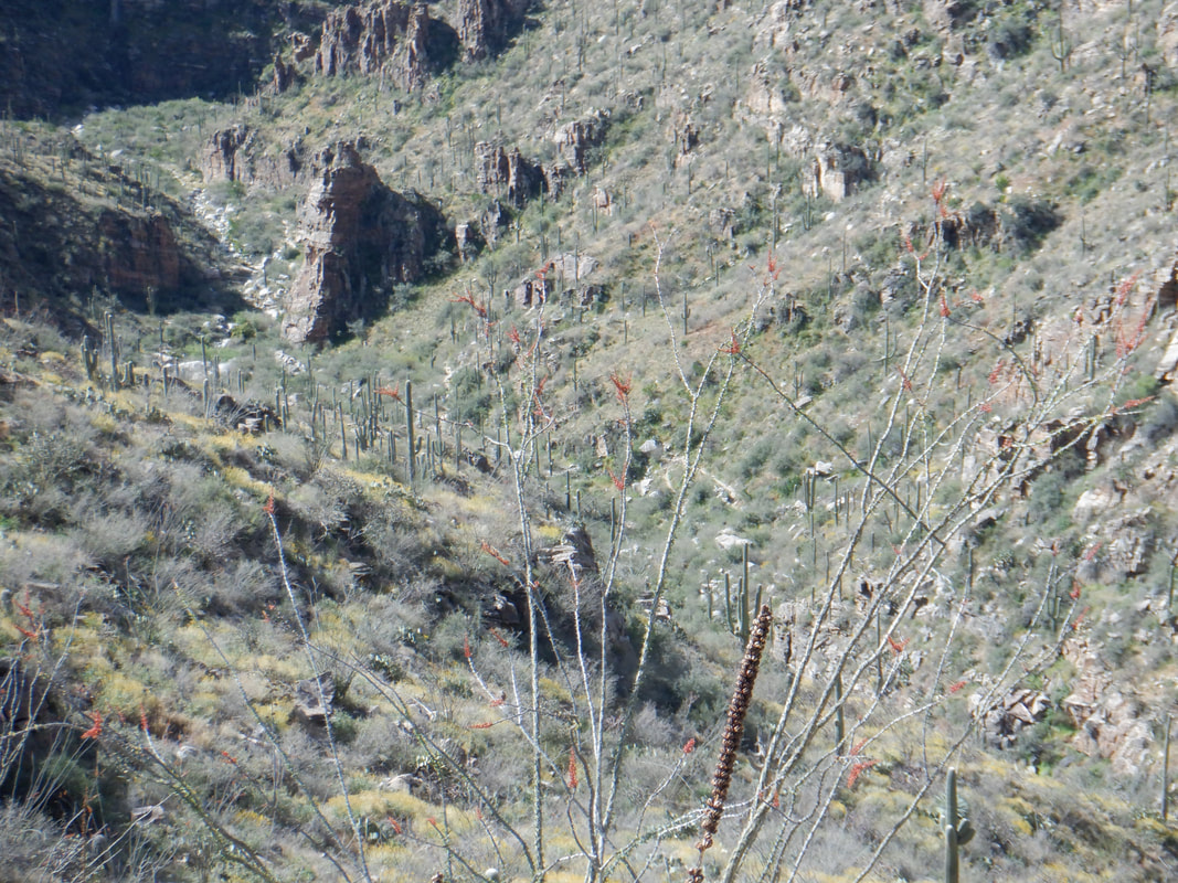
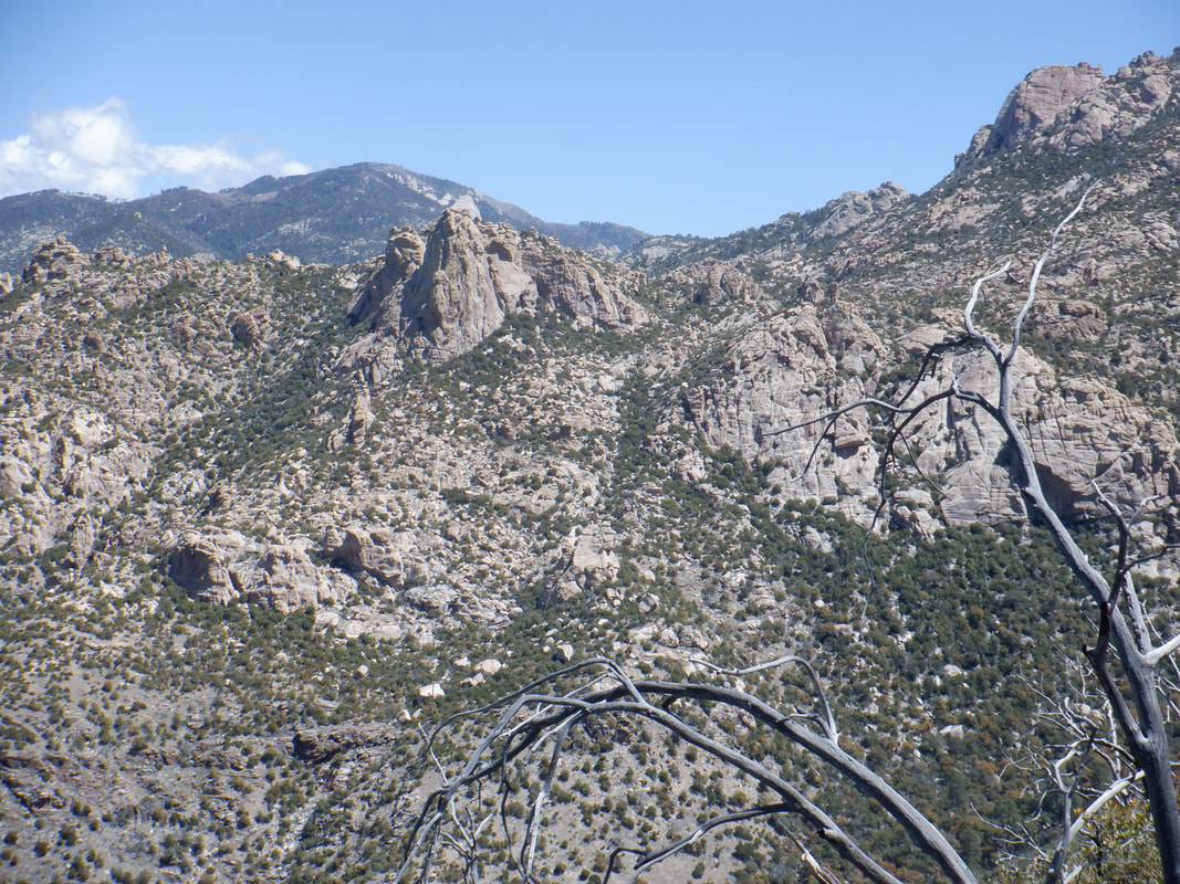
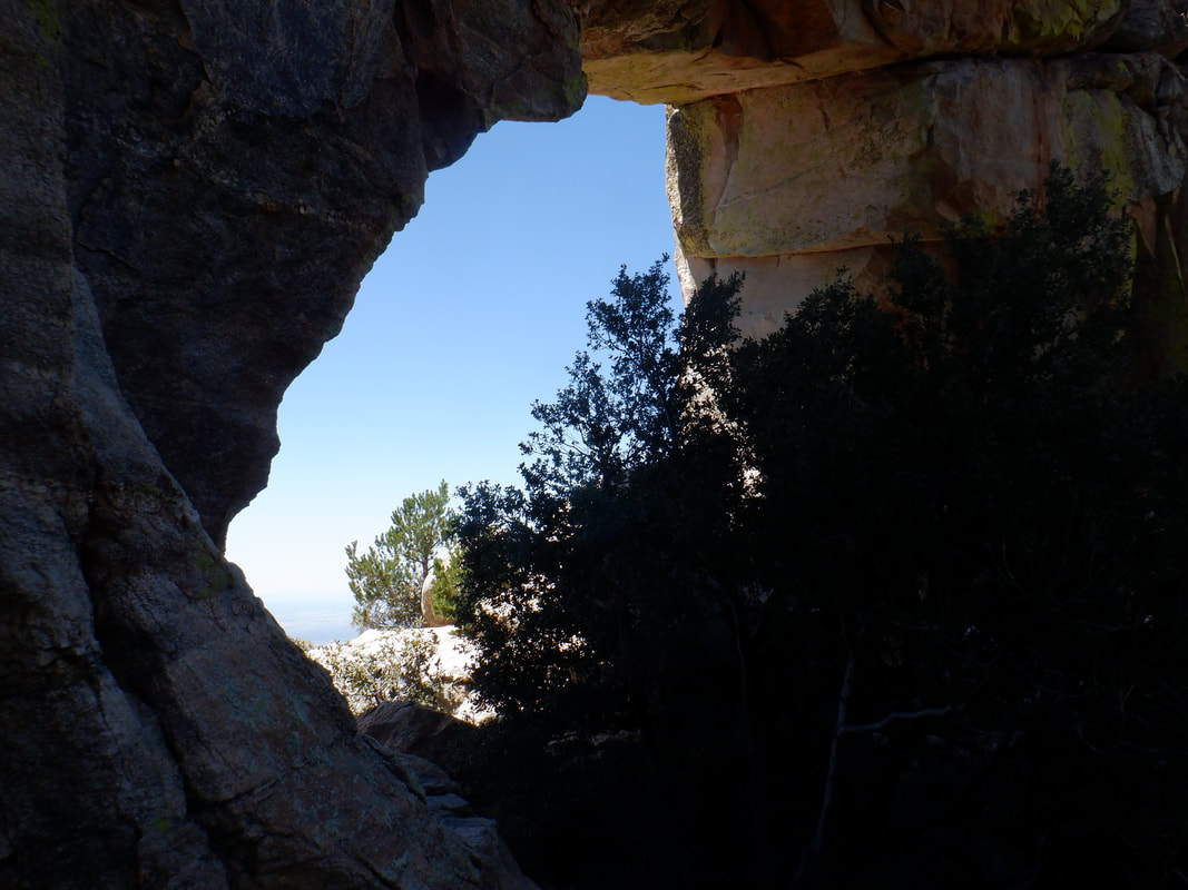
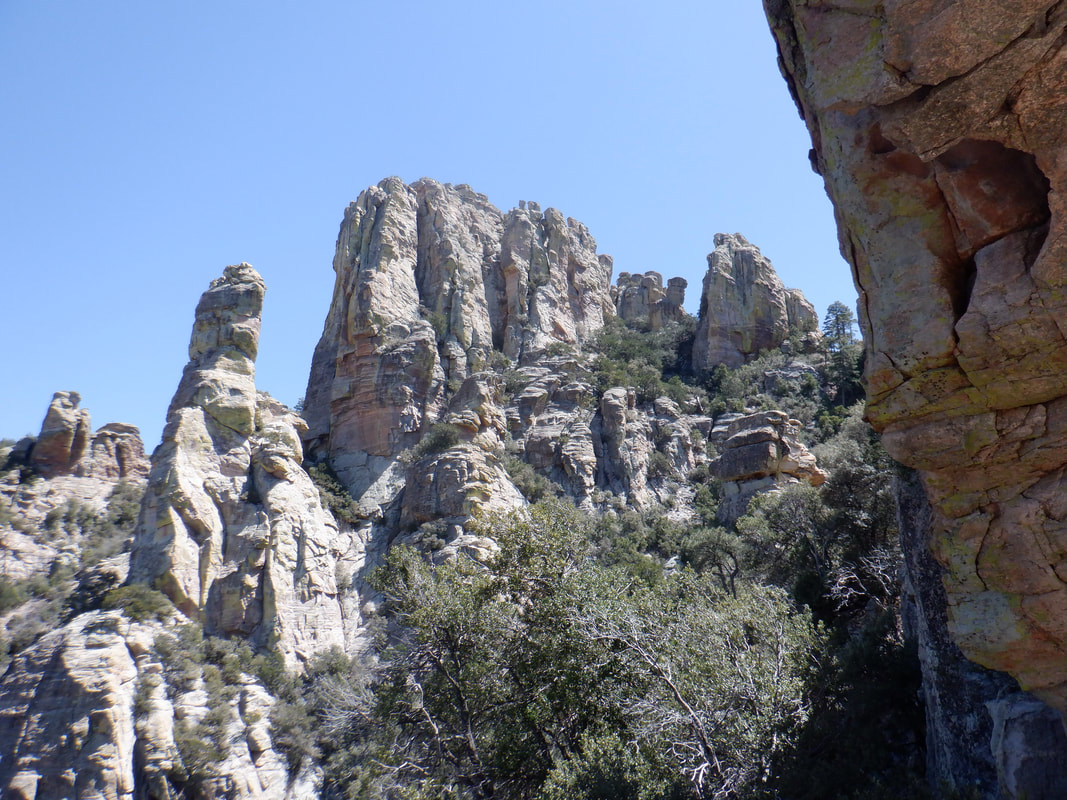
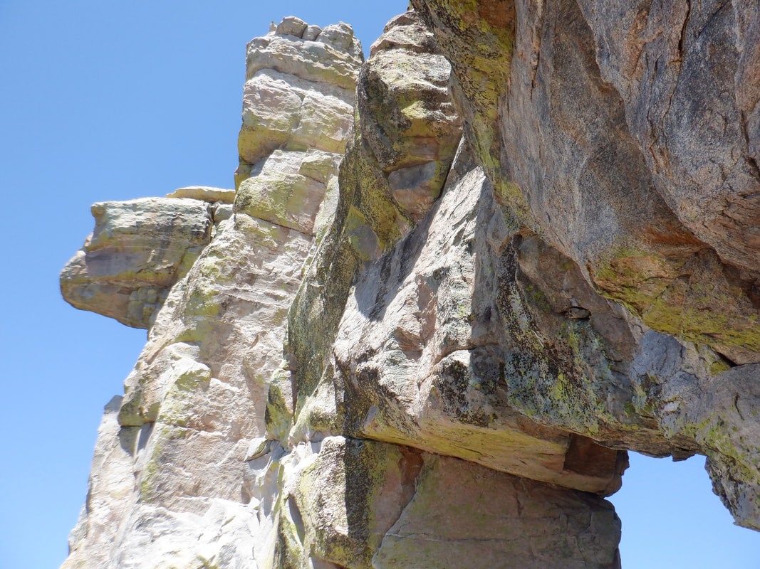
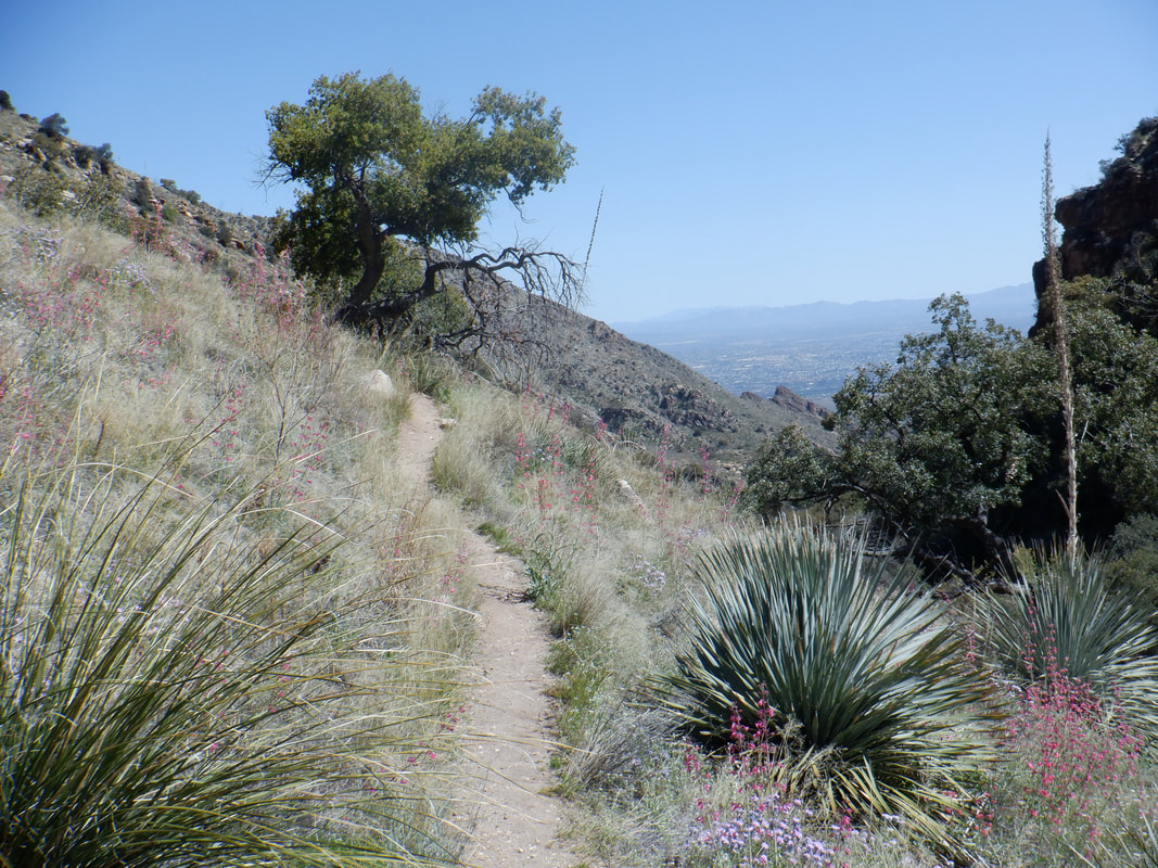
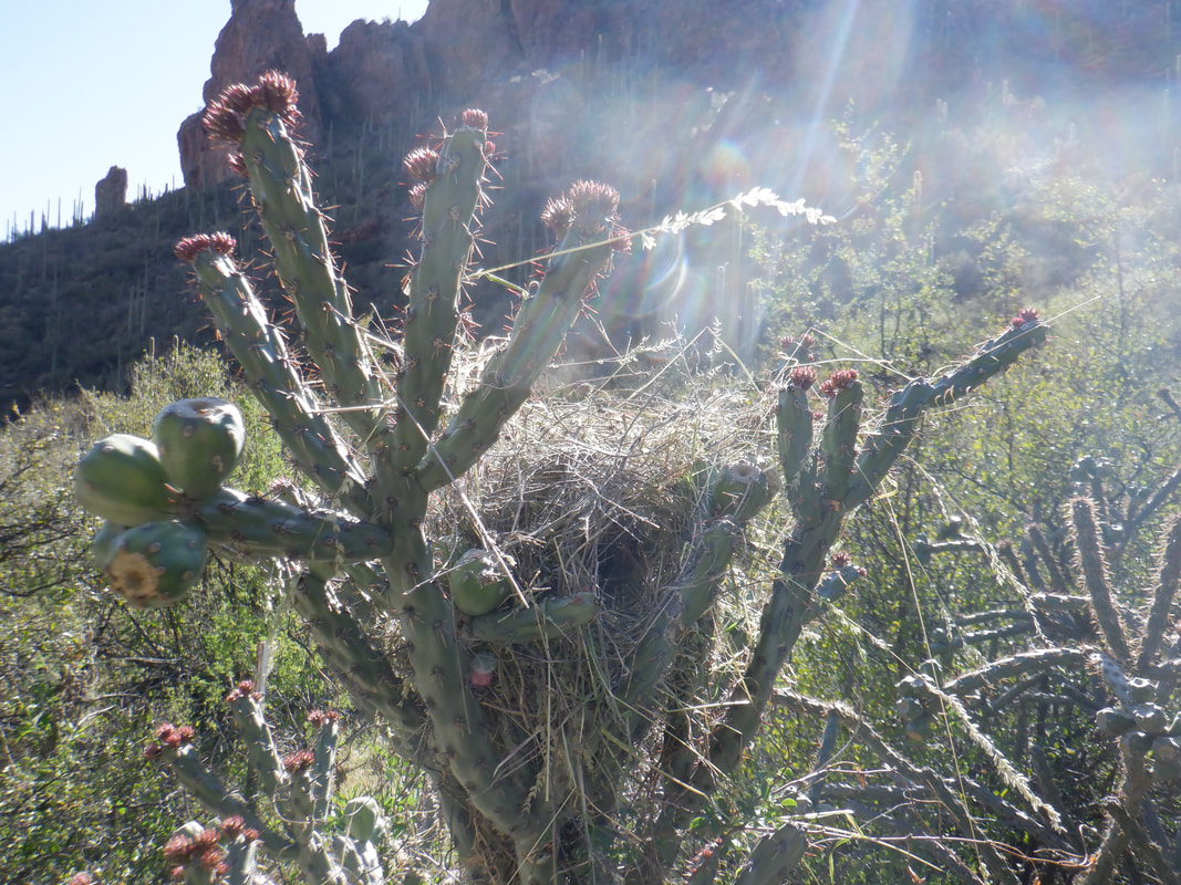
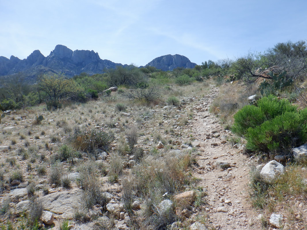
Been awhile since I did a really difficult hike so I arrive at the trail head at Ventana Canyon to ascend to the Window, somewhere up there in the jagged distance. I'm not a fan of the trail, too many boulders jutting out of the trail, similar to Pima Canyon trail. But there is no denying the reward of climbing out of the canyon. The ocotillo are in bloom as I look at the trail below me. Not many fellow hikers as I passed only 6-8 on my way up to..... ...the Maiden Pools at mile 2.5. Still a long way to go and so I don't stop for a visit. I continue the climb as the trail meanders back and forth across the bottom of the ravine that still has water flowing through it. There are some beautiful settings and ideal camping areas. including one with a large slab of rock containing several grinding holes. And there above me is the Window, a huge opening in the granite. To reach it, I must first climb out of the canyon to a narrow saddle, From past visits, I know that once I climb above the rock spire, I'll be close and..... ….arriving at the saddle, I can see the remaining climb to where the Window is housed. For a short while.... ….the hiking is flat to rolling with spectacular views both north and south. Mount Lemmon in the distance. The trail is easy to follow but it is also easy to walk right by my destination because of the angle of the Window and the brush covering the entrance. At mile 6.7, I finish the ascent with a climb into the opening. Stepping inside, but not too far inside because of the several hundred foot drop, I look back and through the arch. Not too far is Window Peak but having visited that once and knowing the way up is kind of sketchy and difficult to follow, I decide to content myself with where I am. It's a hulking mass of granite around me. The high today in the valley was only in the low 70's so up here, it's quite chilly so I do not linger. The hike down is steep in places but sometimes I am rewarded with flat areas bordered by an abundance of wildflowers. A recently build bird's nest. I once took too close a look and almost got speared by a fleeing bird so I keep my distance. Finished with 13.4 miles and a whopping 4500' of climbing. Well, back to the bike.
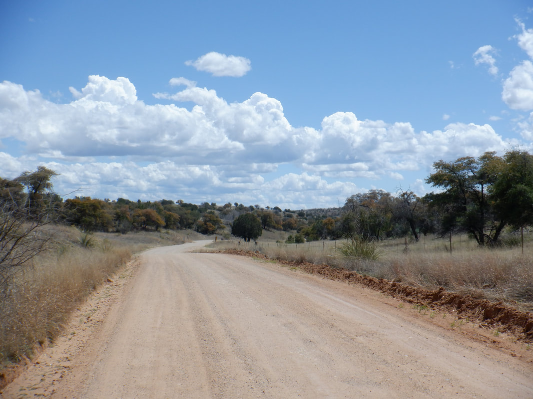
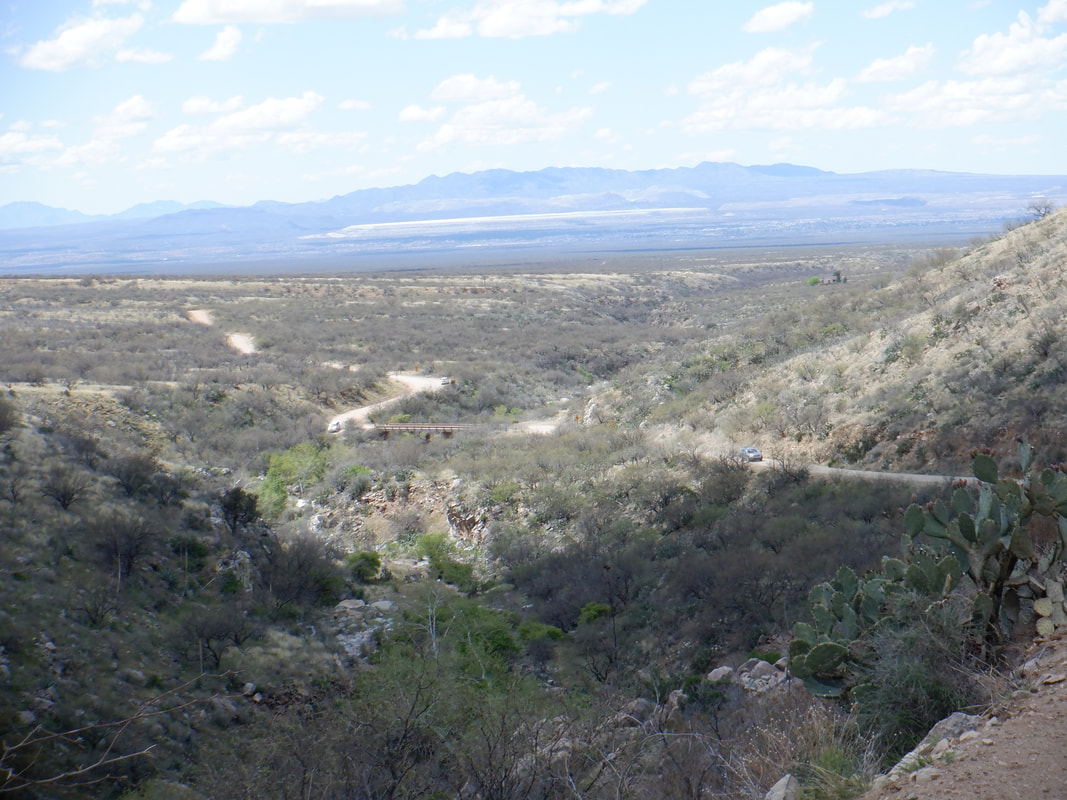
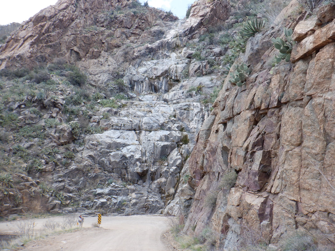
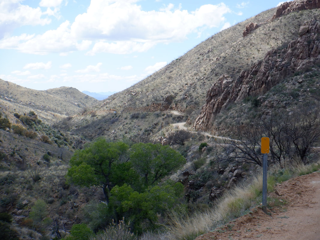
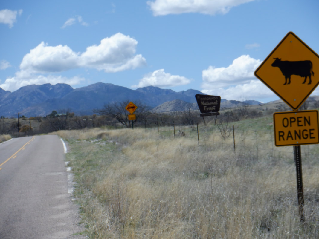
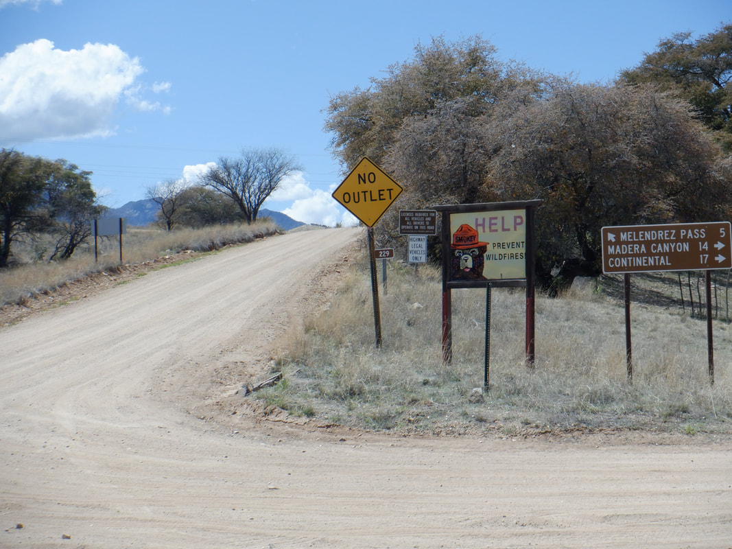
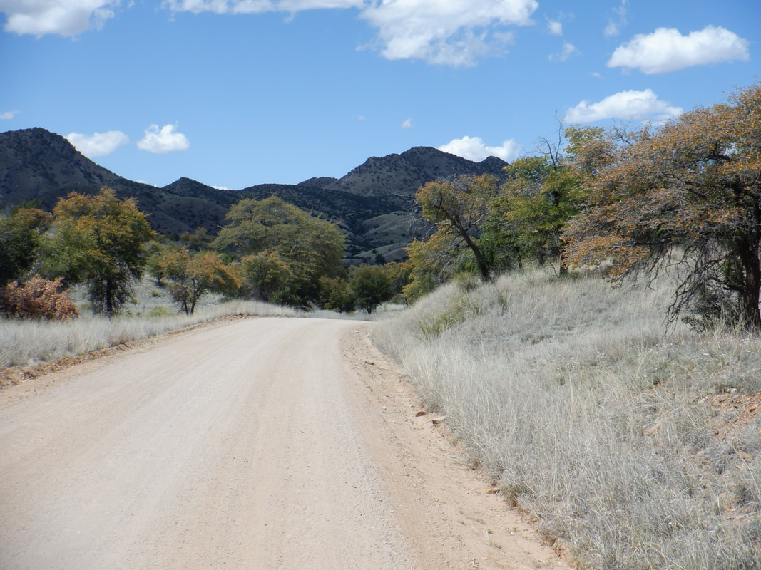
I drove south, got on White House Canyon Road and then where Madera Canyon Road branches to the right, I parked in a small, dirt area. In the distance, the Santa Ritas with Elephant Head on the right. I left White Canyon for Box Canyon Road and mostly enjoyed a 1-2% grade although the wash boarding was pretty bad. The road stayed straight for a couple of miles then bent to the left, crossed a dry creek bed and then an 11% section that it too had wash boarding. That was difficult, bouncing along while maintaining momentum. I rounded a corner and saw the road coursing upwards through the canyon. It was a neat view. The first 9 miles is a climb having an average grade of 3% but there are several extended section having a 6-7% grade. I came to a hairpin curve that had a neat looking wall. Note the man standing, bottom left, which gives some perspective of the size. The road continues its ascent but just when I'd had enough of the bouncing, Greaterville Road..... ….came in from the left and it was paved! Thank goodness. I rode it for 4 miles to St. Rt. 83 where I turned around and.... ...retraced the route. Later, I checked the area map and all the southwest bearing roads eventually dead end against the slopes of Mt. Wrightson or Hopkins. At times... ….I could take my eyes off the road to enjoy the view but the wash board really took a toll and I was glad when I again reached pavement. Don't think I'd do this route again unless a road grader went through. Finished with 30 miles and 2200' of climbing.
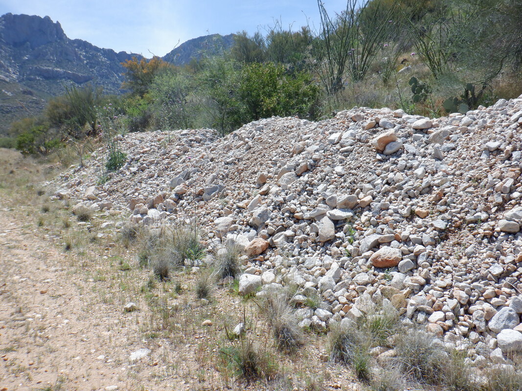
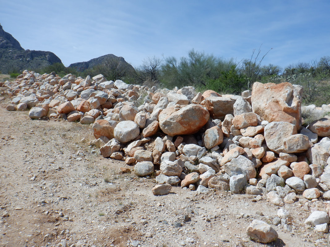
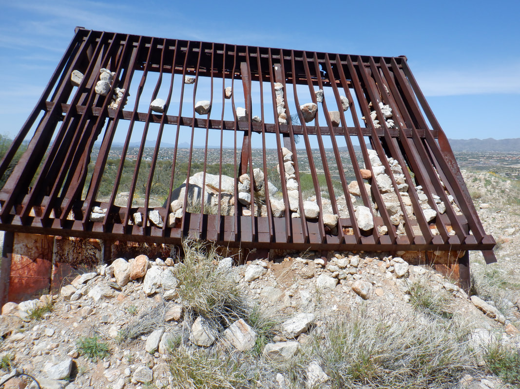
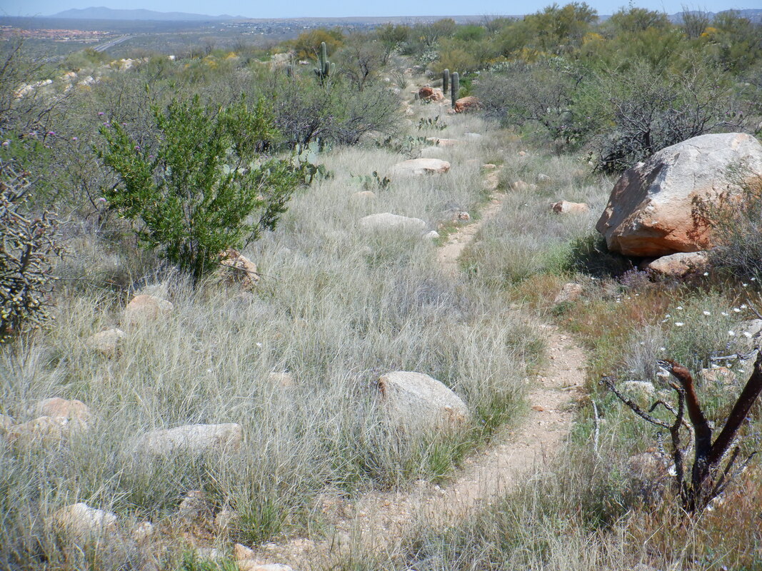
A recovery day so I drove about a mile north on Oracle Road, pulled into the Ram's Field Pass subdivision, parked in front of a community park, walked through it and found a trail leading to a bladed road. The road had many piles of gravel and farther up..... ….piles of large boulders. An entity went bankrupt several years ago so other than the road, no other development has yet taken place. Higher I found..... ….this screen. Apparently they would dump loads of ground, separate the boulders that would later be used for landscaping. The real reason for today's hike was to scout for a future hike. A few days ago I had..... …..parked at Catalina SP and hoofed it close to the base of Table Mountain but as I was hiking, I eyed the bladed road and figured there had to be a more direct way for a reexploring of the Mountain. After completing the ascent of the road, a trail led to the south and I followed it for awhile. I could see it continued on toward where I could intersect the trail I had followed last week and would be a much shorter route to revisit the mountain. I returned to the dirt road, made a left and visited an adjoining development that had 30+ home sites that were available. Nice location for a home and unsure why it has taken so long for the available lots to fill. Have to check out the price and therein may lay the answer. Finished with 3" miles and ready for another gravel ride down at Madera Canyon.
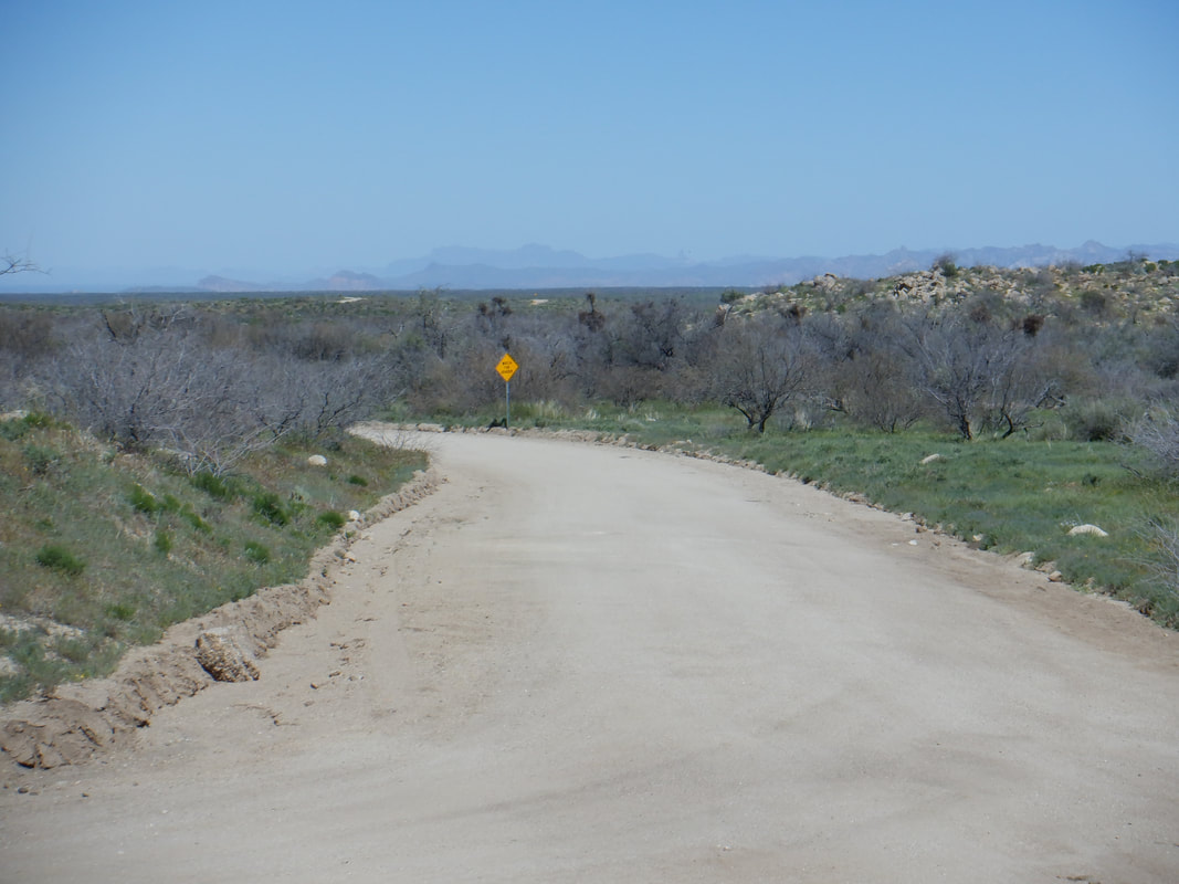
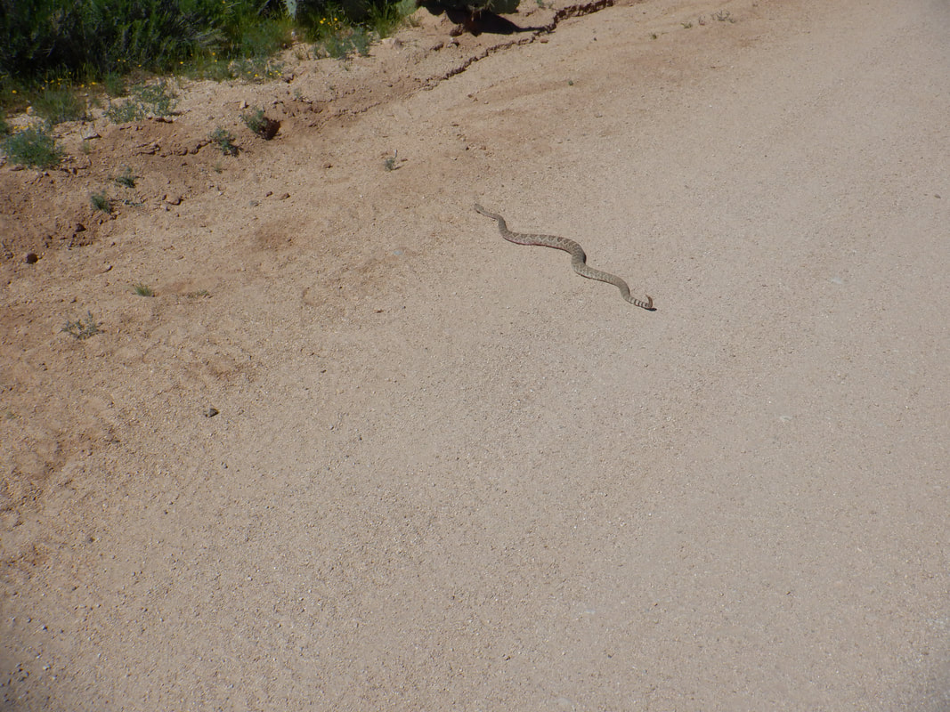
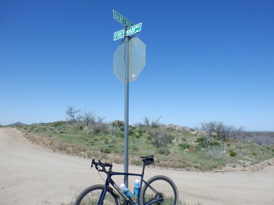
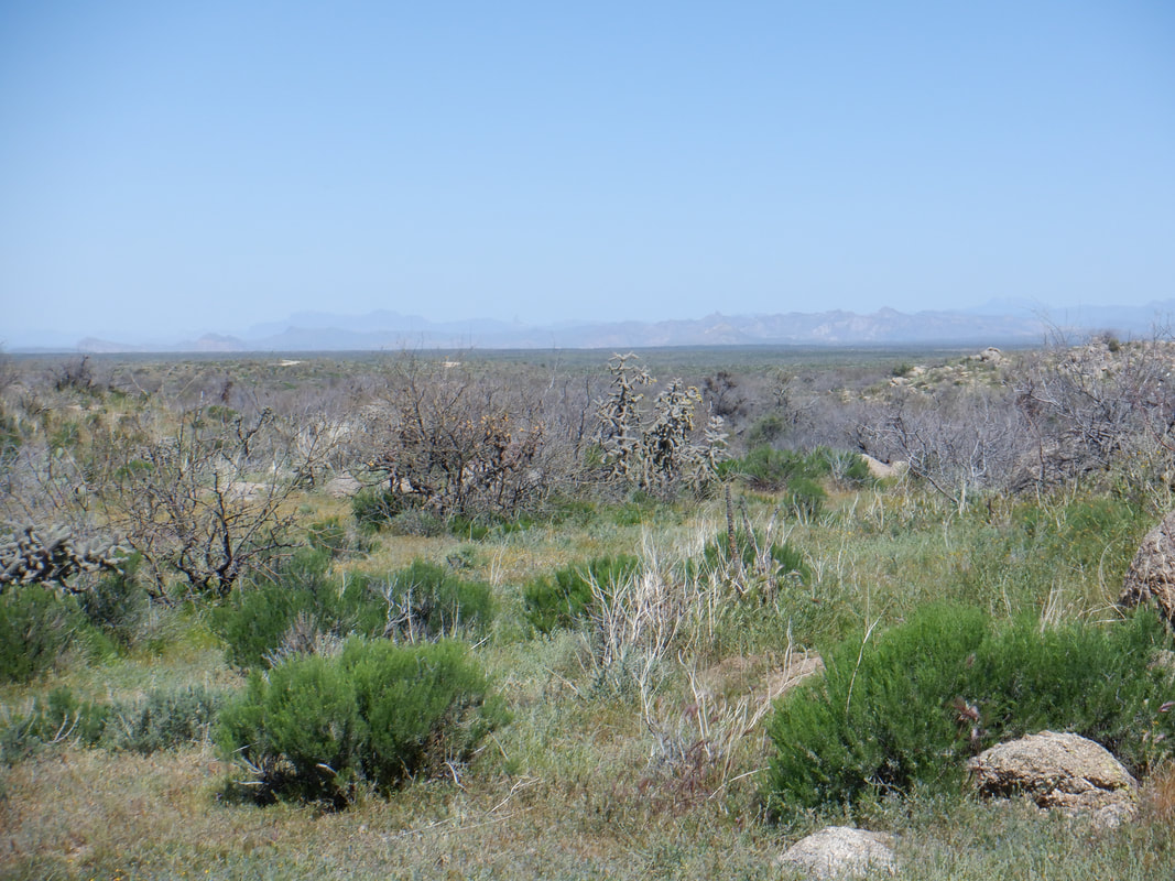
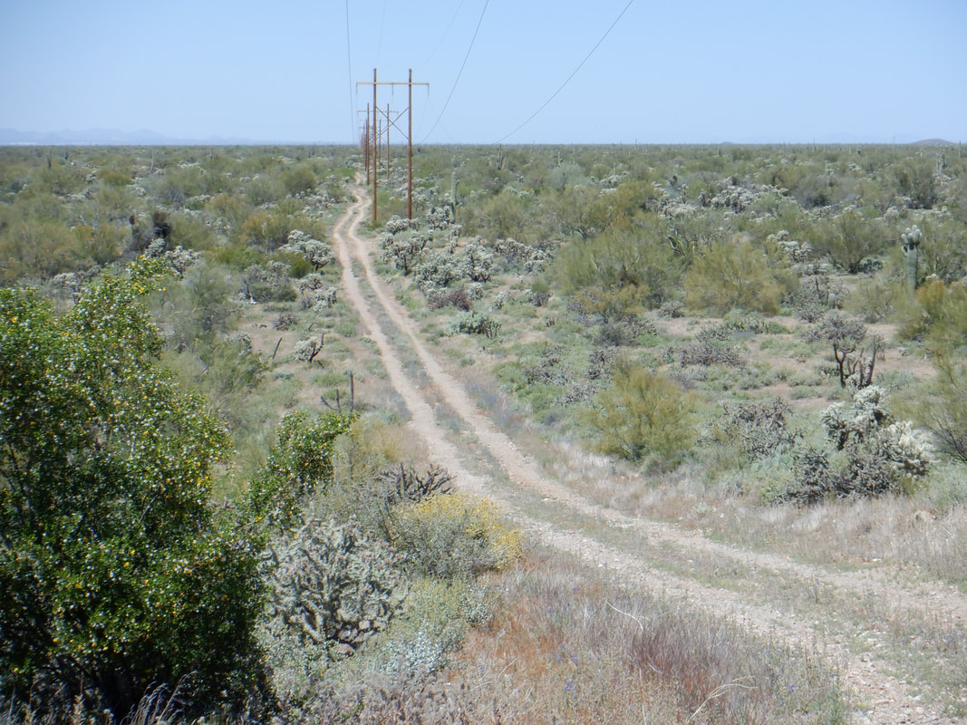
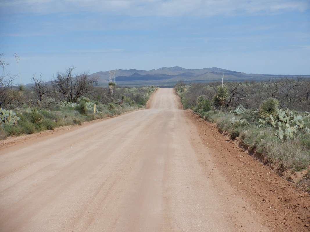
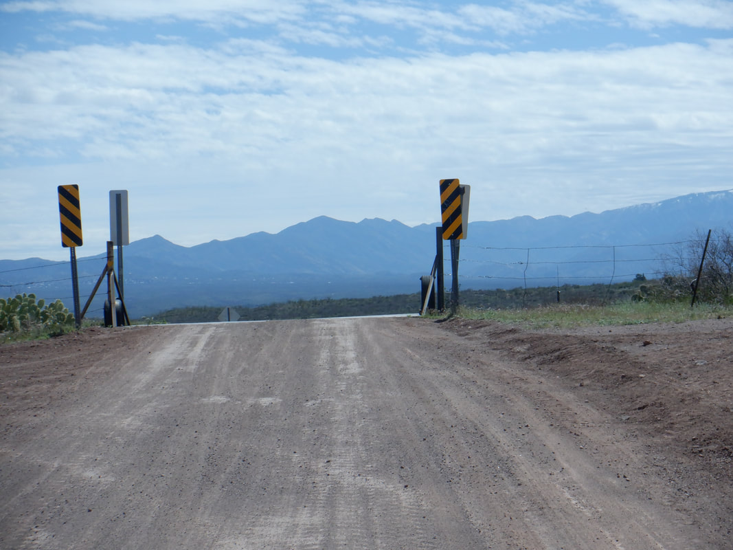
I've been having fun with finding gravel routes. There doesn't seem to be much of a list on any site I have found. There are a few on an AZ Gravel FB page and some on a gravel web site so I will create a list and begin posting somewhere on this site. Anyway, I drove out #79 toward Florence and parked at 96 Ranch Road. I knew there were only 2 Strava segments on the 40 mile route, one on the opening, 13 mile climb so when I saw a rattlesnake, crossing the road in the first mile I had to keep going rather than pause but then saw another and stopped to take this pic. It's weird but on a gravel bike on an uneven surface, I gave the snake a wide berth. Hitting something and being thrown onto that....yikes. Actually, in addition to that 13 mile Strava segment climb, there is a fairly continuous climb of about 19 miles but the average grade is only 2%. Of course, 2% on sand/dirt is quite a bit harder than on pavement. I saw numerous serpentine tracks through the sand so lots of snakes had been crossing the road. I merged with Barkerville Road and then reached Freeman where I made.... ….a right while having a decent view of the Superstition Wilderness. It's odd not to see multiple group hike options every day for hiking in that awesome area. Friggin virus! While the first two aforementioned roads were in great condition, Freeman was less so but still ridable for a newbie like me. Just prior to reaching #79 after a long descent.... ….a power line road gives the option for a return to my car rather than #79 so I take it. After about a mile, I hike a sandy wash, climb through a barb wire fence and get on #79. Back on pavement, I cruised with a tail wind the 7 miles to 96 Ranch Road, finishing with 49 miles and 1900' of climbing. I'd do that route again.
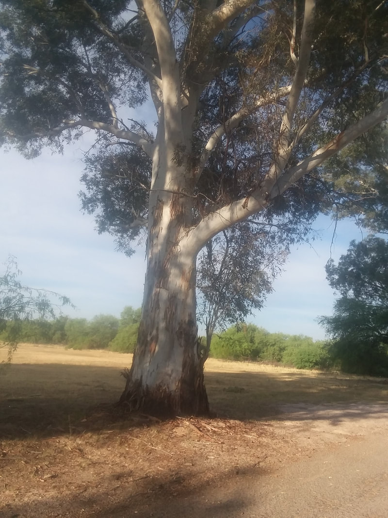
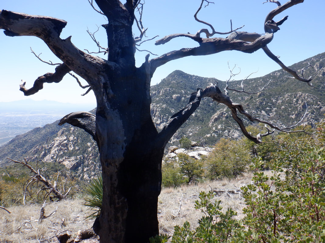
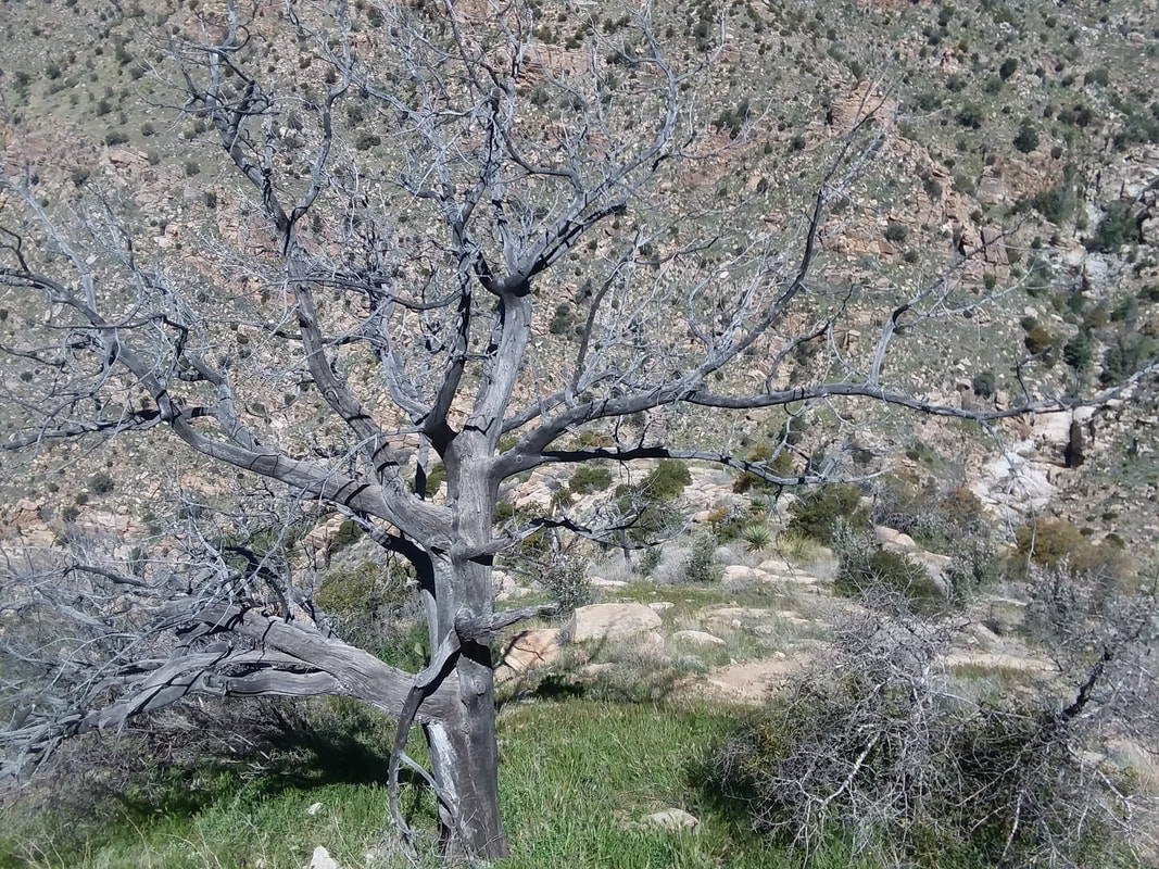
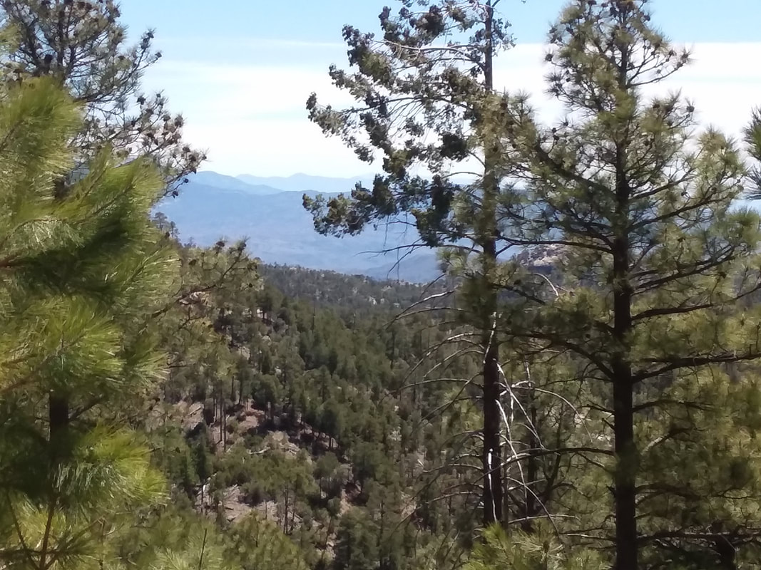
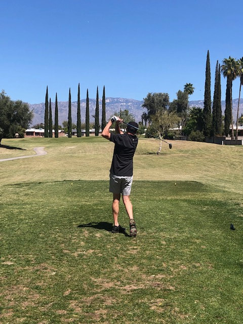
I ascend General Hitchcock Highway but take a short break at the 9 mile point where the "7 Cataracts" parking area is. Great views as always but I noticed this long dead, grey tree so took a pic of that instead. I paused at mile 14 at the "Windy Point Vista" parking area then resumed the plodding effort. I long ago concluded this climb is not a good fit for me. I know what you're thinking, "Is there any climb that is a good fit?" Well no but I do have respectable times going up the 12 mile Kitt Peak climb where I can sustain a decent effort for the duration. This beast though.....not good. I pass the Palisades gift shop and know I am closing and finally at about mile 21, reach where the road bends down. The road drops about 1.5 miles, climbs about the same and then rolls to Summerhaven but no point visiting since the restaurant is closed, the general store so resupply is uncertain. Coast down and finish with 47 miles, 5500' of climbing and so the next day I..... ….went golfing. Golf courses too have changed, no removing the flagstick from the holes, rakes for smoothing the sand have been removed so if you enter a sand trap you are expected to foot smooth the sand, etc... Played with a couple of guys who like to play fast, as do I so we got around 9 holes in an hour. The course, "Rolling Hills" is kind of a dog track but it was good to play. Had 2 birdies!!!
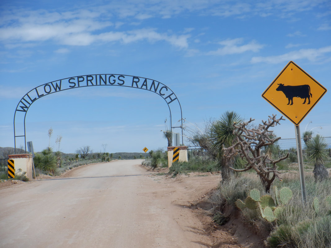
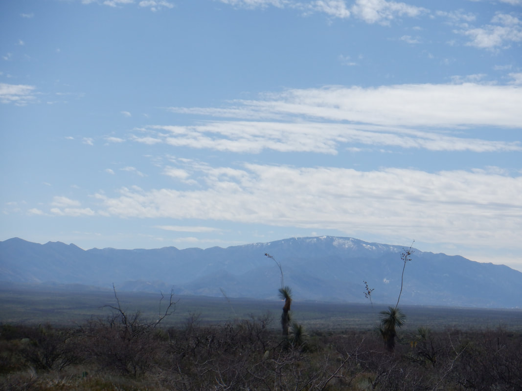
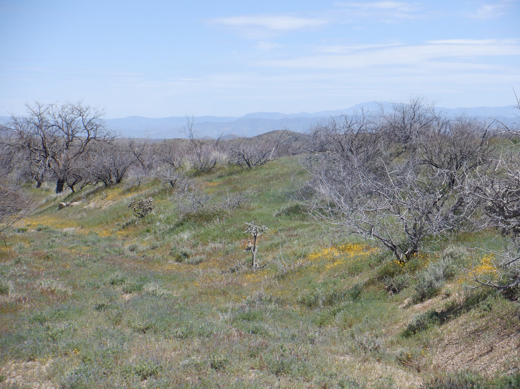
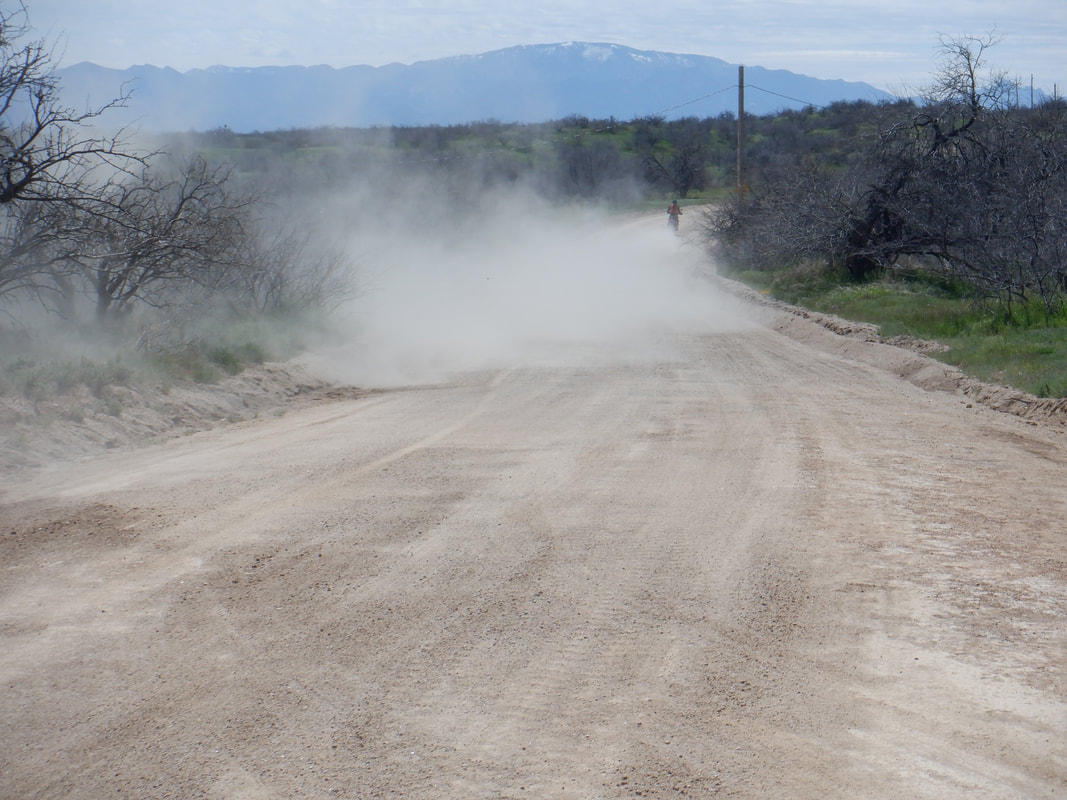
I've ridden up Mount Lemmon a couple of times in last few days but not all the way, once to San Pedro Vista at mile 18 and once to 7 Cataracts at mile 9. I talked to a couple of cyclists who were telling me about an 80+ year old guy who rides up it 4 times a week and is stronger than 80% of those who climb the mountain. Wow. Anyway, …. ….drove north of the town of Catalina and got on Willow Springs Road, passed beneath the ranch gate, past the 24 Hour at the Old Pueblo course and was exploring new territory. Looking to the east there is still snow on the mountains. There is a long climb which passes by Black Mountain. The average grade is only 2% and 4.5 miles but there was a section that had to be close to 20%. A guy had started up it and fallen over and was sitting in the grass, waiting for a friend to ride back and retrieve a car. He told me he was ok and to keep going. The roads were in great shape and traffic is very light but when a vehicle or motorcycle passed, I was glad the wind blew the dust away from me. There are a variety of dirt roads northwest of Oro Valley going all the way to Florence and Phoenix. Dang, southern AZ is beautiful if you like the mountains. Finished with 31 miles and 1600' of climbing.
|
Categories
All
Archives
November 2023
|
