|
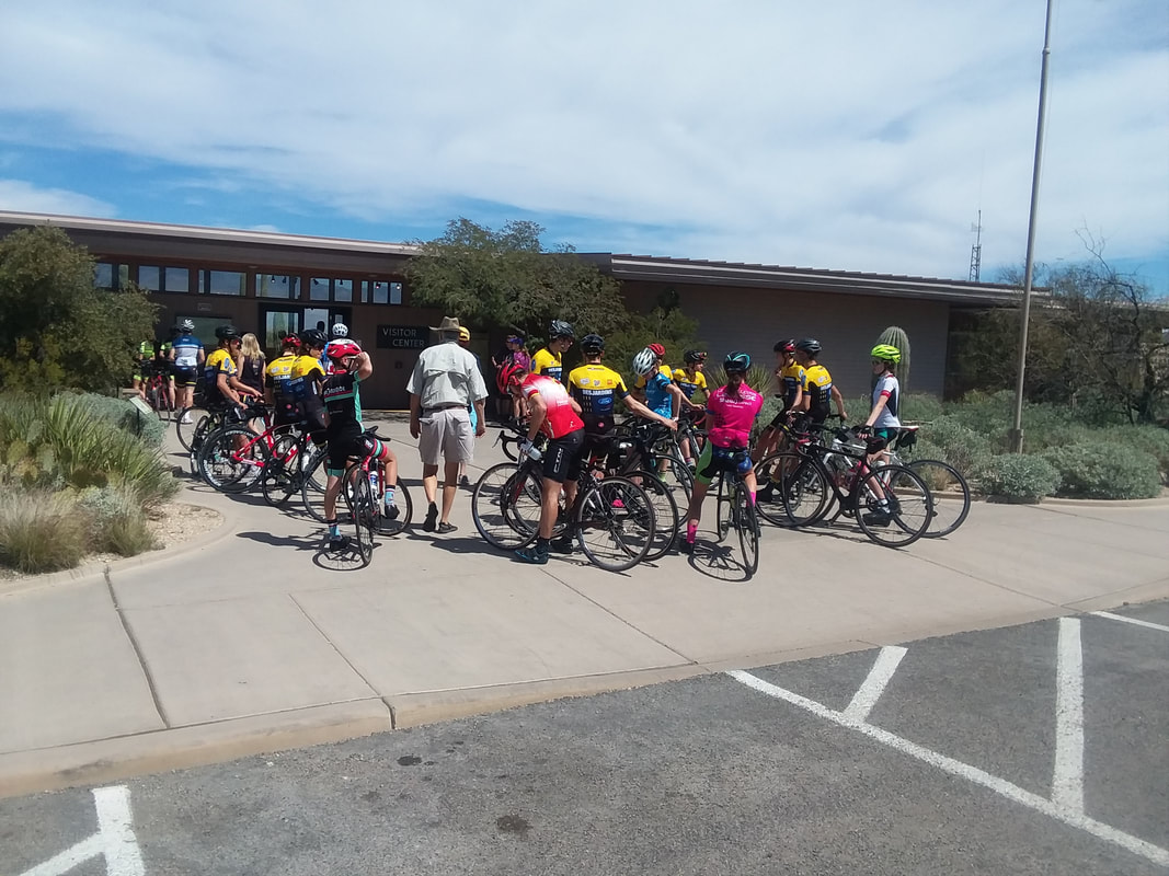
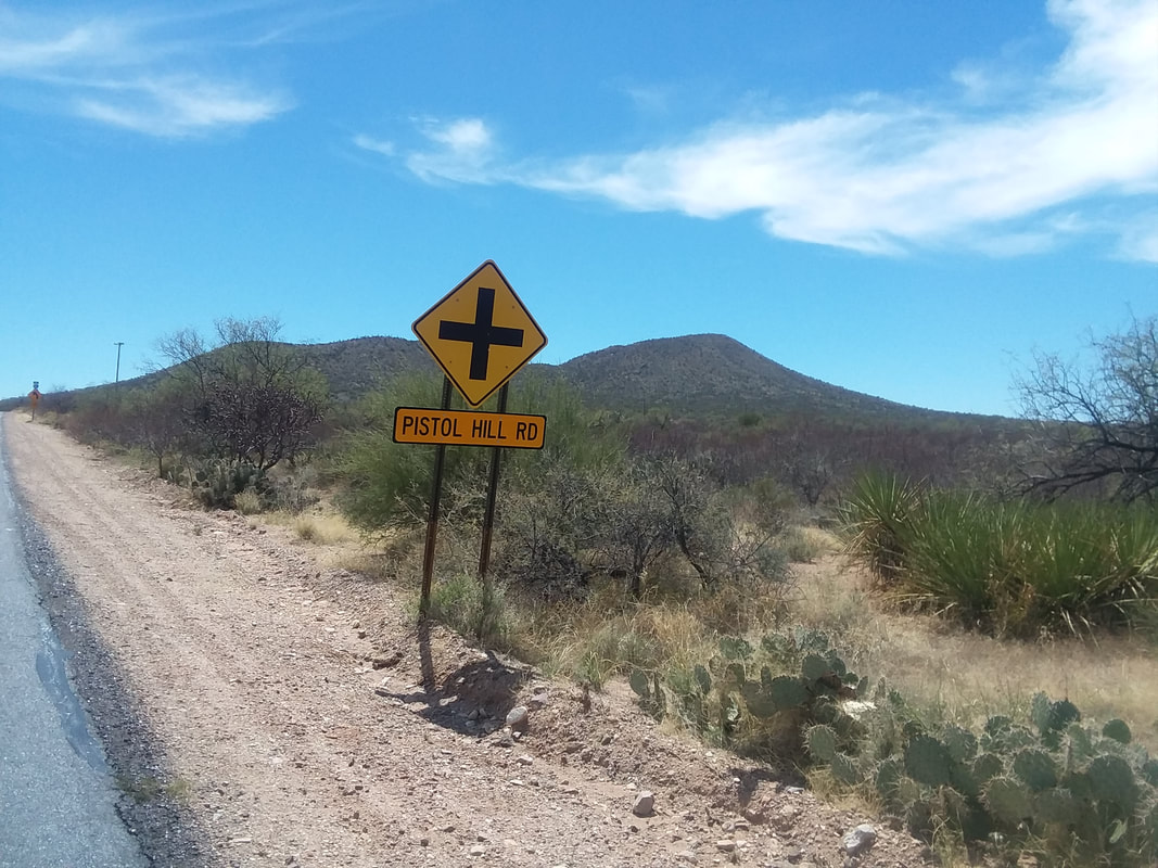
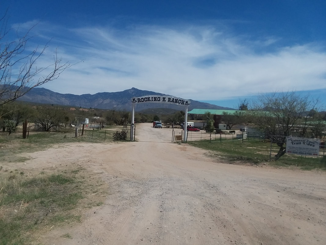
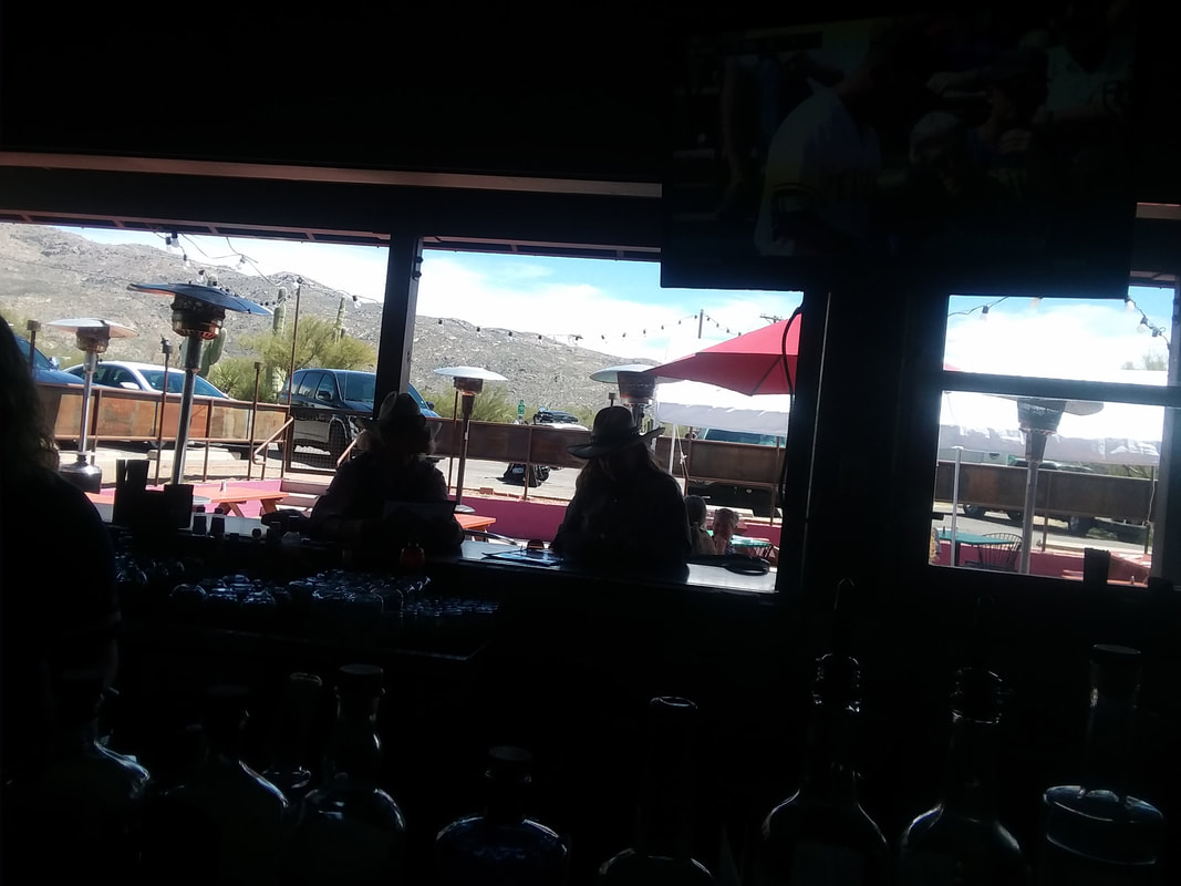
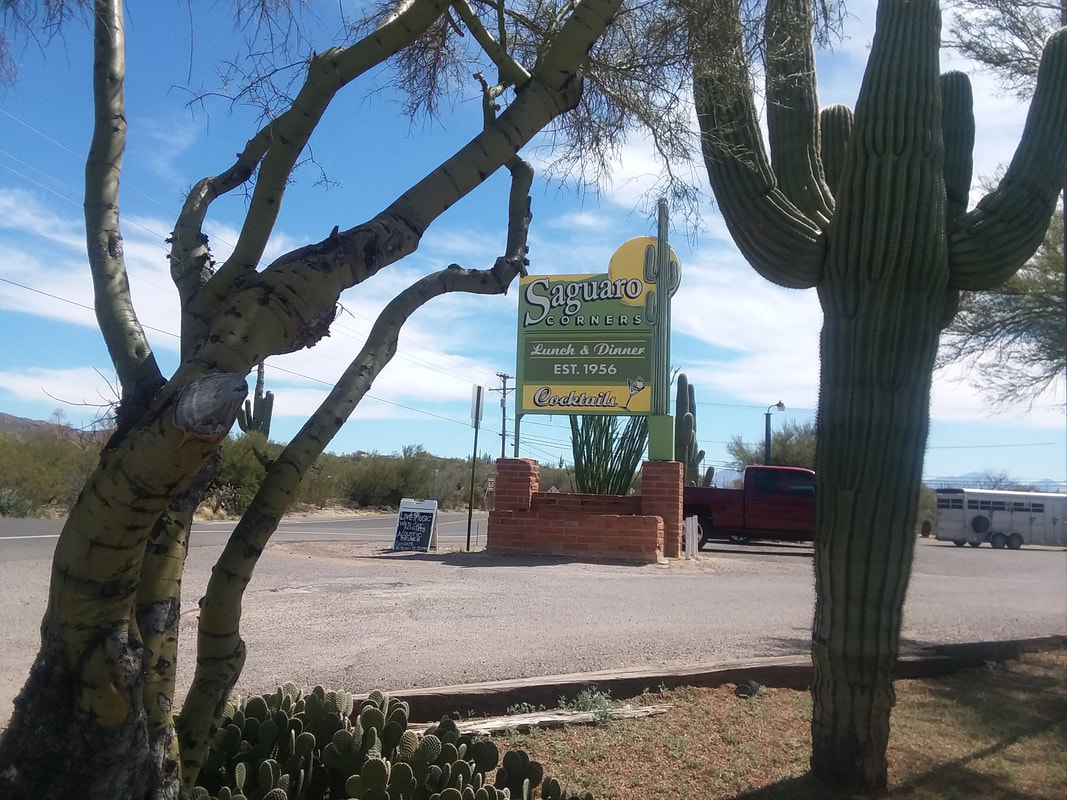
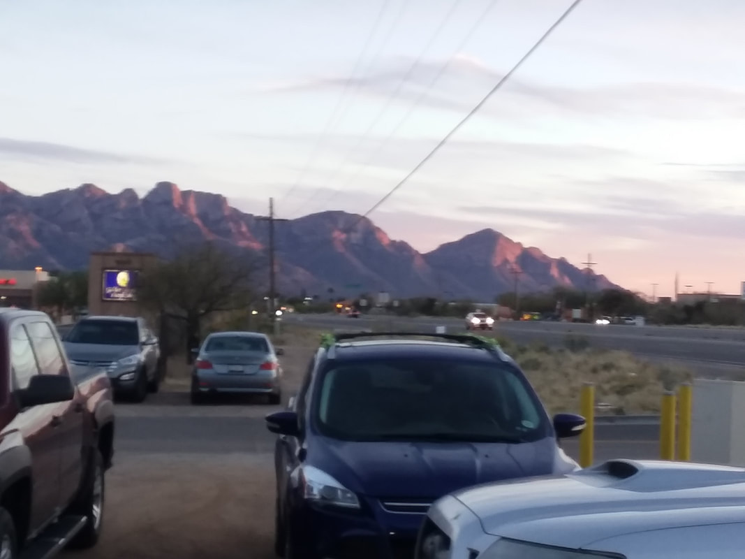
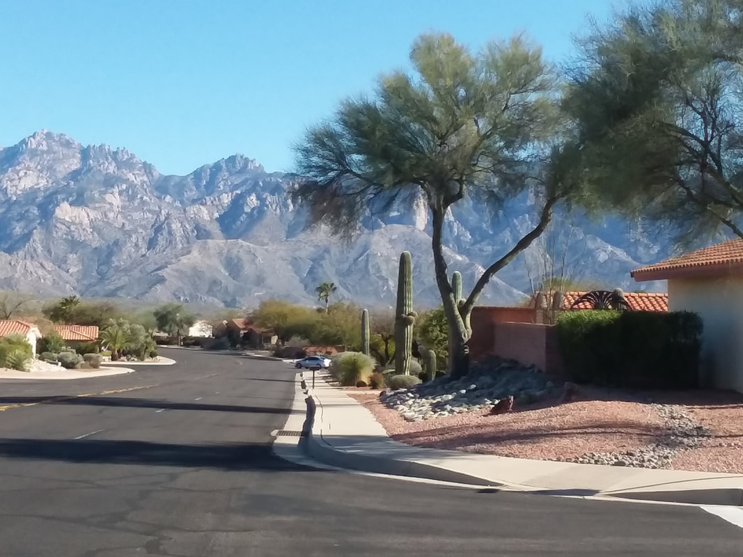
I parked at La Buzz, and did a 14 mile ride to Saguaro National Park East where I did a once around the 8 mile loop there. Coming out, there was a large group of juniors from Montreal. Lots of Canadians out here this visit. I pedaled out to Pistol Hill Road, which is just short of Colossal Cave Park, hung a right and worked my way back to the park via Spanish Trail Road. There were a couple of neat looking ranches along the way and just before I arrived at the Park, I decided to stop at..... ...Saguaro Corners, a fun restaurant established back in the 1950's. I sat inside and then they opened the back of the bar and how about that! Two authentic cowgirls!!! Along with a TV showing a baseball game and good views of the Rincons. Gosh, have I got some great images coming tomorrow of today's ride up Mount Graham.
0 Comments
Dan R, better and more accurately known as "Dirty Dan" or "DD" is concerned that too many of you think the word "Dirty" is because he roams the parking lot, shooting sideways glances..... ..... into the cars of women and men who are changing their clothes. While it would not surprise me to discover that in fact Dan does engage in this behavior, I want to set the record straight. To assist me and gain more information about Dan, I visited Google but discovered that on the first page, searching his name, there were several references to this blog so famous he is not.
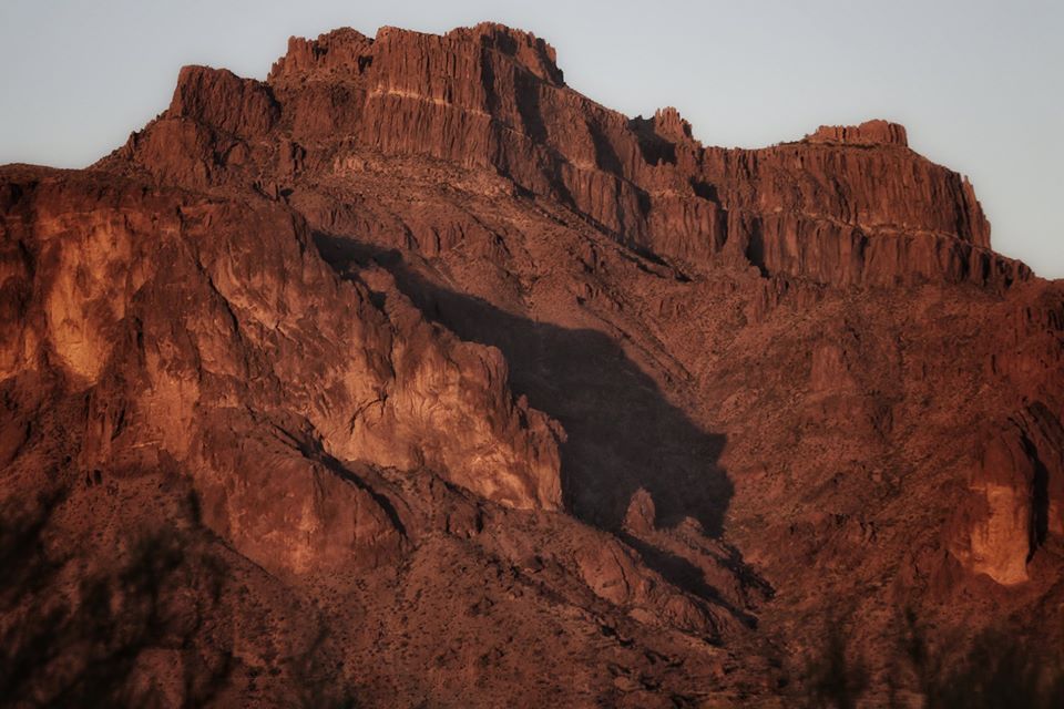
Dan is a good person off the bike and travels the far east (eastern US not the other Far East) advising government agencies how they can pay 3 times more then they need for health care. OK, I made that up and that is a cheap shot. Dan has traveled, advising various groups about their health care options. However, now he hired a drone who does that for him and Dan will be spending a lot more time on the bike this year so that is not good for some of us. Dan usually dresses in an all black kit riding an all black bike. Mostly he earned the nickname, "Dirty Dan" by engaging in on bike activities that do something less then endear him to.....me! Otherwise, he is a beloved figure of the peloton so understand the distinction between being a pervet (which he likely is not) and unprofessional behavior toward me (of which he is guilty). There, sooooooo...... On the southwest side of the Superstitions, for a few days each year and for a few minutes each of those days, a shadow is cast that is called the "Cougar Attacks" shadow. Crowds gather each evening to take a picture and I thought this one of the best I have seen.
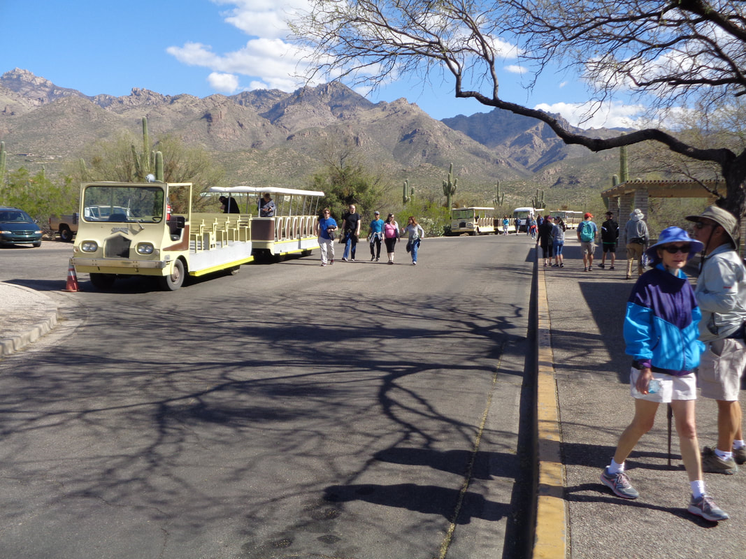
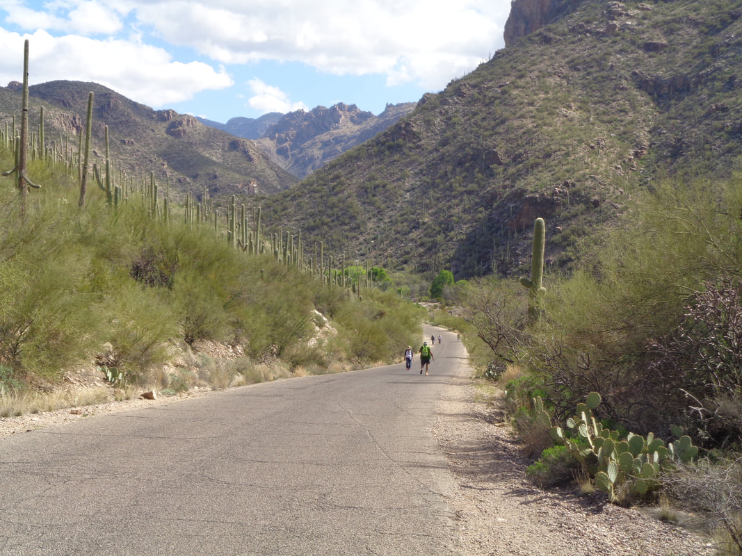
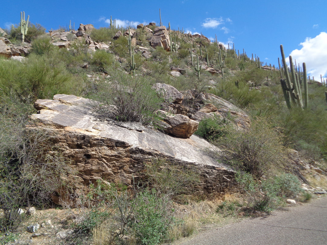
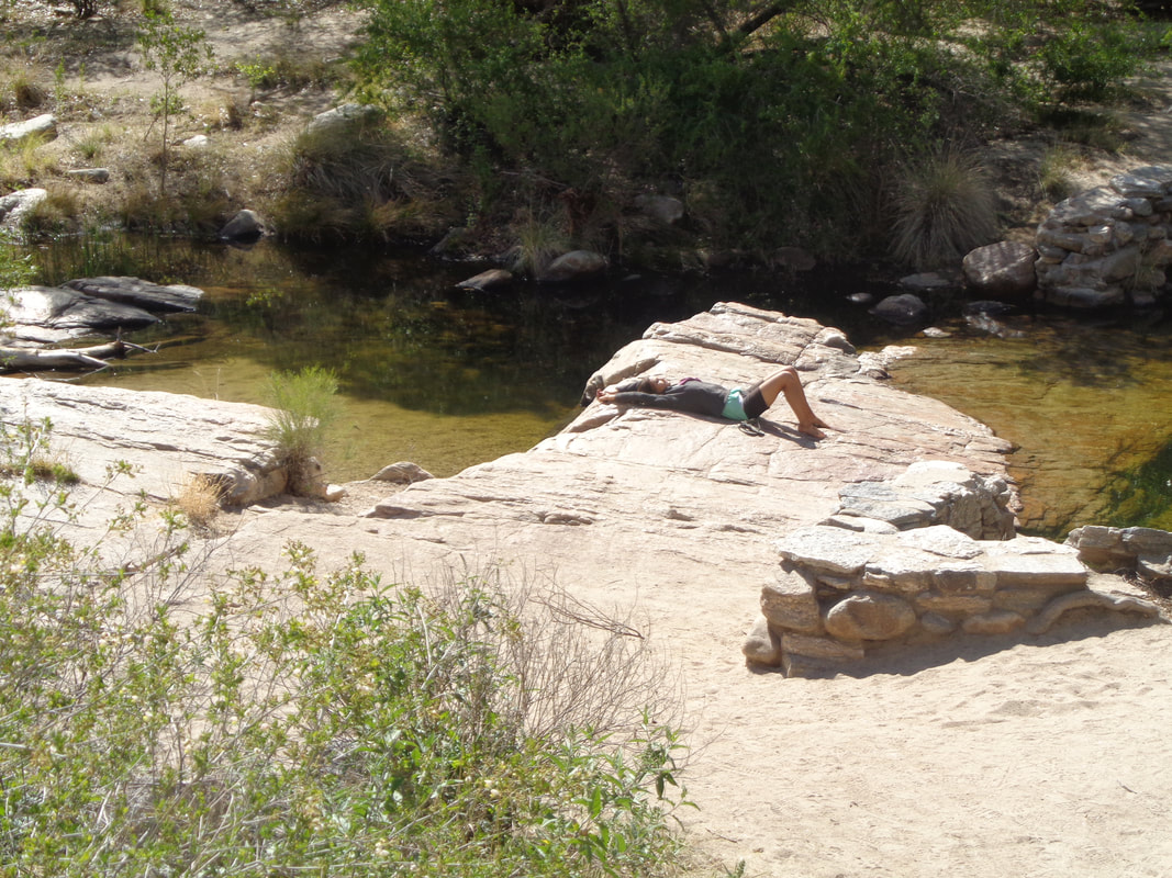
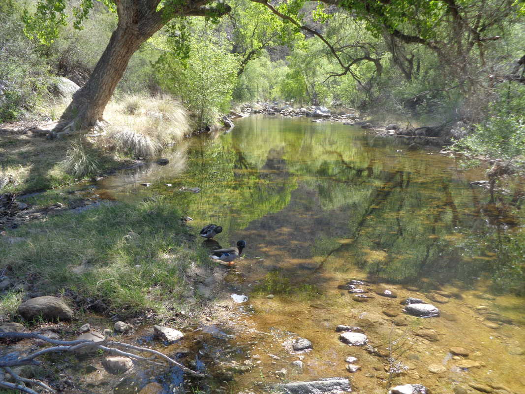
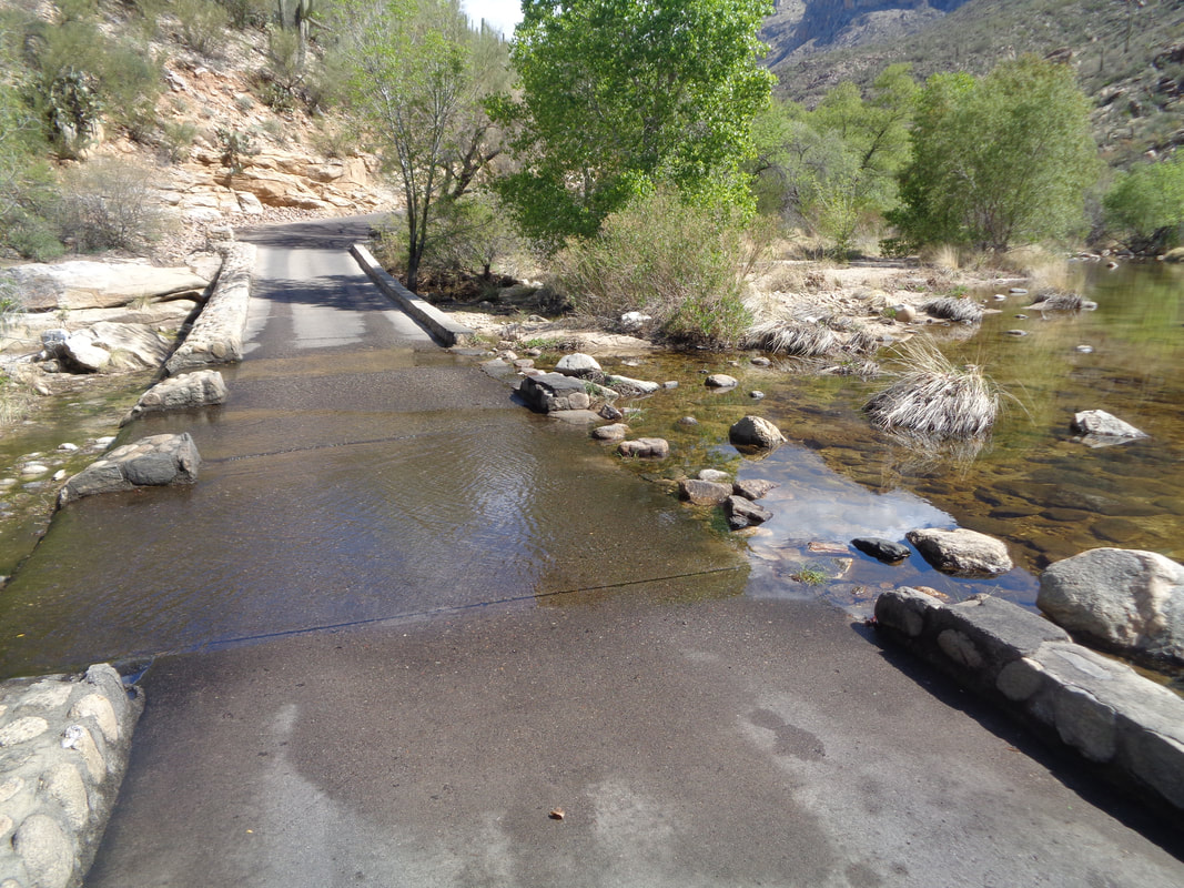
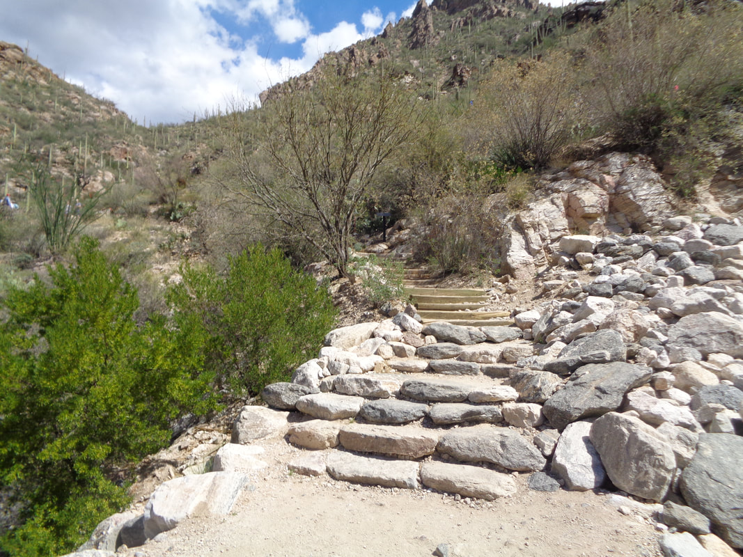
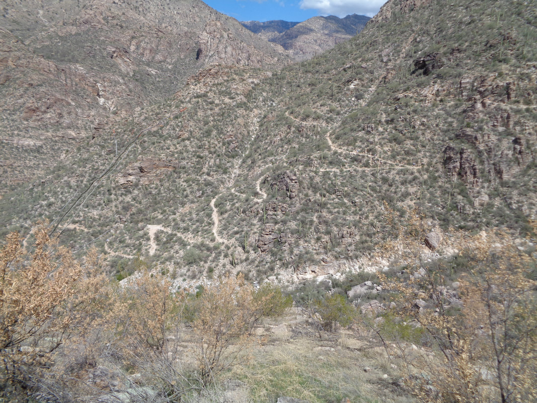
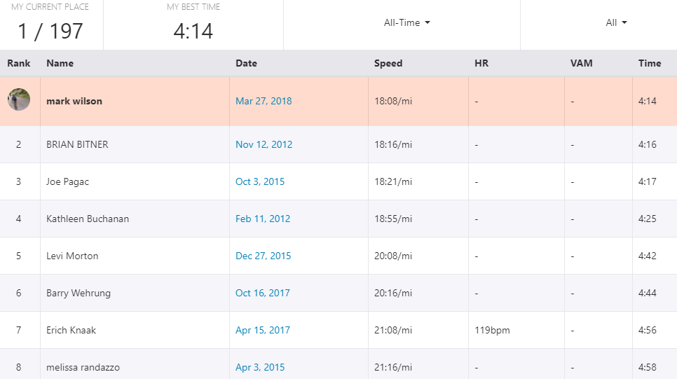
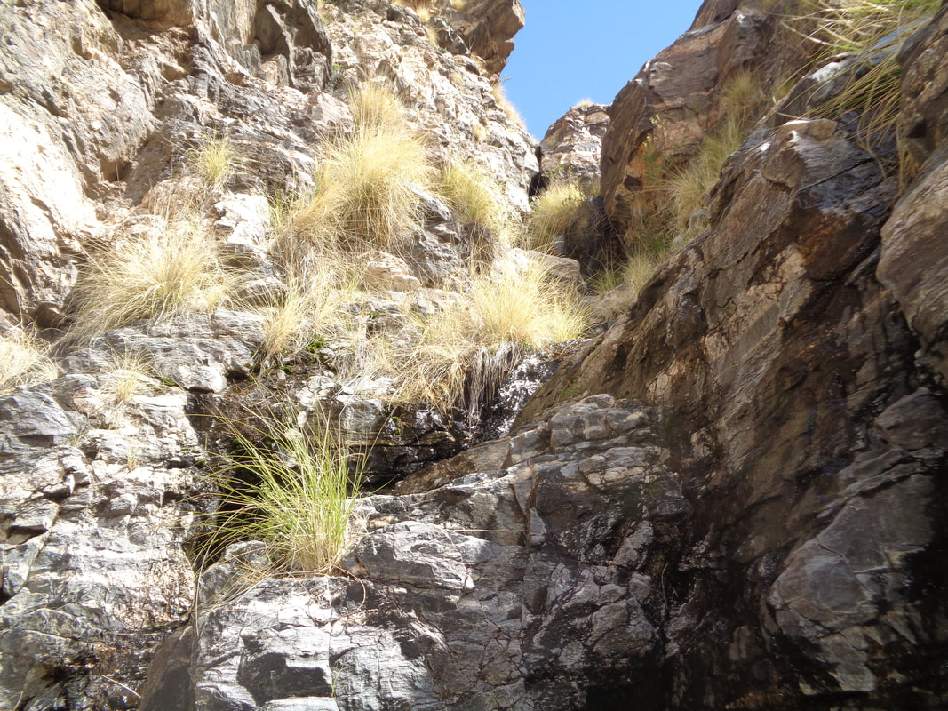
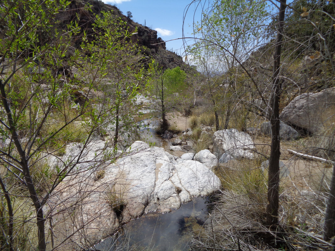
Hey my cycling buddies in Ohio! Watching the weather there, man, I feel for you. Take some solace that the weather has not been as grand as usual here either. Today, a high of 67!!! Kind of windy too so better to hike and I head to Sabino Canyon where the shuttle is preparing to take another load of visitors the roughly 4 miles into the canyon. Of course, I hoof it, headed for the end and then up to the Phoneline Trail for the return. Massive boulders line the road and for those in the stream.... ....you can stretch out and enjoy the sun. The road crosses over the stream in many places, note the Mallard ducks and sometimes.... .....the stream crosses the road. I am gaining elevation as I walk and pass.... ....many inviting side trails. However, I keep plodding and reach the end of the paved road where the shuttle disgorges its passengers, wind my way through them and..... .....ascend the switchbacks to the Phoneline. I kept a hard pace cause I thought it might be a Strava segment and.... ....how bout that? Anyway, reaching the trail and heading mostly downhill I.... ...enjoy the grand views to the west. Finished with 9.8 miles and 1400' of climbing. One of the more modest hikes in the area. Finally, we are in for a long succession of 80+ degree days. I am watching Ohio weather and plotting my return. After 2 close calls with vehicles while on my bike last week, I just want to get out of here alive. With a nice tan too of course.
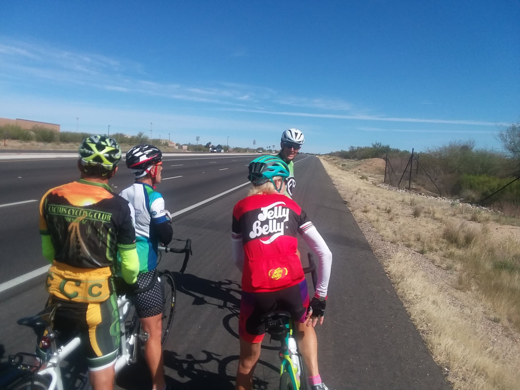
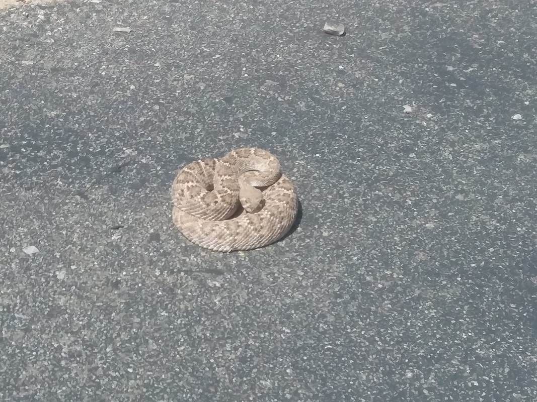
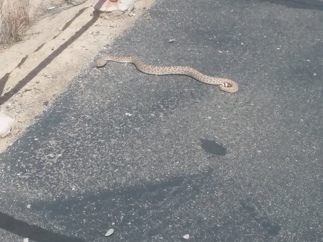
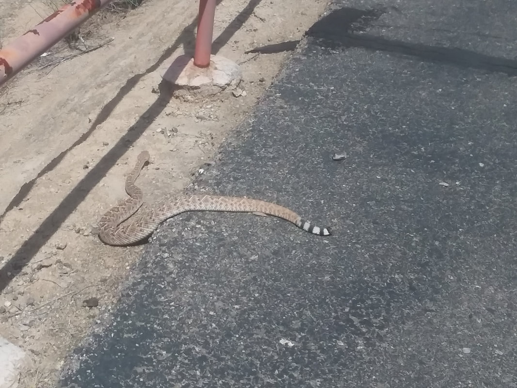
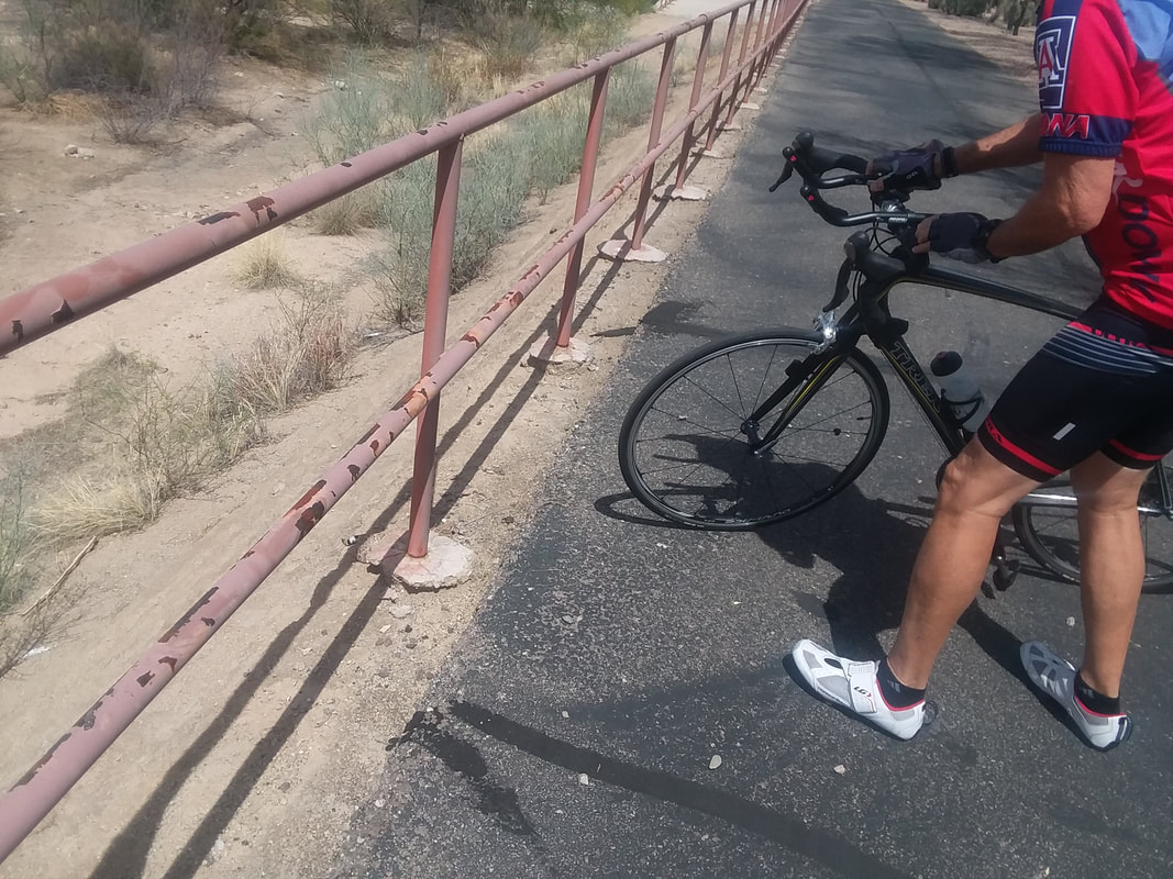
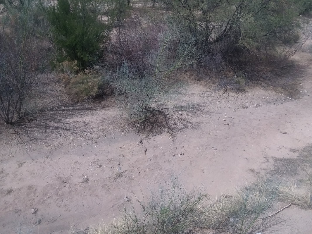
I've been doing solo rides to build some endurance and add a tiny bit of strength to the legs. There are a variety of group rides in the area but most start at the awful hour of 7:30am or 8:00am. It's not the time but the temperature. After last week's mid 80's, another dry front swooped in from CA and today the high was "only" 70 with a low in the 40's. Screw that and the front on which it rode in, I always say. So, I joined a 9:30am group start. Above, we regroup prior to the long ride to Catalina. At the end of a fun ride I..... ....was headed home via a bike path when a lady rode by and yelled, "Rattlesnake." I picked up the pace and sure enough, rounding a corner in the path, there it was with 8-10 people watching it. We all took the obligatory image and as the snake...... .....headed off the path, everyone left. Except me because I wanted to make sure it went down a steep slope into a dry wash. Note the rattles are missing from the snake's tail so it was unable to warn of its presence. This snake is a Western Diamondback and having just emerged from hibernation, all are hungry and pissed off, especially Diamondbacks. The snake, a very large specimen, made a ..... ......right turn at the path's edge. Uh oh. It slithered to the above pole and stopped, with it's head pointed at the path. Almost certainly, someone walking along the edge of the path as all walkers do to avoid the many cyclists passing, would get snagged. I set my bike so all approaching would have to go around both the snake and me and waited. As people came near, I would yell, "Snake." and they looked and always said, "Where." Snakes blend it so well. There was nothing around, LONG ENOUGH OF COURSE, that I could use to prod the snake down the slope. I was about to call 911 when a man came by on his bike and stopped, when I told him about the snake. What are the odds?!?! The guy was a retired herpatologist! He took the rear wheel of his bike, caught it beneath the snake, and flipped it..... ....down the slope. There it is headed toward the brush. Wow, two days in a row that I do something selfless and responsible. Volunteer to pull grass at a park and now save a rattler or human from a really bad day. Short ride, 38 miles but some of it was intense and I need that.
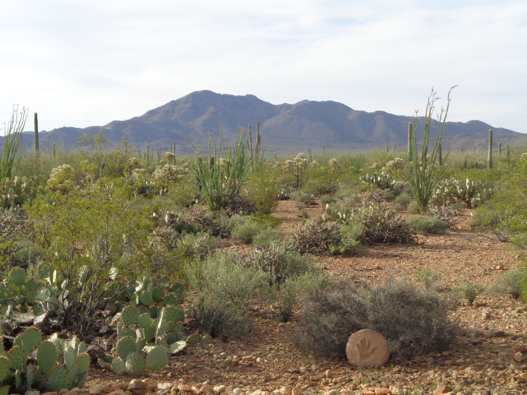
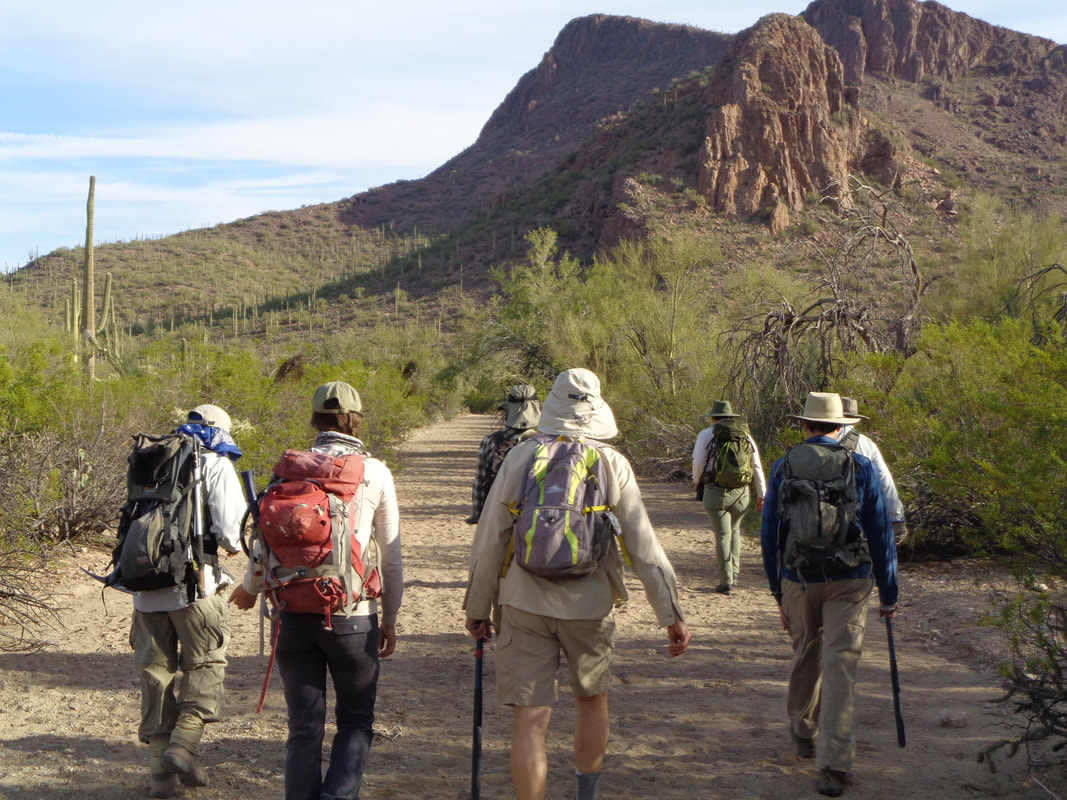
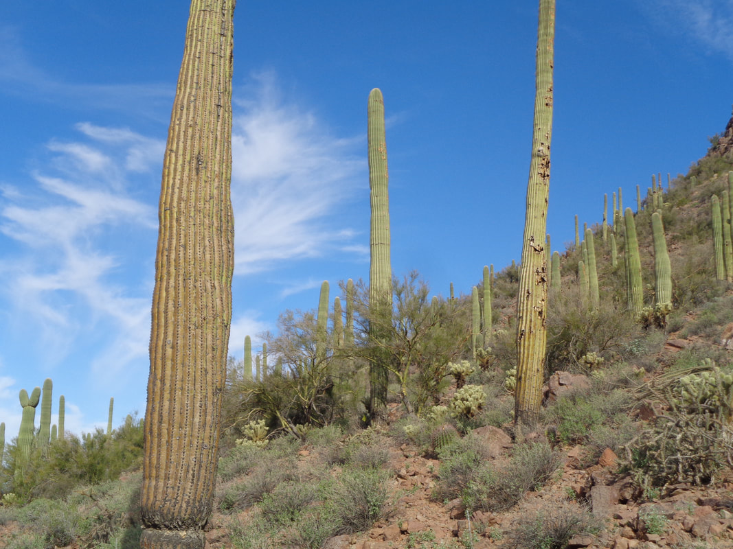
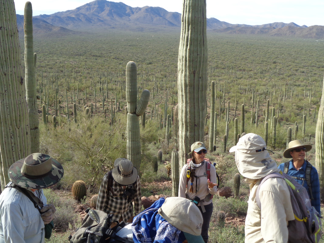
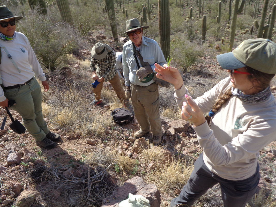
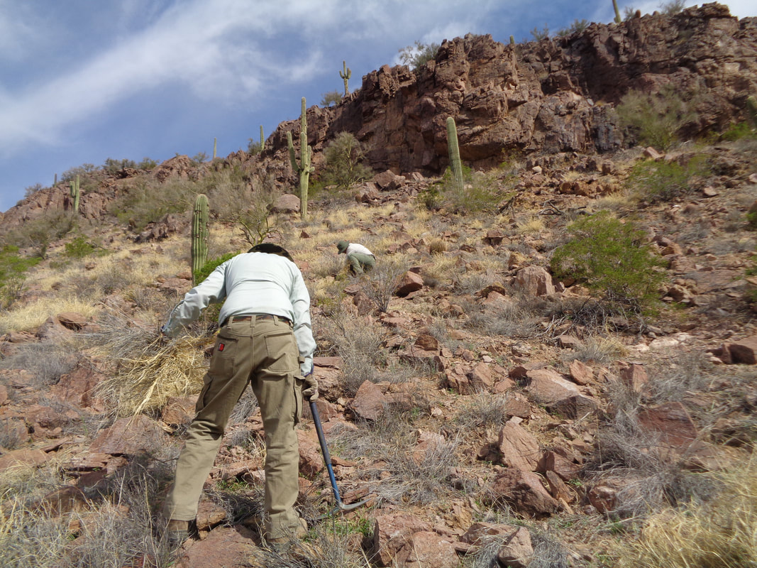
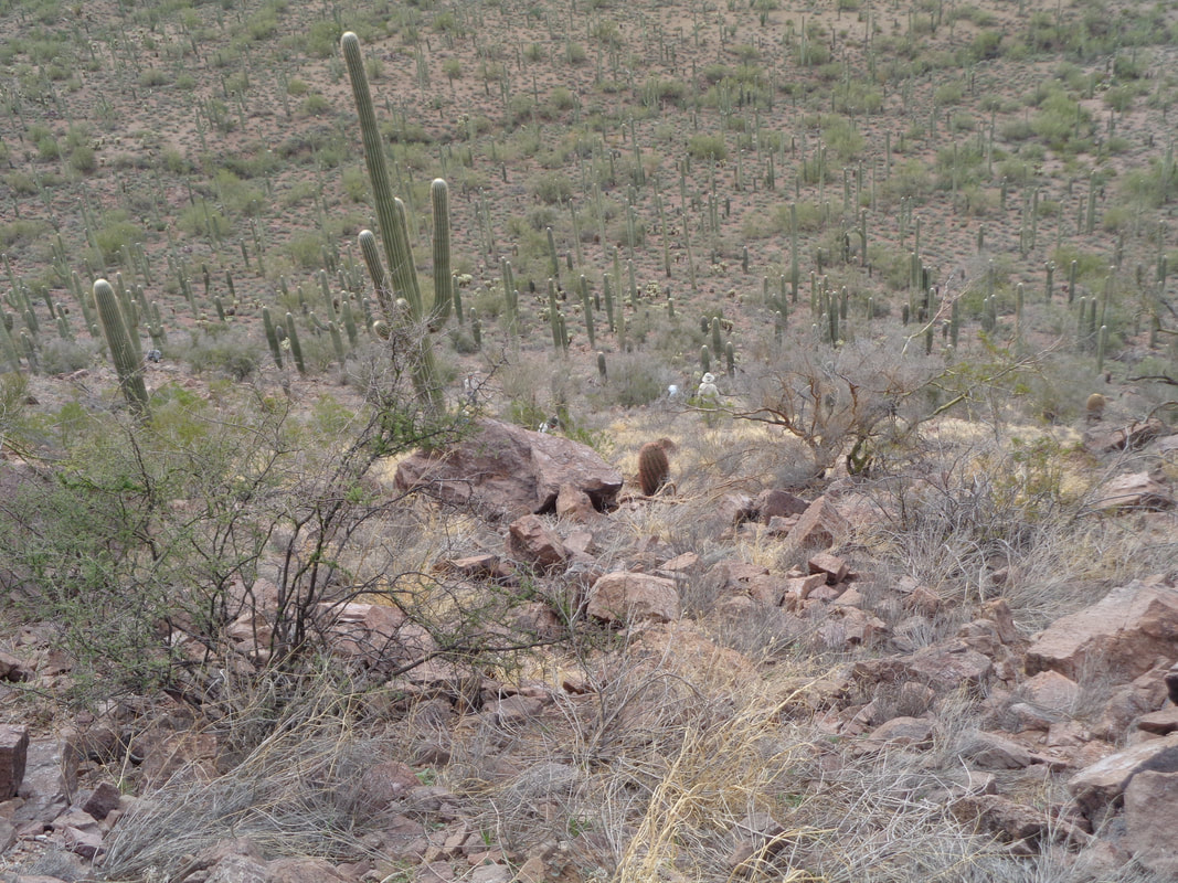
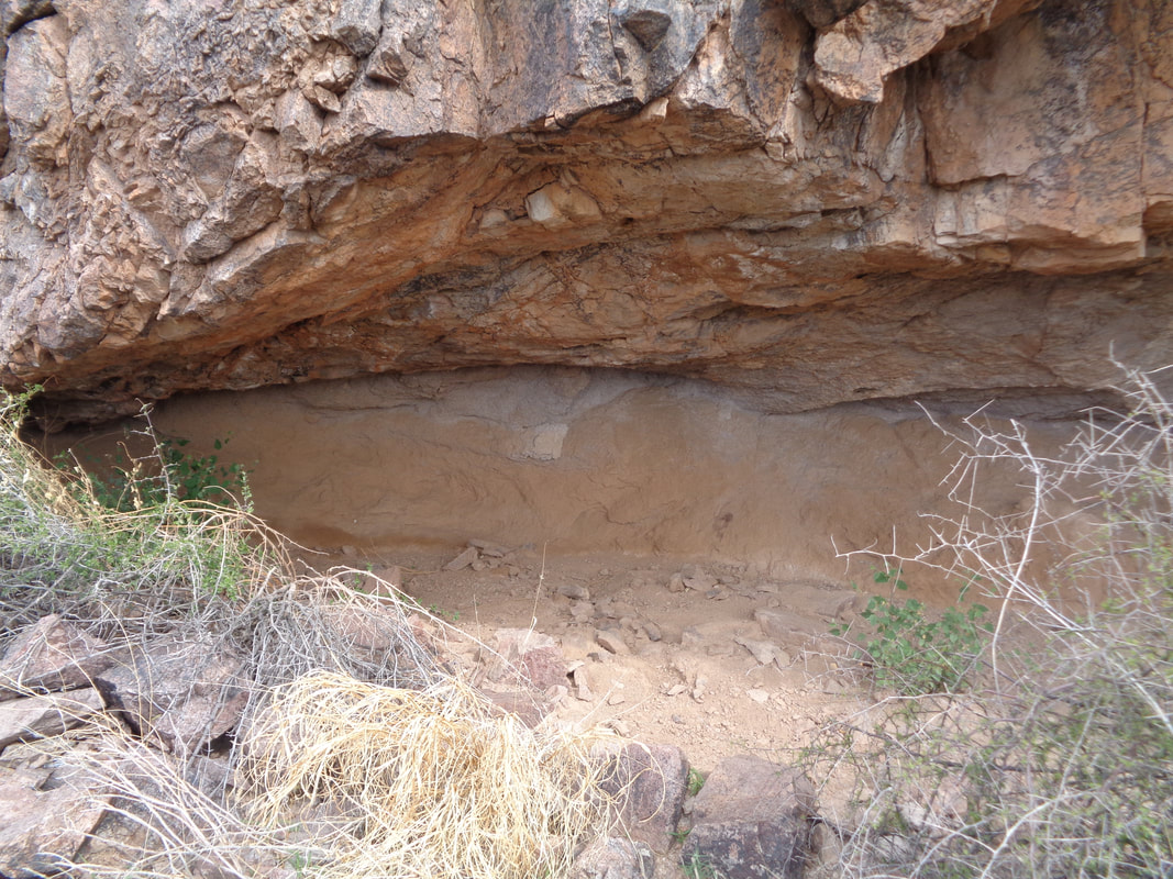
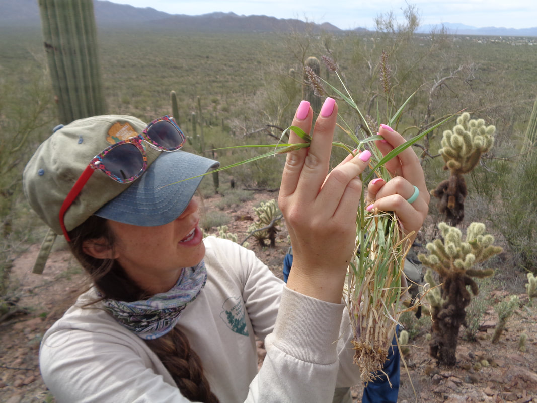
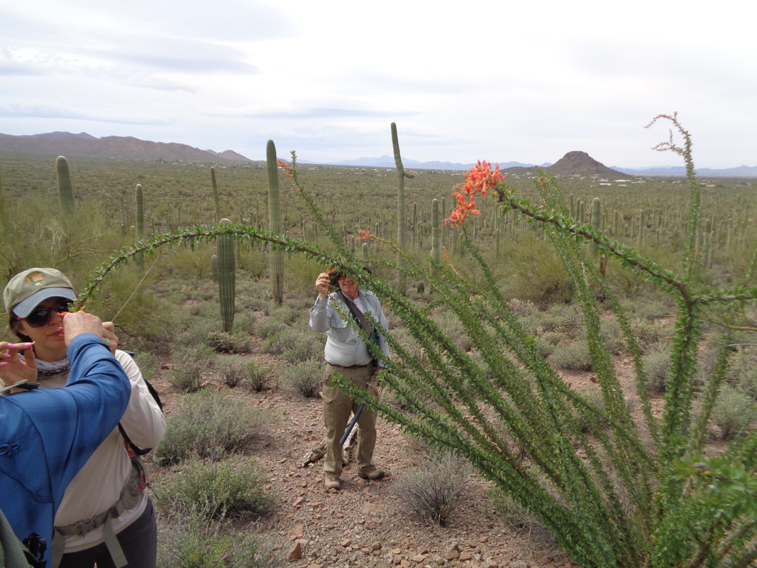
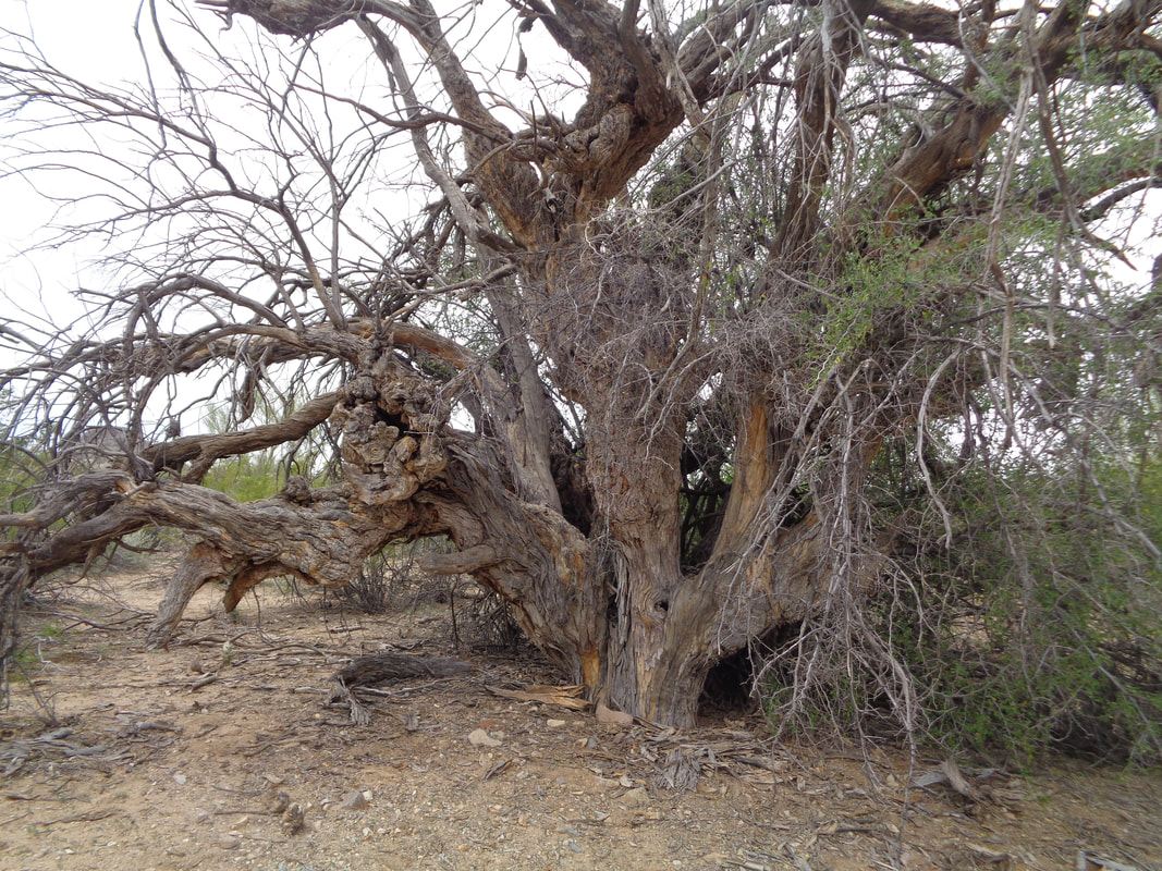
Typical Sonoran landscape. Note the open spaces between the plant. This is normal. What is not normal is a scene where the open space is occupied by Buffelgrass (BG). This species was brought from Africa to be planted as a forage for live stock. It is highly flammable and feeds a fire once it starts, thus killing the other plants. Without the BG, a fire would not survive. In time, this could all become a grassland. With two Saguaro Park employees to guide us, we head toward the steep slope on the right side of the above image. We have what are essentially pick axes to use to dislodge the grass clump, hopefully with an intact root ball. It ain't easy work, let me tell ya. The park has tried aerial spraying but note the pock marks on the side of that center right Saguaro. That is caused by spraying so the park is studying the impact before using the technique again. Spot spraying using people carrying canisters works but is very slow. Or.... ...you can bring out volunteers and manually remove the plant. We are given instructions about the proper technique, part of which is to use the tool and probe the grass clump for rattlers! This could be my lucky day. More instructions and the yellow grass clumps at our feet is the BG in a dormant stage. We begin to work at 9:00am. Not only do you dig out the BG from a rocky surface, all the clumps have to be carried and placed in piles. Someone tells me there is a cave at the base of that rock formation, above. Hmmm..... .....I steadily work my way higher and now my co-workers are far below. What could cause me to go so far away? Why of course..... ....the cave. OK, not really a cave, more like an alcove but still kind of neat. Saw 4 deer nearby which is not common, asin Ohio. I work my way back down the slope and a break is taken. In the absence of friends with bikes at a gas station, my usual break routine, I do not linger long and continue the back breaking work. Later, an active BG is pulled and examined. At 11:30am, we call it a day. My vast experience of pulling weeds from my Ohio garden came in handy, hah! Still, it is hard work, swing the tool, pry out rocks and pull an intact plant, repeat over and over. On our walk out, we check out an Ocotillo plant. We enter a wash and..... ....find a giant, likely Ironwood, tree. Thing is huge. Well, with my one good deed done for the visit, it is back to cycling, group ride, Sunday.
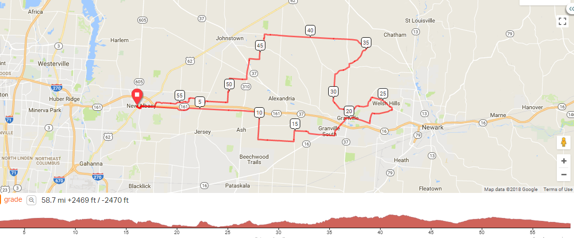
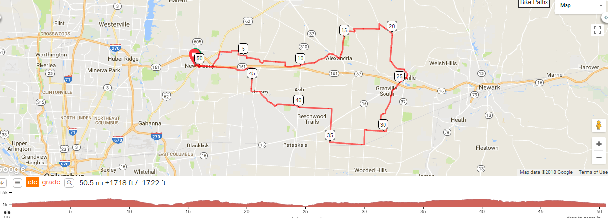
The Cooks have cooked up (ha, ha, I am so not clever) a route for Sunday, 11:00am, from behind Veloscience in New Albany. Stated B pace but you know how that sometimes goes. The route is:https://ridewithgps.com/routes/27083686
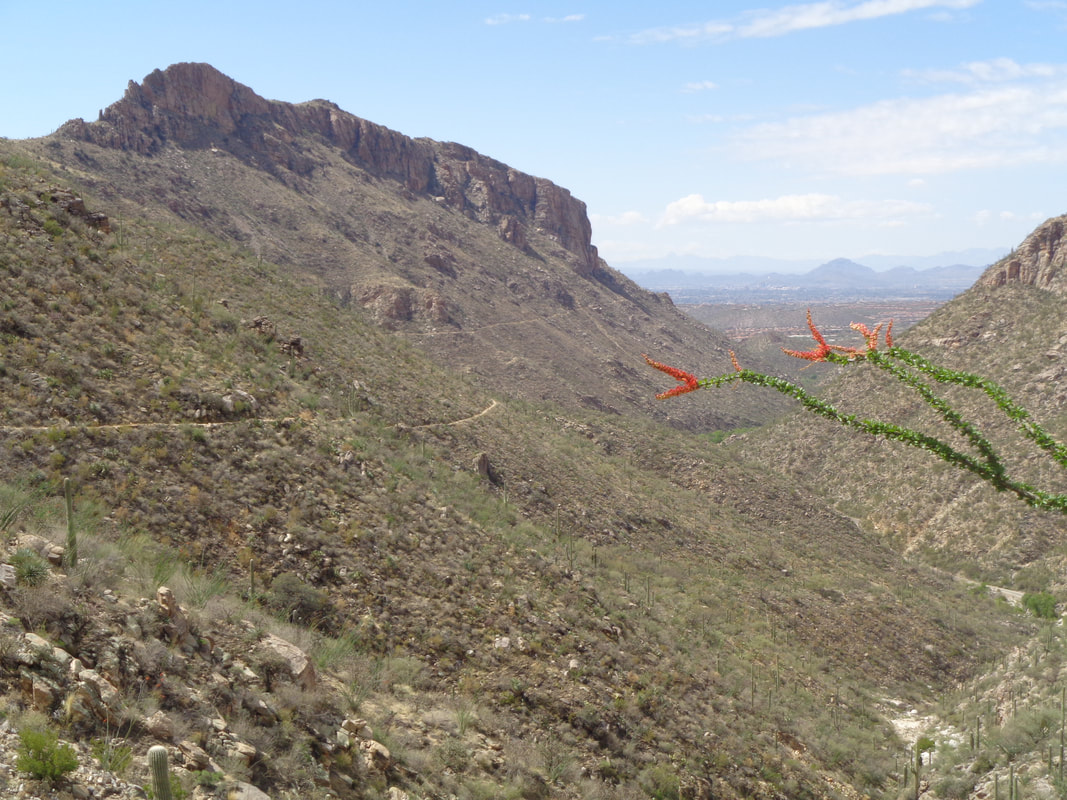
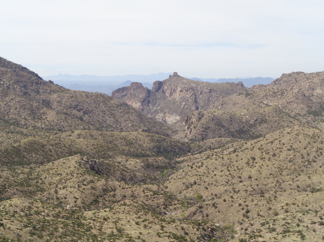
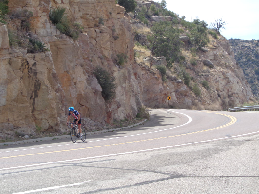
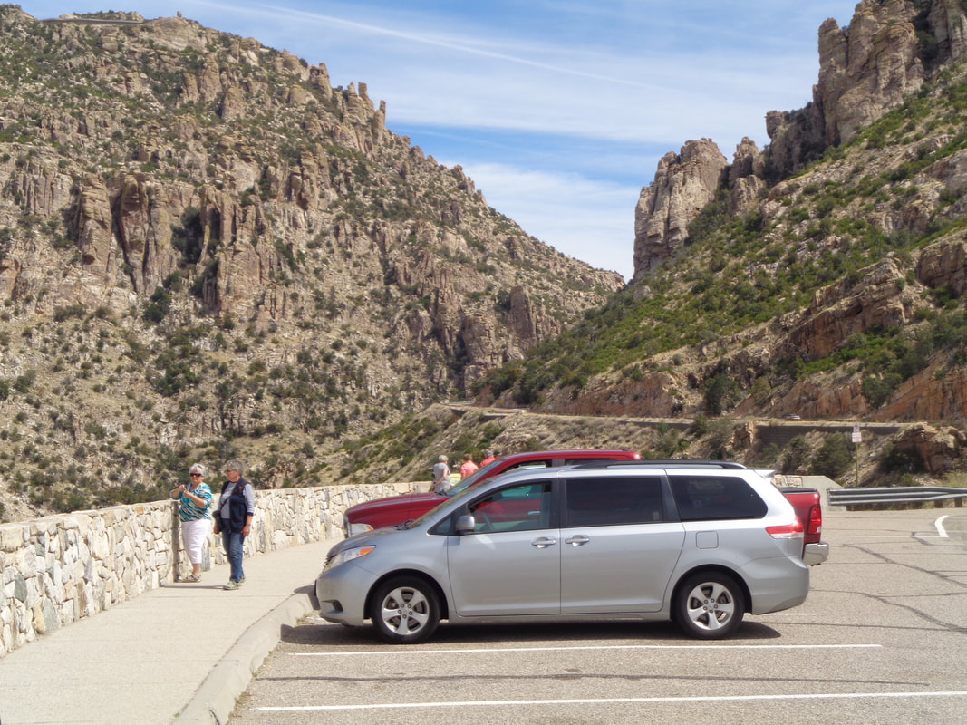
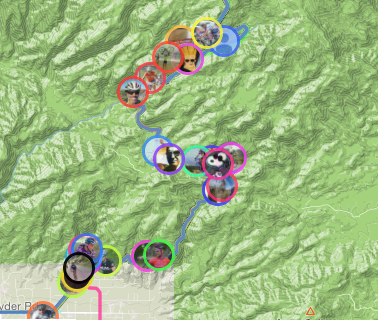
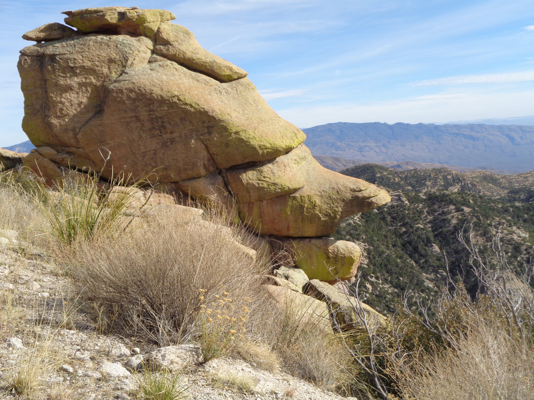
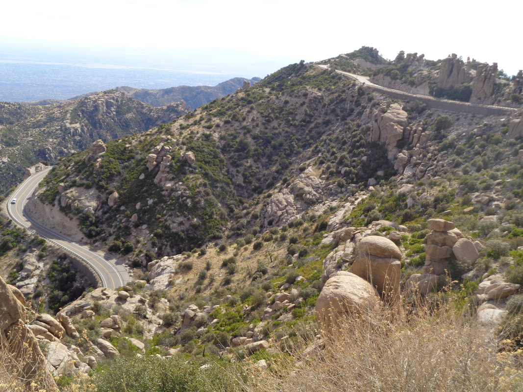
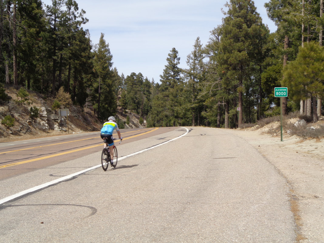
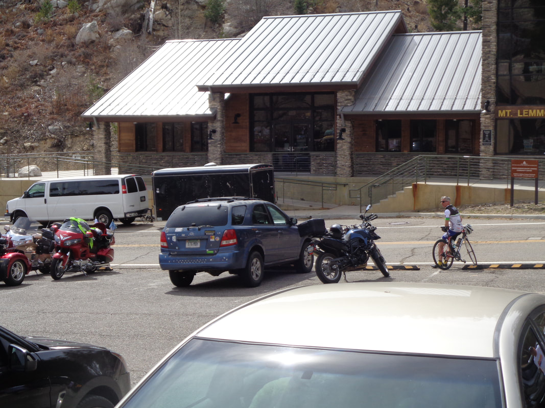
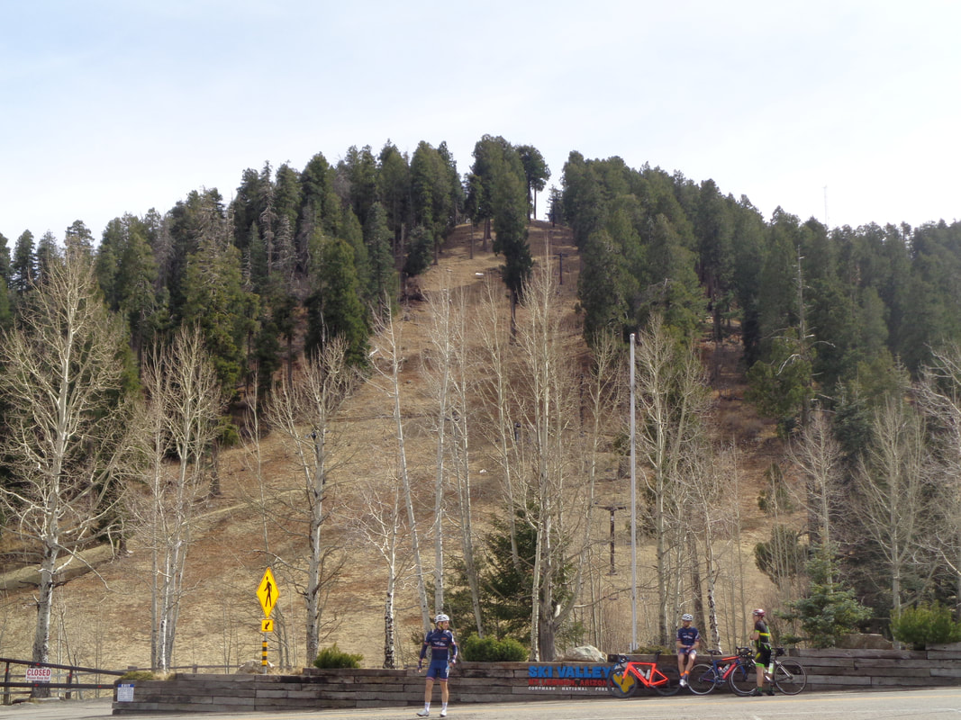
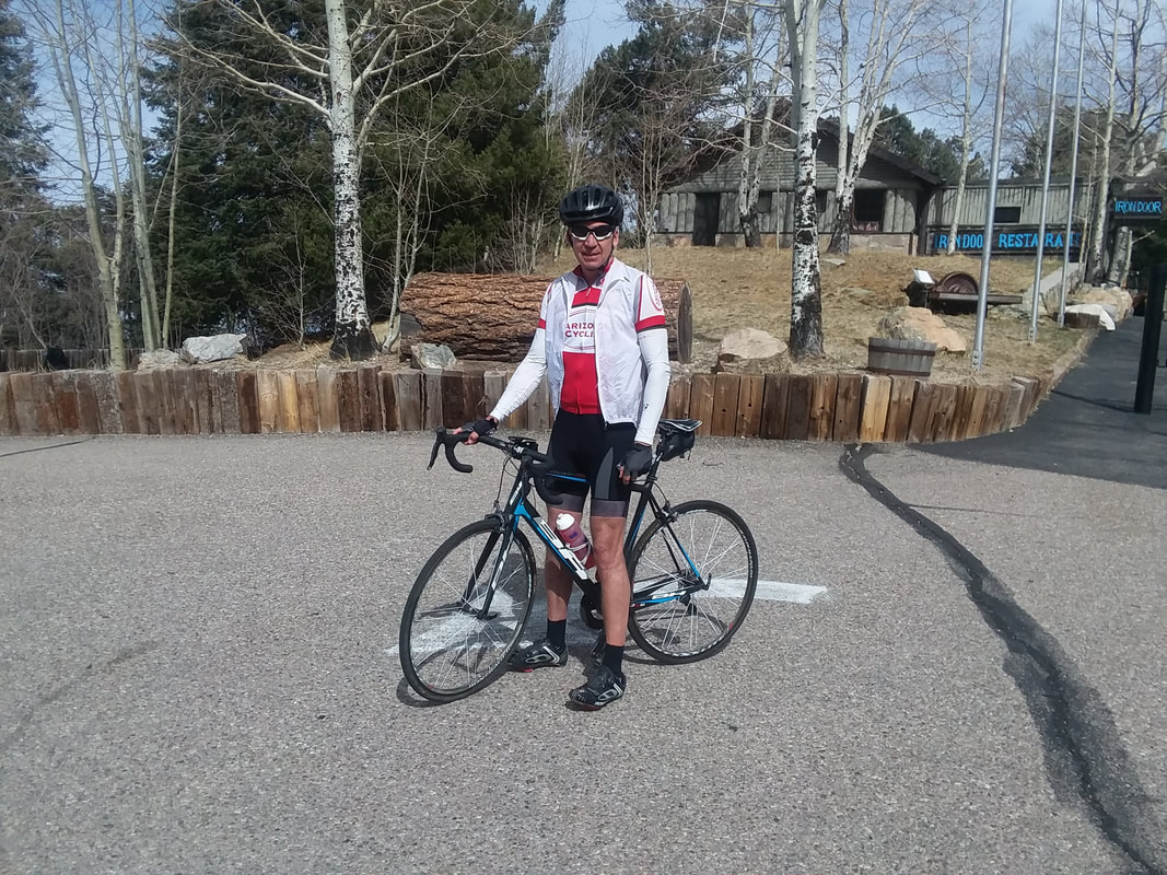
Wish I was there to join but will within the next 6 months. All dressed up and some where to go, today. It has been a weird March weather pattern, at least strange from what I have experienced. California is being visited by many fronts which arrive here usually with no precip but clouds and cooler temps. Winds have been different too. Anyway, climbing Mount Lemmon is easier if the wind is out of the southwest, the normal wind direction, since the majority of the road is headed in the northeast direction. The first 6 miles of the climb into an east wind....ugh. Today though..... ....all indications were a go, Southwest wind, light, warm start of around 70 at the bottom so as I climbed, the temperature dropped of course but would be around 60 at Summerhaven, 26 miles distant from the mountain's base. Above, Thimble Peak in the distance. Reaching Windy Point Vista at mile 14, I topped off water bottles from a spare I had been carrying in my back pocket. I was glad to get rid of the bulk along with a Cliff Bar. As usual, the road was filled with cyclists including a pro team from Canada. Lots of people driving the route and I always receive the same question from the uninitiated, "Is there a race or event going on here today?" Nope, it is like this every day. Of those on Strava who were riding at this point, you can see there are a lot of us on the mountain. A well known rock formation above Geology Vista Point. This stretch.... ....of the highway I find to be the most scenic. The road levels a bit so the descent allows quick glances to appreciate the far off views. Note these images were taken on the way down cause on the way up, I was simply grinding away. Tommy D has the record time at 1:19. My record, 2:58...quit laughing please. I have learned not to expect much after an off season in Ohio and then tackling this monster but I have also learned not to expect much after a season of riding in Ohio and then tackling this monster. However, I later saw I missed my PR by under 4 minutes and realized I could put a big dent in that the next time if I put in the effort. Just before descending into Summerhaven at the 8000' elevation point, above. Such a great feeling to reach the point where the road curves down. I stopped to eat at the Sawmill Restaurant and met a couple from Canada. The man's rear wheel had delaminated so he could not ride it down. His wife, becoming increasingly cold (the doors were open so we are sitting inside at 60 degrees), headed down. Mean time, he took up watch close to the white van that was being used to ferry cyclists. He had to wait no more than 5 minutes when the driver approached and gladly took the bike and provided transport off the mountain. After my lunch of salad and fries, I took a left and headed to Ski Valley, reaching it after 1.5 miles. A few small patches of snow is all that remains. In the foreground, more visitors from our neighbors to the north. People from Canada and our Midwest are always so thrilled to be here and there is always talk of the weather back home. A couple walked by and.... ....there is the proof. I did ride my bike and not drive the car to this point. Pounds are dropping off rapidly now and I think I have gone from obese to just fat, ha, ha. Finished with 61 miles and 6800' of climbing. Really fun day. Thinking about doing Mount Graham next week, a 2 hour drive to the east.
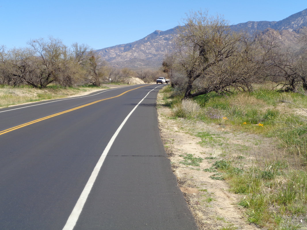
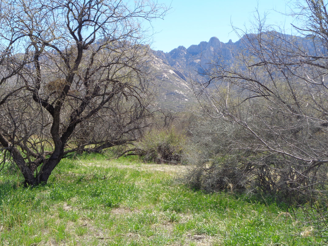
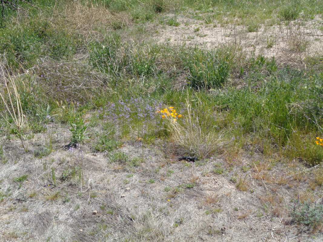
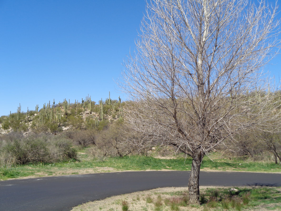
I don't much like days like today when it is sunny, 78 degrees, no wind and all I probably ought to do is a short ride to make sure I am ready for tomorrow. Oh well, it gives me the chance to catch up on work, continue to bronze the fatty patty that is my torso, ya know, that sort of thing. The grass, such as there is around here, is green and many of the trees are budding but leaves not yet out. Wild flowers starting to emerge in a variety of colors and while..... ....the trees are bereft of leaves, there is the constant presence of green cactus and other greenish plants. Snakes are out now as I have seen many dead ones along the roads. Well, tomorrow the high is in the low 80's, should be around 60 up top and so that is where I am going for my first visit on this trip, at least the village of Summerhaven, perhaps Ski Valley and maybe the observatory.
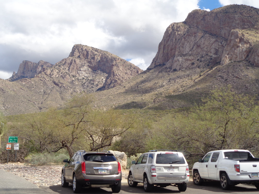
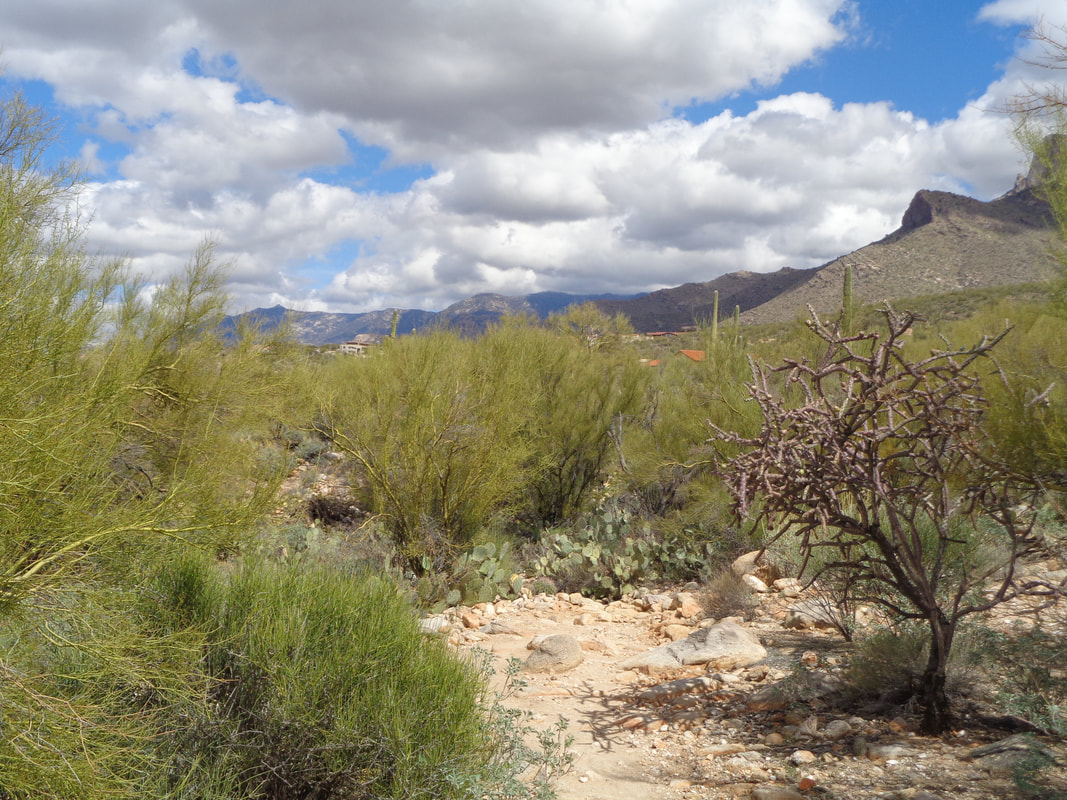
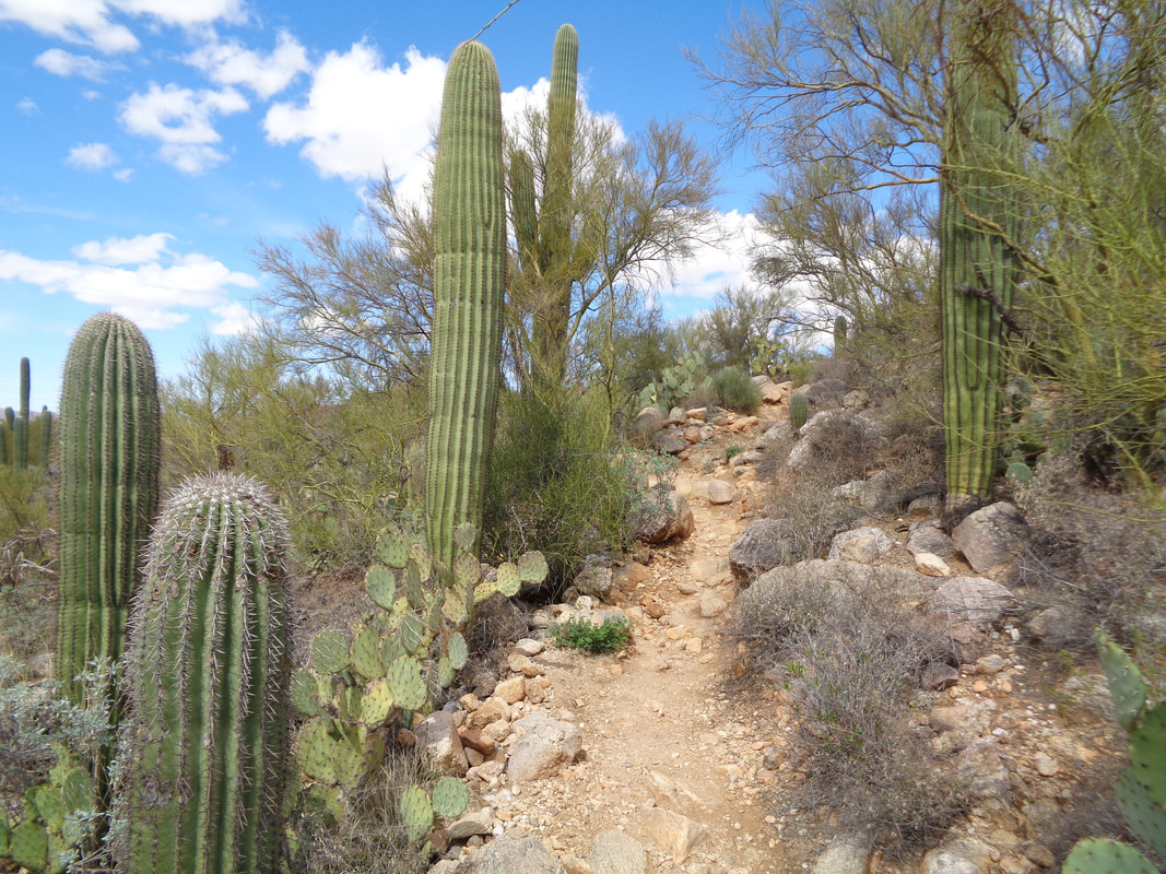
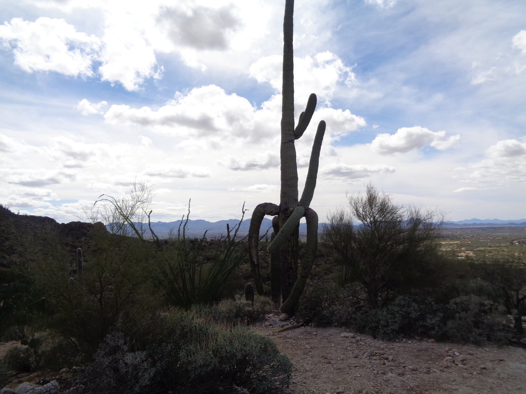
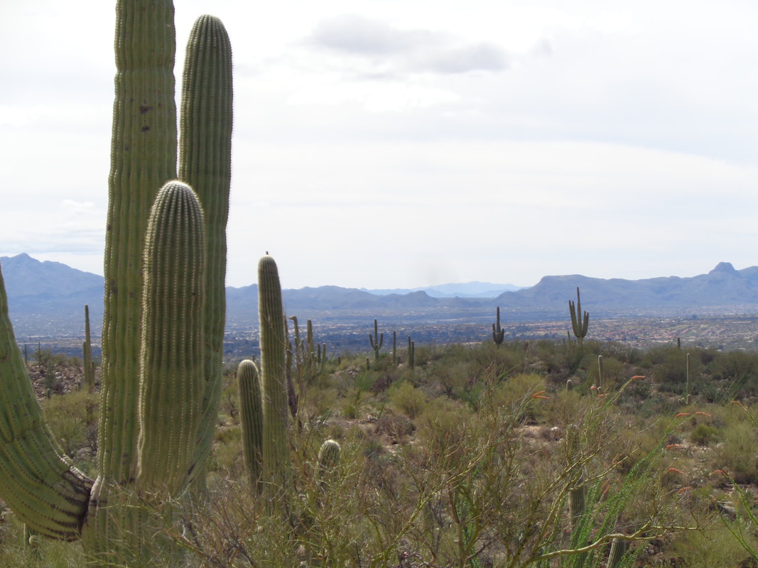
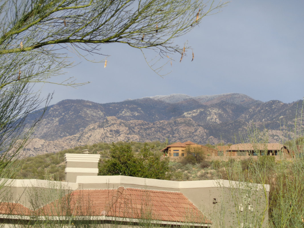
A rest day but had to get out and do a small hike once a brief period of morning rain departed. The Linda Vista trail head is about 1/2 mile from my place and has a relatively easy trail to follow. I found a guy standing and looking at the peaks. Had a nice talk with him about access to each peak and the challenges associated with the approaches. The clouds go rolling by over the Sonoran desert. The cactus are plentiful and so I keep most of my attention diverted to the rolling trail as it partially ascends the foothills of the Catalinas. Some of the Saguaro cactus are massive and funky looking. Looking...... ......to the southwest, the skies are clearing and setting up a great week of weather. I finish the 2.2 mile hike with 450' elevation gain and soon find myself..... ....back at the condo and looking at the peaks where the fir trees are supporting the snow that fell up there this morning. Look closely to notice the dusting of white. I should be up there this week via bike.
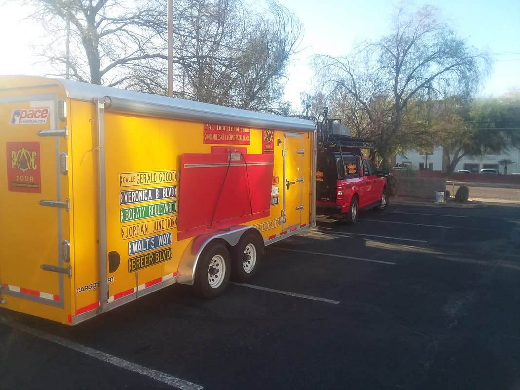
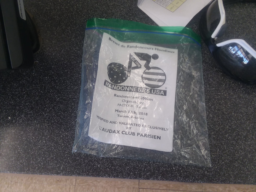
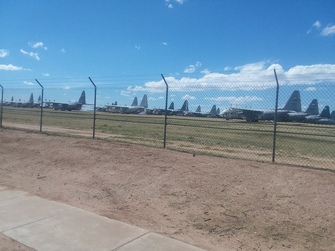
I have been intrigued by brevets so signed up for one. First, I consulted Eve Hush who is a veteran of brevets and her quiet, little known brevet partner, Andrew Clayton. I arrived Saturday morning for the 8:00am start with sunshine and a start temp of 57. PAC Tour was the host. Only 5 of us began the day and we quickly split up into singles. At mile 37, I stopped to check the cue sheet (didn't download the route to my Garmin) and discovered I was across the road from a "Giant" gas station where I was to go inside and have someone initial my card. The feet of a cheater. At mile 40, I bypassed a short loop to stay off a horrible section of pavement. I stopped at a "Circle K" gas station for a break at mile 42. I texted with Eve and Andrew who came back with somewhat positive encouragement. I soon got back on the route and stopped again at mile 62, again seeking my support team. Their support was..... .....insufficient and I got off the route again, heading south on Kolb Road while passing these retired planes at Davis-Monthan Air Force Base. I hear this is a good tour and will visit some time. Finished with 81 miles, about what I wanted for the day. A little disappointing that it was almost entirely a solo ride but Andrew tells me he has attended events that upwards of 60. The pool of cyclists wanting to do 200k or more is kind of limited. Ouch, I see central Ohio is forecast to receive 3-6" of snow tomorrow. It will be over soon with sun, warm temps and me returning.
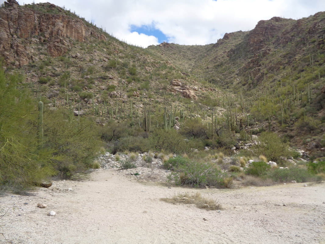
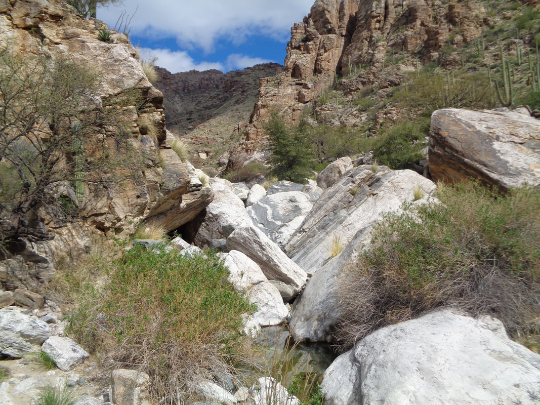
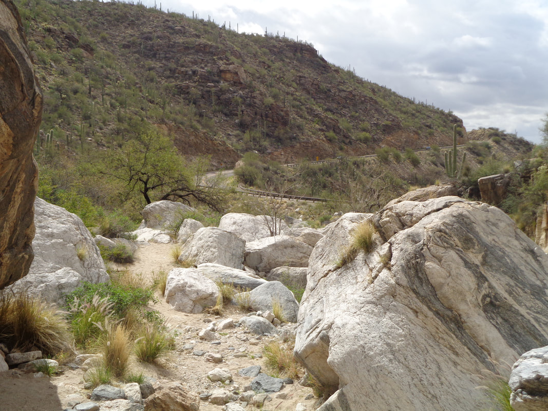
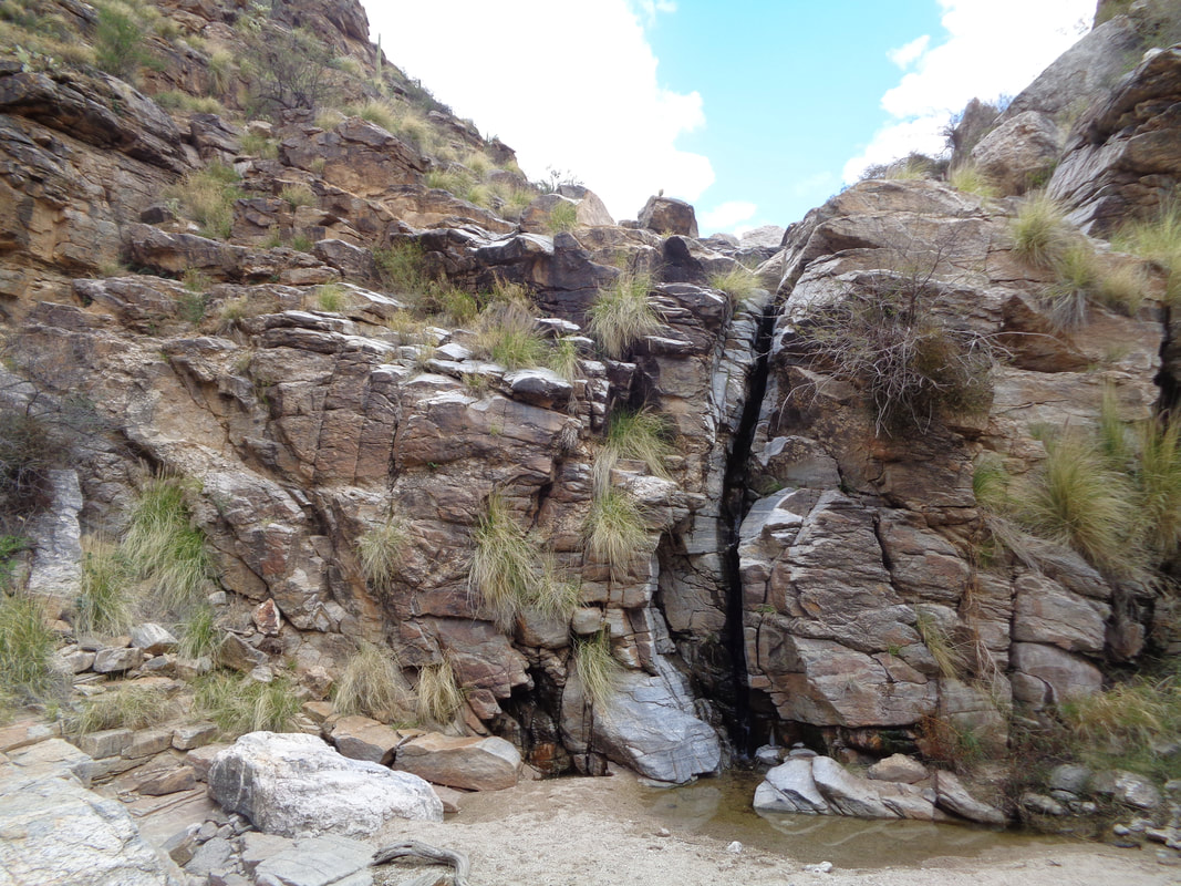
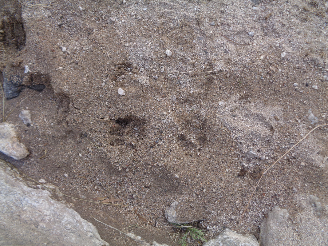
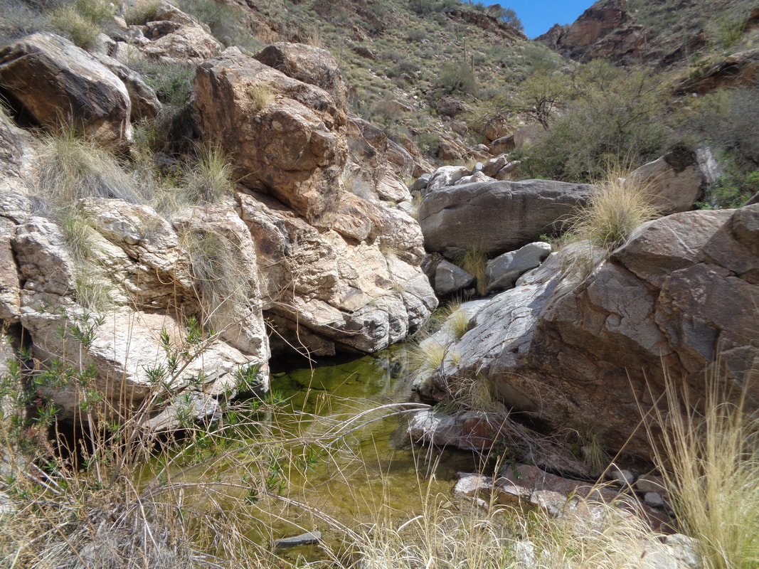
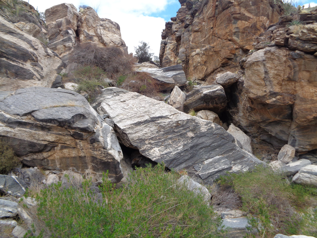
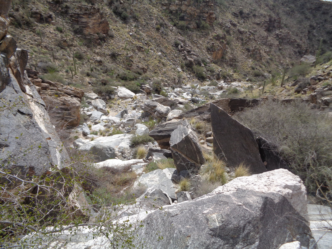
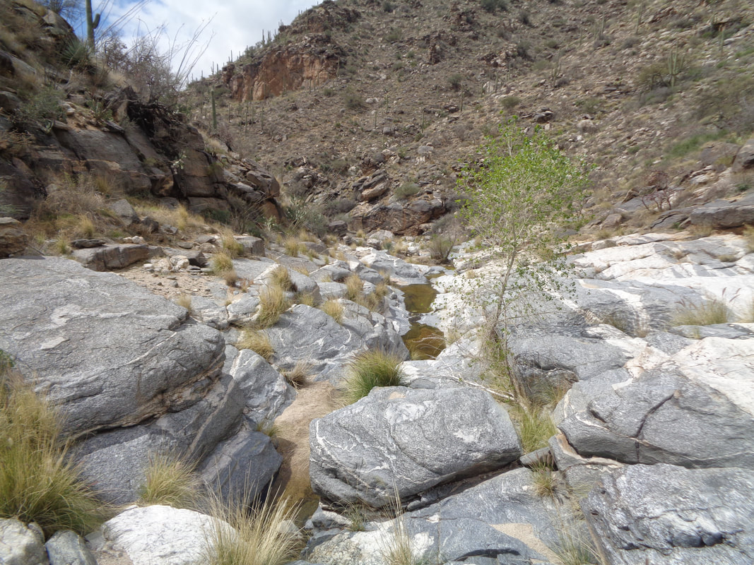
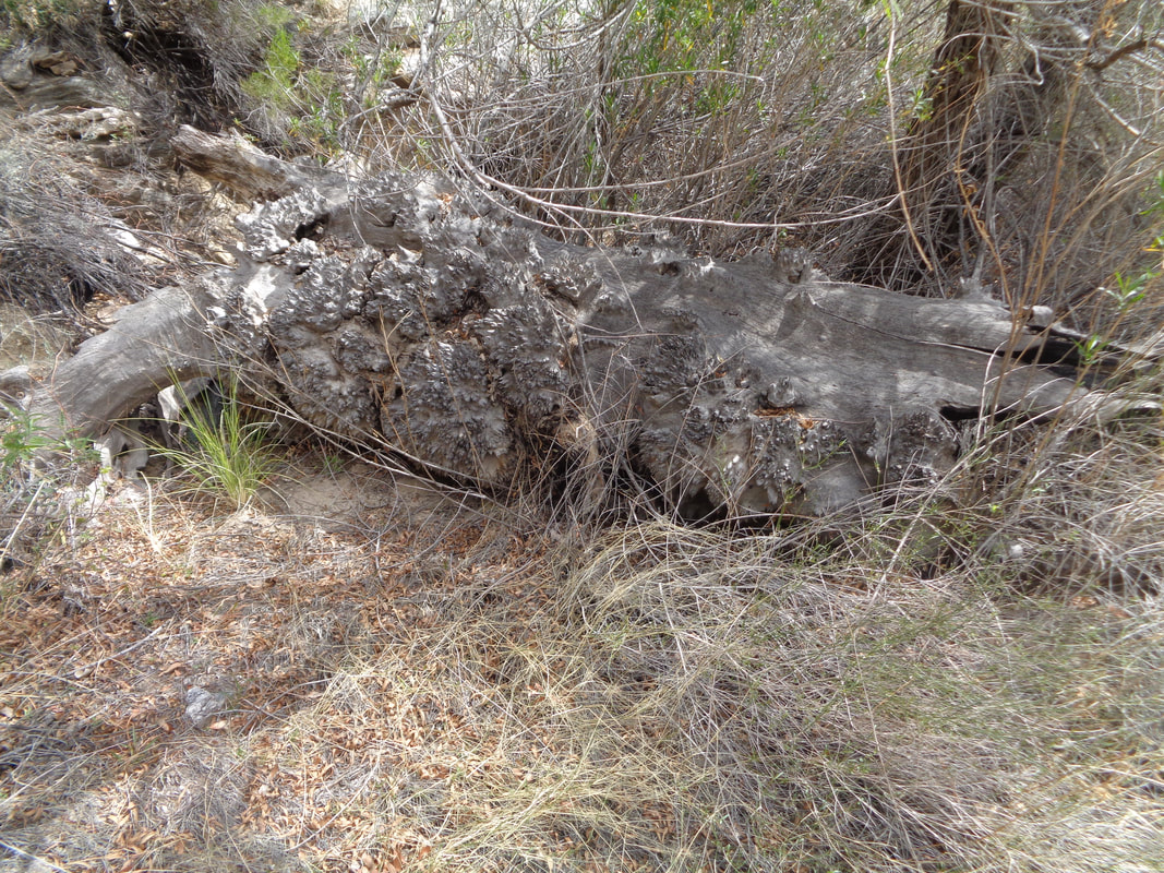
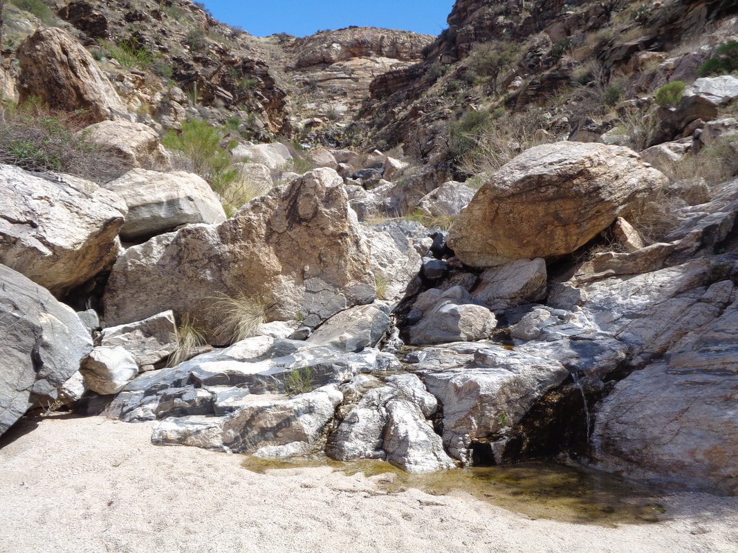
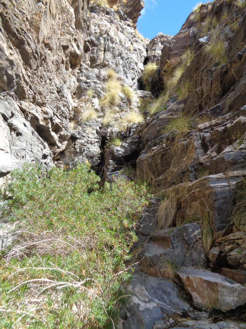
Many times while riding my bike up Mountain Lemmon I have passed this inviting canyon at the first hairpin curve on Catalina Highway. I explored it last year but had to turn around due to darkness. With today being unusually cool, I decided to try again. Massive boulders and other obstruction patiently wait while I figure out a way around over or sometimes under. I really enjoy the challenge of solving a way forward, balancing on gigantic boulders, leaping from one to the other but always being careful..... ....not to slide into some crevice where I would be required to hack off an arm or leg in order to escape. Looking back, cyclists are a steady presence on the highway but with the temp at the mountain top around 20 degrees cooler (around 40) most will turn around prior to the top. Multiple waterfalls cascade down various obstacles, all known as Santa Catalina Gneiss. The color is amazing. The above 100' wall is a Class 2 scramble so not too difficult but a fall would be bad so I carefully ascend the left side which has good holds/ledges. In the sand, I am reminded that various creatures have left their prints behind and are likely watching me from the above slopes. When I was here last fall, there was no water flowing so I could walk where now water forces me to find alternatives. Always there was one. That knife edge boulder can be climbed via the spine but that looks too tricky so I found an alternative up the left side. Upon finally exiting this pile.... .....I had the satisfaction of looking back, a good feeling of accomplishment. Every once in awhile there would be some relief from the massive boulders and the walking was easy on slick rock. Just not often enough. The remains of a huge Cottonwood tree. Nearing the end and at about mile 1.8, a family of falls is navigated and then.... .....at mile 2, the canyon narrows considerable and I squeeze by the tree to find.... ....a Class 4 wall to scramble. Doable even by me but the water limited some of the options and those options can be like ice so I decided not to do the final climb that brings you to a dead end. I have read that once above this wall, you can climb a steep slope and find the Solider Trail that would take one back to Catalina Highway, not far from where the car is parked. I decided to retrace my route through this beautiful canyon, enjoying the many challenging obstacles. Finished with 4 miles and 1550' of climbing. Well, back to the bike!
Now the routes in 2 formats. Longer route on Saturday and a bit shorter on Sunday:
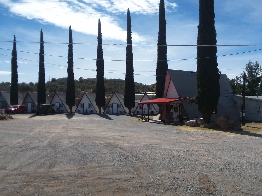
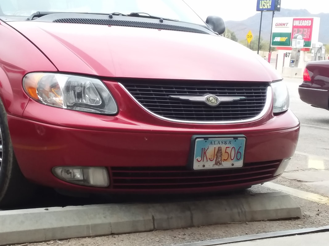
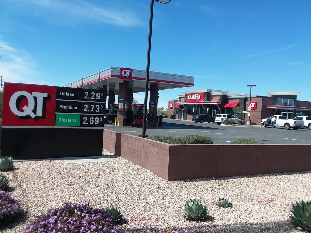
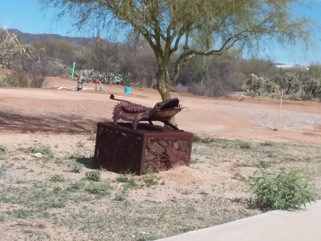
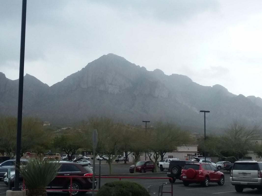
Saturday route https://www.strava.com/routes/10494171 https://ridewithgps.com/routes/27025452 Sunday route https://www.strava.com/routes/12266962 https://ridewithgps.com/routes/27025451 Bowing to the realities of this weekend's temperature forecast, the start time for this Saturday and Sunday's rides out of New Albany (described below) is now set for 11:00am. All else stays the same. I am closing in on 2 weeks since my arrival and like most of my spring visits, I ride a bunch and hike little so I regret not having more awesome hiking images to share. I do have a hike coming up though. Above, in the tiny town of Oracle, there is a motel with each room in its own little A frame guarded by a tree. As usual, I spend a lot of time sitting in front of gas stations taking a break and saw a plate from Alaska. How bout that? Actually, not all that uncommon here. My favorite places to stop are the QT's or Quik Trips. Gas ranges from $2.19-2.33 on any given day. Hey, guess what? I planned to do a Brevet but showed up on the wrong day. How does that happen? I was only going to do about 100 miles not the full 120. I called Brevet experts Andrew & Eve to find out if doing so would brand me a cheater but guess it is common to DNF these events. Some strange road-side sculptures out here. Weather has been sunny with one day of morning rain that coincided with my only off day. Temperatures are bouncing around, several days in the low 80's and then into the low 70's, even upper 60's. Not as consistent as usual. The day of morning rain, I visited Frys (Kroger owned) and coming out of the store the clouds were lifting. Could have done something active but chose to watch Tiger Woods. Sorry, out of focus but I sometimes visit a restaurant...maybe 2 times a week and usually order chicken to go. Above I am coming out of "Bub's Grub" a good, southwestern style place that I enjoy. Well, climbing Mount Lemmon today (Tuesday), my first time on this trip.
An interesting piece is circulating and I thought you would be interested in seeing. Not sure if a clue to the real author can be determined by the pseudonym he/she uses. The full 2 page "newsletter" can be found here: file:///C:/Users/owner/Downloads/COP%20MEMBERS%20NEWSLETTER%20(1).pdf
The French Climbing Machine sent me this info. Sounds like a good time and hope the temps moderate so the start time is not too cold.
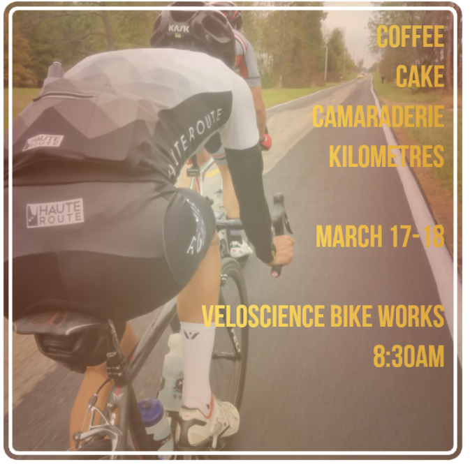
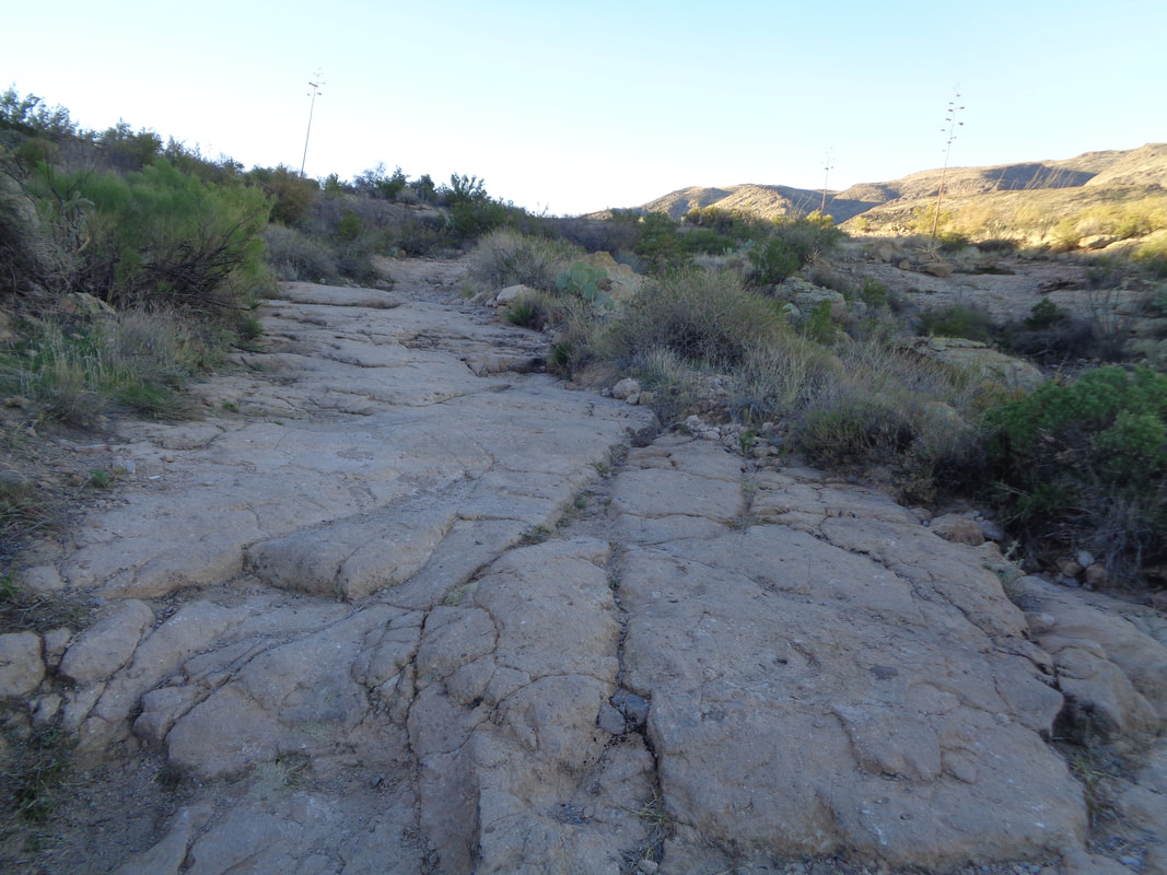
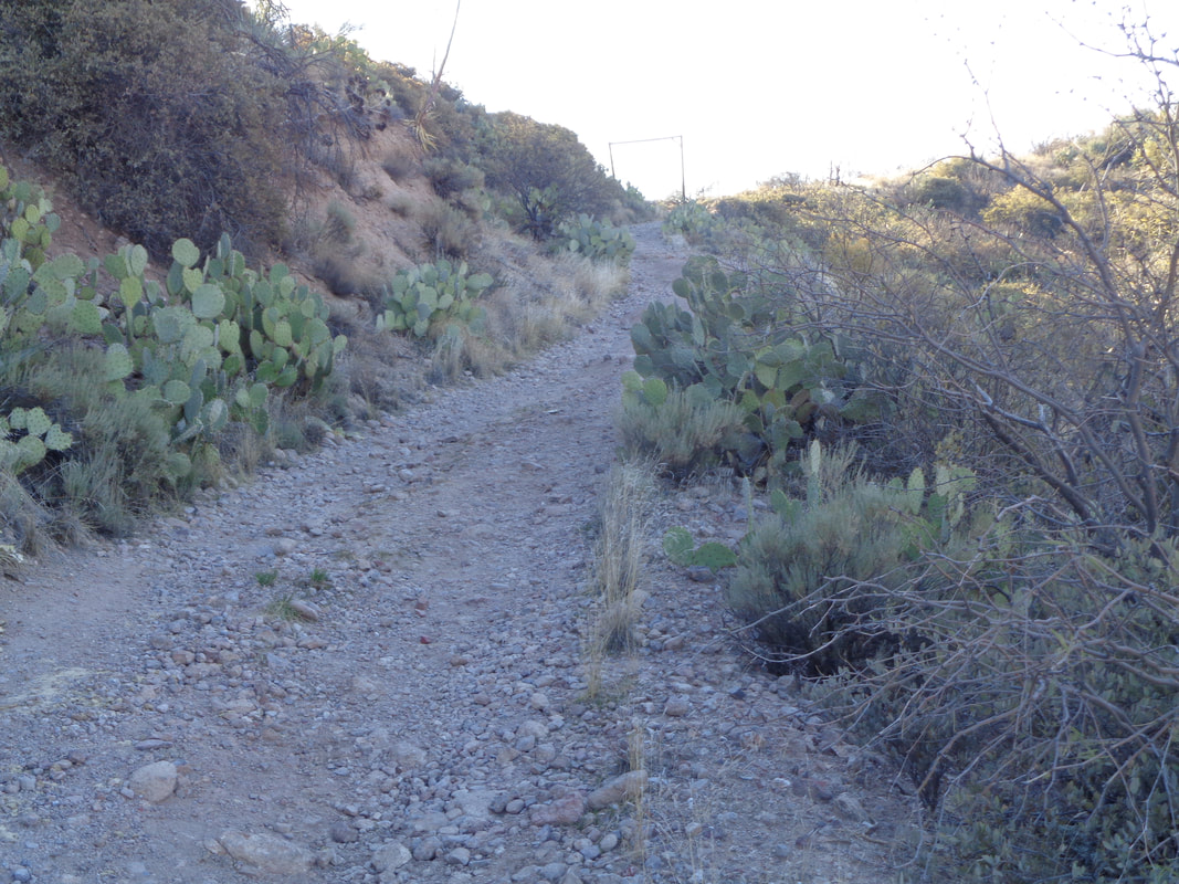
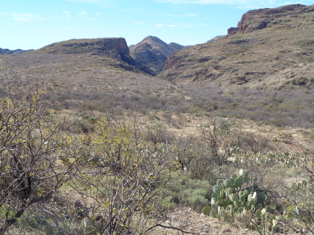
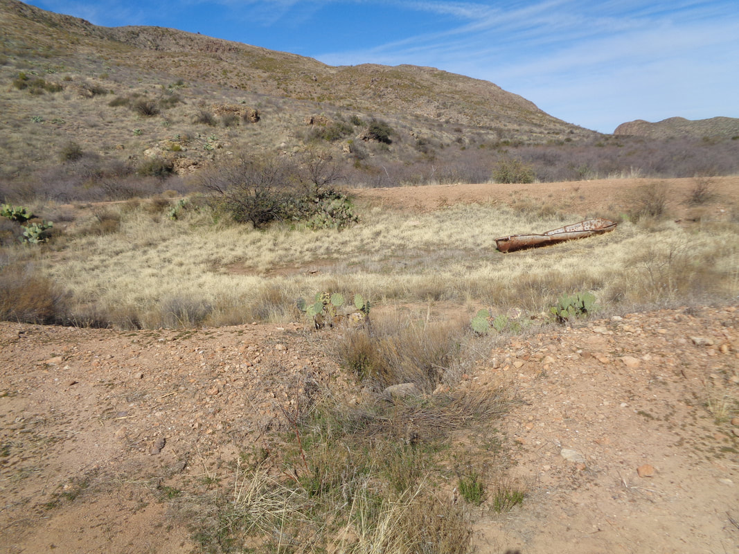
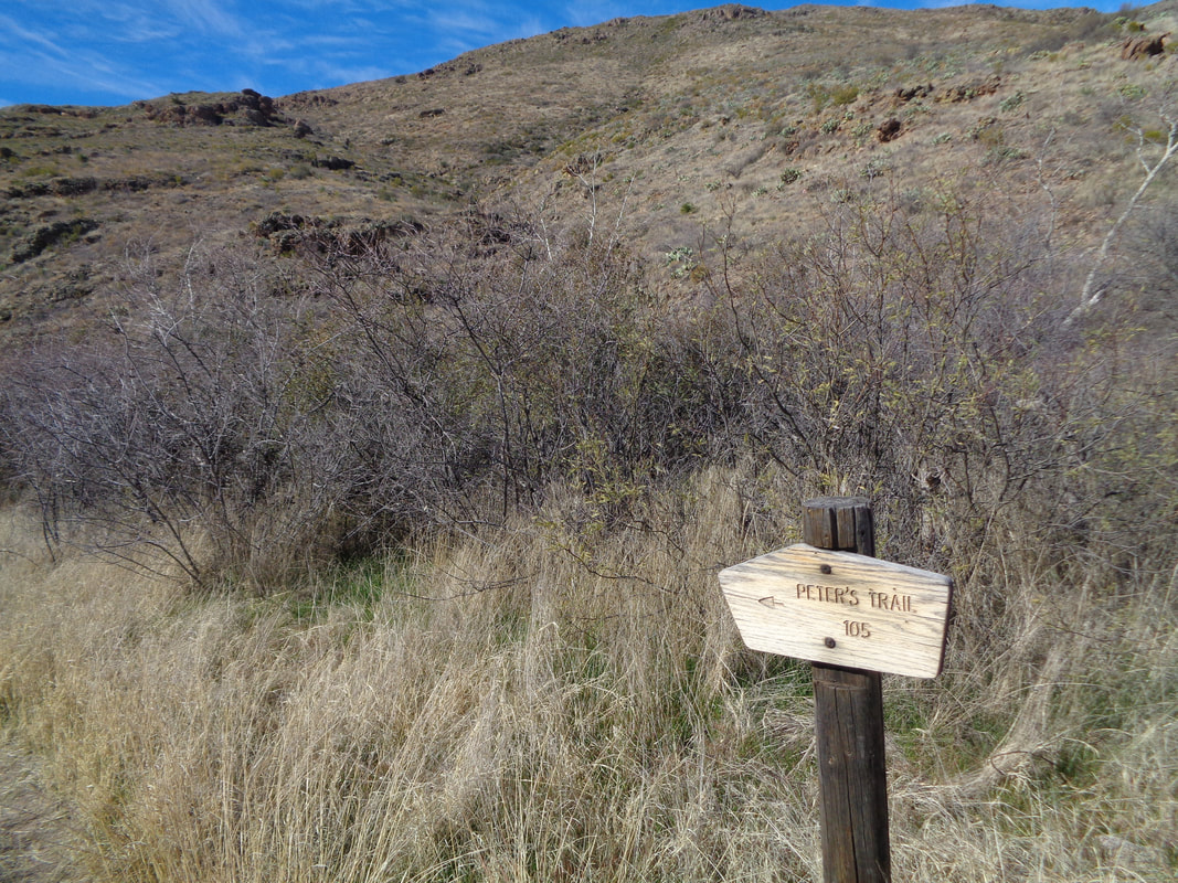
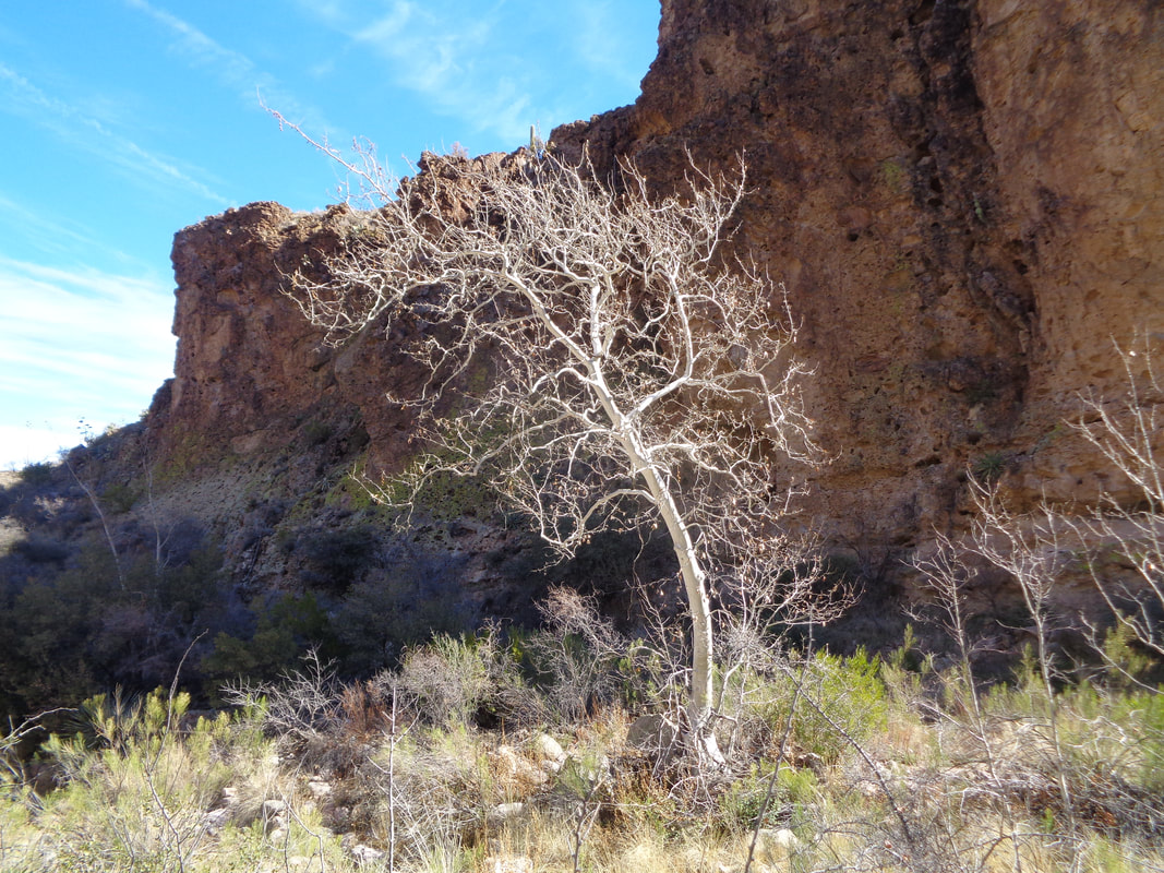
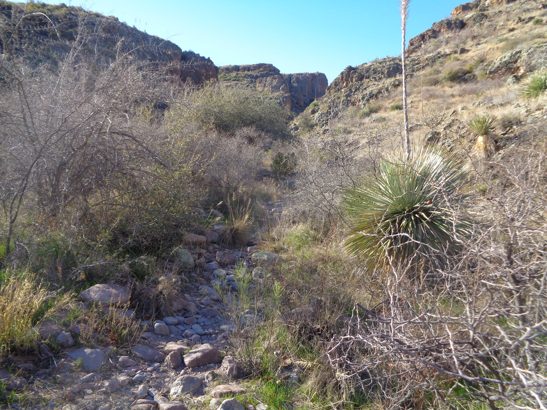
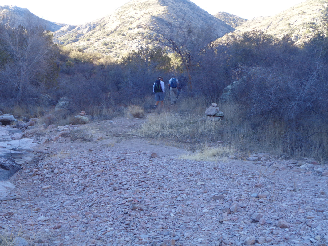
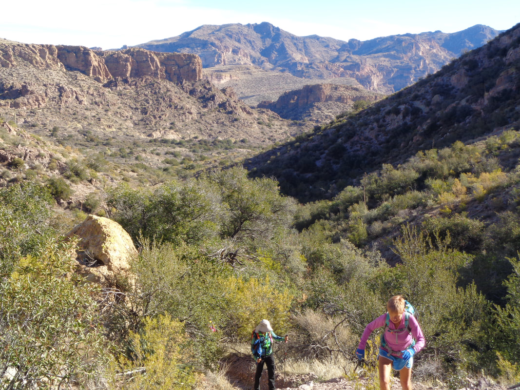
As a way to wave good-bye to this loooong winter, we'll have two days of riding from New Albany. Saturday March 17 and Sunday March 18. No hammerfest, just nice endurance rides to reconnect with each other after so many days lost to solitary indoor training. Come both --or either-- days. We'll have coffee to get us going and cake when we get back. The rides are sponsored by Haute Route (https://www.hauteroute.org/) and VeloScience. 8:30 am start (remember to come early for coffee) in parking lot behind VeloScience Bike Works March 17-18. The event is free of charge, however, we request that you R.S.V.P. at https://events.com/r/en_US/registration/haute-route--veloscience-training-weekend-317-318-new-albany-march-735001 The Superstition Wilderness is a 90 minute or 2+ hour drive from Oro Valley, depending on if my destination is the south side or the northwest side. Each visit has been well worth the drive time except for today. I park at the Tortilla Flat trail head, about 3 miles from the point the Apache Trail turns to dirt. I begin hoofing it following a very rough "road". The road enters a long abandoned ranch. Note the ranch gate still stands at the top of the ridge. I had signed up to join a group of 11 but was 30-40 minutes late so was hiking alone but maintaining a good pace so I hoped to catch them at some point. Passing through the ranch gate, I could see what likely was the entrance to Peter's Canyon and so it was. I found an old cowboy dam where water was once stored. Saw a foundation or two but no standing structure other than a grain storage bin. Near here and after hiking 3.1 miles, I found.... ....the start of the official Peter's Trail. Entering the canyon, the walls soon narrowed and ...... ....saw a few of these stark white trees. Beautiful in the setting as the sun lit them. The trail was fairly easy..... ....to follow with multiple dry stream crossings. At around mile 4.2 I..... ....caught the back end of the group. Eventually we began to climb toward a saddle. OK, nice views but that was it. Not overly exciting, no arch or cave and after taking a break for lunch, the group would return the way it had come. I did find out that in a couple of miles, the route entered a 2-3 mile stretch that involved Class 3 canyoneering skills so that would be a worthwhile visit. It appeared that the group was going to settle in for a too long lingering lunch so I bugged out and chugged the 5.4 miles back to the trail head. In the distance, the Apache Trail comes into view and so was close to the car where I finished the 10.8 mile hike with a modest 1500' elevation gain. Still, a good first hike.
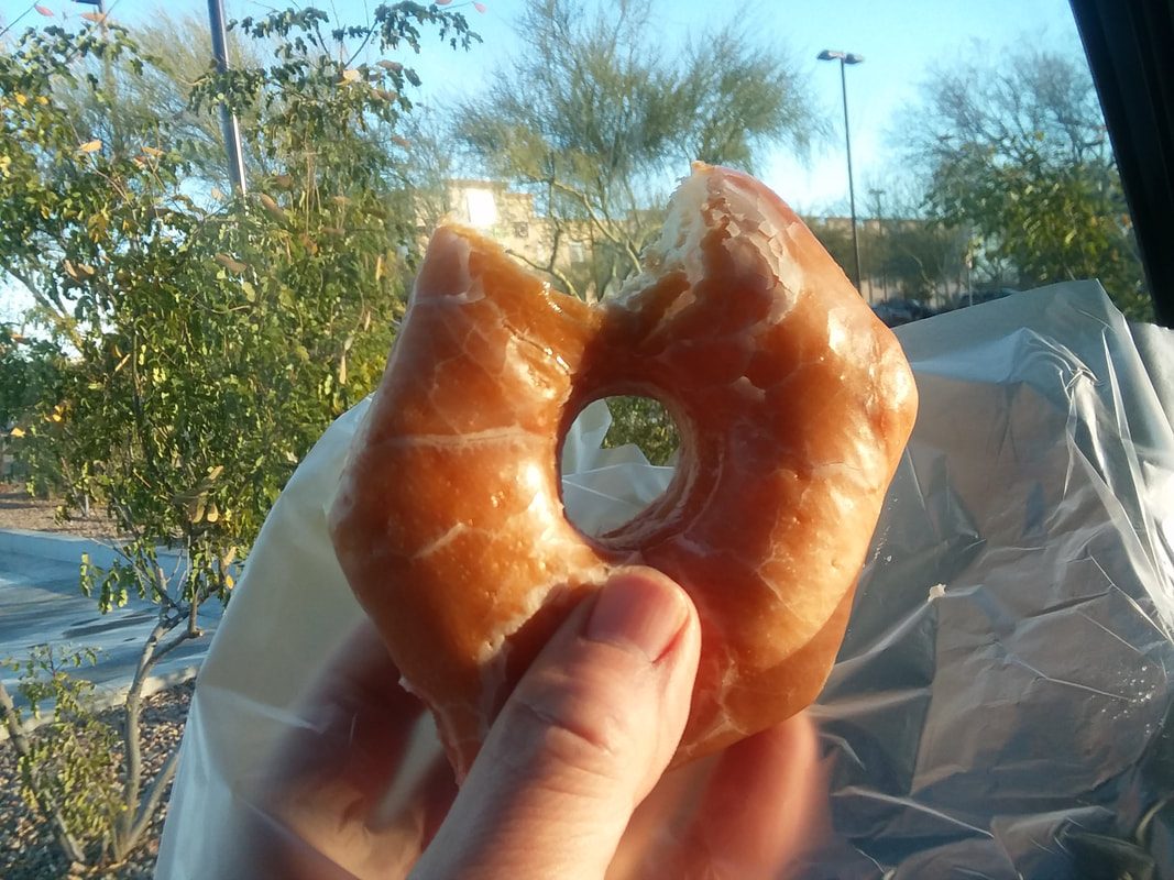
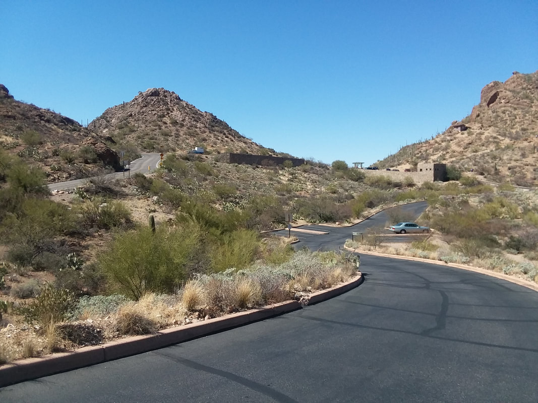
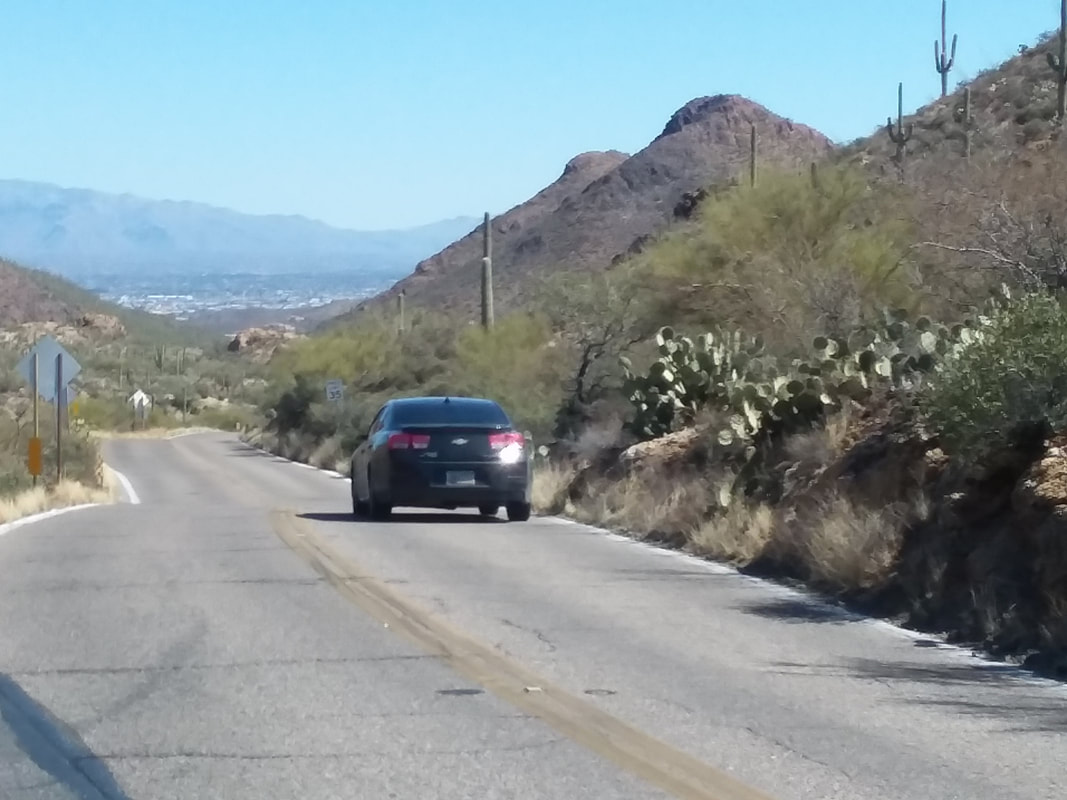
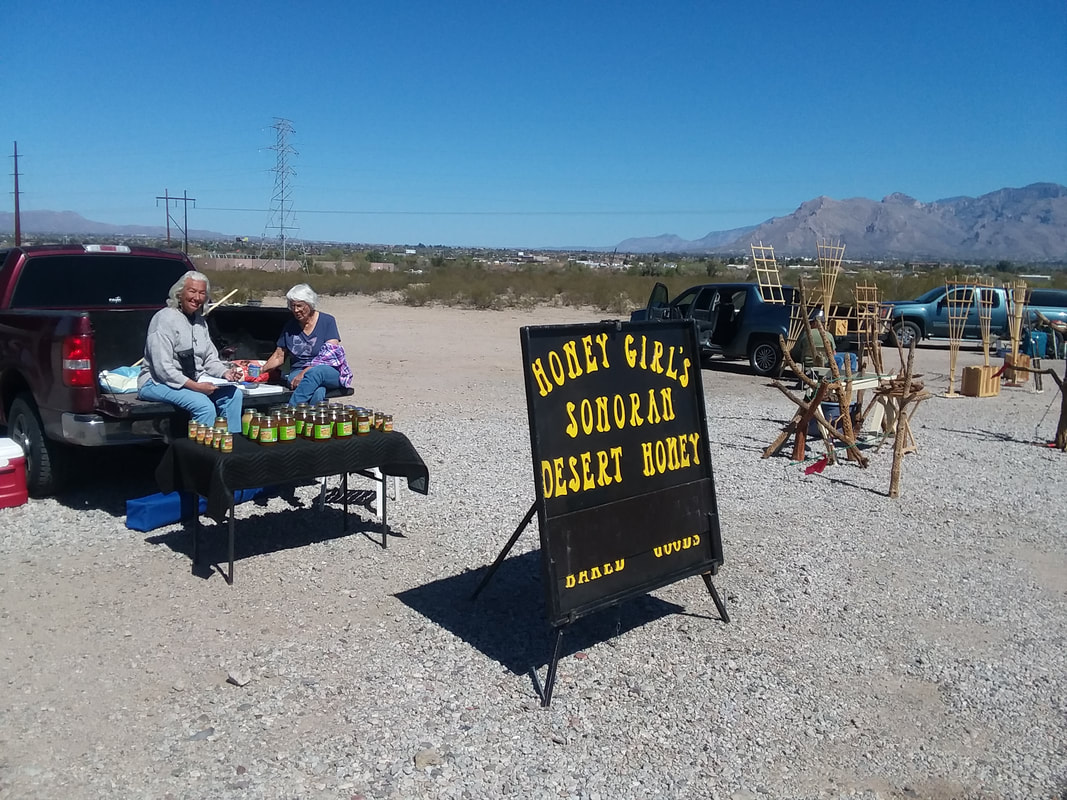
The day started unusually for me with a stop at a QT or Quick Trip gas/market for a glazed doughnut. For some reason it felt like the right thing to do but I ate only half of it, honest. Then I jumped on my bike around 10:00am when the temp rose above 60 degrees and.... ....headed southwest and up to the top of Gates Pass. It is an enjoyable descent, heading towards the Catalinas but..... ....upon reaching Silverbell Road, I spotted these two ladies selling "Sonoran Desert Honey" as the "Honey Girls". I stopped to talk for a while and now know everything there is to know about selling honey without a permit on county owned land which the local police ignore cause they like the Honey Girls. During my 61 mile ride I ventured into the Saddlebrook retirement community. Great views from many of the homes. Dang, I love the mountains.
Don Novel has put out a route: https://ridewithgps.com/routes/26959123 and a start time of 11:00am from the usual place behind Veloscience in New Albany. Promises to be a "B" paced base ride. Be there!
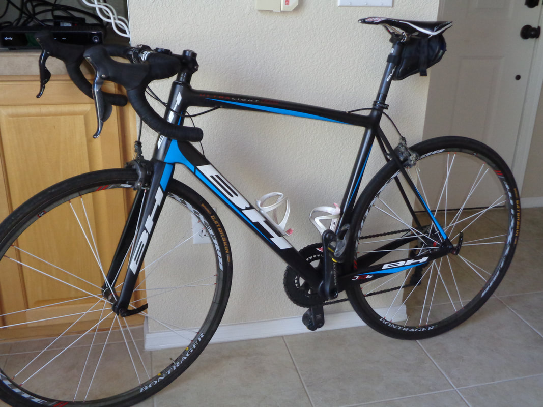
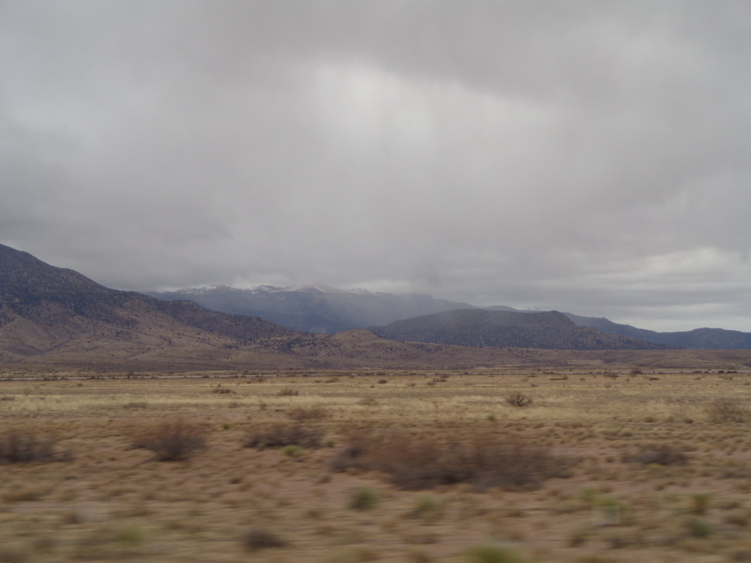
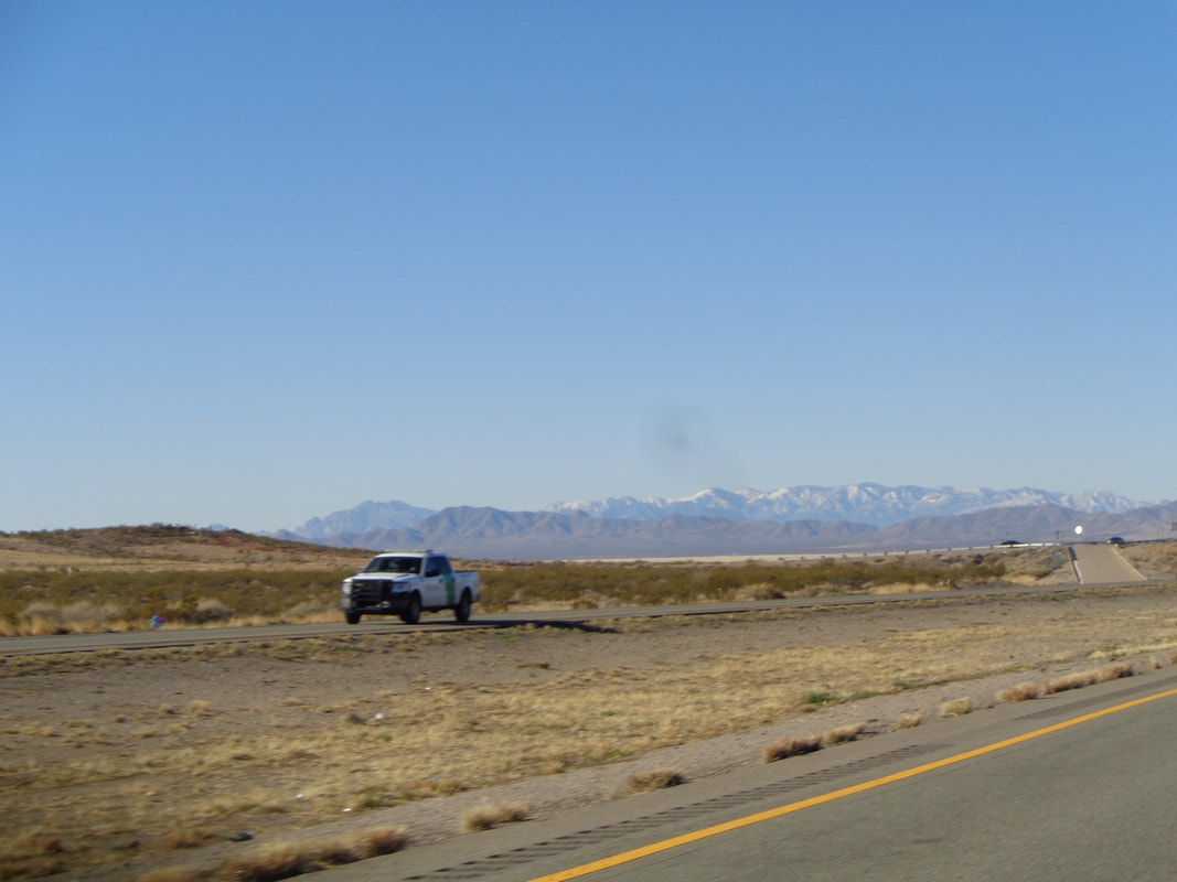
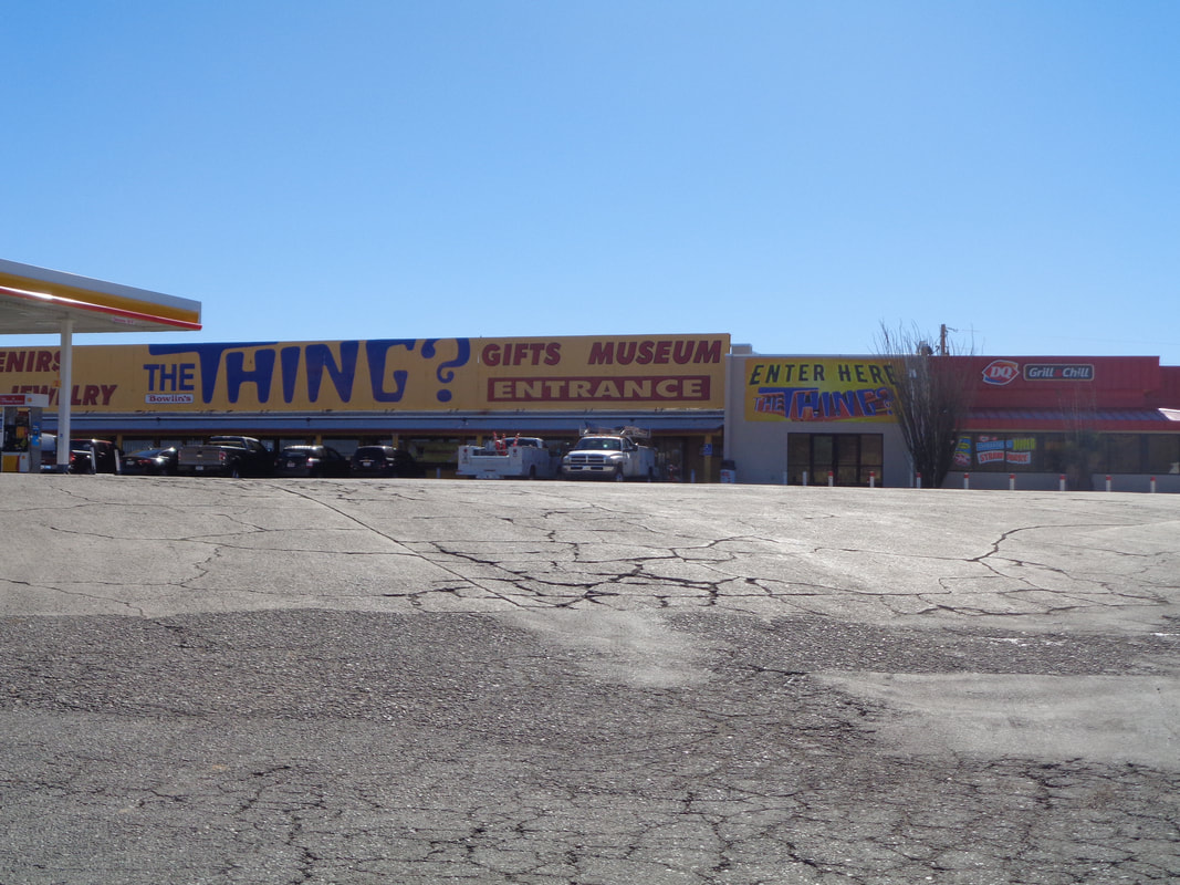
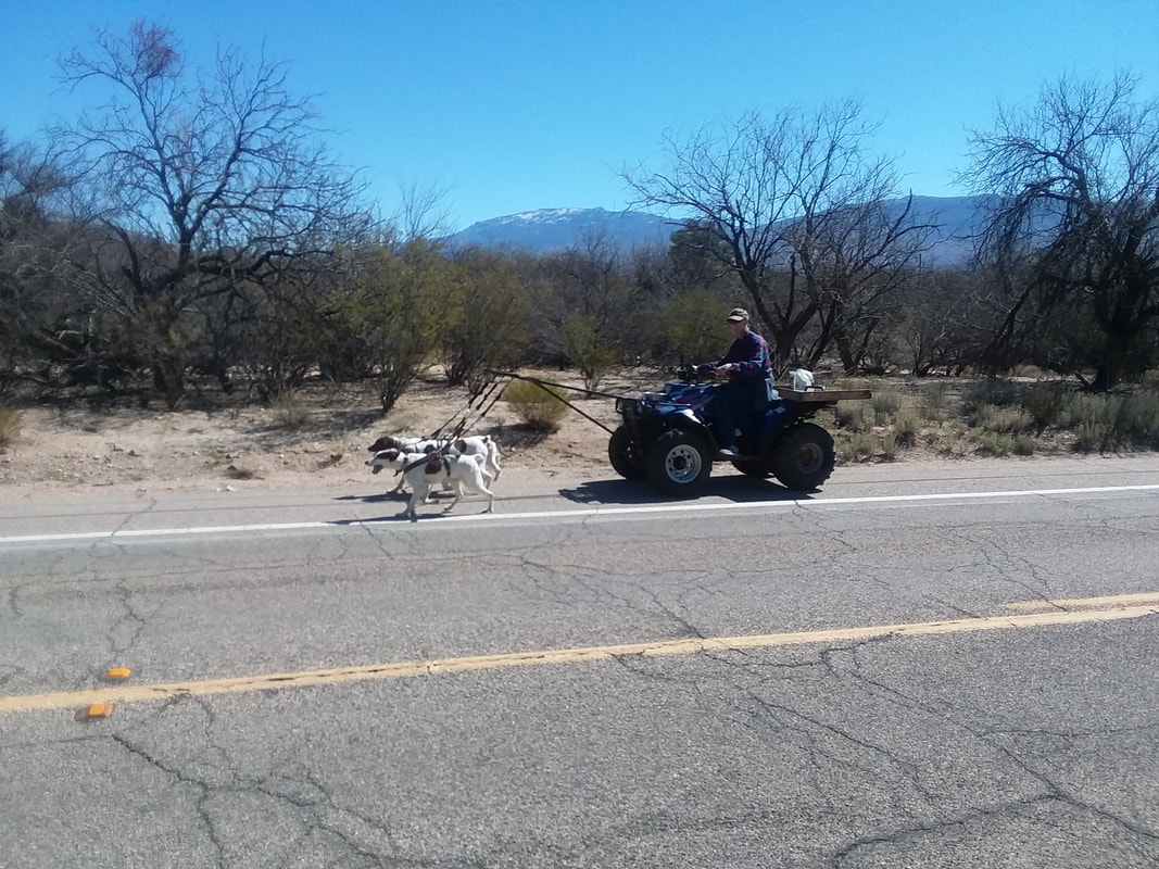
Well my many cycling Ohio buddies, I departed on Tuesday, via car (head scratching moment there) to drive to AZ. If between Ohio and New Mexico there was anything worth taking an image it would be here but, alas, dreariness does not appeal. Going south in NM on #54, I did not realize I was ascending but entered a cloudy area and it began to snow, kind of hard too. I passed a sigh that said I was at 7000' elevation so that explains the snow, then descending it began to rain and then in the distance I could see sand storms so I stopped in Las Cruces for the night. The next day..... ....crossing into AZ I could see the beautiful mountain ranges, some having snow capped peaks. Yay!!!! Brilliant sunshine accompanied me for the duration of the drive that included a stop at..... ....this famous gift shop/market/Dairy Queen. Dozens of billboards from El Paso to Phoenix, along I-10 promote this place. I have never ventured into the museum to find out what "The Thing" is but understand it is some mummified object. Reaching Oro Valley, I visited a bike shop, had a 10 speed cassette swapped out for an 11 speed from the rear wheel of the Trek, placed that wheel on the "bh" along with the front wheel and now have the bh bike that I brought with me, operational. You don't see that every day, a guy driving a 4-wheeler so he can walk 4 dogs. Got in a quick 31 mile ride and good to go for more cycling and hiking in the coming days. I am counting down the days until I return to Ohio. Really, I am.
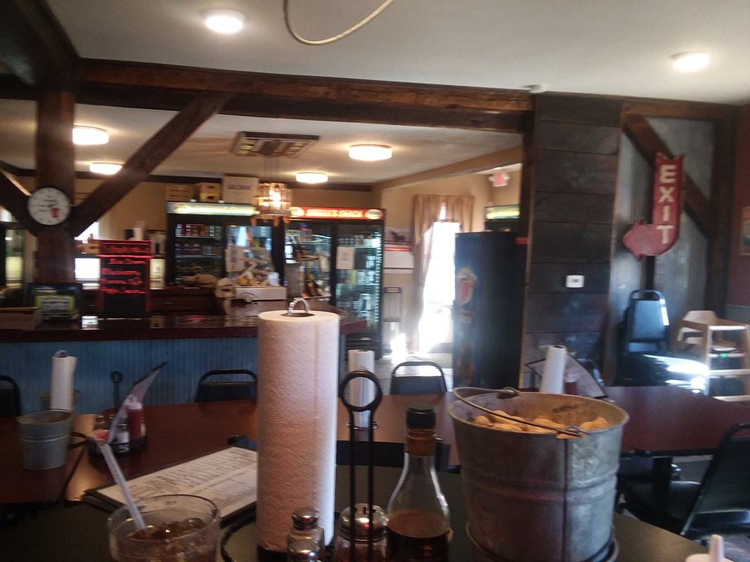
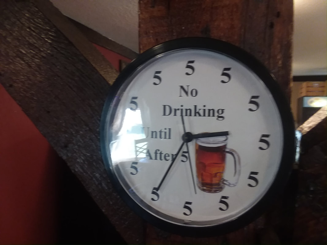
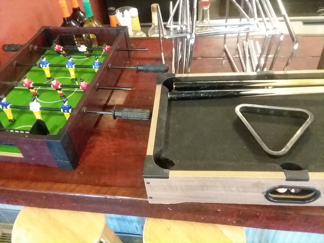
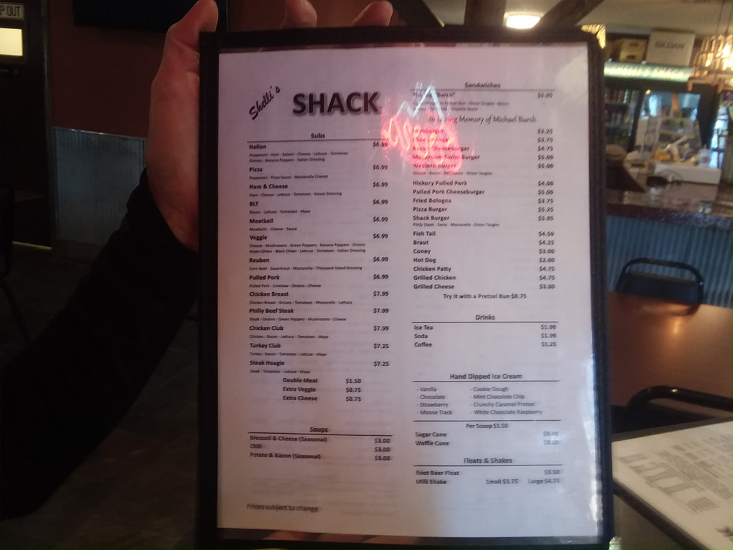
Arriving in Bladensburg at mile 30 while towing Flyin Tuna most of the way, I was ready to visit the usual diner for a quick refueling. Alas, it and its pancakes were closed (this at 2:00pm). Noting Shelli's Shack was open, into it we went. Note the pail of peanuts and in the background, a small convenience store. Cleverly appointed walls with plenty of space. I especially liked the clock and while preparing to leave.... ....saw a variety of table games available. How about that? Most important though.... ....the menu, full of options front and back. What a place!
|
Categories
All
Archives
November 2023
|
