|
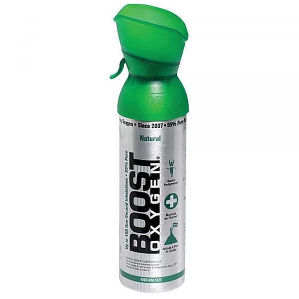
I'm monitoring weather forecasts but pretty sure, after watching The Ohio State Buckeyes crush Notre Dame on Saturday, I'll drive Sunday morning to CO and climb a 14er, likely Wilson Peak...just because. Oxygen deprivation is a concern so I'll take a canister to two of the above. I was fine at 12,600' on Humphreys Peak but, we'll see. More to come.
0 Comments
With my cycling miles now trending in the 500+ a month range, the awful feeling of having lethargic, sluggish legs is gone. I no longer feel like a slug and I'm pretty happy about that. I've lost weight, confirmed by the scale of course but also by how my clothing now fits. I'm really happy about that. I've lost 5 pounds and have another 5 to go to arrive in the land of the 160's. I'm so glad I finally became motivated. Lighter and more cycling miles of course means riding faster and that has shown in my average speeds. Happy about that too. Actually, I'm in a good place and it's getting better. Sorry, these words just spilled out. I rode from home in Oro Valley into and around Marana. The pavement in these two towns is awesome. The available routes are somewhat limited. That's the one down side to being surrounded by mountain ranges but the beauty of my surroundings makes it all worthwhile. I'll be headed to Ohio soon but am looking at stopping in CO to climb a 14er. I'd like to have that on my outdoor resume. Oxygen deprivation is a concern. I'm fine at 12,000' but 14,000+ is a different animal.
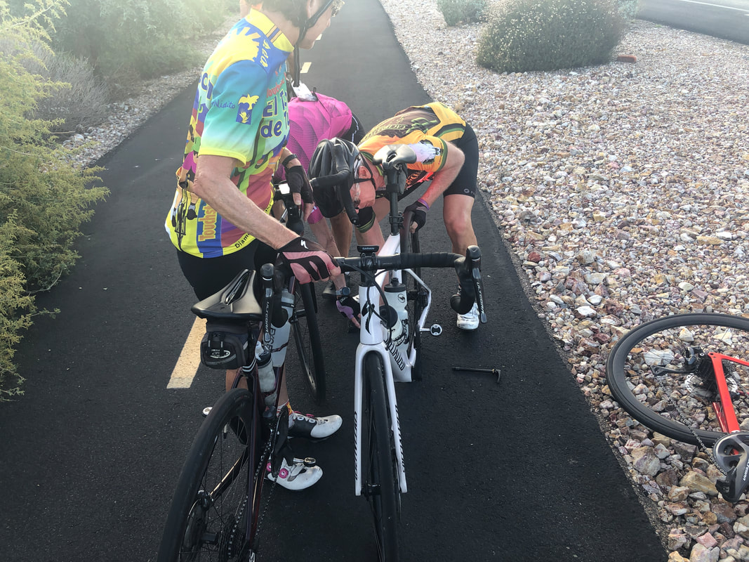
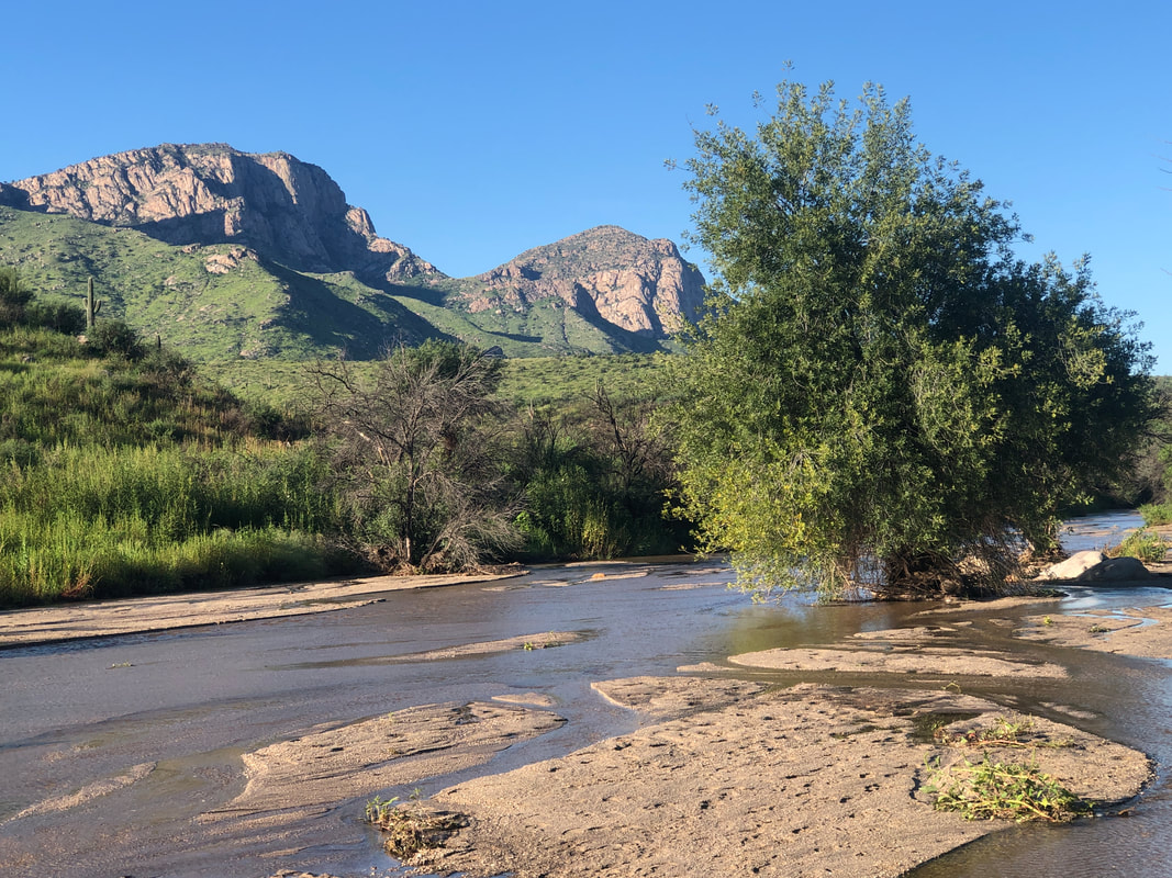
Joined a small group of 6 people for a 46 mile ride. Unfortunately, one of us had a flat and it took at least 30 minutes to fix as the tire was super tight on the rim, then a pinch flat with the replacement tube, etc... All fine though as we had cloud cover and relatively cool temps. The evening of the ride, I played pickle ball with some really nice people and then the following morning, went for a short ride to loosen my legs that included a visit to Catalina SP. The washes continue to flow and lots of people continue to visit. A beautiful setting.
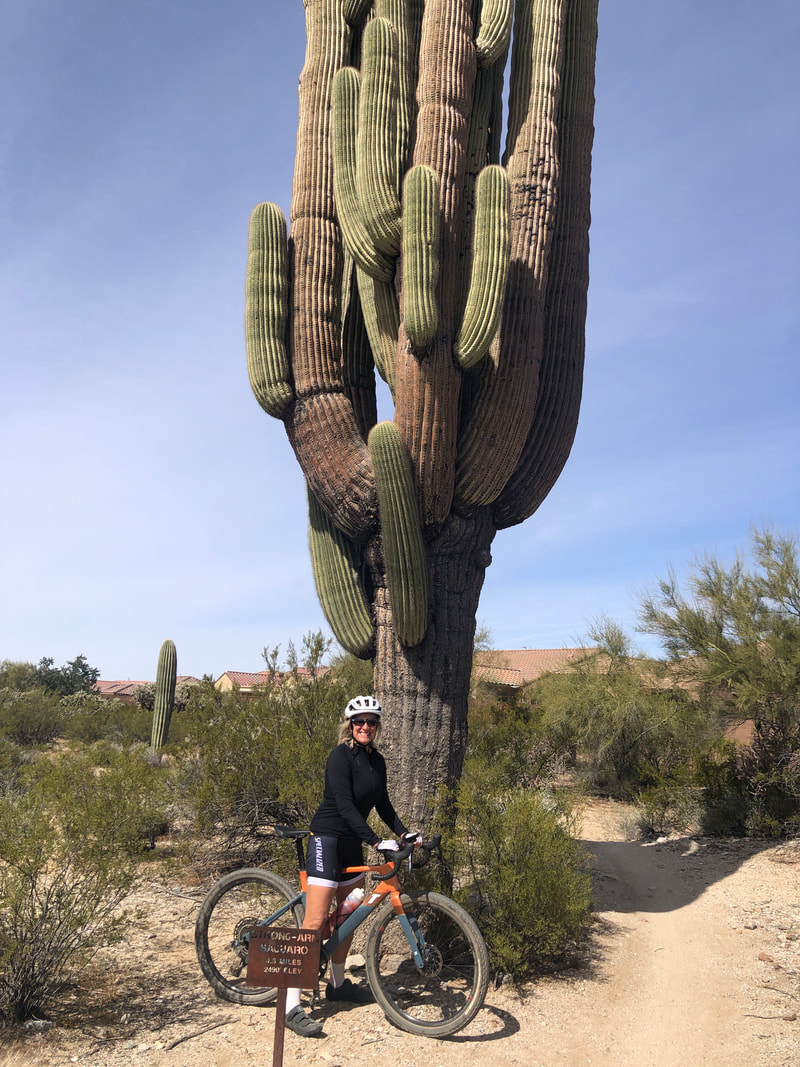
After standing for approximately 200 years, this saguaro on the Tortolita Preserve, a short distance from me, toppled last week. It's the largest I have seen and a real shame. Fortunately, when it fell, no one was caught beneath it.
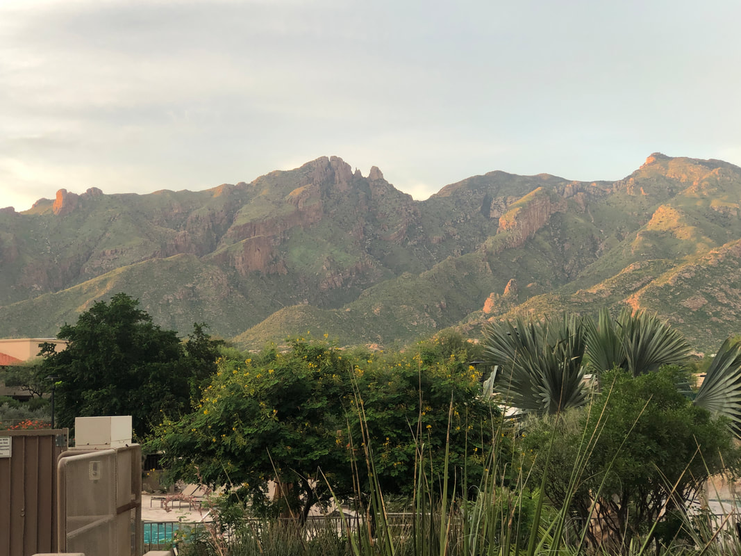
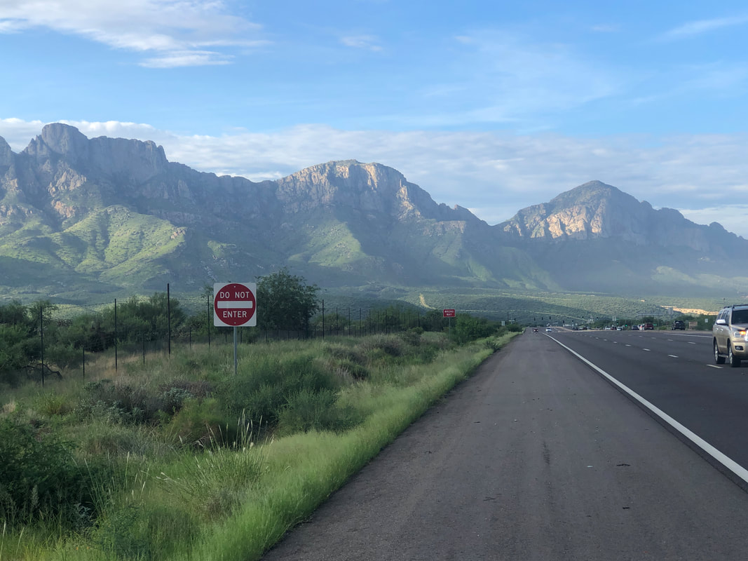
One of my favorite views, sitting at the Westin LaPaloma, looking at the front range of the Catalinas. So many great hiking destinations visible and with the approaching fall, winter and spring, becoming very accessible.
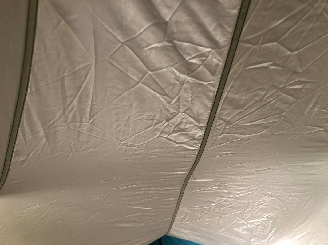
I set up my tent in my living room. I rolled out the air mattress and placed it inside. I checked it out, looking at the ceiling of the tent. It brought back some great memories. The last time I laid in this, I was at the bottom of the Grand Canyon after an arduous hike. I and a friend had departed the Bill Hall trail off the north rim, descended through Surprise Valley, made it to Thunder River, kept descending via Tapeat's Creek, reached the Colorado River, decided we had daylight to continue on to Deer Creek Narrows. The problem was both soles of my boots had come off. We bound then, loosely with tape. The fatigue set in as each step forward brought debris from the trail. It became dark, taking a step forward, a snake slithered between my legs but I was so tired, it didn't bother me. At some point, it began to rain which it rarely reaches the bottom of the canyon. We plodded on, reached a ridge and below us was Deer Creek Narrows. We set up our tents. I don't remember what I ate but I distinctly remember going into my tent, without a rain fly, laying there with rain dripping through and quickly falling asleep. Yeah, a great memory and maybe more to come in my tent,
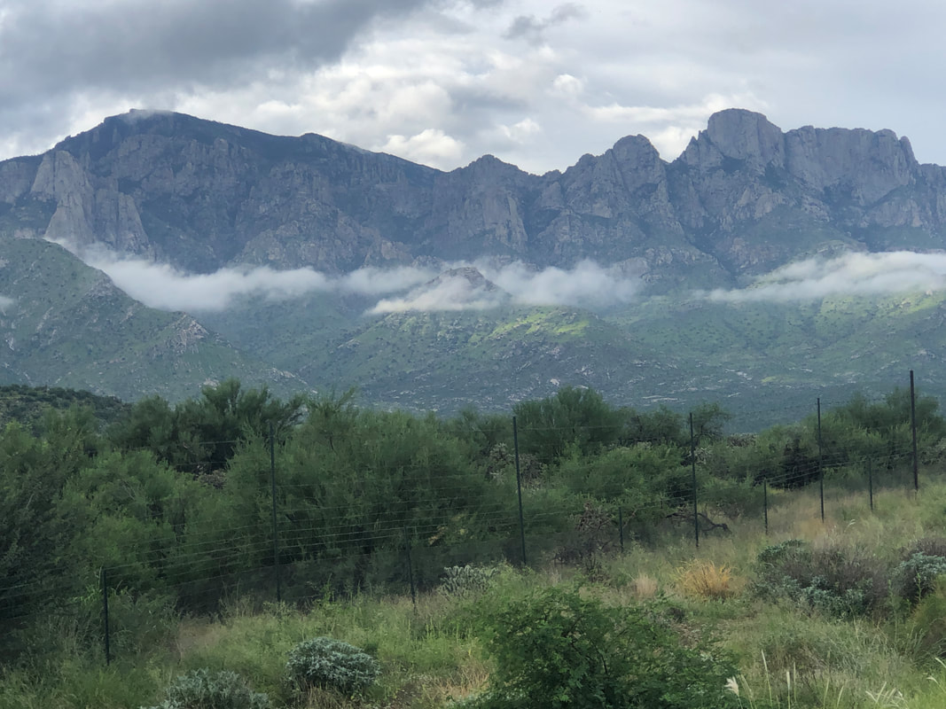
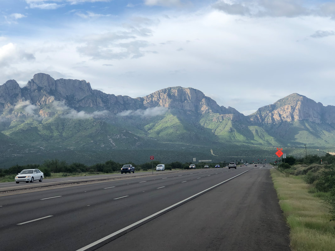
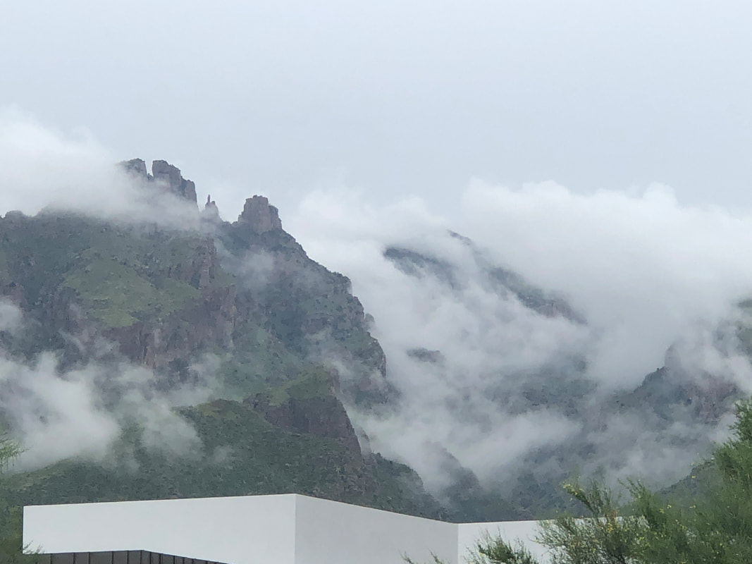
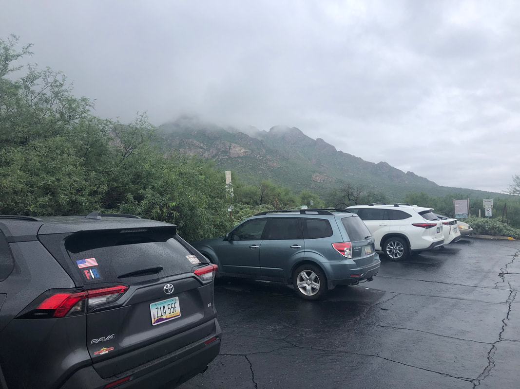
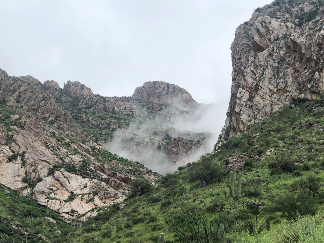
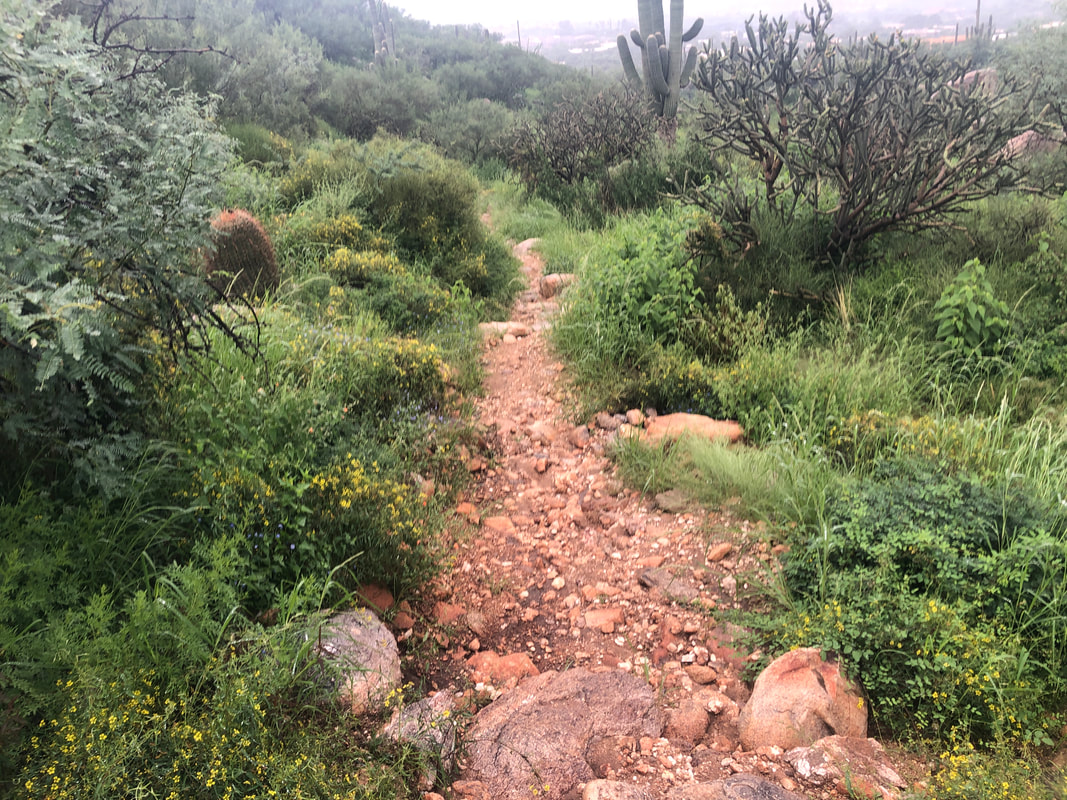
Friday morning. Clouds are forming over the mountains and rain will arrive by around noon so I got out for a 35 mile ride before it started. I love this view, just south of the small town of Catalina. Friday afternoon, it's been raining but pauses for awhile as I drive east, passing the front range of the Catalinas with Finger Rock in view. I played indoor pickle ball for the first time. Kind of whacky but I got used to it and met some nice people. Saturday morning and lots of overnight rain but it abated somewhat so I went to the Linda Vista trail. Surprised so many others were hiking in the light rain. Prickly Pear cactus in bloom. Weather radar showed an orange colored mass approaching from the north so I picked up the pace. It's like a jungle out here. I finished with about 2 miles as the rain began falling harder.
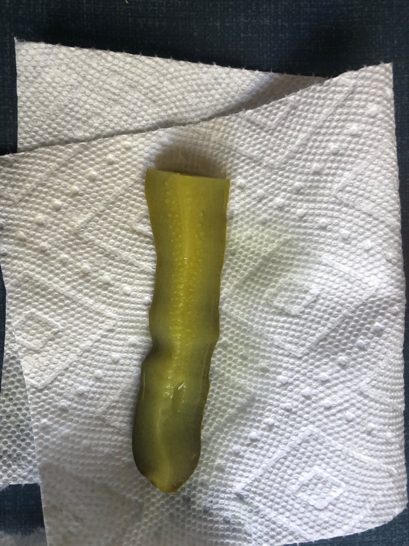
It's weird to not have an image to accompany a report so while about to enjoy a post ride pickle, I took an image of it. Kind of a sad looking pickle. Did a group ride this morning. It went a little better than expected. My solo rides lack the intensity of a group ride so that was the usual shock to adjust.
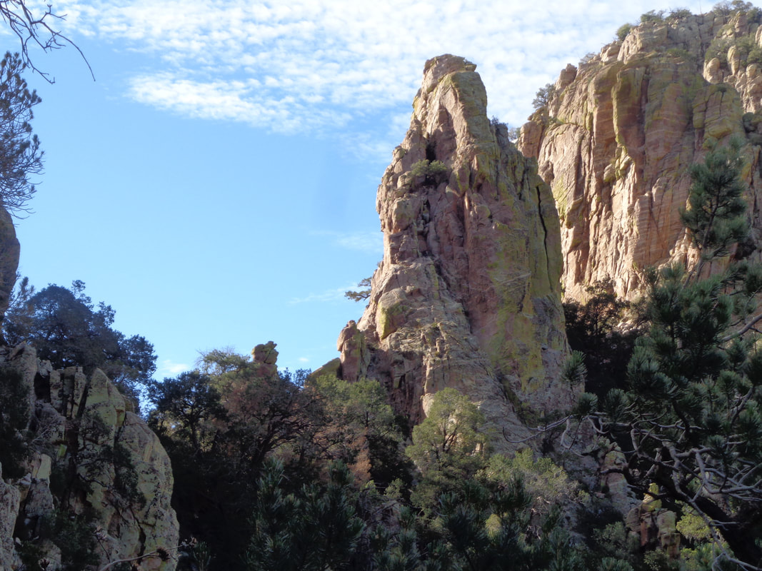
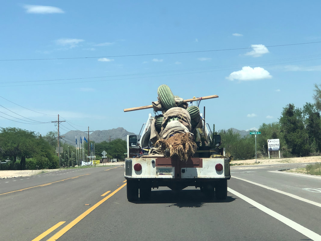
I've become super motivated to get back into cycling shape. How I allowed the deterioration to happen is self imposed idiocy. I rode north to Saddlebrook and wow, look at the view. I've been itching to get back to organizing group hikes and so scheduled the first for October. Finger Rock Guard is an awesome destination and worthy of the first hike which begins from the valley. It is amazing to me that large saguaros can be pulled out of the ground with nary a rootball and yet they can be replanted and survive.
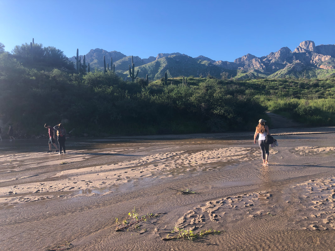
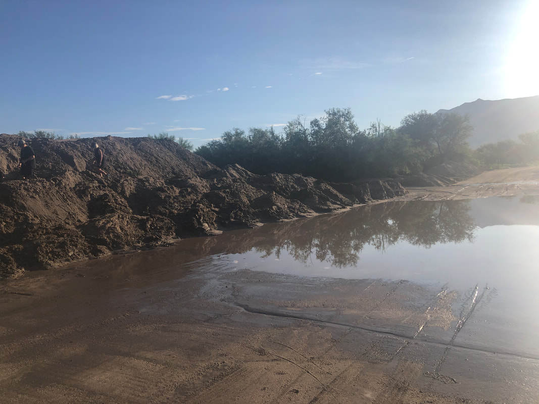
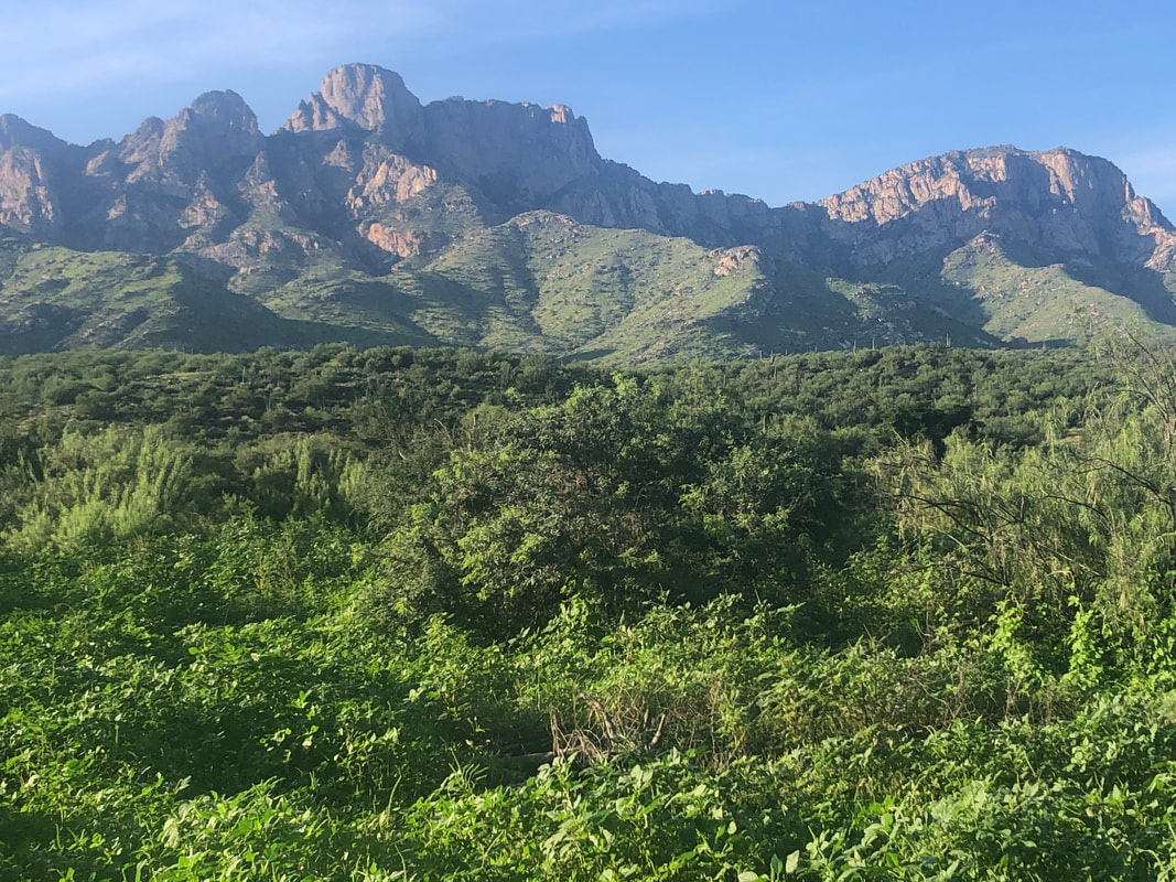
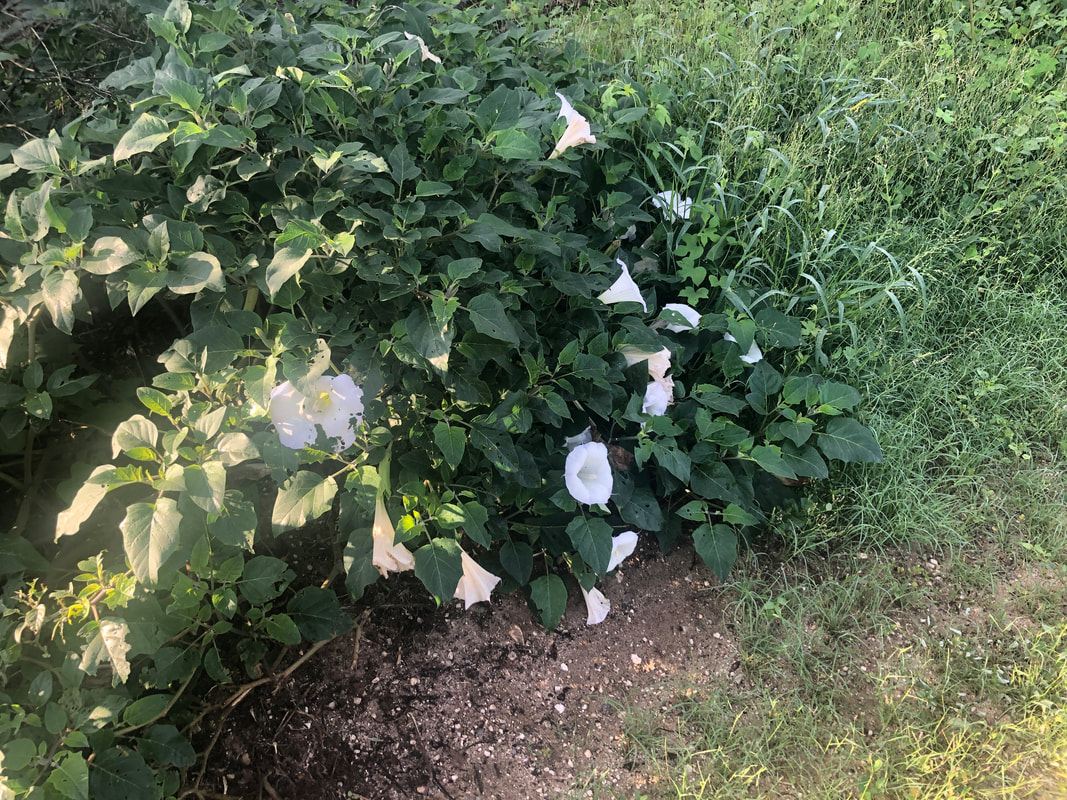
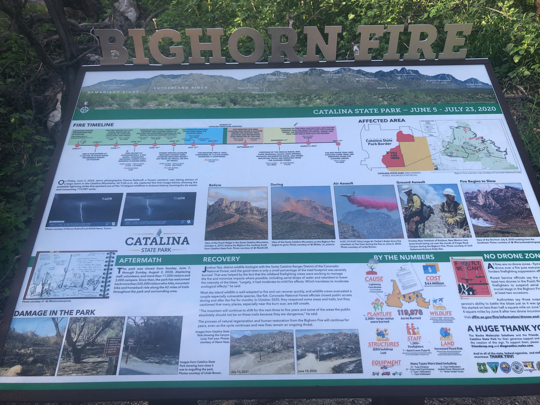
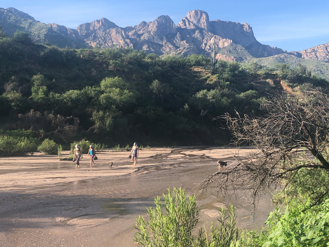
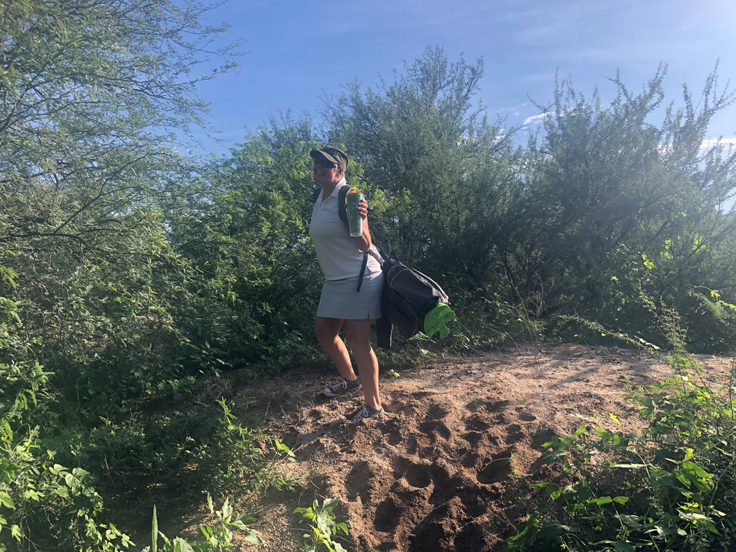
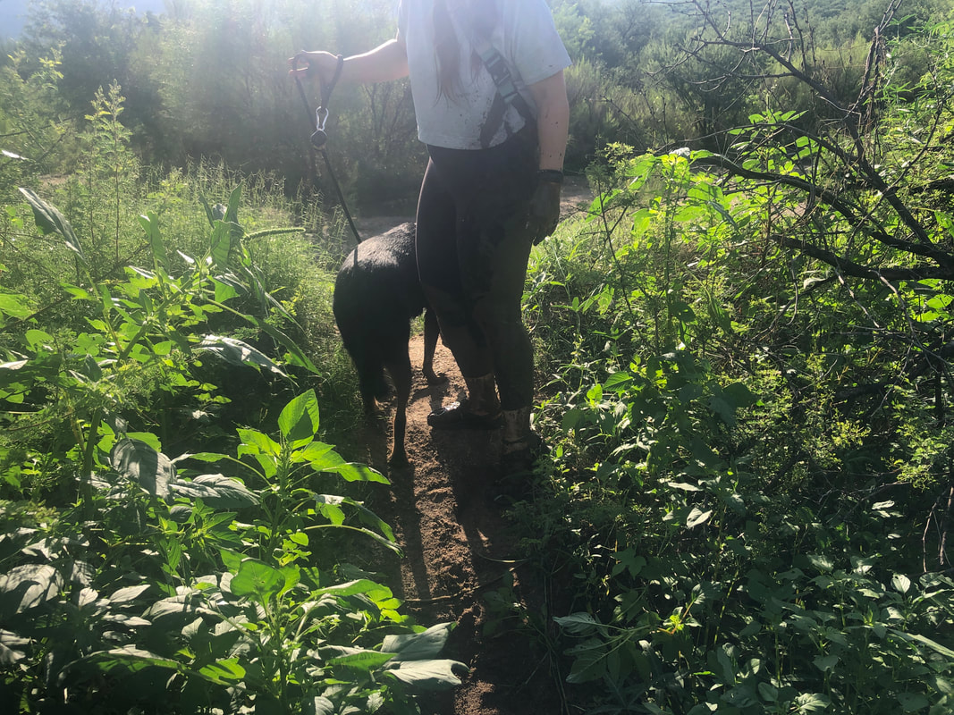
Wow, what an active monsoon that has transformed the landscape. The road into the park was closed and for good reason. There are two washes that cross the road so the flow of water brings lots of sand. Note the sand banks on the left and the perspective of their size given by the two people. The sand needs cleared and water drained before open the road to vehicles. So green but of course in time, that will become brown and dry and fodder for a fire. Many of these flowering vines are present. This has been installed recently, giving a good account of the Bighorn Fire of two summers ago. With the washes flowing, lots of people bring their dogs and walk up or down stream. Then this occurred.... ...a woman and her husband had been trapped in an RV on the other side of the flooded wash. A sister wanted to play golf so the woman walked about a mile with her golf clubs to reach the entrance. That brought a lot of stares. While machinery was in operation to clear the road, a path had been created as a workaround. It crossed a muddy wash and the above woman fell into the mud. She was a good sport and had momentarily become lost so I showed her the way out.
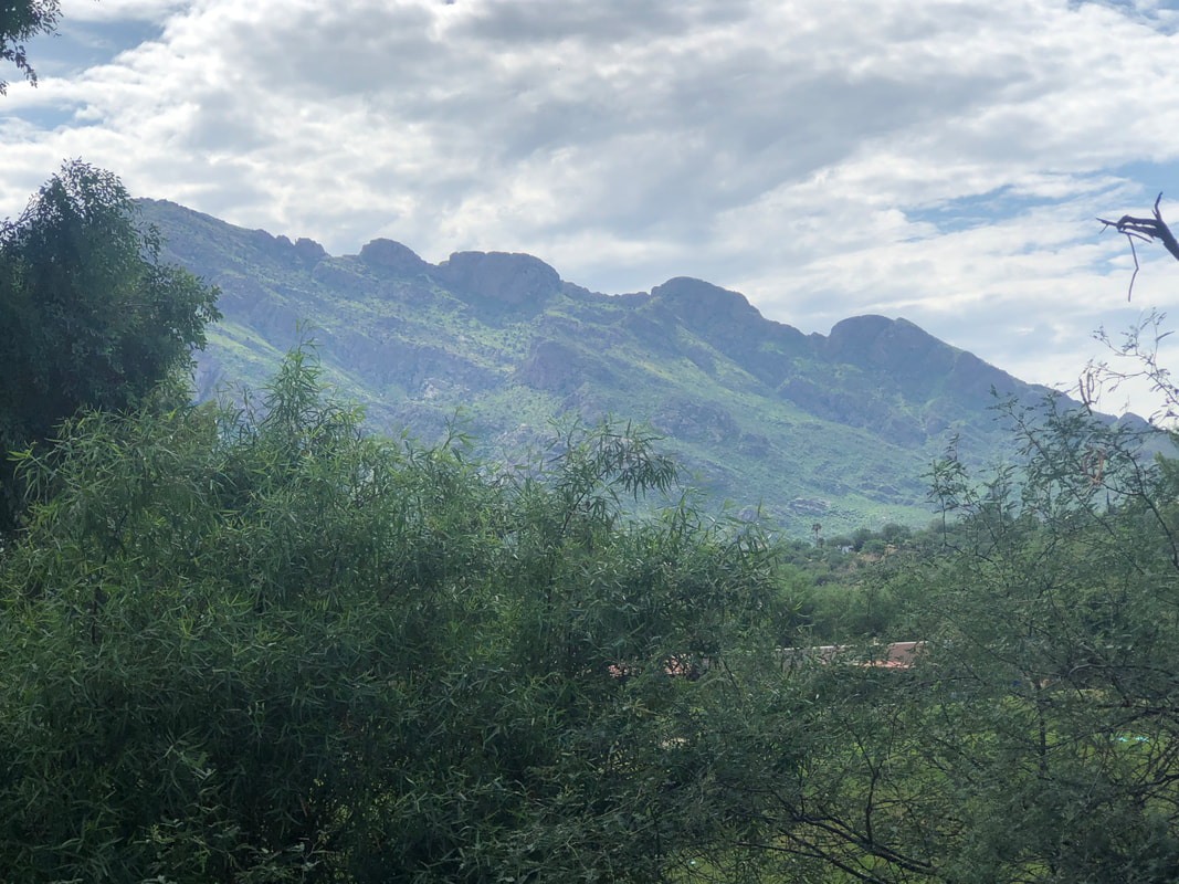
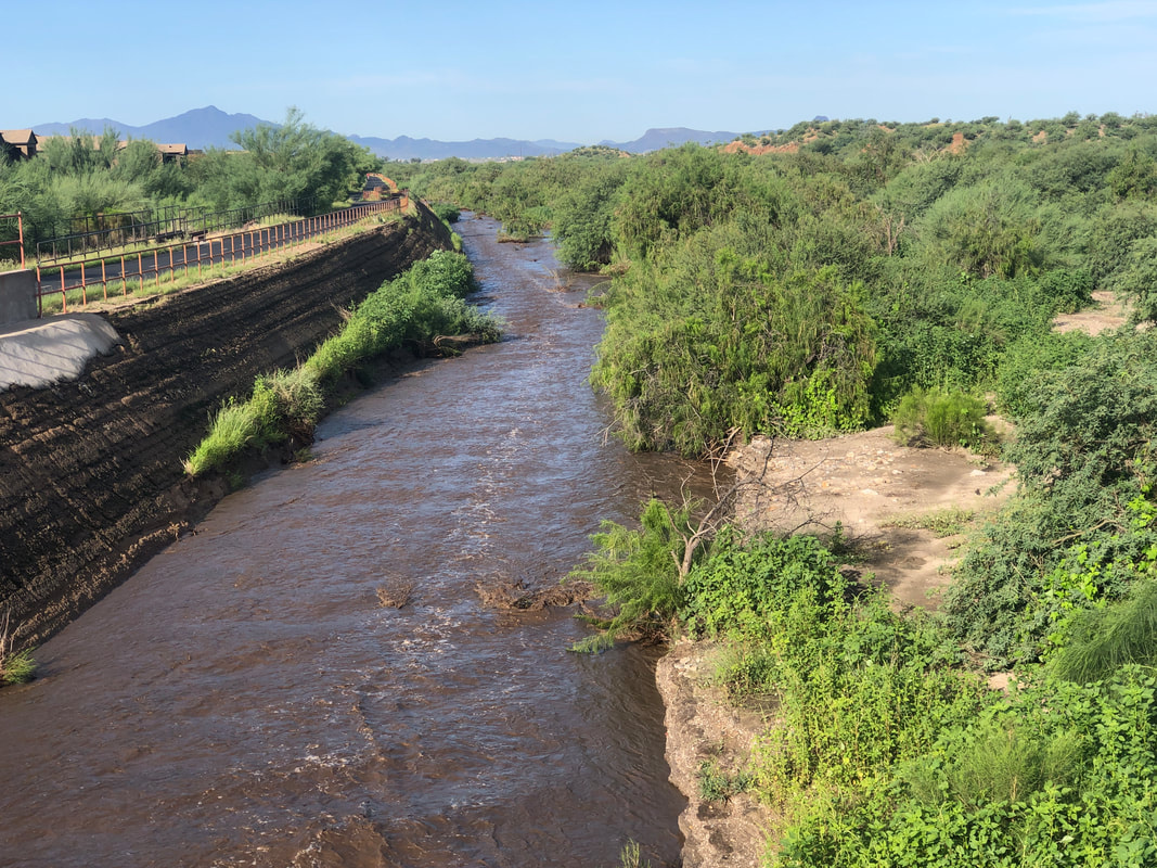
I've returned from a month away and am glad I am back in beautiful southern AZ. We have an active monsoon season and the washes are running. The official rain gauge is at the Tucson International Airport but that concrete desert impacts the movement of storms so the totals are low but elsewhere, we are booming with rain! On a personal note, I'm probably in the worse cycling and hiking fitness since 1997 when I first threw my leg over a heavy steel framed bike. That will change but it won't be easy.
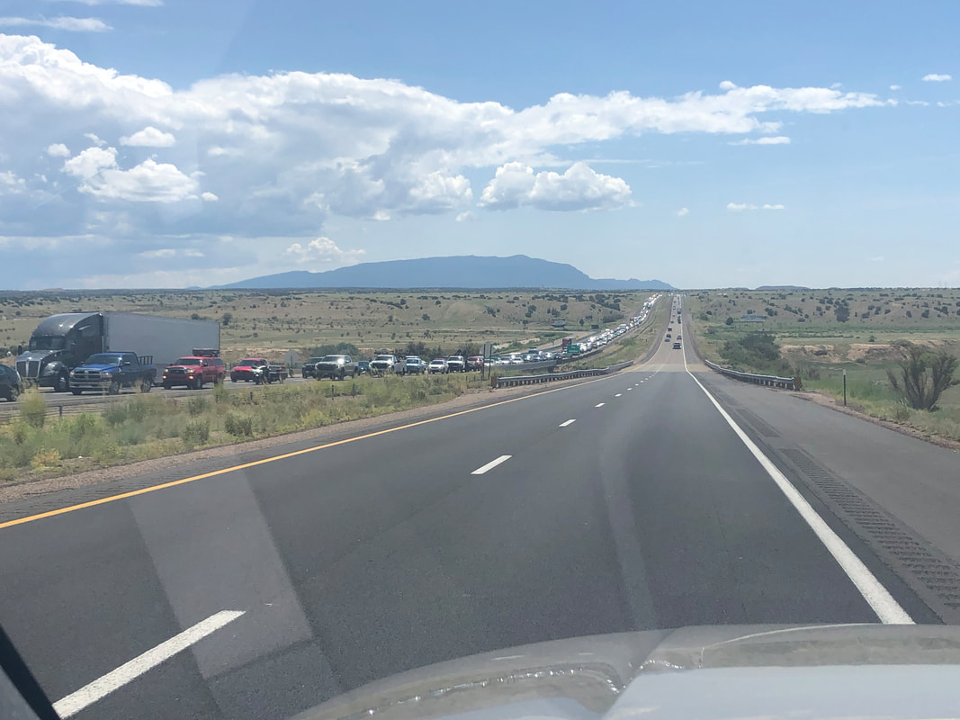
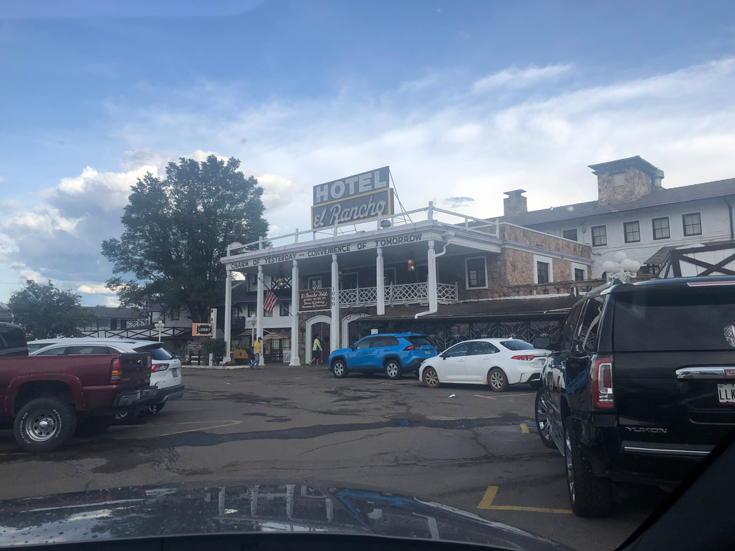
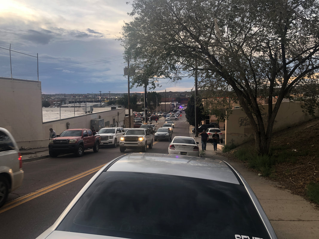
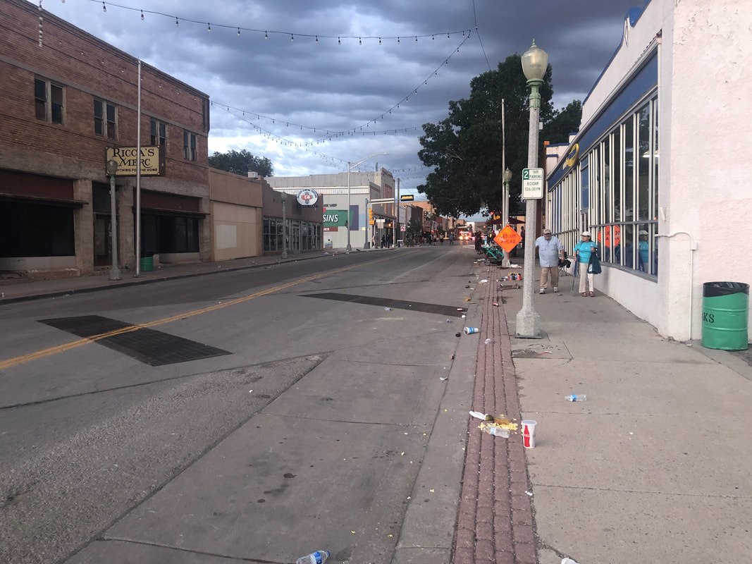
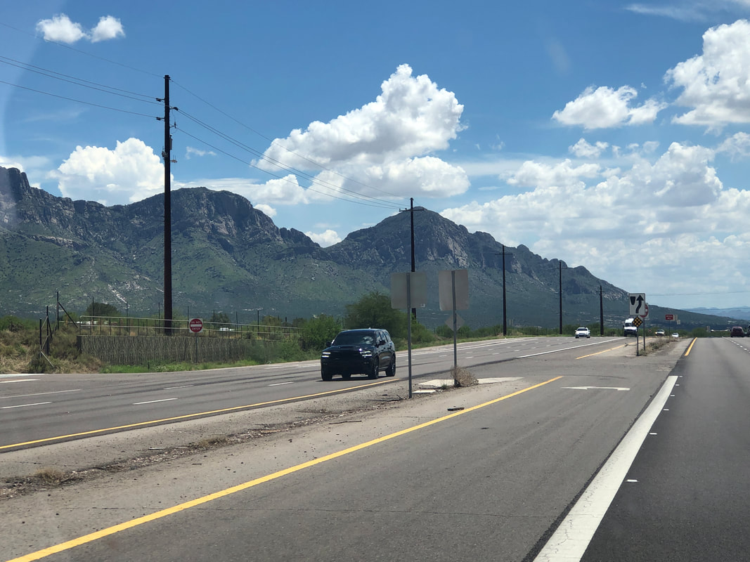
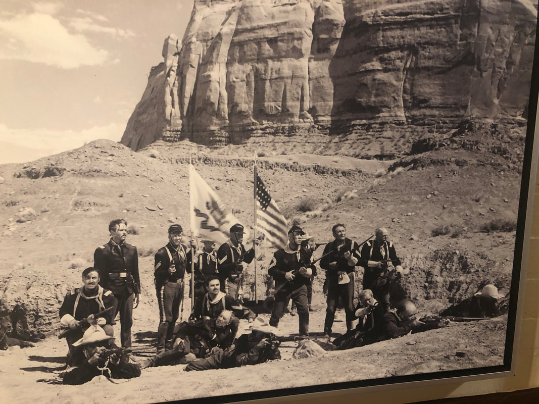
Departed Colorado Springs, certainly an area deserving of another visit and headed to a small town in NM, Gallup. Fortunate that in driving 3000+ miles during the vacation, there were few traffic slowdowns but the same could not be said for the northern bound lane on this part of the drive. Always enjoy dining at an independently owned restaurant and there was a good one at the El Rancho. Lot of movie memorabilia adorned the walls as old westerns had been filmed in the region. I was told about a parade through down town so decided to check it out. Oddly, cars and people were streaming away from the parade route. Some people approached and warned that I not proceed. Stories of a drive by shooting, shots being fired, a driver entering the parade route causing a mass casualty event but hey, I've got a blog to feed so kept walking toward the Main Street. Few people were on the parade route. There were a lot of police and emergency vehicles present. Not much to see so headed back. A guy and friends in an SUV had been observed drinking. Police approached the vehicle, drunk driver took off, no shots fired, driver strikes a couple of vehicles parked alongside the road. Fifteen light injuries. Driver taken into custody. Purposefully selected a route that avoided Phoenix so enjoyed driving through many small town America type settings. Enter the Show Low, AZ region. Beautiful. Home at last. The Catalinas and surrounding mountains are not the Rocky Mountains but beautiful and majestic in their own right. So much monsoonal induced rain has tuned the mountain slopes green. The trip had some majestic sights but late and poor planning by me, ahhh, it could have been better. Live and learn folks.
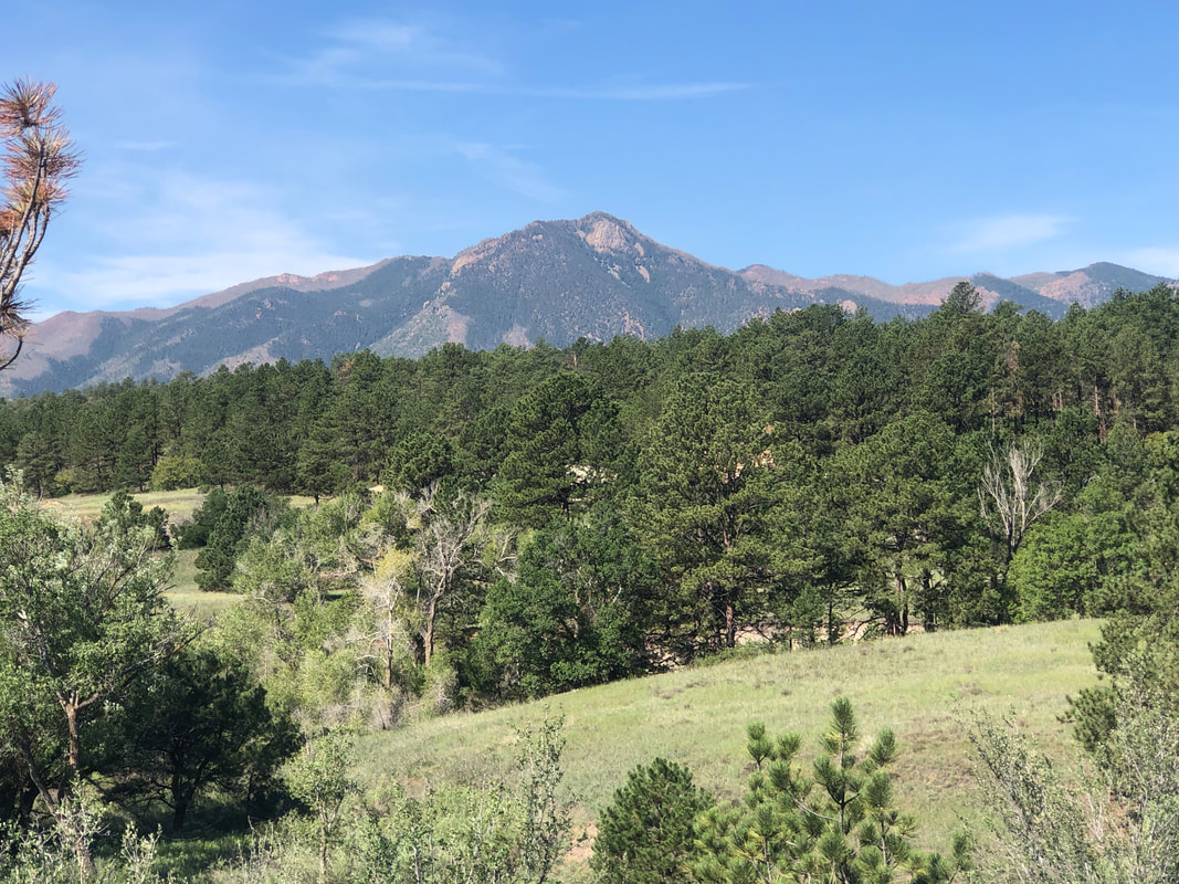
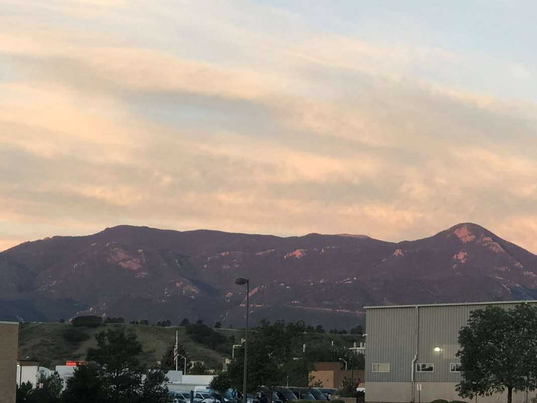
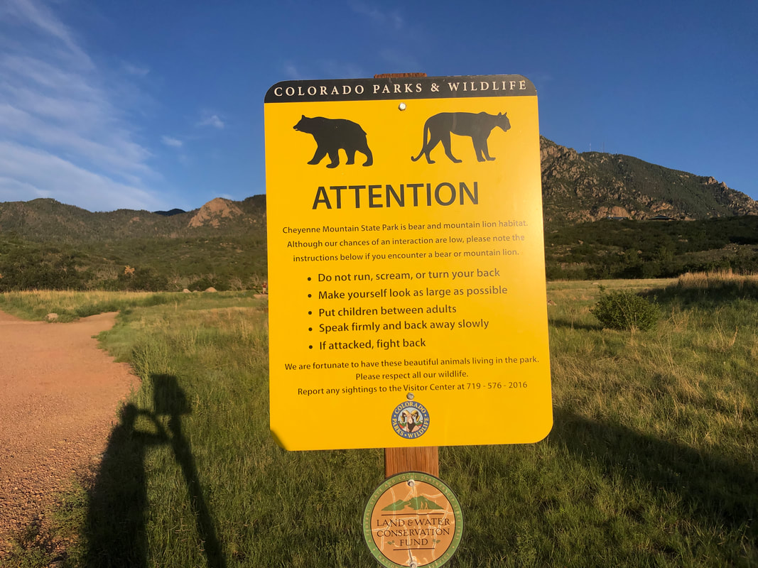
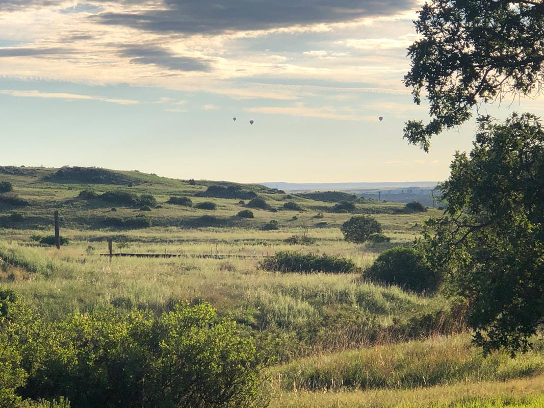
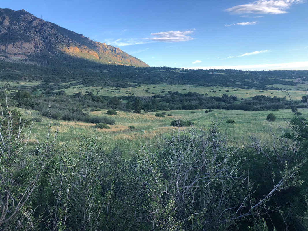
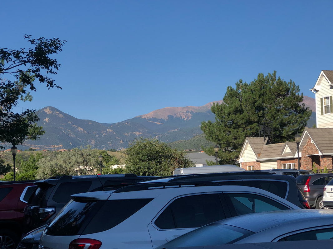
I am up early, looking toward Pike's Peak. Beautiful scene. The drive to the park is short and across from an Army base. Reveille is being played. I selected a few different trails and a local got me started as I was confused at first. The warning about lions and bears got my attention. I had a hiking pole and banged it frequently against rocks. Would hate to surprise a creature. Hot air balloons in the distance. The first 1.5 miles is mostly walking in a meadow. A beautiful scene but not the intensity I wanted. I saw no mention of a trail to the peak but upon arriving at the park, there was a notice of one. Too bad but I didn't have the time to climb the mountain anyway. I passed through this peaceful scene as I returned to the parking lot with 4.4 miles and the completion of kind of a lame hike. I use "hikearizona" for trail and route info but since I am here, I've been relying on "Alltrails". The trail reviews frequently overstate the difficulty.
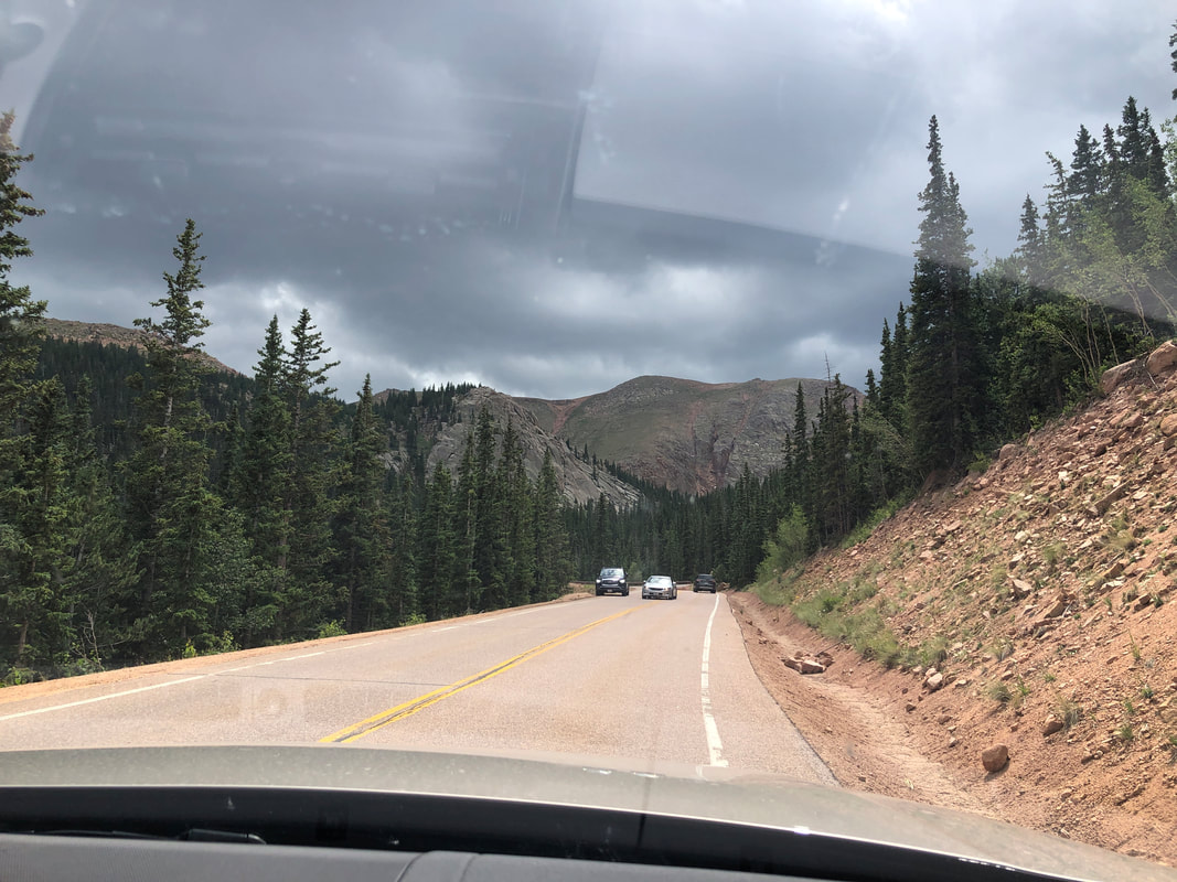
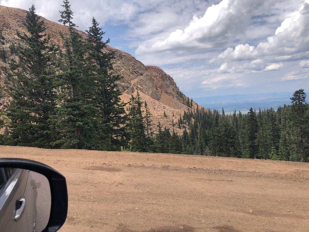
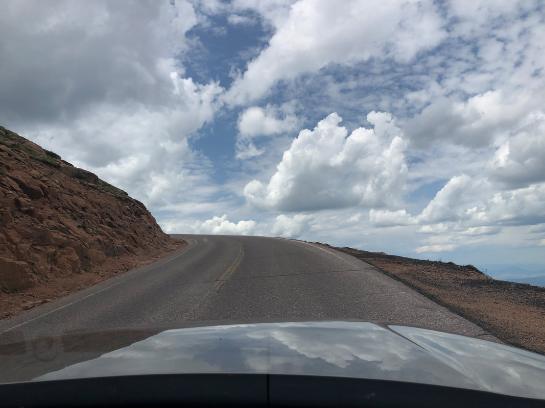
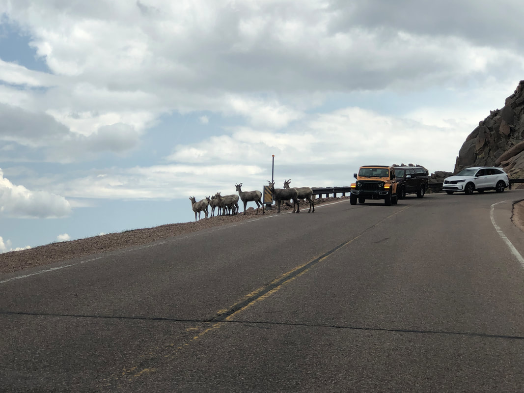
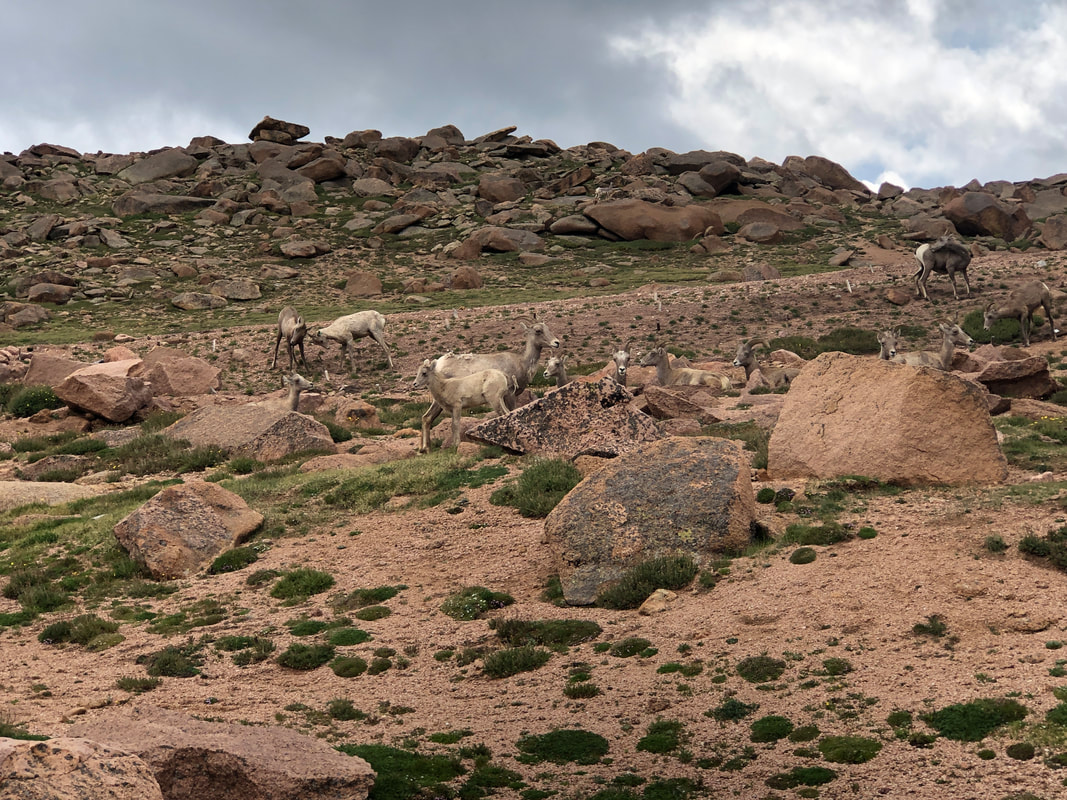
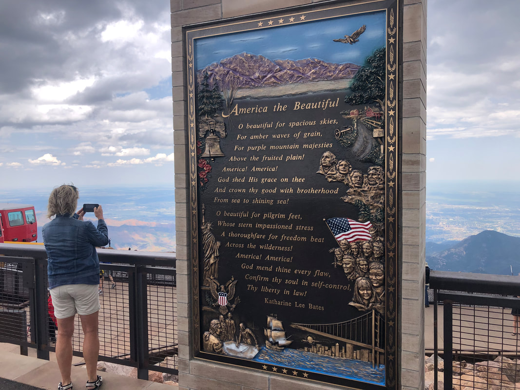
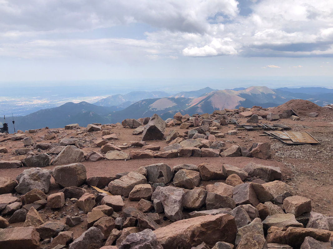
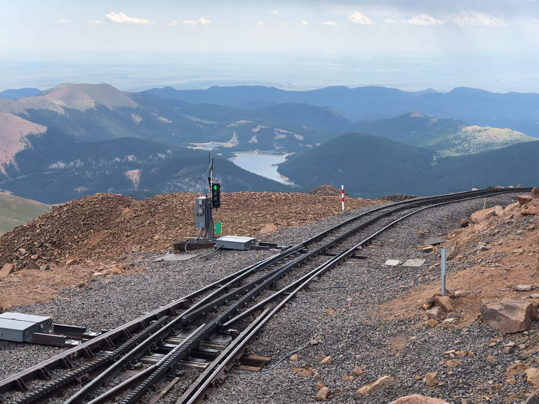
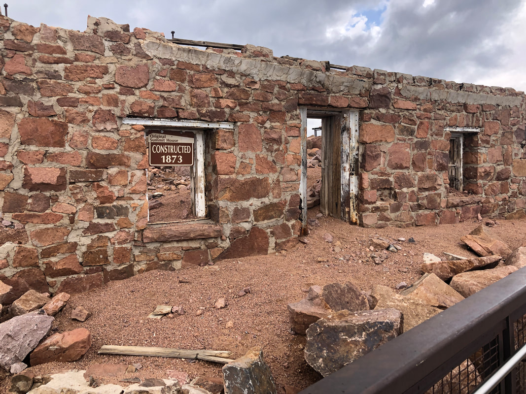
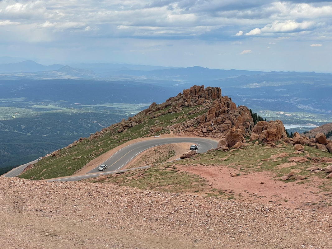
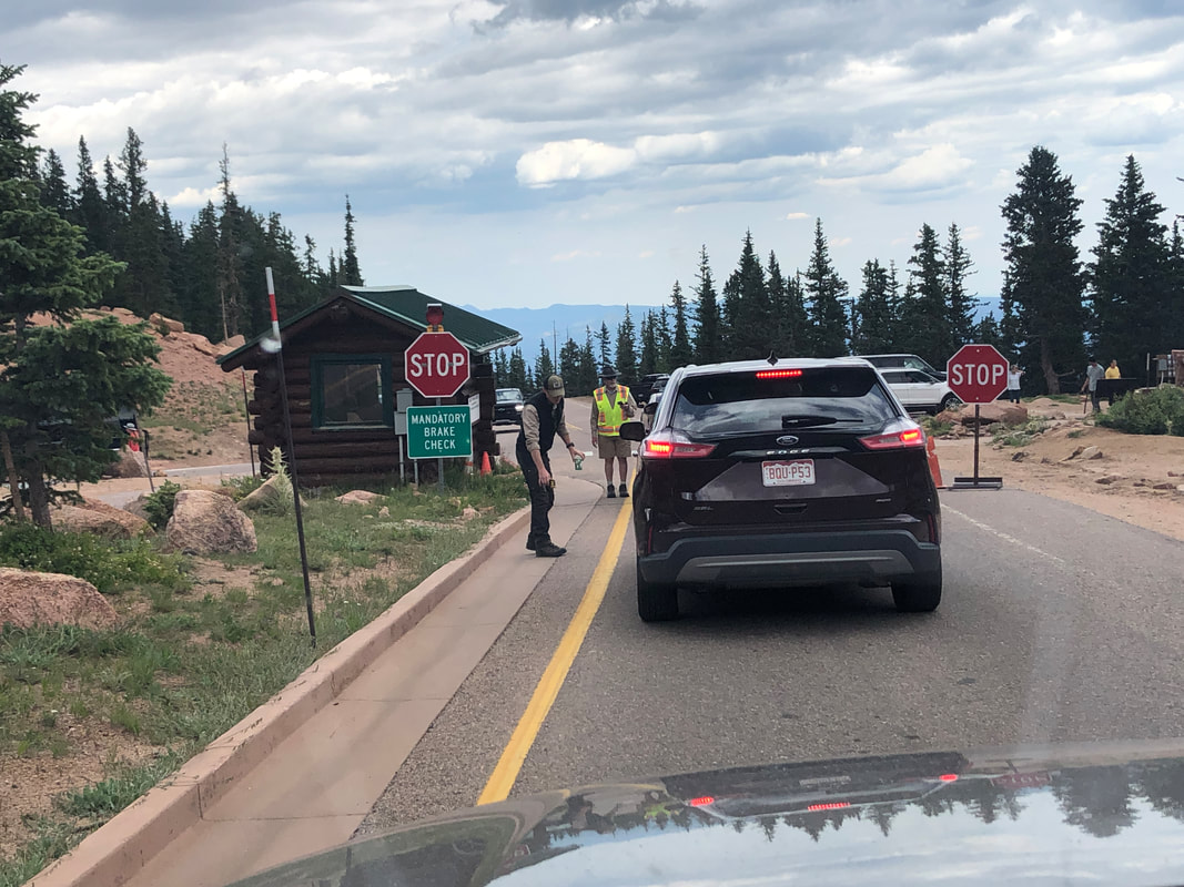
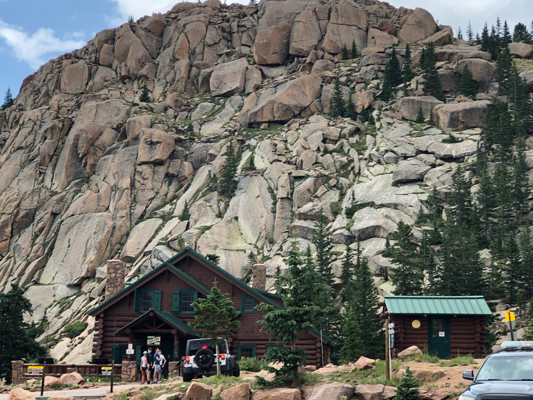
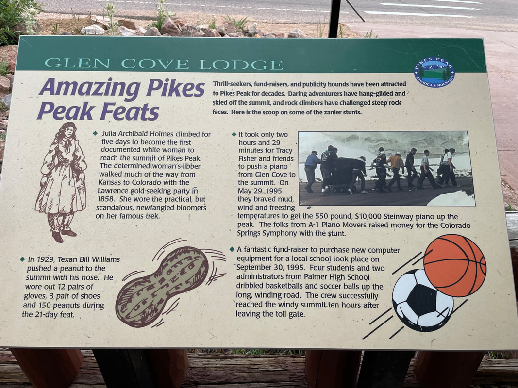
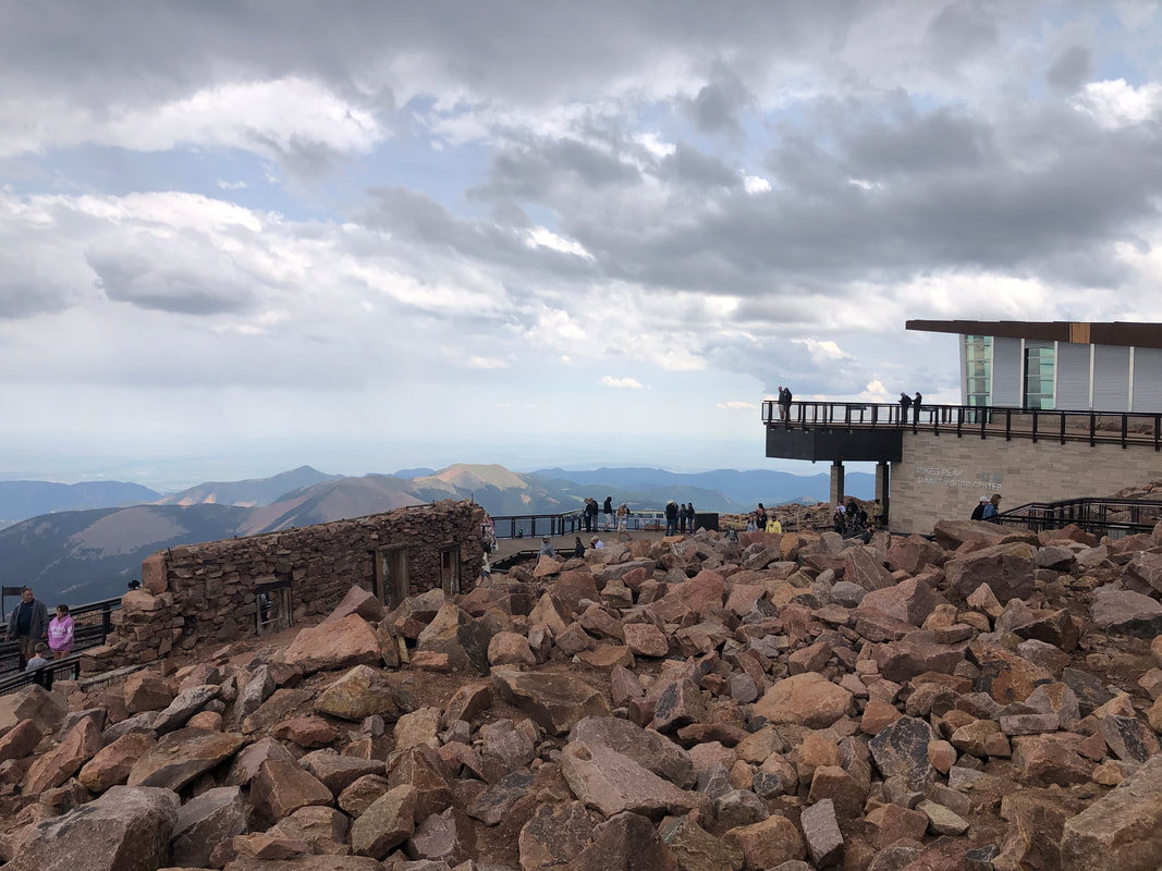
Pikes Peak, the tallest peak in the front range of the Rocky Mountains at 14,115'. To gain entry to the 19 mile drive, we pay to reserve a 2 hour slot, during which, we are allowed to begin the drive. For $32, it is way, well worth the expense. The opening scene of the drive is benign as we pass through the tree lined road but eventually, the views open. The average grade of the entire drive is 5.5% but that is skewed by several flat or down hill stretches. There are many 10-12% ramps and then as the oxygen quality diminishes, it would be a tough slog for the hikers or cyclists who we passed as we drove onward and upward. The mountains have their own climate and it seems clouds/rain gather each afternoon. At around 12,000', we reach the height of the tree line. Images do nothing to demonstrate the thrill/fear of driving along a road edge that were you to cross, would result in almost certain death. There is a huge difference between sitting in the passenger seat and the driver's seat. Multiple hairpin curves are negotiated and around one, a herd of goats had stopped traffic. On both sides of the road they mingled, well over 20 of them. Finally, we reached.... ....the top and there was this inspiring monument. Katharine Lee Bates, the author of "America the Beautiful" had stood at this spot in 1895 and so inspired was she, she wrote the famous words as a poem before later having it put to song. The top is chock full of rocks and little else other than what has been built. Up until 1995, the road to the peak was dirt but now fabulous pavement. There is an alternative route to the peak, via a train Remnants of a building constructed in 1873 still stand. It being a polar climate at the peak with snow possible every month, it would be a chilly existence for those who worked there then and now. At the peak, the partial pressure of oxygen is only 60% compared to sea level and we both noticed it. Breathing was a little labored. We began the descent with the warning to put our SUV in a low gear. As we descended, we noticed tire tracks well left of center and figured out they are from the annual road race to the peak. At 11,000', we are required to stop for a brake pad temperature check. Too hot and you are told to wait in a parking lot for the brakes to cool. At some point, we saw a guy throwing water at his break pads. Across from the brake check point is a quaint lodge. In an effort to raise funds, some people have resorted to some unusual efforts, chronicled above. We made it to the bottom and undoubtedly the drive was one of the top 3 highlights of our month away from southern AZ. Now thinking about hiking or cycling to the peak but that oxygen deprivation is a problem.
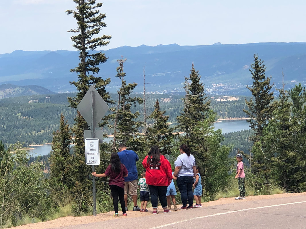
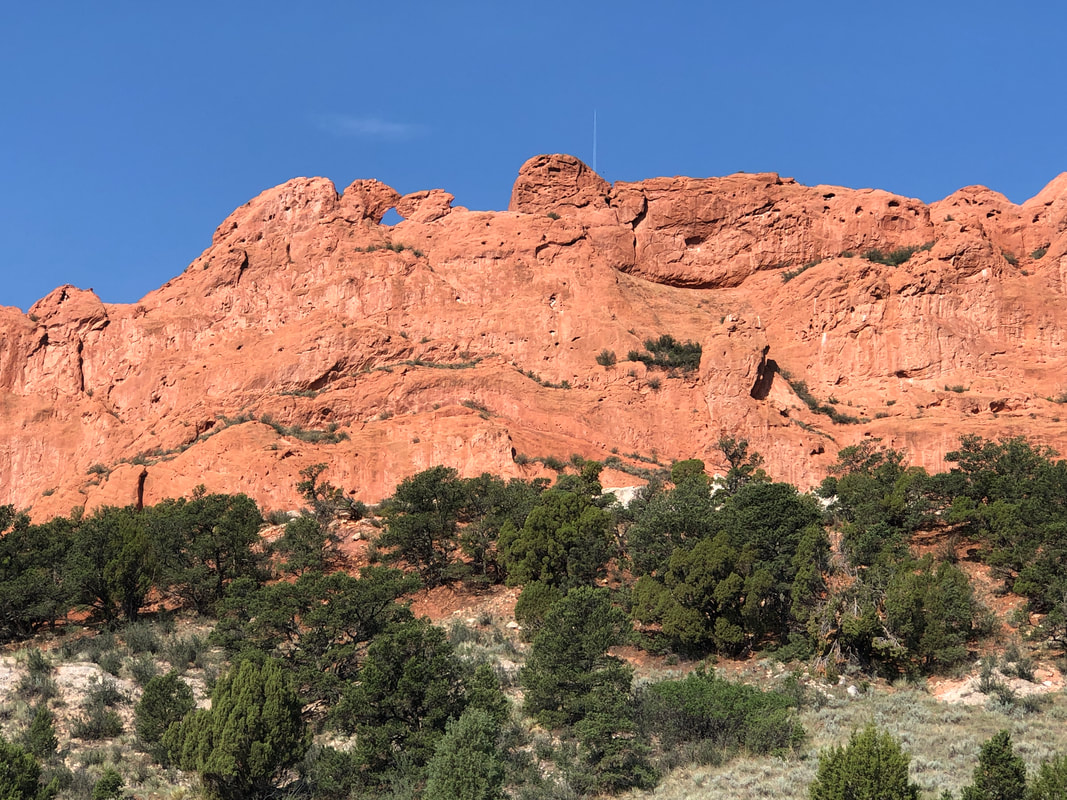
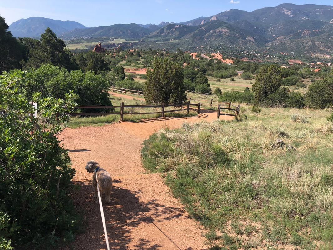
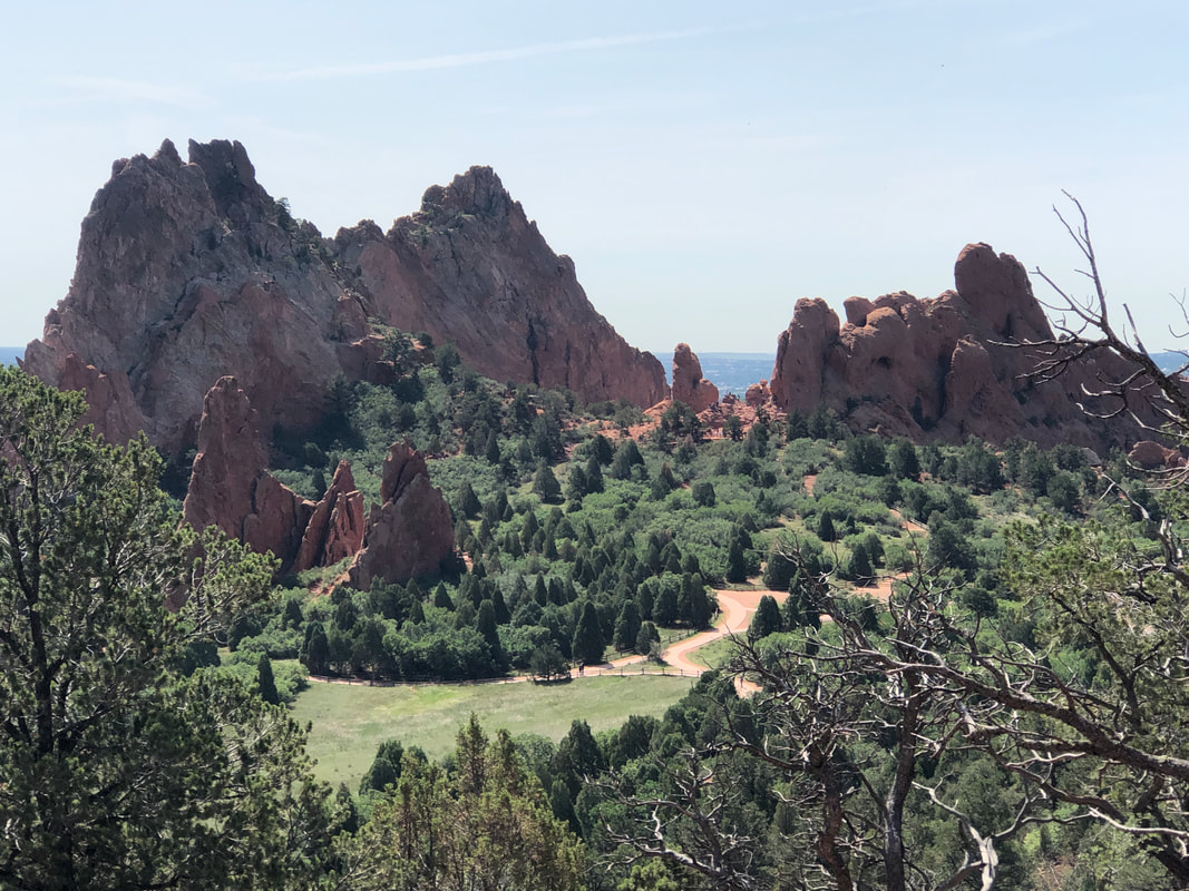
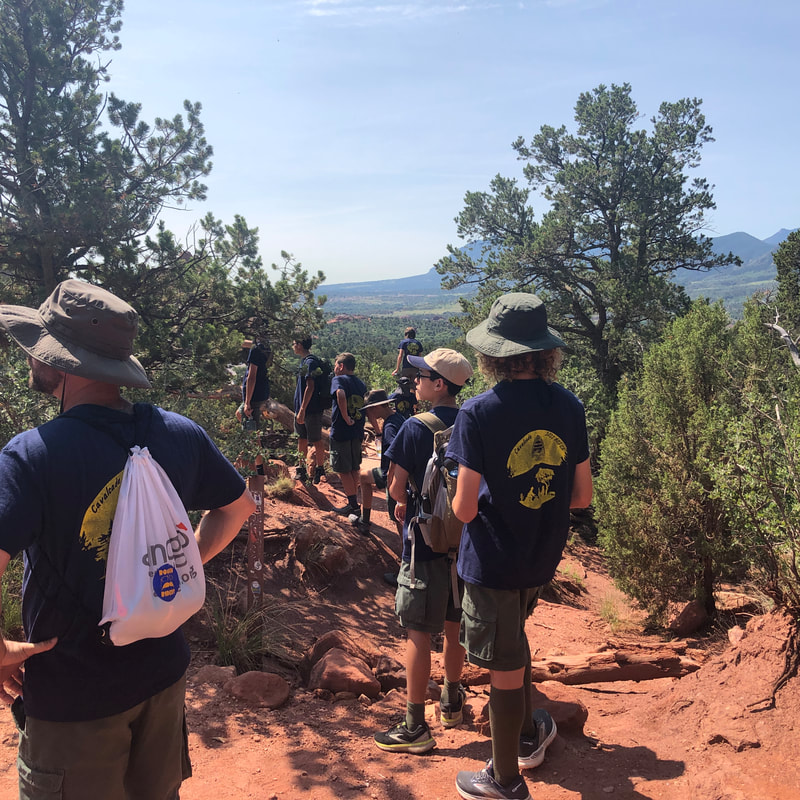
The day after our ride, we returned to hike. I typically wouldn't post this since it's a repeat of our prior visit but it produced some new images. Above, left of center, the kissing camels. Our loop hike takes us past many formations that we saw the day before but the main reason for coming was.... ....to give Jack a workout. The hike was flat to rolling except on the back side, there was one good climb with great views at the top where I shared space with.... ....a well behaved group of children, being guided by a couple of adults. We finished with just under 4 miles. Now, on to the exhilarating drive up Pike's Peak.
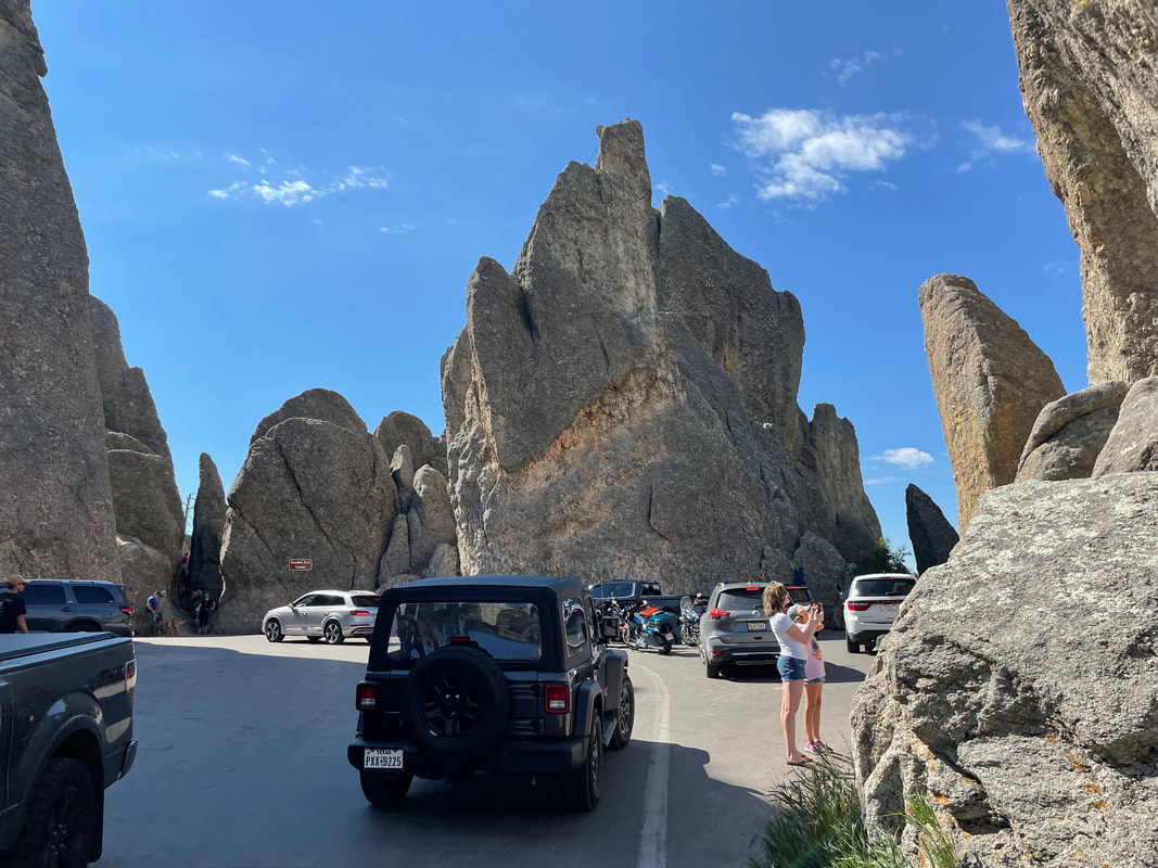
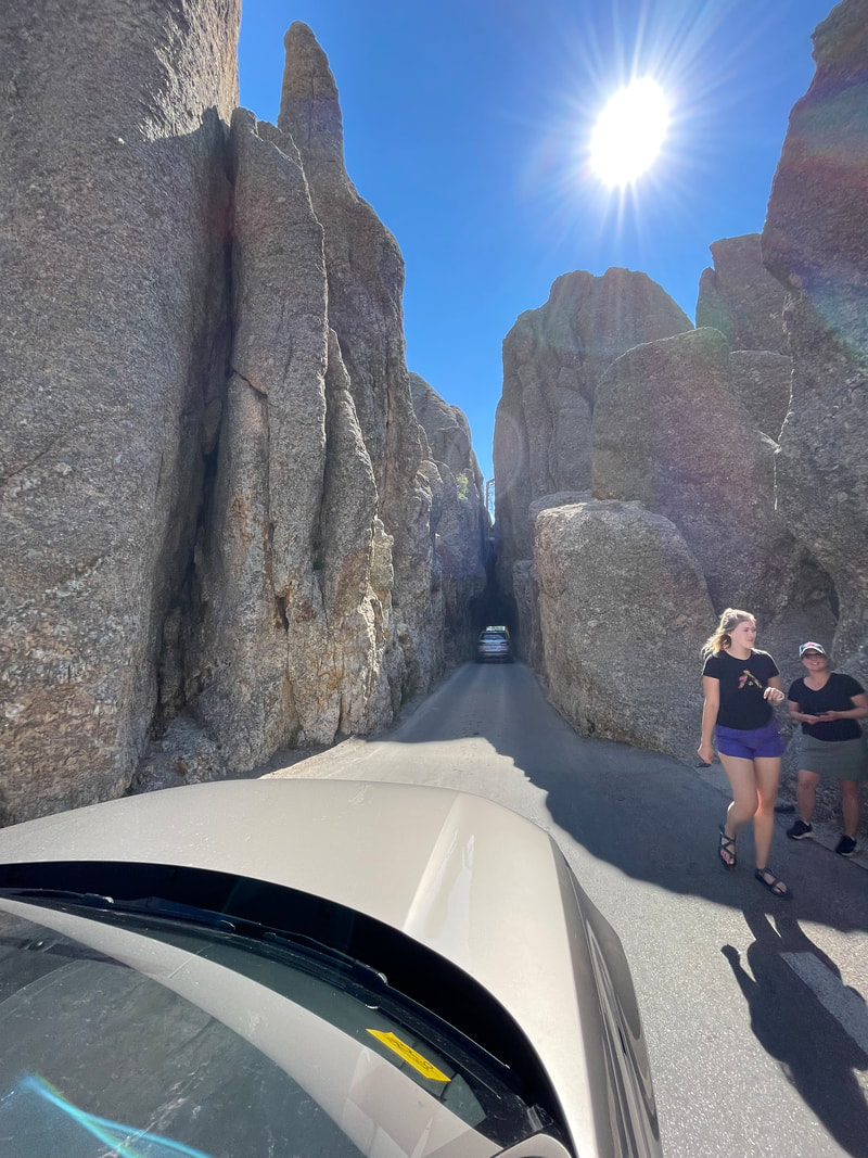
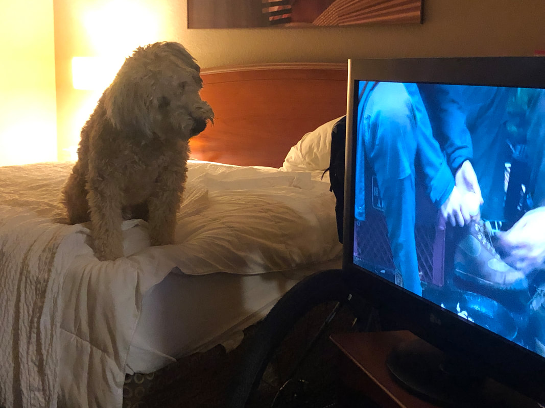
We depart Sundance and head for Hill City, SD for a couple of nights. We enjoyed a gravel ride on the Mickleson Trail, following it to Custer and back. We enjoyed our stay and hanging out in the small town. The next day.... ....following someone's advise, we head to Custer State Park and follow Needles Highway. At some point the road appears to enter a box canyon where there is a chaotic scene of vehicles and people. I wondered if we were to turn around here but then.... ....we make a sharp left and line up for entry into a.... 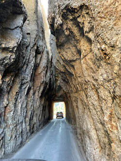 .....a very narrow (a little over 8' wide) tunnel. Emerging from the other side.... ....we can look back and see from where we emerged. There were many pull outs with trail heads that suggest we should come back to explore. Other.... ....tunnels were on the route before we headed southwest to Colorado Springs and checked.... .....into a hotel where Jack enjoyed an action movie. Next is Garden of the Gods and an exhilarating drive up Pikes Peak.
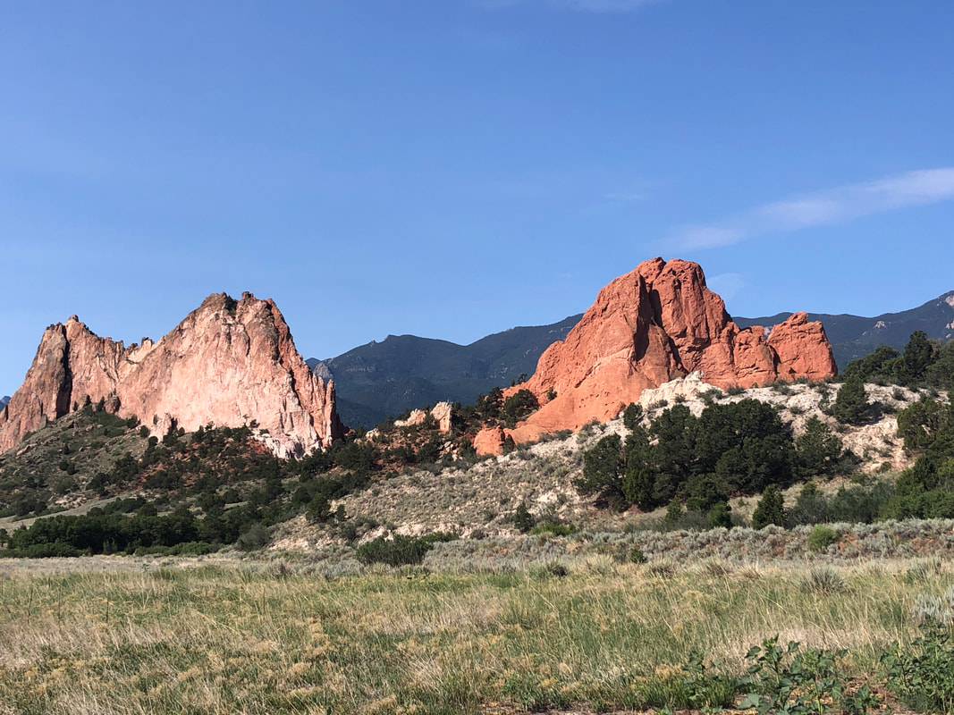
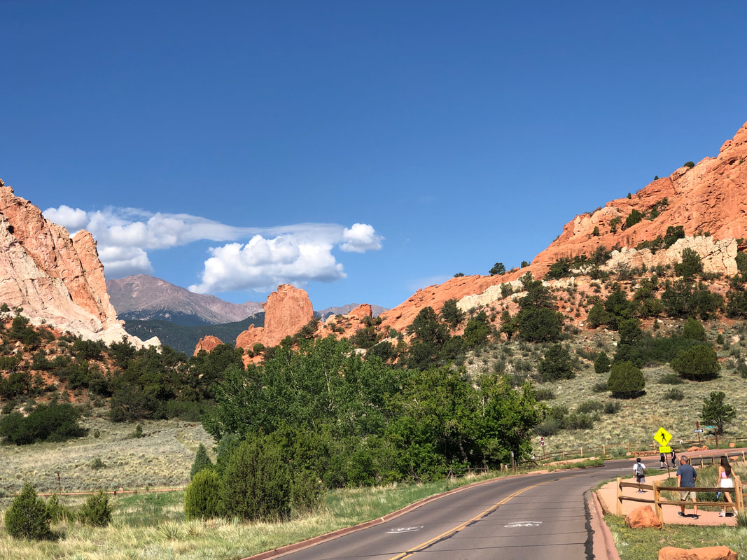
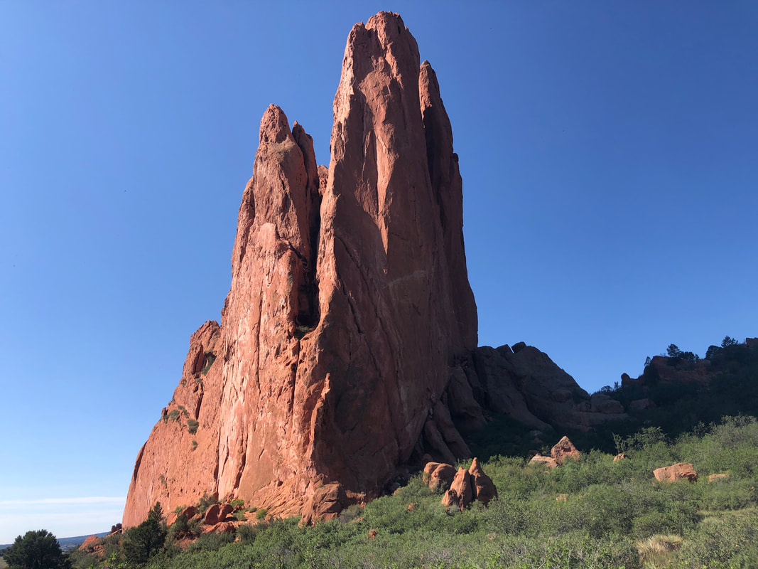
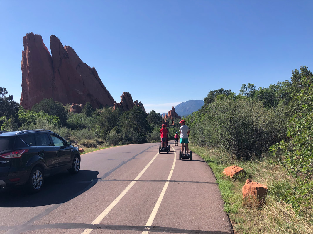
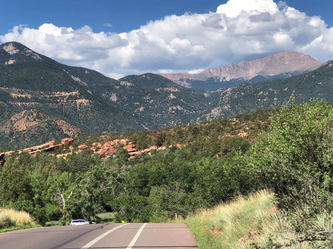
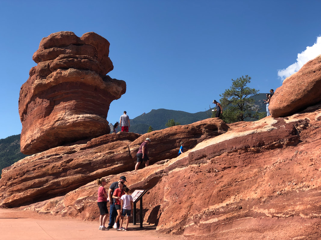
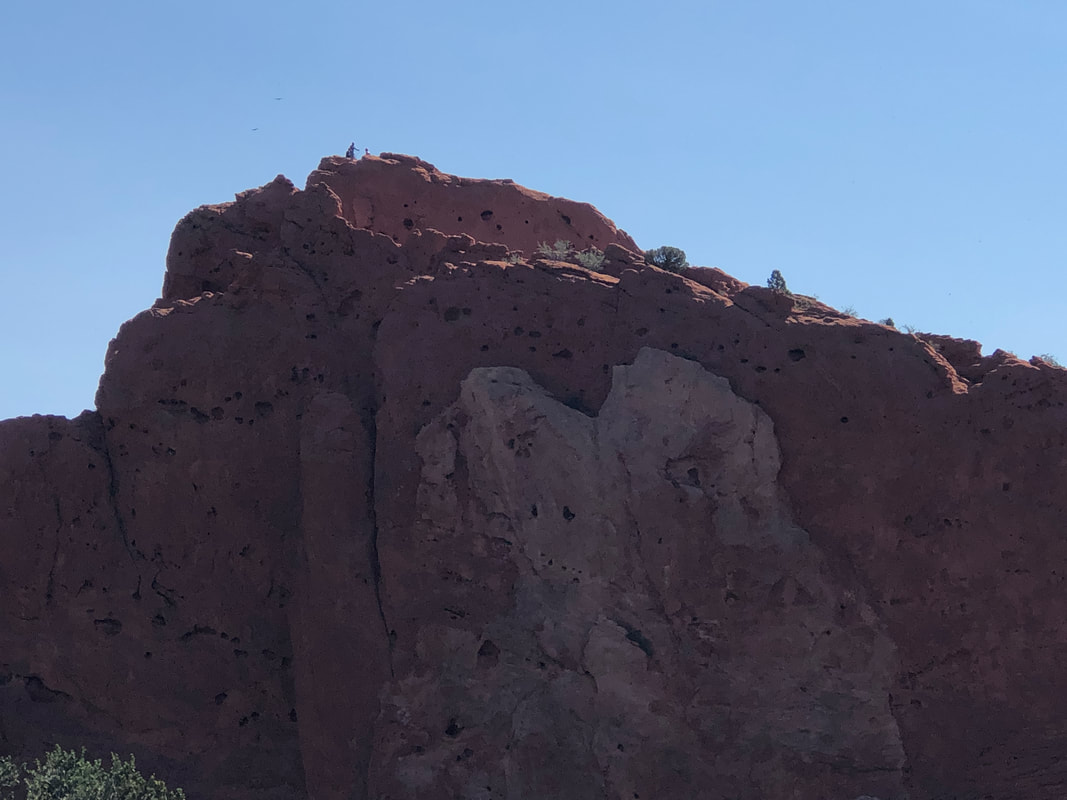
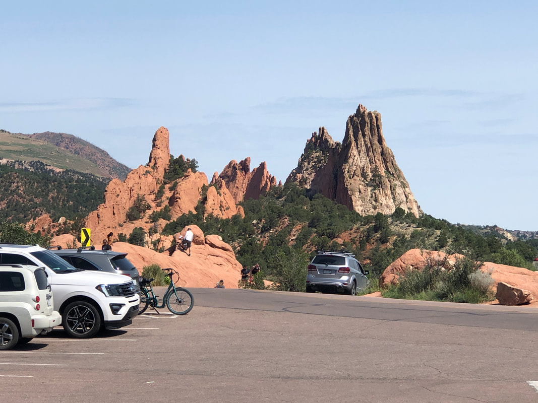
We arrived in Colorado Springs and there to our west, Pikes Peak! That would be left for another day. First we hop on our gravel bikes for the short ride to..... .....Garden of the Gods. The scenery is spectacular as we enter the park and begin a counter clockwise loop. The route is about 6 miles with a couple of good climbs and great views mixed in. It being a weekend, there are lots of cars, Segways, walkers but an ample bike lane too. Pikes Peak, upper right in the above image. Lot of pull outs to check out the popular features. And yes, some of the formations are climbed. Note the people standing left of center on the summit ridge. The contrast of colors for formations sitting side by side is amazing. Having completed the loop, I went around a second time, finishing with 18 miles. My gravel bike has tires wider of course than a road bike but not excessively wide. Amy's bike has very wide tires so it's kind of a drag to ride on pavement with so much rolling resistance so she opted not to ride the loop again.
|
Categories
All
Archives
November 2023
|
