|
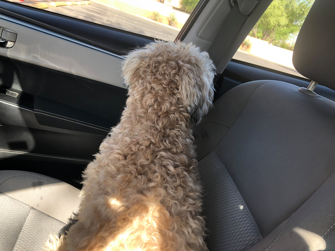
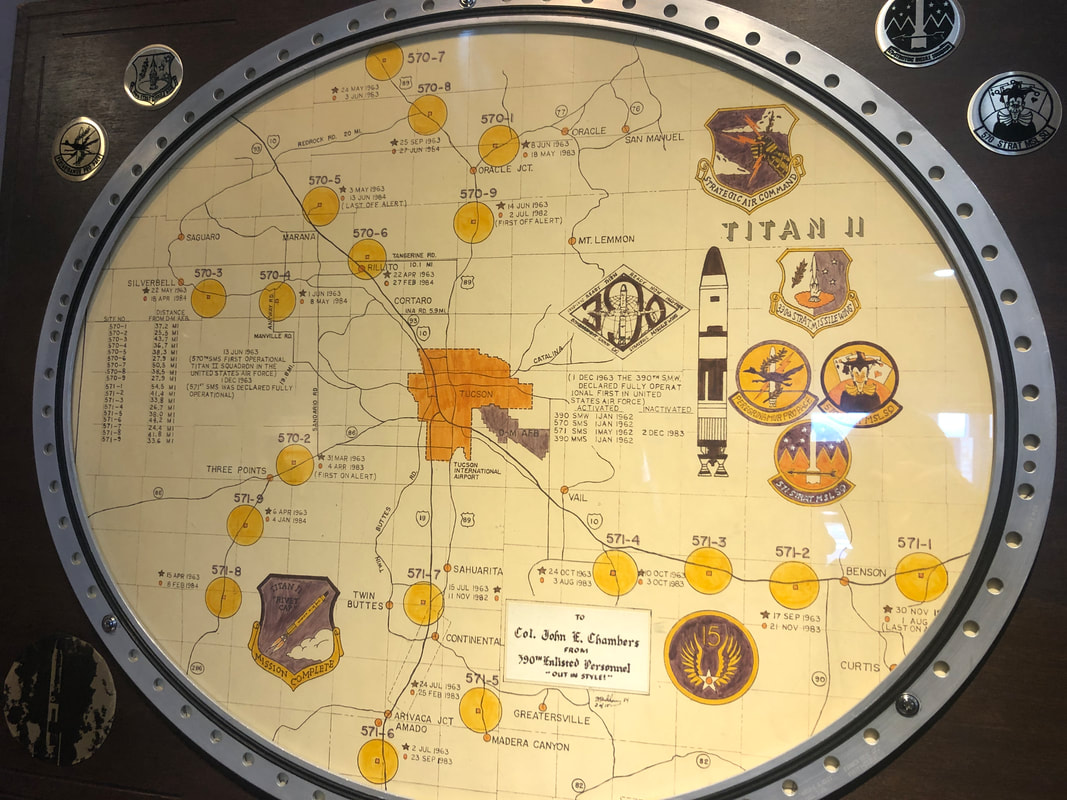
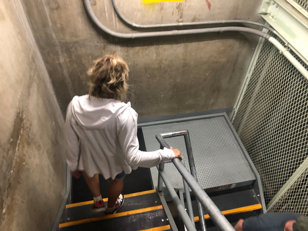
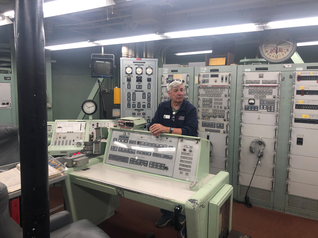
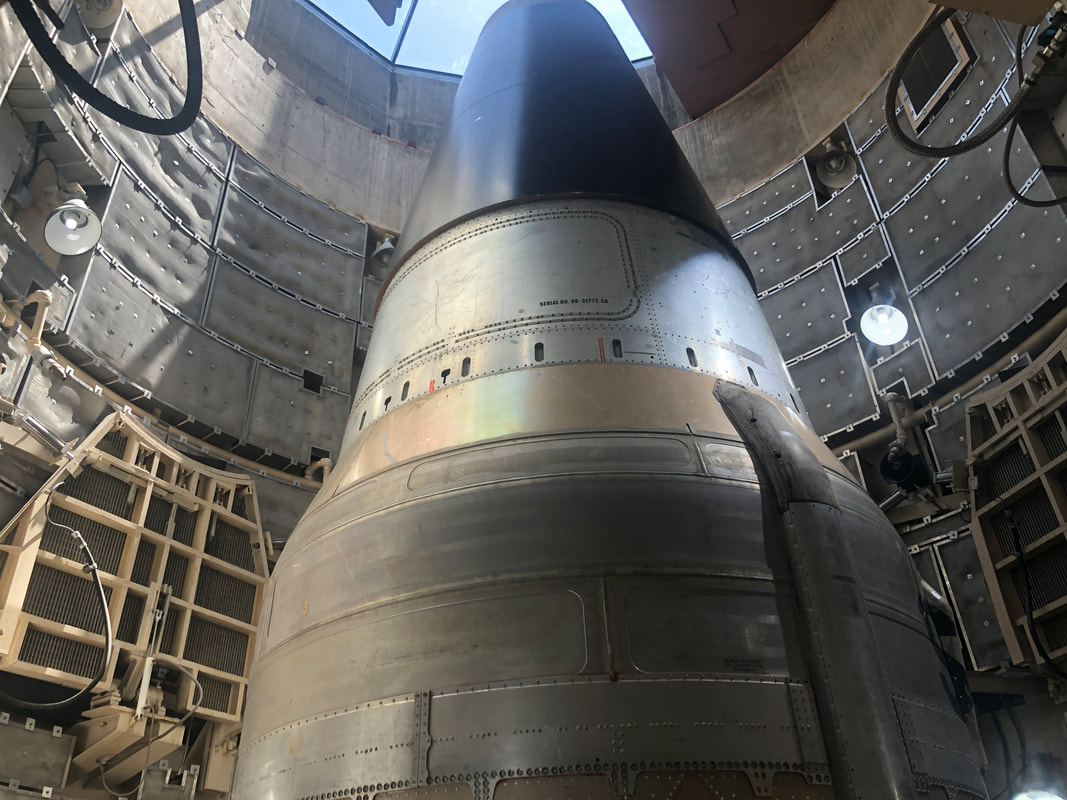
We begin this report with an update on Jack the Dog. Car rides continue to be a point of stress for our Wheaten Terrier. He sits, staring into a corner, panting. Put the car window down and no response. A friend has the same issue with her dog so it's not unique to the Jackster, He's a very mild mannered, fun loving dog and a great companion. I've never visited the Titan Missile Museum so we checked it out on Sunday. The above map shows 18 yellow circles, each identifying the former location of the missiles around the Tucson region. There were three other clusters like this in the US. Our group ($15 per person) descends 55 steps, walk through two thick blast doors and enter..... ....the control room. Our guide, having worked at a Minuteman site in South Dakota, had a broad, working knowledge of life below ground. Fascinating listen. Then we walked to a floor of the.... ....missile silo and got a good look and explanation of how the missiles would have launched, which thankfully, they never did. All the Titans have been destroyed except for the one, stripped of its fuel and warhead. Good tour, lasts about 45 minutes.
0 Comments
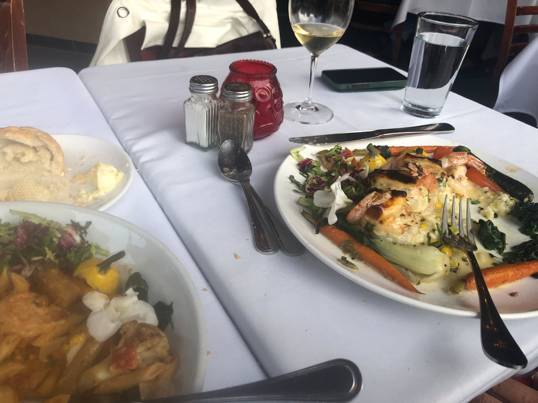
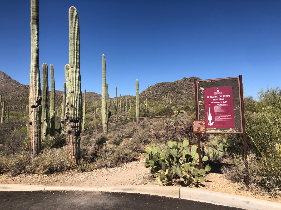
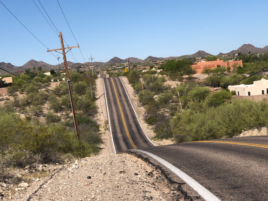
Amy and I made a first visit at the "Wild Garlic Grill" which was very good. I should have taken the image before we began eating rather than mid way through. The portions were enormous so I had enough left over for two lunches. Next day.... ....I stopped at a gas station during a ride for a break and the quality of the food was not as good as the night before but it was much less expensive. My 51 mile route took me..... ....to the Camino Del Cerro trail head, also a first visit via the bike. It's a decent climb to the end of the road and looking eastward.... ....I was treated to nice views. I plot my routes depending on the wind direction. I'd rather have a head wind at the start of a ride and then ride the wind, coming home. Typically, mornings begin with ESE winds and switch to WSW winds late morning. I rarely am lucky enough to time it just right where I can ride the wind both directions. Visited the Titan Missile Museum for the first time and will have a brief report up soon.
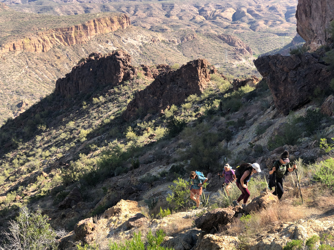
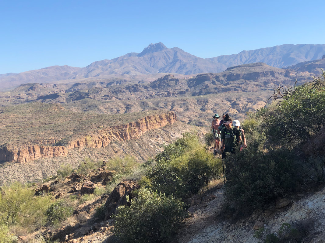
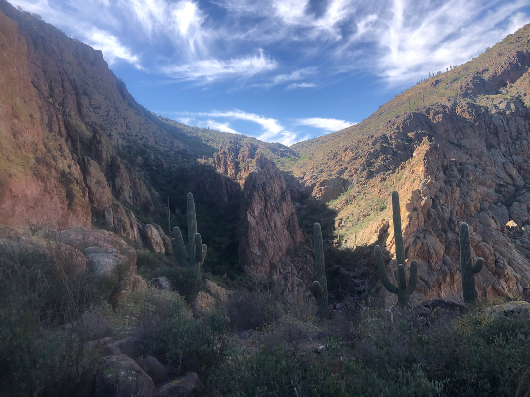
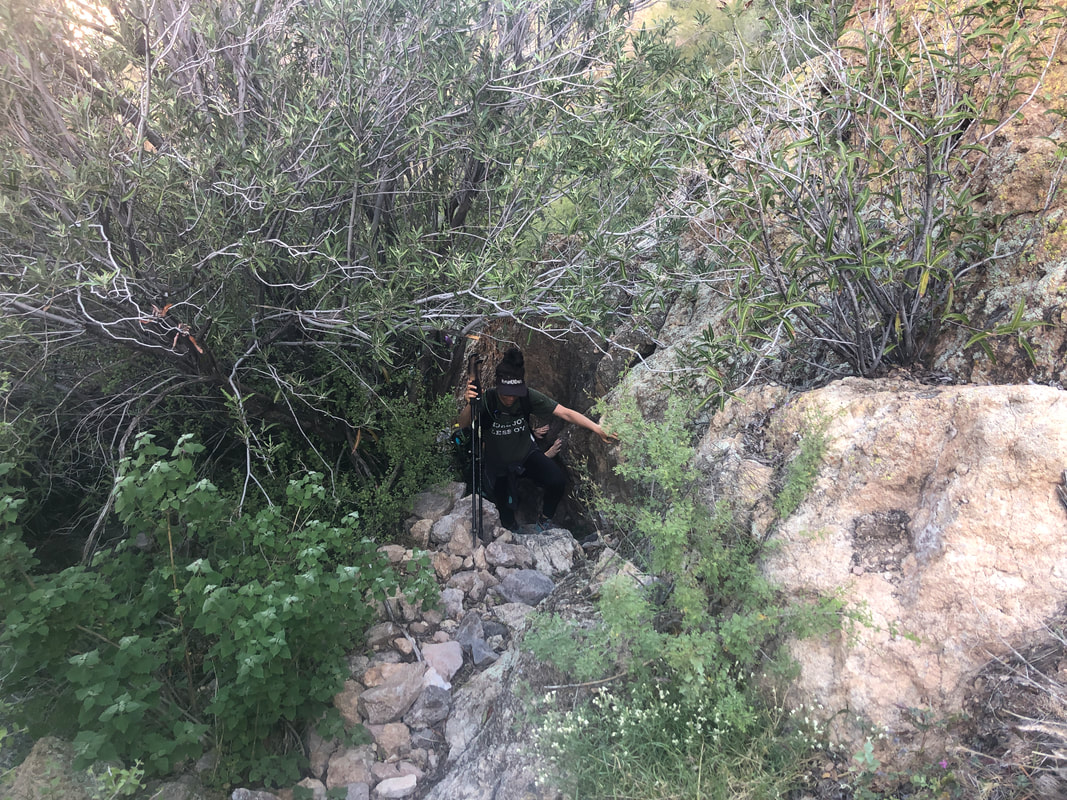
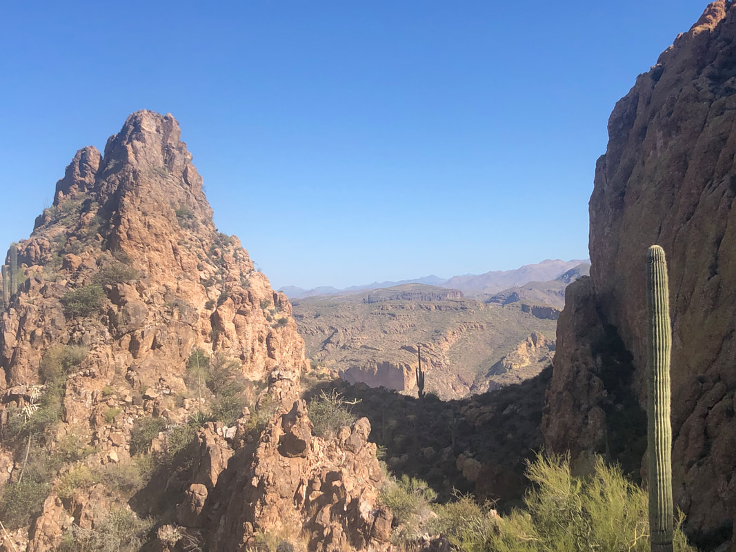
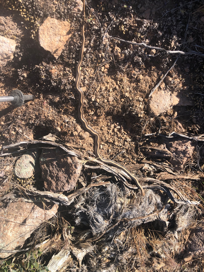
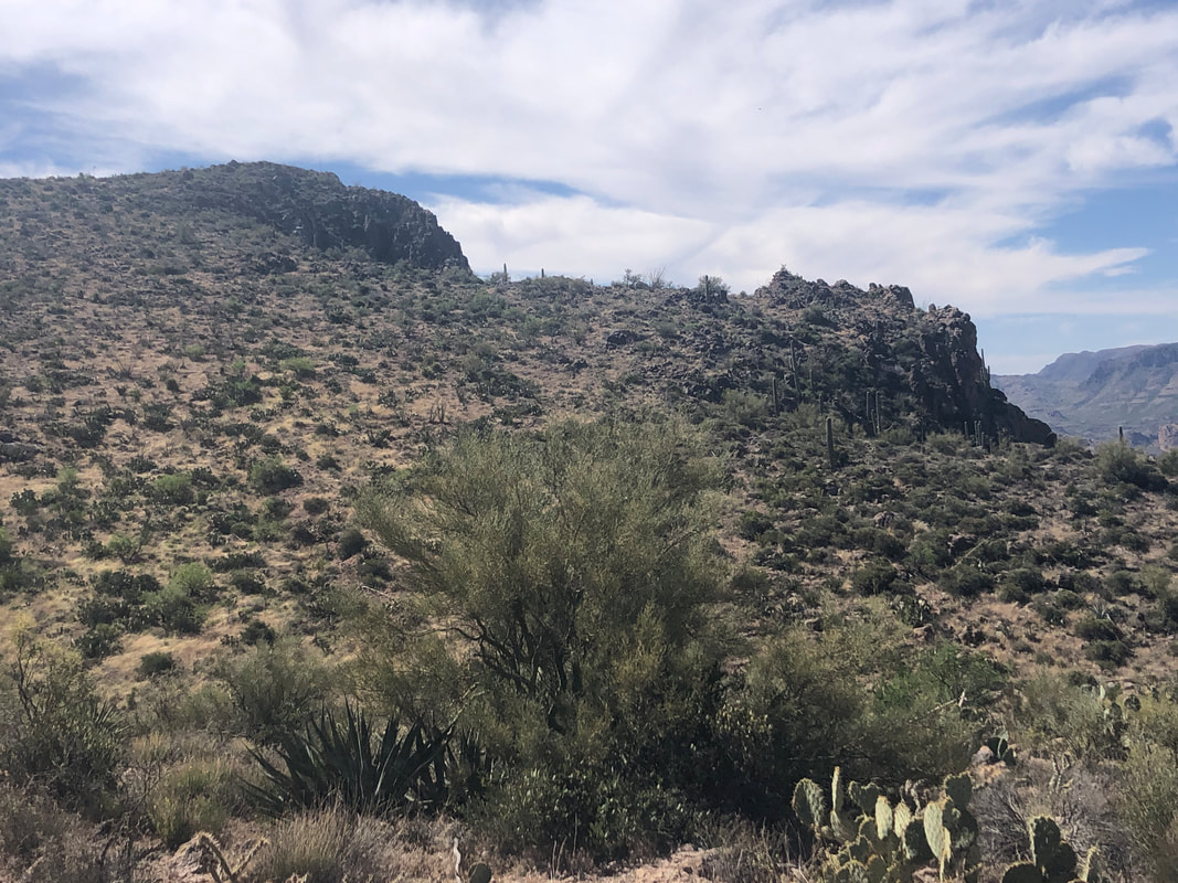
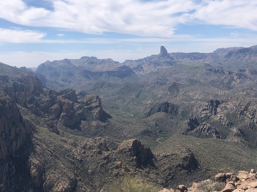
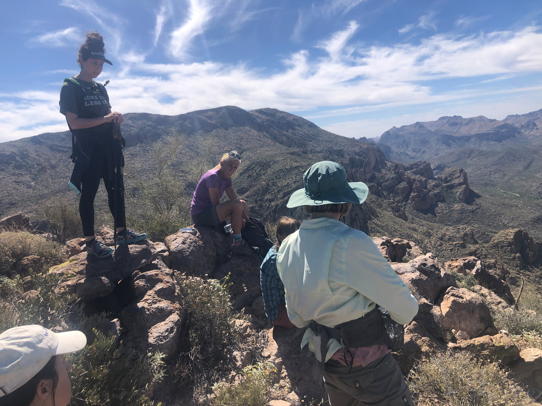
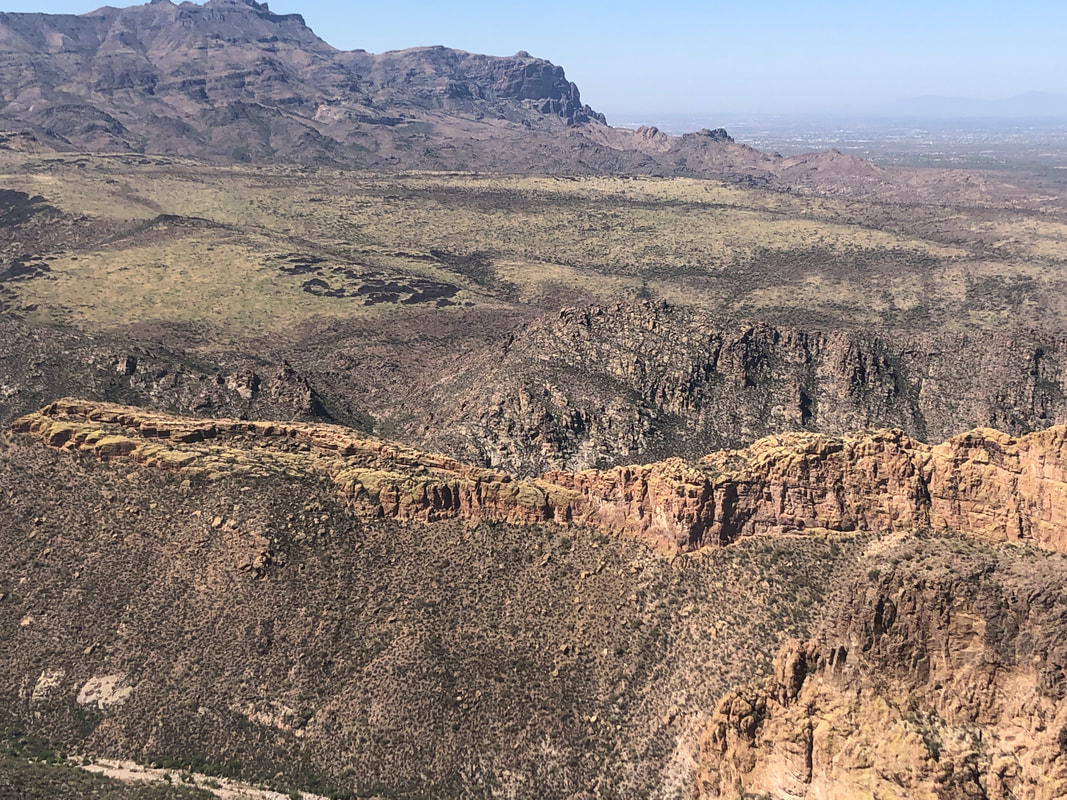
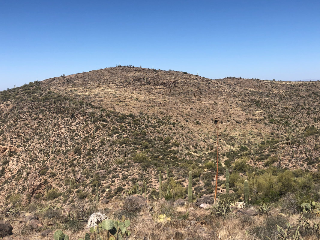
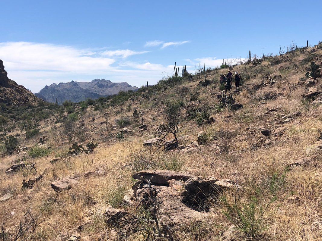
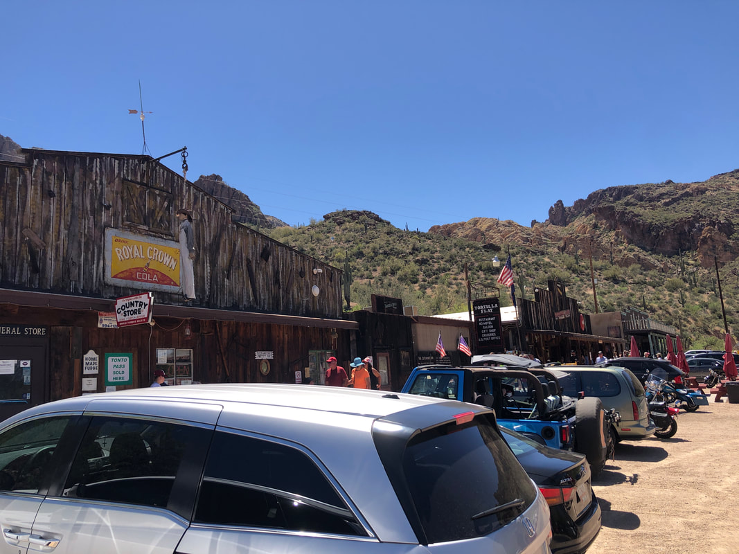
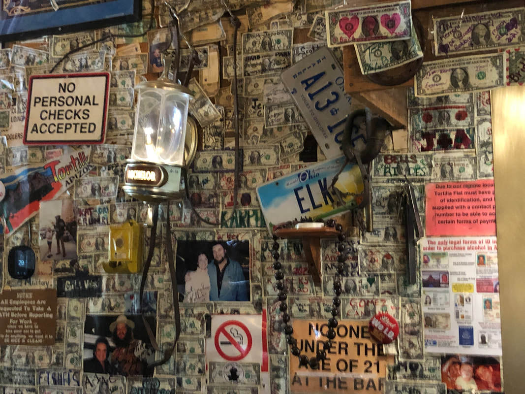
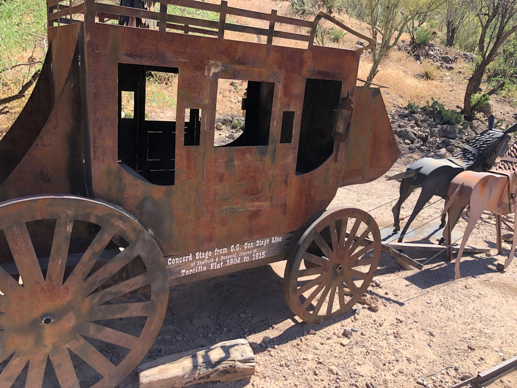
Our group of six arrived in the town of Tortilla Flat at 8am and found ample parking. At this hour, the saloon/restaurant and other businesses had not yet opened but soon, finding a parking spot would be a challenge. We got on to a faint social trail and began a fairly steep climb. What amazing views to the north as we climb higher, getting a look at St. Rt. 88, aka Apache Trail. We close on the first of several ridges. Great views! At a second ridge I note that the "Fragile Arch" is no more. I pointed its foundation to the group and wondered what led to its demise. In the distance, a third ridge to gain but first we would drop, stay to the left of the massive middle formation and then climb.... ....much of it through a narrow ravine. An opening to our right gave awesome views to the west. Upon gaining the third ridge, we dropped into a bouldery ravine and followed it for awhile before breaking out onto a left face slope. There was no trail to follow, just moderate bushwhacking, during which I almost stepped on the above, non venomous snake. Our route followed a reverse C shape and eventually, our destination, Geronimo Head on the left. From this angle, very nondescript but upon reaching it.... ....wow! One could stay here for hours and just gaze on all that is offered for our viewing pleasure. We drop our packs and take a well deserved break. The main highlight of this hike of course is..... ....looking down on Battleship Mountain, the yellow colored formation in the center. The ship is climbed on the left but from the other side and then the real fun begins as hikers work their way to the far right. What great fun that is. As the group lounged, I was thinking about taking a different way back to the aforementioned third ridge where we would find the social trail to lead us to the trail head. Looking at the above image, I could make out a two year old burn area that I thought would provide easier walking so we gathered our things and headed for it. We stayed high above the boulder filled ravine but eventually had to drop into it and thus began a fun, boulder hopping experience. We got back on the social trail and finished our 5.8 mile, 1900' elevation gain hike. Then.... ....being thirsty and hungry, we entered a restaurant and went.... ....belly up to the bar where I sat directly across from an Ohio license plate, my home state. Heading back to the parking area, we passed what claims to be a stage coach from the early 1900's. Wow, how uncomfortable must it have been to sit in that.
I got in a 53 mile ride, took a day off and hopped in with a group of 11 on a route that included my first visit to Sunset Road. Whoa! Three miles of up and down so I spit the bit (legs still kind of fatigued) and waited for the group to return, to renew the 35 mile route. We had two, unusual days of exceptional wind so I did a short hike, once again, on the Linda Vista trail. Always nice views of course. The wind finally subsided so I..... ....carried my bike from my second story condo on a beautiful morning and headed...... ...back to that Sunset Road where I rode to its end. Big hike coming this weekend!
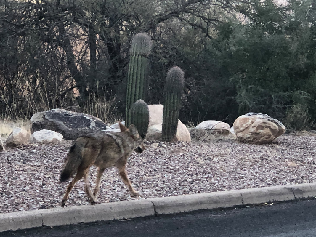
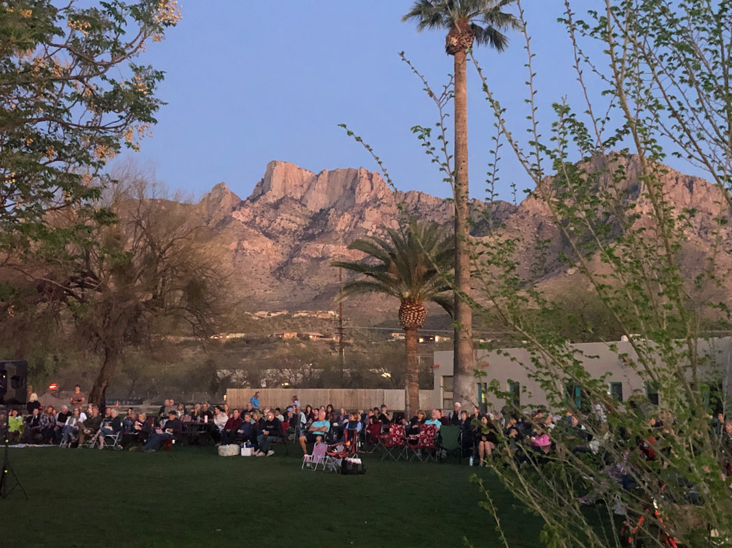
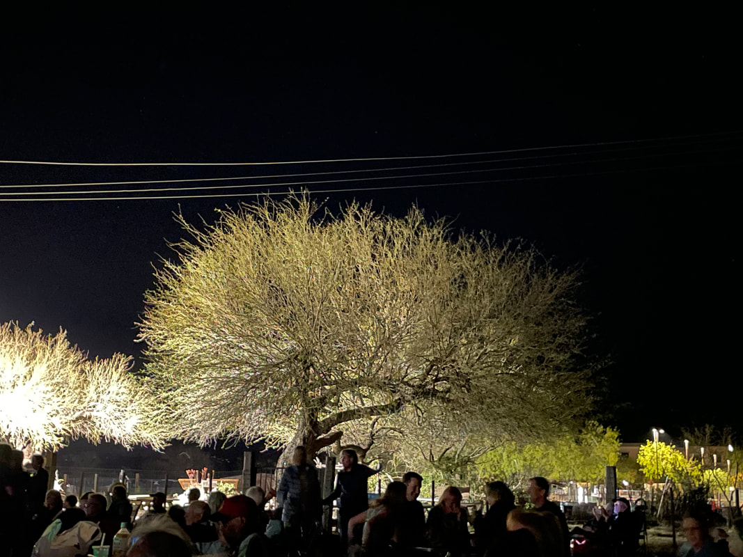
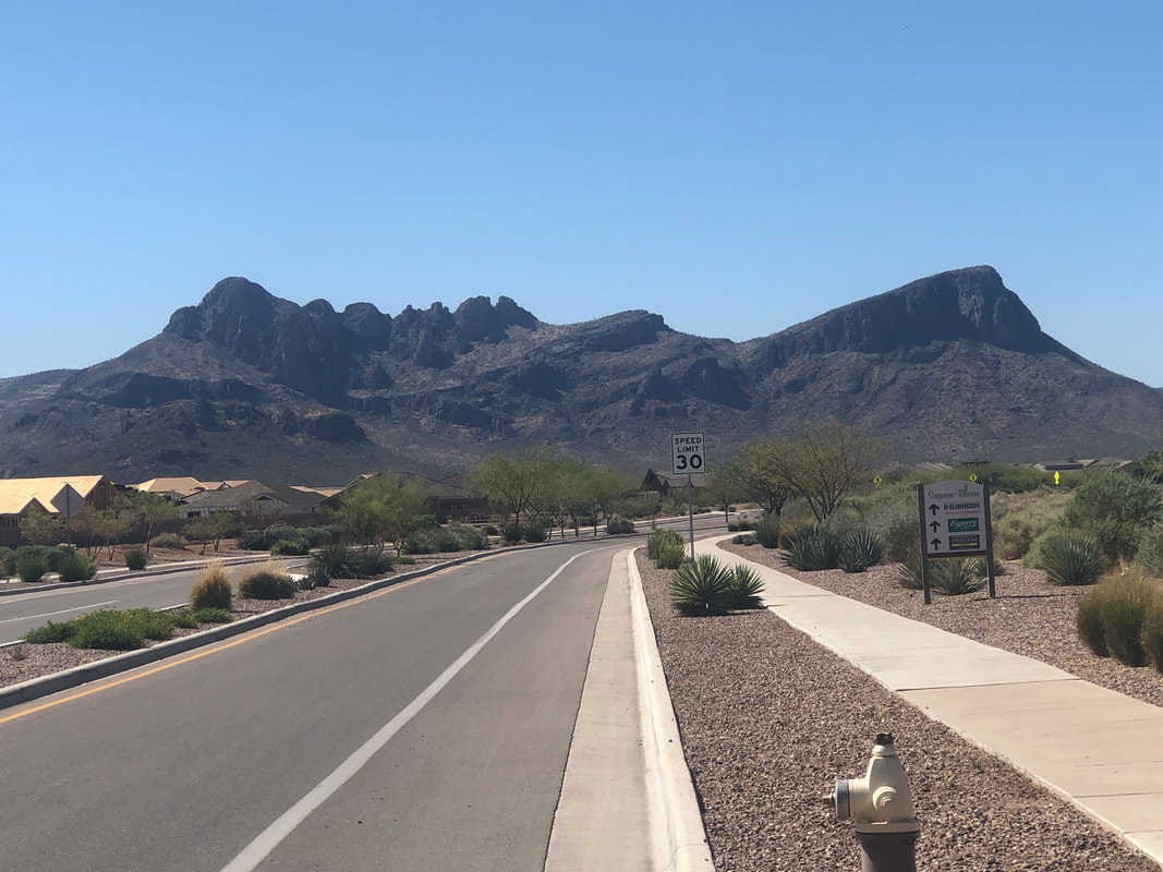
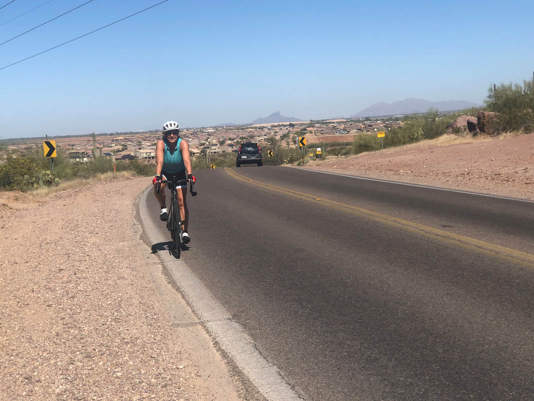
Friday morning, I spot two coyotes trotting on the road in front of my place, one with a small animal in its mouth. Then they split so I drove along side the one without a meal. He wasn't much disturbed by me briefly shadowing him. Friday evening, Amy and I attended an outdoor event at Steam Pump Ranch. In the late 1800's, two enterprising friends bought land here. Water was plentiful and close to the surface so they rigged a steam pump to help bring the water to the surface, hence the name. One of the friends was George Pusch and the ridge above is named after him. What a beautiful scene, no matter the time of day but especially when the sun sets. The performing band was ok but I didn't care for most of the playlist. I recognized all the songs but none were from my top 500 songs of all time. Amy took the above impressive image. Then.... ....Sunday morning we got out for a bike ride. Part of the ride was the long grind up Twin Peaks Road to Dove Mountain. The road name is from the above two peaks on the far right and far left, Panther and Sombrero (also known as Safford Peak). As previously stated, I've been mostly riding although I did hike the nearby Linda Vista trail. In the back of my mind, I've been thinking about an Ohio visit and hooking up with some of the cycling groups that I miss. I'd like to be in decent cycling shape but I'd need to ride much more and add much more climbing, especially short steep hills found in the Catalina Foothills. I got in 440 miles in March but would need an 800 mile month in April to really get in shape. Oh, and drop about 6 pounds, lol. We ventured west of Marana and gosh, what a booming buildout of residential neighborhoods. A short 3 years ago there was little traffic but not anymore. Above, Amy reaches the top of Rattlesnake Pass. Using a combination of leg workouts and increased cycling, she's become quite strong. Well, that's it for now.
|
Categories
All
Archives
November 2023
|
