|
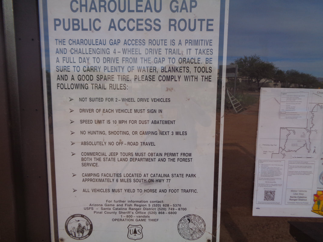
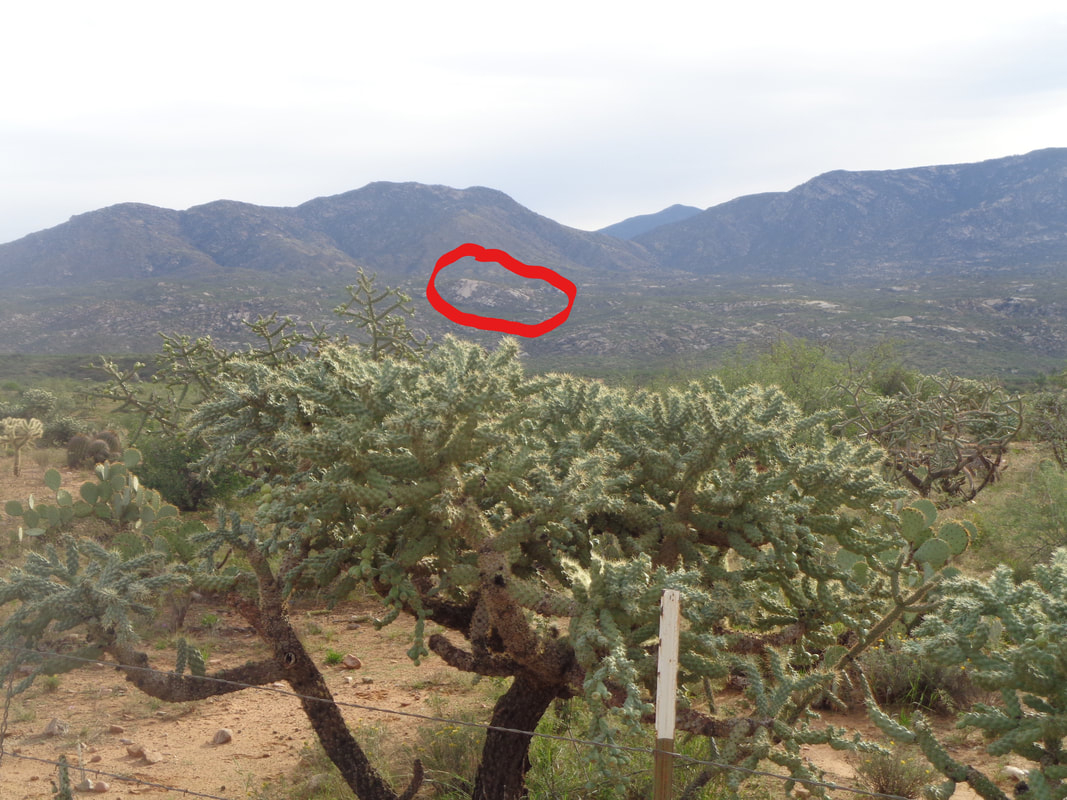
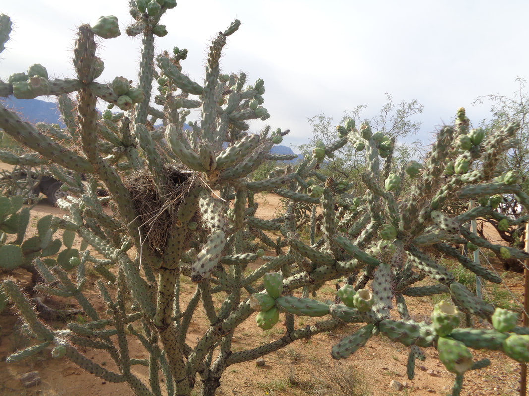
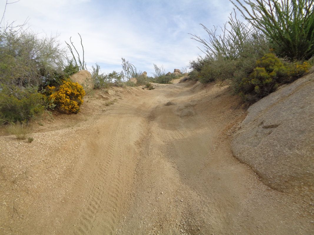
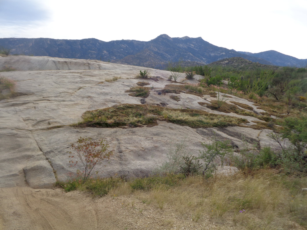
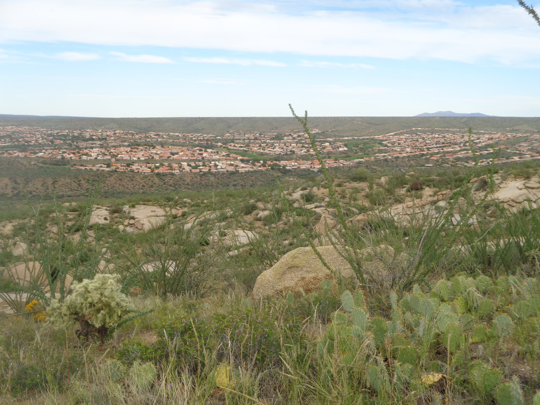
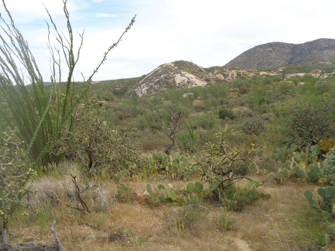
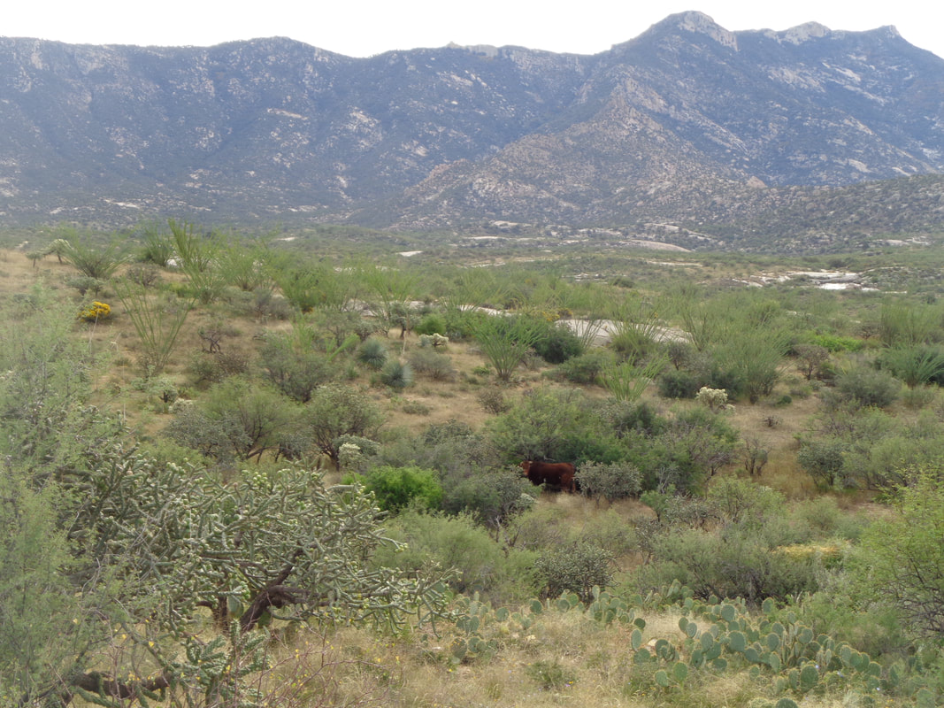
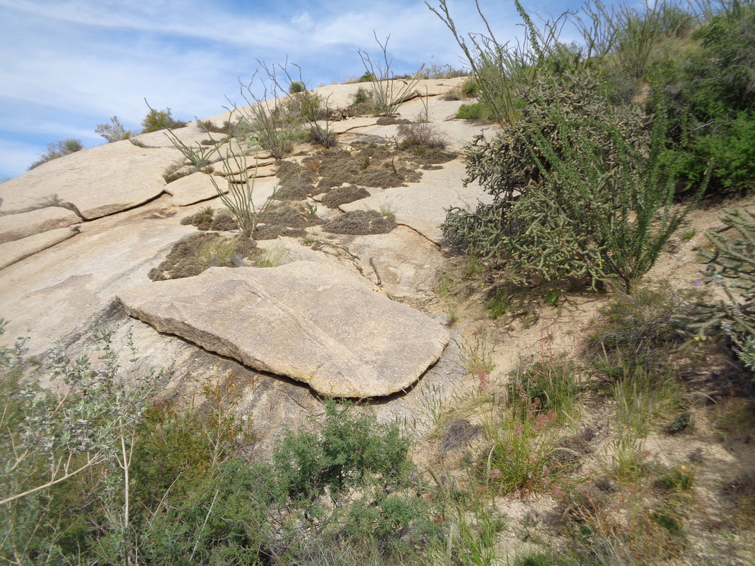
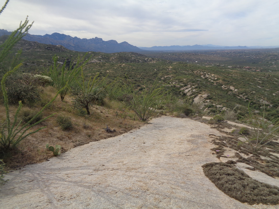
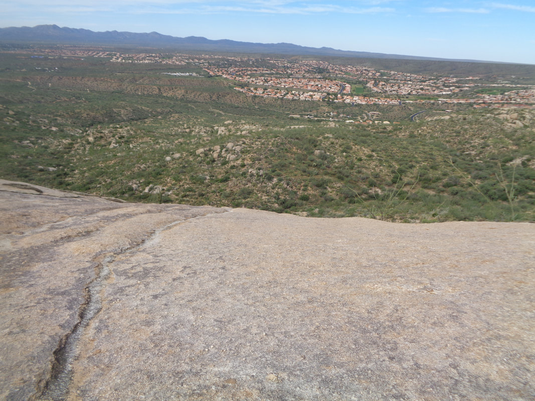
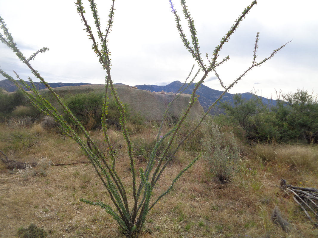
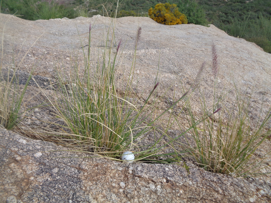
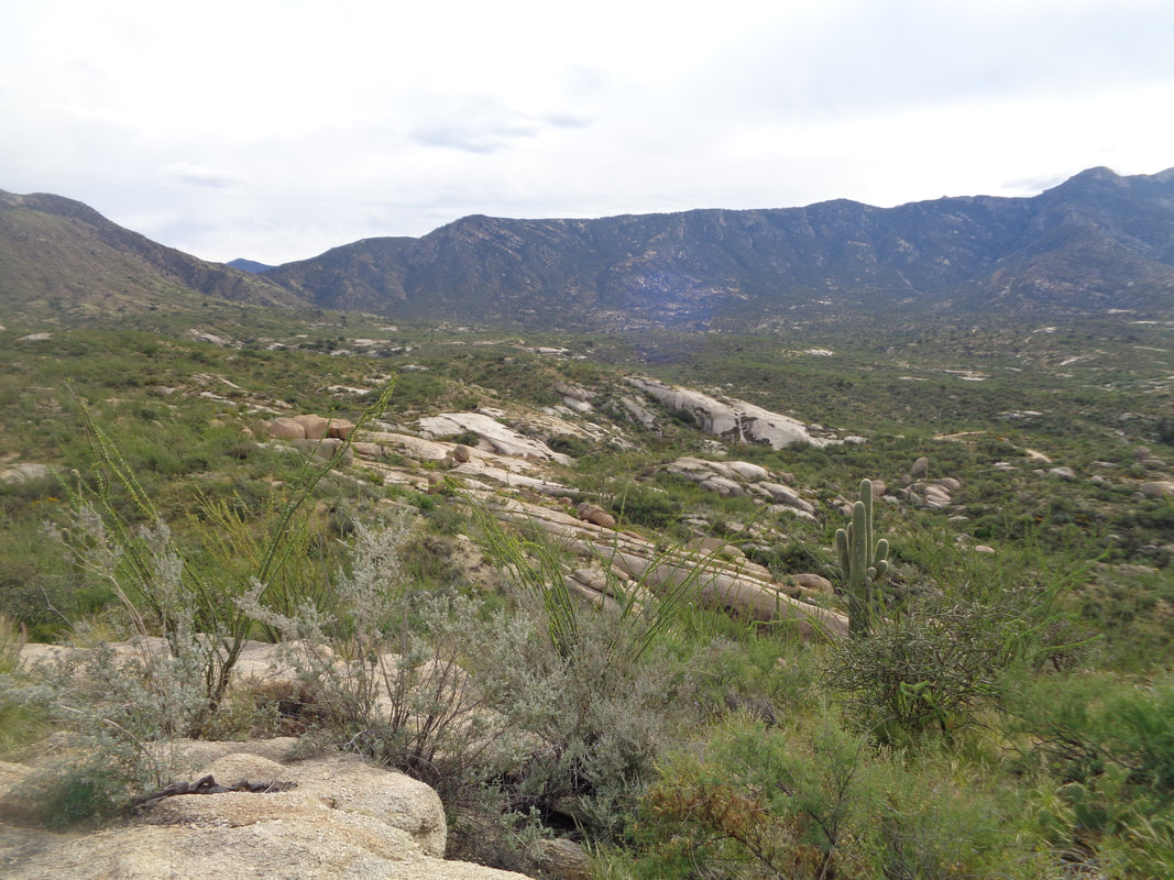
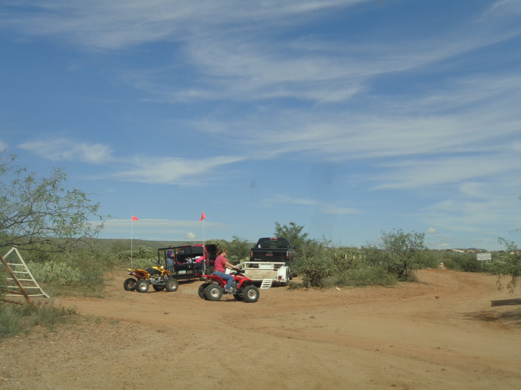
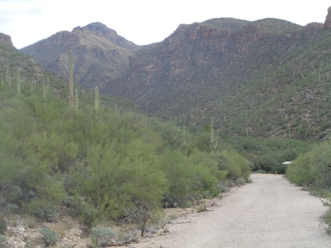
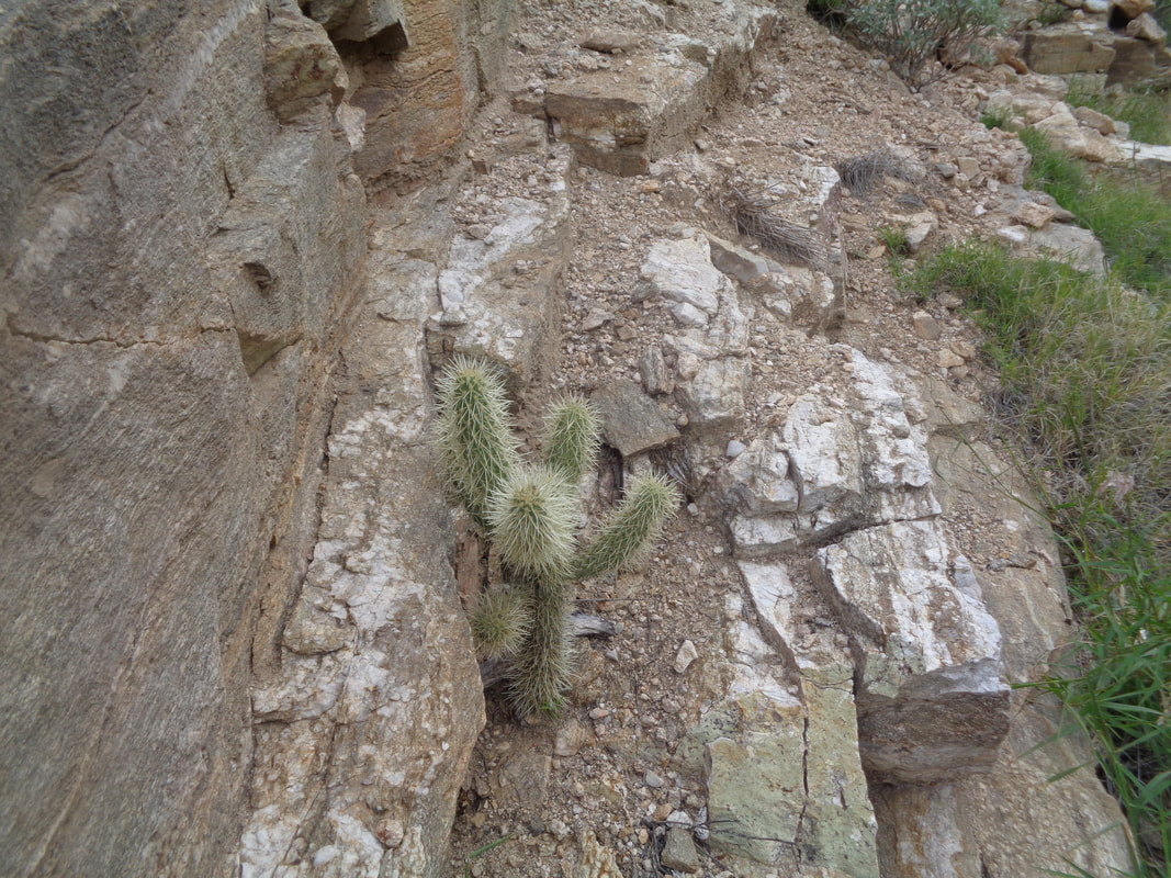
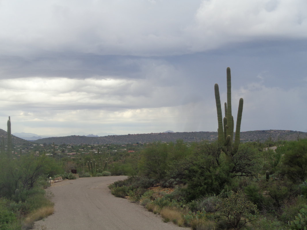
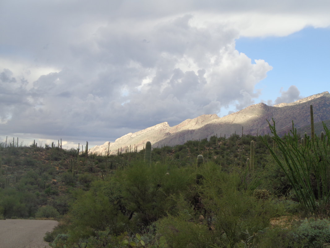
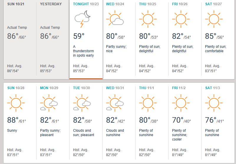
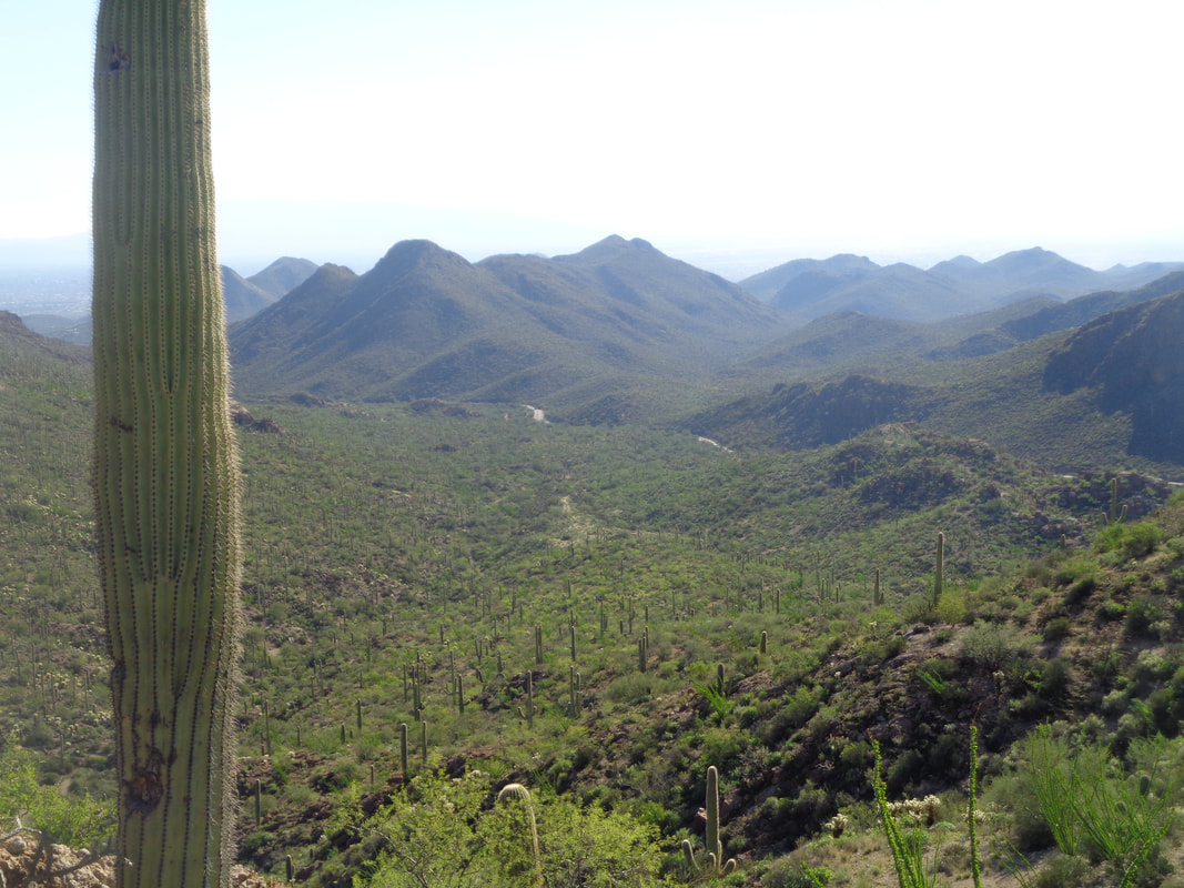
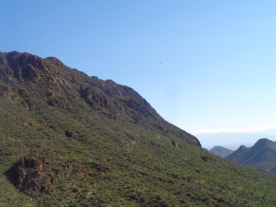
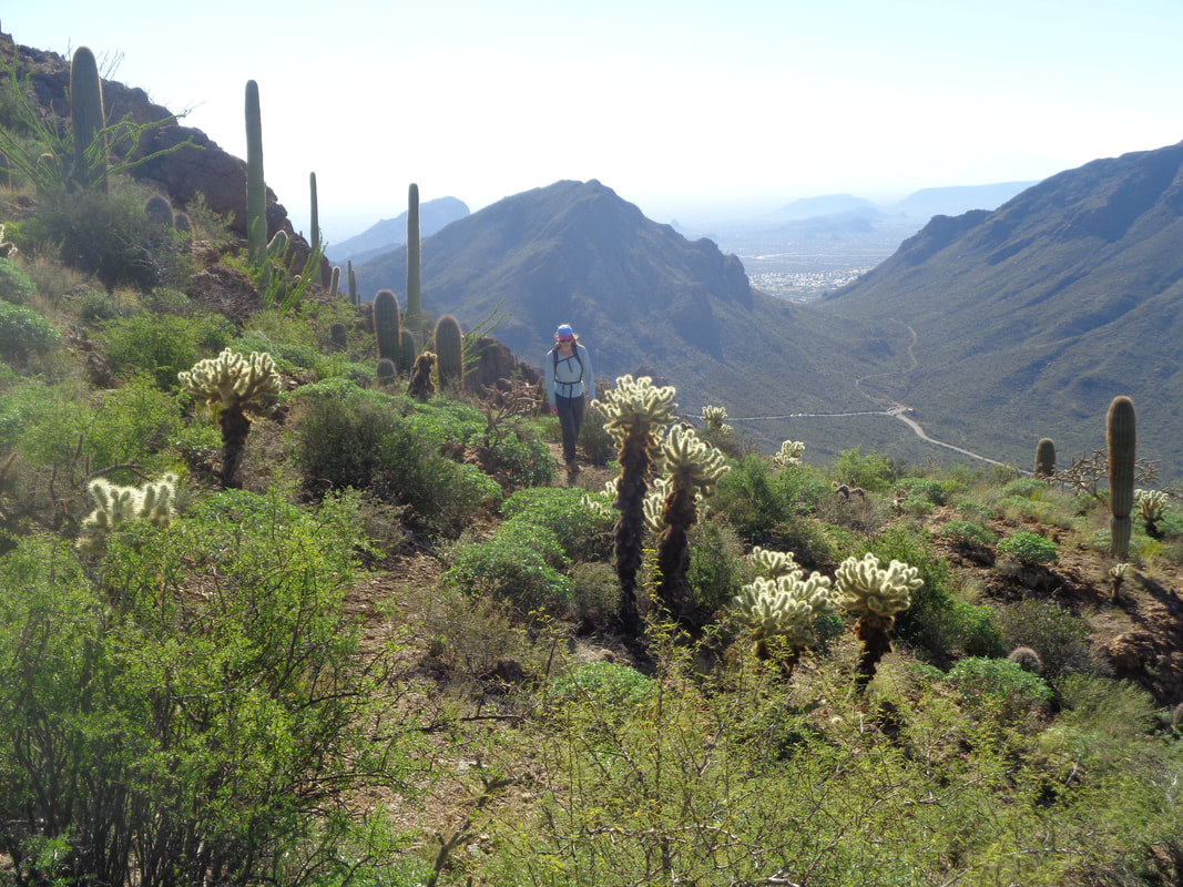
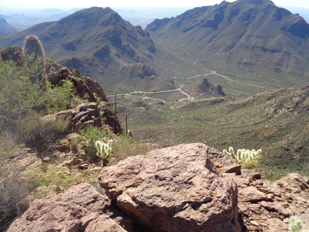
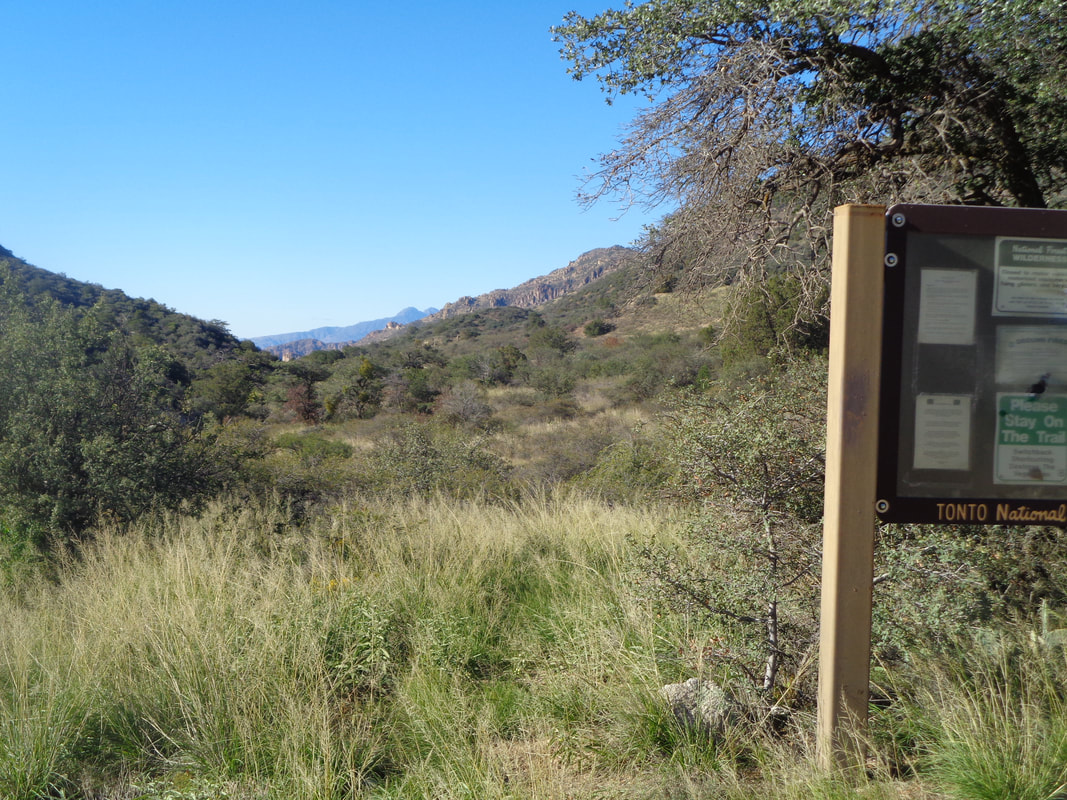
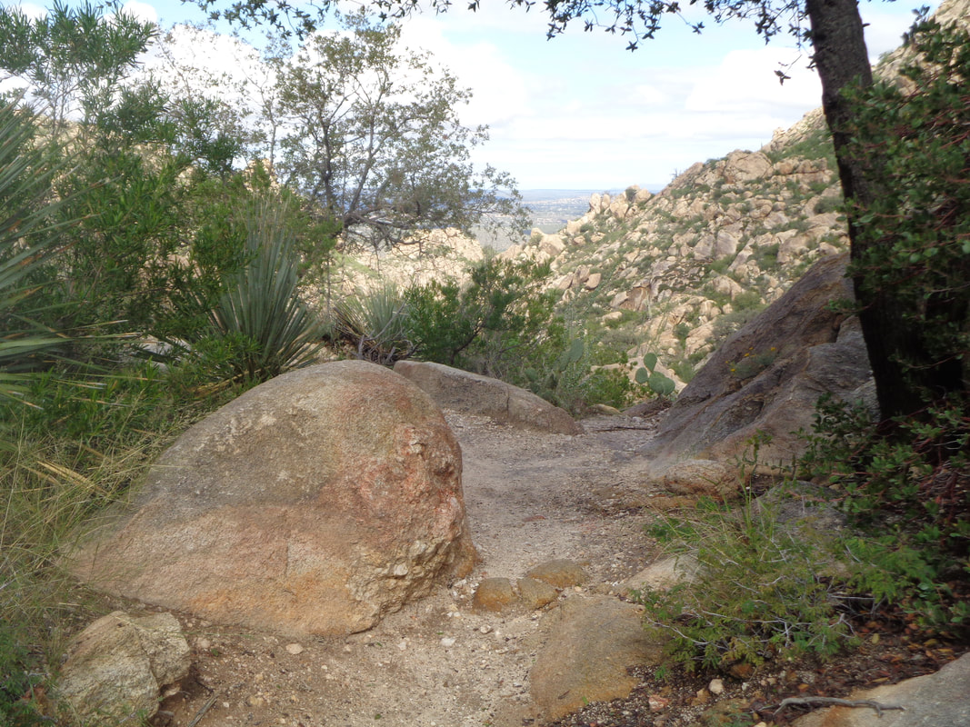
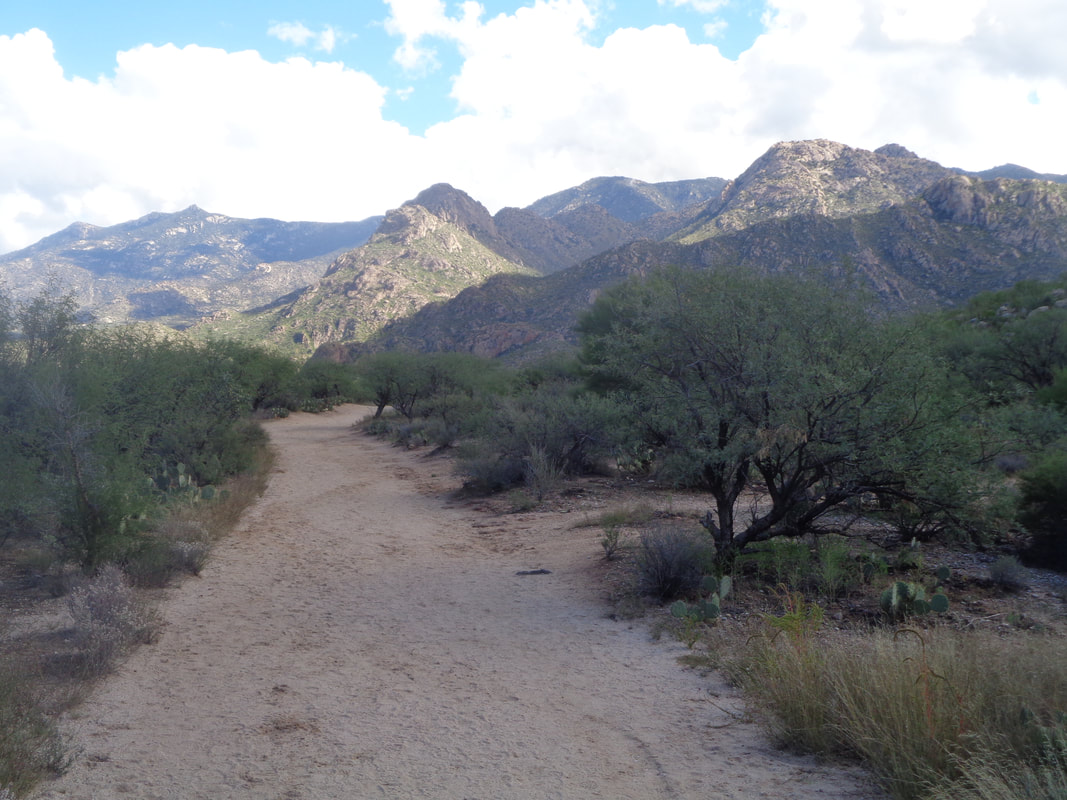
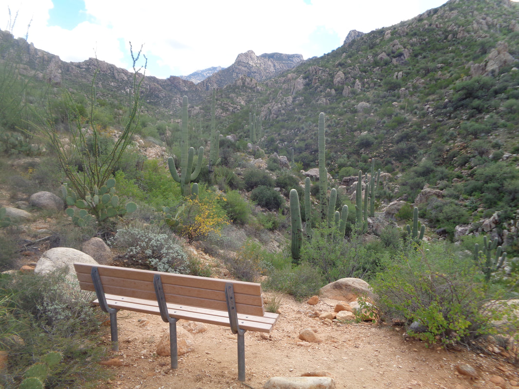
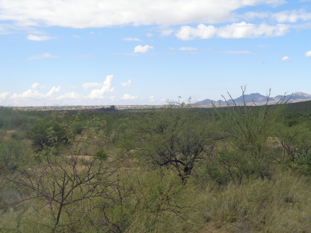
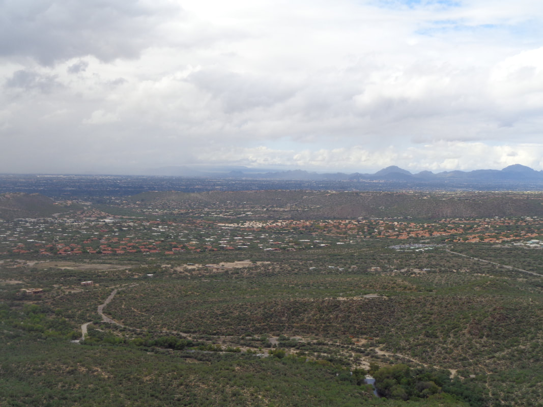
As I was riding around the Catalina area last week, I noticed what appeared to be a huge, half buried egg in the foothills just below Samaniego Ridge. Slick rock! I love scrambling on that so I did some research and discovered the best way to get in close proximity would be to follow the Charouleau Gap "road". The above sign says all you need to know about the conditions. I welcomed walking, no matter how rough, a wide road rather than a narrow trail. I've circled in red my destination. It looked a lot more interesting when viewed from the west where I first noticed it. Amazing how frequently I see a bird's nest in a tangle of cactus. Like I said, easy to follow was the road. The road wound in and out of washes, climbed a couple of ridges but always gaining on that rock. Expanses of rock began to appear and you can see black tire marks on this wall as it was part of the road. Higher I climbed and now had views of the Saddlebrook community just north of the town of Catalina. Getting closer. From previously looking at a map, I knew at some point, I would have to leave the road and go cross country. A cow with horns. I kept a wary eye on this guy. Too many unpleasant encounters with cows over the years for an unknown reason. Soon, I go off the road and wind my way through fairly heavy growth for about 400 years and then.... …..climb aboard! Hiking up this steep and very long slope that continued to wind around was fun. Looking back. The slope facing west curved steeply down so I could not approach it as if it were a ledge. The surface was crumbly in places and if I slipped, there would be no stopping so I kept back. I reached the top but one more obstacle, a 6' rock wall. I found a break in it on the left, climbed up and.... ….discovered someone had wedged a Srixon golf ball into a crevice. Guess I'm not the first to visit this cool place. While the shape is an oval from the west, once on top, I can see how the formation has a long tail that curves to the east. I ate a snack and enjoyed the magnificent views before making the 3.5 mile trek back to the parking area. There..... ….a couple were preparing to travel the road via a different mode of transportation. A dry front moved through today and the temps will drop from mid 80's into the low 70's for a day or two.
0 Comments
From Rick Wilson, a frequent participant at the Tuesday and Thursday evening rides, solid B cyclist.
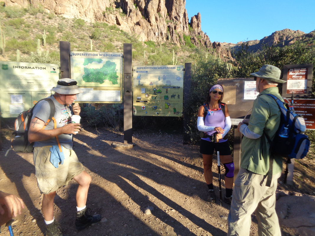
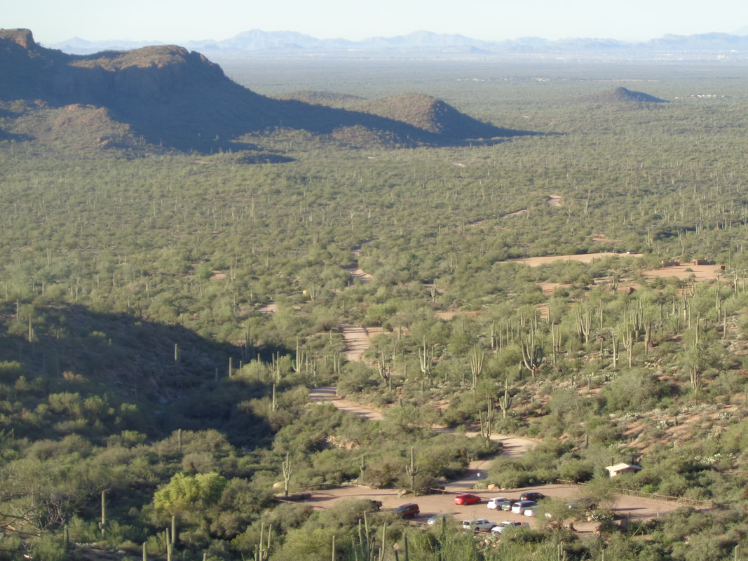
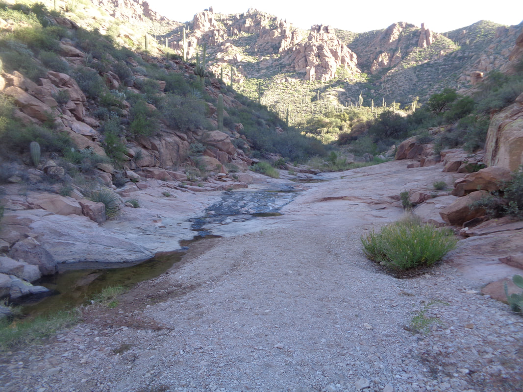
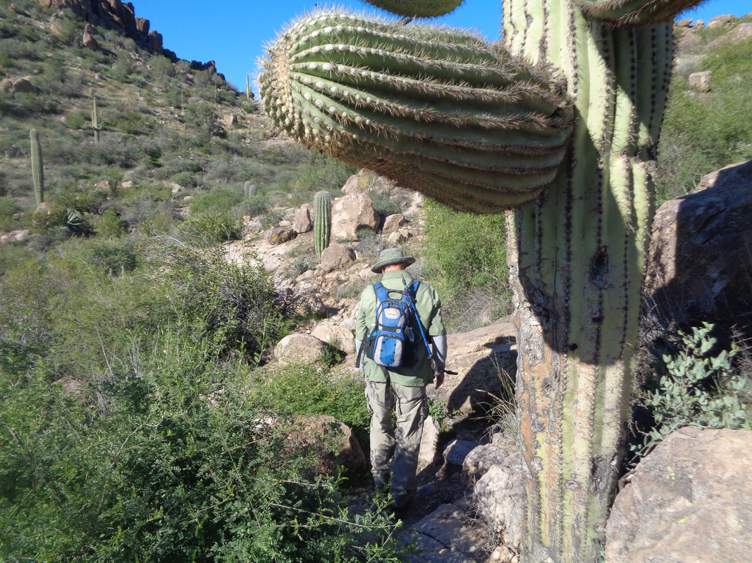
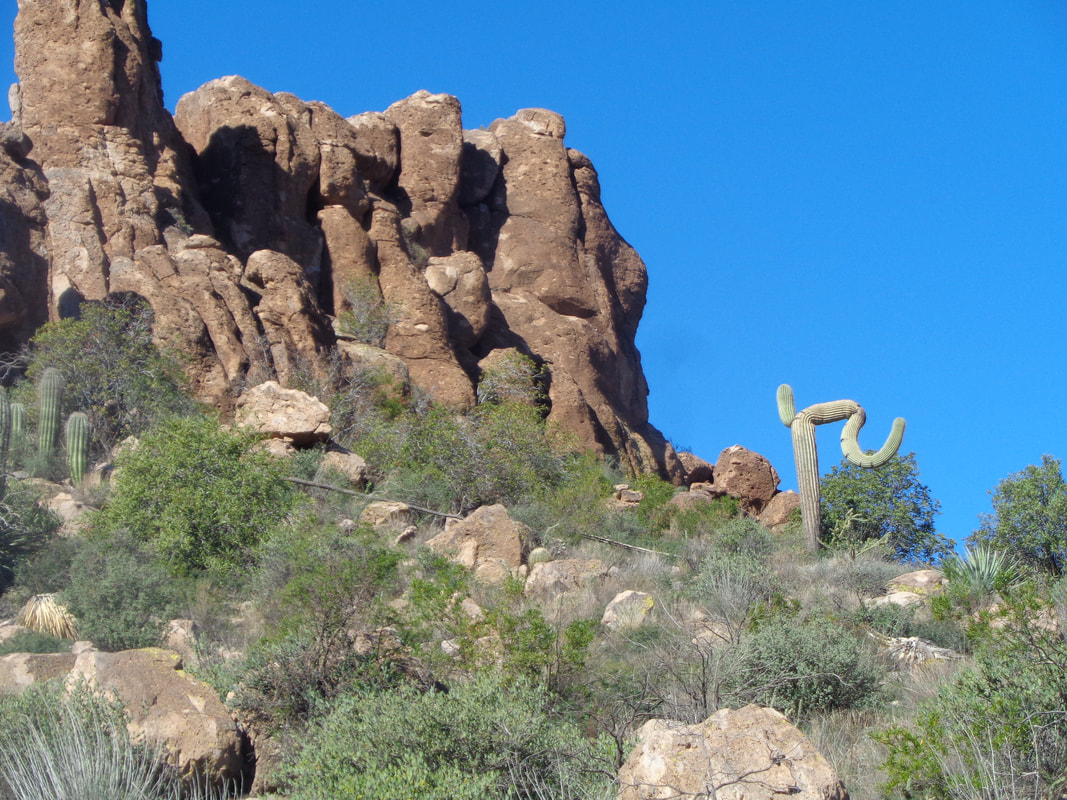
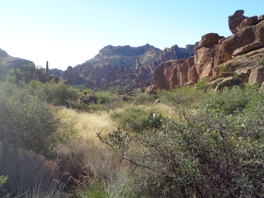
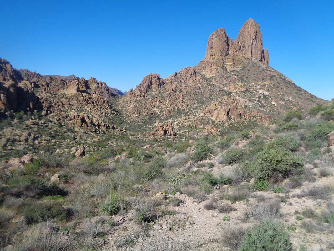
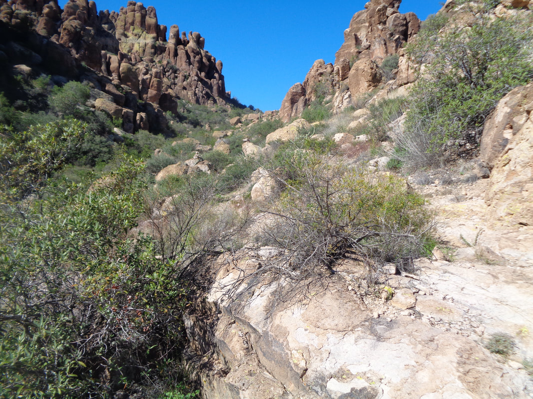
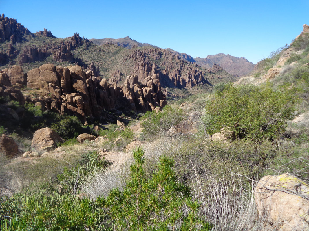
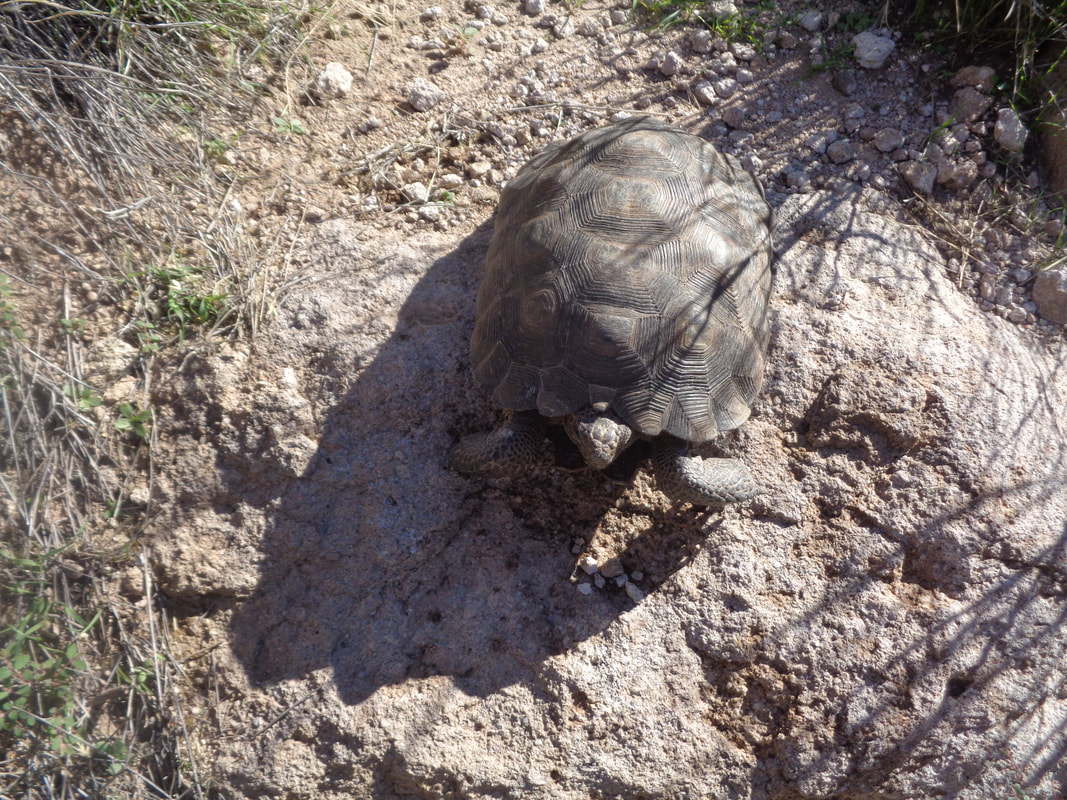
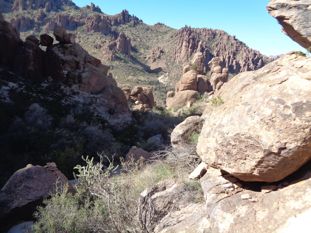
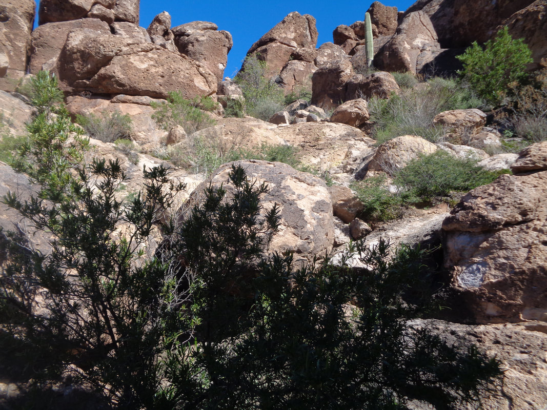
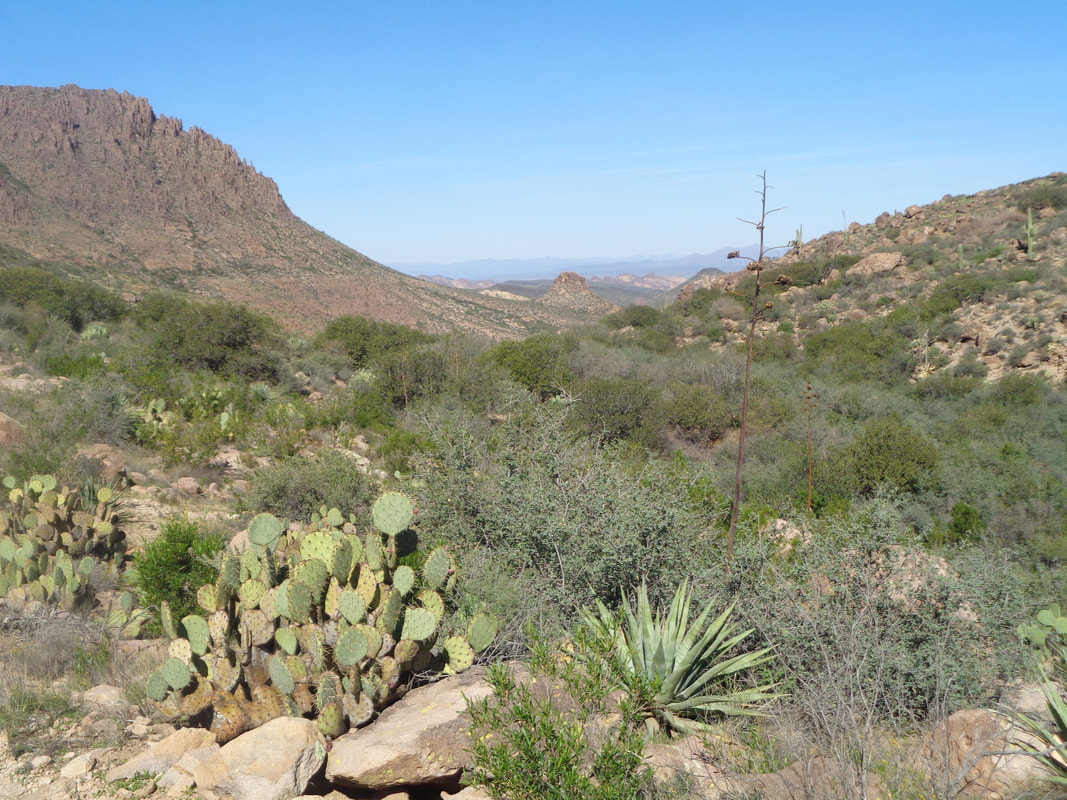
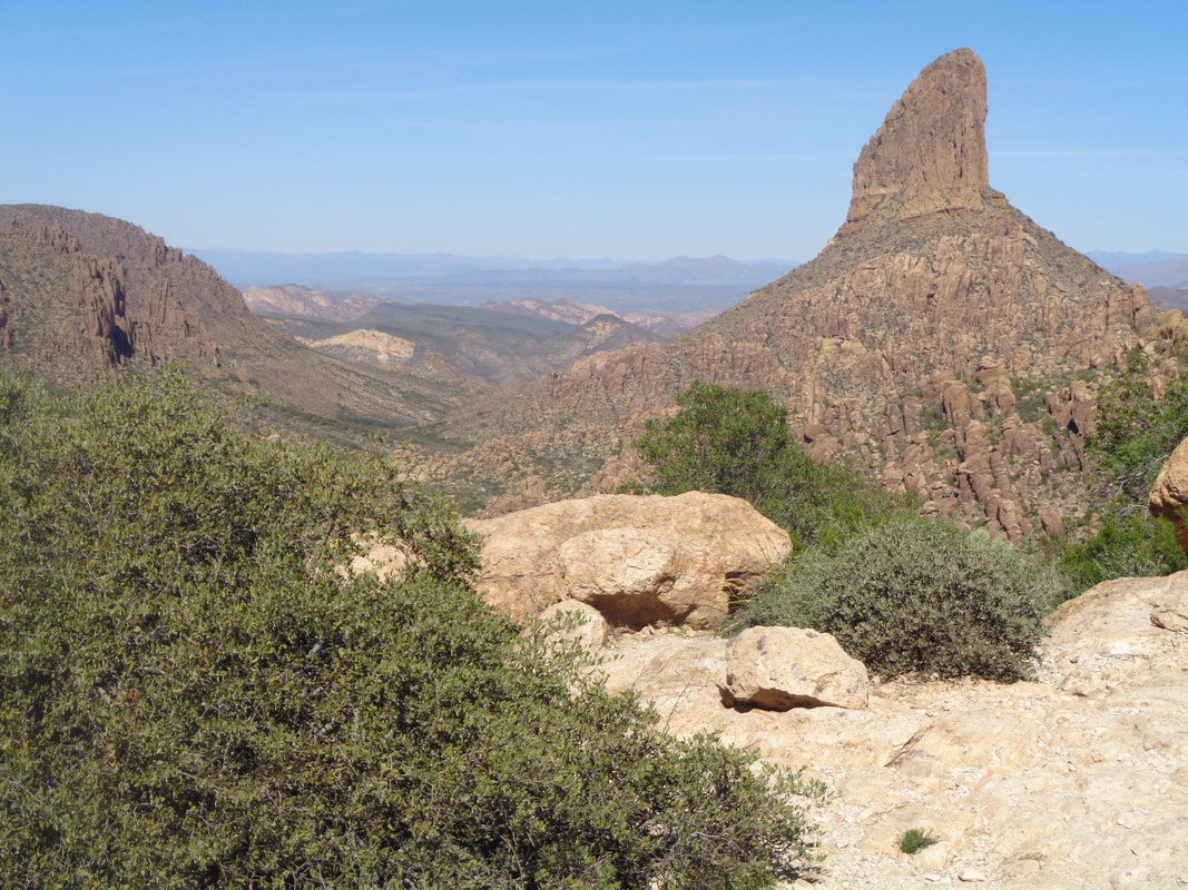
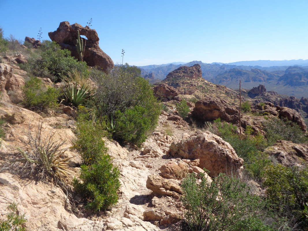
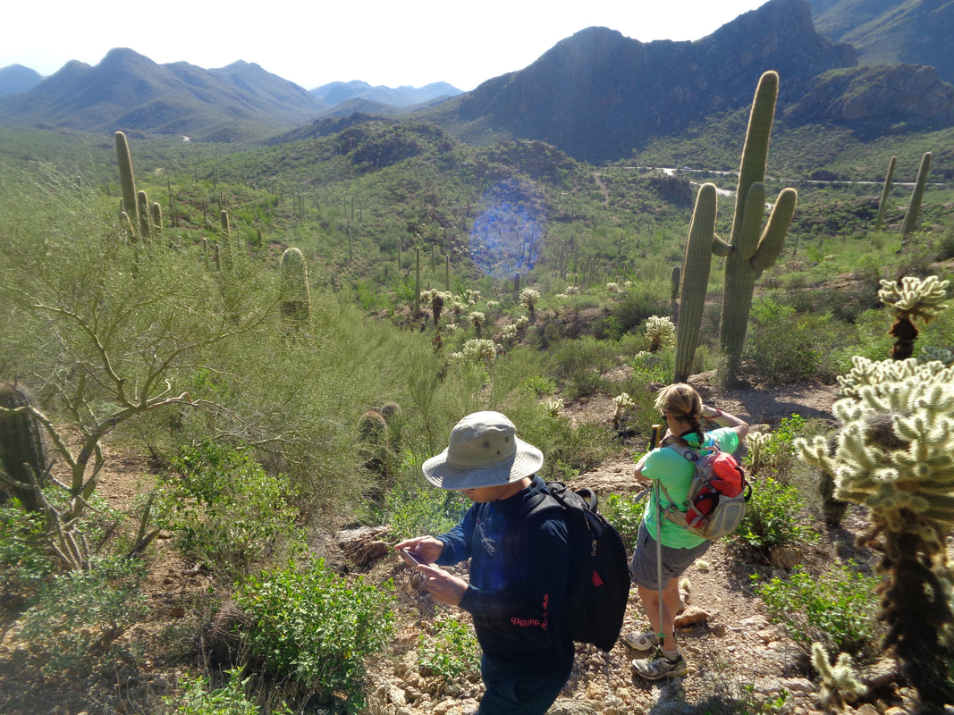
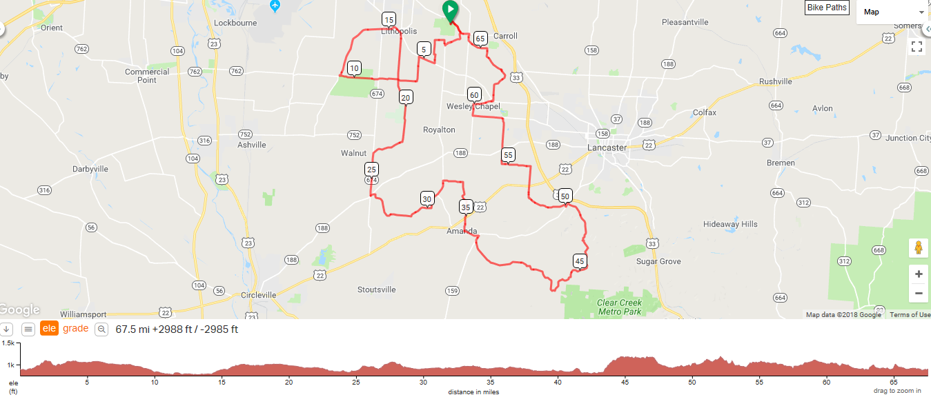
Tuesday Ride - 10/30/2018 at 12:00 noon. Looking for other like-minded B riders with time on their hands for group week day riding. Departing Bevelheimer Park (soccer field lot off Peter Hoover Rd.) for about 45 miles. If I can figure out how to successfully map a ridewithGPS file I will post later. If not, then we can wing it or you can offer your suggested map. Noon may seem like an odd start time, but I need to be home before 3:30 for grandchild baby-sitting duties.. Our hike leader, Phil Livingston, on the right, scheduled this engaging hike at 8am. I think that was to give me an opportunity to drive from Oro Valley to the Superstitions at a reasonable hour. Thanks! Our group was only 5 for this 9 mile, kind of difficult hike. Lisa and Mike also shown with Glen out of the image. We immediately begin climbing, via the Bluff Springs trail and quickly rise far above the parking lot. Another beautiful day with highs in the low 80s. The drive to the trail head is via 7 miles of dirt road but it is well maintained, even after the monsoon season. We climb, descend, climb and descend some more prior to entering this neat slick rock area with water still flowing. We reach the Terrapin trail and go left or I think west. The trail is fairly easy to follow but.... ….it is wise to look down and up. Running into the thick arm of a Saguaro would knock me out with spines to add to the misery. We approach another moderate climb and I spot..... …..one of the most unusual Saguaros I have ever seen. Hard to imagine what caused this deformity but it is healthy. Phil, who probably knows more about the "Supes" then anyone alive had not noticed this on previous hikes. Although it appears our passage would be difficult, the trail was mainly free of sticky/clinging brush. And there it is, upper right, Weavers Needle. Such a magnificent formation looking at it from any direction. We descend into this valley where we break for snacks at about mile 4.5. Phil had let me know if I wanted to break from the group so I could return to the parking lot earlier than the group was likely to return, it would be ok. So..... …..off I went, first up this rocky slope, passing astride the Needle to my right but boulders prevent a look at the Needle. Reaching the saddle I then..... ….looked ahead to the next section to be navigated. This proved to be the most enjoyable of the hike. Some route finding challenge, boulder hopping or hugging depending on the situation. The kind of stuff I enjoy the most. I almost stepped on this guy, a desert tortoise. Rarely have I seen one. On a hike 2 years ago, I was with a group that found a shell of one long dead. It was laying next to a small pool of deep water. I told the group that a turtle removes its shell prior to going for a swim. A hiker actually believed me. We got a good laugh out of that. Yipee. More fun as I descend toward a notch there in the center. From there, looking down I had a good view of the valley and my destination, the Peralta Trail that would return me to the parking lot. Looking back, that was a lot of fun. You need all hands, feet, arms and legs available to make it through there. I plunge down, cross a stream, hike up a modest slope and emerge onto the Peralta Trail with grand views to I guess the northwest. The image doesn't even begin to do it justice. I turn left and begin the 1.4 mile ascent that has an average grade of 7%. It winds in and out and I assumed there was a Strava segment for the climb so I kept a steady pace with no breaks but missed my best time by 10 seconds. Yet another sign that age has finally caught me. At the Fremont Saddle, I turn and the iconic image seen by many thousands who make this trail from the saddle to the parking lot, the most traveled in the park system. I look ahead to the almost 3 mile descent to my car. How my legs feel now compared to how they feel after the jarring descent is significant. One of these days, some group will post a hike that includes an ascent of the Needle and that is one I will have to do. It requires climbing gear so I will be patient and wait.
8:30am start from usual spot behind Starbucks in New Albany. The group will follow: https://ridewithgps.com/routes/28841639?privacy_code=CE7S5Xvi7JIEG3wa&fbclid=IwAR0PqW4fUKruMLdCZXzTMqsiVHjG19E10CLhb7Pkgo_7rBq9E-E3svLv_o4
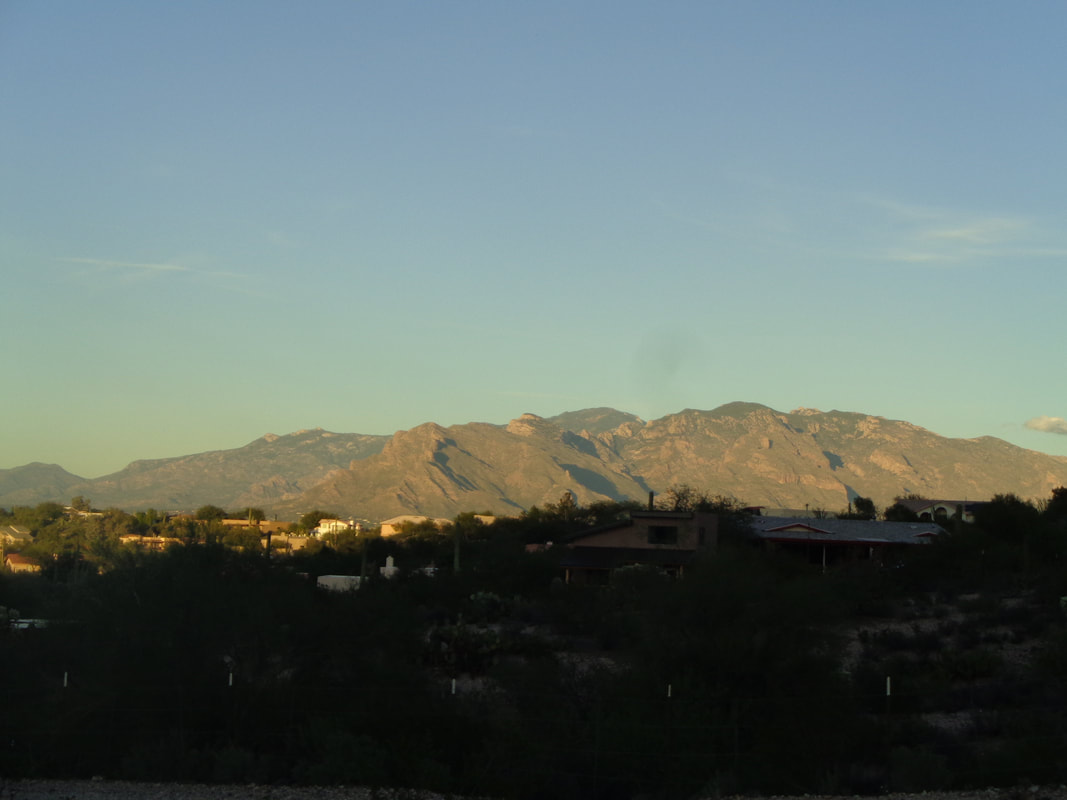
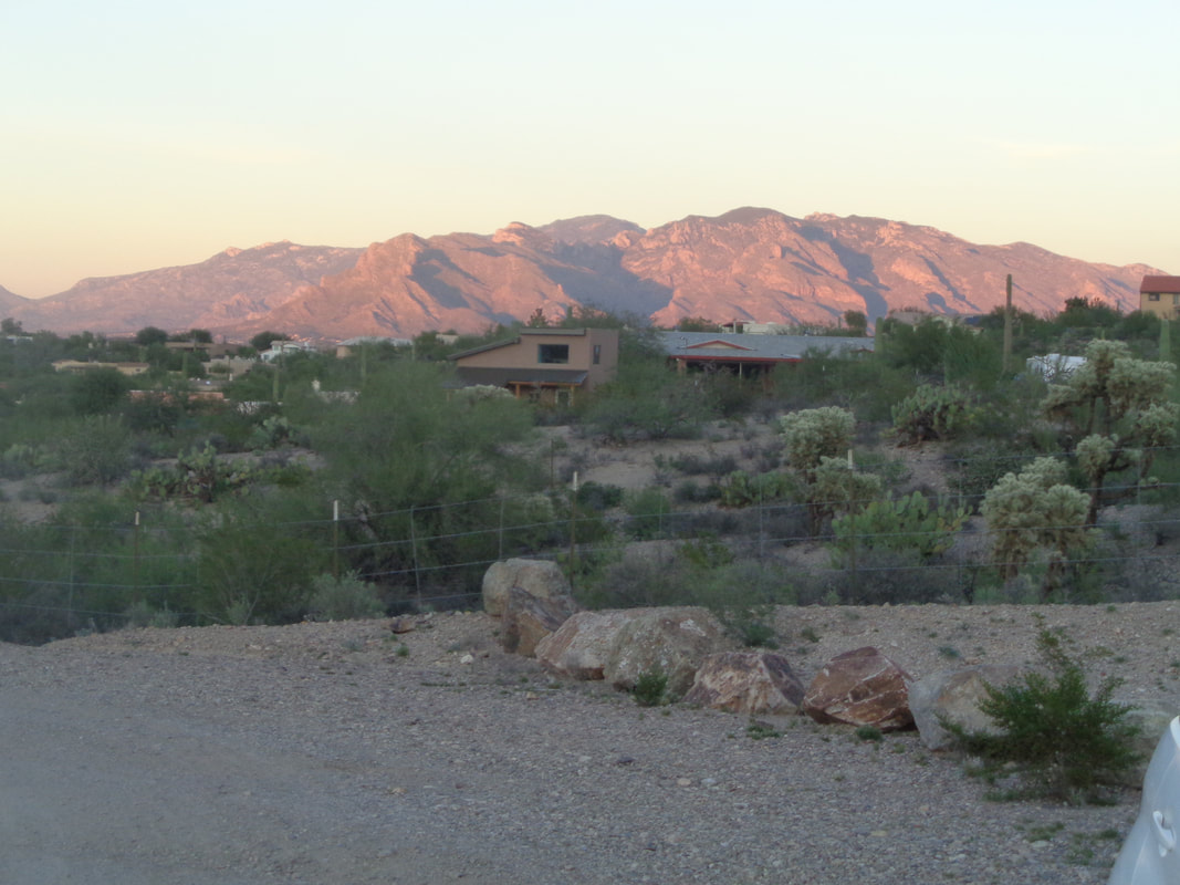
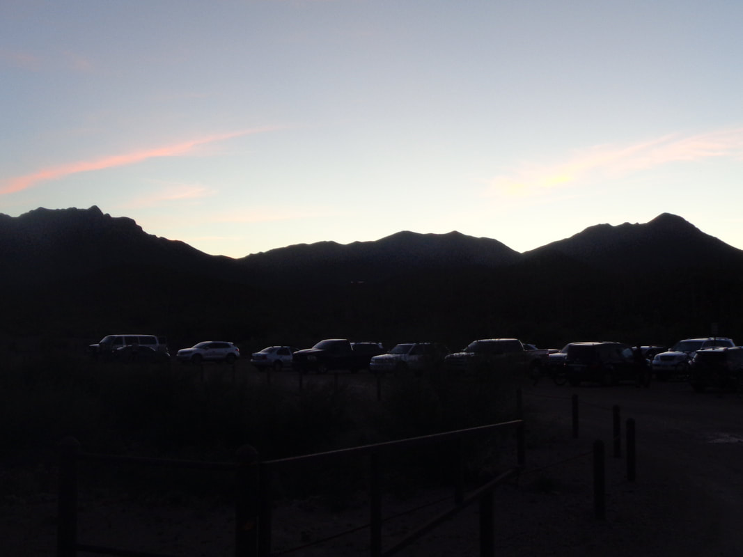
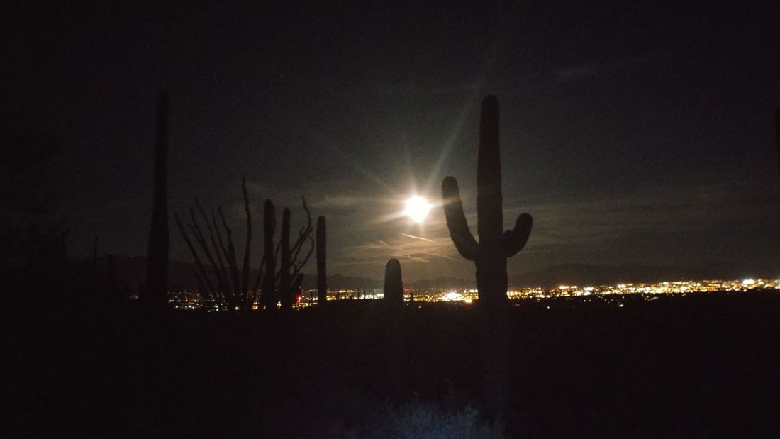
Good luck to you! I am at the Sweetwater trail head a little before the designated start time of 5:30pm. That's right, PM for a night hike, my first. The sun is setting on Pusch Ridge and beyond that, reaching a high of 9100' is Mount Lemmon and the rest of the Santa Catalina mountains. I got in a 43 mile ride this morning and geesh, my cycling fitness continues to decline. Within minutes, the color has changed. I love to watch the transition but it begins and ends rapidly as the sun dives beneath the horizon. I am now with 5 hikers who arrived at the trail head as we wait for our leader, bringing a car of another 6. There were some late arrivals at a car pool location so we shoved off about 30 minutes later than planned. My rule is if you are more than 5 minutes late, too bad. It's unfair to those who made the effort to be on time to make them wait. The parking lot still has lots of vehicles and as it turns out, a very popular spot for riding mountain bikes. We encountered several riding after dark. I talked to one of them and there are 15 miles of trails. I'd say of the non technical variety. When the moon rose above the mountains and city, it was spectacular and made the hike worthwhile. I'm not a fan of this area for hiking, just kind of boring but for a night hike, it is ideal. All the images I took of the moon rise turned out as a bright dot in a sea of inky blackness but one of us, John, had the right camera so I am using his image. The hike was to be 2.5 miles but a wrong or missed turn yielded a 3.5 mile hike instead. No big deal and we had a lot of laughs because of it. Well, doing Weaver's Needle Crosscut hike on Friday and something called the Cowboy Slick Rock trail on Thursday.
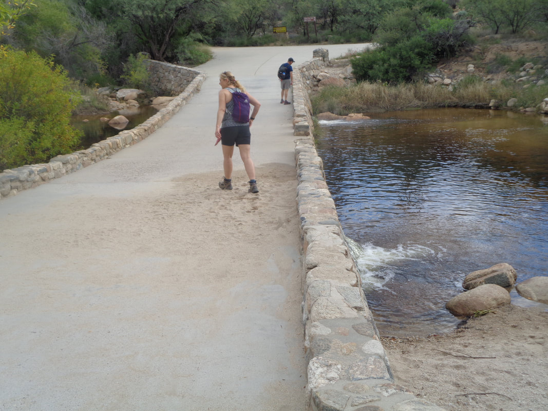
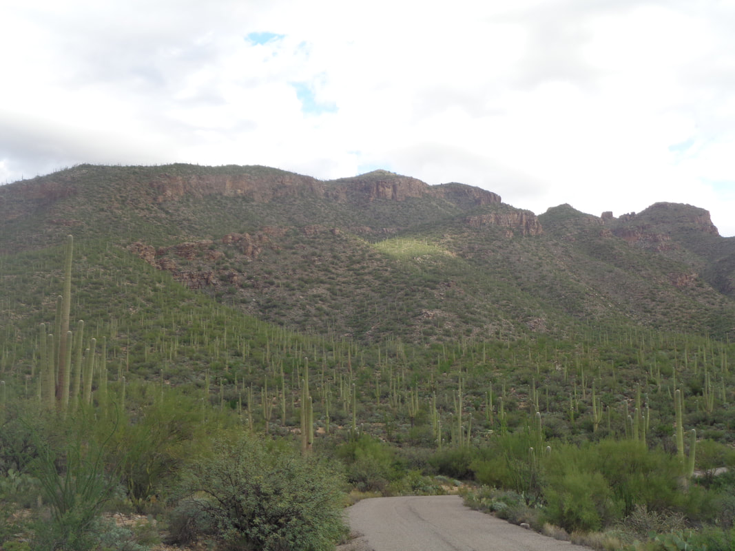
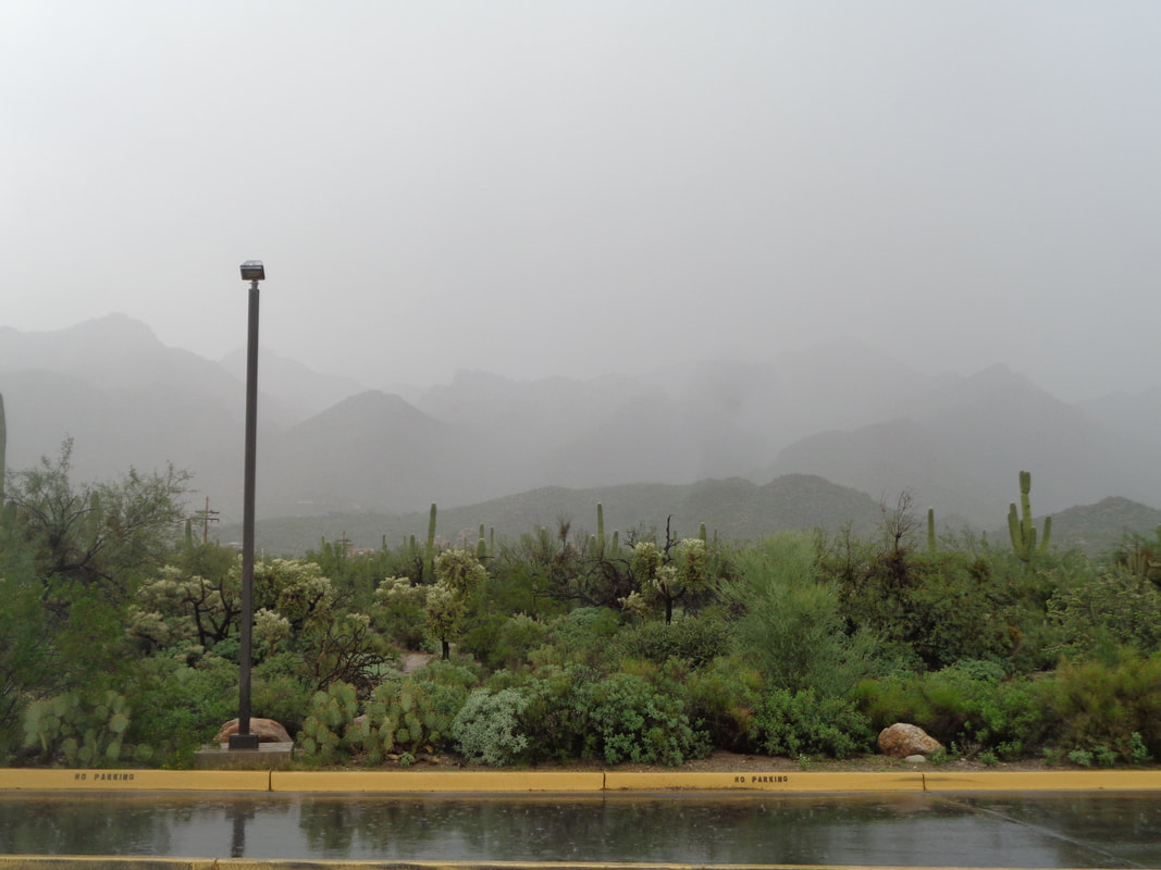
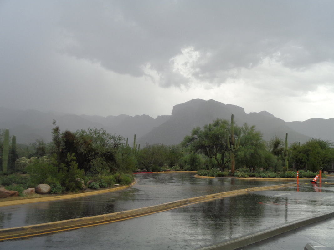
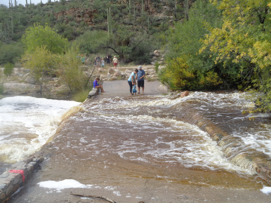
Although none of my activities so far have been impacted by the usually over night rains, today was an exception. I cross the bridge that was flooded last week while finding the water level more normal. A cloudy day with rain forecast for the afternoon. On the distant hill, a lone sunny area stands out. I was headed for 7 Falls, a 9 mile round trip hike. Clouds were building to the south and once I entered Bear Canyon on the center-left, I'd lose the ability to see what was approaching. I encountered a hiking buddy coming the other direction and she said she was bugging out. I kept going and saw..... ….a baby, dreaded Jumping Cholla emerging to some day inflict pain on me. I crossed a stream and decided to check radar. Uh-oh and an advisory was posted for imminent severe weather. I turned around and once exiting the canyon, could see rain in the distance and was entertained by many lighting bolts as I returned. I had considered staying at home and riding but my home is just over that sun drenched ridge and clouds were thickening there too. I jogged some, rain began pelting me and I jogged harder. Just before reaching the visitor center shelter at Sabino Canyon..... ….it began pouring and...... ….pouring. This was the last gasp of rain for the month and was it a good one. However..... ….I am encouraged by the forecast. A return to normal. Got a really good hike coming Friday and a hike tomorrow evening to watch the moon rise over the mountains with 14 others.
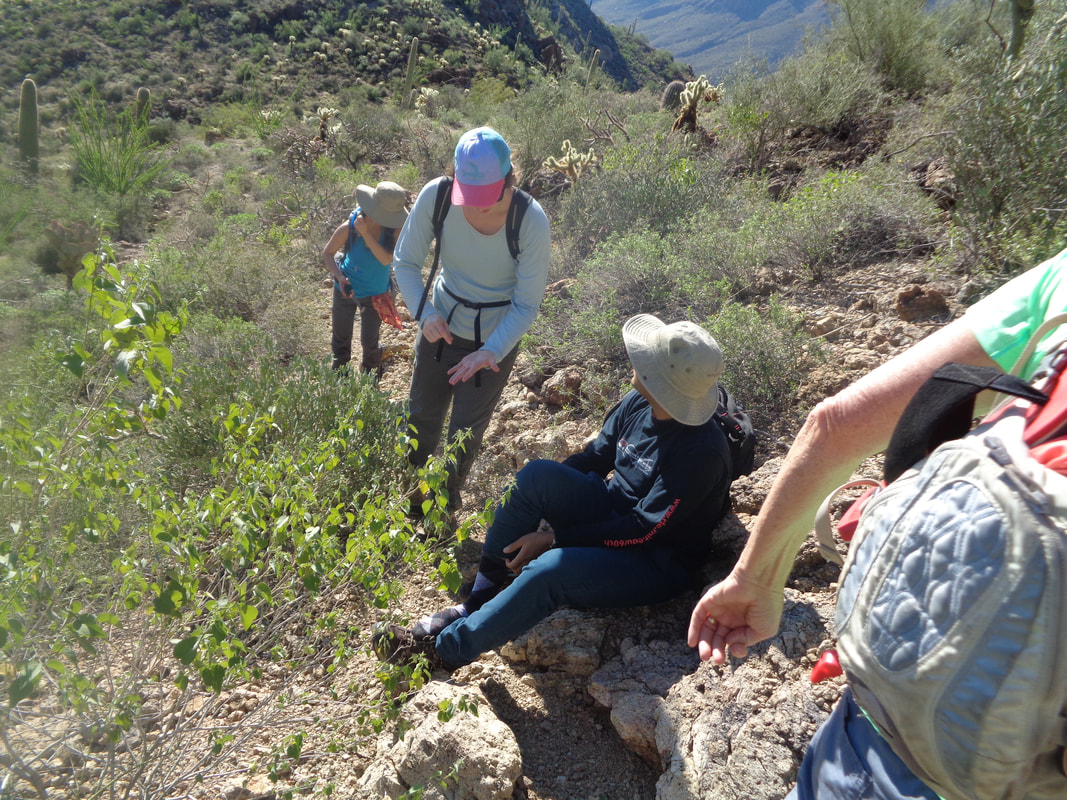
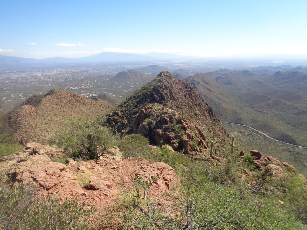
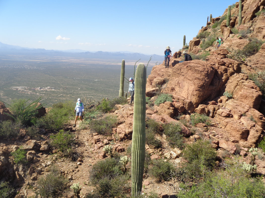
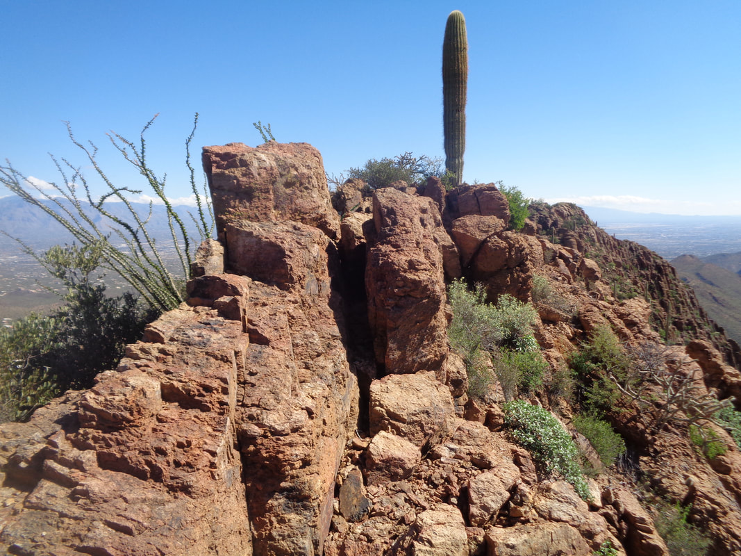
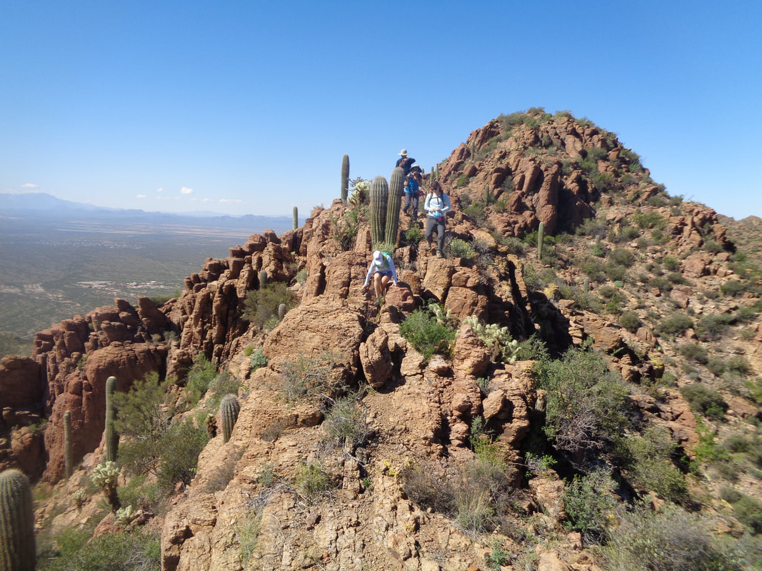
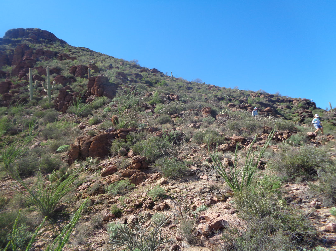
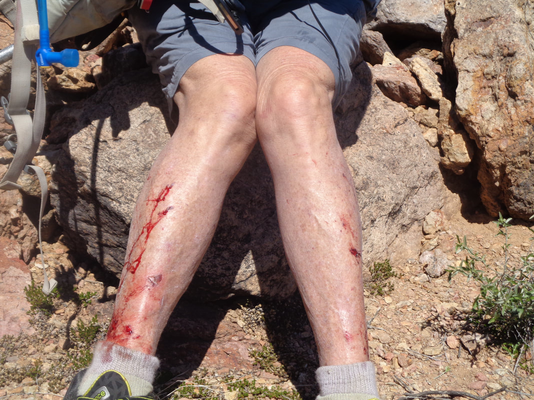
I'll state the obvious first. Leading a group ride you create a route, say some encouraging words and get out of the way. Leading a group hike, especially one that is mostly just a route with no to little trail to follow, you stay in front and worry about getting bit by a rattler every step. Ha, ha. Above, we rise above Gates Pass trail head. Note the Jumping Cholla on the right. That plant caused problems for many of us. Great views in all directions as we slowly made our way higher and higher. Debra, Holly and Saikat sitting while removing a cactus spine from his foot. Can't leave those in there as they will penetrate deeper. Our trek will take us behind the above formation prior to exiting to the road. Seems simple enough and I have done the loop once before. Yet, I was stumped a few times but showed a confident face, especially when asked if I was lost! Holly avoids the Chollas. Even I had a cluster attach itself to me not once but twice. At least I learned long ago not to reach and grab them. Take a rock or stick and brush it off although I was picking spines out after the hike from my leg and arm. We've reached the half way point and now the way ahead gets really good as we traverse a narrow spine of rock. The wind was strong too so that complicated things a bit. Down and then up prior to descending to a saddle on the left. The gang manages their way through a tough section of boulders. I love hopping from along ridges like this. Such fun. And the others navigate it just fine too. No deaths to report on this hike so that is good. Now we descend. Odd how the image fails to show how steep this section was as was.... ….the next as we dropped into a narrow canyon and continued toward the Gates Pass Road where we would exit the wilderness and make the short walk to the parking lot. This was only a 4 mile hike but so many obstacles and route finding made it a long hike. Patty shows that maybe wearing long pants would have been better. But, I probably did not disclose how wise it would be to wear long pants and long sleeves too. Fun hike with good people. We are already talking about doing it again! Well, a different location.
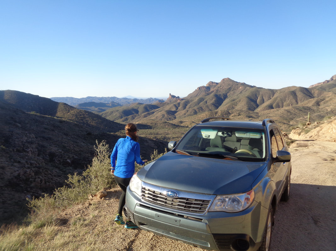
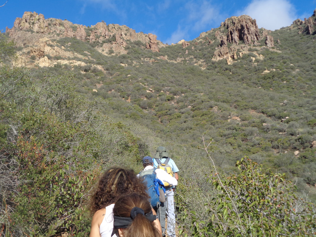
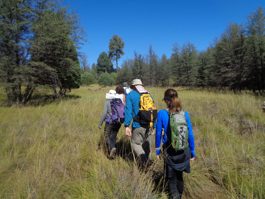
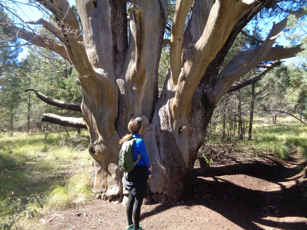
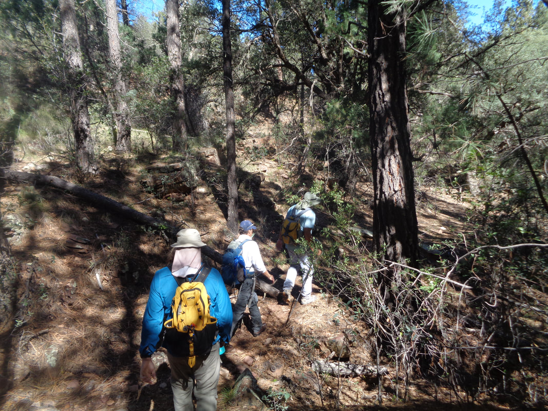
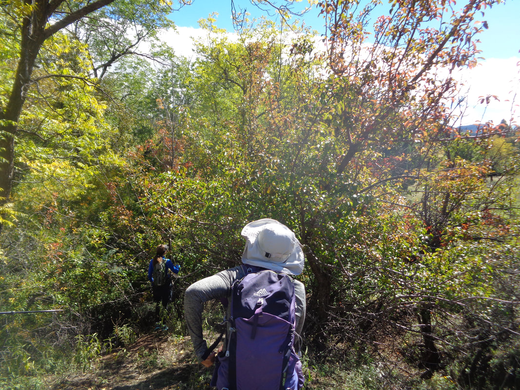
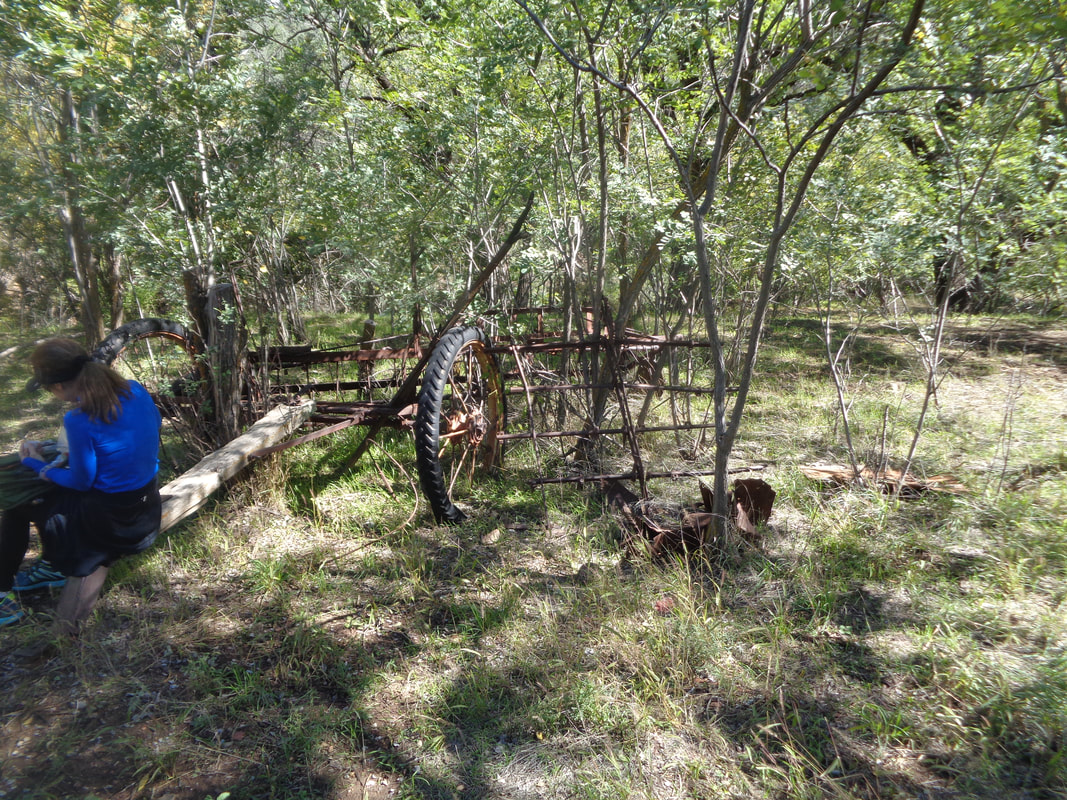
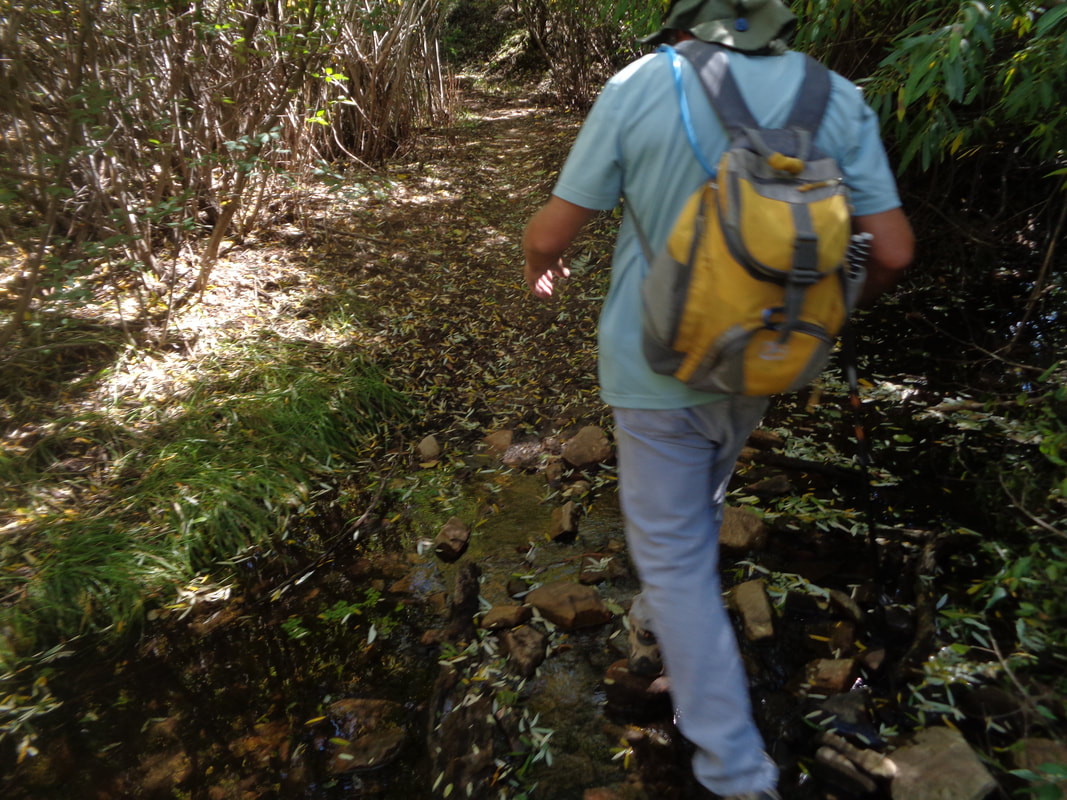
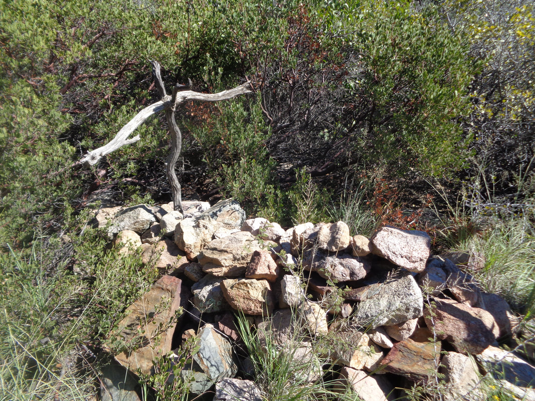
I am out the door at 5am, drive 90 minutes north, park, hop in the above Forester, drive 90 minutes to cover about 17 miles, some of that paved. The final 12 miles was really rough and at one point, a new rattle popped up and we had to stop to check it out. Grand view to the southwest. Doug, our driver, decided it was a bushing around steering linkage and we would be good to go. Seven of us headed out for a 15 mile hike that included a visit to Reavis Ranch where Elisha Reavis the "Hermit of the Superstitions" lived prior to being bushwhacked and killed in 1896. The guy tended a farm in the eastern "Supes", sometimes making the long journey to Florence to sell his vegetables. Far different from the western portion of the Supersititon Wilderness, the landscape is dominated by Junipers and Pinon pines. I had been hoping to do this hike for a long time but was underwhelmed, probably because this reminds me too much of hiking in Ohio forests which I find boring. But, if you do most of your hiking around Phoenix/Tucson, you may find this refreshing. A couple of times we break from the forests into meadow hiking. I found staying on the trail a little tricky in here so pay attention although if you keep the stream to your right, you will probably be ok. Now this was a fascinating sight, a 200+ year old Alligator Juniper, still growing. Lisa, a trainer of marathoners and dietician, provides a point of reference for the diameter of the giant tree. Five of us had walked past this point when we discovered this baby Tarantula. Surprised it had not been crushed. We are in the middle of their mating season so they are on the move. We reenter the forest where now Ponderosa pines are plentiful. We began and mostly hiked at 5500' elevation. We began the hike with a temperature of 51 degrees and it didn't rise much thereafter. As we approached the ranch, we found several pear trees but may be another week or two before they are ripe. There is an apple orchard farther north and some apple trees here too but the few hikers who visit this remote area, along with bears and other critters, have stripped fruit from all the lower branches. We reach the ranch and find some old implements while we eat snacks and rest. Then we begin our journey back, retracing our route. Many stream crossing for the entirety of the route. The final 1.5 miles is uphill but before reaching that ascent, there is a short side trail that takes us to Reavis' grave. A head stone was stolen in the 1920's so all that remains is a rock pile and a crude cross. So, I had been thinking of the final climb and the likelihood it would be a segment on Strava. Hmmmm, what to do, what to do, stay with the group or appear to be a jerk and take off. Of course I..... ….took off, using the grave visit as a way to be at the head of the column as it reemerged onto the main trail. I picked up the pace, hit the bottom of the climb arrived at the trail head where the rest of the group arrived not too long thereafter. As for Strava….. …..not only 2nd but crushed by the KOM finisher. Guy had to run it to get that time! Well, after the drive home, my legs were really stiff. Can't use the community spa because I was seen jumping the fence on Sunday to get into the pool area (my key card inexplicably would not work) so received a 2 week suspension. No excuse for jumping the fence I am told. Visited bike shops on Friday and getting ready to lead a group hike on Saturday.
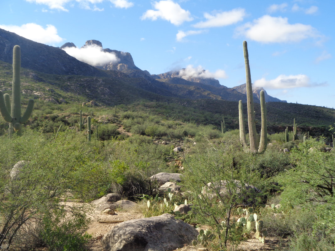
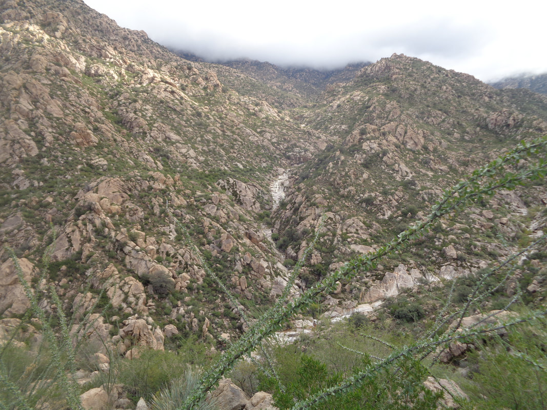
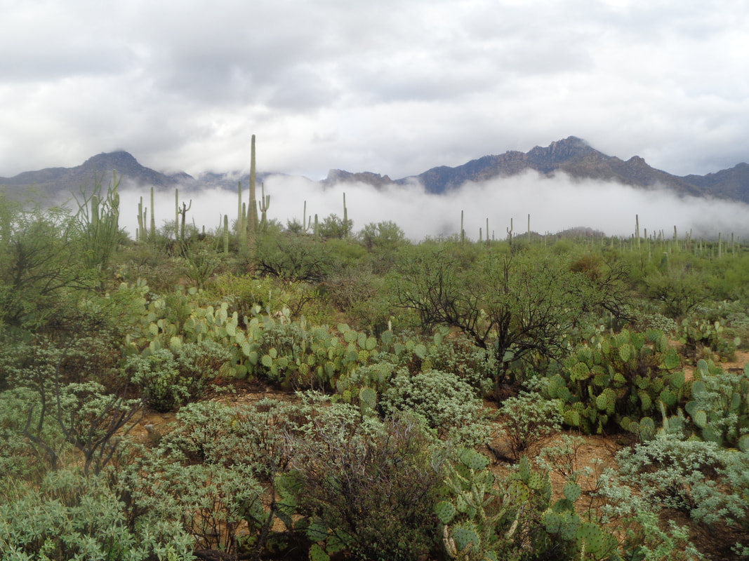
More rain overnight and once again, the lingering clouds produce some dramatic images. The area has received 2" more rain than normal for the year and so that is good and really, the rain mostly has been at night so not impacting my activities. Actually enhances them. I am readying myself for a truly epic hike on Thursday, to Reavis Ranch in the eastern Superstitions. It's a bucket list type hike and I have been watching for it for 5 years to pop up on one of the groups I follow and so it has. An hour drive must be navigated via high clearance, 4WD so I'll be up at 4am, meet a group and head to the trail head. This wash was dry yesterday but with soaked ground and an inch of rain last night, the water is flowing. The water flow is nothing like Sunday's when I mentioned the use of a helicopter for SAR. Turns out a woman was swept off a bridge but managed to grab a tree down river but unable to reach the shore. The helicopter dropped a line and pulled her out. I am headed to Romaro Canyon and the pools. I pause to take what I have now seen only twice, water flowing in this wash. Odd how clouds are in front of the 3 main peaks on Pusch Ridge, Table, Bighorn and Pusch. Water is flowing through every side canyon and after climbing around 1000', I am nearing the clouds on another cool day of low 70's. Normal high is upper 80's and we will return to the norm in a couple of days. At about mile 3, I enter the bottom of Romero Canyon and encounter a strong flow of water. Easily the highest volume I have witnessed. I did some poking around but could find no way across by boulder hopping and did not want to take off the shoes and socks again. After a few minutes..... ….headed back, finishing with 6 miles and a bit nervous about doing 15 on Thursday. Will go buy a new pair of hiking socks.
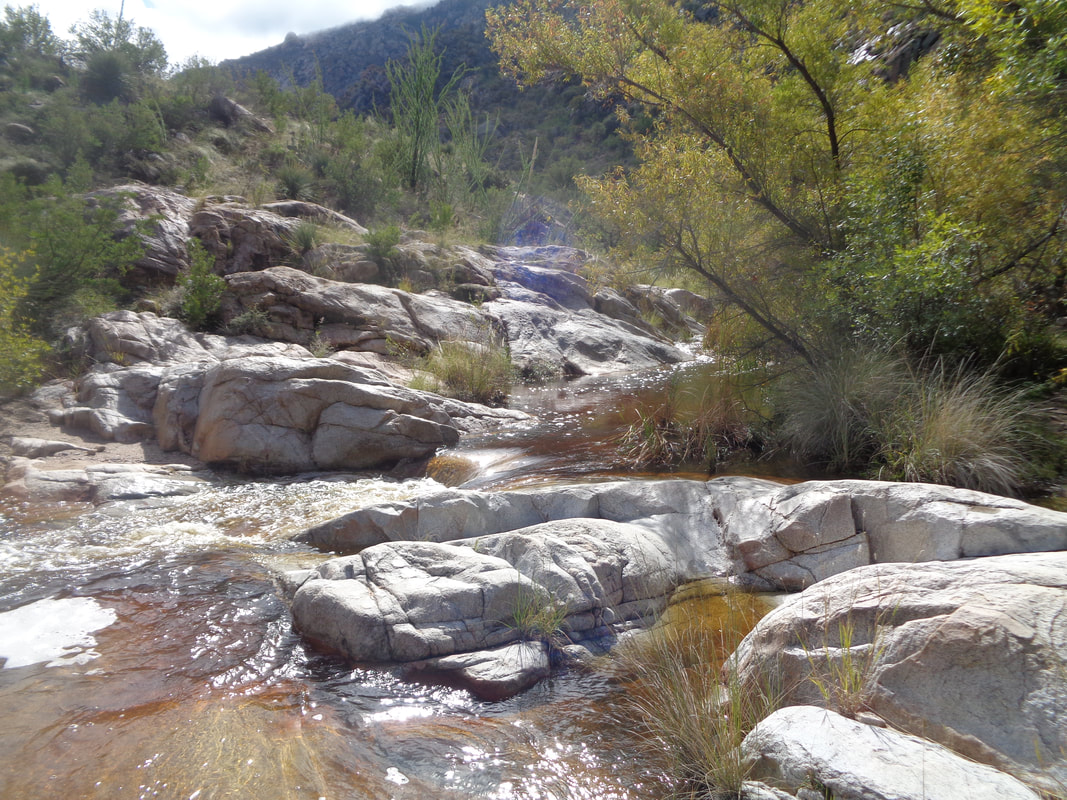
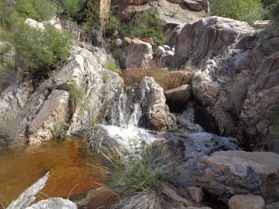
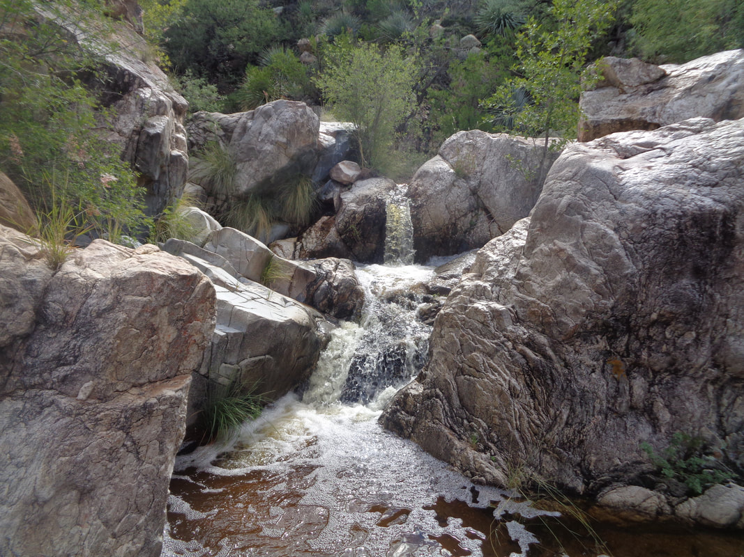
Monday morning, I go on a short, 25 mile ride and then drive around the corner to Catalina State Park for a short 2 mile hike to Montrose Pools. The going is easy, weird for the area where usually you begin climbing as soon as you exit your vehicle. I reach a point overlooking the stream that is flowing nicely from the recent rain. After a short descent..... ….I reach the pools and stream. Fun time clambering over the boulders as I work my way..... ….farther upstream. Beautiful.
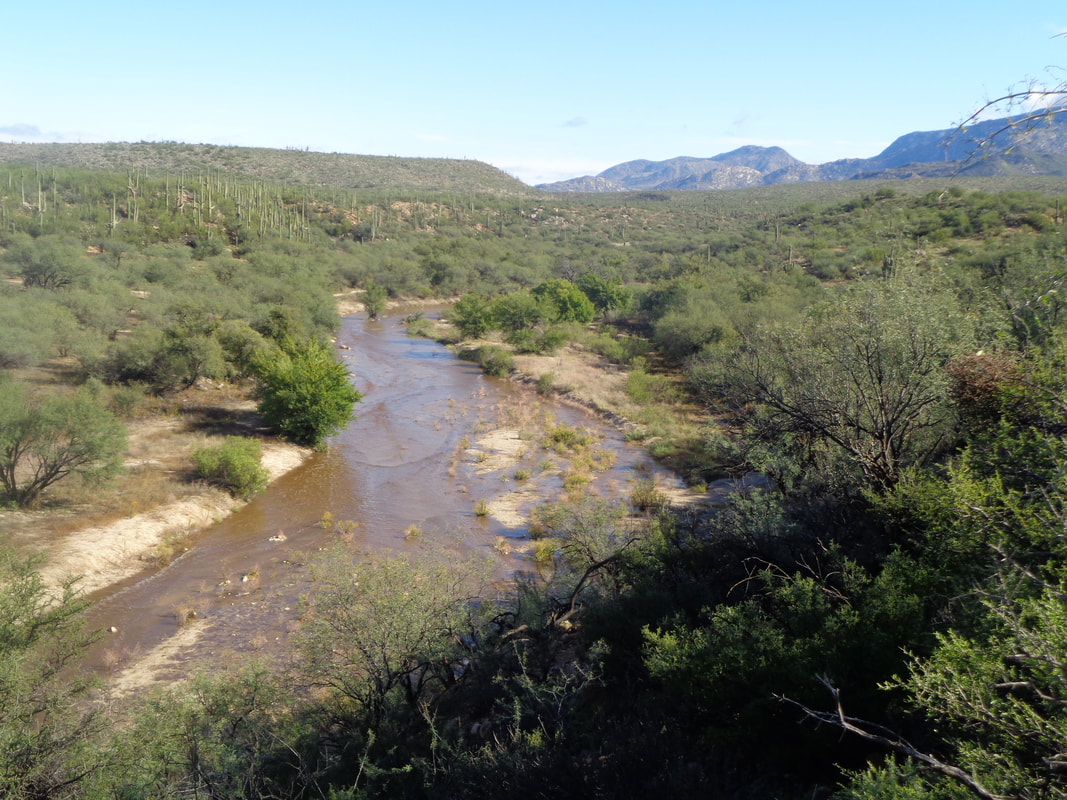
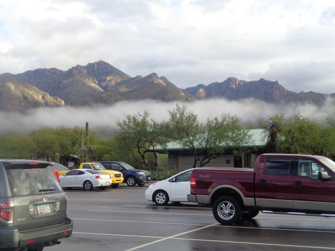
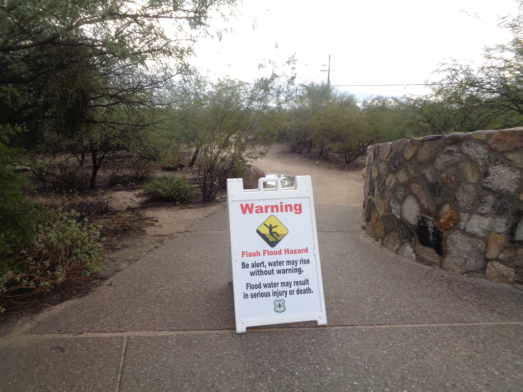
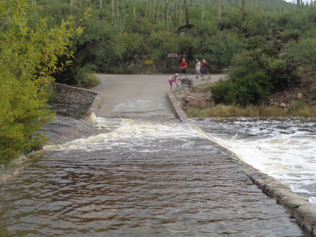
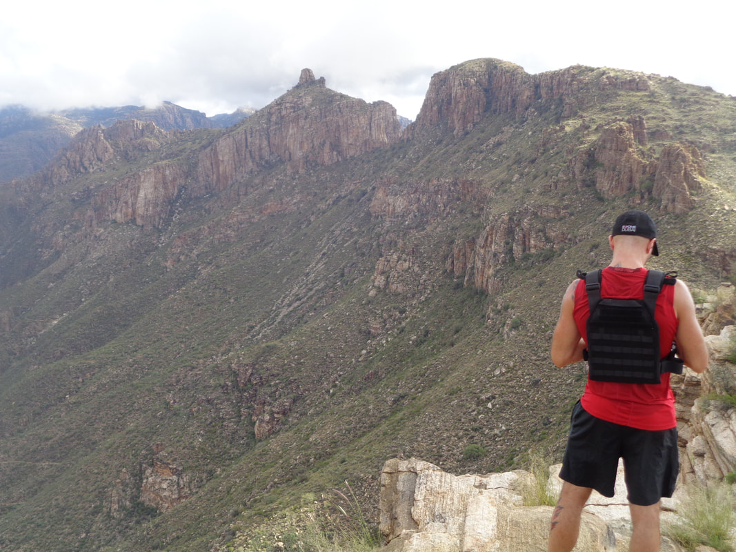
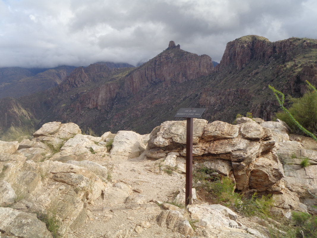
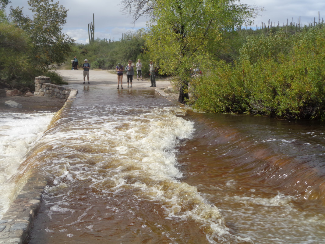
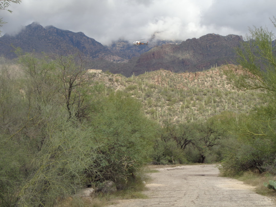
Monsoon season officially ended at the end of September and it was average to a little dry. Then, last week a tropical depression came out of the Pacific and doubled the rainfall from the Monsoon and another came through this weekend, adding another 1-2". Amazing and well needed but it is odd how many times my first day here has been greeted with rain. I arrive at Sabino Canyon. Not seen this warning sign before. Used to Mountain Lion sighting signs and rattlers but no this one for flash flooding. Many neat views of cloud cover all around me. Found it difficult to choose just one. The desert is very green. I am headed to Blackett's Ridge but to reach the trail, one must cross this bridge which is usually dry. I stood there for awhile, watched as a group of 5 took off shoes and socks and decided I too should go. I supposed the water would rise during the day (it did) but that is a problem left for the return. I was at the end of the group and frankly, became a little worried as my footing was not ideal. About 2/3 of the way across, a big guy stopped and reached back for me! How about that. I gladly grabbed his hand and once everything was readjusted, headed up. Being my first hike, I intended to take it easy but when I got close to the only other person on the trail, he picked up the pace and I just wouldn't give in. I kept planning to pause to change out of a long sleeve shirt but of course, that wouldn't do and get dropped (I take more pride in my hiking then I do cycling, obviously). The clouds add to the dramatic effect of the mountains. So, I headed back down, curious about the river. Uh-oh, rain approaching in the distance although later it petered out. Oh boy, the river had risen and a ranger was there to prevent people from crossing. He shouted to me to head up river where there was another crossing. As I walked the way instructed..... ….note the helicopter in the upper portion of the image. While descending and being able to observe from higher up, I had seen two emergency vehicles on the road the shuttles use (they were not running for the day) so someone had fallen or something, requiring emergency care. Well, a little better. Two other hikers approached from behind and we decided to do it together. This time, I left my shoes on. Damn, again my footing was a problem as the current was swift. I could feel my feet moving slightly with the current. About half way across, I lost confidence and began taking really small steps, gaining maybe 2" at a time. Just shuffling along:(. I turned into the current to slightly reduce the exposure, thinking less mass in the line of the water was better. The water reached above my knees in that frothy section but the blog lives on as I made it. Kind of dumb to have crossed the first time. I was anxious to hike. Finished with 7 miles and getting ready for a bucket lister type hike later this week. Got in with a guy who has a 4WD which is needed to reach the trail head.
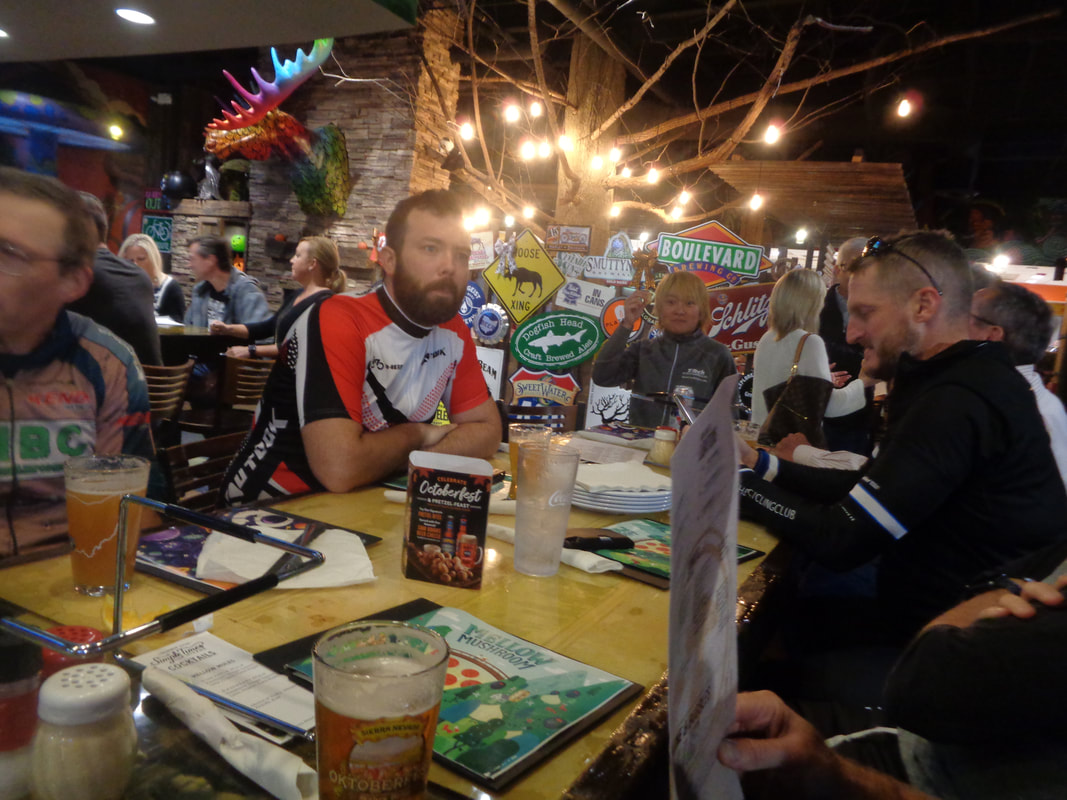
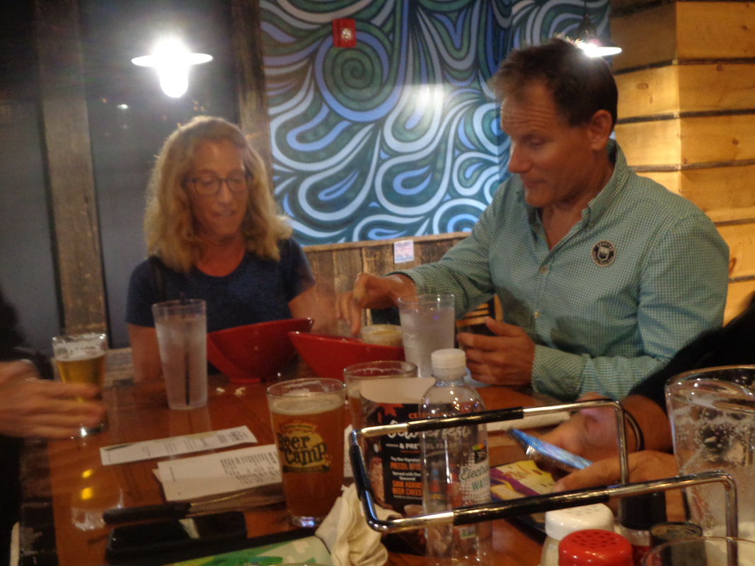
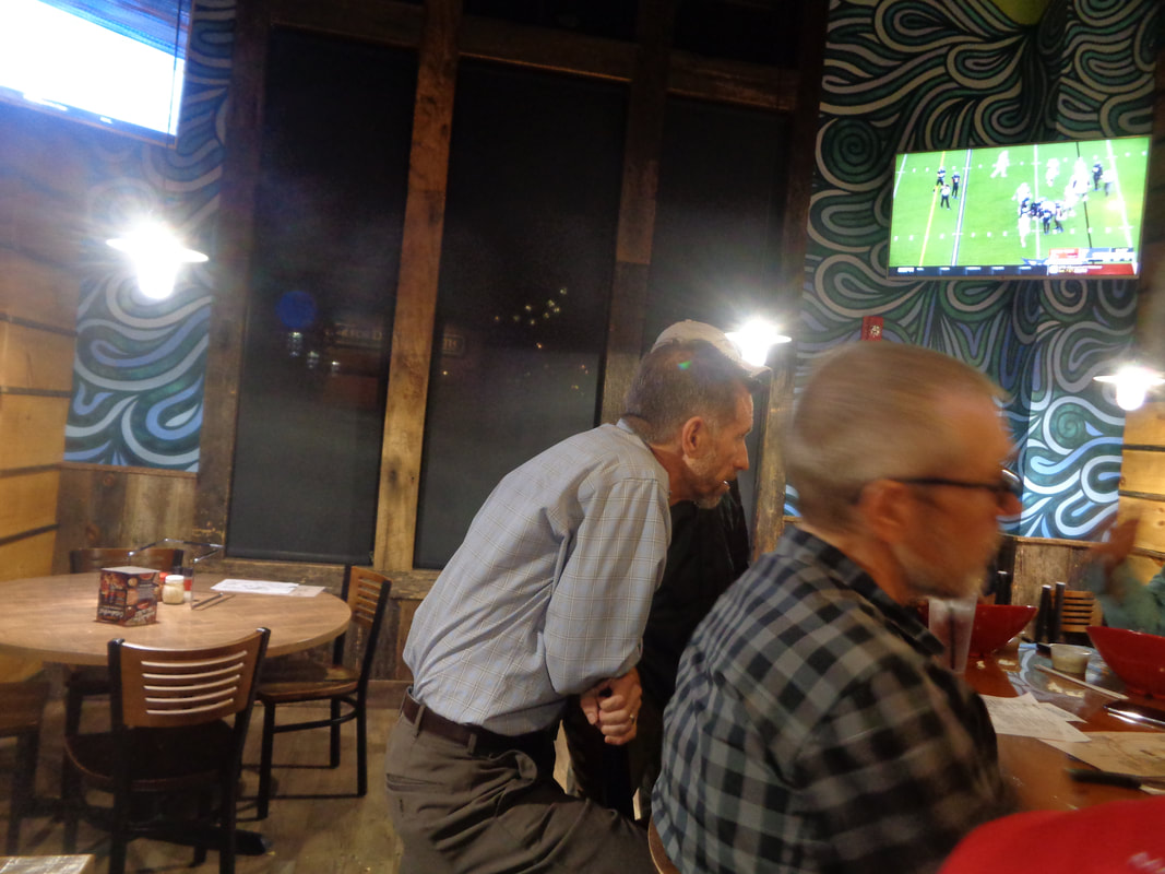
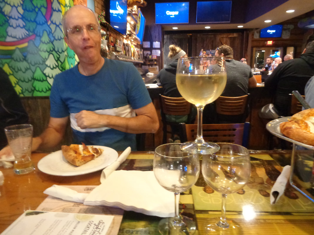
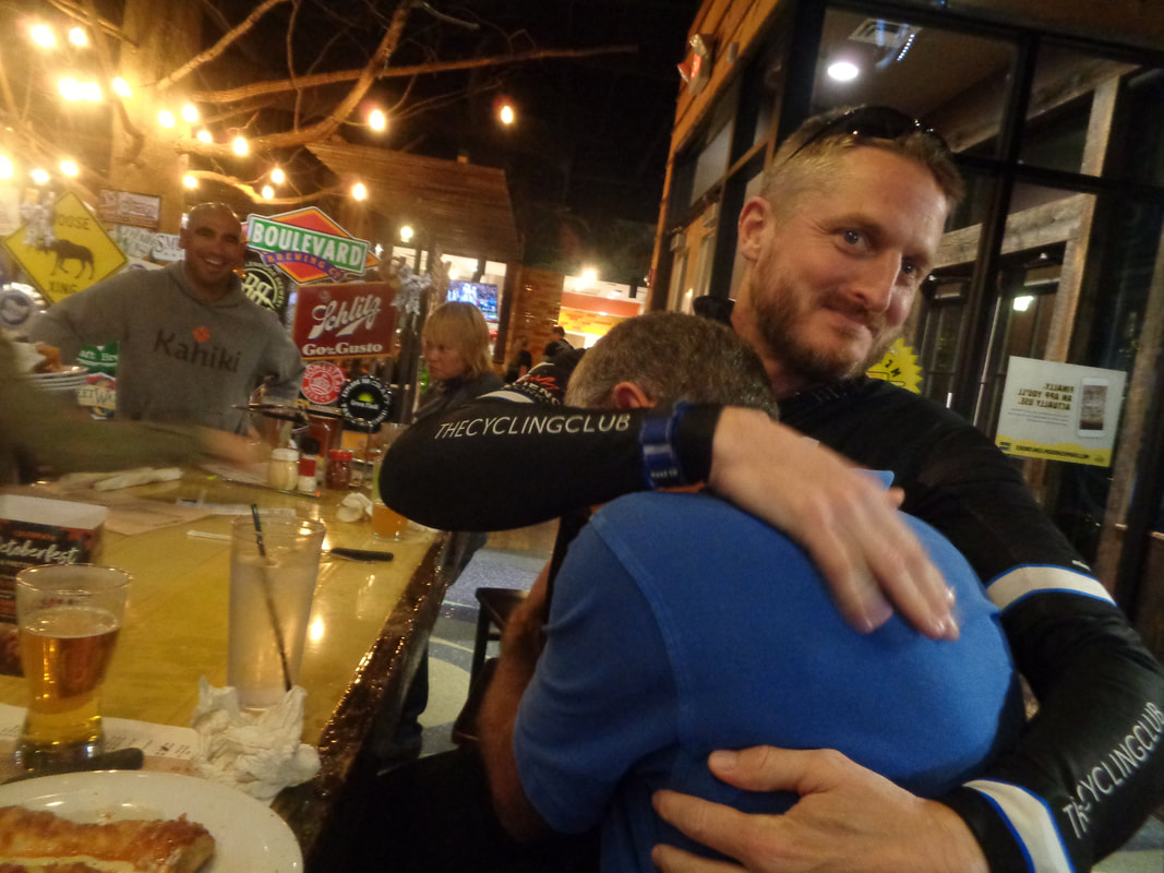
Unsure how many would come out for the suddenly cool weather and a 5:30pm start but at least 30 so that exceeded our expectations. Gus and Jay P wanted to combine the A and B group but that idea was met with laughter.. Been there, done that so we kept distinct groups. Small group of Rivets but huge group of A's, who barreled around the 33 mile route at 22.8 and 22.4mph. Meantime, the B average was 19.2. Andrew C on the left, bundled for winter weather while kind of new guy Bill in the center appears to be dressed for last Thursday's temperature. Bill just bought a new bike so he will be good to go next season. Well, not much to say about our short routes so let's move...... …..indoors at the Mellow Mushroom! Twenty-one people came out including.... ….Marty and Eleanor. Marty did not ride so having burnt 0 calories, he ate a salad and drank water while the rest of us.... ….including Ron Davies..... ….drank lots of beer and wine while consuming multiple slices of delicious pizza. Big thanks to the Cycling Club for paying for this evenings party. Thanks to Bill B for arranging the long table so we could sit together and big thanks to Gus Cook for thinking to have the club pay for the food and beverages so I did not have to. Of course, as the evening wound down, it began to hit some of us that we will not spend as much quality time together so emotions got the better of Larry P and Chris I. Well folks, I am not signing off. There are still weekend rides and there is a rumor floating around that you will be treated to images of the southwest very soon to mix in with the usual content. Yes, I head to AZ on Saturday but will be back in Nov, again in Dec, probably Jan so expect to see me at a few weekend rides, weather permitting. I am in a somber mood as I contemplate the final ride of our Thursday cycling season..boohoo. The good news my few friends is that in 6 months, we get to do it all over again...woohoo!!! What the heck, sure the routes are short, sunset near, weather dry but cold and windy but with the proximity of Mellow Mushroom and Rusty Bucket, lets ride or just come at 7pm and socialize with some people you may not be lucky enough to see for many months. Now that I have you frothing at the mouth in anticipation, the routes:
https://ridewithgps.com/routes/19499509 https://ridewithgps.com/routes/19499678 https://ridewithgps.com/routes/19499864 After this evening's ride, at 7pm, all are welcome to join us at the Mellow Mushroom for pizza and beer/soda. The Cycling Club is paying for this event and hope many of you can attend, if you ride or not,
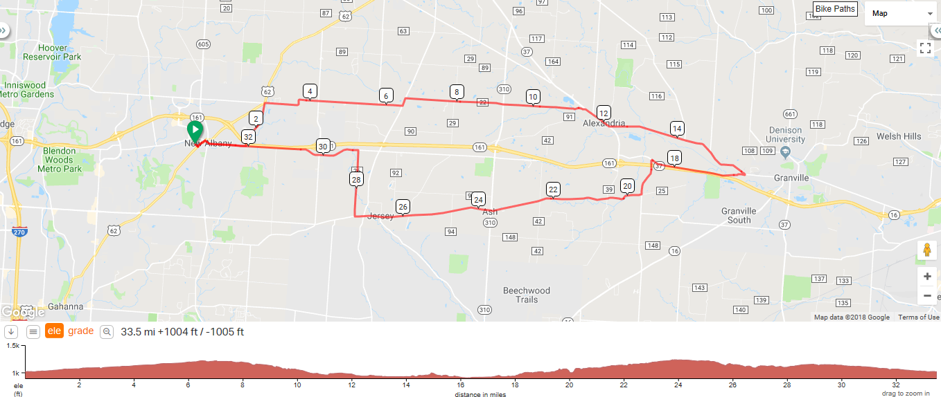
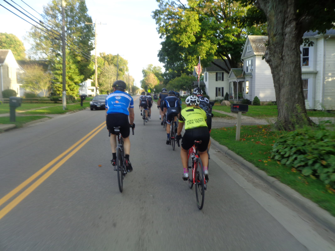
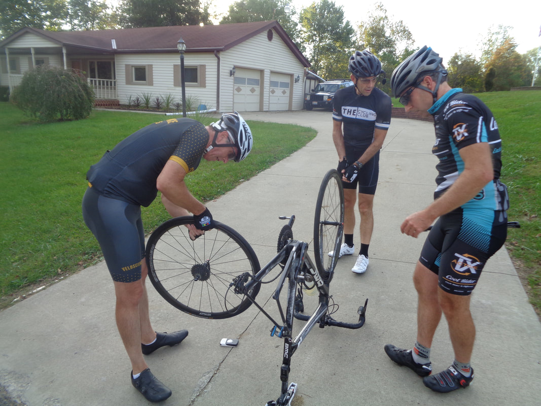
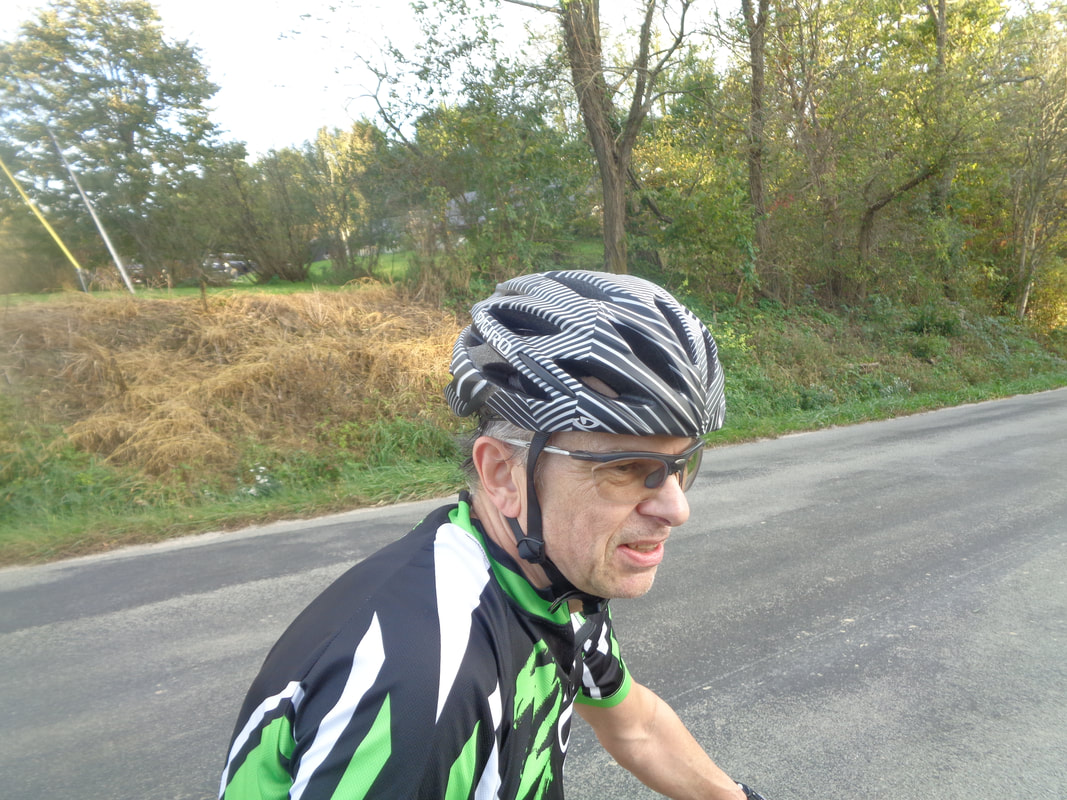
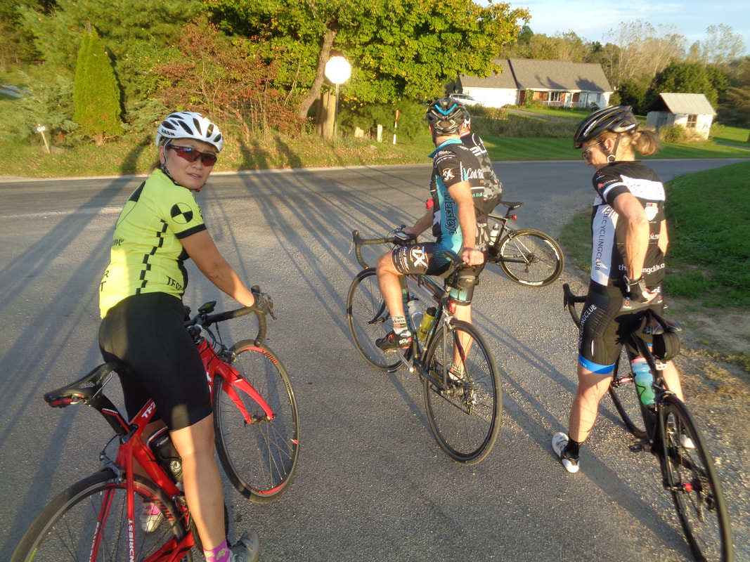
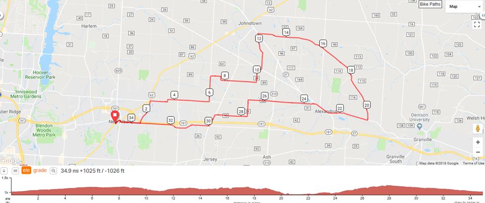
Jon, Jonathan and others were speculating what unrealistic distance Gus would put us on for this evenings ride with a sunset around 7pm. Surely nothing more than 30 miles? Why yes, if you must wonder. Gus wanted 34 miles. Our numbers dwindled as we reach the end of the season yet still 14 showed up. Peggy asked if I planned to do the entire route and I told her it was likely the group would end with 13 rather than 14. We enter Alexandria having lost 3 cyclists but I was still there, surprising most who looked around at the light prior to turning left. I'm kind of the opinion that for next season, we do away with the idea of one group riding at a B pace. Maybe we should have an A group and a real B group. There are always a few who rightly for them would rather go at an A pace and it sucks for those of us who would rather take this evening to do something easier. Half way up the Mounts Street climb out of Alexandria, Scott flatted so we all stopped. Gus and Larry had quite a system going that was going to have the flat fixed in short order. However, that did not stop.... ….Axel from offering plenty of sideline coaching and second guessing. Check out his new helmet! I think he said the name of it is "Dazzle". I called it the "Zebra". When it appeared the fix would be fast, some of us got a head start and then we all regrouped at Hardscrabble Road. You can tell by the length of the shadows that the plan to turn right on Corner Road would be a bad idea so we went left and proceeded back to New Albany where we finished at 7:15pm with 32 miles and a 19.7 average. Well folks, see many of you next season.
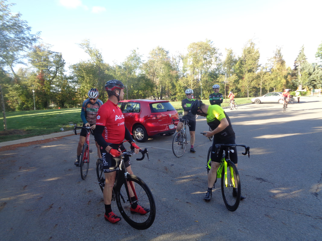
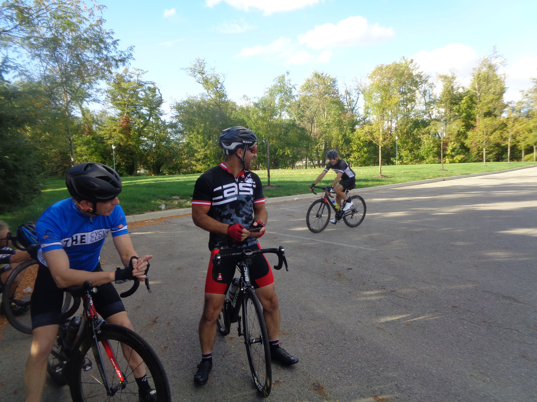
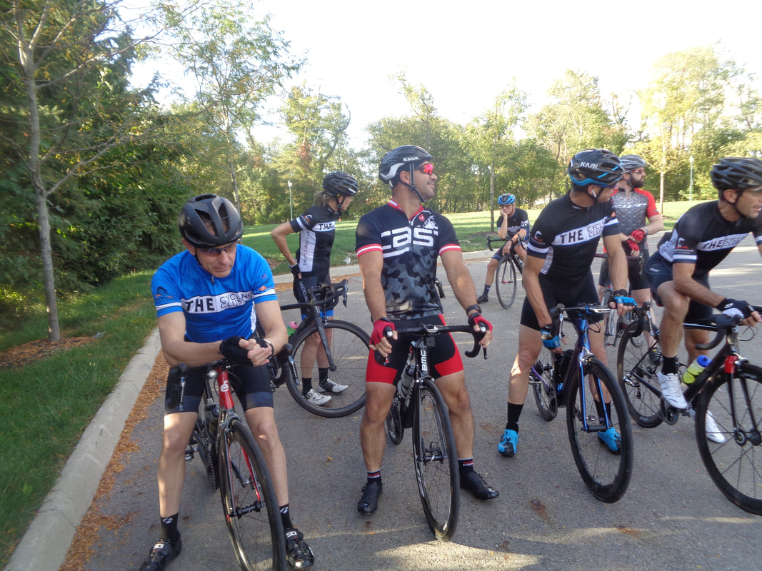
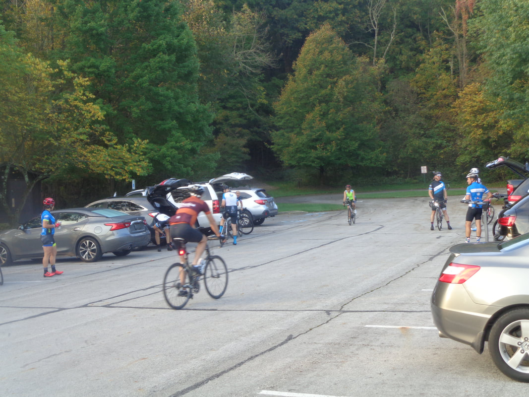
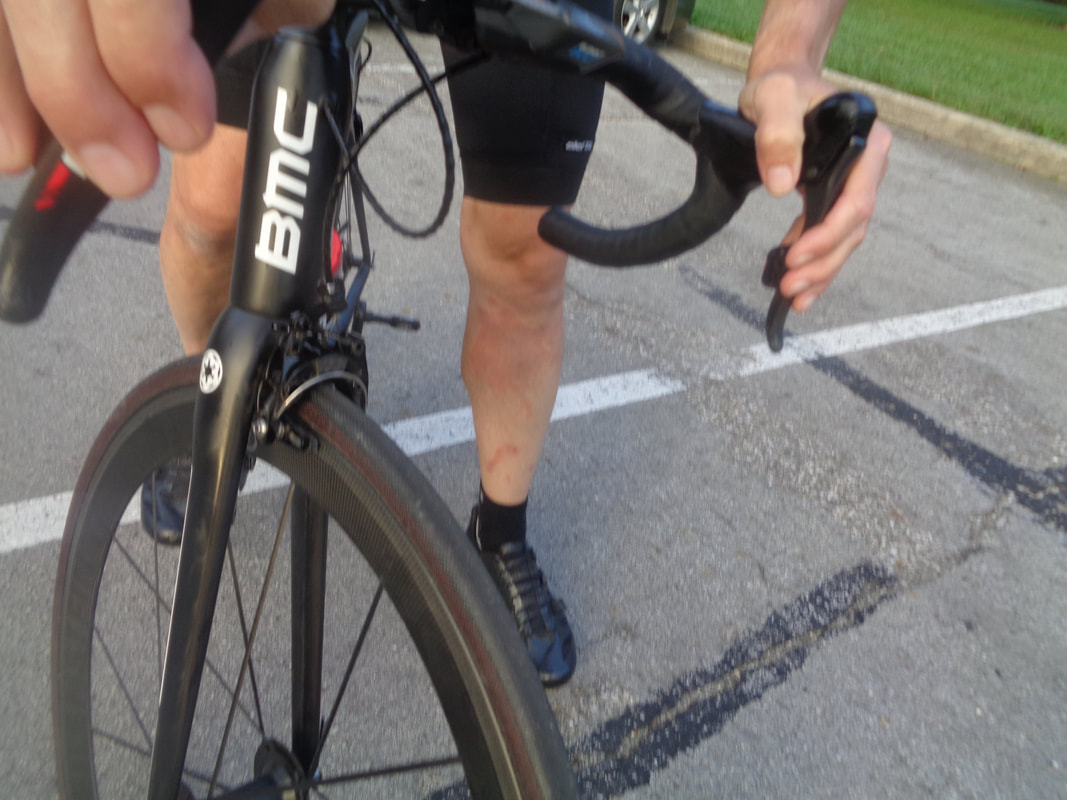
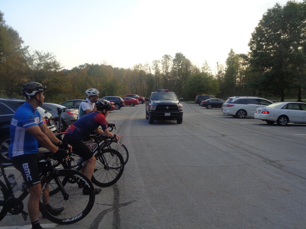
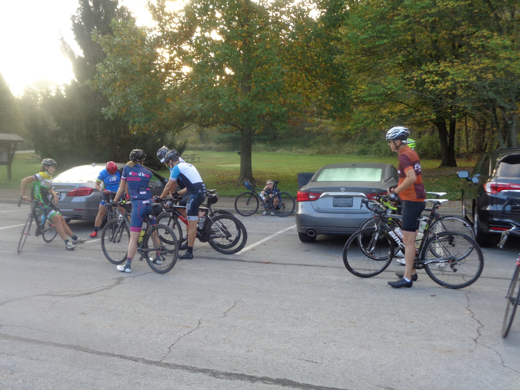
I enjoy the drive south over roads that are partly open pavement, partly gravel, mostly terrible. I stopped at a car repair place to have the front end realigned then continued south to.... ….a park in Fairfield County, slightly southeast of Canal Winchester. Oddly enough, in the image above is Scott Elliot in orange/brown and coming towards him Teresa. I formed up with them shortly after the ride started for an enjoyable "Westerville Bike Club B Pace" while the others pursued the "New Albany B Pace". Good turnout of 20 that included Decent Dan. Dan arrived at CMH the night before after two weeks in Italy, fighting a head cold and recovering from a severe case of poison ivy. Note the discoloration on the leg. Dan knelt in a patch of the ivy while changing a flat. Let this be a lesson to us all. We form as a park ranger passes through. More forming as Tym Tyler appears to be bored while sitting on the curb waiting for us to finally decide it was time to go so.... ….off we went, pedaling over one freshly paved road after another. It was amazing and became a running joke as each turn exposed more black velvet. Must mean farmers carry more weight down here then in Licking County. The 3 of us declined an 8 mile loop but otherwise followed the route into Amanda. There, I announced I had things to do and was taking a direct route back to the car but Scott and Teresa announced they were good with that too so we ended with 40 miles and a 17average while the others did the full 67 mile route. I think if you show up behind the Starbucks in New Albany at 8am, you will find someone with whom to ride but nothing official yet. In the meantime, from Don Novel for Sunday: If anyone, on Sunday 10/7, is looking for a nice "B" paced ride, on surprisingly good roads, this will be a good day for you. This area is a great place to ride, in October, and easily one of my favorite places to ride in Ohio. There will be a coffee stop (great German coffee shop), at mile 15, and a hydration/light food option at aprox. mile 35, in Amanda. We will roll out from Chestnut Ridge Metro Park @ 8:30am. If you want a slightly shorter option (12-13 miles shorter), meet us at Das KaffeeHaus, in Lithopolis, at about 9:15, and roll from there.
https://ridewithgps.com/routes/28689167?beta=false Popping up late on the schedule but better late than never, Gus Cook is leading a ride at 9am from New Albany's Philip Heit Center/Starbucks. Route to come later this evening.
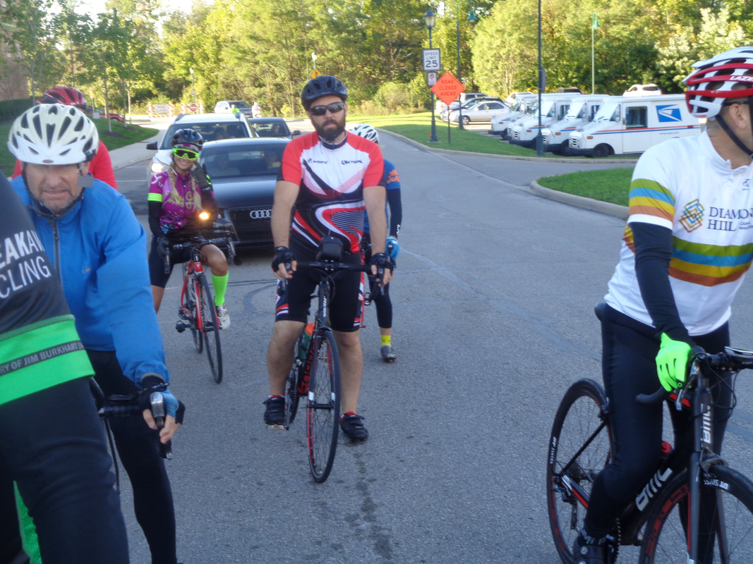
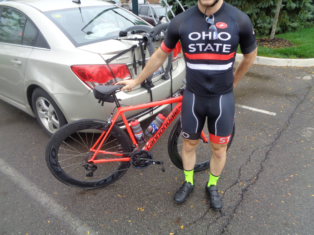
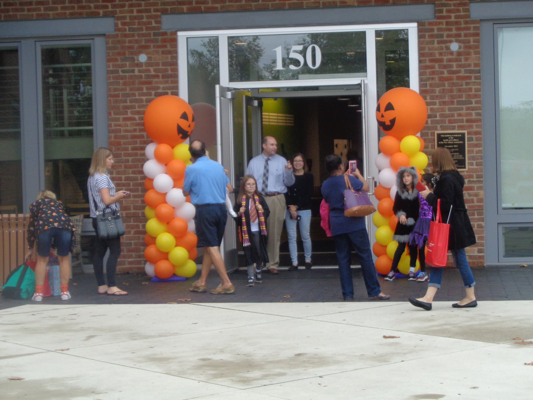
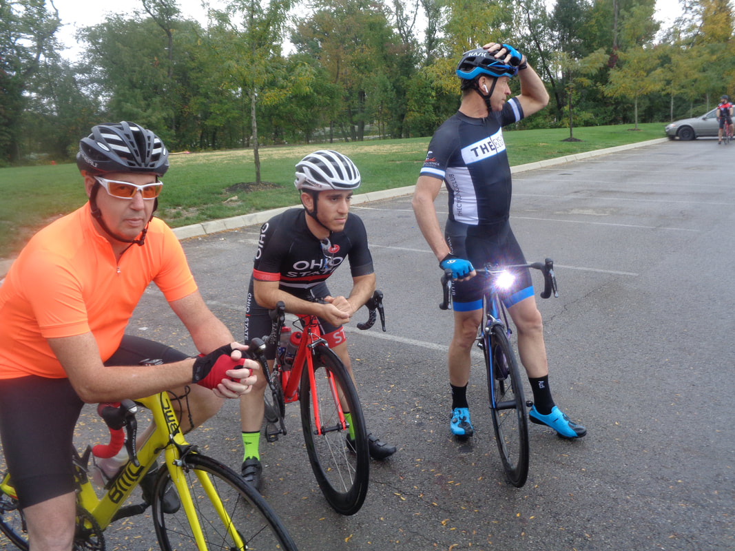
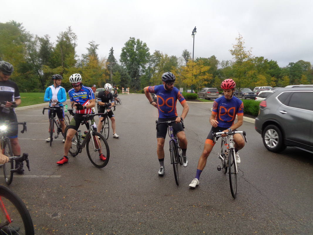
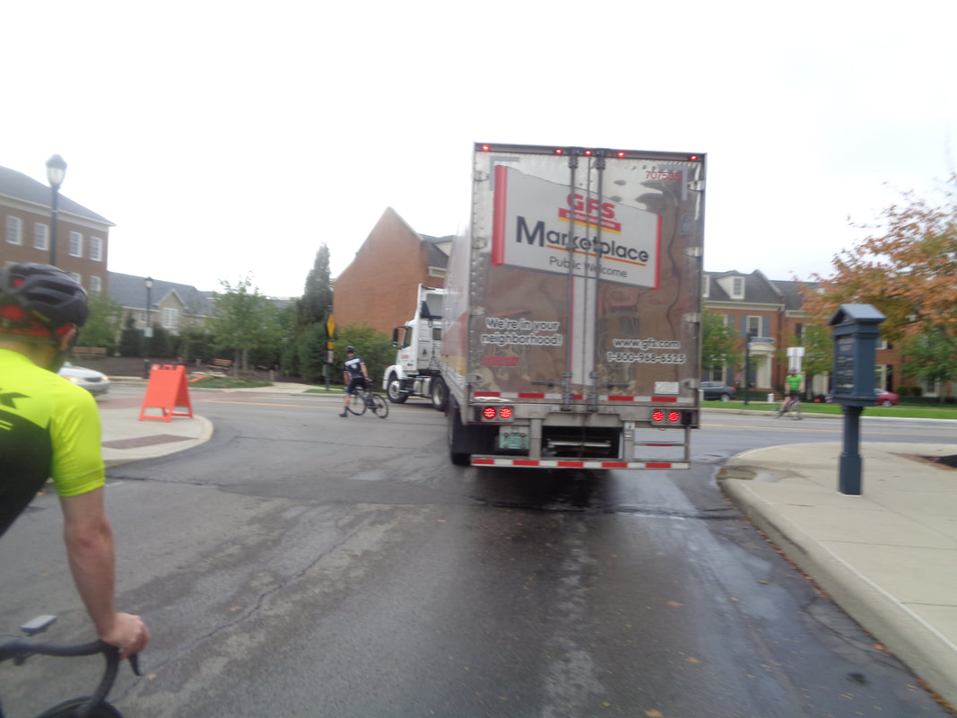
Mitchell's new bike made its debut tonight and would require a good cleaning after our ride. Lot of kids walking through the parking lot on their way to the Heit Center for a Halloween themed event. A line of showers moved through the area around 4:30pm and behind it was a bank of thick, dark clouds. Tim, Mitchell and Scott, with a light are ready to go. Only had about 16-18 come out and we decided rather than send out one group and sort things on the road we.... ….send out one group that would cover the 35 mile route and another that would follow the 29 mile route. Someone calculated it would require a 23mph average to finish before sunset so only 3 guys went out for the long route, Goeric, Ben and Mitchell. Ben and Goeric on the right in the PG jerseys. Geesh, getting out of the parking lot has become a challenge and with so little daylight, we need to go, not wait. Chris and one other blocked traffic so a truck could turn left. Our group, those that remained and wanted to do the 29 mile route, was populated mostly with A types and I regret that the group rode at an A pace so several people spit the bit early. When we reached the left turn on Clover Valley, I too spit the bit. Just not into riding hard any more and not able to either. I have no way of measuring these things but doubt there has ever been a more "unridable" season then this one. Maybe you will be blessed with a glorious fall. I will for sure. Long route group finished with a 22.8 avg and the others finished with a 21.5 avg. Our next to last ride of the season. Where did it all go? 5:30pm start, usual place behind Philip Heit Center. With the season winding down, want to acknowledge Veloscience's contribution to the club and remind that members receive a 15% discount on parts and 10% on bikes. Why just today, I walked in to buy a tire and walked out with a tire and new bike! I am defenseless in the hands of a professional sales person. Routes are 35, 29 and 19 miles.
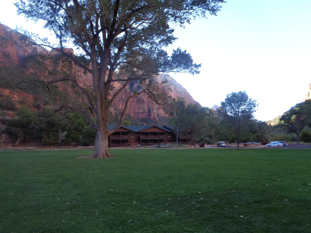
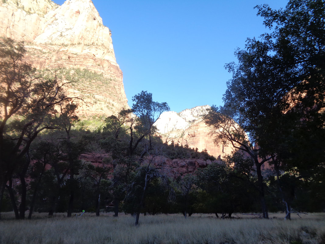
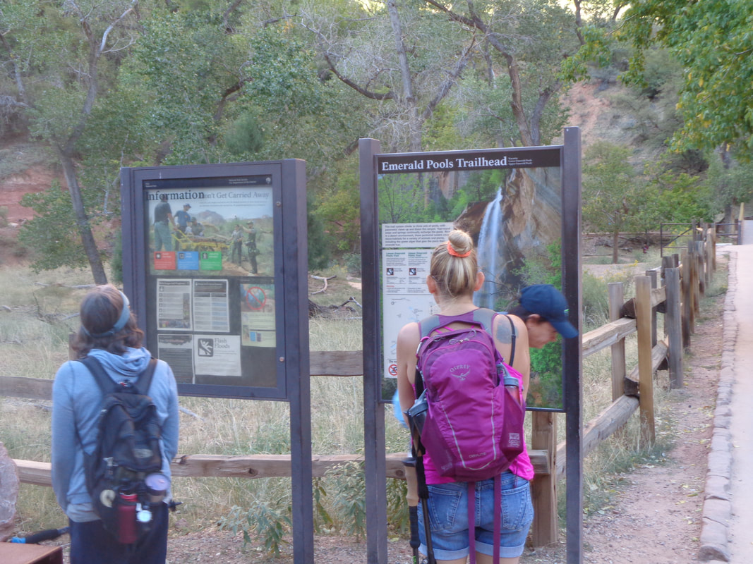
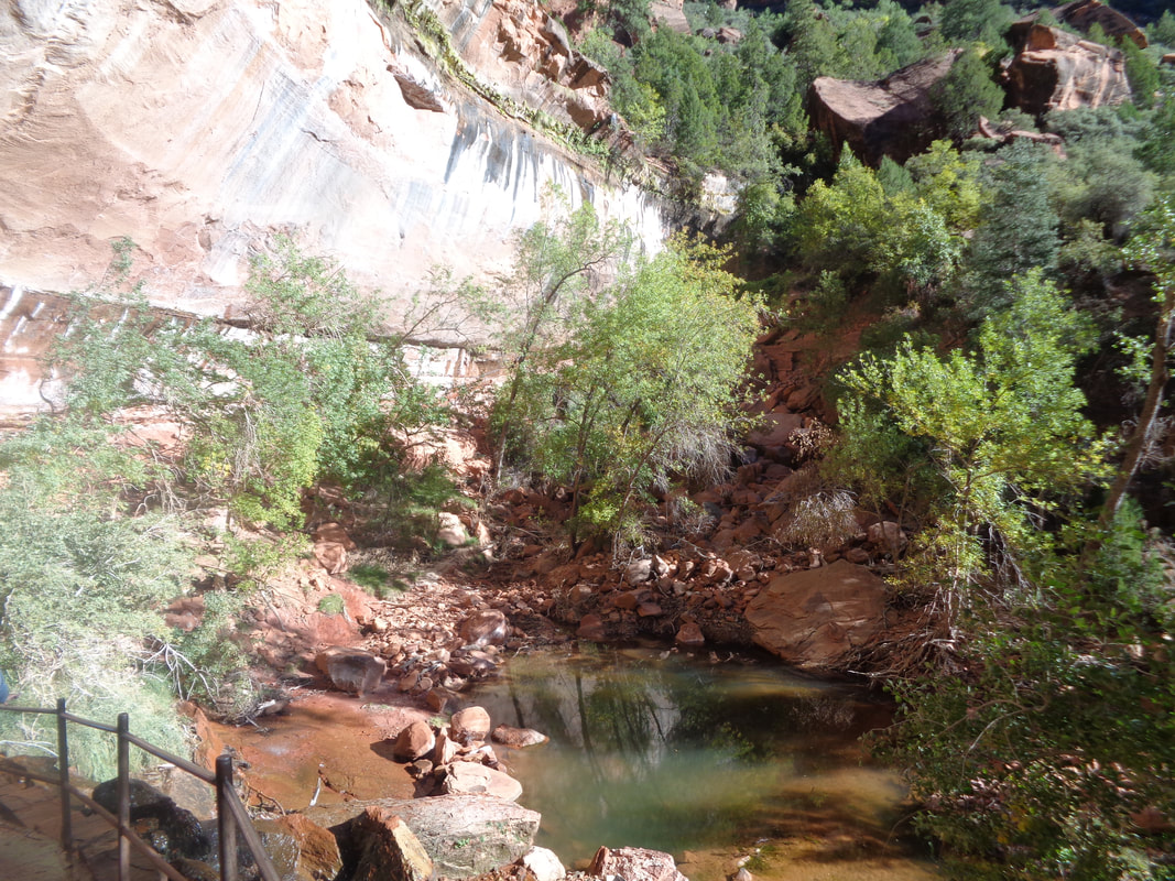
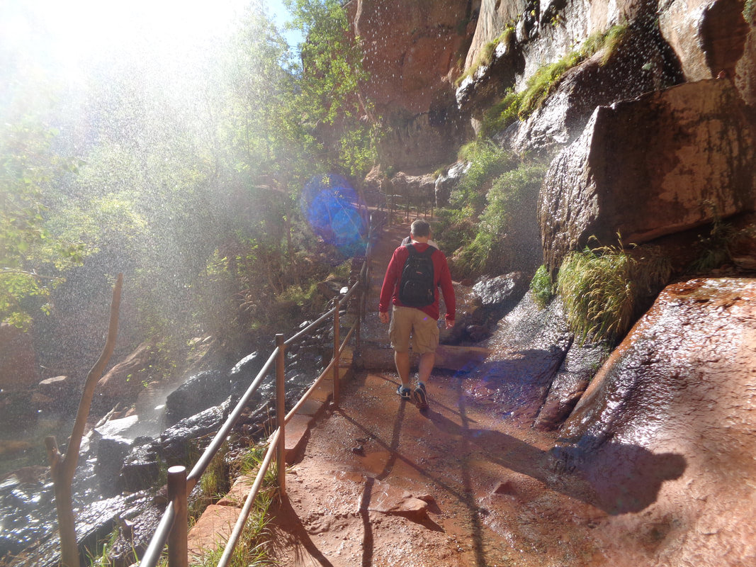
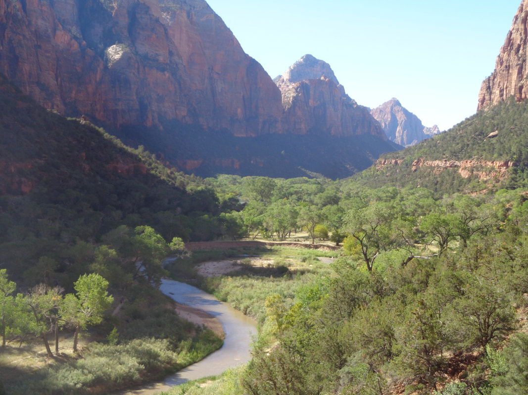
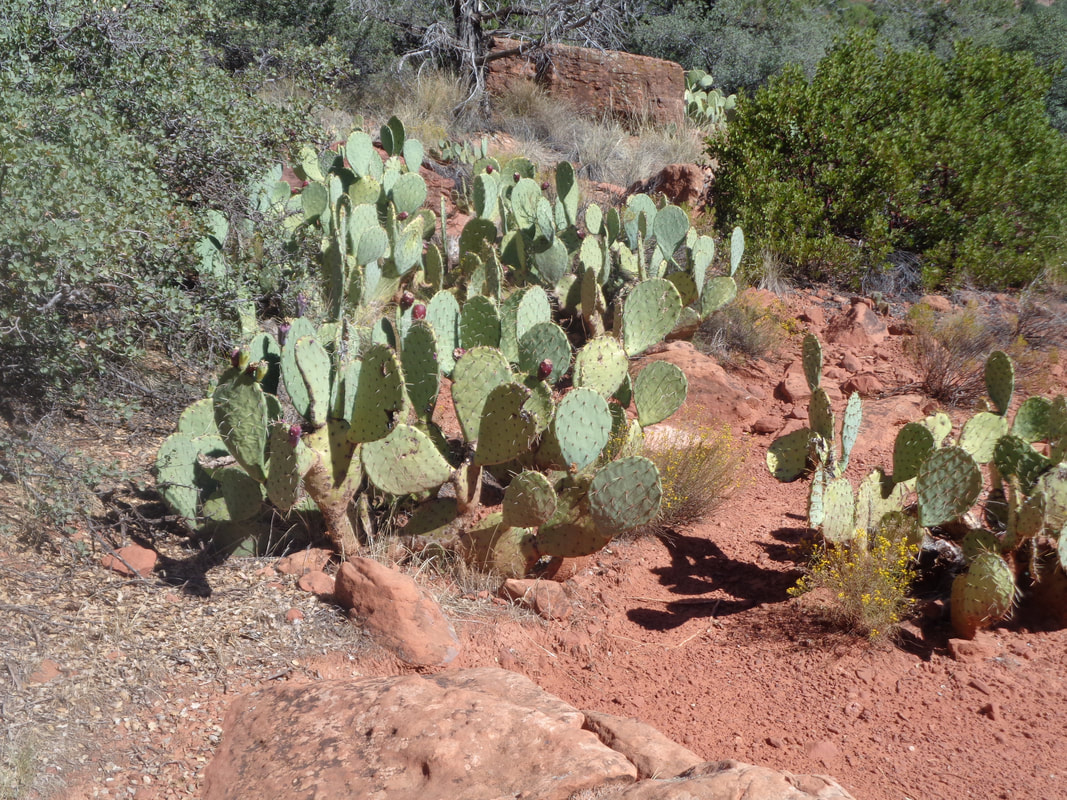
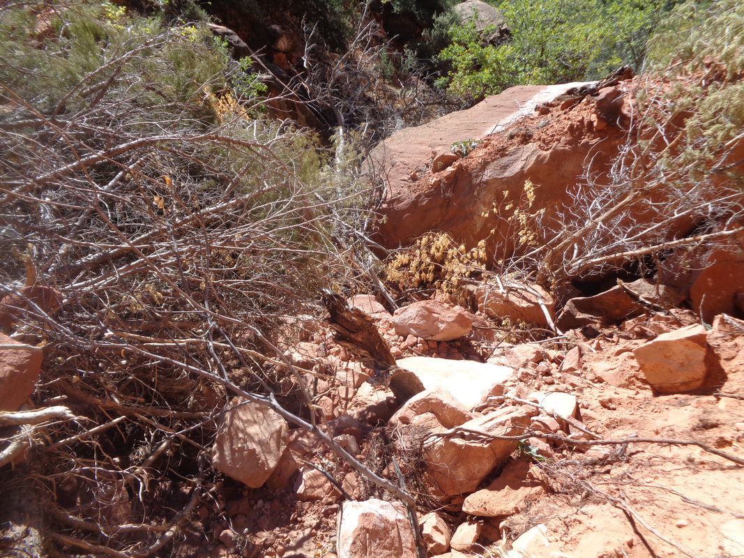
https://ridewithgps.com/routes/19498884?beta=false https://ridewithgps.com/routes/19498975 https://ridewithgps.com/routes/19499144 The final day of our visit to southern Utah and we decided to revisit Zion once more. Above, a magnificent shade tree in front of the lodge. Another early start which is good for a variety of reasons such as parking and watching the sun's influence on the mountains. We headed toward Emerald Pools. There is a lower, middle and upper but.... ….while the lower pools are emerald, a wash out prevented us from reaching the middle and upper pools as the trail was closed after reaching a point just beyond this pool. A waterfall comprised mostly of a fine mist dropped from a ledge above us. Returning to the parking area in front of the lodge, we hopped back on a shuttle and.... ….one stop up we hopped off to take the Kayenta Trail. Alas, it too was closed but I talked my wife into going around the barrier and proceeding. I've encountered many falls due to flooding or land slide and there is usually a way through. Beautiful view. Cactus. We encountered two slides but were able to pick our way through. With the two hikes, I think we did around 3 miles. Well, back to Ohio for a short period before heading west once more.
|
Categories
All
Archives
November 2023
|
