|
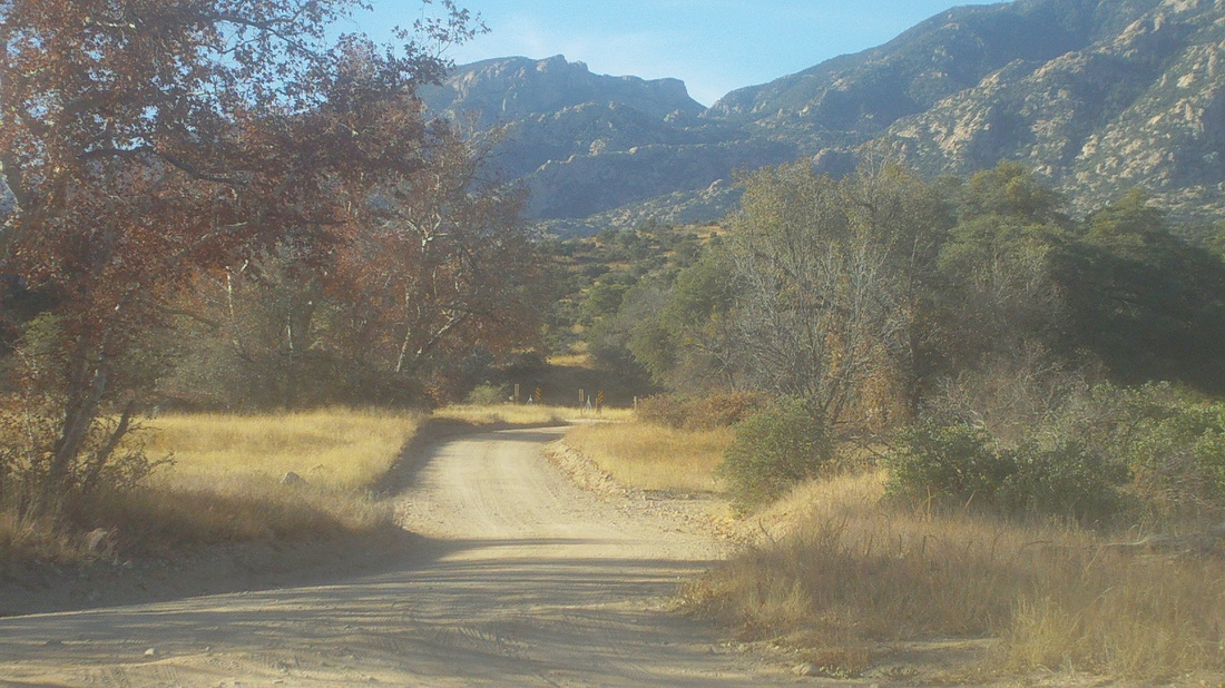
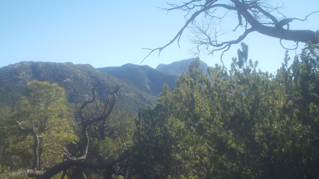
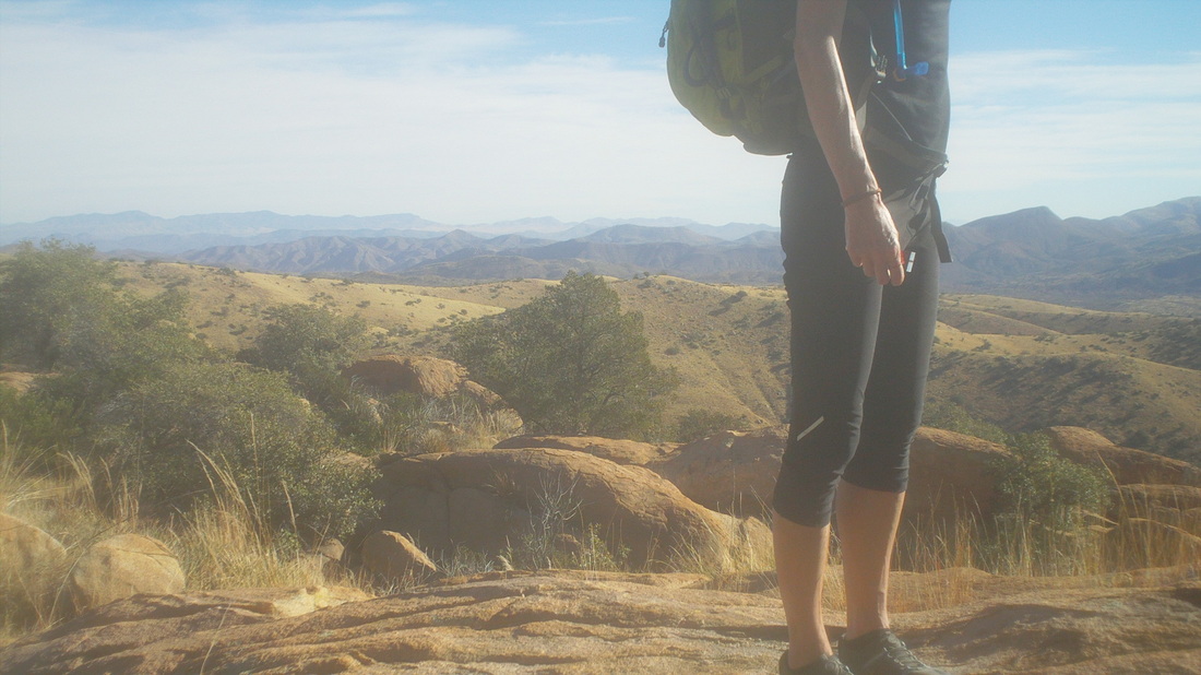
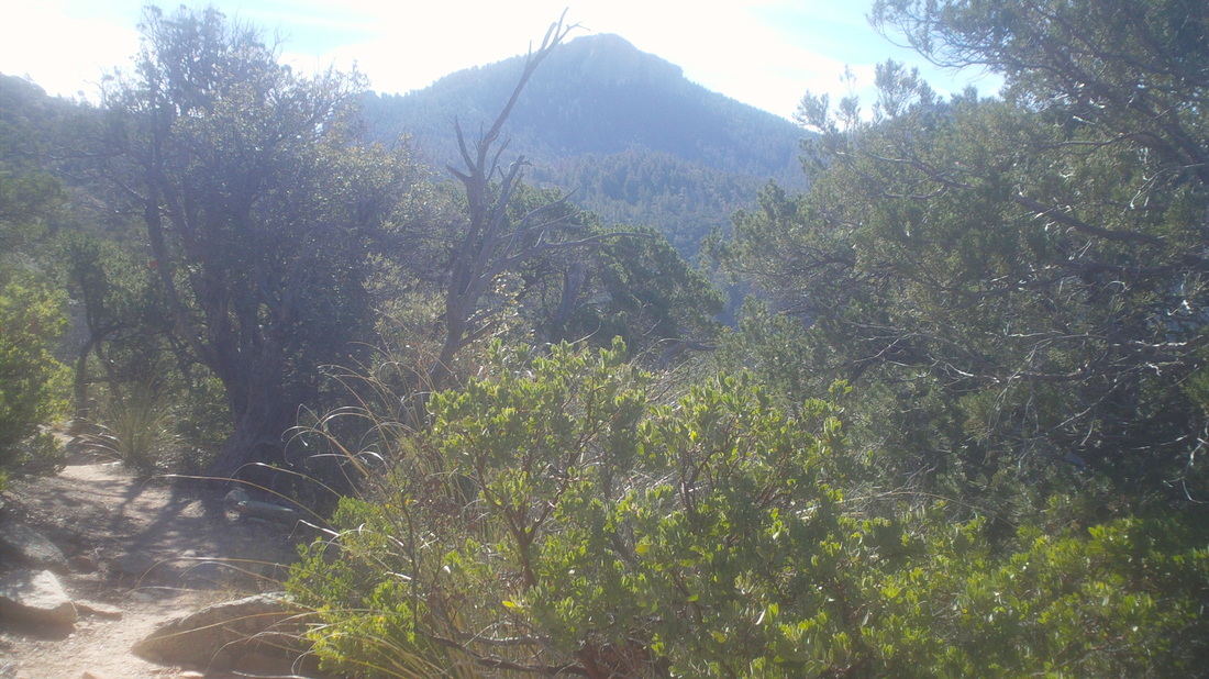
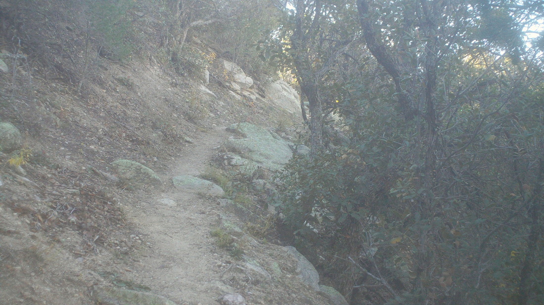
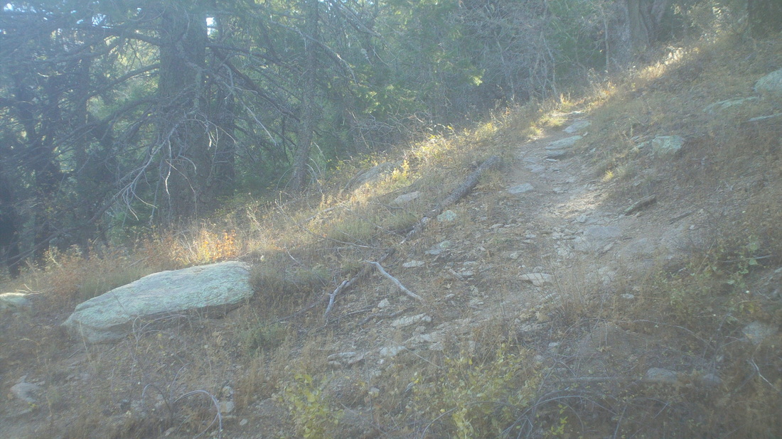
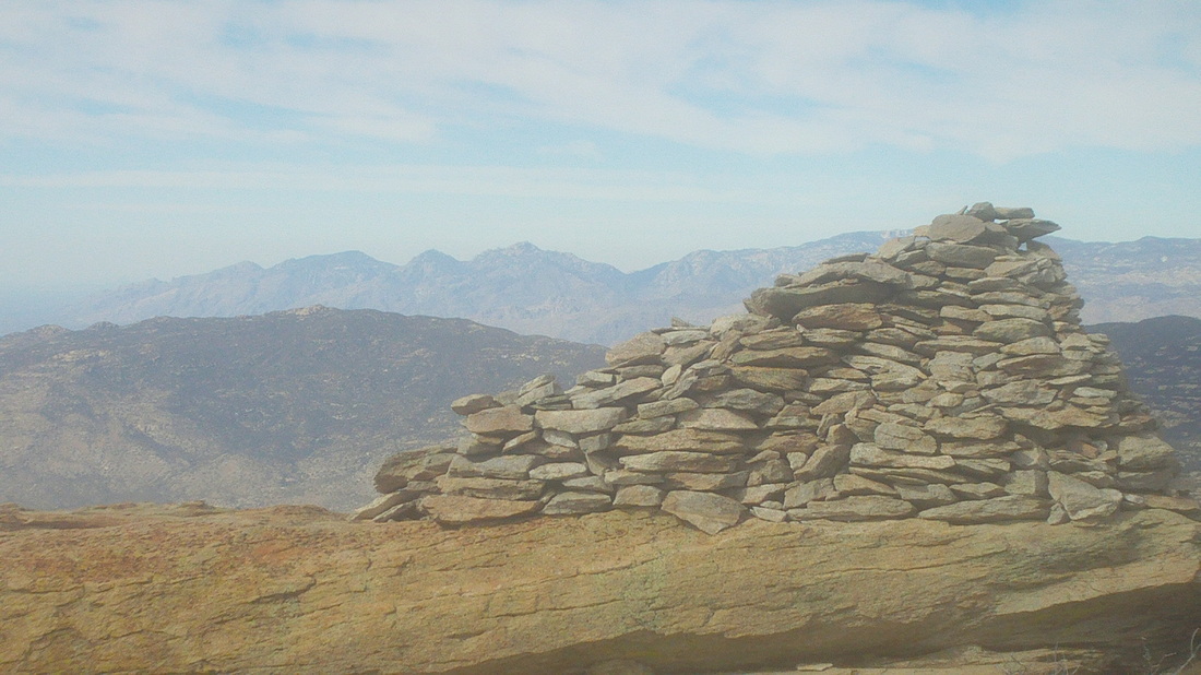
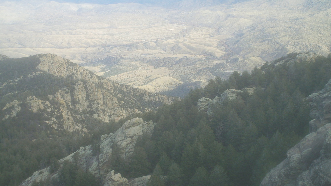
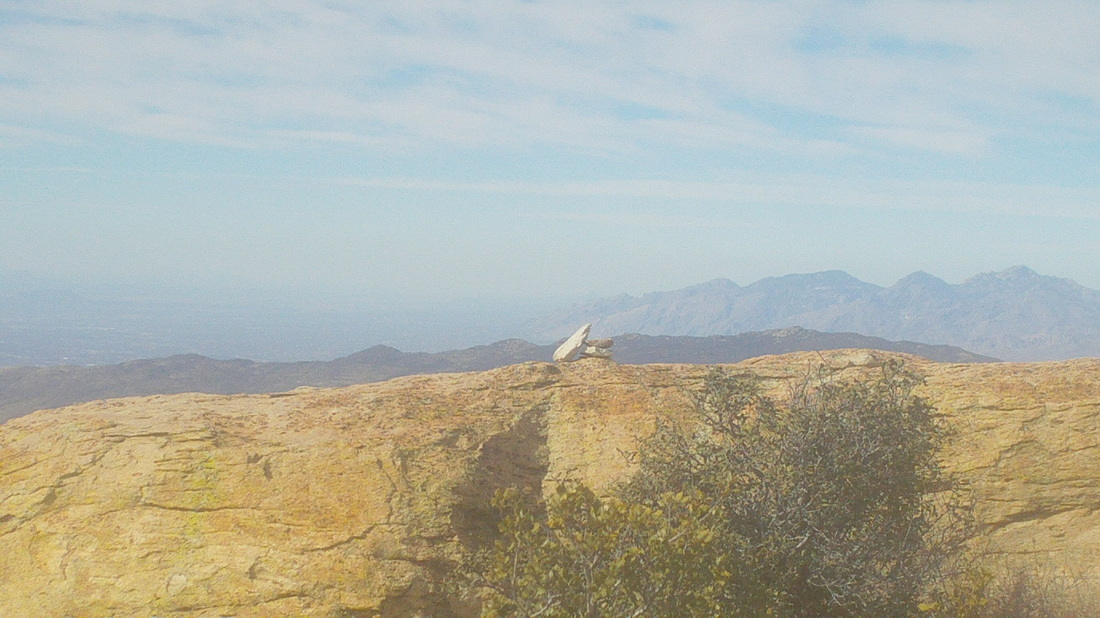
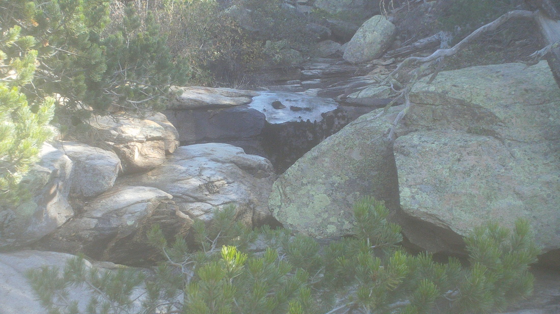
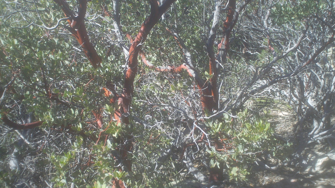
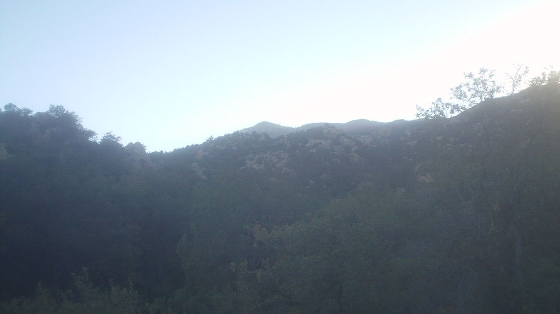
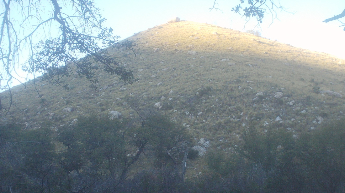
One of the local "Meet-up" groups scheduled a hike to the top of the remote Rincon Peak so I signed up. For me, it is comforting to know there are others on the same trail, just in case the unexpected happens such as a wild animal attack, fall, trail direction confusion, the usual stuff. The trail head is 16 miles from I-10, 13 of it dirt but the road is easily driven in a car and I saw a Prius at the trail head too. Although it has been several weeks since rain, there were 3 crossings of running or pooled water so hard to say how iffy would be the crossing after a recent rain. Lastly, once you make the turn left at the "Miller Creek Trail" sign, you have to make another immediate left turn to access a very small parking area (this is for those of you who have found this after doing a search for "Rincon Peak"). There were 7 of us at the start and early, we argued the peak in the distance could not be Rincon because it was too far. Unfortunately, that is it and as described in other on-line reports, that final 1/2 mile is as steep as anything I have climbed. The good news is, according to my Garmin, it is not 8 miles but instead 7.3. The bad news is the final 1/2 mile is, I found, little different from the previous 1.5 miles. Ridiculously steep, at least A 30% grade. After following a creek bed with several crossings, we began to climb in earnest and so, soon, had nice views to the southeast. The partial of the woman above, I think her name Laura, kind of fits the M.O. of most hikers, fit, really fit. There was one exception though so we frequently had to regroup. For "Stan" our leader, it is his responsibility to shepherd the group but for the rest of us, we are free to keep going and so after another stop, I kept going. After about 4 miles, I reached a signed junction that directed me left and then I quickly reached the Happy Valley campground and then there is another sign directing me again left, clearly going toward the peak I had earlier scoffed could not possibly be our destination. It actually dampened my mood a little to see how distant the peak was and the height....oh my. The environment was unlike most out here, likely because this side of the canyon faced generally north. The brush was thick but the trail easy to follow and it was reassuring that small metal squares had been inserted periodically along the trail in trees. And then there is that final 2 miles (the image doesn't do it justice)! So steep, it reminded me of the scene in "Close Encounters of the Third Kind" where Richard Dreyfus' character is frantically struggling to scramble up a slope toward a saddle prior to the arrival of a helicopter carrying a dust that will render him unconscious. In fact, I slid down a couple of times, unable to maintain my position. Most steep hikes require large step-ups to boulders, one after another but this was different, kind of like a ski slope with gentle "S" curves and not much to grab for leverage. At last, there is a pole with a metal encased register where you are to sign in but wait, that's not the top. Noooo..... now you have arrived at a section where you climb over and around boulders, which I find much easier than what I had just experienced until, there it is, the famous 6'+ rock cairn. The 360 views were awesome but it was very windy and cold up there and I lacked adequate clothing. My perspiration soaked shirt in that wind and temp??? Whoa! Somewhere down in one of those valleys is the trail head. I discovered you could clearly make out Mount Wrightson, Bavoquari Peak, Kit Peak, and then, directly above that tilted rock is the western edge of the Catalinas and where I live and then again directly above the rock and beyond the Catalinas, I could just make out Picacho Peak but the image is not so clear. Well, time to get off this rock and I headed down, just then running into the group, two members of whom had dropped out farther down the trail. Probably a good idea. On the way down, I noticed some ice so at night it must get pretty chilly. I welcomed the warmth as I descended and began to peel a shirt layer, removed arm warmers and began chugging fluids more frequently. The long and steep downhill began to take a toll on my knees and surrounding area. The jarring, over and over made me regret not bringing a hiking pole with me to absorb some of the impact. Check out this bush, of which they are in great abundance. I guess the living portion of the bush's branches are reddish and the areas that have died are the grey. Stunning as they lined the trail. The sun disappeared over the mountains rather early, prior to 4:00pm, putting the valley in the shade. To the east, the sun cast a final shine on a hill before it too was in shadow. I passed a couple of large cows, recrossed the stream and finally, reached the parking area. Perhaps it is the lingering effect of having pushed myself up the Flat Iron but this hike had the feeling of certainly top 2-3 hardest. Cathedral Rock, longer and more climbing didn't feel as difficult, Mount Wrightson didn't whip me like this and at only 4500' elevation gain, that's not so much compared to others. Maybe it's because the final 2 miles is so steep but this is the real deal, just in case you are researching and planning to take the hike.
0 Comments
Leave a Reply. |
Categories
All
Archives
November 2023
|
