|
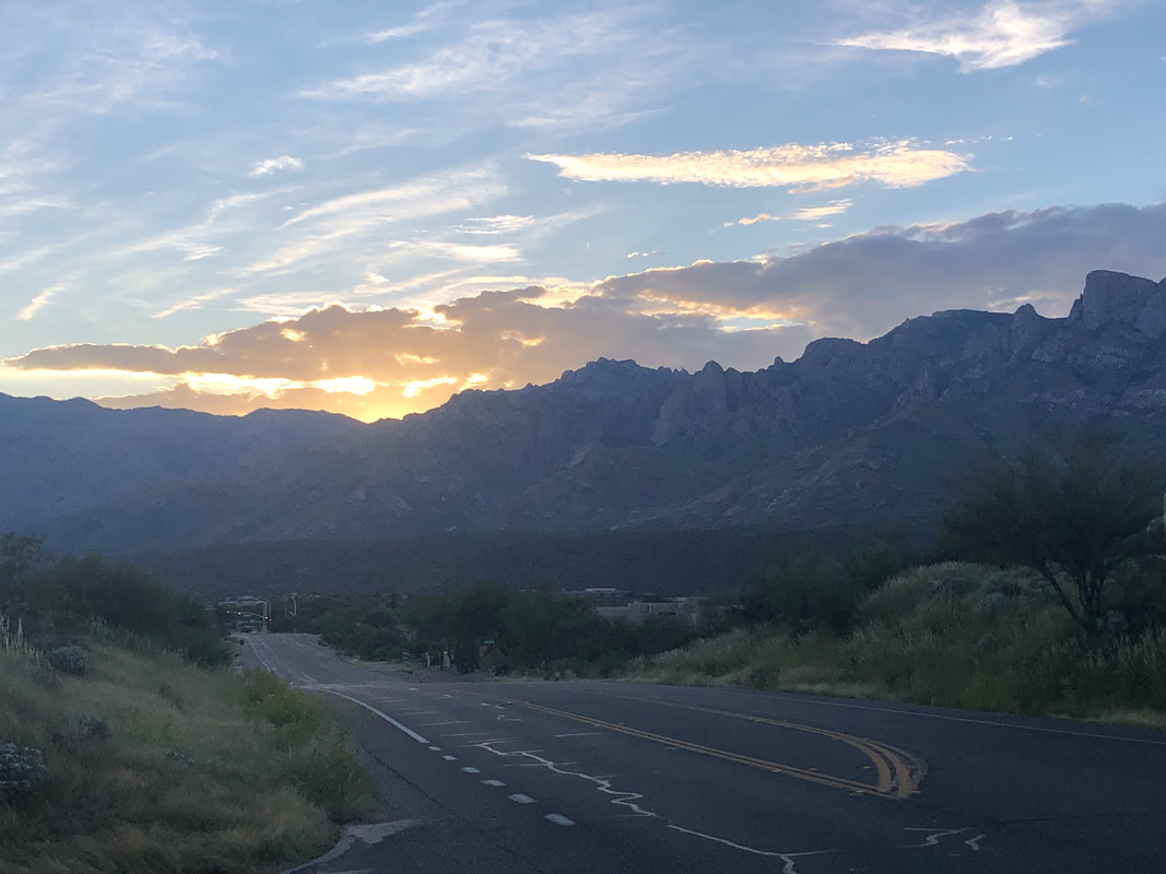
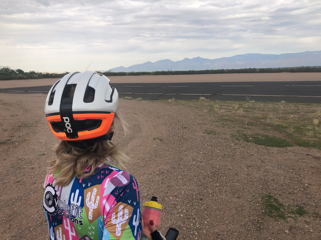
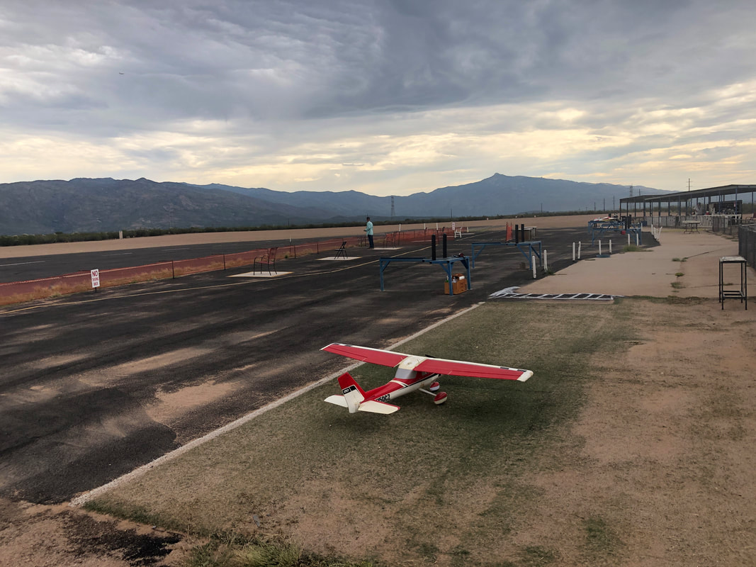
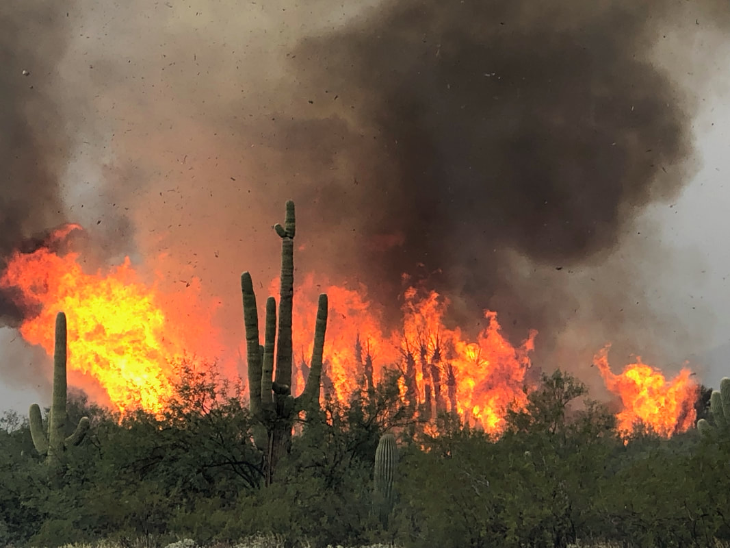
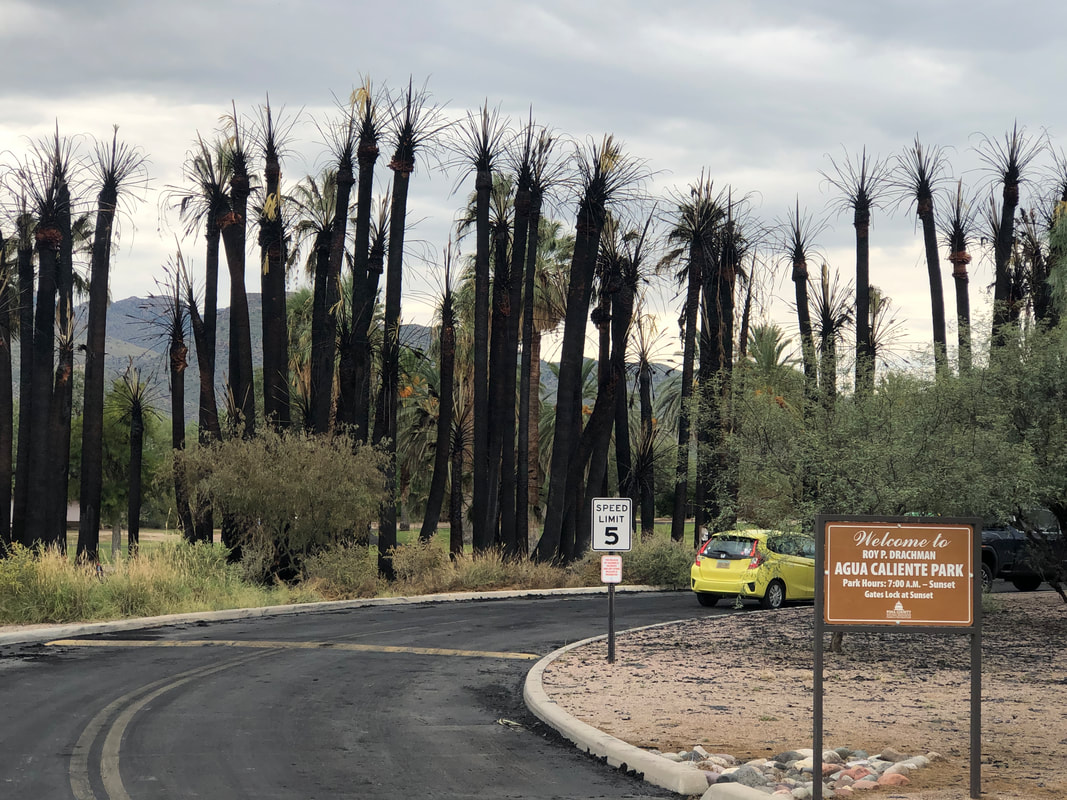
Only 3 miles from the start of a Cactus Cycling club group ride, I departed from my place at 6:30. Brrr, may have been 69 at the time as the sun begins to clear the mountains. Did 30 miles and then the following morning.... ....rode with Amy on another 30 mile route that included a stop to watch.... ....miniature planes taking off, performing impressive maneuvers and then landing. Aqua Caliente Park is a unique attraction in the region, having many mature palm trees, ponds, walking paths, just a beautiful location. A lightning strike a couple of days ago ignited the above so Amy and I drove.... ....there this morning to check it out. It's a relatively small area affected but it's at the entrance. Interested to see if any of these palms survive.
0 Comments
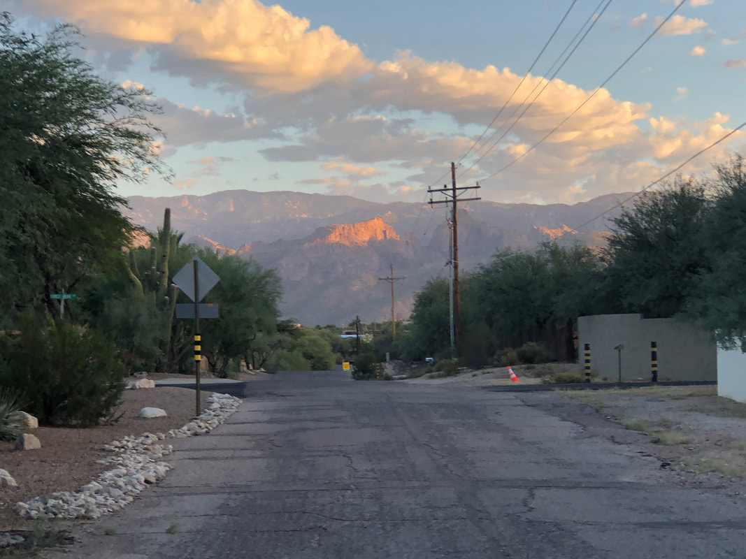
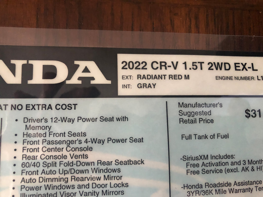
The sun rises, illuminating Blackett's Ridge as I walk Amy's dog, Jack. Then, a few hours later, I clean out my Corolla, drive it to the Honda dealership and..... ....pick up my new CR-V. I drive to Amy's to give she and Jack a short drive in it. Jack seemed unusually comfortable so maybe he's a fan of the "Buckeye Red" color. It's quite an upgrade over the Corolla.
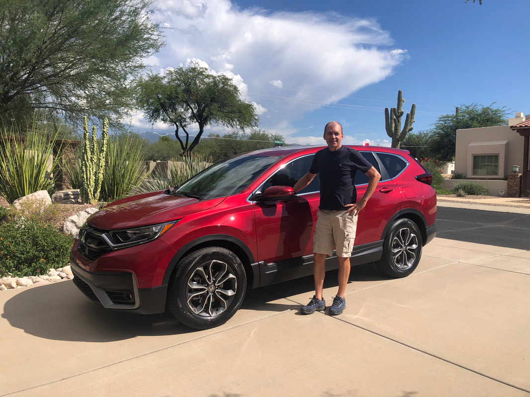
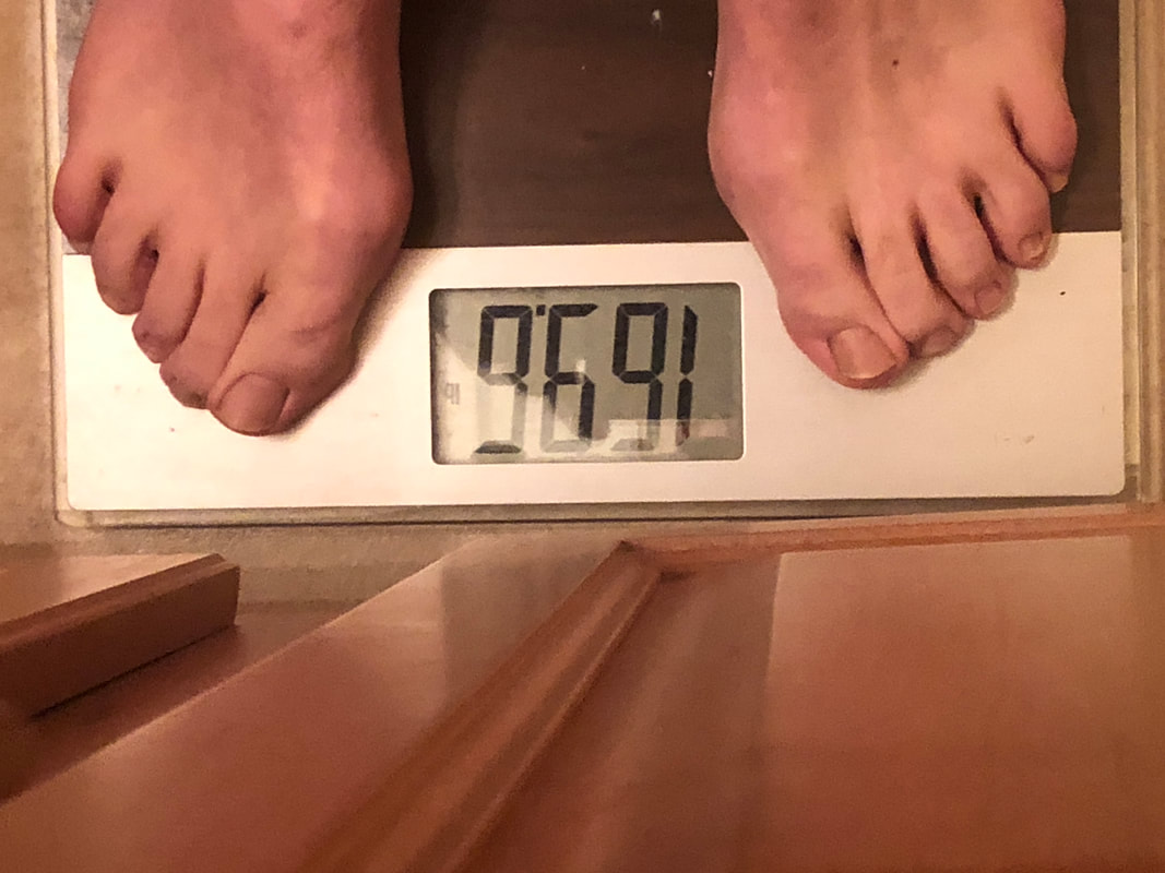
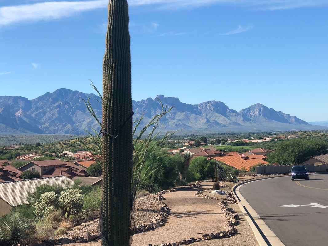
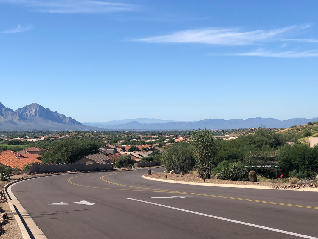
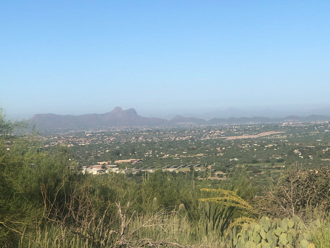
No one wants to see my bare feet but instead, look at the reading on the scale. I did it, lost 10 pounds and back in the 160's. Actually, at 168 today so that's enough. I returned from Moab with Covid. It finally got me and I was kind of pissed. Symptoms were very mild and gone after a couple of days (no, I did my research and decided against what most people now know is not a vaccine but a very temporary therapeutic). Anyway, my desire to lose 10 pounds, given my activity, should be easy and it was. Took about a month. Got out for a 40 mile ride that included one of my favorite views from Saddlebrook. I'm back on track to average 500 miles a month and intend to continue. Cycling is such a low impact, highly aerobic activity, I'm enjoying it and looking forward to rejoining group rides now that I've regained some endurance. And then, I did something I've thought of doing a long, long time. I've been frustrated that some of the hikes I'd like to do, my Corolla can't reach the trail head. So many people have also commented, it seems odd to see an outdoor active guy like me driving a car, rather than an SUV. Plus, I like sitting higher in an SUV so.... ....the best friend I've ever had, Amy, did this marvelous research and I narrowed my choices to a Honda CRV, Nissan Rogue and Toyota RAV4. Amy and I visited the dealerships yesterday. I'm not a car guy. I put far more research into a new bike than a new vehicle, lol. We test drove a few SUV's, with her asking pertinent questions I'd never think to ask, discovered a used SUV costs roughly the same as a new one and so I bought a new one. It's kind of a scarlet color (like the scarlet of my Ohio State Buckeyes!).
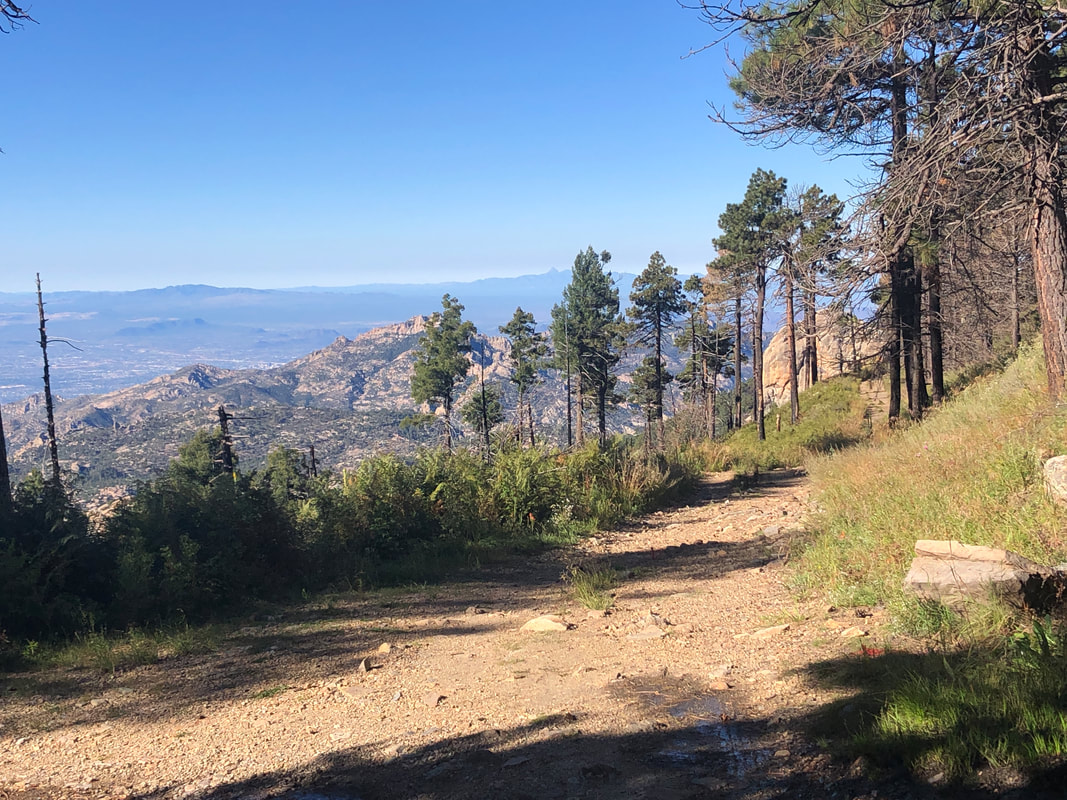
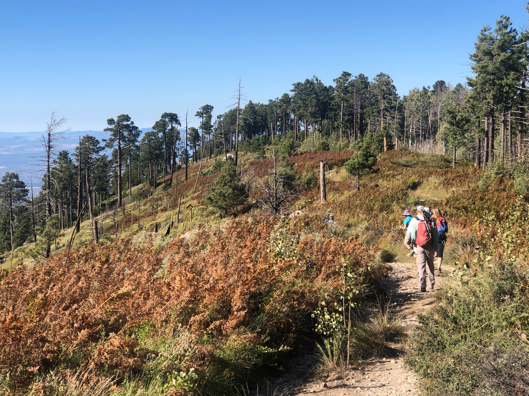
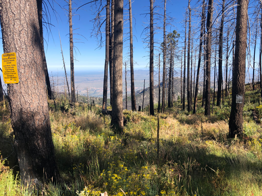
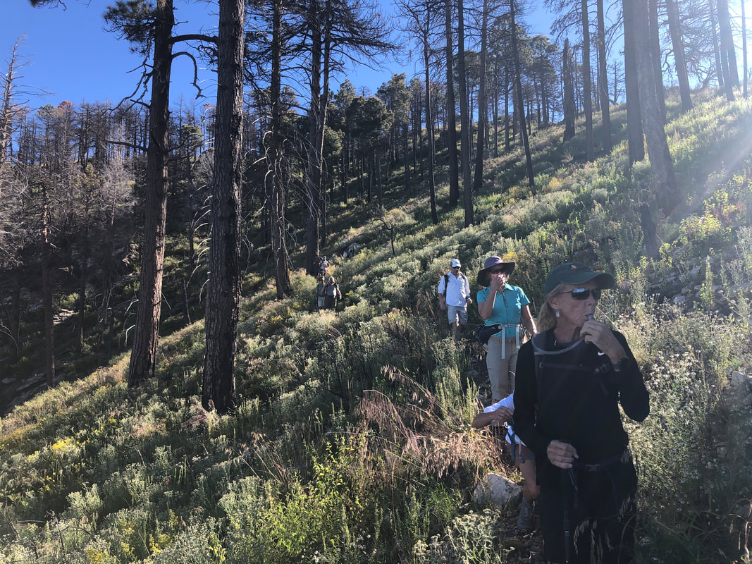
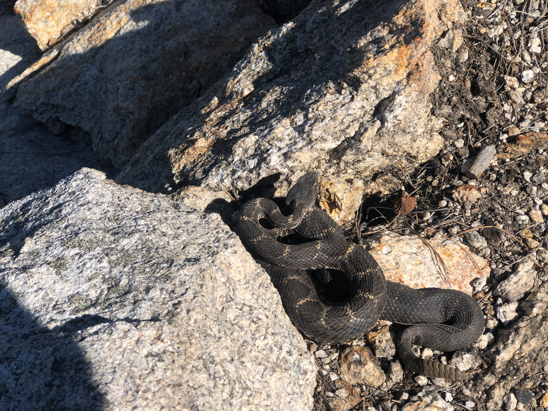
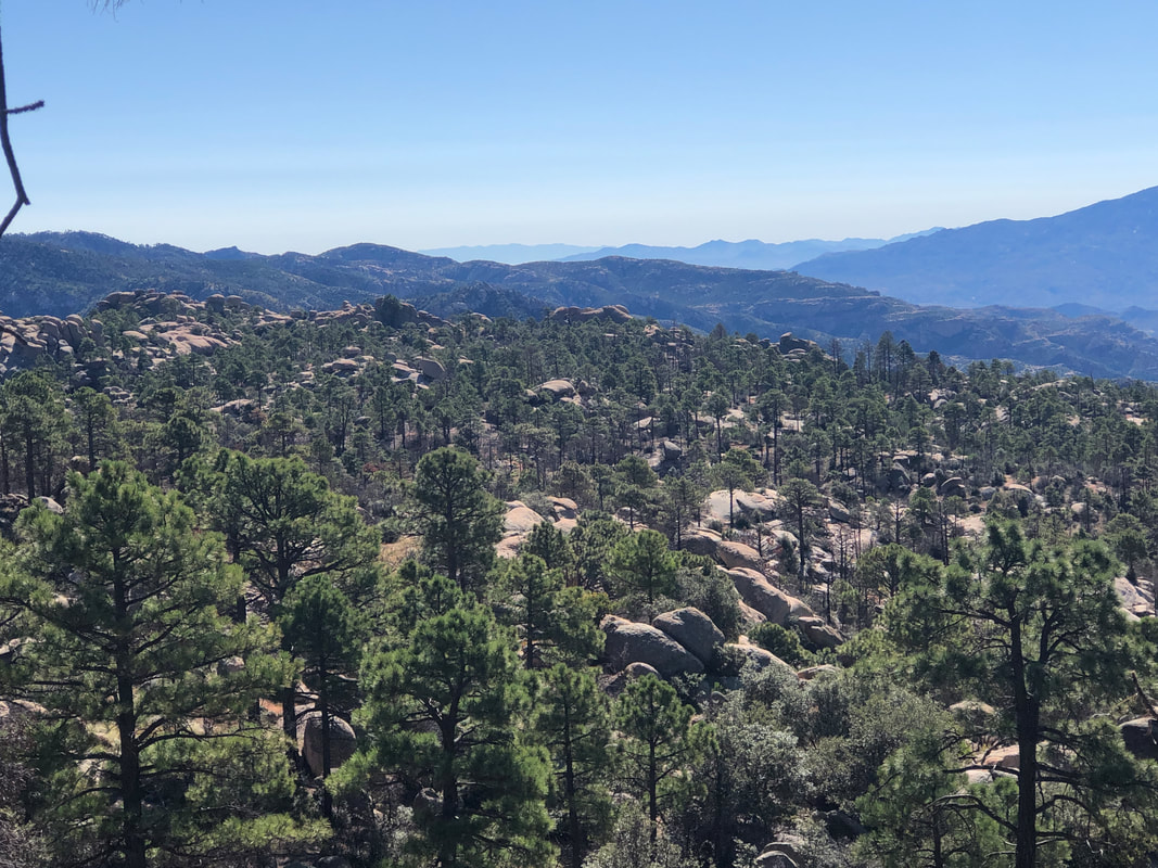
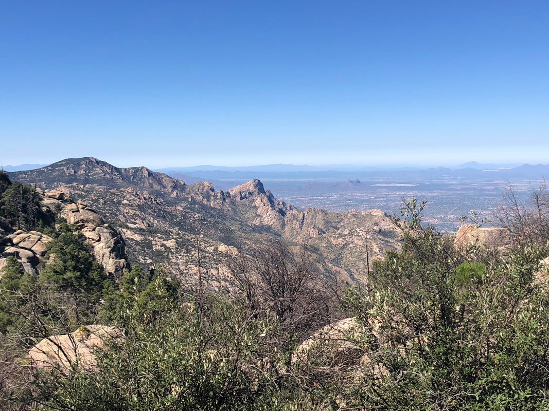
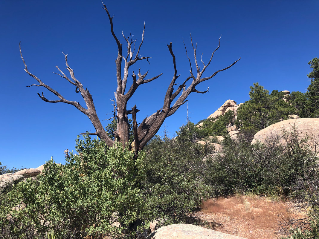
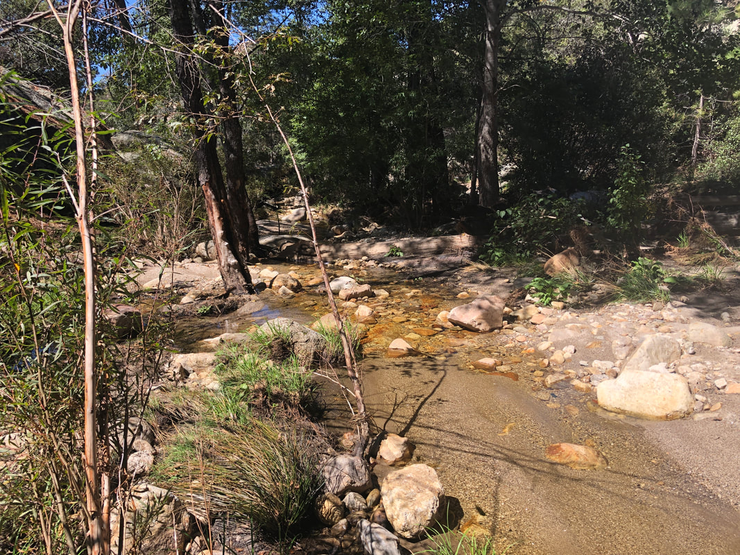
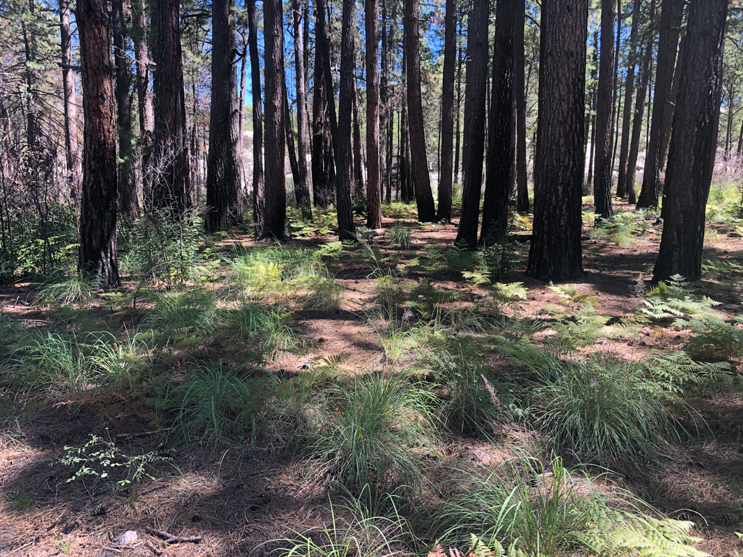
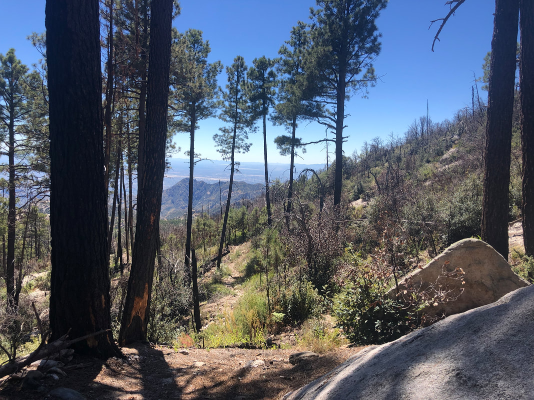
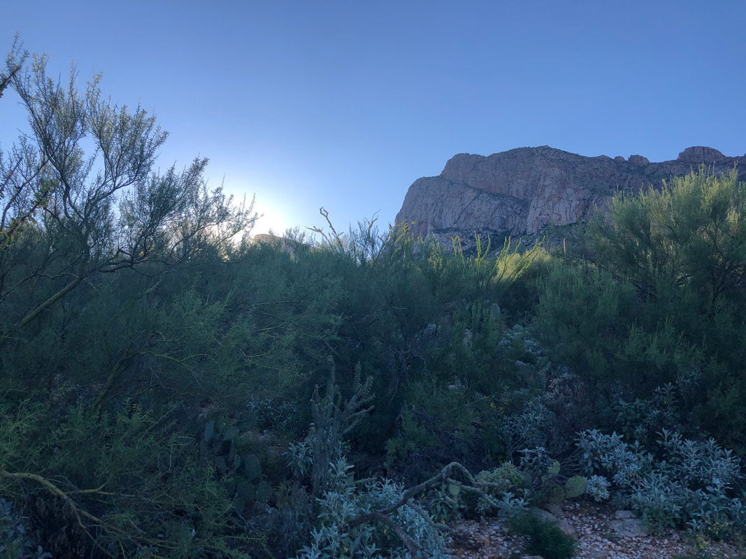
We meet at 9100' on top of Mount Lemmon. I had a lot of trepidation about this hike because on the day I returned from Moab, I finally got Covid. My symptoms were very mild and disappeared after a couple of days yet I was plagued by muscle fatigue (yes, that is a symptom) that really limited my outdoor activity. Now 12 days after testing positive and being largely inactive, I'm leading a group of 12 around on a 9 mile hike with significant elevation gain. What a beautiful opening scene as we descend from the peak. The trail is very rocky as we descend a ridge that also has.... ....nice views to the northwest. Many of the standing trees are casualties of the Aspen Fire, not yet fallen. Hiking buddy Karen K is following me and notes I lack my usual spring in my step. Great, that's what I needed to hear, the unvarnished truth, lol. Couldn't argue with her as my descending muscles were already feeling it. So, the descent of almost 5 miles continues when suddenly..... ....I hear the buzz of a rattlesnake just as I am walking by this critter. Black rattlesnakes are known to be fairly docile as rattlesnakes go and I was glad it chose not to bite. I used my hiking pole to lift it from this spot and slide it off trail so we could pass. Black rattlesnakes are found at higher elevations and I think this my 4-5th time I've encountered one. We got onto the Mount Lemmon Trail as the descent continued with marvelous views into the Wilderness of Rocks. Oh, wow. There's the east facing side of Table Mountain, center in the above image. I've got a hike scheduled for that in November. We took a snack break where we left Mount Lemmon trail and picked up the Wilderness of Rocks trail. The trail went through numerous patches of slick rock where route finding could be a challenge. I thought it a good idea to hang back and make sure three of our members who had fallen back, would navigate the challenge, It was dumb of me not to alert everyone of my intent so at some point, they stopped to regroup for us and had to wait a long time. Upon reaching them, I urged them to keep going. The trail crossed a creek a few times and finally leveled for a short while as we.... ....passed through this benign scene of ponderosa pines. Then we reached a left turning Mount Lemmon Lookout trail. The next 2+ miles would be all uphill as we returned to our cars. I was in agony and had to stop many times to rest. WTF was I thinking, hanging with my commitment to lead this hike. Three years ago I ascended this section in 46 minutes, today, 1:30!!!!! 2+ miles having an average grade of 16%. I stumbled into the parking area like a zombie, could barely communicate and drove home.
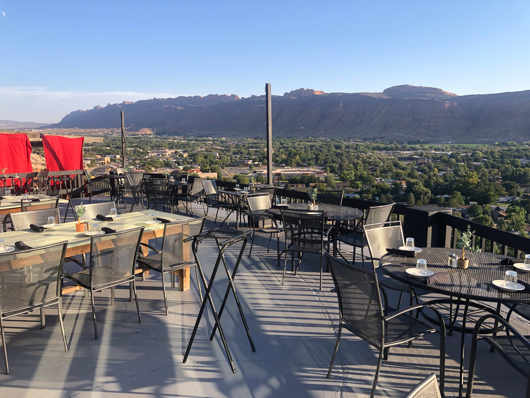
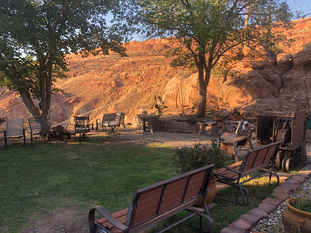
The oldest, continuously operating restaurant sits high above the town with fantastic views. What a fascinating history too with the original owner looking for uranium back in the 1950's, out of money and on his last effort, he finds a motherlode and becomes an instant multi-millionaire. He built this house which in 1992 converted into a restaurant. A nice patio in front where you can have a drink as you wait for your table. As I was seated, a gang of 7 kids sat down next to me, all from Berlin, OH. Great food.
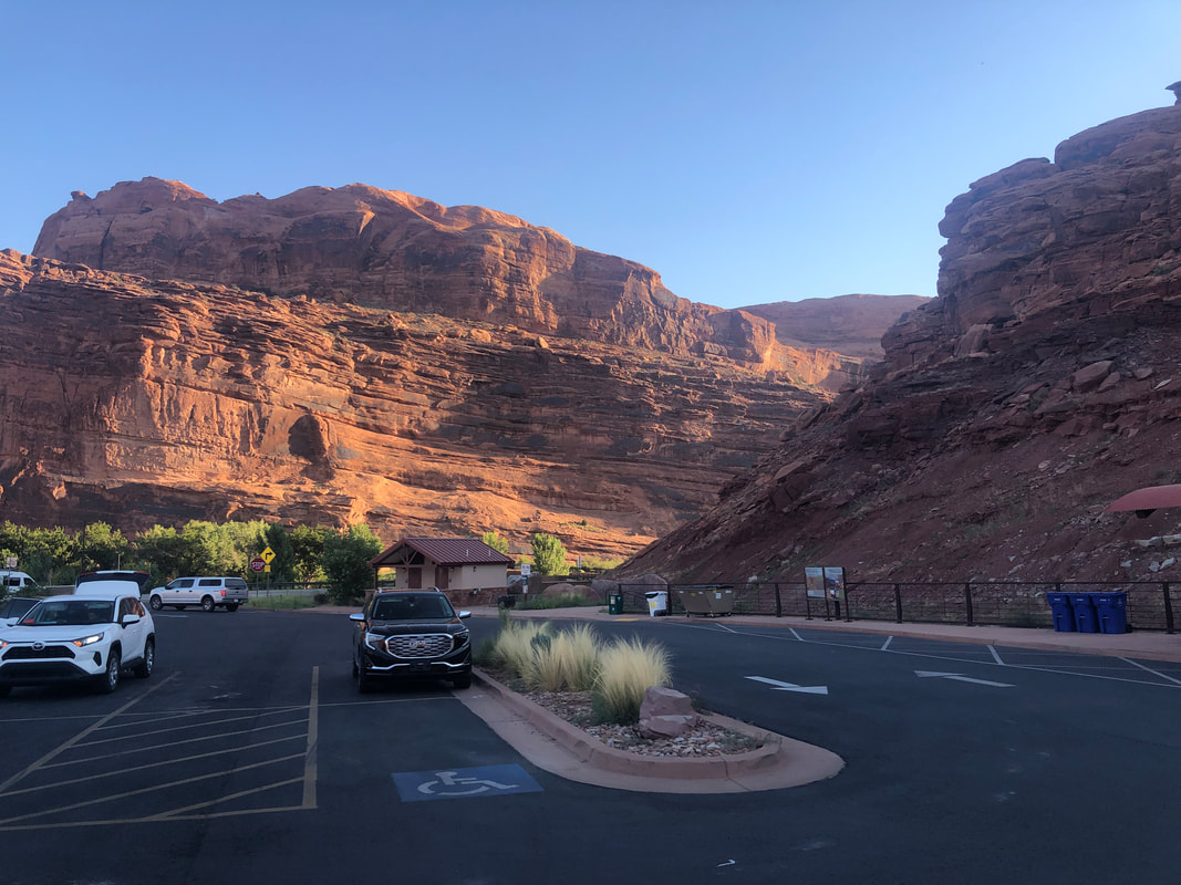
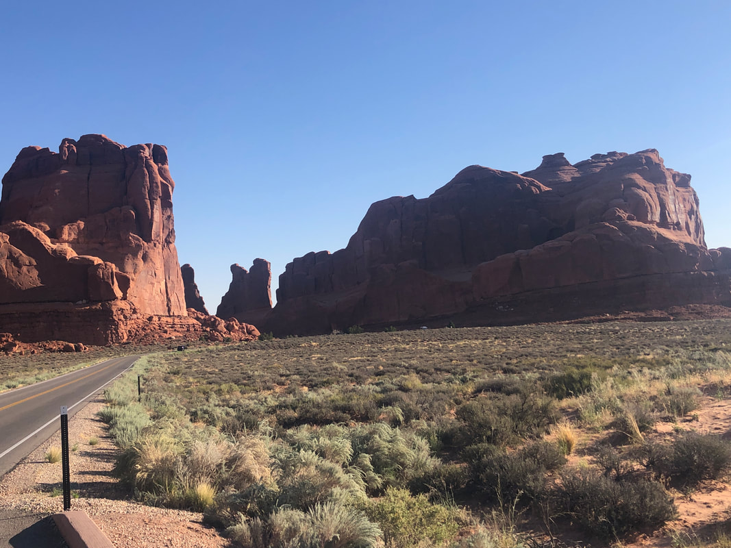
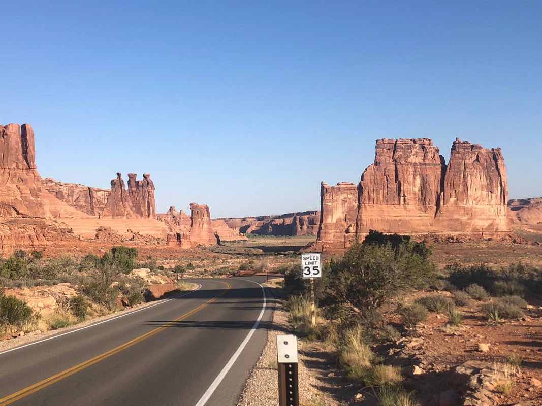
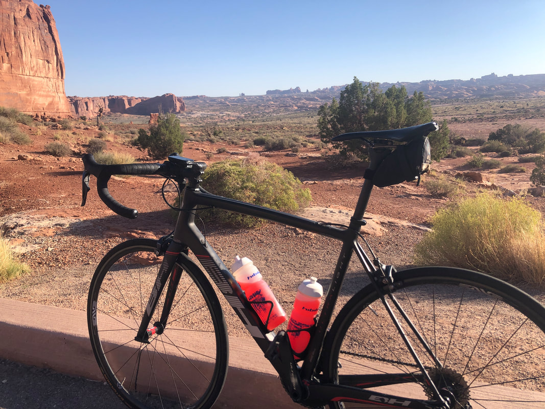
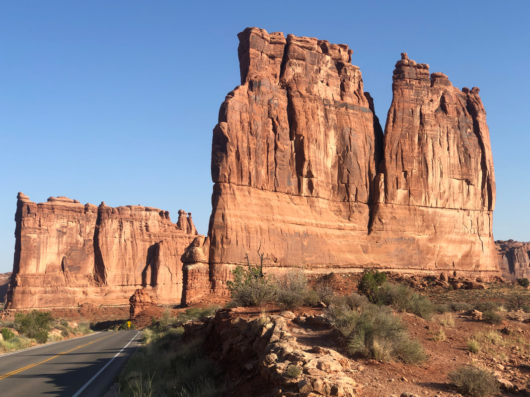
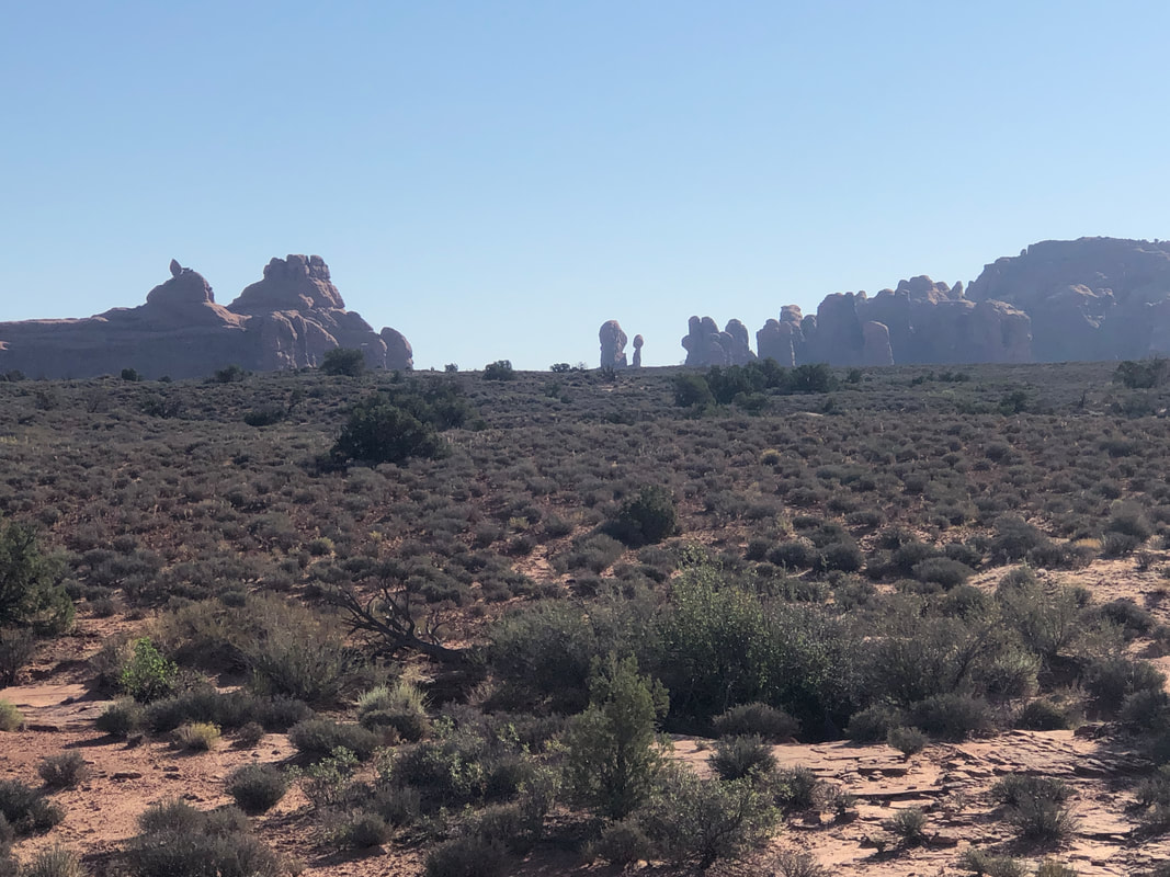
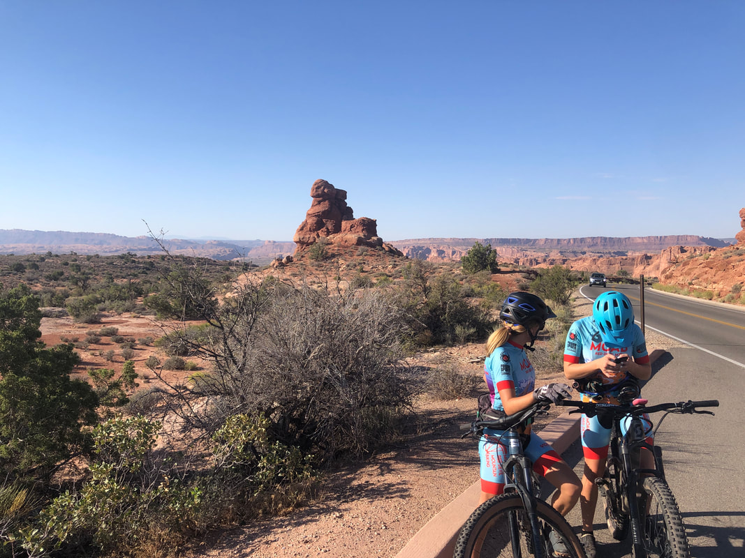
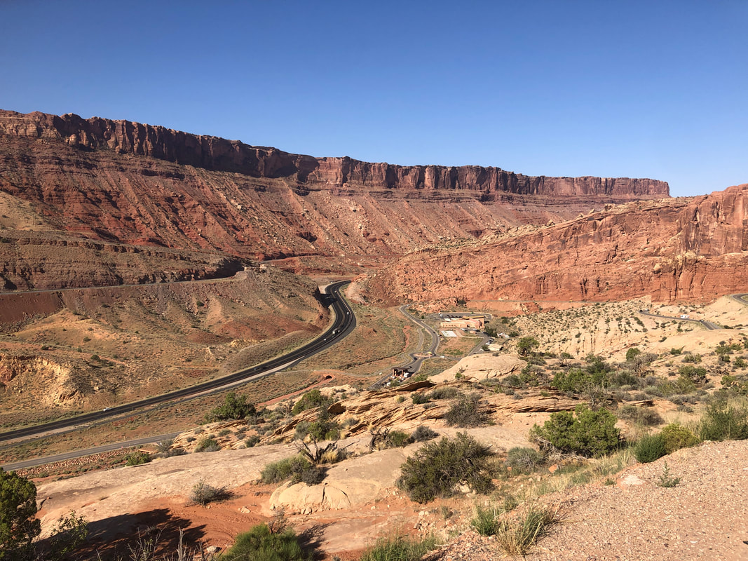
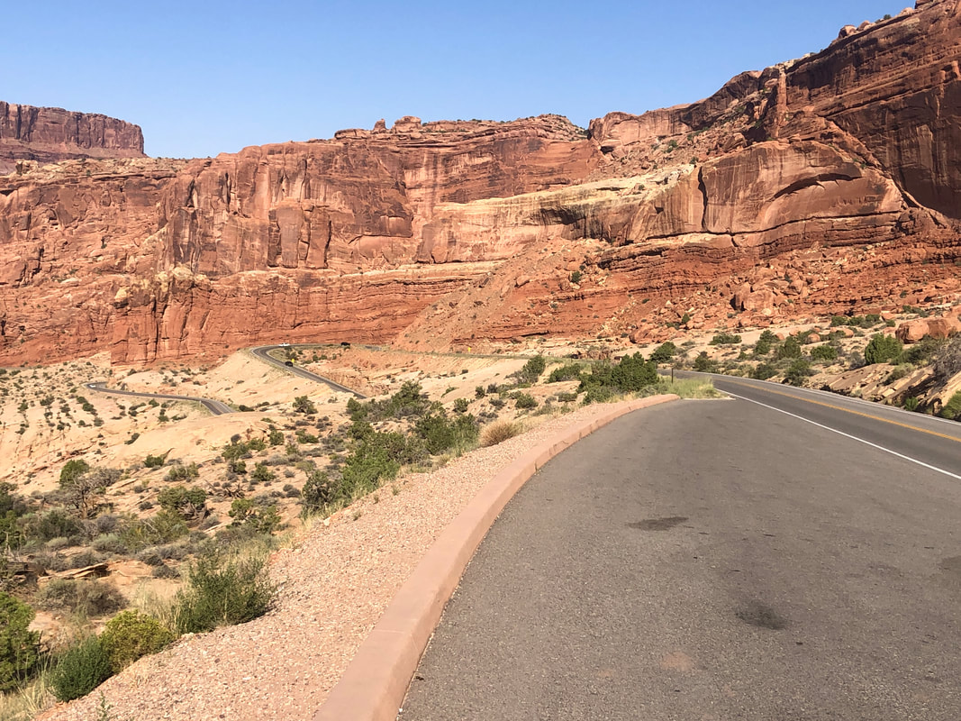
Entry into Arches is now via a reservation system unless you are on a bike. there is a separate entrance and it is free...how bout that? The first roughly 2 miles is via a quality climb on good pavement with a decent shoulder. Followed by a long descent past a variety of well known monuments. Beautiful. I pause to take a picture of my bike, proof that I actually rode through here. The bike, "BH" is a Spanish brand and I've always enjoyed riding on it especially with Di2 electric shifting. Today was not about maintaining an average speed but about enjoying the scenery. Driving through here is one thing but extra special on a bike. After the first descent, there are a series of long ramps, always going higher. I paused to take some pics as two mountain bikers paused there too. I eventually turned around and head back, reaching the final climb and enjoyed.... ....a speedy descent.
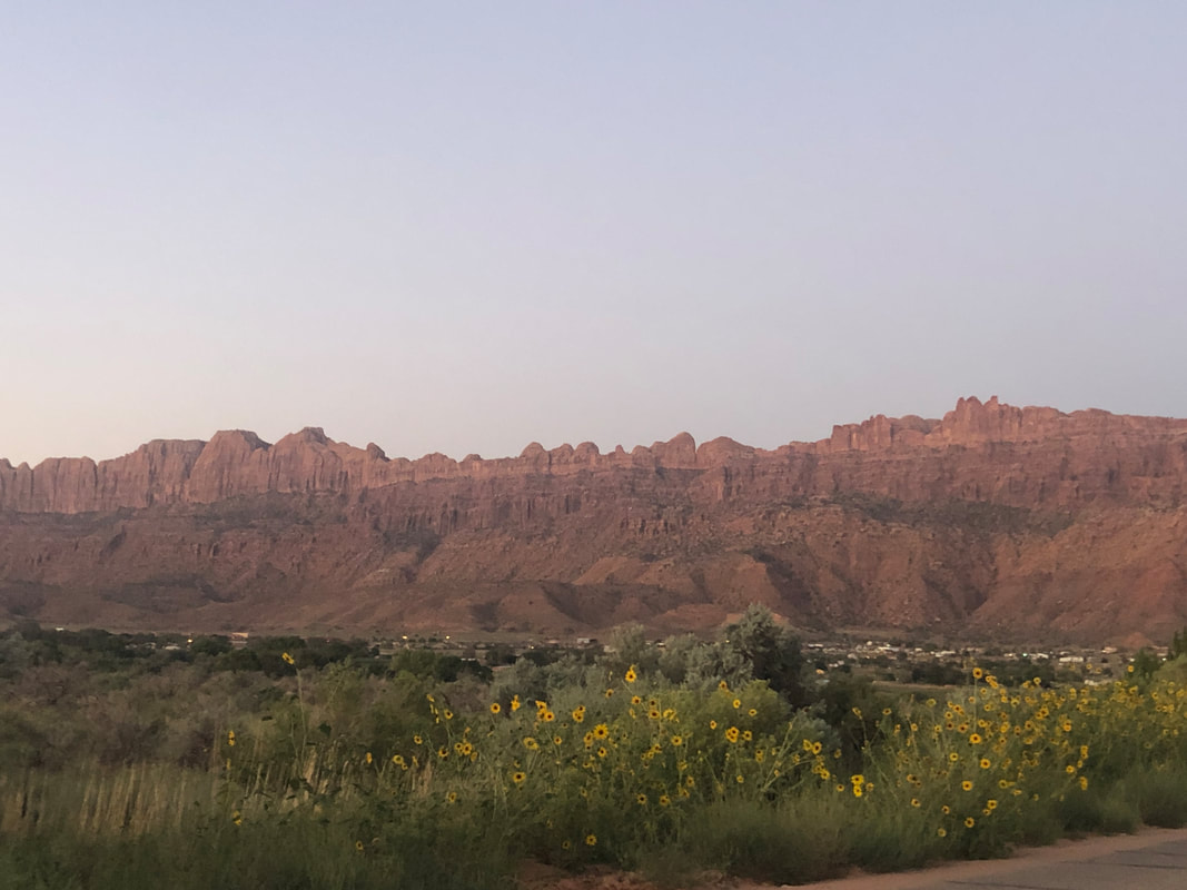
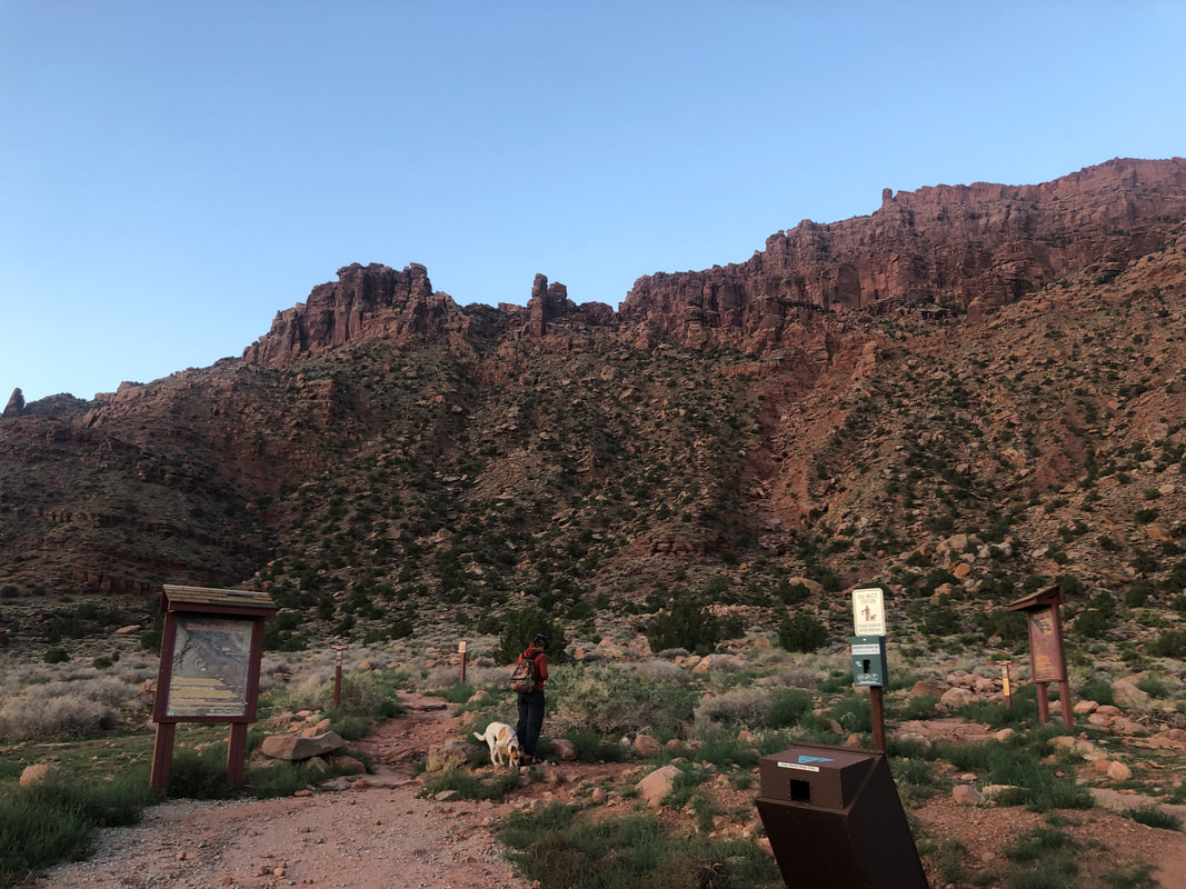
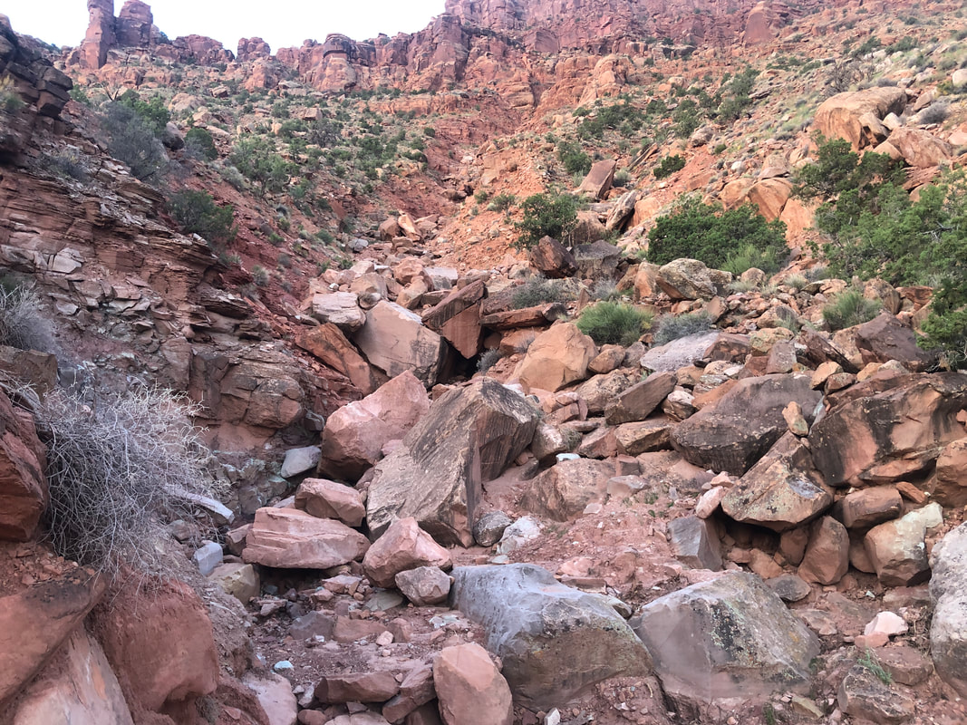
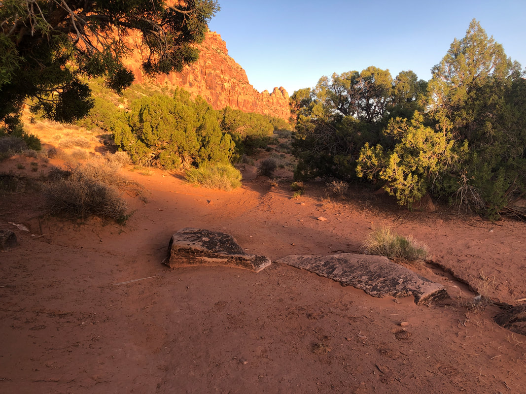
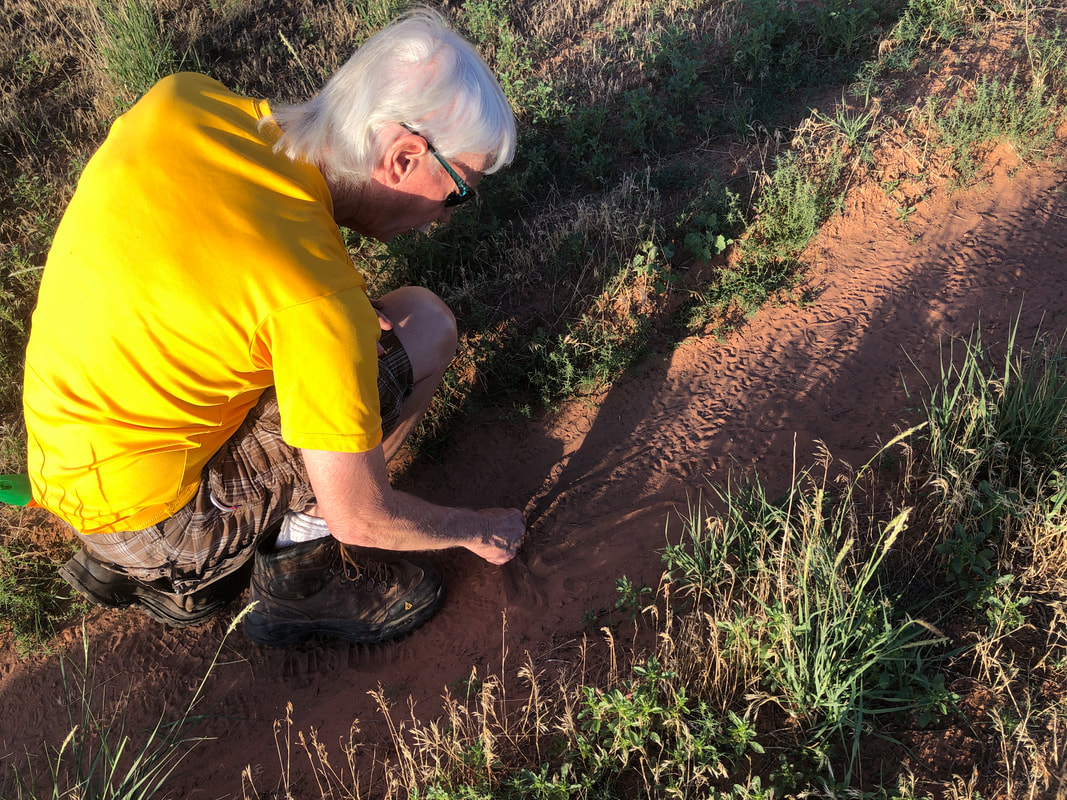
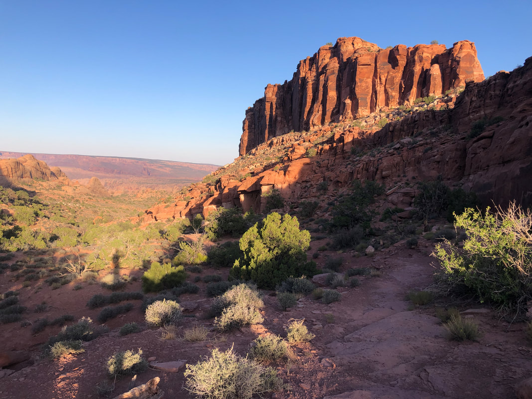
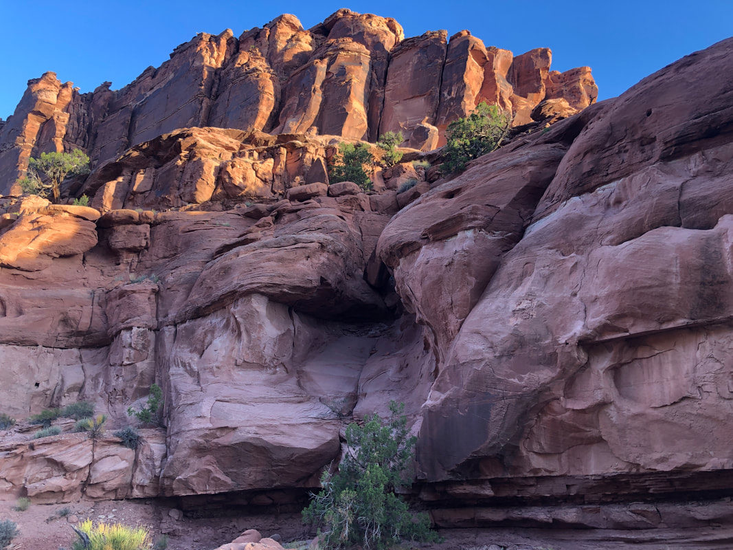
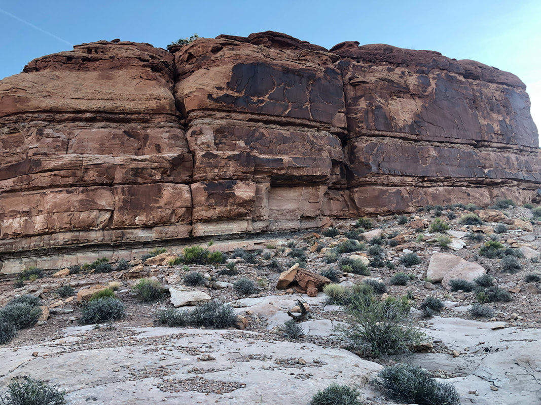
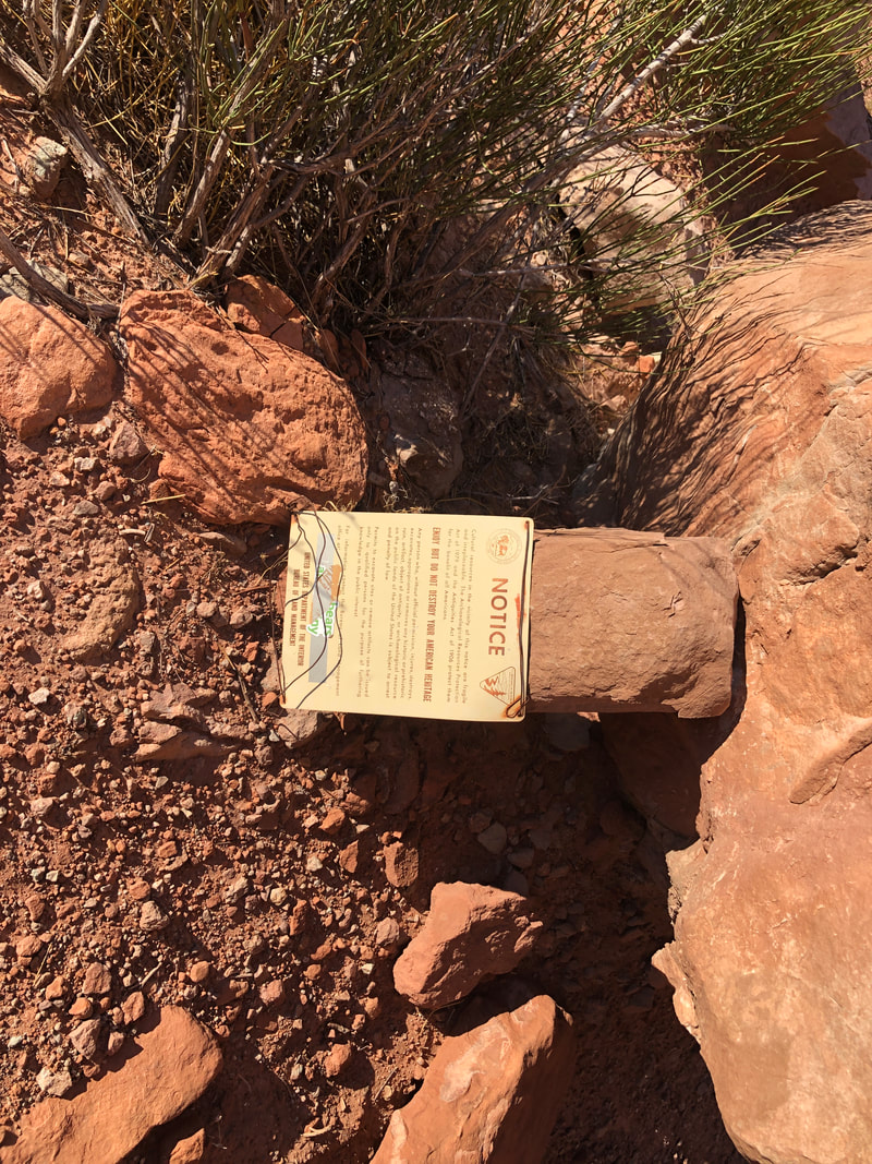
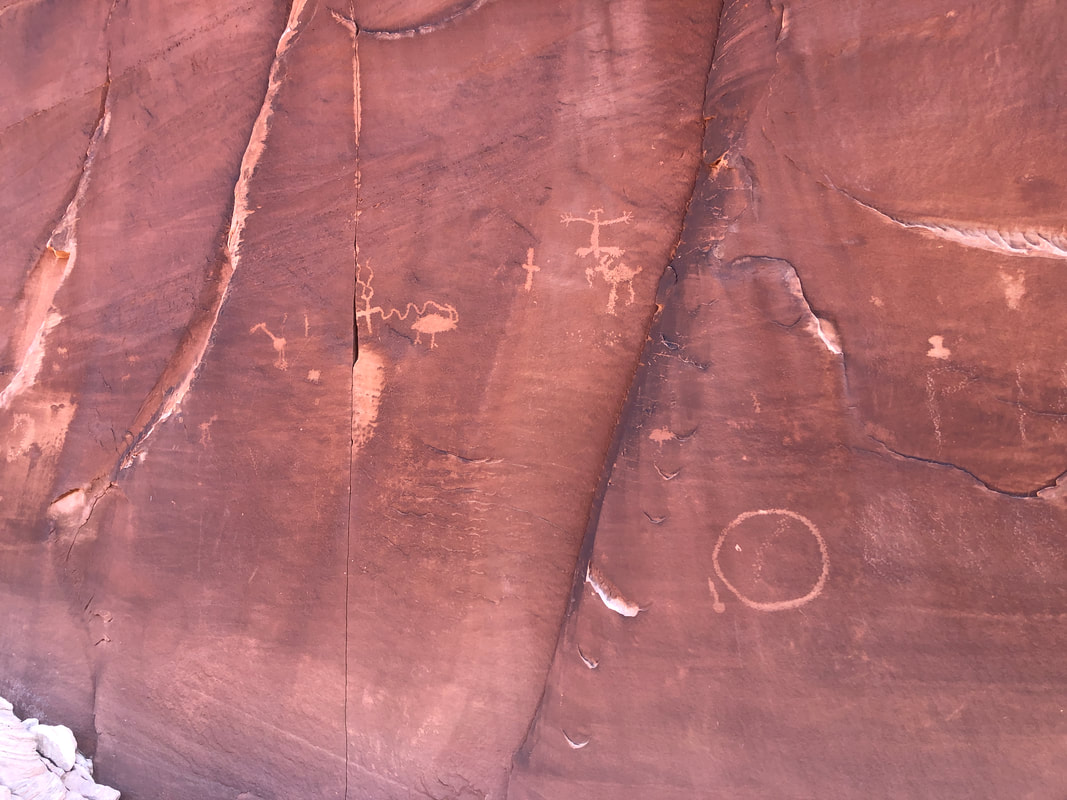
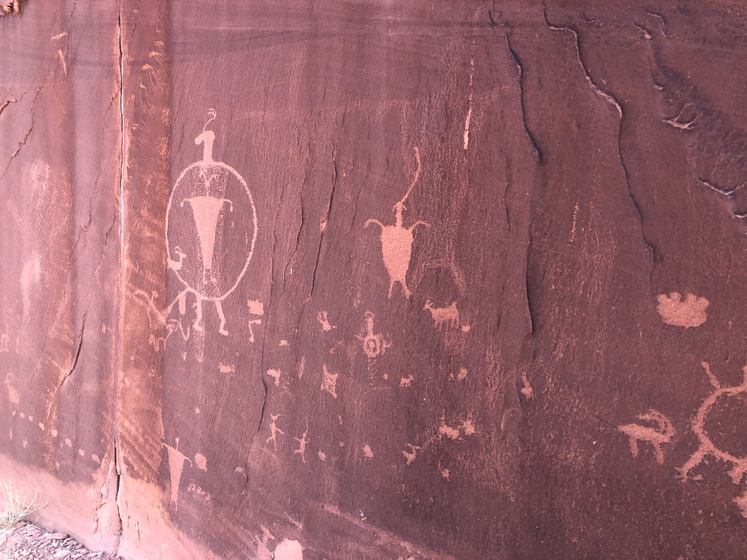
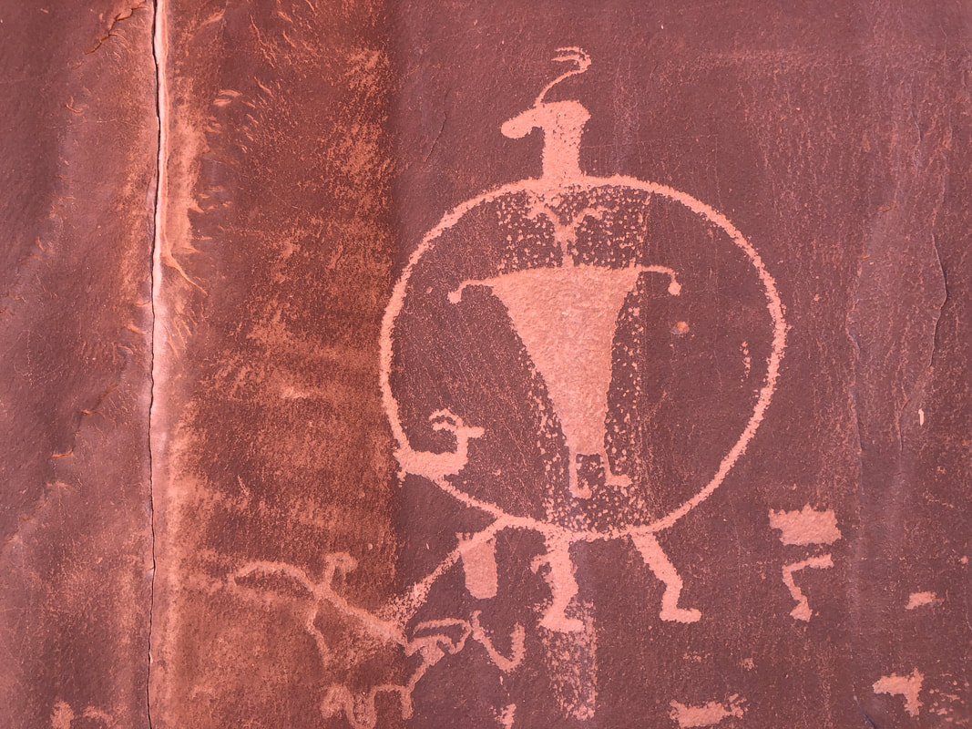
I rented a condo for a few days. Way less expensive than the area hotels but with great views. The trail head is about a mile from where I am staying so..... ....I arrive just after first light and long before the sun rises above the surrounding mountains. Looks pretty steep and it was. I gear up and head....up. Very recently, Moab experienced a "100 year rain" and subsequent flash floods have altered the landscape. I had to search for where the trail emerged from this ravine and then later, I dropped my hiking pole into a ravine so had to clamber down and retrieve it! The trail did not ascend to the peaks but emerged at a saddle and then I entered.... ....Hidden Valley. Spectacular! I would encounter only one person to today's hike and could see him in the distance (not shown above so don't look). Once we were close.... ....I recognized him from hiking in a group with him a few times in the Superstitions. He asked if I knew where the petroglyphs were and I said no so he bent over and described the location to me. Said it was a panel about 500' long and very impressive. I reached a saddle and wait, did he say bear right or left of a mountain??? I chose left and kept hiking. Spectacular rock formations as I scanned the fronts for evidence of rock art. There's a likely place so I bushwhacked over but no. The opportunities for rock art dwindled as I descended so turned around and hiked back. I picked up kind of a faint trail in front of the aforementioned mountain, climbed a bit and came upon this notice. OK, I'm close. Soon, I reached..... ...an amazing array of rock art. This dates back about 2000 years. Spectacular! Finished with 6 miles and very much enjoyed the hike.
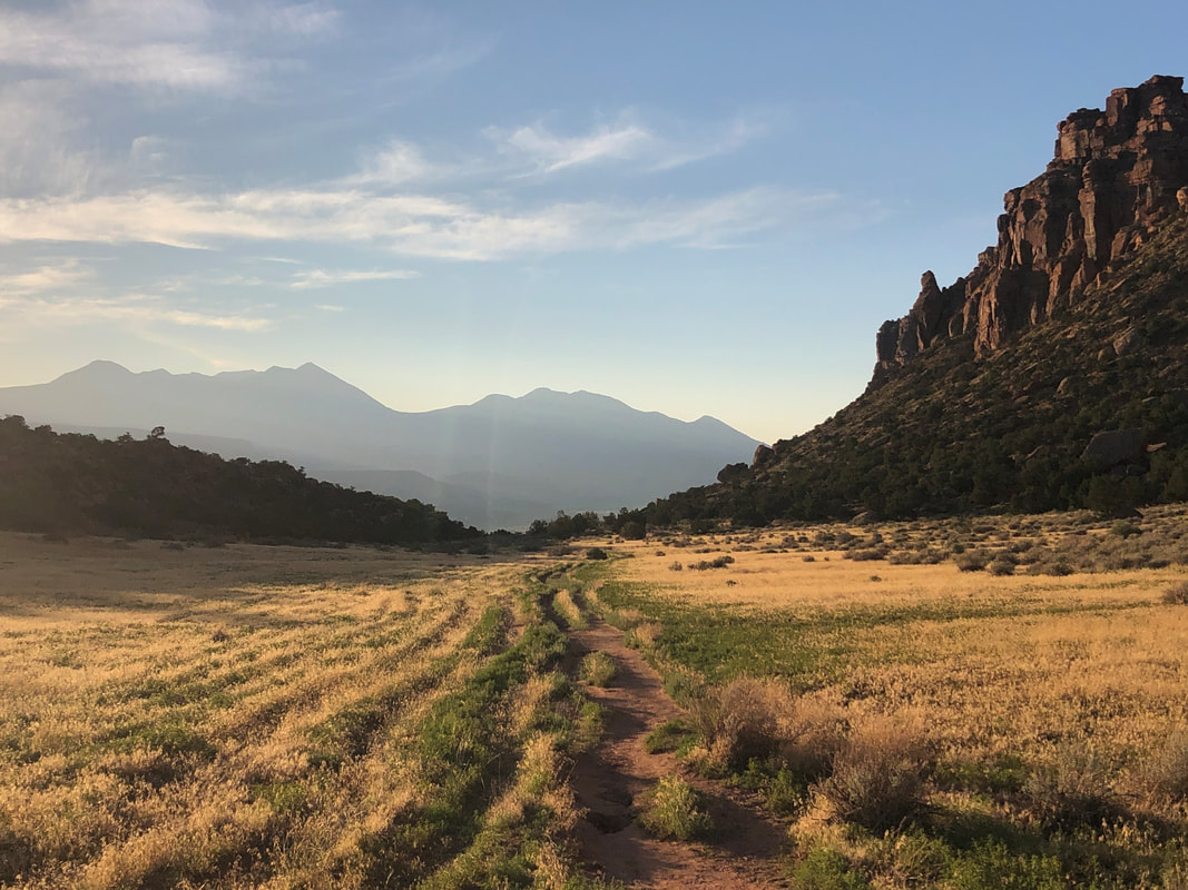
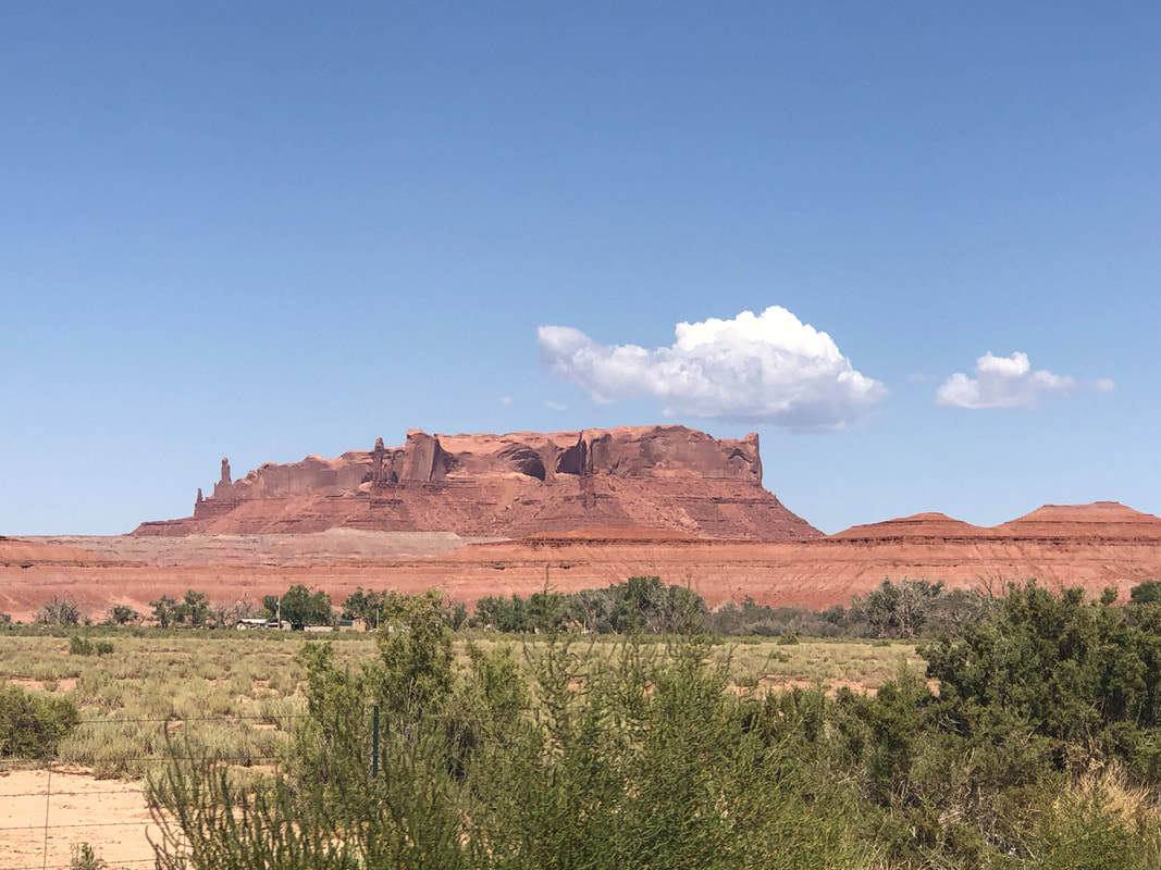
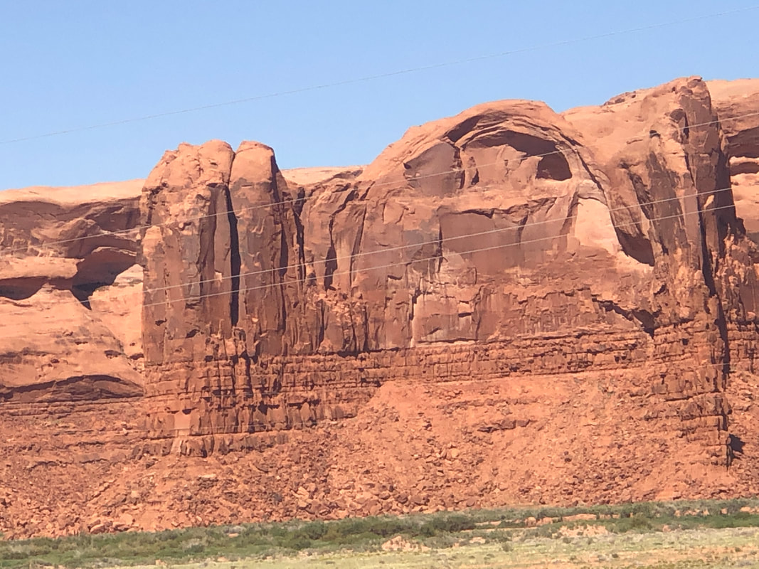
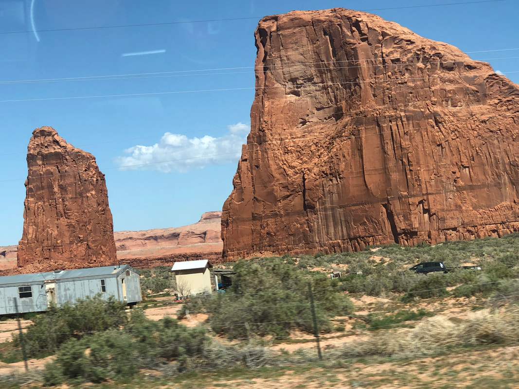
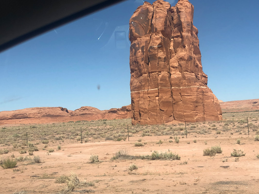
Long story so instead I decided to drive north to Moab. Been through there a few times, buy cycling T shirts and having lunch but I decided I'd check out the hiking and cycling. The route was spectacular! Practically every mile had a monument standing within visual range. I arrived early evening and ready to go for a hike the next morning.
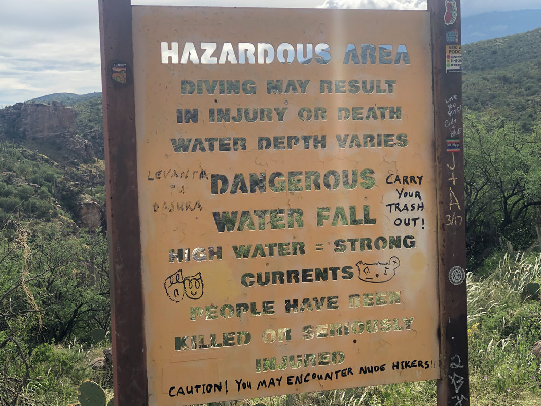
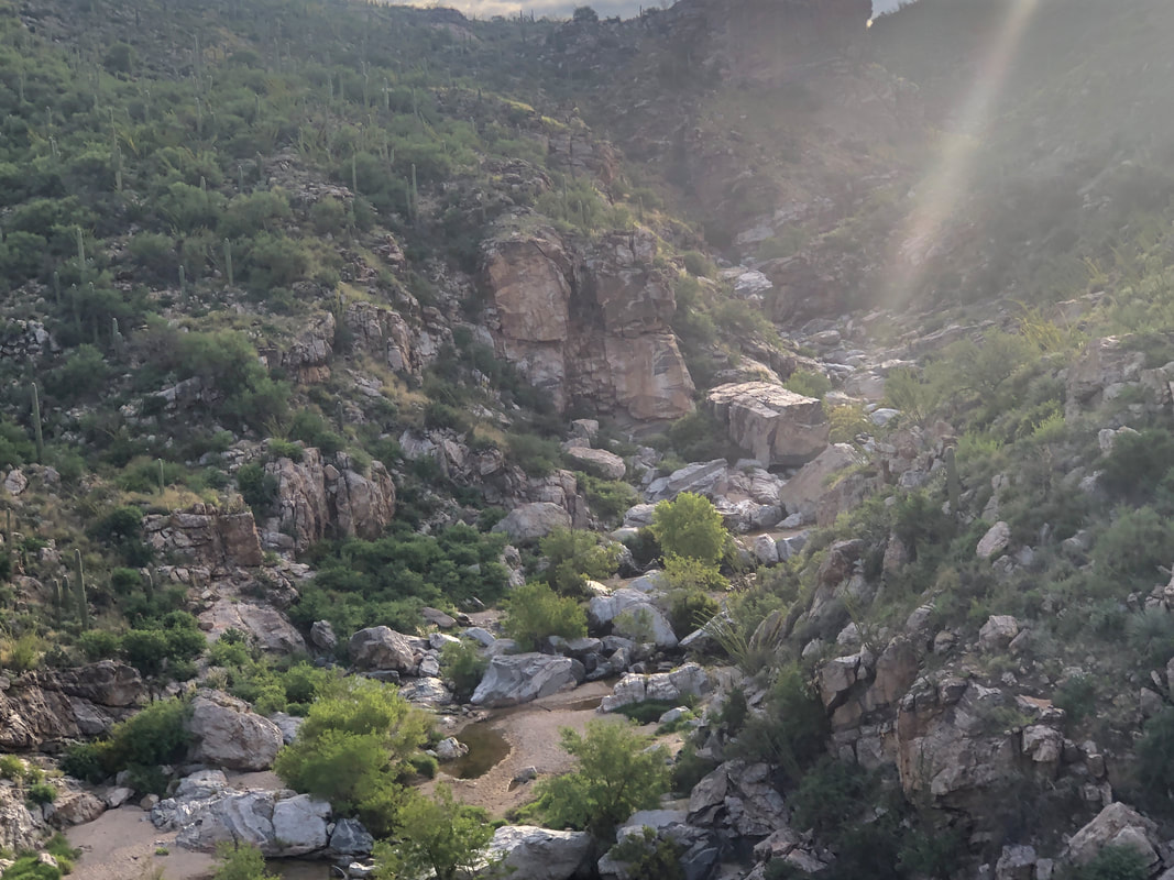
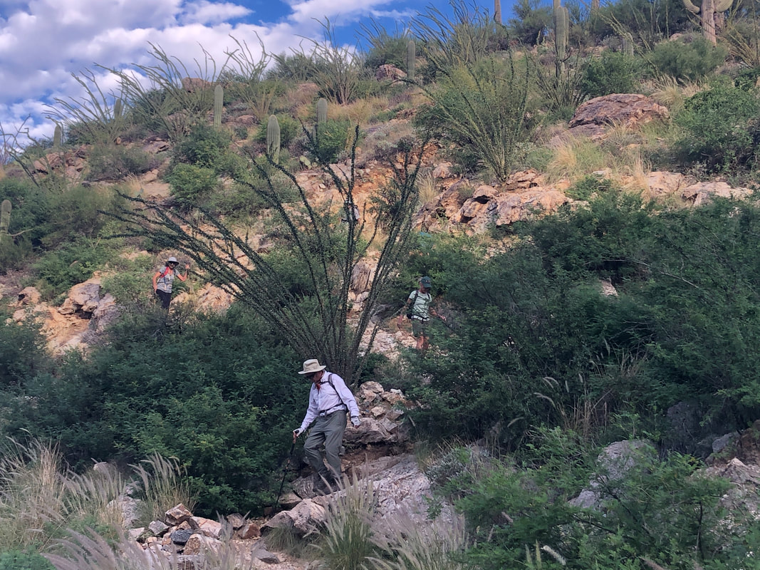
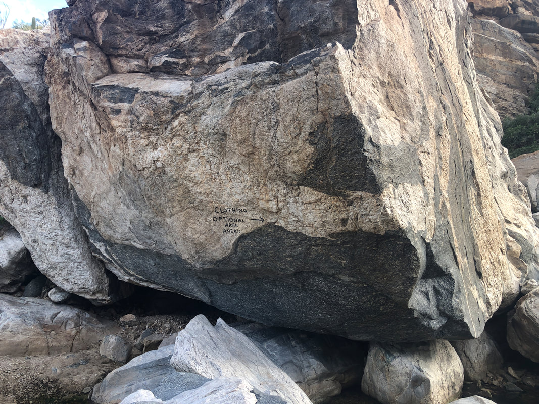
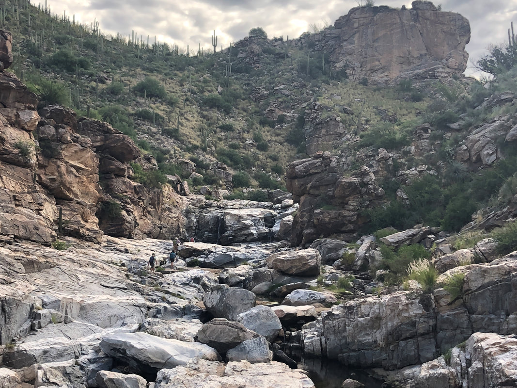
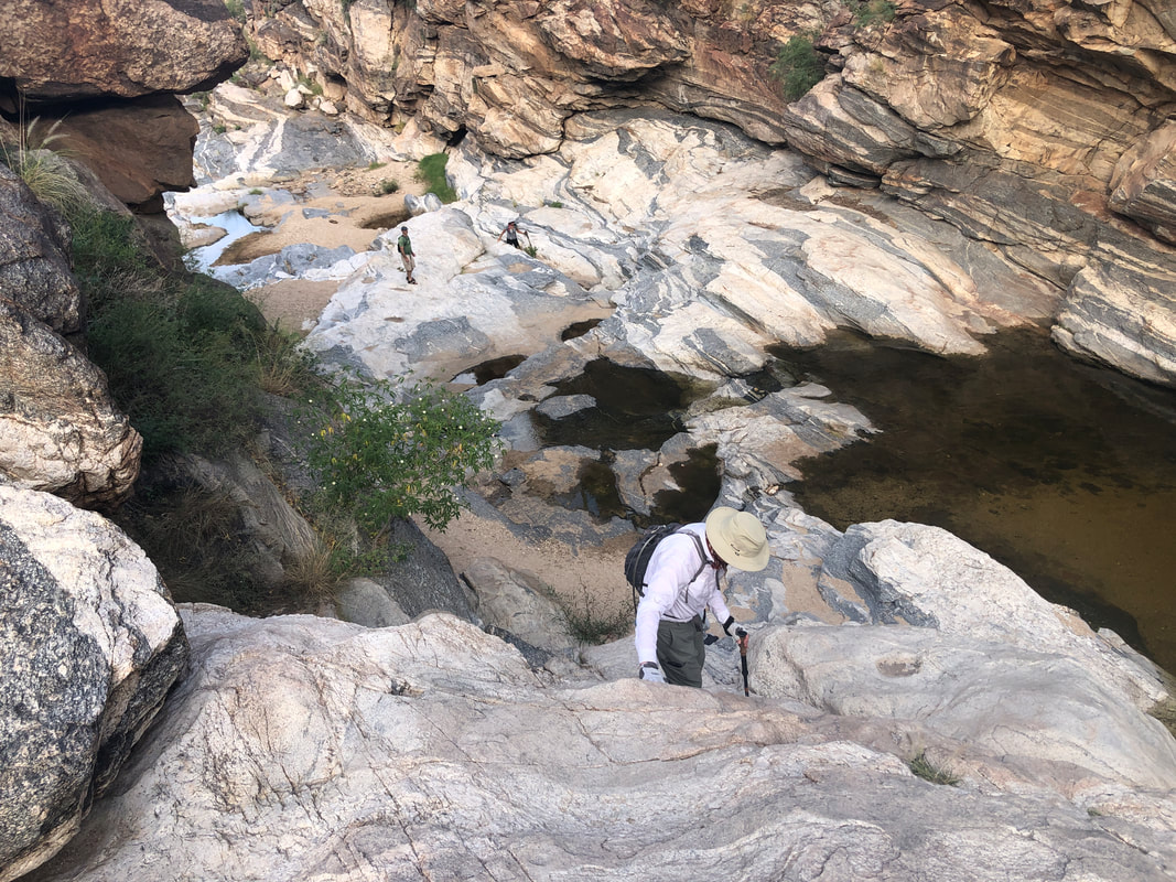
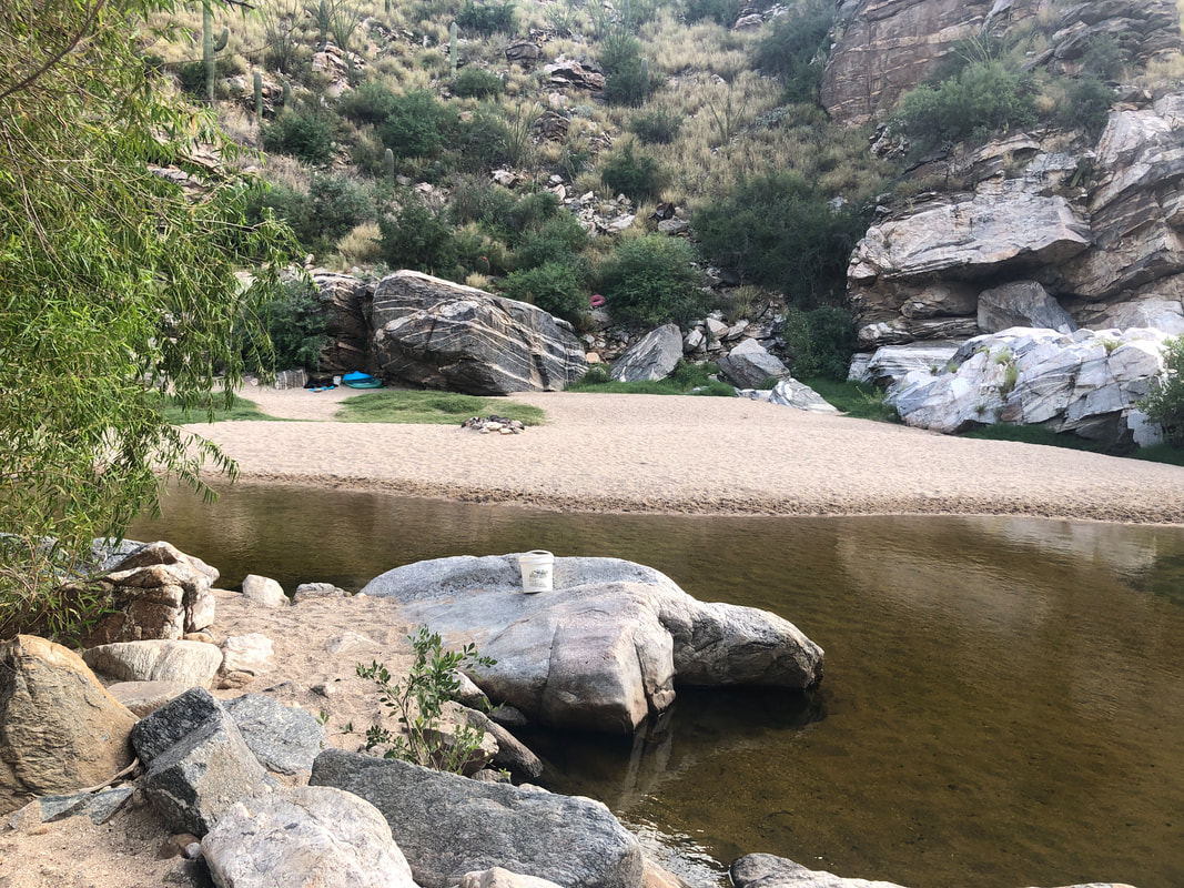
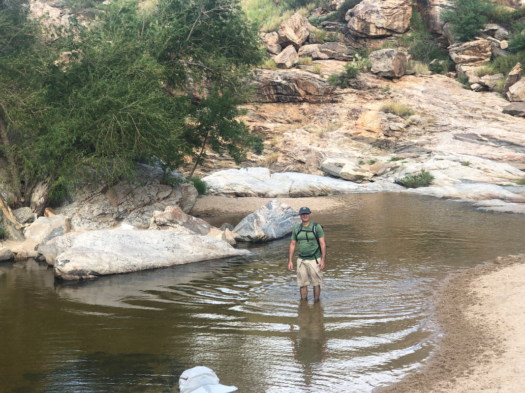
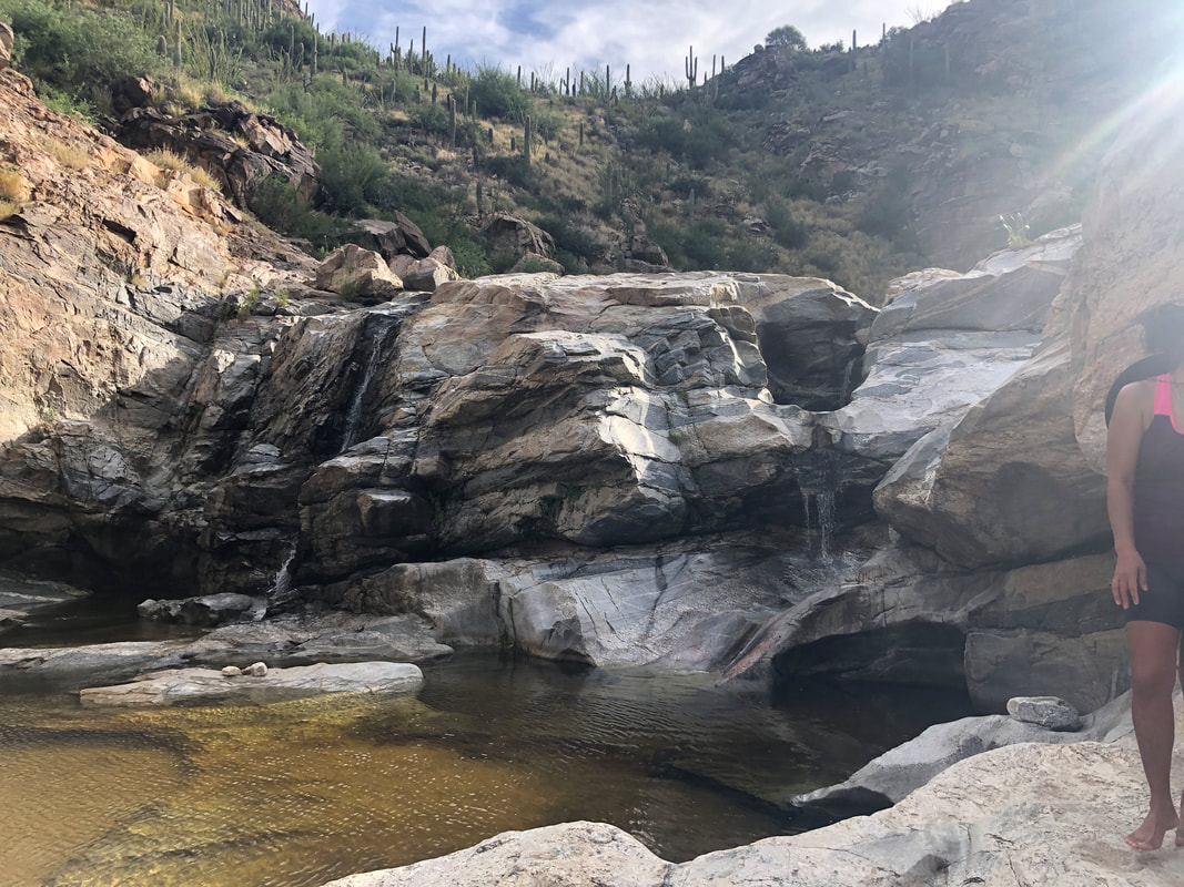
The amount of daylight each day is diminishing and very soon the glorious and really active season will be upon us. The forecast looks promising for next week but in the meantime, another early start for a hike. Our group of 9 gathers at the trail head, reads the standard warning and head into the depths of the canyon. Water is running so that adds to the experience as we descend. I had a couple of newbies attend the hike so that is usually a good thing and it was today. Rare is the "squirrel" as I describe them. Our destination is to reach the nude beach where there are rarely actual naked people but we pass warnings, painted on the boulders (bottom, center of boulder). We make good time as Pete gets out front and does an excellent job of route finding. Lorna too is reasonably good at it when she is able to follow someone, lol. We reach.... ....the "wall", just below the beach and everyone is able to ascend except for one of us who later found a workaround, which I may use in the future. The nudist beach is vacant as we head.... ....farther upstream. I've managed to keep my shoes dry while Jeff is indifferent and simply wades through some of the pools. Then, rounding a turn, we encounter some people, floating, naked and face down. I kept my gaze straight ahead, focused on the route but maybe I did shoot a very brief sideways glance at a woman. Having left one of our group behind at the wall, I thought I better go back and collect her and head back while some of the others continued on for a little while. Small loss of blood, Karen from banging her ankle against her car door so that doesn't really count and Mark from banging his ankle against a rock. Otherwise, all came out safely with around 2 miles.
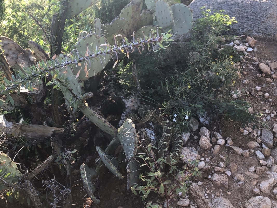
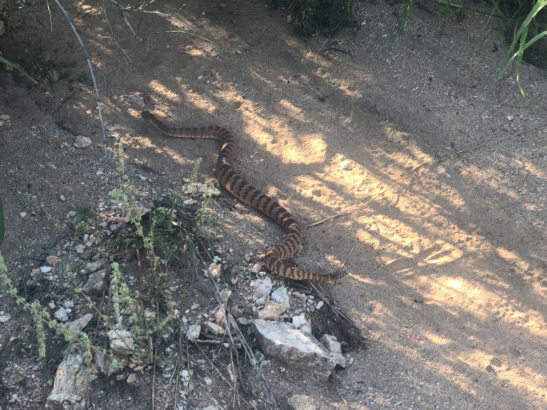
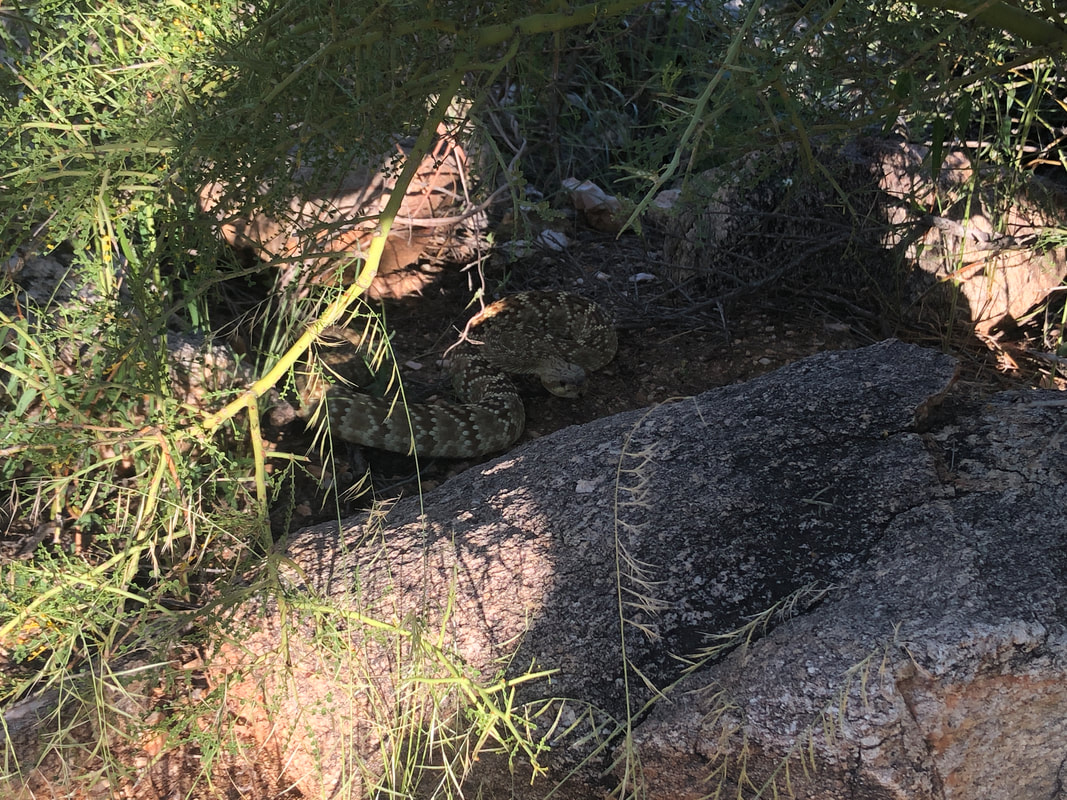
I join Liane and Sandra to stretch my legs on the Linda Vista trail, which is around the corner from me. I've hiked this loop dozens of times and only once saw a rattlesnake, a common Diamondback. We're going clockwise as the sun rises over the Catalinas. The surrounding are very overgrown and green from all the rain. Plant growth is hard up against the narrow trail. Soon.... ....I hear the distinct and scary buzz of a snake. Having just crossed the trail and now curled between the cactus and trail is a black tail rattlesnake. Wow! Sandra is kind of a newbie to the area and to have seen this on her first visit to the trail is strange. I had to coax the snake down hill so we could pass. We reach a high point and lots of dust in the air so the views are muted. We begin our descent and.... .....another buzzing sound and this time a tiger rattlesnake! I've never seen one and now our second snake sighting. We go a little farther and..... ....another buzz and this time, another black tail rattlesnake. I was dumbfounded that all the times I've hiked this loop and only once seen a snake and today, three! Again though, these are ambush predators and all the trailside brush provides good concealment. Volunteers maintain the trail and they need to get out here before someone gets tagged. Finished with 2.5 miles.
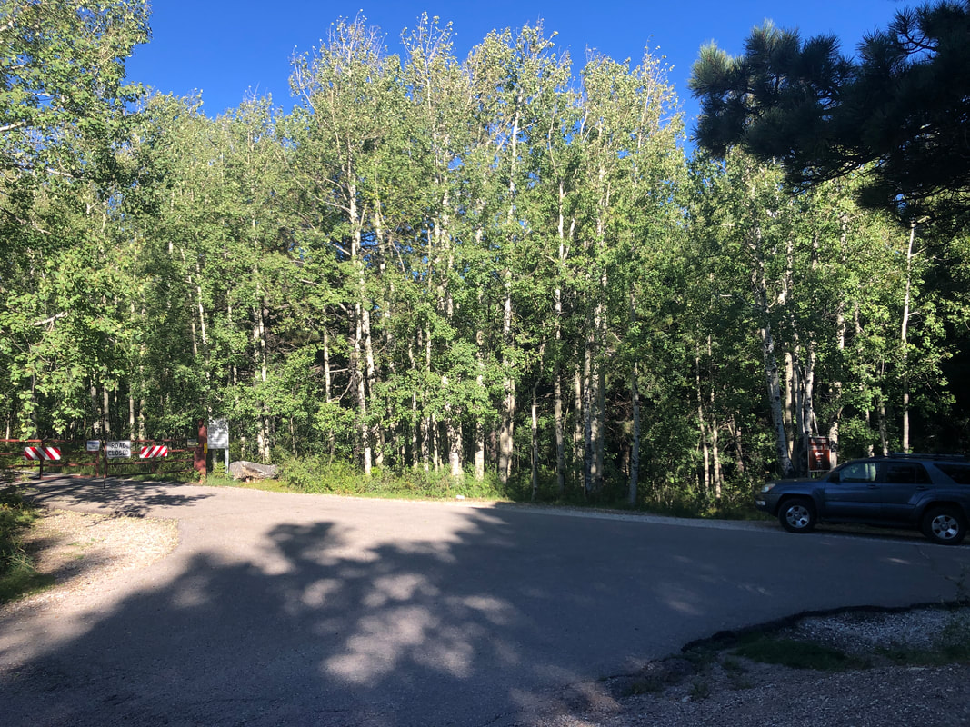
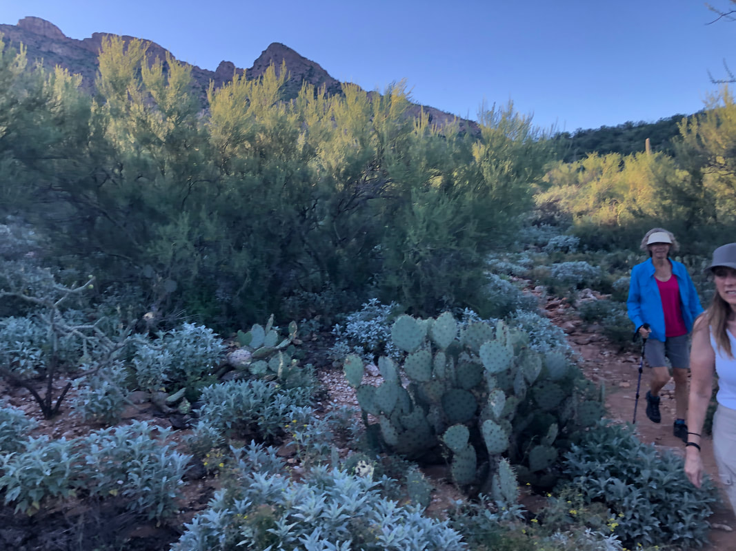
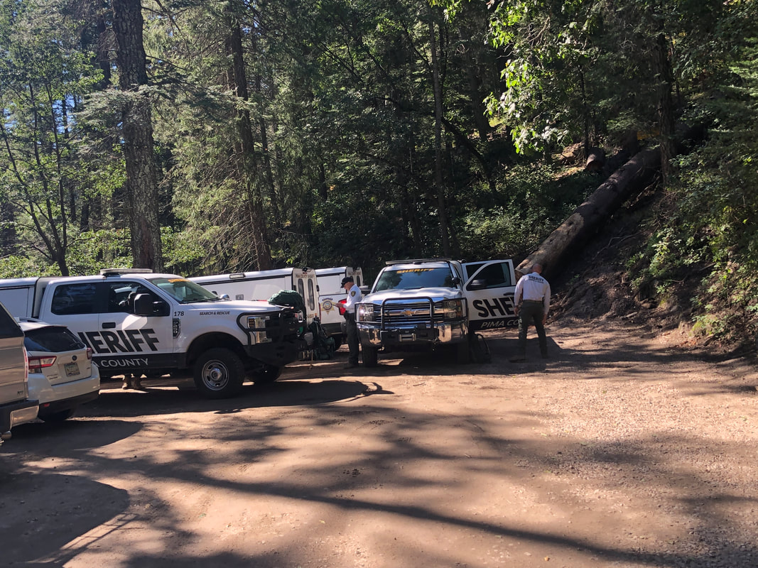
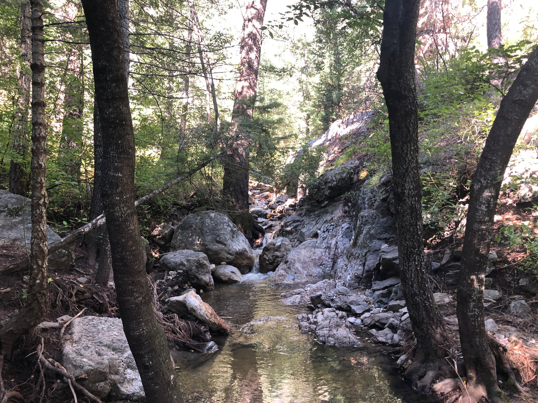
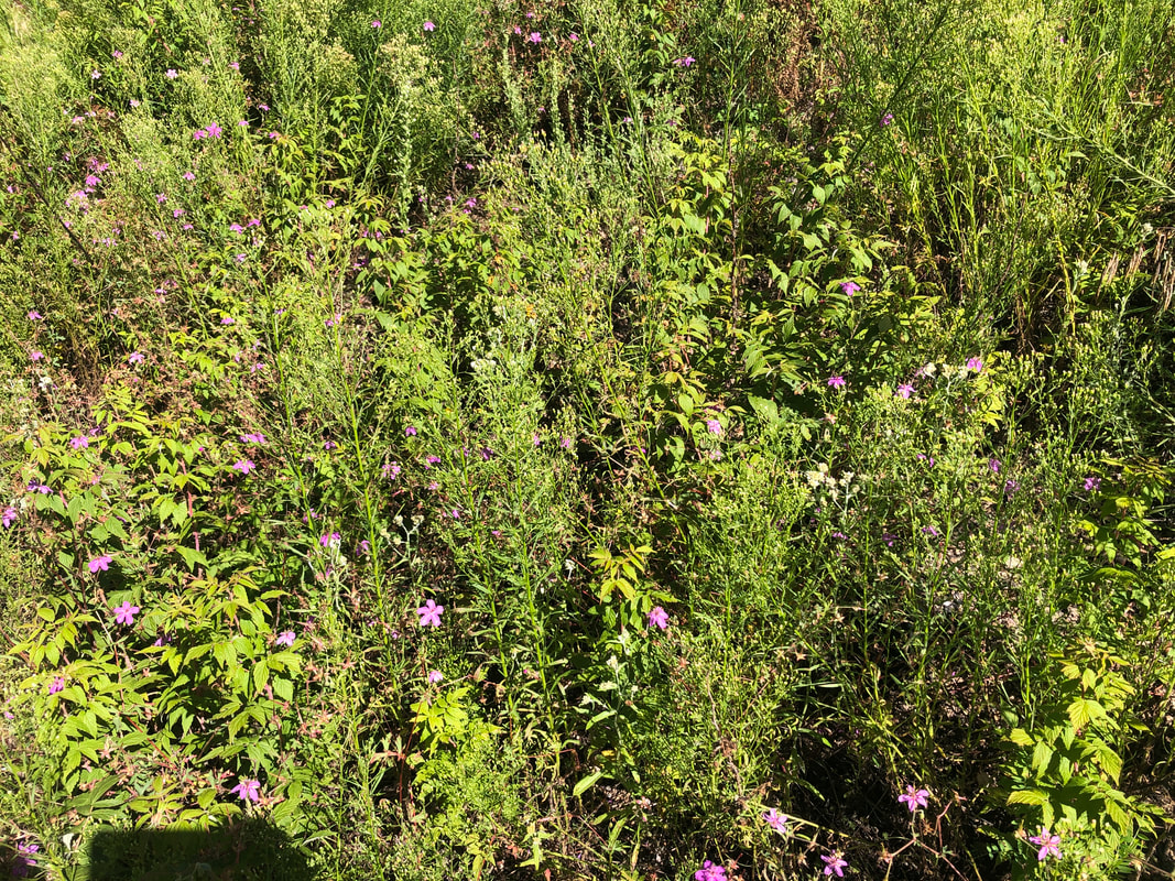
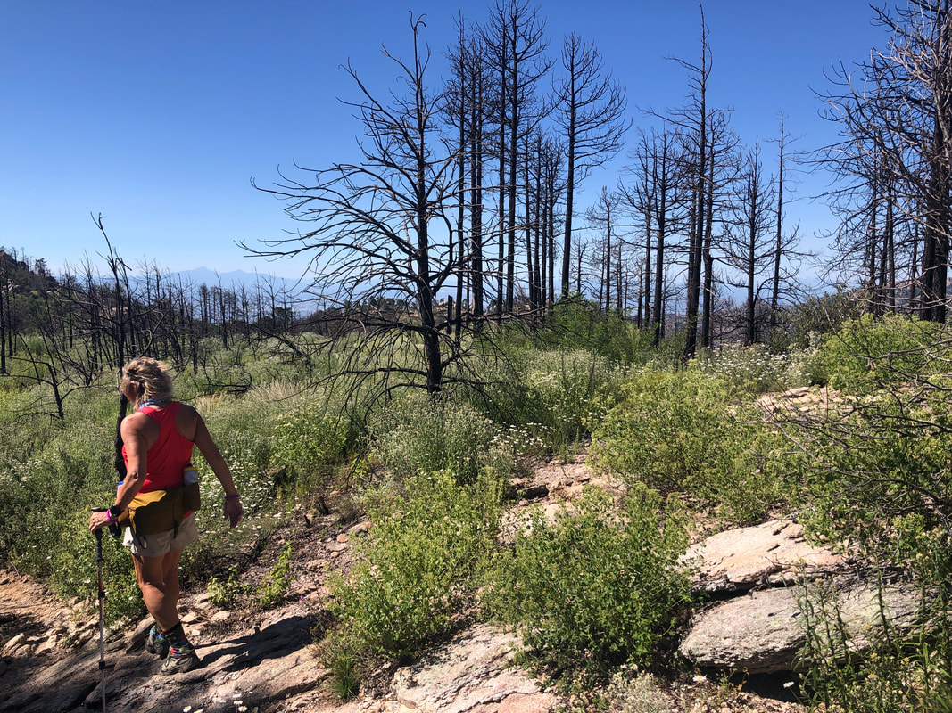
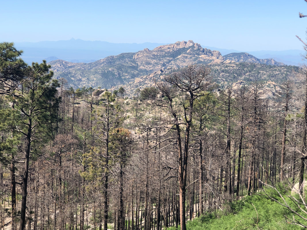
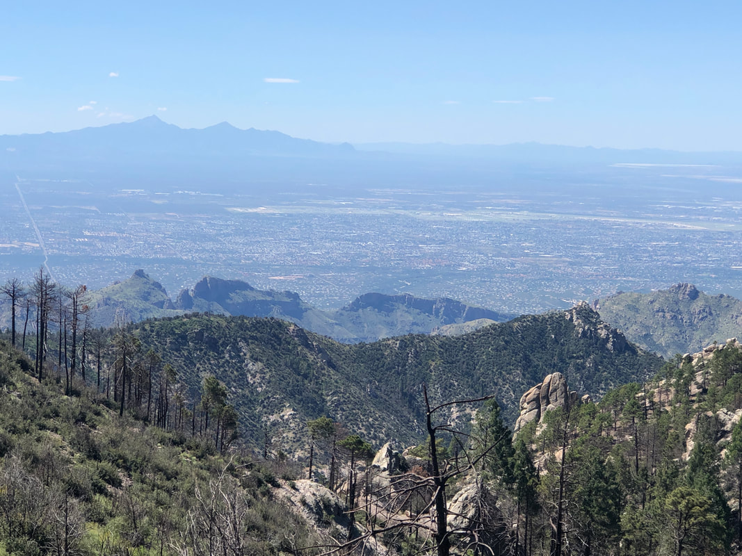
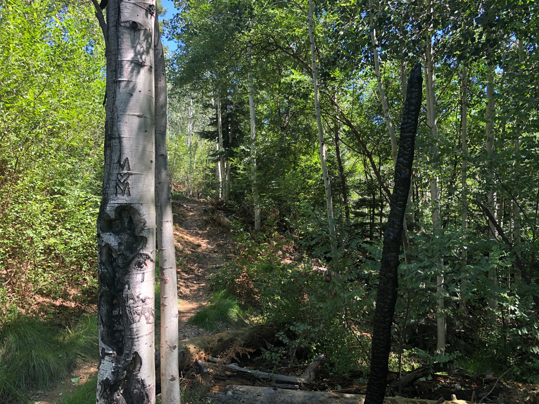
Arriving at the Marshal Gulch trailhead, there was a team of SAR personnel who were gearing up for a training mission. A friend and I headed up and enjoyed several crossings of a trail side stream. A beautiful setting and when emerging from the shade.... ...the surrounding hills were covered with wildflowers. We hung a left on the Aspen Trail, a first for me. Some spectacular views and evidence of the Bighorn fire from 2 years ago. Wow, Cathedral Rock in the distance. In the distance, the Santa Rita Mountains with Wrightson on the left as the high point then Hopkins and far right, Elephant Head. Nearer range is Thimble Peak on the left and Blackett's Ridge to the right of that. We were trying to figure out why the trail had the name "Aspen" but finally, we encountered a grove of them. Finished with 4 miles and enjoyed the cooler temps.
|
Categories
All
Archives
November 2023
|
