|
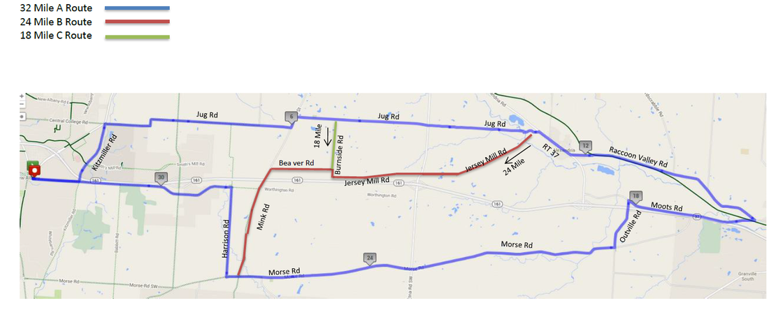
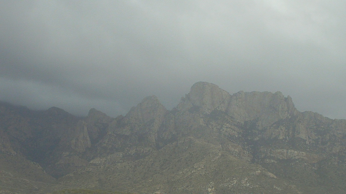
Behold, the route for the A, B & C group rides, beginning, weather permitting, this Thursday, New Albany, OHIO. I am happy that I will not be there to report on the carnage and parking lot shenanigans. I probably will not be there for the 2nd one but after that, the probability of my arrival increases dramatically although at this point I have not reserved a spot on an airplane. I look at the weather forecast each day, longing to return to my beloved Ohio but am still being kept out by the weather gods. The start location is the same as last year and for more information on the ride, you can go here:http://www.thecyclingclub.org/club-rides/thursday-evening-ride/ Note the Tuesday Canal Winchester ride, hosted by Ric Noland, begins this coming Tuesday.
3 Comments
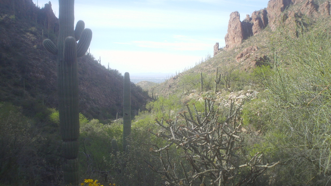
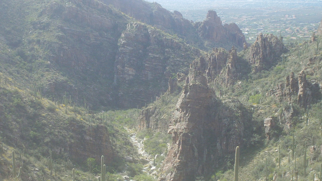
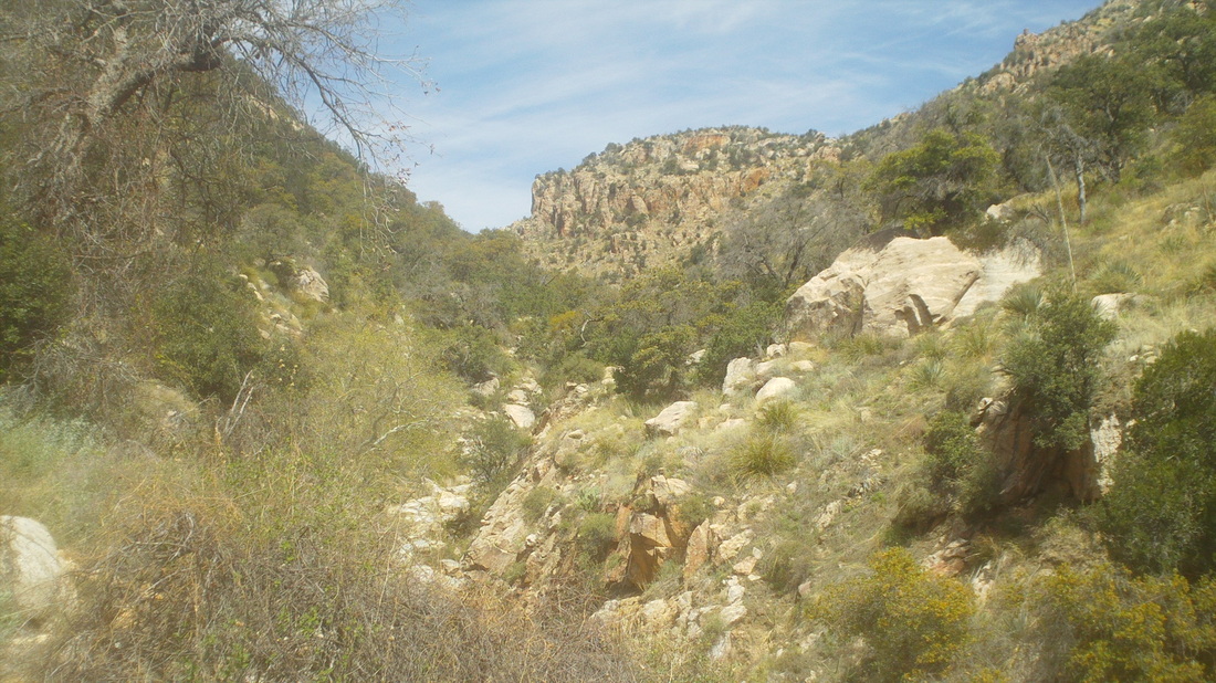
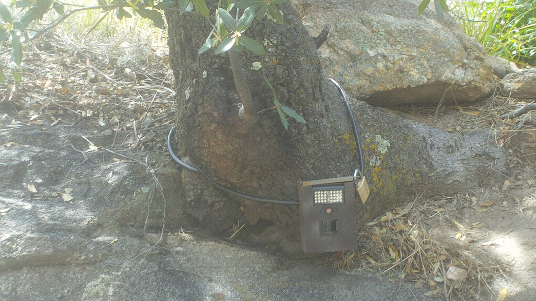
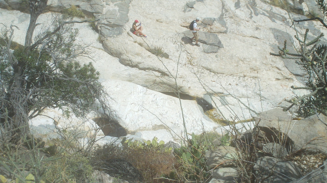
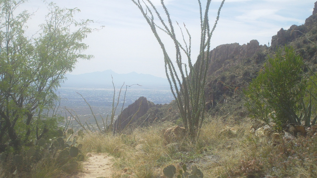
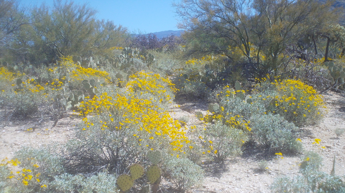
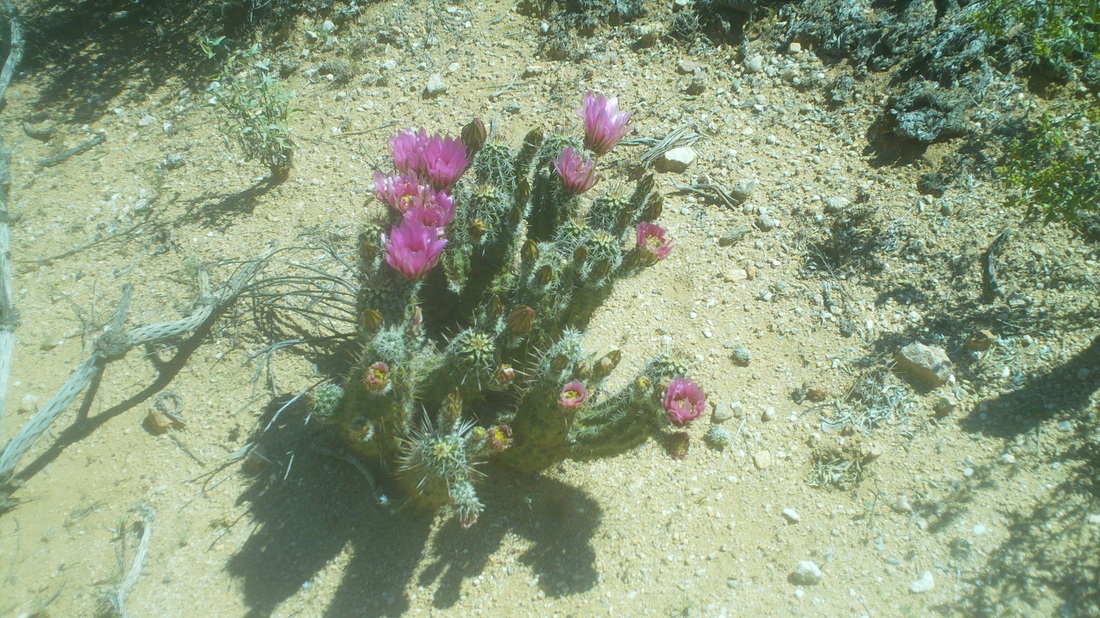
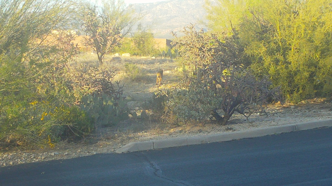
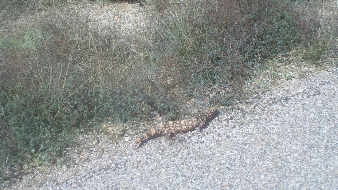
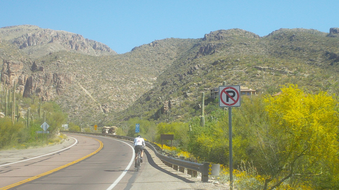
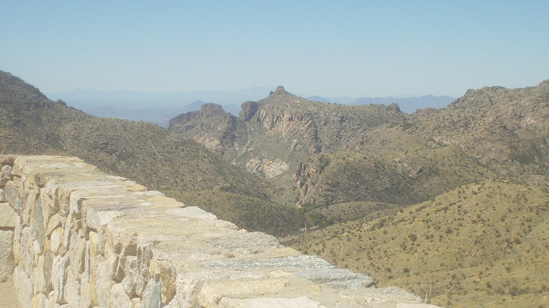
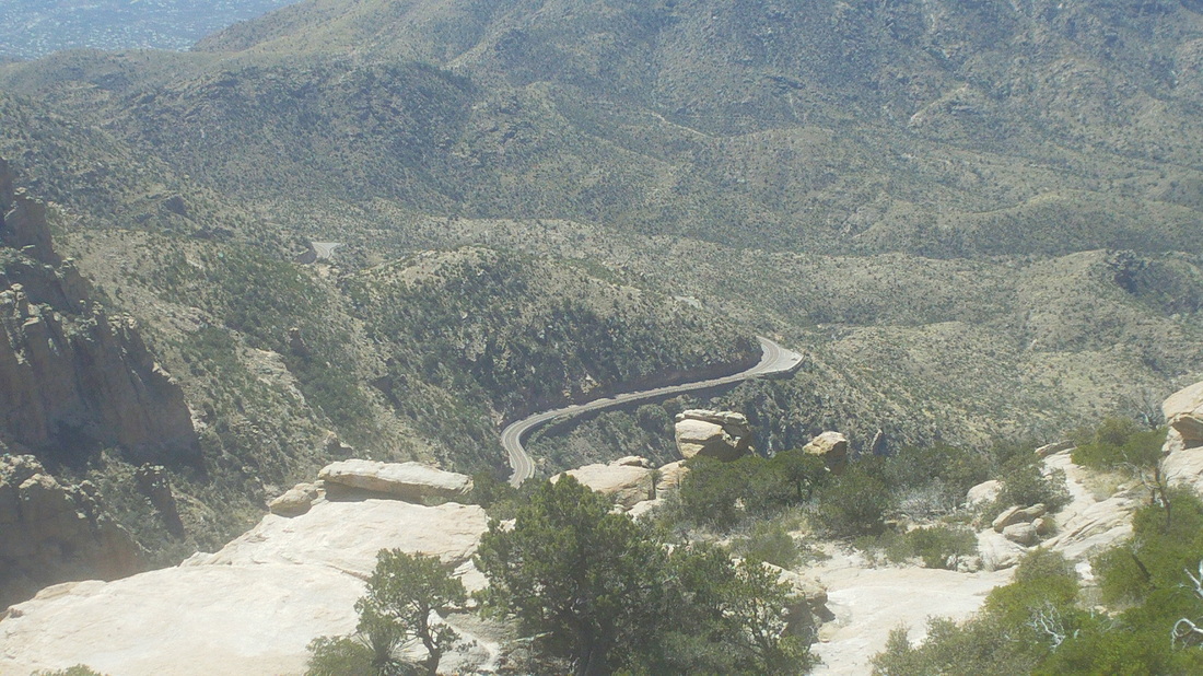
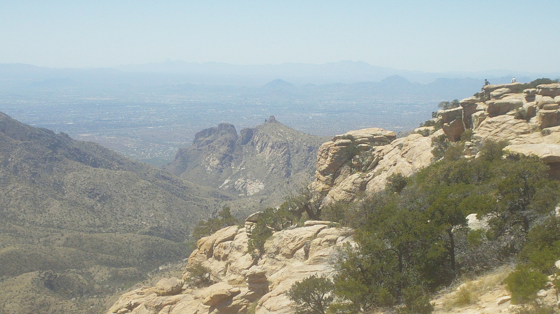
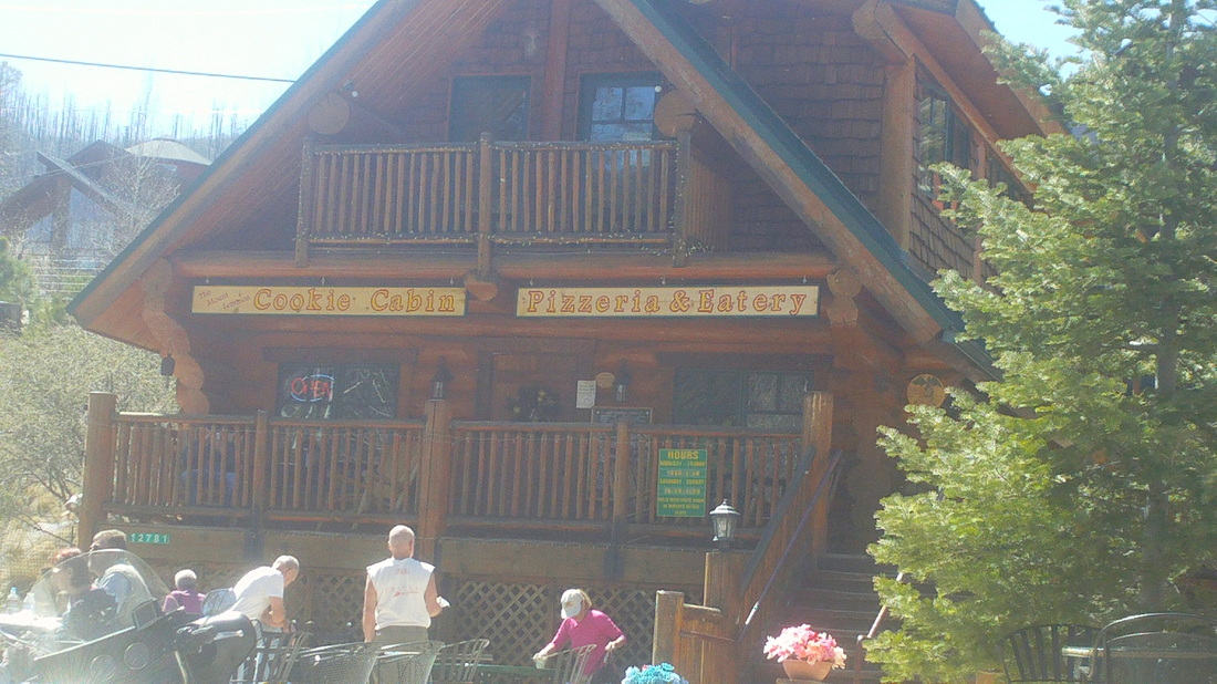
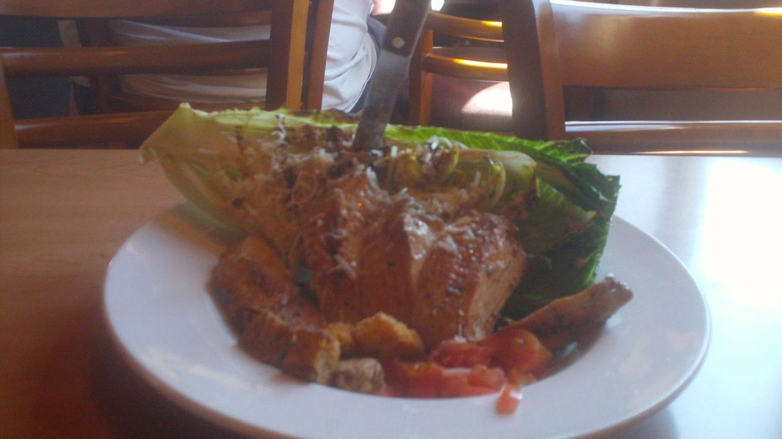
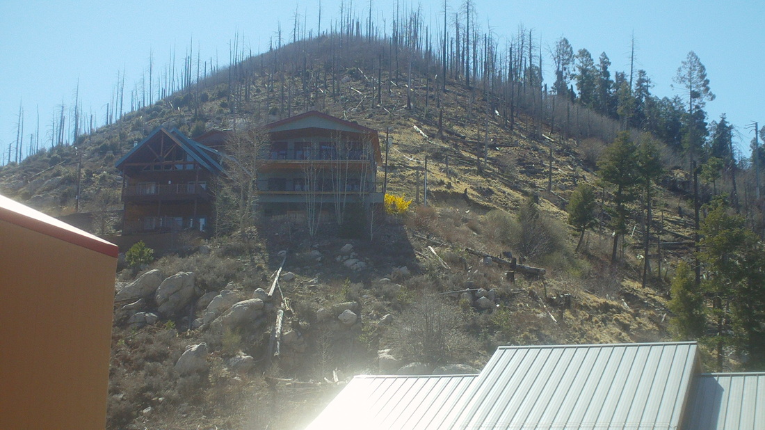
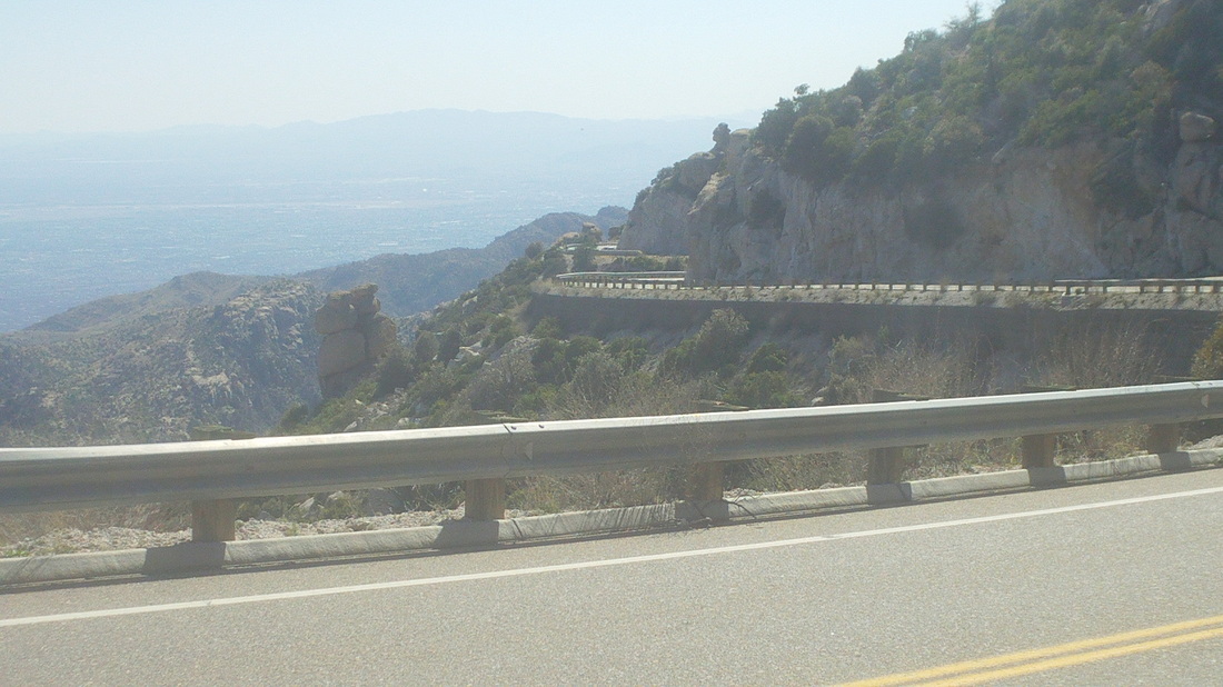
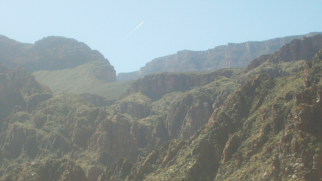
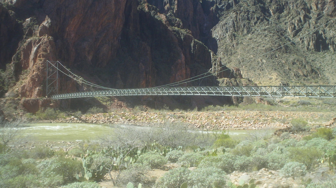
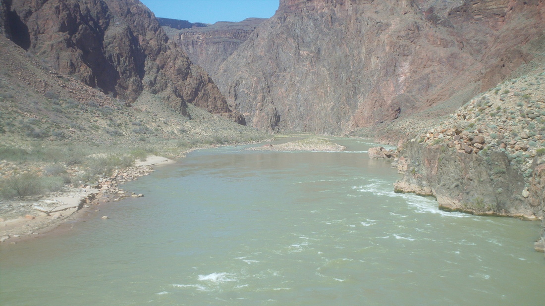
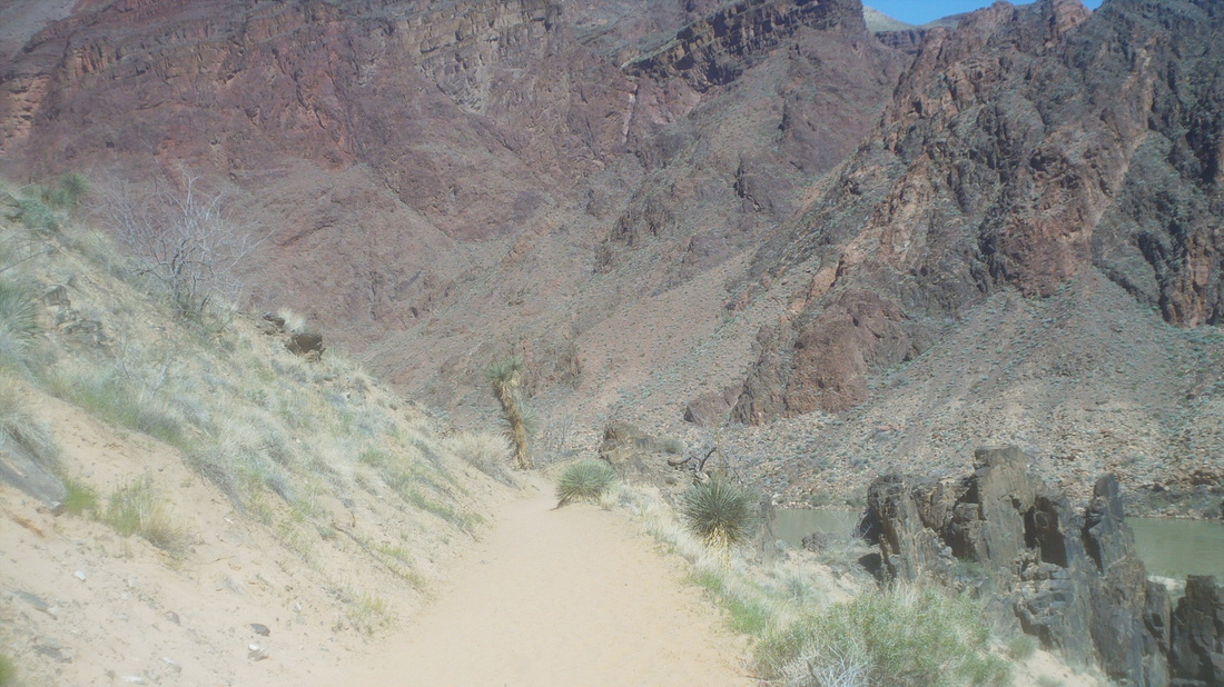
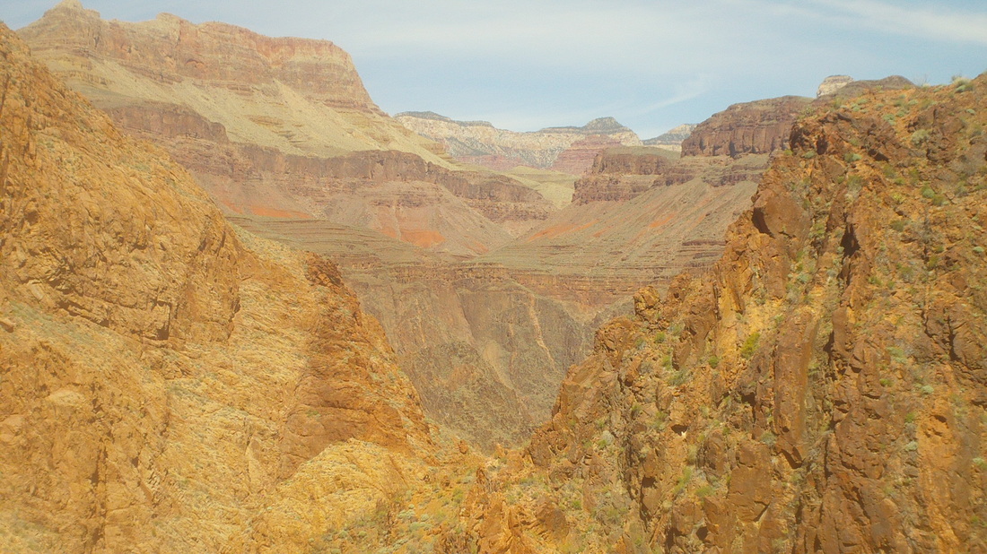
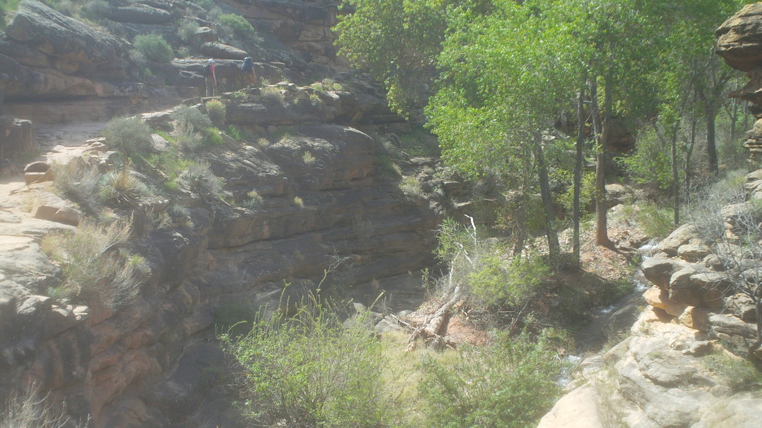
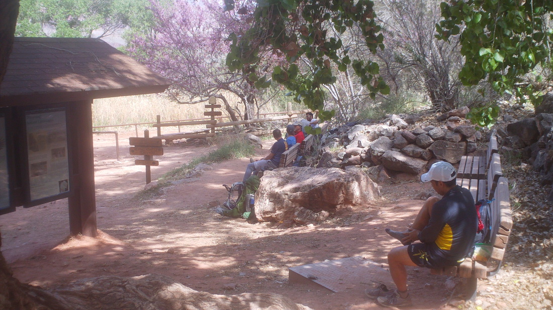
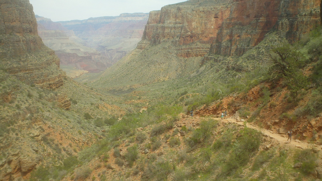
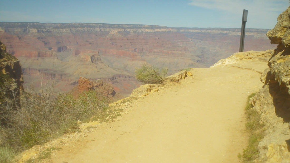
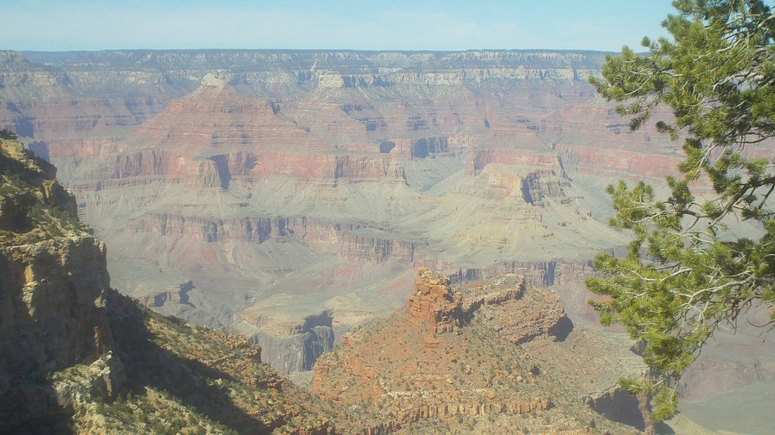
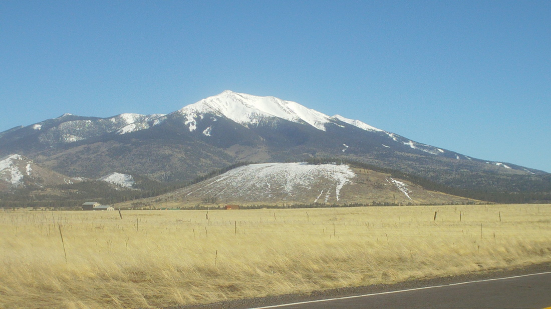
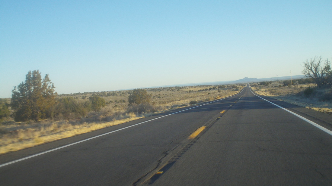
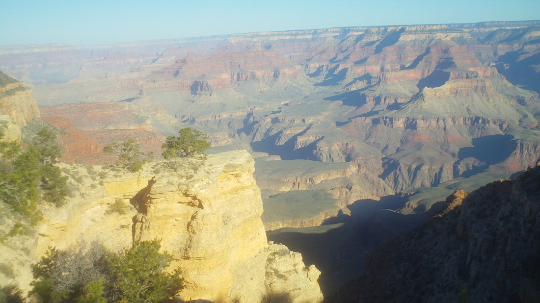
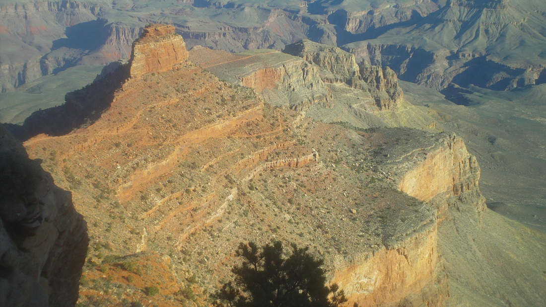
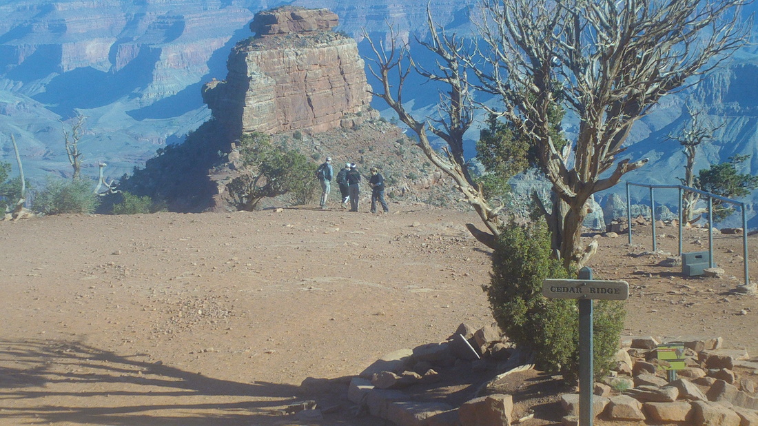
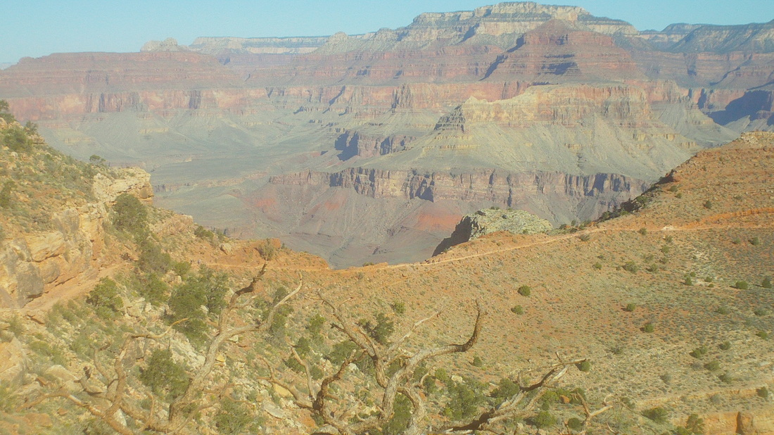
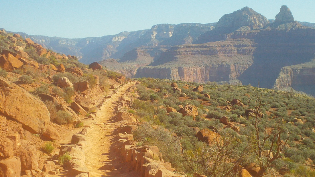
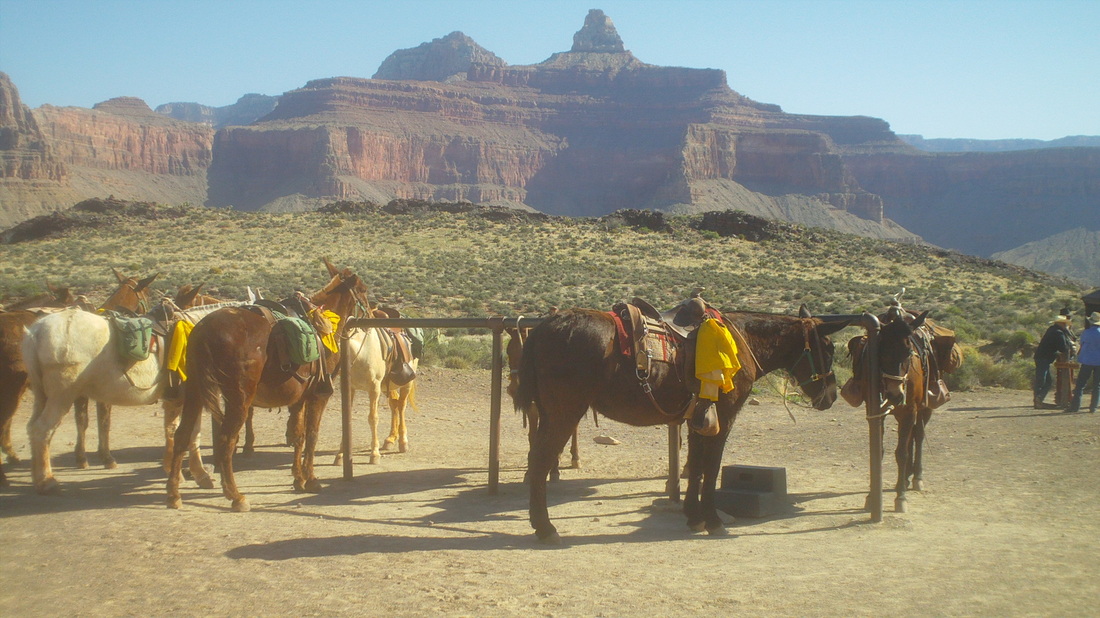
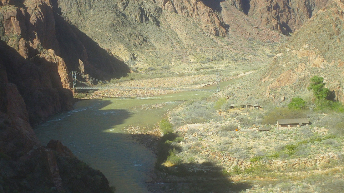
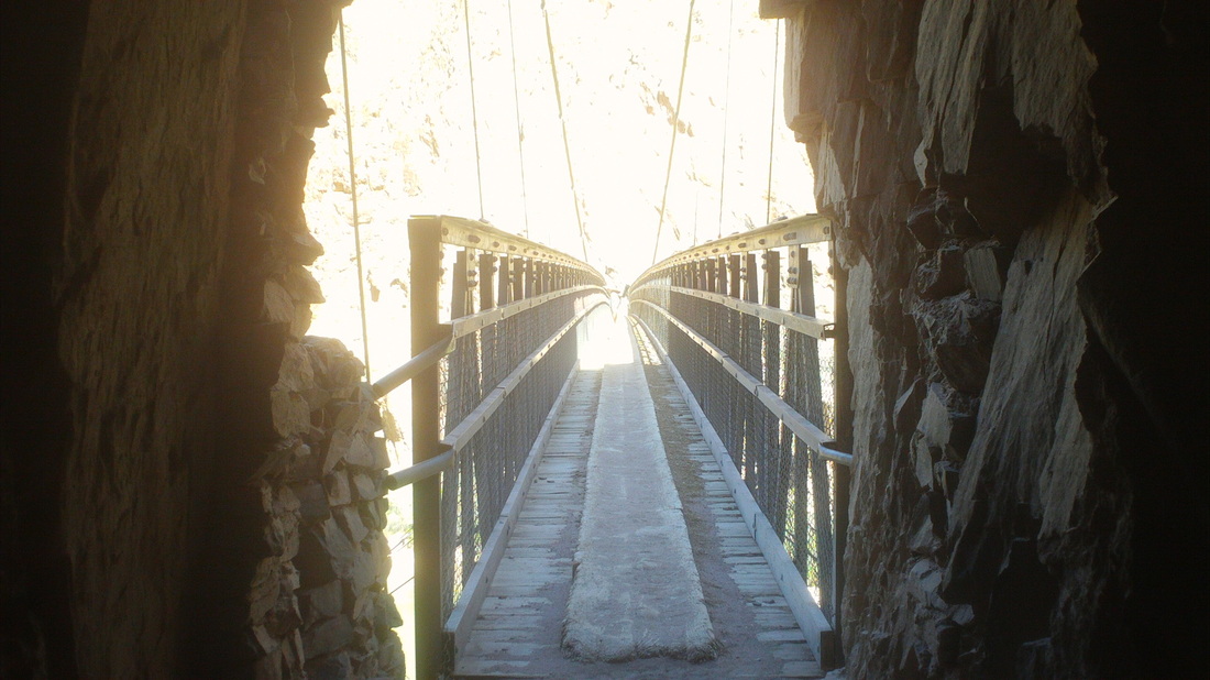
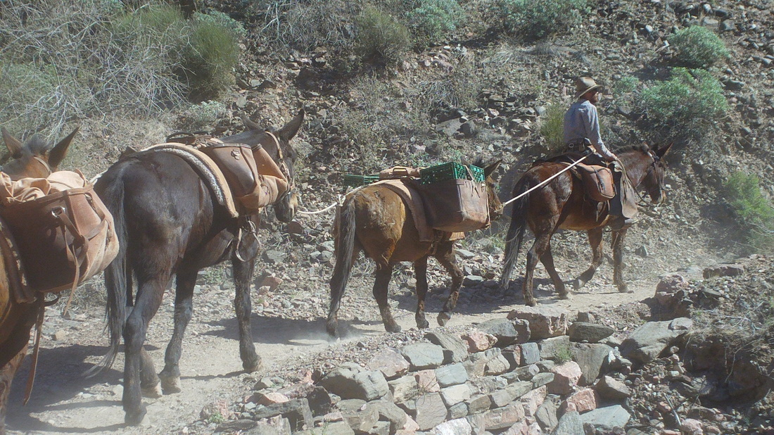
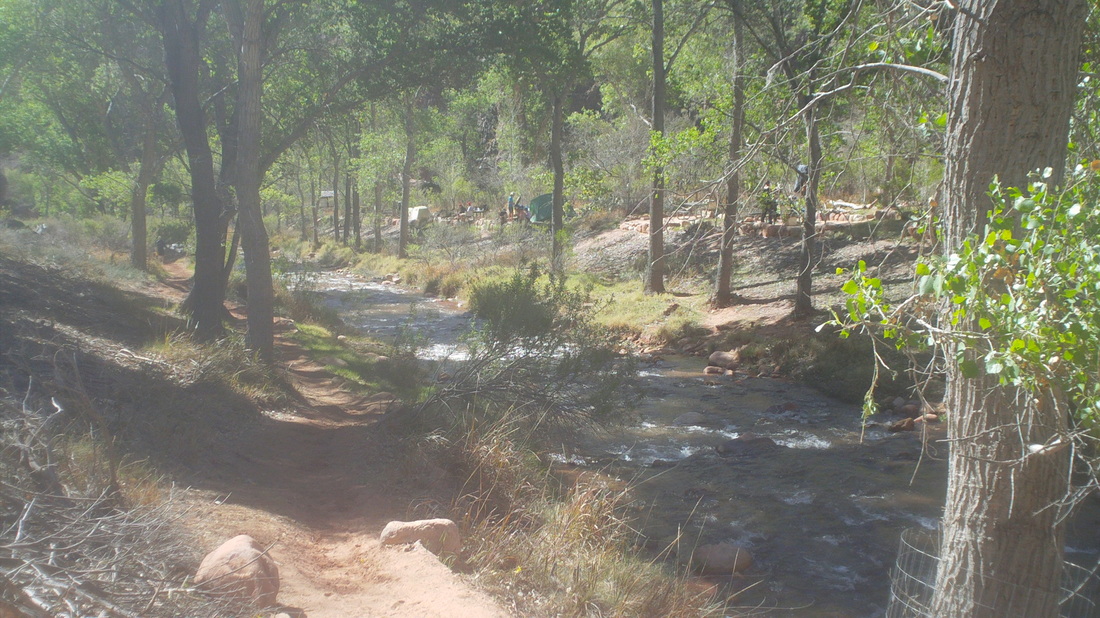
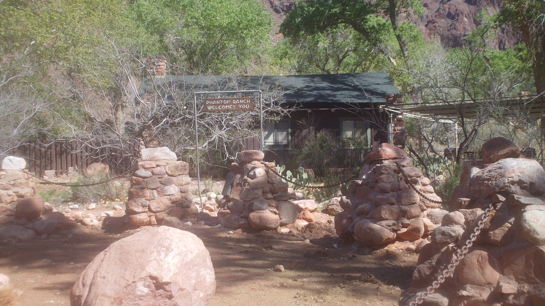
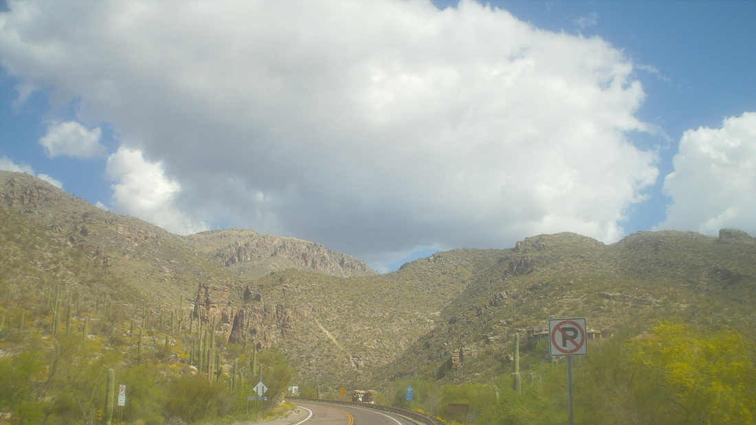
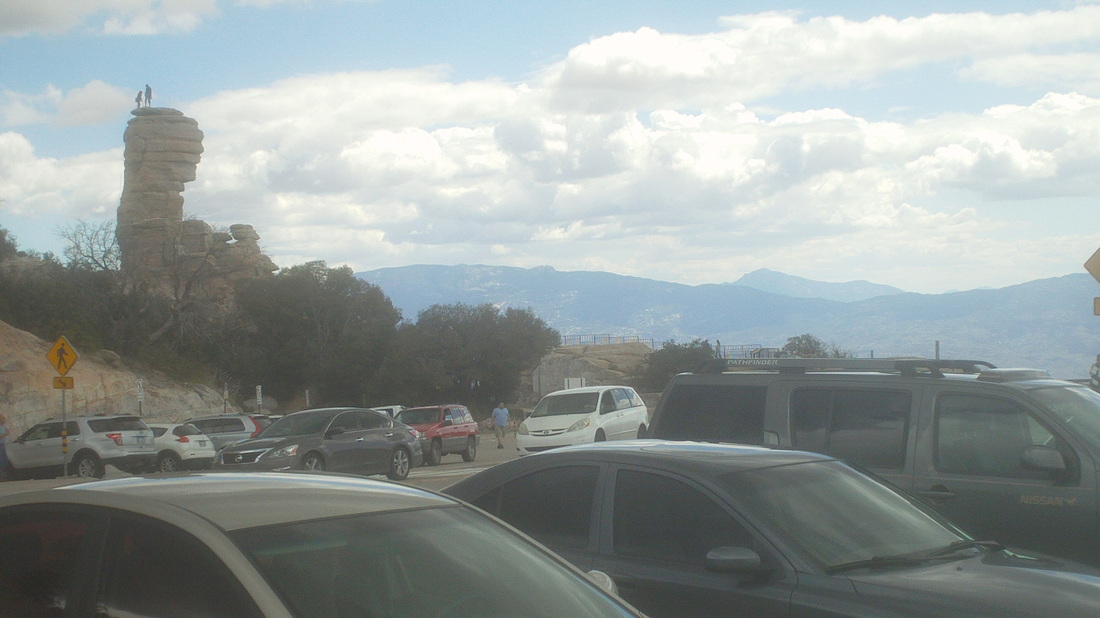
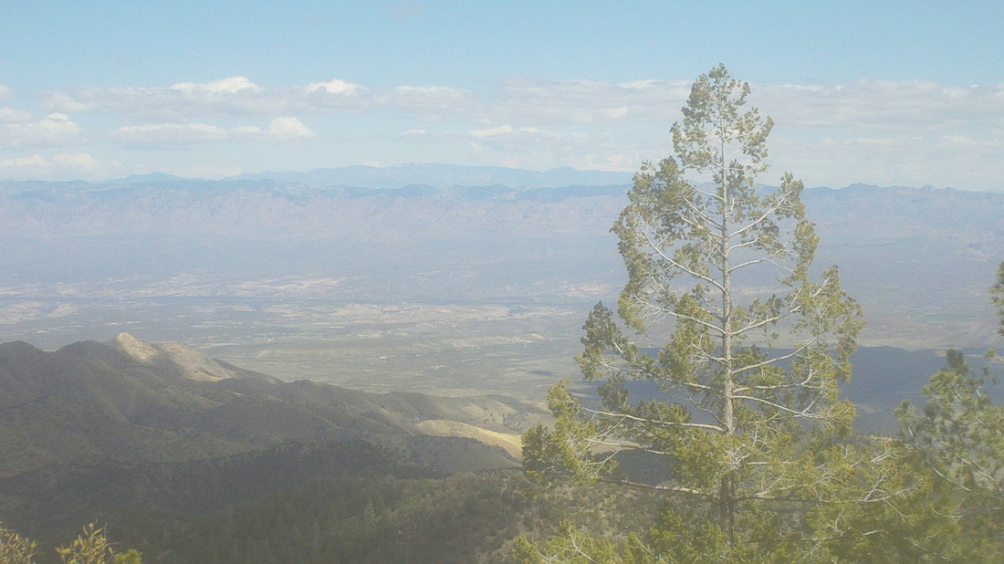
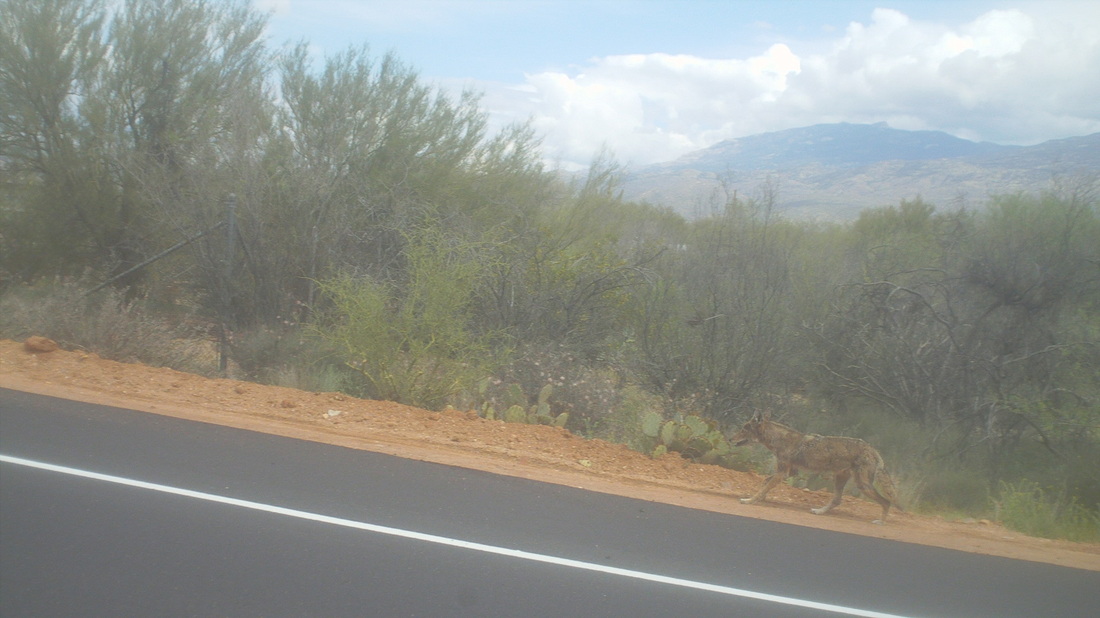
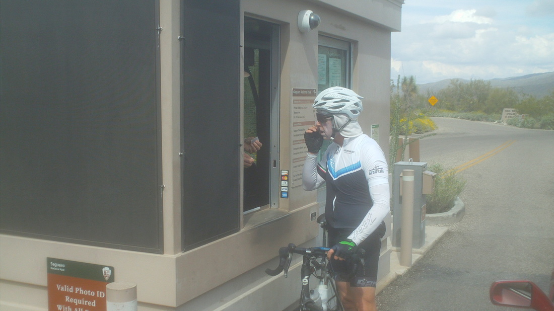
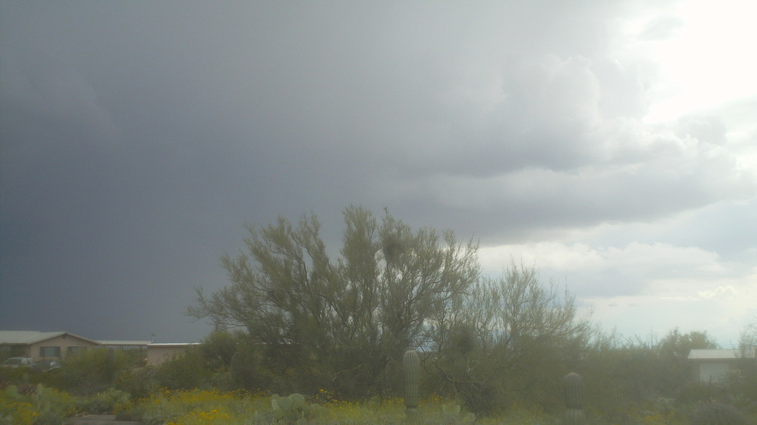
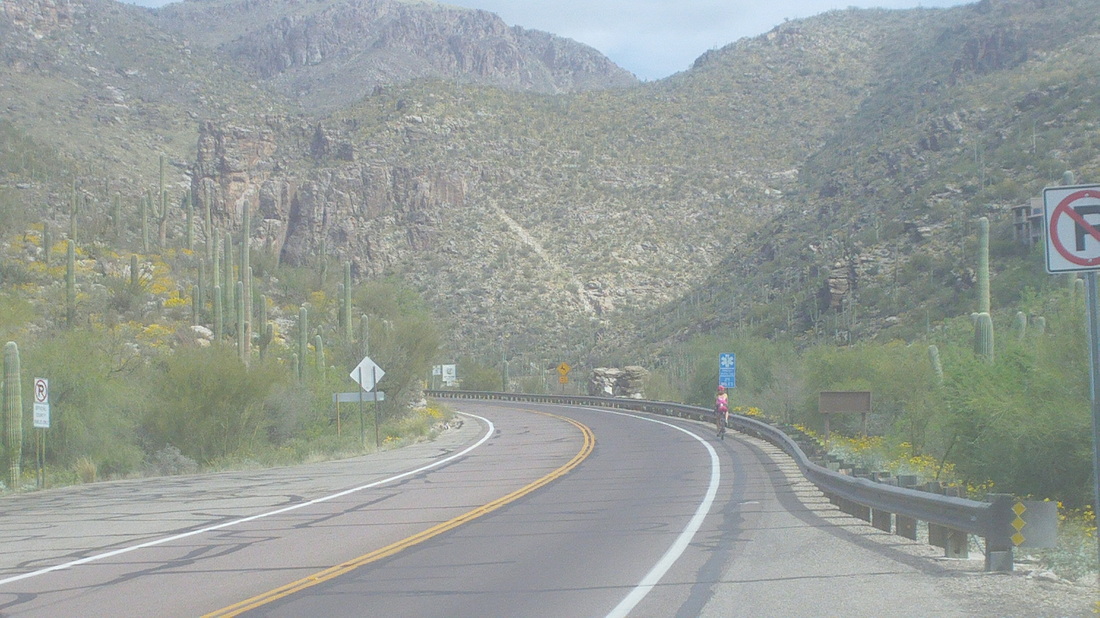
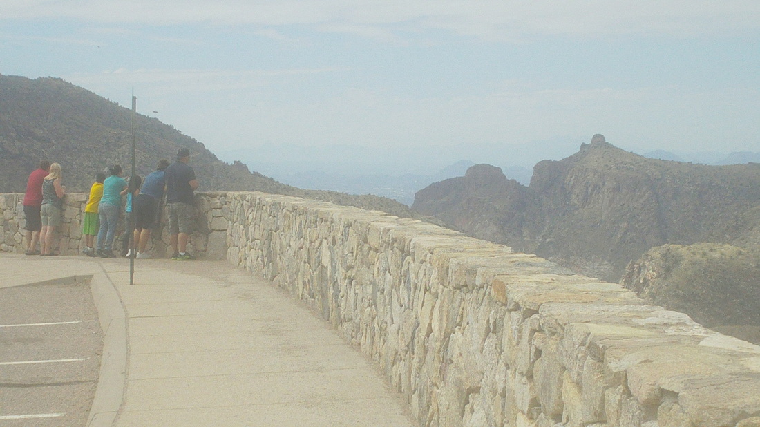
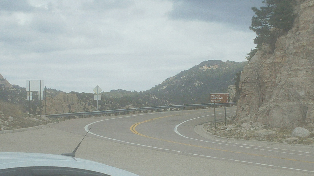
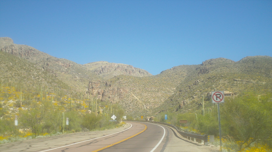
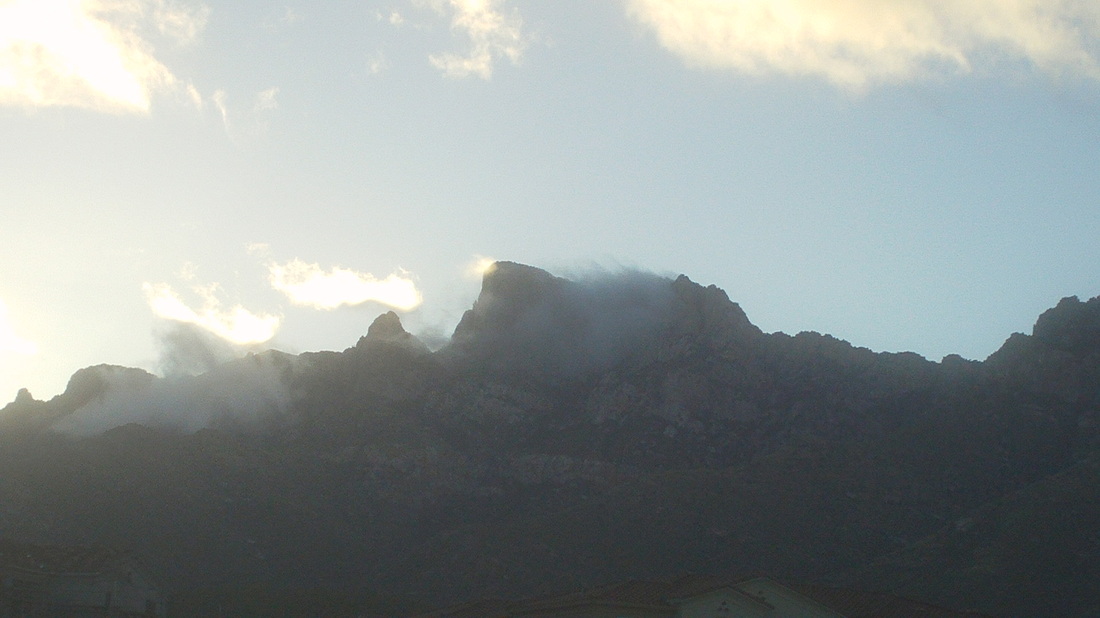
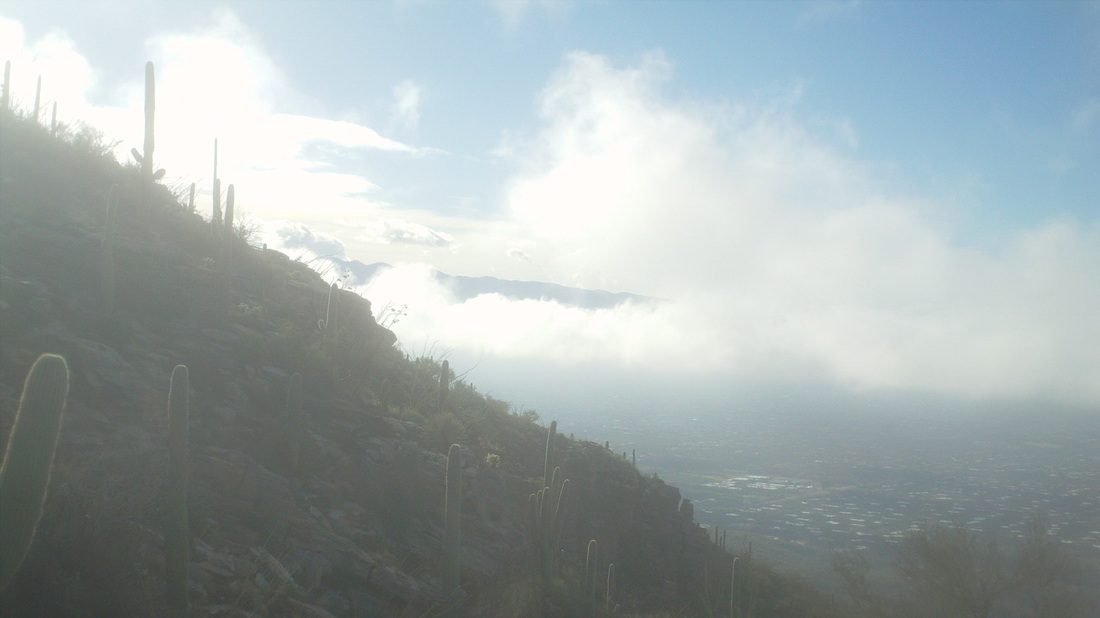
I am a member of 5 hiking groups. By far the best is "TLC" based in Phoenix. Their hikes draw in 20-35 for each hike and the hikes are adventures, usually part on trail and part off trail. In the Tucson area, the main groups are "ALT" and "Tucson Hikers". The quality of the hikes ebbs and flows but usually, not always, but usually are kind of lame. Anyway, I signed up for a hike that curiously, to which no one else committed. The hike leader, "Jim" set the start time for 8:30am. Jim called at 8:25 to tell me he was just leaving his house, estimating it would take 20 minutes. Geesh. At 8:45, I gave up, calling Jim to tell him I was shoving off. His reply, "Oh, you're one of those people." The hike, a good one, to a landmark in the Catalinas, the "Window". I've done the hike a couple of time and it is a good one. I worked my way up the canyon toward the Maiden Pools at around mile 2.5 and kept going. Two things were working against me, my legs were fatigued from last weeks two Mount Lemmon rides, the Grand Canyon hike and a couple other rides. I could have just pushed through it but I also was intrigued by the two NCAA games set for the day so at mile 4, I just quit. In the distance, the trail climbs out of this canyon toward that rock formation, reaches a saddle and goes behind that formation to the Window. Coming back down, I saw the above devise, the 3rd of these I've seen in a couple of weeks. They have been placed by the U of A and probably are a combination of motion detector and camera flash. Would be interesting to see what animals can be seen. I passed the Maiden Pools where a few people had gathered. Pretty cool place. I finished with 8 miles and continue, after Sunday's outcomes, to lead the Wilson family bracket contest. I stand to win $20, out of my own pocket of course. It's been a busy week with the cycling and hiking and I needed a day off so I took an easy 2 mile loop hike. The wildflowers are in full force. Even the cactus are blooming. On the way back to the trail head, I heard a lot of buzzing and rounding a corner, saw a swarm of bees in a bush (I did not think to take a pic). The epicenter of the swarm was off the trail but the edge of the swarm was over the trail. I've read stories of people being killed by these swarms so I plotted a route around the swarm and got away without being stung. How about those NCAA games? I picked 7 of 8 in the final 8 and have a commanding lead in the Wilson family bracket. However, at the start of the tournament, I chose the "field" over KY and have them losing this weekend. Losing the family bracket for the 3rd year in a row to a bunch of dart throwers will be hard to accept. After the Grand Canyon hike on Monday, I took Tuesday off and then joined a group ride on Wednesday. The guy who manages Tom Danielson's house was there and quite chatty so I was looking forward to the midway stop to ask about things that are curious to most of us but alas, I had my first flat and urged them to continue. Finished with only 27 miles. Saw a bobcat walk by our unit so grabbed my camera and jogged after it. Emerging from between buildings, someone shouted it had jumped the wall and so, thinking pursuing it farther was a mistake, I took this image of it walking away. Beautiful animal. Thursday, I headed to Saguaro East to ride the 8 mile loop a few times and saw my second Gila Monster, this one bigger. Also headed out Old Spanish Trail Road to Pistol Hill and returned, finishing with 48 miles. The temperatures have been inching up and with a forecast high of 89 on Friday, time to head back up the mountain where it would be in the 60's. Mile 0 of a 26 mile ride to Summerhaven. From there, another 2 to Ski Valley and then another 1.5 to the top of Mount Lemmon and the observatory. My goal was "just" Summerhaven, while breaking the one hour mark to "7 Cataract Vista" at mile 10. Unfortunately, the winds were against me out of the east so I gave up early on the latter goal, just settling in to the grind. I reached the Vista turnout at 1:05 so not my best but fighting wind along with the grade is a bit much for a good time. The road winds down and is a thrill to follow on the descent, if not the ascent. I stopped a 2nd time at "Windy Point Vista", mile 14ish. I was low on fluids. I asked a group of guys if water was turned on at the Mt Bigelow parking area at mile 20, the ONLY location that has water (it was still seasonally plugged last week when I was up there). They did not know but one of them had filled both of his bottles and still had plenty so he emptied one into my empty bottle. I immediately gulped 1/2. Later reaching Bigelow, not only was the pump still not open, it also was not there, a group of orange cones over the cavity. After leaving Bigelow, it's only about 1/2 a mile to where the road flattens and begins a 2+ mile descent, a 1.5 mile climb and soon the descent into Summerhaven. I rode to the Cookie Cabin just to take an image, had no interest in actually eating one of the monsters and retreated to the Sawmill Restaurant where I..... ....ate a Chicken Caesar salad. My eating habits the last couple of weeks have been unusually good. With all the activity, you'd think I'd loose a lot of weight but I usually offset activity with excessive mouth stuffing. Not the case this visit and it makes a difference. It's been 12 years since the Aspen Fire and still easy to see evidence of the destruction. Practically all the homes were destroyed and what you see are rebuilds. From the parking lot at the start, I had come 29 miles with 5900' of climbing, eventually finishing with 58 and 7000'. It makes for an enjoying ride down, hardly ever having to apply the brakes, hardly ever having to pedal. Just sit and enjoy the views. Well, need to take Saturday off and then a big hike on Sunday to "The Window". I followed the trail bordering Bright Angel Creek, wearing a new pink hat and looking toward the south rim. It looks so close in the image but so, so far. The dark Vishnu Basement rocks, which line the inner gorge and seen in the fore ground, date back around 1.5 billion years. I approach the Silver Bridge. I think I have crossed it 8 or 9 times on various hikes. The view from the bridge looking down river. The water runs swiftly and since it is pulled from the bottom of an upstream dam, is very, very cold. Lots of rafting parties travel the river. An interesting feature of the hike out is a short walk through an area of sand dunes. Initially, the trail borders the Colorado River on a rolling route, before making a left turn and heading up but not too steeply at first. Looking back, you can see the layers of limestone, shale, sandstone. While the Kaibab and BA trails are maintained and easy to follow, out there are dozens of backpackers following routes visiting way cool places like Scotty's Hollow, Royal Arch, Deer Creek Narrows, Thunder River, etc... I've done a few backpacking trips here but find I don't have the patience for it. After a day I'm ready to move on to something else, weird. The trail follows a babbling brook which supports the growth of lots of, I think Cottonwood trees. After about 5 miles, I stroll in to Indian Gardens, a popular spot for day hikers and at a point that intersects the east/west running Tonto Trail. Long ago, the Anasazi would come down off the rim to winter here. There are many flowering trees in bloom. Note the purple flowers. There is fresh water, places to sit and it is always fun to listen to people talk about their hikes. Actually, this is a good day hike destination, being a 9 mile round trip with 3000+' of elevation gain on the way out. After refilling my bottles, I head out, rising above the Gardens and heading basically for the wall off the South Rim from where the infamous "Devil's Corkscrew" begins. I note my hiking time, as usual, is faster climbing then it is descending. That will probably change once the climbing begins in earnest at the Corkscrew. After a couple of miles I arrive at the "Three Mile Rest Stop" a little building made of stone and timber with fresh water available but I keep going, also passing the next rest stop at the 1.5 mile from the top point. I've not done a long hike in about 4 months so at around the 15 mile mark, 2 from the top, the climbing muscles exhibit signs of weariness. Note above the trail is wide but you would not want to lose focus and walk off the edge. It's funny to watch some people walking while hugging the uphill side of the trail. At 17 miles, I pass through a short tunnel, cover the few remaining switchbacks and emerge back in civilization, just under 6 hours of hiking time. I think that is considered pretty good for a hike. I used to never see people run the trails but now, there are several trail runners and sometimes more, each day. The problem with that is you have to keep your head down and why would anyone want to go through the Grand Canyon while staring at your feet? I take a last look into the Canyon and soon am sitting on a bus that takes me back to the parking lot. Standing next to me on the bus is a guy wearing a jacket that says, "Newark, OH Fire Department." Small world. The drive back to Oro Valley, I pass Humphrey's Peak, still with a lot of snow cover. That is a good hike and maybe I can knock it out this trip but probably will wait until September or October. I hear the wind up there is fierce. I spent the night in Williams, AZ, which is situated on Route 66. My first visit, kind of a neat town with lots of restaurants and run down hotels, only an hour from there to the Canyon. Driving to the Canyon, I am always struck by how barren is the landscape and nothing to suggest I am nearing something that is on the "7 Natural Wonders of the World" list. Not like a mountain that you can see from a great distance. Gaining some elevation and even within 1/2 a mile of the rim, nothing suggests what you are about to see. I remember my first visit, driving around a corner, glancing to the north and boom, my jaw just dropped. Things have changed a bit as there is now a large visitor center with ample parking about where I got my first look at the canyon. I used to be able to drive directly to South Kaibab trail head, pull off to the side of the road and hop out but in its place is a convenient shuttle system. It was cold (about 40) and the wind was blowing hard (25mph) as I waited at 7:45 for the shuttle bus to arrive. Not wanting to carry clothes that I would soon shed, I just shivered and darted through the inviting doors when the bus came to a stop. Lots of people think it would be colder at the bottom of the Canyon but you start the hike on top of a mountain (about 8000') and the temp is 25-30 degrees warmer at the bottom. I started the hike at 8:10am, hustling down the trail, soon reaching "Ahh Haa Point" a place with expansive views up and down canyon. The wind was blasting at this point and a gust came from behind, blowing off my hat, never to be seen again. A park ranger later told me there are more hats lost there then any place else. Not good, spending 6 hours or so walking in the sun with no head protection. At Cedar Ridge, a stop for the mule trains that transport people and sundries up and down the South Kaibab trail, I talked to a young couple, mentioning my hat predicament. They thought to offer me sunscreen so I applied some to the top of my head, probably now looking like a dork wearing a white beanie. Oh well, better that then scratching dead skin from sunburn for the next week. I hoped at the bottom, at Phantom Ranch, there would be a hat available. The trail continues its knee buckling descent, reaching the ridge above which offers the first view of the Colorado River, still quite distant. No route finding needed to stay on this trail and those views! I think this is at "Skeleton Point" where the mules rest. It would be unusual to walk the 6+ miles to the bottom without passing at least one mule train. Closer, with knees and joints aching a bit from the pounding, I can see the "Silver Bridge", which I will be crossing as I head up the Bright Angel trail to exit the Canyon. The South Kaibab is a "spine" or "ridge" type trail with lots of exposure to the sun and wind, no water but great views of the Canyon. Entering a curved tunnel, I reach the "Black Bridge" and cross the river, as it roars beneath me. I stand aside as a mule train heads out. Reaching the bridge at a little over 6 miles, in exactly 2 hours so I wasn't running, just hiking and absorbing the down hill punishment. I had snacked and kept drinking so I was in good shape but longed to walk on a flat surface or even to be going up hill. From the bridge, it is a little over a mile of walking, much of it along Bright Angel Creek, to reach.... Phantom Ranch. Inside, I did the usual, bought a half ice tea, half lemonade drink with ice. It tastes so good. The small supply store had sold out of burnt orange baseball caps so I had to buy a pink one, now looking like a dork wearing a pink hat. Not bright pink but by no means a masculine color. I filled in a post card and addressed it to my wife, which will be transported out by a mule and arrive in Ohio in about a week. The snack choices are limited so I bought a pack of peanuts and also a "Snickers" bar, my first bad food item I have consumed since being out here. I lounged for about 20 minutes and then walked out, a confident hiker wearing a pink hat. The ascent, coming soon. 70 degrees at the base of Mount Lemmon, headed to 80 later in the day. Some large clouds appear to hover over the mountain, which is obscured by the front range. The forecast high in Summerhaven was 54 so I shoved arm warmers into the back of my jersey and headed up. I passed the usual parking areas and pull-outs, rising through 4000', 5000', 6000' and 7000' elevation signs. I stopped at 7 Cataracts Vista to wolf down an energy bar and kept going to Windy Point Vista at mile 14, above. Note the climbers standing on the hoodoo to the left. This being Saturday, cars and motorcycles were plentiful. I was talking to a cyclist from Boston (and we think we had it bad in Ohio this winter) when a woman told us the temp, because of cloud cover, was only 45 at Summerhaven. Ohhhhh but I wasn't going to turn around again so I put on the arm warmers and headed up. I passed Palisades Gift Shop and just before it a parking area with a pump, the only water between the bottom and Summerhaven. Later, I found the pump was still plugged for winter. A glorious sight, above as the road finally, at mile 20.6, flattens. I had gained 5200' of elevation on the ride up. I stopped here, looking west. I rolled a little farther and wanted to continue to Summerhaven, which is about at the same elevation as where I stood but it was too cold. I headed down. Soon, of course, I began shivering and so too was the bike. My fingers became numb and so too did my feet. I made it back down to mile point 14 at Windy Vista and.... ....stopped to remove my shoes and help warm my feet but it did not work. I kept coasting down, down and the first time I noticed warm gusts of air I smiled, at around mile post 5. After a total of 50 miles and 5700' of climbing, I reached my car and not until I pulled on my running shoes, which had heated in the car, did the numbness in my feet go away. Good day on the bike. It's been a great 2+ weeks but on Wednesday, a disturbance came out of Mexico and spread rain throughout the area. Rain is always welcome and it's been an above average rainfall amount for the area this winter. I could have hiked or ridden but every time I started to get ready, another wave came in. On Thursday, rain was not as widespread and there were many breaks of sun. I drove the 20 miles to Saguaro East National Park and that fabulous 8 mile loop through the park. The lower end of Freeman Road, an approach to the park, was just repaved and I passed a hmmm, not sure, maybe a hyena? I parked and rolled up to the entrance where an old cyclist had a ranger remove a bee stinger from his face. He had been riding, head down and ridden into the midst of a swarm of bees. They enveloped him but he was stung only once. Lucky guy. After one loop, the sky darkened, a bolt of lightning lit the sky and so that was that. Two days of limited activity kind of sucks but some good days coming.
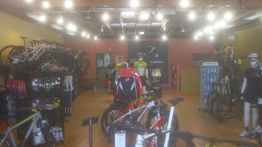
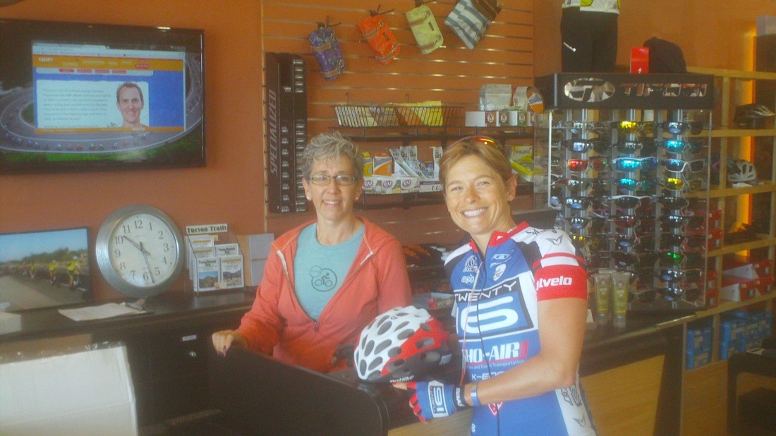
So, once again, I headed up Mount Lemmon. today, Tuesday, I counted 73 cyclists rushing by me on their descent as I climbed. It was a very warm day, around 84 but up top....a microclimate exists and who knows other than it will be 20-25 degrees cooler. At mile 9, the "Seven Cataracts Vista" I reached in 1:08, slower than where I will be in a couple of weeks but at 8mph avg, not too bad. Lots of tourists from all over stop to look at the views. Looking higher, clouds thickened around the summit. At mile 14, "Windy Point Vista". and 6 miles to go to the Pallisades, which is the top but yet 5 miles short of a rolling ride to Summerhaven, things worsened above. A couple of cyclists, descending, told me they came through some rain. Yuck, I had nothing more than arm warmers so I decided to head back down. It would suck to get up there and get wet and so many good days to come. Finished with 38 miles and 3700' of climbing. Monday was clear and winds were calm, where I am on the west side of the mountains. Great, temp at the top of Mt Lemmon was favorable so I drove south, went around the corner of the mountain headed east for the parking lot at La Buzz. Getting out of the car, the winds were ferocious. Thinking close to the mountain it would provide shelter, I rode the 5 miles to the base and headed up. Winds were ferocious so at the 2.5 mile overlook, I turned around with the winds pushing me down the mountain. Drove home, and rode on the calm side of the mountains, finishing with 54 miles and 2600' of climbing. The winds left that evening so things are back to normal. I stopped at Sabino Cycles, a cool bike shop and recognized they had reorganized the shop. A good move which now gives the counter a view of a lower level, which previously had been out of sight and probably a source of inventory shrinkage. While shopping for a new pump, in walked Lauren Hall, a cyclist on the "Twenty16" pro team. Just came back from racing in New Zealand where she had a couple of wins, now training in Tucson before heading to Europe to race. What a great personality. She gets it.
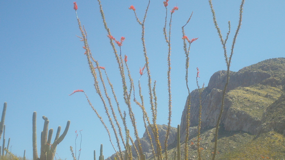
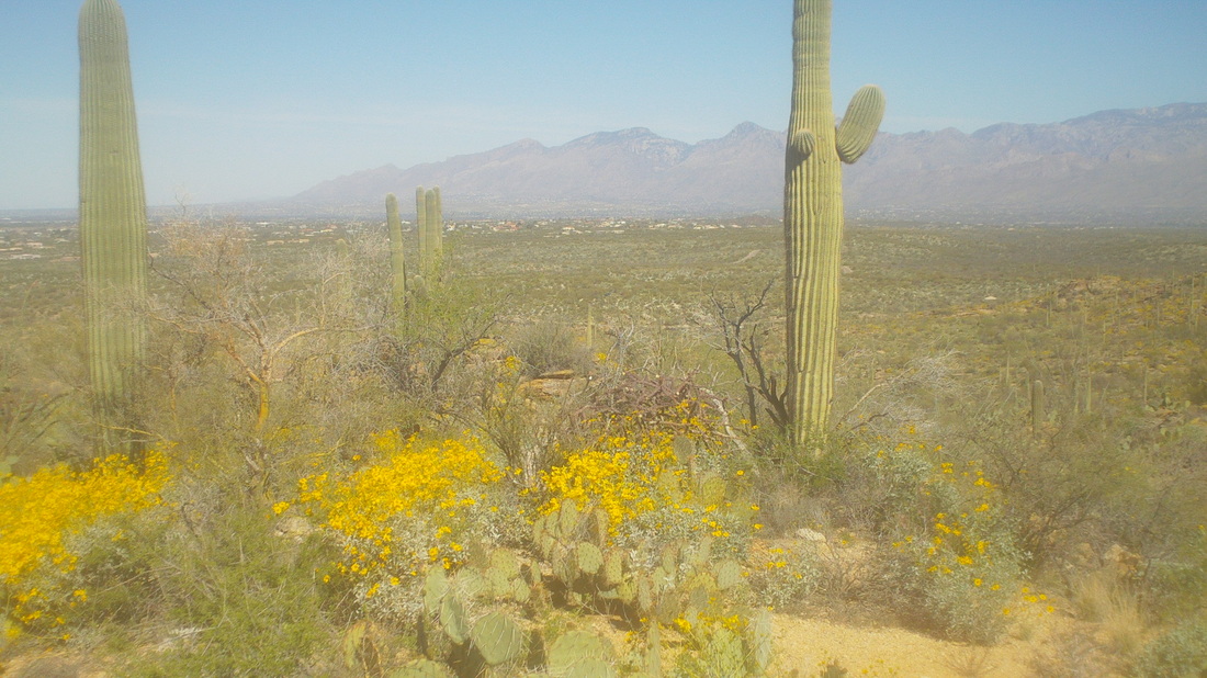
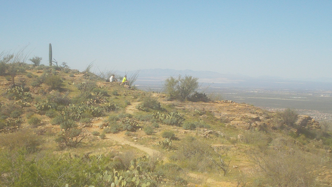
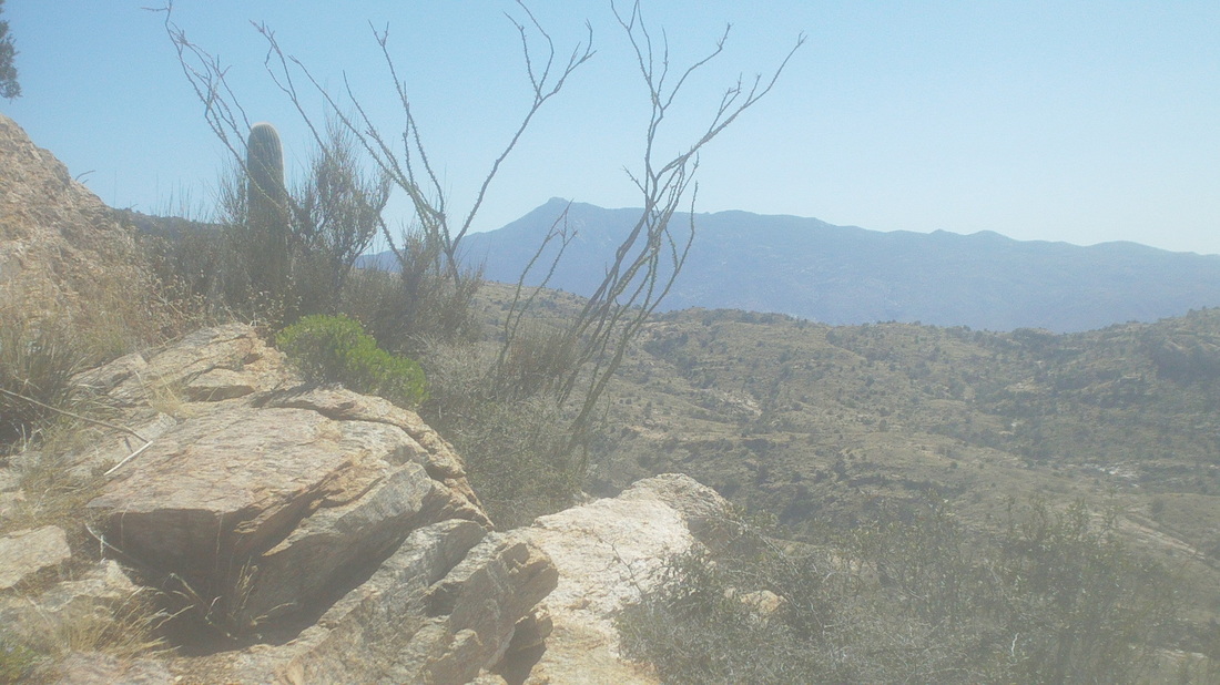
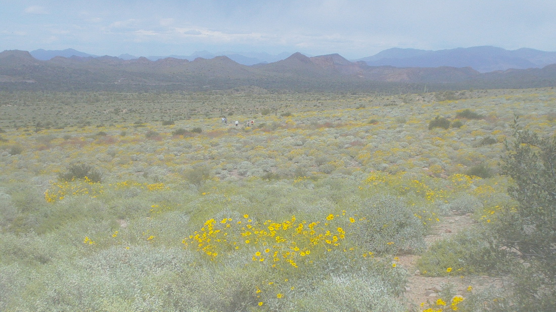
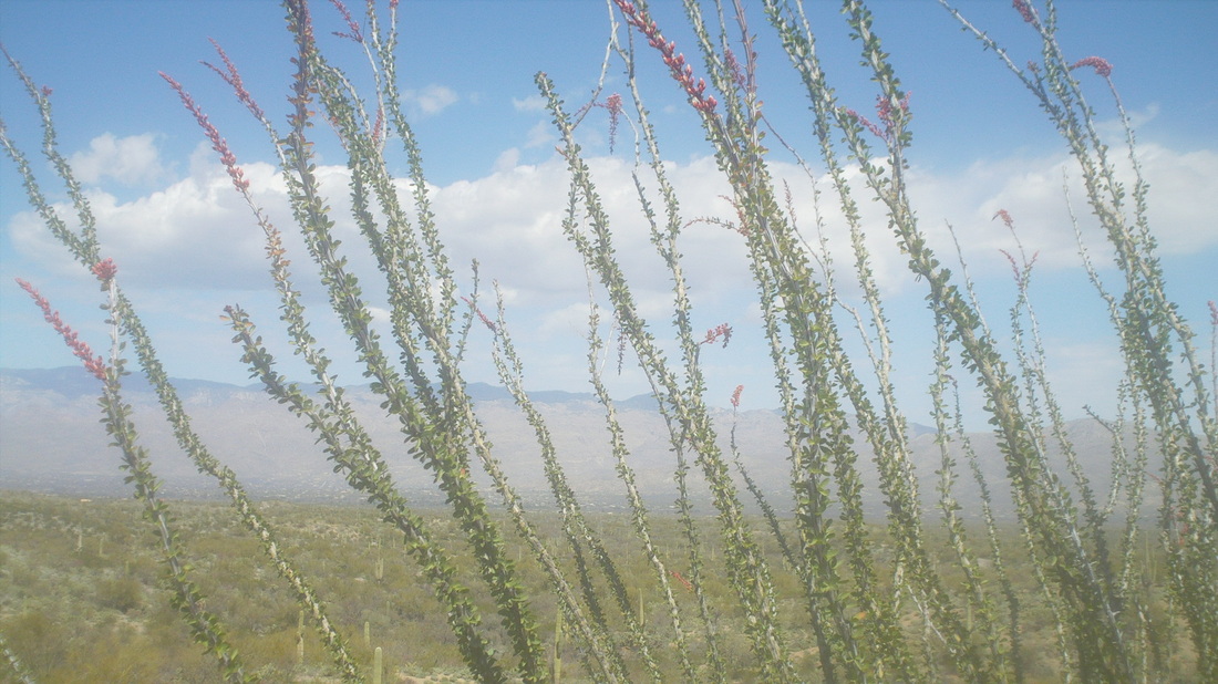
The winds arrived for the weekend, 20-25mph sustained with stronger gusts. I vividly remember spring winds in Ohio when I forced myself to go out on 50 degree days with strong winds but something about 80 degrees and strong winds, it isn't so bad. I wondered how Nick and the boys would do south around the Green Valley area during their road race in these winds. Anyway, I showed up for a group ride out of Catalina, headed to Oracle and then the screaming plunge down to San Manual, all directly into those winds. Seventeen showed up, mostly they were kind of paunchy looking (like me). We shoved off and on the first ramp on the 15 mile climb out of the valley, I gapped the group and soloed away to San Manual, finishing with 52 miles and 2700' of climbing. The wind aided way back was a lot of fun. Sunday I drove to Saguaro Park East and hiked the Tanque Verde trail. Above, I climb away from the road and parking lot. Yellow, purple, red wildflowers are plentiful as I looked northwest. My legs were tired from yesterday and probably it would have been best to do a flatish hike but instead, this trail goes up to one ridge after another after another on the way to Juniper Basin, some 5 miles distant. It was windy and one in awhile I gust would hit that brought me to a standstill. I began meeting people coming back down and all warned me of gusts ahead that were so strong it could knock you over. Rincon Peak in the distance, framed by Ocotillo, which have red flowers on the tips. A hiking buddy of mine, Vagabond Jeff, is leading a group up that peak this weekend. So, so hard is that hike and memories too fresh from doing it last December but I'm starting to think about doing it just to give my support. Got to think about that some more. I met one guy who told me he reached a meadow area where the ascent moderates but opens to the south and the winds just blasted him. He had to turn back. I reached the area at mile 3.5 and the winds were light but I knew it was a matter of lucky timing. I climbed some more and reached another ridge where the trail went down into a drainage area before ascending two more ridges to the final. I decided to turn around, eventually finishing with 8 miles. Lots more to come. Looking back at the exposed meadow, the winds picked up again and I was glad to have gotten off there in time.
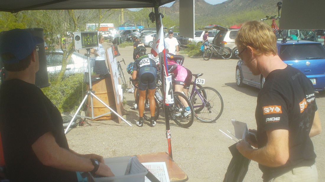
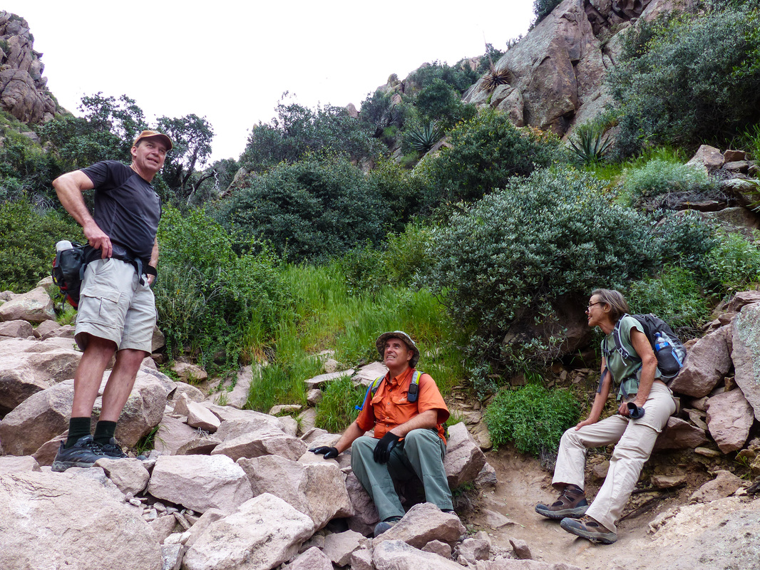
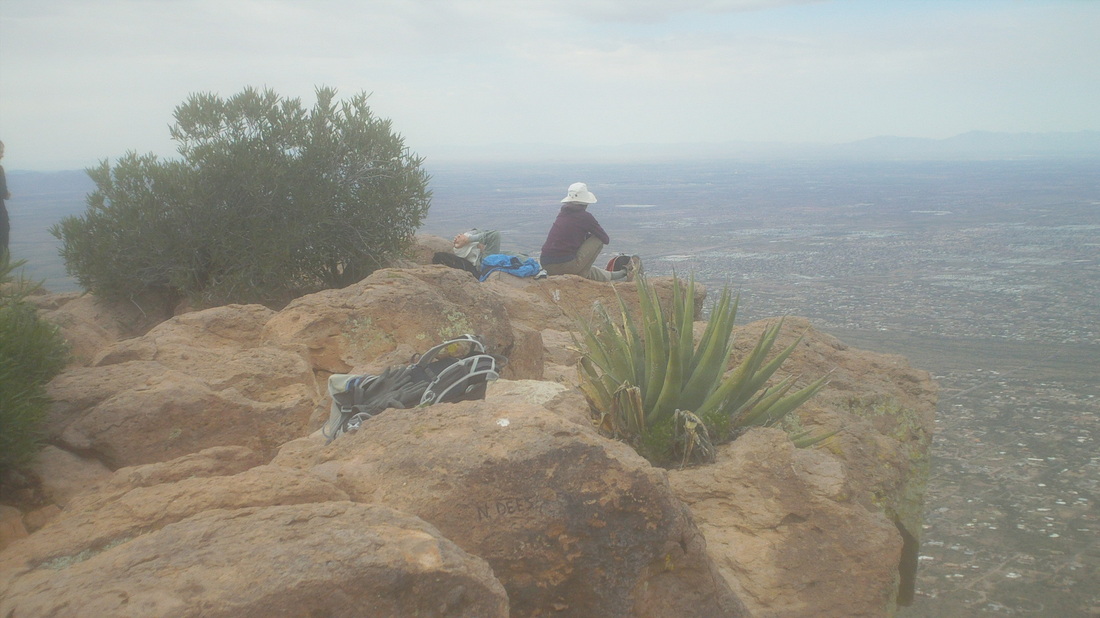
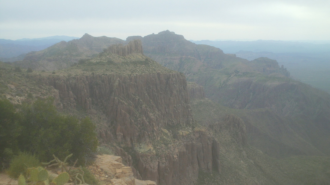
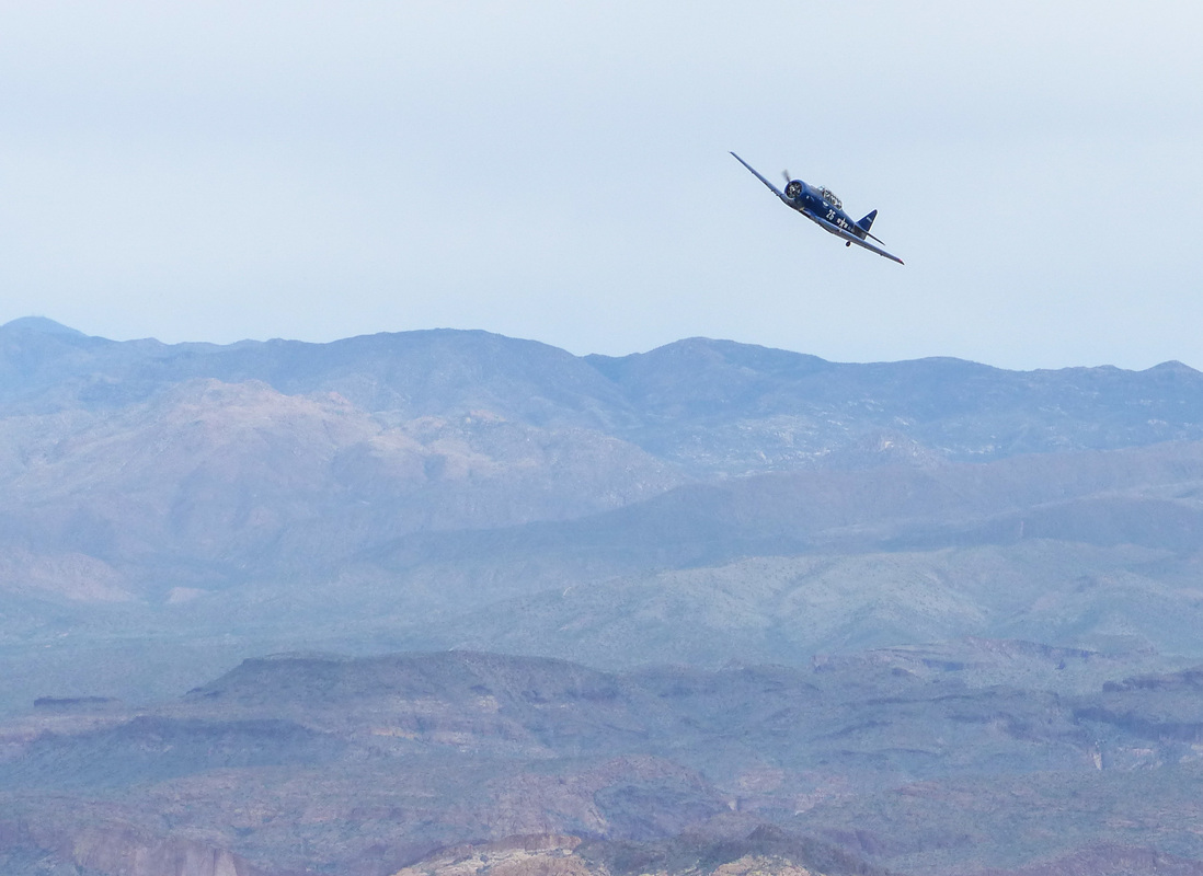
After 10 straight days of hiking and cycling, I reached Friday and a good day for a rest day. Having volunteered for the registration desk at the Tucson Bicycle Classic, a position for which I had volunteered last year too, I welcomed a day to ask people for their racer license, telling them to wear "3 numbers for 3 days" and wish them good luck. Then, out of the blue, Nick Perhala shows up! It was good to see him sporting a SoCal haircut or maybe it is a surfer;s haircut. Anyway, the Thursday New Albany peloton is losing a good one as Nick is staying in CA. The field is deep with 521 having preregistered but the pro field was not as strong as last year, with about 40 compared to 100 last year. I heard Tommy Danielson's place, on Spanish Trail Road, was humming as usual with lots of pro team vans there each day but since an event the week preceding the TBC was cancelled, not so many came to train. I also have read the "Tour of Gila", a long time event, is having sponsor issues and may also cancel. Nick told me the fields around here are very deep. Rather than having a Cat 1/2/3 combined field, each category has its own start time. Nick shoved off with around 40 in the Cat 2 for a time trial, road race and crit, over 3 days. Too bad the weather did not cooperate with warm temps but winds at 20-25mph for the final two legs. Once my obligation was mostly finished, I was asked to walk through the parking lot and pick up trash so with a large bag, I walked the aisles and did my best. Been a long time since I was told to pick up trash but that's ok. I asked about moving up the ranks but after registration comes riding around in a car and jumping out when a cyclist has a flat, identifying what type of wheel he/she needs, replacing the flat, etc... Probably I should stick with registration next year and the free T-shirt. I was motivated to do the 26 mile climb to the village of Summerhaven and the infamous Cookie Shack where cookies the size of a hubcap are served. I shoved off and was making good time. I became hungry at about 11:45, stopped at "7 Cataracts Vista" at mile 9, reached into my back pocket and ohhhh, I forgot to pack food. Not good with so far yet to go. Bonking up here would be bad so I turned around at 10 miles and coasted down, heading over to Saguaro East Park and that neat 8 mile loop. I finished with 54 miles and 4100" of climbing. Thursday, I volunteered to help Paul, a nice guy who leads a variety of hikes, lead a group up the Flat Iron, which would make my 7th trip up this rugged route to the peak just below the sun, muted by heavy cloud cover. It is always good when a hike has good cloud cover, making it somewhat easier. The high today would be 80. We parked at the Miner's Camp Restaurant and the five of us shoved off. There I am, leading our small group to the base of Siphon Draw. The image is so inadequate in capturing the steepness of the climb up the Draw. Here, at the top of the Draw I wait for our band of hikers. It is spring break so the trail was kind of crowded with other hikers. Roughly half way up, one of our bunch, Dale, takes this image which makes it seem that Paul and Lucy are paying attention to something I am saying but that is a distortion of what is really taking place. The belt of my waist pack makes it appear my tummy is spilling over the belt but that too is a distortion of reality. Note to self: Hold in your stomach when someone is taking your picture. The going on this just under 3 mile hike to the top is very rugged and knurly, just the way I like it. So, so steep too. We navigate the 12' wall as a final test at the end of the climb, take a short hike and reach the Flat Iron. Looking to the southeast, I can see Superstition Peak way in the distance, something I bagged in November. As we sat to eat and drink, we heard a rumbling sound and suddenly..... ....this restored WWII plane (which Matt Ashmore identified as an AT6) burst from behind a rock wall at below eye level, climbed and roared away. Thanks to Dale for taking this image. On the hike down, as we approached the bottom, the trail was bounded by many types of wild flowers, growing vigorously after a good winter of rain.
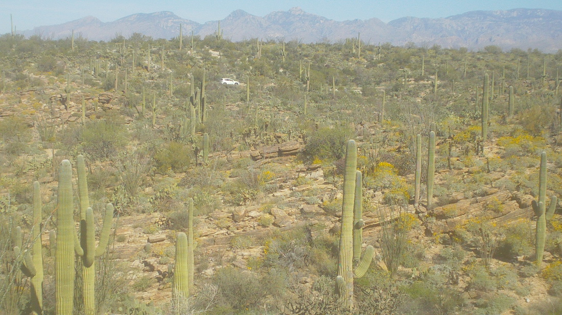
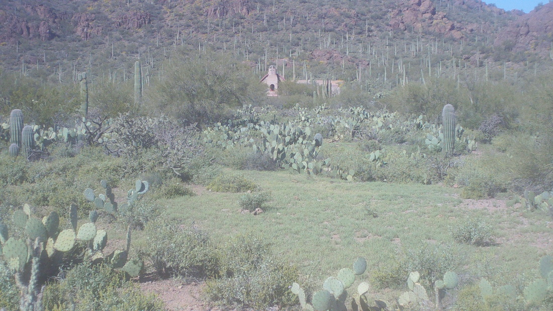
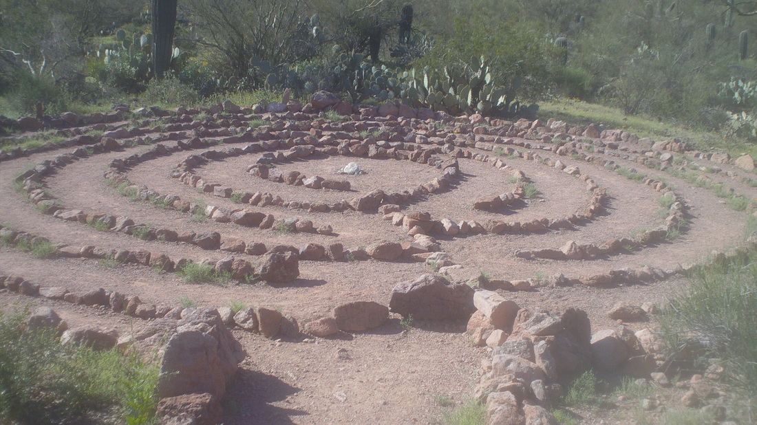
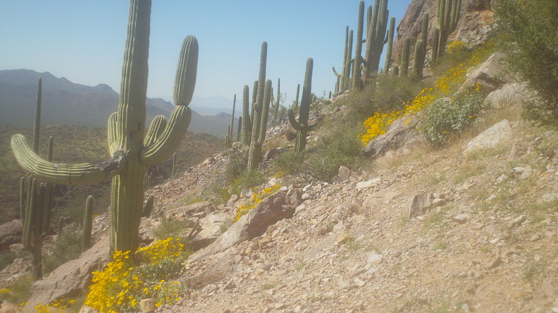
After the Kitt Peak climb, I was going to take Monday as a rest day but ended up going to Saguaro East Park and doing a few laps on the 8 mile loop. Tuesday, I decided to take a slow hike to the top of Sombrero Peak, on the left above. It's a 5 mile roundtrip hike and steep for much of it. Parking is at an old chapel and with an above average rain during the winter, the floor of the desert is covered in green. The trail going by the above maze and then..... ....goes up and up. It was cool with temps in the 60's so I did not worry about rattlers. The trail goes up some more and wildflowers are everywhere among this grove of saguaro cactus. Finally, after crossing a narrow exposed rock bridge I reached the top and signed in to the register, for the 4th time. Just a fun hike.
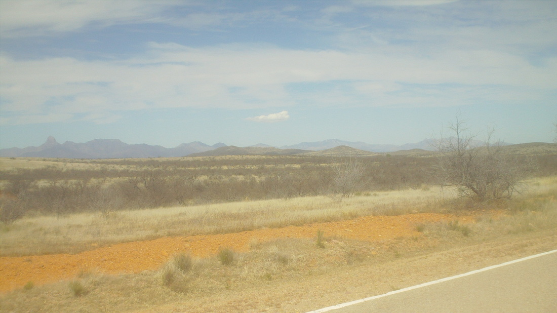
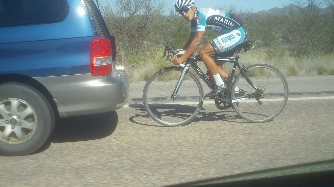
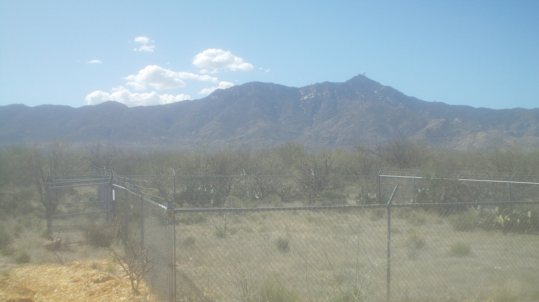
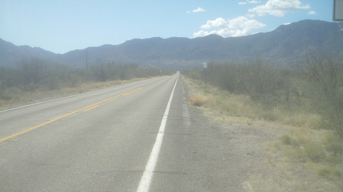
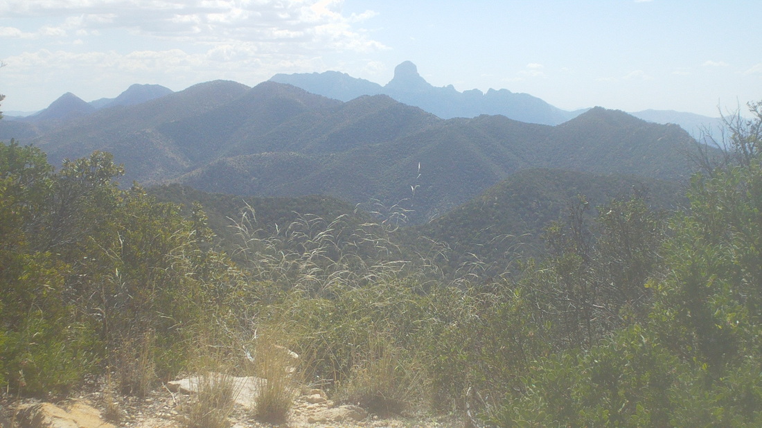
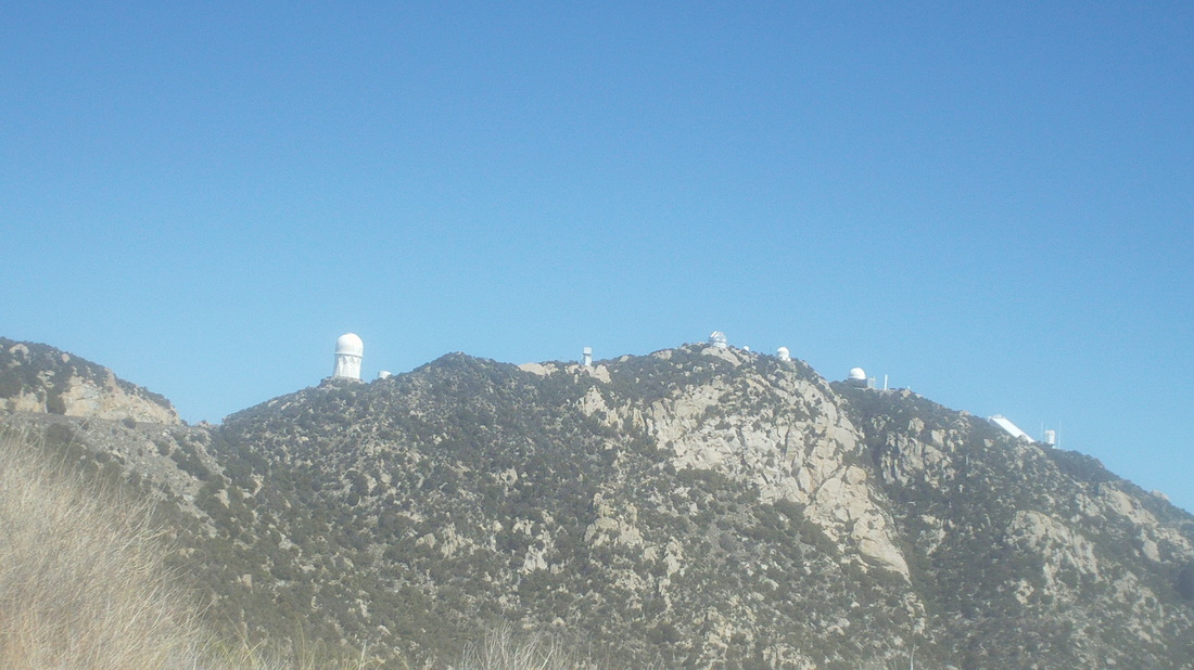
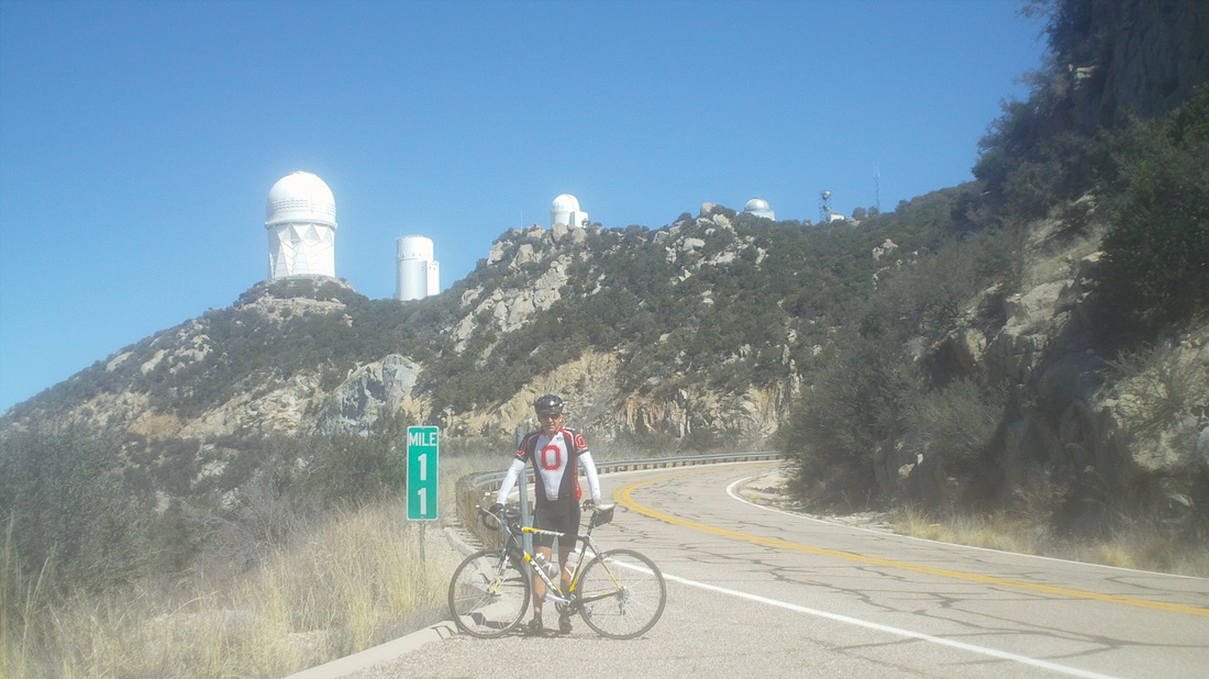
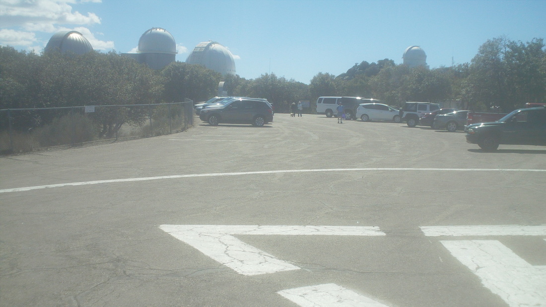
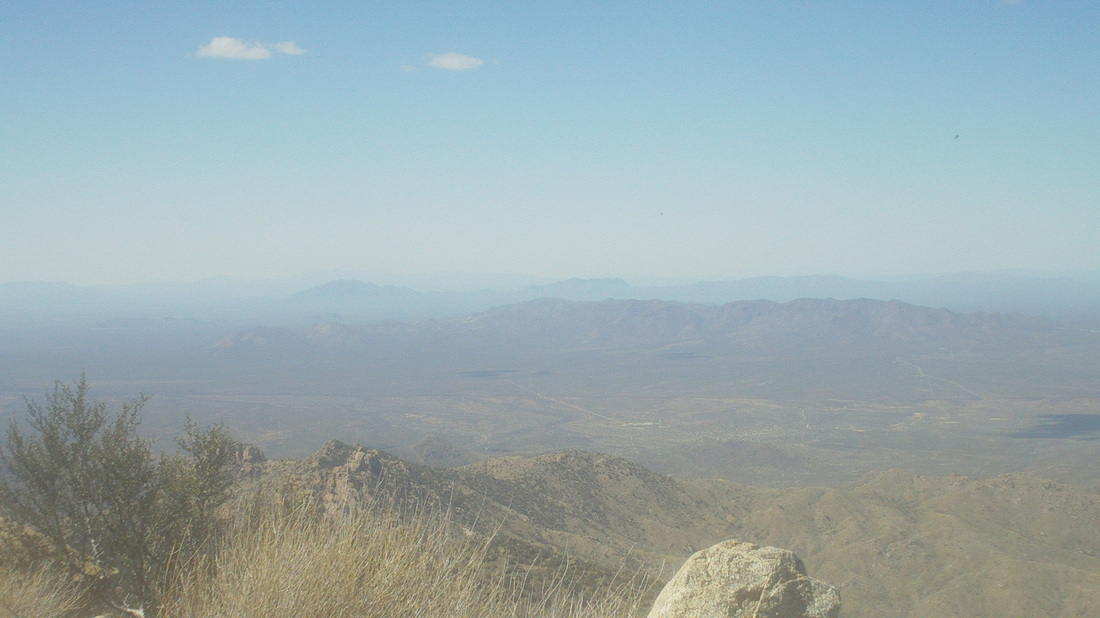
An hour drive to the base of the mountain. Maybe you can see today's destination, the tiny white dot just left and below the small white cloud. Some people park at the Three Points crossroads where there is a market but I just wanted to do the climb. As I neared the turn off #86 to park I found..... .....and passed this cyclist, motor pacing. I wondered if they would include the climb too. There is a small pullout just off #86 and now the objective becomes clearer although still 12 miles distant. The car and cyclist made the turn and headed up the mountain. The first mile is flat to slight rolling, heading straight to the mountain and then makes a sharp right and the real climbing begins. This is a little steeper then Mount Lemmon, usually in the 6-8% range while Lemmon is mostly in the 5-7% range. At 12 miles, it is a hard climb of course with 3400' of climbing. After making that right, I think you are heading west and slowly work around the mountain, eventually bringing.... ...Baboquivari Peak into view to the south. The views are fantastic but my legs are so tired I find myself just staring at the pavement and grinding away. At last, around mile 9 you get a good view of the destination but still looks kind of far away. My pace is, hmmmm, slow at an average of 7mph. I'm in the "just trying to make it pace". I finally stop at mile marker 11 to take an image when a van from IN stops. They take my picture. I note I am looking kind of chunky but another 4 weeks out here ought to change that but no guarantee. After the great Buckeye win at the NC game, I can now bring out my OSU jersey. There were about 15 cyclists on the mountain, including the guy motor pacing who having reached some point on the climb, turned around and came back up, passing me rather quickly. Cars pass at the rate of about one every 10-15 minutes so not much traffic on this Sunday. I reach the top, do a small fist pump, circle the parking lot, answer some tourist questions (Yes, I really did ride all the way and yes, the shoes do attach to the pedals type replies). It was kind of chilly, probably 55 degrees after starting at 70 degrees so I took one last image (below) and began coasting down. Unlike Lemmon, there is not much of a berm and the turns are much tighter so I ride the brakes for much of the way. It took me 1:44. I looked up on Strava and that would place me around 375th place. Kind of sad. I think I could knock off 15-20 minutes if I was in shape and may come back before I depart. The men's record is 47 minutes, the ladies 1:11. I have encouraged Lori N to go for the QOM when she climbs it, I think today, Tuesday.
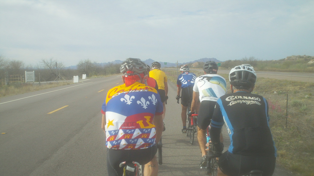
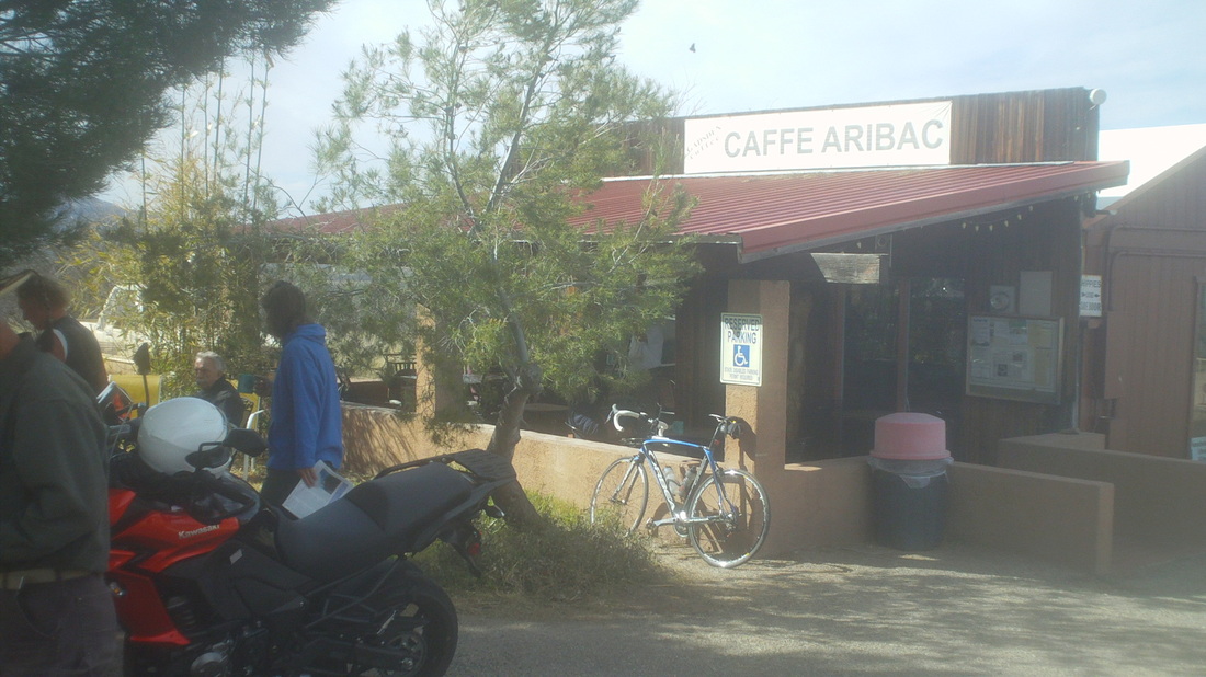
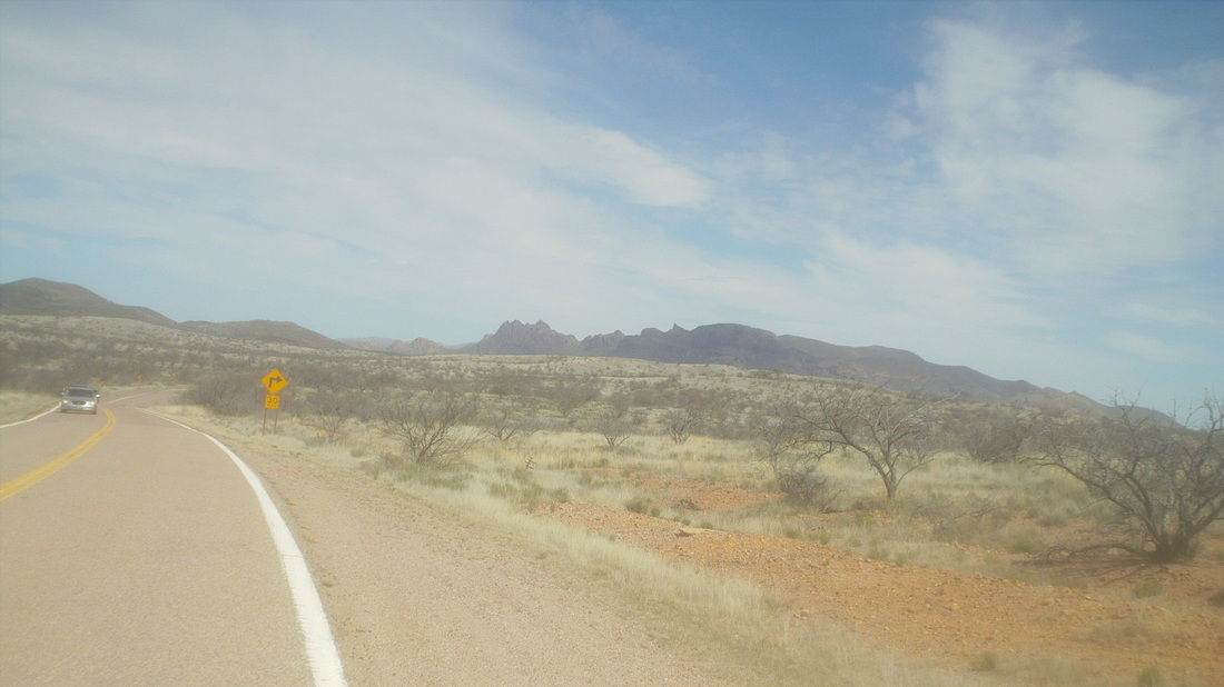
It's been a fun first week but I had not ridden anything "longish" so signed up for a group ride out of Green Valley that headed south and then west to the very small town of Arrivaca. There was around 25 people at the start and once on the road things settled out to a group of 7 of us leading the way. We hung together the 10 miles until the turn west and then the Colnago jersey dude attacked and we got whittled down to 4. Reaching mile marker 13 to the town, I distinctly remember thinking, "I'm never going to make it 13 miles at this pace." but surprised myself and we..... .....stopped at this very neat coffee shop with ample outdoor seating. It is a favorite for cyclists and bikers who ride the lightly traveled road. It was 32 miles to this point. We waited way too long for the others to arrive and then waited for them to snack and finally a few of us had enough and took off on the mostly down hill return, which was great. The scenery in this area was not so good. A guy said it reminded him of TN after a forest fire. We finished with 64 miles and 2300' of climbing. Well, on to the Kitt Peak climb, a report I will put up later today. Big week ahead, the Tucson Bicycle Classic starts Friday so the top domestic teams will be in town and Lori Nedescu is here as a presenter and participant at the US Military Endurance training camp. She's going to try to get me images as she too will climb Kitt Peak and Mt Lemmon. I'd like to be there when they ride Lemmon on Friday but have volunteered for registration at the Classic (free T-shirt). I return to Superstition Wilderness on Thursday to help lead a hike, Lemmon will be swarming with cyclists on Wednesday so should go there, Tuesday...not sure and need to take today off after an active week but it is sunny and 80 so not sure I can force a down day.
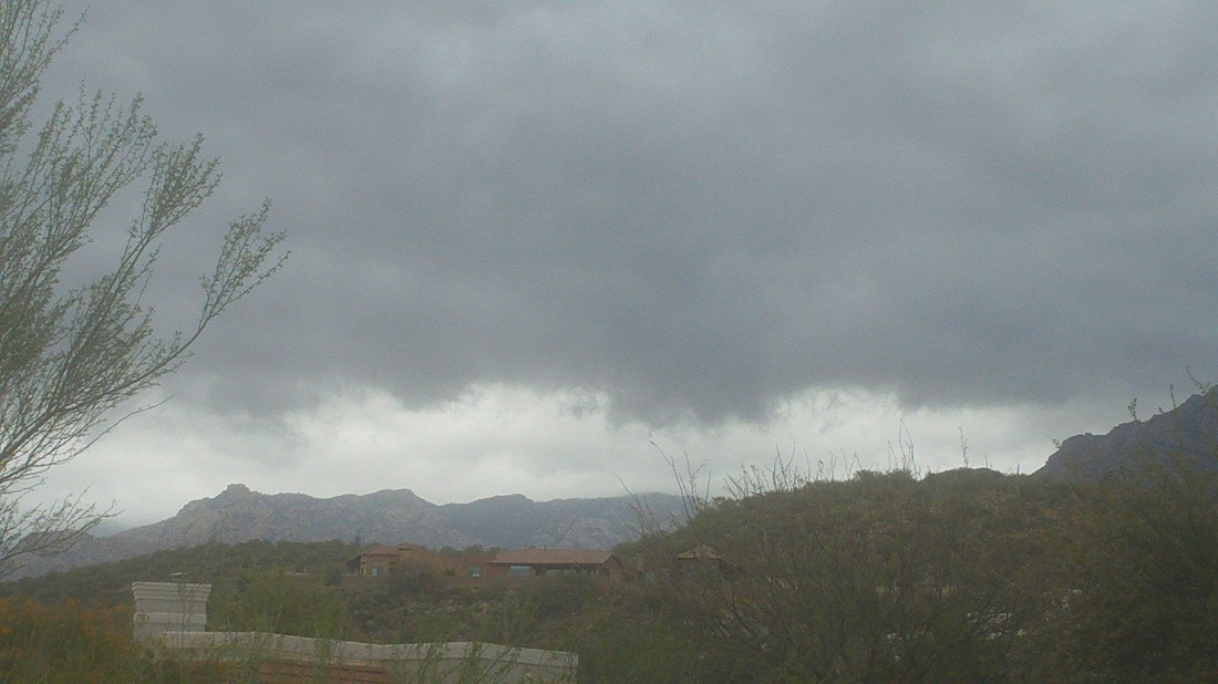
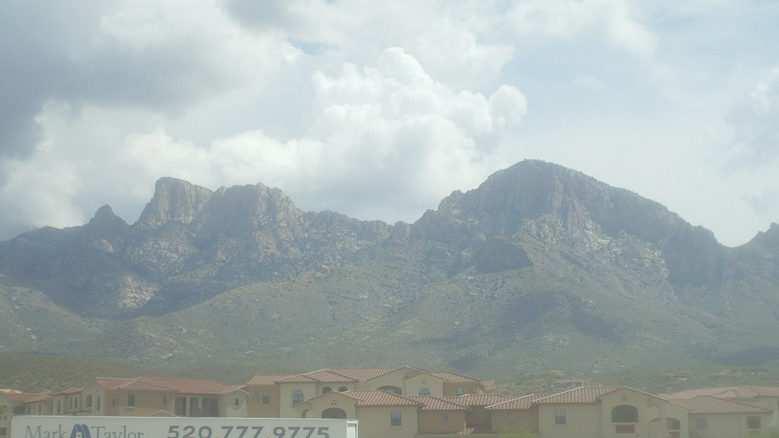
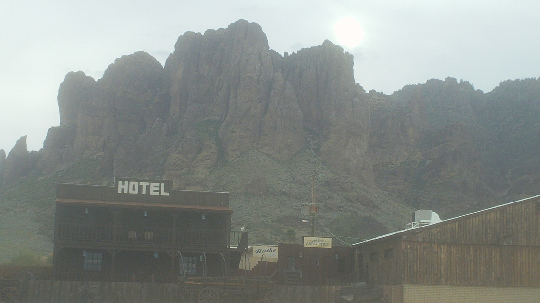
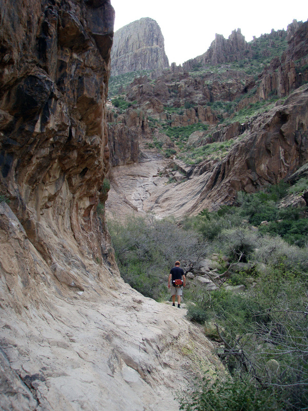
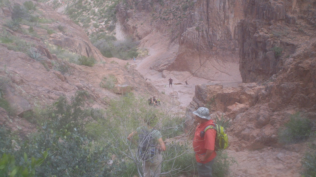
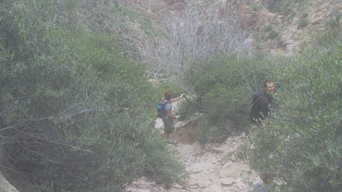
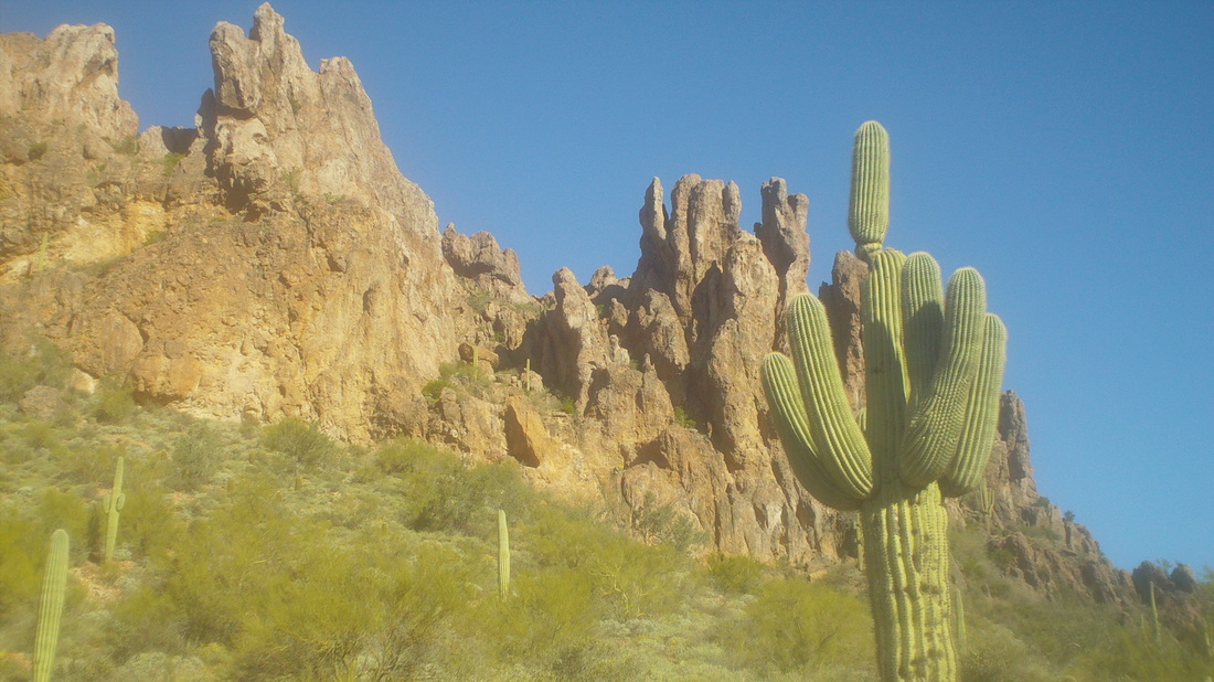
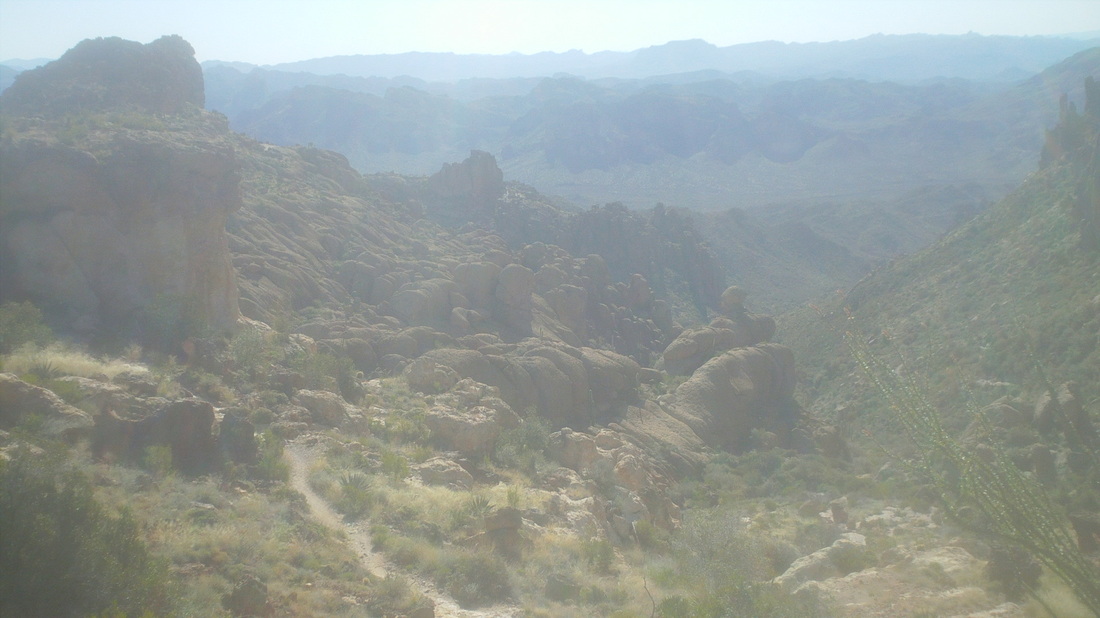
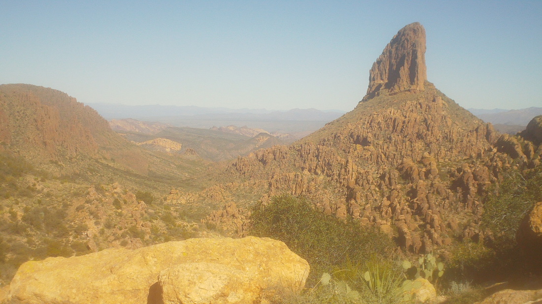
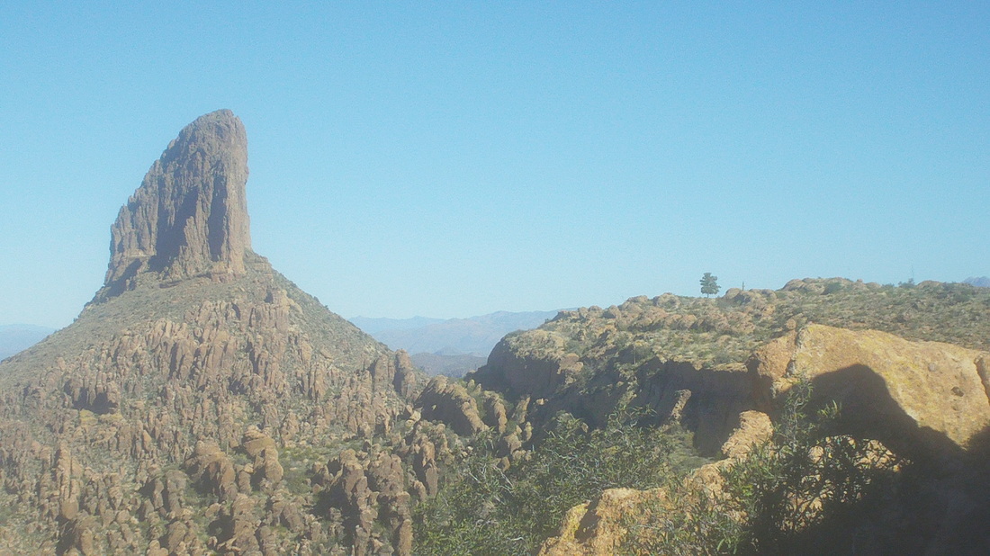
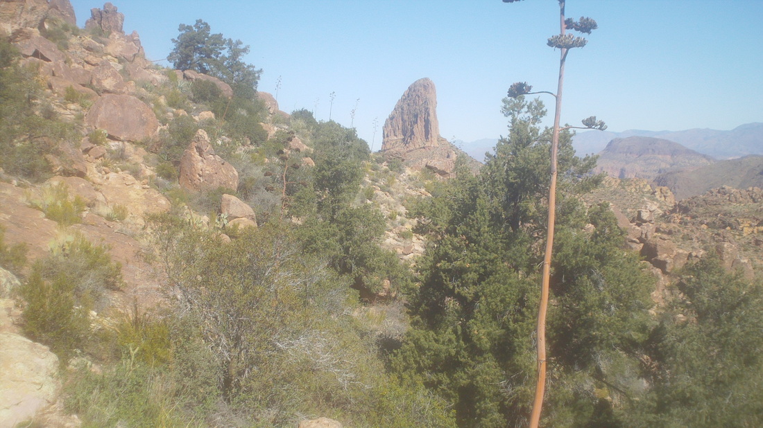
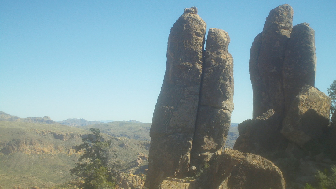
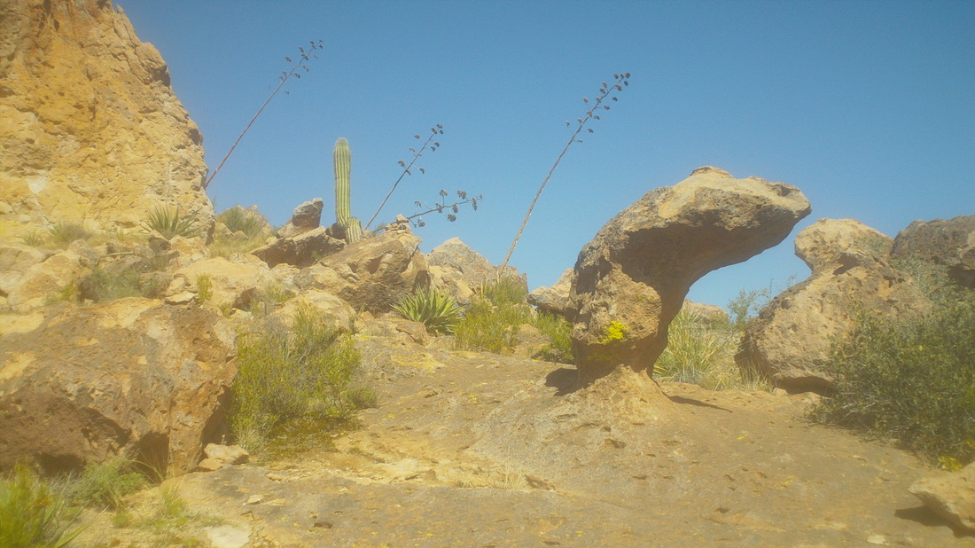
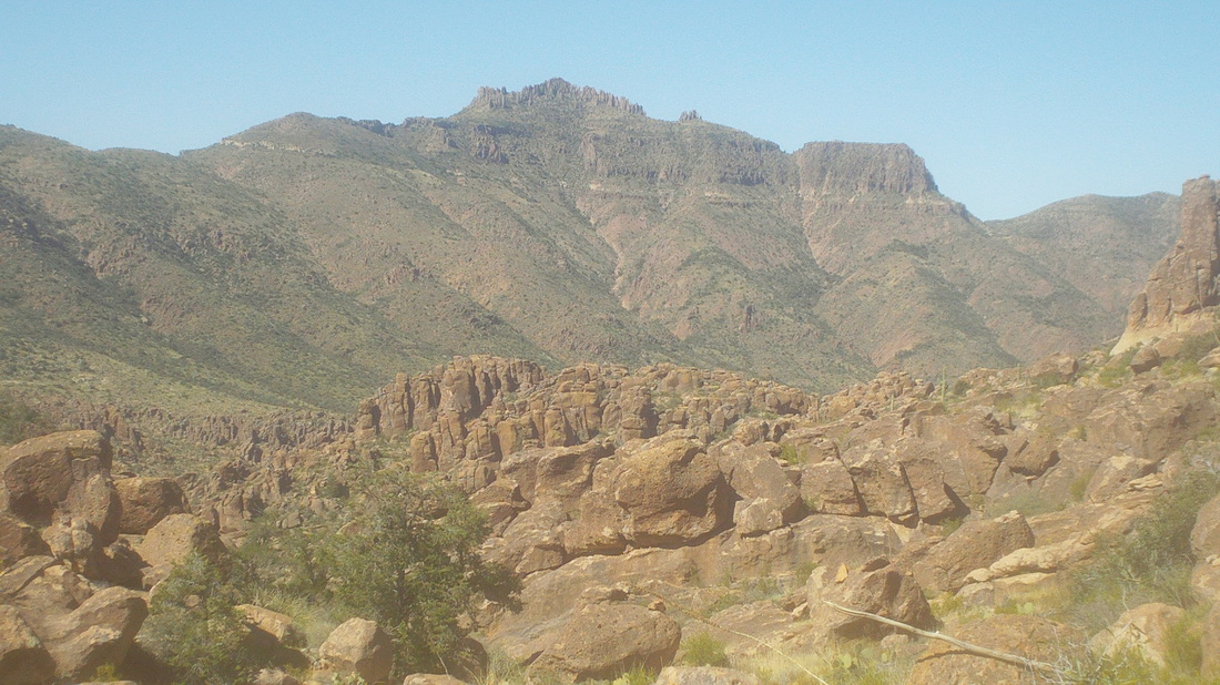
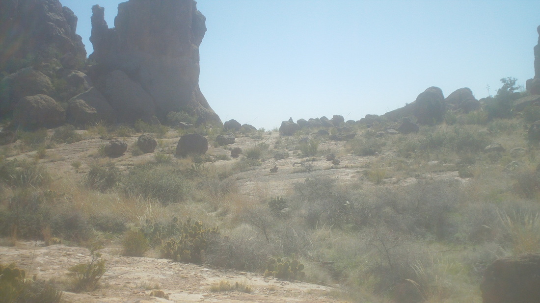
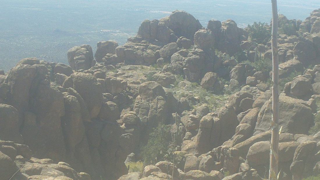
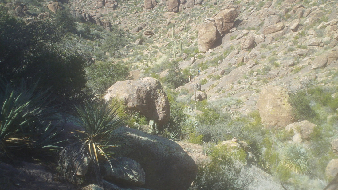
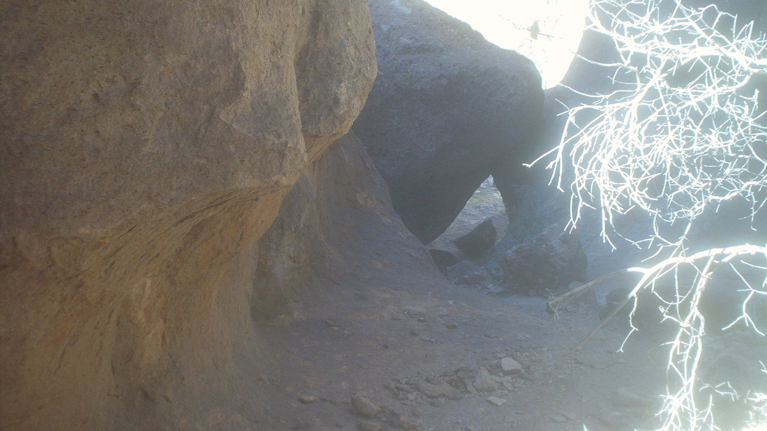
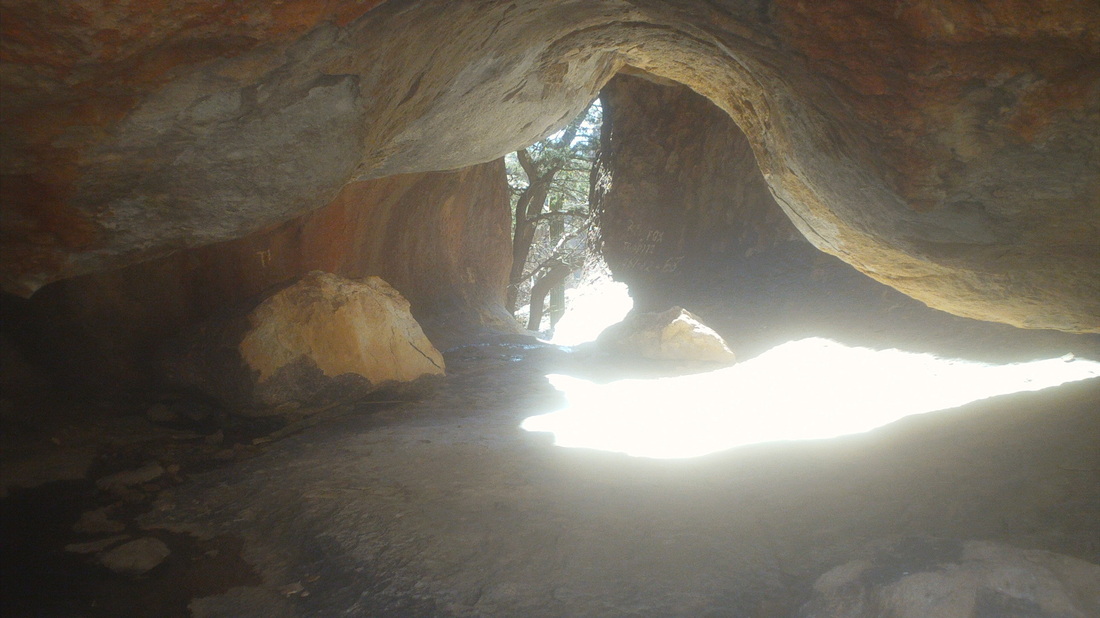
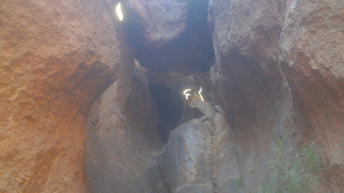
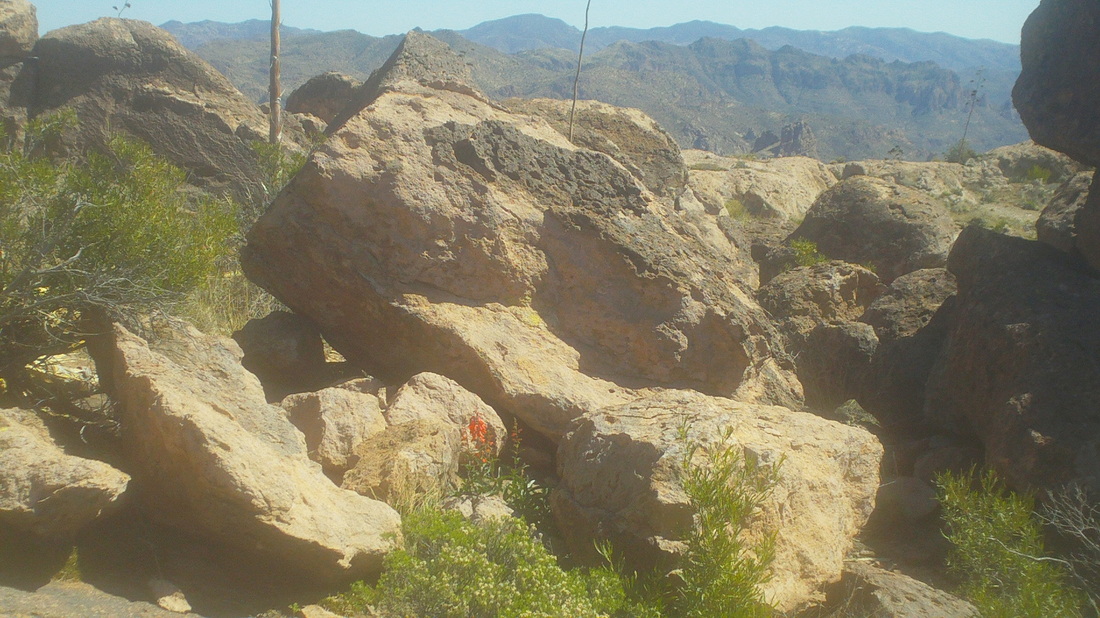
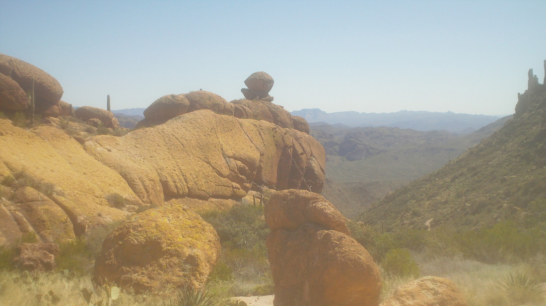
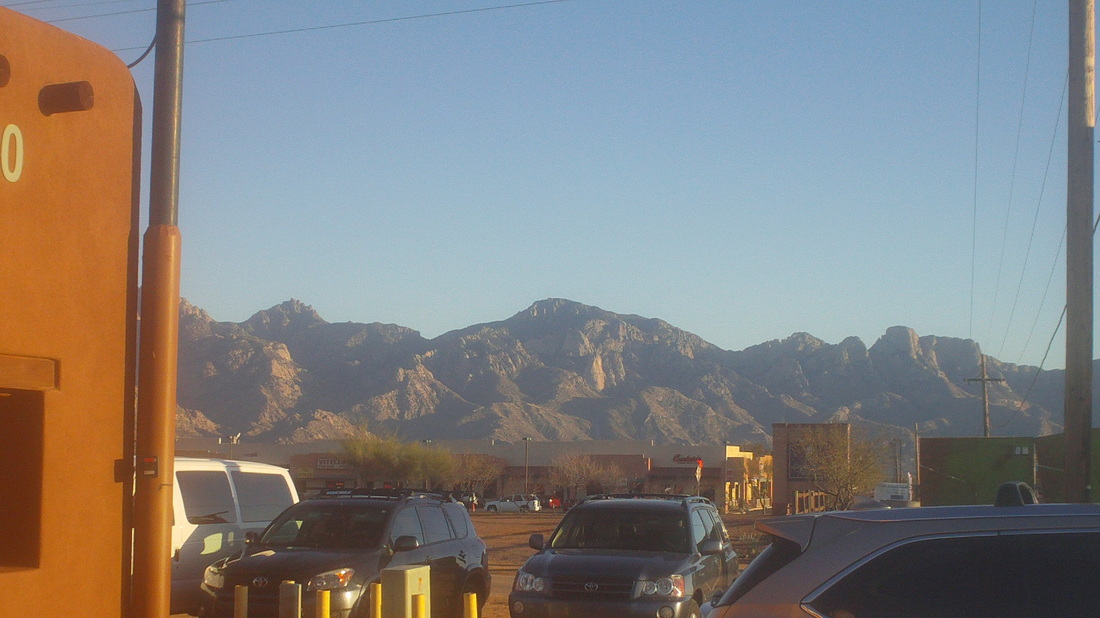
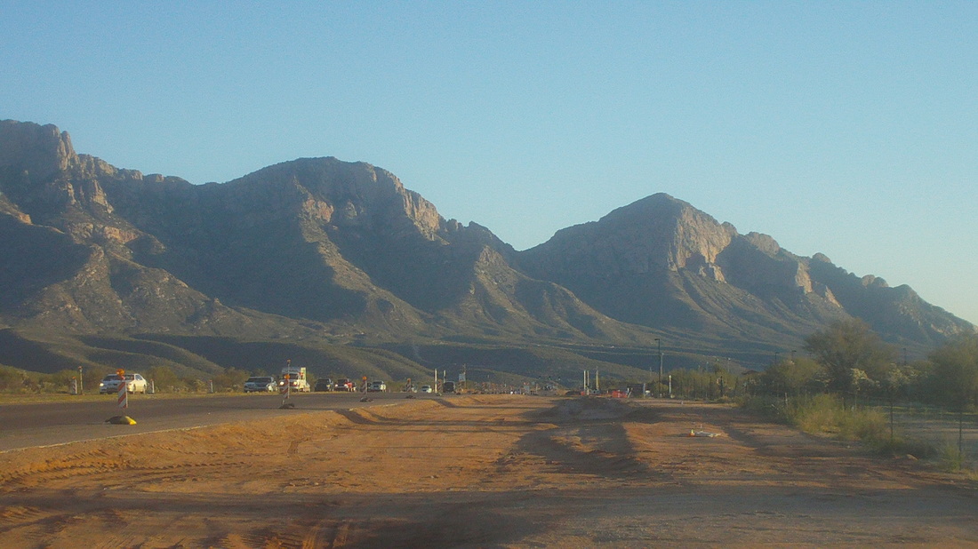
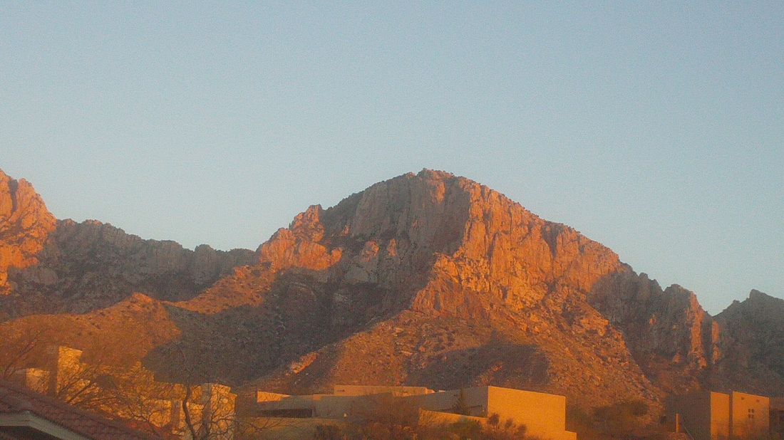
From Oro Valley, where our place is located, it is a 90 mile drive to Apache Junction and the "Supes" or the Superstition Wilderness. The area is generously sprinkled with very cool spots, including Robbers Roost, a break in the rock that fronts the Wilderness looking to the south. I read many reports, most of which directed one up the Carney Springs trail before going off trail. For me, there were too many, "hang a right at the dead tree" and "you'll come to two cairns, go southwest here" type descriptions that would probably get me lost. An alternate is to go up Peralta Trail to Fremont Saddle before going bushwhacking and so since I am familiar with the Peralta, I decided to follow the trail and hope by poking around, I'd find the Roost. Rising out of the valley, it is a little over 2 miles to Fremont Saddle and kind of steep. It took me 51:50 to reach the saddle. I didn't push it too hard, mainly because 2 weeks prior, a guy with hearing problems had been walking, heard "something", looked up but also kept walking and walked right into a Diamondback that bit him. With today's temps in the upper 60's, the rattlers were probably not coming out of their dens but I was in hyper trail scan mode nonetheless. Above, looking to the southeast just below the saddle before climbing a bit higher and..... .....BOOM, the awesome Weaver's Needle and a fantastic view to the north and.... .....northeast. I'm always struck by that lone pine tree on the ridge to the right of the Needle. Wonder how it survives when none others have on that ridge. I looked to the left, didn't spot a cairn to mark the off trail portion so just headed up and quickly found a large cairn. So many have been through here that the route was easy to follow with cairns (rock piles) placed generously. Kind of rugged landscape with a last look back at the Needle as I walked south toward the front of the Wilderness. Hoodoos were numerous. I reached this oddly shaped rock formation but as it points to the east, the trail goes west, kind of paralleling Route 60 that one can see in the distance. The trail provides great views of Superstition Peak. The trail was still easy to follow and suddenly up popped a group of hikers who told me to keep heading to the above ridge where there was an obvious cairn on top of a large rock. I followed the route, reached the ridge and kept going. This side drainage looked interesting and way down I could see a large pile of rocks on slickrock. Obviously placed there by hikers and I should have paid more attention to that because..... .....as I kept going, the trail descended and it didn't have the right "feel". Fortunately, there were two hikers coming up (you can barely see them in the center) and I yelled to them. They knew nothing of Robbers Roost but confirmed they were coming from Carney Springs and that the trail headed down a long way. I turned and retraced my route, looking carefully to the right for a cairn that would mark the way to the Roost. Seeing none, I finally returned to that side drainage and headed down, finding another couple of cairns, poked around through different route options and then finally found the entrance to the Roost. Way cool place. Inside, there was a dual flow of water entering it, joining at the bottom of the Roost and then exiting. Bad place to be in a flash flood. I had read there was a 15' chimney that provided an alternate way out. I climbed up a steep ravine and found an opening but not know for sure this was correct, chose not to clamber out that way. My risk assessment is different when I am out here alone. Plus, there could be a rattler sitting at the rim. I worked my way out of the Roost, up the ravine and headed back. Great views in every direction. Check out he wildflower in the center. They are in abundance with the recent rains. Having retraced my way, I got back on the Peralta and headed down, 7.7 miles and 2200' of climbing. A very fun and exciting experience. Well, got to get back on the bike. There are several bike and triathlon camps in town and with the Tucson Bicycle Classic next week and temps in the 80's, Mount Lemmon will be a busy place. So, Monday was rained out, Tuesday was a check on my fitness with the Blacket's Ridge hike, which was very pleasantly surprising and now I begin cycling. I joined a group ride because they depart at 10:00am on this cool (high around 63) day. Lot of lingering clouds and route was only 35 miles but it was good to get out, check the bike, loosen the legs and get ready for a very nice warming trend this weekend. With a couple of windy days to get through, I have an epic hike on Thursday. Meantime, those Buckeyes were on the BTN, which I don't get out here so I visited "Bub's Grub" a very good rib place to watch the 2nd half. Exiting with leftovers, I noticed the sun beginning to set and the mountains changing their colors. Oracle Road, between Oro Valley and Catalina, where Bud's Grub is located, is being widened to 6 lanes in anticipation of increased traffic. I've talked to locals who can recall when Oracle Road was two lanes but it has changed dramatically. There will be nice bike lanes on either side of the road. Arriving home, the sun reflects off the mountains, below. Thinking about making a run to CA but I find when I am out there, I can't wait to get back to AZ so don't think I will go this trip.
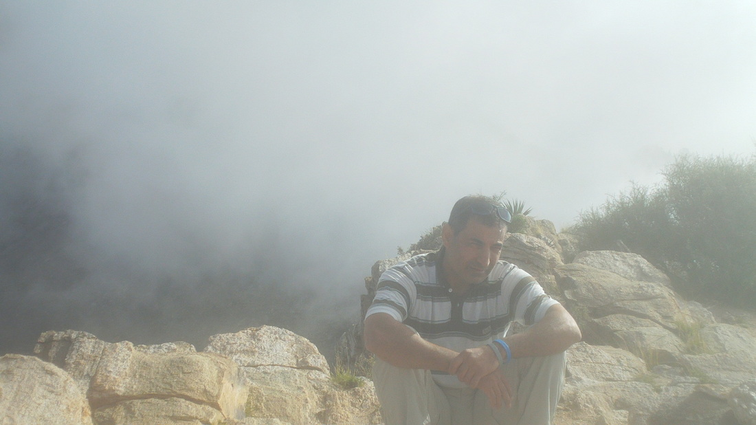
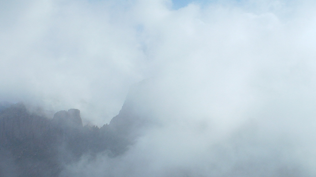
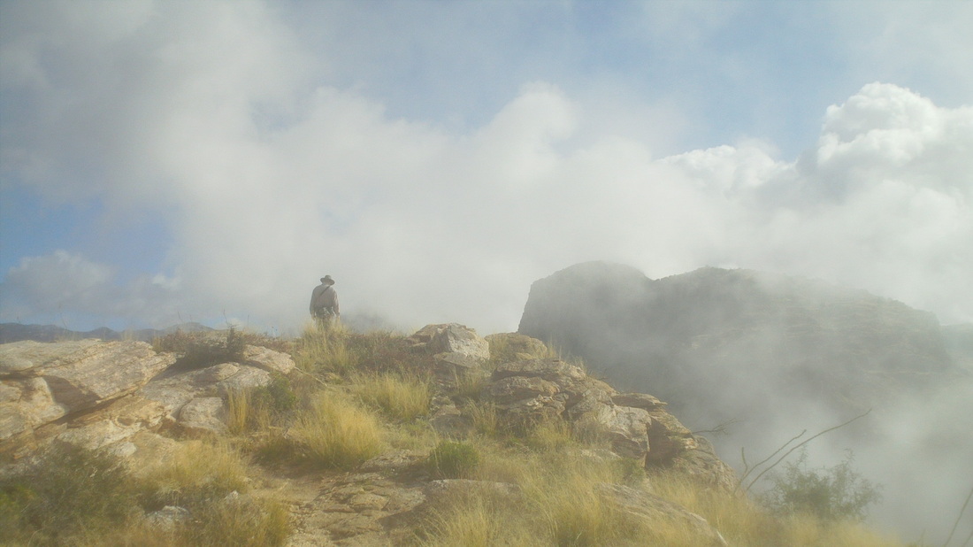
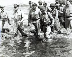
As usual, once the rain moved out of the area, clouds linger in the mountains as I drove to Sabino Canyon for the hike to the top of Blackett's Ridge. Most who do this hike know of their times and anything below an hour is considered very good. It is about 2.5 miles to the top of the ridge with the first mile just rolling before the trail starts up and does so rather steeply. There were only 4 of us at the start with the "cold" starting temp of 49 degrees causing some cancellations. Kamaran, a good guy from Kurdistan (northern Iraq) being the most fit. I beat him to the top last Fall but after 2 months of down time in Ohio, I doubted I could hang. The two of us separated ourselves from the others once the trail went up. Kamaran paused to remove a jacket and I kept going, not wanting to pause as the clock was ticking. I hit it hard, thinking maybe Kamaran would get demoralized and give up but he kept coming and coming and caught me about half way up, where I paused to take the above image. I lost hope of finishing under an hour as my legs ached, my heart was pounding and my head pounded too in unison with the heart beats. It was an odd sensation. I paused again to catch my breath but then resumed the uphill march. I noted that Kamaran, while having a good working gap, was no longer pulling away but beat me to the top. I arrived soon thereafter and surprised myself with a time of 56:30, one of my best. Above, Kamaran sits and entertains me with his stories of on-line dating, including a woman who described herself as "athletic" but meeting her, discovered she was 300 pounds. The clouds rolled through the gap between us and Thimble Peak. Very cool. After 10 minutes, we started back down where a guy passed us going back up and I took the below image, kind of neat with the clouds, peaks and lone hiker reaching the top. Finished with just under 6 miles and then after lunch, went for an hour bike ride. So happy to be out here and watch the weather in Ohio with fascination. When is it going to relent? While certainly not on the scale of General Macarthur's return to the Philippines during WWII and.... ......not even on par with Michael Jordan's return to the NBA.... ....but perhaps as momentous as the return of the Jedi.... ....I began my return to Oro Valley, AZ but not without challenge including a 2 hour layover in Chicago where I was confronted with the temptation of a wine bar. I succumbed to the temptation with not just 1 but 2 glasses of wine. I thought it would put me to sleep on the long flight but no. Finally, after 13 hours I arrived in the evening of a day that had a high of 75 and sun. Like last year, my first full day was a day of rain, weird. But forecast looking good and lots of images and reports to come.
|
Categories
All
Archives
November 2023
|
