|
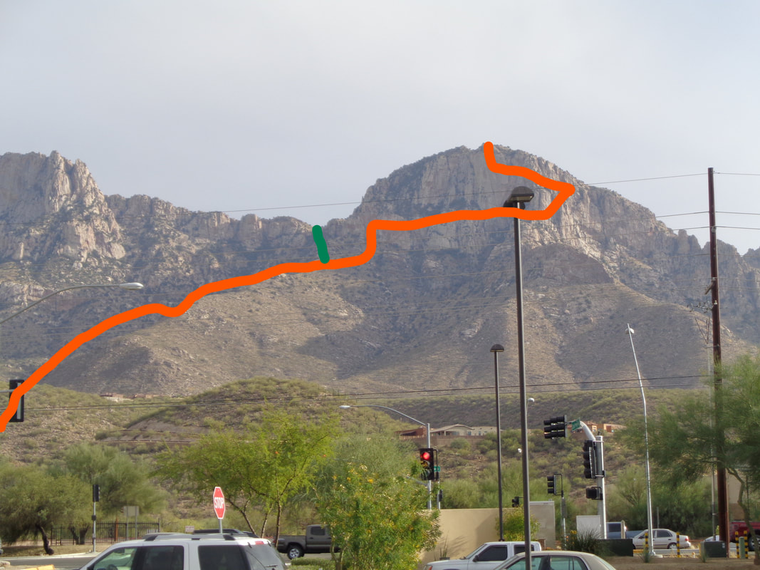
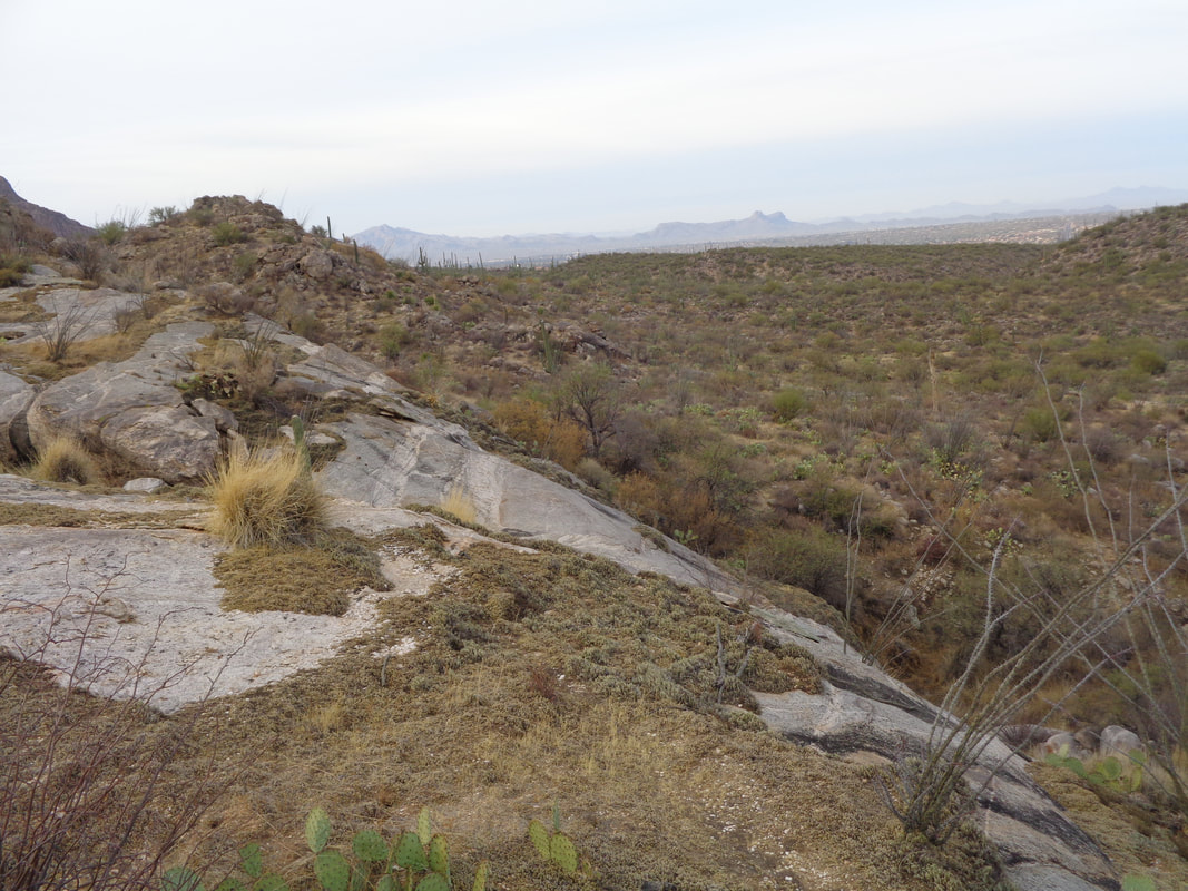
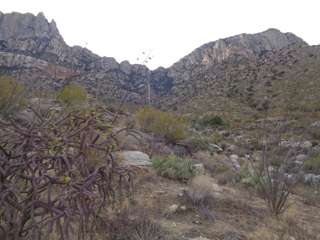
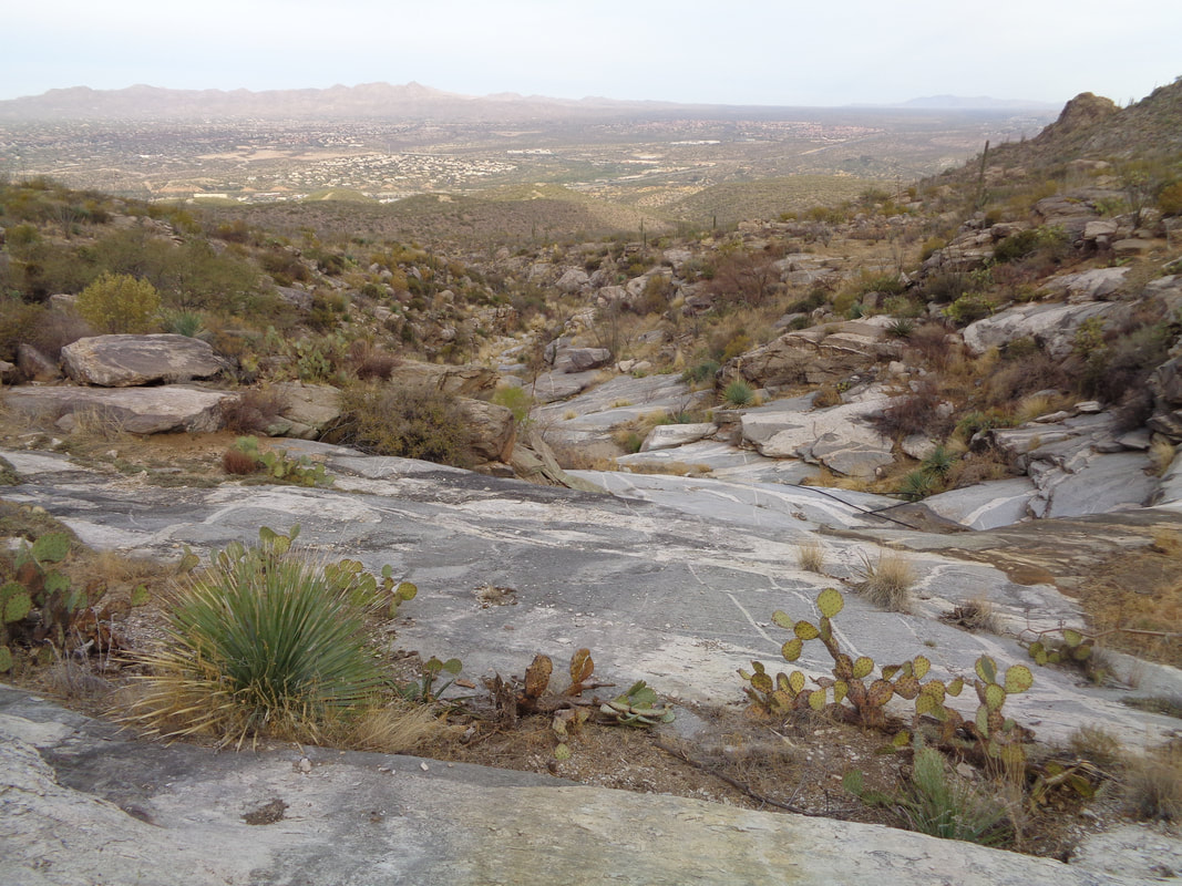
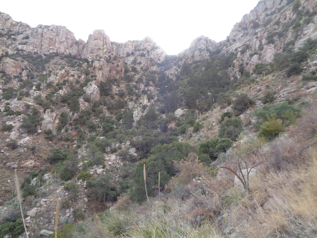
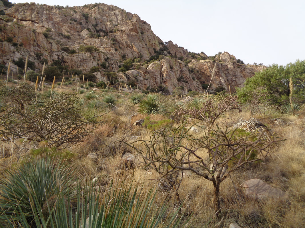
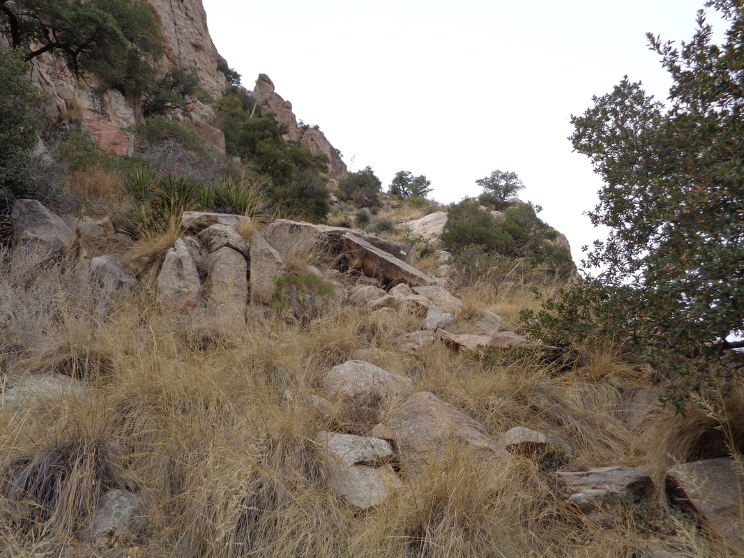
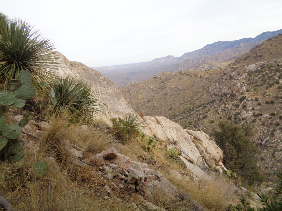
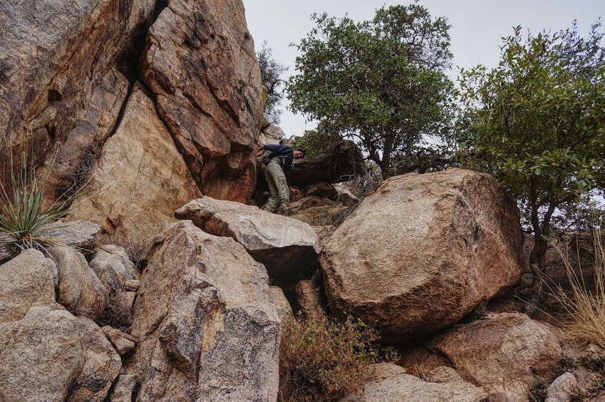
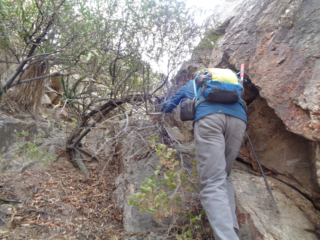
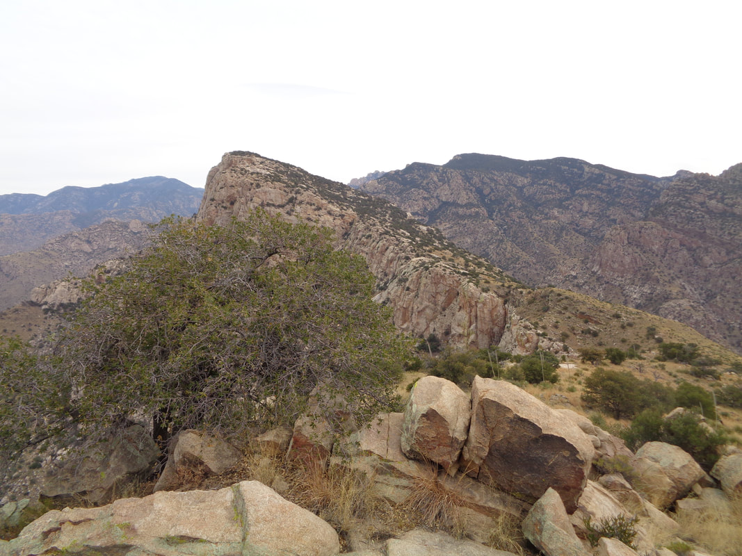
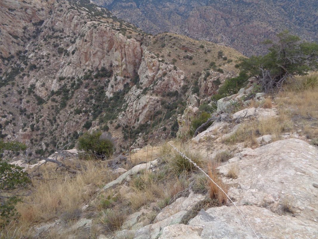
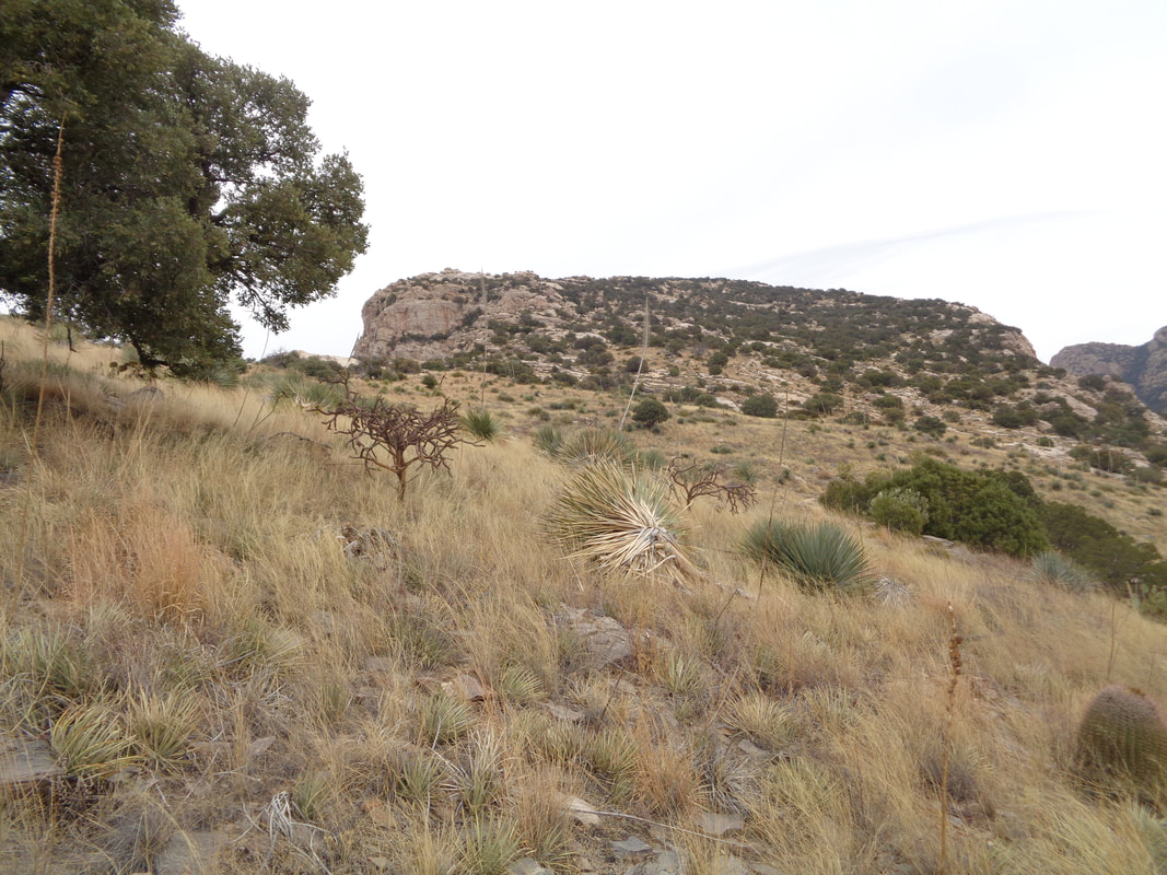
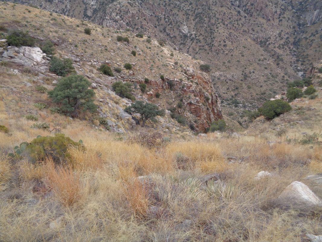
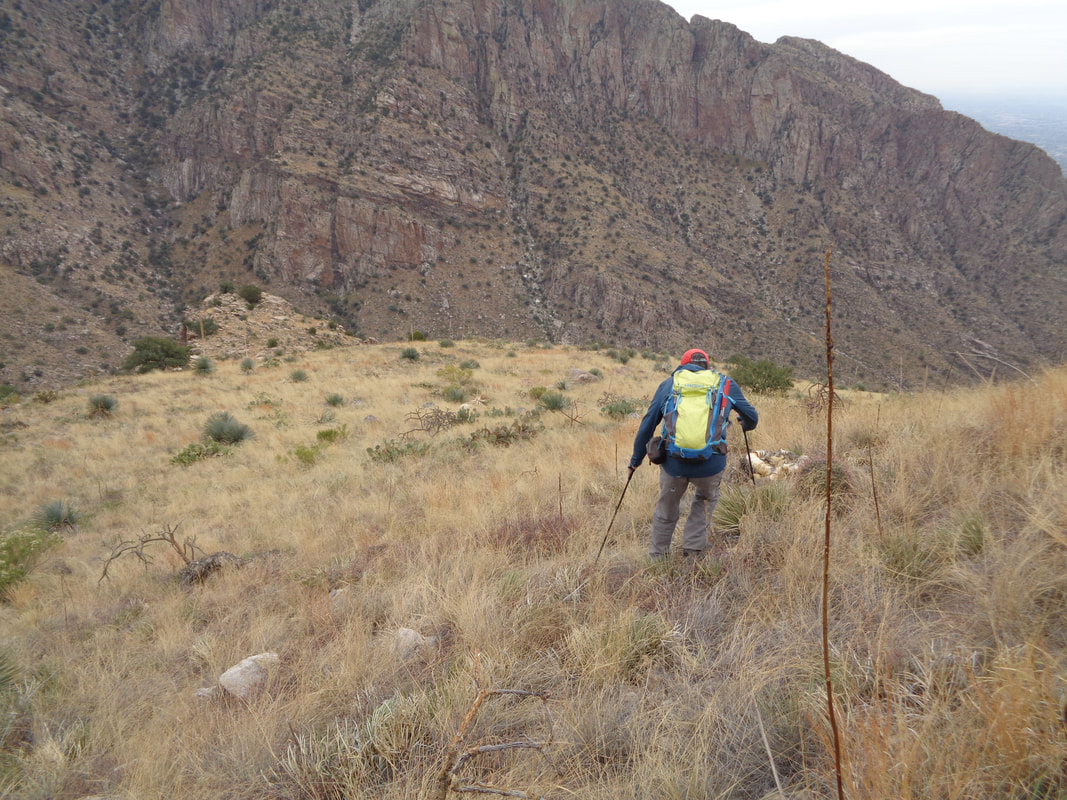
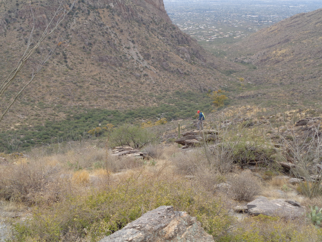
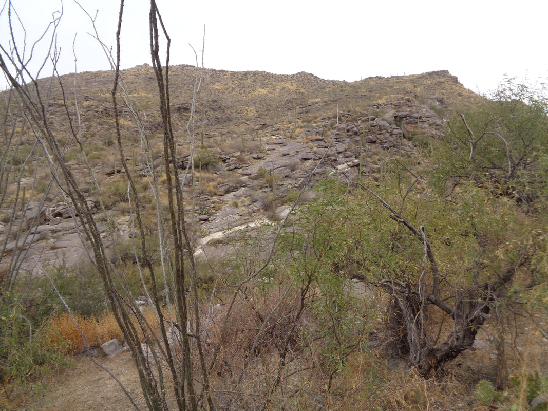
The orange line with the green extension was the intended route. The best laid plans of mice and men.... A worthy hiking companion, Tom and me, began the hike with grand views of the southwest. The saddle between Table and Bighorn mountains comes a little closer. Having stood at the ridge a year ago, it appeared an approach could work. I love the slickrock areas where hiking is easy. Most of this hike was far from that. We hiked in the shade, starting at 8:00am and the sun appeared to just set slightly beyond the ridge for the first 3+ hours of our hike. Soon after this image was taken, we got close enough to the proposed approach that it appeared a chainsaw would be needed to cut through a tree/brush choked approach. But.... ...we saw a fault in what, from a distance, I thought was an impenetrable wall. It looked like climbing that diagonal, we would be thrown out on a ridge to the south of the summit. How deceiving is the camera. Soon.... ....we were climbing through this jumble of rocks and.... ....were greeted with fantastic views. However, the nature of the route required that I keep my head down and once.... ....I reached a rock wall that I could not get over. I scouted, yeah that's me with a toboggan cause at this elevation, it was kind of cold, and see that tree, upper right? I climbed it and leapt, ungracefully, to a boulder. How about that! Other times, Tom took the lead and shoved through the thicket. At one point, I told Tom, I thought we were just in a continuous loop around the peak but always we kept climbing, around 3600" in 3.8 miles and I think our average speed was under 1mph! We emerged exactly at the peak! In the distance is Table Mountain. The wind was howling and it was kind of cold so we did not linger! We had planned to return the way we came but yikes, didn't want any part of that bushwhacking again so.... ....descended, first toward the ridge to which I had intended to hike and then down.... ....passing the broad approach to Table to our left. We headed toward the ravine, shown above but once there.... ....broke west toward a ridge that would allow a virtual obstacle free way to Pima Canyon Trail. Pima Canyon in the distance and although there were some fits and starts....ok, we got a bit lost which is frustrating when your objective is only 1/4 mile away but cliffs have a way of cutting off the approach. Finally, we made it! 8.1 miles of really hard hiking. Despite plenty of clothing, I had many scratches and way too many cactus spines to remove. Fun and exciting day.
0 Comments
Leave a Reply. |
Categories
All
Archives
November 2023
|
