|
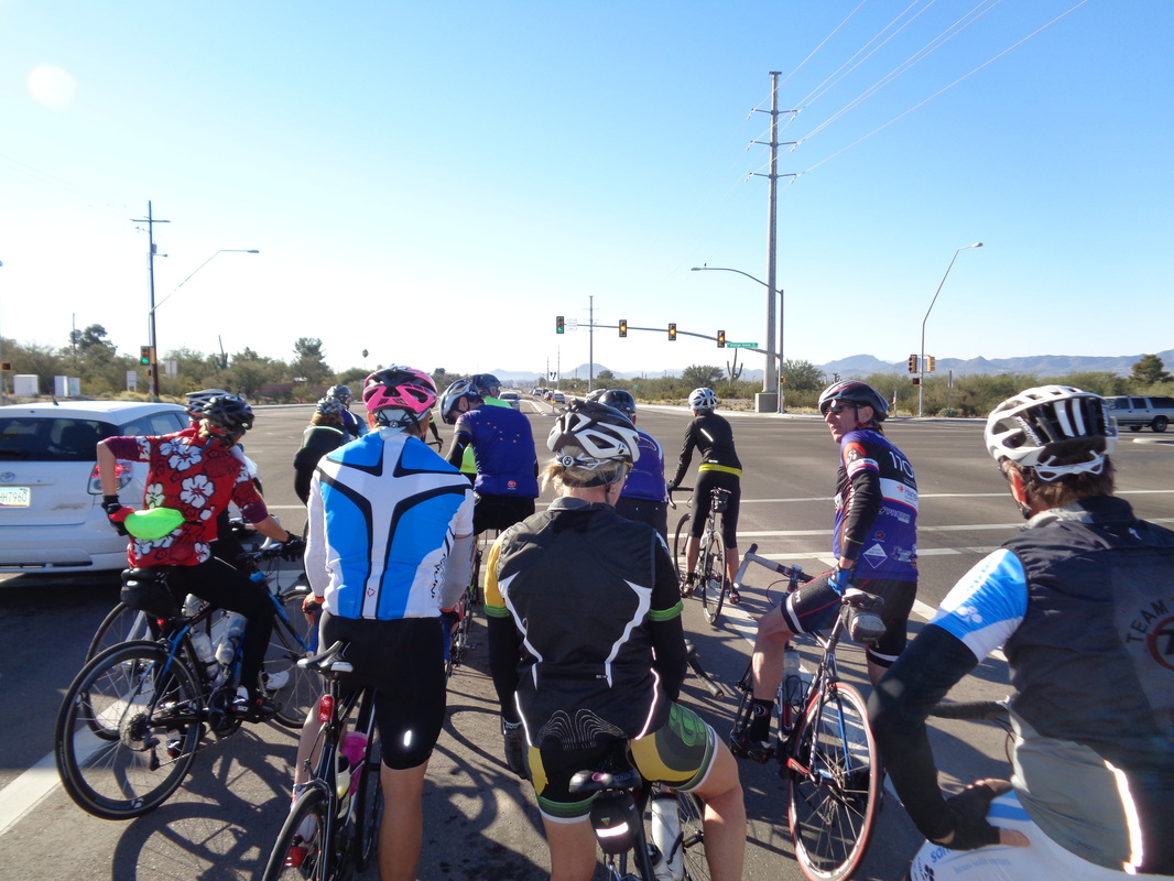
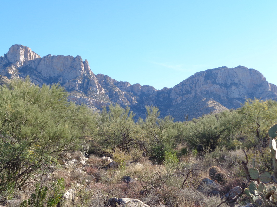
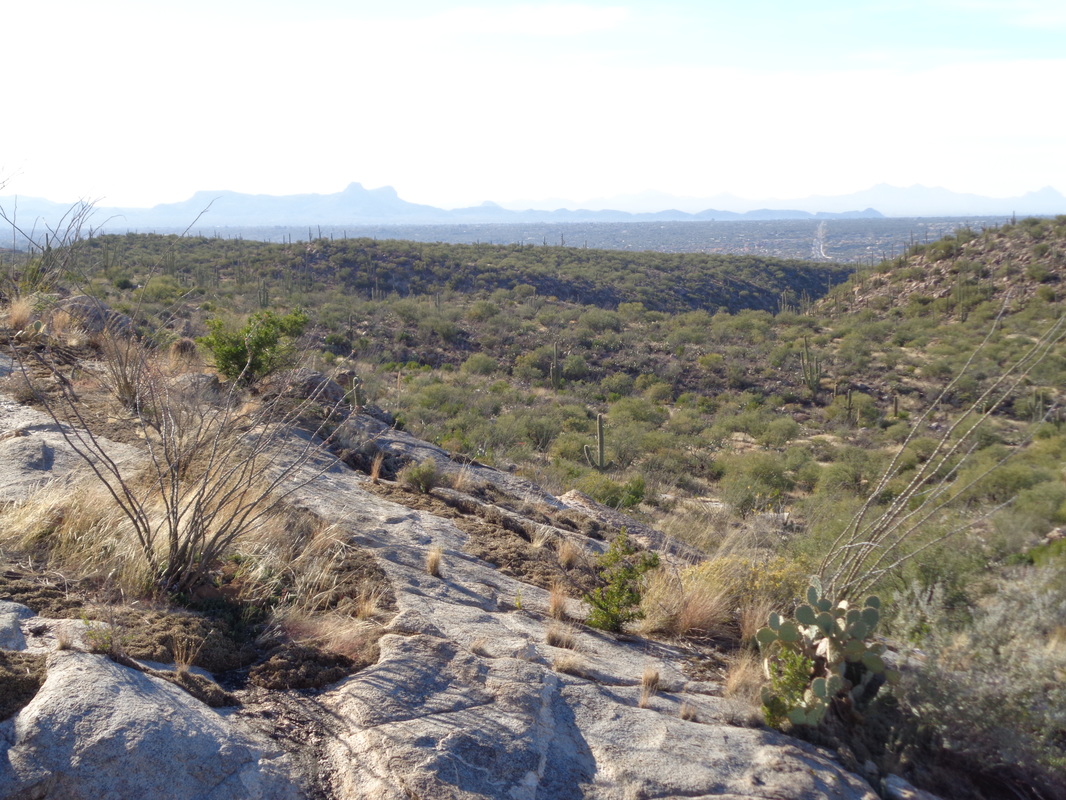
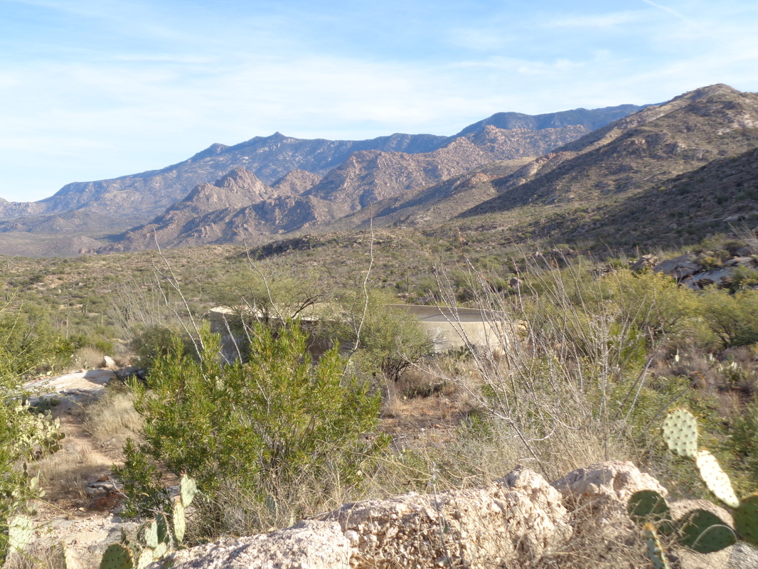
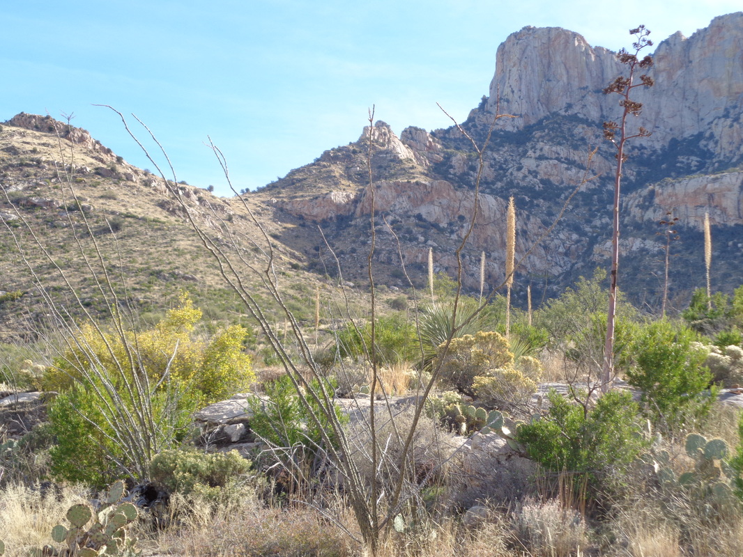
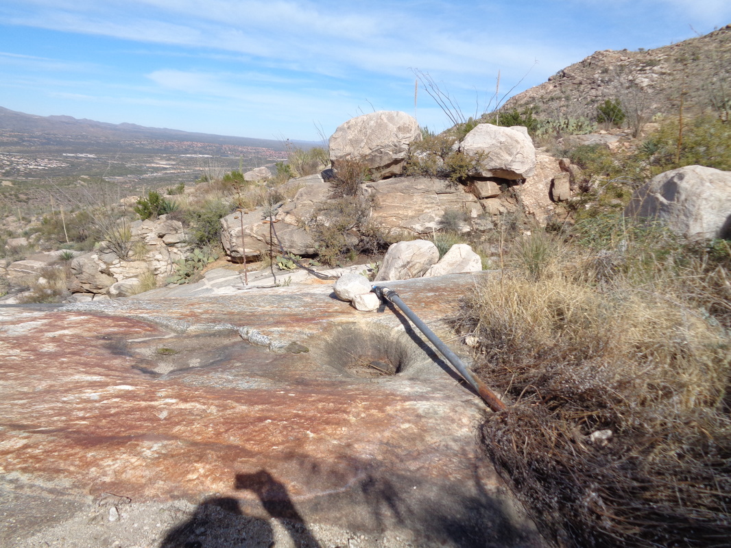
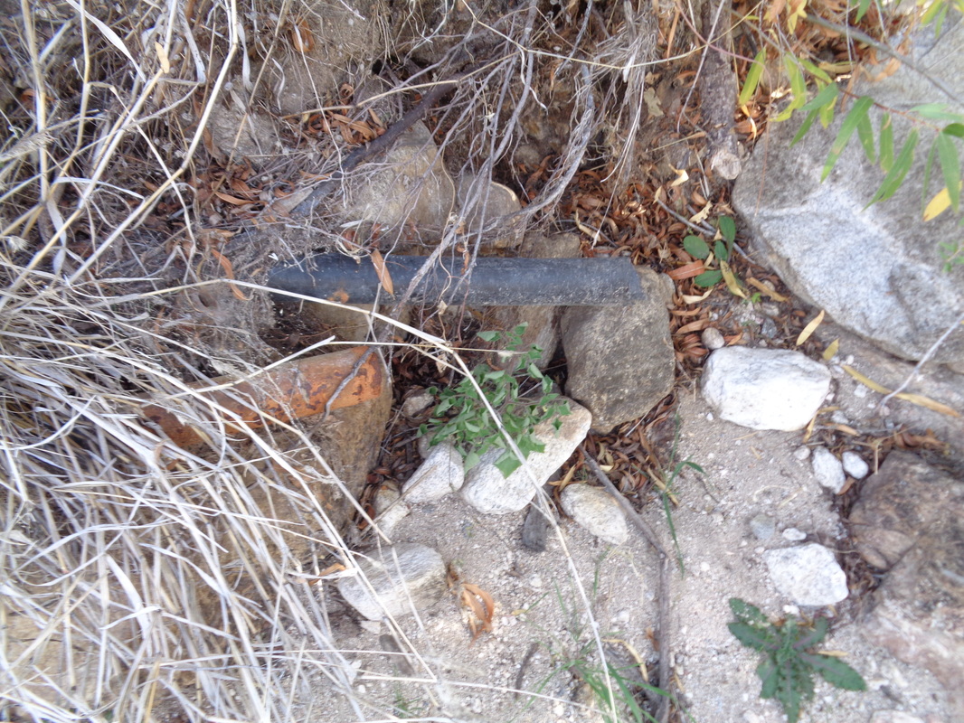
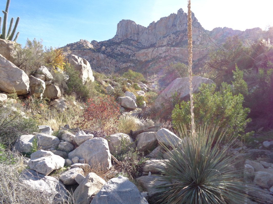
Had a fun ride on Sunday with 29 people. a mix of young and old, fit and mostly fit. At the start, the ride organizer announced the end of ride average would be 17-ish. 43 miles later, with a burning pace up Twin Peaks and 2000' of climbing, I had a 20.1 average. That I finished with the front group was a shock. Then got back to the really fun stuff..... ....hiking. I have found one report of a route from the northwest, out of Oro Valley, to Bighorn Mountain on the right. It's a 4 mile hike entirely off trail bush whacking. The route was posted on the "hikearizona" web site but curiously, although the route was posted only a few months ago, there is actually a fairly easy to follow trail for about 2 miles. The trail exits the cleft in the valley on the right, climbs steadily but not steeply. Soon after crossing through a fence, you can see brief views of a water tank to the north. I backtracked a bit and took a side trail to get a closer look. It is dry but a pipe travels about half a mile, entering a canyon. After reaching where the pipe enters the canyon or gorge, the trail continued to the north but then petered out. In its place was a series of cairns (small piles of rock) but they appeared to be headed well away from the gorge which according to my gps track is where I needed to be. Probably the route headed up the slope to the left and then on to the left of Table Mt? Something to check out in the future. I retraced my steps and entered the gorge where the pipe ended.... ,,,so when water rushes down the gorge, some of it enters the pipe and then is carried to the water tank about a 1/2 mile away. cool system but I doubt the tank is full very often. I climbed through this chaotic mess of boulders and kind of thick plants for about half a mile. At some point, the gps track exits the gorge but I did not make it that far. I turned around, satisfied I knew what it would take to complete the hike, finishing with 6 miles.
0 Comments
Leave a Reply. |
Categories
All
Archives
November 2023
|
