|
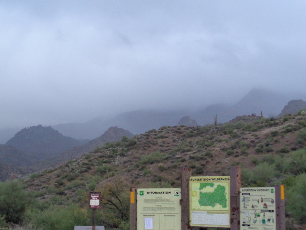
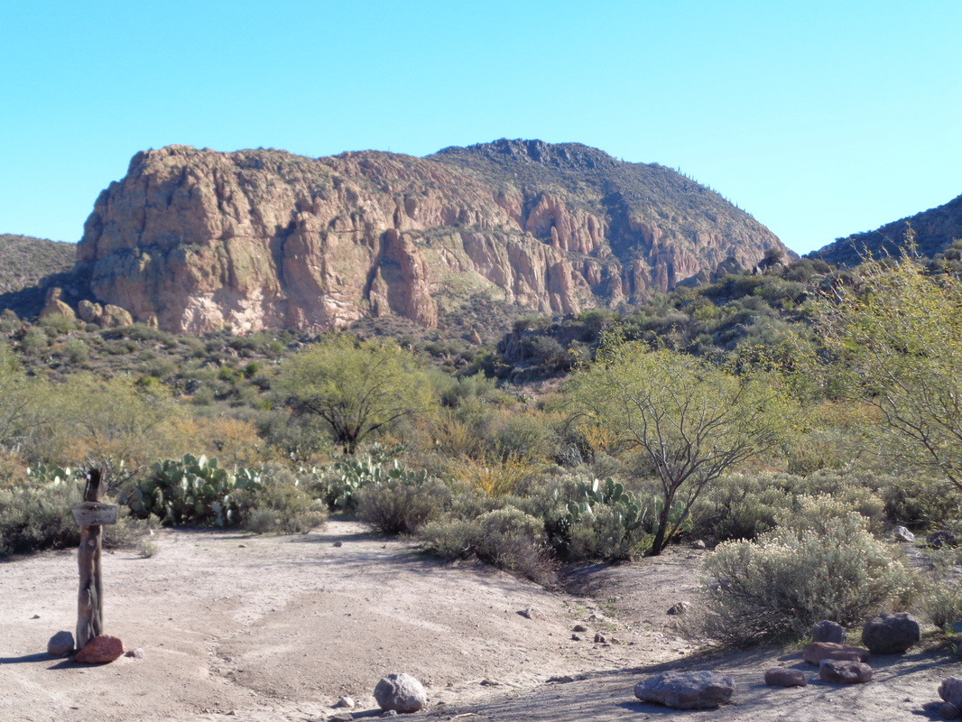
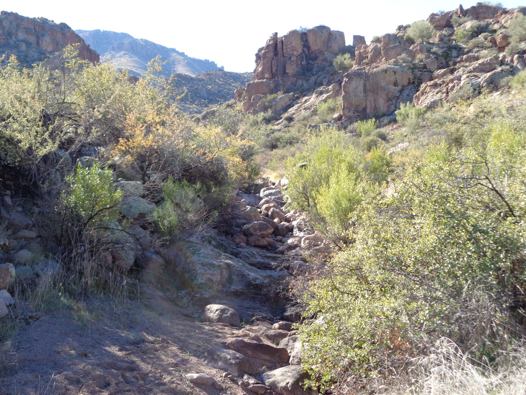
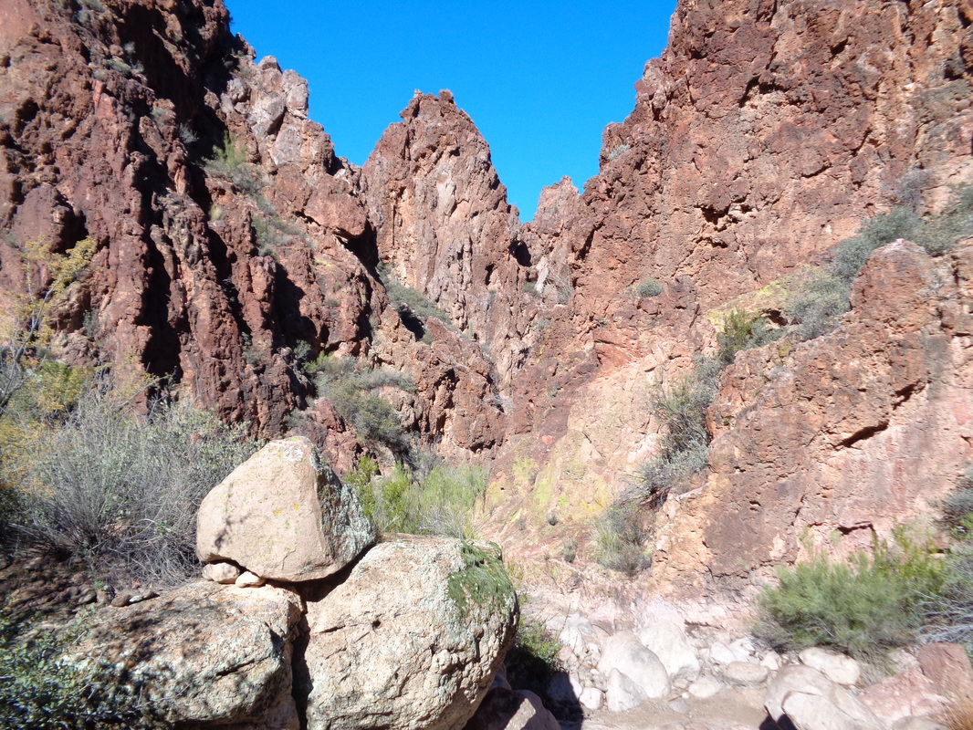
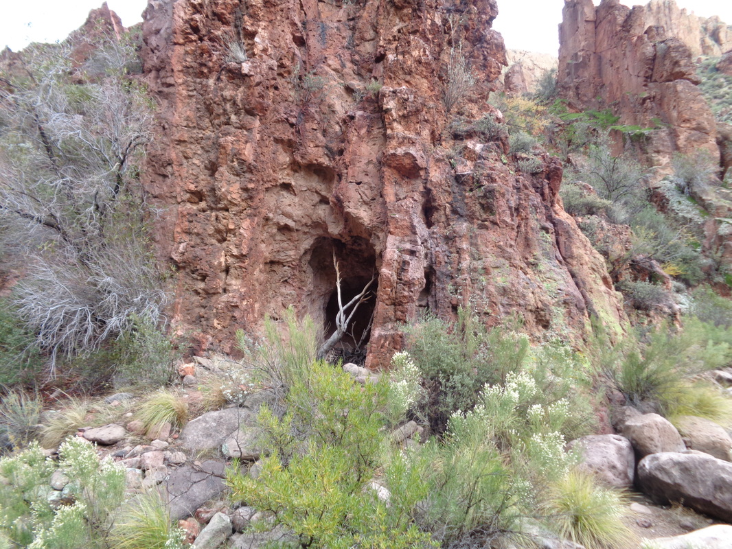
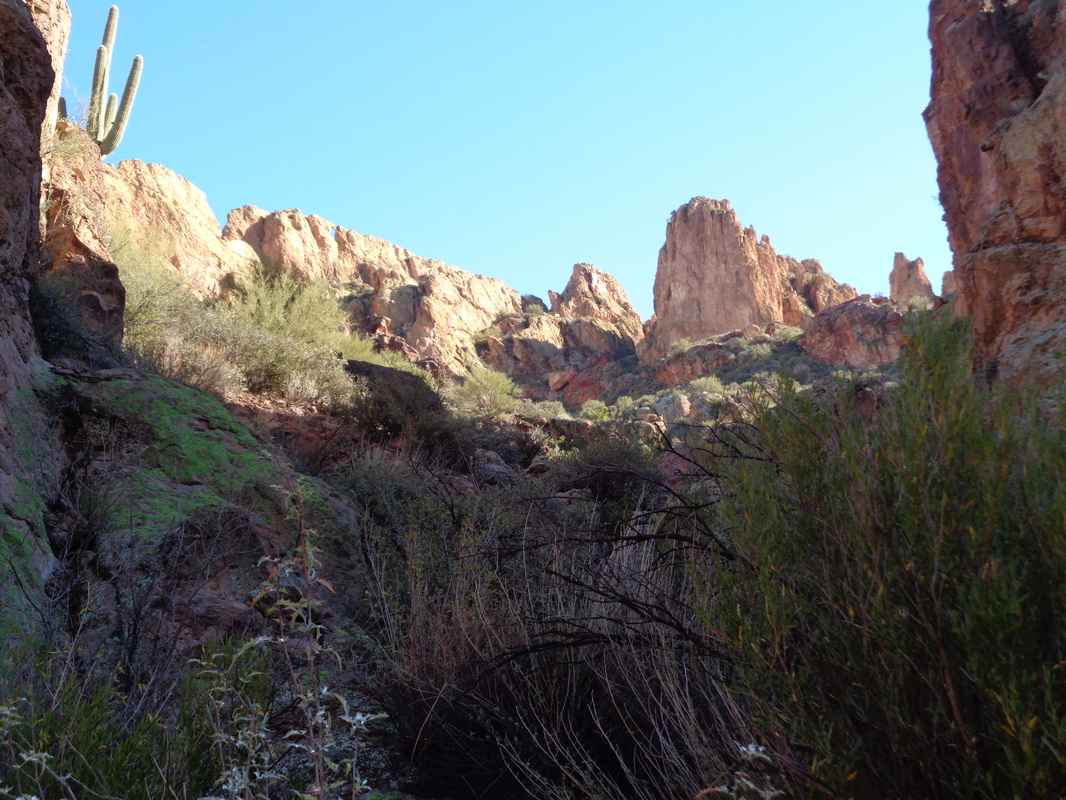
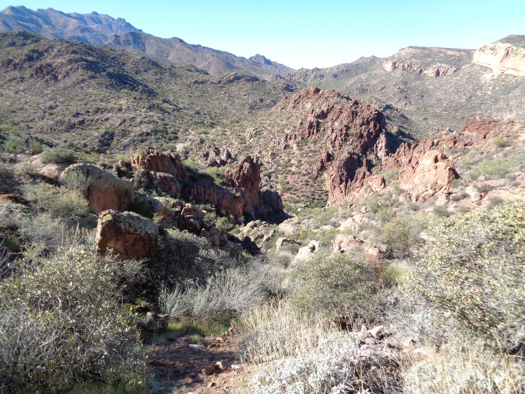
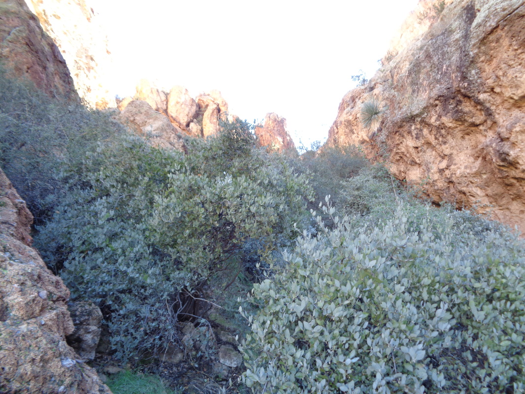
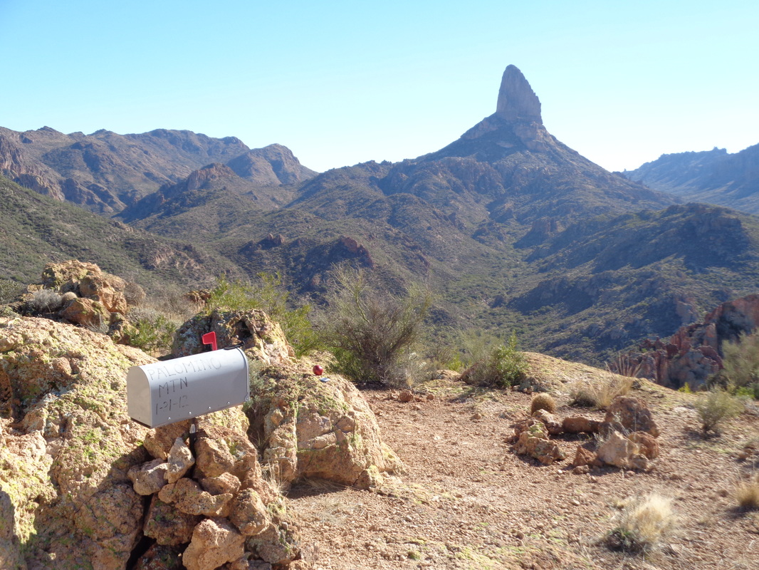
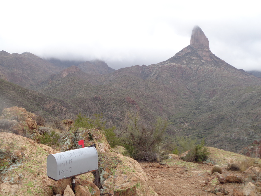
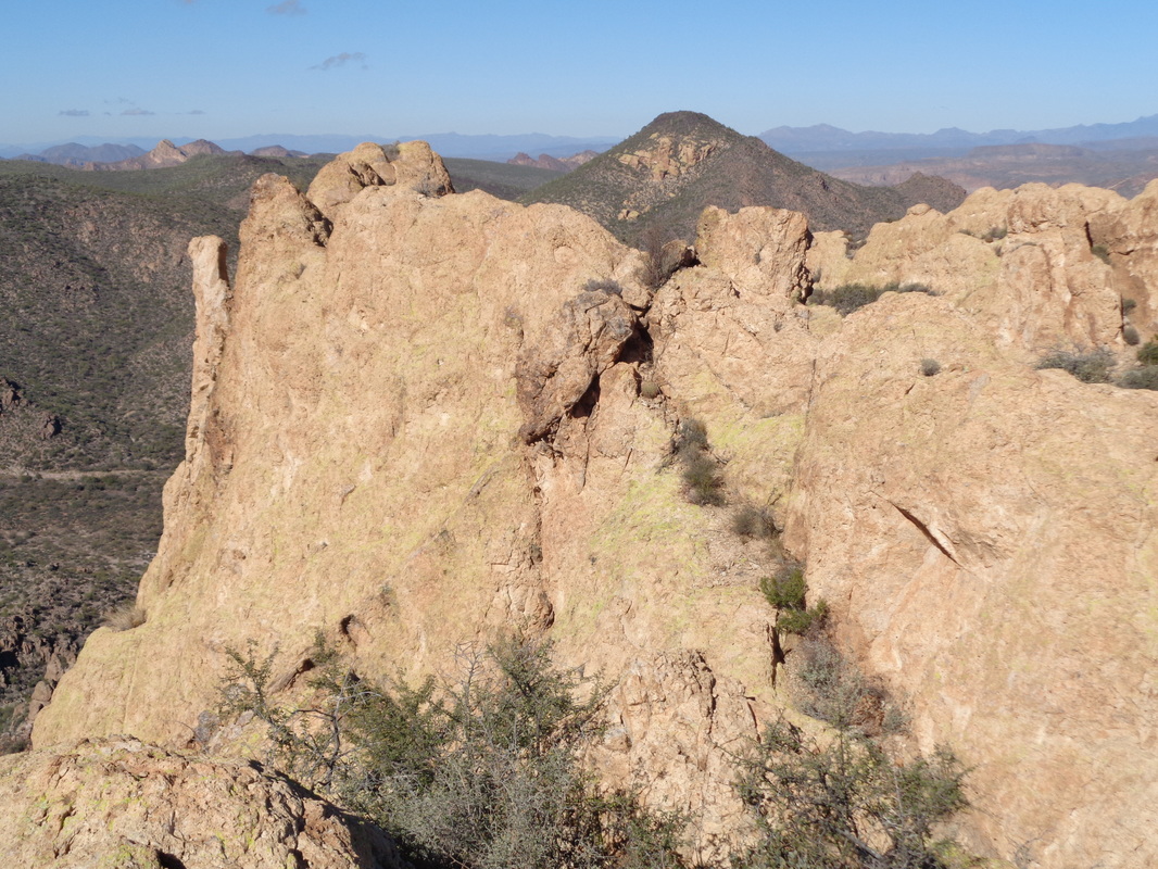
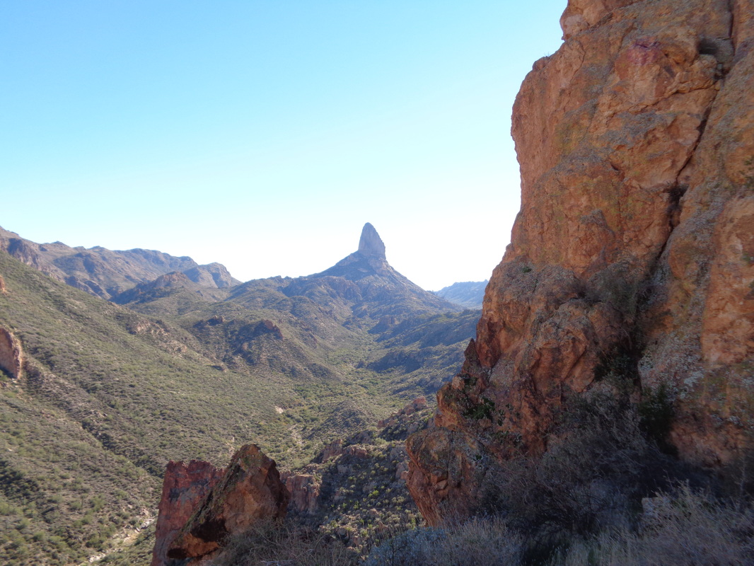
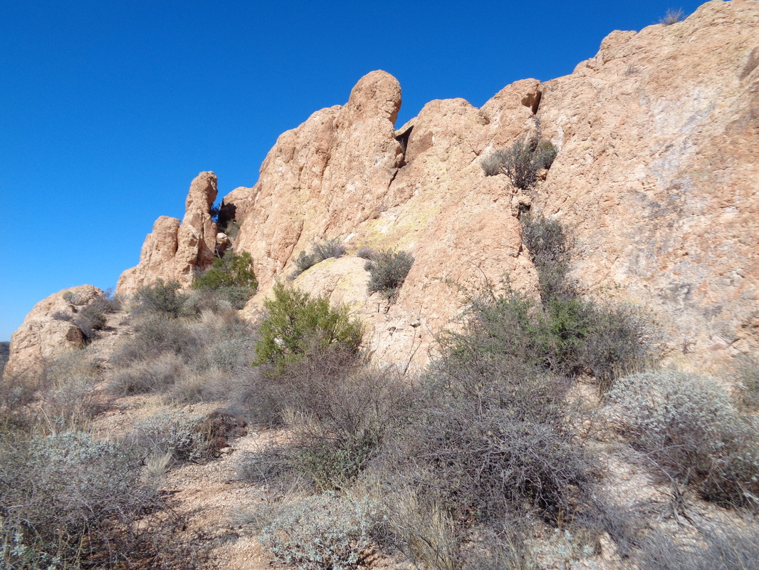
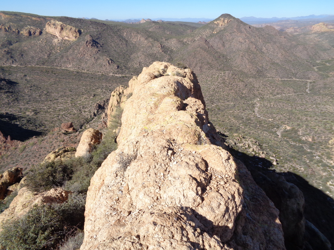
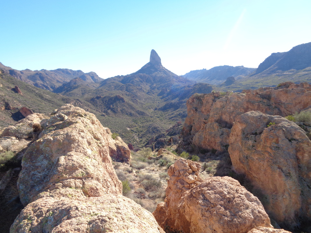
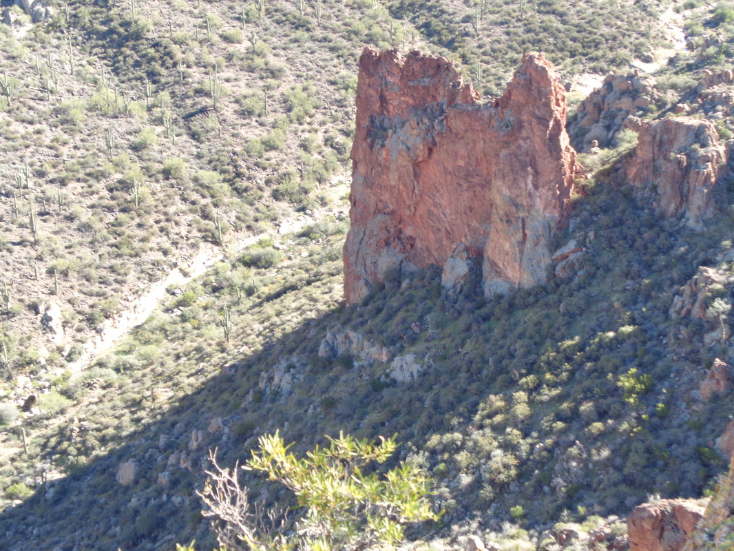
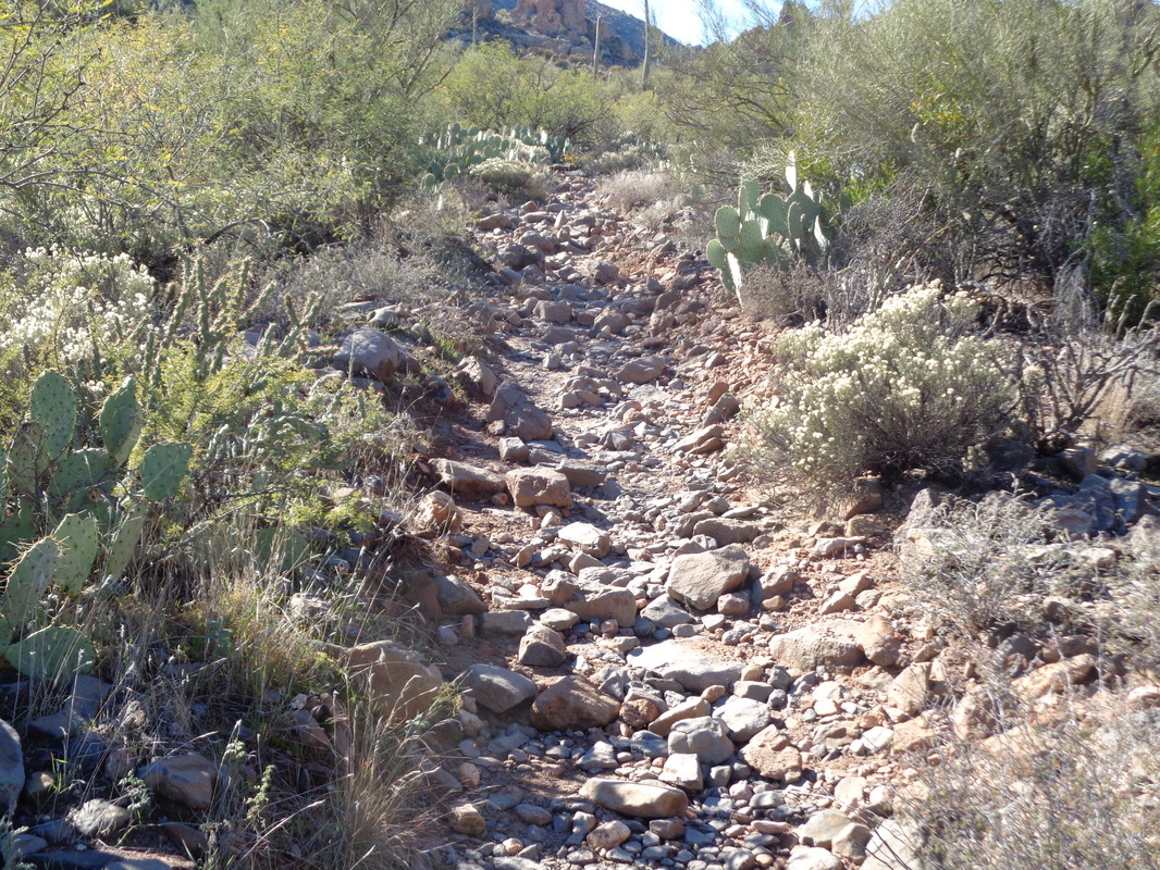
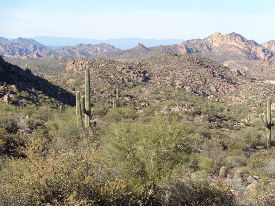
The beginning of a fantastic hike but this was taken on Saturday, following an overnight rain. Thick, low clouds remained and I completed the 10 mile hike but was intrigued by what I did not see so wanted to do it again. The above is taken from the First Water trail head and to it I returned on Sunday when the day was sunny. There is not a lot of information on this hike so I'm describing this partly for those who find this site and may find it of interest. From the parking lot, walking a short distance via First Water and then making a right at Dutchman's Trail, you will hike to where Dutchman's ends at the Black Mesa trail, the intersection shown above. To the right there is a low saddle. Head toward the low point in the saddle as you are now officially off trail. Somewhere in the walk up you will probably find a faint trail or a few cairns. That will give you comfort but all you want to do is reach the saddle and then drop into..... ....the creek bed. Pay close attention to where you enter as it will be here you will want to exit on your return. On your return, you will be boulder hopping and it would be easy to miss the exit point. Turning to your right, begin hiking, staying in the creek bed. According to my Garmin, I entered the creek at mile 4.4. The creek enters what is called "The Fortress". rock spires tower over you as the creek curves through the formation. You may notice an old mine on the left. Prospectors searched for gold in many places within the Superstitions. This opening was dynamited years ago. After 0.20 miles, you reach a narrow canyon on the left. Exit the creek where there should be a cairn. There slightly left of center is Aylor's Arch and Palomino Mountain. your destination. The "trail" is on the left but each time I hiked, I had to climb the rock slope on the left and then slide to the right side to access the trail. Once on the trail, cairns will show the way and depending on use, a faint trail can also be followed. The ascent is about .5 miles and gains 600' so kind of steep. Looking back, you discover you gain elevation quickly. Toward the top, the brush is thick but no cactus so not too difficult to push through. The people who blazed this route were trying to get to their destination by the most direct way possible. As such, the route is not made of switchbacks to lessen the pain of the ascent. Take care going up and down some very steep sections with gravel and poor footing. The route emerges from the canyon at the edge of an abyss with great views but the summit is up a short section to the left where you will find a mailbox placed in 2012. I counted 12 visits in the registry for 2015 so an average of one a month. The view of Weaver's Needle, something that mesmerizes me, are awesome. The only access to the summit is via the drainage you fought through and now are surrounded on 3 sides by vertical. Be careful walking around. Same spot on Saturday with the clouds. You will lose sight of Aylor's Arch about half way up the climb and you can not see it from the area of the mailbox. You can not reach the arch without climbing gear but it is possible to get a closer view. This site:http://hikearizona.com/decoder.php?ZTN=226 does a great job describing that option. Looking from the area of the mailbox, you will see a spine of rock with a sloped ledge. Like me, you probably will think that is the way forward but it is a dead end. Instead, if you wish to explore farther, you will work your way to the base of the above and then hike to the right and down. BE CAREFUL! after working your way down the slope, more great views but turn.... ...to the base of the next ridge. See that narrow opening on the left, that is your destination. Climb up towards and through the opening where at that point, you scramble to..... ....the top of the ridge. Beyond, sloping away and a shortish walk away is the top of Aylor's Arch. The area above the arch is narrow and you SHOULD NOT WALK OVER THE ARCH!!!! It is about the diameter of a midsize tree trunk so I doubt it would hold the weight of a walk over. Slowly I stood and walked forward but the exposure got to me. Turning at a glacial pace..... ....I looked back from where I came. I walk every day and I can't recall ever tripping and falling but put me on this narrow, uneven ridge of rock with hundreds of feet of vertical on either side and suddenly I question putting one foot in front of another. It is exhilarating standing up there, no doubt. I looked down at the Peralta Trail and saw some people watching me. They waved, I waved and yelled "Come on up." They laughed. Again, the views are freakin incredible and may be the best in the Supes. I clambered down, returned to the mailbox, gathered my stuff and headed back. It took me exactly 2 hours to travel the 5 miles to the summit. More than that on the return. The descent is sketchy. Fortunately, the Dutchman's Trail is in good shape and while a few sections are like the above, crummy, many are flat and can be jogged. When you can lift your head, the views, geesh. The Superstitions are a treasure trove of sights and destinations. Amazing. Ya know, hardly a day goes by when I don't think or say out loud, "Wow, look at that." Those days are coming to a close but I have one day left and an absolute gem of a hike coming on Tuesday. Not done it before and not one on which I will freak out and turn around. I'm in with a hard core group for this one.
4 Comments
Phil Livingston
1/5/2016 03:39:17 pm
This is a very good write-up as well as great photos. At first, when I looked at the blog I confused it with your write-up for La Barge. Both were excellent hikes.
Reply
Mark
1/6/2016 11:43:51 am
Let's do this one when I come back in March!
Reply
9/16/2021 06:55:14 am
Excellent article! Your post is essential today. Thanks for sharing, by the way. If you are looking for coupon codes and deals just visit coupon plus deals dot com
Reply
Leave a Reply. |
Categories
All
Archives
November 2023
|
