|
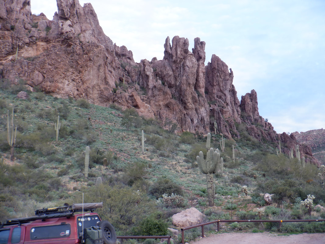
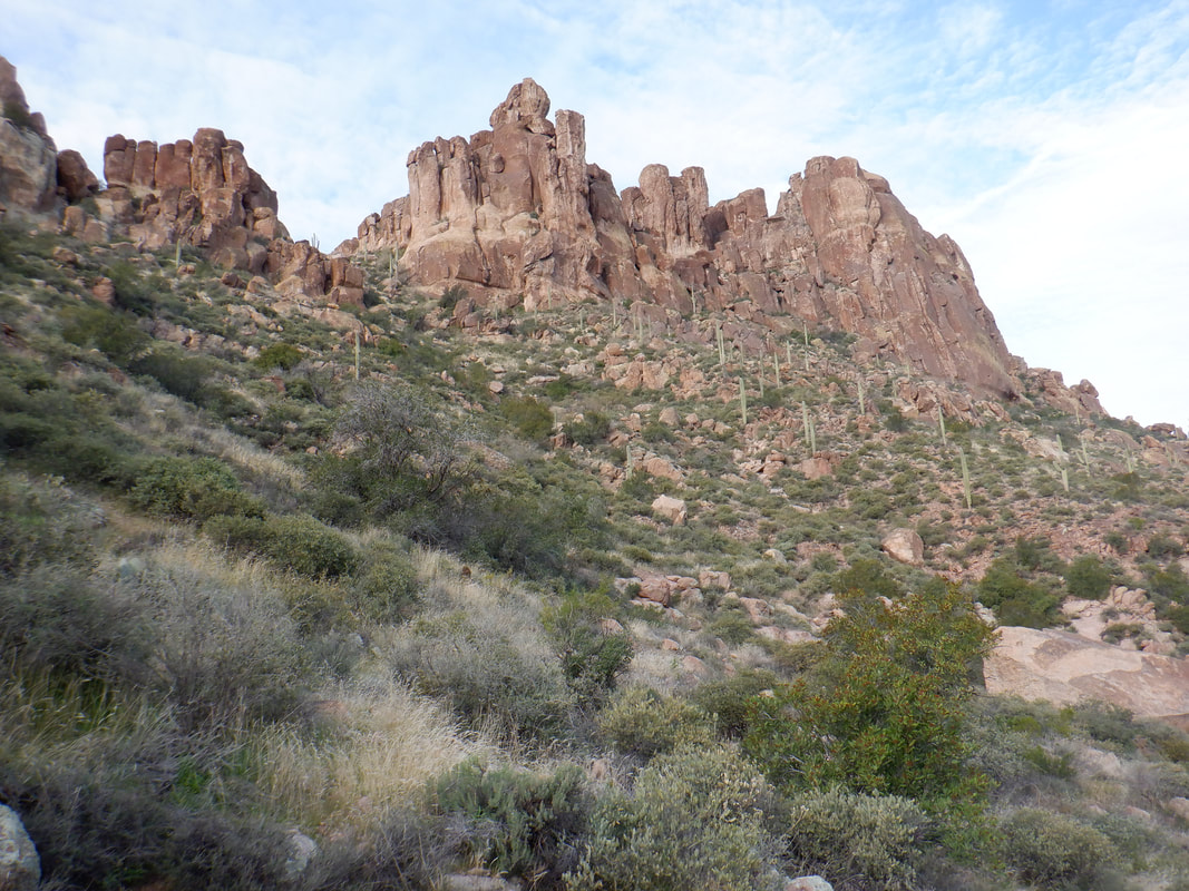
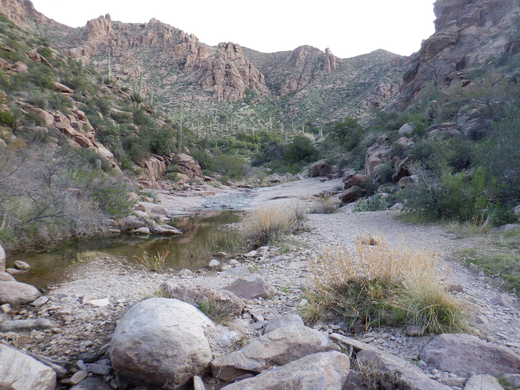
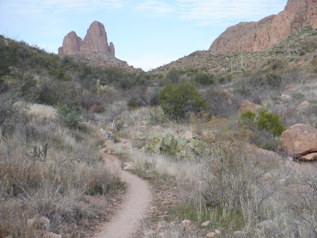
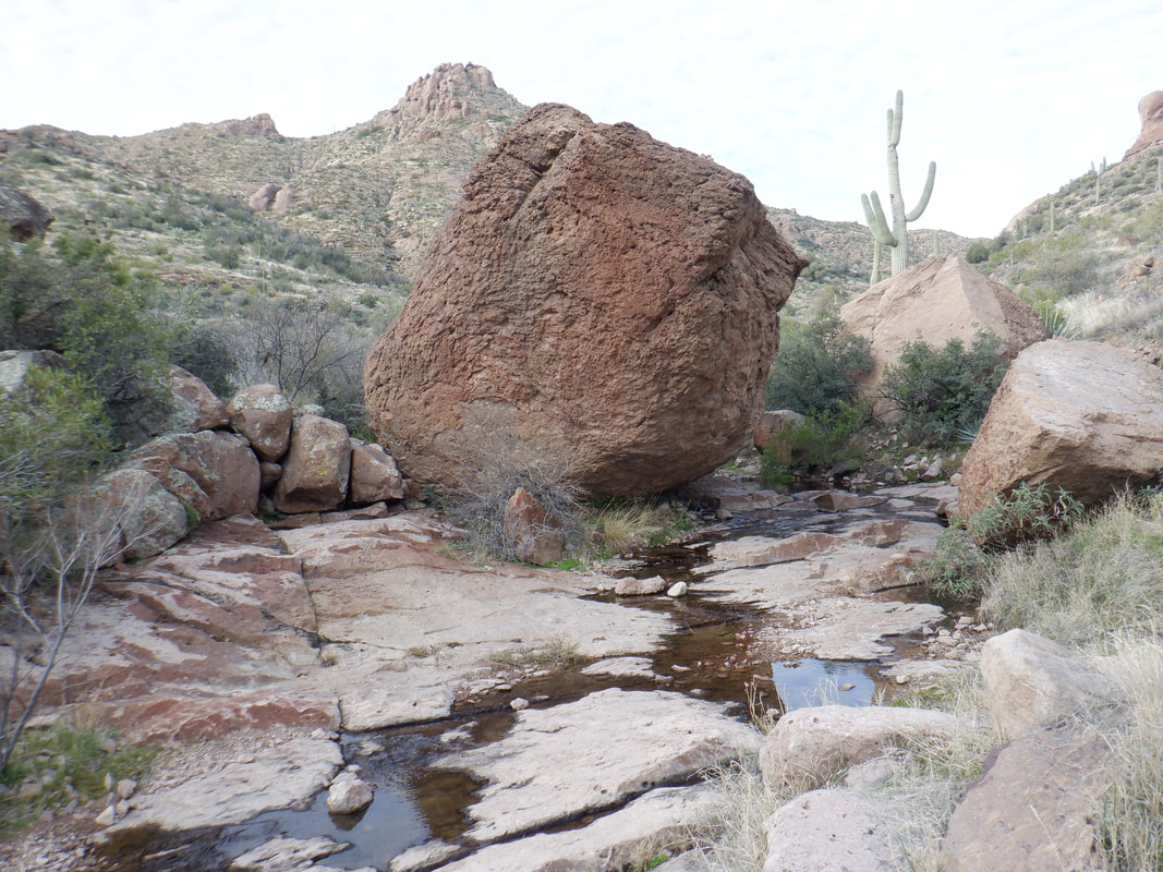
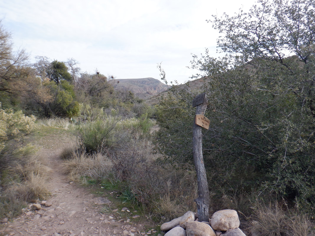
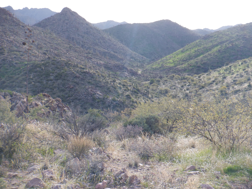
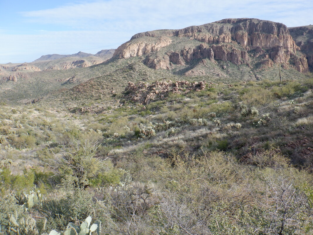
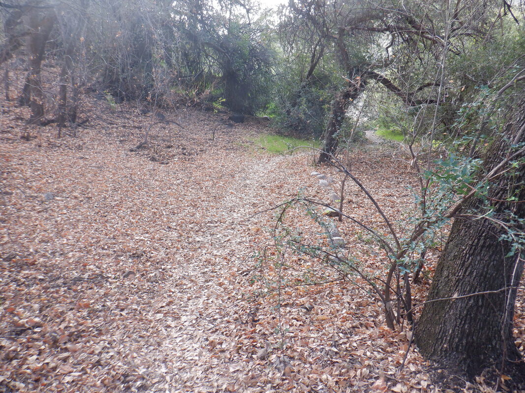
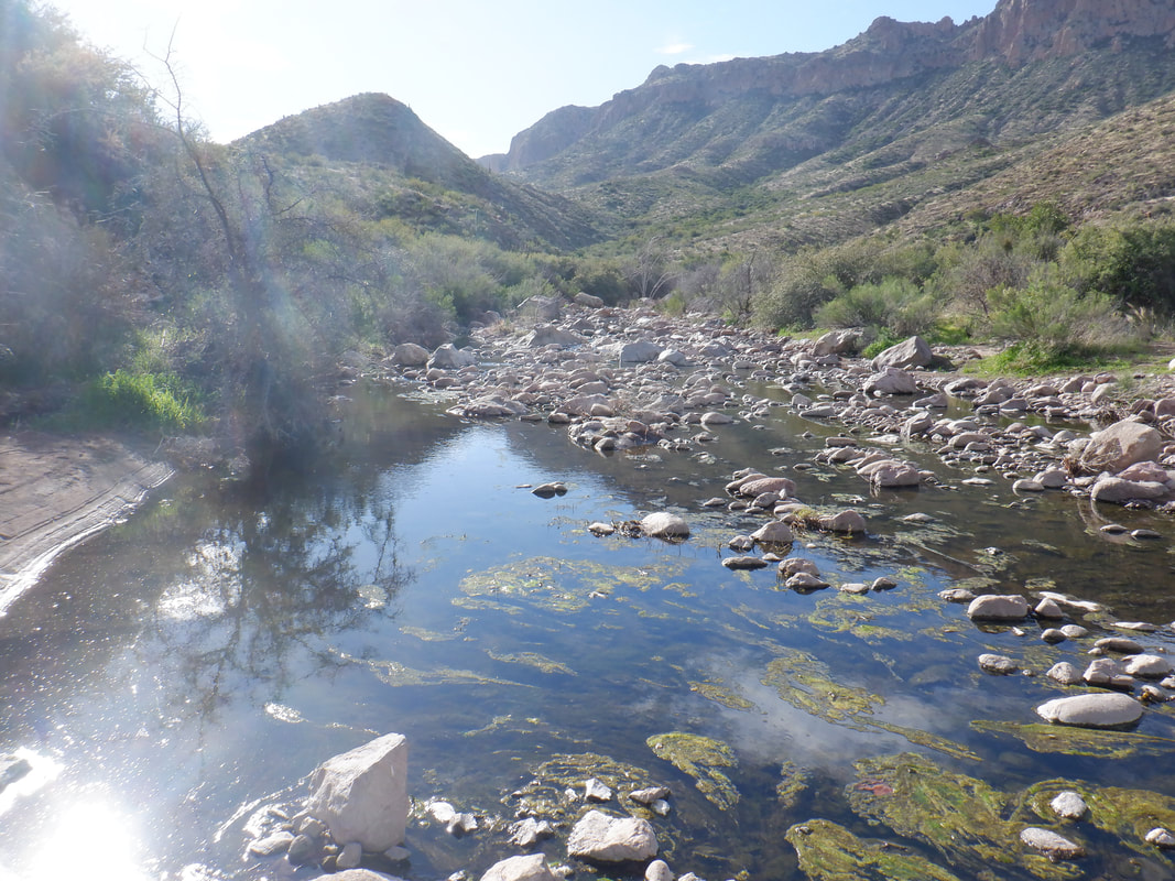
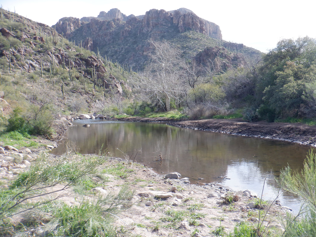
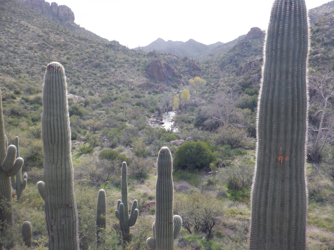
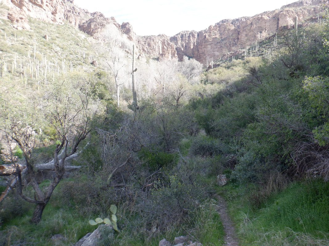
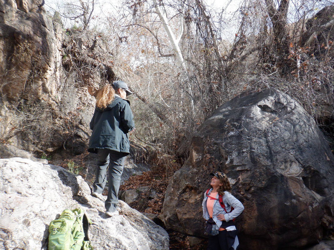
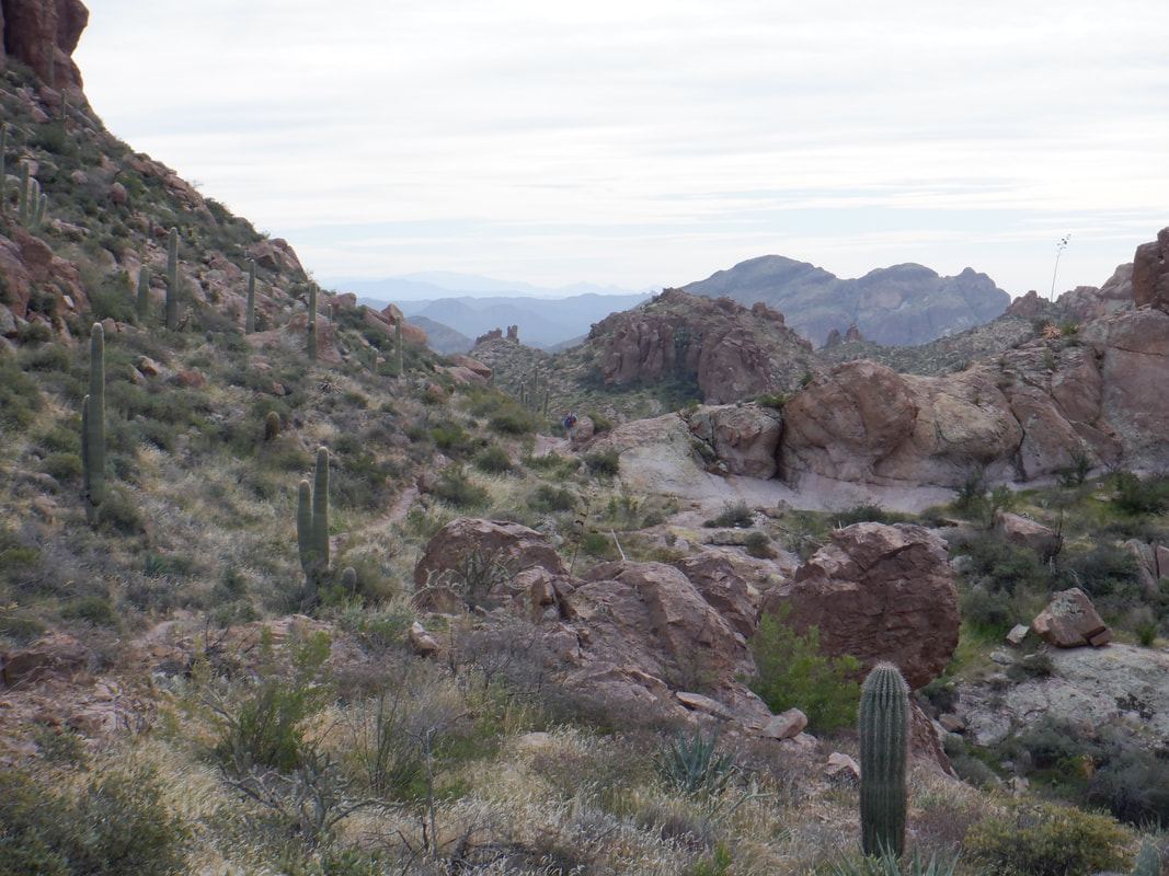
The backstory: My favorite group, "Arizona Strong Hikers", scheduled a 7am start time of this 15 mile hike. Hmmmm, sunrise is 7:24, it's a 90 minute drive for me so I decided to start at 8am and try to catch. I arrive at the Peralta trail head on the southern end of the Superstition Wilderness. To catch the group prior to their arrival at our destination, (Charlebois Springs and the location of the "Master Map") will require me to run a bunch. The problem with that is.... ….the first 2 miles of the Bluff Spring trail (which starts from the Peralta trail head) is steep when climbing and rocky always. Rock formations tower over me during this section The trail finally dips down and into this very neat ravine. There is some flat hiking and then more climbing. At some point, the Terrapin Trail comes in from the left but I ignore that and continue on Bluff Spring. There are fine views of Weaver's Needle along the trail. The trail is clean in places so I run when I can. I encounter a group of ladies, camping and inquire if they have seen a group of 9 hikers ahead of me and they confirm they have but I'm about 45 minutes behind...ouch. The trail dips into another canyon. There are many springs and canyons encountered having names of Music Canyon, LaBarge Canyon, Crystal Springs, Holmes Springs, etc.. At about mile 3.5, I reach the intersection with the Dutchman Trail and jump on that. The destination is off trail so I'm kind of under some pressure to reach the group before they leave the Dutchman for Charlebois Springs. I encounter another group of campers and they tell me I am 20 minutes behind my group. Dang. I hike/run through the canyon shown above before climbing out of it. Note the green hillside on the right. The trail winds above another canyon and I run into some backpackers. They tell me I am 5 minutes behind my group. Yes, this is till the Superstitions as now I am creek side and there are many mature Sycamore and Cottonwood trees. The creeks are not all narrow and easily jumped as I encounter one and in another canyon..... ….another. Really beautiful setting. I ascend and look..... ….back. Wow. OK, then it becomes a little strange. I reach the above point, about 7.2 miles into the hike. I hear what sounds like a horse clopping behind me so I step off the trail and here comes a guy, running. Turns out his name is Joe and part of the group. He had taken a secondary trail to climb a peak and was now trying to catch the group. He had seen the group while at the peak and was surprised I had not yet seen them. Hmmmm. I take off my pack, check my map and we conclude we are really close to the destination. He takes off and then after I put my pack on and follow, I look at the above, note there is a faint trail and decide to see if this side canyon is where I would find Charlebois Spring and...... …..eureka! Hike leader, Wade and the others are relaxing from the trek. We never got around to finding the Master Map which supposedly gives clues to the location of Spanish gold. The boulder on which the inscriptions are located have been discovered by others and I regret that I did not look and get an image of it. We never saw Joe again but I'm sure he made it back out given this route has only 2 turns in it. At some point, Wade led the group to find the origins of another spring but I had that drive ahead of me so I kept going, finishing with 15.1 miles and 2500' of climbing. Saw some new areas of the "Supes" and as always, the views are awesome, like the above.
0 Comments
Leave a Reply. |
Categories
All
Archives
November 2023
|
