|
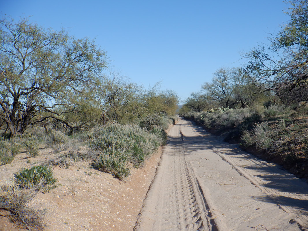
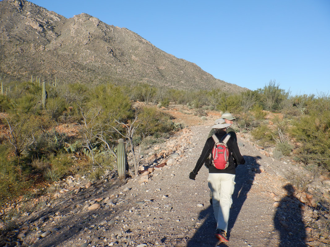
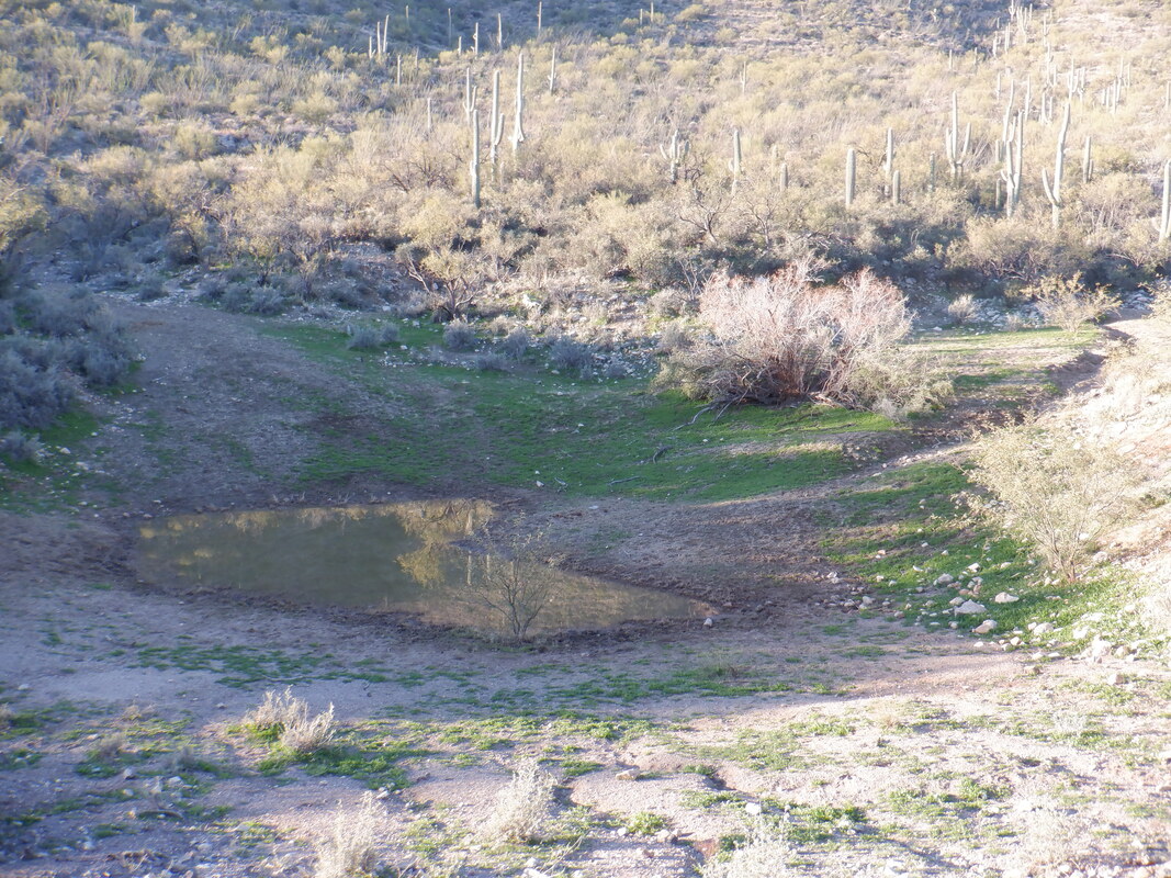
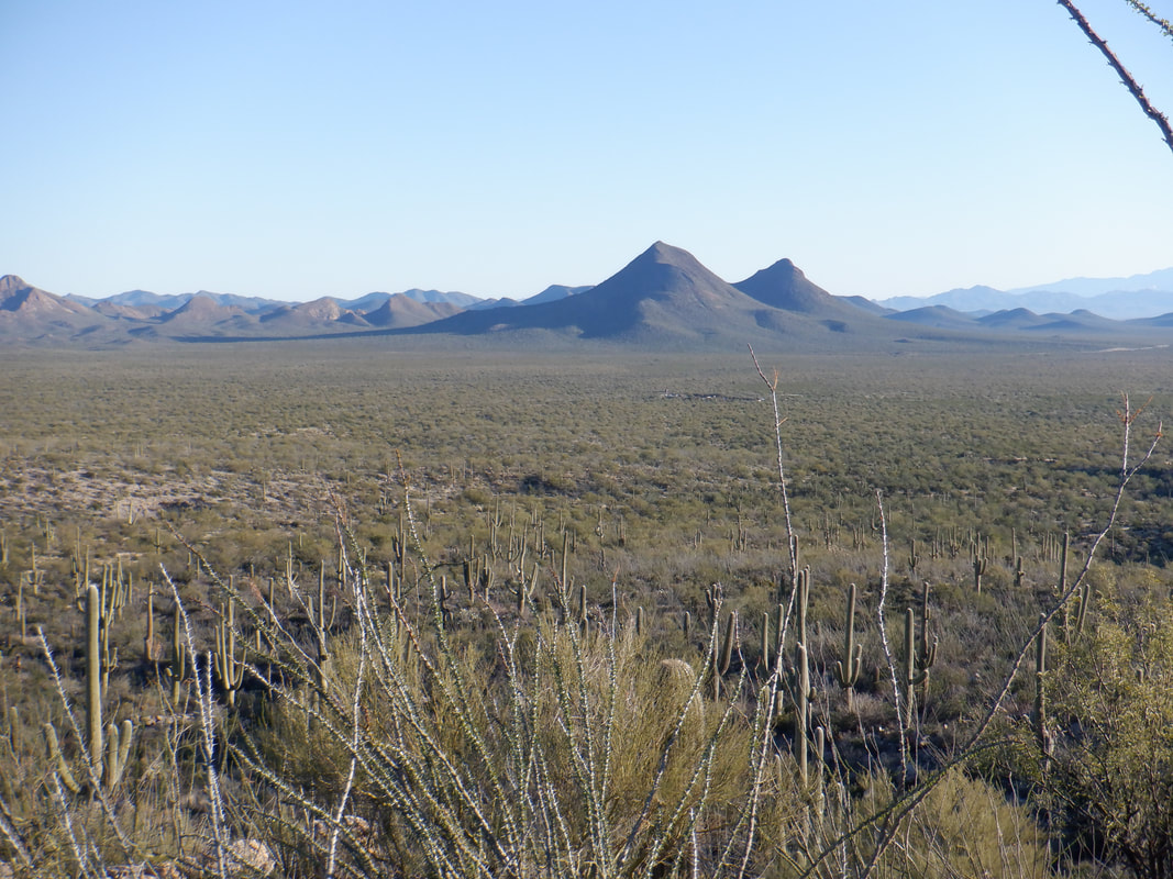
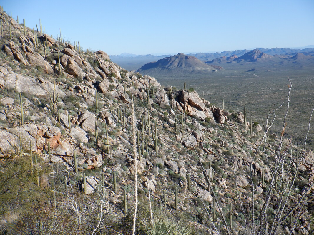
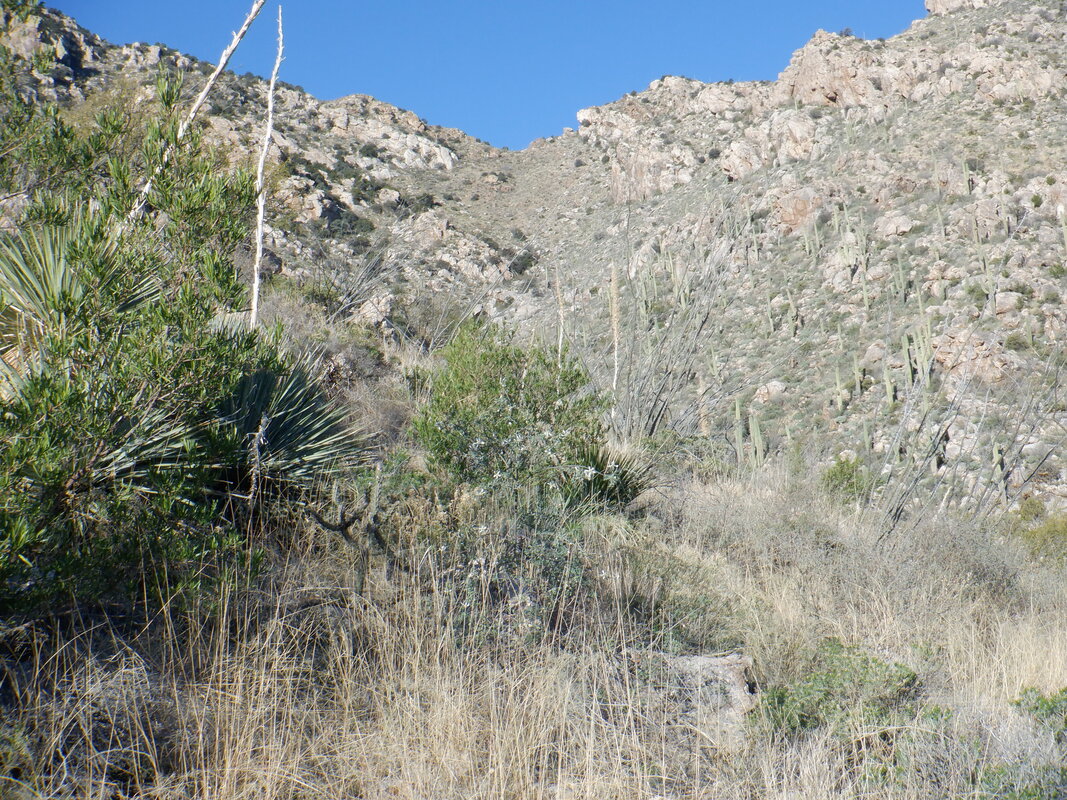
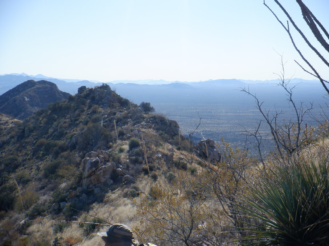
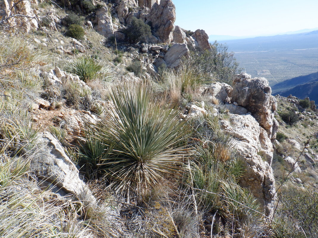
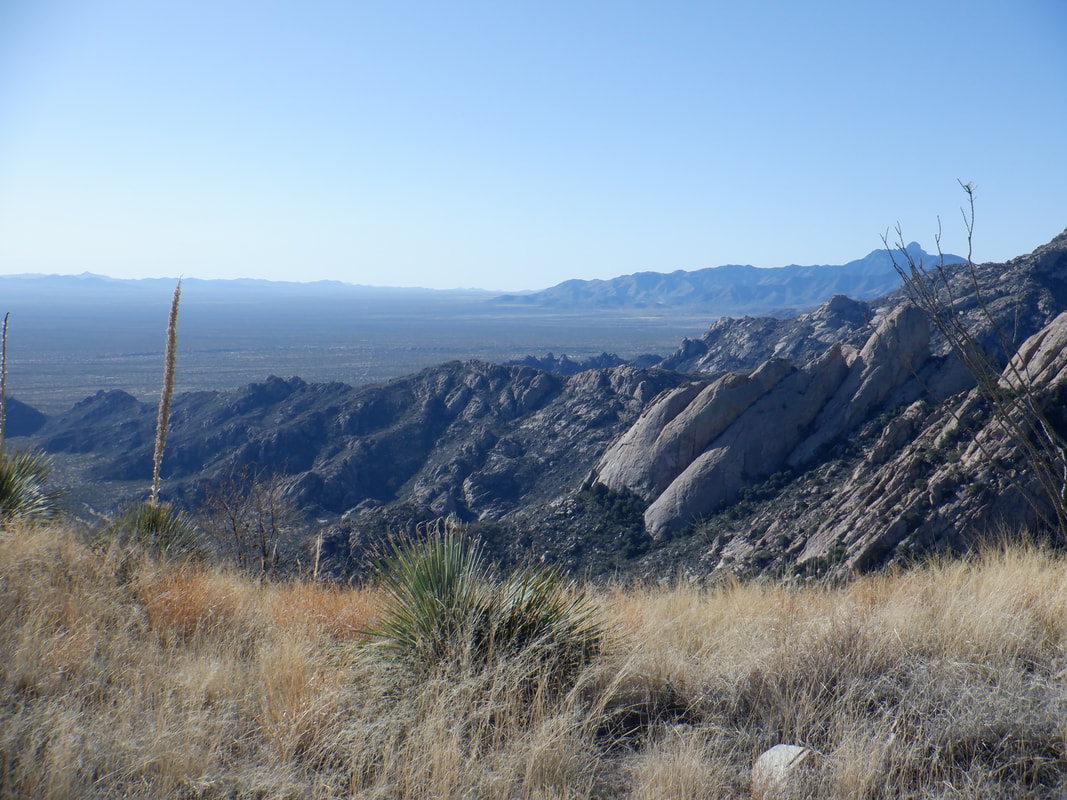
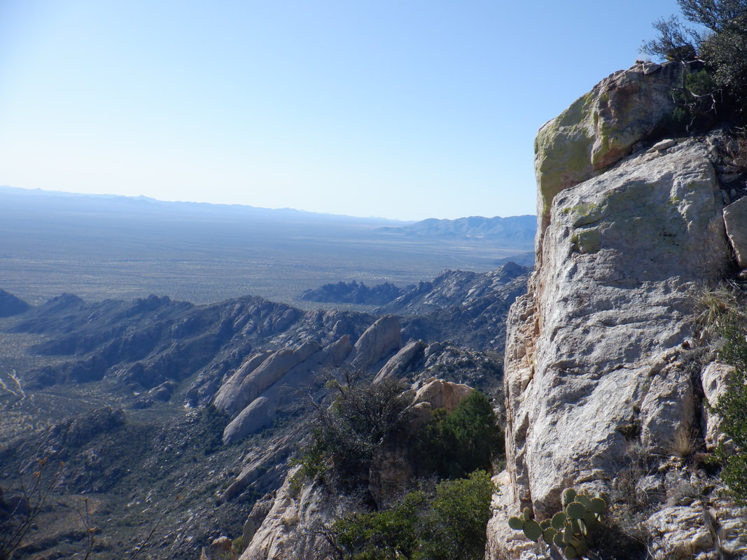
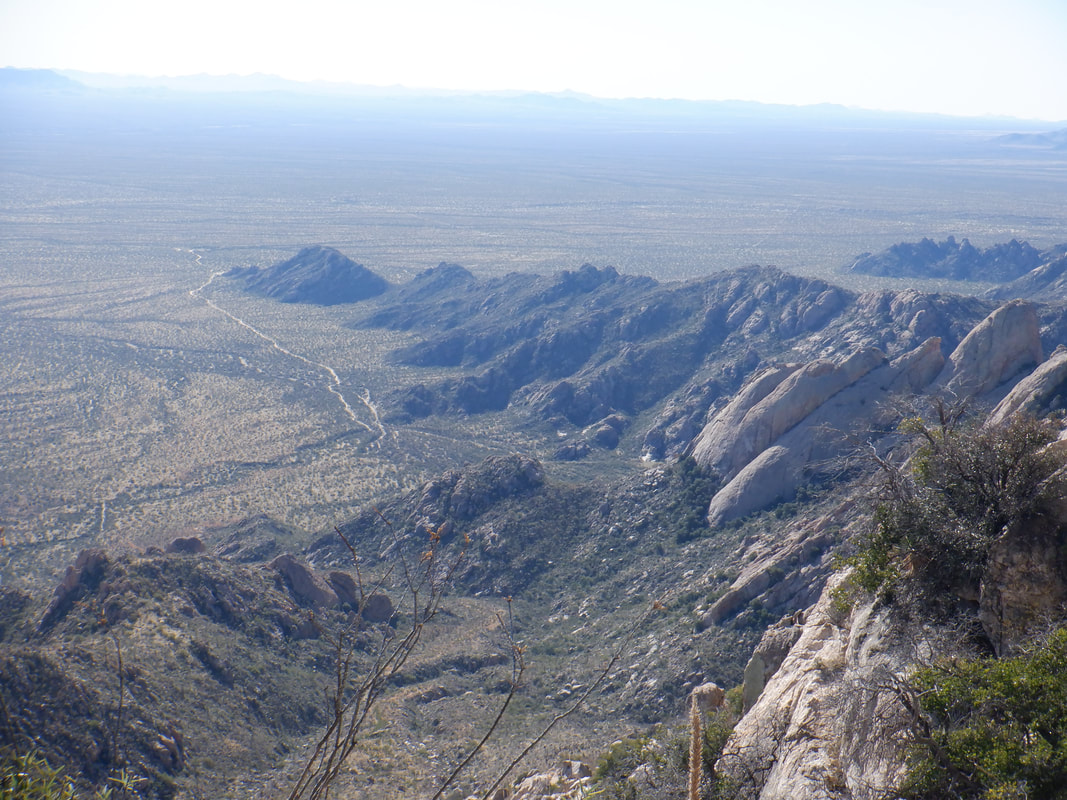
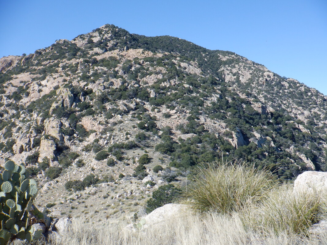
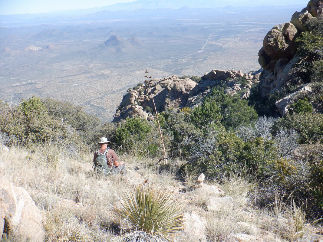
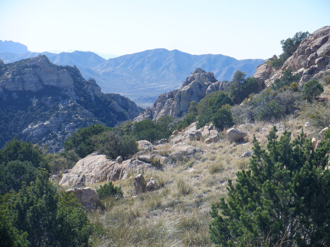
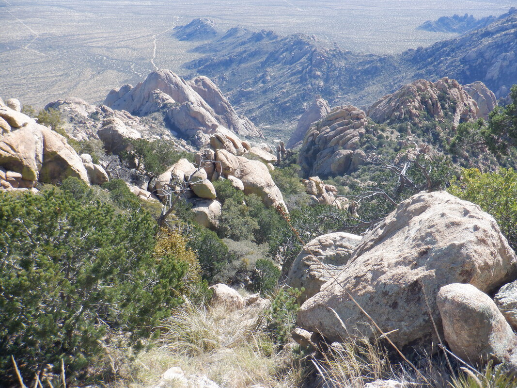
The final 3 miles of the drive to the trail head, from where our group attempts to ascend to the high point in the Coyote Mountains, is one lane in places. Wouldn't want to encounter another vehicle but the road is very drivable by a standard car. There are only 4 members to our group and one very small dog, Diego. Hindsight being what it is, probably not a good idea to bring a dog on this hike. Although it does not appear to be a problem in the above image, the trail eventually becomes over grown with a blanket of grass, bushes and trees that makes pushing through it, exhausting for a dog. Initially, the route follows an old road while passing a manmade water catch. For about 1.5 miles, the road/route is easy to follow, the trail wide and somewhat clear and you can..... …..enjoy the emerging views. Then, the trail dips into a ravine and begins an approximately 2.3 mile climb having an average grade of 18%. Not horrible but the trail is difficult to follow, very overgrown with all sorts of plants and trees growing from the center or side of the trail. The going is very slow as we push through or climb around obstacles. The trail wasn't always so deplorable. Many decades ago a rancher built a trail to the peak so his wife could ride her horse. There is plenty of evidence of the original effort it's just that nature took over and this is a seldom hiked trail. A ridge is our intermediate goal as we continue to slog upward. Upon reaching the ridge.... ….rather than continue through a fence, we hang a right and carefully pick our way through the tall grass that continues to obscure. Actually, from this point on, route finding and obstacle avoidance ramps up even more. The above is the trail. See? In other places, scrub oak and other tree species caused us to crawl. One thing important, whatever is the amount of water you would normally carry for a 10.3 mile hike, take a bunch more. Later, I ran out of water with about a mile to go. It was fascinating to see how the mountain range disappears beneath the desert floor. Pay attention and look for rock cairns. If you take a few steps without seeing a cairn, retrace your route and search for one. Not that I am suggesting you do this hike because I wouldn't unless you are a very experienced hiker and definitely have a gps track to follow. Of course, constantly checking a device slows the progress even more. We were barely eking out a mile an hour pace. At about the half way point, two of our group tapped out and decided to wait for the hike leader and I to return. At least they had a great view. We slogged onward until..... ….we came to the base of the summit. Except it wasn't, just a false summit. We circled around this, navigated our way up a ravine that was choked with boulders and very steep. And then, with about .4 to go to the actual summit, the hike leader had to abandon the quest. His dog had long since spit the bit and was now being carried. I looked wistfully at the summit but going on alone would have been a bad idea and in hindsight, a terrible idea given that I would later run out of water. From the summit, there are great views of the mountain range immediately to the west, the Quinlan Mountains, where the Kitt Peak observatory is located. Alas from where we stopped, I could only see the southern end of the Quinlans. After refueling, we..... …..the aforementioned ravine, got off track a few times but eventually picked up the other two hikers and finished the hike with 10 miles and 3900' of climbing. This is one of those hikes where the combination of distance and climbing don't reflect the difficulty of the challenge. Oh, there was this field of Catclaw that had to be pushed through and yeah, an abundance of Shindaggers too. A very hard hike.
0 Comments
Leave a Reply. |
Categories
All
Archives
November 2023
|
