|
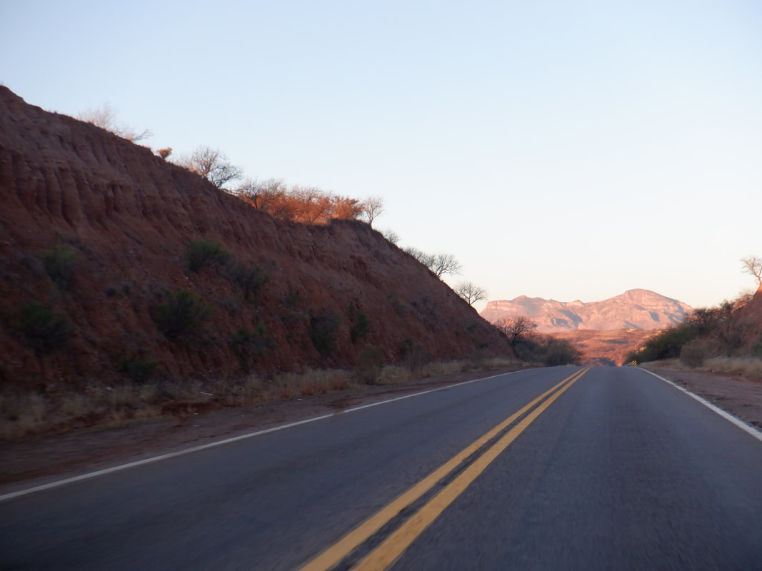
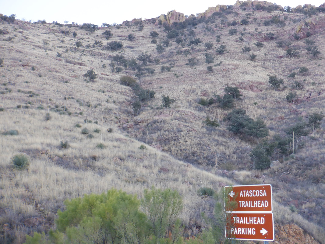
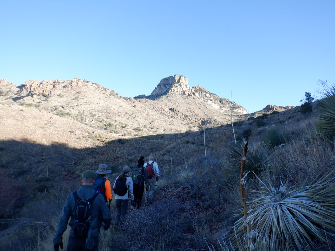
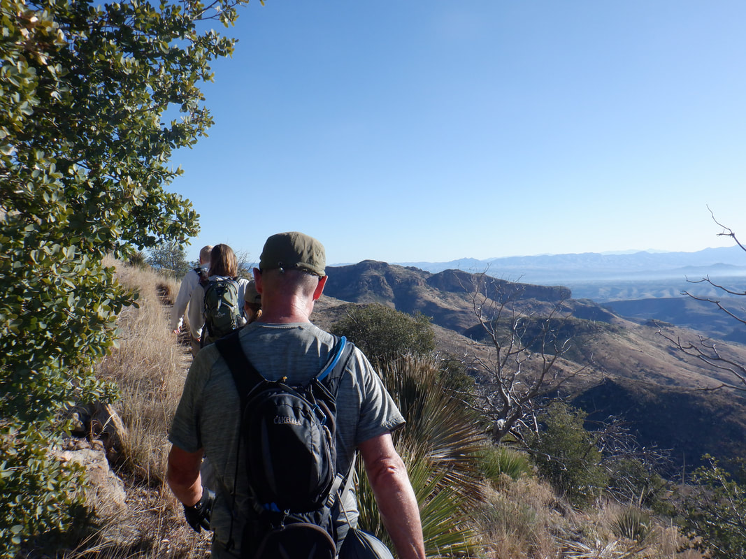
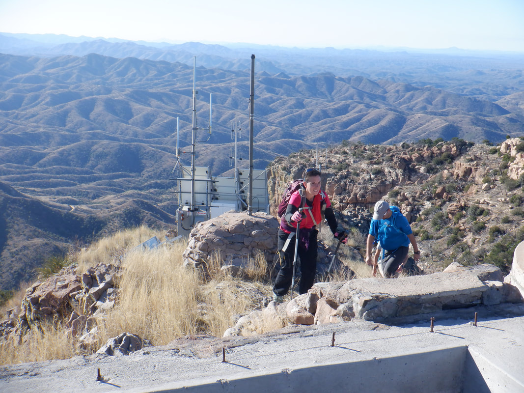
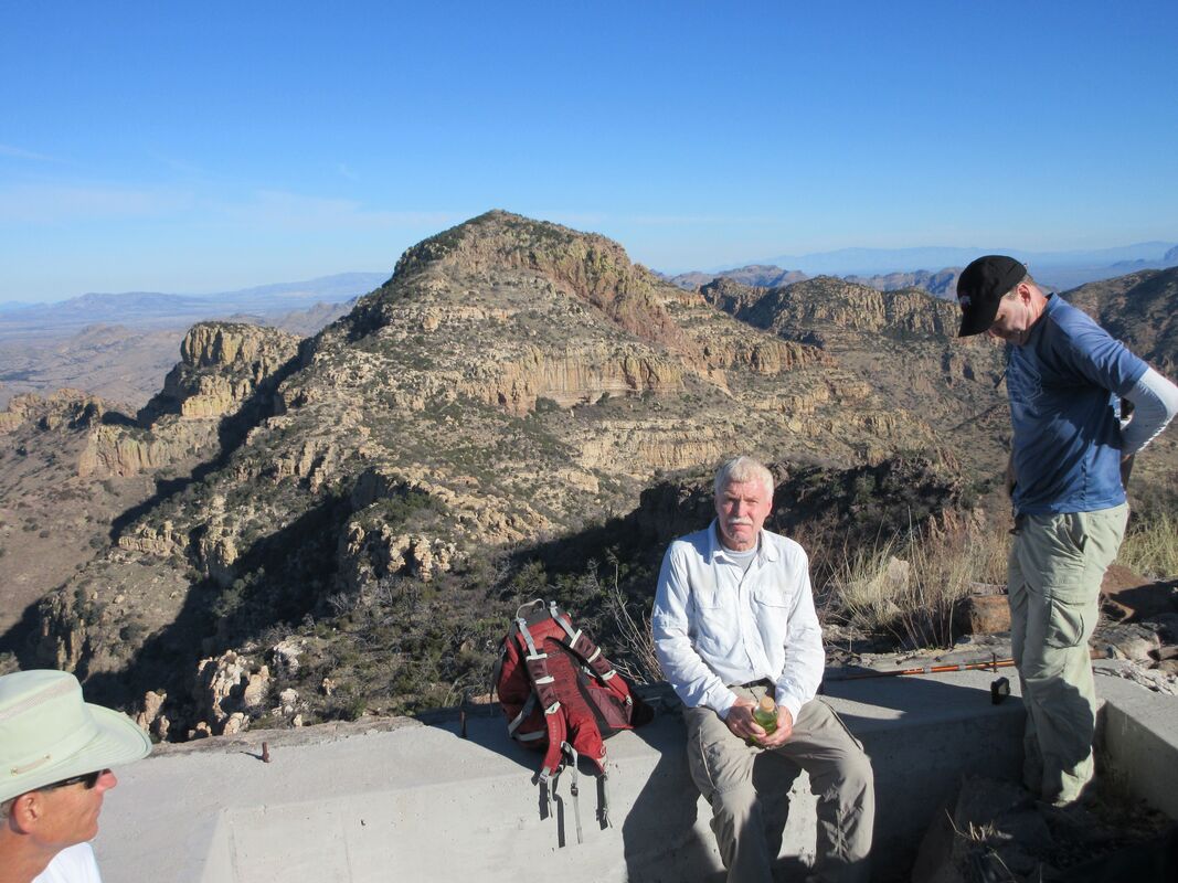
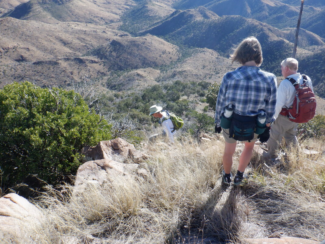
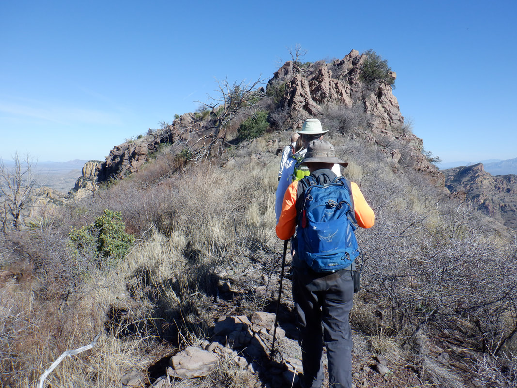
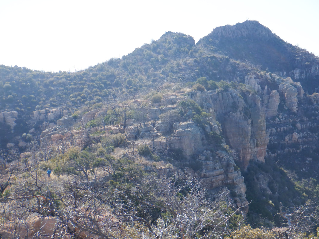
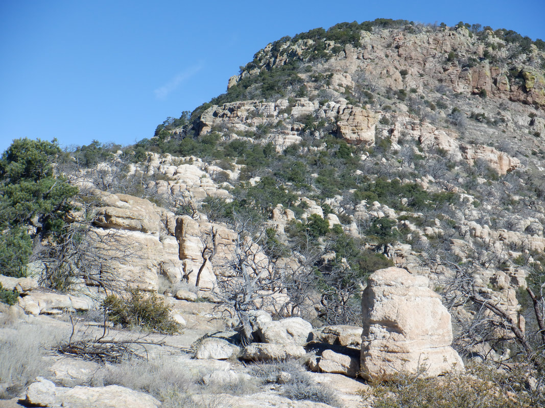
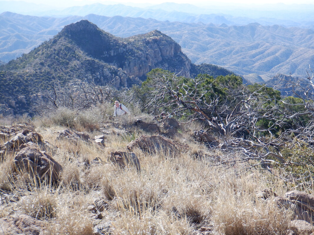
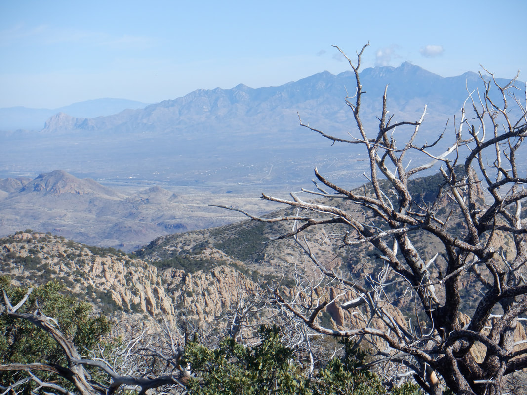
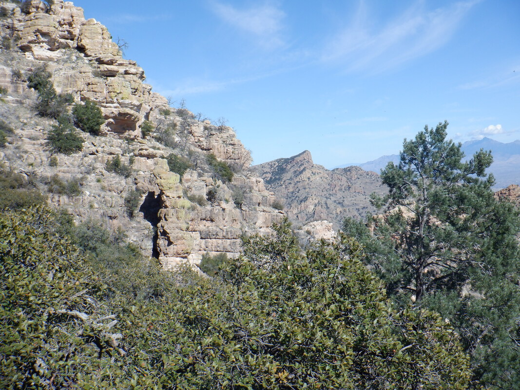
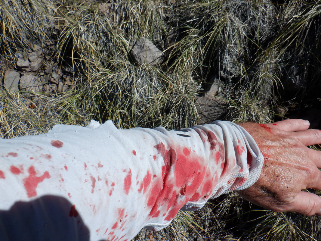
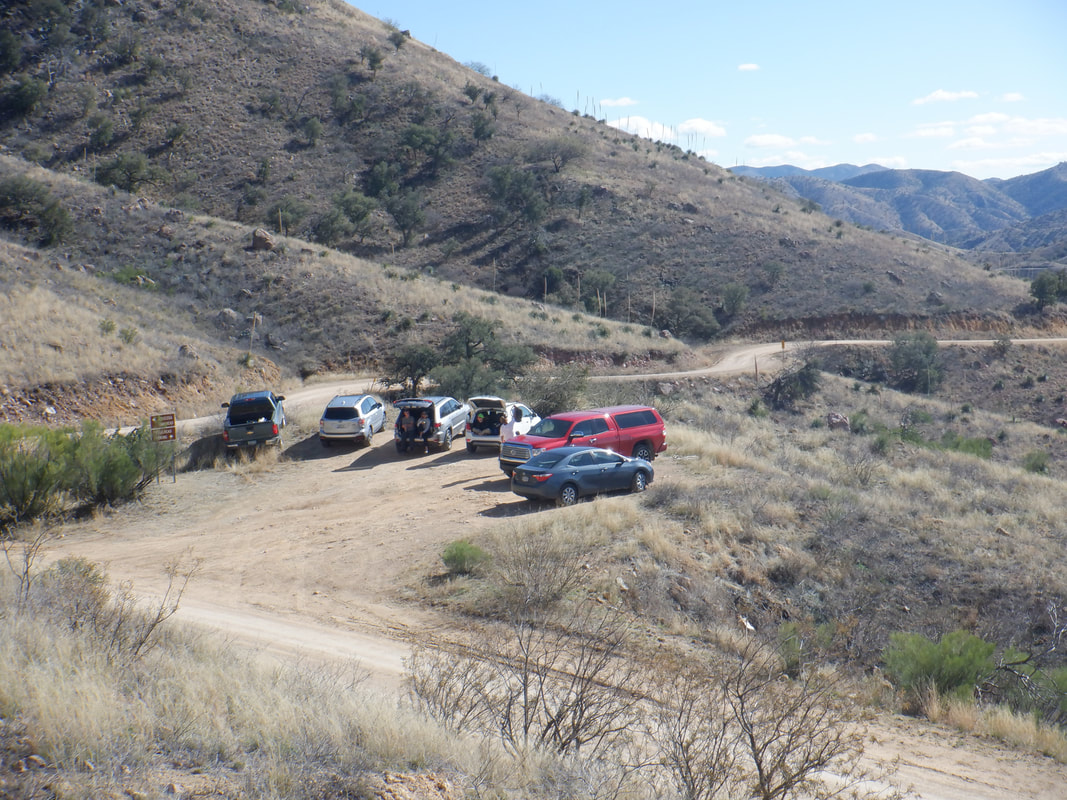
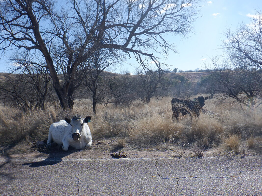
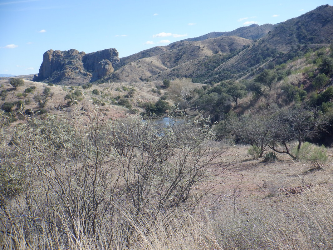
If it's morning and I'm engaged in a long drive in the dark, then it's likely for the purpose of hooking up with the "Arizona Strong Hikers". This time though, rather than me driving north to the Phoenix area, I was making a 1:45 hour drive south to the Rio Rico area. That meant my Phoenix gang had a much longer drive. Once the sun rises, the scenery is spectacular. I arrive at the Atascosa trail head, the last 5 miles of driving on a well conditioned dirt road, where I will embark on a hike first to the Atascosa Lookout and then on to Atascosa Peak. We are only a few miles from Mexico so I'd be a little leery of doing this hike solo. Not to the Lookout but to the Peak. At times, some of the southern AZ peaks are used as an observation point on behalf of illegal activity and I'd rather not run into the people doing the observing. My fellow hikers (I didn't join the carpool because I needed to scat immediately after the hike) soon arrive. We gear up and head up a well defined trail. While Wade creates and leads all the hikes, today is an exception as we are led by Bill B, who sets a nice pace up the first mile where we gain about 750'. Bill has an encyclopedic knowledge of hiking routes in southern AZ and as good a hiking leader as you could want. In the distance is the Lookout and just peeking over the right side is the Peak. While the start of the hike is in the cool shade, we soon emerge into the sunlight and pause to strip a layer of clothes and then on we go with great views to accompany us. Of course, as usual with most group hikes, the terrain and pace limit the opportunities to actually take in more than a glimpse. After about 2.5 miles, having an average grade of 12%, we reach the Lookout. Awesome views into Mexico and southern AZ. The Lookout burned during the Murphy fire in 2011. A new foundation has been poured but don't know if a structure will be rebuilt. Perhaps drone use makes putting someone up here unnecessary. We refuel and look to the Peak in the distance. Bill B on the left and....dang....I really need to lose that extra 7 pounds I gained. It's effecting my hiking times and I don't want to think about climbing Mt Lemmon on the bike dragging that around:) There was some discussion about plunging off the northeast corner or retracing our route a few switchbacks down to an off trail route. We explore both options and.... ….do the plunge. Rather steep and slippery so 3 of our group decide to stay at the Lookout. We work our way down and counterclockwise to...... ….a ridge that connects the Lookout to the Peak. No, that's not the Peak, just one of many outcroppings that must be navigated and climbed. Looking back at the Lookout and note the person in the lower left, blue shirt. Gives some perspective of the distance traveled since we left the Lookout. From Lookout to Peak is about a mile and this section is great fun as we scramble up walls that have a good gripping surface. Some limited exposure along the way but not bad. Finally, we...... ….reach Atascosa Peak. In the distance is the lower elevation Lookout. To the northeast are the Santa Ritas with Elephant Head on the left, then Mount Hopkins and then Mount Wrightson. During my drive, I had a good view of the observatory on top of Hopkins and thought of my July adventure during which I discovered the remains of the lost hiker from Ohio. We did not linger long and opted for a different route back to the Lookout to avoid the steep slope on which we descended. Paul, Larry and I got ahead of the group and for some reason, we split. Larry about 30 yards below me, Paul about the same above me as we sought the trail that led up to the Lookout. Paul discovered two pairs of shoes and a backpack which was likely from an observer abandoned in place for awhile. My route I encountered..... …..way too much Catclaw. The plant shredded my sun sleeve while inflicting some scratches. Most of the time I thought I was on a game trail as I navigated a steep slope but eventually did find the trail and headed down where toward the bottom..... ….the cars came into view and thus the end of a very fun, I'd say epic, 7.6 mile, 2600' climbing adventure. During the drive out, there were signs about cows being in the area and to slow down and sure enough. Wouldn't want to ram one of those for a variety of reasons. Beautiful scenery along the drive where I emerged onto I-19 for the balance of the drive, north.
1 Comment
Larry Boyd
1/27/2020 10:59:59 am
Thanks Again my friend
Reply
Leave a Reply. |
Categories
All
Archives
November 2023
|
