|
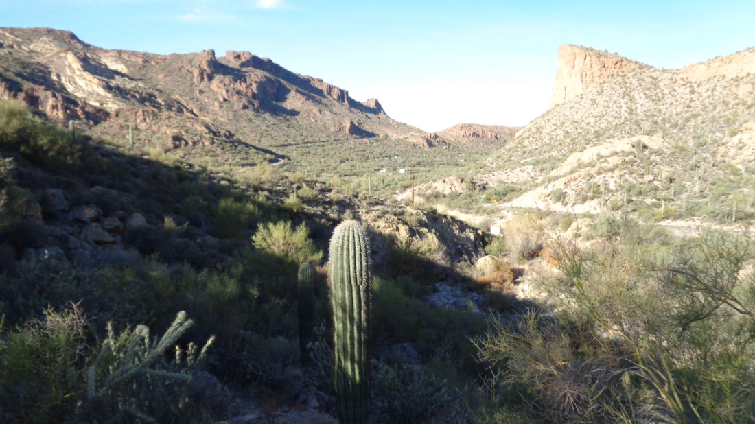
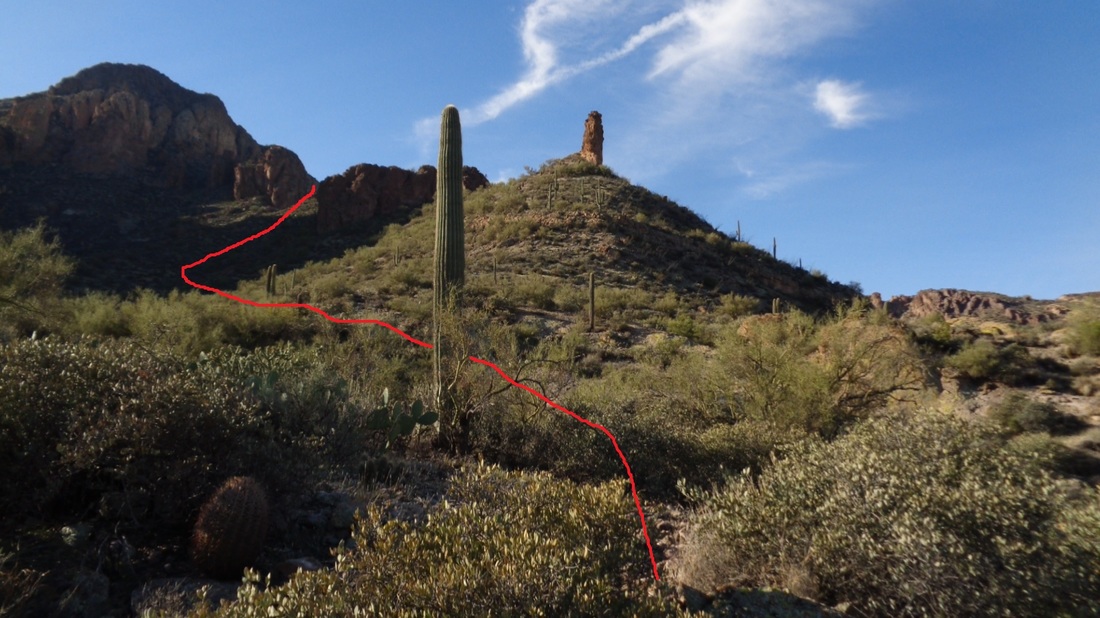
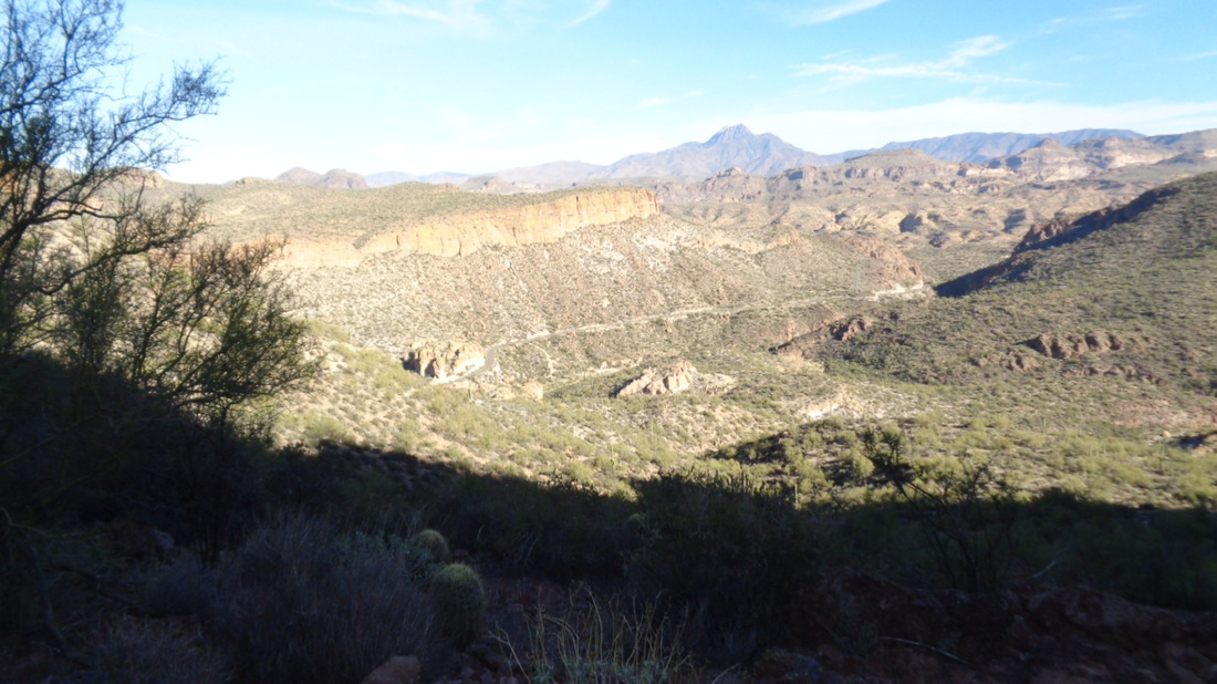
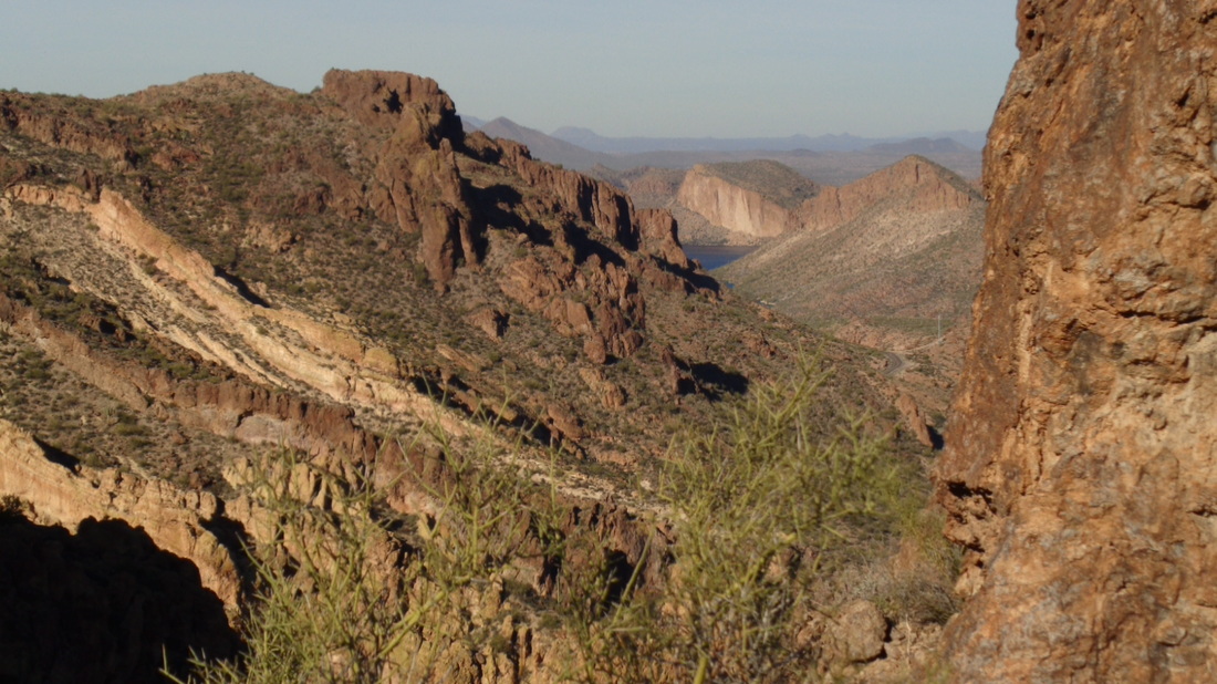
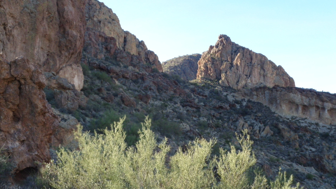
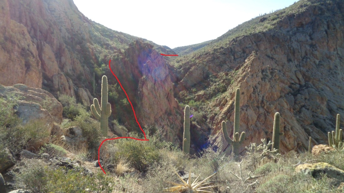
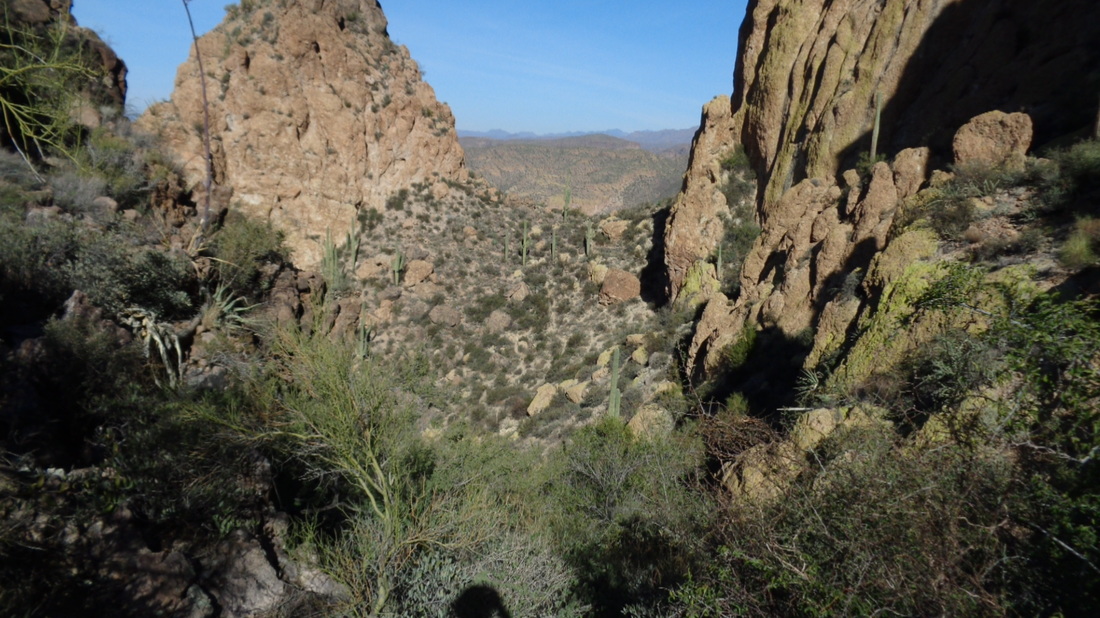
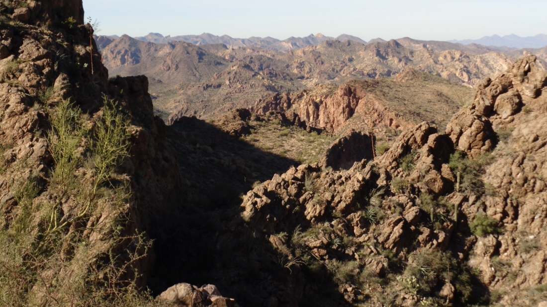
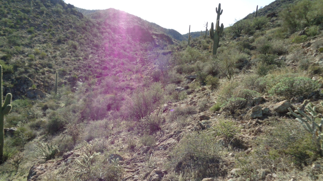
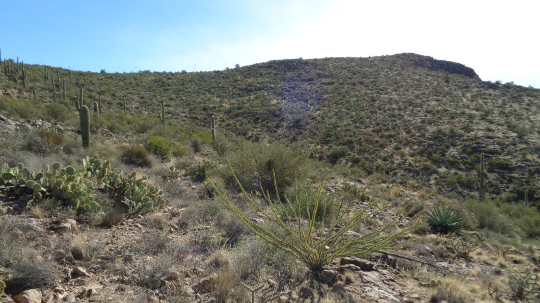
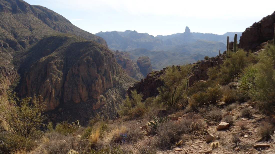
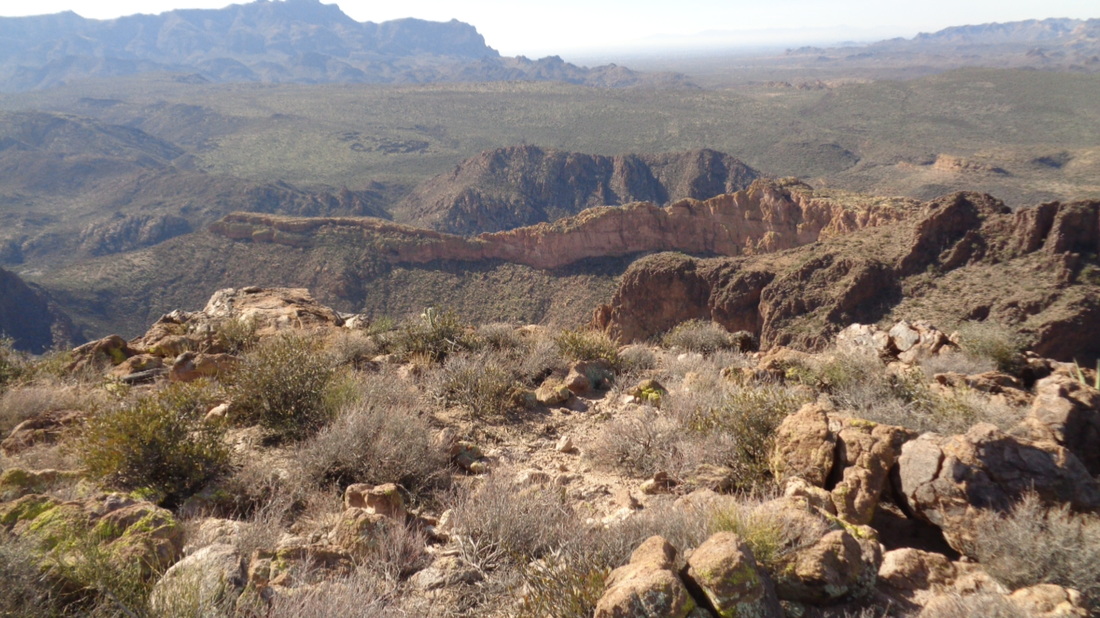
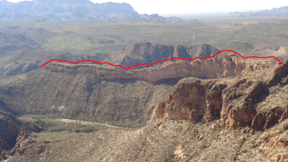
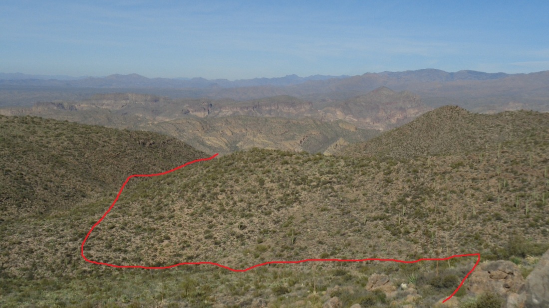
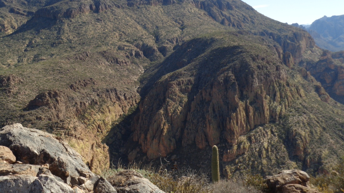
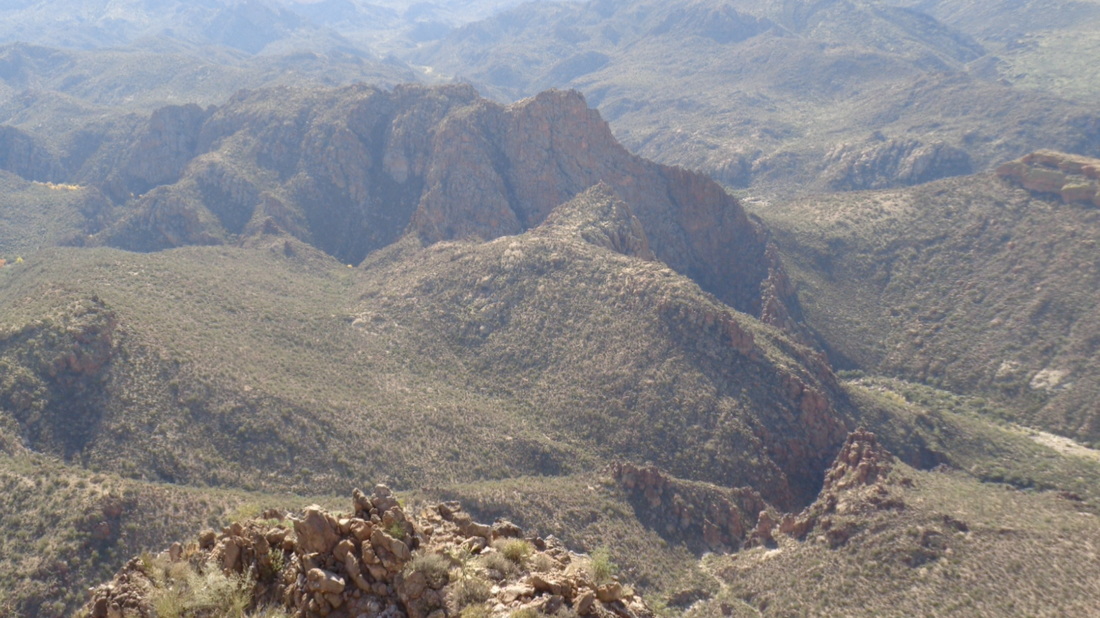
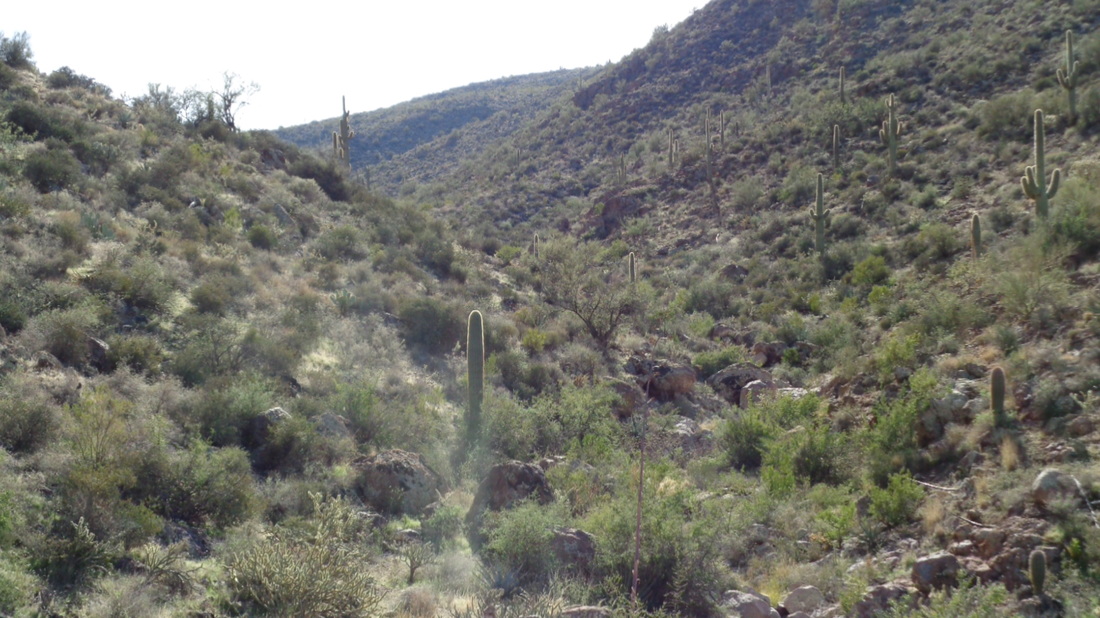
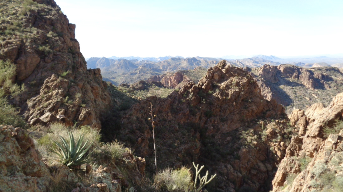
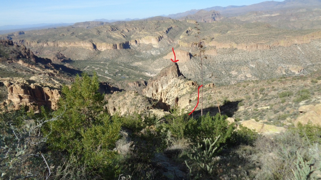
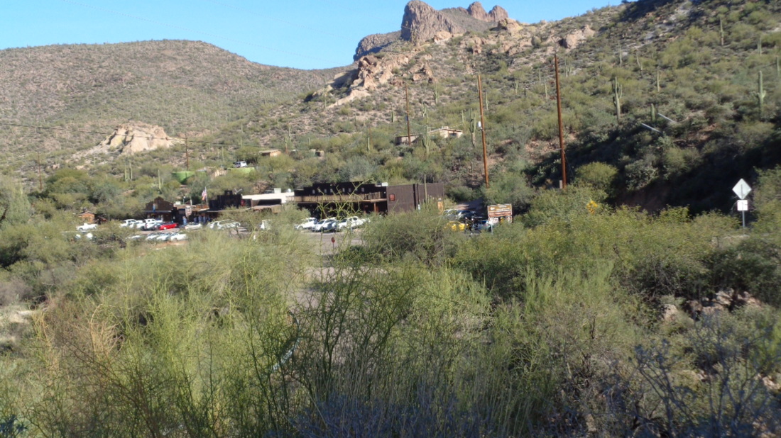
Having hiked to the top of Battleship 5-6 times, I always looked across the canyon to the north and stared at a long mountain known as Geronimo Head. From the vantage point of the "ship", Geronimo is a wall that towers over the ship's summit. There is little information available about a route to the top of Geronimo but I found one desciription that included a gpx download so..... I drove to Apache Junction, picked up #88 and headed to Tortilla Flats where I parked just beyond the shops on the right side in an elevated, dirt parking lot. Above, staying to the right side of a wash while finding a trail to follow, which coincided with the gpx route. On my eTrax, the route is a red line on a blank screen. I've not yet downloaded a topo map that would add detail, which, yeah I know, is dumb. Therefore, when looking at the screen's red line, I can't tell if the route goes left or right of features. With 20/20 hindsight, the route follows the above and departs from the faint trail I had been following. Where the red line make the right turn, it gets steep in there as it heads towards the first of many saddles. From the saddle and looking back the way I had come, I can see #88 winding in the distance. It's comforting to see civilization even though there is nothing they could do for me if I drop into a cavern filled with vipers nesting for the winter. I have some irrational thoughts when I'm out here alone. The good news is that while this is all off trail, it is not too much of a challenge to wind through the obstacles. At this first saddle, I catch a glimpse of Canyon Lake to the northwest, a very popular destination for boaters, kayackers and people who enjoy fishing. Then I looked at the next section of my travel..... ....a saddle in the distance. Here, I found many cairns to follow so kind of sped through this section. Again, a few cliffs to dodge but nothing too difficult. Easily the most difficult section. I stood at the saddle and wondered, would the route take me to the left or right of that rocky structure. A very steep slope that abruptly shot to the left. I found some more cairns and a faint trail that hugged that rock, including squeezing up a chute with a tree hugging it. The red line shows the way. By the way, some may wonder, why the heck are you going into this detail with those silly red lines? Because I know people will find this page and use it to inform them on their own effort to reach the summit. I made it and giddy was I as I looked back at the saddle from which I had come. Looking west to northwest I could see the Goldfield Mountains. Great view but I turned my attention to.... ...what laid ahead. Suddenly, the terraine went from kind of dramatic to mundane. I followed cairns and my gpx route to the bottom of a wash. Cairns led the way up the hill to the right but the gpx route indicated that I follow the wash so I did so, staying on the right side above the thick growth in the wash. The saddle above, slightly left of center, is the destination. While I began on the right side of the winding wash, I crossed to the left side and that was the correct approach. So far, I had no clue where Geronimo Head was located. Had I known, it would have made progress more direct but I kept my eyes glued to the Garmin screeen. In this long section, I found no cairns. I wondered if, had I stayed with the carins leading up the aforementioned slope on the right, would that have led me to the destination? Hard to know. After walking awhile..... ...oh WOW! I emerged at the saddle and there is Weaver's Needle and suddenly, I knew exactly where I was. The route turned right and up a slope to a peak and shazam!!! I was there. So happy and satisfied. I gave myself a mental pat on the back. Well below me was the Battleship. AWESOME. For clarity, I outlined the shape. For the first time, this gave me perspective on the challenge of navigating from the left side to the summit of the Ship. Although the complexity of the challenge is way understated. It's funny, only 2.8 miles to the summit yet it took me 1:45 to reach this point, hiking time not counting stop time trying to figure out how to proceed. As always, the red line shows the way I had come. Pretty dramatic to my left as I ftuitlessly searched for a jar/can that would hold a summit register. Rats, could not find and I doubt there is one on this remote summit. I could hear a group on Battleship and yelled. Great echo! Try it when you are here. Below and slightly to my left is the dry wash that leads into Lower LaBarge Box Canyon. Fantastic place althought you can't know from the above image. I stayed quite awhile at the summit before turning my attention to the return. As brushy as it looks, a serpentine route, which can be walked quickly, is available. Prior to reaching the next return saddle, my Garmin flashed the message that the battery was low. Uh-Oh. I quickened my pace even though I was sure I could find my way back. It's not rocket science but still.... I reached the final saddle with relief as the power held in the Garmin. The parking lot is on the other side of that sloped rock formation. Still a ways to go but a relief to be able to see. I finished with 5.2 miles and my hiking time was 3:28 while my total trip time was 5:02. I think this data is wrong. The total trip time is accurate but I spent no more than 30 minutes at the summit. I reached my car, stopped at the market and ordered a well deserved chocolate cone and as I drove away.... ....looked back at Tortilla Flats and the dozens of cars that had come to visit the museum and shops. What a fun day.
1 Comment
Phil Livingston
12/11/2016 08:37:46 pm
Hip! Hip! Hooray! Quite an accomplishment! From the many different descriptions of this hike one wonders if one could make it back alive.
Reply
Leave a Reply. |
Categories
All
Archives
November 2023
|
