|
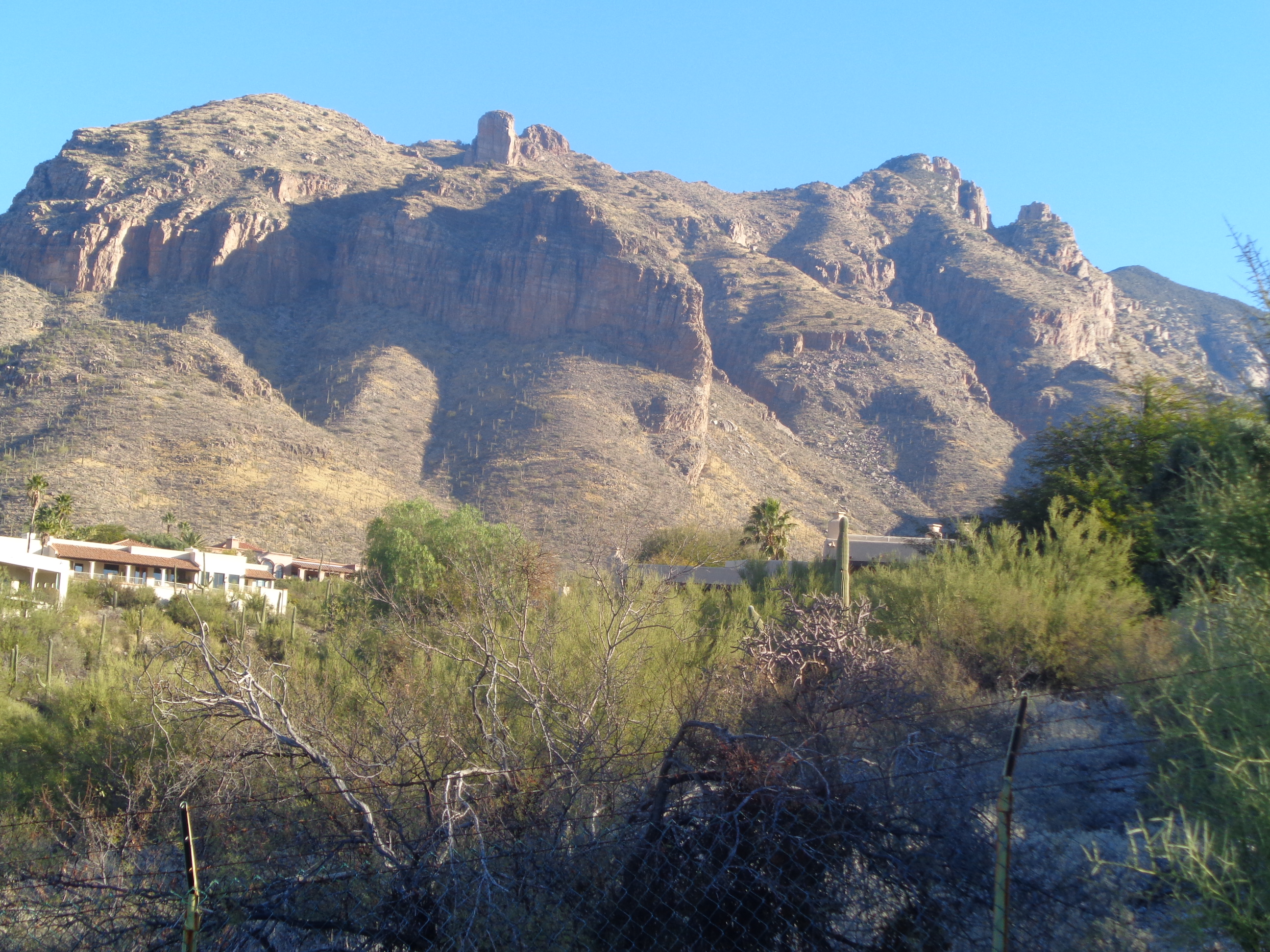
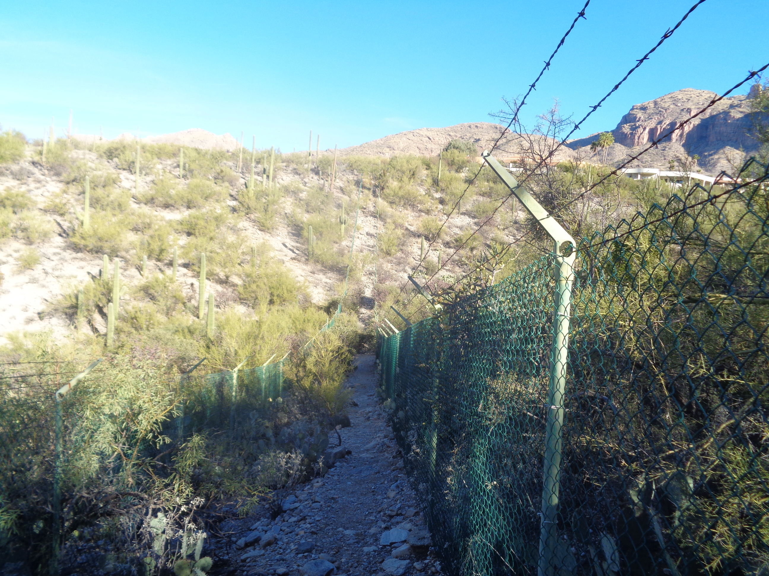
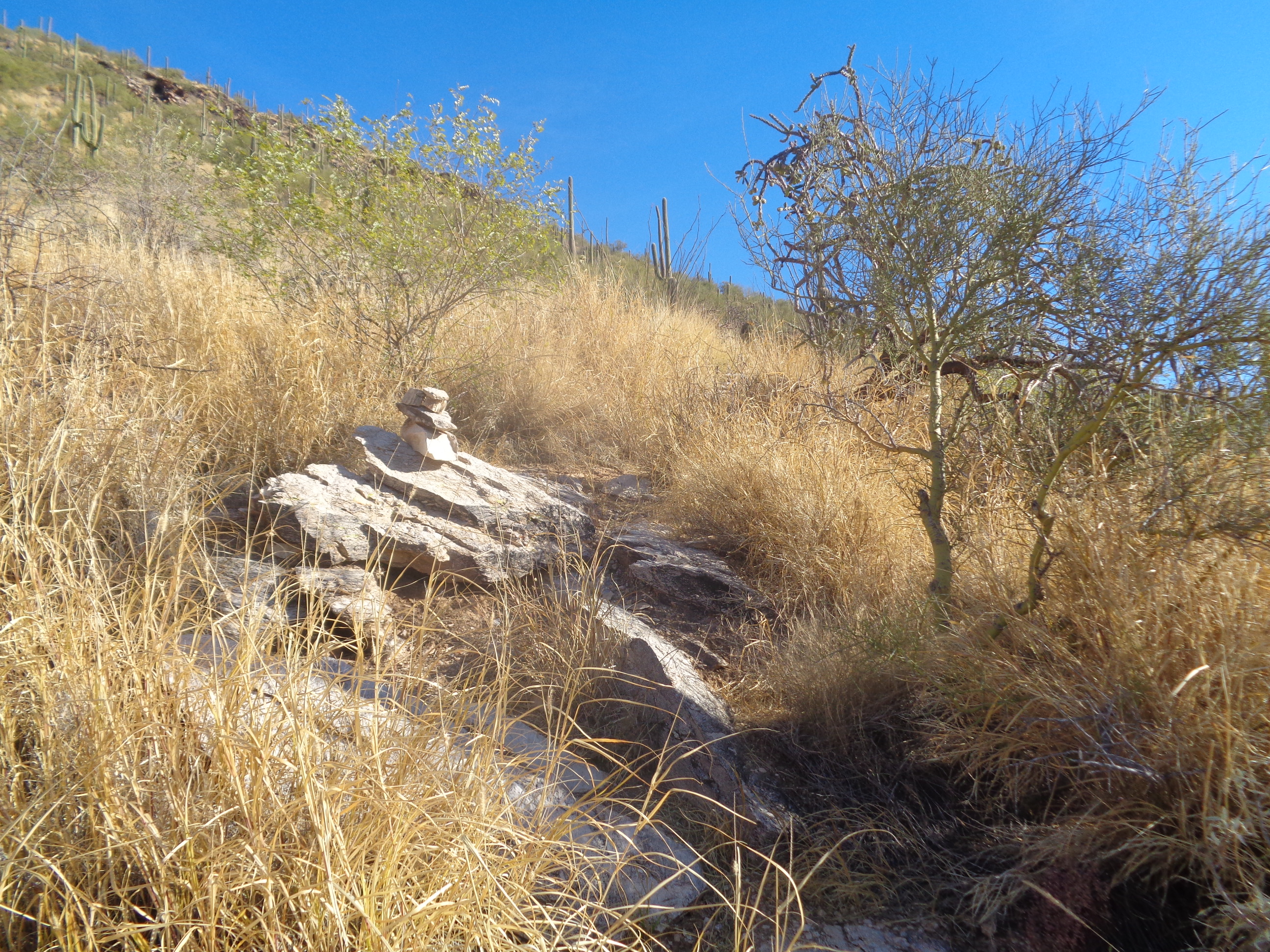
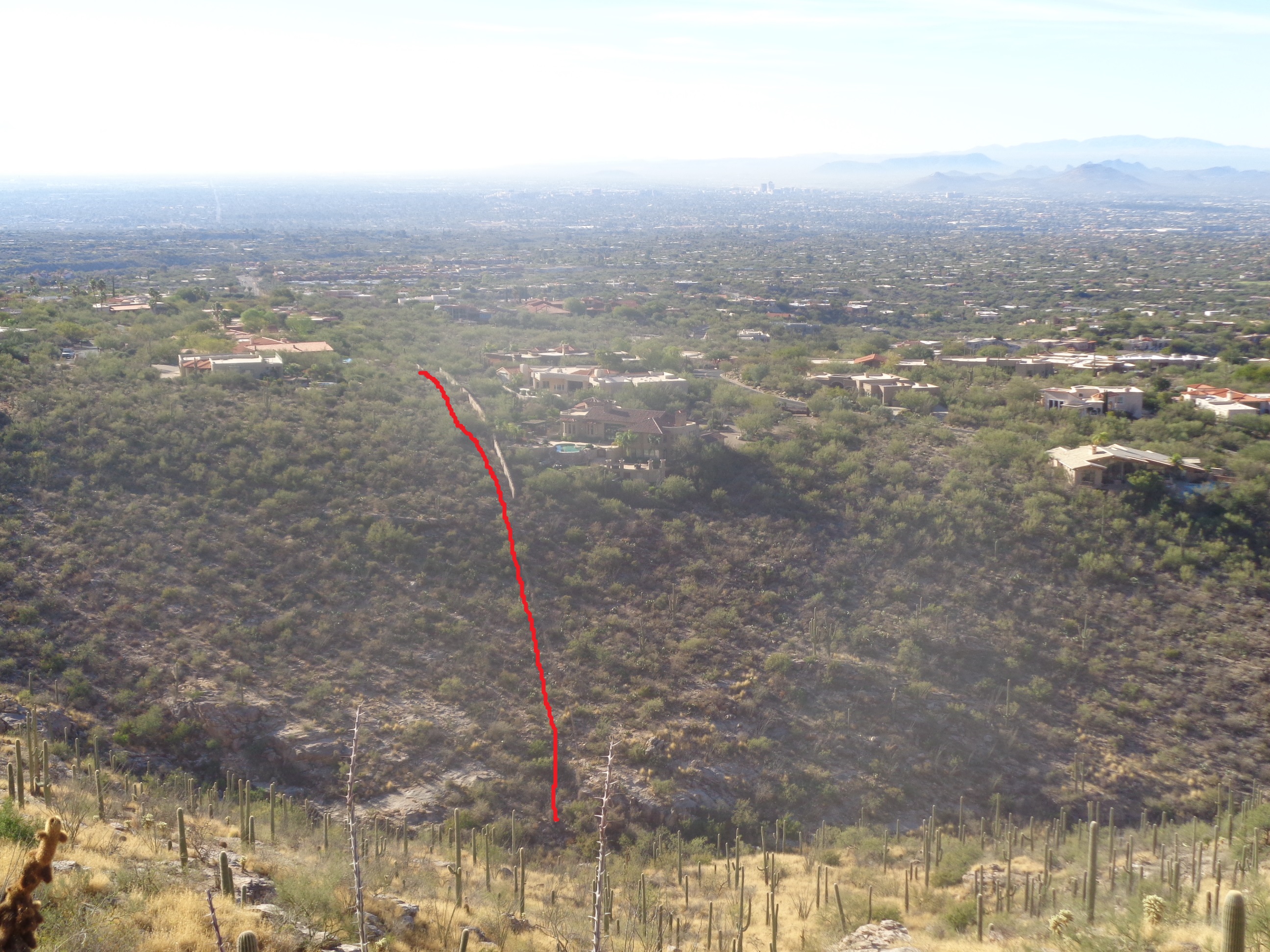
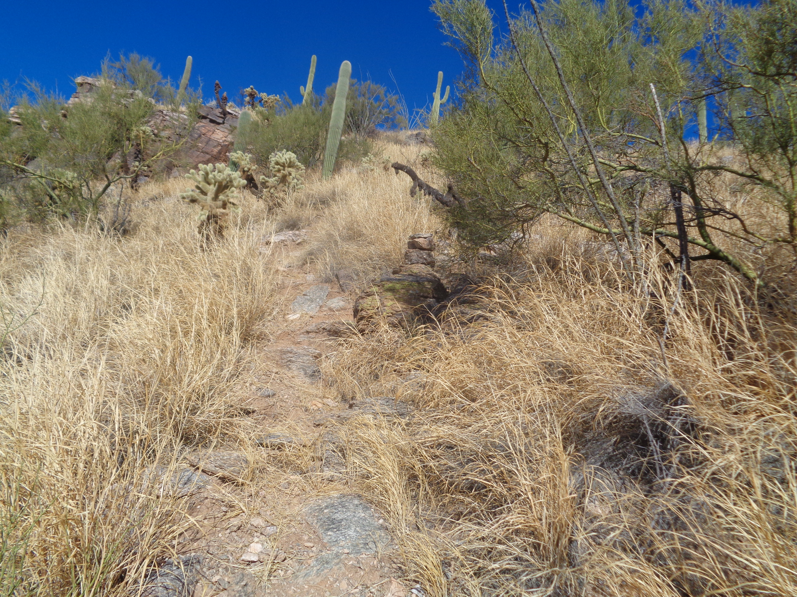
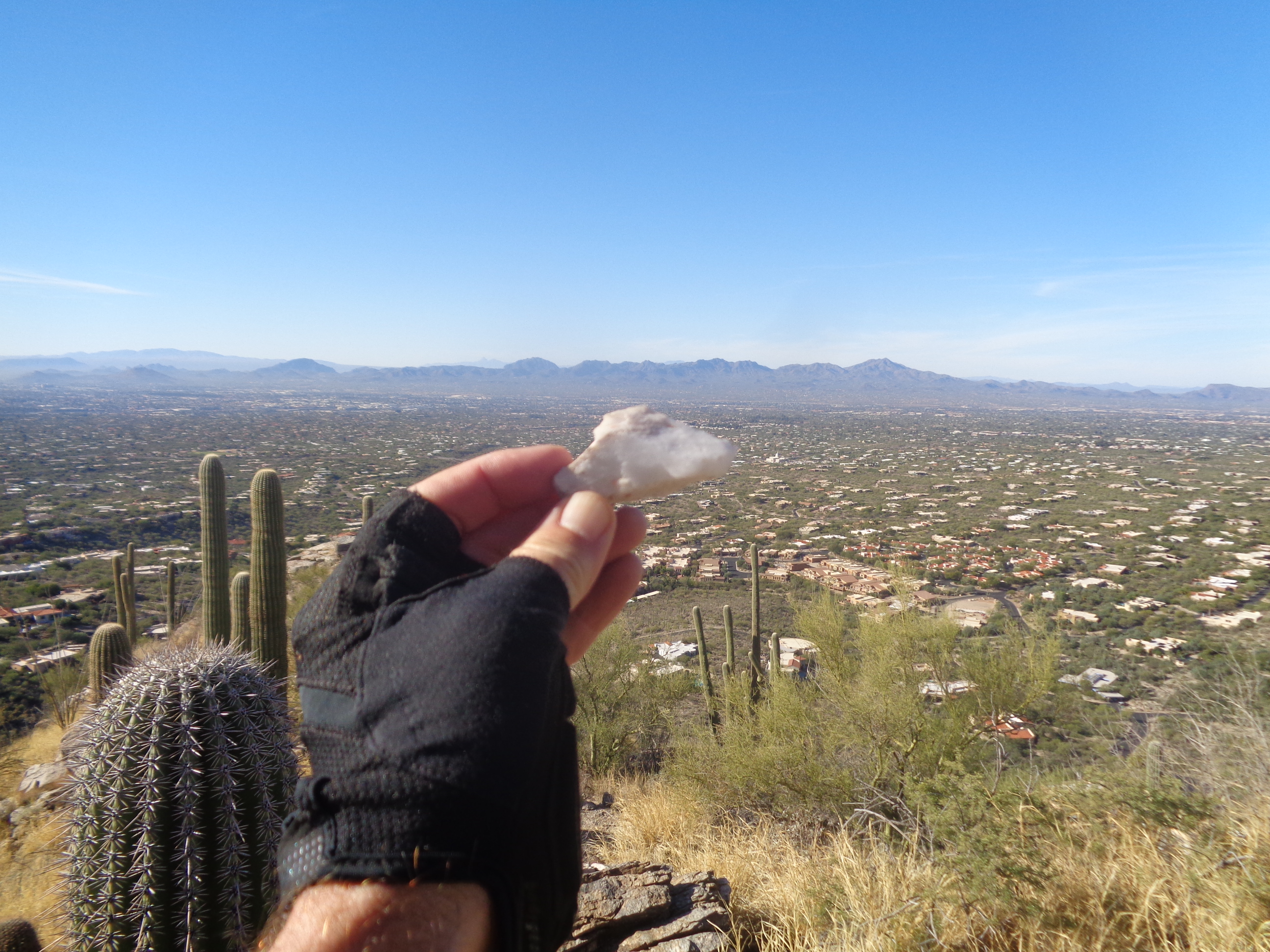
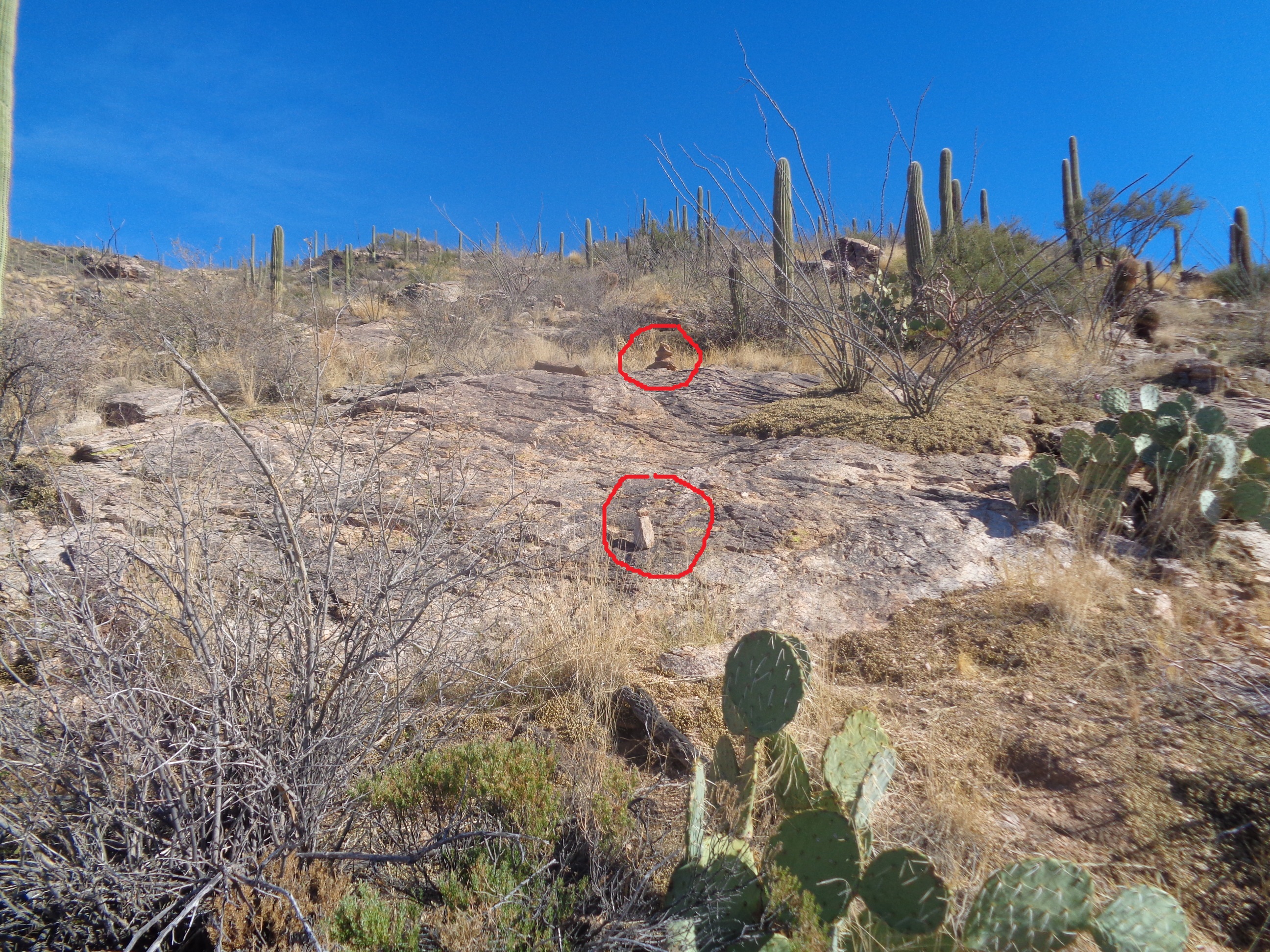
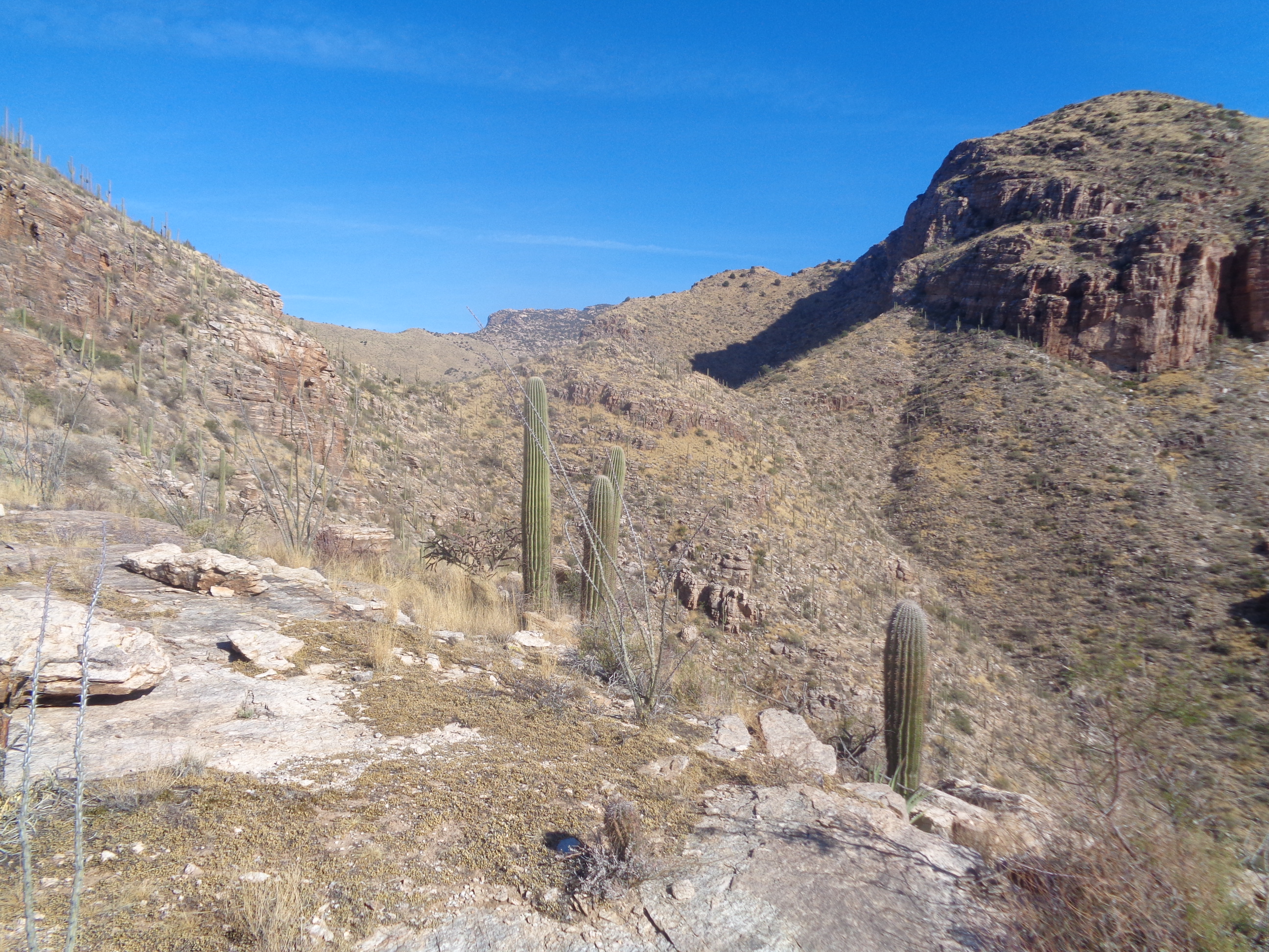
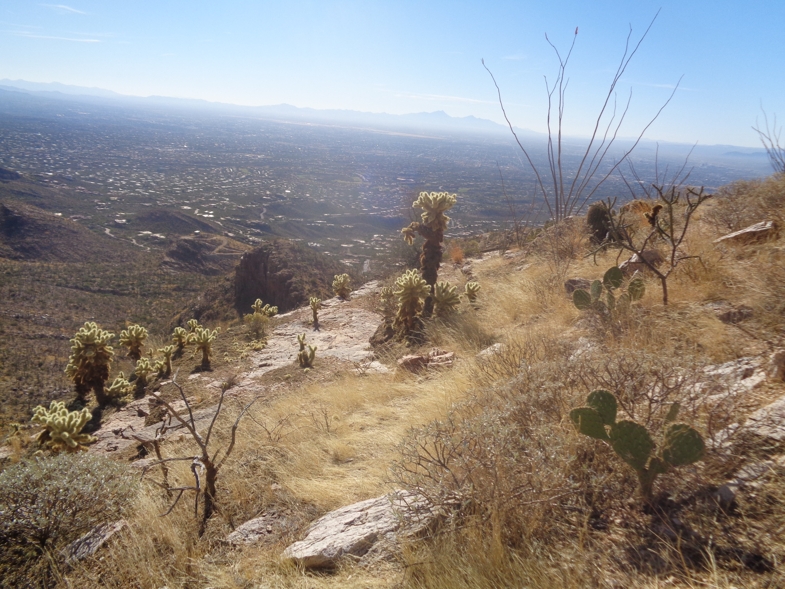
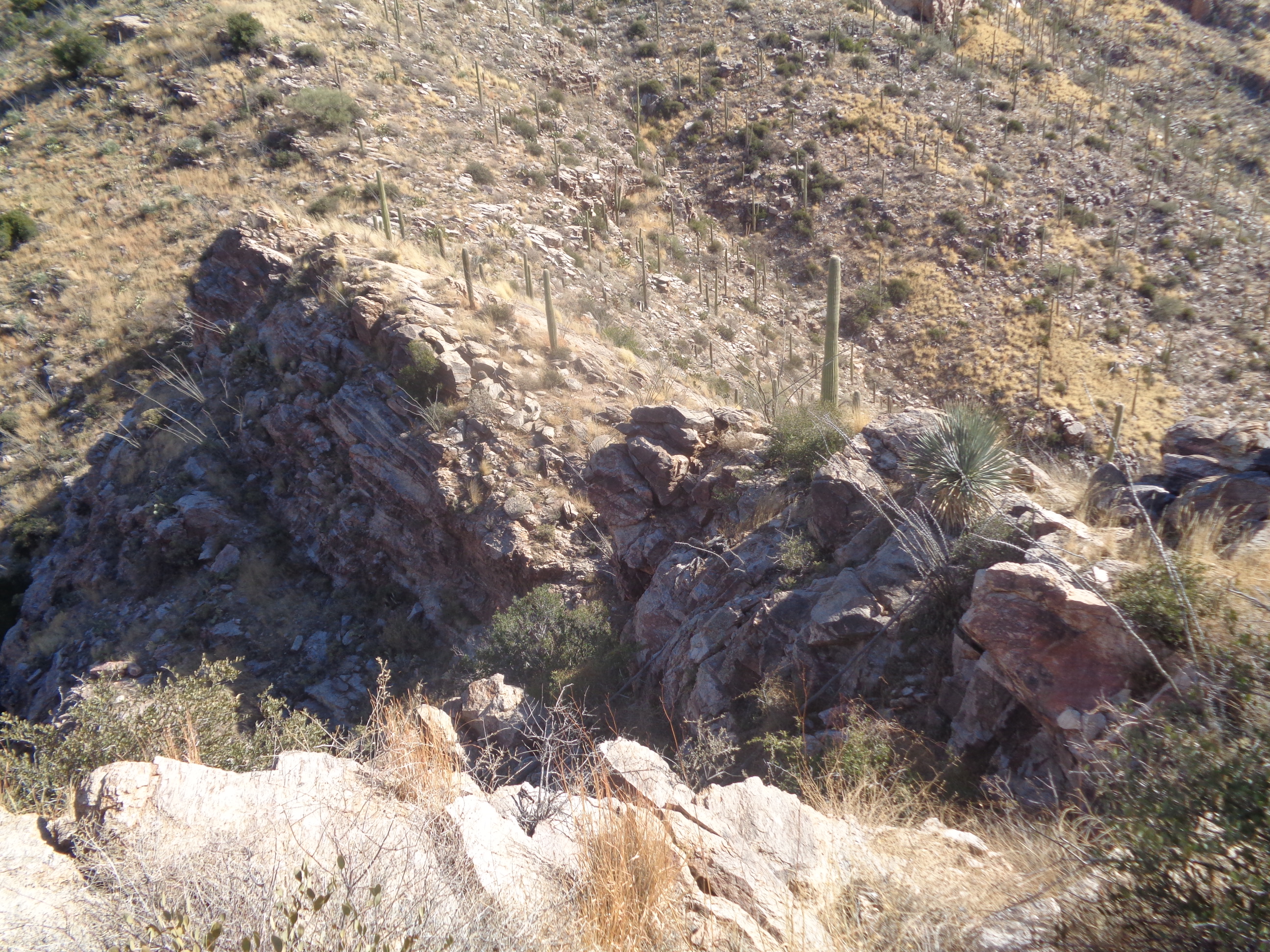
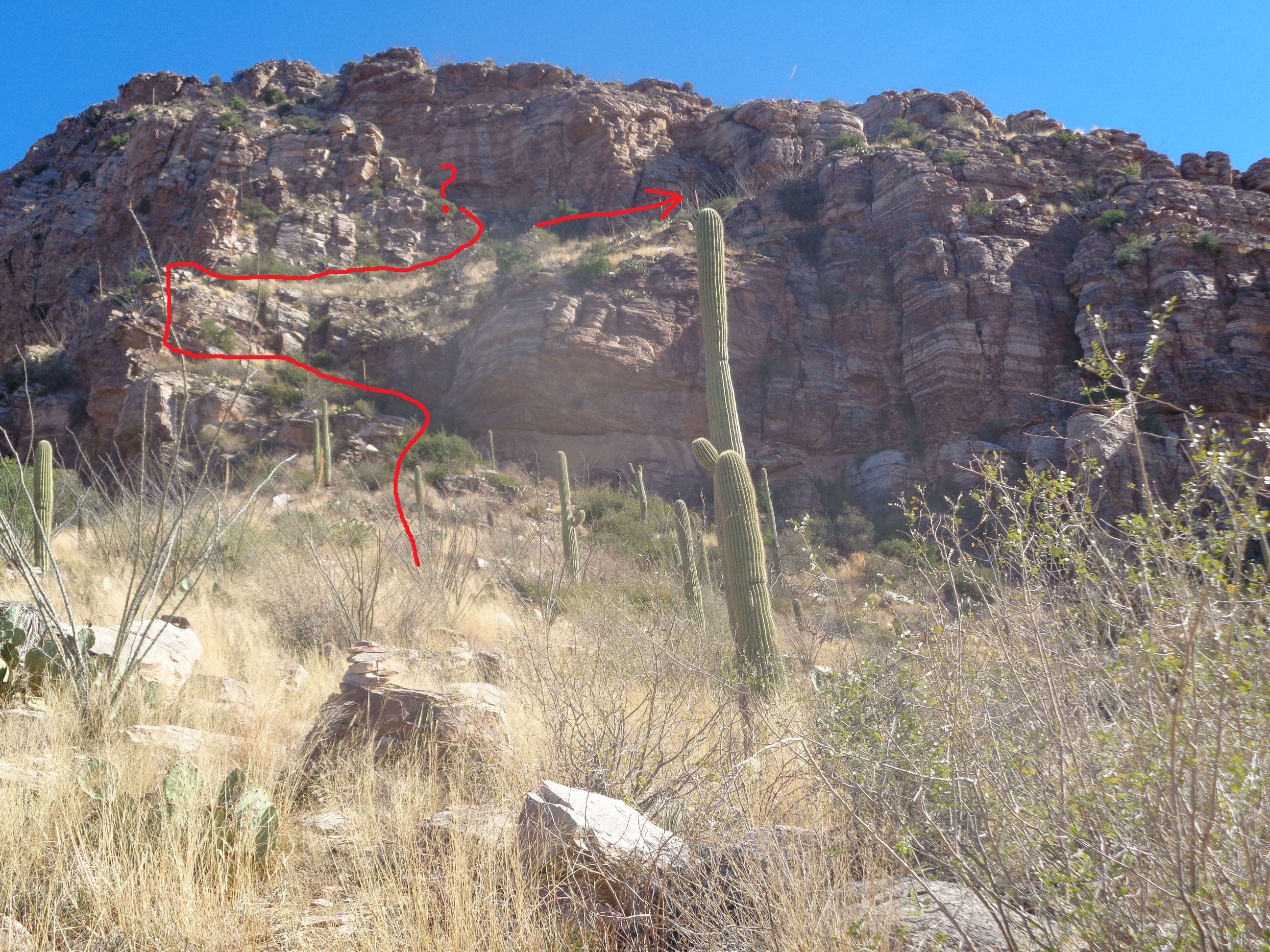
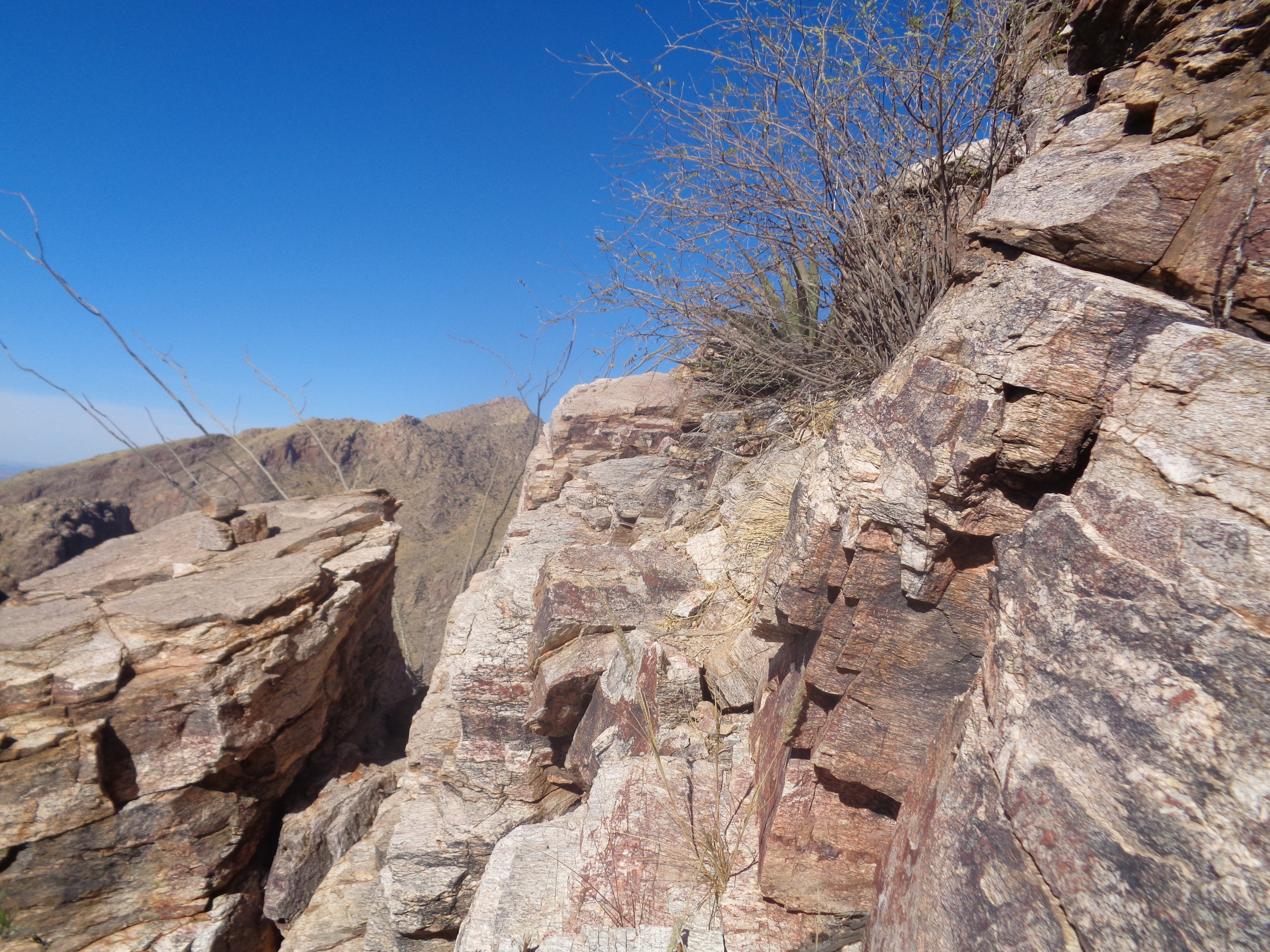
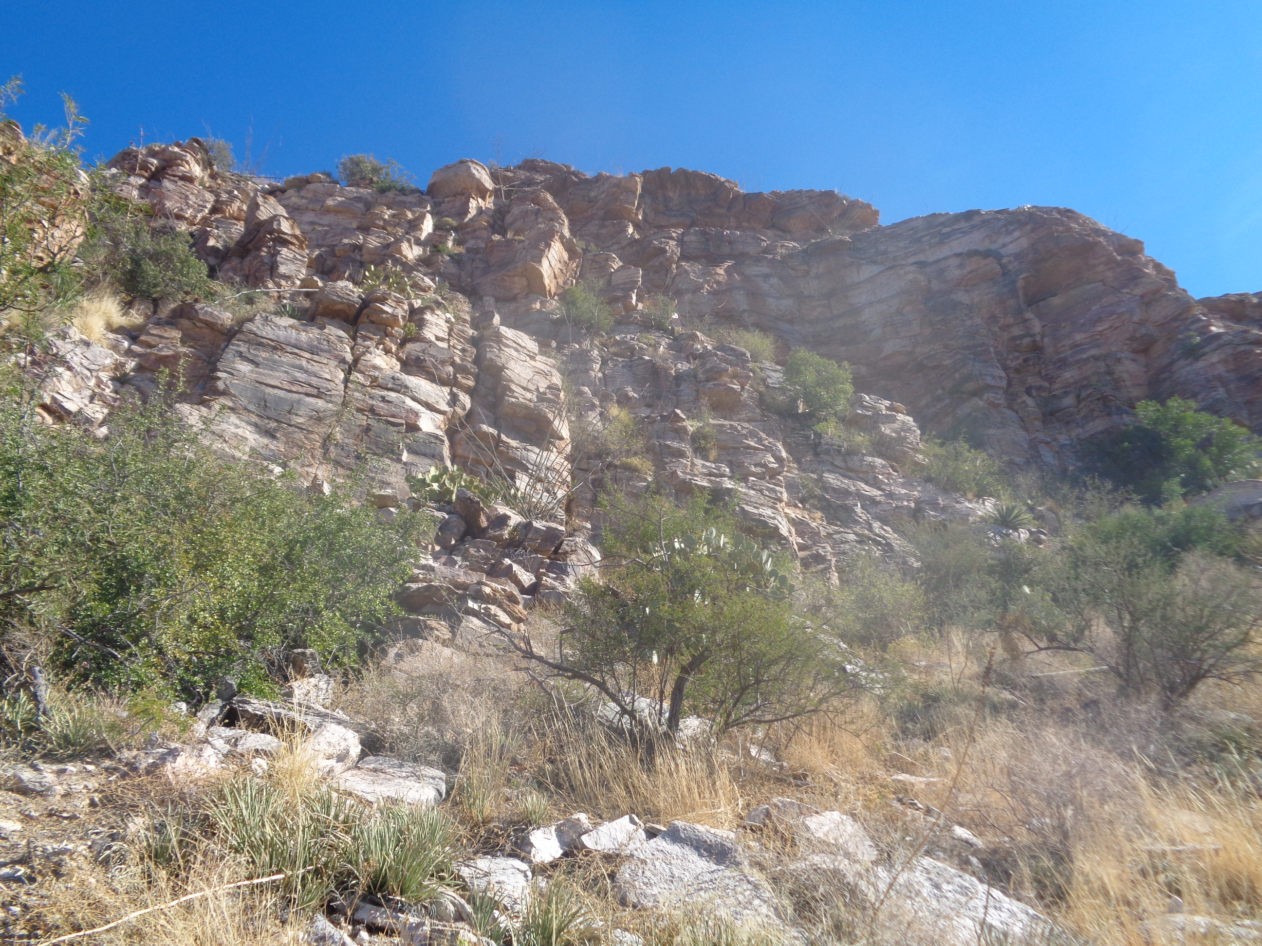
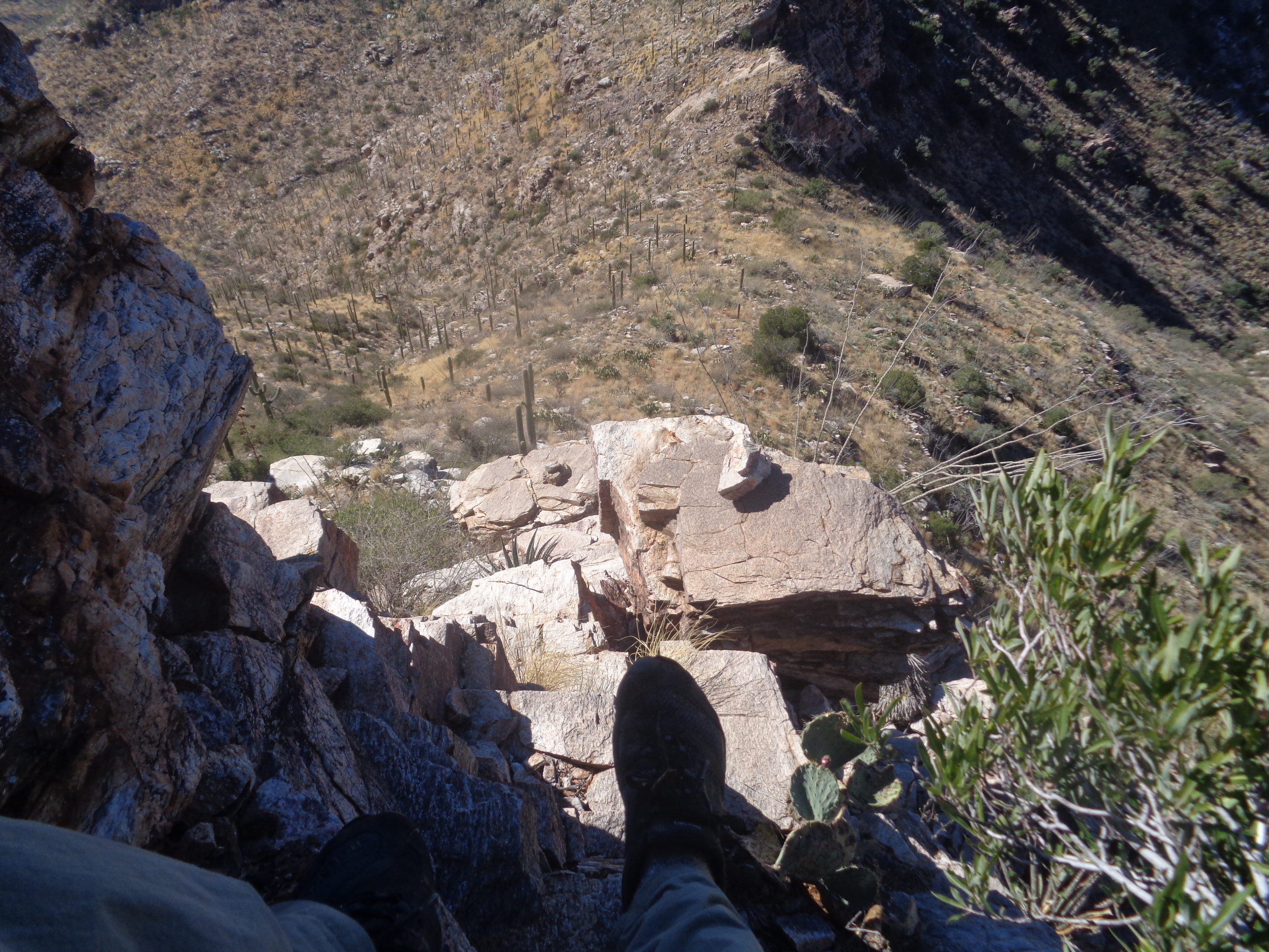
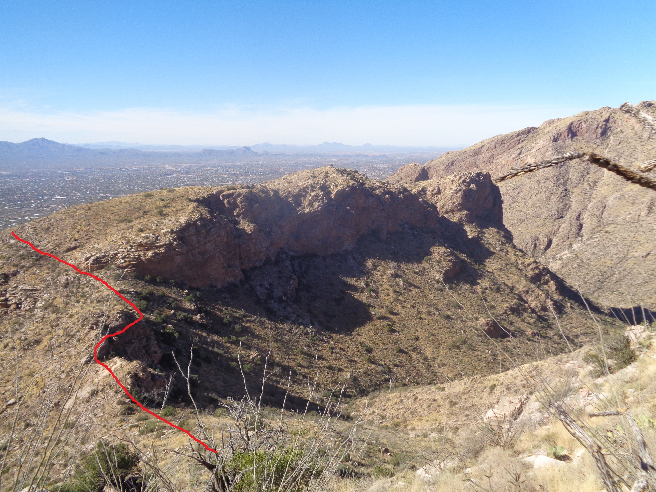
I could find little about the hike to Prominent Point, there right of center on the above. No GPS file, descriptions that were vague so what the heck, let's see how far I could get. At the top of Campbell Road, there is a parking lot that would hold around 12 vehicles. Years ago, permits were provided for development in exchange for providing a corridor to the wilderness to the north. The "corridor" is a narrow path that is bordered by fence topped with barbed wire. Like, wtf??? We hikers are a dangerous bunch so I followed this tunnel for about 3/4 mile. It ended in a wash and I hung a right at the end of the fence and.... ...my expectation was that I would wander in the wilderness, somewhat aimlessly, while I headed toward the objective so I was shocked, shocked to discover...there...a cairn (small pile of rocks) showing the way forward. How bout that!!!! Actually, the one trip report I could find suggested staying in the wash for awhile before ascending via a canyon coming down from the left but hey, don't look a gift horse in the mouth so I began..... ...climbing. Looking back, I could still see the corridor I had previously followed. It would be bad to miss that access point so I looked back plenty of times to make sure i would spot it on the return. Yes, the red line is my contribution. The route was really easy to follow although it became very steep toward the top of the fist major ascent. I came across a thick vein of quartz and picked up an especially fine example. Note the cycling gloves. When I hike off trail, it's good to wear them to protect against that nasty plant on the left. When I reached broad expanses of slick rock, there were always cairns to show the way ahead. How considerate was someone to erect these. It's always a guessing game, looking ahead and trying to figure out where the route would go but at this point, I guessed it was headed for the above ridge followed by an encounter with the obstacle on the right. Wow, I was right. Looking back, the sun is rising higher as the route skirted a cliff edge. Always thrilling, that aspect of a hike. Upon reaching the aforementioned saddle, initially it appeared I had reached a dead end but after some reconoitering, there was a way forward which them brought me to..... ....this. The red line shows how I proceeded but note on the left how the line goes vertical? So insignificant it appears but.... ....it was a challenge to climb through the first cliff band. I still had rock piles showing the way but after climbing out of the above..... ....oh my, how to get through that. I poked around for quite awhile but always ran into a dead end. Later, I discovered I probably did not have to climb through that, rather walk around it to the right. The rock piles had petered out and without a gps track to follow, I decided to retrace my route which soon brought me to.... ....ugh, the cliff band to down climb. Must be very, very careful but there were enough ledges.outcroppings that it wasn't too bad. I followed the red line back toward civilization, finishing with a paltry 4 miles. In hindsight, don't think this is the best way to reach Prominent Point. Probably going up Finger Rock Trail for a mile and then heading off trail is the way to go...
0 Comments
Leave a Reply. |
Categories
All
Archives
November 2023
|
