|
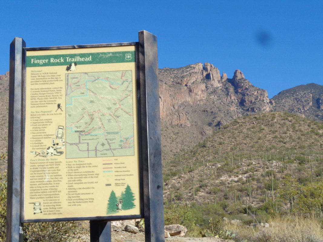
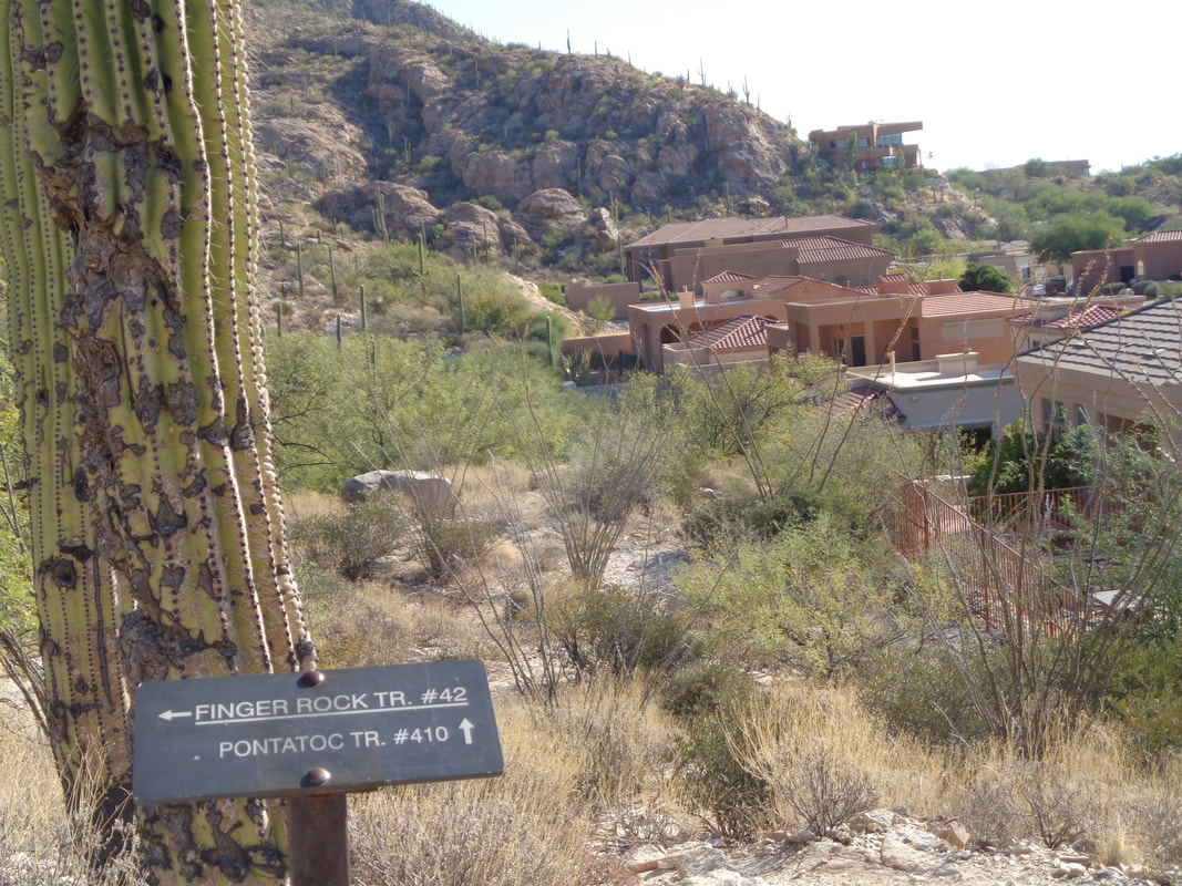
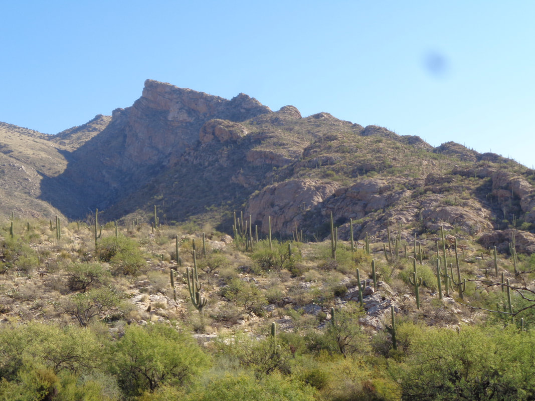
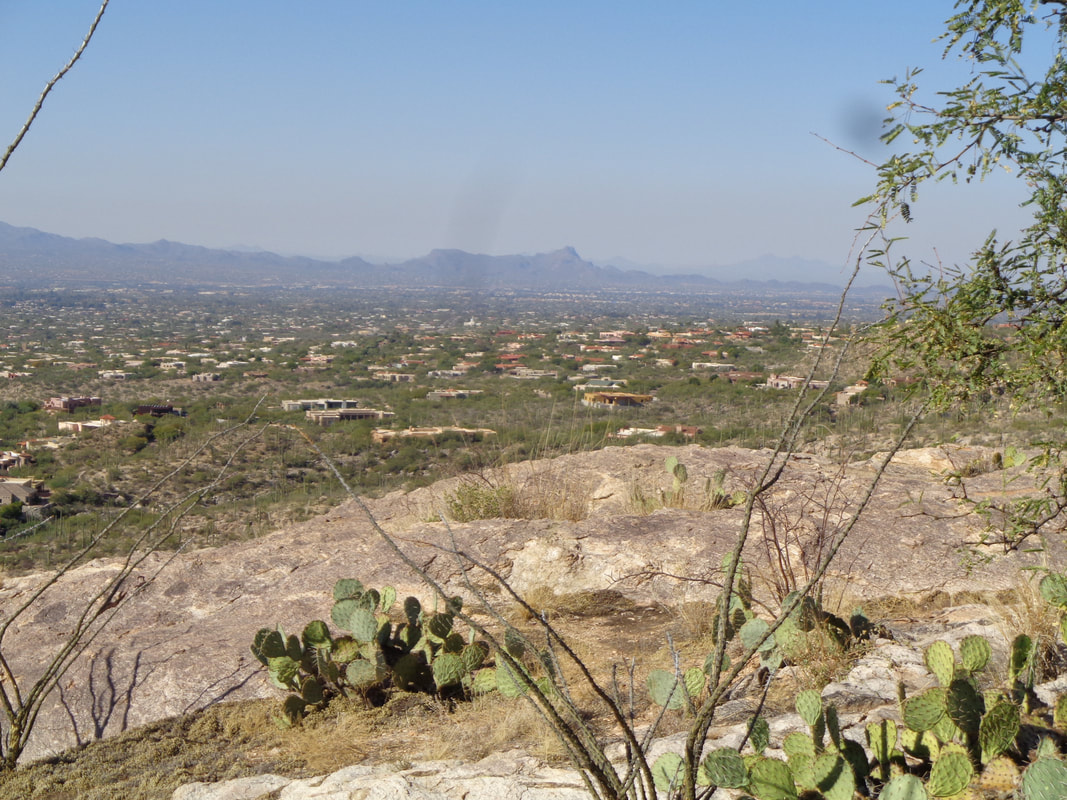
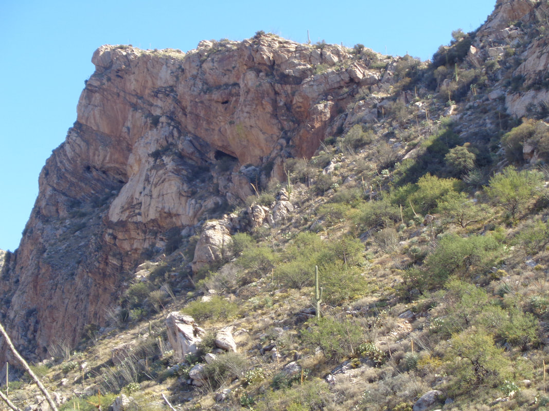
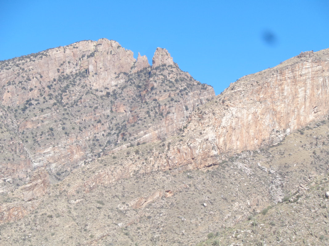
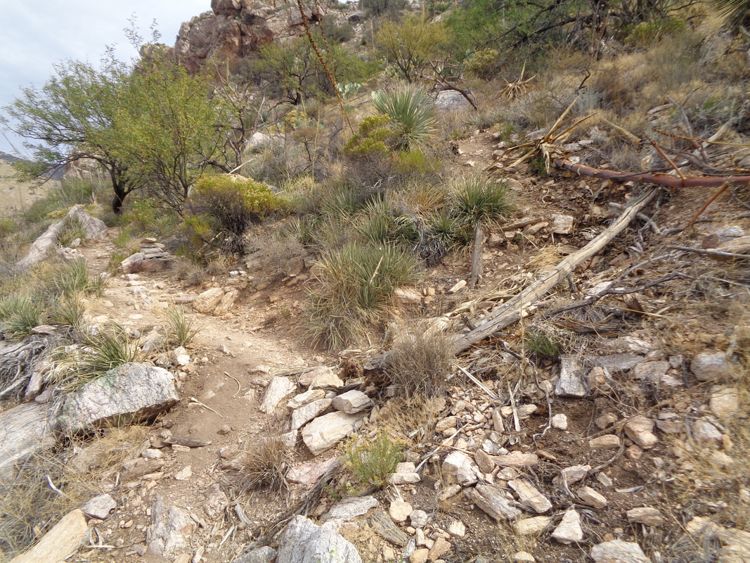
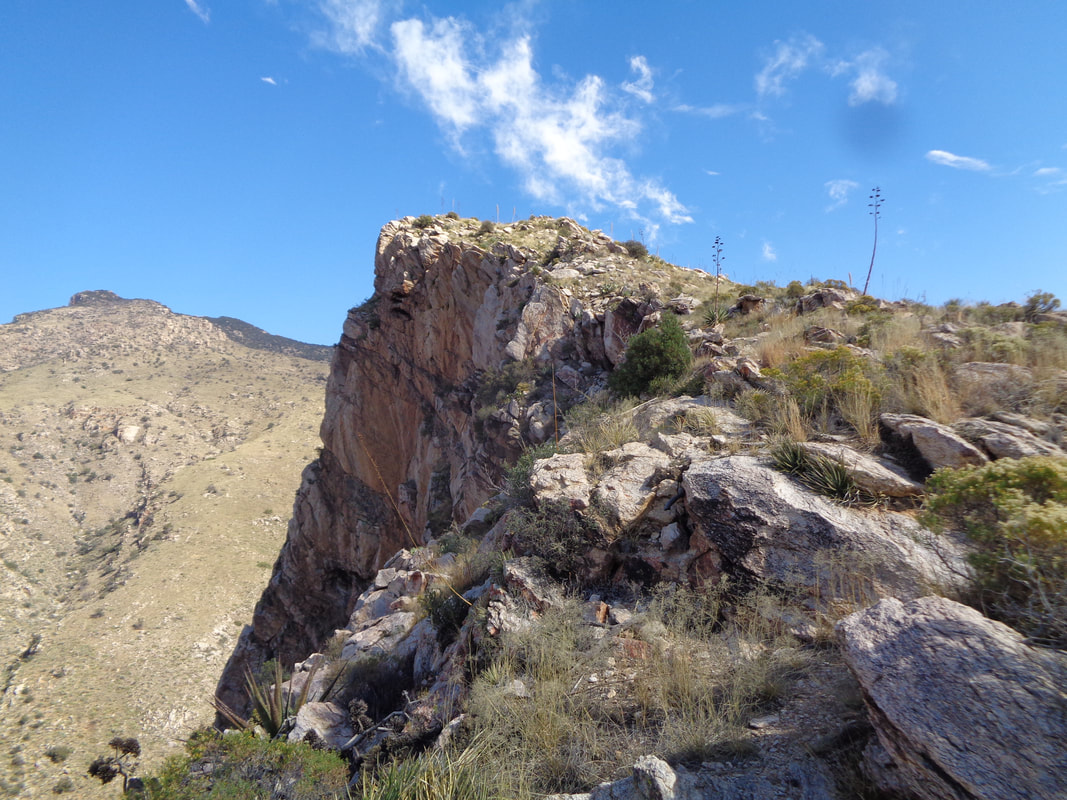
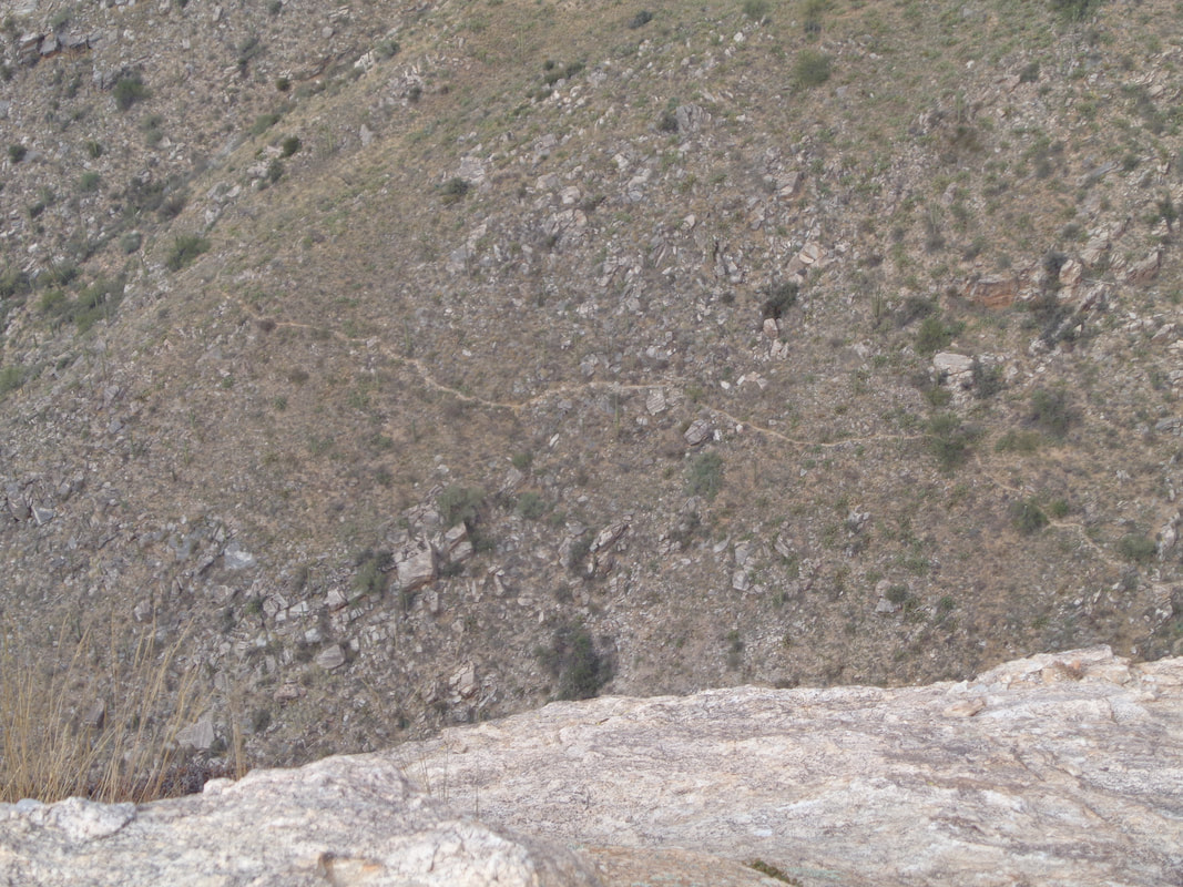
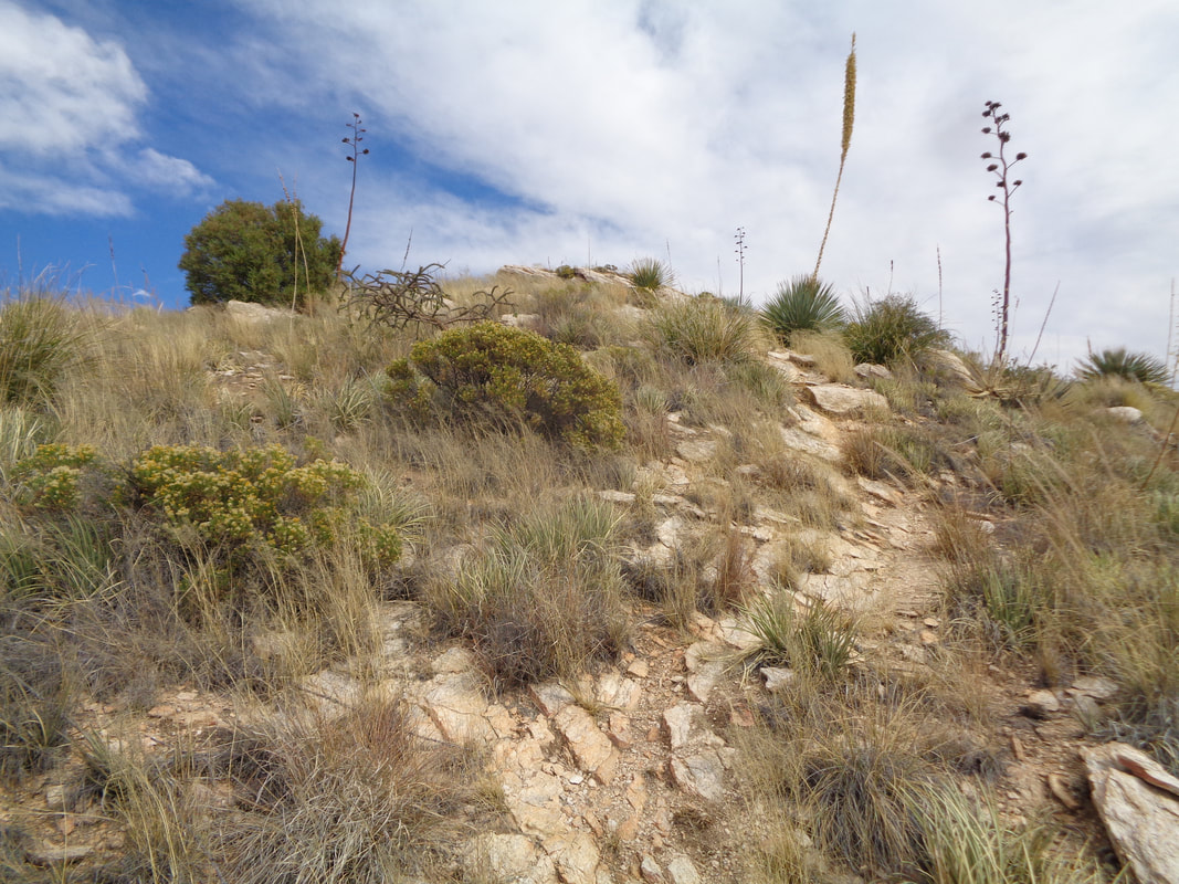
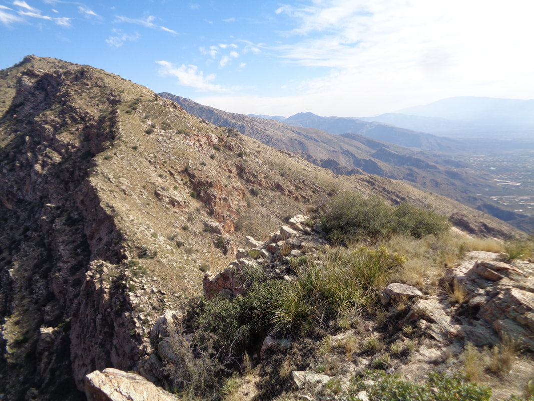
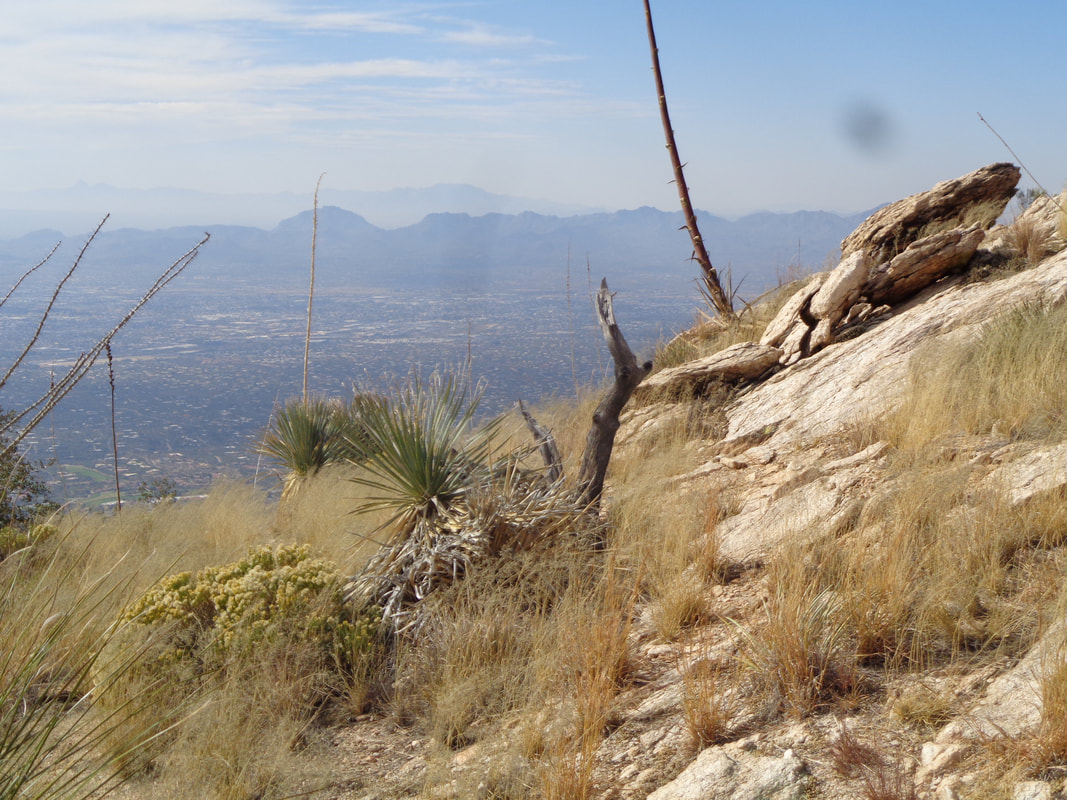
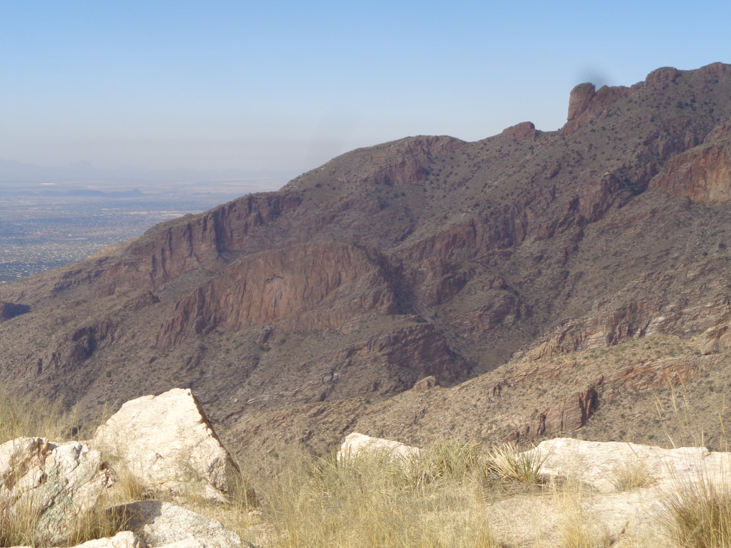
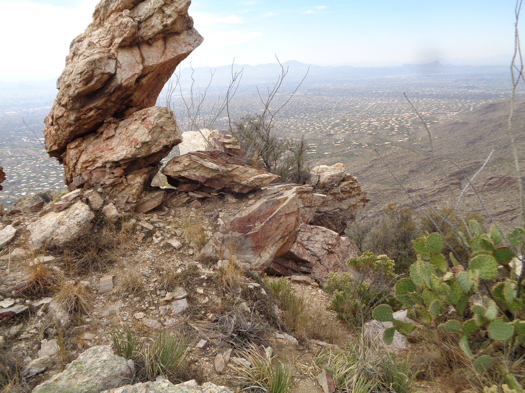
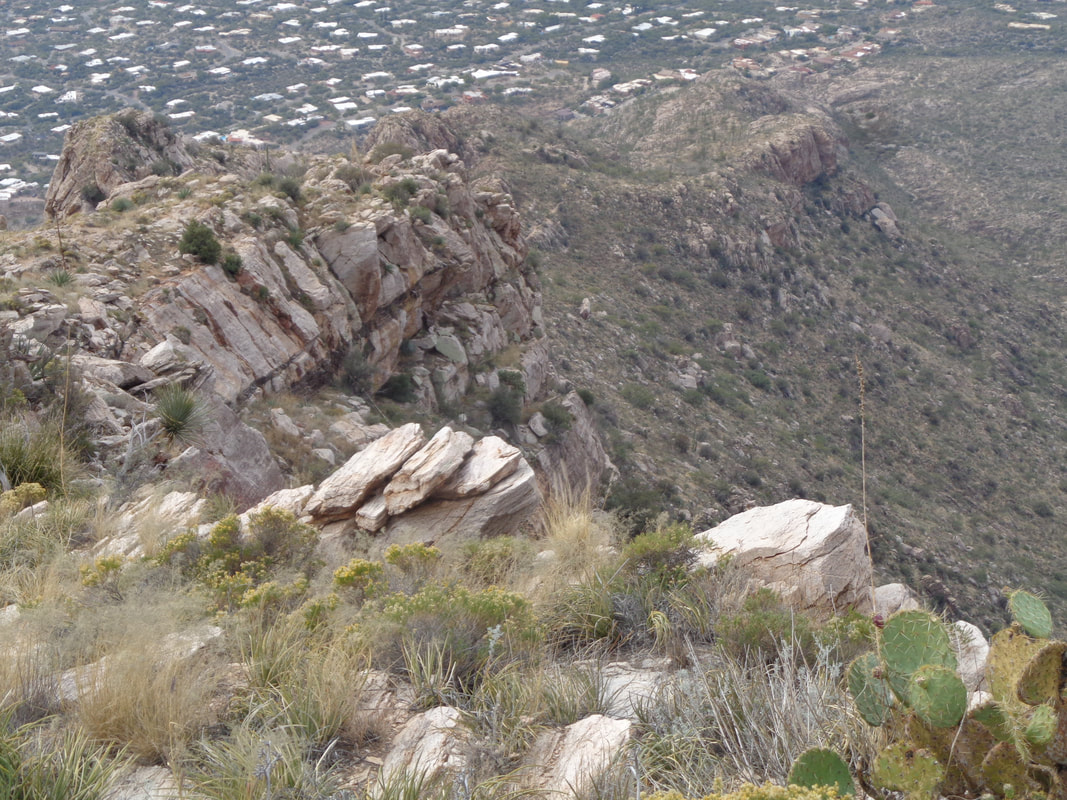
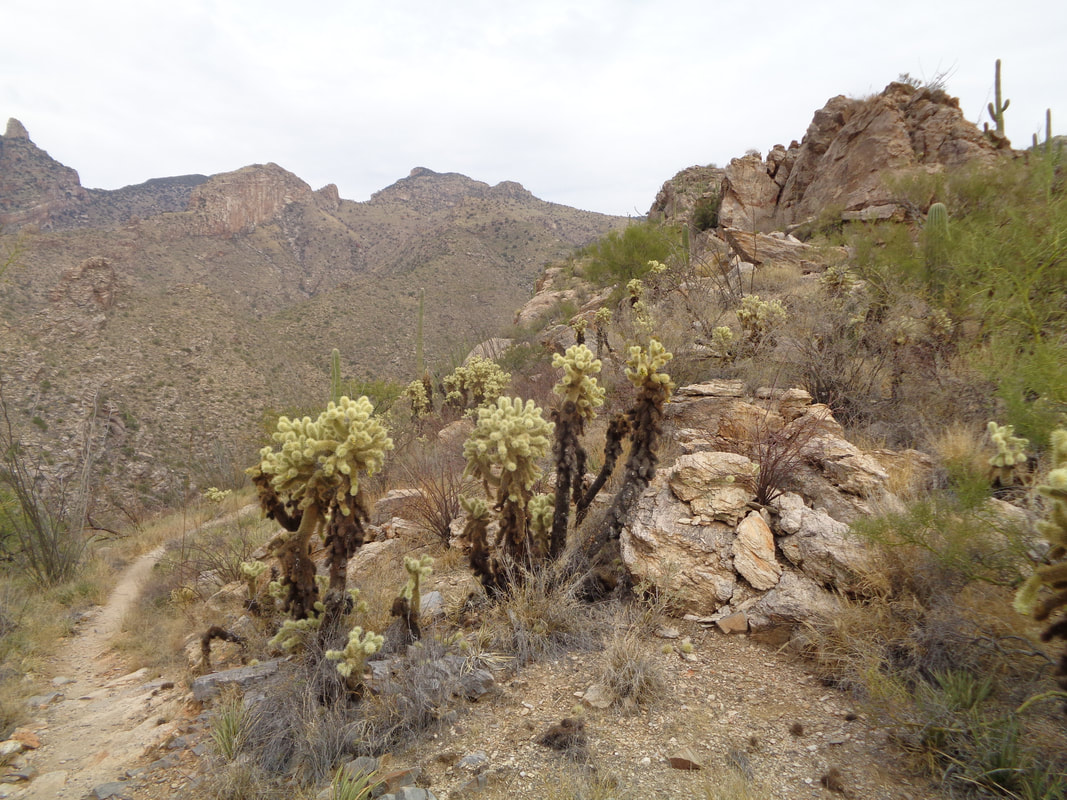
It's a short story. Not on the bike, not on a hike but while sitting on a couch, watching Ohio State basketball I was bitten by a rather large dog. Bad enough but while standing at a sink watching water flow over the mangled thumb and blood gushing, I passed out and fell to a tile floor...funny, right? I injured my left knee and had a problem walking for a couple of days but a few bike rides reoriented the knee and so here I am at the Finger Rock trailhead for my first post injury hike. The prominent rock in the distance is Finger Rock Guard and to its left is Finger Rock. The route takes one to the Guard rather than the Finger. Climbing the Finger requires rope and a lack of fear of exposure. However, my goal for today is Pontatoc Ridge which is accessed via the Pontatoc Canyon Trail. Off I go on a probably too steep and too rocky hike, all things considered. The Canyon trail meanders up the canyon cast by the shadow. It's kind of boring while the Ridge trail breaks to the right at some point and is signed so you can't miss it. I have reached the trail junction, made the right turn and follow the trail as it goes counterclockwise from the north side of the ridge around to the south side. Plenty of spots to walk to a rim on slick rock and look at the magnificent views. The trail climbs and eventually cuts back to the south side and in the distance, you can see an old mine which is actually where the trail leads. I have no idea why long ago, someone thought that was a good place to dig into the mountain. Yes, the trail does not take you to the ridge but to the mine opening. I have been there once and not all that interesting a location. I will gain 2300' on my way up so the Guard, Finger and to its left, Prominent Point (not yet made it to the Point) come much closer. Within, gosh I don't know, maybe 300 yards of the mine opening, there is an unsigned but fairly obvious trail going up hill to the right. Take this to make the top of Pontatoc Ridge. Fabulous destination but be aware, the trail is very steep having an average grade of 35% for the .45 distance and lots of loose rock. Take a hiking pole. Gaining on the ridge top. Beautiful, isn't it? Another note, several places have no obvious trail so watch for the cairns, which are not plentiful but enough. There is some route finding required in the maze of boulders that you will encounter. Far below I can see the Canyon trail. As I said, it goes maybe 3+ miles and dead ends with no visual reward for the effort. Yes, you can bushwhack from there across to I think Ventana Canyon or over to the Finger Rock trail but it appears there is a healthy crop of shin daggers on the slopes above. Hey! Almost there and when I arrive..... …..grand views of the Catalinas and of course, the end of the ridge. The sun is coming in and out of some clouds so the colors change as I look to the..... ….northwest and see Rosemont Saddle and to its right, Rosemont Peak. Beyond that is Pima Canyon. My knee has performed like a champ so I am relieved. Of course descending places different stresses but I was good with that challenge too. Anyway, I begin the descent. A lot of neat rock formations are navigated and as I previously said, pay attention to the cairns. There's actually a prominent cairn in the above image, just to the right of the vertical rock. I also got off the route once, as others have done when I followed a left breaking path that began meandering down the left side of the ridge. Instead,..... ….the route stays high on the ridge. My route takes me through..... ….a healthy grove of Jumping Cholla. Ended the day with 5+ miles and a fairly healthy knee again. Today was mostly sunny with a high in the low 80's but big change coming our way with 3 days of rain!
0 Comments
Leave a Reply. |
Categories
All
Archives
November 2023
|
